Trails in France
15,926 hiking trails, each with its route, climb, walking time and grade.
All trails, page 157 of 332
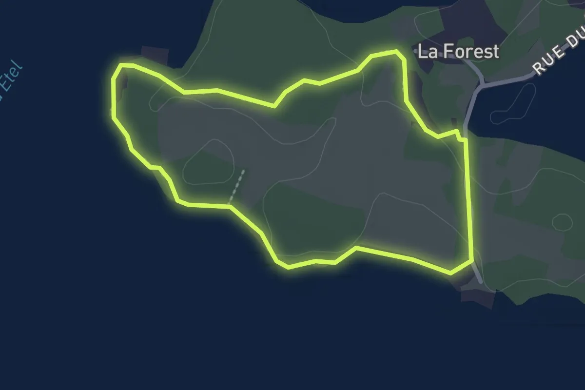
Easy · Trail
Le Chemin de Cadoudal
2.2 km · ↑ 17 m · 36 min
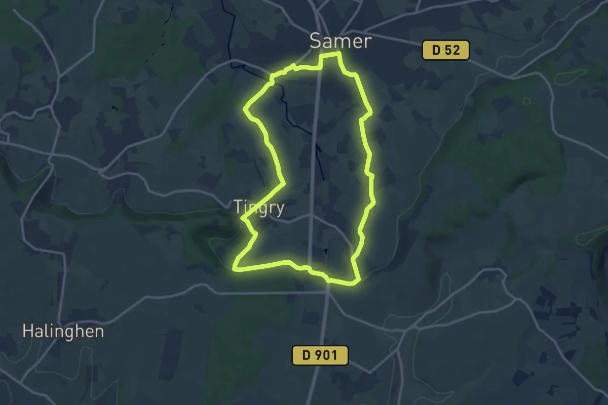
Medium · Trail
Le Chemin de Cappe
10.3 km · ↑ 158 m · 2 h 55 min
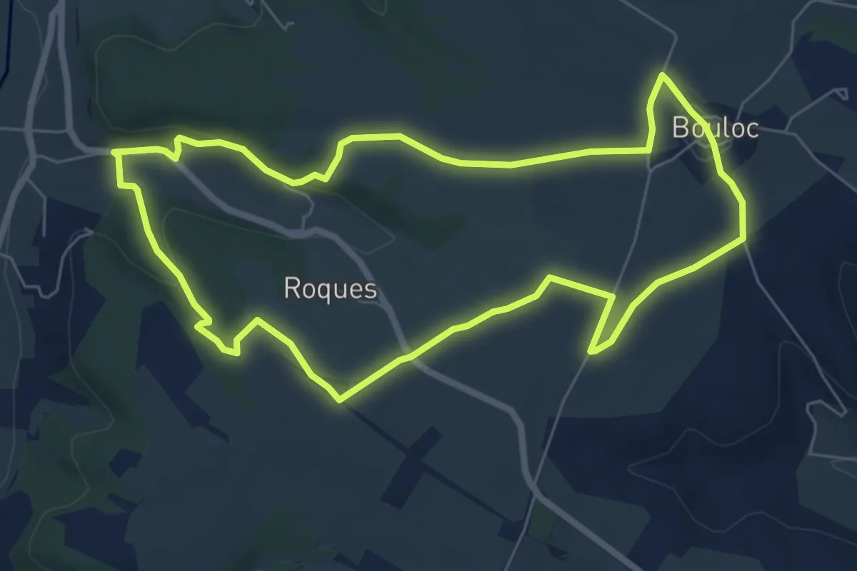
Medium · Trail
Le chemin de Carcès
6.8 km · ↑ 92 m · 1 h 54 min
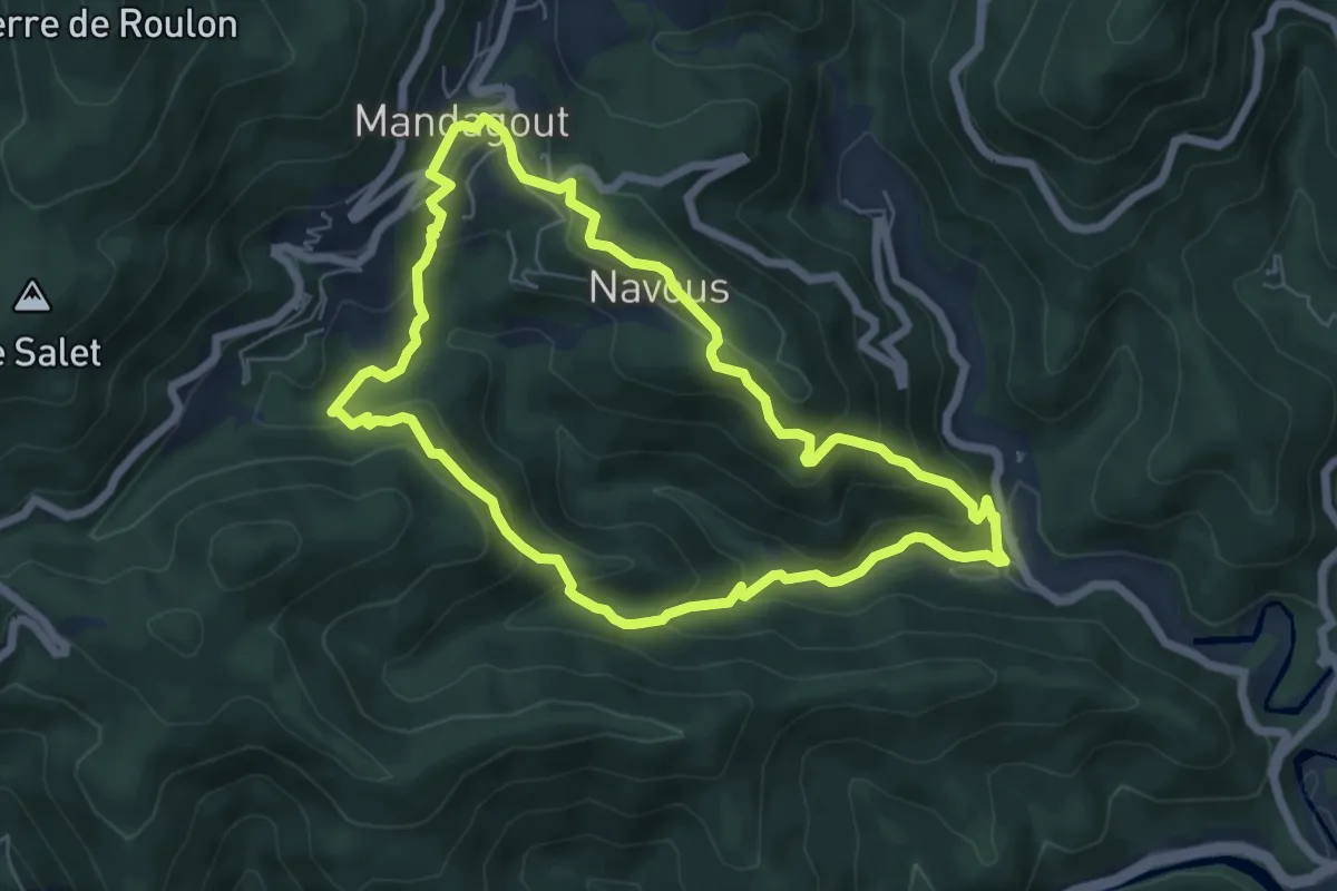
Medium · Trail
Le chemin de Frayssinet
6.5 km · ↑ 350 m · 2 h 23 min
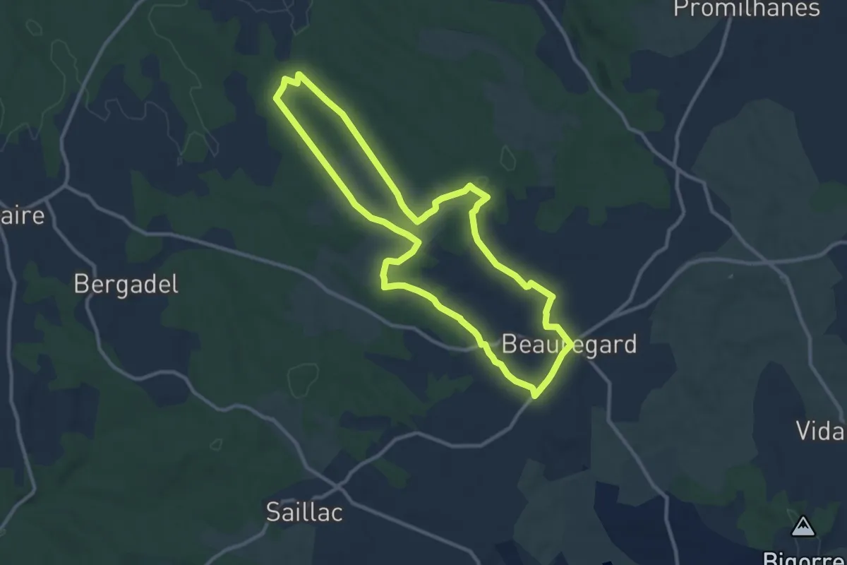
Medium · Trail
Le chemin de la bastide de Beauregard
10.5 km · ↑ 135 m · 2 h 55 min
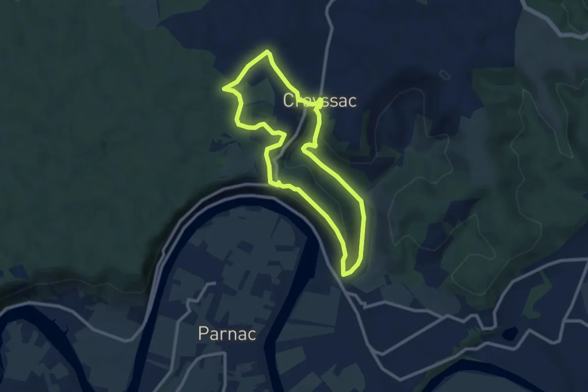
Easy · Trail
Le chemin de la Cévenne
6.6 km · ↑ 214 m · 2 h 7 min
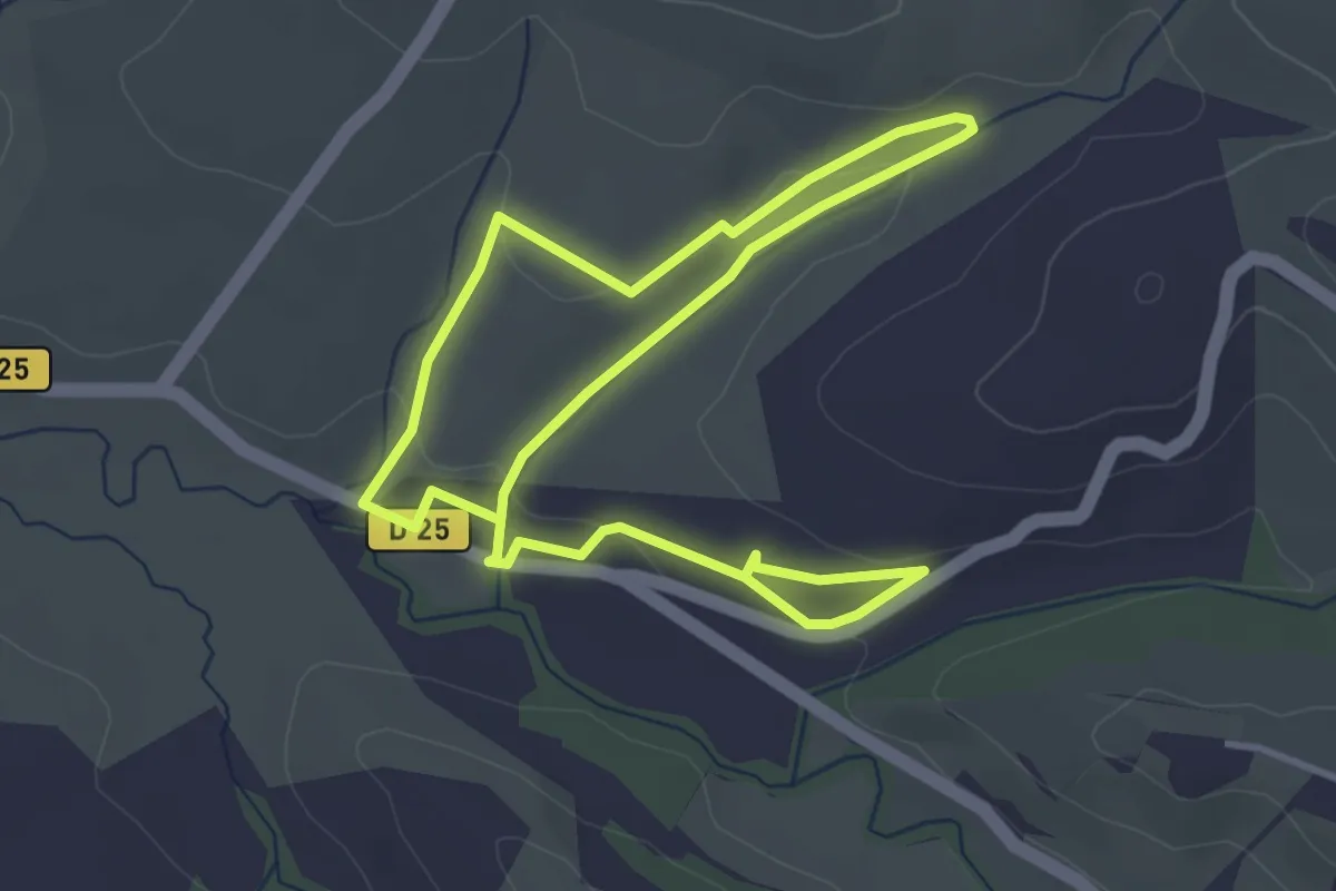
Easy · Trail
Le chemin de la Coque et du Vila au départ du centre équestre
7.0 km · ↑ 122 m · 1 h 55 min
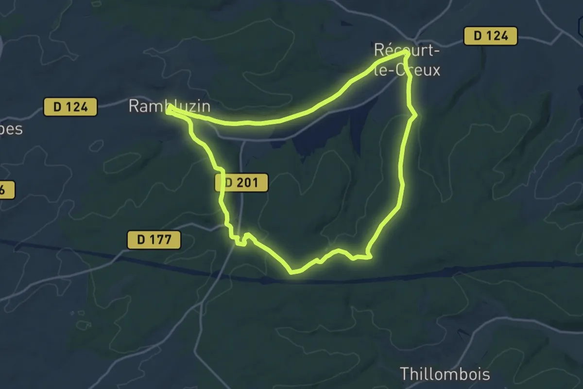
Medium · Trail
Le Chemin de la Croix
14.1 km · ↑ 210 m · 3 h 59 min
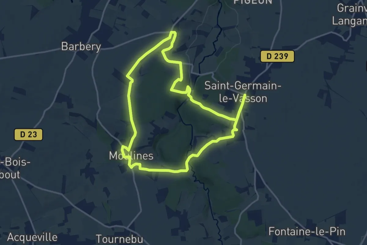
Medium · Trail
Le Chemin de la Mine
12.2 km · ↑ 195 m · 3 h 28 min
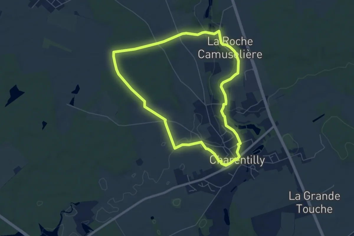
Easy · Trail
Le Chemin de la Petite Choisille
6.0 km · ↑ 51 m · 1 h 36 min
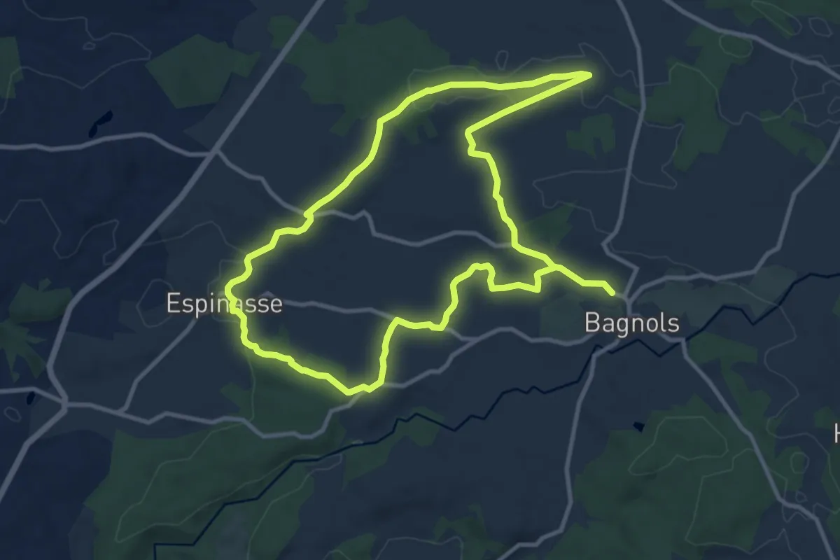
Medium · Trail
Le Chemin de la Reine Margot
10.1 km · ↑ 129 m · 2 h 48 min
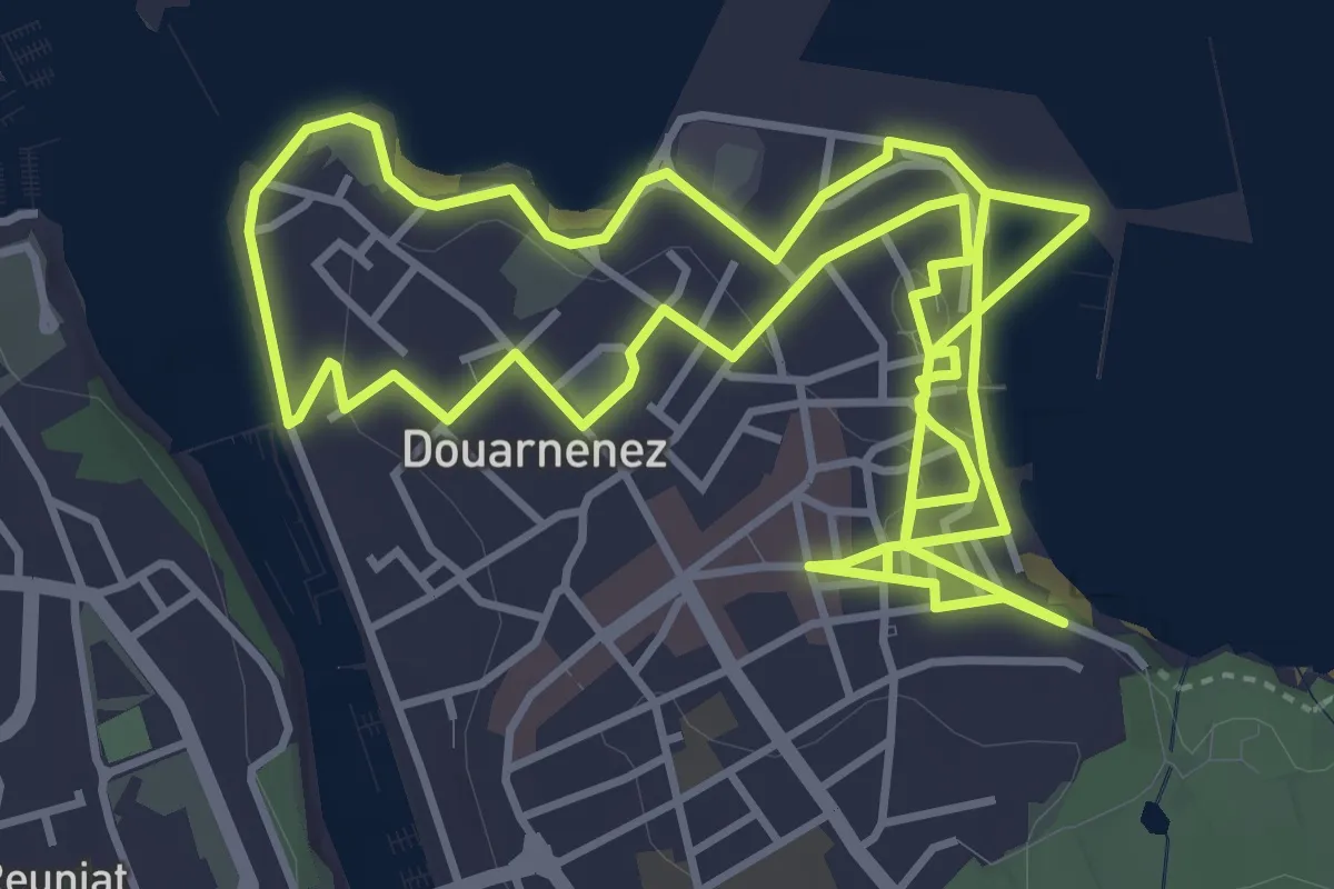
Medium · Trail
Le chemin de la sardine
9.7 km · ↑ 202 m · 2 h 43 min
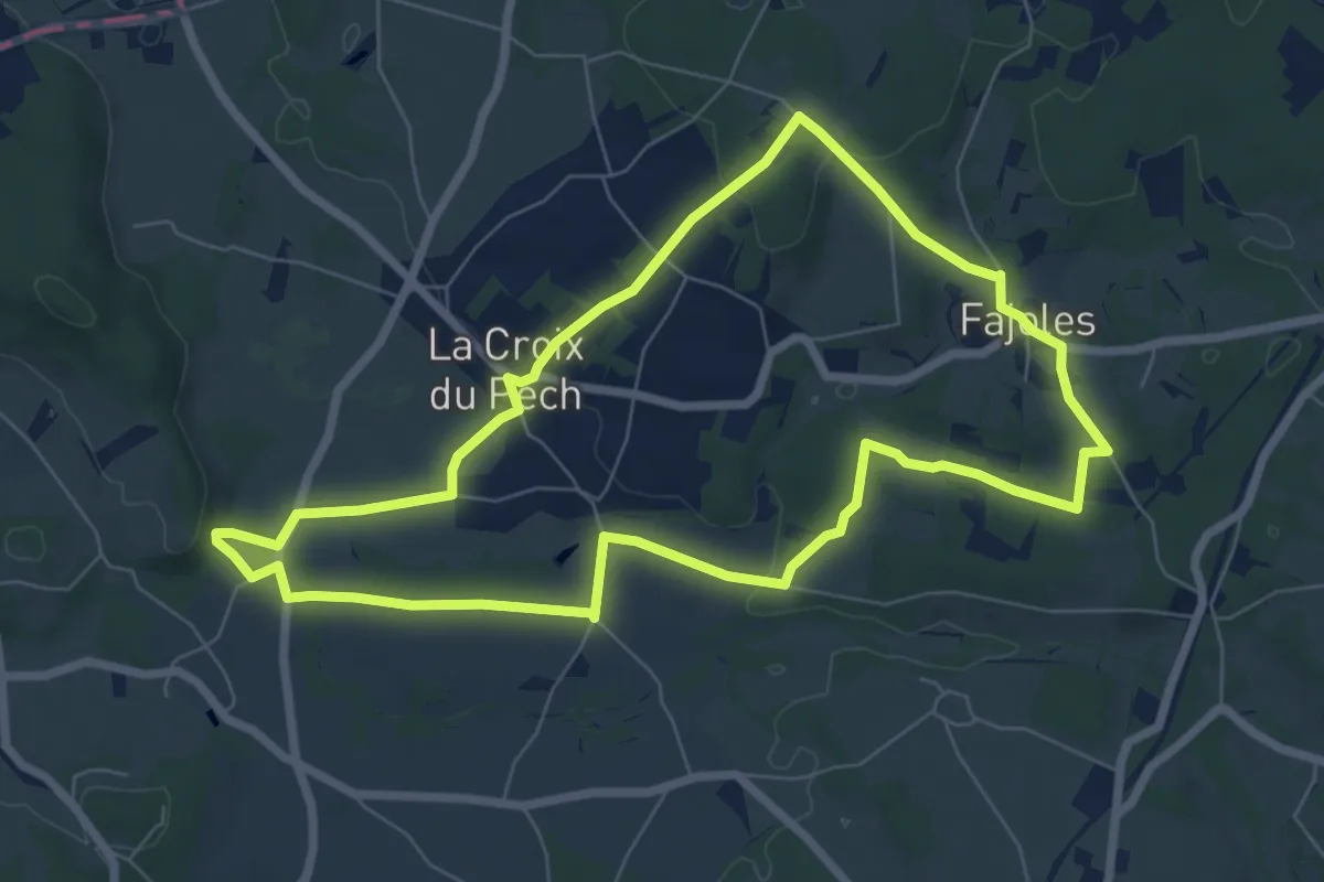
Easy · Trail
Le chemin de la source du Piage
7.5 km · ↑ 116 m · 2 h 7 min
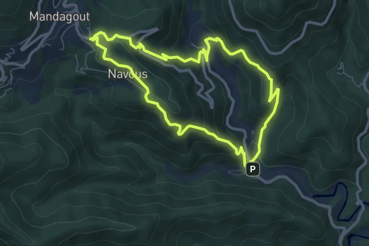
Medium · Trail
Le chemin de la vallée de l'Arboux
6.0 km · ↑ 375 m · 2 h 19 min
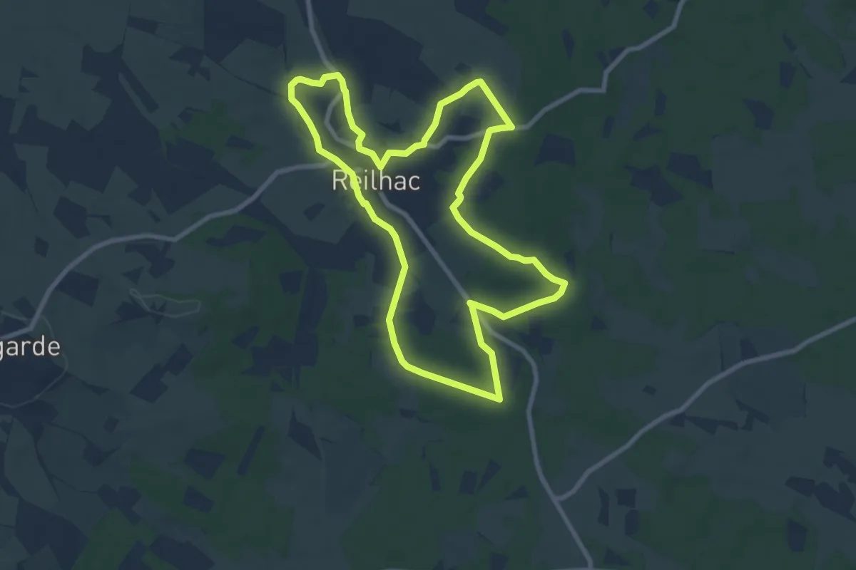
Medium · Trail
Le chemin de l'eau
8.2 km · ↑ 75 m · 2 h 12 min
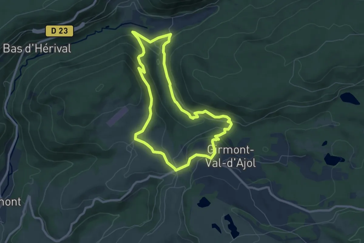
Easy · Trail
Le chemin de l'Empereur
6.2 km · ↑ 224 m · 2 h 2 min
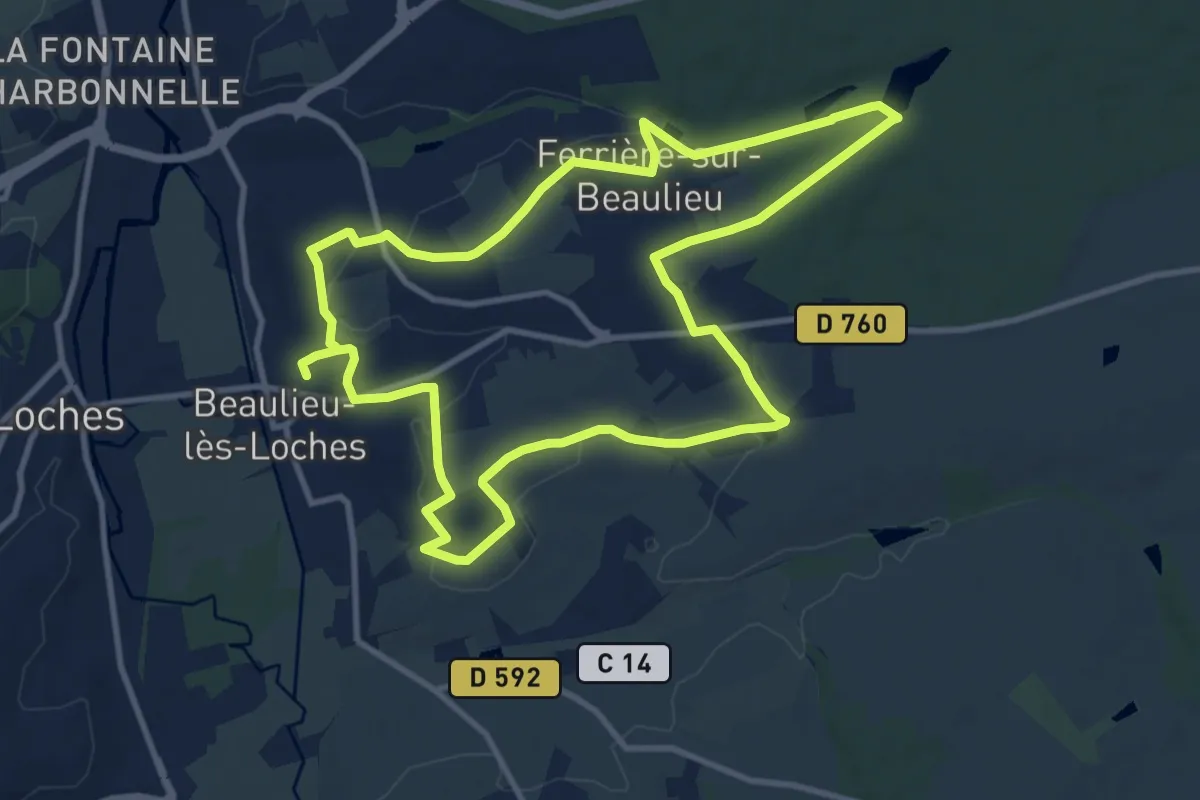
Medium · Trail
Le Chemin de l'Esprit - Beaulieu-lès-Loches
10.9 km · ↑ 91 m · 2 h 55 min
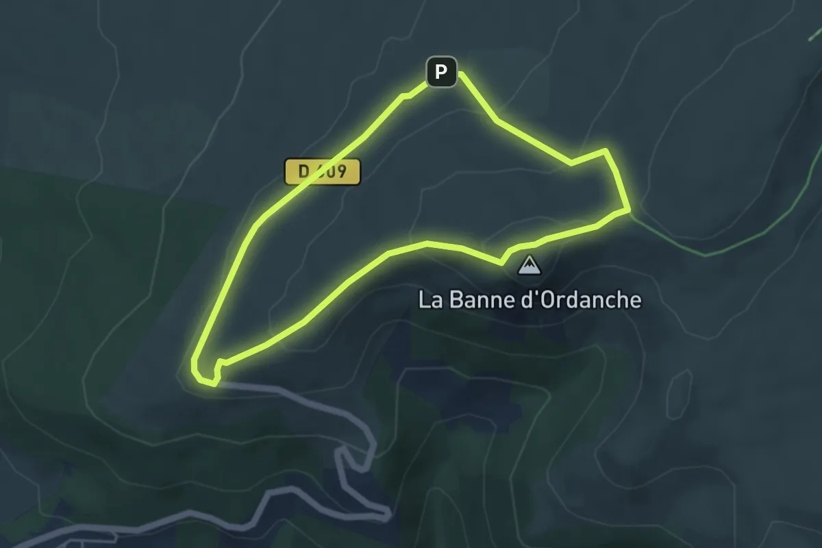
Easy · Summit
Le chemin de l'estive ovine
4.3 km · ↑ 168 m · 1 h 26 min
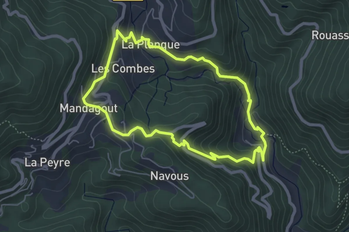
Easy · Trail
Le chemin de l'oignon
4.6 km · ↑ 249 m · 1 h 42 min
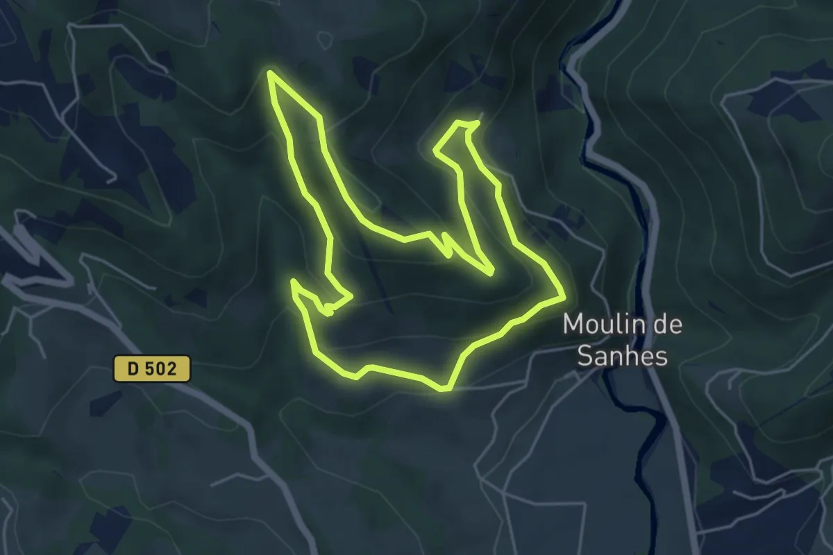
Easy · Trail
Le Chemin de l'Oiseau
4.9 km · ↑ 234 m · 1 h 45 min
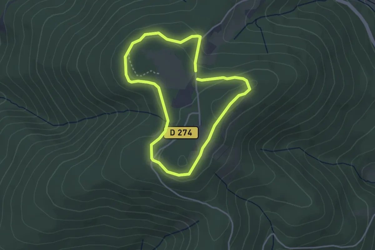
Easy · Summit
Le Chemin de Maraude
3.0 km · ↑ 71 m · 54 min
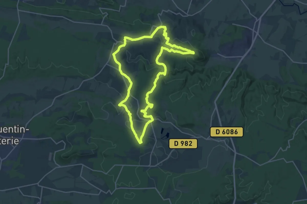
Demanding · Trail
Le chemin de Masmolène
19.7 km · ↑ 319 m · 5 h 37 min
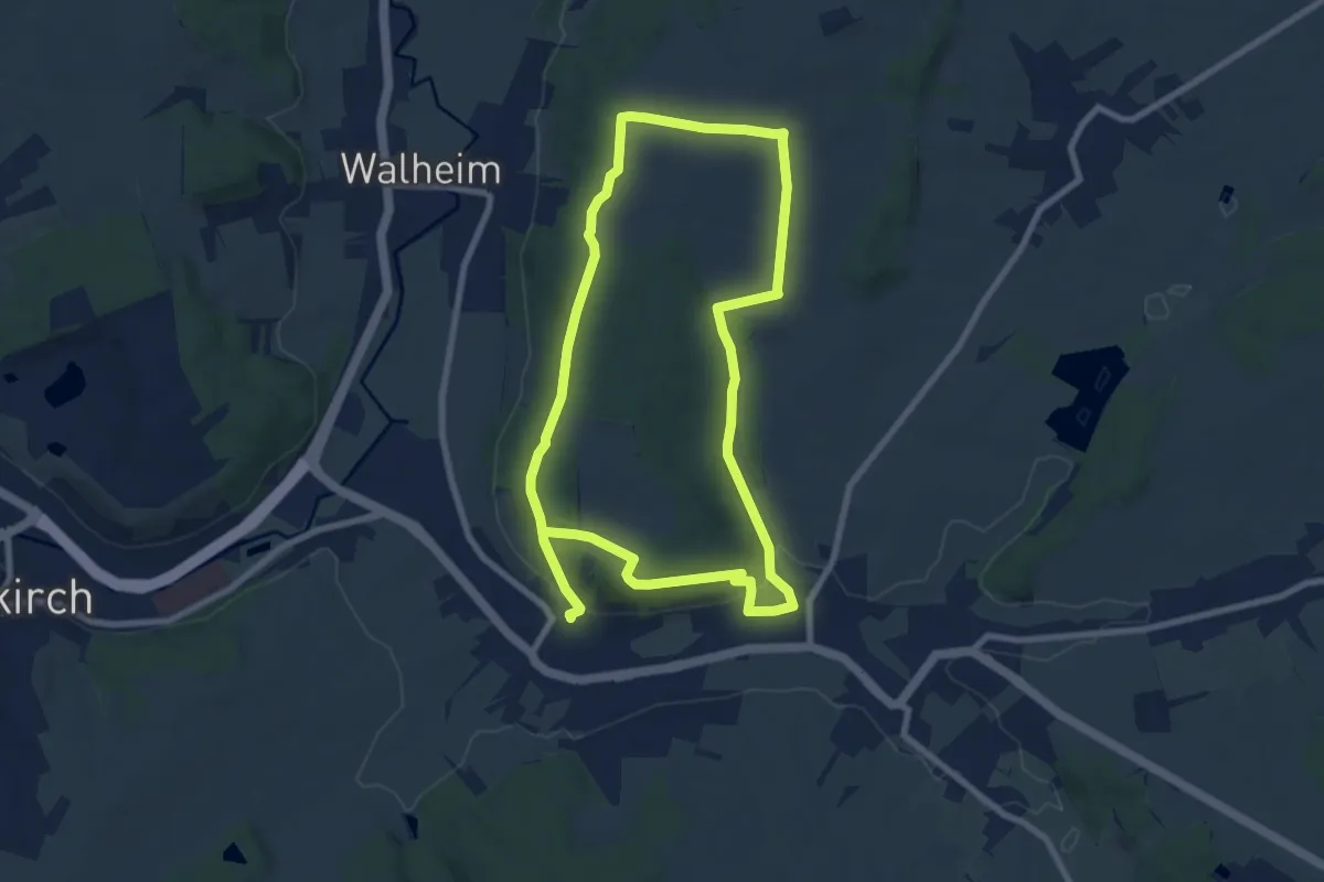
Easy · Trail
Le chemin de mémoire des combats du 19 août 1914
7.8 km · ↑ 138 m · 2 h 16 min
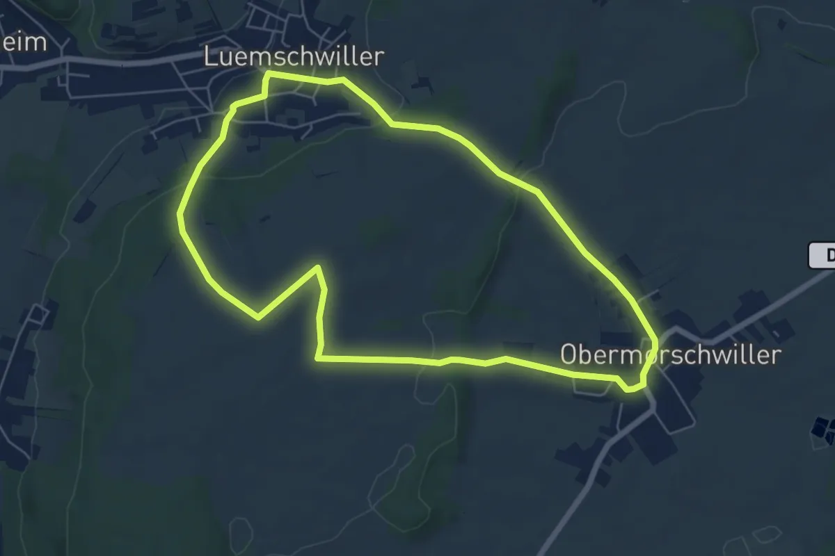
Easy · Trail
Le chemin de mémoire des combats du 19 août 1914
5.9 km · ↑ 139 m · 1 h 46 min
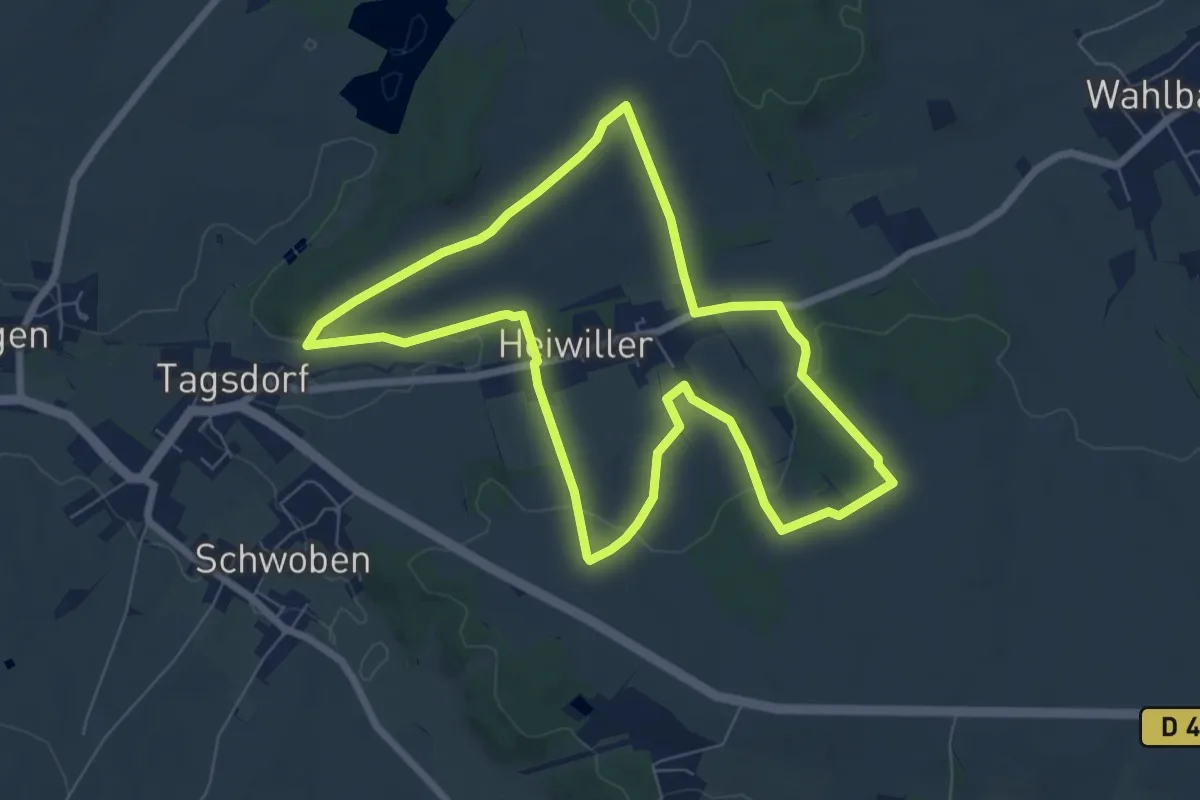
Easy · Trail
Le chemin de mémoire des combats du 19 août 1914
7.0 km · ↑ 145 m · 2 h 4 min
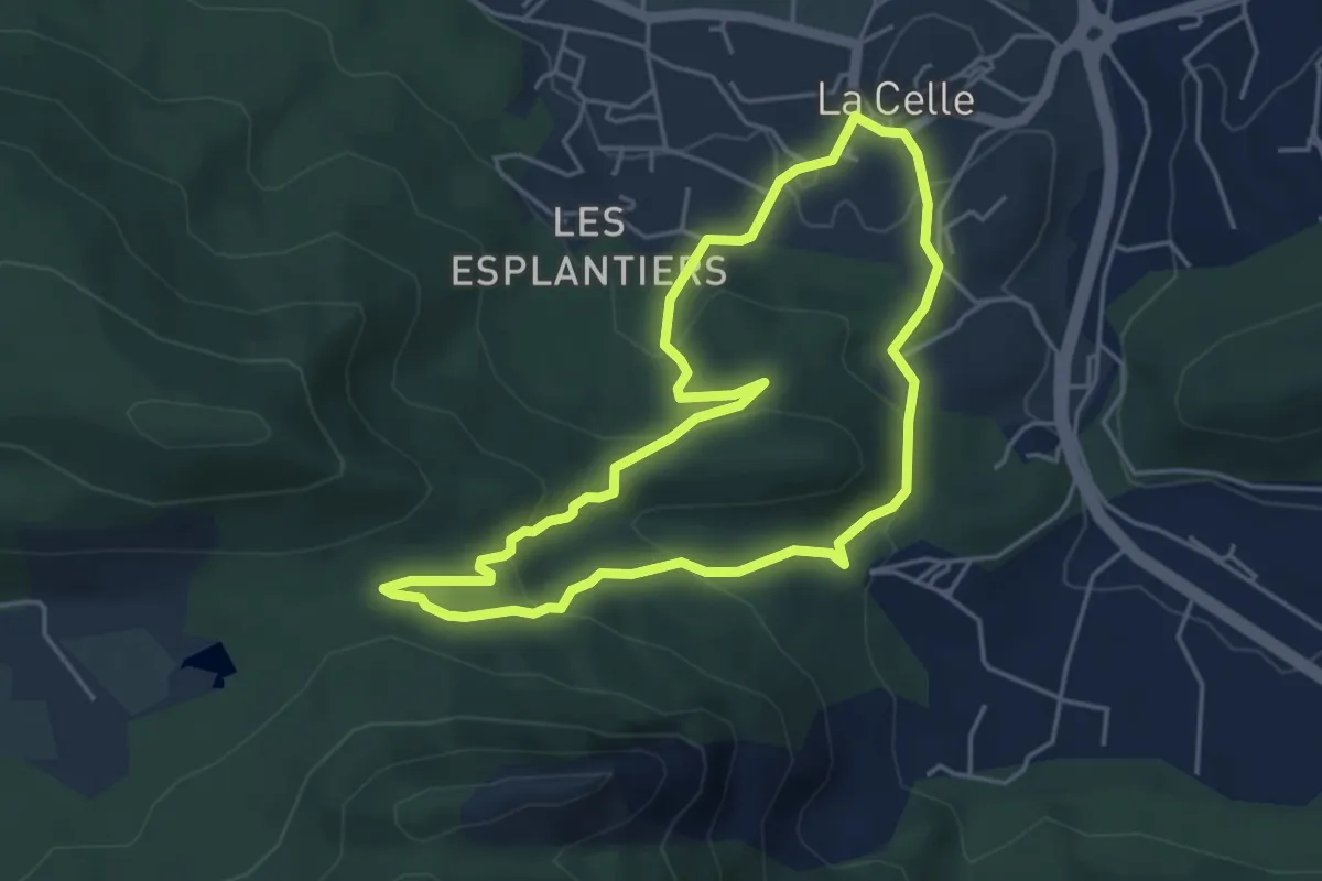
Easy · Trail
Le Chemin d'Engardin
4.5 km · ↑ 191 m · 1 h 32 min
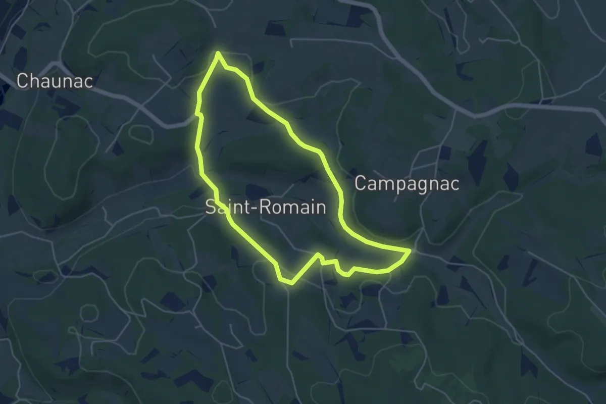
Easy · Trail
Le chemin de Notre-Dame des Neiges
4.5 km · ↑ 116 m · 1 h 23 min
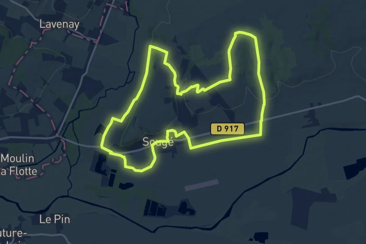
Medium · Trail
Le chemin de Paris
12.4 km · ↑ 167 m · 3 h 28 min
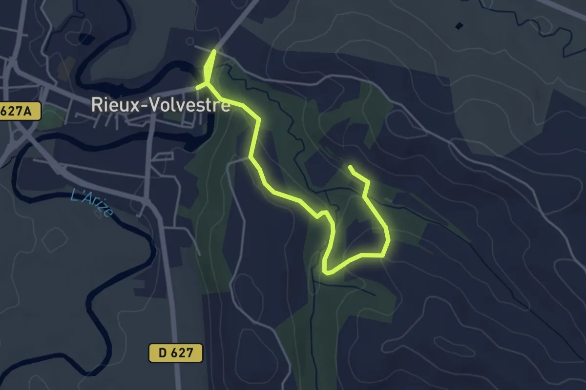
Easy · Trail
Le chemin de Pataque, de St Laurent et son sentier botanique
4.8 km · ↑ 133 m · 1 h 25 min
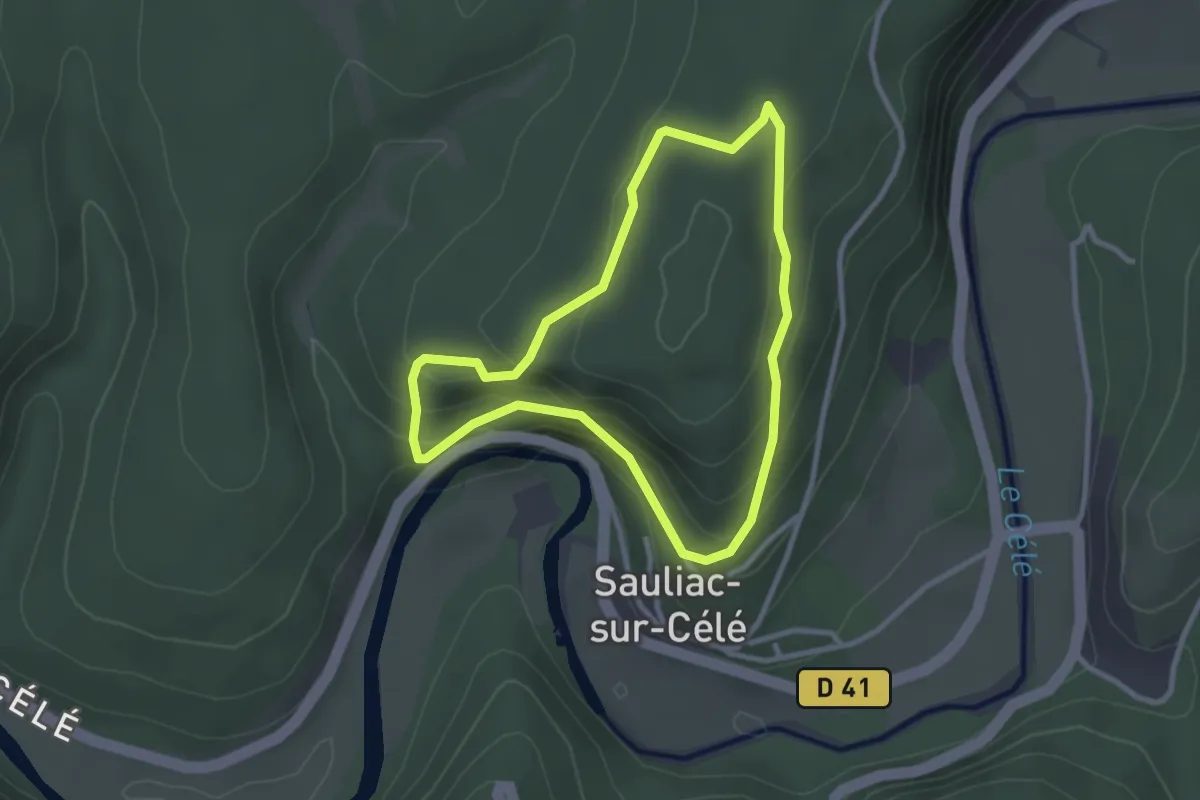
Easy · Trail
Le chemin de Pierre levée
2.7 km · ↑ 170 m · 1 h 3 min
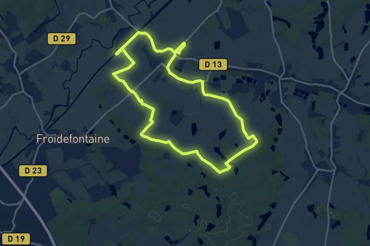
Medium · Trail
Le Chemin de Pierres et Cultures
9.8 km · ↑ 73 m · 2 h 37 min
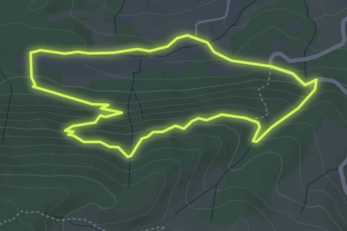
Easy · Trail
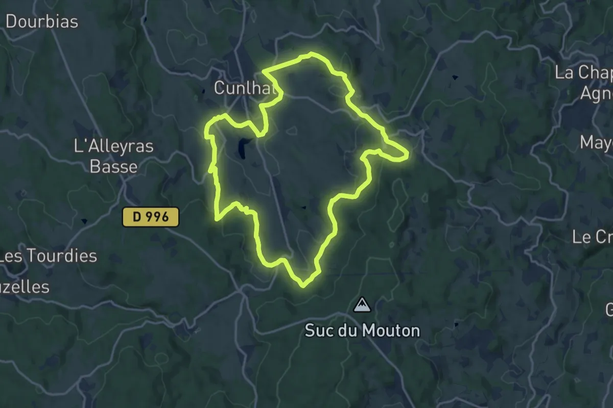
Le Chemin de Ronde
4.1 km · ↑ 217 m · 1 h 30 min
Medium · Trail
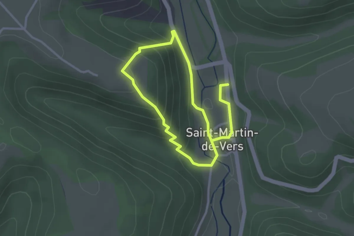
Le Chemin de Ronde
14.6 km · ↑ 425 m · 4 h 34 min
Easy · Trail
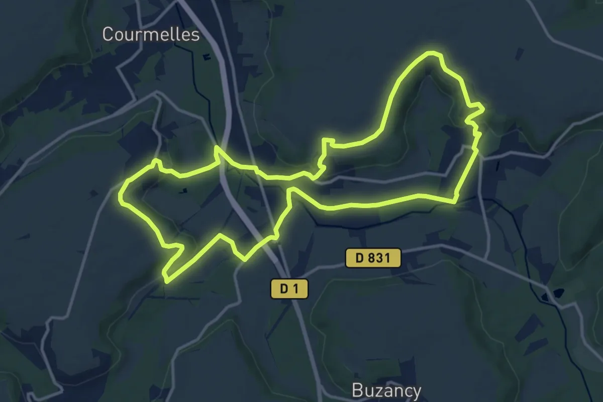
Le chemin des 13 virages
2.2 km · ↑ 121 m · 49 min
Medium · Trail
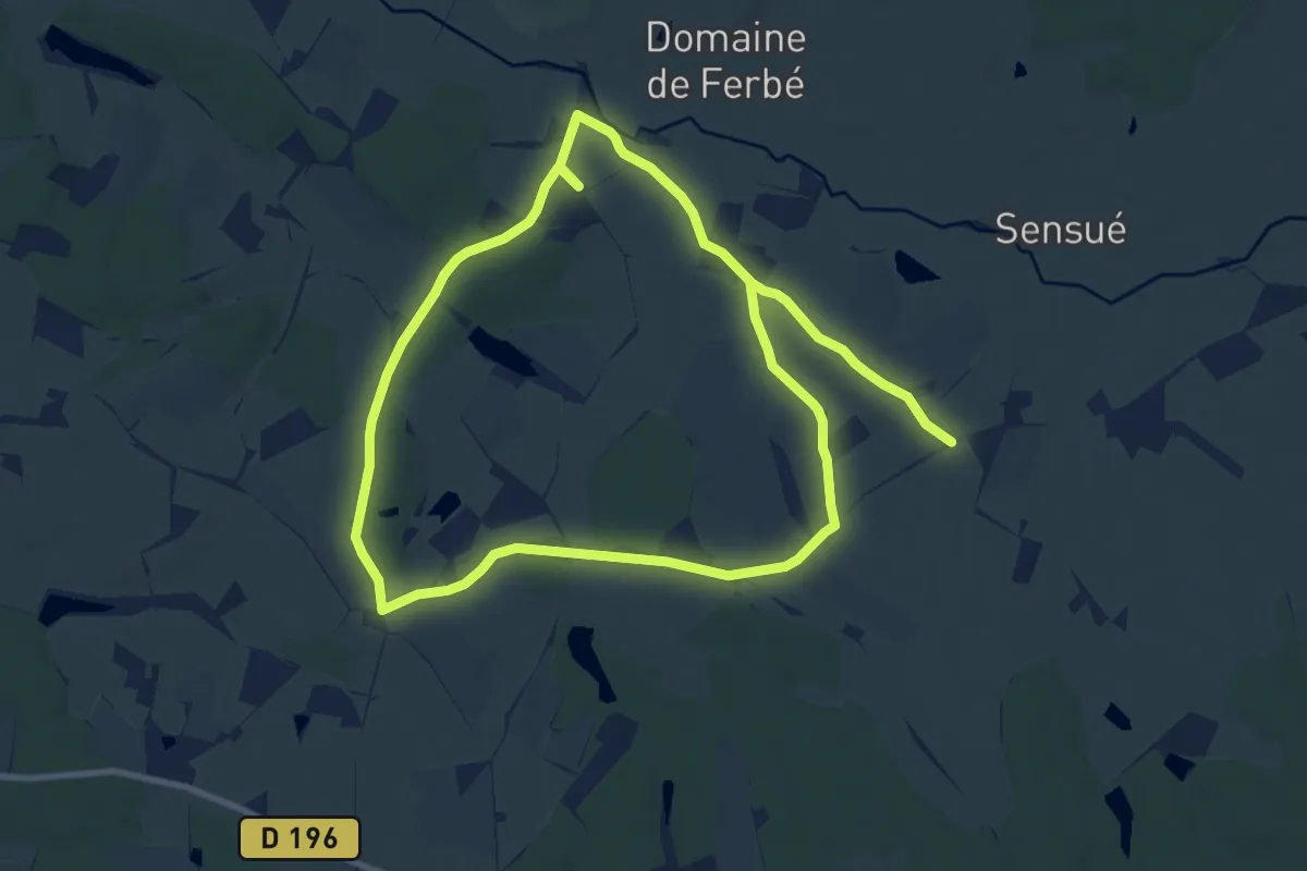
Le Chemin des 3 Clochers
11.8 km · ↑ 191 m · 3 h 21 min
Medium · Trail
Le chemin des 4 chataigniers
9.4 km · ↑ 84 m · 2 h 31 min
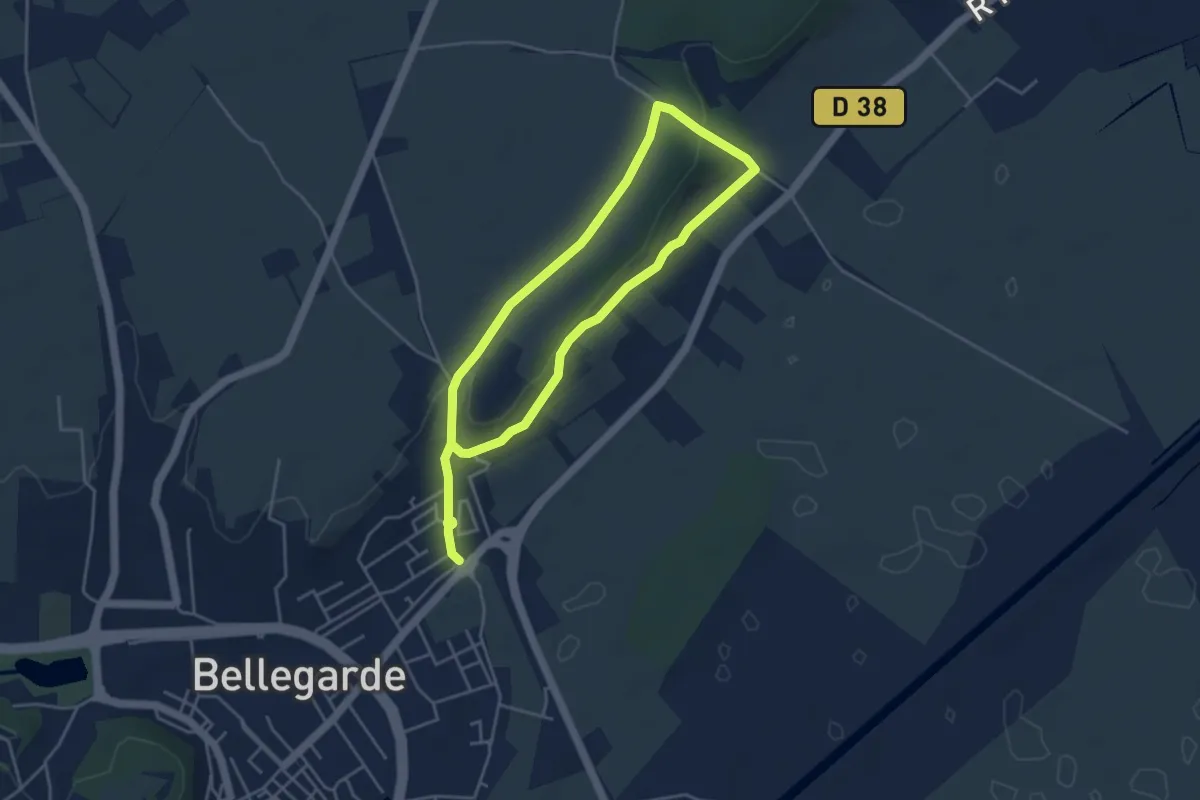
Easy · Trail
Le chemin de Saint-Jean
7.5 km · ↑ 135 m · 2 h 4 min
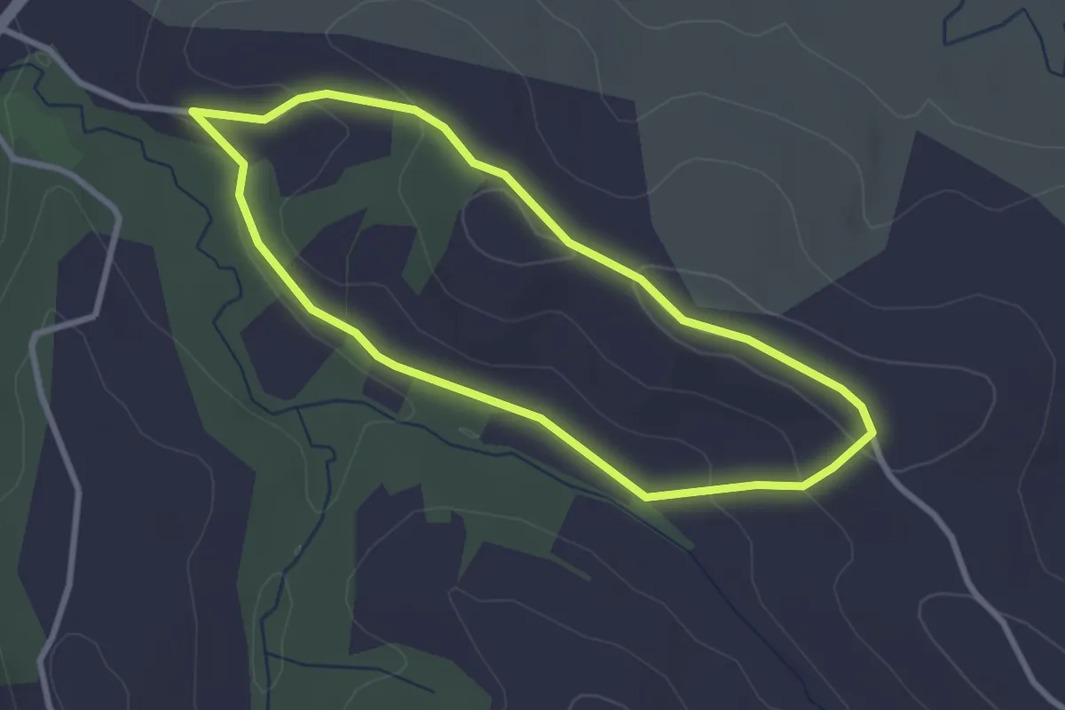
Easy · Trail
Le chemin de Saint-Roc
2.9 km · ↑ 58 m · 50 min
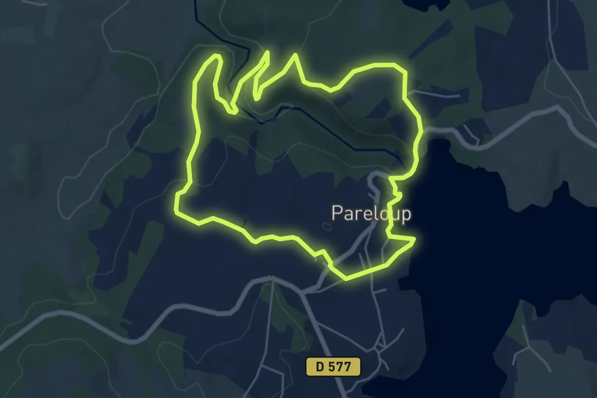
Easy · Trail
Le Chemin de Santa Fé
5.5 km · ↑ 160 m · 1 h 43 min
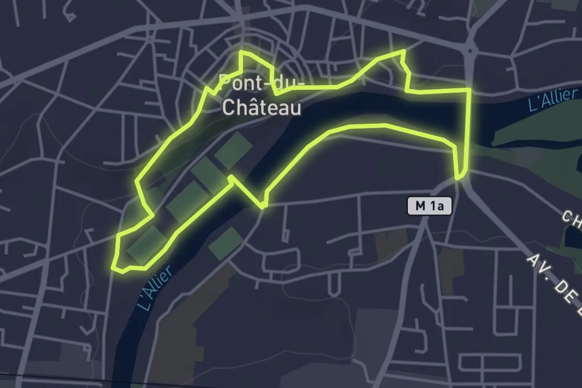
Easy · Trail
Le Chemin des Batteliers
4.0 km · ↑ 57 m · 1 h 8 min
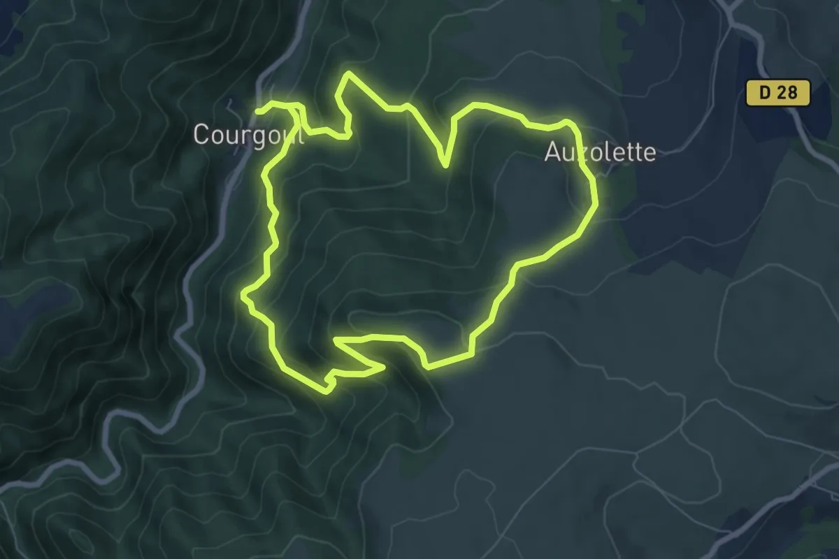
Medium · Trail
Le Chemin des Bergeres
7.2 km · ↑ 444 m · 2 h 45 min
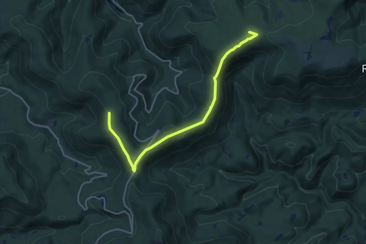
Easy · Summit
Le Chemin des Bornes
5.3 km · ↑ 252 m · 1 h 51 min
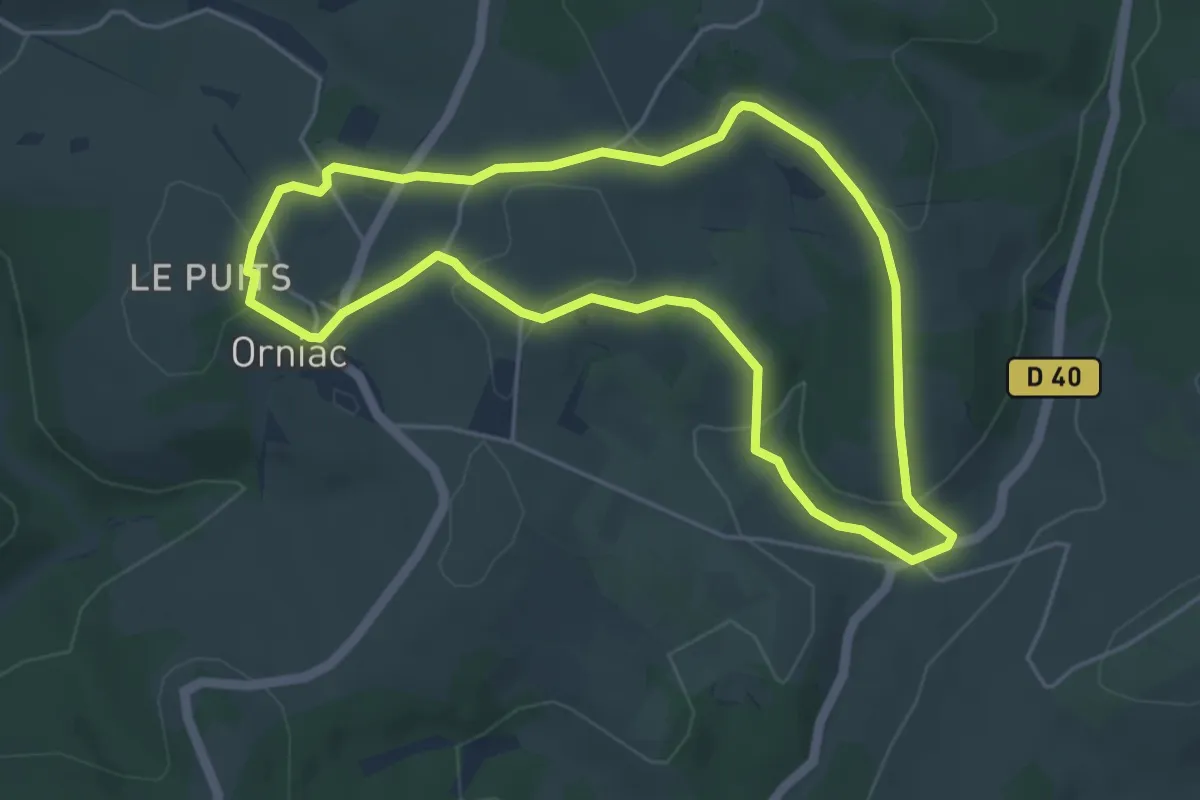
Easy · Trail
Le chemin des Bourlandes
5.0 km · ↑ 98 m · 1 h 27 min
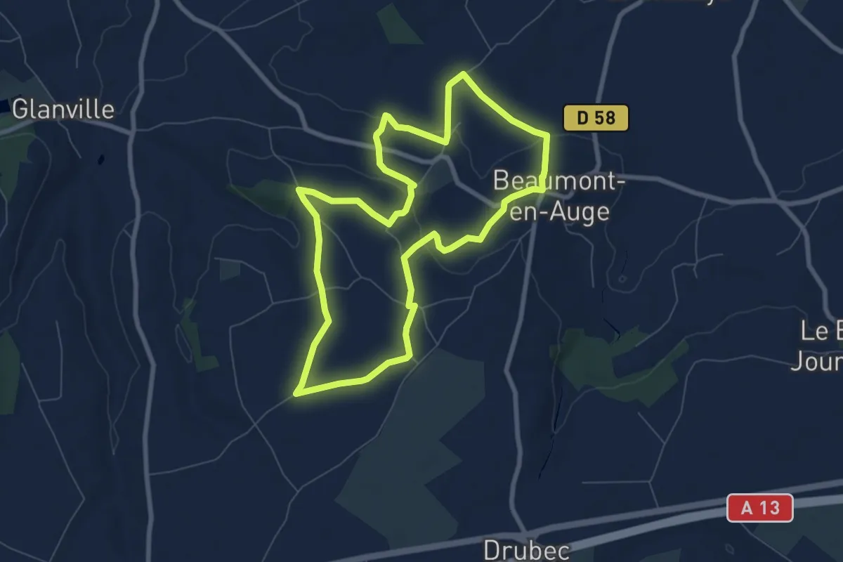
Easy · Trail
Le chemin des Buttes
6.9 km · ↑ 114 m · 1 h 58 min
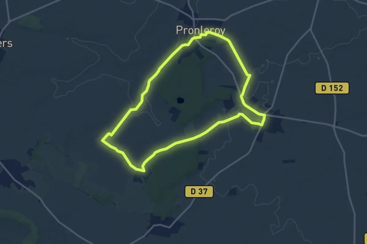
Medium · Trail
Le Chemin des Châteaux
8.9 km · ↑ 53 m · 2 h 20 min
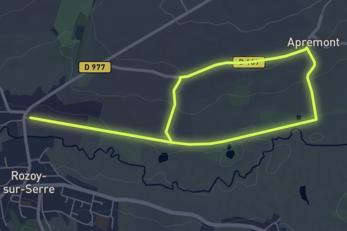
Easy · Trail
Le Chemin des Contes
4.8 km · ↑ 47 m · 1 h 18 min
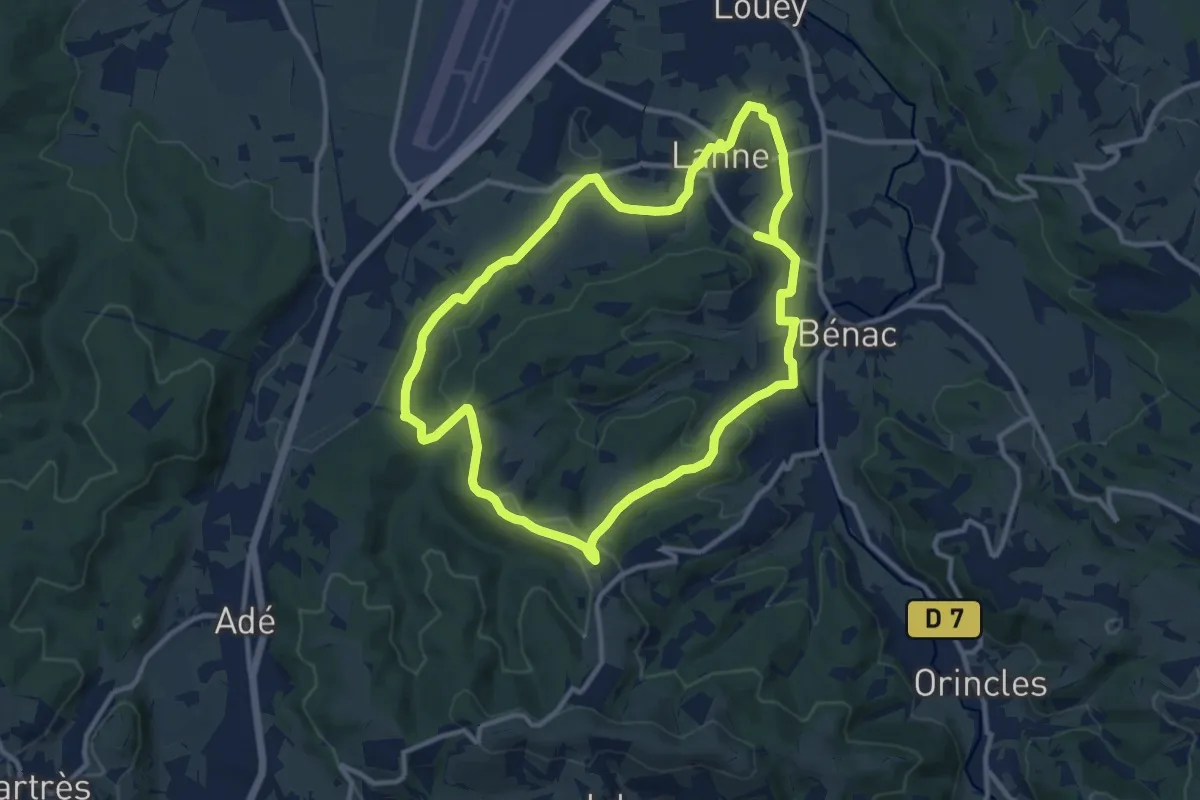
Medium · Trail
Le Chemin des Crêtes
11.4 km · ↑ 209 m · 3 h 18 min
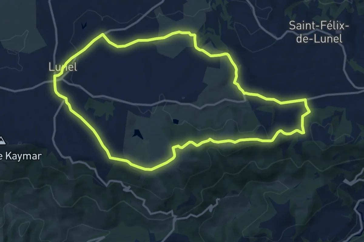
Medium · Summit
Le Chemin des Crêtes
10.5 km · ↑ 154 m · 2 h 57 min