Trails in France
15,926 hiking trails, each with its route, climb, walking time and grade.
All trails, page 159 of 332
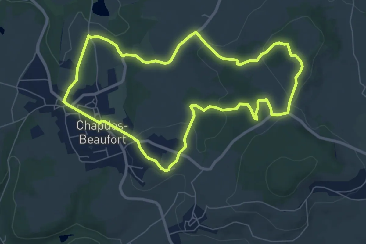
Easy · Trail
Le Chemin Fais'Art
6.4 km · ↑ 164 m · 1 h 57 min
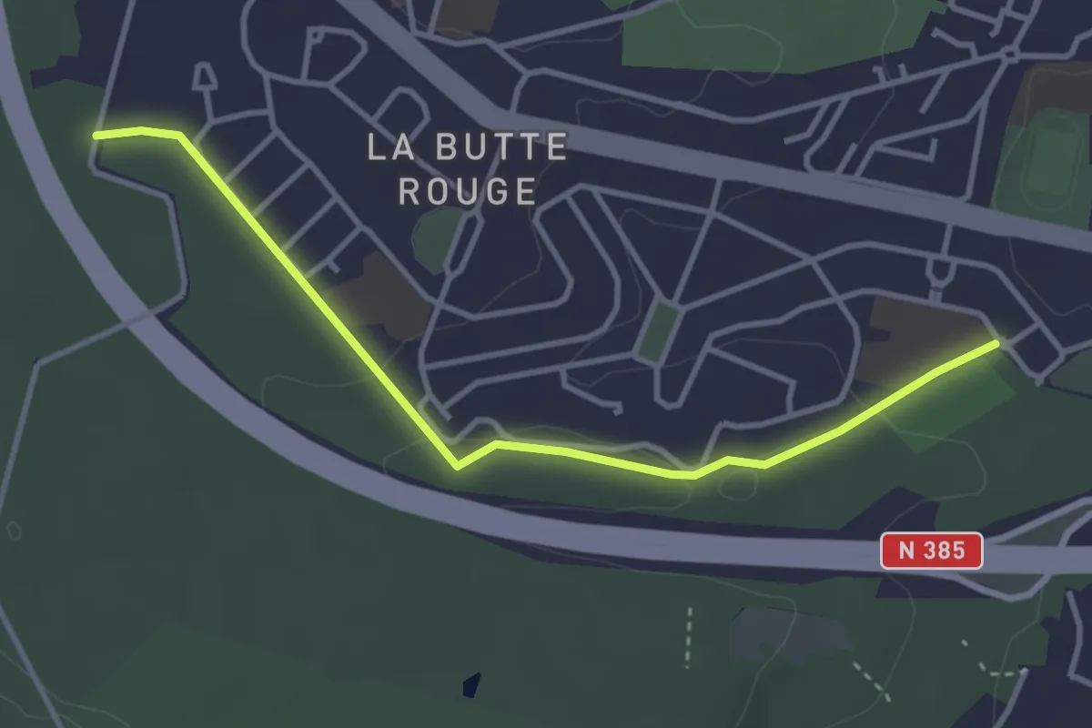
Easy · Trail
Le Chemin Sylvestre
3.5 km · ↑ 44 m · 56 min
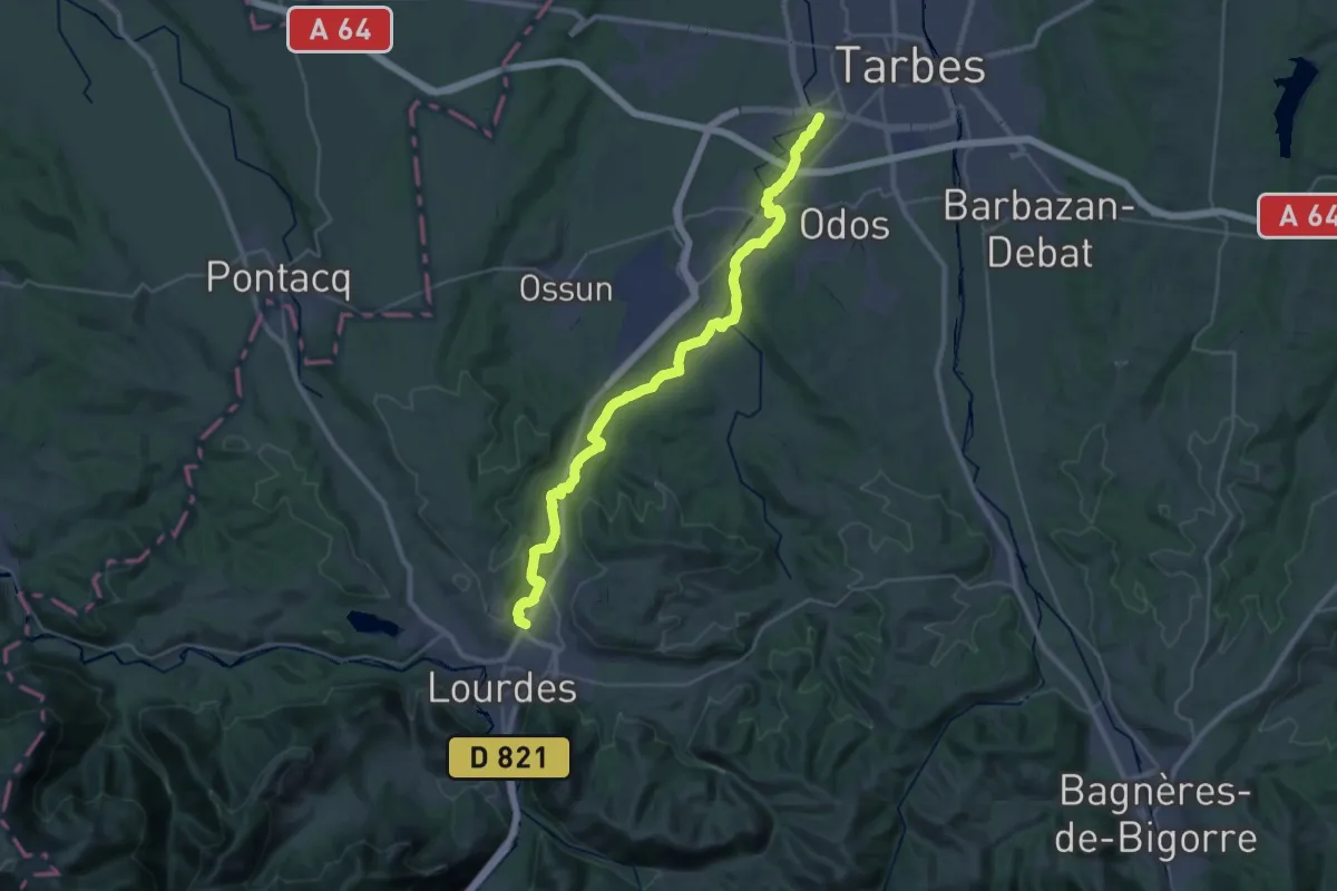
Demanding · Trail
Le Chemin Vert
18.5 km · ↑ 201 m · 5 h
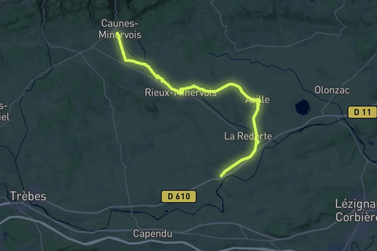
Demanding · Trail
Le Chemin Vert de Puichéric à Caunes-Minervois
23.3 km · ↑ 162 m · 6 h 6 min
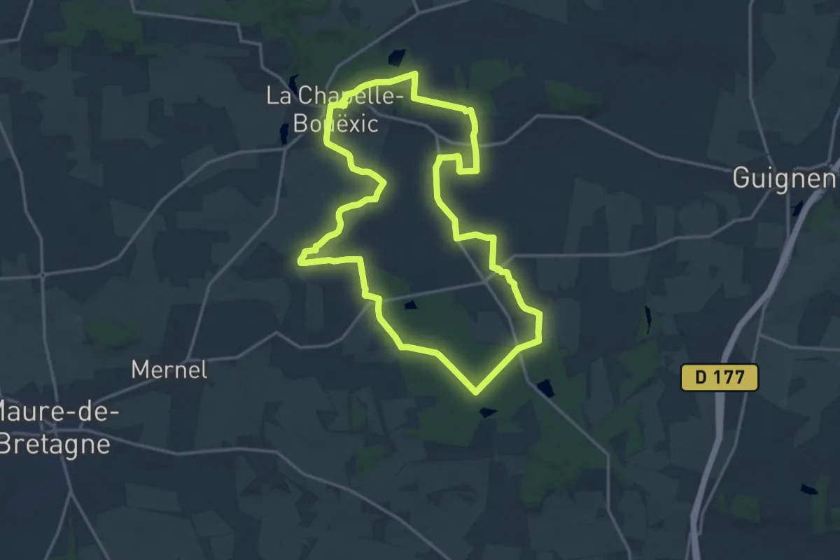
Medium · Trail
Le Chêne au Loup
14.9 km · ↑ 189 m · 4 h 8 min
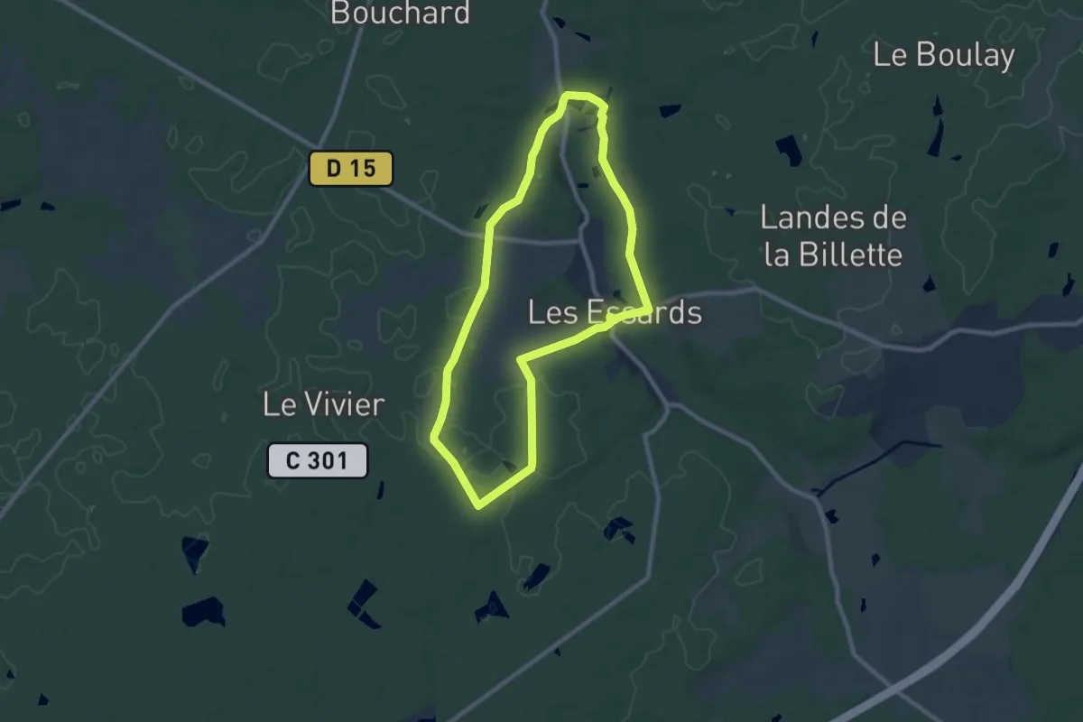
Easy · Trail
Le chêne de la Ronde
7.7 km · ↑ 50 m · 2 h 2 min
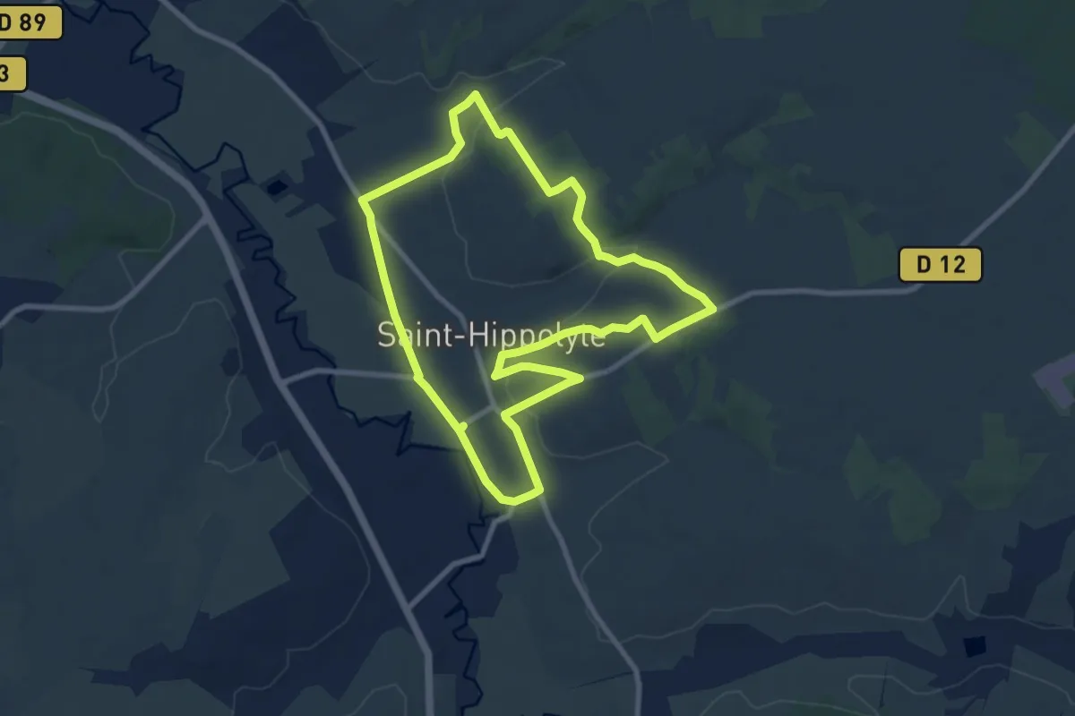
Medium · Trail
Le Chêne Girault - Saint-Hippolyte
8.5 km · ↑ 119 m · 2 h 22 min
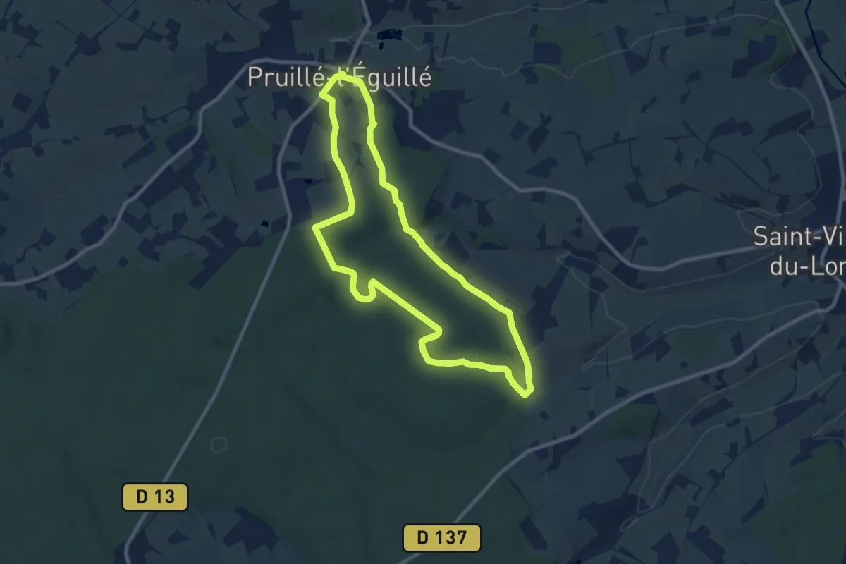
Medium · Trail
Le Chêne Sermaise
8.4 km · ↑ 153 m · 2 h 26 min
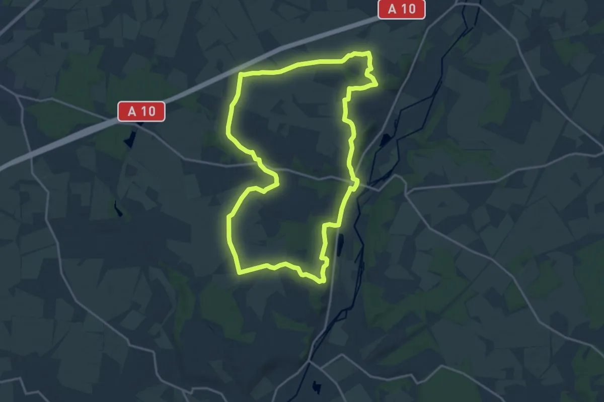
Medium · Trail
Le Chêne Vert
14.6 km · ↑ 118 m · 3 h 54 min
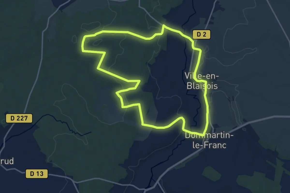
Medium · Trail
Le Chenoi
12.3 km · ↑ 117 m · 3 h 20 min
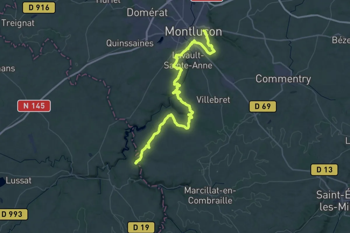
Demanding · Trail
Le Cher, de Montluçon à La Celle
35.0 km · ↑ 658 m · 10 h 15 min
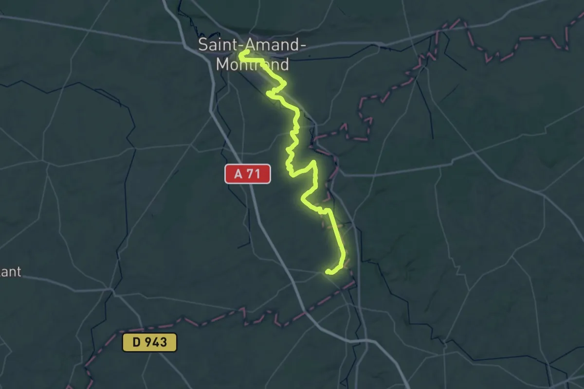
Demanding · Trail
Le Cher, Saint-Amand-Montrond - Epineuil-le-Fleuriel
33.2 km · ↑ 227 m · 8 h 46 min
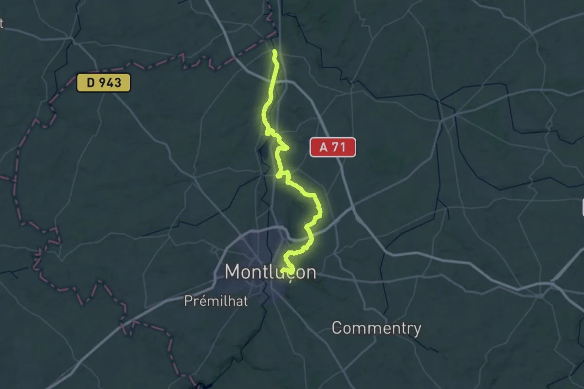
Demanding · Trail
Le Cher, Vallon-en-Sully - Montluçon
34.1 km · ↑ 538 m · 9 h 39 min
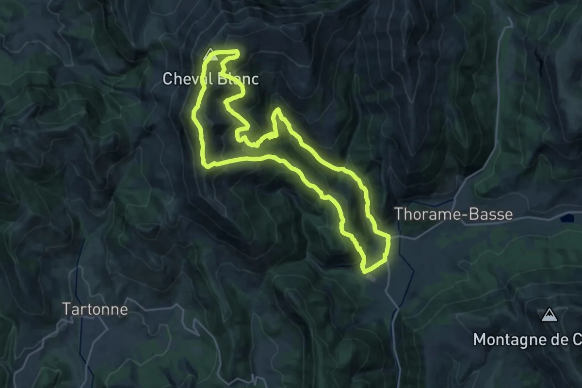
Demanding · Summit
Le Cheval Blanc (2 323 m)
21.1 km · ↑ 1416 m · 8 h 21 min
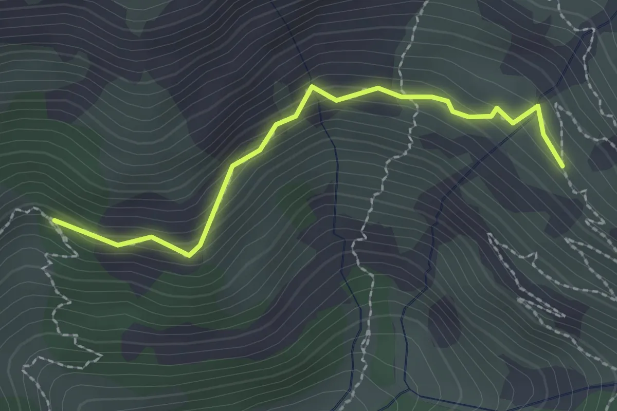
Medium · Trail
Le Chevalet - La Grande Bàume
2.2 km · ↑ 200 m · 57 min
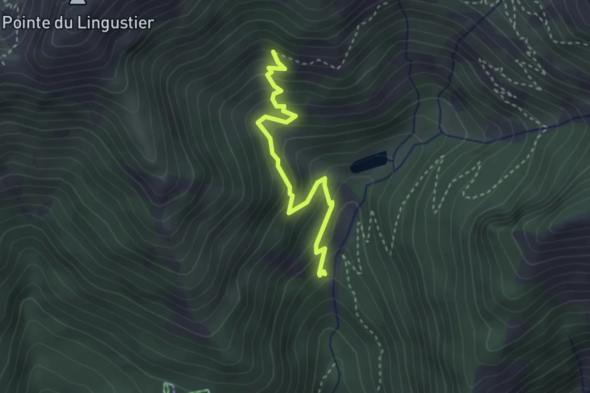
Medium · Trail
Le Chevalet - Les Cabanes
3.0 km · ↑ 303 m · 1 h 22 min
Easy · Trail
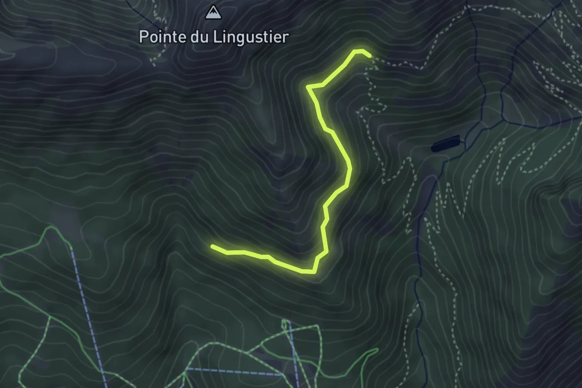
Le Chevalet - Les Cougnitz
3.4 km · ↑ 245 m · 1 h 20 min
Easy · Trail
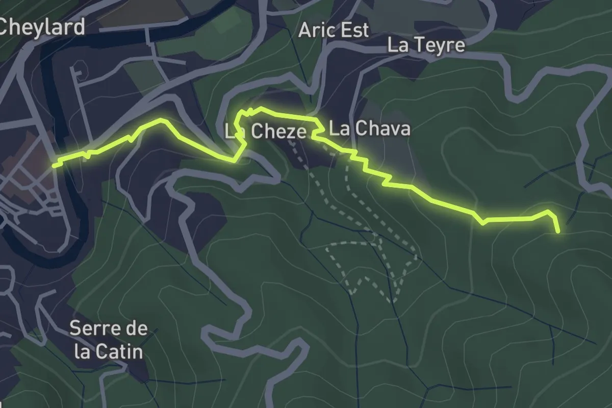
Le Cheylard - La Chaise
3.6 km · ↑ 201 m · 1 h 17 min
Easy · Trail
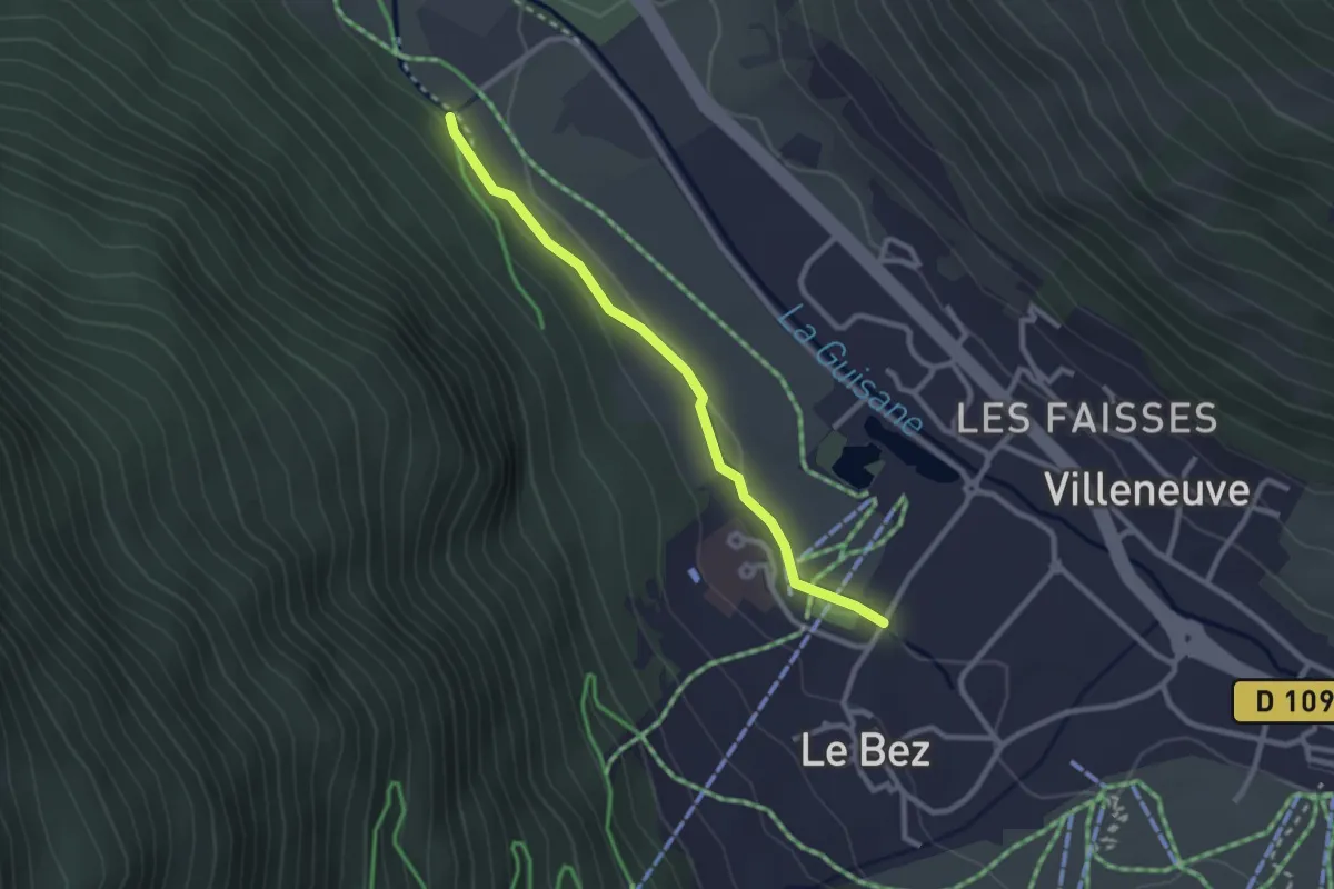
Le Cimetière - Villard du Bez
2.5 km · ↑ 4 m · 36 min
Medium · Trail
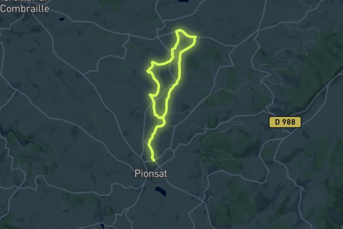
Le Circuit de Bellaigues
11.2 km · ↑ 196 m · 3 h 15 min
Easy · Trail
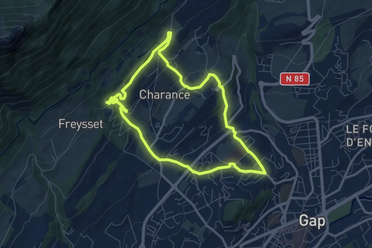
Le Circuit de Charance
7.1 km · ↑ 309 m · 2 h 26 min
Medium · Summit
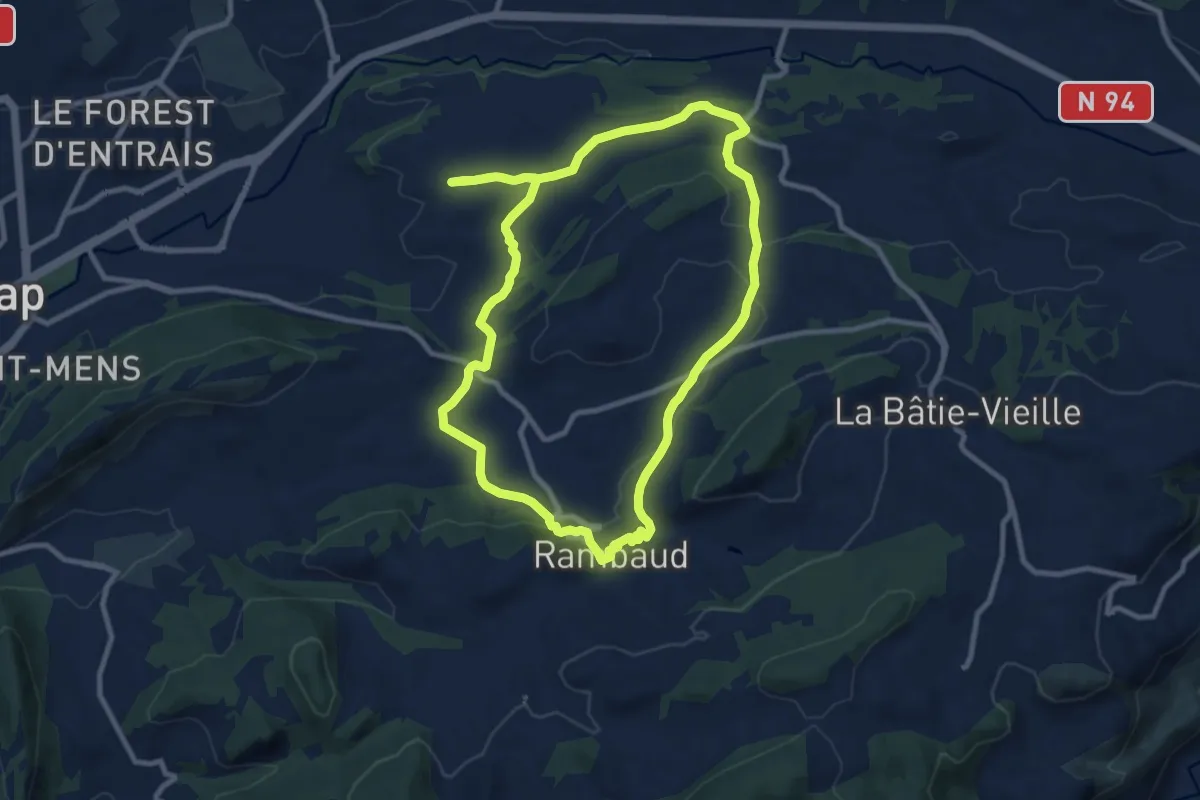
Le Circuit de Côte-Folle
10.2 km · ↑ 176 m · 2 h 55 min
Medium · Trail
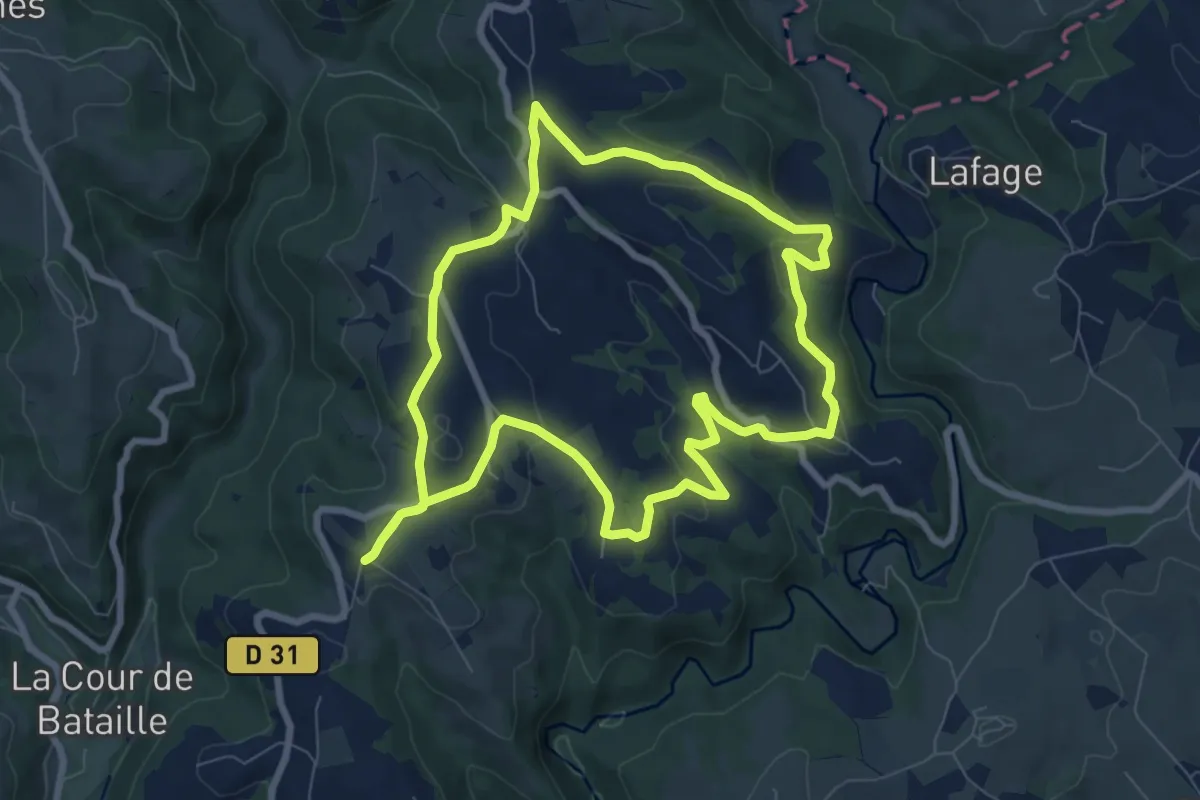
Le circuit de Linac
8.2 km · ↑ 206 m · 2 h 30 min
Medium · Trail
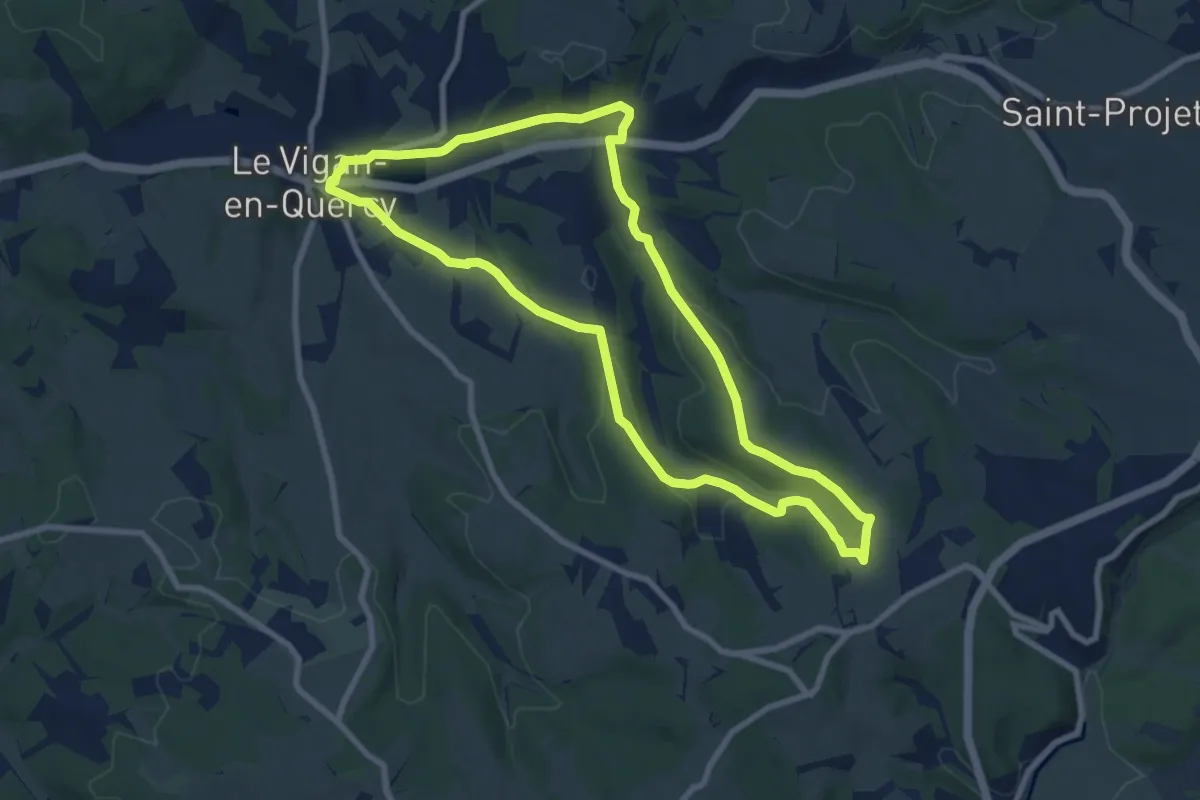
Le circuit de Pochy
8.6 km · ↑ 149 m · 2 h 28 min
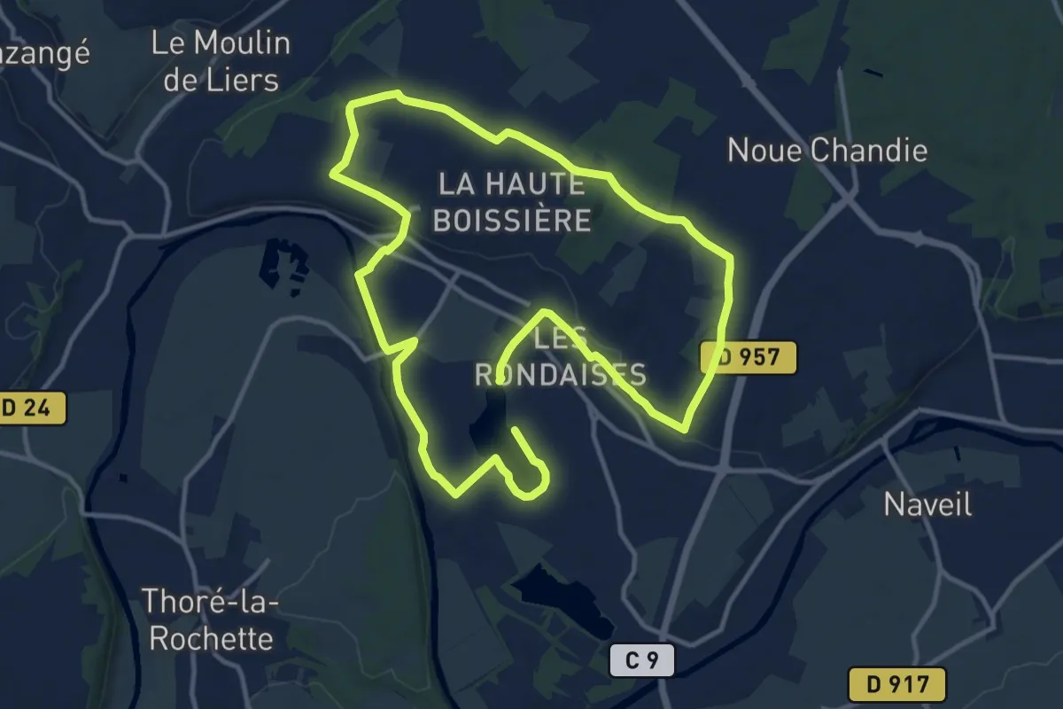
Demanding · Trail
Le circuit de Rochambeau
22.2 km · ↑ 140 m · 5 h 33 min
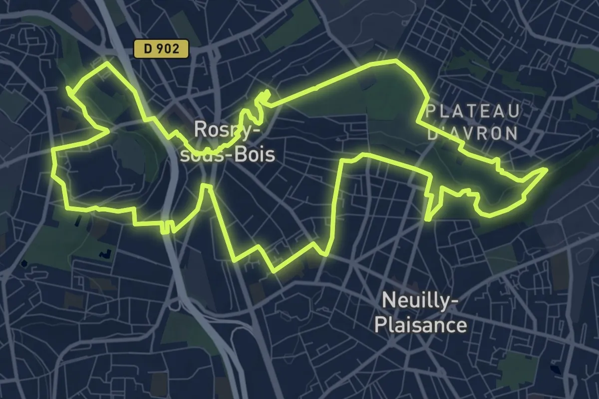
Medium · Trail
Le circuit de Rosny sous Bois
12.7 km · ↑ 140 m · 3 h 29 min
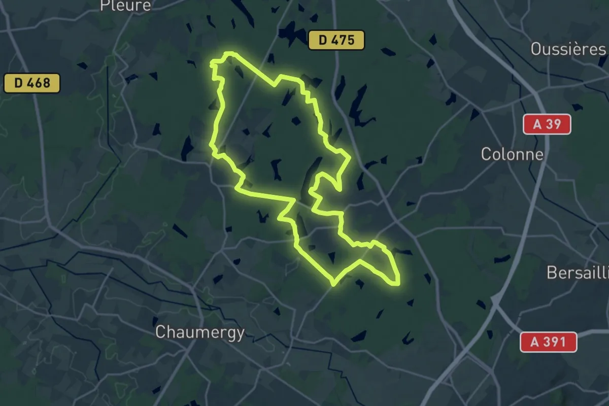
Demanding · Trail
Le Circuit des 19 étangs
21.2 km · ↑ 140 m · 5 h 36 min
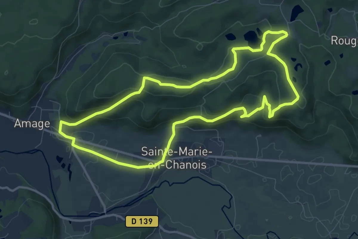
Medium · Trail
Le circuit des 2 Chapelles
8.9 km · ↑ 284 m · 2 h 50 min
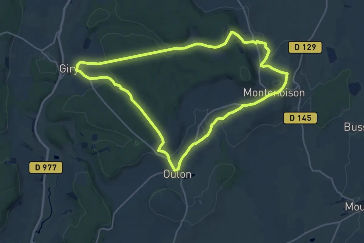
Medium · Trail
Le circuit des 3 chateaux - Montenoison
13.4 km · ↑ 316 m · 4 h 2 min
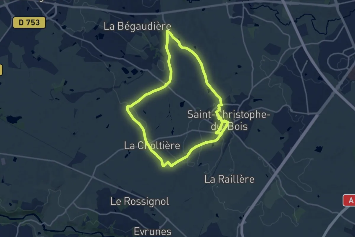
Medium · Trail
Le circuit des coquelicots
11.8 km · ↑ 98 m · 3 h 9 min
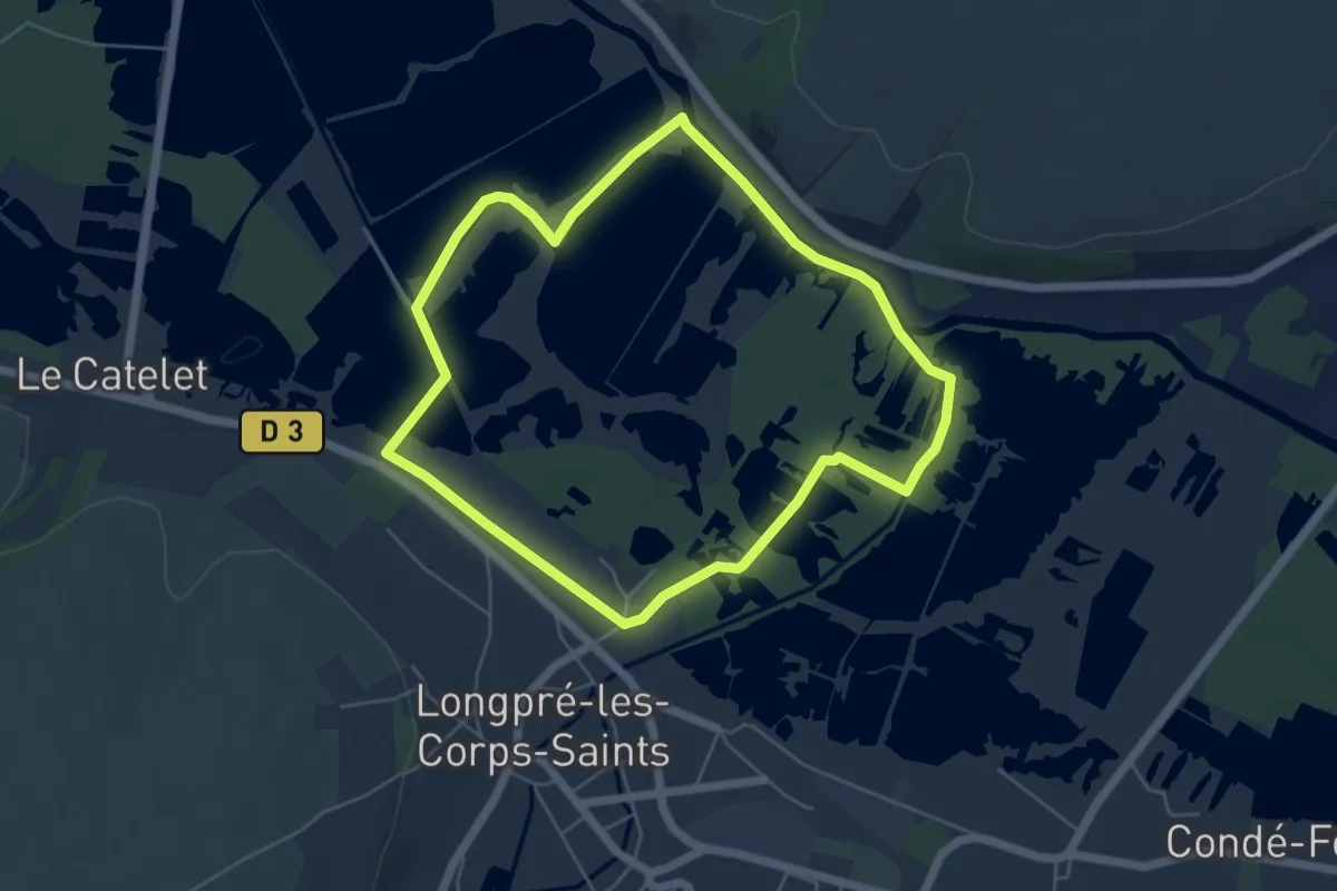
Easy · Trail
Le Circuit des Cours d'Eau
4.9 km · ↑ 8 m · 1 h 15 min
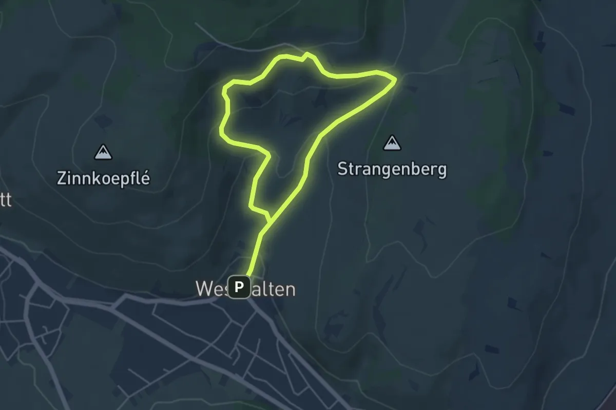
Easy · Trail
Le circuit des Croix de Chemin
3.5 km · ↑ 170 m · 1 h 14 min
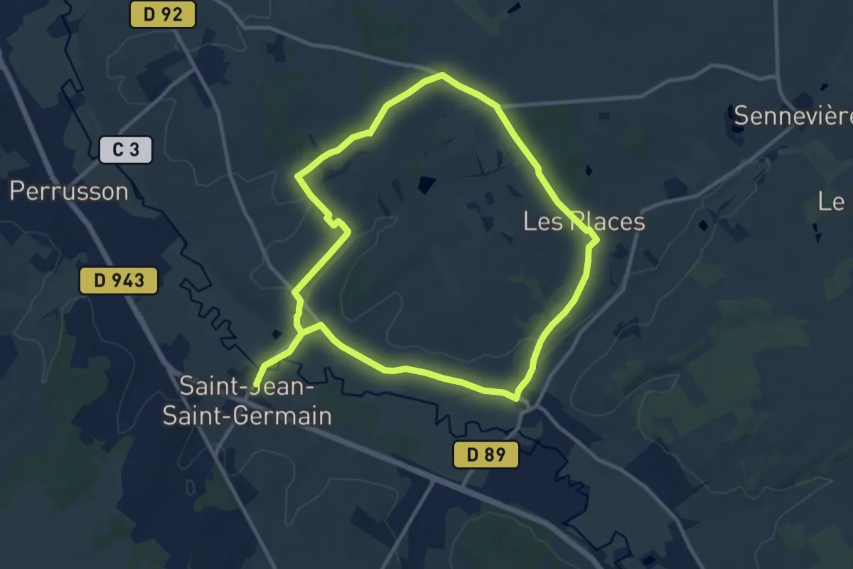
Demanding · Trail
Le circuit des deux bourgs
20.3 km · ↑ 172 m · 5 h 10 min
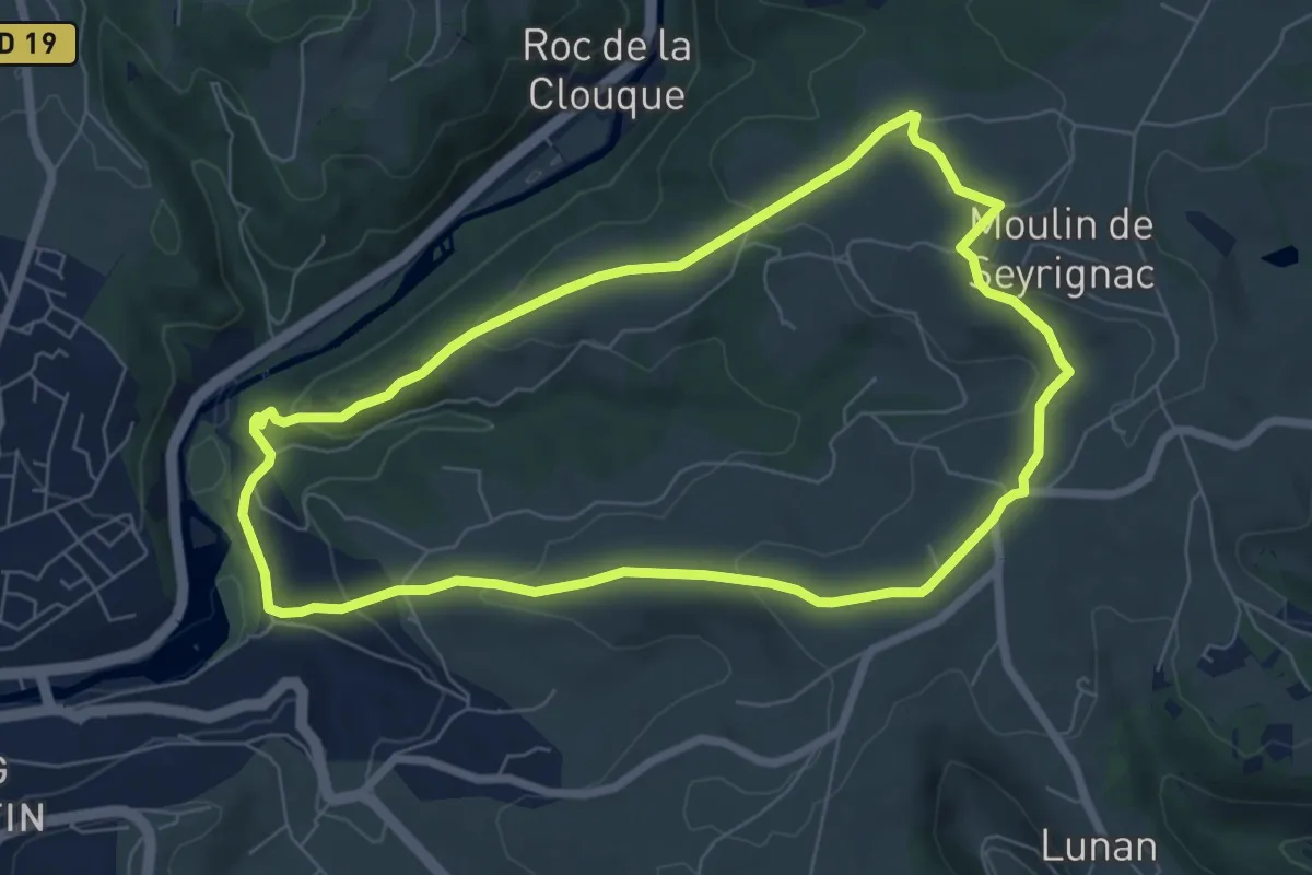
Easy · Trail
Le circuit de Seyrignac
7.1 km · ↑ 204 m · 2 h 13 min
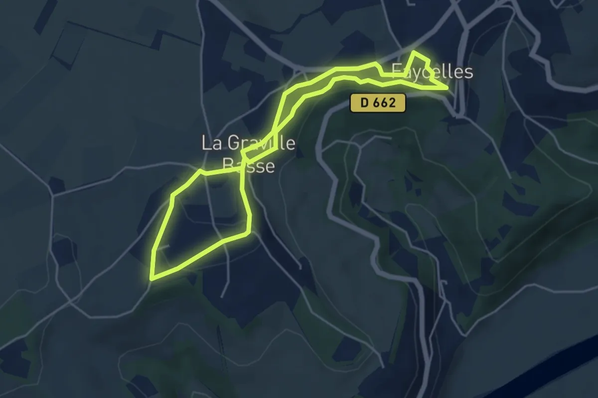
Easy · Trail
Le circuit des falaises
4.1 km · ↑ 62 m · 1 h 10 min
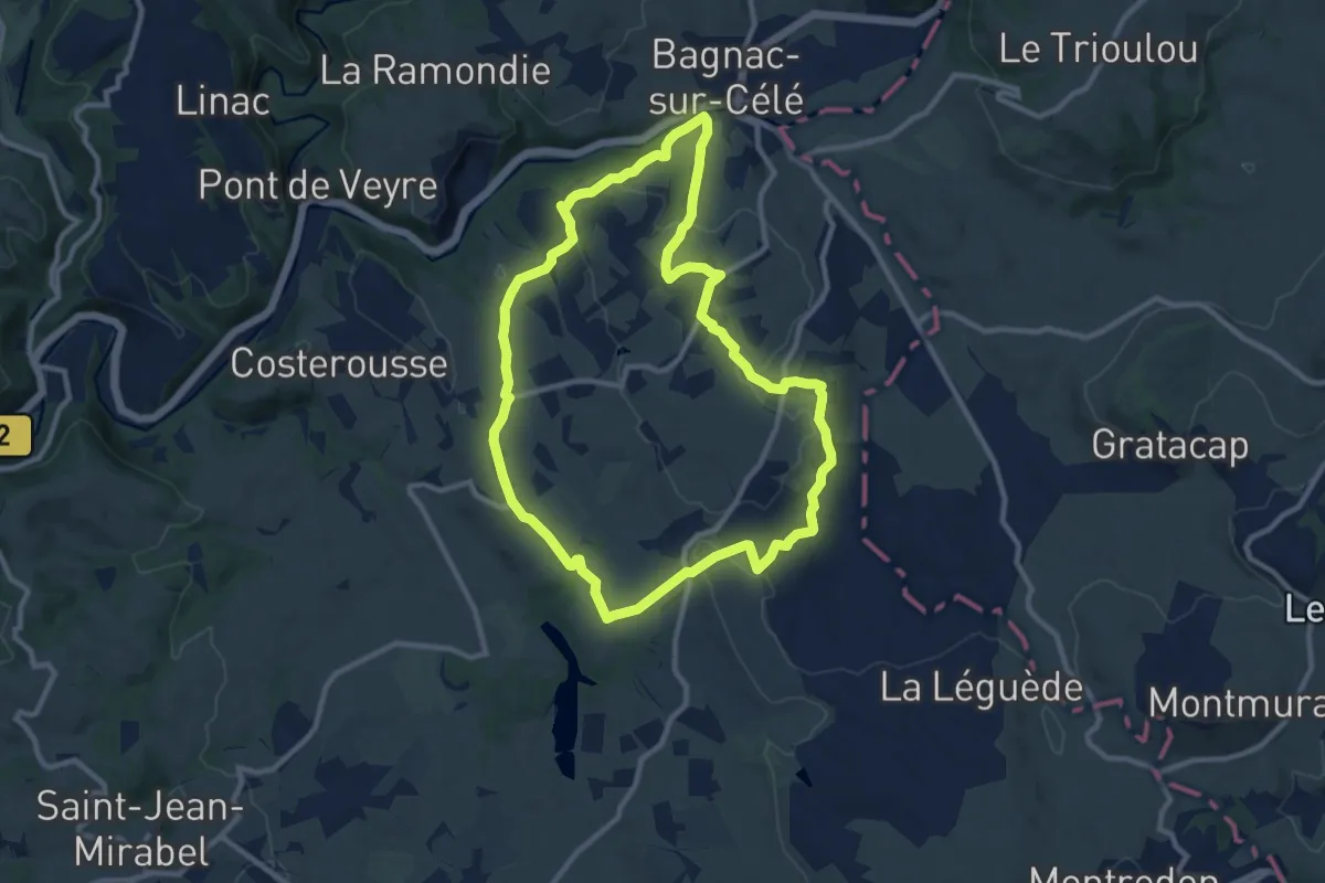
Medium · Trail
Le circuit des Gâches
10.4 km · ↑ 202 m · 3 h 2 min
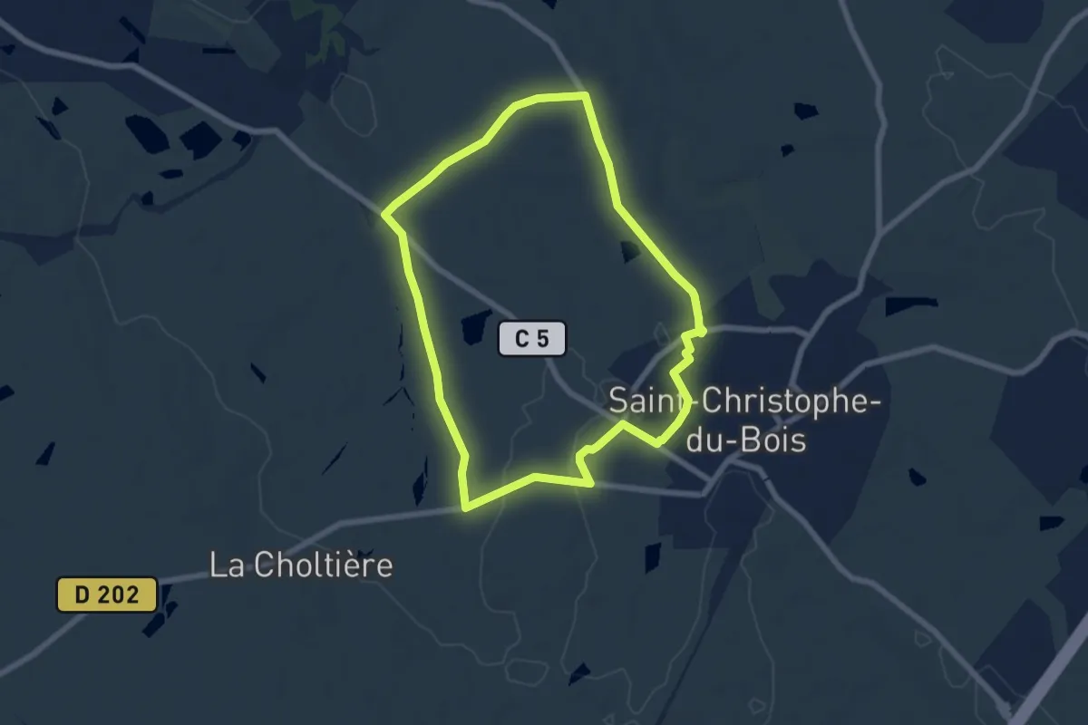
Easy · Trail
Le circuit des jonquilles
6.2 km · ↑ 35 m · 1 h 38 min
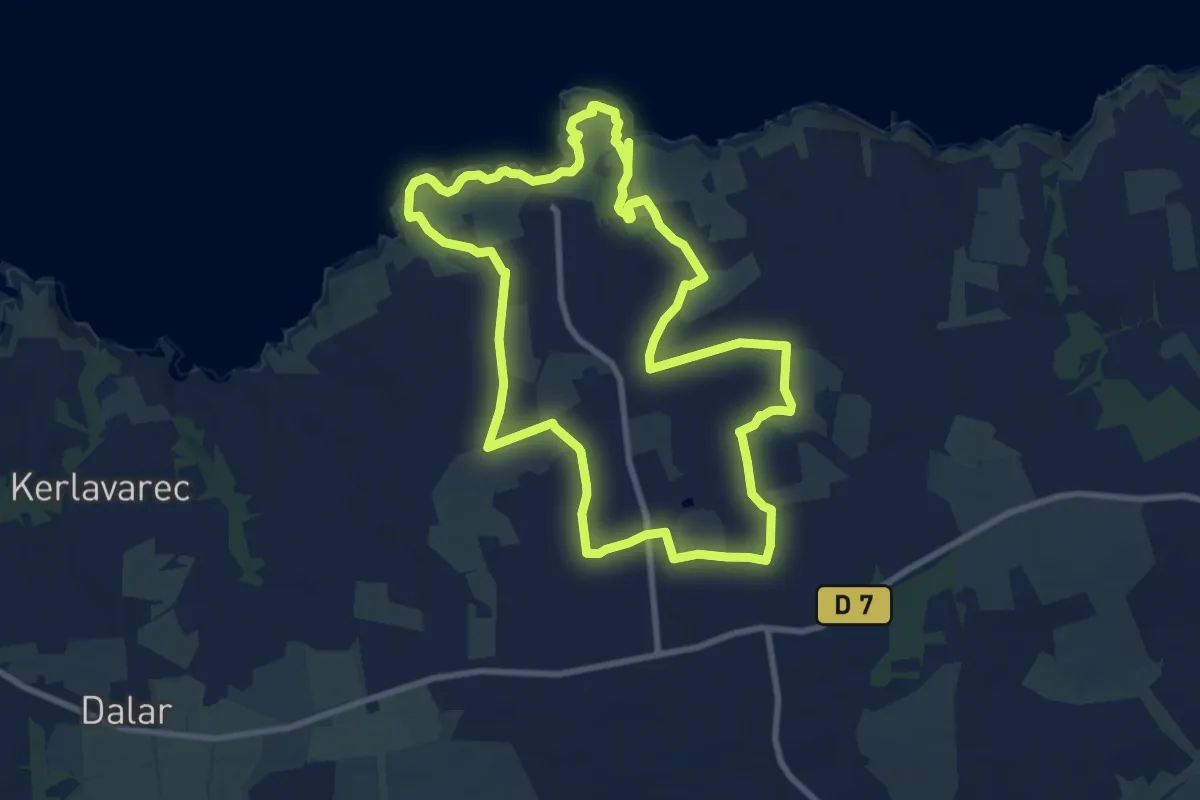
Medium · Trail
Le circuit des korrigans
9.1 km · ↑ 114 m · 2 h 30 min
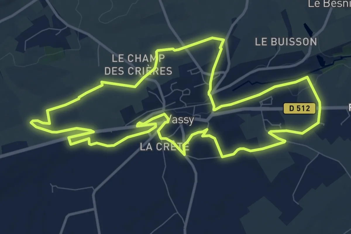
Medium · Trail
Le Circuit des Logettes
9.5 km · ↑ 72 m · 2 h 31 min
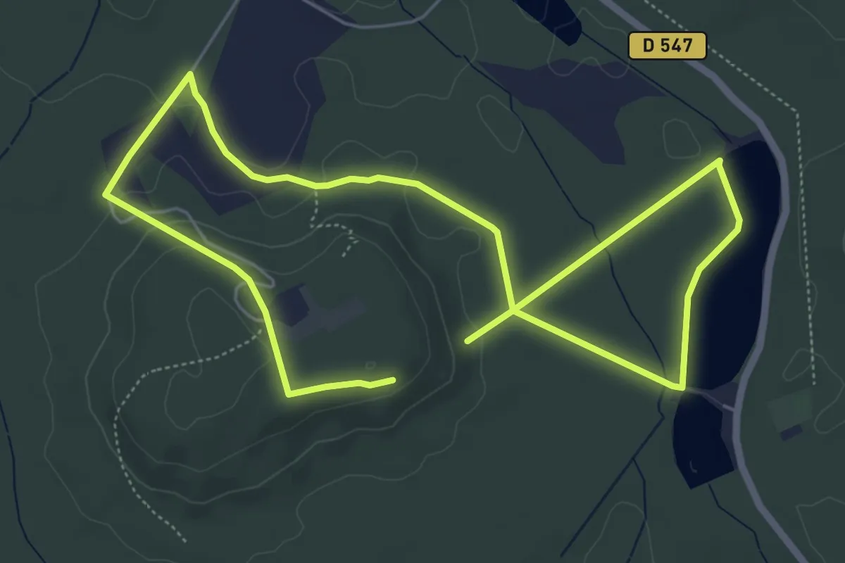
Easy · Summit
Le Circuit des Moines
4.9 km · ↑ 98 m · 1 h 25 min
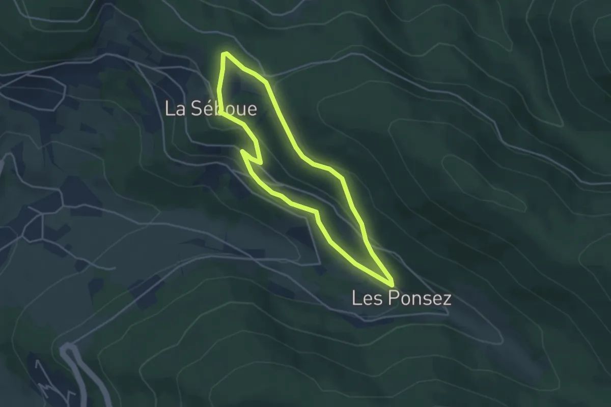
Easy · Trail
Le circuit des murs de mémoire des Ponsez
3.4 km · ↑ 107 m · 1 h 4 min
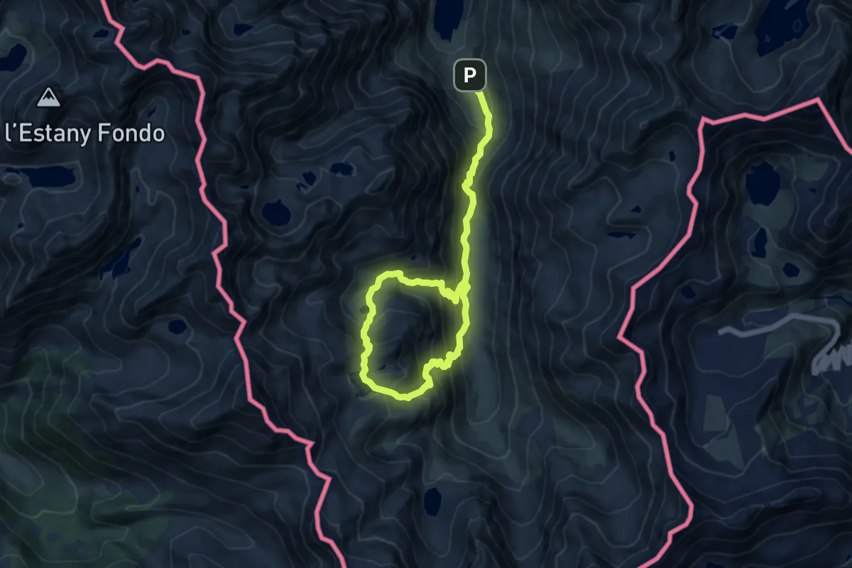
Demanding · Trail
Le circuit des Orris
15.1 km · ↑ 1258 m · 6 h 17 min
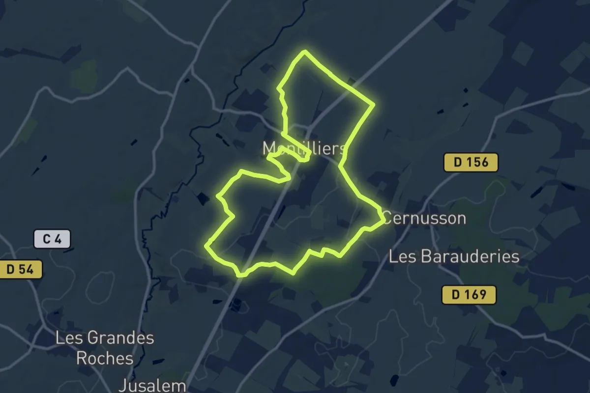
Medium · Trail
Le circuit des Près Naiteaux
10.6 km · ↑ 75 m · 2 h 49 min
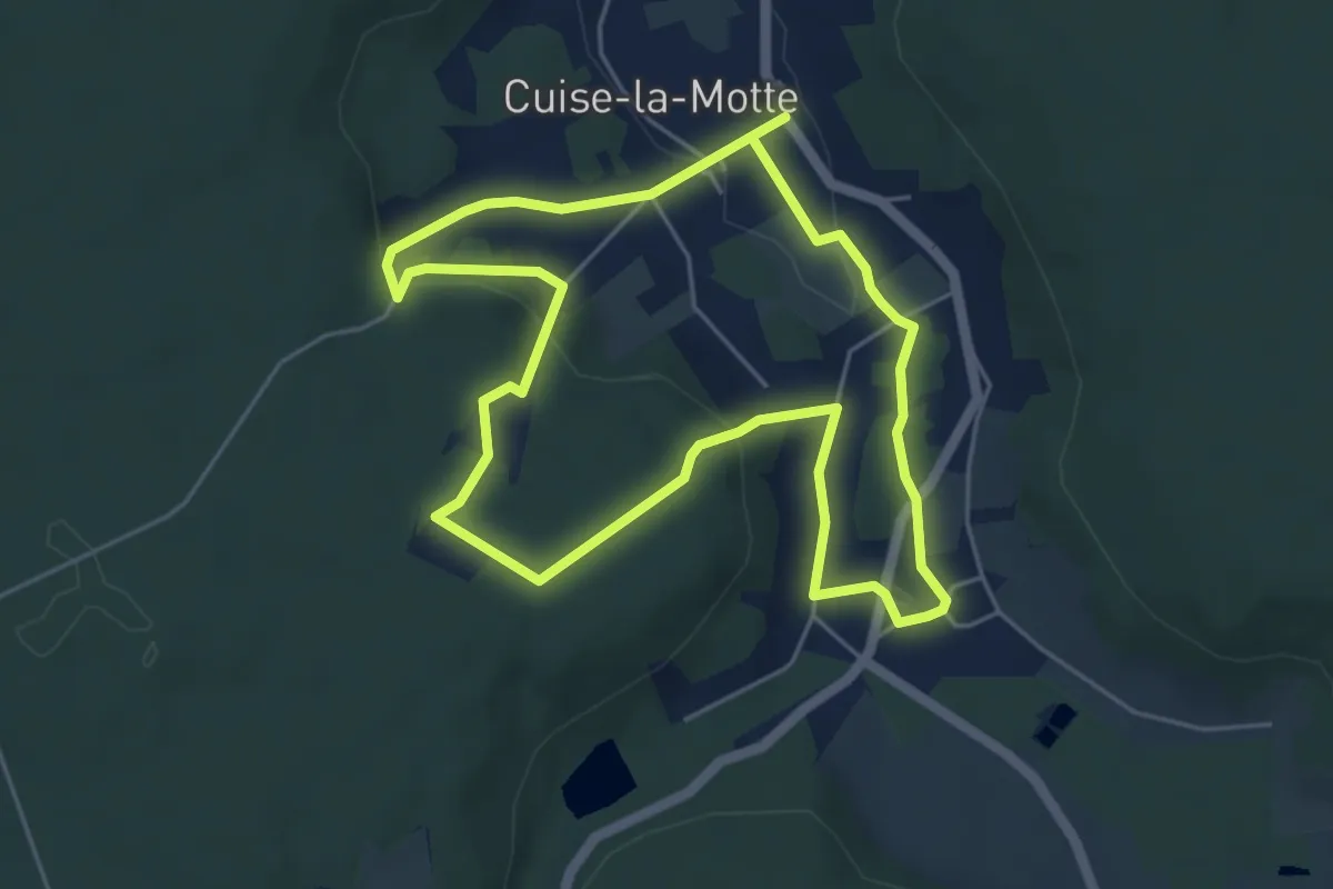
Easy · Trail
Le Circuit des Puits
4.8 km · ↑ 119 m · 1 h 28 min
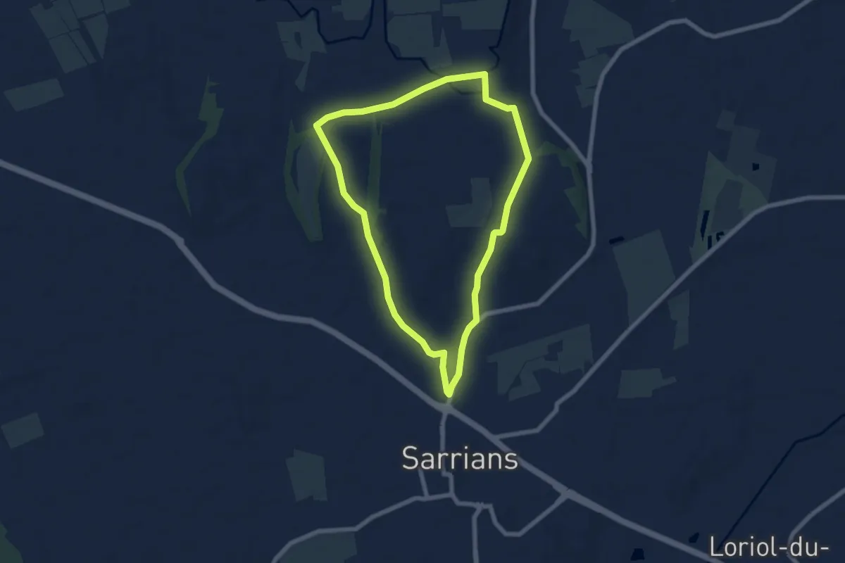
Easy · Trail
Le Circuit des Vignes
6.4 km · ↑ 45 m · 1 h 41 min
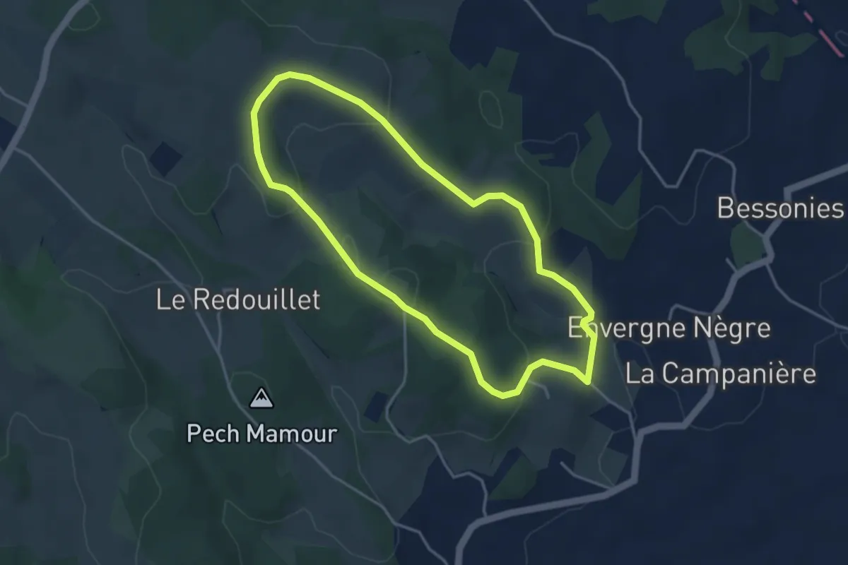
Easy · Trail
Le circuit du château de Bessonies
3.6 km · ↑ 114 m · 1 h 9 min
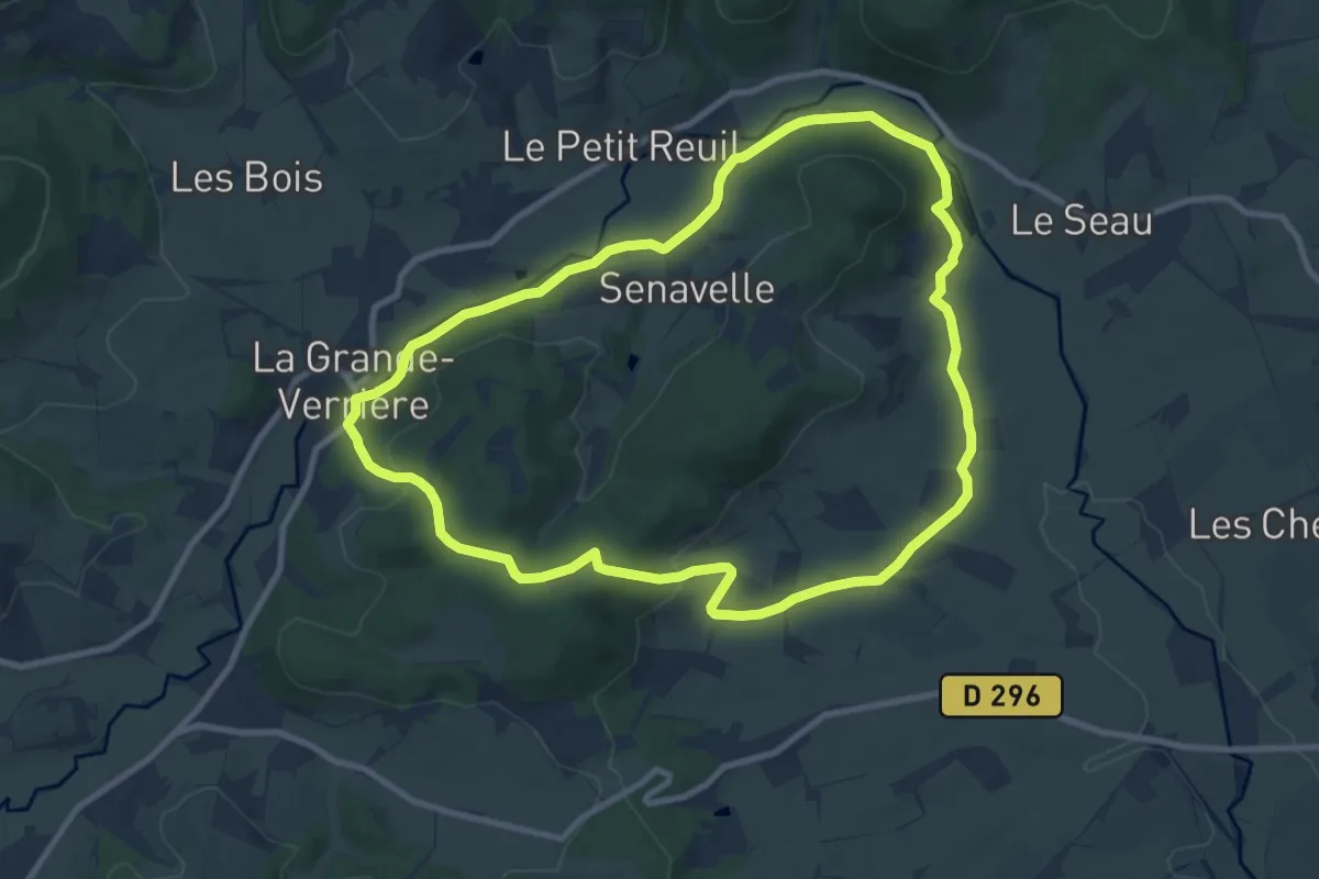
Medium · Summit
Le circuit du Grand Vernay
9.3 km · ↑ 207 m · 2 h 46 min
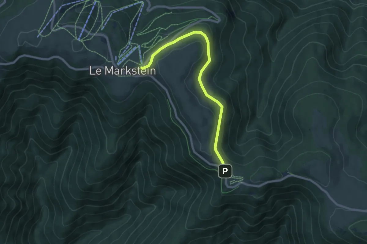
Easy · Trail
Le Circuit du Hofried
2.9 km · ↑ 64 m · 52 min