Trails in France
15,926 hiking trails, each with its route, climb, walking time and grade.
All trails, page 160 of 332
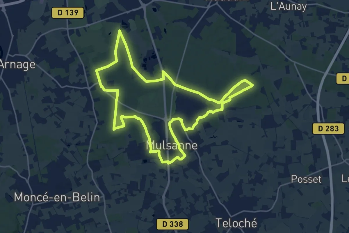
Medium · Trail
Le circuit du petit chien
16.6 km · ↑ 102 m · 4 h 22 min
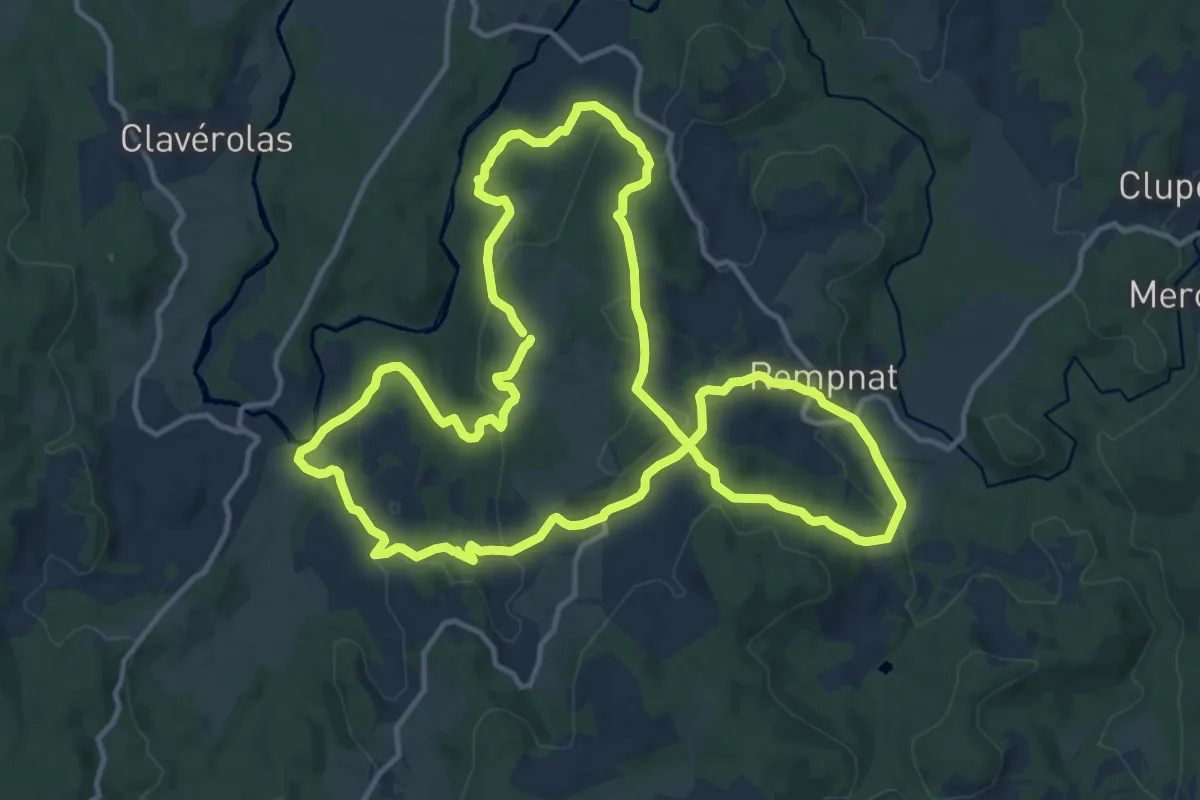
Medium · Summit
Le circuit duPuy-Pointu
14.2 km · ↑ 458 m · 4 h 33 min
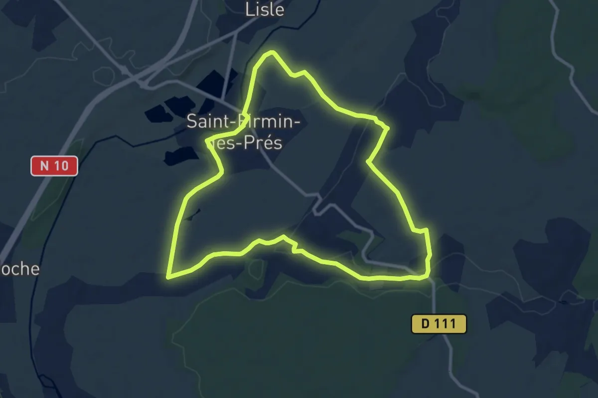
Medium · Trail
Le circuit du Réveillon
8.7 km · ↑ 49 m · 2 h 17 min
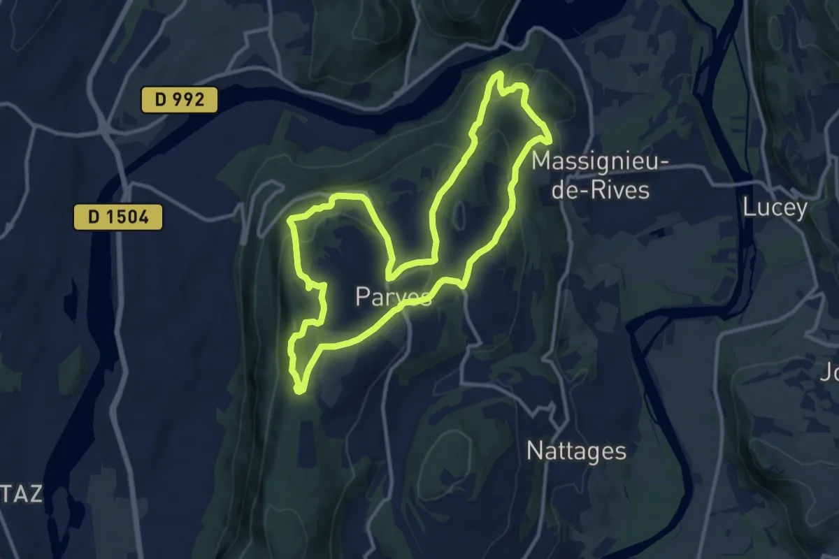
Medium · Trail
Le circuit du Sorbier
11.2 km · ↑ 438 m · 3 h 44 min
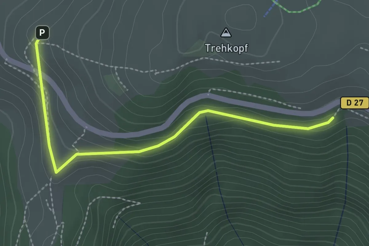
Easy · Trail
Le Circuit du Trehkopf
1.3 km · ↑ 71 m · 28 min
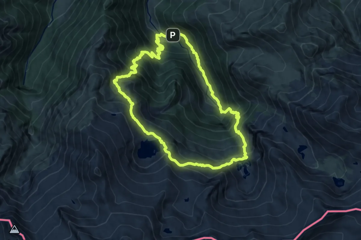
Demanding · Summit
Le cirque de Cagateille
11.1 km · ↑ 1096 m · 5 h 9 min
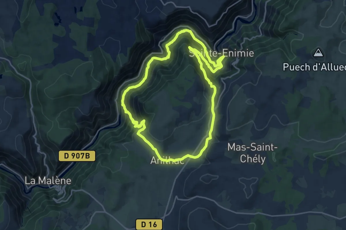
Medium · Trail
Le cirque de Saint-Chély-du-Tarn
15.1 km · ↑ 763 m · 5 h 25 min
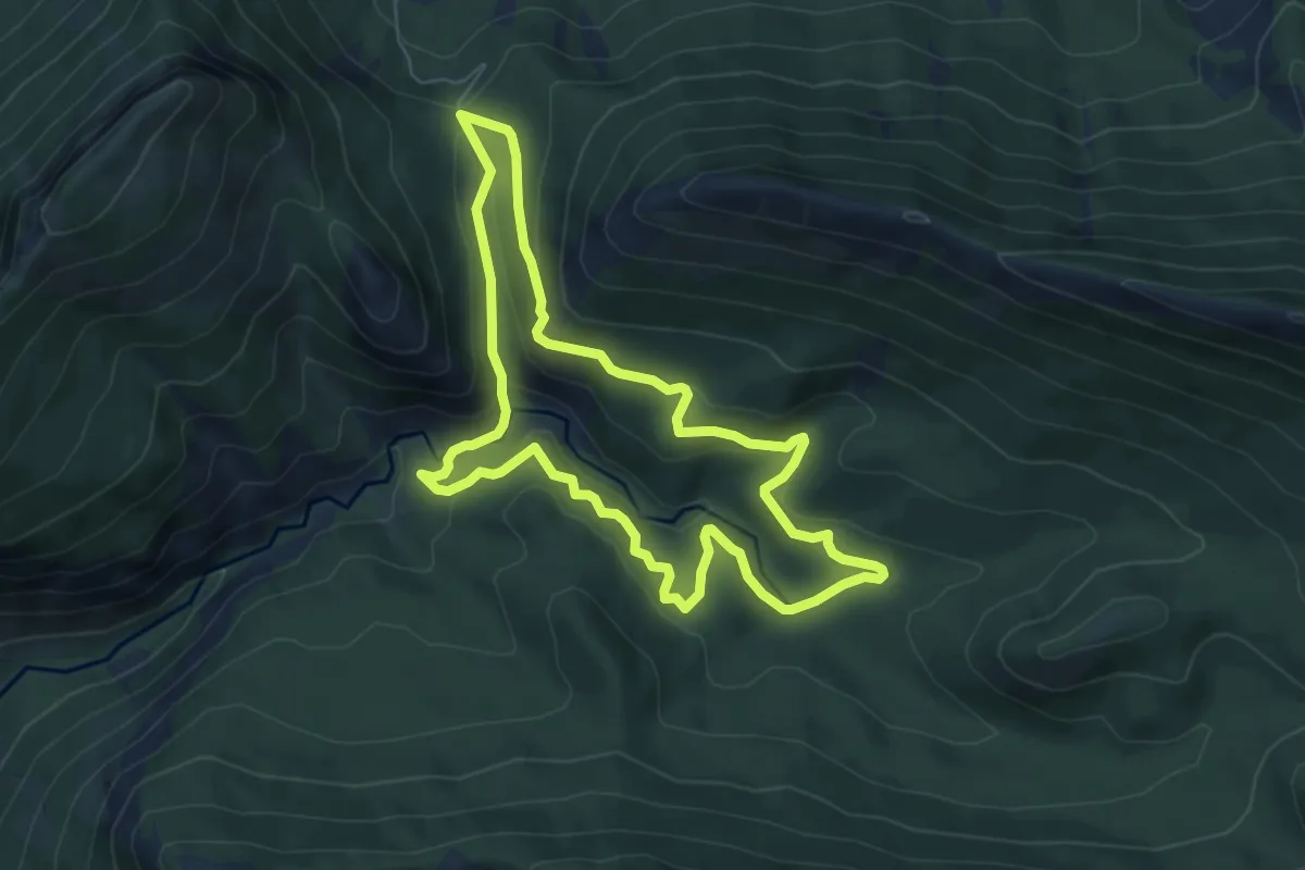
Medium · Trail
Le Cirque de Saint-Genis
6.5 km · ↑ 253 m · 2 h 10 min
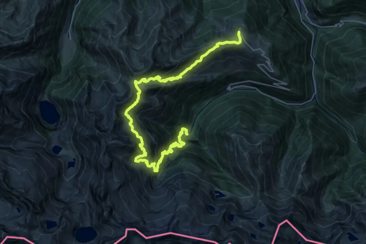
Demanding · Trail
Le cirque des Crabioules
15.7 km · ↑ 1221 m · 6 h 52 min
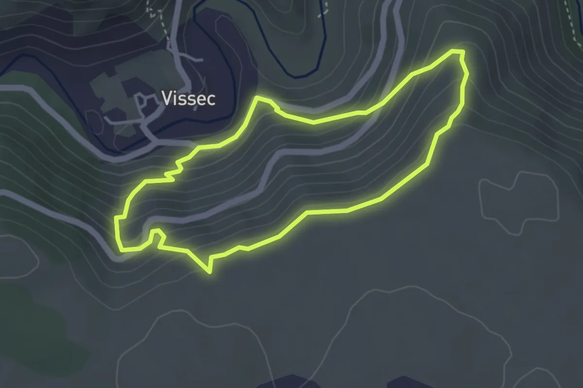
Easy · Trail
Le Cirque de Vissec
3.5 km · ↑ 254 m · 1 h 25 min
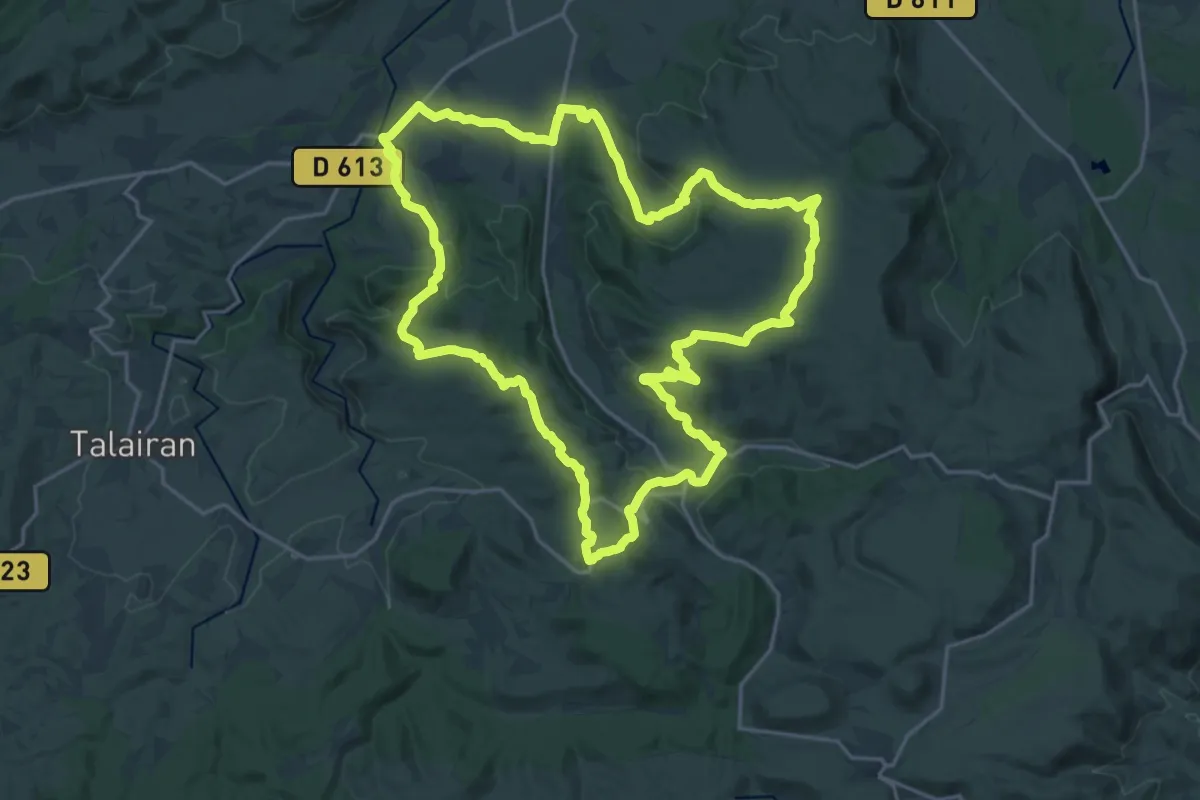
Demanding · Trail
Le Cirque De Viviès
23.2 km · ↑ 519 m · 6 h 56 min
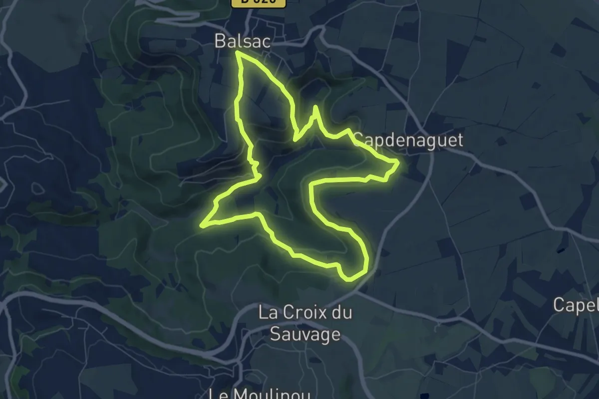
Medium · Trail
Le Cirque du Sauvage
8.2 km · ↑ 321 m · 2 h 44 min
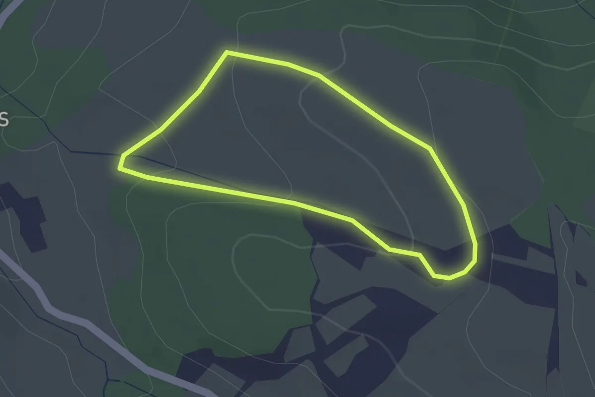
Easy · Trail
Le Clabary
2.2 km · ↑ 69 m · 41 min
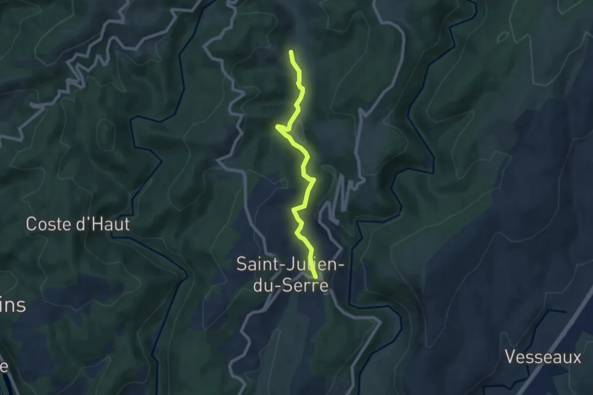
Easy · Trail
Le Clap - Le Moulin des Prés
5.9 km · ↑ 151 m · 1 h 43 min
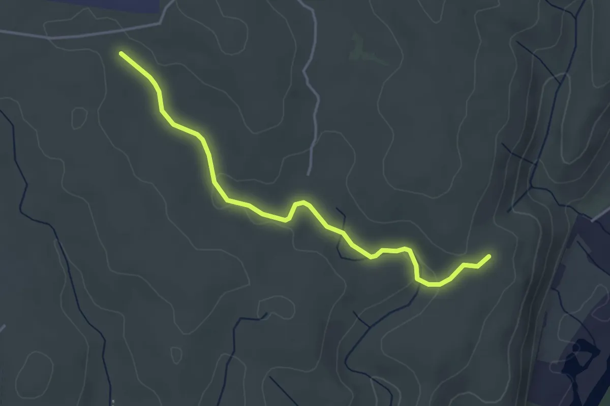
Easy · Trail
Le Clauzel - La Mare
4.1 km · ↑ 44 m · 1 h 4 min
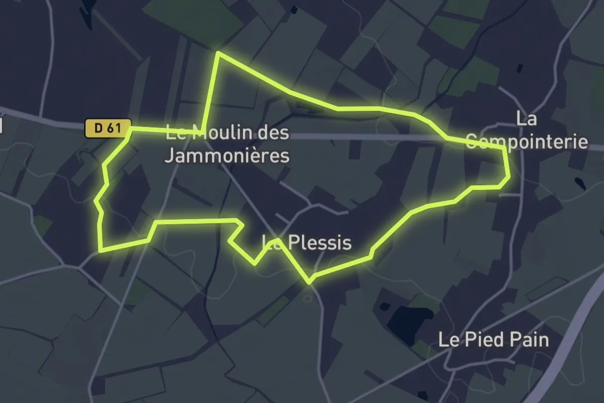
Easy · Trail
L'Éclogite
4.1 km · ↑ 26 m · 1 h 5 min
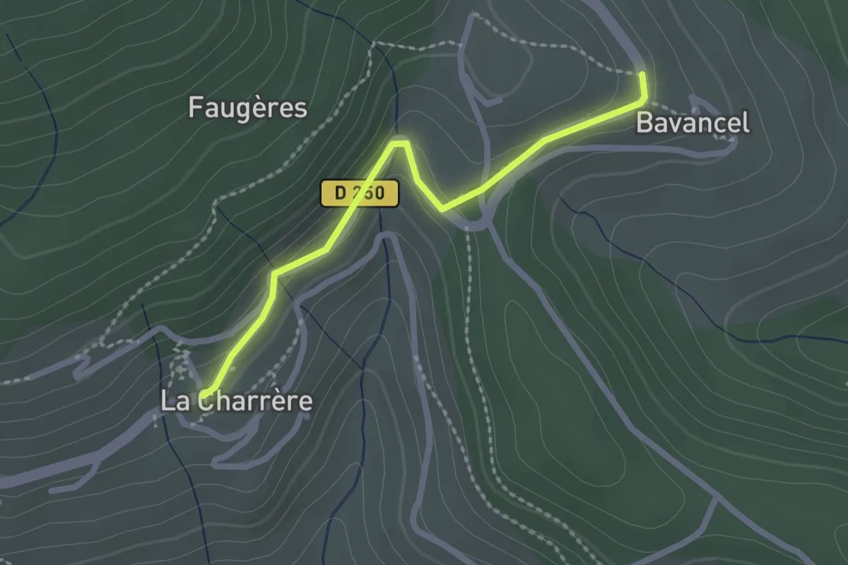
Easy · Trail
Le Clos - Bavancel
2.1 km · ↑ 68 m · 38 min
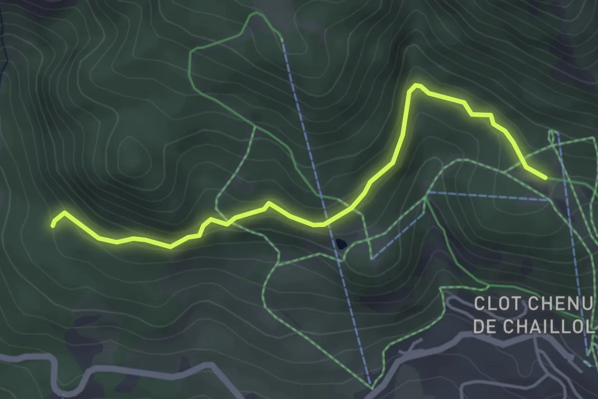
Easy · Trail
Le Clos Chenu - Peyre Gerle
4.4 km · ↑ 210 m · 1 h 30 min
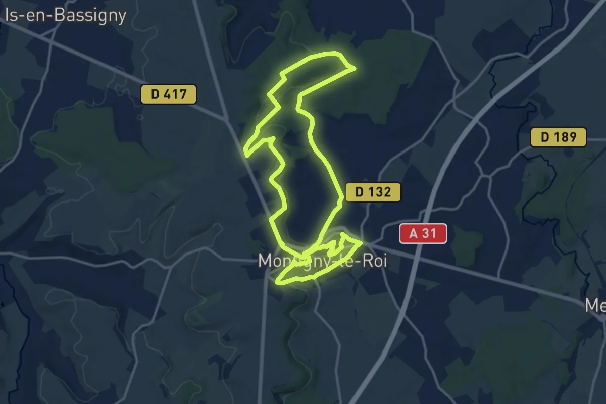
Medium · Trail
Le Clos Chrétien
12.6 km · ↑ 231 m · 3 h 38 min
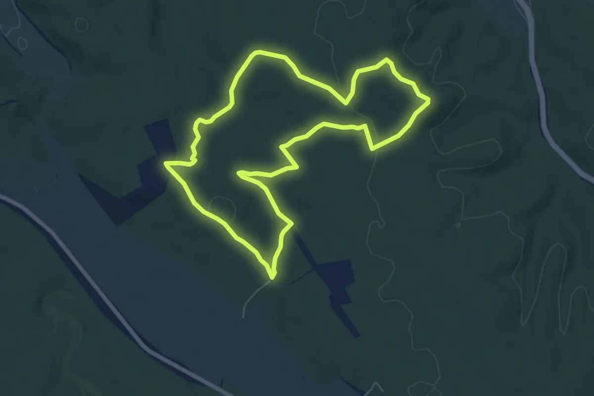
Easy · Trail
Le Clos Gaillard
6.4 km · ↑ 65 m · 1 h 45 min
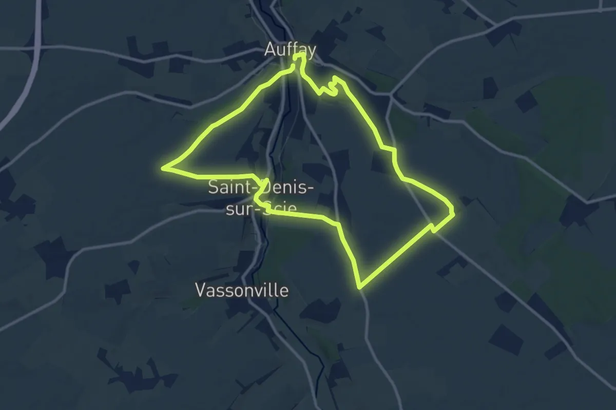
Medium · Trail
Le Clos Jacquet
9.4 km · ↑ 118 m · 2 h 37 min
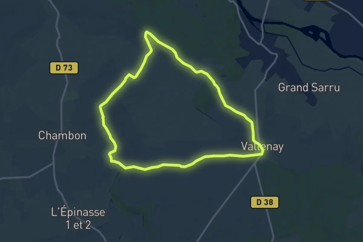
Medium · Trail
Le Clos Saint-Martin
8.9 km · ↑ 51 m · 2 h 21 min
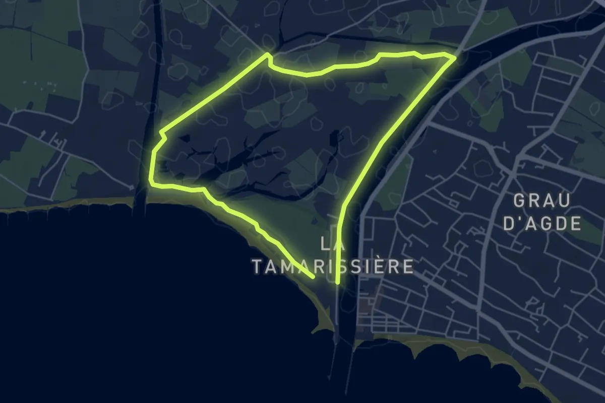
Easy · Trail
Le Clôt de Vias
5.1 km · ↑ 5 m · 1 h 16 min
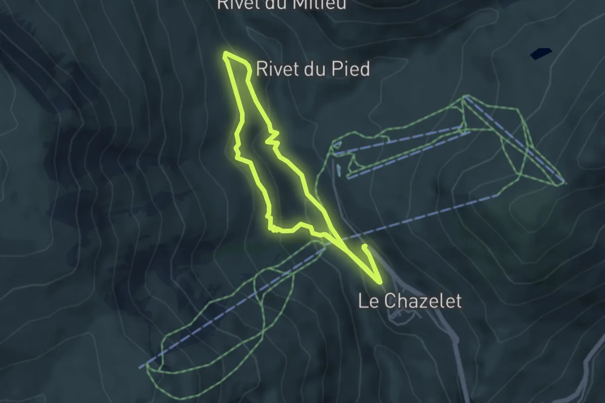
Easy · Trail
Le Clot Raffin
3.8 km · ↑ 143 m · 1 h 16 min
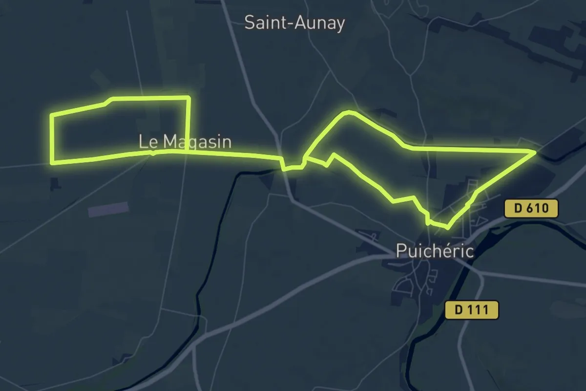
Medium · Trail
L’Écluse de l’Aiguille
9.7 km · ↑ 17 m · 2 h 28 min
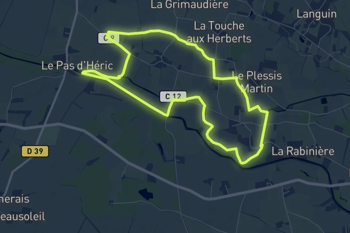
Medium · Trail
L'Écluse du Pas d'Héric
8.0 km · ↑ 27 m · 2 h 4 min
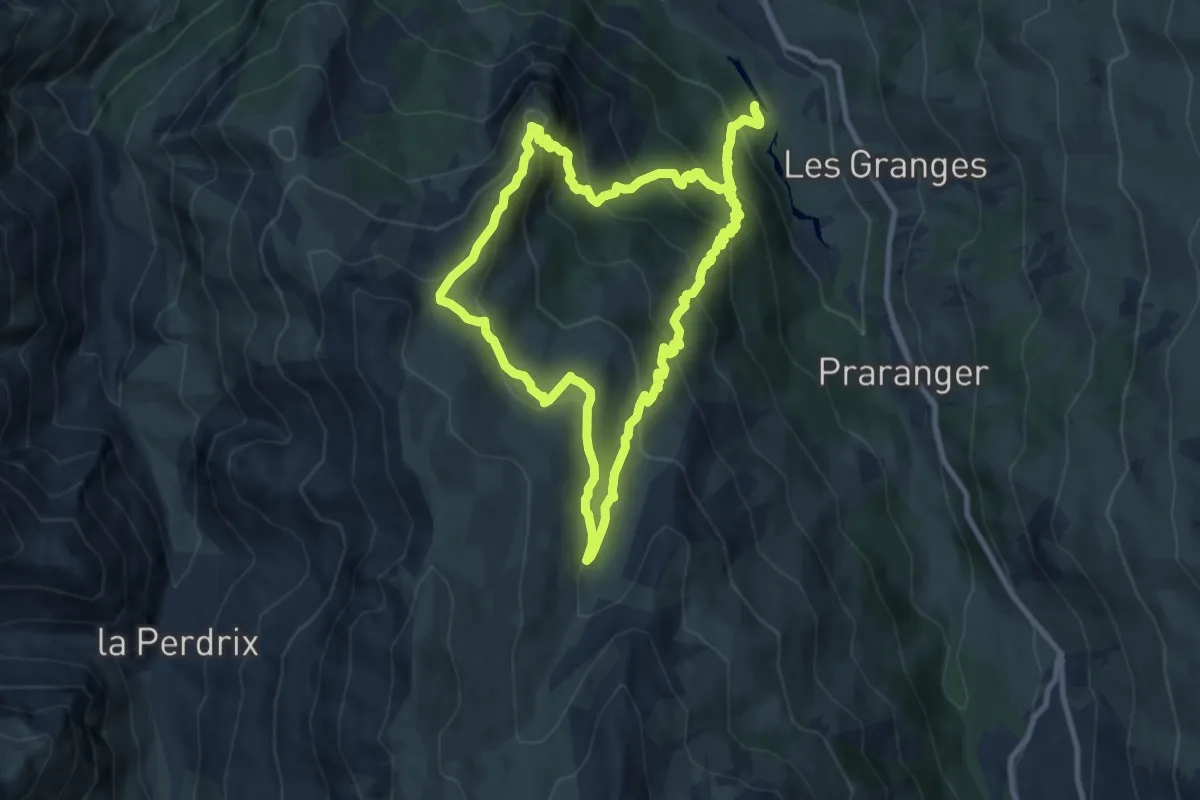
Medium · Trail
Le Cochet
9.9 km · ↑ 730 m · 4 h 3 min
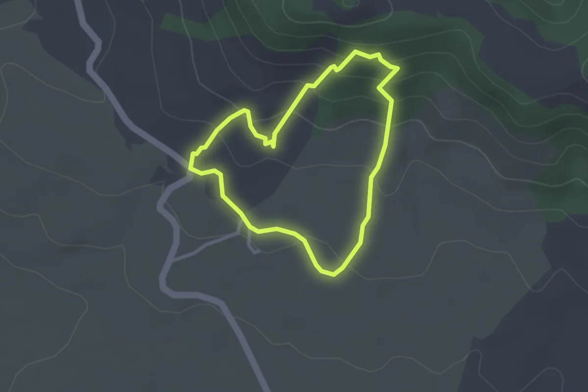
Easy · Trail
Le Coeur du Rougier
2.4 km · ↑ 131 m · 53 min
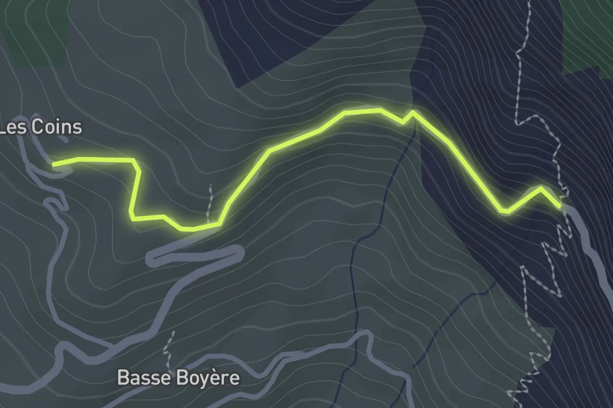
Easy · Trail
Le Coin Haut - Route de Gros
2.6 km · ↑ 169 m · 59 min
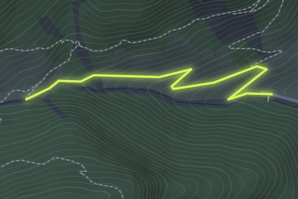
Easy · Trail
Le Coin Le Guigou - Torrent de Combe Bonne
2.3 km · ↑ 160 m · 54 min
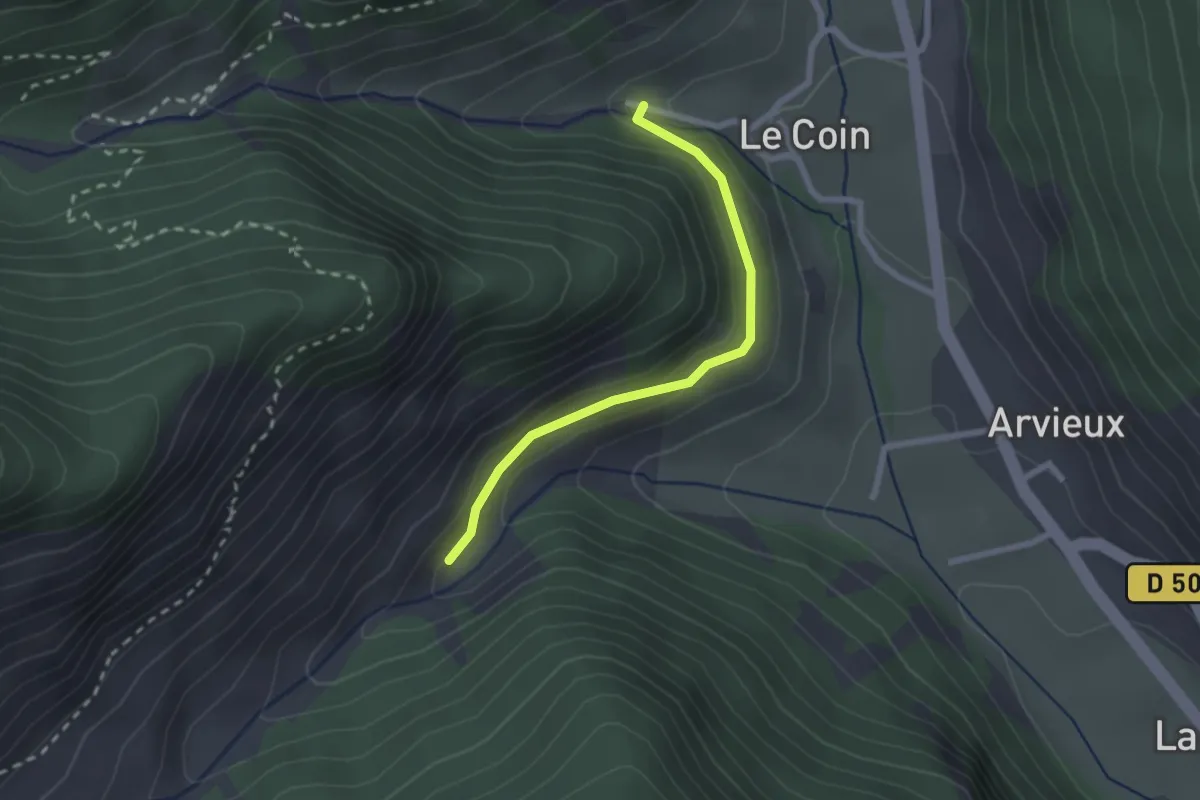
Easy · Trail
Le Coin Le Guigou - Vallon de Furfande
2.2 km · ↑ 73 m · 41 min
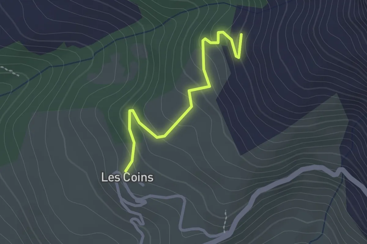
Easy · Trail
Le Coin - Les Forgesses
2.2 km · ↑ 127 m · 47 min
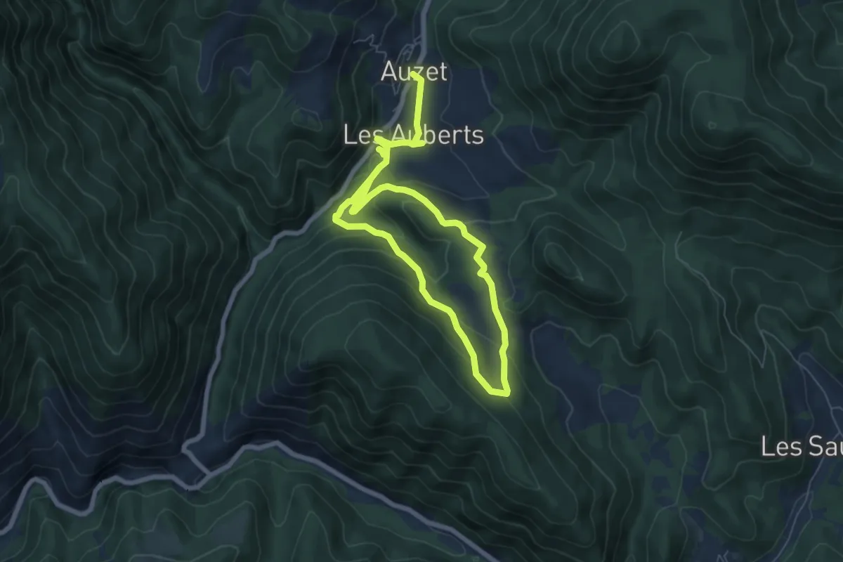
Easy · Trail
Le Col
5.4 km · ↑ 245 m · 1 h 52 min
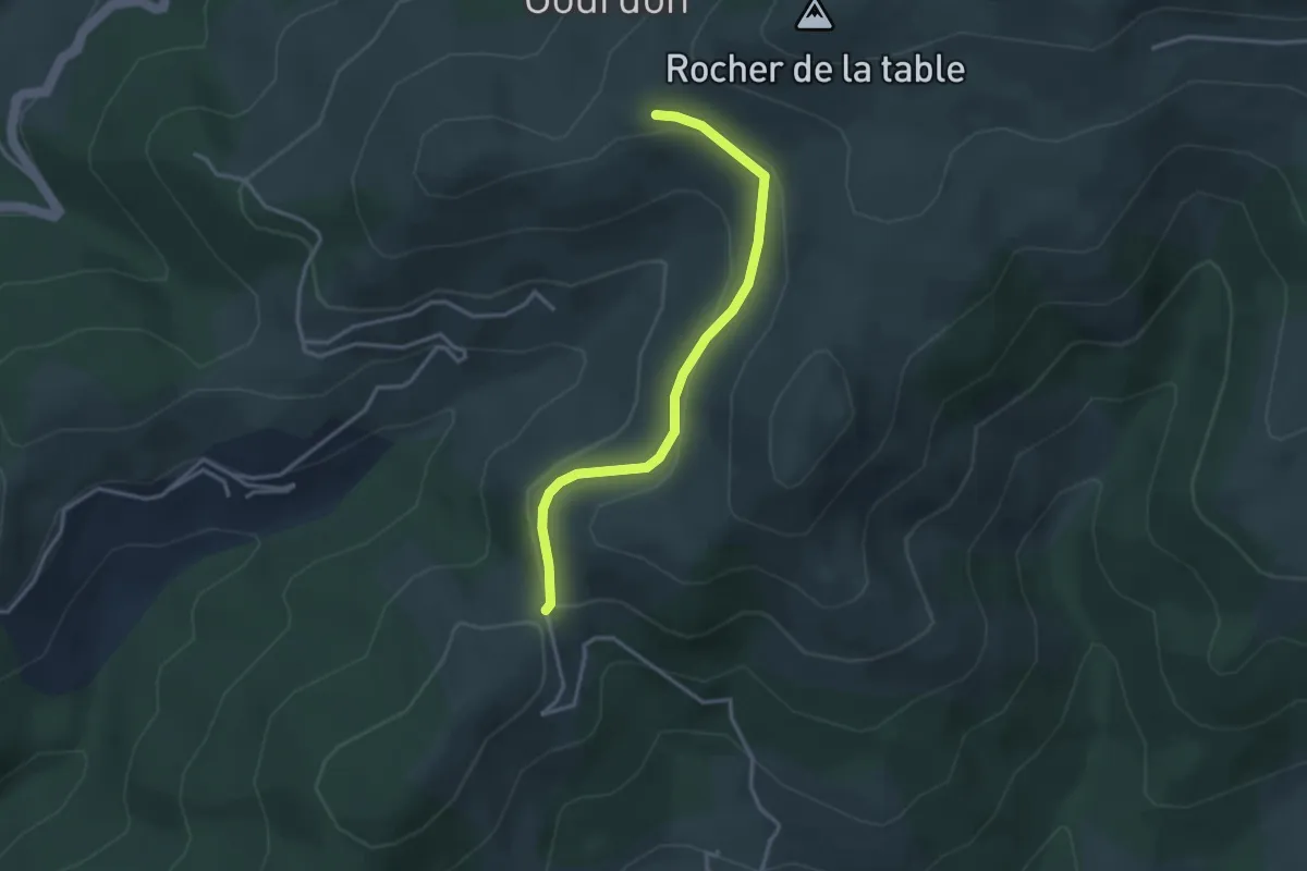
Easy · Trail
Le Col d'Auzon - L'Auriol
3.3 km · ↑ 113 m · 1 h 2 min
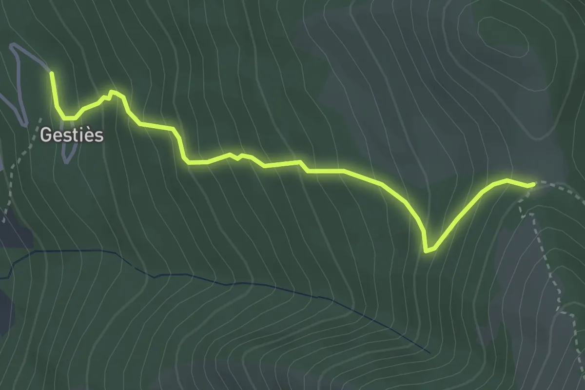
Medium · Trail
Le Col de Gamel
3.7 km · ↑ 428 m · 1 h 48 min
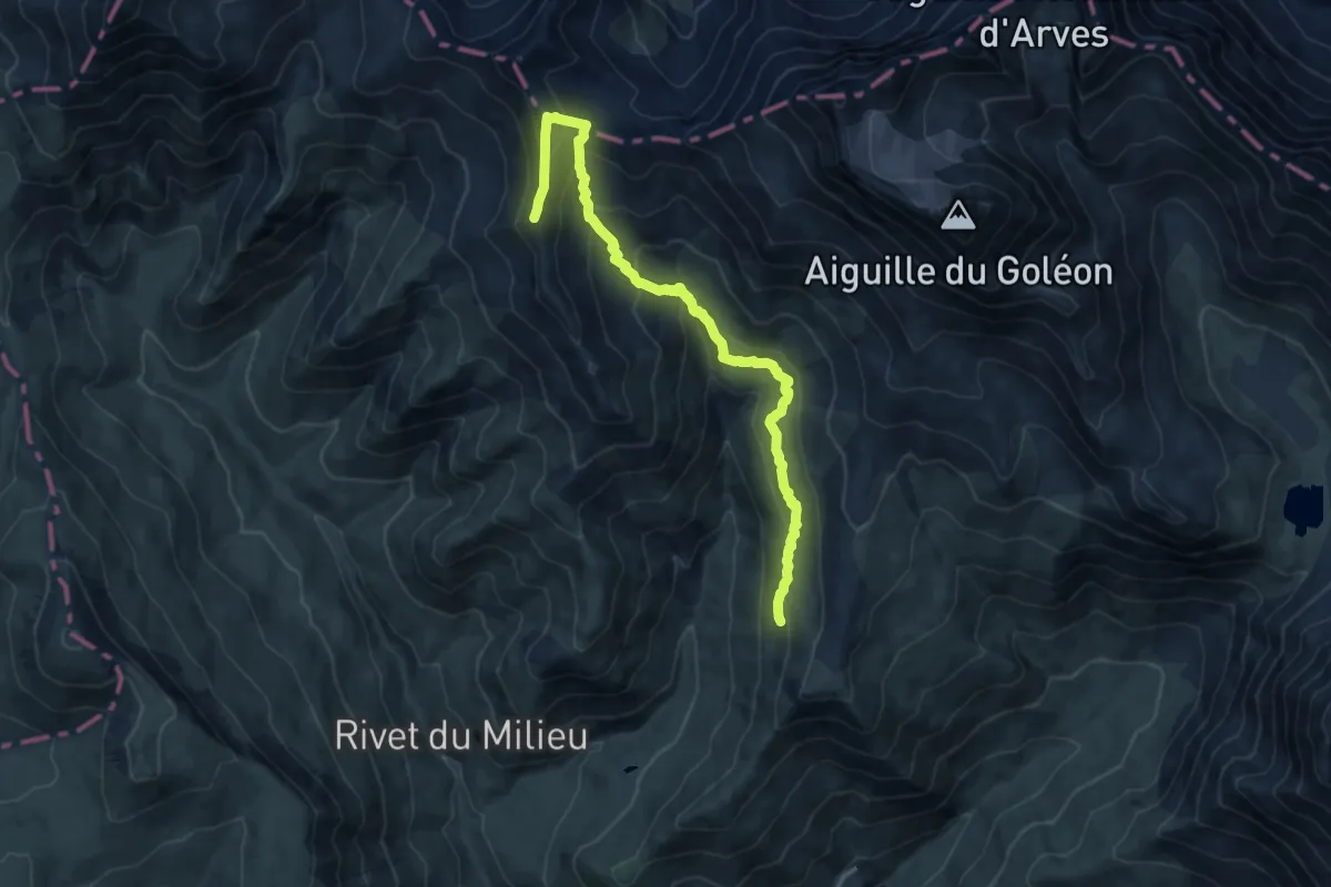
Expert · Summit
Le Col de Martignare et la Crête de la Buffe
6.3 km · ↑ 629 m · 2 h 42 min
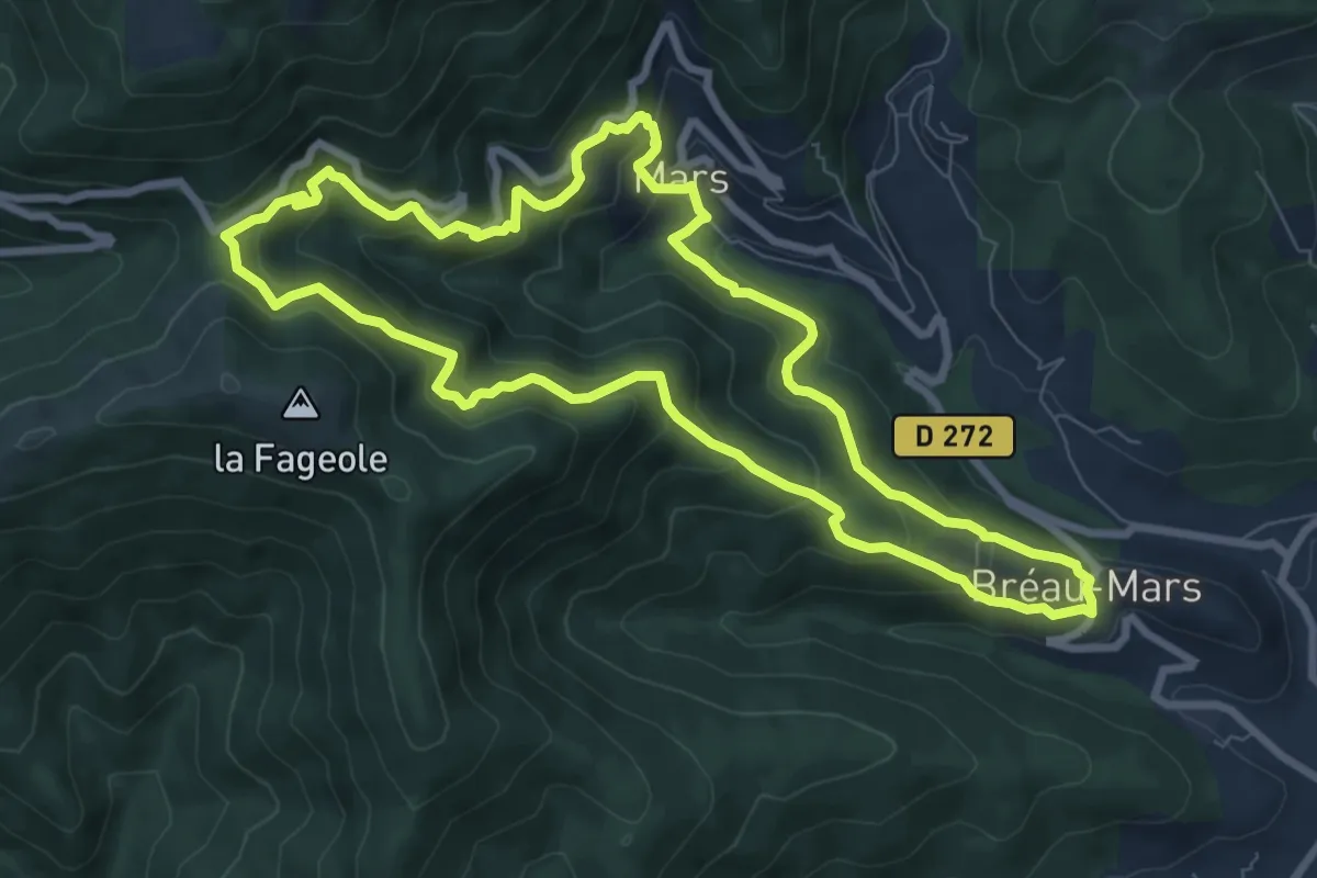
Medium · Trail
Le col de Mouzoules
8.6 km · ↑ 572 m · 3 h 24 min
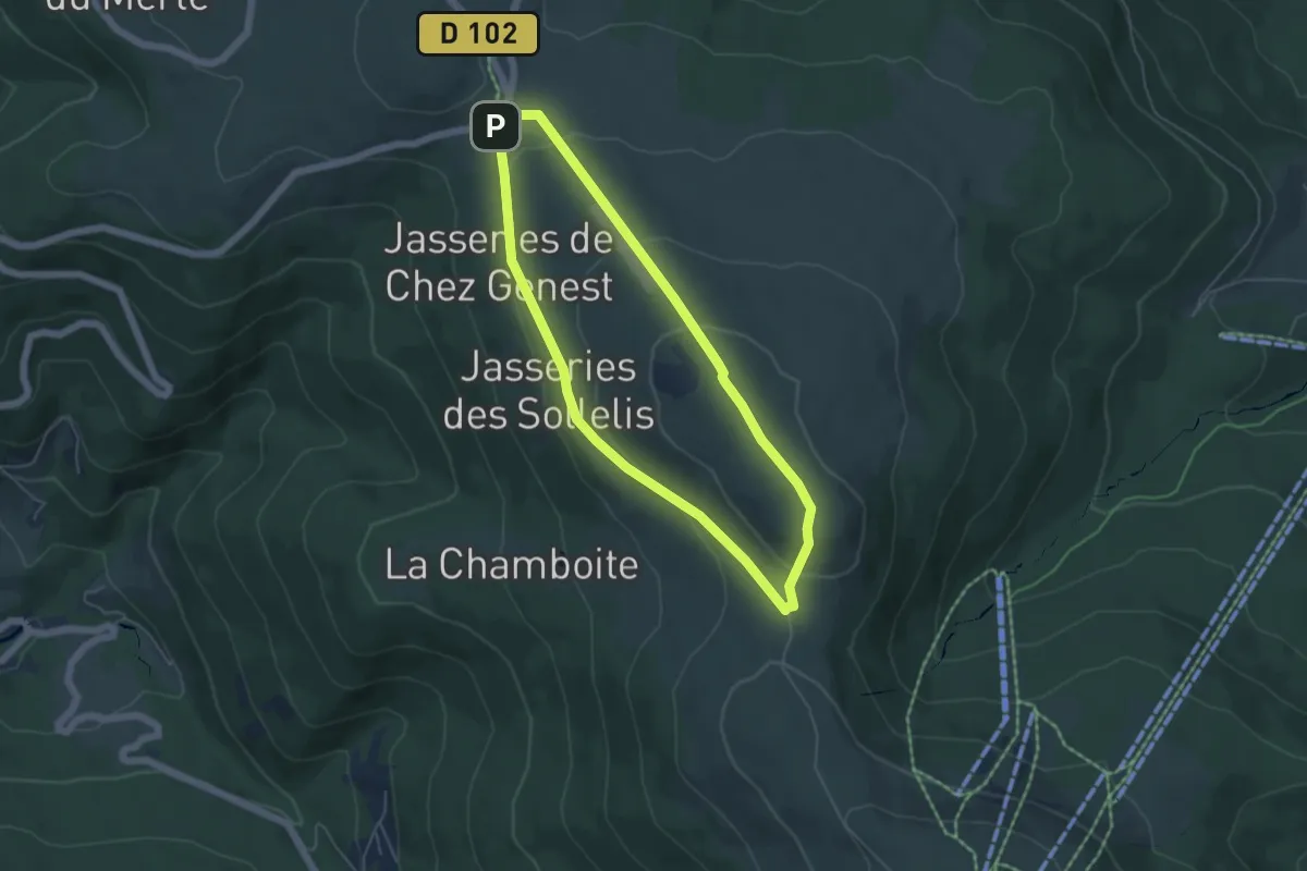
Easy · Summit
Le Col du Béal
4.7 km · ↑ 148 m · 1 h 30 min
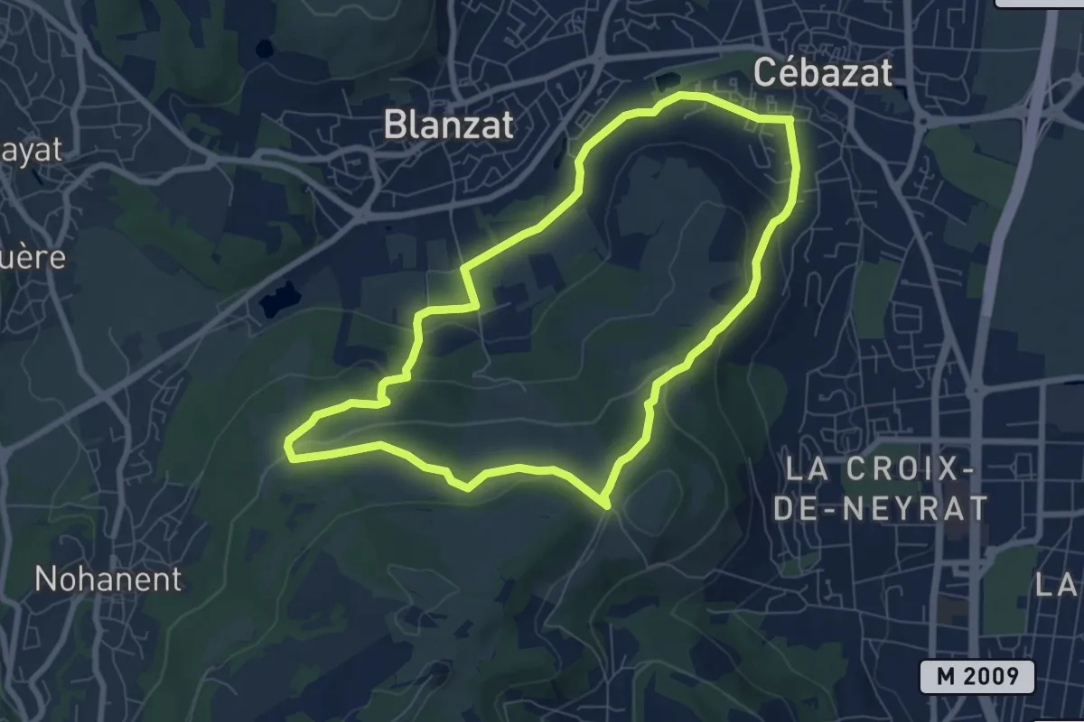
Easy · Trail
Le Col du Chevalard
7.4 km · ↑ 197 m · 2 h 17 min
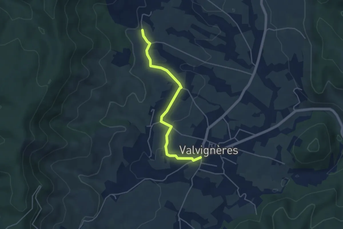
Easy · Trail
L'École - Mias
4.1 km · ↑ 81 m · 1 h 9 min
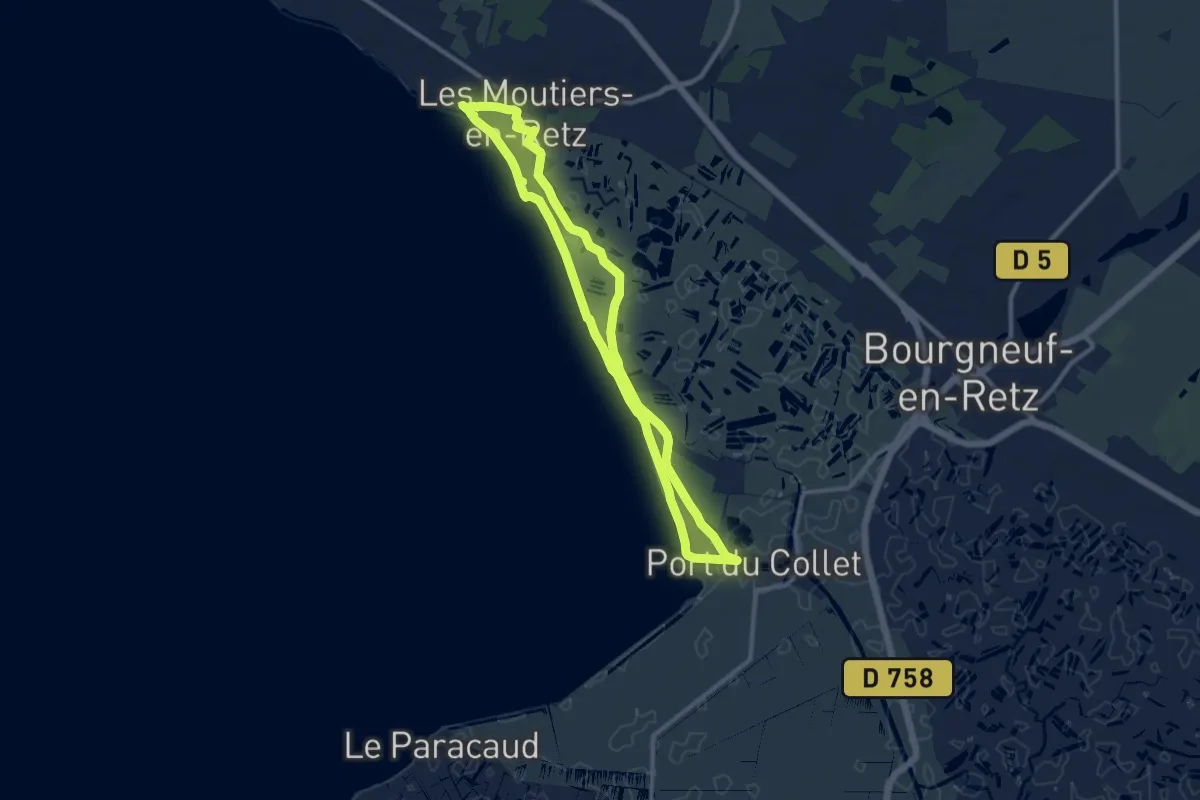
Medium · Trail
Le Collet
9.9 km · ↑ 4 m · 2 h 28 min
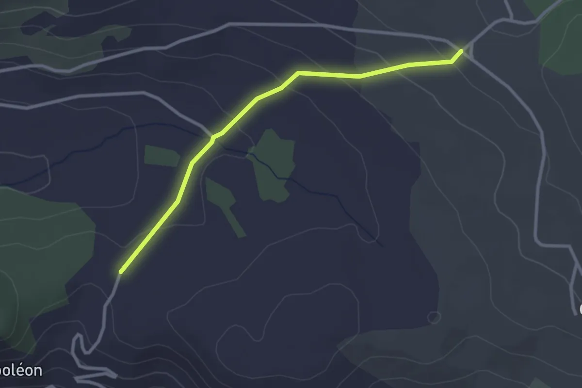
Easy · Trail
Le Collet d'Ancelle - ?
2.8 km · ↑ 94 m · 52 min
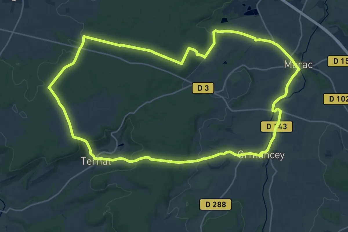
Medium · Trail
Le Colombier
17.9 km · ↑ 262 m · 5 h 3 min
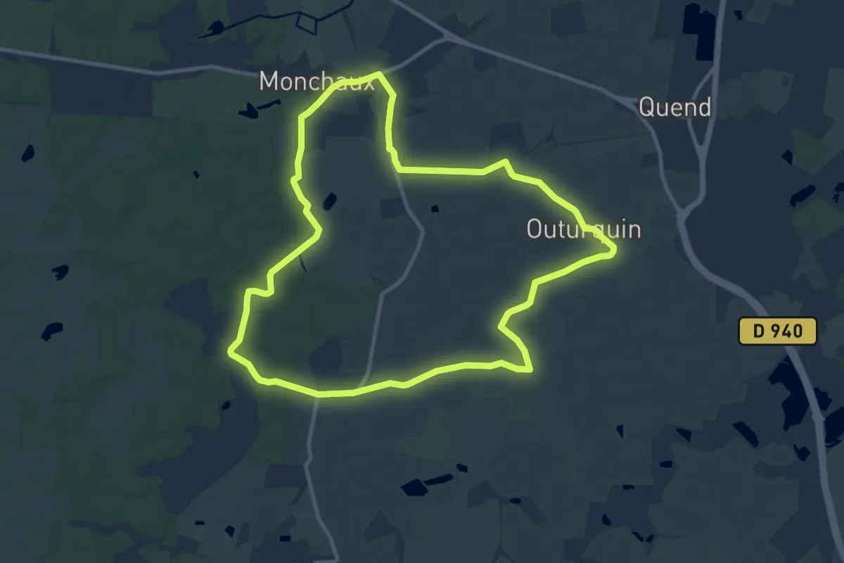
Medium · Trail
Le Colombier
9.9 km · ↑ 8 m · 2 h 29 min
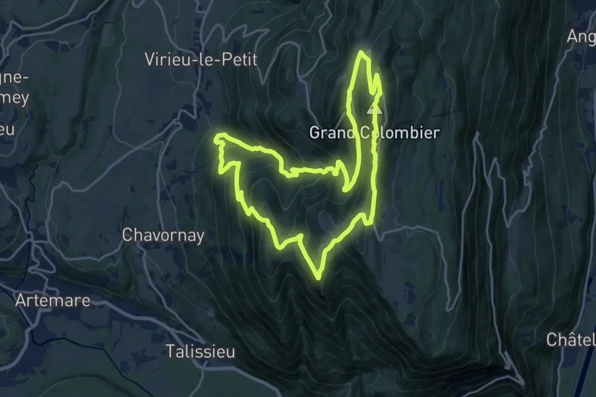
Demanding · Summit
le Colombier depuis Munet
15.0 km · ↑ 948 m · 5 h 49 min
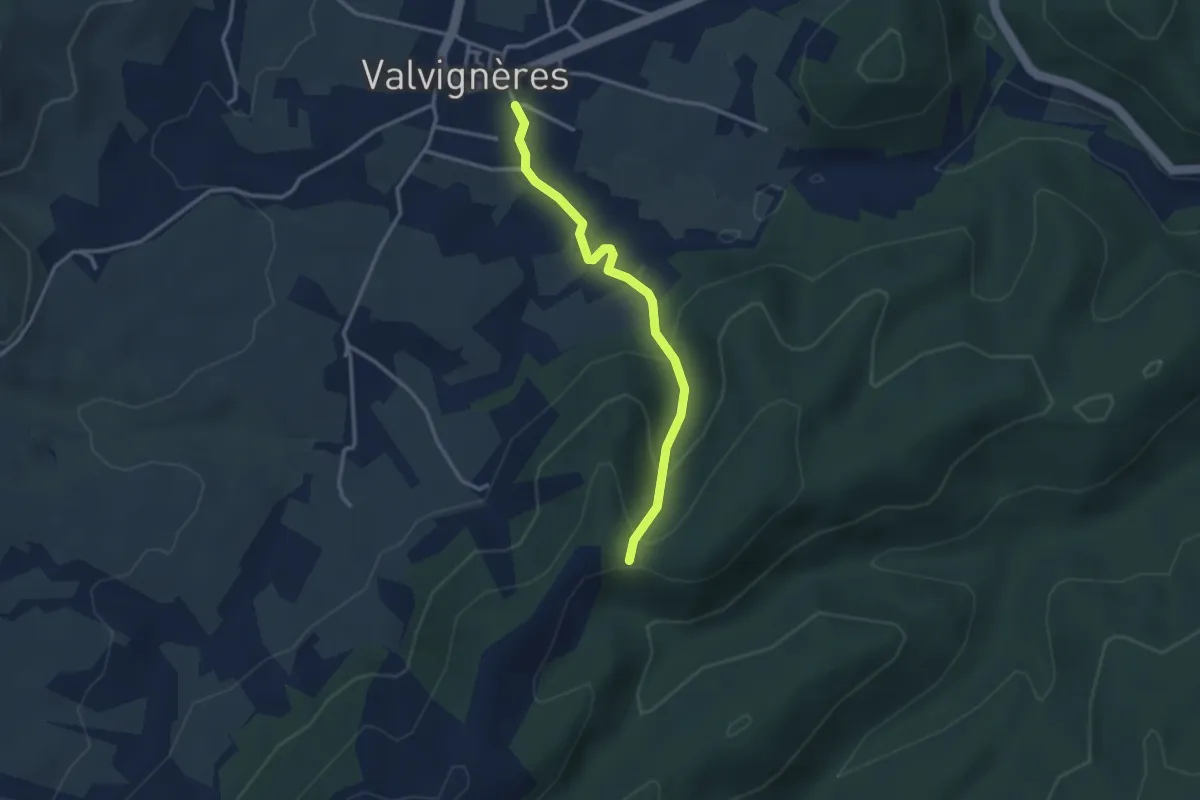
Easy · Trail
Le Colombier - Traversas
3.0 km · ↑ 175 m · 1 h 5 min
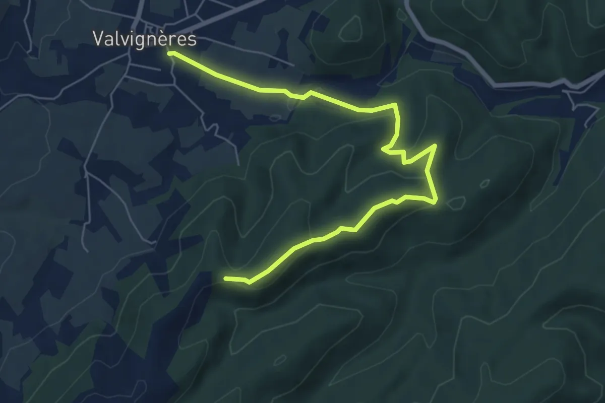
Easy · Trail
Le Colombier - Traversas
7.0 km · ↑ 205 m · 2 h 5 min
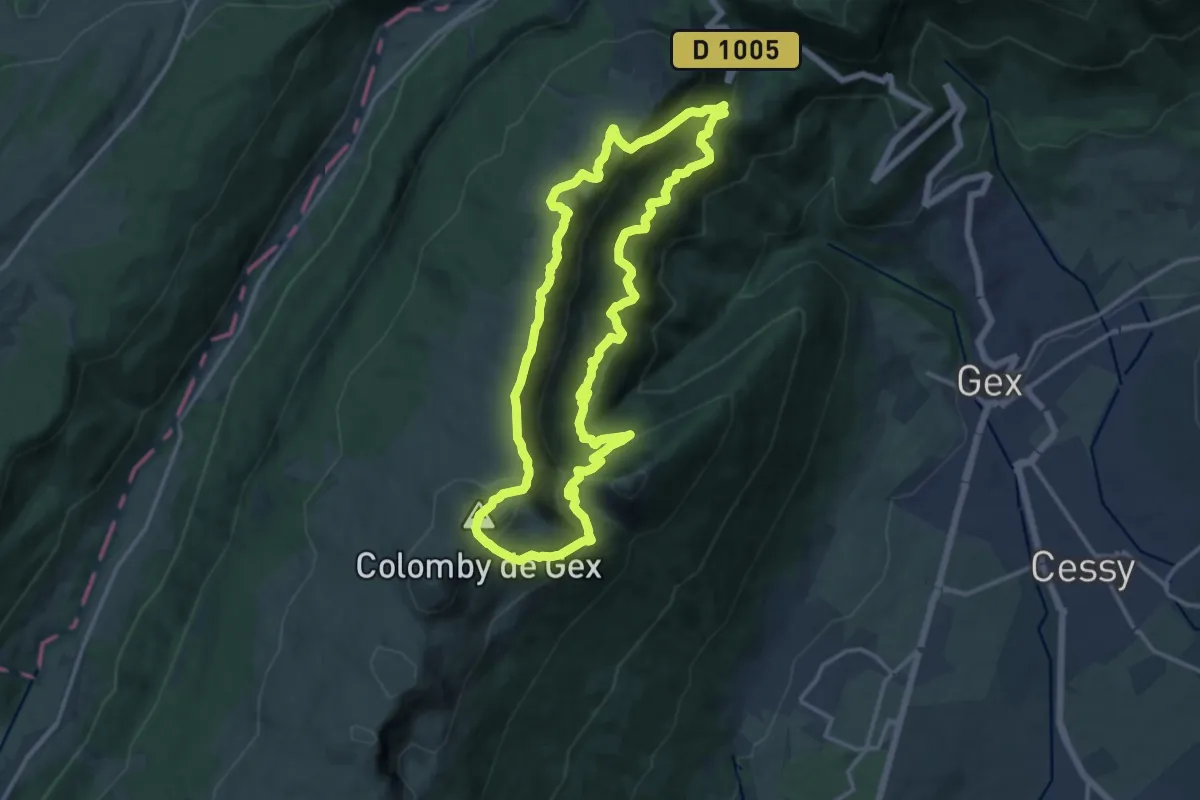
Demanding · Summit
Le Colomby de Gex
13.9 km · ↑ 975 m · 5 h 36 min