Trails in France
15,926 hiking trails, each with its route, climb, walking time and grade.
All trails, page 161 of 332
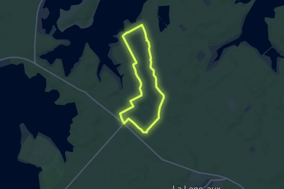
Easy · Trail
Le Colosse aux Pieds d'Argile
6.4 km · ↑ 41 m · 1 h 41 min
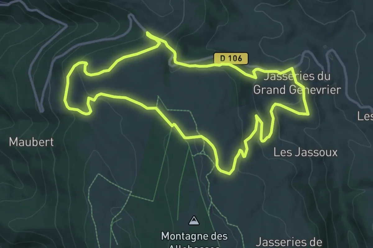
Medium · Trail
Le Colporteur des Jasseries
9.3 km · ↑ 258 m · 2 h 53 min
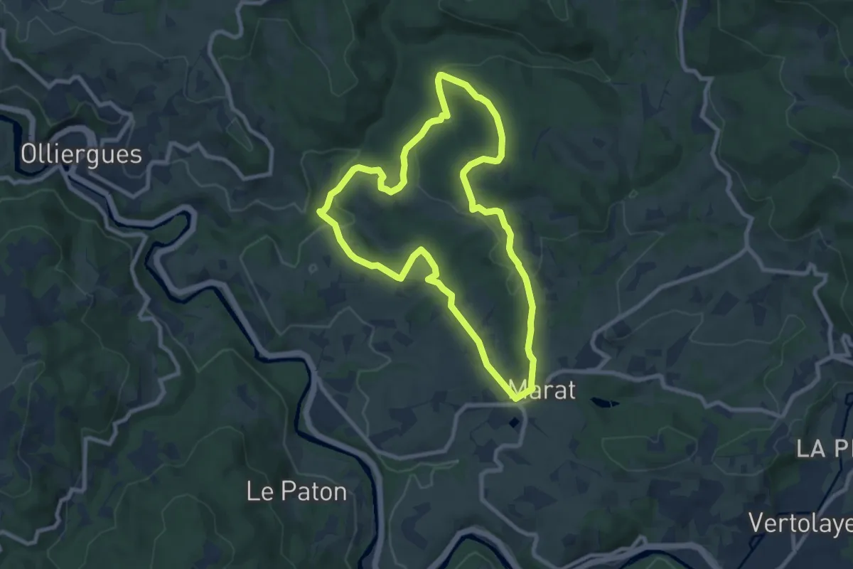
Medium · Trail
Le Communal de Rucheix
8.1 km · ↑ 274 m · 2 h 37 min
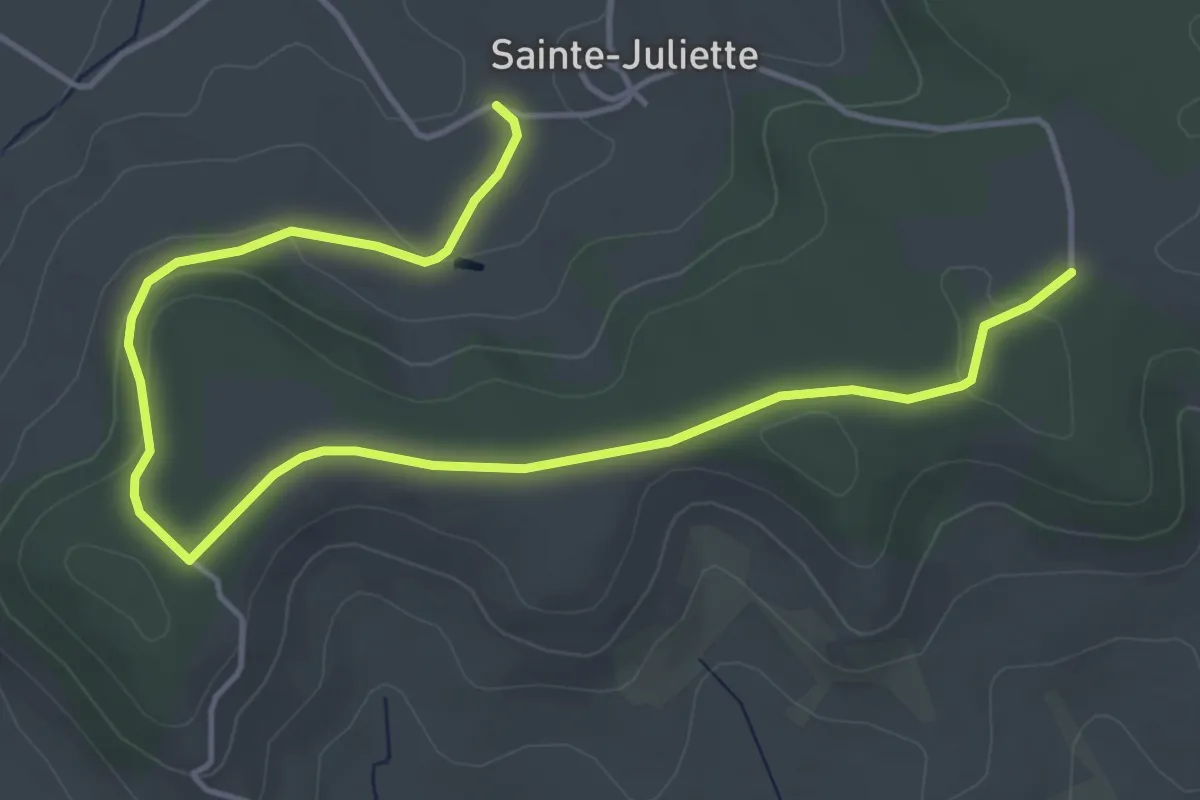
Easy · Trail
Le Compostelle
3.1 km · ↑ 5 m · 51 min
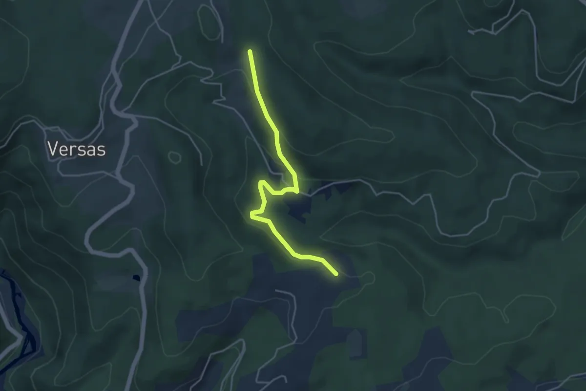
Easy · Trail
Le Conchis - Croix de Pète l'Aoure
3.9 km · ↑ 167 m · 1 h 18 min
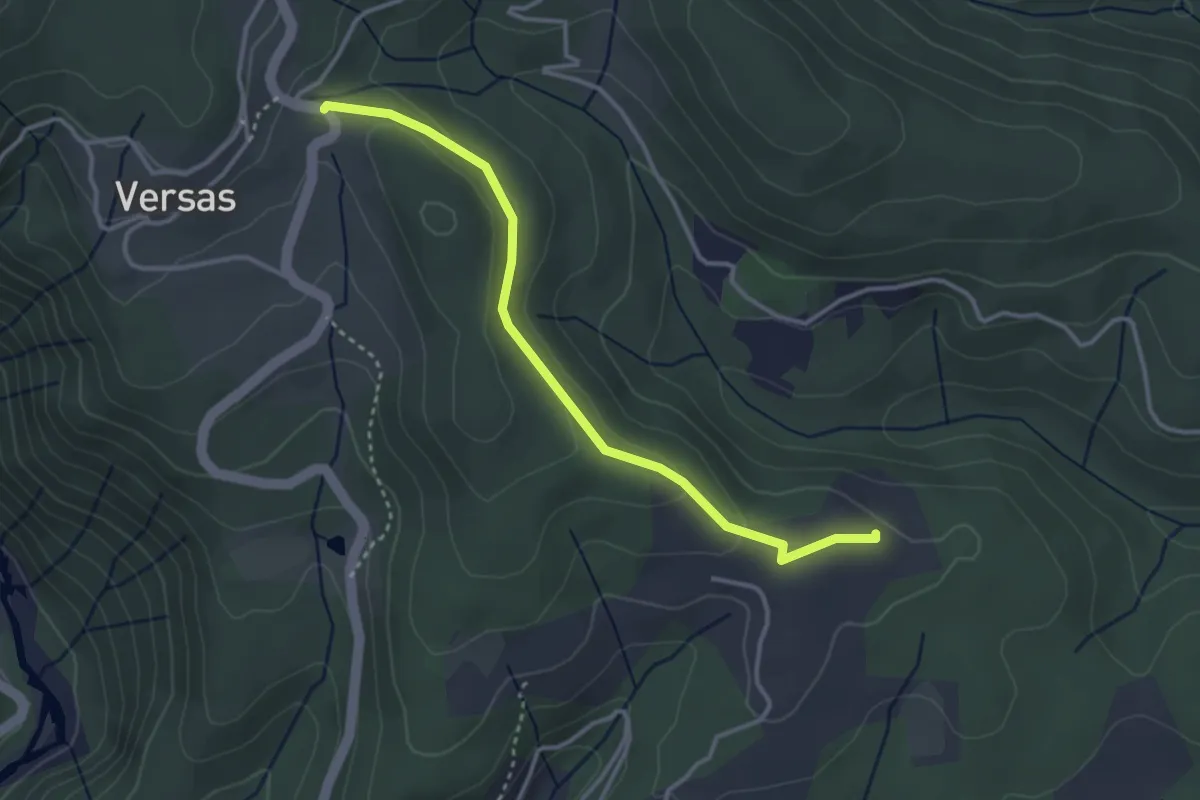
Easy · Trail
Le Conchis - Versas
3.5 km · ↑ 77 m · 1 h
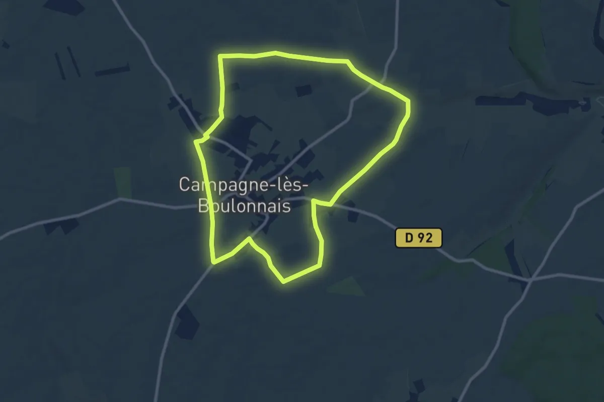
Easy · Trail
Le Coq Rouge
8.0 km · ↑ 51 m · 2 h 6 min
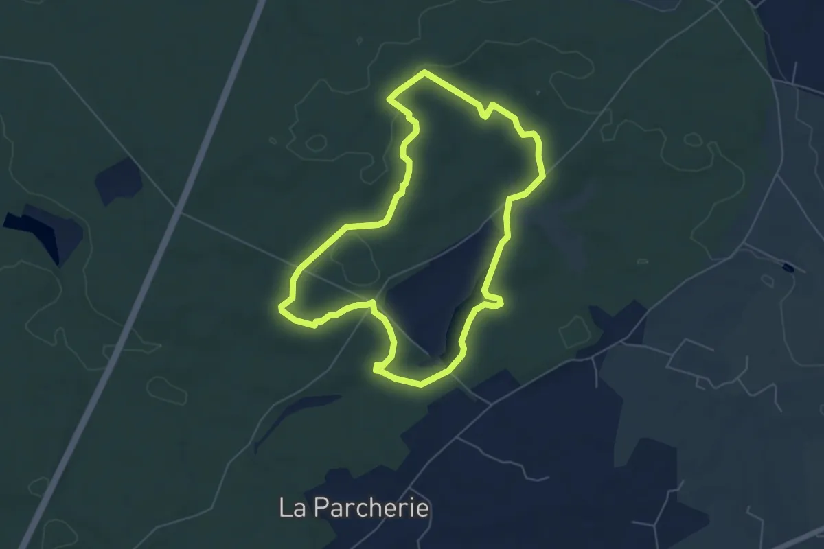
Easy · Trail
Le Cordon des Druides
5.5 km · ↑ 70 m · 1 h 32 min
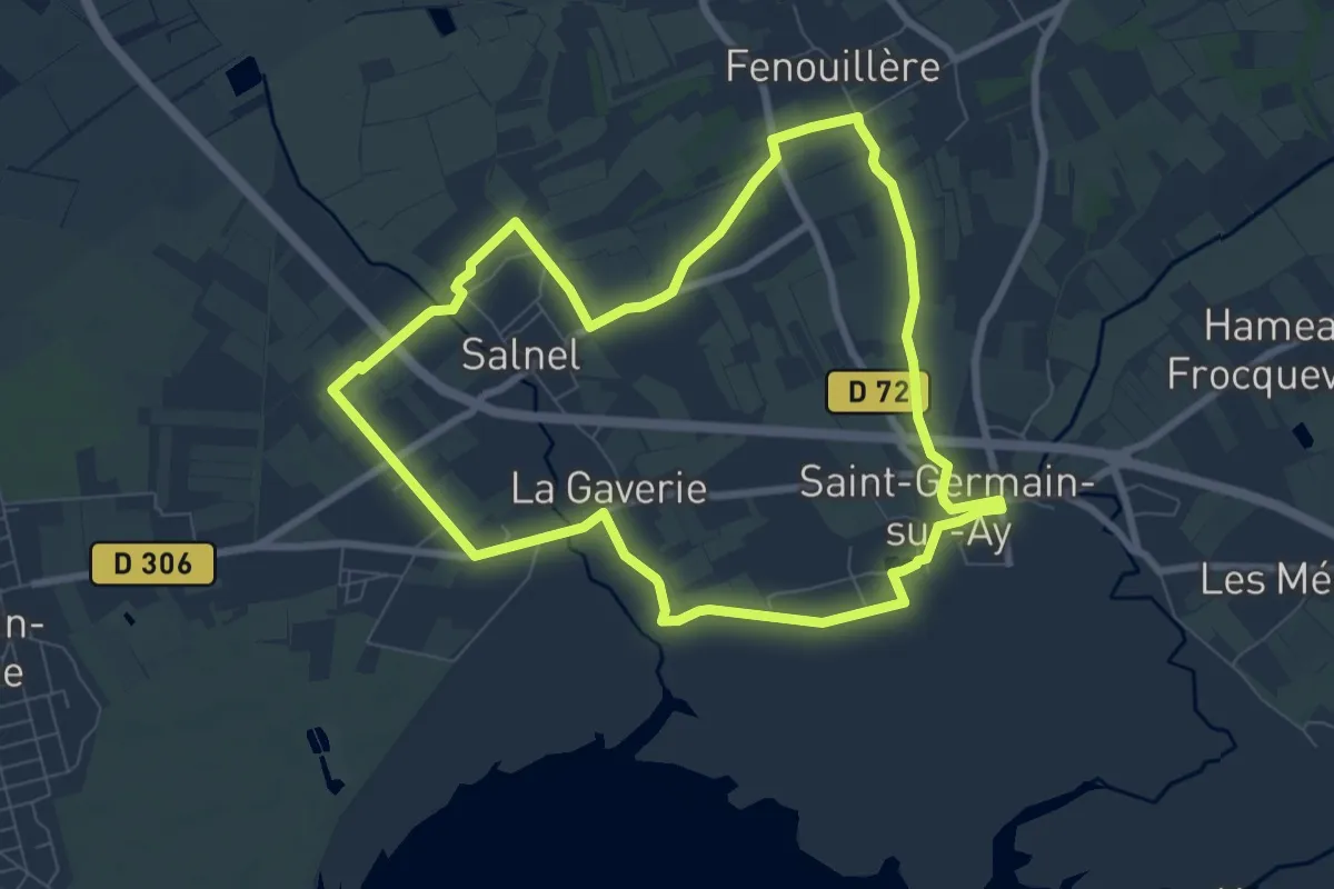
Easy · Trail
Le corps de garde
7.5 km · ↑ 25 m · 1 h 56 min
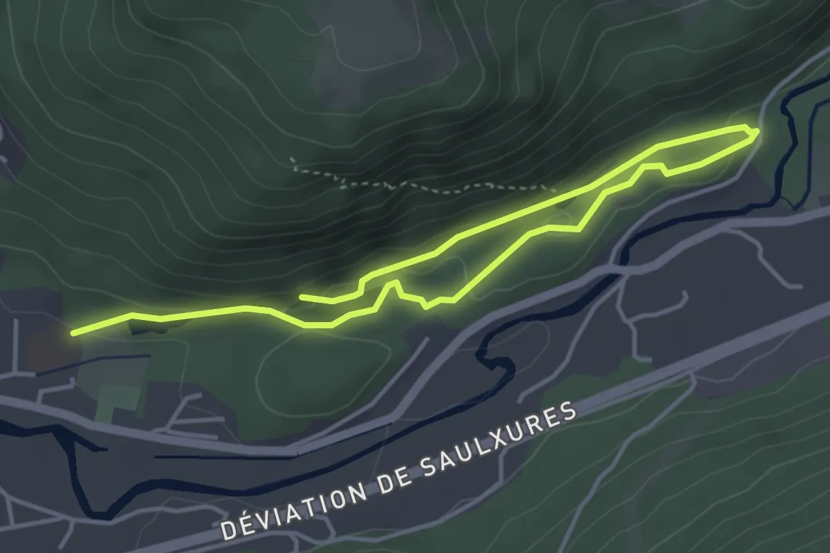
Easy · Trail
Le Coteau du Bambois
5.7 km · ↑ 121 m · 1 h 36 min
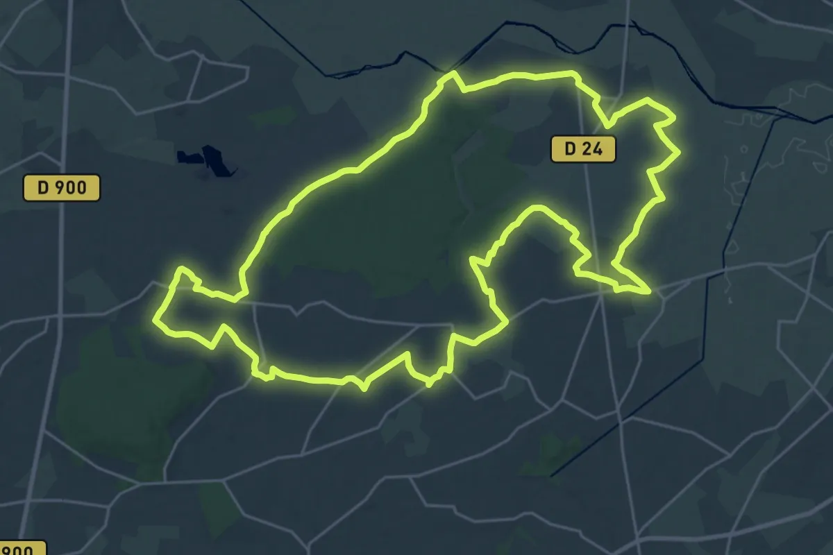
Demanding · Trail
Le Cotentin des Sortilèges
25.7 km · ↑ 213 m · 6 h 53 min
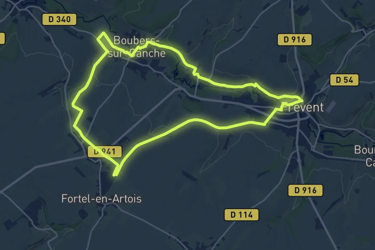
Medium · Trail
L'Ecoucherie
15.9 km · ↑ 141 m · 4 h 17 min
Medium · Trail
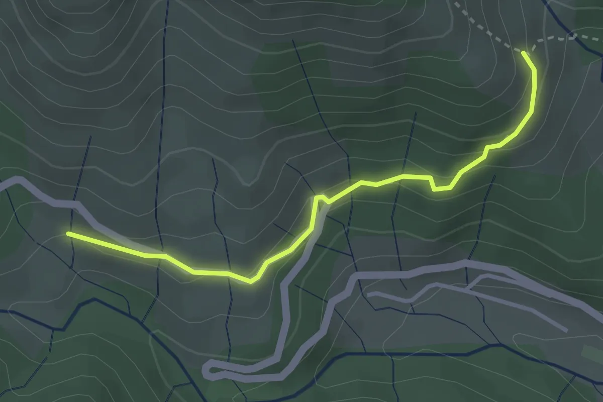
Le Couderc - Le Ségur
3.0 km · ↑ 137 m · 1 h 1 min
Demanding · Trail
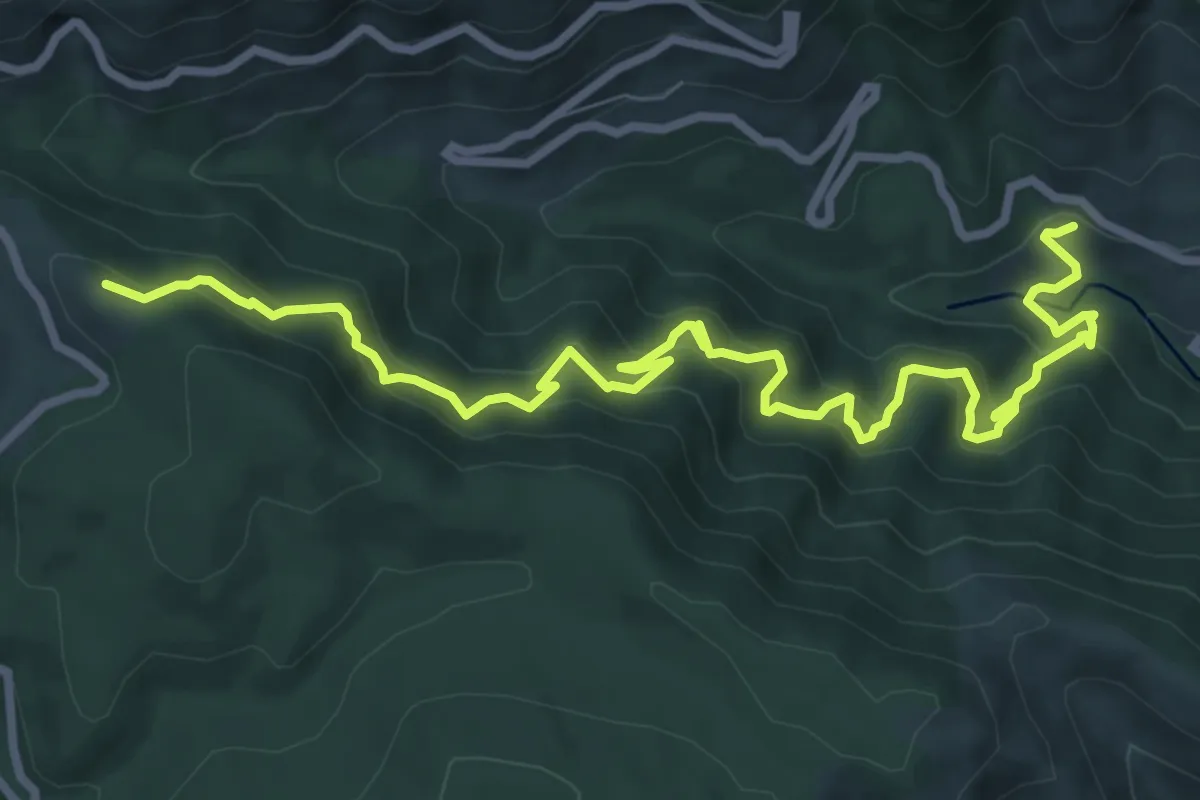
Le Couderc - Les Issartasses
10.5 km · ↑ 988 m · 4 h 38 min
Medium · Trail
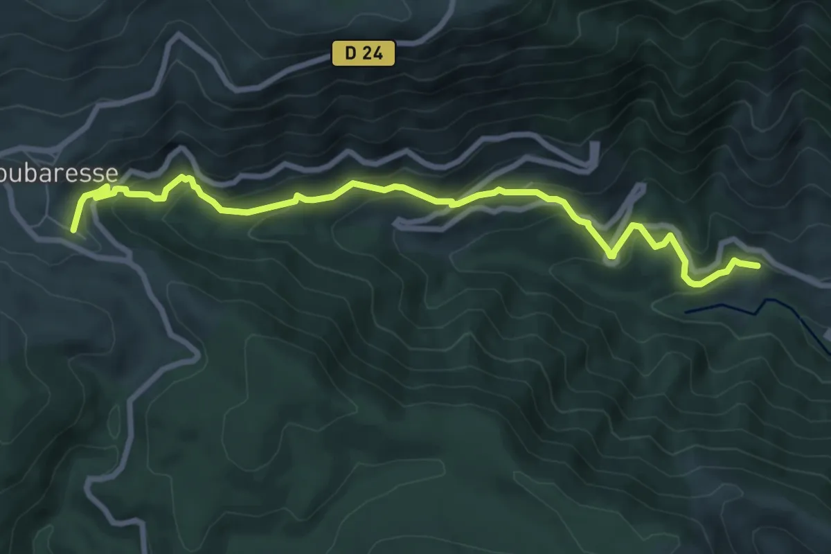
Le Couderc - Loubaresse
8.5 km · ↑ 487 m · 3 h 4 min
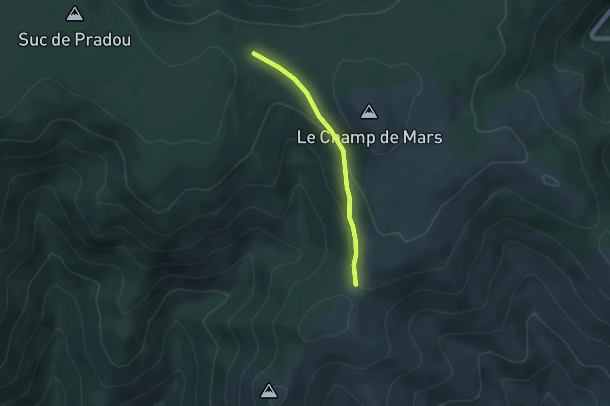
Easy · Trail
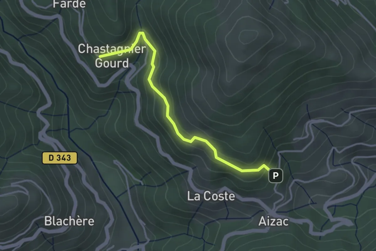
Le Coulet - Chastagnier Gourd
3.3 km · ↑ 182 m · 1 h 11 min
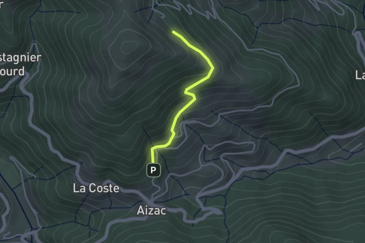
Easy · Trail
Le Coulet Gras - Bourlateyron
3.0 km · ↑ 84 m · 53 min
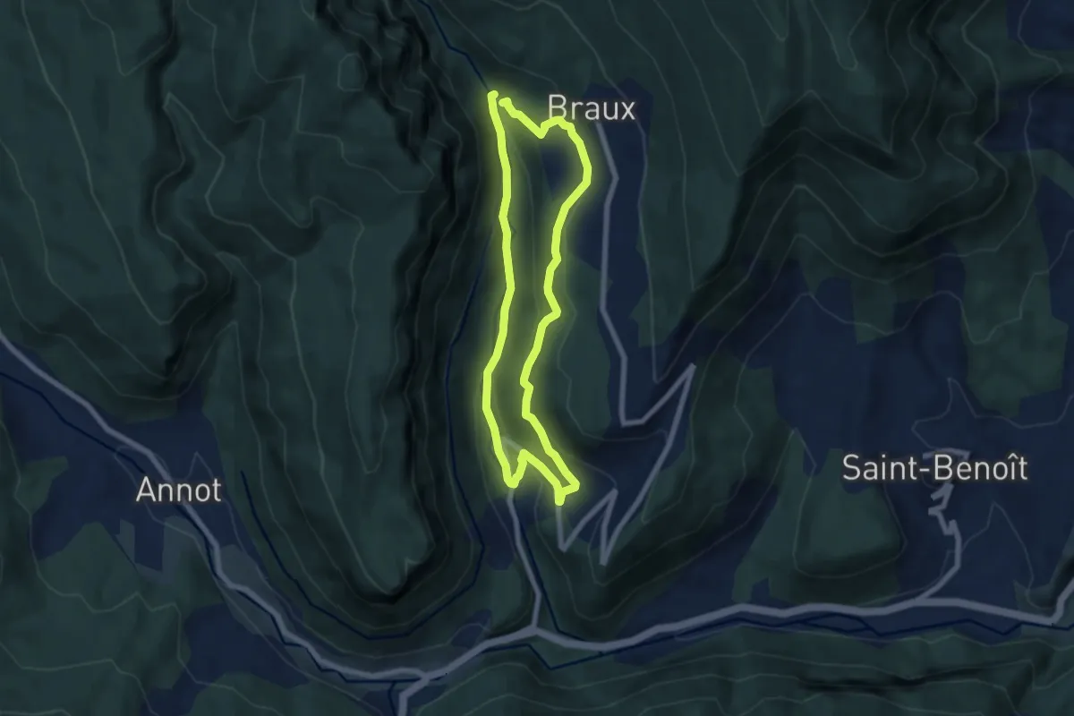
Easy · Trail
Le Coulet - l'Huguenot
2.6 km · ↑ 158 m · 57 min
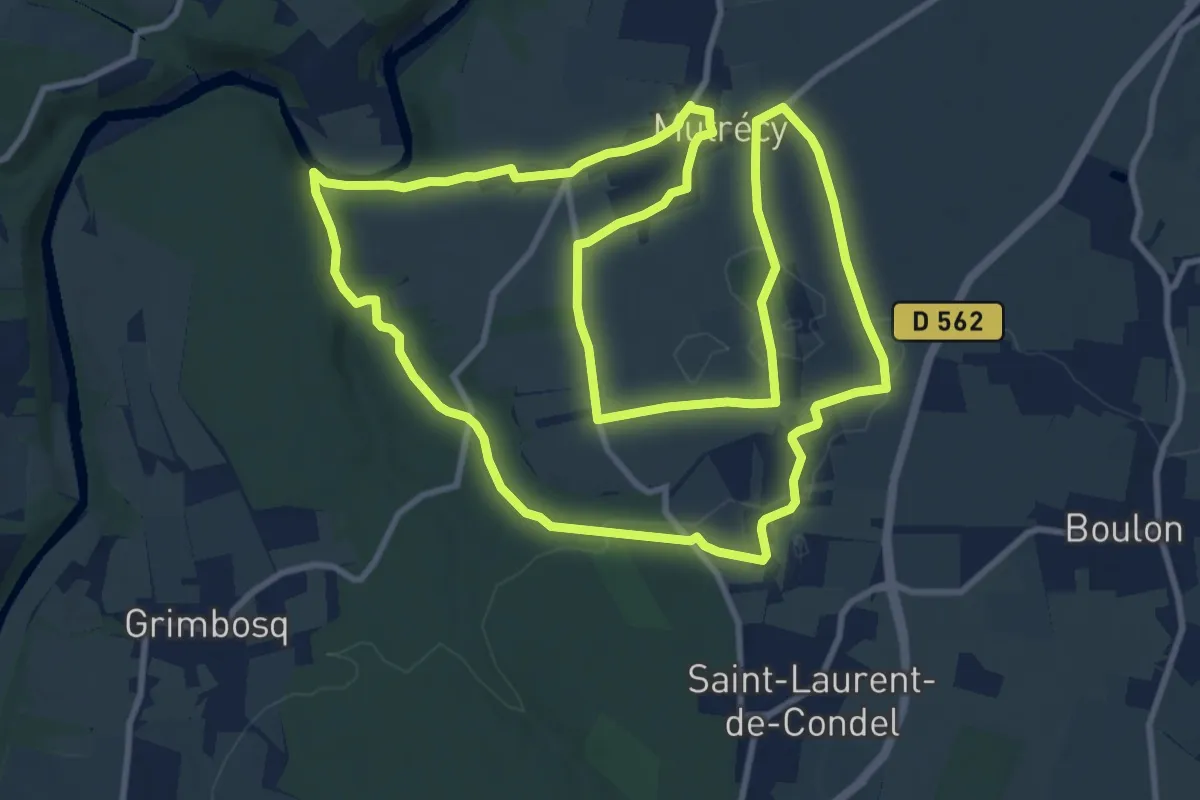
Medium · Trail
Le Coulomp
6.3 km · ↑ 271 m · 2 h 10 min
Medium · Trail
Le Coupe Gorge
11.4 km · ↑ 109 m · 3 h 6 min
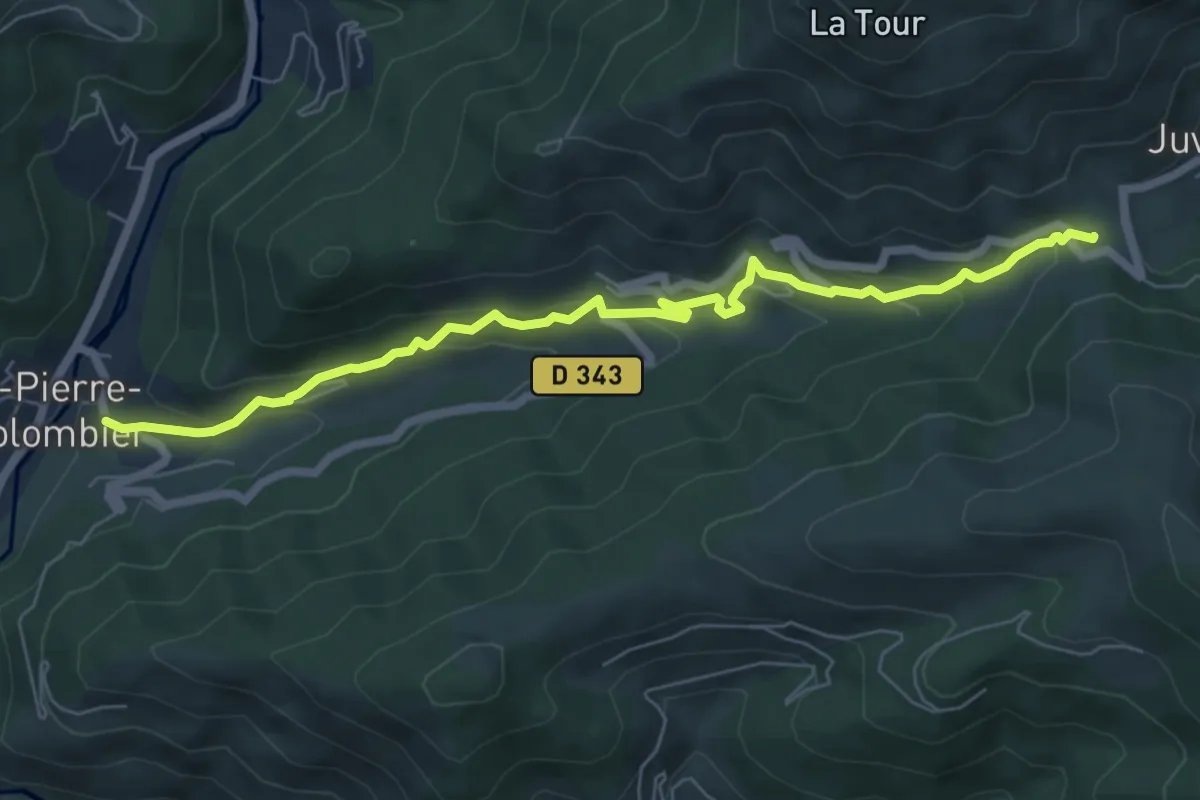
Medium · Trail
Le Courtiol - La Faysse
7.2 km · ↑ 391 m · 2 h 33 min
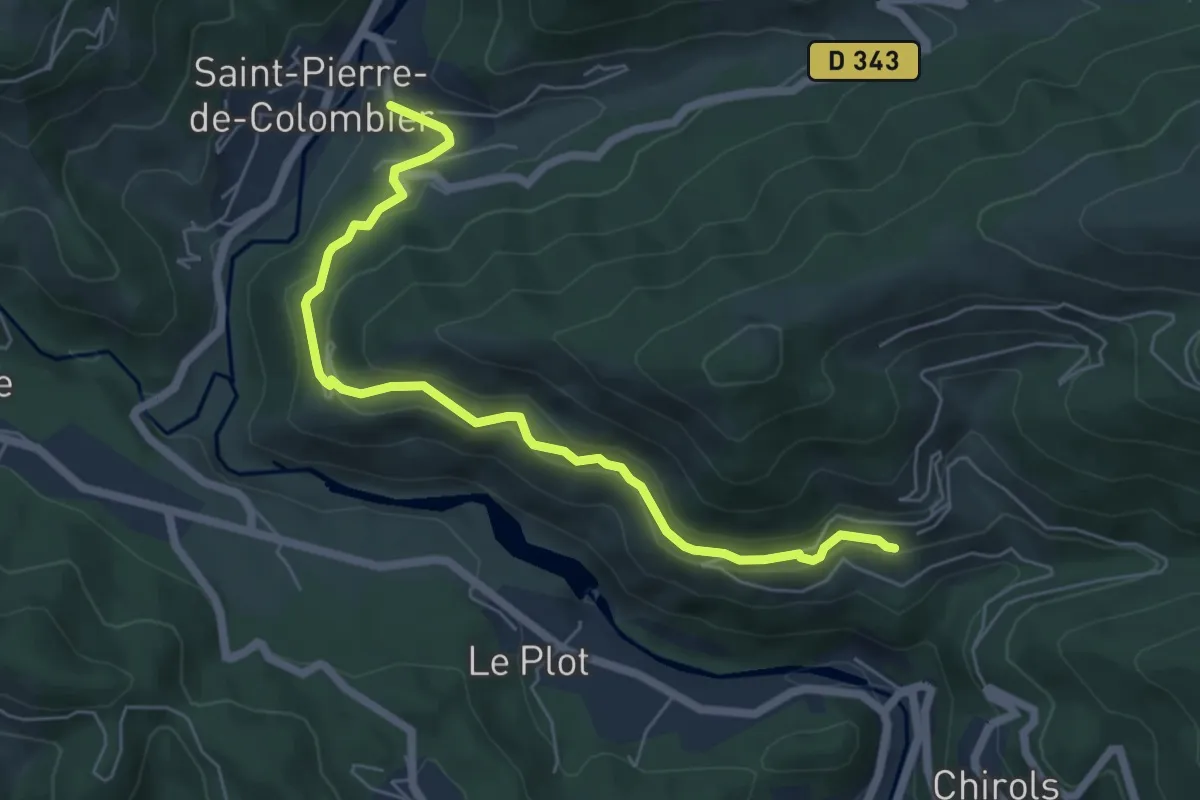
Medium · Trail
Le Courtiol - La Gonthier
6.5 km · ↑ 337 m · 2 h 15 min
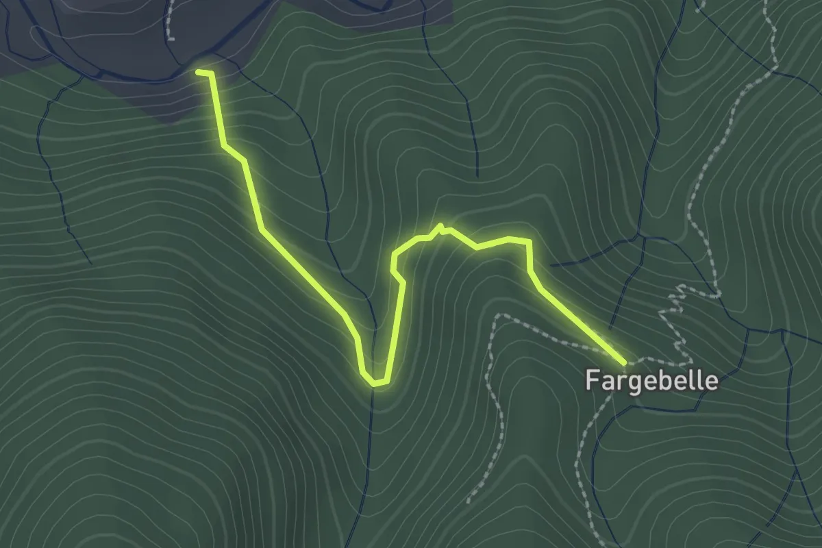
Easy · Trail
Le Coustet des Vernèdes - Fargebelle
2.5 km · ↑ 244 m · 1 h 7 min
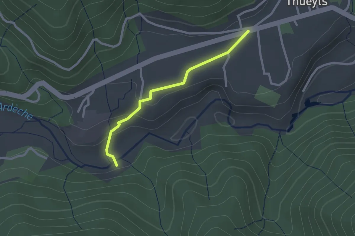
Easy · Trail
Le Coustet des Vernèdes - Le Tramontel
2.0 km · ↑ 57 m · 36 min
Easy · Trail
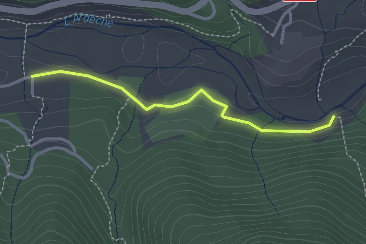
Le Coustet des Vernèdes - Passerelle du Luzet
2.1 km · ↑ 34 m · 34 min
Easy · Trail
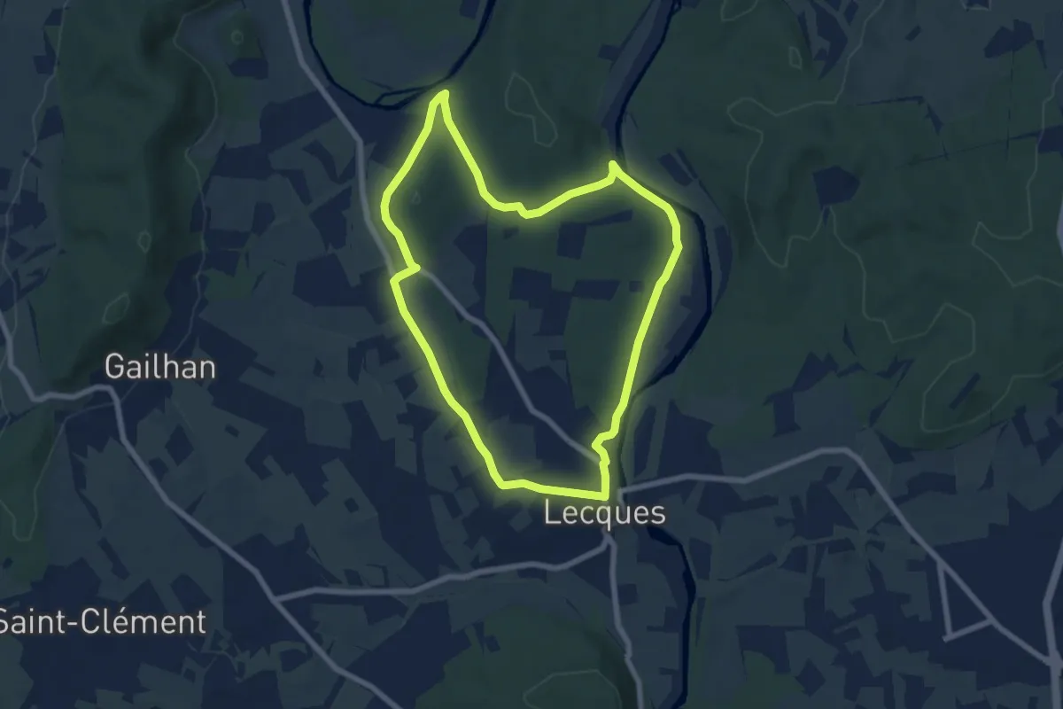
Lecques de l'eau à la roche
6.9 km · ↑ 67 m · 1 h 53 min
Easy · Trail
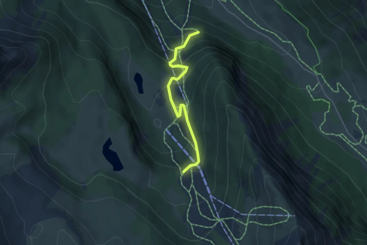
Le Crausas - Les Preynasses
3.3 km · ↑ 239 m · 1 h 18 min
Medium · Trail
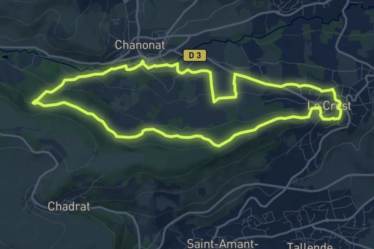
Le Crest
10.6 km · ↑ 292 m · 3 h 17 min
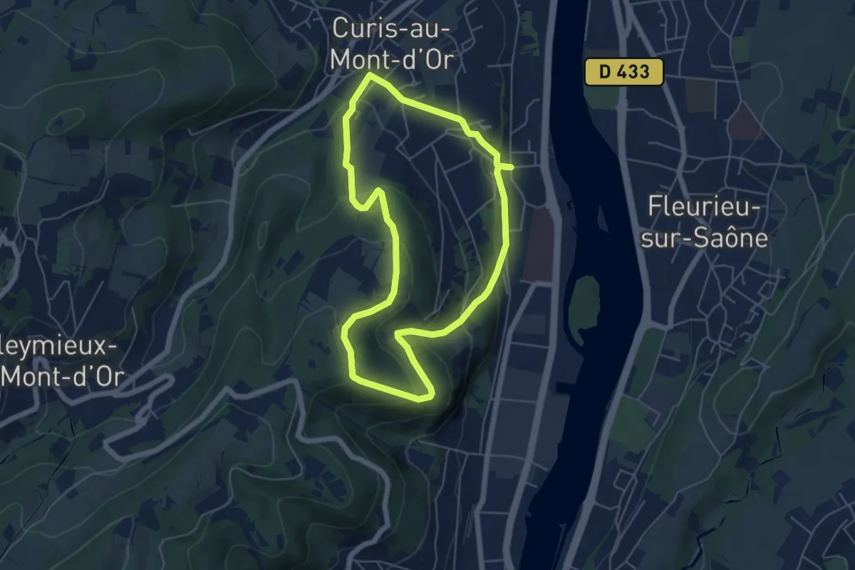
Easy · Trail
Le Crêt sur la Saône
5.2 km · ↑ 242 m · 1 h 49 min
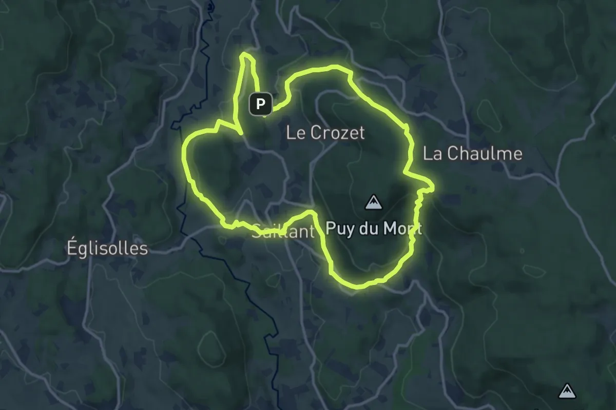
Medium · Trail
Le Creux-de-l'Oulette
12.0 km · ↑ 357 m · 3 h 46 min
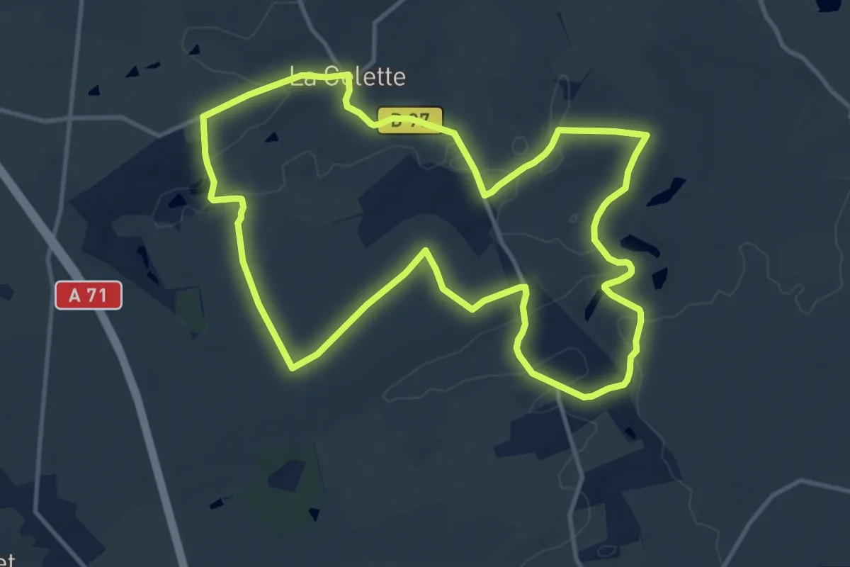
Medium · Trail
Le Croix de Pierre
11.9 km · ↑ 124 m · 3 h 14 min
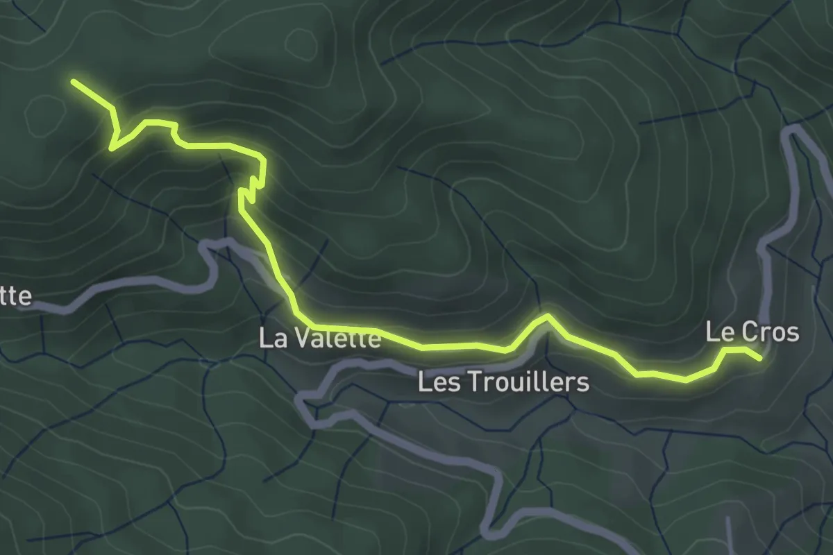
Easy · Trail
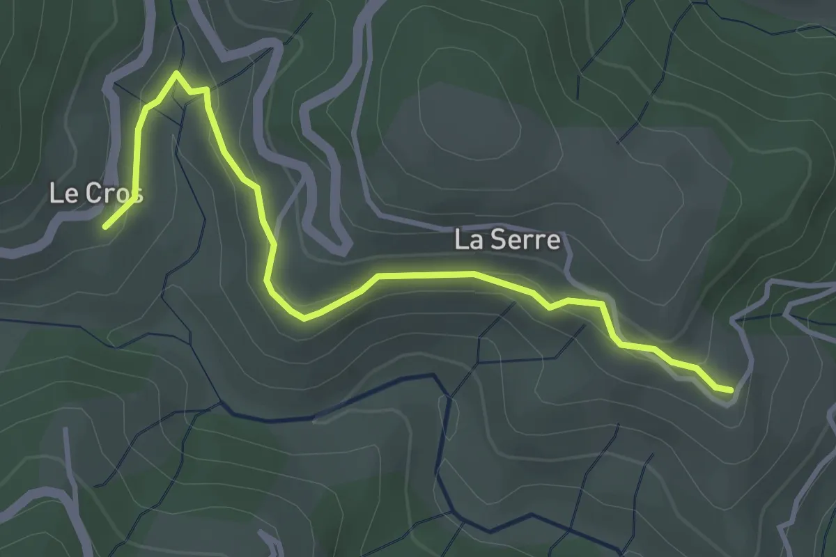
Le Cros - Chez Ceysson
4.9 km · ↑ 317 m · 1 h 50 min
Easy · Trail
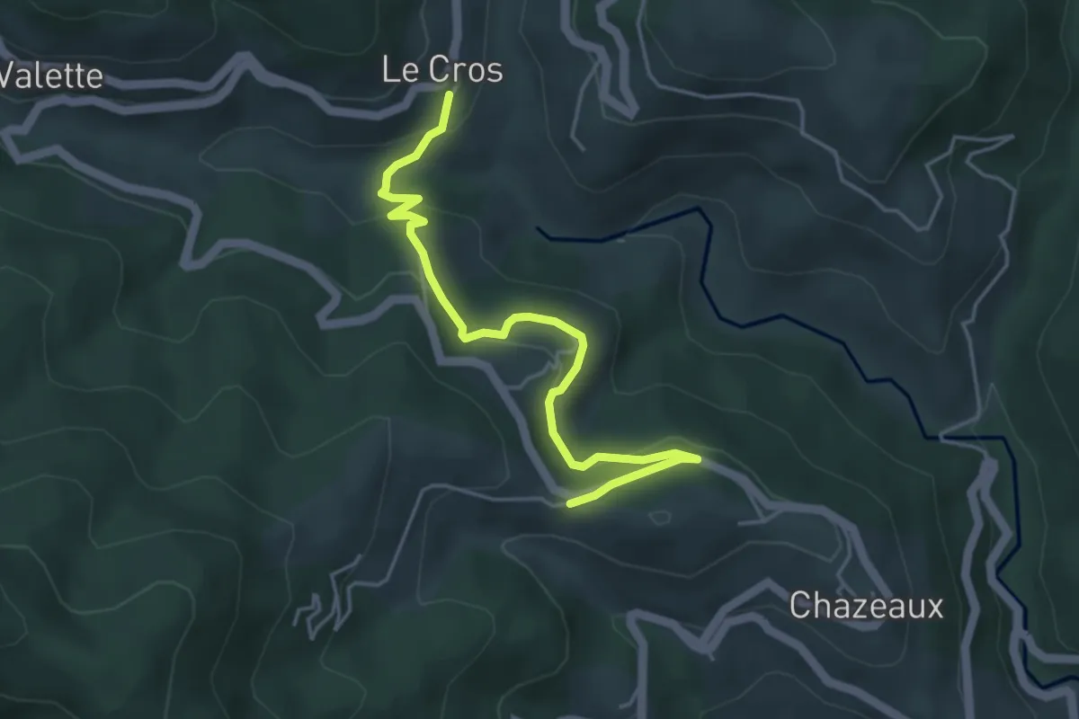
Le Cros - Fabrias
3.7 km · ↑ 108 m · 1 h 7 min
Easy · Trail
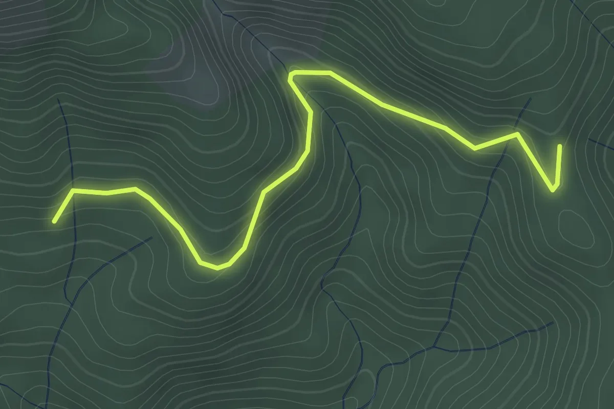
Le Cros - La Combe
4.7 km · ↑ 192 m · 1 h 31 min
Easy · Trail
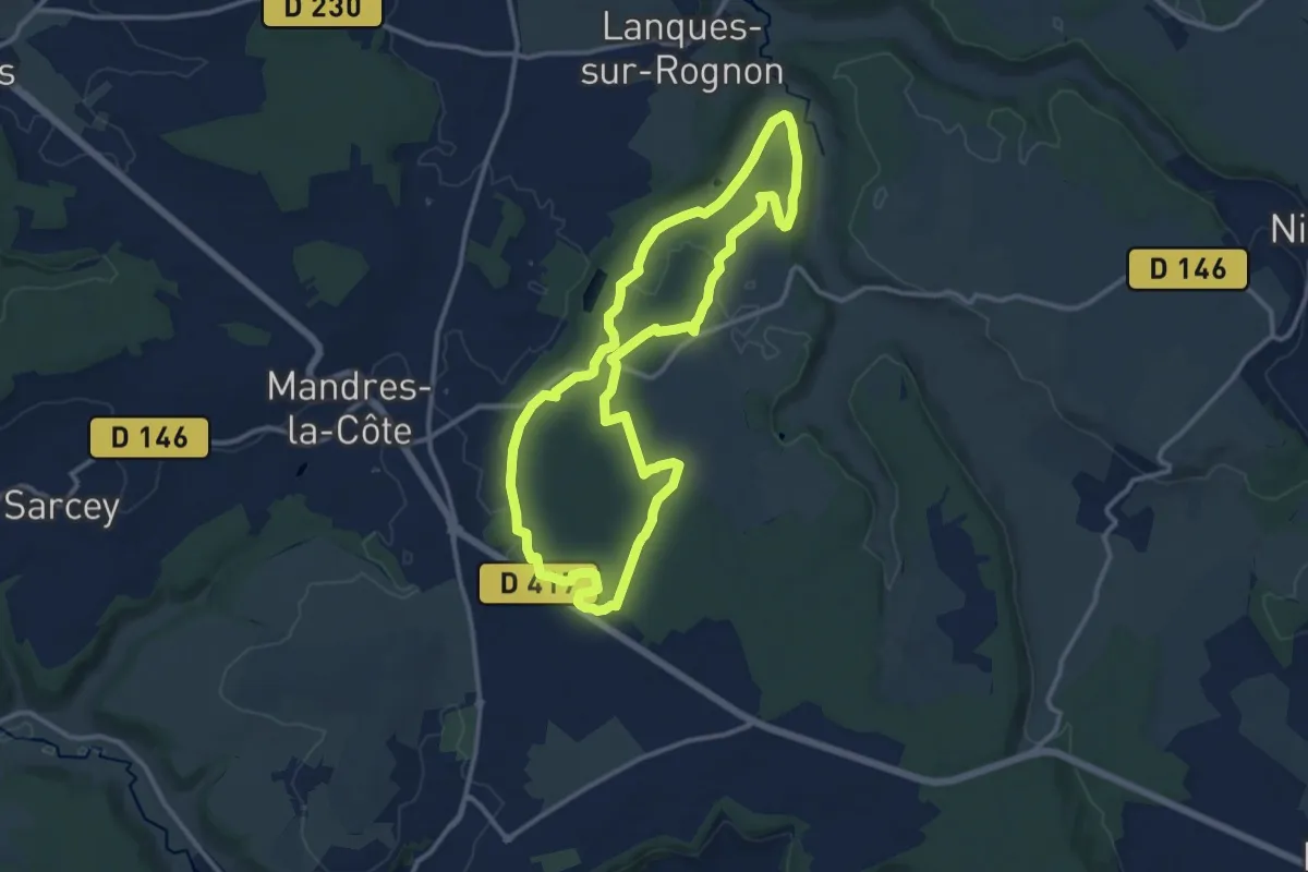
Le Cros - Ranc de Bal
3.6 km · ↑ 154 m · 1 h 11 min
Medium · Trail
Le Cul-de-sac
11.9 km · ↑ 102 m · 3 h 11 min
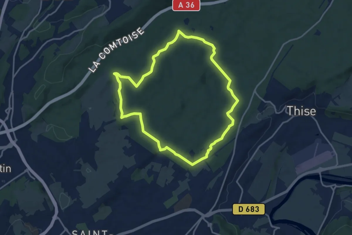
Medium · Trail
Le Cul des Prés
10.1 km · ↑ 164 m · 2 h 53 min
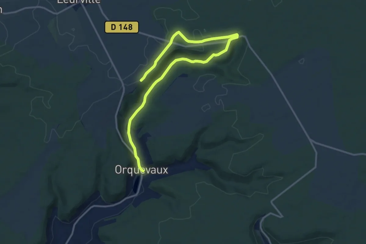
Easy · Trail
Le Cul du Cerf
6.1 km · ↑ 125 m · 1 h 44 min
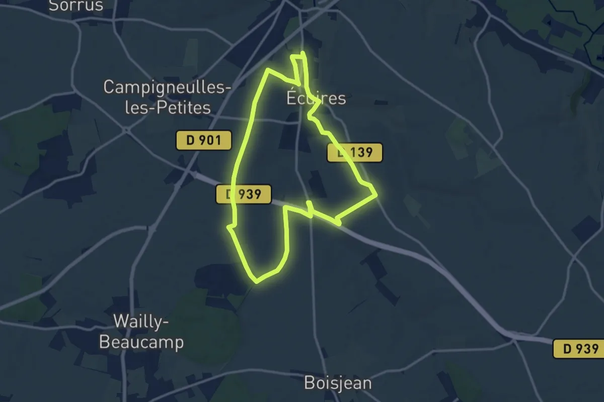
Medium · Trail
Le Dangermel
10.2 km · ↑ 82 m · 2 h 44 min
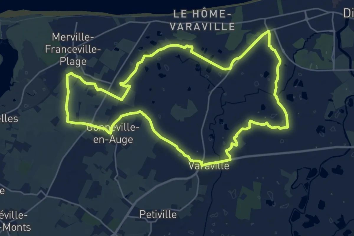
Demanding · Trail
Le débarquement
18.0 km · ↑ 26 m · 4 h 34 min
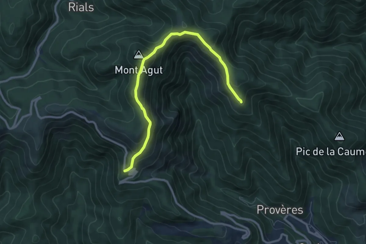
Easy · Summit
Le Devois
3.9 km · ↑ 239 m · 1 h 31 min
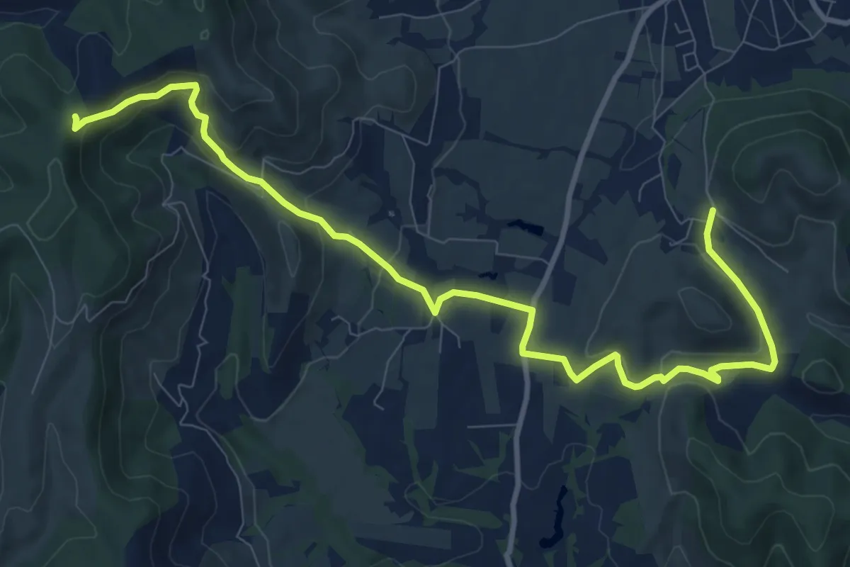
Medium · Trail
Le Devois - Col de l'Épine
11.8 km · ↑ 370 m · 3 h 36 min
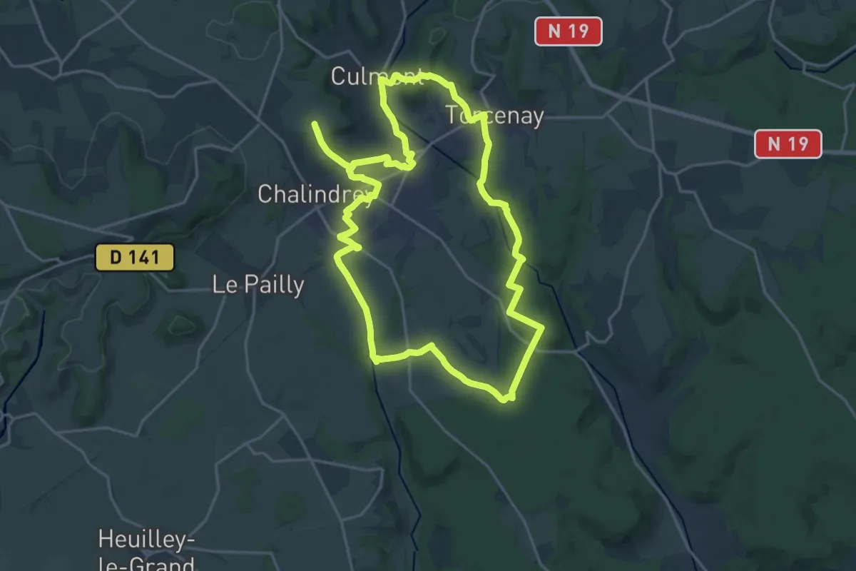
Demanding · Trail
Le Diable du Fultot
19.3 km · ↑ 306 m · 5 h 30 min
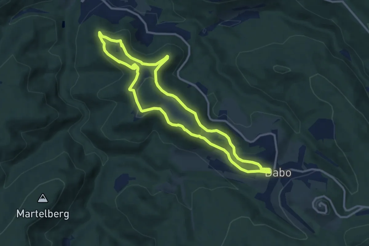
Easy · Trail
Le Dieu Baldur
7.8 km · ↑ 216 m · 2 h 24 min
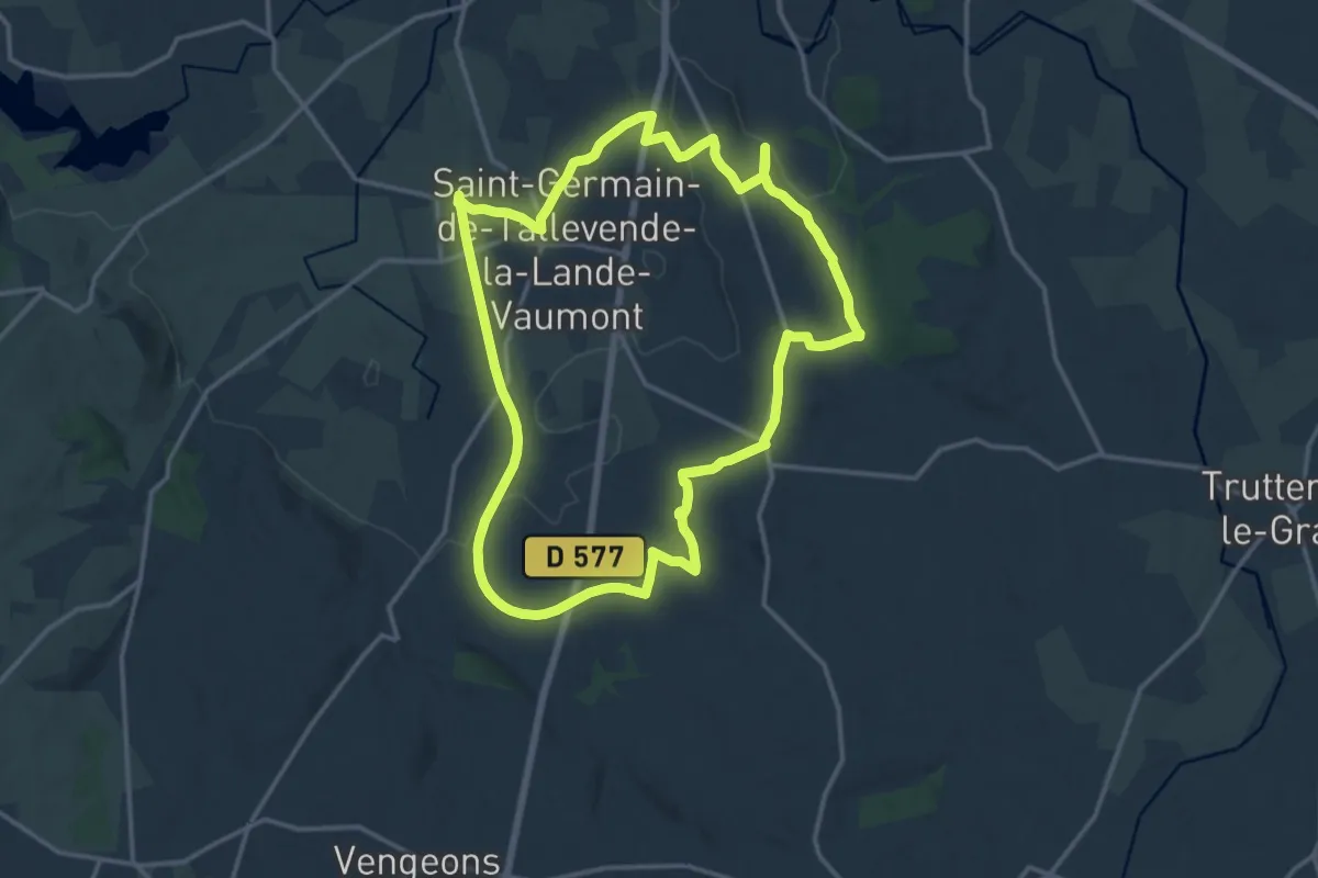
Medium · Trail
Le Dolmen de la Loge aux Sarrasins
15.8 km · ↑ 180 m · 4 h 20 min
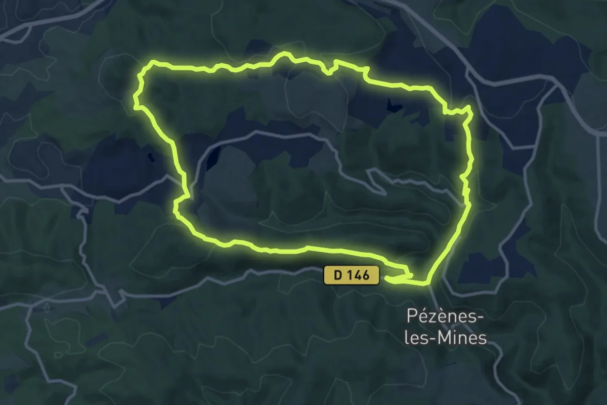
Medium · Trail
Le Dolmen de Pézènes
12.1 km · ↑ 353 m · 3 h 48 min
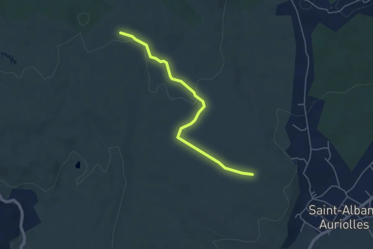
Medium · Trail
Le Dolmen - Ventalon
4.1 km · ↑ 49 m · 1 h 5 min
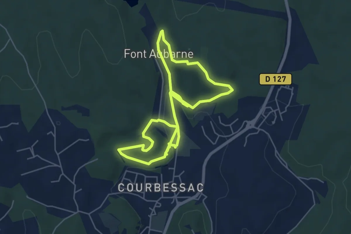
Medium · Trail
Le Domaine d'Escattes
9.0 km · ↑ 147 m · 2 h 27 min