Trails in France
15,926 hiking trails, each with its route, climb, walking time and grade.
All trails, page 162 of 332
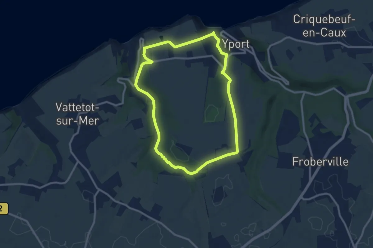
Easy · Trail
Le domaine des Hogues
6.6 km · ↑ 156 m · 1 h 59 min
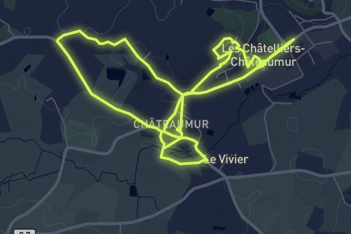
Medium · Trail
Le donjon
14.8 km · ↑ 217 m · 3 h 58 min
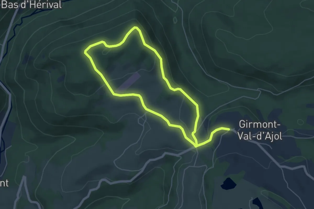
Easy · Trail
Le Dropt par le Haut-de-l'A
4.5 km · ↑ 135 m · 1 h 26 min
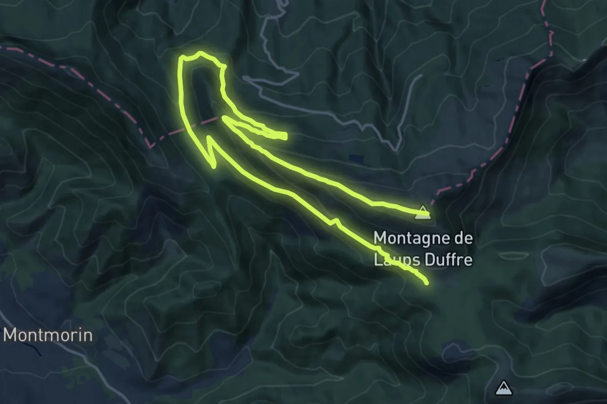
Demanding · Summit
Le Duffre
23.2 km · ↑ 1124 m · 7 h 55 min
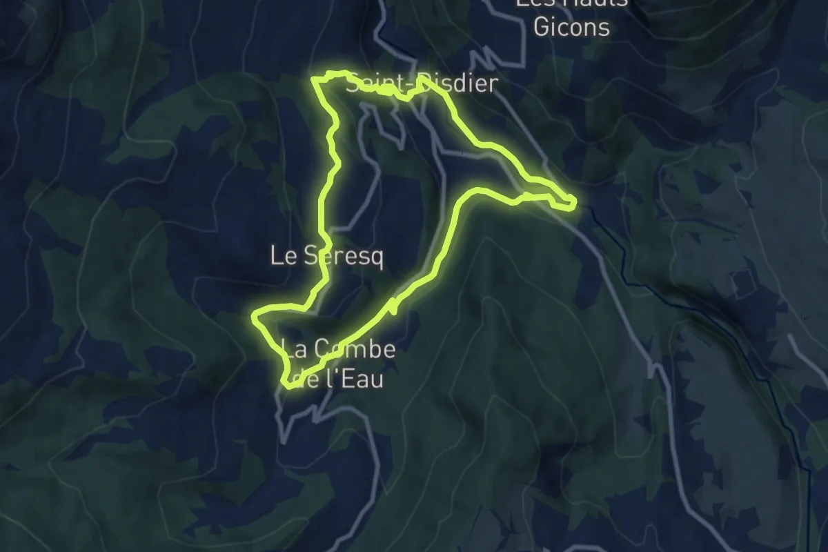
Medium · Trail
Le Faï
8.4 km · ↑ 285 m · 2 h 43 min
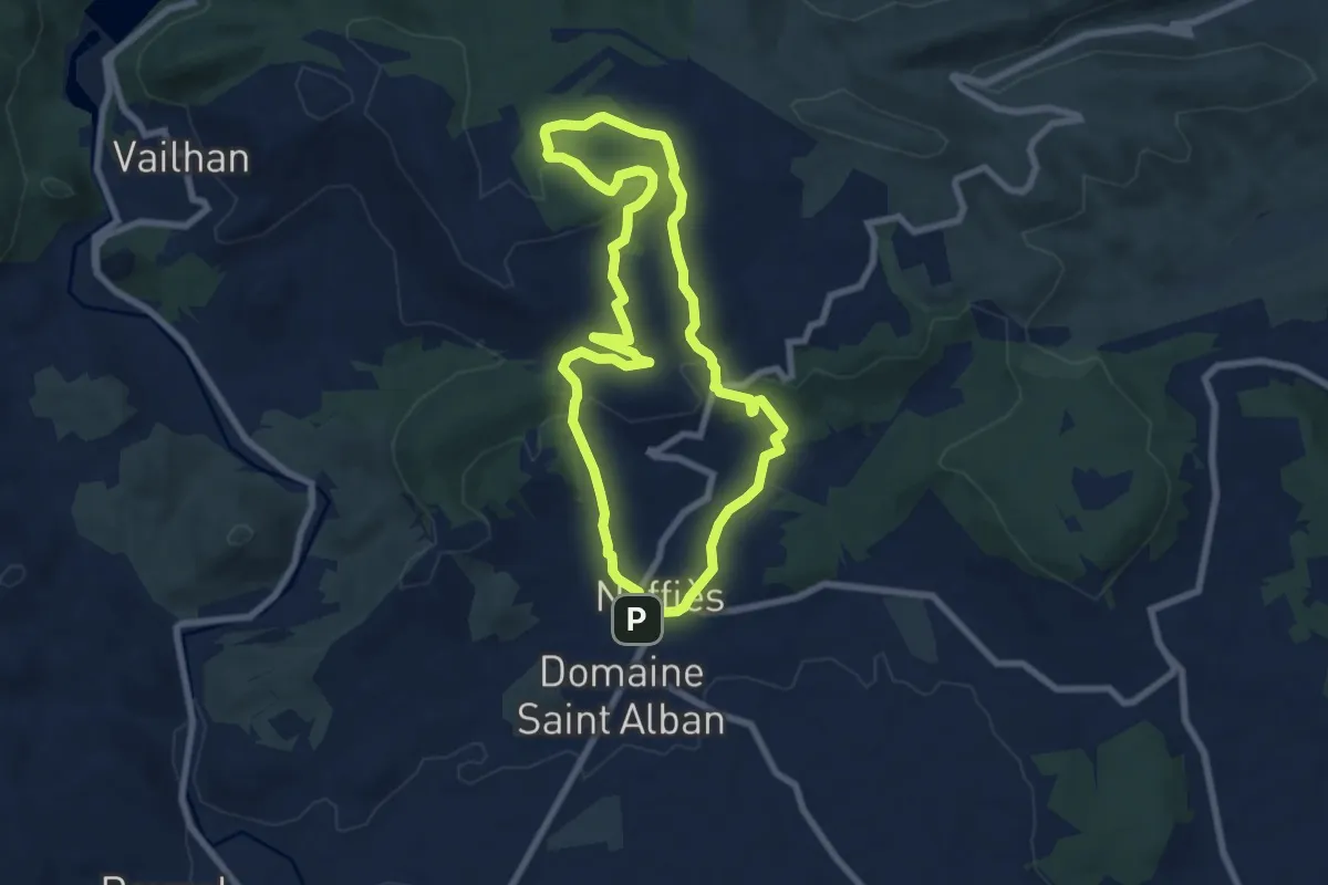
Easy · Summit
Le Faïgaras
7.6 km · ↑ 224 m · 2 h 23 min
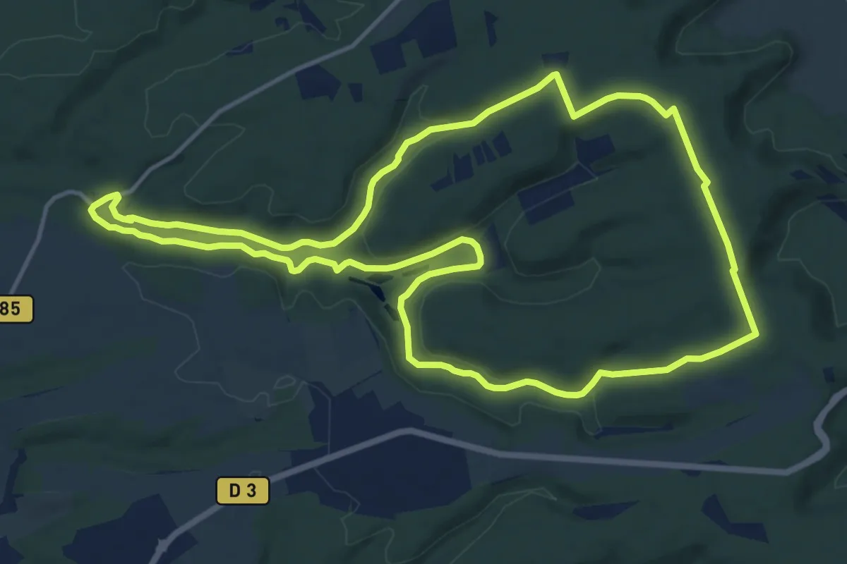
Medium · Trail
Le Fau de Valmy
12.7 km · ↑ 150 m · 3 h 30 min
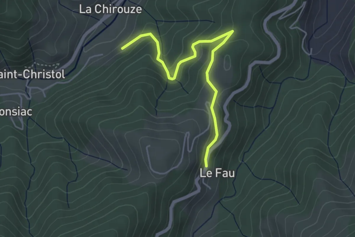
Easy · Trail
Le Fau - La Farge
4.3 km · ↑ 232 m · 1 h 32 min
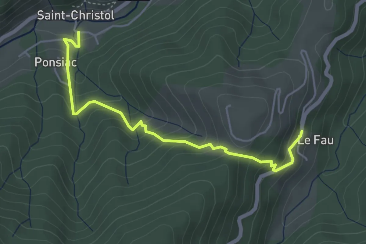
Medium · Trail
Le Fau - Saint-Christol Sud
4.4 km · ↑ 357 m · 1 h 48 min
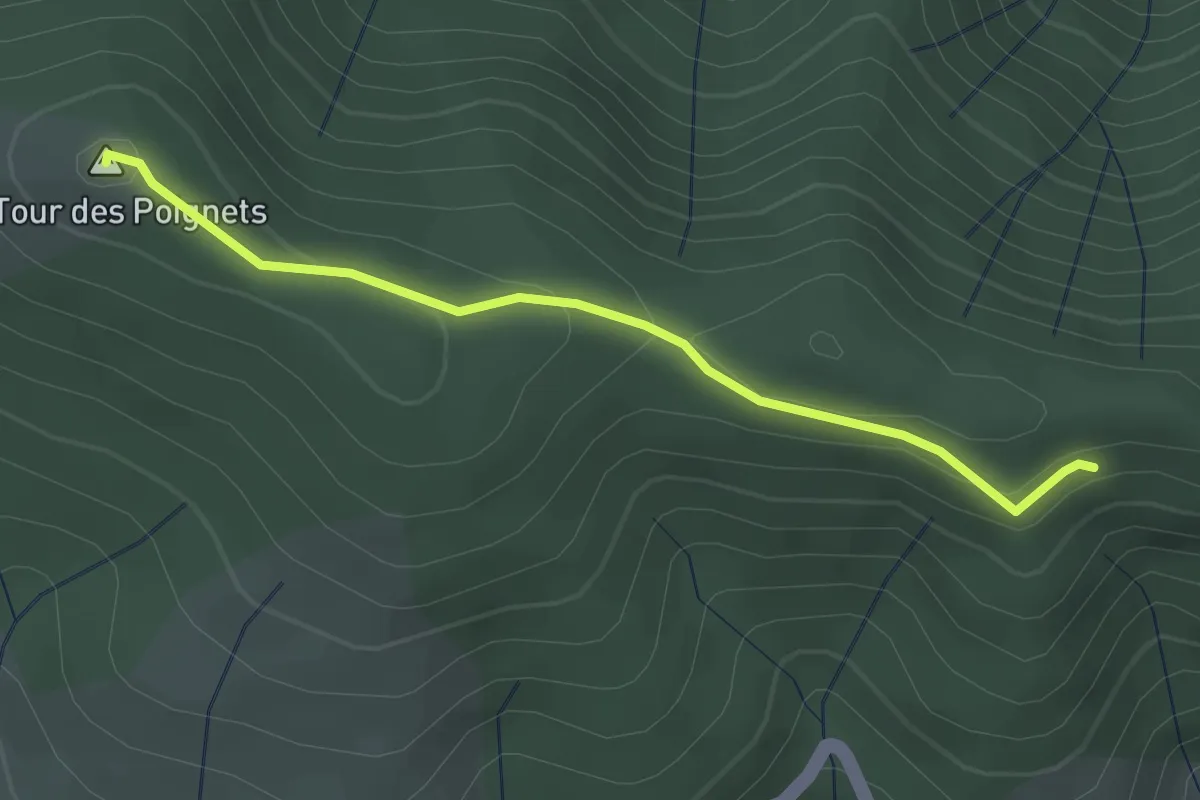
Easy · Summit
Le Fautouras - Rocher des Taillades
2.8 km · ↑ 100 m · 52 min
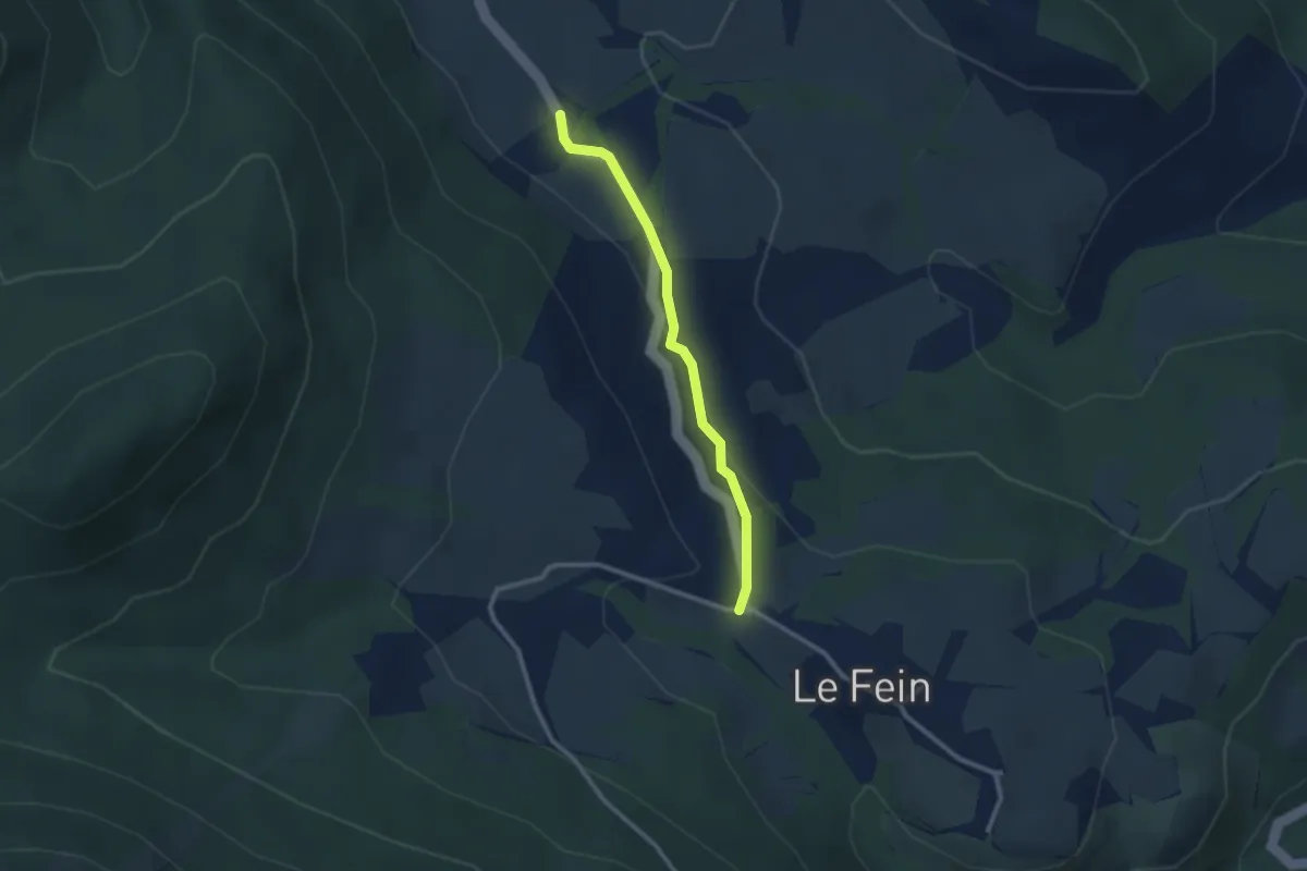
Easy · Trail
Le Fein - ?
2.4 km · ↑ 75 m · 44 min
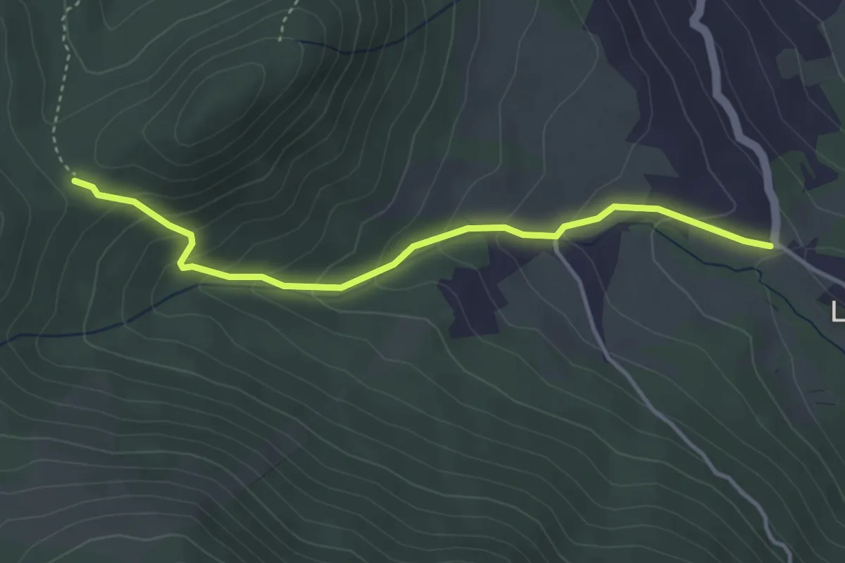
Medium · Trail
Le Fein - Le Champ du Comte
3.9 km · ↑ 248 m · 1 h 27 min
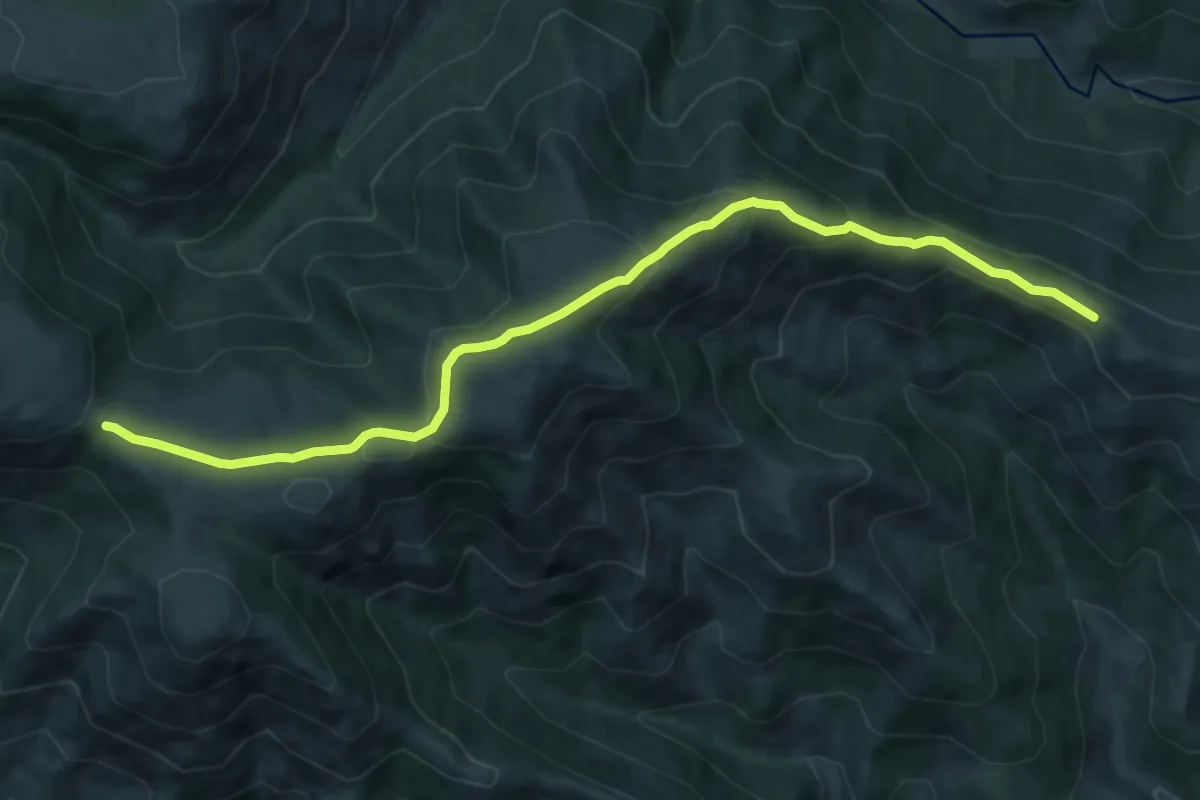
Medium · Trail
Le Fénadou - Croix de Chaumiène
10.9 km · ↑ 409 m · 3 h 28 min
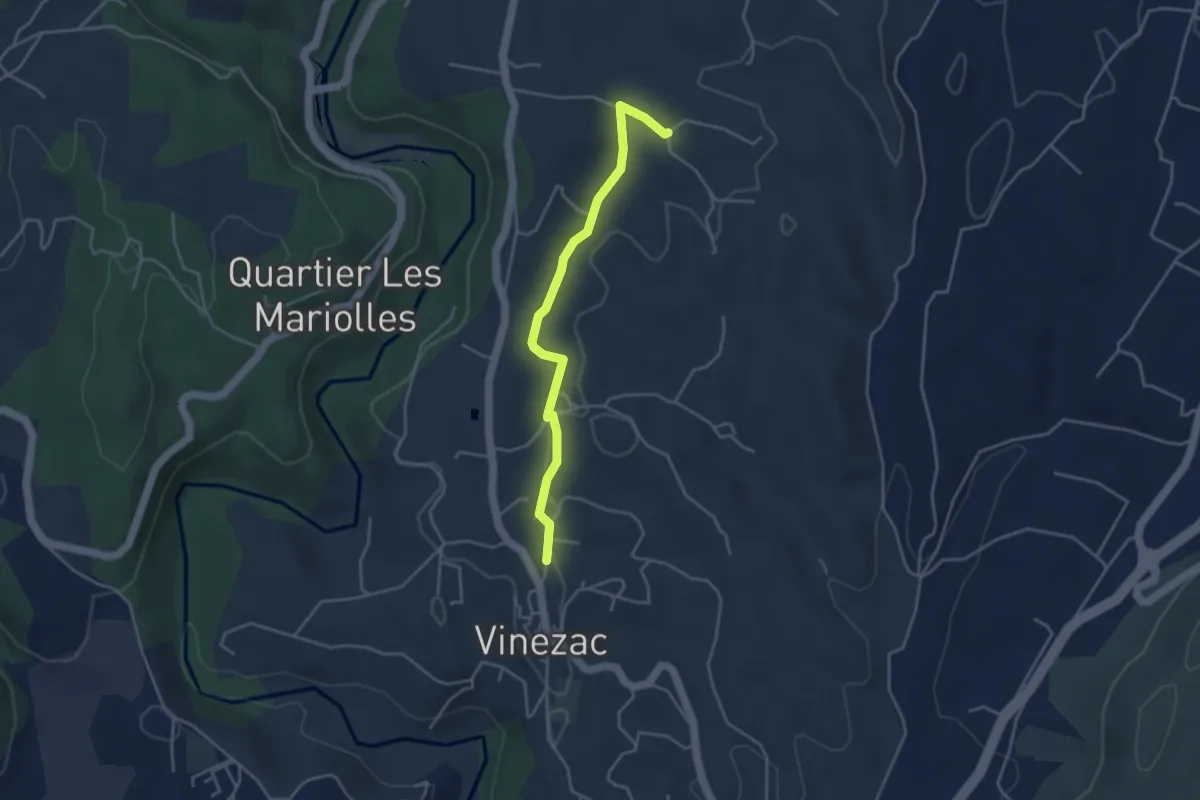
Easy · Trail
Le Fez - Les Crozes
3.9 km · ↑ 47 m · 1 h 1 min
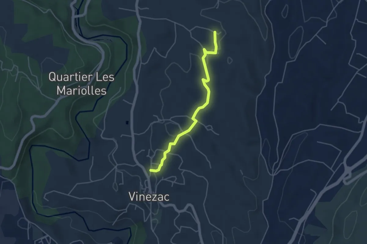
Easy · Trail
Le Fez - Le Tinal
4.1 km · ↑ 81 m · 1 h 9 min
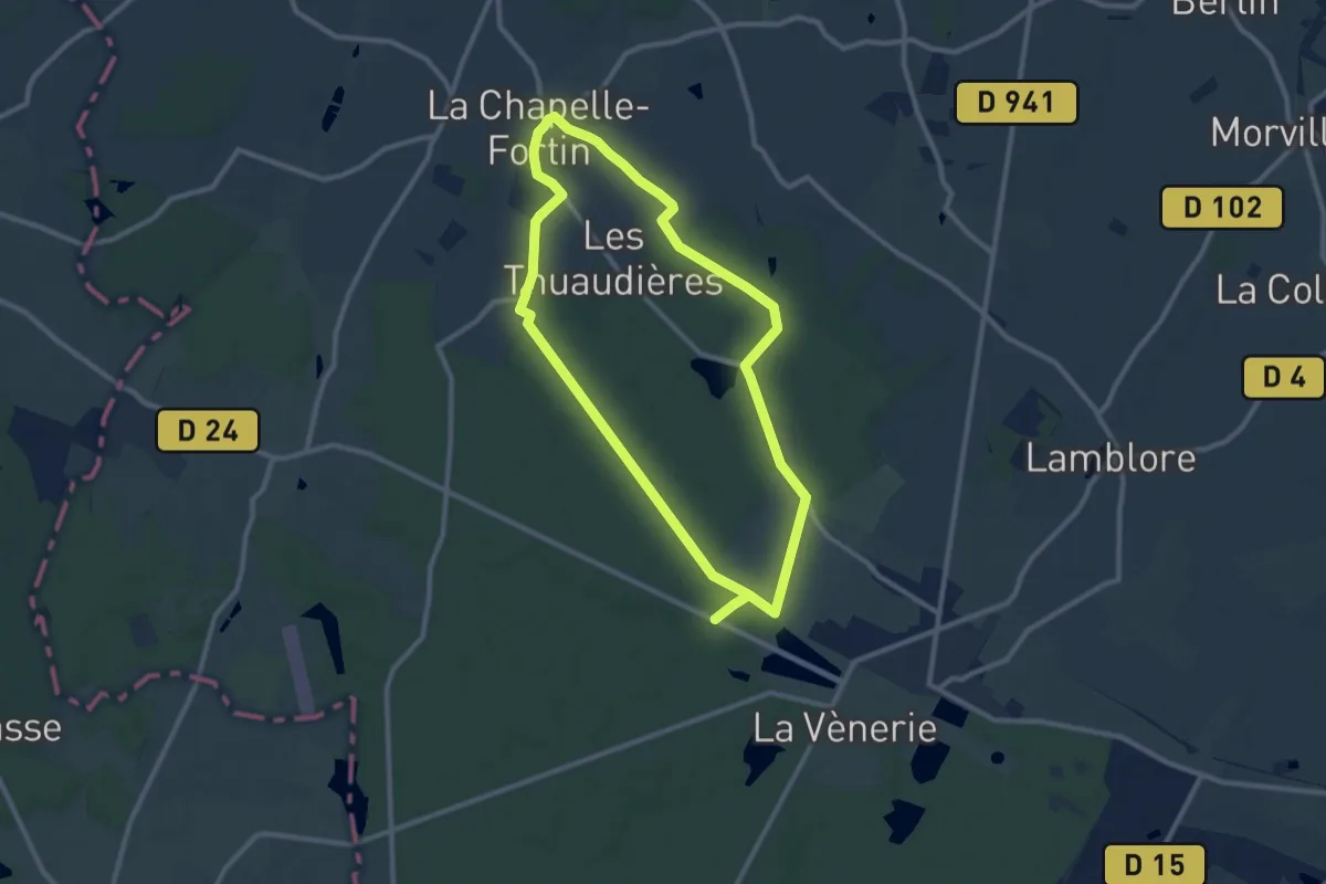
Medium · Trail
Le fief du duc de Saint-Simon
9.0 km · ↑ 60 m · 2 h 24 min
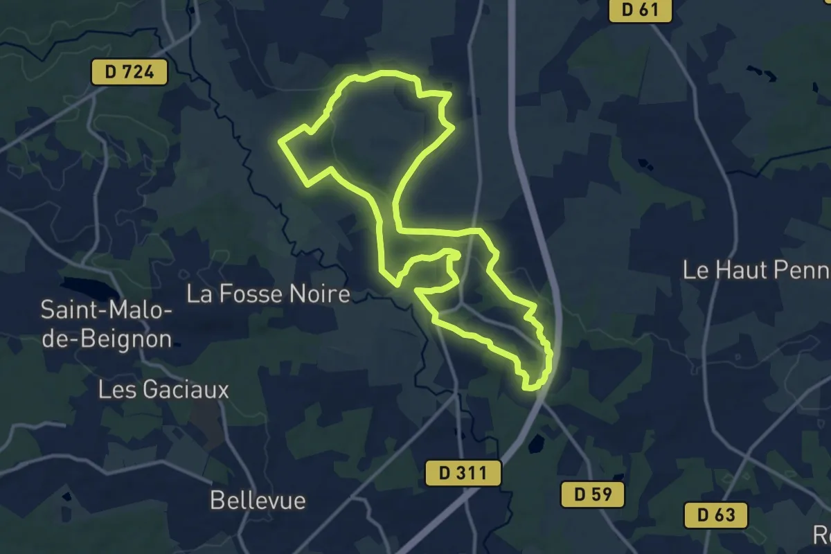
Medium · Trail
Le fief du Thélin
11.9 km · ↑ 229 m · 3 h 28 min
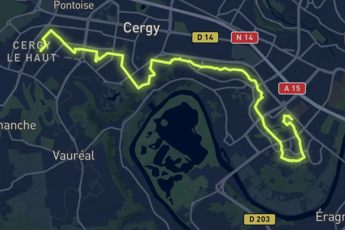
Demanding · Trail
Le Fil d'Ariane
20.1 km · ↑ 135 m · 5 h 2 min
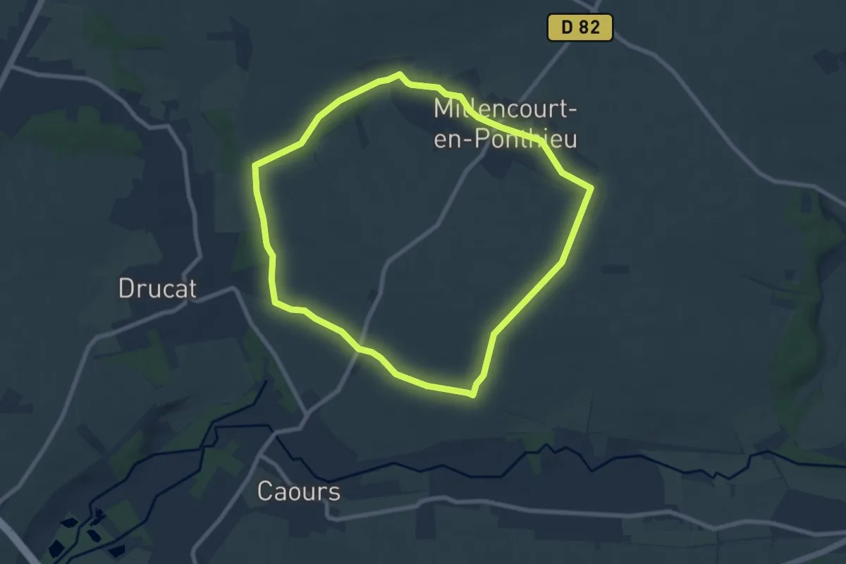
Easy · Trail
Le Fond de Millencourt
6.8 km · ↑ 66 m · 1 h 51 min
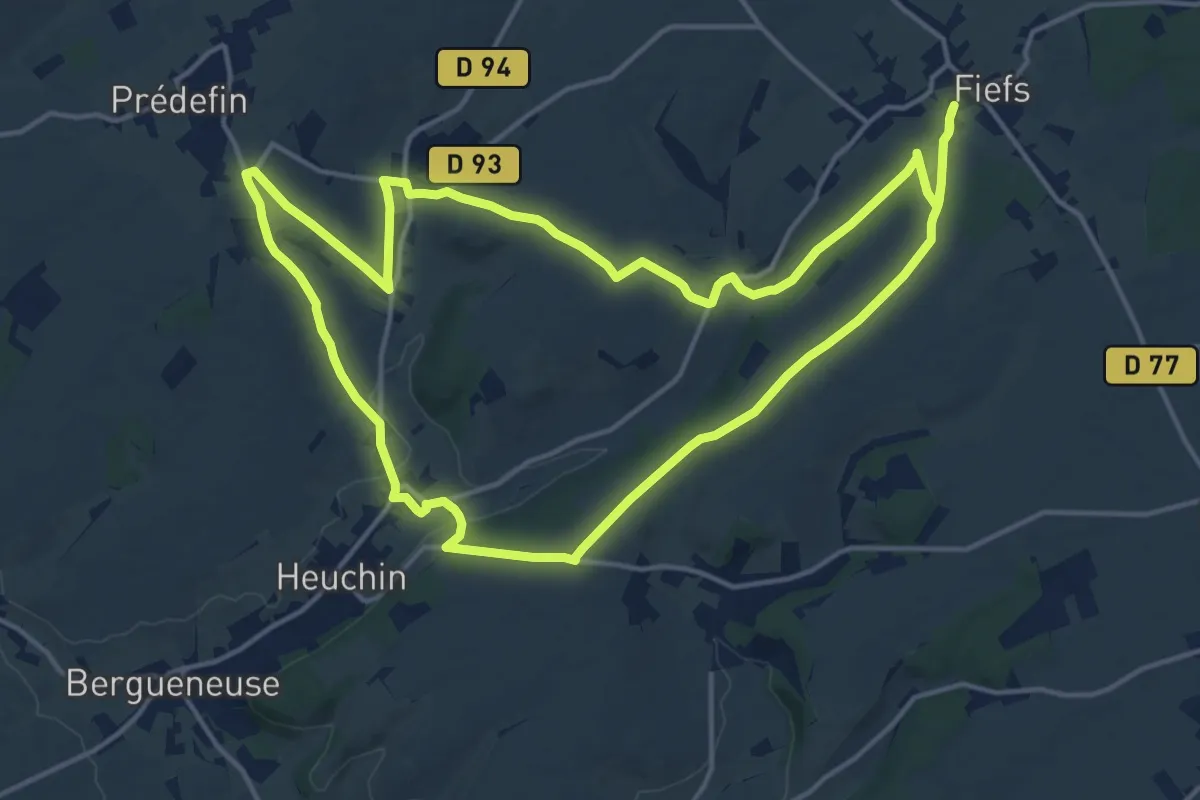
Medium · Trail
Le Fond de Quévaussart
15.5 km · ↑ 194 m · 4 h 17 min
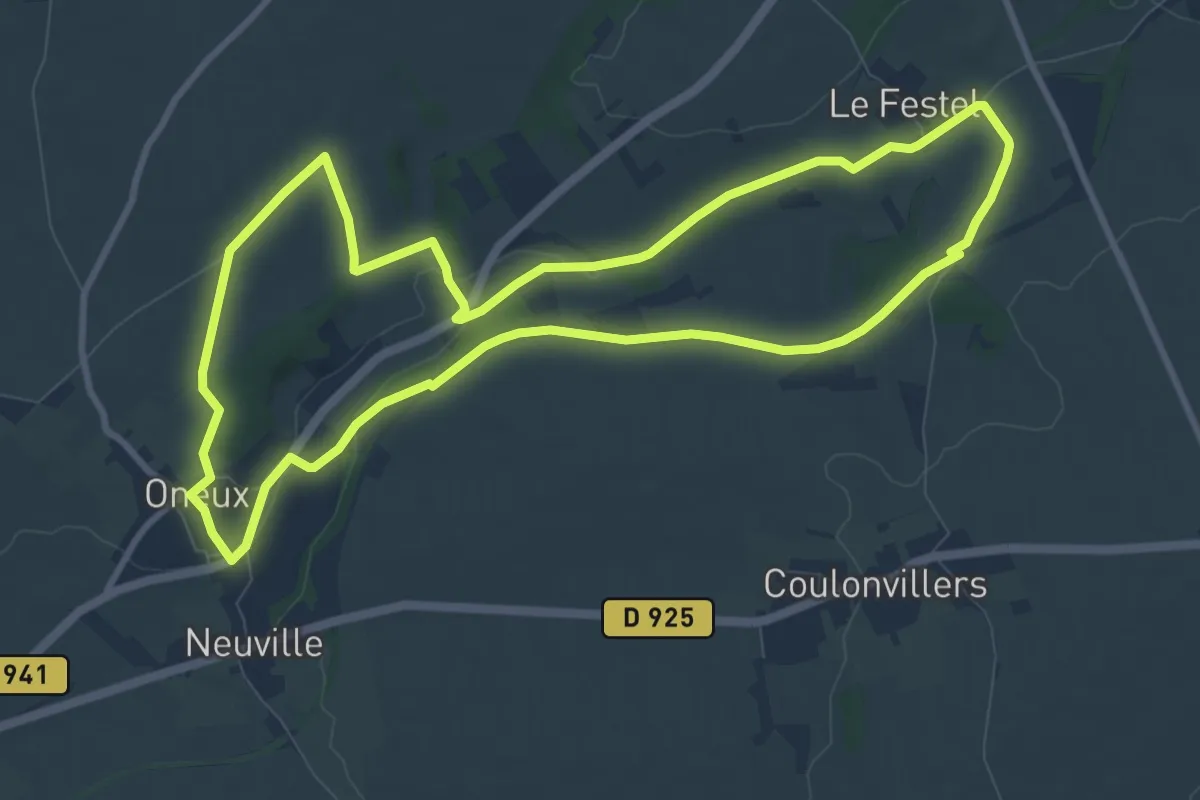
Medium · Trail
Le Fond d'Oneux
9.5 km · ↑ 88 m · 2 h 33 min
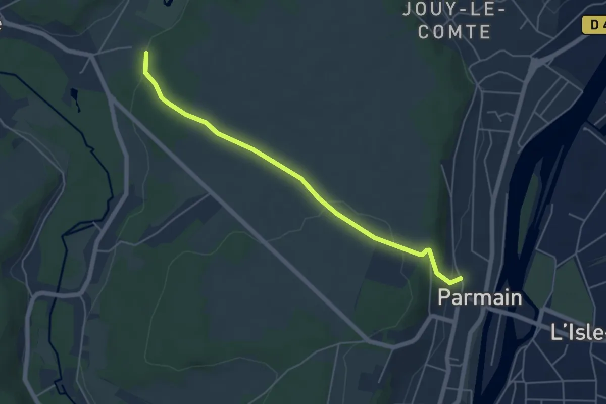
Easy · Trail
Le Fond du Valmillon
4.5 km · ↑ 108 m · 1 h 17 min
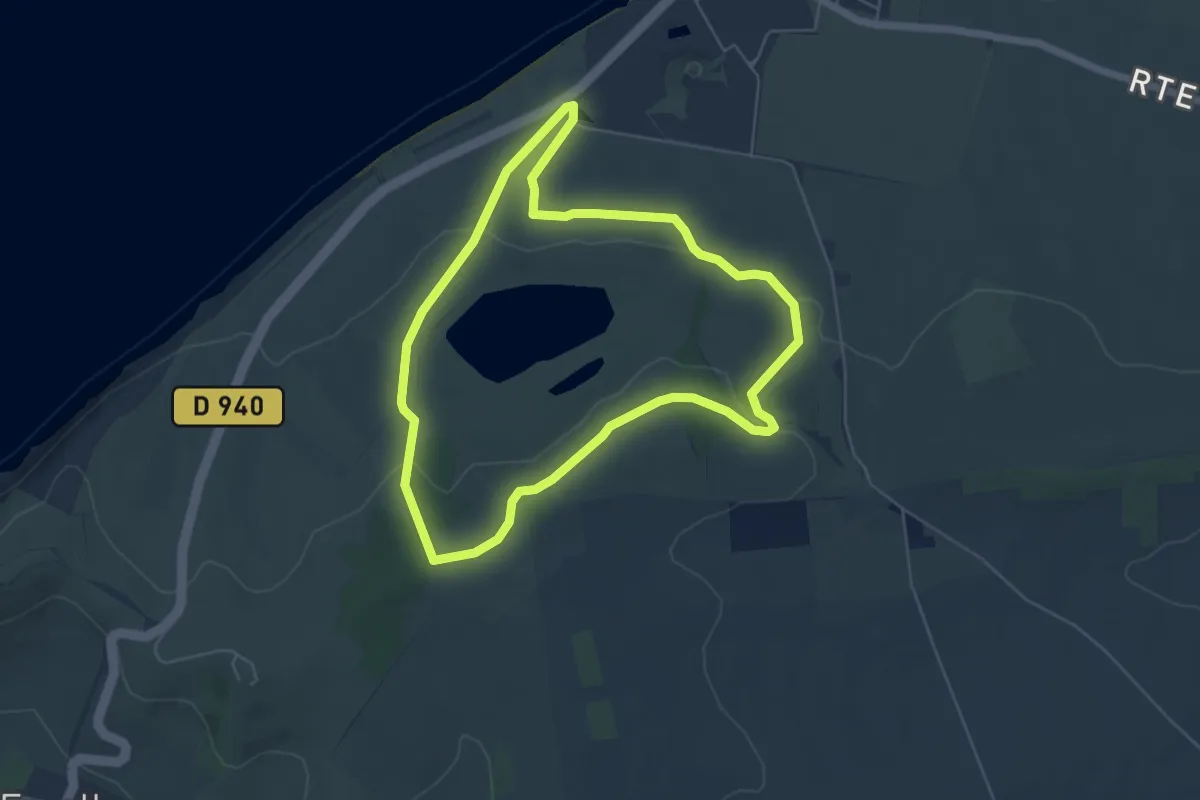
Easy · Summit
Le Fond Pignon
5.1 km · ↑ 117 m · 1 h 31 min
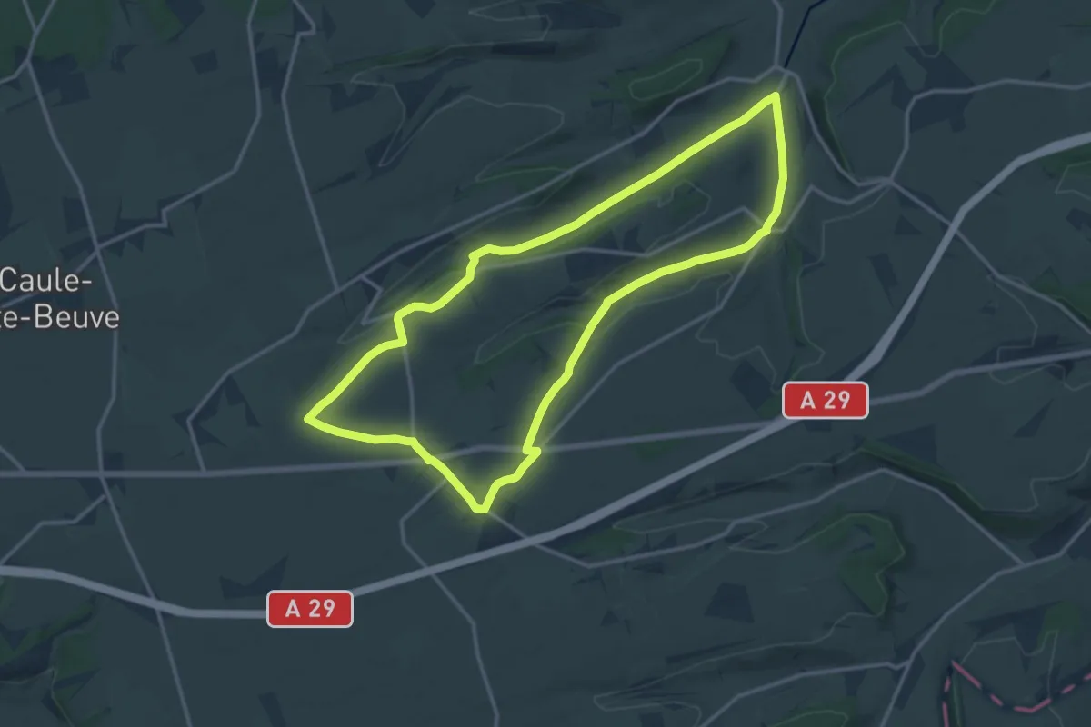
Medium · Trail
Le Forestel
13.0 km · ↑ 118 m · 3 h 30 min
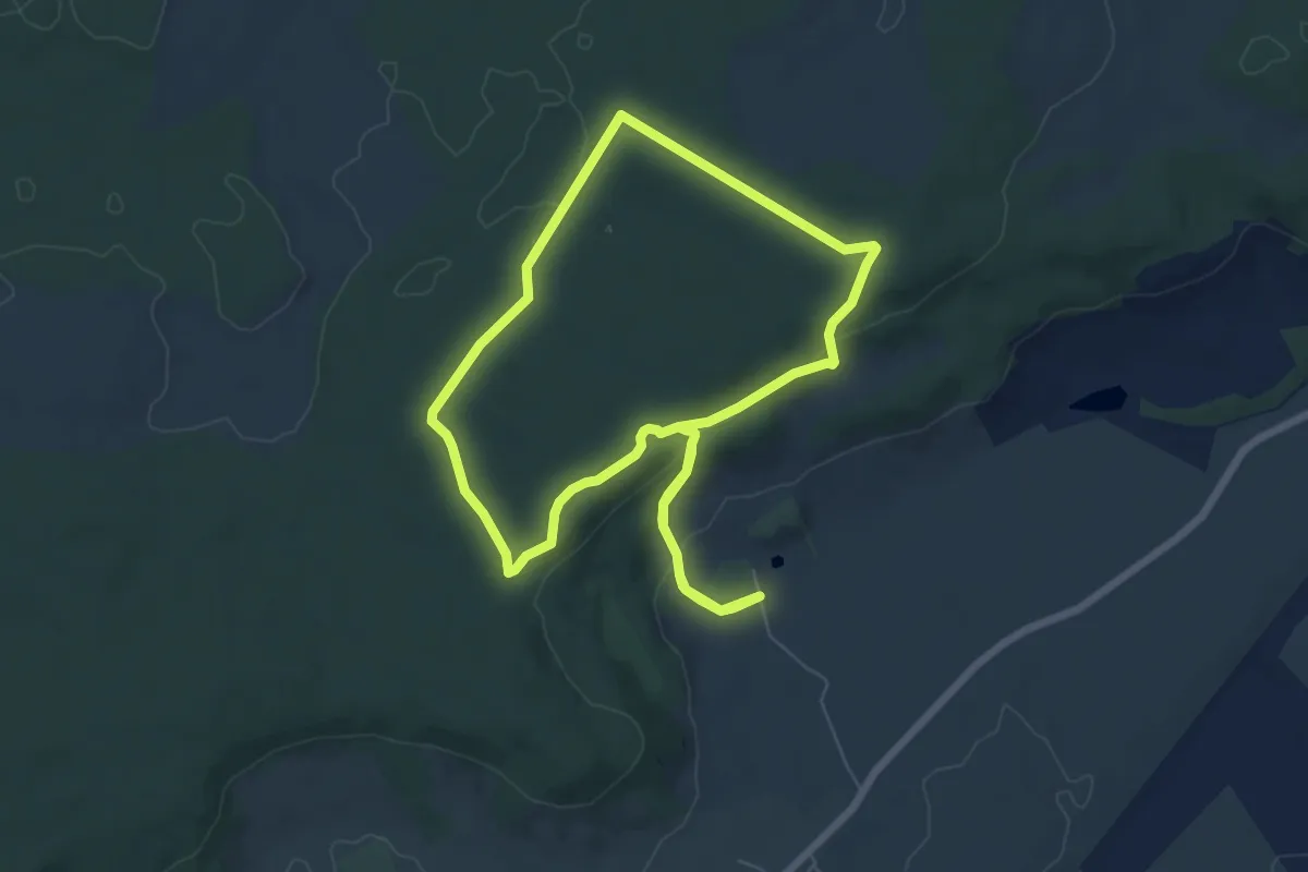
Easy · Trail
Le Fort Bévaux
6.5 km · ↑ 142 m · 1 h 56 min
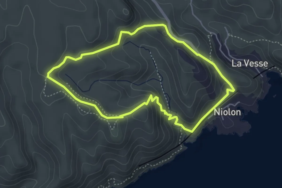
Medium · Trail
Le fort de Niolon
4.1 km · ↑ 200 m · 1 h 28 min
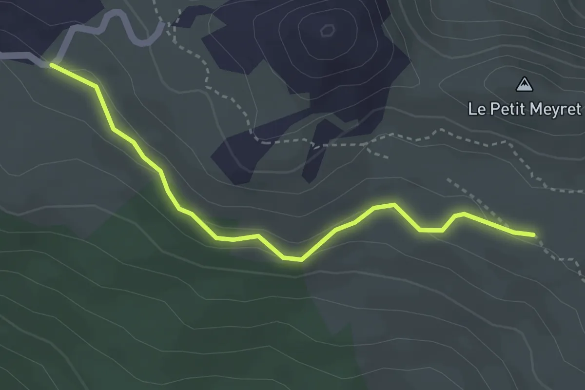
Easy · Trail
Le Fort du Granon - Côte de la Fleur
3.4 km · ↑ 86 m · 59 min
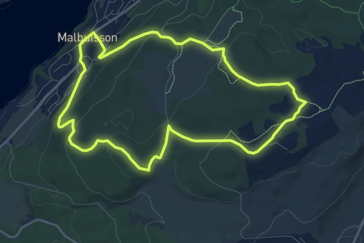
Medium · Trail
Le fort Saint Antoine n°10
8.2 km · ↑ 235 m · 2 h 33 min
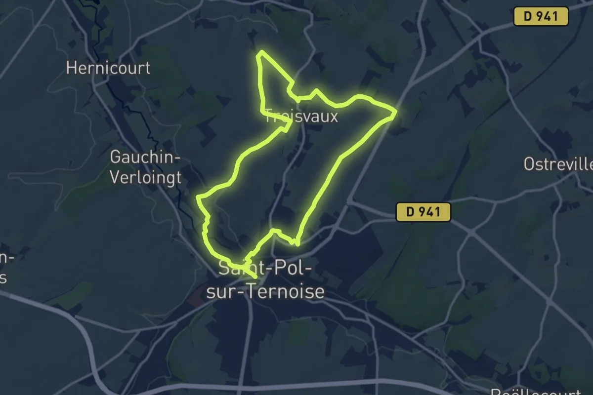
Medium · Trail
Le Fossé Cagnu
11.0 km · ↑ 112 m · 2 h 59 min
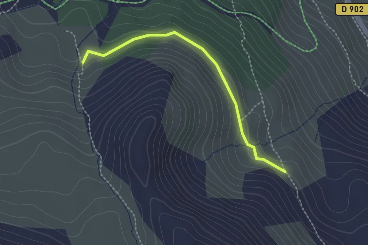
Easy · Trail
Le Fournet - ?
2.1 km · ↑ 83 m · 40 min
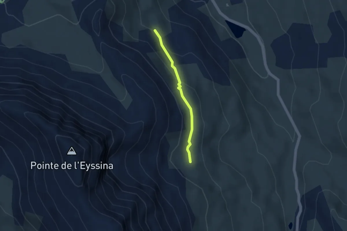
Easy · Trail
Le Fournet - Passerelle de l'Écuelle
2.5 km · ↑ 108 m · 50 min
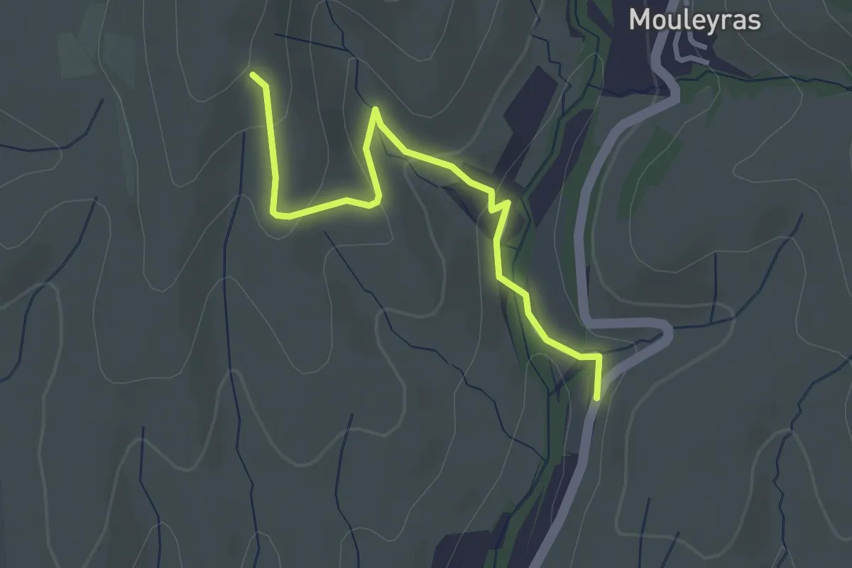
Easy · Trail
Le Fraysse - Fourche
3.1 km · ↑ 126 m · 1 h
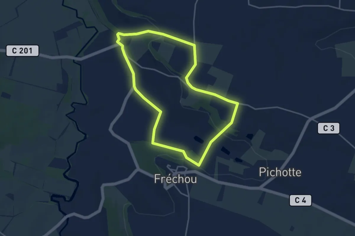
Easy · Trail
Le Fréchou, balade panoramique sur la vallée de l'Osse - 3.9 km
3.4 km · ↑ 74 m · 1 h
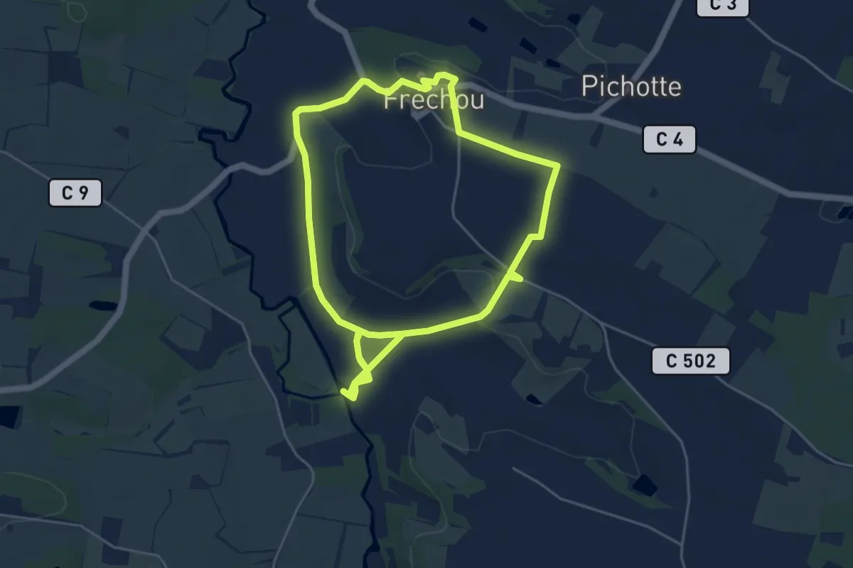
Easy · Trail
Le Fréchou, le pays des frênes - 4.6 km
5.0 km · ↑ 73 m · 1 h 24 min
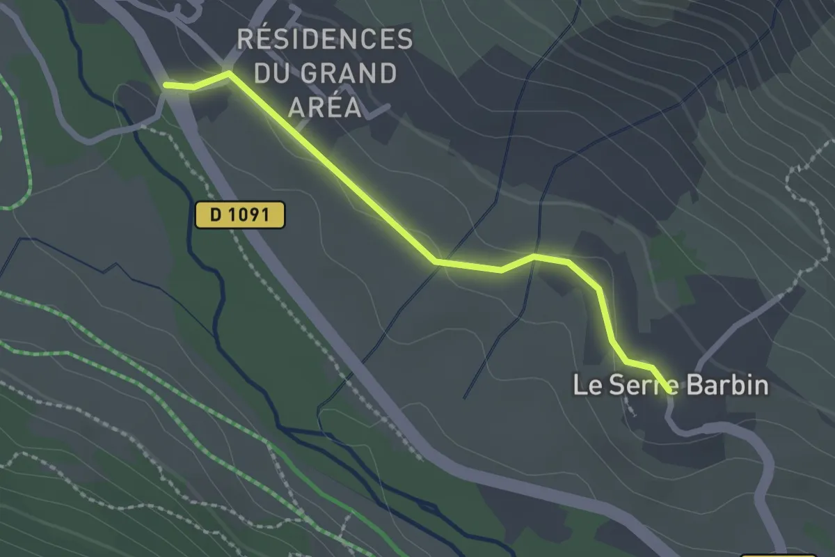
Easy · Trail
Le Freyssinet - Le Serre Barbin
2.0 km · ↑ 15 m · 31 min
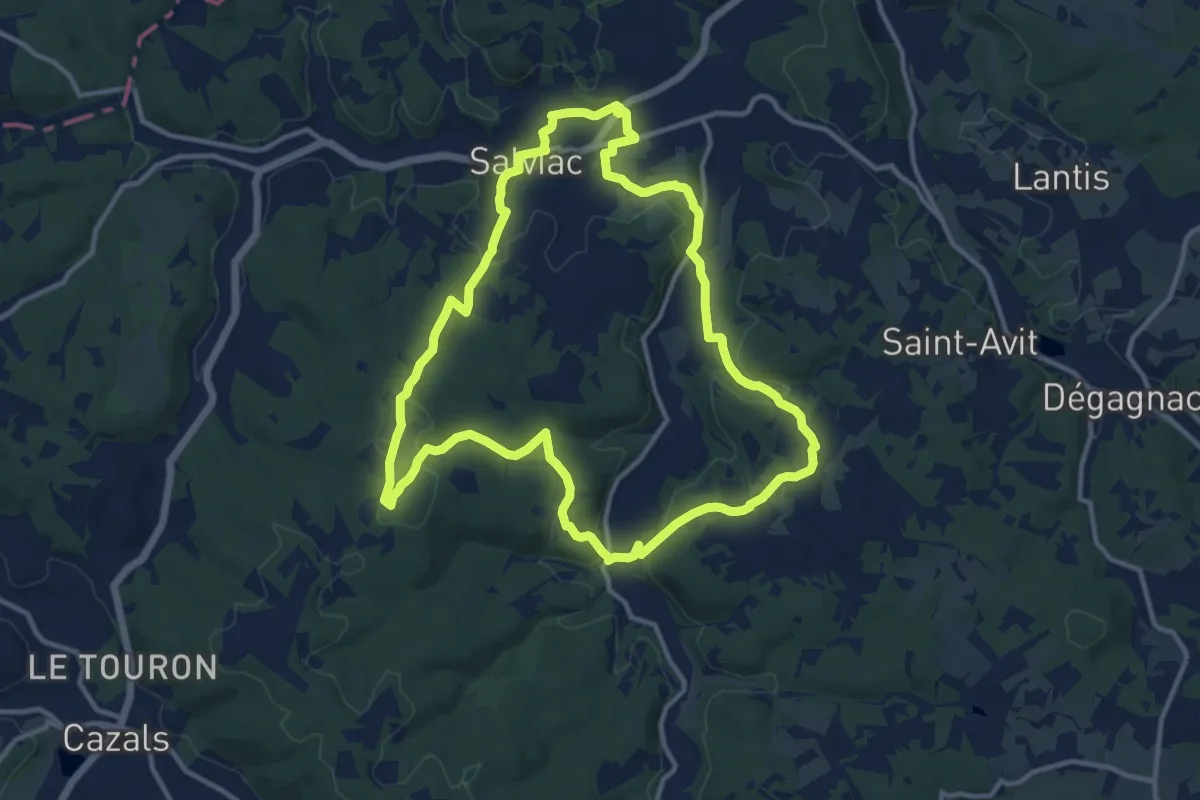
Medium · Trail
Le Gaillard
12.5 km · ↑ 313 m · 3 h 48 min
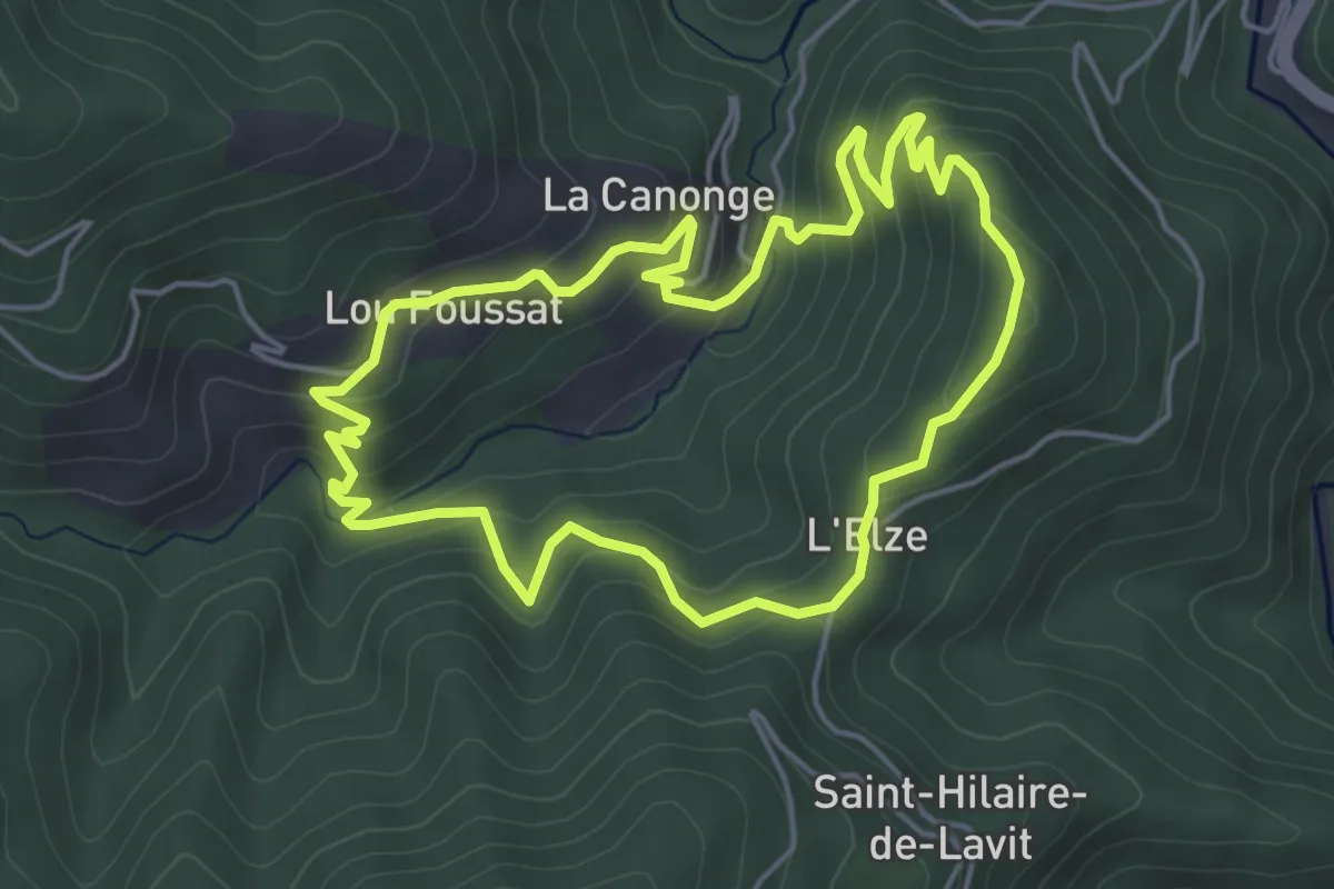
Easy · Trail
Le Gardonnet
4.9 km · ↑ 279 m · 1 h 50 min
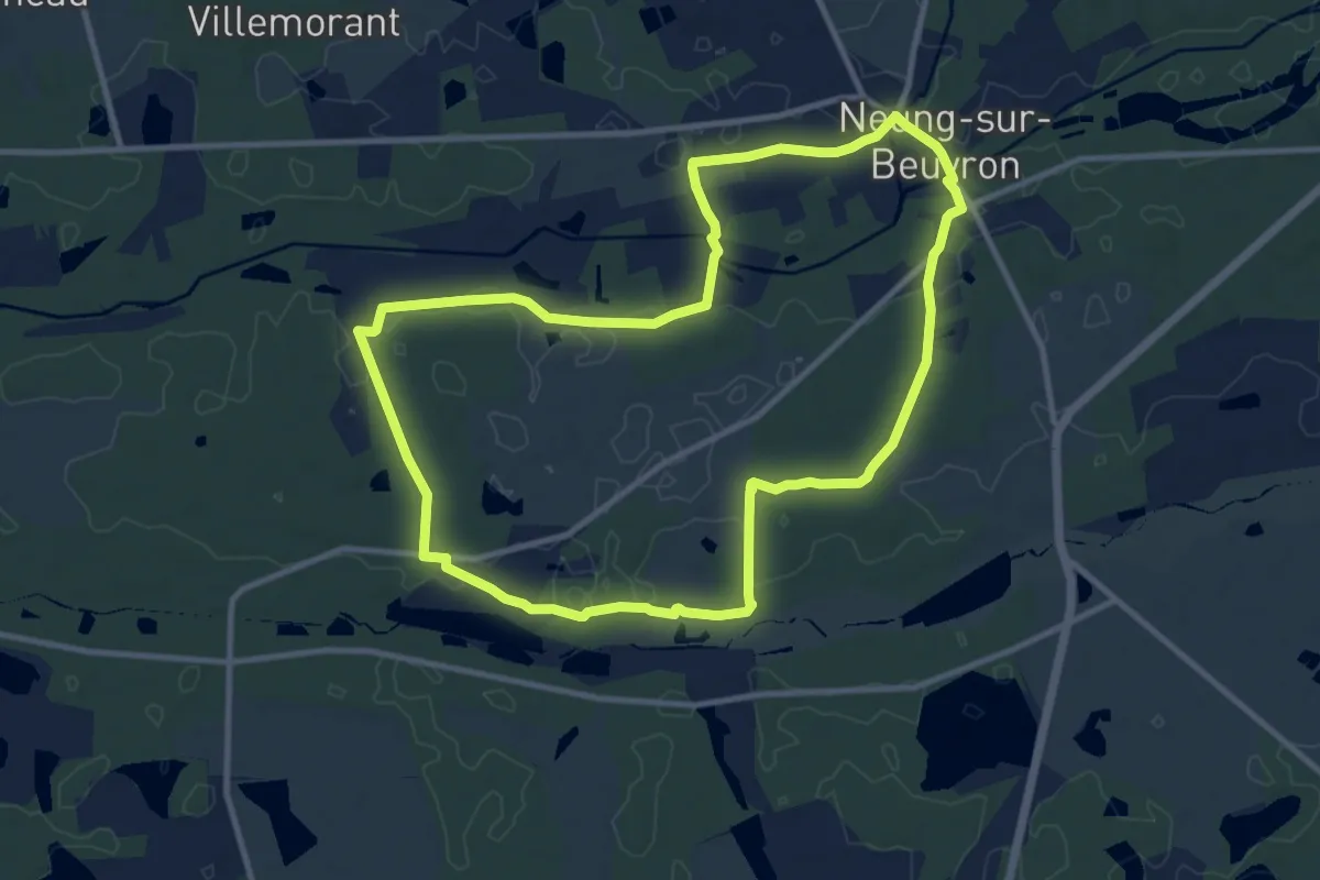
Medium · Trail
Le Garry
10.5 km · ↑ 35 m · 2 h 43 min
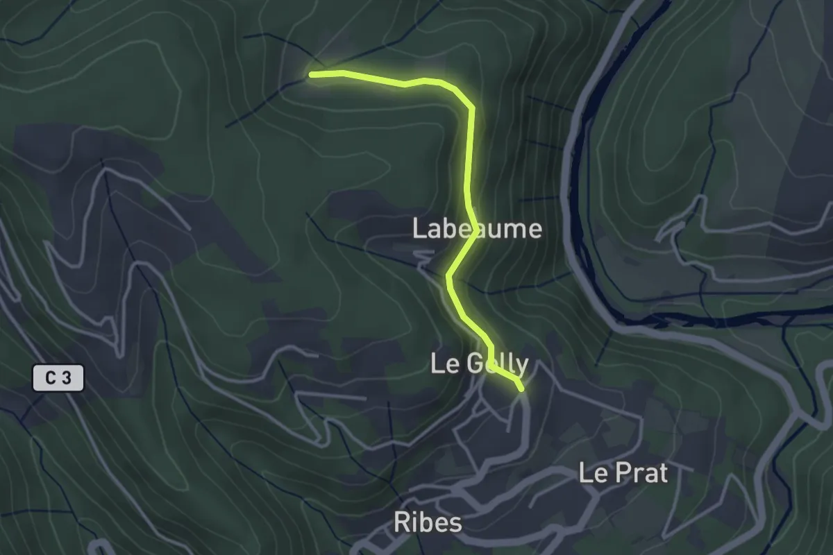
Easy · Trail
Le Gelly - Prades
2.9 km · ↑ 94 m · 53 min
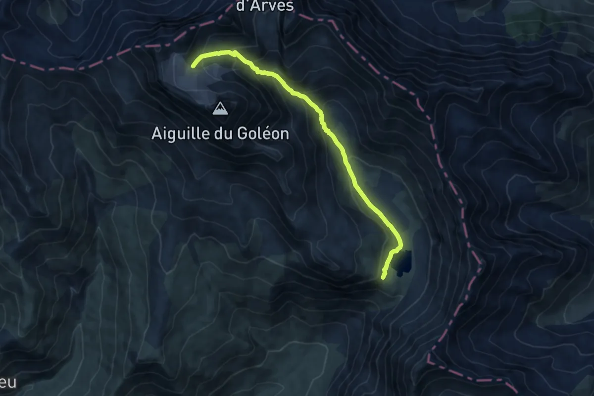
Medium · Cabin
Le glacier Lombard depuis le lac du Goléon
10.5 km · ↑ 764 m · 4 h 8 min
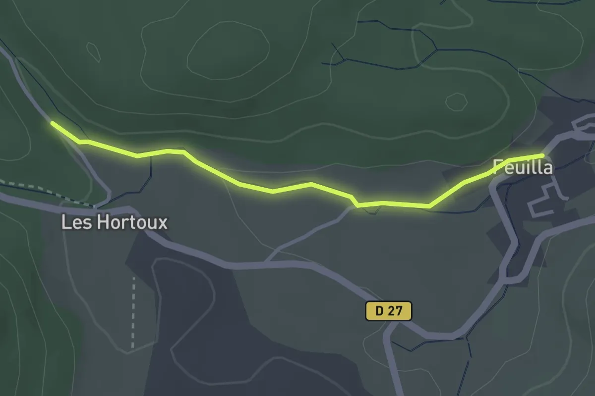
Easy · Trail
L'Église - Col de Feuilla
6.3 km · ↑ 138 m · 1 h 52 min
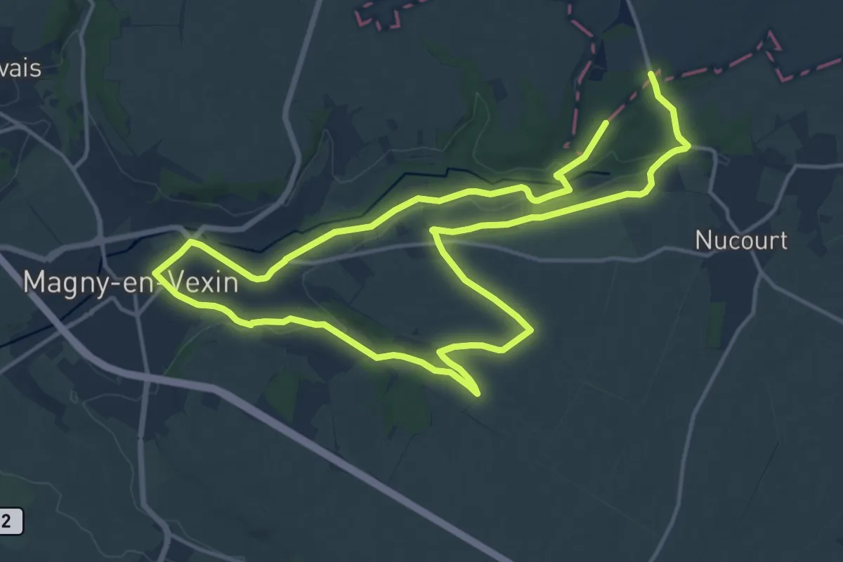
Demanding · Trail
L’église de Nucourt par le bois de l’Île
25.6 km · ↑ 190 m · 6 h 27 min
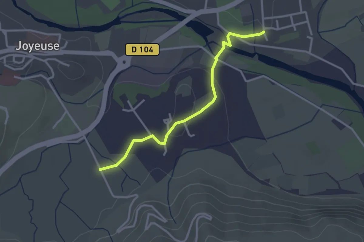
Easy · Trail
L'Église - Freyssinet Est
2.8 km · ↑ 41 m · 45 min
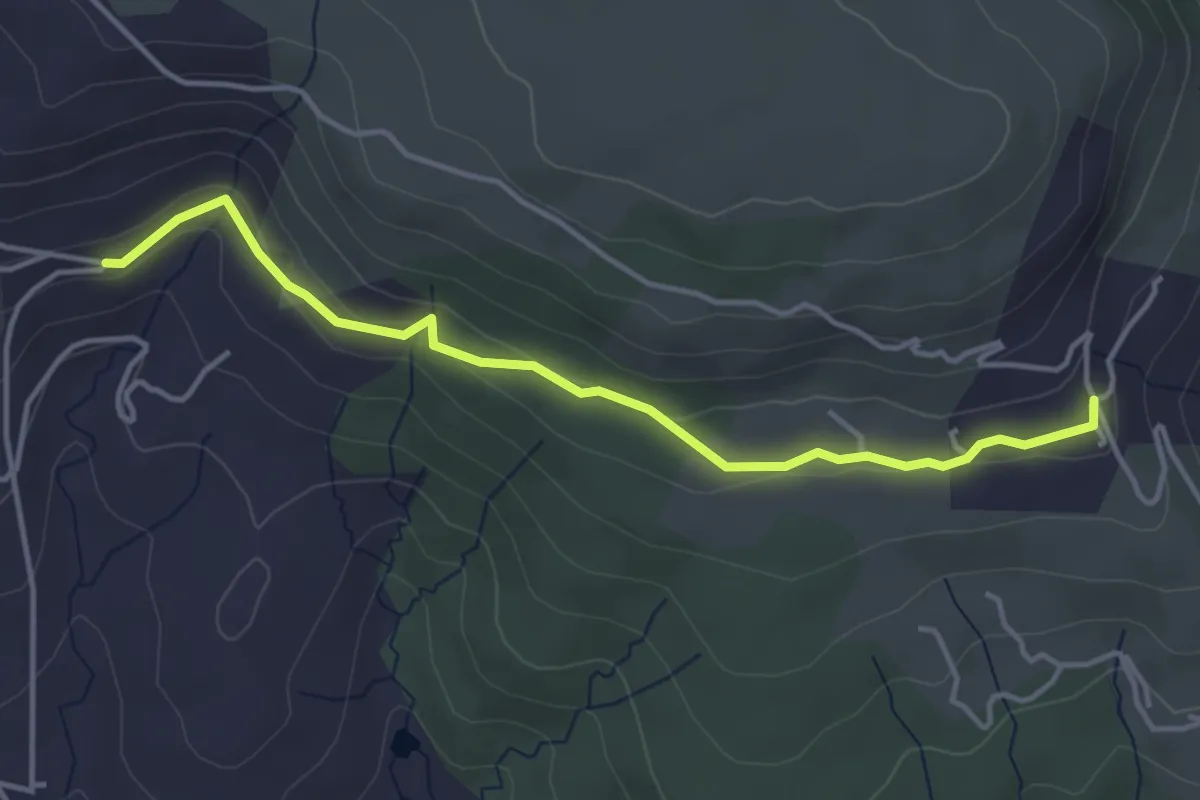
Easy · Trail
L'Église - Jarnias
4.3 km · ↑ 141 m · 1 h 19 min
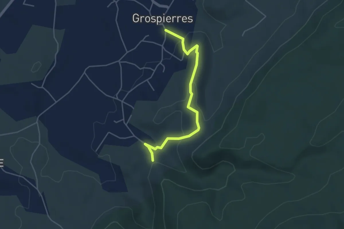
Medium · Trail
L'Église - Le Chastelas
4.1 km · ↑ 130 m · 1 h 15 min
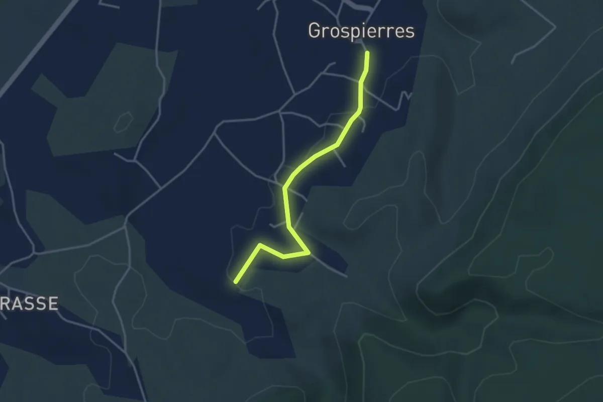
Easy · Trail
L'Église - Le Moulinas
3.3 km · ↑ 23 m · 50 min
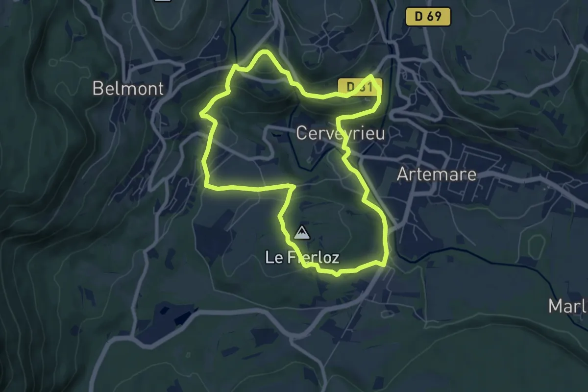
Medium · Summit
Le Golet au Loup
6.9 km · ↑ 173 m · 2 h 6 min
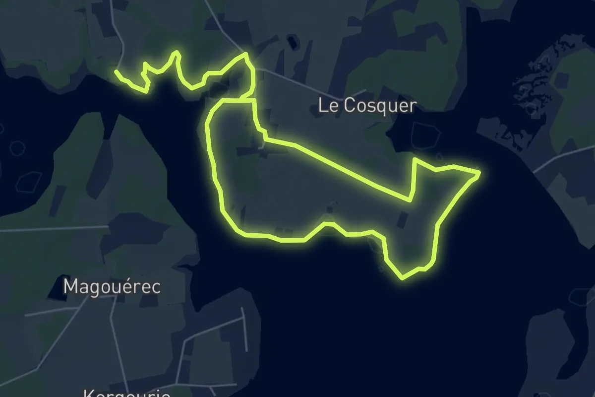
Medium · Trail
Le Gouarde
11.2 km · ↑ 55 m · 2 h 46 min