Trails in France
15,926 hiking trails, each with its route, climb, walking time and grade.
All trails, page 163 of 332
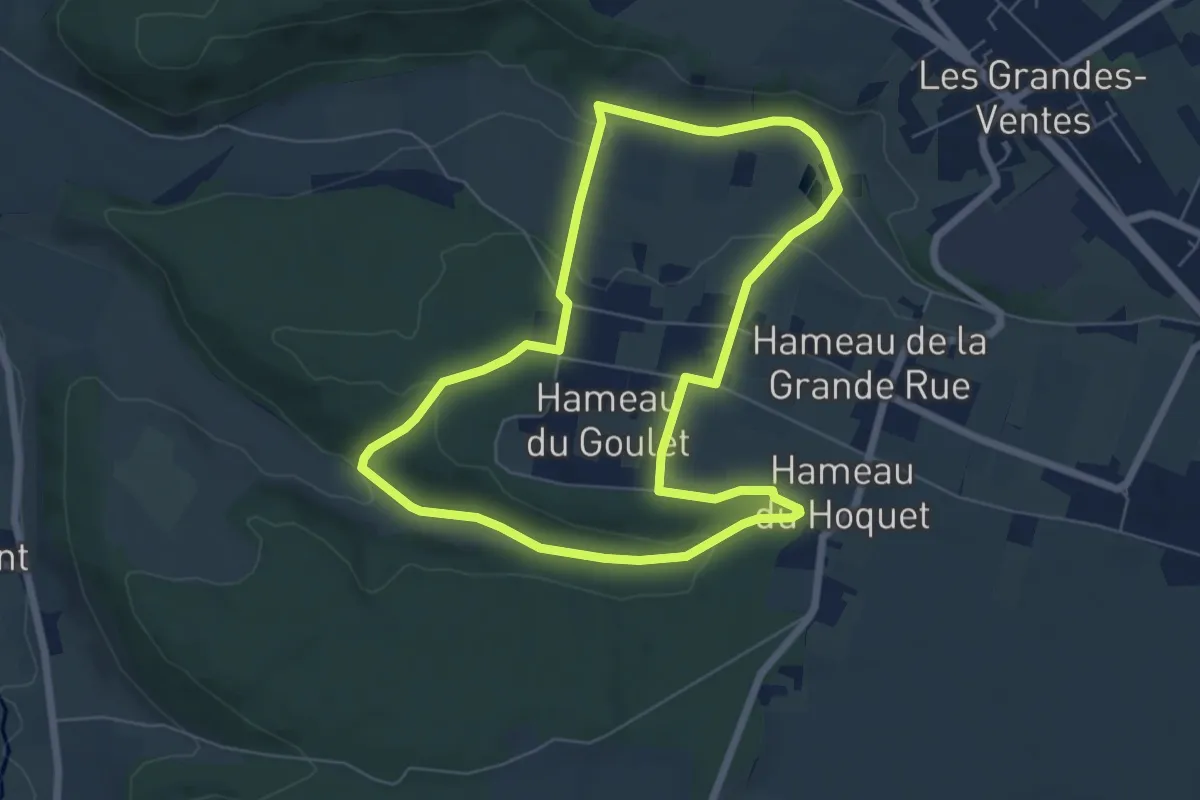
Easy · Trail
Le Goulet
6.0 km · ↑ 130 m · 1 h 46 min
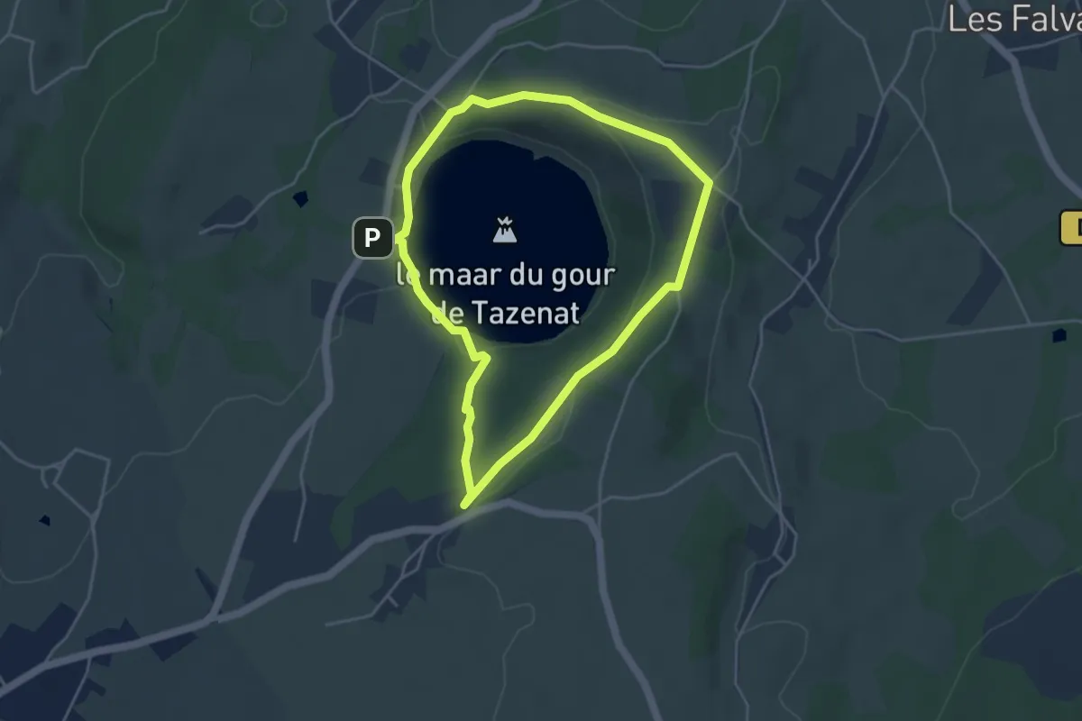
Easy · Trail
Le Gour de Tazenat
3.9 km · ↑ 87 m · 1 h 10 min
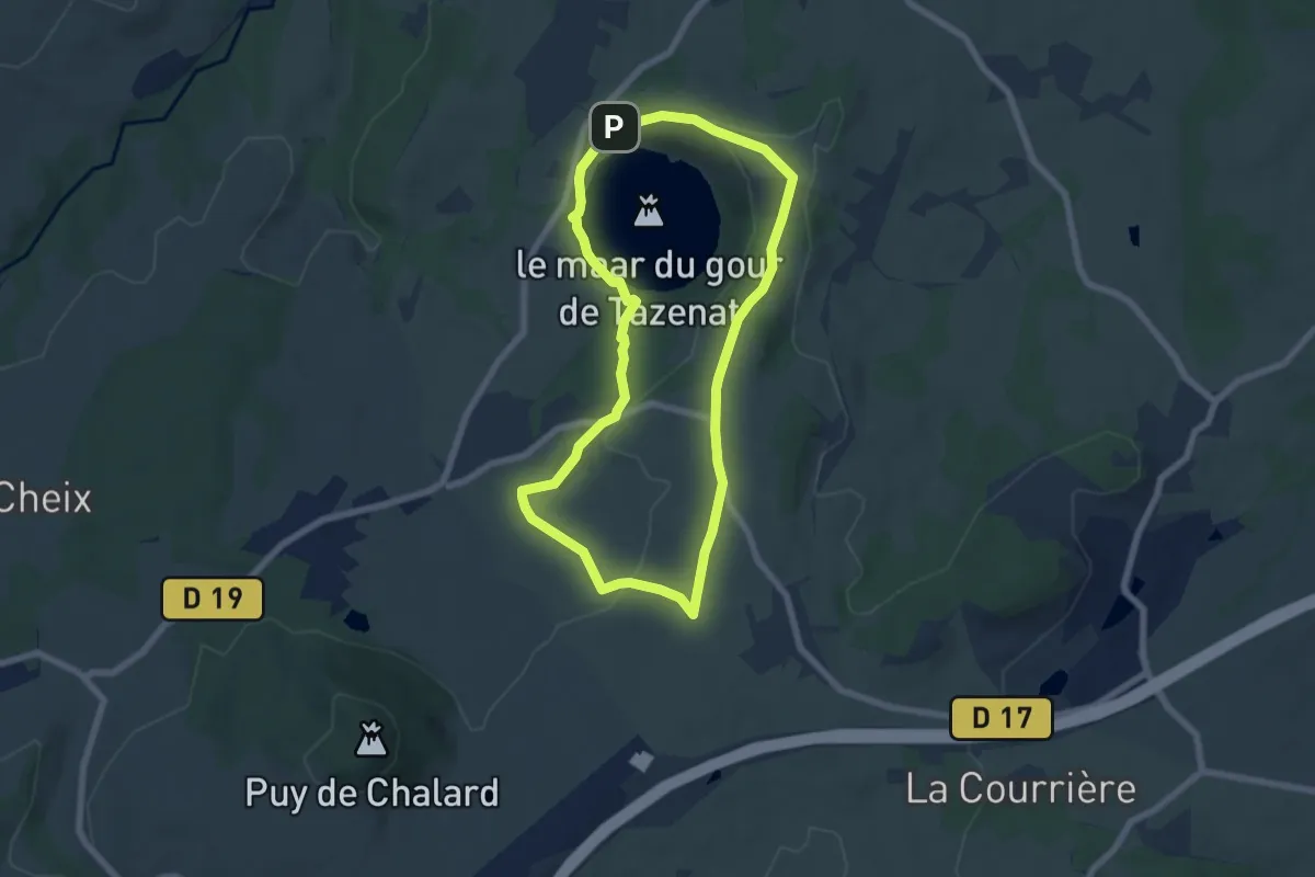
Easy · Trail
Le Gour de Tazenat - circuit bleu
6.3 km · ↑ 127 m · 1 h 52 min
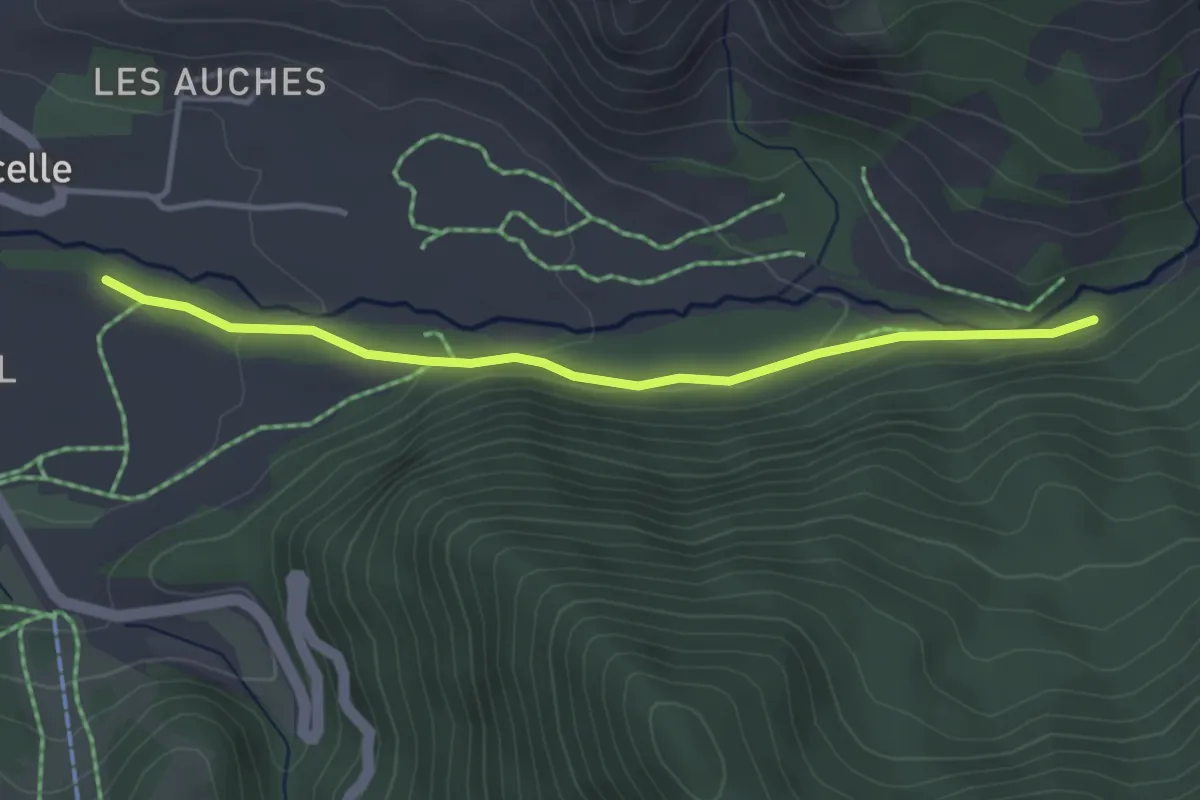
Easy · Trail
Le Gourgeon - Mestrinquier
3.7 km · ↑ 84 m · 1 h 3 min
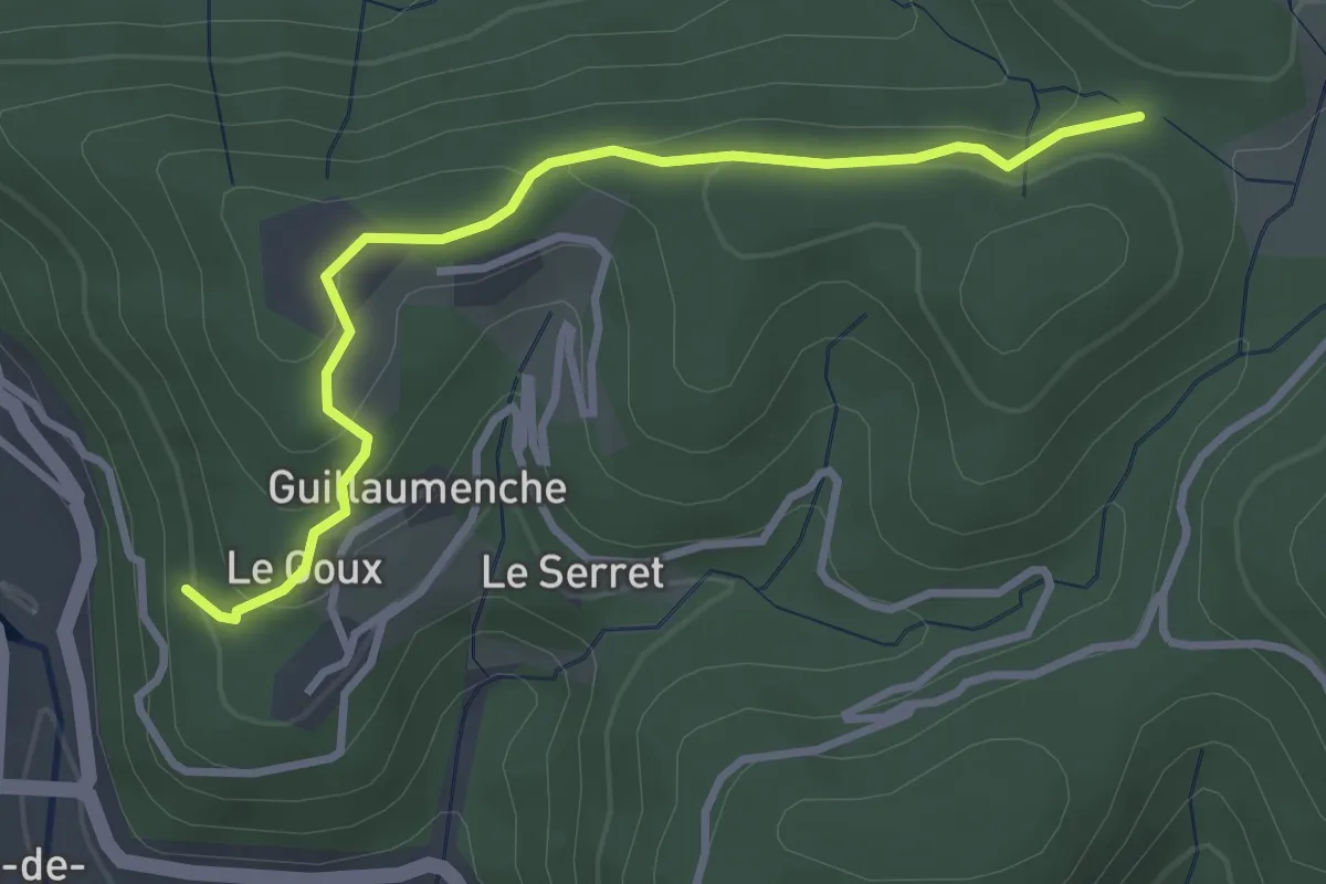
Easy · Trail
Le Goux - Col de Sétias
3.4 km · ↑ 150 m · 1 h 7 min
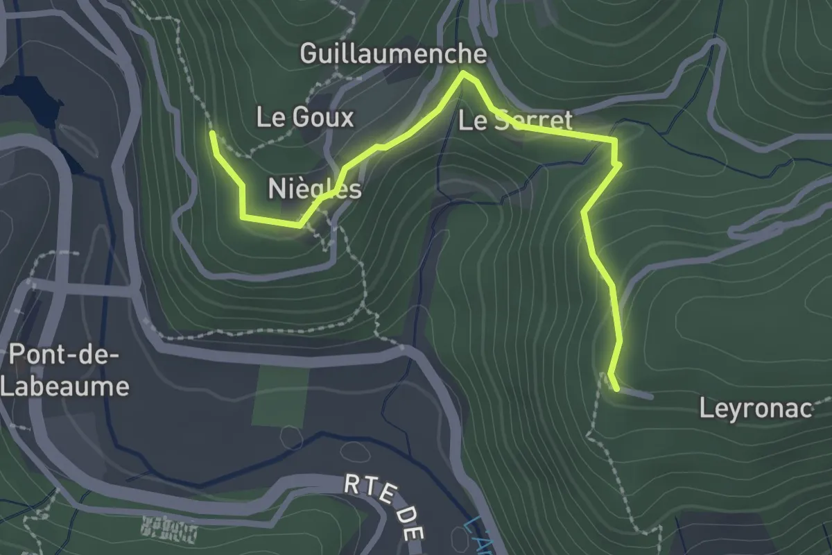
Easy · Trail
Le Goux - Leyronac
2.6 km · ↑ 124 m · 53 min
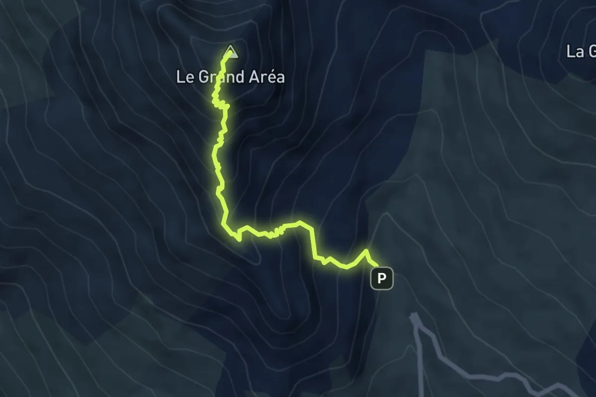
Demanding · Summit
Le Grand Area - Sous le petit Aréa
5.0 km · ↑ 632 m · 2 h 33 min
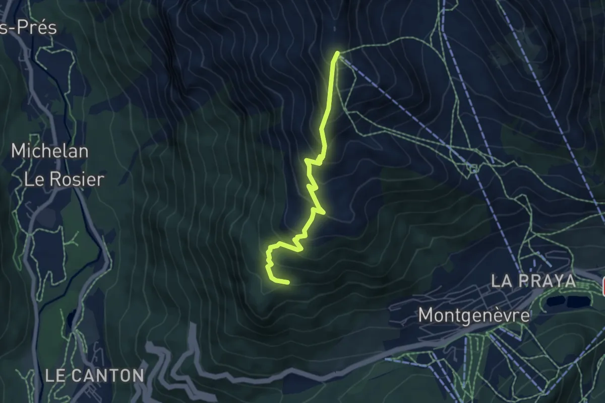
Medium · Trail
Le Grand Balcon - Station du Chalvet
5.4 km · ↑ 502 m · 2 h 22 min
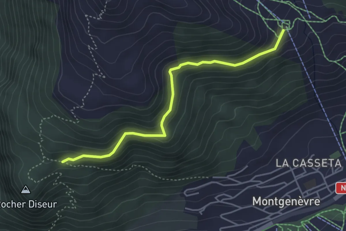
Easy · Trail
Le Grand Balcon - Télécabine du Chalvet
4.0 km · ↑ 153 m · 1 h 17 min
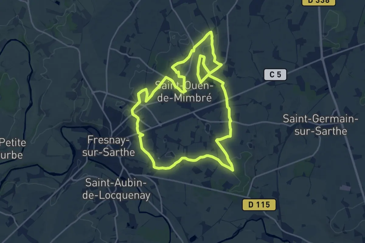
Medium · Trail
Le Grand Bleu
14.8 km · ↑ 53 m · 3 h 49 min
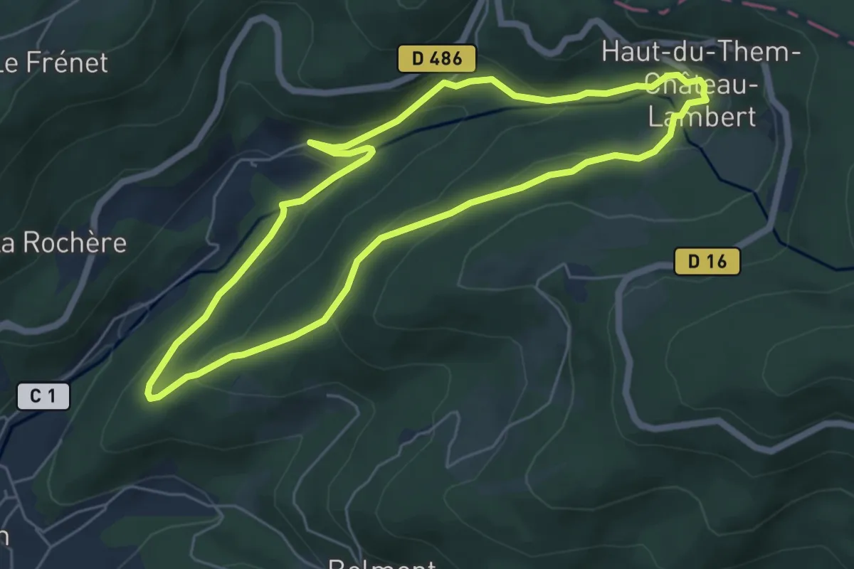
Easy · Trail
Le Grand Bois
5.2 km · ↑ 213 m · 1 h 45 min
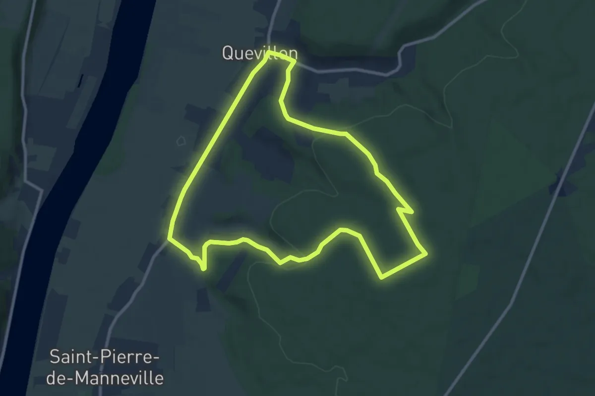
Medium · Trail
Le Grand Camp
8.3 km · ↑ 183 m · 2 h 29 min
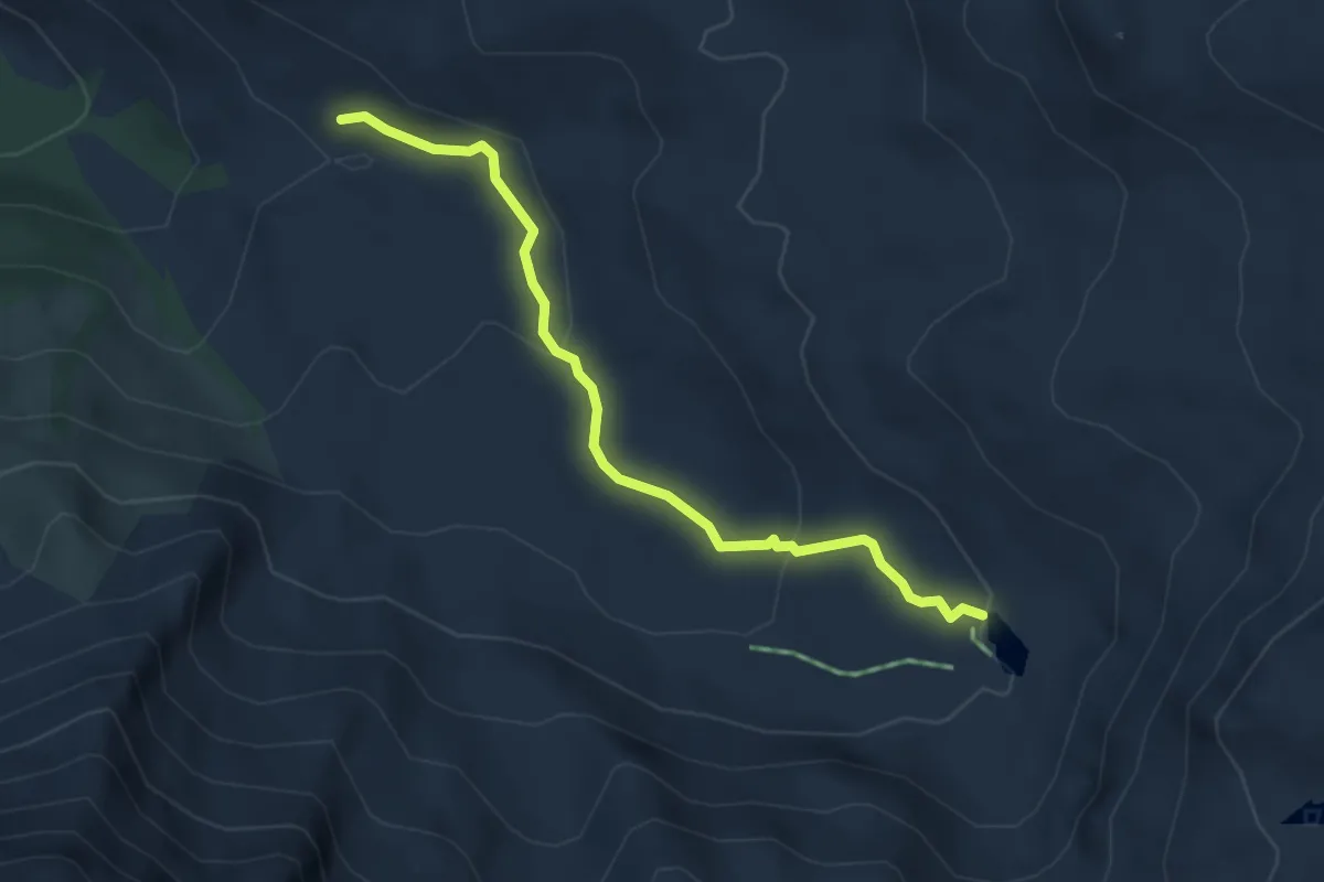
Easy · Cabin
Le Grand Canal - Refuge de La Blanche
4.1 km · ↑ 141 m · 1 h 16 min
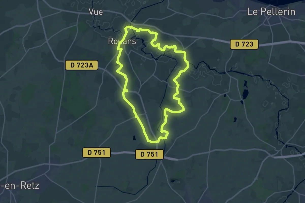
Demanding · Trail
Le Grand Chemin
21.2 km · ↑ 87 m · 5 h 30 min
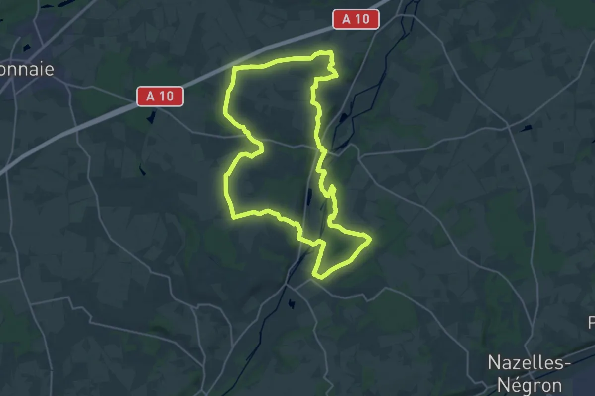
Demanding · Trail
Le Grand Chemin
19.8 km · ↑ 197 m · 5 h 23 min
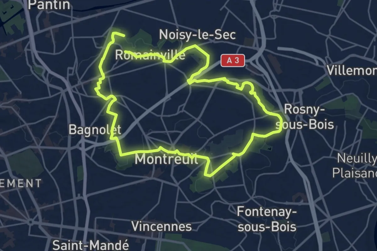
Medium · Trail
Le Grand Chemin
16.5 km · ↑ 139 m · 4 h 26 min
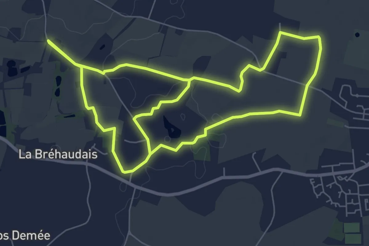
Medium · Trail
Le grand Cintirius
12.2 km · ↑ 38 m · 2 h 58 min
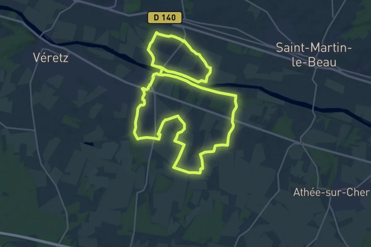
Medium · Trail
Le Grand Circuit d'Azay-sur-Cher
17.7 km · ↑ 70 m · 4 h 35 min
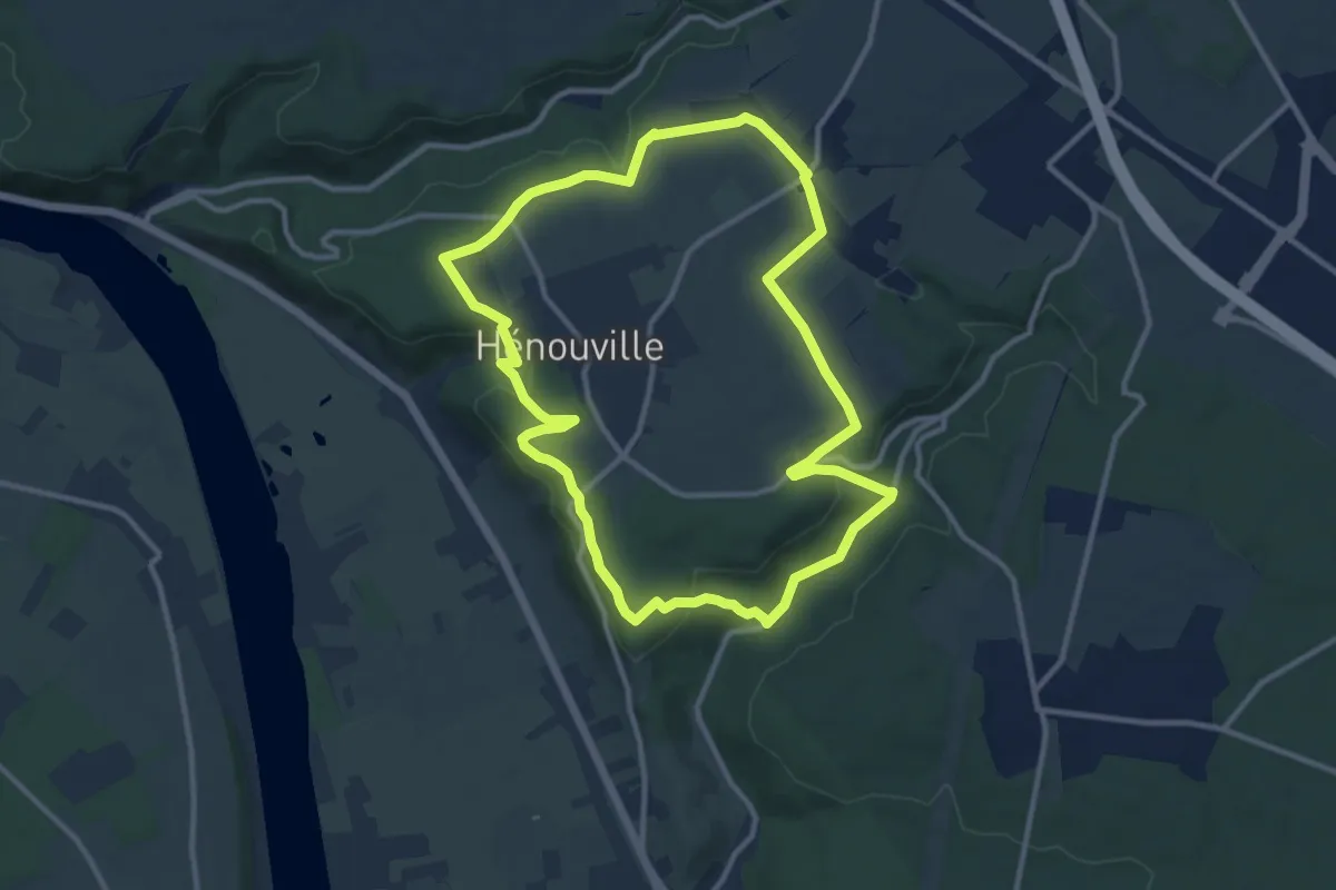
Medium · Trail
Le Grand Clos
10.6 km · ↑ 207 m · 3 h 5 min
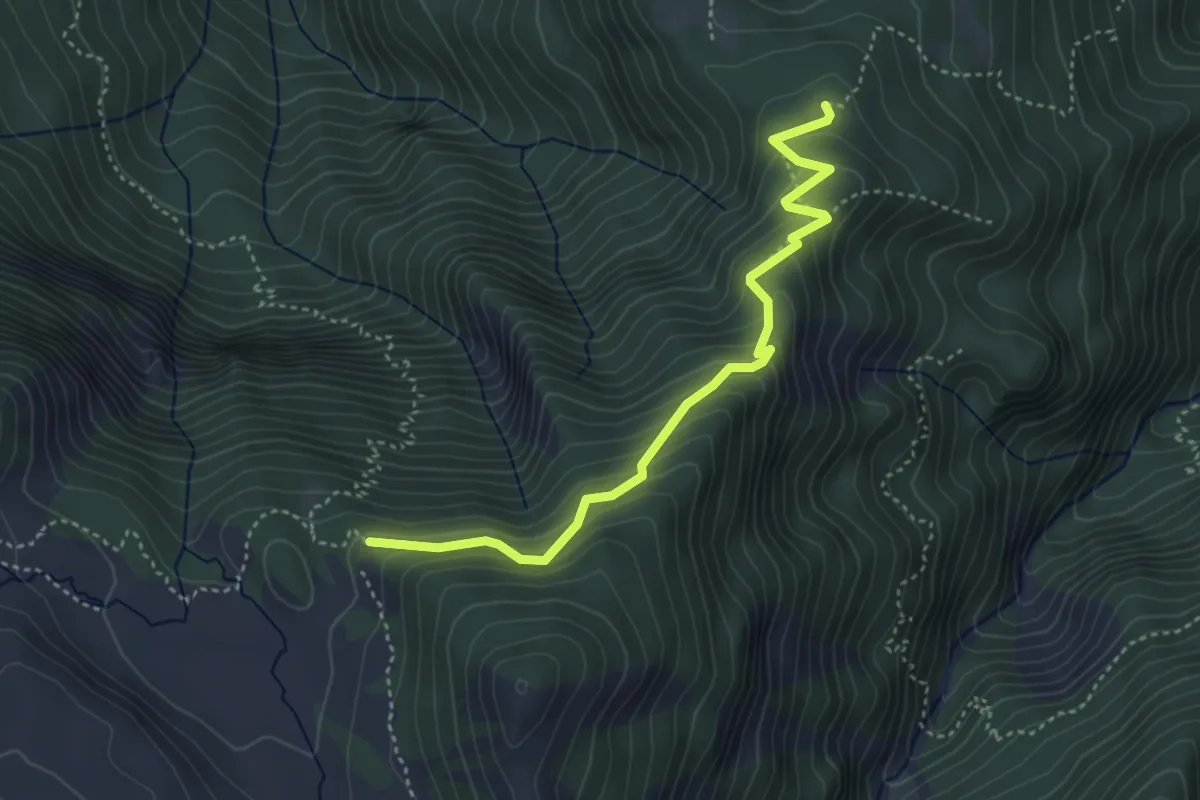
Medium · Trail
Le Grand Clot - Les Portes de Morgon
4.2 km · ↑ 384 m · 1 h 50 min
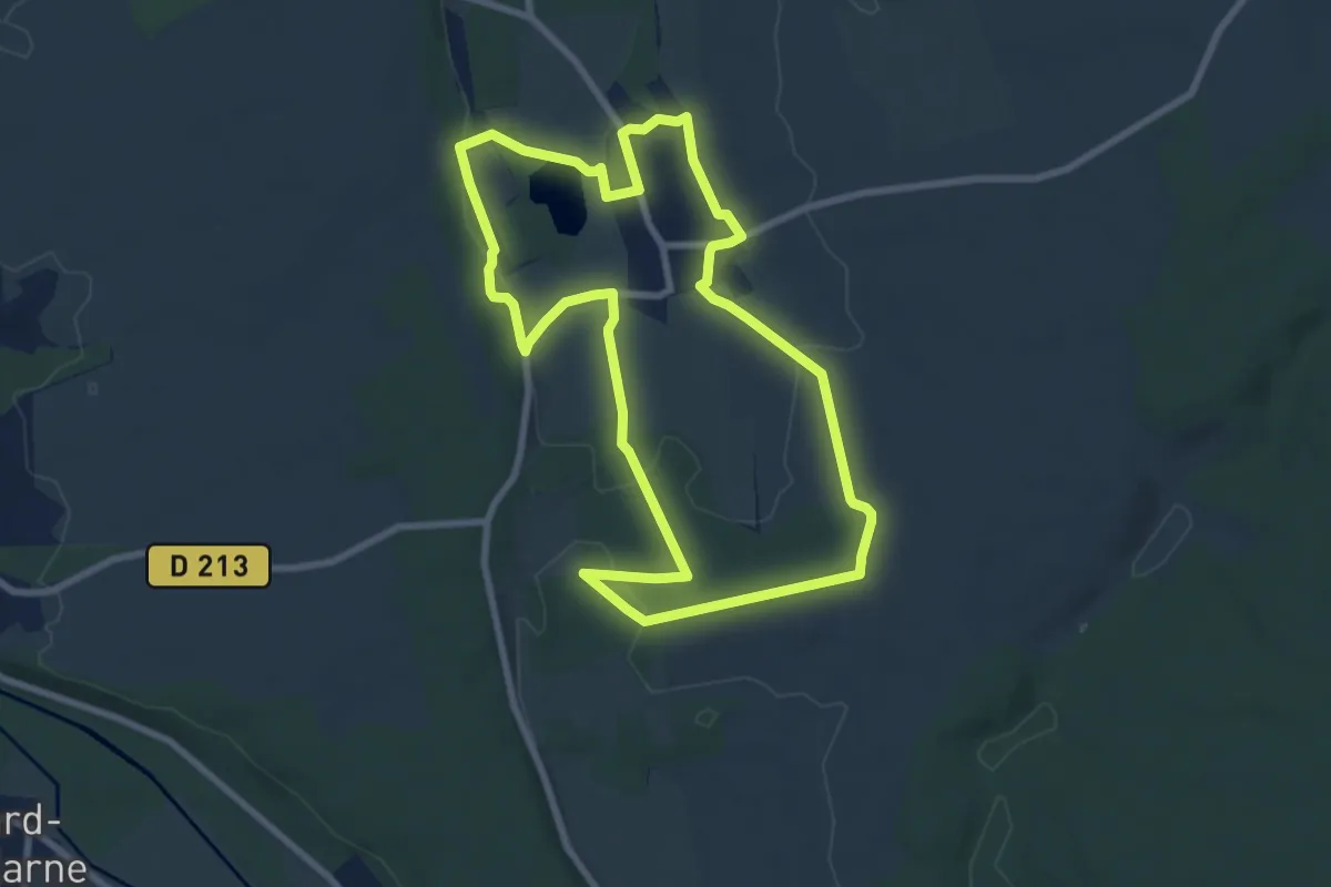
Easy · Trail
Le Grand Etang
7.9 km · ↑ 87 m · 2 h 10 min
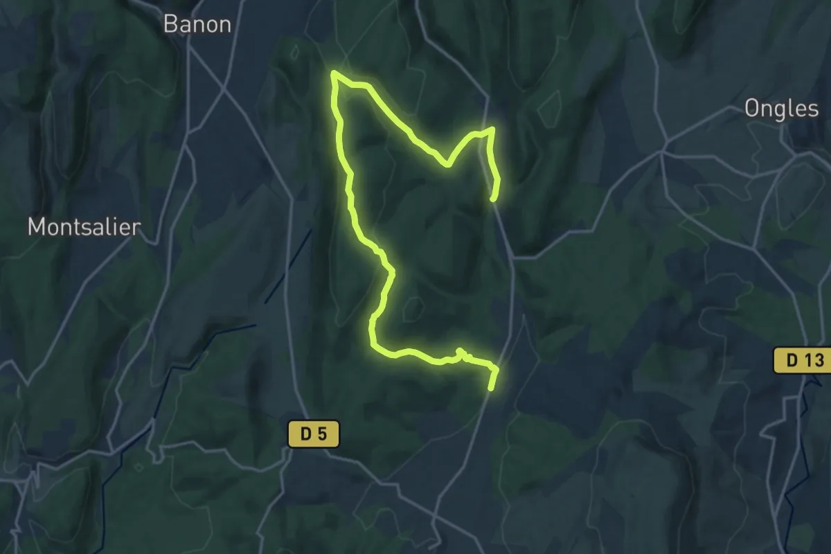
Medium · Trail
Le Grand Gubian
10.7 km · ↑ 243 m · 3 h 13 min
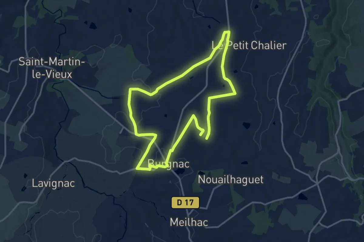
Medium · Trail
Le Grand Itinéraire
10.8 km · ↑ 127 m · 2 h 58 min
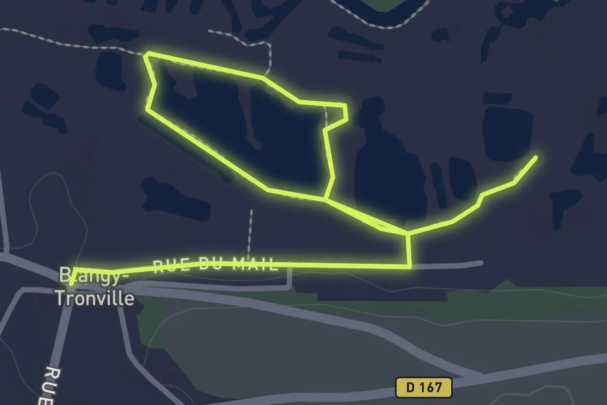
Easy · Trail
Le Grand Marais de la Queue
4.1 km · ↑ 0 m · 58 min
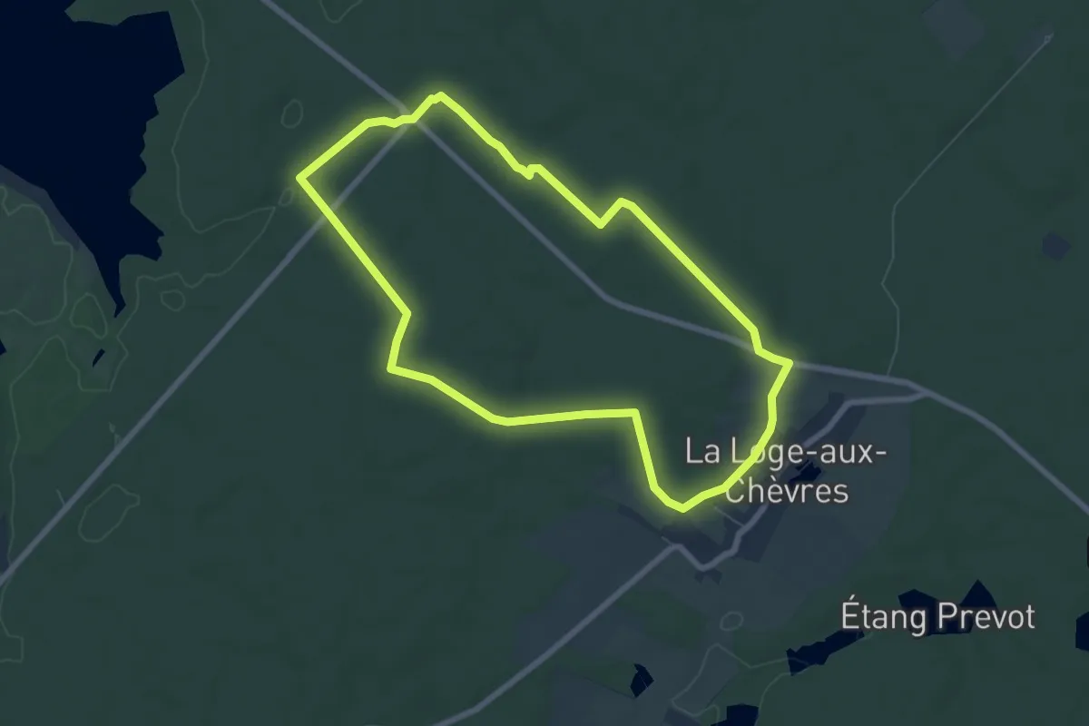
Easy · Trail
Le Grand Orient
6.6 km · ↑ 75 m · 1 h 48 min
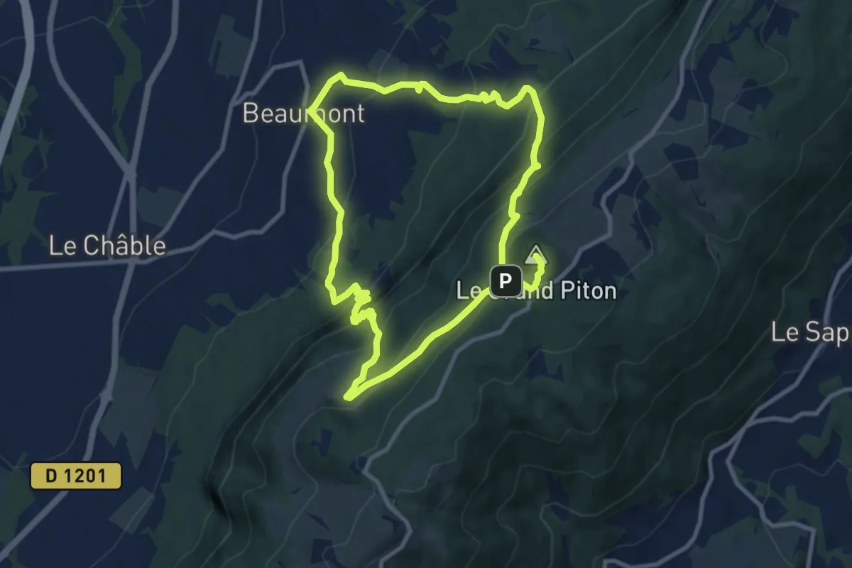
Demanding · Summit
Le Grand Piton, point culminant du Salève
16.9 km · ↑ 1256 m · 6 h 43 min
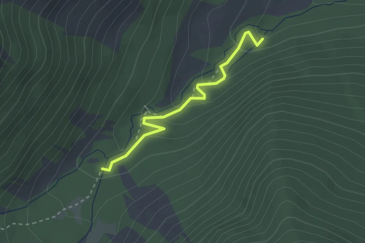
Easy · Trail
Le Grand Pré - ?
2.3 km · ↑ 111 m · 47 min
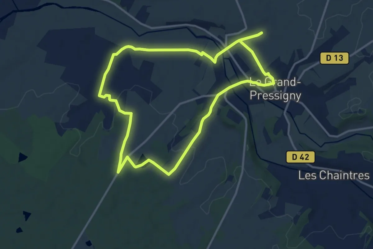
Medium · Trail
Le-Grand-Pressigny - Entre prés et histoire
9.0 km · ↑ 98 m · 2 h 28 min
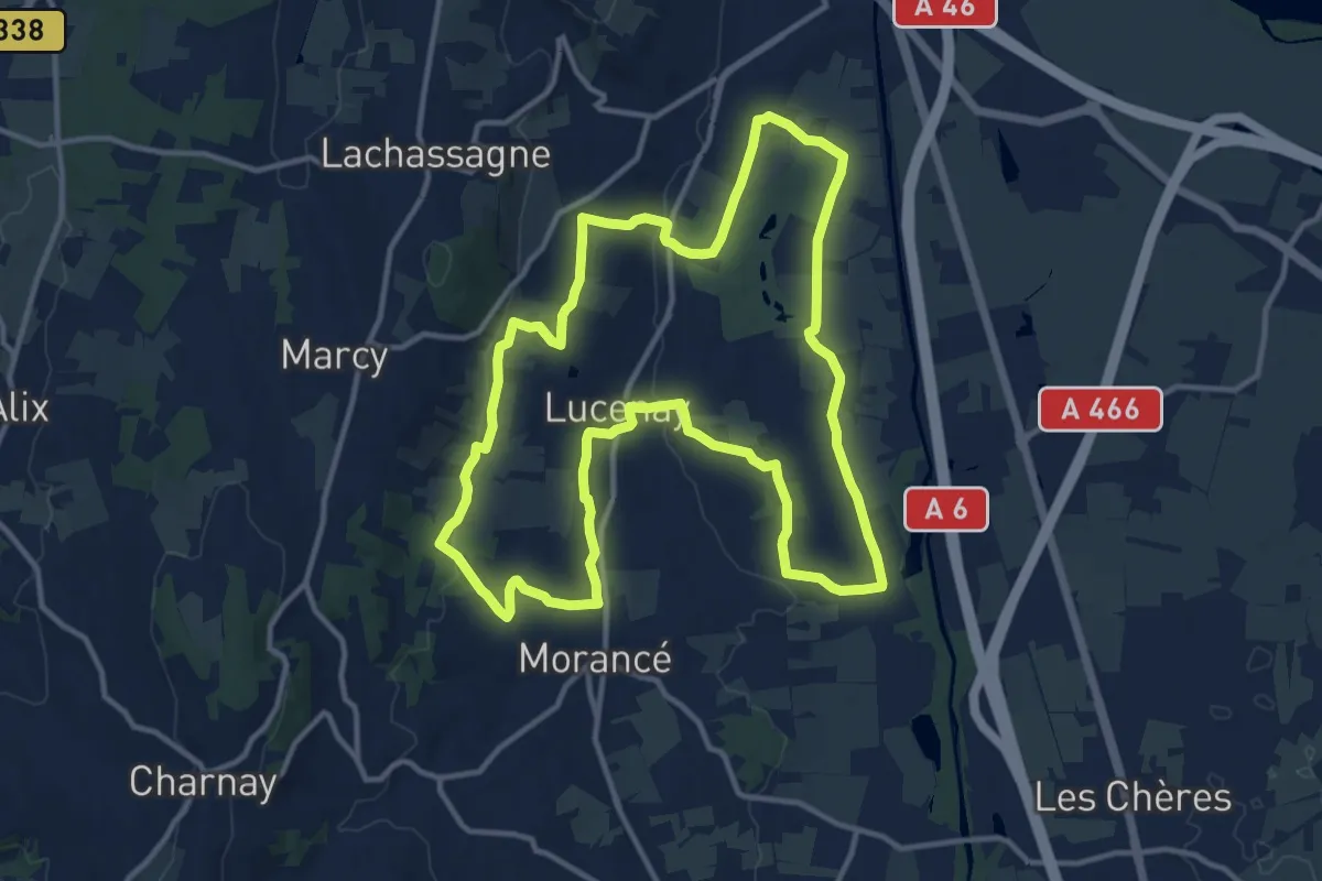
Medium · Trail
Le Grand Tour
13.5 km · ↑ 160 m · 3 h 44 min
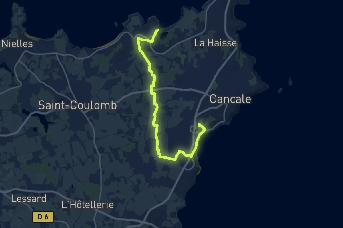
Medium · Trail
Le grand tour de Cancale
14.7 km · ↑ 127 m · 3 h 45 min
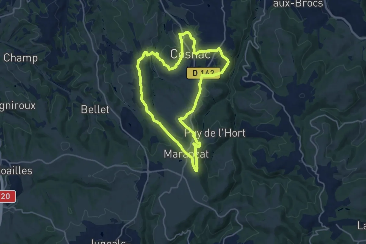
Medium · Trail
Le grand tour de Cosnac
13.1 km · ↑ 328 m · 3 h 58 min
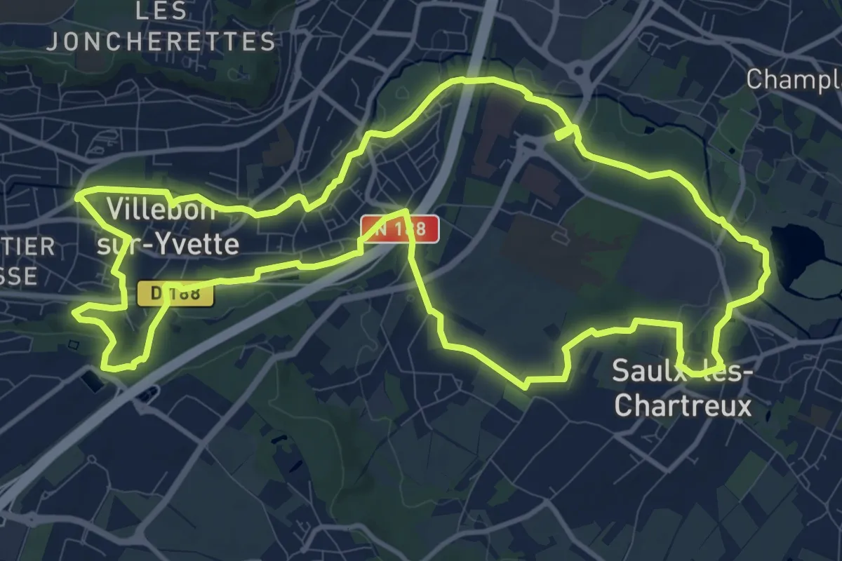
Medium · Trail
Le Grand Tour de Villebon
12.5 km · ↑ 151 m · 3 h 27 min
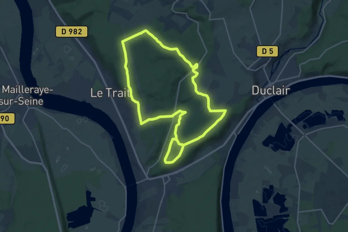
Medium · Trail
Le Grand Tour du Trait
13.8 km · ↑ 326 m · 4 h 9 min
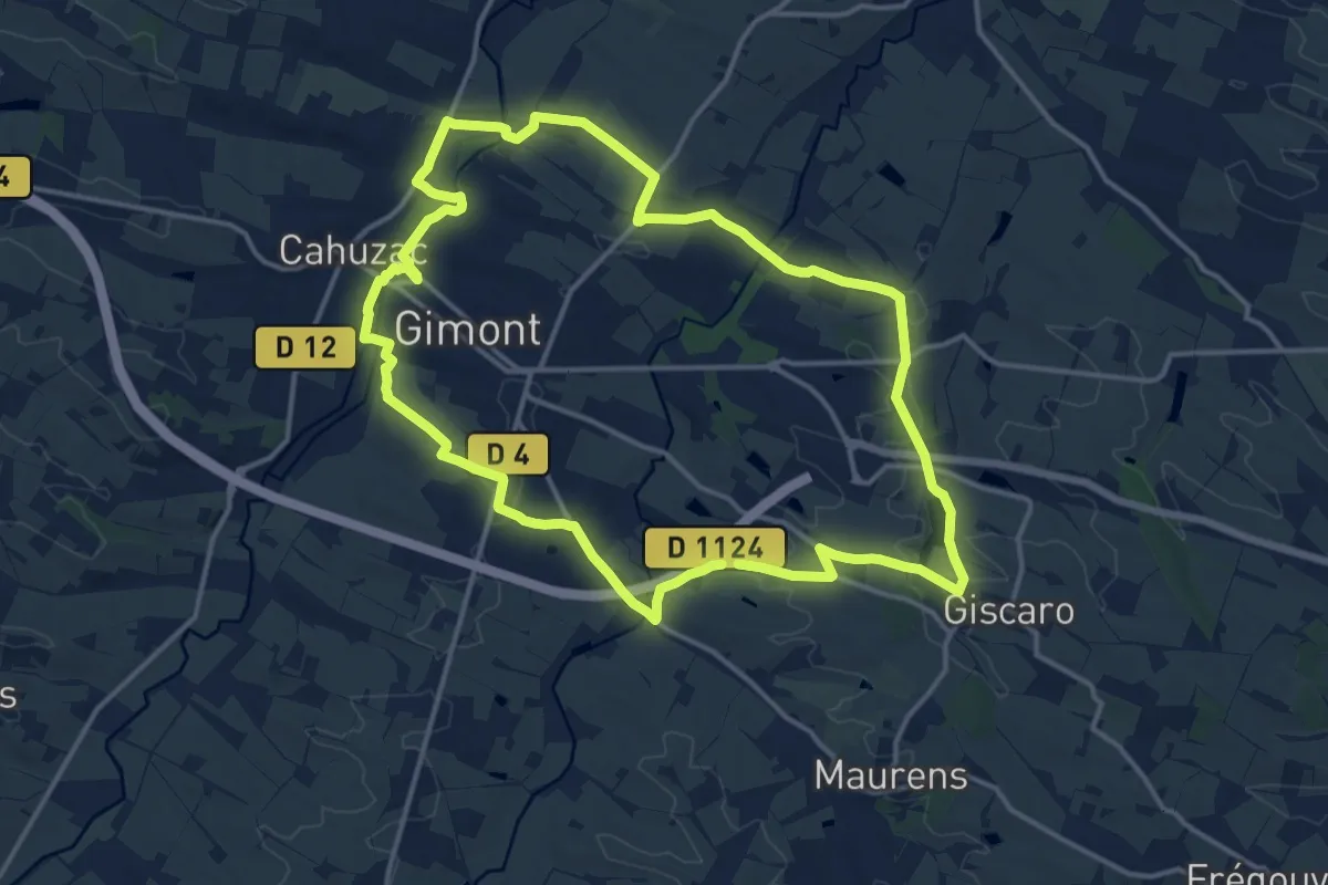
Medium · Trail
Le Grand Tour par Giscaro
15.8 km · ↑ 189 m · 4 h 21 min
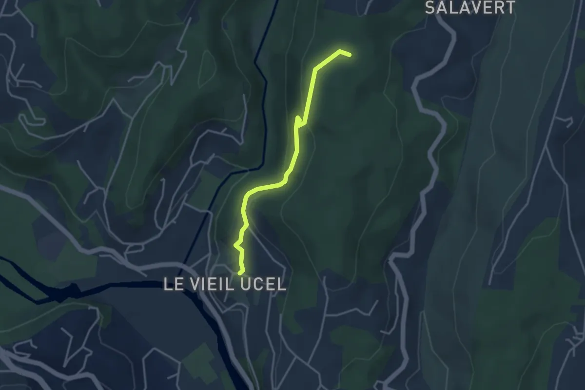
Easy · Trail
Le Grand Village - Les Clos
3.0 km · ↑ 166 m · 1 h 5 min
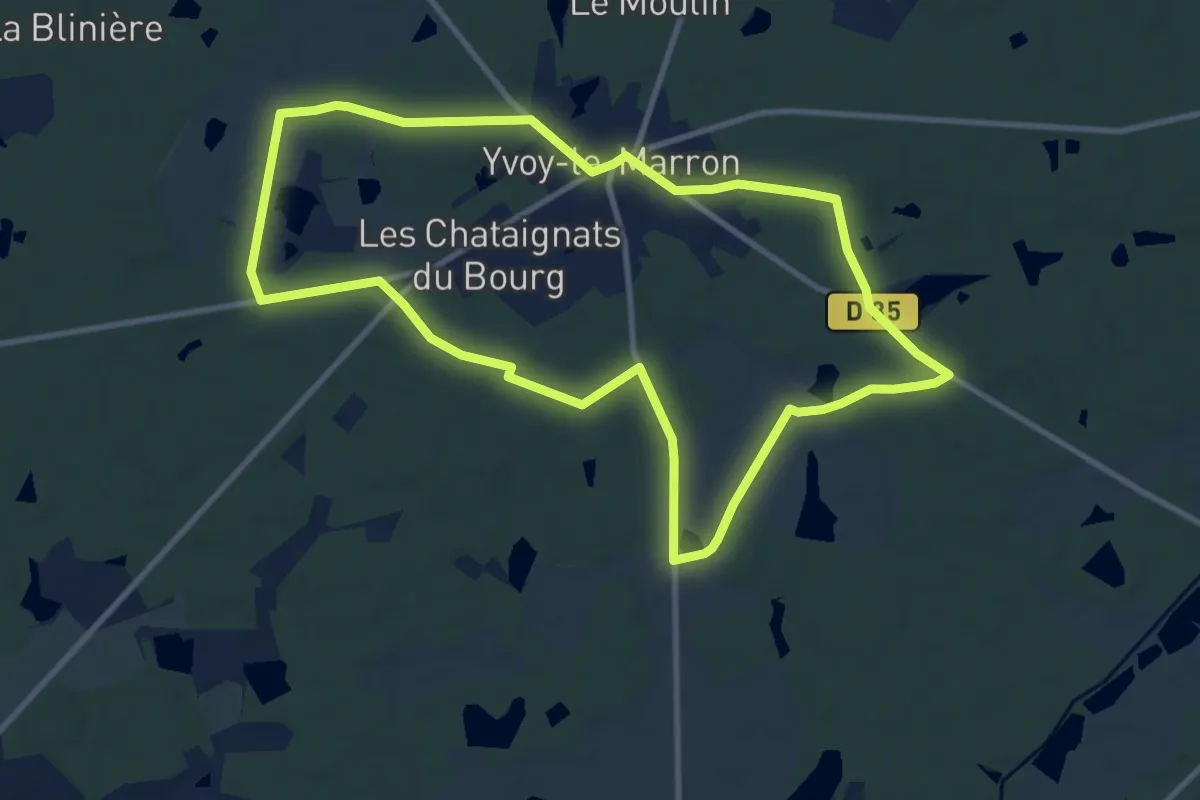
Medium · Trail
Le Grand Villedy
10.2 km · ↑ 63 m · 2 h 41 min
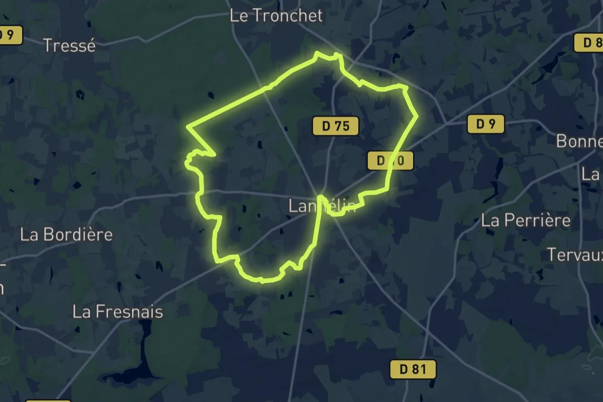
Medium · Trail
Le Granit Bleu
14.5 km · ↑ 83 m · 3 h 48 min
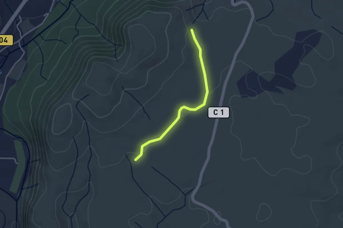
Easy · Trail
Le Gras - La Drayette
2.8 km · ↑ 19 m · 41 min
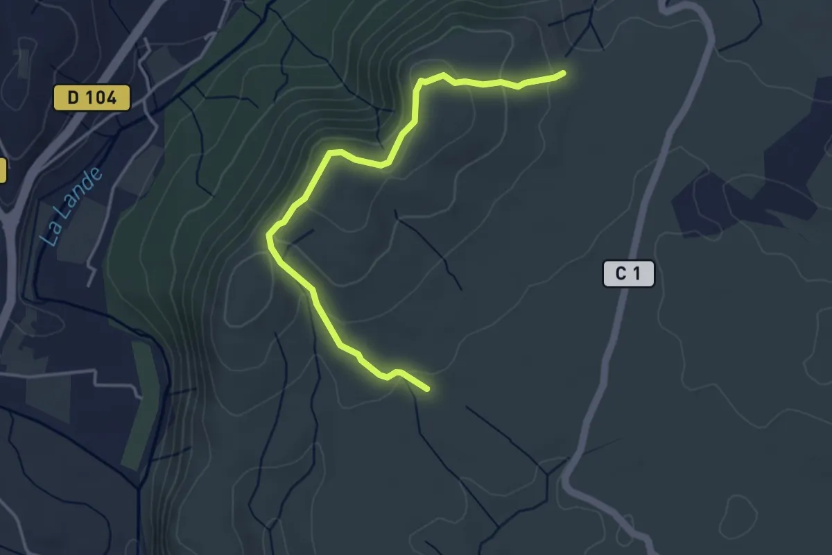
Easy · Trail
Le Gras - La Drayette
4.2 km · ↑ 172 m · 1 h 21 min
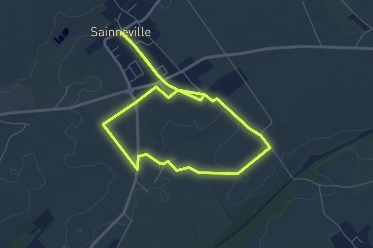
Easy · Trail
Le Grénesé
4.9 km · ↑ 17 m · 1 h 15 min
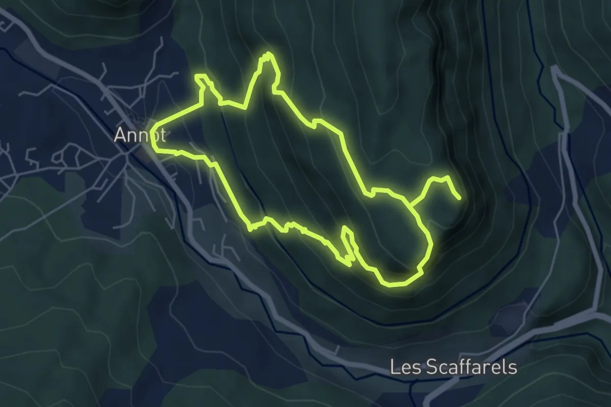
Medium · Trail
Le Grès d'Annot
5.3 km · ↑ 429 m · 2 h 15 min
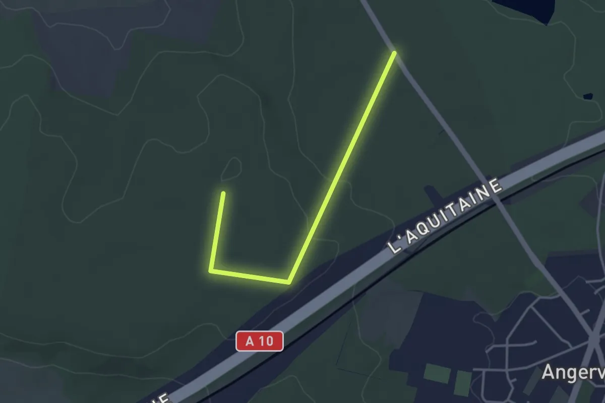
Easy · Trail
Le Gros Chêne
3.3 km · ↑ 40 m · 52 min
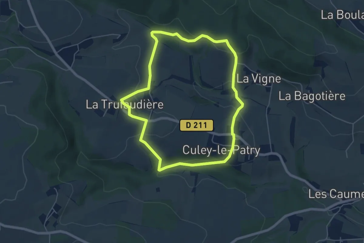
Easy · Trail
Le Gros Hêtre
4.6 km · ↑ 155 m · 1 h 29 min
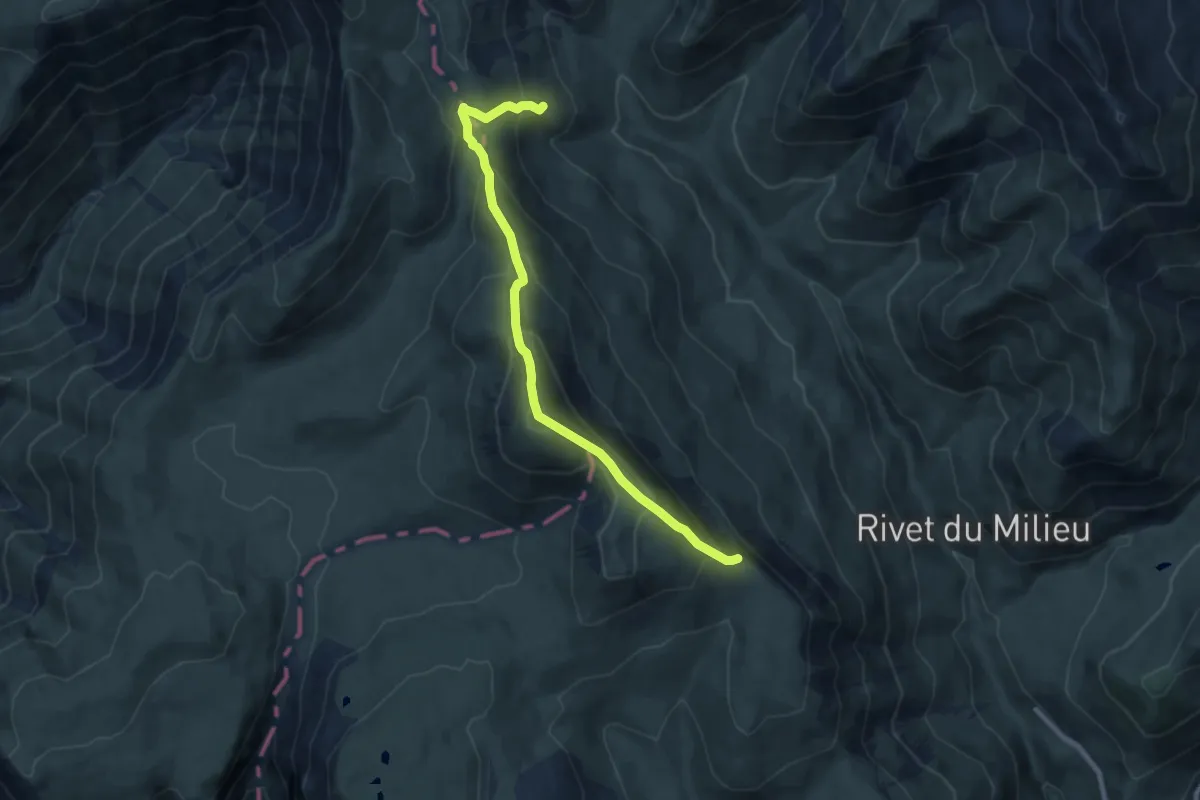
Medium · Summit
Le Gros Têt
4.6 km · ↑ 431 m · 2 h
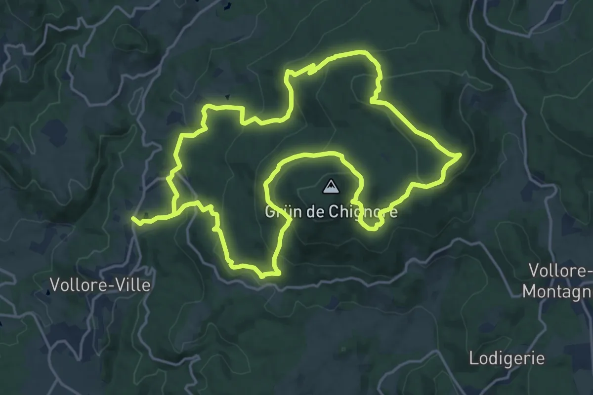
Medium · Trail
Le Grun de Chignore
15.1 km · ↑ 677 m · 5 h 15 min
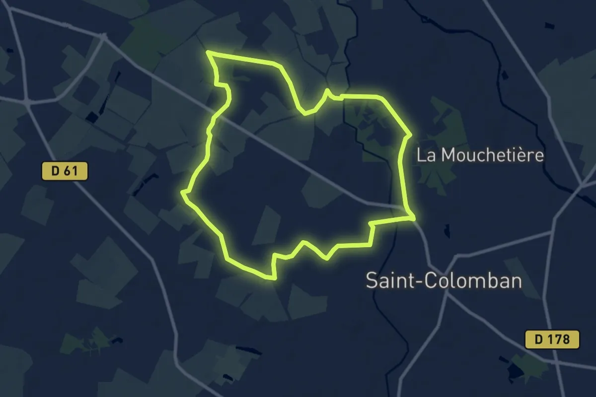
Easy · Trail
Le Gué de la Logne
8.0 km · ↑ 31 m · 2 h 3 min
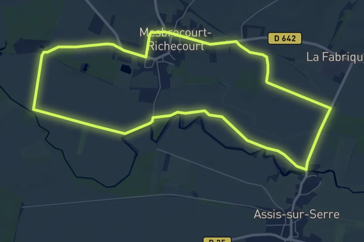
Easy · Trail
Le Gué des Romains
7.2 km · ↑ 5 m · 1 h 48 min
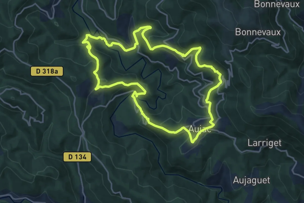
Medium · Trail
Le gué d'Hiverne
12.5 km · ↑ 533 m · 4 h 17 min