Trails in France
15,926 hiking trails, each with its route, climb, walking time and grade.
All trails, page 164 of 332
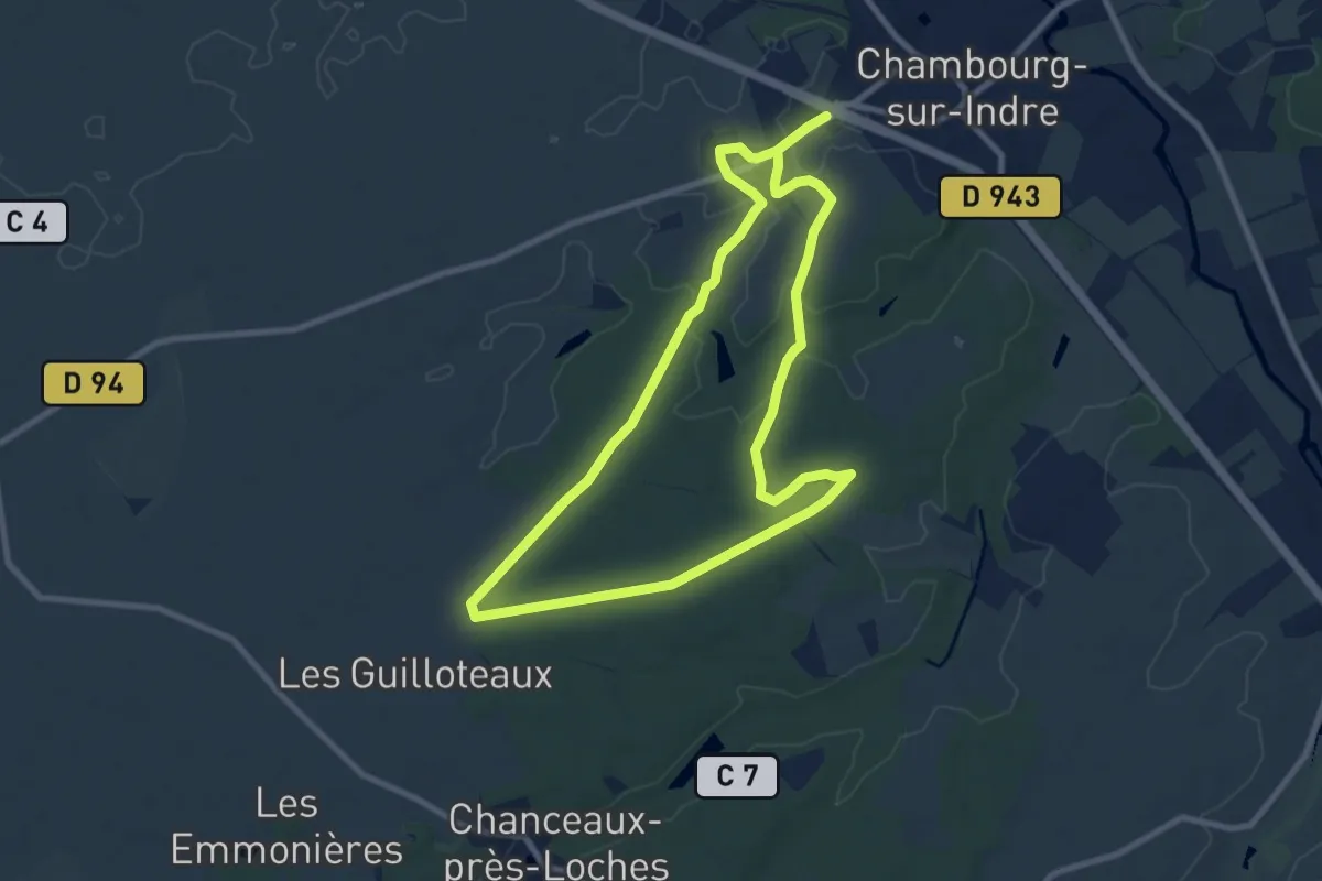
Medium · Trail
Le Gué du Grain
17.2 km · ↑ 102 m · 4 h 17 min
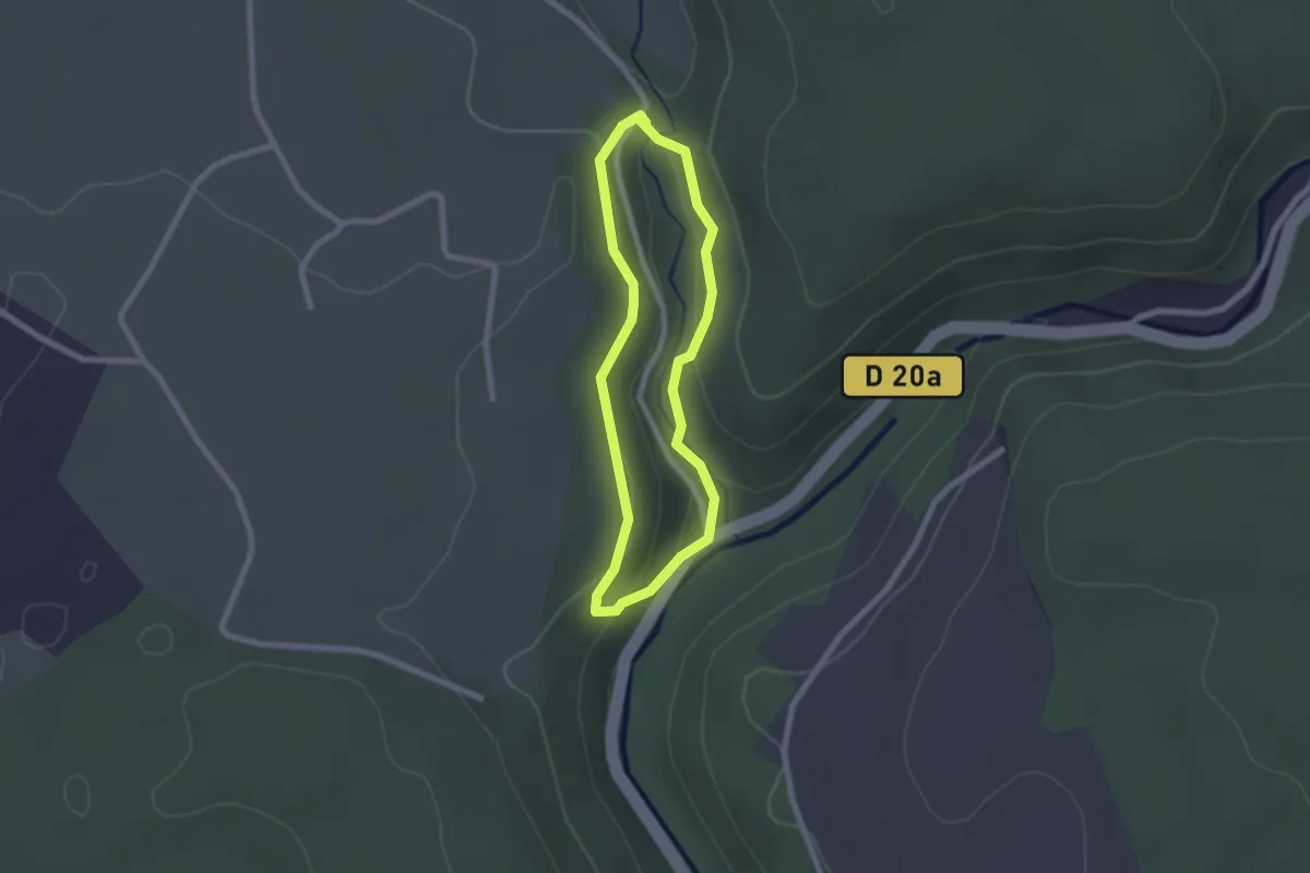
Easy · Trail
Le Gué du Saut (grande boucle)
1.8 km · ↑ 68 m · 37 min
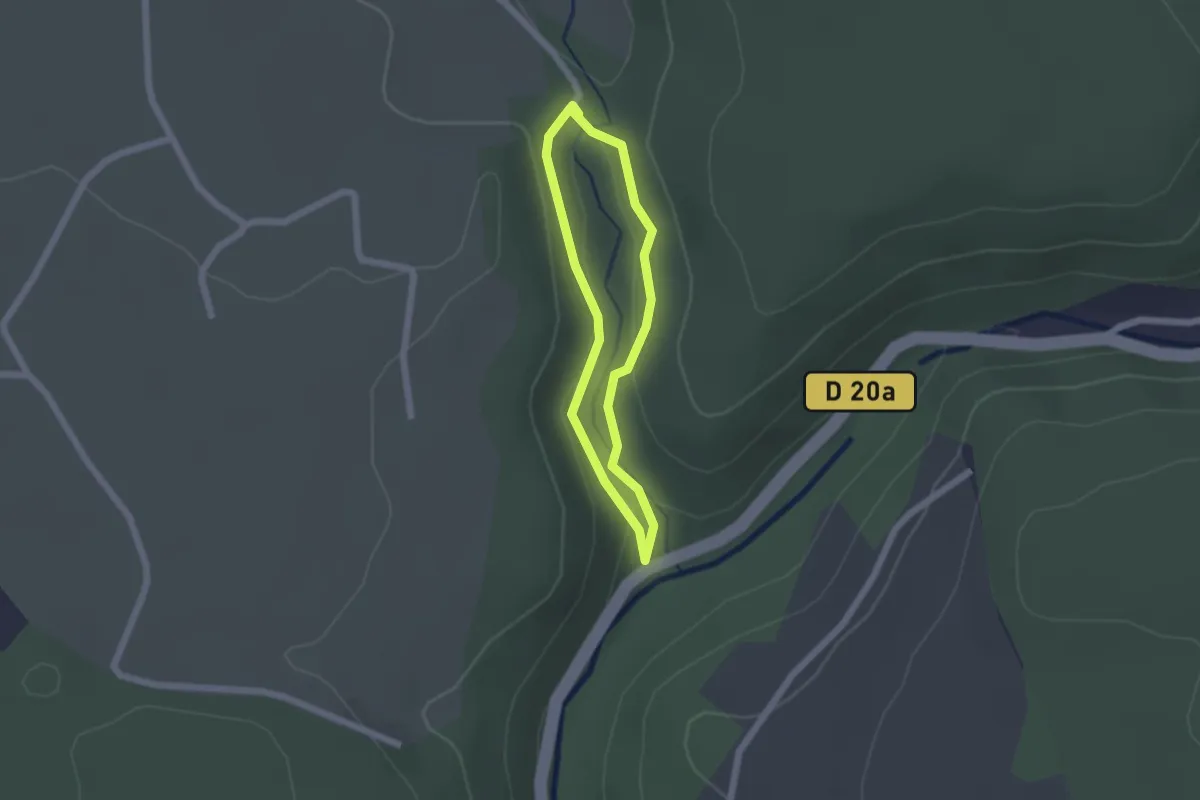
Easy · Trail
Le Gué du Saut (petite boucle)
1.5 km · ↑ 51 m · 29 min
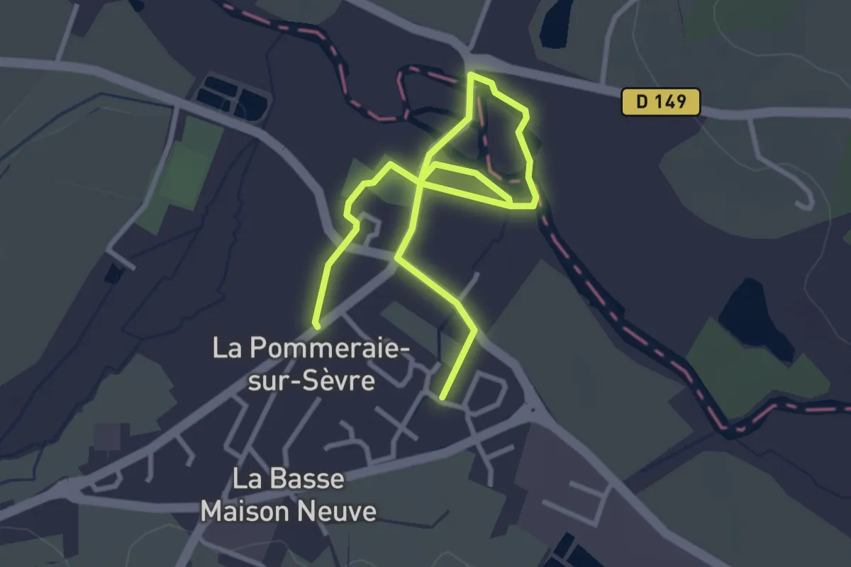
Easy · Trail
Le Gué Viaud
4.4 km · ↑ 8 m · 1 h 4 min
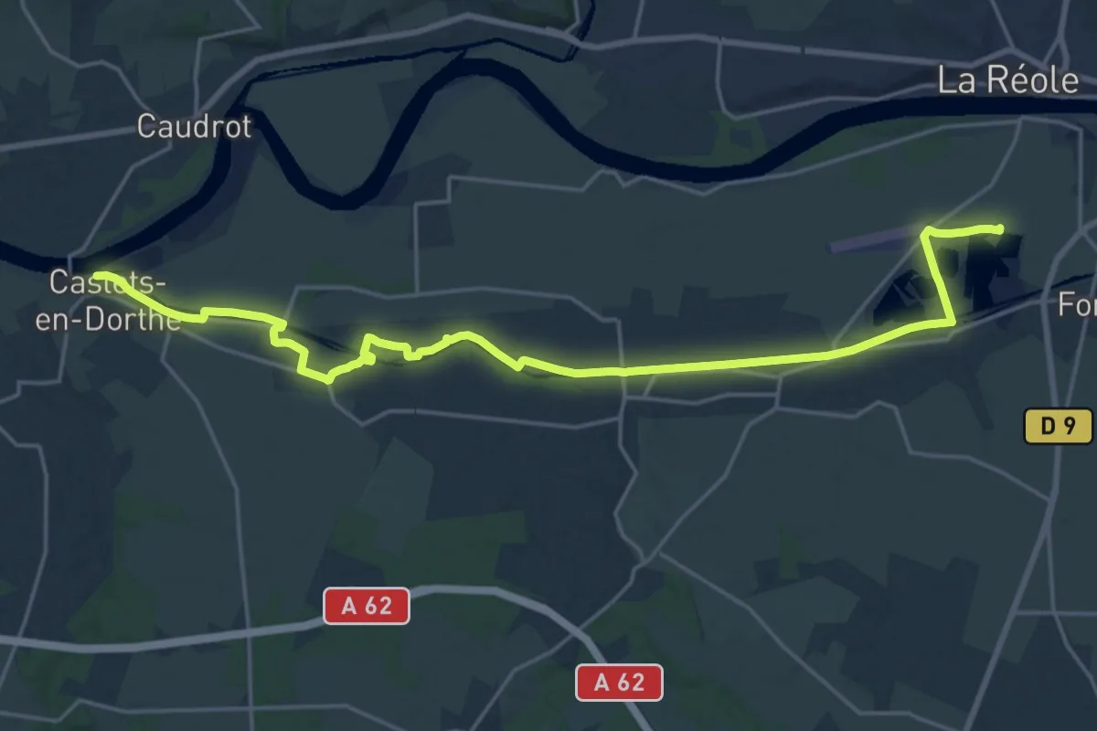
Demanding · Trail
Le Halage : circuit départemental
23.6 km · ↑ 202 m · 6 h
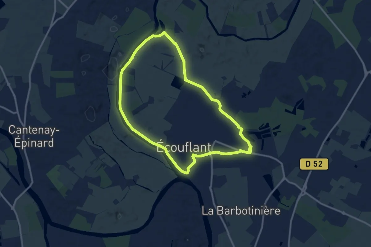
Medium · Trail
Le halage de la Sarthe et Sablières
8.2 km · ↑ 8 m · 2 h 4 min
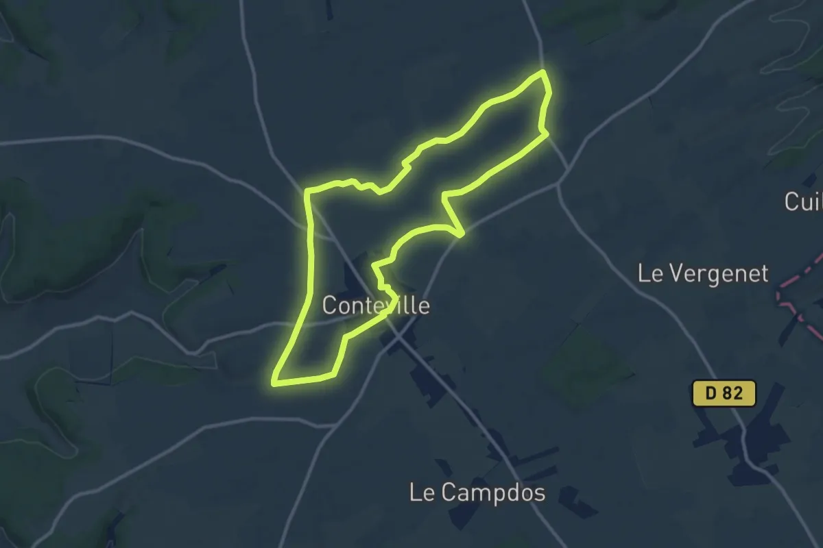
Medium · Trail
Le Hallegouche
10.1 km · ↑ 21 m · 2 h 34 min
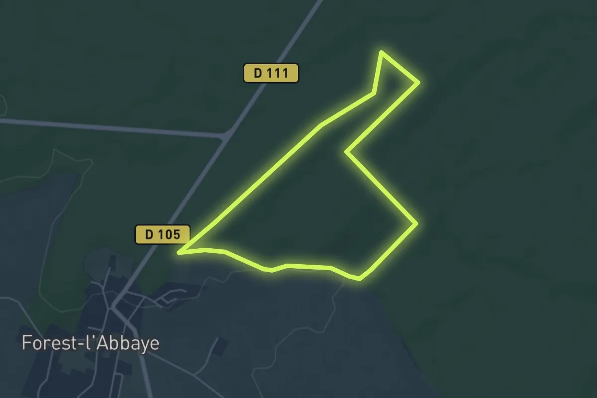
Easy · Trail
Le Hallot
4.3 km · ↑ 21 m · 1 h 8 min
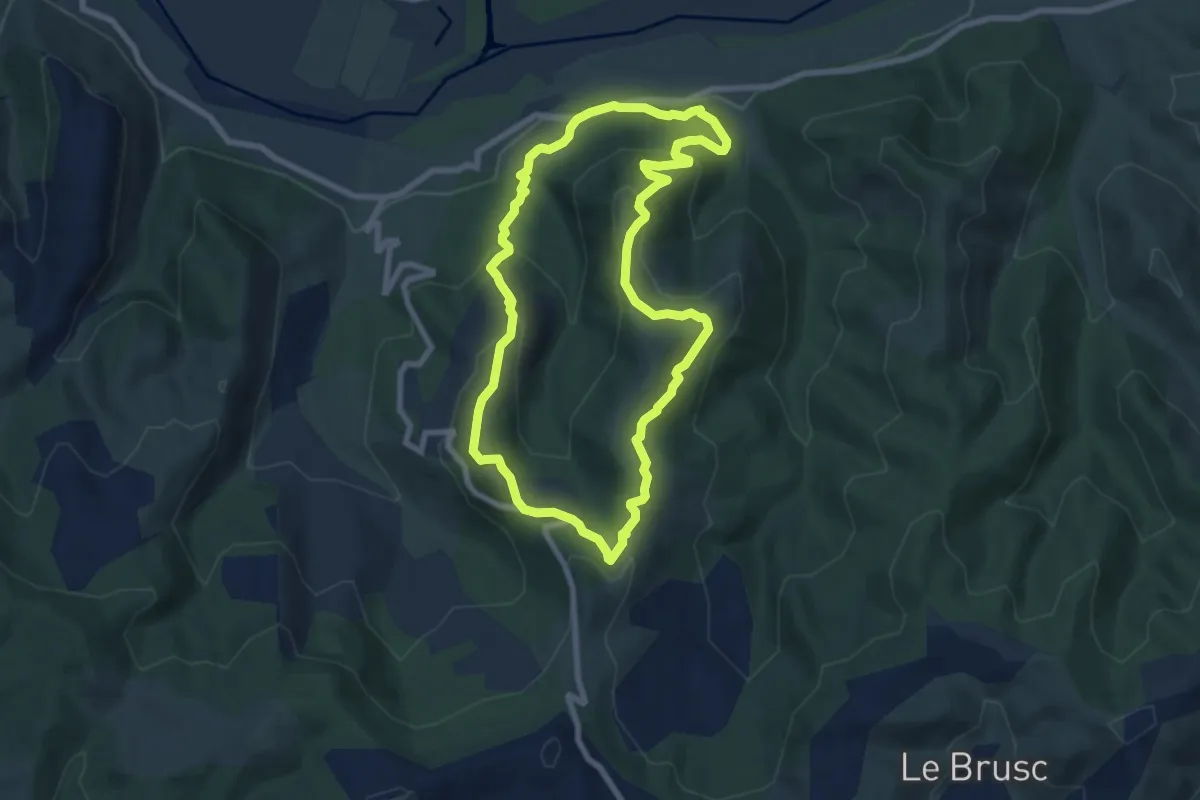
Easy · Trail
Le Hameau d'Espinouse
7.7 km · ↑ 317 m · 2 h 36 min
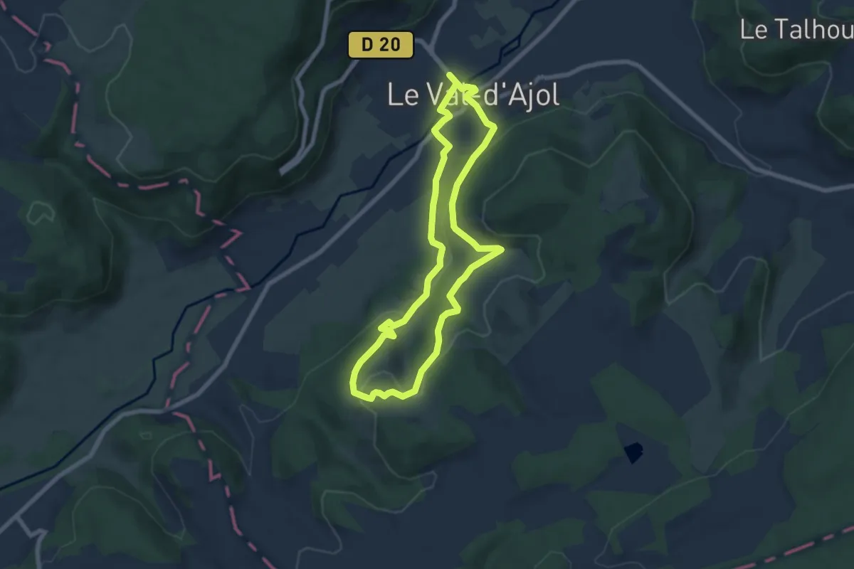
Easy · Trail
Le Haut de Bellevue
6.2 km · ↑ 204 m · 1 h 59 min
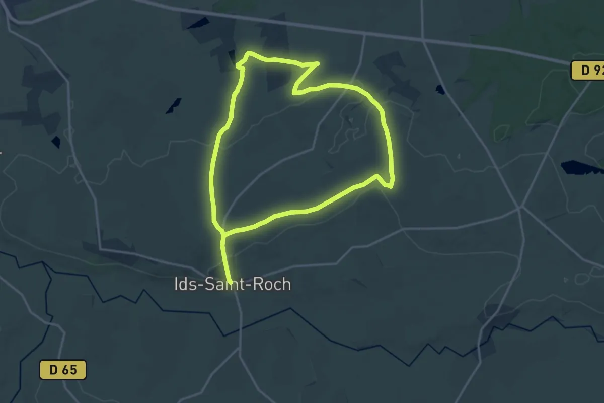
Medium · Trail
Le Haut de la Côte
13.7 km · ↑ 107 m · 3 h 40 min
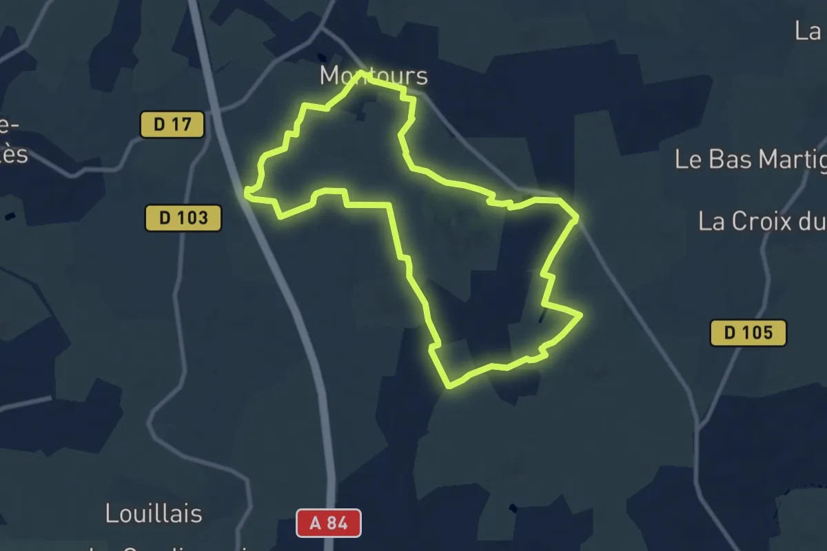
Medium · Trail
Le Haut des Échelles
8.4 km · ↑ 76 m · 2 h 16 min
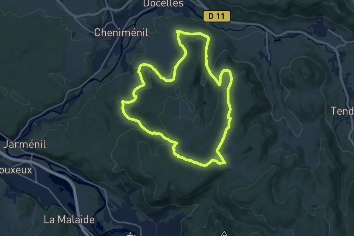
Medium · Trail
Le haut du bois
12.4 km · ↑ 462 m · 4 h 5 min
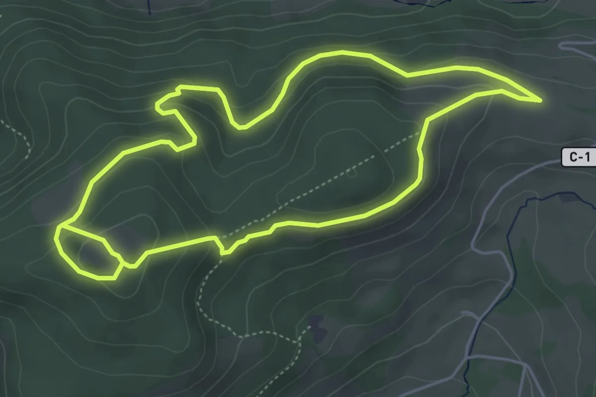
Medium · Trail
Le Haut du Roc
4.8 km · ↑ 183 m · 1 h 37 min
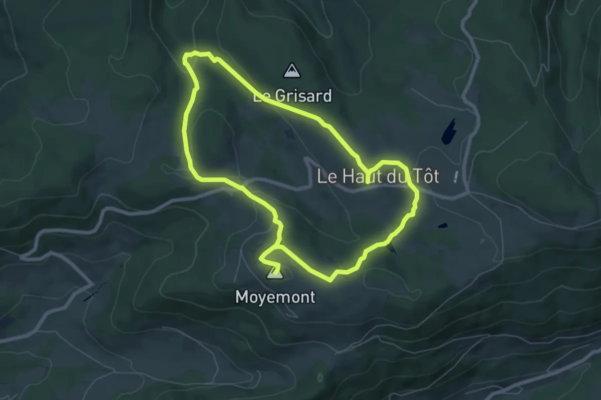
Easy · Summit
Le Haut-du-Tôt et sa cascade
6.0 km · ↑ 169 m · 1 h 52 min
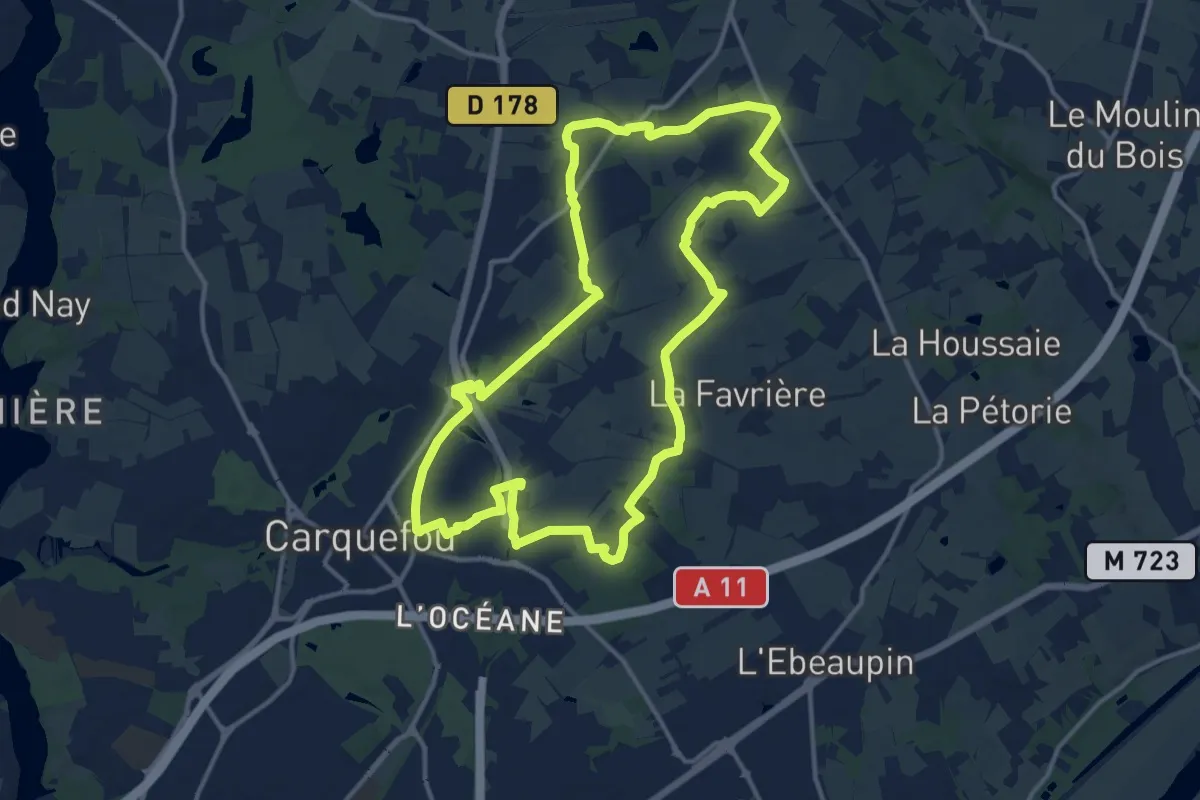
Medium · Trail
Le Haut Pays
14.2 km · ↑ 92 m · 3 h 45 min
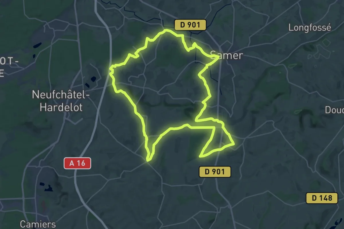
Demanding · Summit
Le Haut Pichon
28.1 km · ↑ 388 m · 7 h 52 min
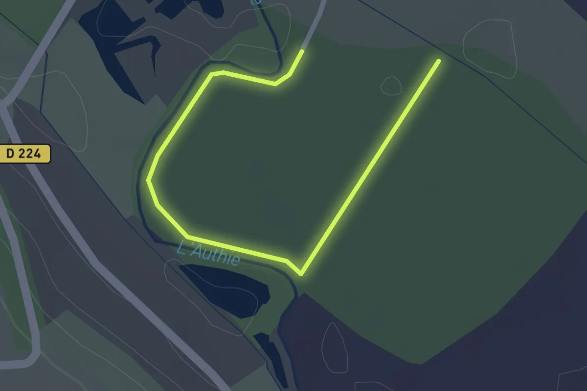
Easy · Trail
Le Haut Pont
1.2 km · ↑ 0 m · 18 min
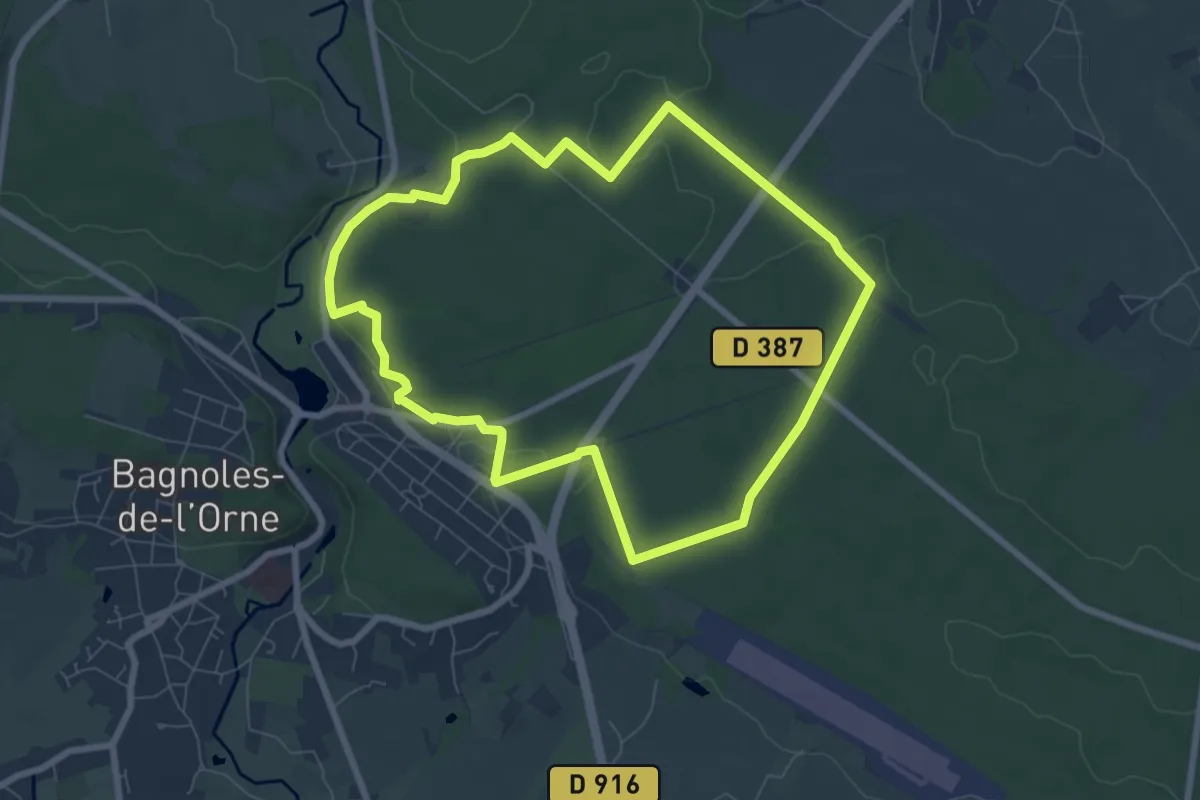
Easy · Trail
Le Hêtre de la Vierge
7.0 km · ↑ 95 m · 1 h 57 min
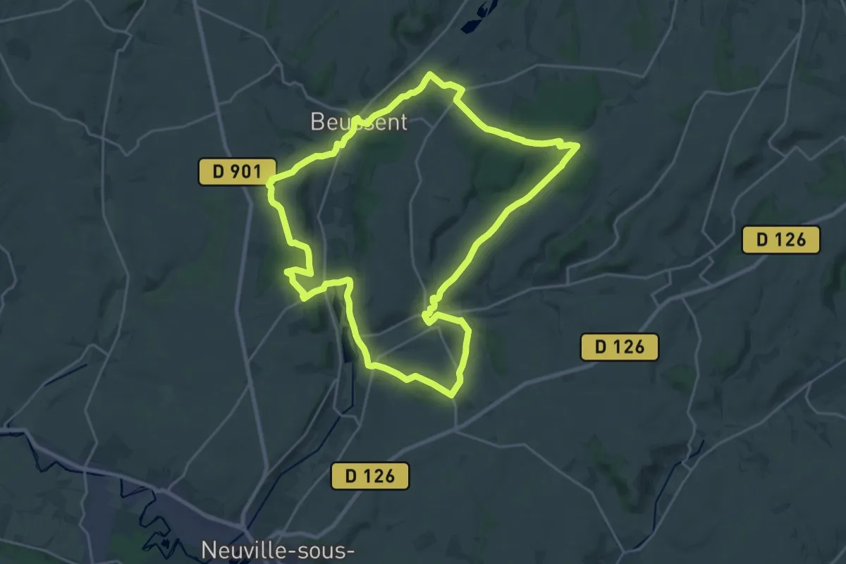
Demanding · Trail
Le Honlieu
21.0 km · ↑ 324 m · 5 h 56 min
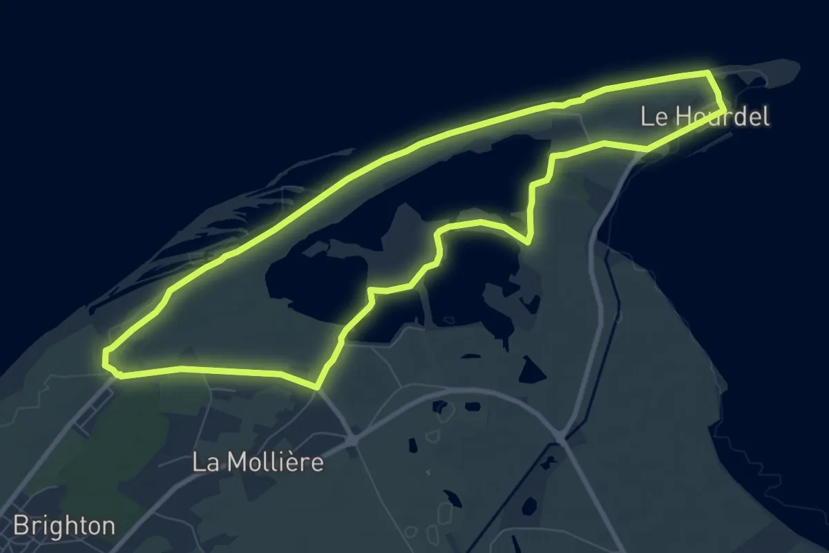
Medium · Trail
Le Hourdel
8.1 km · ↑ 4 m · 2 h 3 min
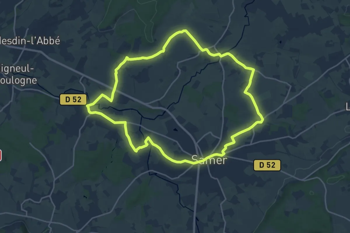
Medium · Trail
Le Hourquet
14.1 km · ↑ 138 m · 3 h 50 min
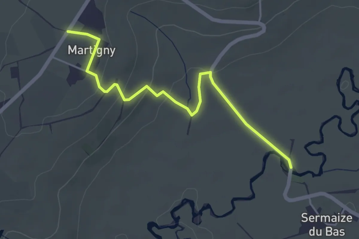
Easy · Trail
Le"huit" du Val d'Arconce
4.2 km · ↑ 105 m · 1 h 14 min
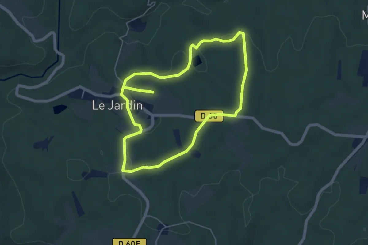
Easy · Trail
Le Jardin Bourg
4.3 km · ↑ 66 m · 1 h 14 min
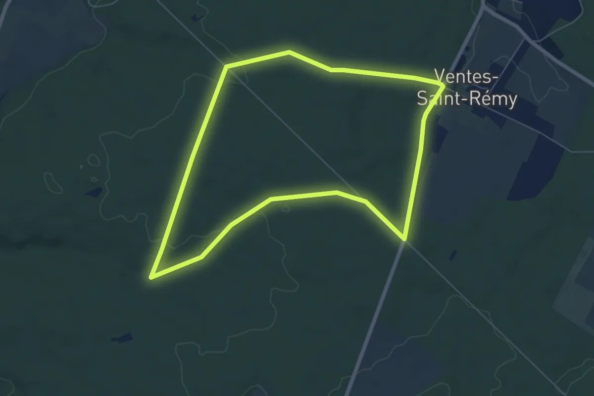
Easy · Trail
Le Jardin du Roi de Rome
6.0 km · ↑ 76 m · 1 h 39 min
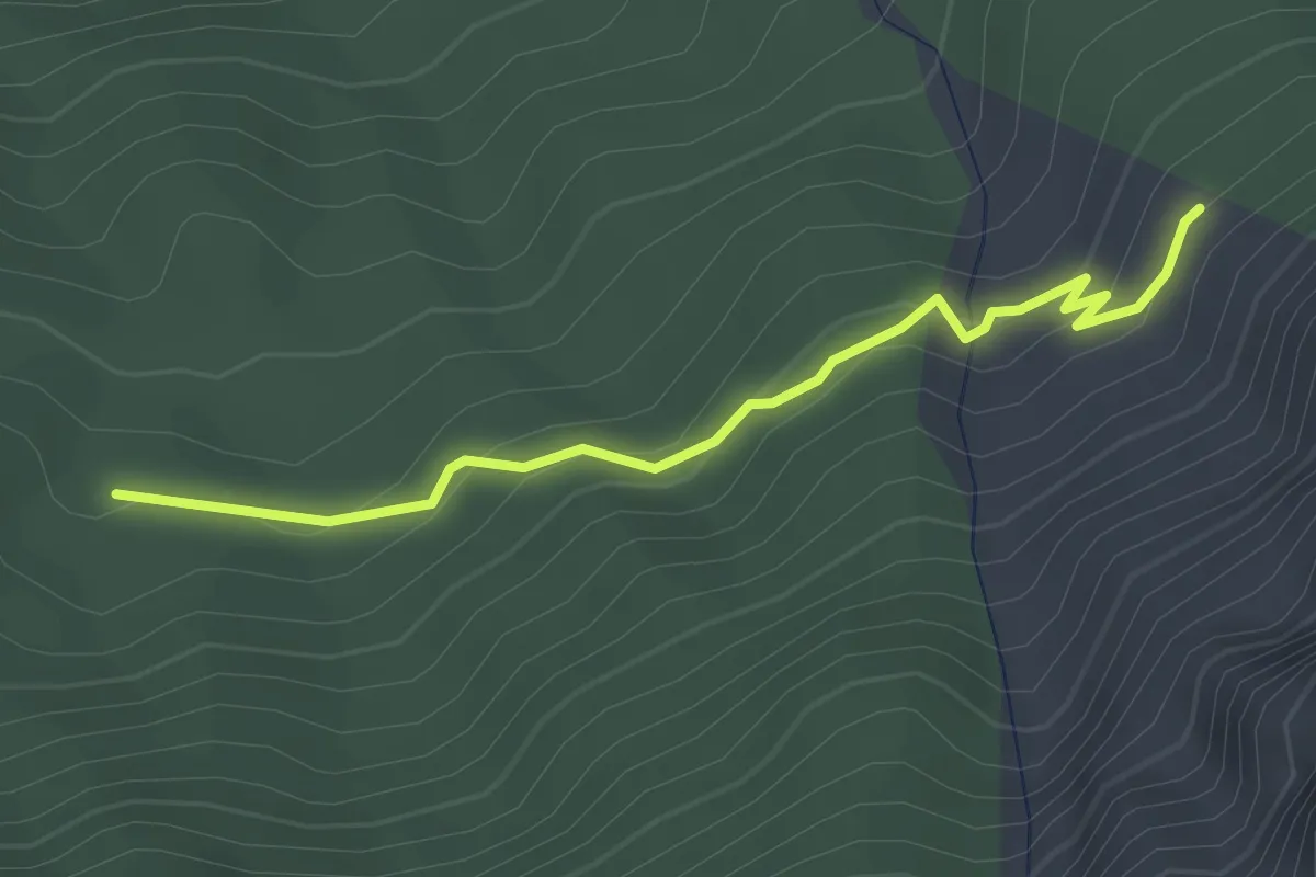
Easy · Trail
Le Jas du Vial - Pra Mia
3.0 km · ↑ 149 m · 1 h 1 min
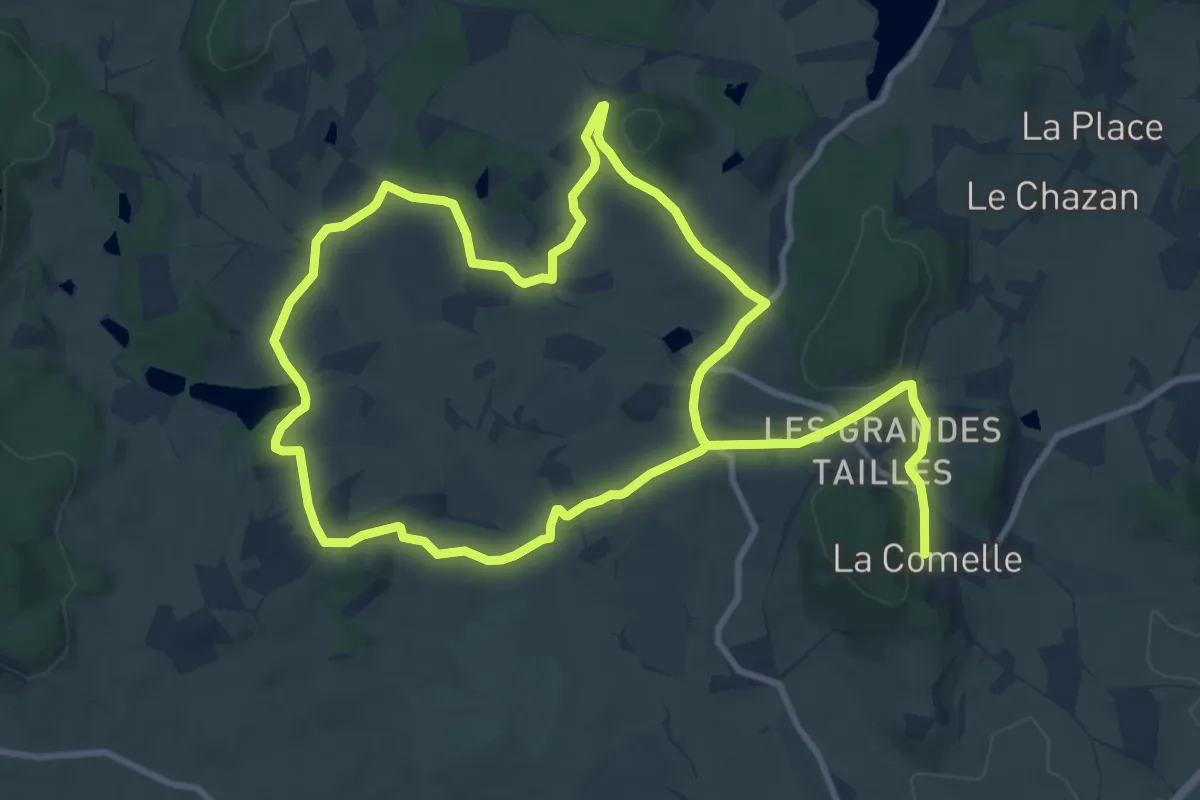
Medium · Trail
Le Jeu et les Moulins
9.9 km · ↑ 164 m · 2 h 50 min
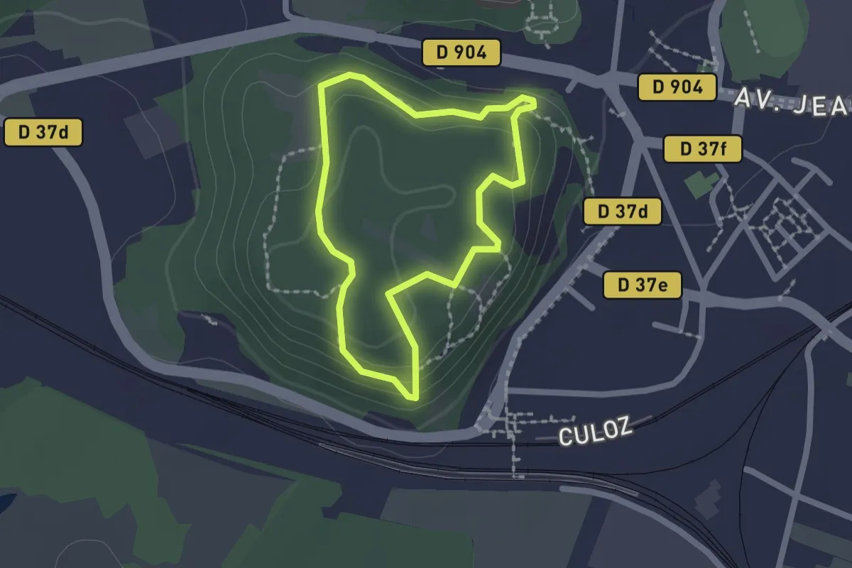
Easy · Trail
Le Jugeant
1.6 km · ↑ 76 m · 34 min
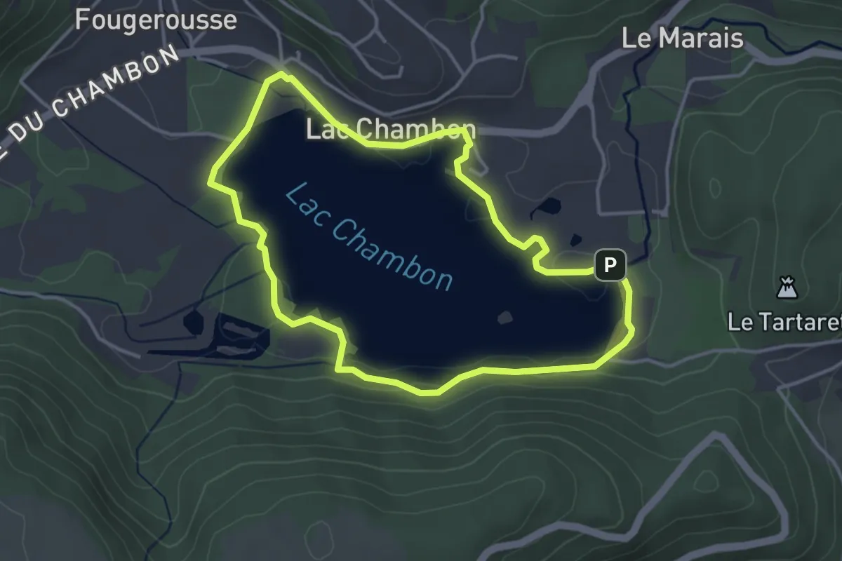
Easy · Trail
Le Lac Chambon
3.6 km · ↑ 10 m · 56 min
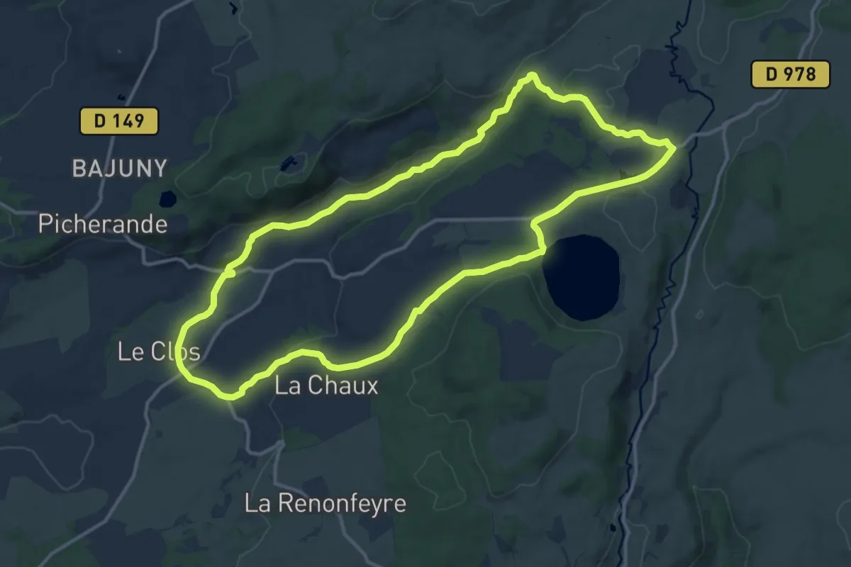
Medium · Trail
Le Lac Chauvet
13.2 km · ↑ 231 m · 3 h 48 min
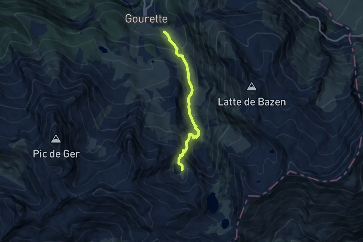
Medium · Trail
Le Lac d'Anglas
3.6 km · ↑ 5 m · 1 h 15 min
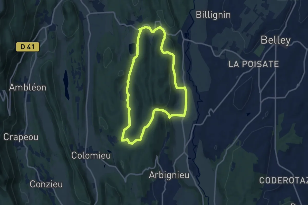
Medium · Trail
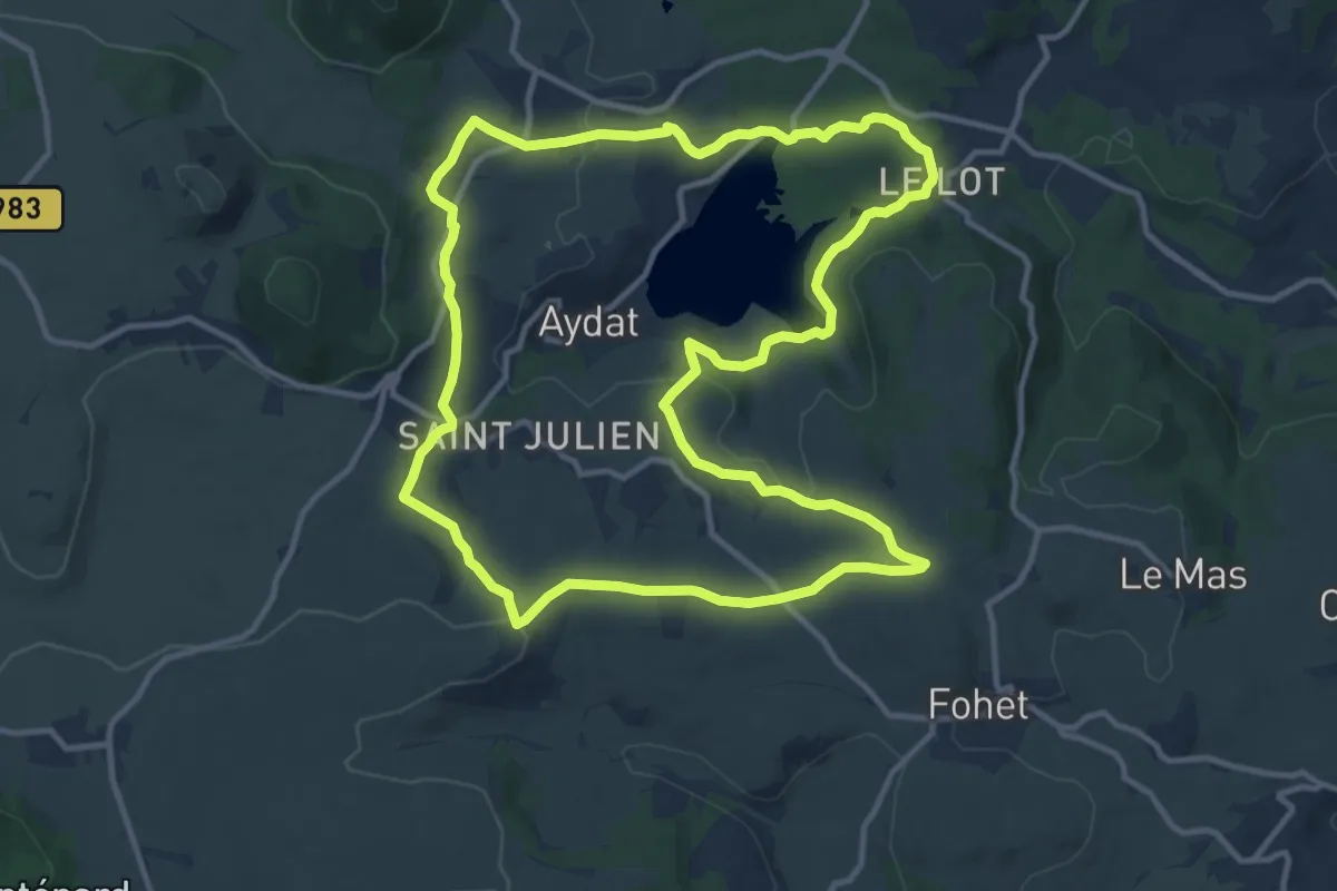
Le lac d'Armaille
9.2 km · ↑ 238 m · 2 h 49 min
Medium · Trail
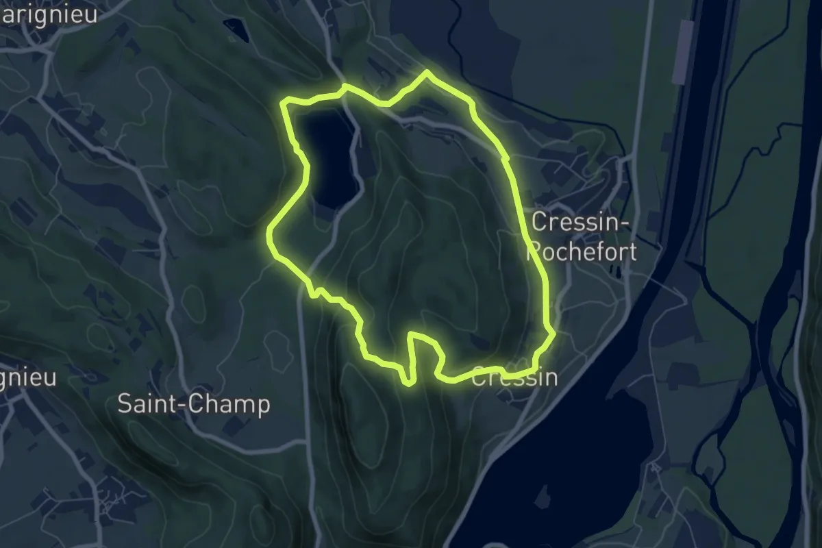
Le Lac d'Aydat
12.8 km · ↑ 267 m · 3 h 47 min
Easy · Trail
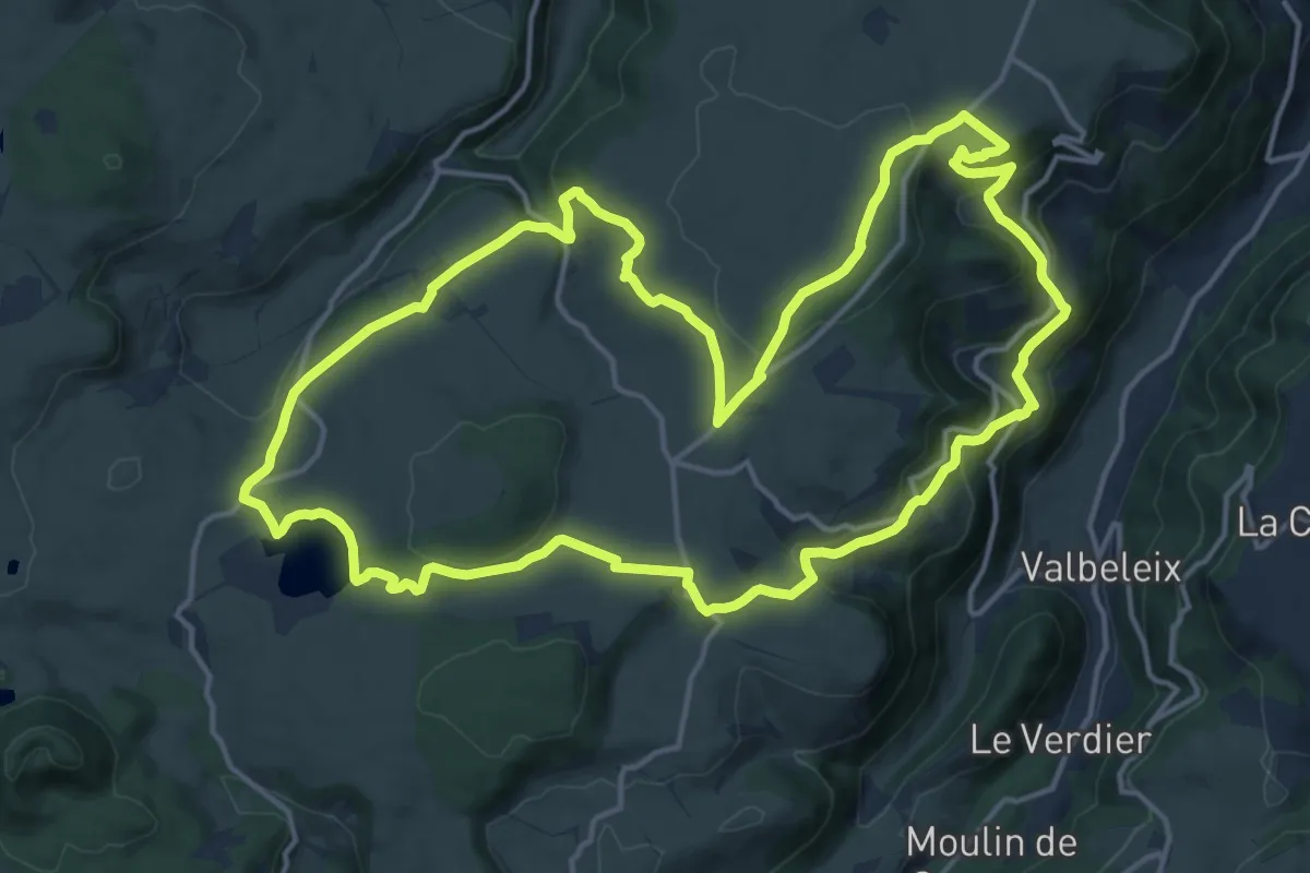
Le Lac de Barterand
7.1 km · ↑ 272 m · 2 h 23 min
Medium · Trail
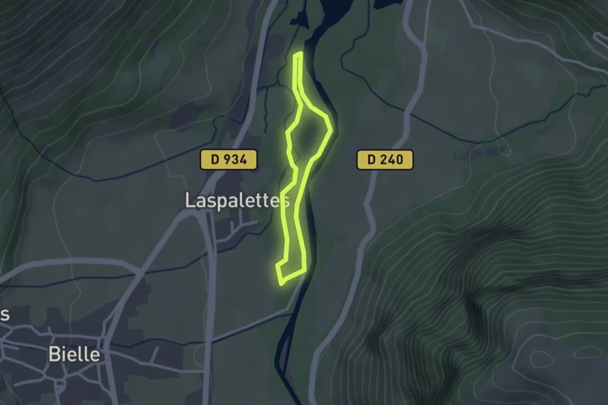
Le Lac de Bourdouze
17.4 km · ↑ 440 m · 5 h 18 min
Easy · Trail
Le lac de Castet
2.0 km · ↑ 5 m · 31 min
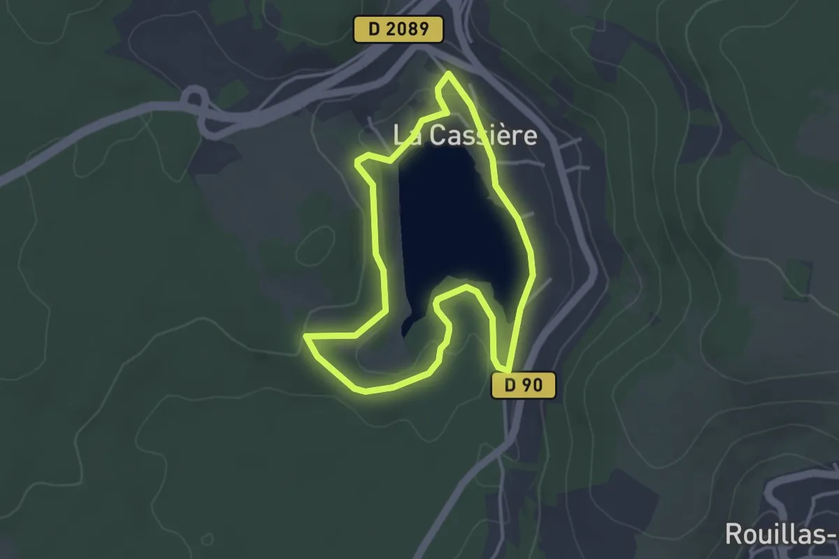
Easy · Trail
Le Lac de la Cassière
3.2 km · ↑ 72 m · 57 min
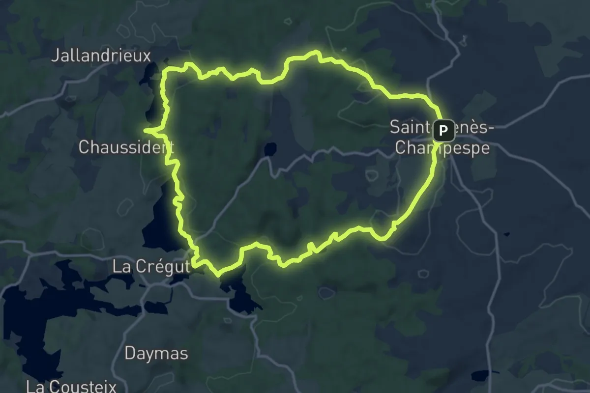
Medium · Cabin
Le Lac de la Crégut
13.9 km · ↑ 262 m · 4 h 2 min
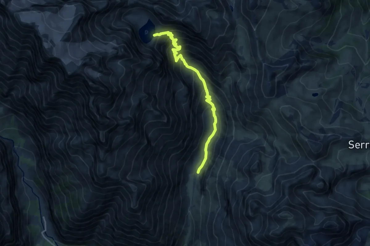
Demanding · Trail
Le lac de l'Eychauda
11.5 km · ↑ 825 m · 4 h 30 min
Medium · Trail
Le Lac de Monampteuil
10.2 km · ↑ 152 m · 2 h 53 min
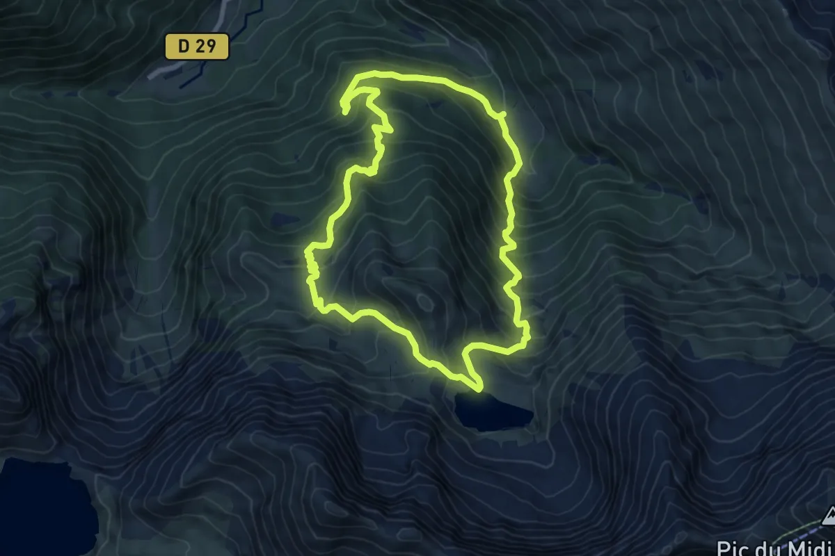
Medium · Trail
Le Lac de Peyrelade
7.5 km · ↑ 651 m · 3 h 17 min
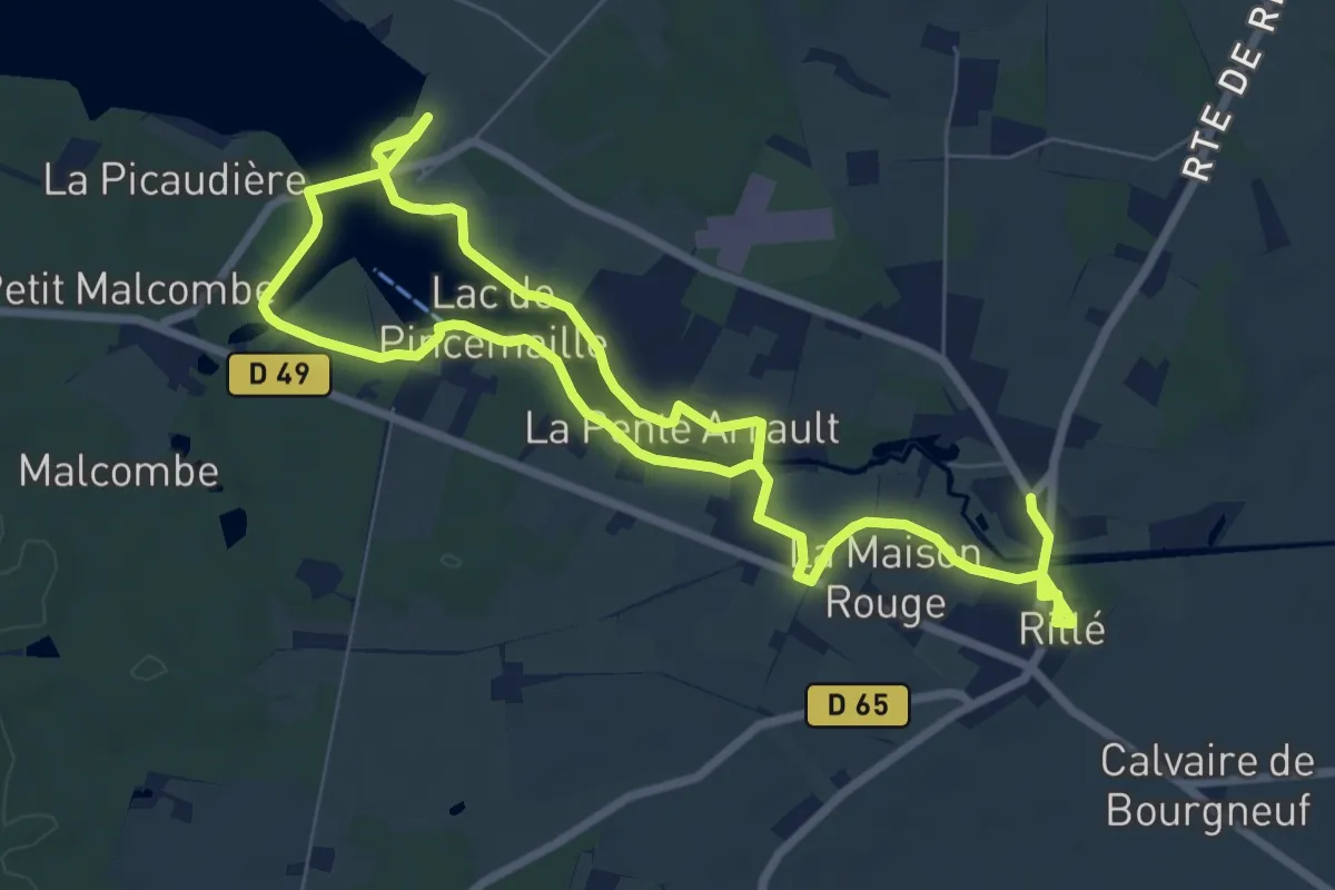
Easy · Trail
Le Lac de Rillé
6.3 km · ↑ 29 m · 1 h 39 min
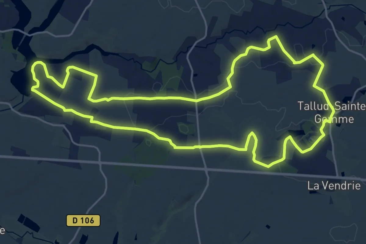
Medium · Trail
Le Lac de Rochereau
16.8 km · ↑ 150 m · 4 h 31 min
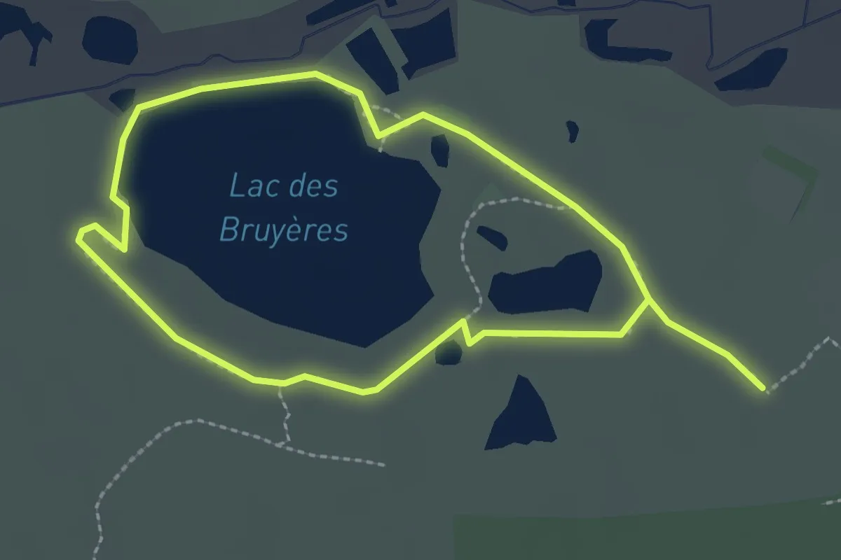
Easy · Trail
Le lac des Bruyères
2.1 km · ↑ 15 m · 33 min
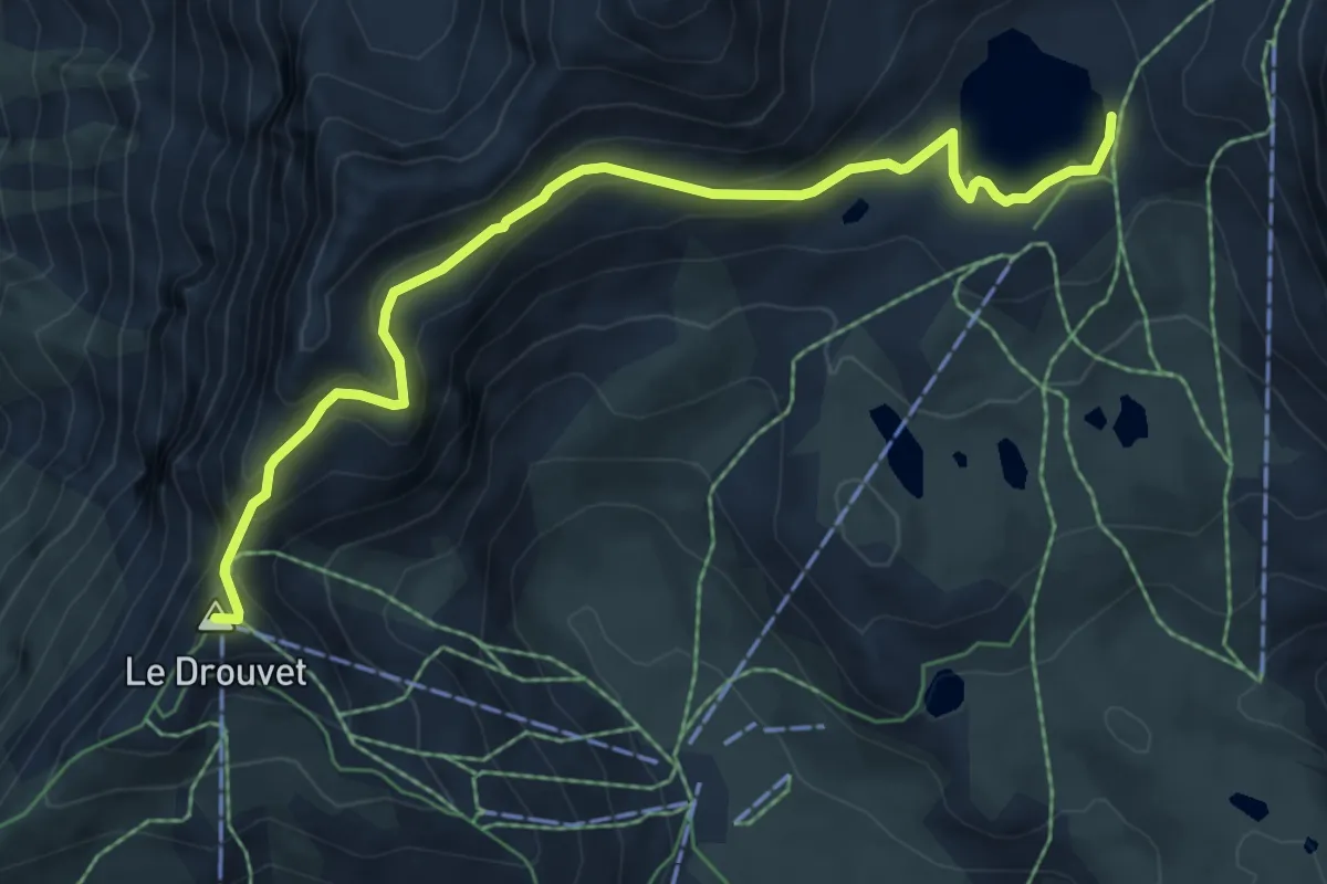
Medium · Summit
Le lac des Estaris depuis le sommet du Drouvet
7.1 km · ↑ 368 m · 2 h 28 min
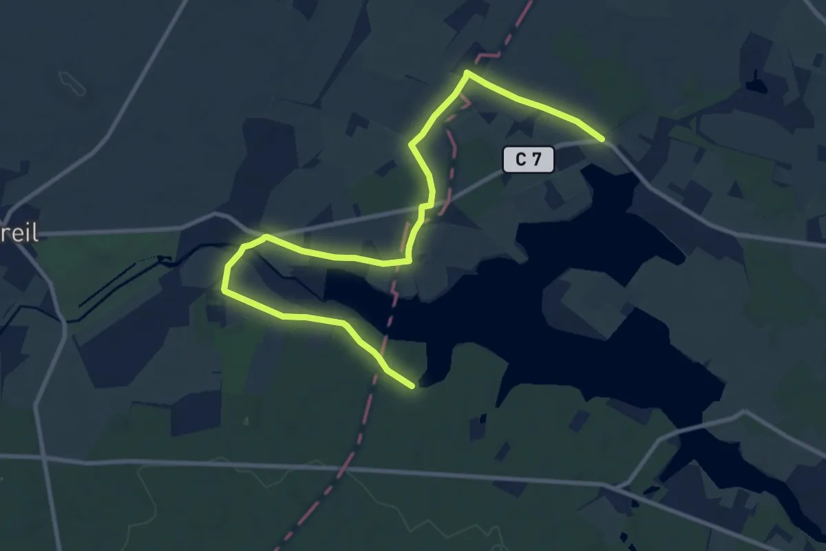
Easy · Trail
Le Lac des Mousseaux - Rillé
5.7 km · ↑ 31 m · 1 h 29 min
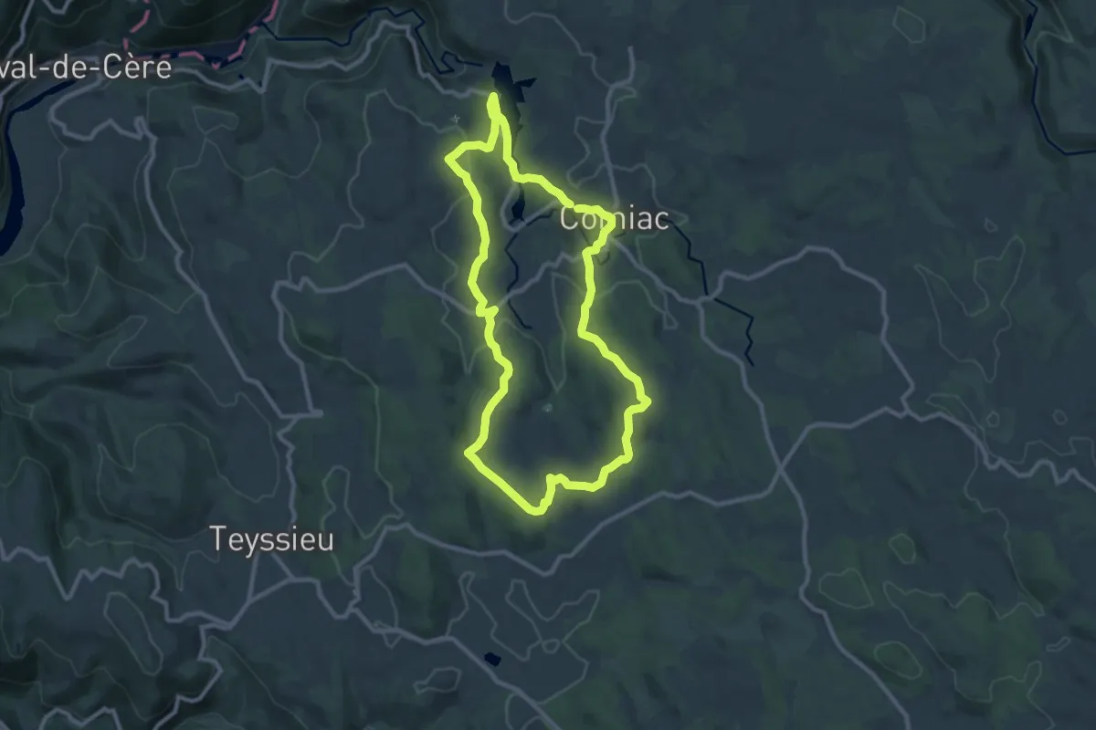
Medium · Trail
Le lac des Vergnes
9.4 km · ↑ 196 m · 2 h 47 min
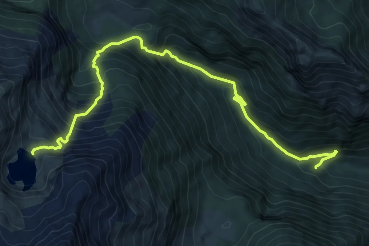
Demanding · Trail
Le lac d'Isabe
4.9 km · ↑ 966 m · 2 h 52 min