Trails in France
15,926 hiking trails, each with its route, climb, walking time and grade.
All trails, page 165 of 332
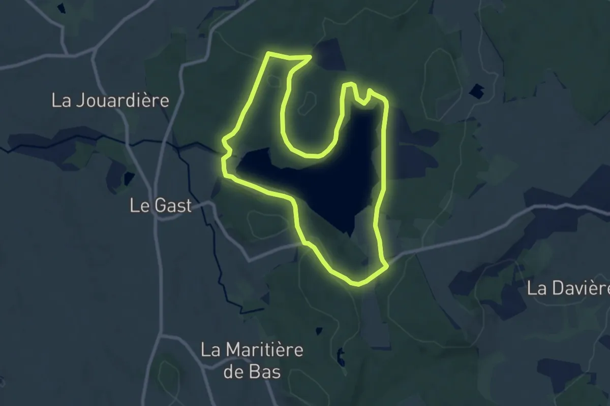
Easy · Trail
Le Lac du Gast
7.5 km · ↑ 164 m · 2 h 13 min
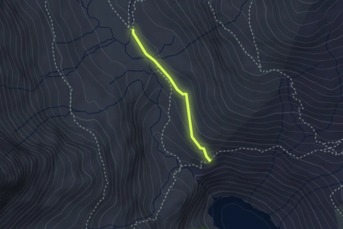
Medium · Trail
Le Lac du Génépy
2.0 km · ↑ 71 m · 38 min
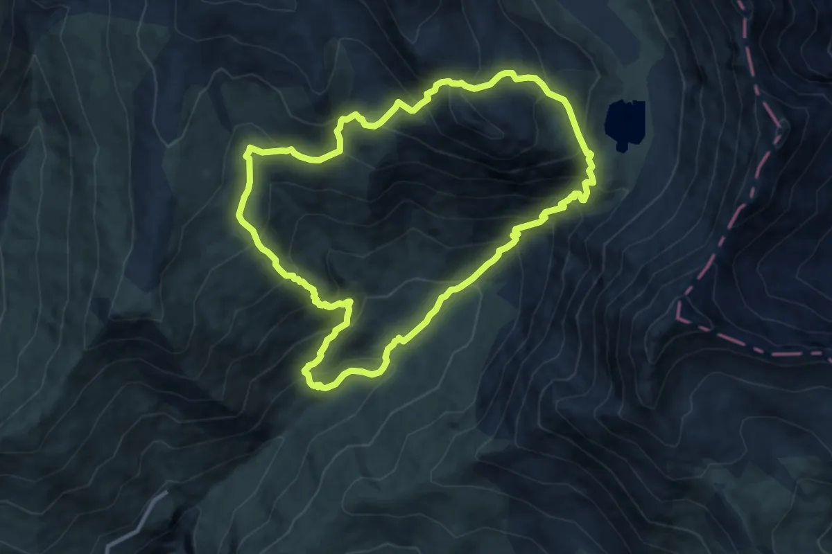
Demanding · Trail
Le Lac du Goléon par le Cruq des Aiguilles
9.6 km · ↑ 884 m · 4 h 19 min
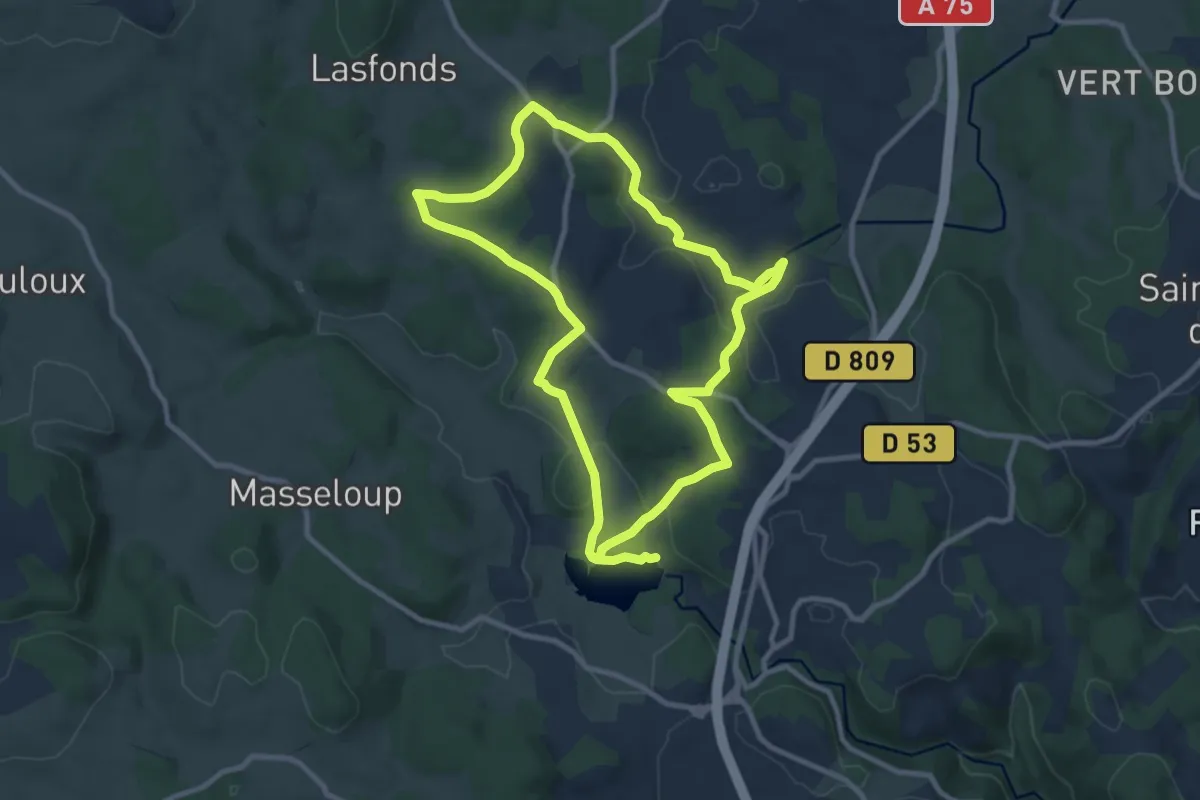
Demanding · Trail
Le lac du Moulinet
20.0 km · ↑ 338 m · 5 h 28 min
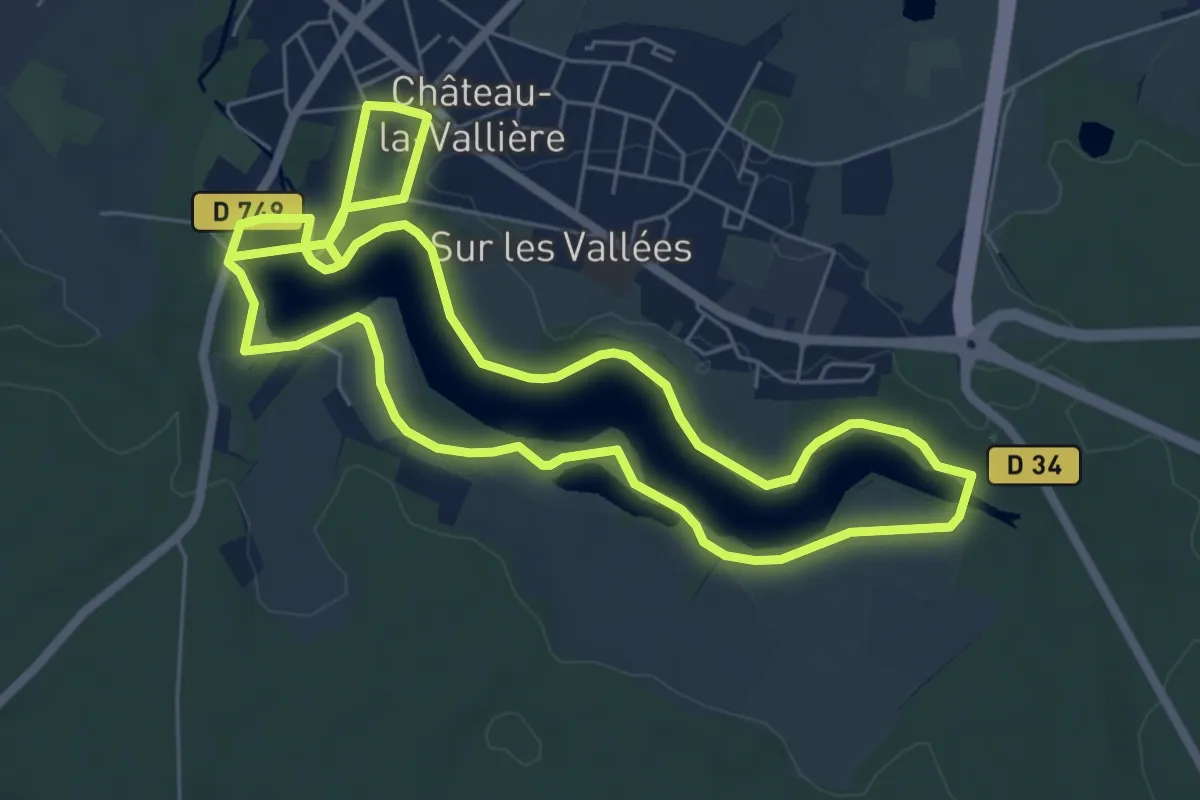
Easy · Trail
Le lac du Val Joyeux - Château-la-Vallière
6.5 km · ↑ 89 m · 1 h 49 min
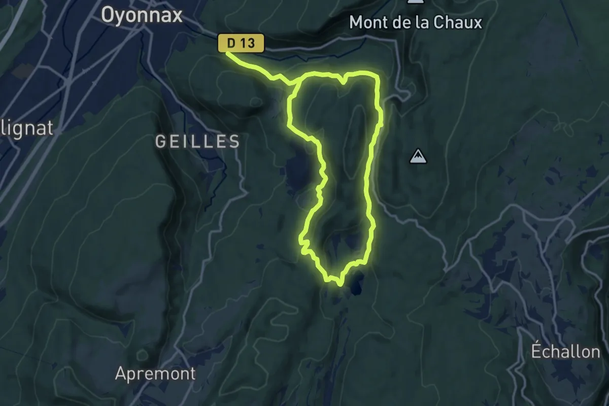
Demanding · Trail
Le Lac Genin
21.1 km · ↑ 1061 m · 7 h 17 min
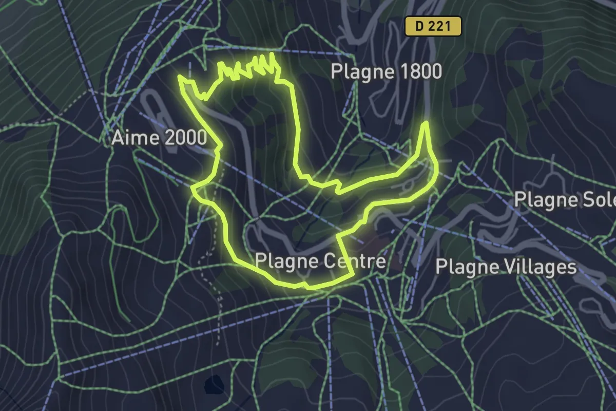
Easy · Trail
Le Lac Vert
4.5 km · ↑ 197 m · 1 h 33 min
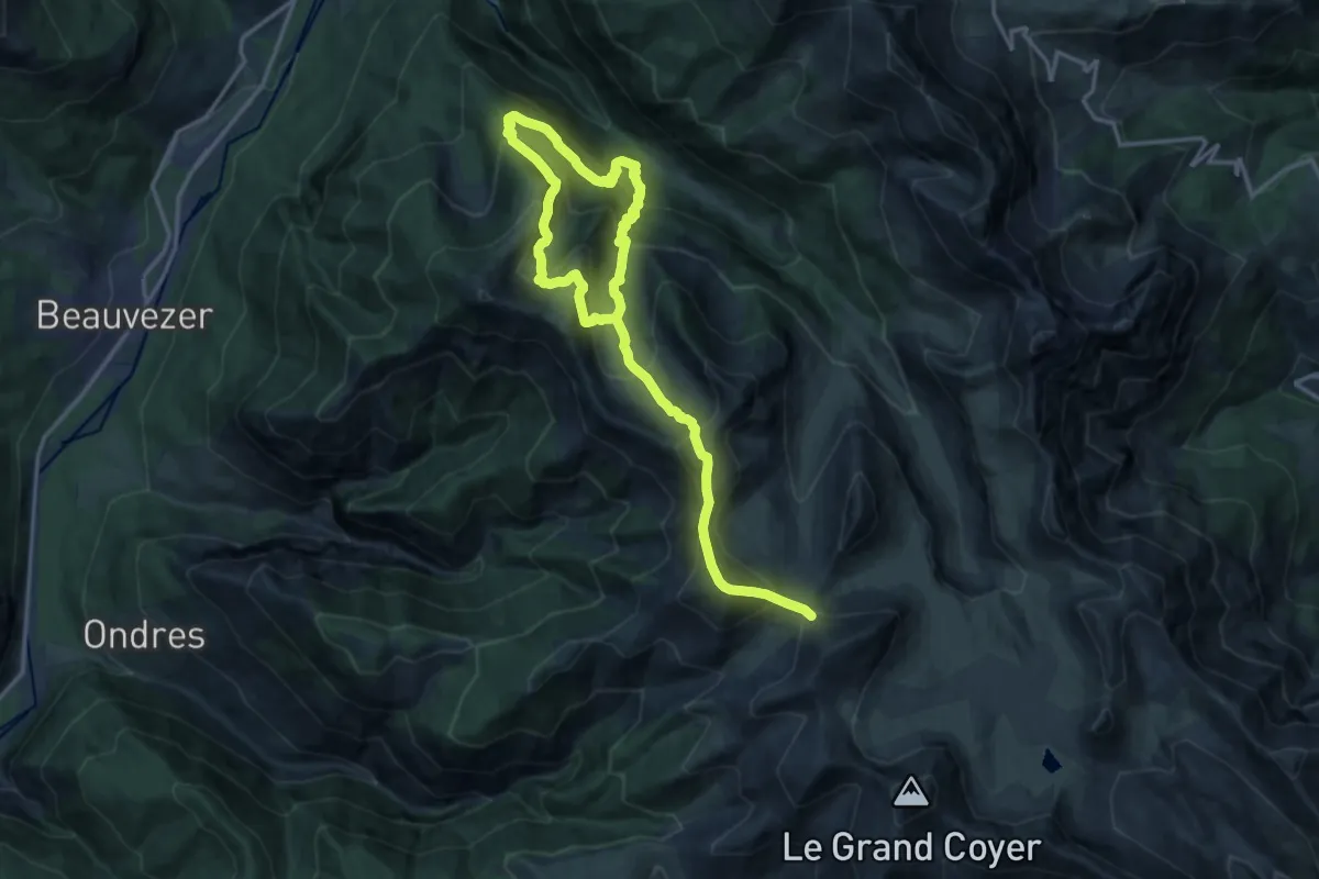
Demanding · Summit
Le Lançonnet - La Sagne
11.2 km · ↑ 1217 m · 5 h 18 min
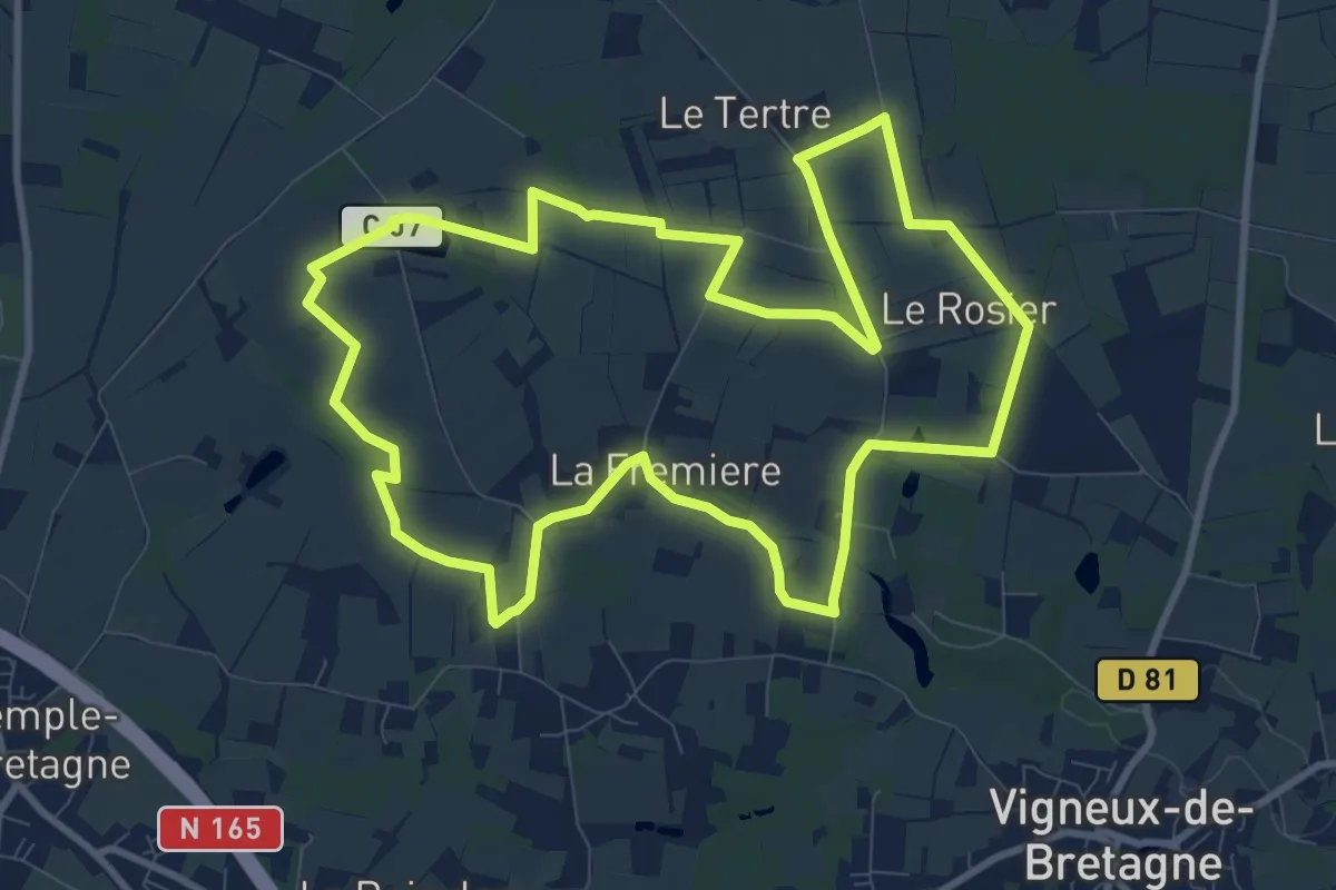
Medium · Trail
Le lapin bondissant
10.4 km · ↑ 41 m · 2 h 42 min
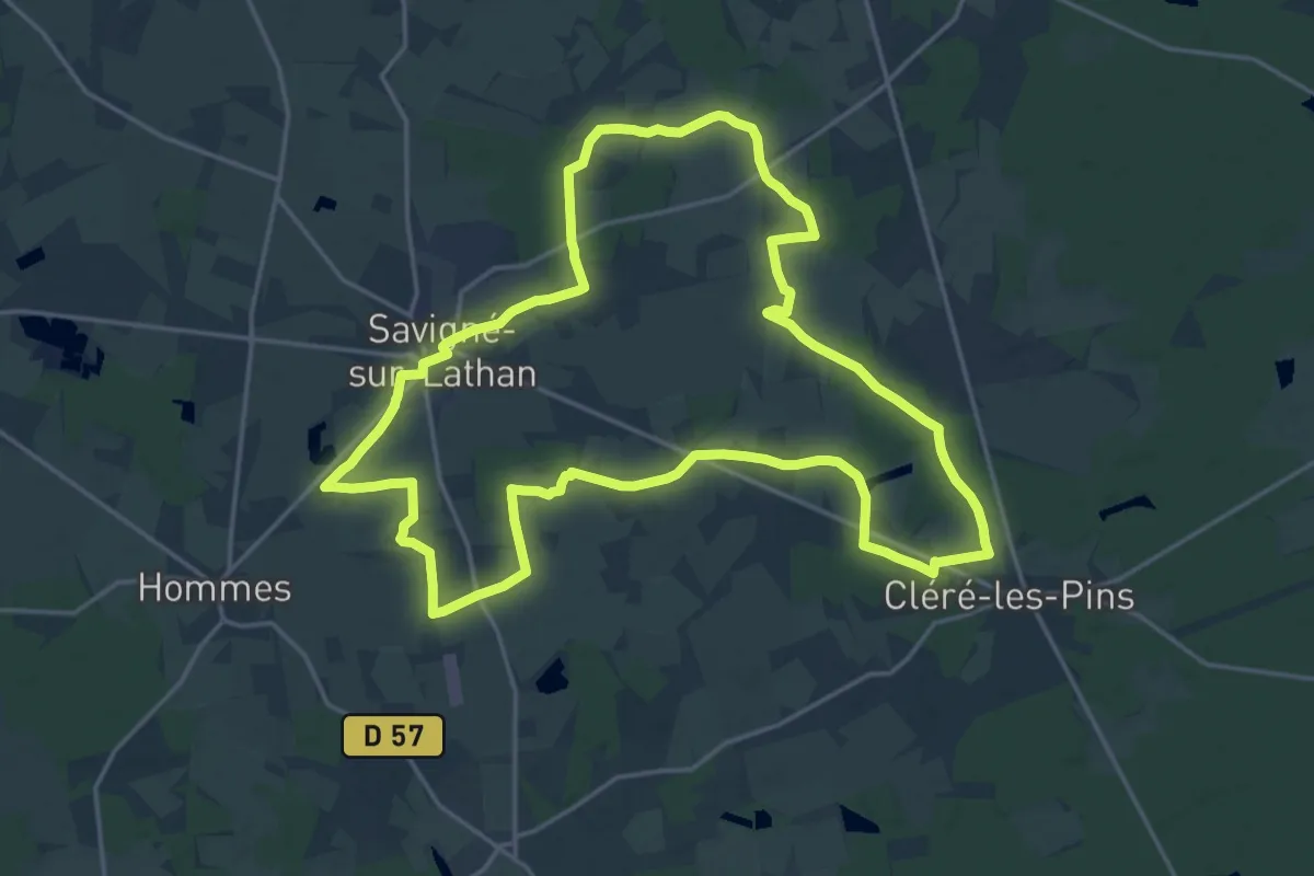
Demanding · Trail
Le Lathan - Cléré-les-Pins
20.4 km · ↑ 44 m · 5 h 12 min
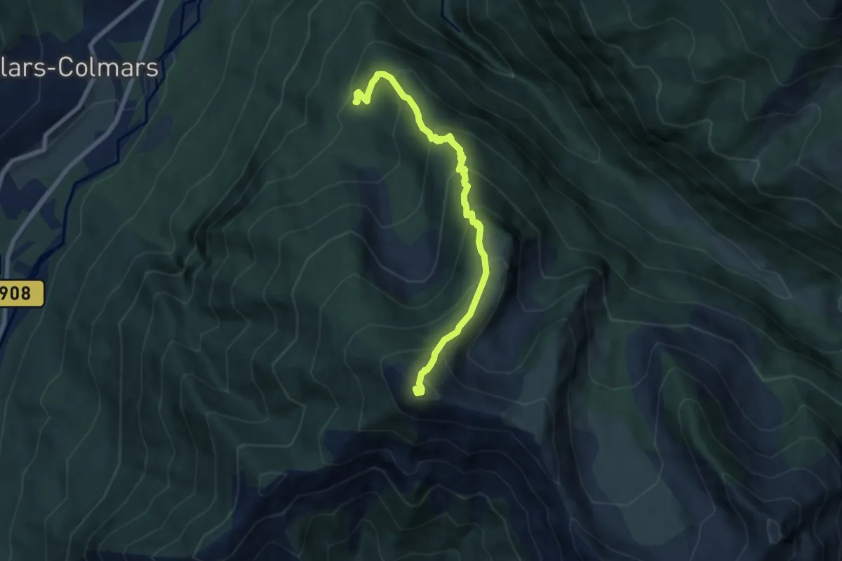
Medium · Summit
Le Laupon (2 432 m)
3.6 km · ↑ 698 m · 2 h 4 min
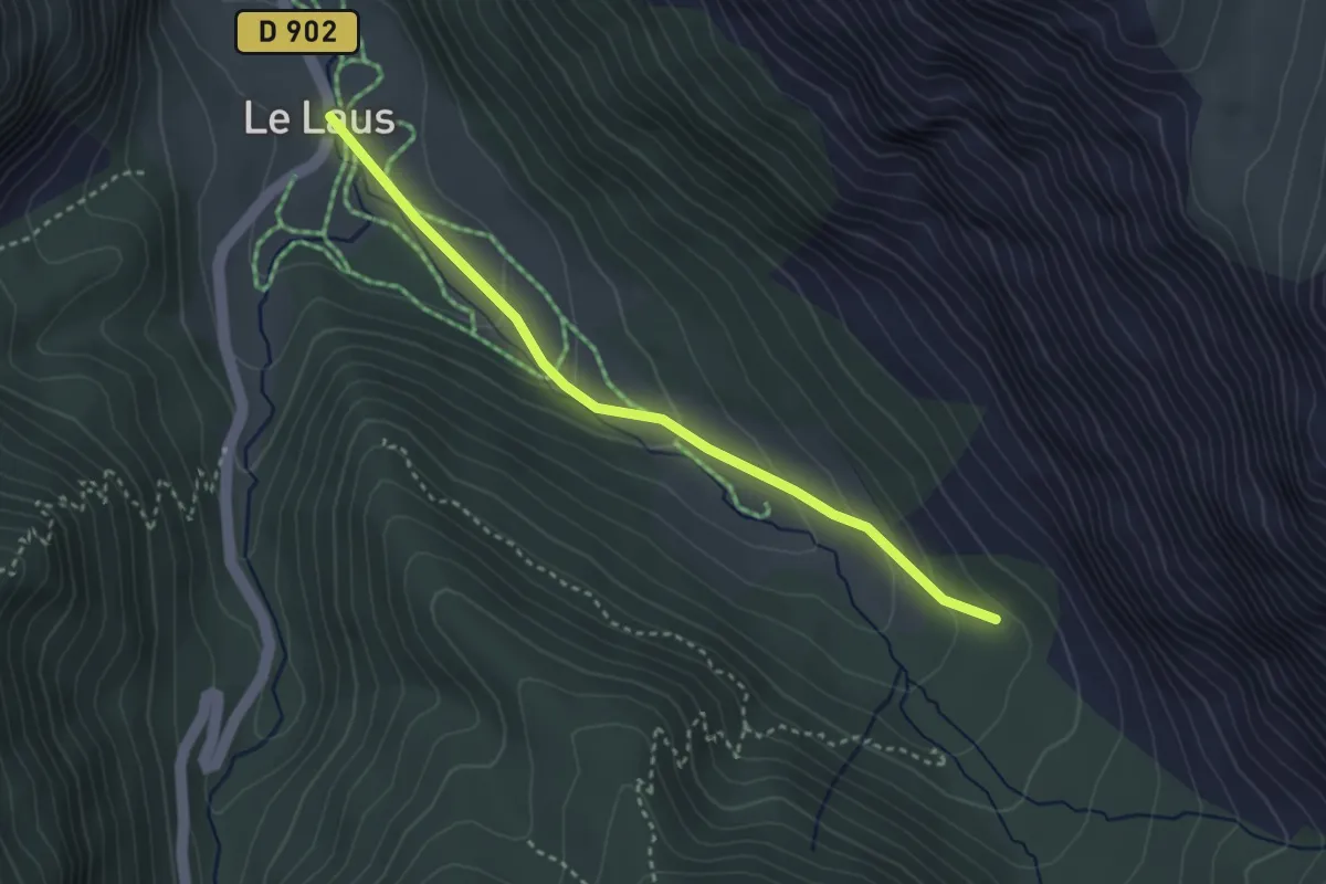
Easy · Trail
Le Laus - ?
3.2 km · ↑ 117 m · 1 h 1 min
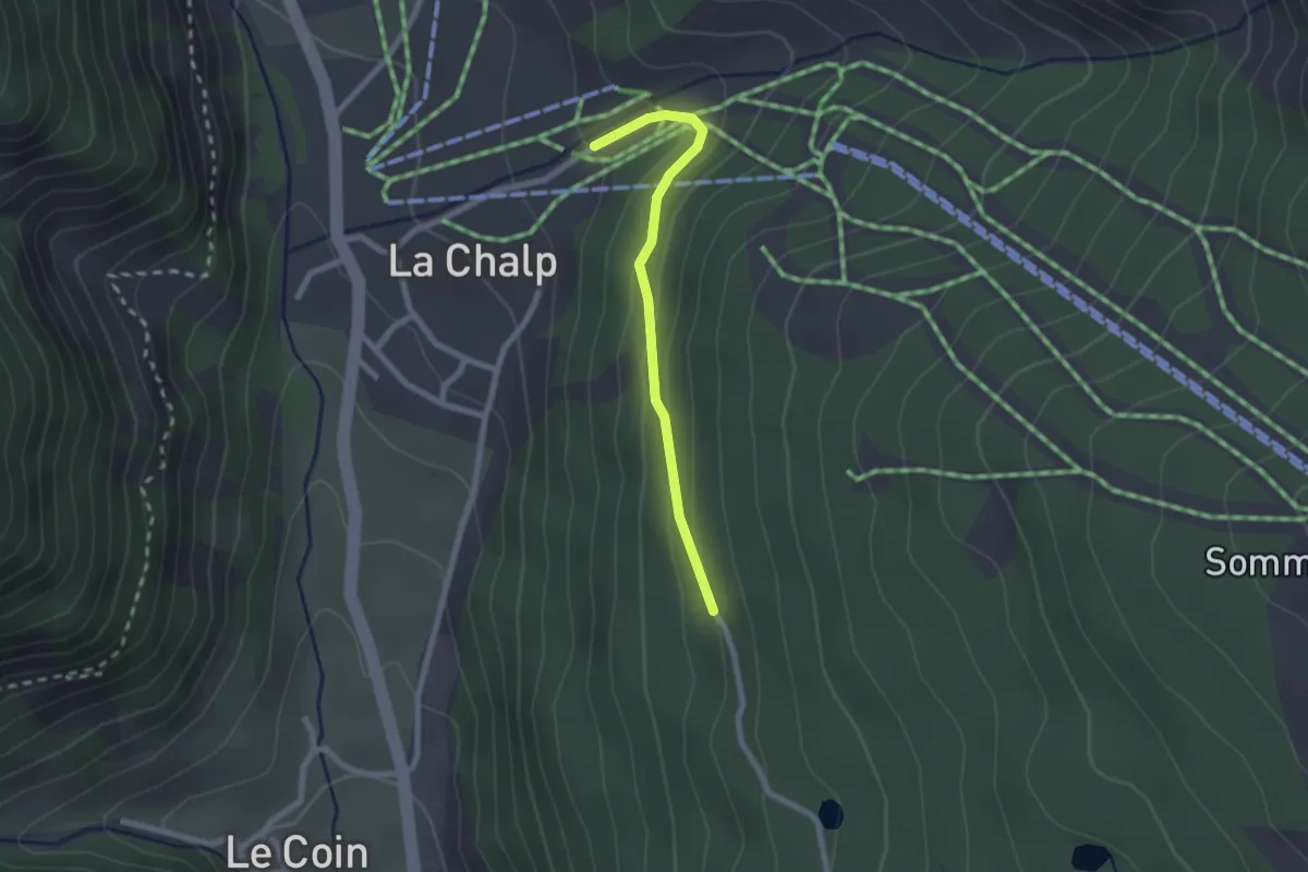
Easy · Trail
Le Laus - Les Grangettes
2.1 km · ↑ 92 m · 41 min
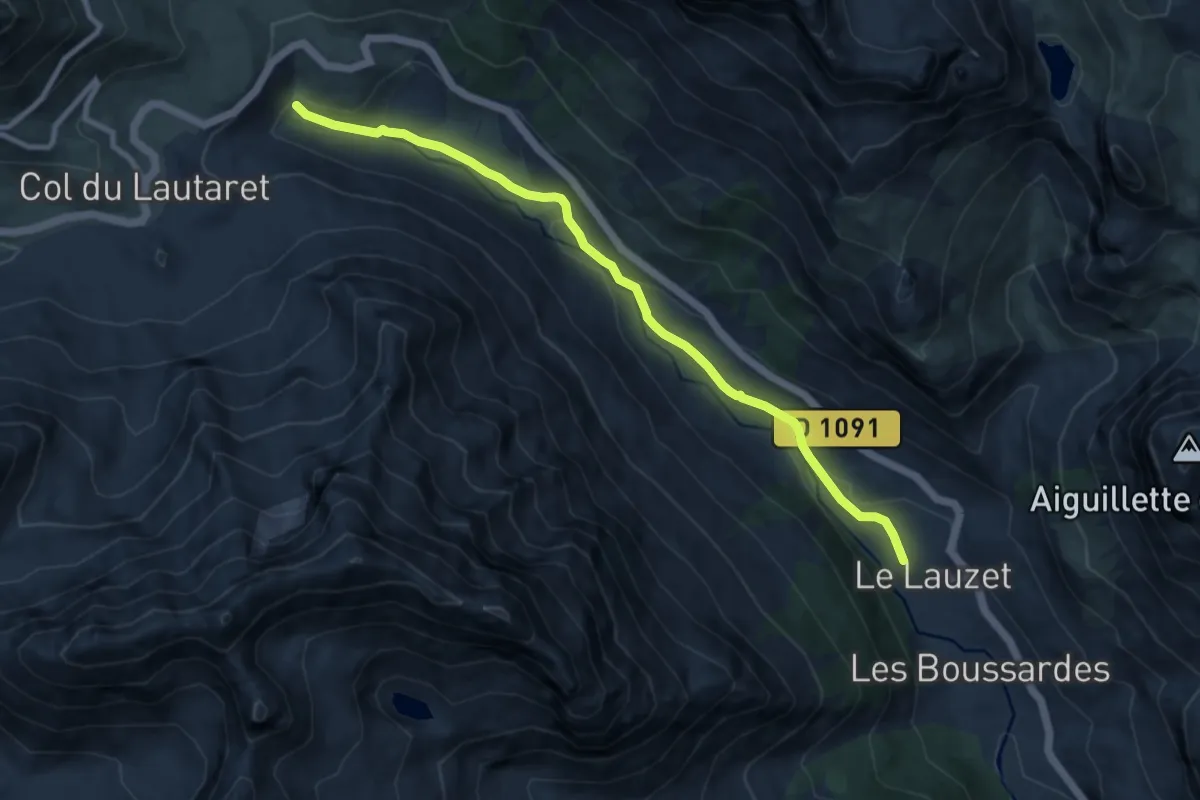
Medium · Trail
Le Lauzet - Naillaud
9.5 km · ↑ 234 m · 2 h 46 min
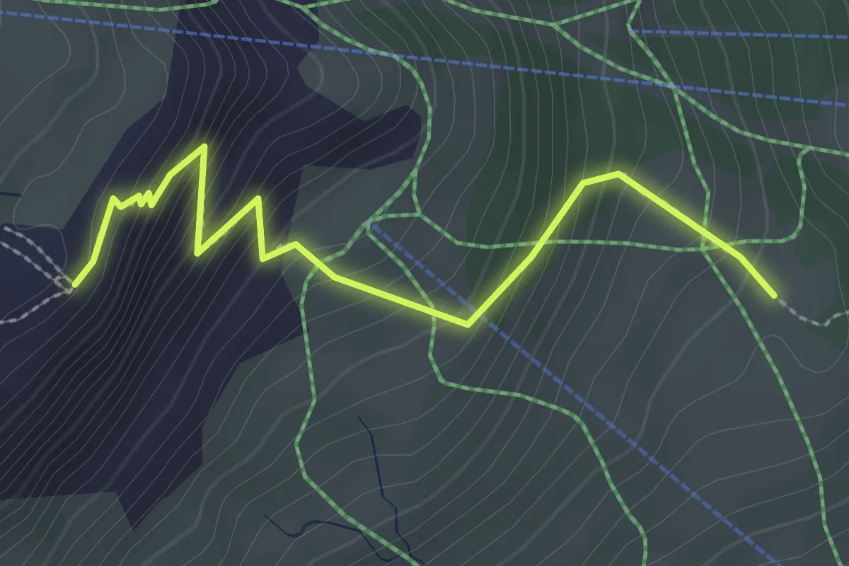
Medium · Trail
Le Lauzet - Notre-Dame des Neiges
2.8 km · ↑ 285 m · 1 h 16 min
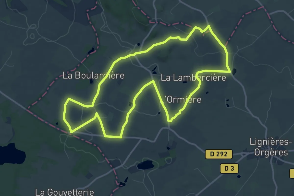
Medium · Trail
Le Lavoir d'Orgères
9.5 km · ↑ 105 m · 2 h 36 min
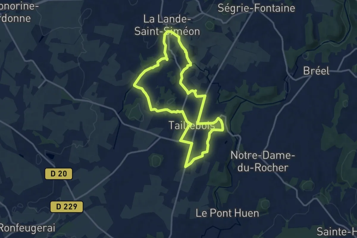
Medium · Trail
Le Lembron
9.8 km · ↑ 127 m · 2 h 43 min
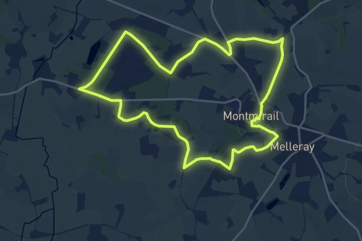
Medium · Trail
Le lieu où l’on admire
10.1 km · ↑ 174 m · 2 h 54 min
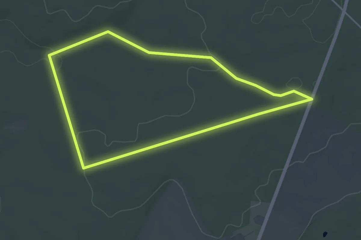
Easy · Trail
Le Lihut
3.6 km · ↑ 32 m · 59 min
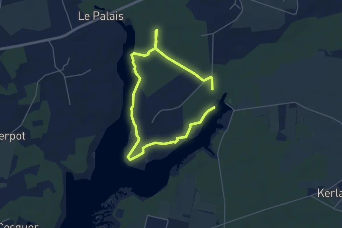
Easy · Trail
Le Listoir
3.3 km · ↑ 8 m · 51 min
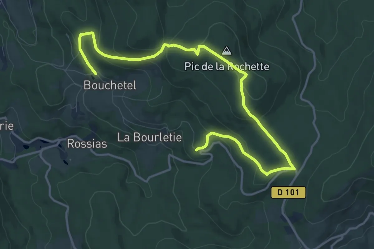
Easy · Summit
Le Lit de la Vierge
6.6 km · ↑ 217 m · 2 h 6 min
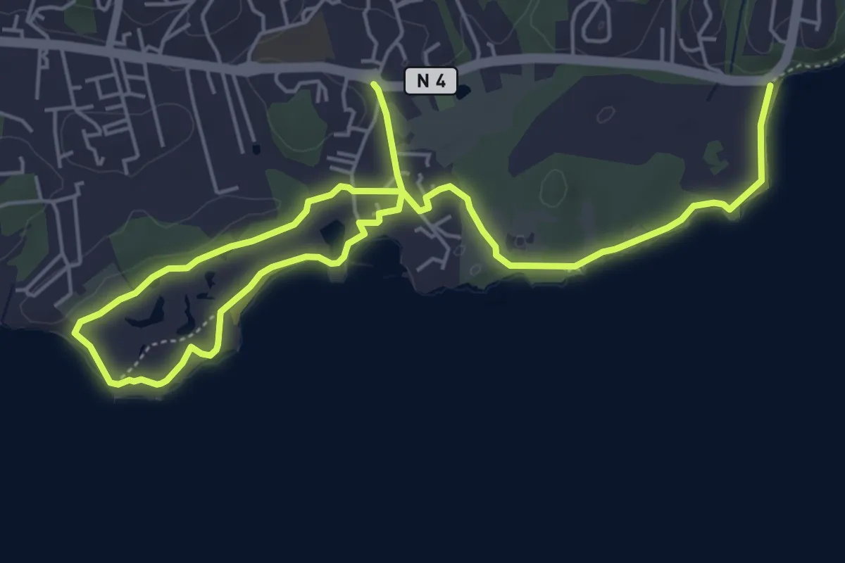
Easy · Trail
Le Littoral de Saint-Félix
5.7 km · ↑ 32 m · 1 h 30 min
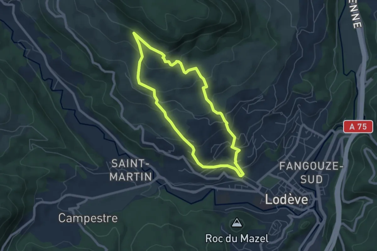
Easy · Trail
Le livre du lodévois
5.3 km · ↑ 305 m · 2 h
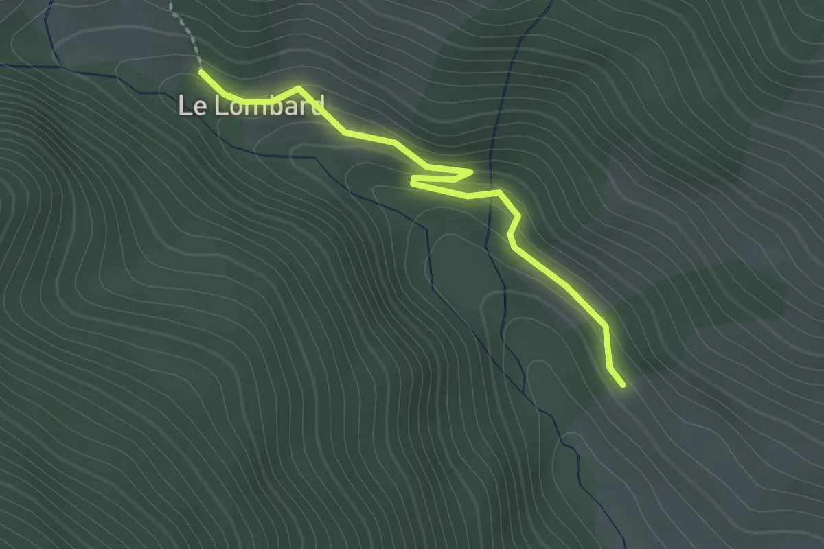
Easy · Trail
Le Lombard - Le Vial
2.2 km · ↑ 102 m · 44 min
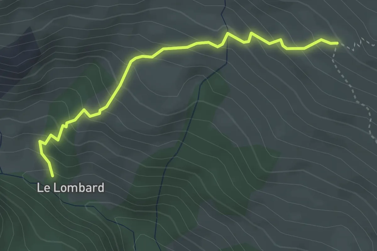
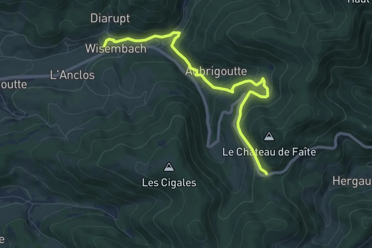
Medium · Trail
Le Lombard - Ravin des Cougnets
3.6 km · ↑ 364 m · 1 h 39 min
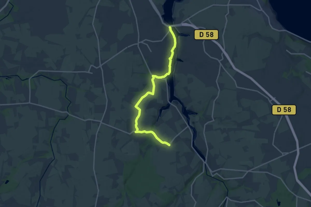
Medium · Trail
Le Long de la Cude
9.1 km · ↑ 396 m · 3 h
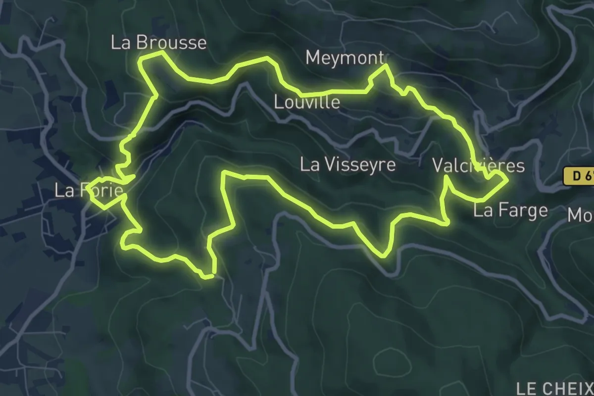
Medium · Trail
Le long de la Penzé
13.7 km · ↑ 243 m · 3 h 46 min
Medium · Trail
Le long du Batifol
9.8 km · ↑ 456 m · 3 h 26 min
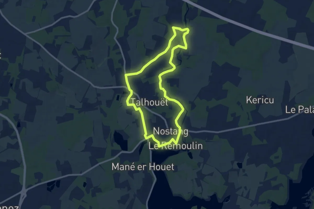
Easy · Trail
Le Long du Roch
7.4 km · ↑ 76 m · 2 h
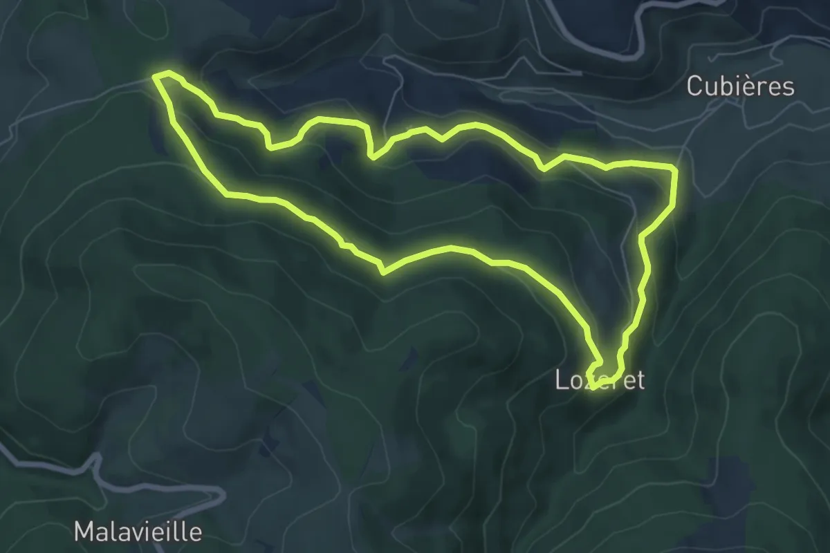
Easy · Trail
Le Lozeret
7.1 km · ↑ 286 m · 2 h 23 min
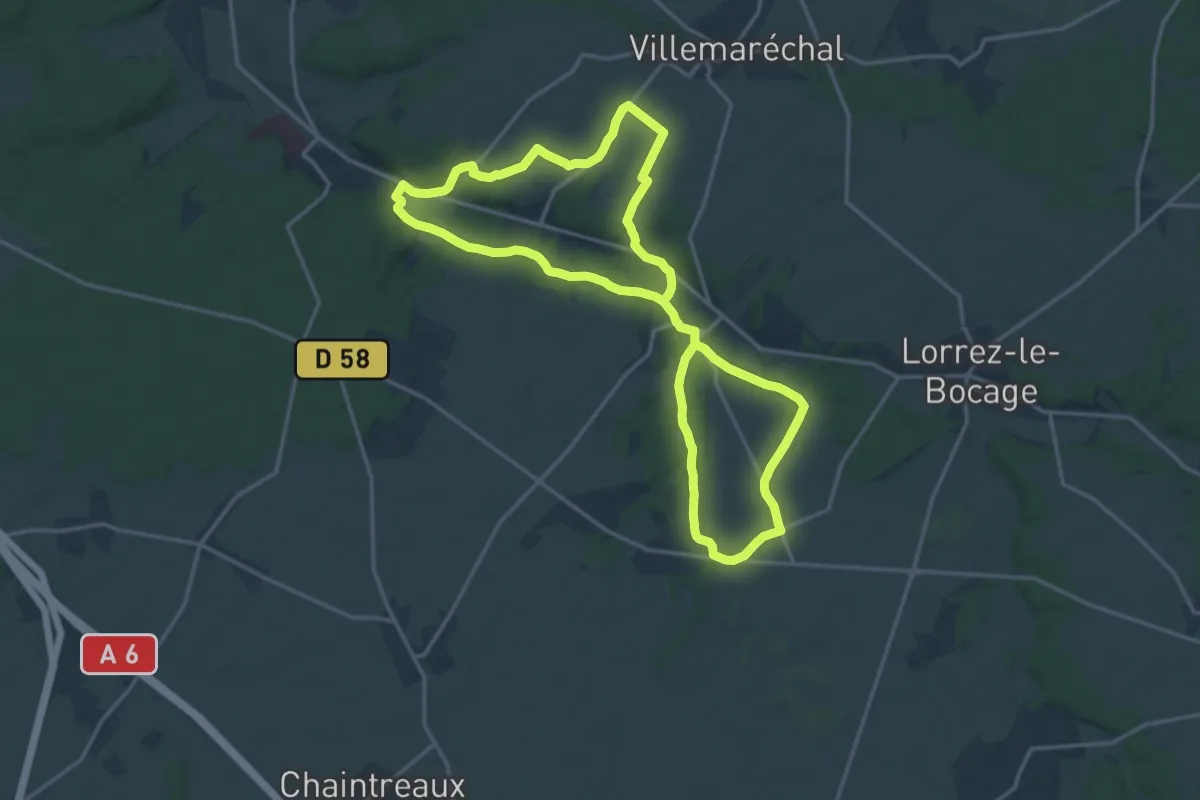
Demanding · Trail
Le lunain historique
30.7 km · ↑ 288 m · 7 h 52 min
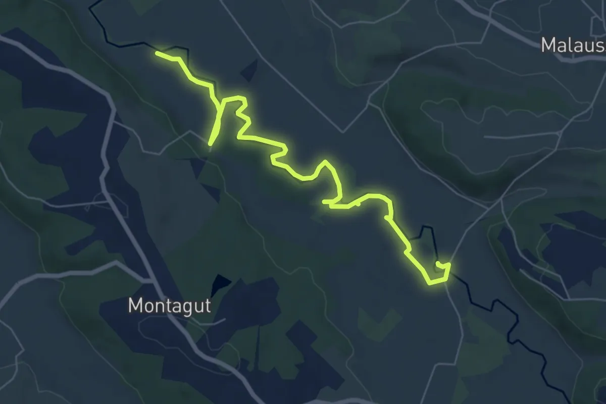
Easy · Trail
Le Luy de France en Soubestre
7.7 km · ↑ 28 m · 1 h 53 min
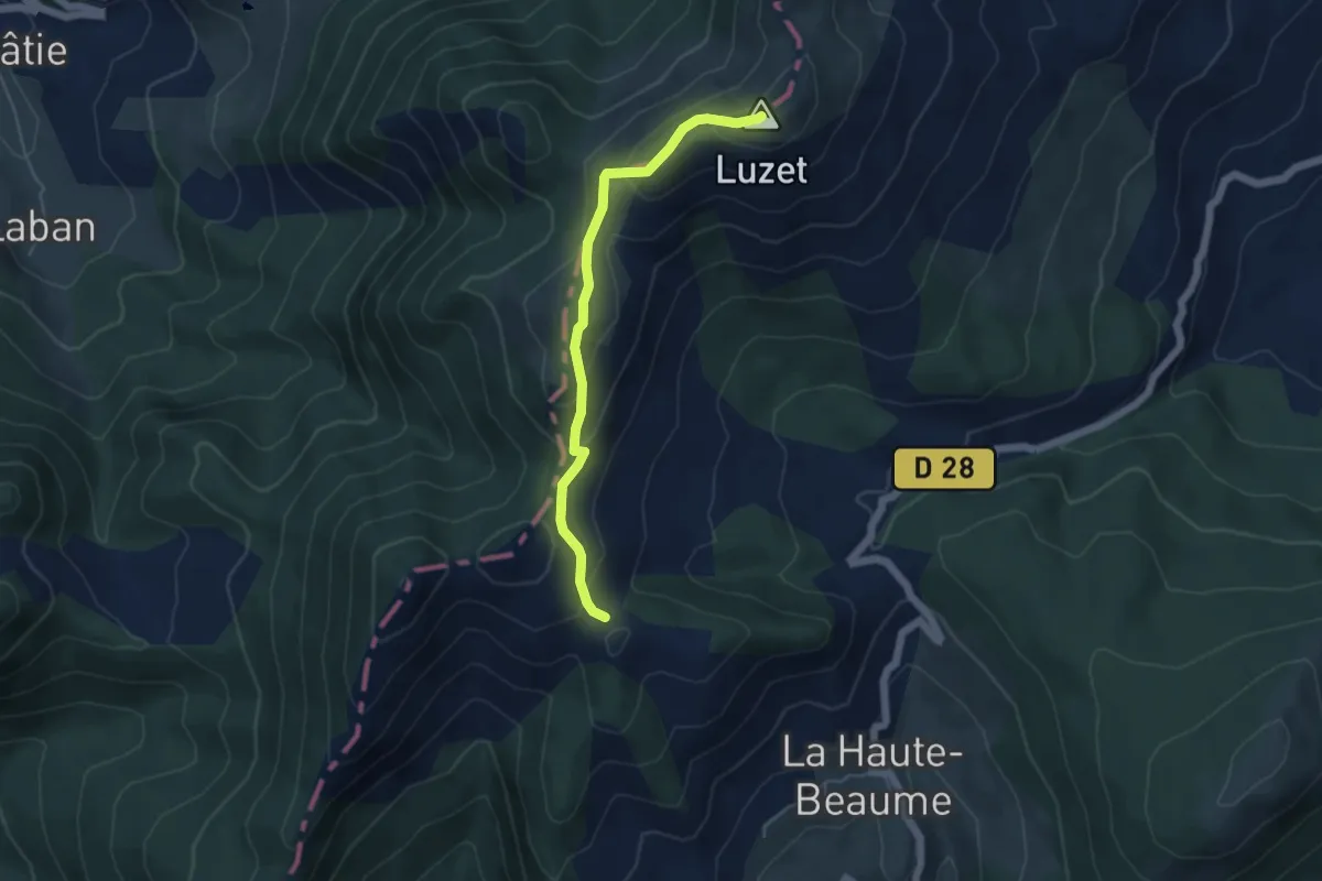
Medium · Summit
Le Luzet
4.9 km · ↑ 380 m · 1 h 58 min
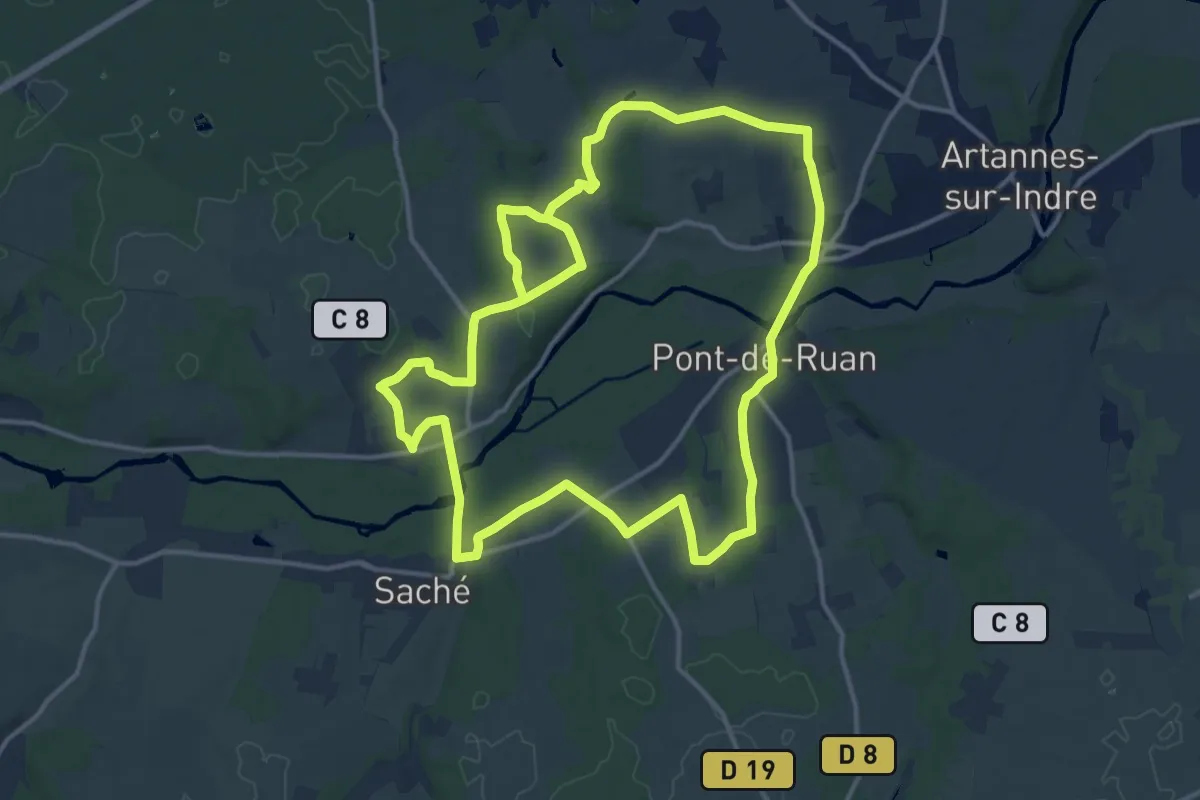
Medium · Trail
Le Lys dans la Vallée - Saché, Pont-de-Ruan
14.5 km · ↑ 146 m · 3 h 57 min
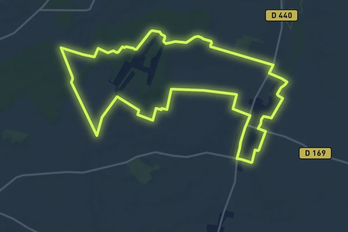
Medium · Trail
Le Macquis et Pomme d'Amour
12.0 km · ↑ 84 m · 3 h 10 min
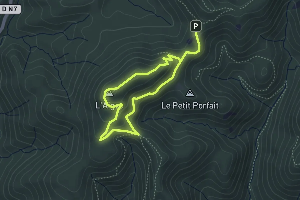
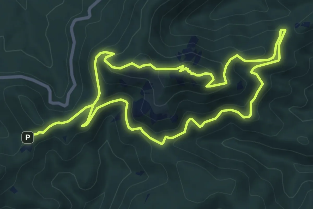
Easy · Summit
Le Malpey (bleu)
3.3 km · ↑ 157 m · 1 h 9 min
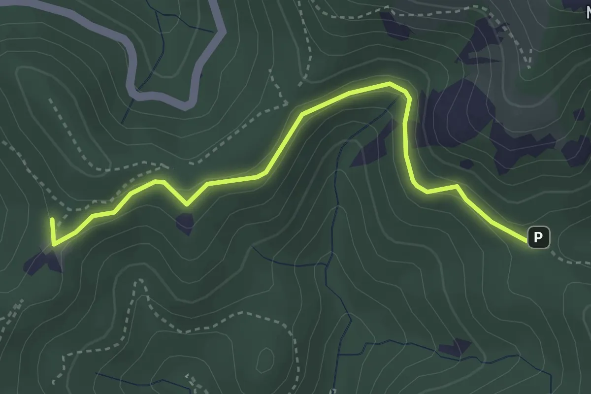
Medium · Summit
Le Malpey (jaune)
8.1 km · ↑ 397 m · 2 h 52 min
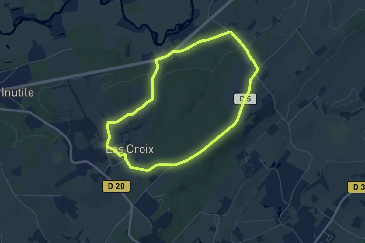
Easy · Trail
Le Malpey (rose)
2.0 km · ↑ 48 m · 36 min
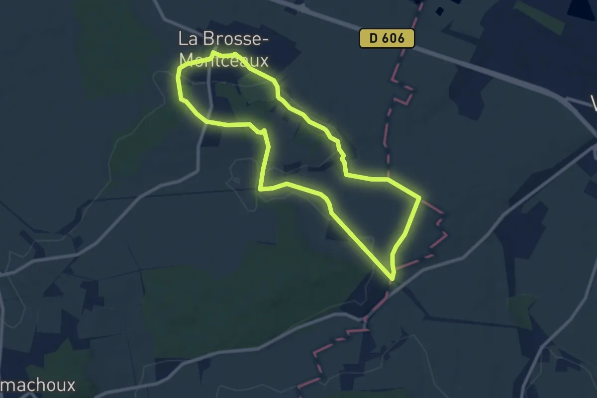
Easy · Trail
Le Maquis des bois de la Croix
5.6 km · ↑ 86 m · 1 h 35 min
Easy · Trail
Le Maquis des Oblats
6.6 km · ↑ 63 m · 1 h 47 min
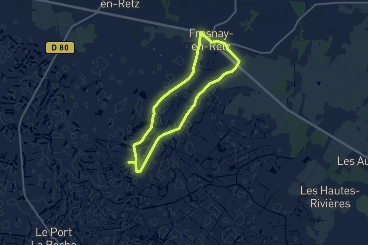
Easy · Trail
Le Marais
7.1 km · ↑ 4 m · 1 h 47 min
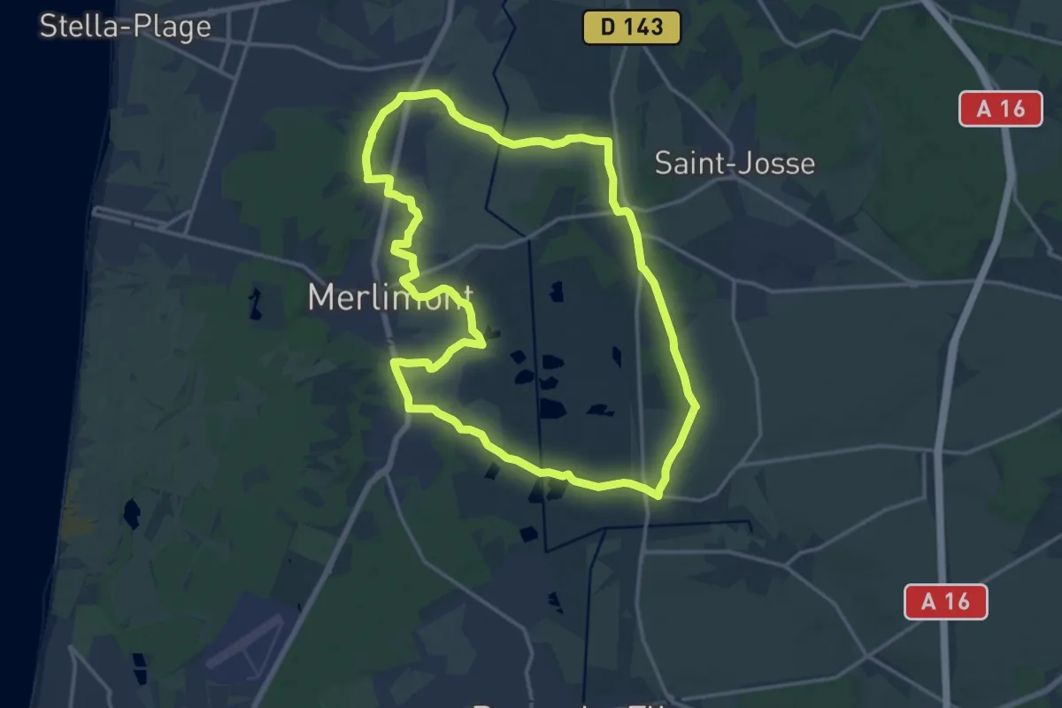
Medium · Summit
Le Marais de Balençon
14.7 km · ↑ 35 m · 3 h 44 min
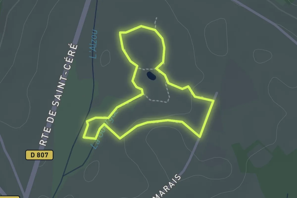
Easy · Trail
Le marais de Bonnefont
2.0 km · ↑ 9 m · 30 min
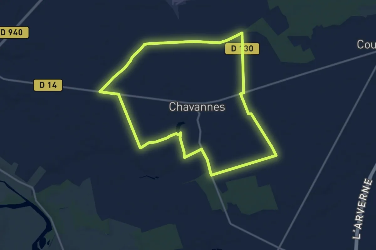
Medium · Trail
Le Marais de Chavannes
9.9 km · ↑ 17 m · 2 h 31 min
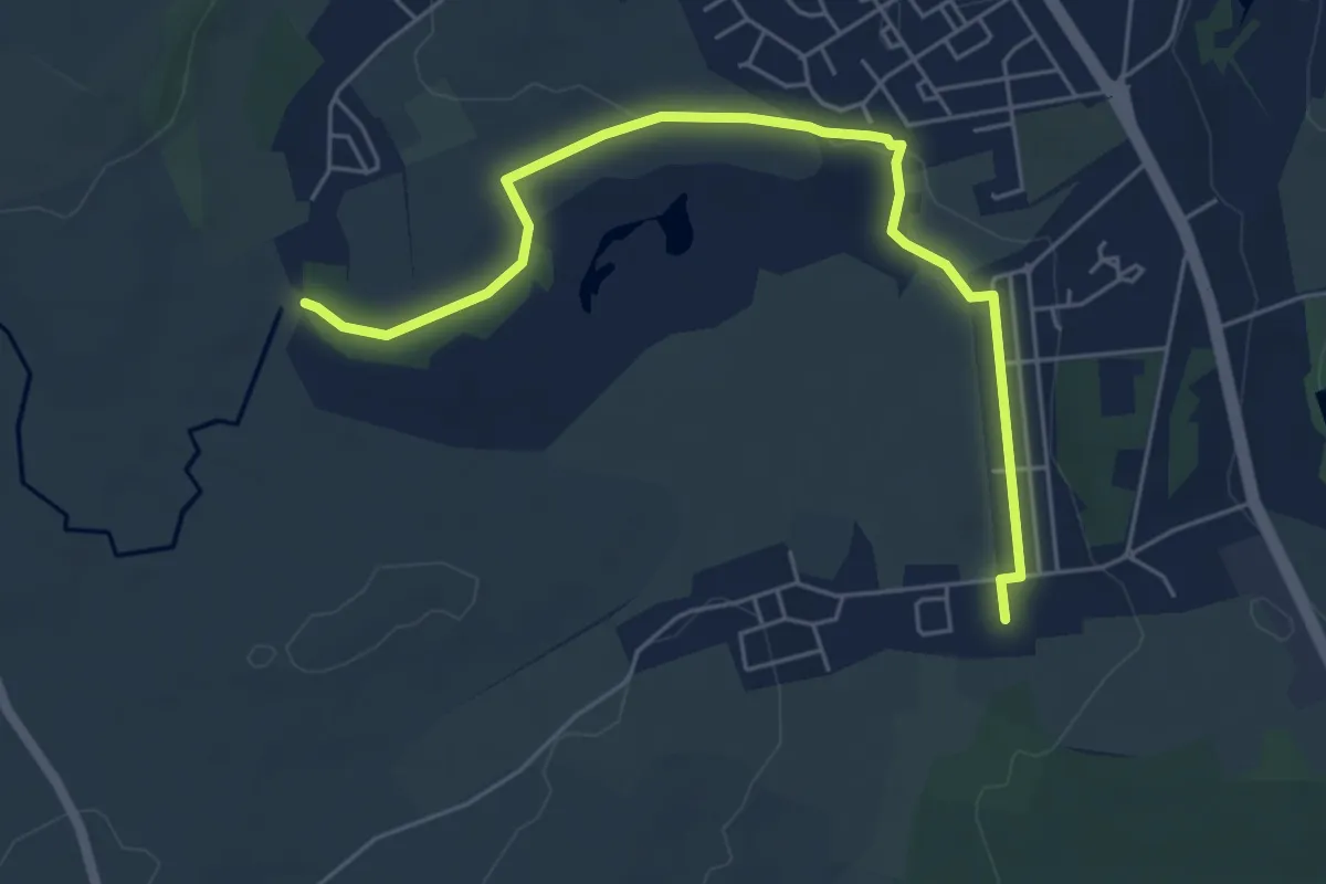
Easy · Trail
Le Marais de Droitaumont
5.7 km · ↑ 19 m · 1 h 24 min
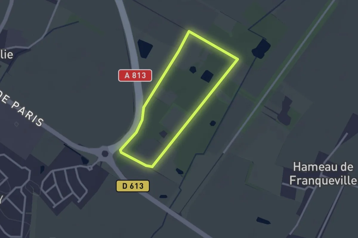
Easy · Trail
Le Marais de Frénouville
1.8 km · ↑ 0 m · 28 min
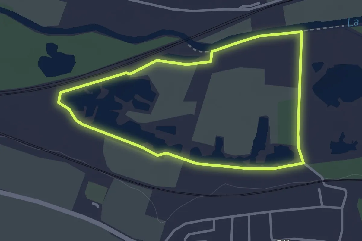
Easy · Trail
Le Marais de Glisy
2.4 km · ↑ 4 m · 37 min
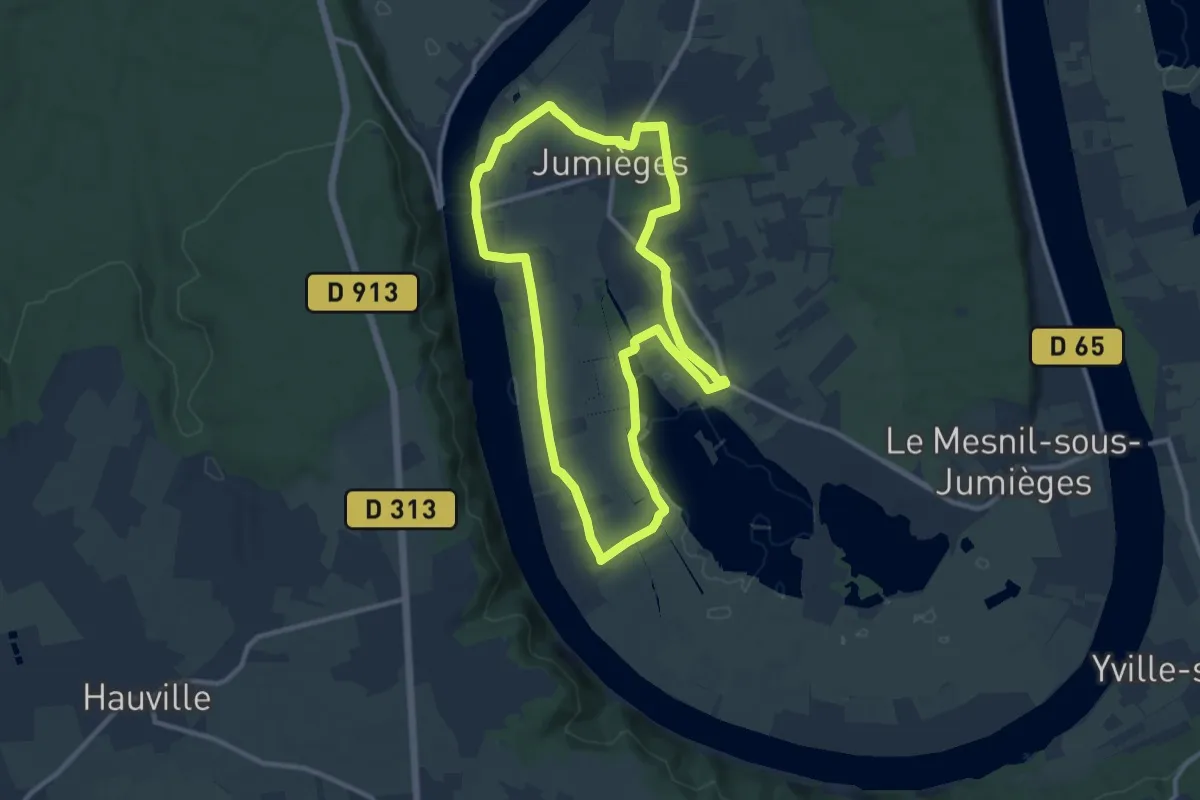
Medium · Trail
Le Marais de Jumièges
10.1 km · ↑ 41 m · 2 h 36 min