Trails in France
15,926 hiking trails, each with its route, climb, walking time and grade.
All trails, page 166 of 332
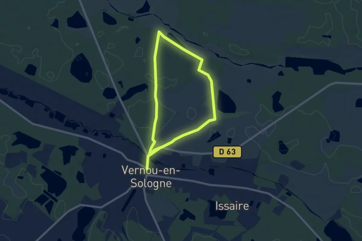
Medium · Trail
Le marais de l'Aulne
10.2 km · ↑ 45 m · 2 h 30 min
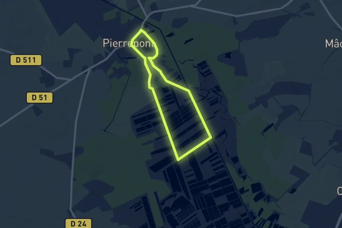
Easy · Trail
Le Marais de Pierrepont
5.0 km · ↑ 4 m · 1 h 15 min
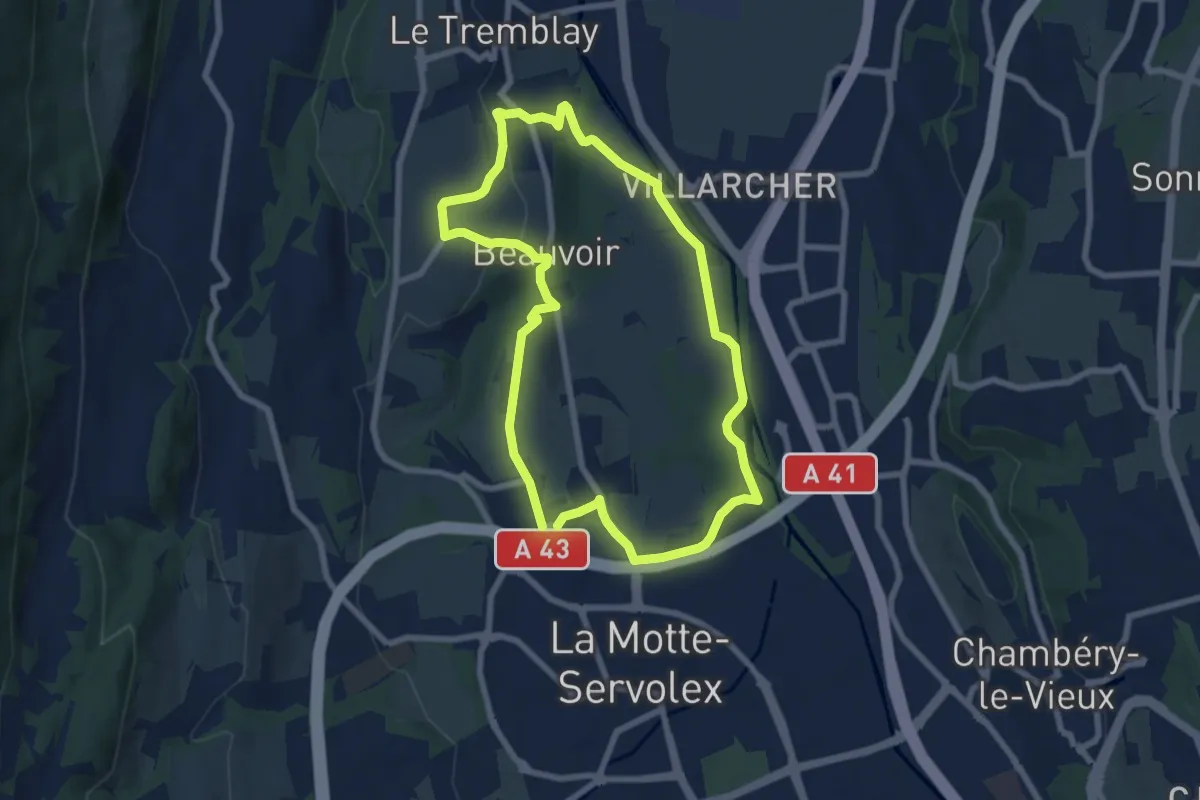
Easy · Trail
Le Marais de Pré Lombard
7.2 km · ↑ 111 m · 2 h 3 min
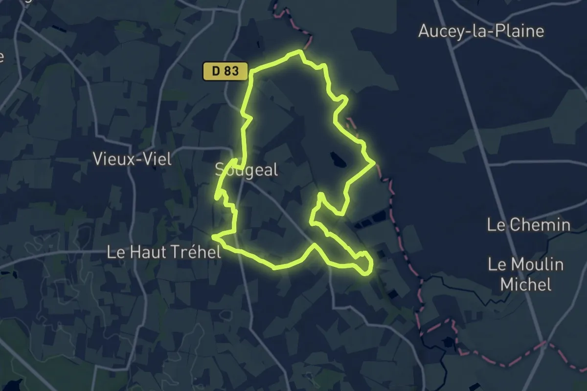
Medium · Trail
Le Marais de Sougeal
12.3 km · ↑ 138 m · 3 h 23 min
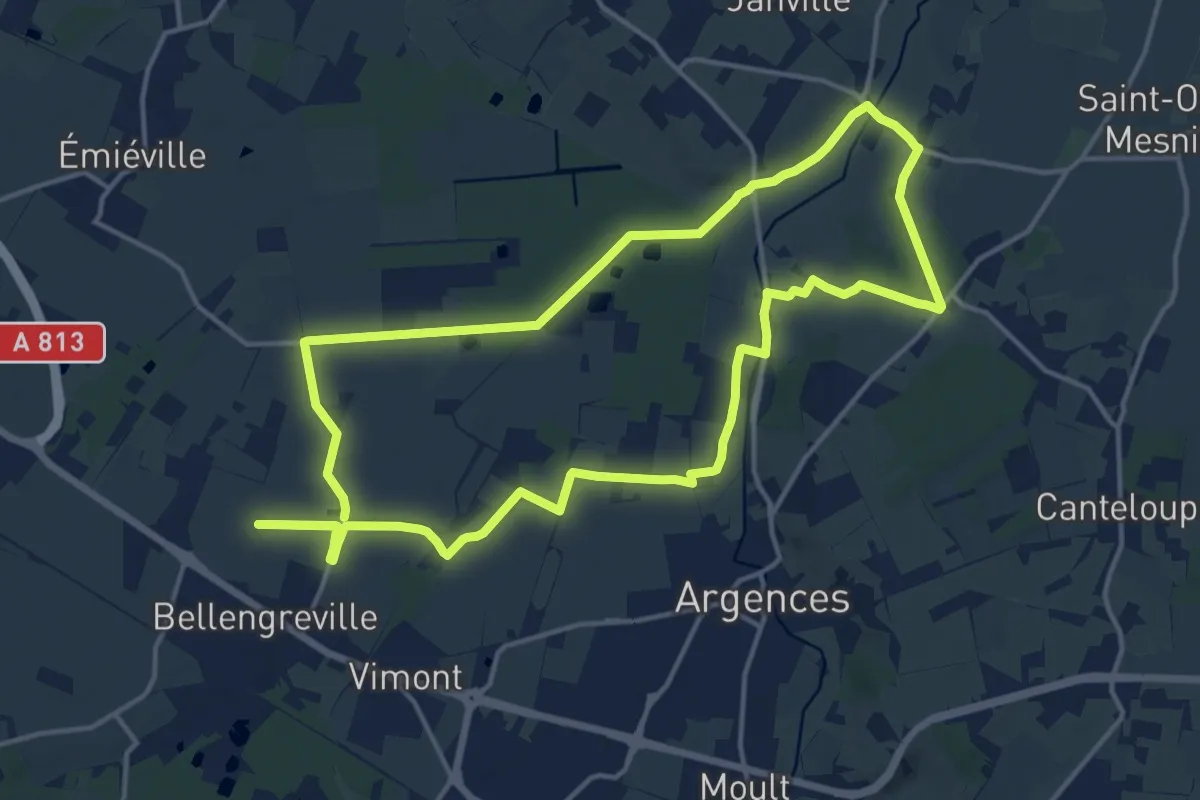
Medium · Trail
Le Marais des Terriers
14.9 km · ↑ 47 m · 3 h 50 min
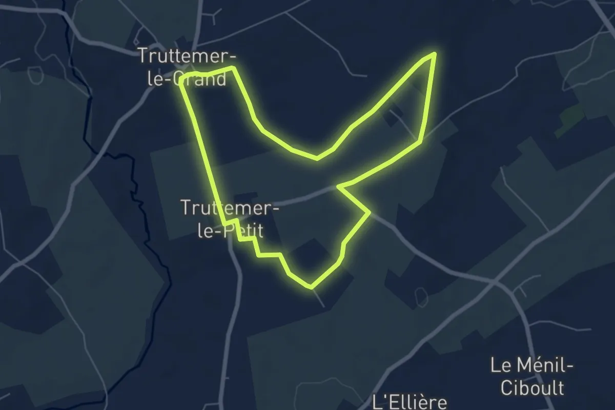
Easy · Trail
Le Marais de Truttemer
5.6 km · ↑ 36 m · 1 h 29 min
Medium · Trail
Le marais du Grand Hazé
16.7 km · ↑ 71 m · 4 h 20 min
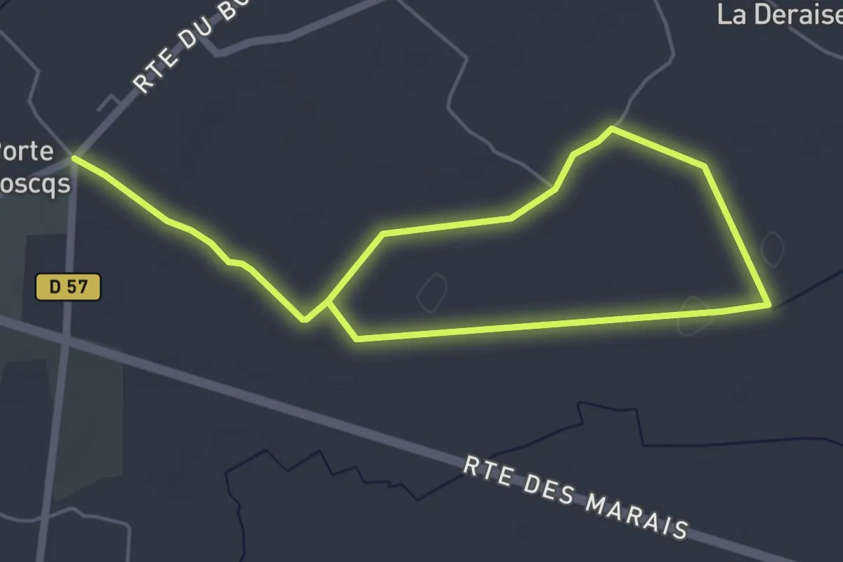
Easy · Trail
Le Marais Saint-Clair
7.3 km · ↑ 18 m · 1 h 46 min
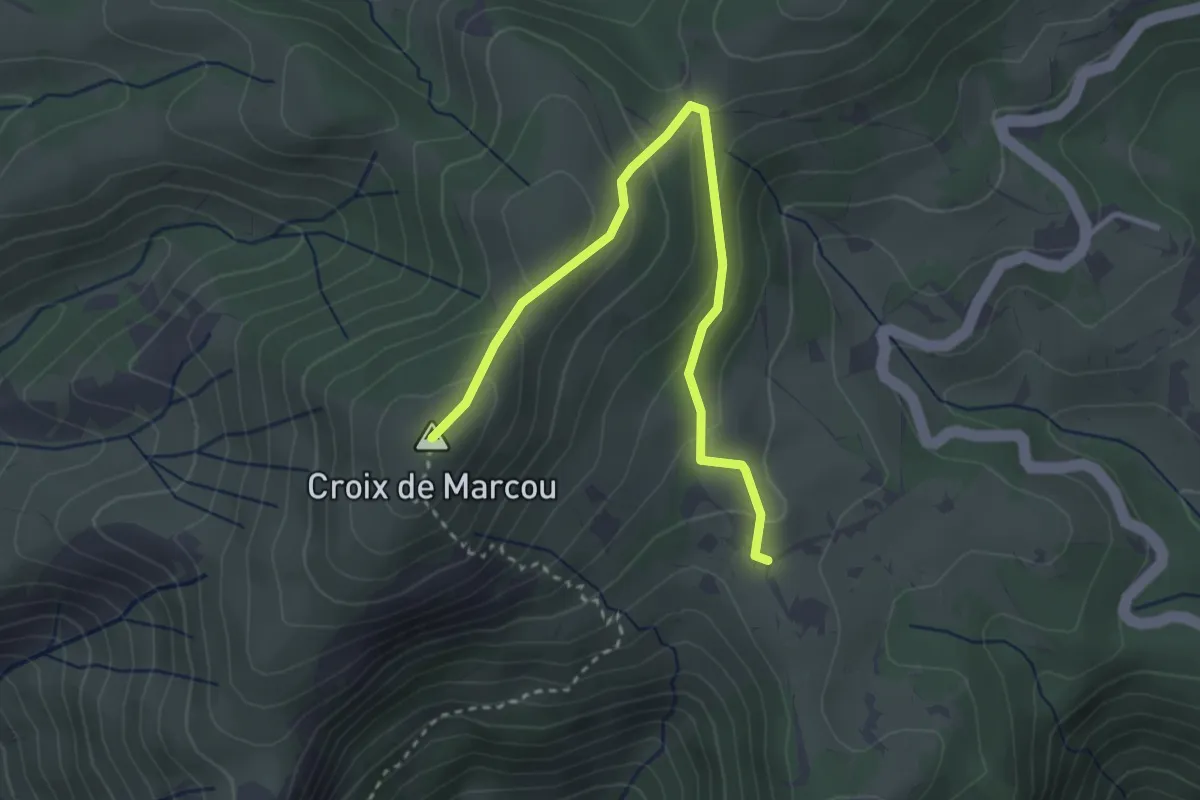
Easy · Trail
Le Marcou
1.8 km · ↑ 187 m · 46 min
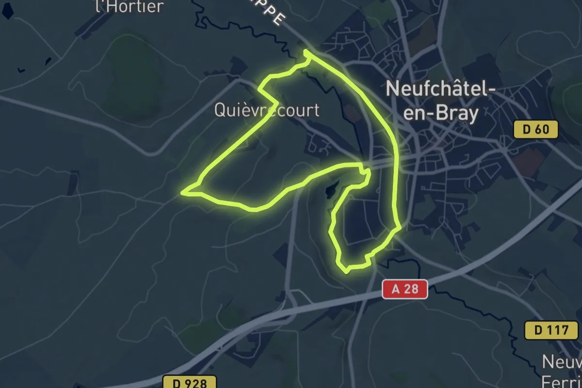
Easy · Trail
Le Marie-Cloche
6.8 km · ↑ 62 m · 1 h 51 min
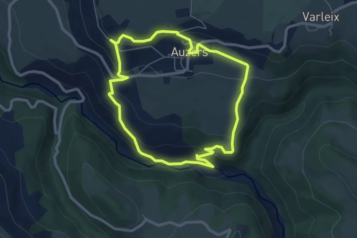
Easy · Trail
Le Marilhou
4.8 km · ↑ 244 m · 1 h 43 min
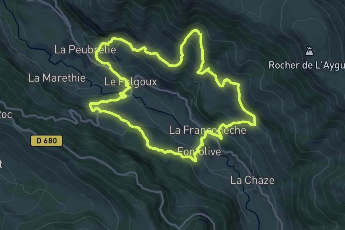
Medium · Trail
Le Mars
9.6 km · ↑ 520 m · 3 h 31 min
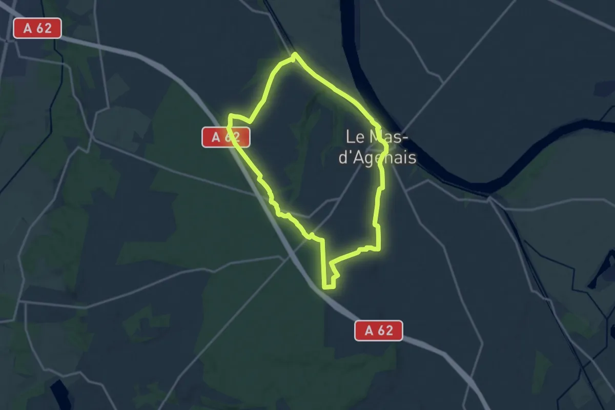
Medium · Trail
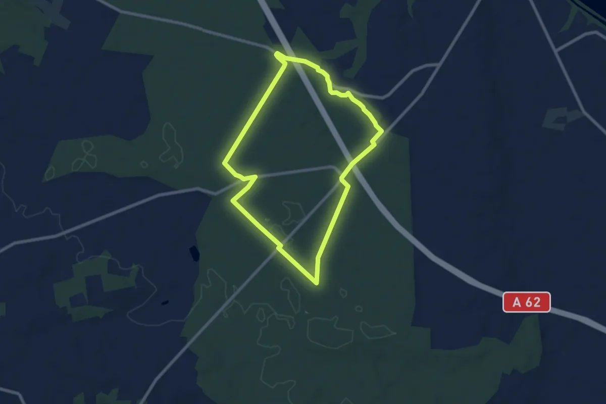
Le Mas-d'Agenais, du canal à la forêt - 12.8 km
12.6 km · ↑ 88 m · 3 h 21 min
Easy · Trail
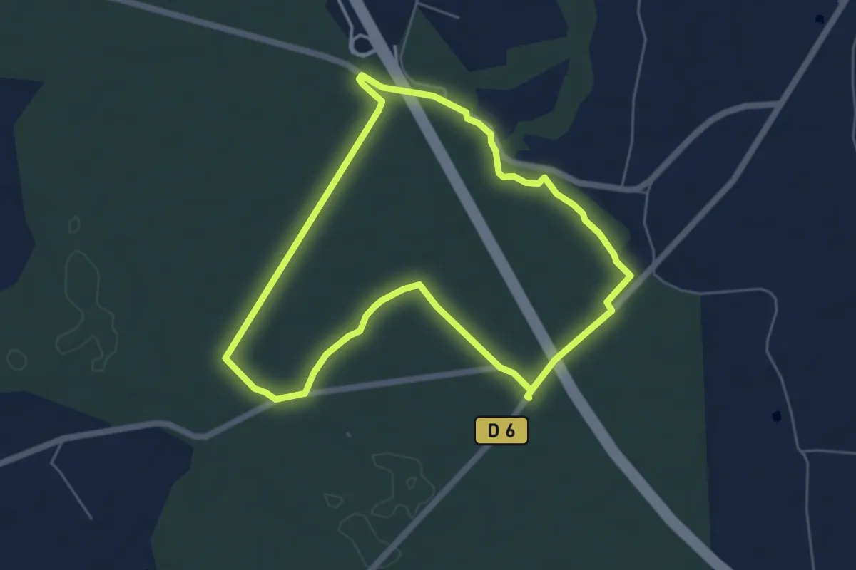
Le Mas-d'Agenais - Les princes des sous-bois en forêt du Mas - 7 km
6.9 km · ↑ 31 m · 1 h 48 min
Easy · Trail
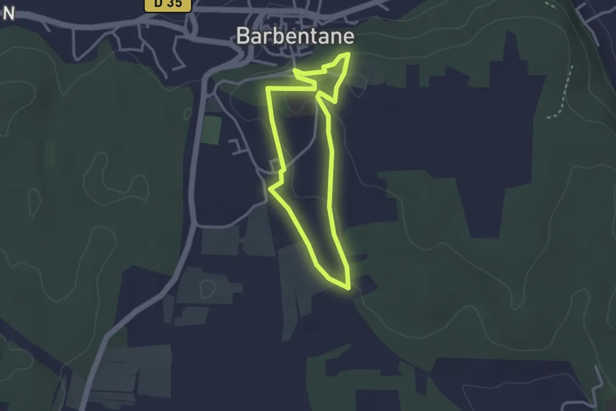
Le Mas-d'Agenais - Les princes des sous-bois en forêt du Mas (Variante) - 5.4 km
5.4 km · ↑ 27 m · 1 h 25 min
Easy · Trail
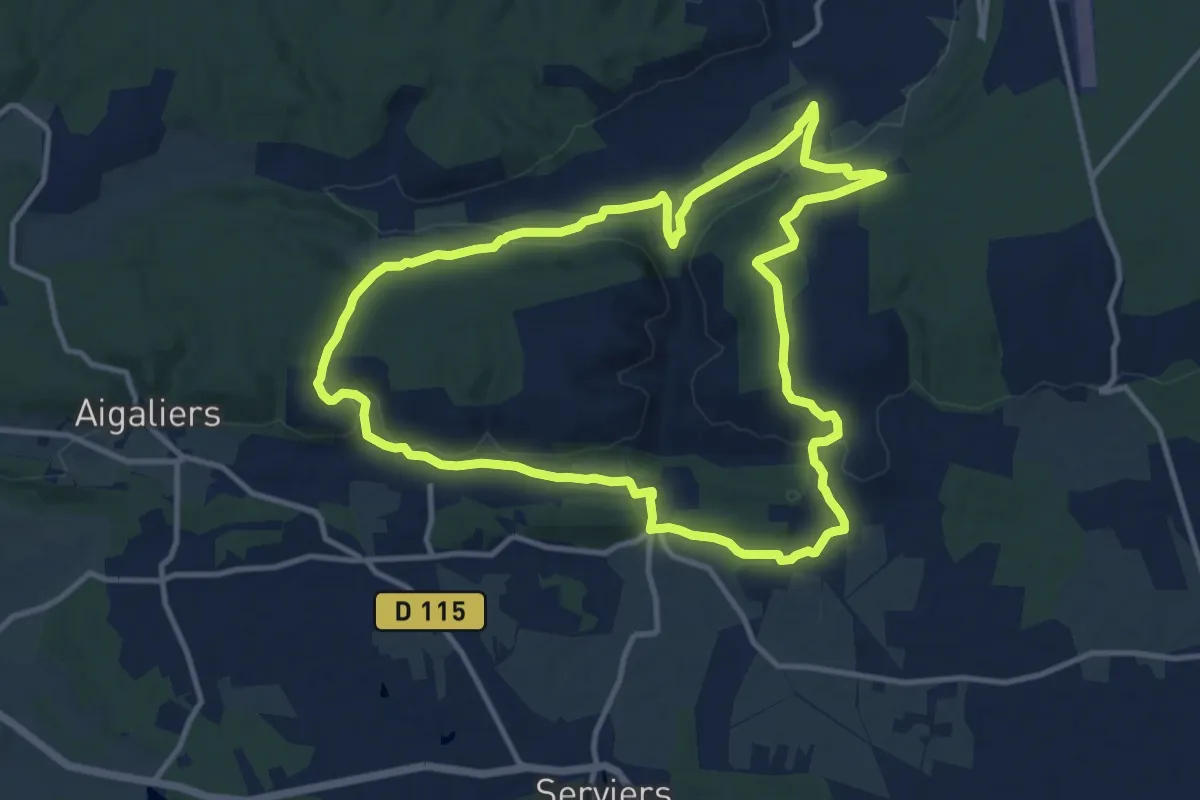
Le Mas de Bassette
2.6 km · ↑ 37 m · 43 min
Medium · Trail
Le Mas-de-l’Ancienne-Eglise
12.6 km · ↑ 269 m · 3 h 44 min
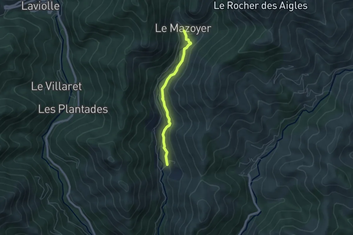
Easy · Trail
Le Mas - Le Mazoyer Bas
4.5 km · ↑ 171 m · 1 h 26 min
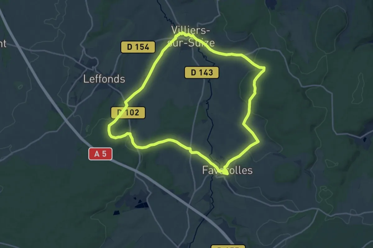
Medium · Trail
Le Mausolée
13.8 km · ↑ 238 m · 3 h 57 min
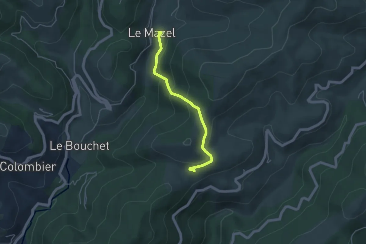
Easy · Trail
Le Mazel - Coulet du Vernadel
3.6 km · ↑ 195 m · 1 h 17 min
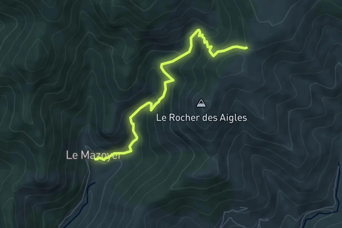
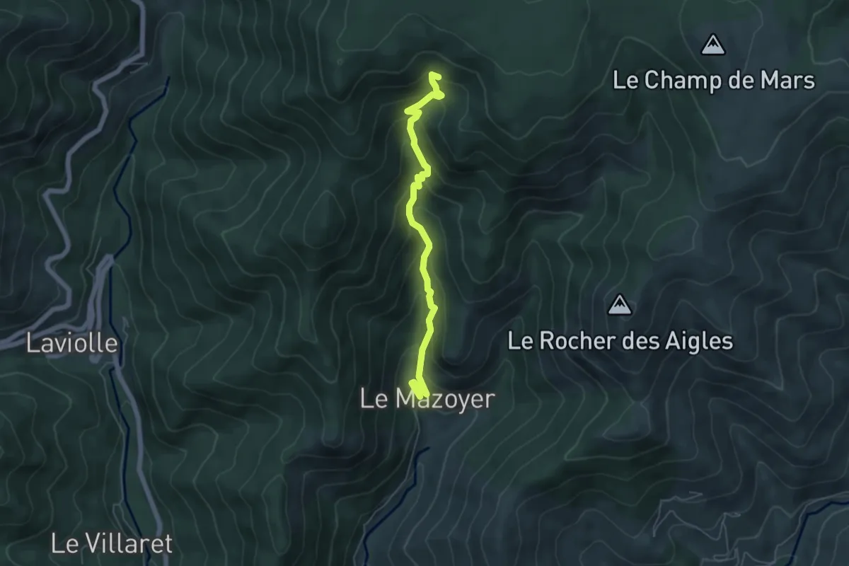
Medium · Trail
Le Mazoyer Bas - Le Coulet Gras
6.5 km · ↑ 500 m · 2 h 36 min
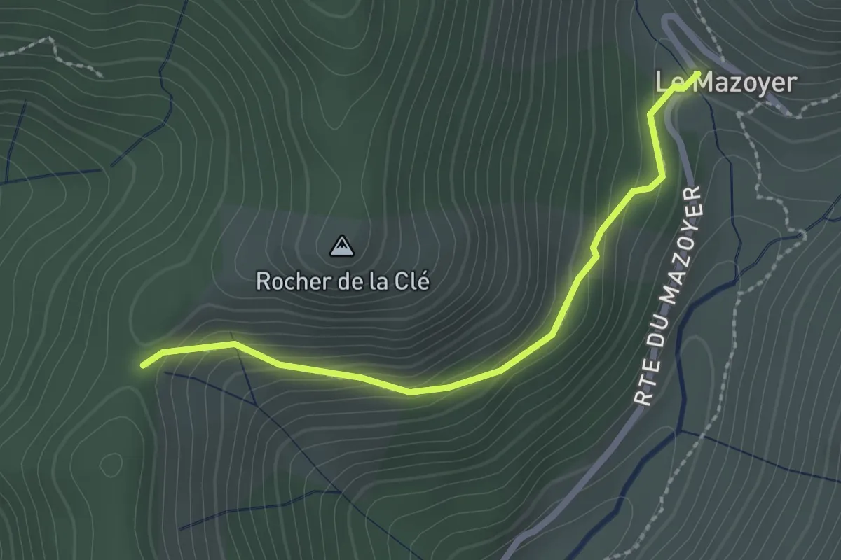
Medium · Trail
Le Mazoyer - Le Chabrol
5.2 km · ↑ 435 m · 2 h 11 min
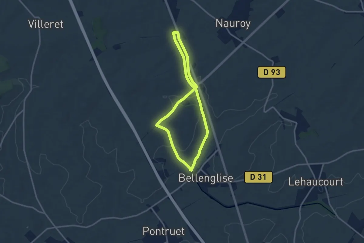
Easy · Trail
Le Mazoyer - Rocher de la Clé
2.2 km · ↑ 141 m · 50 min
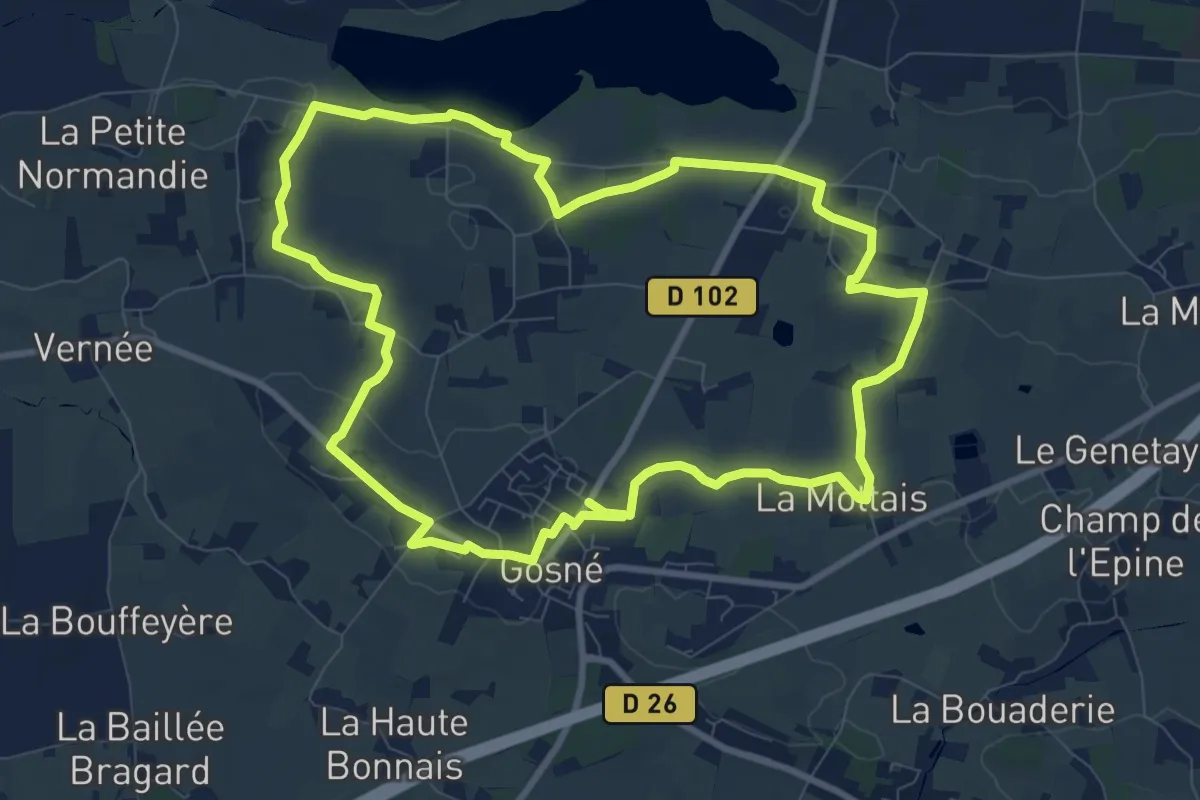
Easy · Trail
Le Mémorial Australien
7.6 km · ↑ 48 m · 2 h
Medium · Trail
Le Meneur de Loups
9.2 km · ↑ 67 m · 2 h 27 min
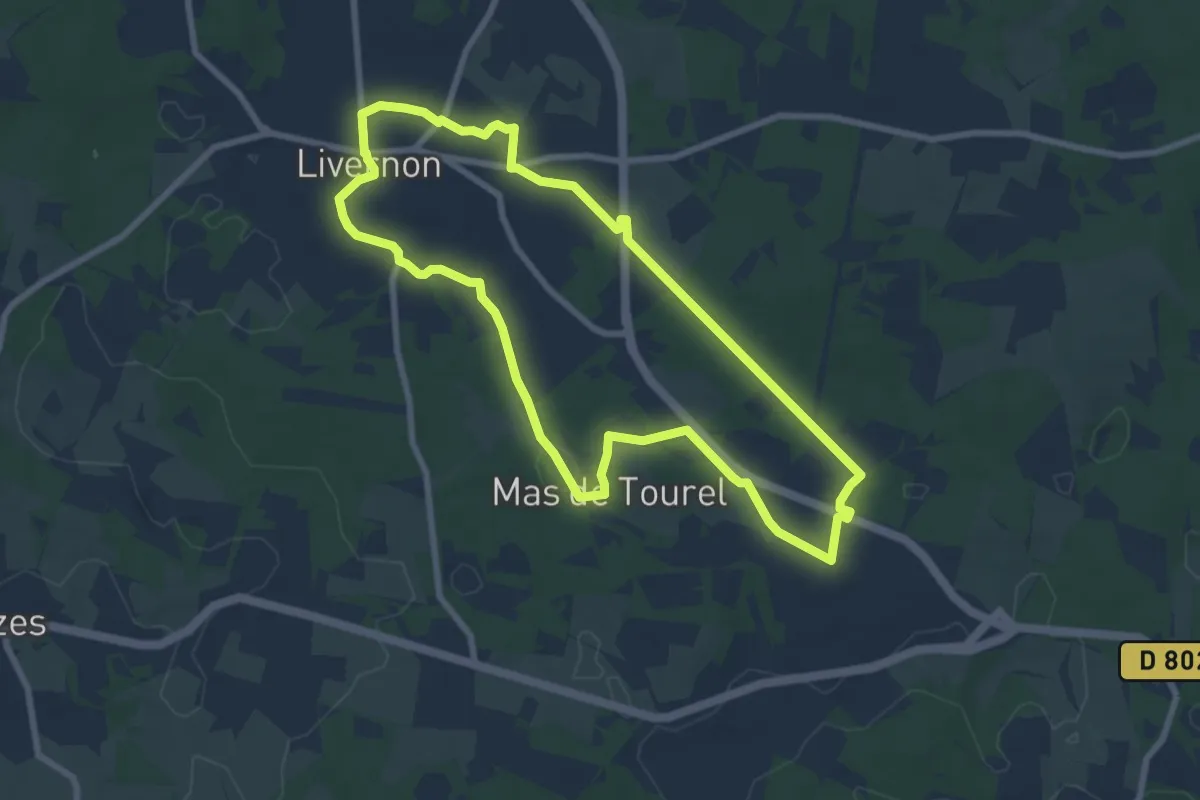
Medium · Trail
Le menhir de Bélinac
8.1 km · ↑ 84 m · 2 h 13 min
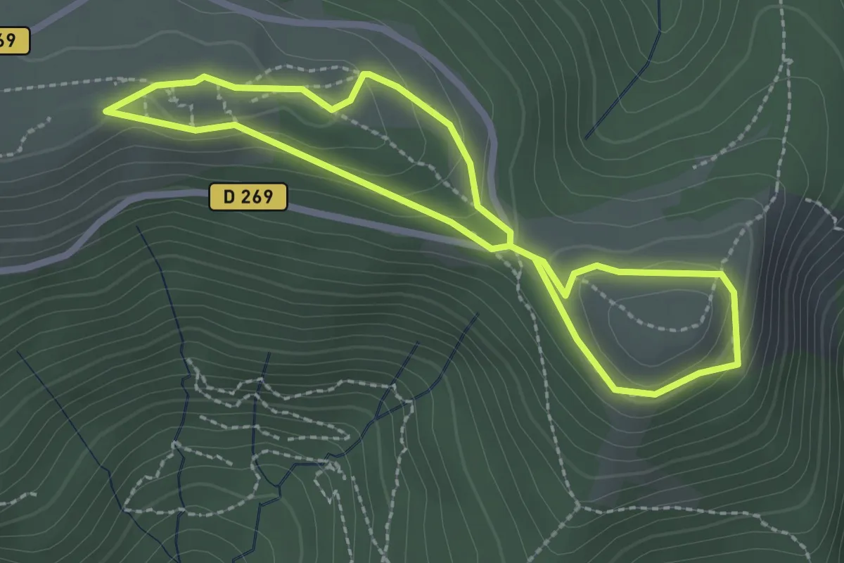
Demanding · Summit
Le Menhir de Trépaloup
2.3 km · ↑ 85 m · 45 min
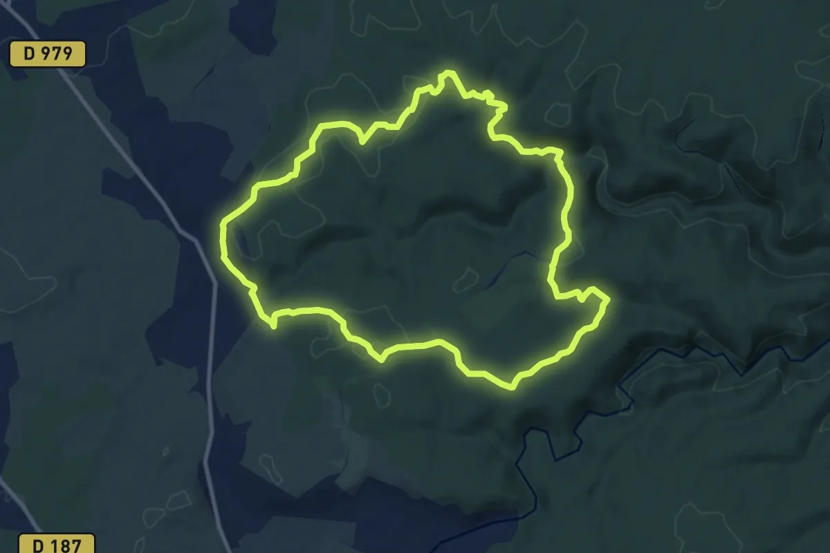
Medium · Trail
Le menhir, les Concluses
10.5 km · ↑ 203 m · 3 h 3 min
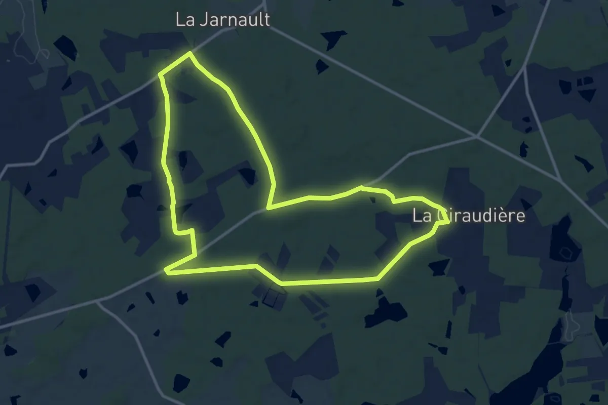
Medium · Trail
Le Mesnil
10.4 km · ↑ 49 m · 2 h 42 min
Easy · Trail
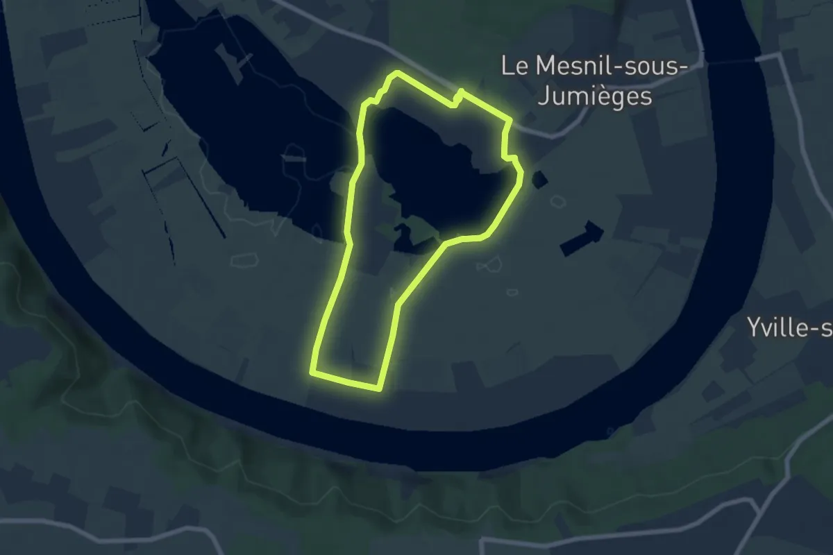
Le Mesnil-sous-Jumièges
5.4 km · ↑ 13 m · 1 h 22 min
Easy · Trail
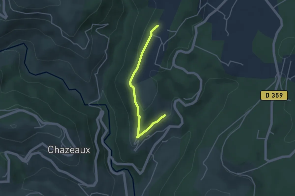
Le Meygris - Le Plantier
3.0 km · ↑ 97 m · 55 min
Easy · Trail
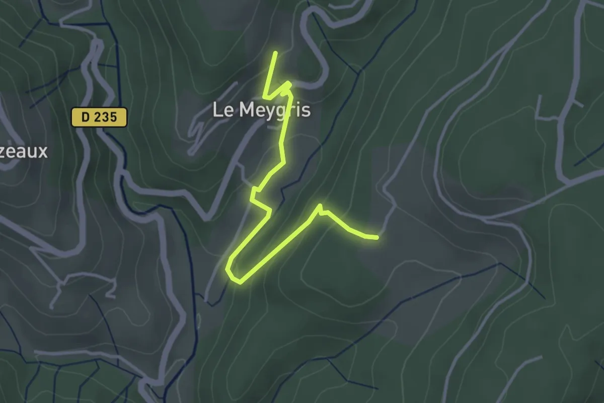
Le Meygris - Les Granges de Védignac
3.4 km · ↑ 190 m · 1 h 14 min
Easy · Trail
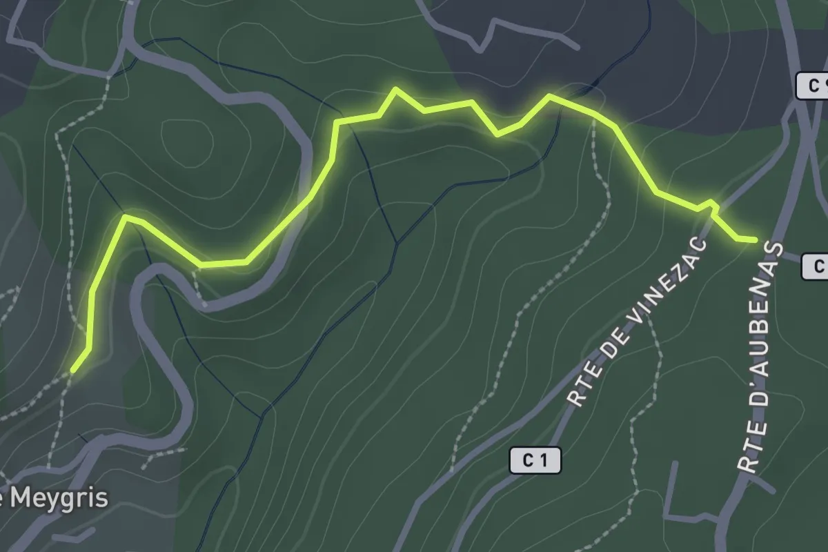
Le Meygris - Vidal Guerin
3.0 km · ↑ 84 m · 53 min
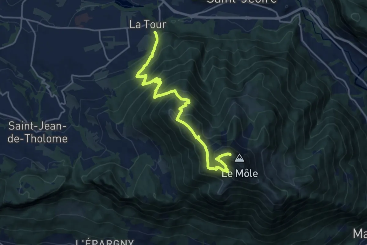
Demanding · Summit
Le Môle depuis La Tour
14.1 km · ↑ 1437 m · 6 h 27 min
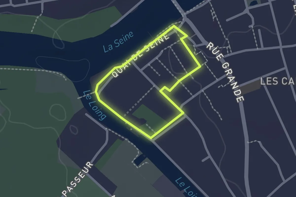
Easy · Trail
Le monde des mariniers
1.4 km · ↑ 5 m · 22 min
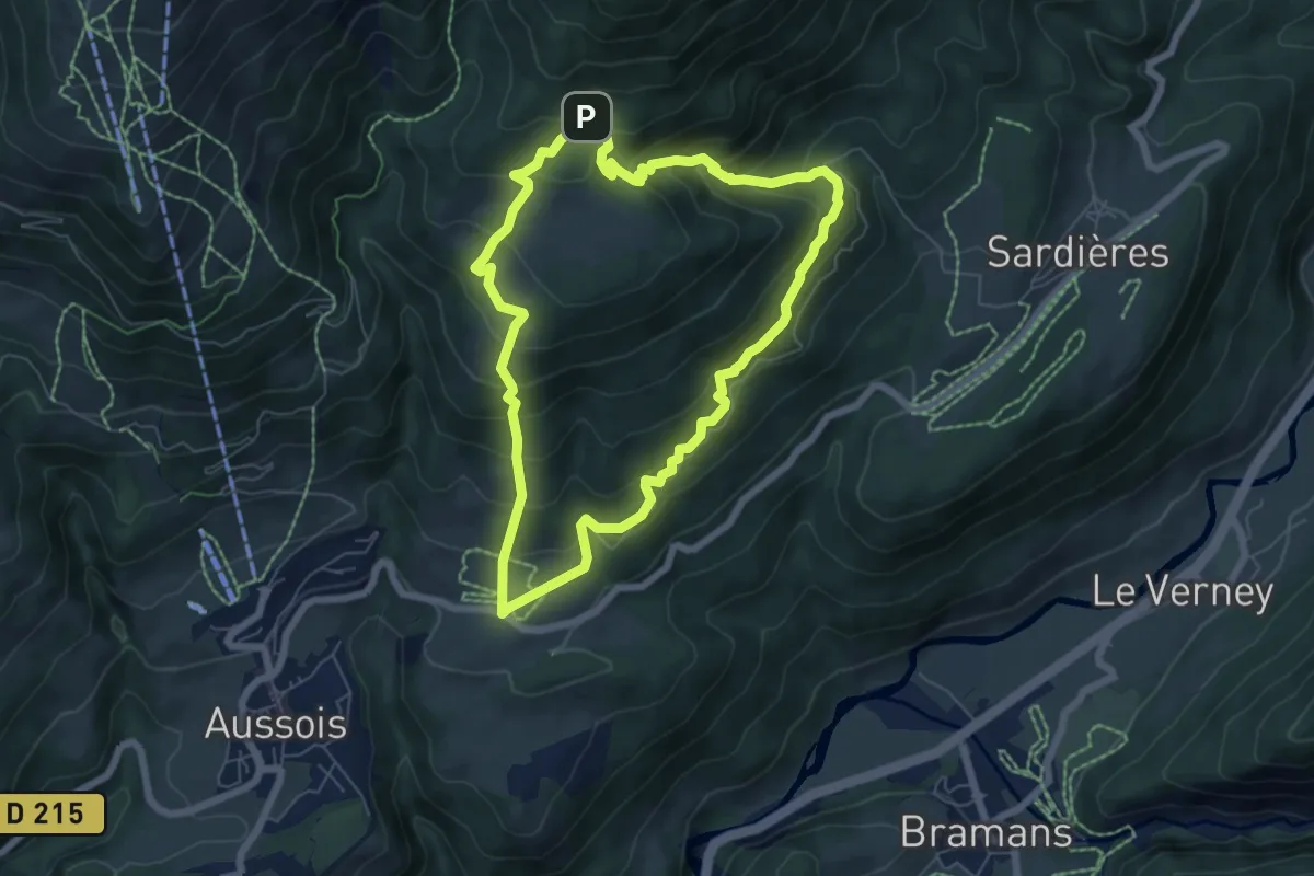
Medium · Summit
Le Monolithe
6.3 km · ↑ 511 m · 2 h 41 min
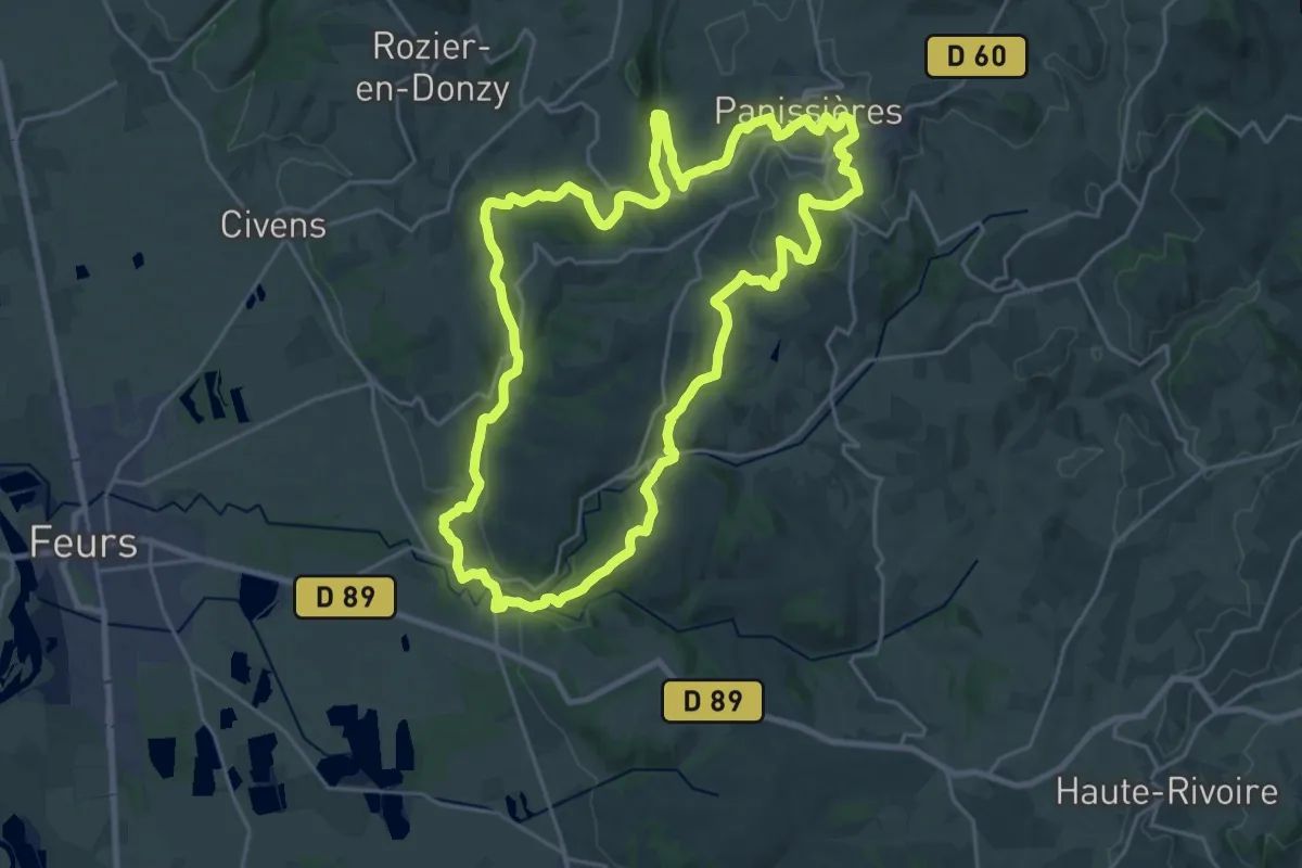
Demanding · Trail
Le Monorail
25.2 km · ↑ 479 m · 7 h 20 min
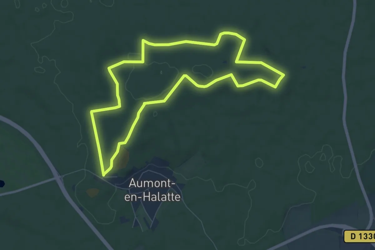
Medium · Trail
Le Mont Alta
7.4 km · ↑ 72 m · 2 h 1 min
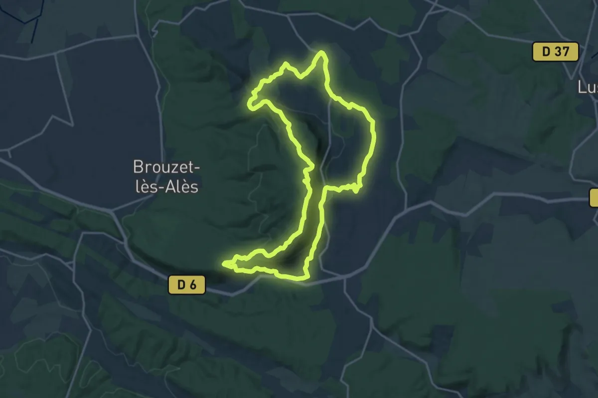
Medium · Summit
Le mont Bouquet
17.4 km · ↑ 593 m · 5 h 38 min
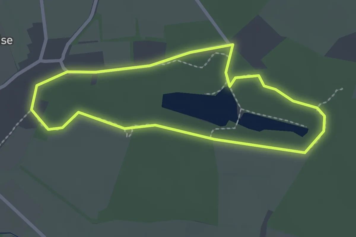
Easy · Trail
Le mont Castre
1.9 km · ↑ 39 m · 33 min
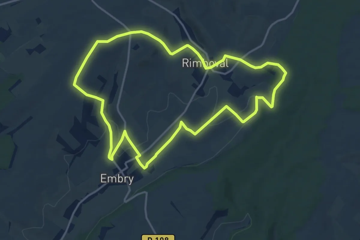
Medium · Trail
Le Mont Caudron
10.0 km · ↑ 188 m · 2 h 55 min
Easy · Trail
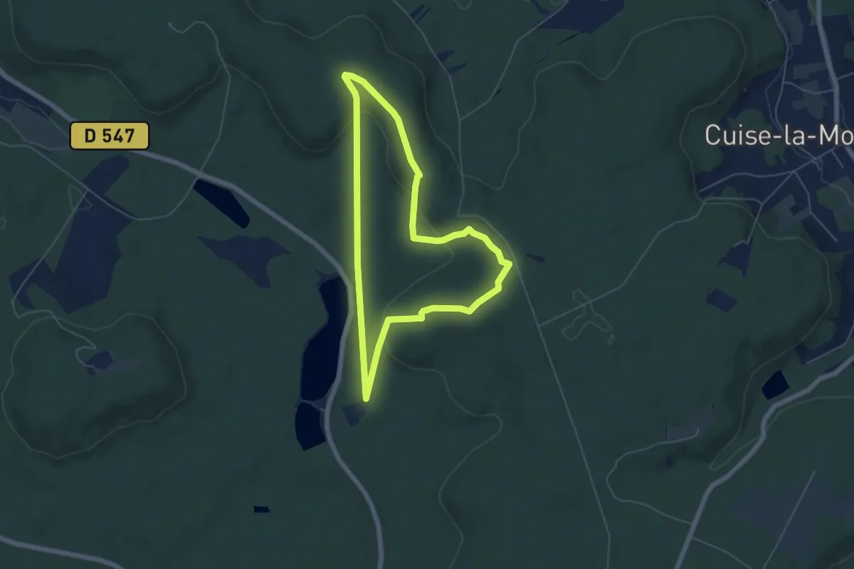
Le Mont-Collet
4.9 km · ↑ 101 m · 1 h 26 min
Medium · Summit
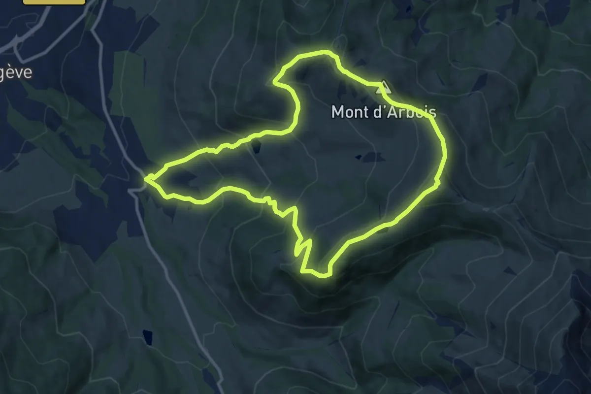
Le Mont d'Arbois - Mont Joux
9.9 km · ↑ 691 m · 3 h 58 min
Easy · Trail
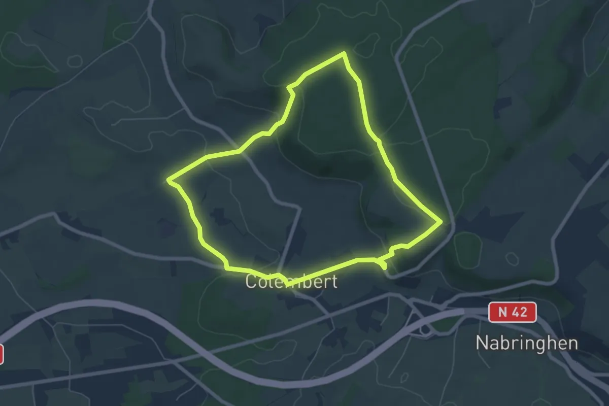
Le Mont Dauphin
5.6 km · ↑ 123 m · 1 h 40 min
Easy · Summit
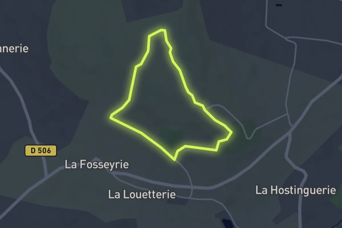
Le mont de Doville
2.6 km · ↑ 65 m · 47 min
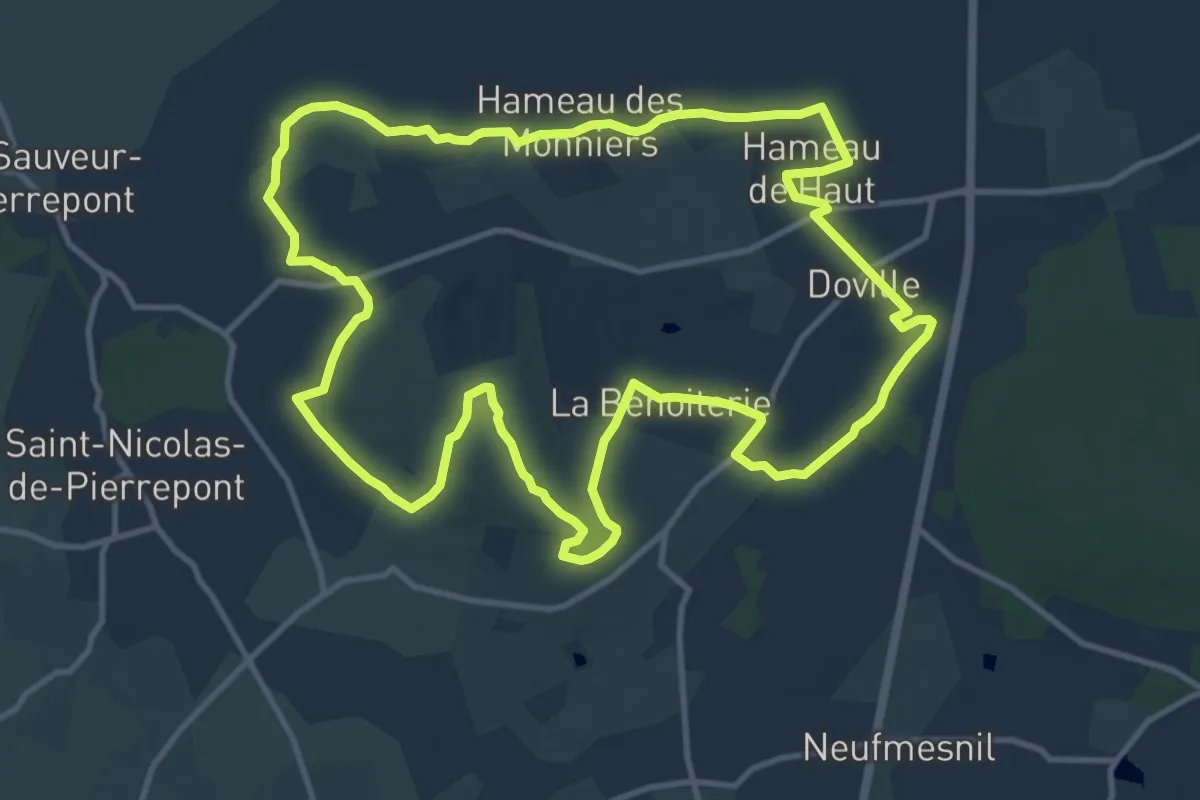
Medium · Summit
Le Mont de Doville
12.0 km · ↑ 237 m · 3 h 31 min
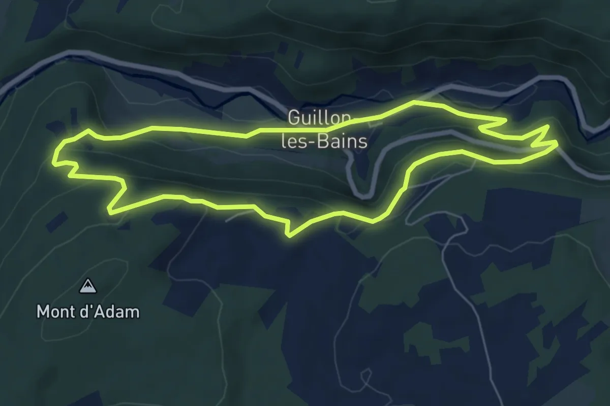
Easy · Trail
Le Mont de Guillon
5.9 km · ↑ 255 m · 2 h 2 min
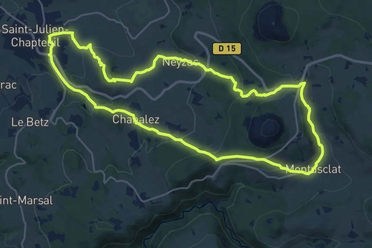
Medium · Trail
Le mont de la Tortue
14.5 km · ↑ 553 m · 4 h 50 min