Trails in France
15,926 hiking trails, each with its route, climb, walking time and grade.
All trails, page 168 of 332
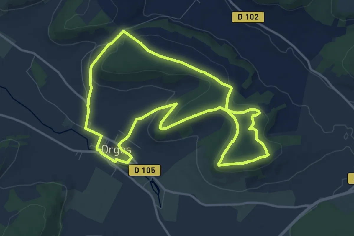
Medium · Trail
Le Muguet
9.2 km · ↑ 143 m · 2 h 36 min
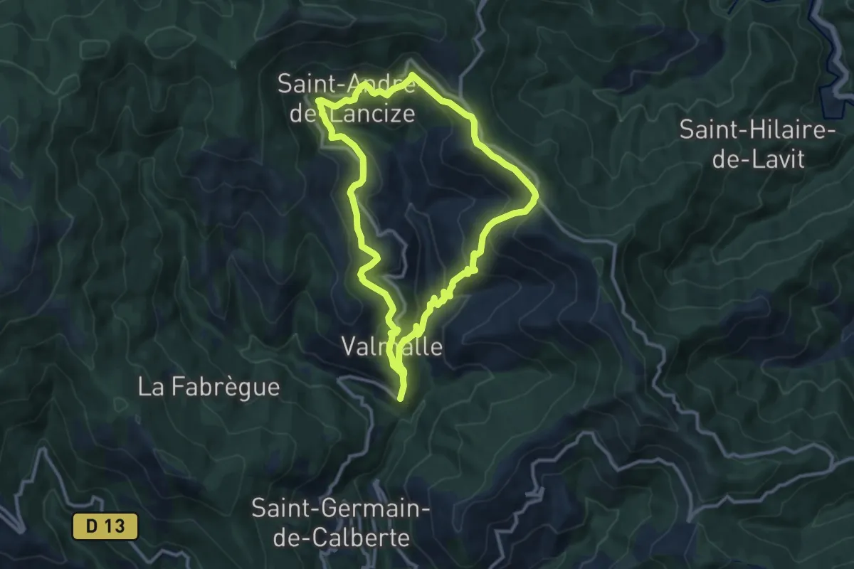
Medium · Trail
Le mulet Grisou
10.1 km · ↑ 491 m · 3 h 37 min
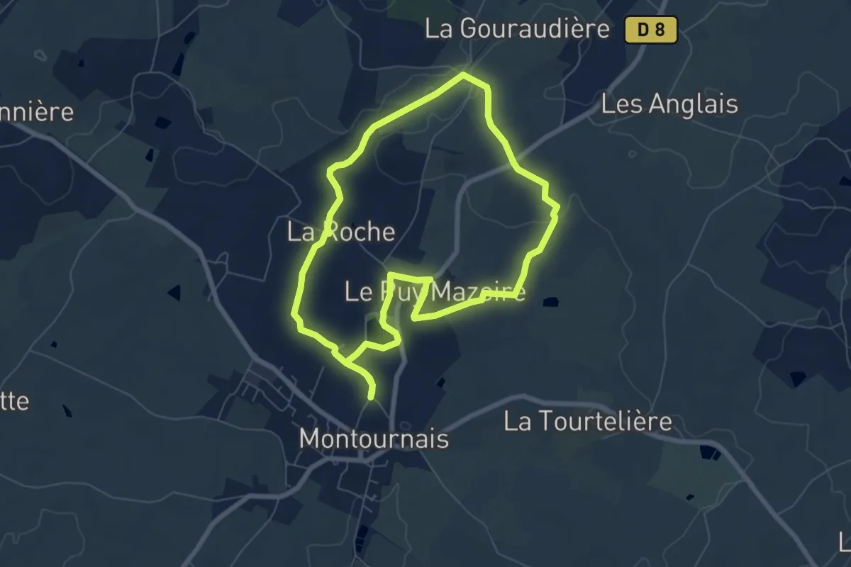
Easy · Trail
Le Nay
6.5 km · ↑ 57 m · 1 h 45 min
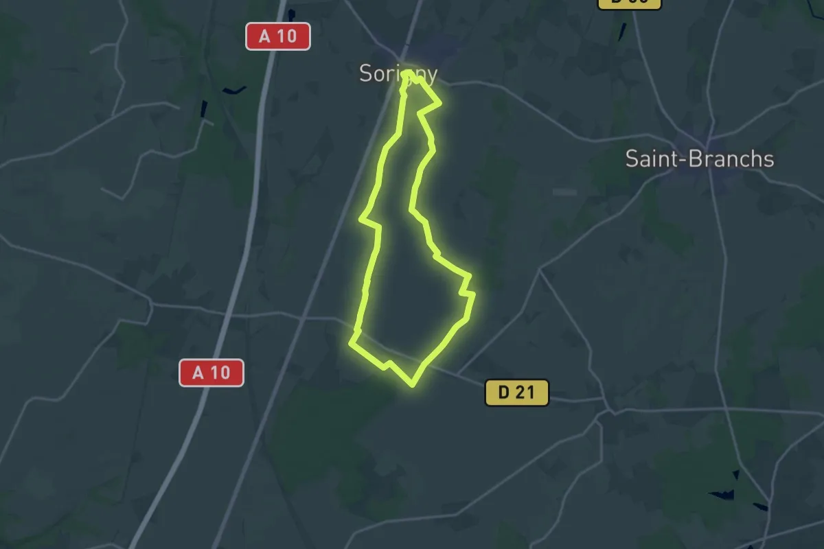
Medium · Trail
L'Enfer
15.2 km · ↑ 21 m · 3 h 50 min
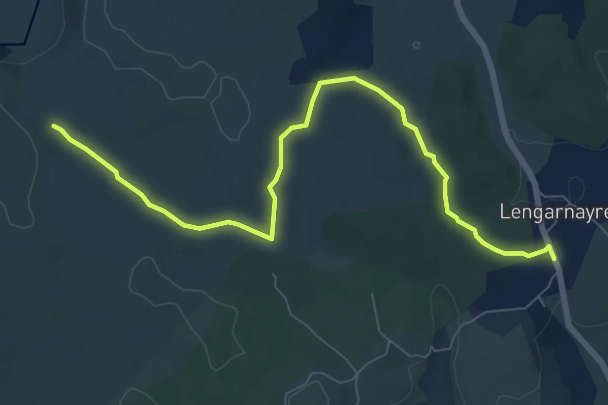
Easy · Trail
Lengarnayre - Les Treilles
7.7 km · ↑ 86 m · 2 h 1 min
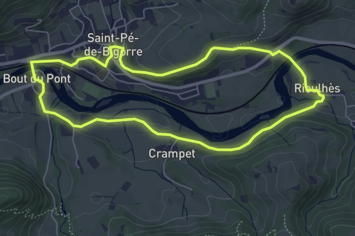
Medium · Trail
Lengous et Montagnou
5.3 km · ↑ 132 m · 1 h 37 min
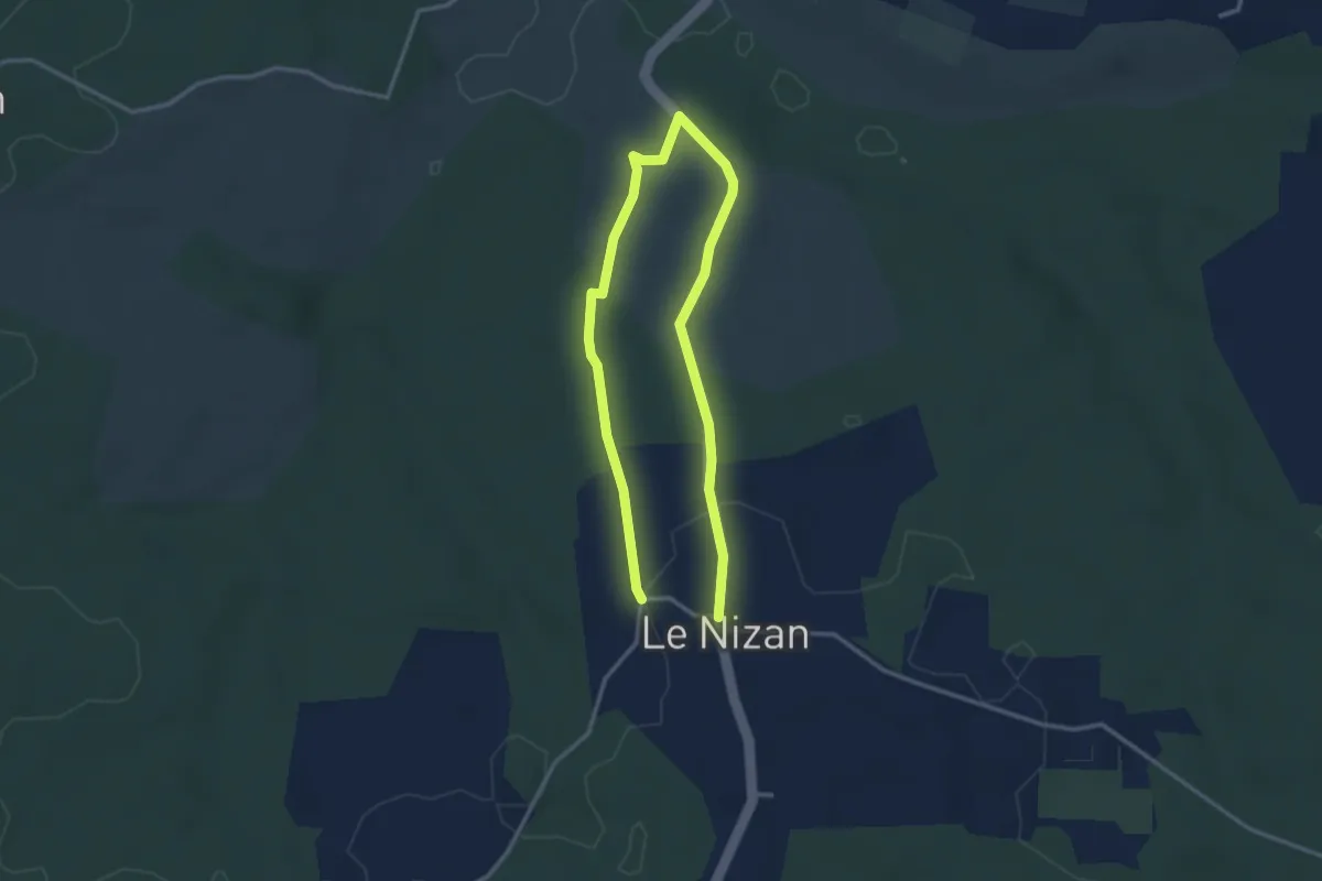
Easy · Trail
Le Nizan : boucle locale
2.5 km · ↑ 37 m · 43 min
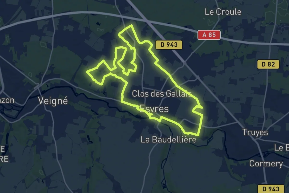
Medium · Trail
Le Noble Joué
17.6 km · ↑ 69 m · 4 h 32 min
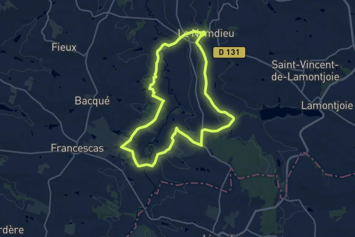
Medium · Trail
Le Nomdieu, à la découverte des cadrans solaires 13.9 km
13.8 km · ↑ 195 m · 3 h 53 min
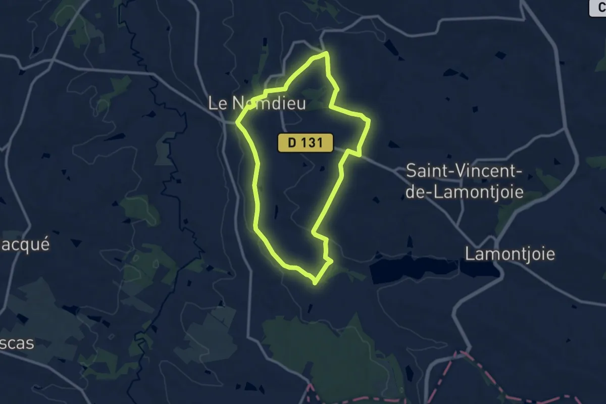
Medium · Trail
Le Nomdieu, vers le point de vue de l'église de Saint-Lary 8.9 km
8.8 km · ↑ 113 m · 2 h 27 min
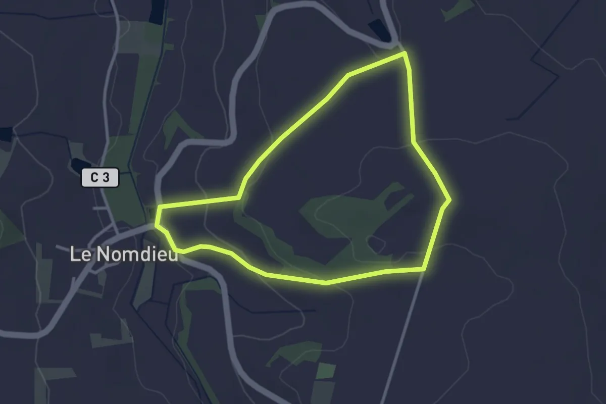
Easy · Trail
Le Nomdieu, vers le point de vue de l'église de Saint-Lary variante 3.7 km
3.0 km · ↑ 77 m · 54 min
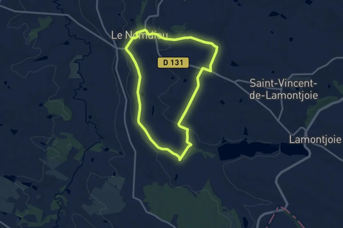
Easy · Trail
Le Nomdieu, vers le point de vue de l'église de Saint-Lary variante 7.9 km
7.9 km · ↑ 100 m · 2 h 11 min
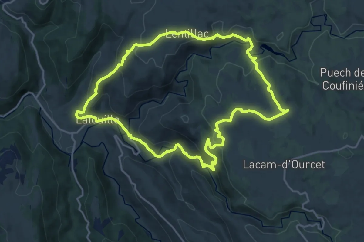
Medium · Trail
Lentillac et la chapelle de Verdale
11.7 km · ↑ 481 m · 3 h 58 min
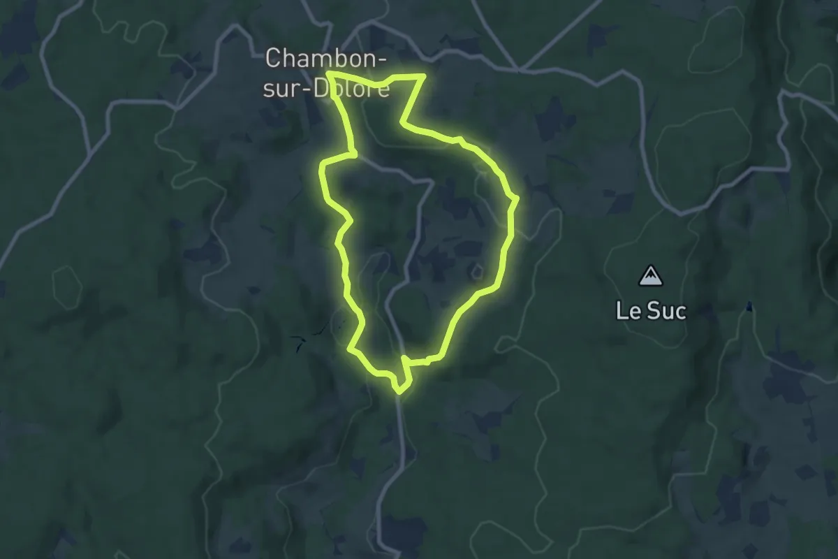
Easy · Trail
Le Pacage des Bœufs
7.5 km · ↑ 172 m · 2 h 14 min
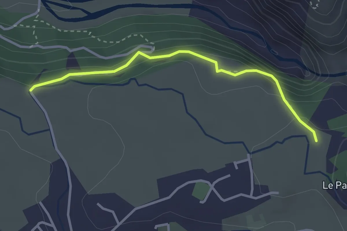
Easy · Trail
Le Pain de Sucre - Le Simoust
2.7 km · ↑ 149 m · 58 min
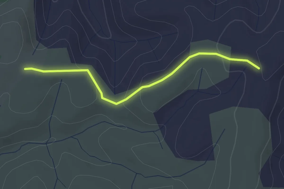
Easy · Trail
Le Palas - Clos de Vernet
3.0 km · ↑ 89 m · 53 min
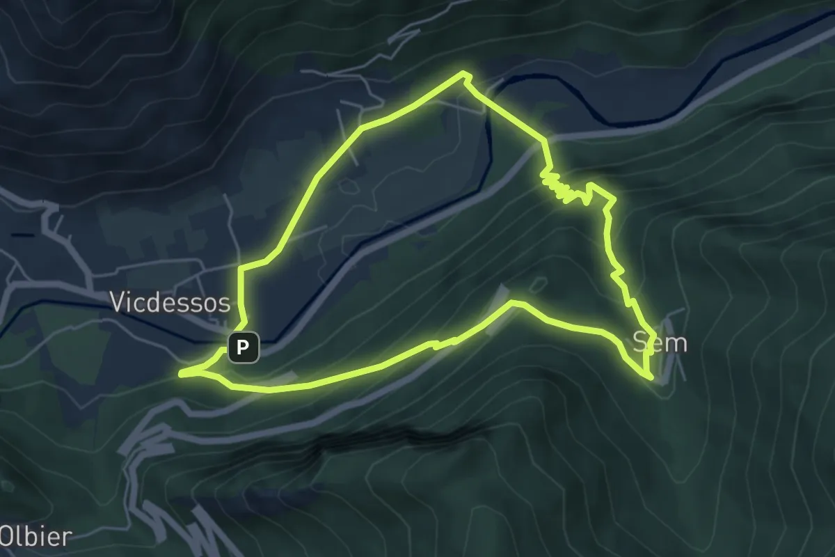
Medium · Trail
Le Palet de Samsom
5.6 km · ↑ 379 m · 2 h 14 min
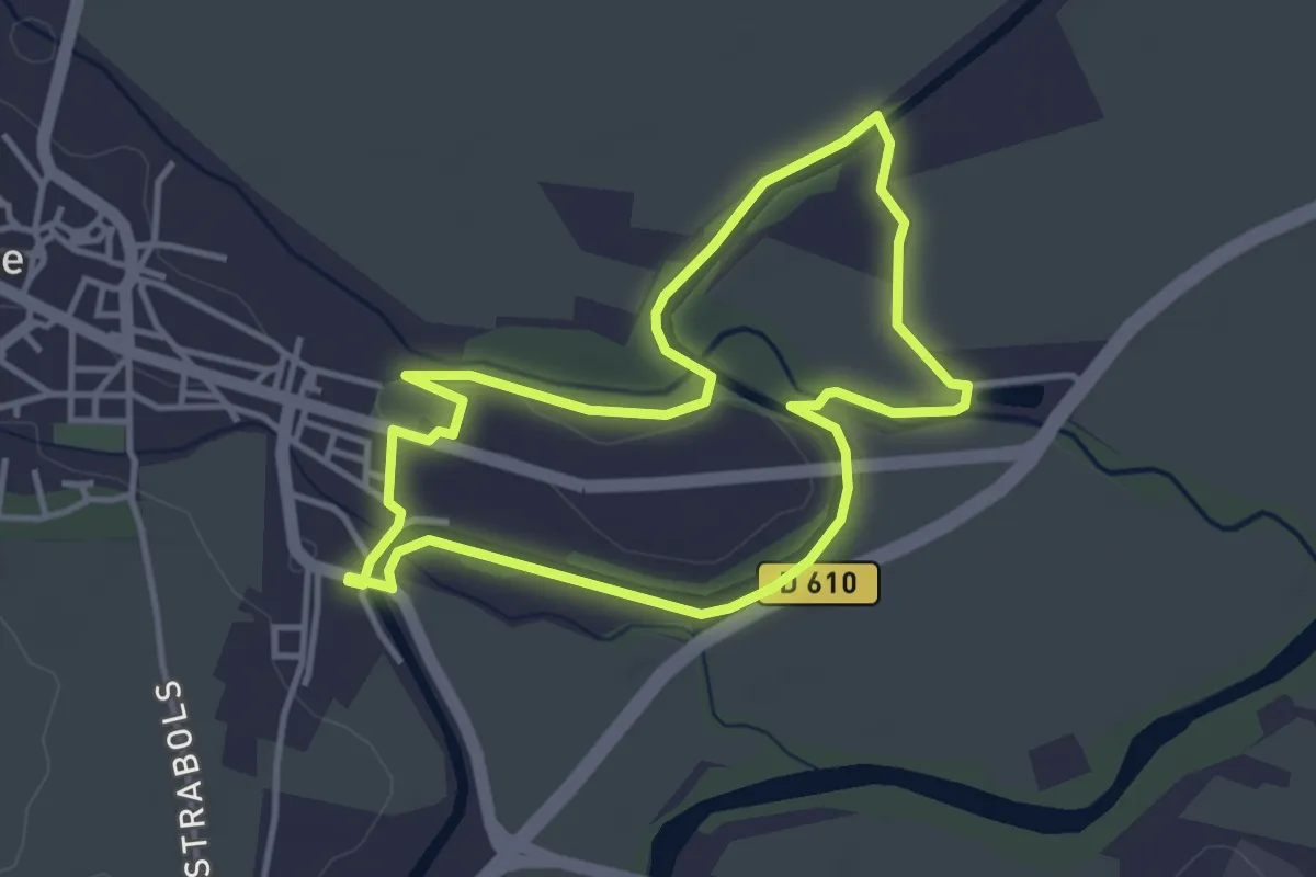
Easy · Trail
L'épanchoir court - Canal du Midi
3.8 km · ↑ 13 m · 59 min
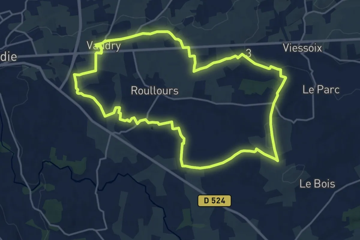
Medium · Trail
Le Panorama des Houlles
14.0 km · ↑ 202 m · 3 h 56 min
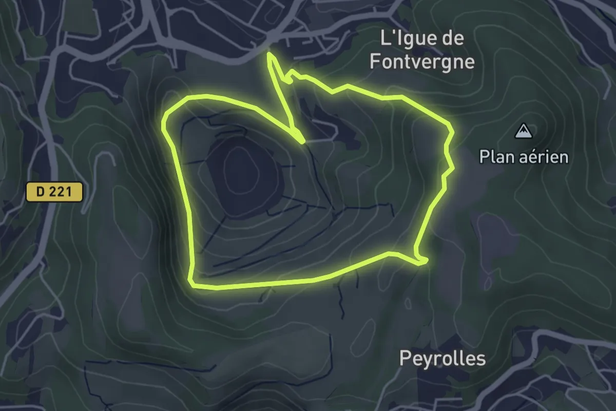
Easy · Trail
Le panoramique
4.2 km · ↑ 167 m · 1 h 25 min
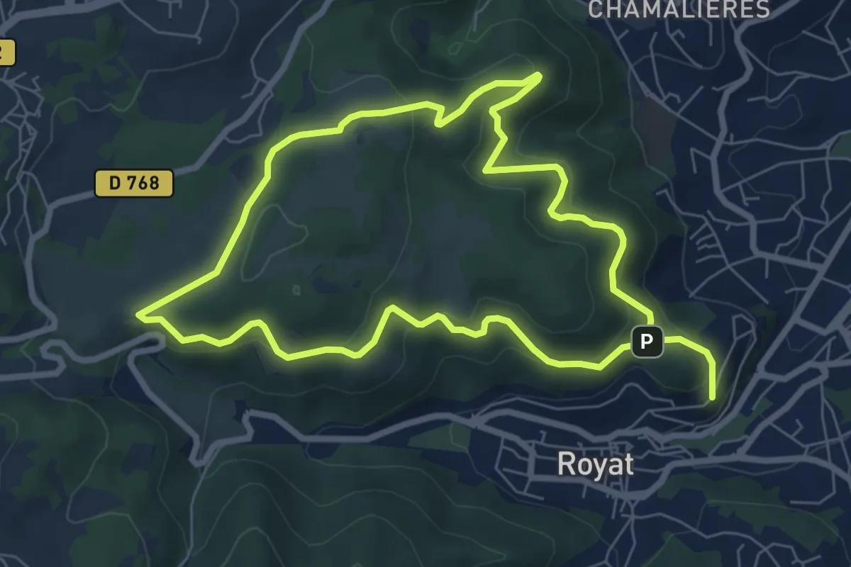
Easy · Summit
Le Paradis
6.6 km · ↑ 218 m · 2 h 9 min
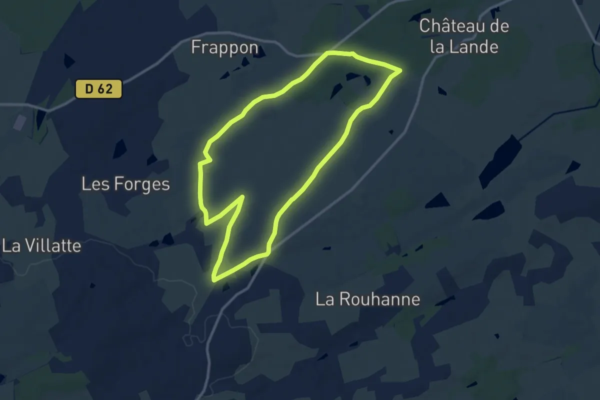
Medium · Trail
Le Paradis
9.7 km · ↑ 53 m · 2 h 32 min
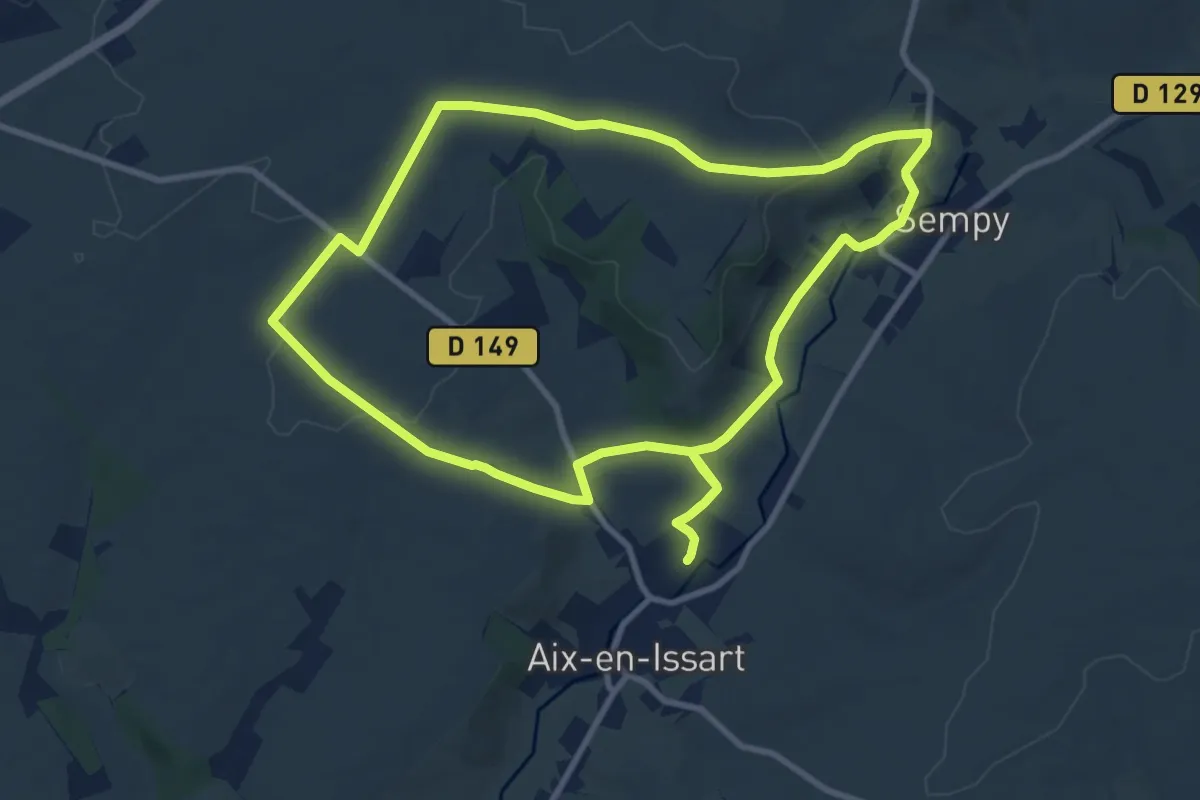
Medium · Summit
Le Paradis
9.4 km · ↑ 141 m · 2 h 39 min
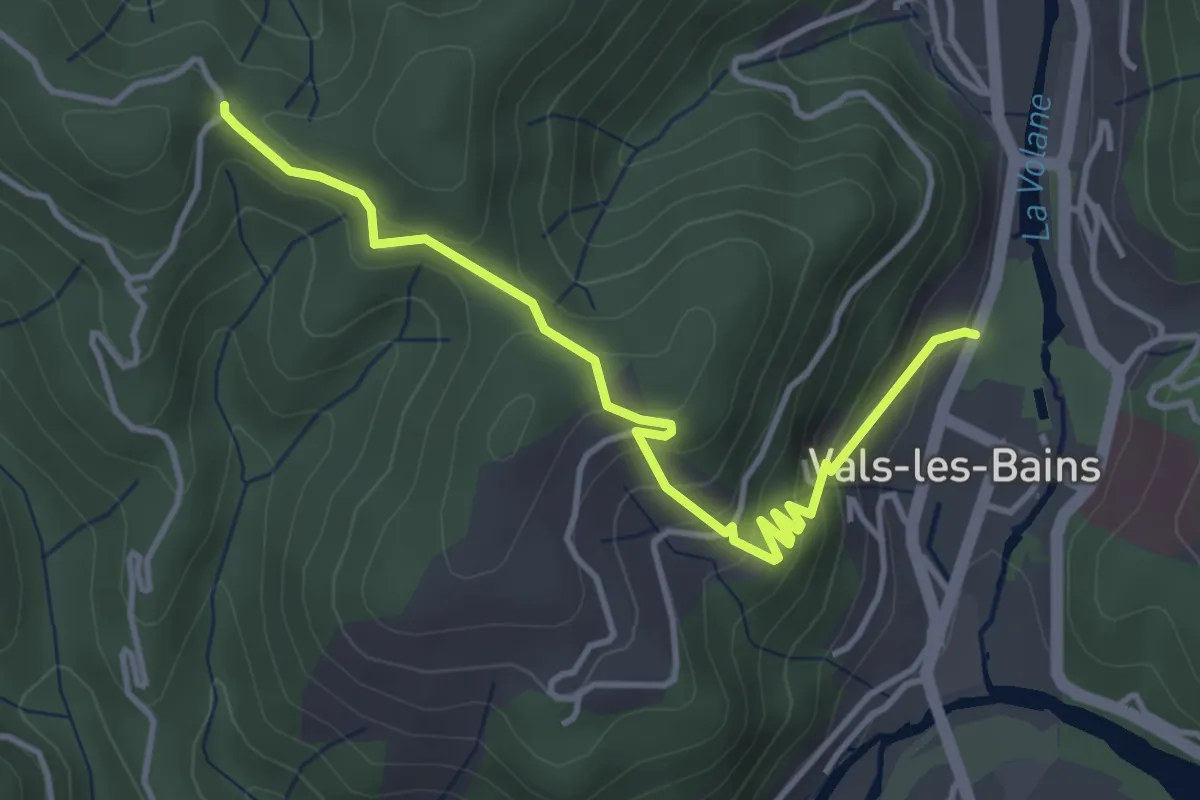
Easy · Trail
Le Parc - Col de Longe Serre
4.3 km · ↑ 303 m · 1 h 40 min
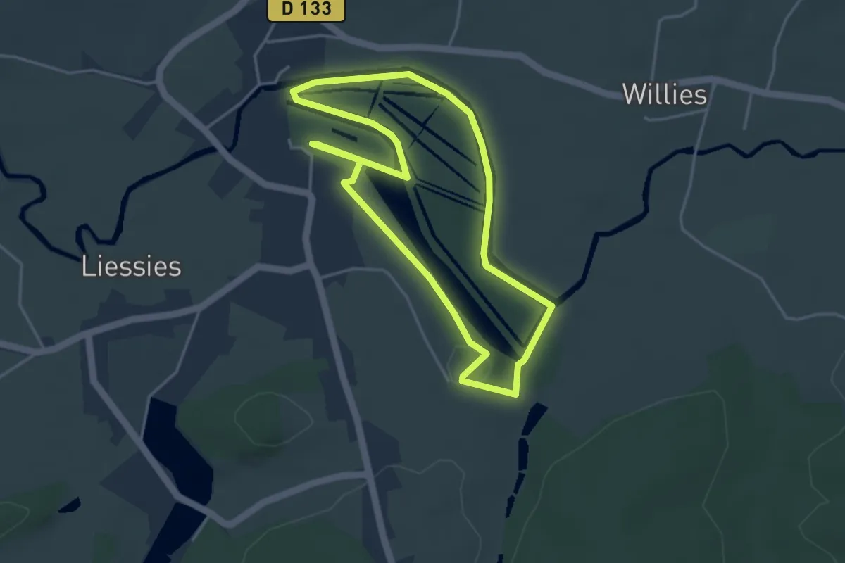
Easy · Trail
Le Parc de l'Abbaye
3.6 km · ↑ 28 m · 57 min
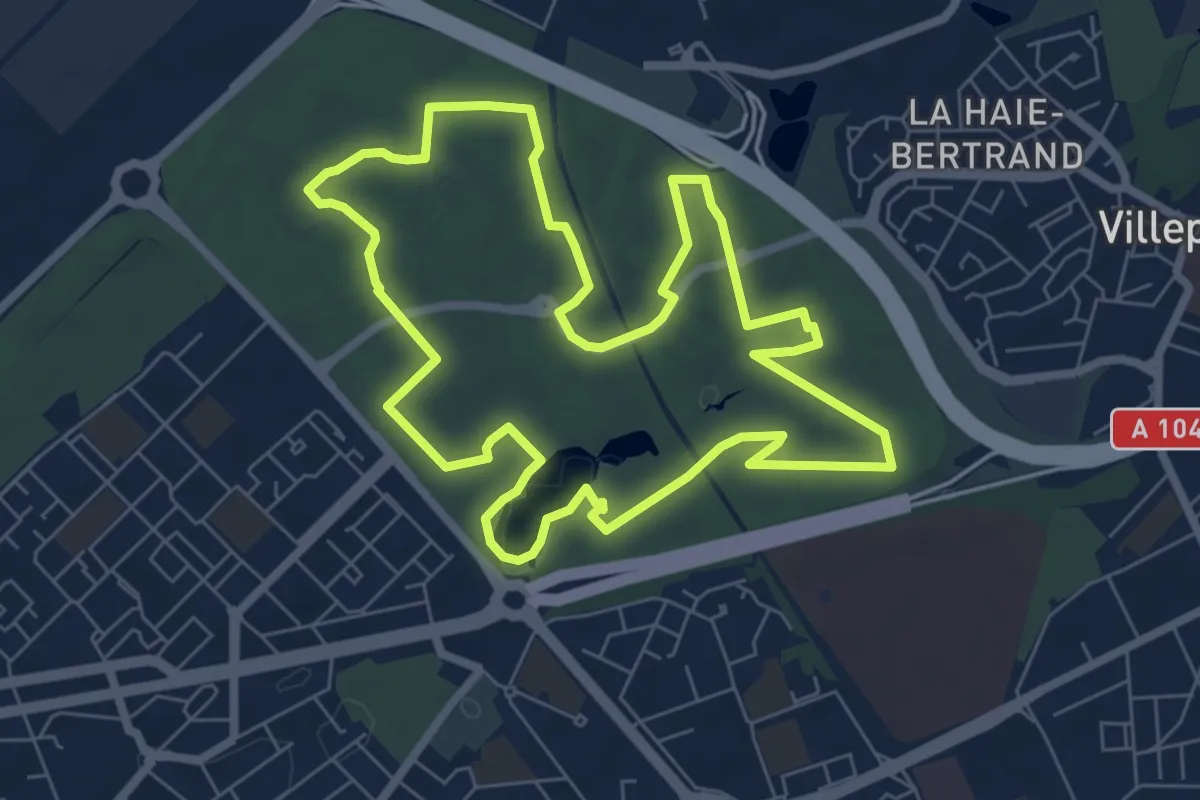
Easy · Trail
Le parc départemental du Sausset
7.0 km · ↑ 34 m · 1 h 50 min
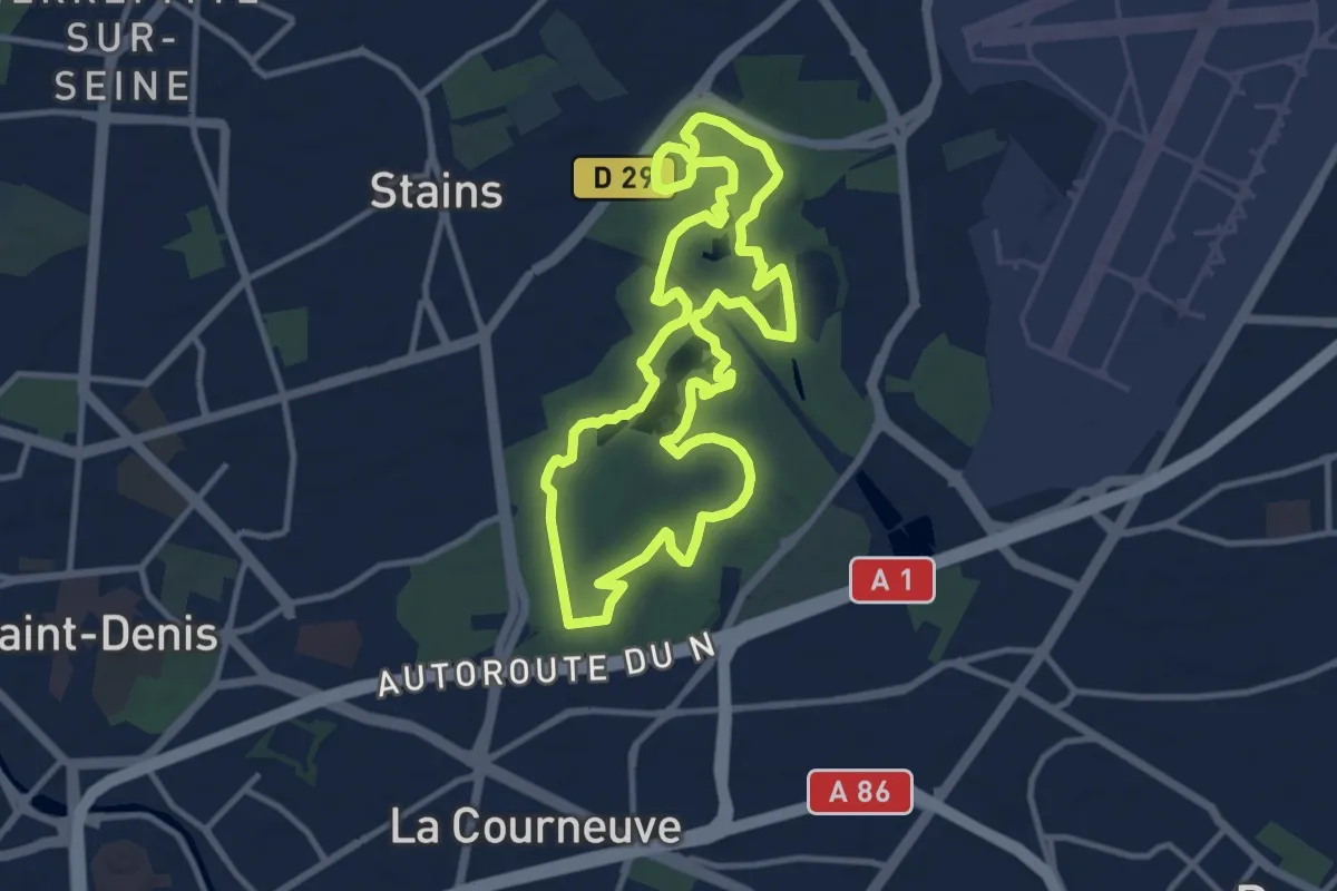
Medium · Trail
Le parc départemental Georges-Valbon
10.8 km · ↑ 101 m · 2 h 55 min
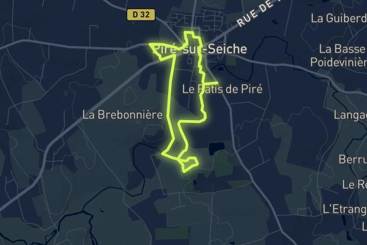
Easy · Trail
Le parc de Piré par la vallée
6.3 km · ↑ 35 m · 1 h 40 min
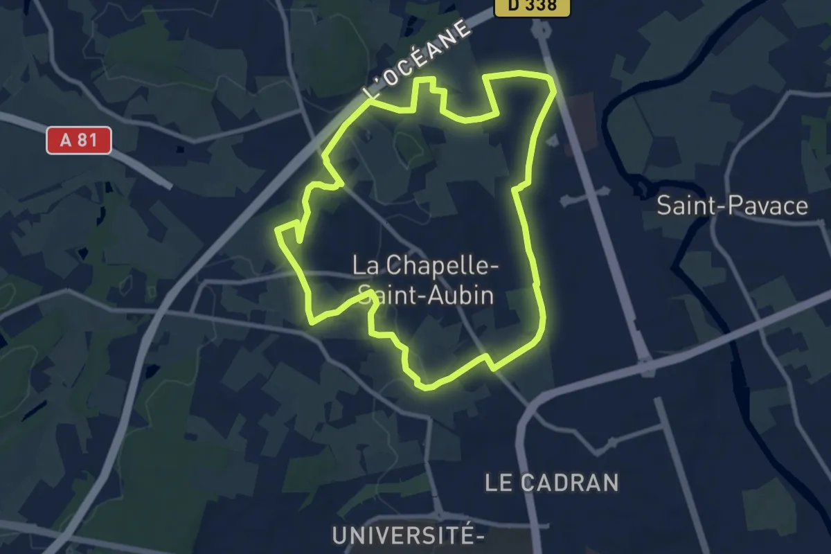
Medium · Trail
Le parcours de Saint-Christophe
8.3 km · ↑ 109 m · 2 h 19 min
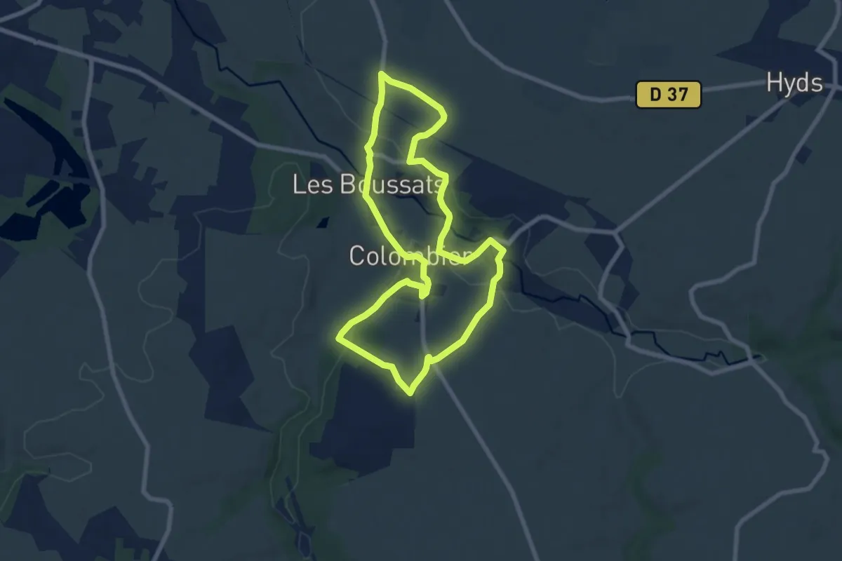
Easy · Trail
Le parcours des croix
6.8 km · ↑ 168 m · 2 h 4 min
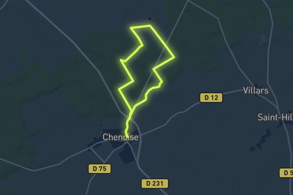
Medium · Trail
Le parcours du Beau Chêne
9.3 km · ↑ 63 m · 2 h 27 min
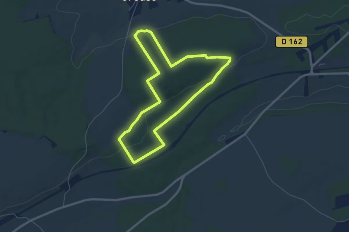
Easy · Trail
Le Parcours du Chevreuil
5.1 km · ↑ 75 m · 1 h 26 min
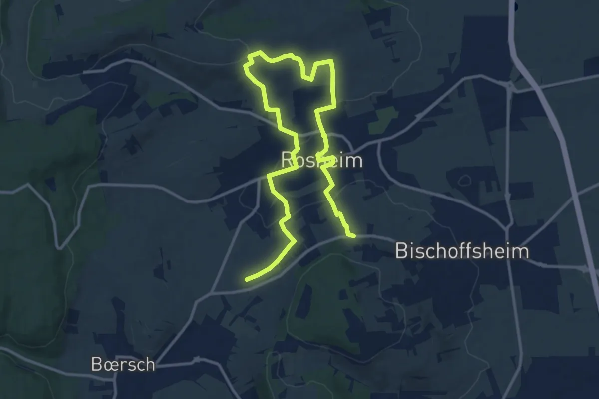
Easy · Trail
Le parcours du vigneron
7.2 km · ↑ 155 m · 2 h 8 min
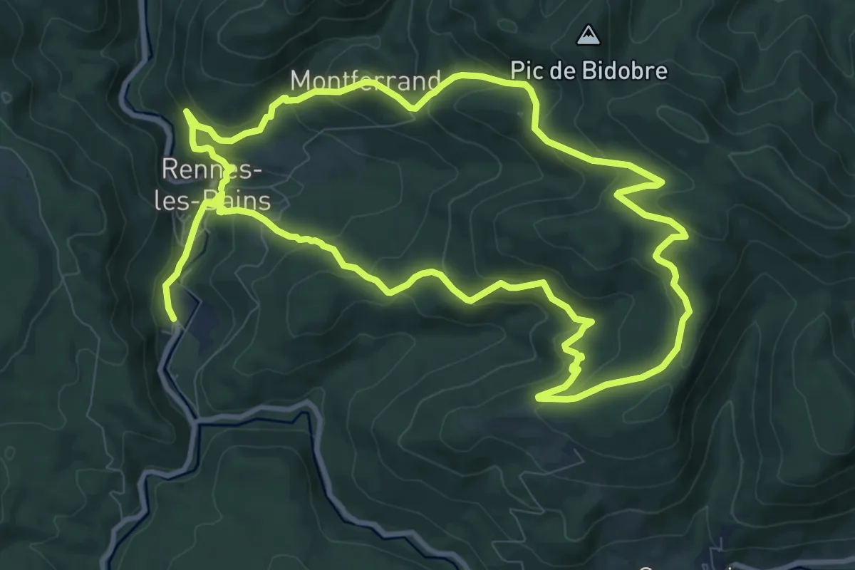
Demanding · Trail
Le parcours géologique
20.9 km · ↑ 933 m · 6 h 57 min
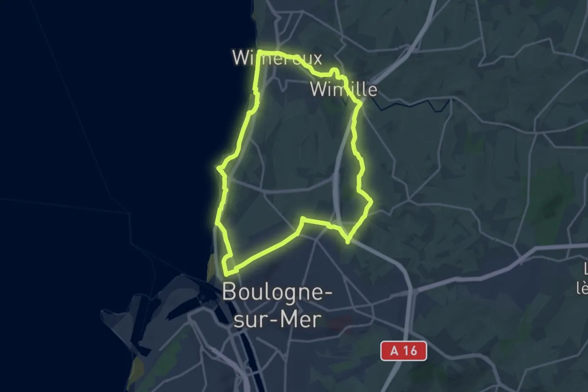
Medium · Trail
Le Parcours Impérial
13.9 km · ↑ 222 m · 3 h 58 min
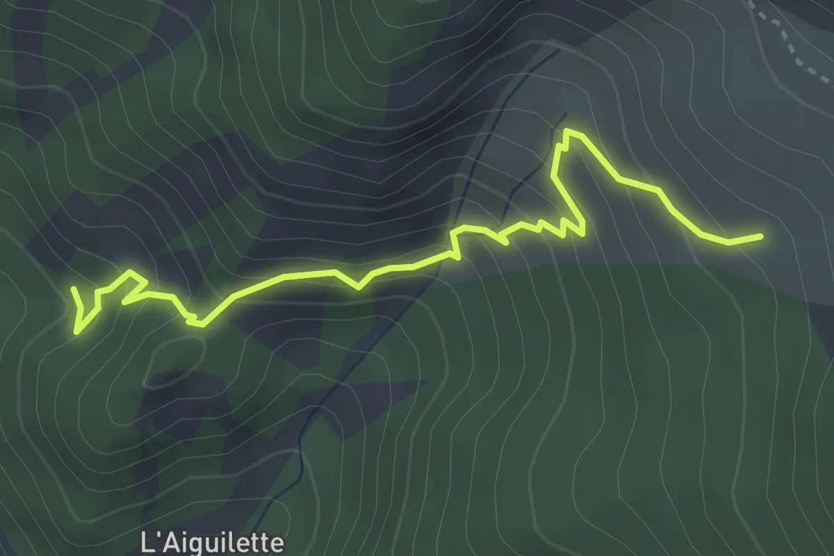
Medium · Trail
Le Partus Site Escalade - Le Pouït
3.7 km · ↑ 357 m · 1 h 39 min
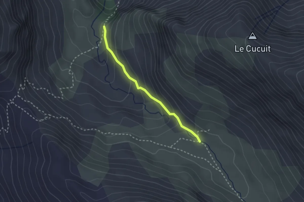
Easy · Trail
Le Pas - ?
2.2 km · ↑ 145 m · 50 min
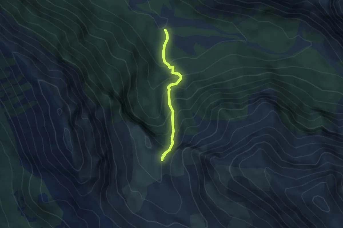
Medium · Trail
Le Pas - Bas Torrent Laugier
3.0 km · ↑ 347 m · 1 h 28 min
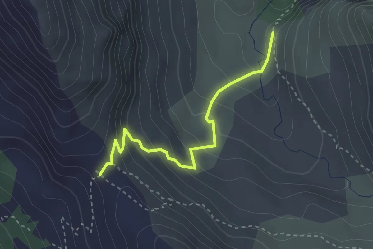
Easy · Trail
Le Pas - Col de la Coulette
2.7 km · ↑ 207 m · 1 h 5 min
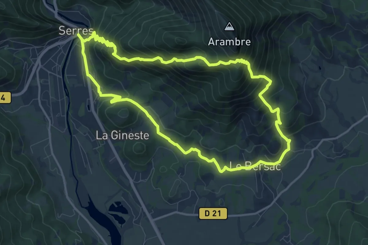
Medium · Trail
Le Pas de la Louve
10.5 km · ↑ 678 m · 4 h 6 min
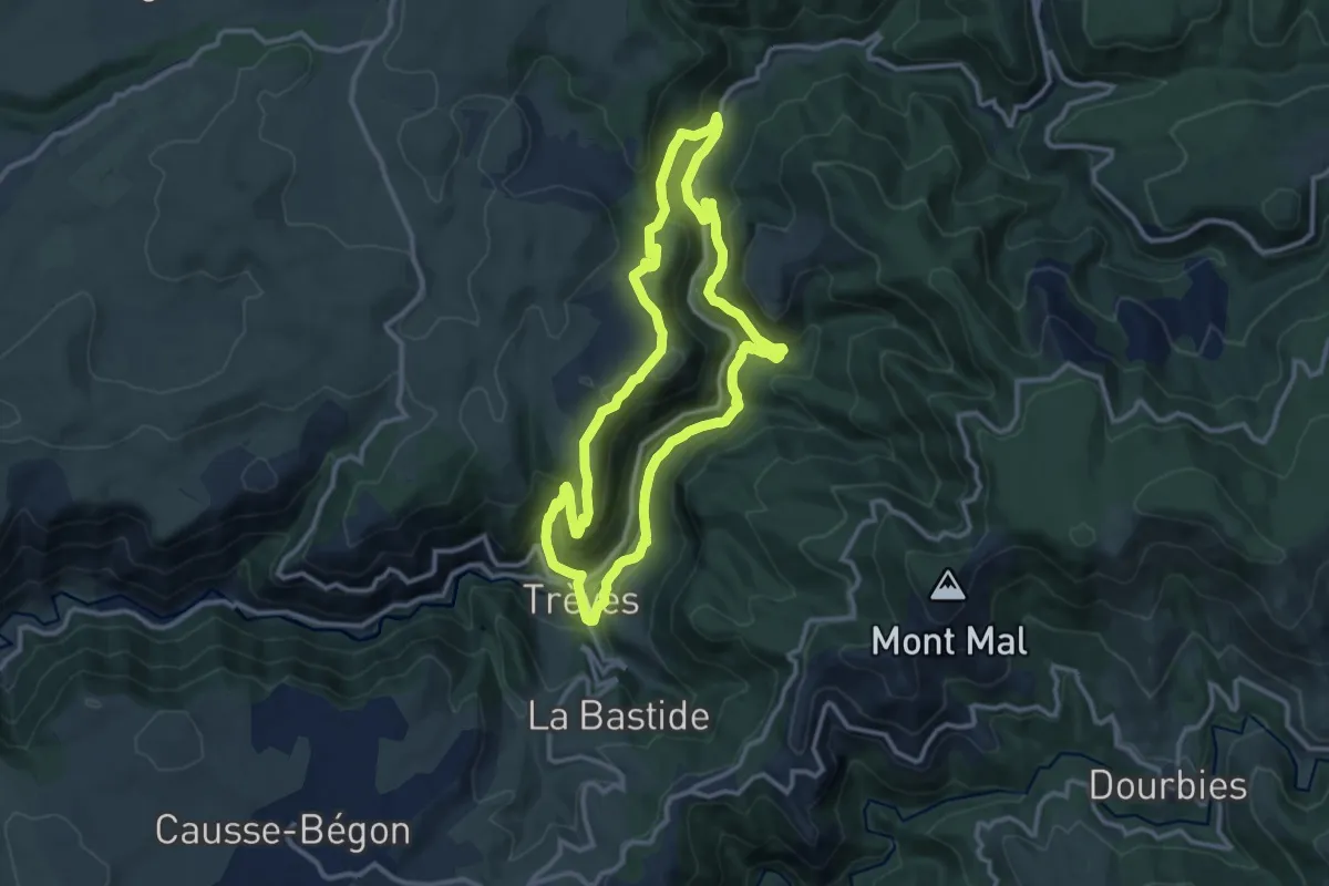
Medium · Trail
Le pas de l'ane
11.8 km · ↑ 484 m · 4 h
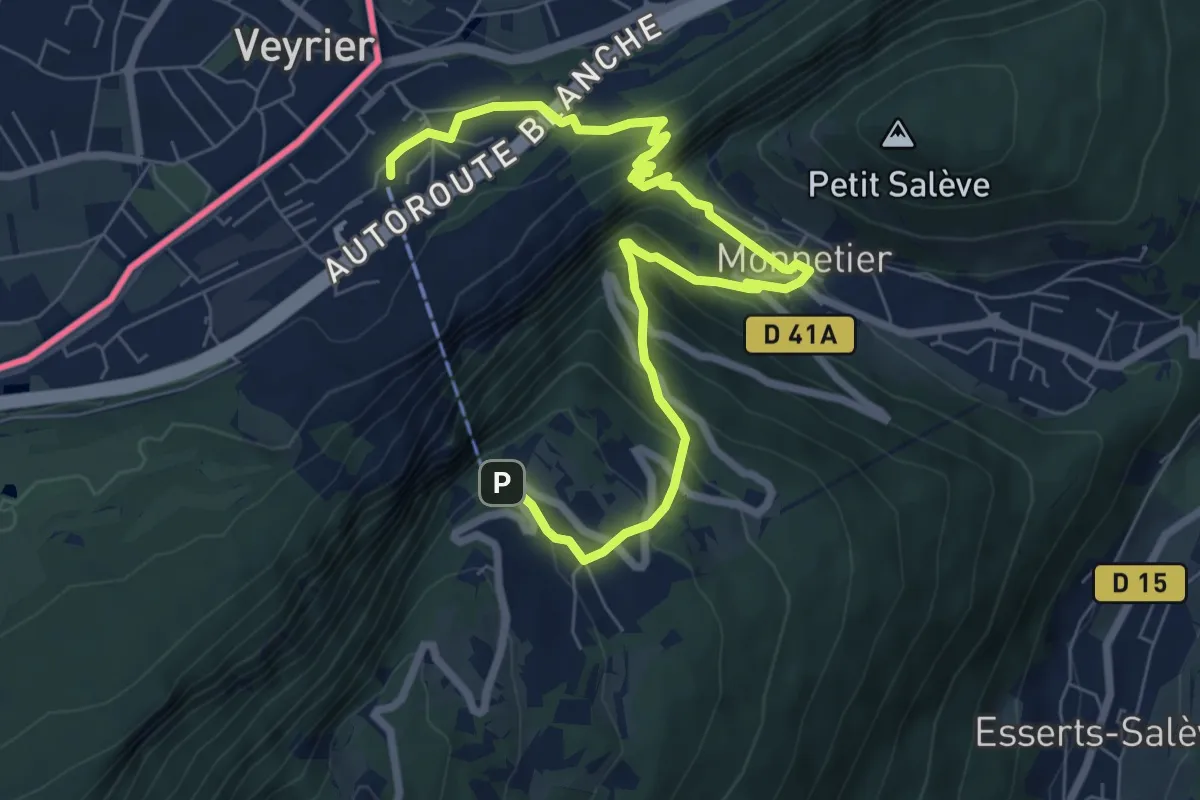
Medium · Trail
Le Pas de l'Echelle
9.2 km · ↑ 763 m · 3 h 49 min
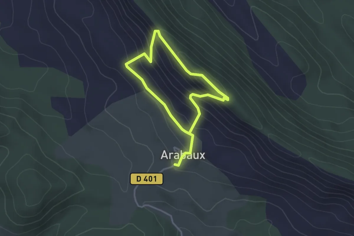
Easy · Trail
Le Pas du Facteur
2.5 km · ↑ 173 m · 1 h
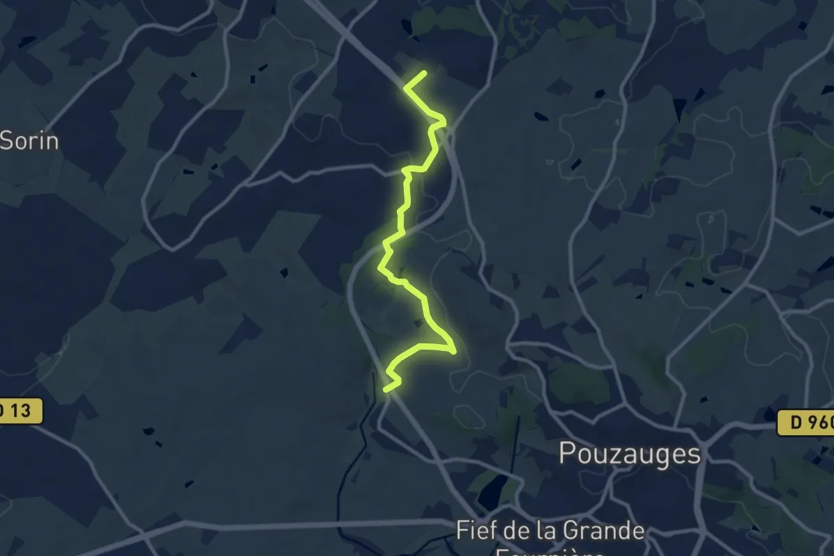
Medium · Trail
Le Pas français
9.1 km · ↑ 108 m · 2 h 23 min
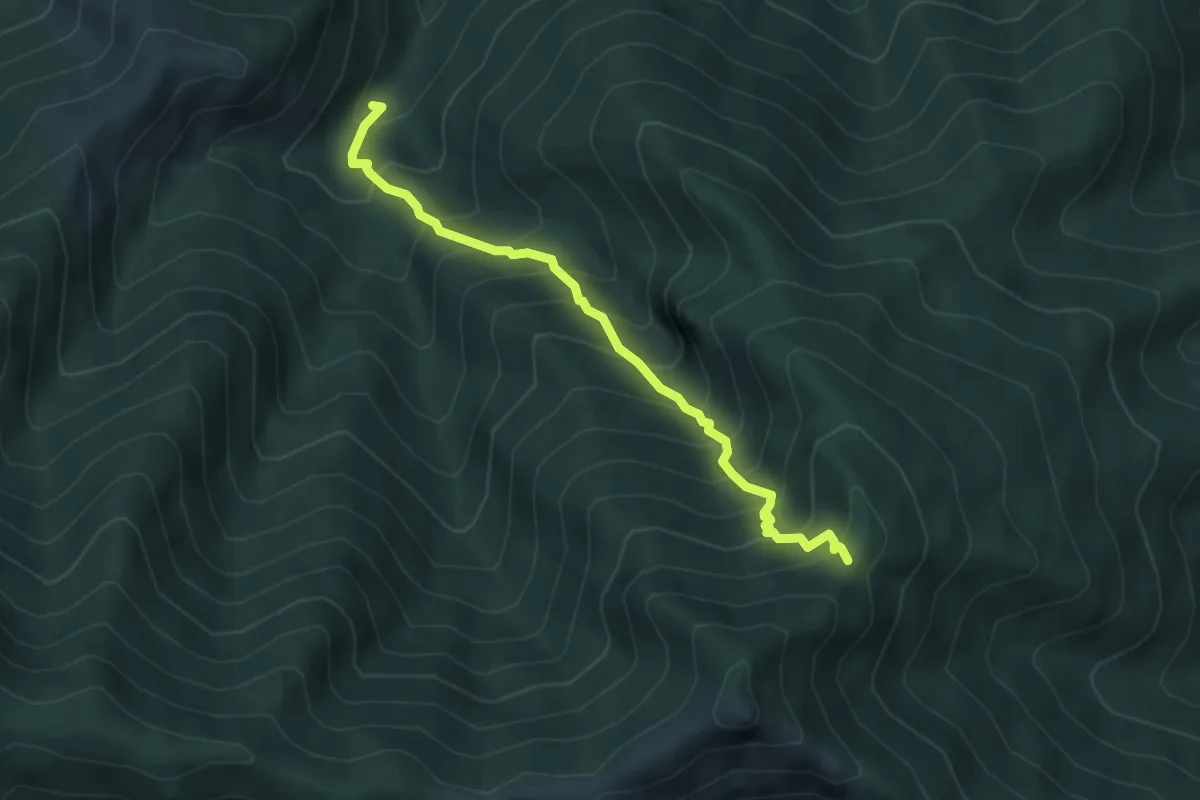
Medium · Trail
Le Passadou - Col d'Abraham
4.7 km · ↑ 610 m · 2 h 25 min
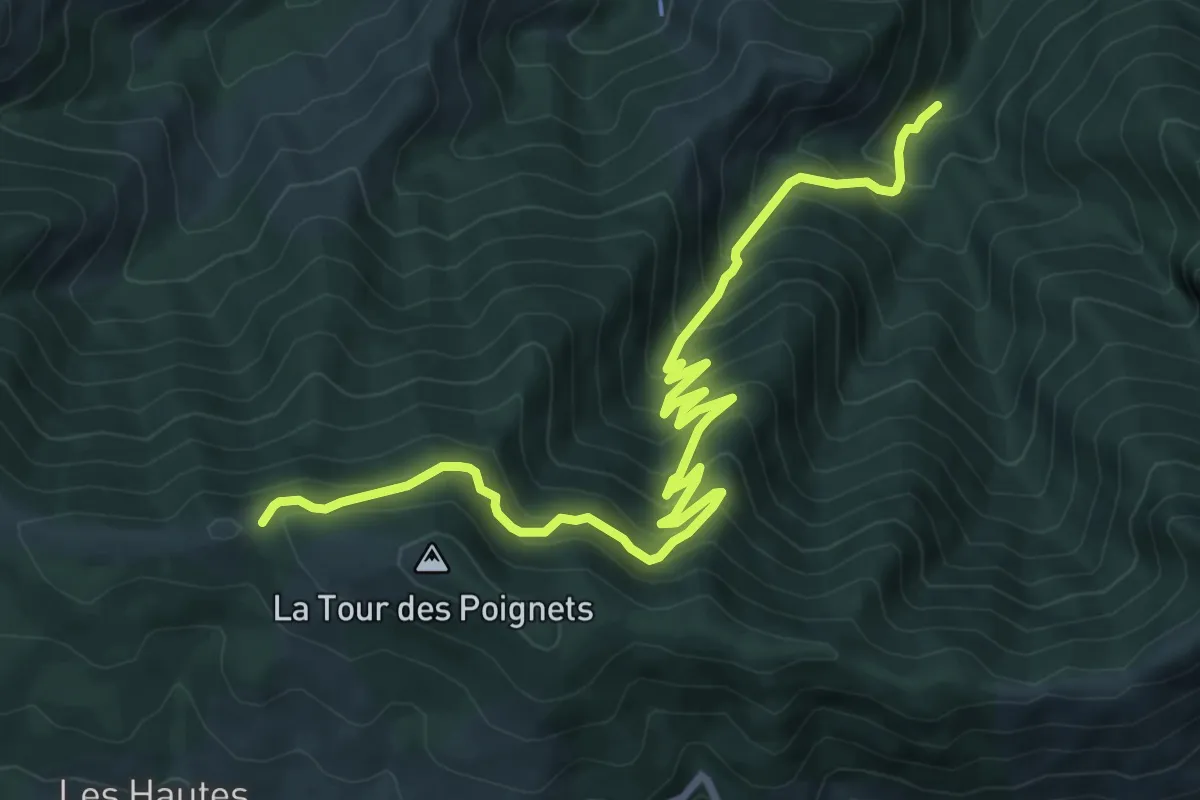
Demanding · Trail
Le Passadou - Rocher des Taillades
10.8 km · ↑ 876 m · 4 h 27 min
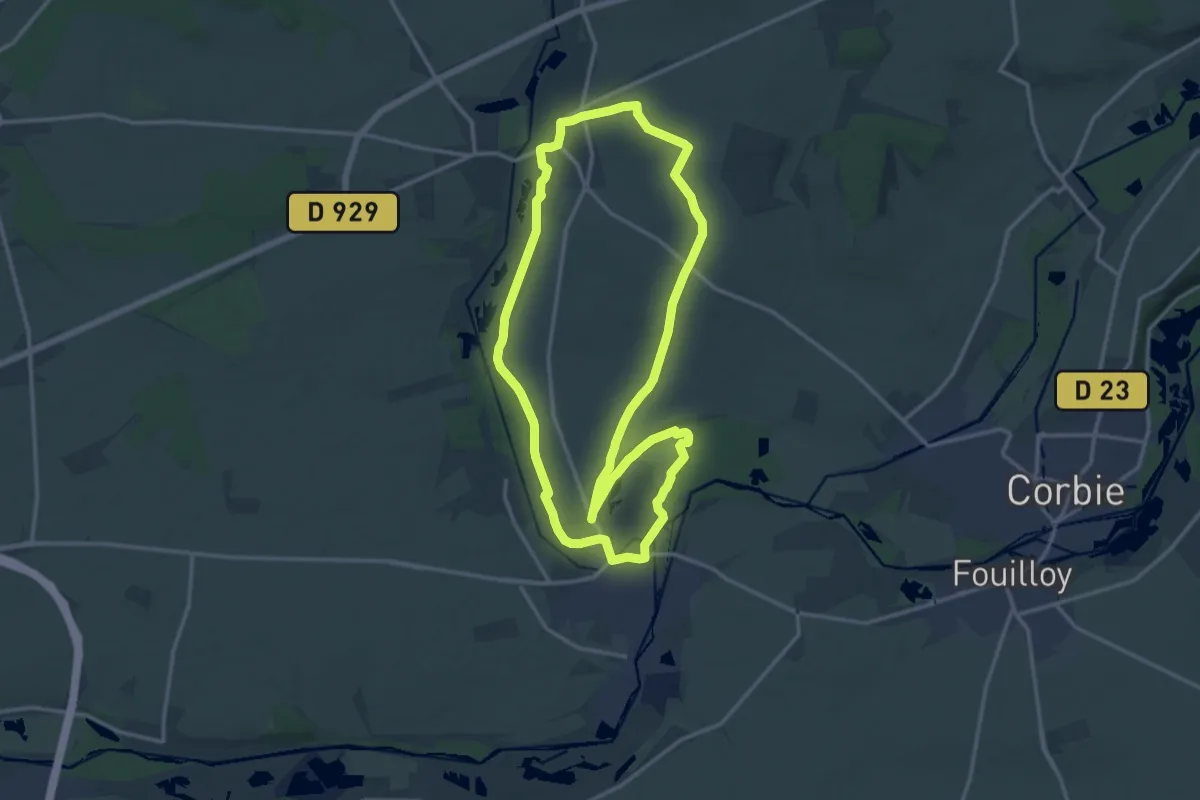
Medium · Trail
Le Passage aux Loups
13.9 km · ↑ 112 m · 3 h 43 min
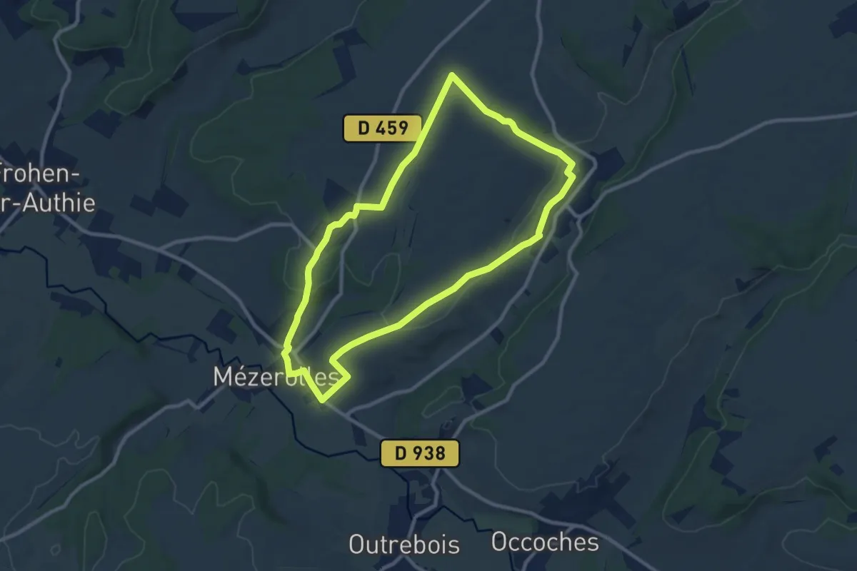
Medium · Summit
Le Patis
8.5 km · ↑ 131 m · 2 h 24 min