Trails in France
15,926 hiking trails, each with its route, climb, walking time and grade.
All trails, page 169 of 332
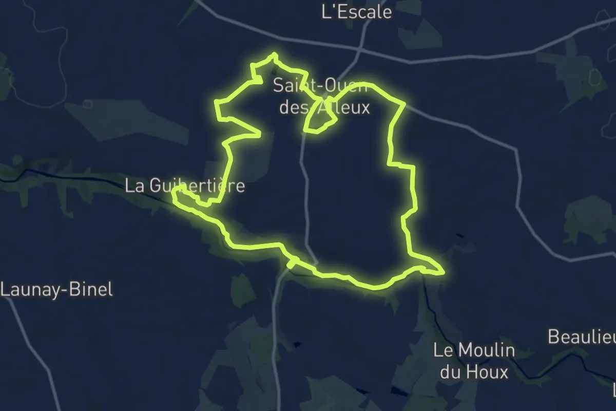
Medium · Trail
Le Pays Audonien
11.8 km · ↑ 98 m · 3 h 10 min
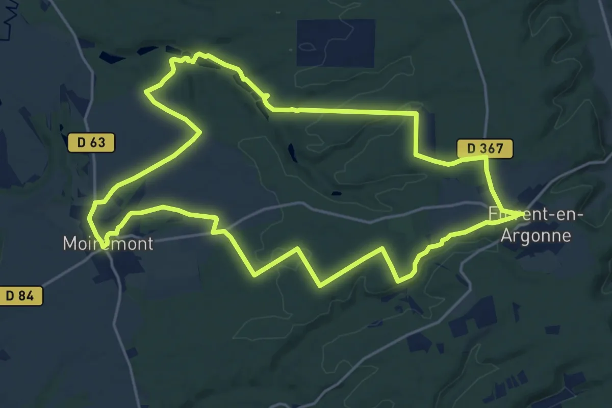
Medium · Trail
Le Pays d'Argonne
15.6 km · ↑ 178 m · 4 h 17 min
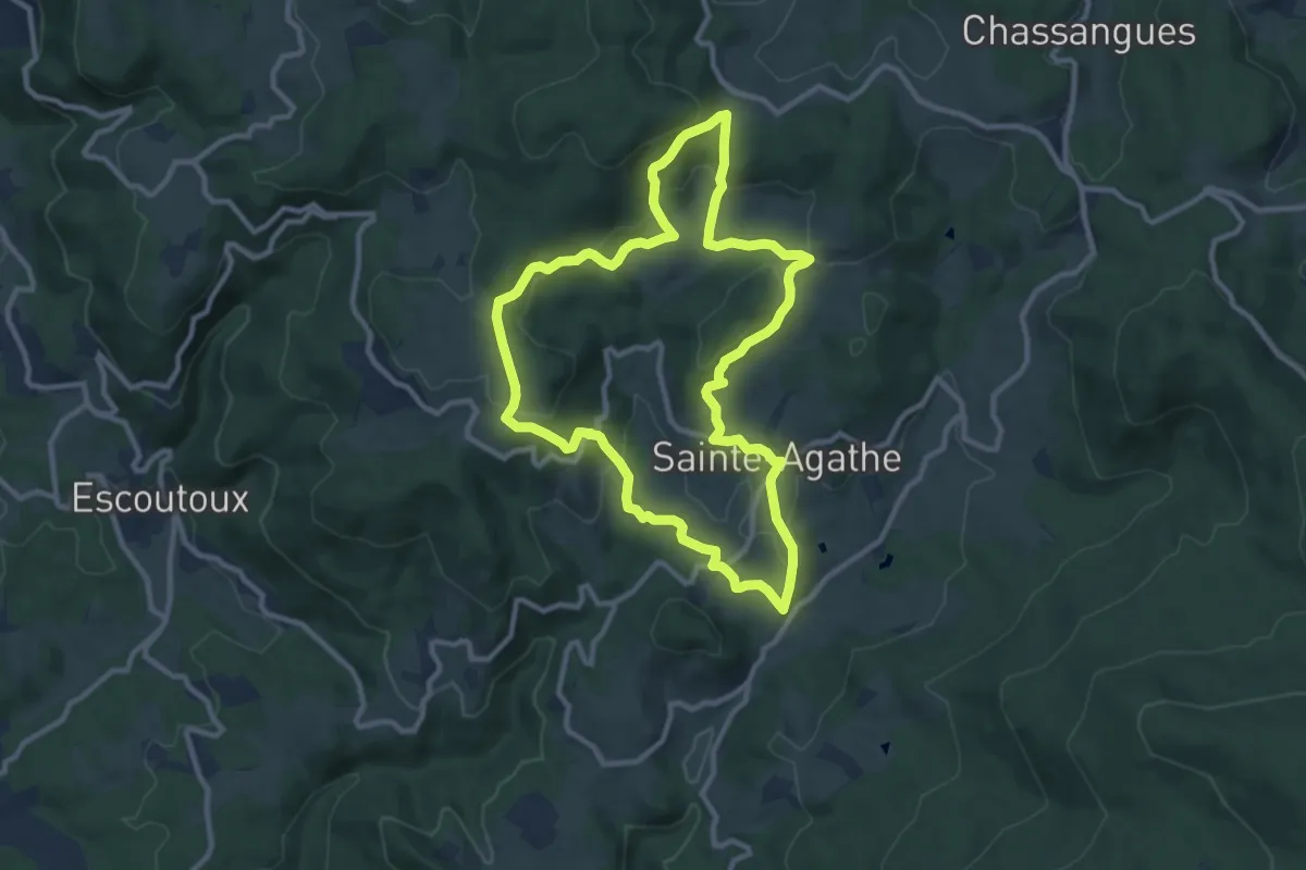
Medium · Trail
Le Peage
10.1 km · ↑ 335 m · 3 h 15 min
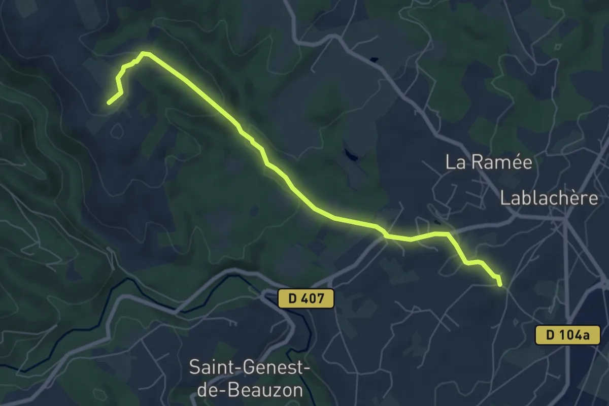
Easy · Trail
Le Péage - Le Grand Bois
7.2 km · ↑ 177 m · 2 h 5 min
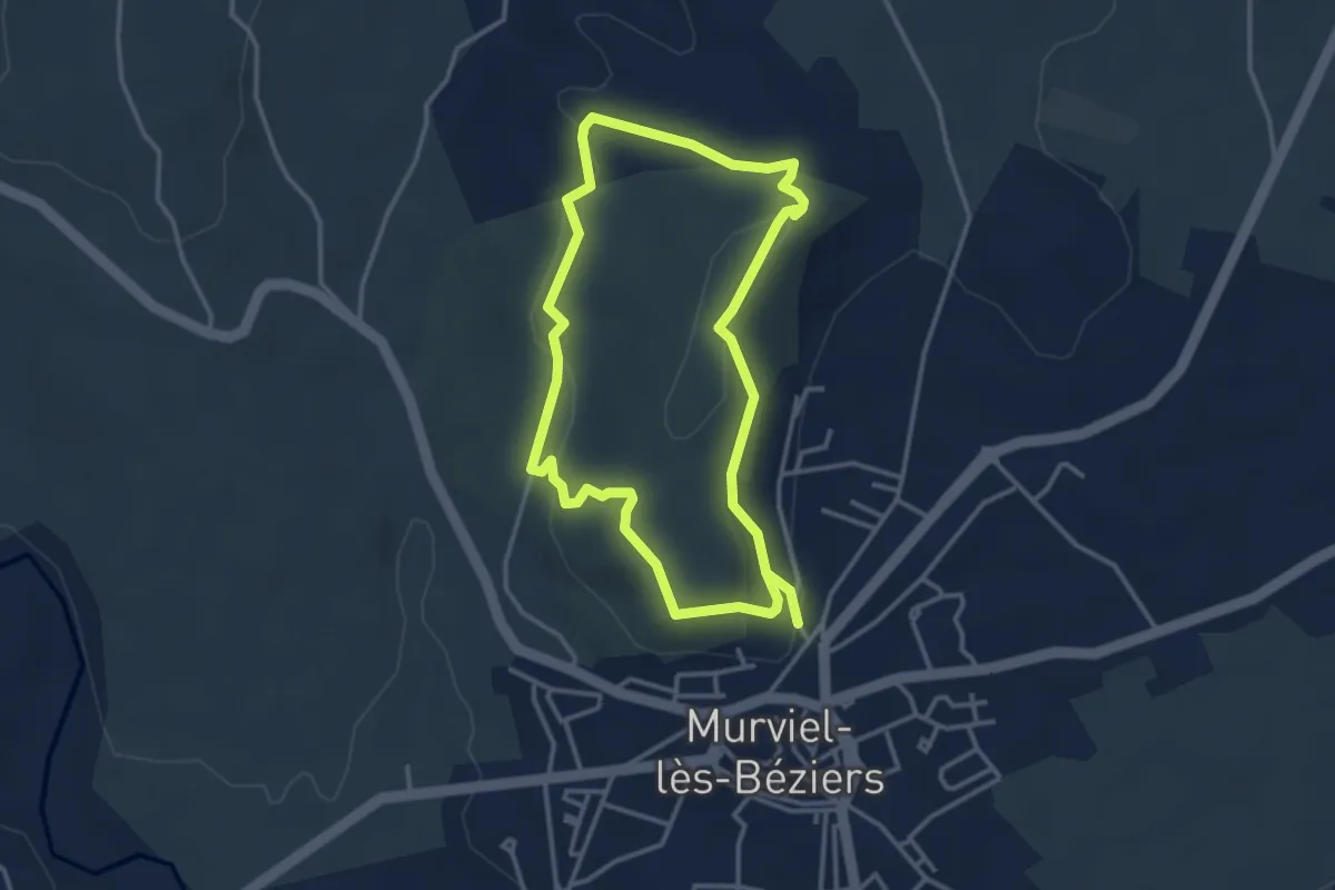
Easy · Trail
Le Pech Belet - Circuit A
3.4 km · ↑ 107 m · 1 h 4 min
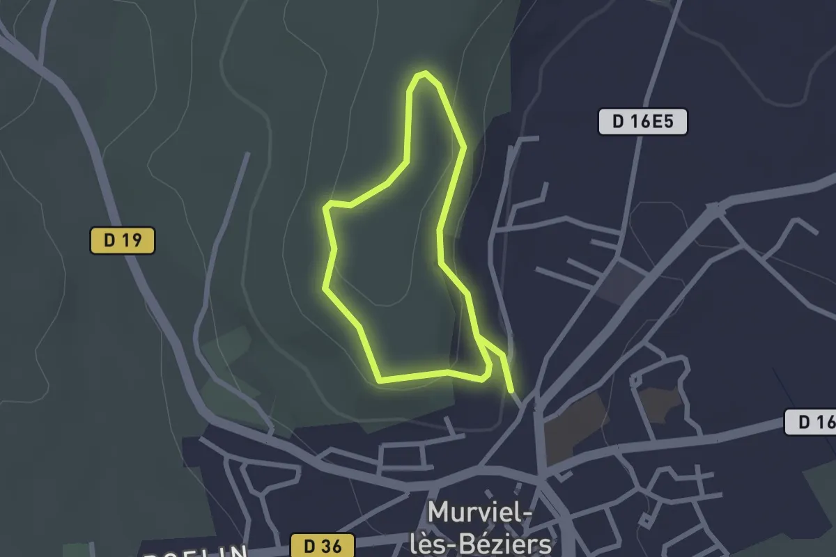
Easy · Trail
Le Pech Belet - Circuit B
1.8 km · ↑ 49 m · 33 min
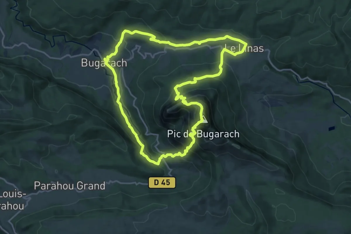
Demanding · Summit
Le Pech de Bugarach
13.4 km · ↑ 824 m · 5 h 9 min
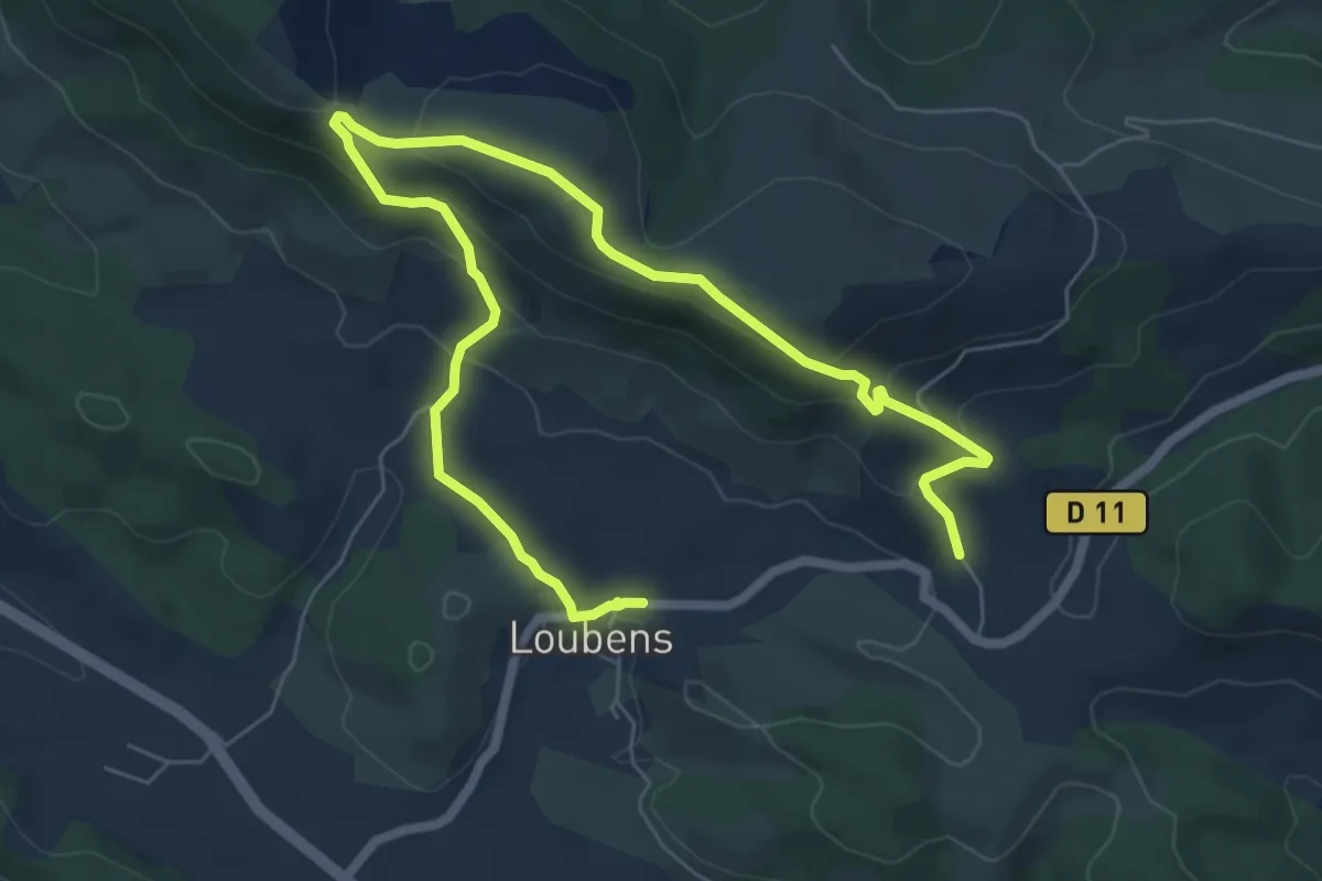
Easy · Trail
Le Pech de Limouzy
4.8 km · ↑ 268 m · 1 h 45 min
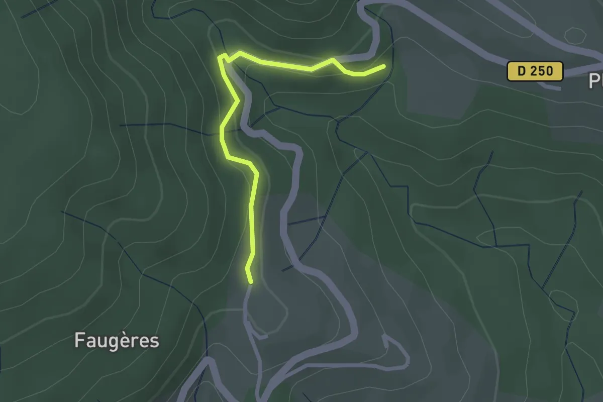
Easy · Trail
Le Pélissou - Le Puech
2.2 km · ↑ 93 m · 44 min
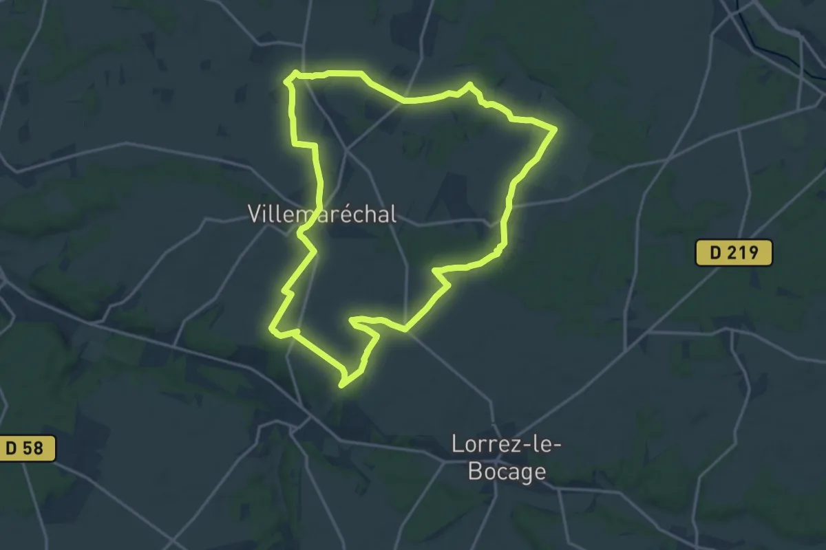
Medium · Trail
Le "Père" Trembleau
15.7 km · ↑ 88 m · 4 h 8 min
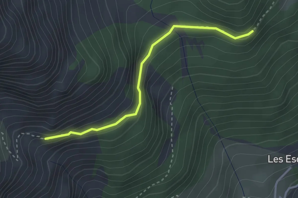
Medium · Trail
Le Pervou - Les 4 Chemins
2.7 km · ↑ 166 m · 1 h
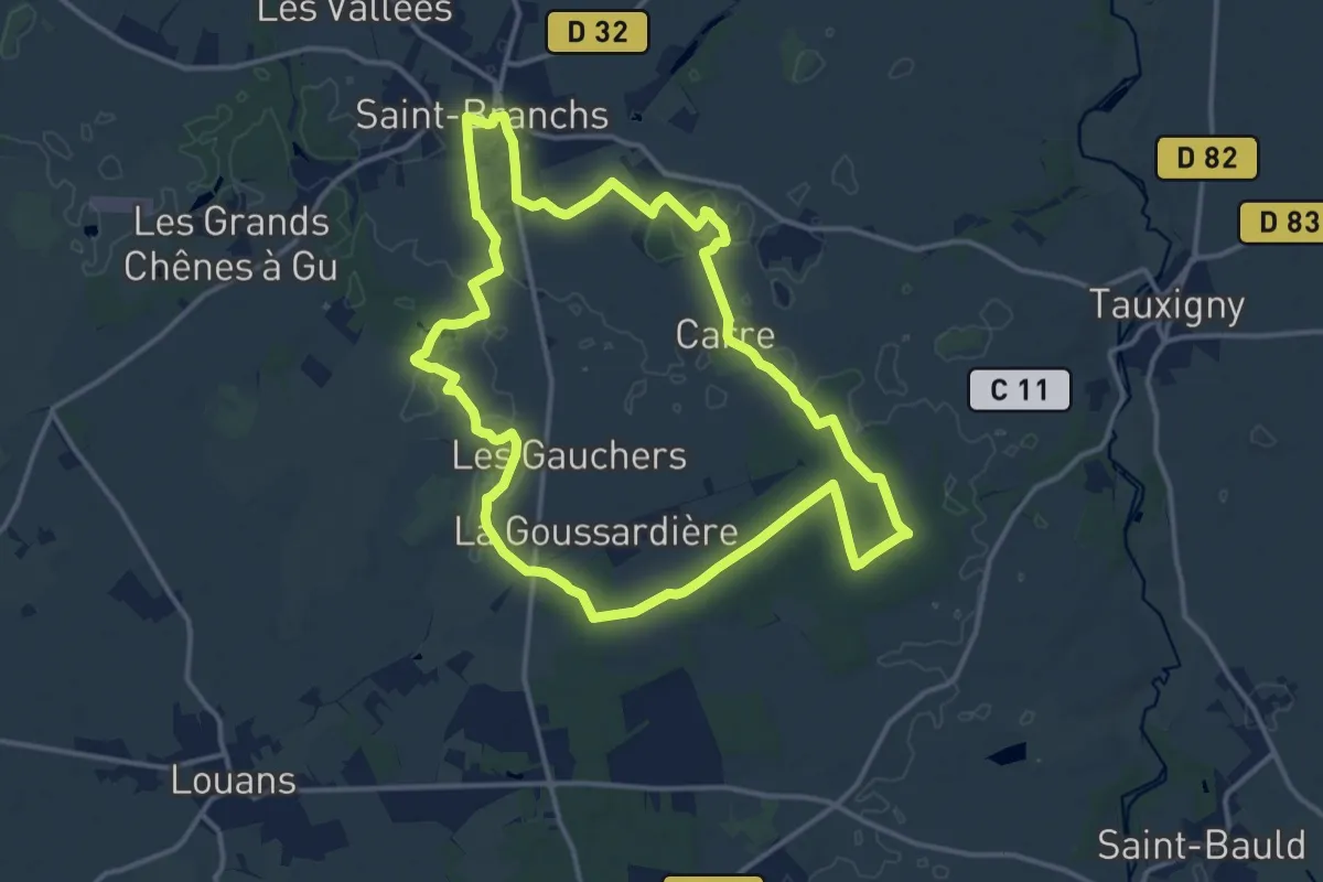
Medium · Trail
Le Petit Becquet
14.1 km · ↑ 30 m · 3 h 35 min
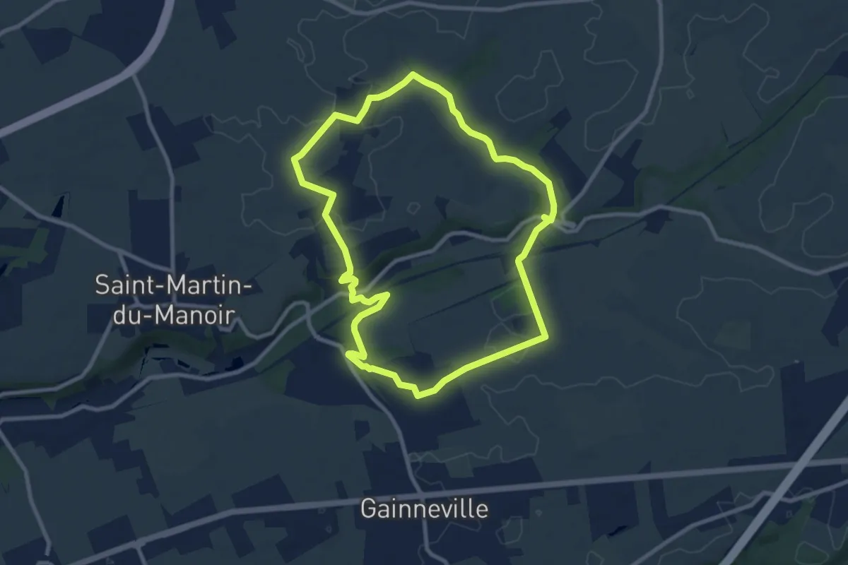
Easy · Trail
Le Petit Bois de Saint-Laurent
8.0 km · ↑ 101 m · 2 h 13 min
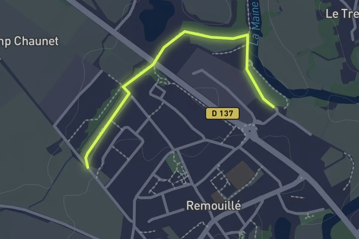
Easy · Trail
Le Petit Botaniste
2.1 km · ↑ 4 m · 31 min
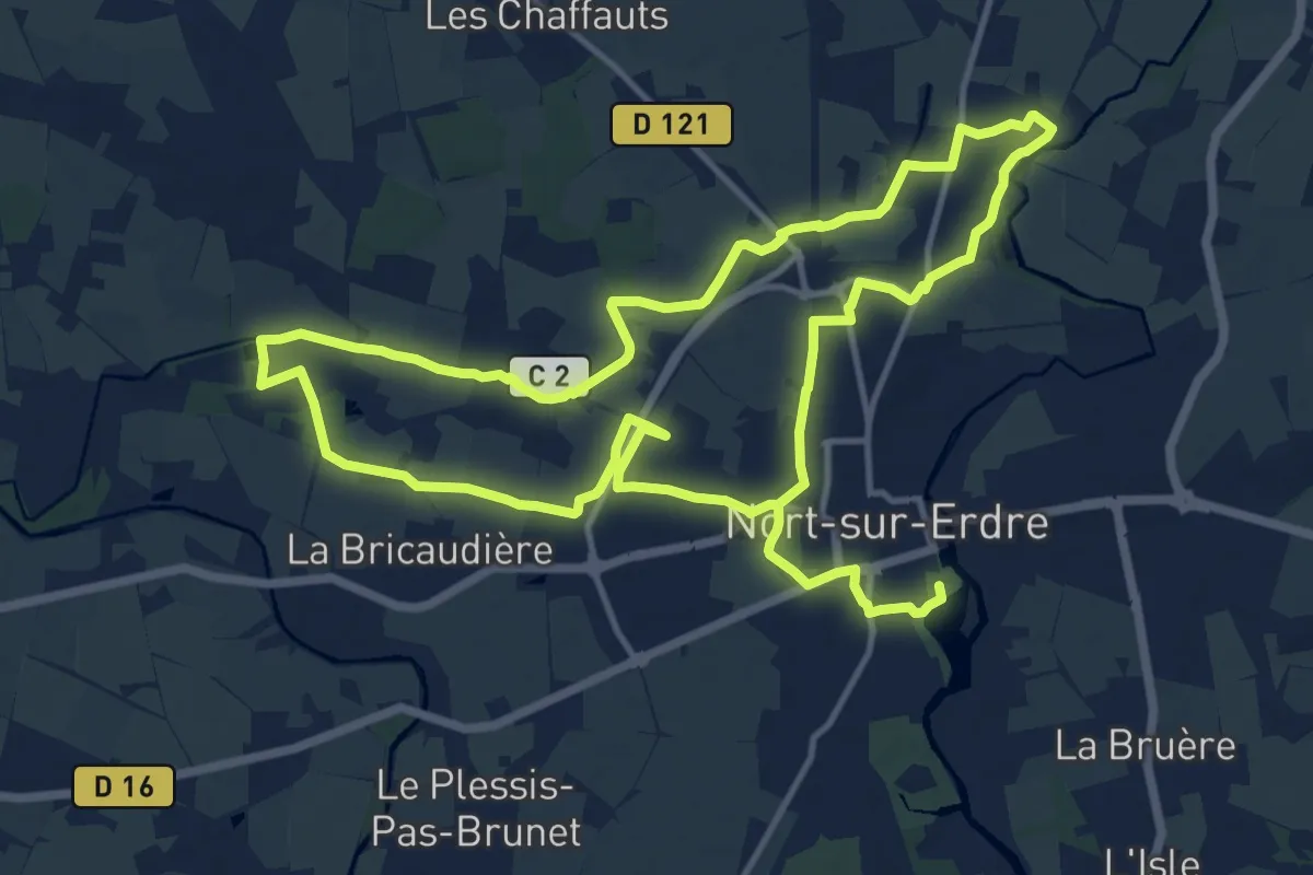
Medium · Trail
Le Petit Canal
13.2 km · ↑ 37 m · 3 h 22 min
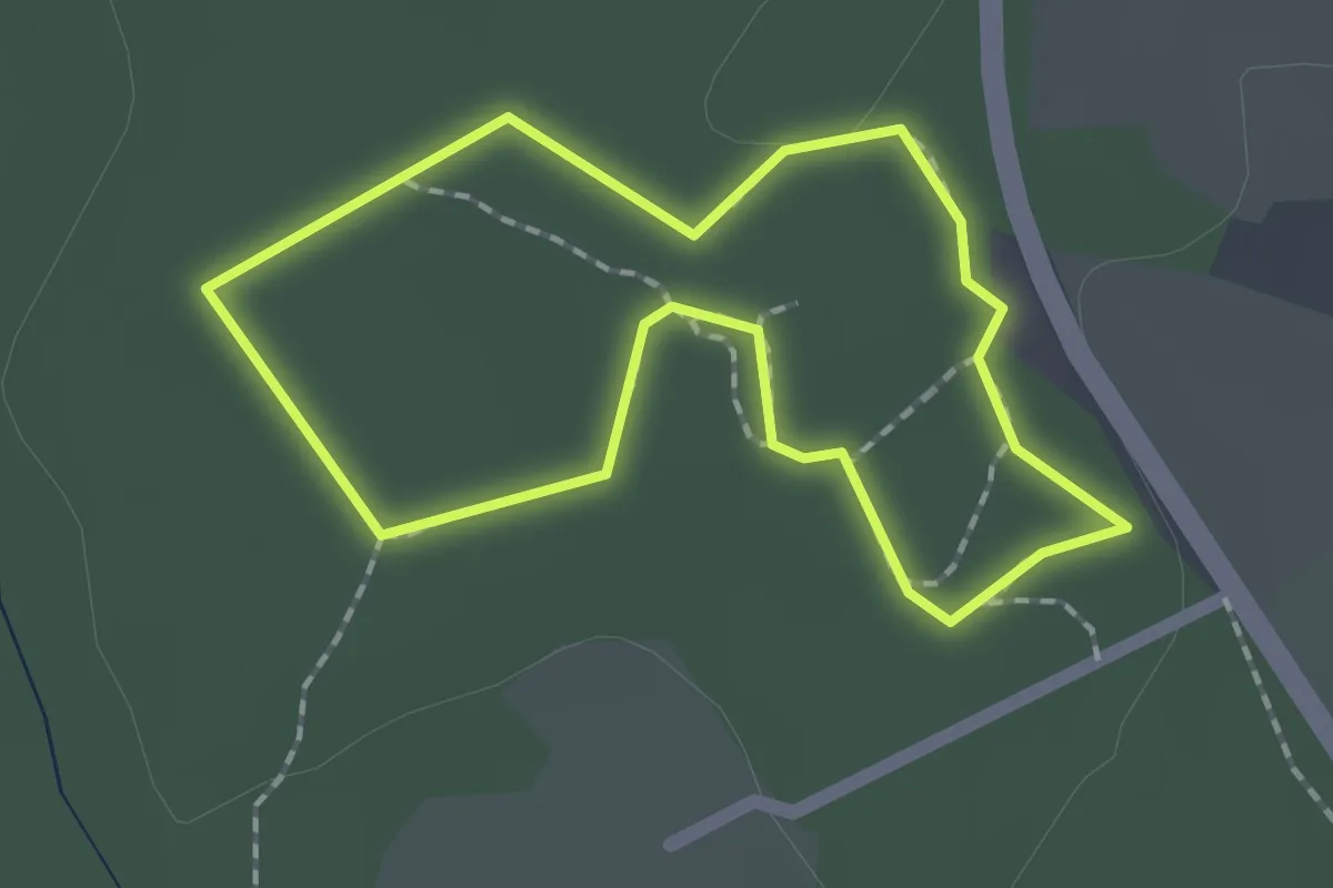
Easy · Trail
Le Petit Canyon
1.5 km · ↑ 5 m · 24 min
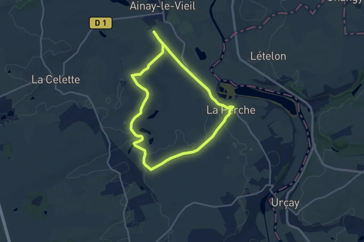
Medium · Trail
Le Petit Carcassonne
9.5 km · ↑ 74 m · 2 h 32 min
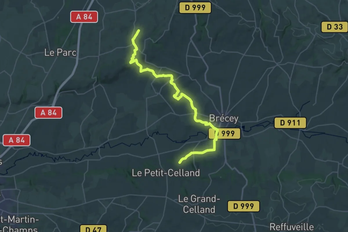
Medium · Trail
Le Petit-Celland à La Chaise-Baudoin
14.5 km · ↑ 248 m · 4 h 12 min
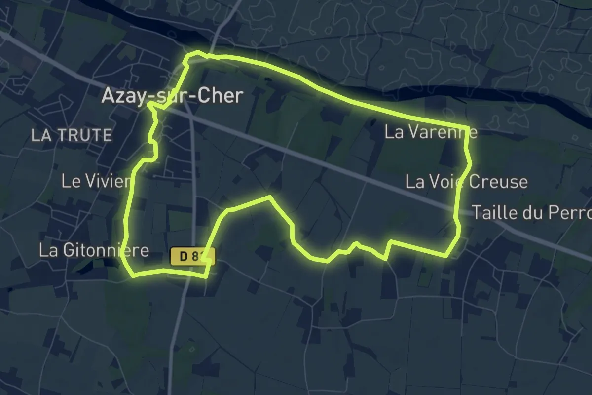
Medium · Trail
Le Petit Circuit d'Azay-sur-Cher
9.6 km · ↑ 71 m · 2 h 33 min
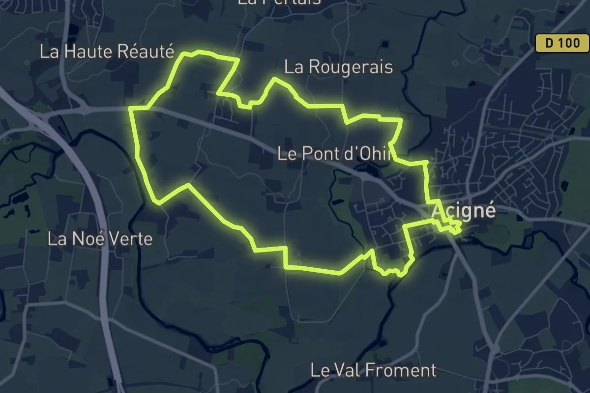
Medium · Trail
Le Petit Pèlerin
9.4 km · ↑ 53 m · 2 h 29 min
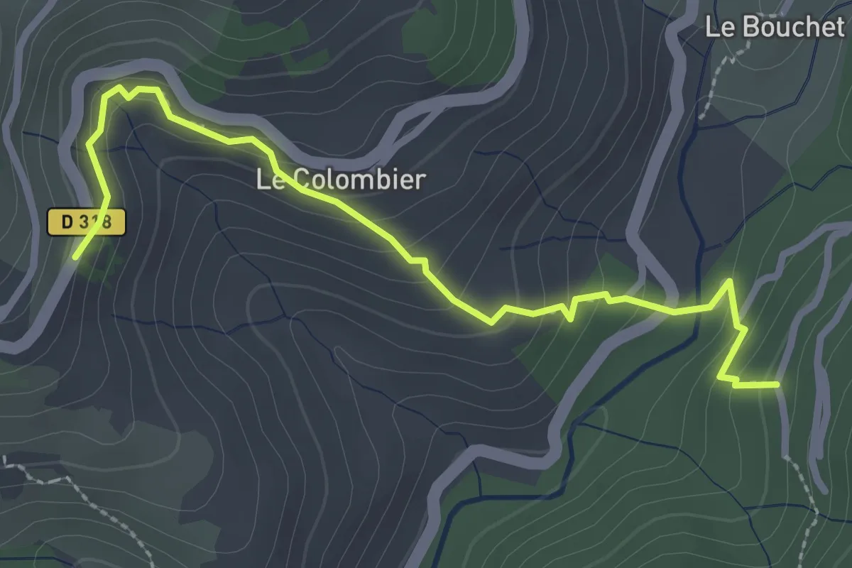
Easy · Trail
Le Peyron - Bois de Roumanou
2.9 km · ↑ 192 m · 1 h 6 min
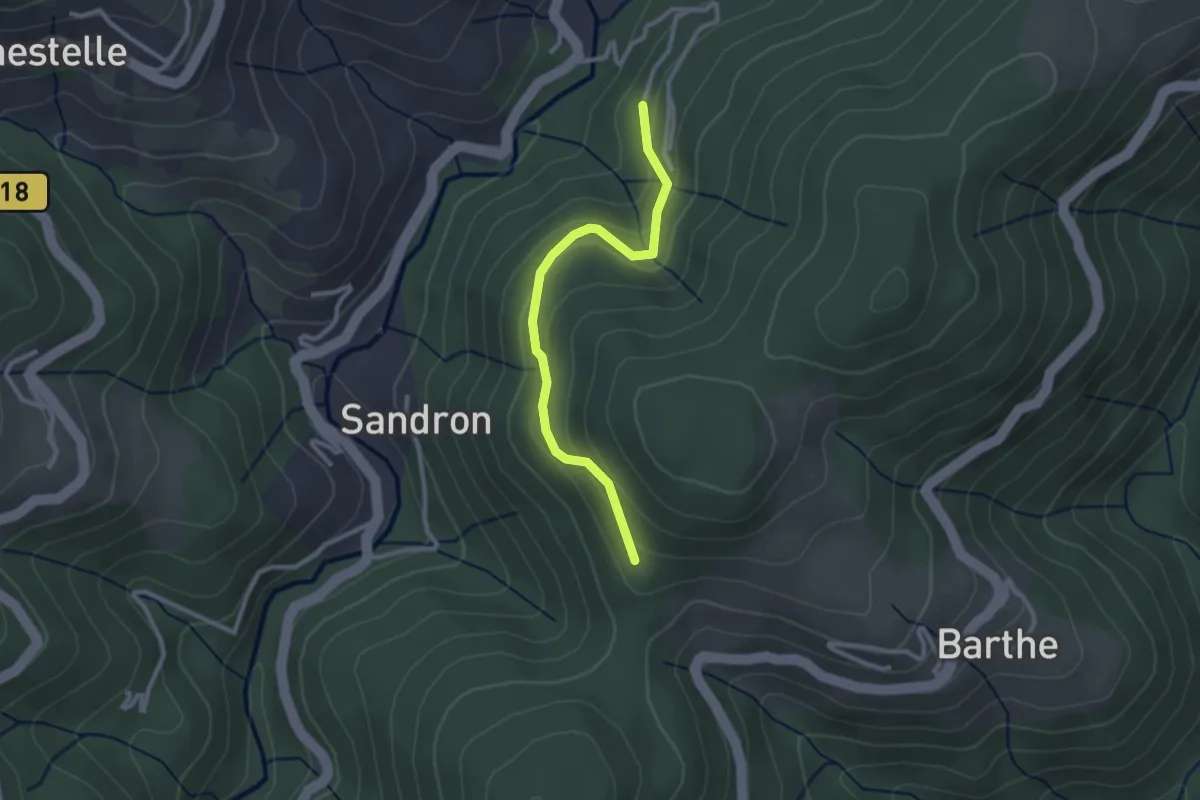
Easy · Trail
Le Peyron - Christianet
2.6 km · ↑ 158 m · 58 min
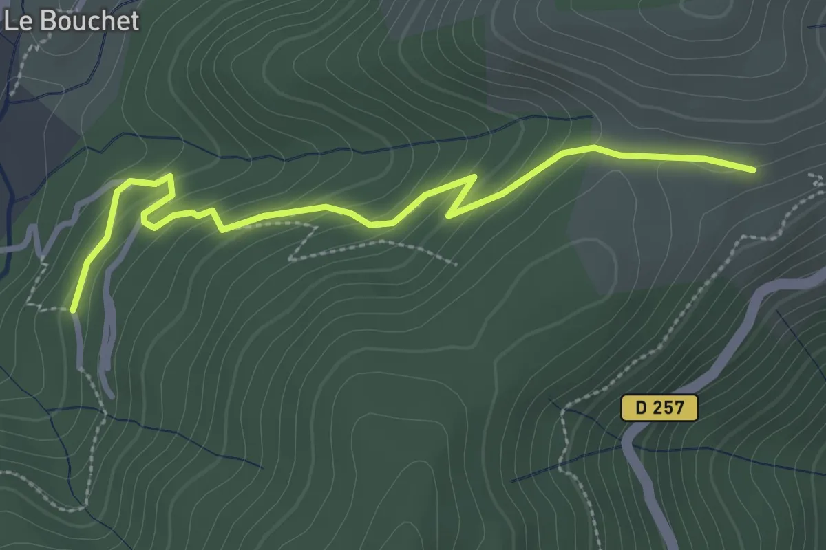
Easy · Trail
Le Peyron - Coulet du Vernadel
3.2 km · ↑ 161 m · 1 h 6 min
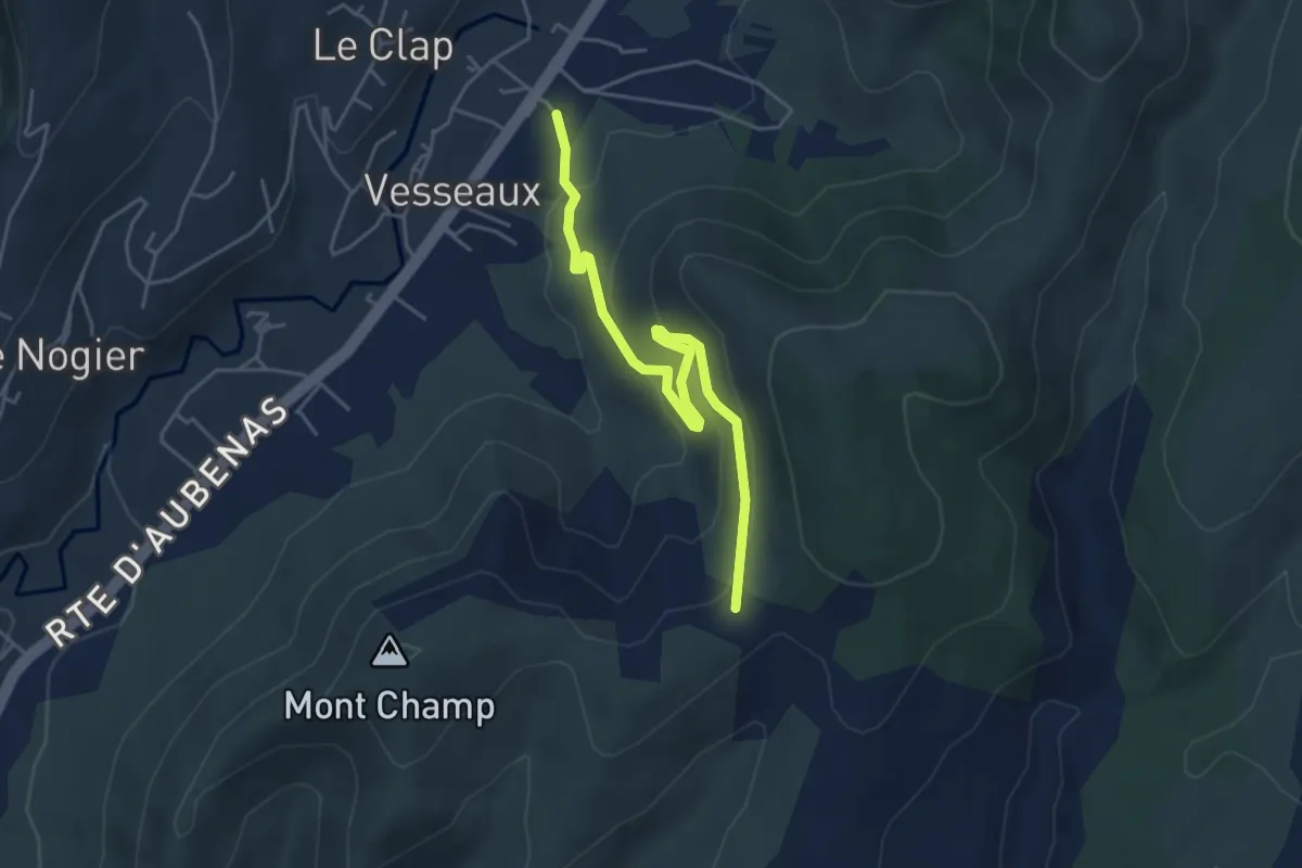
Easy · Trail
Le Peyrou - Croix de l'Houme
4.8 km · ↑ 238 m · 1 h 39 min
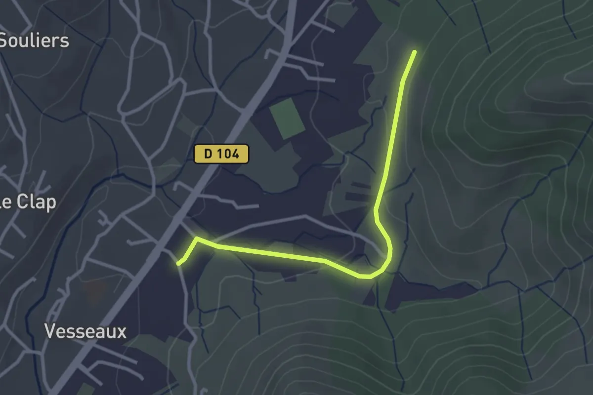
Easy · Trail
Le Peyrou - Les Planchettes
2.8 km · ↑ 44 m · 46 min
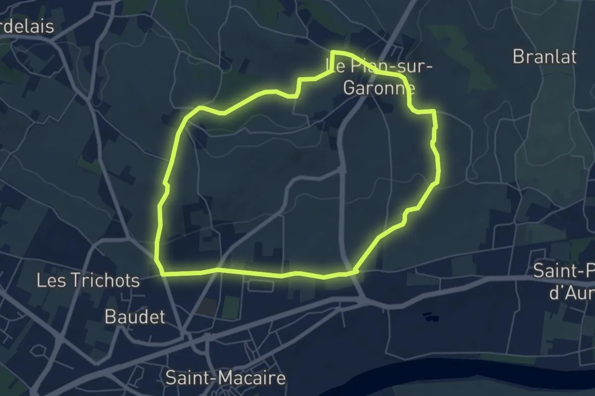
Easy · Trail
Le Pian-sur-Garonne : boucle locale
6.5 km · ↑ 125 m · 1 h 53 min
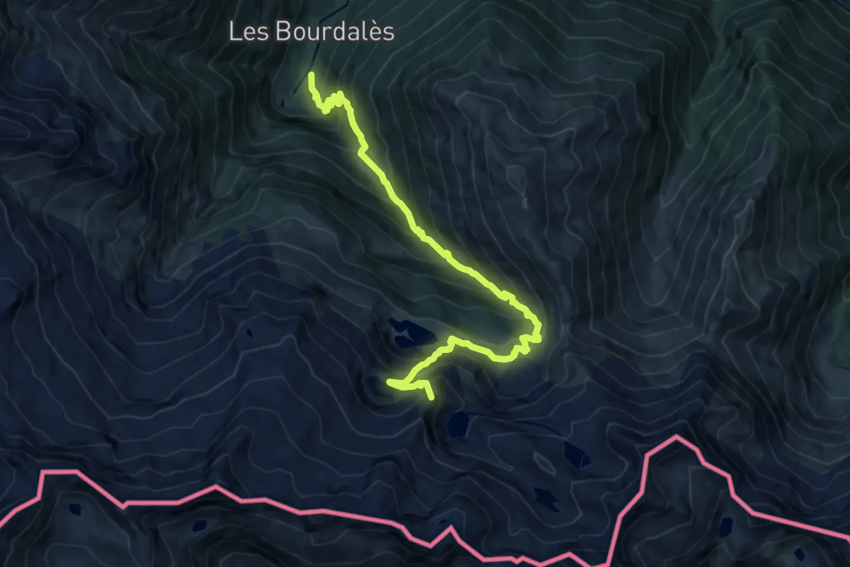
Expert · Summit
Le Pic de Circé
13.4 km · ↑ 1444 m · 6 h 17 min
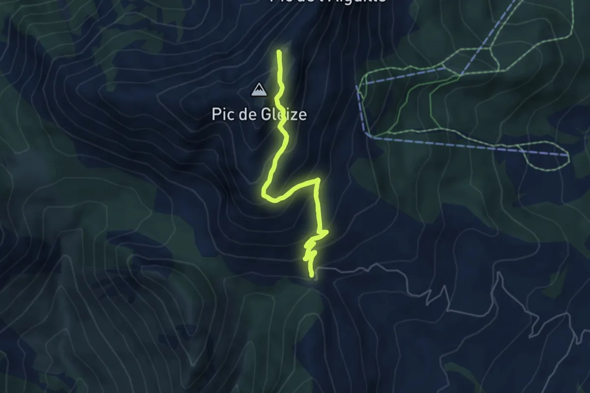
Medium · Summit
Le Pic de Gleize
4.9 km · ↑ 432 m · 2 h 9 min
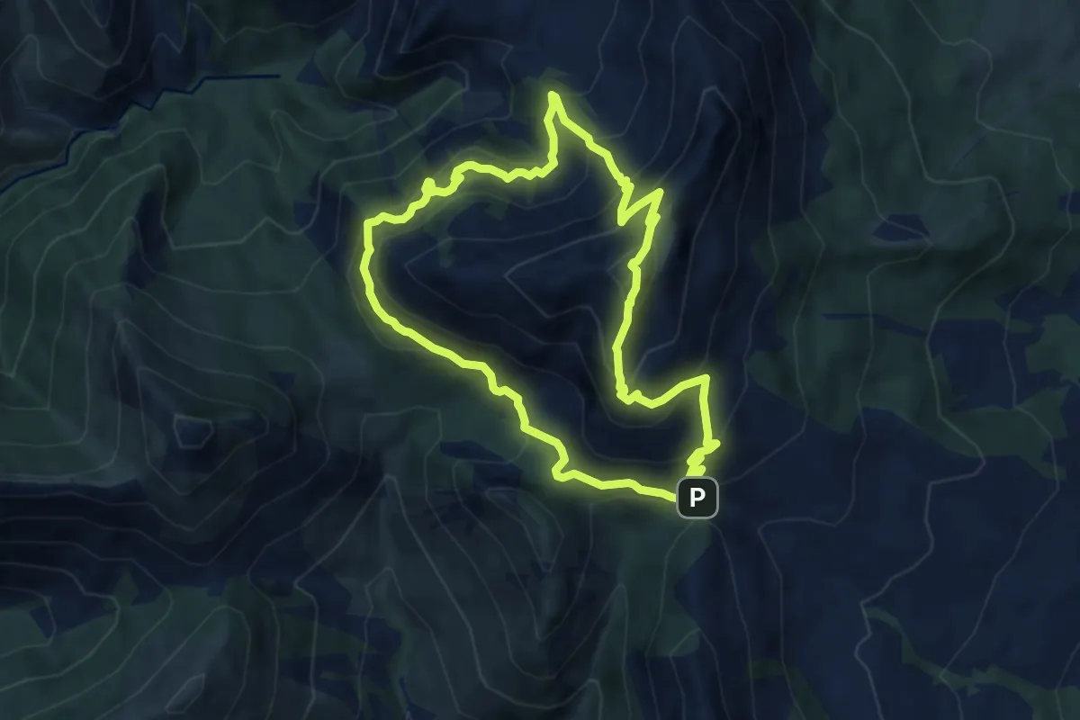
Demanding · Summit
Le Pic de Gleize par le Sentier de Ronde
8.5 km · ↑ 736 m · 3 h 43 min
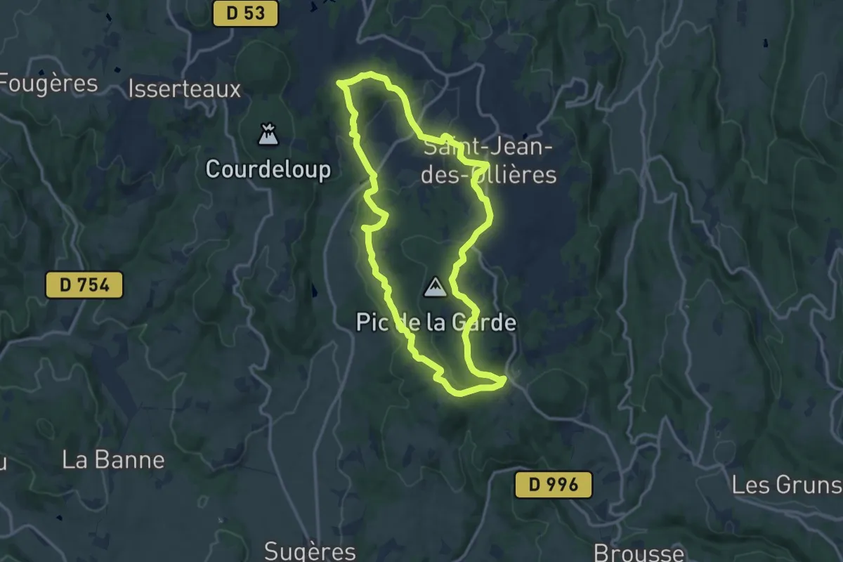
Medium · Trail
Le Pic de la Garde
11.7 km · ↑ 346 m · 3 h 41 min
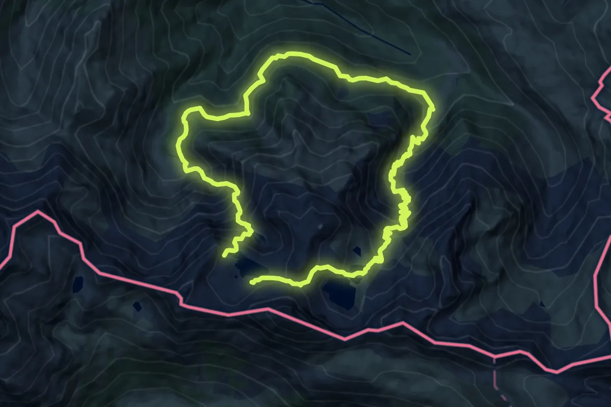
Demanding · Trail
Le Pic de la Montagnette depuis l'Hospice de France
12.1 km · ↑ 1260 m · 5 h 46 min
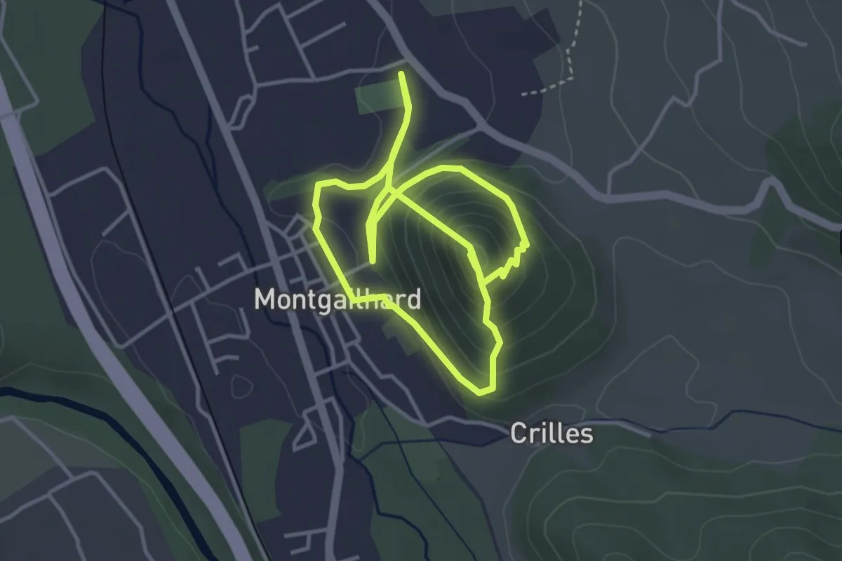
Medium · Trail
Le Pic de Montgailhard
7.2 km · ↑ 398 m · 2 h 34 min
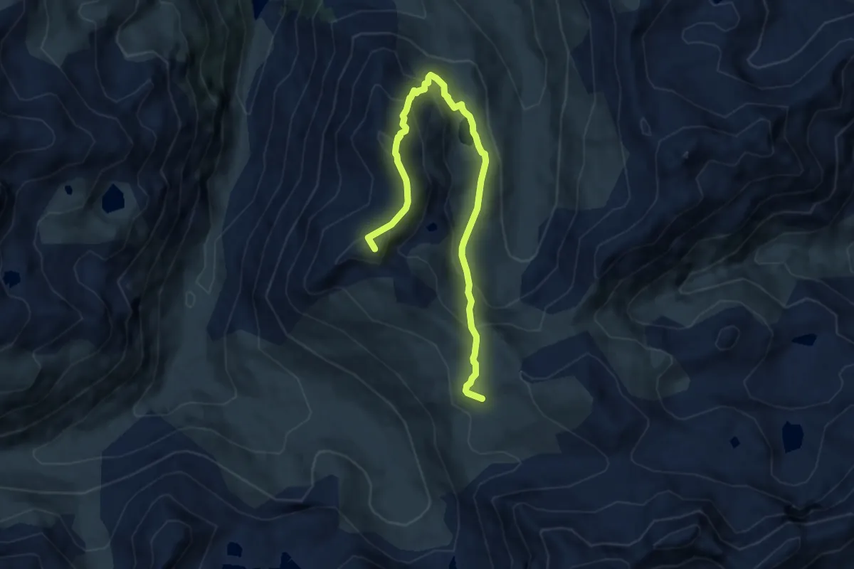
Expert · Summit
Le Pic de Pradel
9.1 km · ↑ 599 m · 3 h 26 min
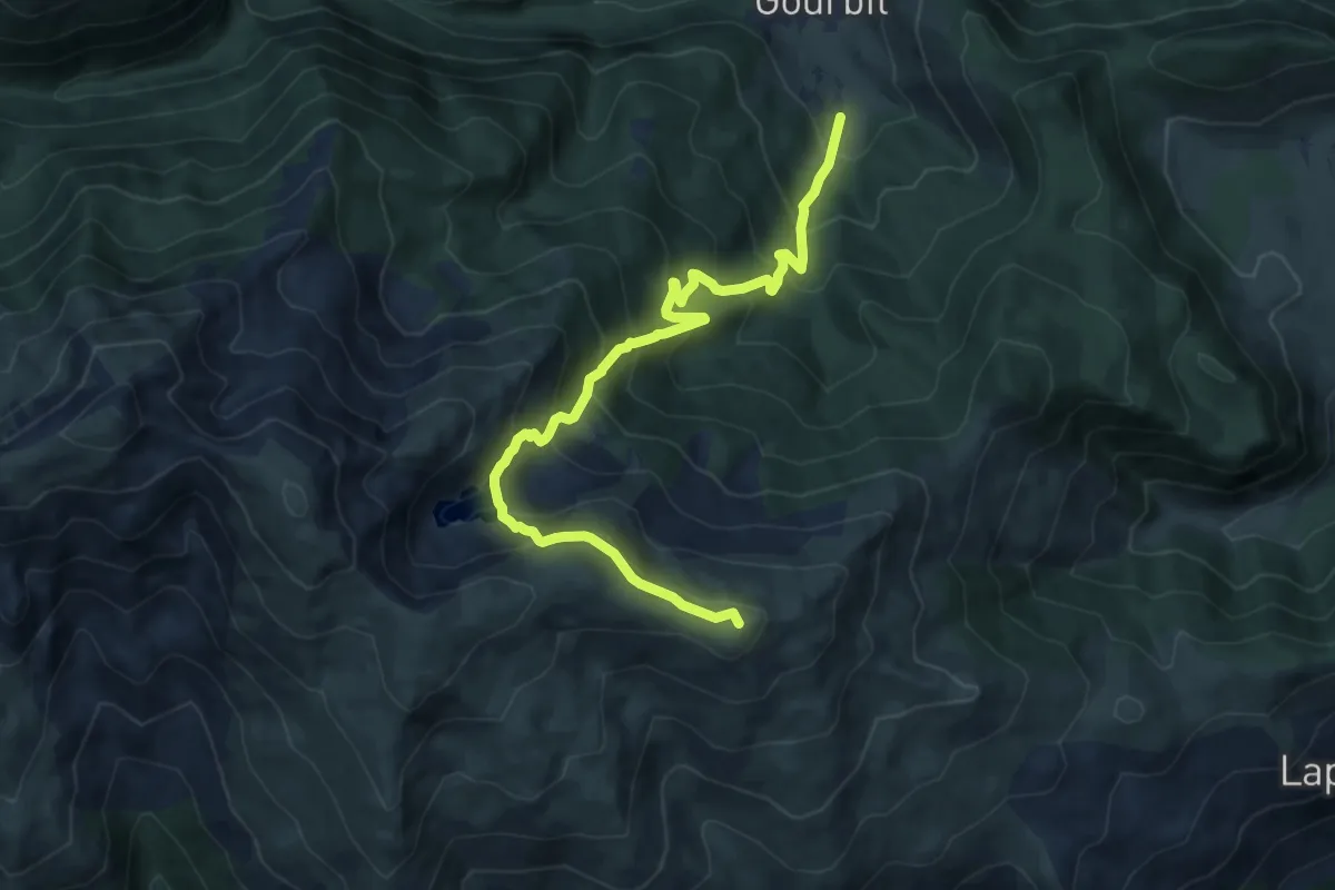
Demanding · Summit
Le Pic de Querquéou
11.3 km · ↑ 1012 m · 4 h 59 min
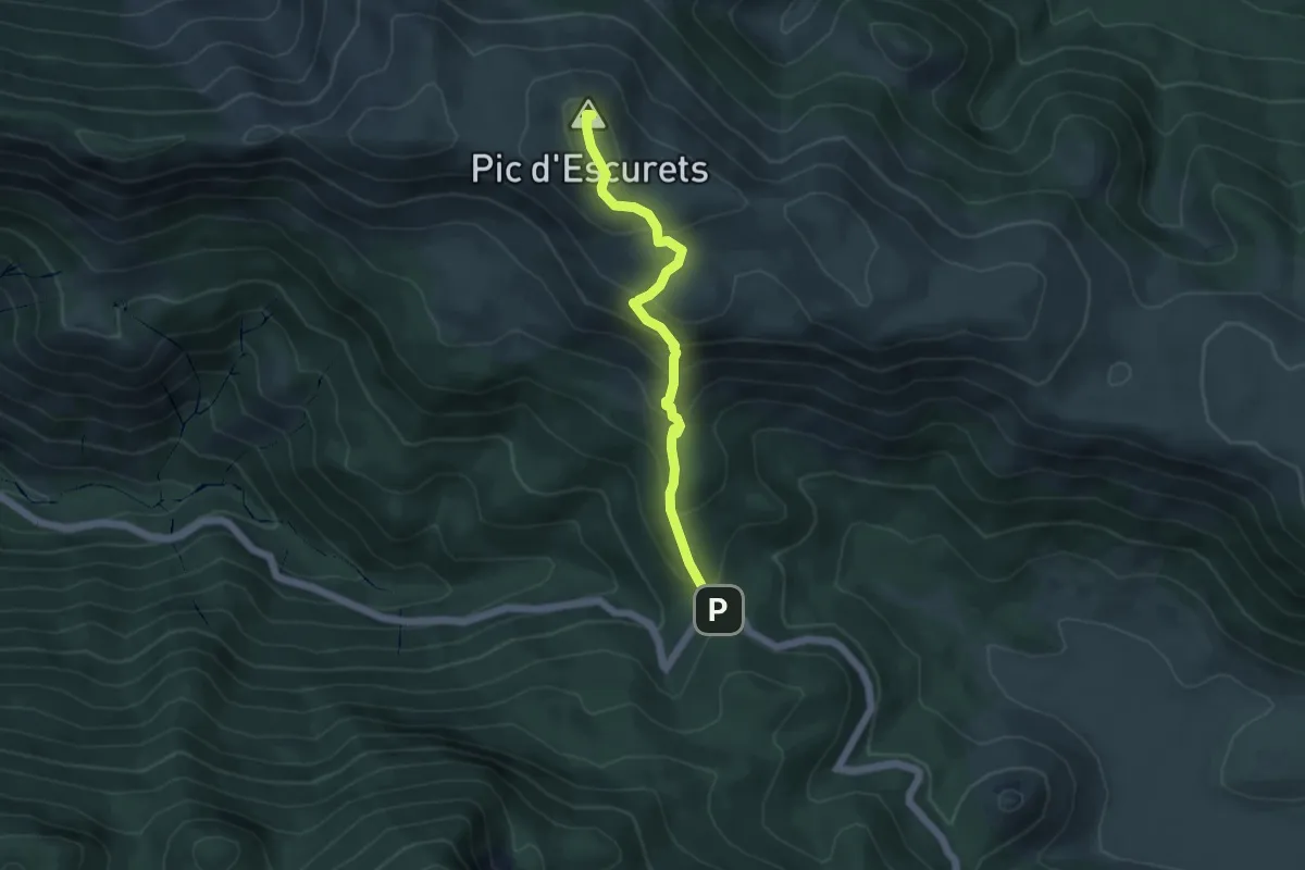
Medium · Summit
Le Pic d'Escurets
2.4 km · ↑ 377 m · 1 h 14 min
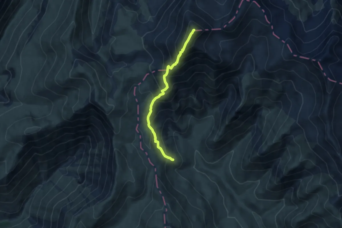
Demanding · Summit
Le Pic du Mas de la Grave
7.8 km · ↑ 826 m · 3 h 38 min
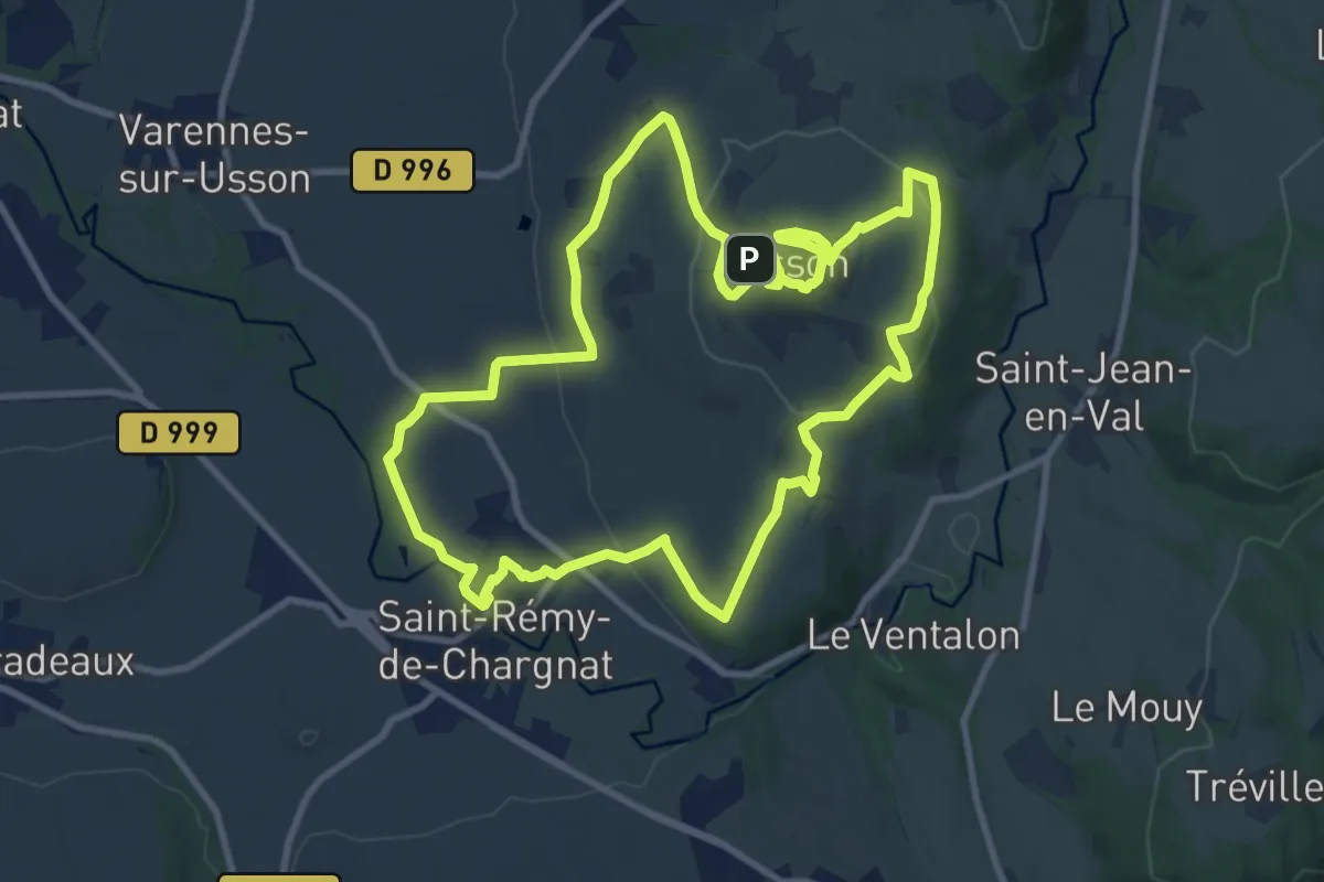
Medium · Trail
Le Pic d'Usson
10.6 km · ↑ 268 m · 3 h 14 min
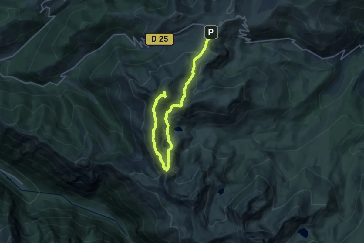
Demanding · Summit
Le Pic du Tarbesou
16.8 km · ↑ 1033 m · 6 h 13 min
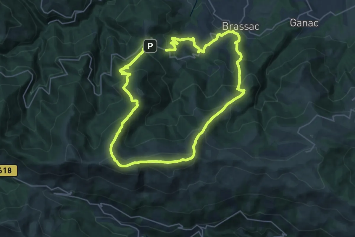
Demanding · Summit
Le Picou depuis Brassac
17.7 km · ↑ 1101 m · 6 h 52 min
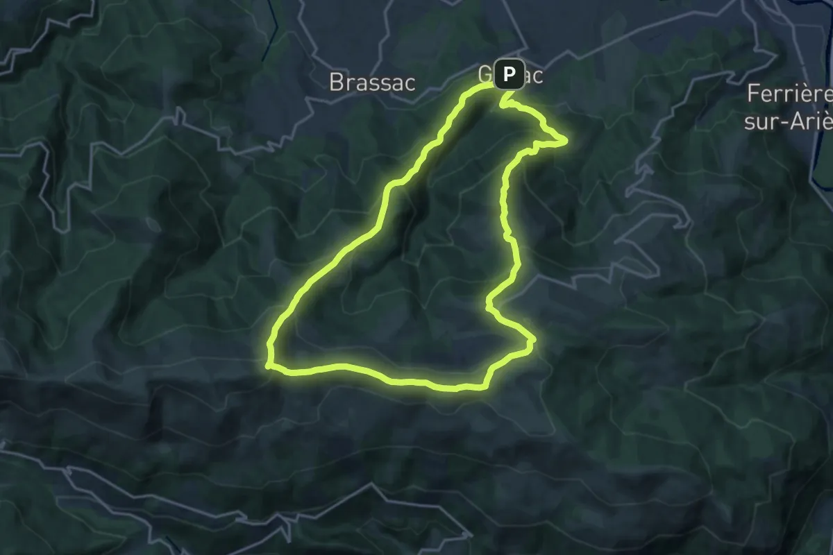
Demanding · Summit
Le Picou depuis Ganac
16.9 km · ↑ 1115 m · 6 h 39 min
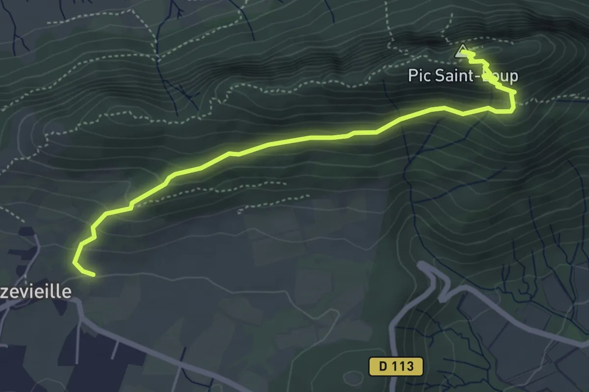
Medium · Summit
Le Pic Saint-Loup
5.4 km · ↑ 369 m · 2 h 4 min
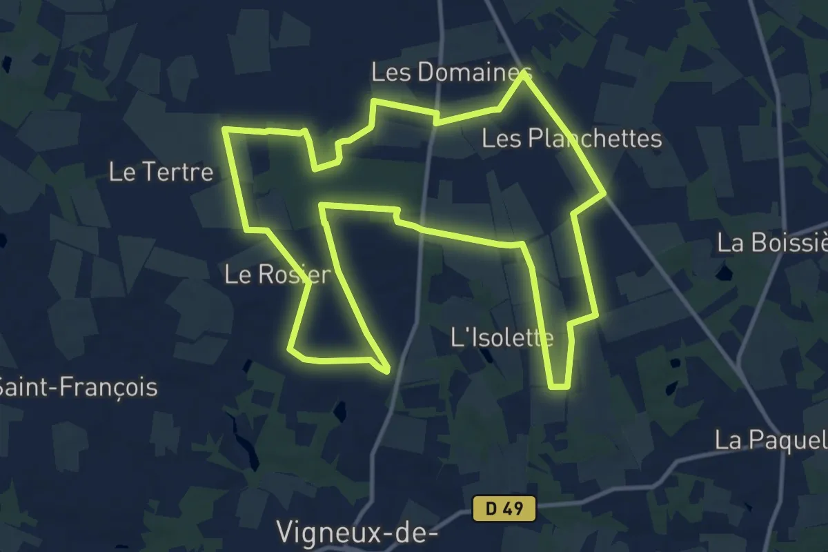
Medium · Trail
Le pic vert
12.2 km · ↑ 53 m · 3 h 10 min
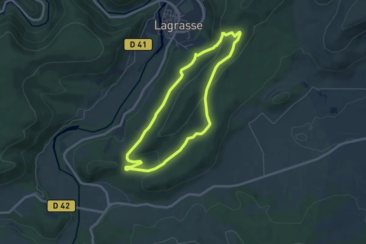
Easy · Summit
Le Pied de Charlemagne
5.1 km · ↑ 125 m · 1 h 33 min
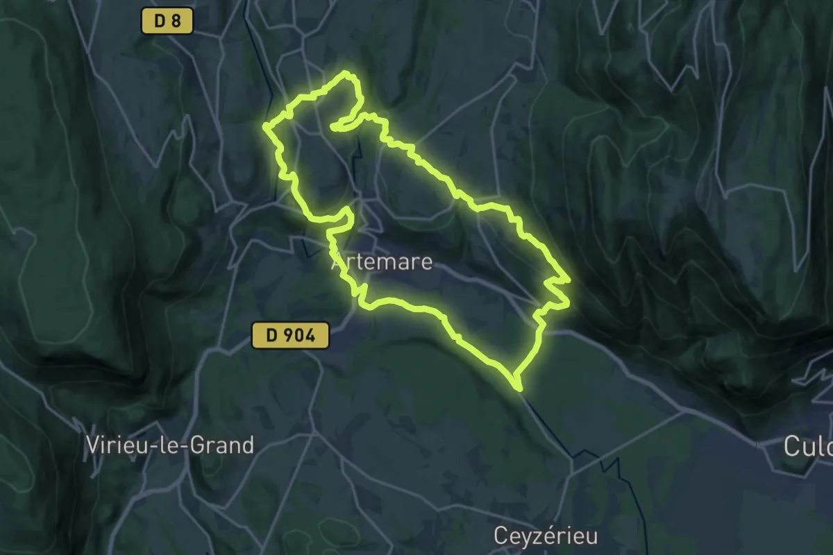
Demanding · Trail
Le pied du Grand Colombier
19.1 km · ↑ 535 m · 5 h 57 min
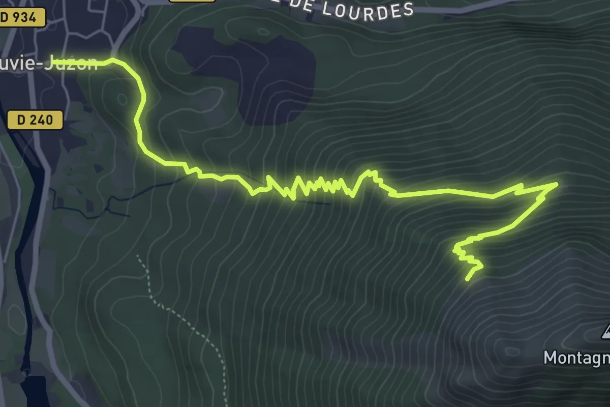
Medium · Trail
Le piémont du Rey
8.2 km · ↑ 665 m · 3 h 23 min
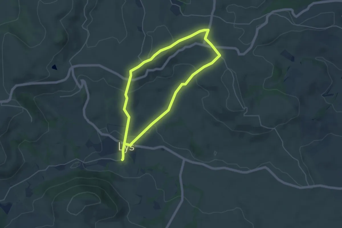
Easy · Trail
Le piémont ossalois (Circuit patrimoine)
4.3 km · ↑ 106 m · 1 h 18 min
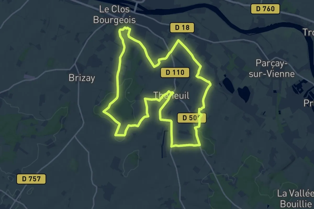
Medium · Trail
Le Pigeonnier
16.1 km · ↑ 187 m · 4 h 25 min
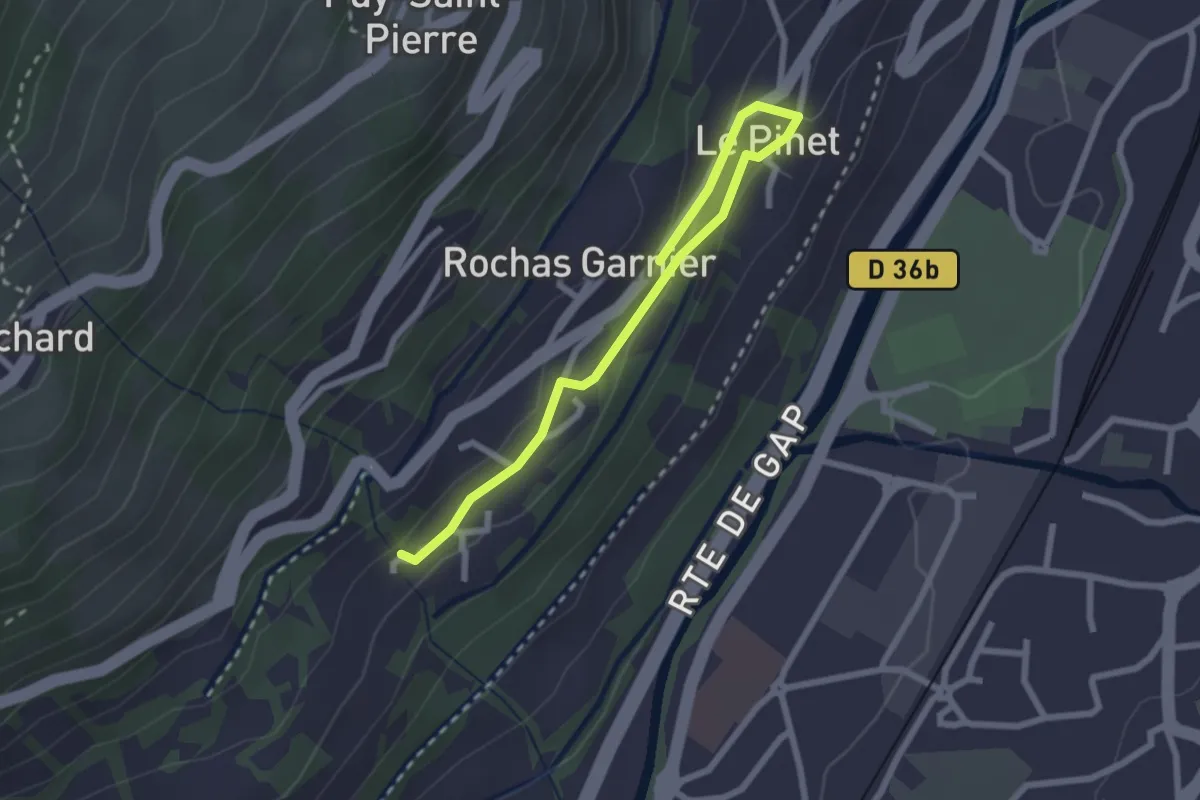
Easy · Trail
Le Pinet - Belvoir
2.7 km · ↑ 95 m · 51 min