Trails in France
15,926 hiking trails, each with its route, climb, walking time and grade.
All trails, page 170 of 332
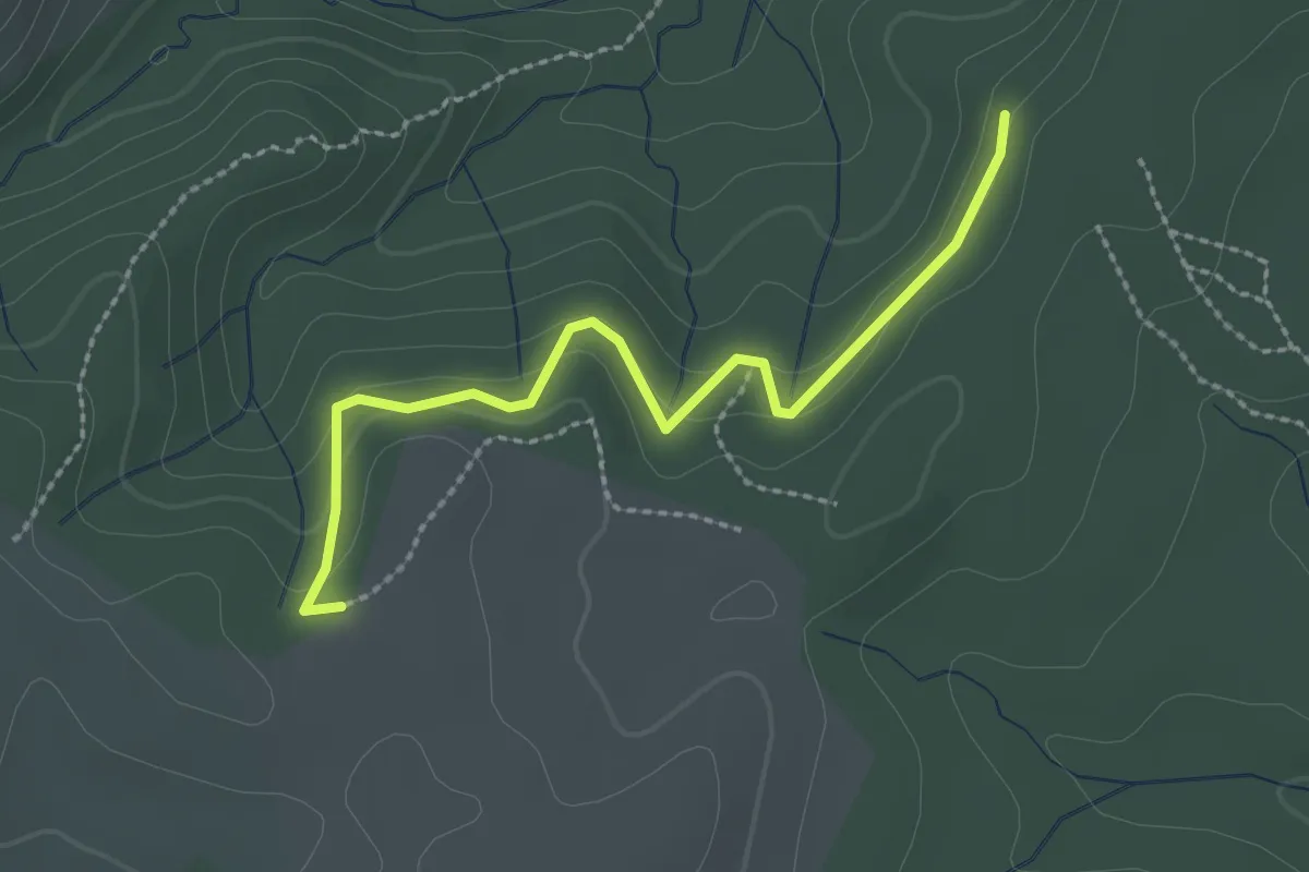
Easy · Trail
L'Épingle - Les Hubasses
2.6 km · ↑ 105 m · 50 min
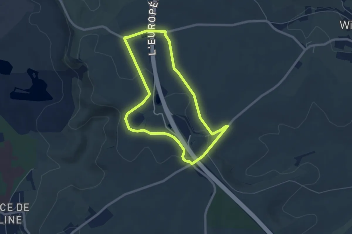
Easy · Trail
L'Epitaphe
4.5 km · ↑ 54 m · 1 h 15 min
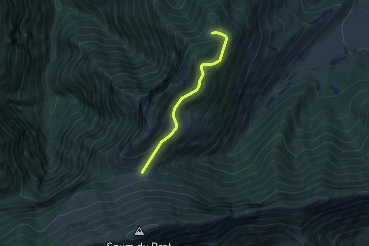
Medium · Trail
Le Pladi - Col du Prat du Rey
4.5 km · ↑ 195 m · 1 h 29 min
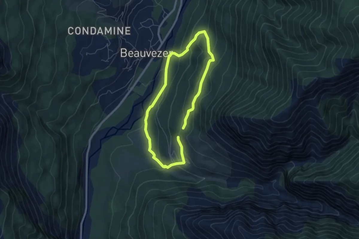
Easy · Trail
Le Plan - Acco de Chalve
5.0 km · ↑ 266 m · 1 h 50 min
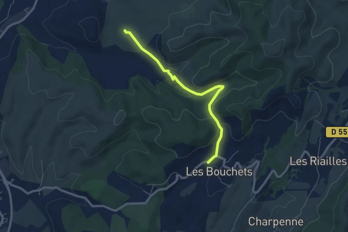
Easy · Trail
Le Planas - Les Bouchets
5.6 km · ↑ 145 m · 1 h 38 min
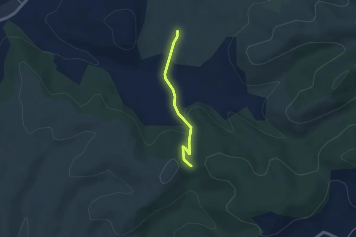
Easy · Trail
Le Planas - Trappe Loup
2.6 km · ↑ 86 m · 48 min
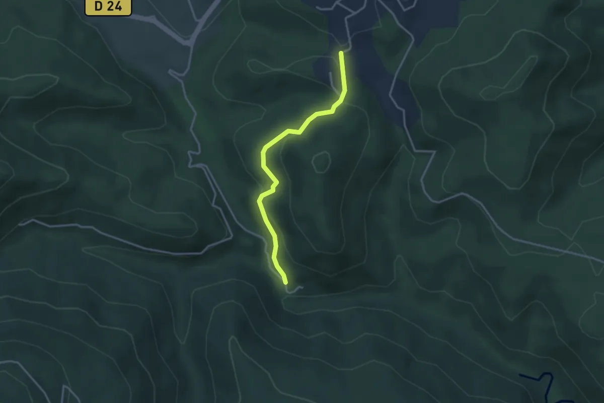
Medium · Trail
Le Plançon Haut - Chassagnoles
3.0 km · ↑ 94 m · 55 min
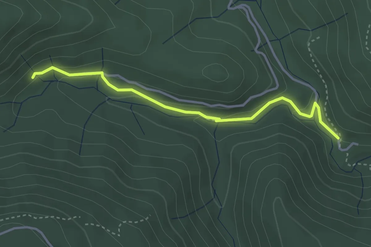
Medium · Trail
Le Plançon Haut - Leyval
3.3 km · ↑ 95 m · 1 h
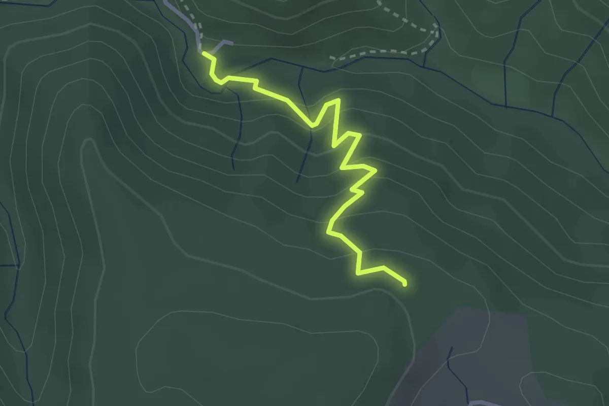
Medium · Trail
Le Plançon - Pouchonnet
2.7 km · ↑ 216 m · 1 h 6 min
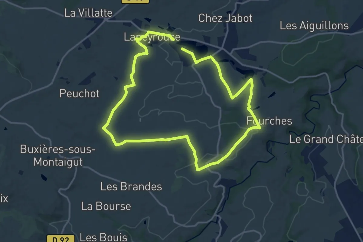
Medium · Trail
Le Plan d'Eau
10.8 km · ↑ 129 m · 2 h 58 min
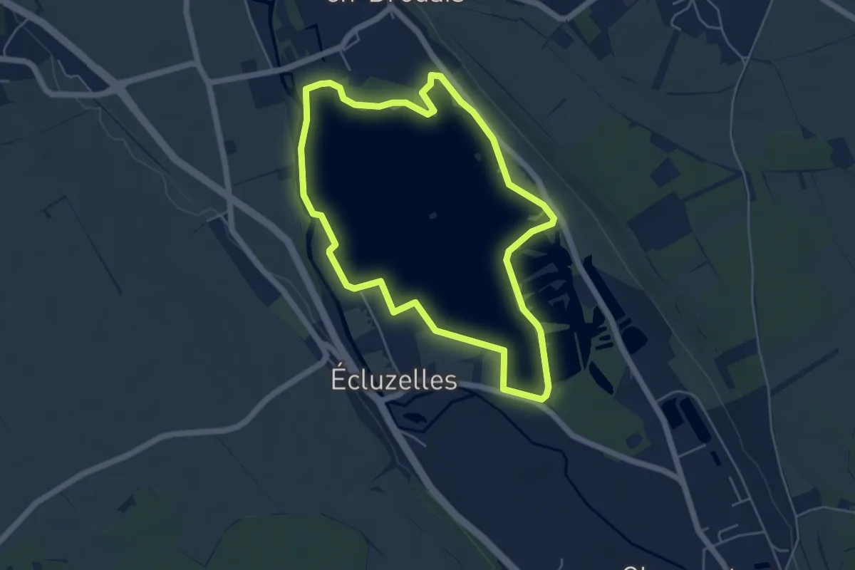
Easy · Trail
Le plan d'eau de Mézières-Ecluzelles
4.8 km · ↑ 0 m · 1 h 12 min
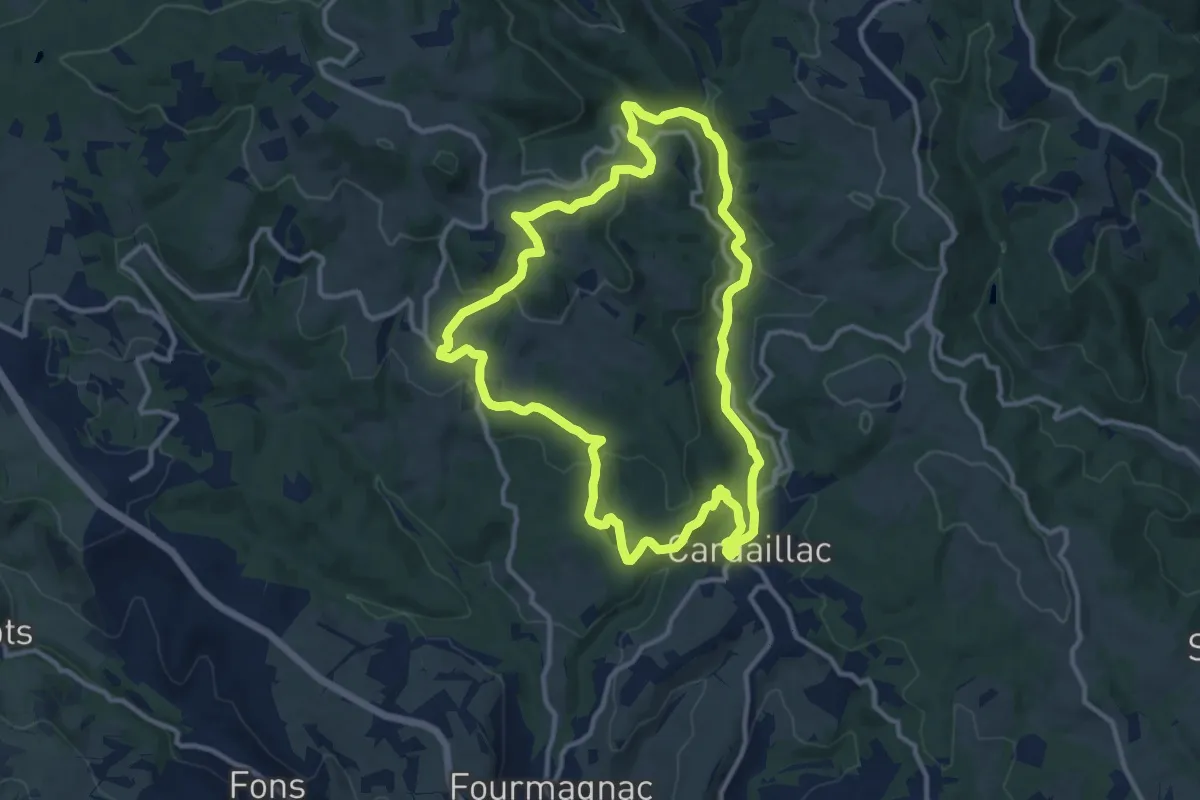
Medium · Trail
Le plan d'eau des Sagnes
12.1 km · ↑ 360 m · 3 h 48 min
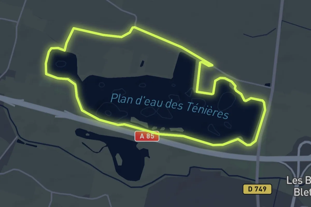
Easy · Trail
Le Plan d'Eau des Ténières - Saint-Nicolas-de-Bourgueil
4.5 km · ↑ 0 m · 1 h 8 min
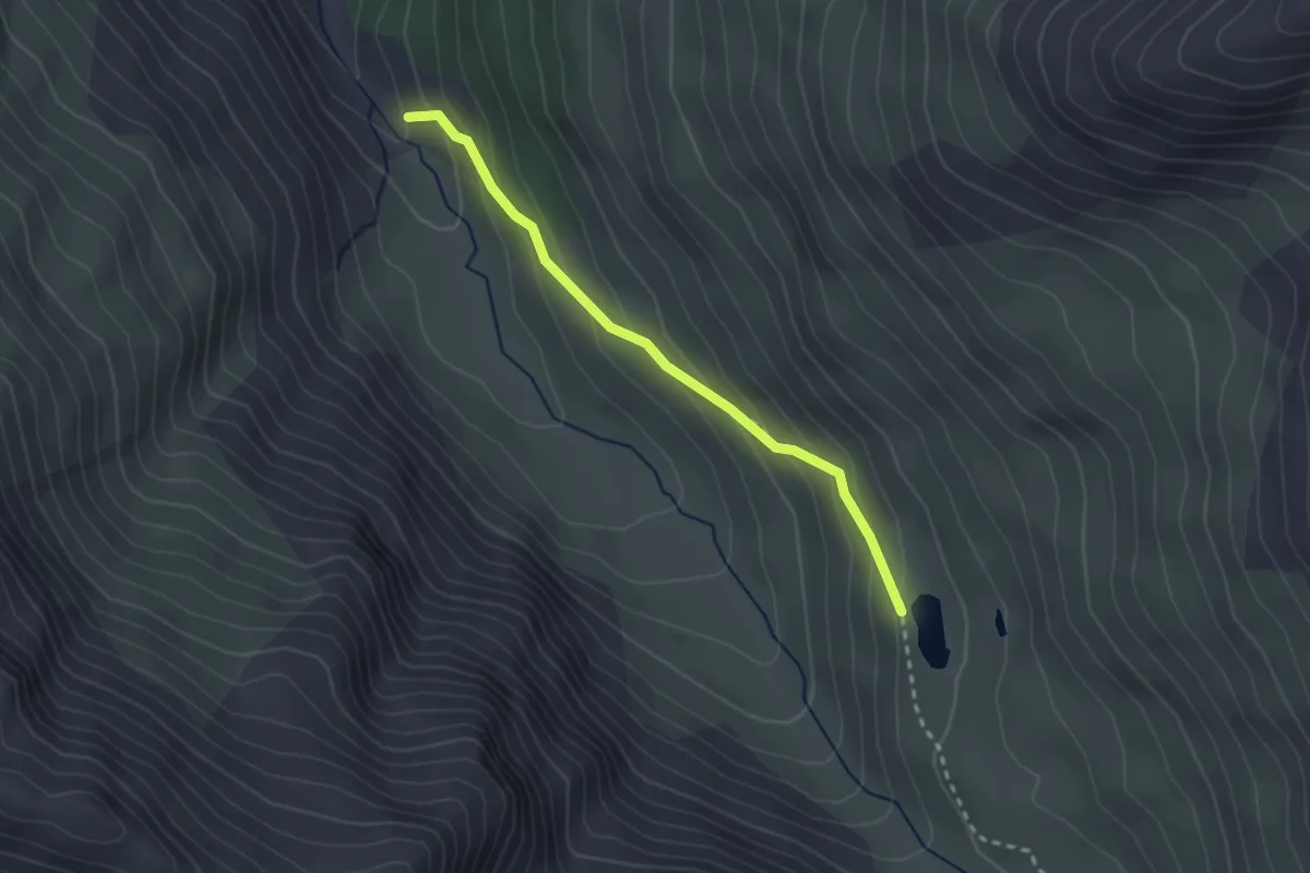
Medium · Trail
Le Plan de l'Alpe - Lacs Lacroix
2.5 km · ↑ 180 m · 1 h
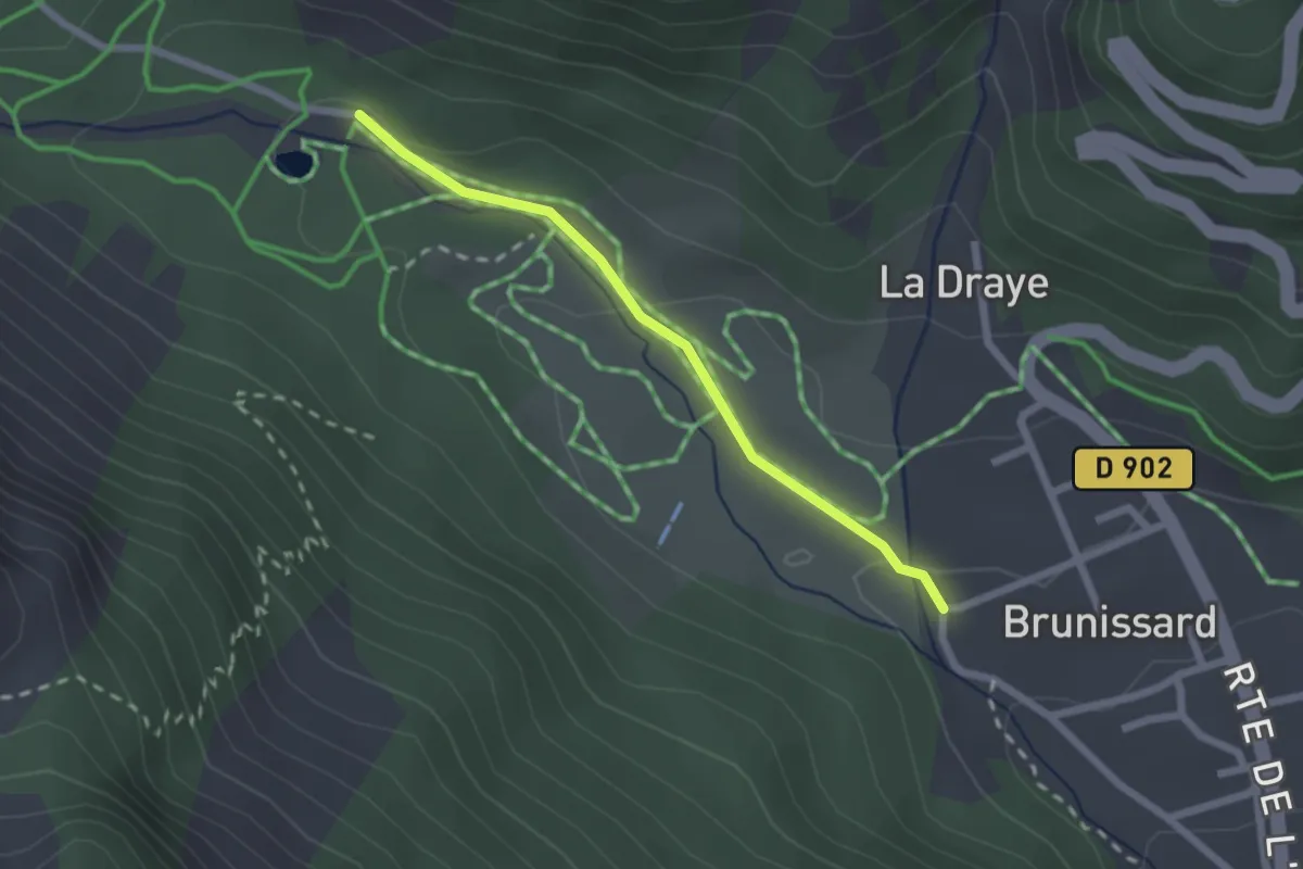
Easy · Trail
Le Planet - Brunissard Les Eyssirousses
2.0 km · ↑ 36 m · 34 min
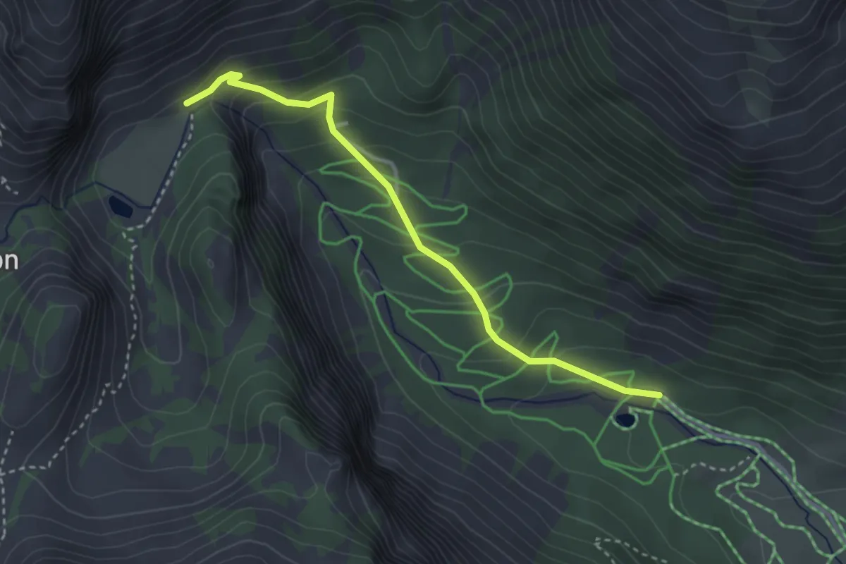
Medium · Trail
Le Planet - Pra Premier
3.3 km · ↑ 231 m · 1 h 17 min
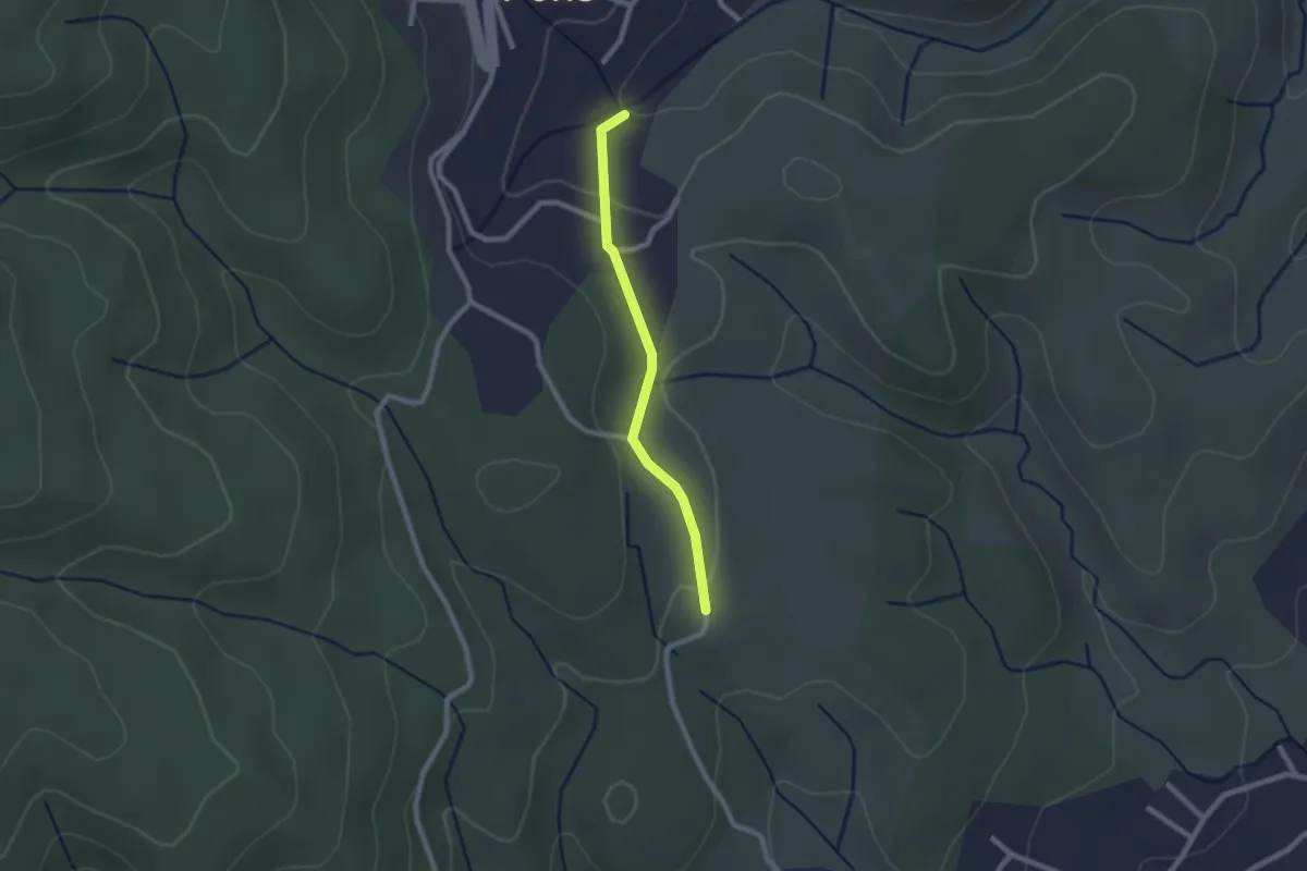
Easy · Trail
Le Plantier - Les Plantades
2.0 km · ↑ 39 m · 34 min
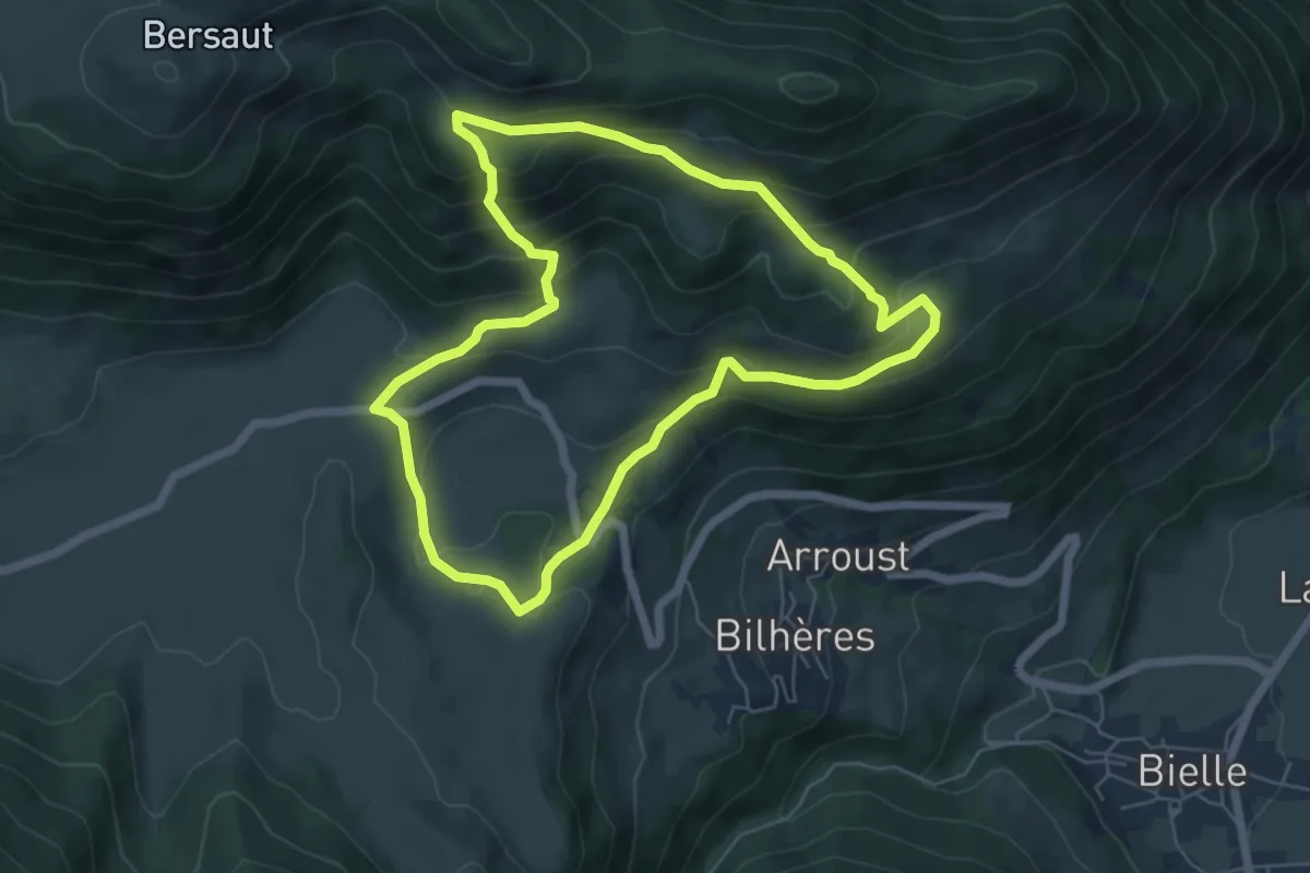
Medium · Trail
Le Plateau de Benou et les Cromlechs de Lous Couraus
6.2 km · ↑ 398 m · 2 h 25 min
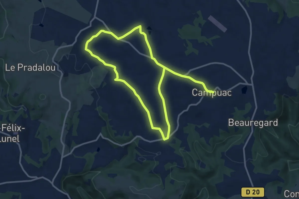
Medium · Trail
Le Plateau de Campuac
15.1 km · ↑ 173 m · 3 h 56 min
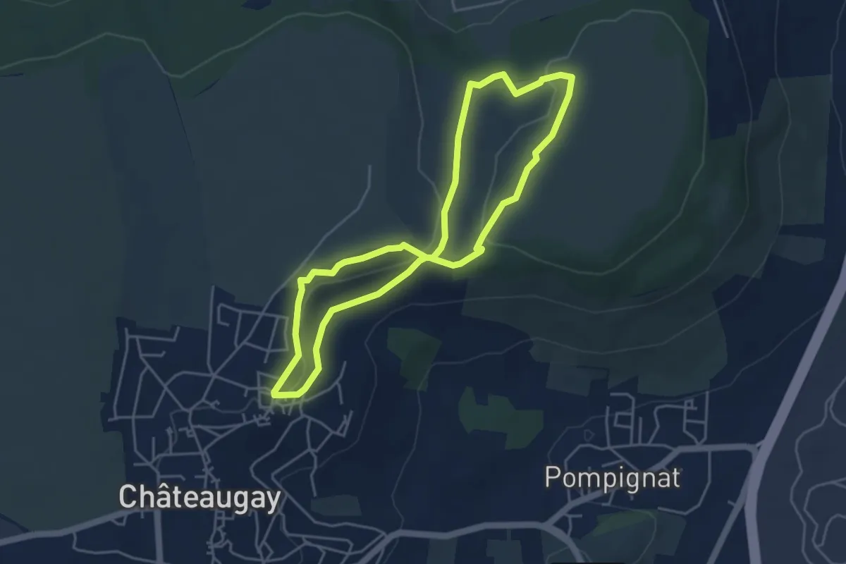
Easy · Trail
Le Plateau de Champ-Griaud
4.2 km · ↑ 64 m · 1 h 11 min
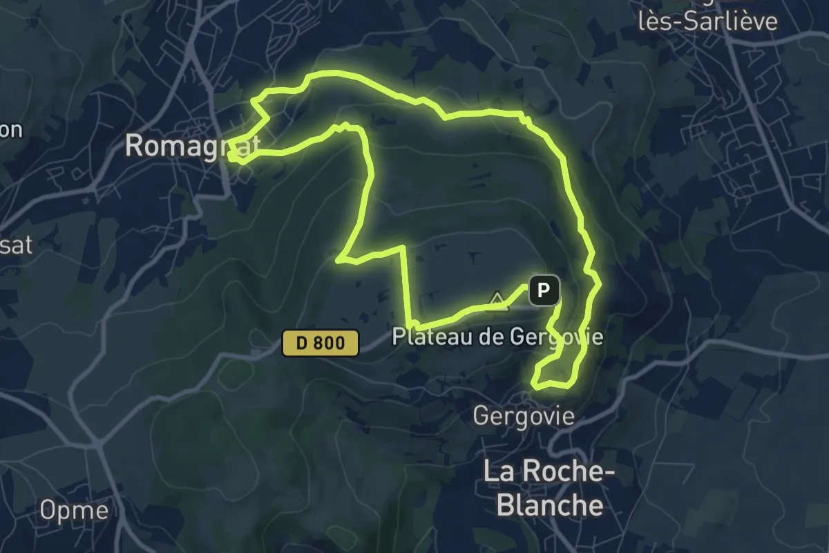
Medium · Summit
Le Plateau de Gergovie
9.2 km · ↑ 345 m · 3 h 2 min
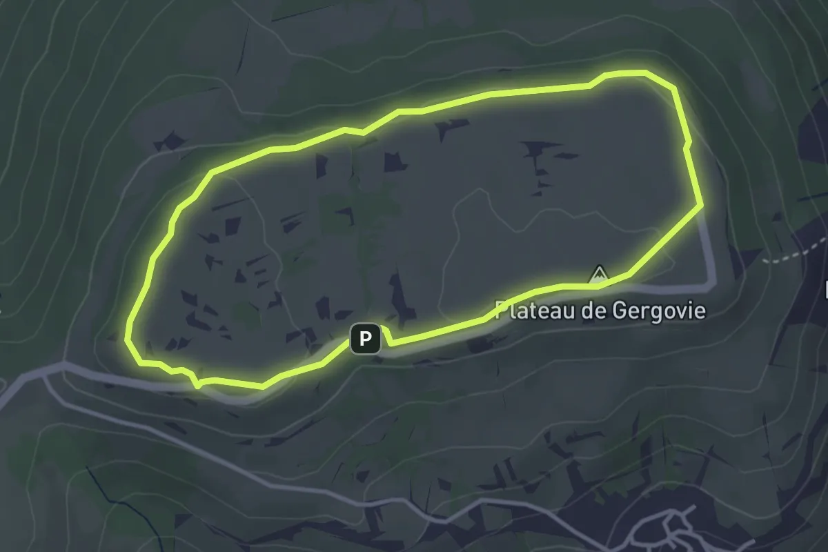
Easy · Summit
Le Plateau de Gergovie
3.5 km · ↑ 54 m · 1 h
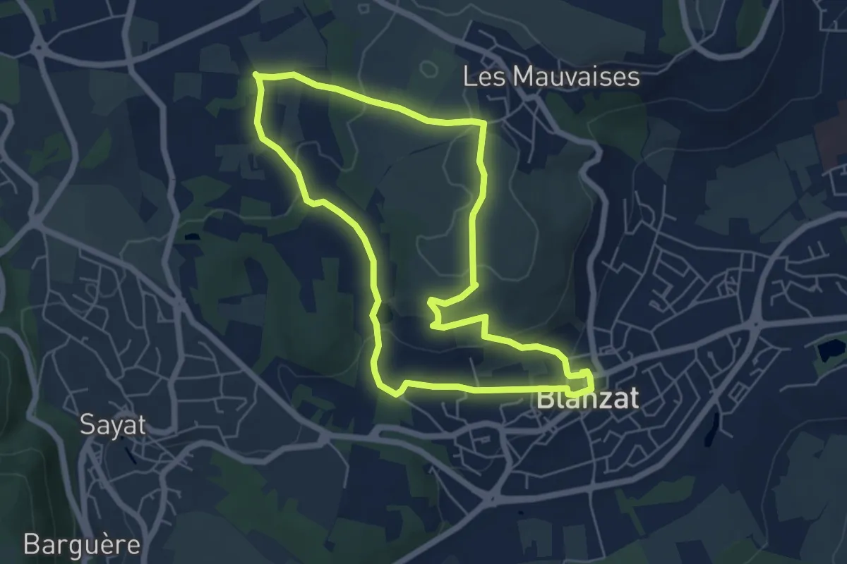
Easy · Trail
Le Plateau de la Bade
5.6 km · ↑ 119 m · 1 h 39 min
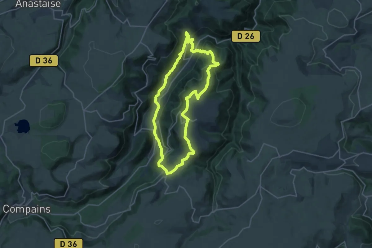
Medium · Trail
Le Plateau de la Chavade et la Roche Nite
14.9 km · ↑ 650 m · 5 h 8 min
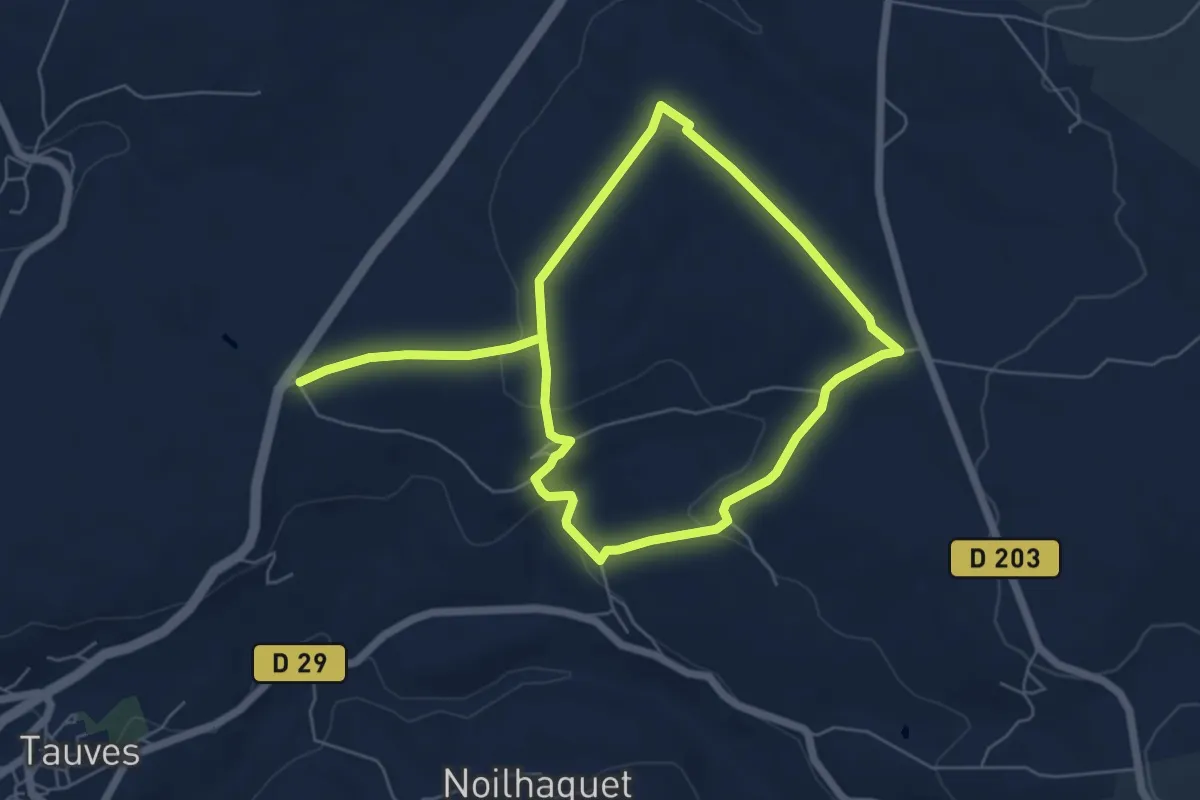
Medium · Trail
Le Plateau de Tauves
10.6 km · ↑ 199 m · 2 h 56 min
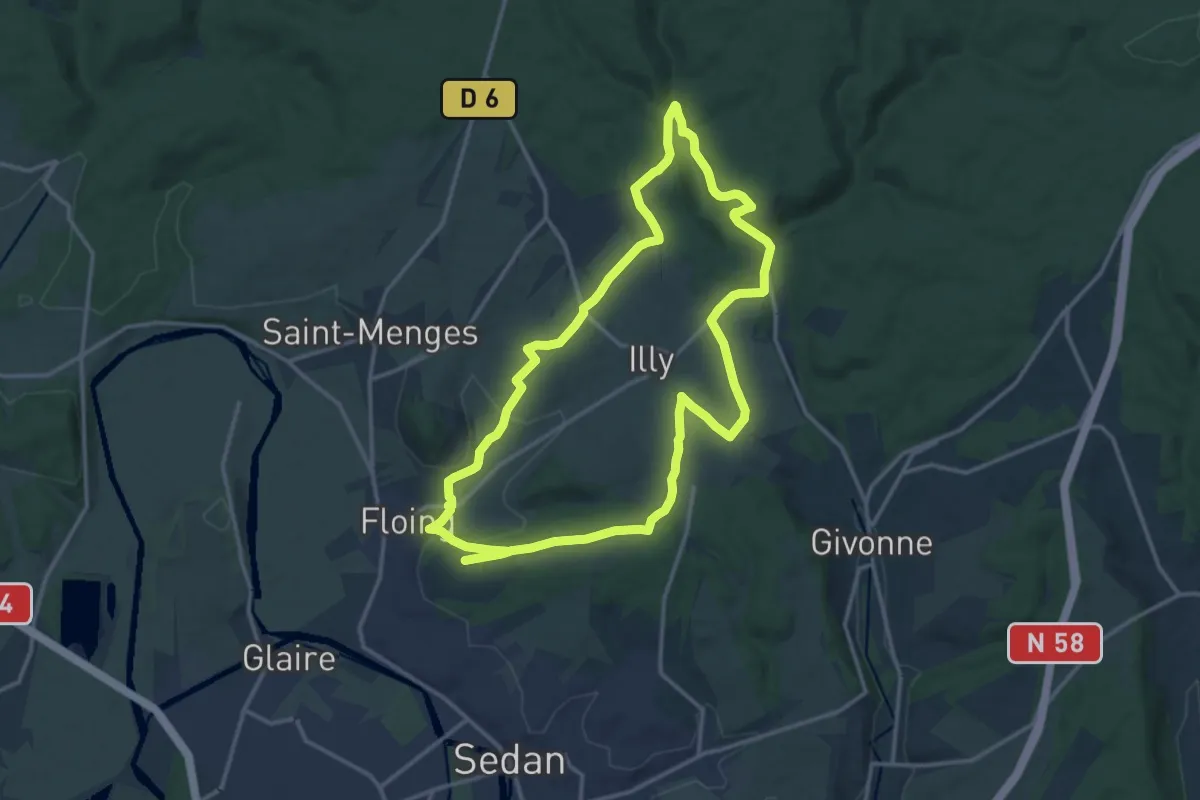
Medium · Trail
Le Plateau d’Illy
14.1 km · ↑ 269 m · 4 h 6 min
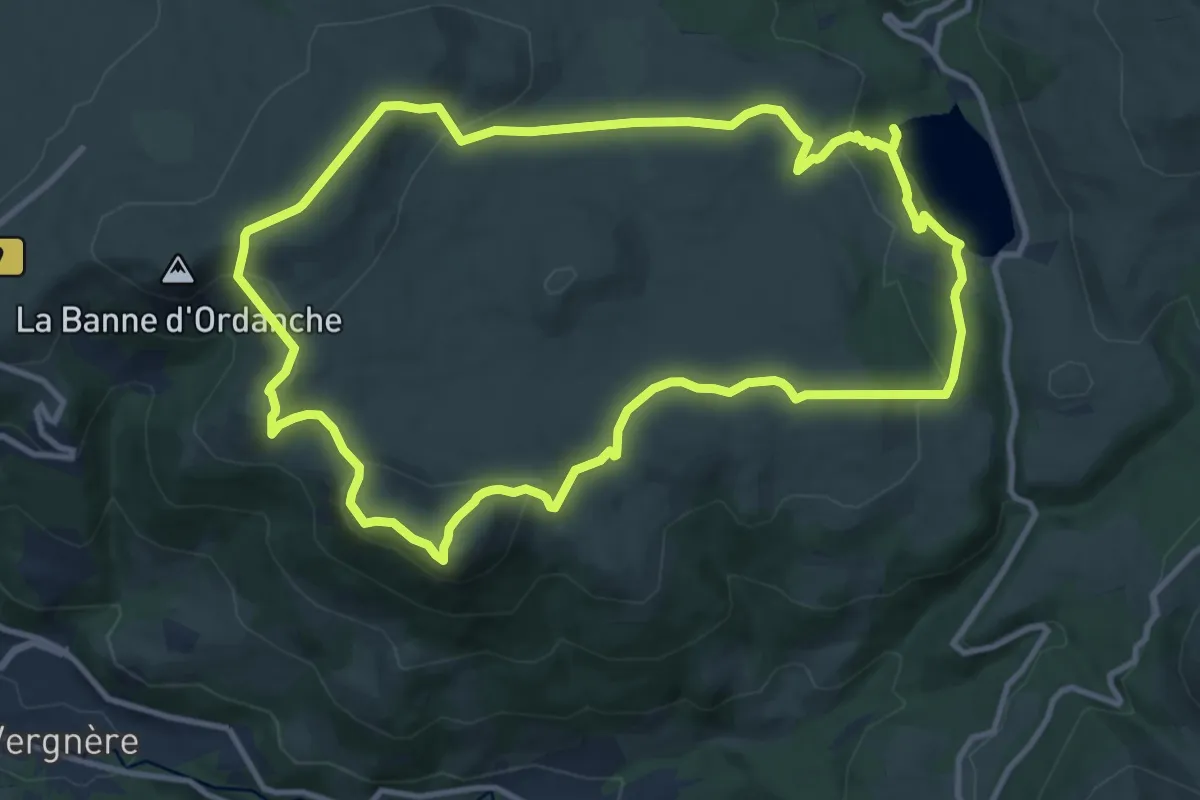
Medium · Summit
Le plateau du Guéry
11.5 km · ↑ 463 m · 3 h 52 min
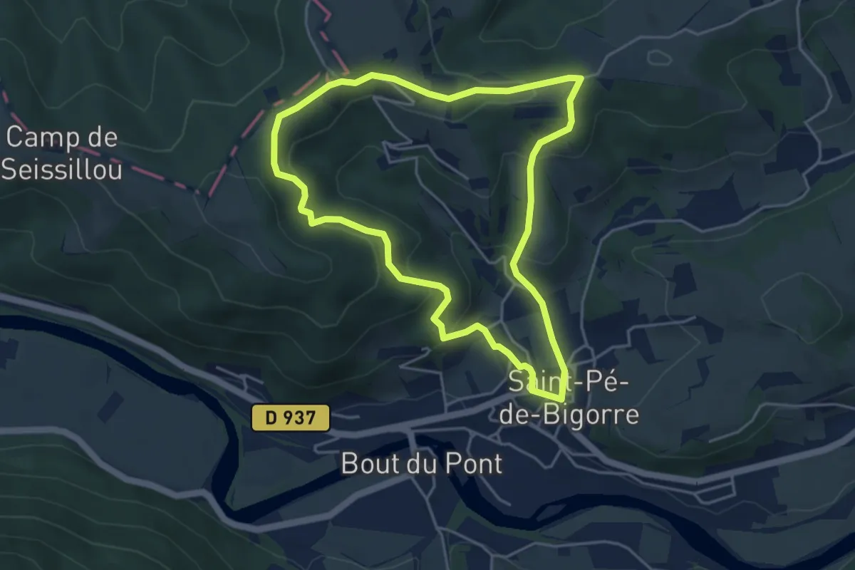
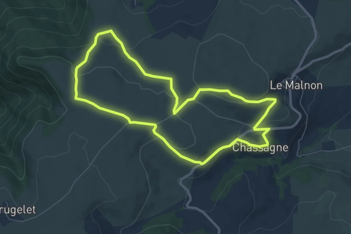
Easy · Trail
Le Plateau du Mousqué
4.5 km · ↑ 199 m · 1 h 33 min
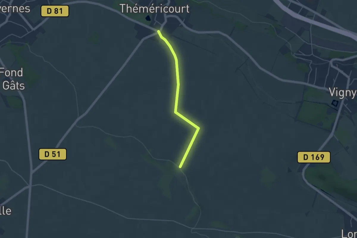
Easy · Trail
Le Plateau d'Ussel
6.4 km · ↑ 180 m · 1 h 59 min
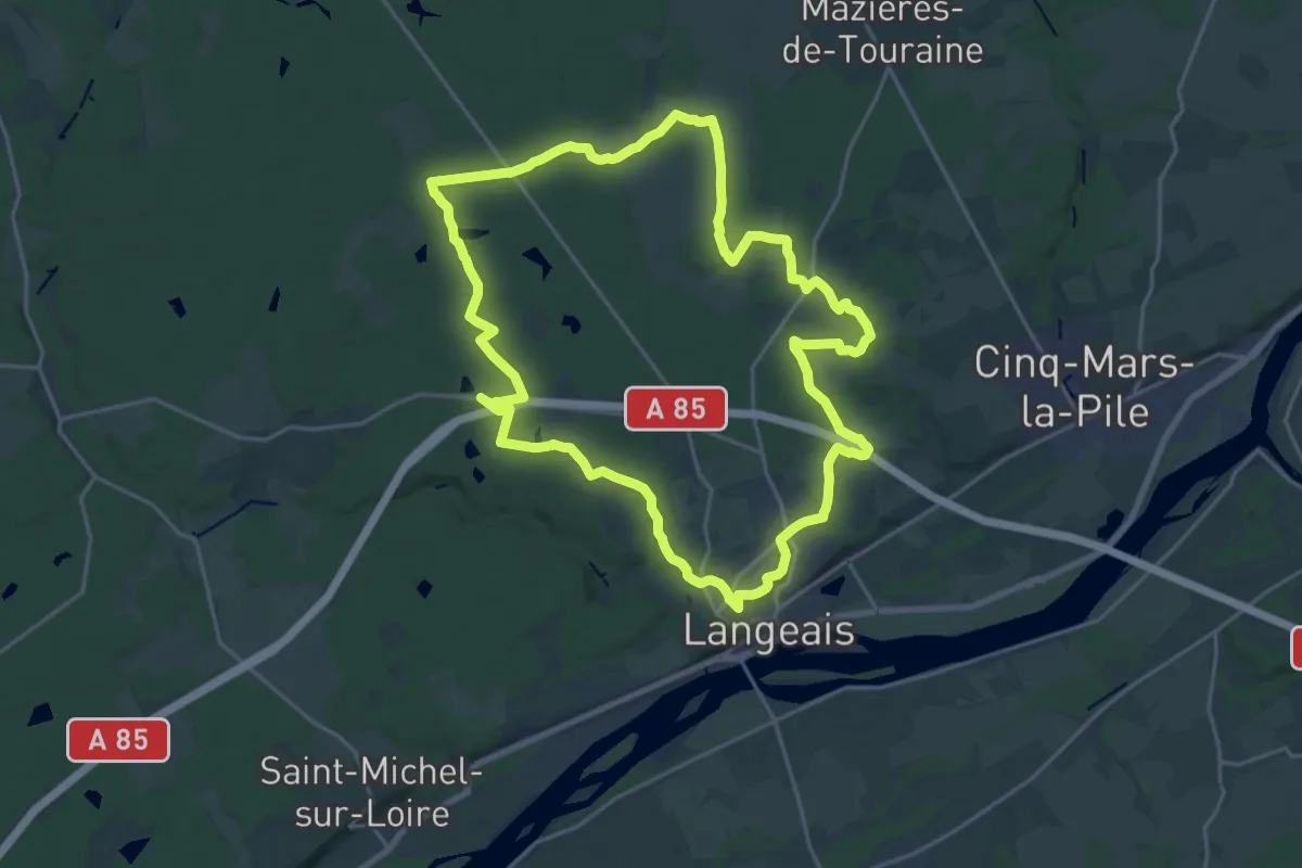
Easy · Trail
Le Plateau du Vexin
3.8 km · ↑ 28 m · 57 min
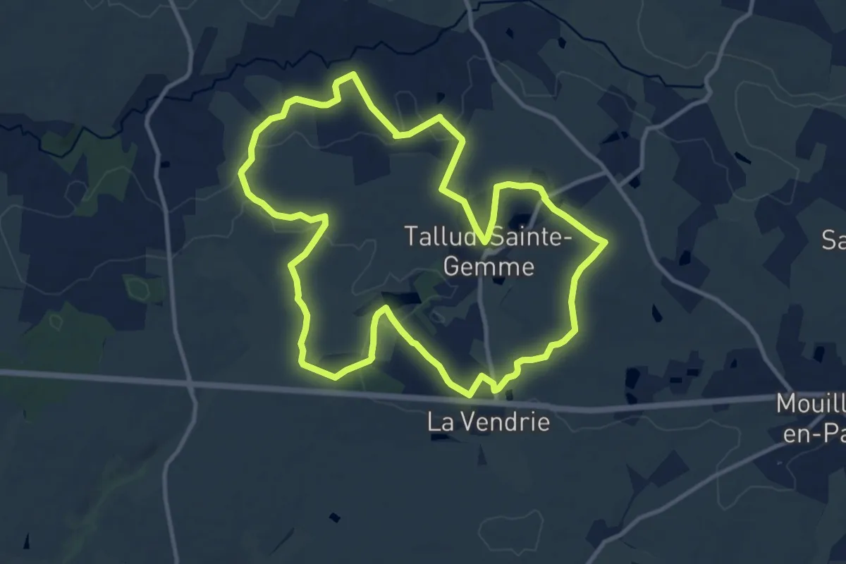
Demanding · Trail
Le plateau - Langeais
21.1 km · ↑ 189 m · 5 h 42 min
Medium · Trail
Le point Culminant
11.1 km · ↑ 115 m · 3 h 2 min
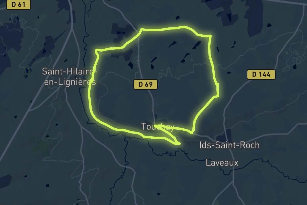
Medium · Trail
Le Point de Vue
15.0 km · ↑ 92 m · 3 h 58 min
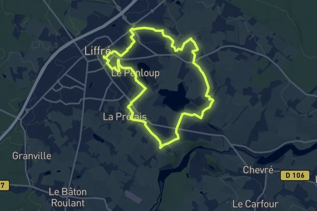
Medium · Trail
Le Point du Jour
9.9 km · ↑ 104 m · 2 h 42 min
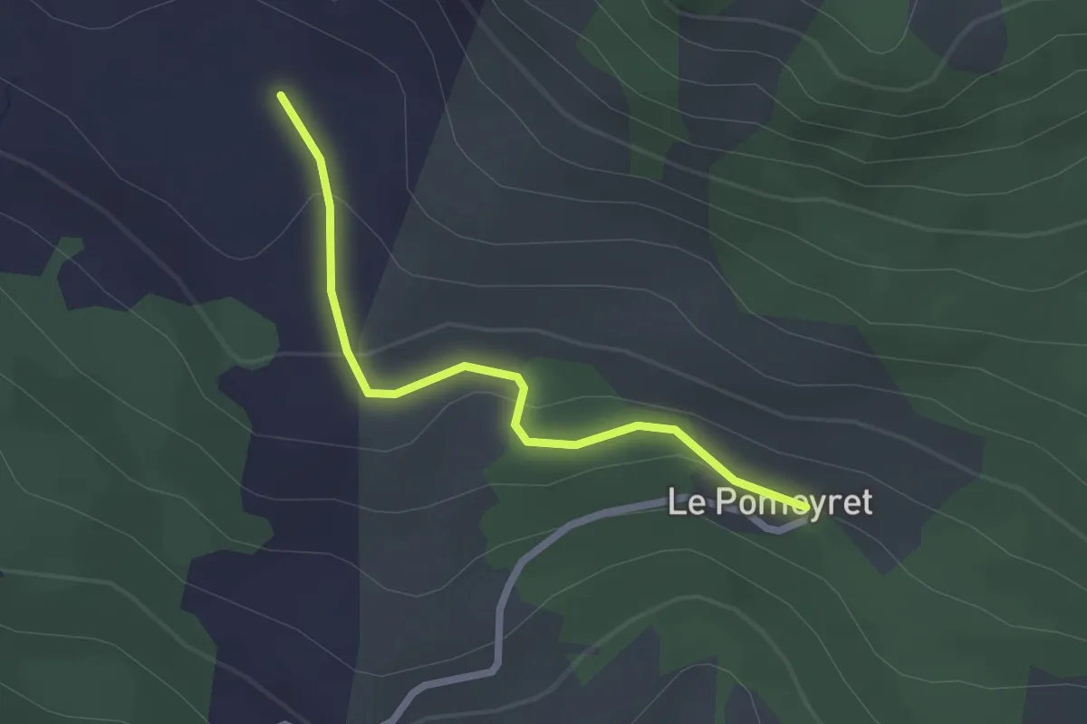
Easy · Trail
Le Pomeyret - Font Bénie
2.2 km · ↑ 61 m · 39 min
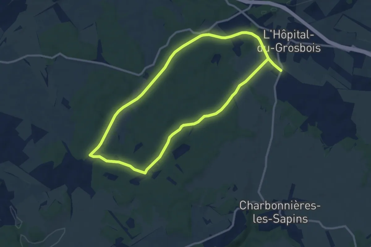
Easy · Trail
Le Pommeret
7.8 km · ↑ 74 m · 2 h 6 min
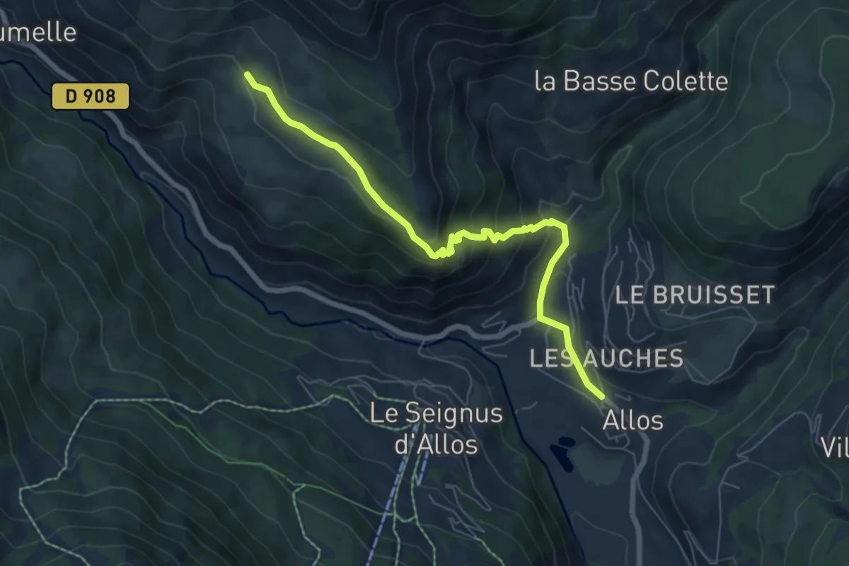
Easy · Trail
Le Pont à Montgros
3.4 km · ↑ 31 m · 1 h 5 min
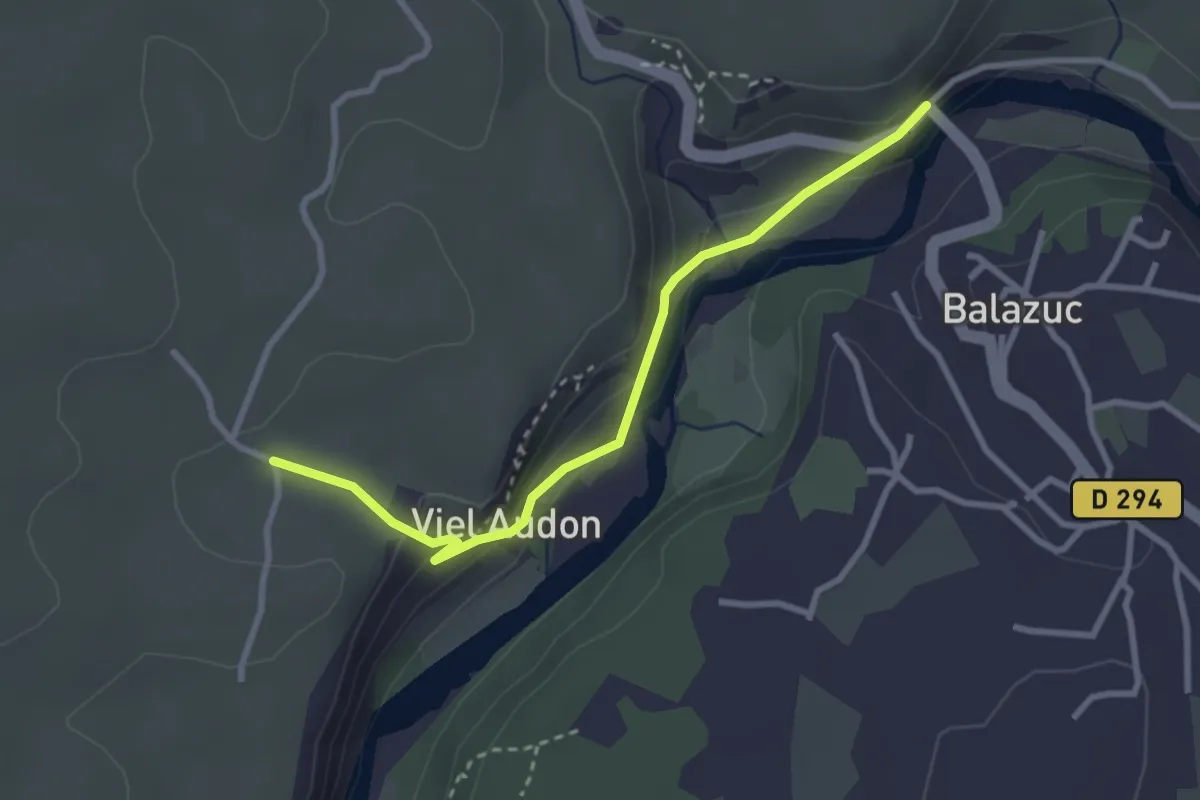
Easy · Trail
Le Pont - Audon
3.1 km · ↑ 118 m · 59 min
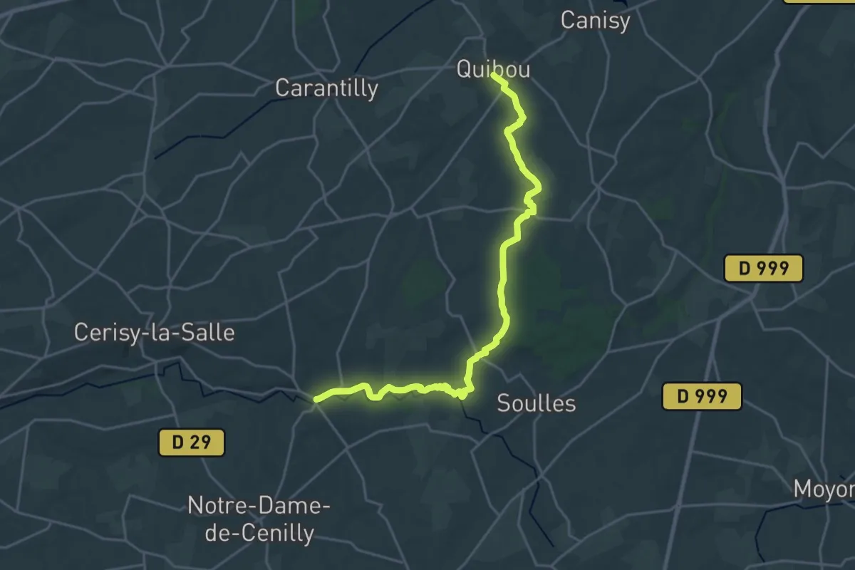
Demanding · Trail
Le Pont Brocard à Quibou
21.2 km · ↑ 341 m · 5 h 45 min
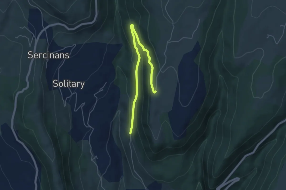
Easy · Trail
Le Pont Canadien - La Grangette
5.1 km · ↑ 193 m · 1 h 37 min
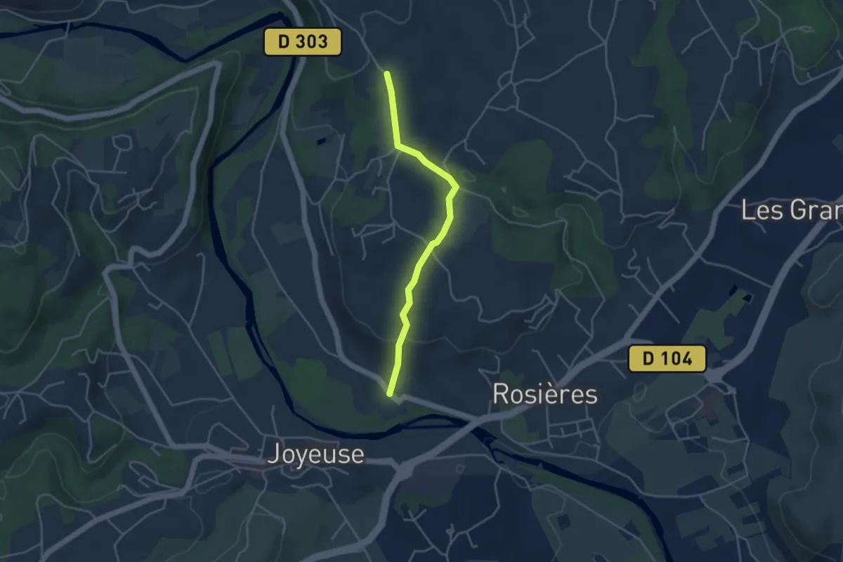
Easy · Trail
Le Pont - Croix de Bonneton
3.7 km · ↑ 115 m · 1 h 8 min
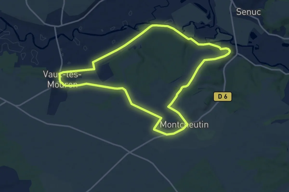
Medium · Trail
Le Pont d'Avrogne
10.3 km · ↑ 104 m · 2 h 48 min
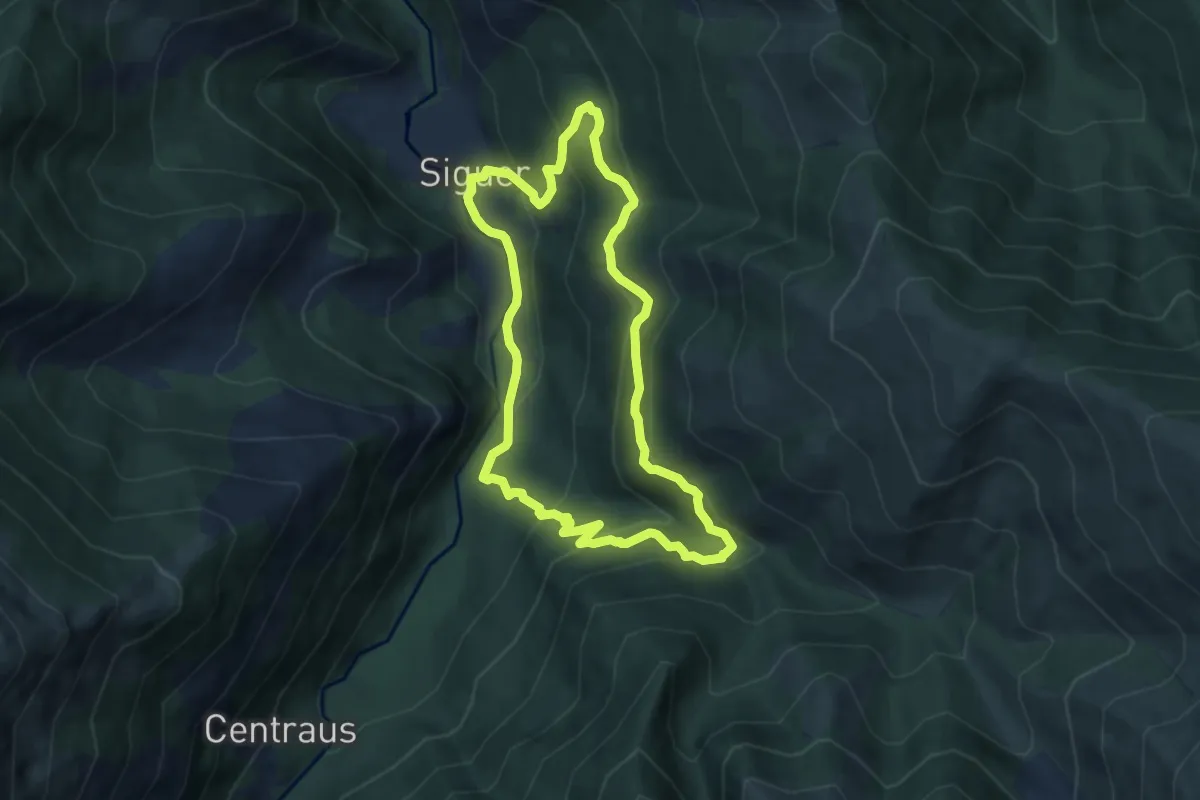
Medium · Trail
Le pont de la peinture
7.4 km · ↑ 420 m · 2 h 46 min
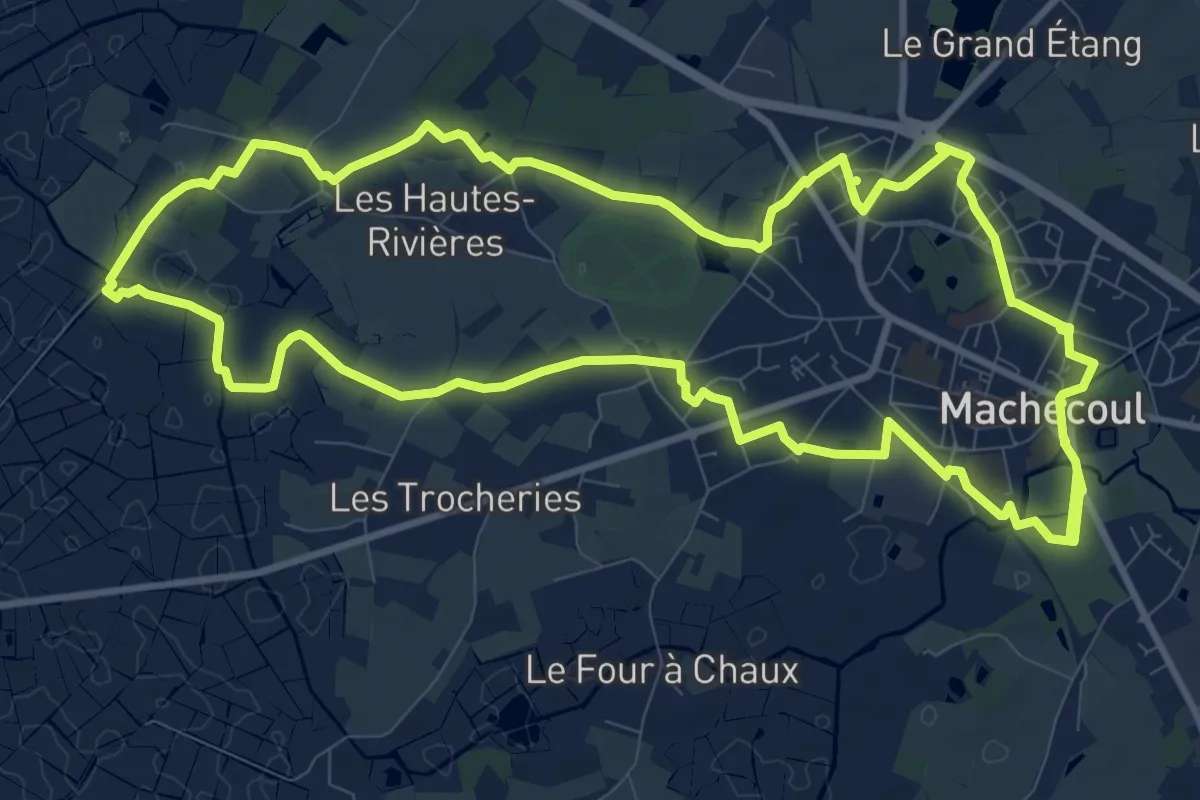
Medium · Trail
Le Pont de l'Essart
11.7 km · ↑ 8 m · 2 h 57 min
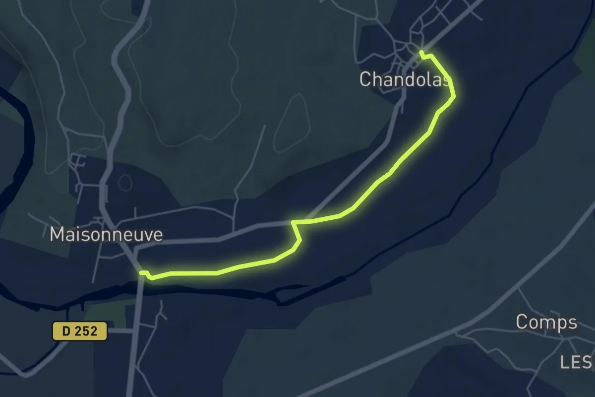
Easy · Trail
Le Pont de Maisonneuve - Chandolas
5.1 km · ↑ 18 m · 1 h 15 min
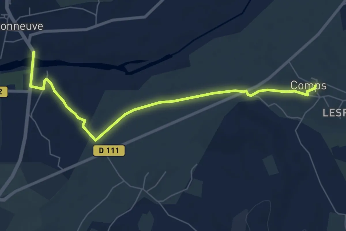
Easy · Trail
Le Pont de Maisonneuve - Comps
6.2 km · ↑ 44 m · 1 h 34 min
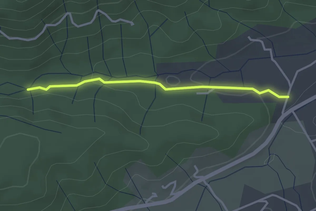
Easy · Trail
Le Pont de Prades - Le Chambon
2.6 km · ↑ 42 m · 43 min
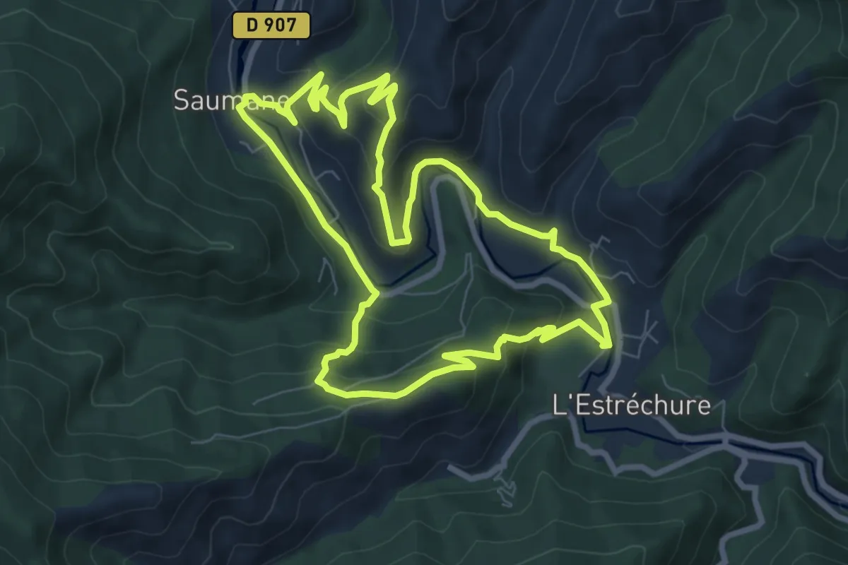
Medium · Trail
Le pont des chèvres
7.8 km · ↑ 341 m · 2 h 41 min