Trails in France
15,926 hiking trails, each with its route, climb, walking time and grade.
All trails, page 172 of 332
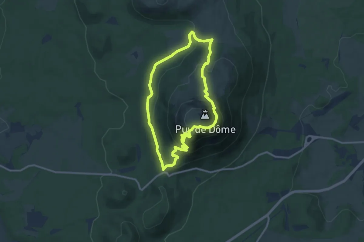
Medium · Summit
Le Puy de Dôme
7.0 km · ↑ 369 m · 2 h 33 min
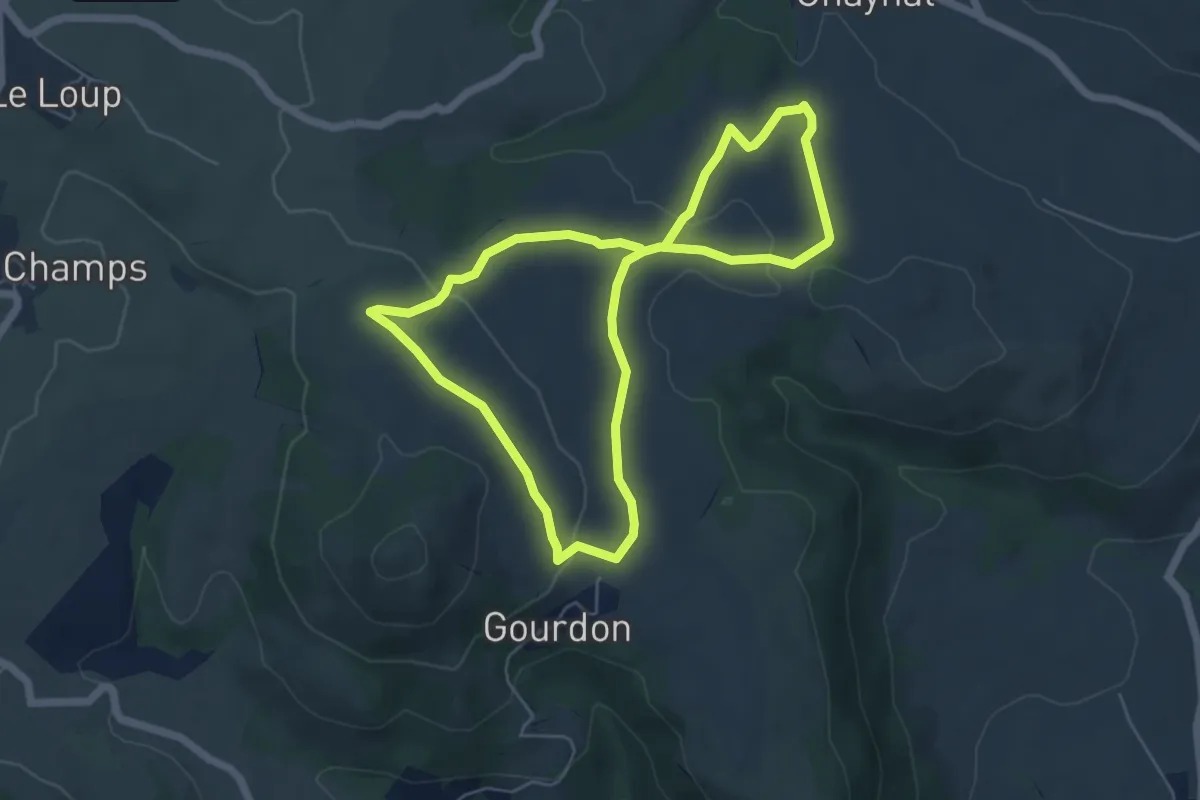
Easy · Trail
Le Puy de Gourdon
5.3 km · ↑ 117 m · 1 h 35 min
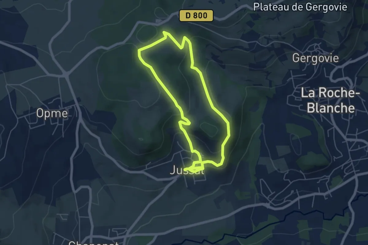
Easy · Trail
Le Puy de Jussat
4.8 km · ↑ 164 m · 1 h 33 min
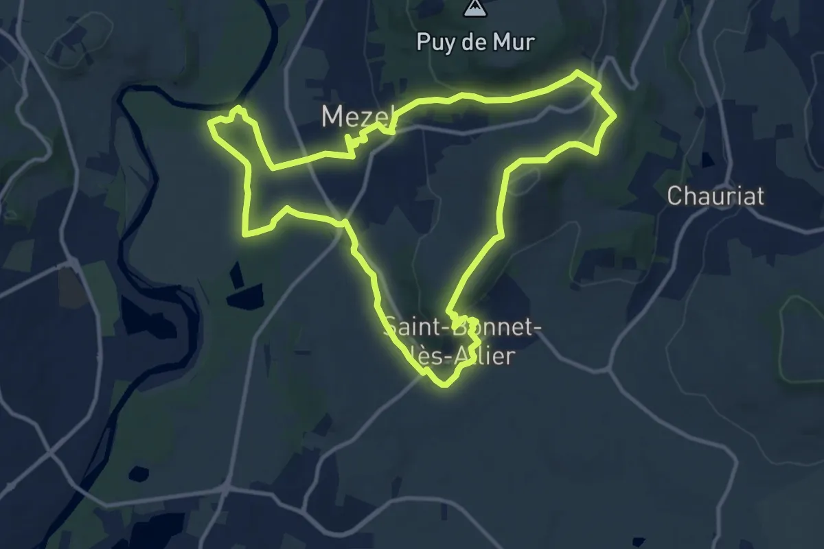
Medium · Trail
Le Puy de la Poule
11.6 km · ↑ 217 m · 3 h 22 min
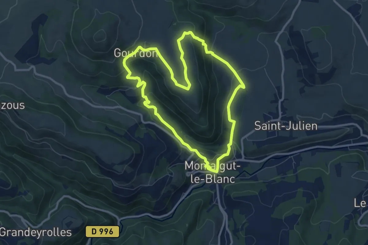
Easy · Trail
Le Puy de la Rodde
7.8 km · ↑ 291 m · 2 h 35 min
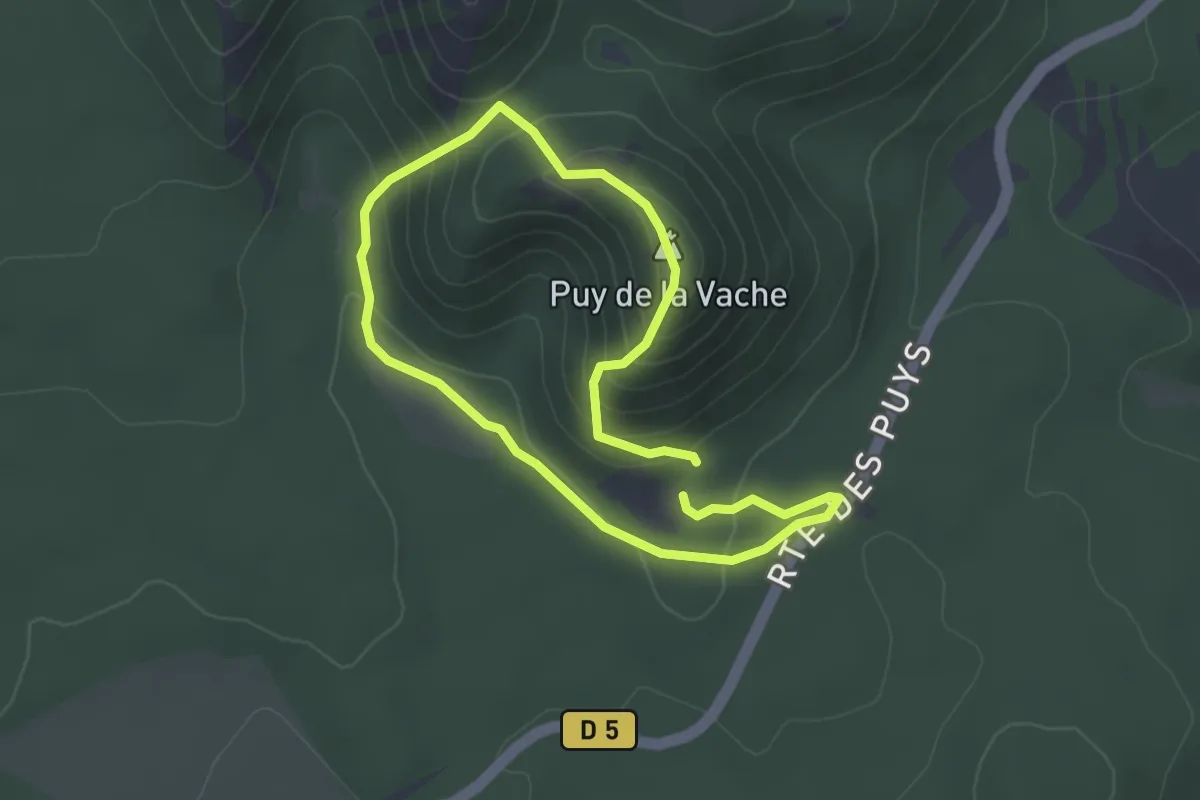
Easy · Summit
Le Puy de la Vache
2.8 km · ↑ 167 m · 1 h 4 min
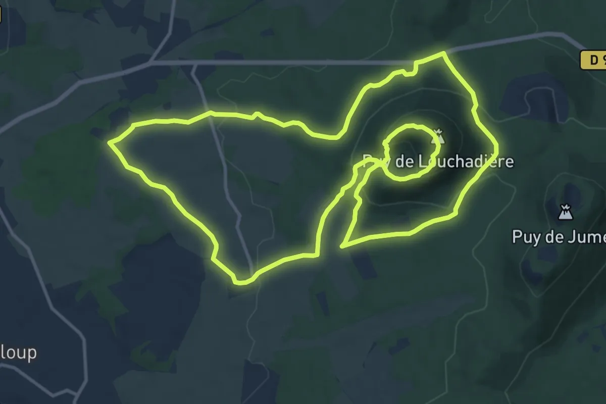
Medium · Summit
Le Puy de Louchadiere
12.7 km · ↑ 421 m · 4 h 5 min
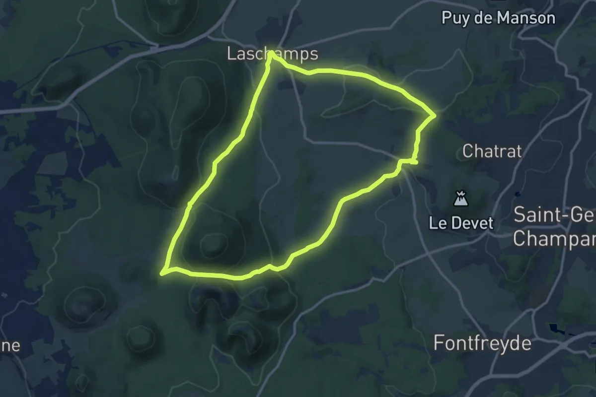
Medium · Summit
Le Puy de Mercoeur
11.1 km · ↑ 303 m · 3 h 26 min
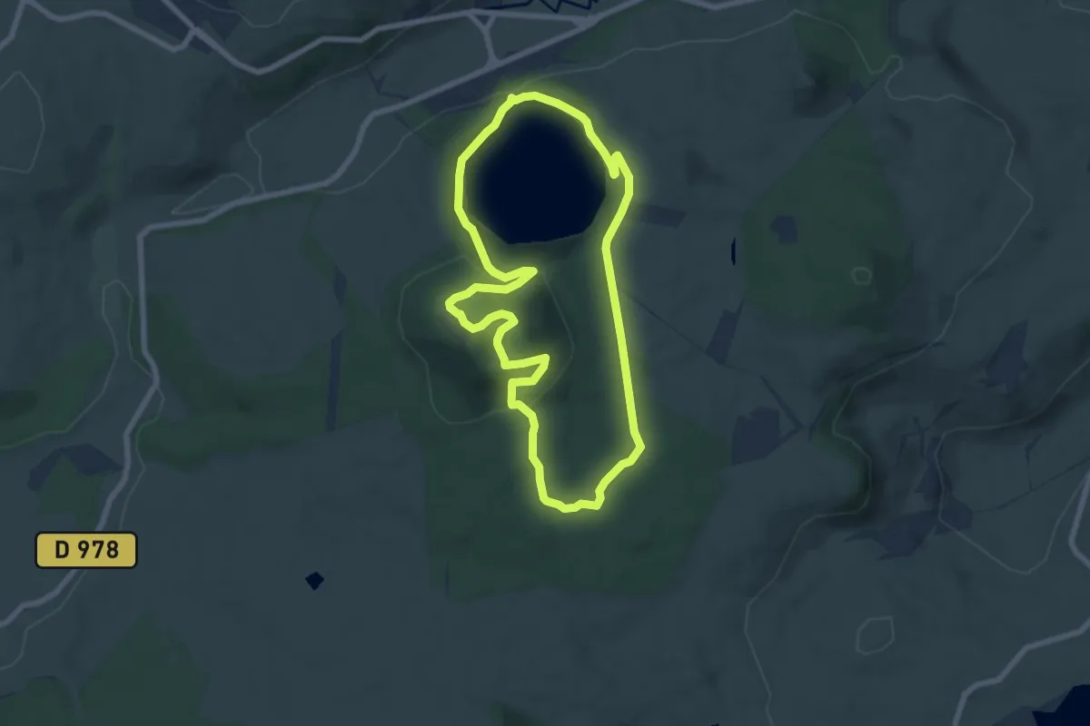
Easy · Summit
Le puy de Montchal et le Lac Pavin
6.9 km · ↑ 229 m · 2 h 14 min
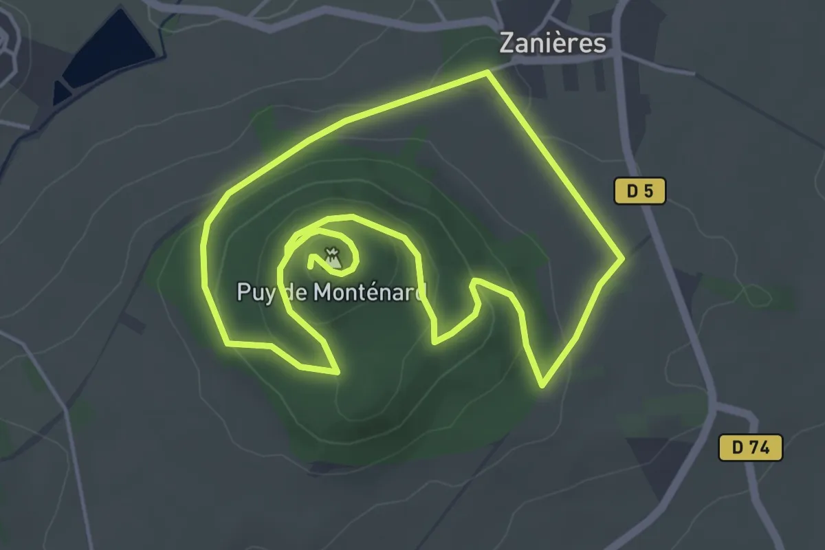
Easy · Summit
Le Puy de Montenard
4.3 km · ↑ 125 m · 1 h 21 min
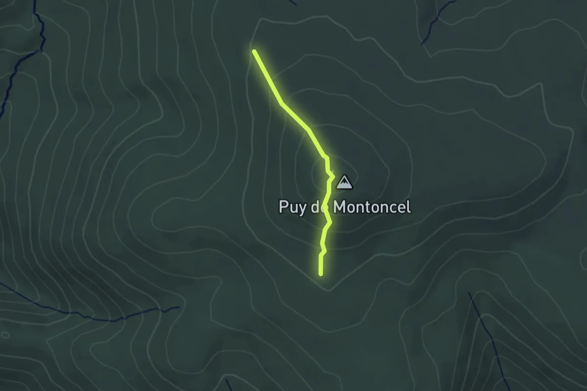
Medium · Summit
Le Puy de Montoncel
1.1 km · ↑ 75 m · 26 min
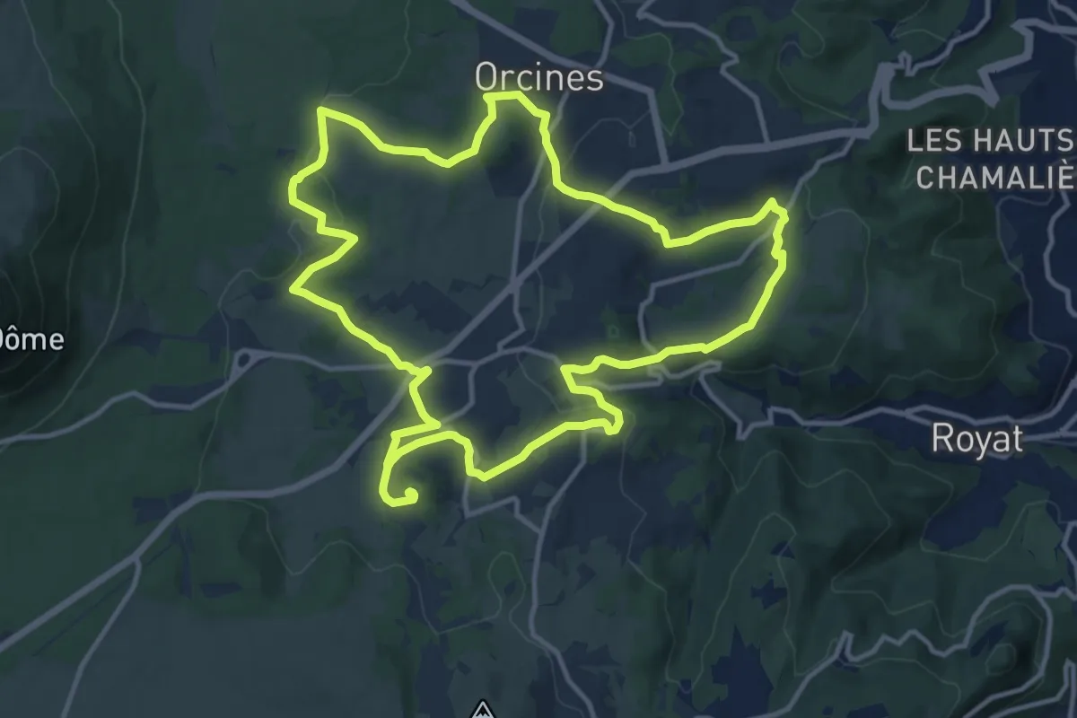
Medium · Summit
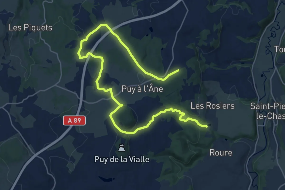
Le Puy de Montrodeix
13.1 km · ↑ 284 m · 3 h 52 min
Medium · Trail
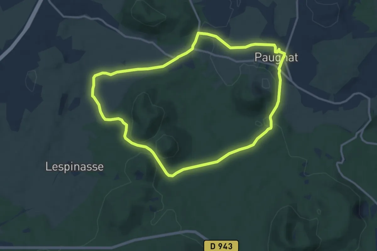
Le Puy de Neuffont
11.8 km · ↑ 183 m · 3 h 25 min
Medium · Trail
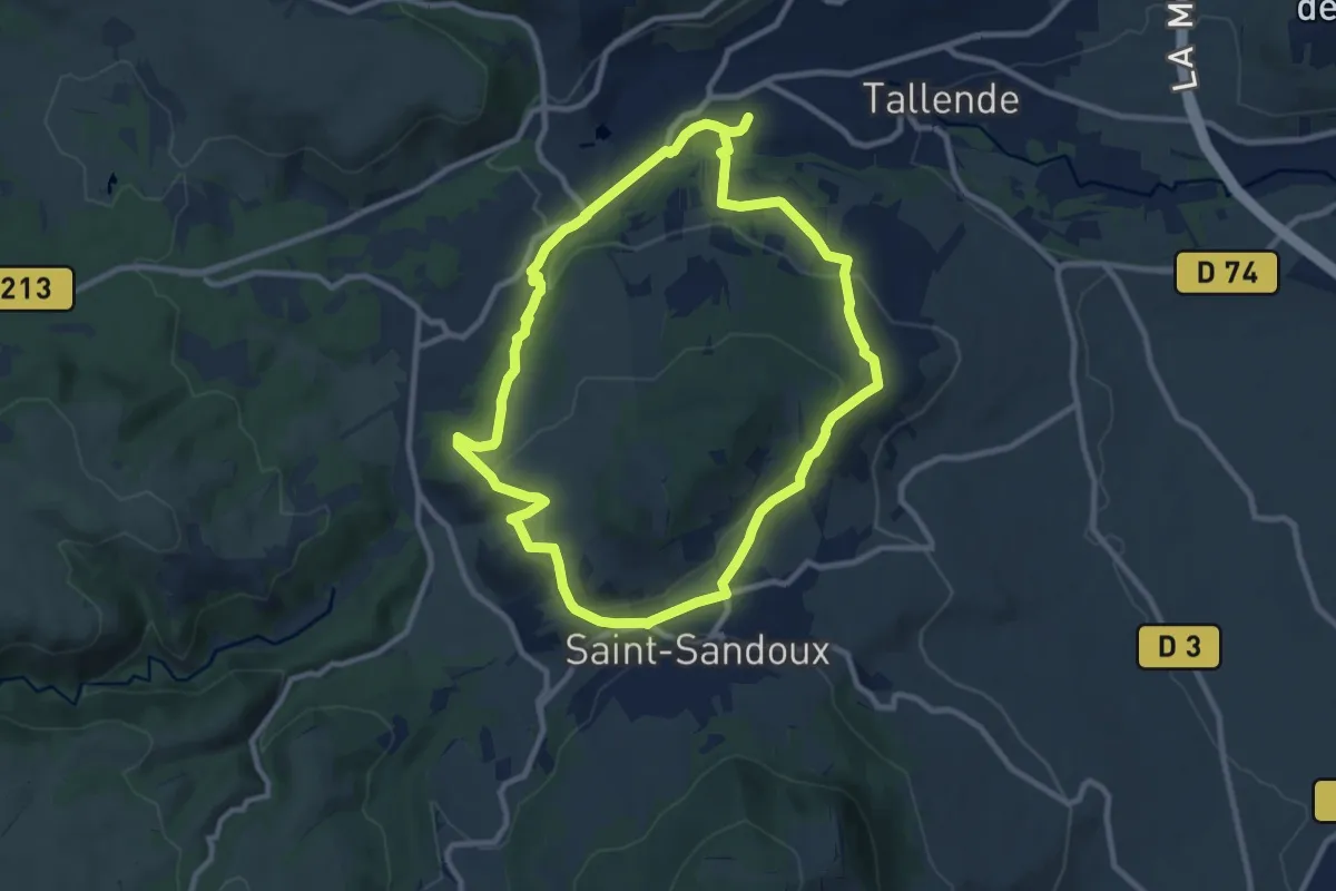
Le Puy de Paugnat
8.8 km · ↑ 130 m · 2 h 29 min
Medium · Trail
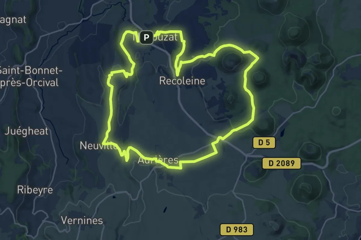
Le Puy de Peyronere
9.5 km · ↑ 279 m · 2 h 58 min
Demanding · Trail
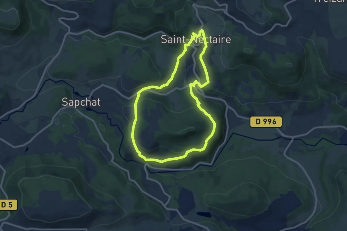
Le Puy de Pourcharet
18.9 km · ↑ 314 m · 5 h 25 min
Easy · Trail
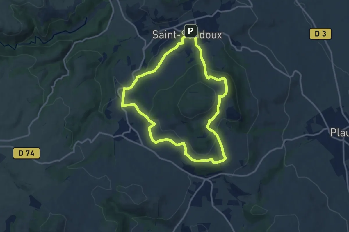
Le Puy d'Eraigne
7.1 km · ↑ 251 m · 2 h 20 min
Medium · Trail
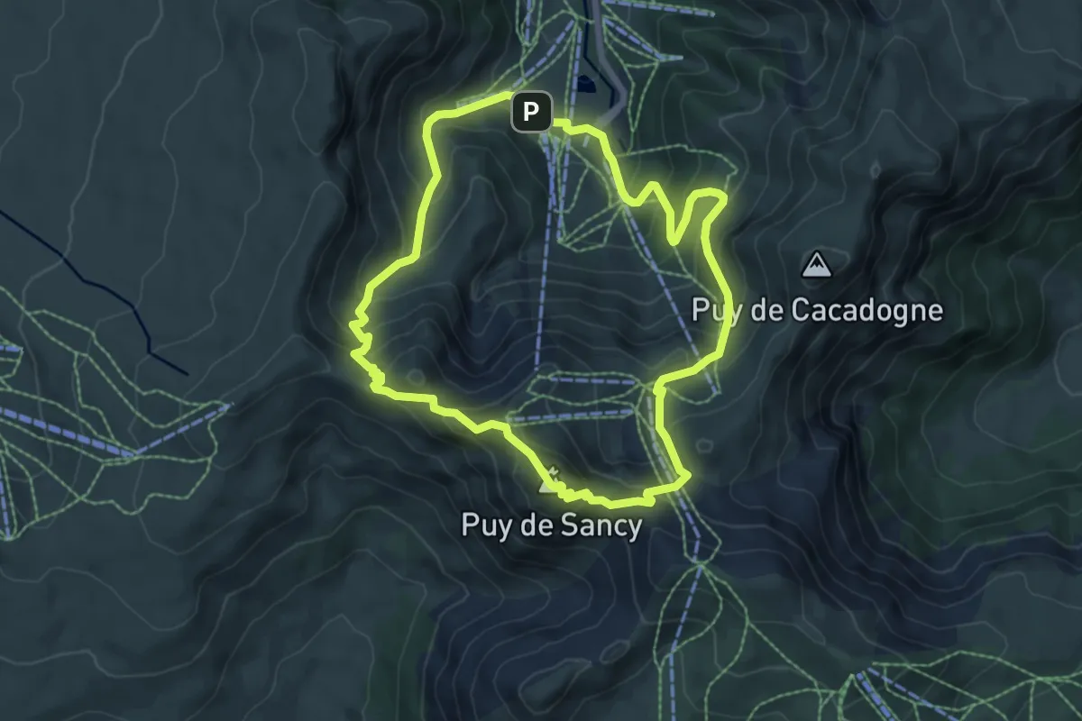
Le Puy de Saint-Sandoux
9.2 km · ↑ 334 m · 3 h 2 min
Medium · Summit
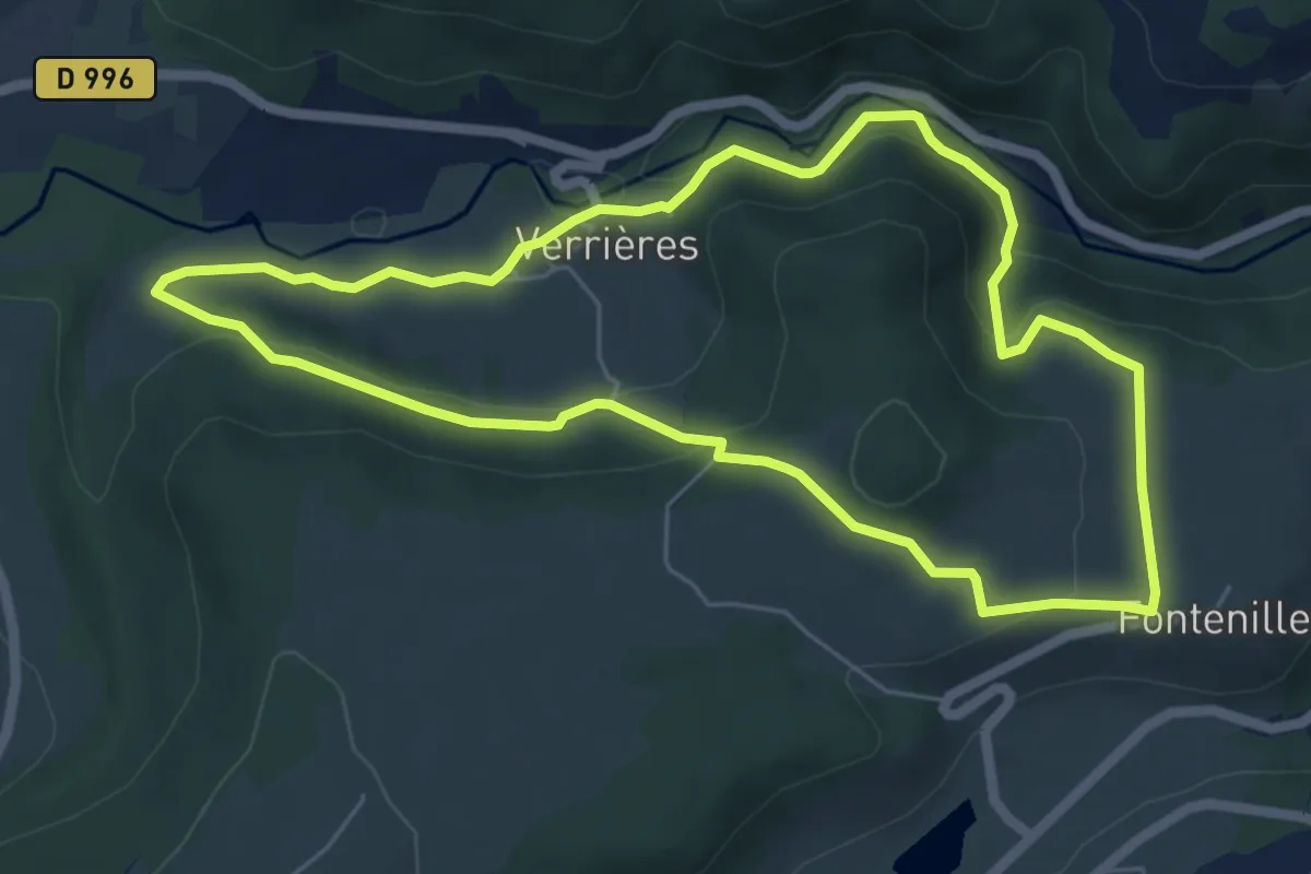
Le Puy de Sancy
6.9 km · ↑ 526 m · 2 h 51 min
Easy · Trail
Le Puy des Plattes et le Bourgeassou
6.0 km · ↑ 185 m · 1 h 54 min
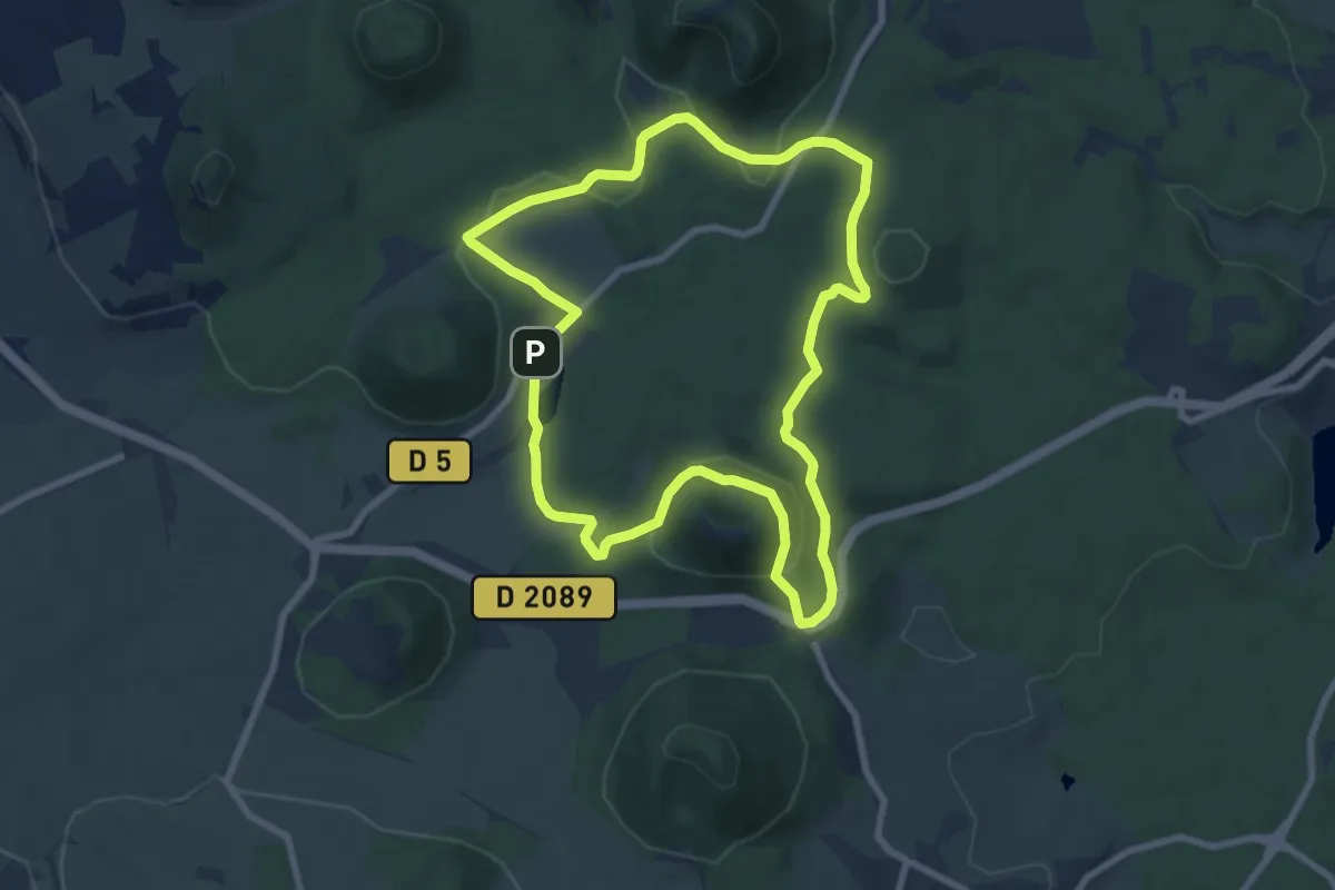
Medium · Summit
Le Puy de Vichatel
8.1 km · ↑ 161 m · 2 h 22 min
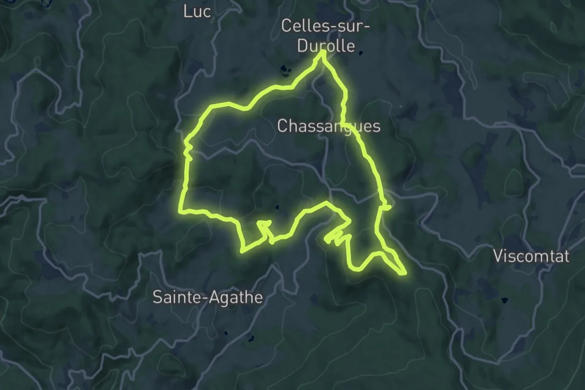
Medium · Trail
Le Puy d'Oscot
15.1 km · ↑ 515 m · 4 h 54 min
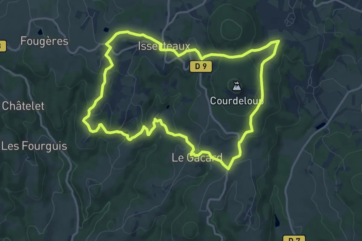
Medium · Summit
Le Puy du Courdeloup
9.5 km · ↑ 265 m · 2 h 56 min
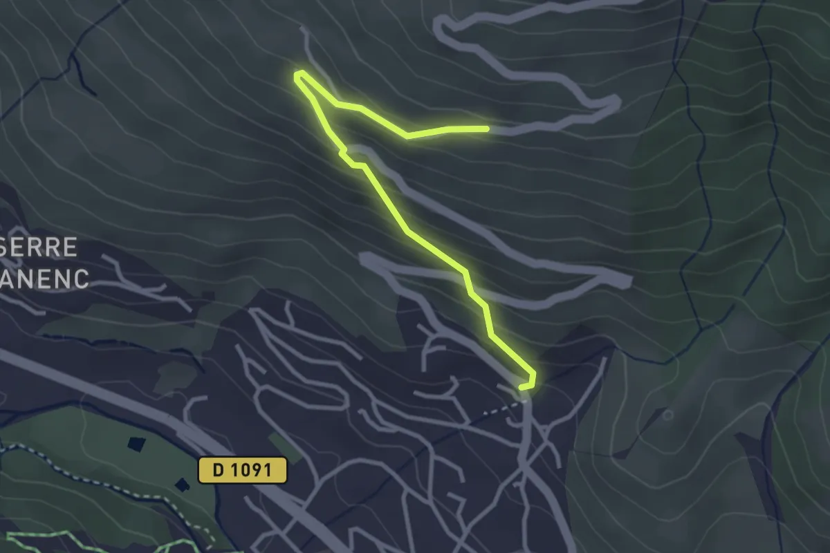
Easy · Trail
Le Puy du Rey - Ste Marie Madeleine
3.1 km · ↑ 239 m · 1 h 14 min
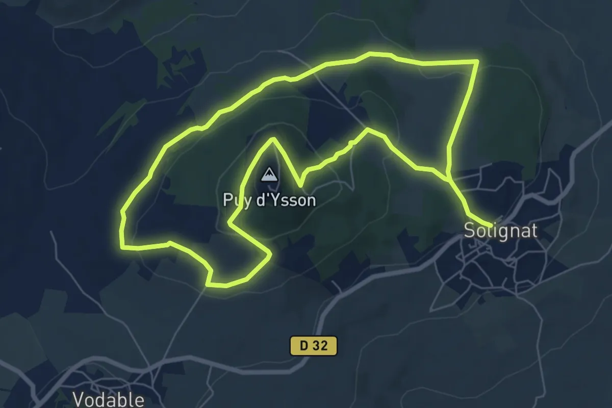
Easy · Summit
Le Puy d'Ysson
6.7 km · ↑ 178 m · 2 h 5 min
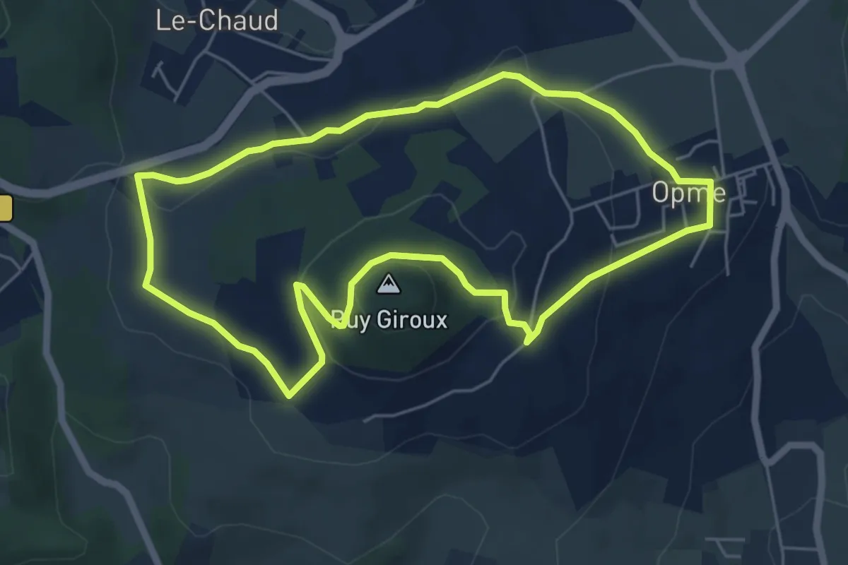
Easy · Summit
Le Puy Giroux
5.3 km · ↑ 139 m · 1 h 38 min
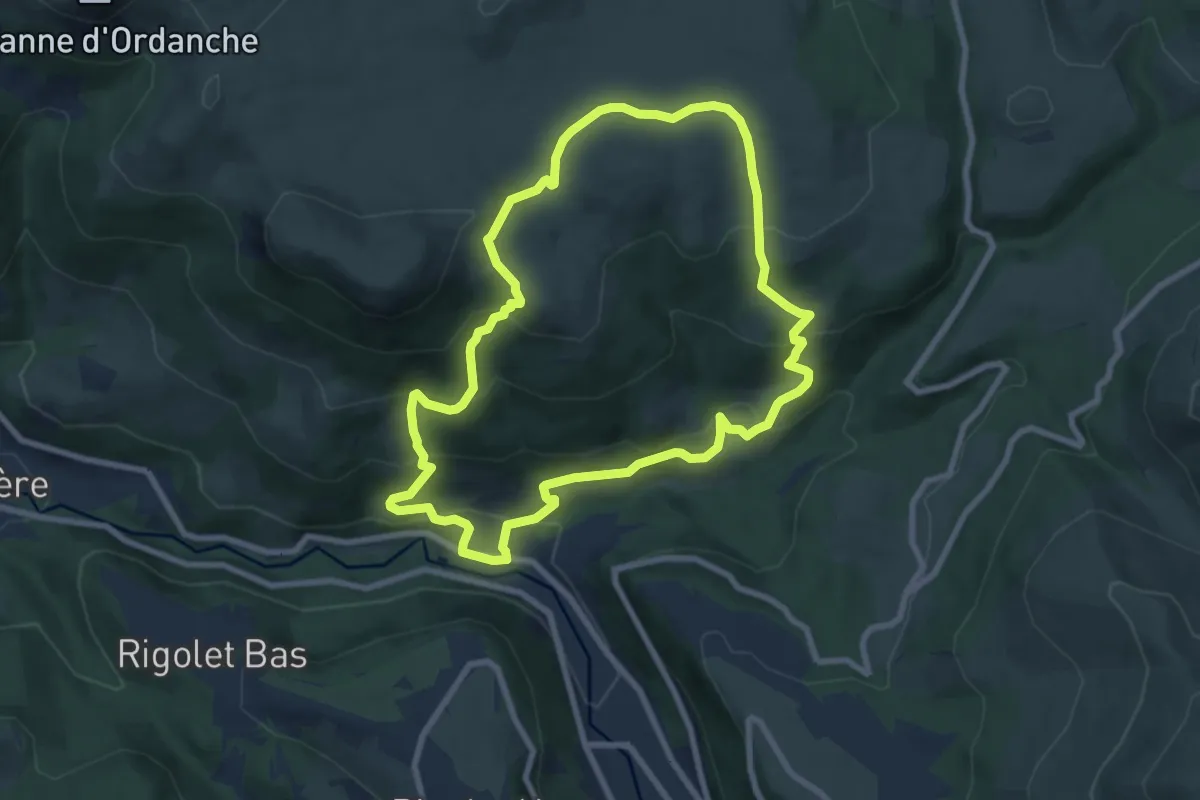
Medium · Trail
Le Puy Gros
8.0 km · ↑ 453 m · 2 h 59 min
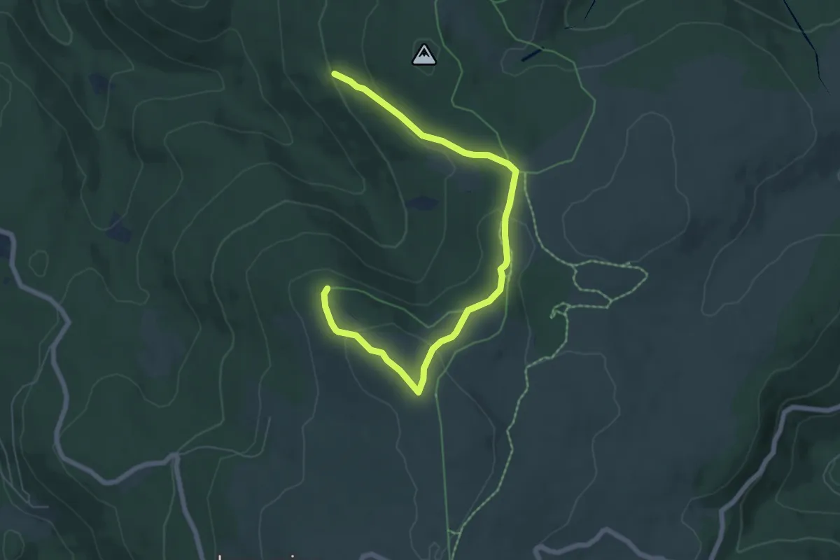
Easy · Trail
Le Puy Gros
3.6 km · ↑ 54 m · 1 h 4 min
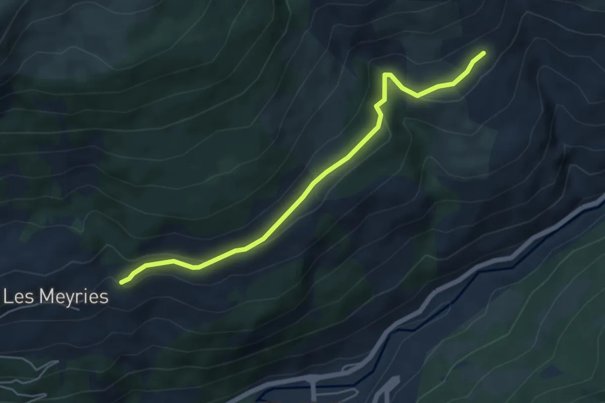
Easy · Trail
Le Puy - Les Bachasses
5.0 km · ↑ 198 m · 1 h 36 min
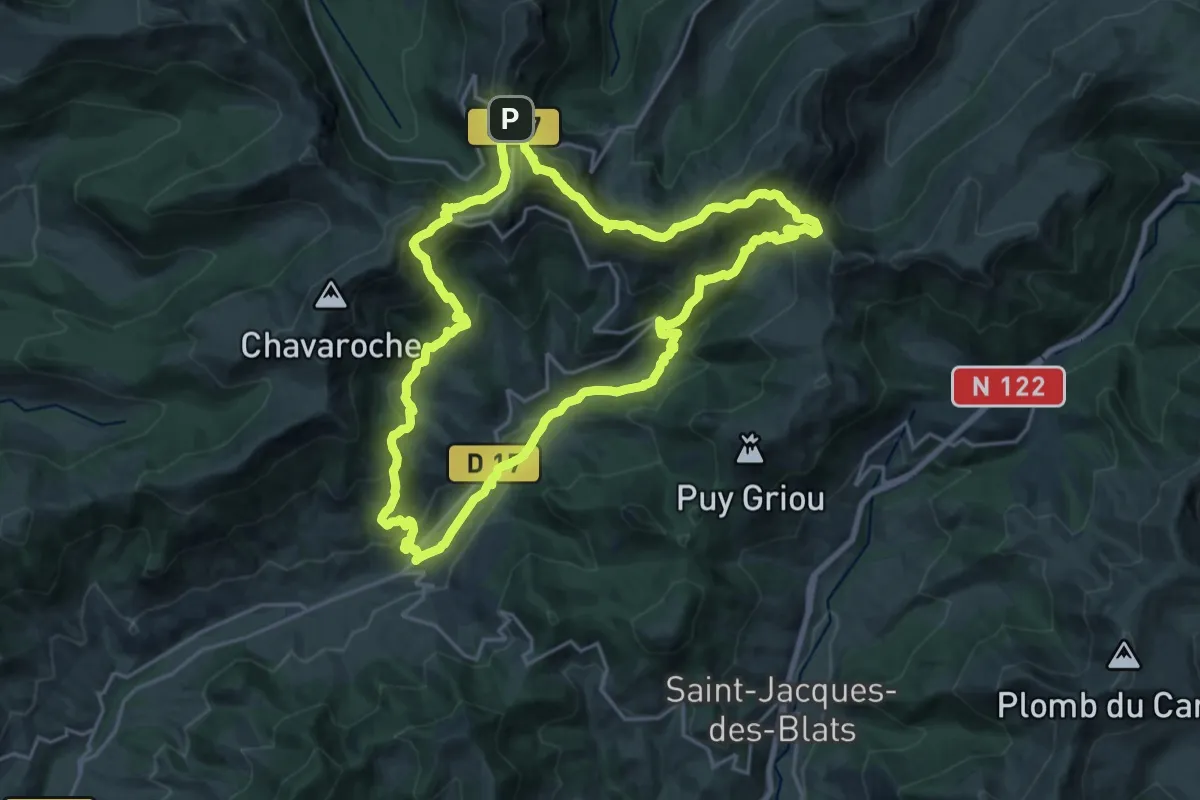
Demanding · Summit
Le Puy Mary - version 20km
20.3 km · ↑ 1138 m · 7 h 33 min
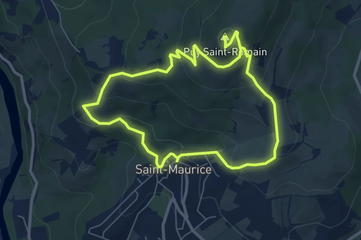
Easy · Summit
Le Puy-Saint-Romain
5.2 km · ↑ 284 m · 1 h 54 min
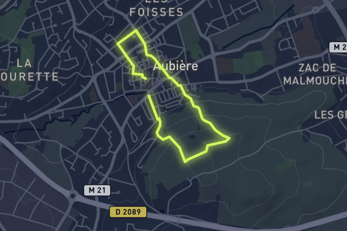
Easy · Trail
Le Quartier des Caves
2.8 km · ↑ 84 m · 52 min
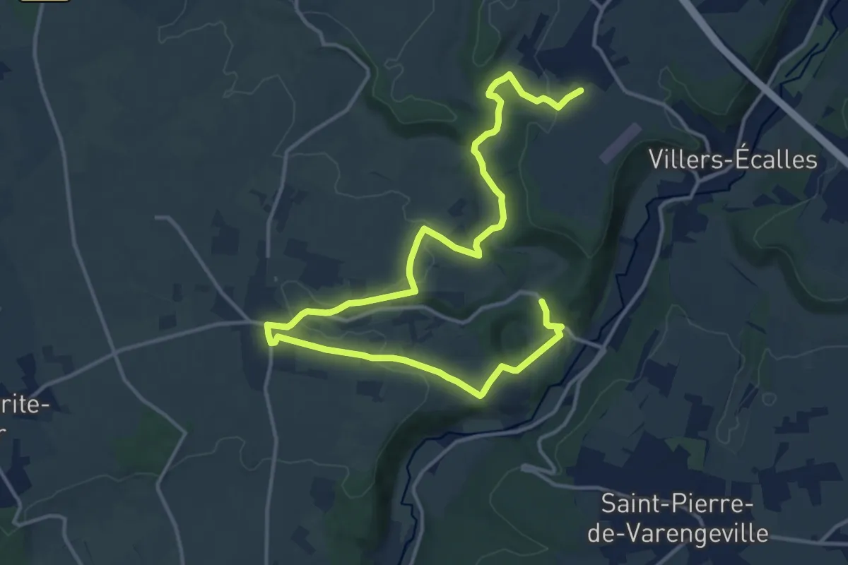
Demanding · Trail
Le Quesnay
21.0 km · ↑ 489 m · 6 h 1 min
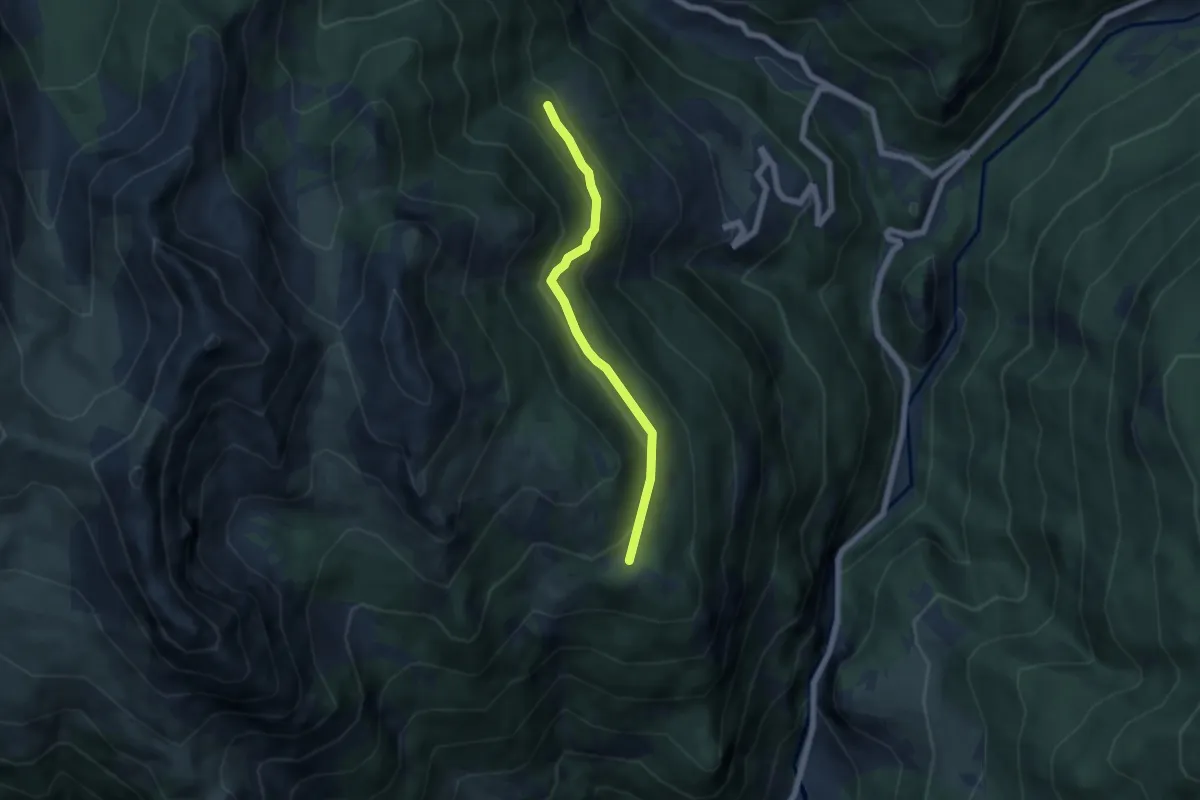
Easy · Trail
Le Queyron Clos la Chalp - Larre
5.3 km · ↑ 270 m · 1 h 50 min
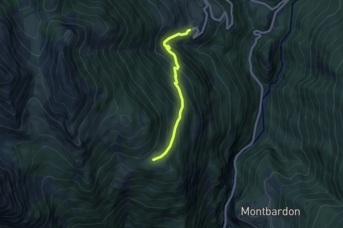
Medium · Trail
Le Queyron Clos la Chalp - Villargaudin L'Auche
4.6 km · ↑ 412 m · 1 h 59 min
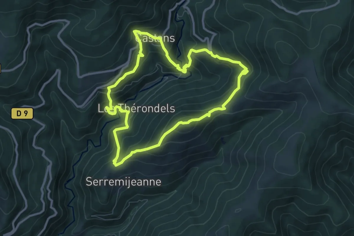
Medium · Summit
Le Quiersboutou
8.0 km · ↑ 605 m · 3 h 18 min
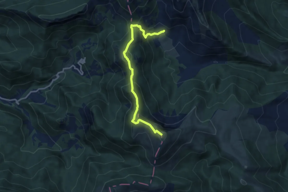
Medium · Summit
Le Quigouret
8.2 km · ↑ 636 m · 3 h 20 min
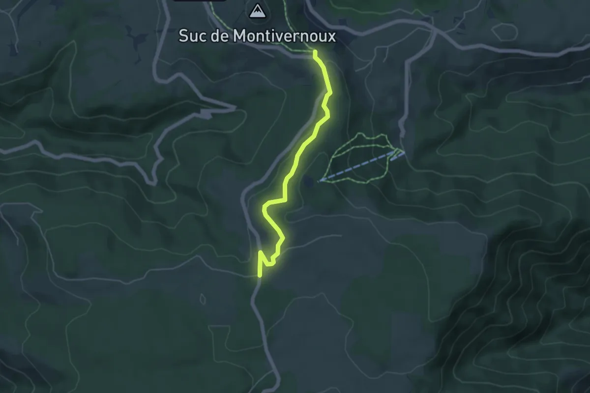
Easy · Trail
Le Quinsou - L'Homond
4.5 km · ↑ 94 m · 1 h 16 min
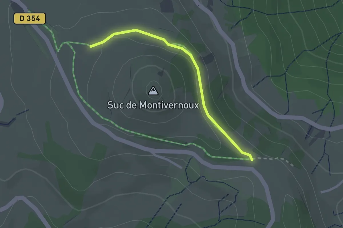
Easy · Trail
Le Quinsou - Pied du Montivernoux
2.1 km · ↑ 33 m · 34 min
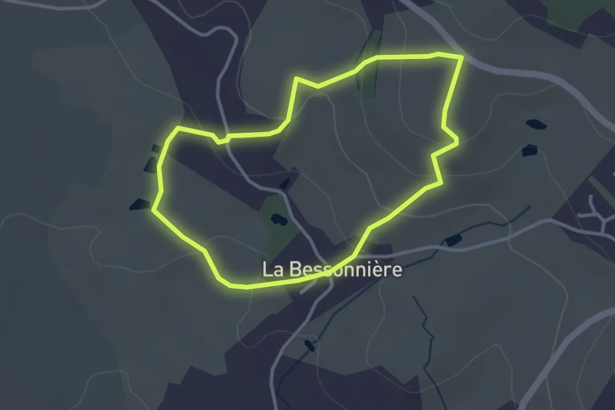
Easy · Trail
Le Raidillon
2.8 km · ↑ 95 m · 54 min
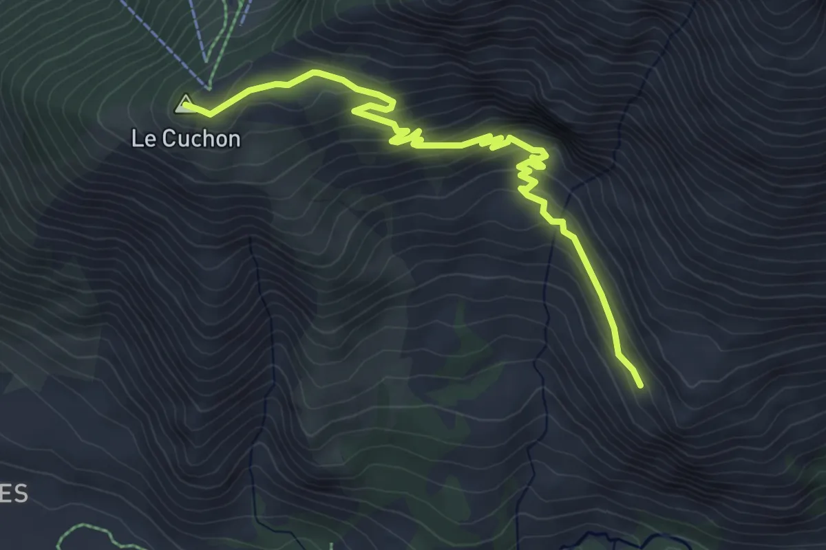
Medium · Summit
Le Ranc - Le Cuchon
5.9 km · ↑ 366 m · 2 h 11 min
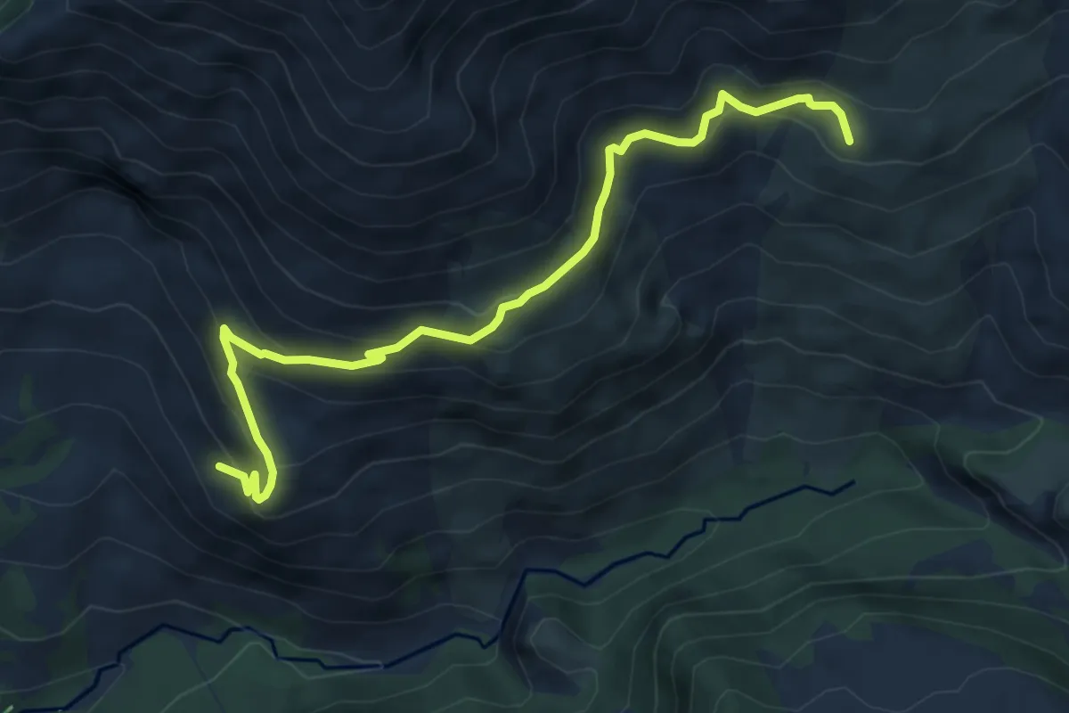
Medium · Trail
Le Ranc - Le Serre du Milieu
6.6 km · ↑ 484 m · 2 h 36 min
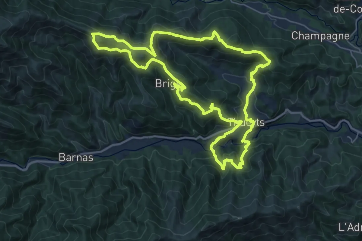
Demanding · Summit
Le Ranc Qualiou
19.5 km · ↑ 1029 m · 7 h 7 min
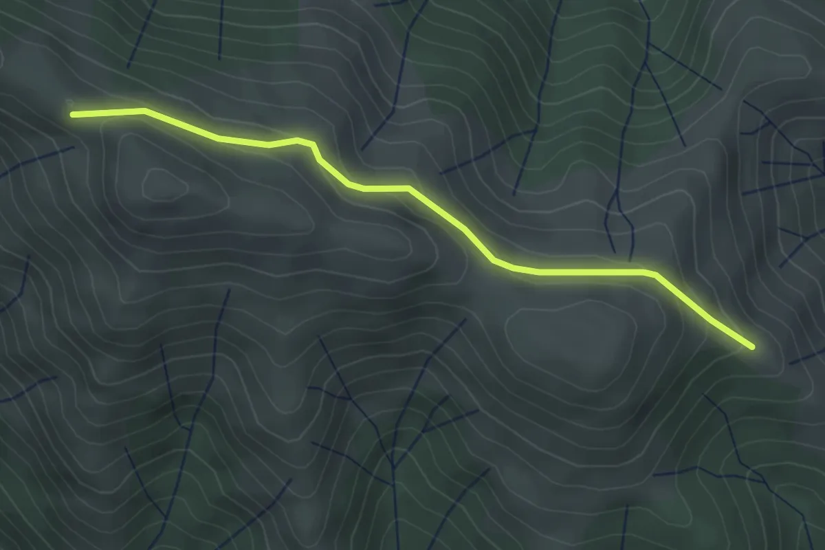
Easy · Trail
Le Ranc Qualiou - Le Fénadou
3.7 km · ↑ 141 m · 1 h 10 min
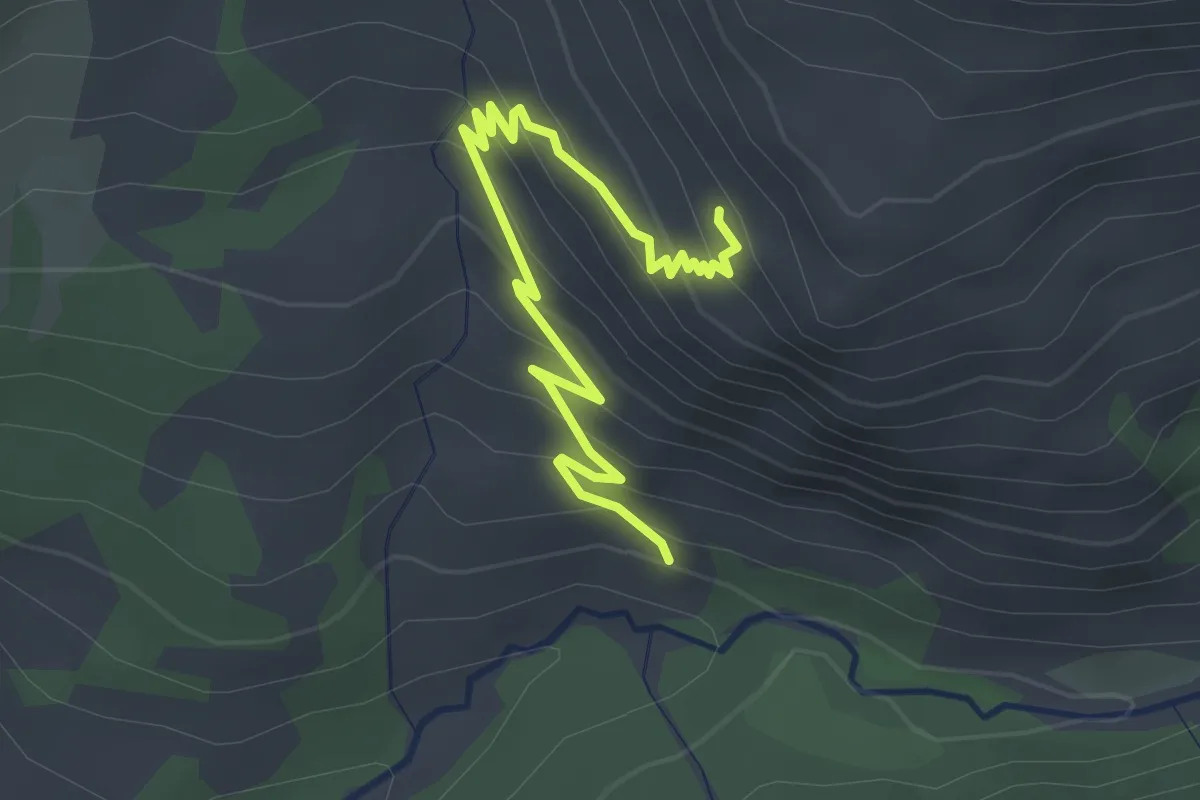
Easy · Trail
Le Ranc - Simonde
3.3 km · ↑ 225 m · 1 h 16 min
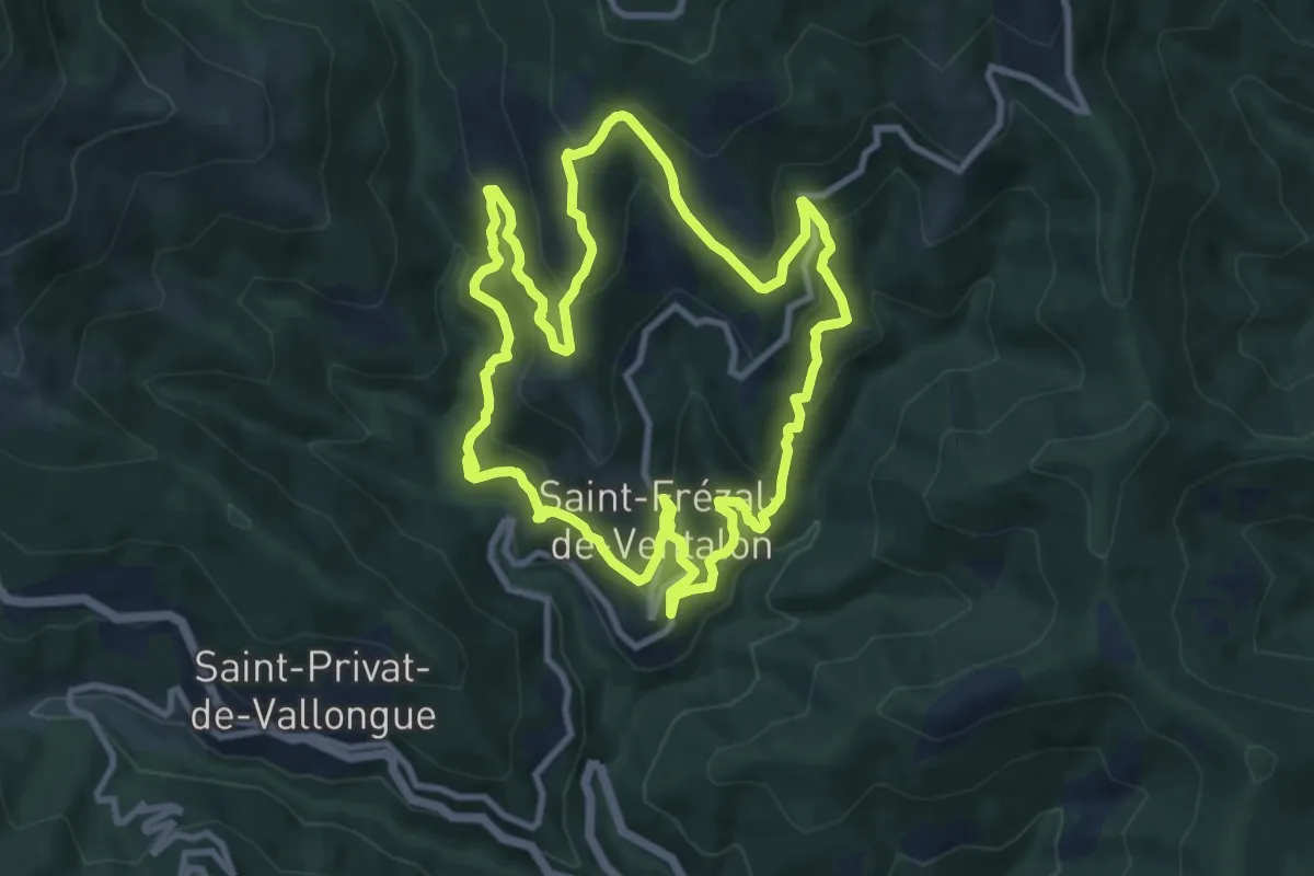
Medium · Trail
Le Ravin de l'Enfer
10.0 km · ↑ 668 m · 3 h 57 min
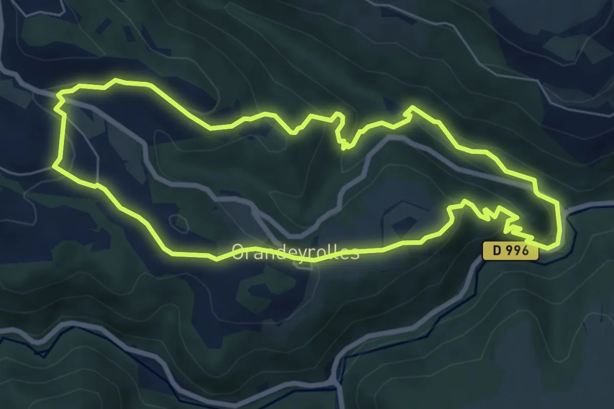
Easy · Trail
Le Ravin de Quinsat
6.5 km · ↑ 256 m · 2 h 11 min
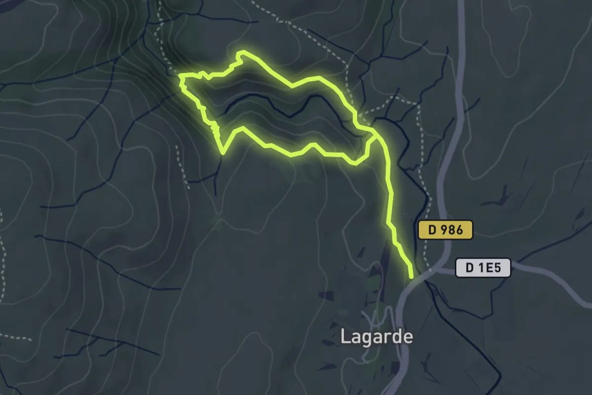
Medium · Trail
Le Ravin des Arcs
6.2 km · ↑ 331 m · 2 h 11 min