Trails in France
15,926 hiking trails, each with its route, climb, walking time and grade.
All trails, page 173 of 332
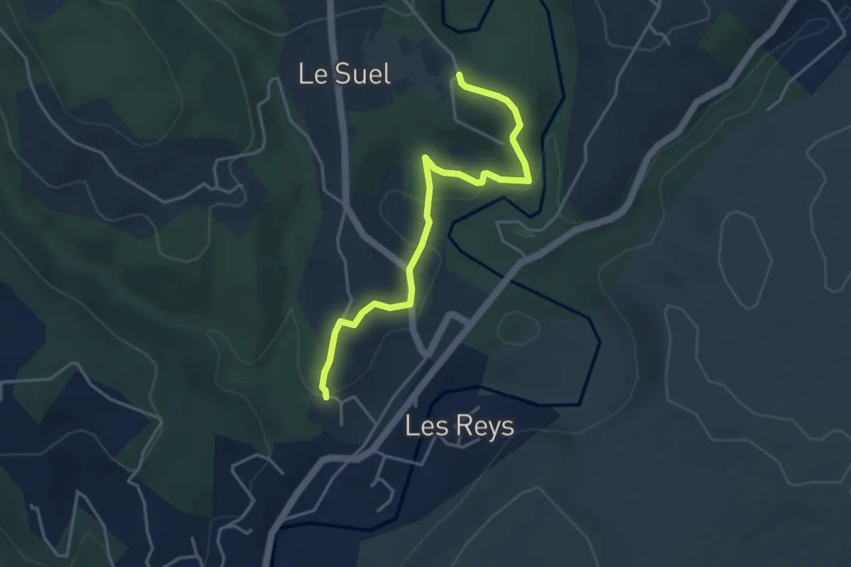
Easy · Trail
Le Raynal - Les Crozes
3.9 km · ↑ 106 m · 1 h 9 min
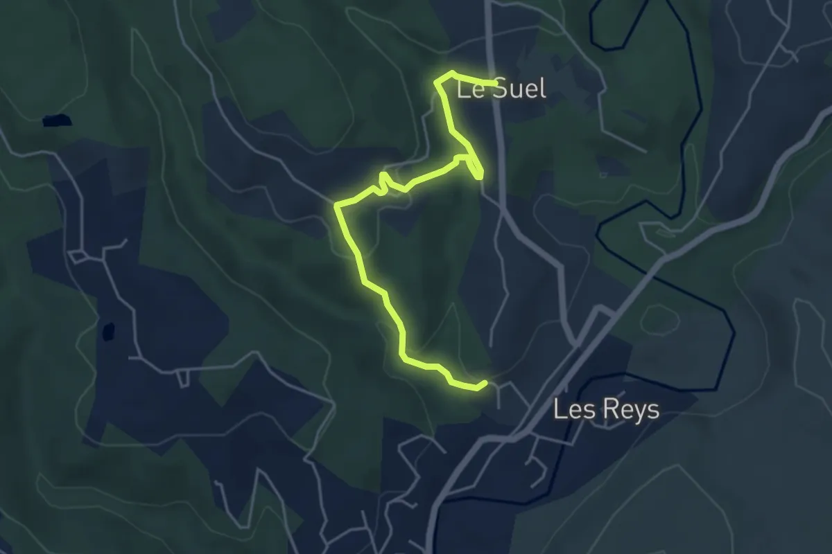
Easy · Trail
Le Raynal - Les Laurences
4.7 km · ↑ 135 m · 1 h 24 min
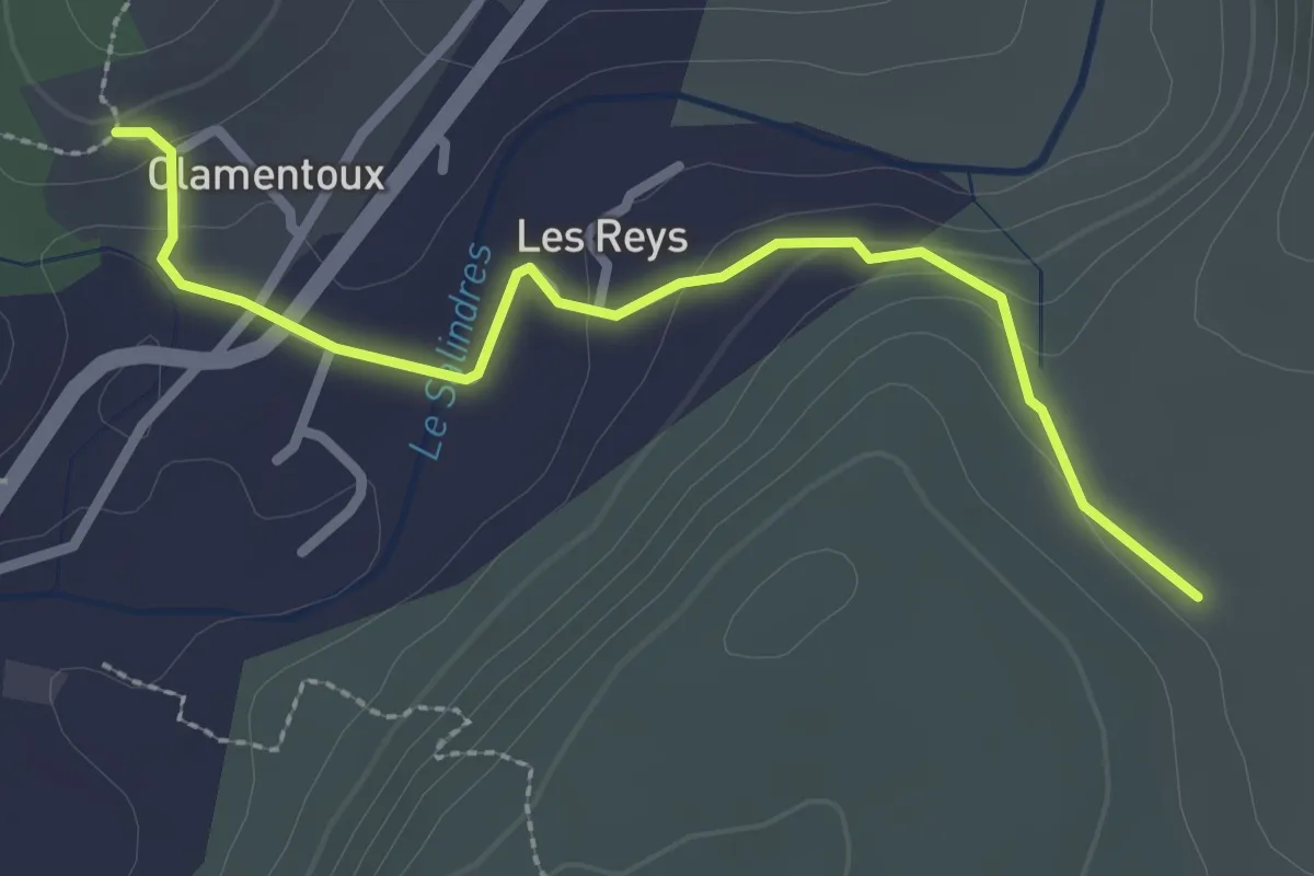
Easy · Trail
Le Raynal - Les Treilles
2.8 km · ↑ 83 m · 51 min
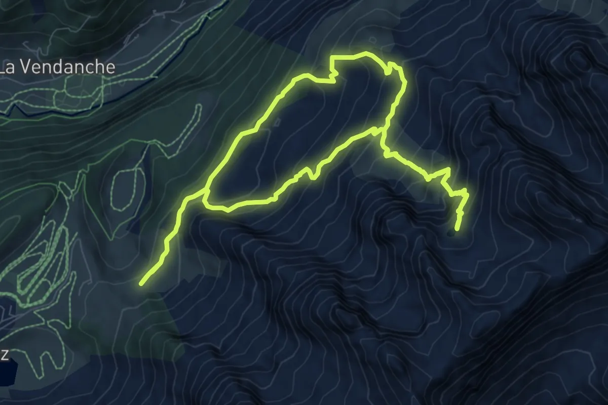
Medium · Trail
Le Refuge de la Bombardellaz par le Lac de Tardevant
9.0 km · ↑ 736 m · 3 h 51 min
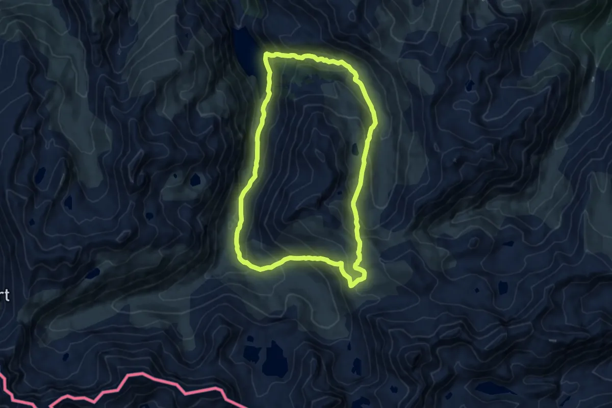
Medium · Cabin
Le refuge du Rulhe
11.6 km · ↑ 728 m · 4 h 28 min
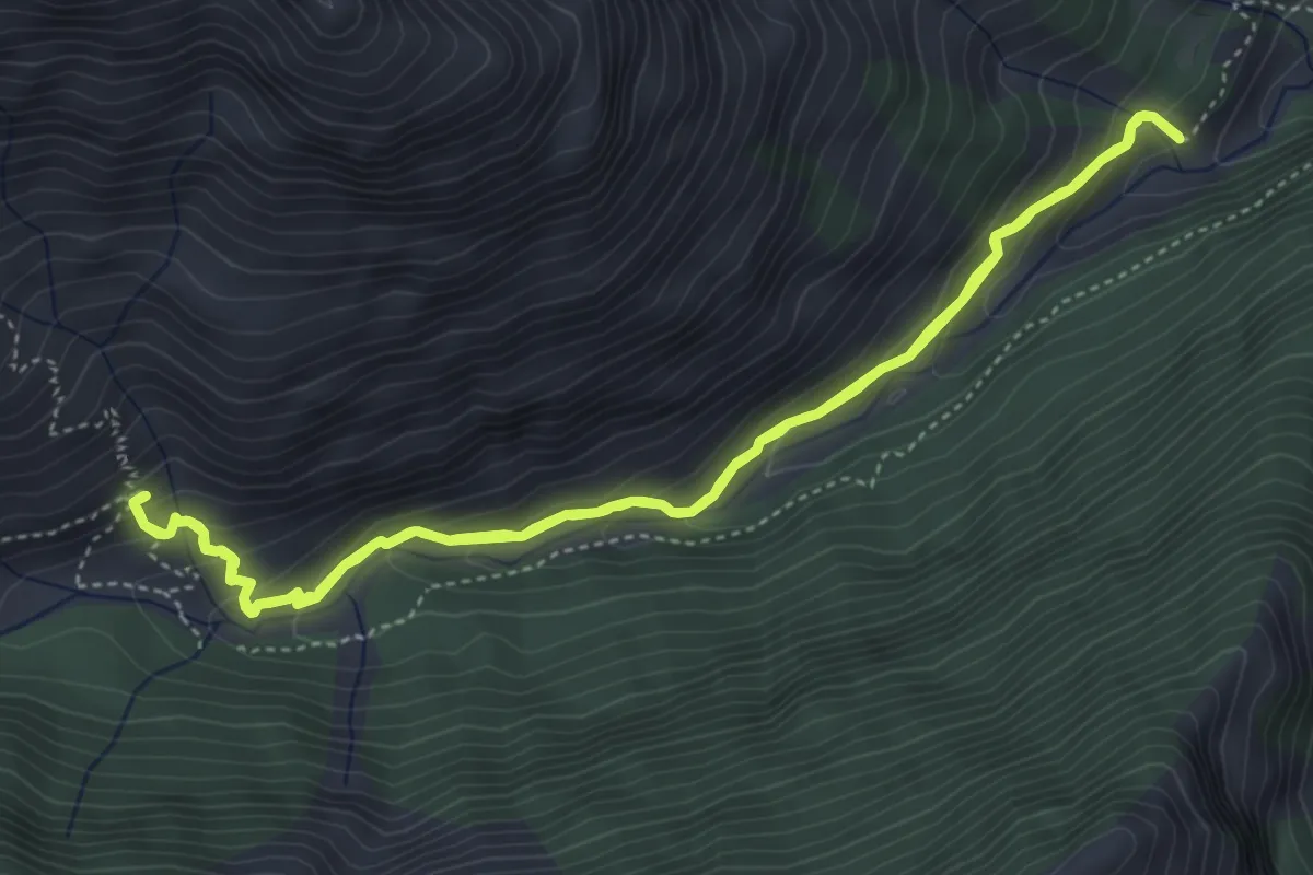
Medium · Cabin
Le refuge du Tourond
4.7 km · ↑ 337 m · 1 h 54 min
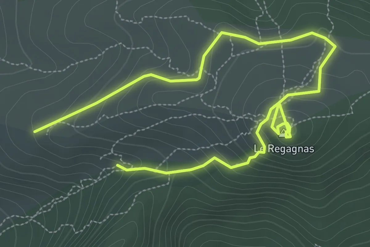
Easy · Summit
Le Regagnas
2.5 km · ↑ 116 m · 53 min
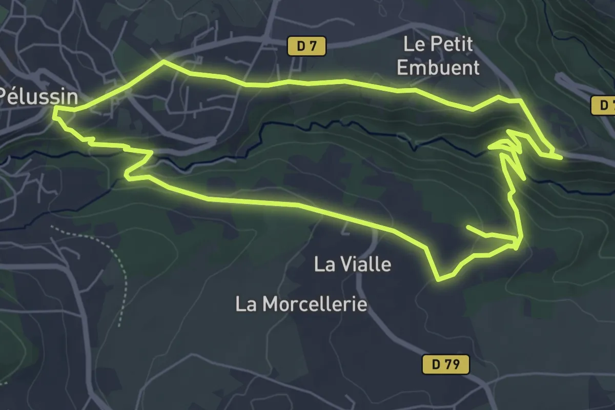
Easy · Trail
Le Régrillon - Pélussin n° 2
6.4 km · ↑ 209 m · 2 h 2 min
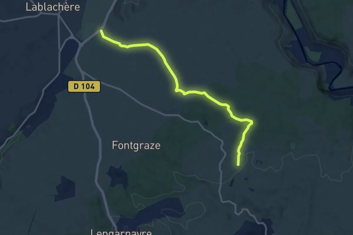
Medium · Trail
Le Réméjadou - La Grangette
9.8 km · ↑ 90 m · 2 h 30 min
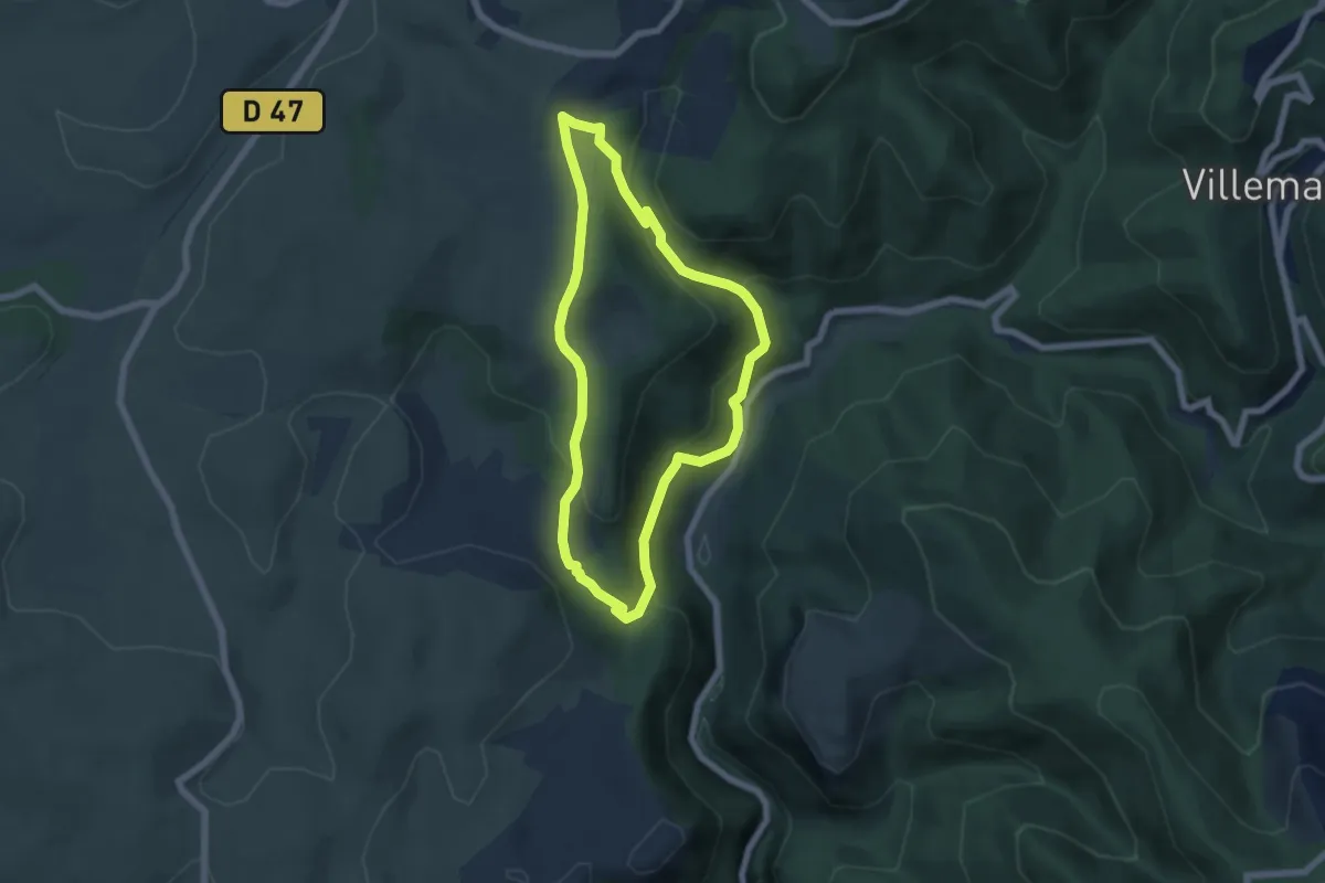
Easy · Trail
Le renard
5.8 km · ↑ 268 m · 2 h 2 min
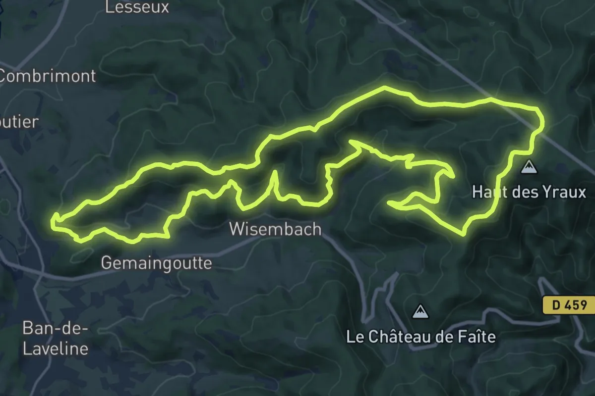
Demanding · Trail
Le Renclos des Vaches
21.0 km · ↑ 948 m · 7 h 17 min
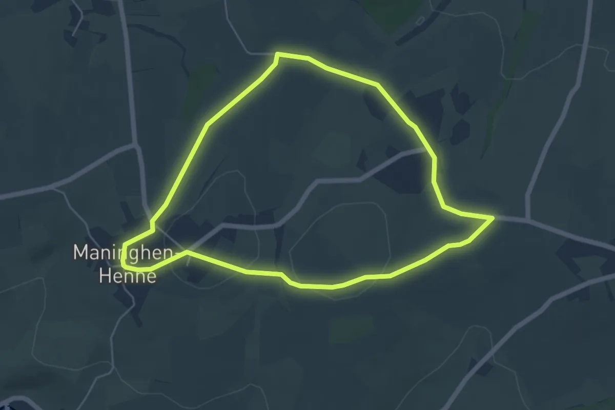
Easy · Trail
Le Rendal
4.5 km · ↑ 56 m · 1 h 14 min
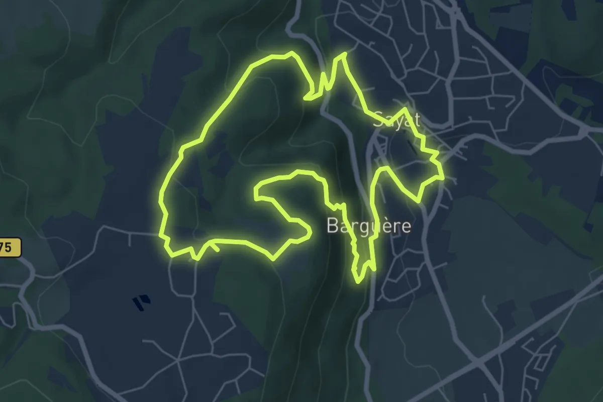
Easy · Trail
Le Repaire des Gaulois
6.4 km · ↑ 252 m · 2 h 8 min
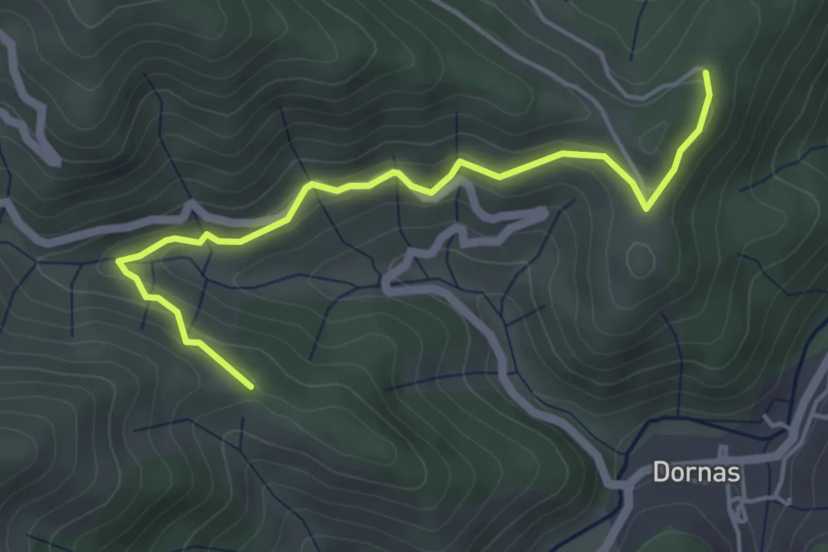
Easy · Trail
Le Replay - Les Vernets
4.6 km · ↑ 166 m · 1 h 26 min
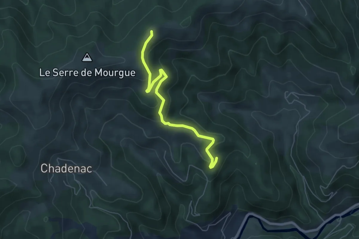
Easy · Trail
Le Réservoir - Les Taillas
5.5 km · ↑ 251 m · 1 h 51 min
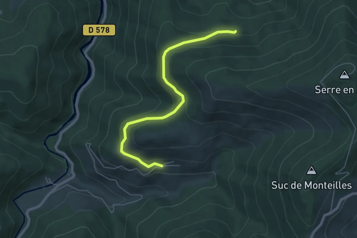
Easy · Trail
Le Réservoir - Molines
5.0 km · ↑ 188 m · 1 h 35 min
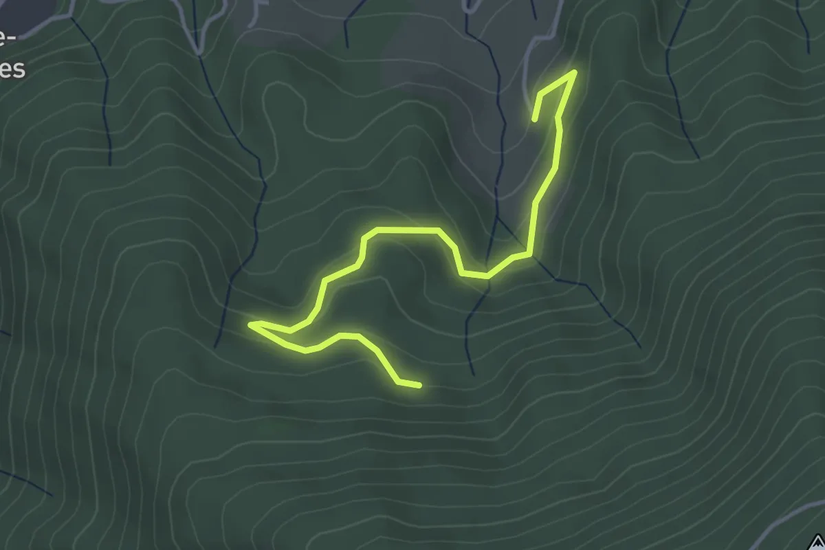
Easy · Trail
Le Réservoir - Praderne
4.1 km · ↑ 157 m · 1 h 19 min
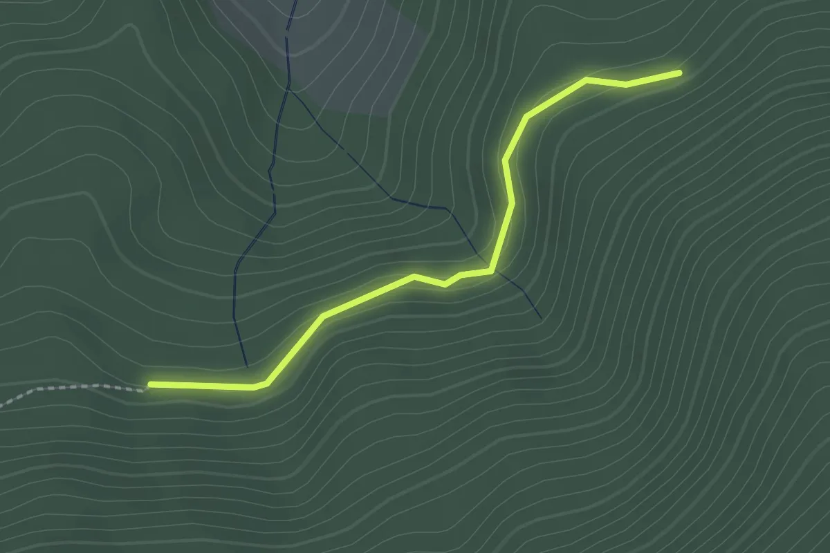
Easy · Trail
Le Réservoir - Ranc Bardon
2.0 km · ↑ 95 m · 41 min
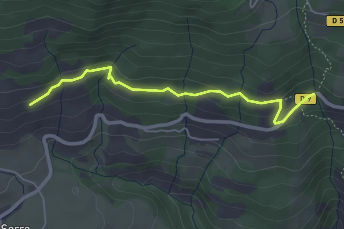
Easy · Trail
Le Résian - ?
4.1 km · ↑ 135 m · 1 h 16 min
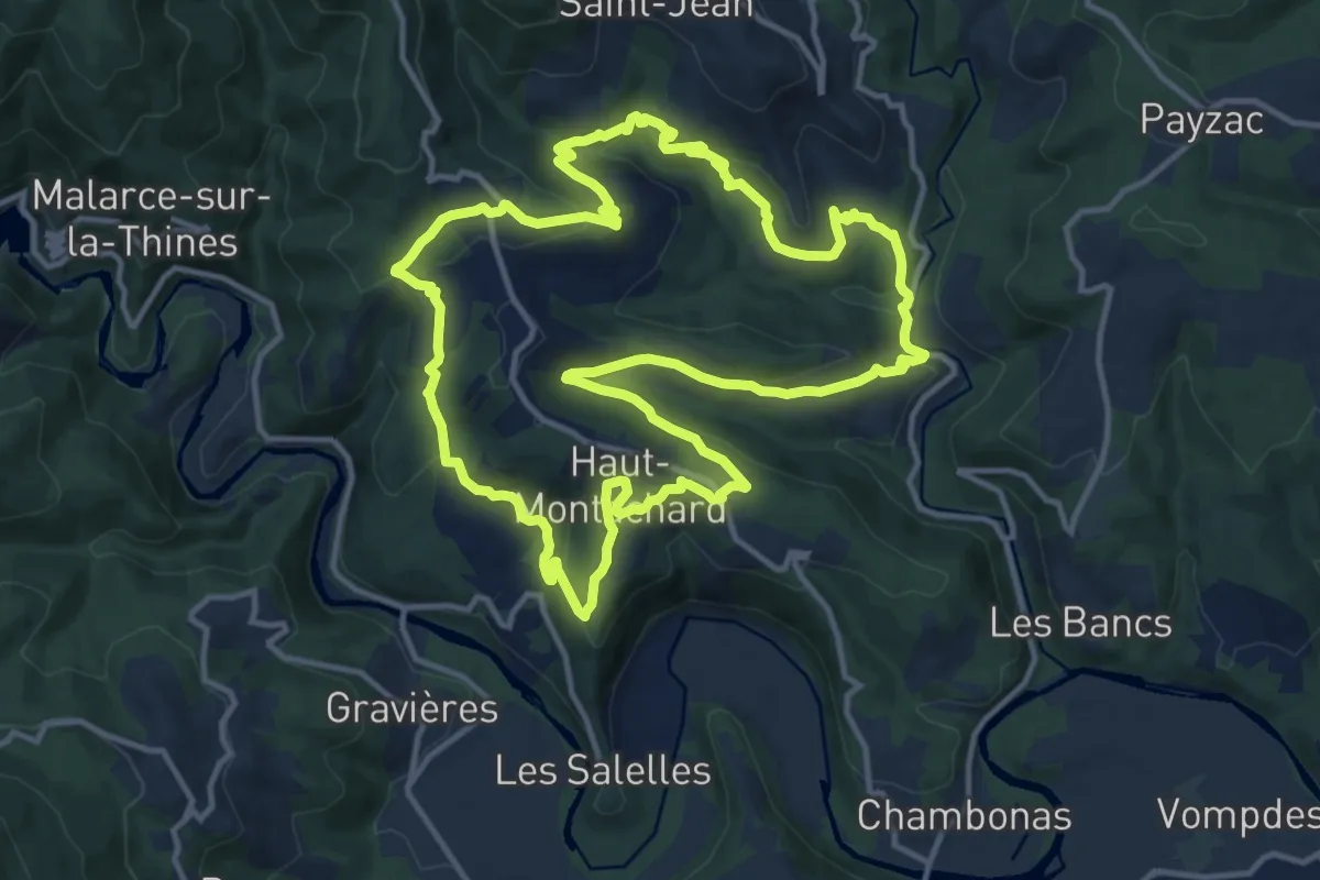
Medium · Trail
Le Ressaladier
14.4 km · ↑ 485 m · 4 h 39 min
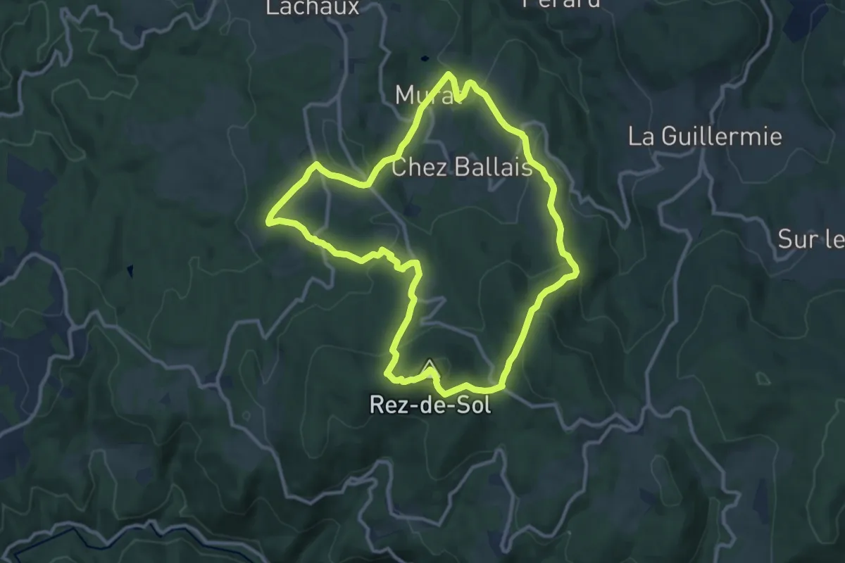
Medium · Summit
Le Rez de Sol
10.7 km · ↑ 438 m · 3 h 37 min
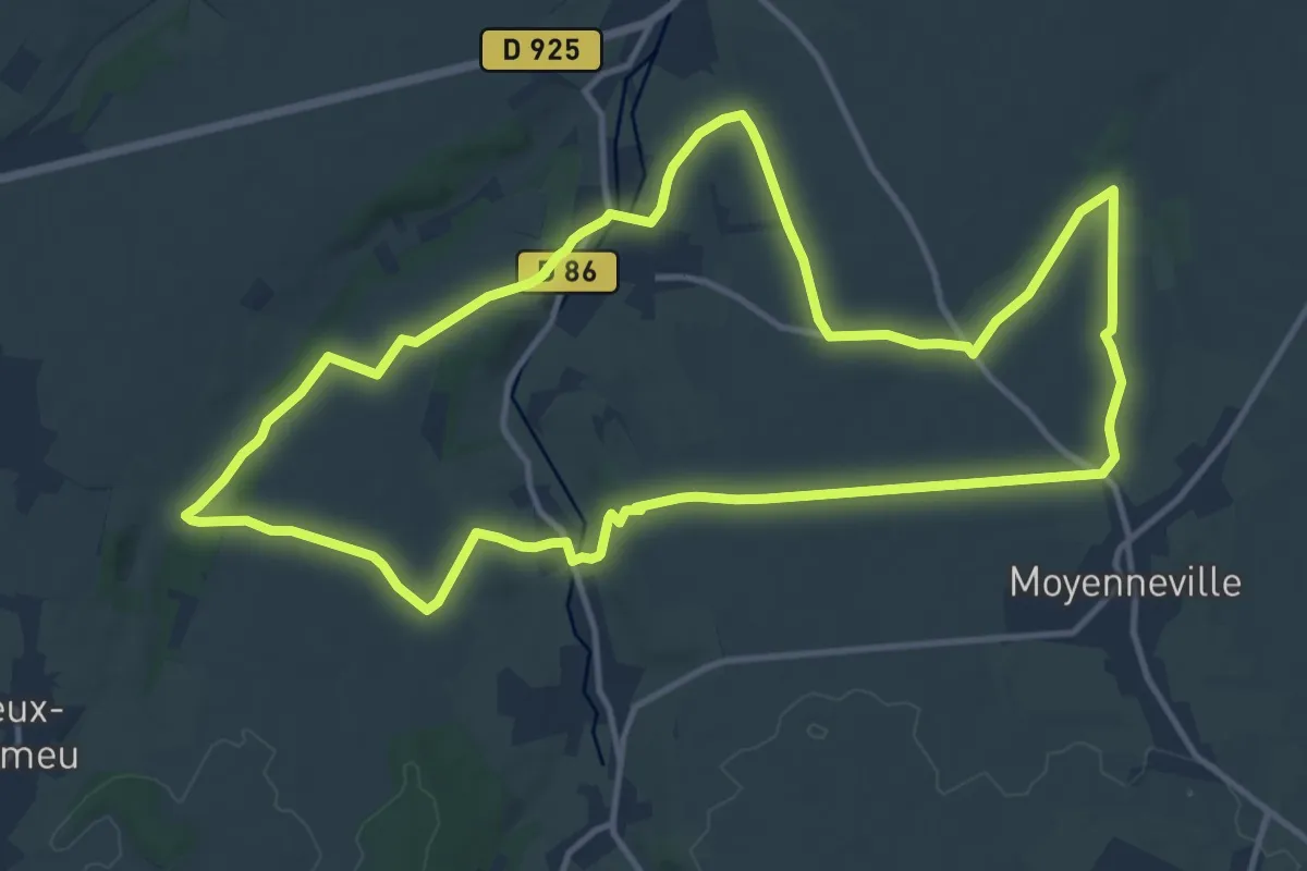
Medium · Trail
Le Rideau Favery
12.8 km · ↑ 164 m · 3 h 33 min
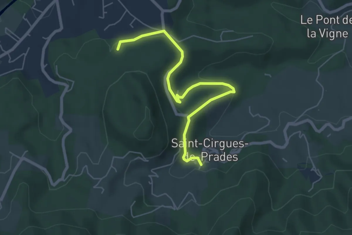
Easy · Trail
Le Rieu - Le Peschier
5.4 km · ↑ 163 m · 1 h 37 min
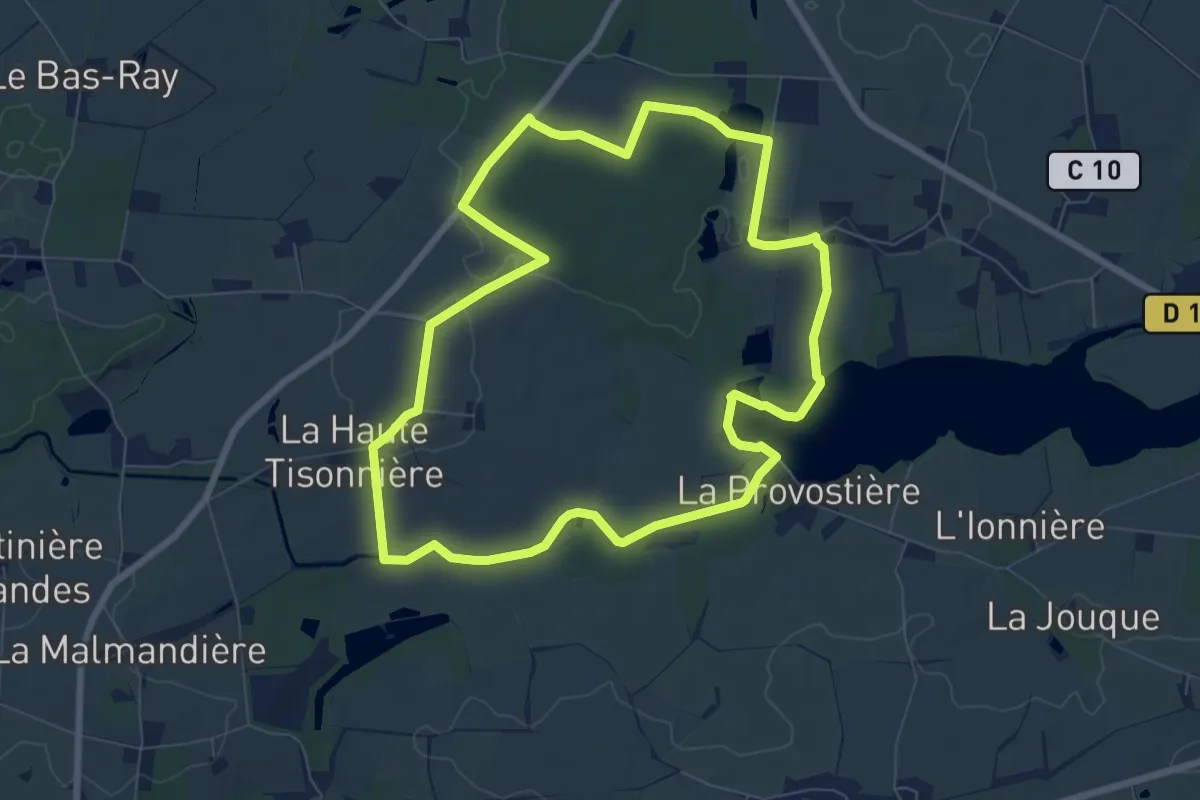
Easy · Trail
Le Rigole des Ajaux
7.6 km · ↑ 37 m · 1 h 59 min
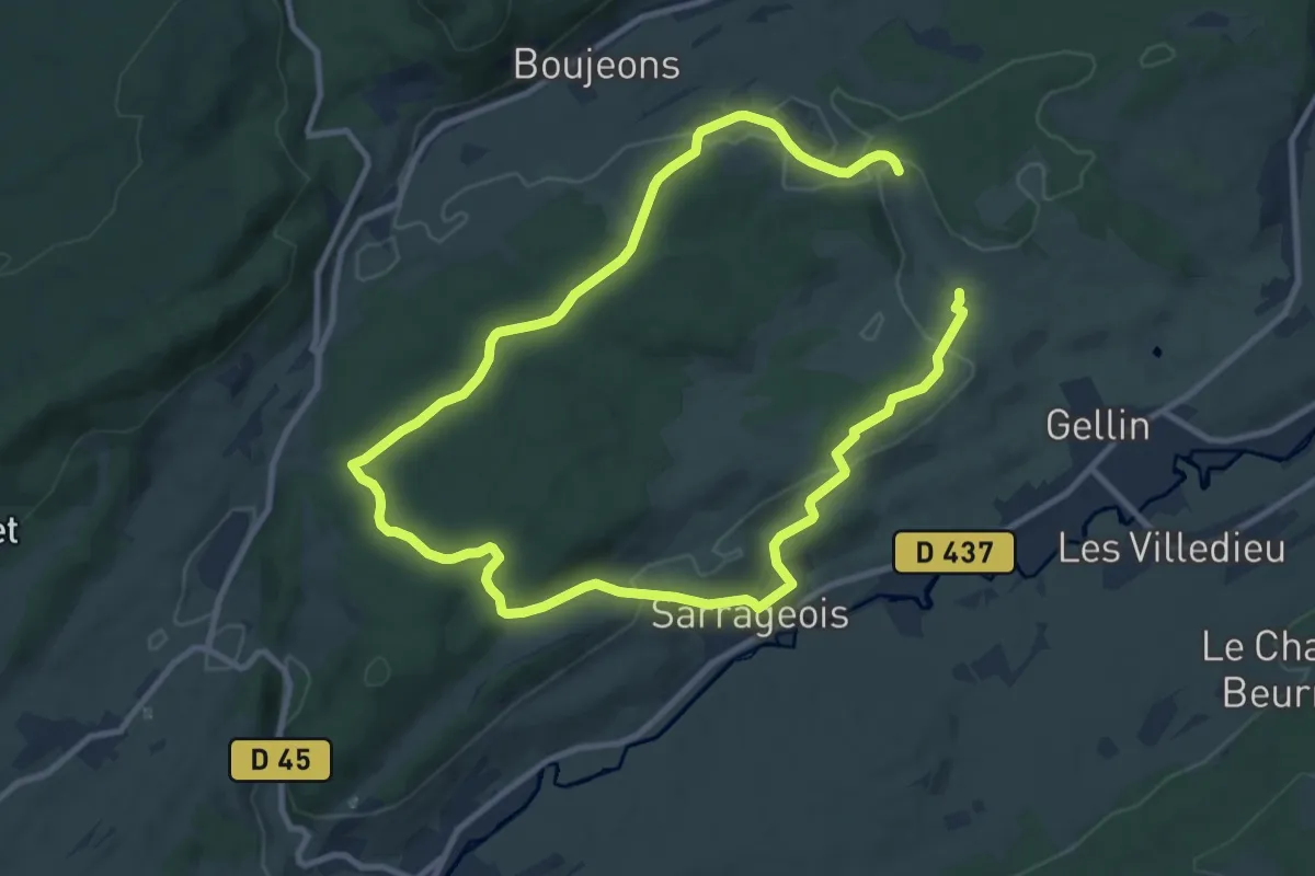
Medium · Trail
Le Rivier
17.6 km · ↑ 417 m · 5 h 3 min
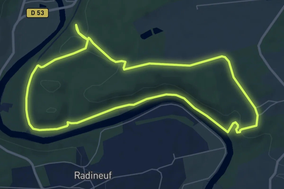
Easy · Trail
L'Ermitage de Boeuvres
6.3 km · ↑ 123 m · 1 h 51 min
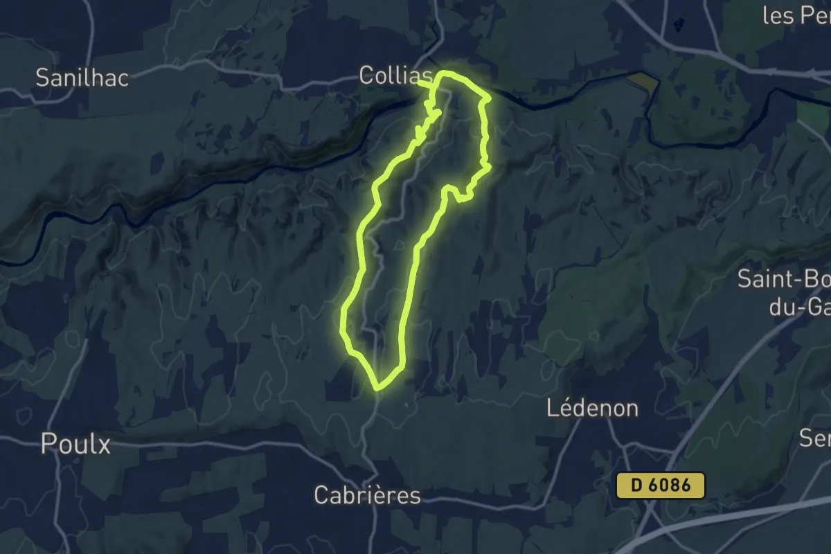
Medium · Trail
L'ermitage de Collias
11.4 km · ↑ 241 m · 3 h 23 min
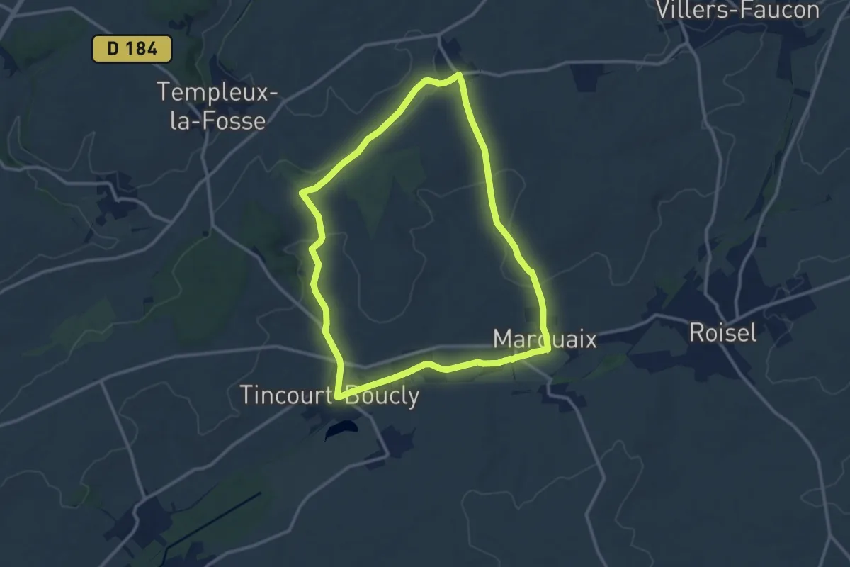
Medium · Trail
L'Ermitage de Moyenpont
10.1 km · ↑ 112 m · 2 h 47 min
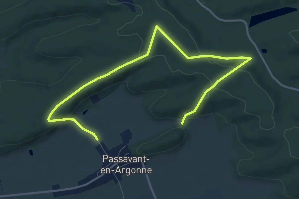
Easy · Trail
L'Ermitage de Saint-Rouin
5.1 km · ↑ 109 m · 1 h 32 min
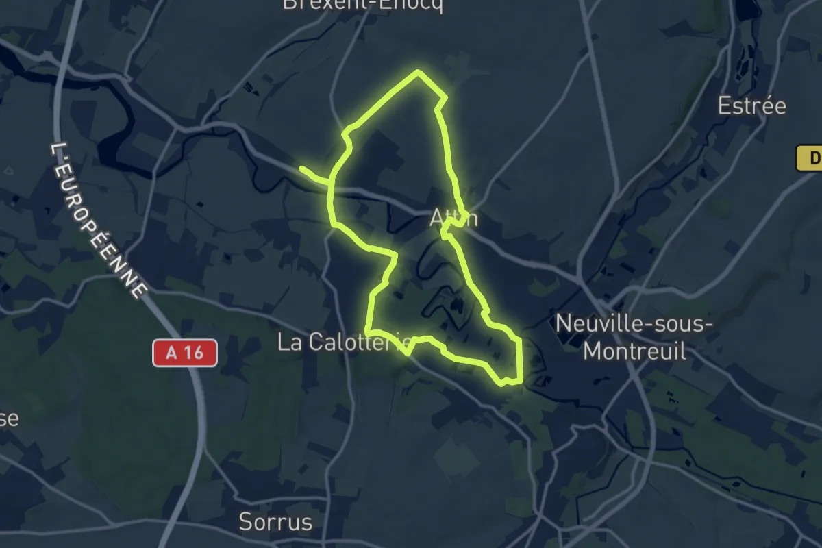
Medium · Trail
Le Robinson
11.3 km · ↑ 80 m · 3 h
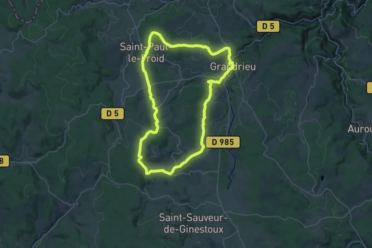
Demanding · Summit
Le Roc de Fenestre
25.9 km · ↑ 551 m · 7 h 40 min
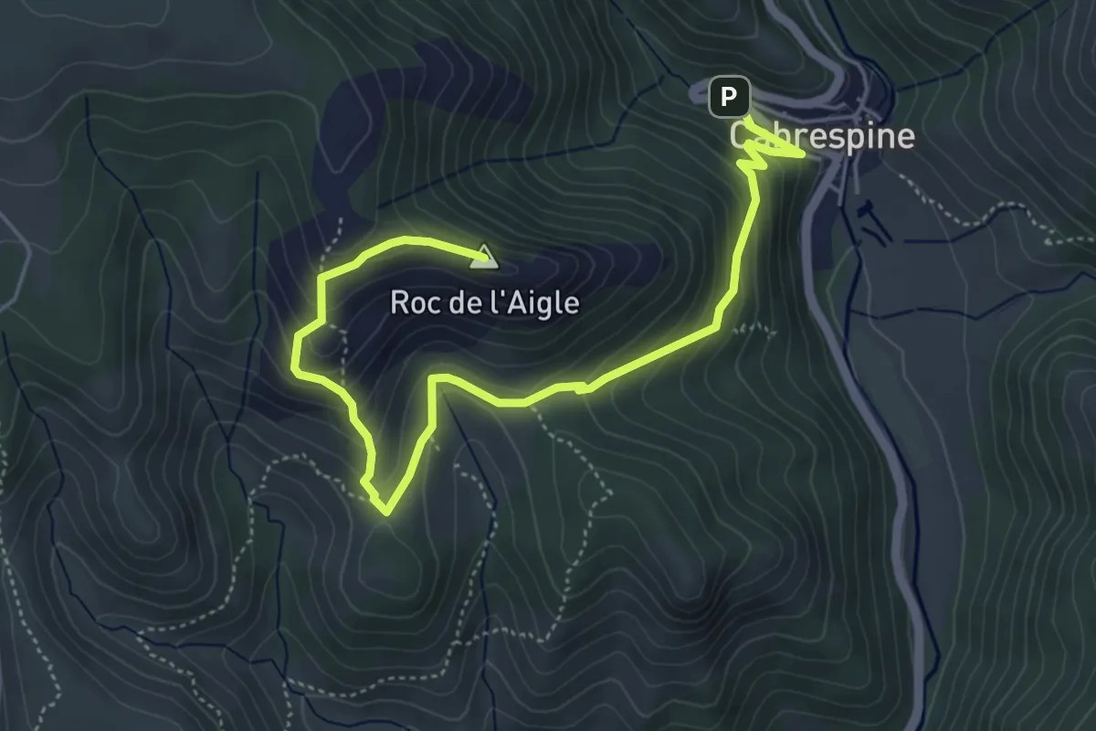
Medium · Summit
Le Roc de l'Aigle
6.5 km · ↑ 456 m · 2 h 31 min
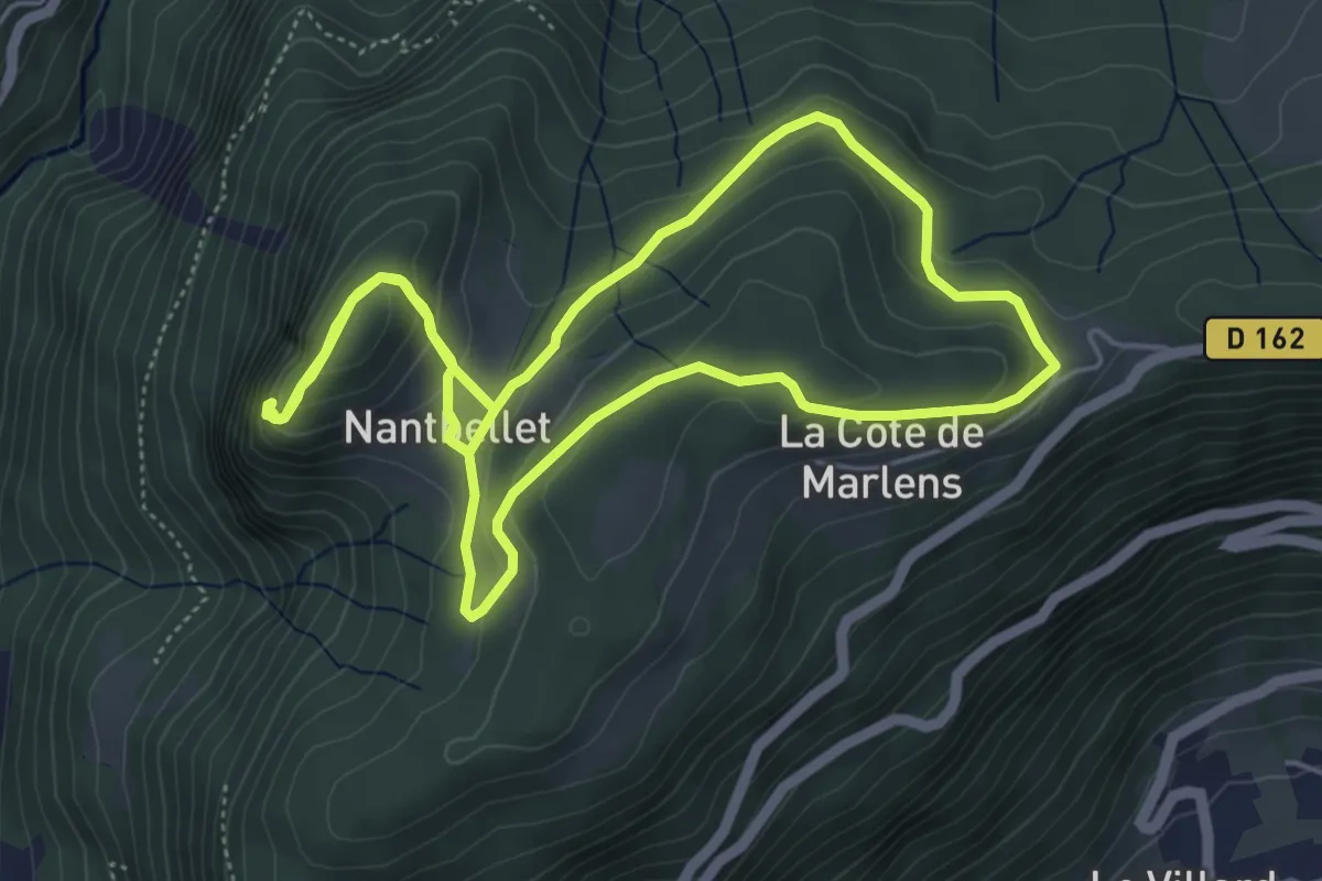
Easy · Summit
Le Roc de Nantbellet
5.3 km · ↑ 225 m · 1 h 48 min
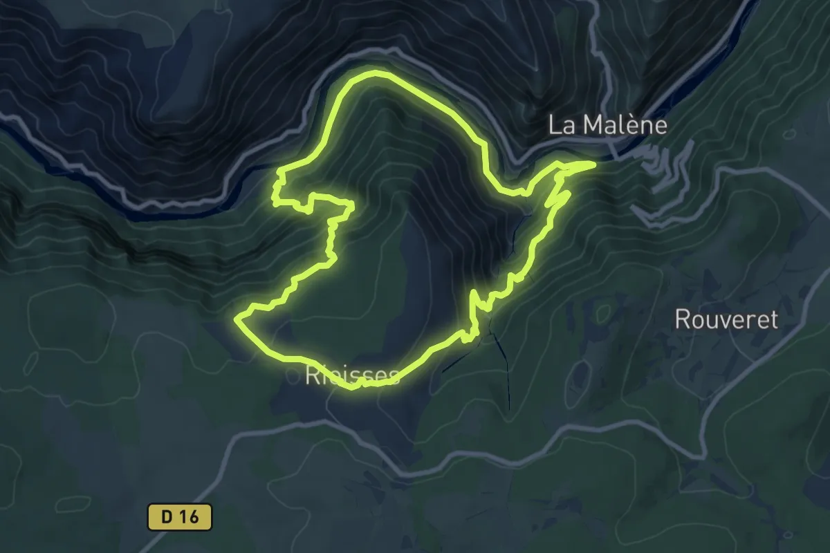
Demanding · Trail
Le roc des Hourtous
9.3 km · ↑ 605 m · 3 h 38 min
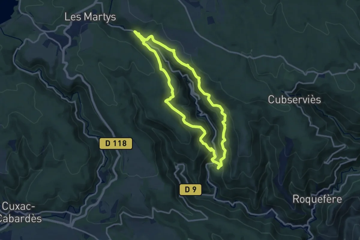
Medium · Trail
Le roc du Bougre
10.4 km · ↑ 562 m · 3 h 49 min
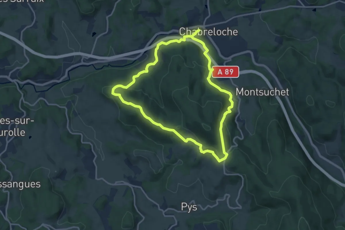
Medium · Trail
Le Roc du Guet
10.5 km · ↑ 328 m · 3 h 20 min
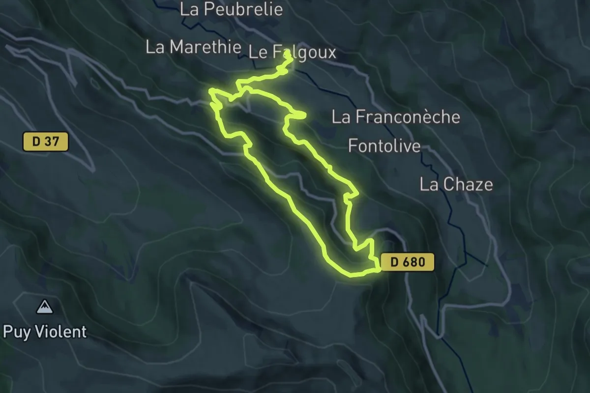
Demanding · Trail
Le Roc du Merle
16.8 km · ↑ 997 m · 6 h 7 min
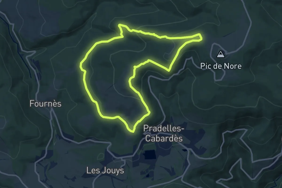
Medium · Summit
Le Roc du Nouret
10.1 km · ↑ 363 m · 3 h 19 min
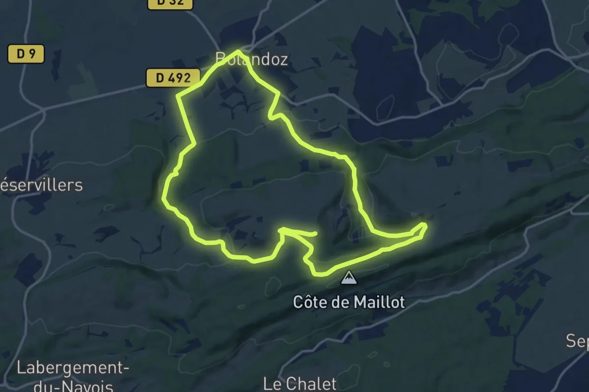
Demanding · Trail
Le Rochanon
26.7 km · ↑ 611 m · 7 h 38 min
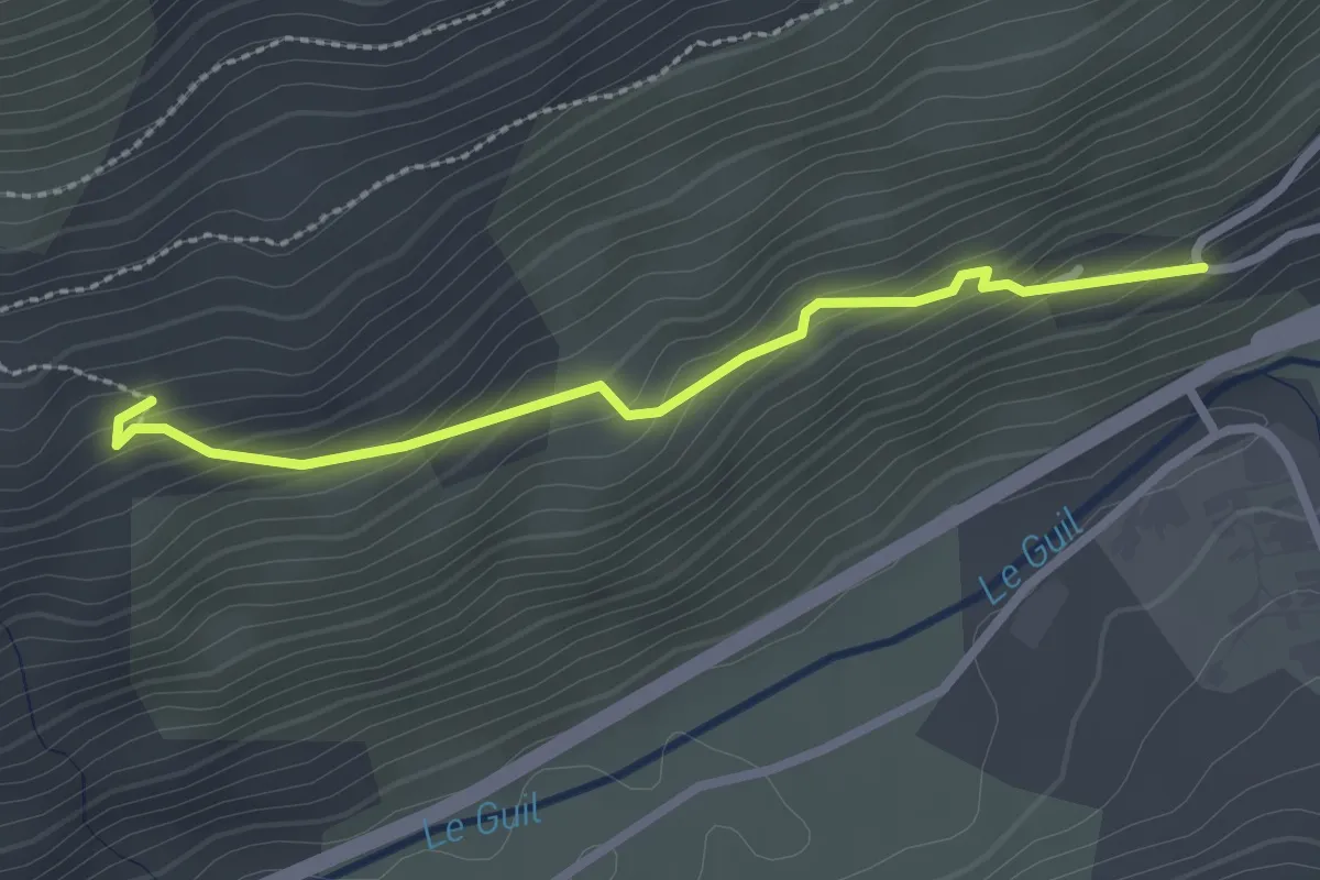
Easy · Trail
Le Rochas - La Rayne
2.6 km · ↑ 171 m · 58 min
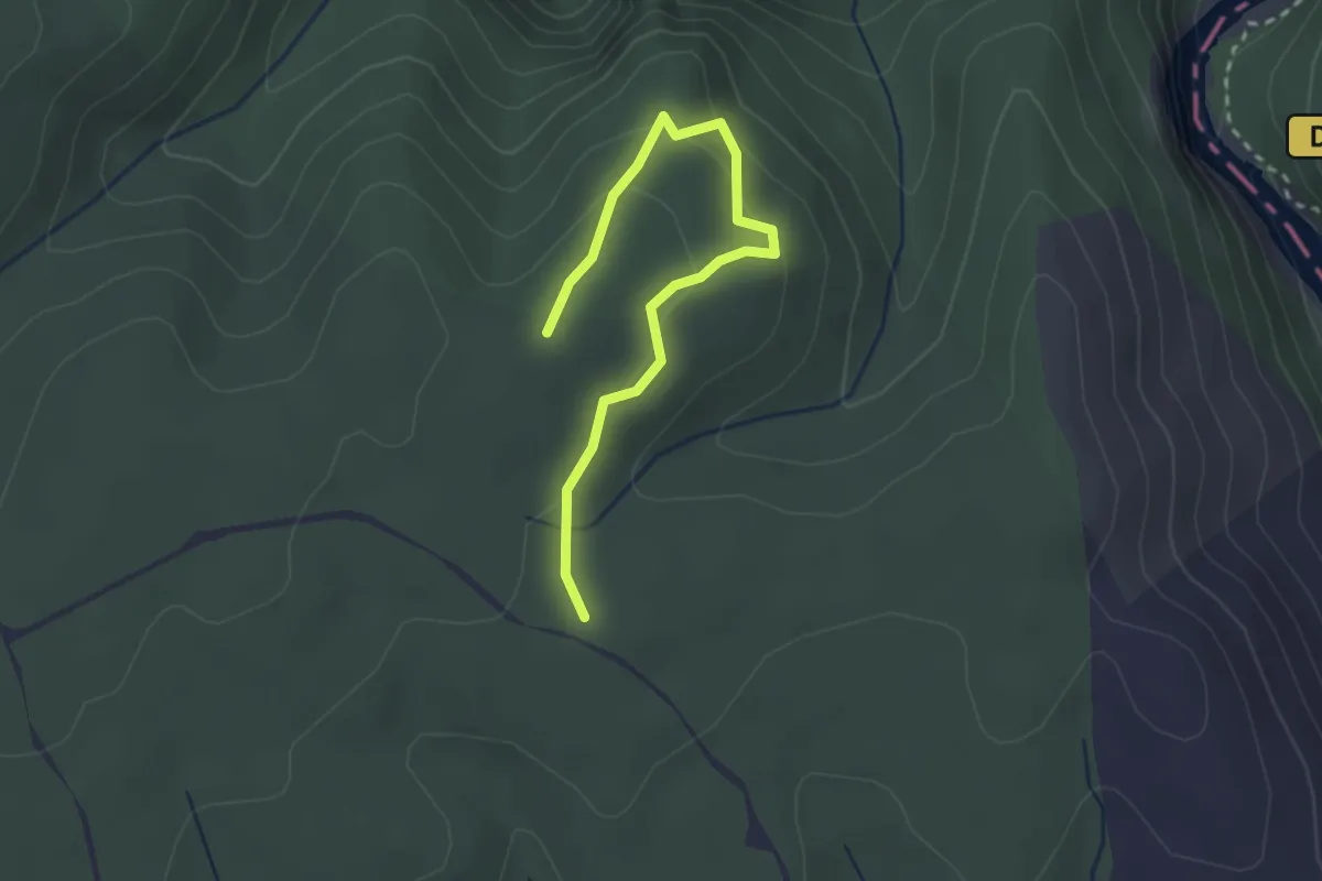
Easy · Trail
Le Rocher de Castelviel
1.5 km · ↑ 64 m · 30 min
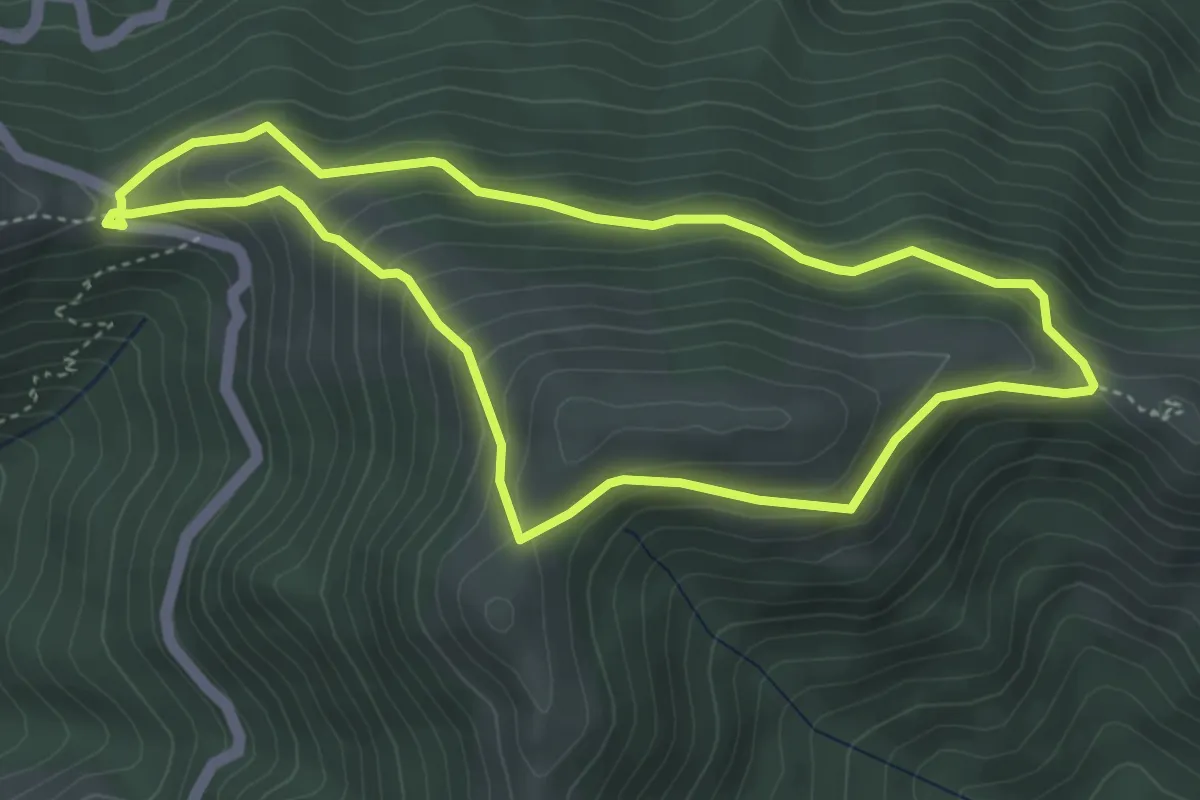
Medium · Trail
Le rocher de l'Aigle
4.2 km · ↑ 272 m · 1 h 39 min
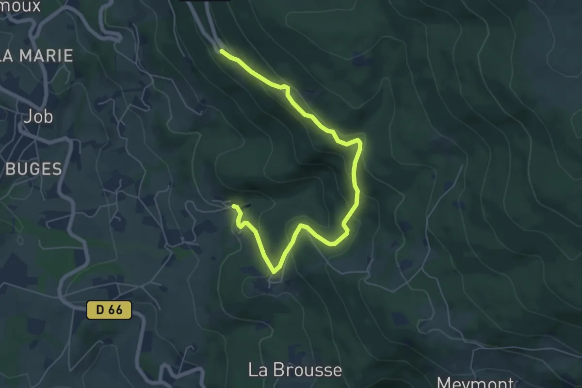
Medium · Trail
Le Rocher de la Volpie
6.5 km · ↑ 355 m · 2 h 19 min
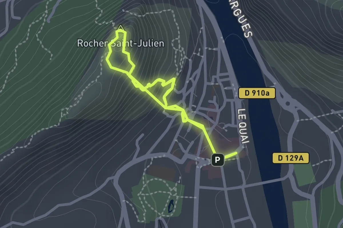
Medium · Summit
Le rocher de Saint-Julien
2.2 km · ↑ 289 m · 1 h 7 min
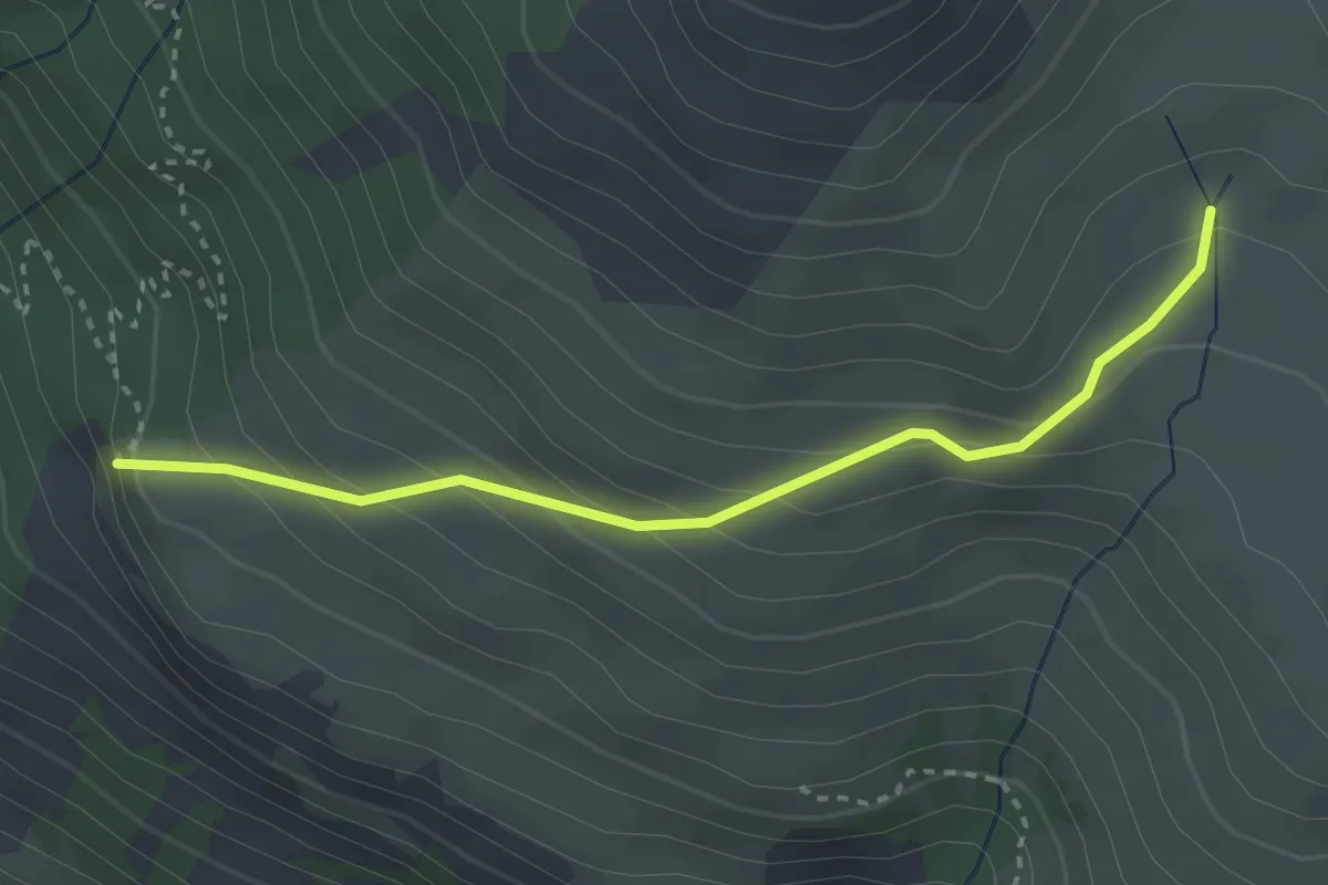
Easy · Trail
Le Rocher des Chiens - Près du Vallon
3.1 km · ↑ 267 m · 1 h 19 min
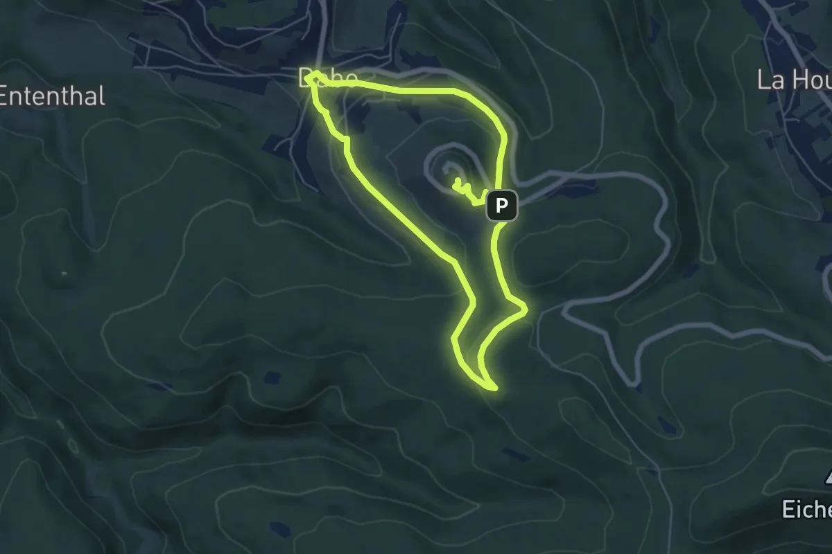
Medium · Summit
Le rocher du pays de Dabo
5.1 km · ↑ 208 m · 1 h 42 min
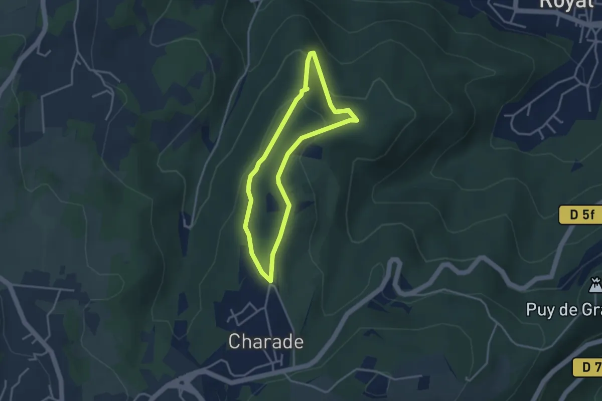
Easy · Trail
Le Rocher du Salut
2.7 km · ↑ 102 m · 54 min
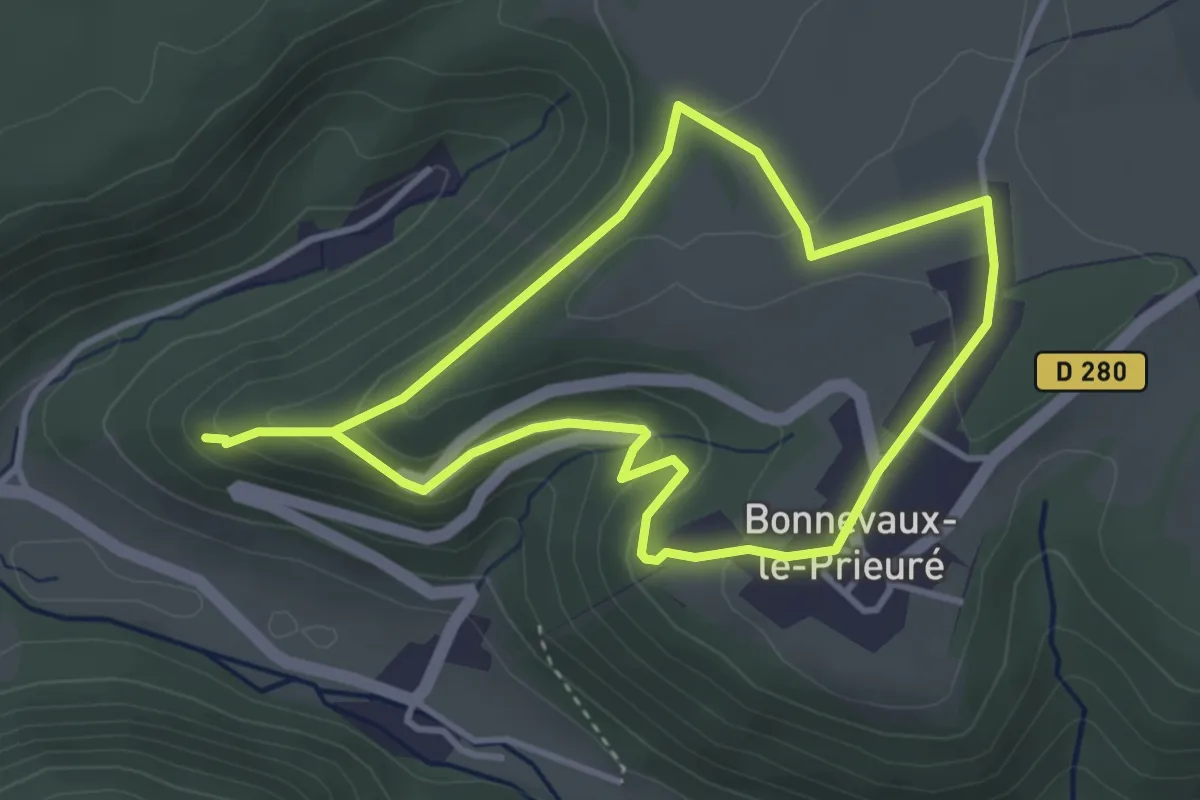
Easy · Trail
Le Rocher du Tourbillon
3.3 km · ↑ 106 m · 1 h 4 min