Trails in France
15,926 hiking trails, each with its route, climb, walking time and grade.
All trails, page 174 of 332
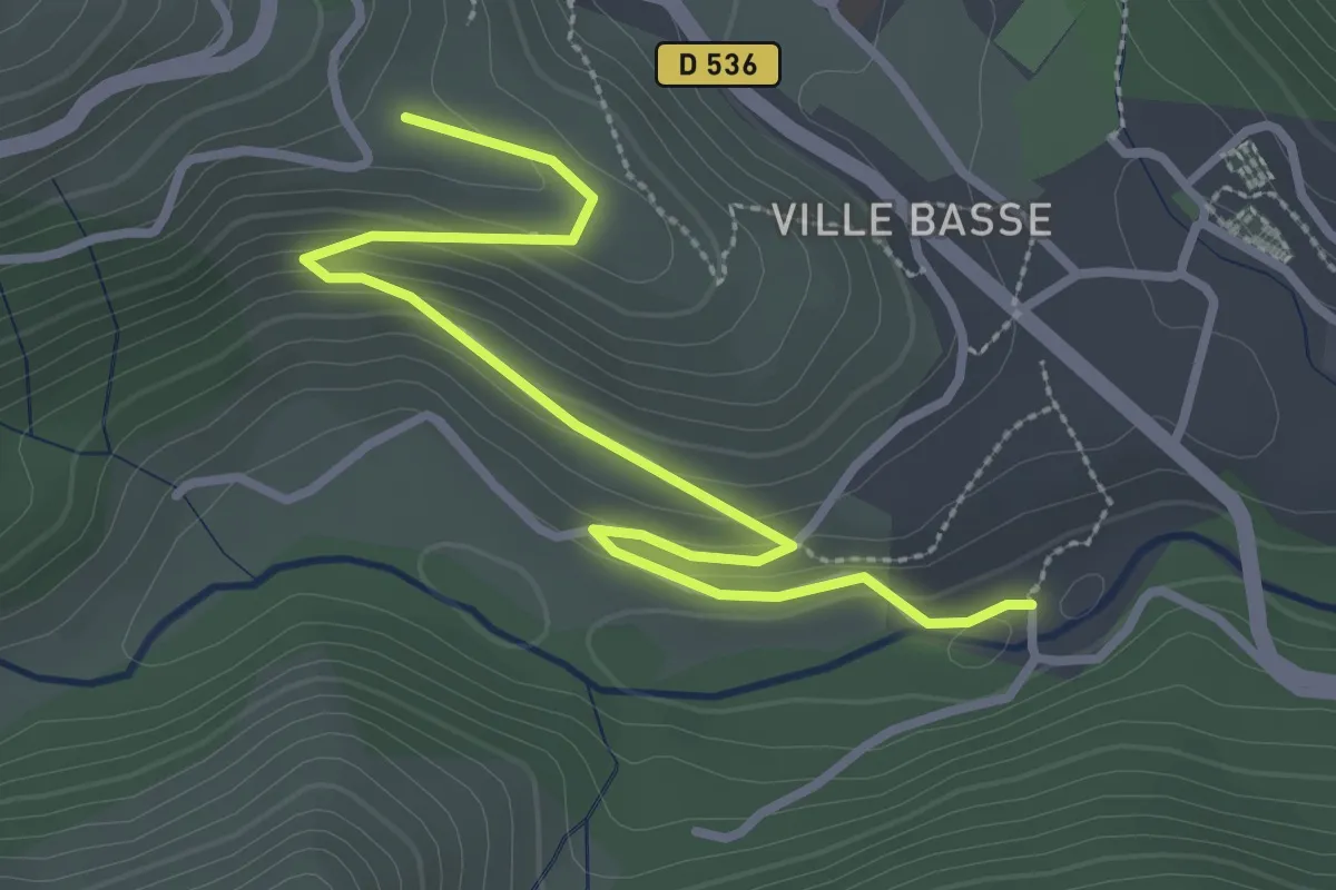
Easy · Trail
Le Rocher Noir - Le Château
3.6 km · ↑ 134 m · 1 h 8 min
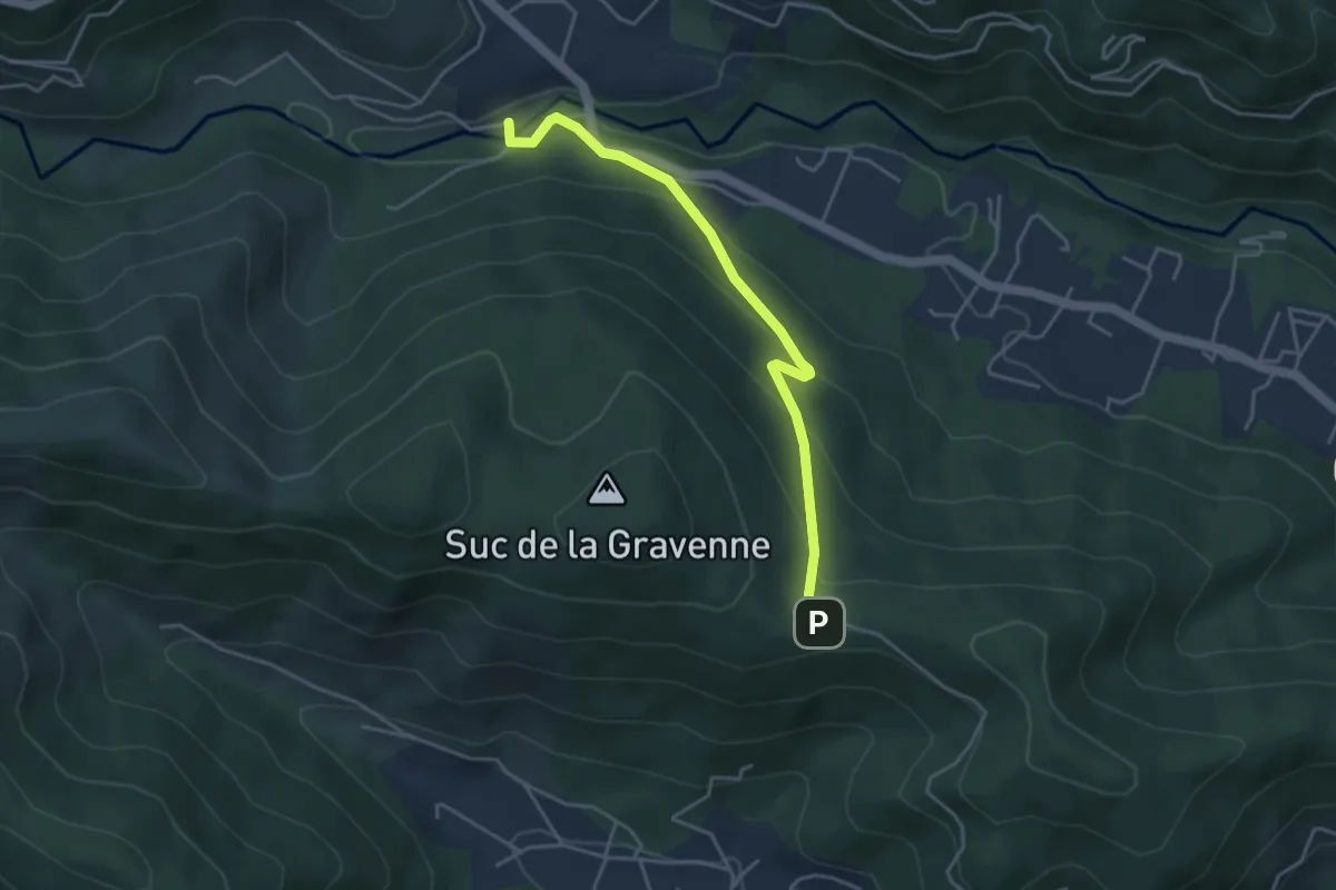
Easy · Trail
Le Rocher Noir - Les Brugettes
4.2 km · ↑ 216 m · 1 h 28 min
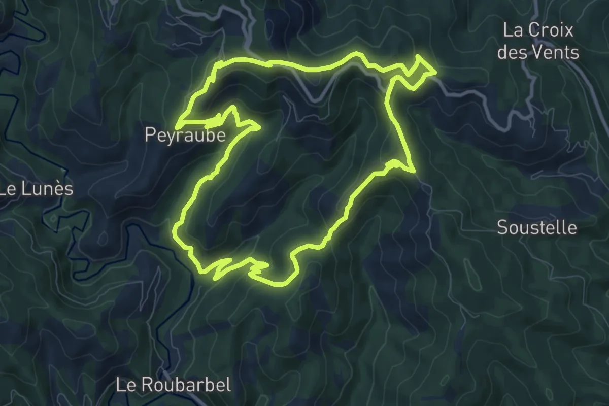
Medium · Trail
Le roc troué
10.1 km · ↑ 501 m · 3 h 36 min
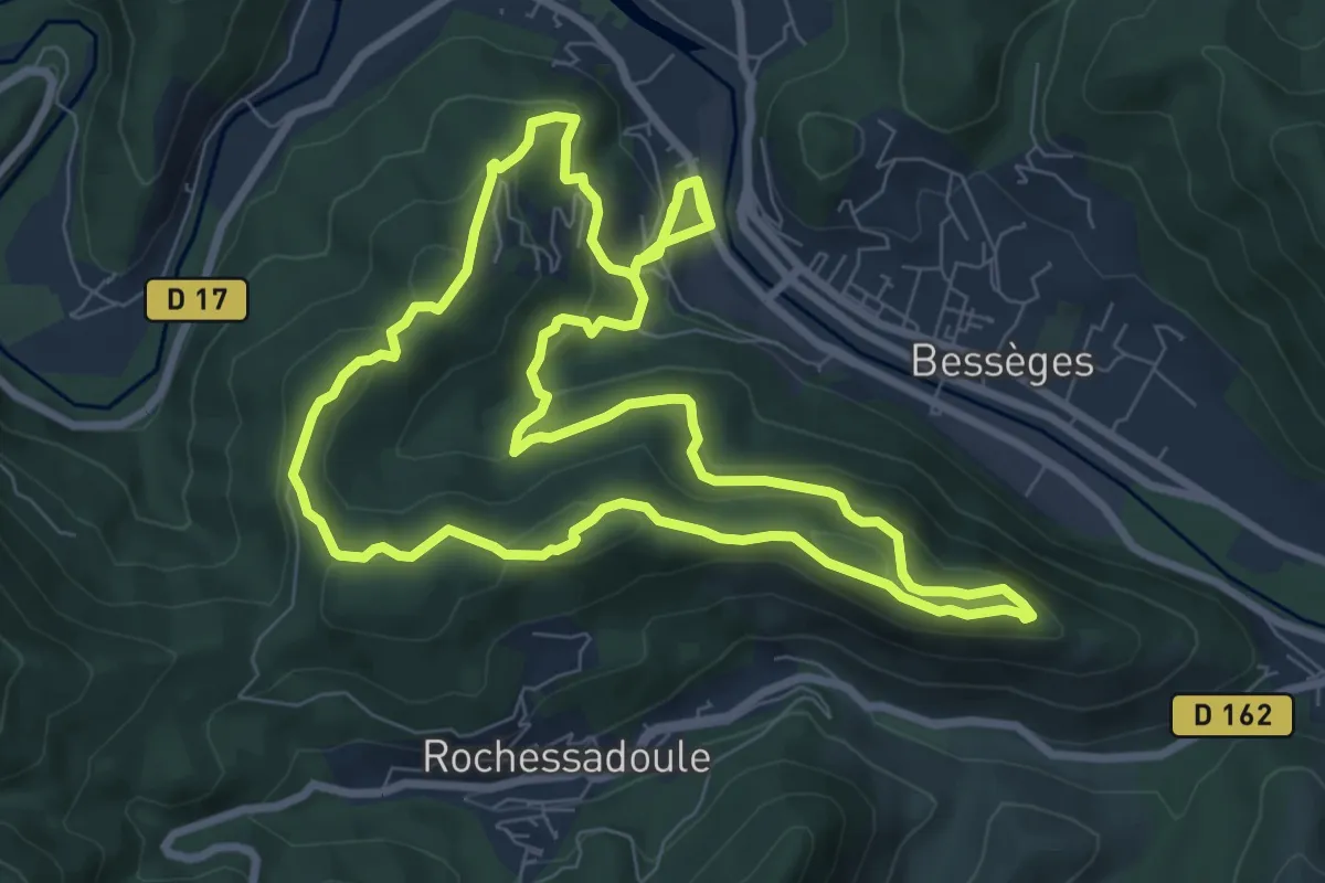
Medium · Trail
Le Ronc Rouge
9.2 km · ↑ 354 m · 3 h 6 min
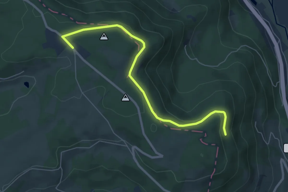
Easy · Trail
Le Rosièra
3.0 km · ↑ 125 m · 59 min
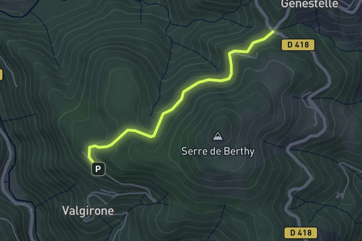
Easy · Trail
Le Rouge - Col de Genestelle
4.0 km · ↑ 162 m · 1 h 17 min
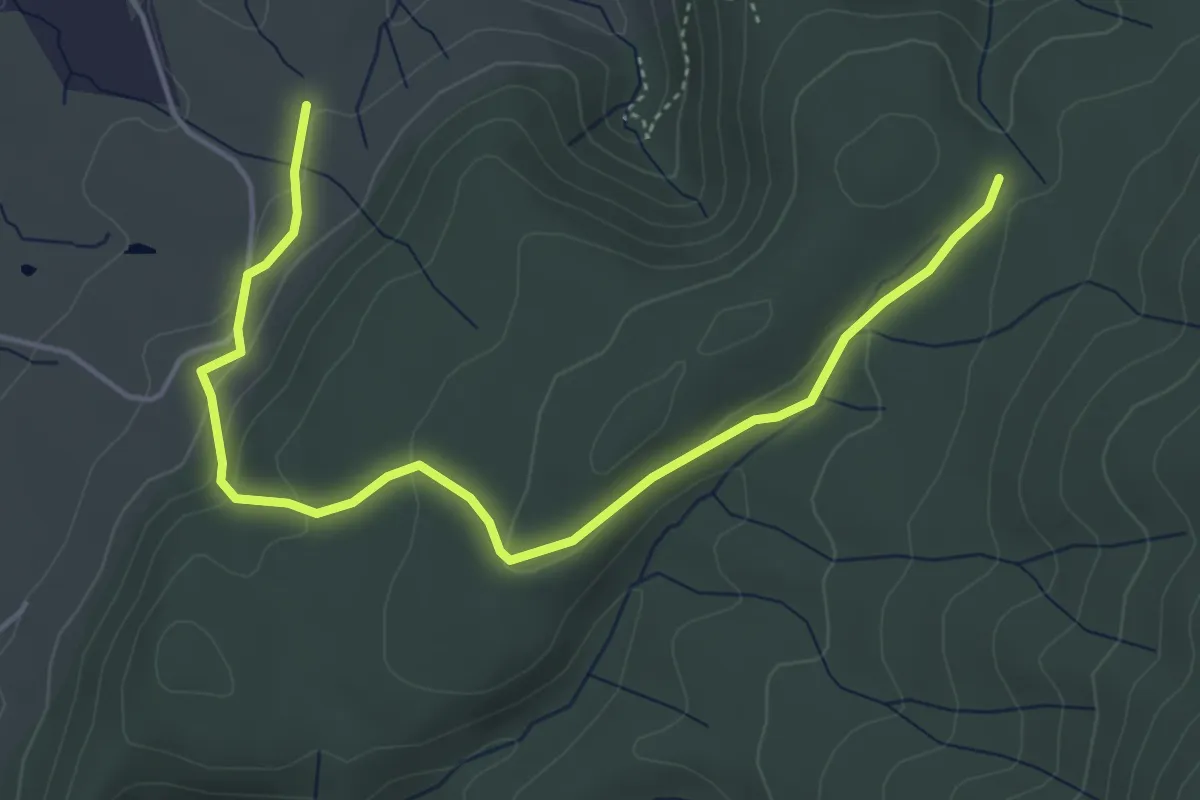
Easy · Trail
Le Rouret - Notre-Dame des Songes
5.5 km · ↑ 186 m · 1 h 42 min
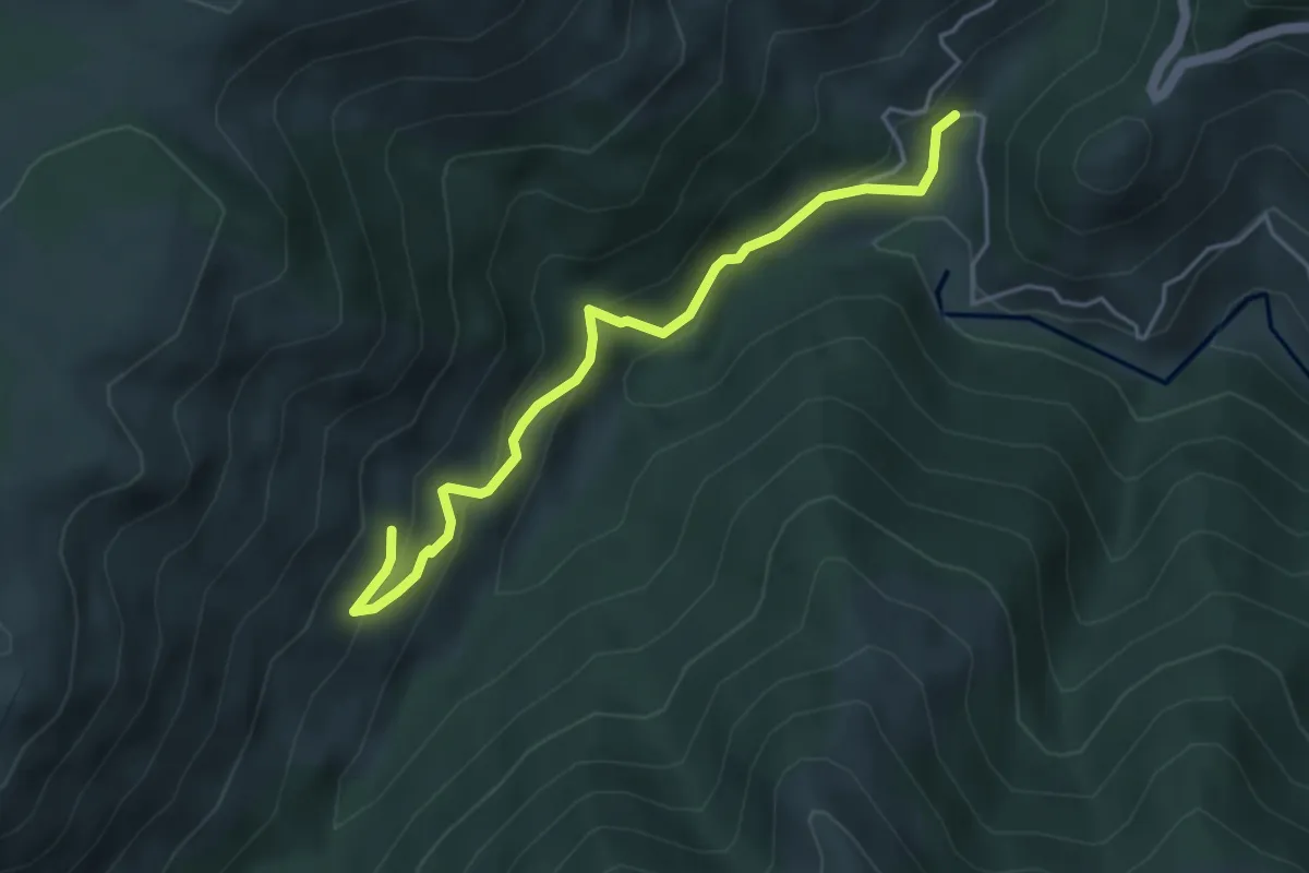
Medium · Trail
Le Roux Bas - Chapelet
4.5 km · ↑ 330 m · 1 h 46 min
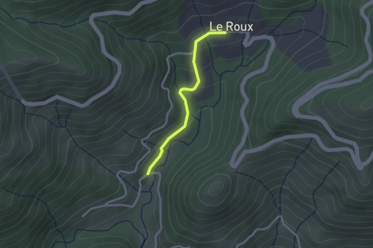
Easy · Trail
Le Roux Bas - Le Roux
2.0 km · ↑ 117 m · 44 min
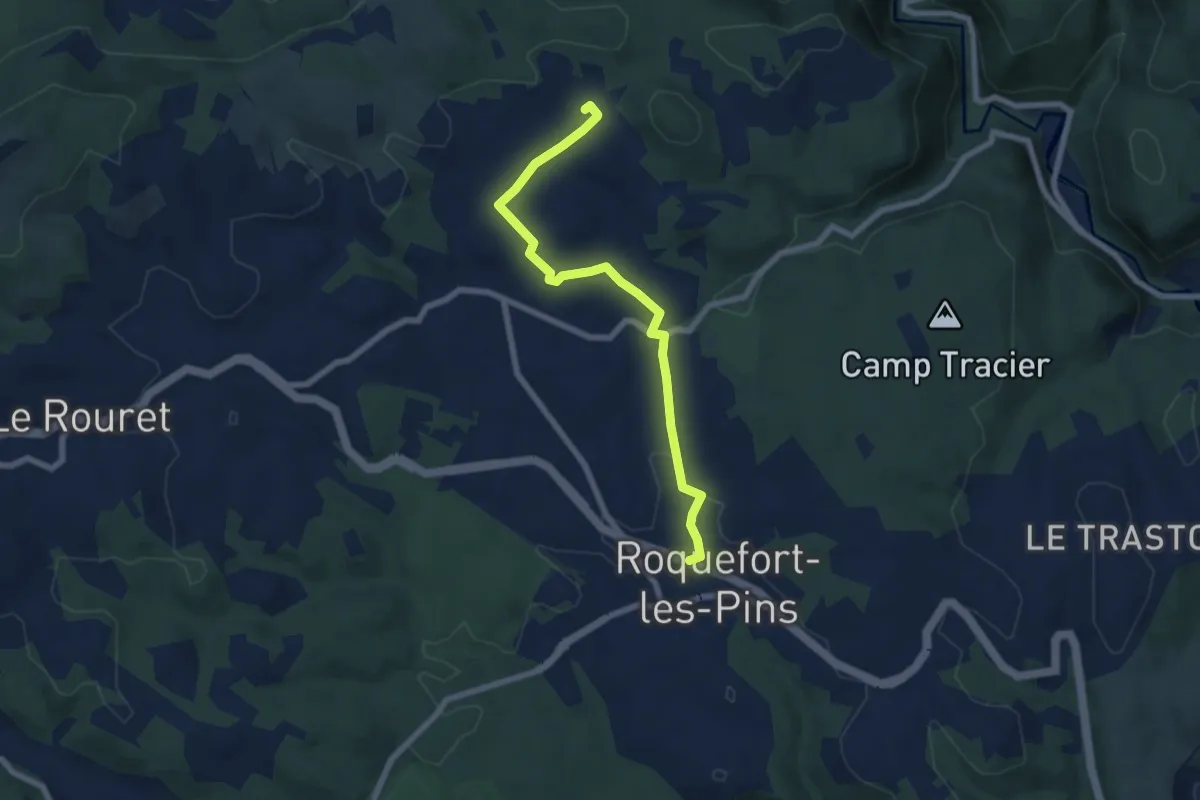
Easy · Trail
Le Rucher
7.3 km · ↑ 97 m · 1 h 56 min
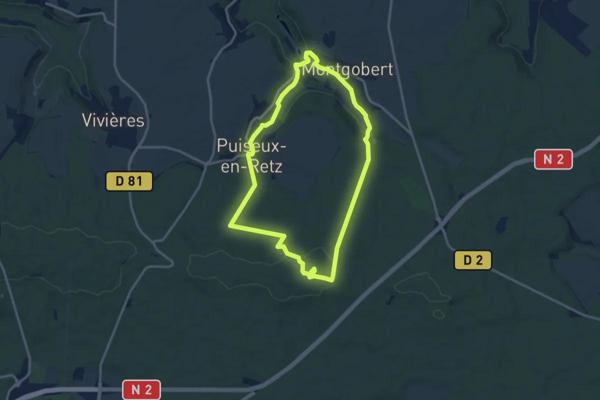
Medium · Trail
Le Ru de Retz
9.3 km · ↑ 209 m · 2 h 46 min
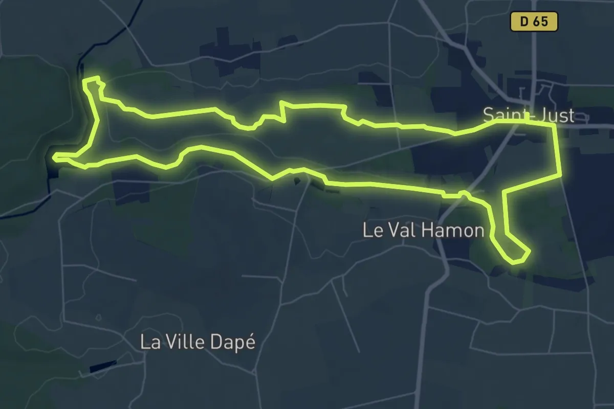
Medium · Trail
Le Ruisseau
8.4 km · ↑ 60 m · 2 h 14 min
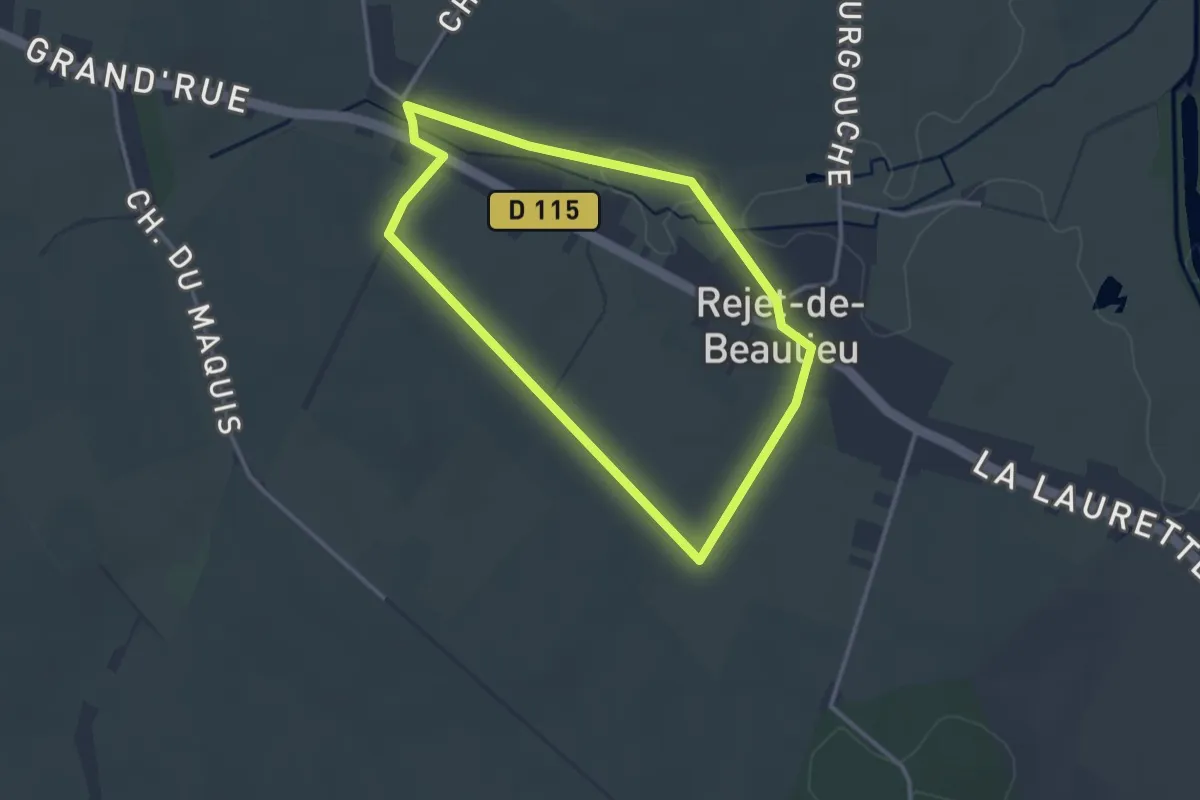
Easy · Trail
Le Ruisseau de Gourgouche
2.7 km · ↑ 8 m · 42 min
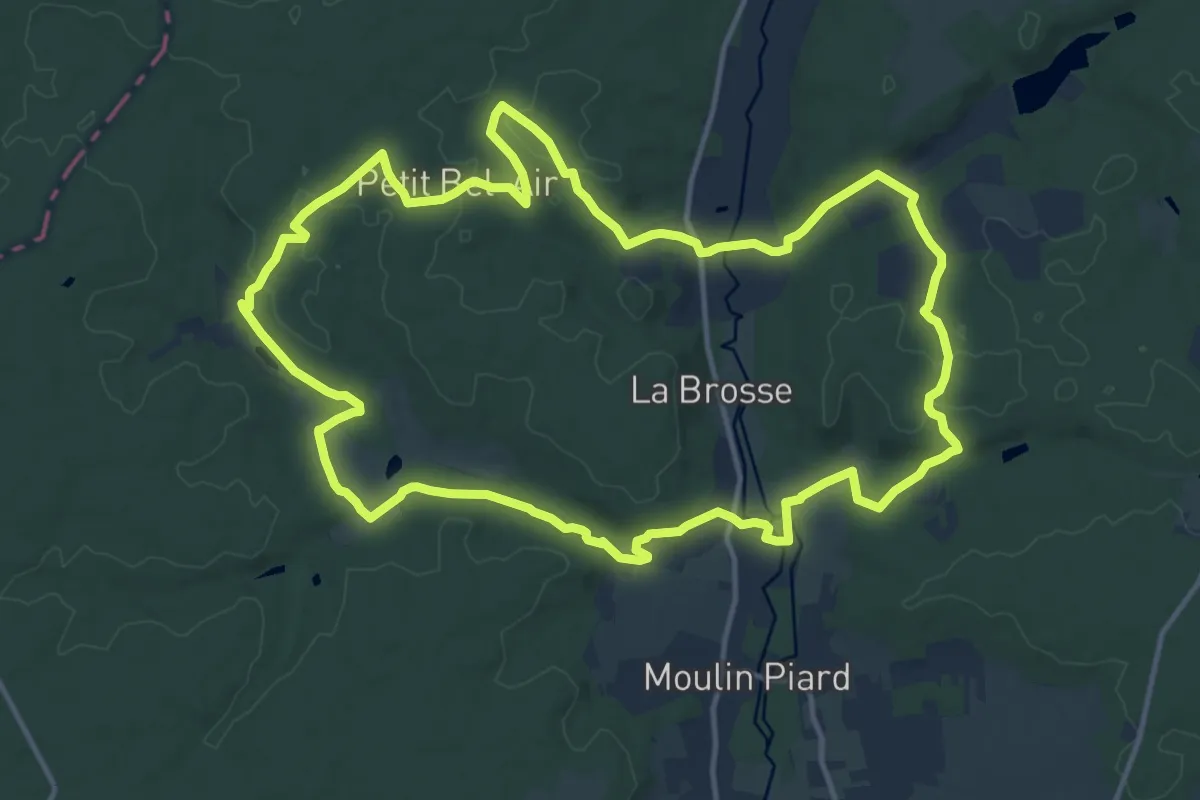
Medium · Trail
Le Ruisseau de Gravot - Bourgueil
14.7 km · ↑ 222 m · 4 h 9 min
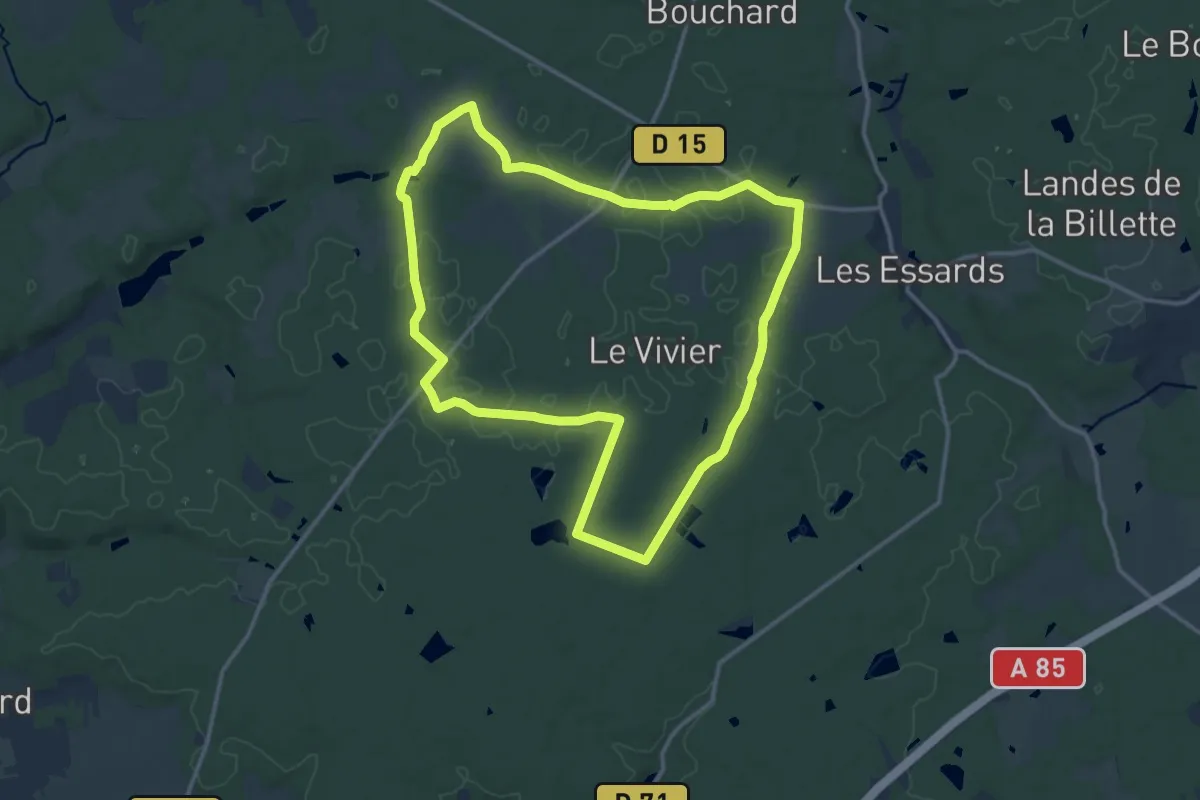
Medium · Trail
Le ruisseau de Saint Gilles - Continvoir
13.0 km · ↑ 61 m · 3 h 22 min
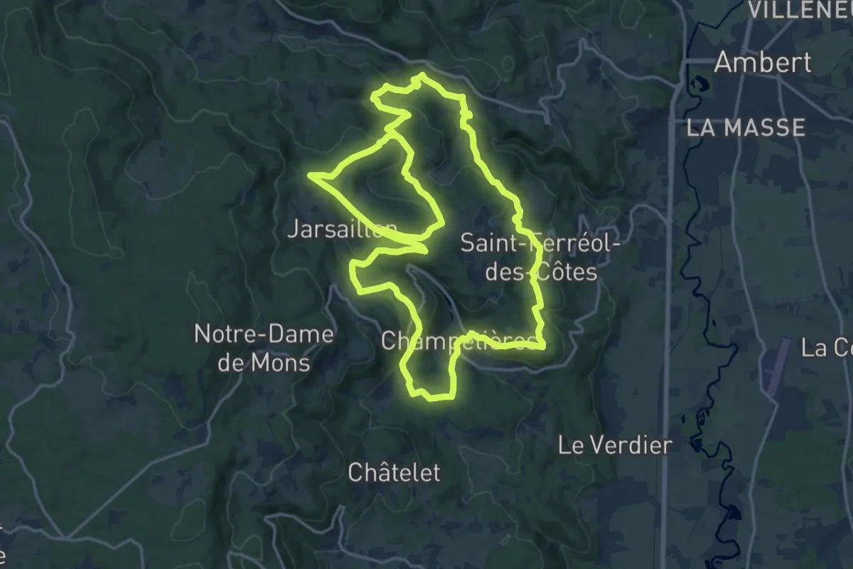
Medium · Trail
Le Ruisseau des Escures
17.2 km · ↑ 529 m · 5 h 28 min
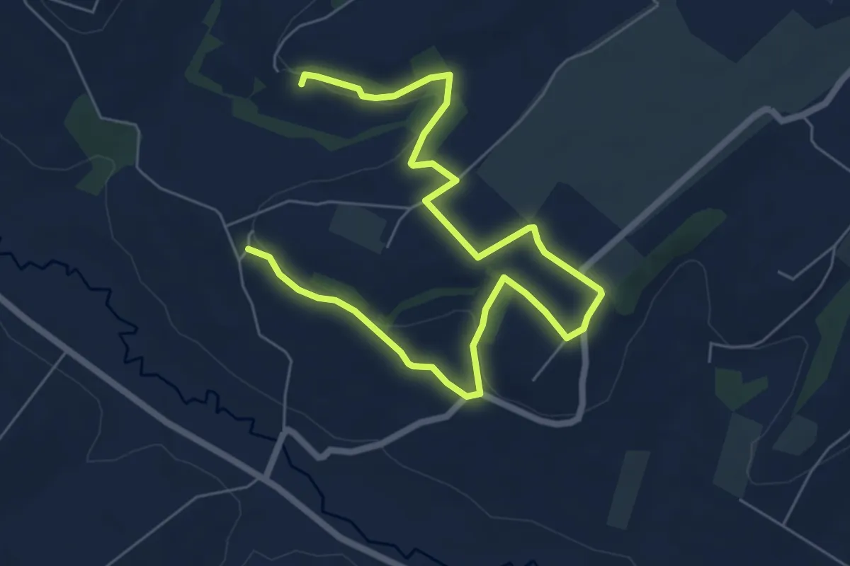
Medium · Trail
Le ruisseau des Fontaines
8.1 km · ↑ 135 m · 2 h 12 min
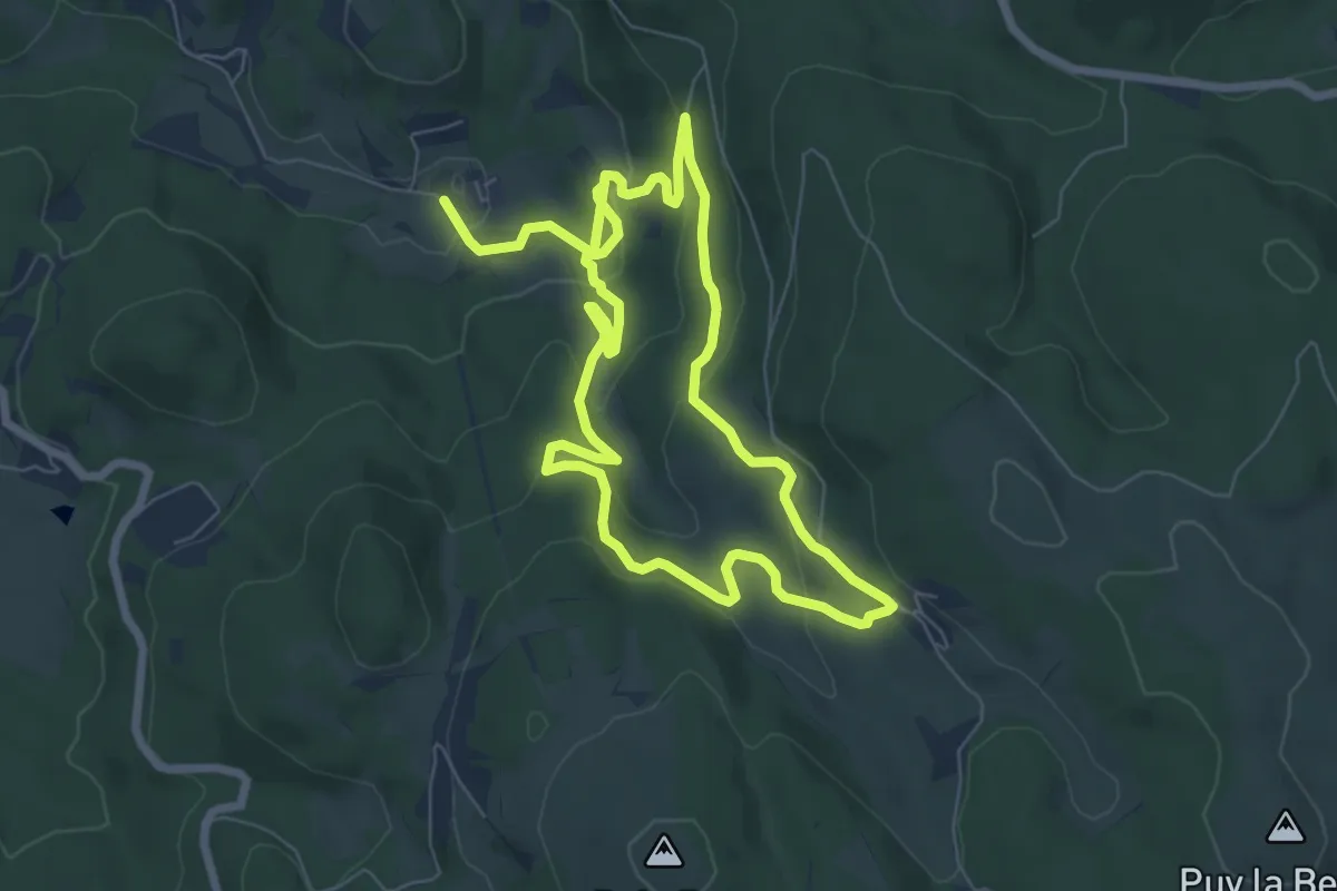
Medium · Trail
Le Ruisseau des Moulins
13.2 km · ↑ 540 m · 4 h 17 min
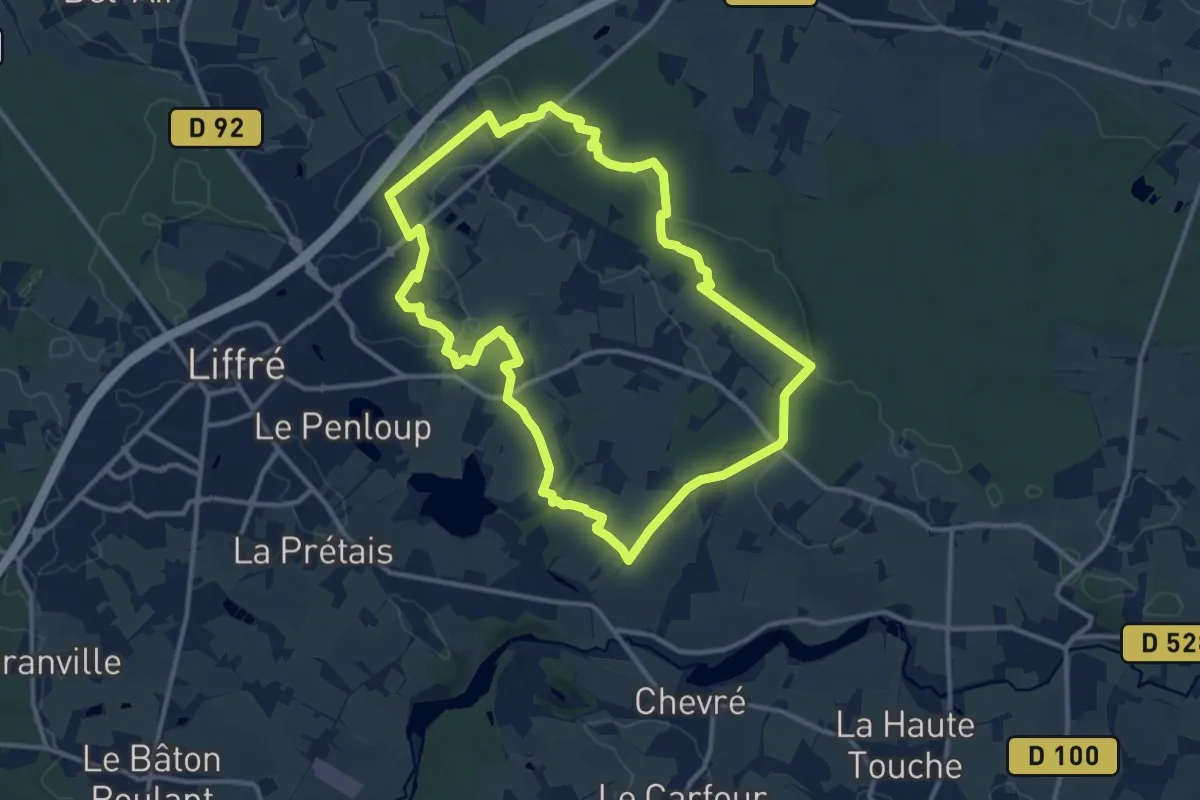
Medium · Trail
Le ruisseau du Bois-Beau
11.7 km · ↑ 92 m · 3 h 7 min
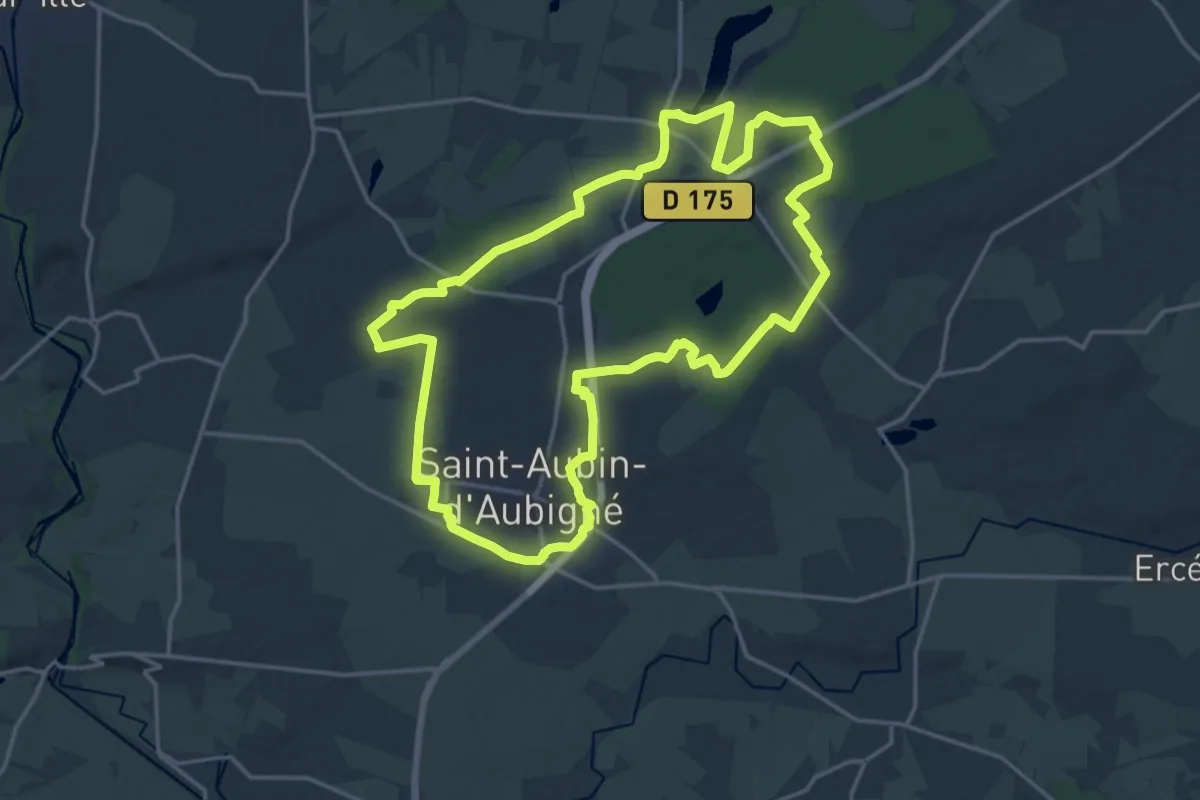
Medium · Trail
Le ruisseau du Vieux Moulin
17.9 km · ↑ 180 m · 4 h 51 min
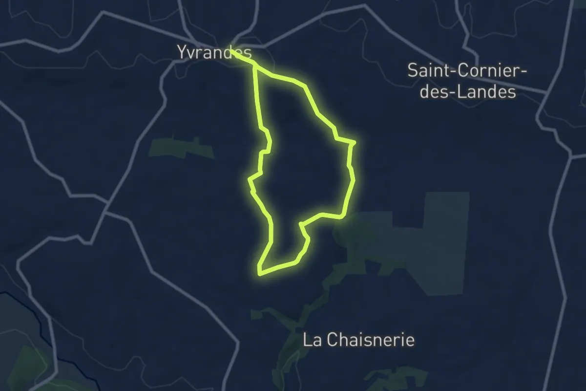
Easy · Trail
Le Ruslé
5.3 km · ↑ 109 m · 1 h 34 min
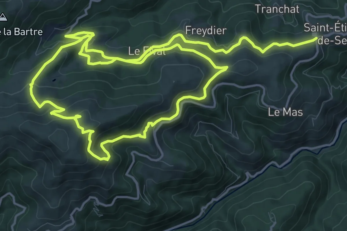
Medium · Trail
Lès
12.4 km · ↑ 522 m · 4 h 13 min
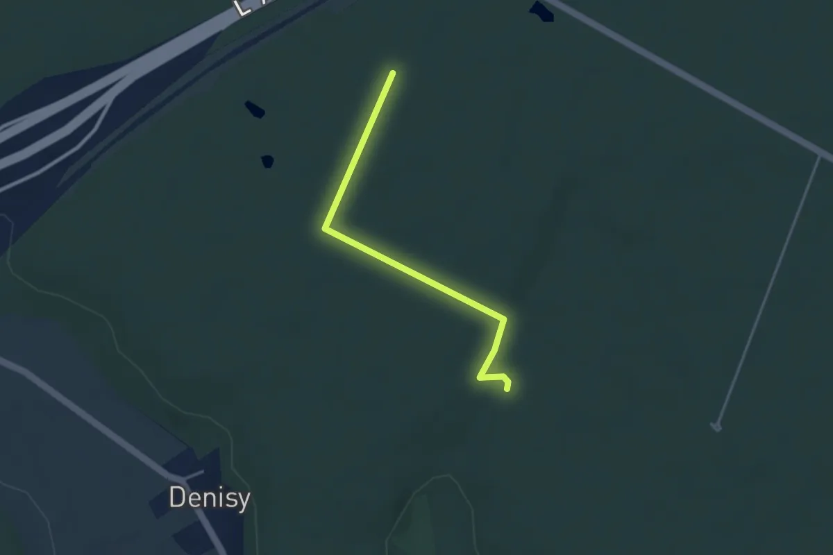
Easy · Trail
Les 2 Mares
3.1 km · ↑ 9 m · 45 min
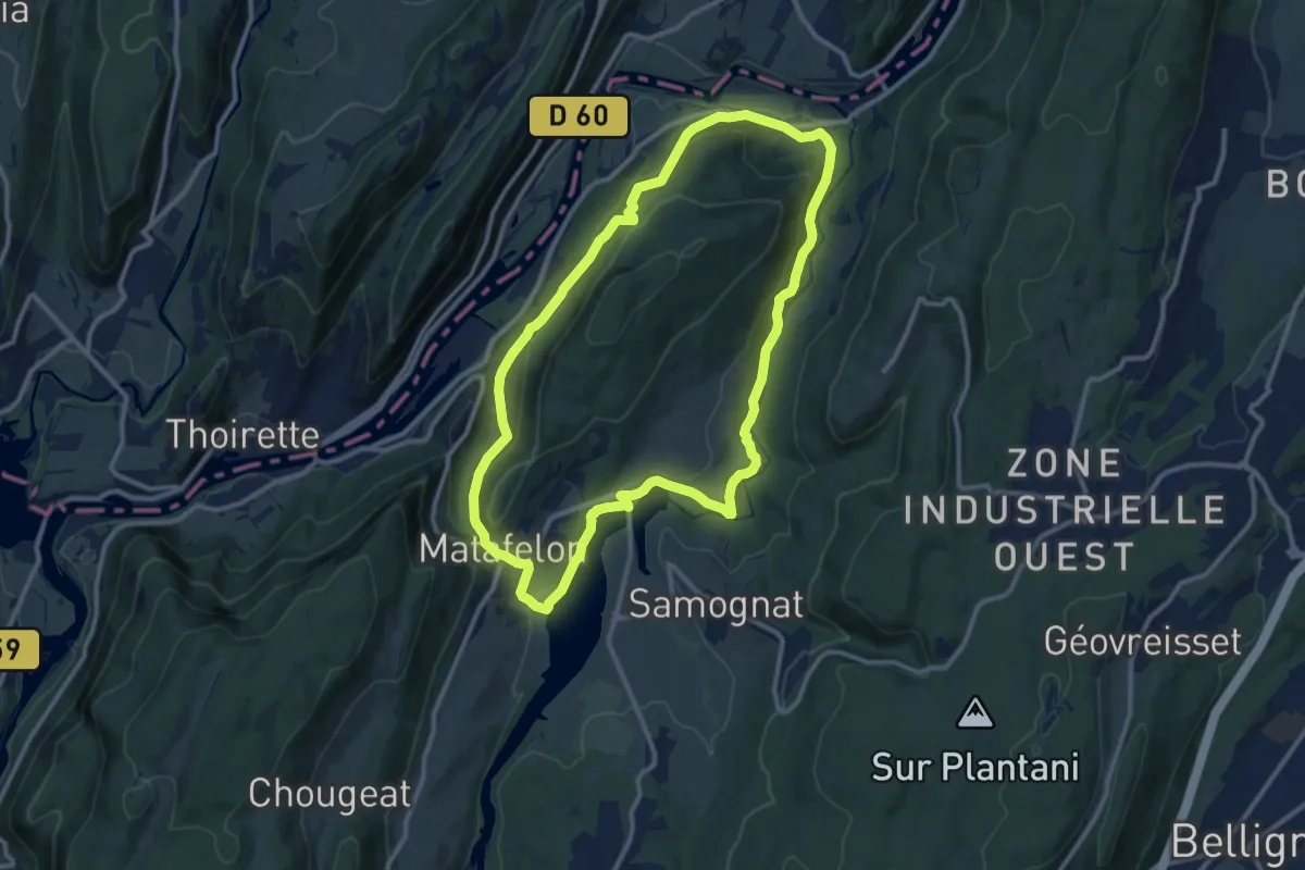
Medium · Trail
Les 2 Vallées
11.2 km · ↑ 476 m · 3 h 50 min
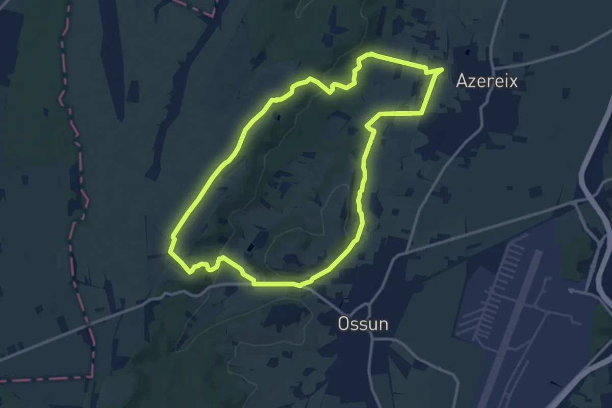
Medium · Trail
Les 3 Chapelles
10.9 km · ↑ 169 m · 3 h 5 min
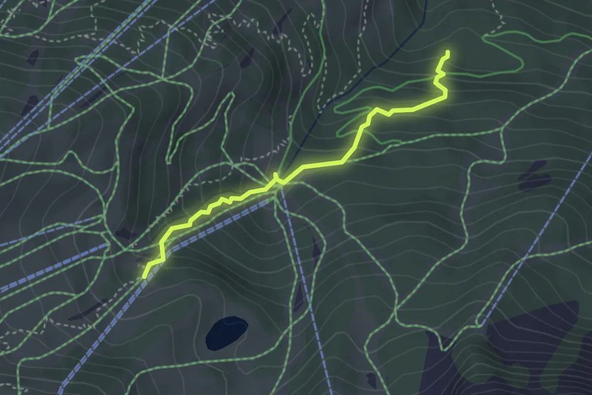
Medium · Trail
Les 3 Croix
3.3 km · ↑ 313 m · 1 h 27 min
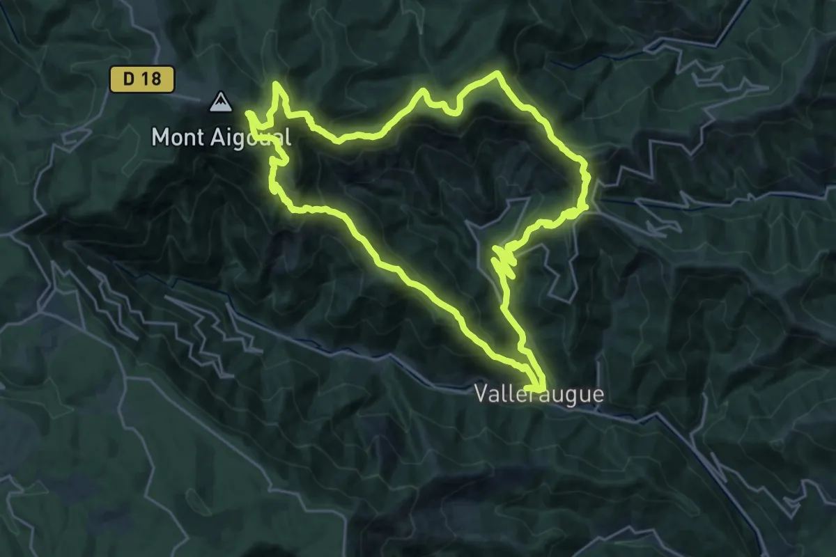
Demanding · Trail
Les 4000 marches
22.7 km · ↑ 1385 m · 8 h 40 min
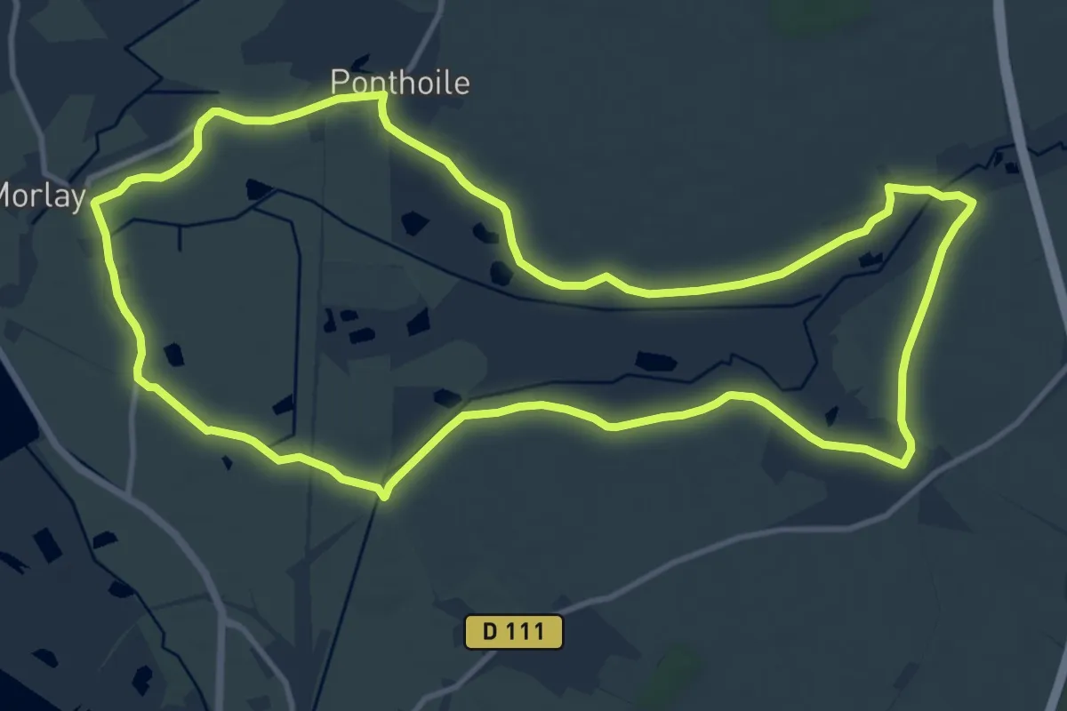
Medium · Trail
Les 400 Coups
11.8 km · ↑ 13 m · 2 h 59 min
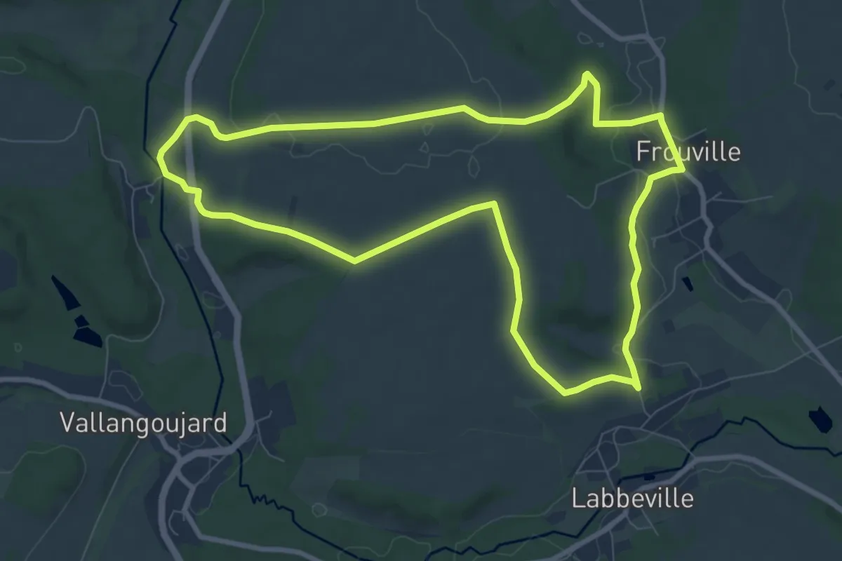
Medium · Trail
Les 40 hectares
8.1 km · ↑ 116 m · 2 h 16 min
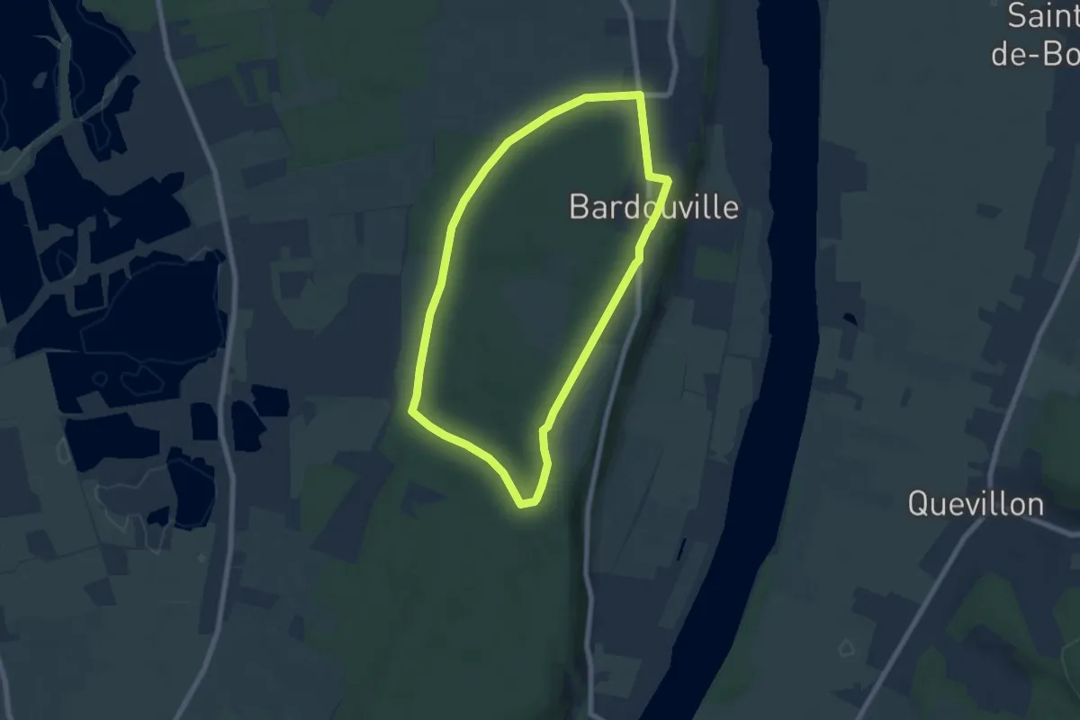
Easy · Trail
Les 4 Communes
6.1 km · ↑ 78 m · 1 h 41 min
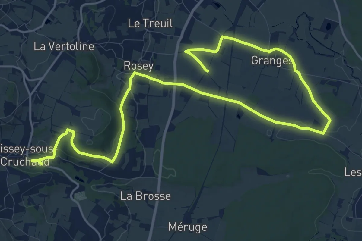
Medium · Trail
Les 4 Lavoirs
9.5 km · ↑ 95 m · 2 h 37 min
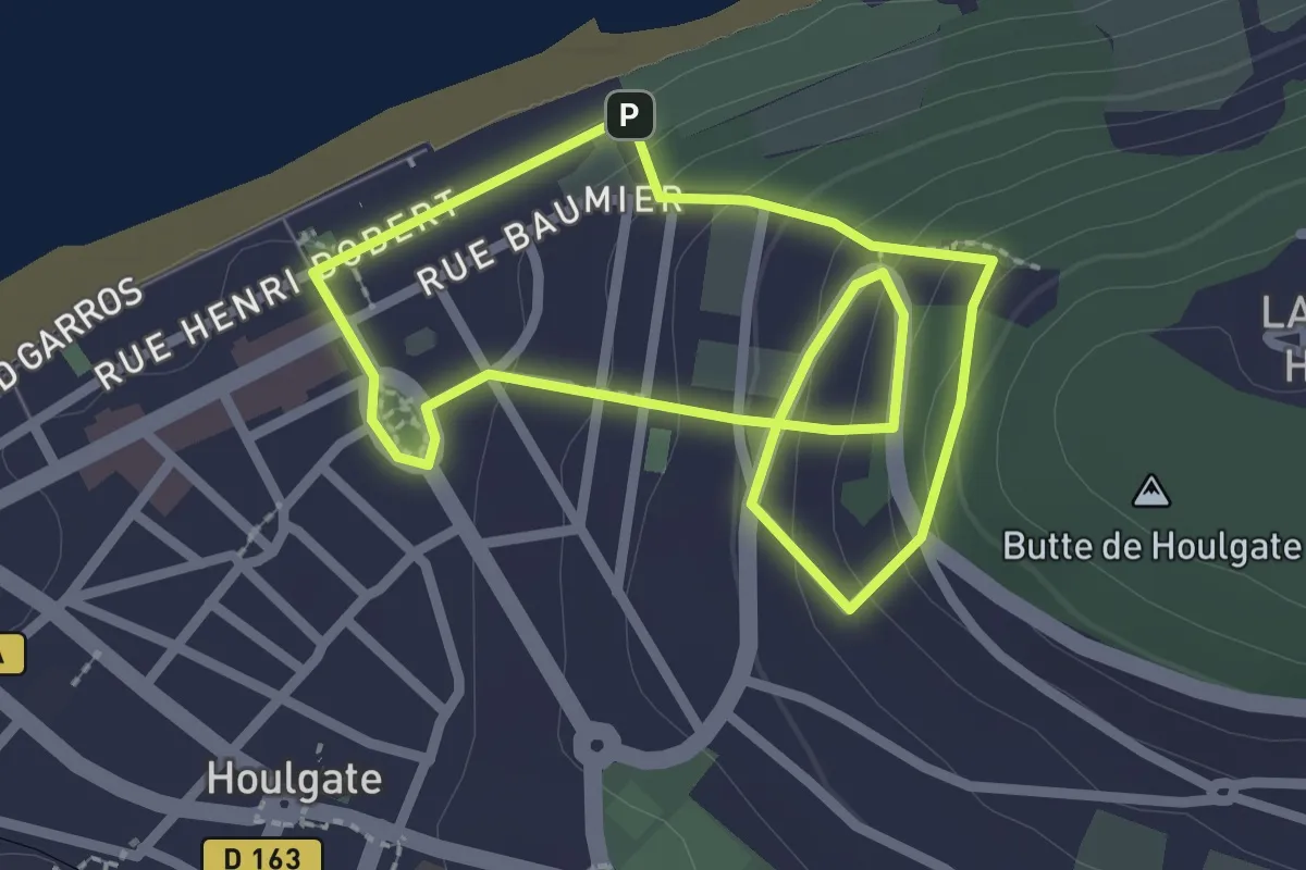
Easy · Trail
Les 500 Marches
2.1 km · ↑ 113 m · 46 min
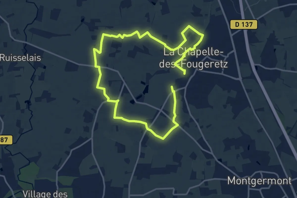
Medium · Trail
Les 5 Rottes
17.5 km · ↑ 114 m · 4 h 23 min
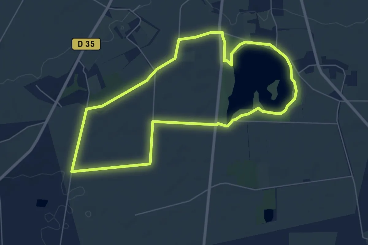
Easy · Trail
Les 6 Clochers
5.7 km · ↑ 24 m · 1 h 29 min
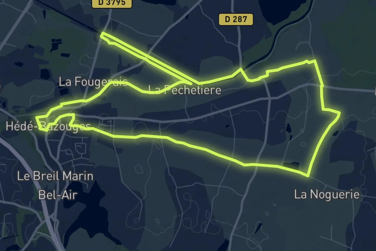
Medium · Trail
Les 7 Moulins et les 11 Écluses
11.3 km · ↑ 81 m · 3 h
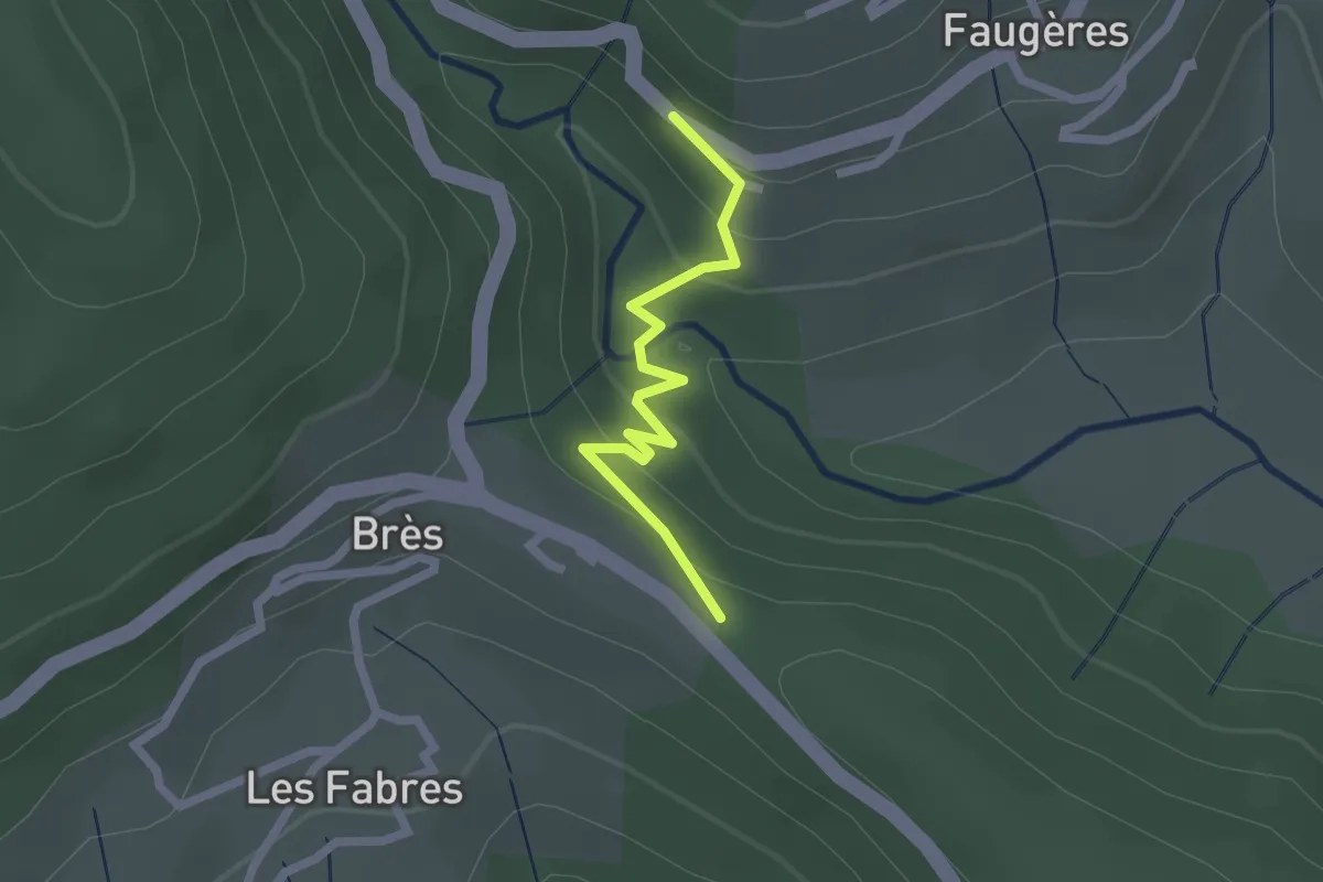
Easy · Trail
Le Sabatier - Brès
2.0 km · ↑ 129 m · 45 min
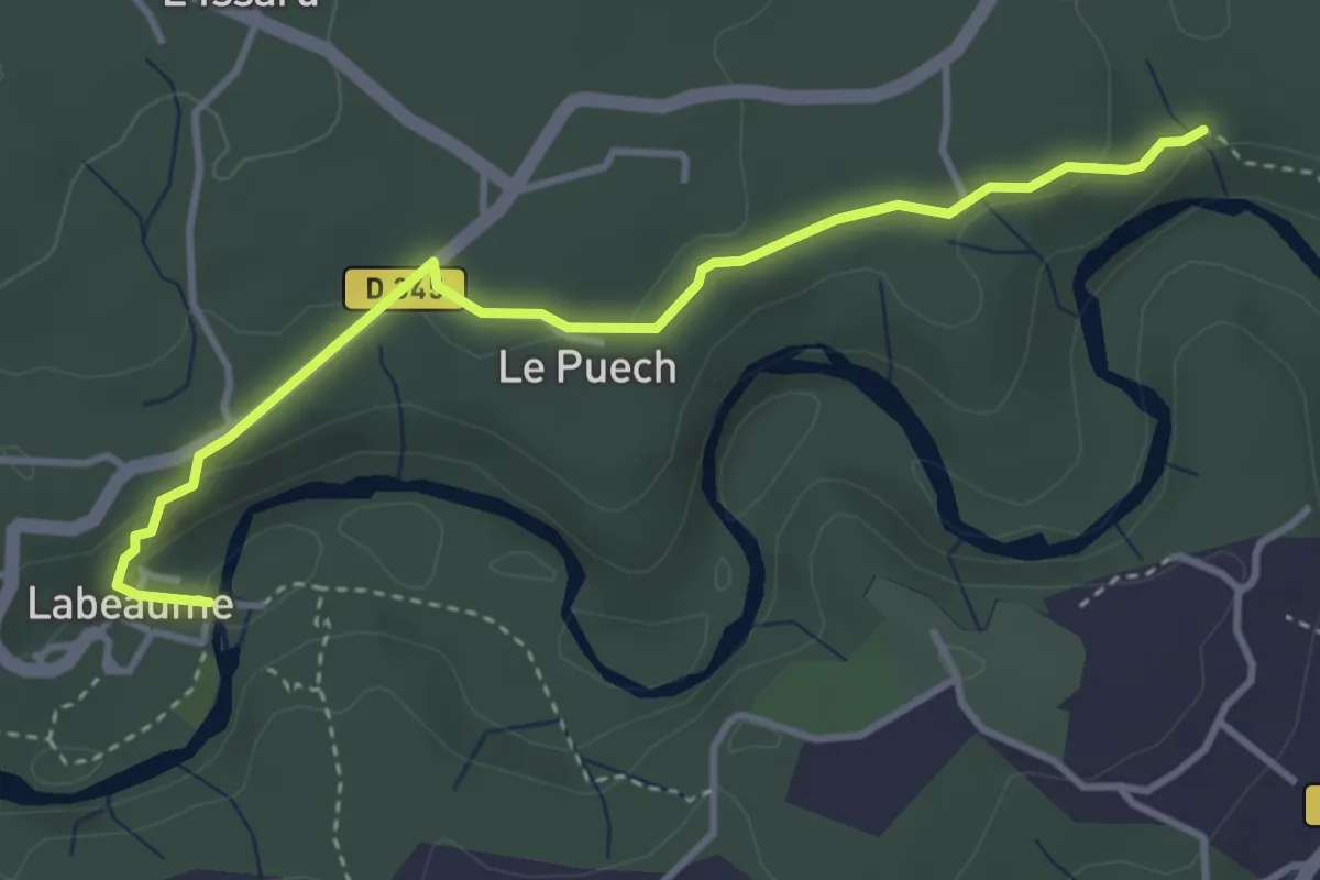
Easy · Trail
Le Sablas - Champlautier
3.9 km · ↑ 108 m · 1 h 10 min
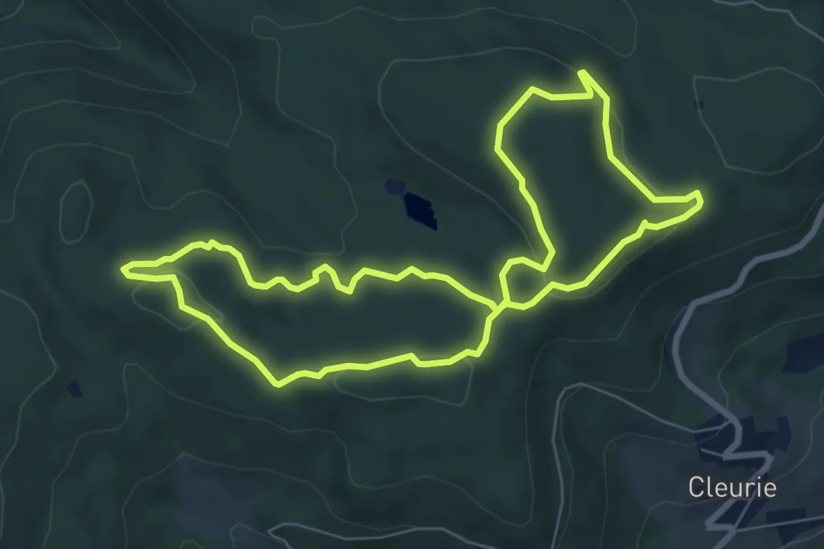
Easy · Trail
Les Abris sous roches
6.3 km · ↑ 192 m · 1 h 59 min
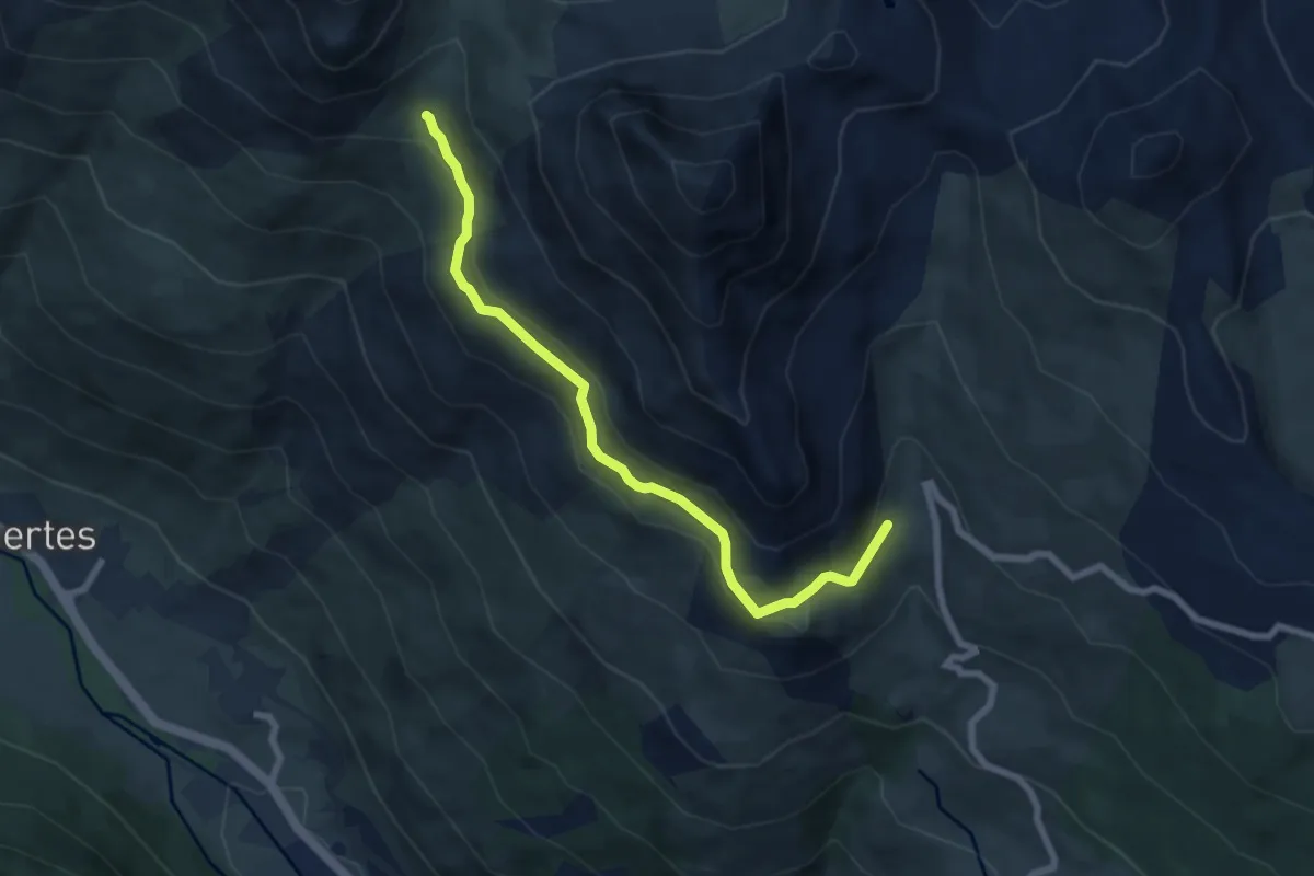
Easy · Trail
Le Sachet - Petit Col
7.4 km · ↑ 271 m · 2 h 19 min
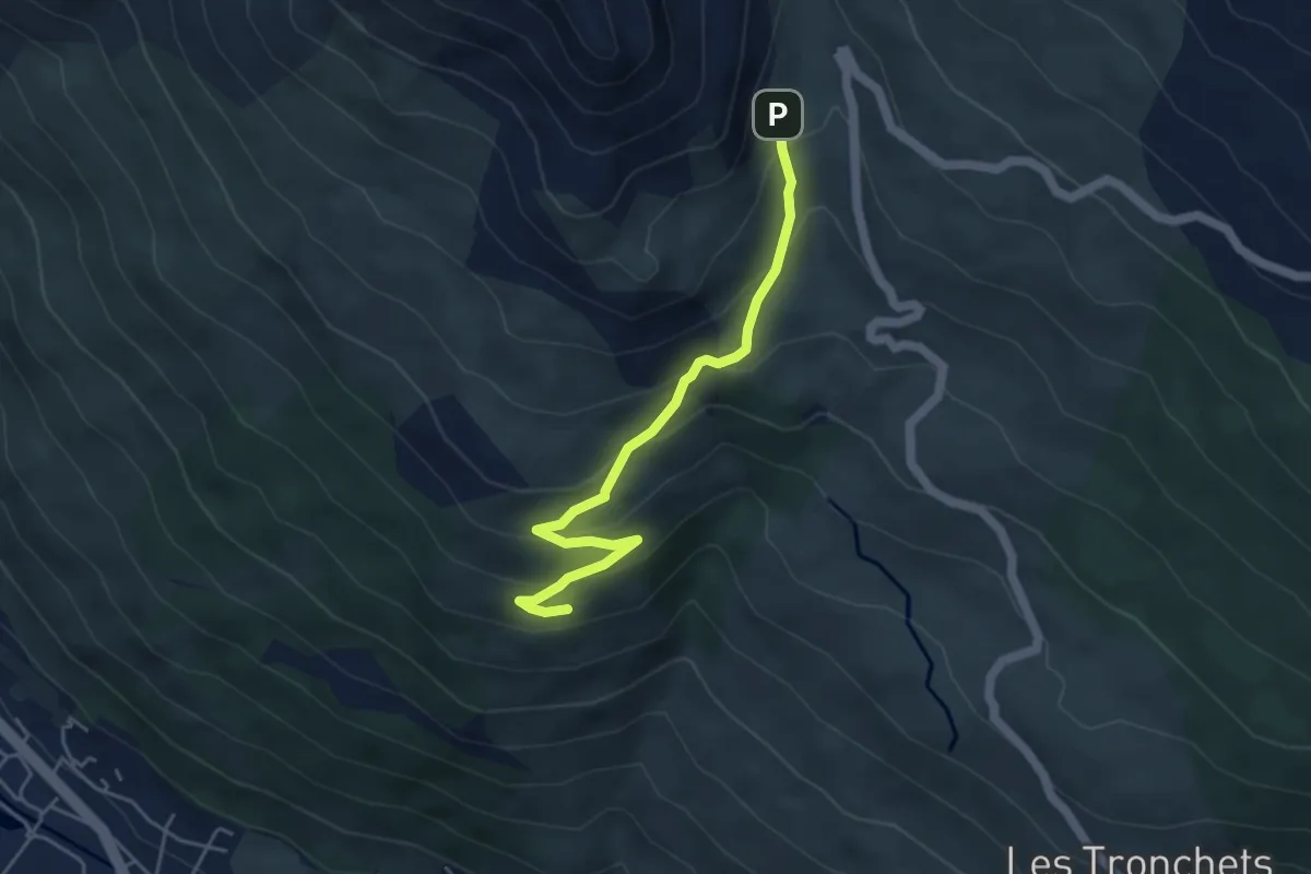
Easy · Trail
Le Sachet - Puy de la Salle
4.7 km · ↑ 302 m · 1 h 46 min
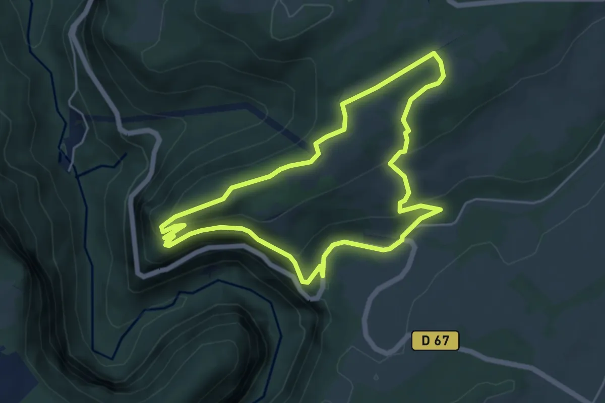
Easy · Trail
Les Aiguillons de Brasse
4.5 km · ↑ 242 m · 1 h 39 min
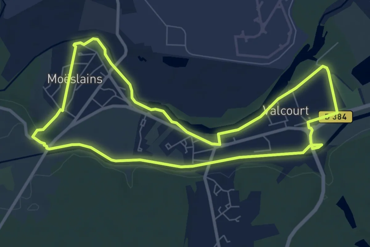
Easy · Trail
Le Saint-Aubin
6.4 km · ↑ 25 m · 1 h 39 min
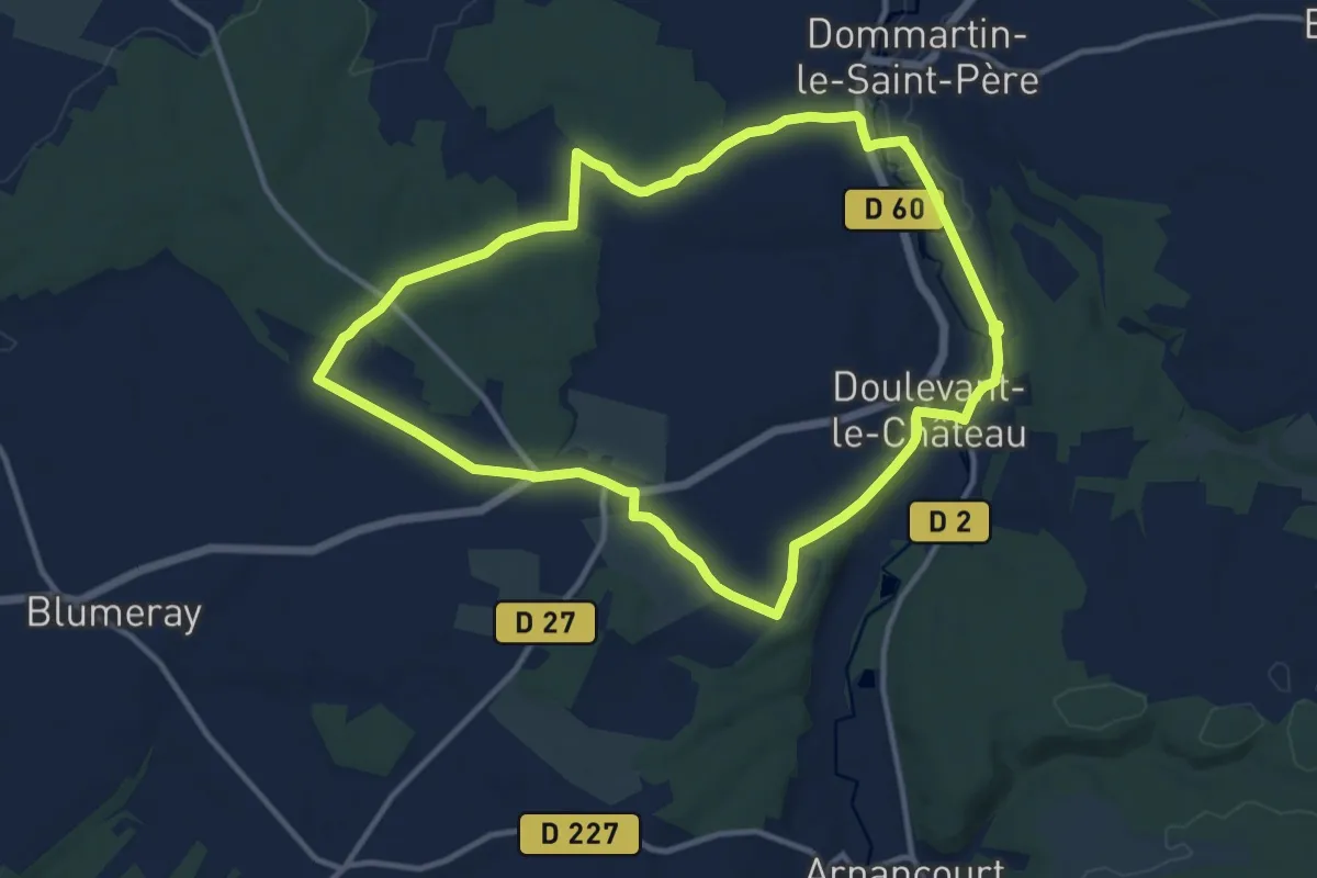
Medium · Trail
Le Saint-Louvent
11.3 km · ↑ 105 m · 3 h 3 min
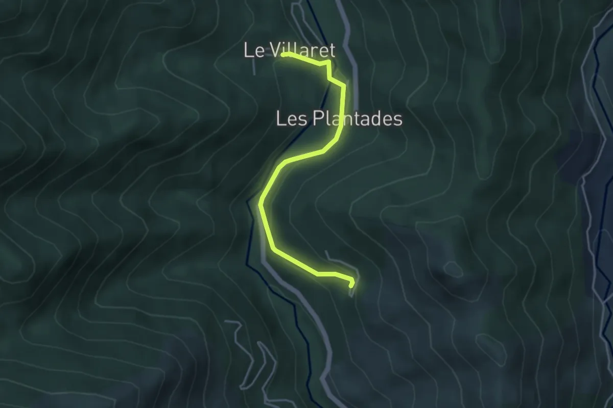
Easy · Trail
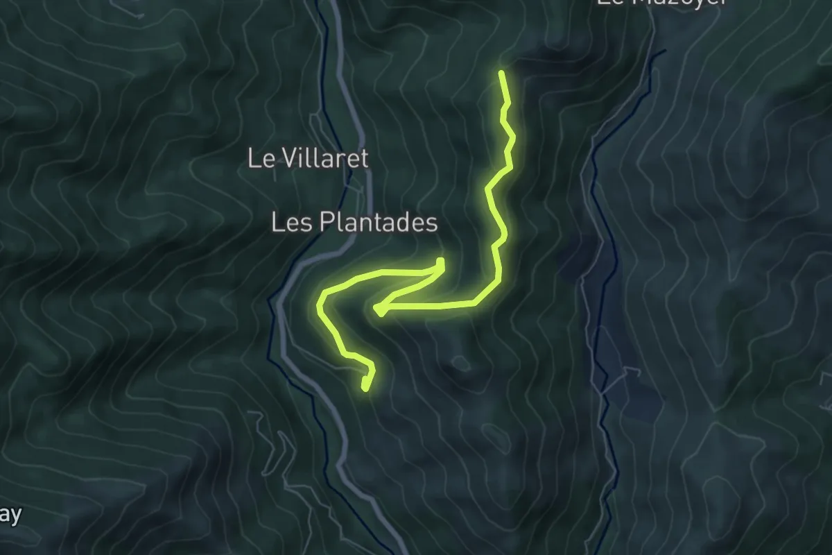
Le Saint-Vincent - Le Villaret Bas
3.7 km · ↑ 153 m · 1 h 12 min
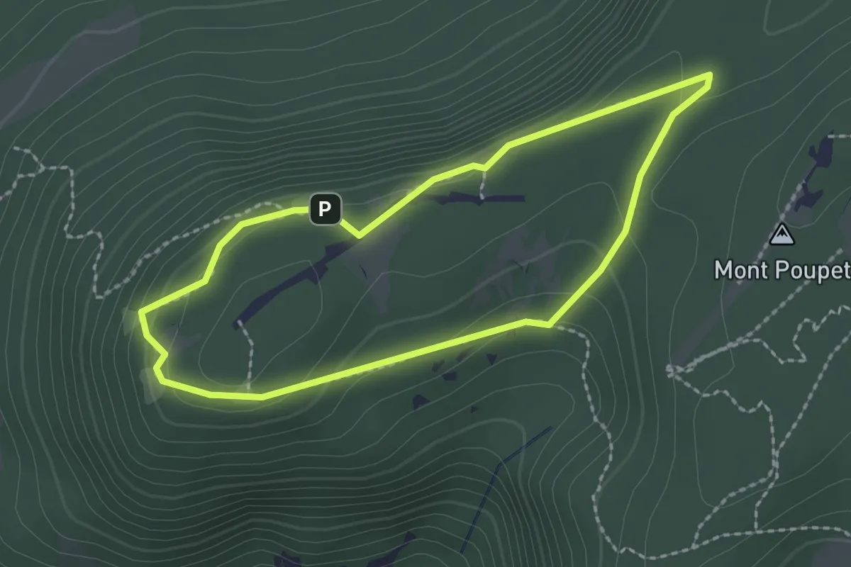
Medium · Trail
Le Saint-Vincent - Rocher de la Clé
7.5 km · ↑ 360 m · 2 h 33 min
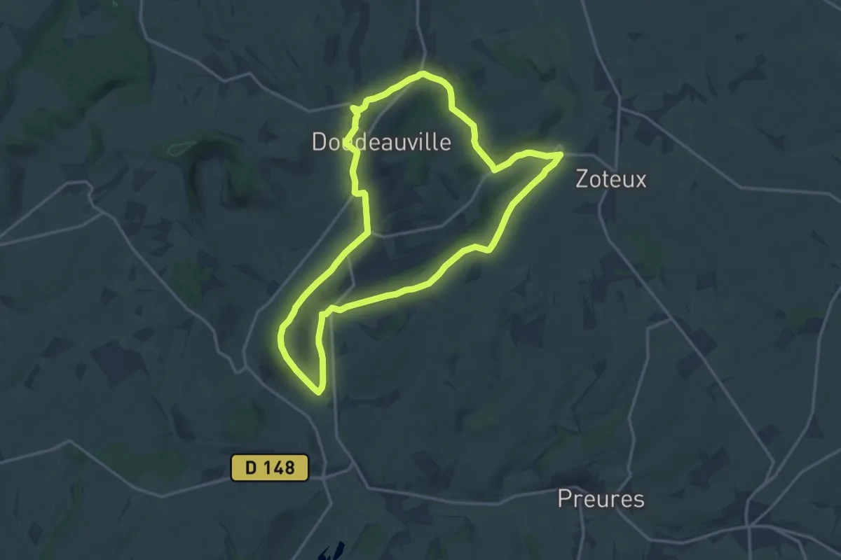
Easy · Trail
Les Aires d'Envol
2.0 km · ↑ 56 m · 37 min
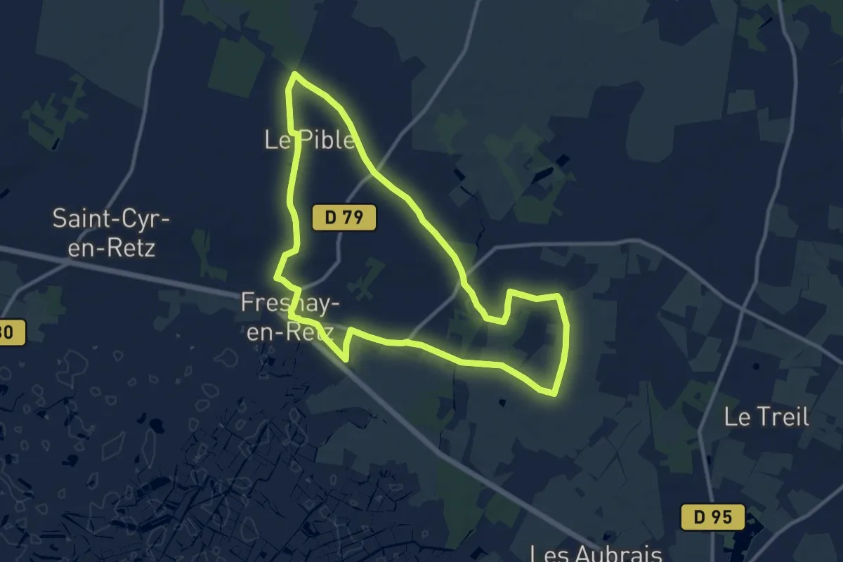
Medium · Summit
Les Airs d'Eglise
13.8 km · ↑ 228 m · 3 h 56 min
Medium · Trail
Les Ajoncs
10.5 km · ↑ 40 m · 2 h 43 min