Trails in France
15,926 hiking trails, each with its route, climb, walking time and grade.
All trails, page 175 of 332
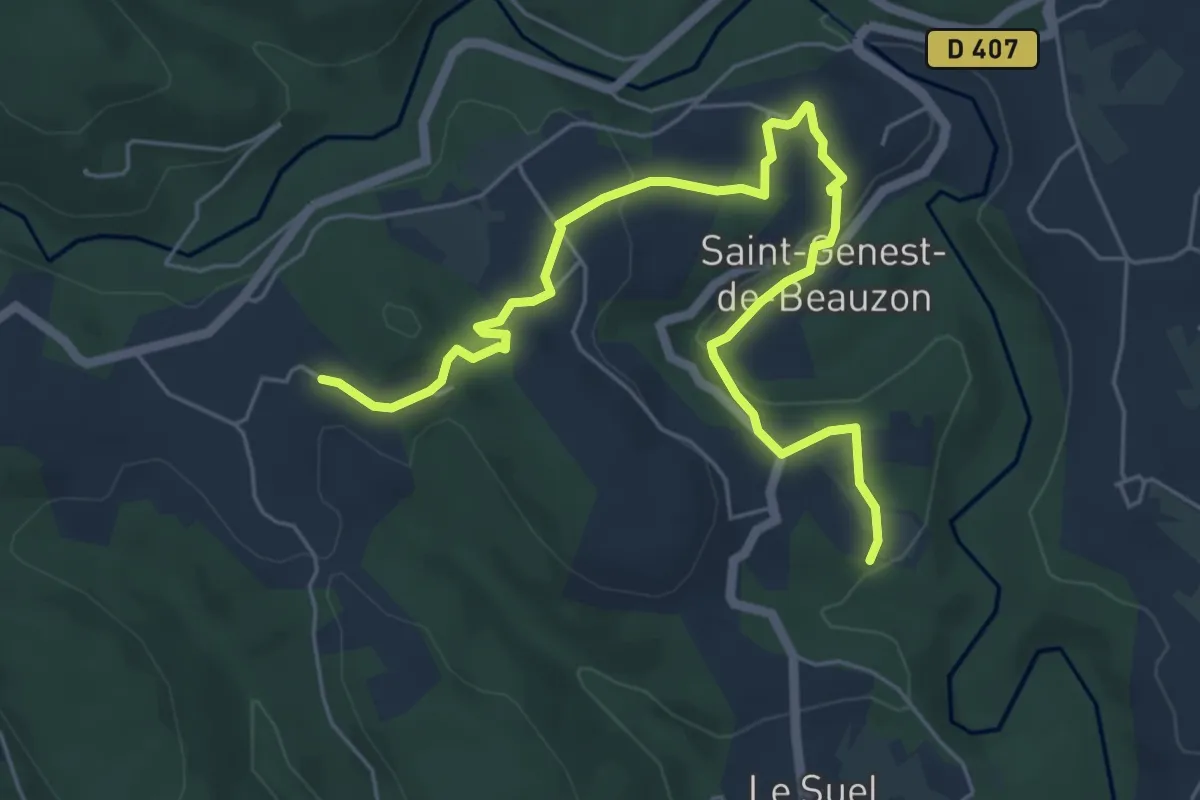
Easy · Trail
Le Salavert - L'Espic
7.1 km · ↑ 153 m · 2 h
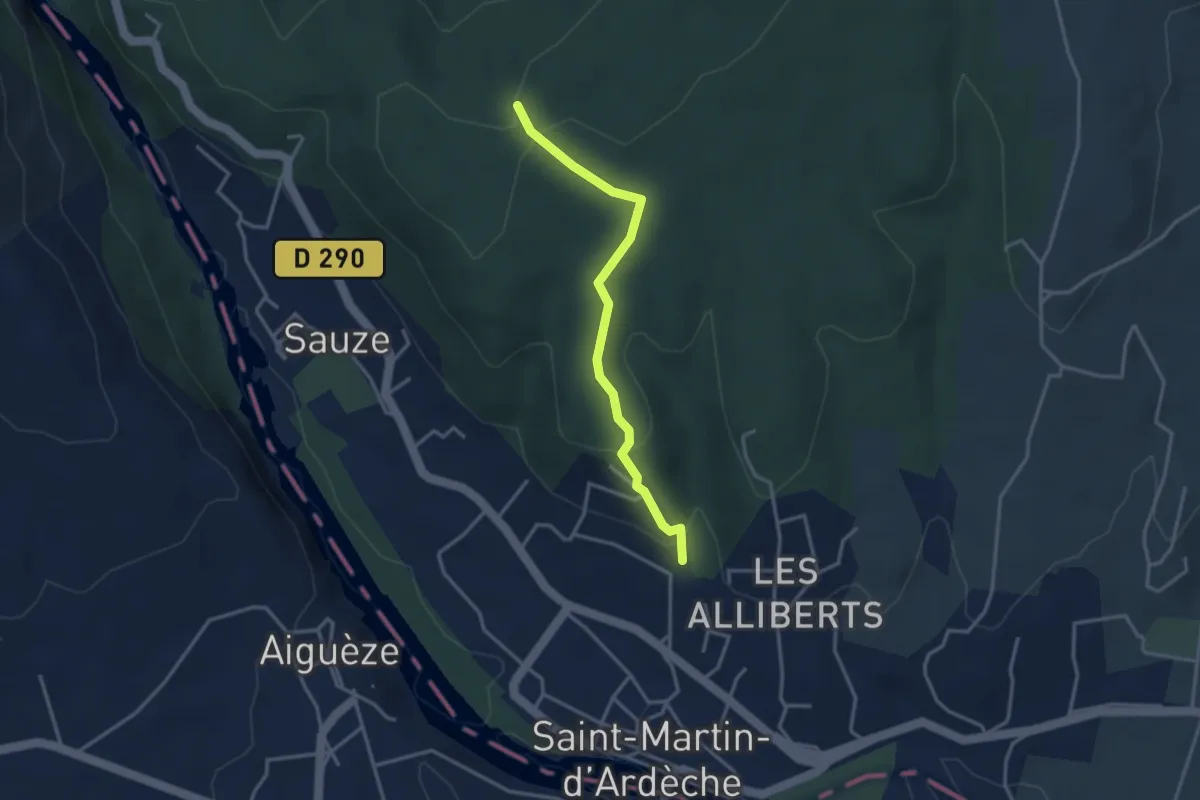
Easy · Trail
Les Alliberts - Plaine du Feuillet
3.3 km · ↑ 109 m · 1 h 1 min
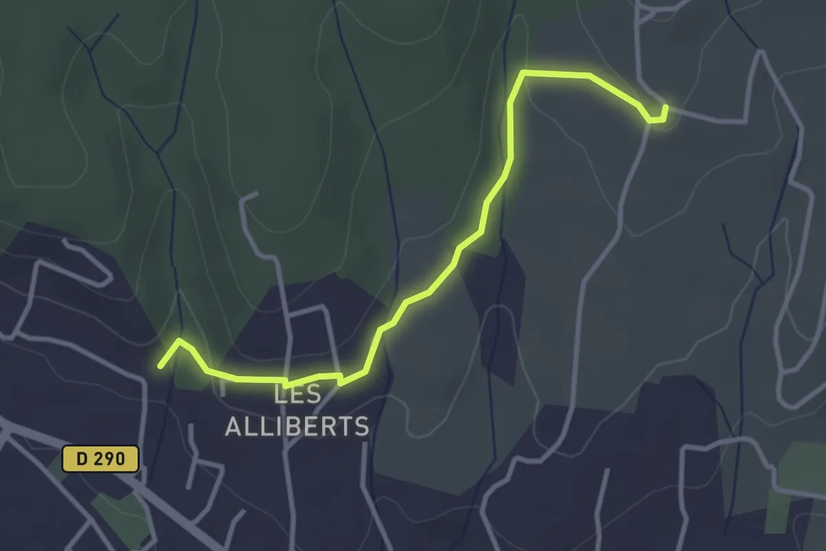
Easy · Trail
Les Alliberts - Trignan Bas
3.3 km · ↑ 56 m · 54 min
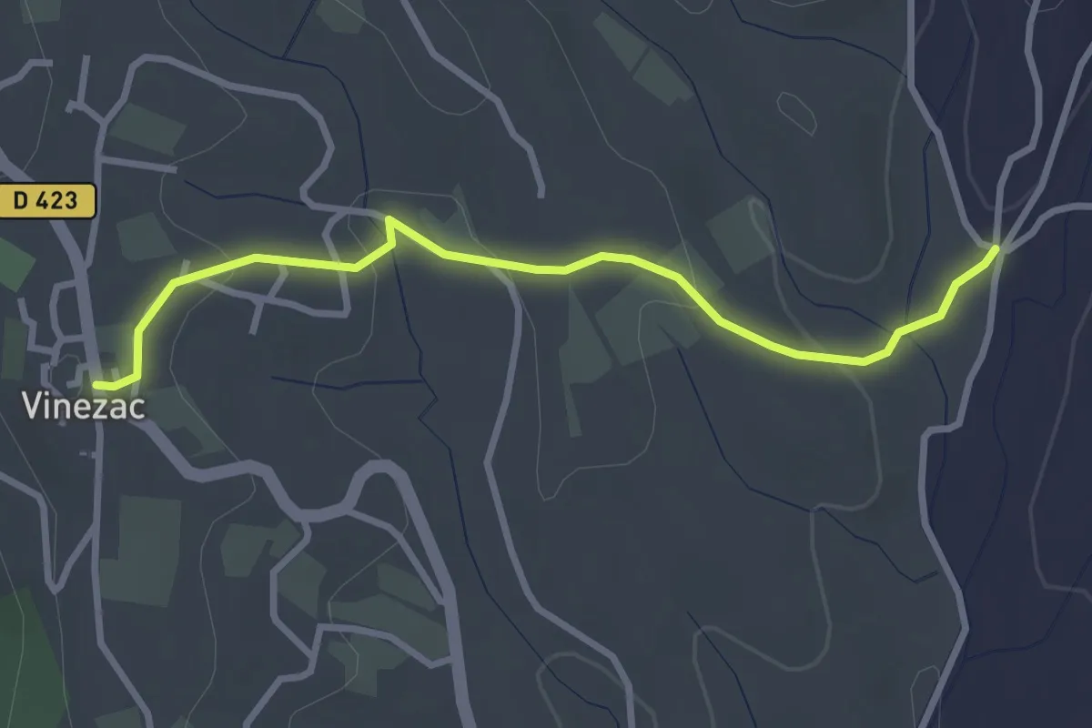
Easy · Trail
Les Alobres - Le Village
3.1 km · ↑ 70 m · 53 min
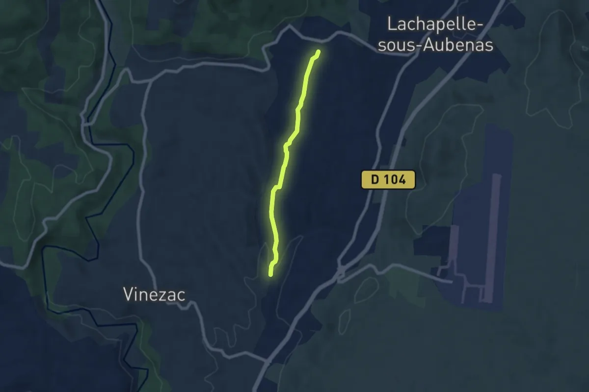
Easy · Trail
Les Alobres - Soudournas
5.3 km · ↑ 68 m · 1 h 24 min
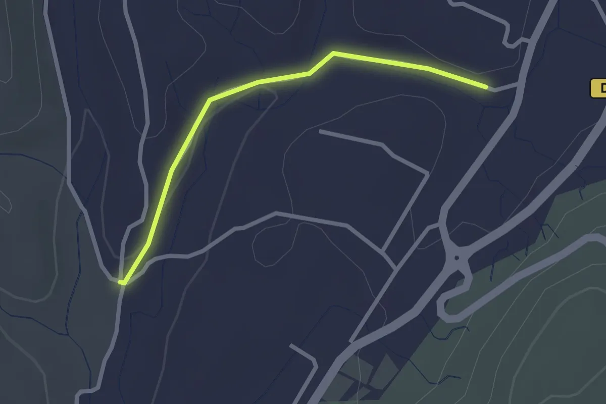
Easy · Trail
Les Alobres - Voie verte
2.3 km · ↑ 28 m · 36 min
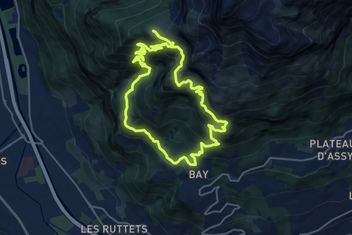
Demanding · Trail
Les alpages du Lachat d'en Haut
10.7 km · ↑ 1057 m · 4 h 58 min
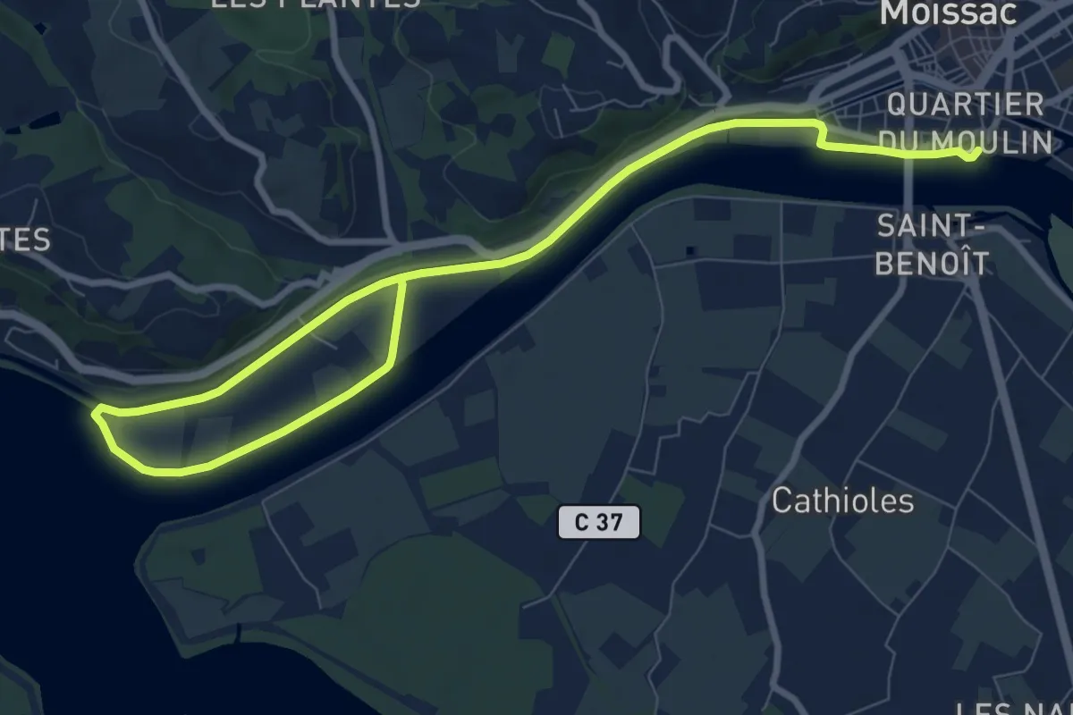
Medium · Trail
Les Anciens Chemin de Halage
12.0 km · ↑ 9 m · 2 h 51 min
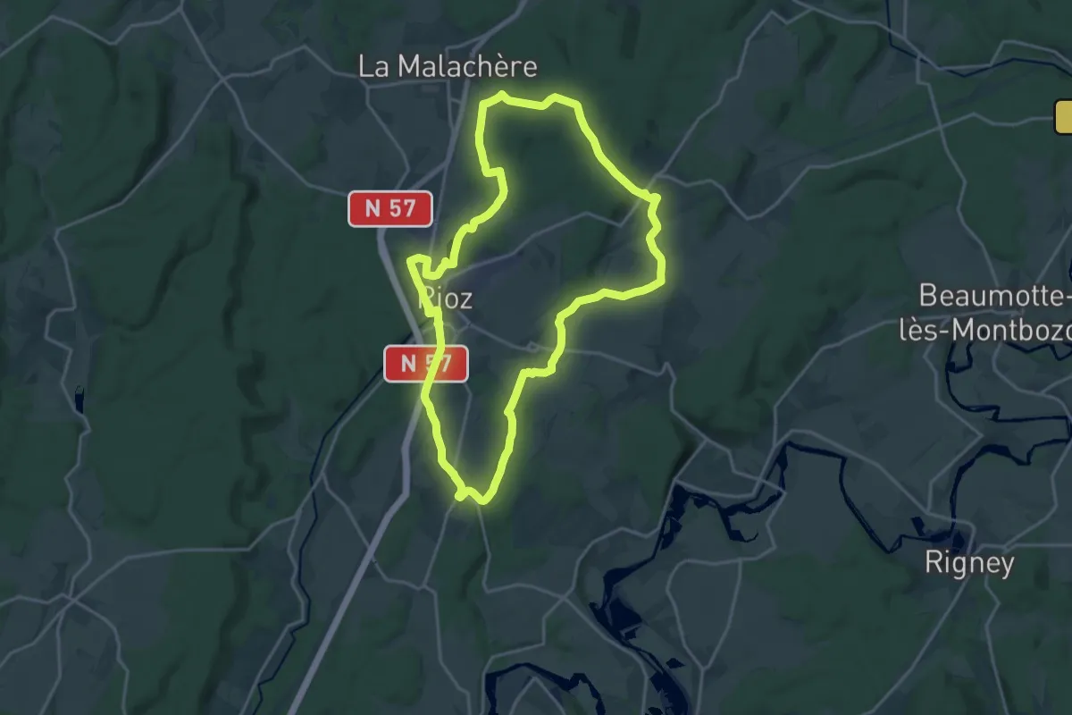
Demanding · Trail
Les Anciens Moulins
18.3 km · ↑ 257 m · 5 h 8 min
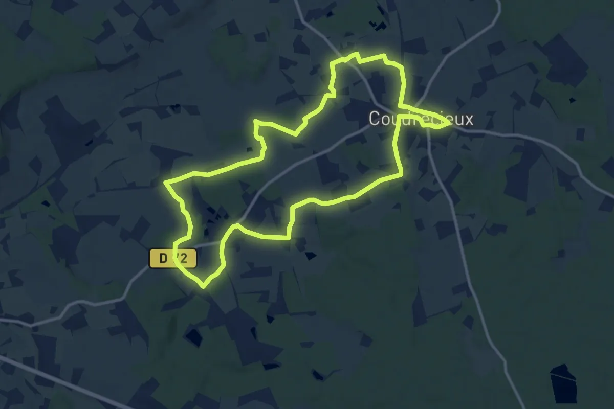
Medium · Trail
Les Anges Musiciens Des Loges
10.6 km · ↑ 88 m · 2 h 50 min
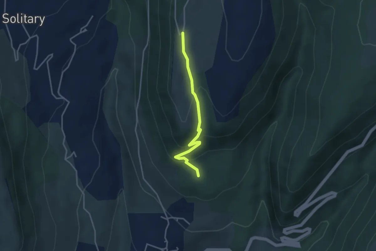
Easy · Trail
Les Angladures - La Grangette
2.9 km · ↑ 146 m · 1 h
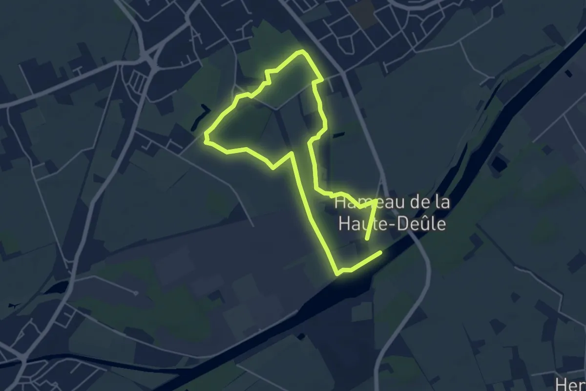
Easy · Trail
Les Ansereuilles
4.0 km · ↑ 4 m · 1 h
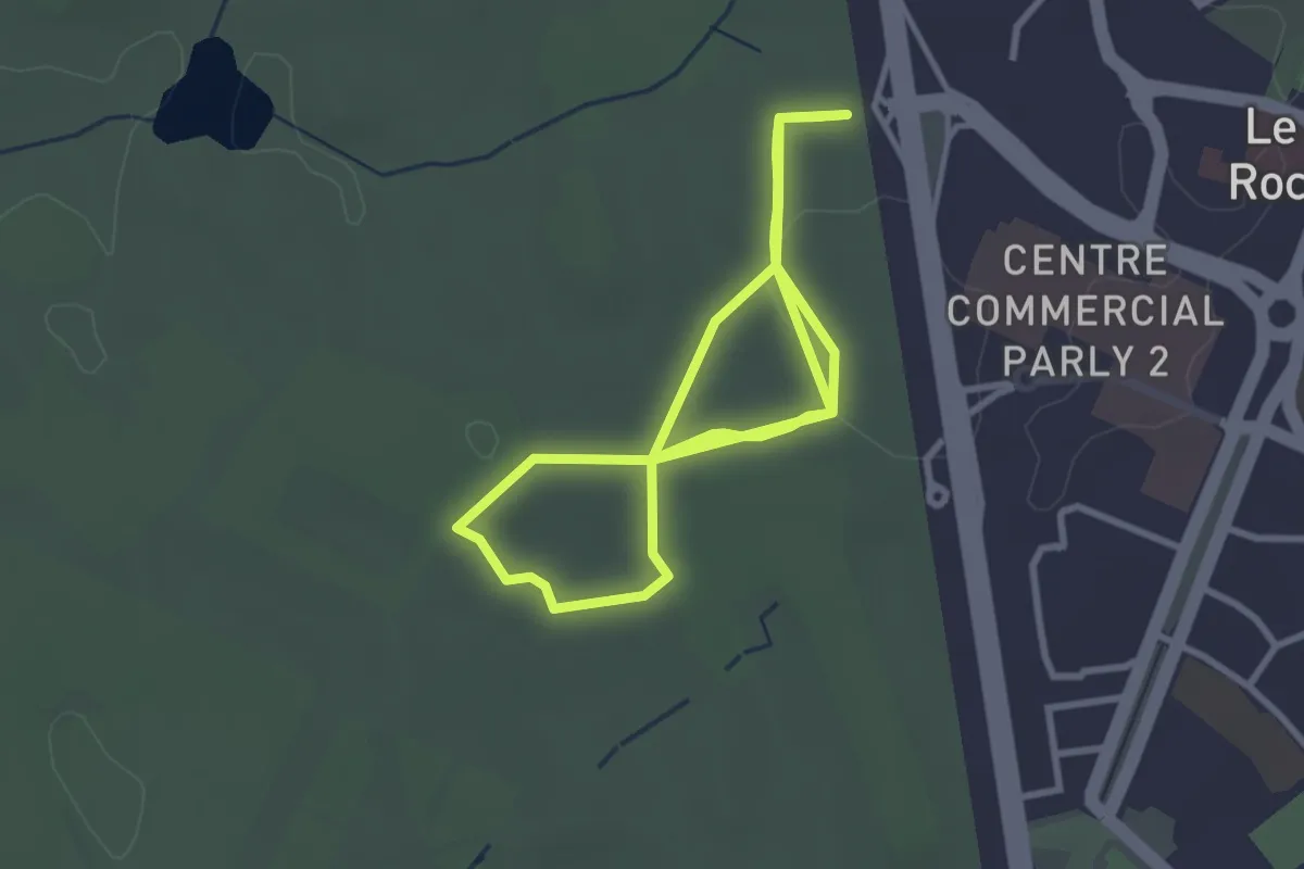
Easy · Trail
Les Arbres du Monde: Circuit Bleu
5.8 km · ↑ 25 m · 1 h 25 min
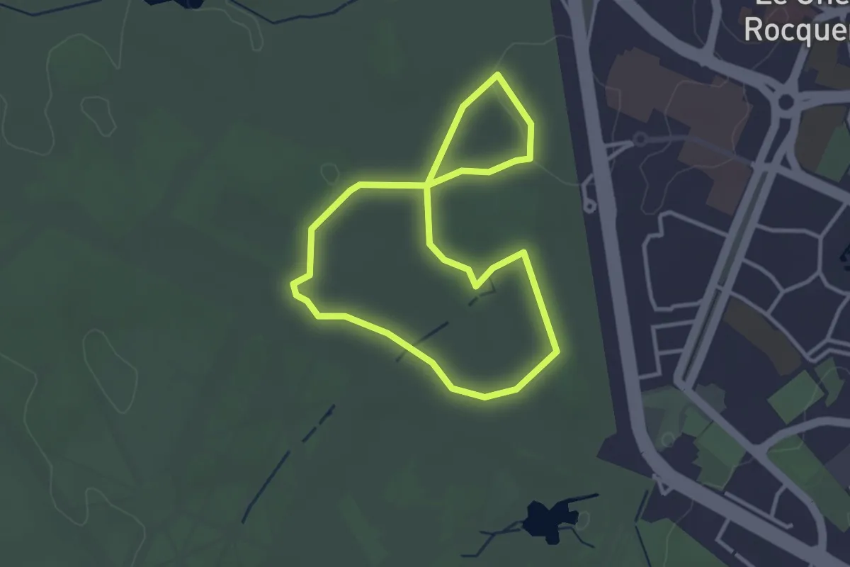
Easy · Trail
Les Arbres du Monde: Circuit Rouge
2.7 km · ↑ 18 m · 43 min
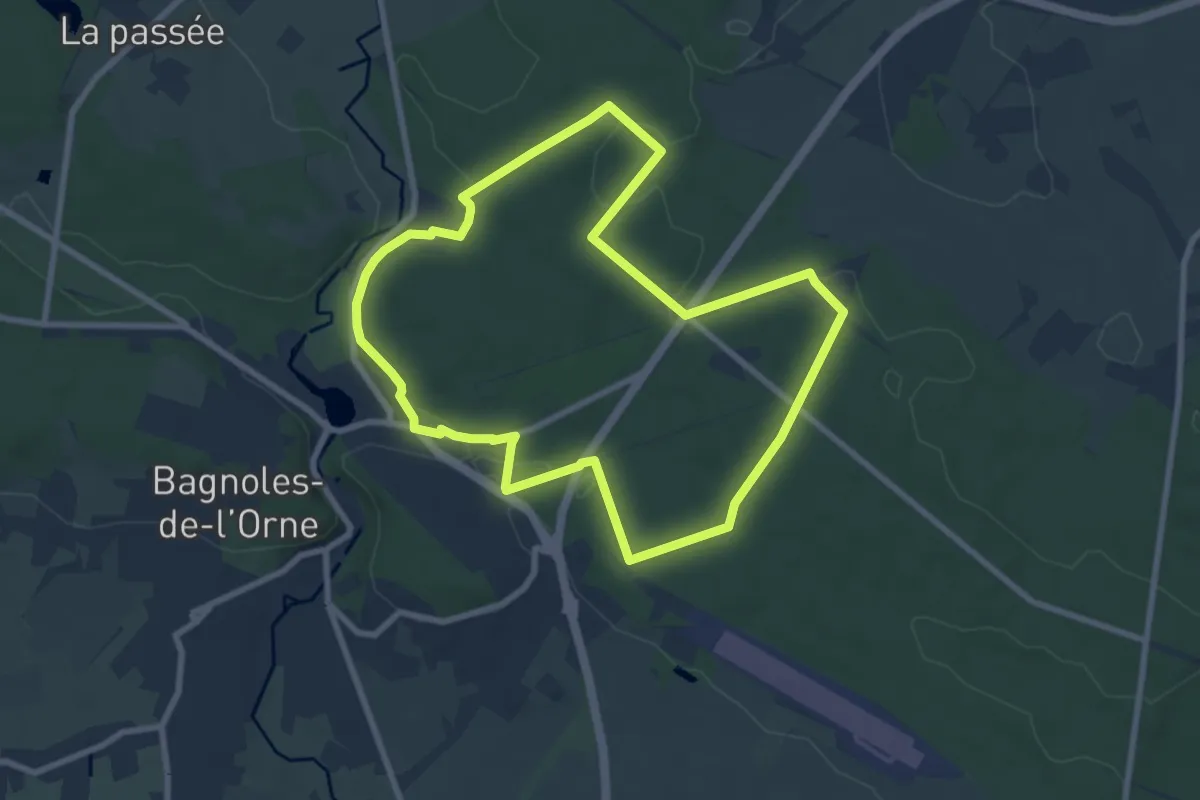
Easy · Trail
Les Arbres remarquables de Bagnoles-de-l'Orne
7.7 km · ↑ 78 m · 2 h 6 min
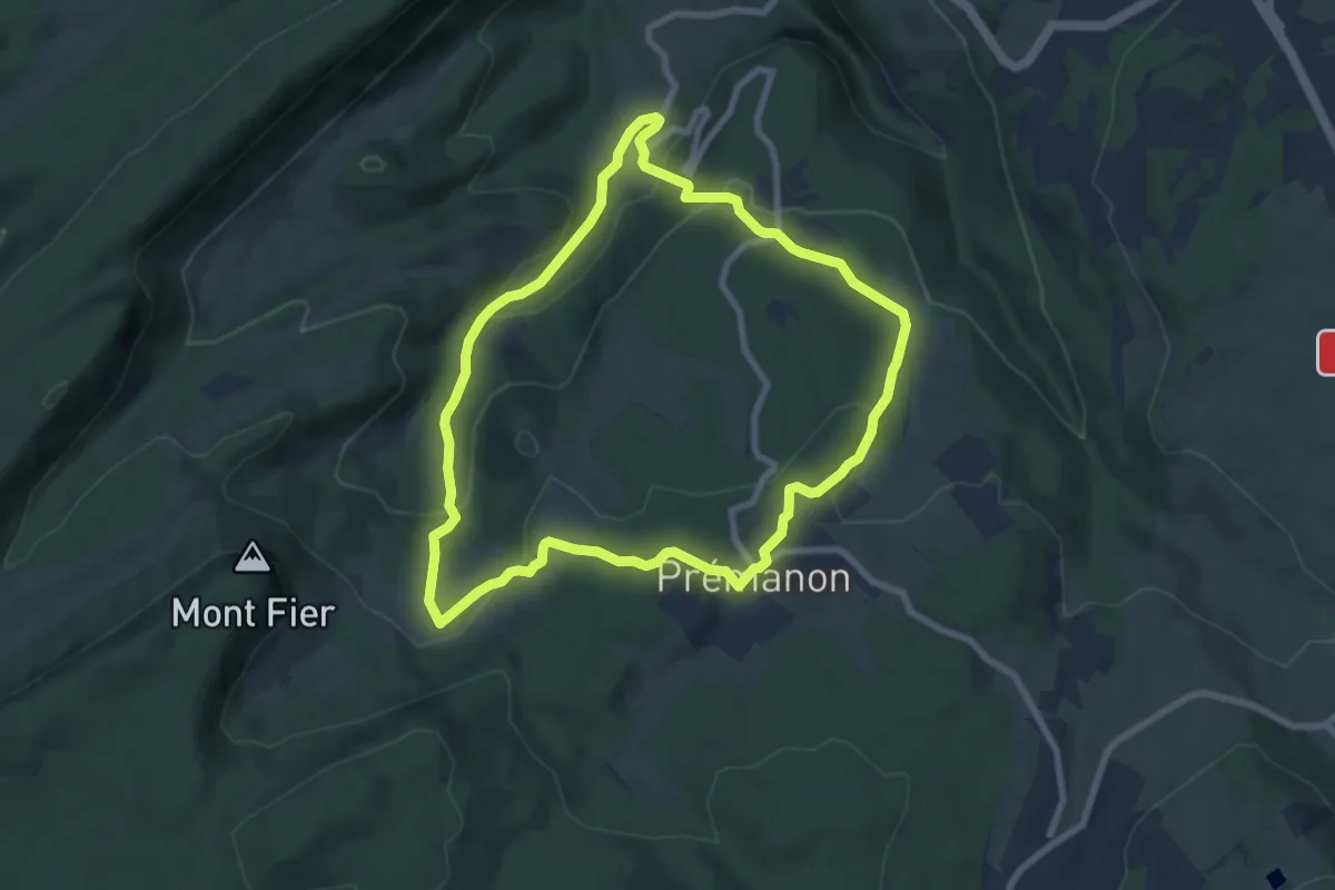
Medium · Trail
Les Arcets
7.5 km · ↑ 296 m · 2 h 31 min
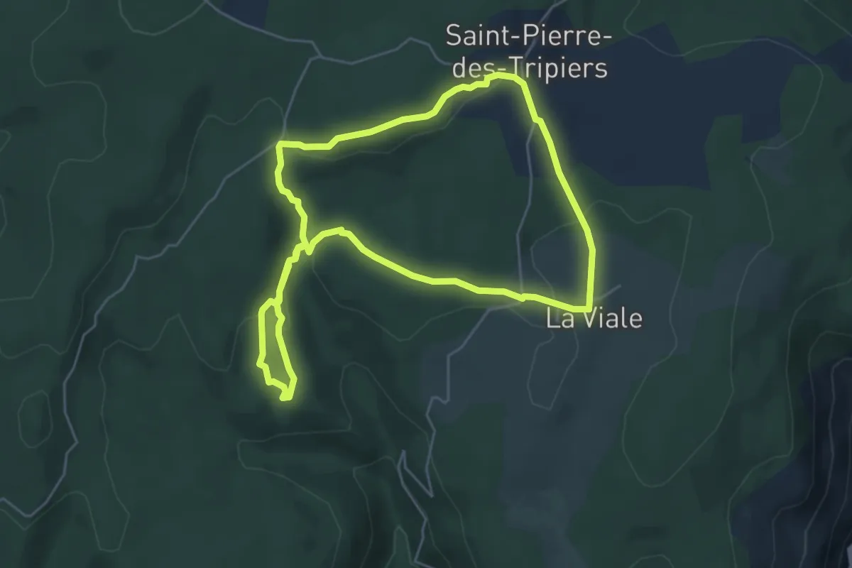
Medium · Trail
Les arcs de Saint-Pierre
5.2 km · ↑ 145 m · 1 h 37 min
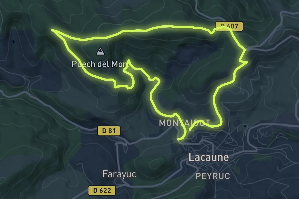
Medium · Trail
Les Ardoisières
10.2 km · ↑ 316 m · 3 h 13 min
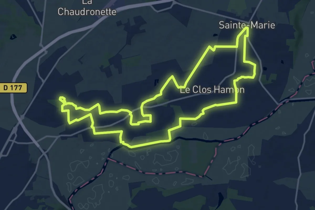
Medium · Trail
Les Ardoisières
14.0 km · ↑ 95 m · 3 h 43 min
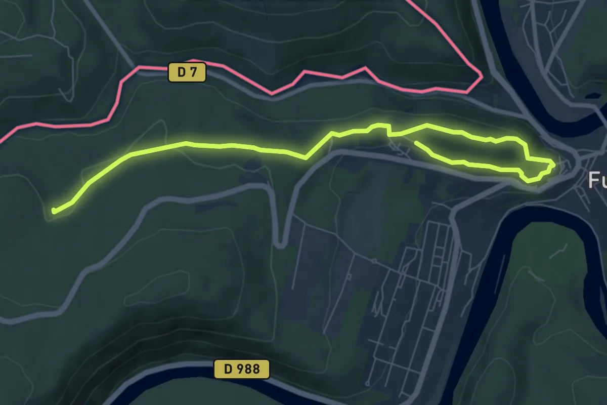
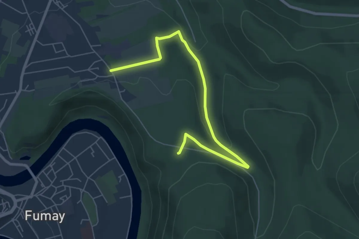
Easy · Trail
Les Ardoisières de Fumay
4.1 km · ↑ 88 m · 1 h 14 min
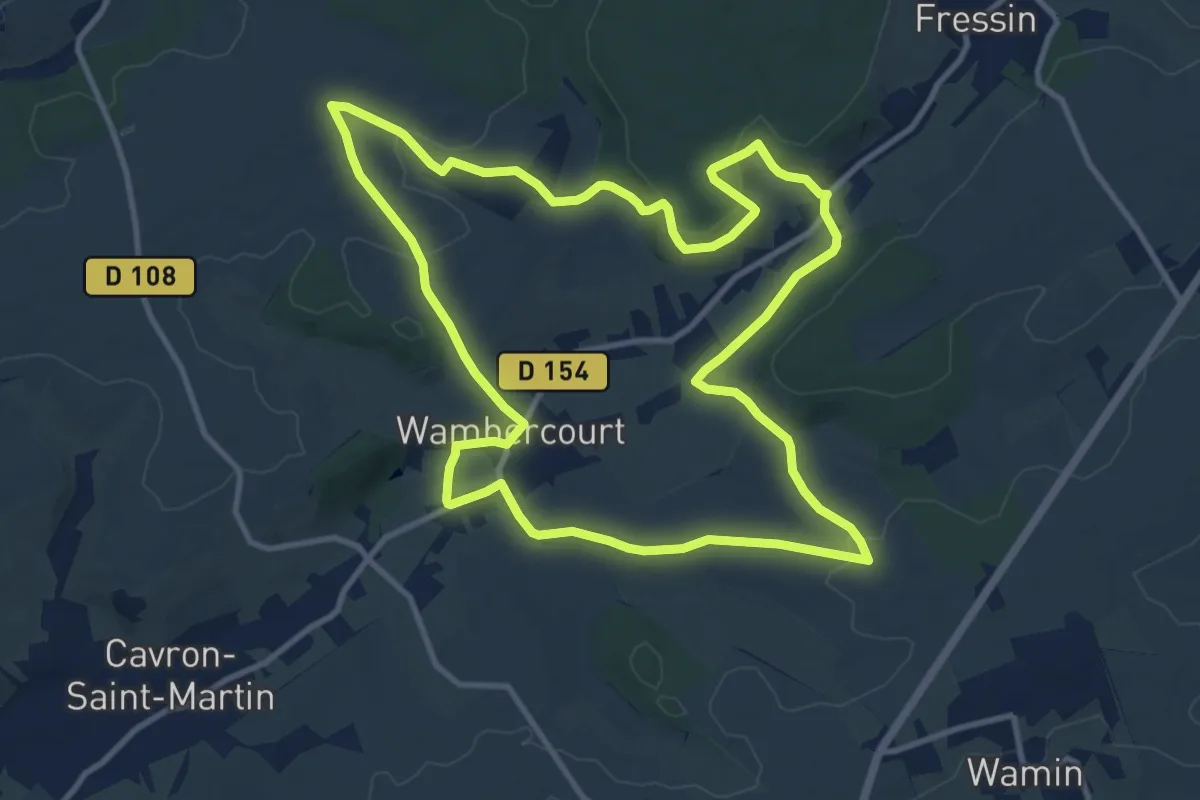
Easy · Trail
Les Ardoisières de Haybes
2.9 km · ↑ 78 m · 52 min
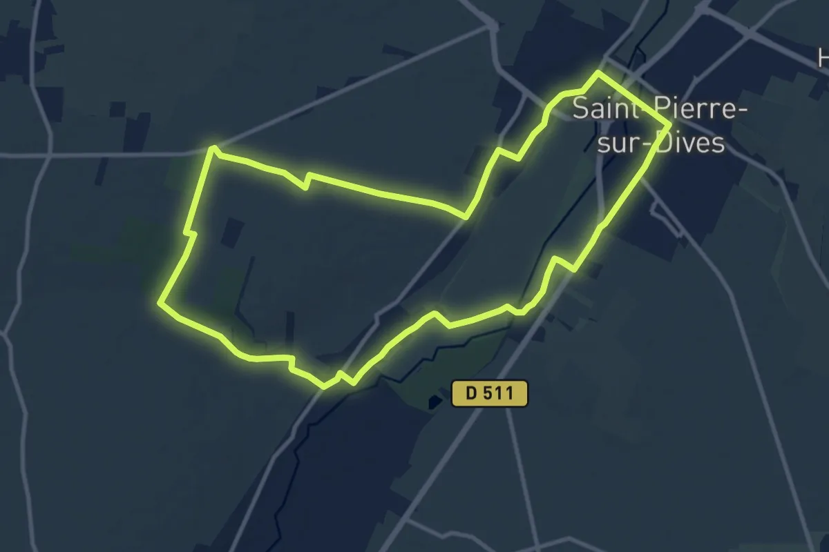
Medium · Trail
Les Argilettes
10.9 km · ↑ 171 m · 3 h 5 min
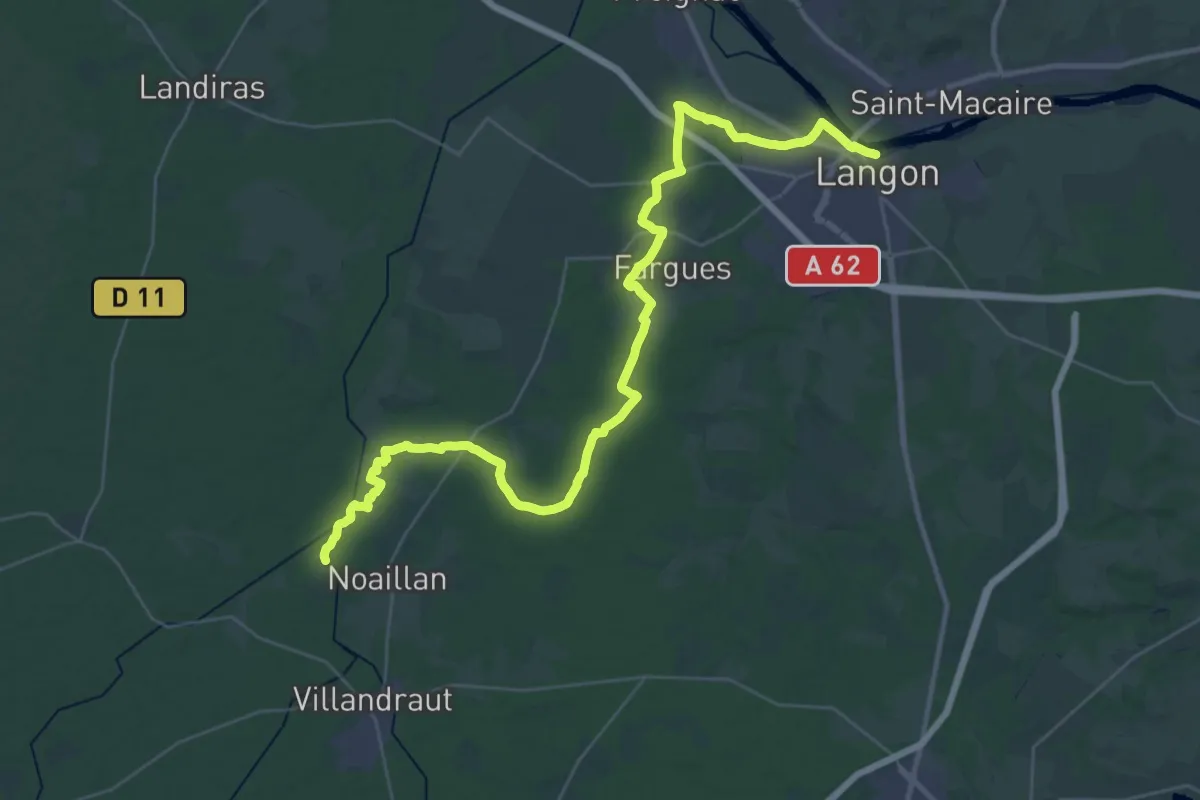
Medium · Trail
Les Arpents du Soleil
10.3 km · ↑ 48 m · 2 h 41 min
Demanding · Trail
Les Arrius : circuit départemental
22.6 km · ↑ 120 m · 5 h 55 min
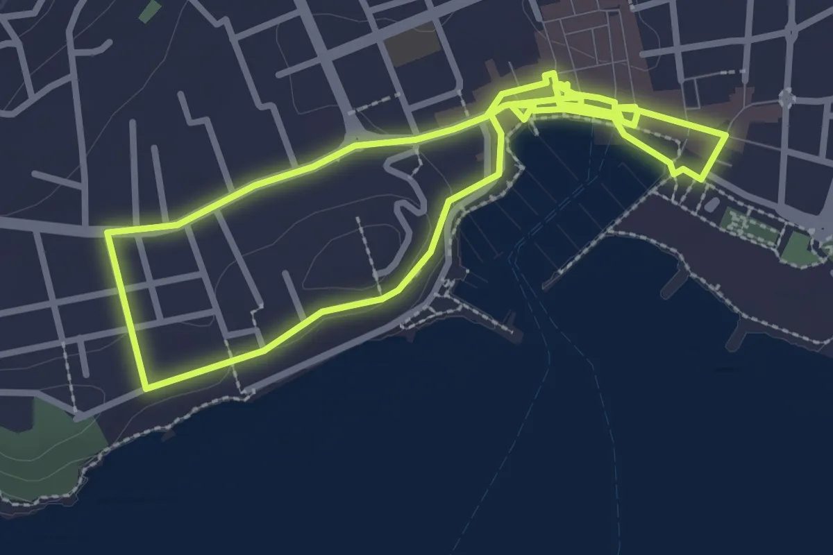
Easy · Trail
Les artistes étrangers à Sanary
3.0 km · ↑ 13 m · 46 min
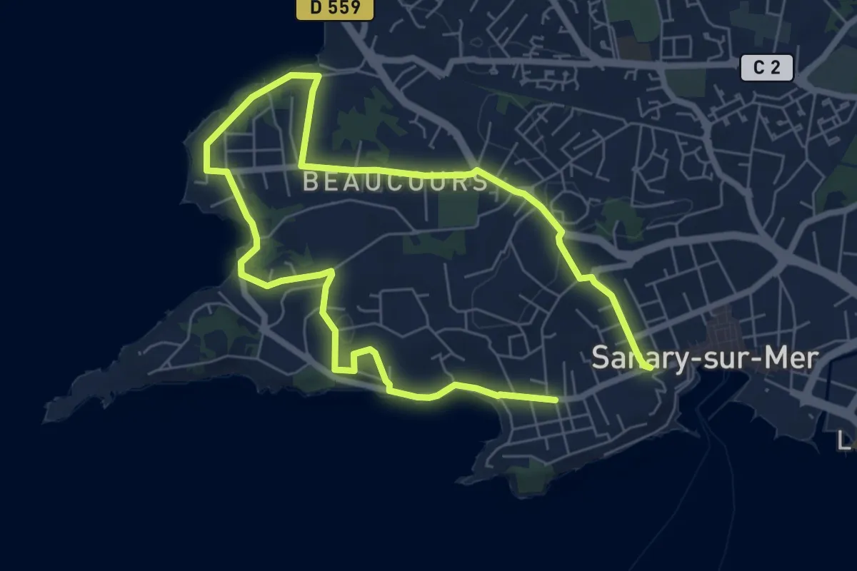
Medium · Trail
Les artistes étrangers à Sanary
11.3 km · ↑ 214 m · 3 h 7 min
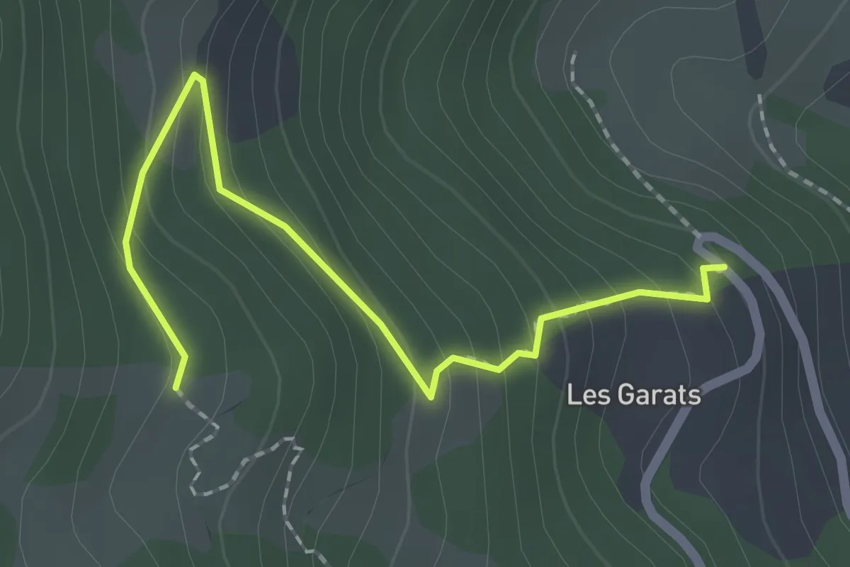
Easy · Trail
Les Aubergens - Les Garrats
2.2 km · ↑ 176 m · 54 min
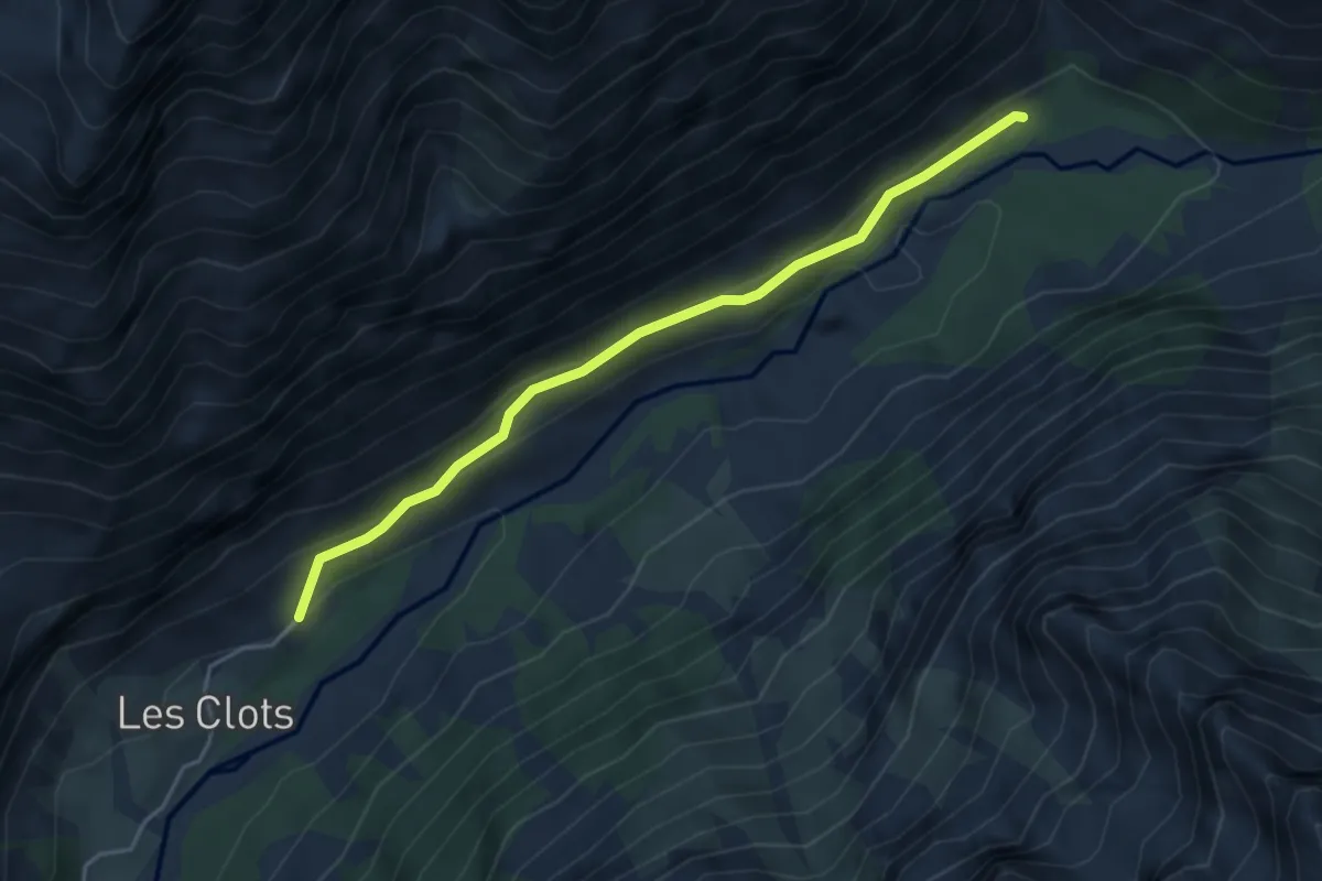
Easy · Trail
Les Auberts - ?
4.4 km · ↑ 225 m · 1 h 32 min
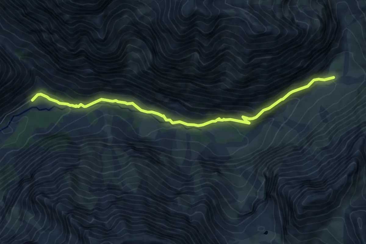
Medium · Cabin
Les Auberts - Pré de la Chaumette
8.7 km · ↑ 406 m · 2 h 56 min
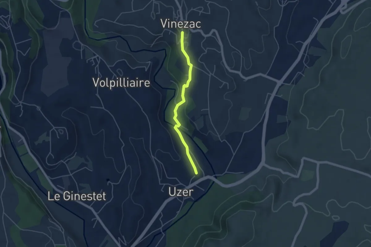
Easy · Trail
Les Auches - La Coop
4.1 km · ↑ 74 m · 1 h 8 min
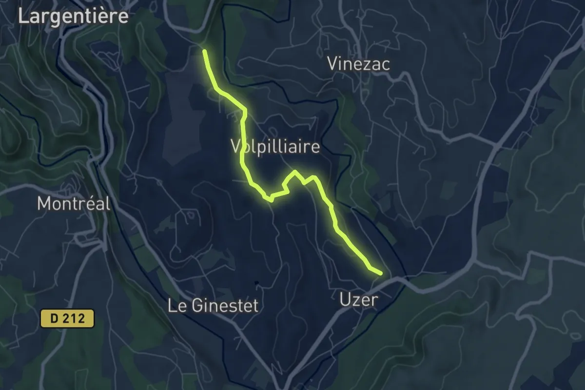
Easy · Trail
Les Auches - Montredon
6.7 km · ↑ 135 m · 1 h 52 min
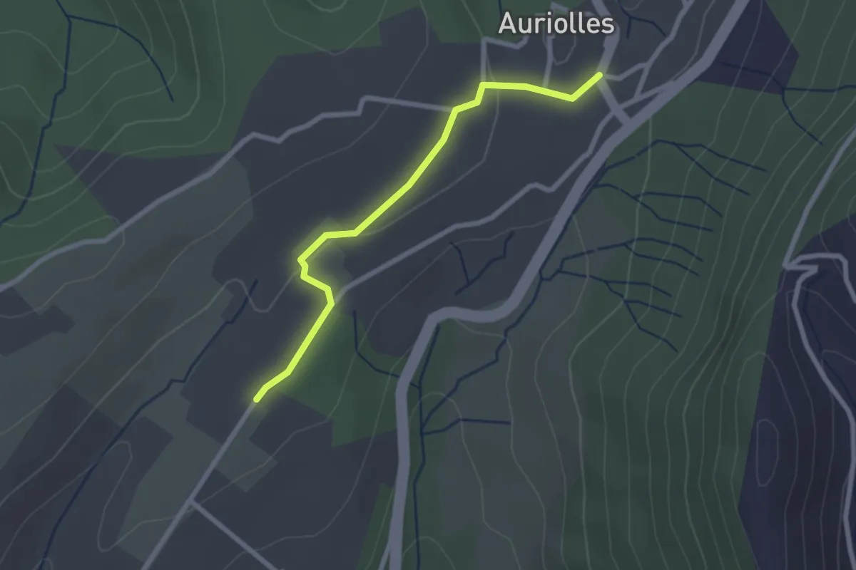
Easy · Trail
Les Aulagniers - Auriolles
2.4 km · ↑ 23 m · 36 min
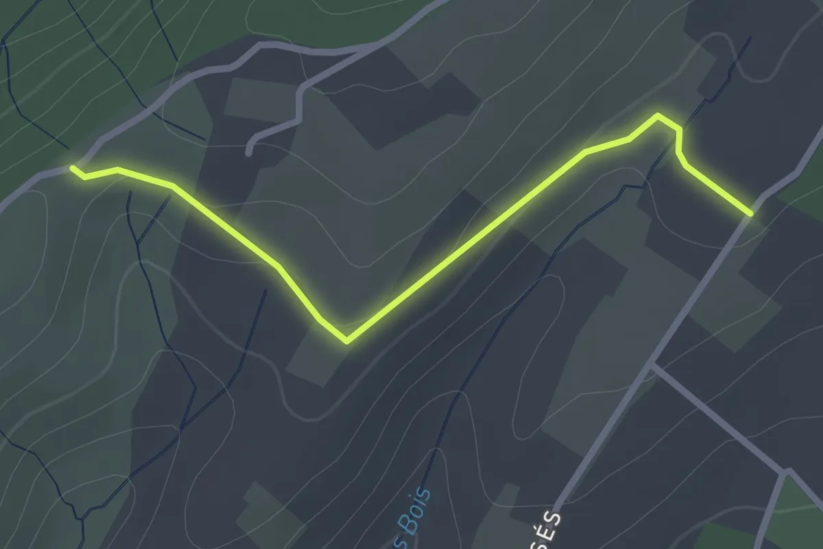
Easy · Trail
Les Aulagniers - Les Blachères
2.4 km · ↑ 31 m · 38 min
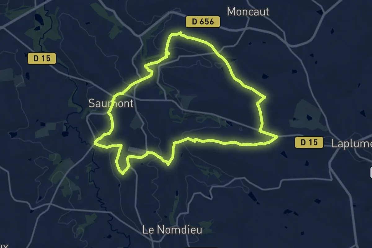
Medium · Trail
Le Saumont, randonnée autour du mont boisé 14.2 km
14.2 km · ↑ 277 m · 4 h 9 min
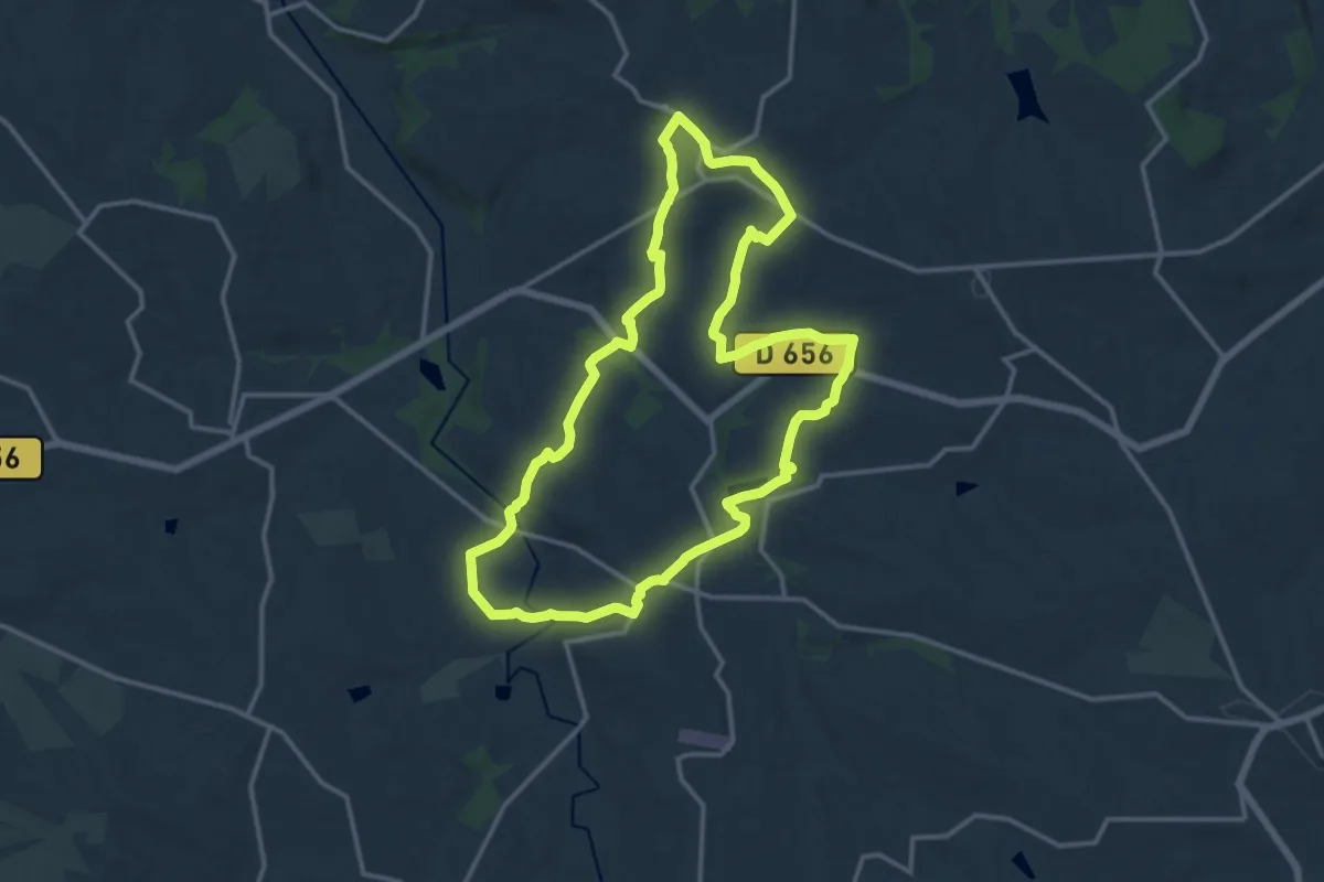
Medium · Trail
Le Saumont vers Montagnac, par les Grand et Petit Auvignon 15.1 km
14.8 km · ↑ 291 m · 4 h 19 min
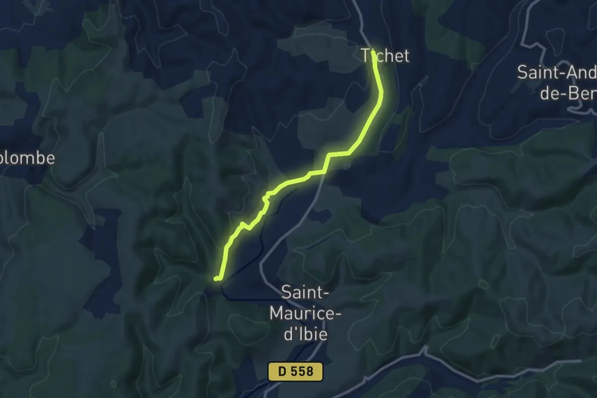
Medium · Trail
Les Ausses - Faucon
8.6 km · ↑ 164 m · 2 h 23 min
Easy · Trail
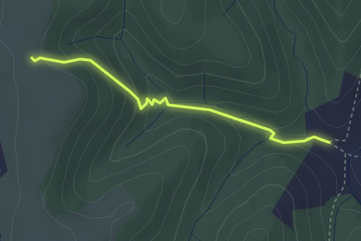
Les Ausses - Tête de Crespi
2.7 km · ↑ 161 m · 59 min
Demanding · Trail
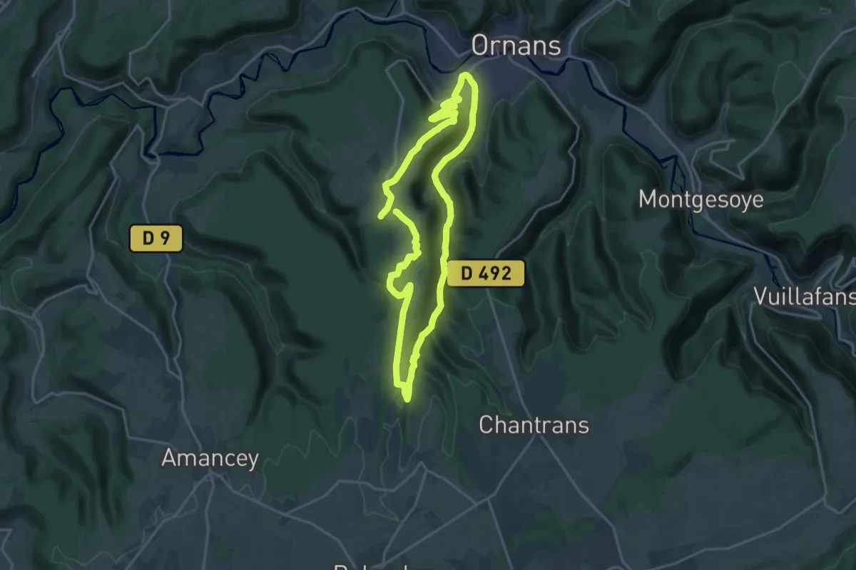
Le Saut de la Bonneille
16.2 km · ↑ 373 m · 4 h 51 min
Easy · Trail
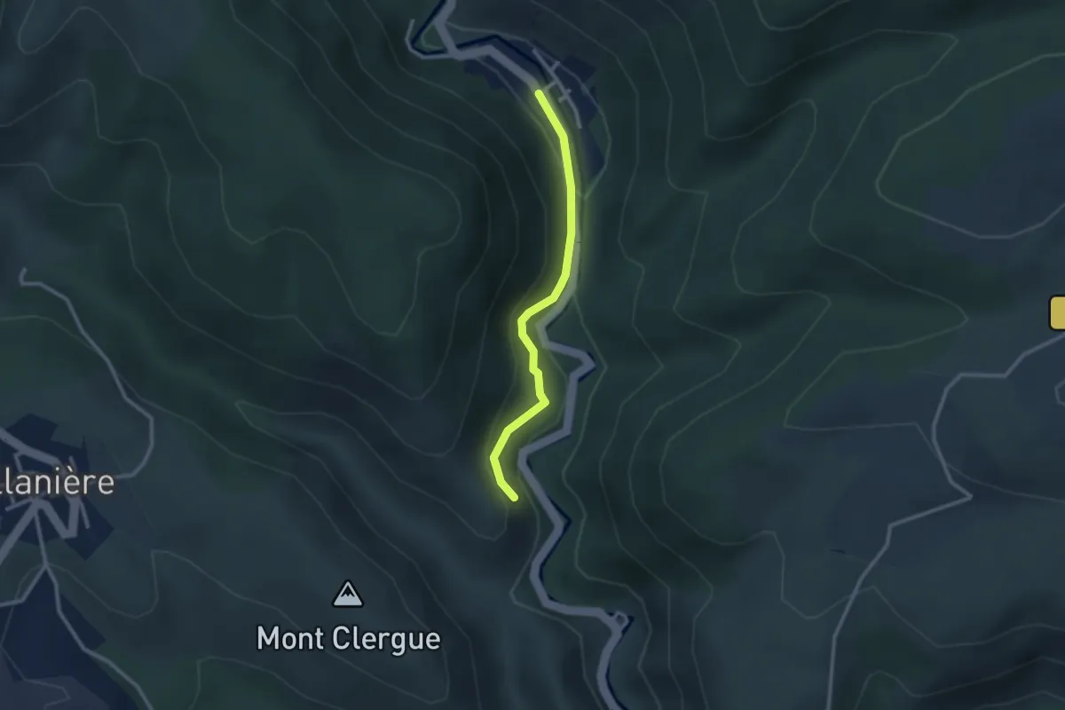
Le Saut de Roland
2.5 km · ↑ 113 m · 50 min
Medium · Trail
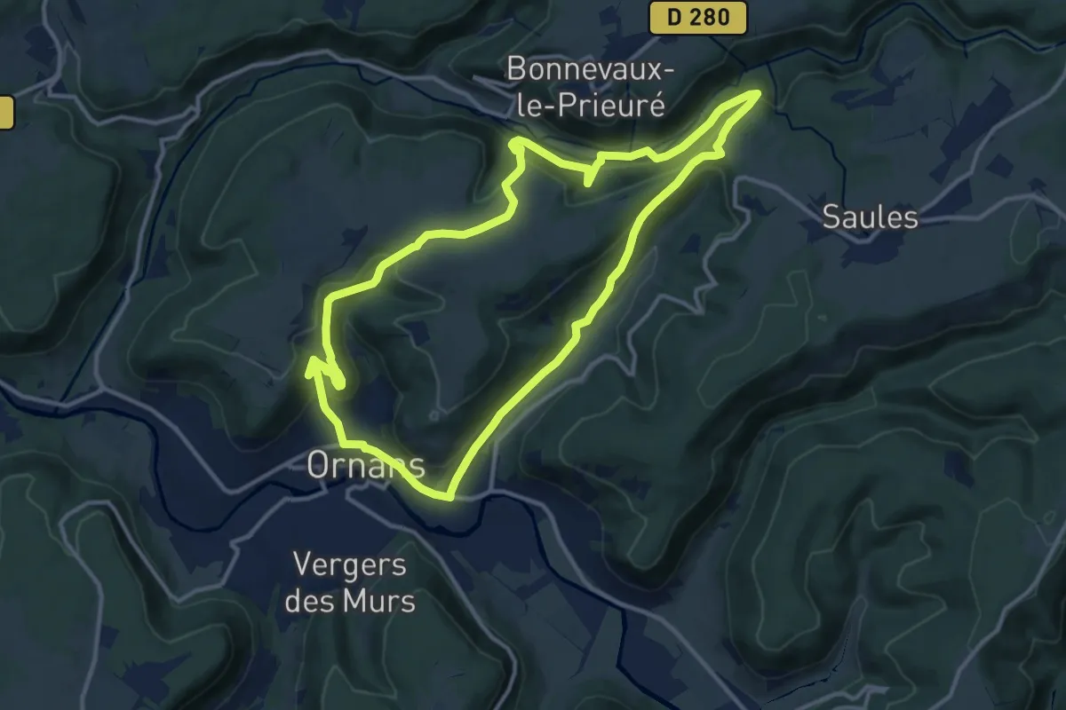
Le Saut du Chevalier
12.0 km · ↑ 494 m · 4 h 4 min
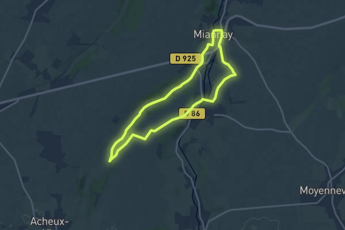
Easy · Trail
Les Auteux
7.7 km · ↑ 114 m · 2 h 11 min
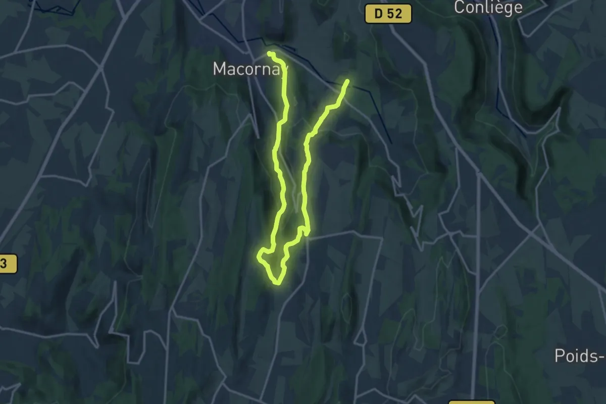
Demanding · Trail
Le Savignard
19.7 km · ↑ 793 m · 6 h 22 min
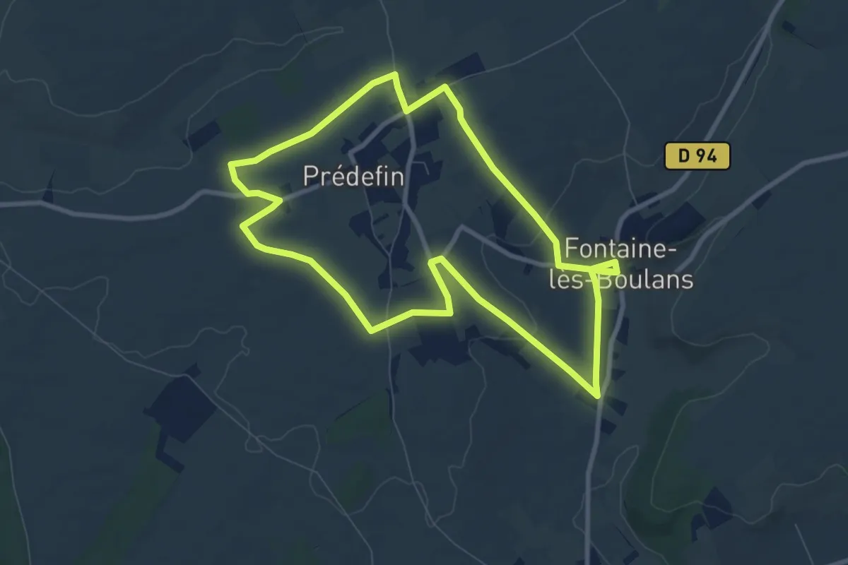
Easy · Trail
Les Avinettes
7.8 km · ↑ 54 m · 2 h 4 min
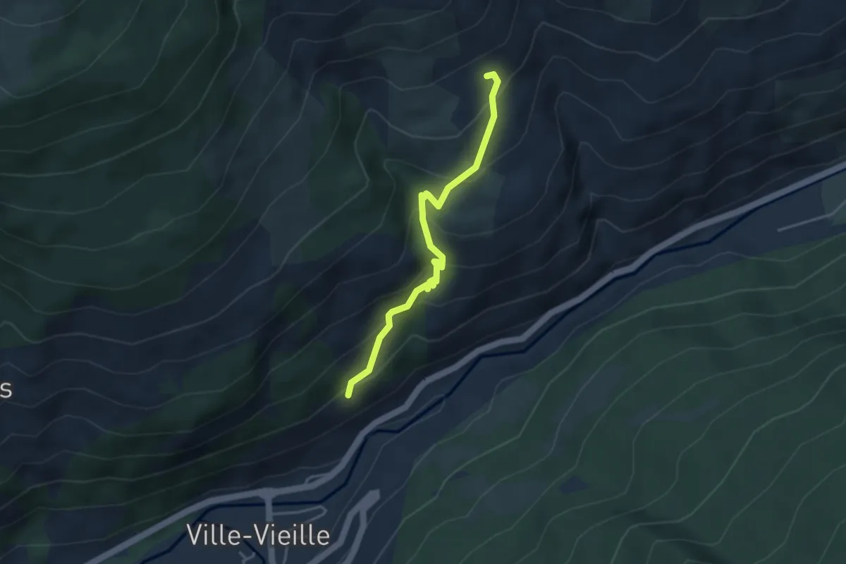
Medium · Trail
Les Bachasses - Pied la Casse
3.7 km · ↑ 306 m · 1 h 32 min
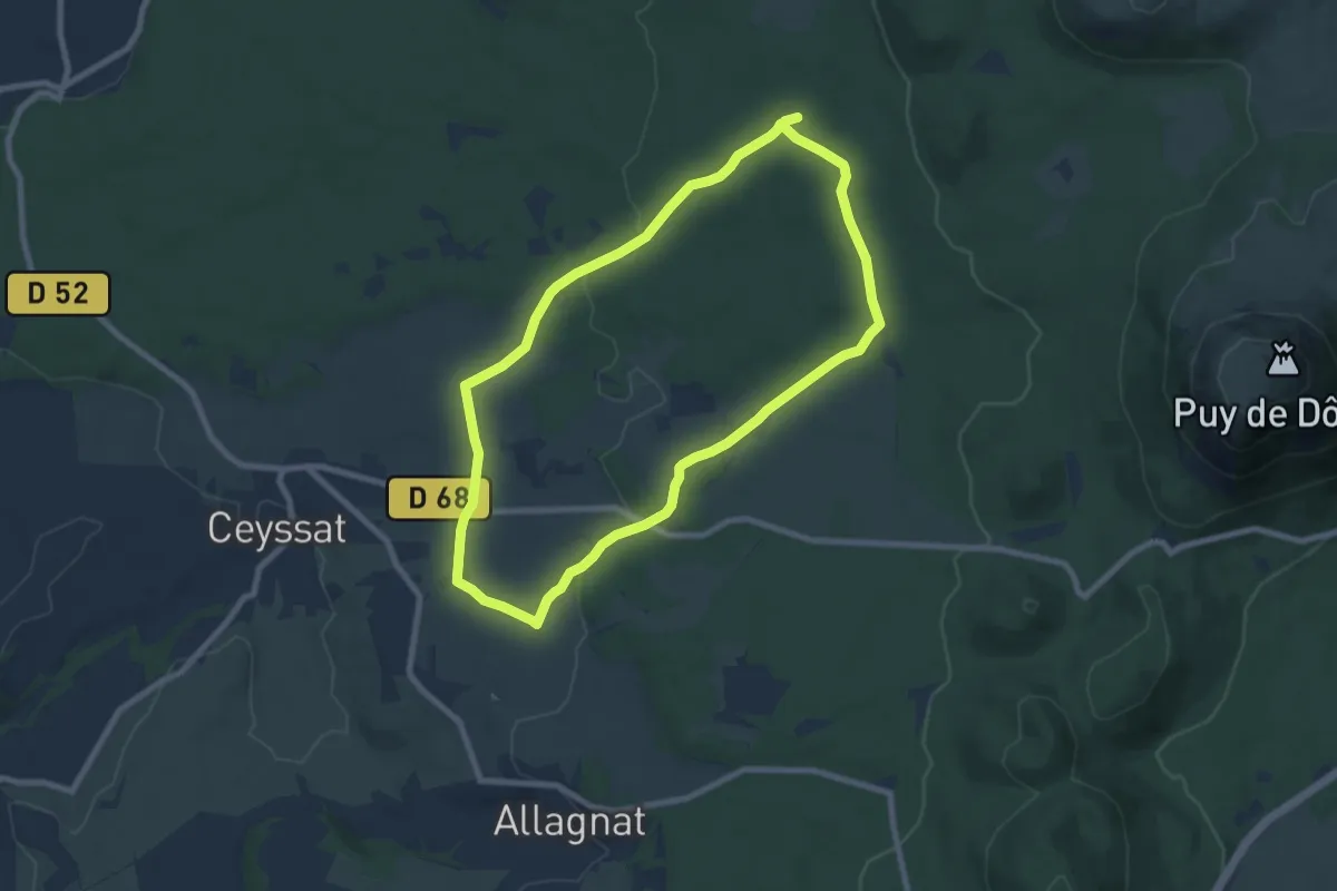
Easy · Trail
Les Bacs de Ceyssat et Montmeyre
7.7 km · ↑ 108 m · 2 h 10 min
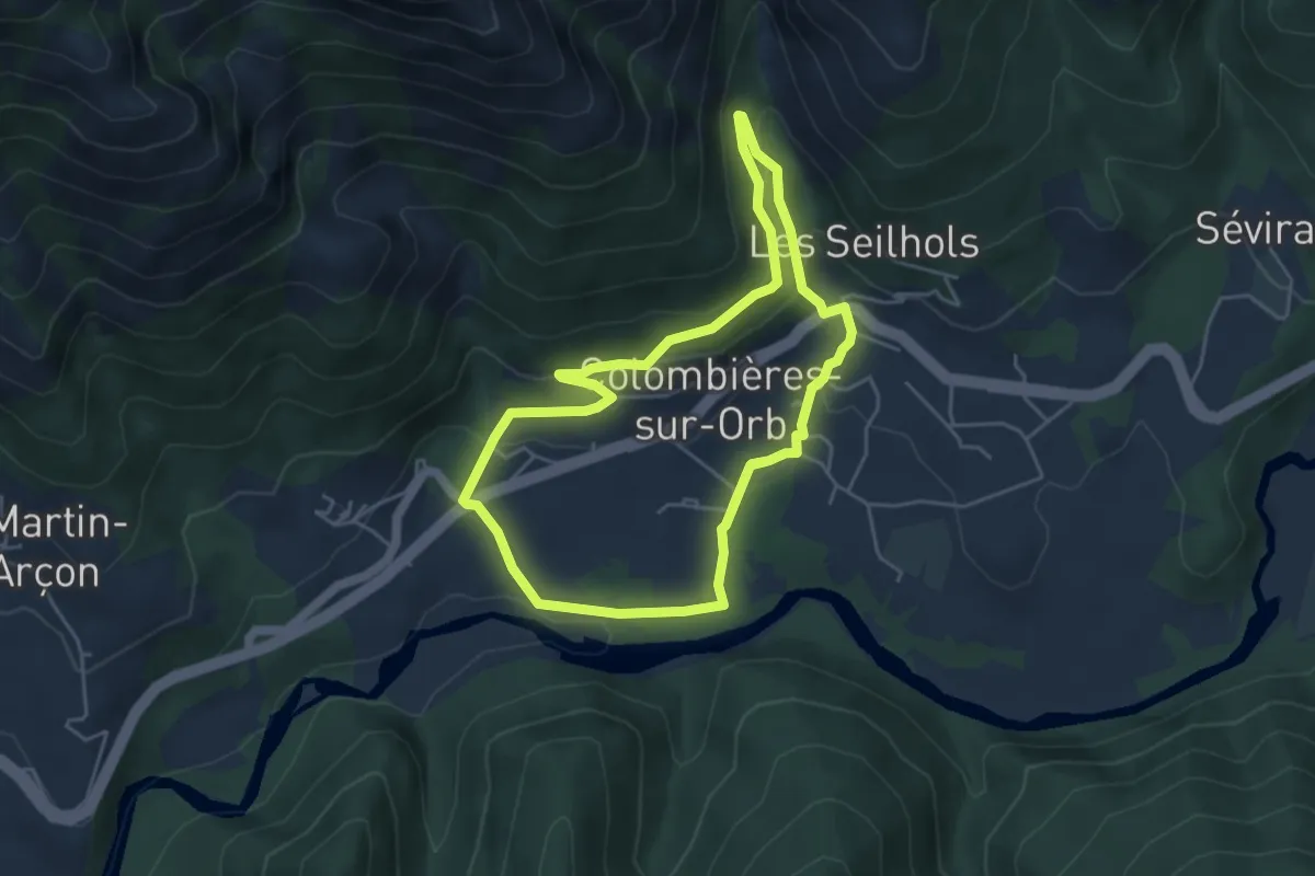
Medium · Trail
Les Balcons d'Arles
4.8 km · ↑ 187 m · 1 h 35 min
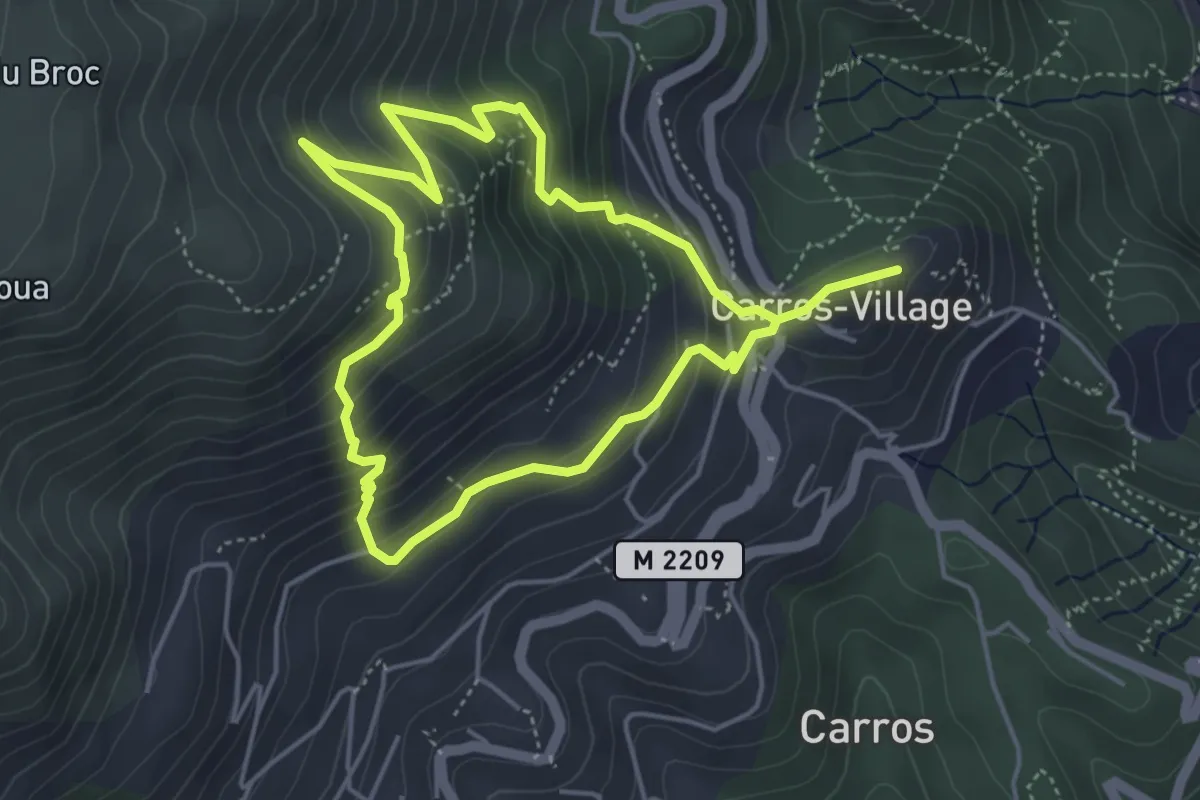
Medium · Trail
Les Balcons de Carros
4.4 km · ↑ 331 m · 1 h 49 min
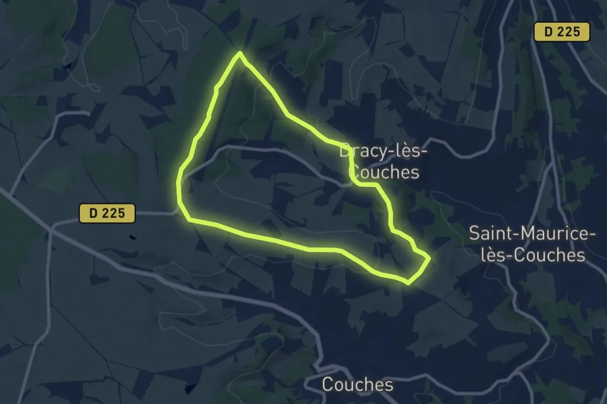
Easy · Trail
Les Balcons de Dracy
7.4 km · ↑ 118 m · 2 h 6 min