Trails in France
15,926 hiking trails, each with its route, climb, walking time and grade.
All trails, page 176 of 332
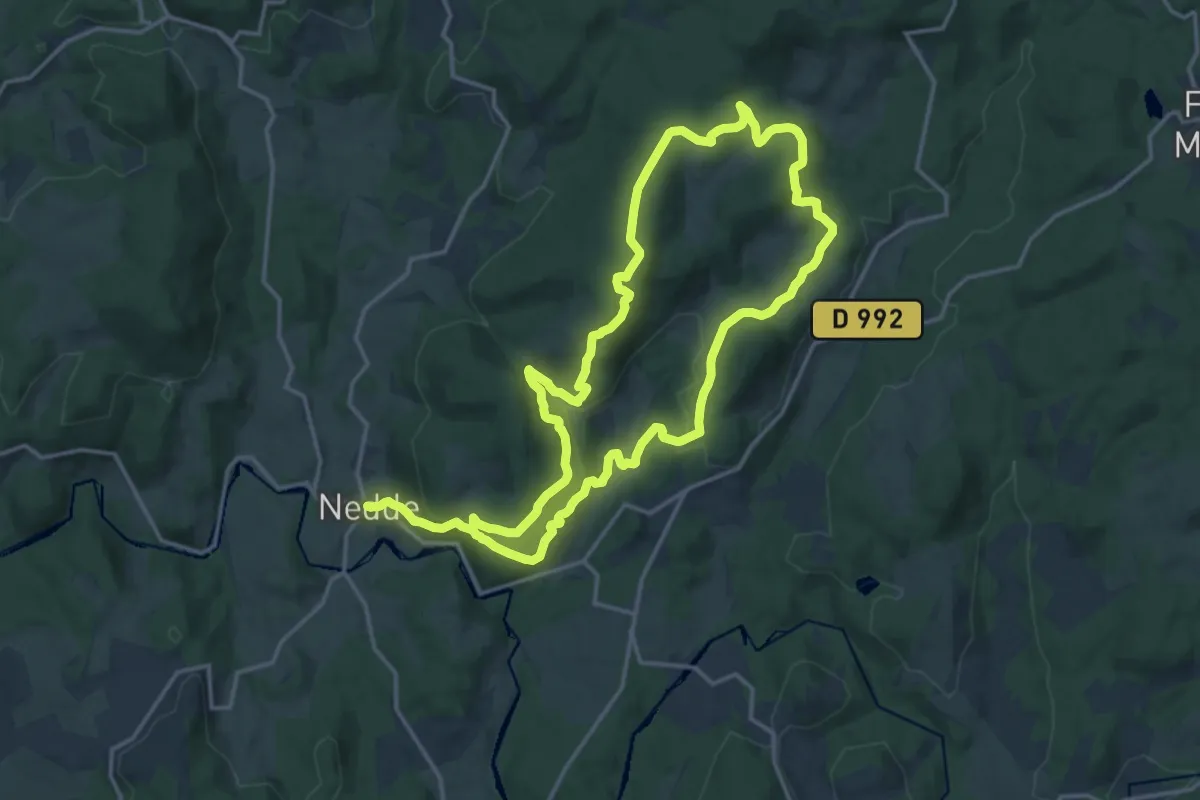
Medium · Trail
Les Balcons de Guimont
15.6 km · ↑ 545 m · 5 h 1 min
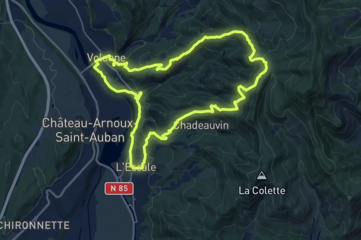
Medium · Trail
Les Balcons de la Durance
17.0 km · ↑ 669 m · 5 h 42 min
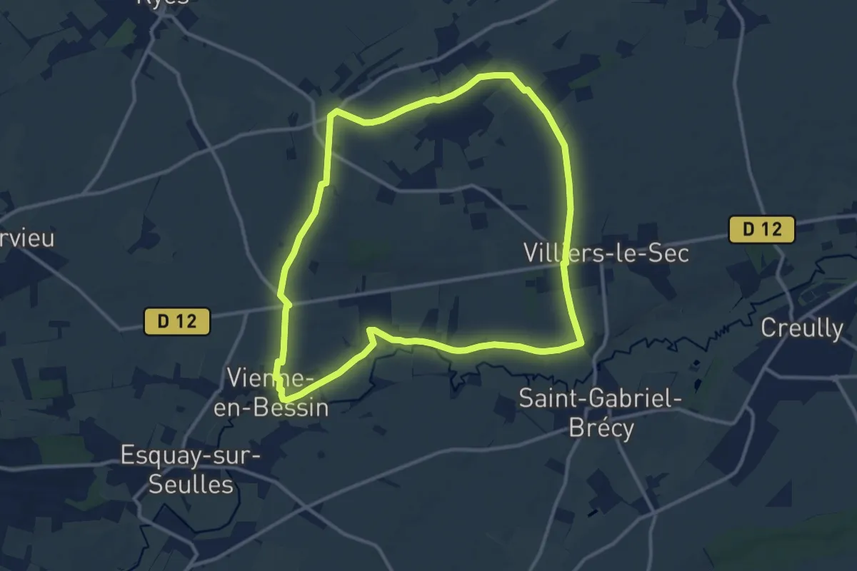
Medium · Trail
Les Balcons de la Seulles
10.9 km · ↑ 57 m · 2 h 52 min
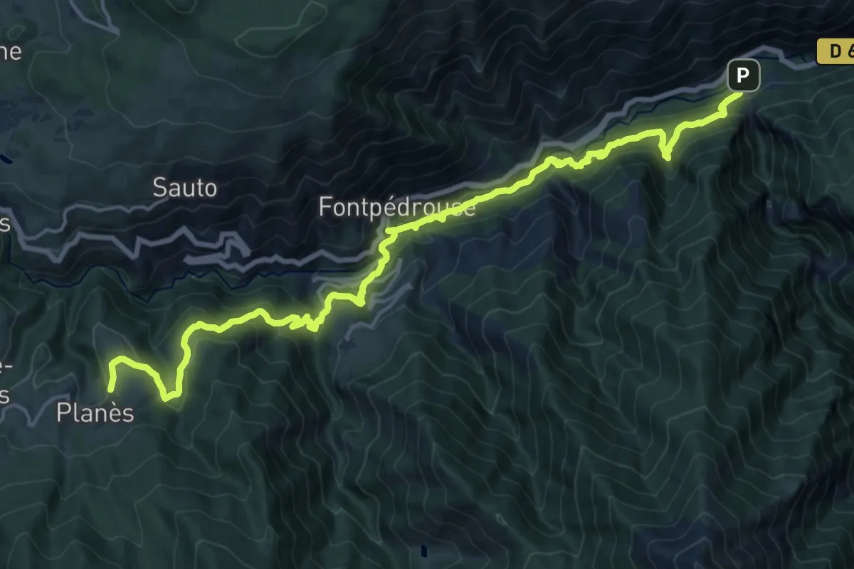
Demanding · Trail
Les Balcons de la Têt
10.8 km · ↑ 1109 m · 4 h 47 min
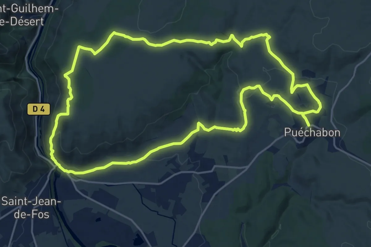
Demanding · Trail
Les Balcons de L'Hérault
16.5 km · ↑ 358 m · 4 h 55 min
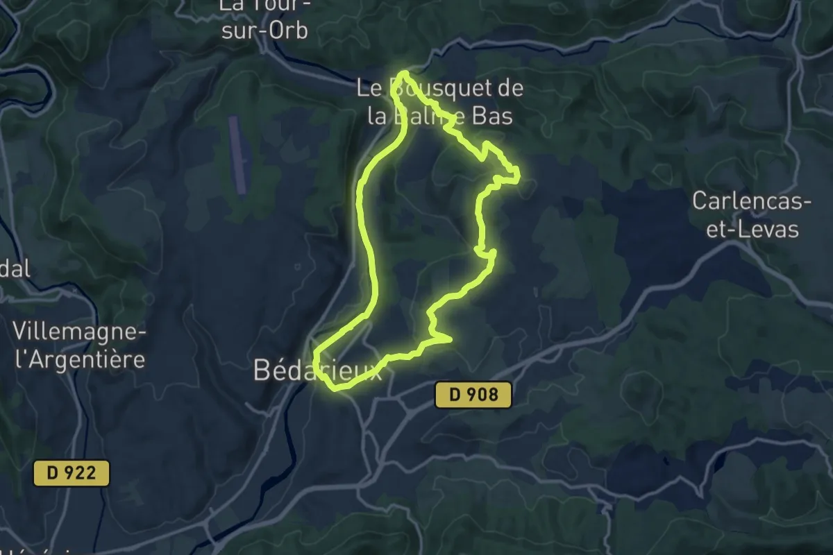
Medium · Trail
Les Balcons de l'Orb
12.6 km · ↑ 300 m · 3 h 48 min
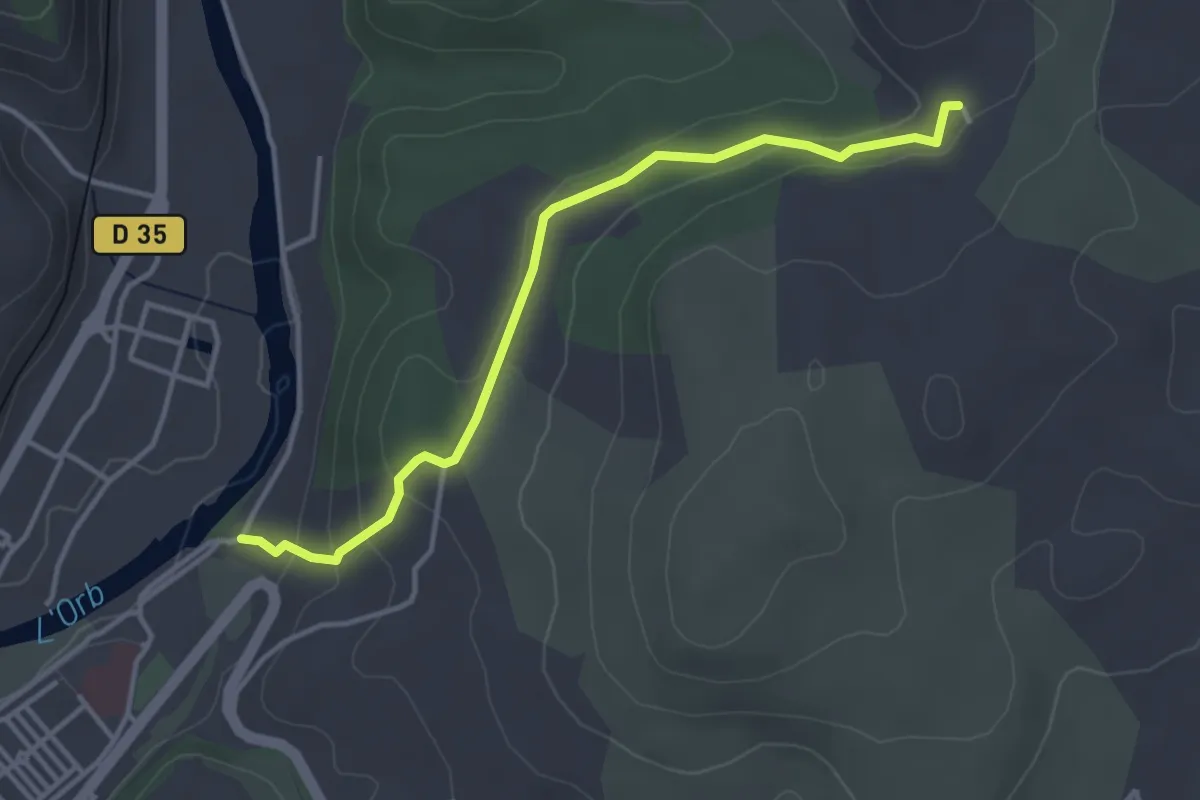
Easy · Trail
Les Balcons de l'Orb Variante
2.0 km · ↑ 117 m · 42 min
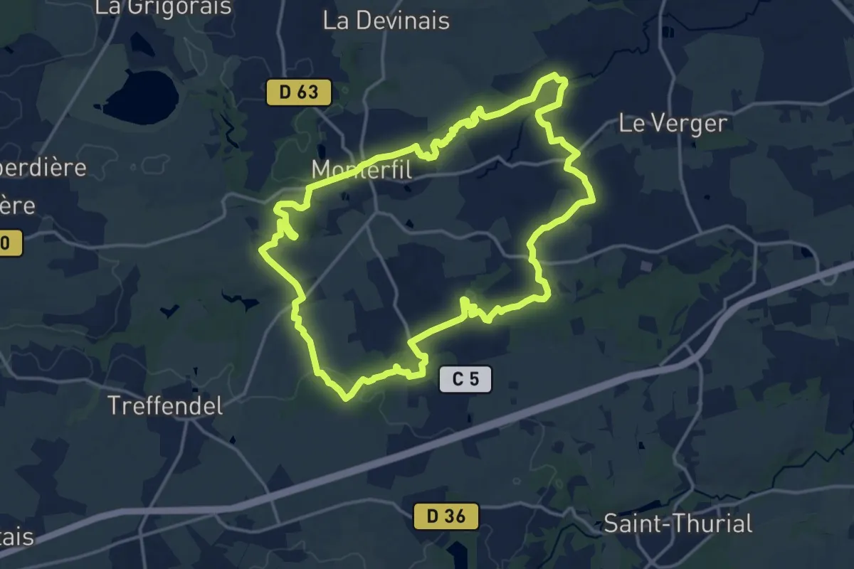
Medium · Trail
Les Balcons de Monterfil
15.2 km · ↑ 234 m · 4 h 19 min
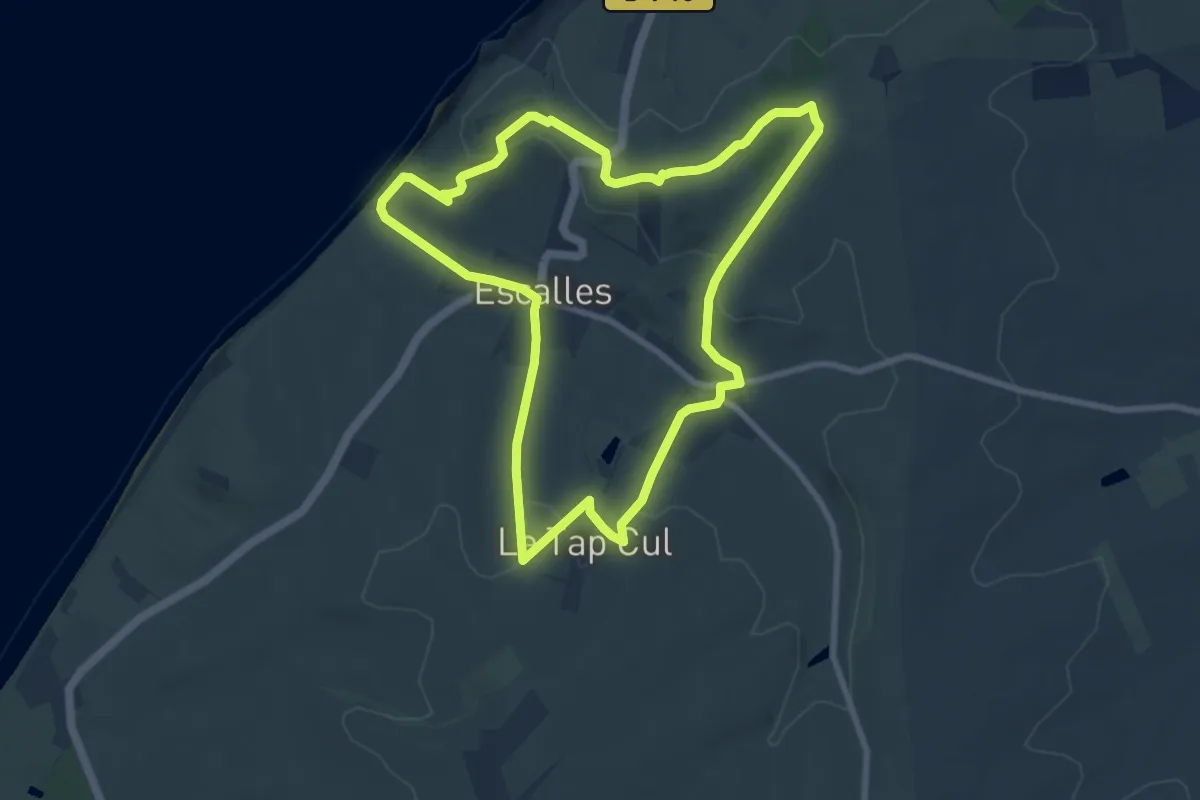
Easy · Summit
Les Balcons d'Escalles
7.9 km · ↑ 185 m · 2 h 22 min
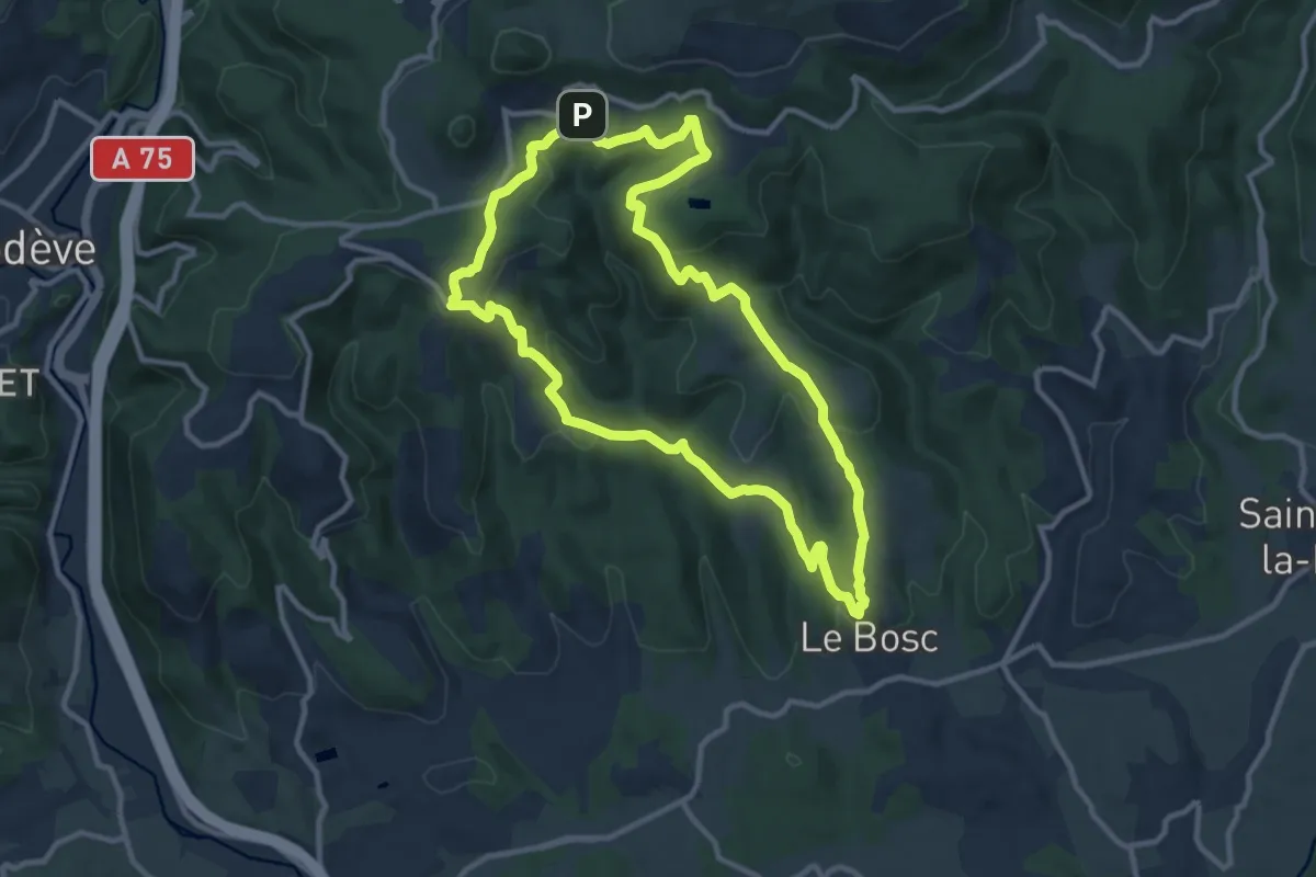
Medium · Trail
Les Balcons de Soumont
11.1 km · ↑ 351 m · 3 h 32 min
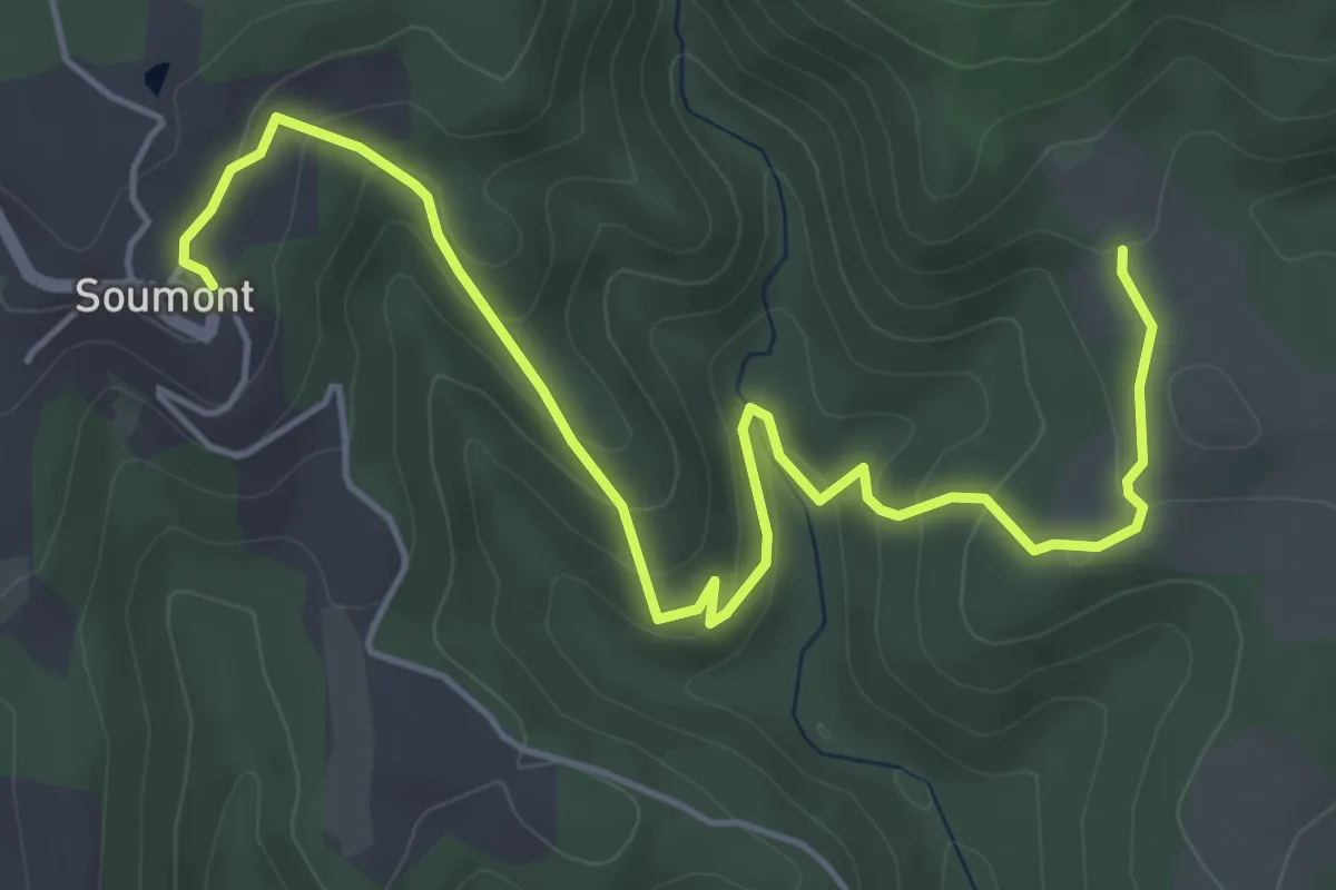
Easy · Trail
Les Balcons de Soumont Variante
3.2 km · ↑ 169 m · 1 h 8 min
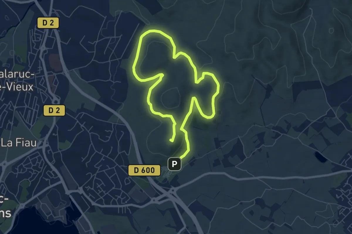
Easy · Summit
Les balcons de Thau
6.6 km · ↑ 175 m · 2 h 3 min
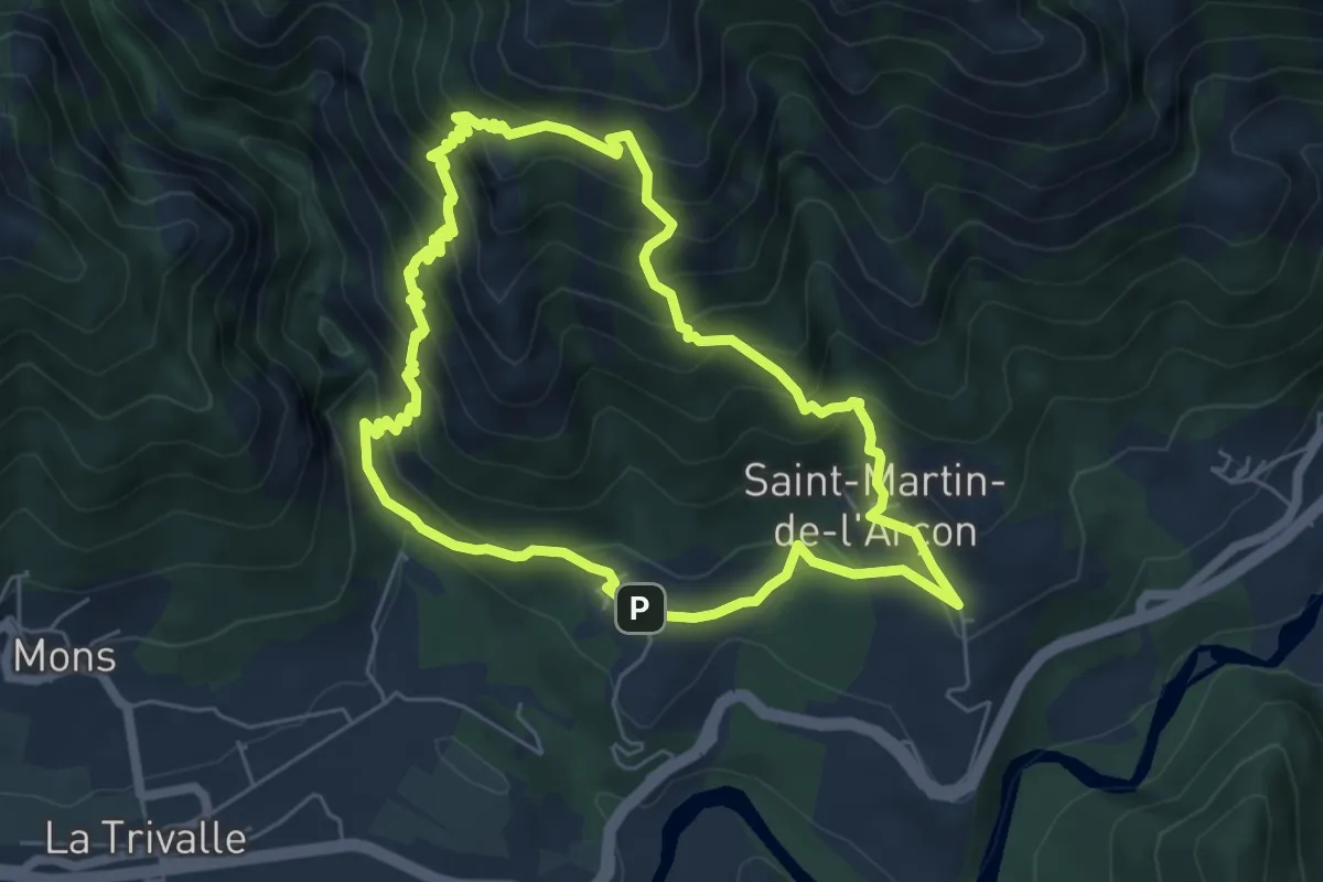
Medium · Summit
Les Balcons du Caroux
6.2 km · ↑ 560 m · 2 h 45 min
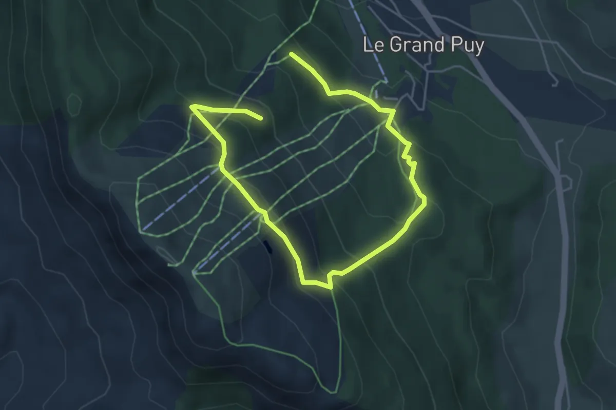
Easy · Trail
Les balcons du Grand Puy
3.3 km · ↑ 162 m · 1 h 13 min
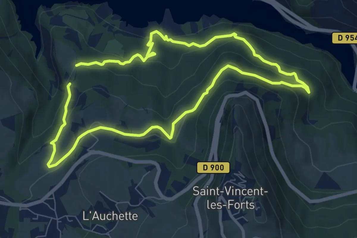
Easy · Trail
Les Balcons du lac
6.7 km · ↑ 307 m · 2 h 20 min
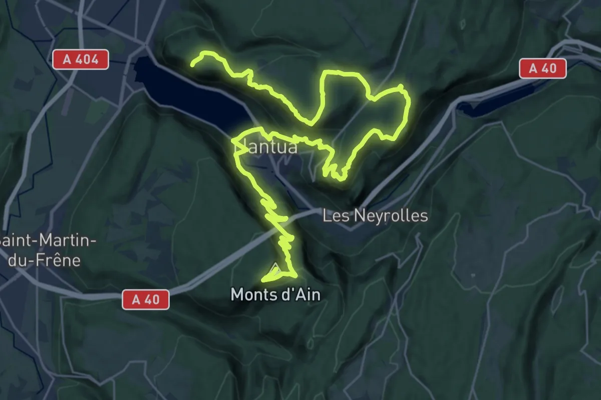
Demanding · Summit
Les Balcons du Lac de Nantua
38.1 km · ↑ 1664 m · 12 h 36 min
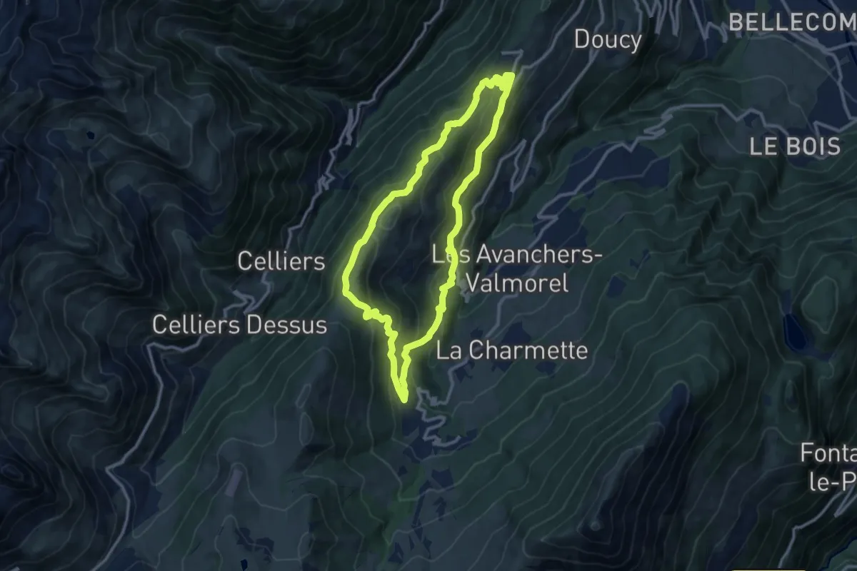
Medium · Trail
Les Balcons du Morel
10.4 km · ↑ 480 m · 3 h 39 min
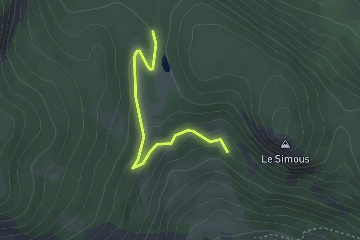
Easy · Trail
Les Balmettes - Col d'Anon
2.8 km · ↑ 106 m · 53 min
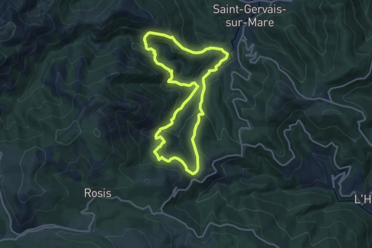
Medium · Trail
Les Banissous
9.5 km · ↑ 638 m · 3 h 46 min
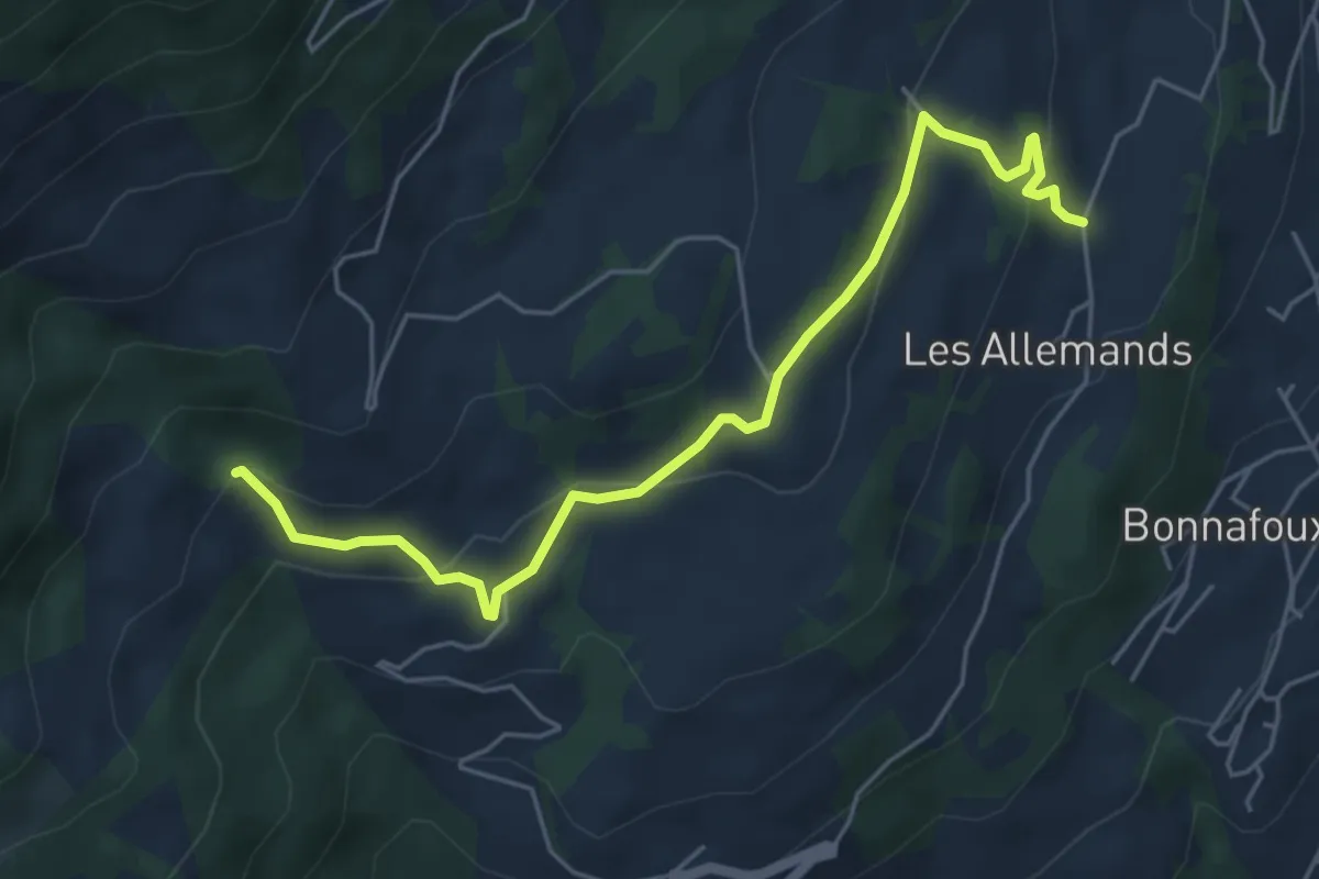
Easy · Trail
Les Barthelons - Forêt Mont-Guillaume
5.8 km · ↑ 238 m · 1 h 53 min
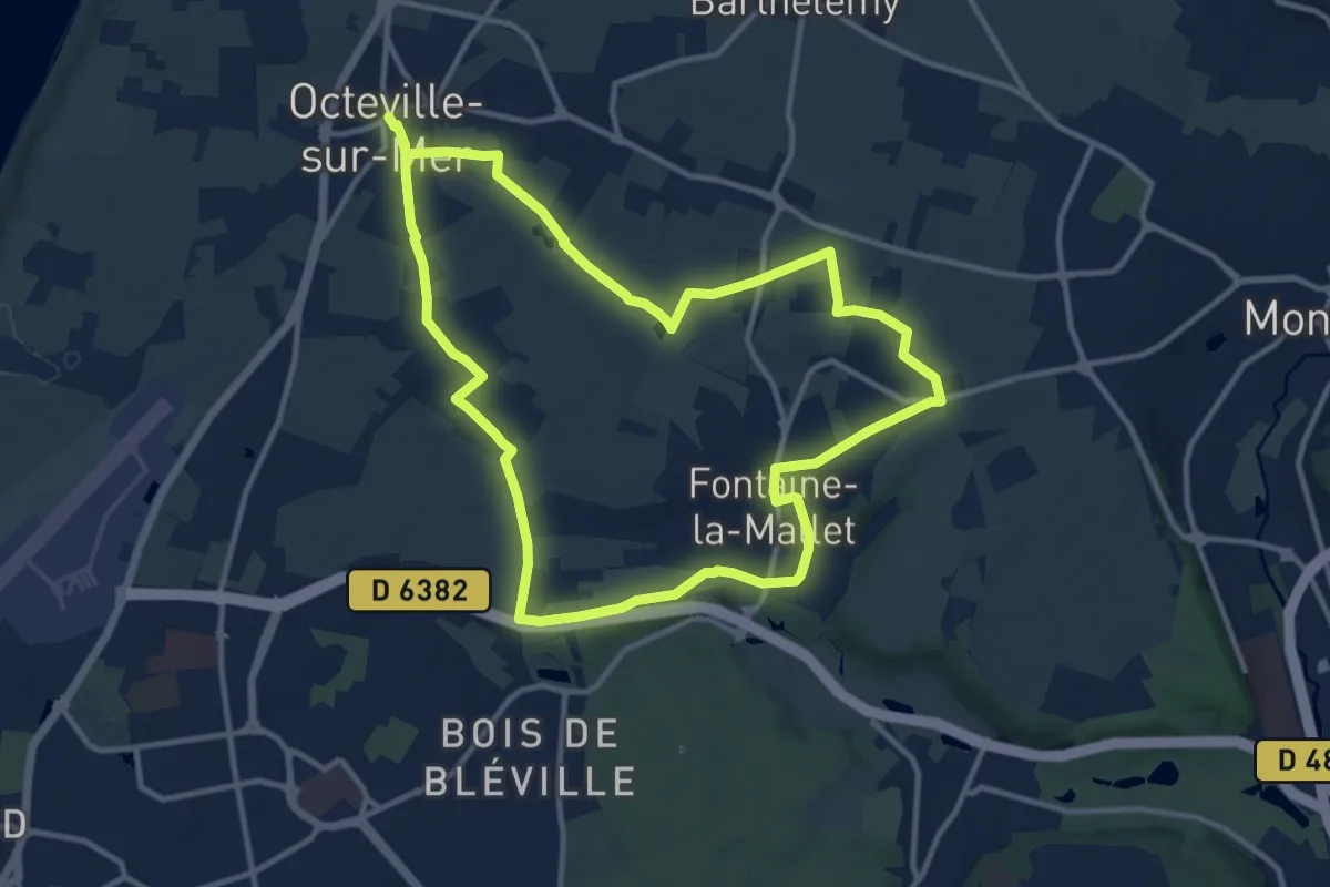
Medium · Trail
Les Bassins des Vallées
10.9 km · ↑ 74 m · 2 h 54 min
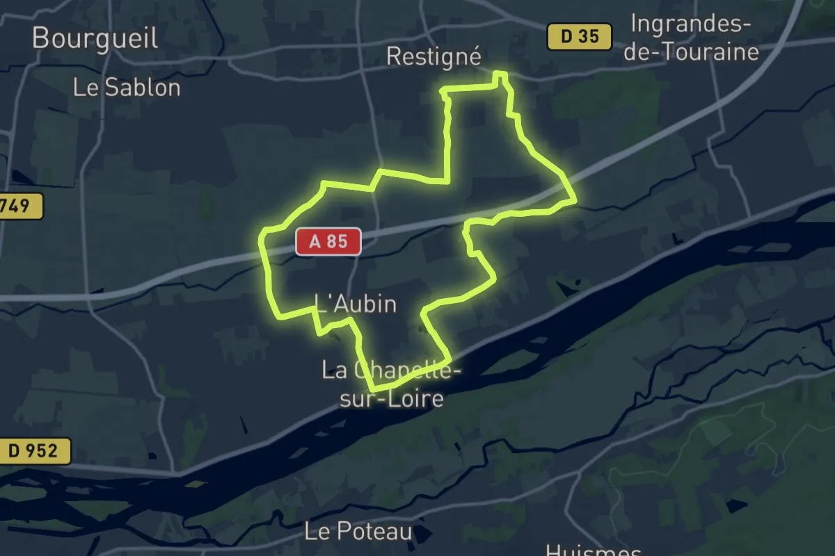
Medium · Trail
Les Bateaux de Loire - La Chapelle-sur-Loire - Retigné
13.3 km · ↑ 9 m · 3 h 21 min
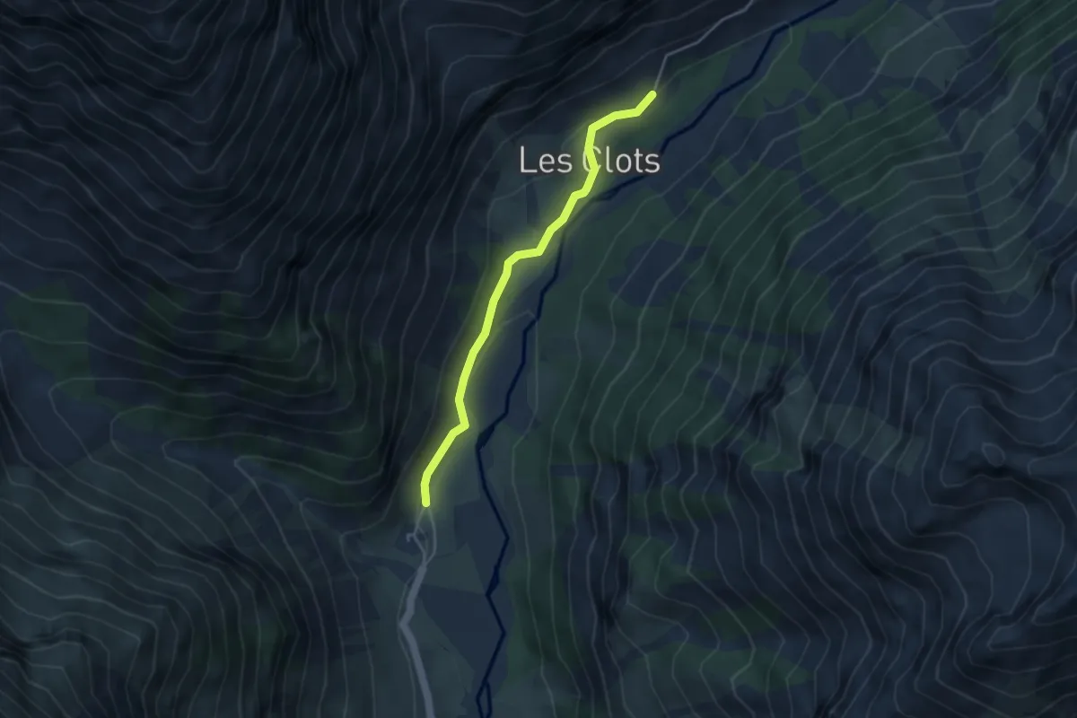
Easy · Trail
Les Baumes - ?
3.7 km · ↑ 111 m · 1 h 6 min
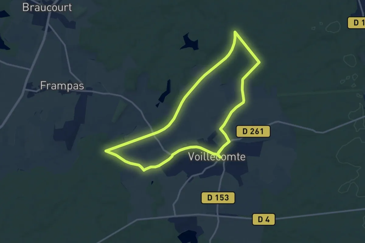
Medium · Trail
Les Bavardes
10.8 km · ↑ 69 m · 2 h 51 min
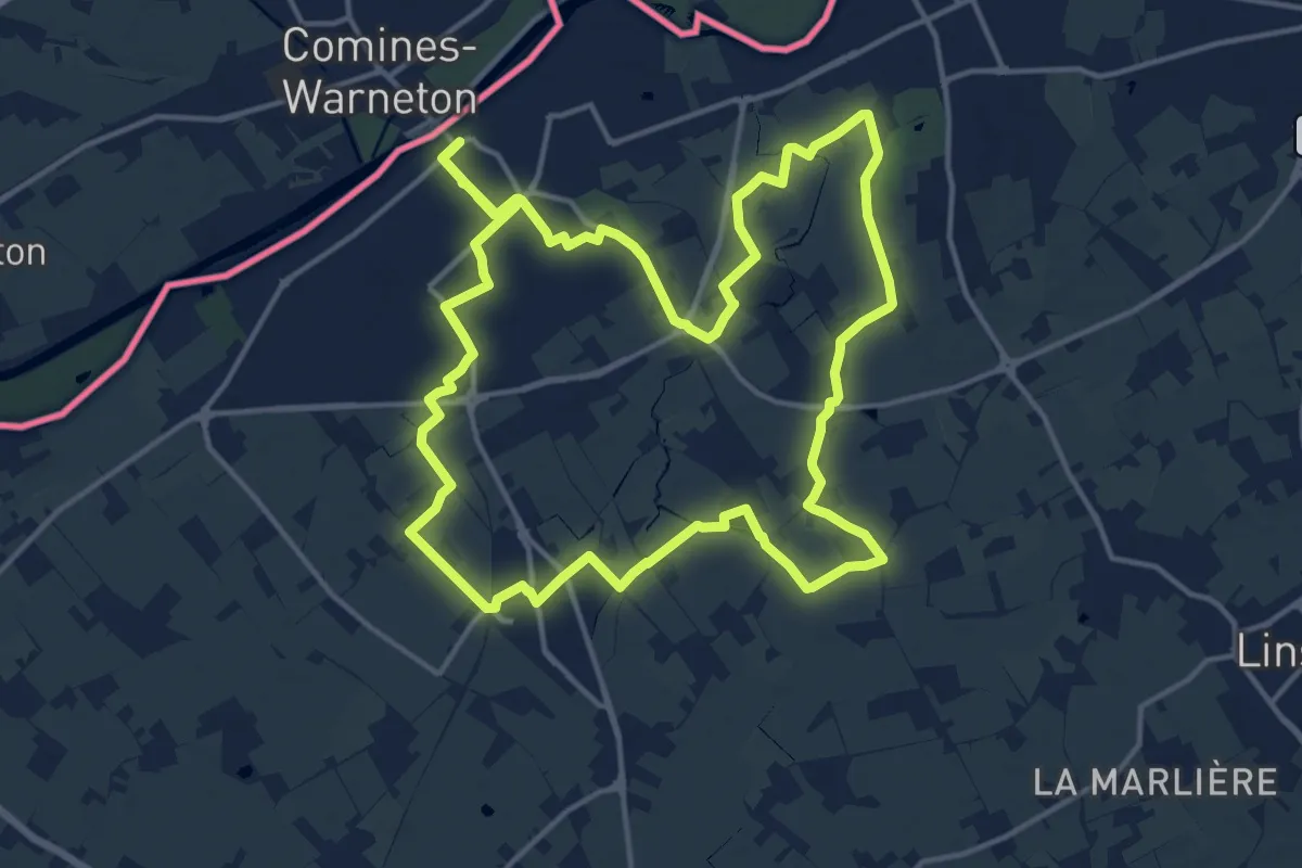
Medium · Trail
Les Becques de Comines
15.6 km · ↑ 20 m · 3 h 57 min
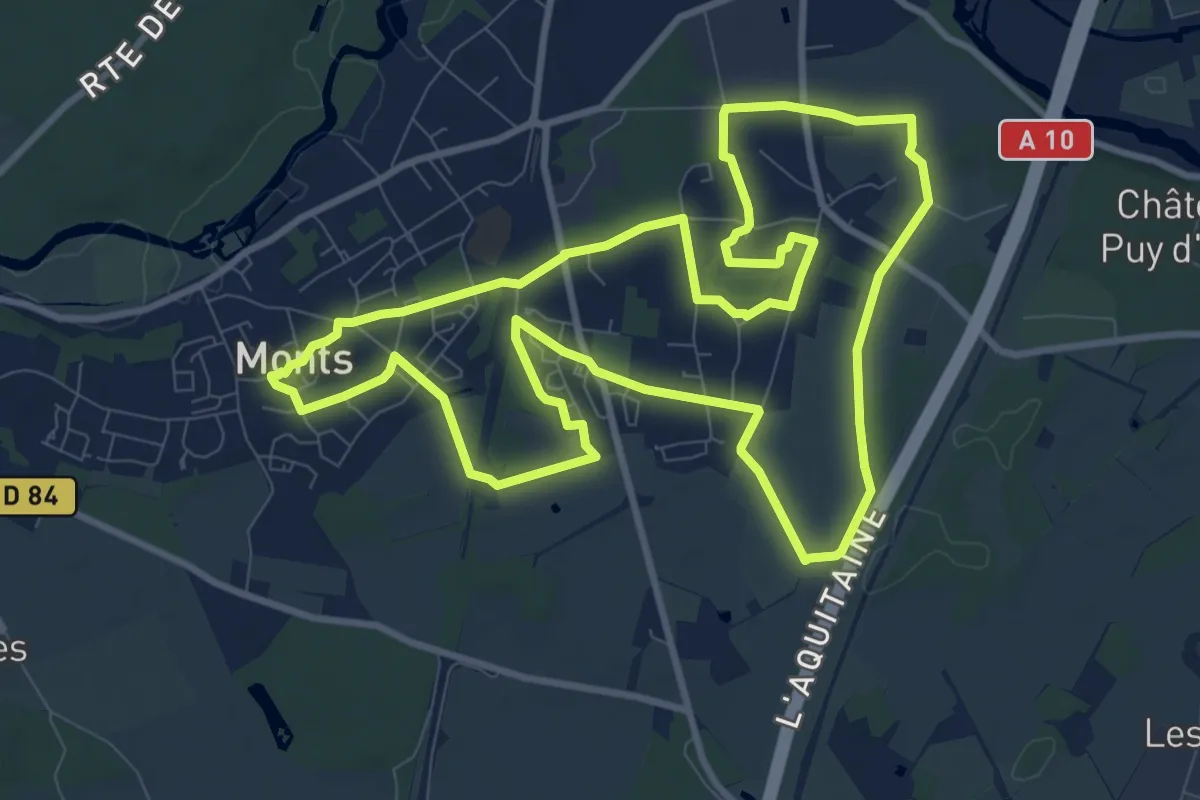
Medium · Trail
Les Belles Landes - Monts
10.5 km · ↑ 58 m · 2 h 46 min
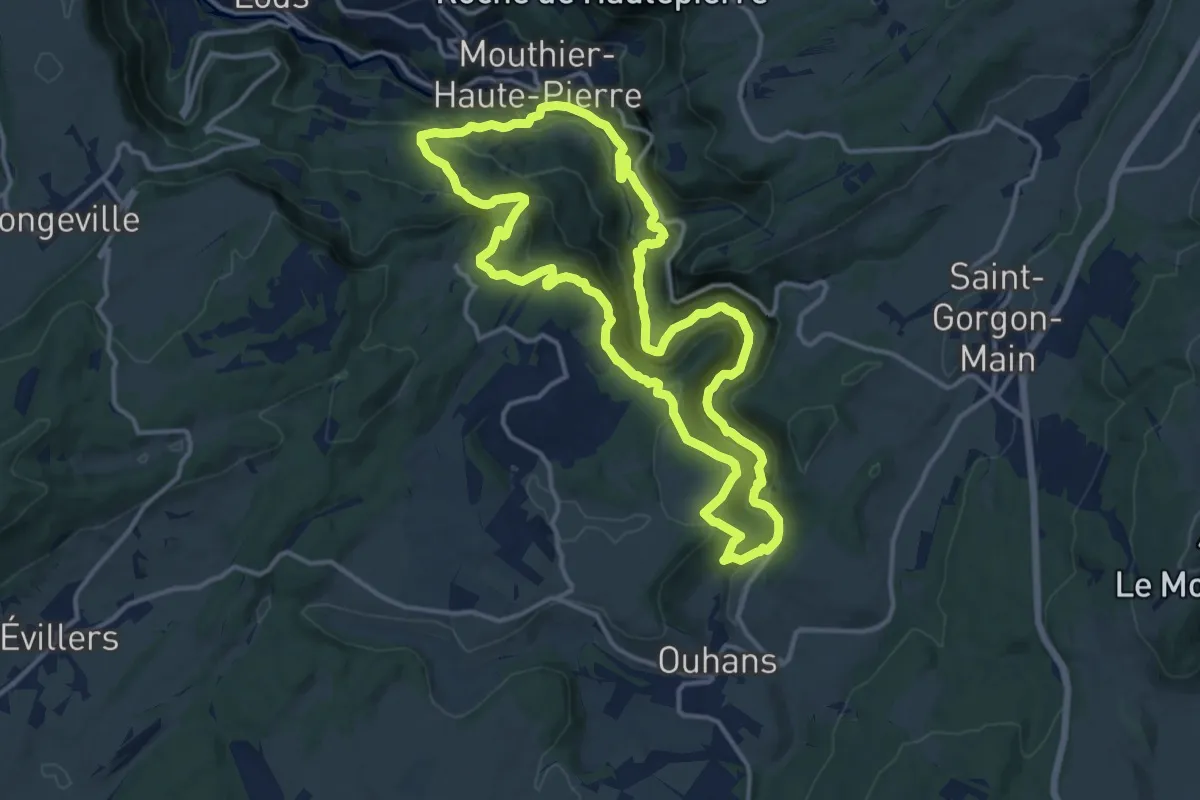
Demanding · Trail
Les Belvédères
14.3 km · ↑ 867 m · 5 h 28 min
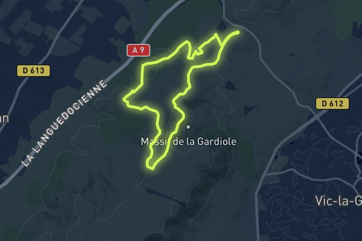
Medium · Trail
Les belvédères de la Gardiole
9.2 km · ↑ 175 m · 2 h 41 min
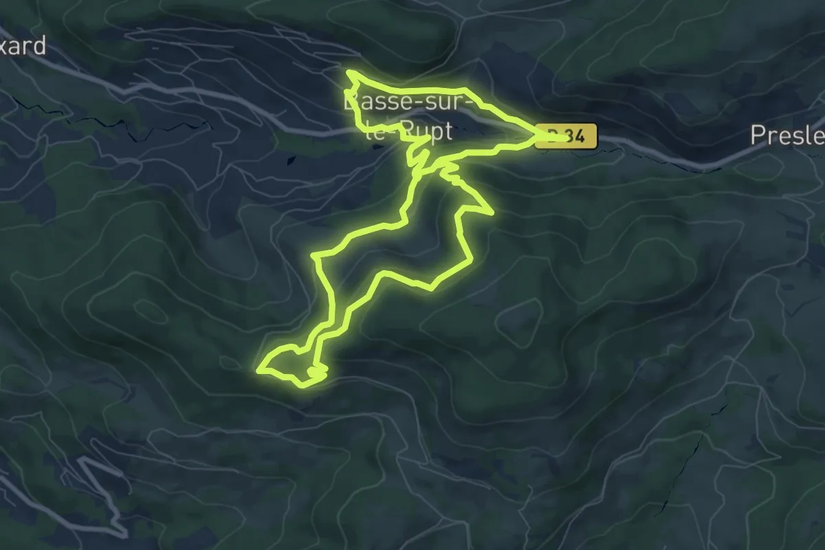
Medium · Trail
Les Belvédères de Planois
8.5 km · ↑ 399 m · 3 h
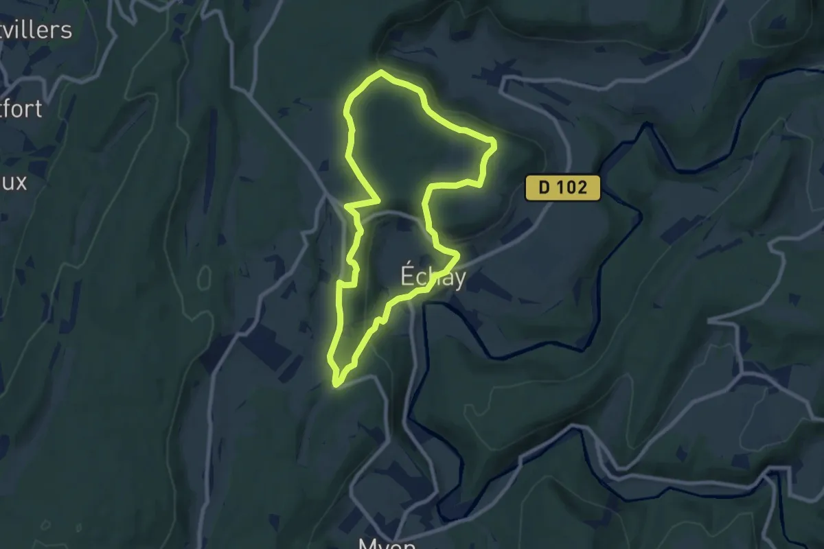
Easy · Trail
Les Belvédères du Lison
7.5 km · ↑ 170 m · 2 h 14 min
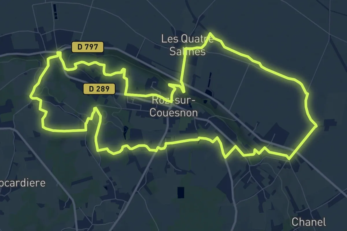
Medium · Trail
Les Belvédères du Mont-Saint-Michel
12.6 km · ↑ 174 m · 3 h 32 min
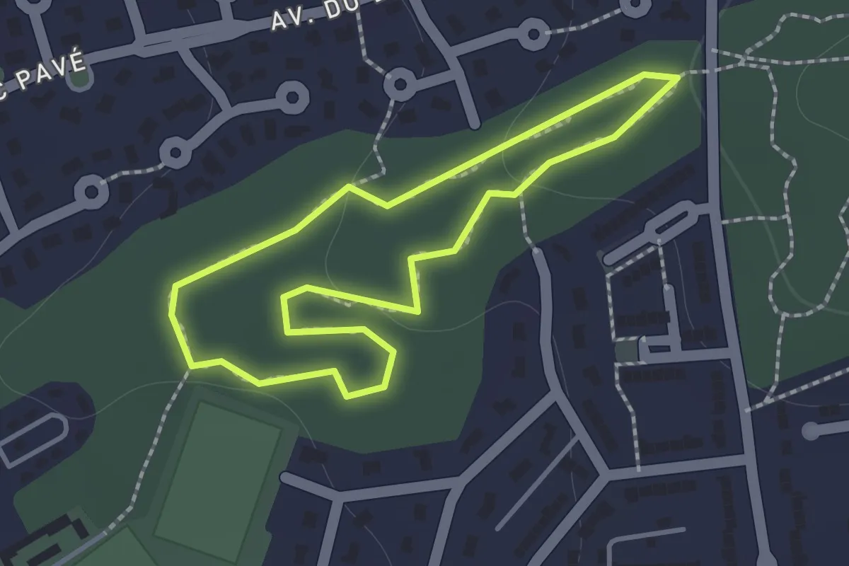
Easy · Trail
Les Bergeries
1.1 km · ↑ 26 m · 20 min
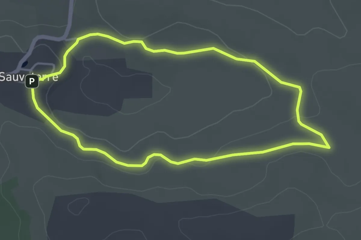
Easy · Trail
Les bergers
3.8 km · ↑ 52 m · 1 h 4 min
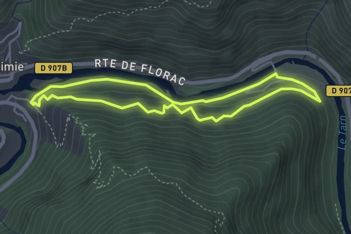
Medium · Trail
Les berges
3.6 km · ↑ 180 m · 1 h 17 min
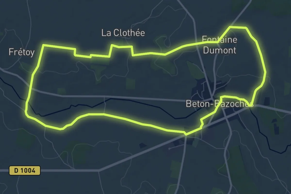
Medium · Trail
Les berges de l’Aubetin
10.0 km · ↑ 58 m · 2 h 38 min
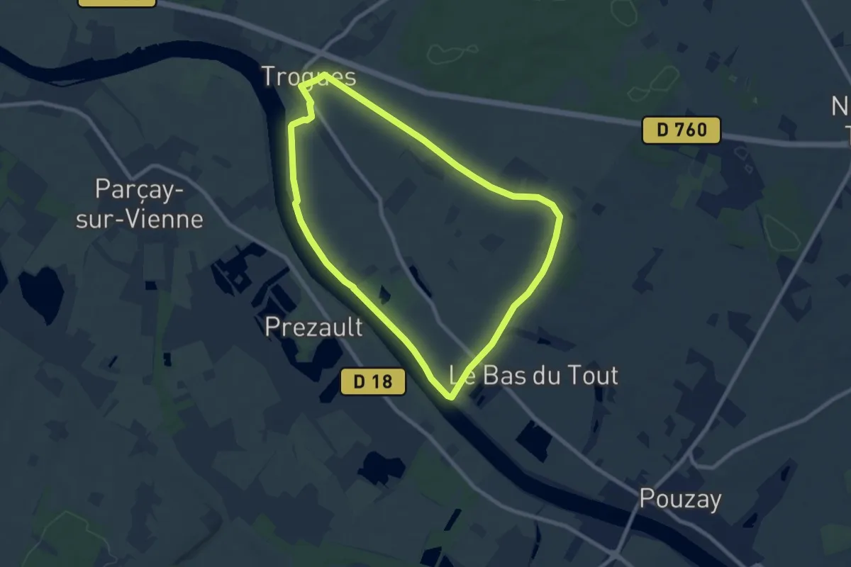
Easy · Trail
Les Berges de la Vienne
7.6 km · ↑ 47 m · 2 h
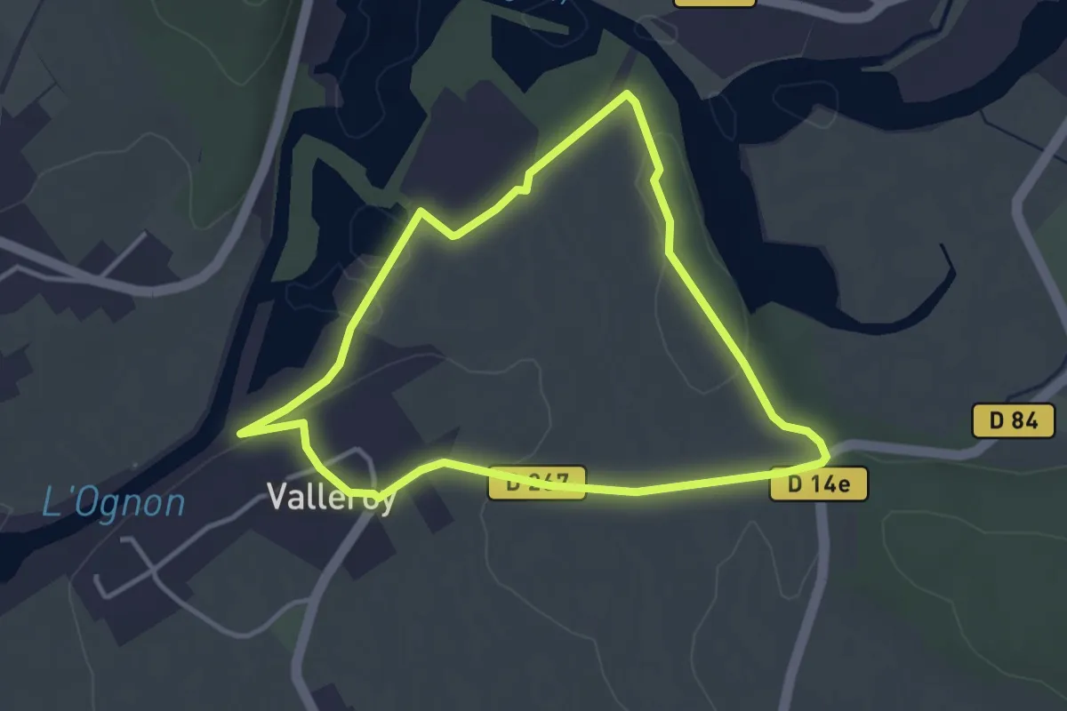
Easy · Trail
Les Berges de l'Ognon
3.3 km · ↑ 40 m · 55 min
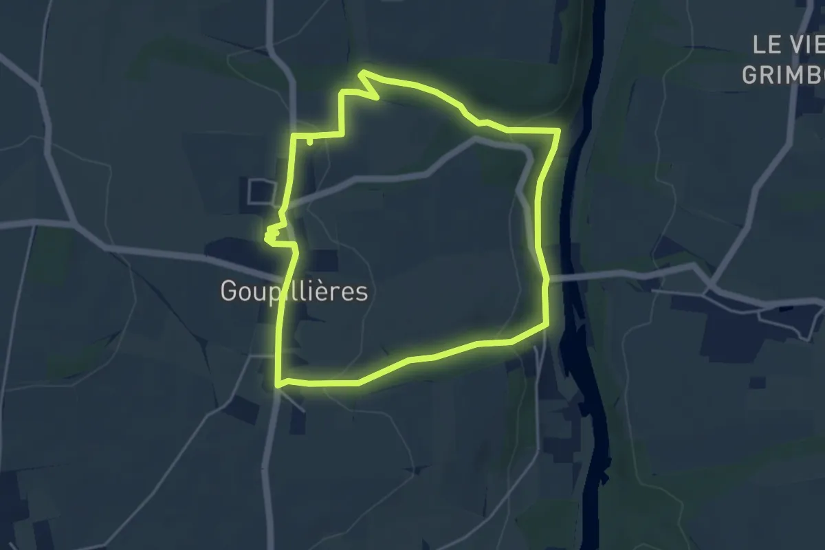
Easy · Trail
Les Berges de l'Orne
4.0 km · ↑ 89 m · 1 h 11 min
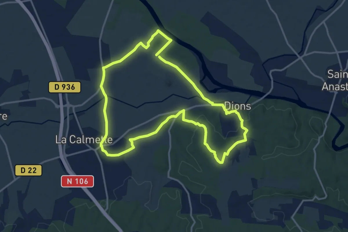
Medium · Trail
Les berges du Gardon
11.0 km · ↑ 90 m · 2 h 56 min
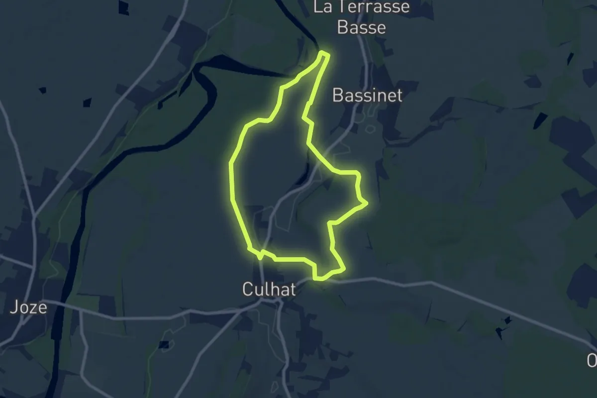
Easy · Trail
Les berges du litroux
7.3 km · ↑ 37 m · 1 h 54 min
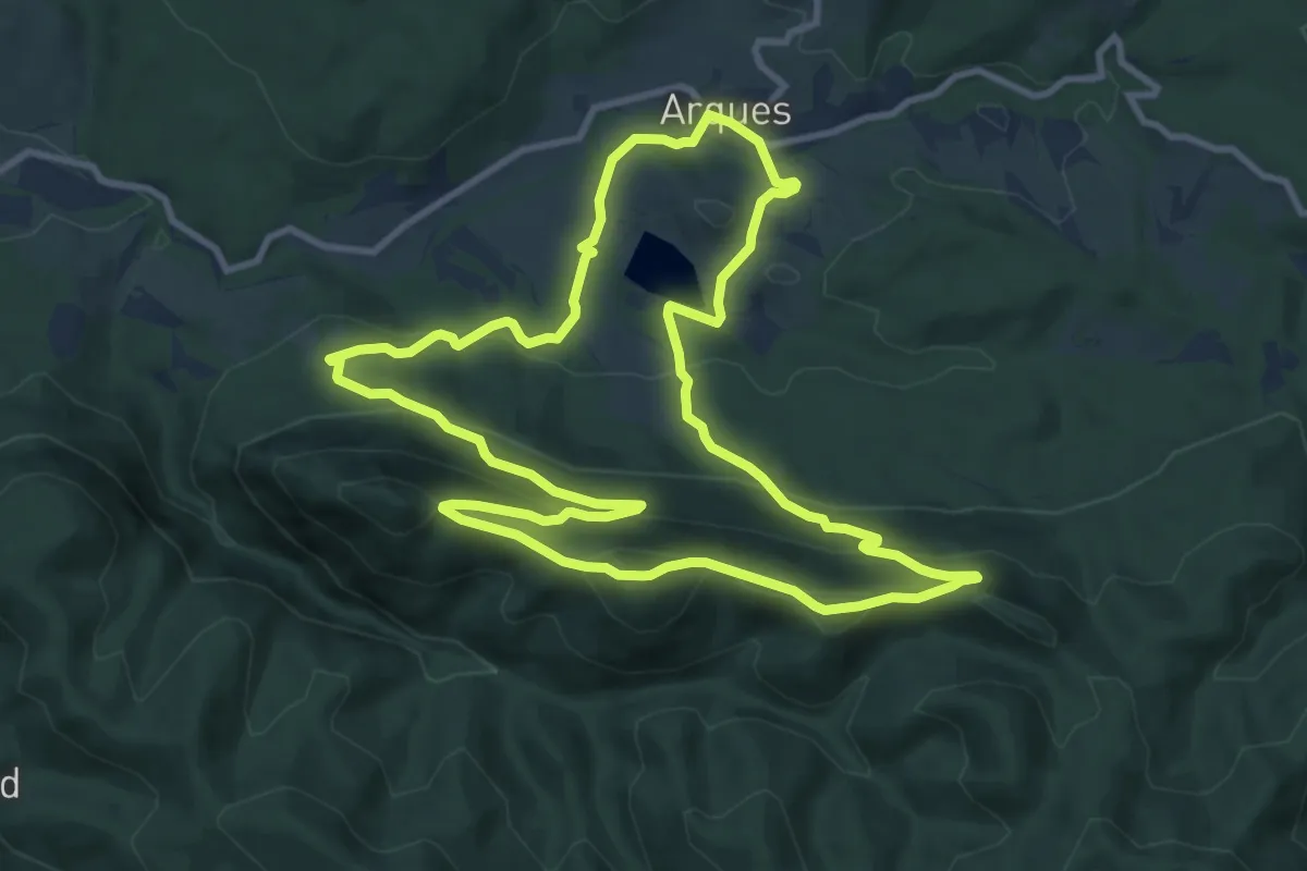
Medium · Trail
Les Berques
11.2 km · ↑ 487 m · 3 h 51 min
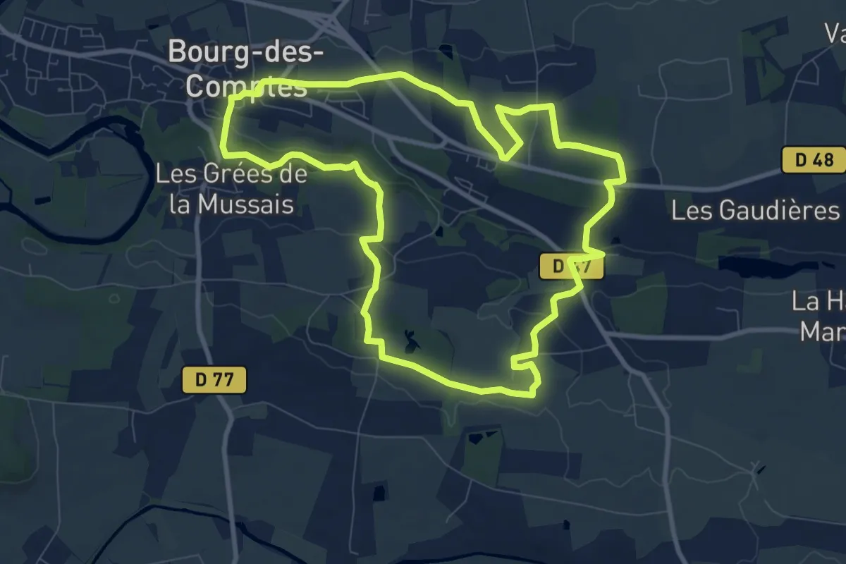
Medium · Trail
Les biches
8.9 km · ↑ 134 m · 2 h 31 min
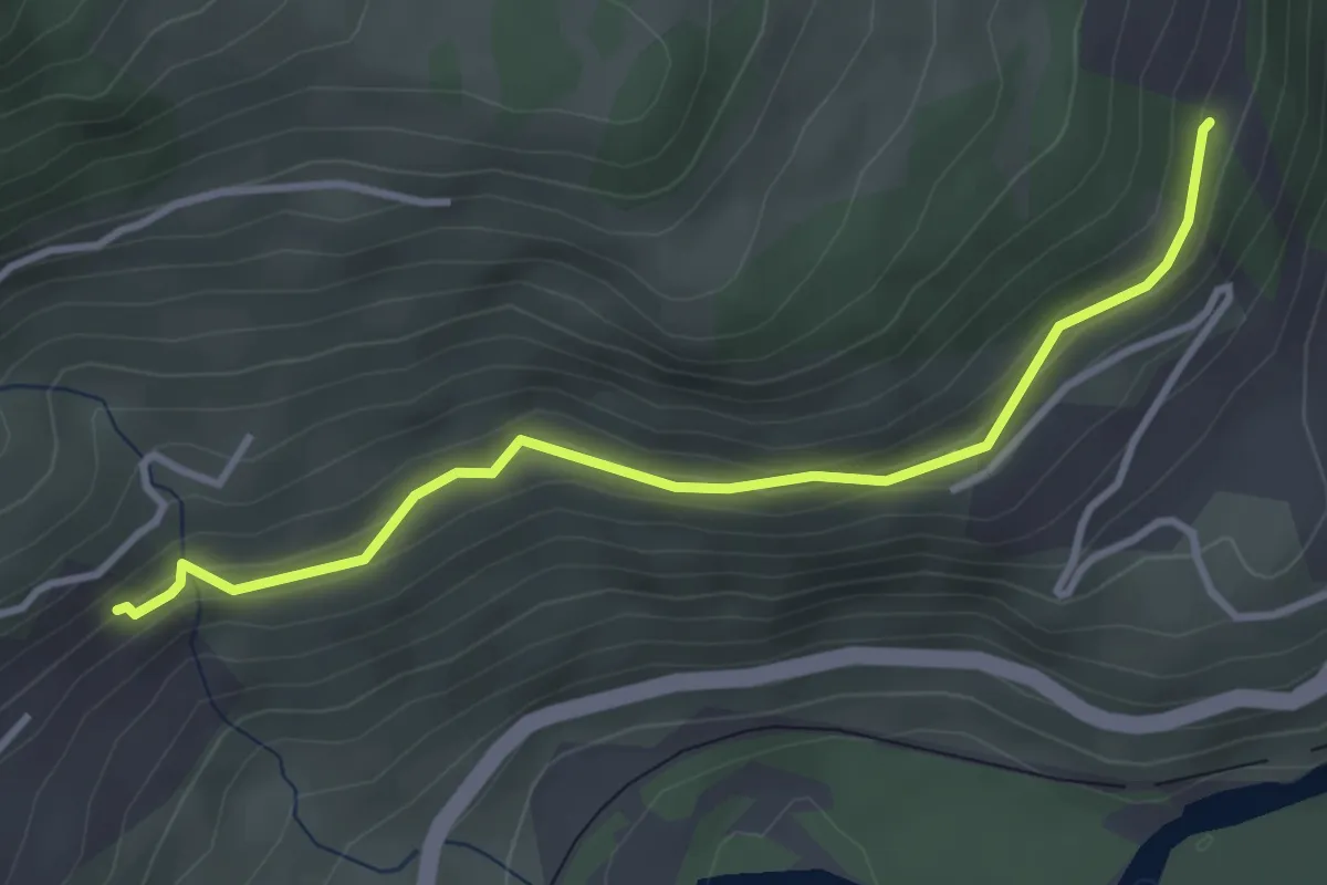
Easy · Trail
Les Blaches - ?
3.6 km · ↑ 190 m · 1 h 16 min
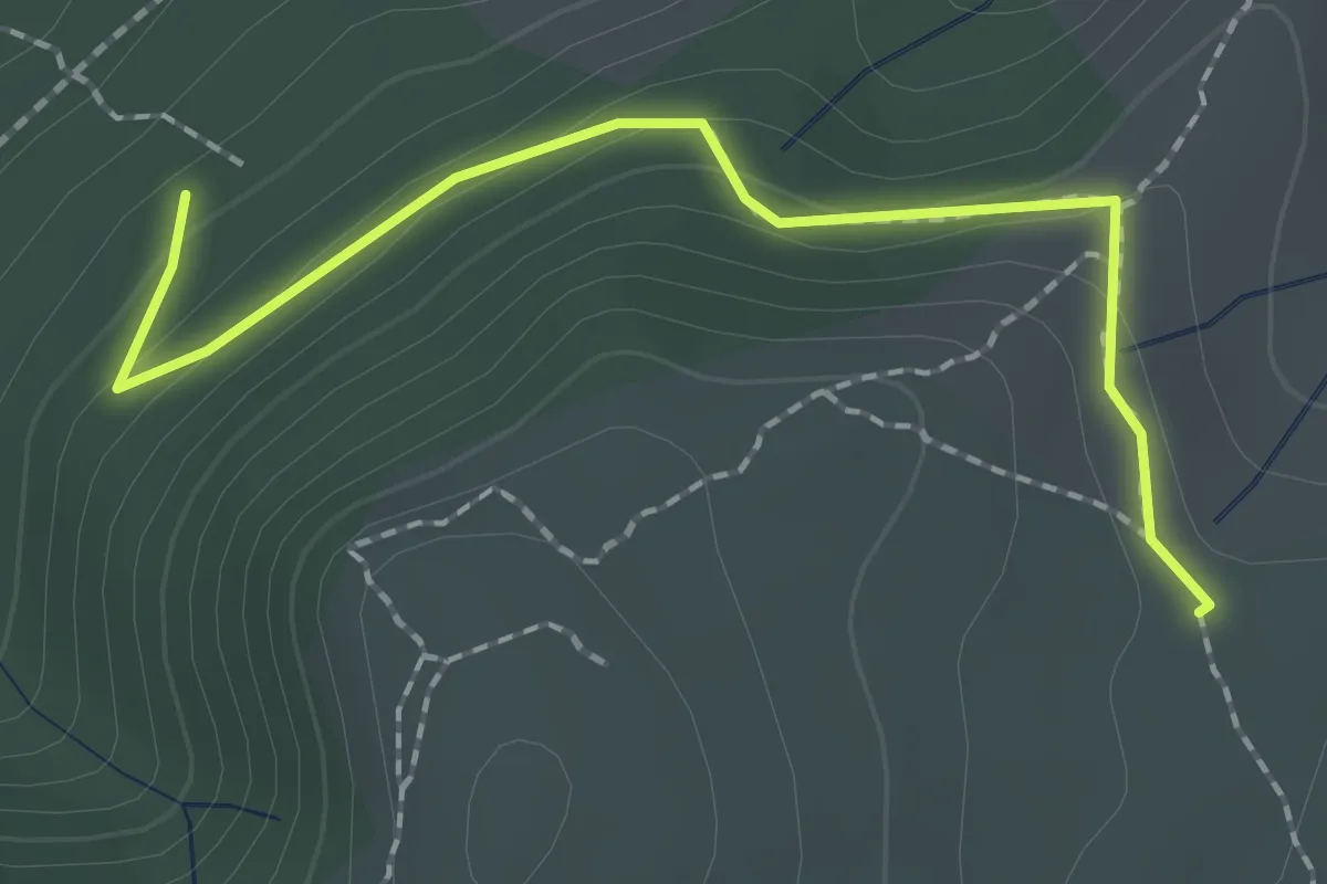
Easy · Trail
Les Blaches Hautes - La Drayette
2.1 km · ↑ 103 m · 43 min
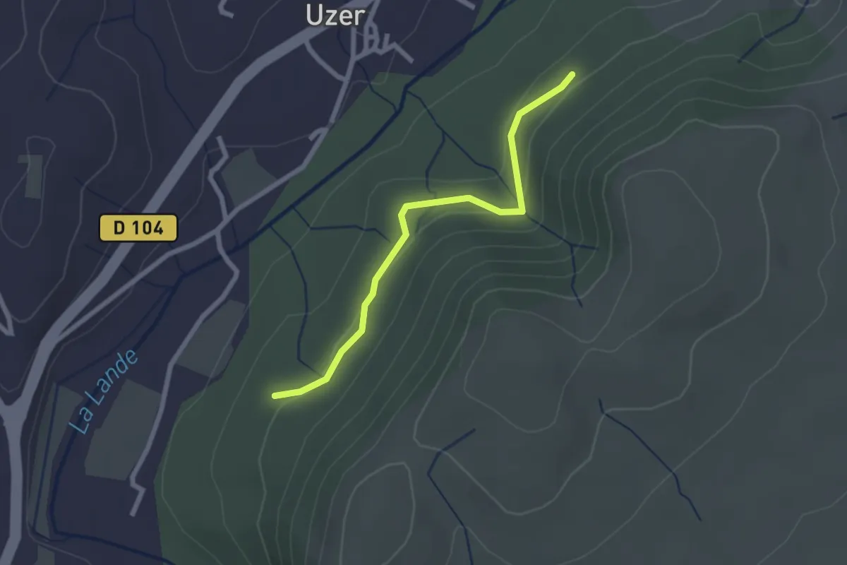
Easy · Trail
Les Blaches Hautes - La Prade Haute
2.3 km · ↑ 71 m · 42 min
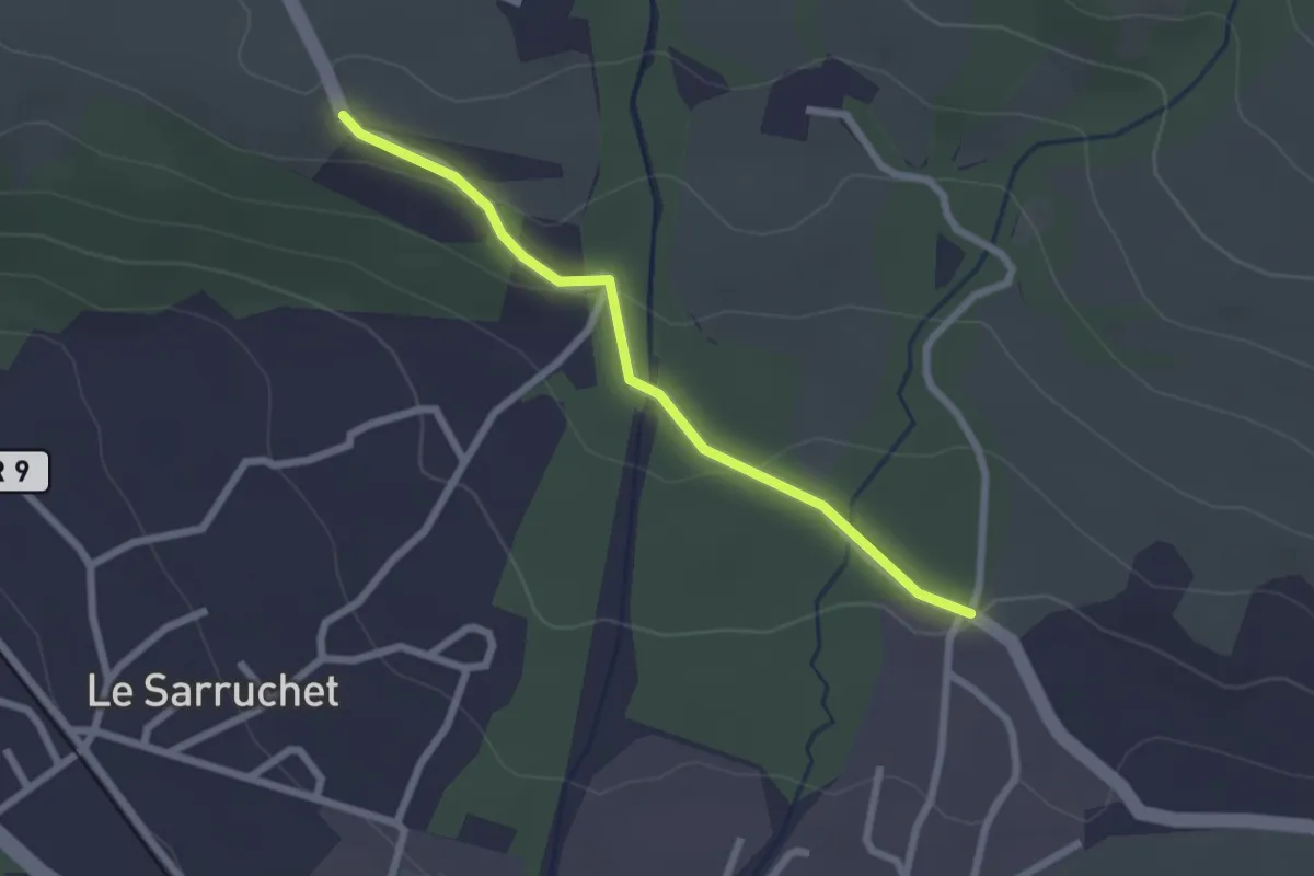
Easy · Trail
Les Blaches - Serre Vial
2.3 km · ↑ 66 m · 41 min
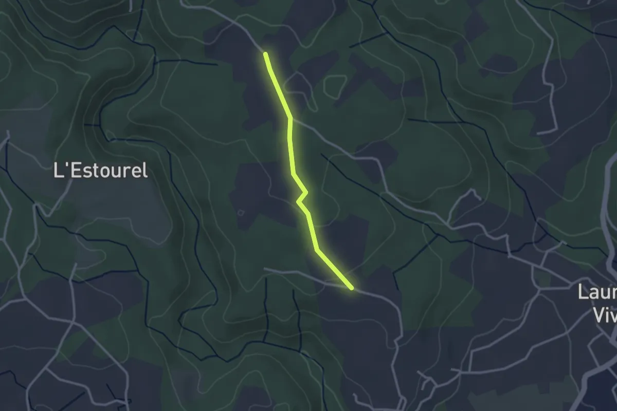
Easy · Trail
Les Blancards - Delbara
2.2 km · ↑ 38 m · 37 min
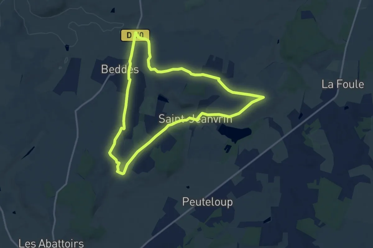
Medium · Trail
Les Blancheforts
10.6 km · ↑ 110 m · 2 h 53 min