Trails in France
15,926 hiking trails, each with its route, climb, walking time and grade.
All trails, page 177 of 332
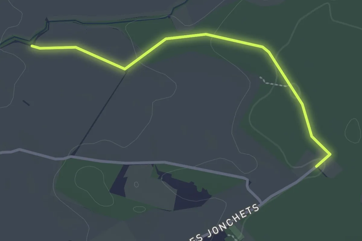
Easy · Trail
Les Blessonniers - Les Bois d'Ornaz
2.7 km · ↑ 33 m · 42 min
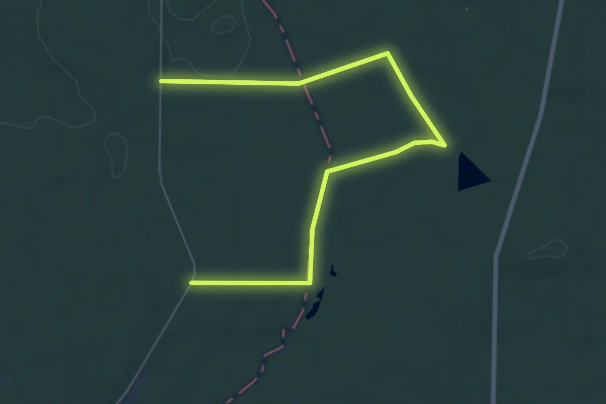
Easy · Trail
Les bois de la Chapelle
6.8 km · ↑ 40 m · 1 h 42 min
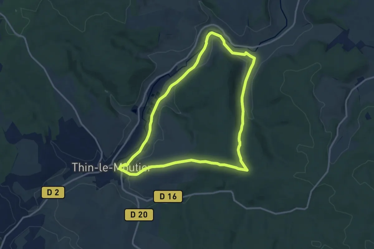
Medium · Trail
Les Bois de Néparcy
9.4 km · ↑ 162 m · 2 h 43 min
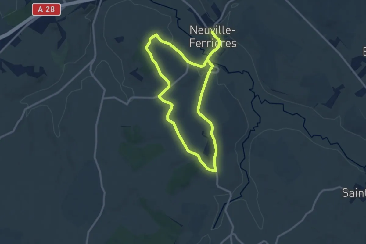
Easy · Trail
Les Bois de Neuville-Ferrières
7.0 km · ↑ 126 m · 2 h 1 min
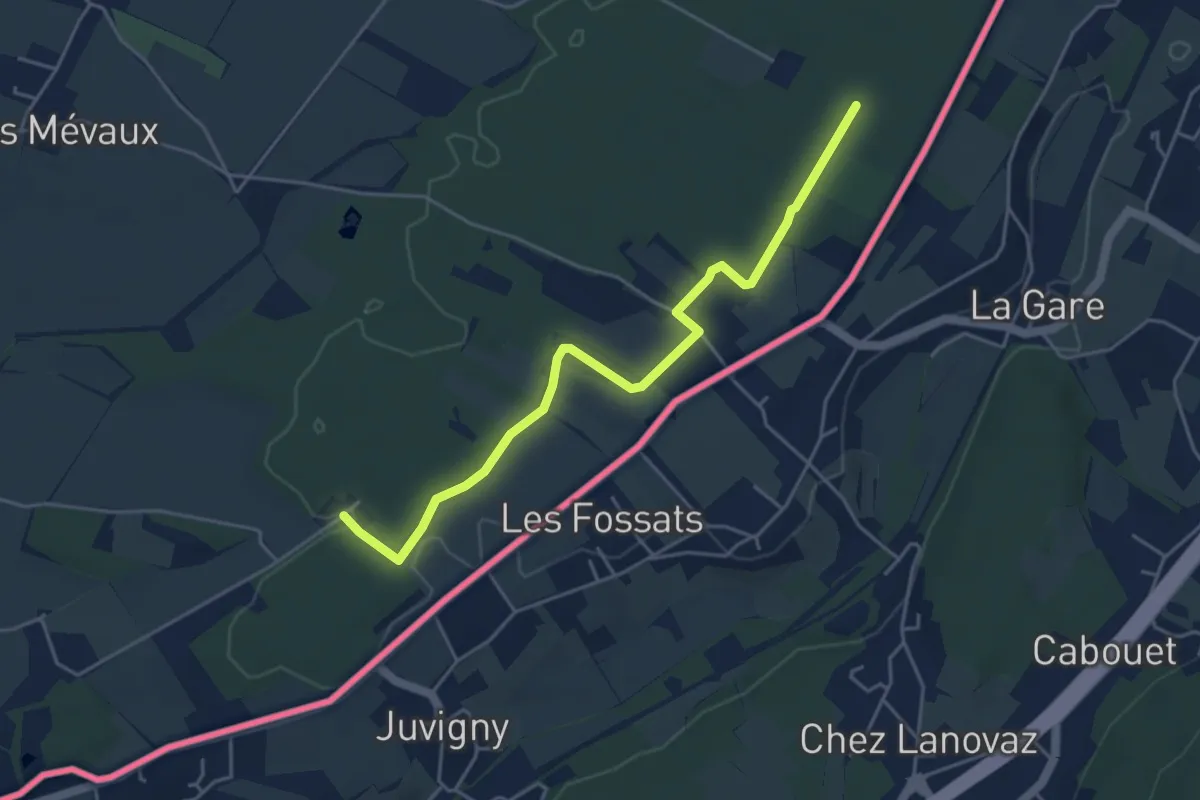
Easy · Trail
Les Bois d'Ornaz - Les Grands Bois
4.8 km · ↑ 15 m · 1 h 11 min
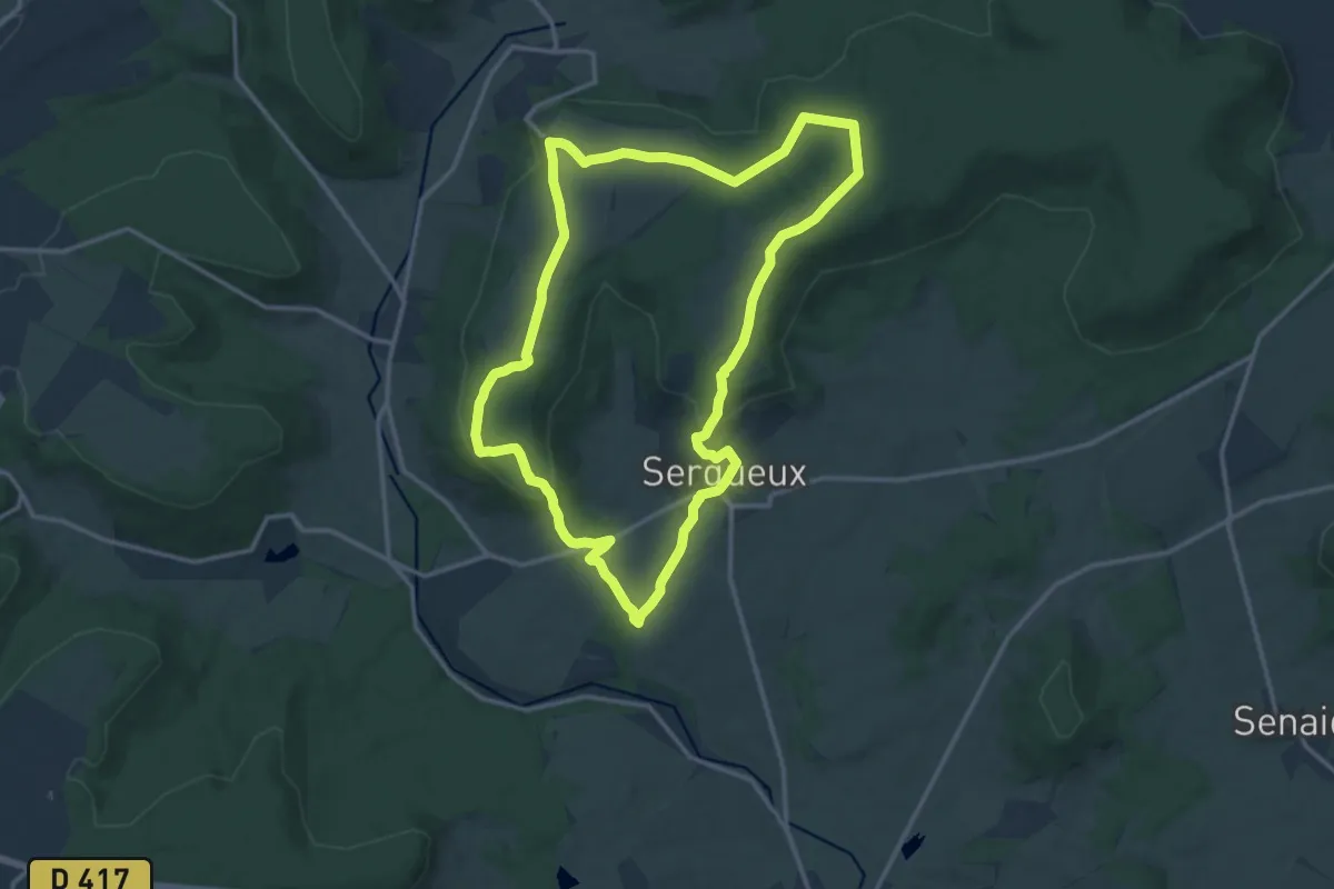
Medium · Trail
Les Bombardes
13.9 km · ↑ 237 m · 4 h
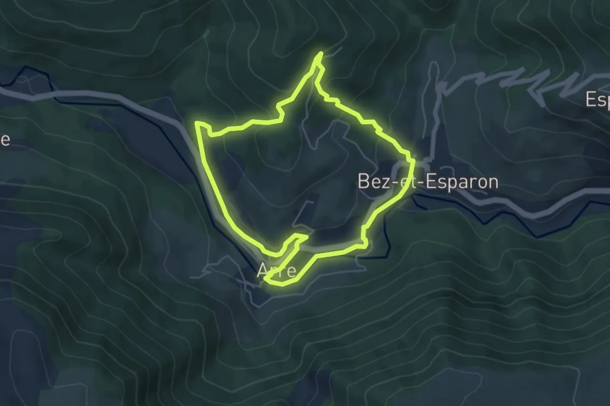
Easy · Trail
Les bonnetiers
5.1 km · ↑ 211 m · 1 h 44 min
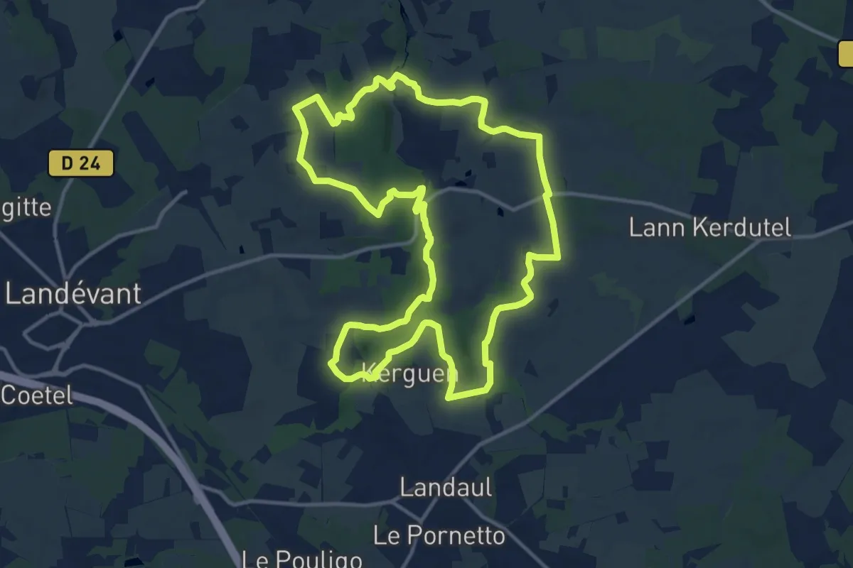
Medium · Trail
Les Bons Voisins
12.7 km · ↑ 154 m · 3 h 30 min
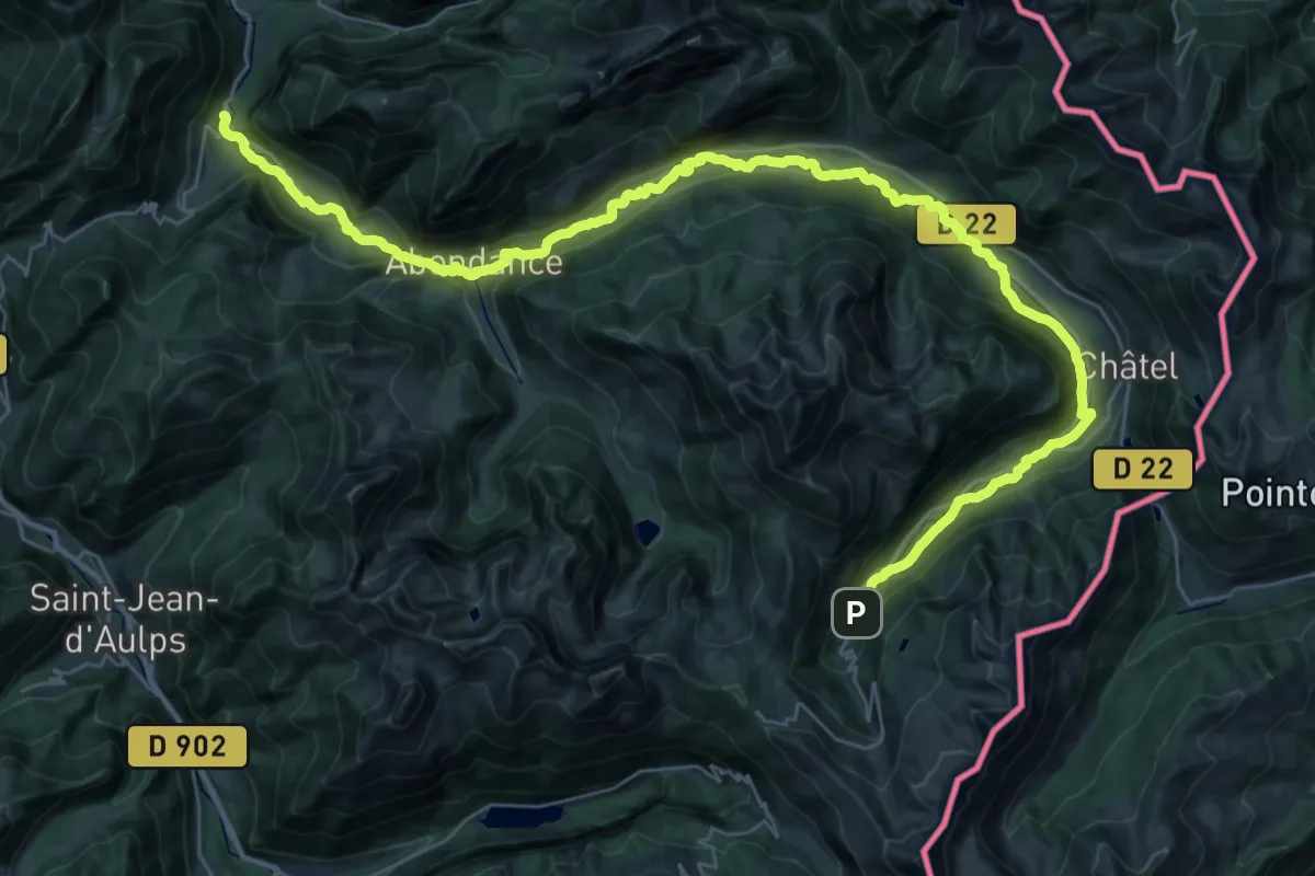
Demanding · Trail
Les Bords de Dranse
22.2 km · ↑ 172 m · 6 h 8 min
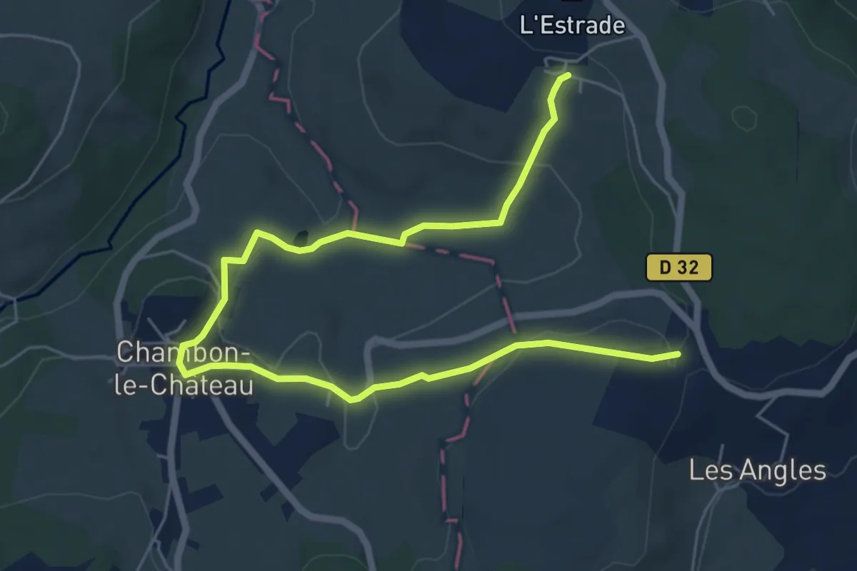
Easy · Trail
Les bords de l'Allier
3.8 km · ↑ 105 m · 1 h 11 min
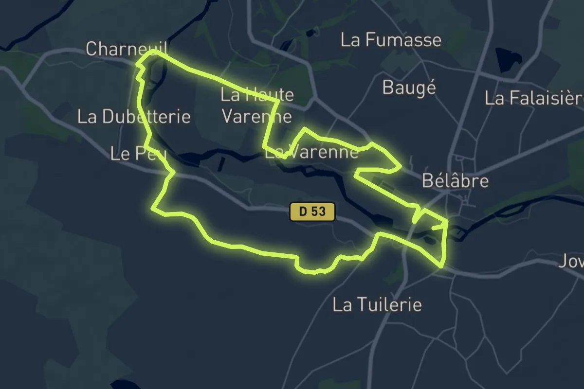
Easy · Trail
Les bords de l'Anglin
7.5 km · ↑ 58 m · 2 h
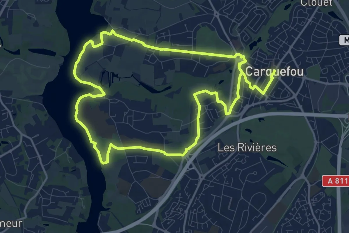
Demanding · Trail
Les Bords de l'Erdre
20.9 km · ↑ 131 m · 5 h 13 min
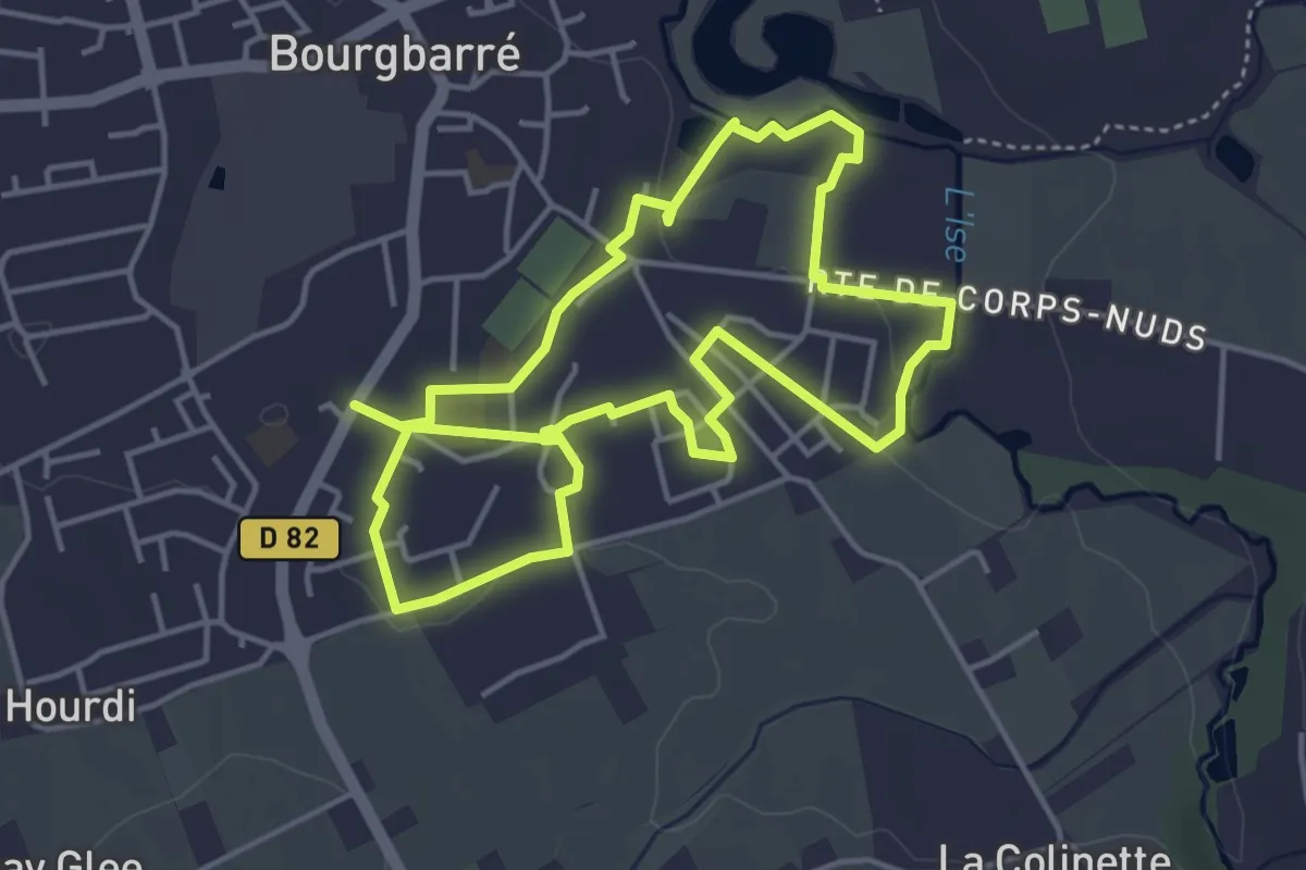
Medium · Trail
Les bords de l'Ise
8.4 km · ↑ 48 m · 2 h 6 min
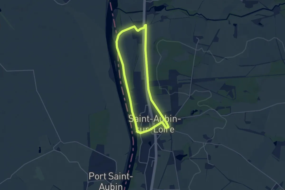
Easy · Trail
Les Bords de Loire
3.8 km · ↑ 28 m · 1 h 1 min
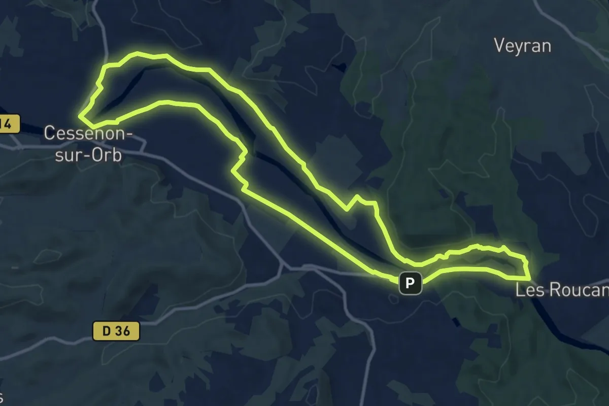
Medium · Trail
Les bords de l'Orb
12.6 km · ↑ 97 m · 3 h 21 min
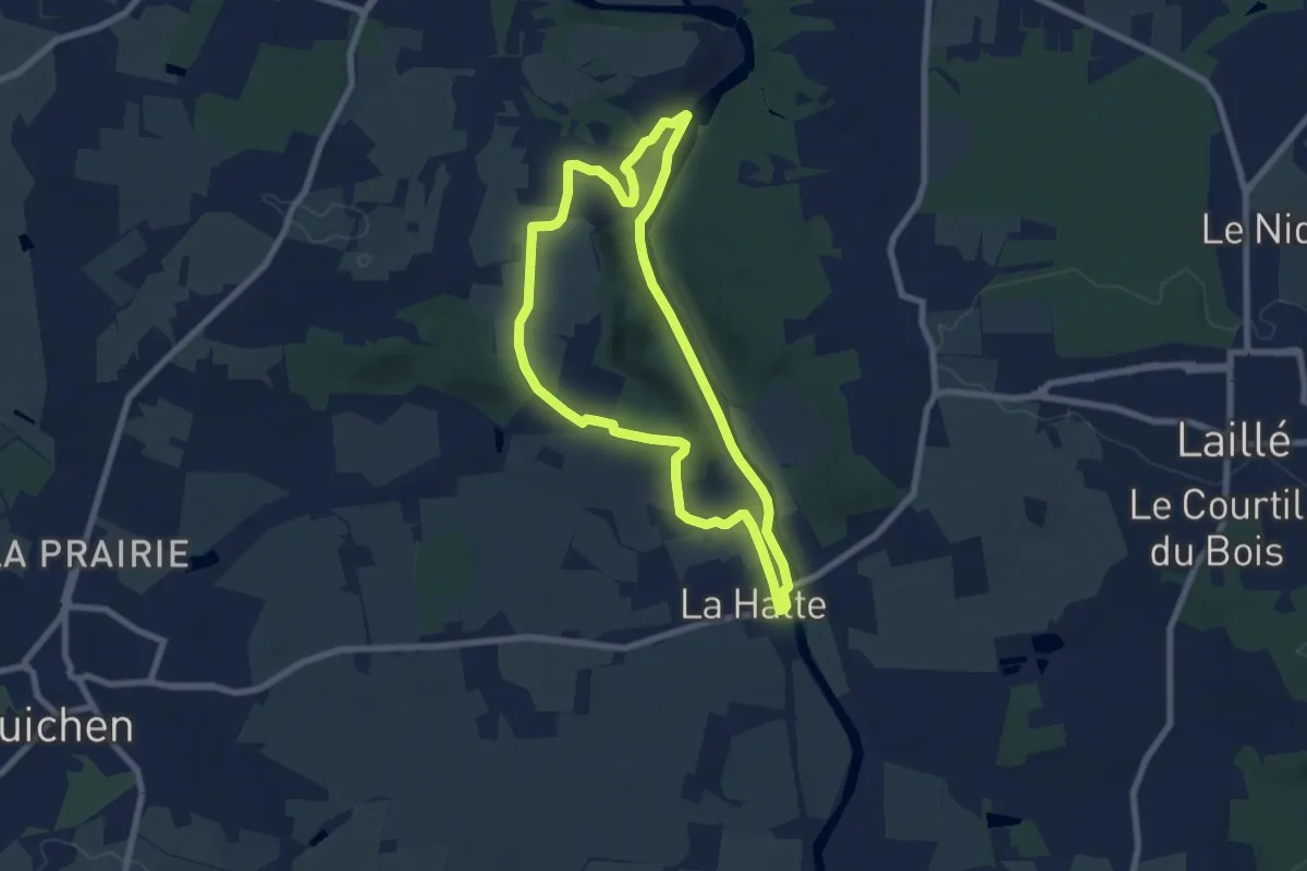
Easy · Trail
Les bords de Vilaine le Boël
6.9 km · ↑ 92 m · 1 h 56 min
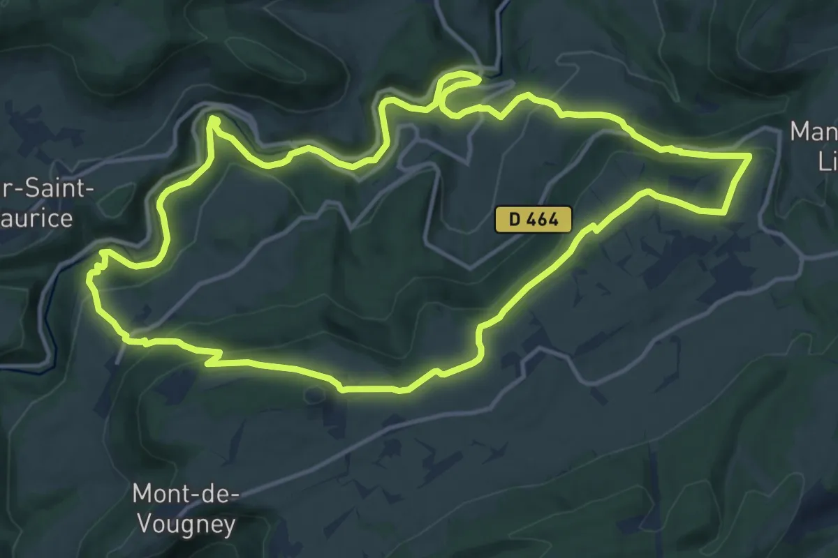
Medium · Trail
Les Bords du Dessoubre
13.3 km · ↑ 503 m · 4 h 25 min
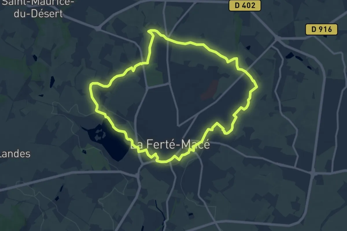
Medium · Trail
Les Bornes Cavalières
9.0 km · ↑ 91 m · 2 h 26 min
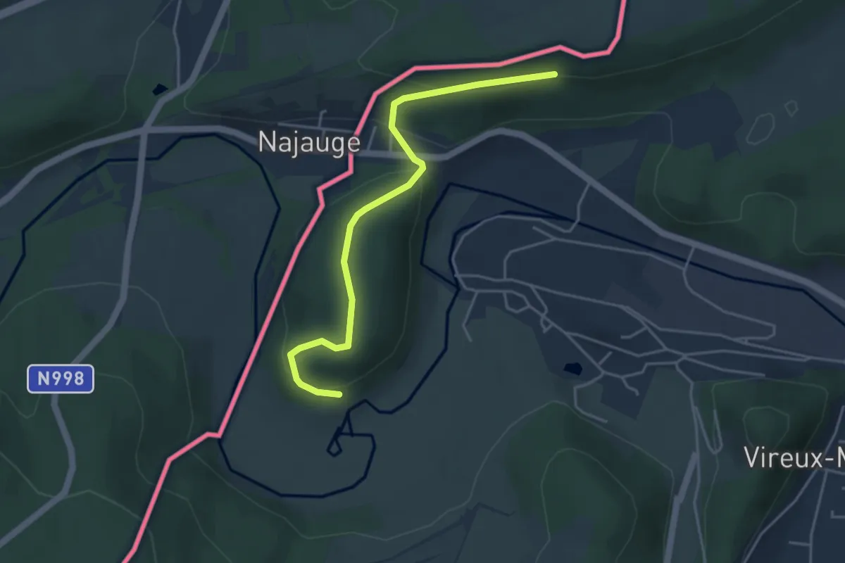
Easy · Trail
Les Bornes Frontières
2.0 km · ↑ 51 m · 38 min
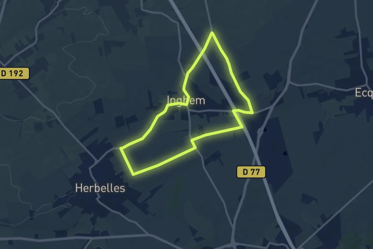
Easy · Trail
Les Bosquets
7.5 km · ↑ 63 m · 2 h
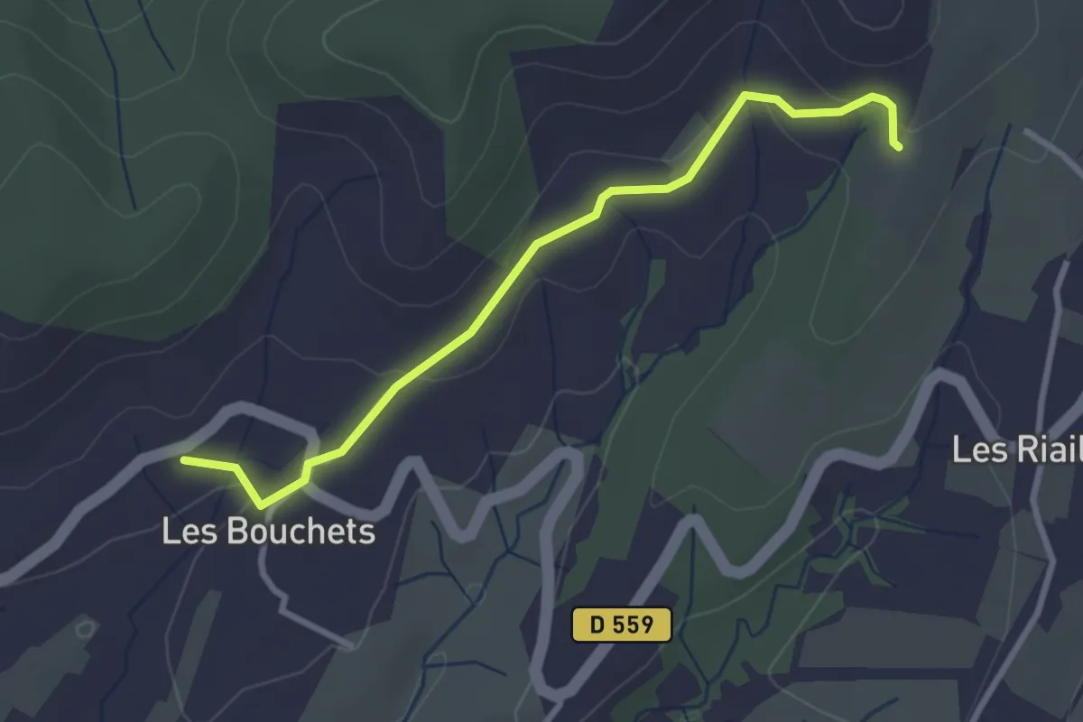
Easy · Trail
Les Bouchets - Les Mourades
3.1 km · ↑ 94 m · 56 min
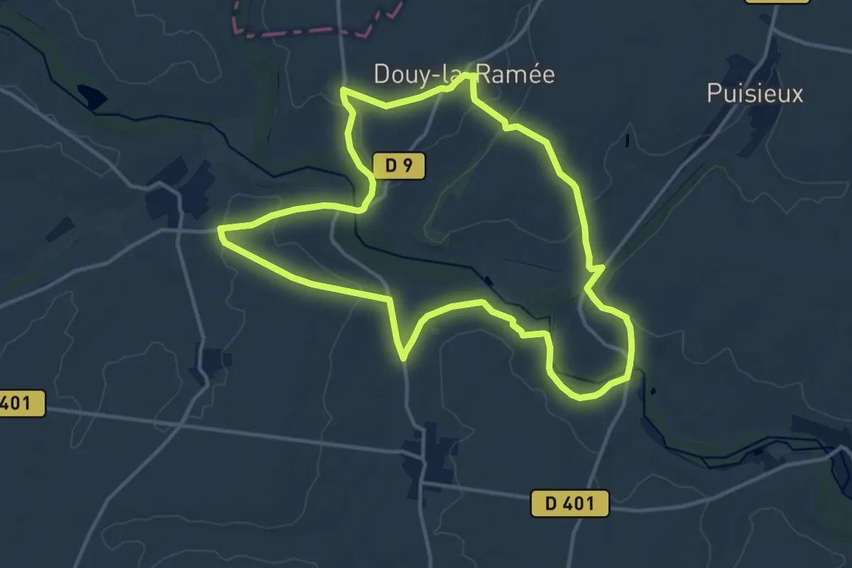
Medium · Trail
Les Boucles de la Therouanne
12.2 km · ↑ 147 m · 3 h 22 min
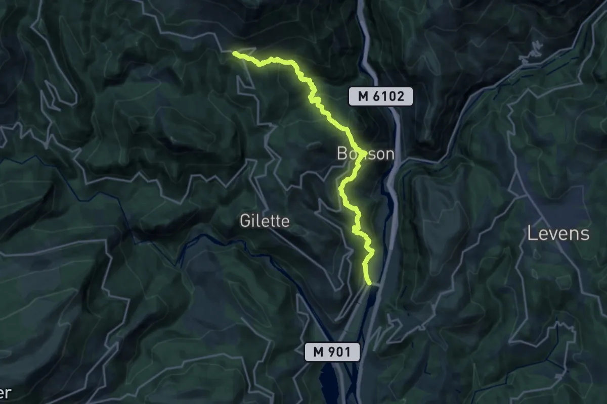
Demanding · Trail
Les Boucles de l'Estéron - Etape 1
17.5 km · ↑ 1294 m · 6 h 57 min
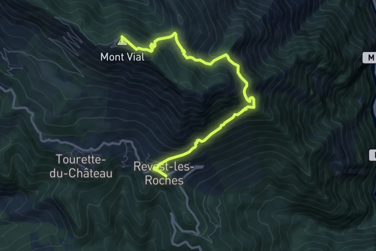
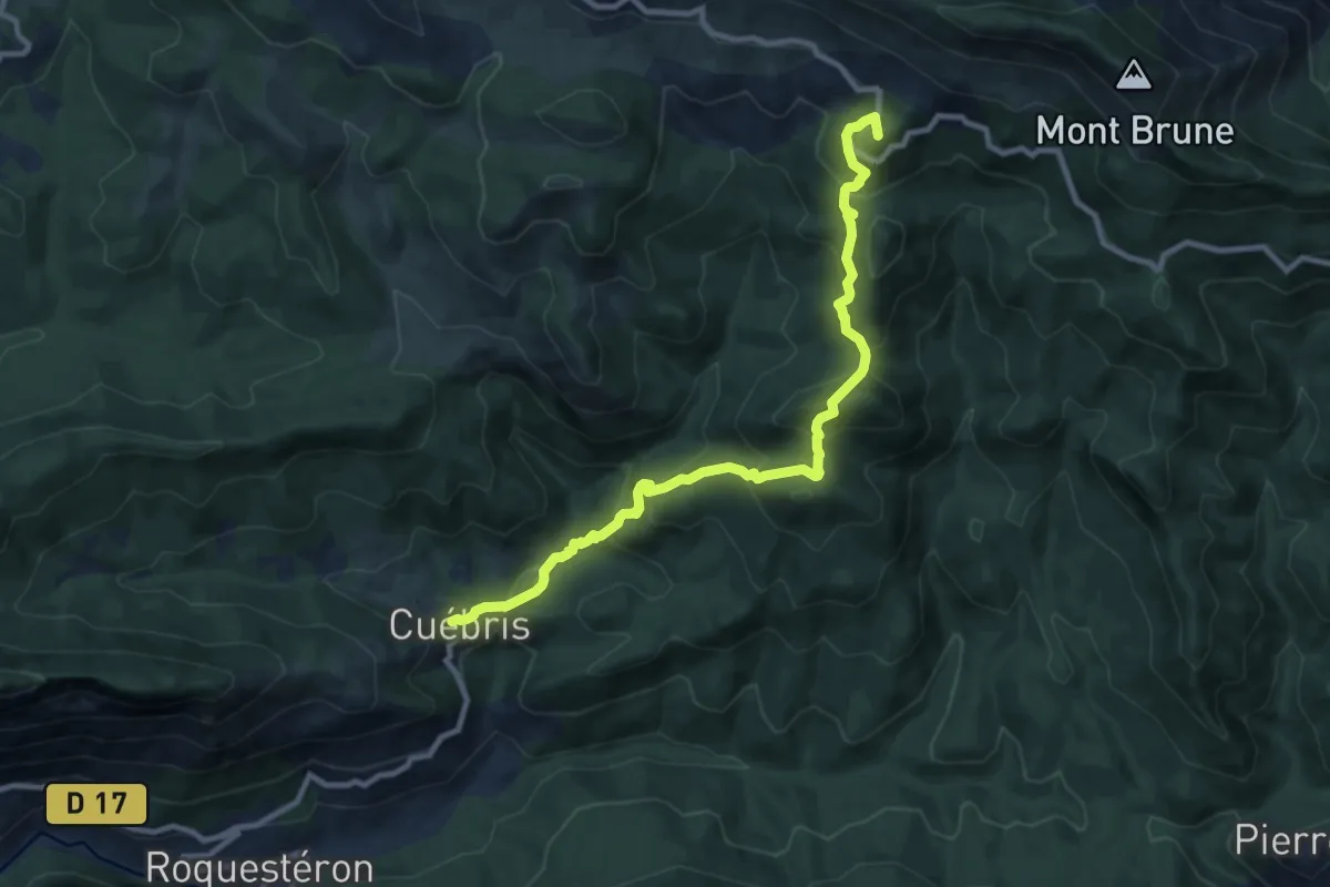
Demanding · Summit
Les Boucles de l'Estéron - Etape 2
9.5 km · ↑ 888 m · 4 h 10 min
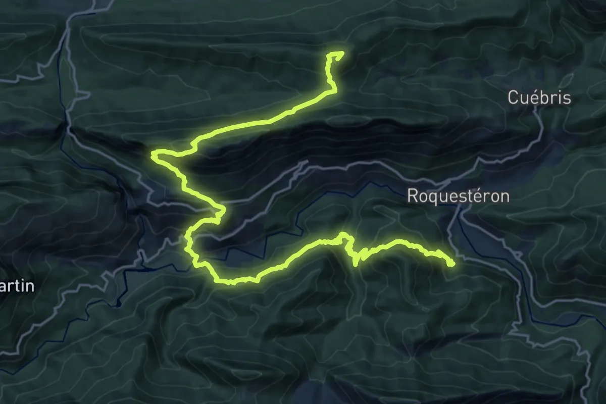
Demanding · Summit
Les Boucles de l'Estéron - Etape 3
10.8 km · ↑ 896 m · 4 h 30 min
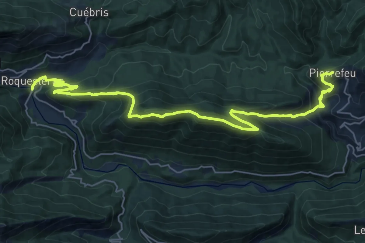
Demanding · Summit
Les Boucles de l'Estéron - Etape 4
25.2 km · ↑ 2145 m · 10 h 35 min
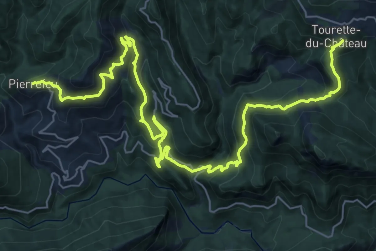
Demanding · Trail
Les Boucles de l'Estéron - Etape 5
11.1 km · ↑ 955 m · 4 h 42 min
Medium · Trail
Les Boucles de l'Estéron - Etape 6
12.7 km · ↑ 685 m · 4 h 47 min
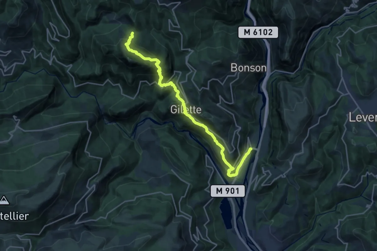
Demanding · Trail
Les Boucles de l'Estéron - Etape 7
19.1 km · ↑ 1407 m · 7 h 33 min
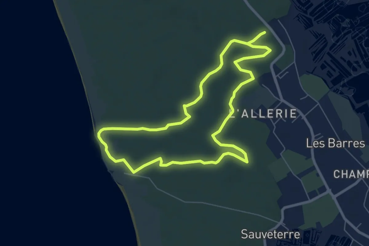
Easy · Trail
Les Bourbes
6.0 km · ↑ 13 m · 1 h 31 min
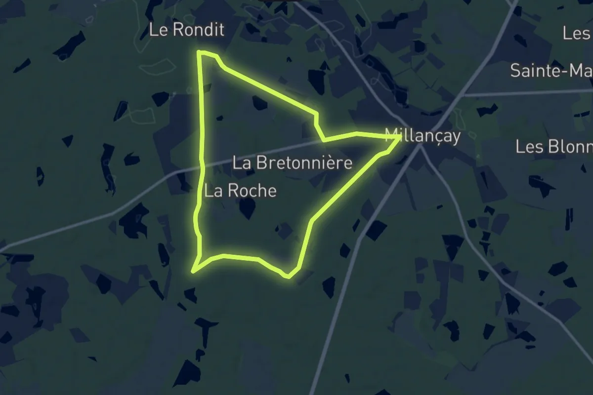
Medium · Trail
Les Bourdinières
9.0 km · ↑ 36 m · 2 h 20 min
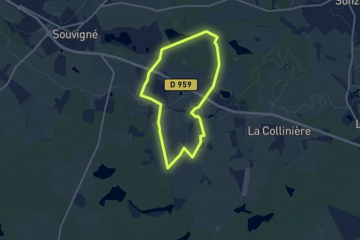
Easy · Trail
Les Bourdinières - Souvigné
6.7 km · ↑ 22 m · 1 h 43 min
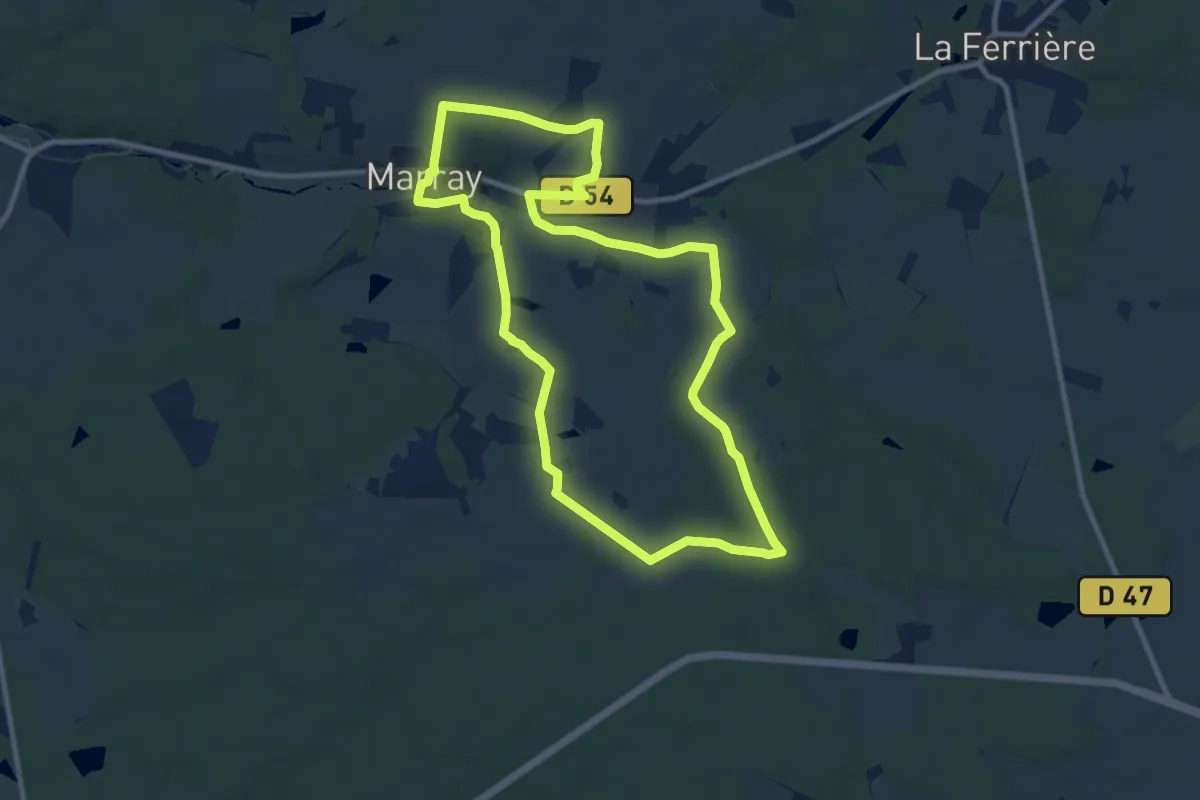
Medium · Trail
Les Bournais
10.0 km · ↑ 109 m · 2 h 44 min
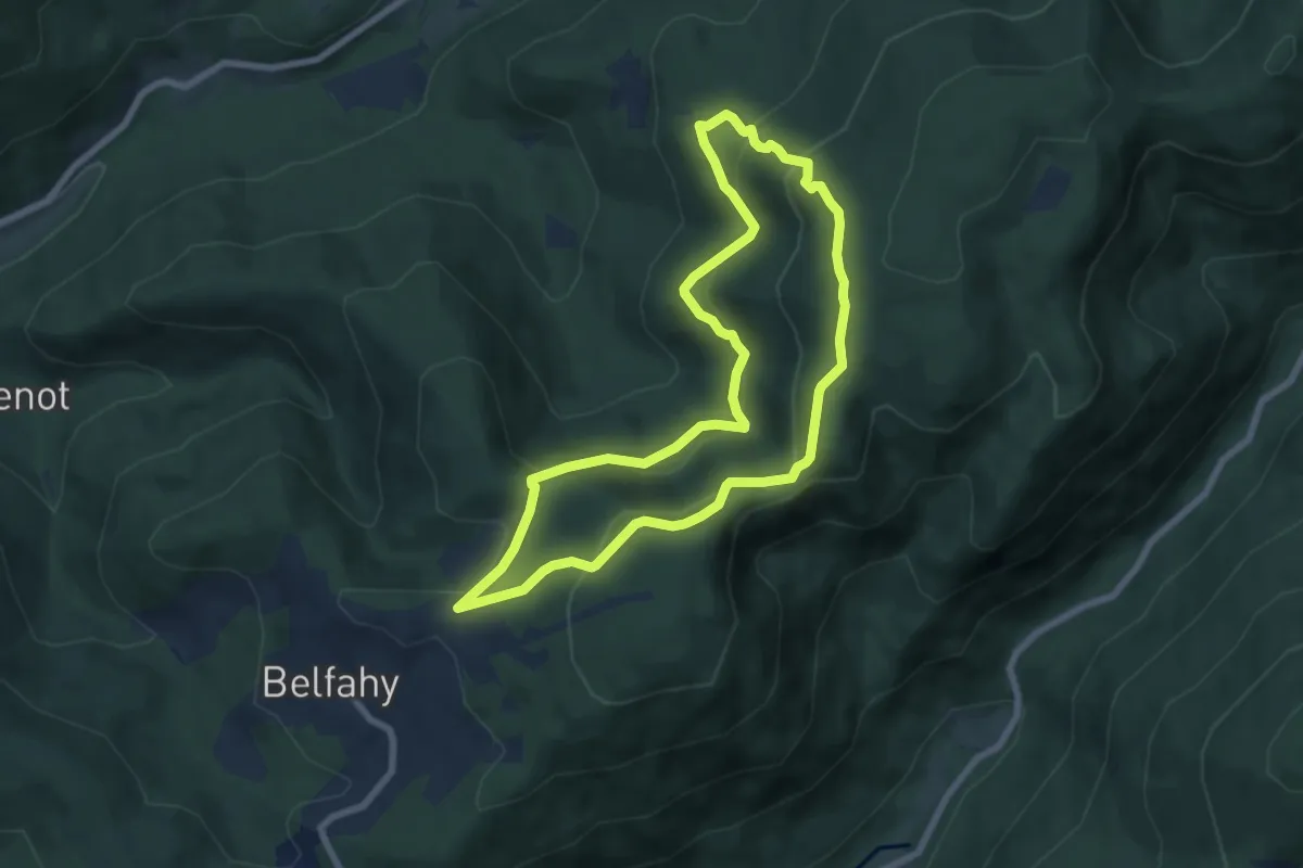
Medium · Summit
Les Brimbelles
6.8 km · ↑ 370 m · 2 h 30 min
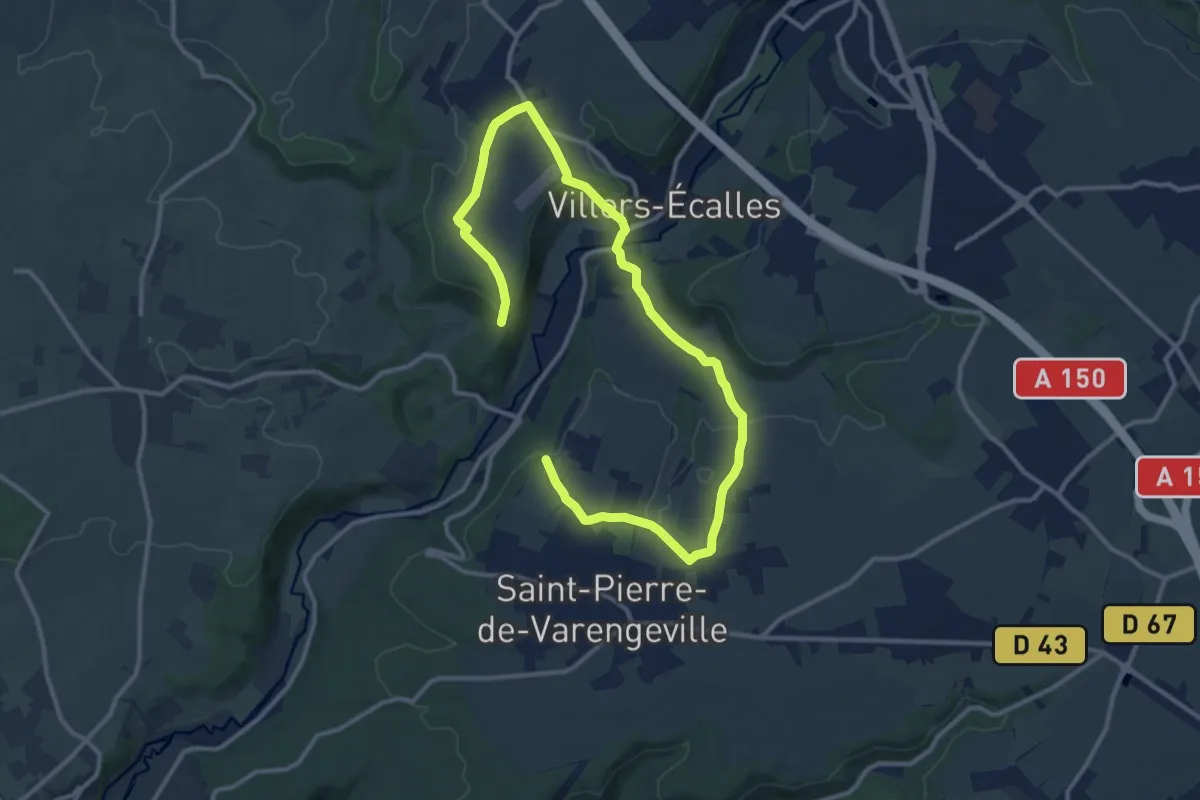
Medium · Trail
Les Broches
10.6 km · ↑ 279 m · 3 h 15 min
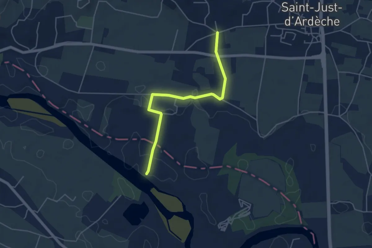
Easy · Trail
Les Broutières - Vachère
4.4 km · ↑ 21 m · 1 h 5 min
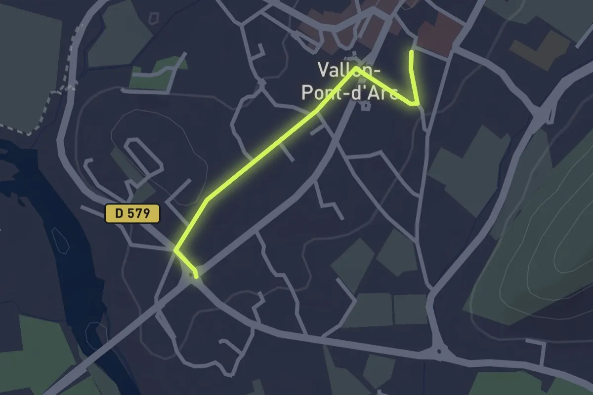
Easy · Trail
Les Brugières - Puits de Ronze
2.1 km · ↑ 17 m · 32 min
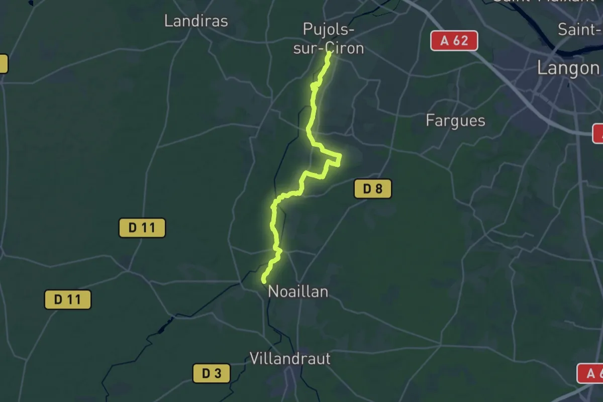
Demanding · Trail
Les Brumes d'Or : circuit départemental
24.6 km · ↑ 130 m · 6 h 6 min
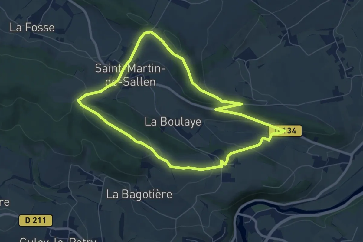
Easy · Trail
Les Bruyères du Mont Aigu
6.4 km · ↑ 164 m · 1 h 58 min
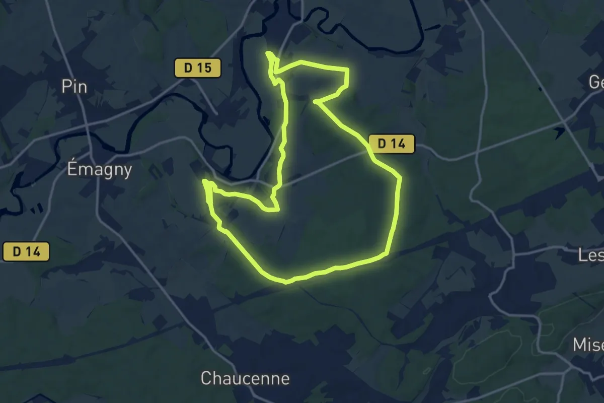
Demanding · Trail
Les Bugnoz
25.7 km · ↑ 283 m · 6 h 41 min
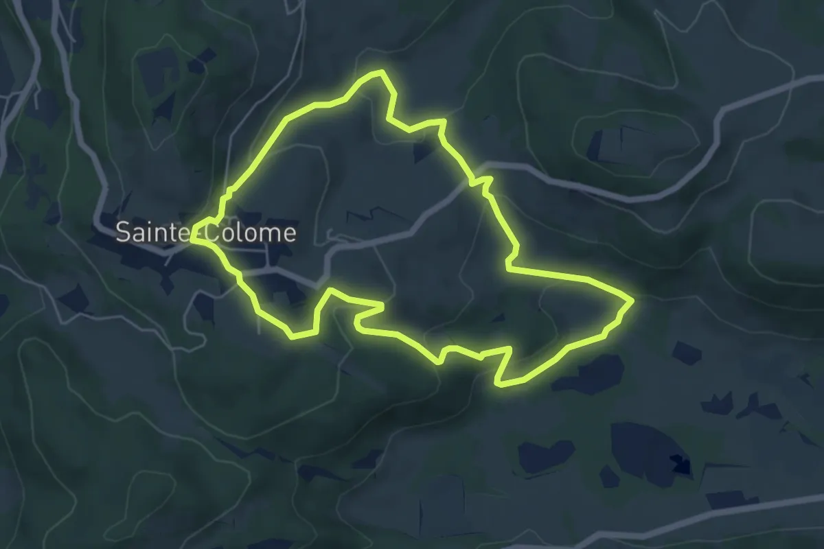
Easy · Trail
Les buis
5.8 km · ↑ 207 m · 1 h 54 min
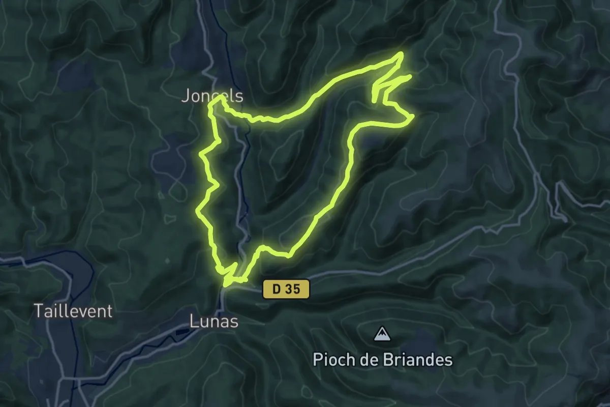
Medium · Trail
Les Buis
15.1 km · ↑ 581 m · 5 h 1 min
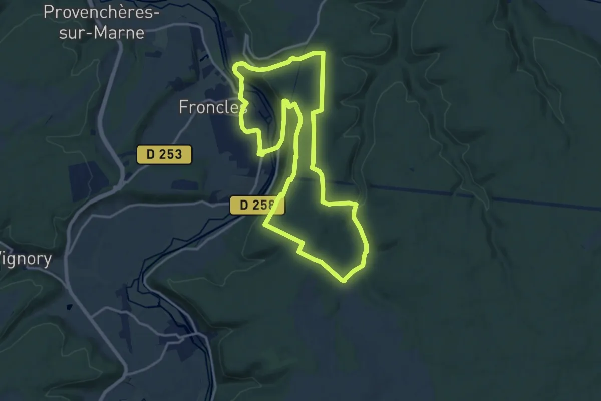
Medium · Trail
Les Buis
12.3 km · ↑ 303 m · 3 h 43 min
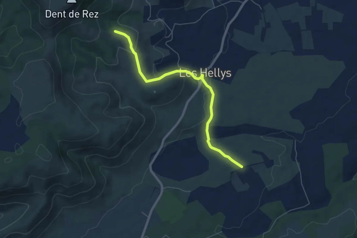
Easy · Trail
Les Buissières - Gerles
5.7 km · ↑ 176 m · 1 h 43 min
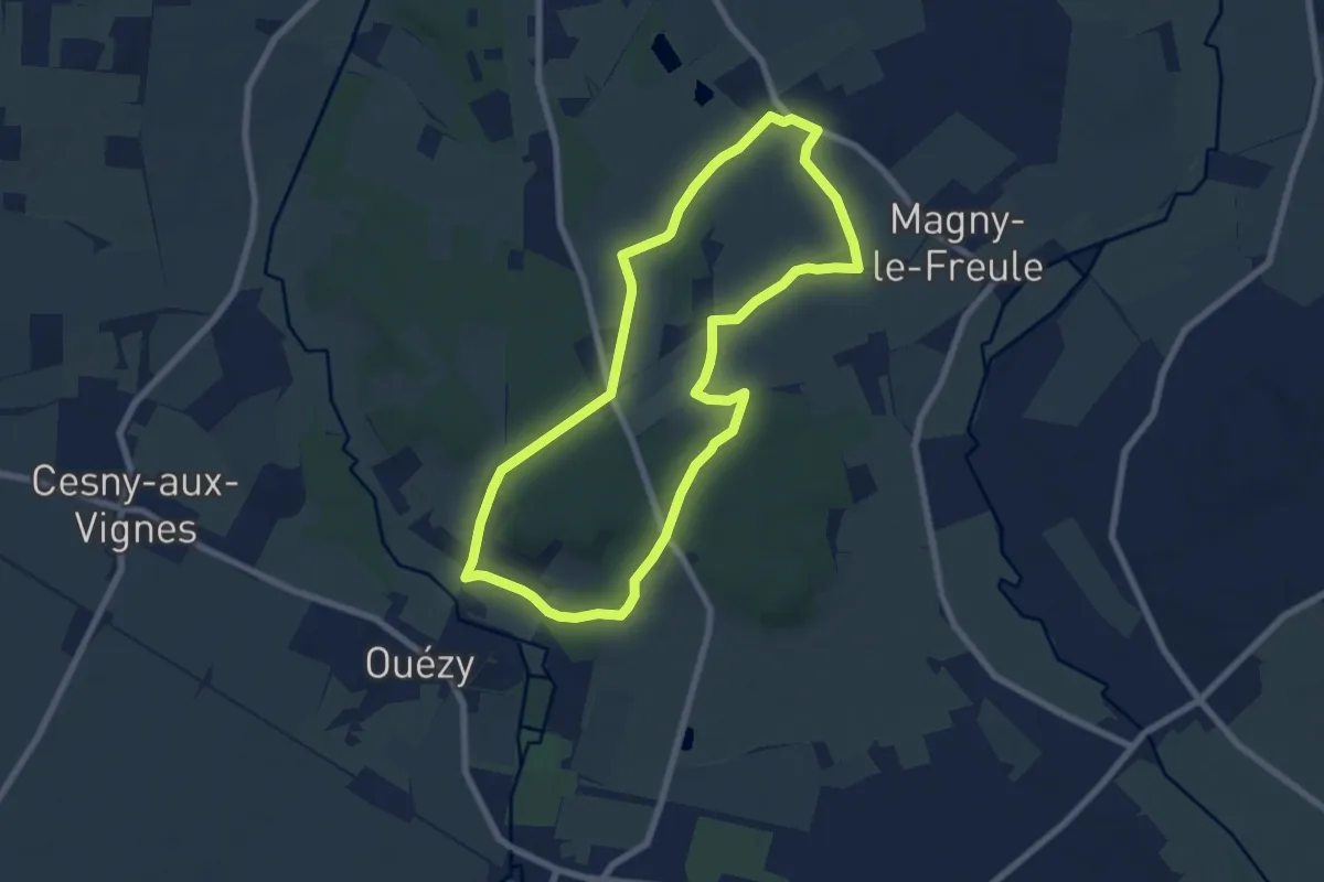
Easy · Trail
Les Buttes de Canon
6.9 km · ↑ 98 m · 1 h 56 min
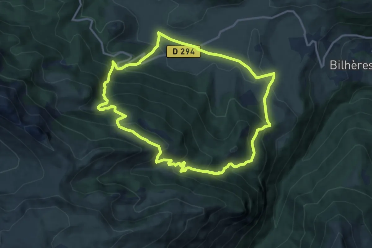
Medium · Trail
Les cabanes de Lasbordes
9.4 km · ↑ 606 m · 3 h 39 min
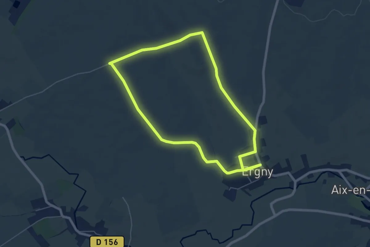
Easy · Trail
Les Cailleuses
4.9 km · ↑ 42 m · 1 h 19 min
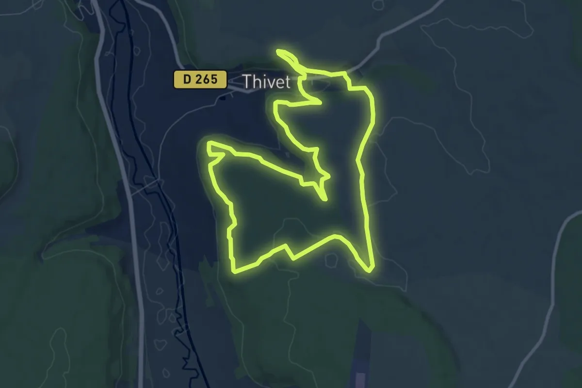
Medium · Trail
Les Caivottes
8.8 km · ↑ 145 m · 2 h 31 min