Trails in France
15,926 hiking trails, each with its route, climb, walking time and grade.
All trails, page 178 of 332
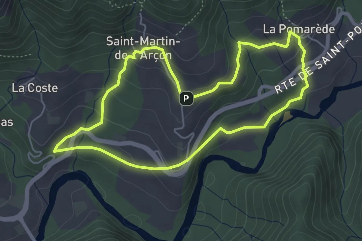
Easy · Trail
Les Calades
4.6 km · ↑ 190 m · 1 h 33 min
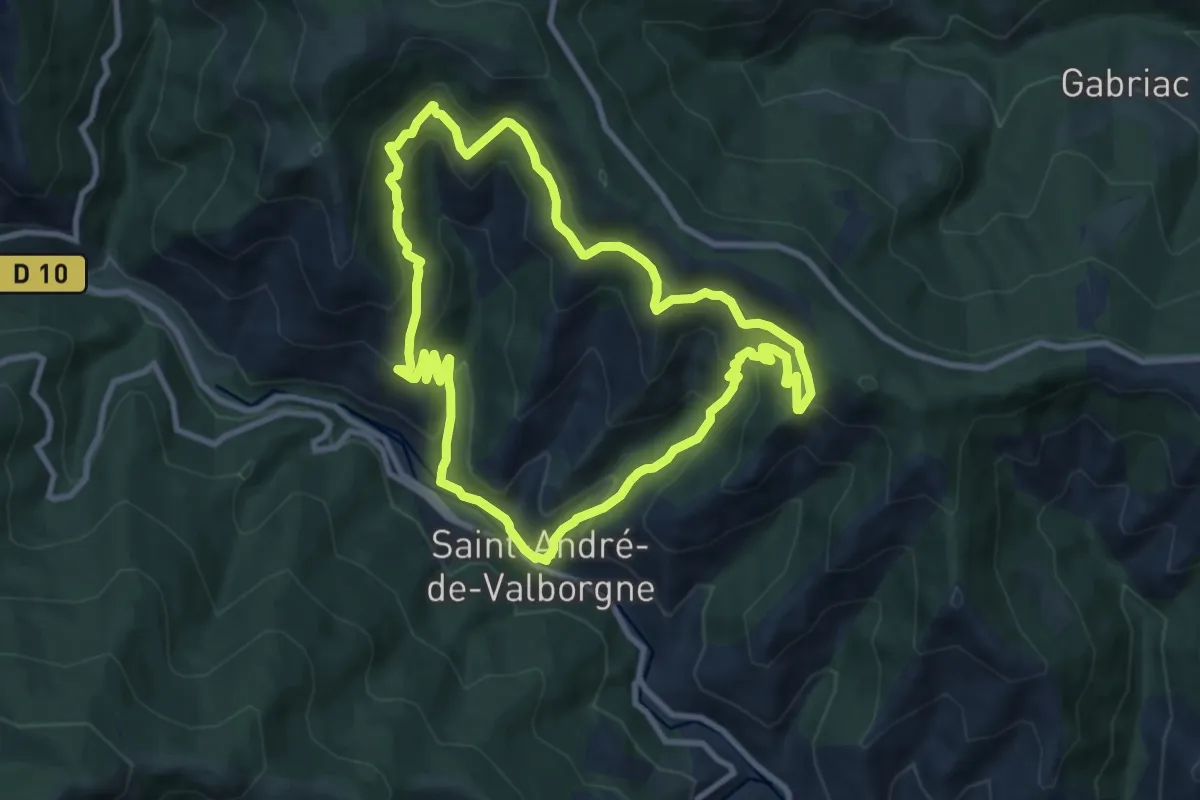
Medium · Trail
L'Escale
9.4 km · ↑ 503 m · 3 h 26 min
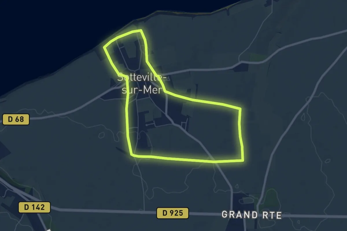
Easy · Trail
L'escalier de Sotteville
6.0 km · ↑ 35 m · 1 h 35 min
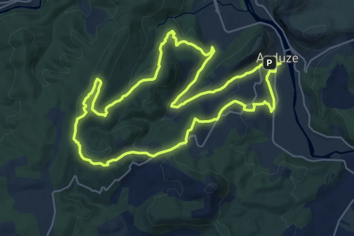
Medium · Trail
Les Capélans
14.9 km · ↑ 444 m · 4 h 41 min
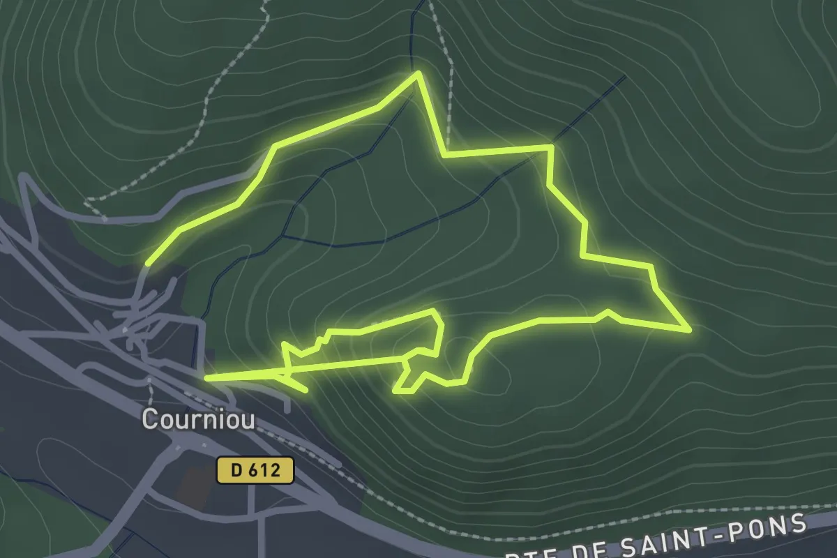
Easy · Trail
Les Capitelles
5.1 km · ↑ 314 m · 1 h 53 min
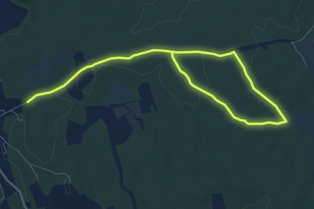
Medium · Trail
Les Capitelles
10.1 km · ↑ 116 m · 2 h 38 min
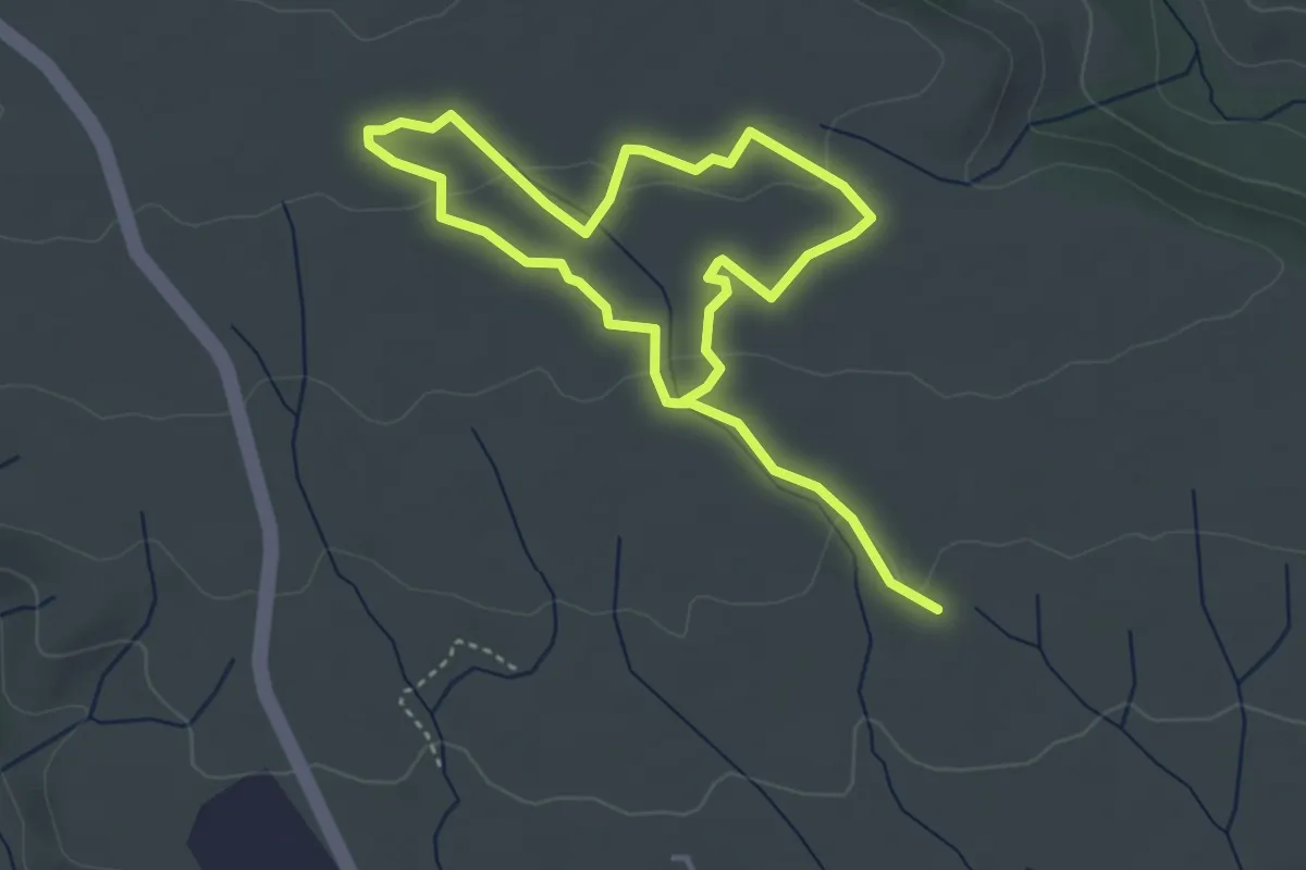
Easy · Trail
Les Capitelles - La Plaine de la Cocalière
3.3 km · ↑ 66 m · 58 min
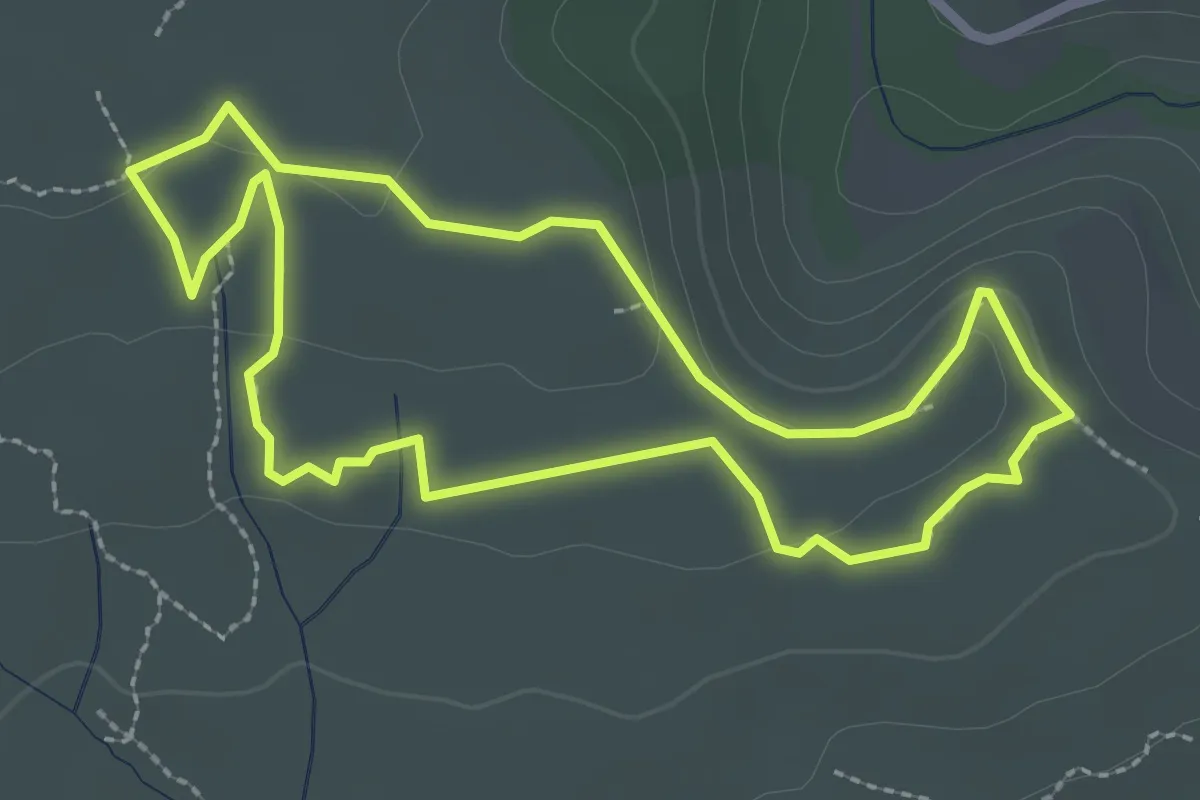
Easy · Trail
Les Capitelles - Le Cagarot
2.7 km · ↑ 54 m · 47 min
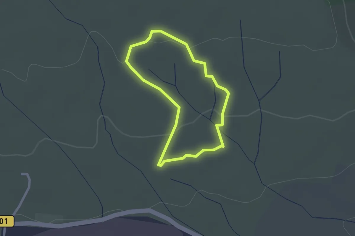
Easy · Trail
Les Capitelles - Le Ruisseau de la Garrigue
1.8 km · ↑ 32 m · 31 min
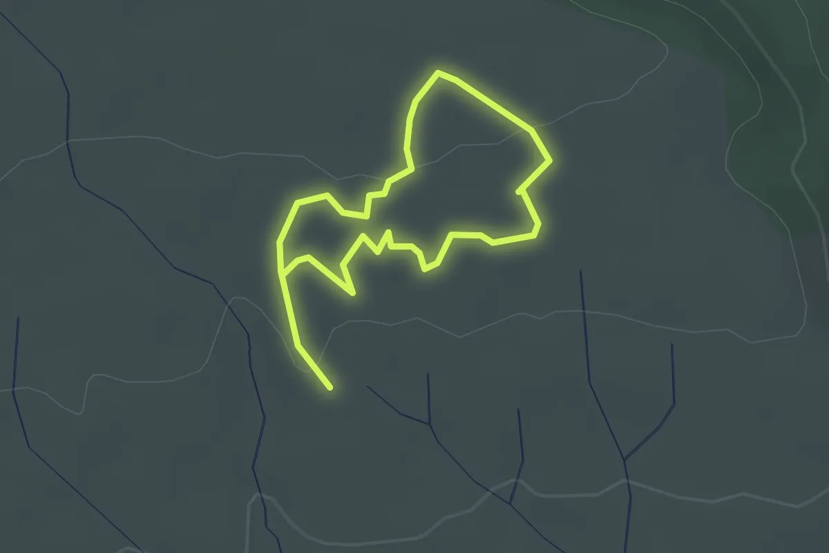
Easy · Trail
Les Capitelles - Les Murailles d'Aribaud
2.0 km · ↑ 28 m · 34 min
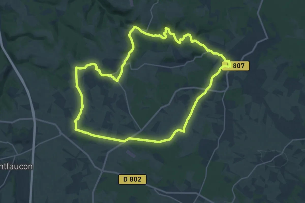
Demanding · Trail
Les Caps durs
19.9 km · ↑ 302 m · 5 h 38 min
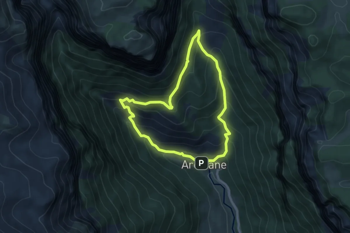
Medium · Cabin
Les carnets d'Achiane
5.0 km · ↑ 392 m · 2 h 7 min
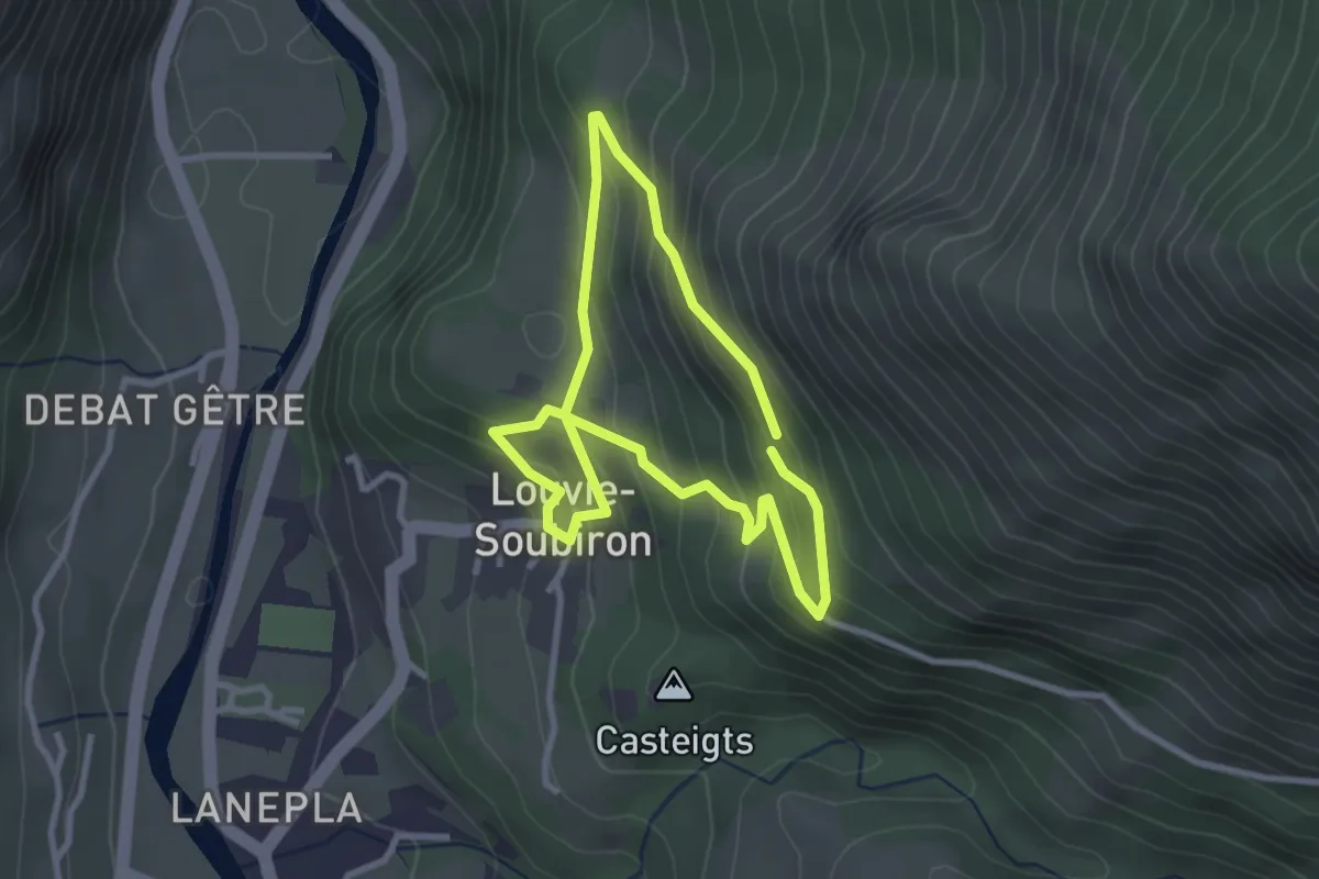
Easy · Trail
Les carrières
2.7 km · ↑ 191 m · 1 h 5 min
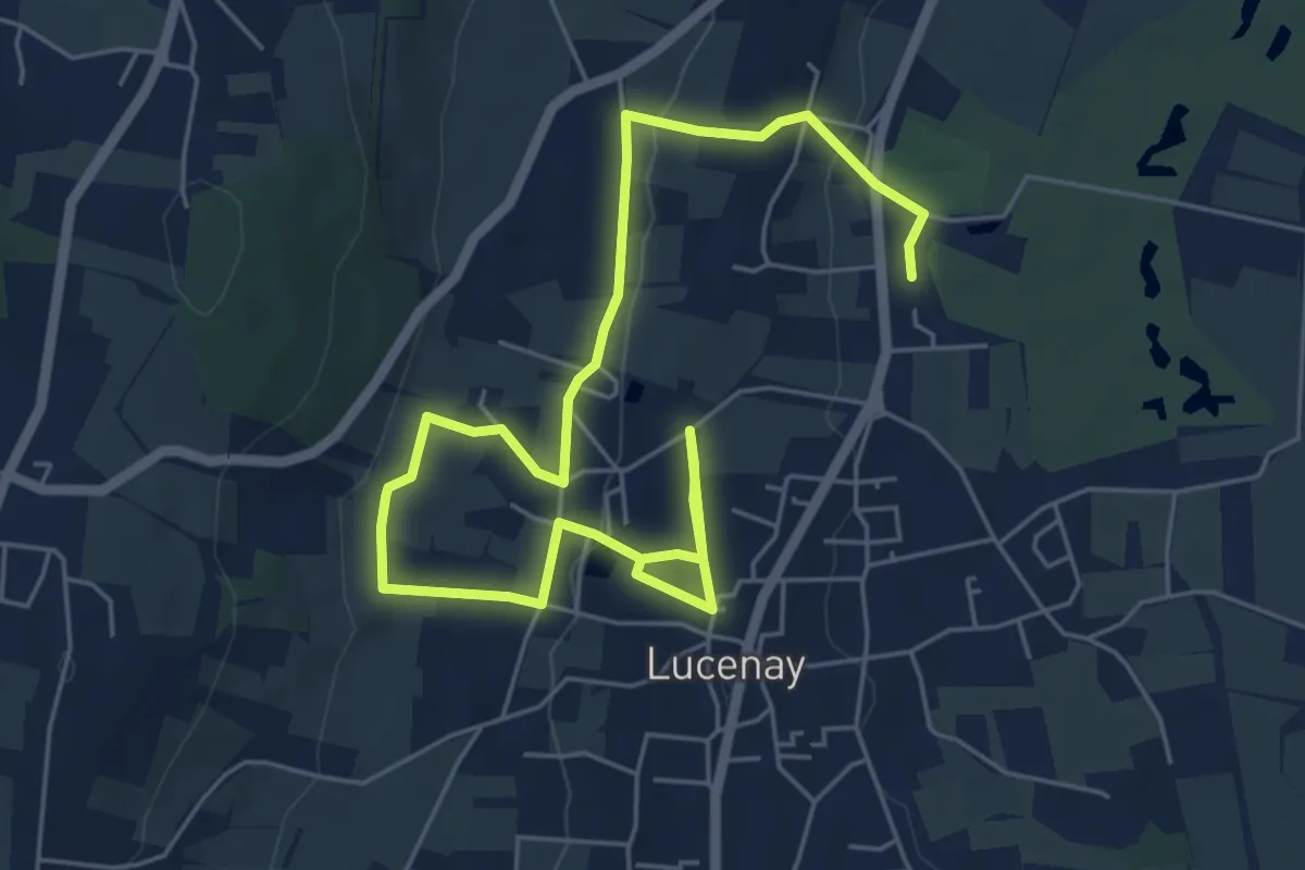
Medium · Trail
Les Carrières
8.4 km · ↑ 193 m · 2 h 25 min
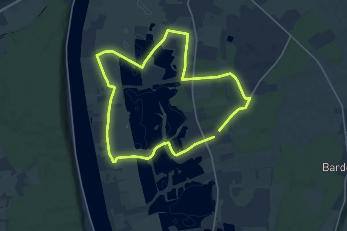
Medium · Trail
Les Carrières
9.7 km · ↑ 30 m · 2 h 29 min
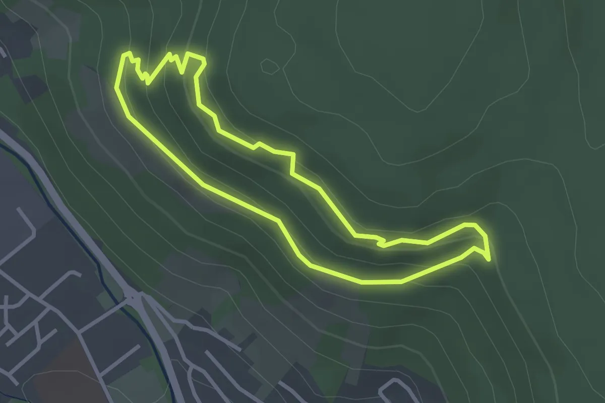
Easy · Trail
Les carrières de Buhl
2.6 km · ↑ 116 m · 54 min
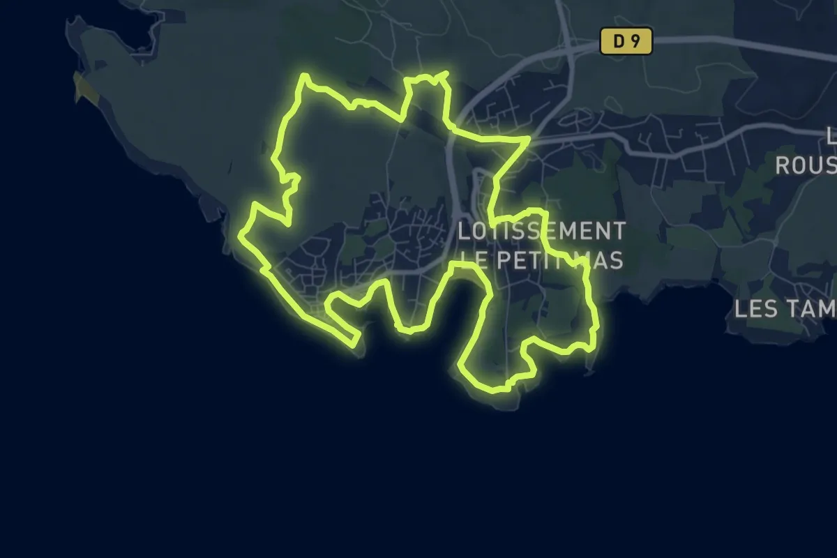
Medium · Trail
Les carrières de pierre de La Couronne
11.2 km · ↑ 84 m · 2 h 59 min
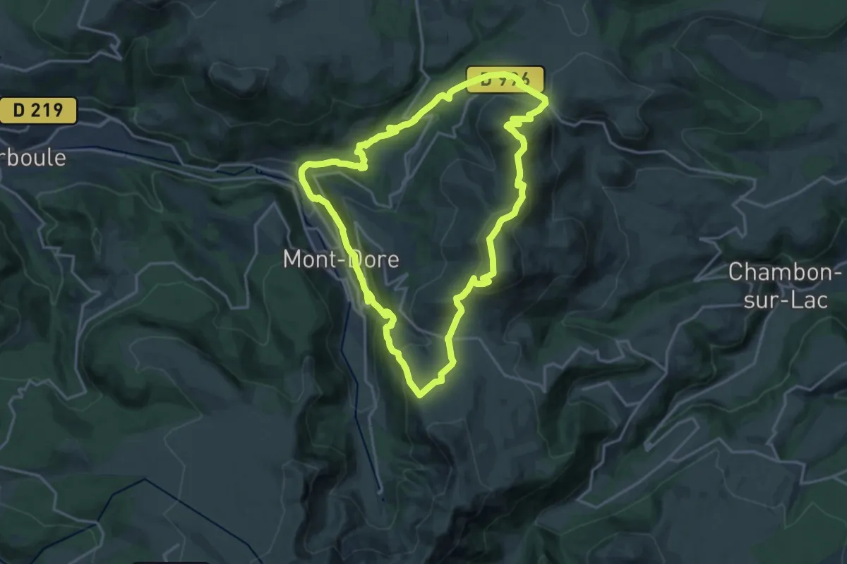
Demanding · Summit
Les Cascades
16.7 km · ↑ 958 m · 6 h 16 min
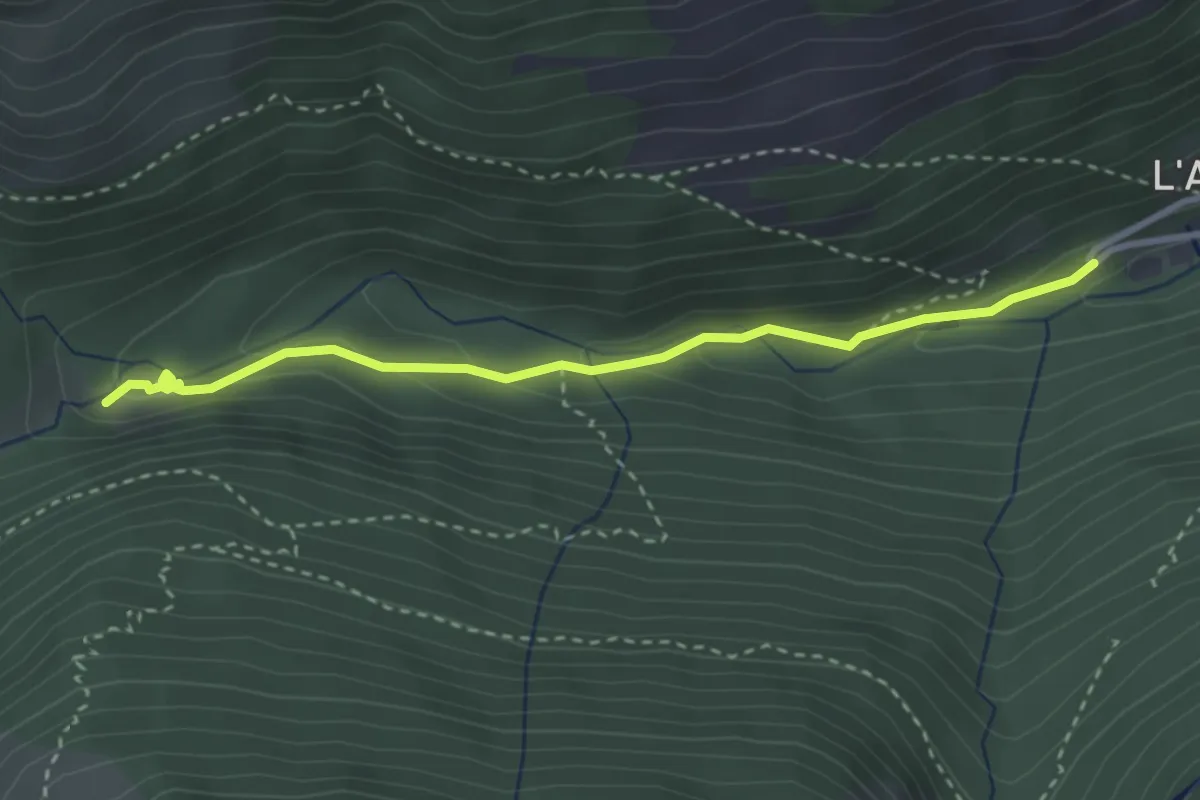
Medium · Trail
Les Cascades de l'Artigue
3.3 km · ↑ 134 m · 1 h 4 min
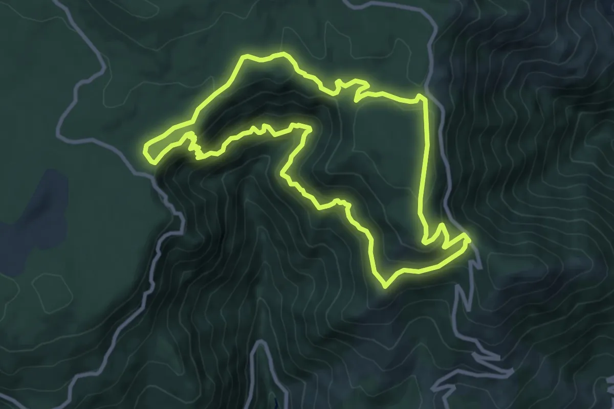
Medium · Trail
Les Cascades d'Orgon
8.9 km · ↑ 482 m · 3 h 17 min
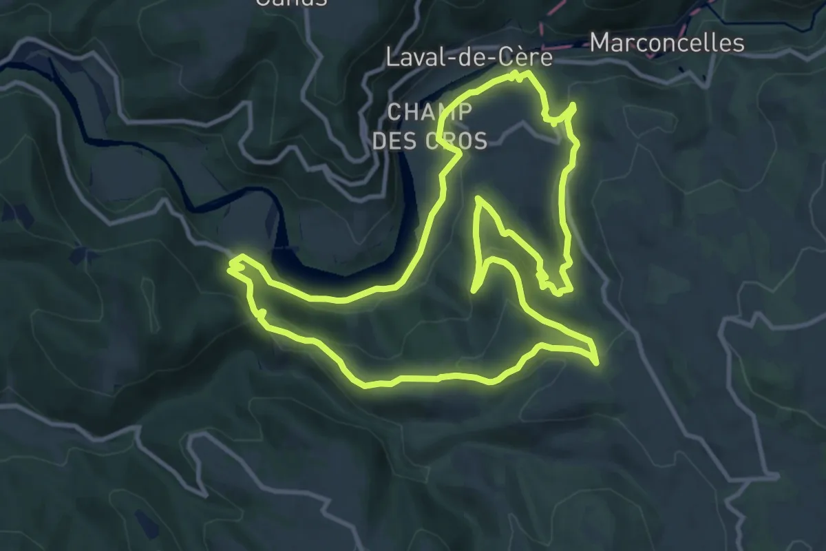
Medium · Summit
Les Cascades perdues
11.4 km · ↑ 454 m · 3 h 50 min
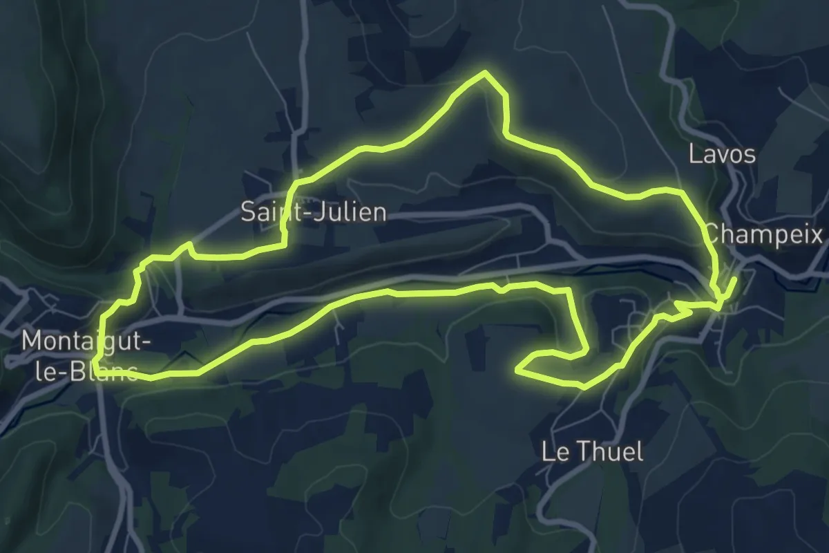
Medium · Trail
Les caves de Saint-Julien
9.0 km · ↑ 219 m · 2 h 43 min
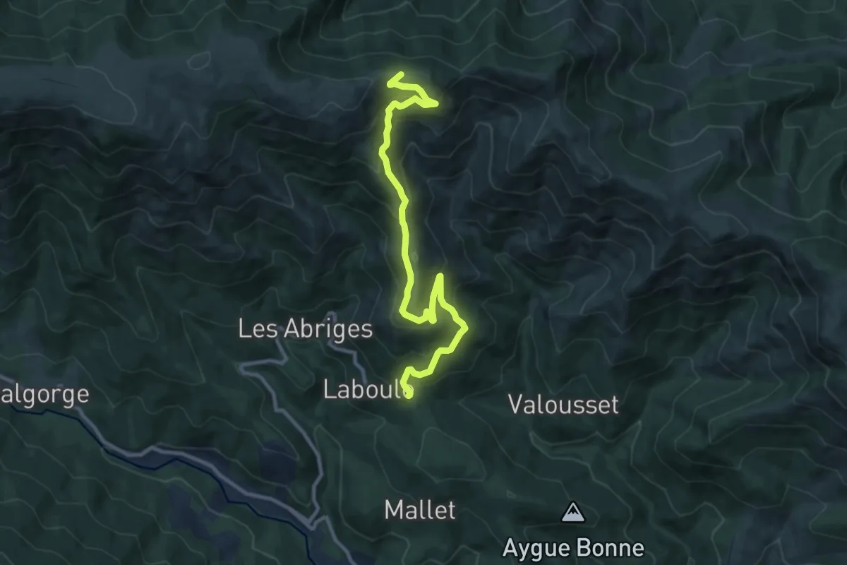
Medium · Trail
Les Cebeyres - Cros de l'Aygue
10.7 km · ↑ 687 m · 4 h 1 min
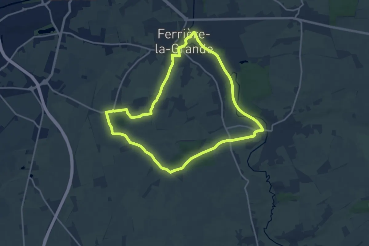
Medium · Trail
Les Censes de Raidmont
9.8 km · ↑ 63 m · 2 h 35 min
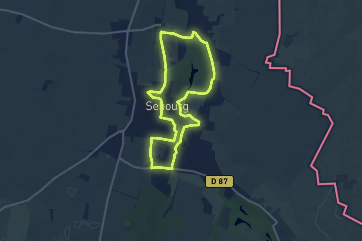
Easy · Trail
Les Censes de Sebourg
6.2 km · ↑ 71 m · 1 h 42 min
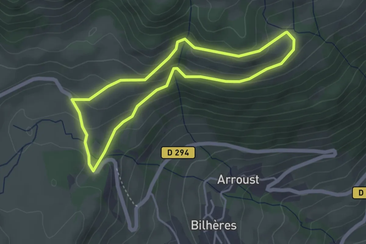
Easy · Trail
Les cercles de pierre
3.5 km · ↑ 152 m · 1 h 12 min
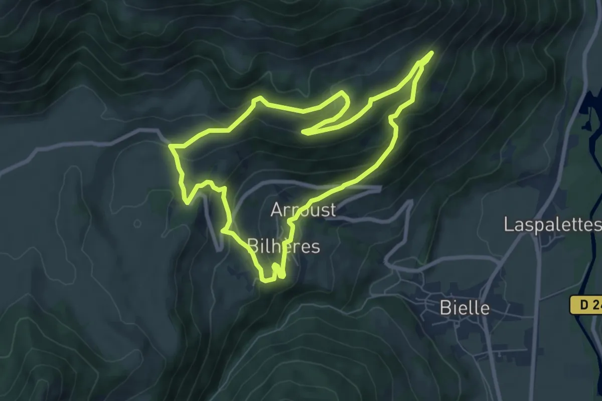
Medium · Trail
Les cercles de pierre (Bilhères)
7.2 km · ↑ 347 m · 2 h 33 min
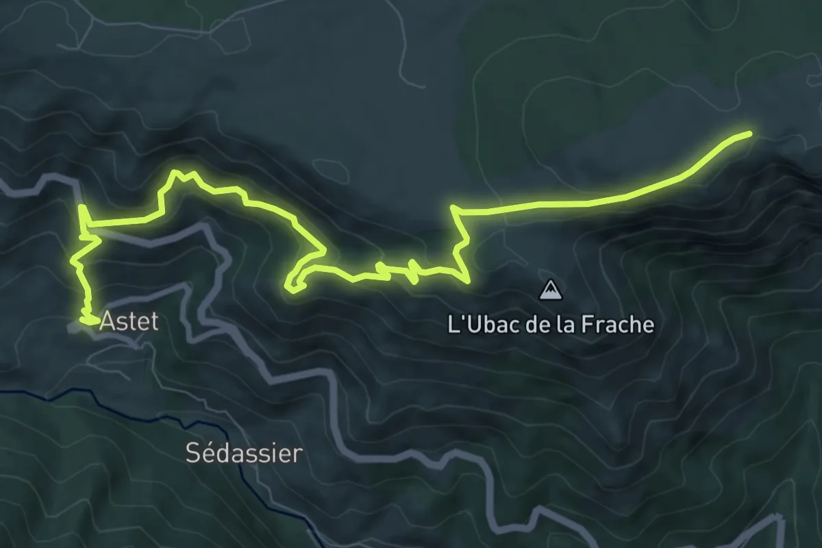
Medium · Trail
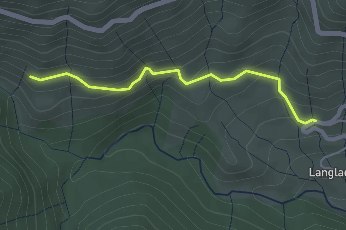
Les Chabannaux - Cocu
11.4 km · ↑ 799 m · 4 h 25 min
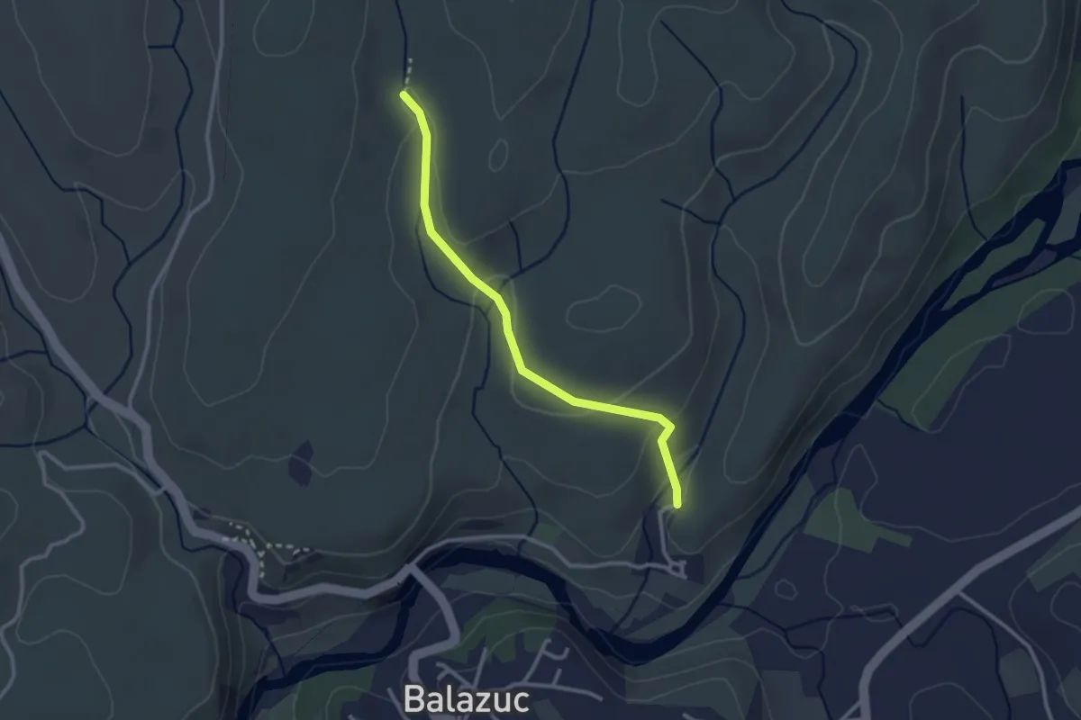
Easy · Trail
Les Chabannaux - Rocher du Cheylard
3.2 km · ↑ 212 m · 1 h 13 min
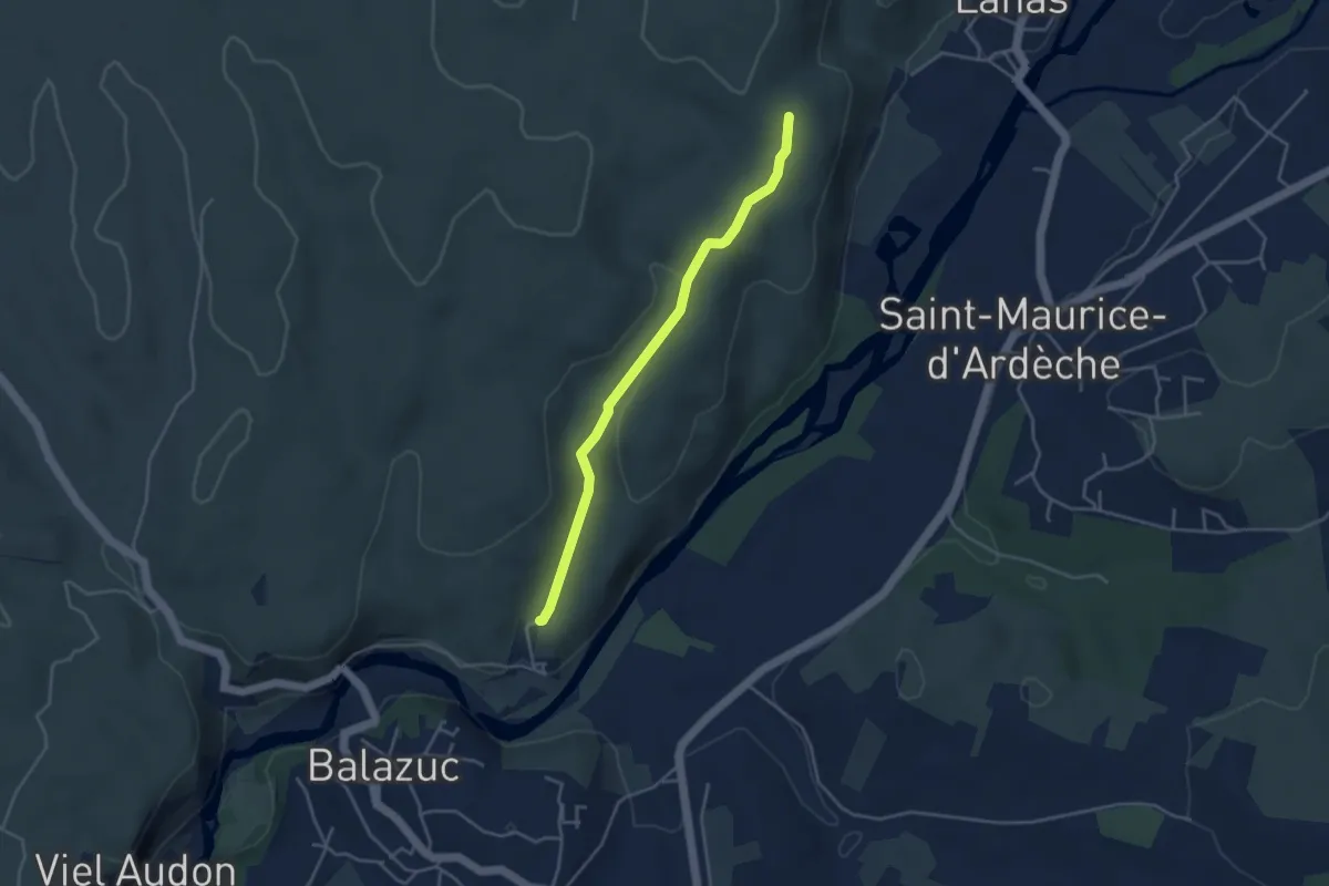
Easy · Trail
Les Chabasses - Chazette
2.8 km · ↑ 83 m · 50 min
Easy · Trail
Les Chabasses - Le Clauzel
3.9 km · ↑ 78 m · 1 h 6 min
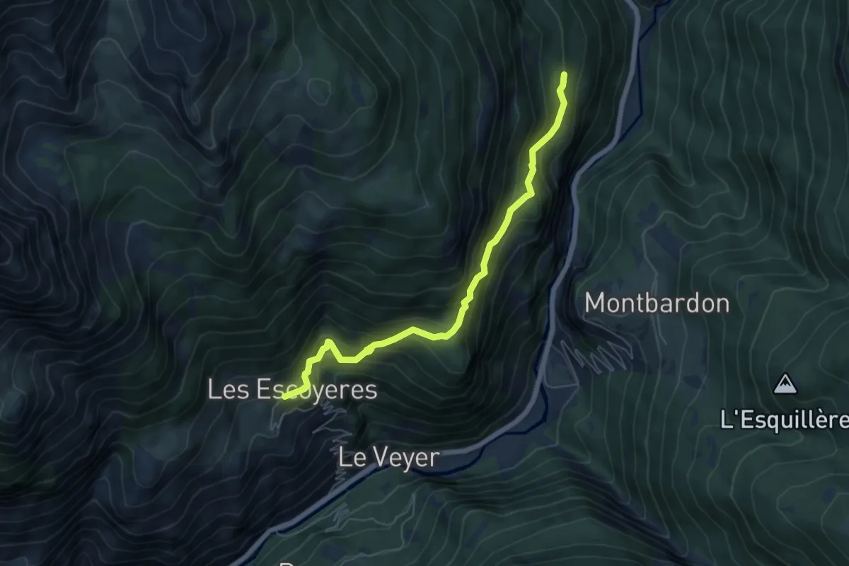
Medium · Trail
Les Chabrières - Les Escoyères
6.0 km · ↑ 495 m · 2 h 30 min
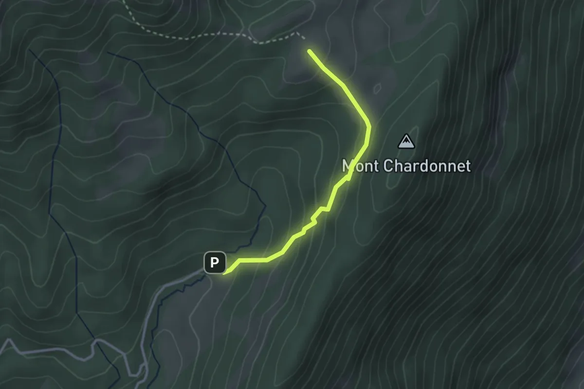
Medium · Trail
Les Chalets de la Fullie
2.7 km · ↑ 184 m · 1 h 2 min
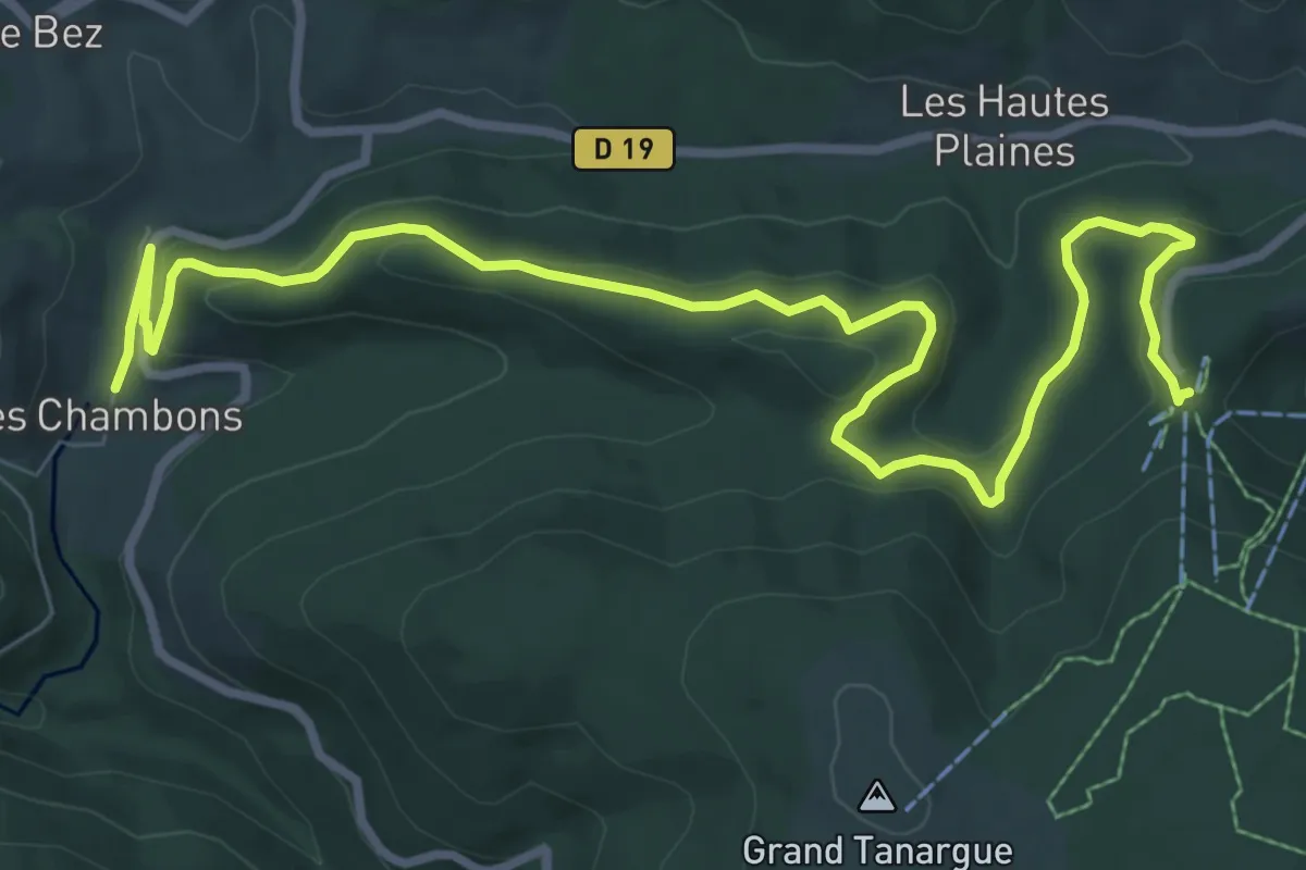
Medium · Trail
Les Chambons bis - Billeterie Station
11.5 km · ↑ 364 m · 3 h 30 min
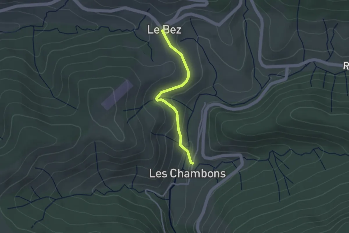
Easy · Trail
Les Chambons bis - Le Bez
2.5 km · ↑ 65 m · 44 min
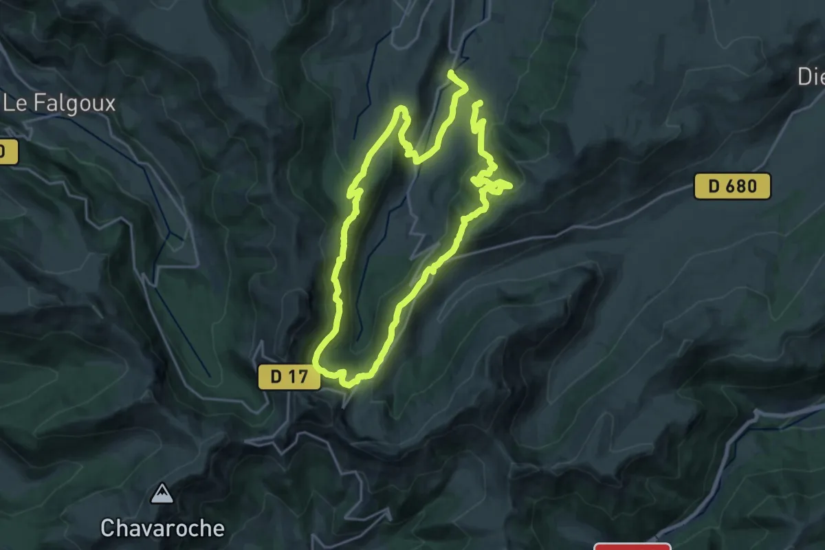
Medium · Trail
Les Chamois
17.4 km · ↑ 636 m · 5 h 45 min
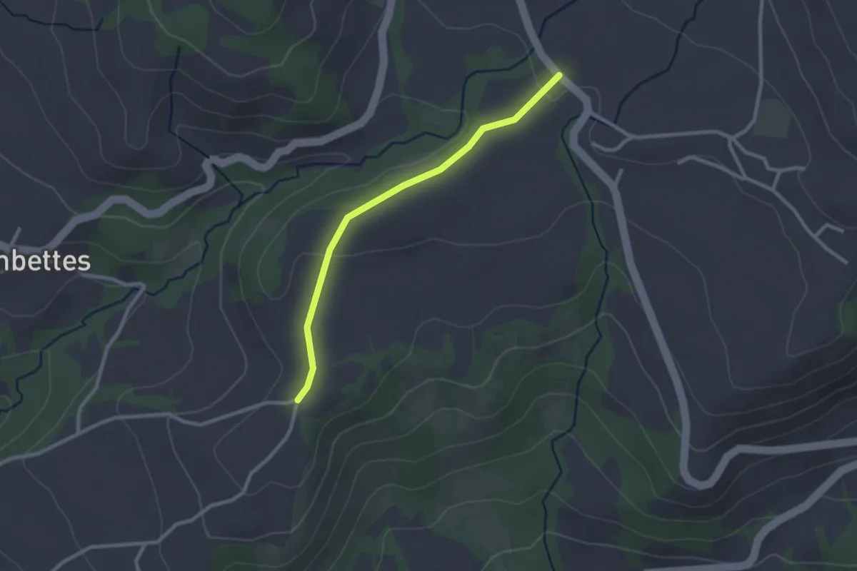
Easy · Trail
Les Champets - Le Mourard
2.5 km · ↑ 35 m · 40 min
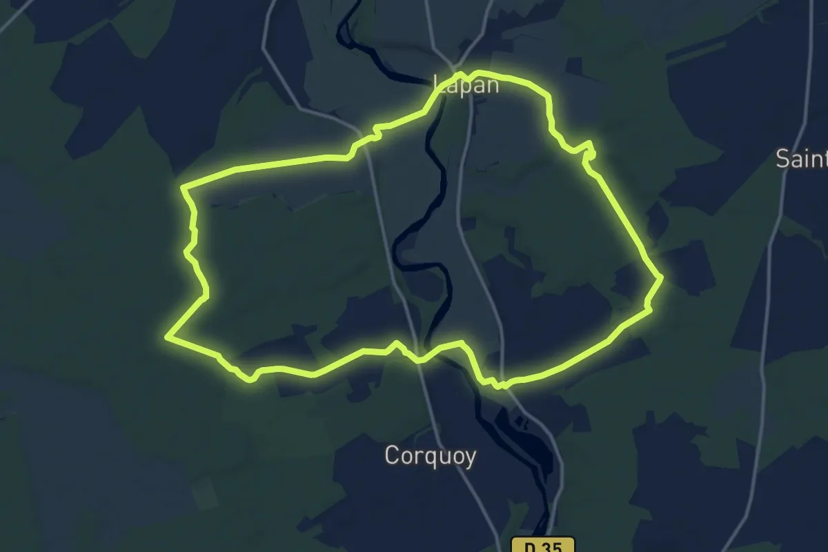
Medium · Trail
Les Champs Boissés
15.1 km · ↑ 83 m · 3 h 58 min
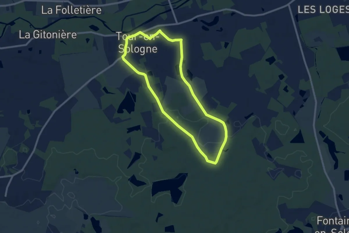
Easy · Trail
Les Champs de Poller
6.5 km · ↑ 34 m · 1 h 42 min
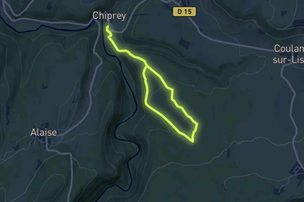
Easy · Trail
Les Chandeliers
8.0 km · ↑ 233 m · 2 h 24 min
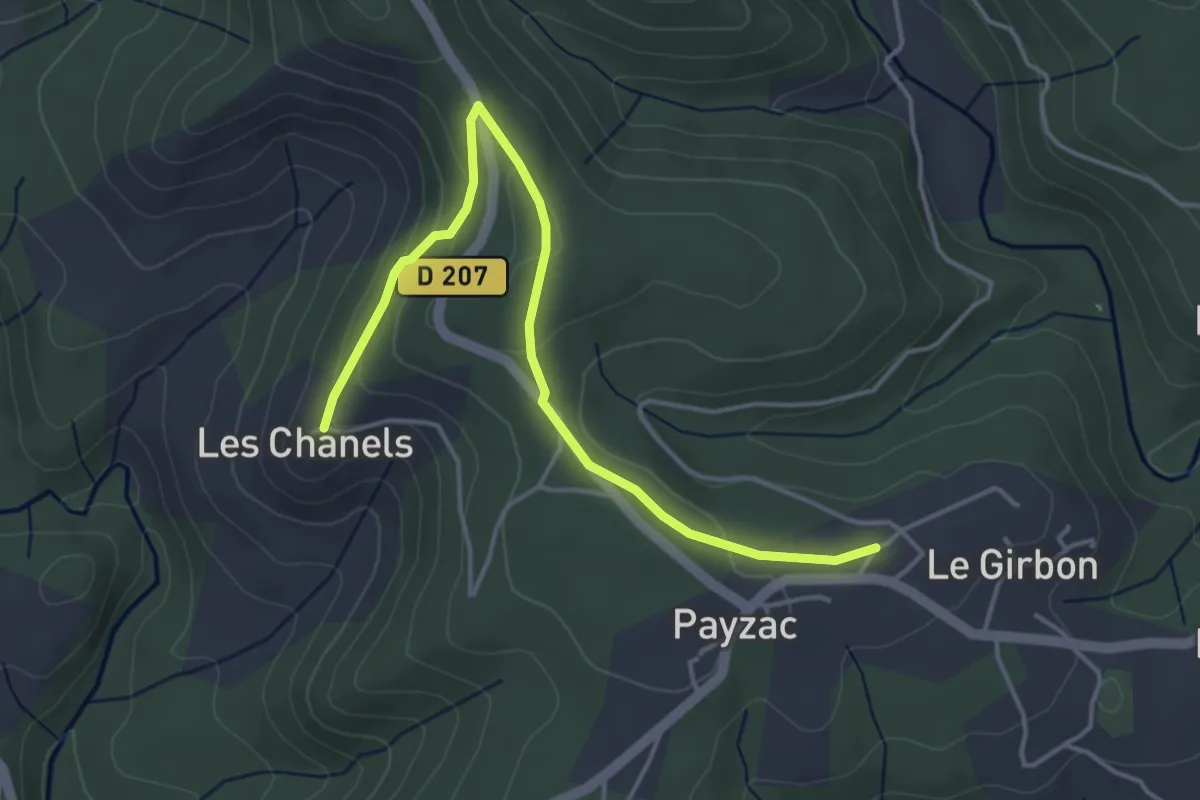
Easy · Trail
Les Chanels - Le Girbon
4.6 km · ↑ 147 m · 1 h 24 min
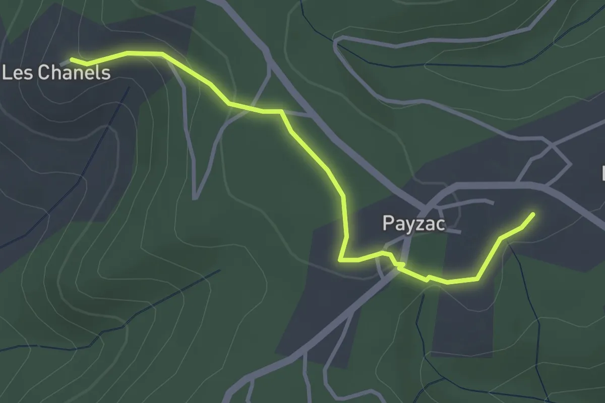
Easy · Trail
Les Chanels - Le Plantier
3.3 km · ↑ 79 m · 57 min
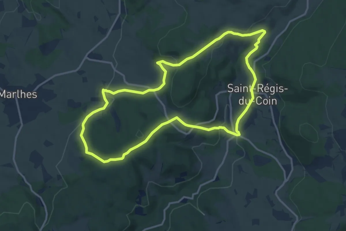
Medium · Trail
Les Chapelles
9.7 km · ↑ 289 m · 3 h 3 min
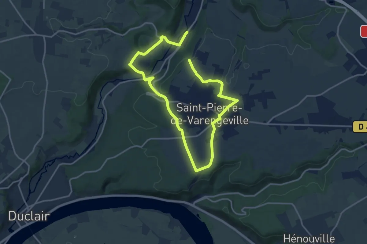
Medium · Trail
Les Chapelles
8.4 km · ↑ 182 m · 2 h 28 min
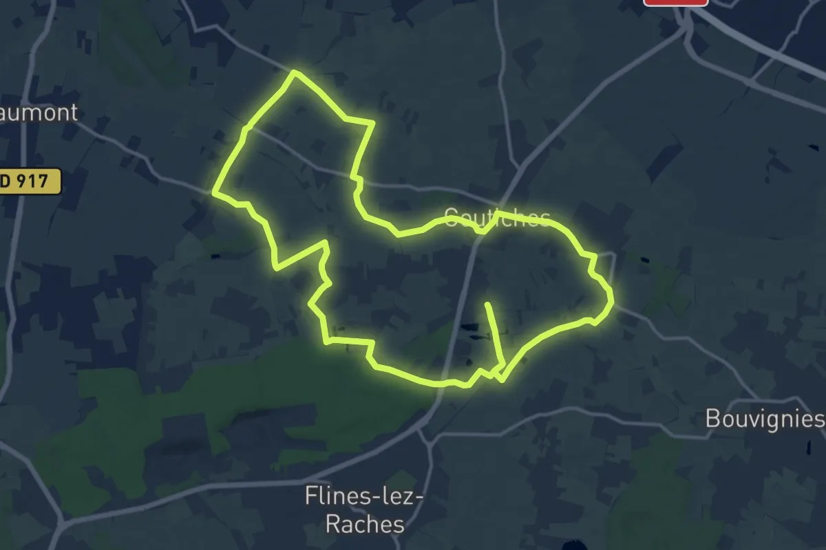
Medium · Trail
Les Chapelles de Coutiches
14.1 km · ↑ 30 m · 3 h 35 min
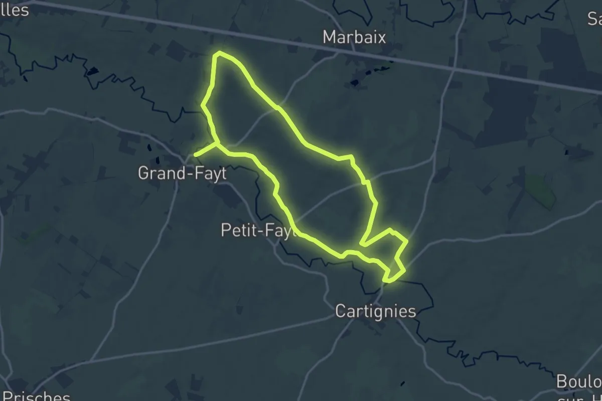
Medium · Trail
Les Chapelles de la Vallée de l'Helpe
12.2 km · ↑ 71 m · 3 h 13 min
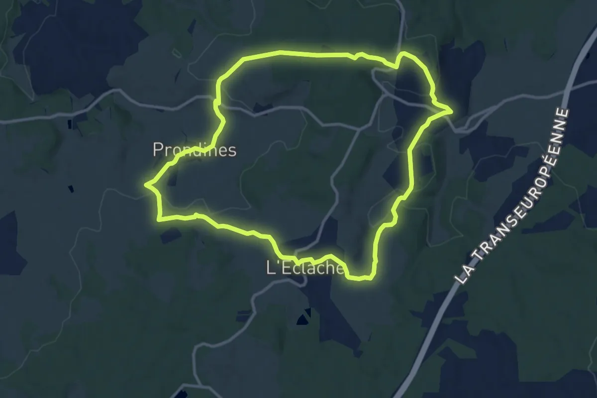
Medium · Trail
Les Chapelles de Pérol et l'Éclache
10.6 km · ↑ 206 m · 3 h 5 min
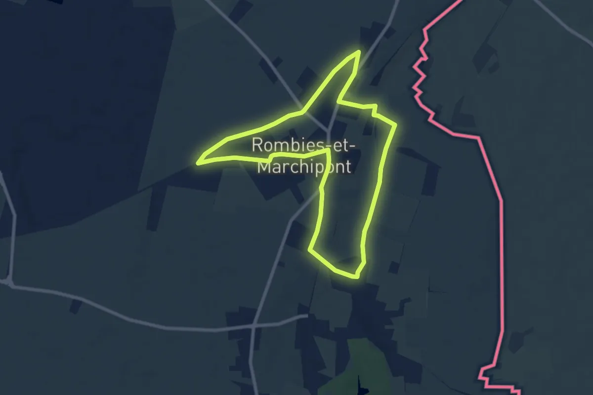
Easy · Trail
Les Chapelles de Robies et Marchipont
6.4 km · ↑ 36 m · 1 h 41 min