Trails in France
15,926 hiking trails, each with its route, climb, walking time and grade.
All trails, page 179 of 332
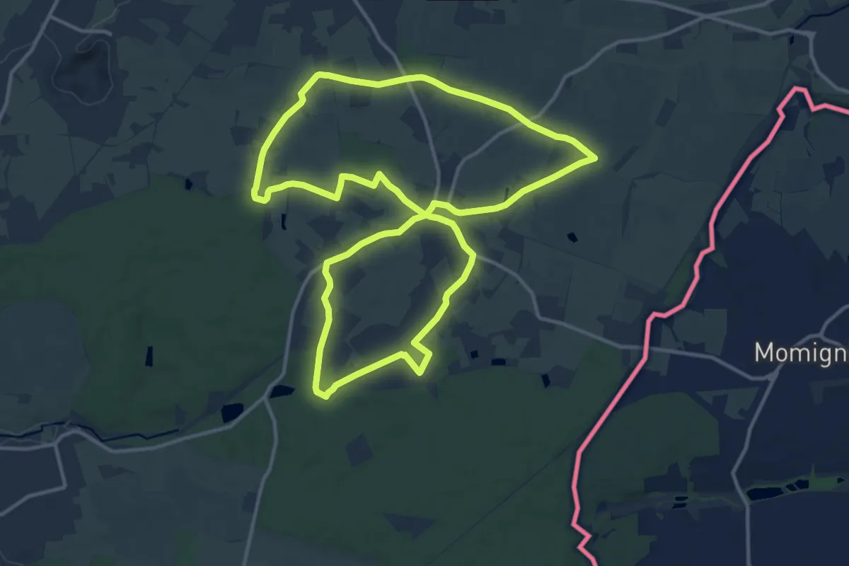
Medium · Trail
Les Chapelles et Les Ailles
12.6 km · ↑ 62 m · 3 h 16 min
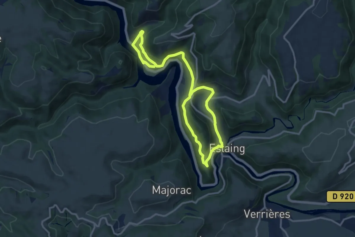
Medium · Trail
Les Chapelles et le Vignoble
13.6 km · ↑ 514 m · 4 h 20 min
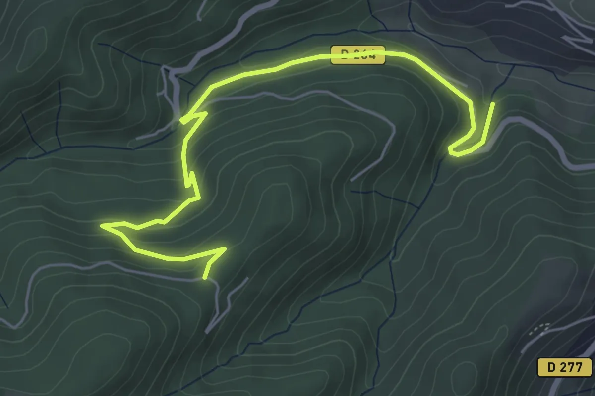
Easy · Trail
Les Charriers - Les Liotards
6.6 km · ↑ 274 m · 2 h 9 min
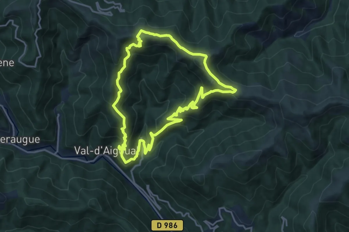
Medium · Summit
Les Chars
11.0 km · ↑ 693 m · 4 h 15 min
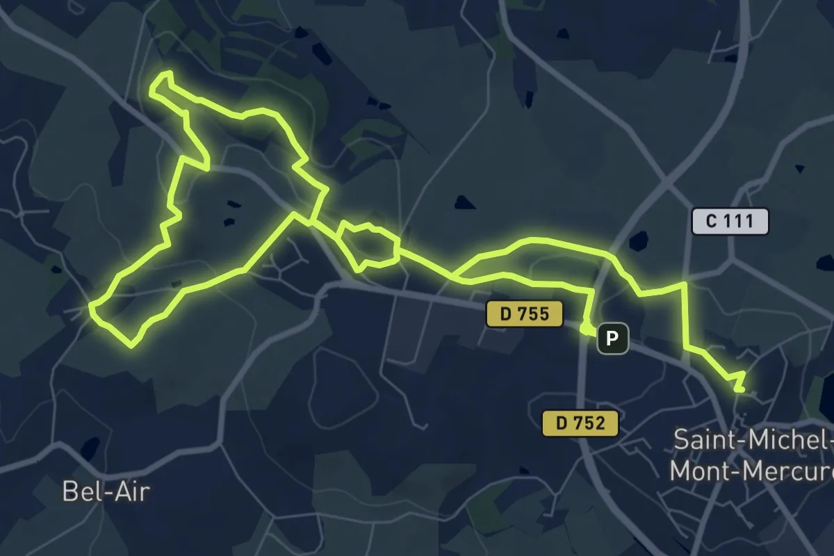
Medium · Summit
Les Châtaigners
9.3 km · ↑ 166 m · 2 h 40 min
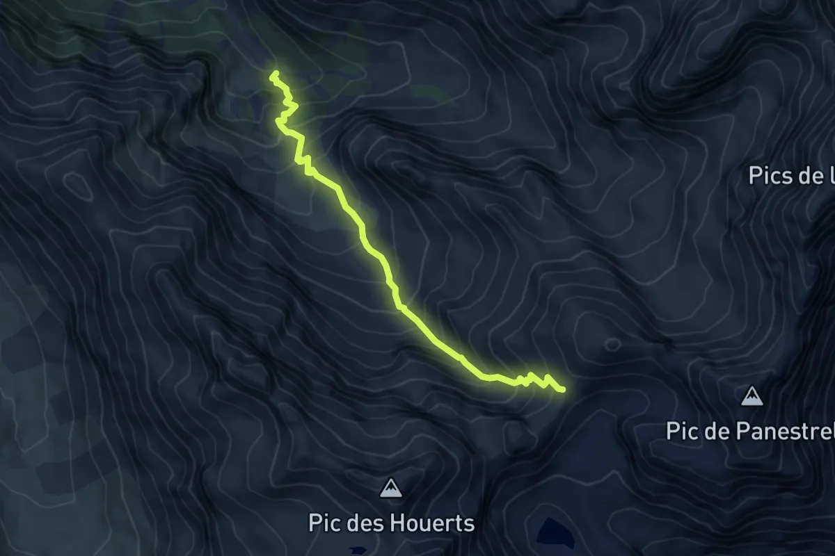
Demanding · Trail
Les Chatances - Col des Houerts
6.3 km · ↑ 761 m · 3 h 8 min
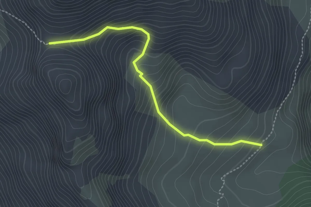
Medium · Trail
Les Chatanes - Col St Antoine
2.6 km · ↑ 257 m · 1 h 10 min
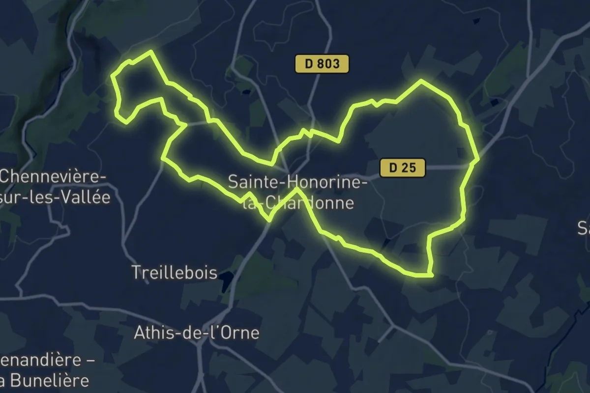
Medium · Trail
Les Châteaux
13.6 km · ↑ 127 m · 3 h 40 min
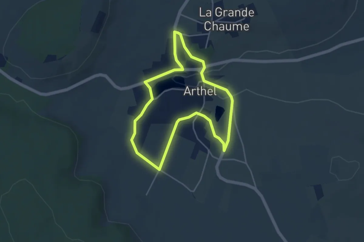
Easy · Trail
Les Châteaux d'Arthel
3.3 km · ↑ 50 m · 56 min
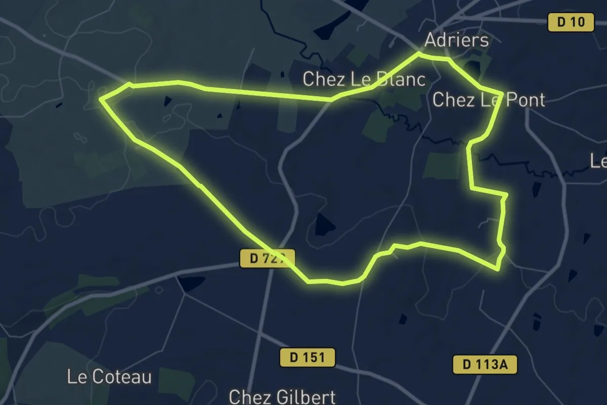
Medium · Trail
Les Chaumes du Chapître - circuit n°1
8.4 km · ↑ 114 m · 2 h 21 min
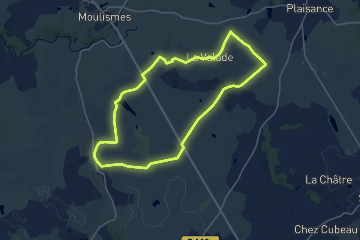
Medium · Trail
Les Chaumes du Chapître - circuit n°10
11.9 km · ↑ 131 m · 3 h 16 min
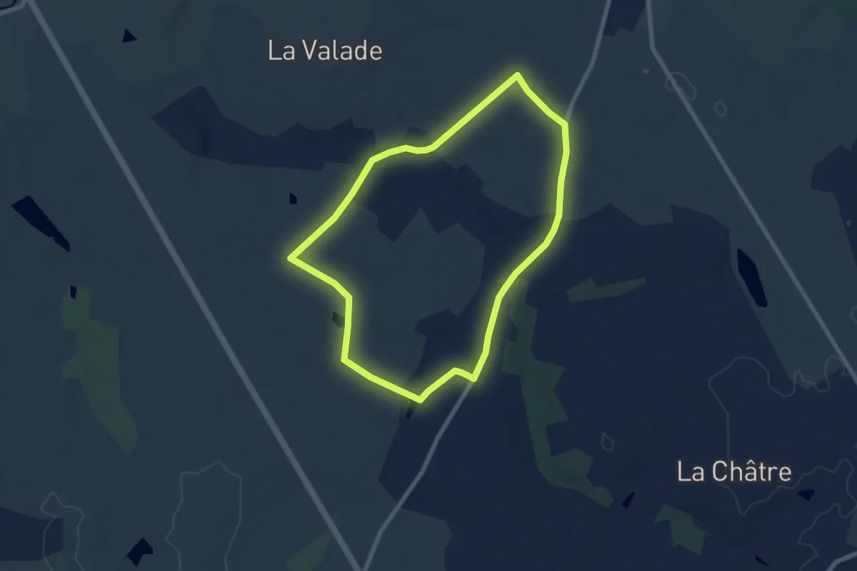
Easy · Trail
Les Chaumes du Chapître - circuit n°11
6.3 km · ↑ 68 m · 1 h 44 min
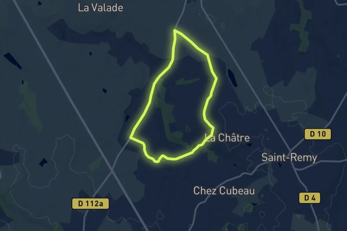
Easy · Trail
Les Chaumes du Chapître - circuit n°12
7.7 km · ↑ 61 m · 2 h 4 min
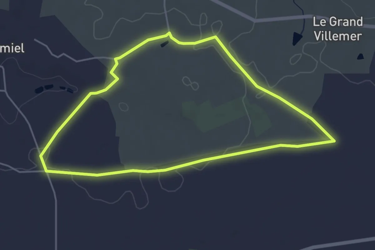
Easy · Trail
Les Chaumes du Chapître - circuit n°2
4.3 km · ↑ 34 m · 1 h 9 min
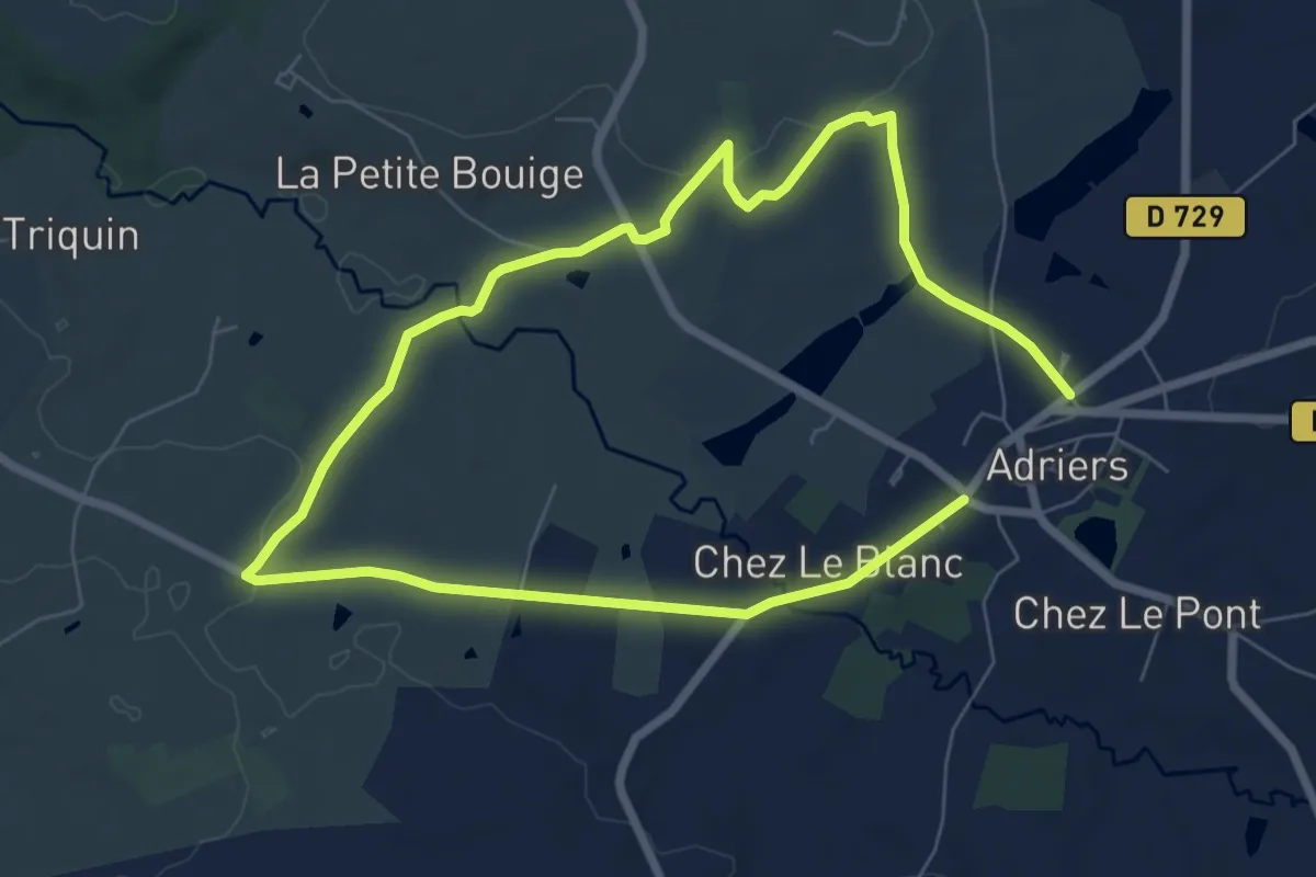
Easy · Trail
Les Chaumes du Chapître - circuit n°3
6.2 km · ↑ 149 m · 1 h 52 min
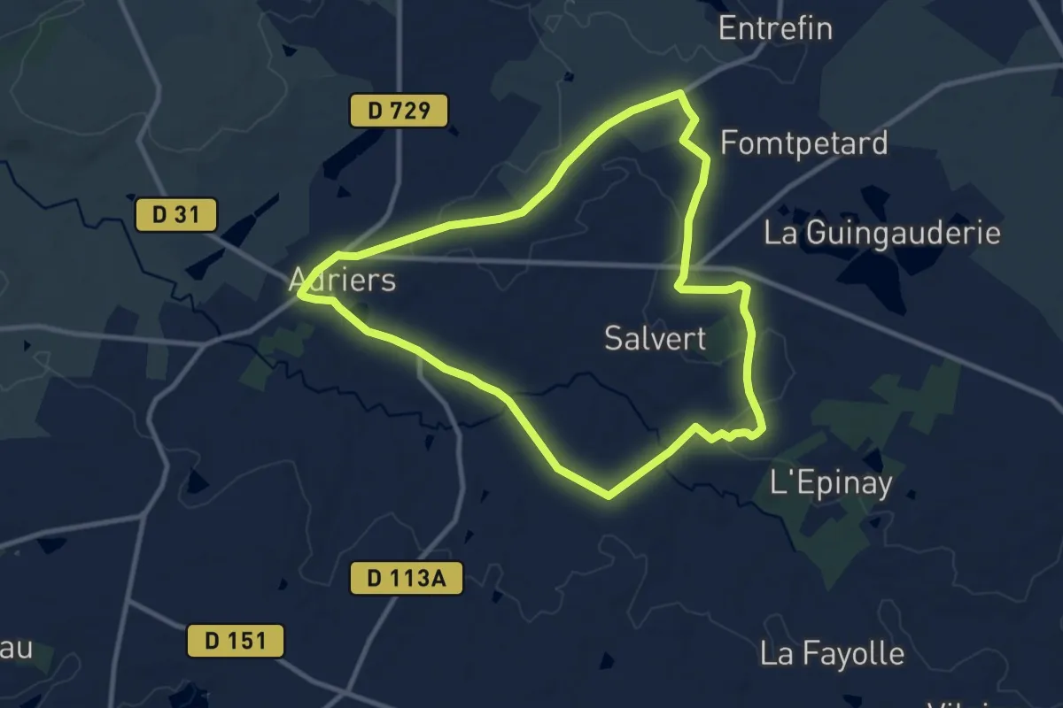
Medium · Trail
Les Chaumes du Chapître - circuit n°4
9.7 km · ↑ 91 m · 2 h 38 min
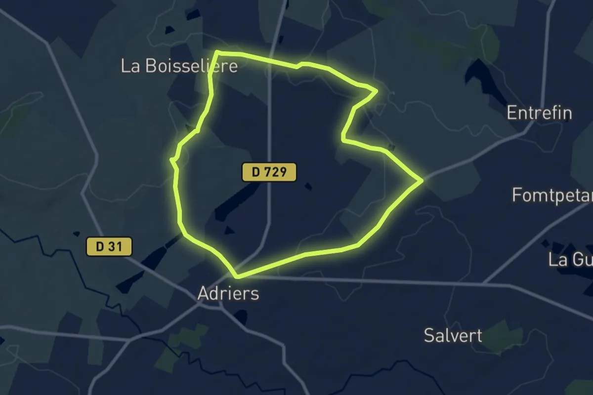
Easy · Trail
Les Chaumes du Chapître - circuit n°5
7.5 km · ↑ 79 m · 2 h 3 min
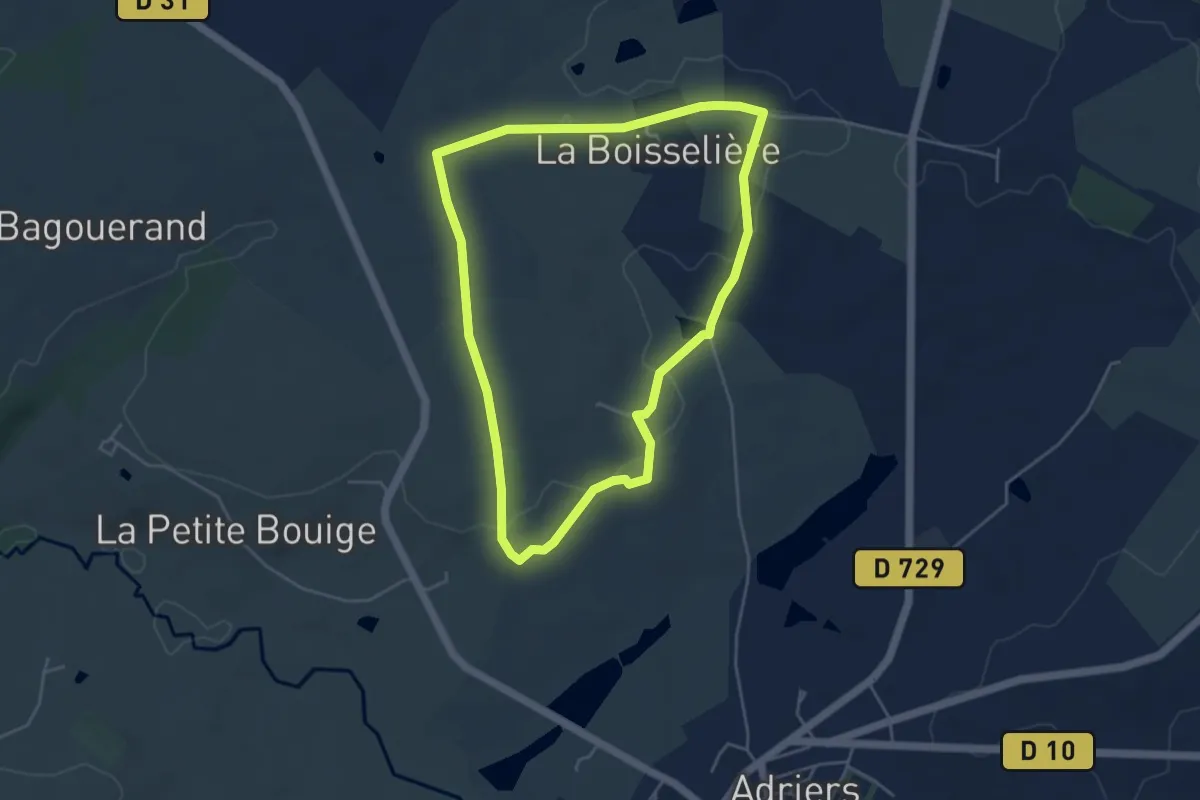
Easy · Trail
Les Chaumes du Chapître - circuit n°6
4.5 km · ↑ 58 m · 1 h 14 min
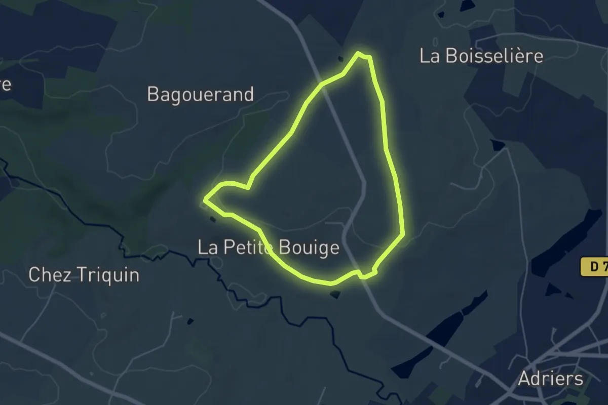
Easy · Trail
Les Chaumes du Chapître - circuit n°7
4.5 km · ↑ 71 m · 1 h 16 min
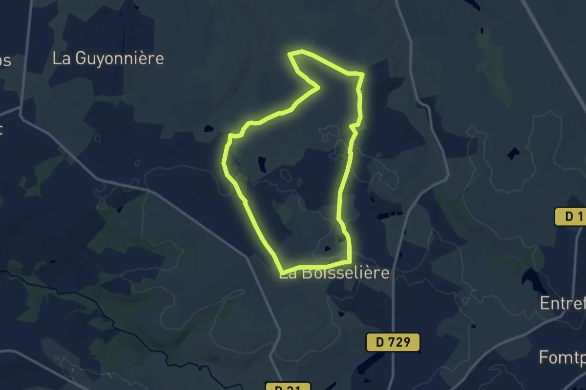
Medium · Trail
Les Chaumes du Chapître - circuit n°8
9.3 km · ↑ 81 m · 2 h 30 min
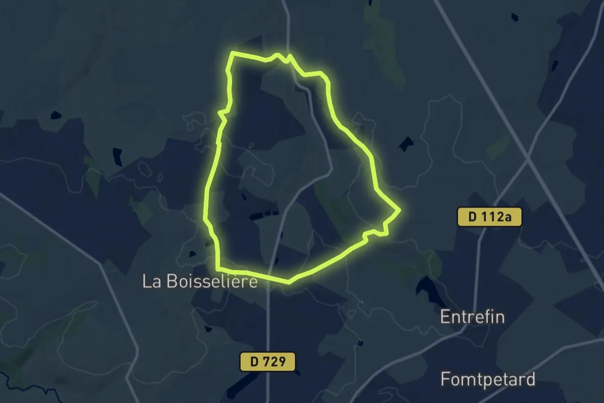
Medium · Trail
Les Chaumes du Chapître - circuit n°9
8.9 km · ↑ 100 m · 2 h 27 min
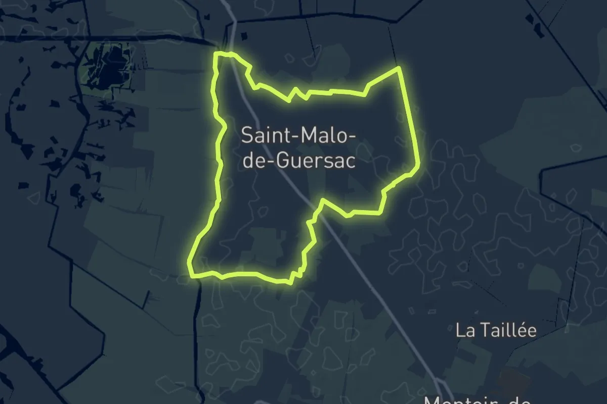
Medium · Trail
Les Chaussées
8.7 km · ↑ 13 m · 2 h 12 min
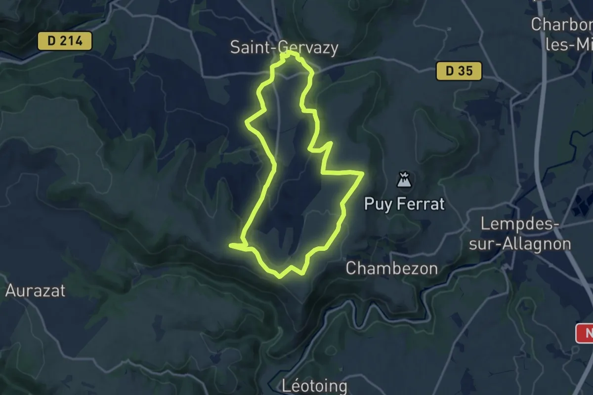
Medium · Trail
Les Chaux
12.1 km · ↑ 260 m · 3 h 35 min
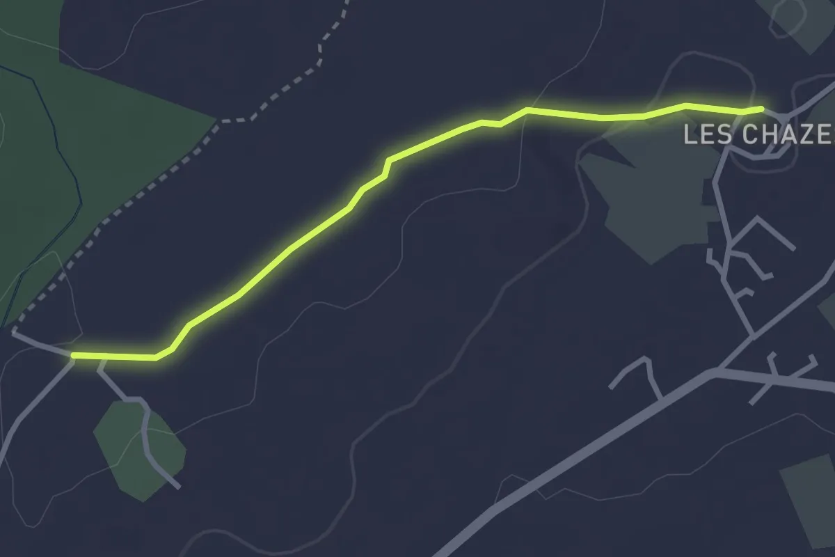
Easy · Trail
Les Chazes - Château d'eau
2.8 km · ↑ 32 m · 44 min
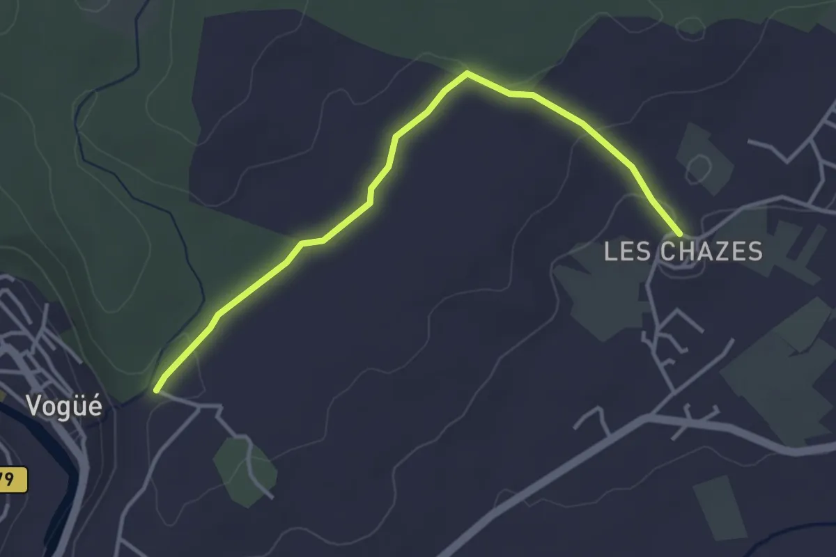
Easy · Trail
Les Chazes - Saint-Cerice
3.8 km · ↑ 62 m · 1 h 1 min
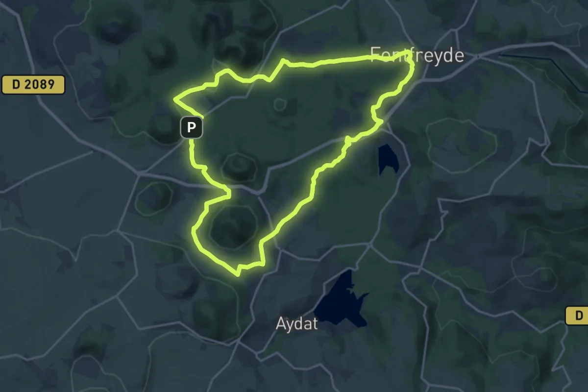
Medium · Cabin
Les Cheires Hautes
15.8 km · ↑ 266 m · 4 h 32 min
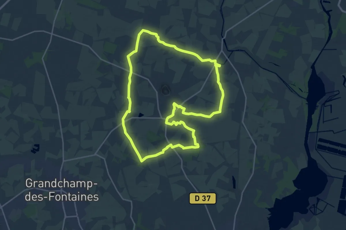
Medium · Trail
Les chemins creux
16.3 km · ↑ 70 m · 4 h 13 min
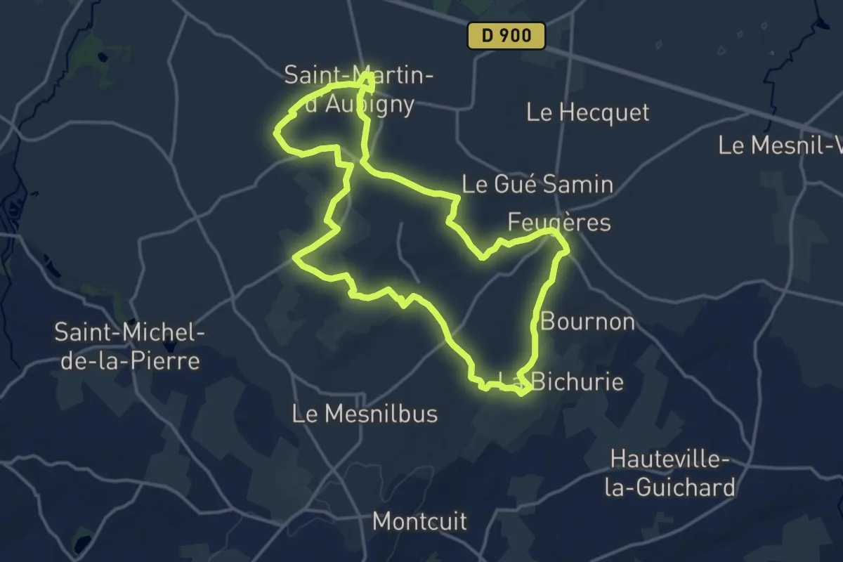
Medium · Trail
Les chemins creux
13.8 km · ↑ 171 m · 3 h 50 min
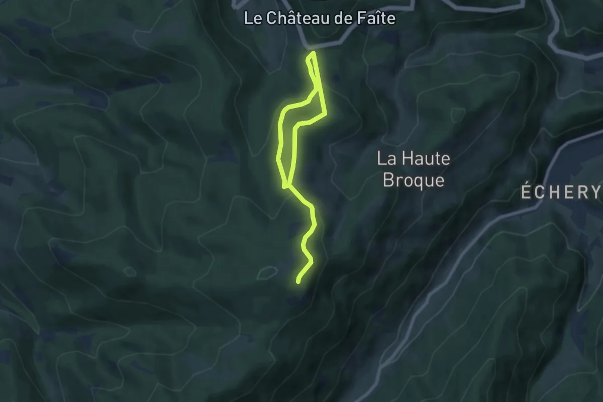
Easy · Trail
Les Chemins de la Mémoire
4.0 km · ↑ 204 m · 1 h 23 min
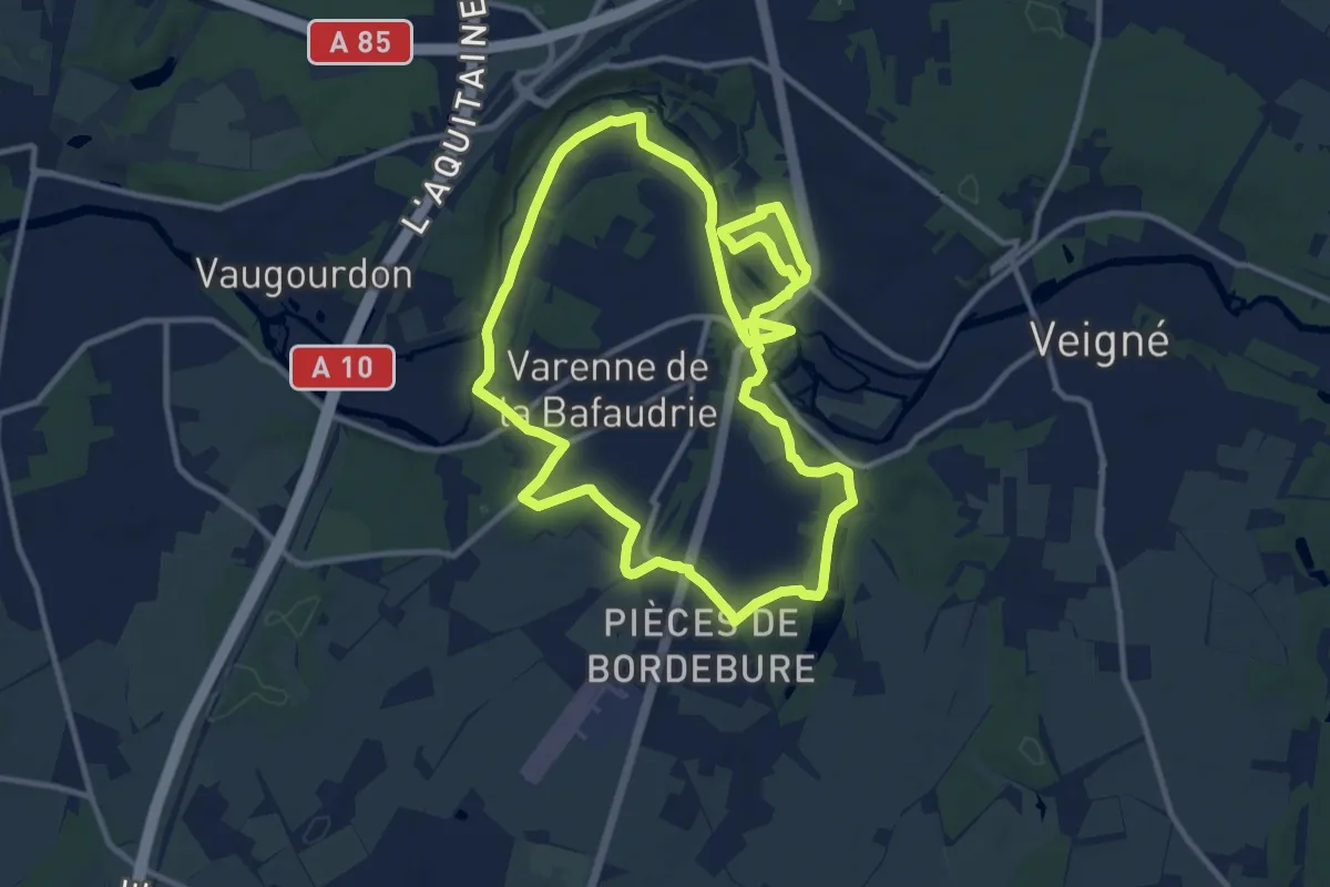
Medium · Trail
Les Chemins de Montbazon
11.9 km · ↑ 87 m · 3 h 10 min
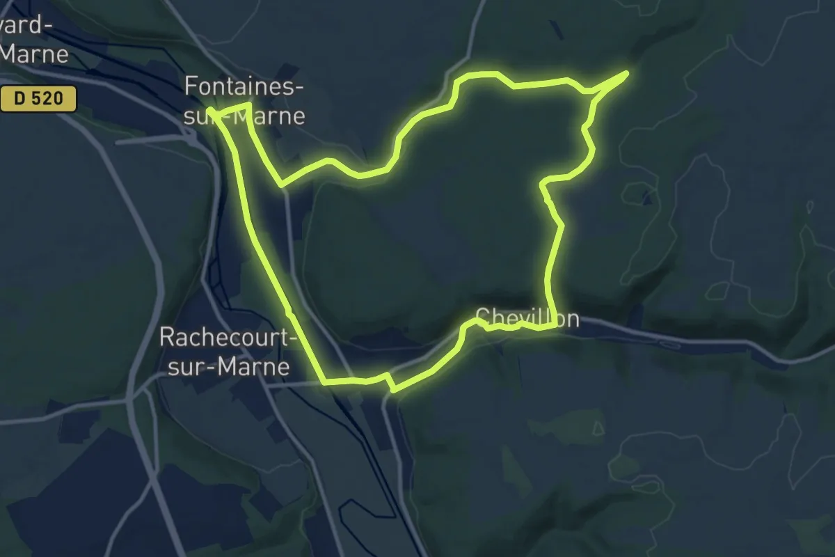
Medium · Trail
Les Chemins des Carriers
11.7 km · ↑ 131 m · 3 h 13 min
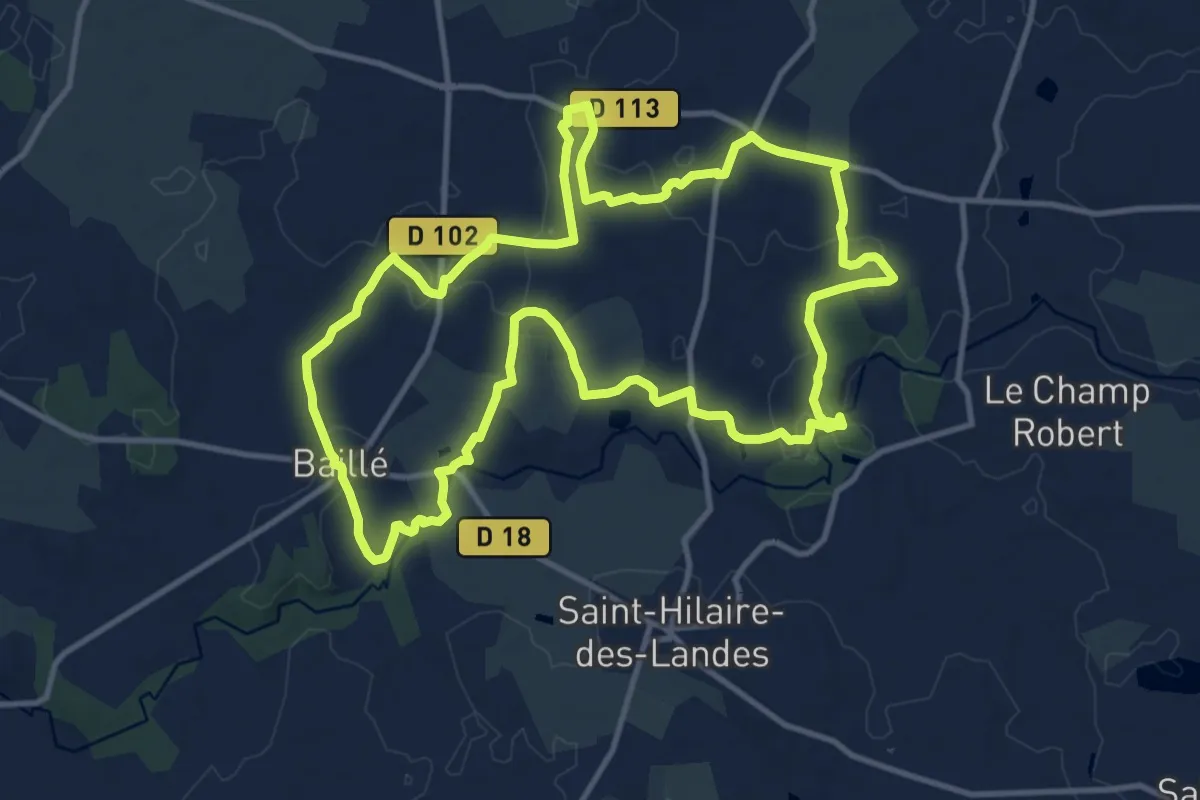
Medium · Trail
Les chemins des Flégés
12.5 km · ↑ 86 m · 3 h 18 min
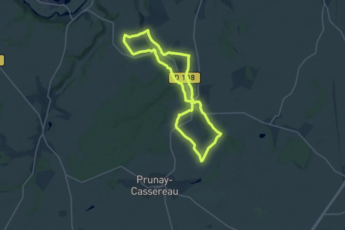
Medium · Trail
Les Chemins des Versants de la Fontaine
12.6 km · ↑ 144 m · 3 h 27 min
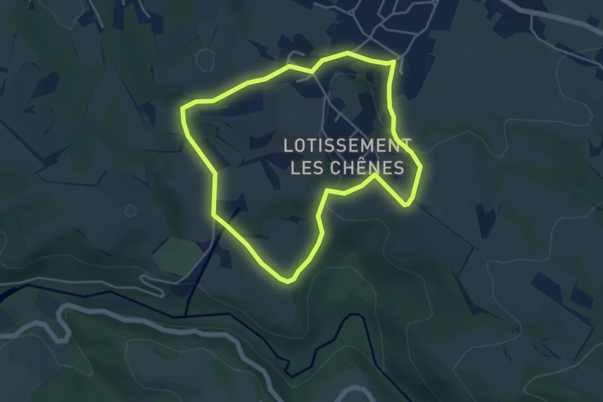
Easy · Trail
Les chênes
3.9 km · ↑ 77 m · 1 h 8 min
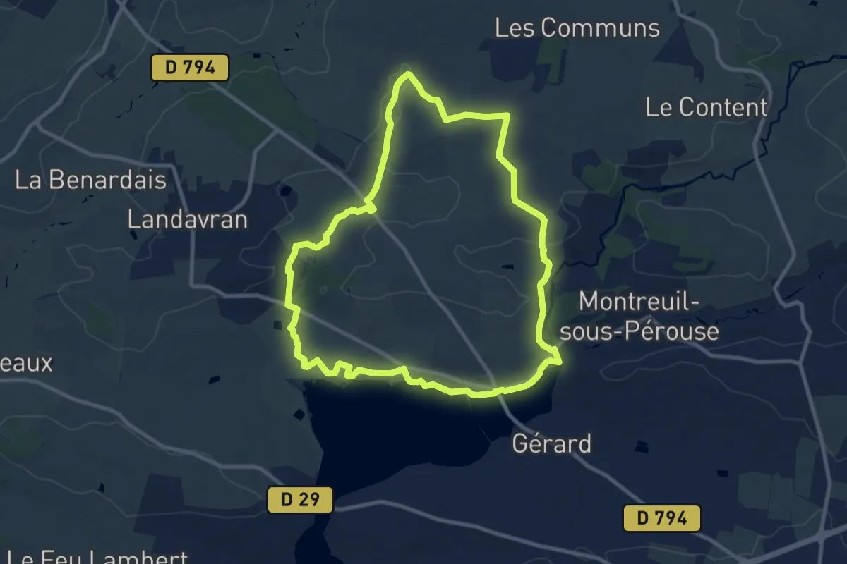
Medium · Trail
Les Chênes
9.3 km · ↑ 82 m · 2 h 30 min
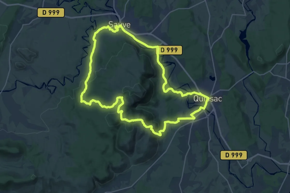
Demanding · Trail
Les chênes de Coutach
21.6 km · ↑ 457 m · 6 h 24 min
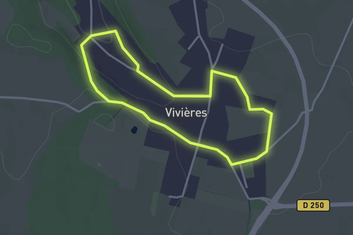
Easy · Trail
Les Cheveux de Saint-Clothilde
2.4 km · ↑ 39 m · 40 min
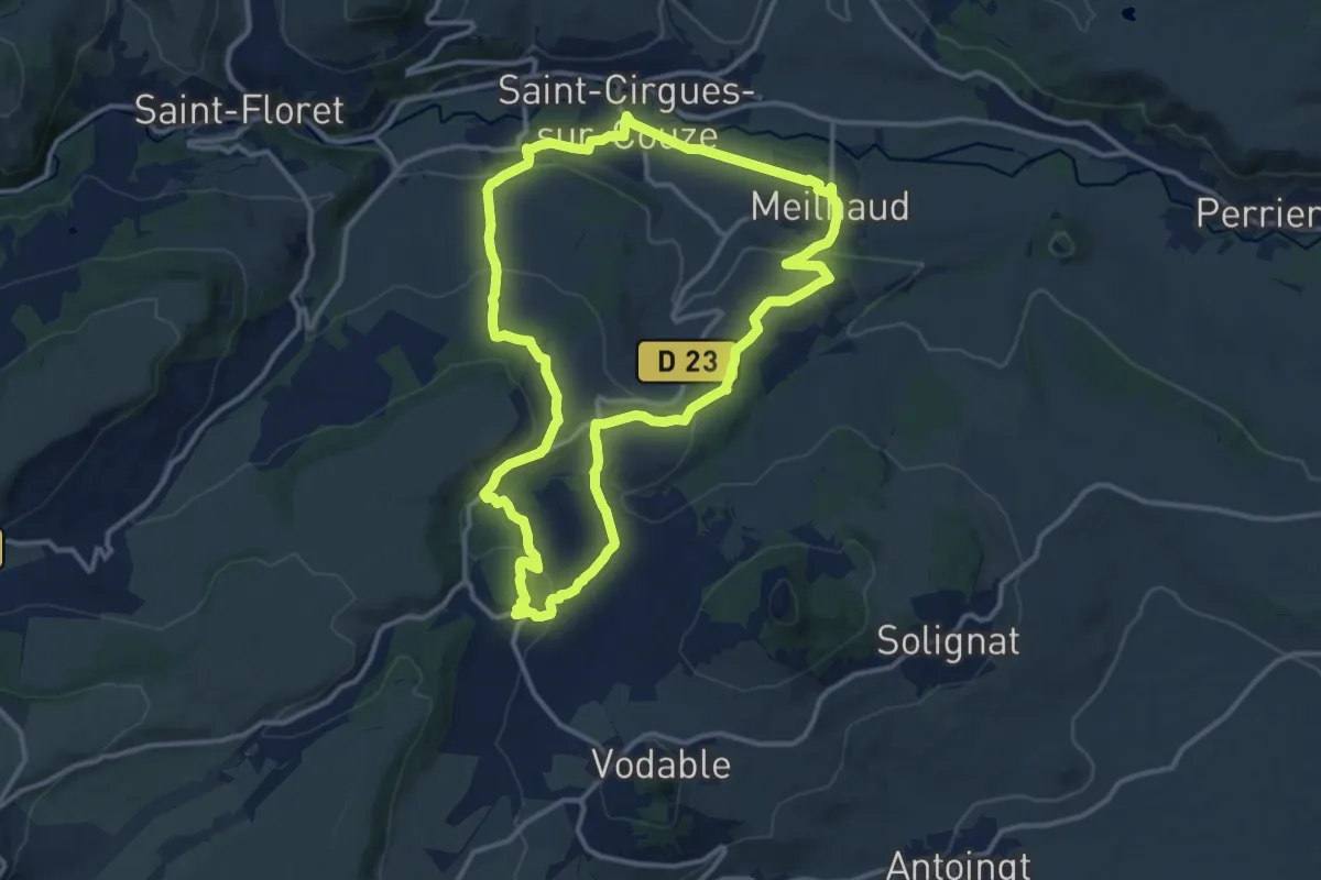
Medium · Trail
Les Cinq Villages
13.1 km · ↑ 358 m · 4 h 3 min
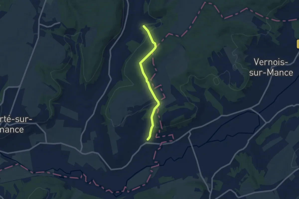
Easy · Trail
Les Cinq Villages
3.2 km · ↑ 127 m · 1 h 4 min
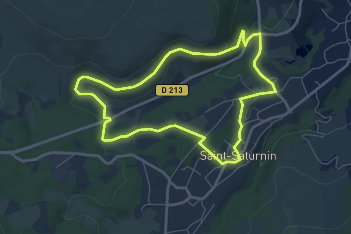
Easy · Trail
Les Cirques de longevette et des Cotes
5.3 km · ↑ 107 m · 1 h 34 min
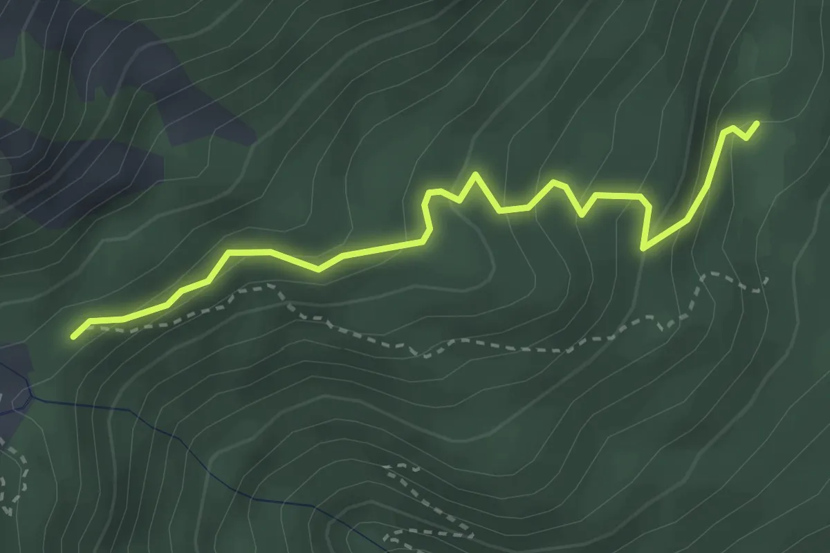
Easy · Cabin
Les Cisiers - Pré Clos
3.3 km · ↑ 245 m · 1 h 19 min
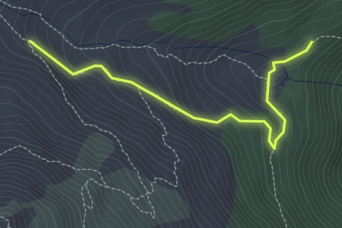
Medium · Trail
Les Cisiers - Vallon des Séyères
2.6 km · ↑ 186 m · 1 h 1 min
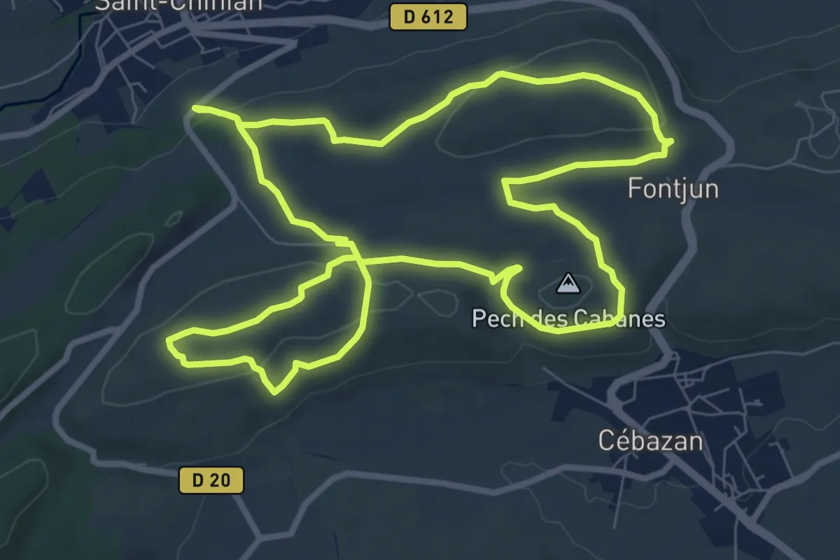
Medium · Trail
Les Clapas
8.7 km · ↑ 166 m · 2 h 32 min
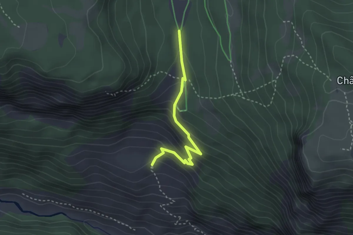
Easy · Trail
Les Clausas - ?
2.8 km · ↑ 200 m · 1 h 5 min
Medium · Trail
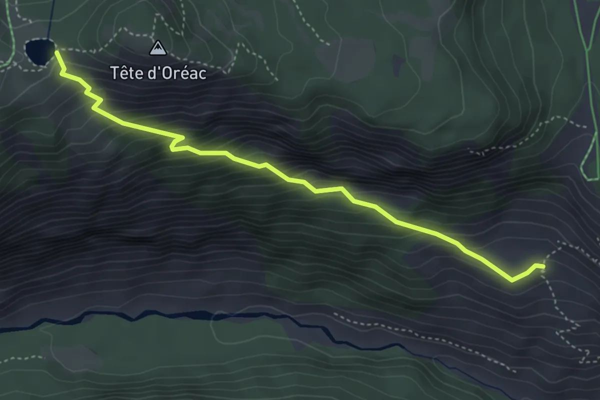
Les Clausas - Col de Pré Rouge
4.4 km · ↑ 463 m · 2 h 3 min
Medium · Trail
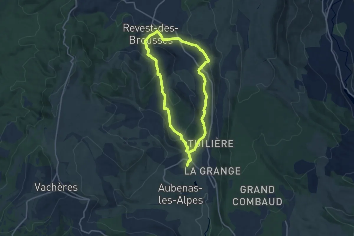
Les Clausses
9.6 km · ↑ 274 m · 2 h 59 min
Easy · Trail
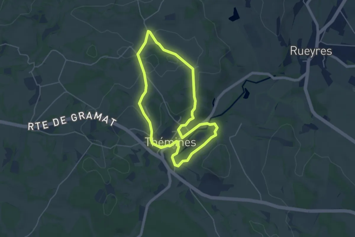
Les clefs de Thémine
4.1 km · ↑ 61 m · 1 h 10 min
Medium · Trail
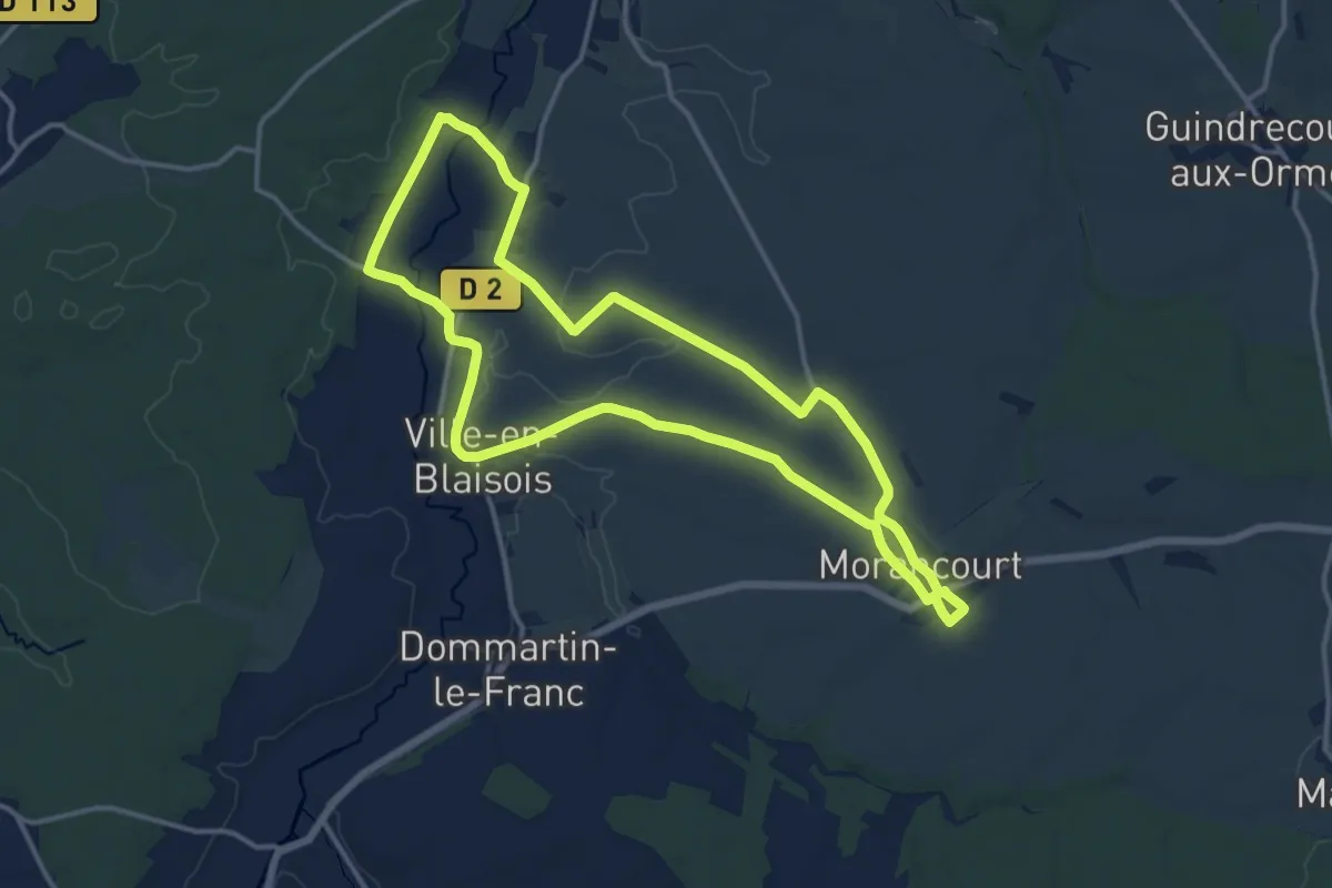
Les Clochers
13.4 km · ↑ 111 m · 3 h 36 min