Trails in France
15,926 hiking trails, each with its route, climb, walking time and grade.
All trails, page 181 of 332
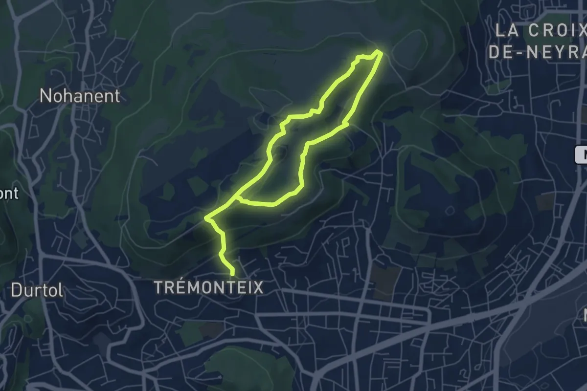
Easy · Summit
Les Côtes de Clermont
4.6 km · ↑ 193 m · 1 h 30 min
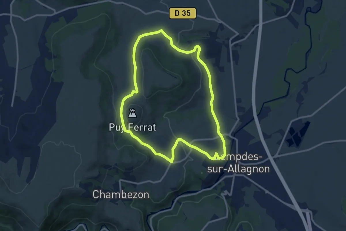
Medium · Trail
Les Cotes de Lempdes
8.3 km · ↑ 186 m · 2 h 29 min
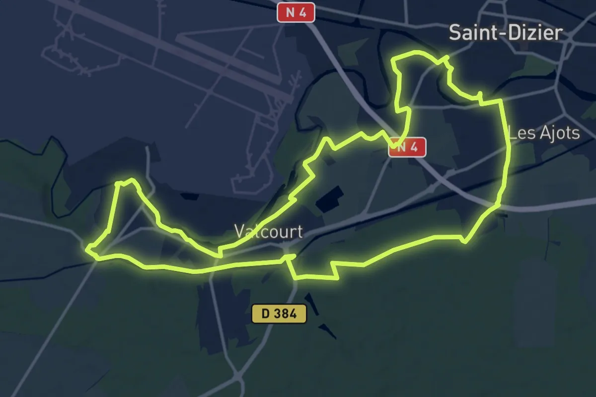
Medium · Trail
Les Côtes Noires
14.0 km · ↑ 62 m · 3 h 37 min
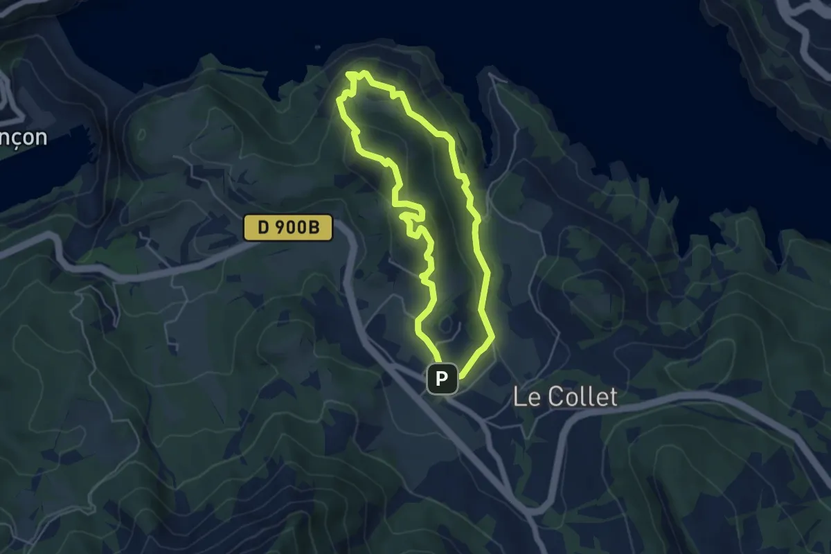
Easy · Trail
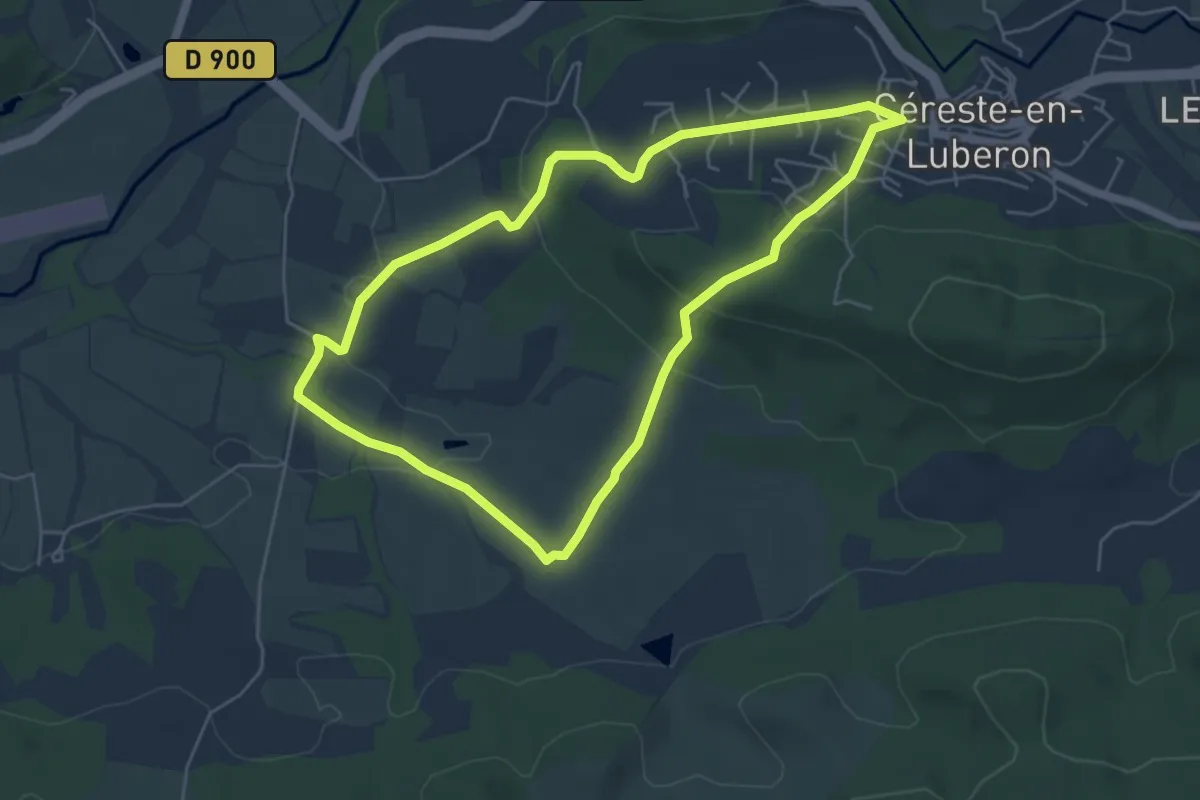
L'Escoubaye
4.6 km · ↑ 247 m · 1 h 41 min
Easy · Trail
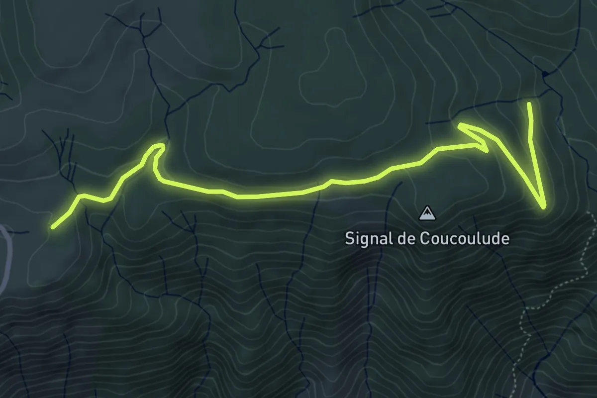
Les Couestes
5.4 km · ↑ 161 m · 1 h 42 min
Easy · Trail
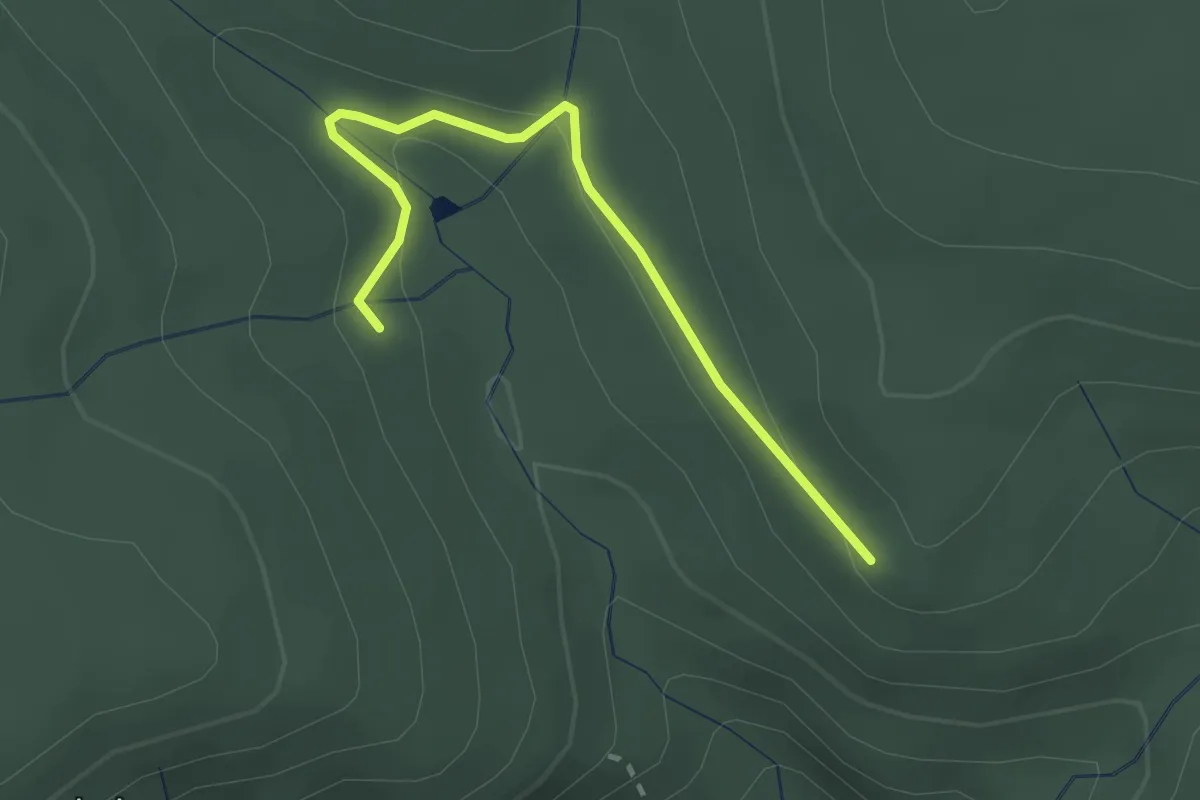
L'Escoufour - Col de Meyrand
7.2 km · ↑ 184 m · 2 h 6 min
Easy · Trail
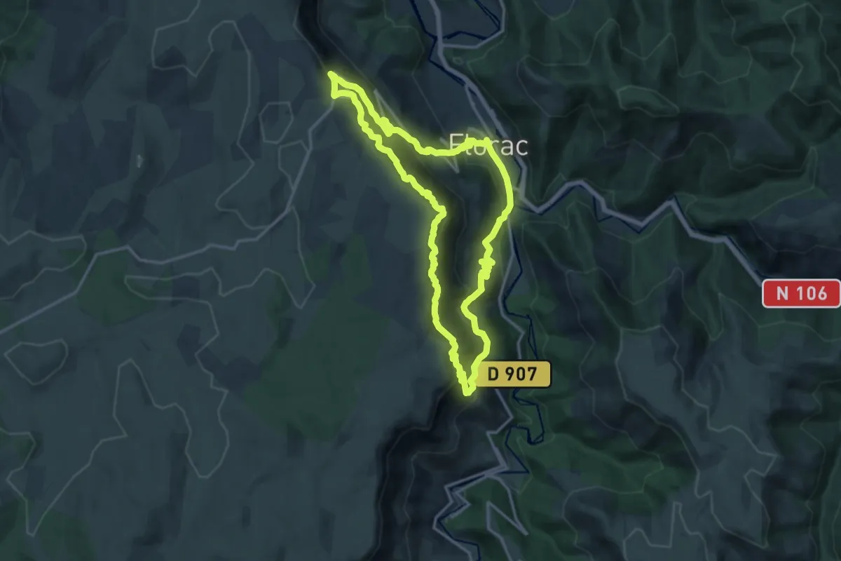
L'Escoufour - La Grangette
2.5 km · ↑ 65 m · 43 min
Demanding · Summit
Les couronnes
13.9 km · ↑ 908 m · 5 h 27 min
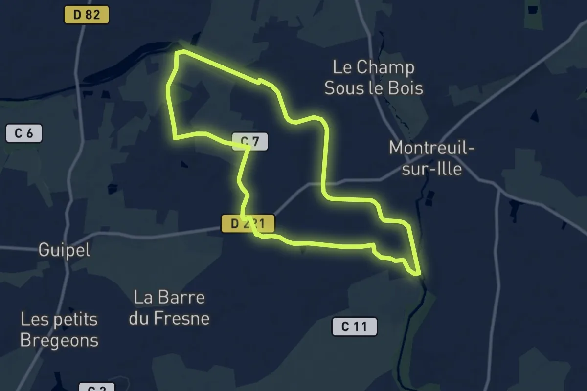
Medium · Trail
Les Cours Gallais
8.4 km · ↑ 34 m · 2 h 10 min
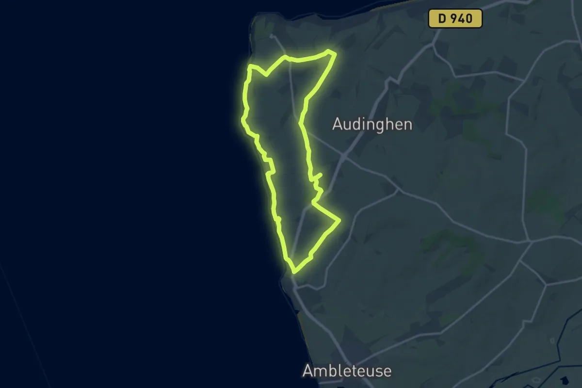
Medium · Trail
Les Crans
12.0 km · ↑ 143 m · 3 h 18 min
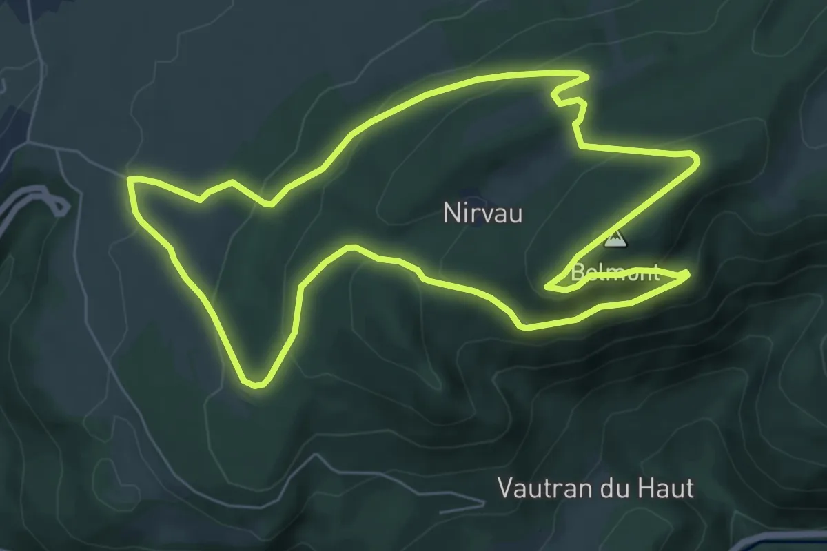
Easy · Summit
Les Crêtes
6.8 km · ↑ 281 m · 2 h 18 min
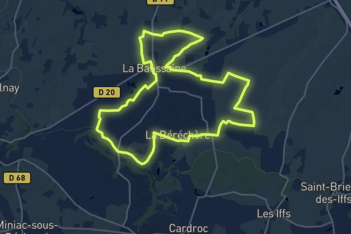
Medium · Trail
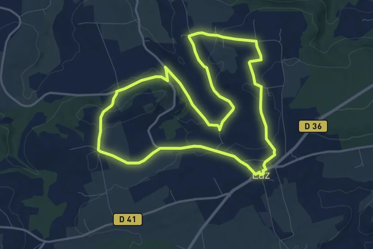
Les Crêtes
12.2 km · ↑ 134 m · 3 h 21 min
Medium · Trail
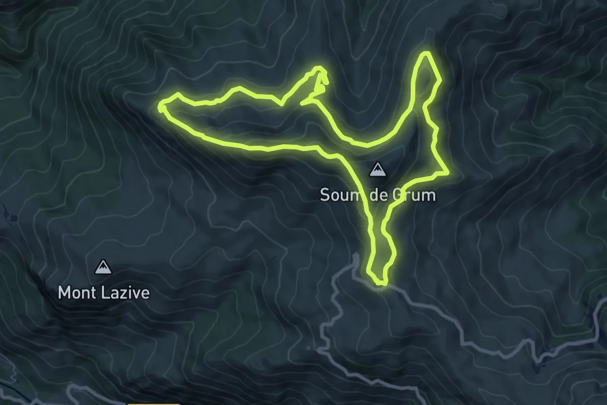
Les Crêtes
9.6 km · ↑ 195 m · 2 h 49 min
Medium · Trail
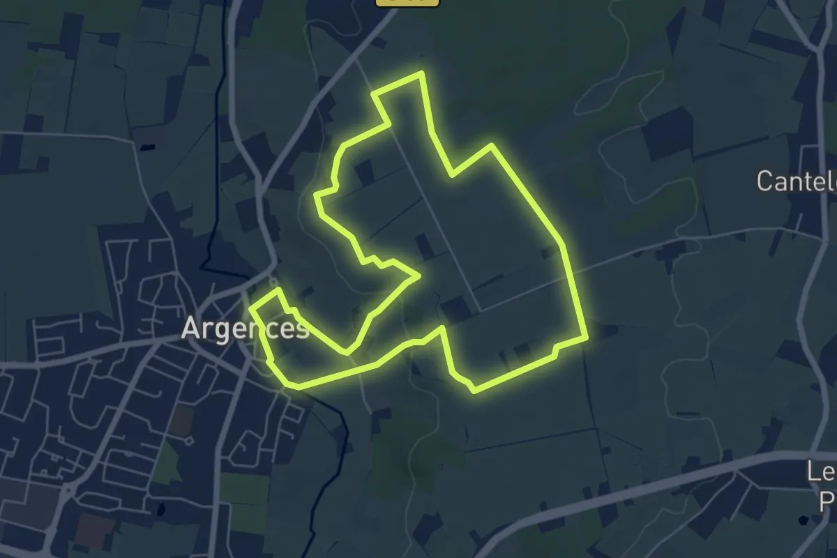
Les crêtes d’Andreyt
9.5 km · ↑ 479 m · 3 h 24 min
Easy · Trail
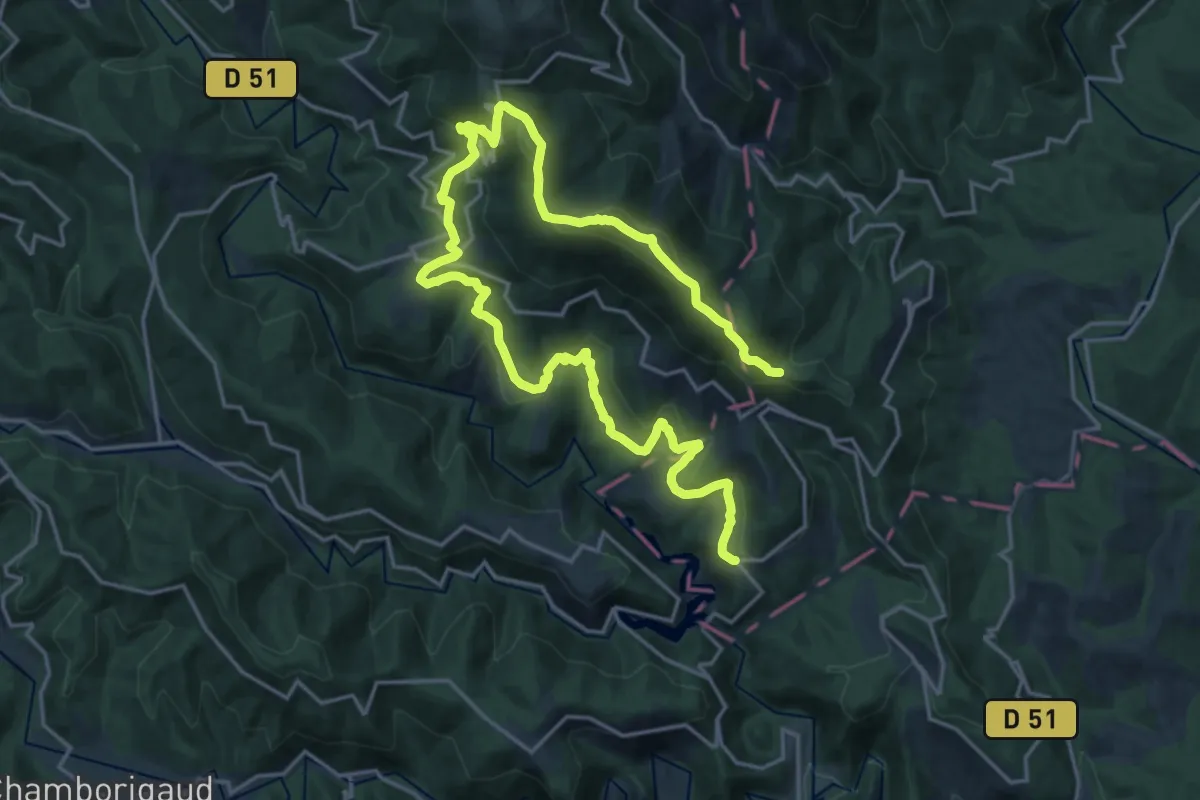
Les Crêtes d'Argences
6.0 km · ↑ 67 m · 1 h 38 min
Medium · Trail
Les crêtes d'Aujac
14.0 km · ↑ 436 m · 4 h 34 min
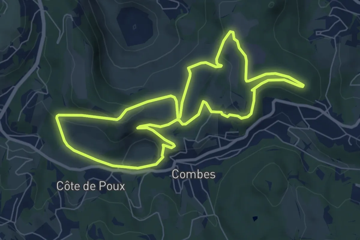
Easy · Trail
Les crêtes de Combes
6.9 km · ↑ 175 m · 2 h 6 min
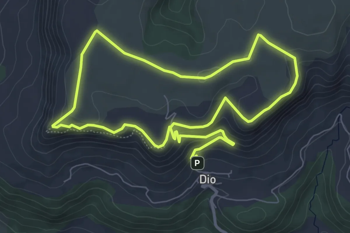
Medium · Trail
Les crètes de Dio
13.1 km · ↑ 348 m · 3 h 51 min
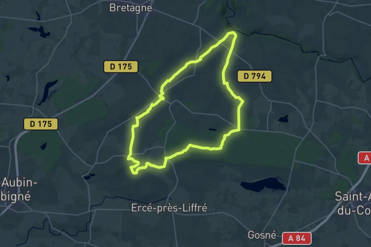
Demanding · Trail
Les crêtes de Gahard
19.4 km · ↑ 215 m · 5 h 20 min
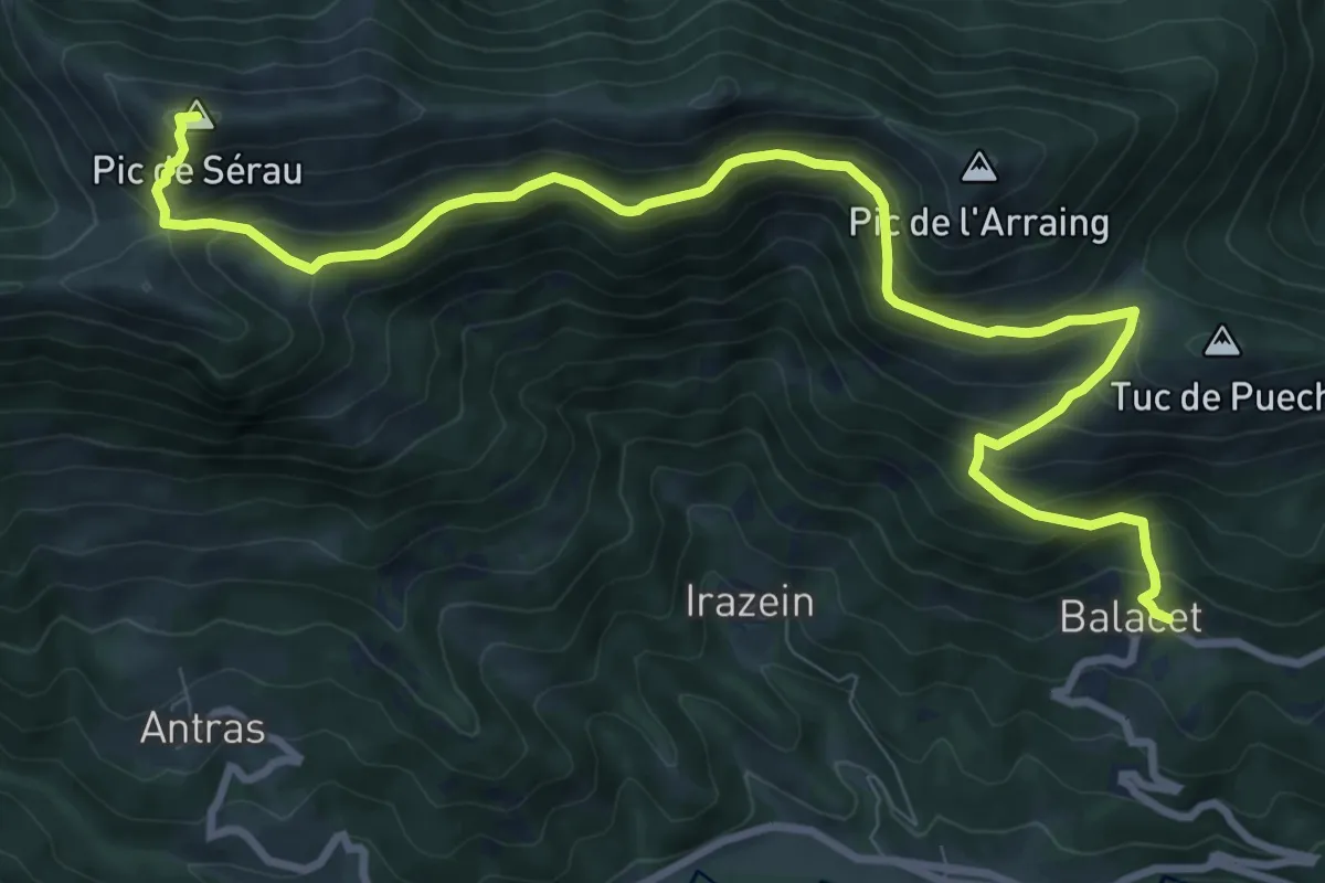
Demanding · Summit
Les crêtes de la Vallée du Biros
12.2 km · ↑ 926 m · 4 h 54 min
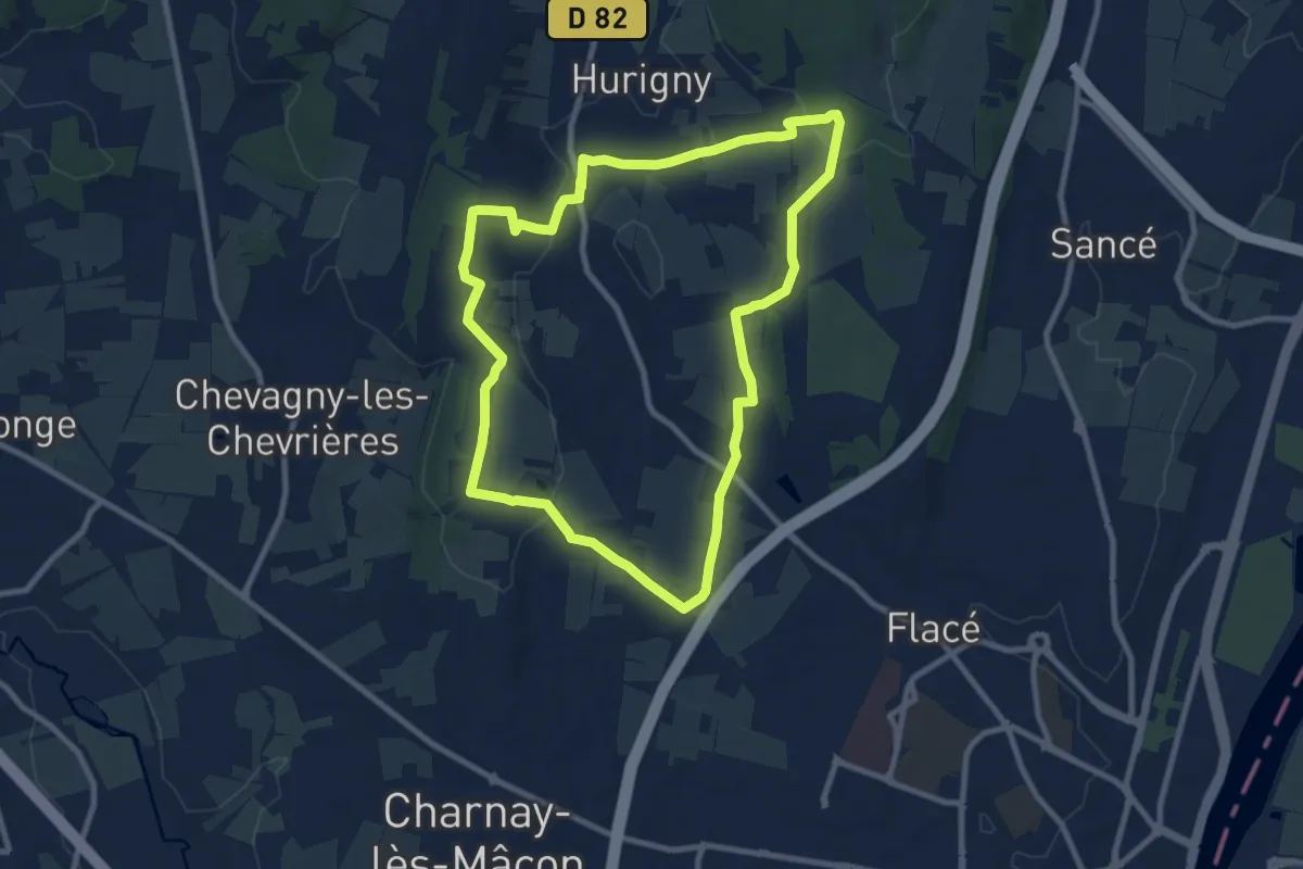
Medium · Trail
Les crêtes de Salornay
9.2 km · ↑ 184 m · 2 h 42 min
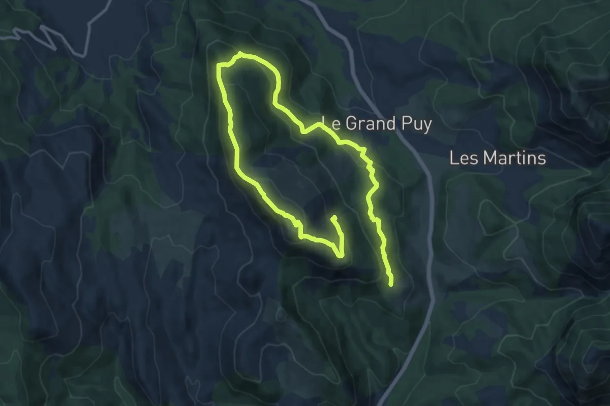
Medium · Trail
Les crêtes du Grand Puy
8.1 km · ↑ 340 m · 2 h 49 min
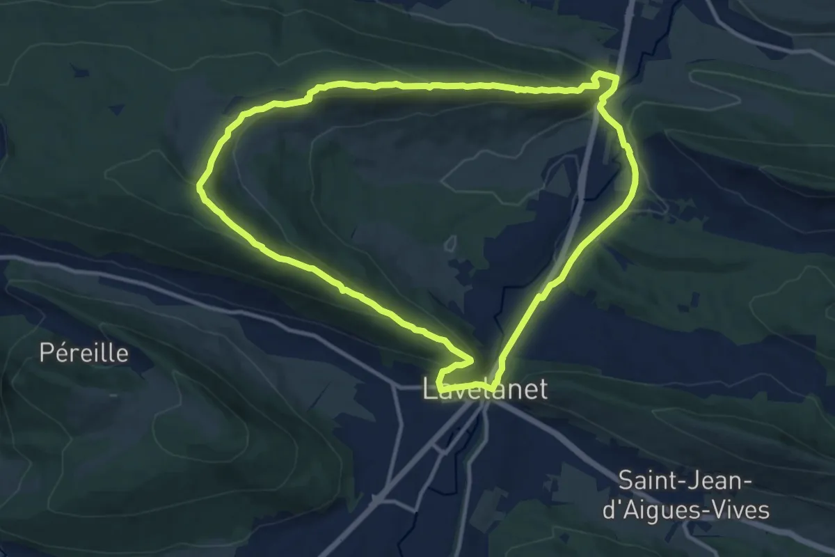
Medium · Trail
Les Crètes du Plantaurel
11.7 km · ↑ 432 m · 3 h 51 min
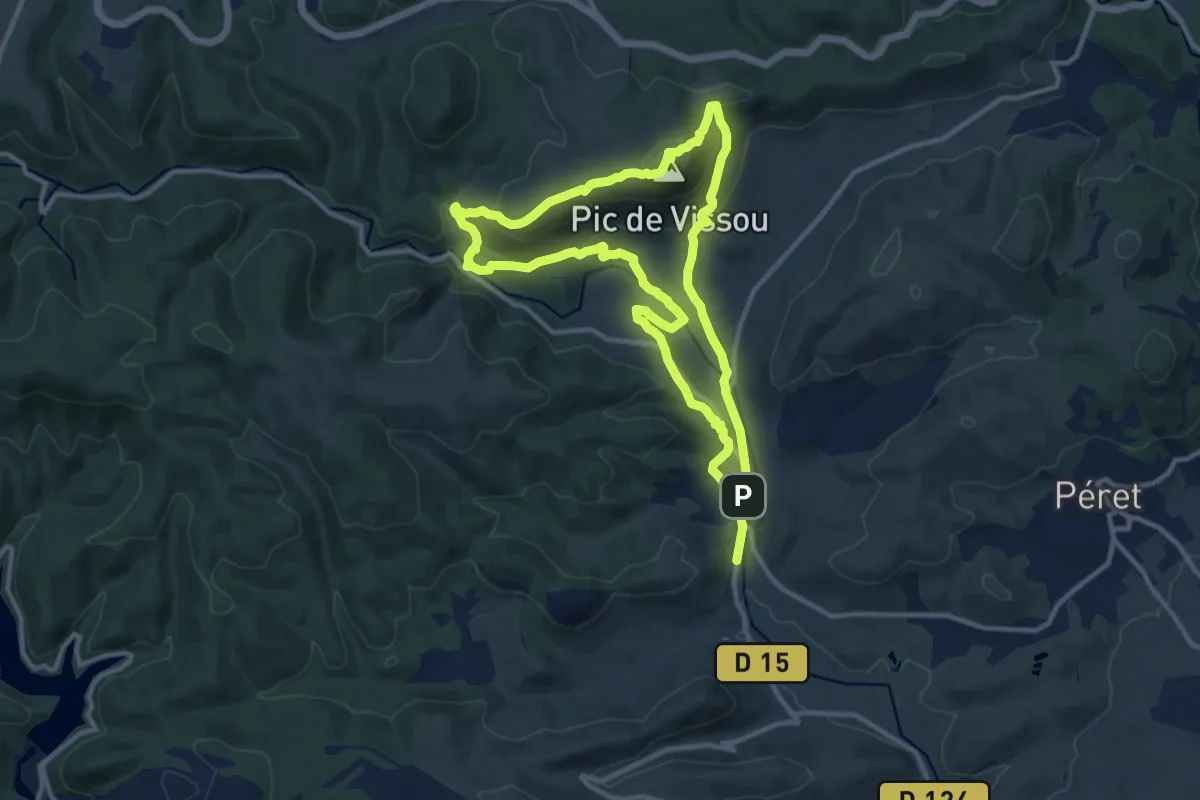
Medium · Summit
Les Crêtes du Vissou
11.2 km · ↑ 455 m · 3 h 48 min
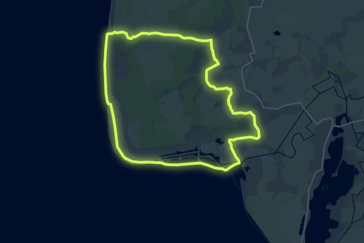
Medium · Trail
Les Crocs
16.0 km · ↑ 44 m · 4 h 6 min
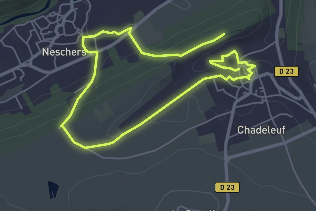
Easy · Trail
Les Croix-Basses
3.8 km · ↑ 75 m · 1 h 7 min
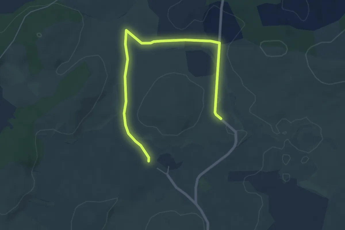
Easy · Trail
Les croix des trois évêques
3.4 km · ↑ 12 m · 52 min
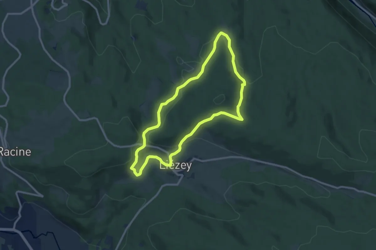
Easy · Trail
Les Croix le chemin de Liézey
7.0 km · ↑ 214 m · 2 h 12 min
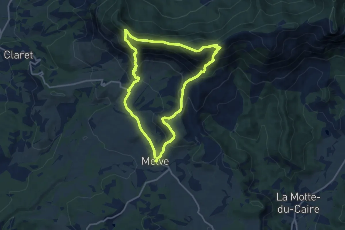
Medium · Summit
Les Croix par la Tour
8.9 km · ↑ 603 m · 3 h 32 min
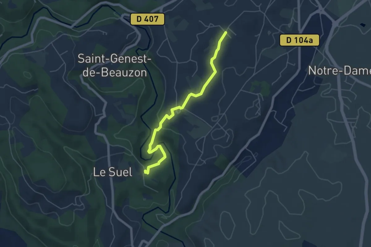
Easy · Trail
Les Crozes - Bourdezac
5.2 km · ↑ 137 m · 1 h 32 min
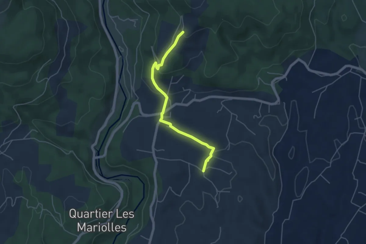
Easy · Trail
Les Crozes - Merzelet Ouest
4.6 km · ↑ 158 m · 1 h 25 min
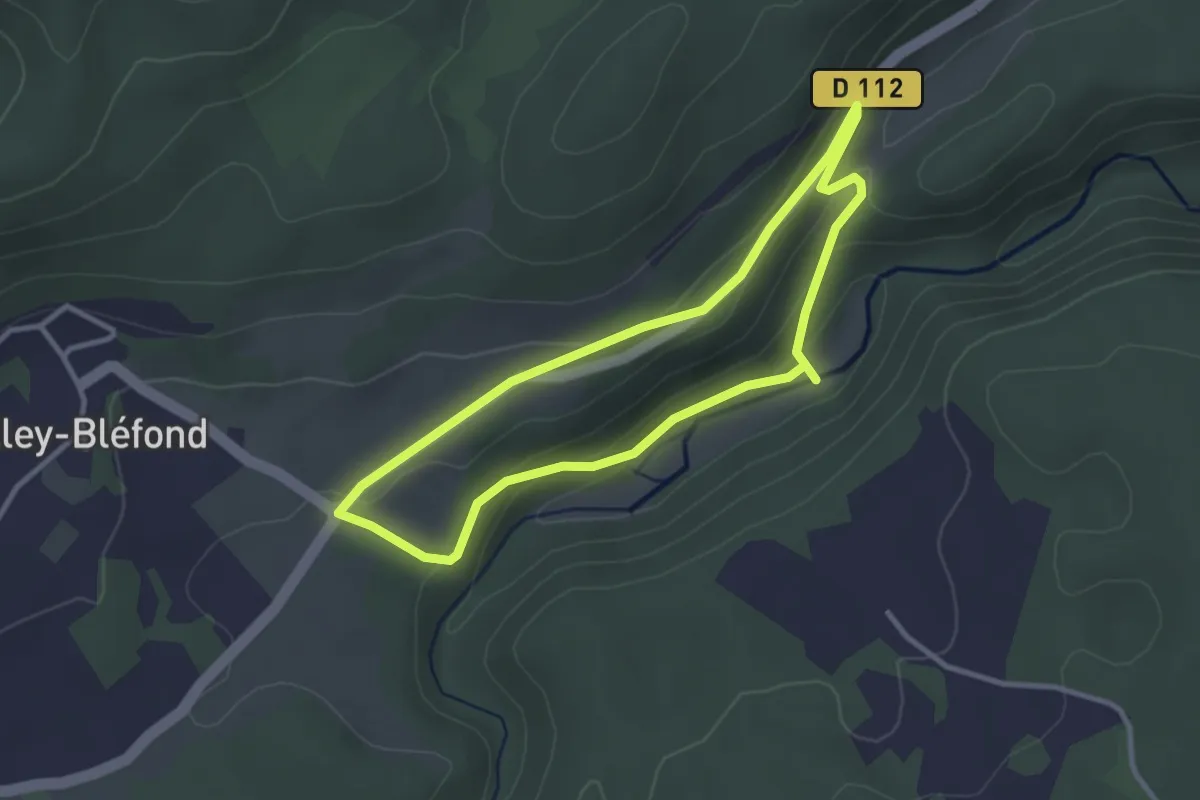
Easy · Trail
Les Cuves du Bléfond
2.8 km · ↑ 94 m · 54 min
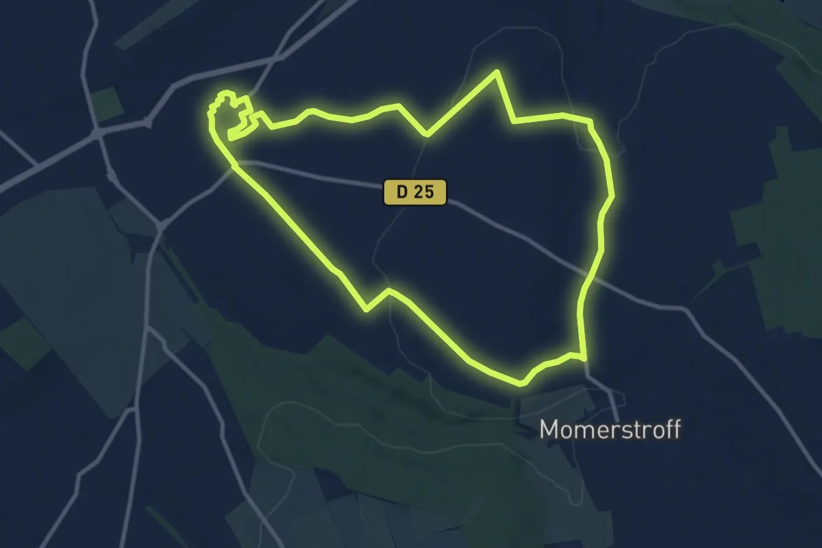
Medium · Trail
Les dames Dada
9.7 km · ↑ 148 m · 2 h 44 min
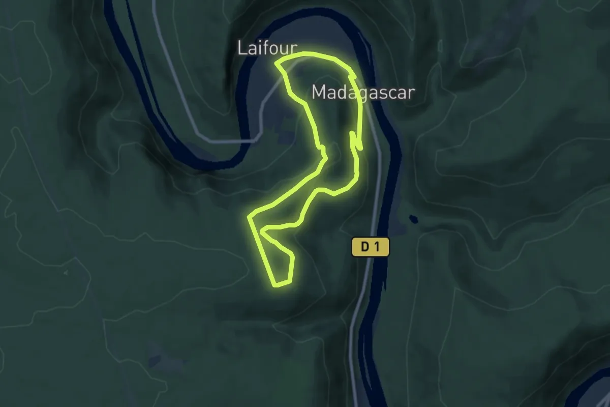
Easy · Trail
Les Dames de la Meuse
6.1 km · ↑ 277 m · 2 h 7 min
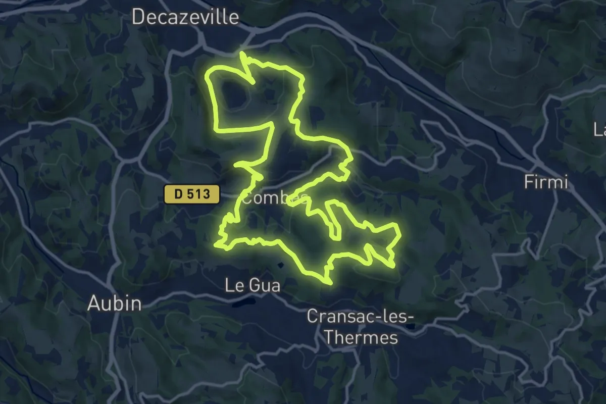
Medium · Trail
Les découvertes
15.4 km · ↑ 511 m · 4 h 58 min
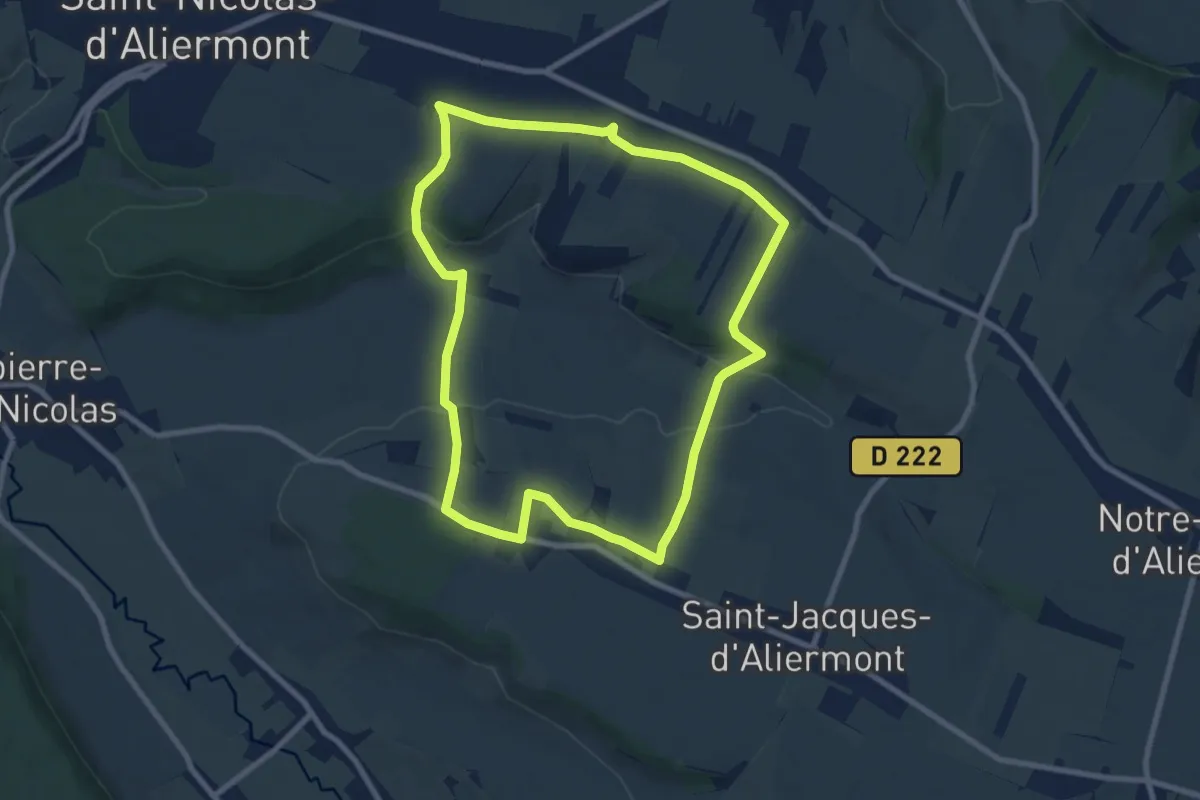
Easy · Trail
Les Démagnes
8.0 km · ↑ 155 m · 2 h 20 min
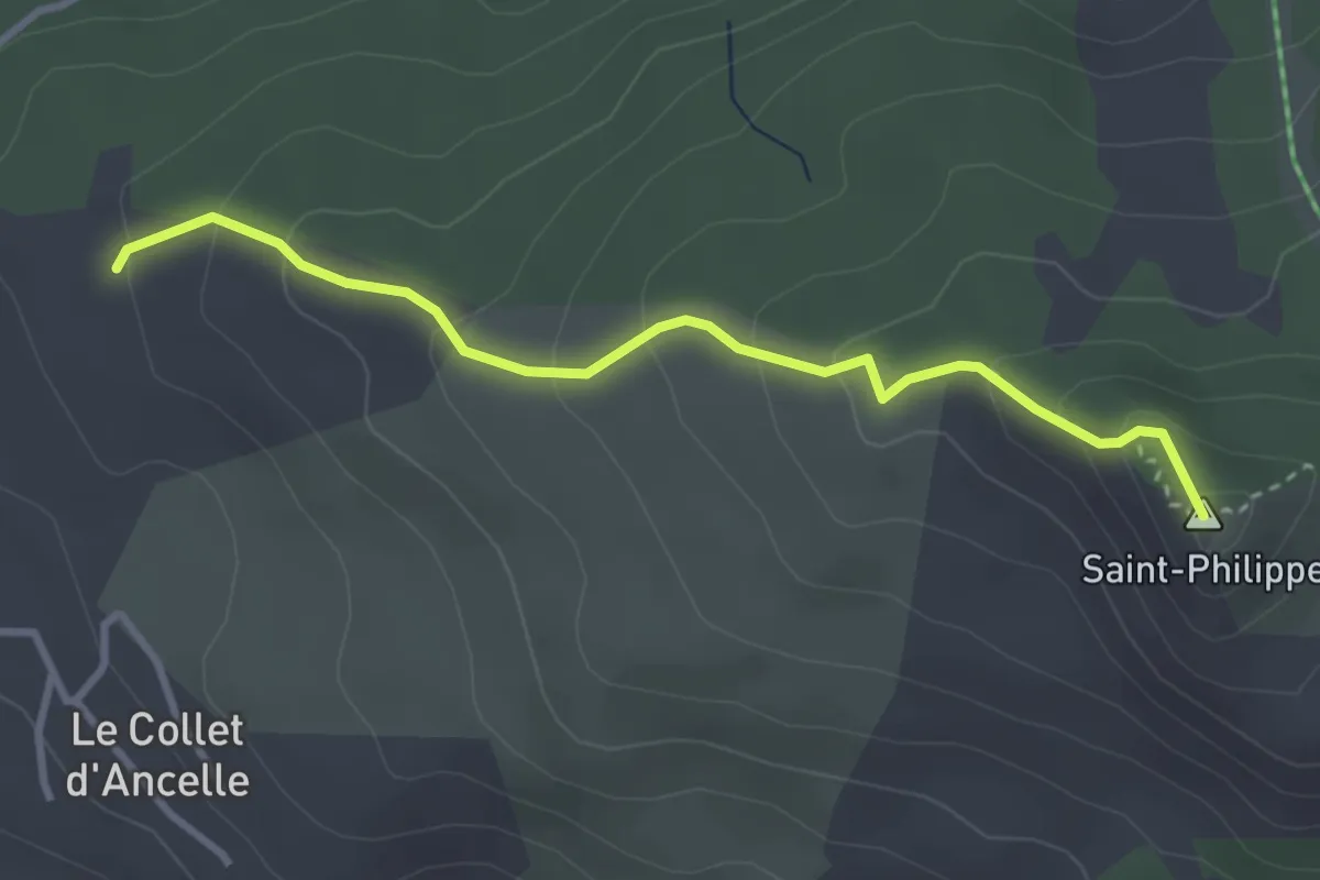
Medium · Summit
Les Dents - ?
3.4 km · ↑ 215 m · 1 h 15 min
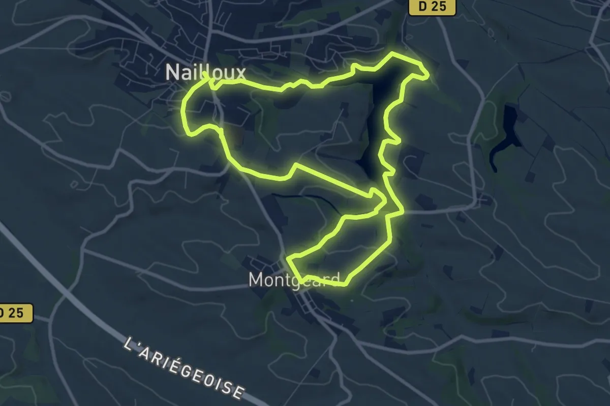
Medium · Trail
Les deux bastides royales
9.8 km · ↑ 220 m · 2 h 55 min
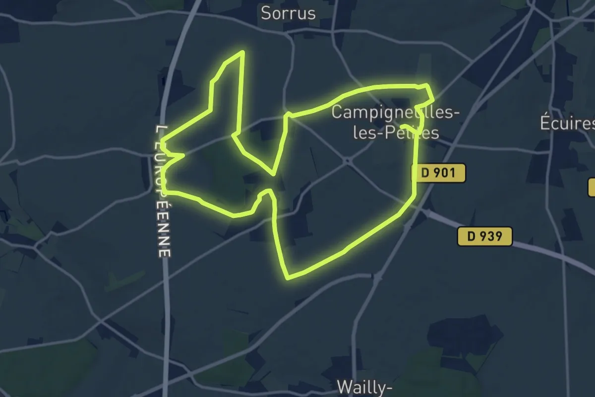
Medium · Trail
Les Deux Campigneulles
13.3 km · ↑ 67 m · 3 h 28 min
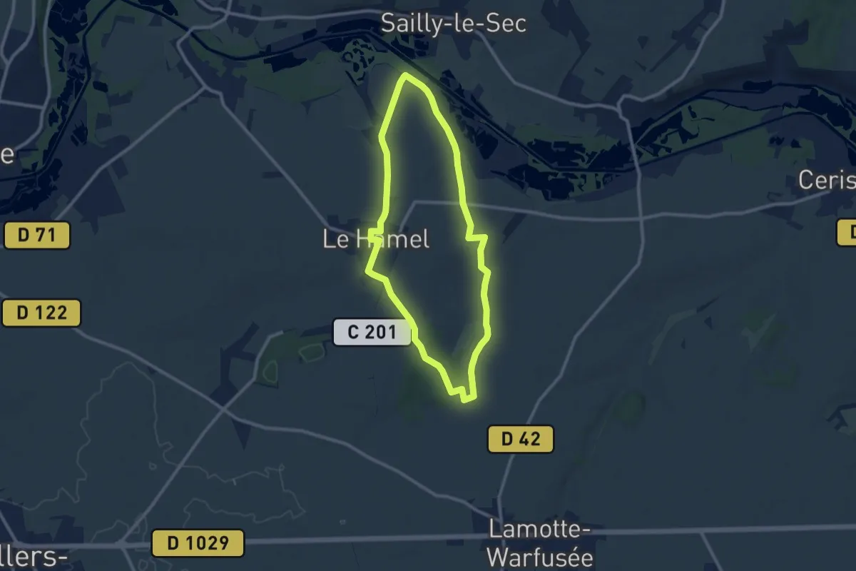
Medium · Trail
Les Deux Chapelles
8.3 km · ↑ 85 m · 2 h 15 min
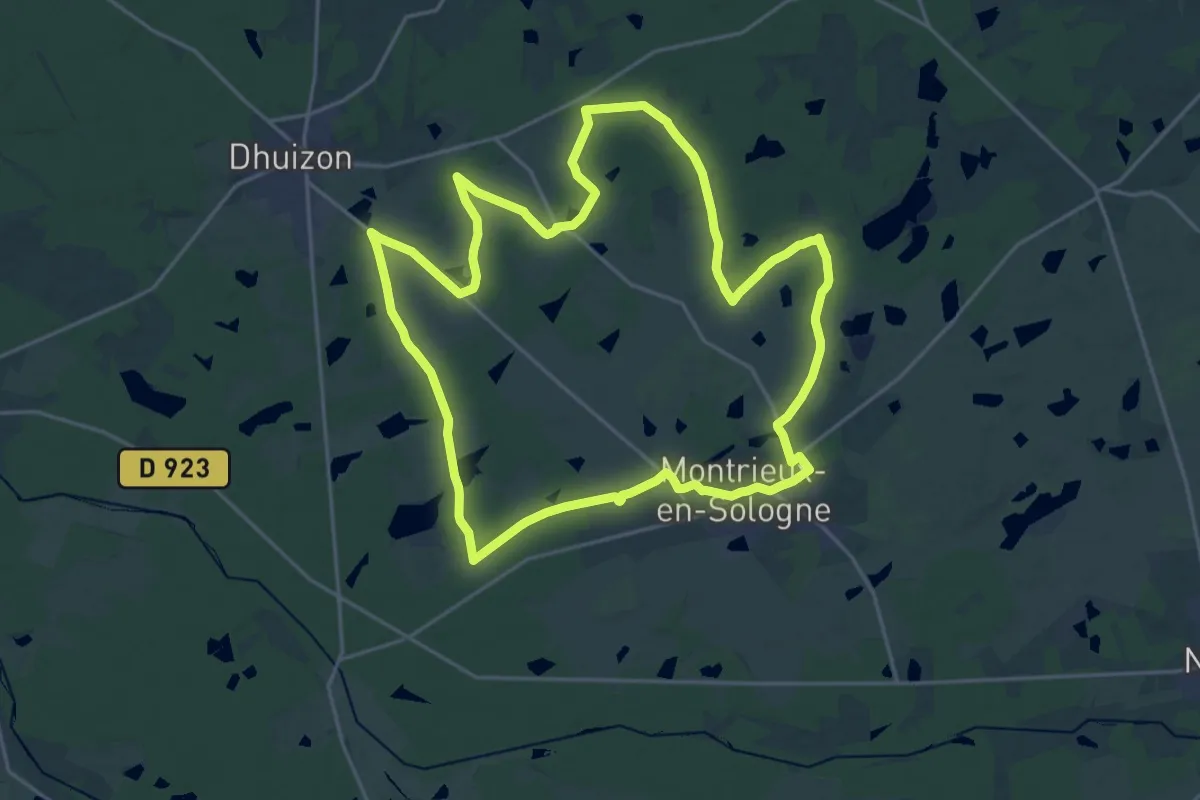
Demanding · Trail
Les deux châteaux
22.0 km · ↑ 108 m · 5 h 44 min
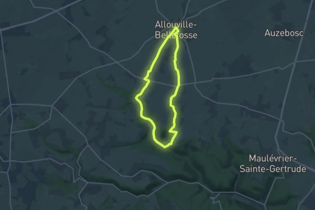
Medium · Trail
Les Deux chênes
9.8 km · ↑ 168 m · 2 h 49 min
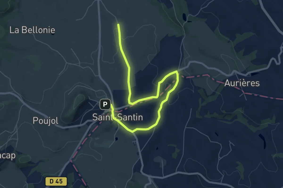
Easy · Trail
Les deux clochers
4.1 km · ↑ 26 m · 1 h 7 min
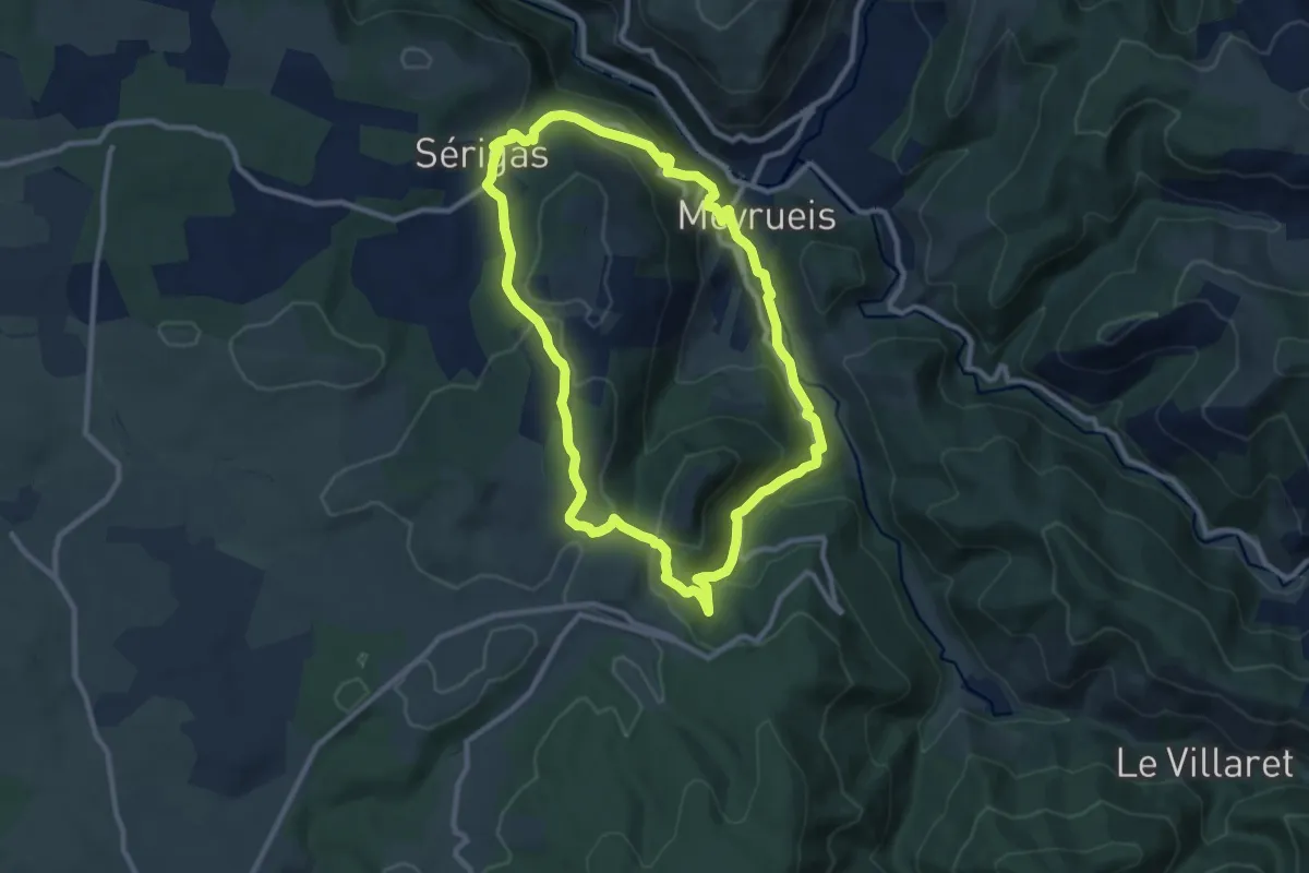
Medium · Trail
Les deux fermes du causse noir
10.0 km · ↑ 411 m · 3 h 24 min
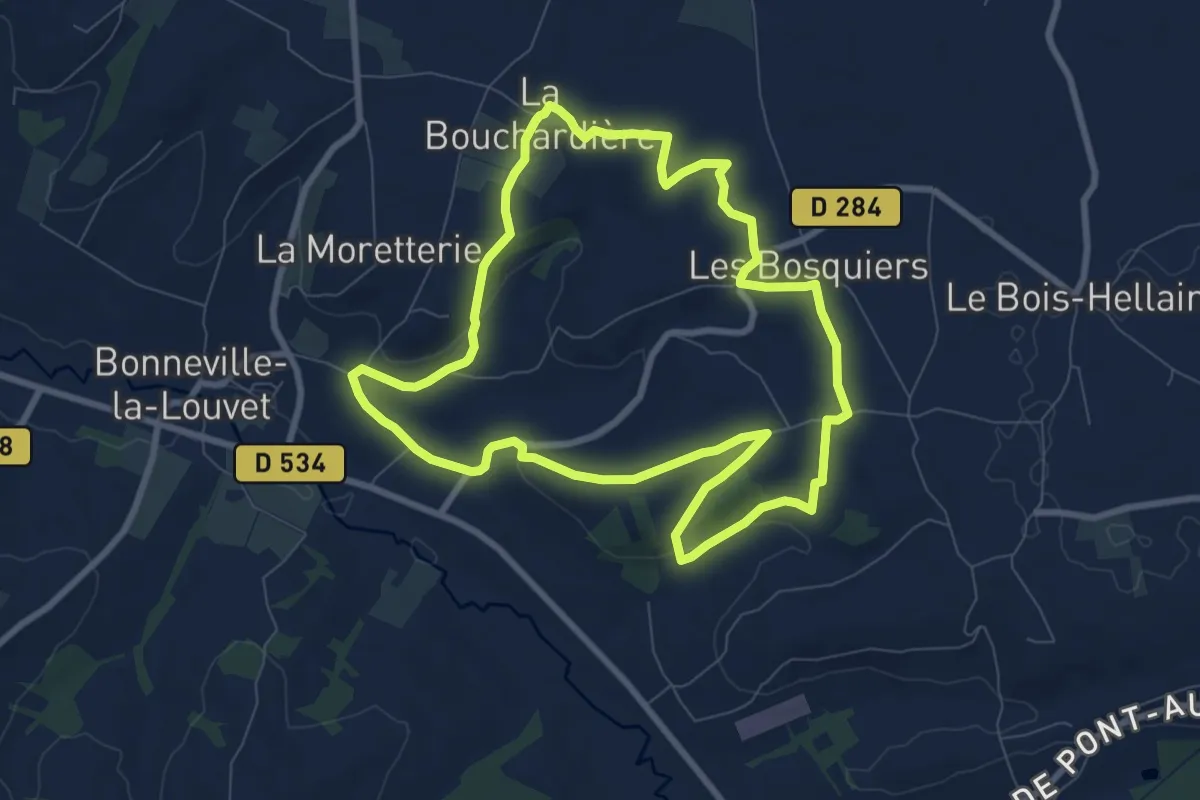
Easy · Trail
Les deux Fontaines
7.9 km · ↑ 135 m · 2 h 16 min
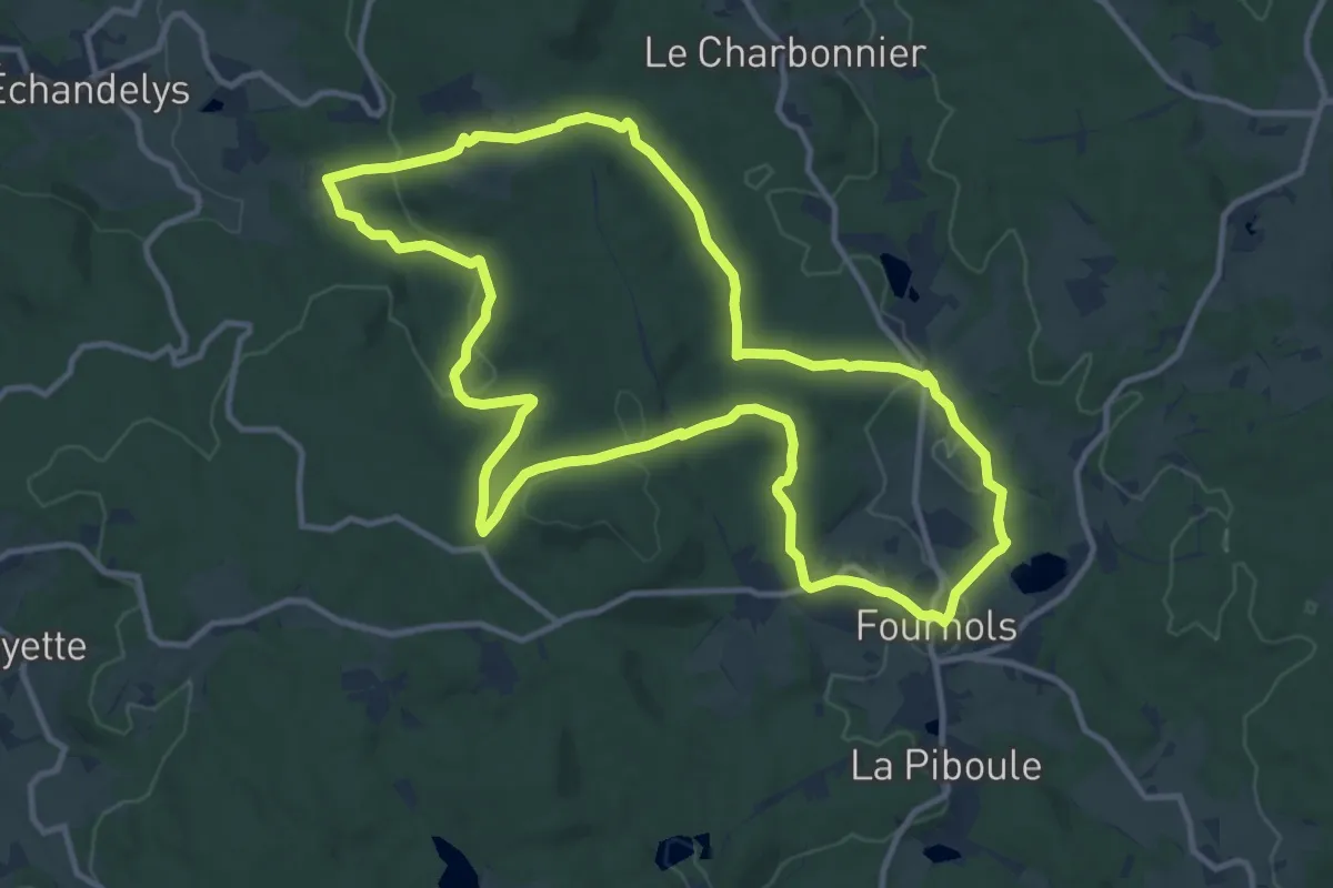
Medium · Trail
Les Deux-Frères
12.5 km · ↑ 320 m · 3 h 49 min
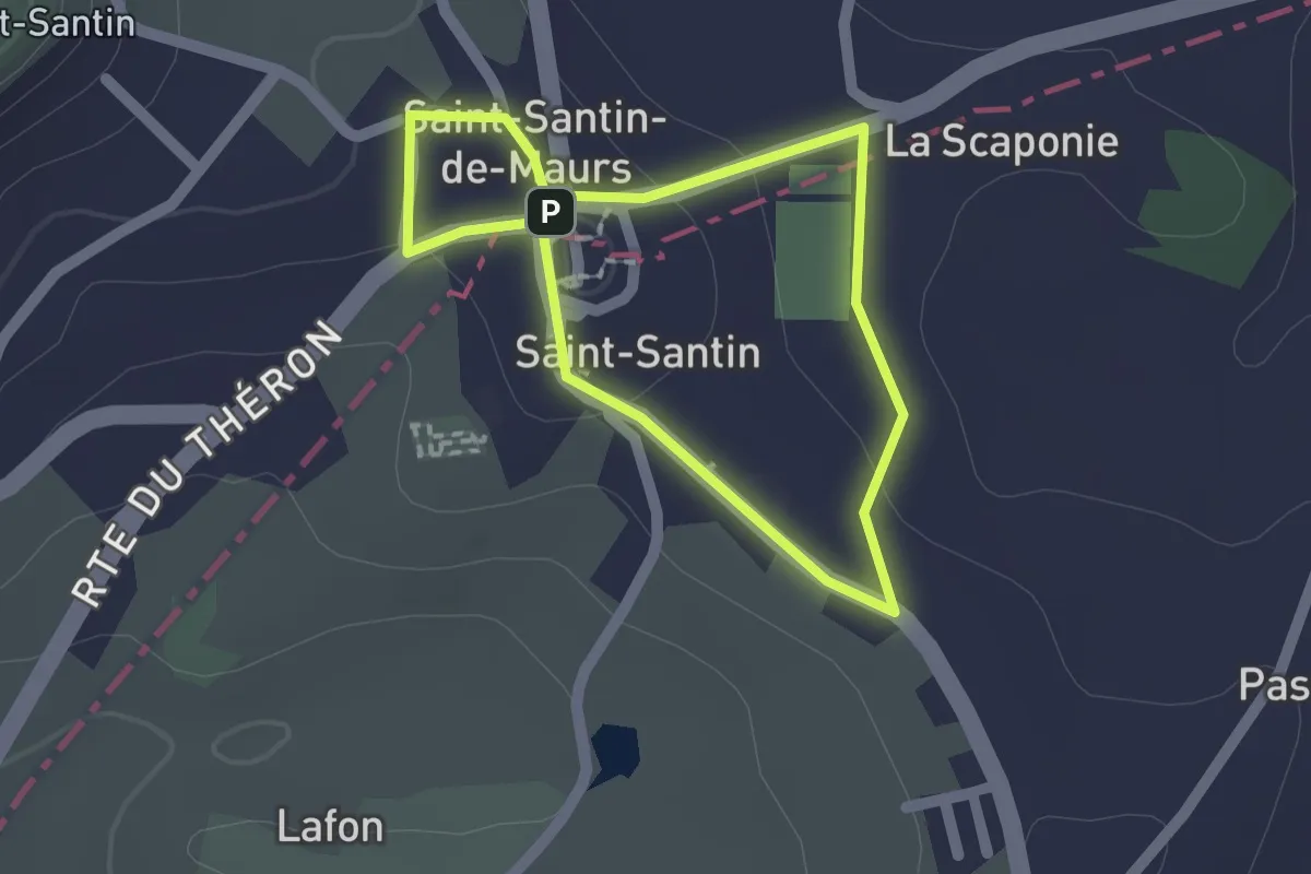
Easy · Trail
Les deux paroisses
1.5 km · ↑ 20 m · 26 min
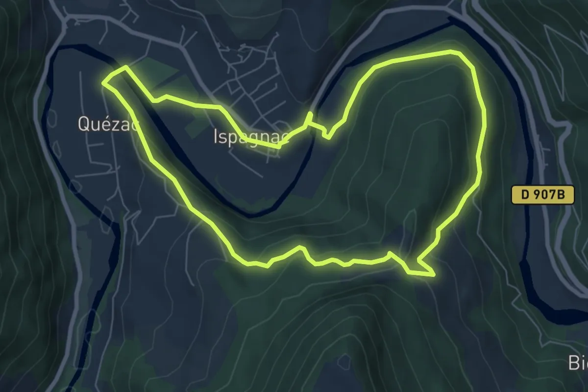
Easy · Trail
Les deux ponts
7.0 km · ↑ 258 m · 2 h 19 min