Trails in France
15,926 hiking trails, each with its route, climb, walking time and grade.
All trails, page 182 of 332
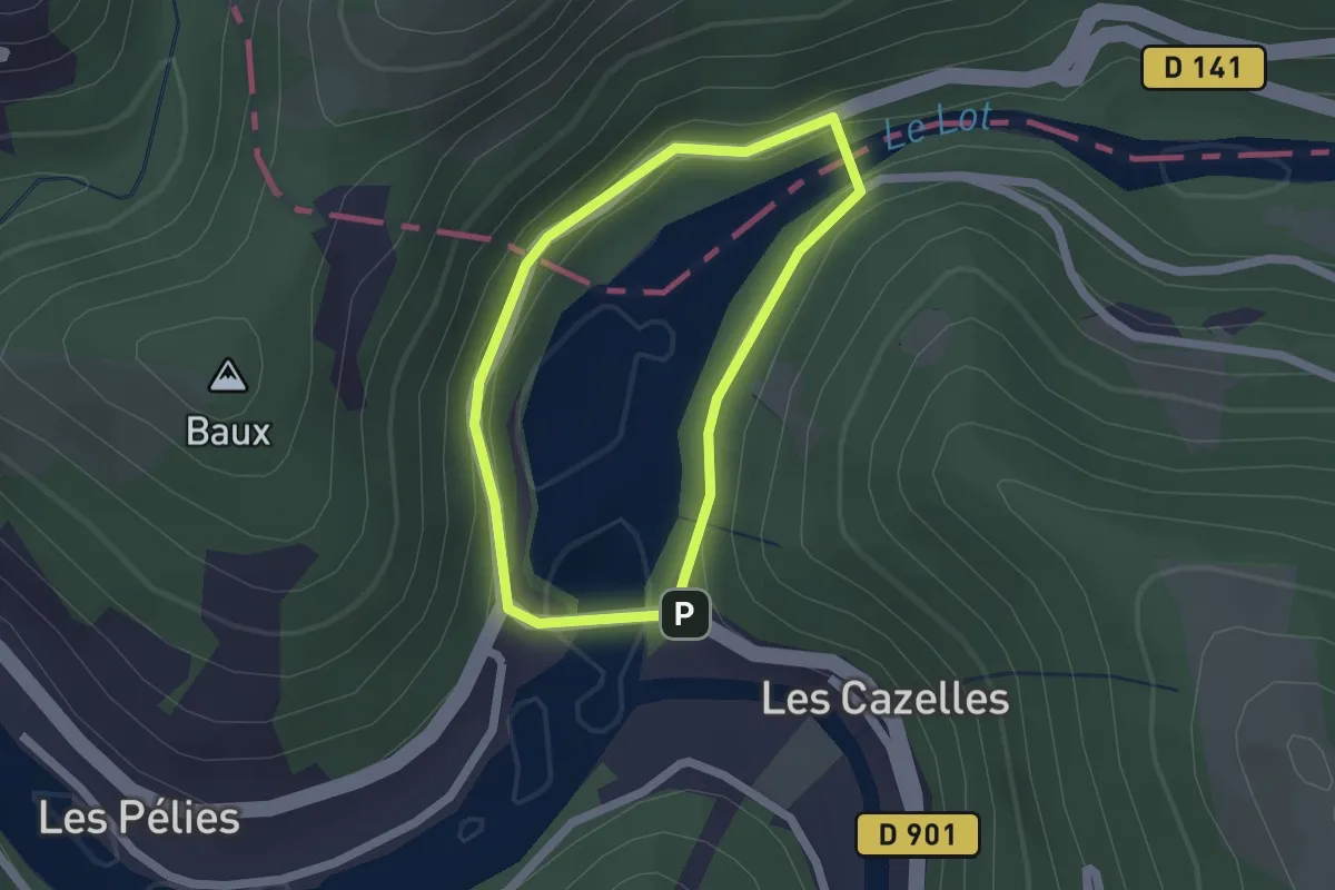
Easy · Trail
Les Deux Ponts
1.6 km · ↑ 71 m · 34 min
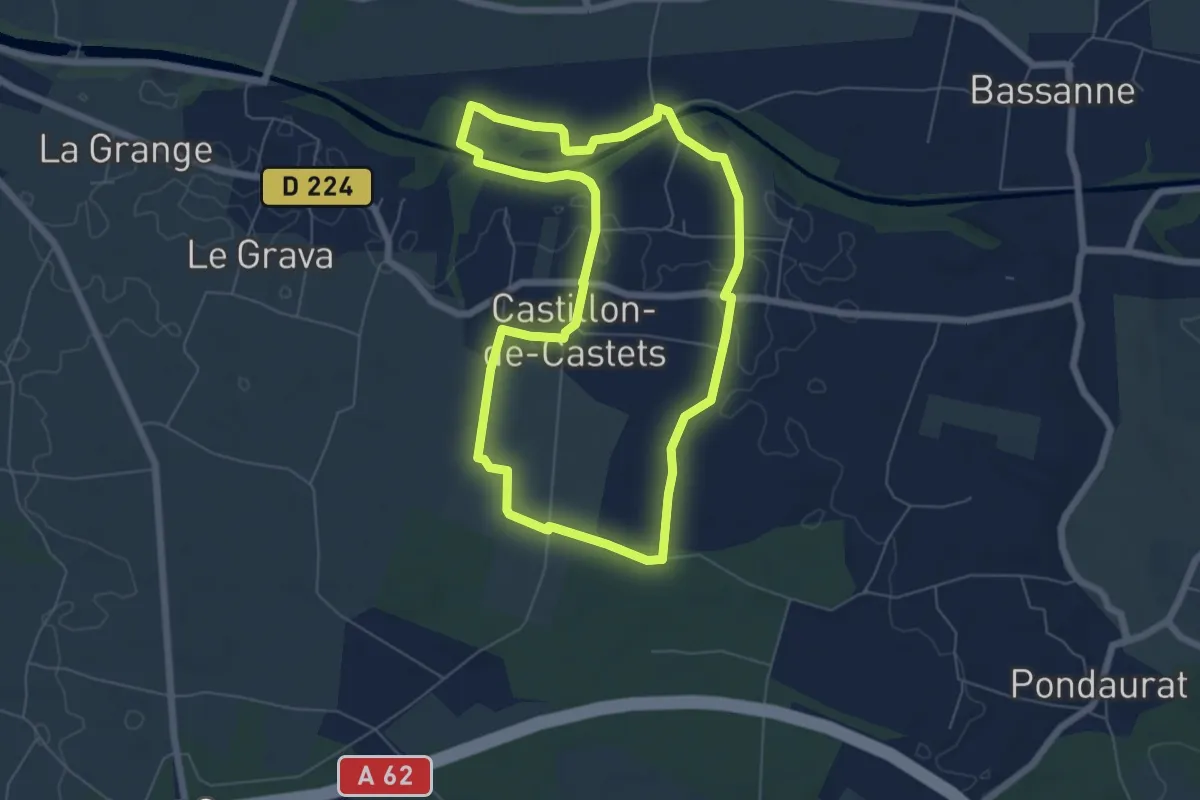
Easy · Trail
Les Deux Rives : boucle locale
6.4 km · ↑ 55 m · 1 h 43 min
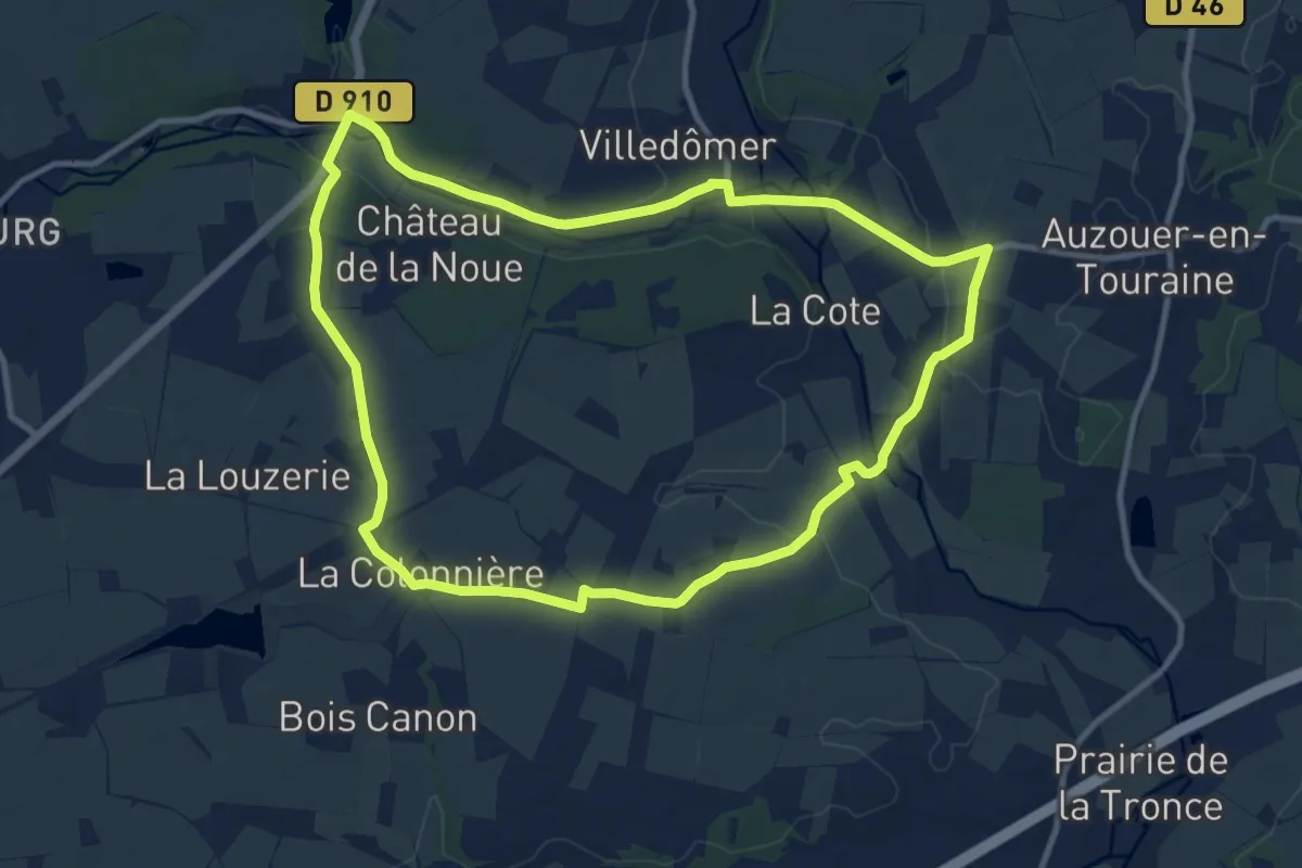
Medium · Trail
Les deux vallées
10.6 km · ↑ 80 m · 2 h 50 min
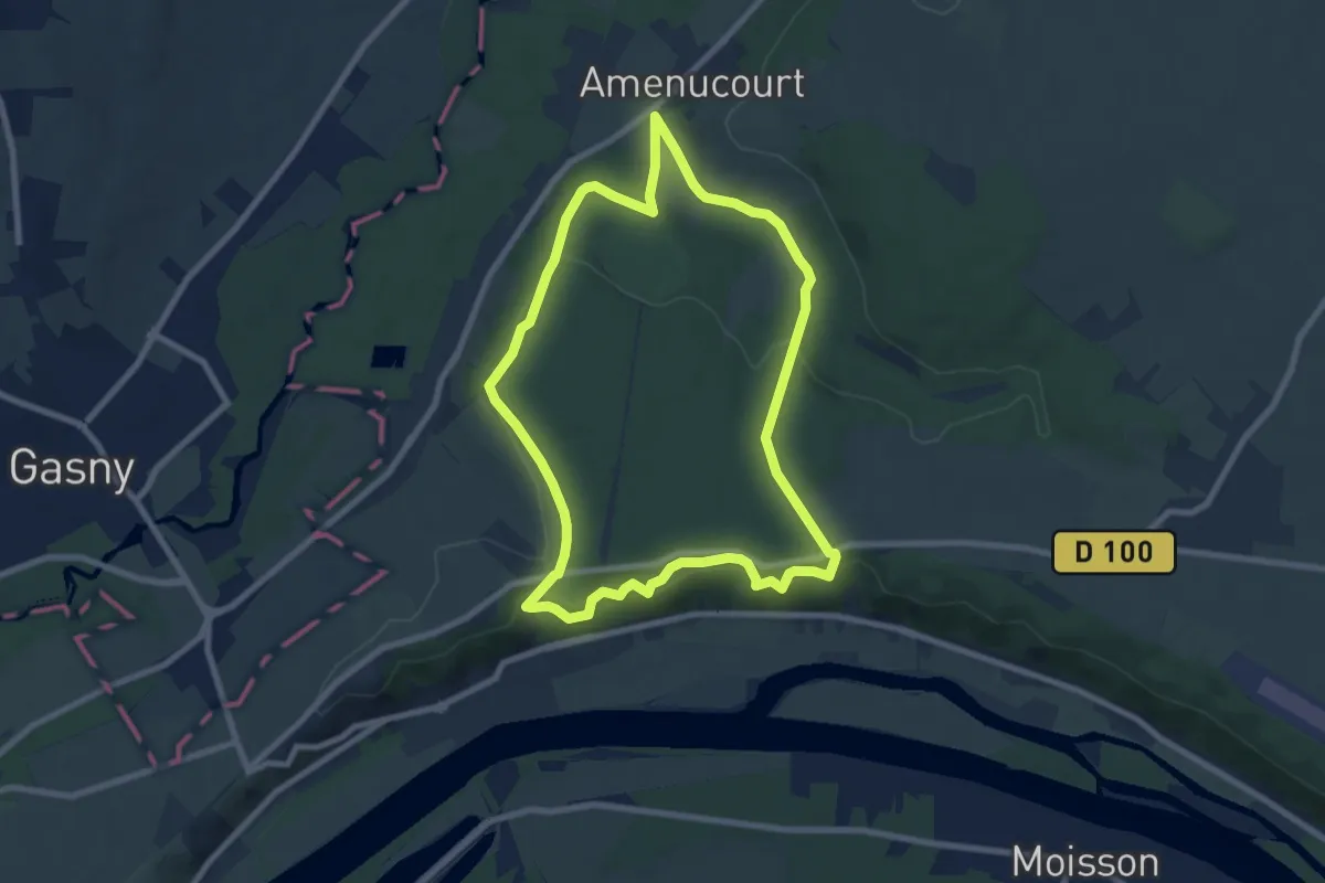
Easy · Trail
Les deux vallées
7.5 km · ↑ 221 m · 2 h 21 min
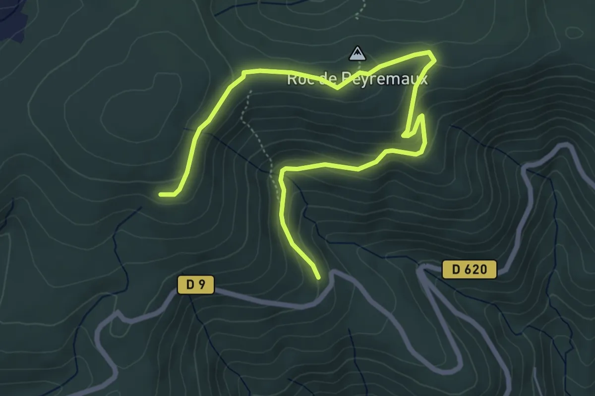
Easy · Summit
Les Deux Vallées
3.6 km · ↑ 224 m · 1 h 18 min
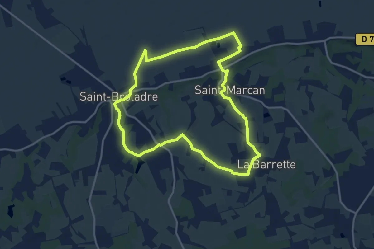
Medium · Trail
Les Deux Vallées
8.6 km · ↑ 111 m · 2 h 24 min
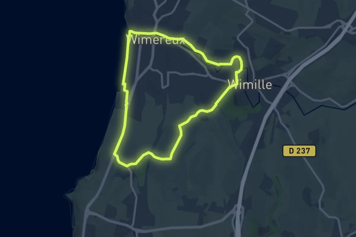
Easy · Trail
Les Deux Wims
6.4 km · ↑ 70 m · 1 h 45 min
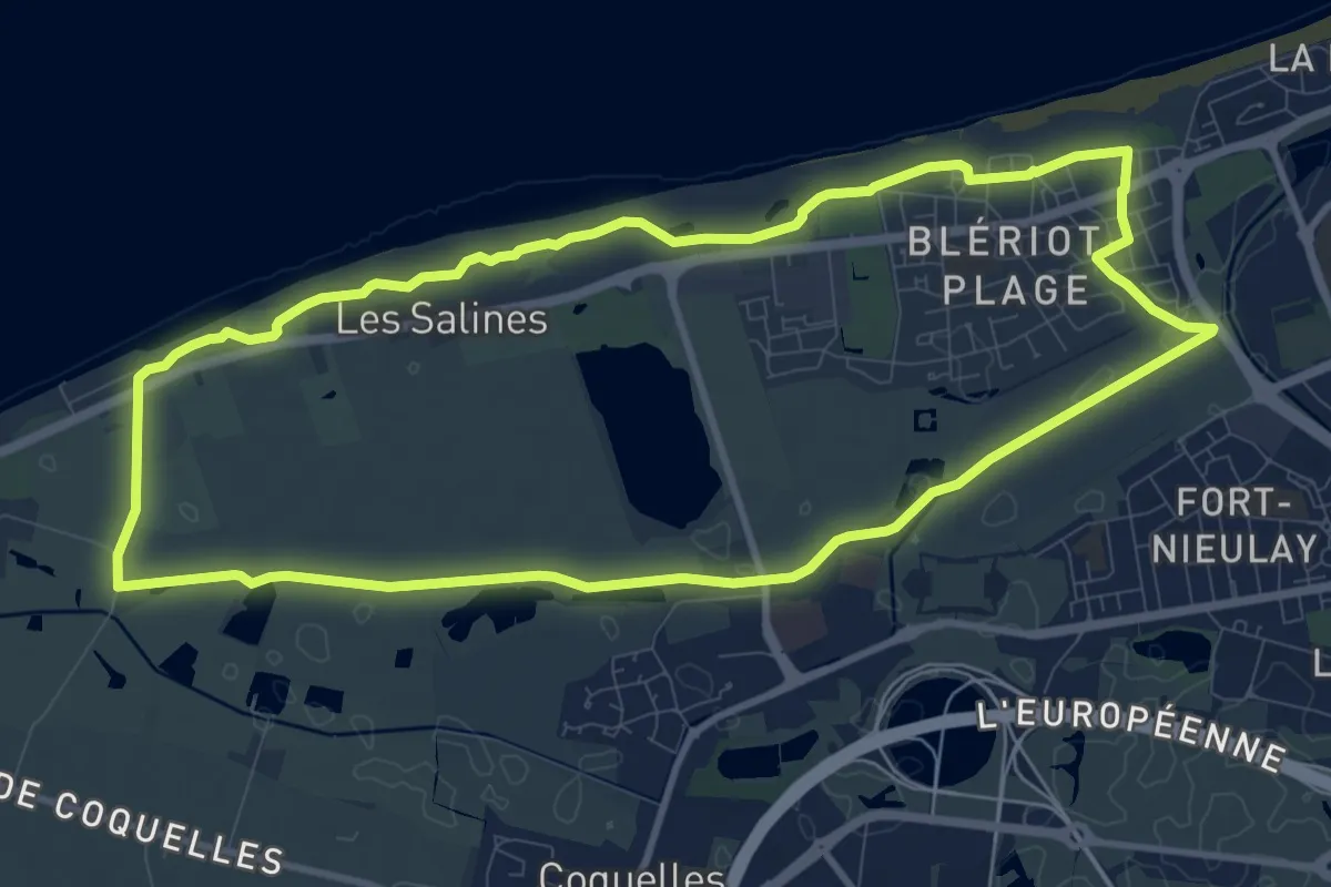
Medium · Trail
Les Digues
9.8 km · ↑ 4 m · 2 h 28 min
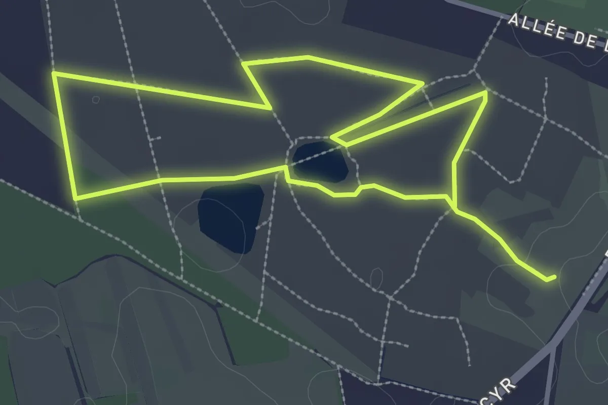
Easy · Trail
Les Dolines de Limère
2.8 km · ↑ 5 m · 43 min
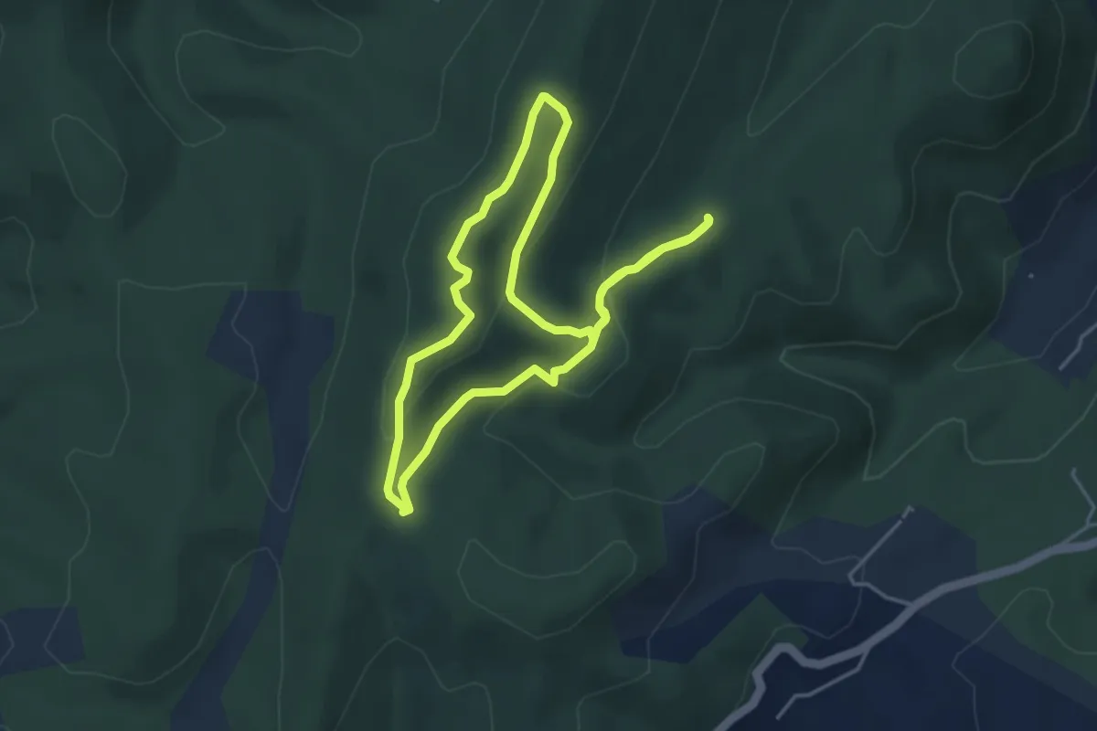
Medium · Trail
Les dolmens de la grande Pallières
4.0 km · ↑ 108 m · 1 h 14 min
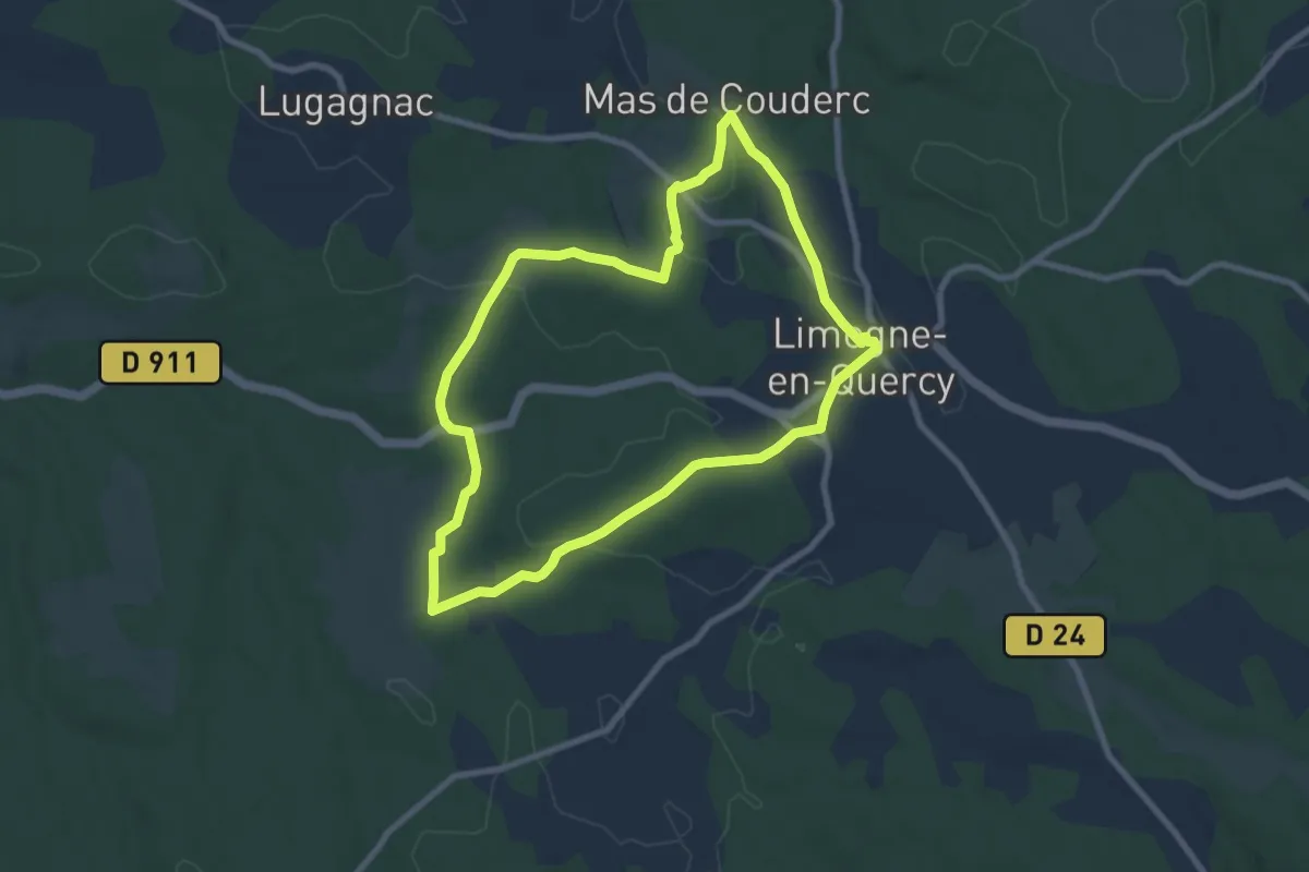
Medium · Trail
Les dolmens de Limogne-en-Quercy
8.2 km · ↑ 133 m · 2 h 20 min
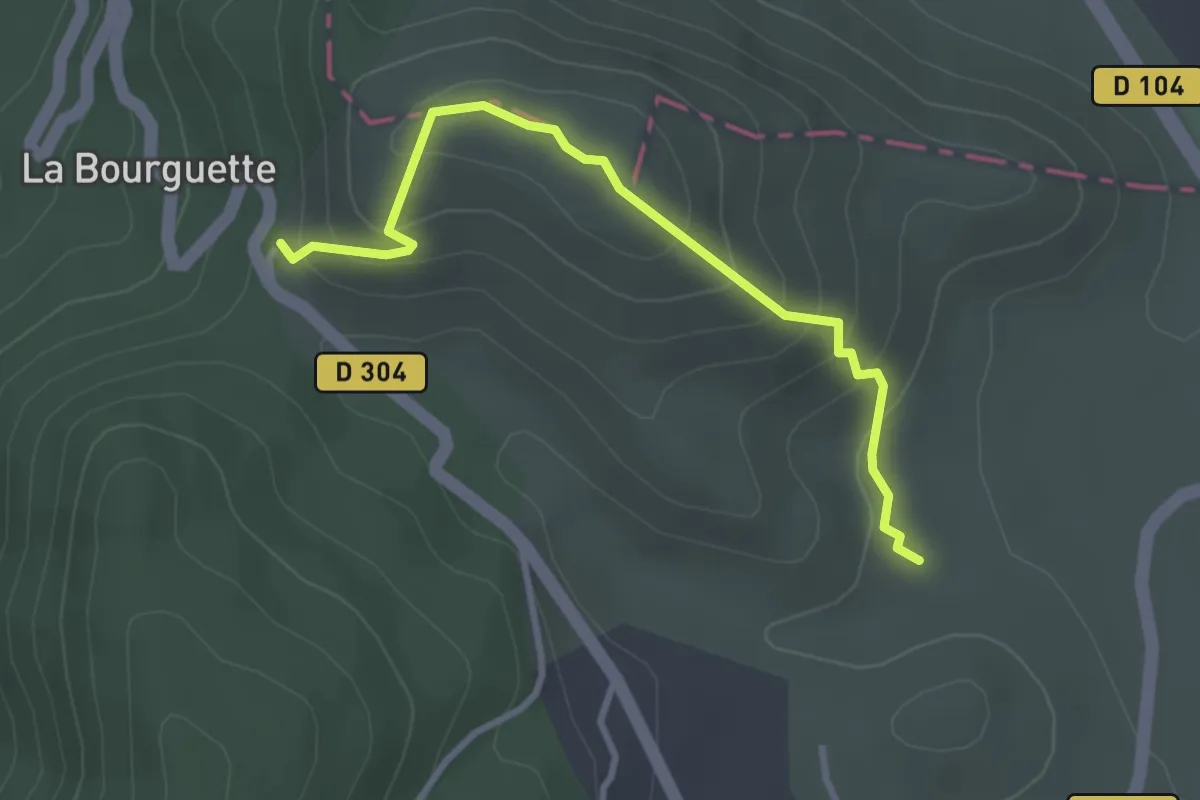
Easy · Trail
Les dolmens de l’Ismaël
1.6 km · ↑ 140 m · 41 min
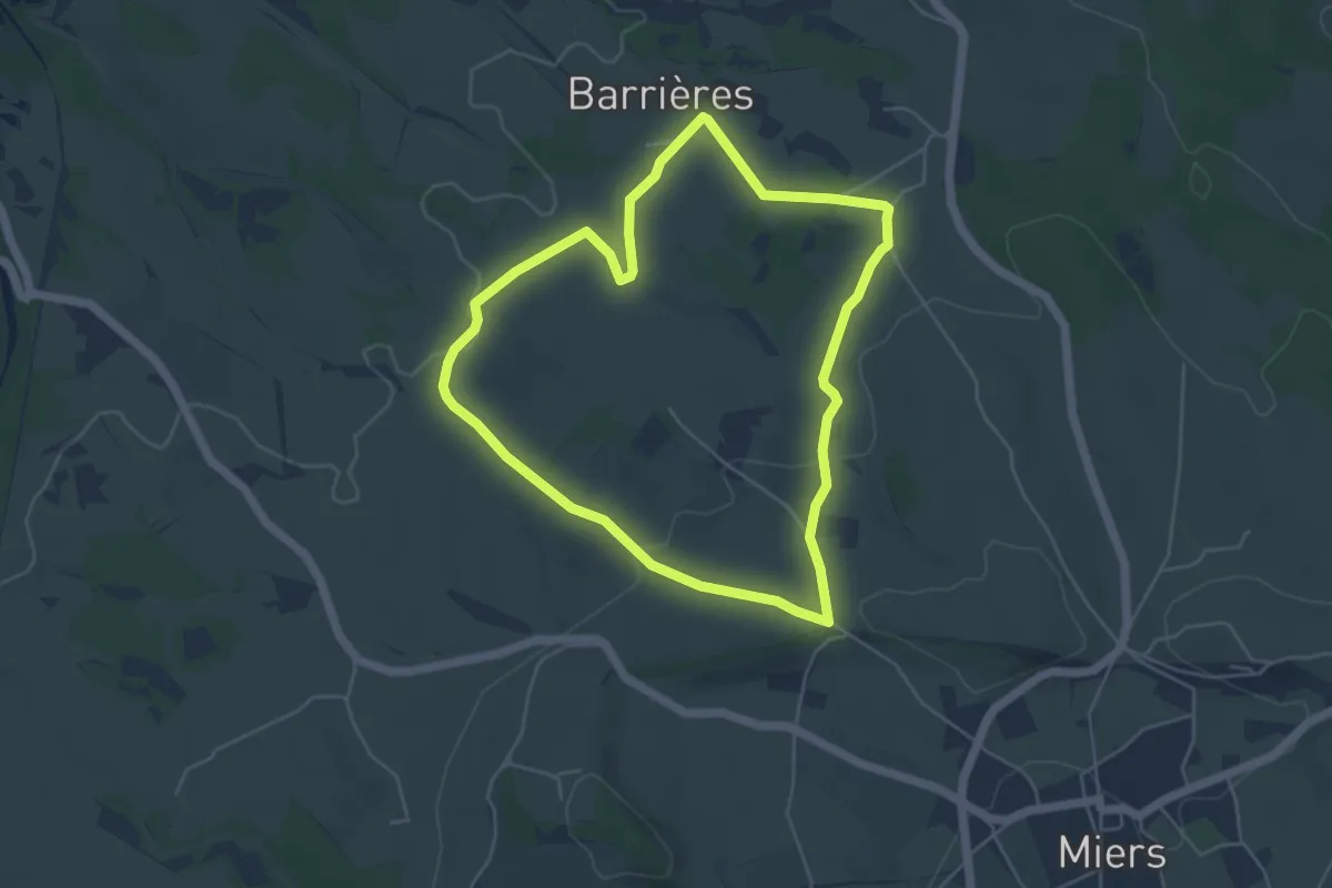
Easy · Trail
Les dolmens de Miers
4.9 km · ↑ 87 m · 1 h 25 min
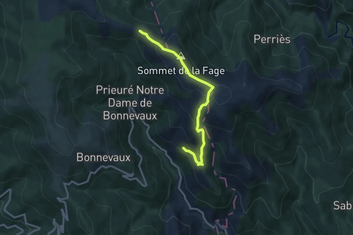
Medium · Summit
Les drailles perdues
3.4 km · ↑ 320 m · 1 h 27 min
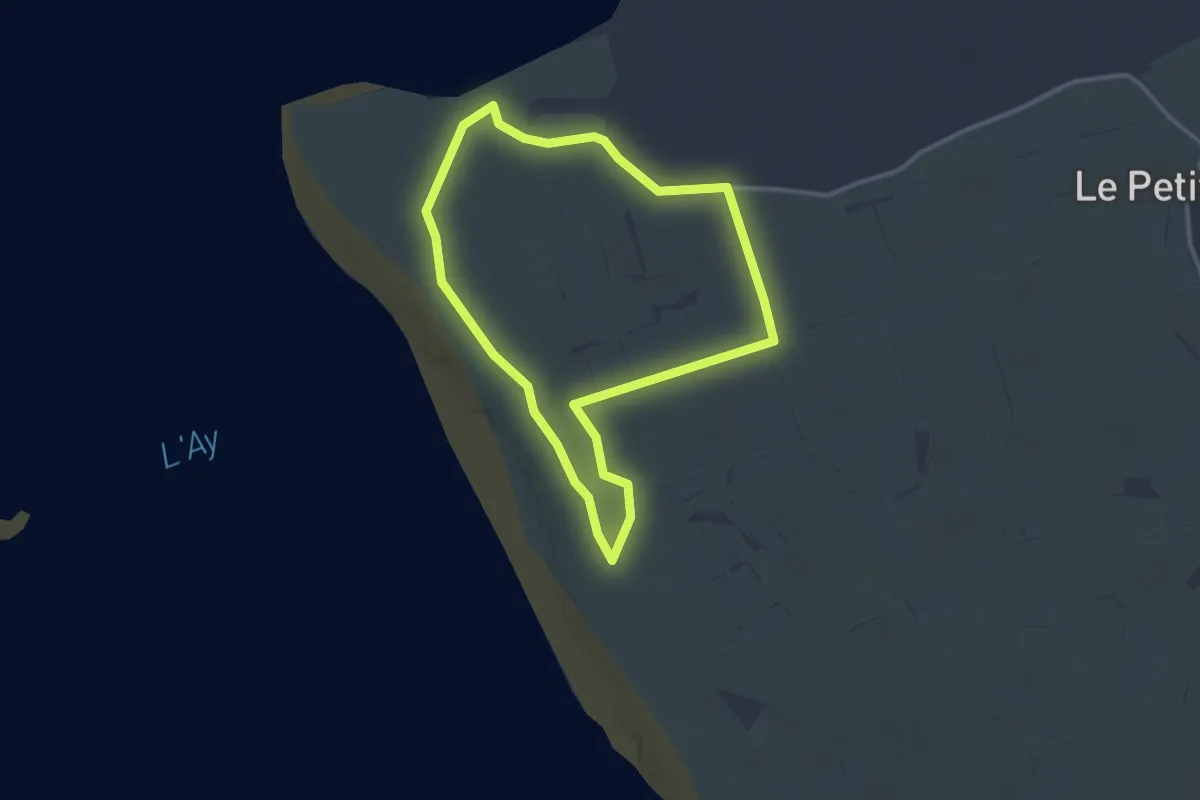
Easy · Trail
Les Dunes de Créances
2.7 km · ↑ 4 m · 41 min
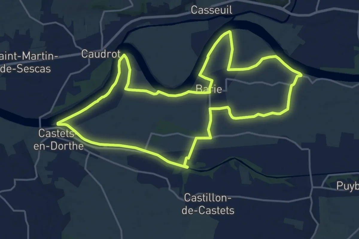
Medium · Trail
Les Eaux Mêlées : boucle locale
15.7 km · ↑ 35 m · 4 h
Medium · Trail
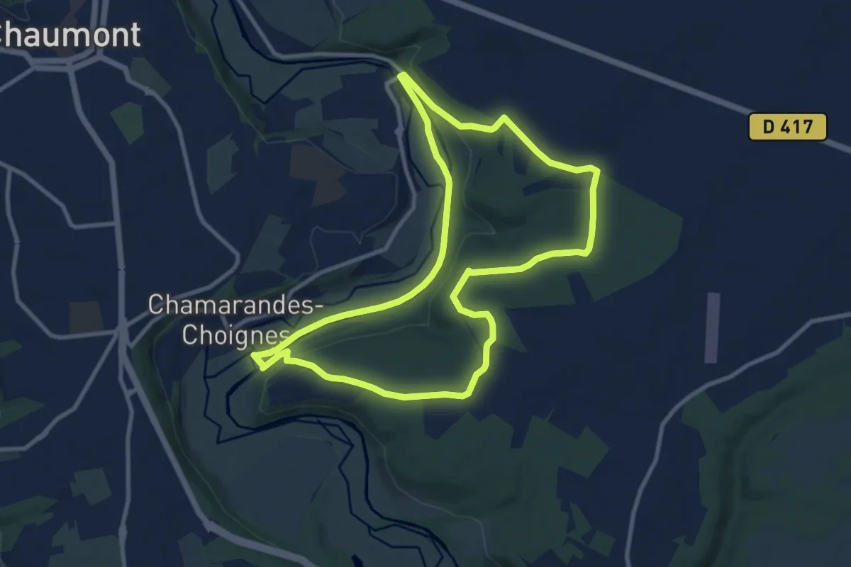
Les Ecluses
9.0 km · ↑ 134 m · 2 h 33 min
Medium · Trail
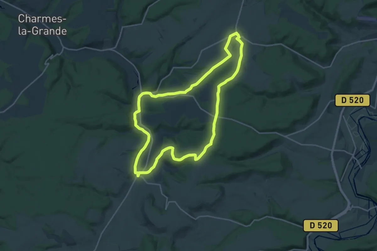
Le Sécret du Blaiseron
15.9 km · ↑ 219 m · 4 h 27 min
Medium · Trail
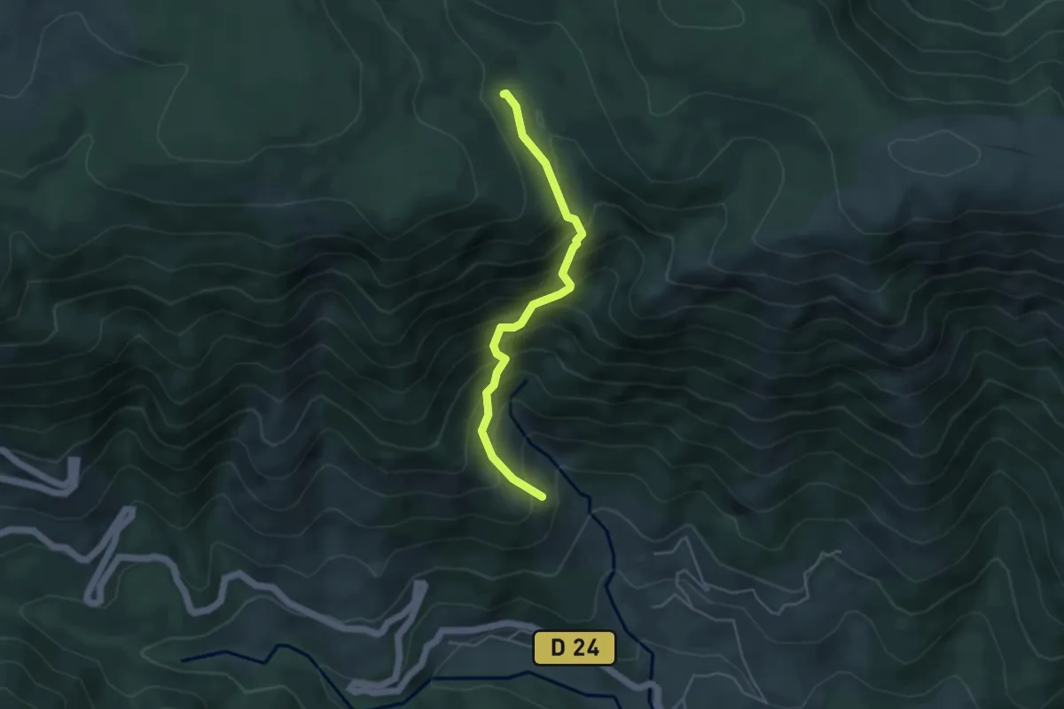
Le Ségur - L'Escoufour
4.2 km · ↑ 505 m · 2 h 5 min
Easy · Trail
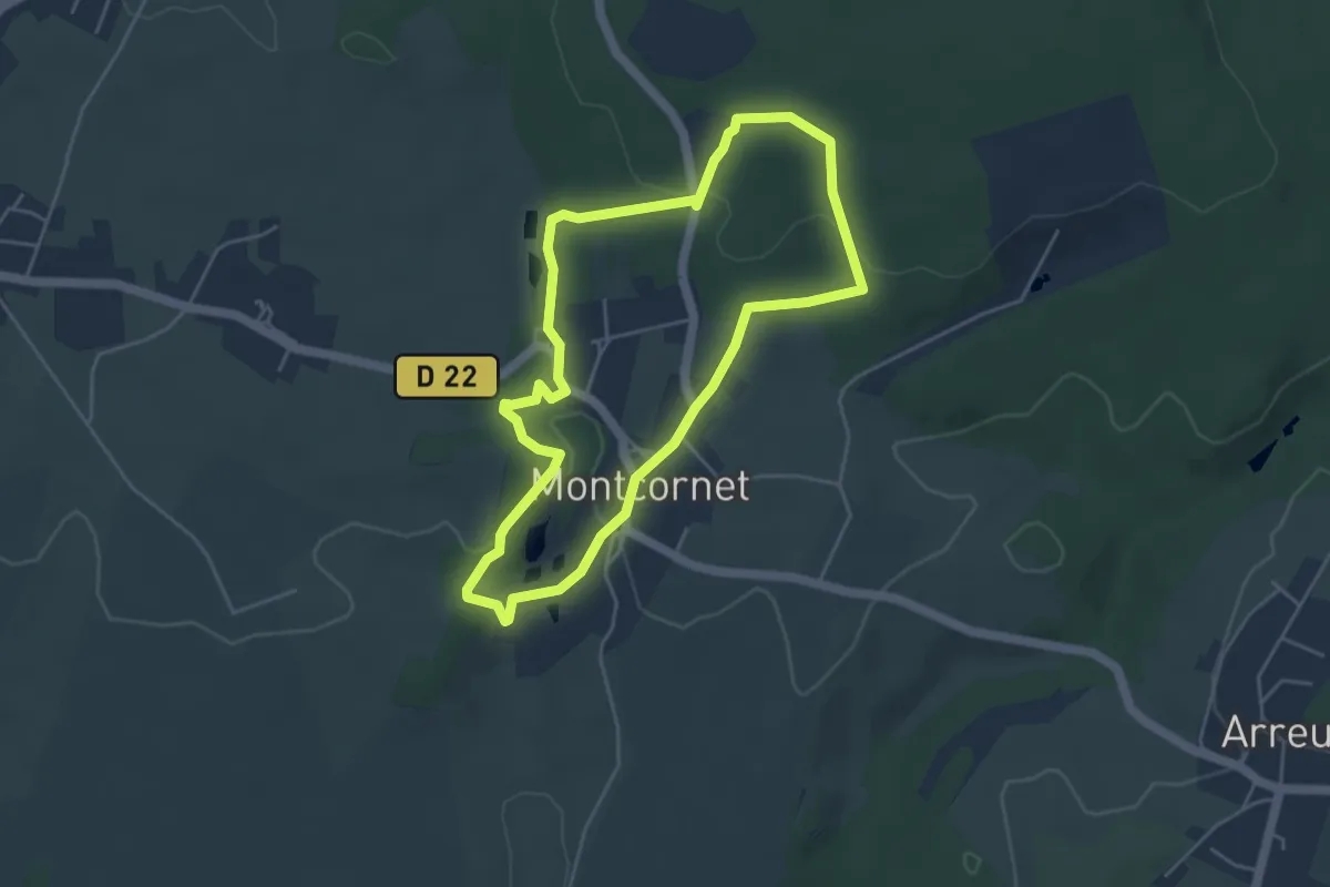
Le Seigneurs de Croy
4.1 km · ↑ 96 m · 1 h 14 min
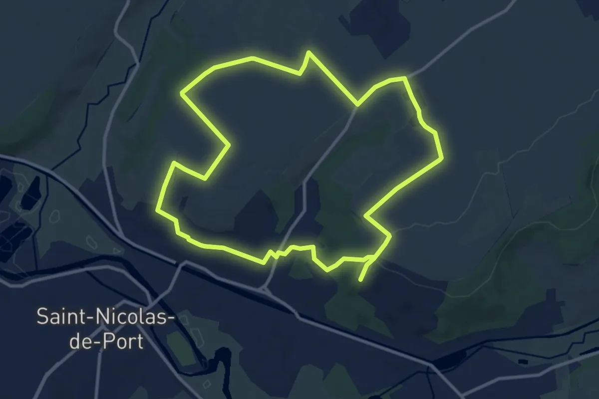
Medium · Trail
Le Sel et la Légende de Saint-Nicolas
9.3 km · ↑ 115 m · 2 h 34 min
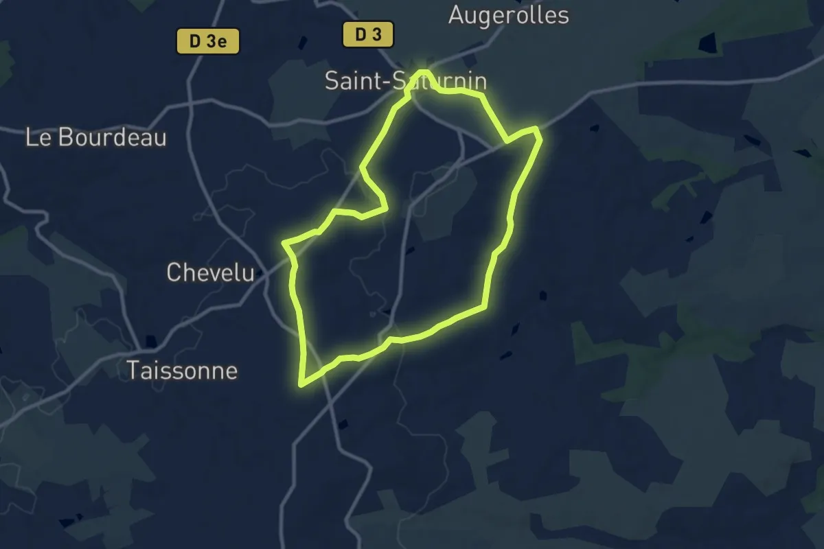
Medium · Trail
Le Semineau
9.3 km · ↑ 101 m · 2 h 33 min
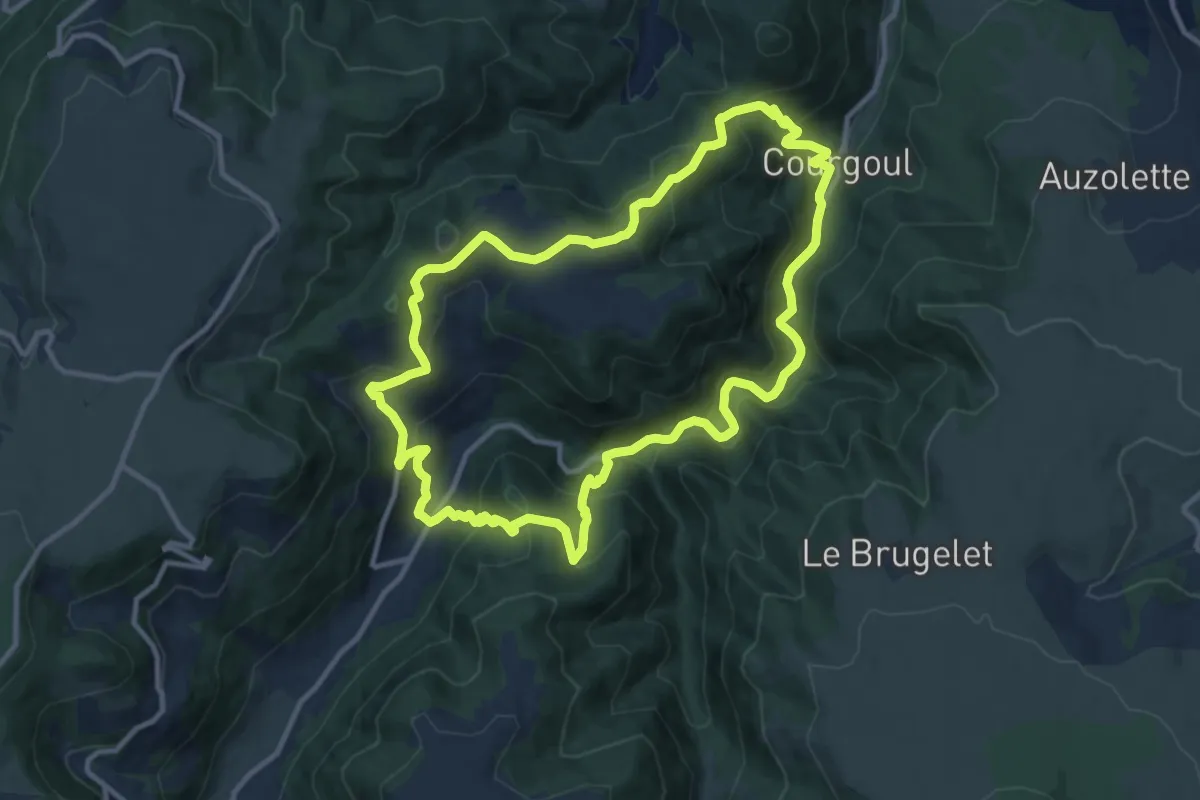
Medium · Trail
Le Sentier aux Loups
11.6 km · ↑ 704 m · 4 h 26 min
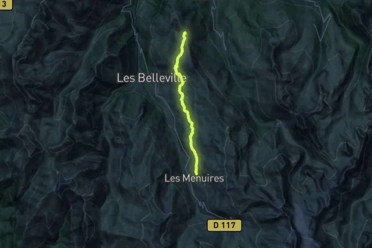
Demanding · Trail
Le Sentier Balcon
22.1 km · ↑ 760 m · 6 h 52 min
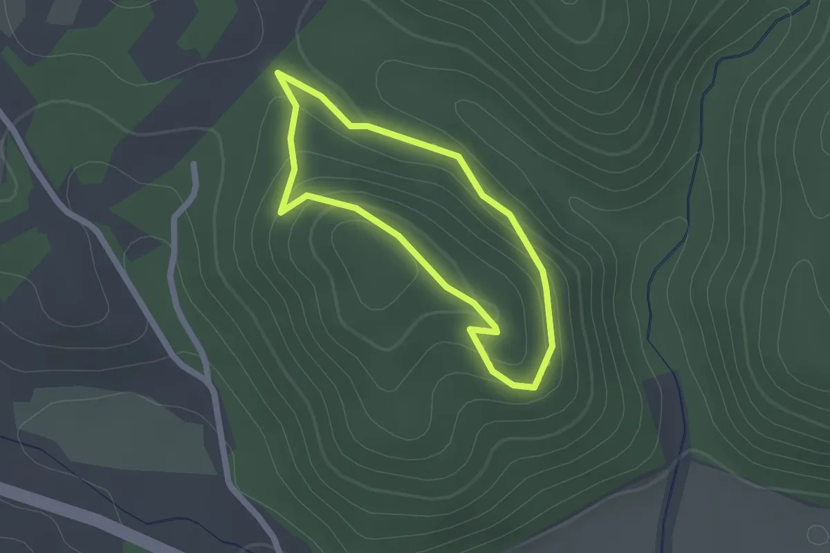
Easy · Trail
Le sentier Botanique
1.6 km · ↑ 58 m · 31 min
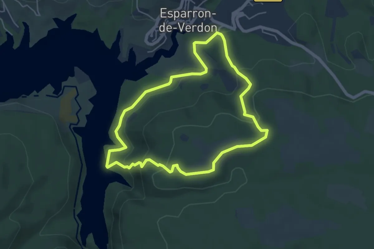
Easy · Trail
Le Sentier Botanique
4.4 km · ↑ 186 m · 1 h 30 min
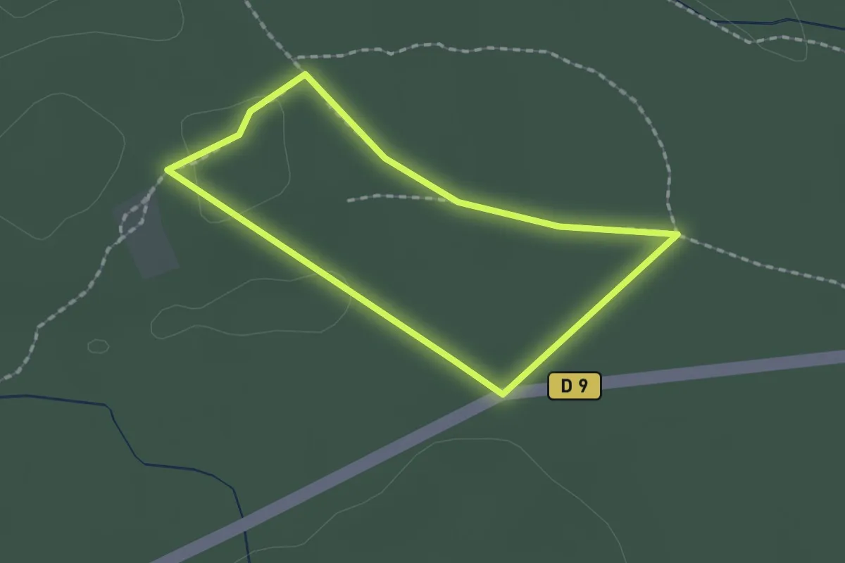
Easy · Trail
Le Sentier Corsaire
1.4 km · ↑ 4 m · 22 min
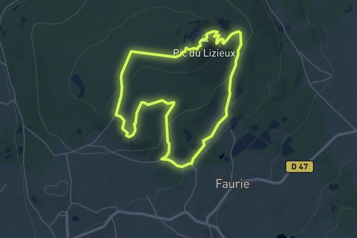
Easy · Summit
Le sentier de Bonas
5.2 km · ↑ 164 m · 1 h 39 min
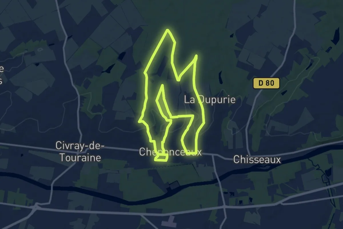
Medium · Trail
Le Sentier de Chenonceaux
10.8 km · ↑ 143 m · 3 h
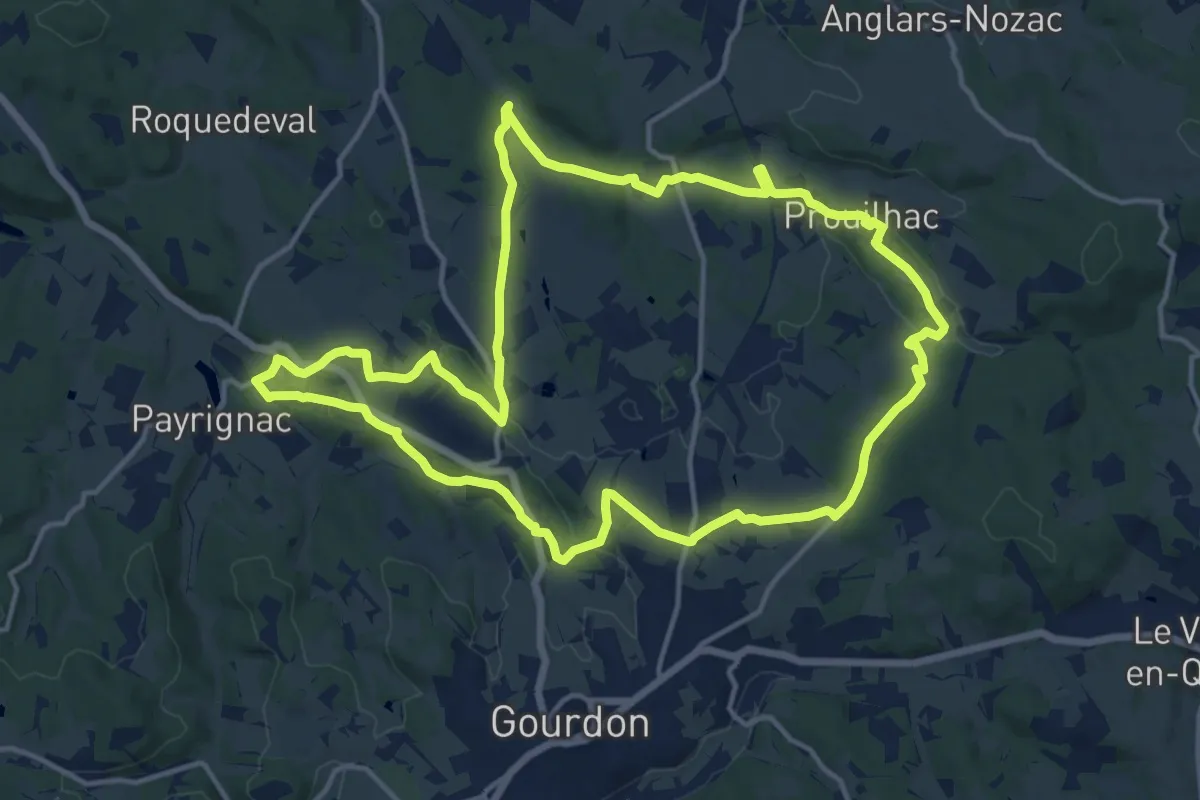
Medium · Trail
Le sentier d’Écoute s’il Pleut
16.0 km · ↑ 278 m · 4 h 37 min
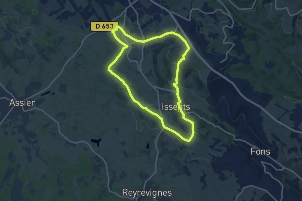
Medium · Trail
Le sentier de découverte dans le Limargue
9.3 km · ↑ 186 m · 2 h 44 min
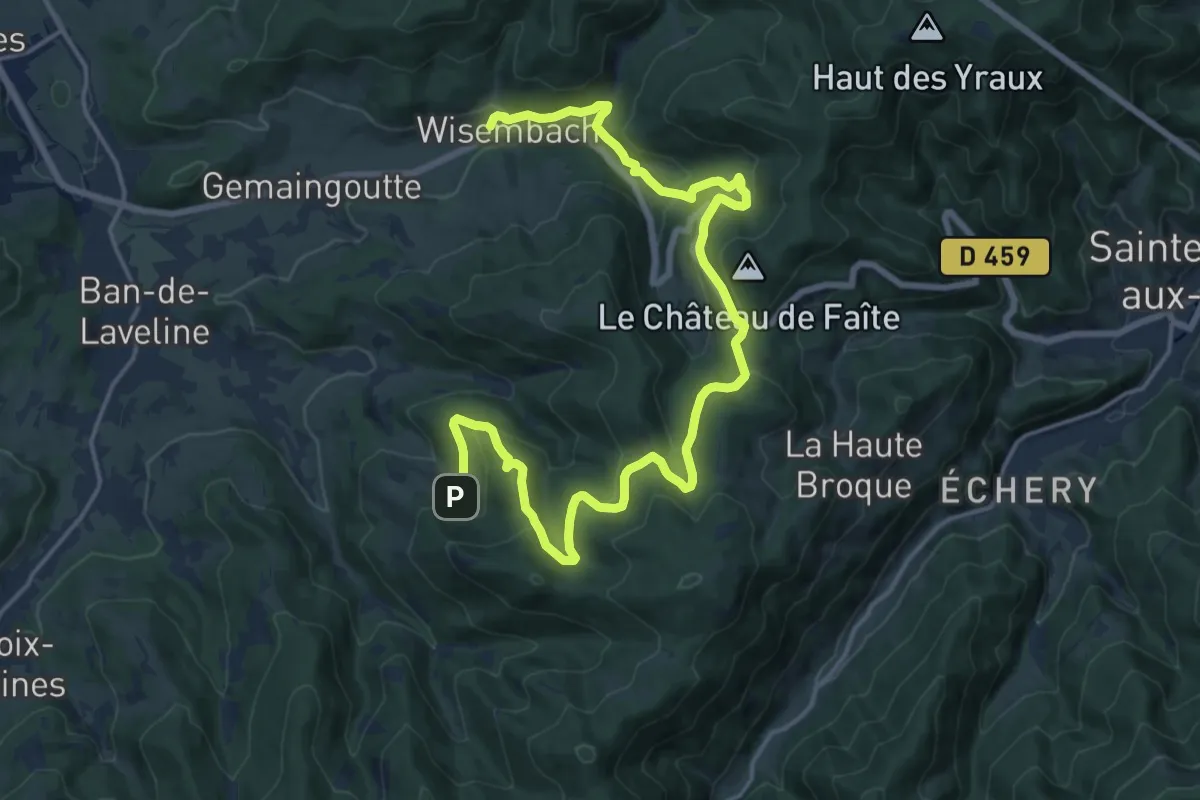
Demanding · Trail
Le Sentier de découverte Galiléo
21.2 km · ↑ 816 m · 6 h 46 min
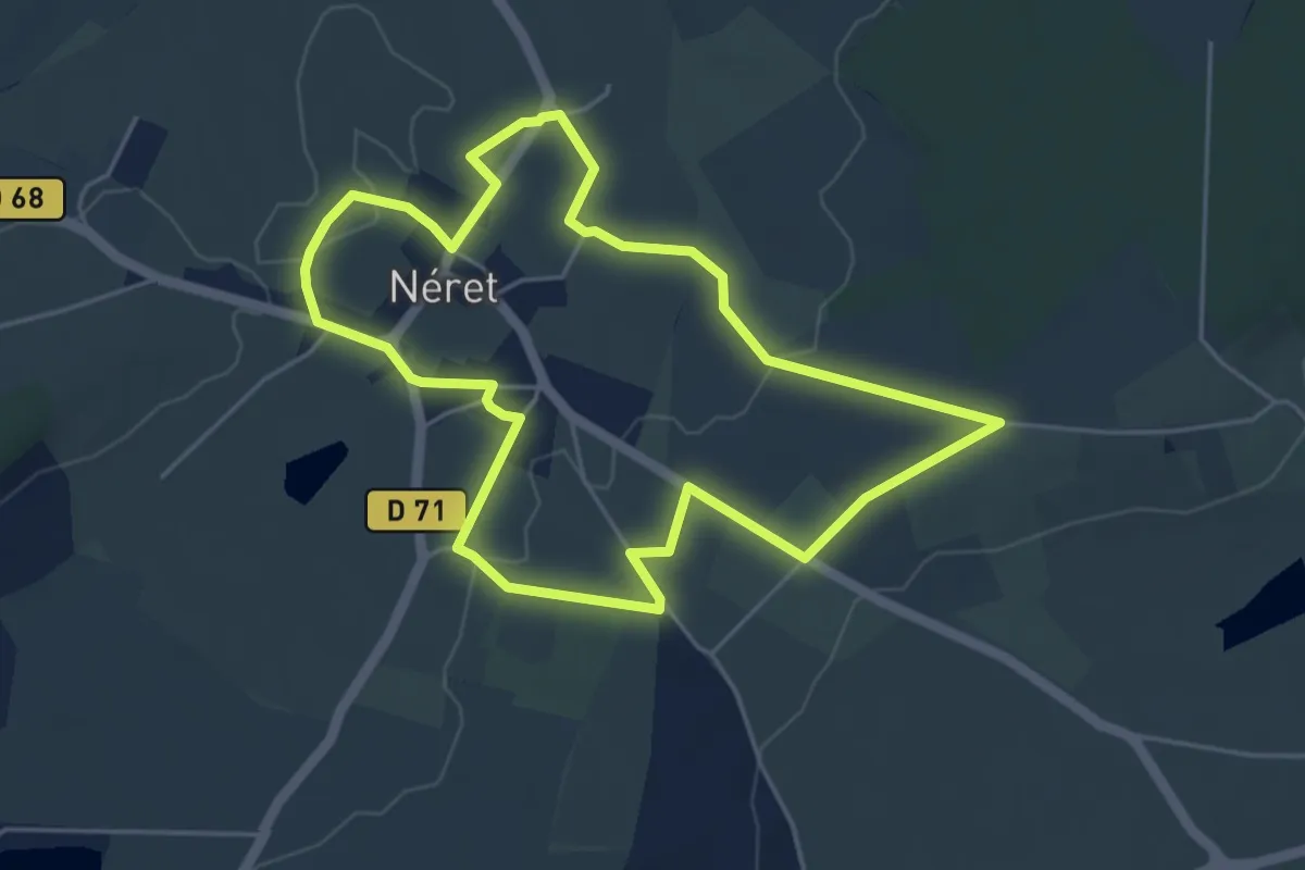
Easy · Trail
Le sentier de Ferrières - Circuit pédestre n°9
4.9 km · ↑ 26 m · 1 h 17 min
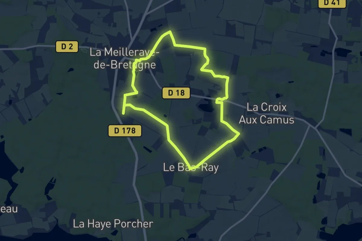
Medium · Trail
Le sentier de l'abbaye
9.2 km · ↑ 52 m · 2 h 25 min
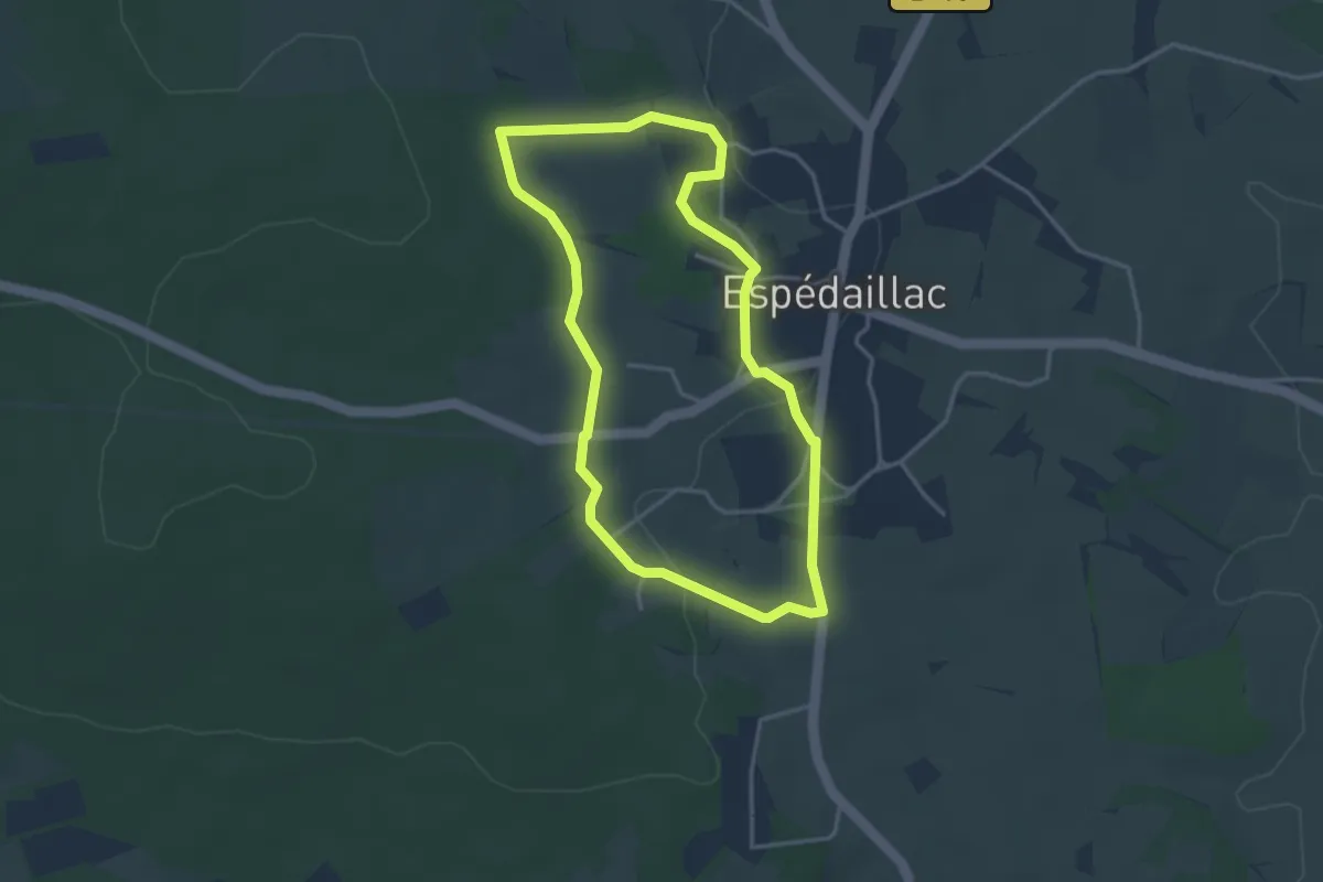
Easy · Trail
Le sentier de la brebis
3.5 km · ↑ 54 m · 1 h
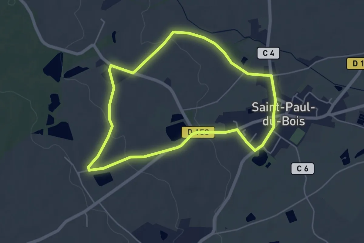
Easy · Trail
Le sentier de la Chapelle de Haute-Foy
4.0 km · ↑ 45 m · 1 h 6 min
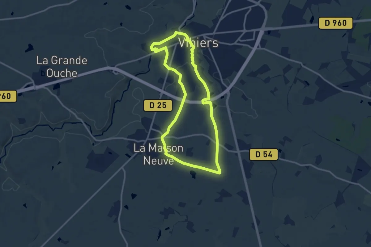
Medium · Trail
Le sentier de la Chapelle Richard
9.1 km · ↑ 65 m · 2 h 25 min
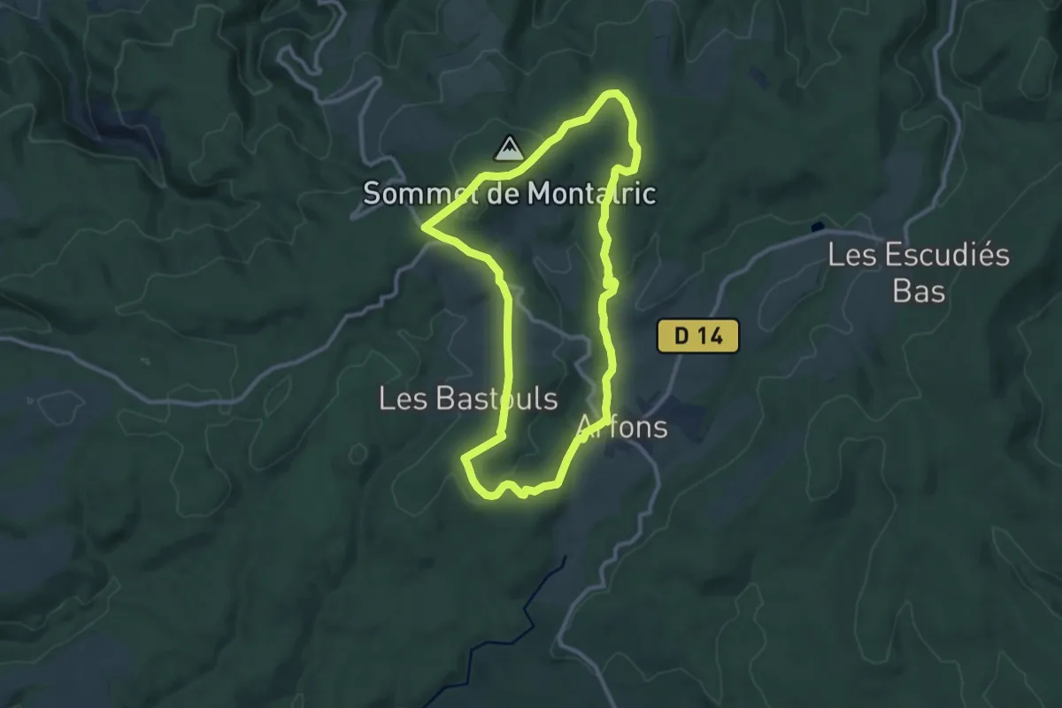
Medium · Trail
Le sentier de la croix de Montalric
9.9 km · ↑ 184 m · 2 h 53 min
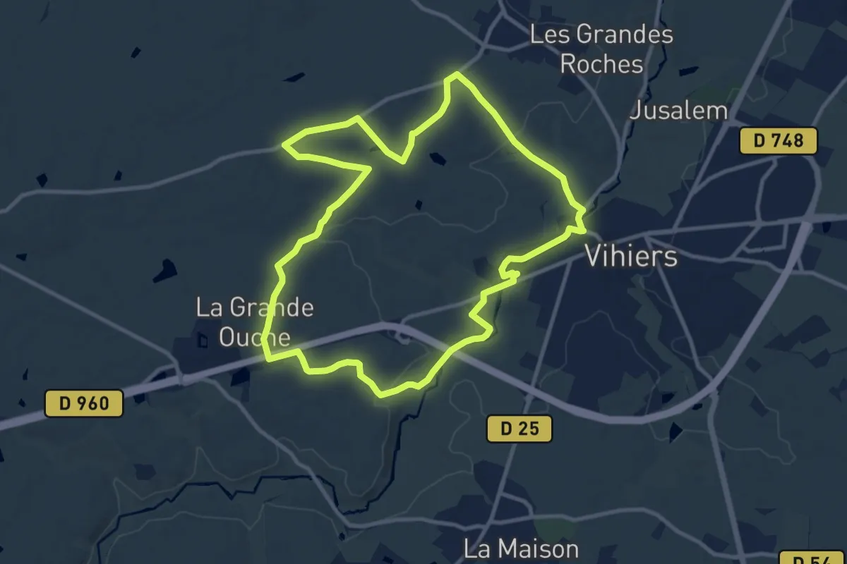
Medium · Trail
Le sentier de la Croix Soc
10.2 km · ↑ 89 m · 2 h 45 min
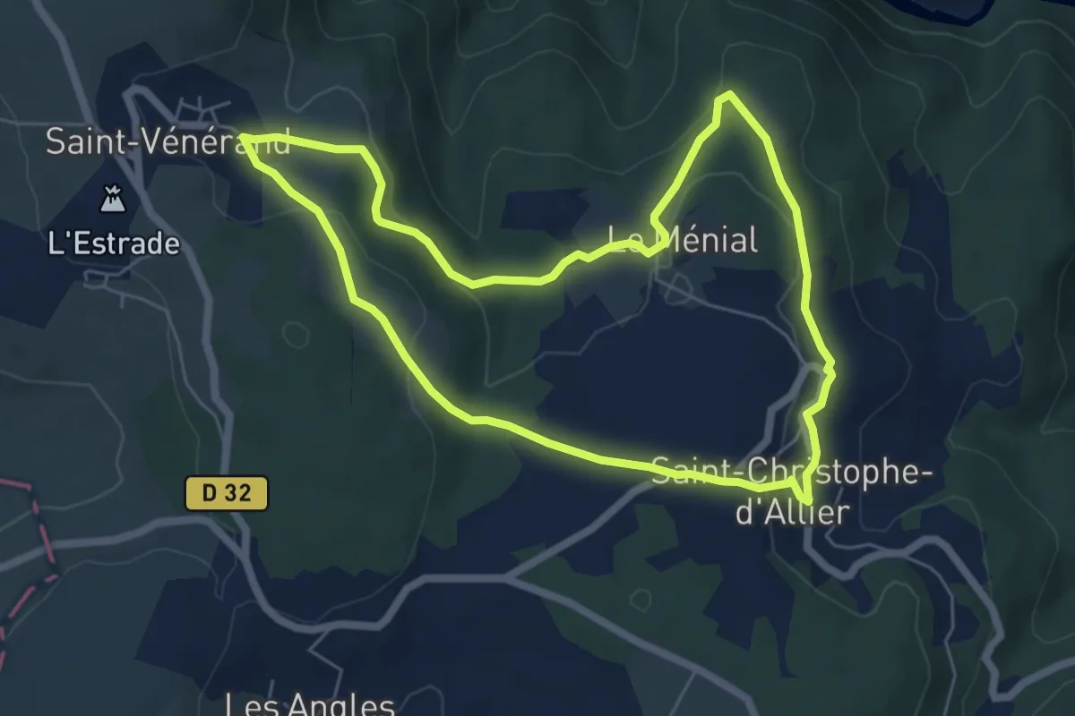
Easy · Trail
Le sentier de la Faïsse
6.0 km · ↑ 189 m · 1 h 55 min
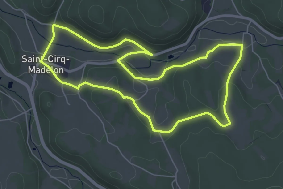
Easy · Trail
Le sentier de la falaise
5.3 km · ↑ 91 m · 1 h 32 min
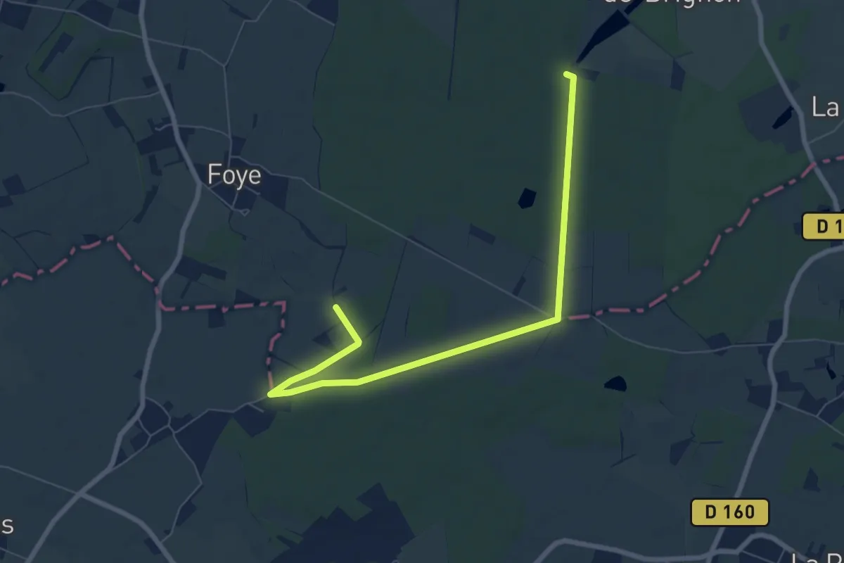
Easy · Trail
Le sentier de la forêt
3.9 km · ↑ 8 m · 1 h
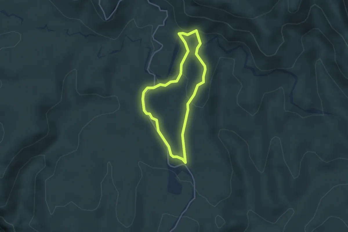
Easy · Trail
Le Sentier de la Forêt
2.7 km · ↑ 87 m · 52 min
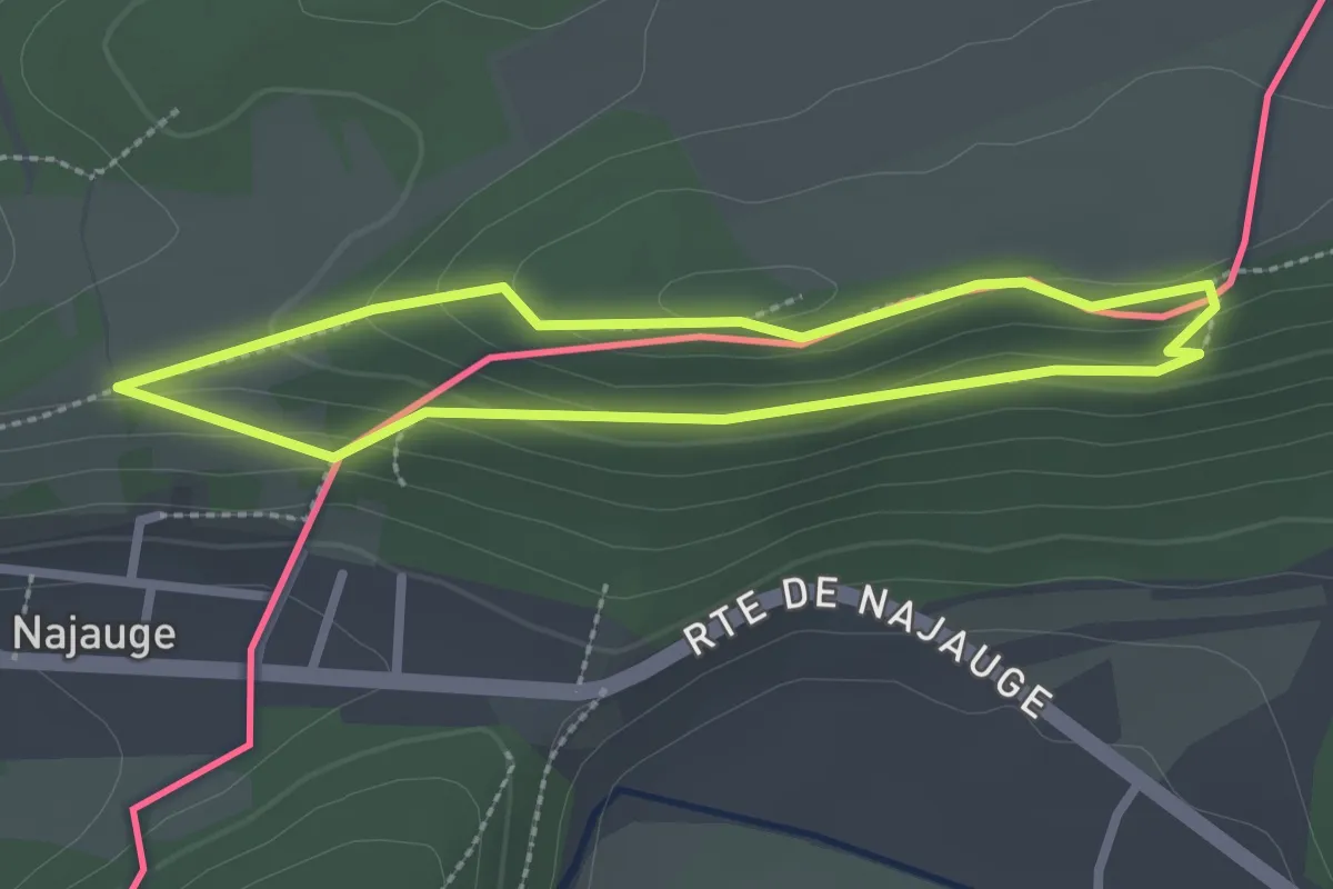
Easy · Trail
Le sentier de la Frontière
2.1 km · ↑ 54 m · 39 min
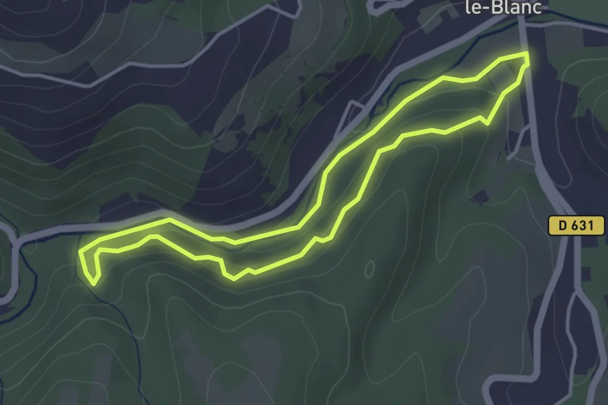
Easy · Trail
Le Sentier de la Gaillarde
3.3 km · ↑ 106 m · 1 h 3 min
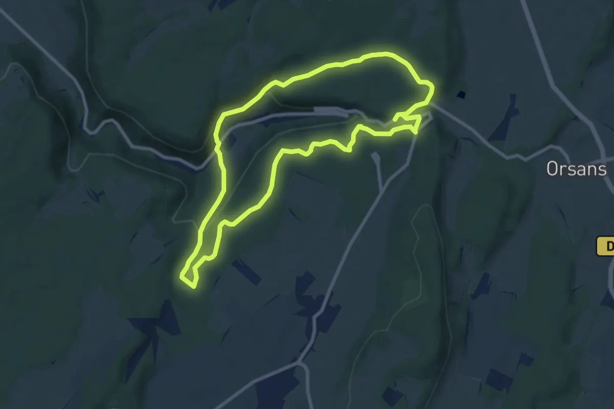
Easy · Trail
Le Sentier de la Grâce-Dieu
7.5 km · ↑ 155 m · 2 h 12 min
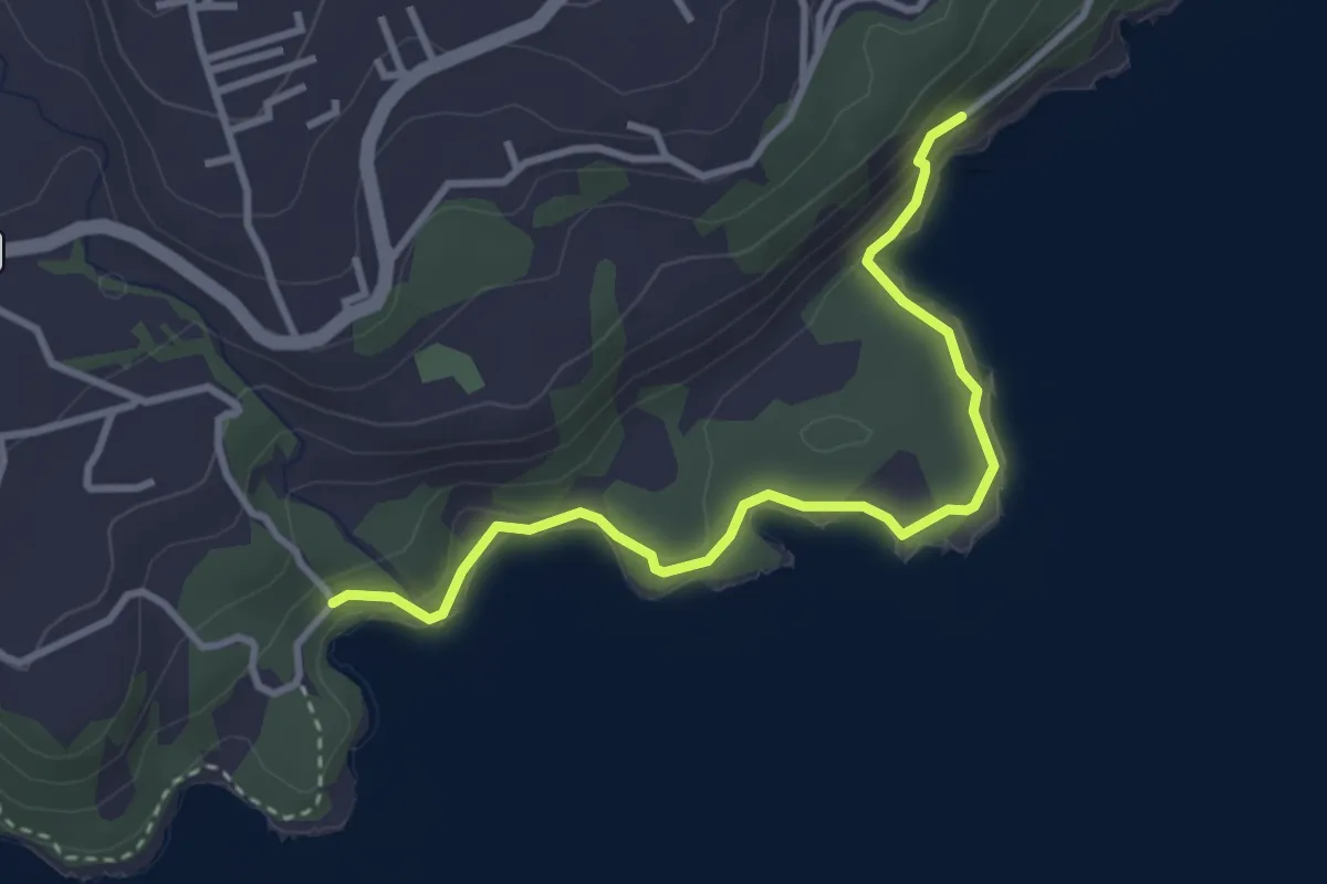
Medium · Trail
Le sentier de la Grande Pointe
4.7 km · ↑ 140 m · 1 h 25 min
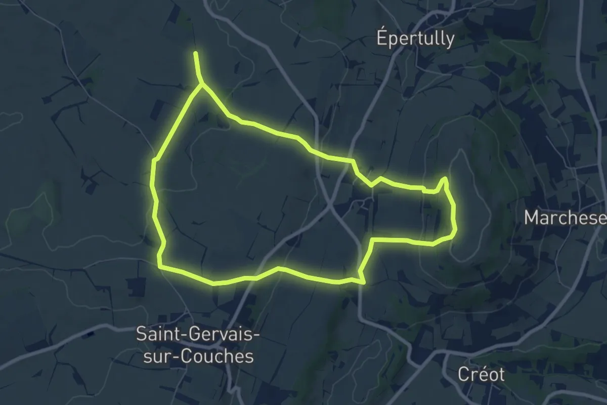
Easy · Summit
Le sentier de la Lou
7.2 km · ↑ 157 m · 2 h 8 min