Trails in France
15,926 hiking trails, each with its route, climb, walking time and grade.
All trails, page 185 of 332
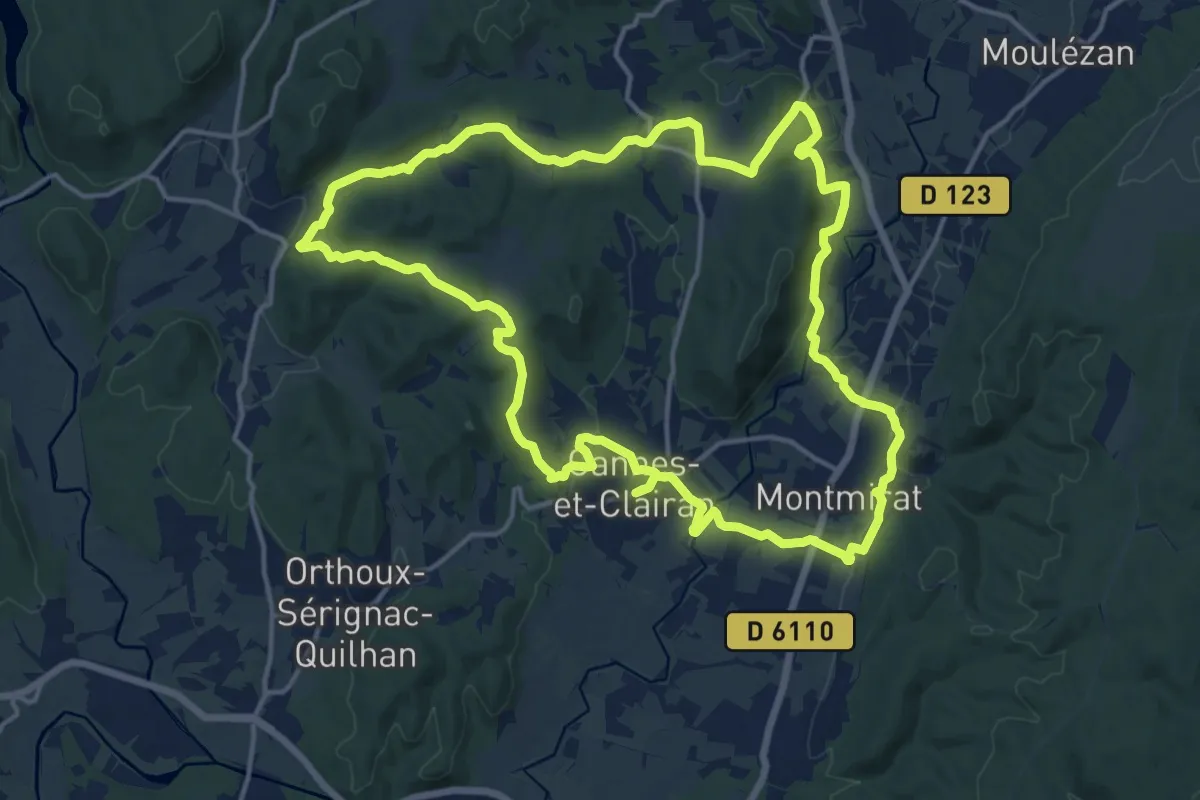
Medium · Trail
Le sentier du terroir
17.3 km · ↑ 383 m · 5 h 10 min
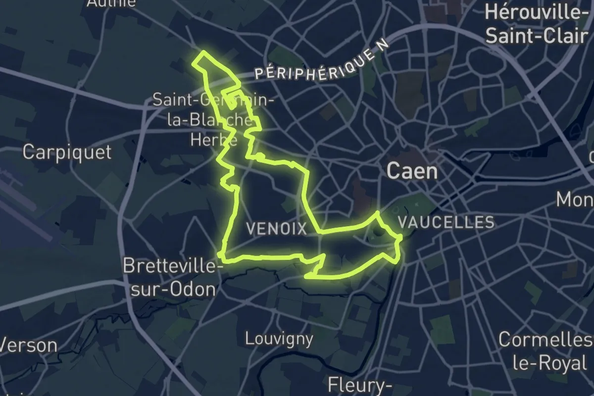
Medium · Trail
Le Sentier Grand-Ouest
16.5 km · ↑ 79 m · 4 h 17 min
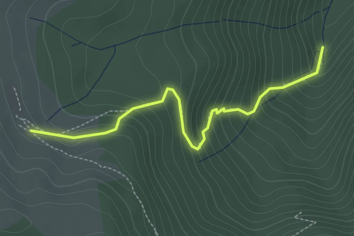
Medium · Trail
Le sentier Gustave
2.5 km · ↑ 240 m · 1 h 6 min
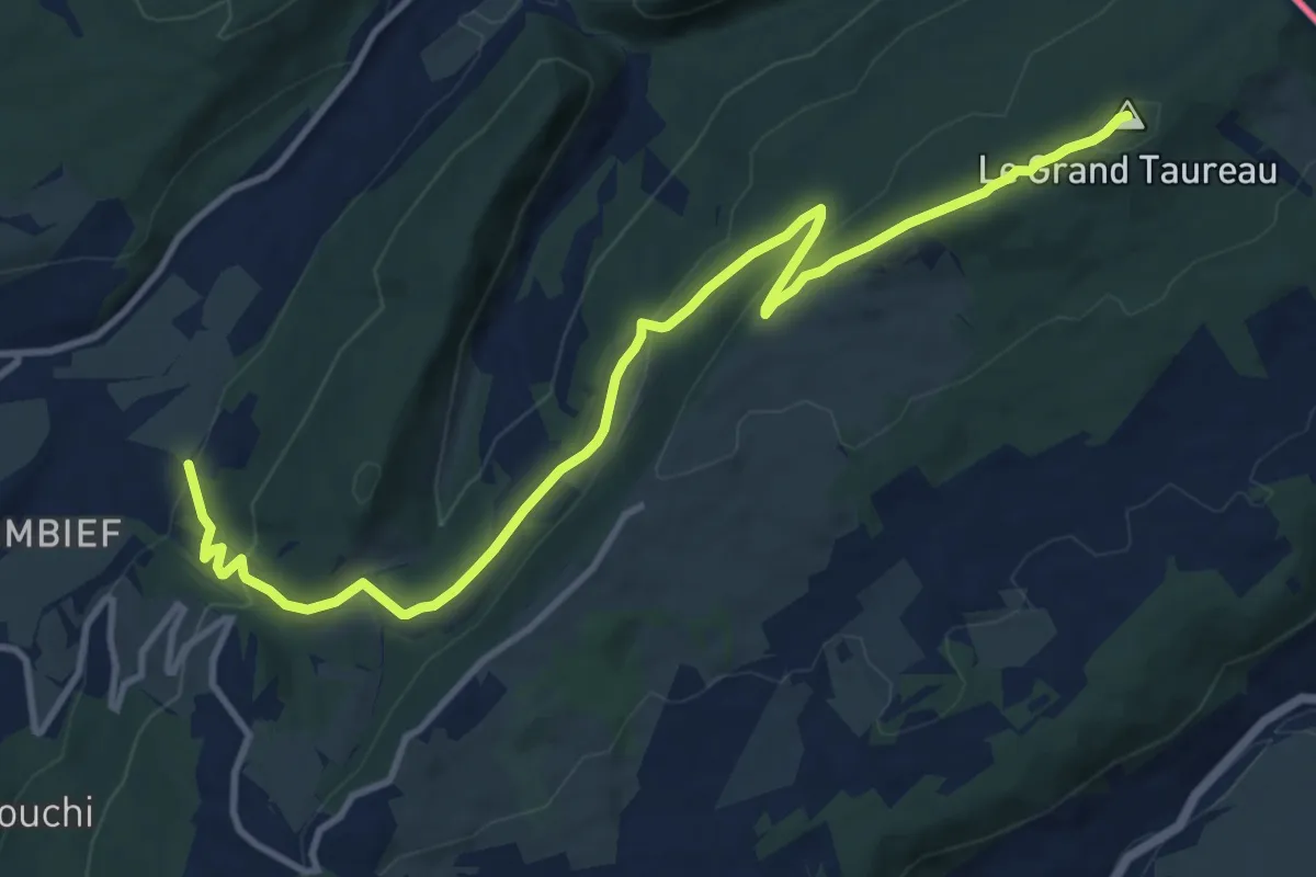
Medium · Summit
Le sentier montagnard du Grand Taureau
13.0 km · ↑ 467 m · 4 h 4 min
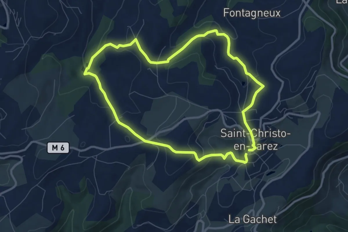
Easy · Trail
Le sentier nature du Paradis
7.7 km · ↑ 236 m · 2 h 26 min
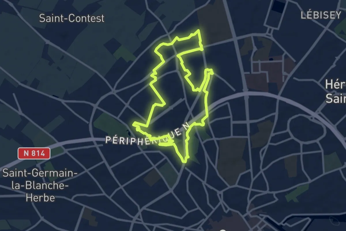
Medium · Trail
Le Sentier Nord-Ouest
9.1 km · ↑ 35 m · 2 h 20 min
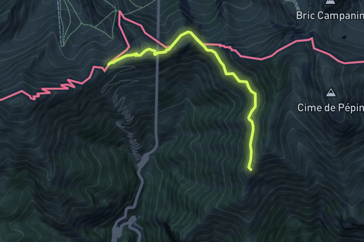
Medium · Trail
Le Sentier panoramique du Mercantour
7.9 km · ↑ 403 m · 2 h 45 min
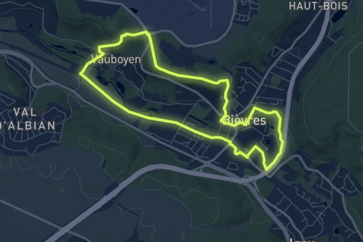
Easy · Trail
Le sentier Serge Antoine
7.1 km · ↑ 100 m · 1 h 59 min
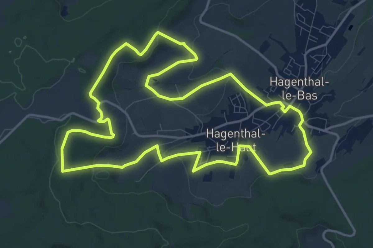
Medium · Trail
Le Sentier Vert 11 km
10.6 km · ↑ 200 m · 3 h 6 min
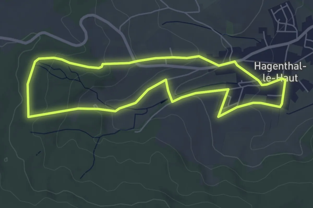
Easy · Trail
Le Sentier Vert 6 km
5.3 km · ↑ 118 m · 1 h 34 min
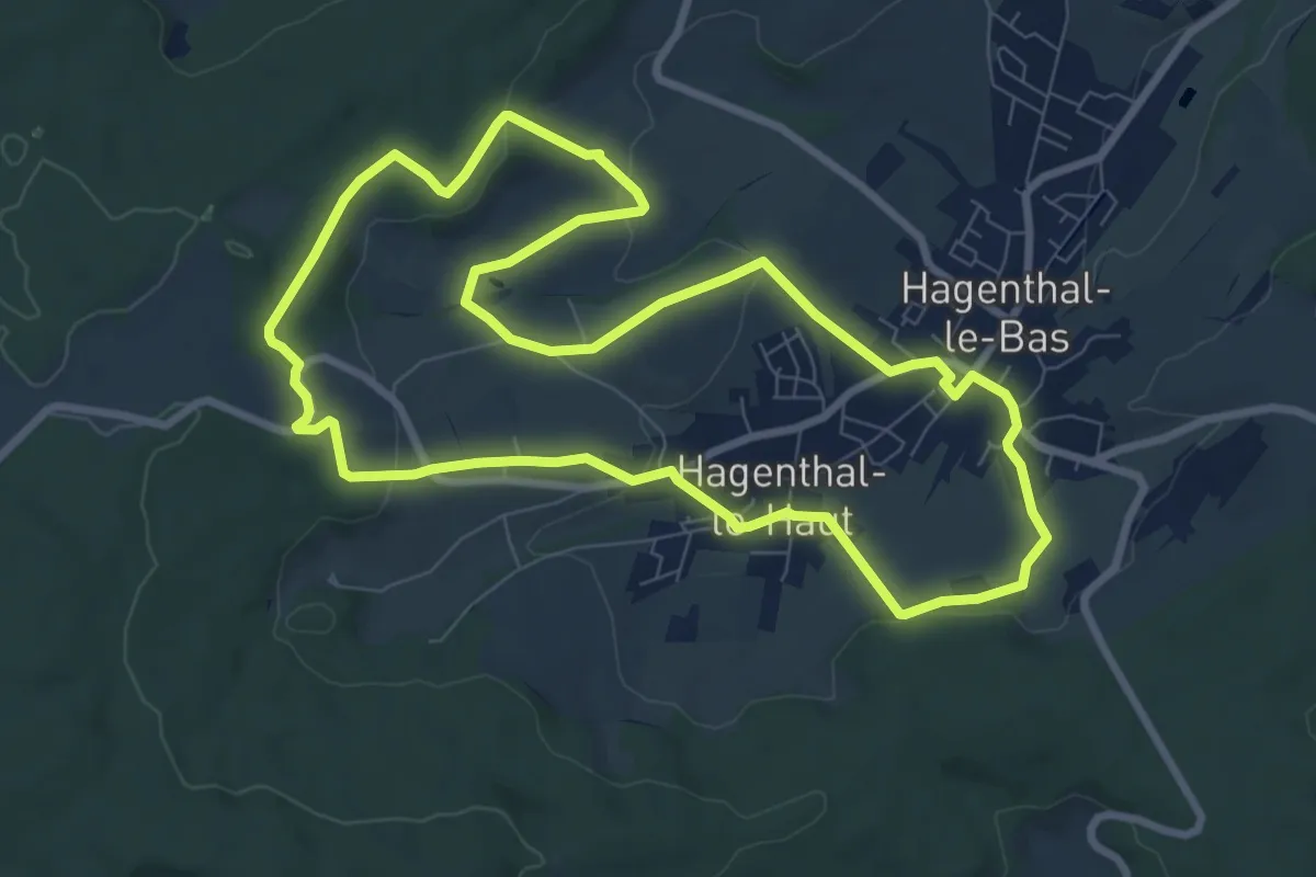
Medium · Trail
Le Sentier Vert 8 km
8.4 km · ↑ 168 m · 2 h 28 min
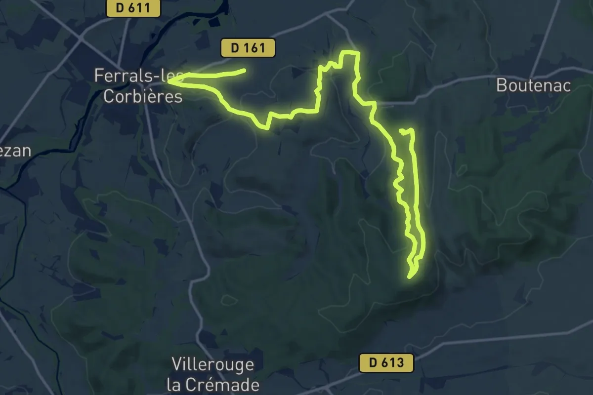
Demanding · Summit
Le sentier vigneron des Corbières
21.9 km · ↑ 436 m · 6 h 7 min
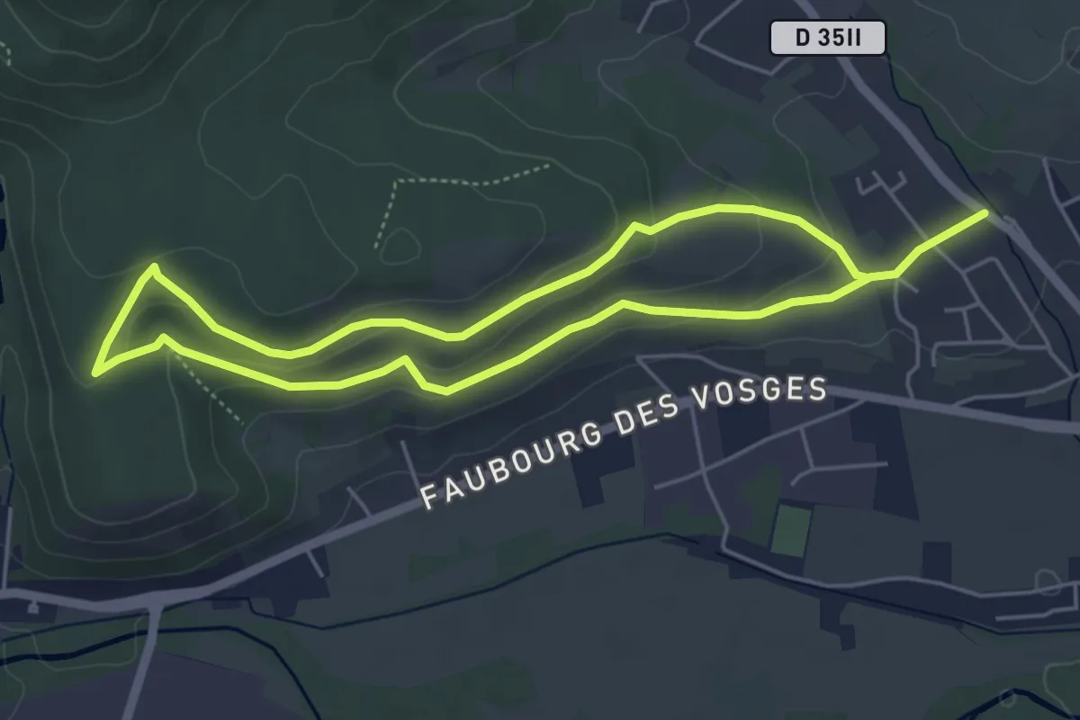
Easy · Trail
Le sentier viticole "Cote 425"
4.4 km · ↑ 113 m · 1 h 21 min
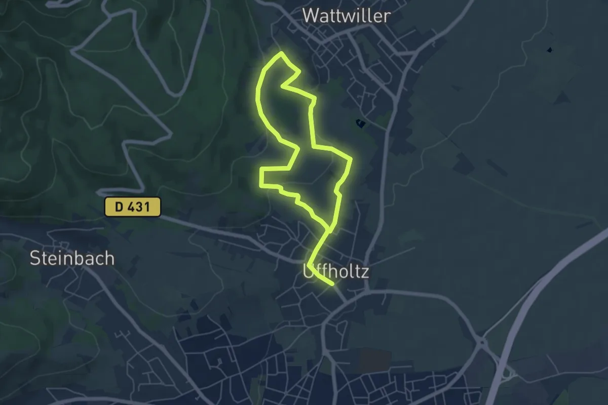
Easy · Trail
Le sentier viticole coteaux du Vieil-Armand
4.4 km · ↑ 131 m · 1 h 23 min
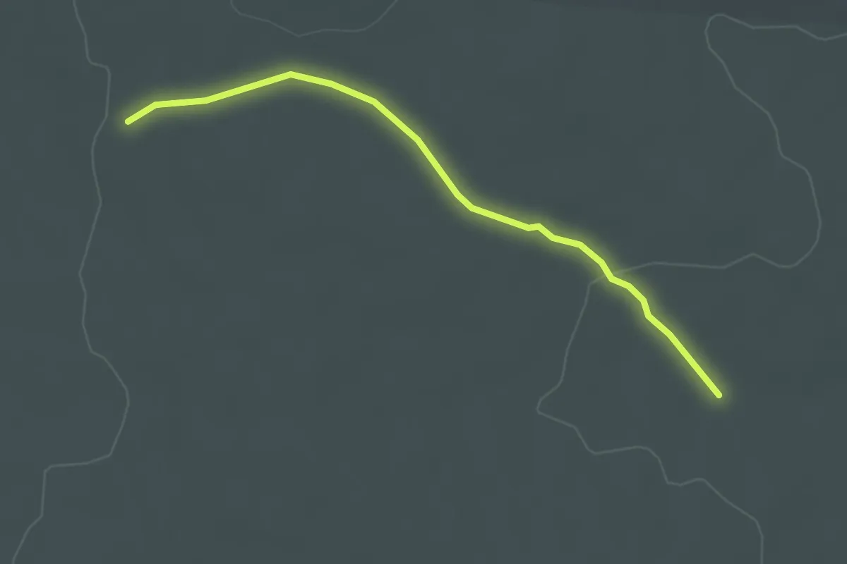
Easy · Trail
Les Éoliennes - Garrigue Haute
3.1 km · ↑ 30 m · 48 min
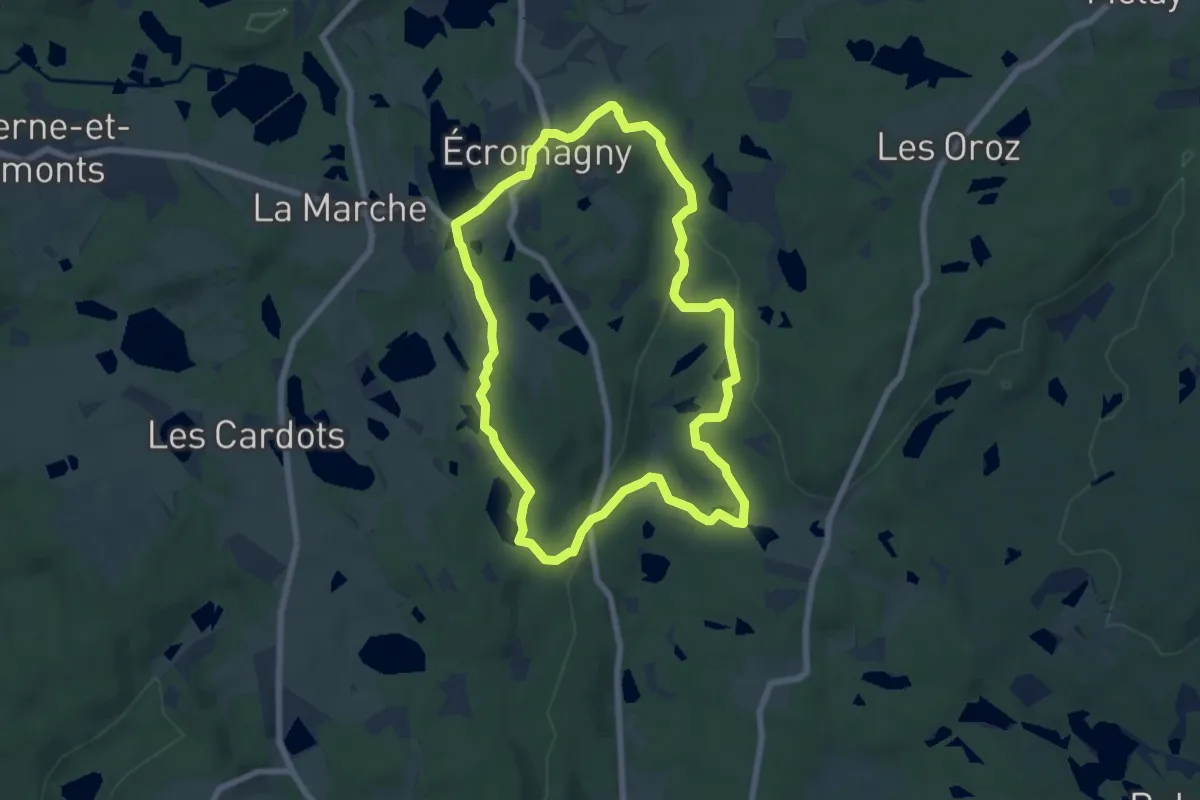
Easy · Trail
Les Époissets
6.8 km · ↑ 118 m · 1 h 57 min
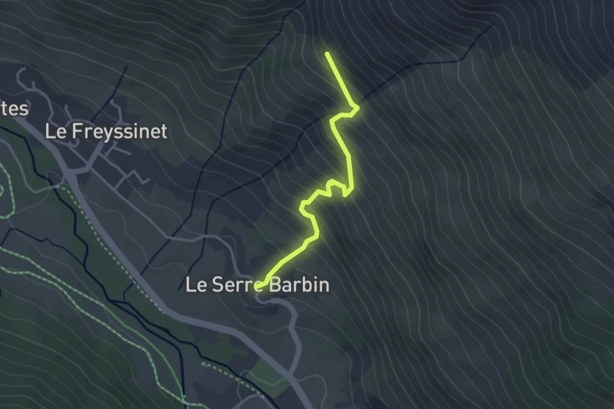
Easy · Trail
Le Serre Barbin - Pierre Grosse
3.0 km · ↑ 291 m · 1 h 20 min
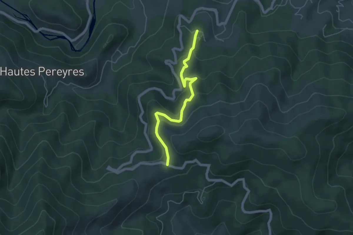
Easy · Trail
Le Serre - Col de la Croix de Millet
4.5 km · ↑ 224 m · 1 h 33 min
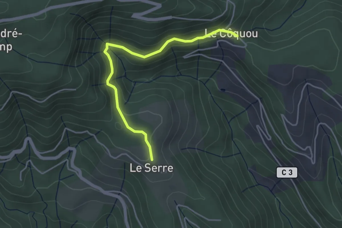
Easy · Trail
Le Serre - Côquou
3.9 km · ↑ 167 m · 1 h 17 min
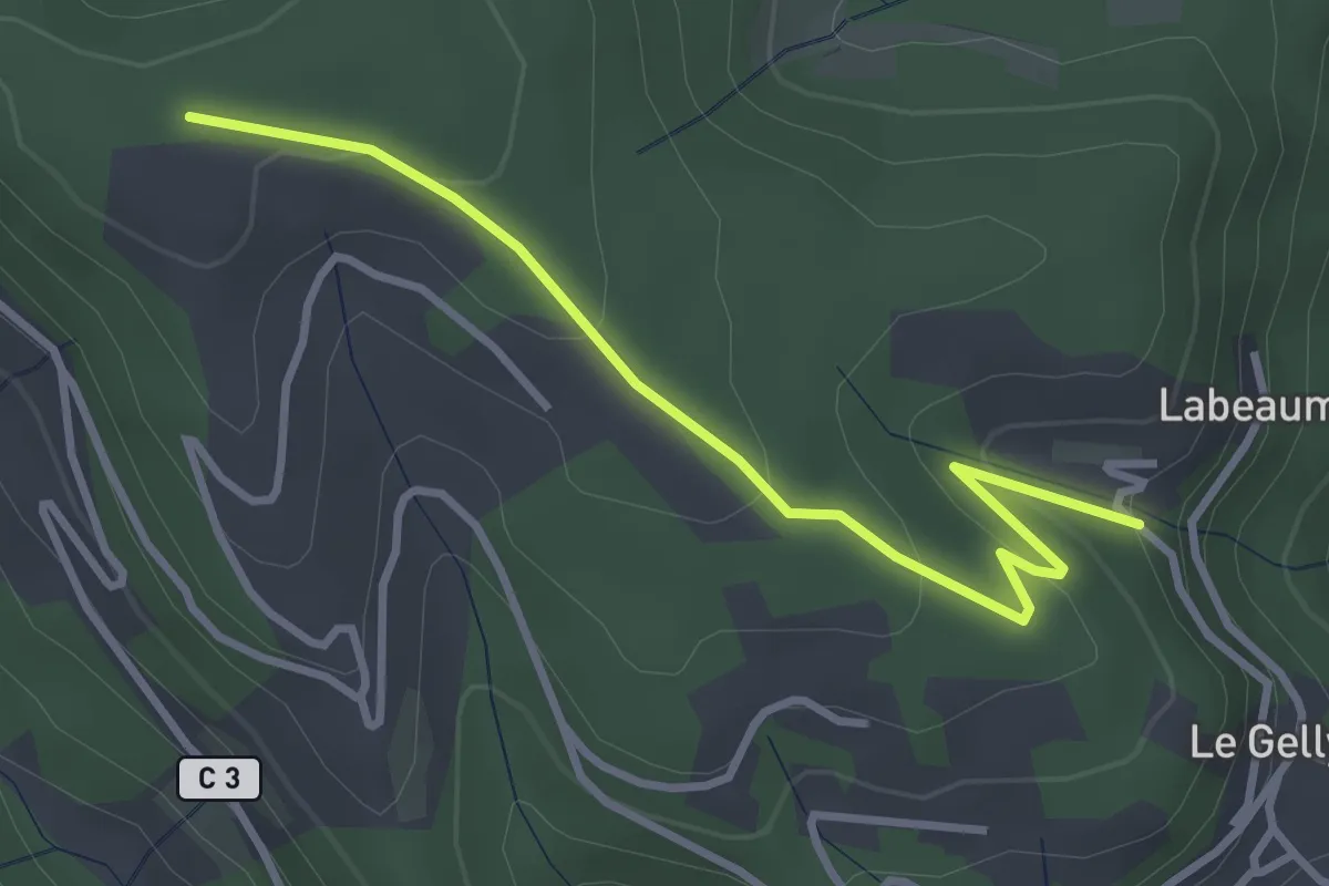
Easy · Trail
Le Serre - Croix de Sauris
3.5 km · ↑ 139 m · 1 h 8 min
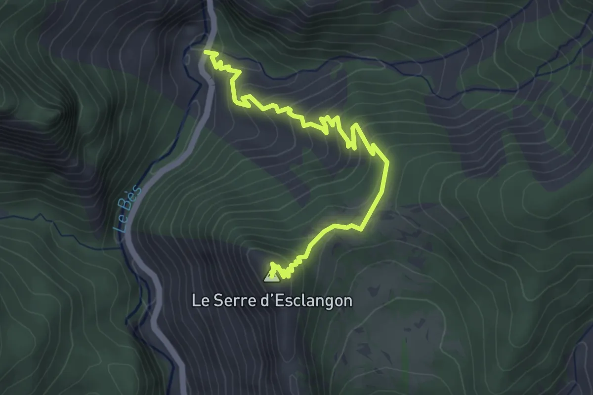
Medium · Summit
Le Serre d'Esclangon
4.5 km · ↑ 336 m · 1 h 47 min
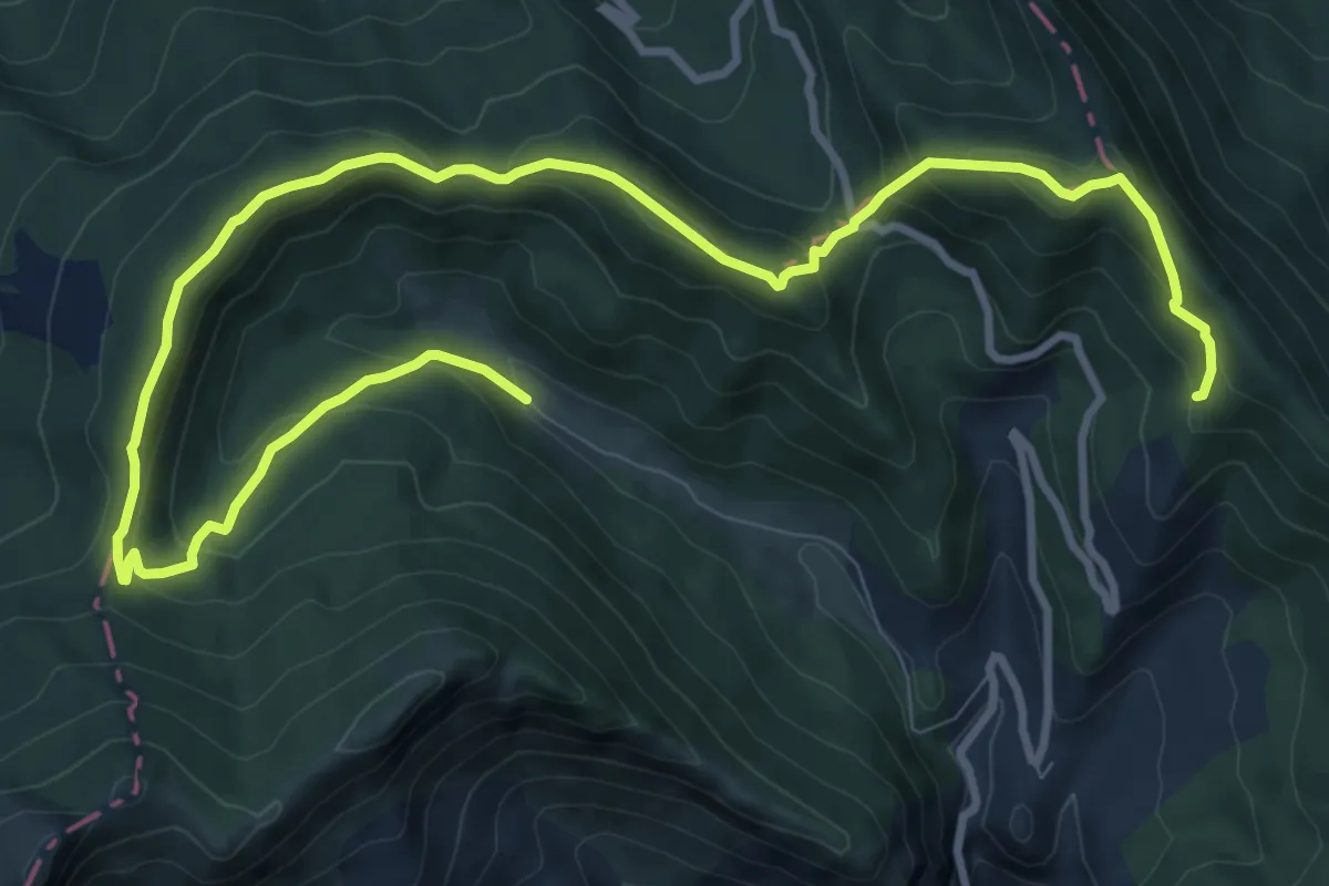
Medium · Trail
Le Serre du Charron
14.3 km · ↑ 732 m · 4 h 58 min
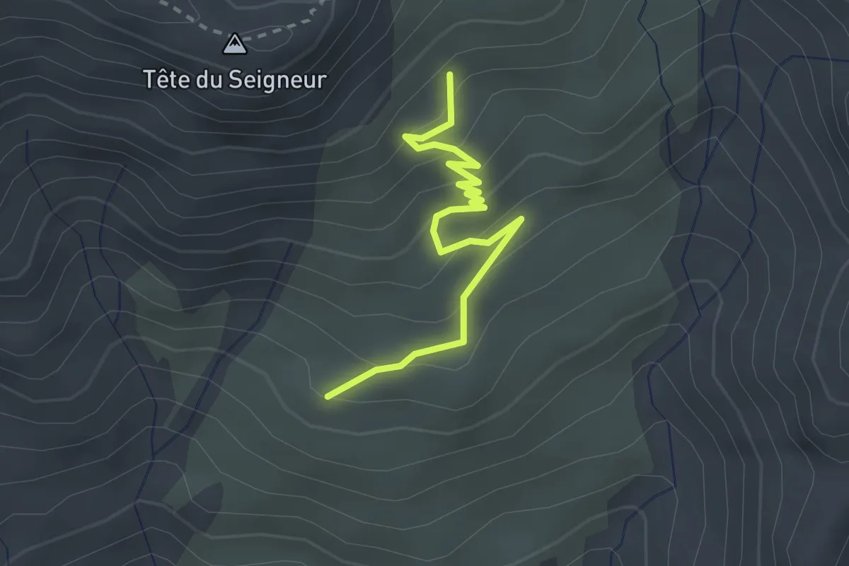
Easy · Trail
Le Serre du Milieu - Pra Mau
2.7 km · ↑ 192 m · 1 h 3 min
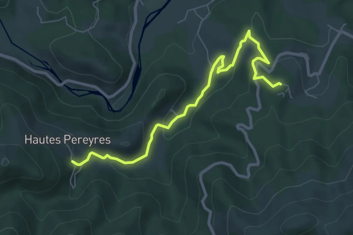
Easy · Trail
Le Serre - Les Péreyres
6.3 km · ↑ 252 m · 2 h 2 min
Easy · Trail
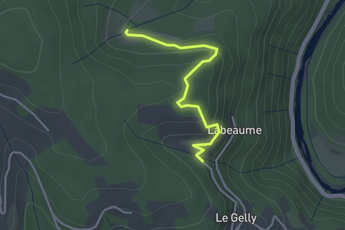
Le Serre - Prades
2.7 km · ↑ 148 m · 57 min
Easy · Trail
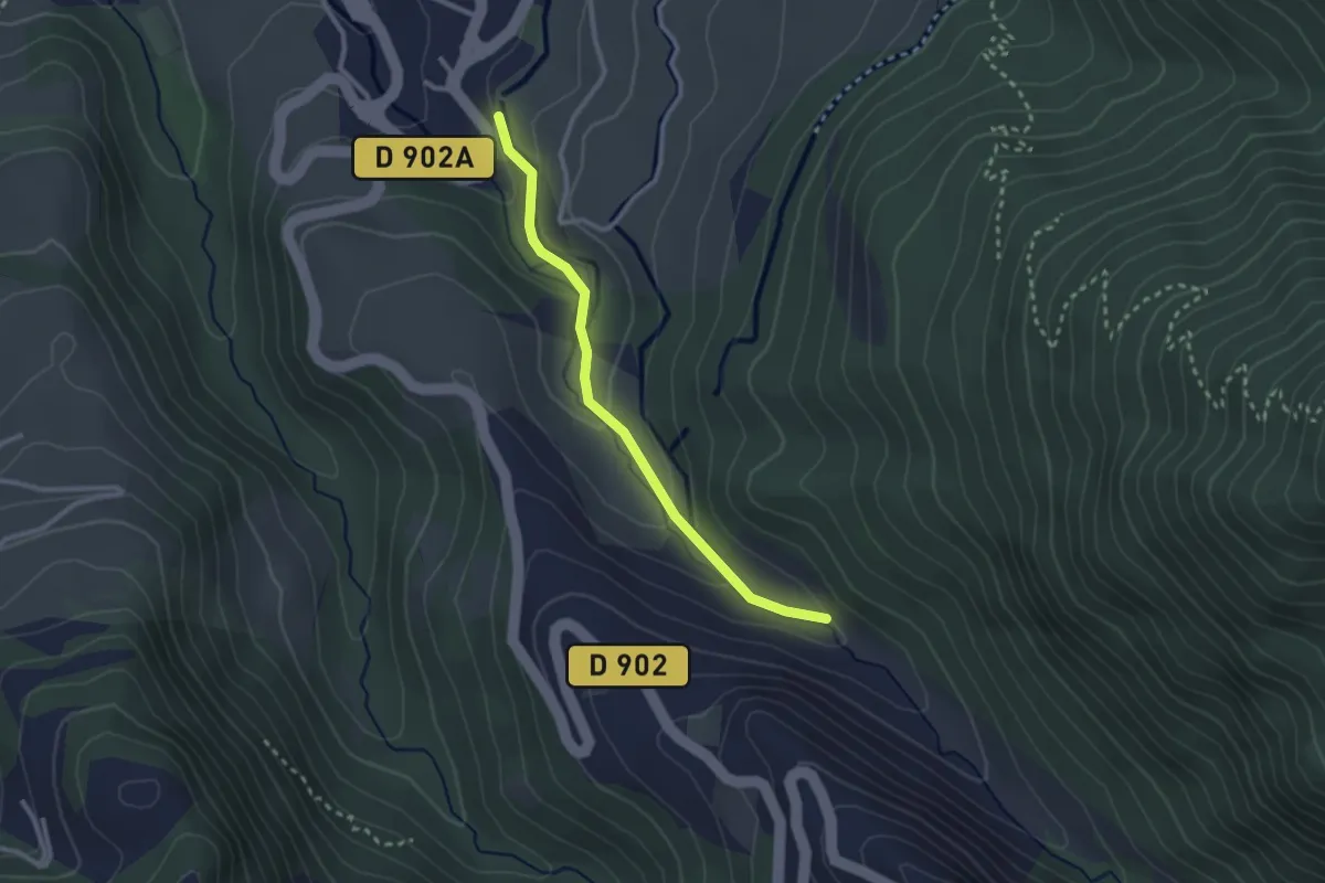
Le Serre - Rif-Bel
2.6 km · ↑ 102 m · 50 min
Easy · Trail
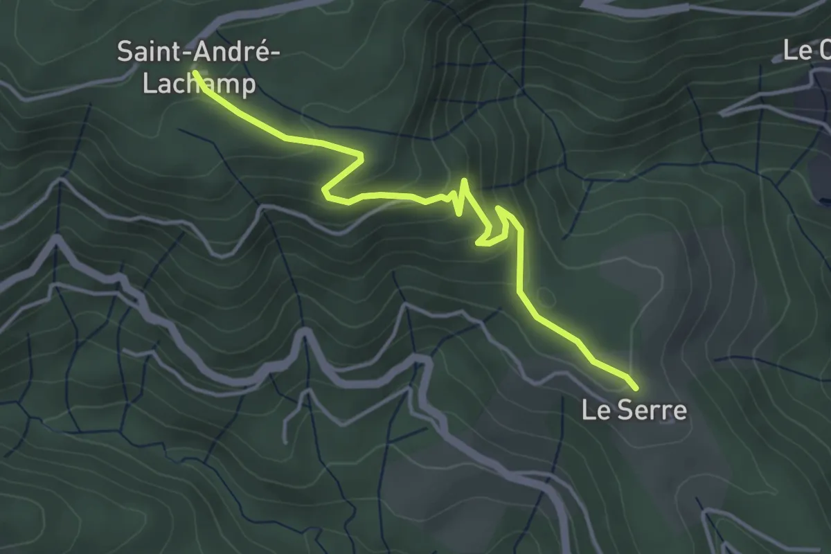
Le Serre - Saint-André Lachamp
4.2 km · ↑ 194 m · 1 h 25 min
Medium · Summit
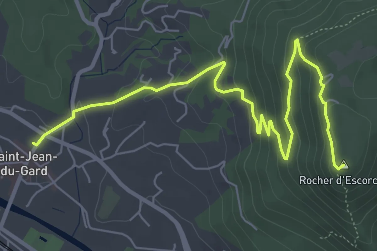
Les Escorces
6.2 km · ↑ 322 m · 2 h 14 min
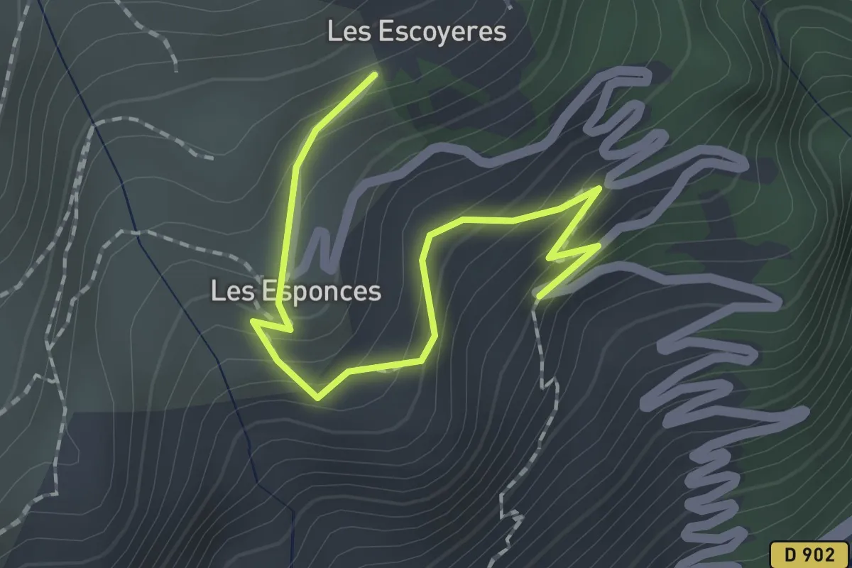
Easy · Trail
Les Escoyères - Route des Escoyères
2.0 km · ↑ 189 m · 53 min
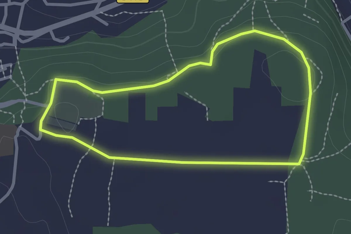
Easy · Trail
Les Espidègles
2.2 km · ↑ 27 m · 37 min
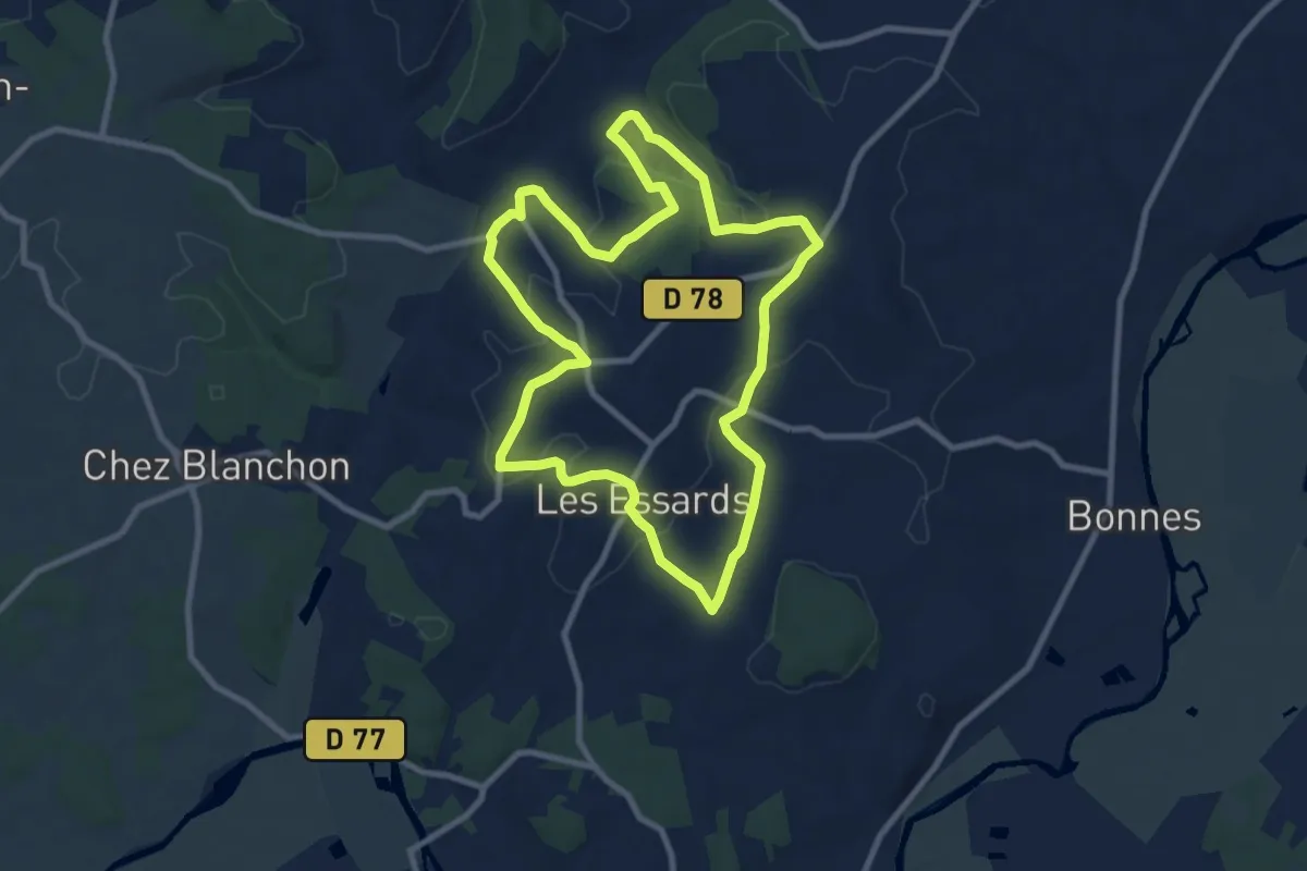
Medium · Trail
Les Essards Blue Route
9.0 km · ↑ 178 m · 2 h 38 min
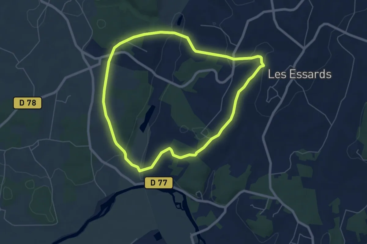
Easy · Trail
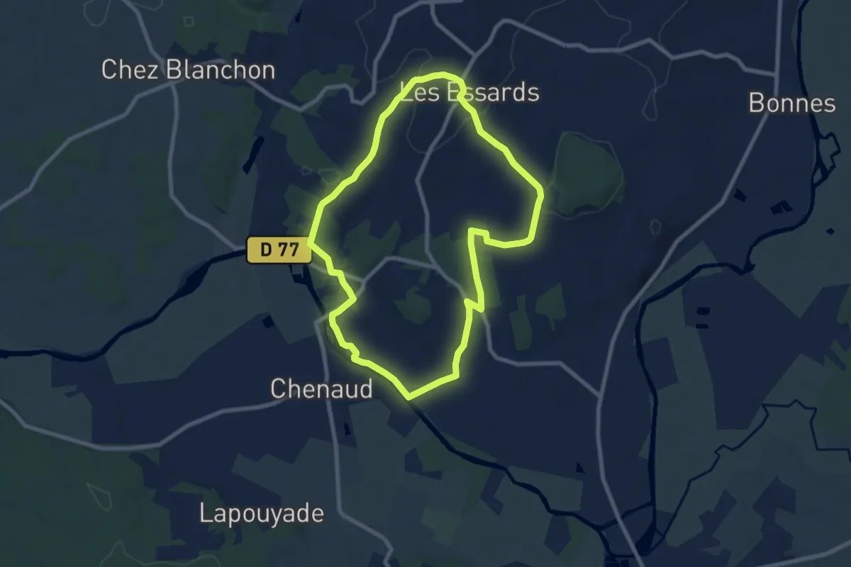
Les Essards Red Route
5.6 km · ↑ 119 m · 1 h 39 min
Easy · Trail
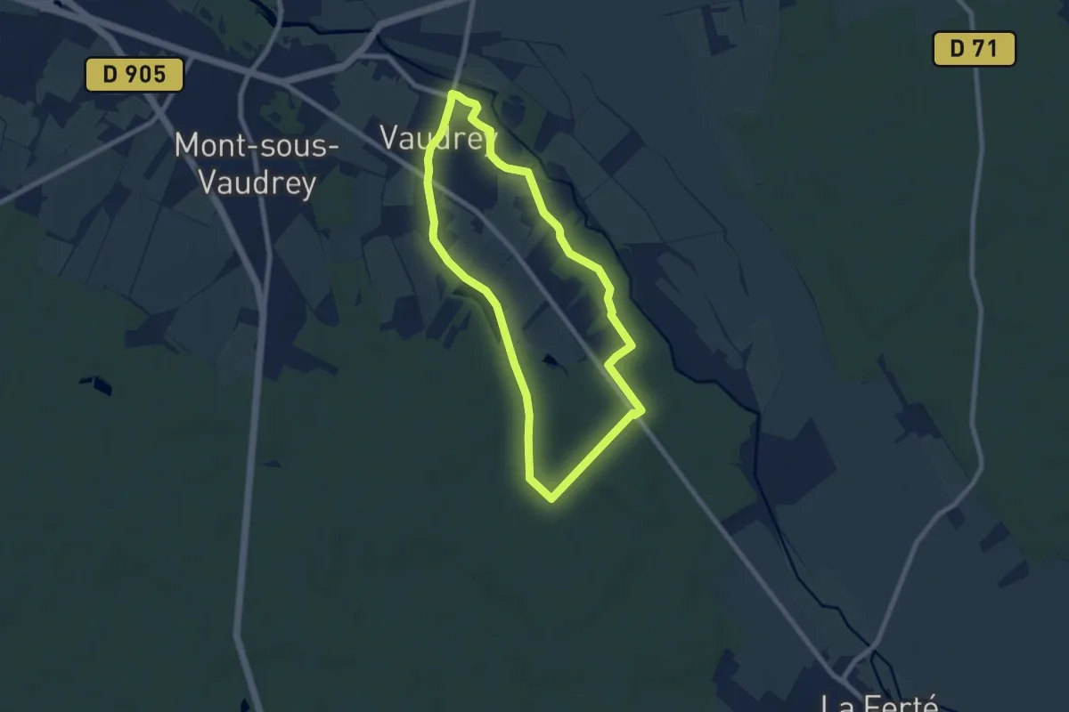
Les Essards Yellow Route
7.6 km · ↑ 138 m · 2 h 13 min
Easy · Trail
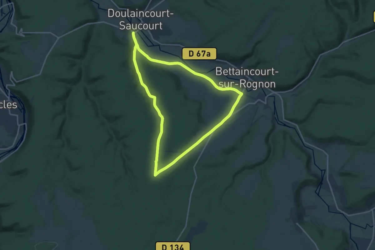
Les Essarts
7.0 km · ↑ 42 m · 1 h 51 min
Medium · Trail
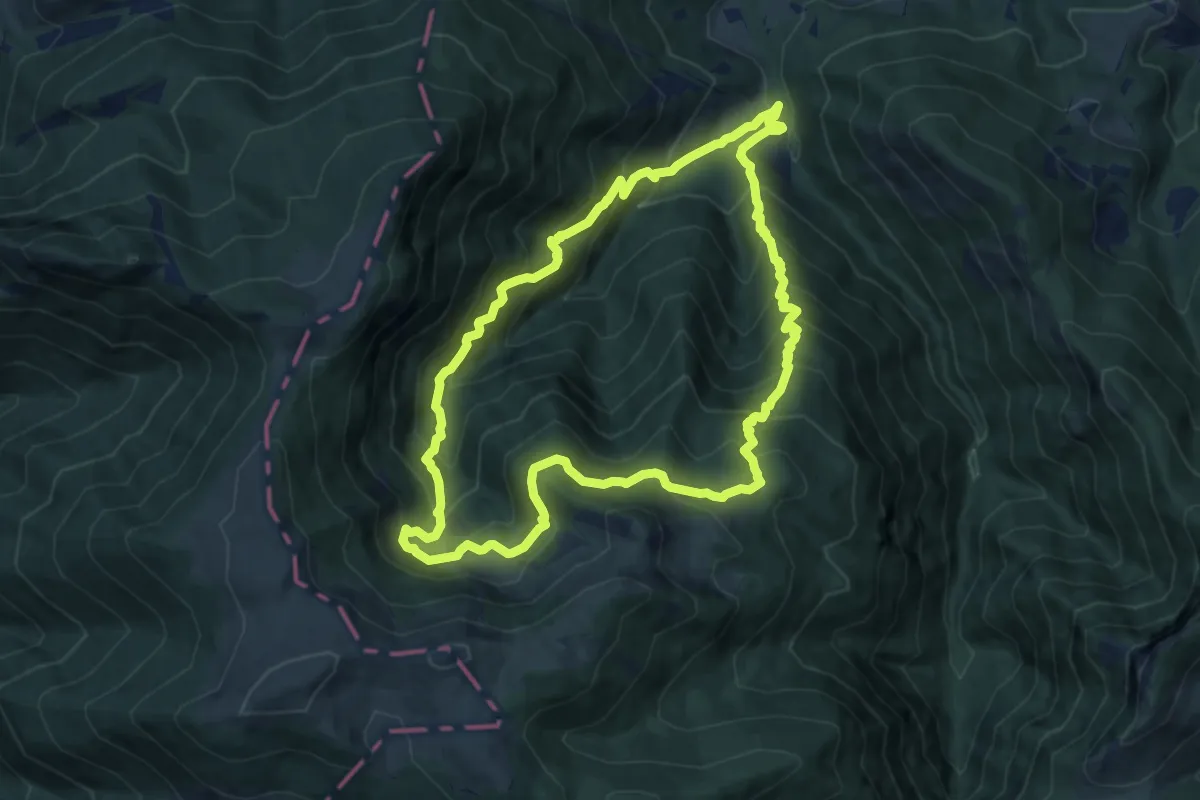
Les Essarts
13.2 km · ↑ 186 m · 3 h 42 min
Demanding · Summit
Les Estives de l'Aoulhet
10.7 km · ↑ 936 m · 4 h 42 min
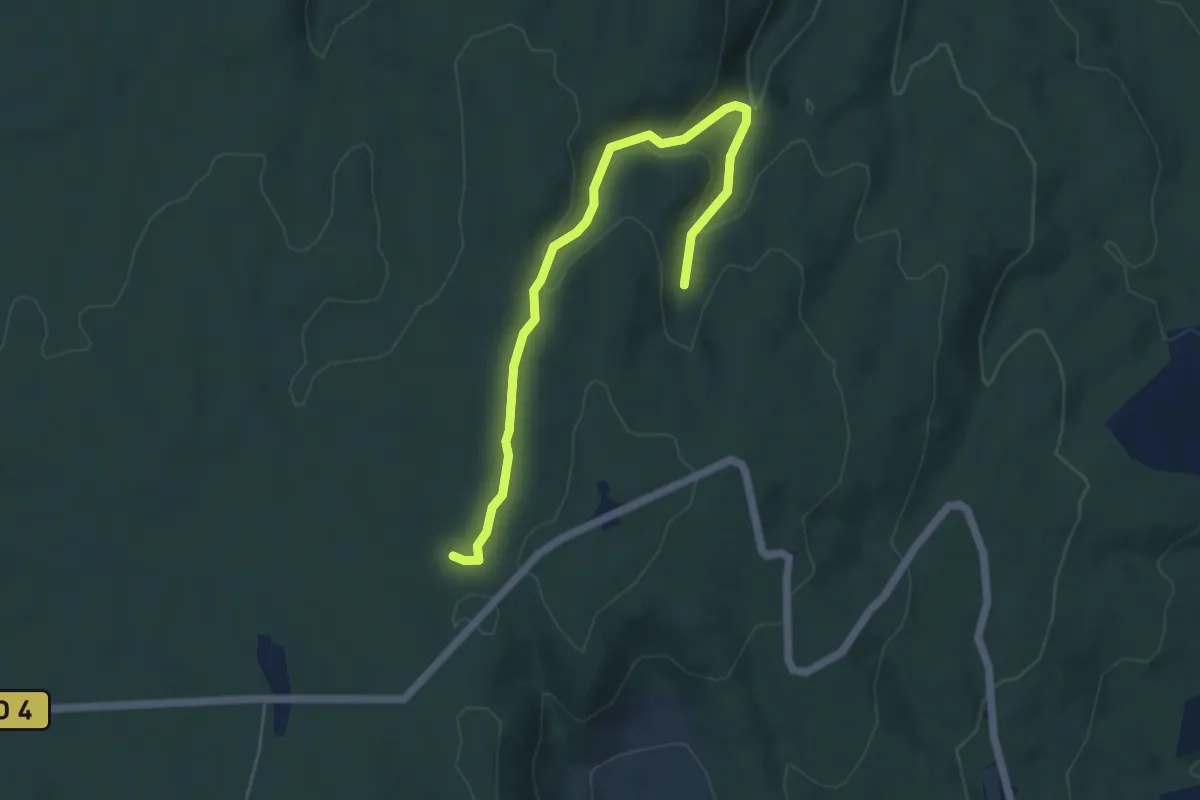
Easy · Trail
Les Estoupines - Combe Chabaud
5.6 km · ↑ 198 m · 1 h 46 min
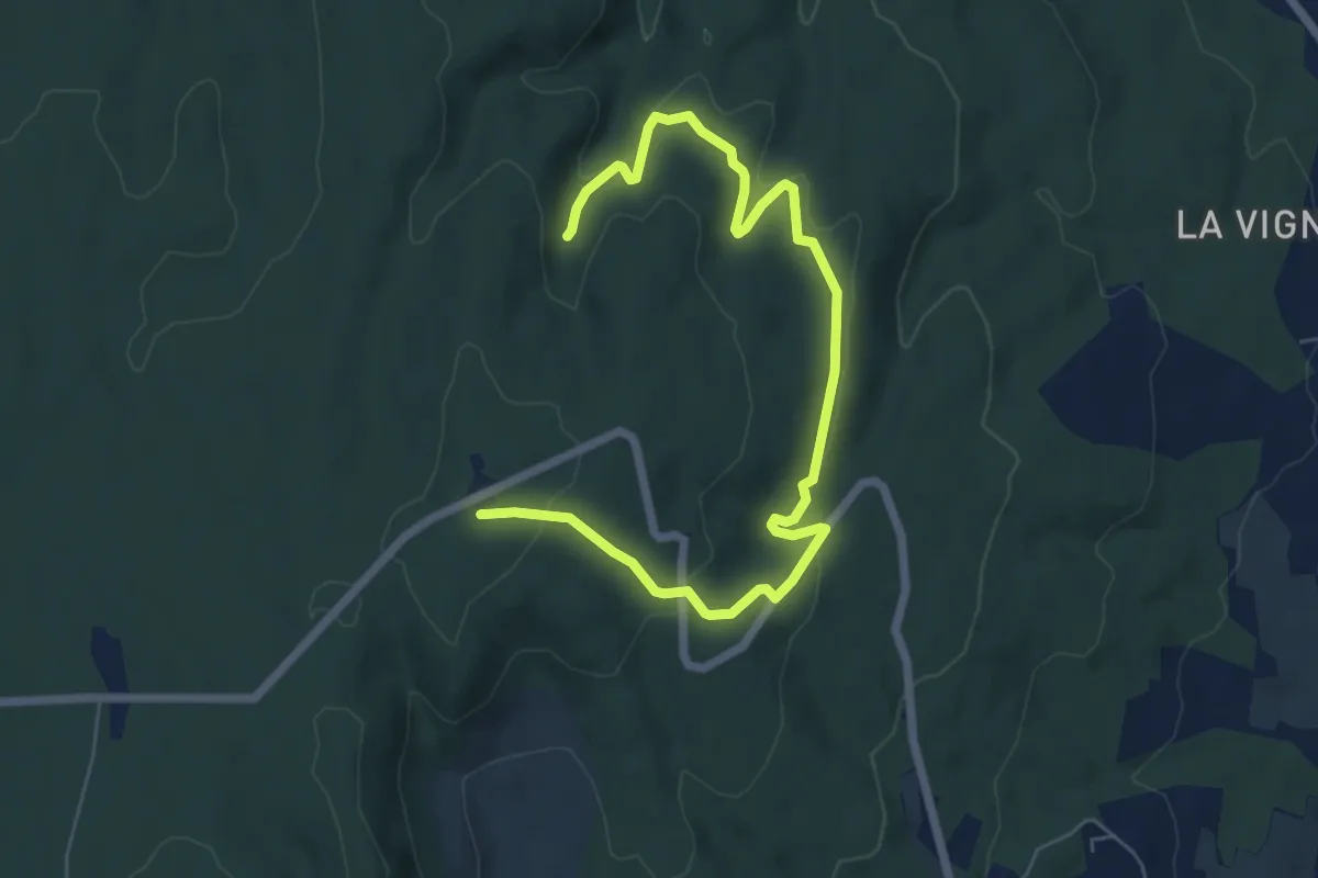
Medium · Trail
Les Estoupines - Le Relais
8.1 km · ↑ 238 m · 2 h 25 min
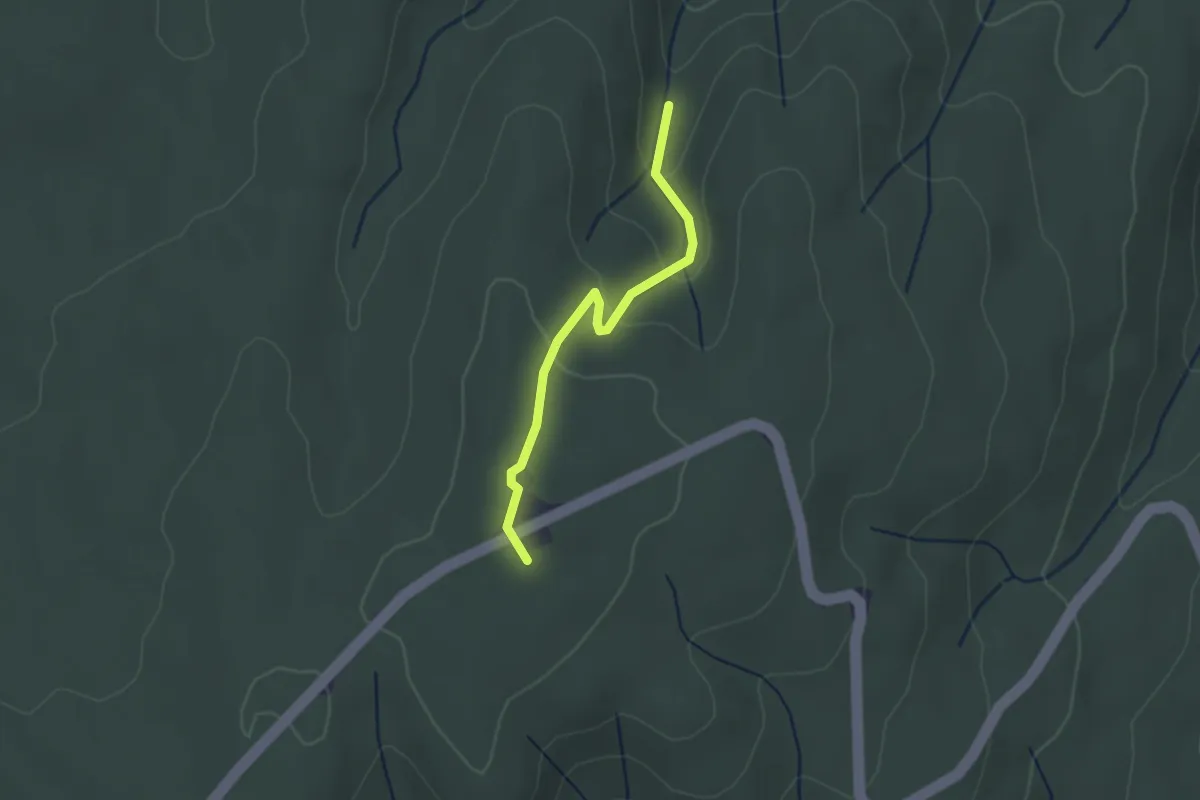
Easy · Trail
Les Estoupines - Le Relais
2.4 km · ↑ 81 m · 44 min
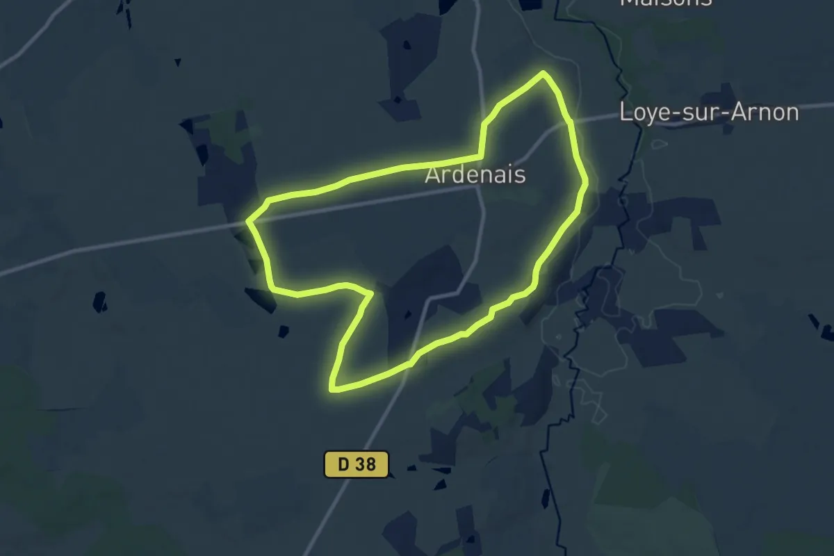
Medium · Trail
Les Etangs
9.7 km · ↑ 57 m · 2 h 32 min
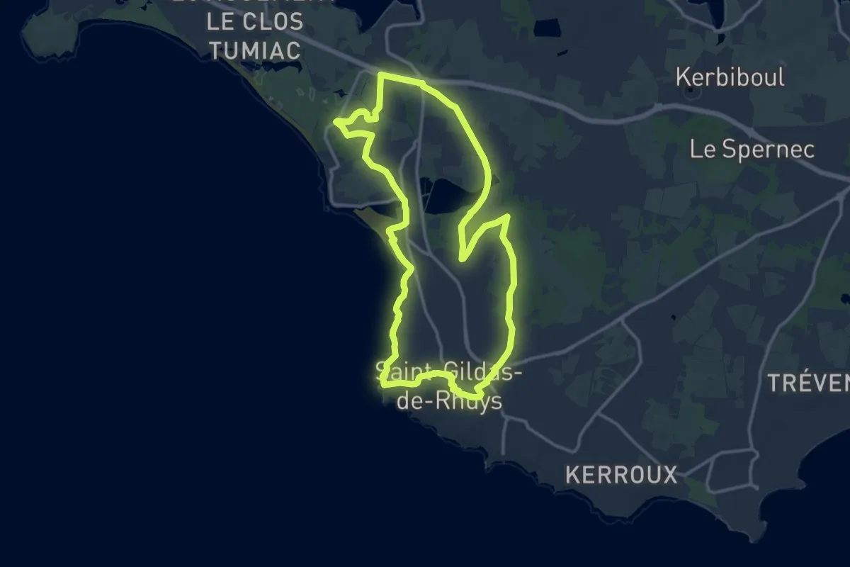
Medium · Trail
Les étangs
12.4 km · ↑ 96 m · 3 h 18 min
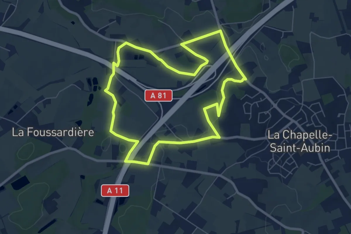
Easy · Trail
Les étangs
6.3 km · ↑ 84 m · 1 h 45 min
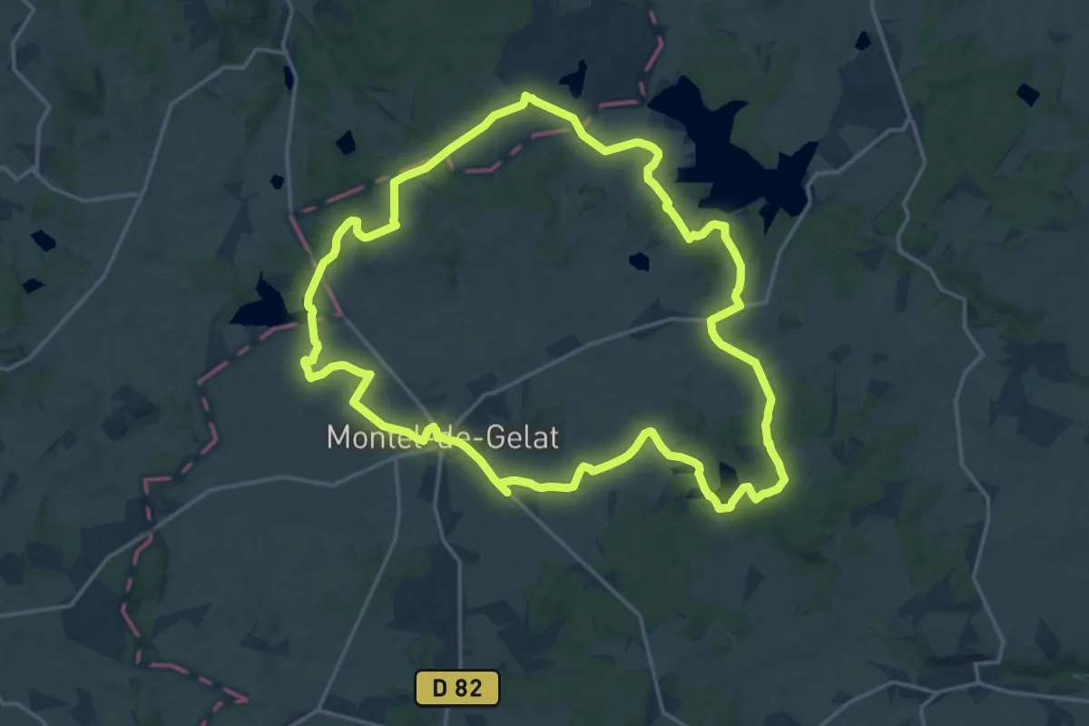
Medium · Trail
Les Étangs
17.6 km · ↑ 189 m · 4 h 48 min
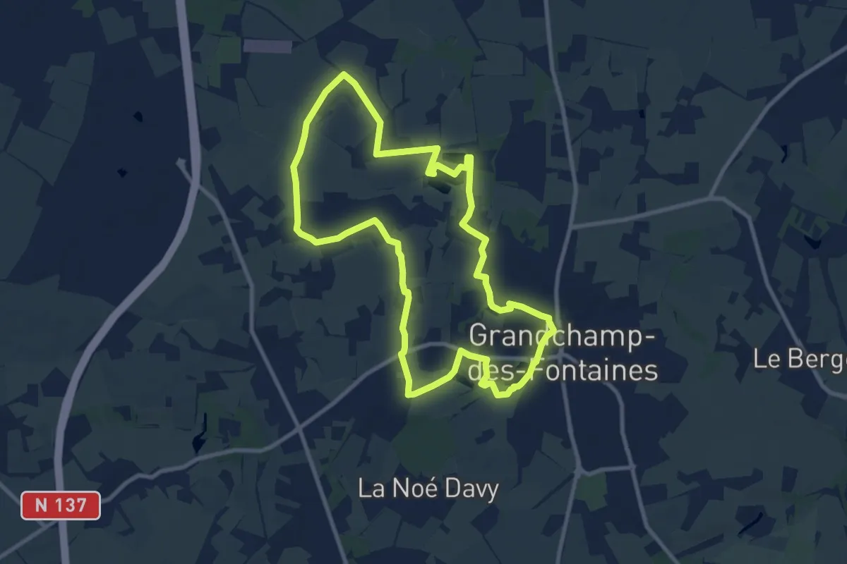
Medium · Trail
Les Étangs
9.1 km · ↑ 31 m · 2 h 20 min
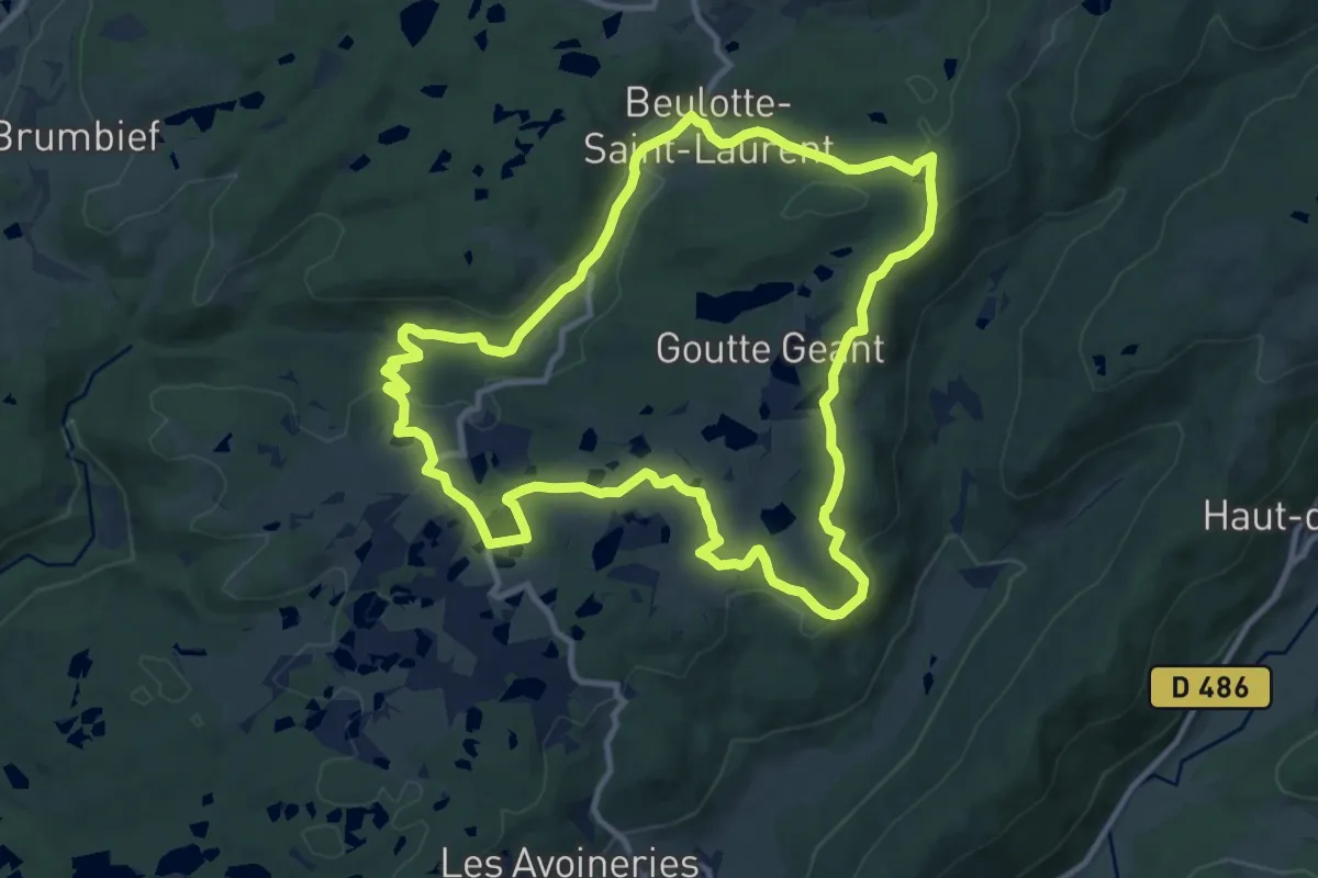
Medium · Trail
Les Étangs
11.0 km · ↑ 220 m · 3 h 14 min
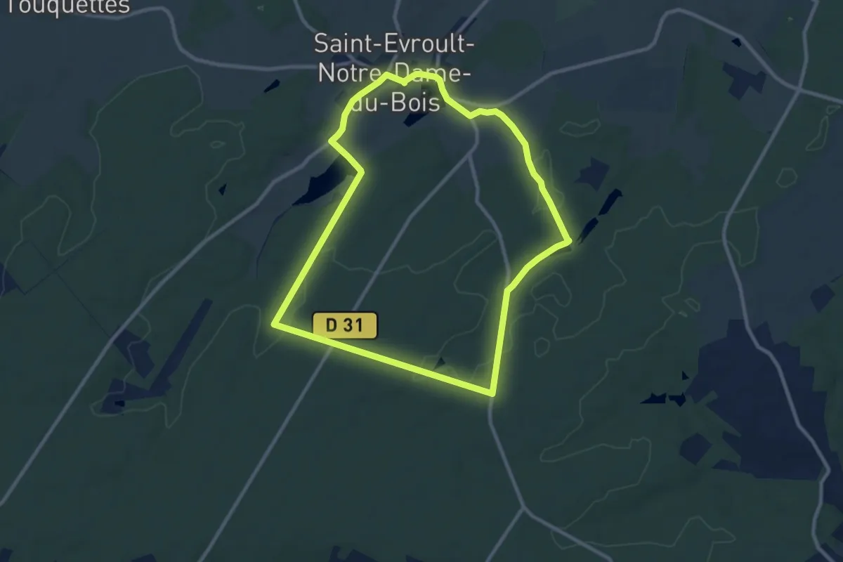
Medium · Trail
Les Étangs
8.7 km · ↑ 124 m · 2 h 27 min
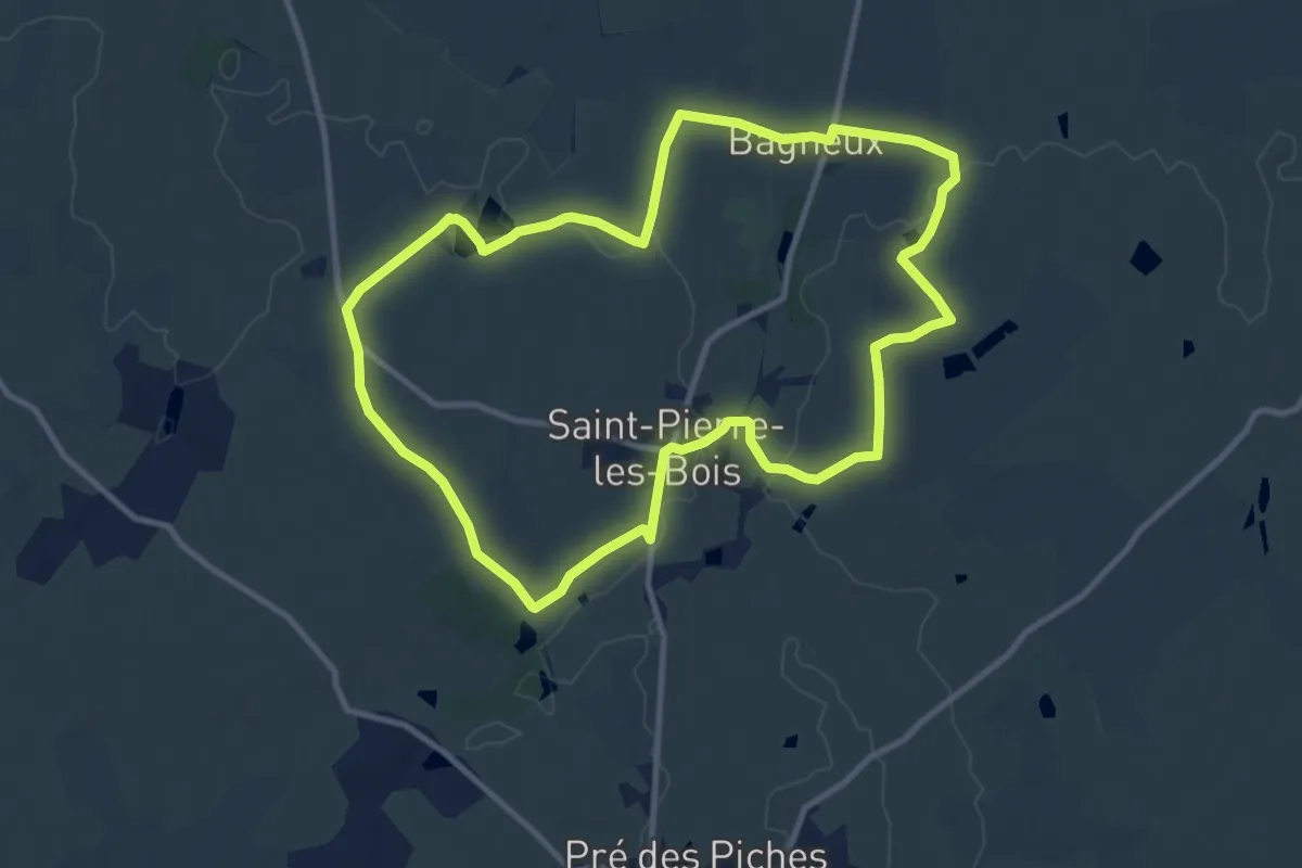
Medium · Trail
Les Etangs de Bois Doré
10.8 km · ↑ 90 m · 2 h 54 min
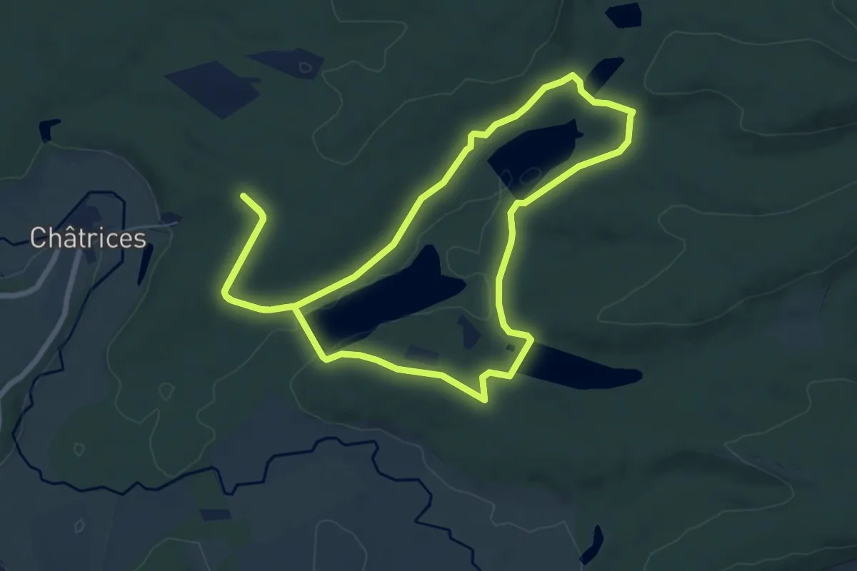
Easy · Trail
Les Etangs de Chatrice
7.0 km · ↑ 134 m · 2 h 3 min