Trails in France
15,926 hiking trails, each with its route, climb, walking time and grade.
All trails, page 186 of 332
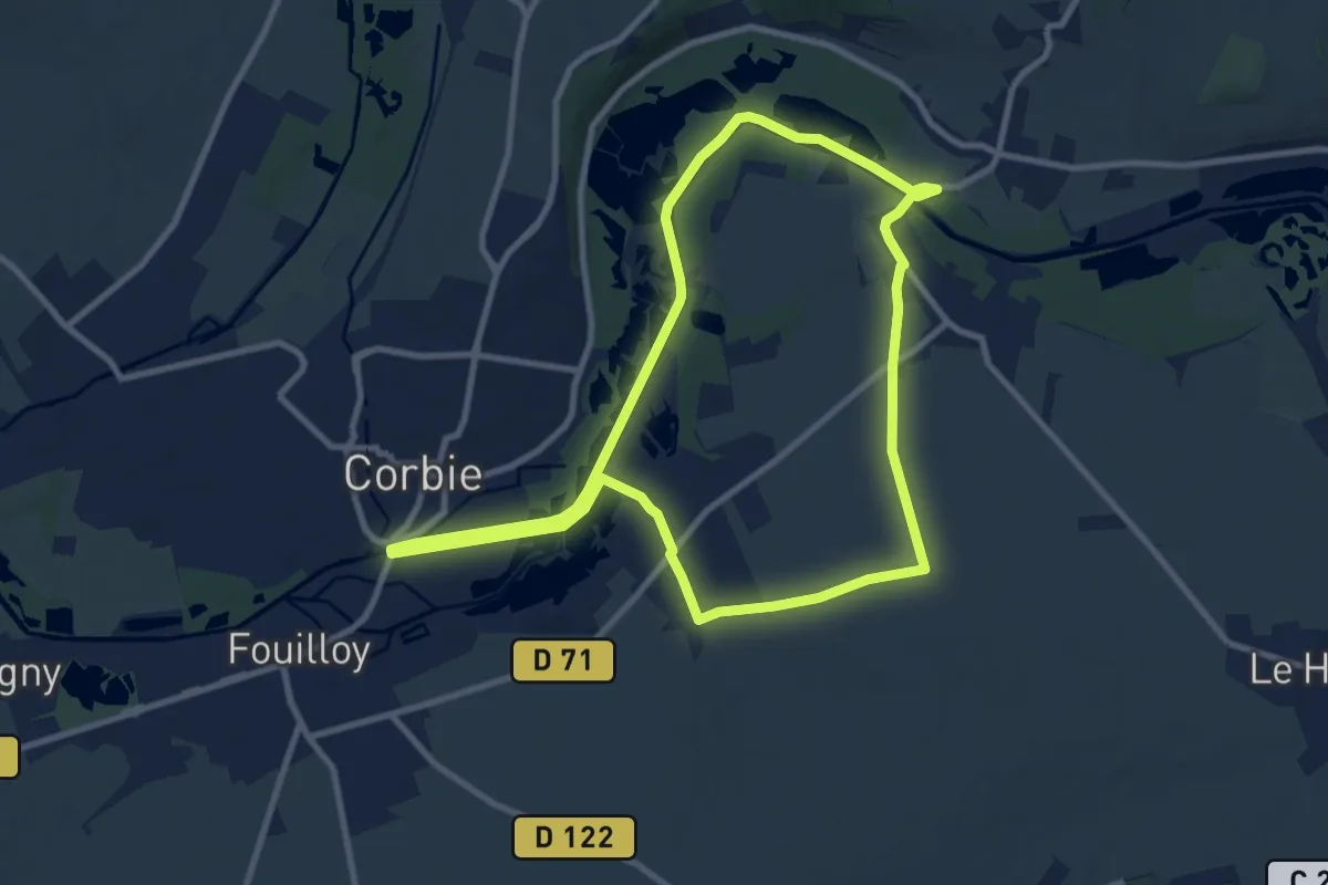
Medium · Trail
Les Étangs de Corbie
9.0 km · ↑ 8 m · 2 h 17 min
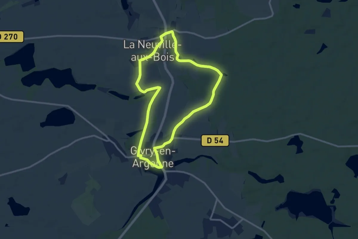
Medium · Trail
Les Etangs de Givry
8.1 km · ↑ 36 m · 2 h 6 min
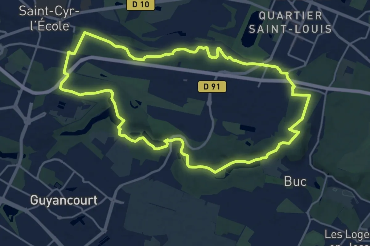
Medium · Trail
Les étangs de la Bièvre
13.2 km · ↑ 185 m · 3 h 43 min
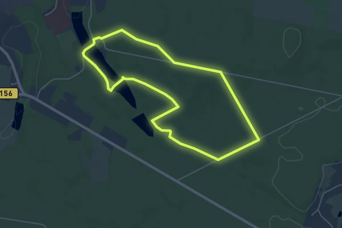
Easy · Trail
Les Etangs des Moines
4.1 km · ↑ 56 m · 1 h 8 min
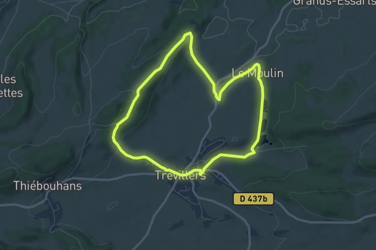
Easy · Trail
Les Etangs du Bois du Roy
6.6 km · ↑ 112 m · 1 h 54 min
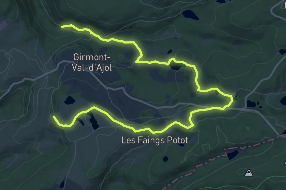
Easy · Trail
Les Étangs du Girmont
7.1 km · ↑ 116 m · 2 h 5 min
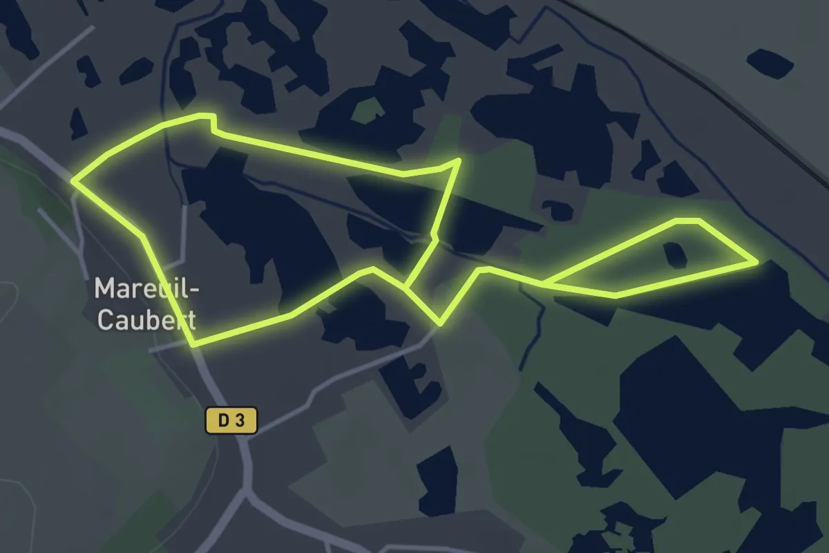
Easy · Trail
Les Etangs et Marais de Mareuil-Caubert
3.5 km · ↑ 5 m · 53 min
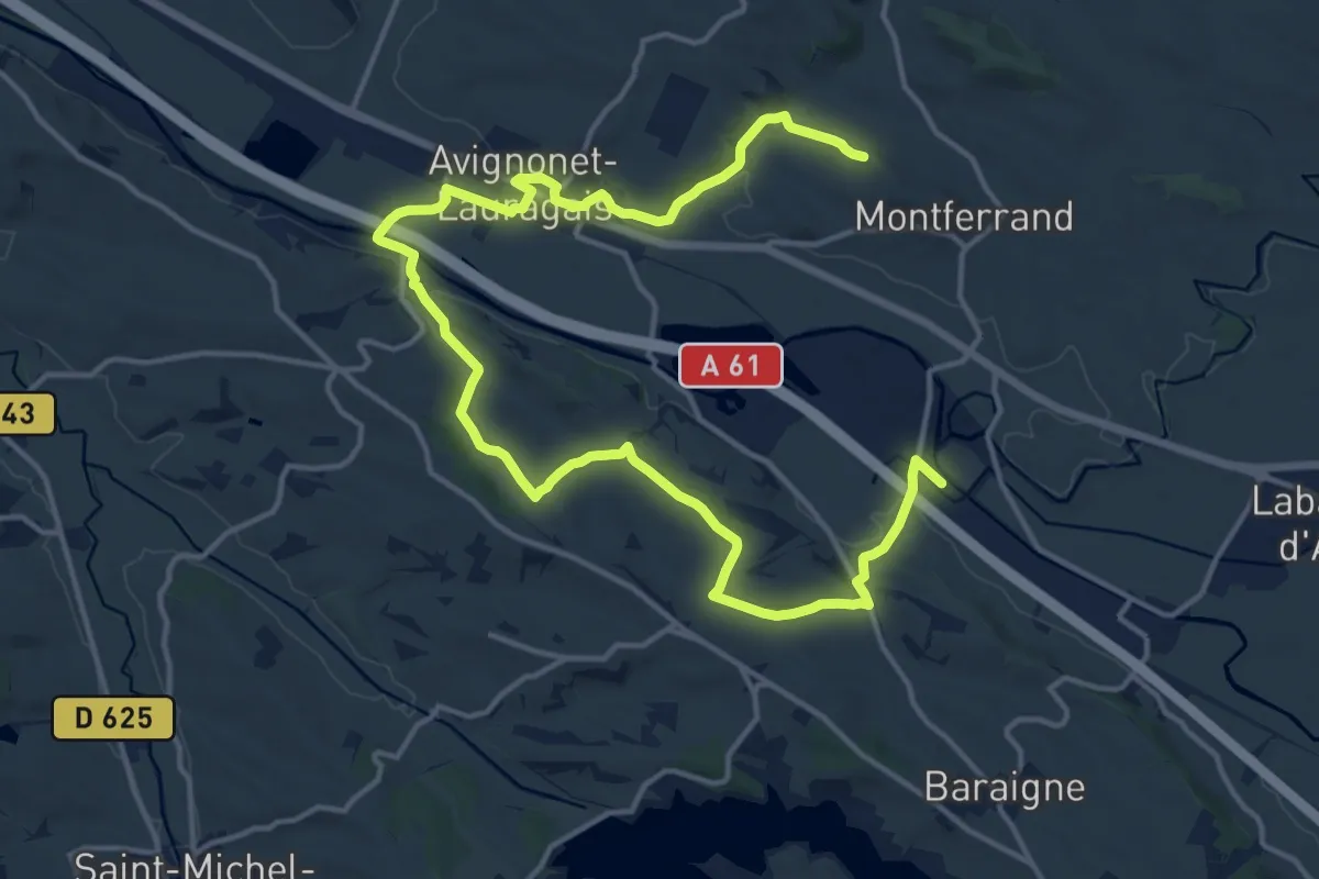
Demanding · Trail
Le Seuil de Naurouze par Avignonet-Lauragais
22.5 km · ↑ 338 m · 6 h 2 min
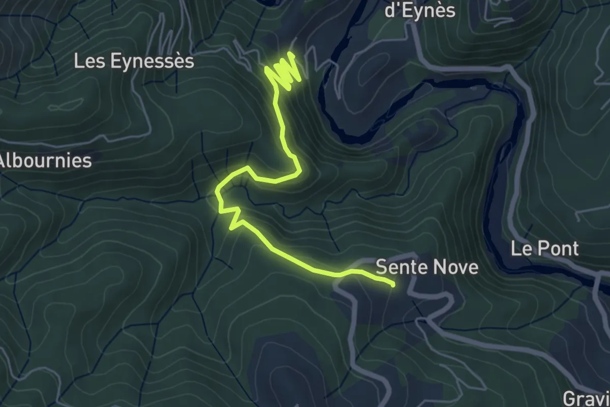
Easy · Trail
Les Eynès - Sente Nove
5.5 km · ↑ 270 m · 1 h 53 min
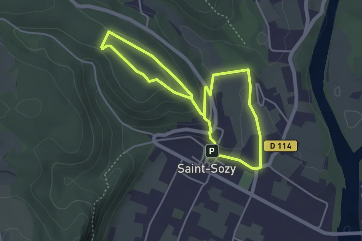
Easy · Summit
Les falaises de la Dordogne et leurs villages
3.3 km · ↑ 101 m · 1 h 2 min
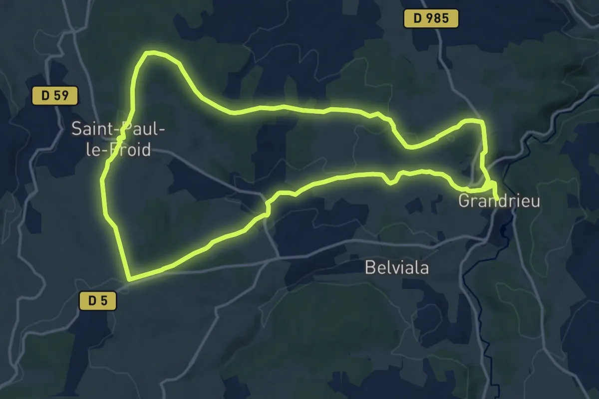
Medium · Trail
Les Fangouses
15.0 km · ↑ 245 m · 4 h 17 min
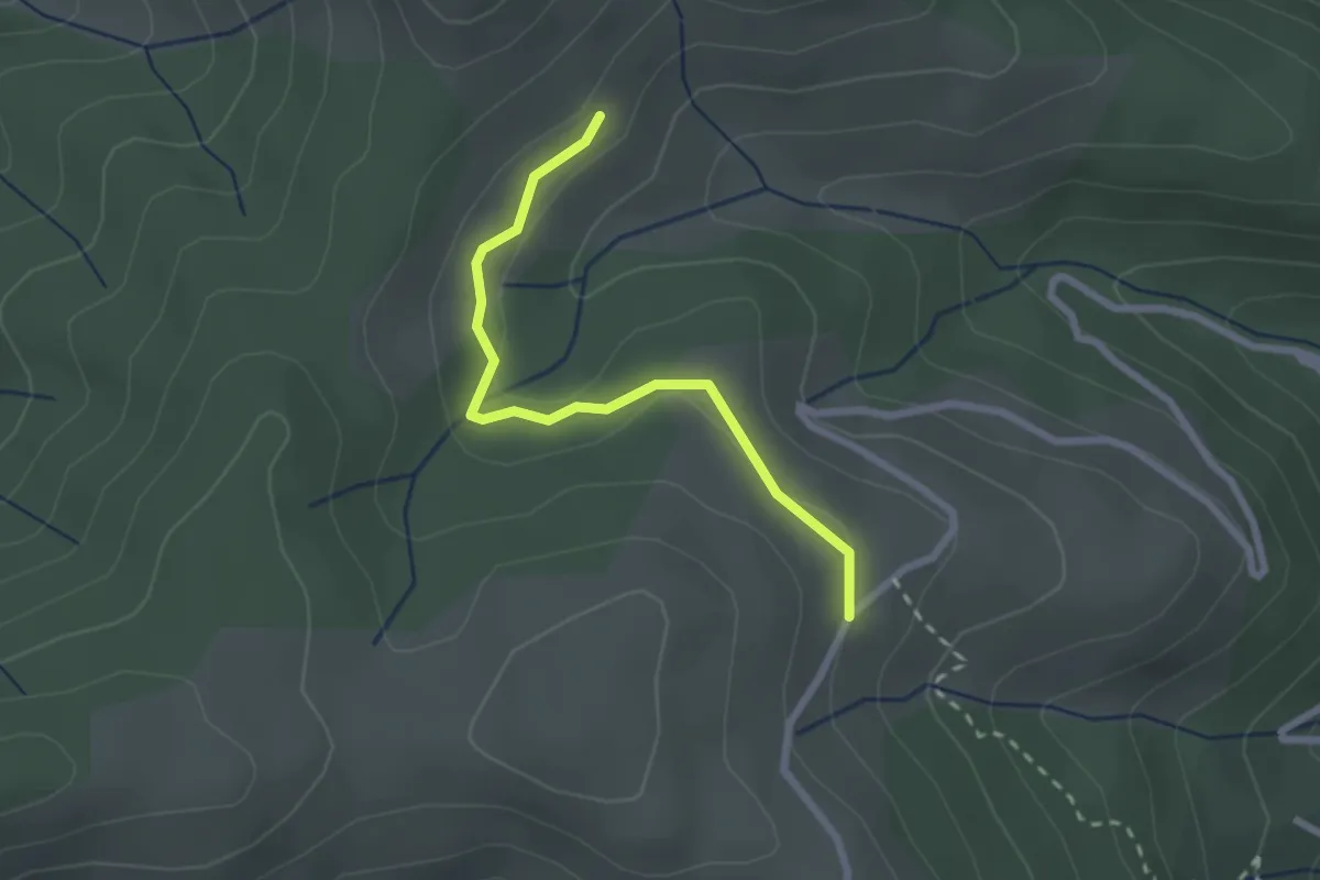
Easy · Trail
Les Faraches - Digon
2.3 km · ↑ 40 m · 38 min
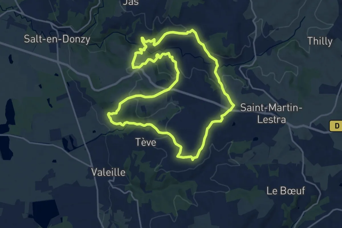
Medium · Trail
Les Fayettes
13.7 km · ↑ 376 m · 4 h 15 min
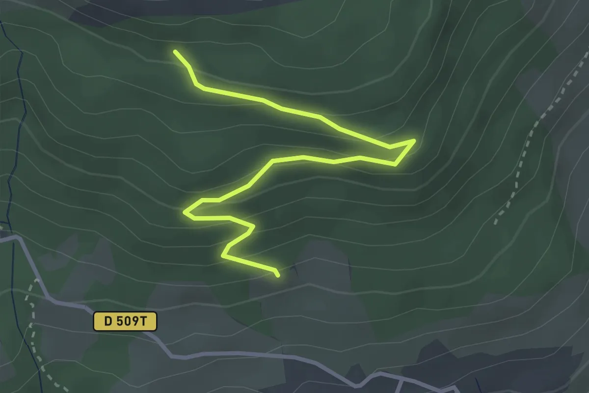
Easy · Trail
Les Faysses - Jigoure
3.3 km · ↑ 199 m · 1 h 13 min
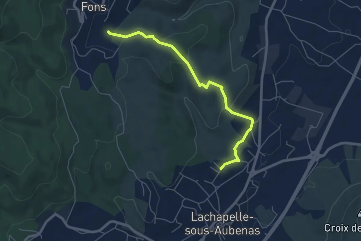
Easy · Trail
Les Faysses - Le Plantier
5.1 km · ↑ 133 m · 1 h 30 min
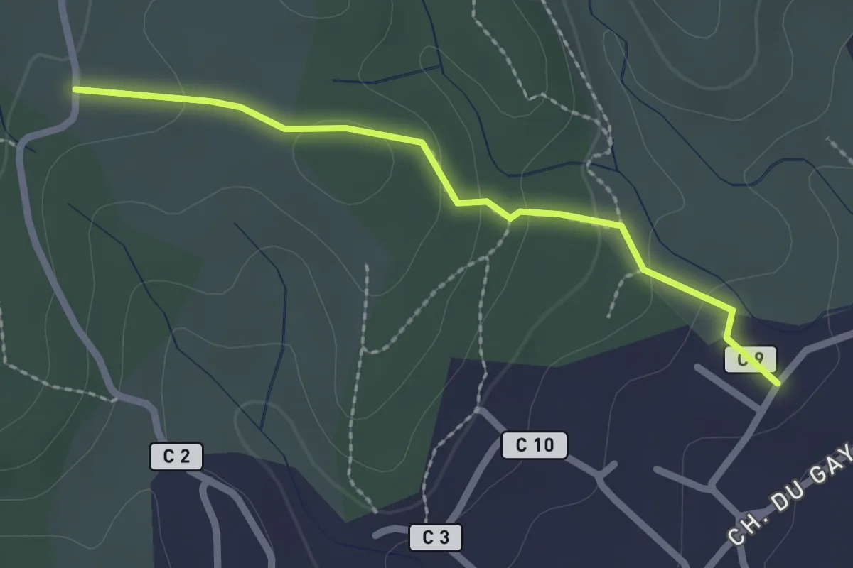
Easy · Trail
Les Faysses - Les Plantades
2.2 km · ↑ 74 m · 41 min
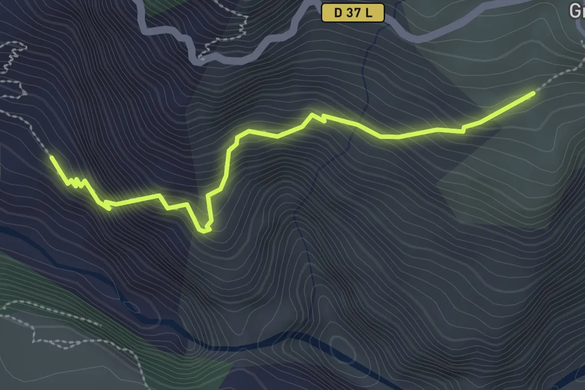
Demanding · Trail
Les Faysses - Les Portes
3.1 km · ↑ 330 m · 1 h 26 min
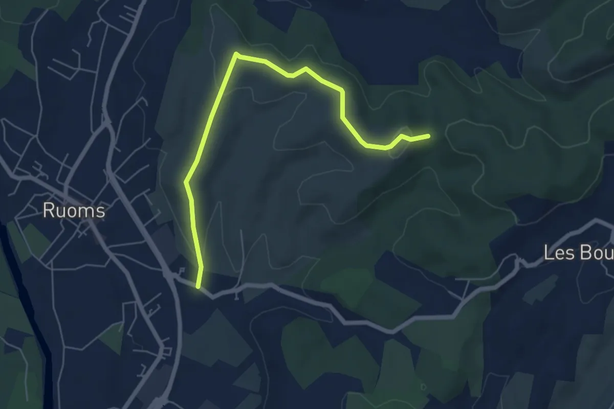
Easy · Trail
Les Faysses - Trappe Loup
6.1 km · ↑ 133 m · 1 h 44 min
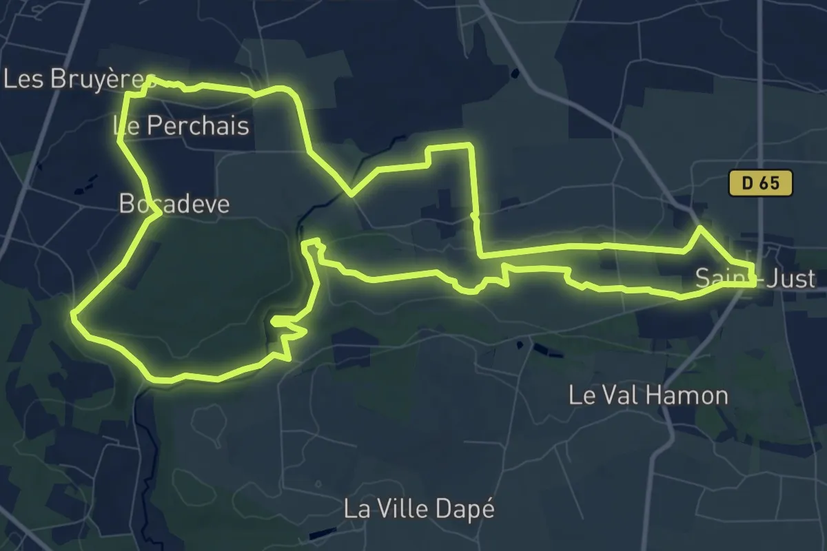
Medium · Trail
Les Fées de Tréal
12.5 km · ↑ 140 m · 3 h 25 min
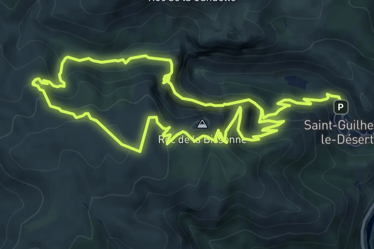
Demanding · Summit
Les Fenestrettes
8.4 km · ↑ 663 m · 3 h 29 min
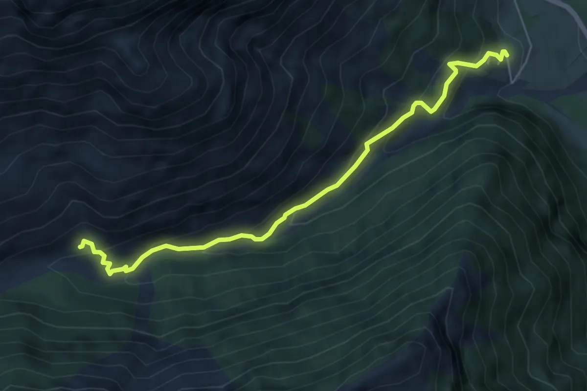
Medium · Cabin
Les Fermonds - ?
5.8 km · ↑ 402 m · 2 h 14 min
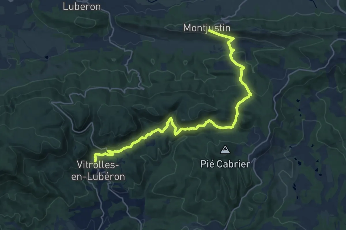
Demanding · Trail
Les Ferrailles - Montjustin
19.9 km · ↑ 574 m · 5 h 57 min
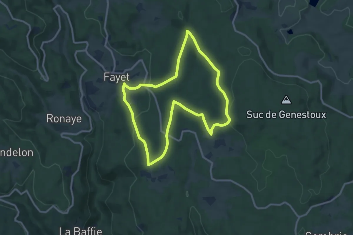
Easy · Trail
Les Fessilles
7.2 km · ↑ 213 m · 2 h 16 min
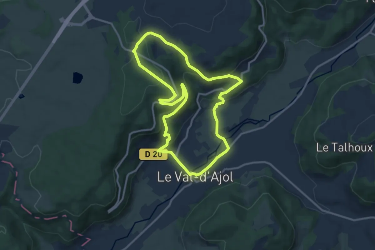
Easy · Trail
Les Feuillées
8.0 km · ↑ 285 m · 2 h 37 min
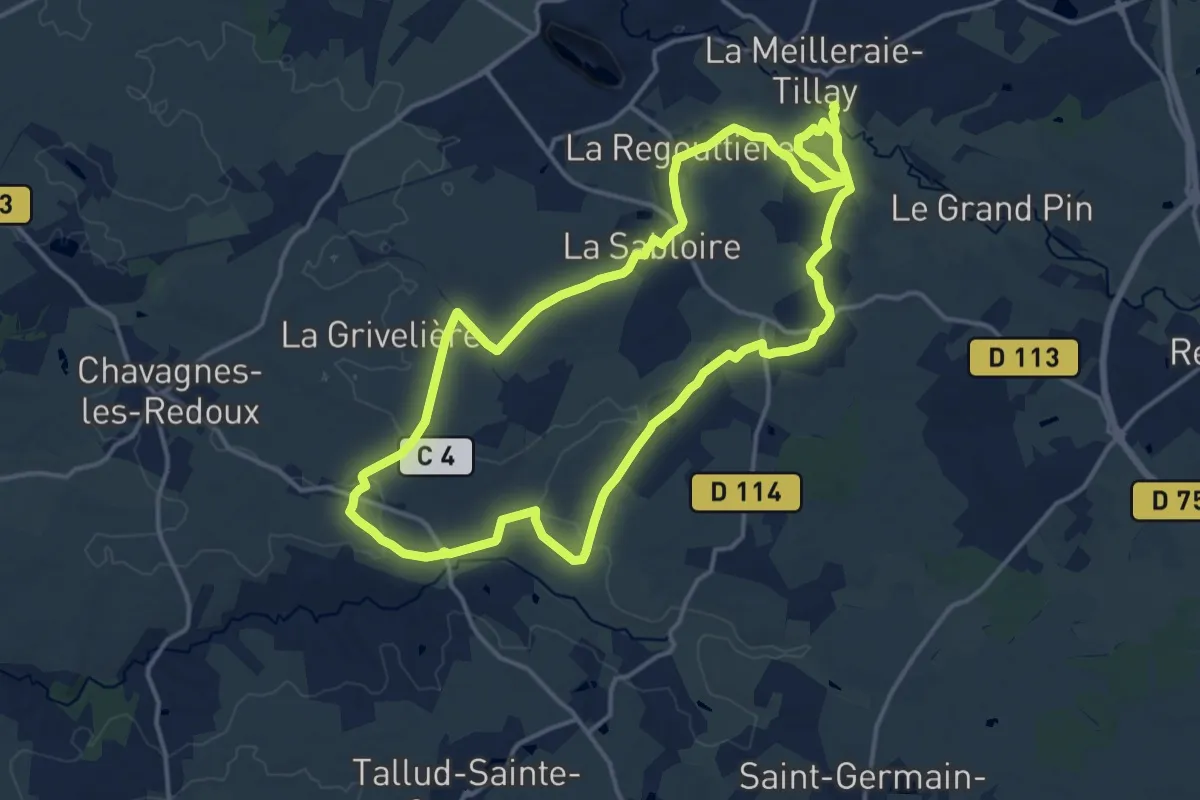
Medium · Trail
Les Flâneurs
15.4 km · ↑ 133 m · 4 h 9 min
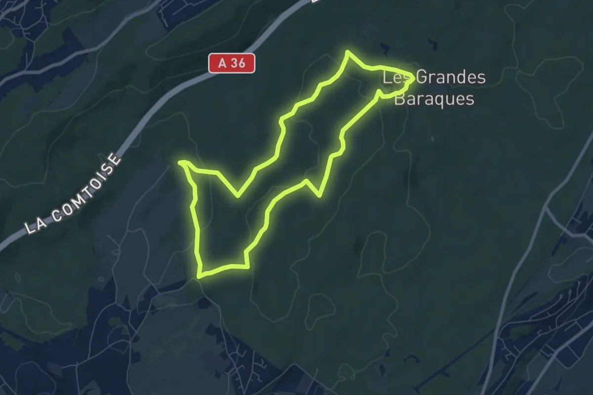
Easy · Trail
Les Fonds de Chailluz
7.1 km · ↑ 132 m · 2 h 4 min
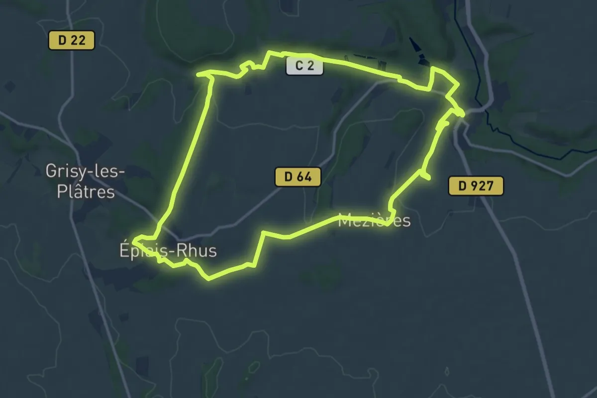
Medium · Trail
Les fonds de Rhus
13.2 km · ↑ 160 m · 3 h 38 min
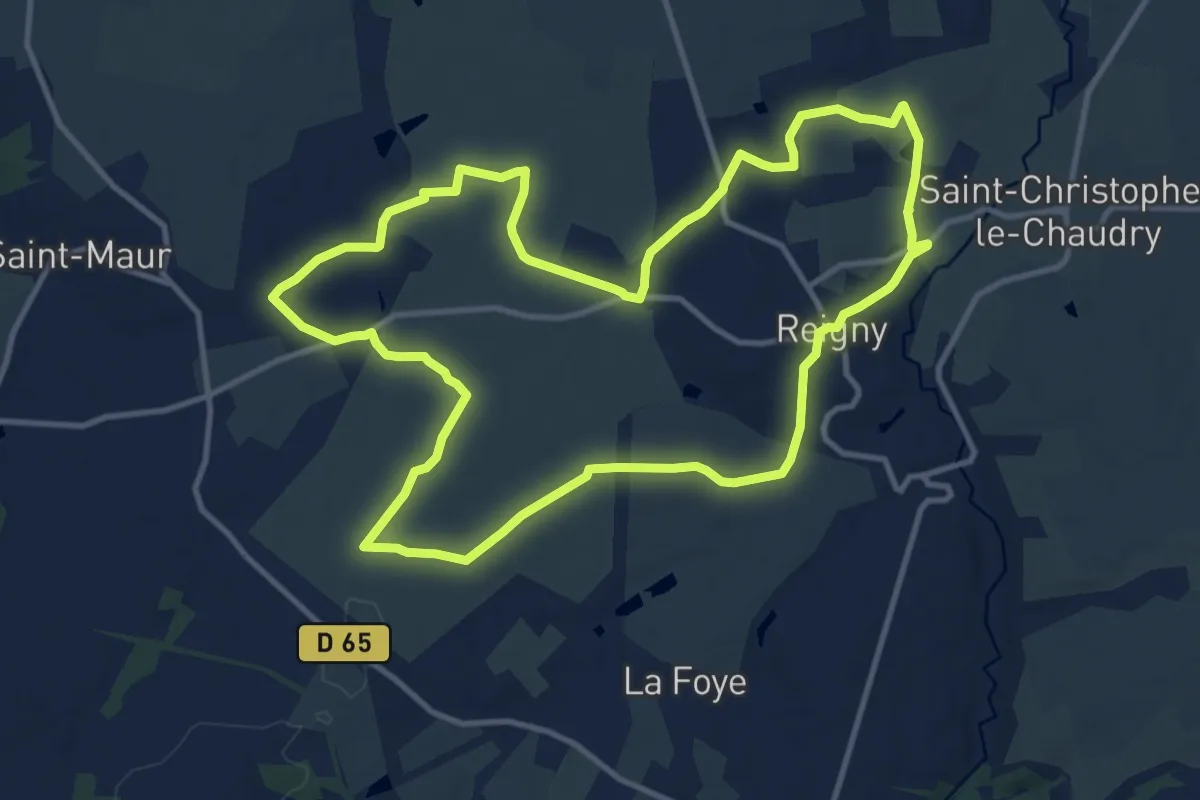
Medium · Trail
Les Fontaines
12.4 km · ↑ 116 m · 3 h 22 min
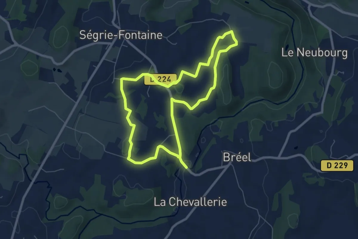
Easy · Trail
Les Fontaines
5.7 km · ↑ 83 m · 1 h 37 min
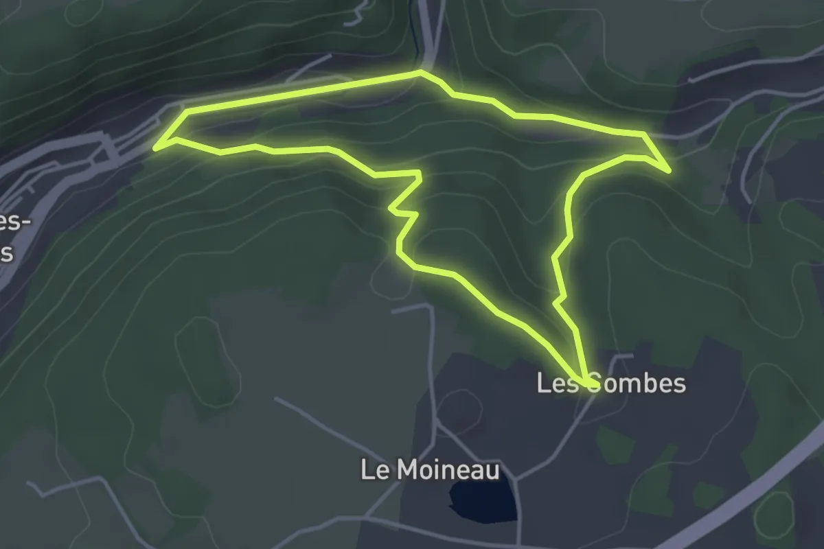
Easy · Trail
Les fontaines du Ban d'Ajol
3.8 km · ↑ 133 m · 1 h 14 min
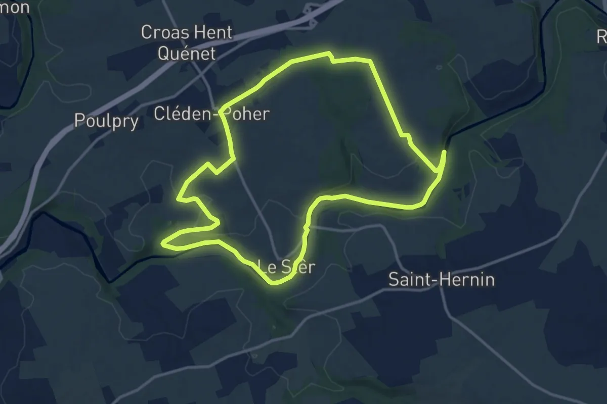
Medium · Trail
Les fontaines et le canal
11.0 km · ↑ 152 m · 3 h 5 min
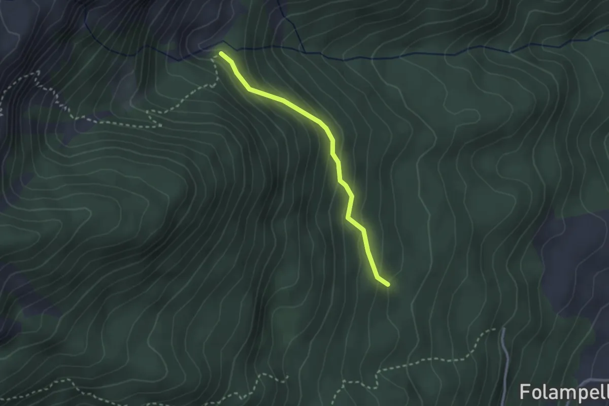
Easy · Cabin
Les Fontainiers - Cabane de l'Aiguille
2.4 km · ↑ 166 m · 56 min
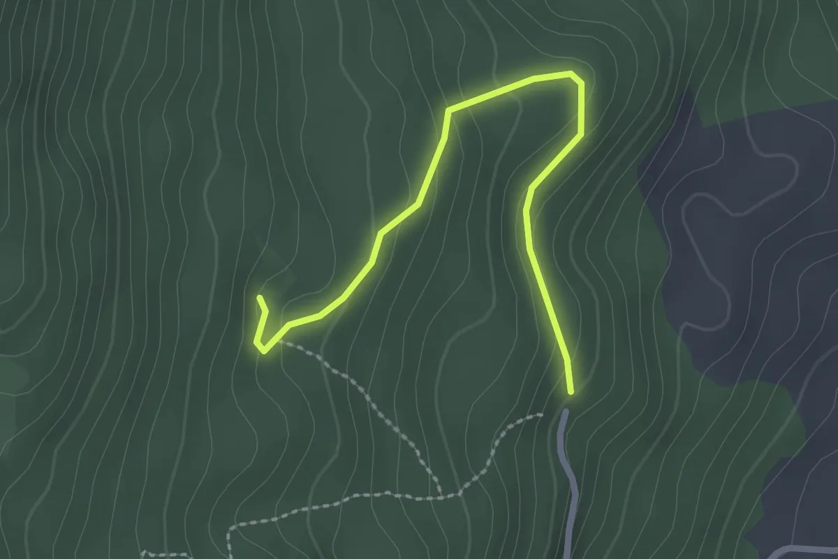
Easy · Cabin
Les Fontainiers - Porte de la Forêt
2.5 km · ↑ 132 m · 53 min
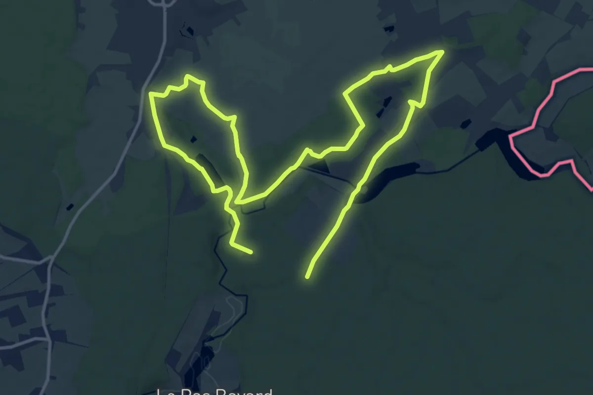
Demanding · Trail
Les Forges
19.5 km · ↑ 215 m · 5 h 3 min
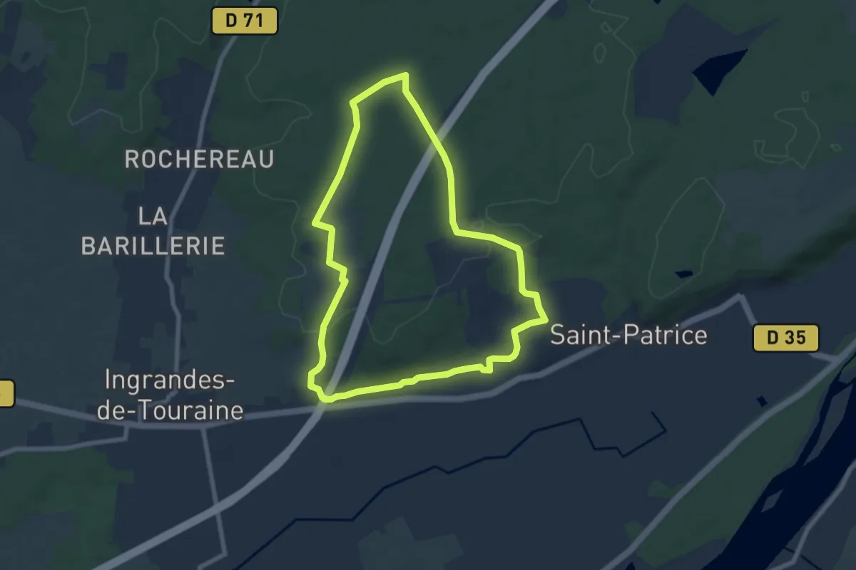
Easy · Trail
Les Forges - Coteaux-sur-Loire
6.5 km · ↑ 92 m · 1 h 49 min
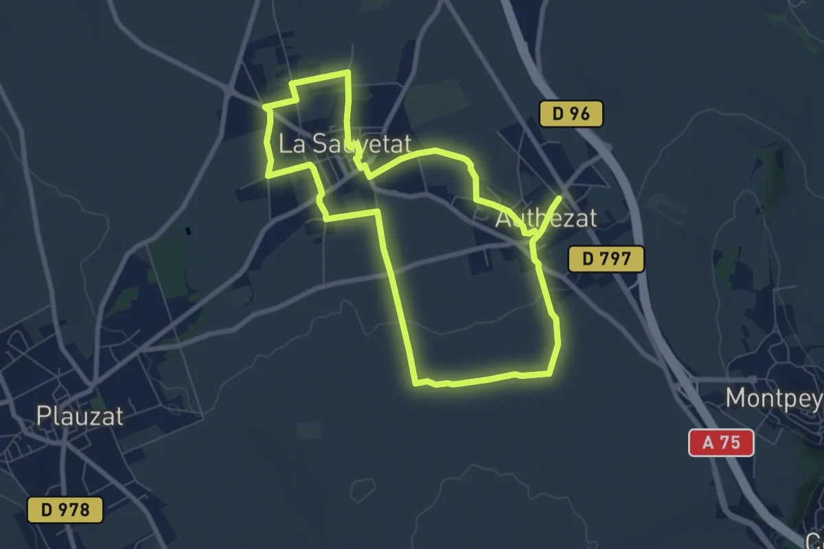
Easy · Trail
Les Forts de la Sauvetat
7.1 km · ↑ 71 m · 1 h 55 min
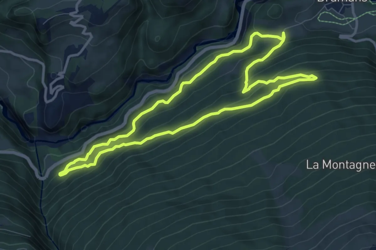
Medium · Trail
Les Forts de l'Esseillon
7.9 km · ↑ 448 m · 2 h 57 min
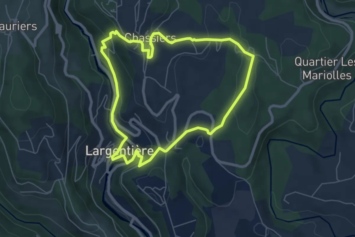
Easy · Trail
Les Fouloirs Rupestres
5.3 km · ↑ 190 m · 1 h 44 min
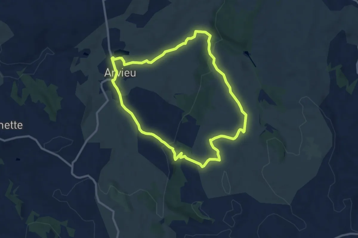
Easy · Trail
Les founs, la tourbière et le rocher du diable
7.6 km · ↑ 204 m · 2 h 21 min
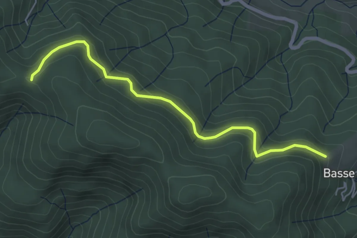
Easy · Trail
Les Fourches - Chapelle Sainte-Philomène
4.8 km · ↑ 211 m · 1 h 36 min
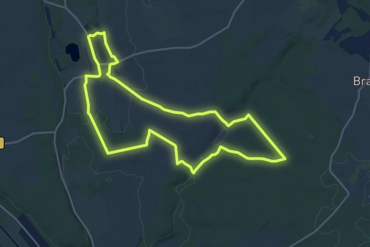
Medium · Trail
Les Fourmis Rouges
10.8 km · ↑ 172 m · 3 h 4 min
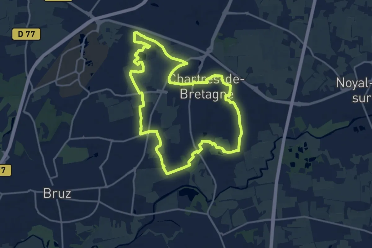
Medium · Trail
Les fours à chaux
11.1 km · ↑ 26 m · 2 h 50 min
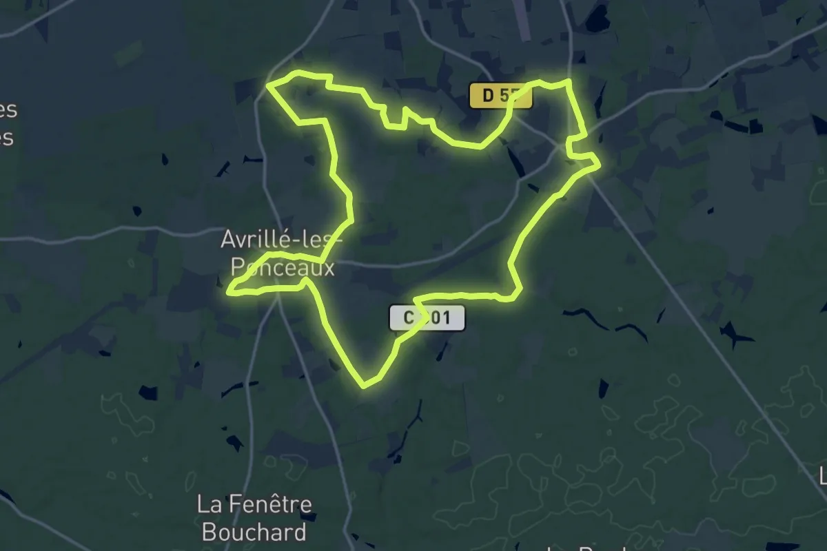
Medium · Trail
Les Fours à Chaux - Avrillé-les-Ponceaux
17.1 km · ↑ 76 m · 4 h 26 min
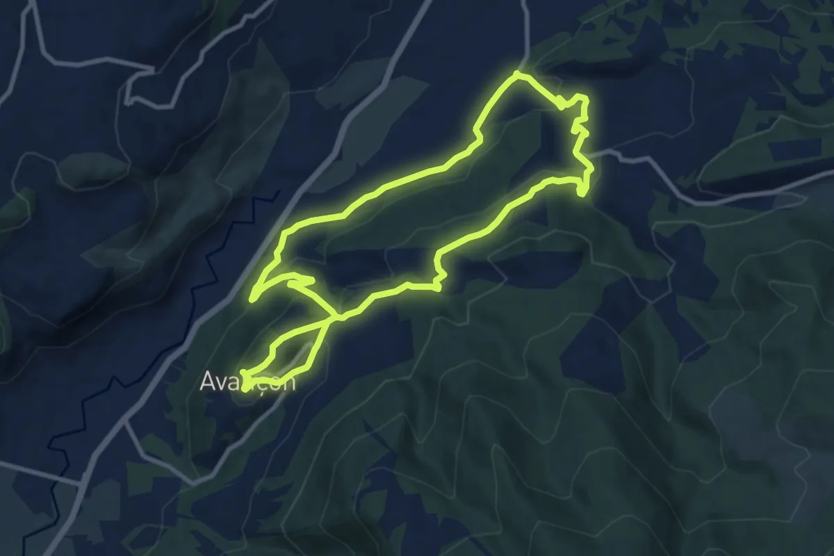
Medium · Trail
Les Frâches
9.3 km · ↑ 301 m · 2 h 58 min
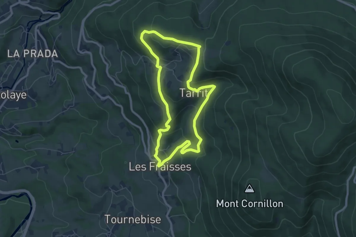
Easy · Trail
Les Fraisses Tarrit
6.2 km · ↑ 285 m · 2 h 10 min
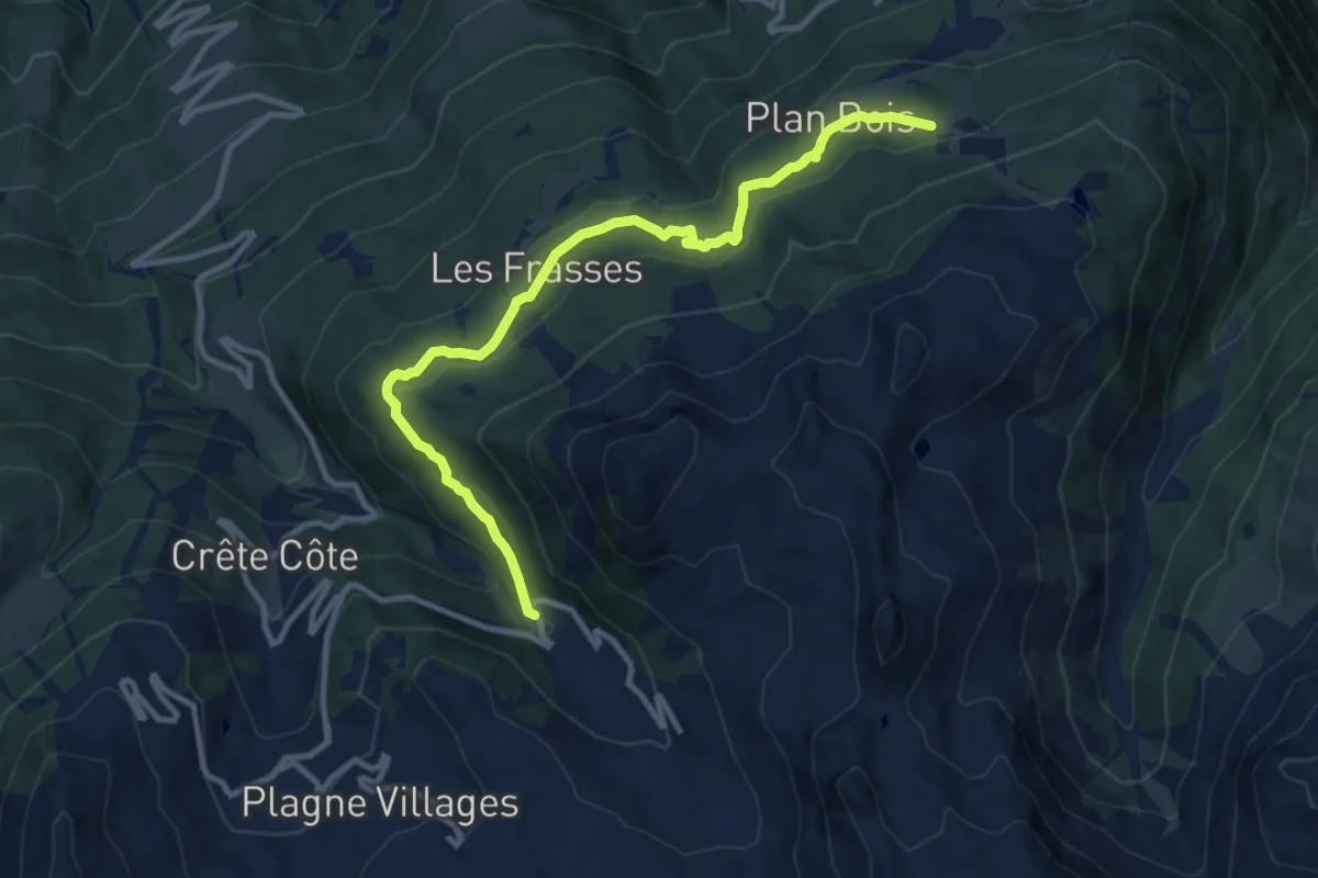
Medium · Trail
Les Frasses
11.3 km · ↑ 453 m · 3 h 39 min
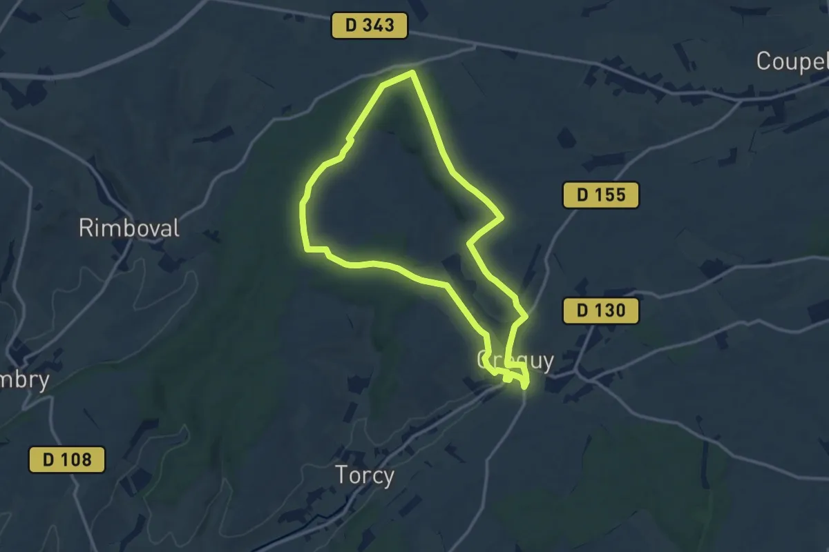
Medium · Trail
Les Fréniaux
10.5 km · ↑ 115 m · 2 h 53 min
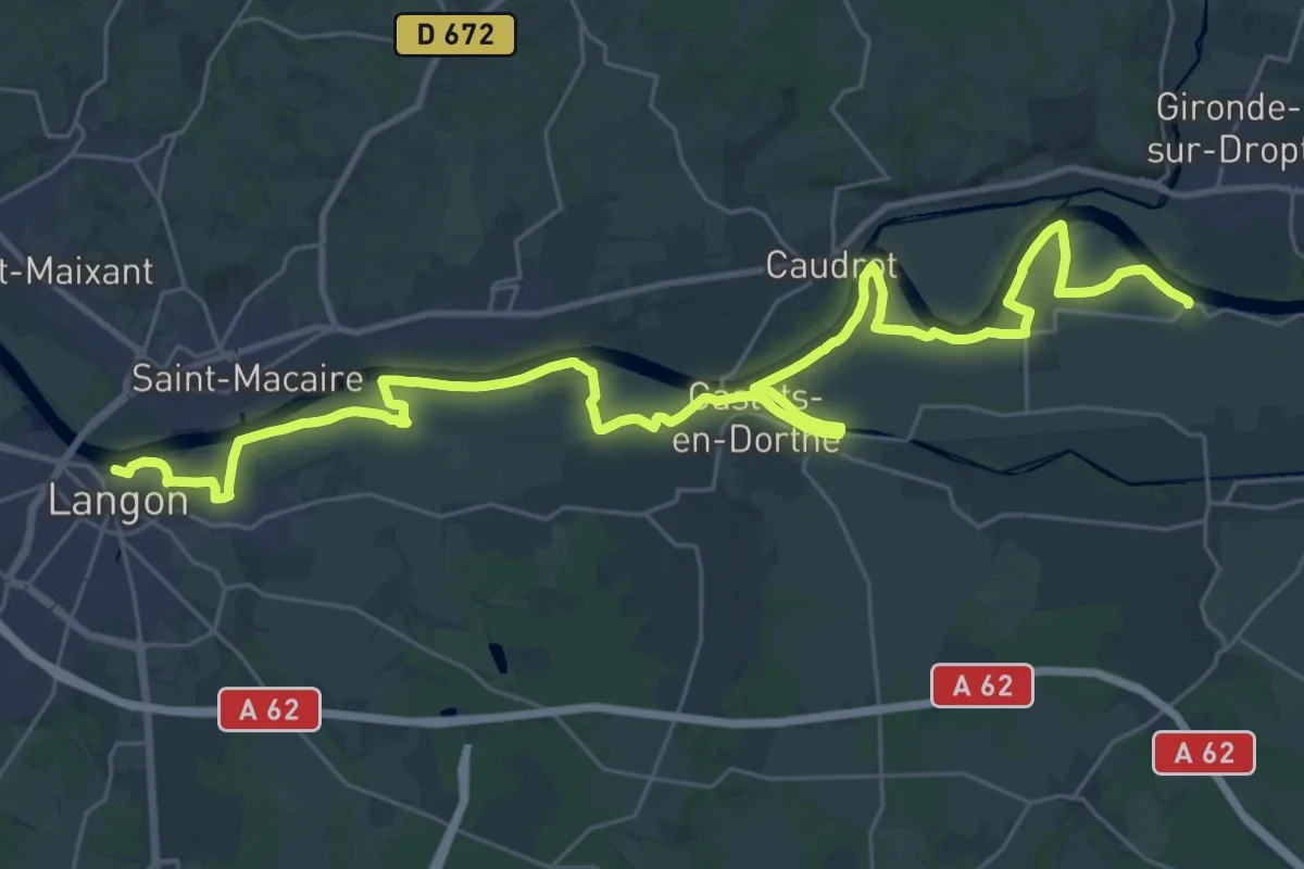
Demanding · Trail
Les Gabares : circuit départemental
21.1 km · ↑ 54 m · 5 h 23 min