Trails in France
15,926 hiking trails, each with its route, climb, walking time and grade.
All trails, page 187 of 332
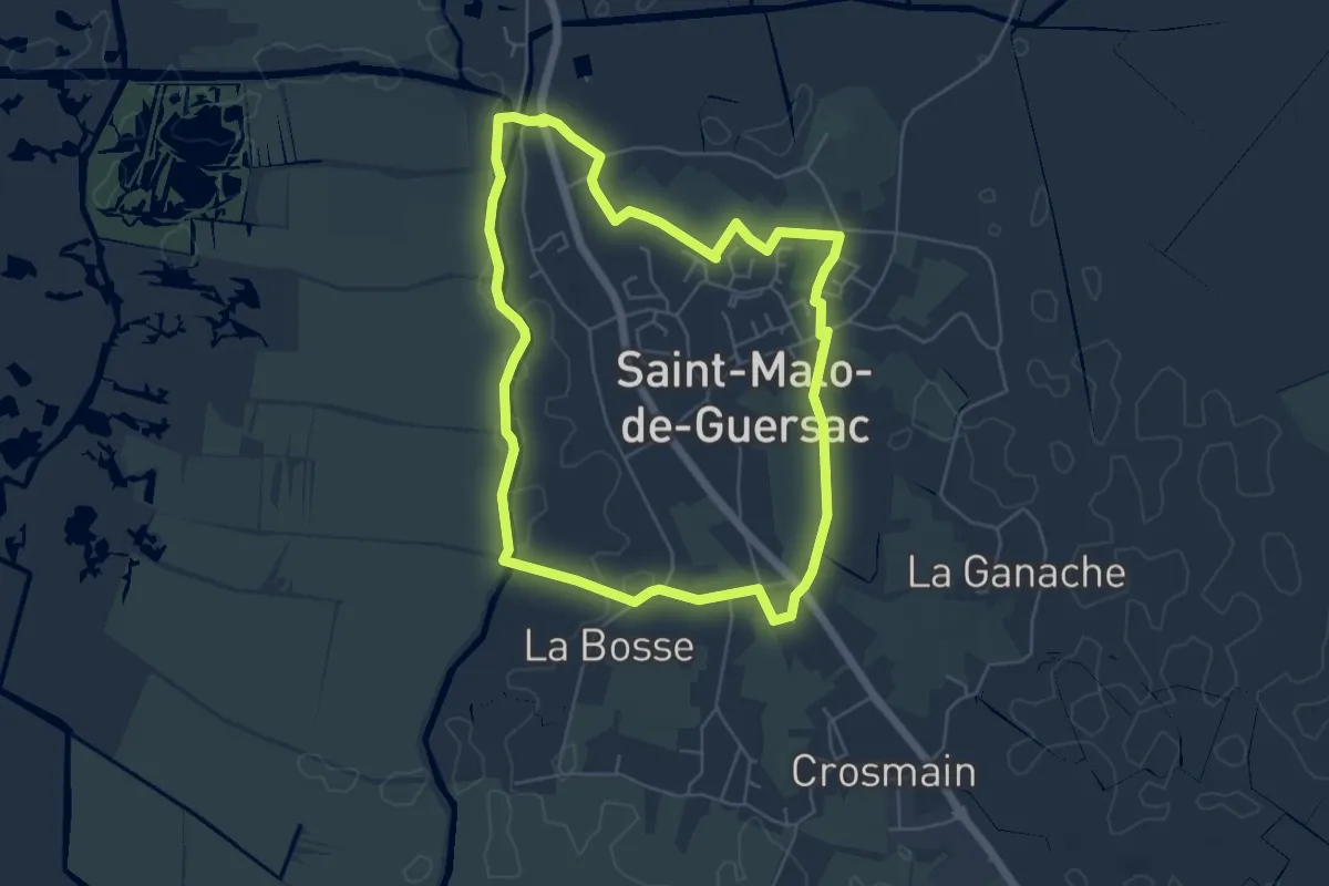
Easy · Trail
Les Gagneries
5.3 km · ↑ 4 m · 1 h 21 min
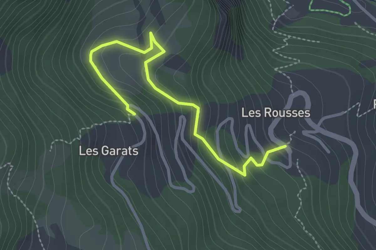
Easy · Trail
Les Garrats - Le Serre
2.8 km · ↑ 169 m · 1 h 2 min
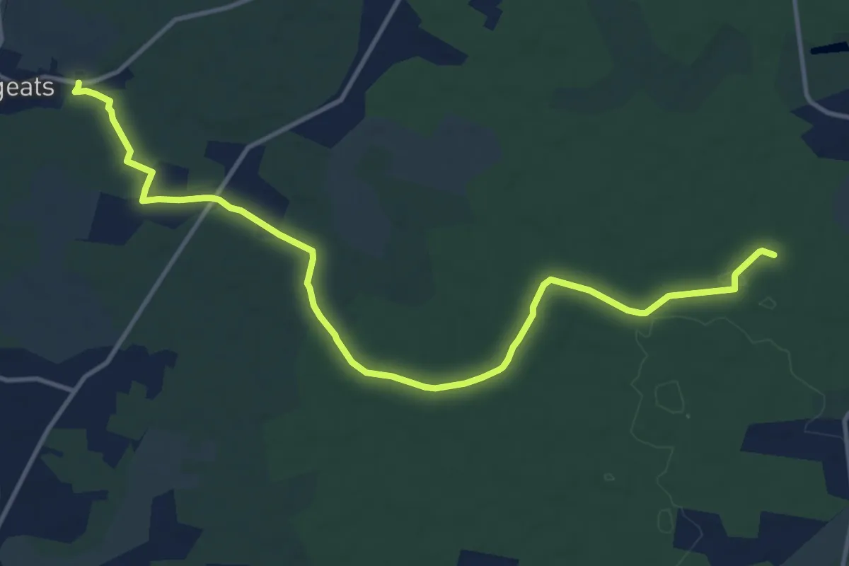
Medium · Trail
Les Gemeys : circuit départemental
13.7 km · ↑ 76 m · 3 h 24 min
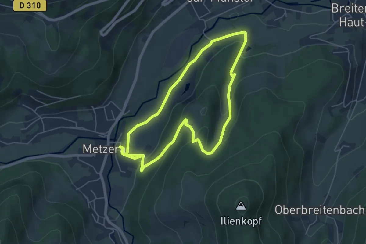
Easy · Trail
Les Genets
4.4 km · ↑ 165 m · 1 h 27 min
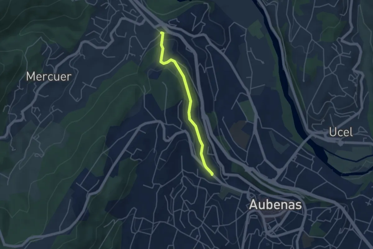
Easy · Trail
Les Gibaux - Constantine
3.6 km · ↑ 110 m · 1 h 5 min
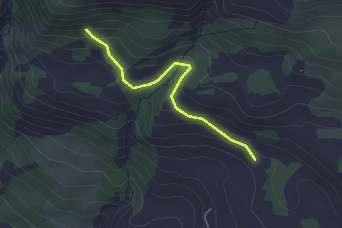
Easy · Trail
Les Gontards - Truchet Haut
3.3 km · ↑ 166 m · 1 h 9 min
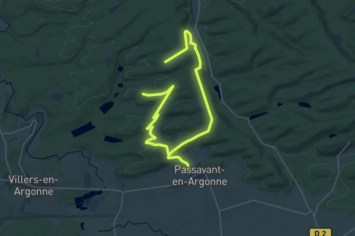
Medium · Trail
Les Gorges d'Argonne
12.6 km · ↑ 252 m · 3 h 42 min
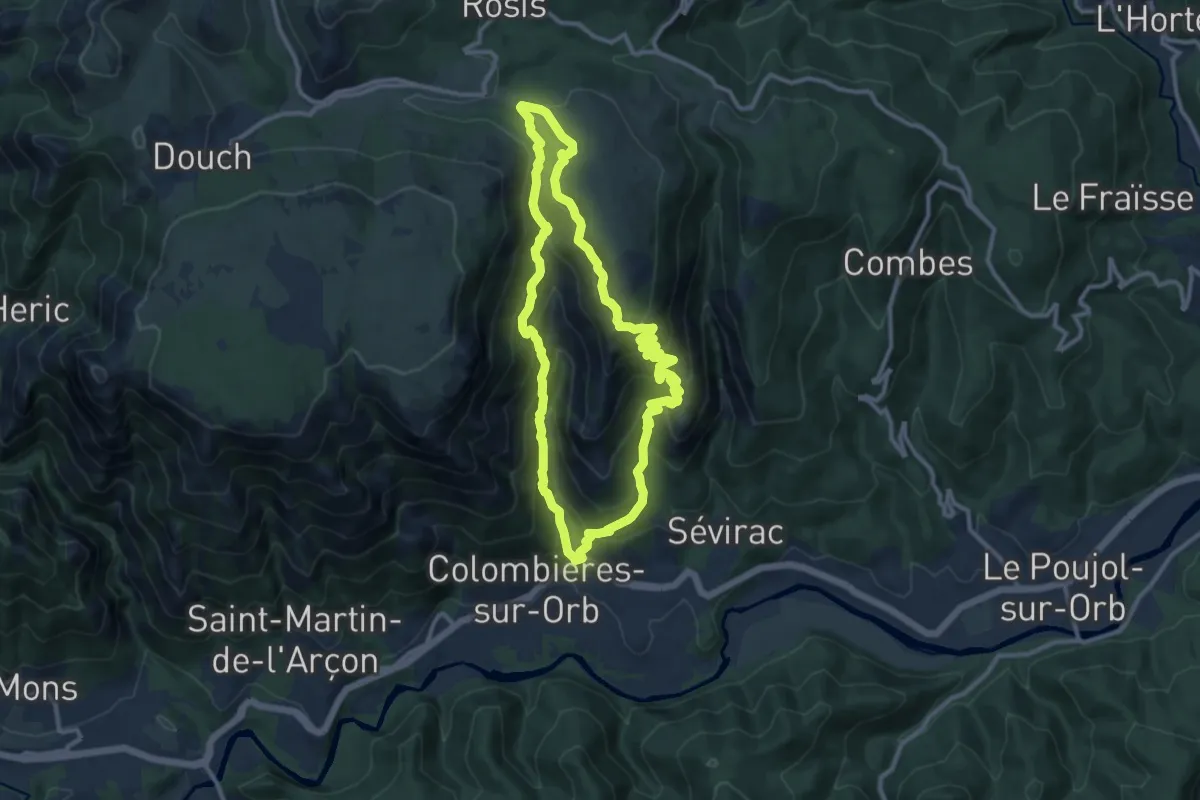
Medium · Summit
Les Gorges de Colombieres
10.9 km · ↑ 703 m · 4 h 16 min
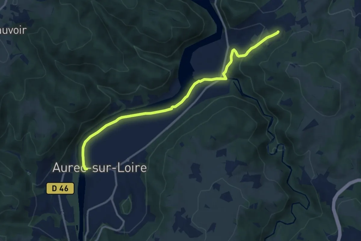
Medium · Trail
Les Gorges de la Loire
9.6 km · ↑ 113 m · 2 h 30 min
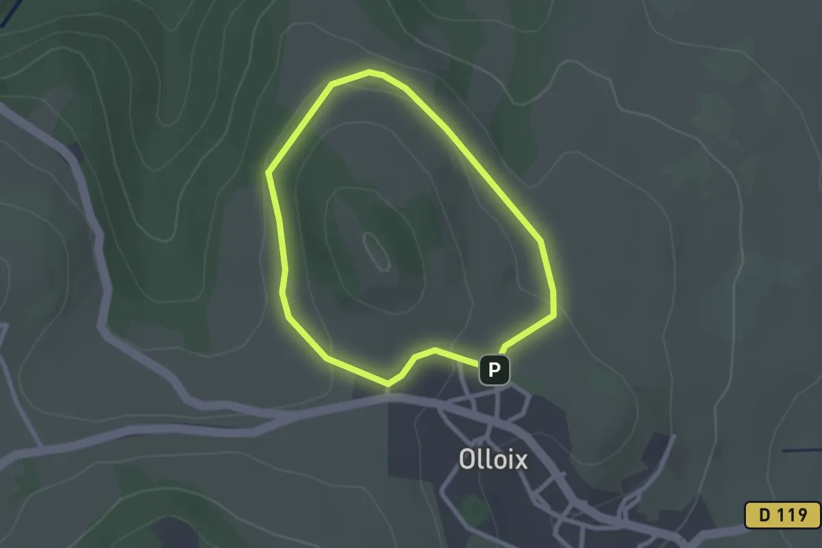
Easy · Trail
Les Gorges de la Monne
2.1 km · ↑ 41 m · 37 min
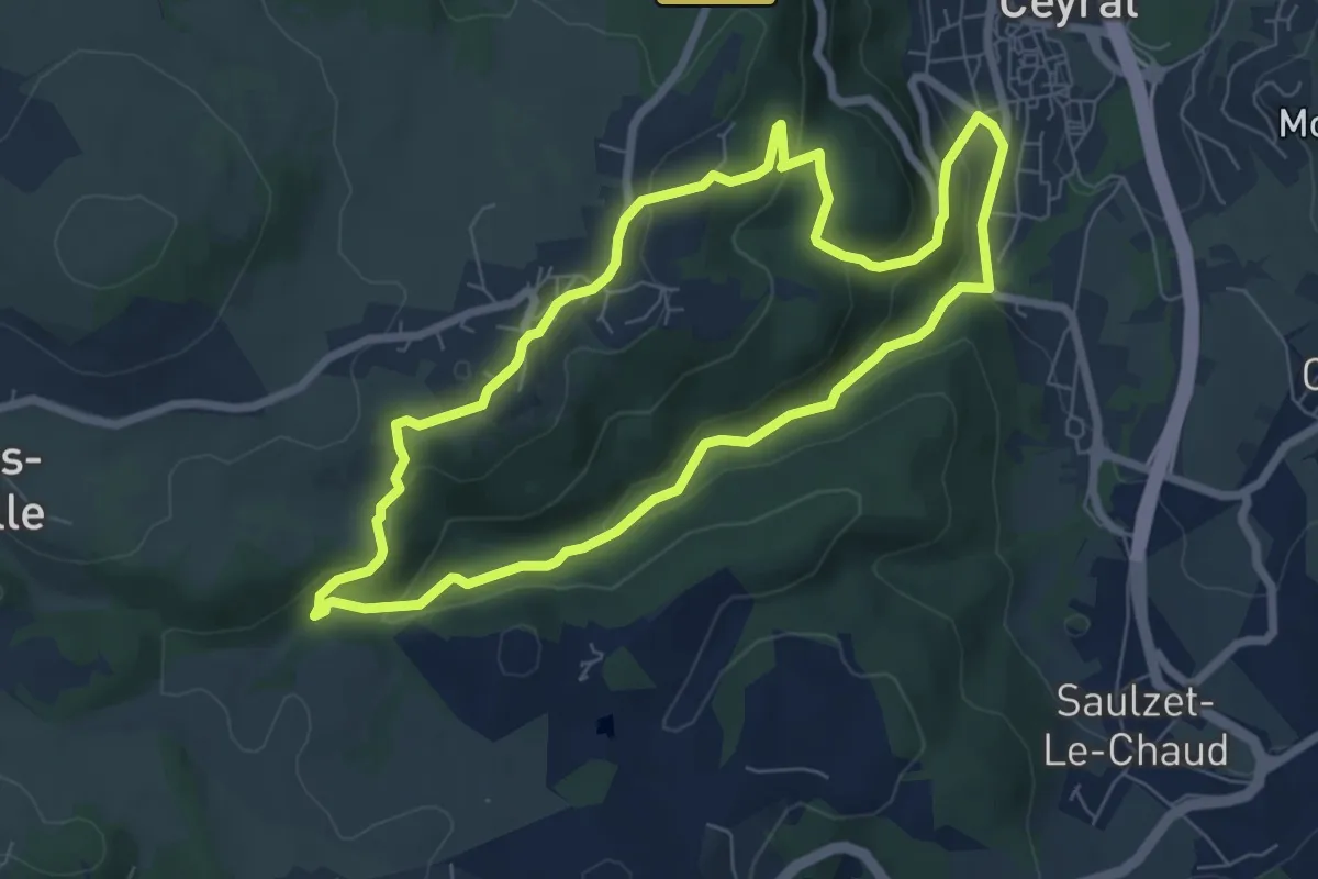
Easy · Trail
Les Gorges de l'Artiere
6.9 km · ↑ 264 m · 2 h 18 min
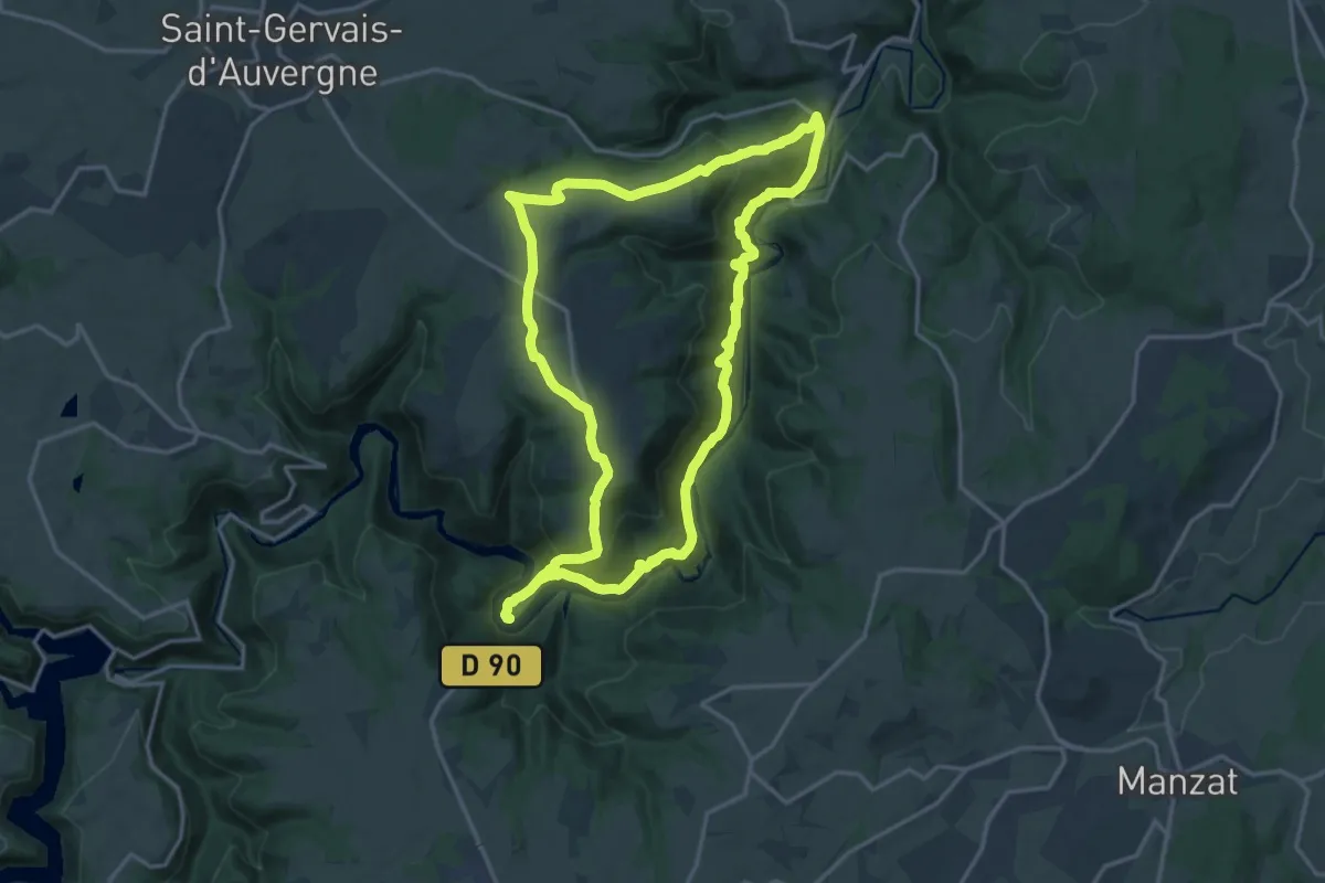
Medium · Trail
Les Gorges de la Sioule
16.7 km · ↑ 642 m · 5 h 35 min
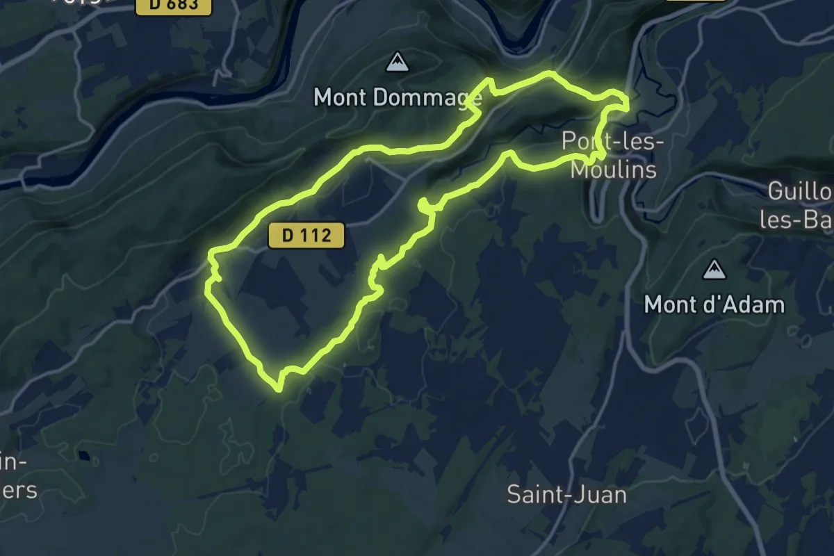
Medium · Trail
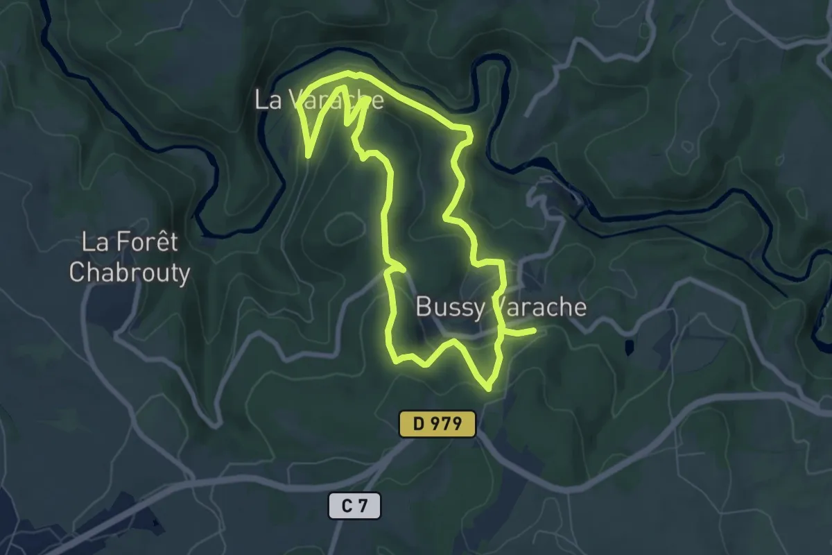
Les Gorges de l'Audeux
14.9 km · ↑ 425 m · 4 h 39 min
Easy · Trail
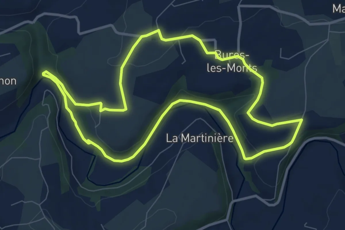
Les gorges de la Vienne
7.0 km · ↑ 306 m · 2 h 24 min
Easy · Trail
Les Gorges de la Vire
7.6 km · ↑ 143 m · 2 h 12 min
Medium · Trail
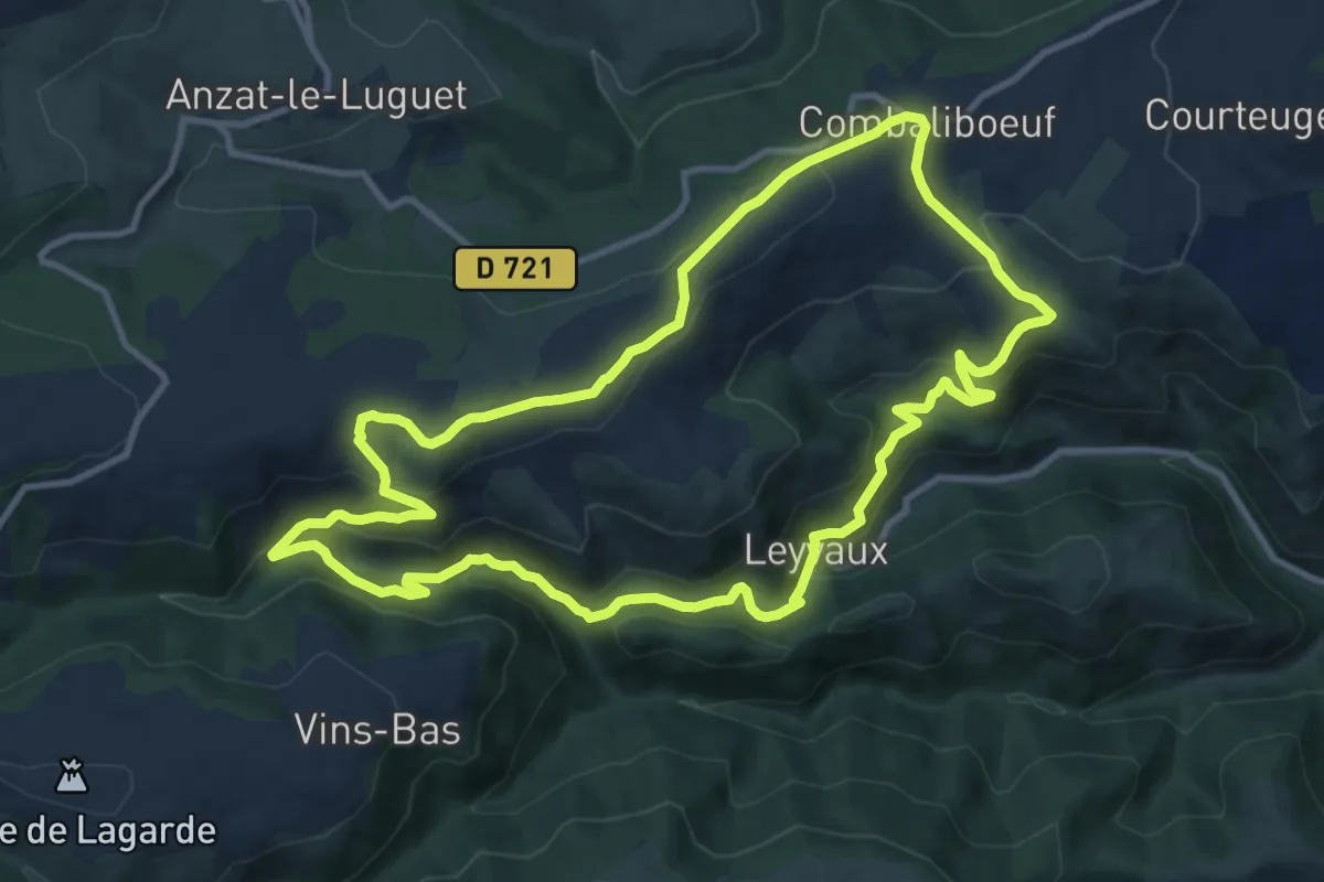
Les Gorges de Leyvaux et d'Apcher
11.5 km · ↑ 405 m · 3 h 45 min
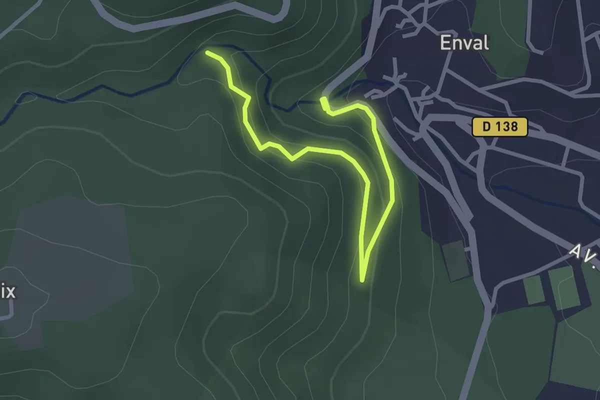
Easy · Trail
Les Gorges d'Enval
1.5 km · ↑ 50 m · 32 min
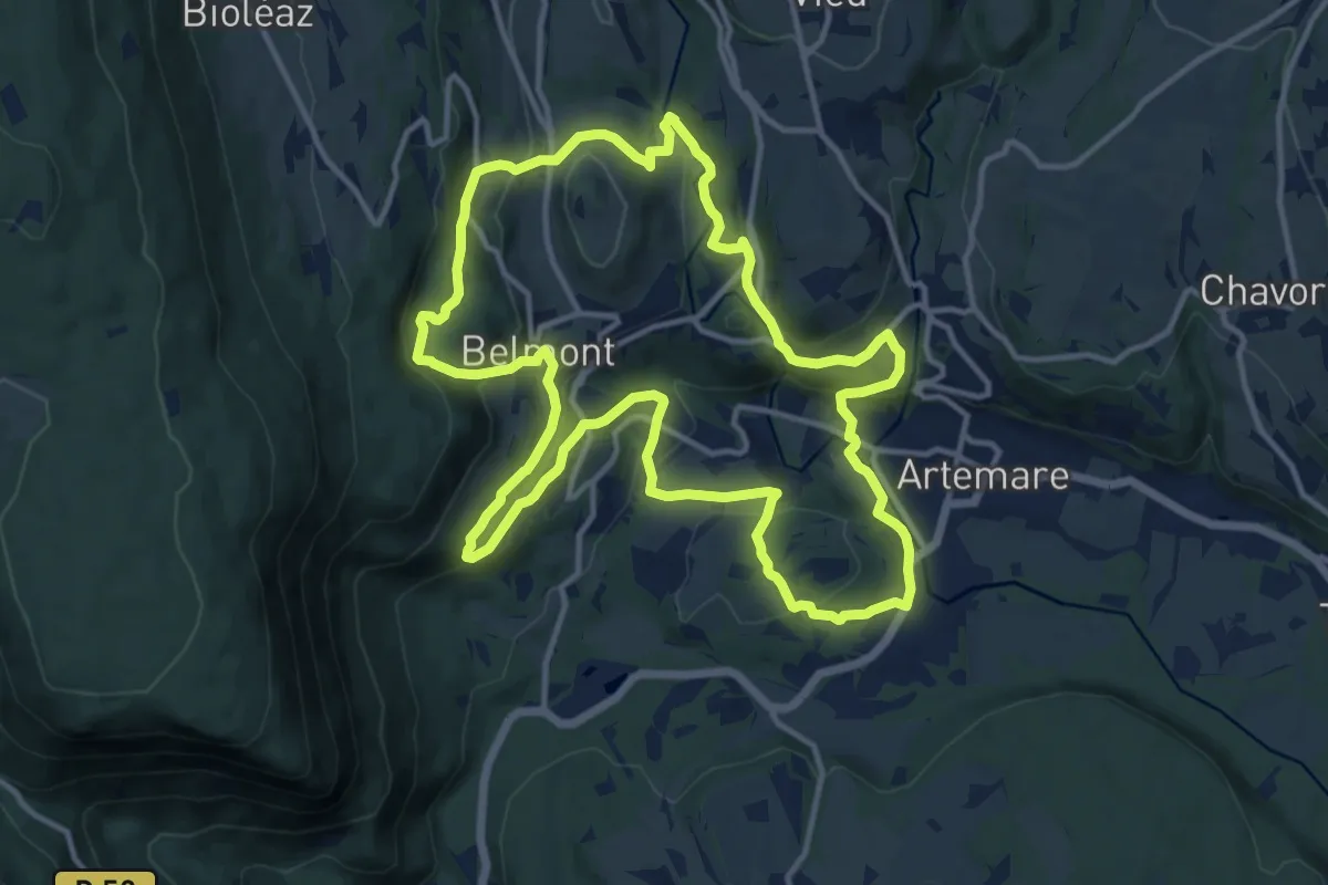
Medium · Summit
Les Gorges de Thurignin
13.8 km · ↑ 436 m · 4 h 24 min
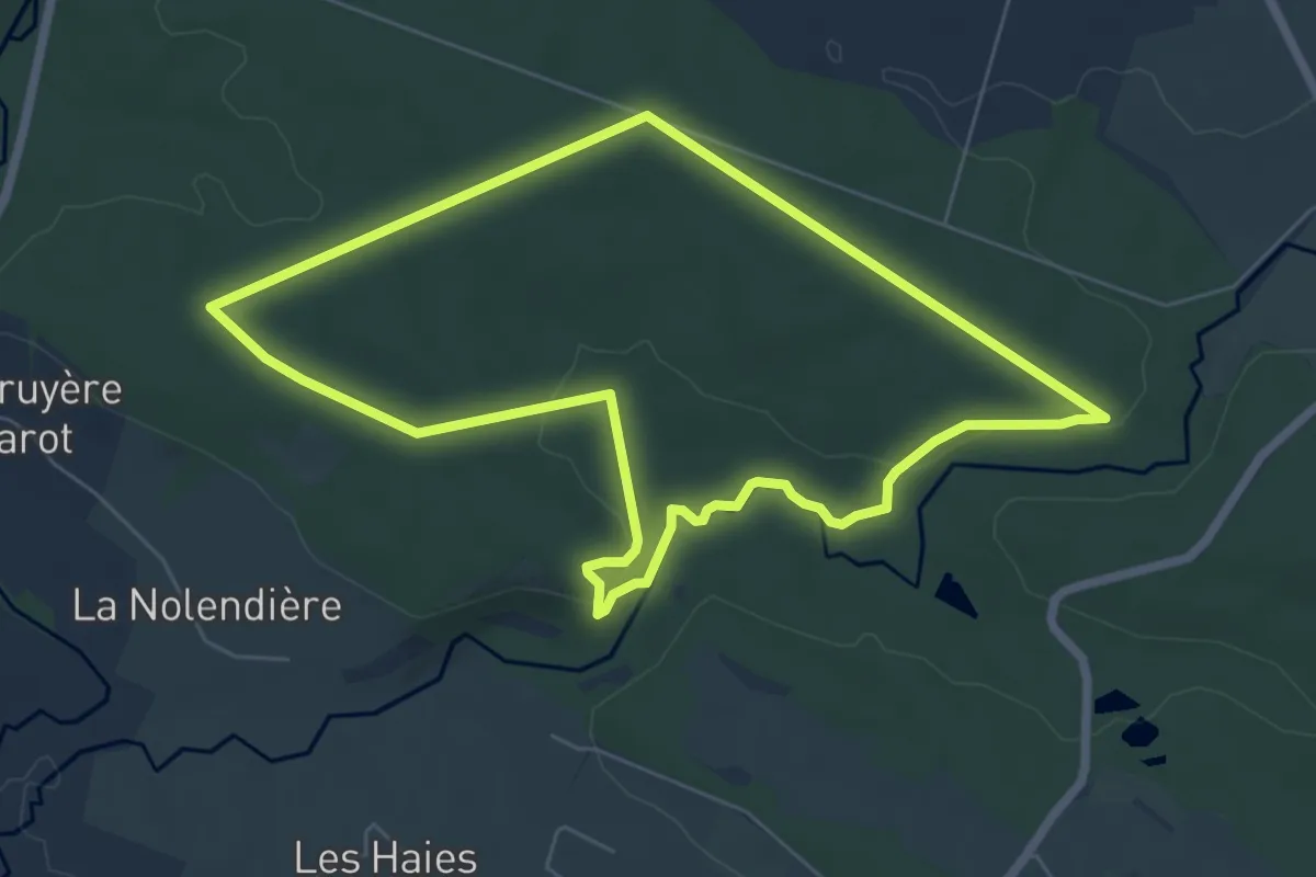
Easy · Trail
Les gorges de Villiers
6.2 km · ↑ 91 m · 1 h 44 min
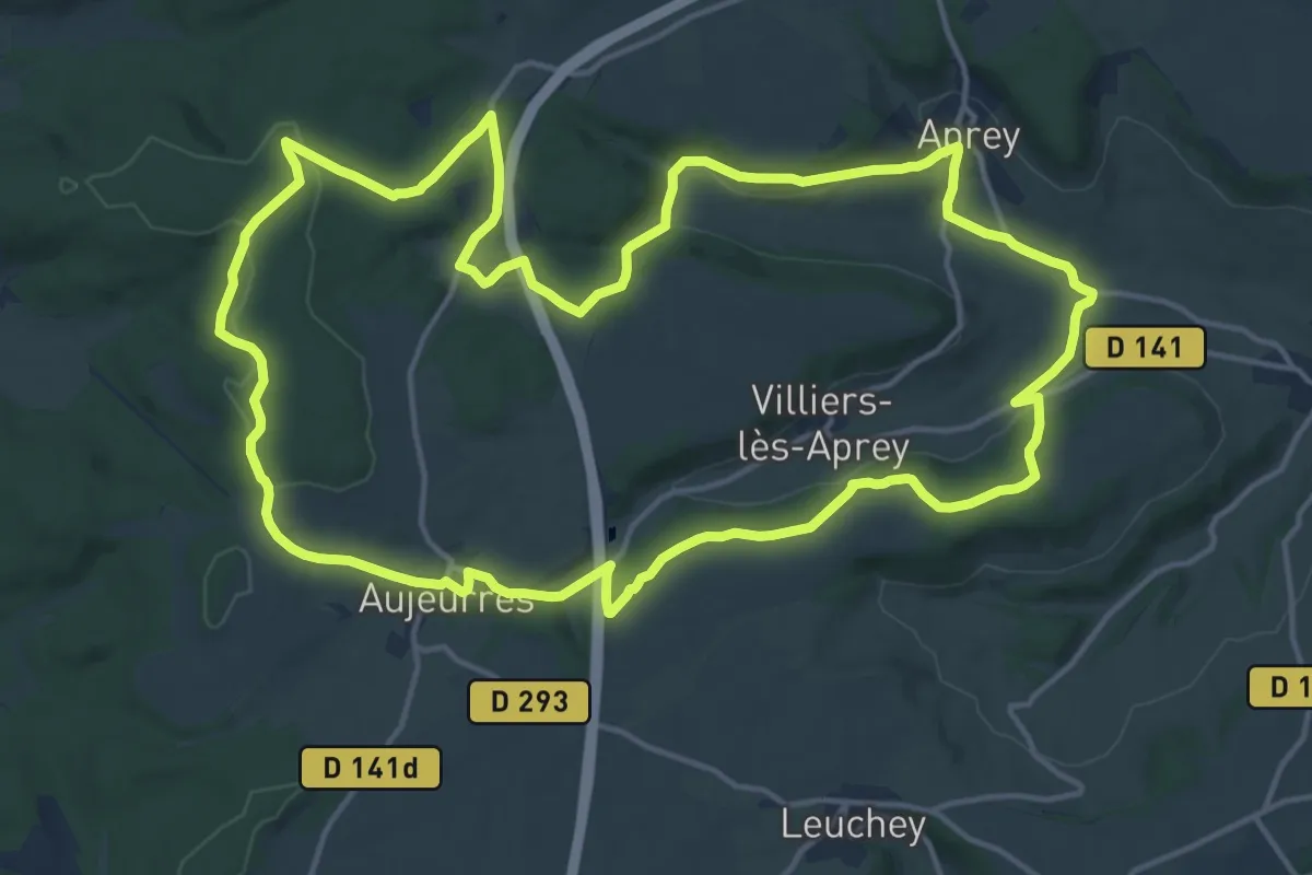
Medium · Trail
Les Gorges de Vingeanne
16.9 km · ↑ 300 m · 4 h 53 min
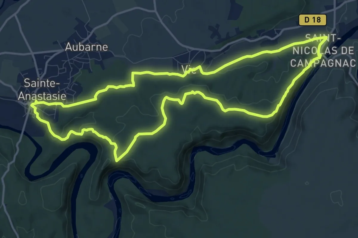
Medium · Trail
Les gorges du Gardon
12.1 km · ↑ 261 m · 3 h 35 min
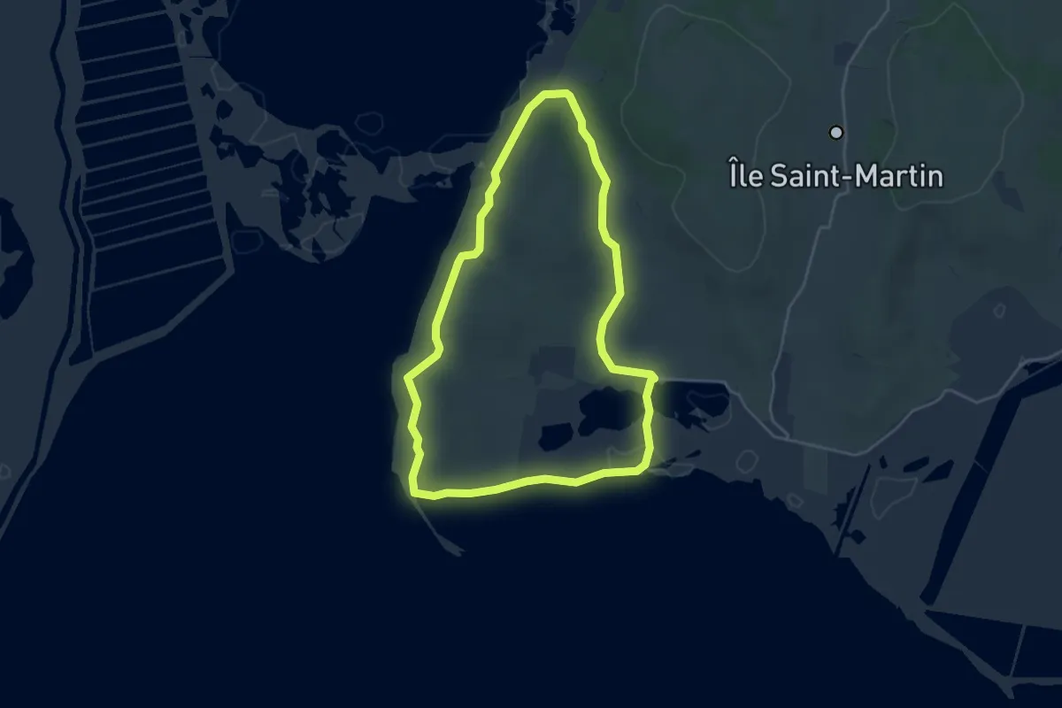
Easy · Trail
Les Goules
4.5 km · ↑ 48 m · 1 h 13 min
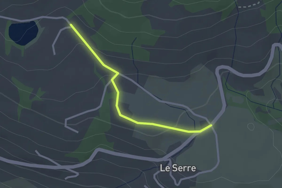
Easy · Trail
Les Gourres - Pré Riand
2.2 km · ↑ 64 m · 39 min
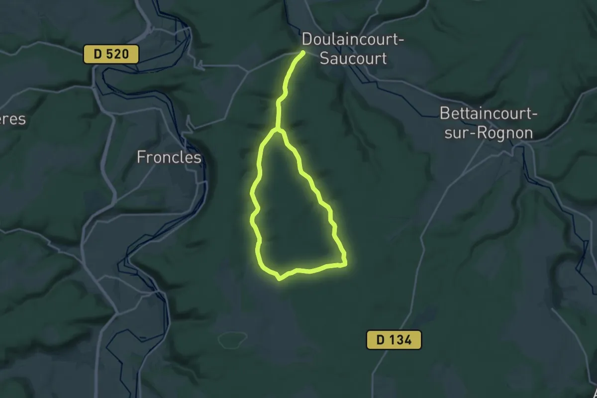
Medium · Trail
Les Grandes Combes
14.5 km · ↑ 204 m · 4 h 4 min
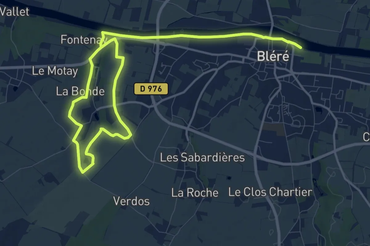
Medium · Trail
Les Grandes Fontaines
15.9 km · ↑ 92 m · 3 h 57 min
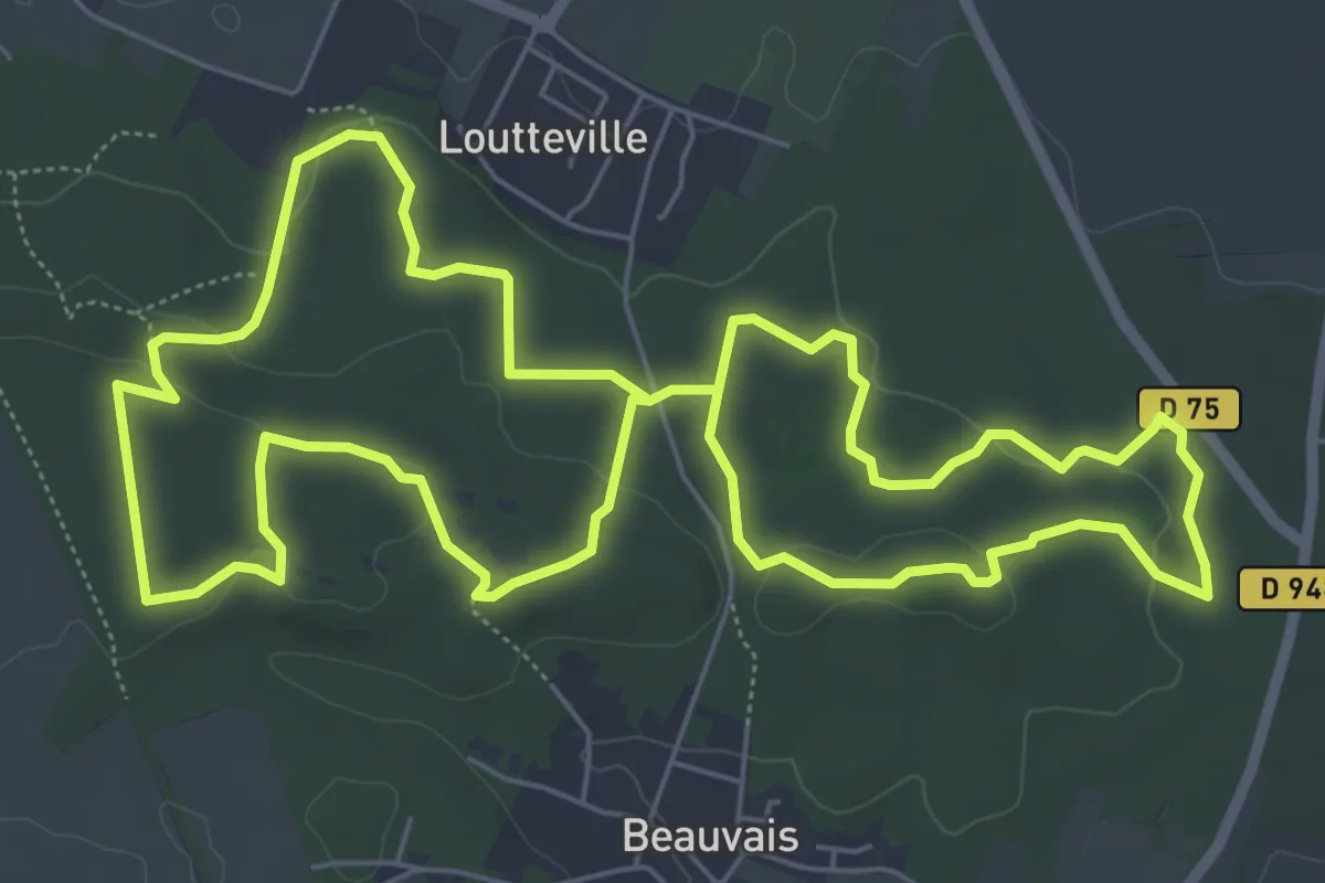
Medium · Trail
Les Grands Avaux
6.8 km · ↑ 99 m · 1 h 55 min
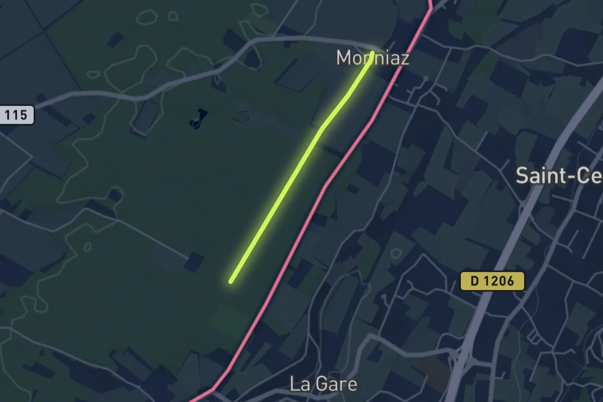
Easy · Trail
Les Grands Bois - Monniaz
3.0 km · ↑ 9 m · 43 min
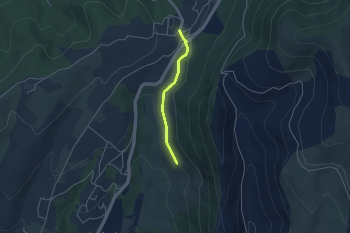
Easy · Trail
Les Grands Champs - Auriolles
2.7 km · ↑ 49 m · 45 min
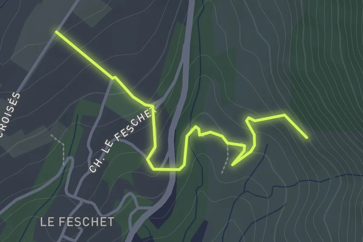
Easy · Trail
Les Grands Champs - Le Fauger
3.1 km · ↑ 149 m · 1 h 4 min
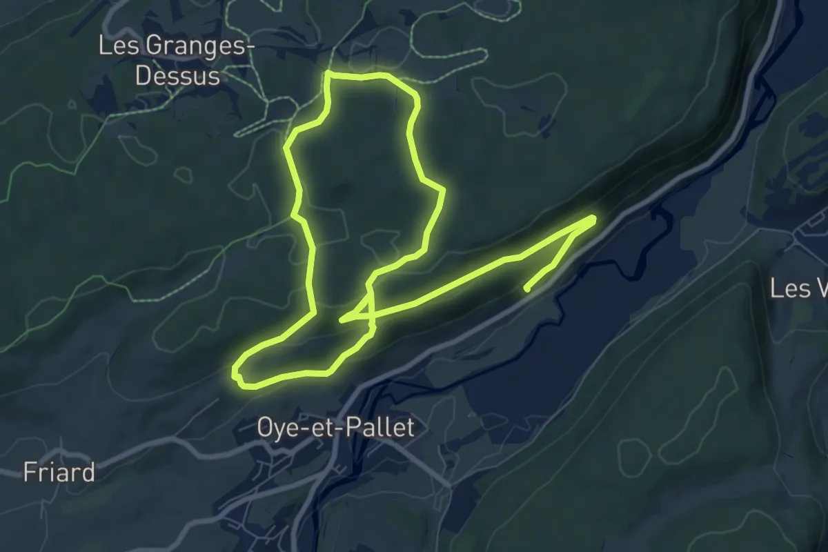
Medium · Trail
Les Grands Communaux
14.5 km · ↑ 461 m · 4 h 25 min
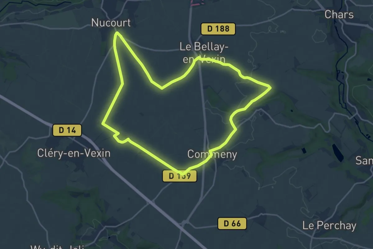
Medium · Trail
Les grands espaces
14.4 km · ↑ 43 m · 3 h 41 min
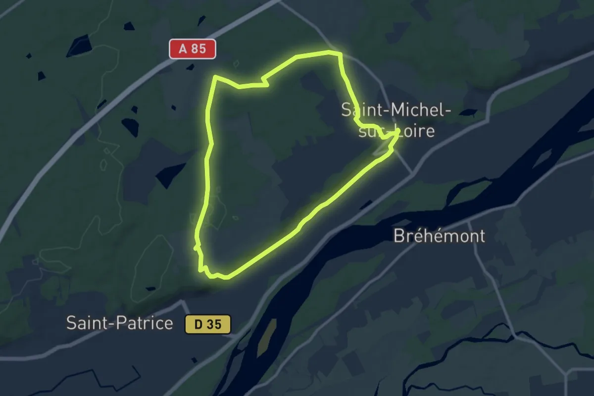
Medium · Trail
Les Grands Ormeaux - Coteaux-sur-Loire
8.6 km · ↑ 63 m · 2 h 17 min
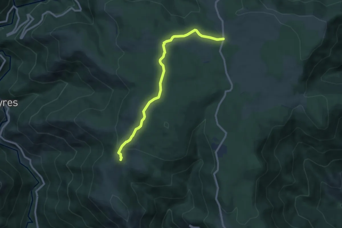
Easy · Trail
Les Granges de Sausses - L'Homond
6.9 km · ↑ 157 m · 1 h 58 min
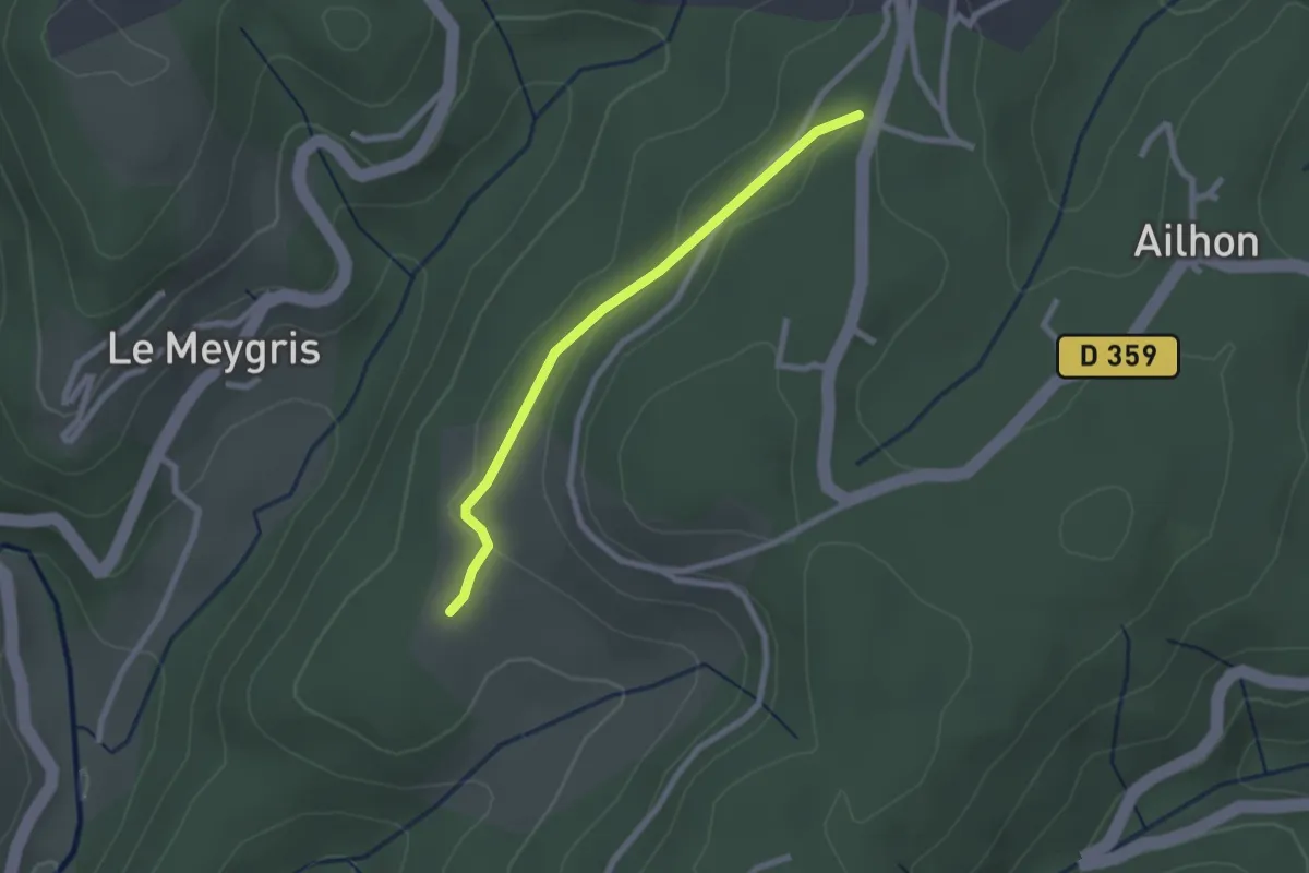
Easy · Trail
Les Granges de Védignac - Vidal Guerin
2.2 km · ↑ 43 m · 37 min
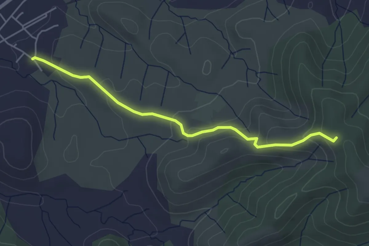
Easy · Trail
Les Granges - Serre Juillet
4.4 km · ↑ 181 m · 1 h 26 min
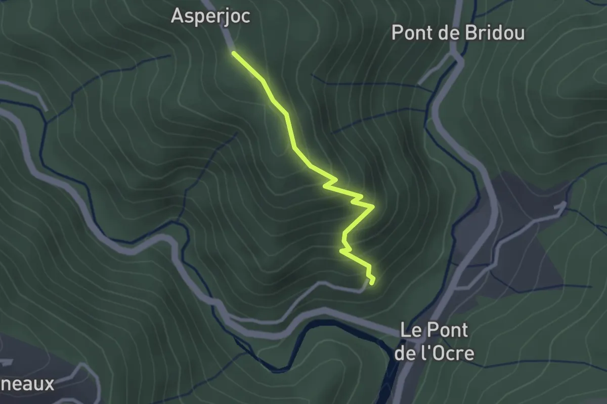
Easy · Trail
Les Granges - Thieure
2.1 km · ↑ 216 m · 58 min
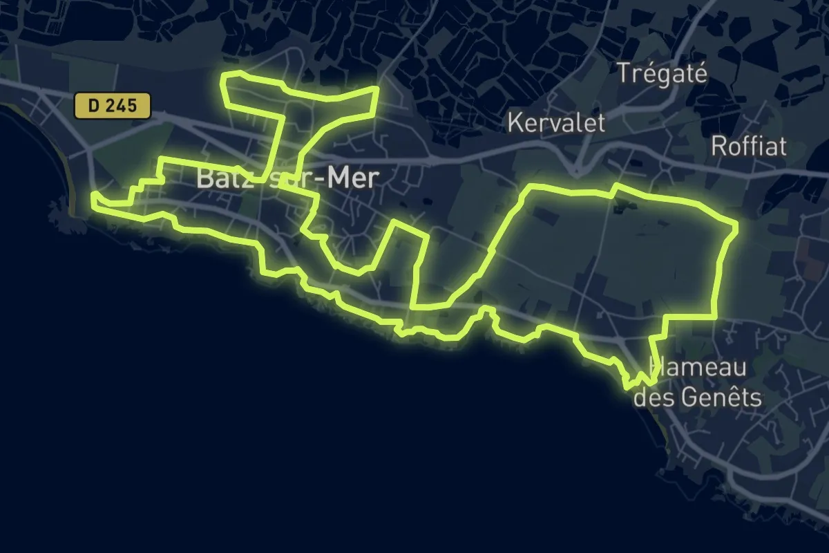
Medium · Trail
Les Granits de Batz
12.5 km · ↑ 47 m · 3 h 13 min
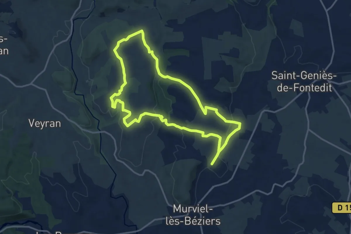
Demanding · Trail
Les Granjots
23.6 km · ↑ 353 m · 6 h 21 min
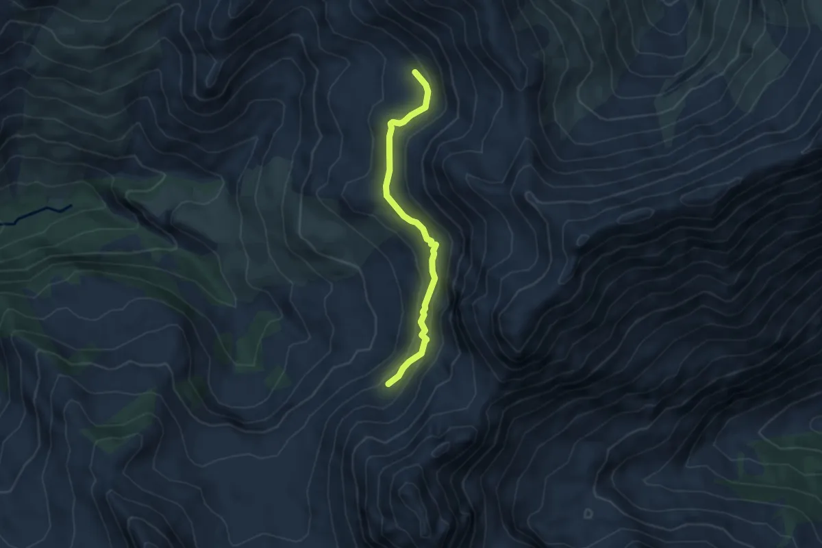
Medium · Trail
Les Gros Brochiers - Maupertus
4.5 km · ↑ 205 m · 1 h 31 min
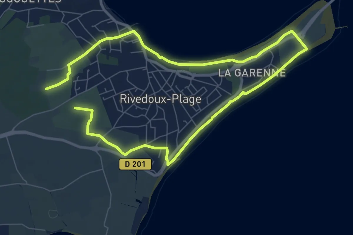
Medium · Trail
Les Gros Peux
11.9 km · ↑ 17 m · 2 h 50 min
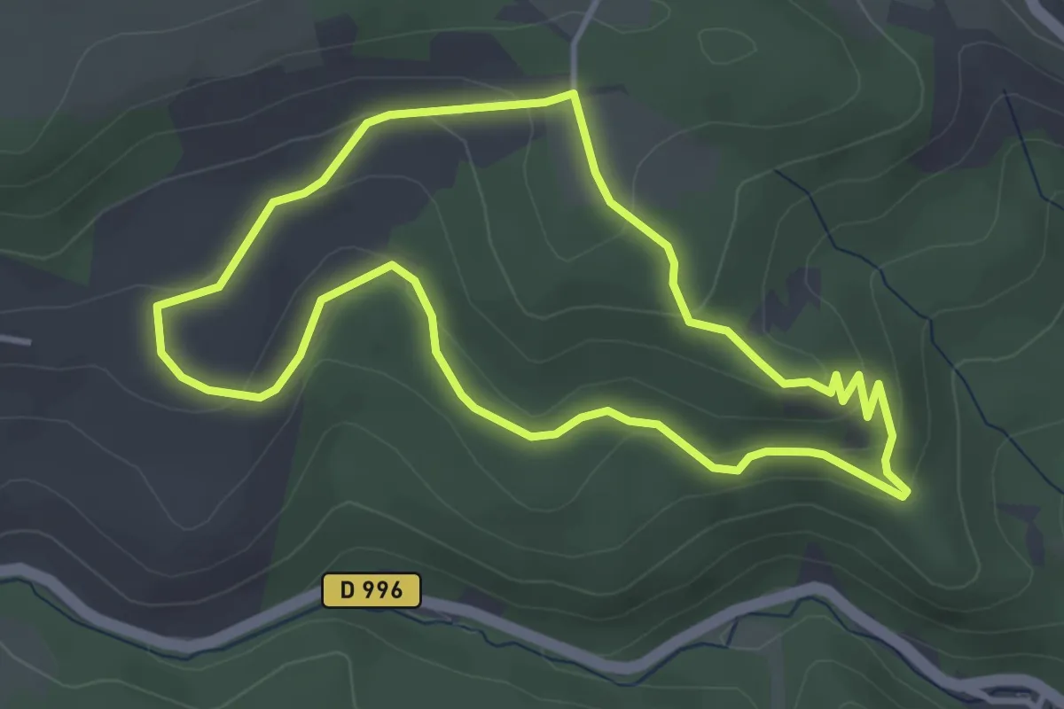
Easy · Trail
Les Grottes de Châteauneuf
3.6 km · ↑ 123 m · 1 h 10 min
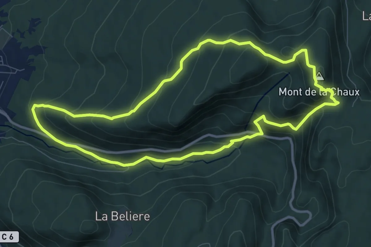
Medium · Summit
Les Grottes de Lordon
8.4 km · ↑ 479 m · 3 h 8 min
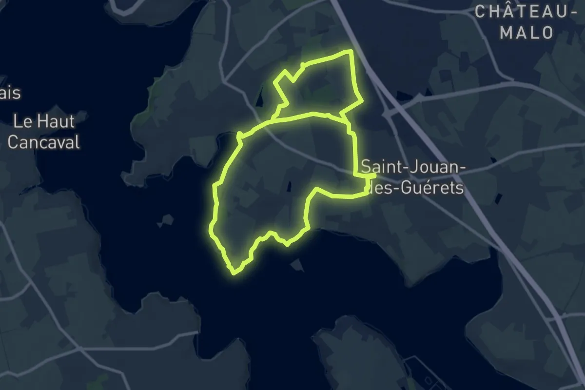
Medium · Trail
Les Guérets
16.5 km · ↑ 199 m · 4 h 19 min
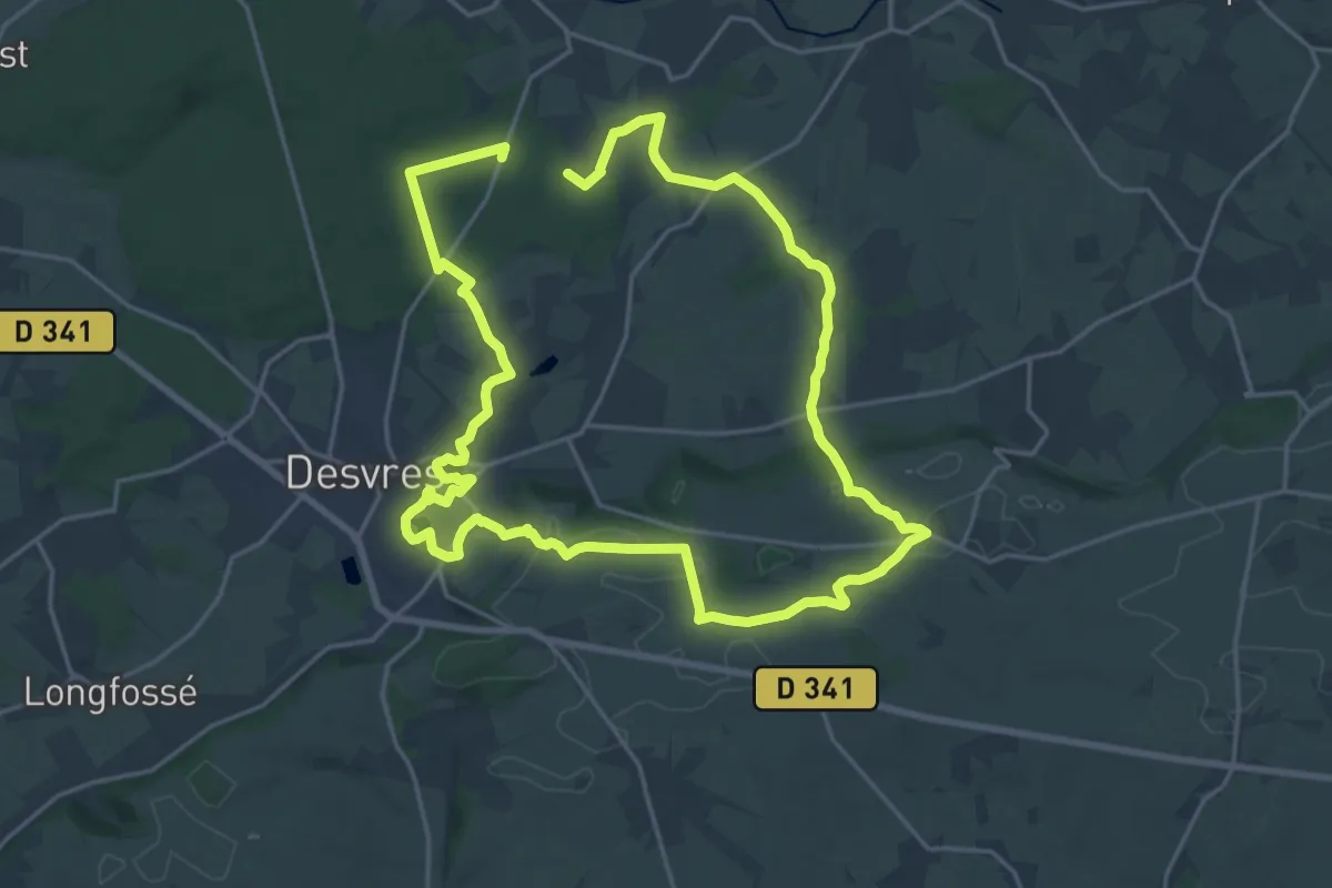
Medium · Summit
Les Haillures
17.3 km · ↑ 234 m · 4 h 50 min
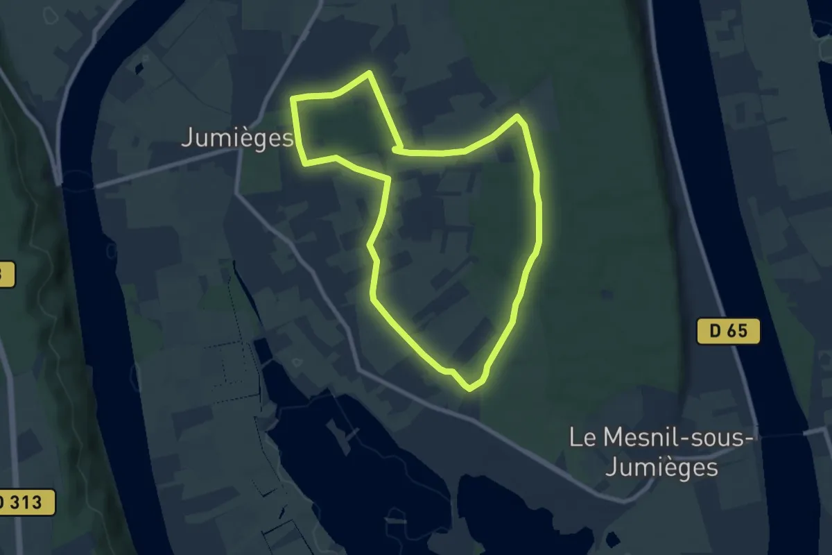
Easy · Trail
Les Hameaux
6.9 km · ↑ 46 m · 1 h 50 min
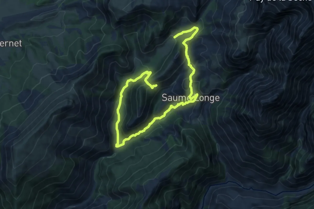
Medium · Trail
Les hameaux abandonnés
9.4 km · ↑ 465 m · 3 h 23 min
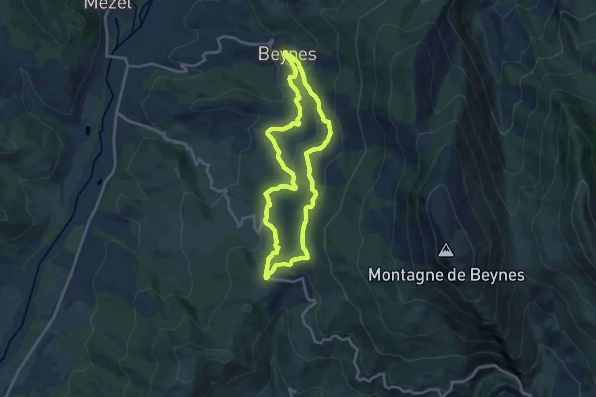
Easy · Trail
Les Hameaux de Beynes et de Palus
7.7 km · ↑ 275 m · 2 h 31 min
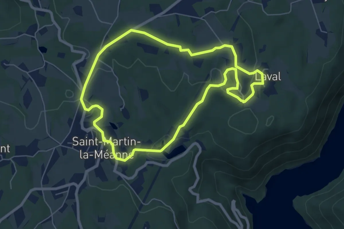
Easy · Trail
Les Hameaux de Gramont
5.5 km · ↑ 107 m · 1 h 37 min