Trails in France
15,926 hiking trails, each with its route, climb, walking time and grade.
All trails, page 188 of 332
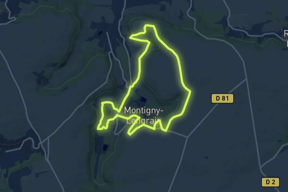
Medium · Trail
Les Hameaux de Montigny
9.4 km · ↑ 155 m · 2 h 41 min
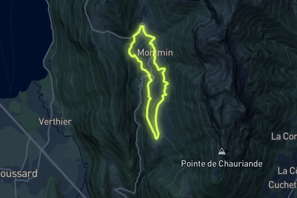
Medium · Trail
Les Hameaux de Montmin
7.1 km · ↑ 332 m · 2 h 30 min
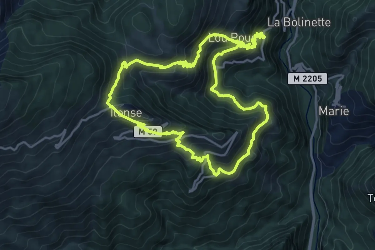
Medium · Trail
Les hameaux d'Ilonse
10.1 km · ↑ 774 m · 4 h 17 min
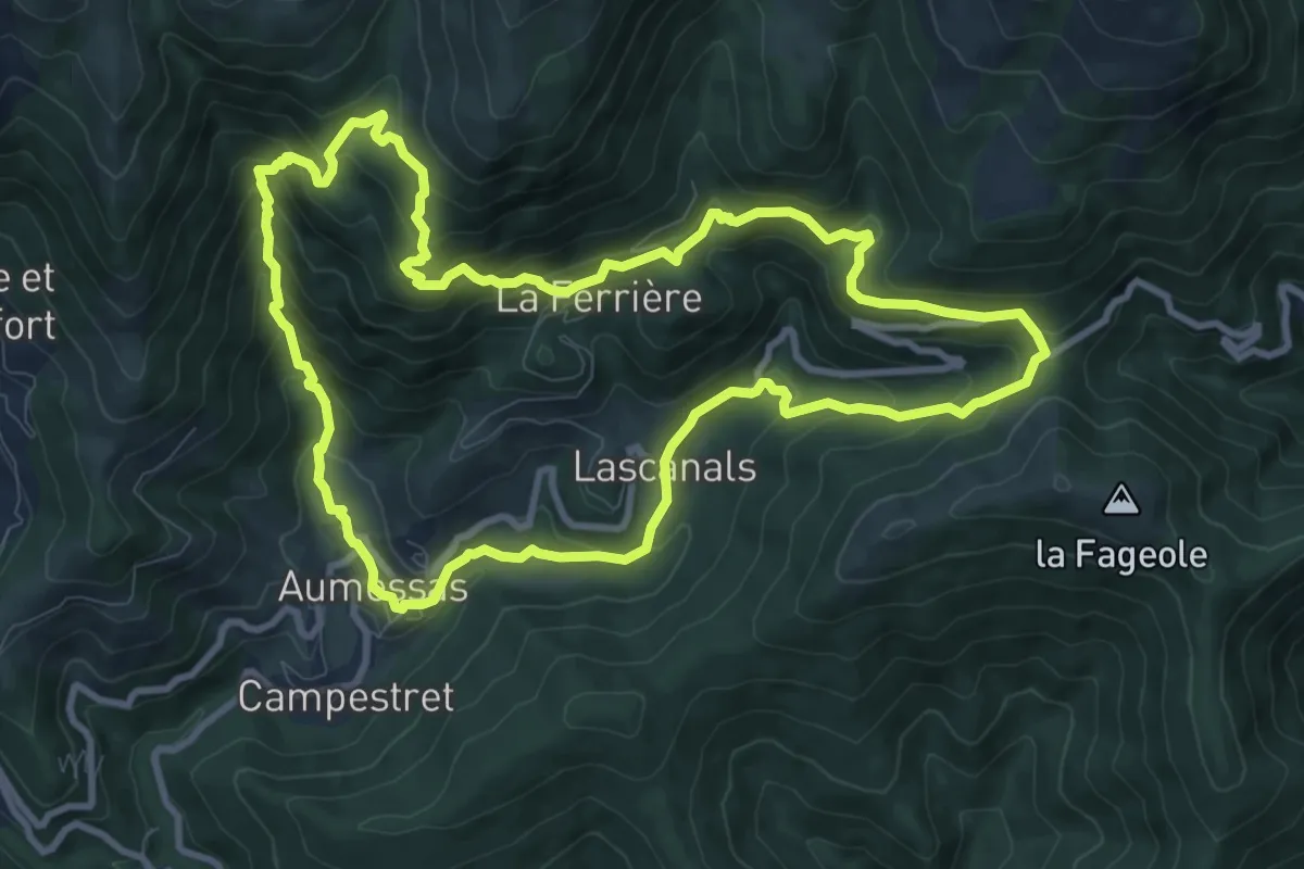
Medium · Trail
Les hameaux, Le col de Mouzoules et Le Bavezon
10.4 km · ↑ 669 m · 4 h 2 min
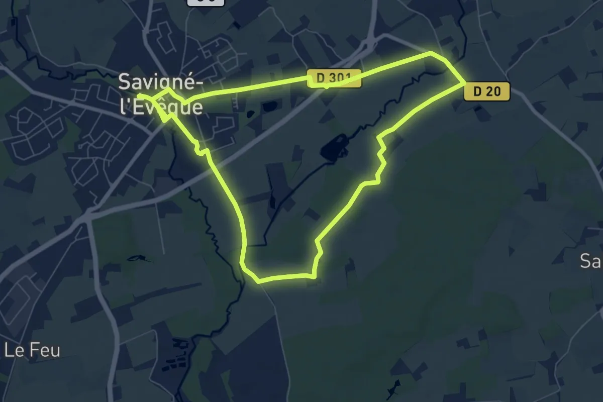
Easy · Trail
Les haras
7.1 km · ↑ 4 m · 1 h 48 min
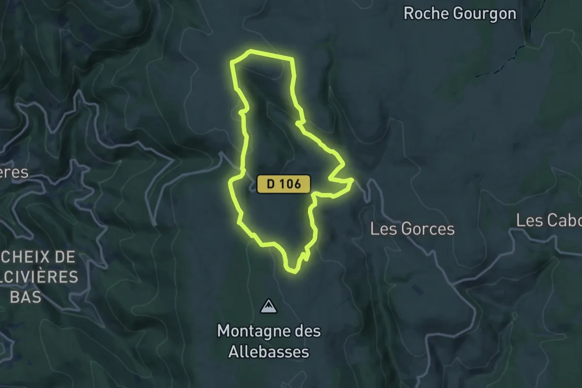
Medium · Trail
Les Hautes Chaumes
10.0 km · ↑ 242 m · 3 h 2 min
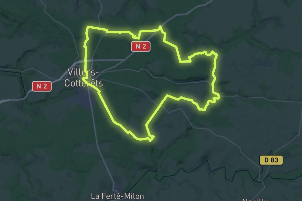
Demanding · Trail
Les hautes futaies de Retz
37.7 km · ↑ 647 m · 10 h 50 min
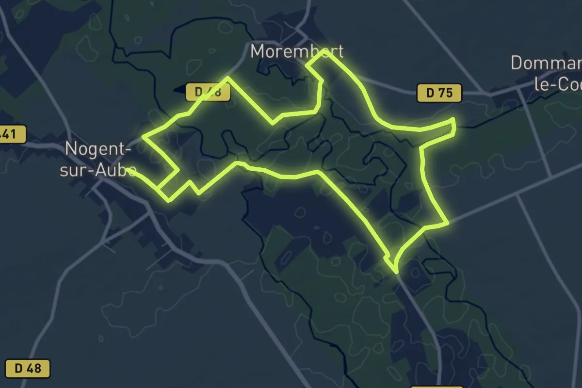
Medium · Trail
Les Hautes Rives
8.9 km · ↑ 9 m · 2 h 15 min
Demanding · Trail
Les hauteurs de l'Orge
13.3 km · ↑ 243 m · 3 h 51 min
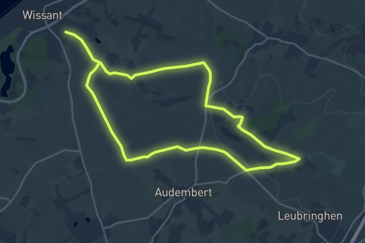
Medium · Summit
Les Hauteurs de Wissant
10.1 km · ↑ 141 m · 2 h 50 min
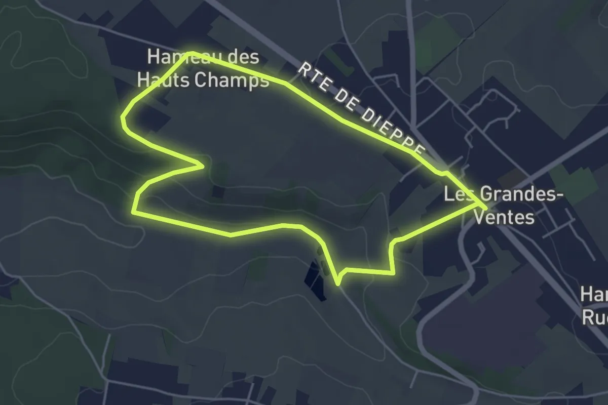
Easy · Trail
Les Hauts Champs
4.1 km · ↑ 74 m · 1 h 12 min
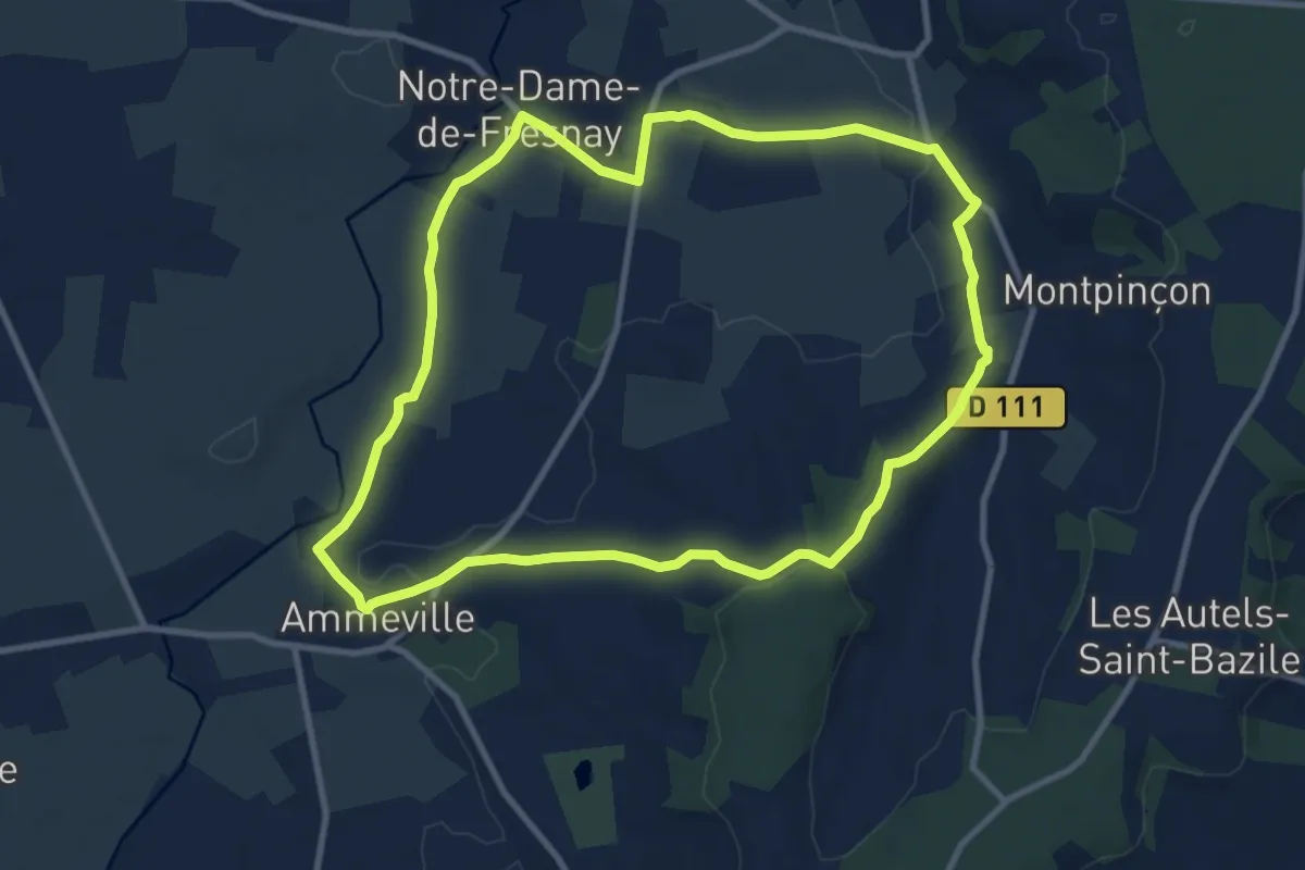
Medium · Trail
Les Hauts d'Ammeville
9.5 km · ↑ 133 m · 2 h 40 min
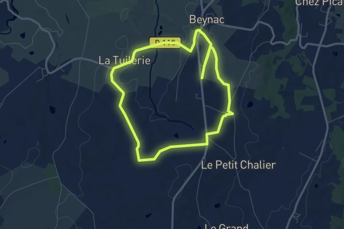
Easy · Trail
Les Hauts de Beynac
7.1 km · ↑ 103 m · 2 h
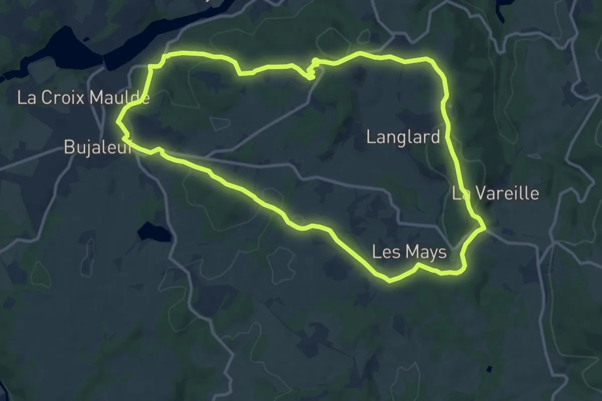
Medium · Trail
Les Hauts de Bujaleuf
11.9 km · ↑ 302 m · 3 h 37 min
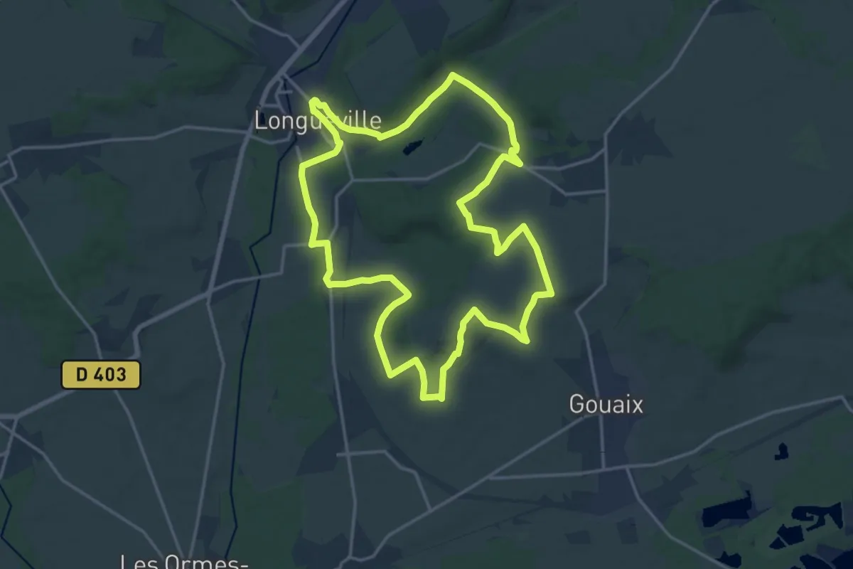
Medium · Trail
Les hauts de Chalmaison
15.9 km · ↑ 200 m · 4 h 24 min
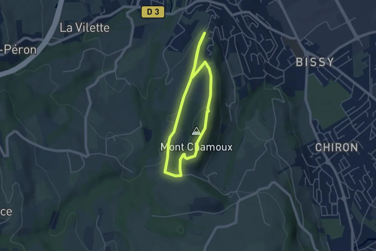
Easy · Summit
Les Hauts de Chamoux
3.7 km · ↑ 100 m · 1 h 8 min
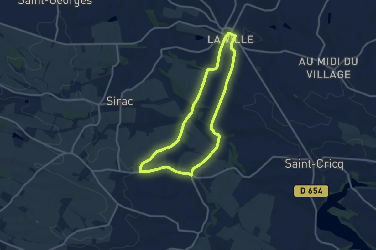
Easy · Trail
Les hauts de Cologne
7.6 km · ↑ 147 m · 2 h 14 min
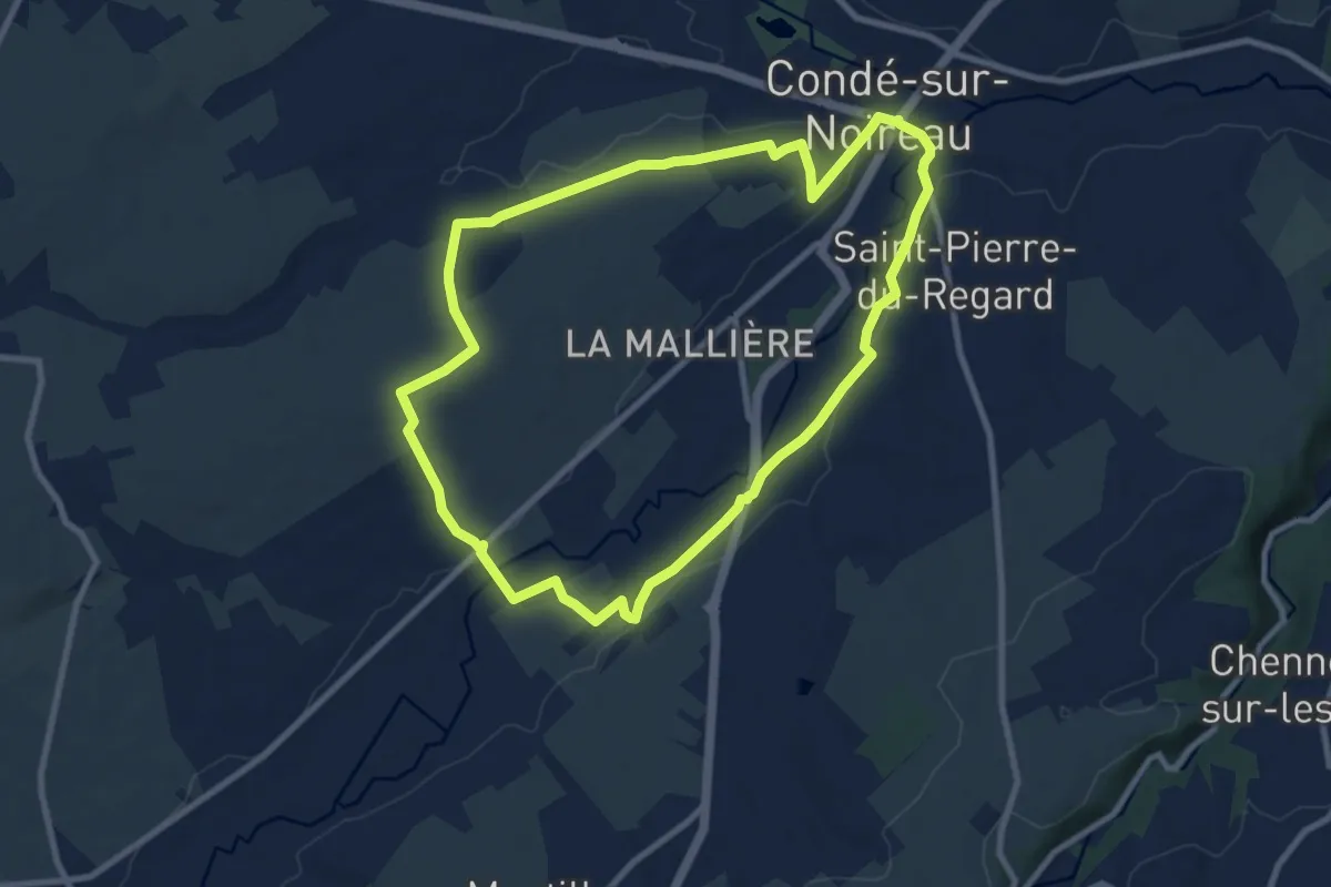
Medium · Trail
Les Hauts de Condé
8.6 km · ↑ 115 m · 2 h 24 min
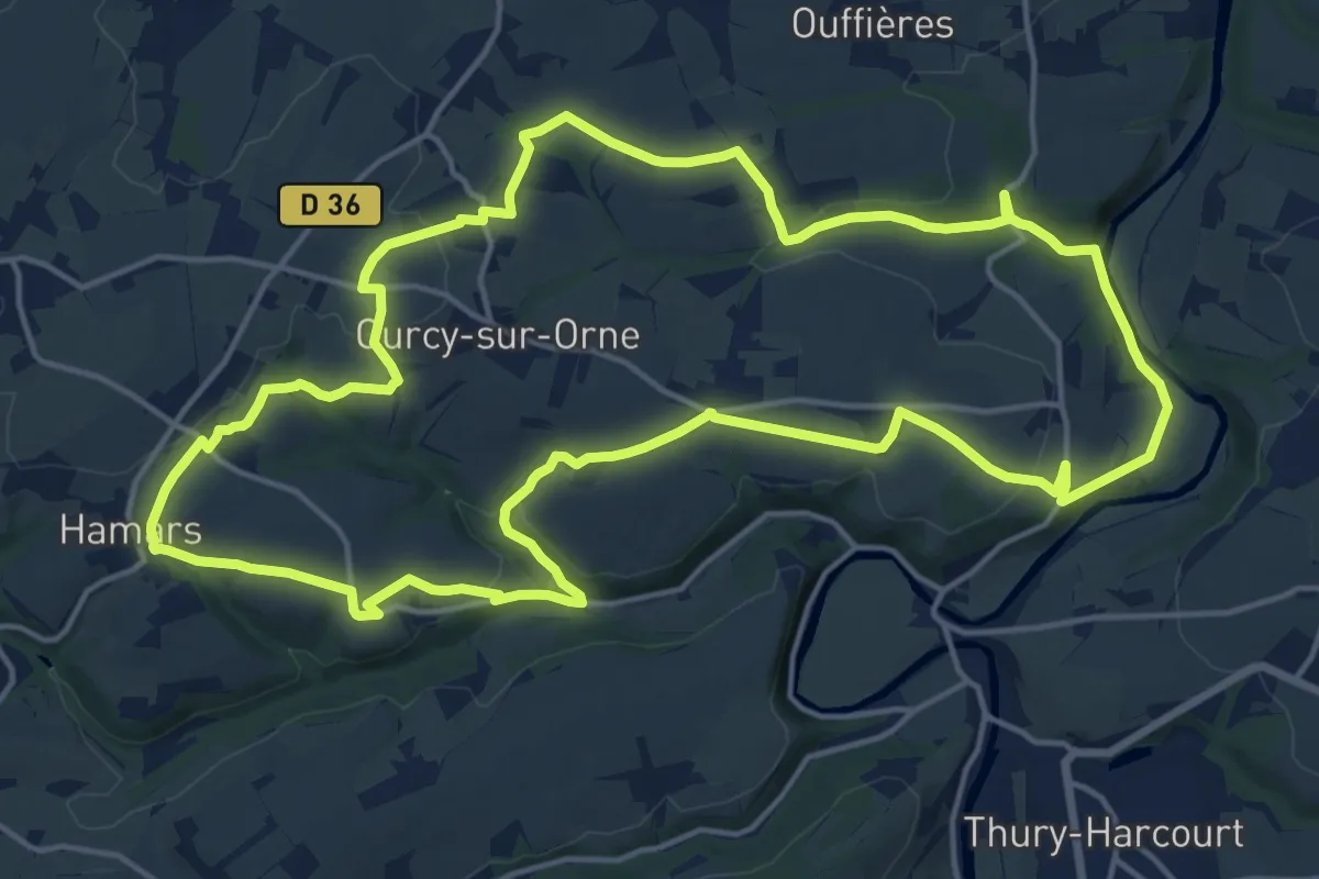
Medium · Trail
Les Hauts de Curcy
17.0 km · ↑ 338 m · 4 h 59 min
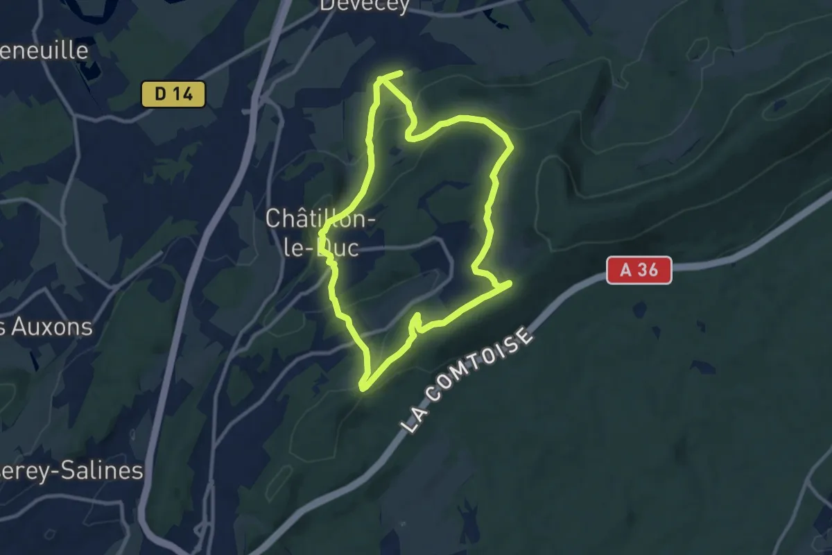
Medium · Trail
Les Hauts de Divicius
9.9 km · ↑ 312 m · 3 h 10 min
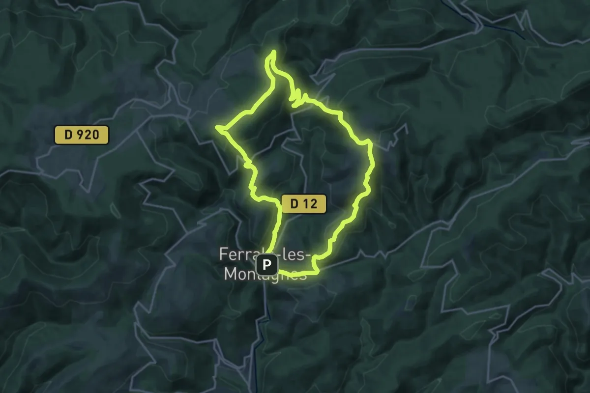
Medium · Trail
Les Hauts de Ferrals
15.3 km · ↑ 581 m · 5 h 5 min
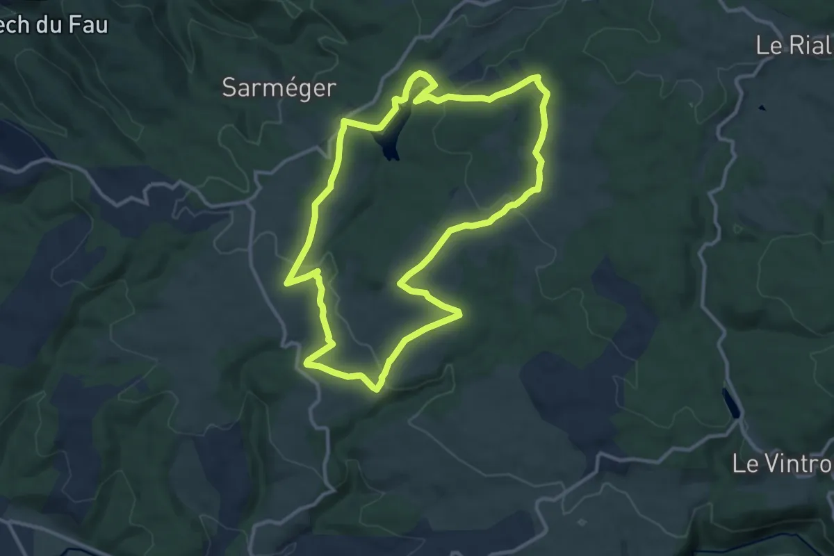
Medium · Trail
Les hauts de la Môle
11.1 km · ↑ 210 m · 3 h 14 min
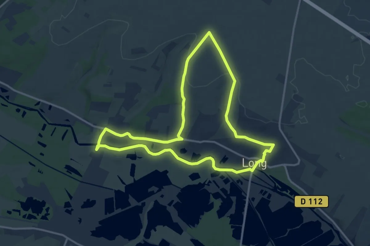
Medium · Trail
Les Hauts de Long
9.1 km · ↑ 105 m · 2 h 30 min
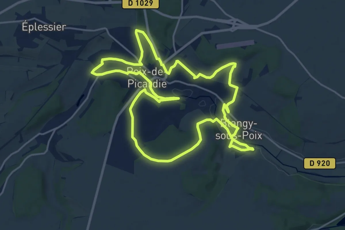
Medium · Trail
Les Hauts de Poix
13.3 km · ↑ 216 m · 3 h 48 min
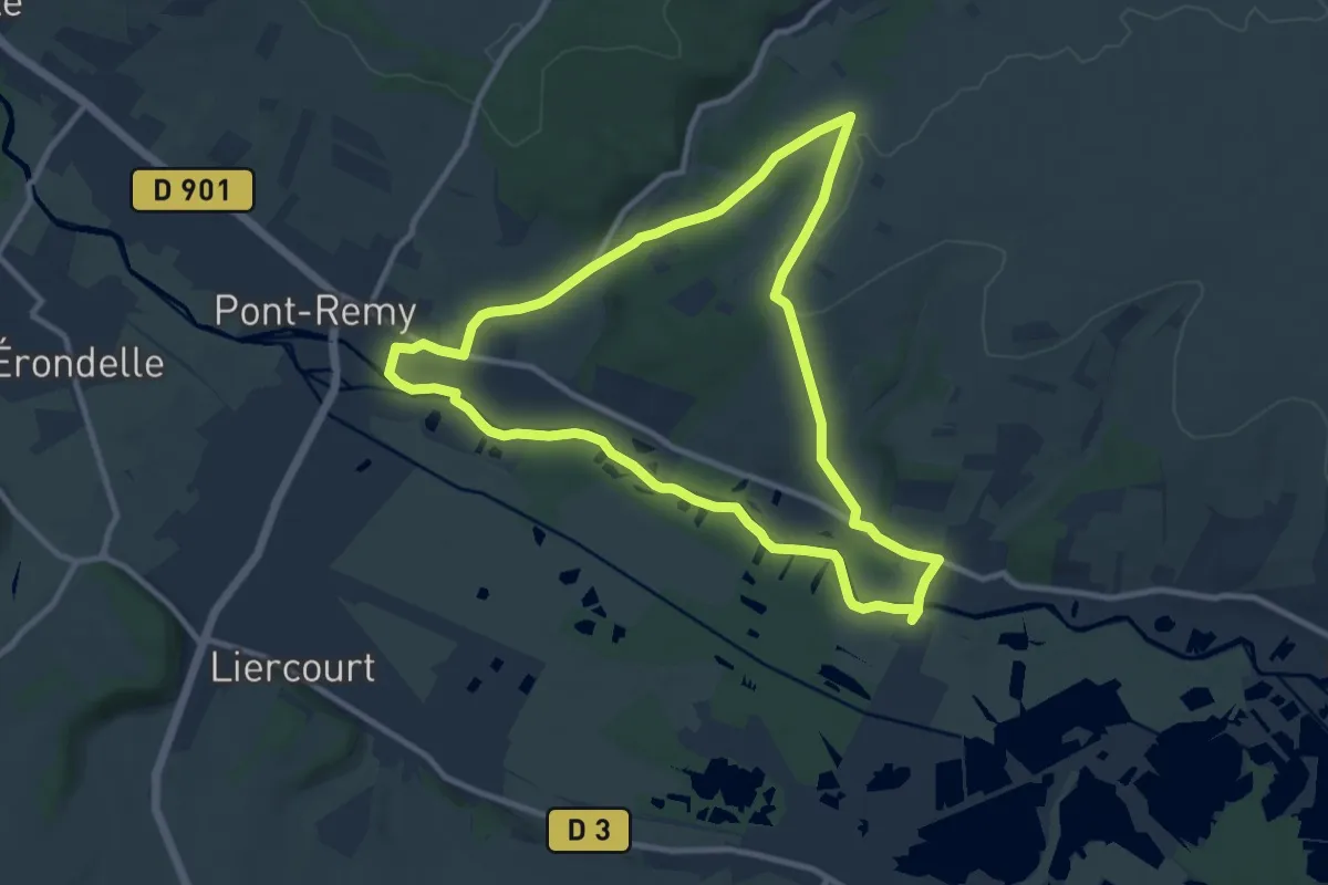
Medium · Trail
Les Hauts de Pont-Rémy
9.6 km · ↑ 99 m · 2 h 36 min
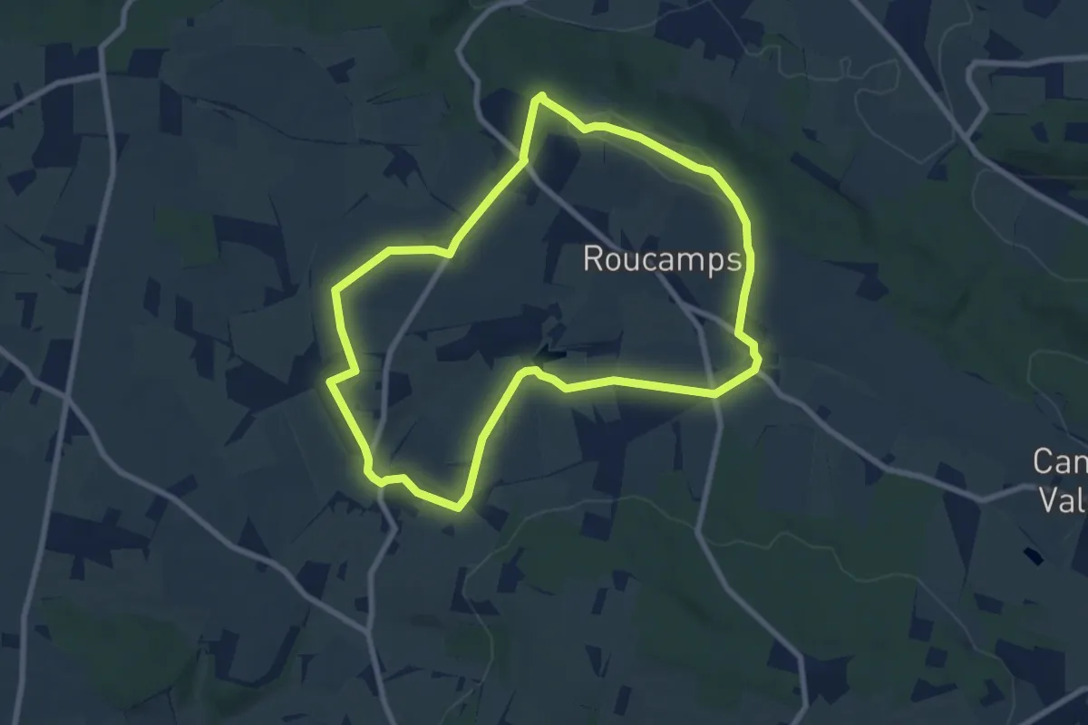
Easy · Trail
Les Hauts de Roucamps
7.3 km · ↑ 92 m · 2 h 2 min
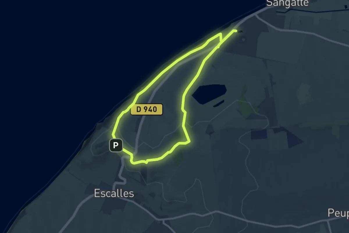
Easy · Summit
Les Hauts de Sangatte
6.7 km · ↑ 155 m · 2 h 1 min
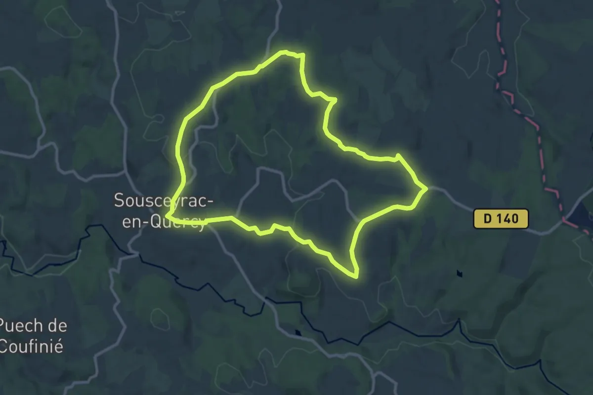
Medium · Summit
Les Hauts de Sousceyrac
9.6 km · ↑ 167 m · 2 h 45 min
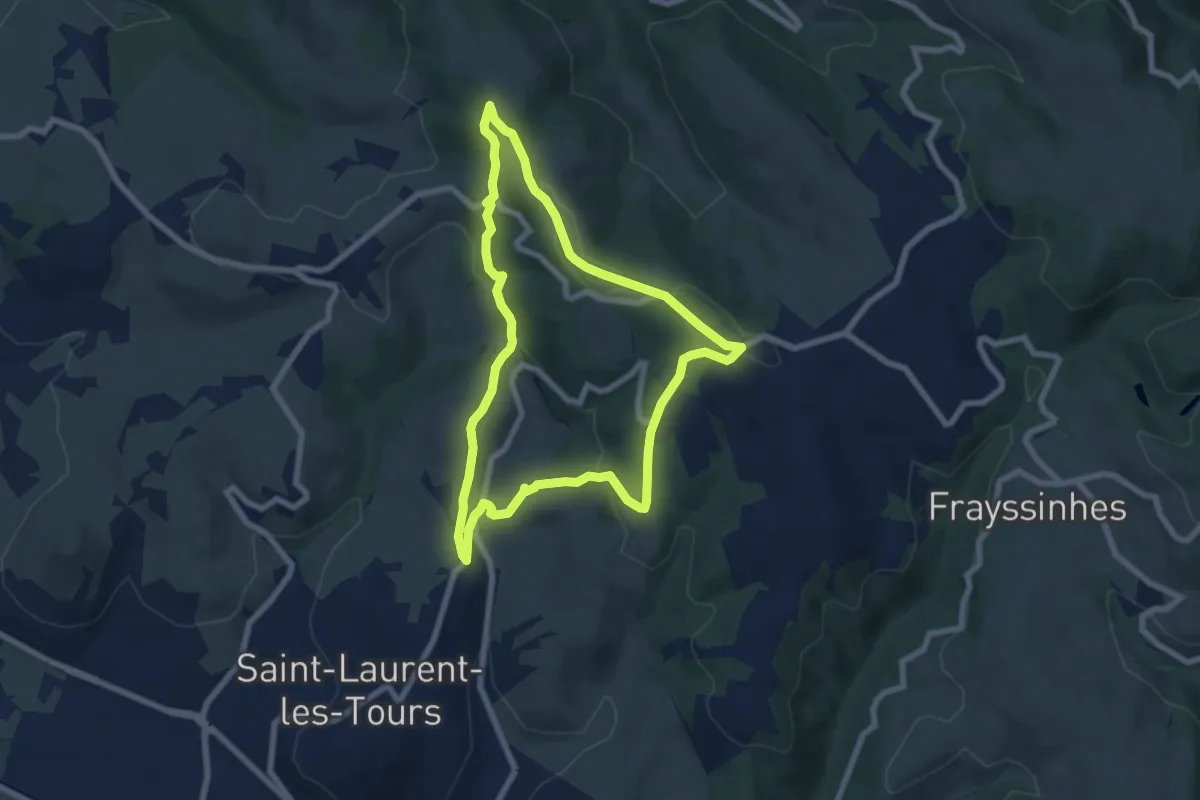
Easy · Trail
Les Hauts de St Laurent
7.0 km · ↑ 203 m · 2 h 11 min
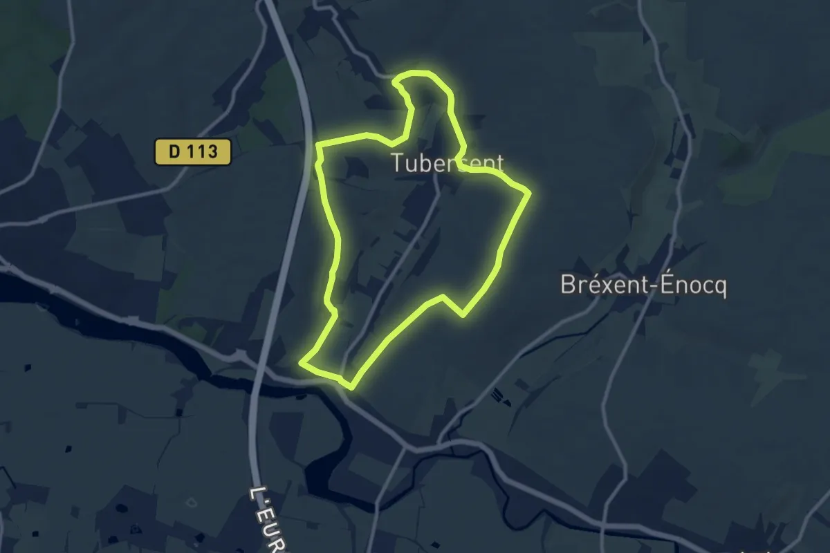
Medium · Summit
Les Hauts de Tubersent
8.6 km · ↑ 97 m · 2 h 21 min
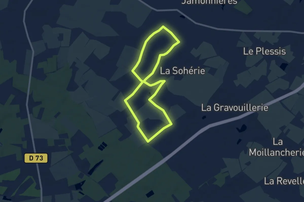
Easy · Trail
Les Hauts du Lac
6.2 km · ↑ 26 m · 1 h 37 min
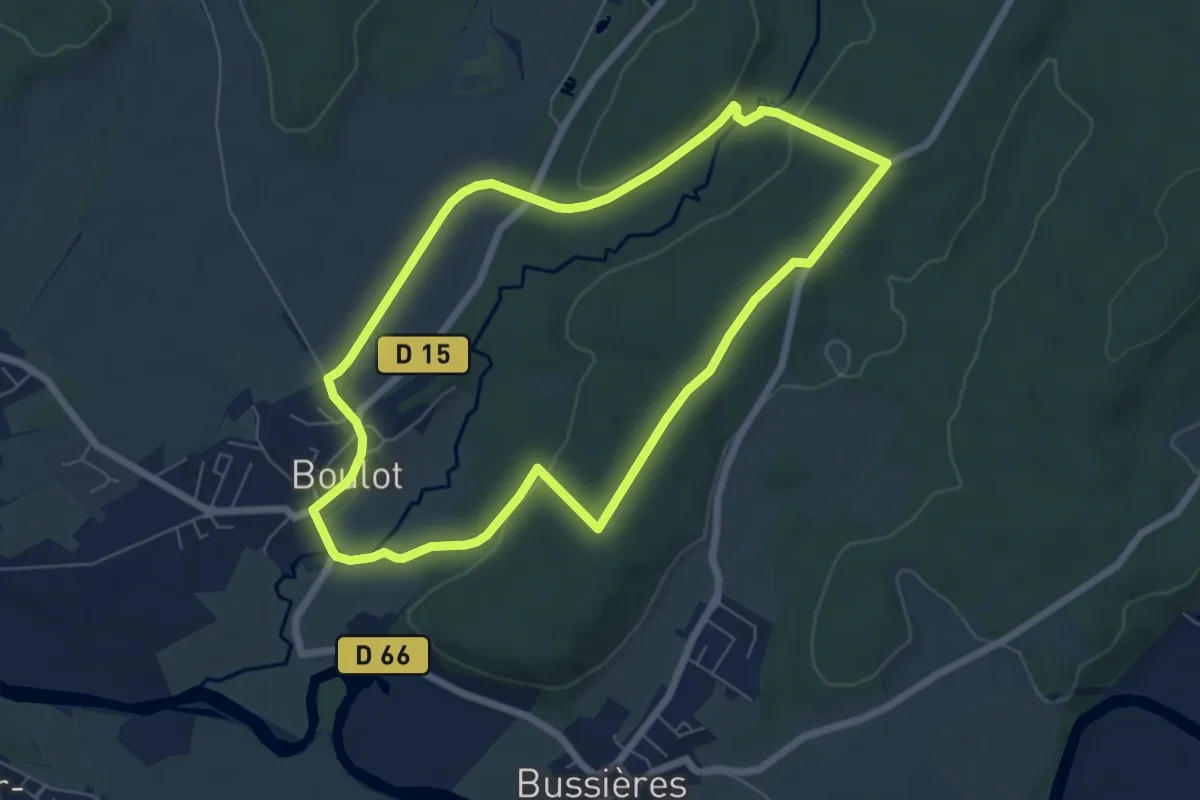
Easy · Trail
Les Hauts du Mont
6.4 km · ↑ 89 m · 1 h 47 min
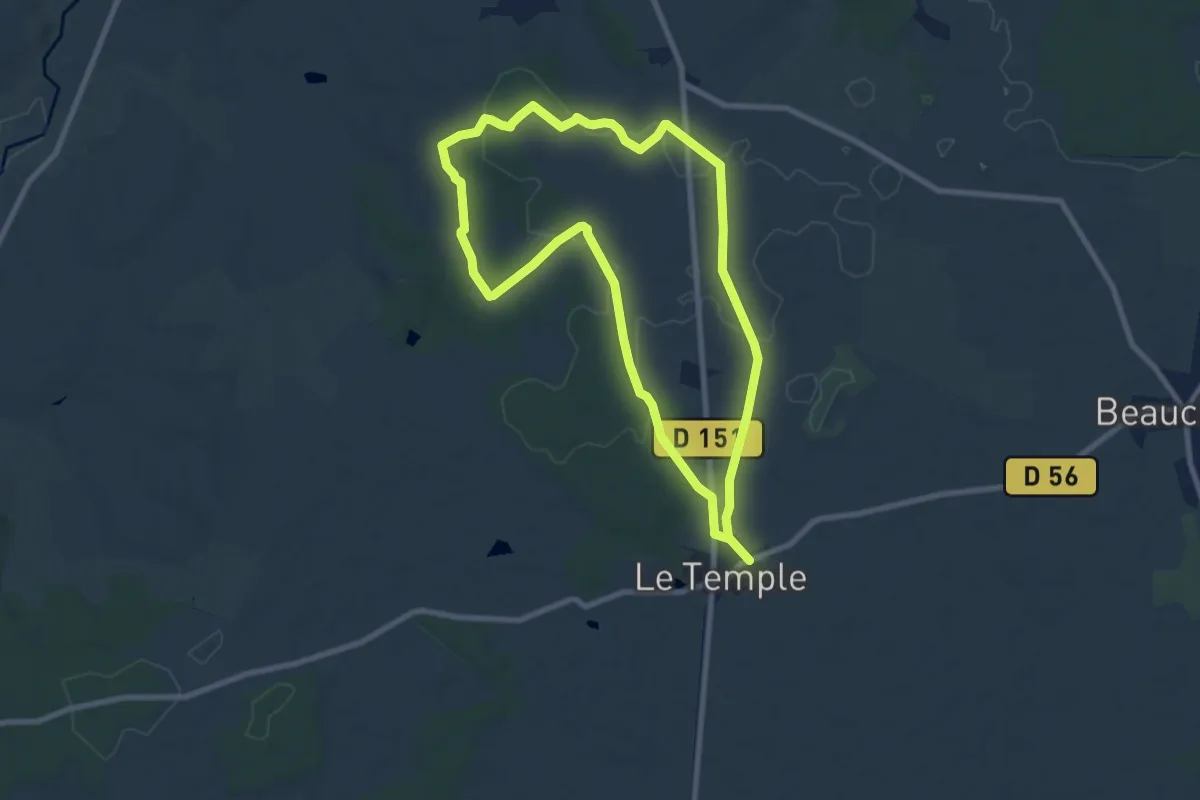
Easy · Trail
Les Hauts du Temple
7.9 km · ↑ 84 m · 2 h 10 min
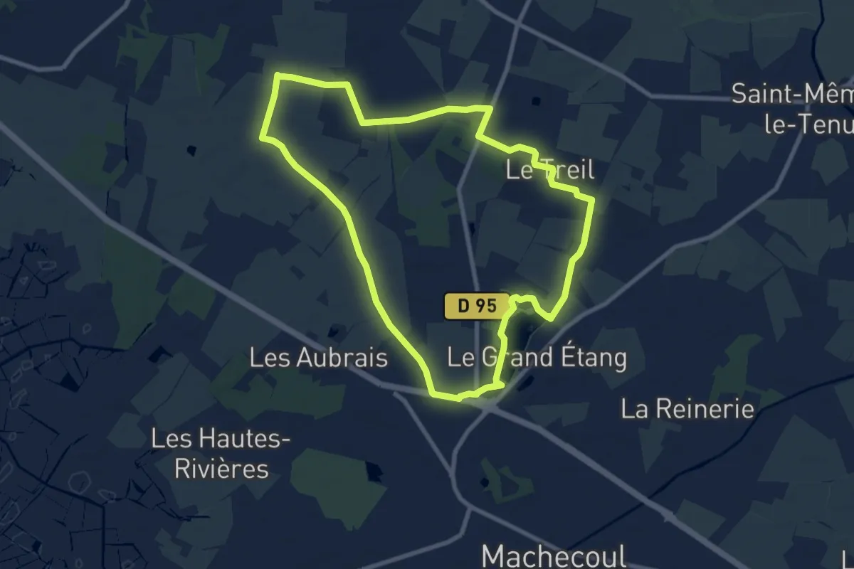
Medium · Trail
Les Hauts du Treil
8.1 km · ↑ 21 m · 2 h 4 min
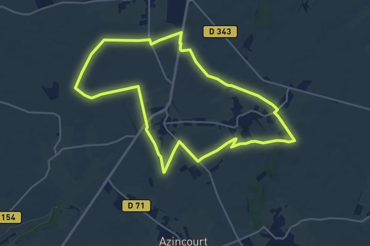
Medium · Trail
Les Hauts Liens
11.0 km · ↑ 34 m · 2 h 49 min
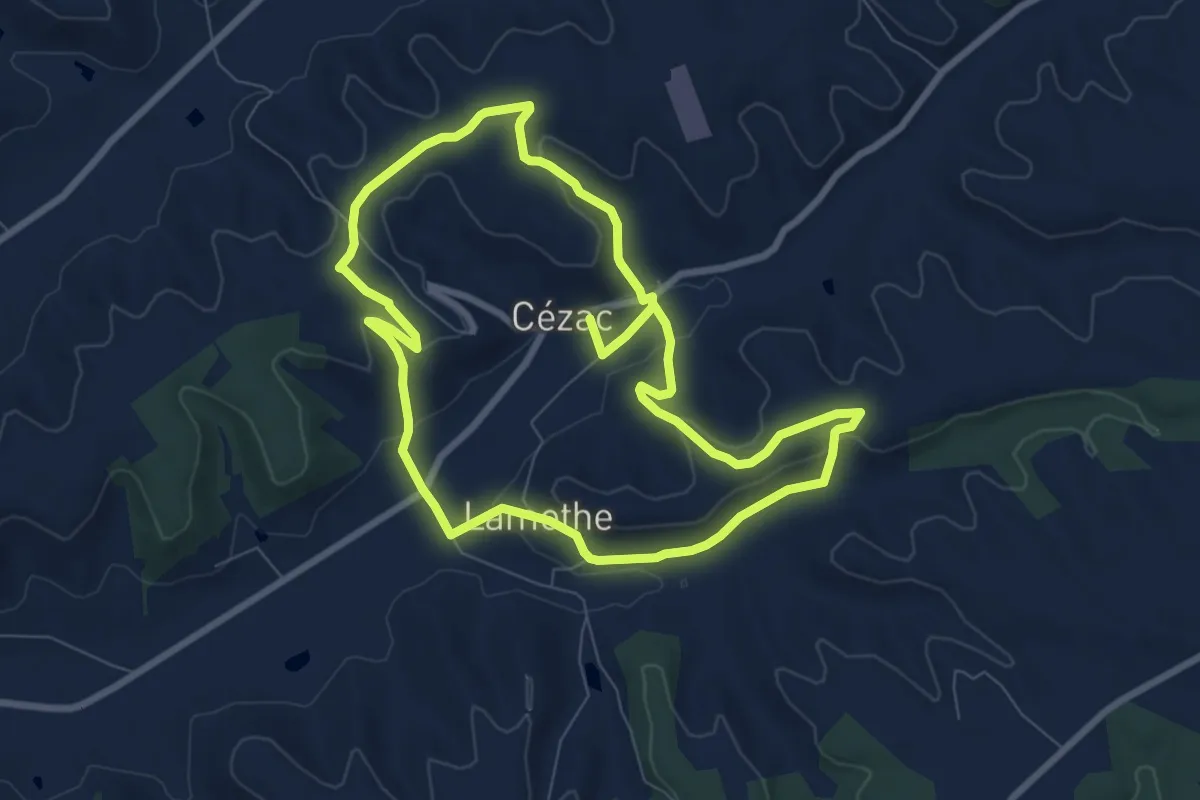
Medium · Trail
Les hauts sommets du Quercy Blanc
8.0 km · ↑ 186 m · 2 h 25 min
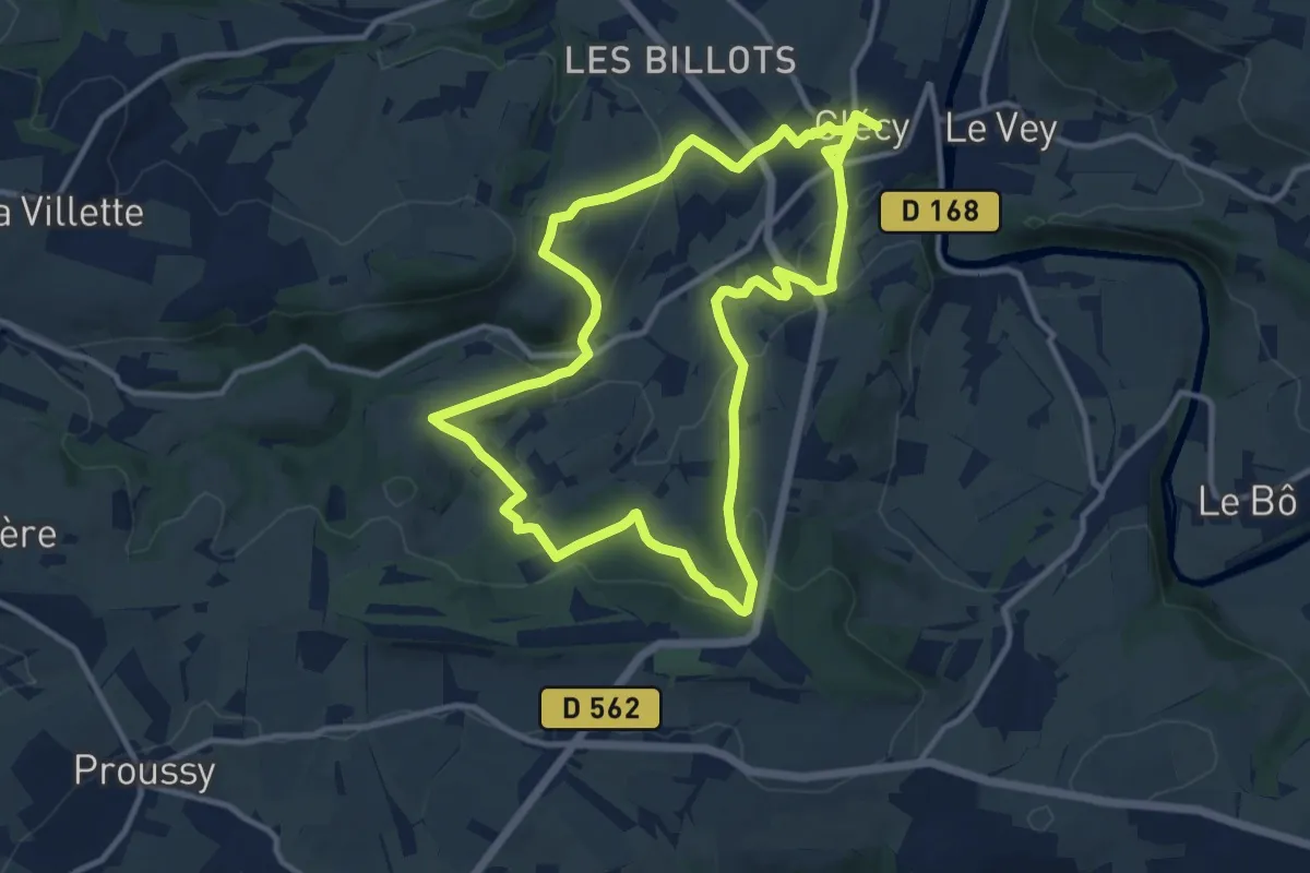
Medium · Trail
Les Hauts Vents
11.0 km · ↑ 352 m · 3 h 30 min
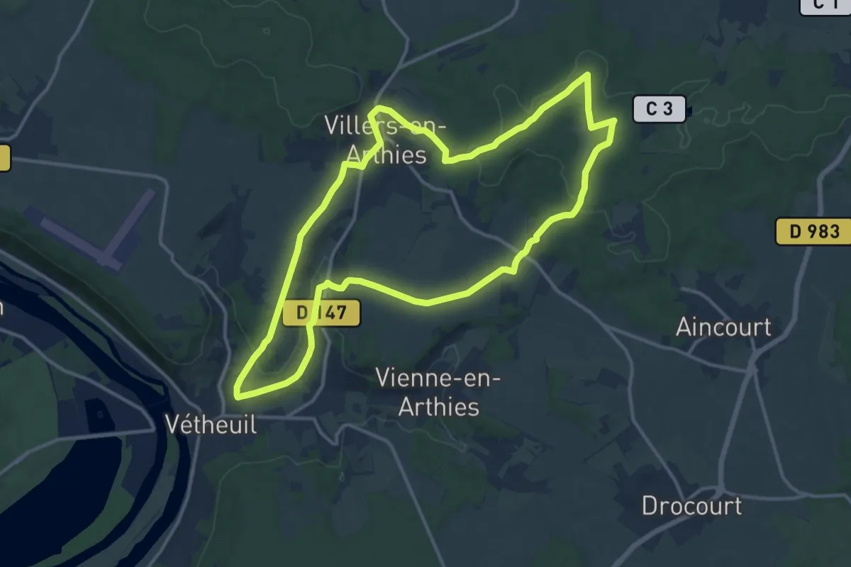
Medium · Trail
Les herbes de Chaudry
12.4 km · ↑ 194 m · 3 h 31 min
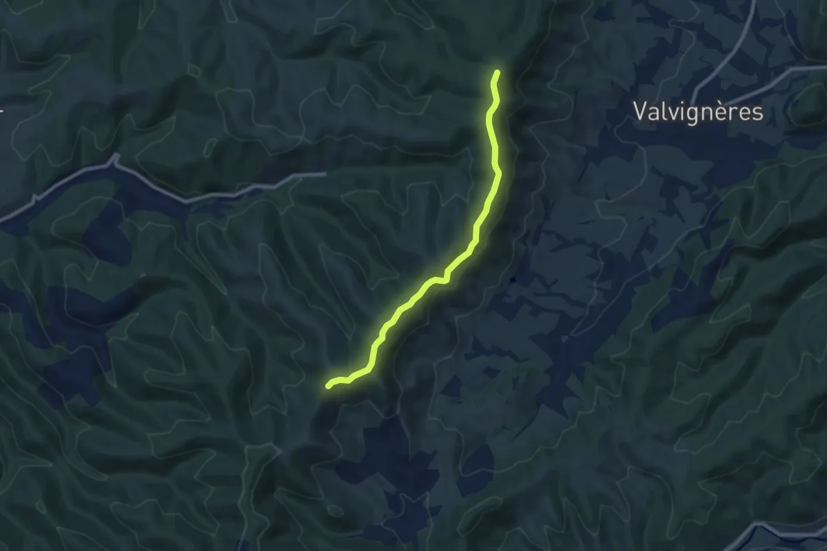
Easy · Trail
Les Hermessennes - Léouze
7.8 km · ↑ 183 m · 2 h 14 min
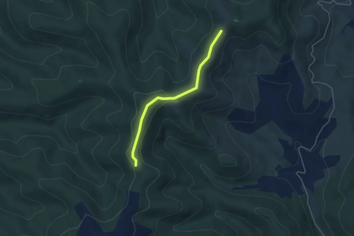
Easy · Trail
Les Hermessennes - Louvatoux
3.4 km · ↑ 85 m · 59 min
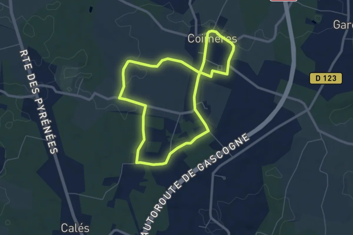
Easy · Trail
Les Hounts : boucle locale
5.5 km · ↑ 38 m · 1 h 27 min
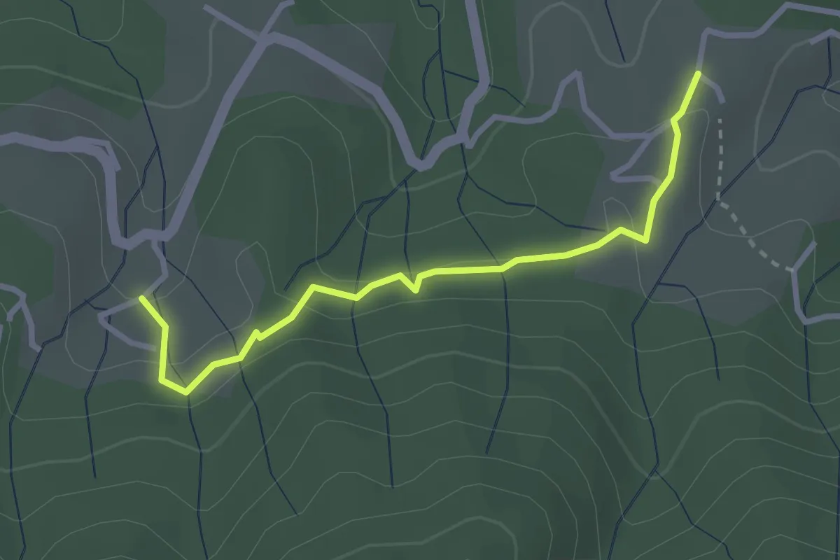
Easy · Trail
Les Hugoux - Fougeyrolles
2.8 km · ↑ 97 m · 52 min
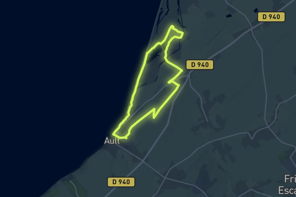
Demanding · Trail
Les Huttes
25.5 km · ↑ 218 m · 6 h 30 min
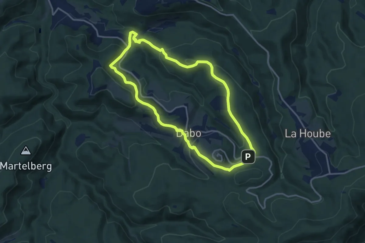
Medium · Trail
Le Sickertkopf
9.5 km · ↑ 348 m · 3 h 8 min
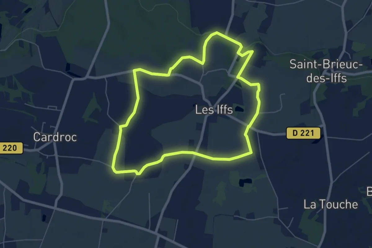
Easy · Trail
Les Iffs - château de Montmuran
5.6 km · ↑ 55 m · 1 h 32 min
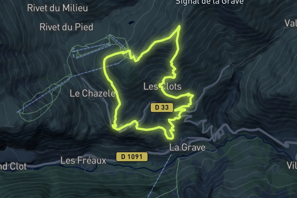
Demanding · Trail
Le Signal de la Grave
8.3 km · ↑ 730 m · 3 h 40 min
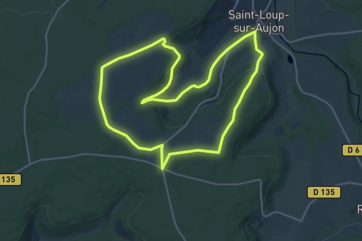
Medium · Trail
Le Signal de Saint-Loup
9.7 km · ↑ 180 m · 2 h 49 min
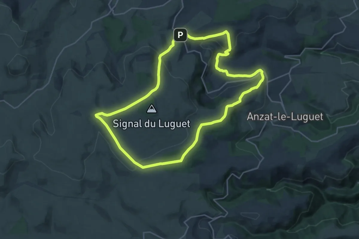
Medium · Trail
Le Signal du Luguet
16.9 km · ↑ 448 m · 5 h 12 min