Trails in France
15,926 hiking trails, each with its route, climb, walking time and grade.
All trails, page 189 of 332
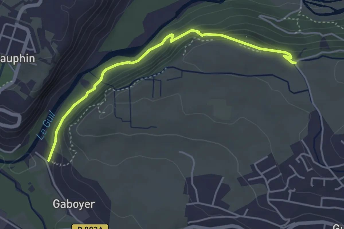
Easy · Trail
Le Simoust - Gaboyer
4.0 km · ↑ 224 m · 1 h 26 min
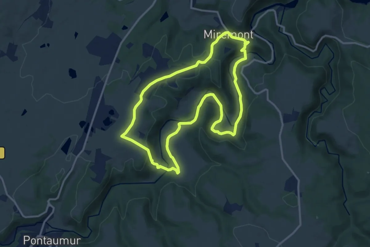
Medium · Trail
Le Sioulet
9.3 km · ↑ 237 m · 2 h 50 min
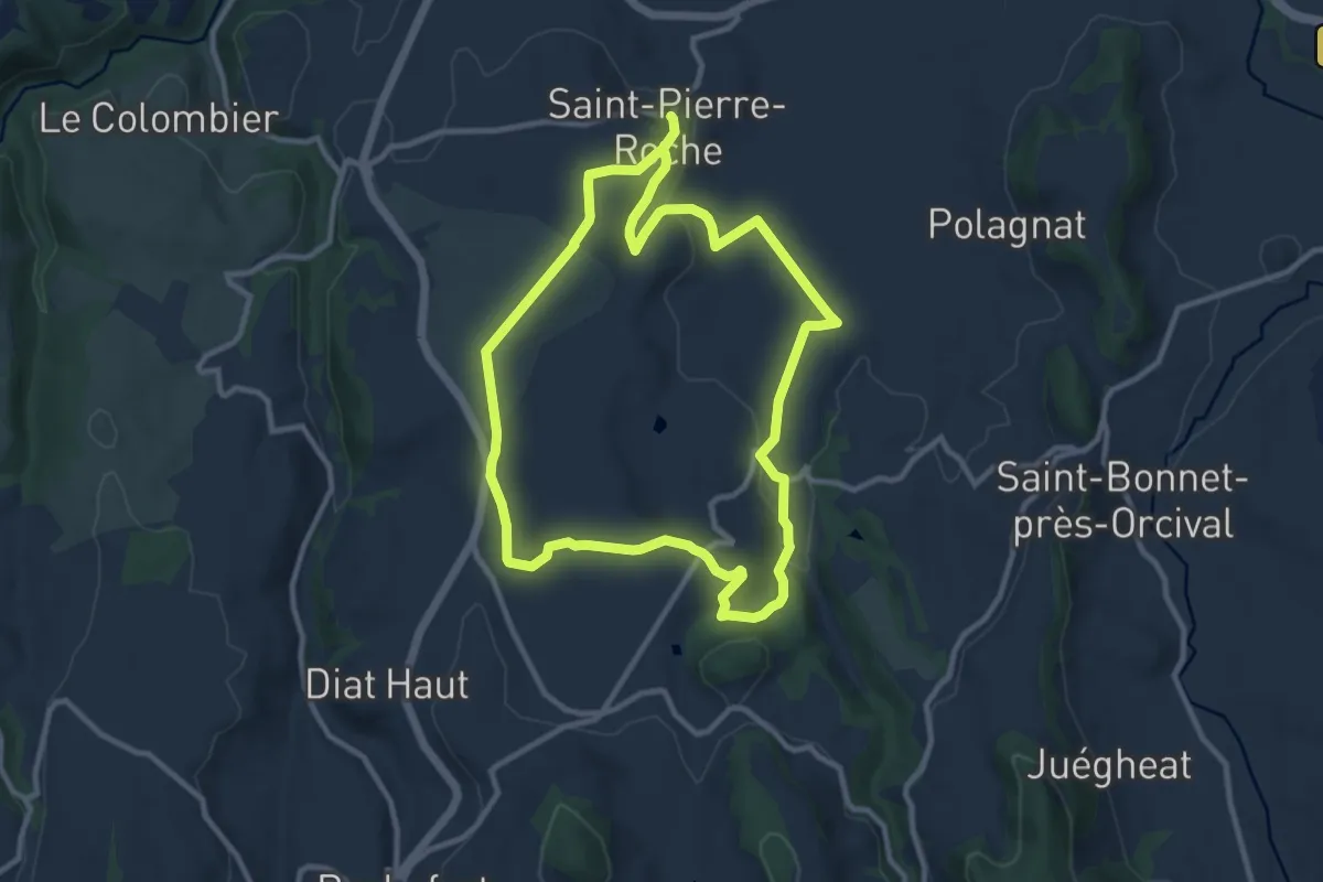
Medium · Trail
Le Sioulot
10.0 km · ↑ 175 m · 2 h 53 min
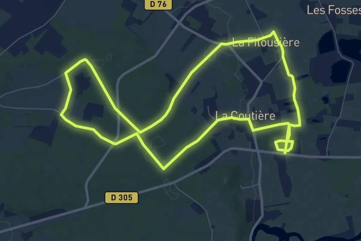
Medium · Trail
Le site archéologique de Cherré
8.2 km · ↑ 81 m · 2 h 14 min
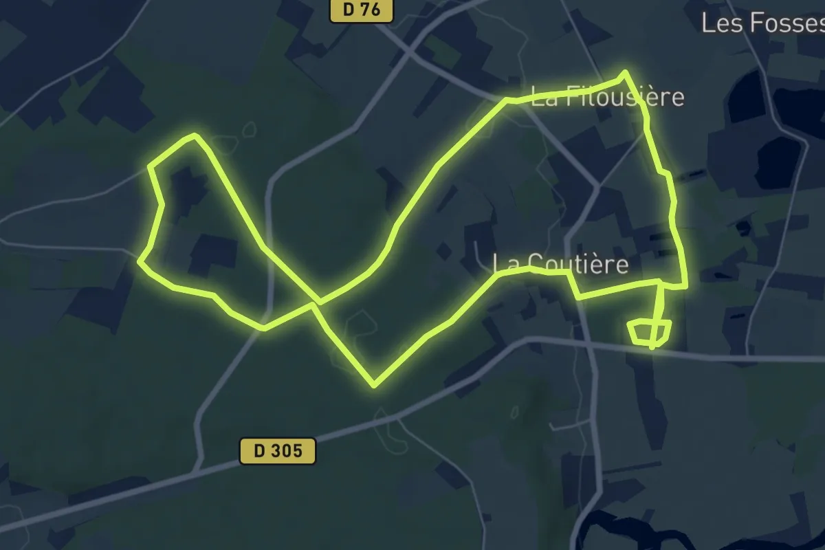
Medium · Trail
Le site archéologique de Cherré
8.2 km · ↑ 79 m · 2 h 13 min
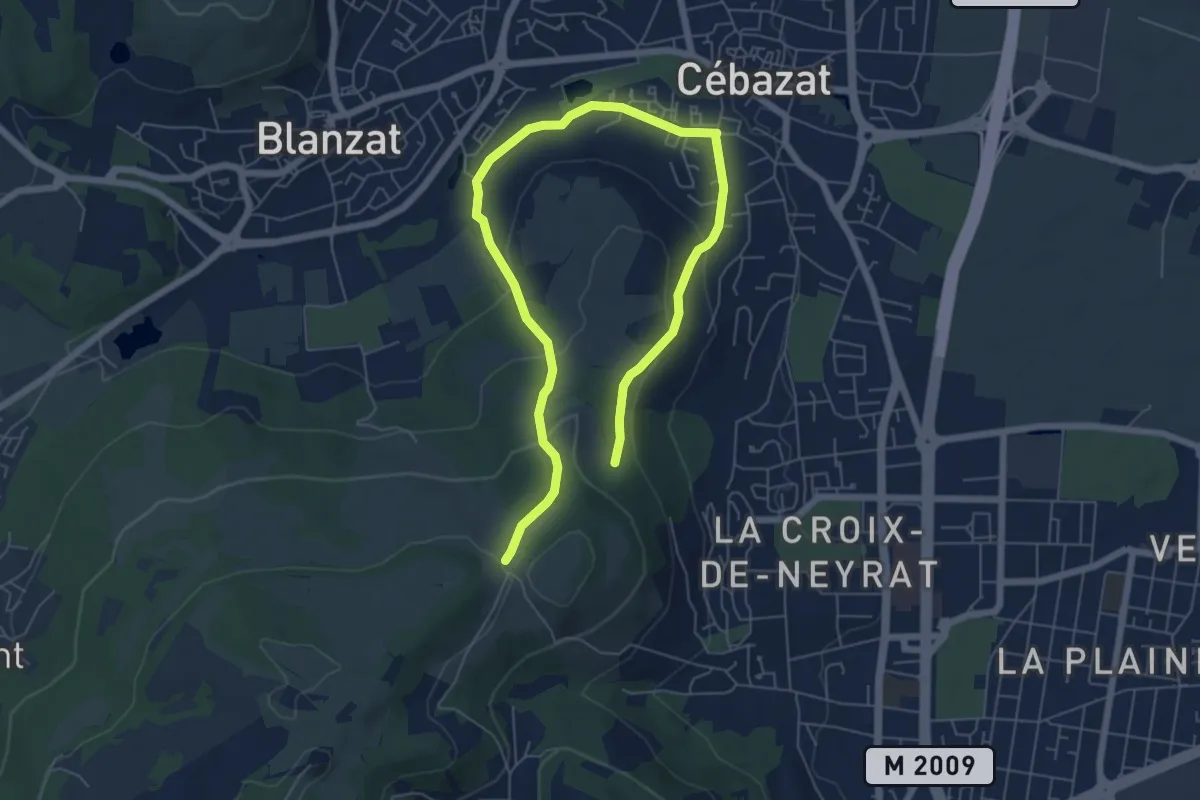
Medium · Trail
Le Site des Côtes
8.9 km · ↑ 311 m · 2 h 47 min
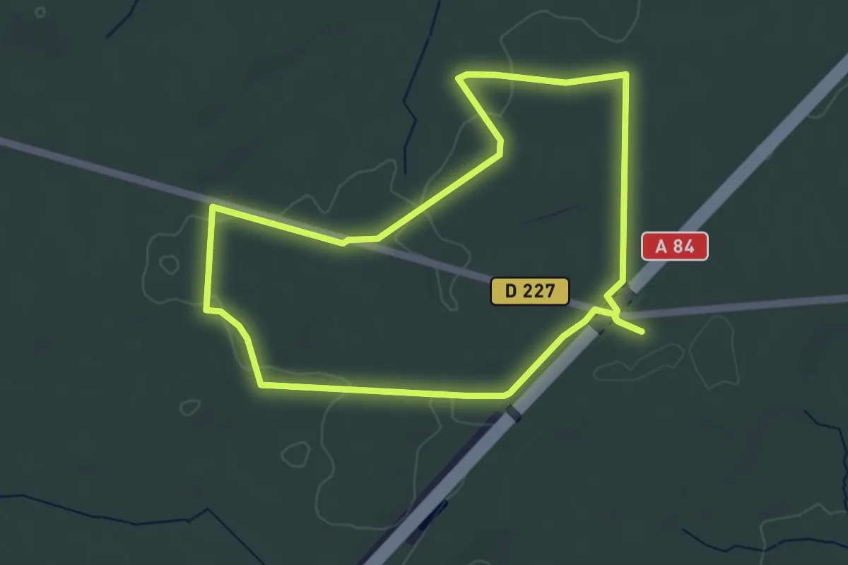
Easy · Trail
Les Jacinthes
4.2 km · ↑ 48 m · 1 h 10 min
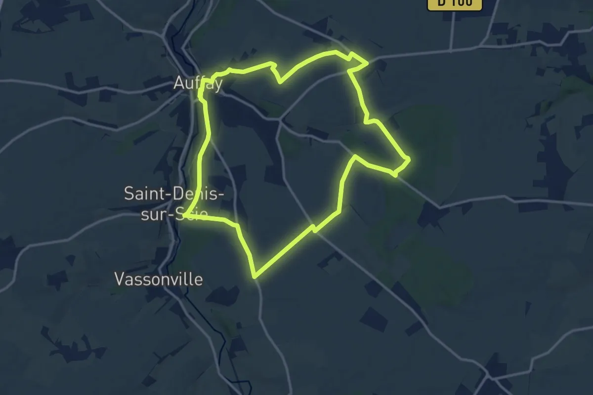
Medium · Trail
Les Jacquesmarts
11.1 km · ↑ 149 m · 3 h 5 min
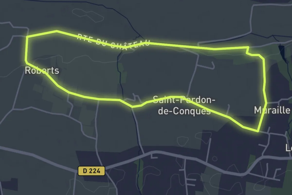
Easy · Trail
Les Jauberthes : boucle locale
4.5 km · ↑ 23 m · 1 h 10 min
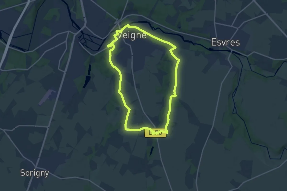
Medium · Trail
Les Jonchères - Veigné
12.4 km · ↑ 80 m · 3 h 16 min
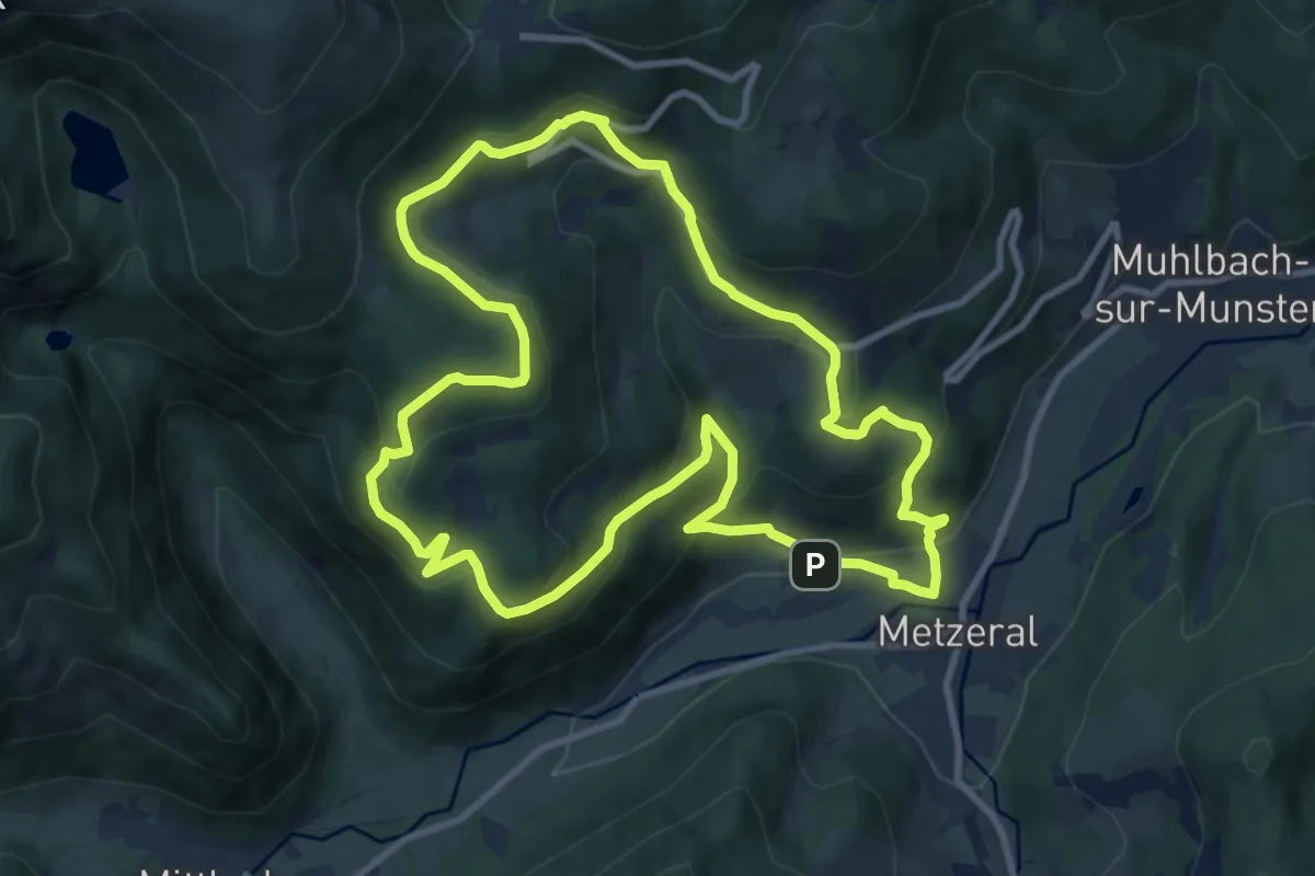
Medium · Summit
Les Jonquilles
9.9 km · ↑ 472 m · 3 h 30 min
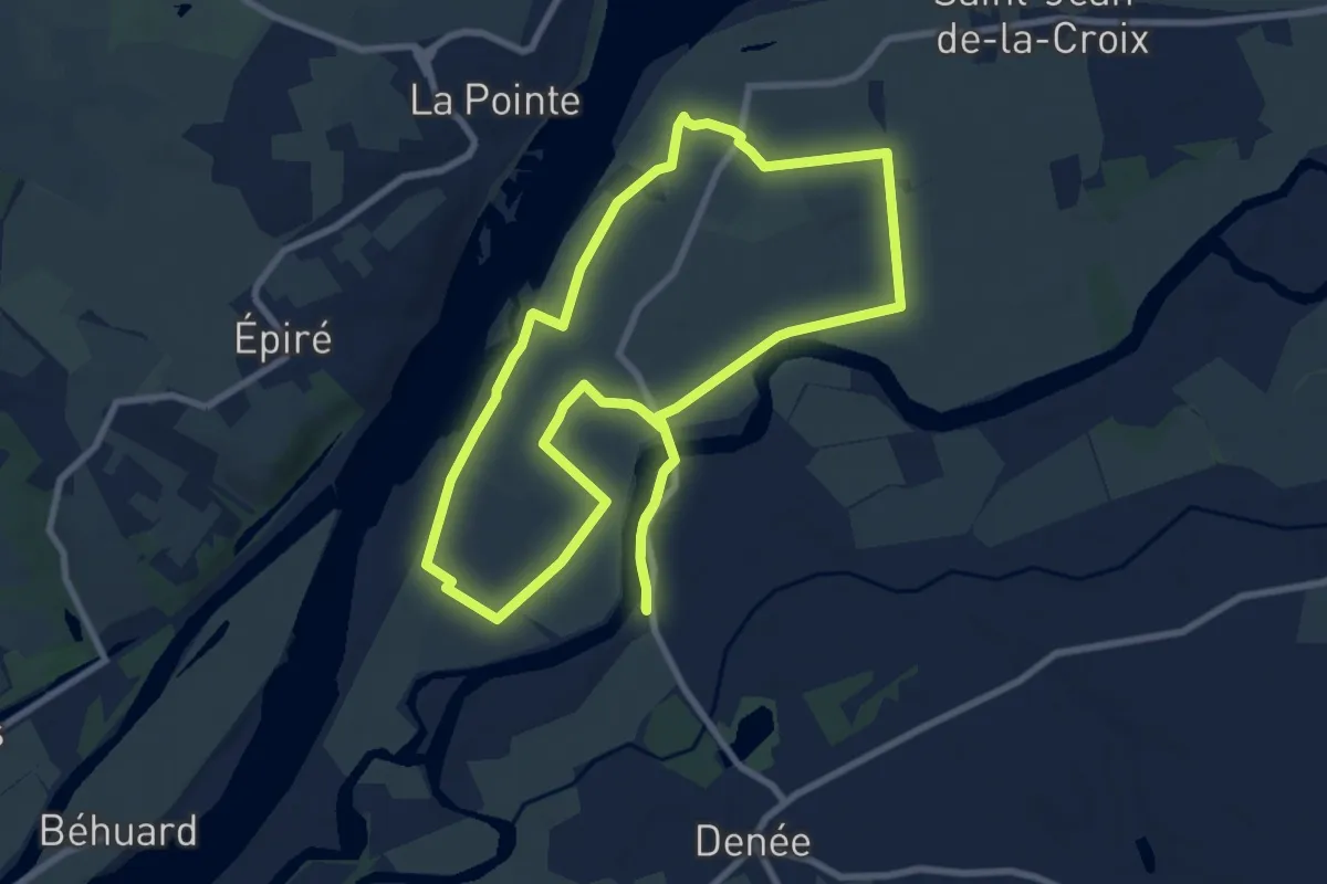
Medium · Trail
Les Jubeaux
9.3 km · ↑ 36 m · 2 h 25 min
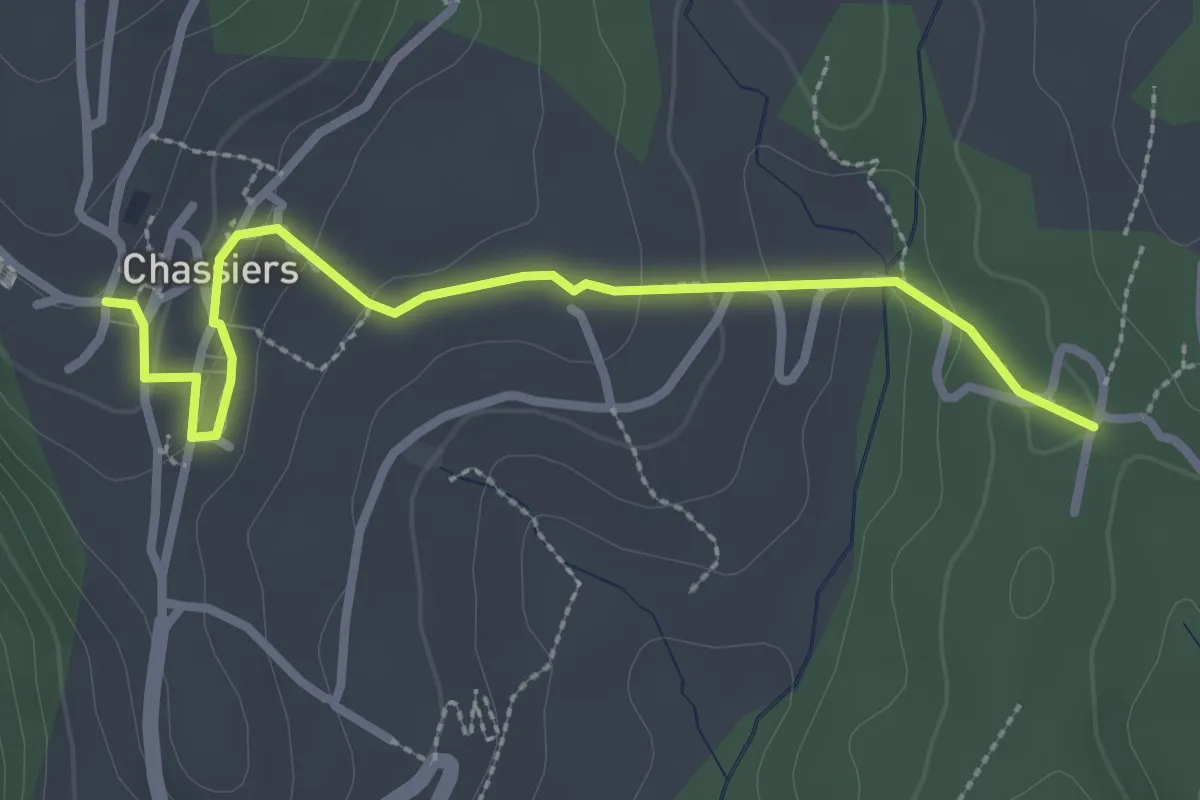
Easy · Trail
Les Juliennes - Chassiers
3.0 km · ↑ 99 m · 55 min
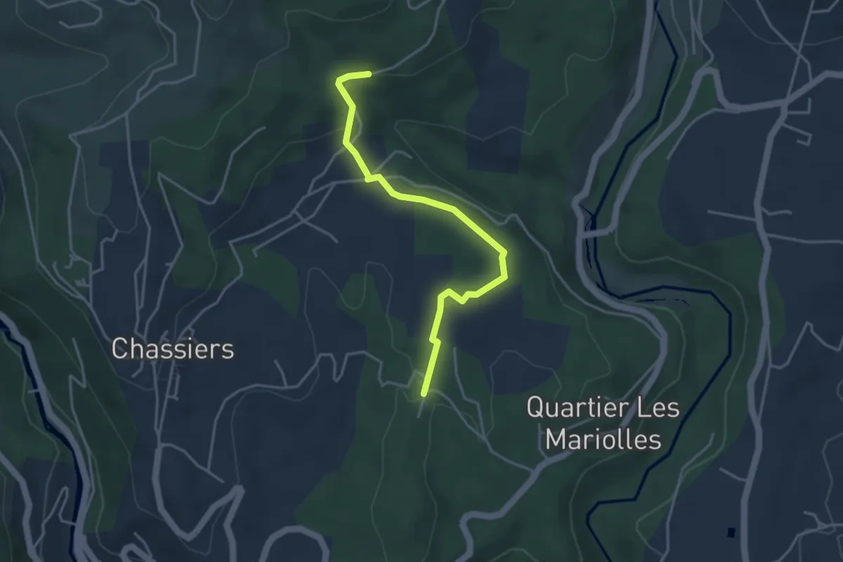
Easy · Trail
Les Juliennes - Les Valadiers
3.8 km · ↑ 67 m · 1 h 2 min
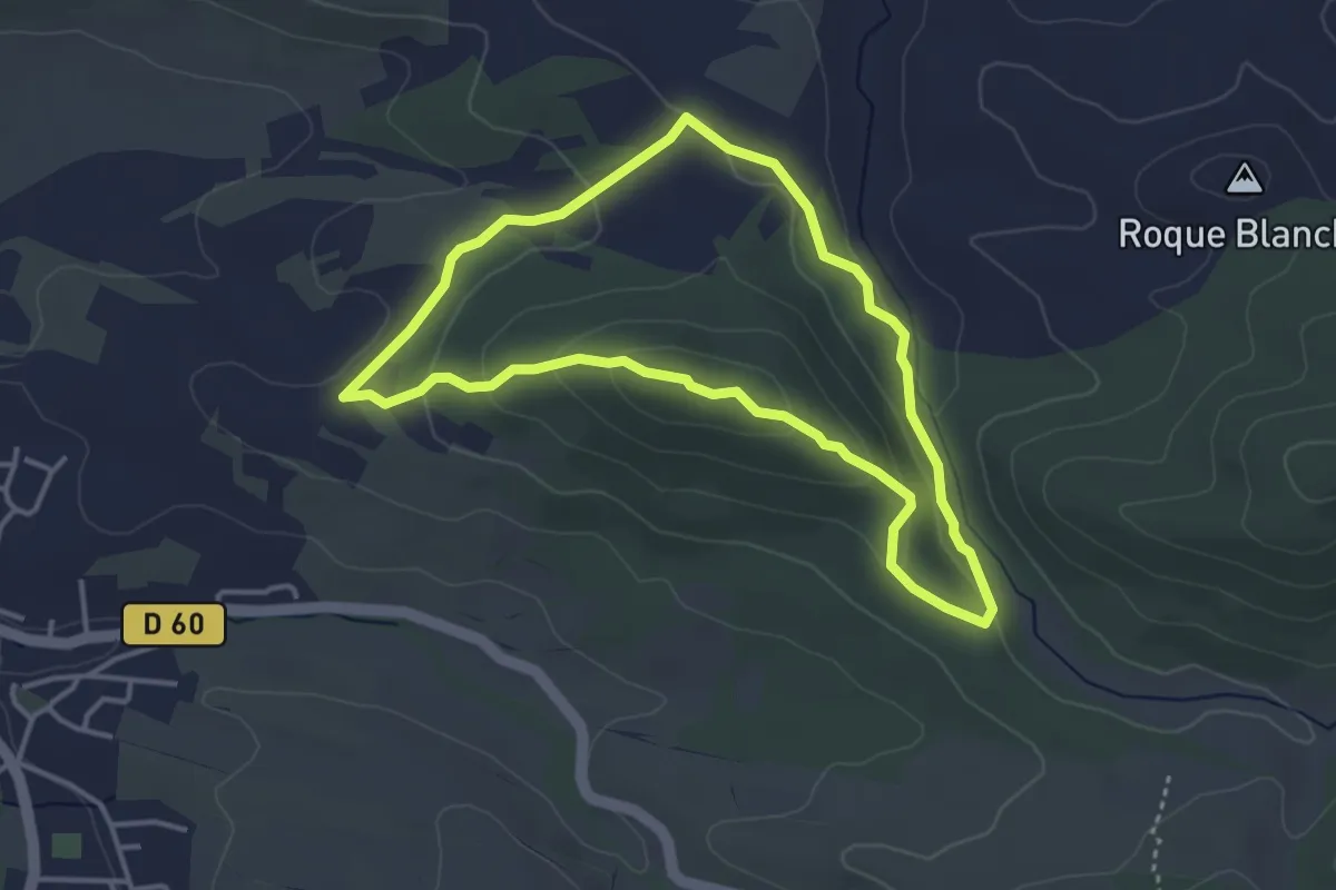
Easy · Summit
Les Justices
3.8 km · ↑ 107 m · 1 h 10 min
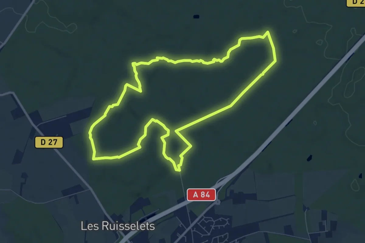
Medium · Trail
Les Juteauderies
8.1 km · ↑ 58 m · 2 h 9 min
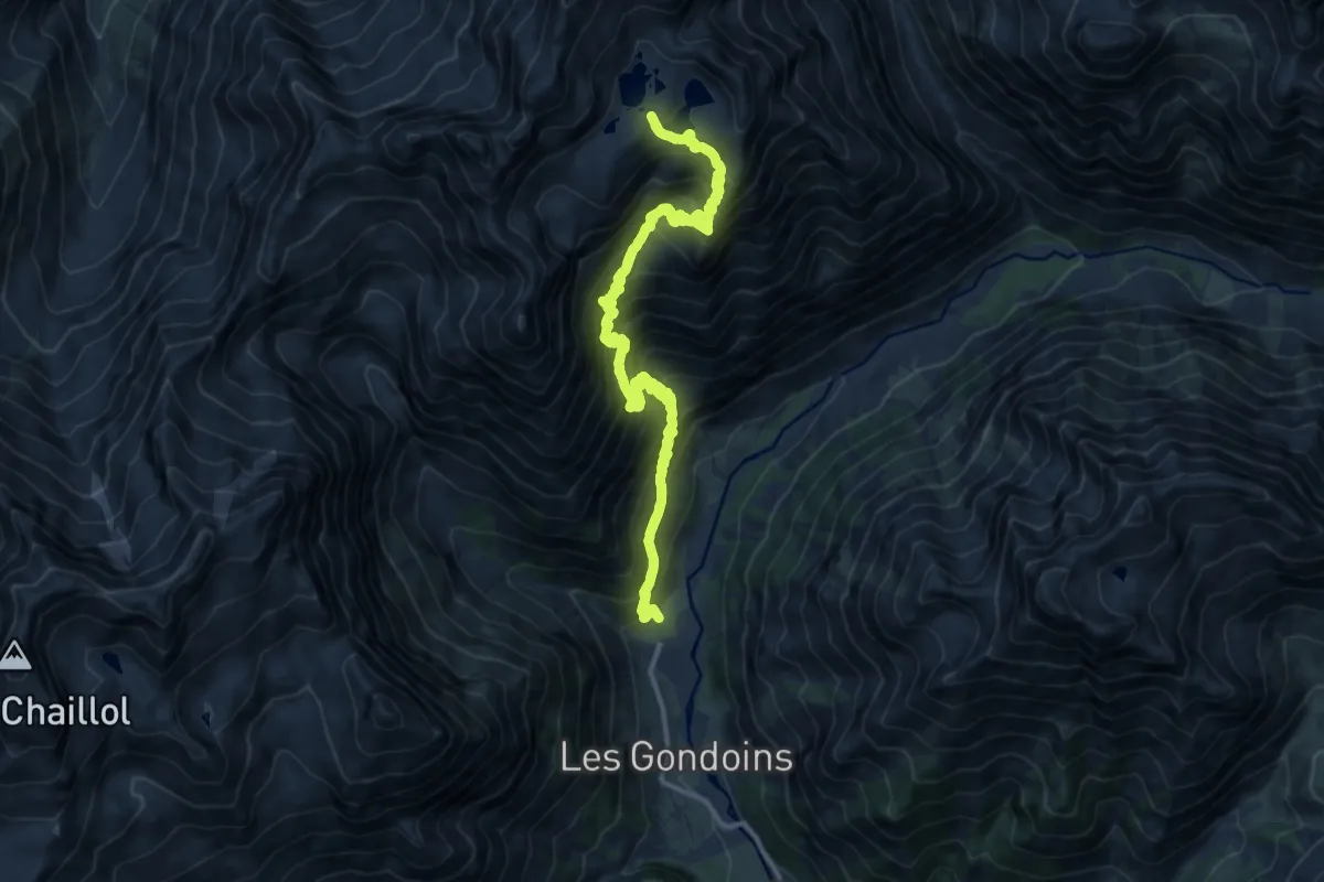
Demanding · Trail
Les lacs de Crupillouse
15.8 km · ↑ 1631 m · 7 h 29 min
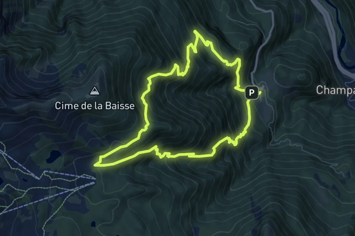
Medium · Trail
Les Lacs du Col Bas
8.1 km · ↑ 778 m · 3 h 43 min
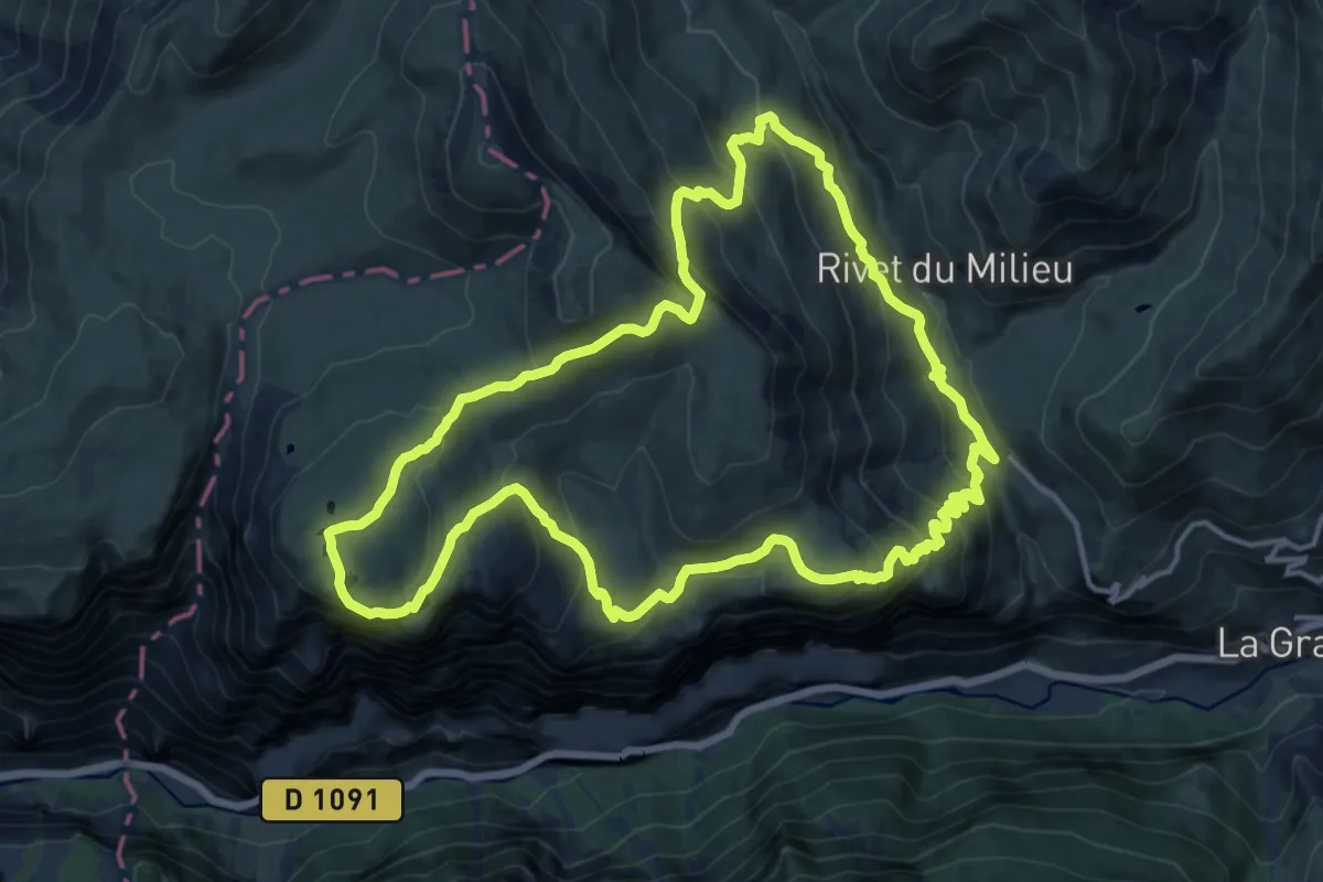
Expert · Trail
Les lacs par le bord sud du plateau
15.9 km · ↑ 899 m · 5 h 55 min
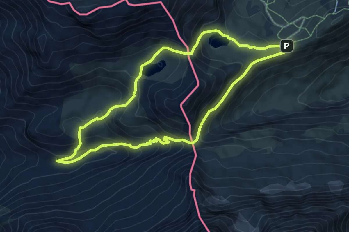
Medium · Trail
Les Lacs près du Col des Espécières
7.2 km · ↑ 455 m · 2 h 47 min
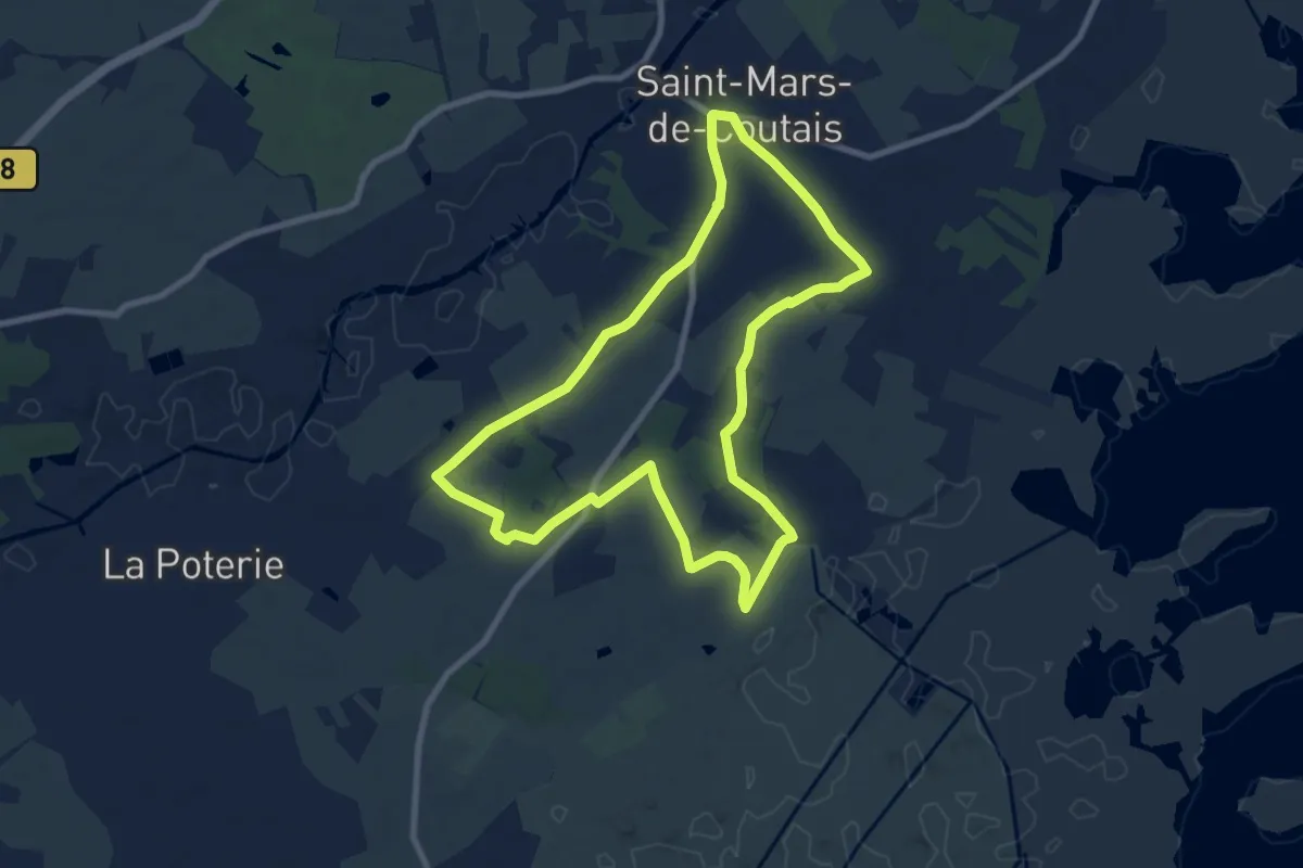
Medium · Trail
Les Landas
8.3 km · ↑ 17 m · 2 h 7 min
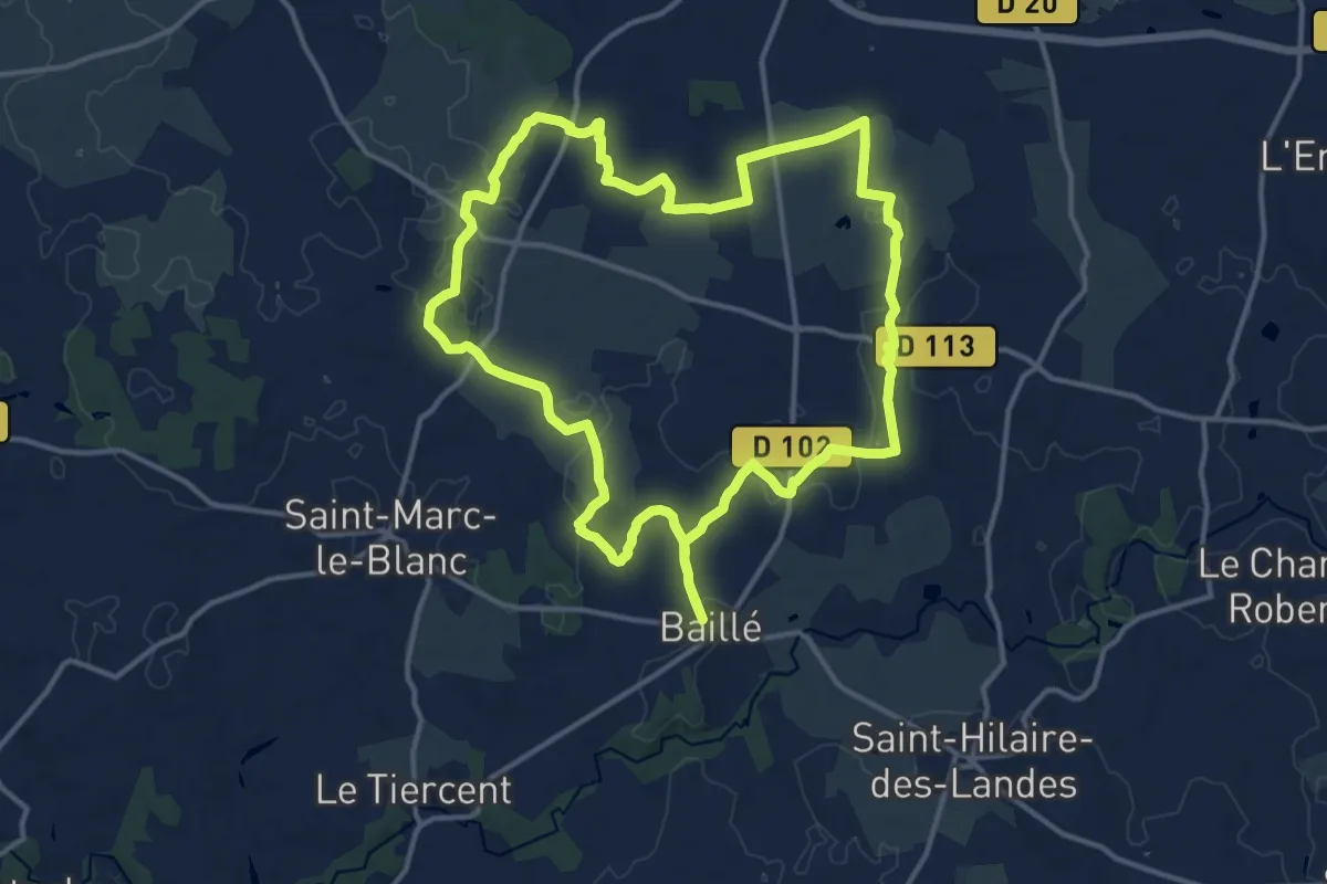
Medium · Trail
Les Landes Bleues
13.8 km · ↑ 51 m · 3 h 34 min
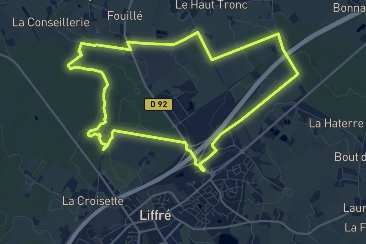
Medium · Trail
Les landes de Beaugé
9.6 km · ↑ 55 m · 2 h 30 min
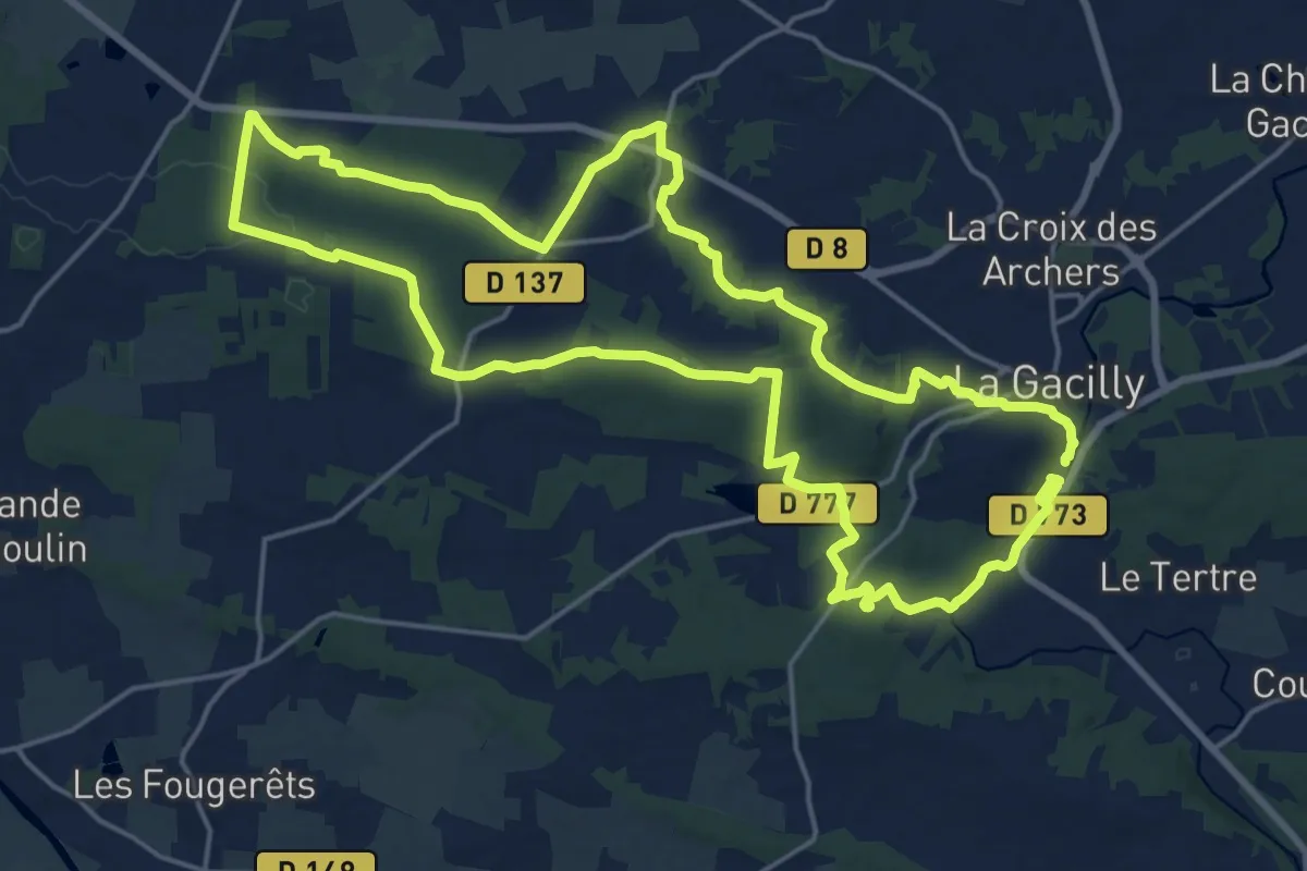
Demanding · Trail
Les Landes-de-Couesme
19.6 km · ↑ 299 m · 5 h 33 min
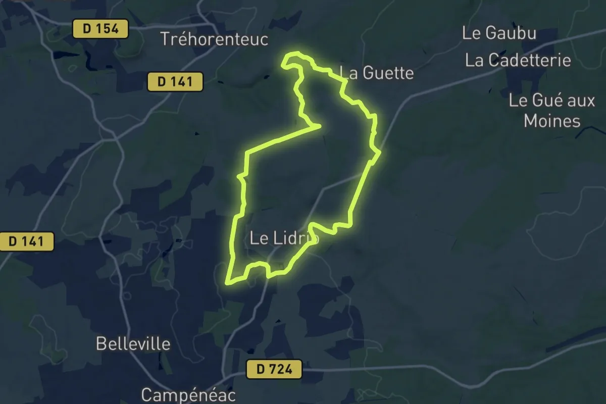
Medium · Trail
Les Landes de Gurwan
11.5 km · ↑ 141 m · 3 h 10 min
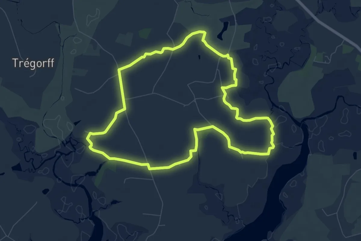
Medium · Trail
Les Landes de Lamblat
8.5 km · ↑ 43 m · 2 h 12 min
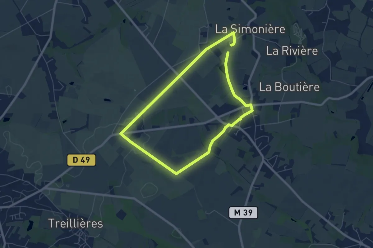
Easy · Trail
Les Landes de la Vaillantière
5.3 km · ↑ 31 m · 1 h 23 min
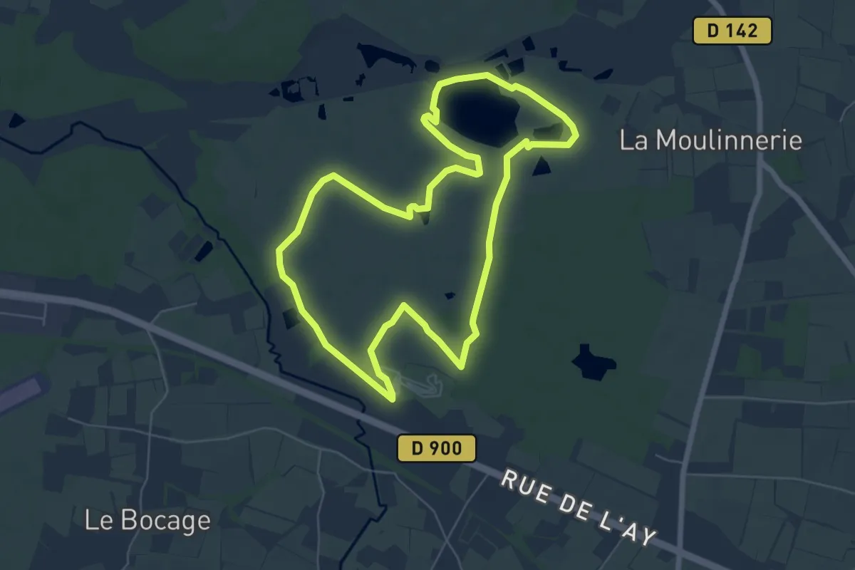
Easy · Trail
Les Landes de Millières
6.0 km · ↑ 31 m · 1 h 35 min
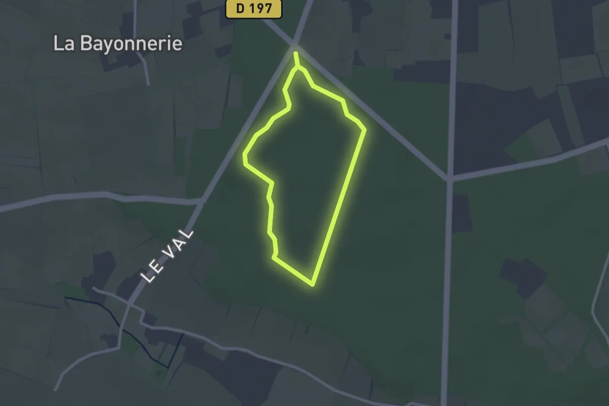
Easy · Trail
Les Landes de Saint-Patrice
1.9 km · ↑ 13 m · 30 min
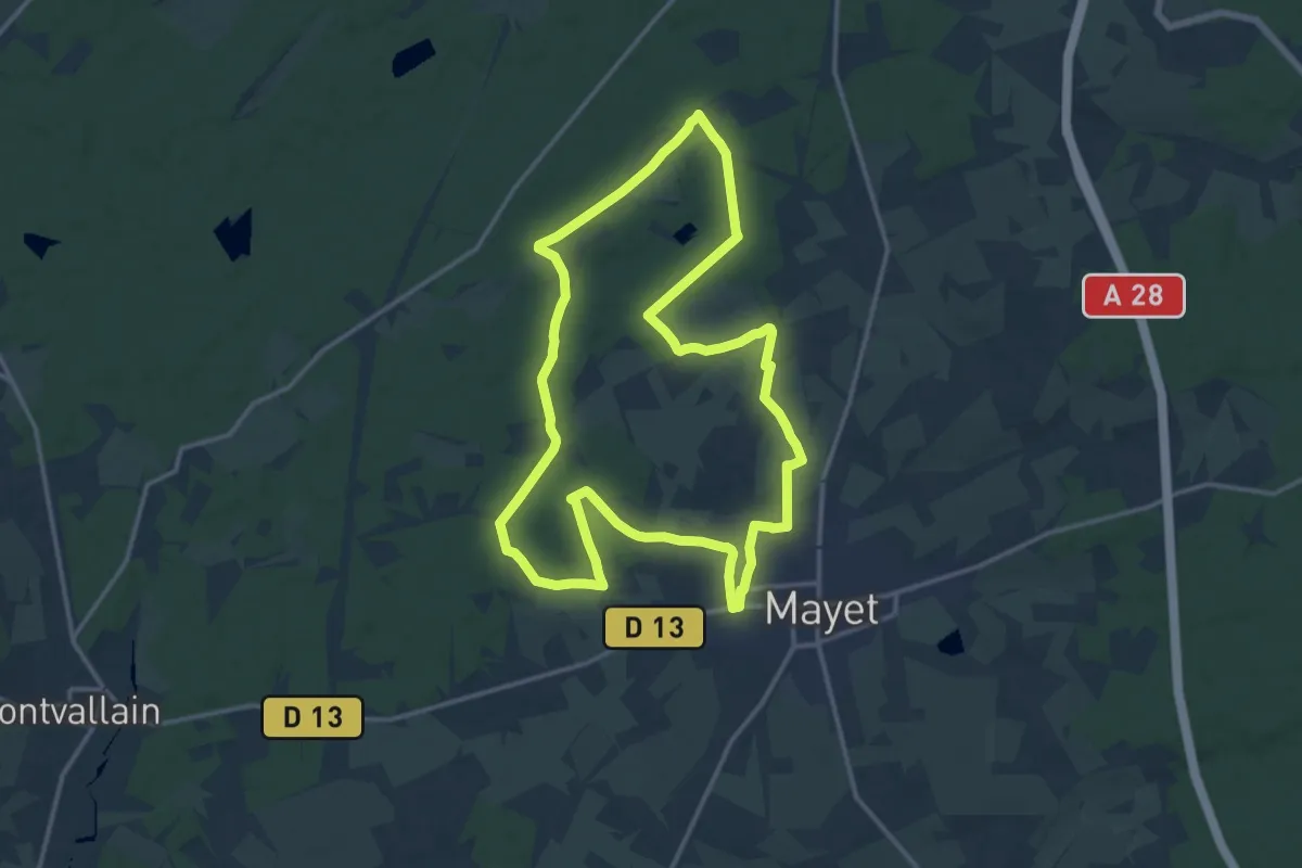
Medium · Trail
Les Landes de Saulion (grande boucle)
14.5 km · ↑ 59 m · 3 h 45 min
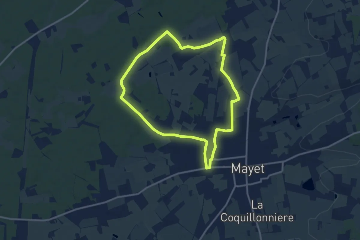
Easy · Trail
Les Landes de Saulion (petite boucle)
7.9 km · ↑ 48 m · 2 h 5 min
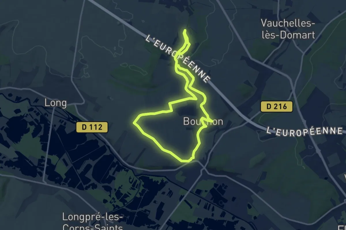
Medium · Trail
Les Larris de Bouchon et Villers
9.7 km · ↑ 134 m · 2 h 43 min
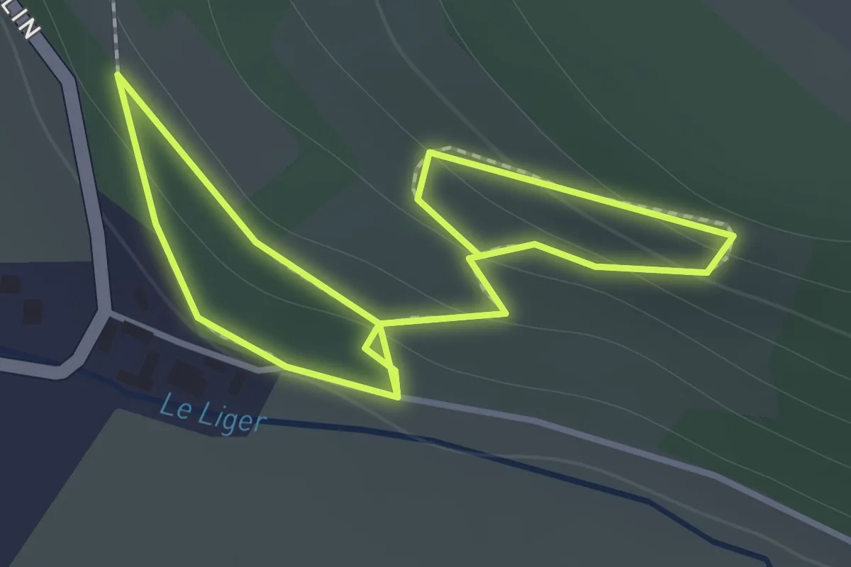
Easy · Trail
Les Larris de saint-Aubin-Rivière
1.1 km · ↑ 48 m · 21 min
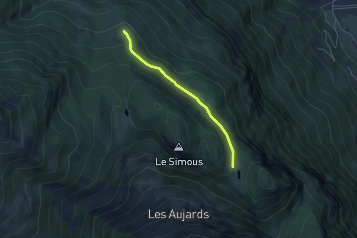
Easy · Trail
Les Lauzes - Col des Lauzes
3.8 km · ↑ 125 m · 1 h 10 min
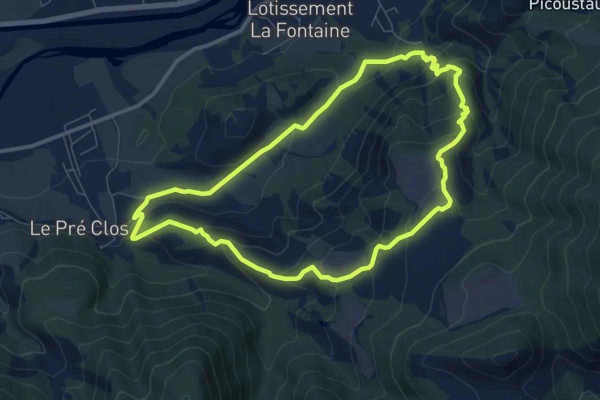
Medium · Trail
Les Lauzes de Curbans
7.2 km · ↑ 378 m · 2 h 37 min
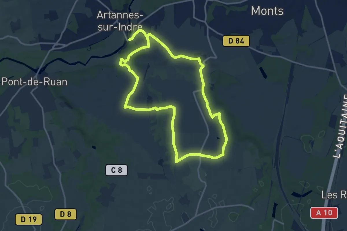
Medium · Trail
Les Lavandières - Artannes-sur-Indre
10.8 km · ↑ 109 m · 2 h 57 min
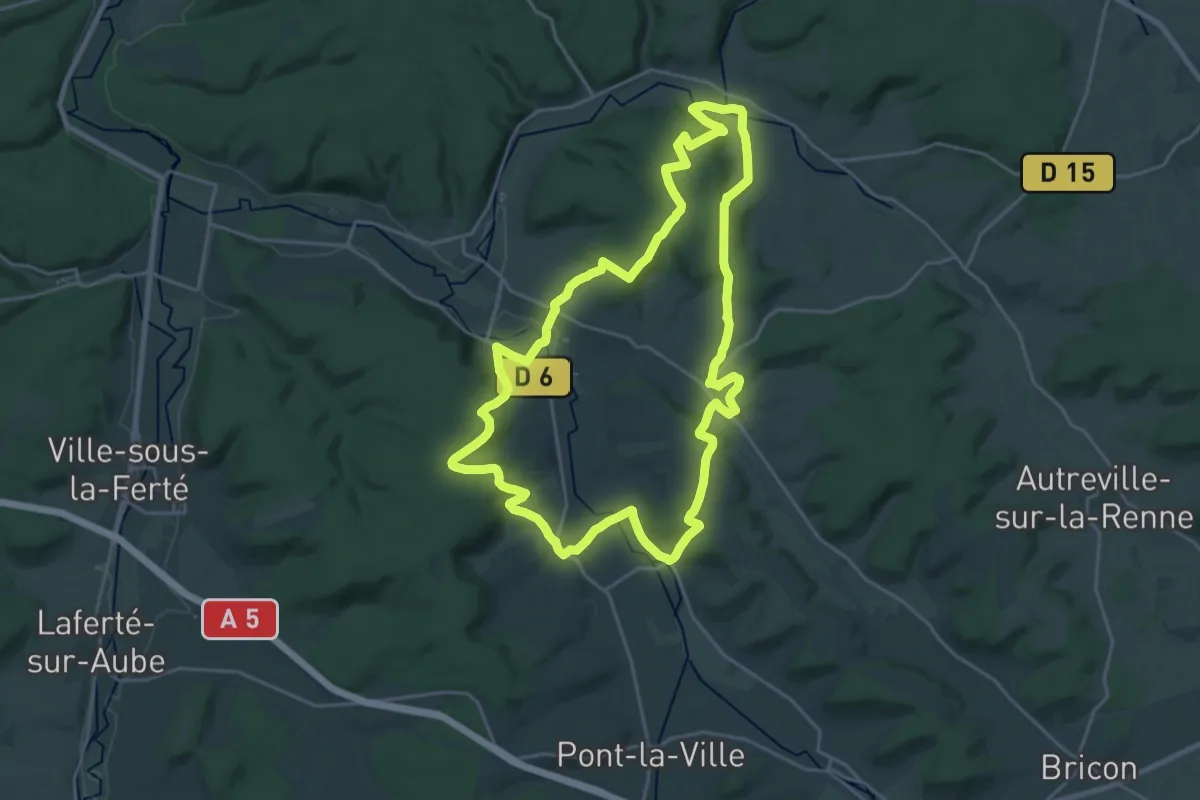
Demanding · Trail
Les Lavoirs
23.3 km · ↑ 520 m · 6 h 57 min
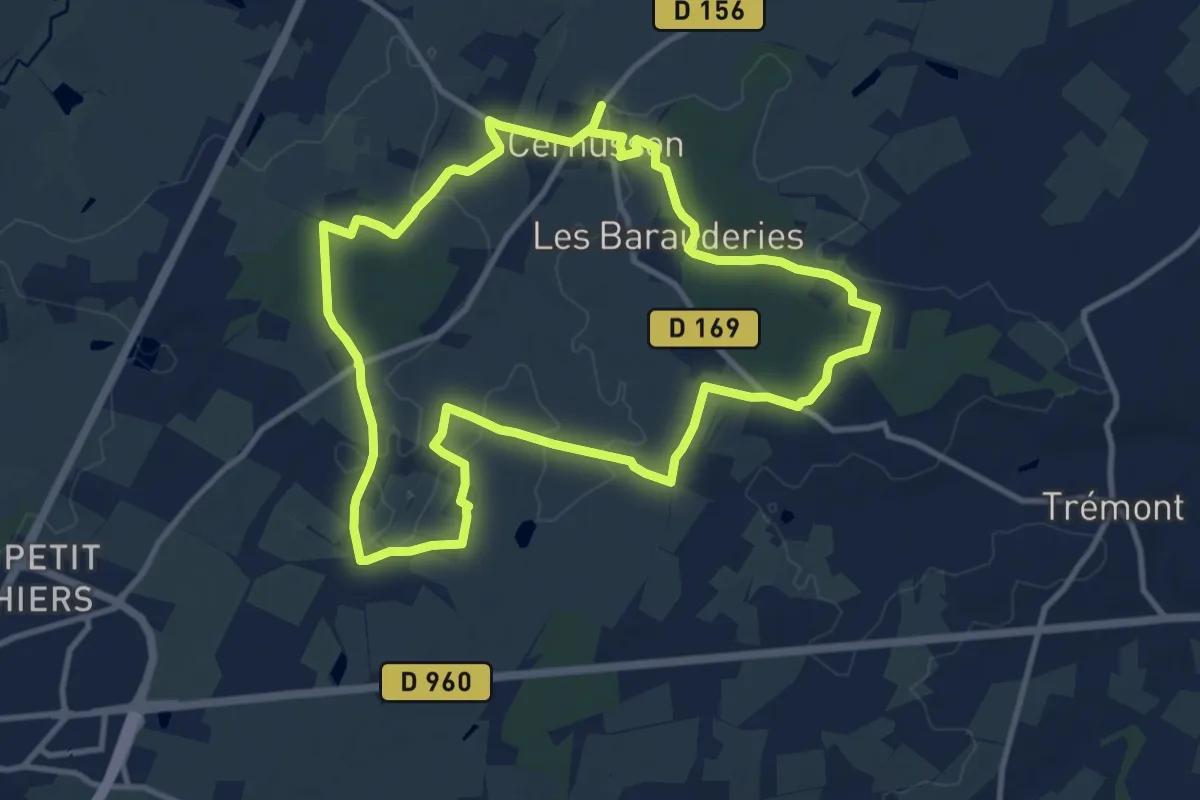
Medium · Trail
Les Layons de Cernusson
10.9 km · ↑ 83 m · 2 h 54 min
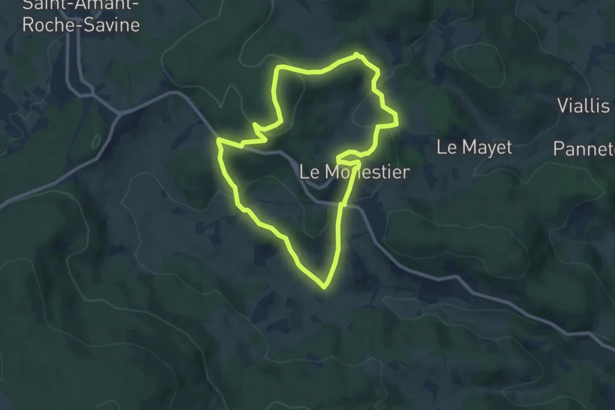
Easy · Trail
Les Lèches Beurriers
6.7 km · ↑ 274 m · 2 h 17 min
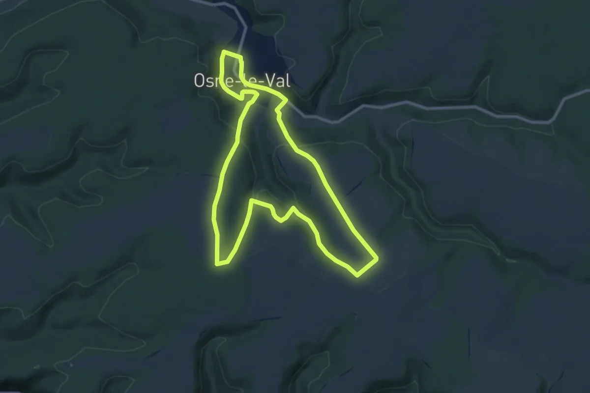
Medium · Trail
Les Lessivoirs
8.2 km · ↑ 198 m · 2 h 29 min
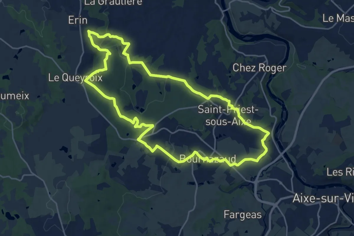
Medium · Trail
Les Loges
16.7 km · ↑ 274 m · 4 h 46 min
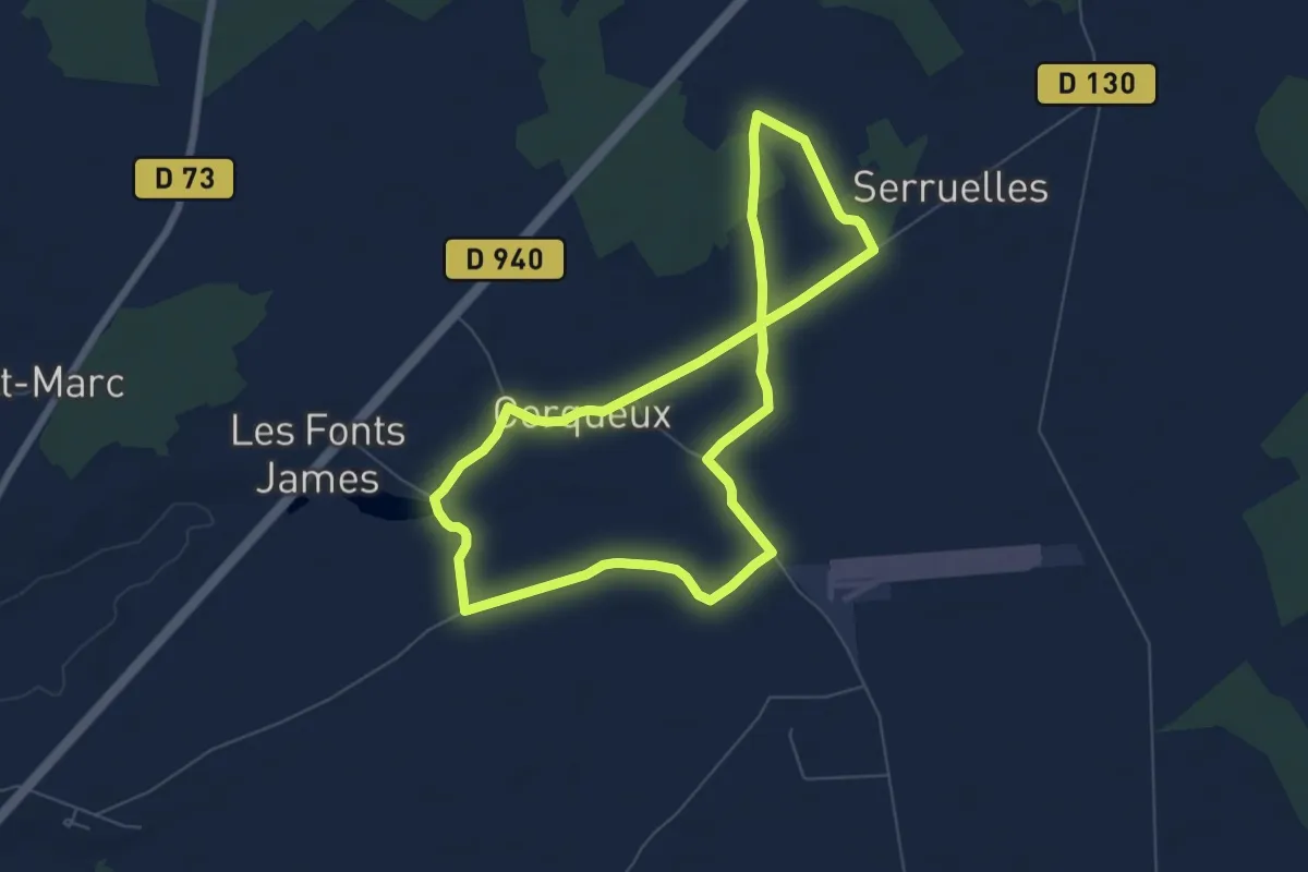
Easy · Trail
Les Loges de Vignolles
6.4 km · ↑ 22 m · 1 h 39 min
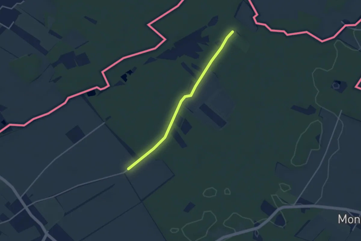
Easy · Trail
Les Longerayes - Prés de Villette
2.9 km · ↑ 13 m · 43 min
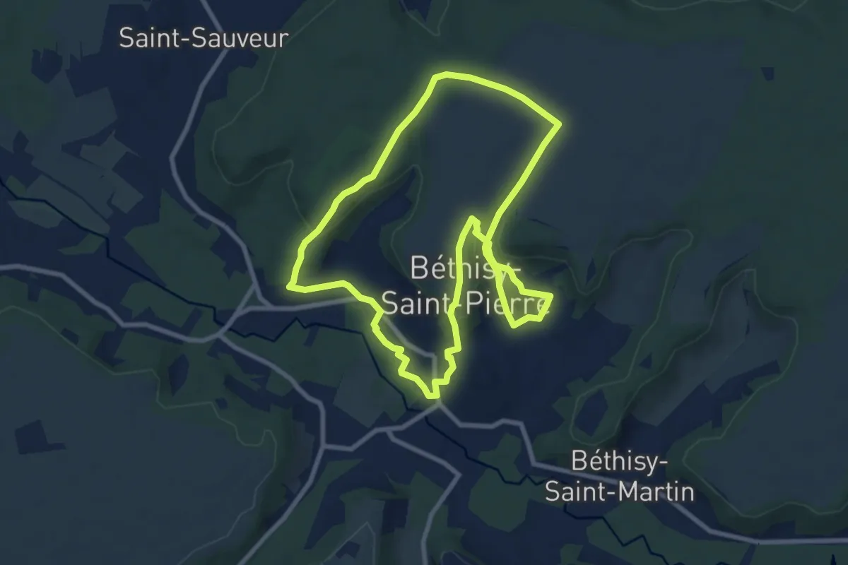
Easy · Trail
Les Longues Raies
7.4 km · ↑ 139 m · 2 h 9 min
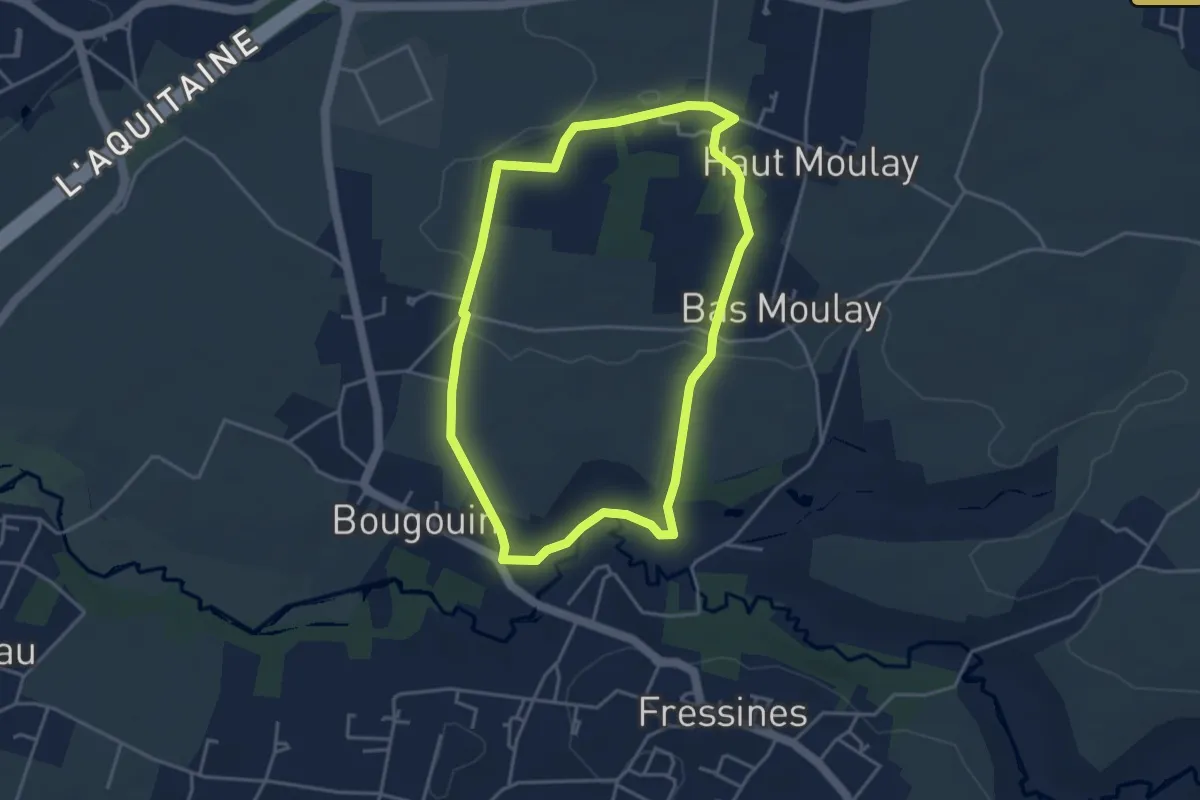
Easy · Trail
Les Madeleines
3.8 km · ↑ 41 m · 1 h 3 min
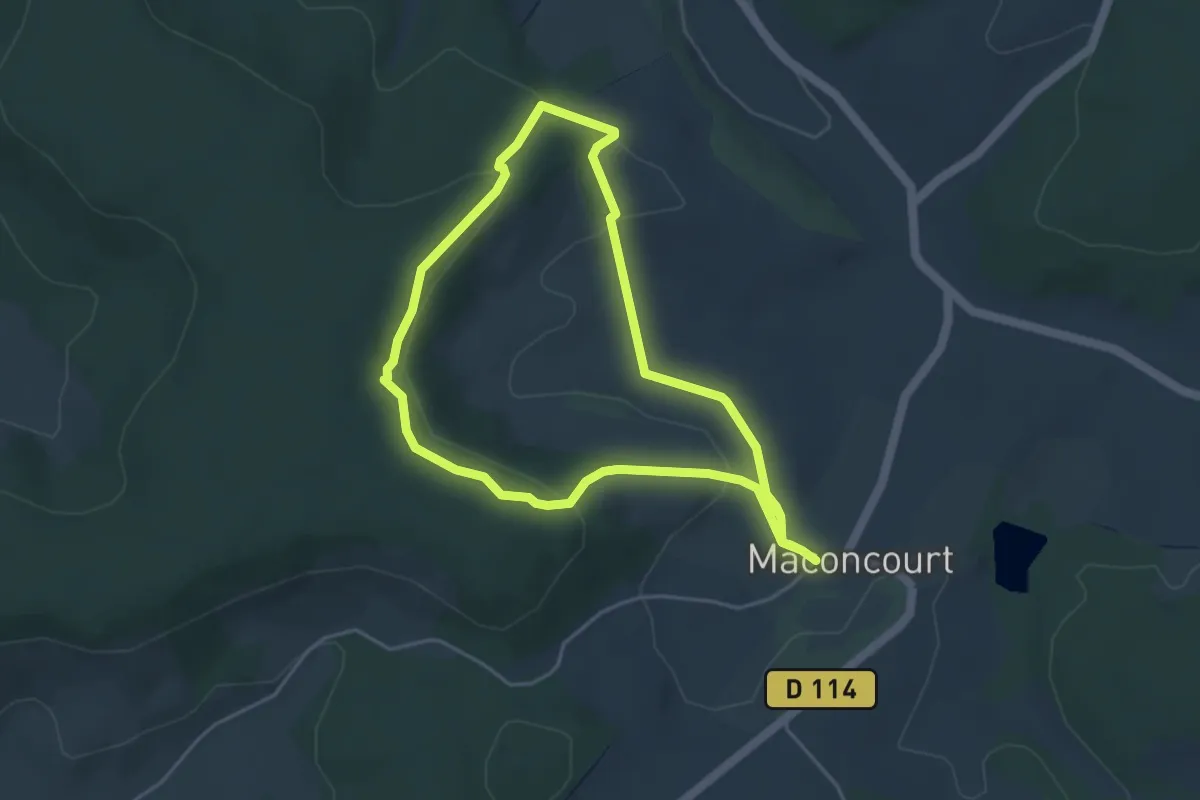
Easy · Trail
Les Maisonnettes de Vigneron
4.2 km · ↑ 110 m · 1 h 17 min
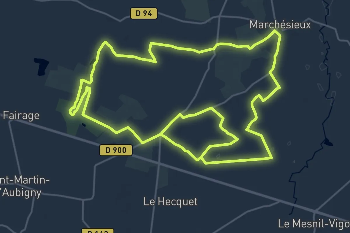
Demanding · Trail
Les maisons en terre
30.2 km · ↑ 61 m · 7 h 16 min
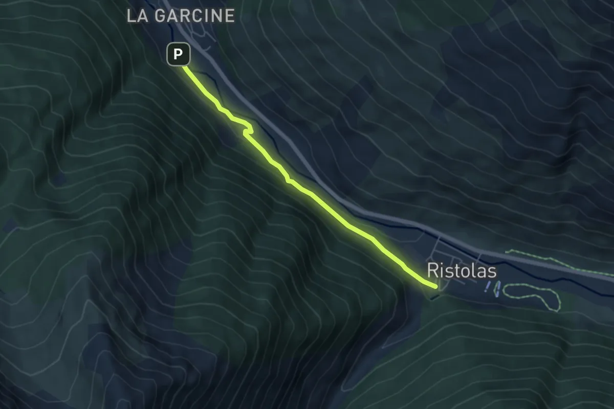
Easy · Trail
Les Maisons Neuves - Pont de Rubrent
4.9 km · ↑ 114 m · 1 h 25 min