Trails in France
15,926 hiking trails, each with its route, climb, walking time and grade.
All trails, page 191 of 332
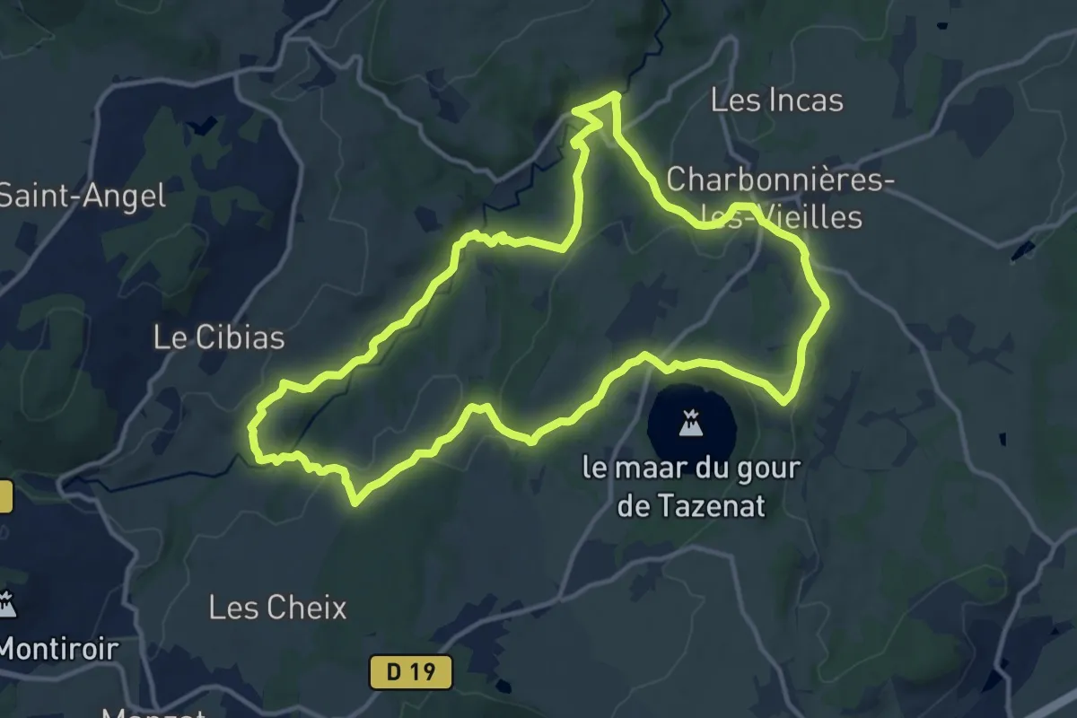
Medium · Trail
Les Moulins de la Morge
13.3 km · ↑ 344 m · 4 h 4 min
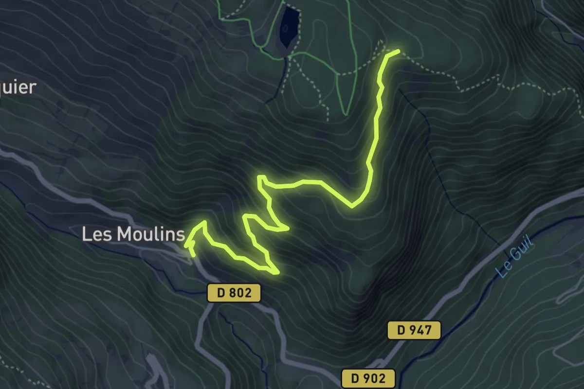
Medium · Trail
Les Moulins de Malmeyer - Les Arbourets
5.5 km · ↑ 459 m · 2 h 18 min
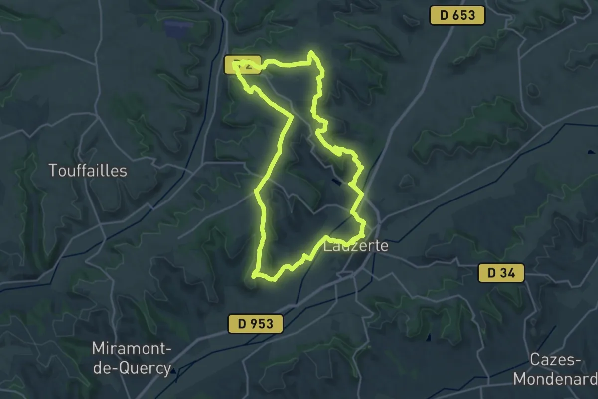
Demanding · Trail
Les moulins du Quercy Blanc
20.3 km · ↑ 395 m · 5 h 55 min
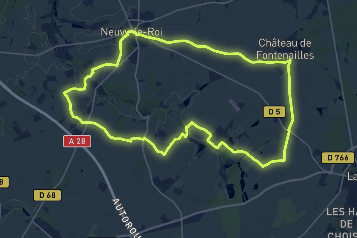
Medium · Trail
Les Moulins - Neuvy-le-Toi
17.5 km · ↑ 115 m · 4 h 37 min
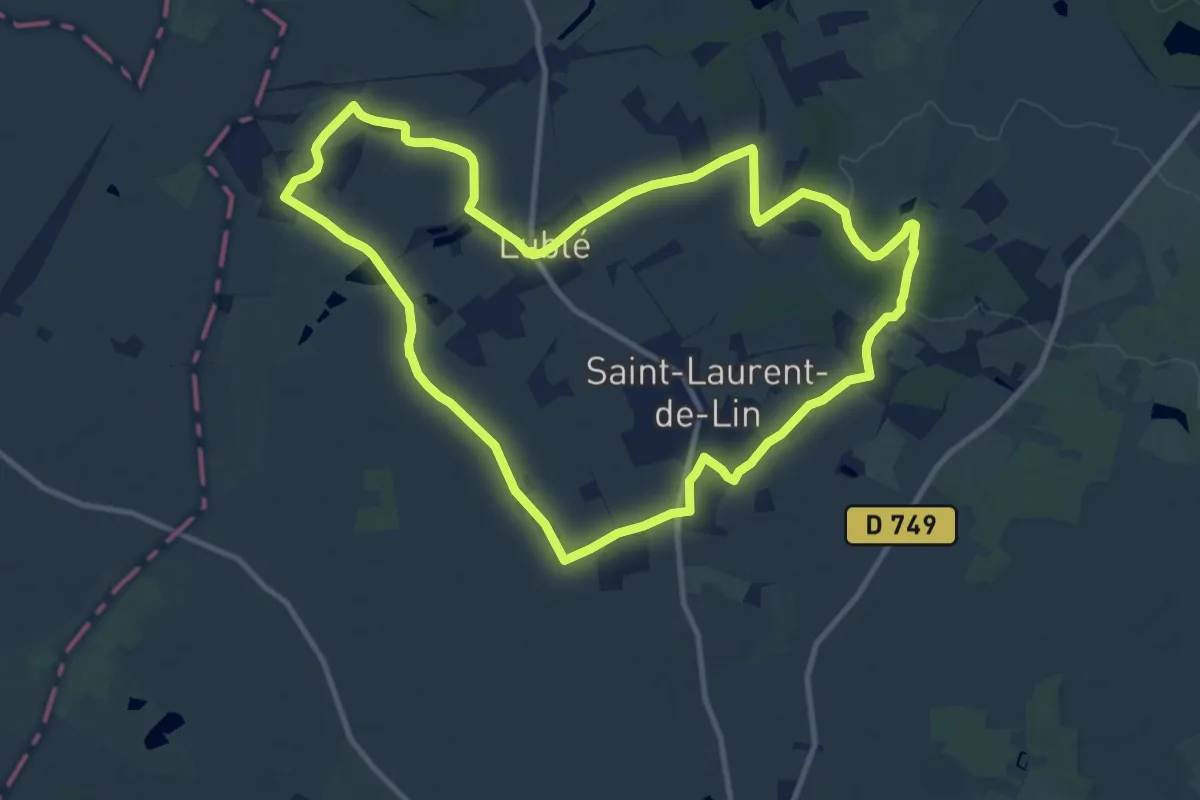
Medium · Trail
Les Moulins - Saint-Laurent-de-Lin
11.4 km · ↑ 60 m · 2 h 58 min
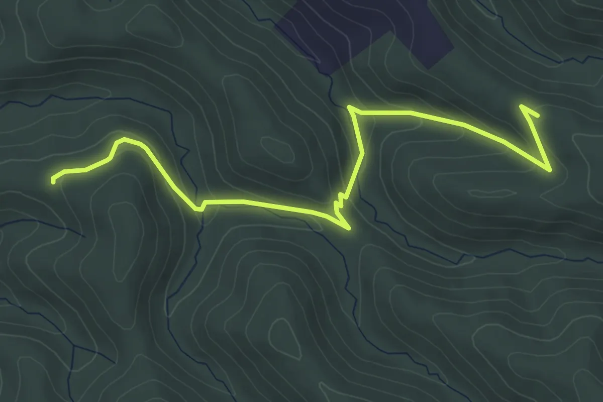
Easy · Trail
Les Mourades - L'Abri des Dames
5.7 km · ↑ 224 m · 1 h 50 min
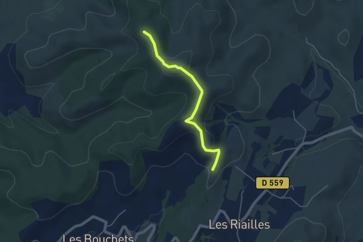
Easy · Trail
Les Mourades - Serre Juillet
3.5 km · ↑ 113 m · 1 h 4 min
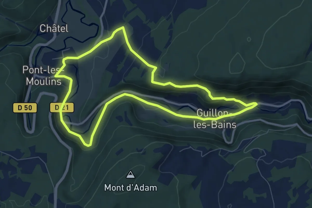
Easy · Trail
Les Narines du Diable
7.5 km · ↑ 198 m · 2 h 19 min
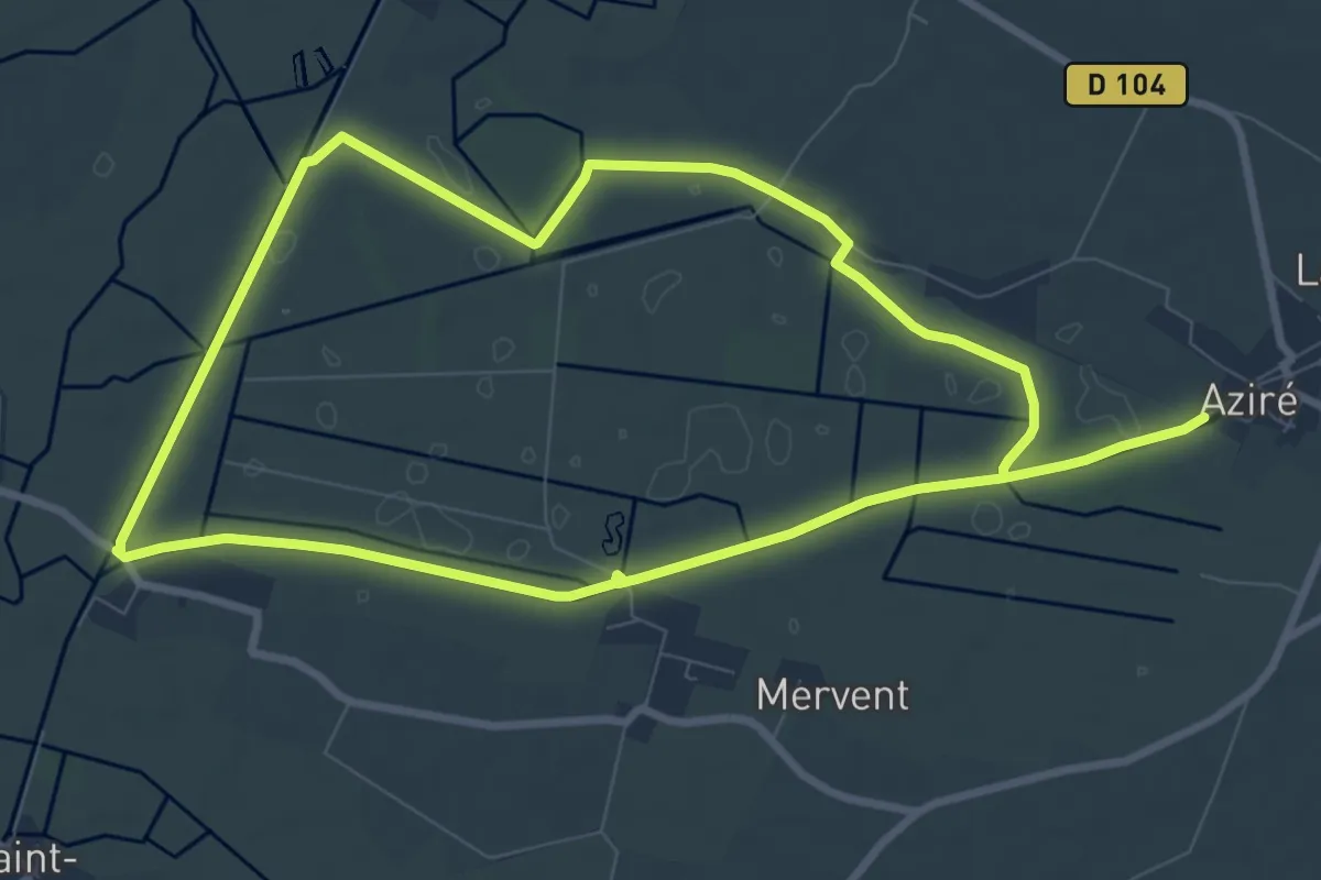
Medium · Trail
Les Nattes
8.3 km · ↑ 4 m · 2 h 6 min
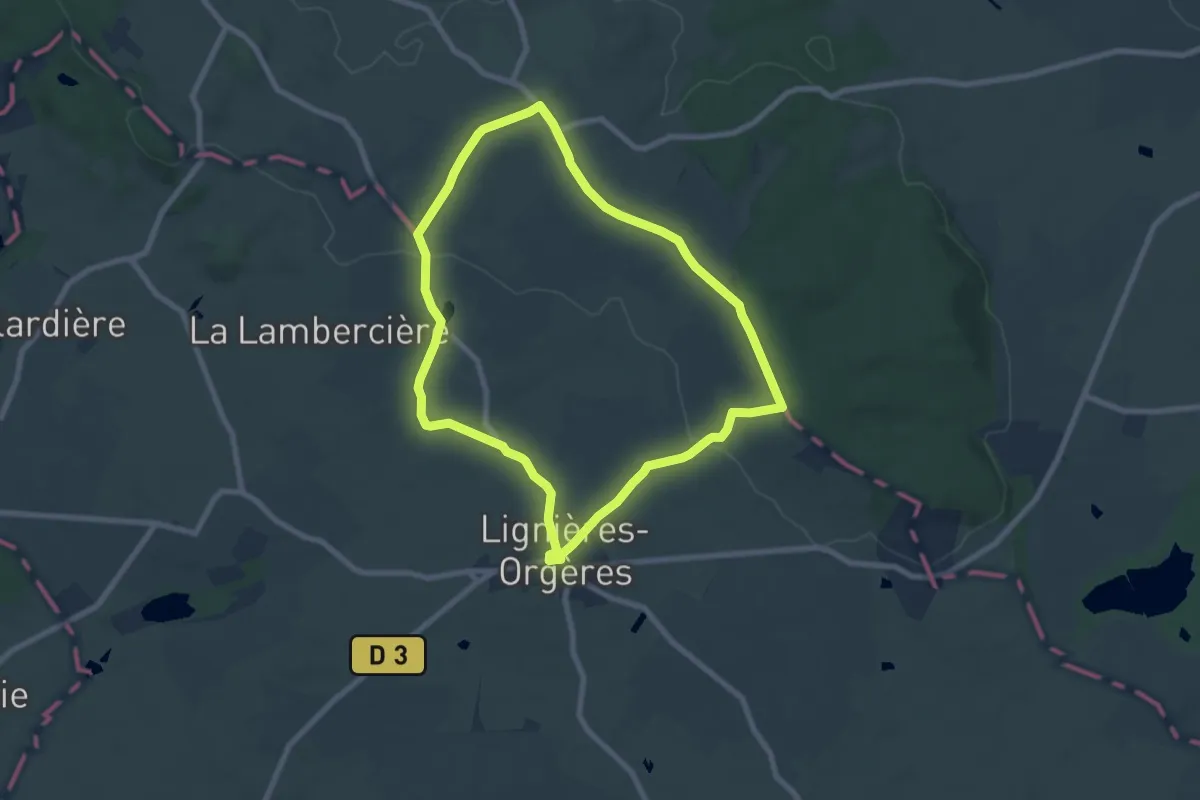
Easy · Trail
Les Noës ou la Sacré-Coeur
7.1 km · ↑ 94 m · 1 h 58 min
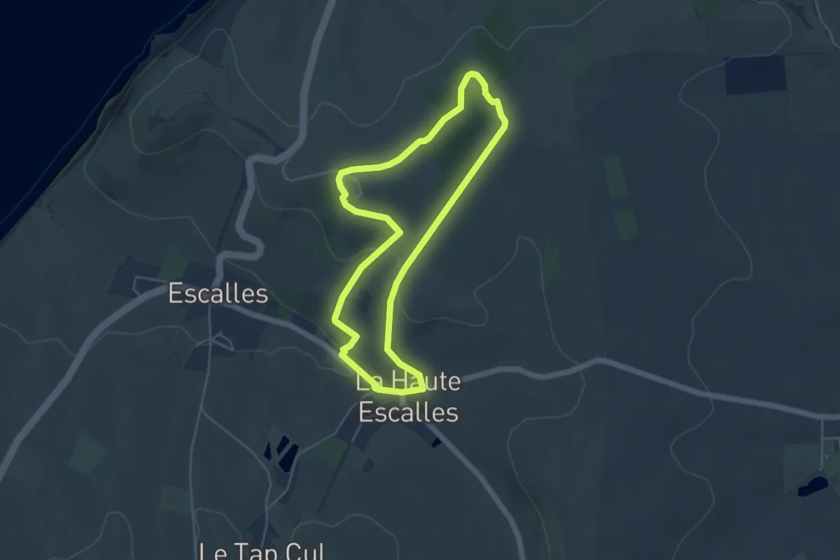
Easy · Summit
Les Noirs Mottes
4.0 km · ↑ 104 m · 1 h 14 min
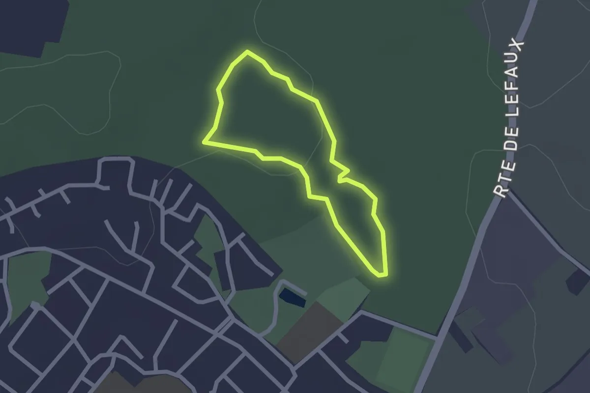
Easy · Trail
Les Noisetiers el le Bois de Rombly
1.4 km · ↑ 21 m · 24 min
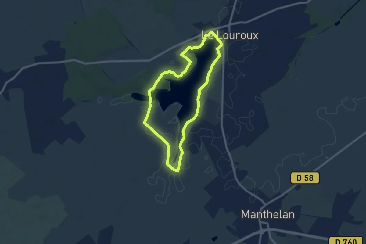
Easy · Trail
Les Oiseaux de l'Étang du Louroux - Le Louroux
5.5 km · ↑ 14 m · 1 h 24 min
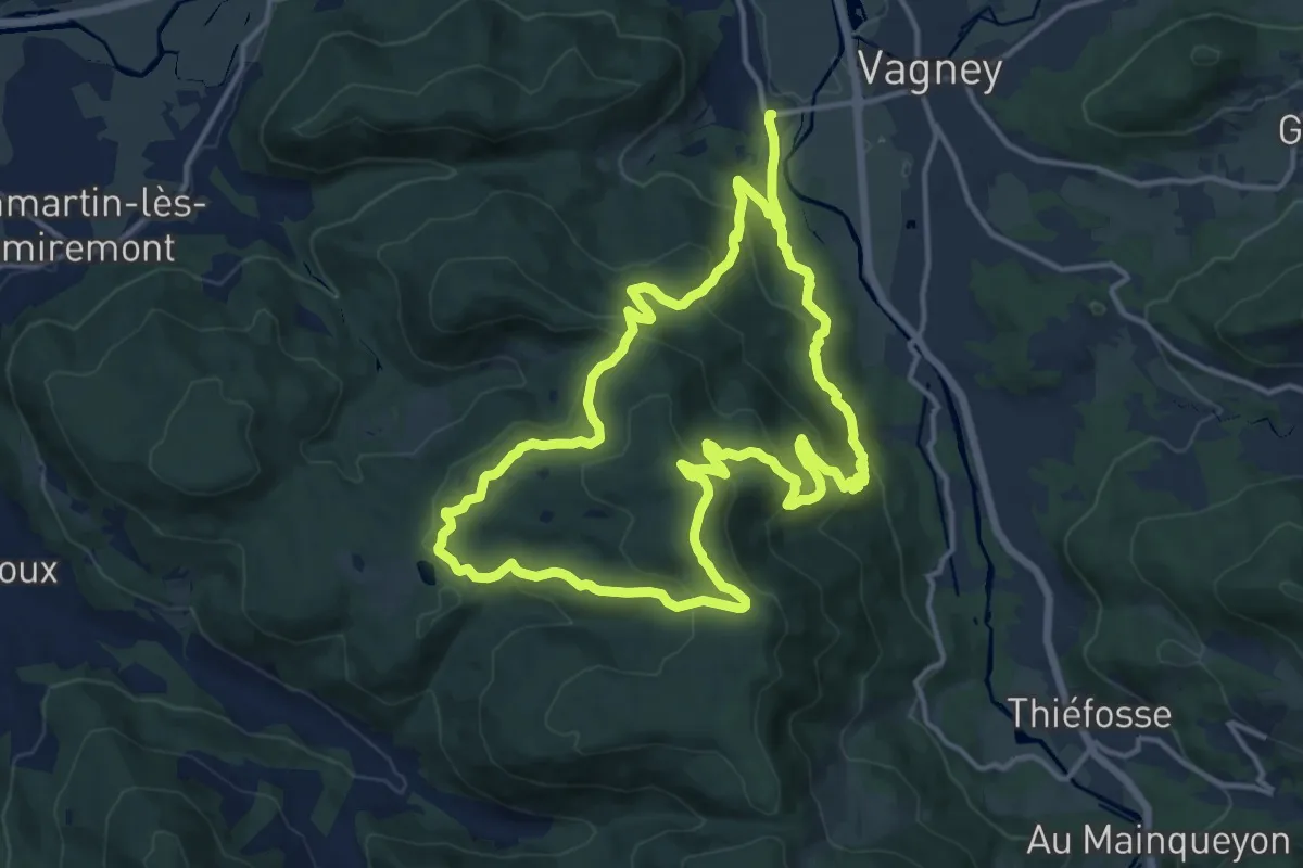
Demanding · Trail
Le Solem
13.4 km · ↑ 573 m · 4 h 36 min
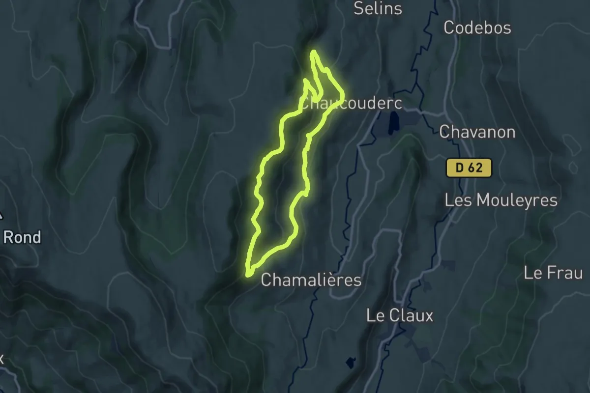
Medium · Trail
Les Ombrages
9.0 km · ↑ 412 m · 3 h 8 min
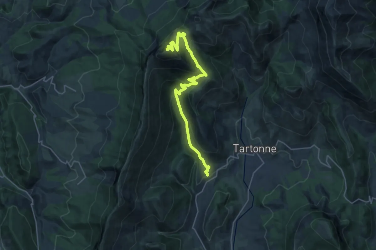
Demanding · Summit
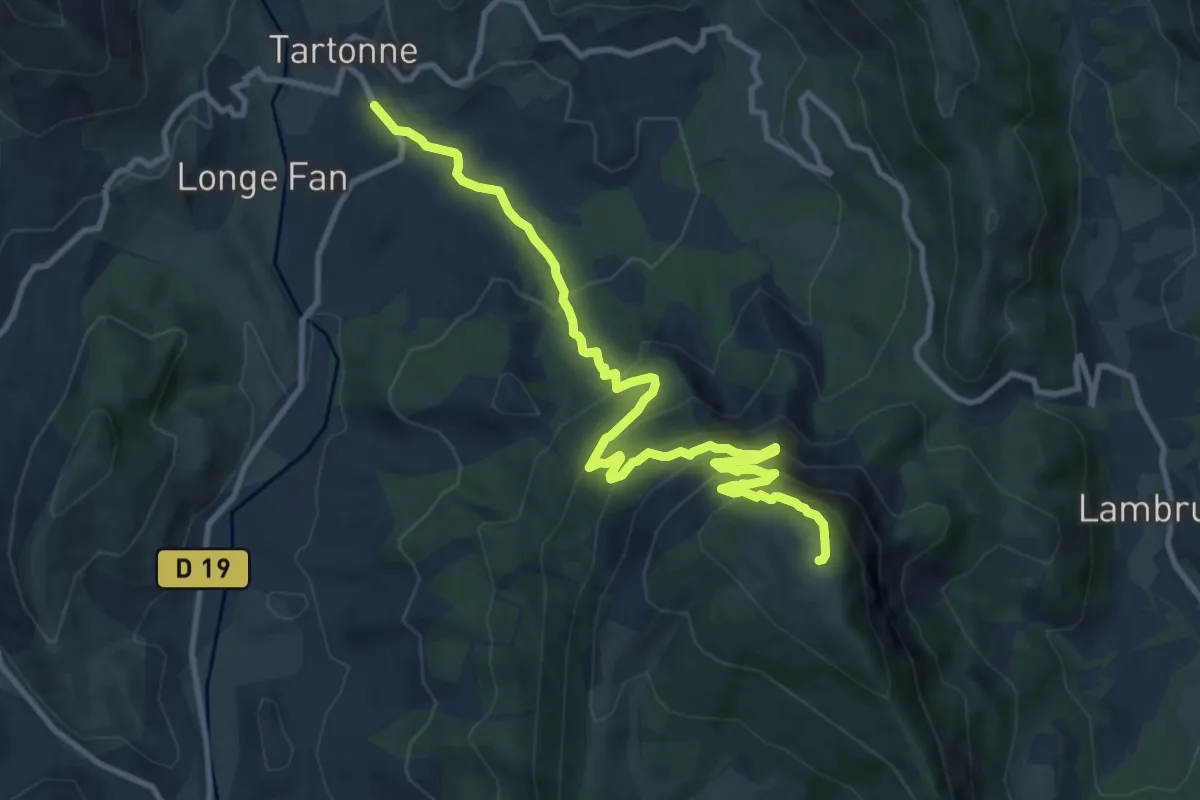
Le Sommet de Couar (1 989 m, par Tartonne)
9.8 km · ↑ 1081 m · 4 h 20 min
Demanding · Summit
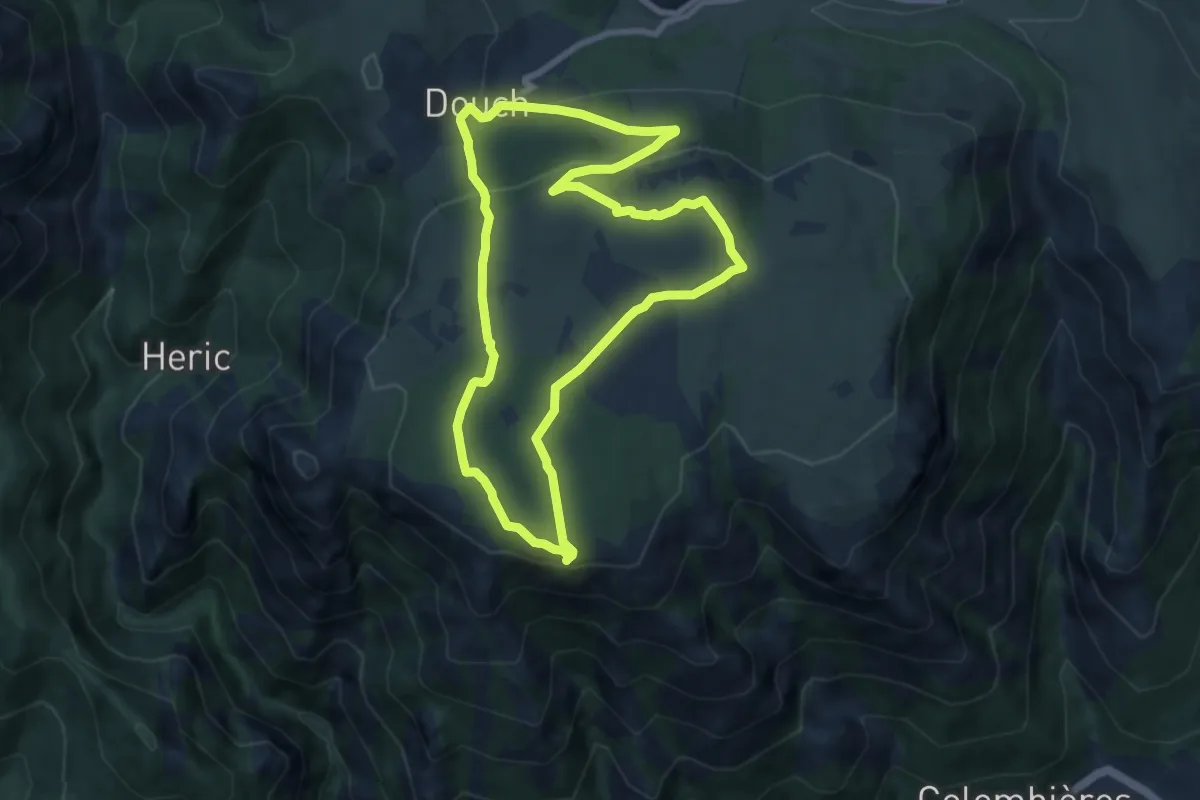
Le Sommet de la Sapée (1 701 m)
6.3 km · ↑ 854 m · 3 h 3 min
Medium · Summit
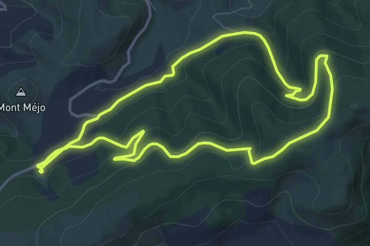
Le Sommet du Caroux
7.9 km · ↑ 270 m · 2 h 35 min
Medium · Trail
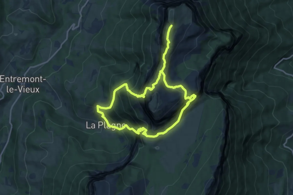
Le sommet du Merdélou par Saint-Méen
8.3 km · ↑ 324 m · 2 h 46 min
Expert · Summit
Le sommet du Mont Granier
8.6 km · ↑ 992 m · 4 h 17 min
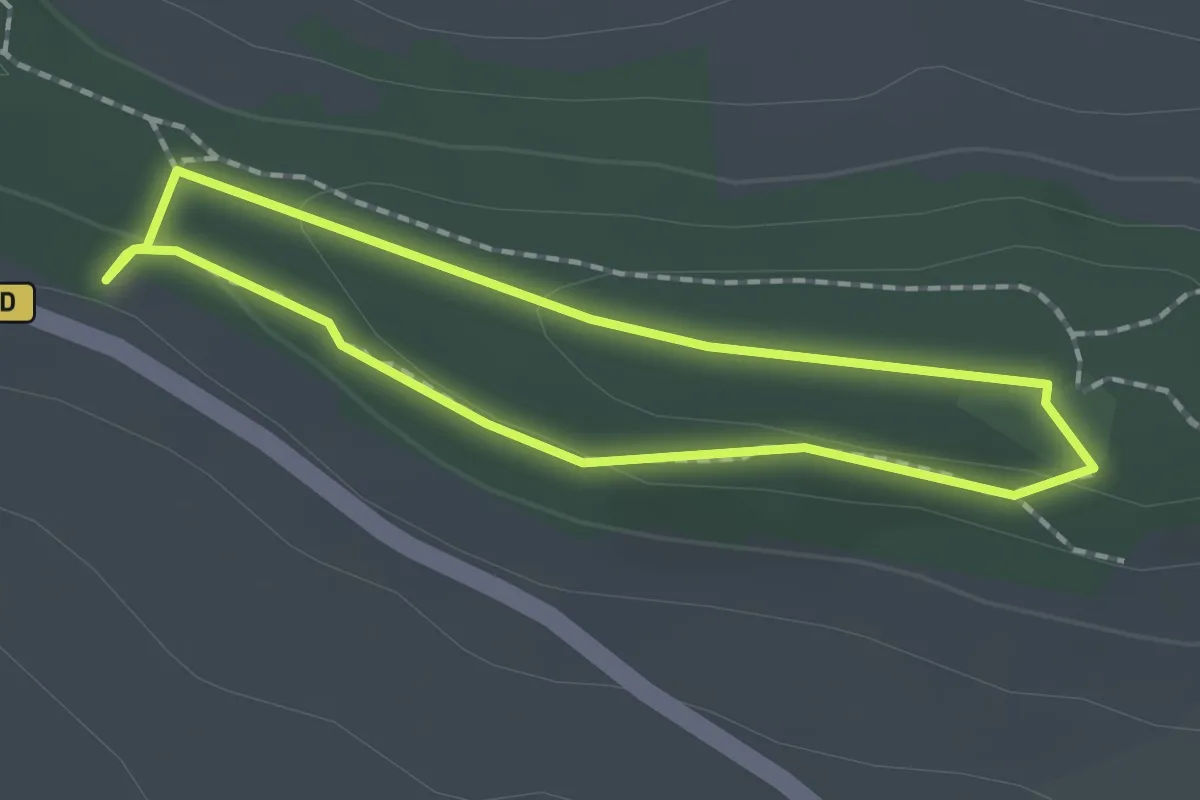
Easy · Trail
Les Orchidées
1.4 km · ↑ 33 m · 26 min
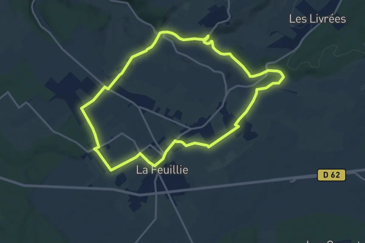
Medium · Trail
Les Orchidées
9.3 km · ↑ 120 m · 2 h 35 min
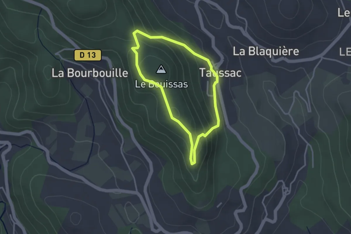
Easy · Summit
Les Orgues de Taussac
2.6 km · ↑ 107 m · 52 min
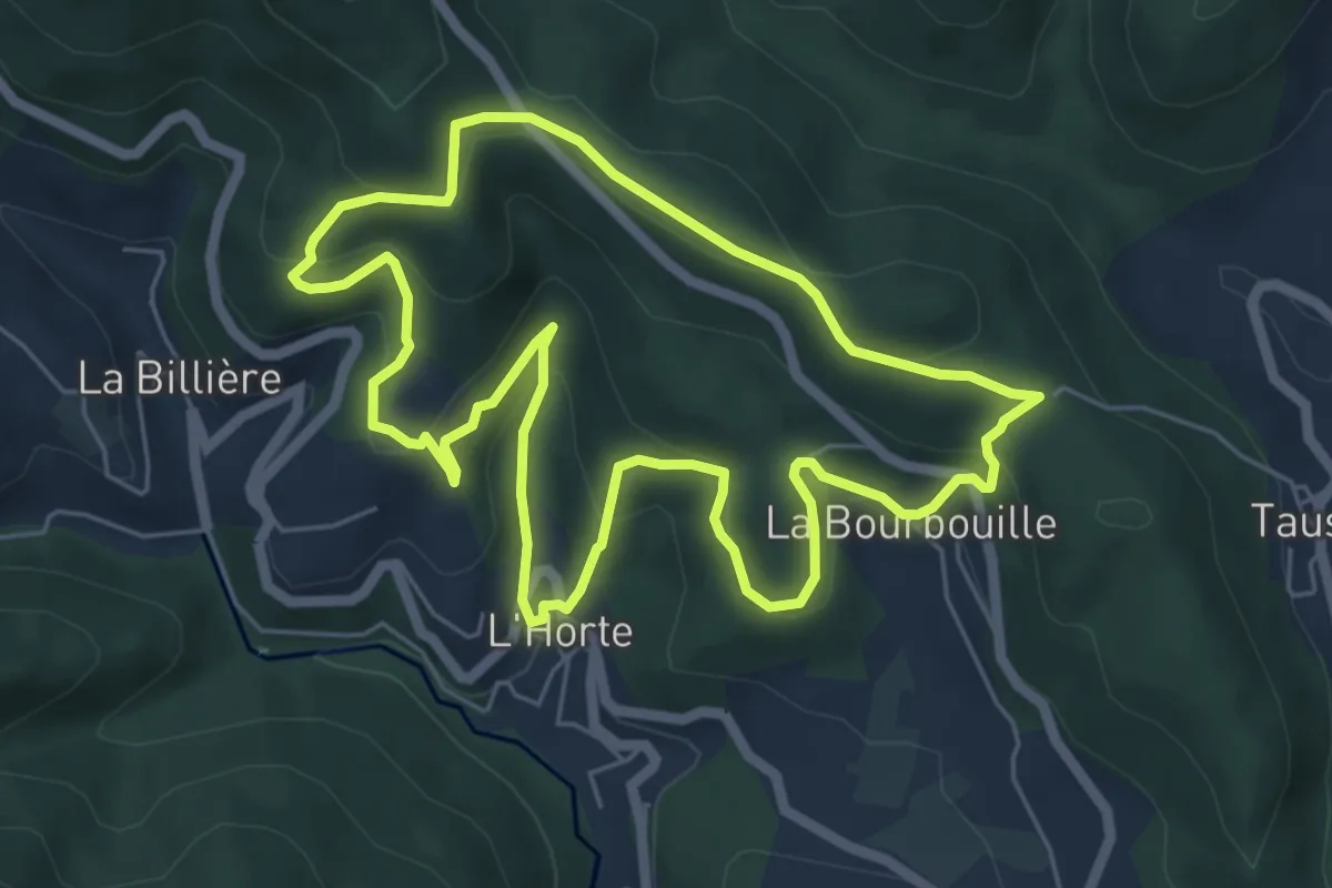
Easy · Trail
Les Orgues de Taussac
6.2 km · ↑ 299 m · 2 h 12 min
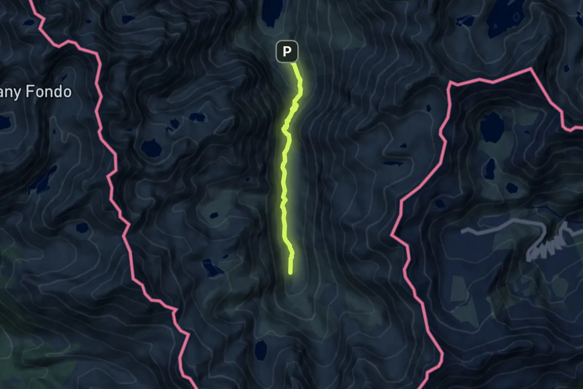
Medium · Trail
Les Orris du Carla
7.7 km · ↑ 334 m · 2 h 33 min
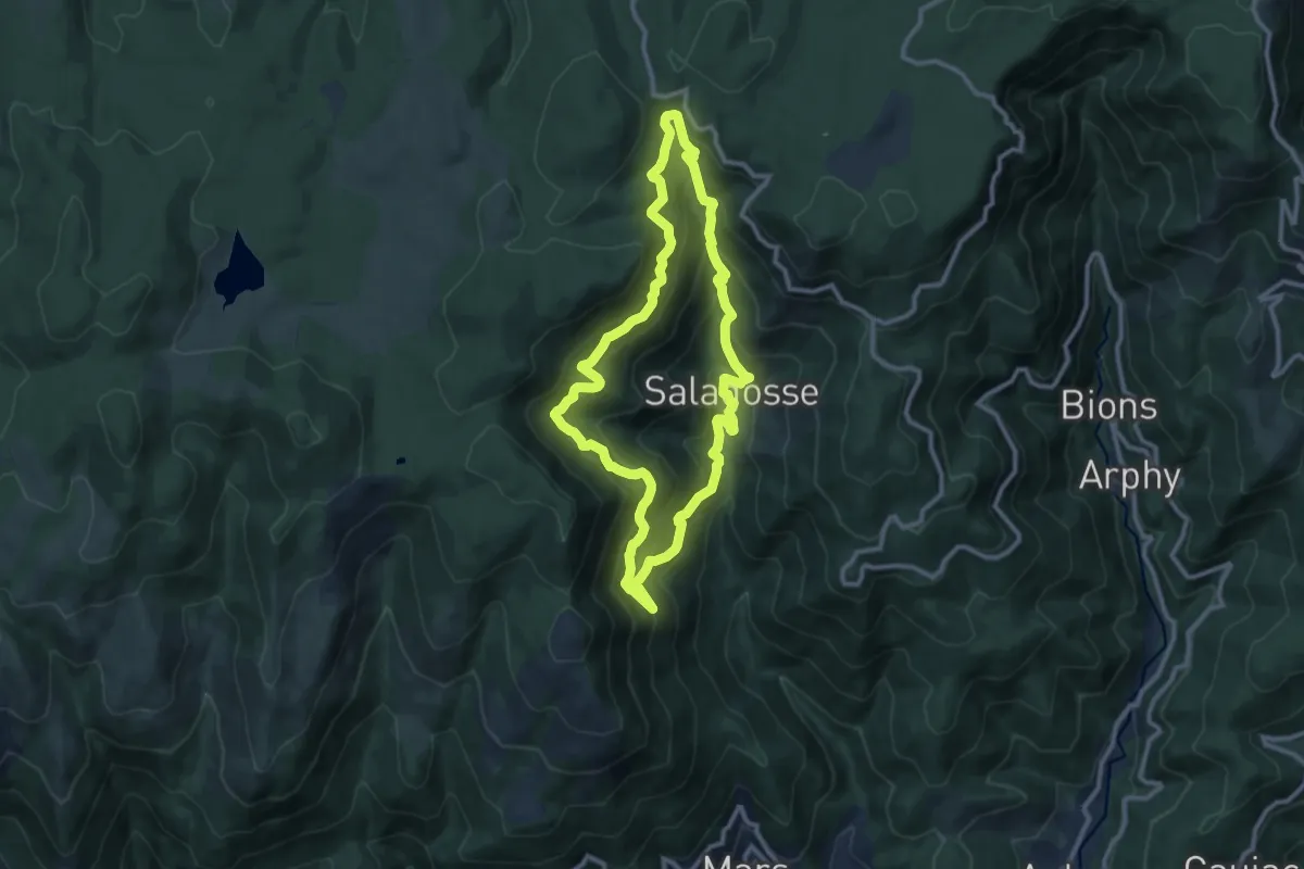
Medium · Trail
Le Souls
10.5 km · ↑ 696 m · 4 h 8 min
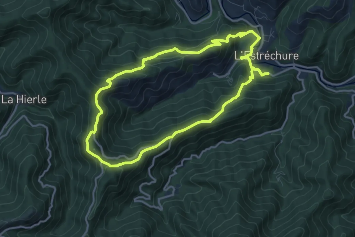
Medium · Trail
Le Soult
9.2 km · ↑ 495 m · 3 h 22 min
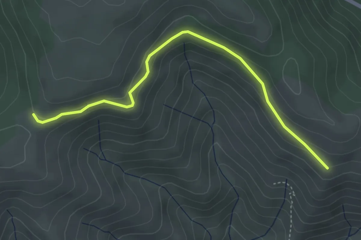
Easy · Trail
Le Soupley - Le Coulet Gras
4.4 km · ↑ 139 m · 1 h 20 min
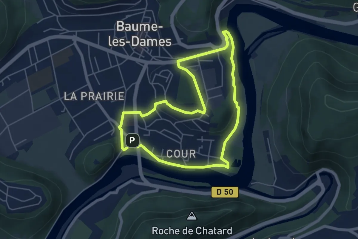
Easy · Trail
Le Sous-Buen
4.4 km · ↑ 98 m · 1 h 18 min
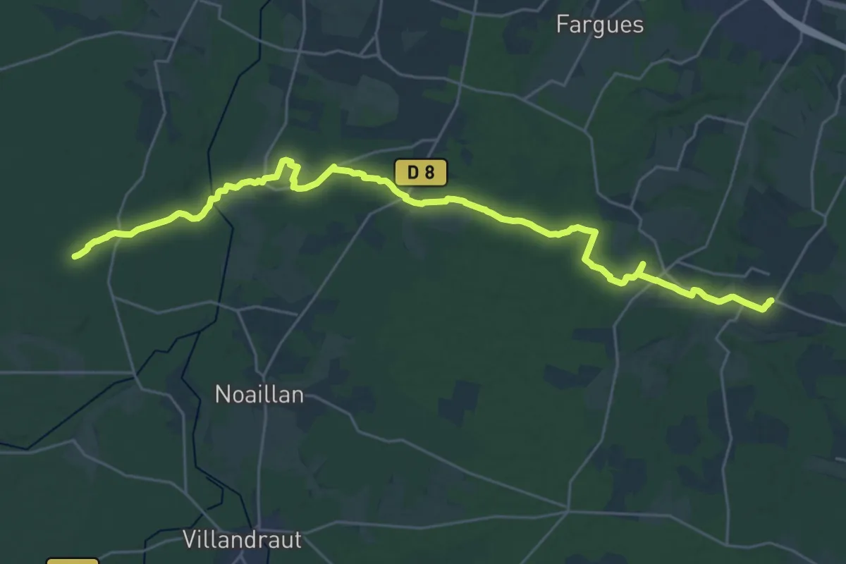
Demanding · Trail
Les Paloumayres : circuit départemental
30.4 km · ↑ 236 m · 7 h 42 min
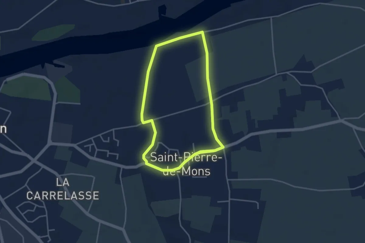
Easy · Trail
Les Palus : boucle locale
3.2 km · ↑ 23 m · 52 min
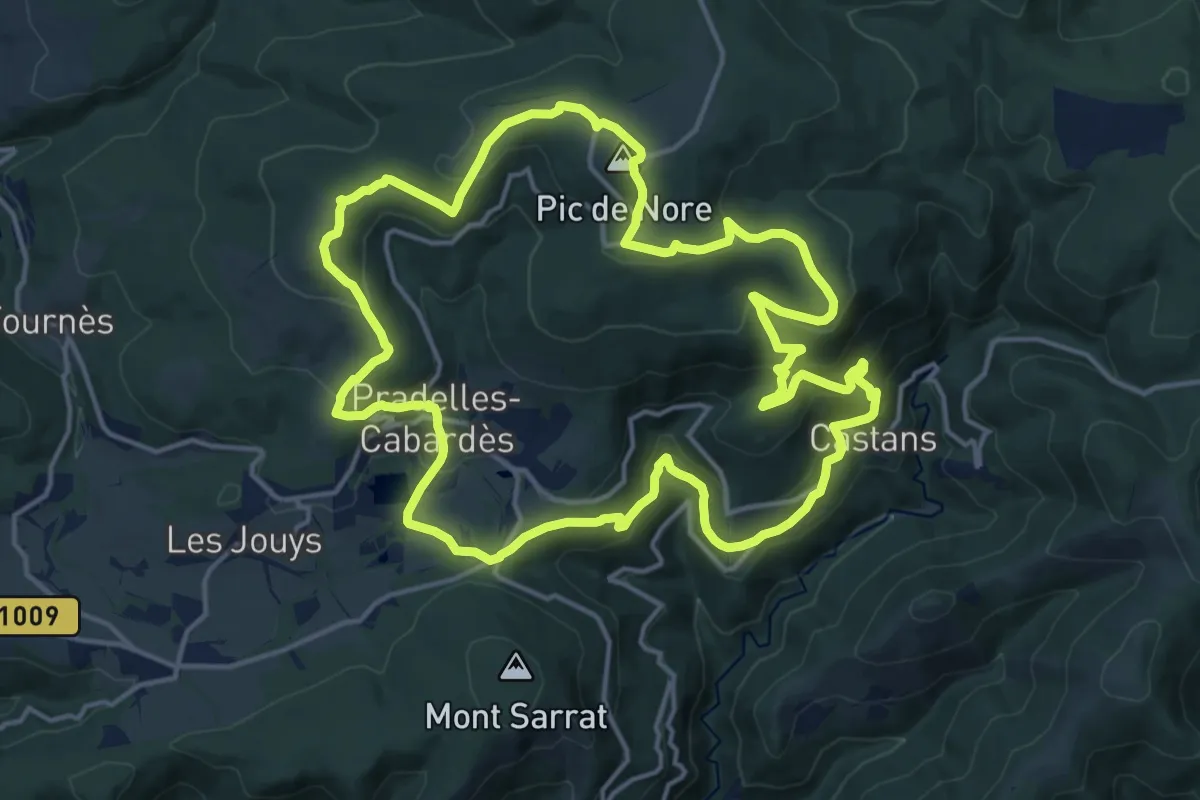
Medium · Summit
Les Panoramas
17.6 km · ↑ 679 m · 5 h 53 min
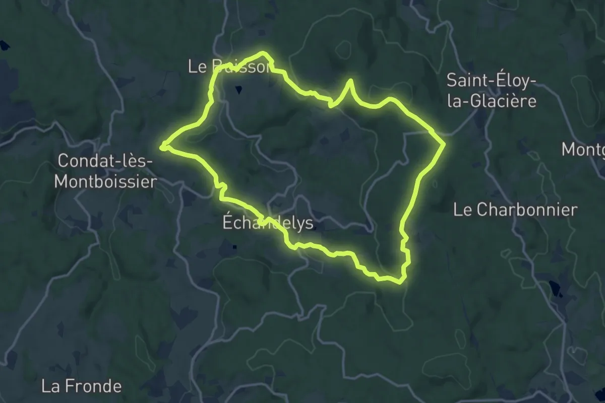
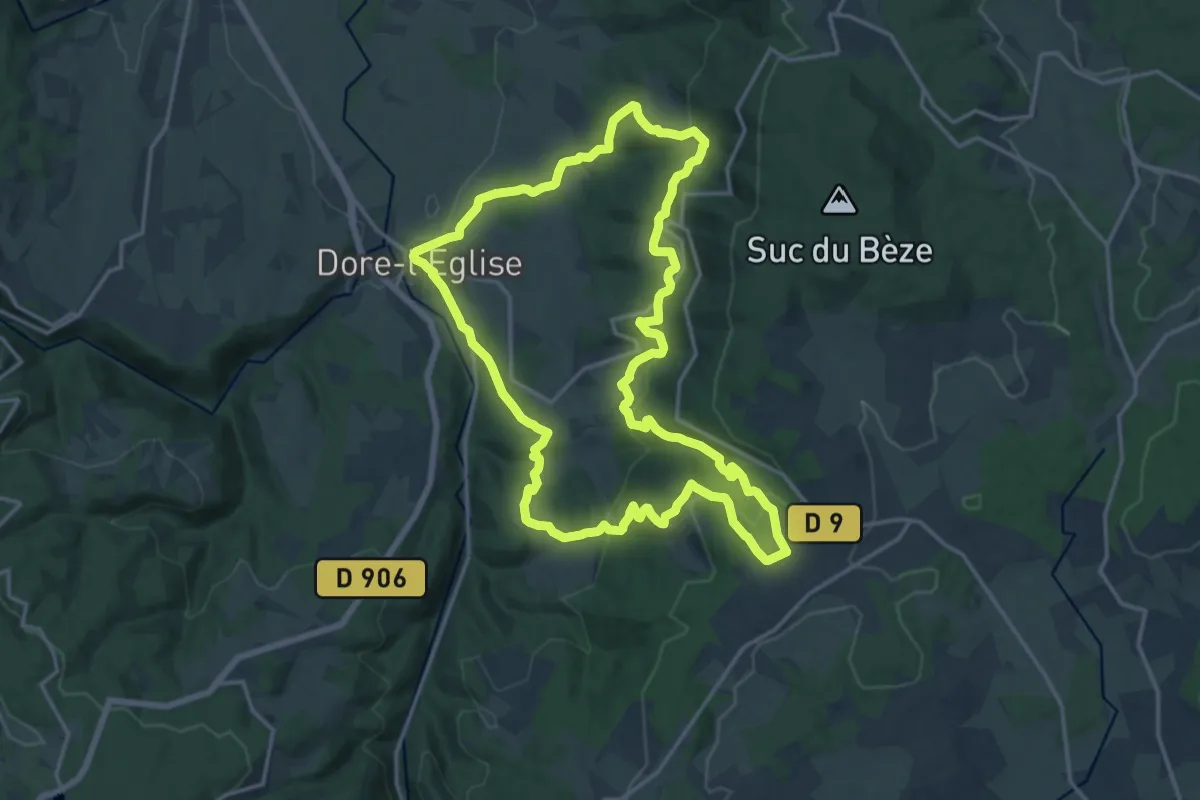
Medium · Trail
Les Panoramas
13.6 km · ↑ 316 m · 4 h 5 min
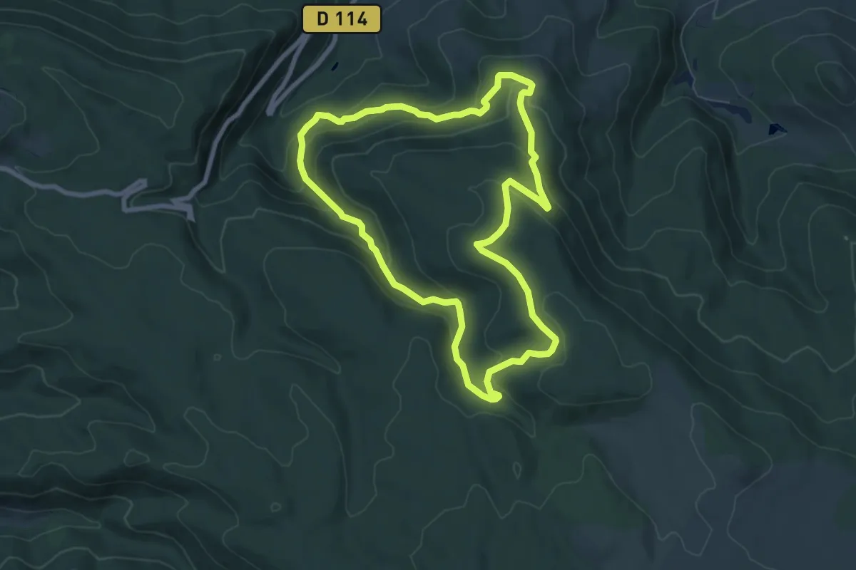
Medium · Trail
Les panoramas de Dore-l'Église
17.1 km · ↑ 543 m · 5 h 26 min
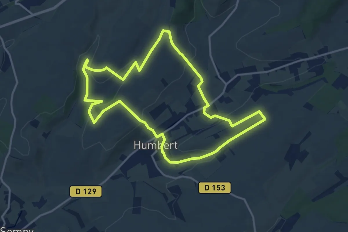
Easy · Trail
Les Panoramas de Lacamp
7.4 km · ↑ 318 m · 2 h 32 min
Medium · Trail
Les Papillottes
8.8 km · ↑ 198 m · 2 h 37 min
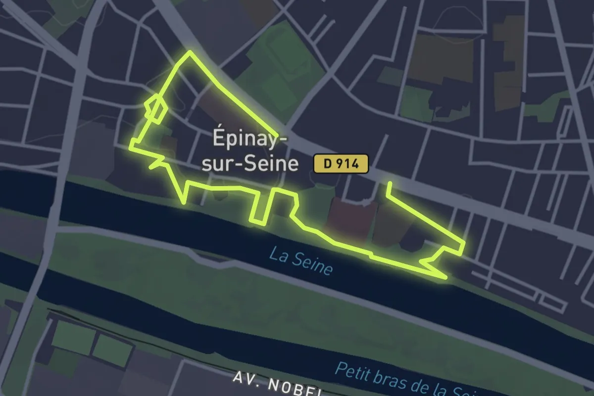
Easy · Trail
Les Parcs (Circuit Sud)
5.6 km · ↑ 44 m · 1 h 26 min
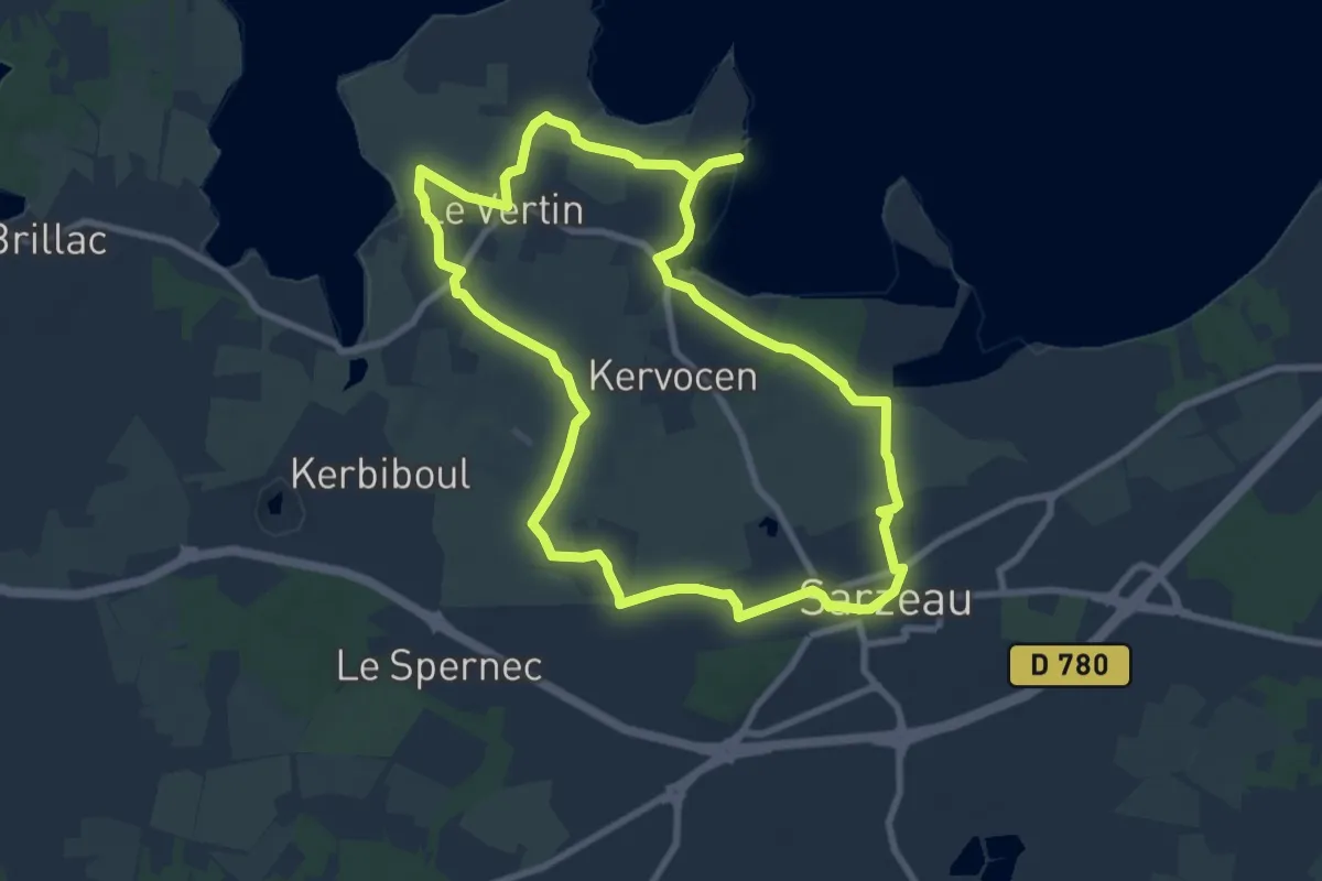
Medium · Trail
Les parcs ostréicoles
8.5 km · ↑ 49 m · 2 h 15 min
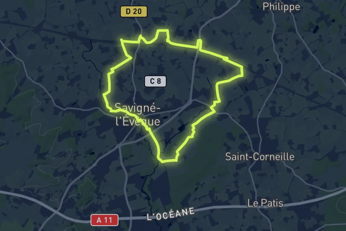
Medium · Trail
Les Parences
14.9 km · ↑ 22 m · 3 h 46 min
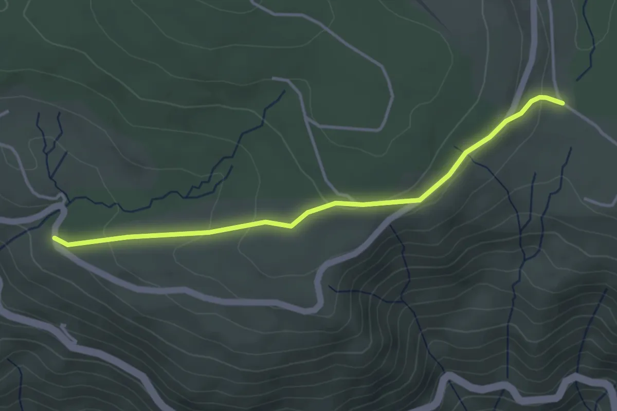
Easy · Trail
Lesparet/Besselias - Cros de Boutazon
3.8 km · ↑ 145 m · 1 h 13 min
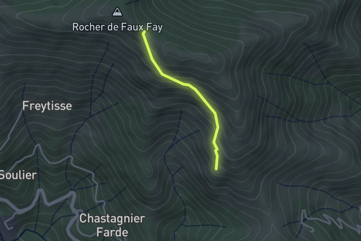
Easy · Trail
Les Pargeades - Faux Fay
2.2 km · ↑ 208 m · 58 min
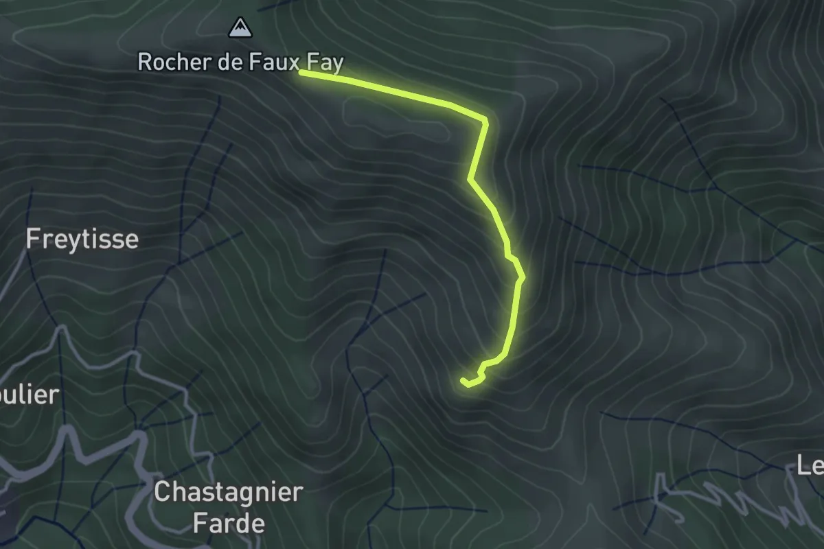
Easy · Trail
Les Pargeades - Faux Fay
2.8 km · ↑ 209 m · 1 h 7 min
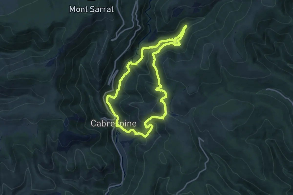
Medium · Trail
Les Pas de l'Aube
9.7 km · ↑ 481 m · 3 h 28 min
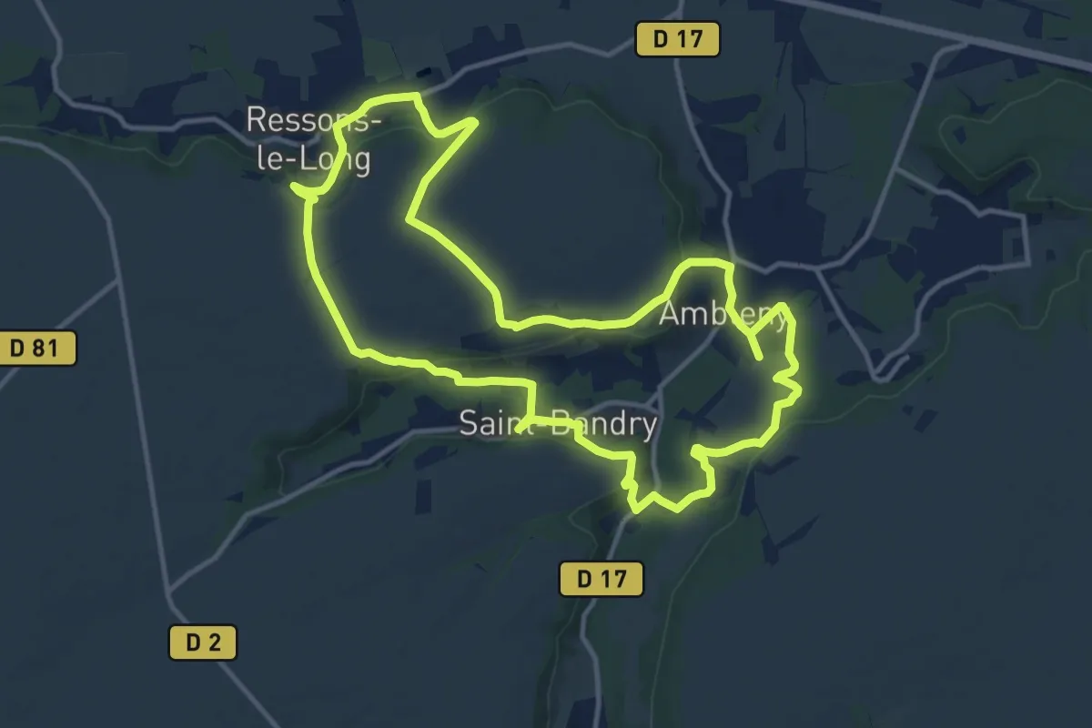
Medium · Trail
Les Pas de Saint-Martin
12.1 km · ↑ 264 m · 3 h 37 min
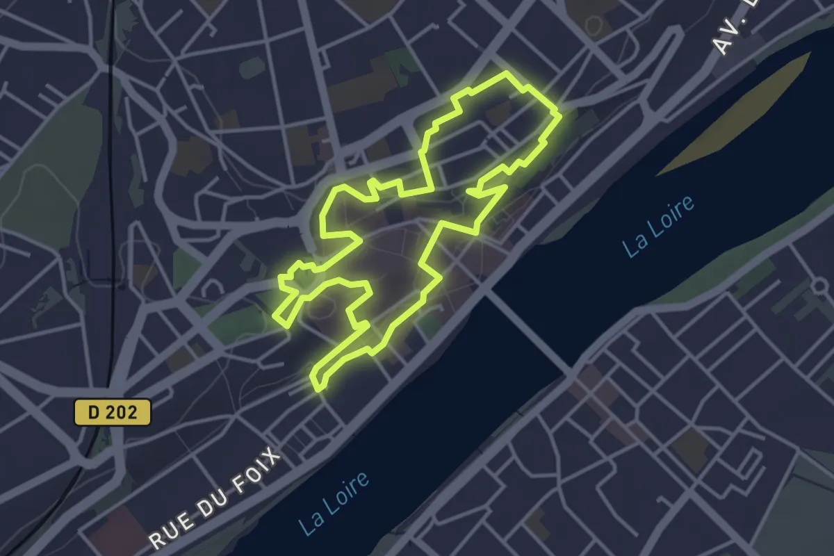
Easy · Trail
Les pas pressés
3.6 km · ↑ 40 m · 1 h
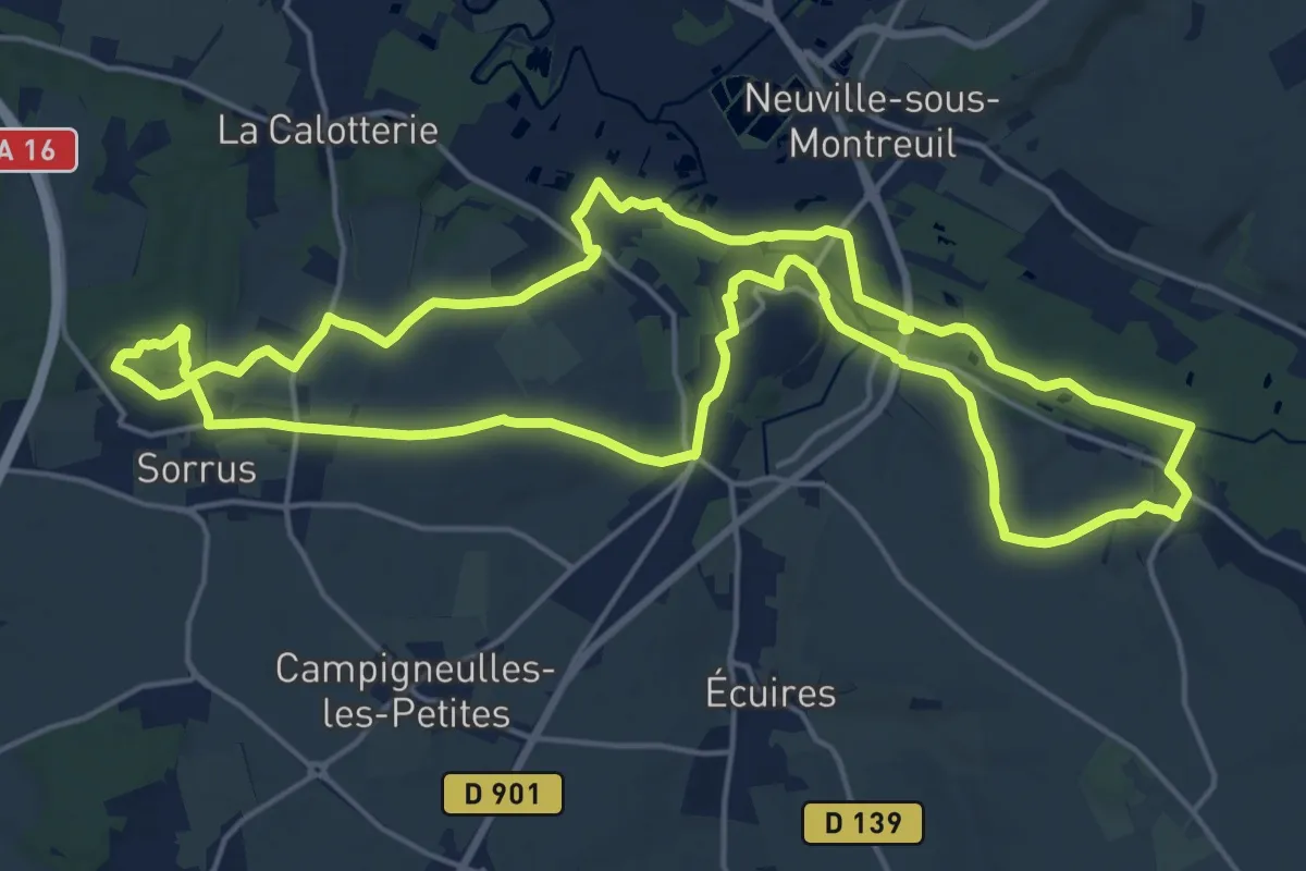
Demanding · Trail
Les Patis
18.2 km · ↑ 152 m · 4 h 53 min
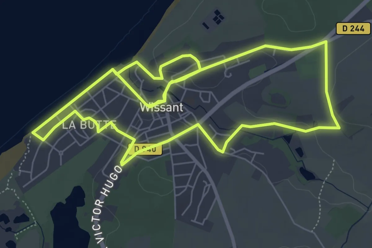
Easy · Trail
Les Peintres de Wissant
6.4 km · ↑ 66 m · 1 h 44 min
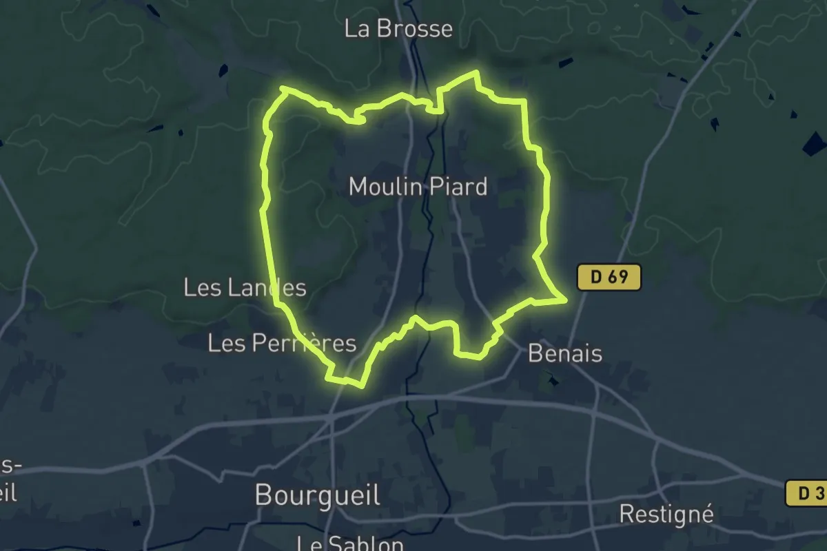
Medium · Trail
Les Perrières de Grand Mont - Bourgueil - Benais
13.4 km · ↑ 182 m · 3 h 44 min