Trails in France
15,926 hiking trails, each with its route, climb, walking time and grade.
All trails, page 192 of 332
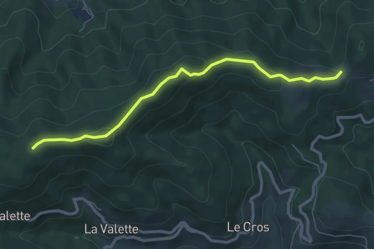
Easy · Trail
Les Perringues - Chez Ceysson
5.5 km · ↑ 210 m · 1 h 45 min
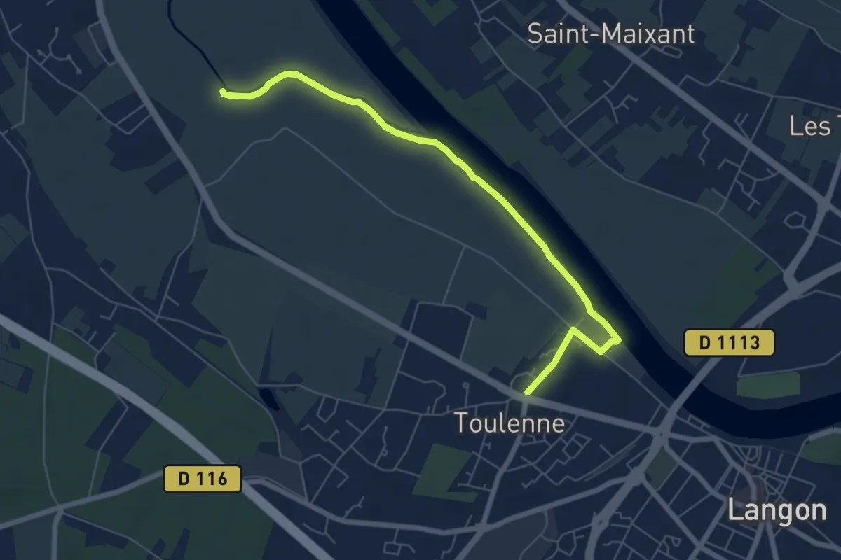
Easy · Trail
Les Pescayres : boucle locale
7.1 km · ↑ 27 m · 1 h 43 min
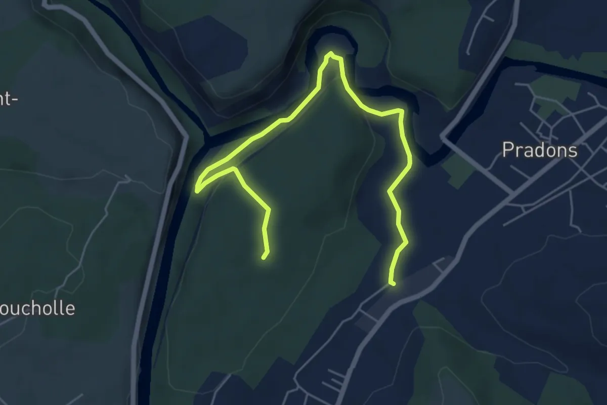
Demanding · Trail
Les Petites Pièces - Les Carrières
6.2 km · ↑ 165 m · 1 h 50 min
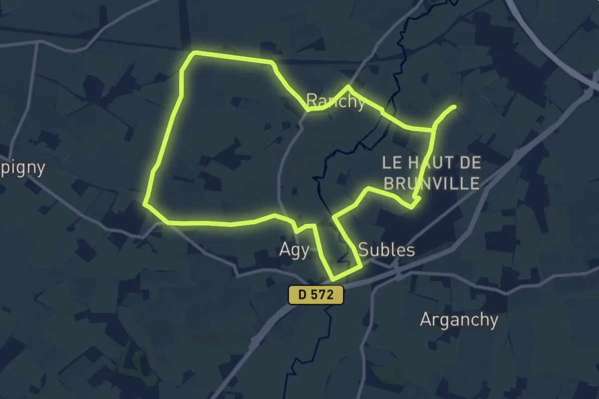
Medium · Trail
Les Petits Chemins de la Drôme
9.6 km · ↑ 90 m · 2 h 36 min
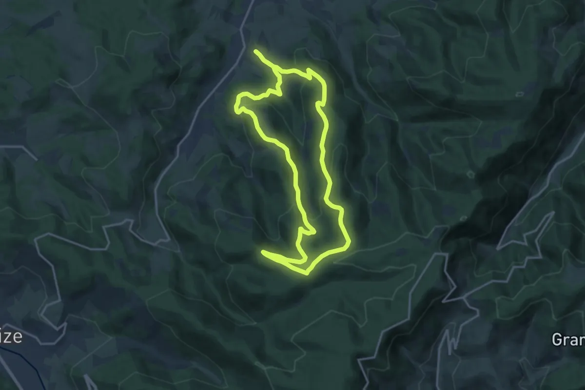
Medium · Trail
Les Petits Ordons
13.2 km · ↑ 558 m · 4 h 31 min
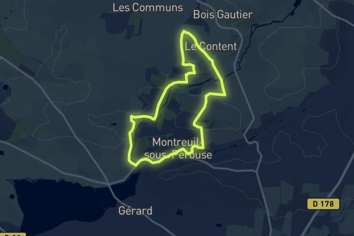
Easy · Trail
Les Petits Ponts de Bois
7.6 km · ↑ 138 m · 2 h 12 min
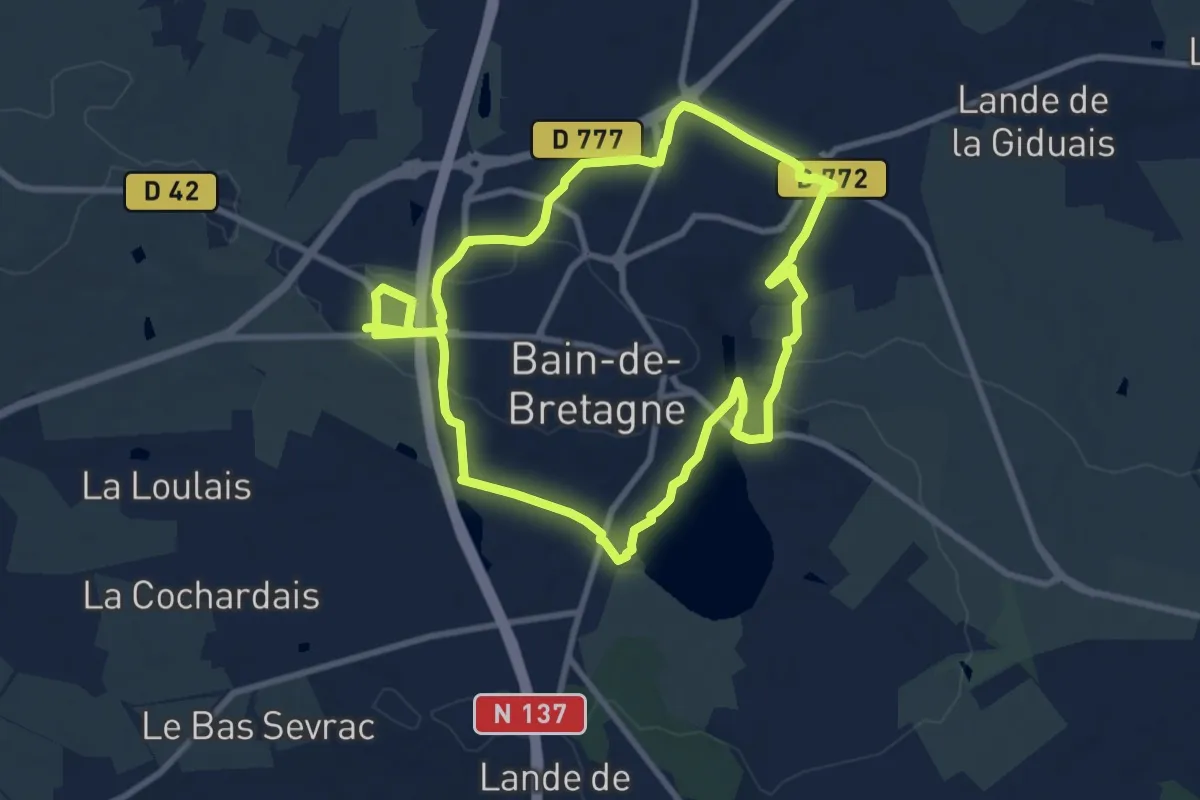
Medium · Trail
Les Petits Potins
8.5 km · ↑ 102 m · 2 h 21 min
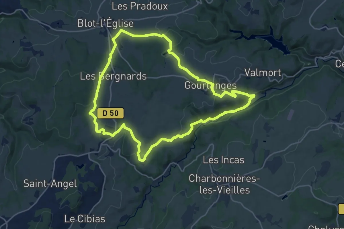
Medium · Trail
Les Peytoux
15.5 km · ↑ 314 m · 4 h 34 min
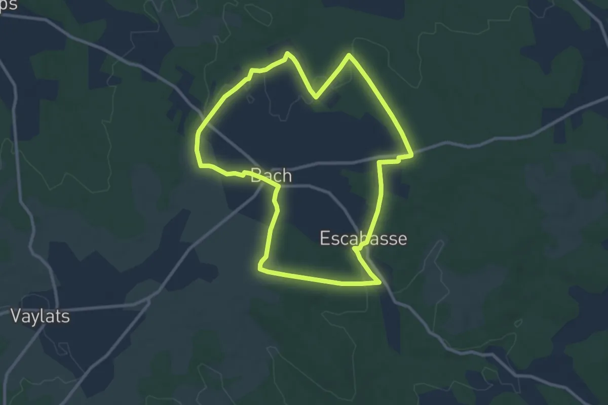
Medium · Trail
Les phosphatières du Cloup d'Aural
8.9 km · ↑ 76 m · 2 h 23 min
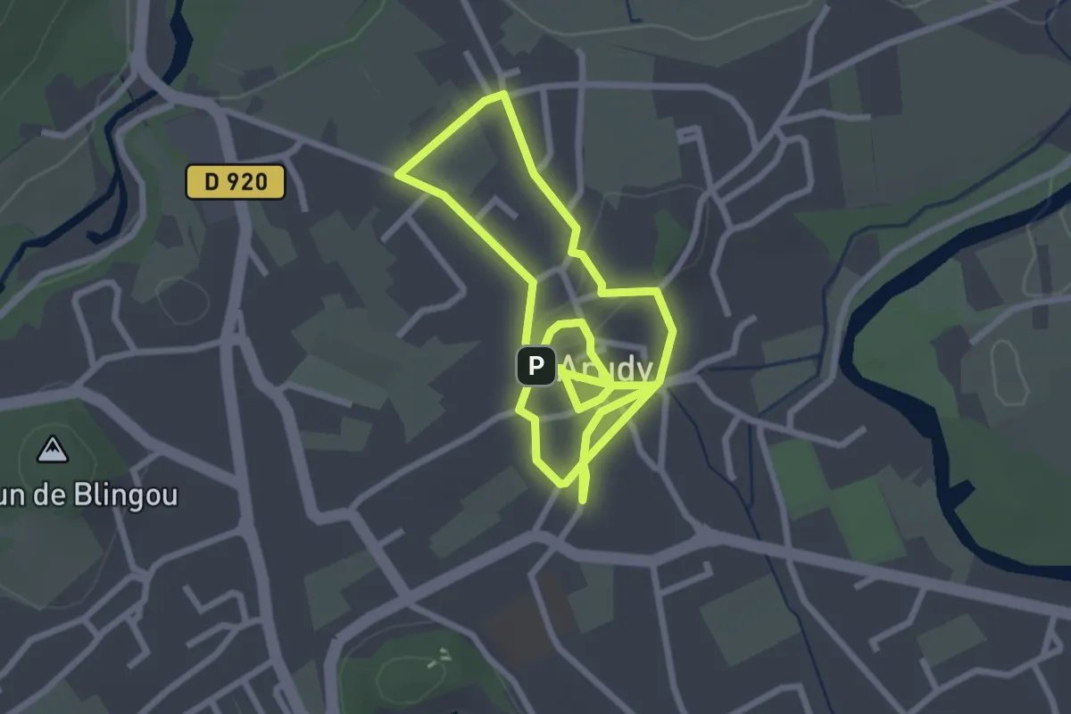
Easy · Trail
Les pierres
2.7 km · ↑ 19 m · 43 min
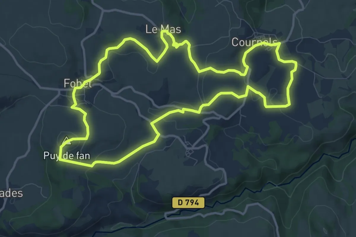
Medium · Summit
Les Pierres Levées
10.6 km · ↑ 241 m · 3 h 10 min
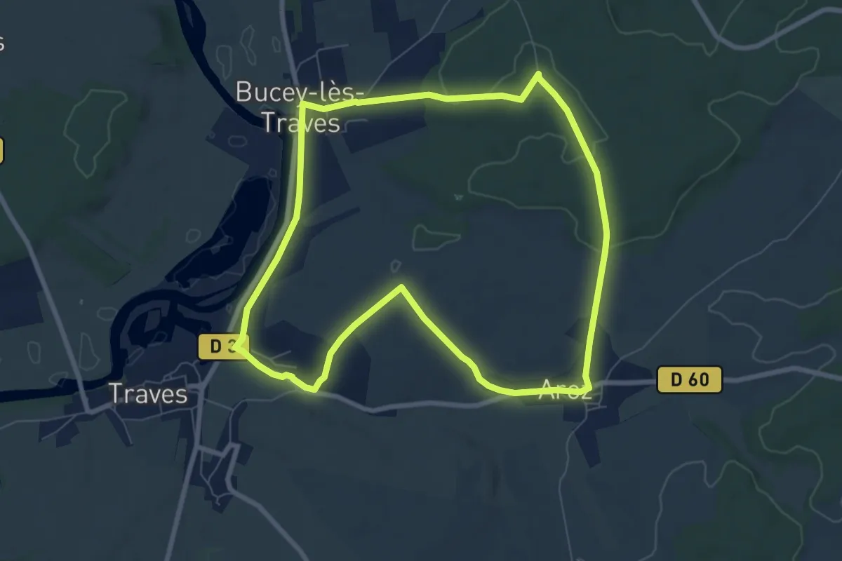
Easy · Trail
Les Pierres Percées
7.3 km · ↑ 104 m · 2 h 3 min
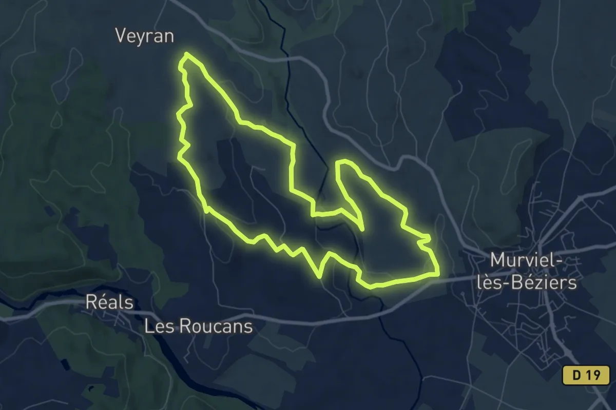
Medium · Summit
Les Pigeonniers
9.1 km · ↑ 131 m · 2 h 33 min
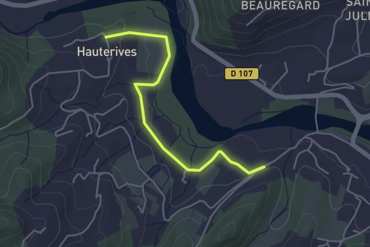
Easy · Trail
Les Pignes - Hautes Rives
3.9 km · ↑ 49 m · 1 h 1 min
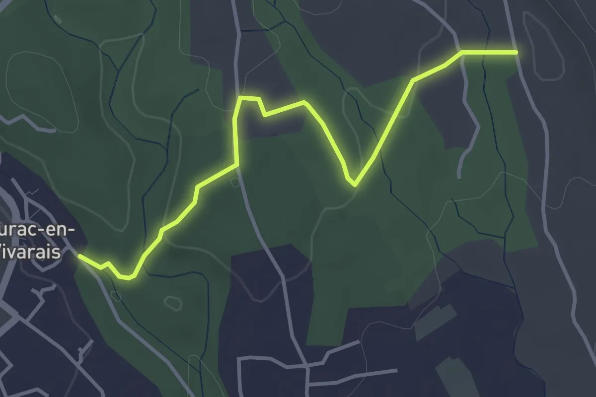
Easy · Trail
Les Piles - Chadeyron
3.7 km · ↑ 55 m · 59 min
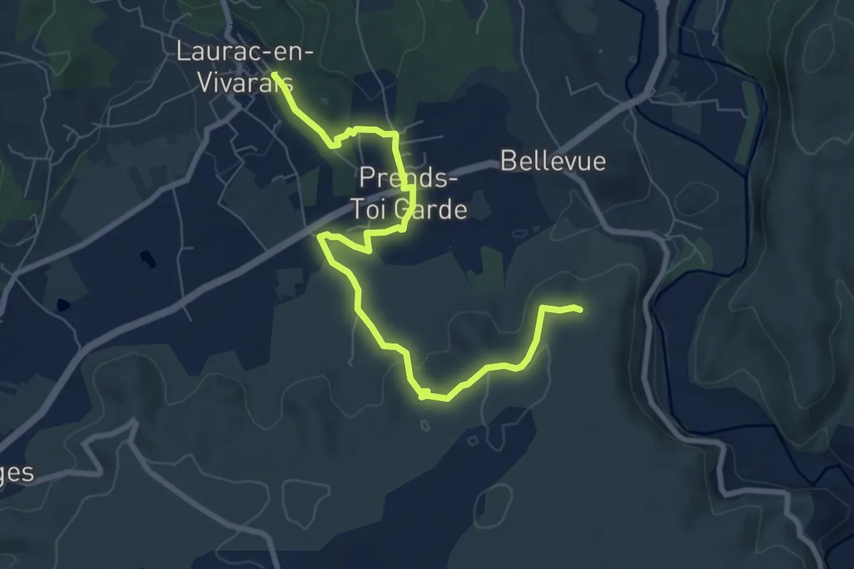
Medium · Trail
Les Piles - Les Granges de Mirabelle
8.1 km · ↑ 168 m · 2 h 17 min
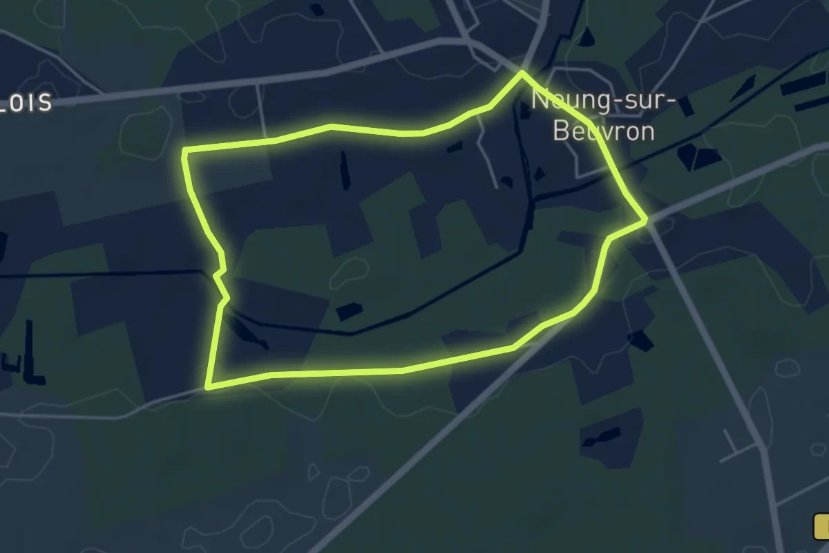
Easy · Trail
Les Pins
4.1 km · ↑ 4 m · 1 h 3 min
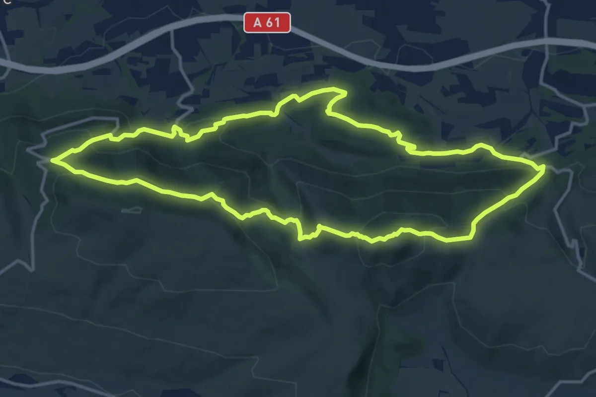
Medium · Summit
Les Pinsapos et les Deux Lacs
12.3 km · ↑ 577 m · 4 h 19 min
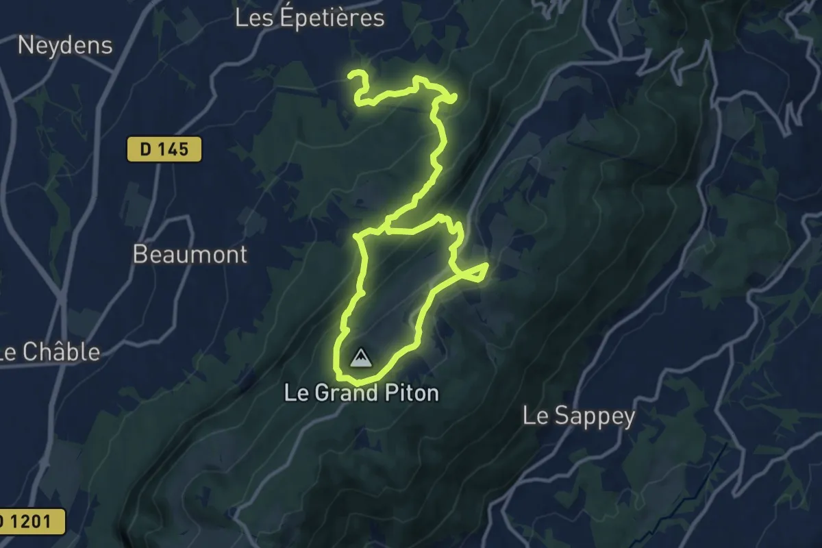
Demanding · Trail
Les Pitons par l'alpage de Chavanne
18.1 km · ↑ 1203 m · 6 h 53 min
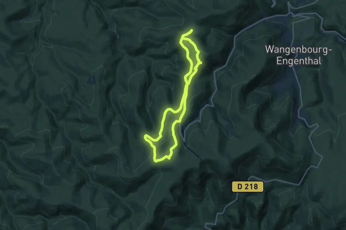
Demanding · Summit
Le Spitzberg
11.8 km · ↑ 365 m · 3 h 45 min
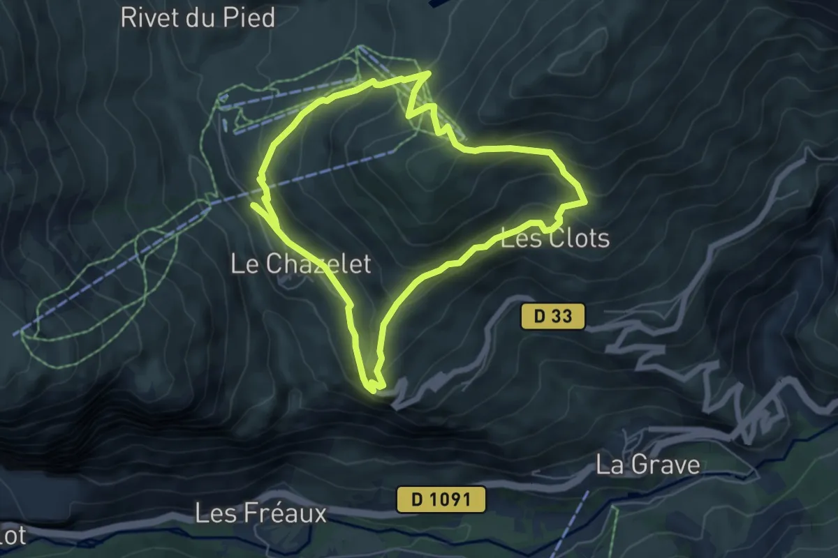
Demanding · Trail
Les Plagnes par les Clots
5.6 km · ↑ 355 m · 2 h 11 min
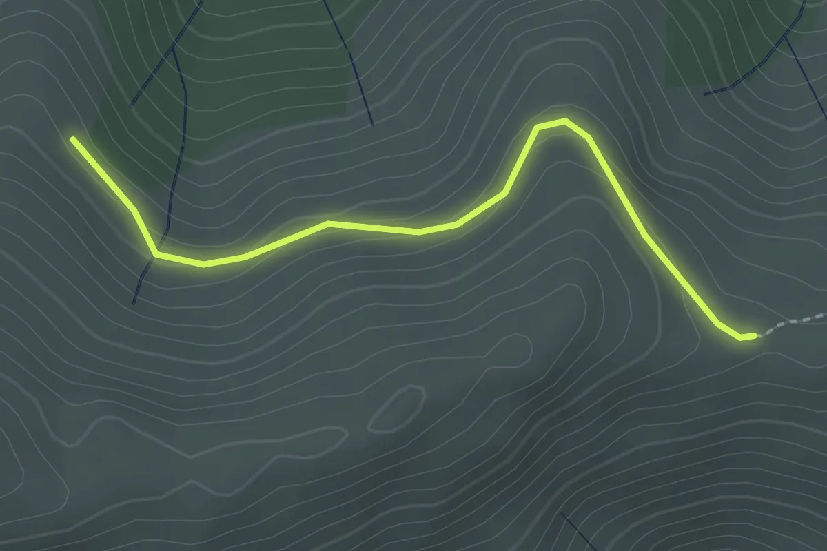
Easy · Trail
Les Plaines - Courcoussat
2.2 km · ↑ 88 m · 42 min
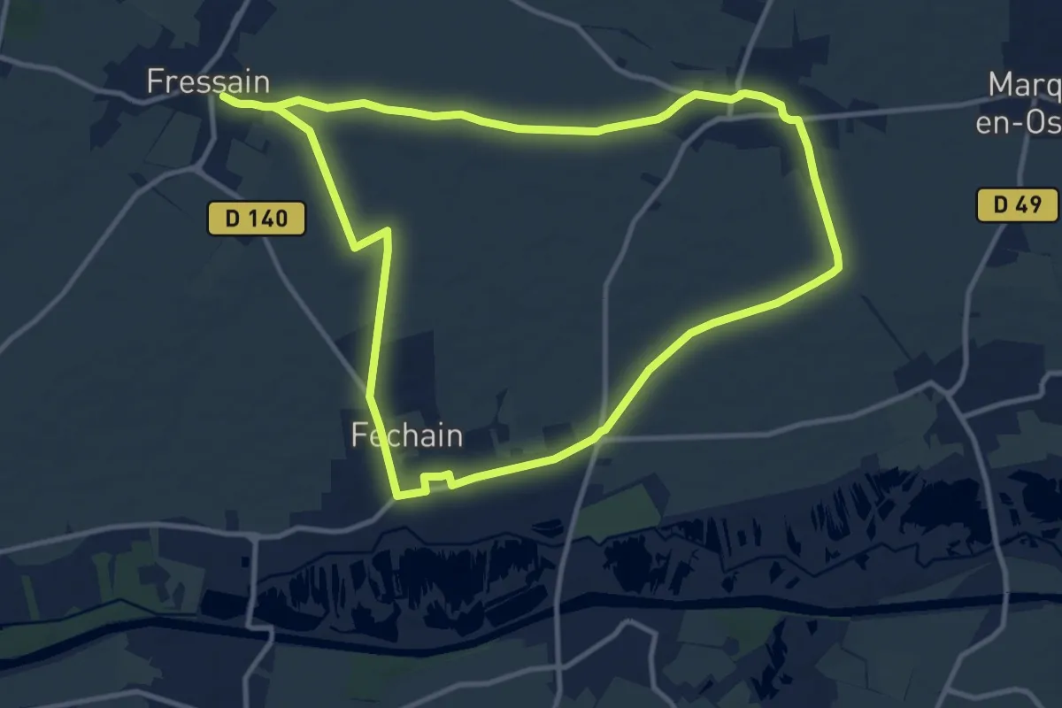
Medium · Trail
Les Plaines de l'Ostrevent
10.7 km · ↑ 46 m · 2 h 47 min
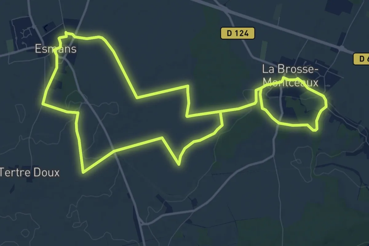
Demanding · Trail
Les Plaines du Sud
22.1 km · ↑ 176 m · 5 h 36 min
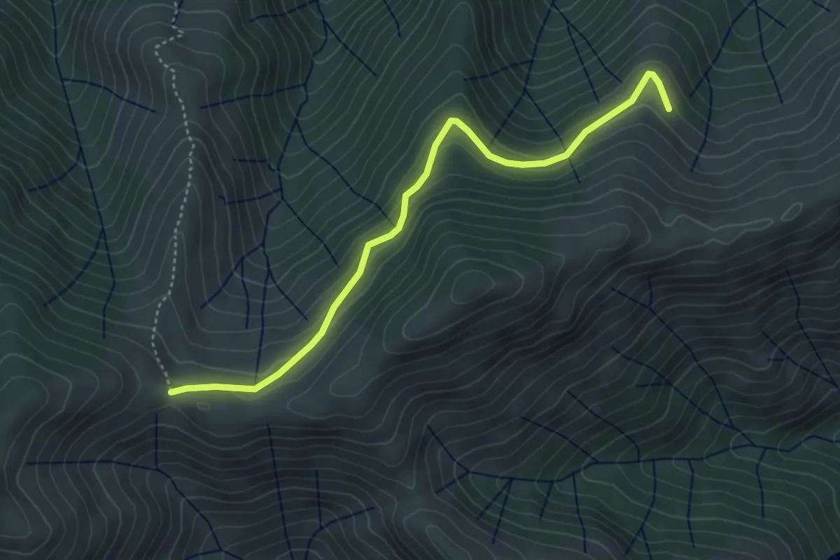
Easy · Trail
Les Plaines - Fontfreyde
4.6 km · ↑ 230 m · 1 h 35 min
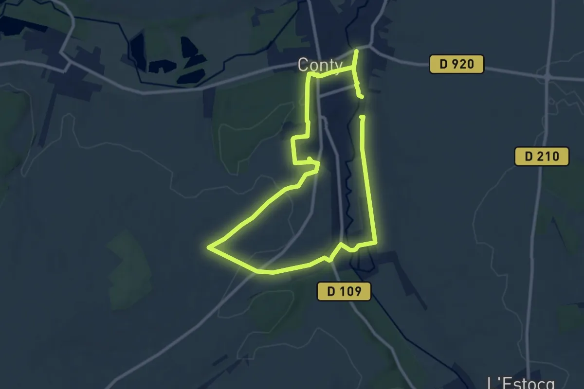
Medium · Trail
L'Esplanade
13.7 km · ↑ 113 m · 3 h 29 min
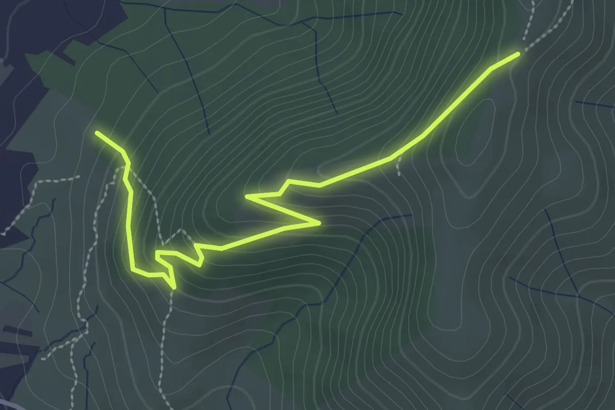
Easy · Trail
Les Planchettes - La Chéoune
3.5 km · ↑ 238 m · 1 h 20 min
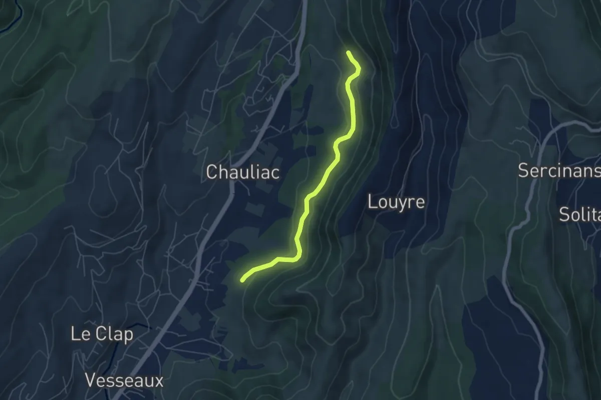
Easy · Trail
Les Planchettes - Les Grands Champs
5.2 km · ↑ 135 m · 1 h 32 min
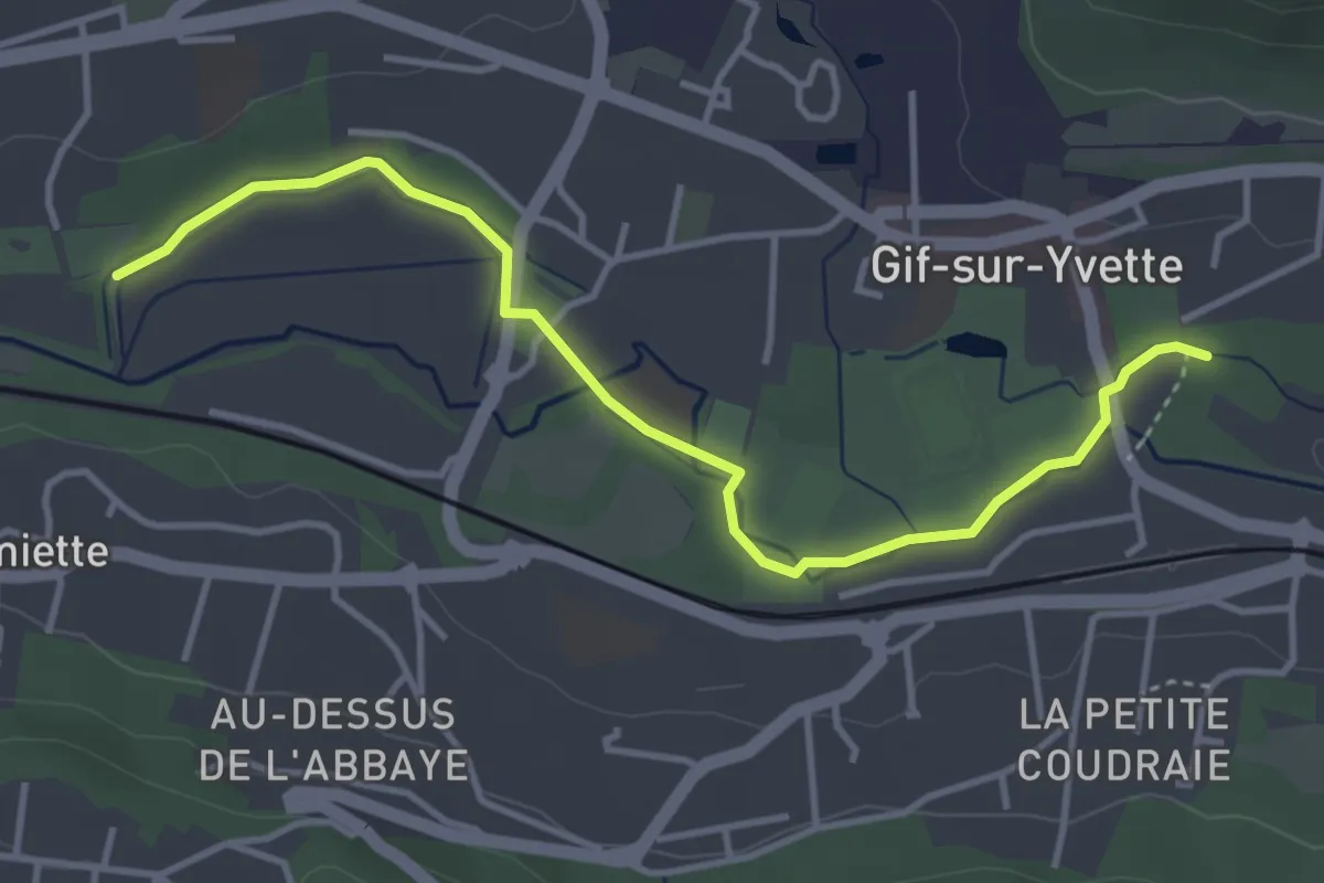
Easy · Trail
Les Planètes au fil de l’Yvette
4.0 km · ↑ 9 m · 58 min
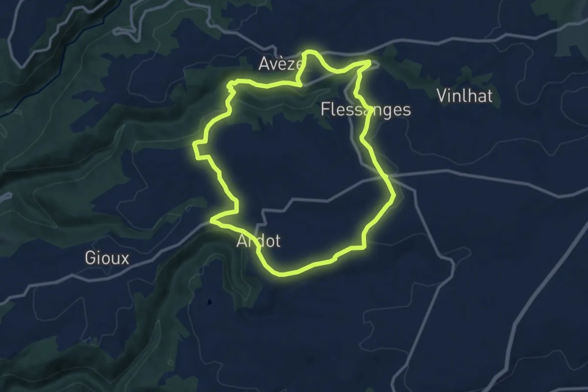
Medium · Trail
Les Plantades
9.3 km · ↑ 191 m · 2 h 44 min
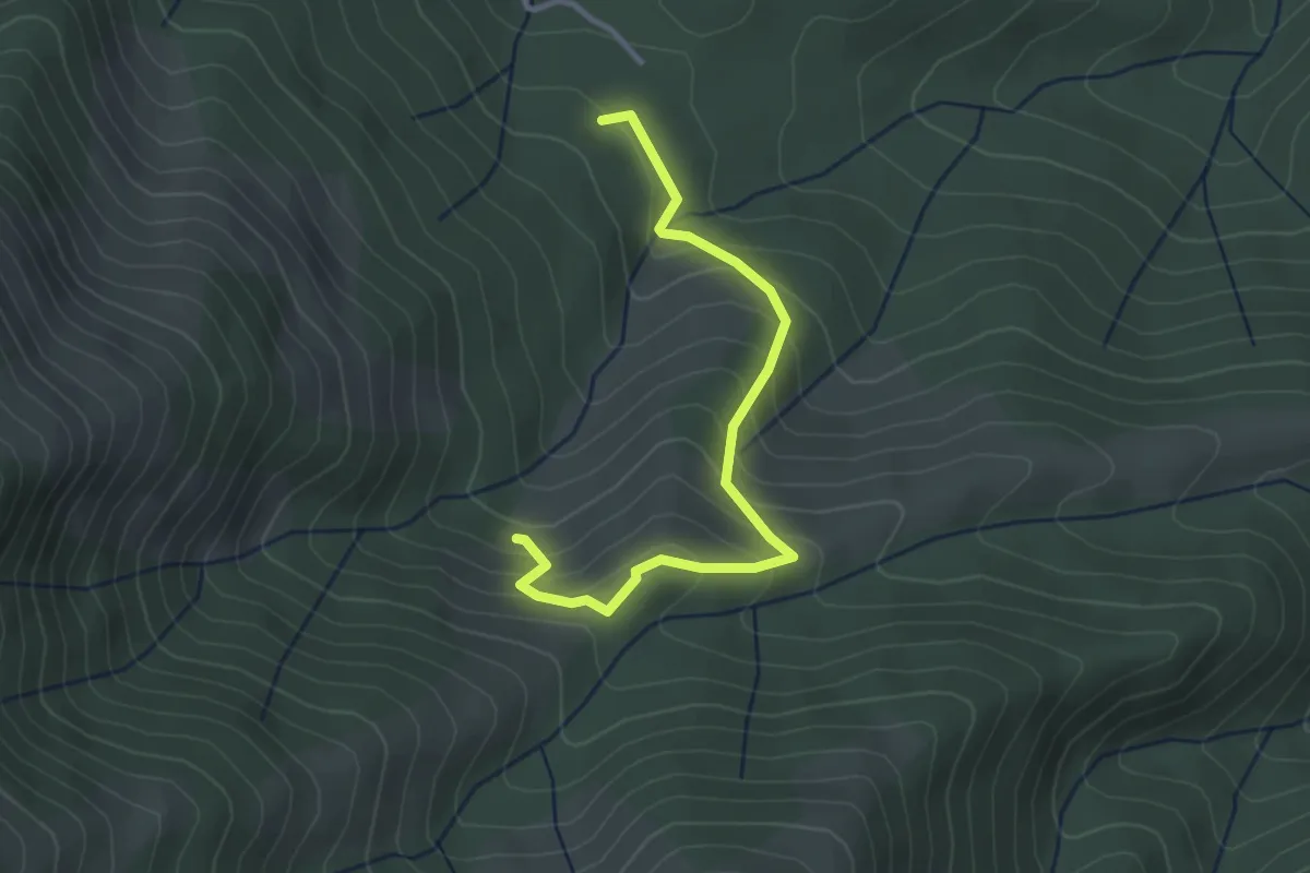
Easy · Trail
Les Plantades - La Grange
3.4 km · ↑ 238 m · 1 h 18 min
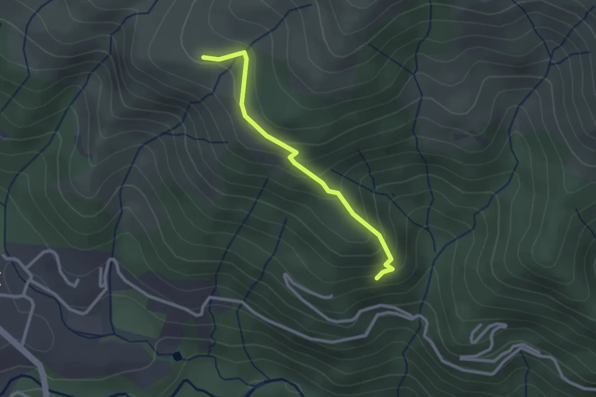
Easy · Trail
Les Plantades - Les Champs
2.4 km · ↑ 164 m · 55 min
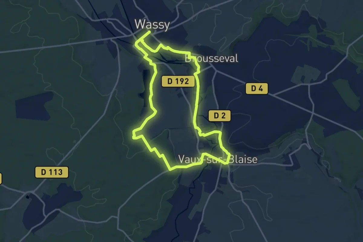
Medium · Trail
Les Platanes
11.4 km · ↑ 72 m · 3 h
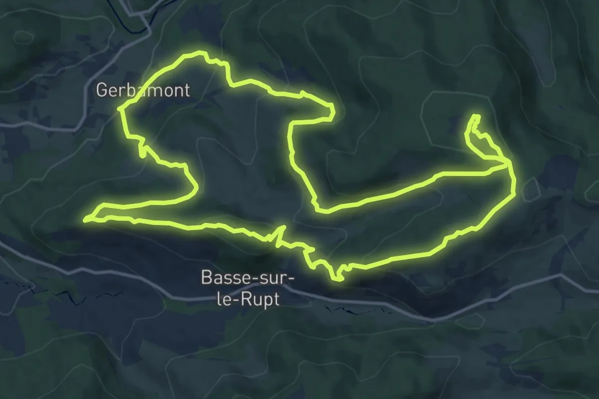
Demanding · Trail
Les Plateaux
14.8 km · ↑ 641 m · 5 h 6 min
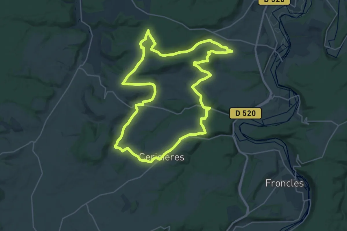
Demanding · Trail
Les Plateaux
20.9 km · ↑ 413 m · 6 h 7 min
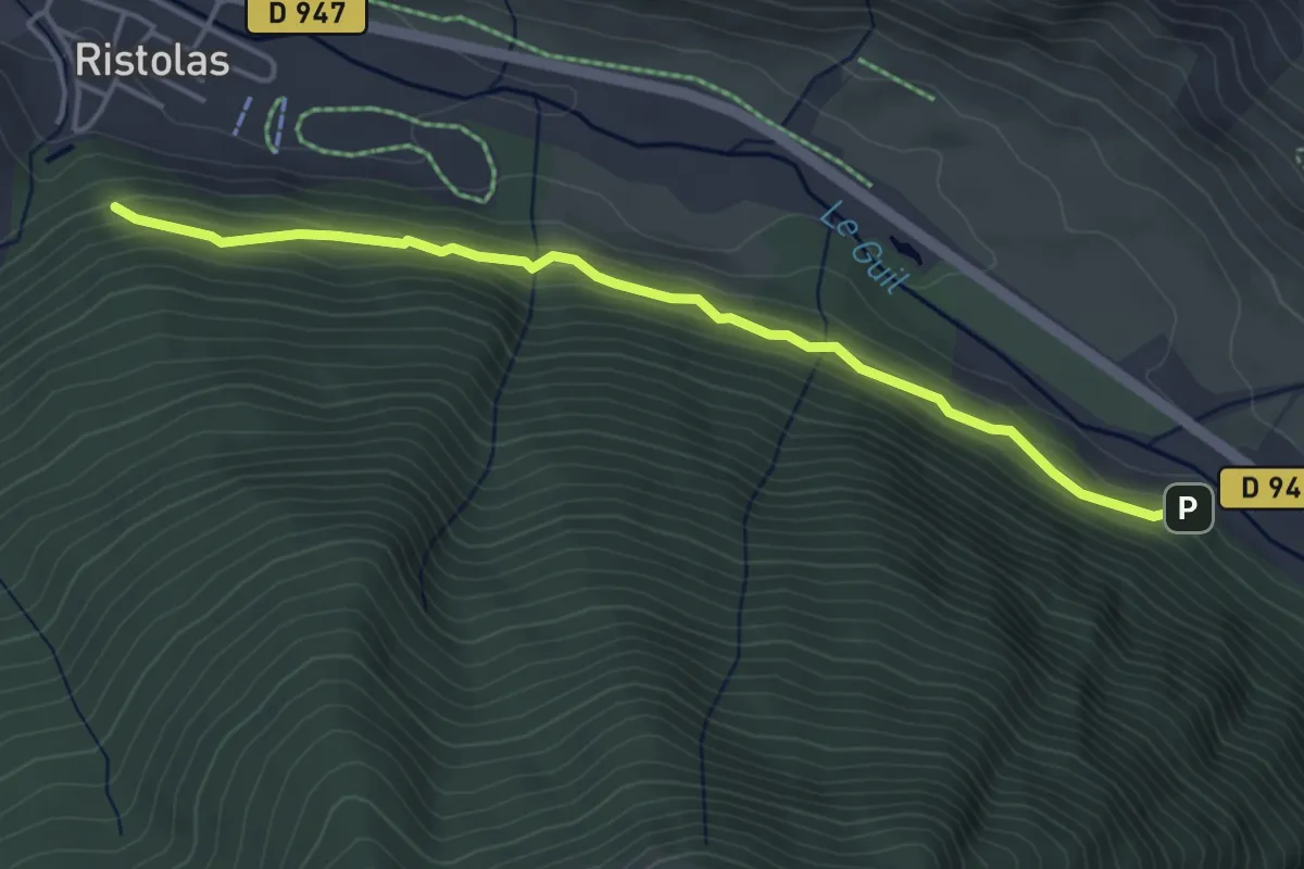
Easy · Trail
Les Plates - Piste de Ségure
4.5 km · ↑ 197 m · 1 h 30 min
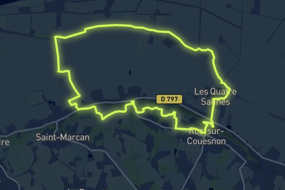
Medium · Trail
Les Polders
11.9 km · ↑ 133 m · 3 h 16 min
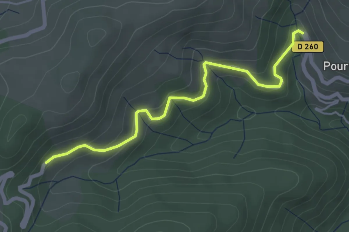
Easy · Trail
Les Pontets - Faux
4.2 km · ↑ 224 m · 1 h 29 min
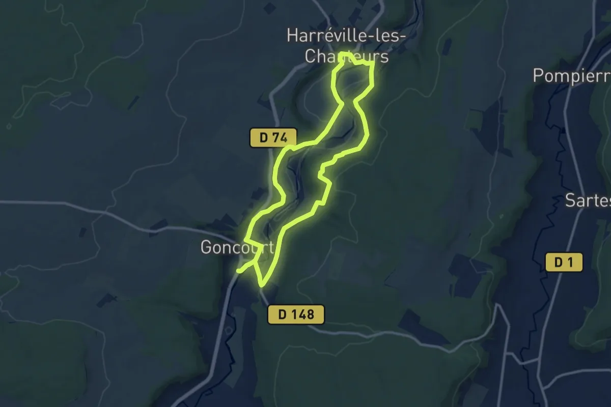
Medium · Trail
Les Ponts
9.8 km · ↑ 194 m · 2 h 52 min
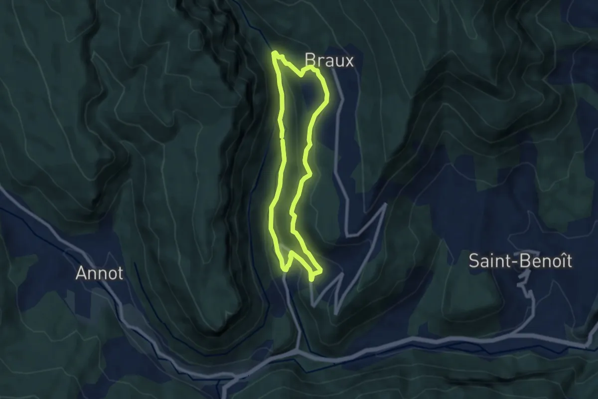
Medium · Trail
Les portes de la châtaigneraie
6.4 km · ↑ 268 m · 2 h 10 min
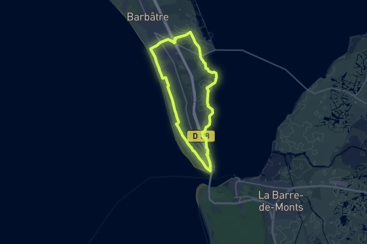
Medium · Trail
Les Portes de l'île
13.1 km · ↑ 10 m · 3 h 17 min
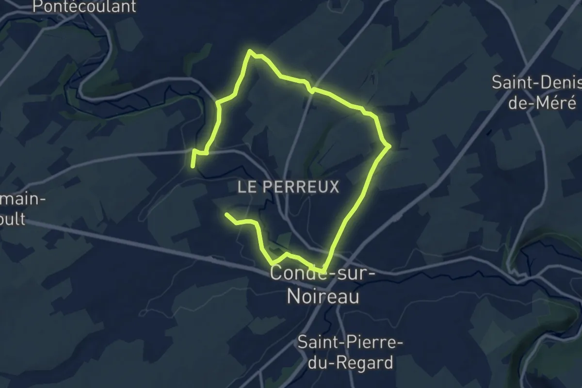
Medium · Trail
Les Portes du Bocage
14.1 km · ↑ 215 m · 3 h 48 min
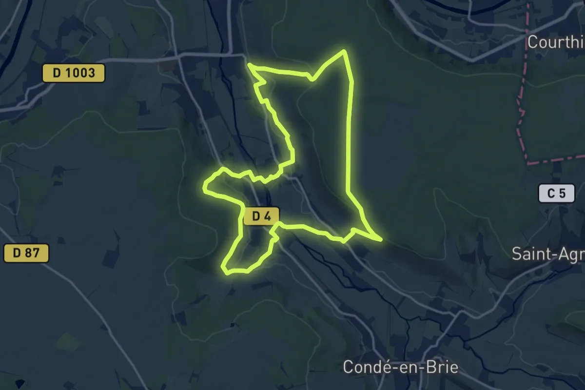
Medium · Trail
Les Portes du Paradis
14.3 km · ↑ 297 m · 4 h 13 min
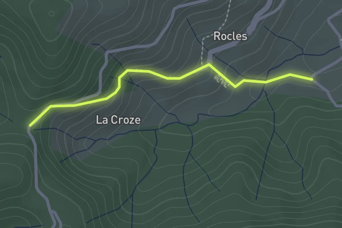
Easy · Trail
Les Pradettes - Croix de la Marre
2.1 km · ↑ 118 m · 45 min
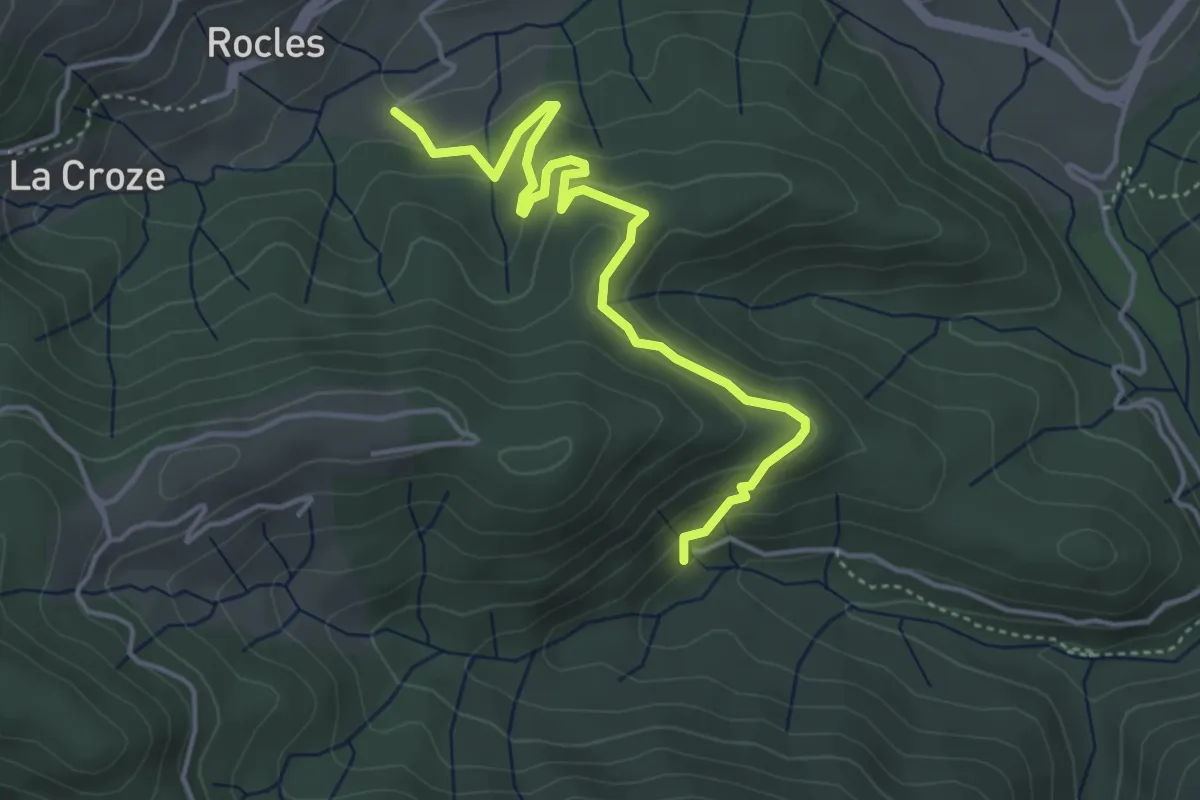
Easy · Trail
Les Pradettes - Leyval
4.7 km · ↑ 196 m · 1 h 32 min
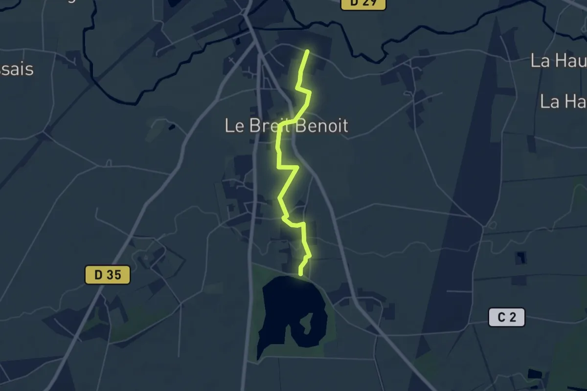
Easy · Trail
Les Prairies
4.8 km · ↑ 25 m · 1 h 11 min
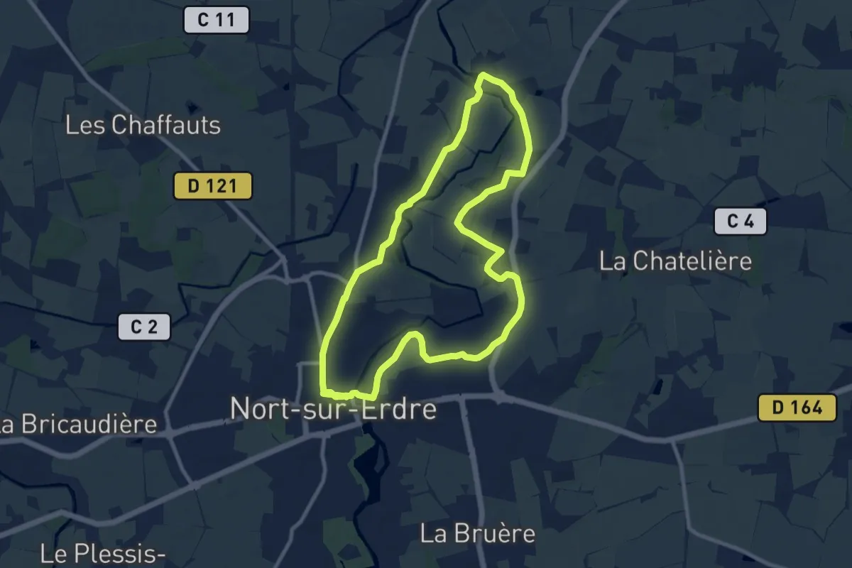
Medium · Trail
Les prairies de l'Erdre
9.0 km · ↑ 48 m · 2 h 21 min
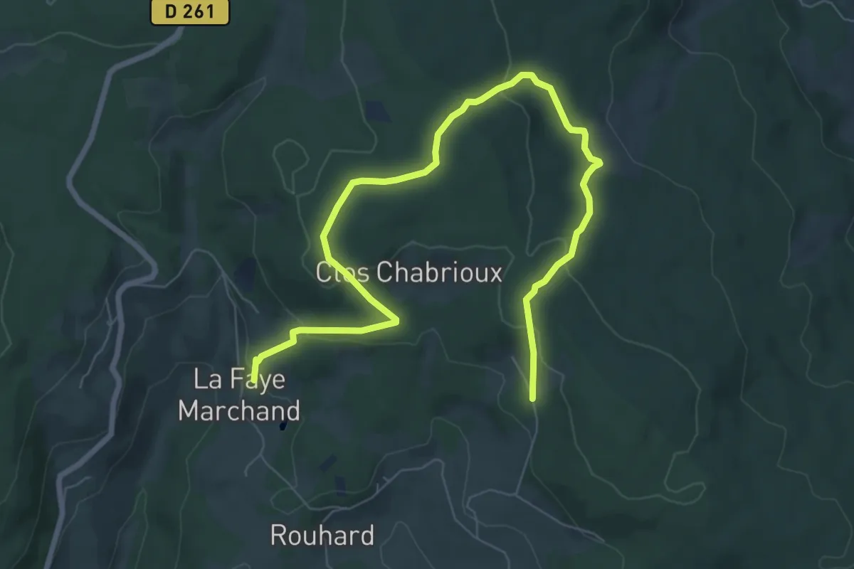
Easy · Trail
Les Prats-de-la-Chaux
4.5 km · ↑ 72 m · 1 h 20 min