Trails in France
15,926 hiking trails, each with its route, climb, walking time and grade.
All trails, page 193 of 332
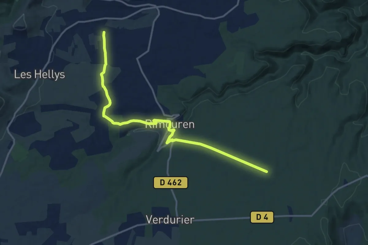
Medium · Trail
Les Prés - La Mourade
12.3 km · ↑ 168 m · 3 h 15 min
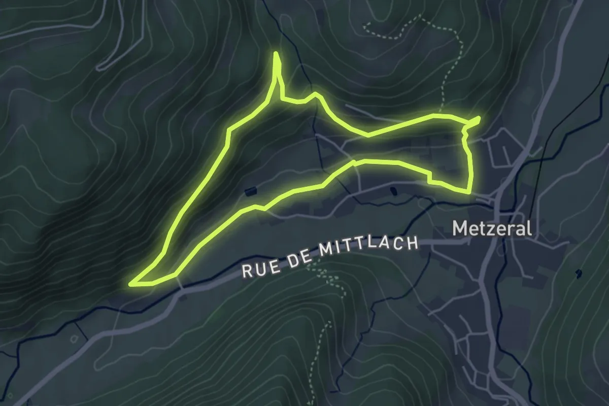
Easy · Trail
Les Primevères
4.3 km · ↑ 163 m · 1 h 25 min
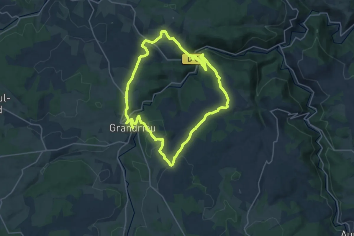
Medium · Trail
Les Produits Fermiers
15.4 km · ↑ 424 m · 4 h 46 min
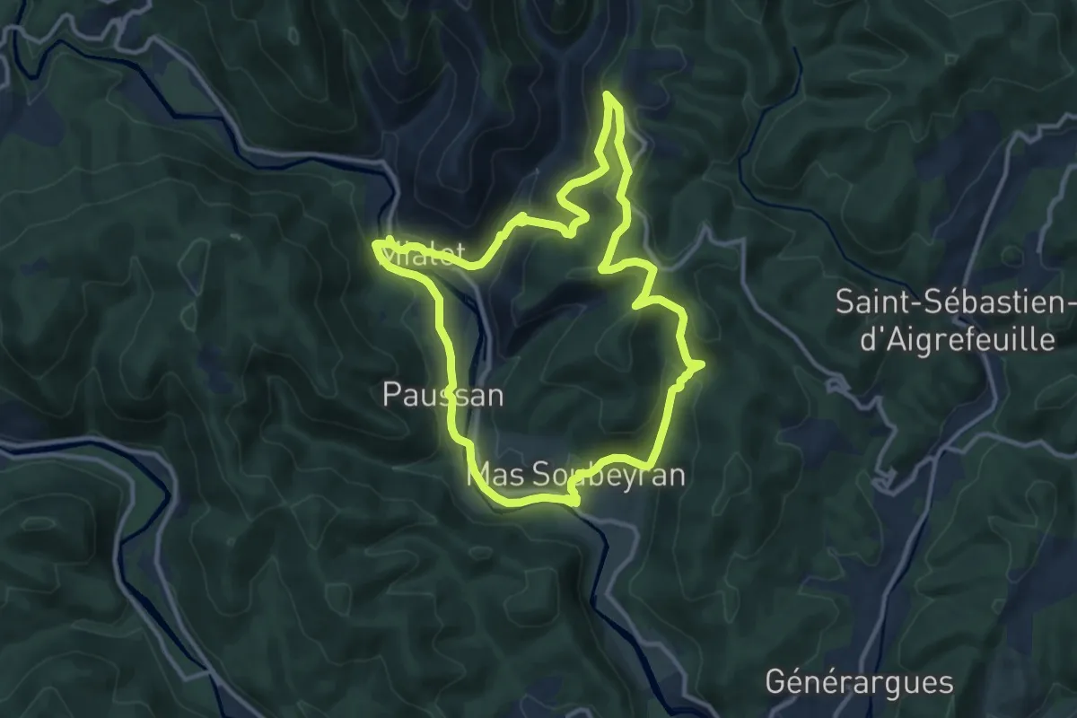
Medium · Trail
Les Puechs
11.5 km · ↑ 376 m · 3 h 41 min
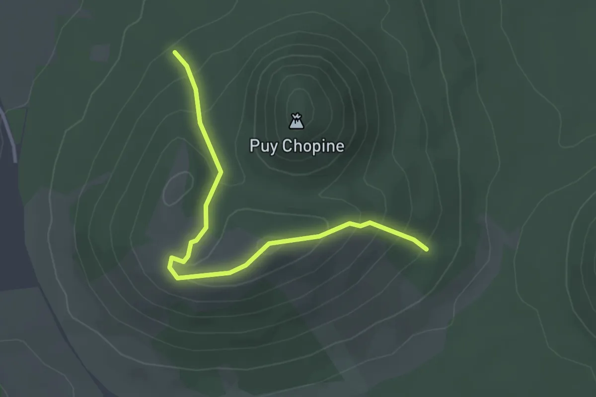
Easy · Summit
Les Puys Chopine et des Gouttes
1.6 km · ↑ 95 m · 36 min
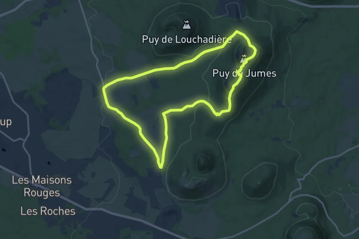
Medium · Summit
Les Puys de Jumes et de la Coquille
9.7 km · ↑ 302 m · 3 h 5 min
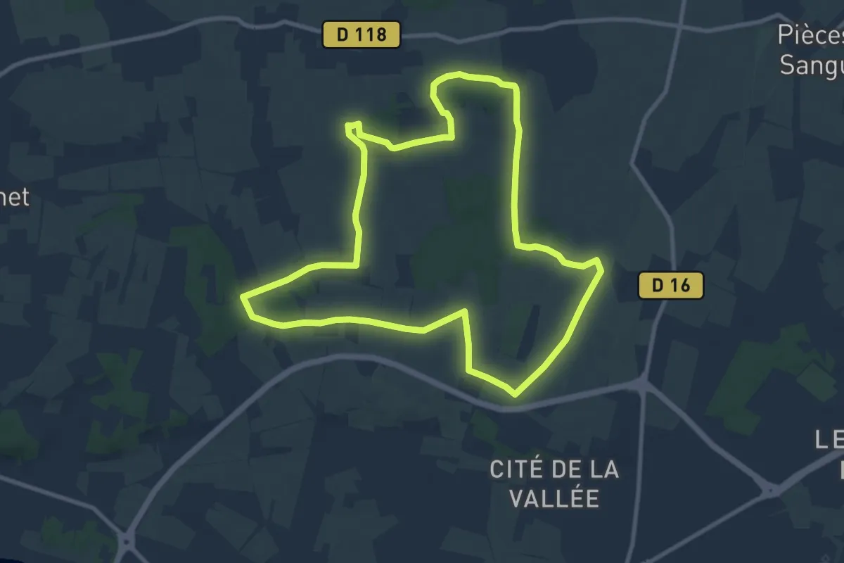
Medium · Summit
Les Puys du Chinonais - Chinon
9.2 km · ↑ 76 m · 2 h 28 min
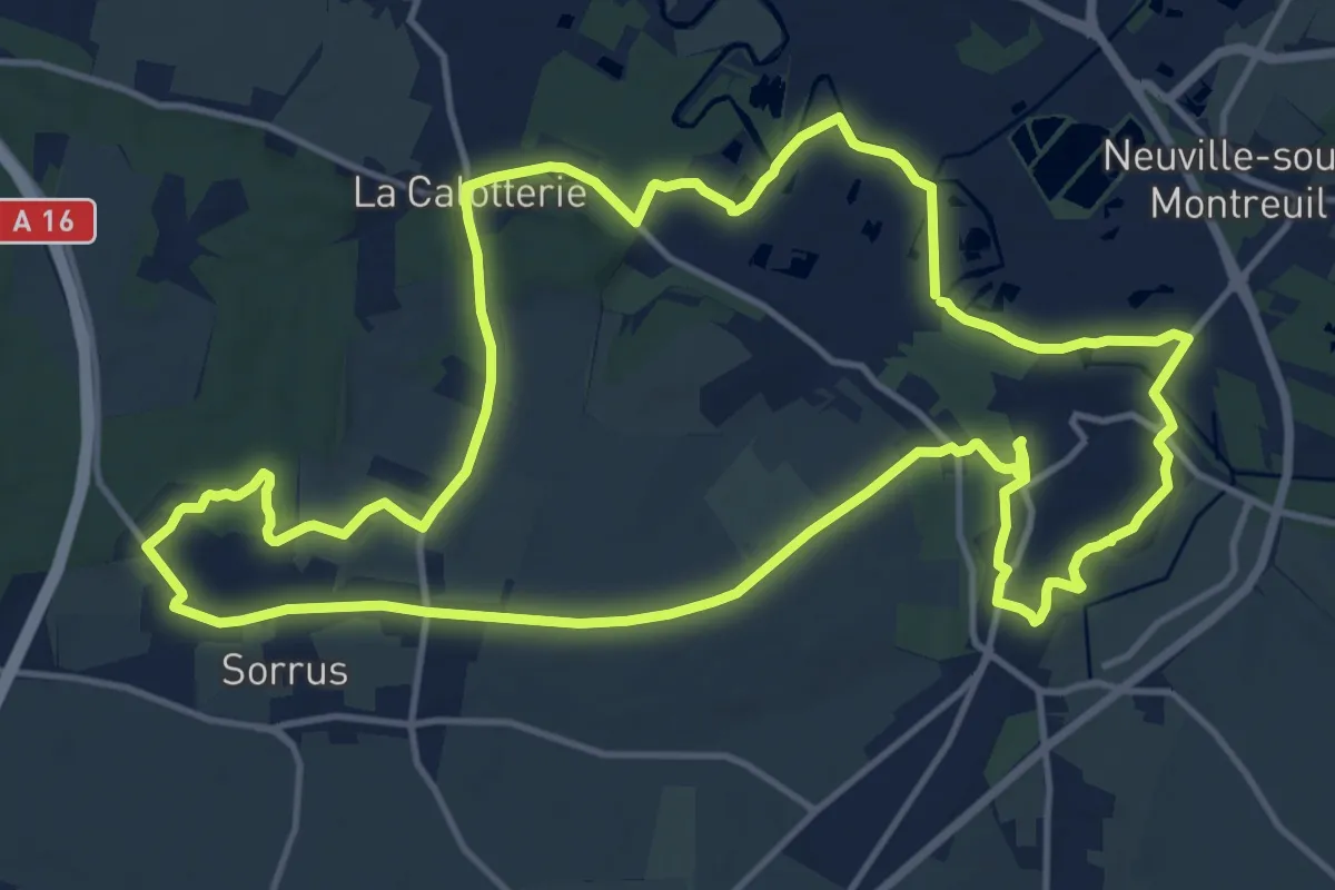
Medium · Trail
Les Pyroles
14.5 km · ↑ 118 m · 3 h 52 min
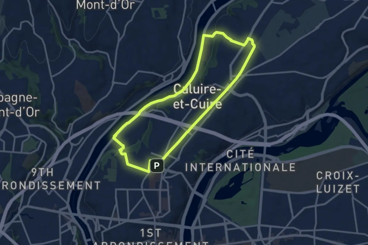
Medium · Trail
Les Quais de Saône
9.4 km · ↑ 116 m · 2 h 37 min
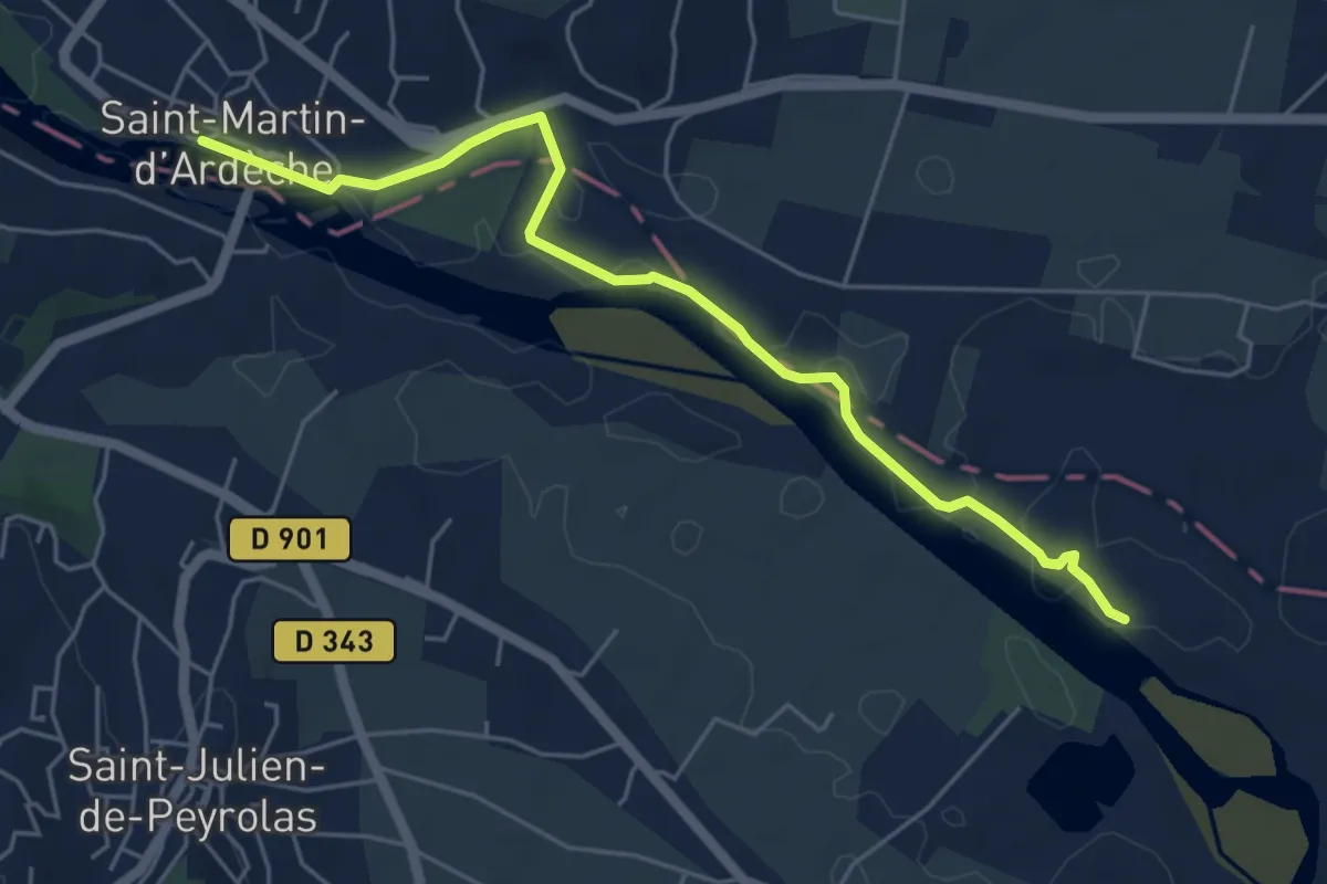
Easy · Trail
Les Quais - Les Broutières
5.9 km · ↑ 36 m · 1 h 28 min
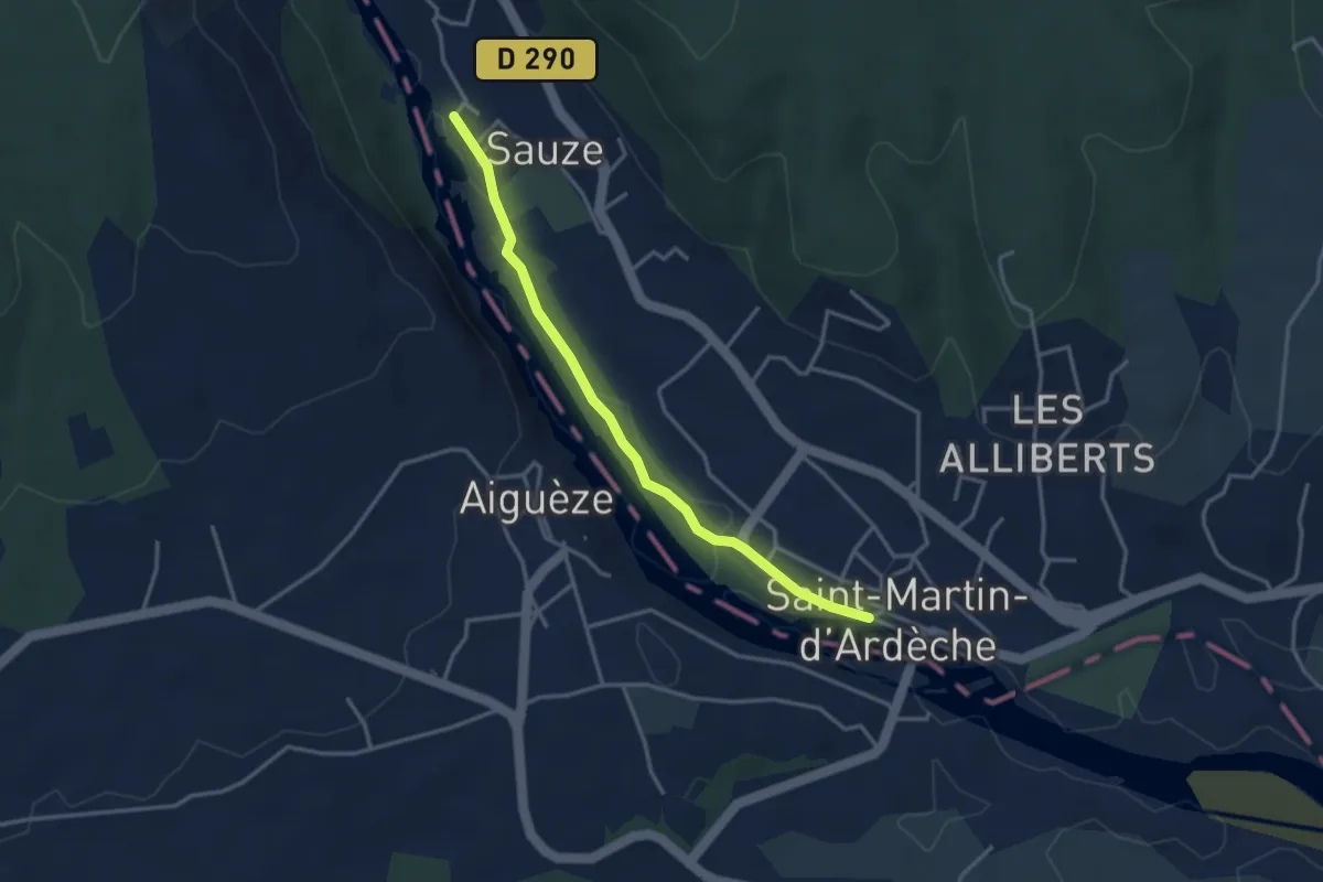
Easy · Trail
Les Quais - Sauze
3.5 km · ↑ 4 m · 50 min
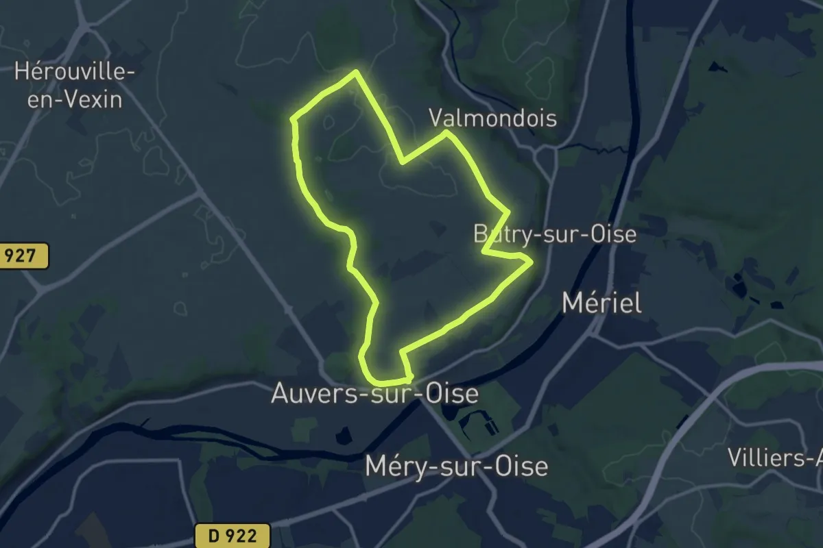
Medium · Trail
Les quarante arpents
10.2 km · ↑ 75 m · 2 h 43 min
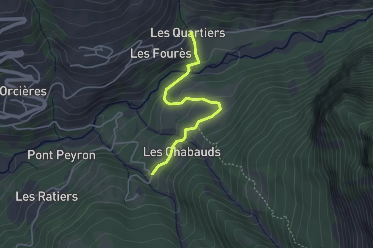
Easy · Trail
Les Quartiers - Les Chabauds
3.2 km · ↑ 107 m · 59 min
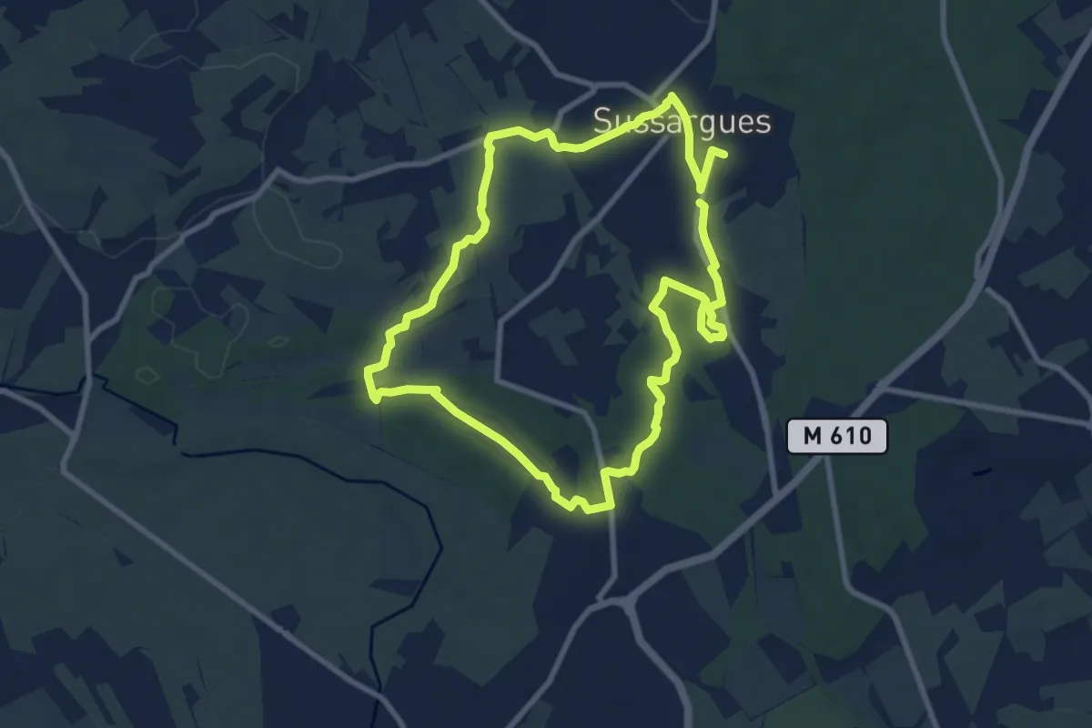
Medium · Trail
Les Quatre carrières
17.7 km · ↑ 133 m · 4 h 28 min
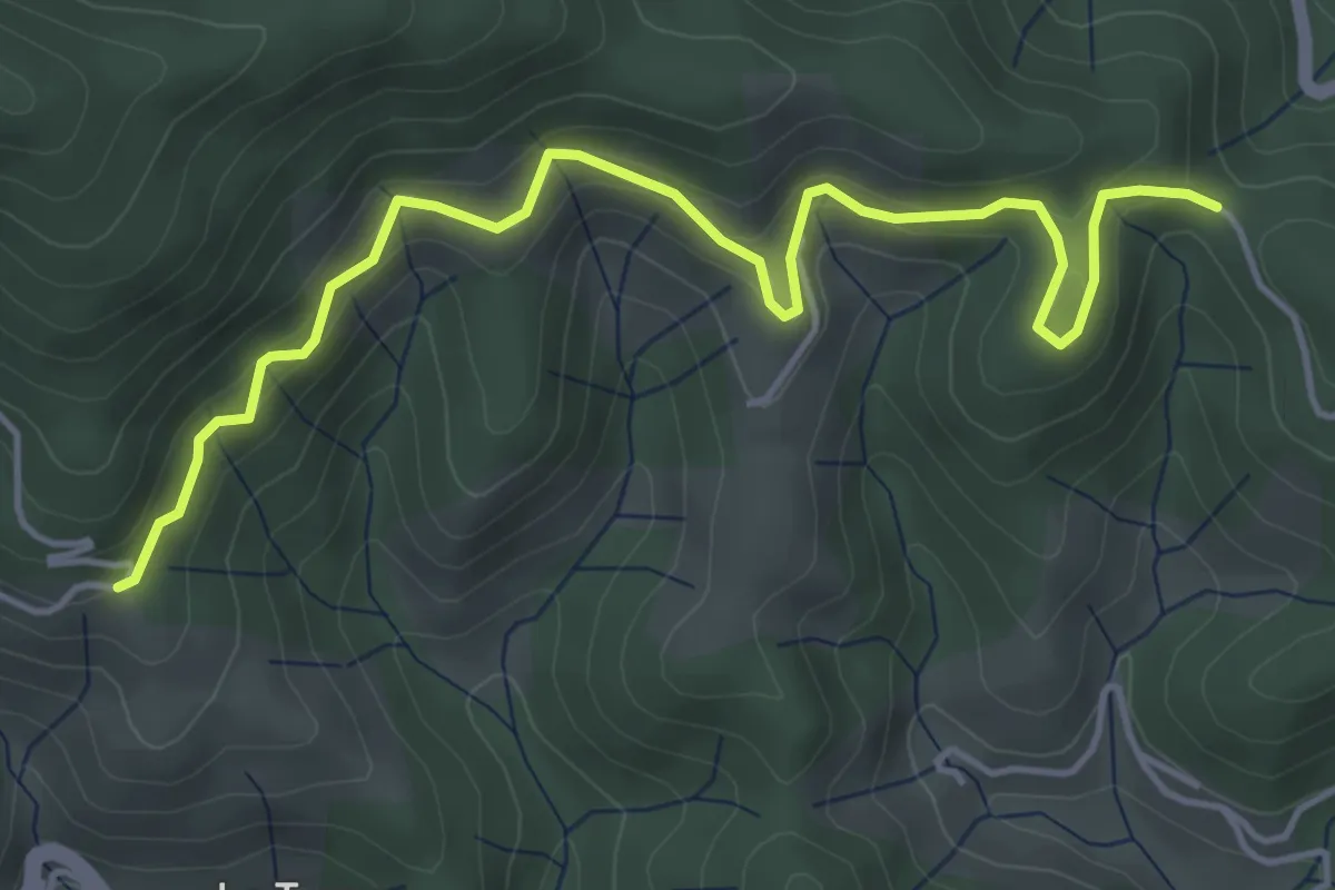
Medium · Trail
Les Quatres Chemins - Peyraud
5.4 km · ↑ 331 m · 1 h 59 min
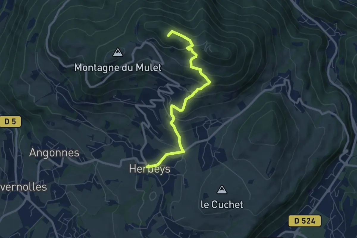
Medium · Summit
Les Quatre Seigneurs
6.5 km · ↑ 383 m · 2 h 22 min
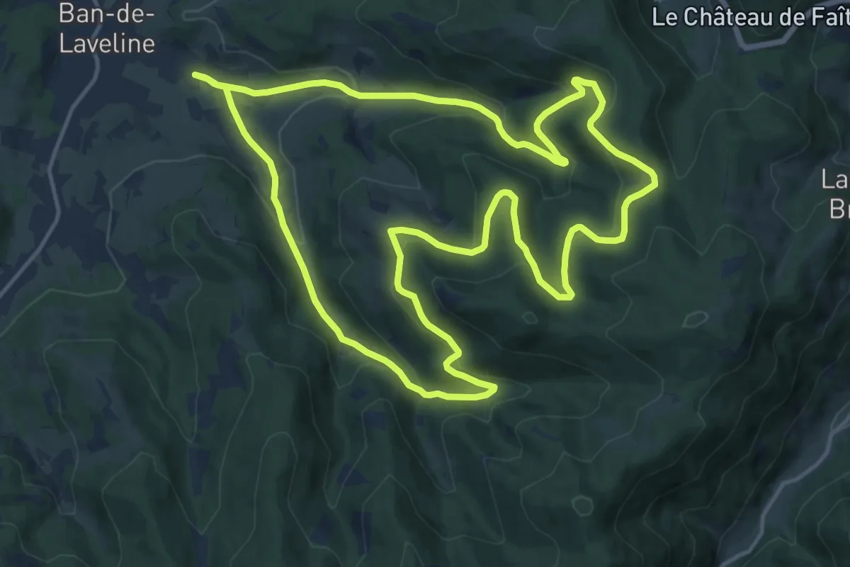
Medium · Trail
Les Quatres Fontaines
14.4 km · ↑ 521 m · 4 h 43 min
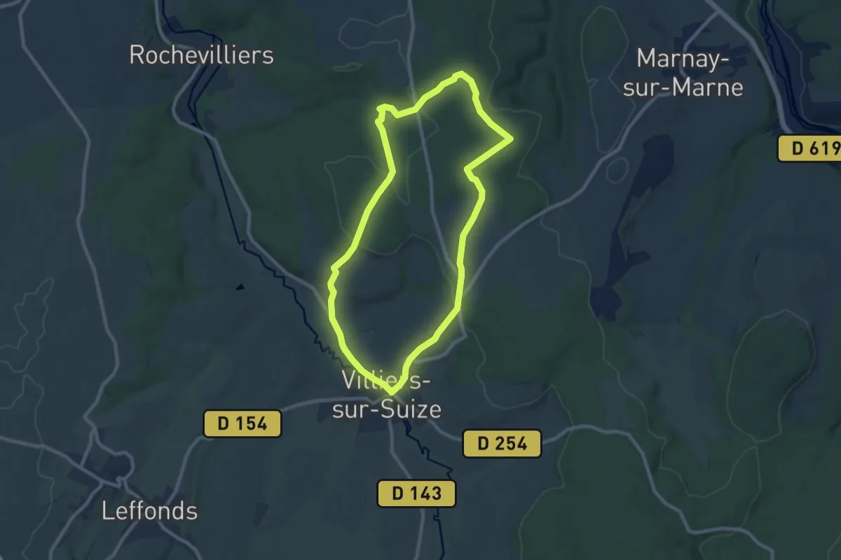
Medium · Trail
Les Quatres Saules
8.3 km · ↑ 160 m · 2 h 25 min
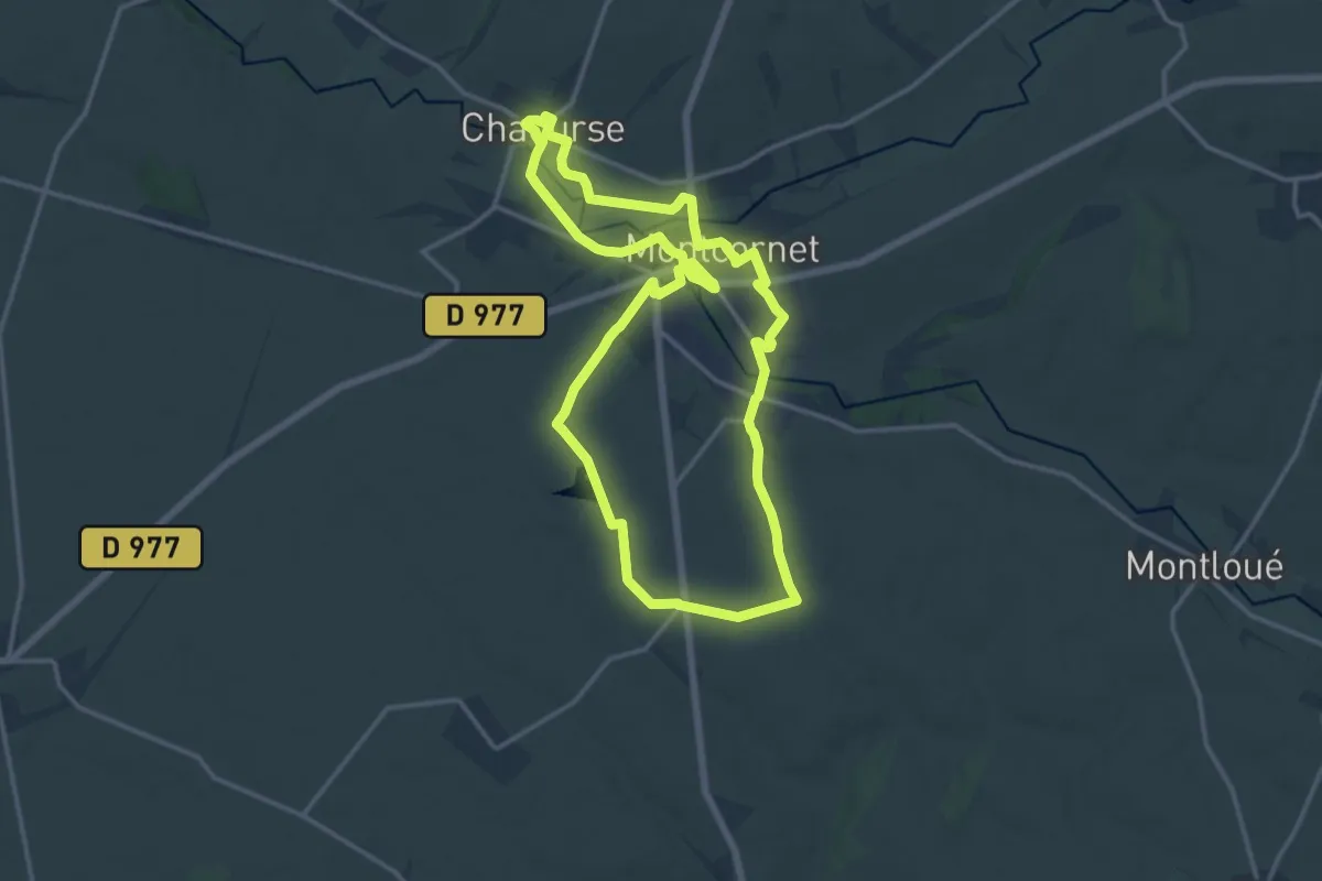
Medium · Trail
Les Quatres Vents
13.8 km · ↑ 127 m · 3 h 43 min
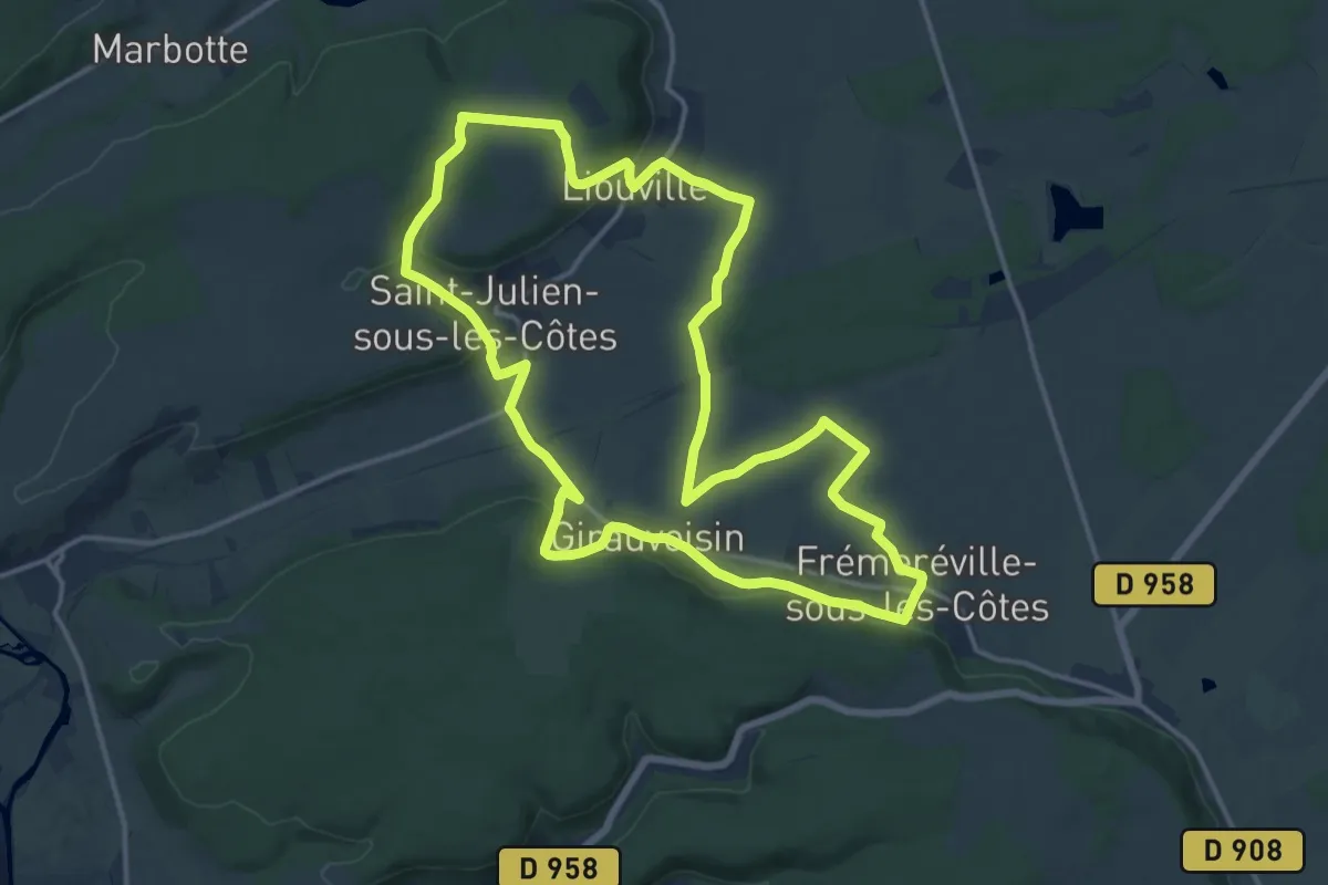
Medium · Trail
Les quatres villages
15.0 km · ↑ 232 m · 4 h 15 min
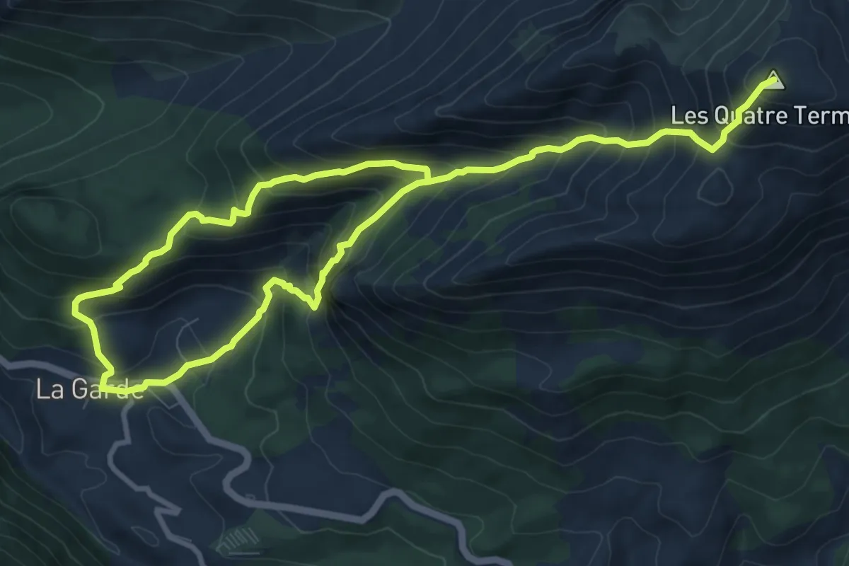
Demanding · Summit
Les Quatre Termes, sommet du Teillon (1 893 m)
7.5 km · ↑ 986 m · 3 h 44 min
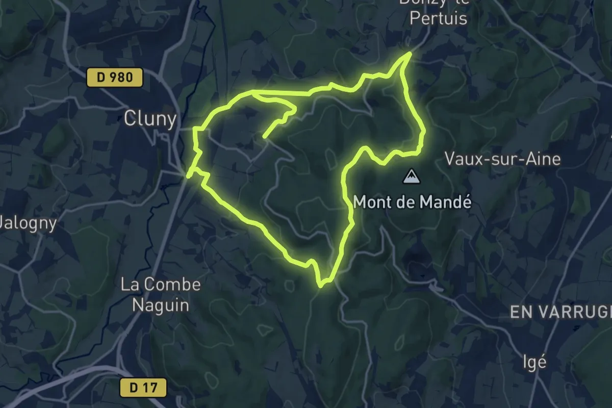
Medium · Trail
Les quatre vents
15.6 km · ↑ 420 m · 4 h 48 min
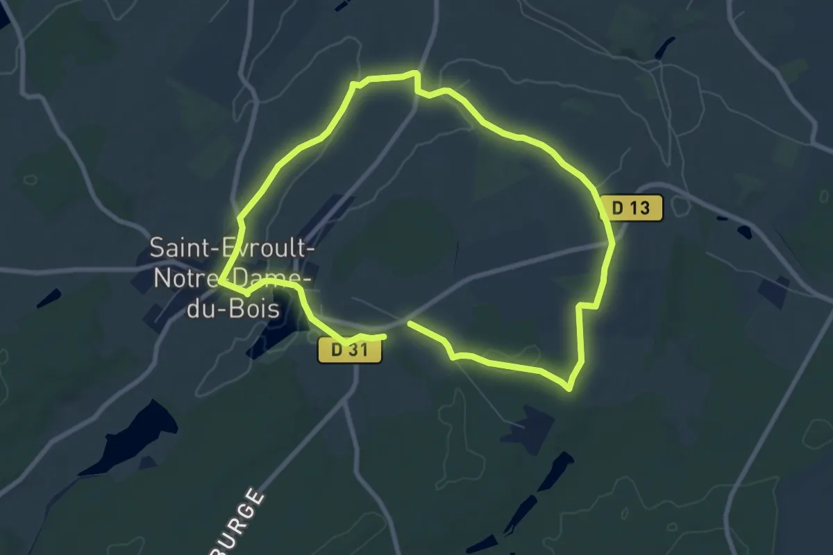
Easy · Trail
Les Quatre Vents
6.7 km · ↑ 85 m · 1 h 51 min
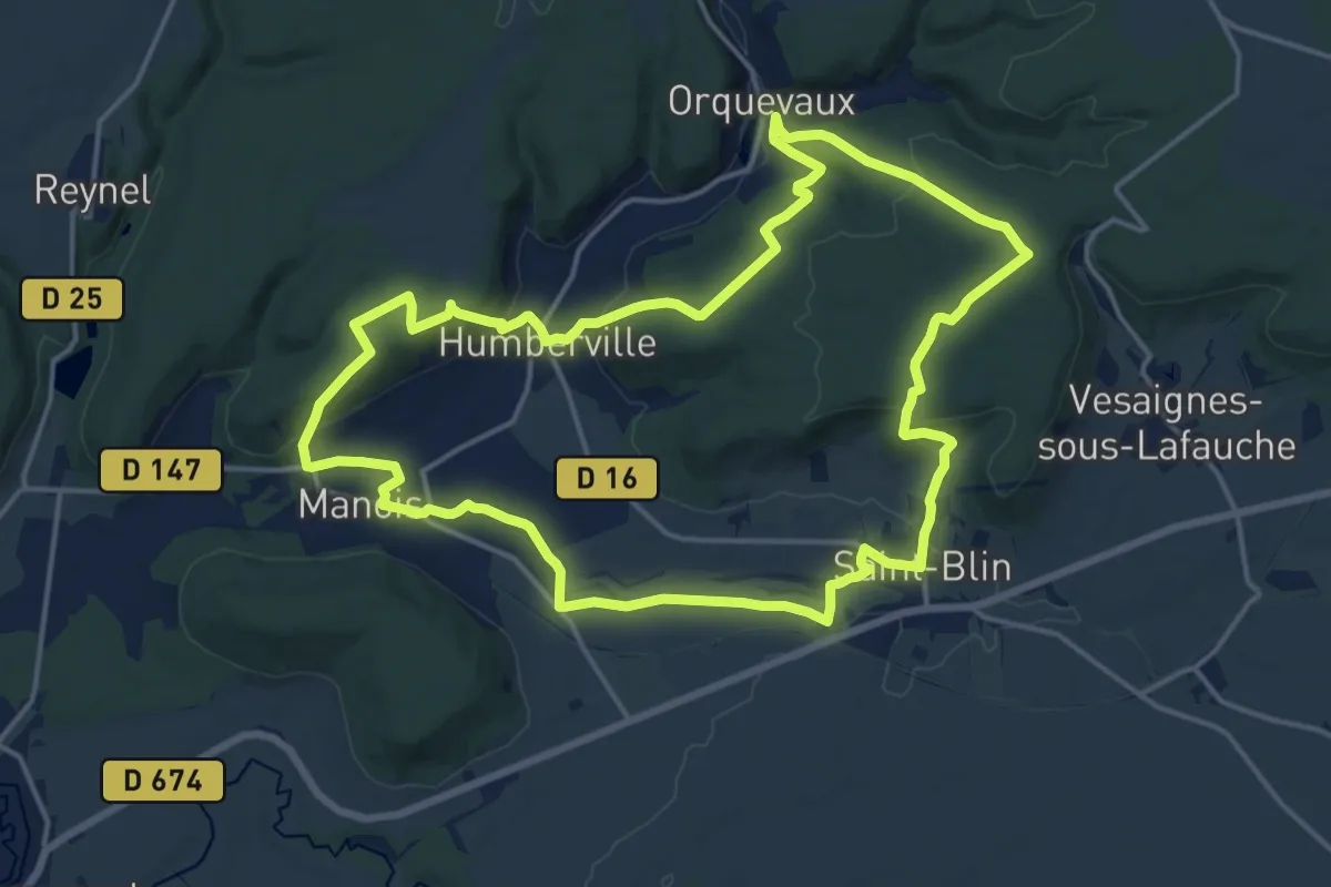
Medium · Trail
Les Quatre Vierges
16.6 km · ↑ 357 m · 4 h 55 min
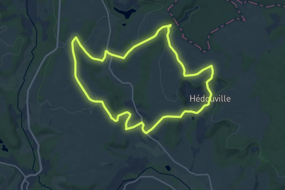
Medium · Trail
Les Quatre Villages
11.4 km · ↑ 178 m · 3 h 14 min
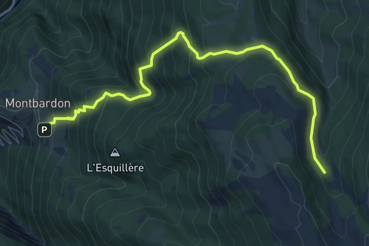
Medium · Trail
L'Esquillière - Lousselar
9.0 km · ↑ 689 m · 3 h 36 min
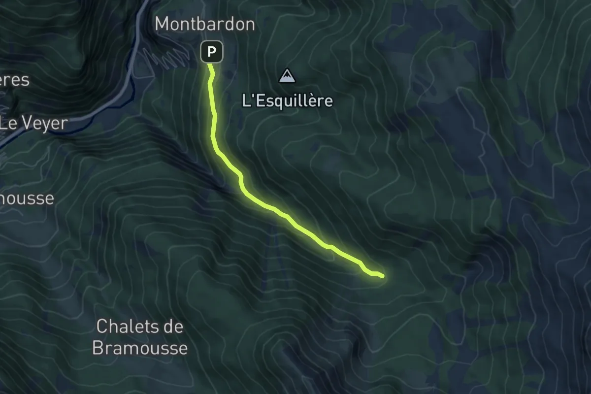
Medium · Trail
L'Esquillière - Passerelle sur Riou Vert
5.6 km · ↑ 392 m · 2 h 10 min
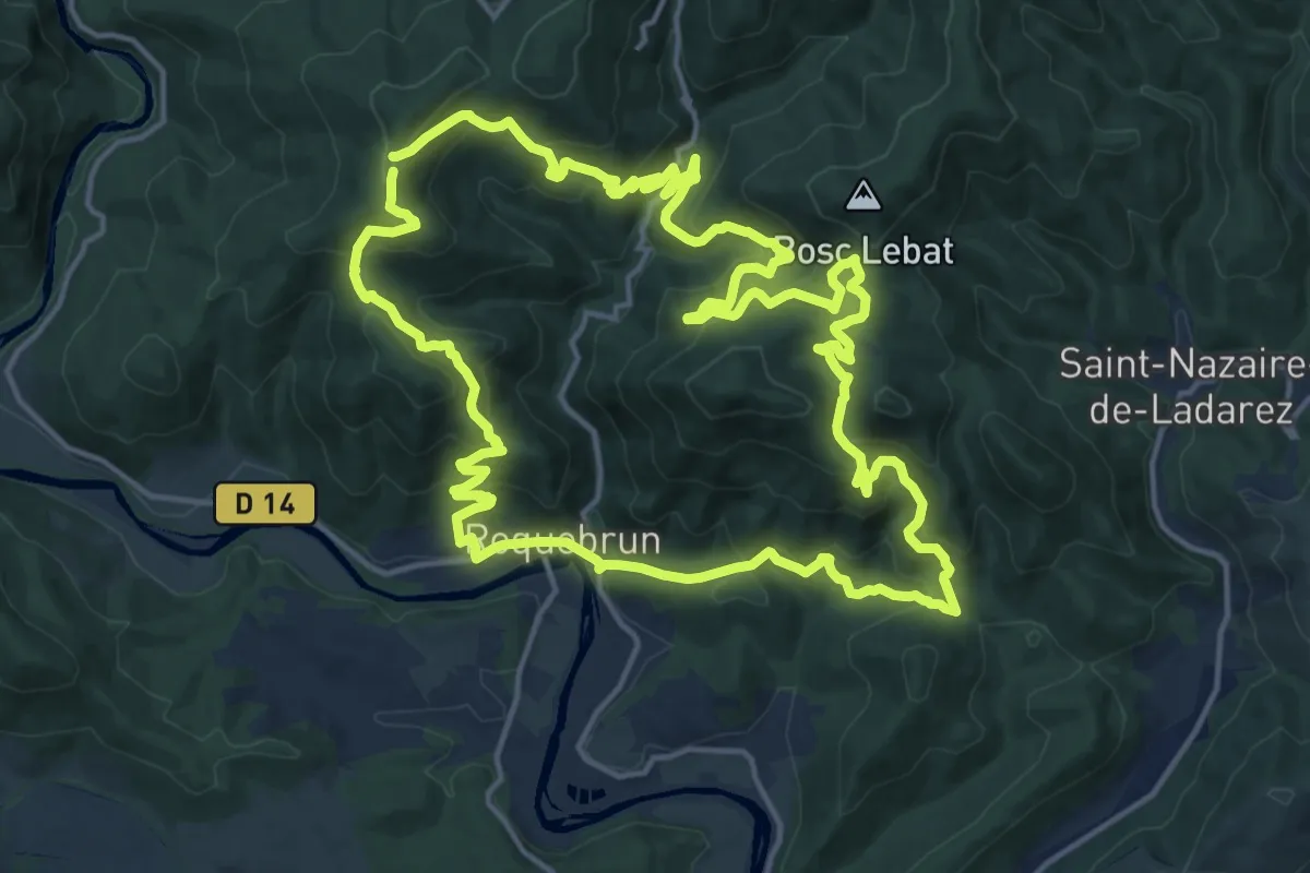
Demanding · Summit
L'Esquirol
18.0 km · ↑ 974 m · 6 h 36 min
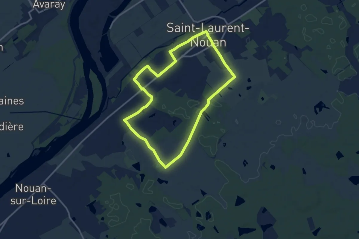
Medium · Trail
Les Rabries
9.0 km · ↑ 30 m · 2 h 19 min
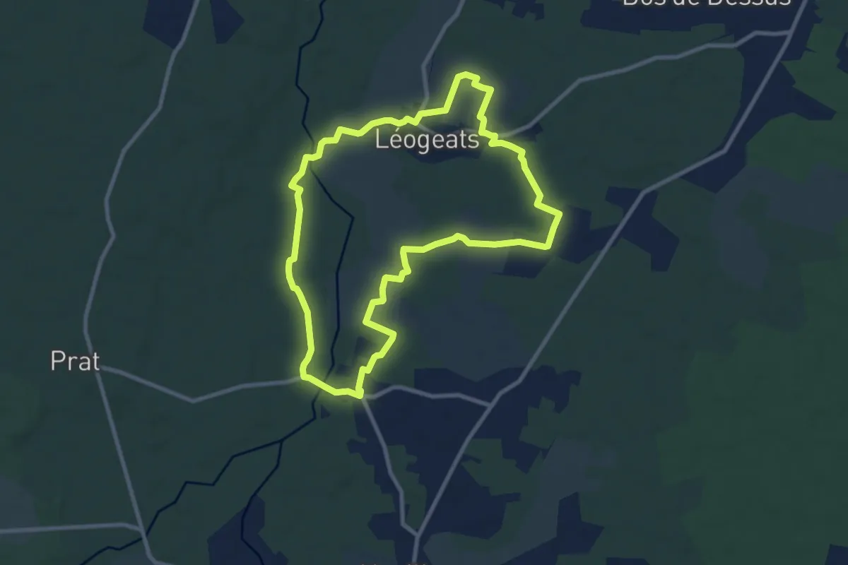
Medium · Trail
Les Radjayres : boucle locale
8.9 km · ↑ 54 m · 2 h 20 min
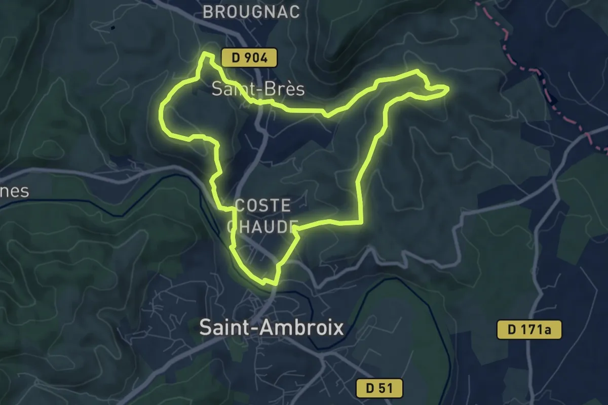
Medium · Trail
Les remparts de Dieusse
8.4 km · ↑ 303 m · 2 h 46 min
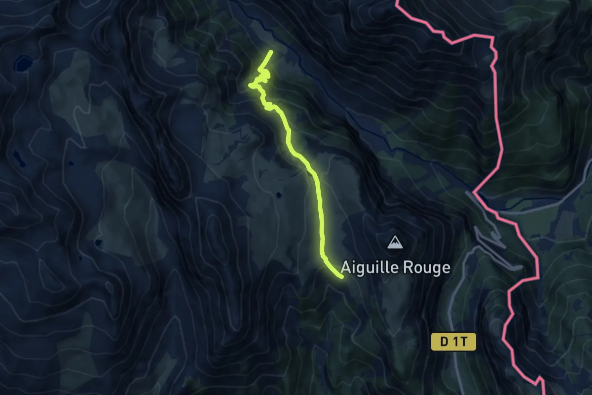
Medium · Cabin
Les Renforts - Chalets des Thures
9.1 km · ↑ 609 m · 3 h 28 min
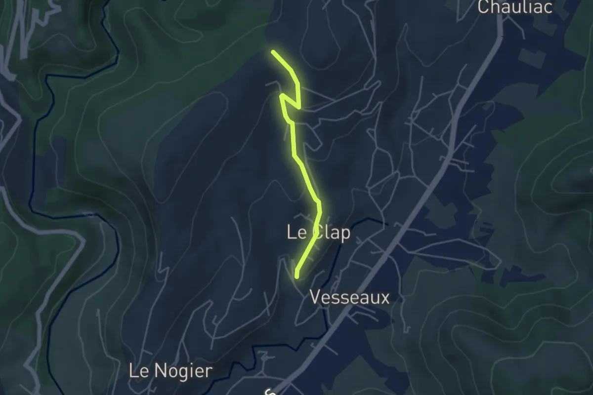
Easy · Trail
Les Reyniers - Lachamp
3.5 km · ↑ 136 m · 1 h 7 min
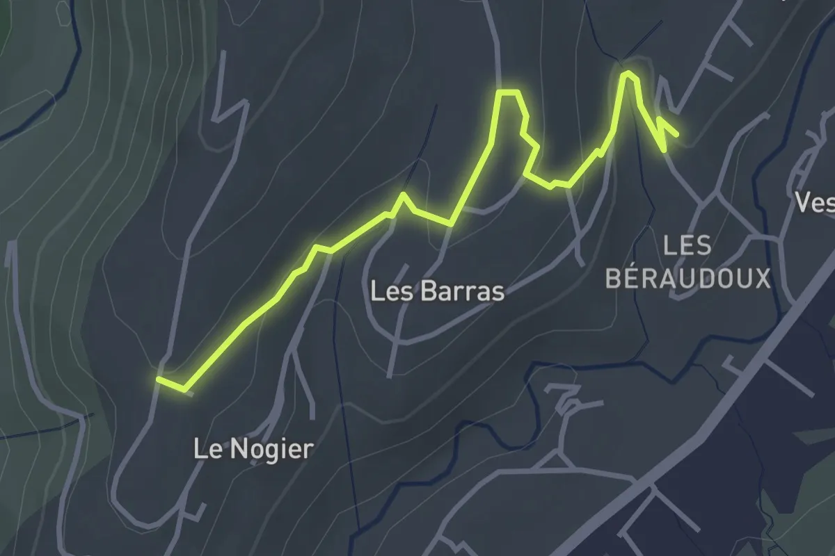
Easy · Trail
Les Reyniers - Le Chomeil
3.6 km · ↑ 76 m · 1 h 1 min
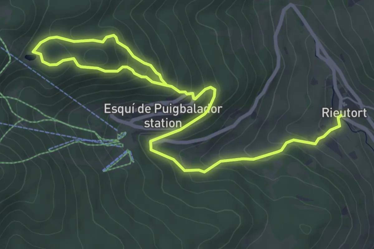
Medium · Trail
Les rhododendrons
4.4 km · ↑ 385 m · 1 h 48 min
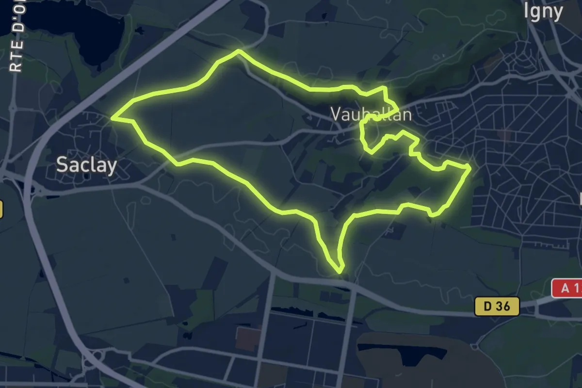
Medium · Trail
Les Rigoles du Plateau
9.2 km · ↑ 86 m · 2 h 29 min
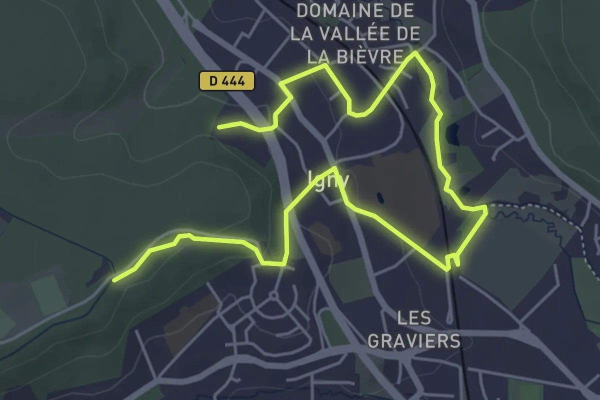
Easy · Trail
Les Rigoles du Plateau
6.7 km · ↑ 113 m · 1 h 50 min
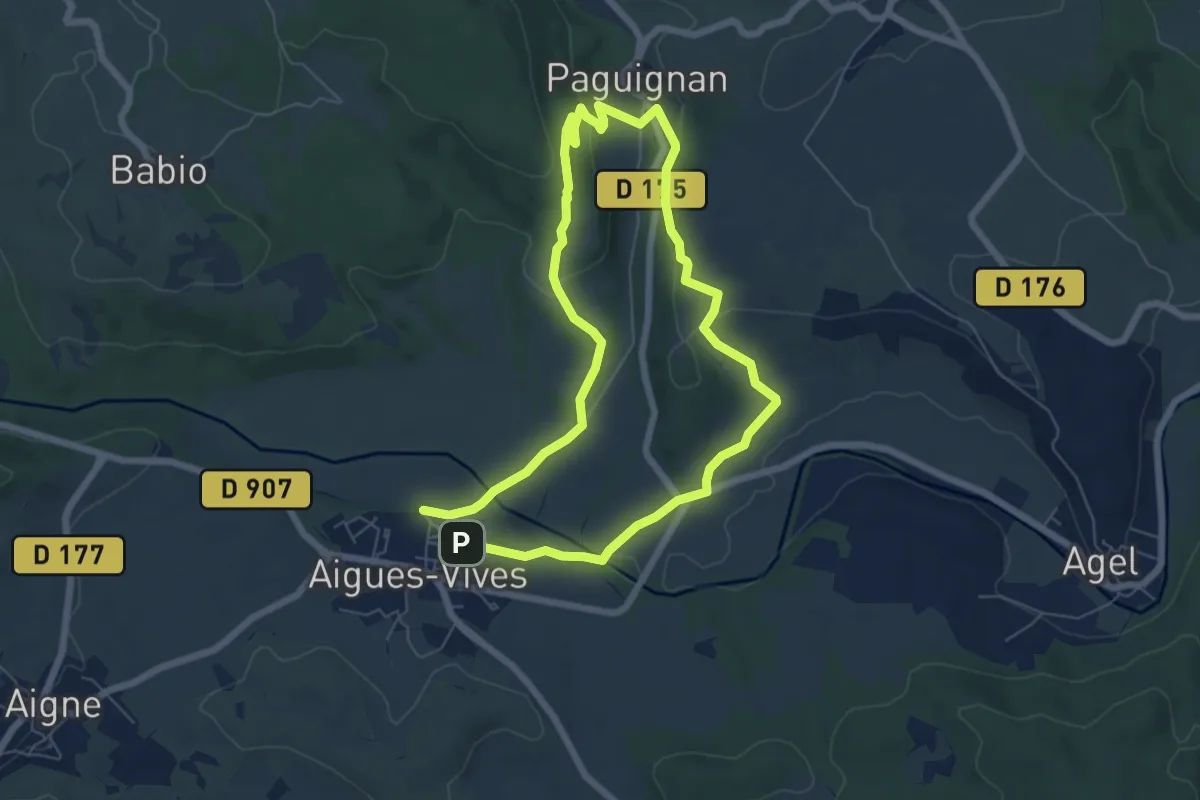
Easy · Trail
Les rives de la Cessière
6.2 km · ↑ 134 m · 1 h 52 min
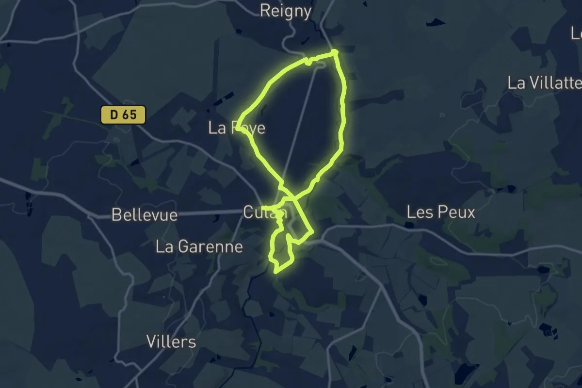
Medium · Trail
Les Rives de l'Arnon
10.9 km · ↑ 159 m · 3 h 3 min
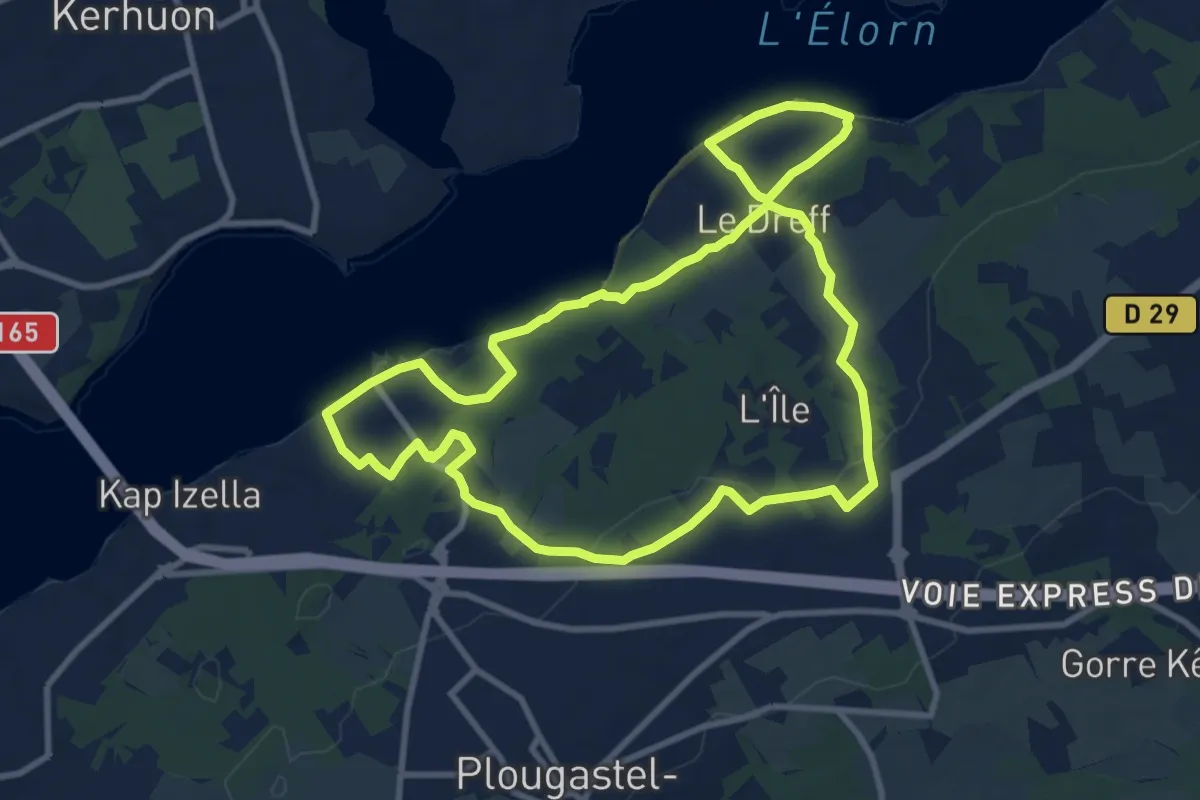
Medium · Summit
Les rives de l'Elorn - Saint-Jean
9.4 km · ↑ 199 m · 2 h 47 min
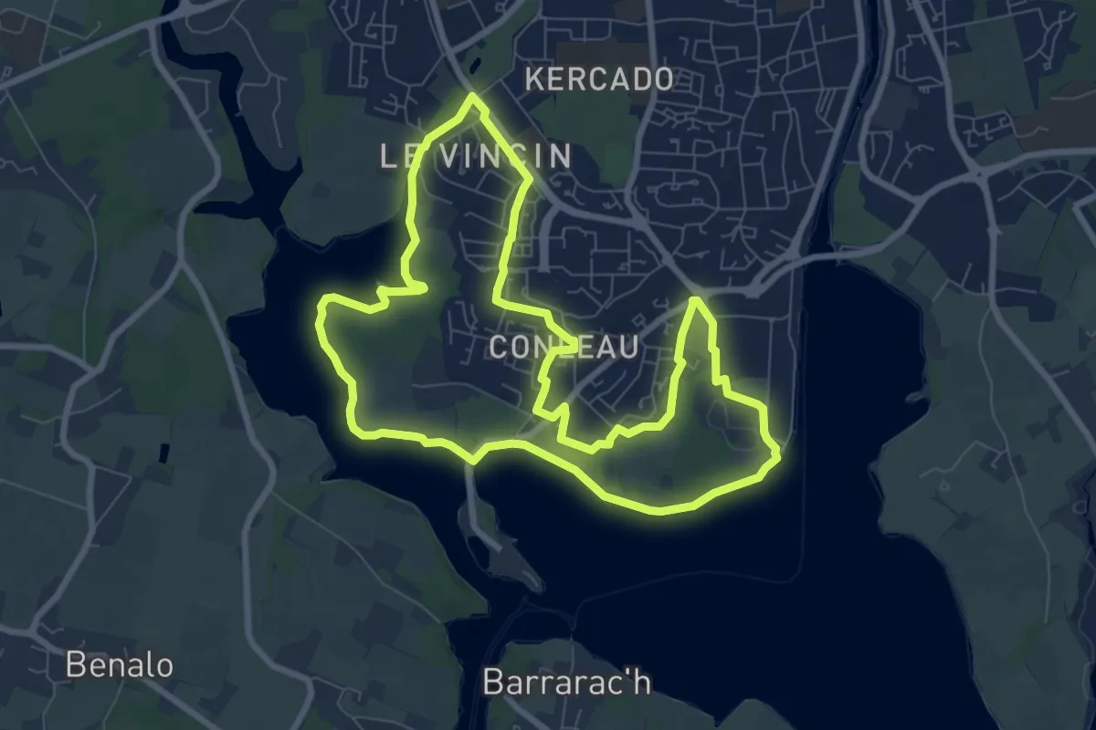
Medium · Trail
Les Rives de Vannes
8.1 km · ↑ 21 m · 2 h 5 min
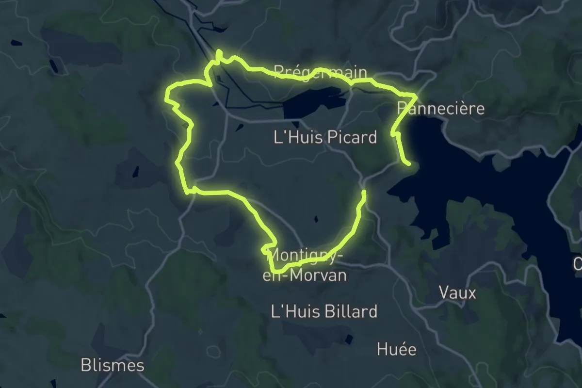
Demanding · Trail
Les rives du petit lac de Pannecière
22.9 km · ↑ 538 m · 6 h 34 min
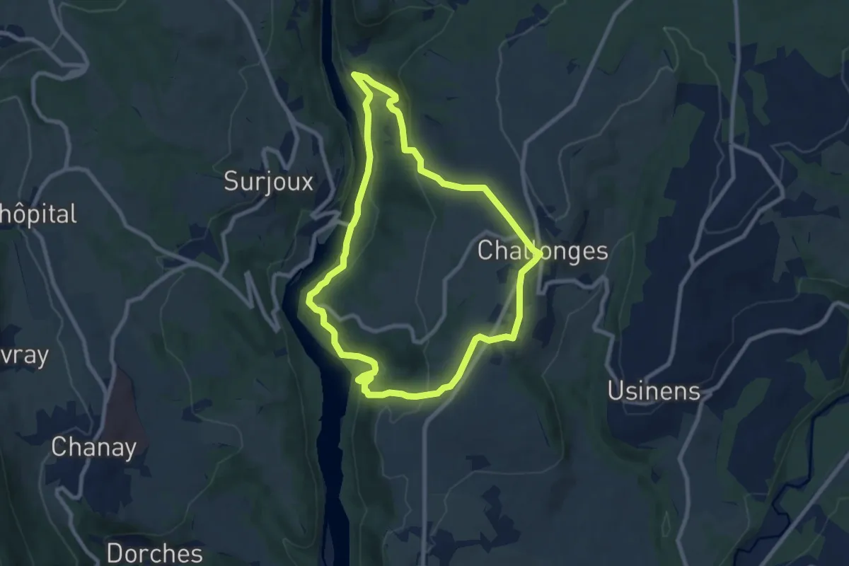
Easy · Trail
Les Rives Sauvages du Rhône
7.8 km · ↑ 289 m · 2 h 34 min
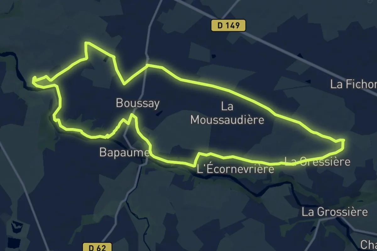
Medium · Trail
Les Rochers
12.0 km · ↑ 137 m · 3 h 18 min
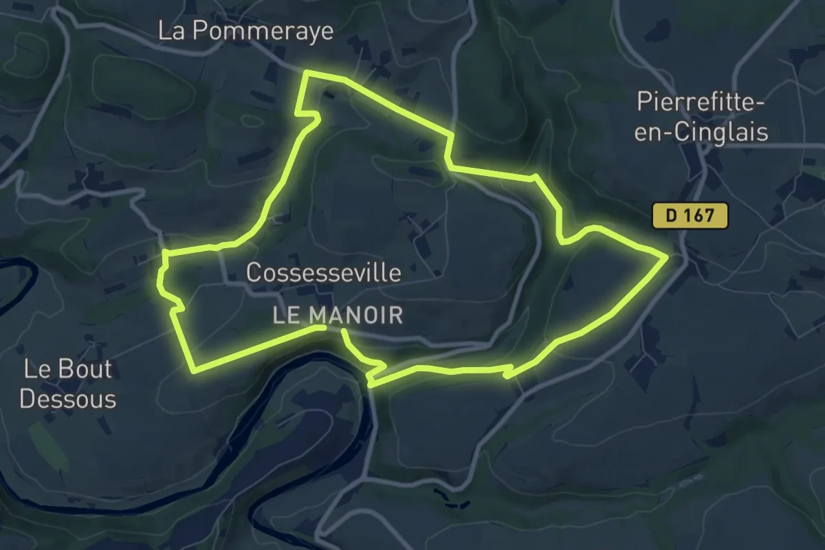
Medium · Trail
Les Rochers de Brisevieille
8.8 km · ↑ 275 m · 2 h 48 min
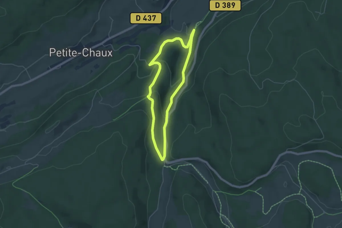
Easy · Trail
Les Roches
4.2 km · ↑ 143 m · 1 h 22 min
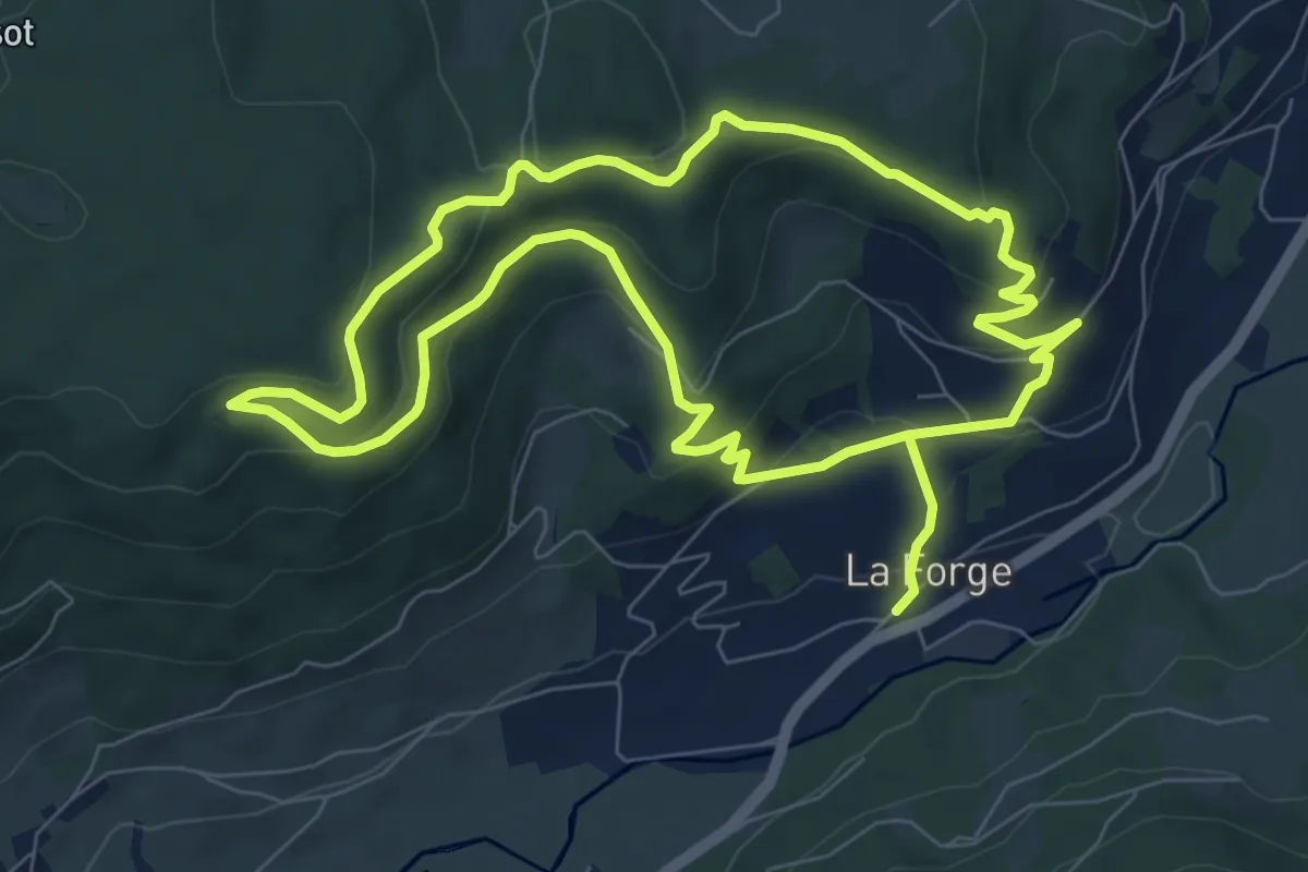
Medium · Trail
Les Roches Chevalières
7.6 km · ↑ 350 m · 2 h 38 min
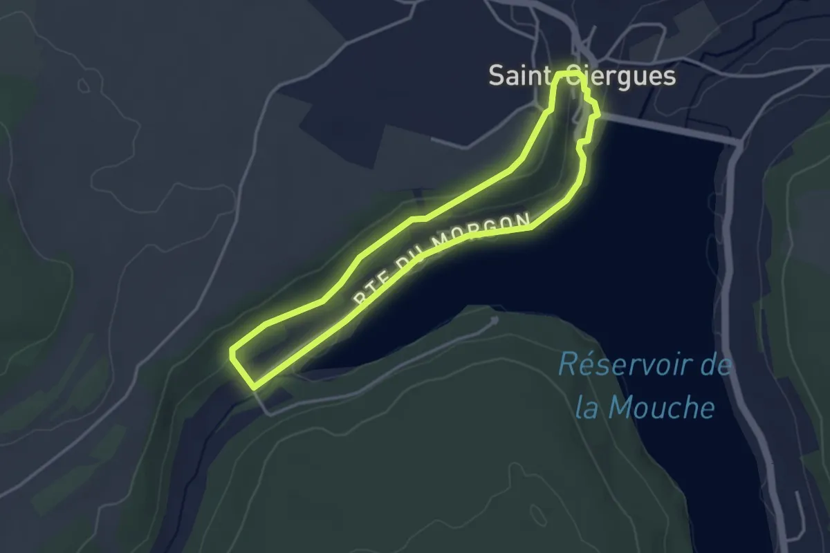
Easy · Trail
Les Roches de Saint-Ciergues
3.1 km · ↑ 69 m · 55 min