Trails in France
15,926 hiking trails, each with its route, climb, walking time and grade.
All trails, page 194 of 332
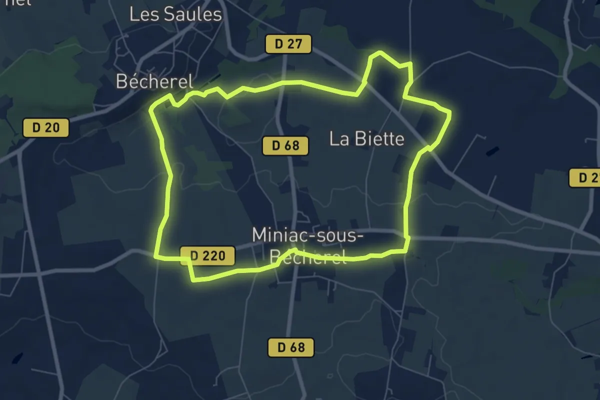
Easy · Trail
Les Roches du Diable
6.6 km · ↑ 75 m · 1 h 49 min
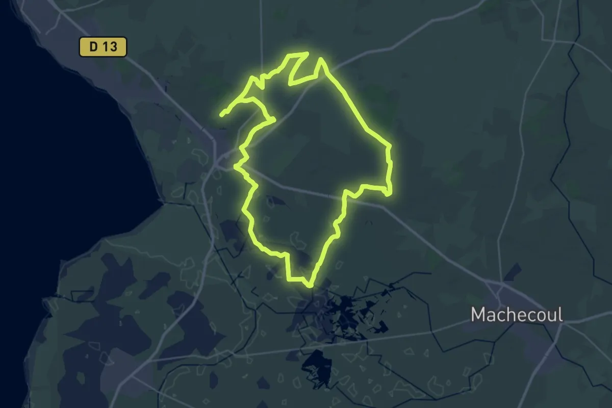
Demanding · Trail
Les roseaux et le bocage
29.7 km · ↑ 52 m · 7 h 32 min
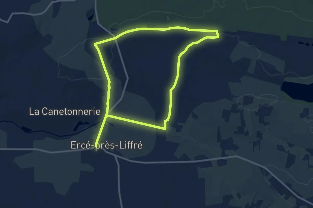
Easy · Trail
Les rotes des Huguenots
7.6 km · ↑ 78 m · 2 h 4 min
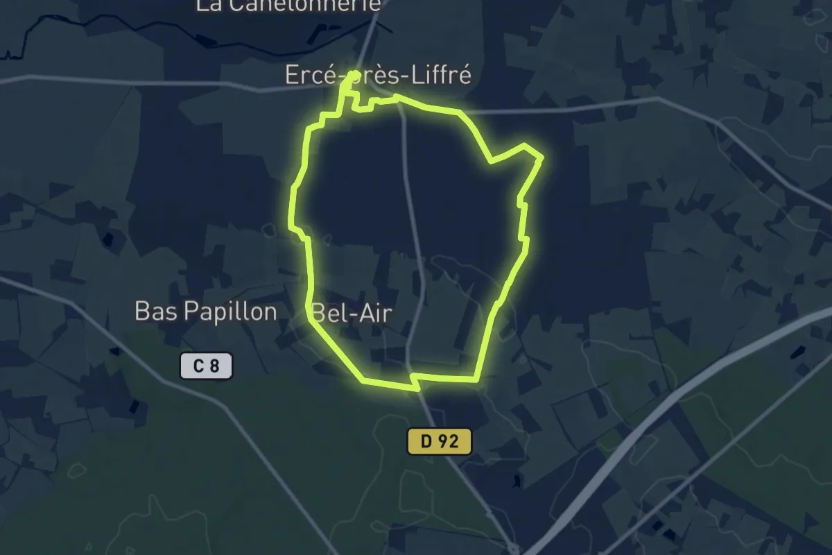
Medium · Trail
Les rotes du Hen Herveleu
8.2 km · ↑ 87 m · 2 h 14 min
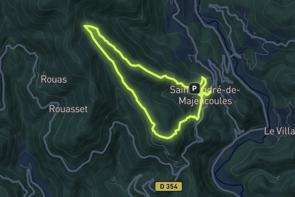
Medium · Summit
Les Rouquis
6.3 km · ↑ 329 m · 2 h 19 min
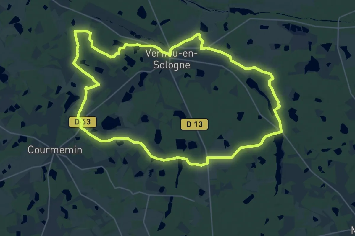
Demanding · Trail
Les Rouzières
23.3 km · ↑ 75 m · 6 h
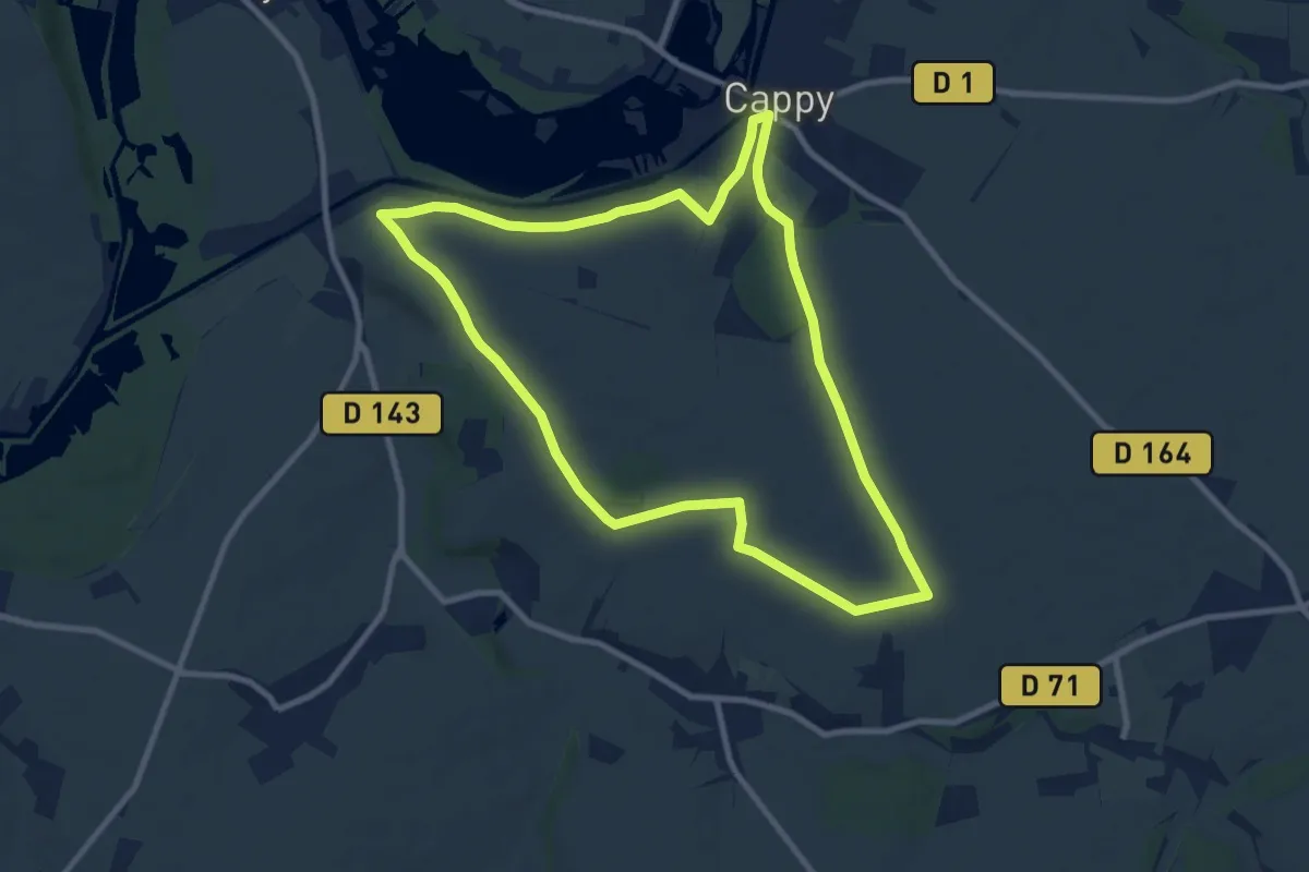
Medium · Trail
Les Royards
8.8 km · ↑ 95 m · 2 h 25 min
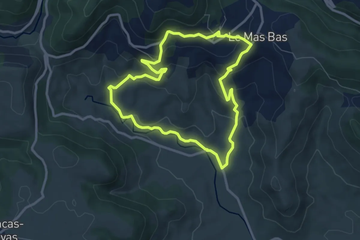
Easy · Trail
Les Ruffes
6.7 km · ↑ 266 m · 2 h 15 min
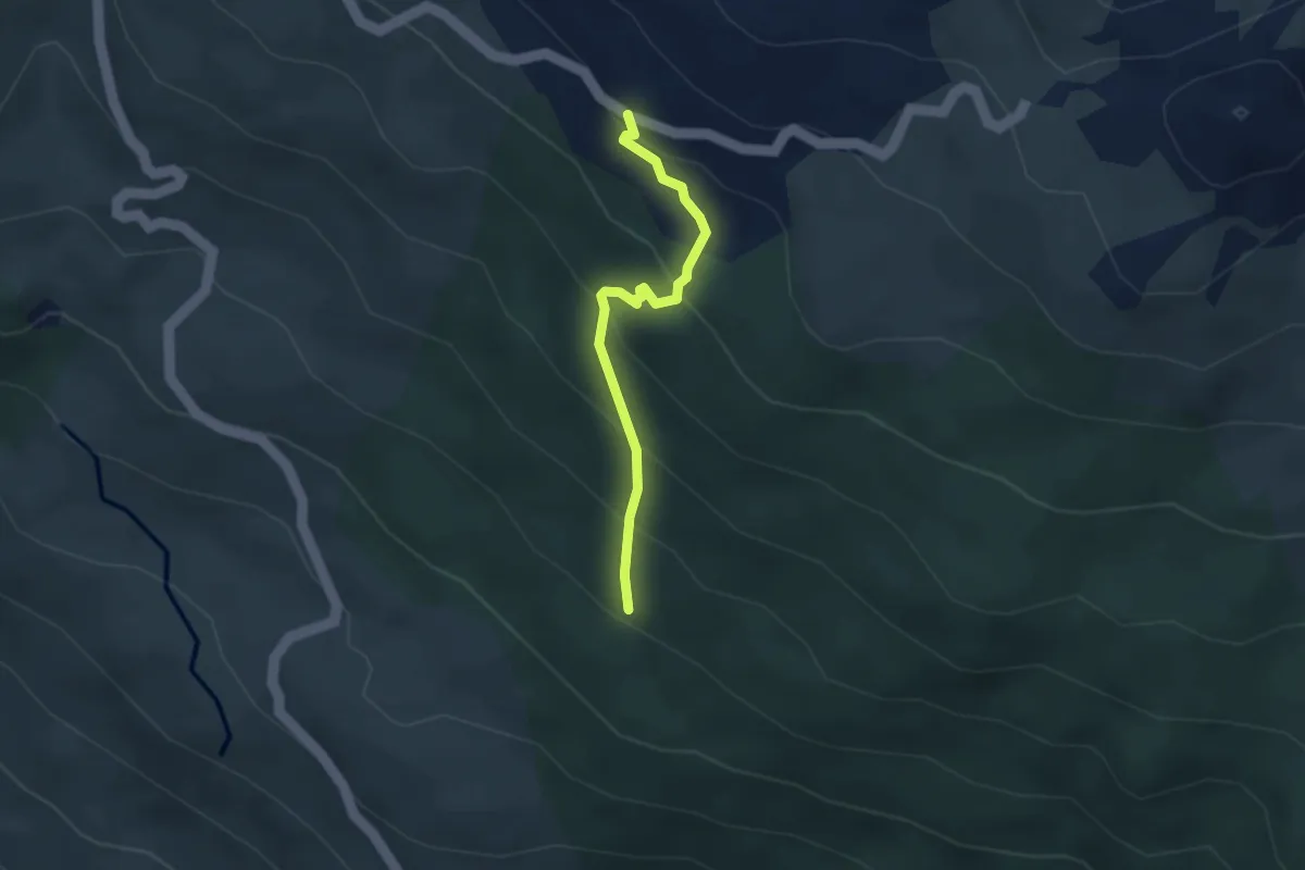
Easy · Trail
Les Ruines - ?
2.9 km · ↑ 244 m · 1 h 13 min
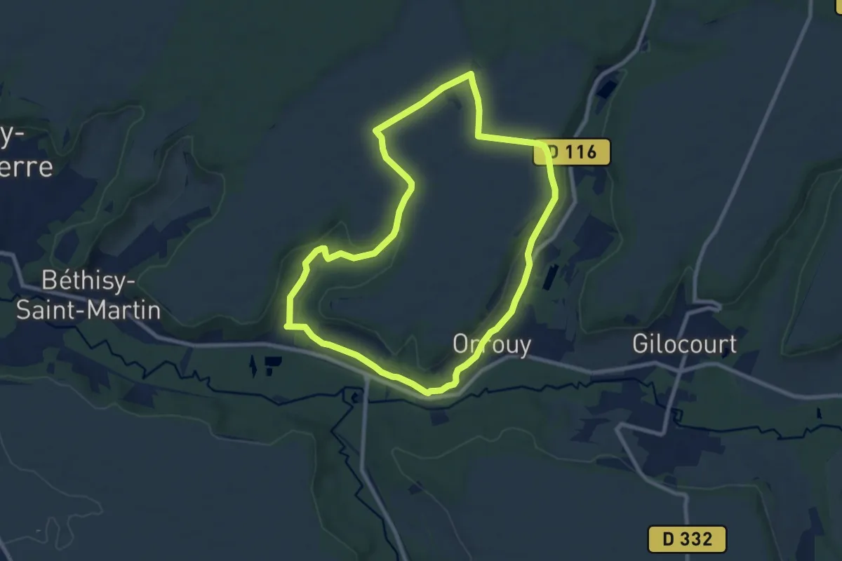
Easy · Trail
Les ruines de Champlieu
7.8 km · ↑ 106 m · 2 h 10 min
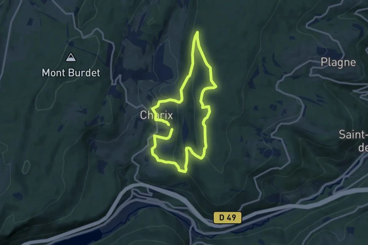
Easy · Trail
Les Ruines de la Serra
7.5 km · ↑ 228 m · 2 h 22 min
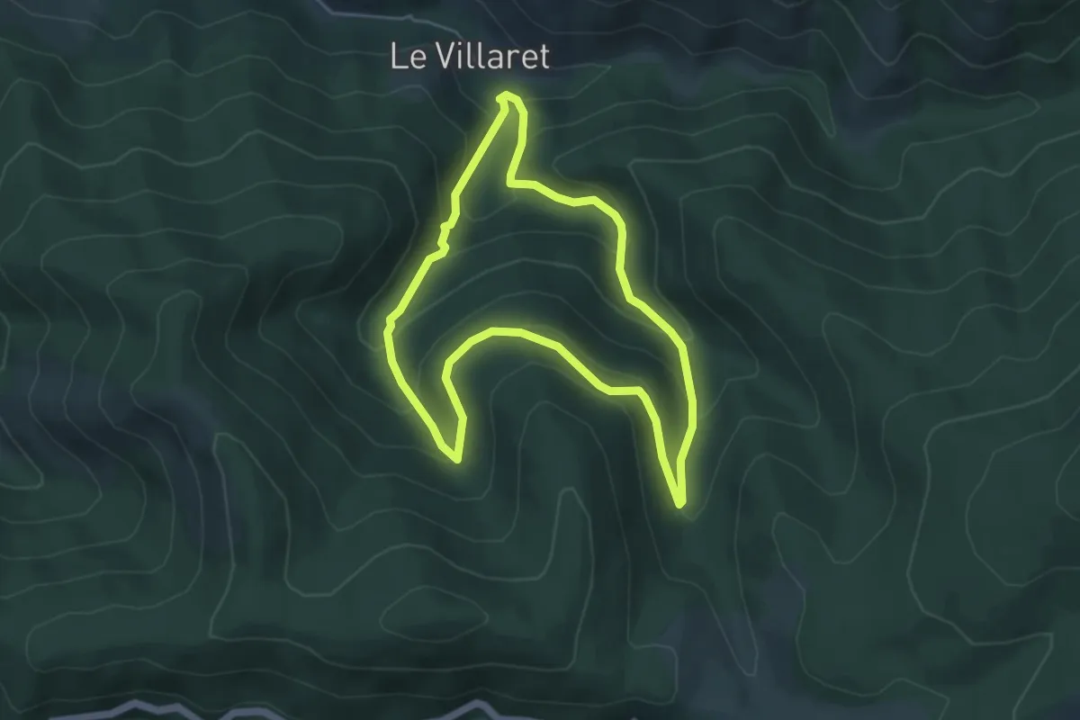
Medium · Trail
Les ruisseaux
4.7 km · ↑ 326 m · 1 h 53 min
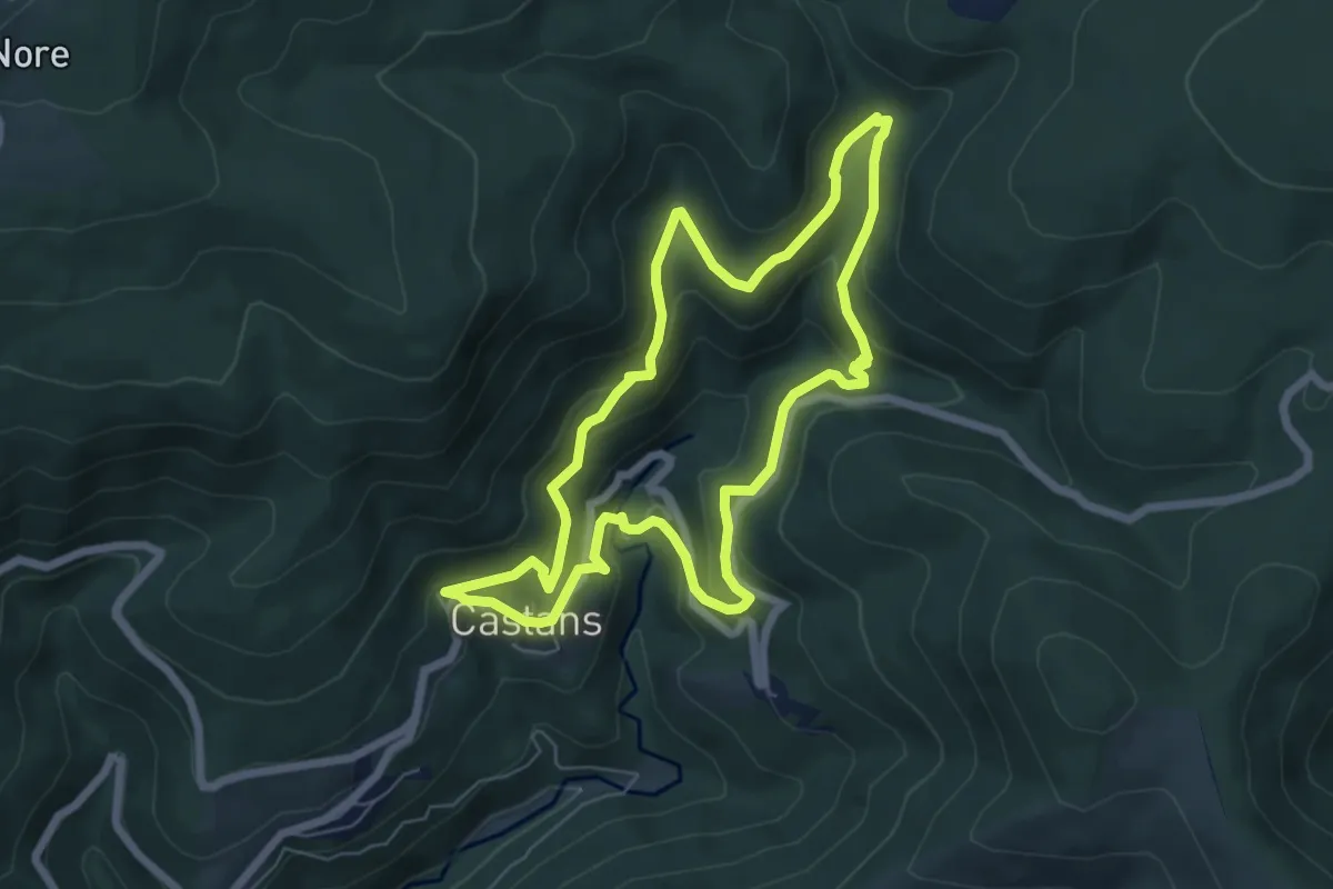
Medium · Trail
Les Ruisseaux
6.6 km · ↑ 333 m · 2 h 22 min
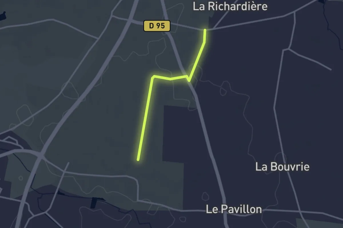
Easy · Trail
Les ruisseaux - variante
2.2 km · ↑ 8 m · 33 min
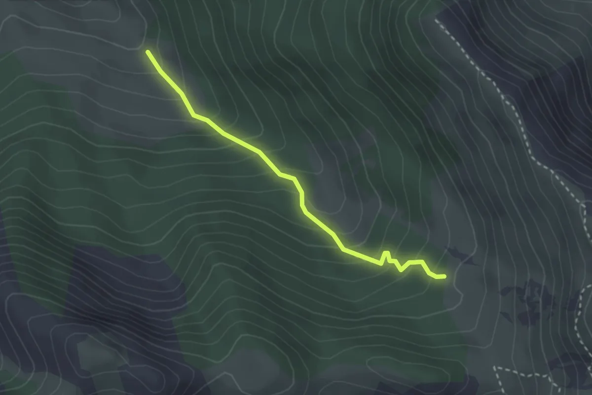
Medium · Trail
Les Sagnes - Terre Noire
2.8 km · ↑ 271 m · 1 h 14 min
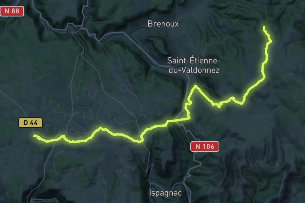
Demanding · Trail
Les Sagnoles - Champerboux
29.5 km · ↑ 855 m · 9 h 2 min
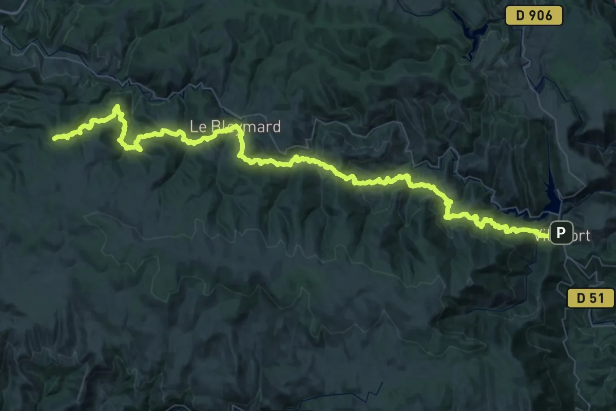
Demanding · Trail
Les Sagnoles - Villefort
38.4 km · ↑ 1915 m · 13 h 23 min
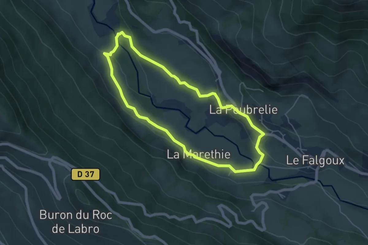
Easy · Trail
Les Saguisses
4.4 km · ↑ 114 m · 1 h 20 min
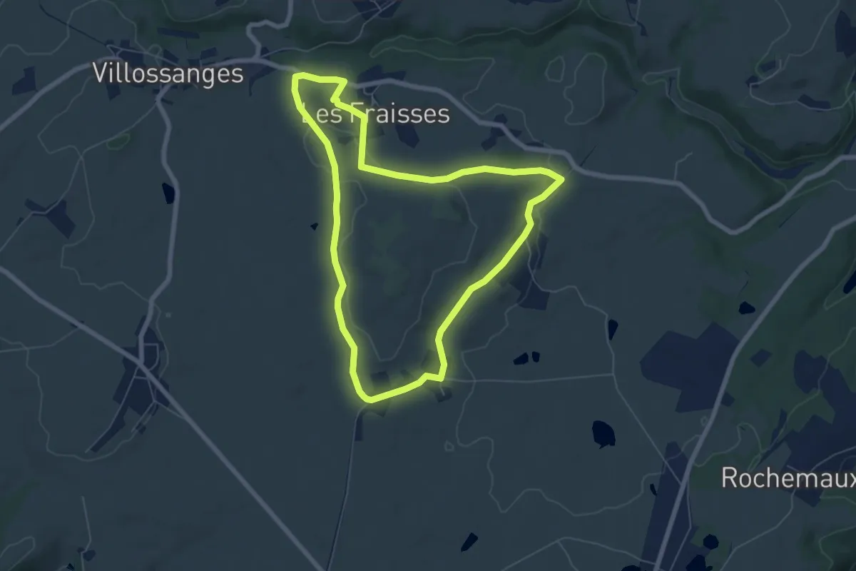
Easy · Trail
Les Salasses
6.3 km · ↑ 94 m · 1 h 47 min
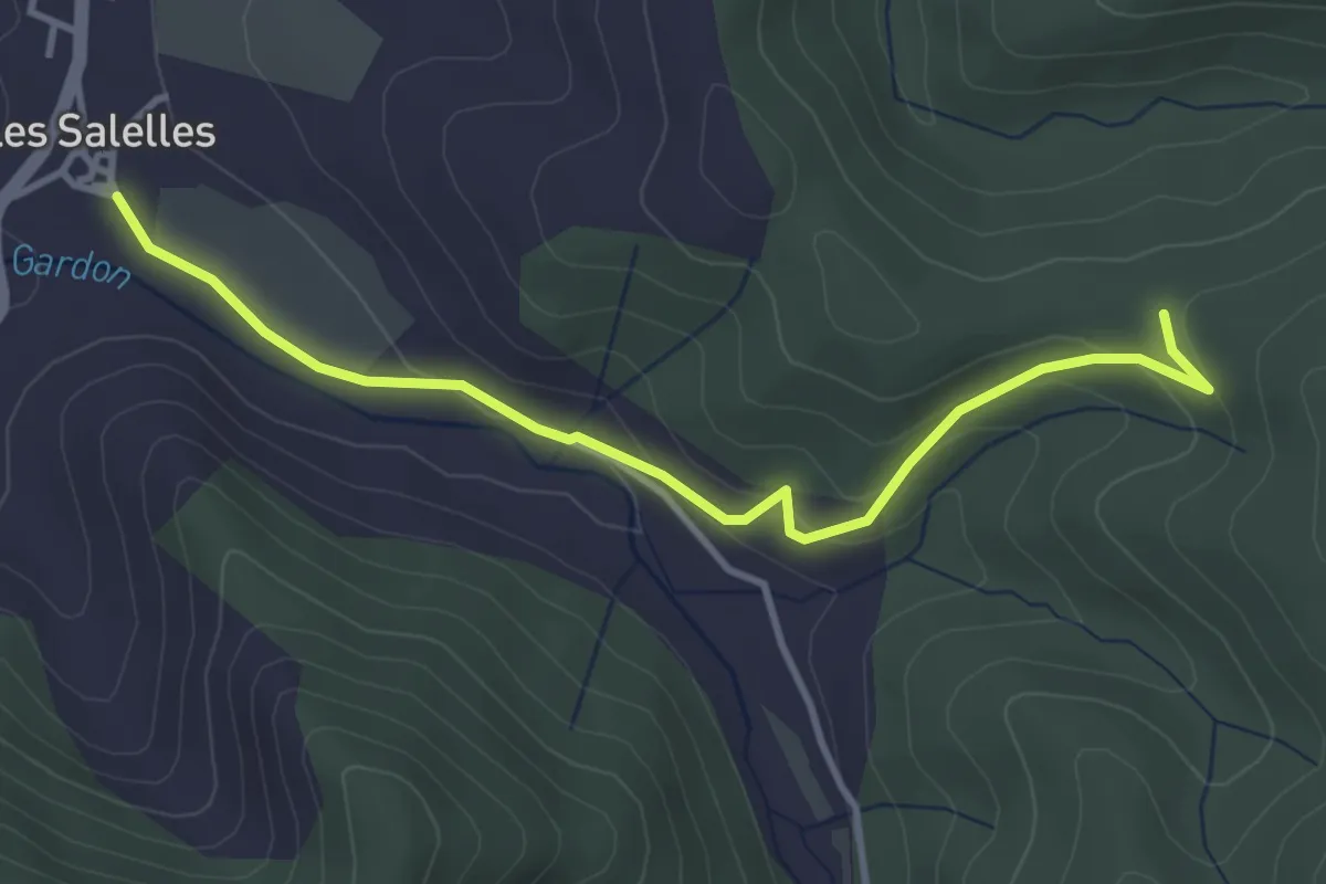
Easy · Trail
Les Salelles - Les Mourades
4.0 km · ↑ 166 m · 1 h 19 min
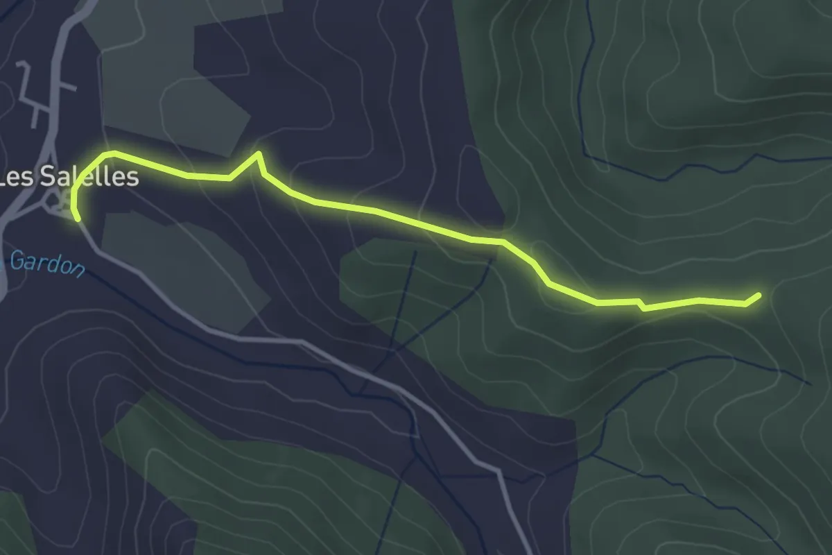
Easy · Trail
Les Salelles - Les Mourades
3.5 km · ↑ 165 m · 1 h 11 min
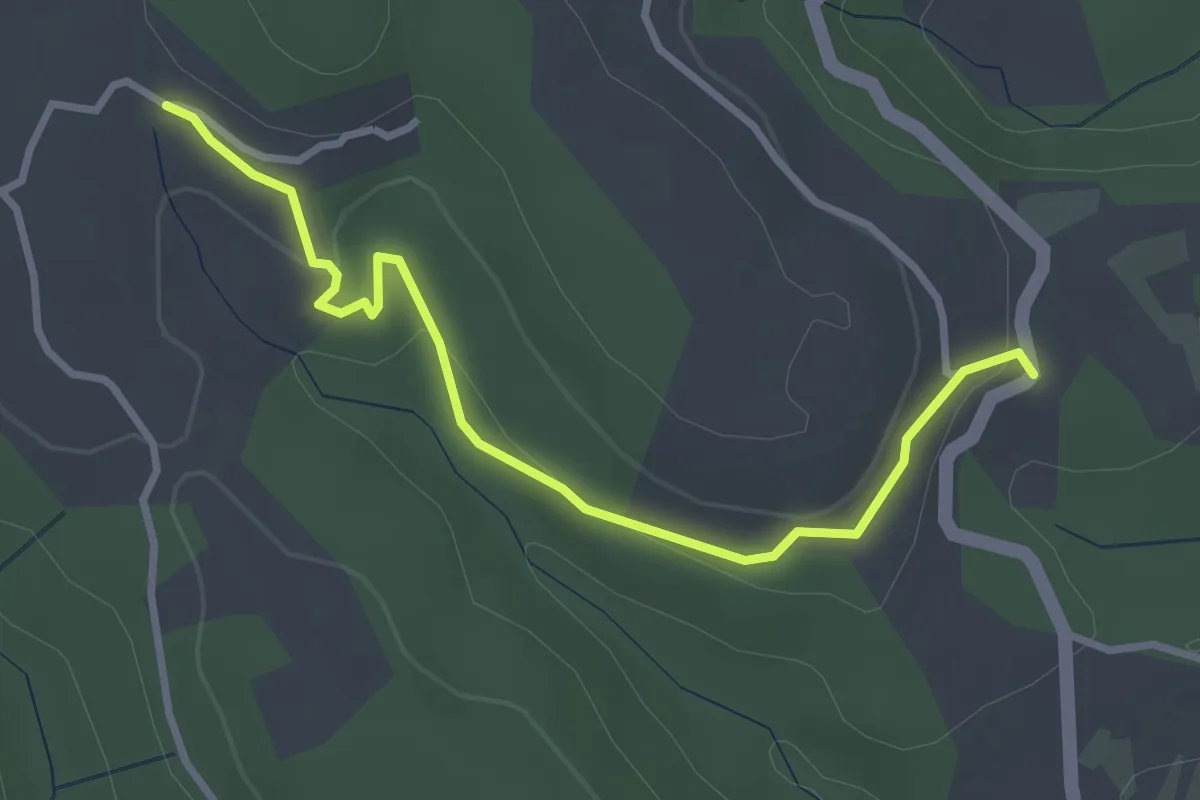
Easy · Trail
Les Salettes - L'Espic
3.4 km · ↑ 104 m · 1 h 2 min
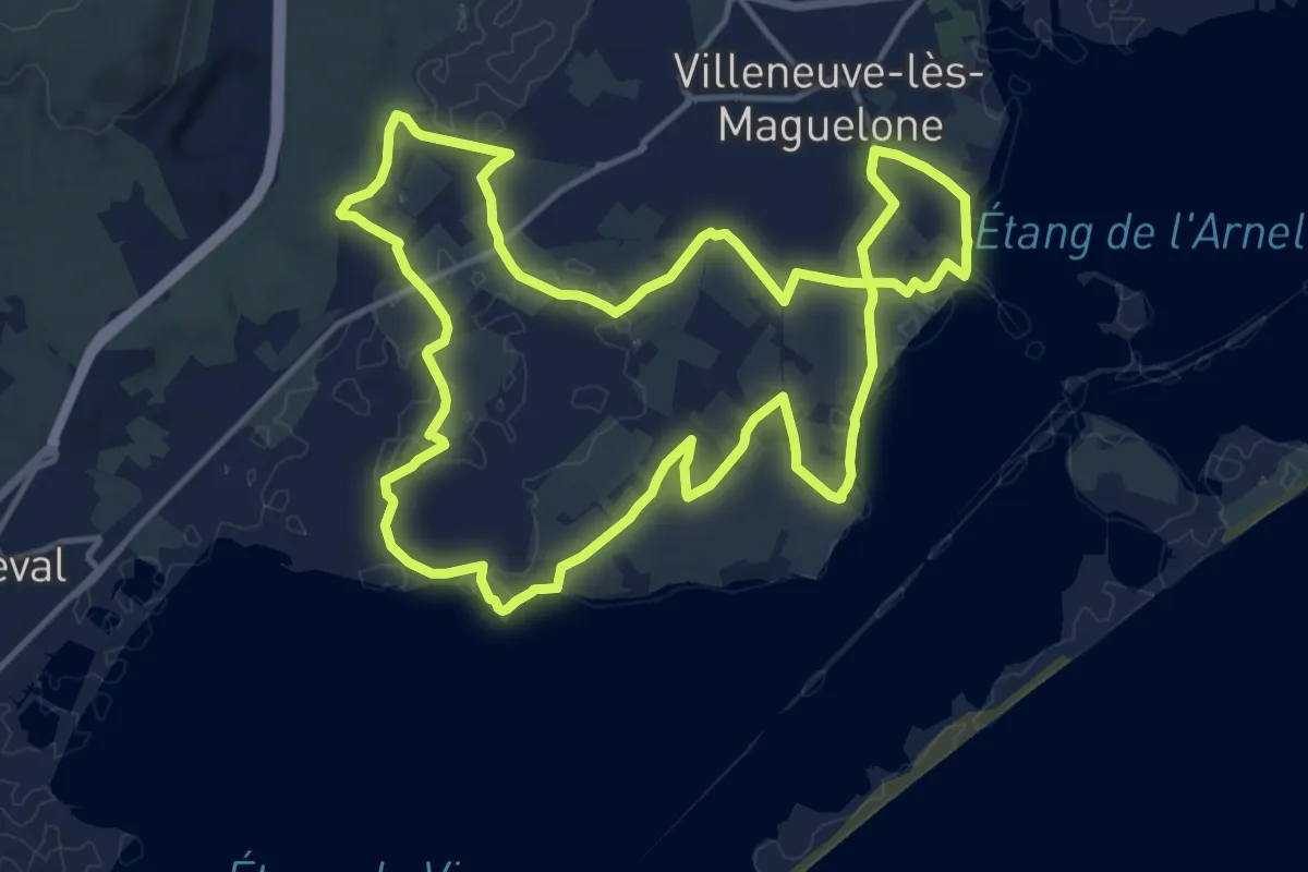
Medium · Trail
Les Salines
15.9 km · ↑ 47 m · 4 h 5 min
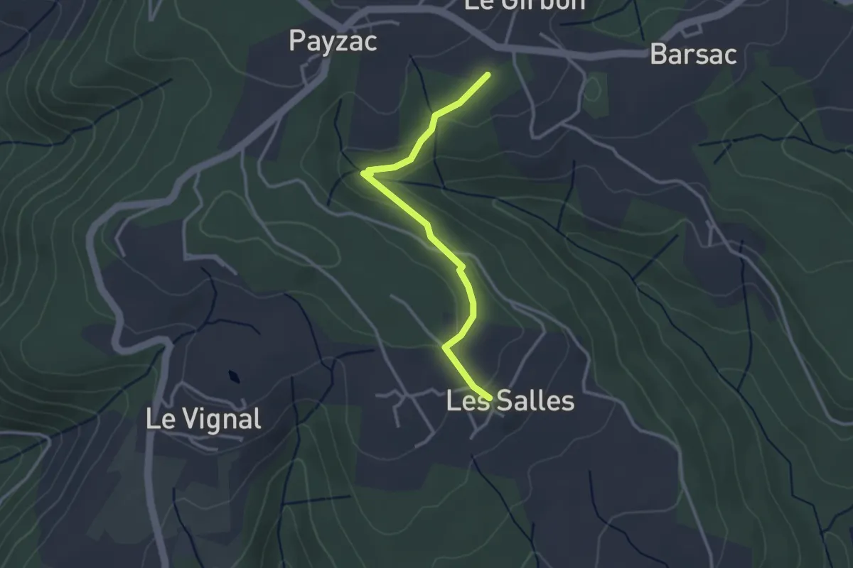
Easy · Trail
Les Salles - Les Plots
2.9 km · ↑ 67 m · 50 min
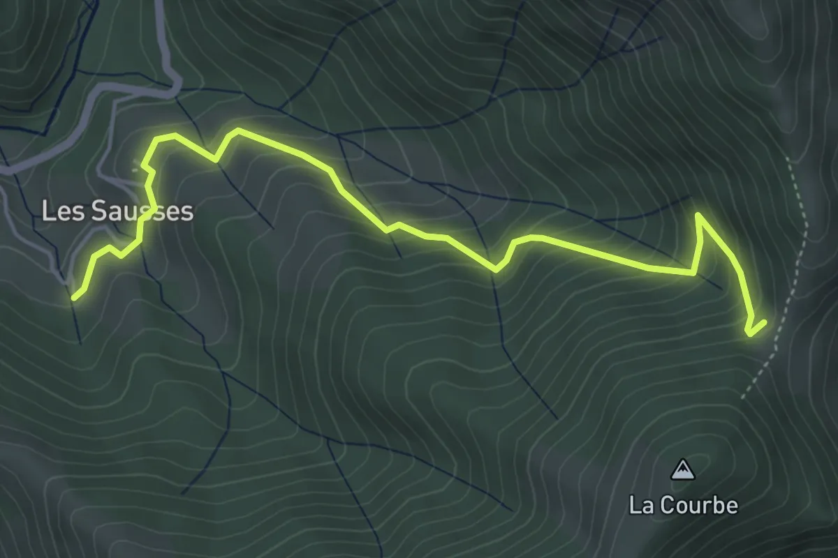
Medium · Trail
Les Sausses - Cros du Loup
5.5 km · ↑ 442 m · 2 h 15 min
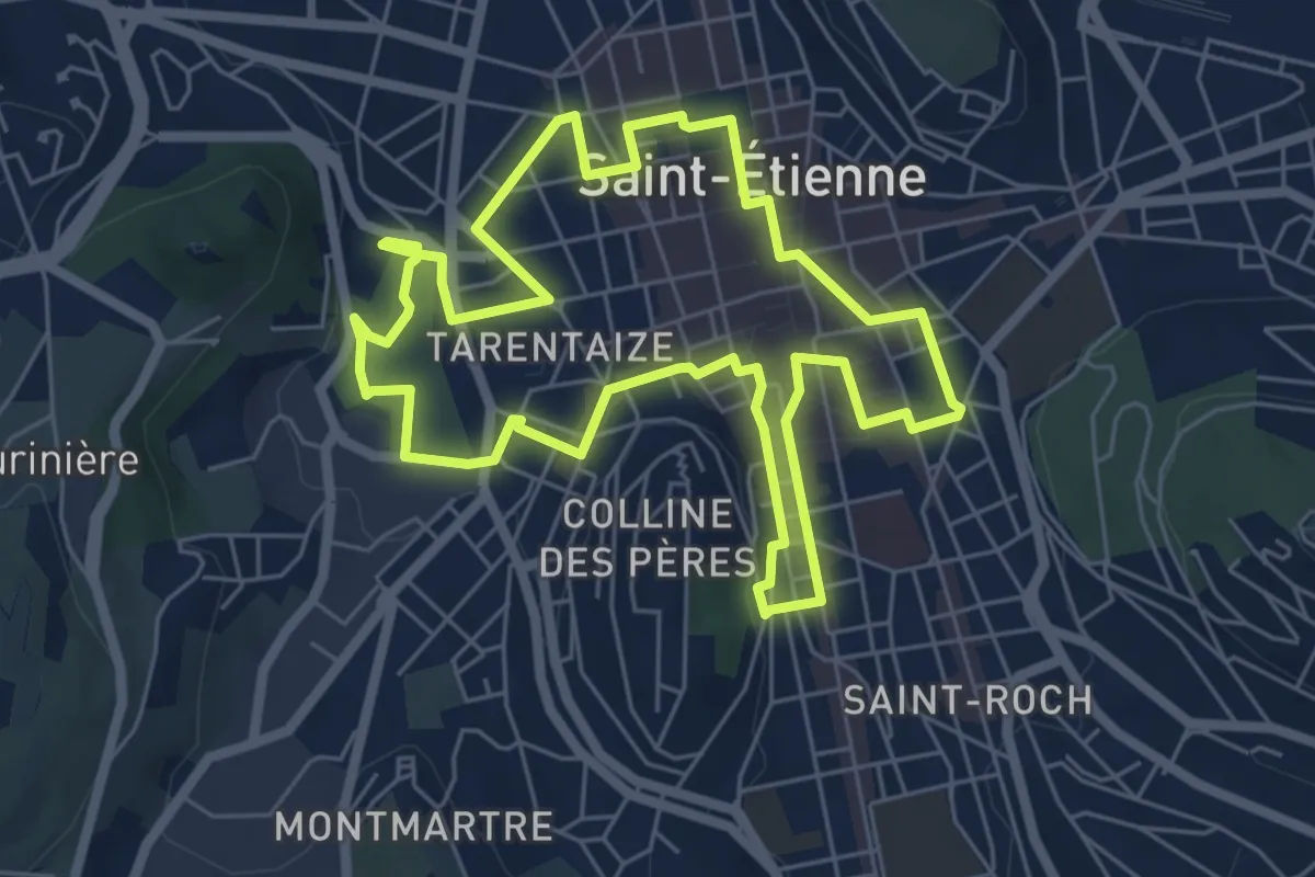
Easy · Trail
Les savoir-faire stéphanois
6.4 km · ↑ 47 m · 1 h 42 min
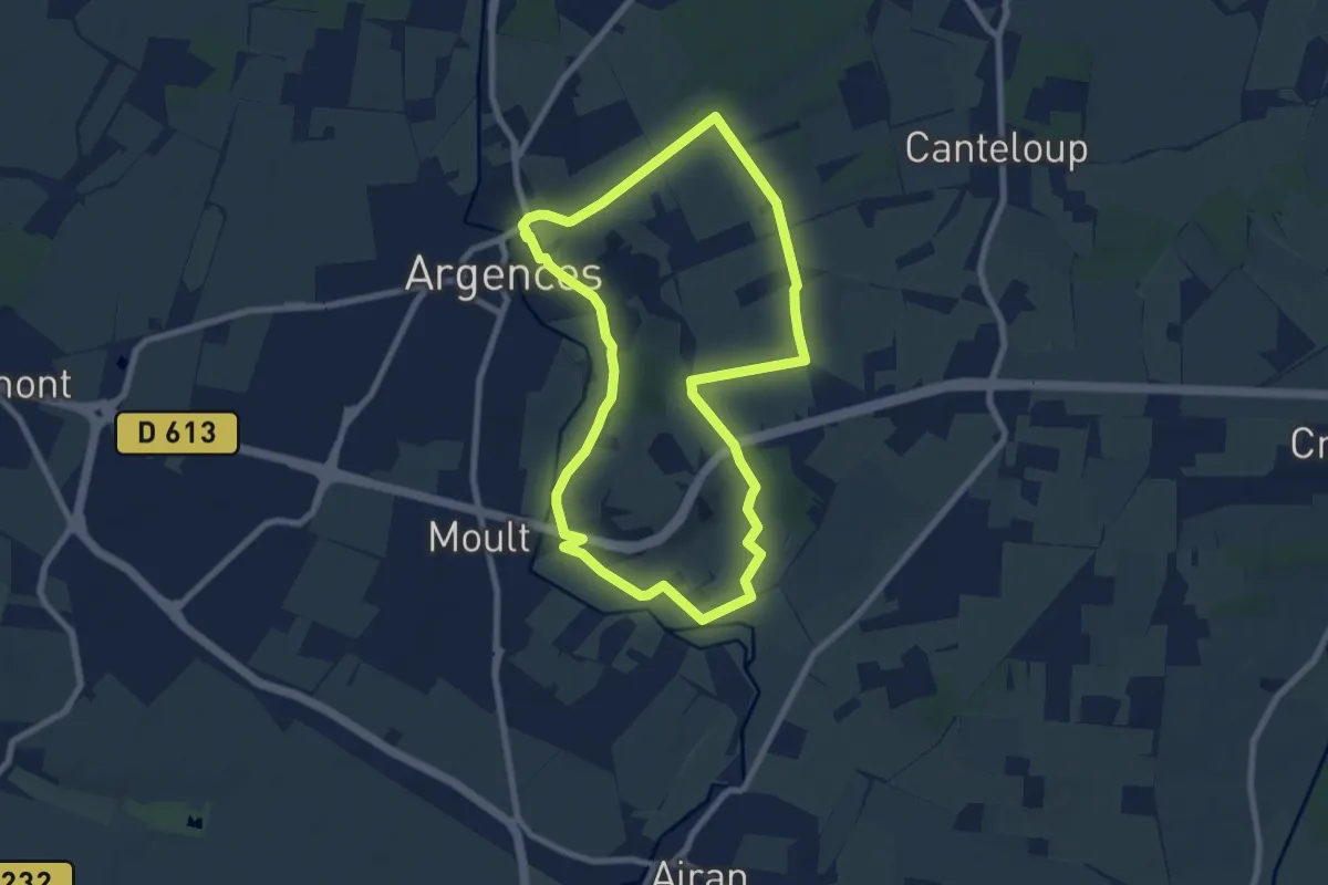
Easy · Trail
Les Sentes de l'Avant Côte d'Auge
7.3 km · ↑ 72 m · 1 h 59 min
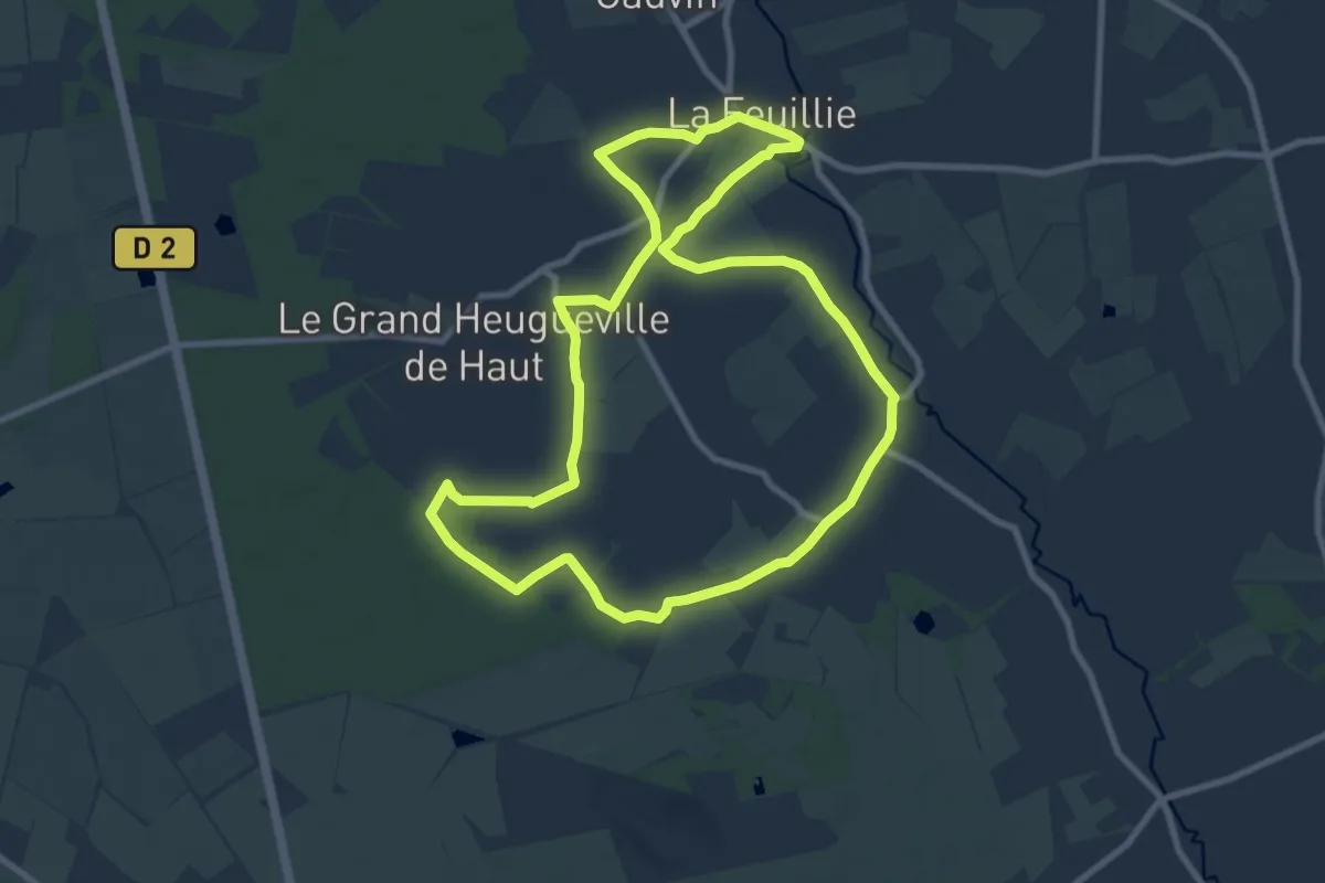
Medium · Trail
Les sentiers de Foliata
8.7 km · ↑ 21 m · 2 h 14 min
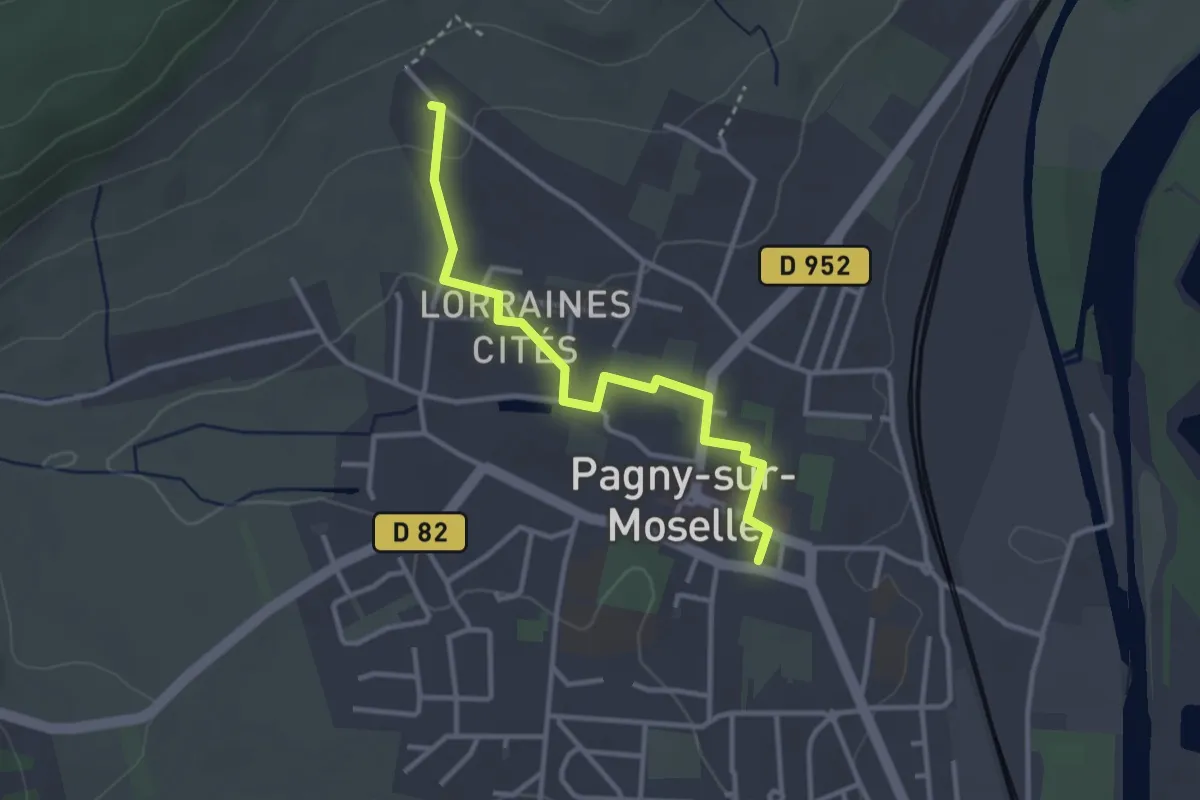
Easy · Trail
Les sentiers de la côte
2.9 km · ↑ 38 m · 46 min
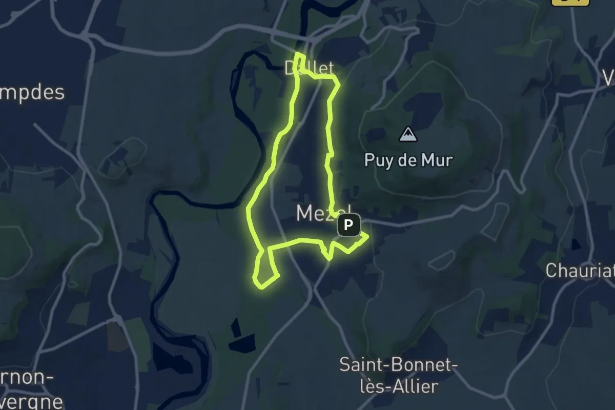
Easy · Trail
Les sentiers de la forme "A la découverte de l'Allier"
7.6 km · ↑ 123 m · 2 h 10 min
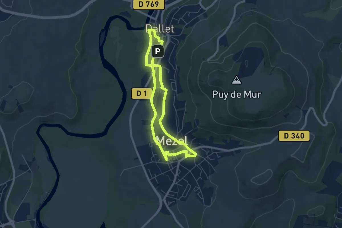
Easy · Trail
Les sentiers de la forme "A la découverte des bourgs"
5.2 km · ↑ 91 m · 1 h 30 min
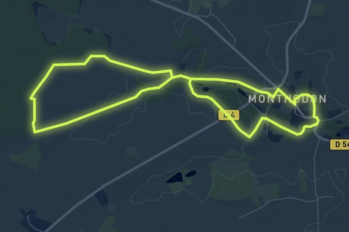
Easy · Trail
Les sentiers de la Glaise
7.6 km · ↑ 41 m · 1 h 59 min
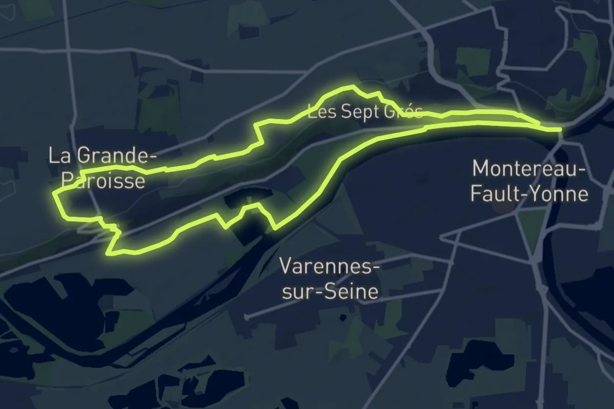
Medium · Trail
Les sentiers de la Préhistoire
11.5 km · ↑ 87 m · 3 h 4 min
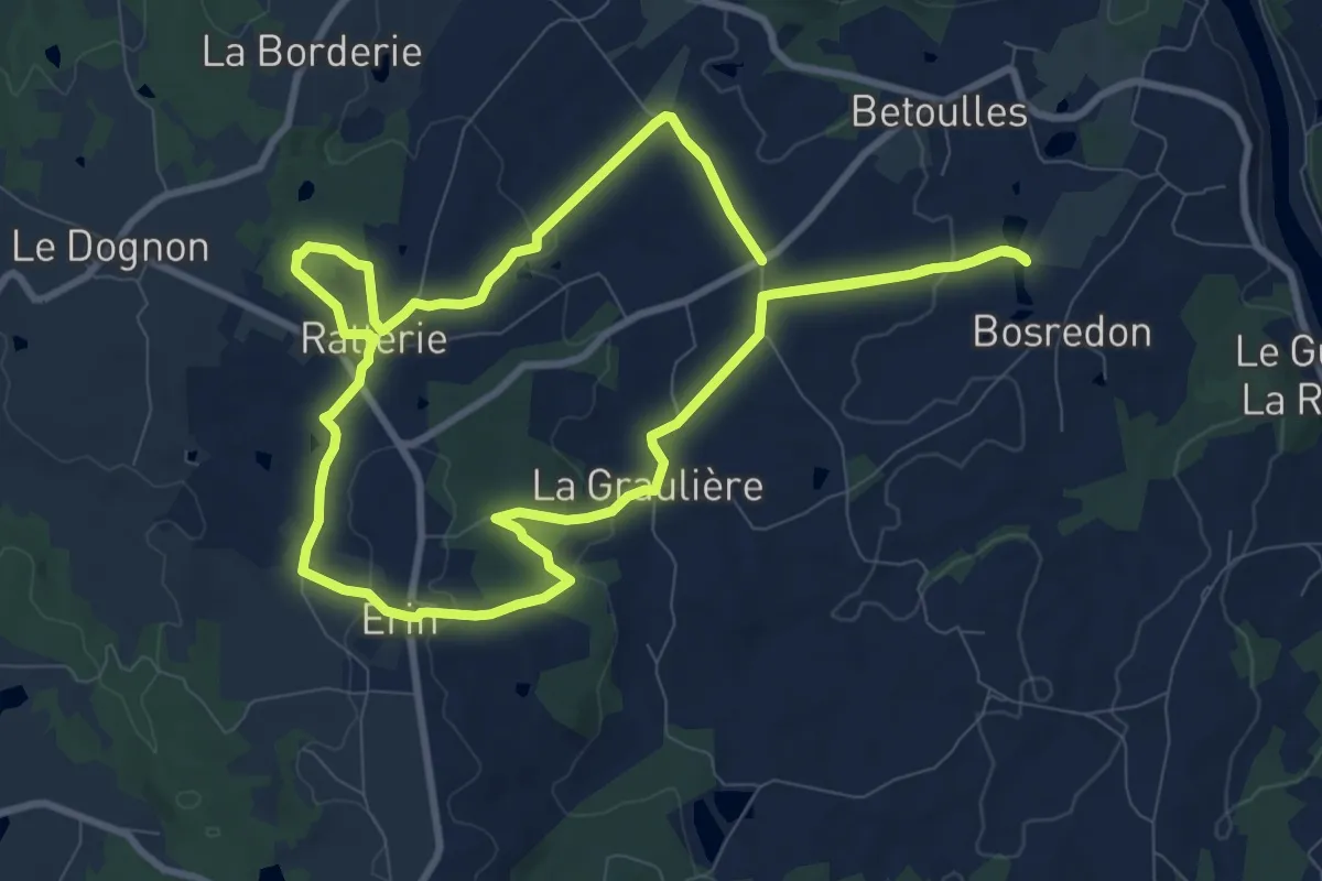
Medium · Trail
Les Sentiers de Saint-Yrieix-sous-Aixe
9.2 km · ↑ 174 m · 2 h 41 min
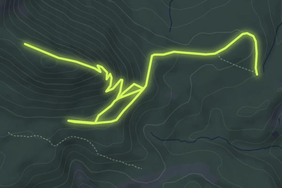
Medium · Trail
Les Sentiers des Géants : Roche Solaire 2
8.1 km · ↑ 358 m · 2 h 41 min
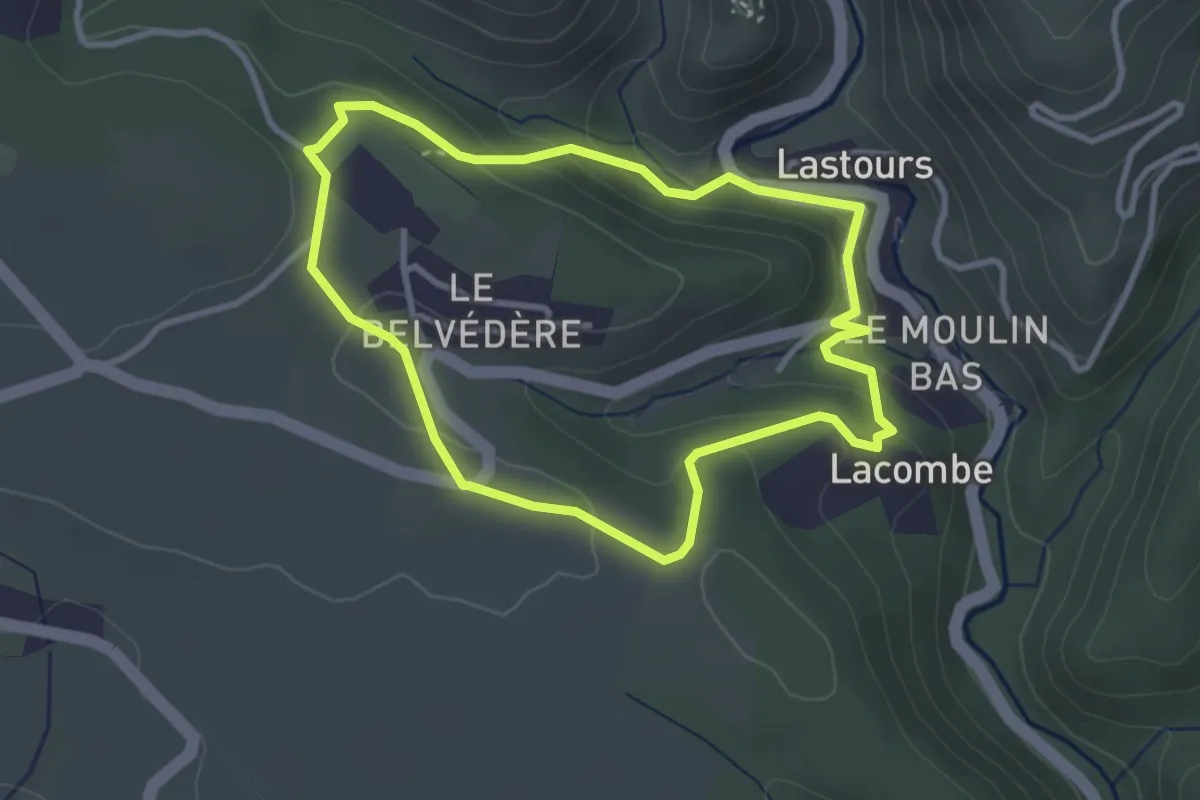
Easy · Trail
Les Sentinelles de l'Orbiel
3.2 km · ↑ 125 m · 1 h 3 min
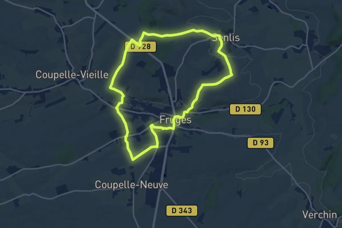
Medium · Trail
Les Sept Clochers
11.3 km · ↑ 170 m · 3 h 11 min
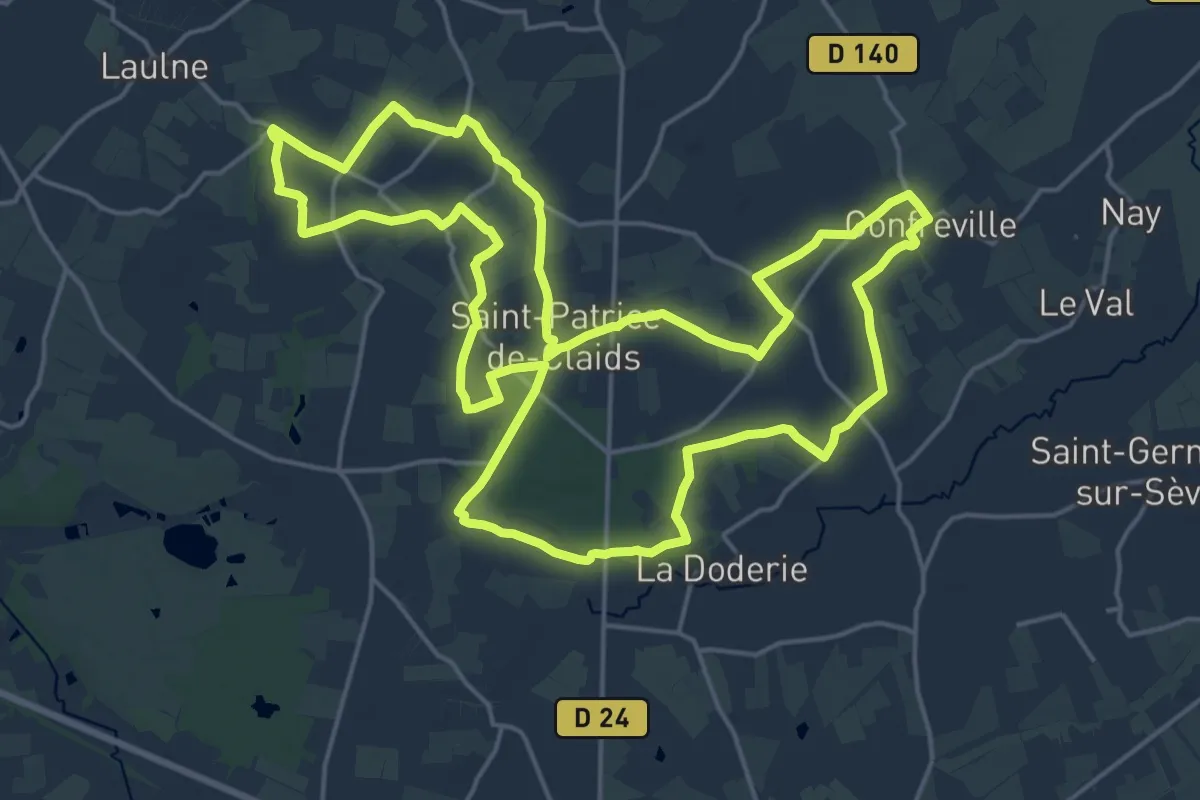
Demanding · Trail
Les sept lieux de la lande et du bocage
19.9 km · ↑ 90 m · 5 h 9 min
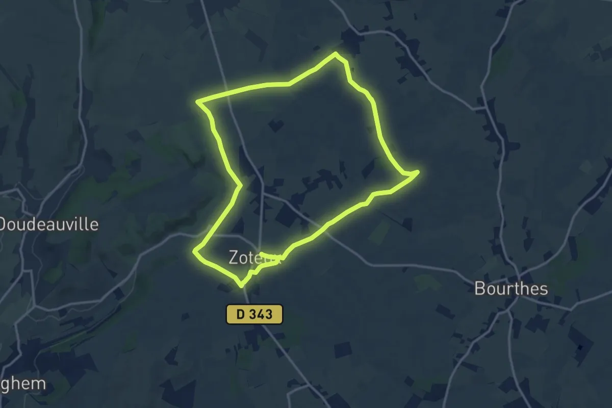
Medium · Trail
Les Sept Voies
11.8 km · ↑ 72 m · 3 h 6 min
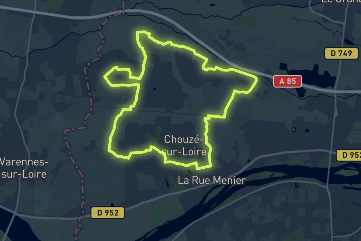
Medium · Trail
Les serres - Chouzé-sur-Loire
16.8 km · ↑ 26 m · 4 h 16 min
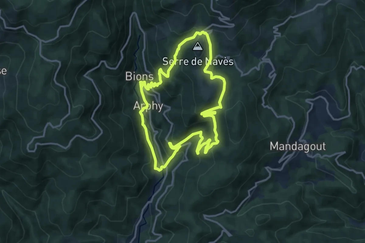
Medium · Trail
Les serres et la vallée de Coudoulous
10.5 km · ↑ 543 m · 3 h 48 min
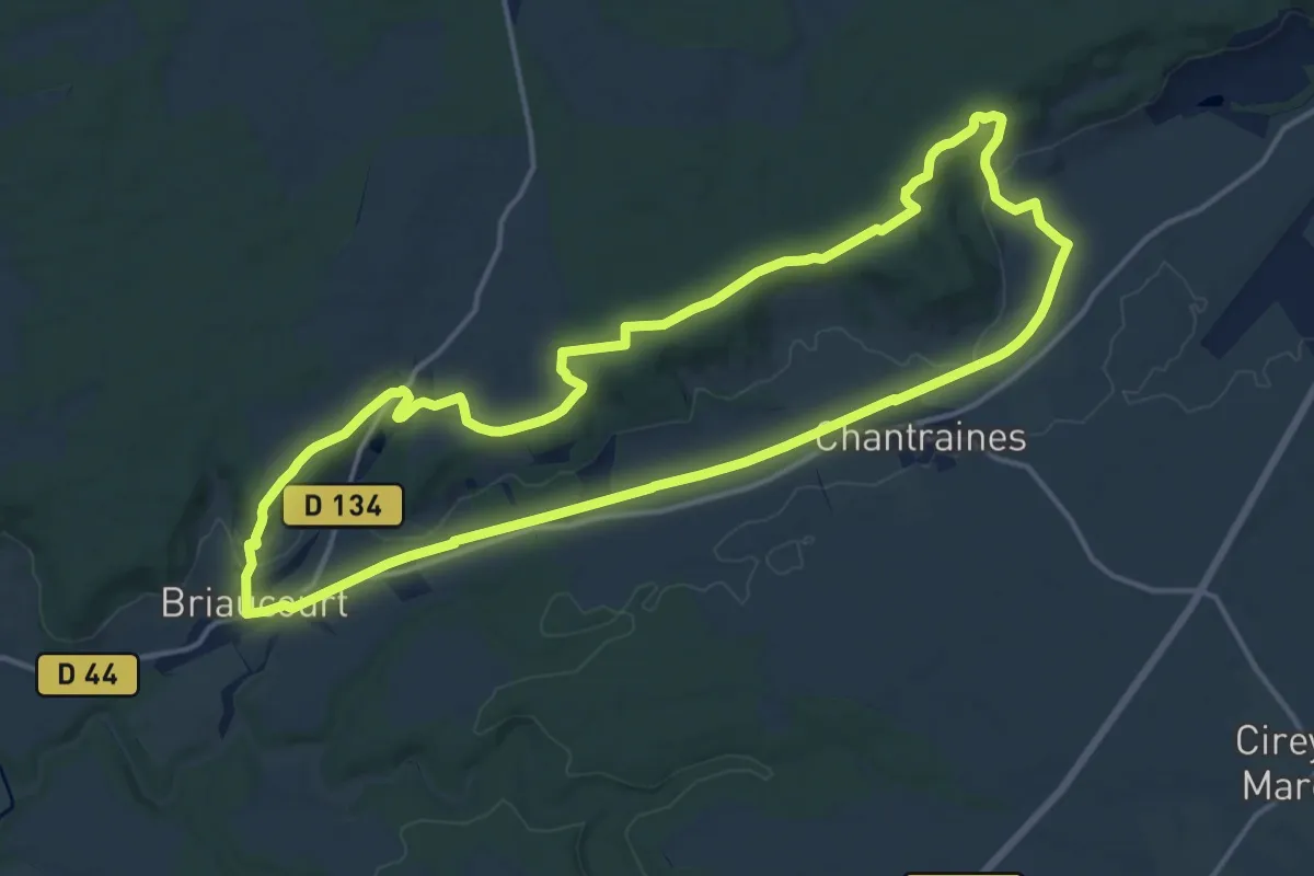
Medium · Trail
Les Sites Néolithiques
15.1 km · ↑ 154 m · 4 h 7 min
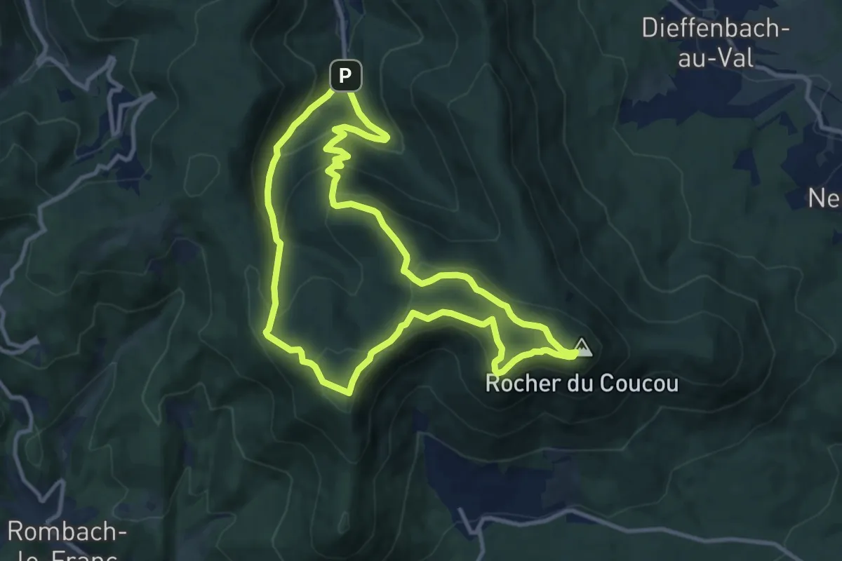
Medium · Summit
Les sites remarquables
9.7 km · ↑ 505 m · 3 h 31 min
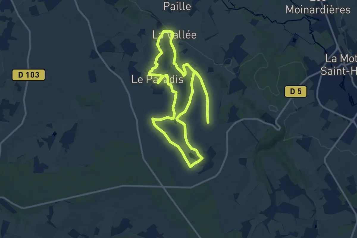
Medium · Trail
Les Six Fontaines
9.1 km · ↑ 143 m · 2 h 34 min
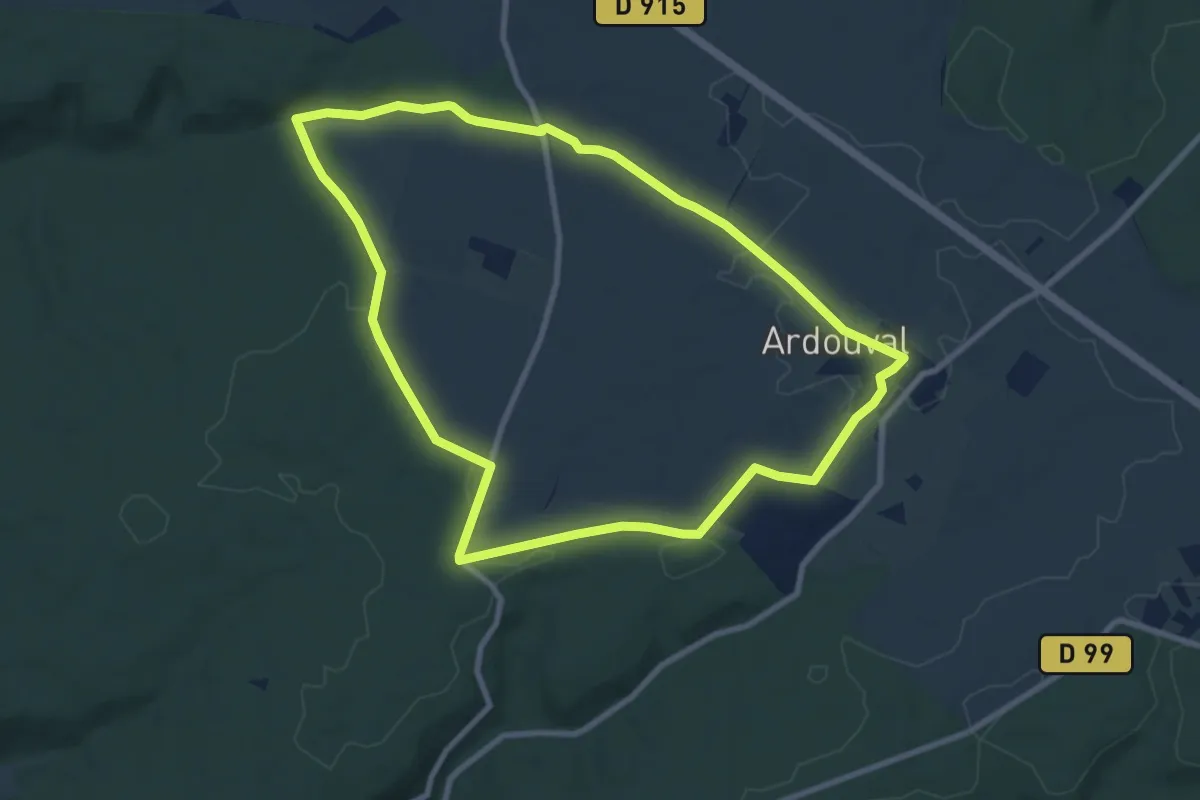
Medium · Trail
Les Six Frères
8.4 km · ↑ 92 m · 2 h 18 min
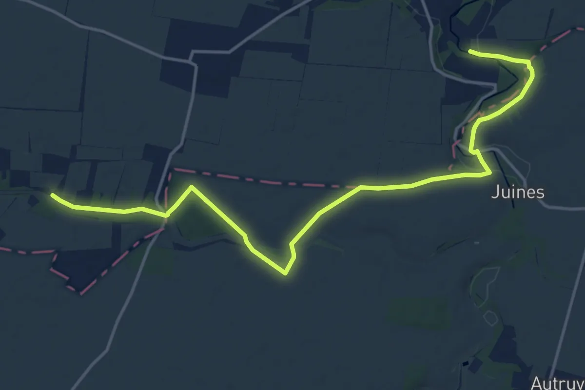
Easy · Trail
L'Essonne - Aux Confins de la Beauce
7.2 km · ↑ 69 m · 1 h 57 min
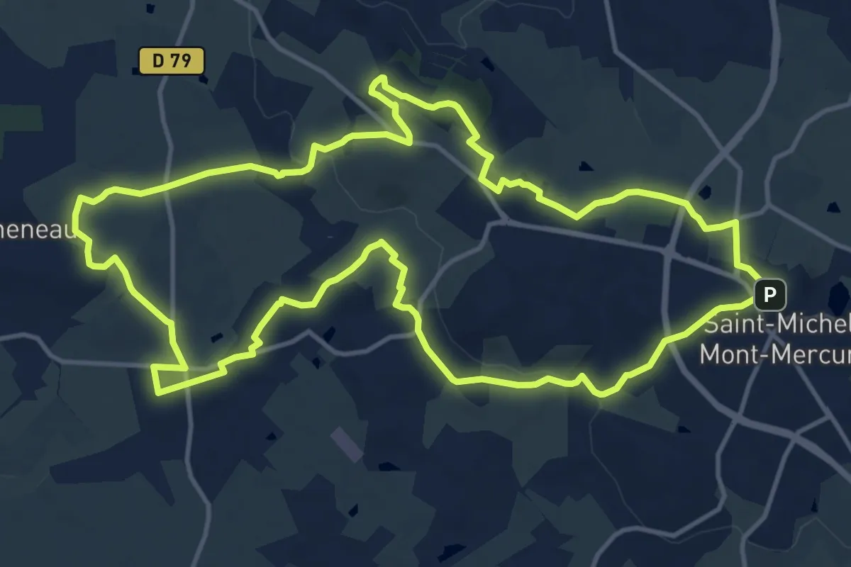
Medium · Summit
Les Sources
14.2 km · ↑ 235 m · 4 h 4 min
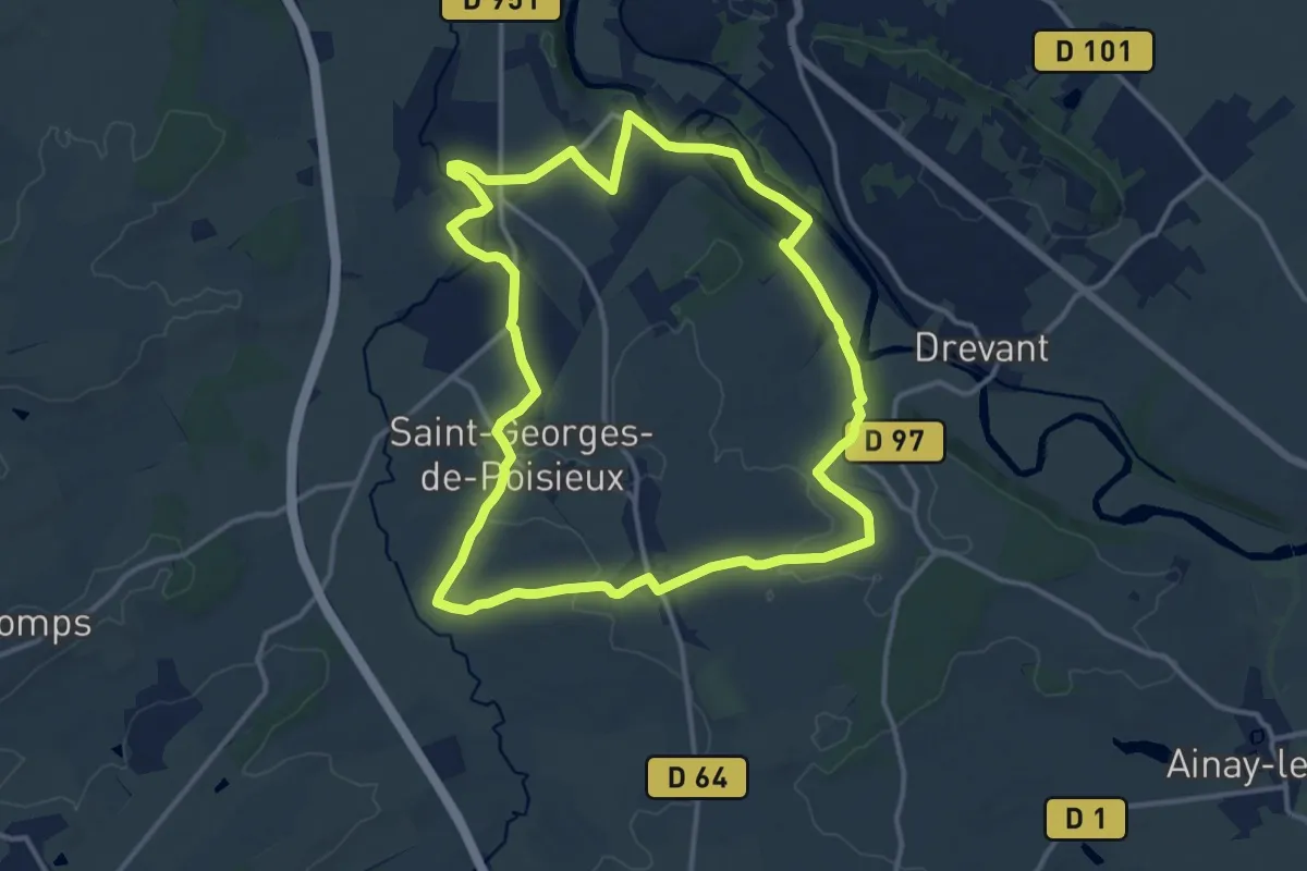
Medium · Trail
Les Sources
13.8 km · ↑ 139 m · 3 h 46 min