Trails in France
15,926 hiking trails, each with its route, climb, walking time and grade.
All trails, page 195 of 332
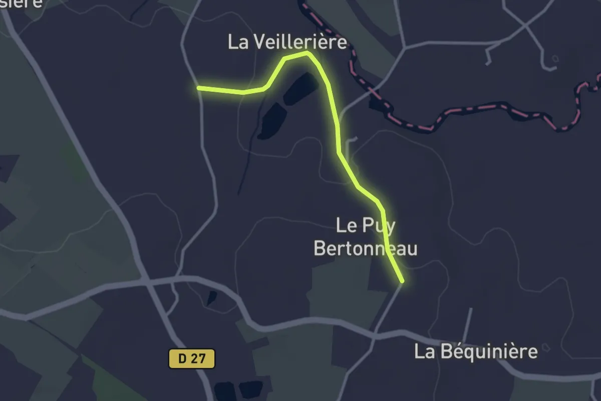
Easy · Trail
Les sources 2
2.6 km · ↑ 46 m · 43 min
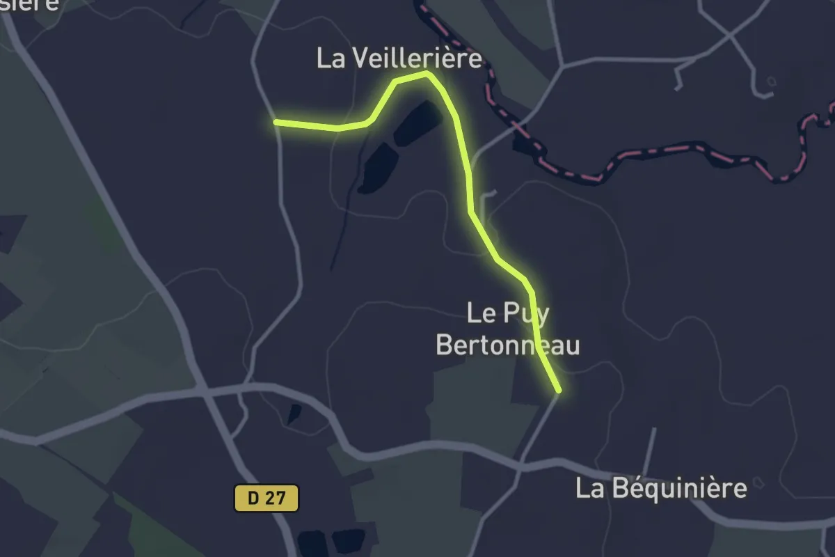
Easy · Trail
Les sources 3
2.6 km · ↑ 46 m · 43 min
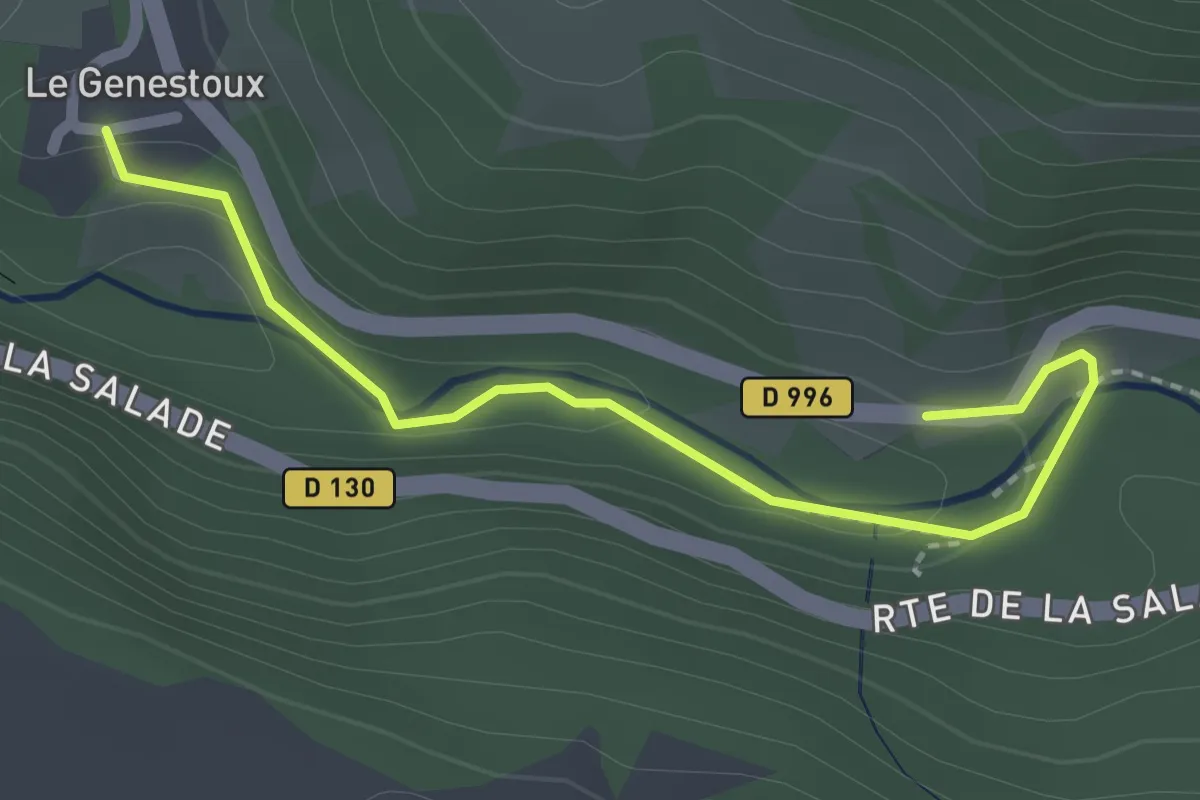
Easy · Trail
Les Sources de la Dordogne
1.1 km · ↑ 12 m · 19 min
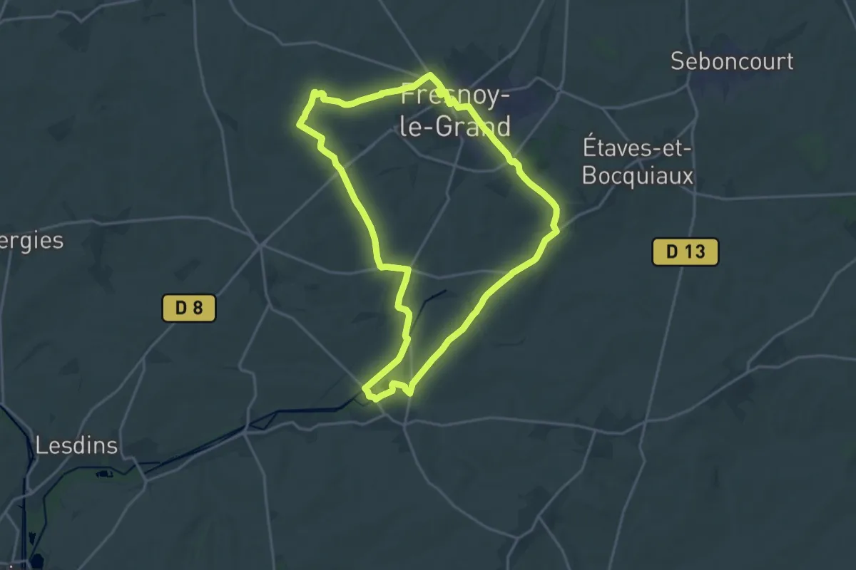
Medium · Trail
Les Sources de la Somme
16.9 km · ↑ 190 m · 4 h 37 min
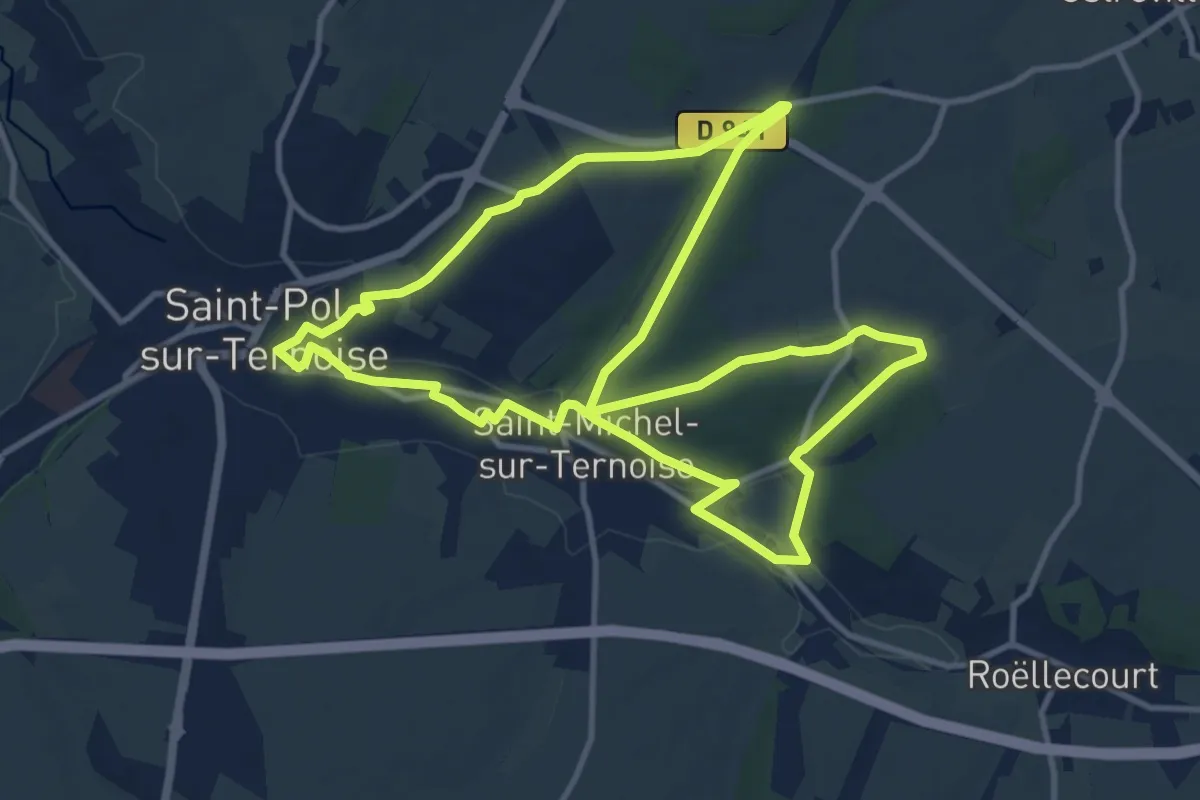
Medium · Trail
Les Sources de la Ternoise
11.3 km · ↑ 108 m · 3 h 3 min
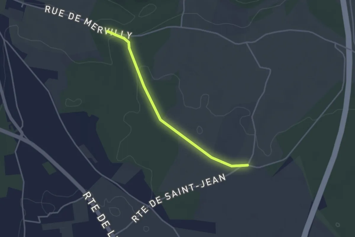
Easy · Trail
Les Sources de l'Orbiquet
1.4 km · ↑ 0 m · 22 min
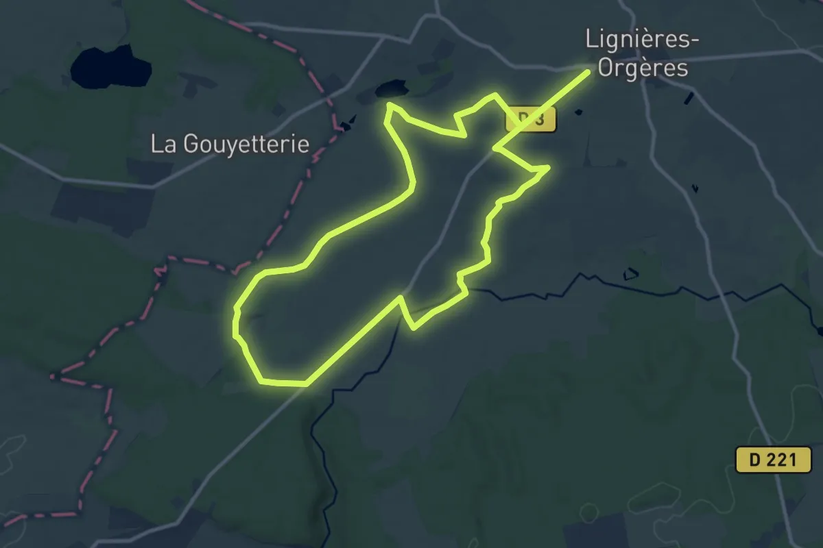
Medium · Trail
Les Sources de St Ursin
11.0 km · ↑ 111 m · 2 h 59 min
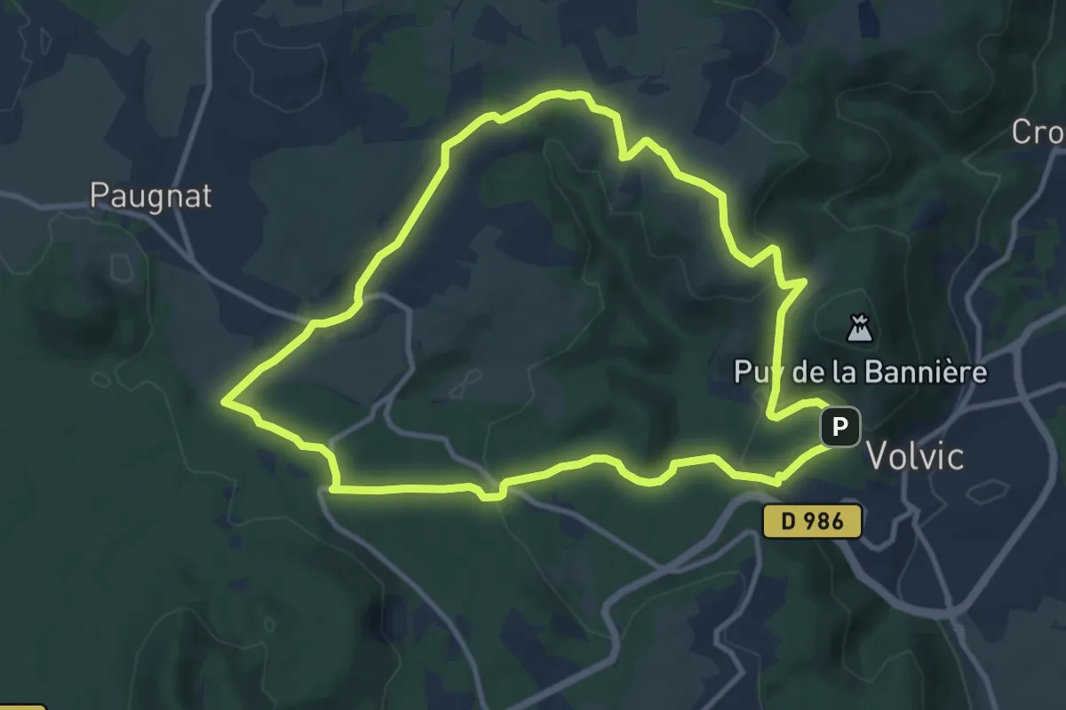
Medium · Trail
Les Sources de Volvic
10.5 km · ↑ 243 m · 3 h 9 min
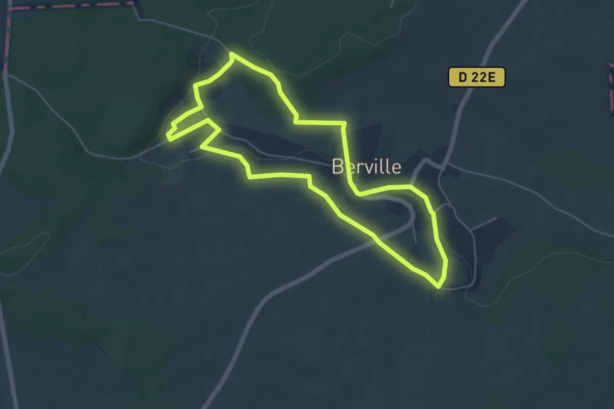
Easy · Trail
Les sources du Sausseron
4.5 km · ↑ 80 m · 1 h 18 min
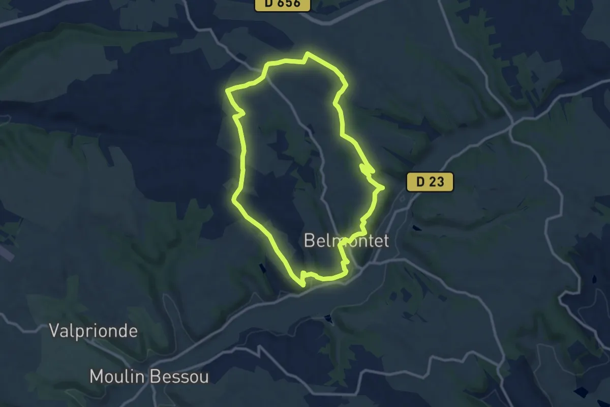
Medium · Trail
Les sous-bois de Belmontet
10.0 km · ↑ 149 m · 2 h 50 min
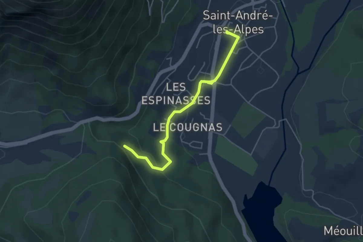
Easy · Trail
Les Subis
2.1 km · ↑ 84 m · 41 min
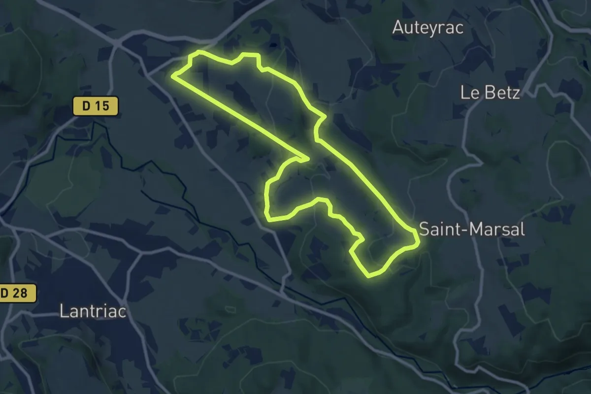
Medium · Trail
Les Suchas
9.1 km · ↑ 249 m · 2 h 49 min
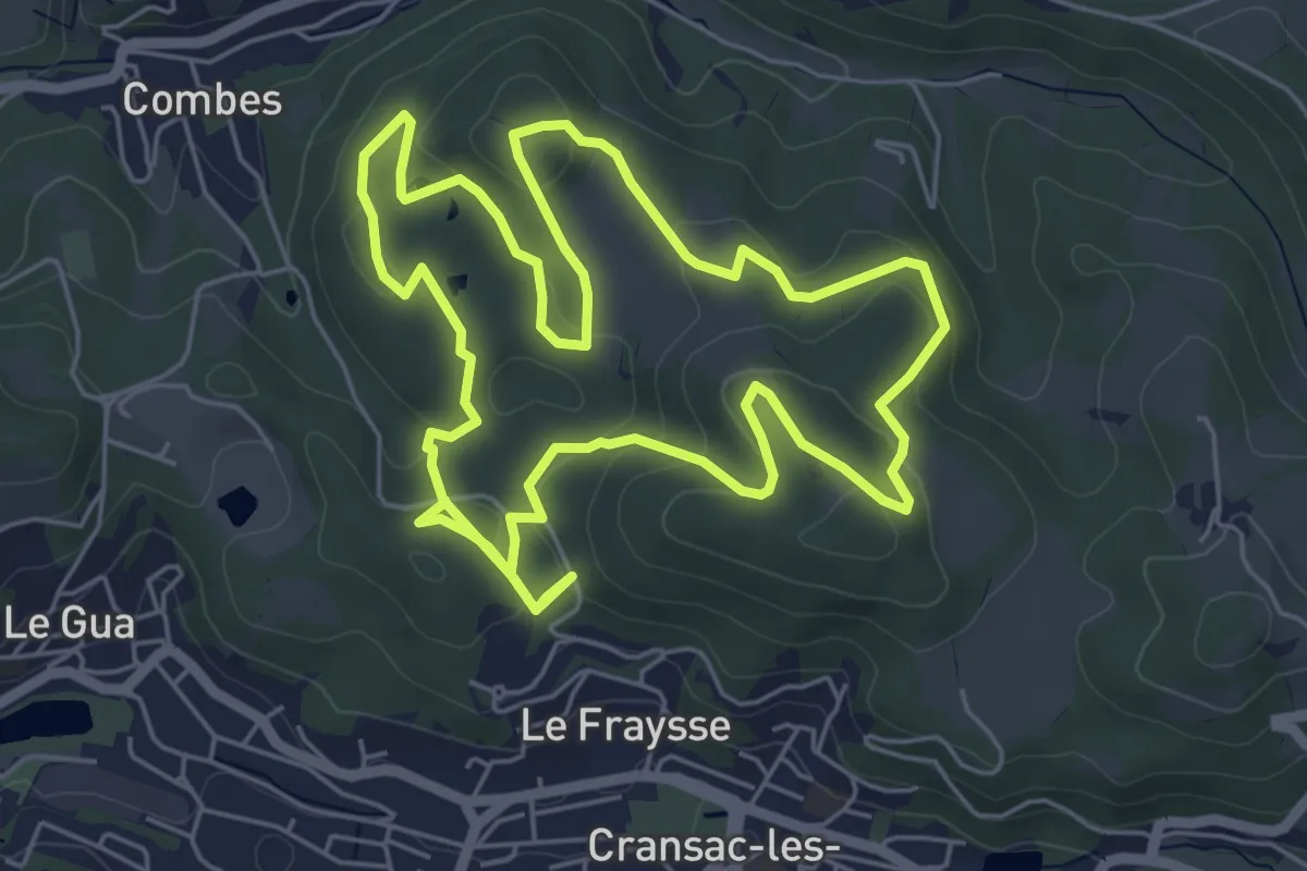
Easy · Trail
Les surprises de la Vaysse
6.4 km · ↑ 156 m · 1 h 55 min
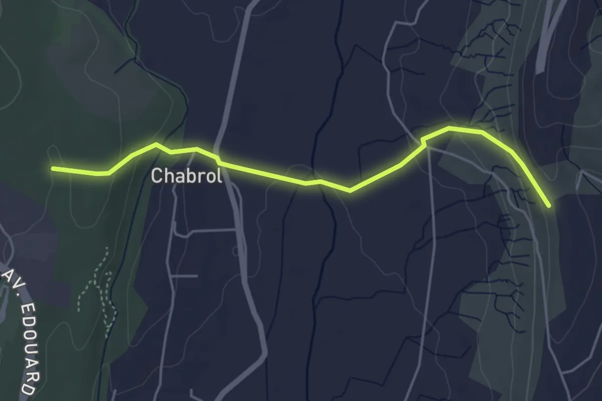
Easy · Trail
Les Taillades - Le Chade
4.6 km · ↑ 144 m · 1 h 24 min
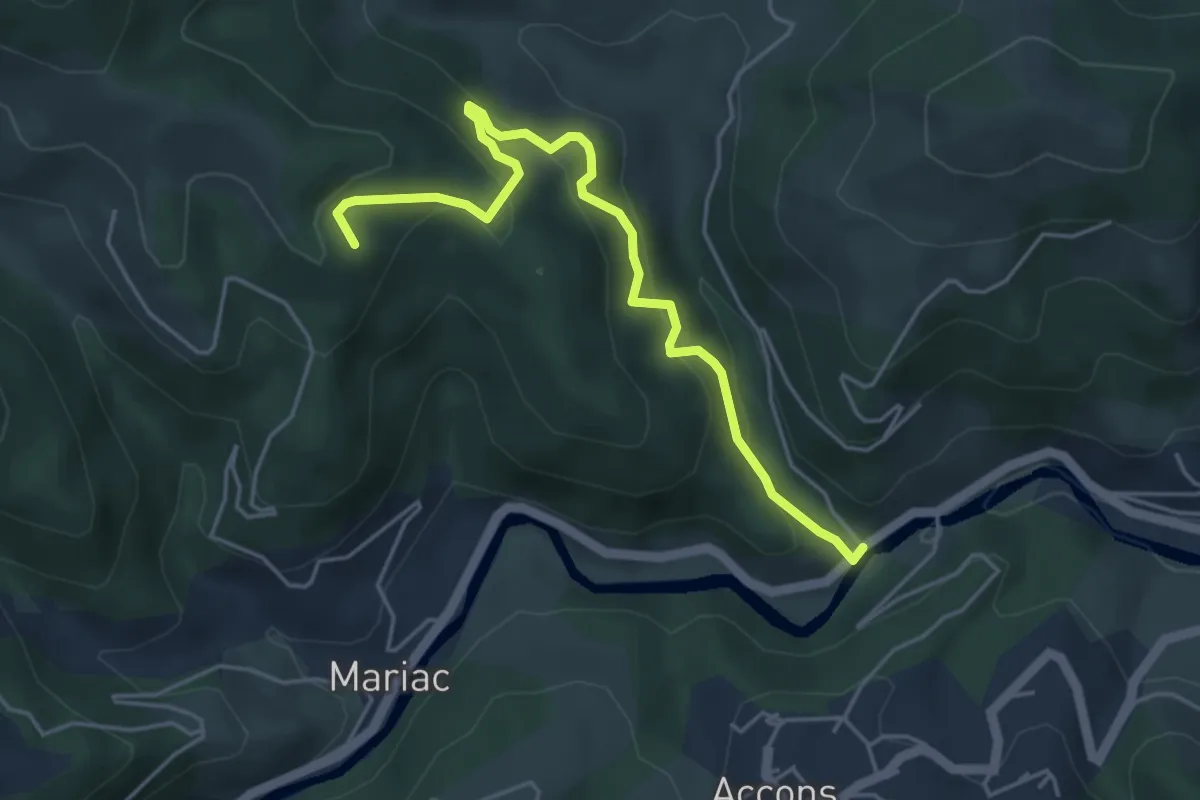
Medium · Trail
Les Taillas - Mandé
5.0 km · ↑ 337 m · 1 h 55 min
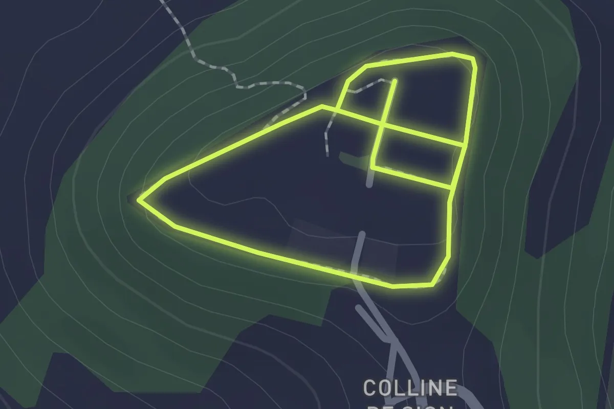
Easy · Trail
Les Témoins du Paysage
1.5 km · ↑ 25 m · 26 min
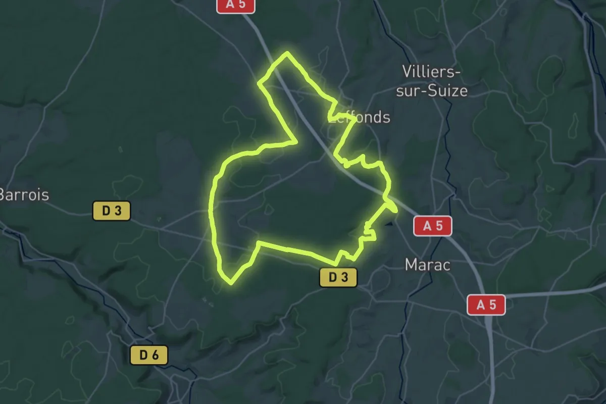
Demanding · Trail
Les Templiers
27.6 km · ↑ 310 m · 7 h 34 min
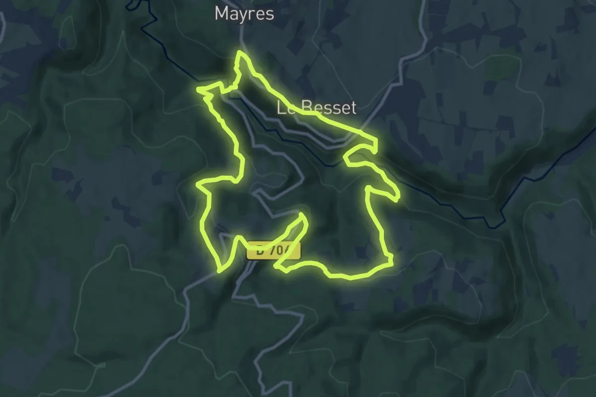
Medium · Trail
Les terrasses de la Dore
10.6 km · ↑ 435 m · 3 h 36 min
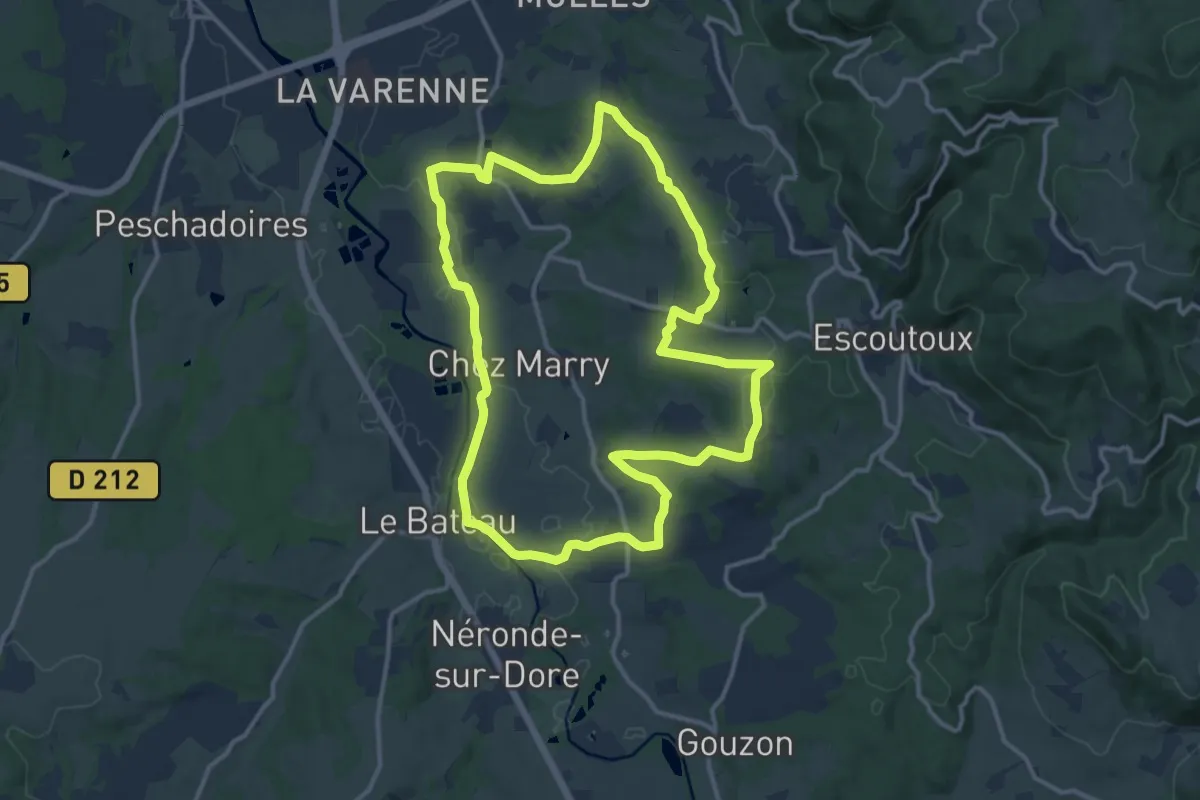
Medium · Trail
Les Terrasses de la Dore
13.3 km · ↑ 181 m · 3 h 43 min
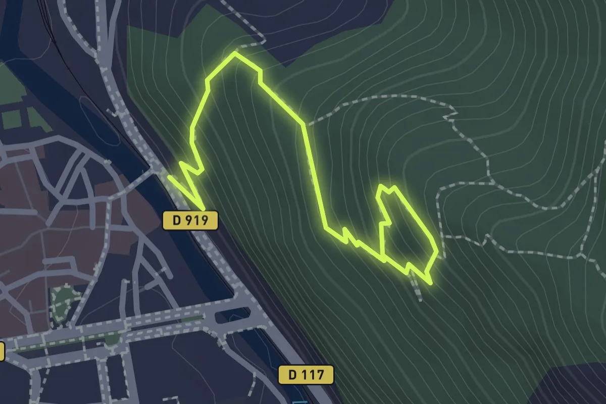
Easy · Trail
Les Terrasses du Pech de Foix
2.8 km · ↑ 265 m · 1 h 14 min
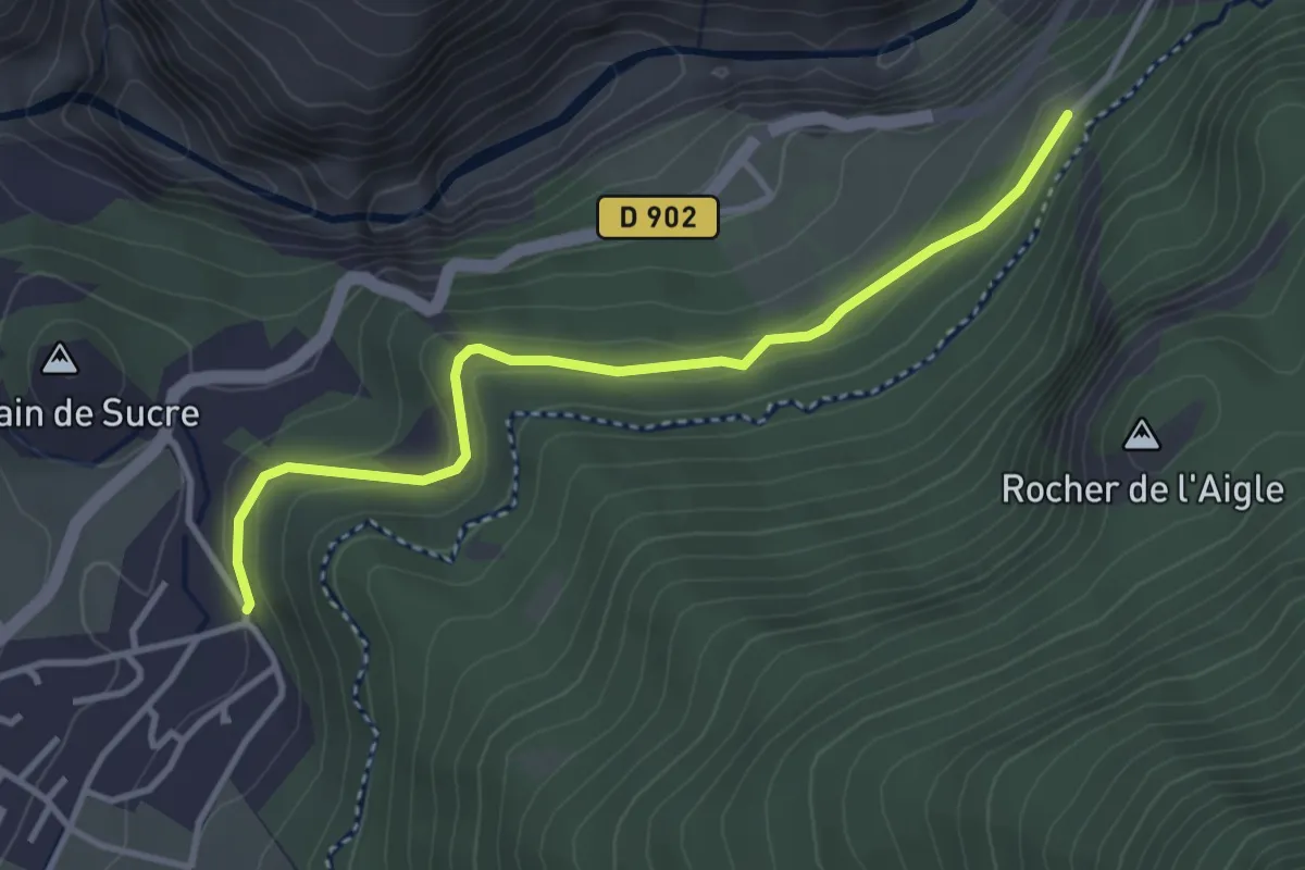
Easy · Trail
Les Terrasses - La Viste
3.7 km · ↑ 105 m · 1 h 5 min
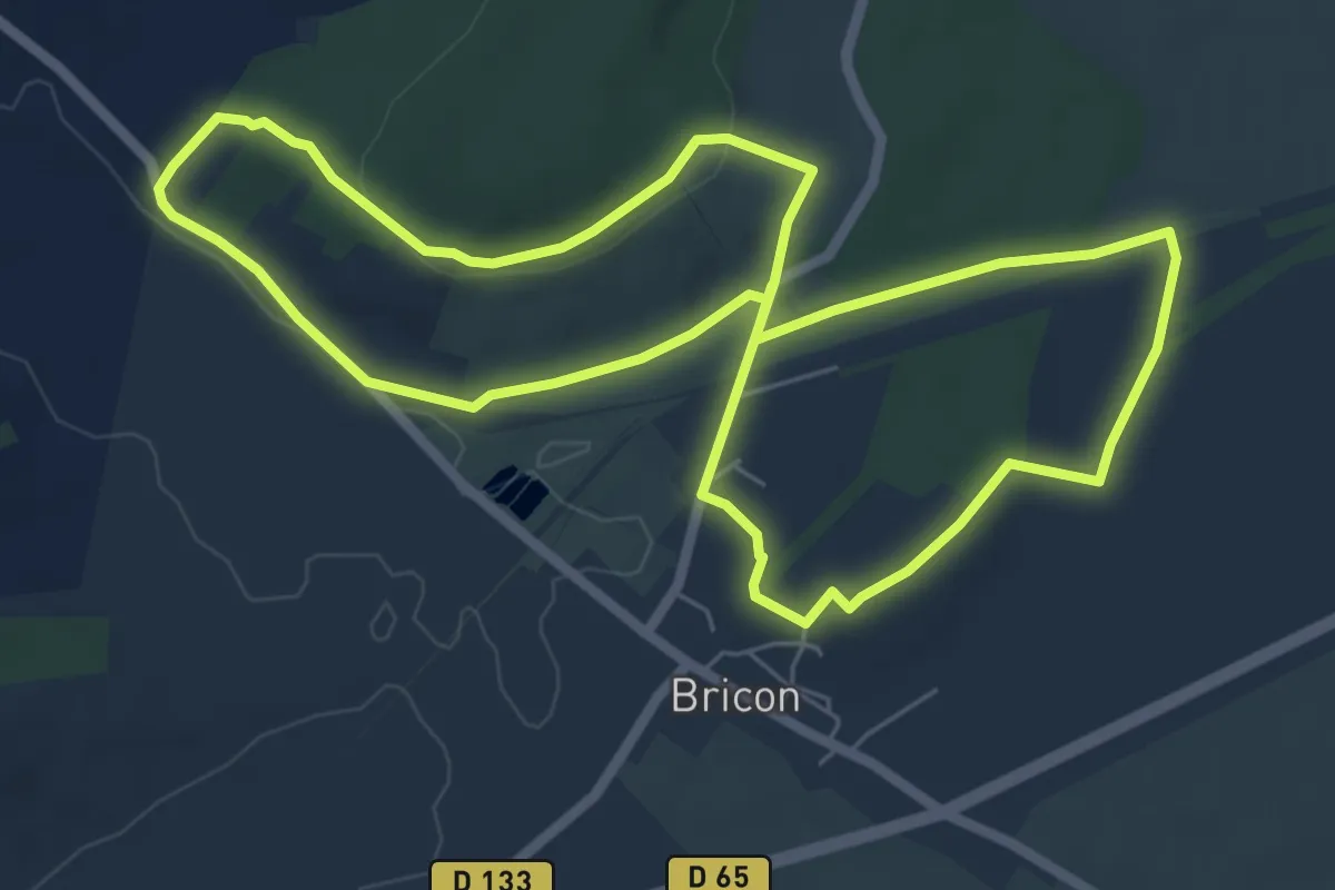
Easy · Trail
Les Terres Blanches
6.5 km · ↑ 84 m · 1 h 48 min
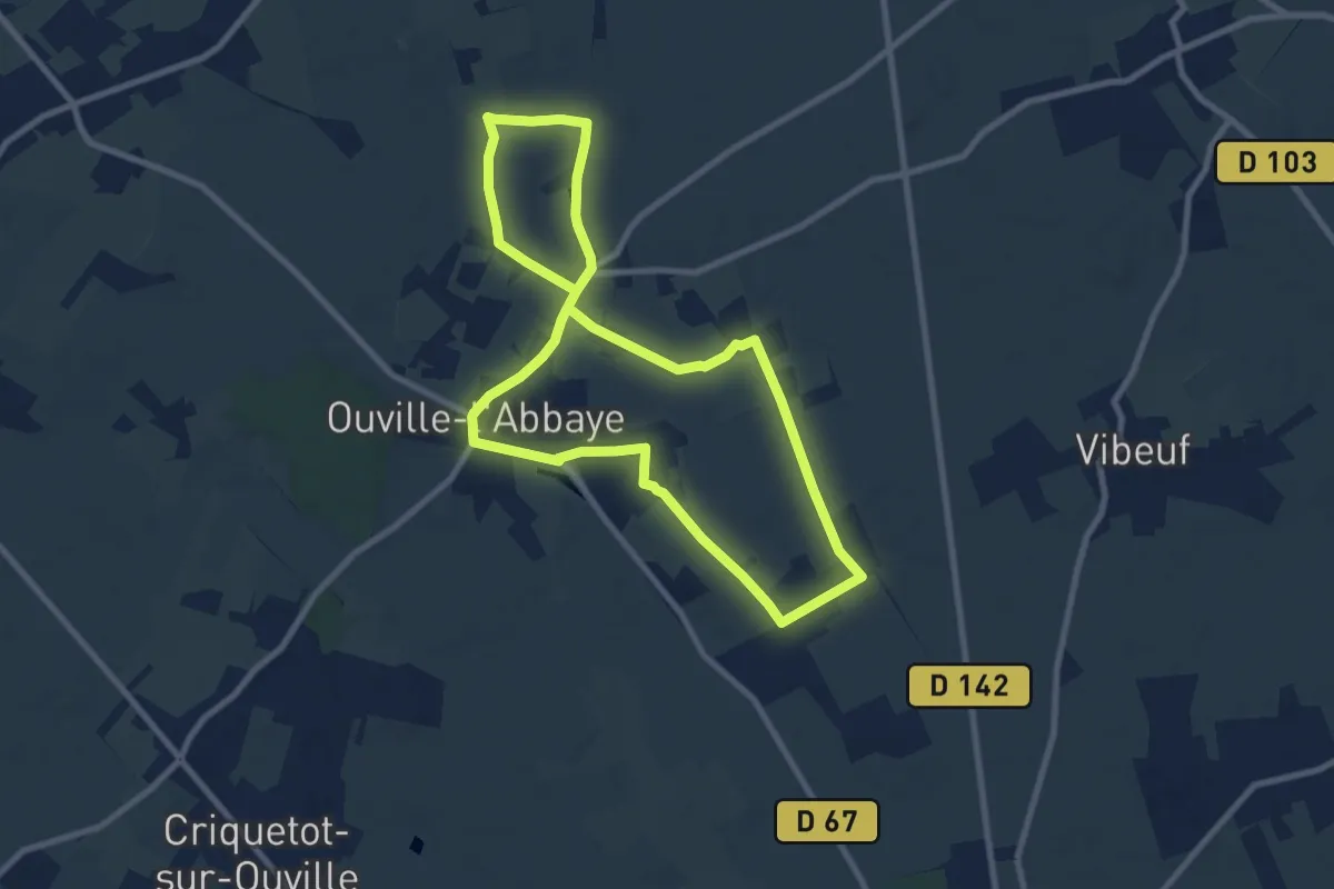
Medium · Trail
Les Terres de l’Abbaye
8.0 km · ↑ 39 m · 2 h 5 min
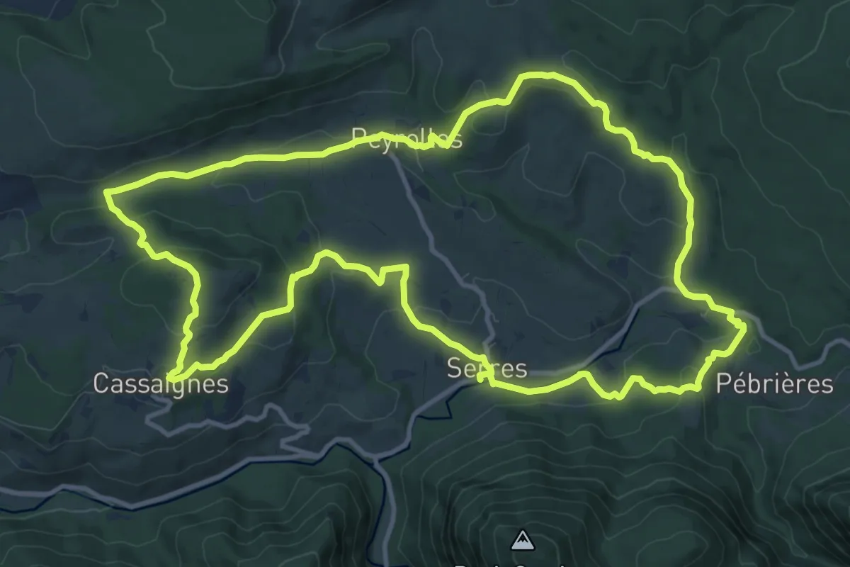
Medium · Trail
Les Terres Rouges
12.7 km · ↑ 387 m · 4 h 2 min
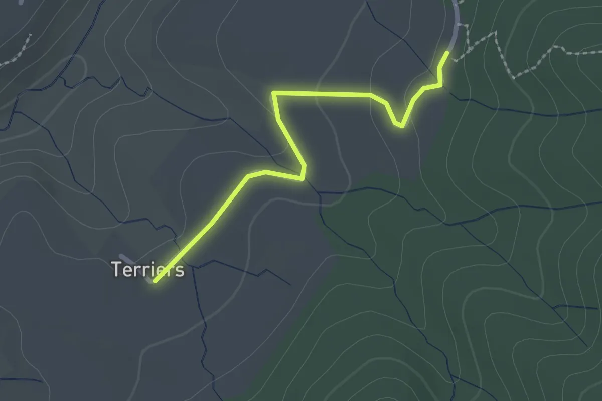
Easy · Trail
Les Terriers - Pecoulas
2.1 km · ↑ 27 m · 33 min
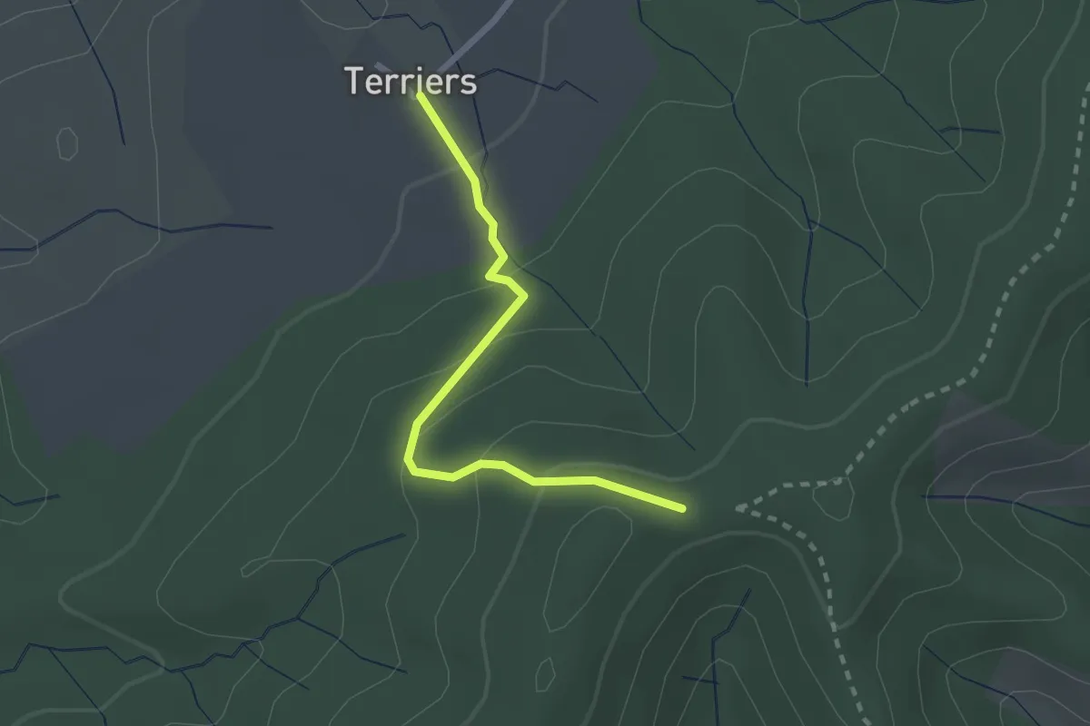
Easy · Trail
Les Terriers - Sommet de Sigaud
2.3 km · ↑ 111 m · 47 min
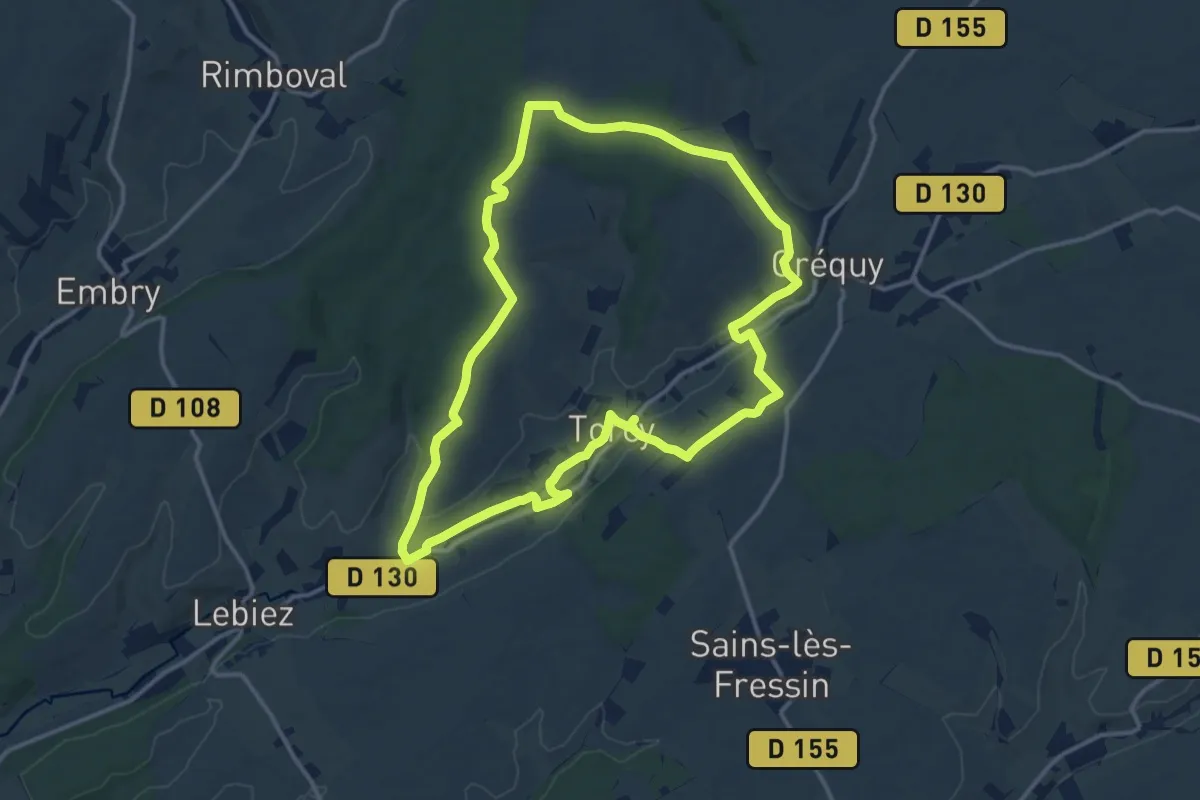
Medium · Trail
Les Tetards
12.6 km · ↑ 162 m · 3 h 31 min
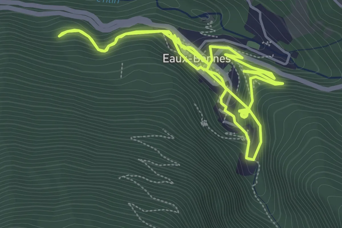
Medium · Trail
Les thermes
8.2 km · ↑ 546 m · 3 h 7 min
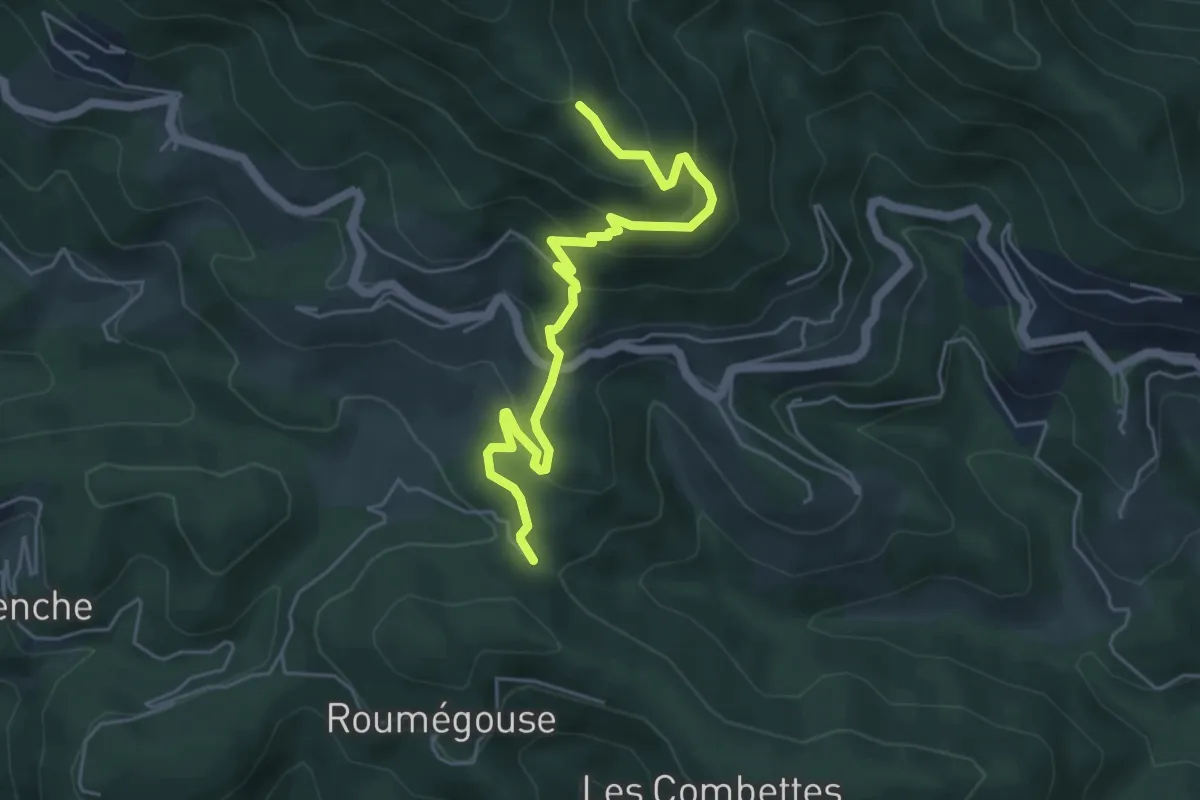
Medium · Trail
Les Thérondes - Les Traverses
5.6 km · ↑ 361 m · 2 h 7 min
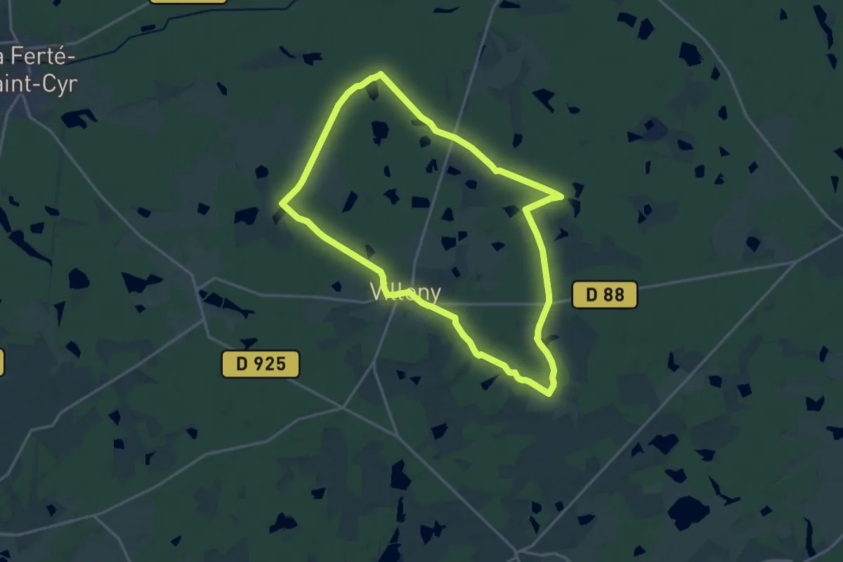
Medium · Trail
Les Thouards
15.9 km · ↑ 104 m · 4 h 12 min
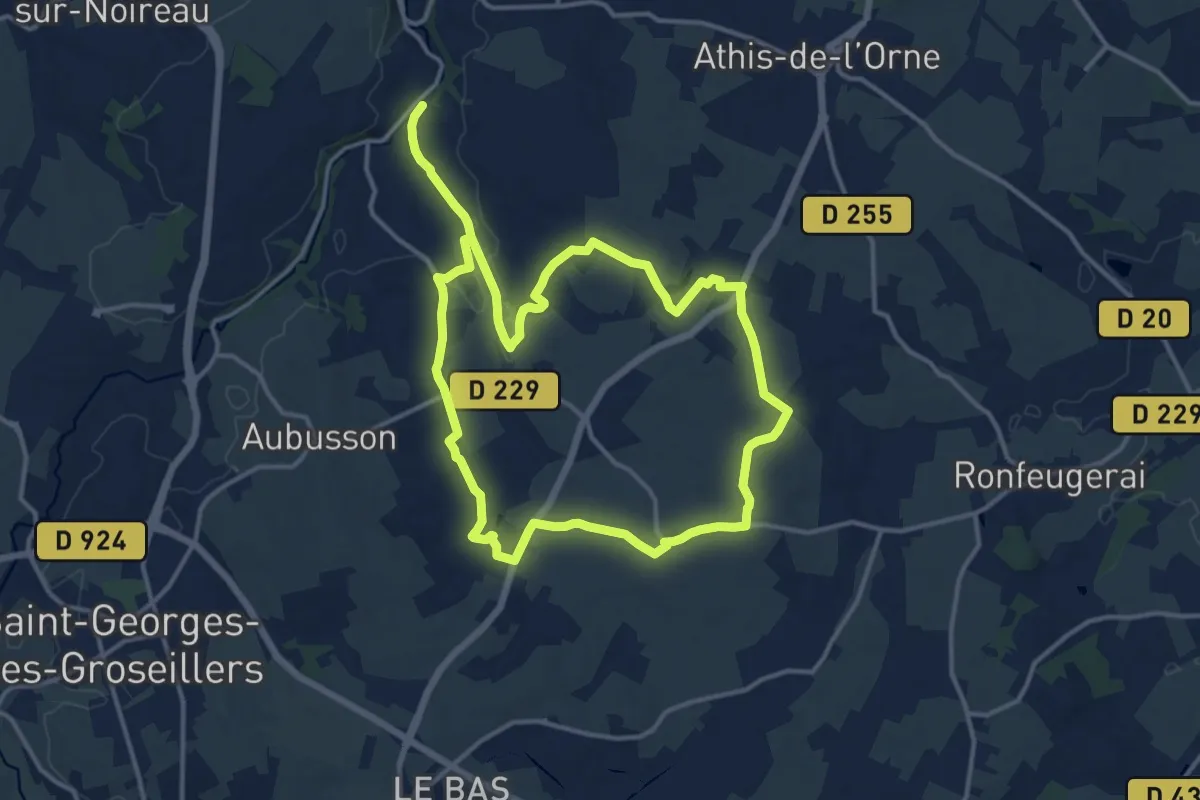
Demanding · Trail
Les Tisserands
24.4 km · ↑ 162 m · 6 h 7 min
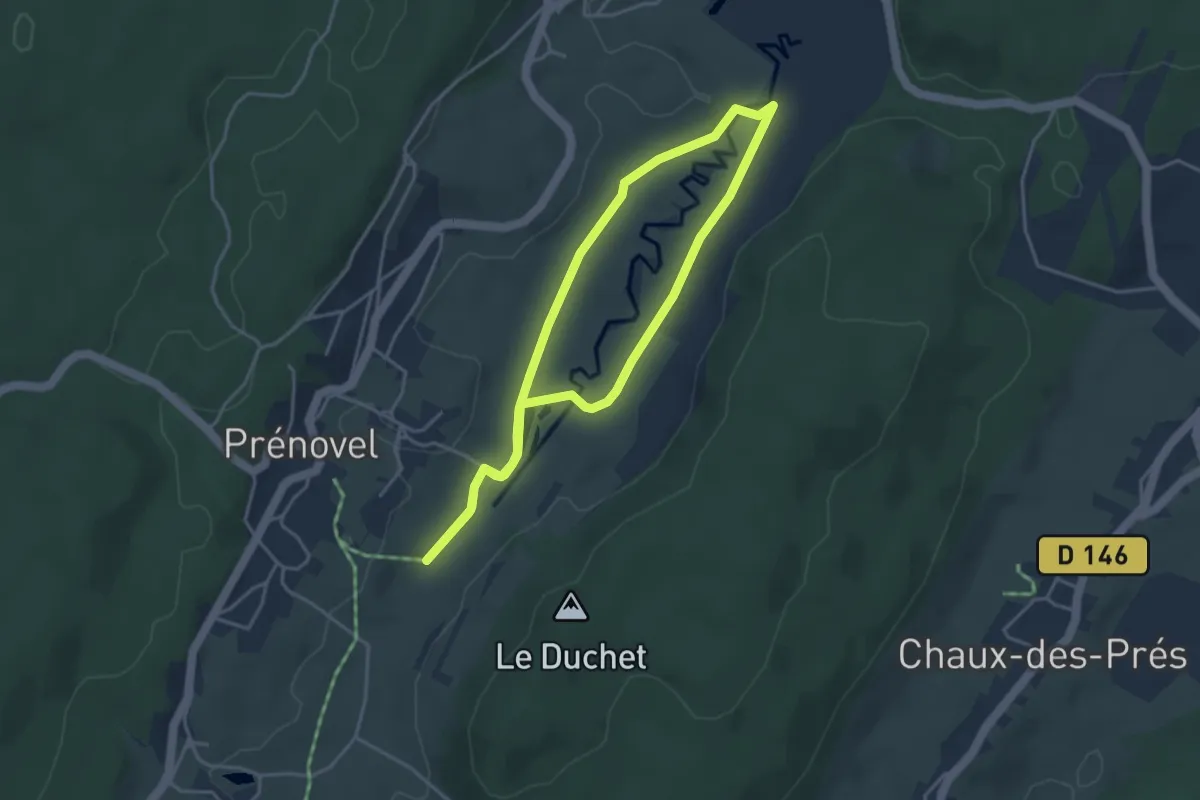
Easy · Trail
Les Tourbières
3.6 km · ↑ 16 m · 56 min
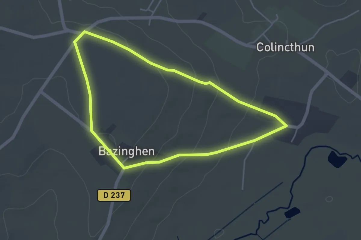
Easy · Trail
Les Tourelles
3.4 km · ↑ 70 m · 1 h
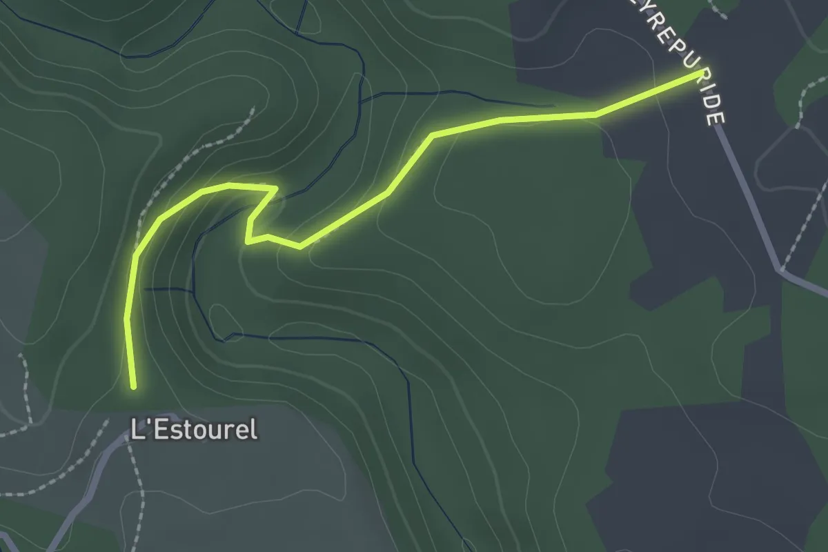
Easy · Trail
L'Estourels - Delbara
2.4 km · ↑ 113 m · 49 min
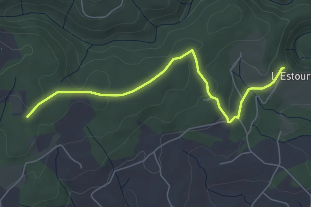
Easy · Trail
L'Estourels - Les Hautes Salelles
5.2 km · ↑ 108 m · 1 h 28 min
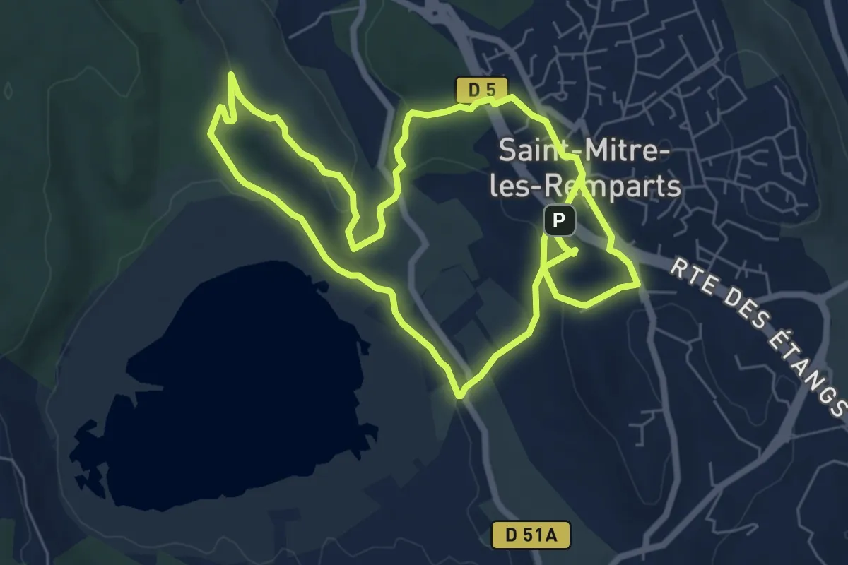
Easy · Trail
Les Tours Gros
6.8 km · ↑ 183 m · 2 h 6 min
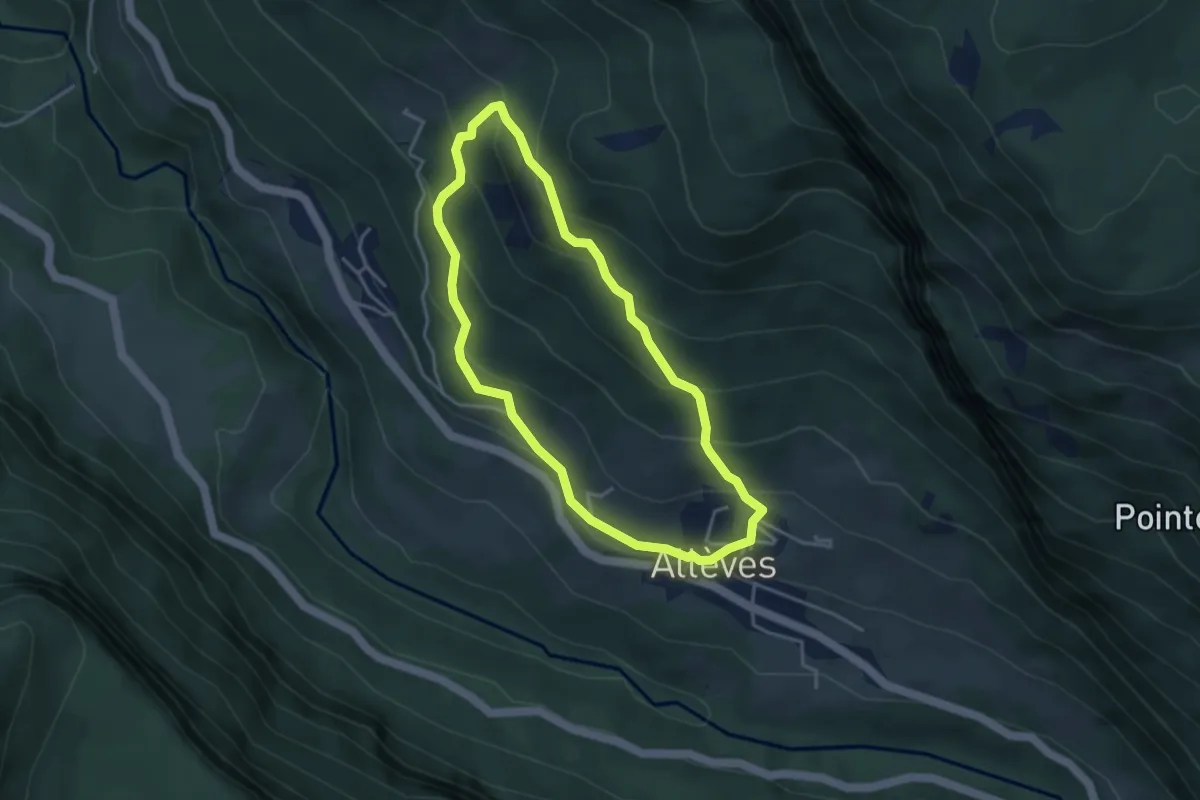
Demanding · Trail
Les Tours Saint-Jacques
3.6 km · ↑ 263 m · 1 h 27 min
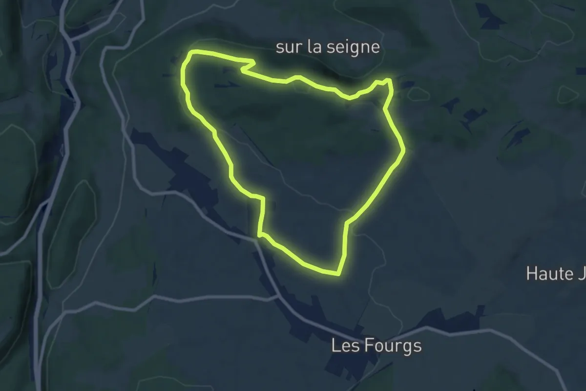
Easy · Trail
Le Stratégique
7.1 km · ↑ 156 m · 2 h 6 min
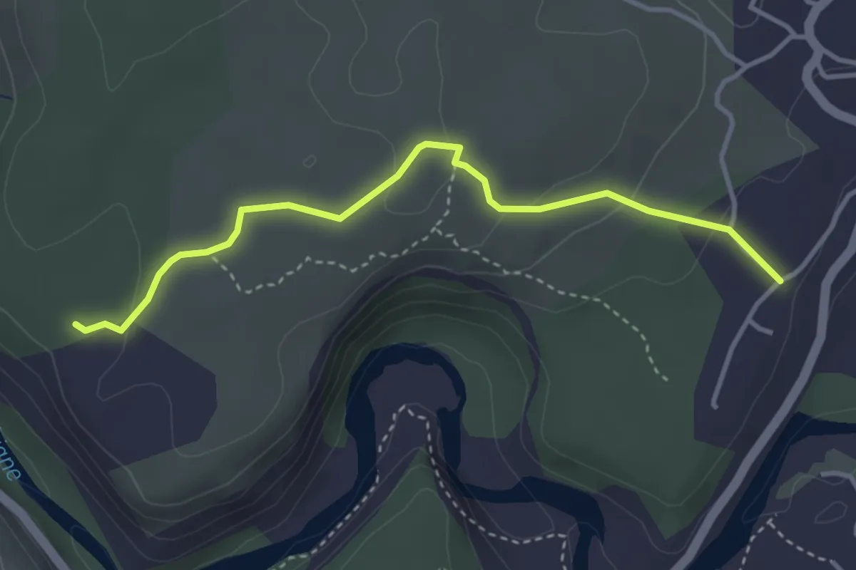
Easy · Trail
Les Traverses - Faussimagne
3.7 km · ↑ 100 m · 1 h 6 min
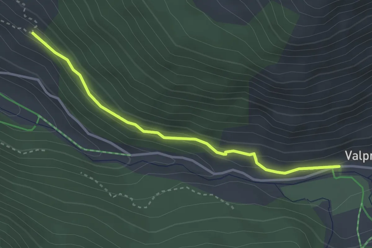
Easy · Trail
Les Traverses - Valpréveyre
3.0 km · ↑ 95 m · 55 min
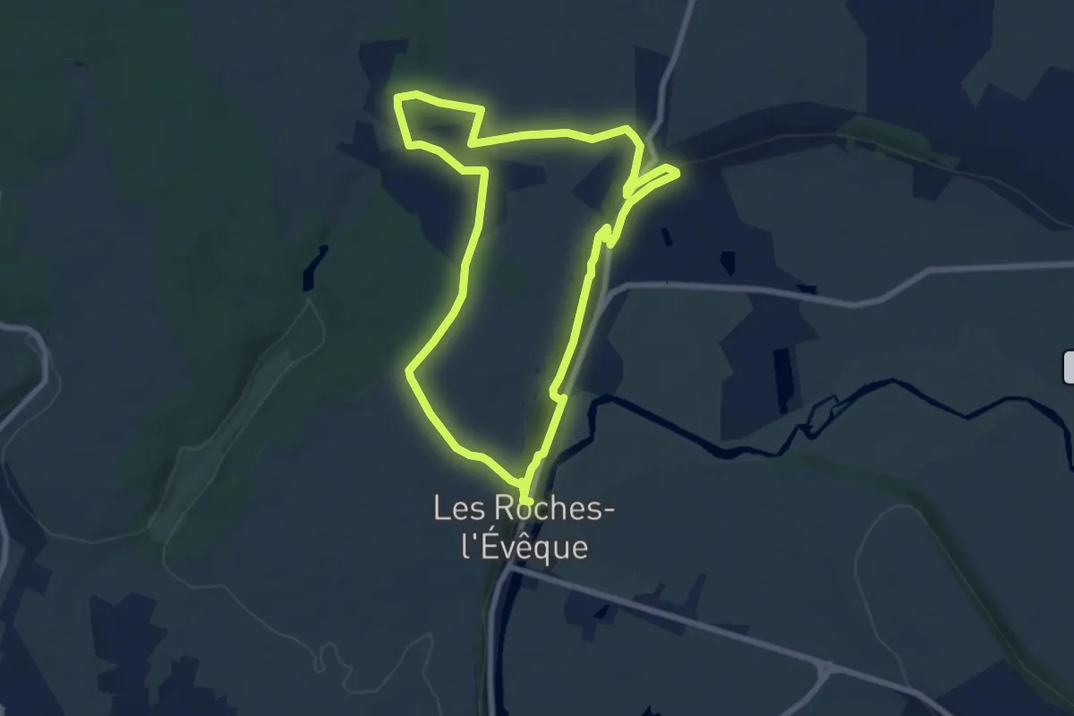
Easy · Trail
Les troglodytes
6.8 km · ↑ 119 m · 1 h 56 min
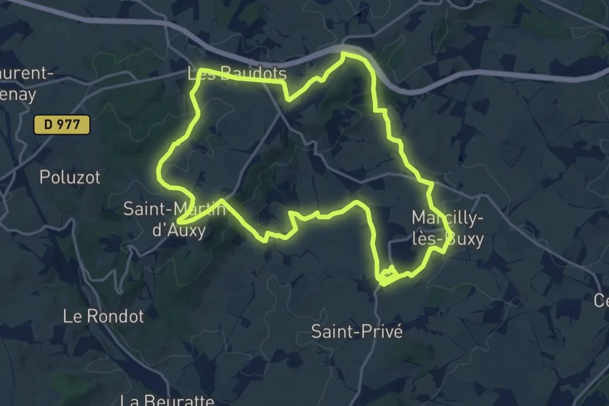
Medium · Trail
Les Trois Auberges
15.0 km · ↑ 291 m · 4 h 23 min
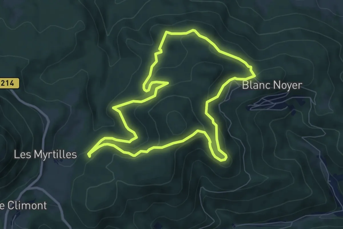
Easy · Trail
Les Trois Bans
7.2 km · ↑ 302 m · 2 h 28 min
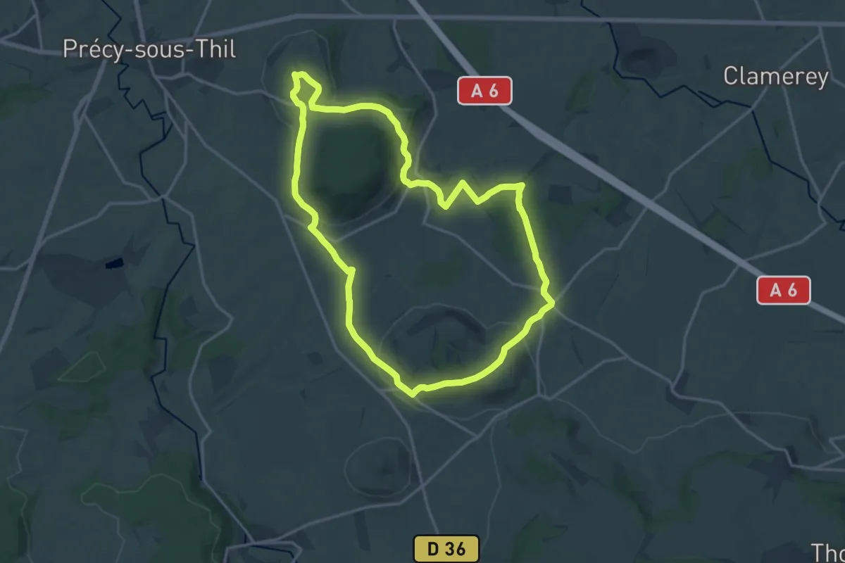
Medium · Summit
Les Trois Buttes
14.9 km · ↑ 233 m · 4 h 14 min
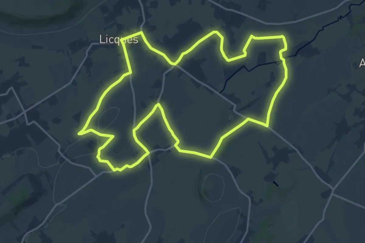
Medium · Trail
Les Trois Calvaires
12.2 km · ↑ 96 m · 3 h 15 min
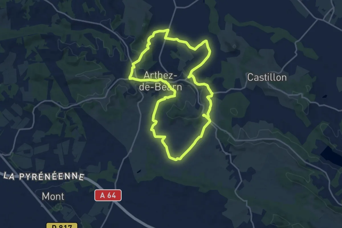
Medium · Trail
Les Trois Chapelles
13.6 km · ↑ 246 m · 3 h 56 min
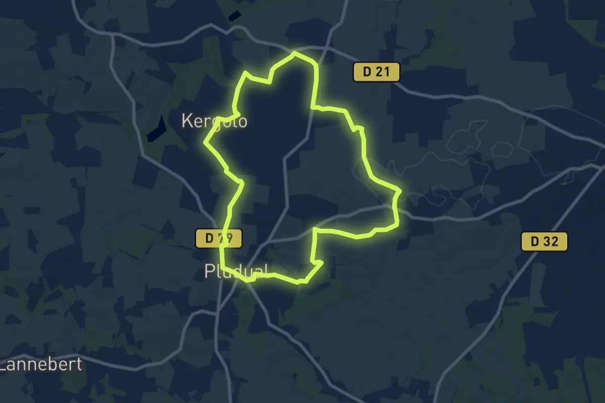
Easy · Trail
Les Trois Chapelles
7.5 km · ↑ 41 m · 1 h 58 min
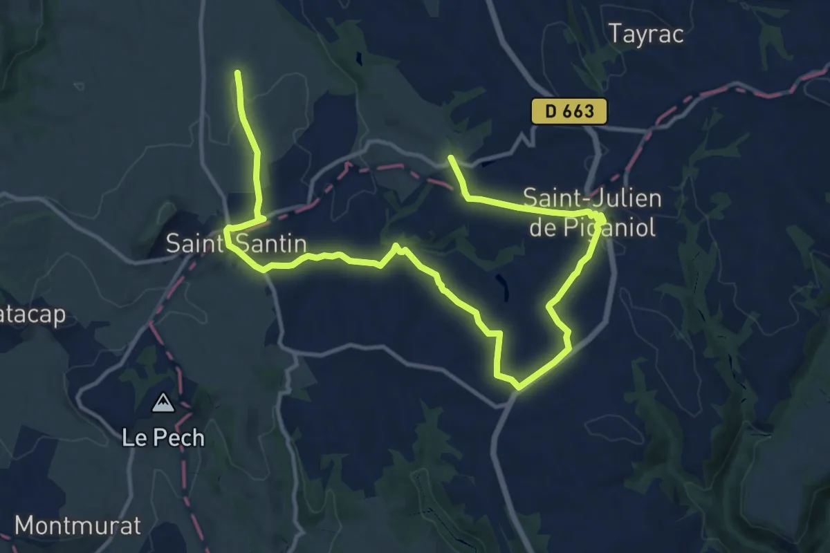
Medium · Trail
Les trois clochers
8.4 km · ↑ 172 m · 2 h 26 min