Trails in France
15,926 hiking trails, each with its route, climb, walking time and grade.
All trails, page 196 of 332
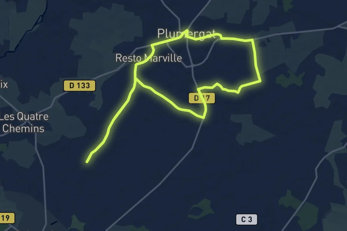
Medium · Trail
Les Trois clochers
12.1 km · ↑ 52 m · 3 h 8 min
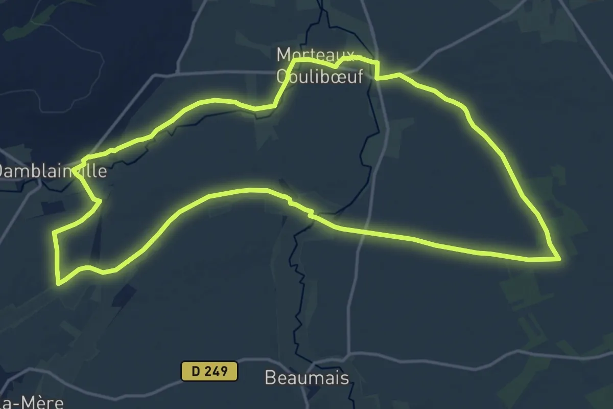
Medium · Trail
Les Trois Cours d'Eau
14.1 km · ↑ 36 m · 3 h 35 min
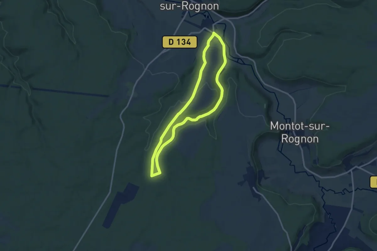
Medium · Trail
Les Trois Etangs
8.9 km · ↑ 112 m · 2 h 28 min
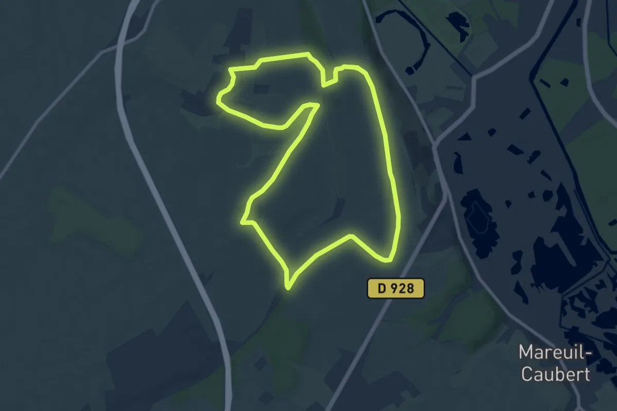
Easy · Summit
Les Trois Fétus
7.6 km · ↑ 116 m · 2 h 9 min
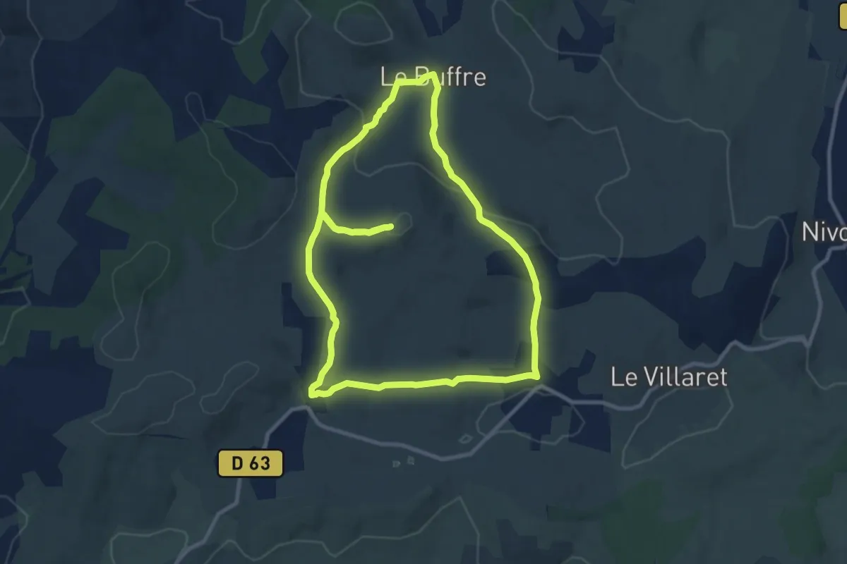
Medium · Trail
Les trois hameaux
9.9 km · ↑ 225 m · 2 h 58 min
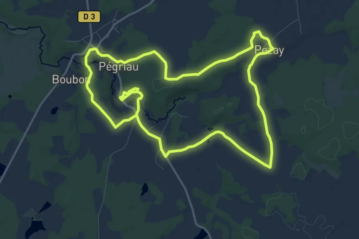
Medium · Trail
Les trois paroisses
10.6 km · ↑ 135 m · 2 h 56 min
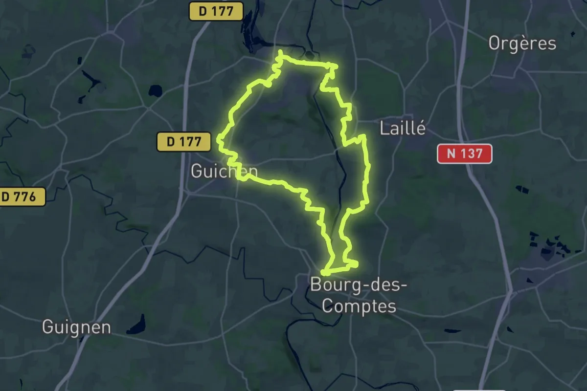
Demanding · Trail
Les trois ponts
27.0 km · ↑ 488 m · 7 h 48 min
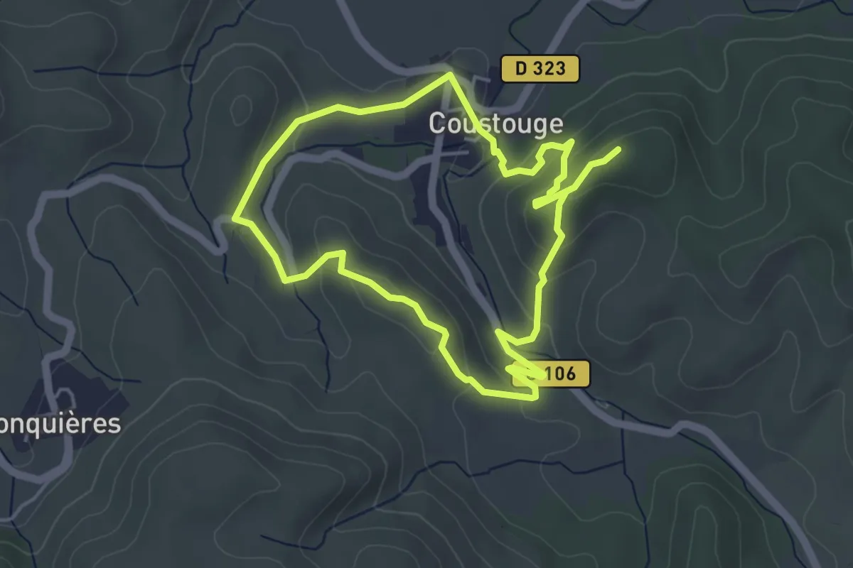
Easy · Trail
Les Trois Quilles
4.3 km · ↑ 156 m · 1 h 24 min
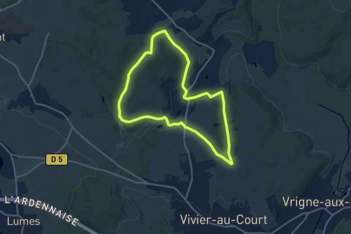
Easy · Trail
Les Trois Royaumes
7.5 km · ↑ 170 m · 2 h 15 min
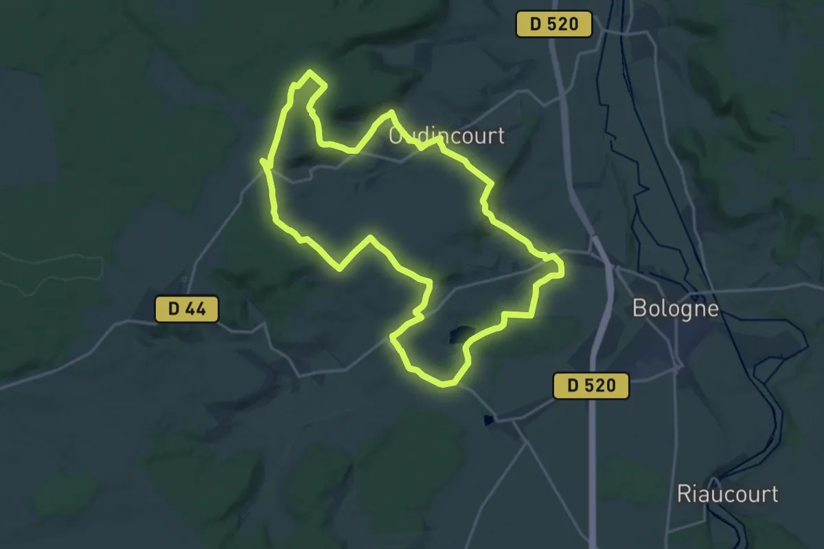
Medium · Trail
Les Trois Tilleuls
17.8 km · ↑ 229 m · 4 h 56 min
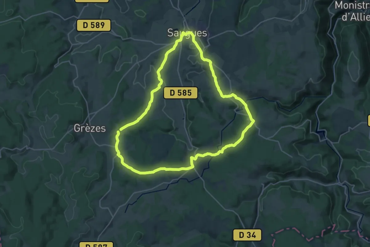
Demanding · Trail
Les trois tours
21.1 km · ↑ 437 m · 6 h 13 min
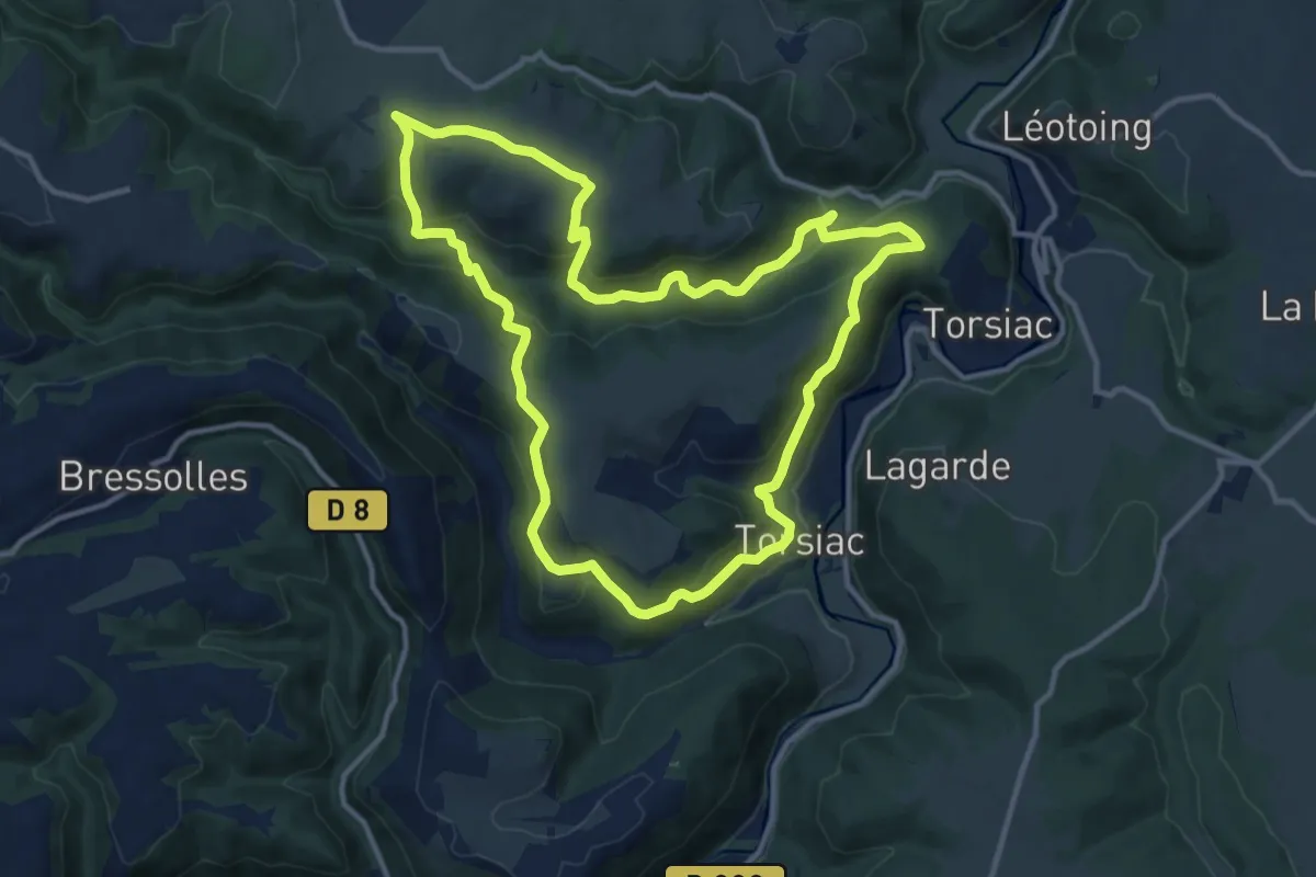
Medium · Trail
Les Trois Vallees
12.4 km · ↑ 515 m · 4 h 12 min
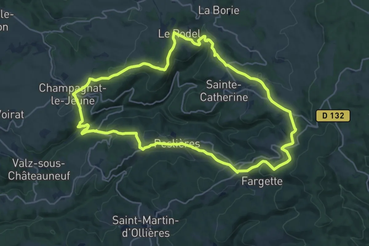
Medium · Trail
Les Trois Vallees
16.4 km · ↑ 572 m · 5 h 20 min
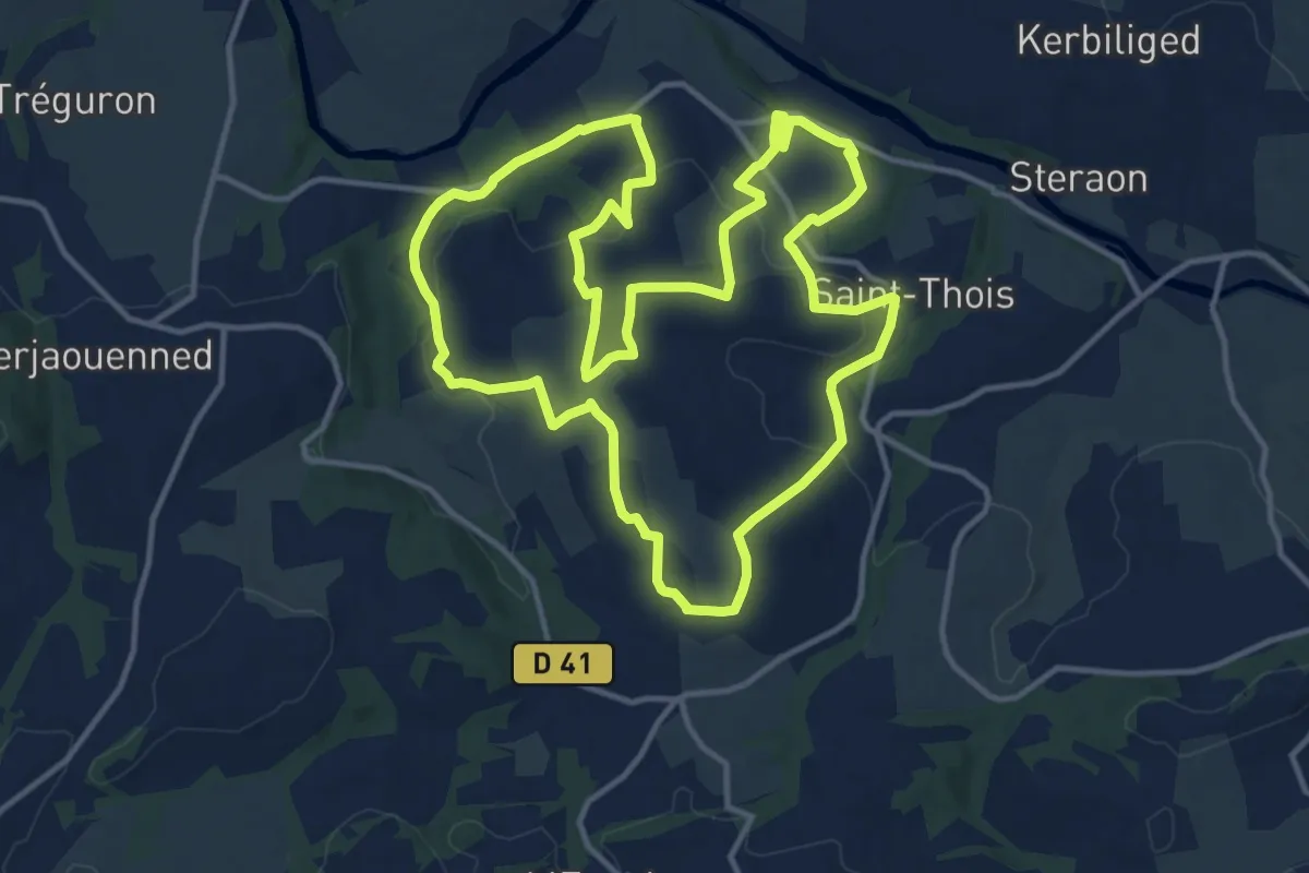
Medium · Trail
Les trois vallées
13.9 km · ↑ 315 m · 4 h 10 min
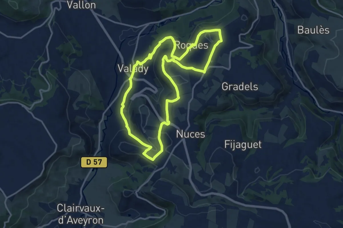
Medium · Trail
Les Trois Vallons
11.0 km · ↑ 274 m · 3 h 21 min
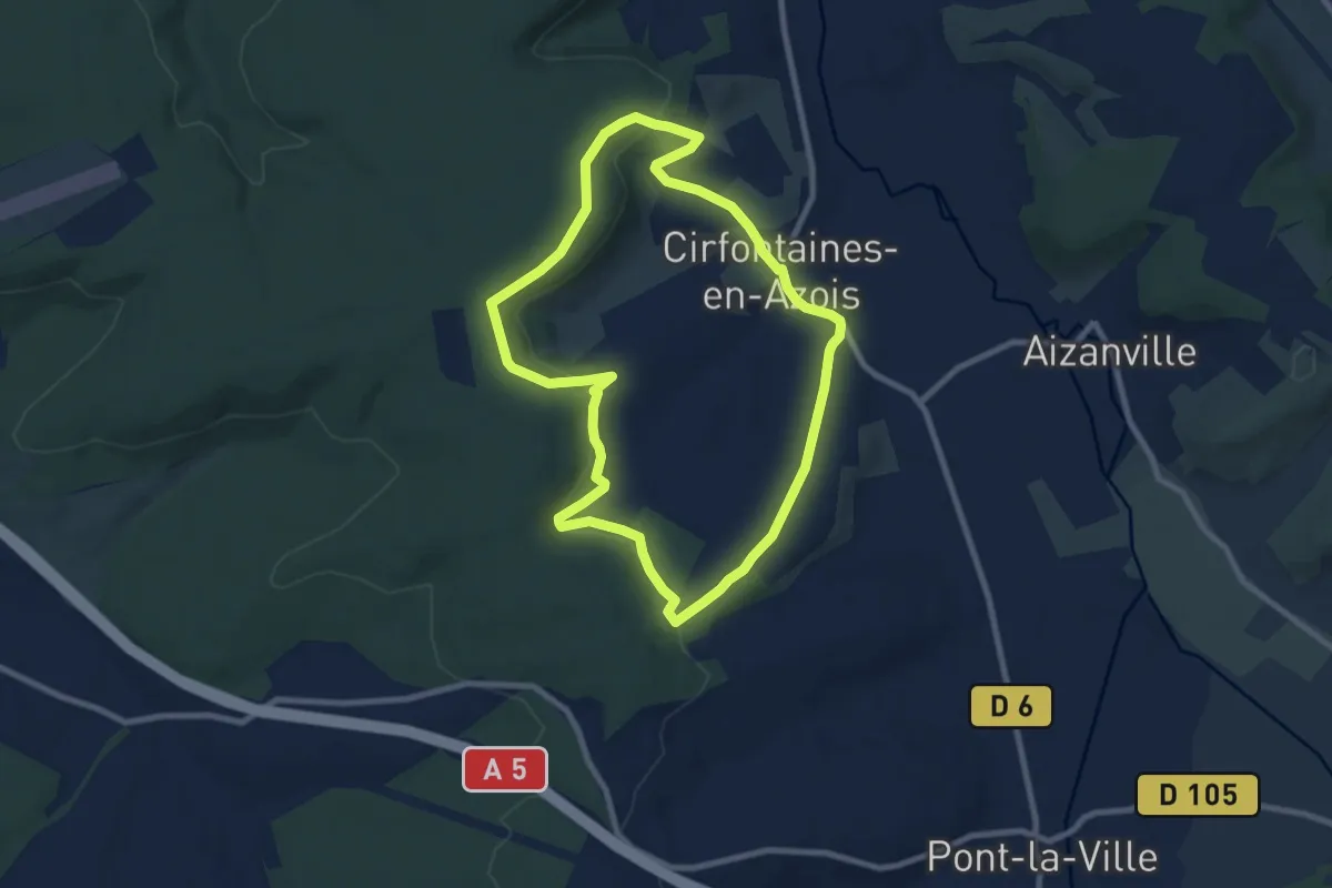
Medium · Trail
Les Trois Vallons
8.1 km · ↑ 196 m · 2 h 27 min
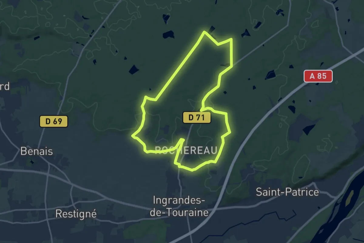
Medium · Trail
Les Trois Vaux - Coteaux-sur-Loire
13.0 km · ↑ 118 m · 3 h 30 min
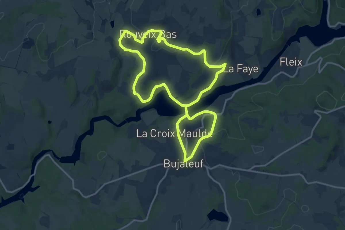
Medium · Trail
Les trois villages
9.5 km · ↑ 210 m · 2 h 50 min
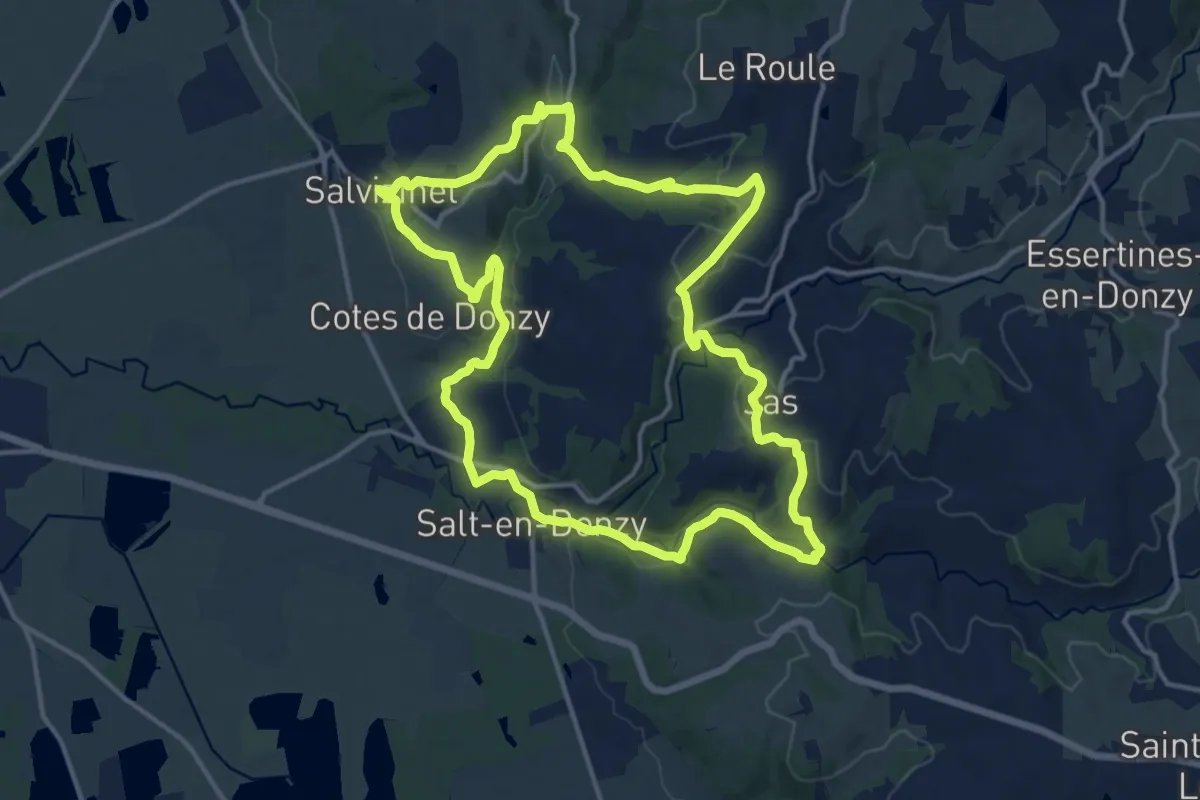
Medium · Trail
Les Trois Villages
14.9 km · ↑ 368 m · 4 h 31 min
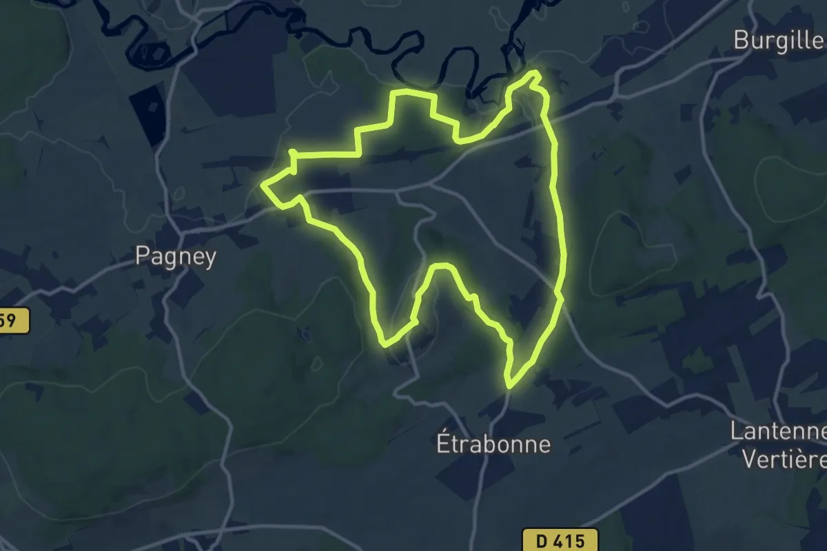
Medium · Trail
Les Trois Villages
12.1 km · ↑ 177 m · 3 h 24 min
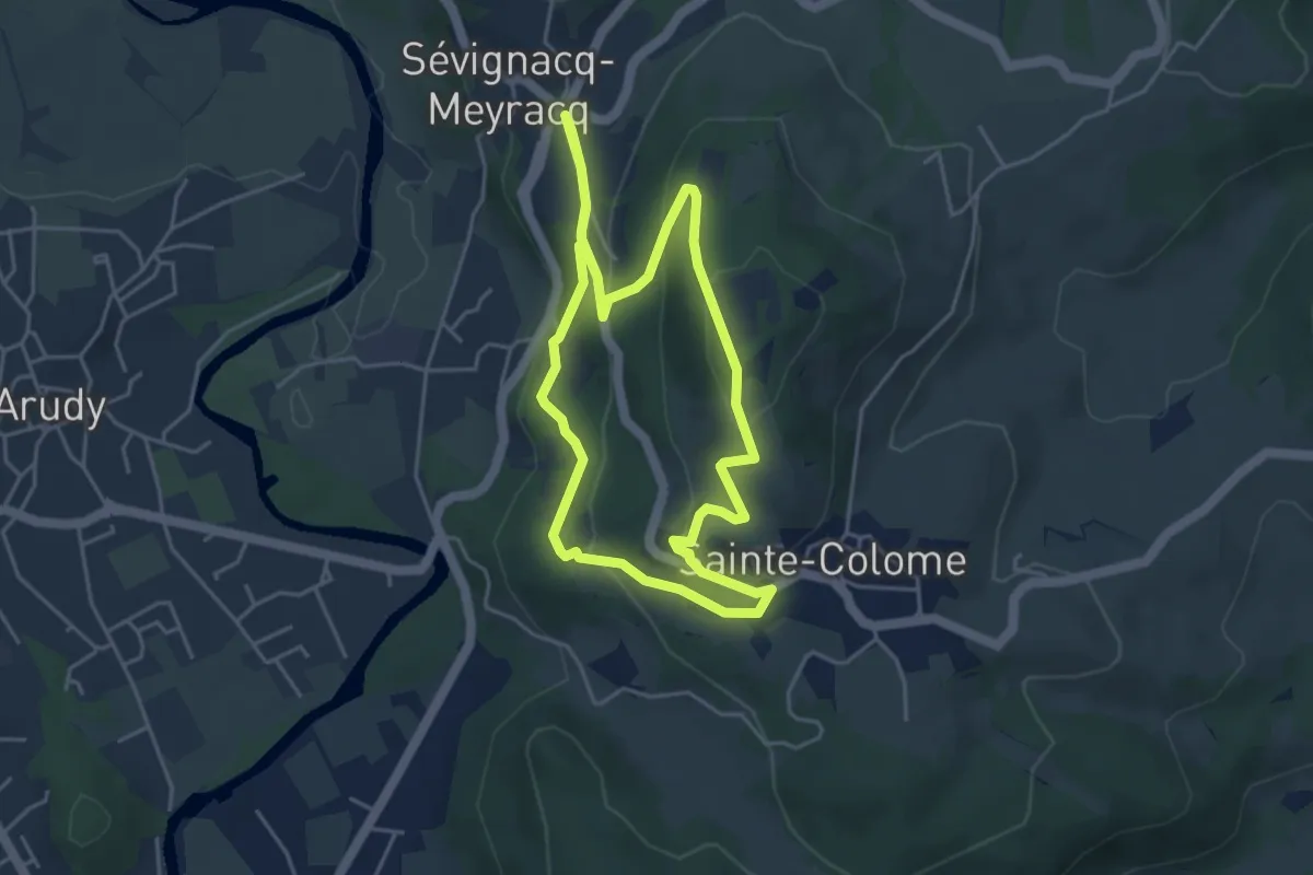
Easy · Summit
Les troix croix
4.4 km · ↑ 172 m · 1 h 29 min
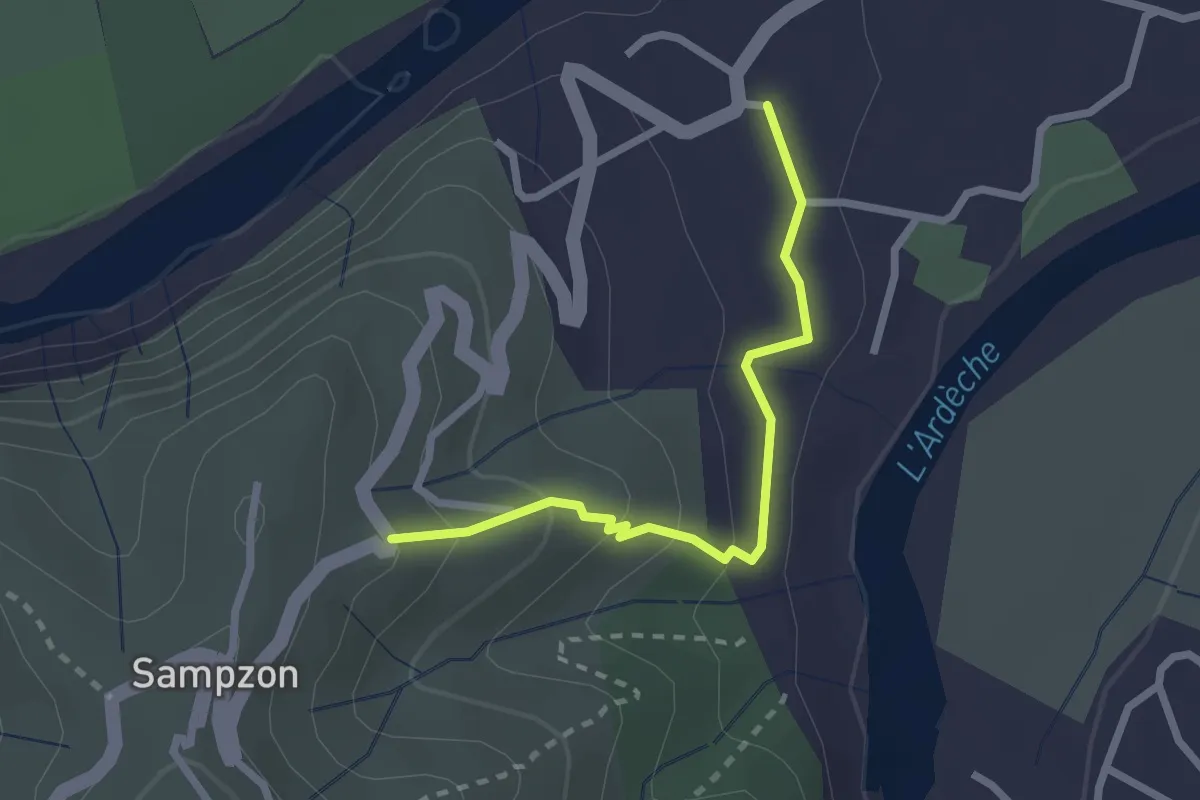
Easy · Trail
Les Trouillères - Le Bournas
2.3 km · ↑ 117 m · 48 min
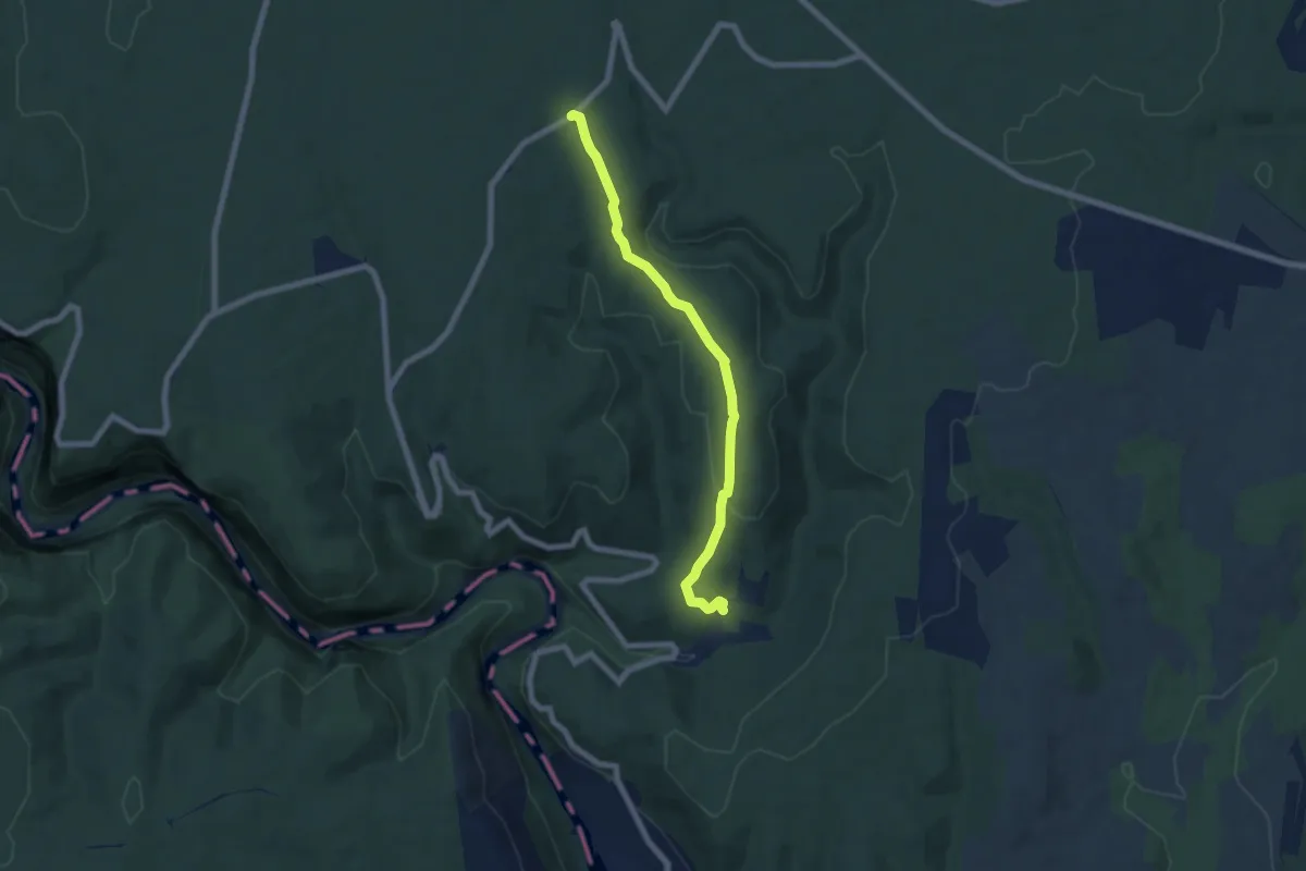
Easy · Trail
Les Truffières - Le Perrier
6.8 km · ↑ 156 m · 1 h 56 min
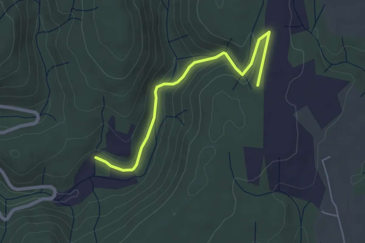
Easy · Trail
Les Truffières - Plaine des Catalans
4.4 km · ↑ 110 m · 1 h 17 min
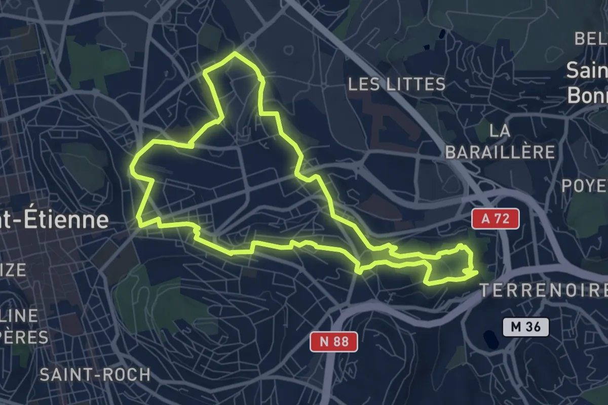
Medium · Trail
L’Est stéphanois, entre industrie et reconversion
8.7 km · ↑ 183 m · 2 h 35 min
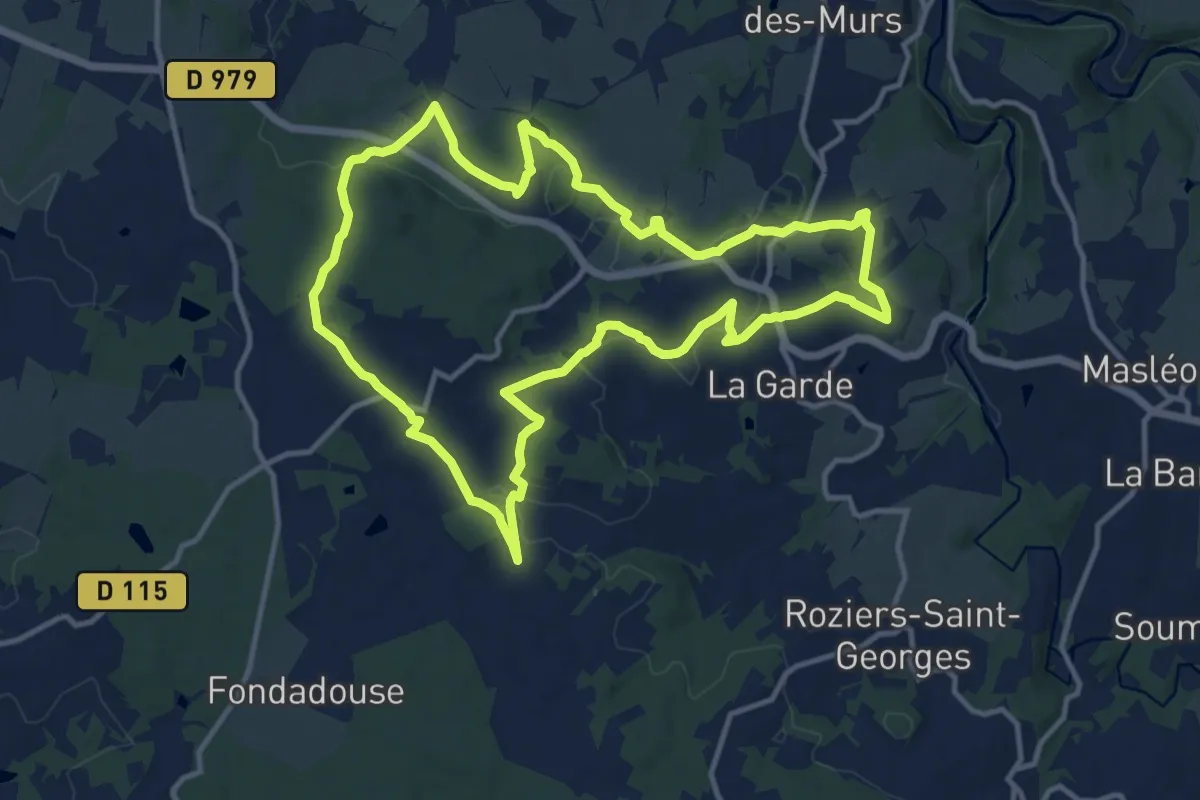
Medium · Trail
Les Tupes
12.9 km · ↑ 217 m · 3 h 42 min
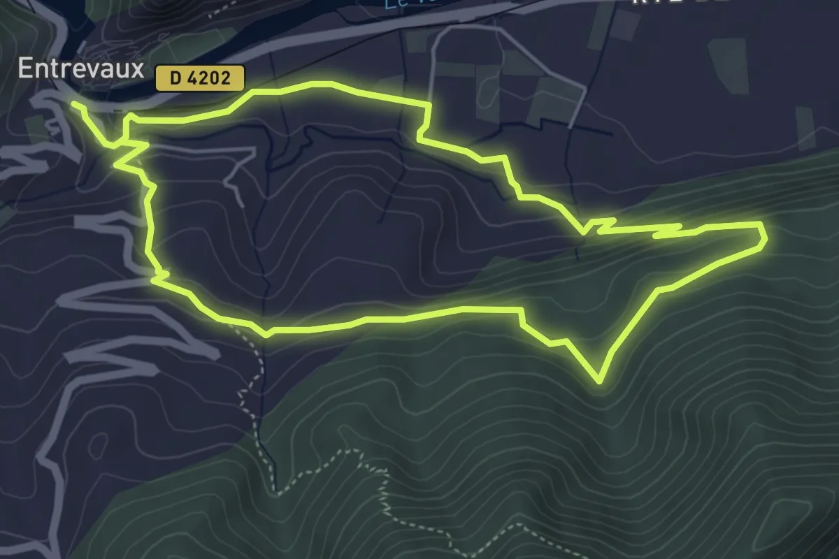
Easy · Trail
Les Tuves
5.2 km · ↑ 224 m · 1 h 47 min
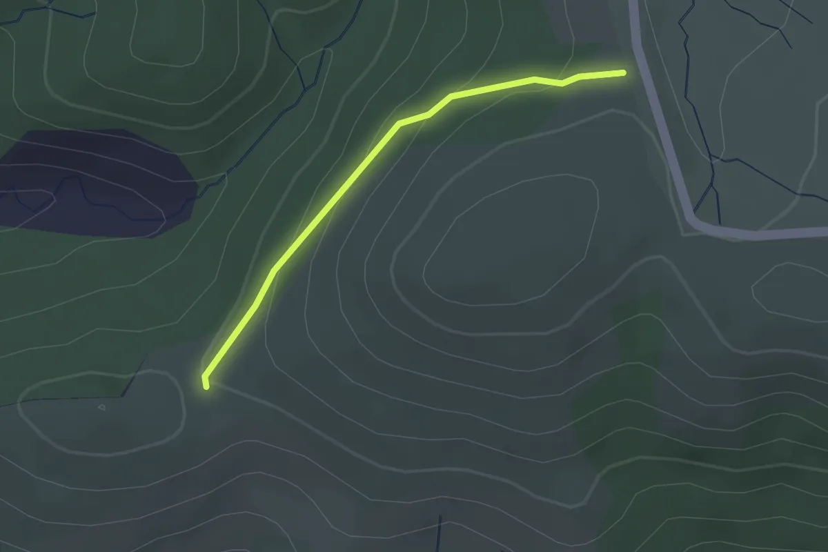
Easy · Trail
Le suc de Montat - Le Buisson
2.2 km · ↑ 89 m · 43 min
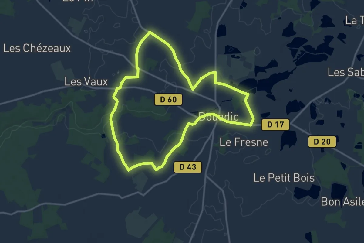
Medium · Trail
Le Suin, du calcaire à l'argile
10.0 km · ↑ 45 m · 2 h 36 min
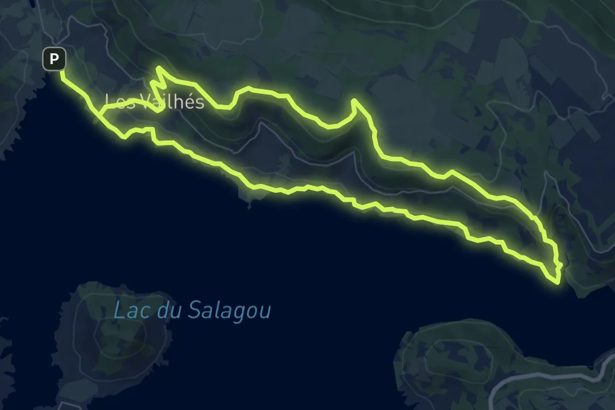
Medium · Trail
Les Vailhes
8.8 km · ↑ 187 m · 2 h 36 min
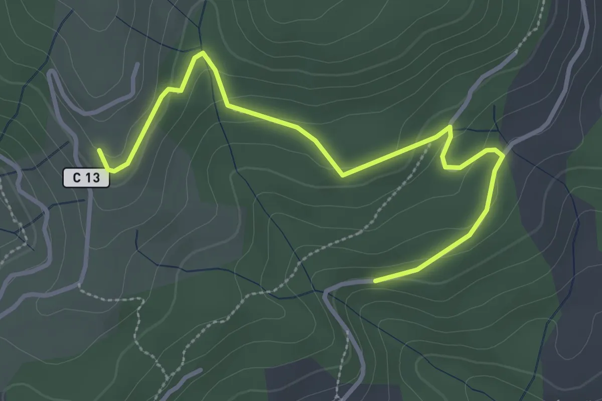
Easy · Trail
Les Valadiers - Les Combes
3.5 km · ↑ 104 m · 1 h 3 min
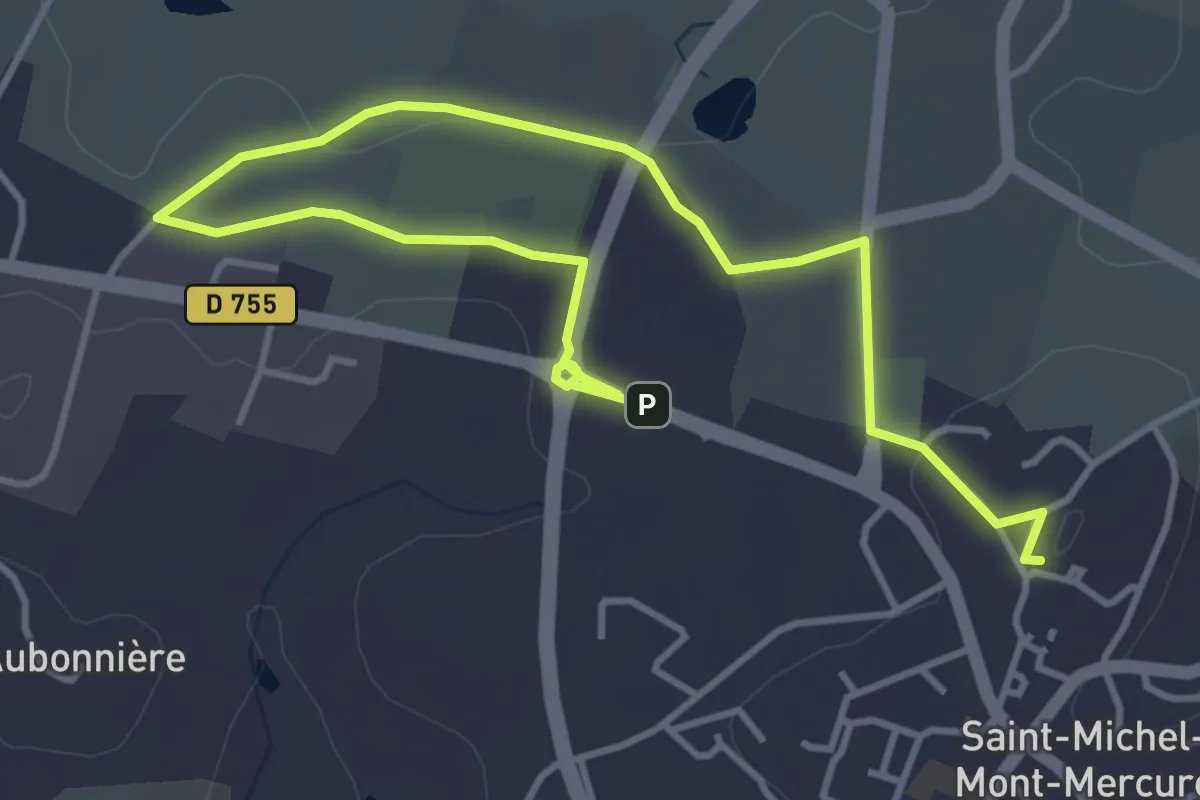
Easy · Summit
Les Vallées
3.7 km · ↑ 44 m · 1 h 2 min
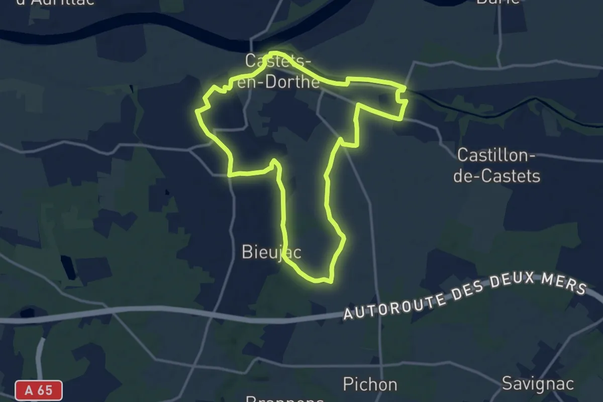
Medium · Trail
Les Vallons : boucle locale
11.8 km · ↑ 87 m · 3 h 9 min
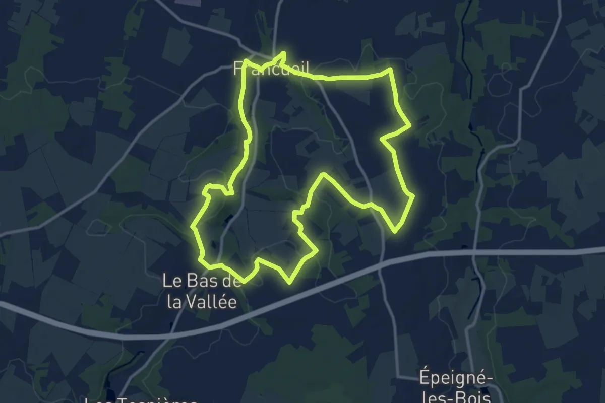
Medium · Trail
Les vallons de Francueil
11.1 km · ↑ 116 m · 3 h 2 min
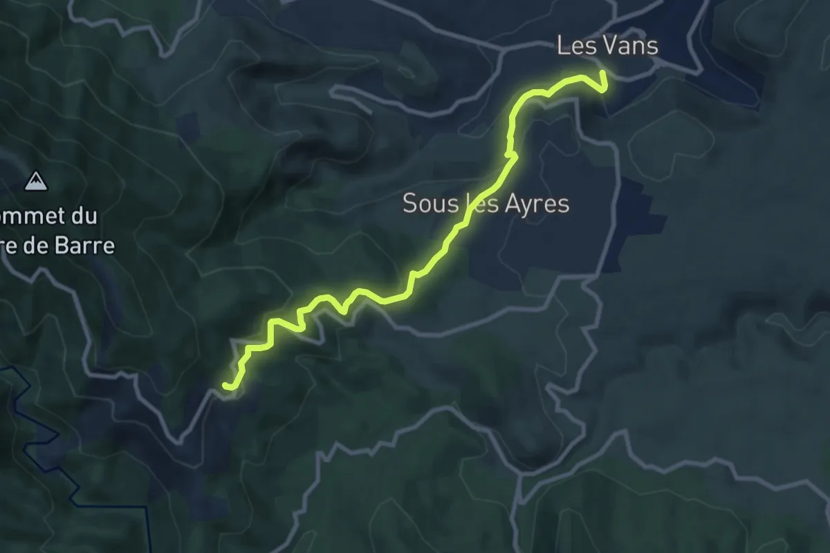
Medium · Trail
Les Vans - Brahic
9.0 km · ↑ 414 m · 3 h 1 min
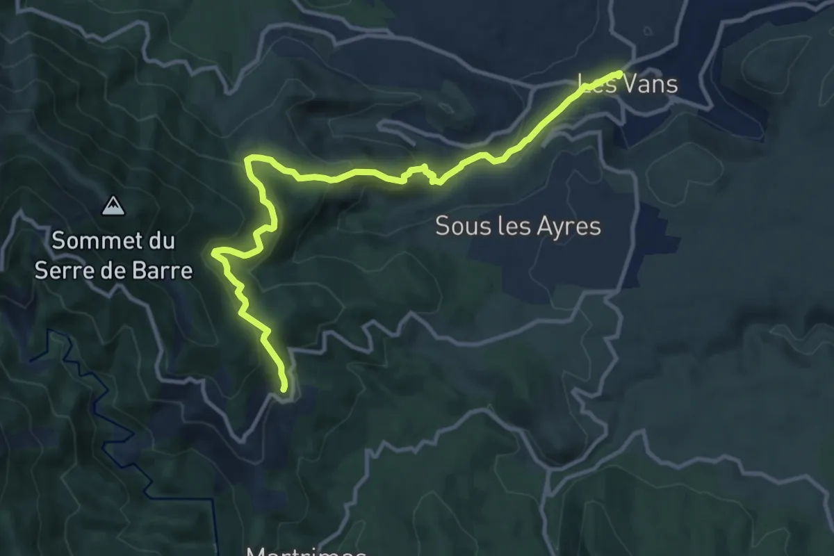
Medium · Trail
Les Vans - Brahic
12.3 km · ↑ 625 m · 4 h 15 min
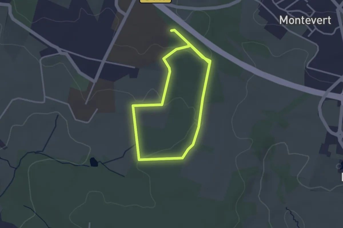
Easy · Trail
Les Vaseix - Promenade de Chamberet
2.8 km · ↑ 32 m · 47 min
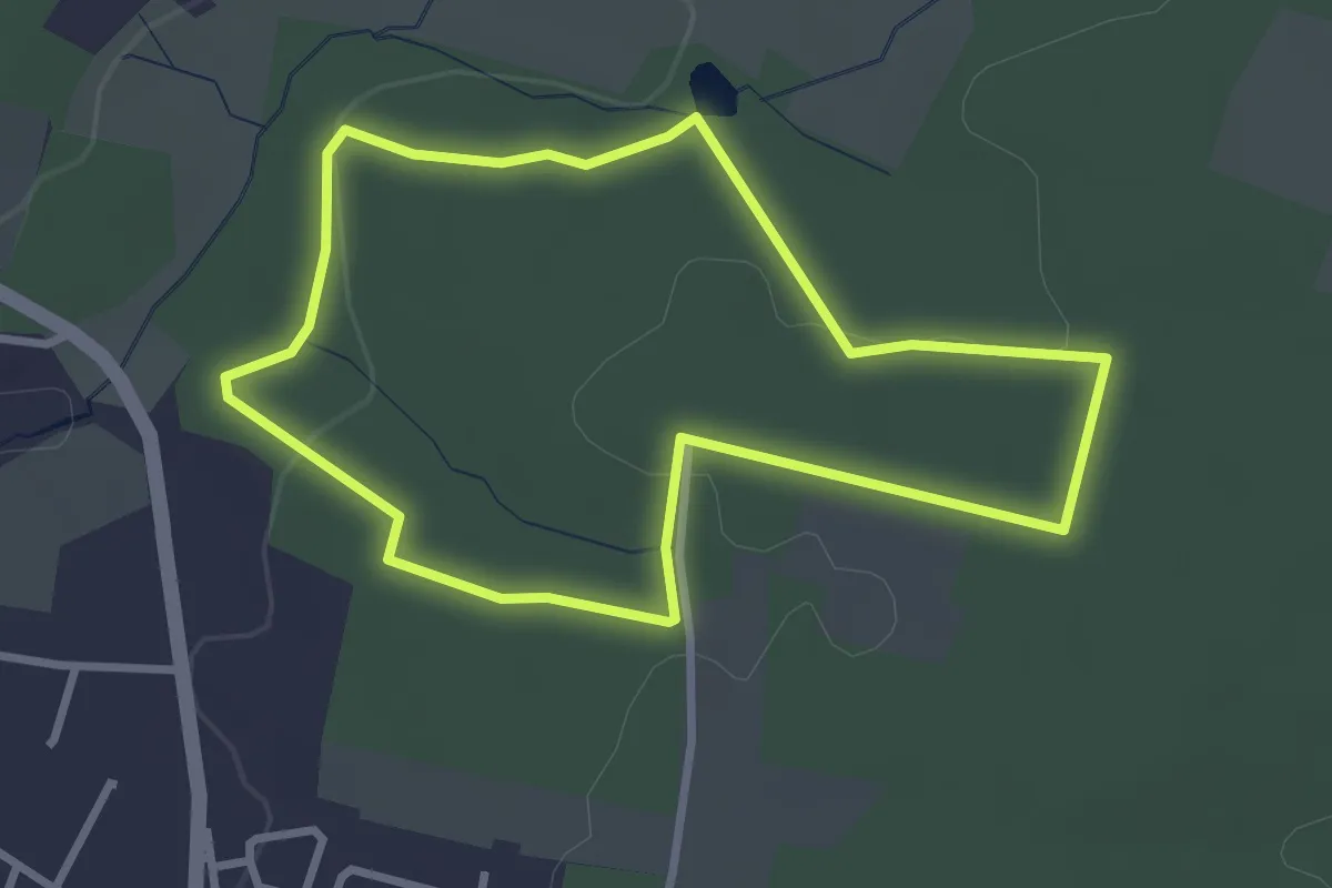
Easy · Trail
Les Vaseix - Promenade de l'Étang
2.9 km · ↑ 40 m · 49 min
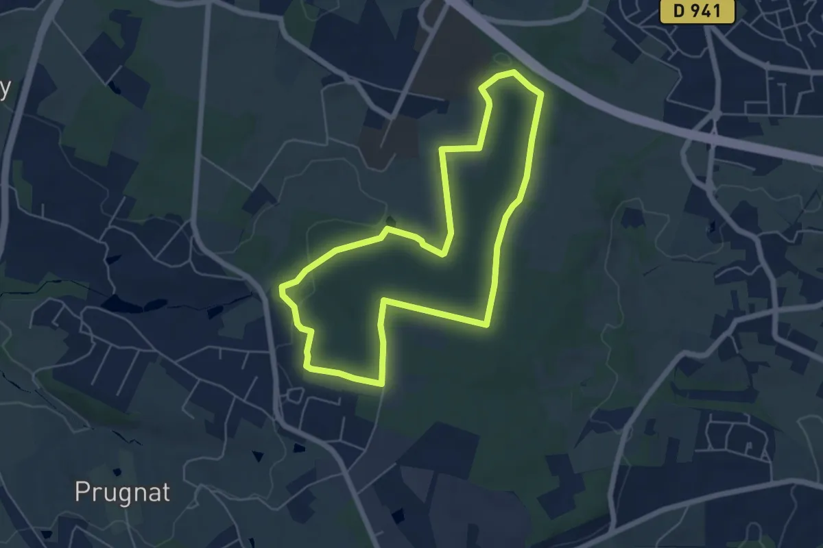
Easy · Trail
Les Vaseix - Tour du Grand Bois
5.4 km · ↑ 76 m · 1 h 31 min
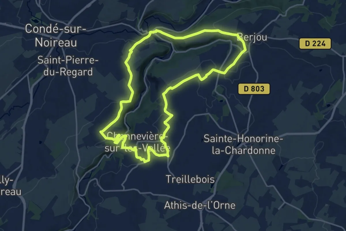
Medium · Trail
Les Vaux de Vère
14.4 km · ↑ 253 m · 4 h 9 min
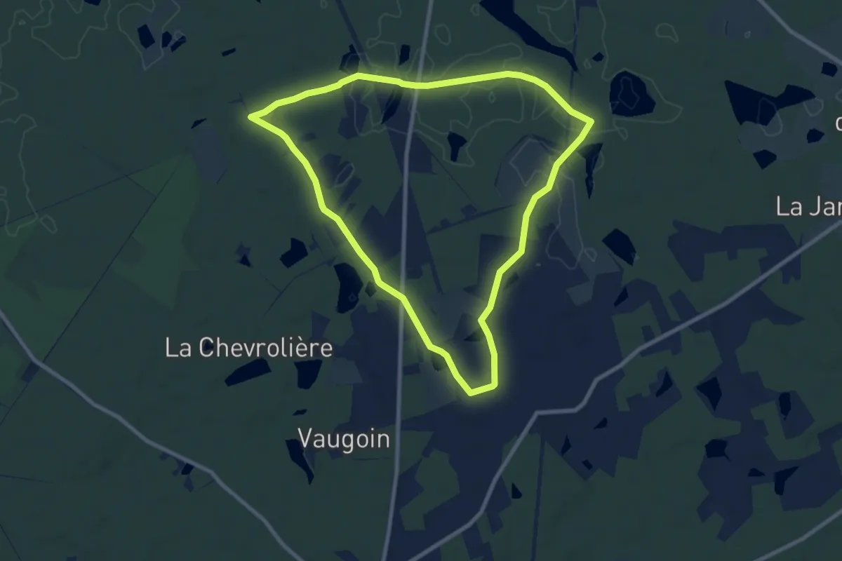
Medium · Trail
Les Veillas
8.0 km · ↑ 30 m · 2 h 4 min
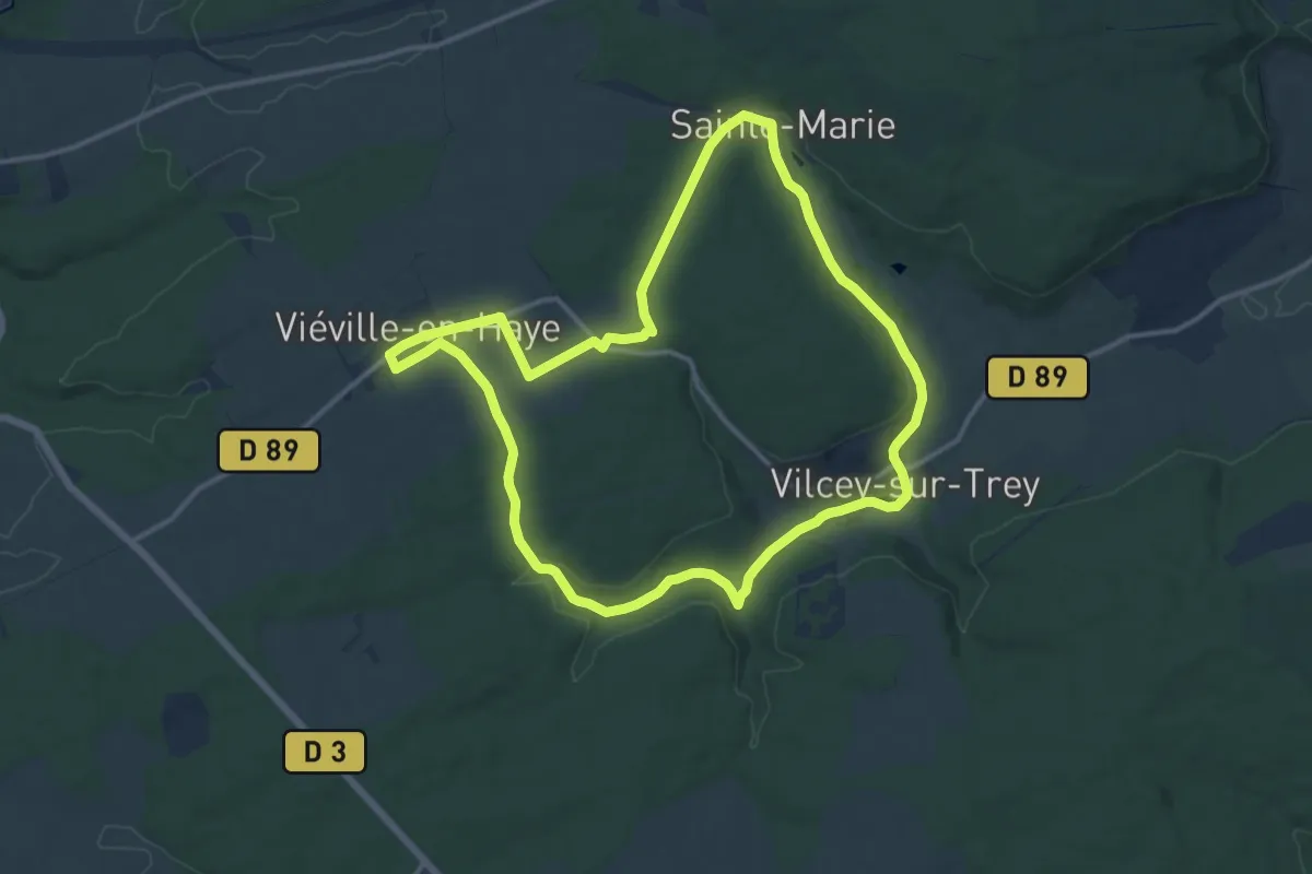
Medium · Trail
Les Venchères
12.6 km · ↑ 161 m · 3 h 30 min
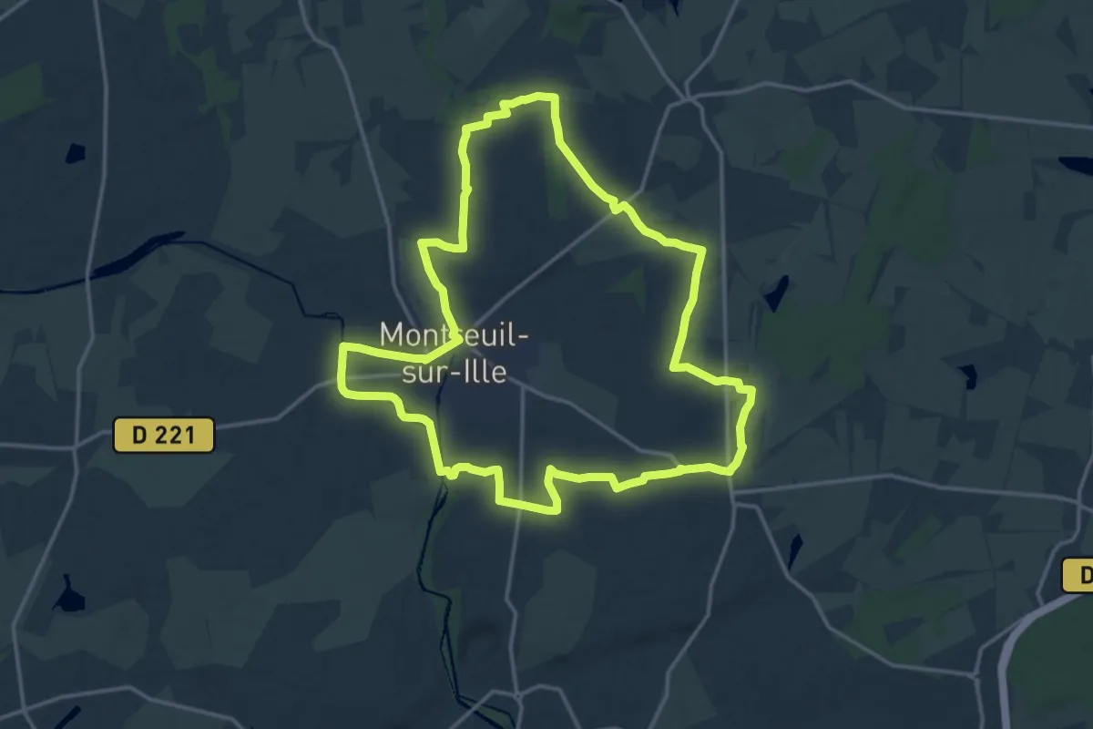
Medium · Trail
Les Vergers
15.7 km · ↑ 100 m · 4 h 8 min
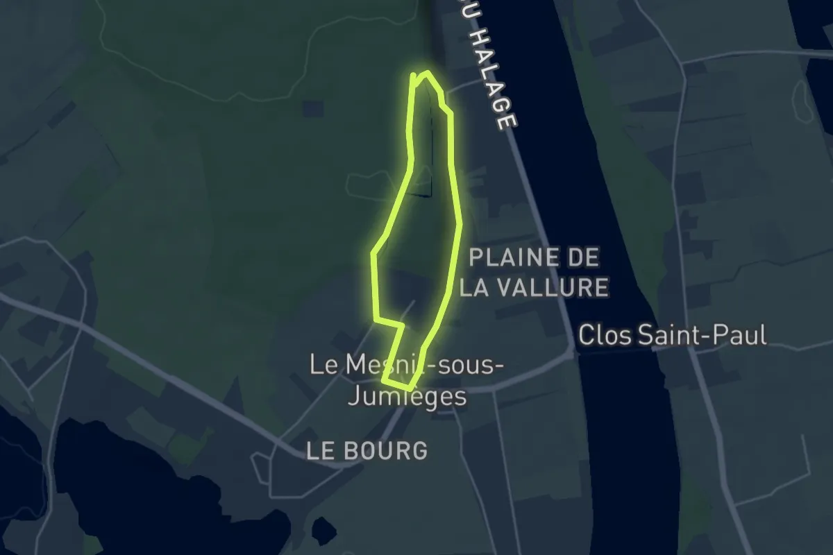
Easy · Trail
Les Vergers
2.8 km · ↑ 37 m · 47 min
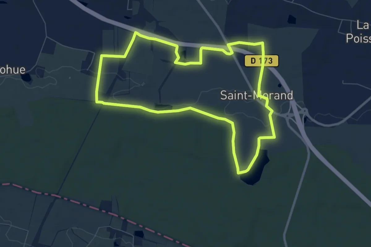
Easy · Trail
Les vergers de Saint-Morand
7.3 km · ↑ 40 m · 1 h 54 min
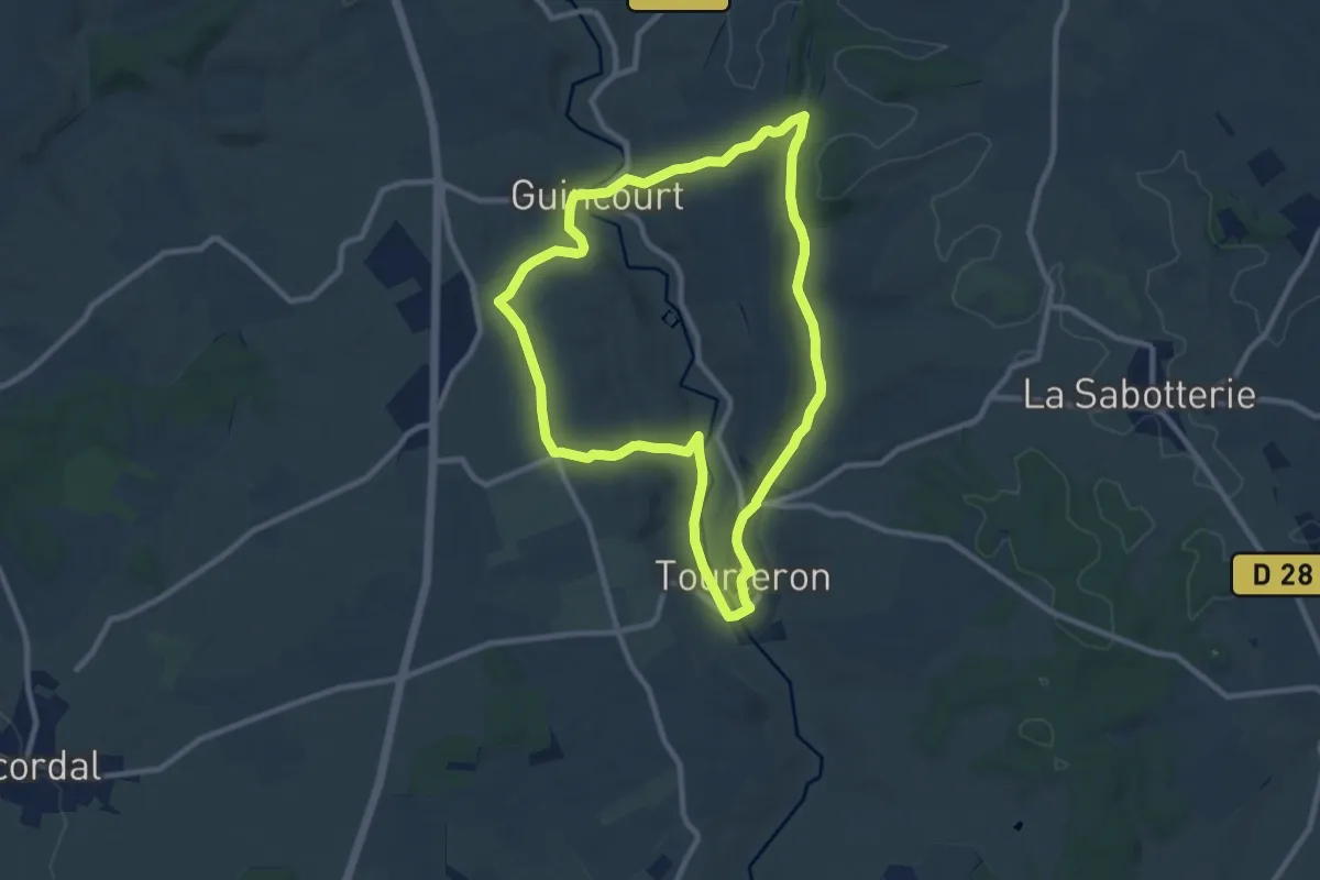
Medium · Trail
Les Vergers Tourteronnais
8.7 km · ↑ 126 m · 2 h 27 min
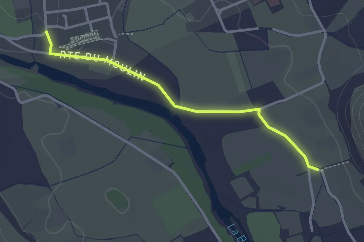
Easy · Trail
Les Vernades - L'Église
2.4 km · ↑ 12 m · 36 min
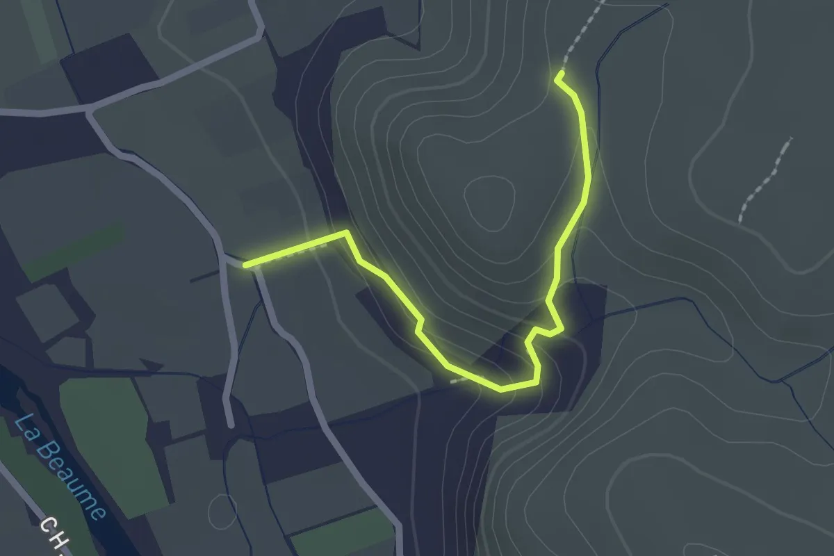
Easy · Trail
Les Vernades - Rouseiret
2.0 km · ↑ 111 m · 43 min