Trails in France
15,926 hiking trails, each with its route, climb, walking time and grade.
All trails, page 197 of 332
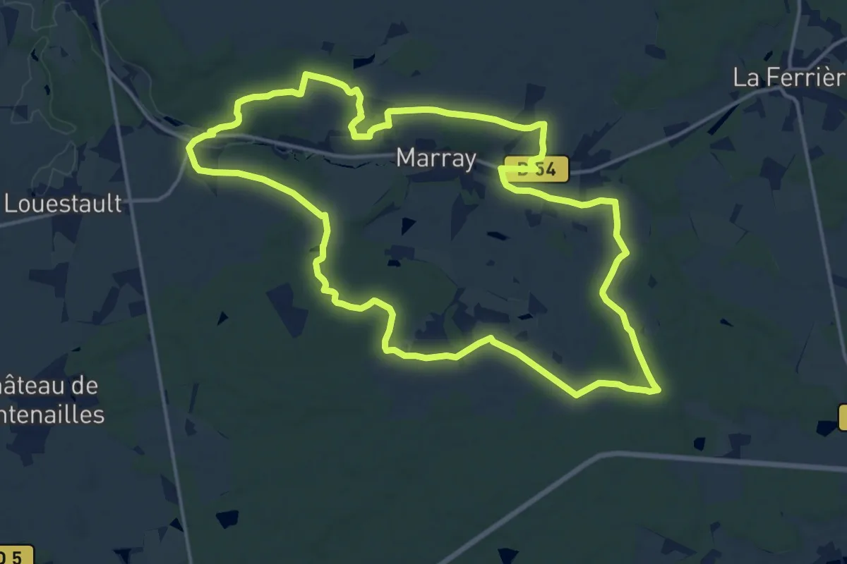
Medium · Trail
Les versants de la Dême
16.0 km · ↑ 159 m · 4 h 20 min
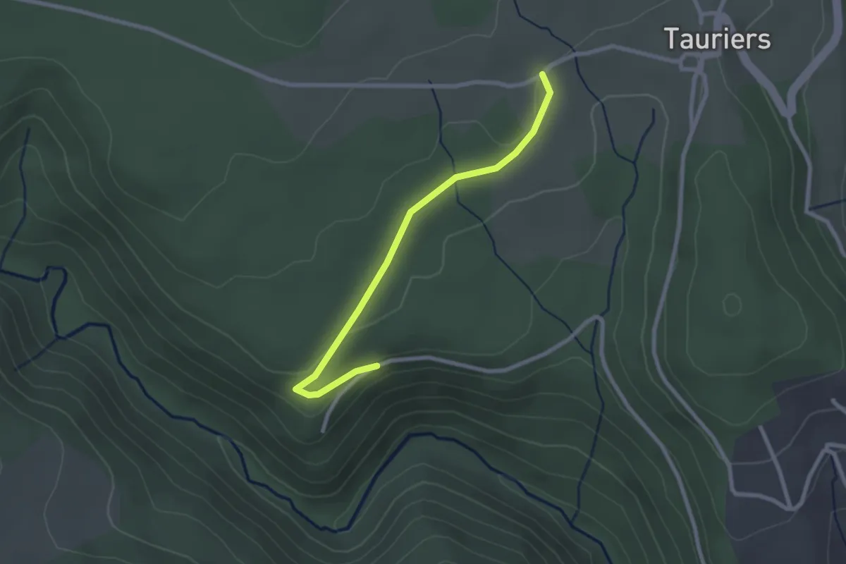
Easy · Trail
Les Vers - Les Lauzières
2.5 km · ↑ 40 m · 41 min
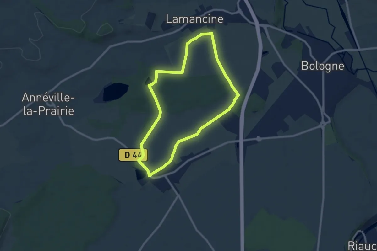
Easy · Trail
Les Vervelles
6.2 km · ↑ 24 m · 1 h 36 min
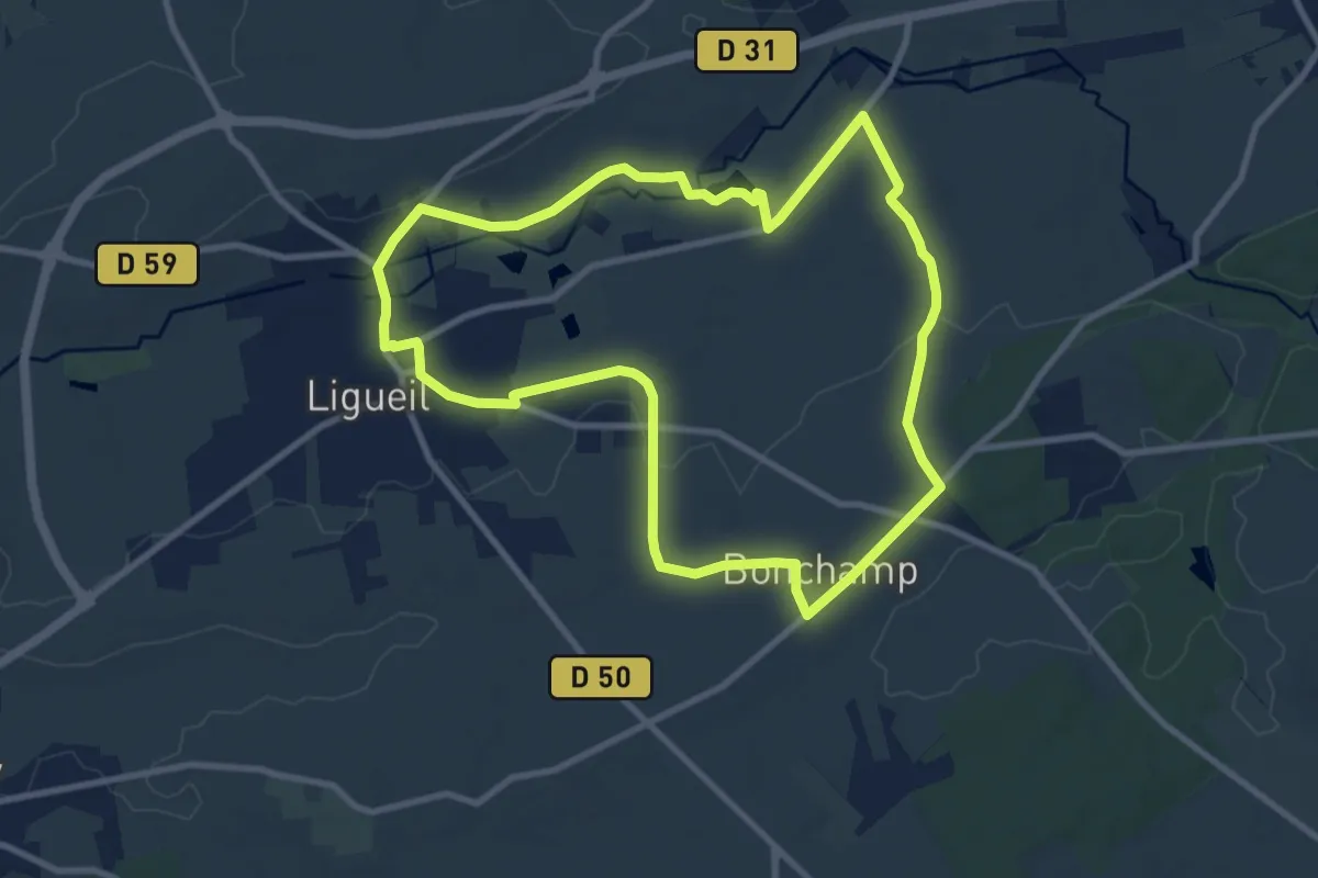
Medium · Trail
L'Esves dans son Écrin - Ligueil Boucle 1
9.4 km · ↑ 77 m · 2 h 31 min
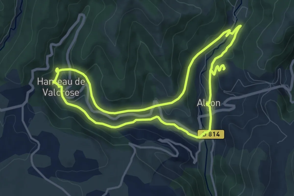
Medium · Trail
Les viaducs
9.2 km · ↑ 326 m · 3 h
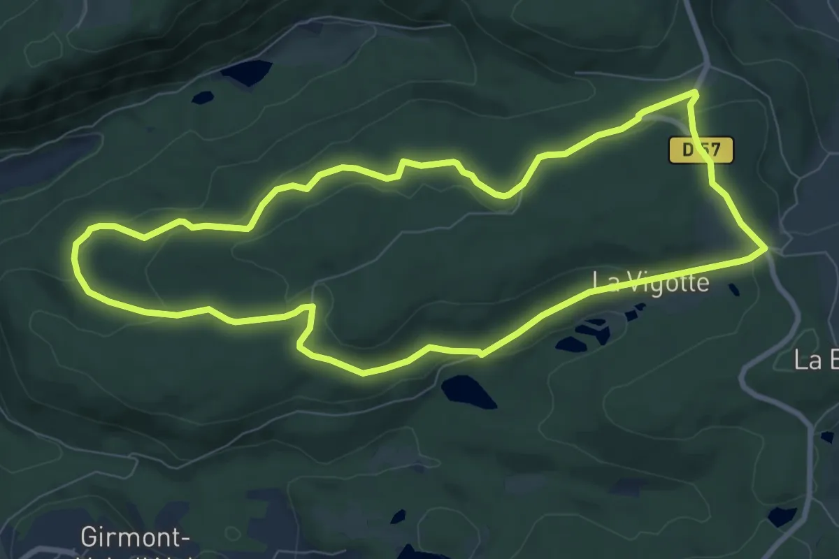
Easy · Trail
Les Vieilles Abbayes
8.0 km · ↑ 195 m · 2 h 25 min
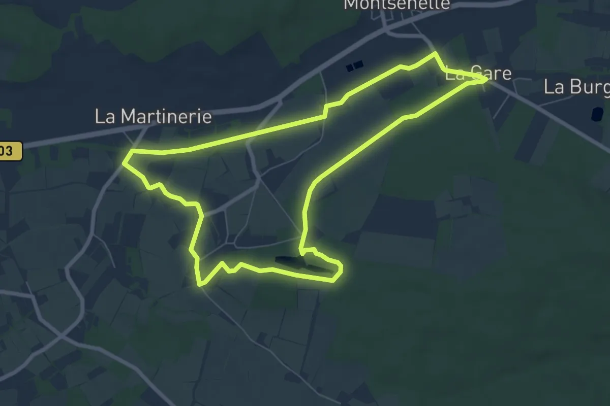
Easy · Trail
Les Vieilles Pierres du Mont Castre
6.9 km · ↑ 90 m · 1 h 55 min
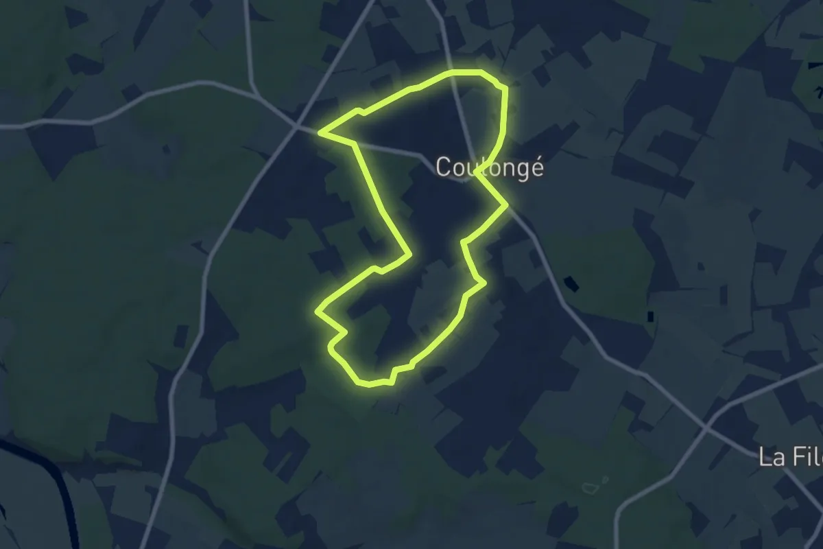
Easy · Trail
Les vieux châtaigniers
6.7 km · ↑ 55 m · 1 h 47 min
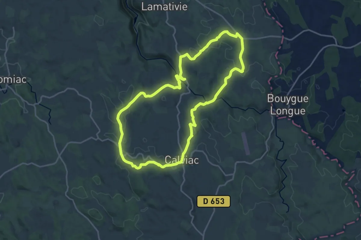
Medium · Summit
Les vieux chemins d'Auvergne
12.9 km · ↑ 252 m · 3 h 46 min
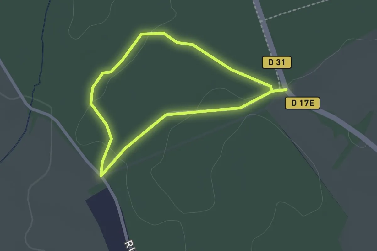
Easy · Trail
Les Vieux Fays
1.6 km · ↑ 4 m · 25 min
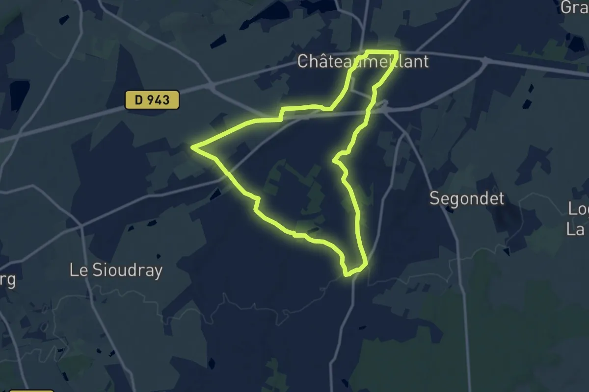
Medium · Trail
Les Vignes
9.9 km · ↑ 96 m · 2 h 40 min
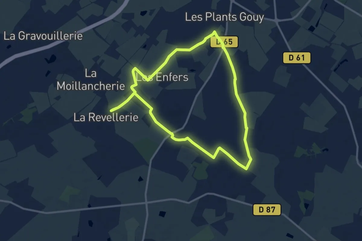
Medium · Trail
Les Vignes
8.4 km · ↑ 25 m · 2 h 10 min
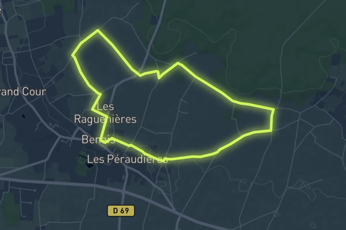
Easy · Trail
Les Vignes - Benais
7.0 km · ↑ 67 m · 1 h 54 min
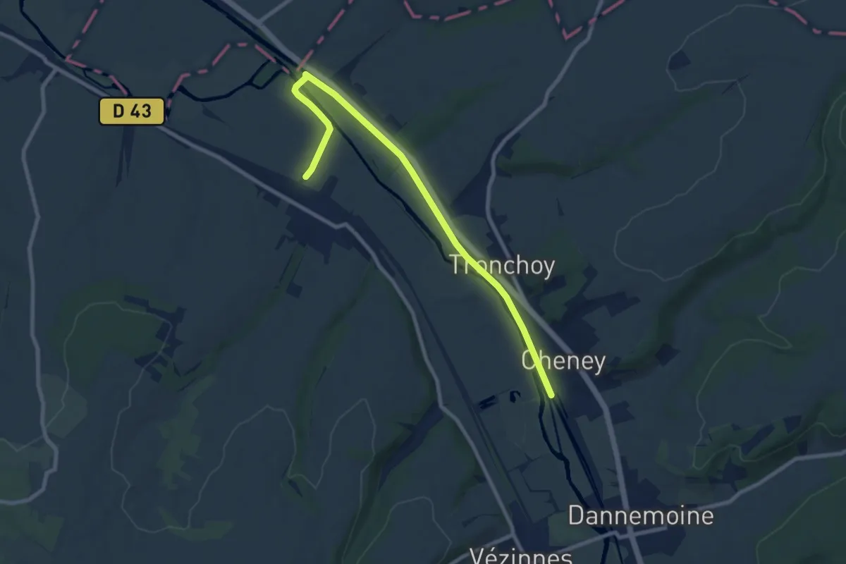
Medium · Trail
Les Vignes de l'Empereur
8.7 km · ↑ 13 m · 2 h 5 min
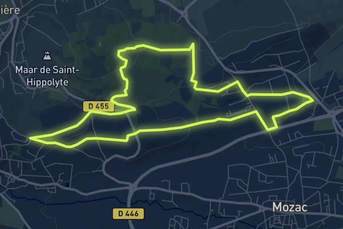
Medium · Trail
Les Vignes de Ronchalon
8.8 km · ↑ 205 m · 2 h 38 min
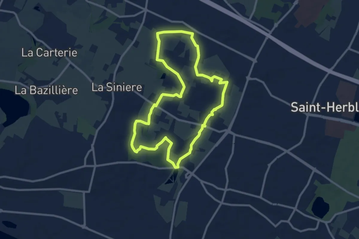
Easy · Trail
Les Villages
7.3 km · ↑ 68 m · 1 h 58 min
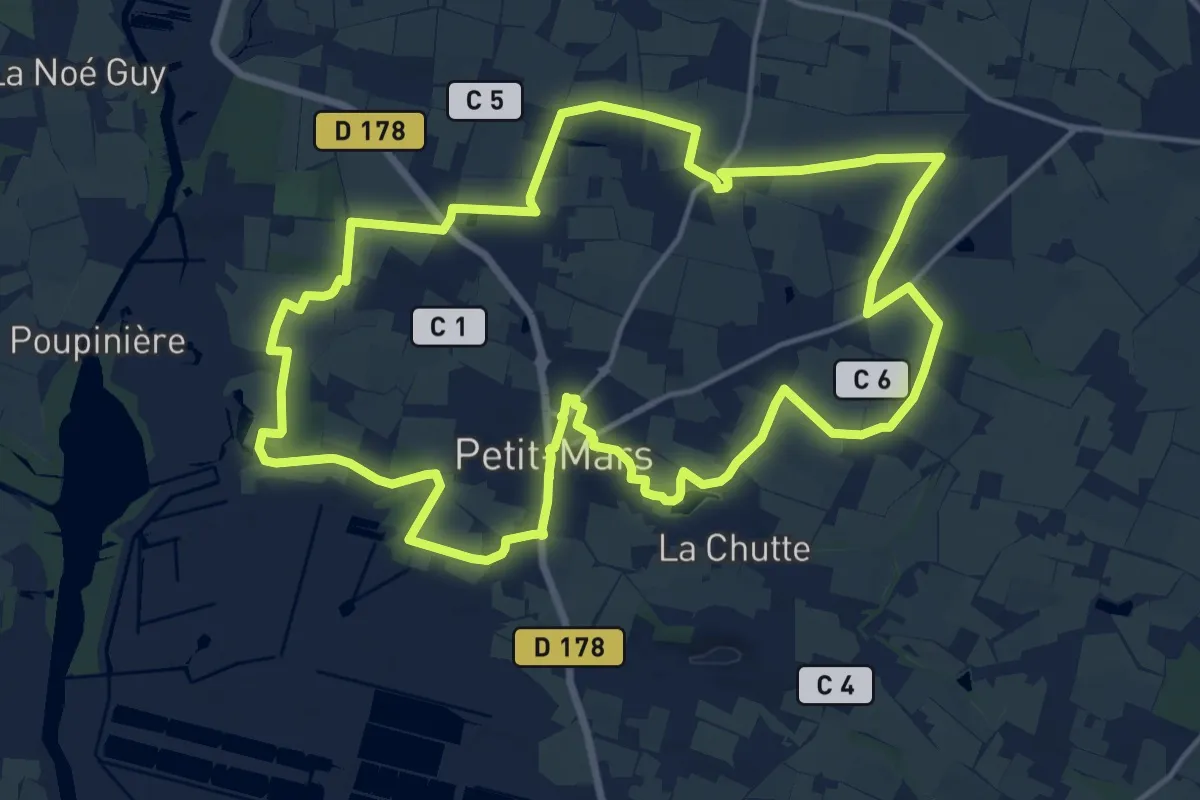
Medium · Trail
Les Villages
17.1 km · ↑ 52 m · 4 h 23 min
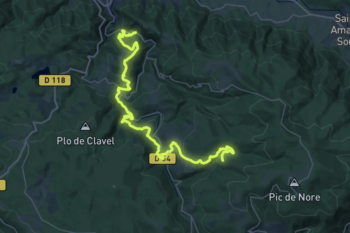
Medium · Trail
Les Villages Perchés
15.9 km · ↑ 394 m · 5 h 4 min
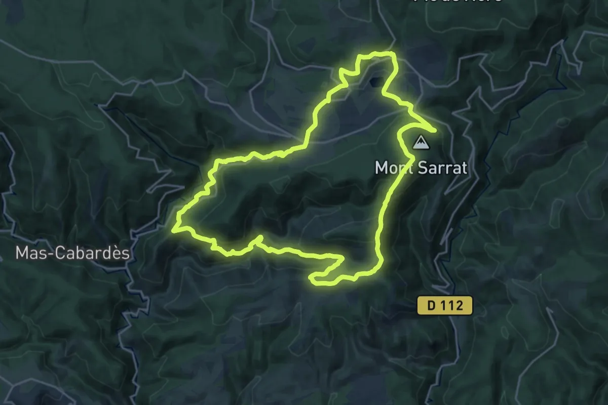
Demanding · Summit
Les Villages Perchés
21.2 km · ↑ 955 m · 7 h 23 min
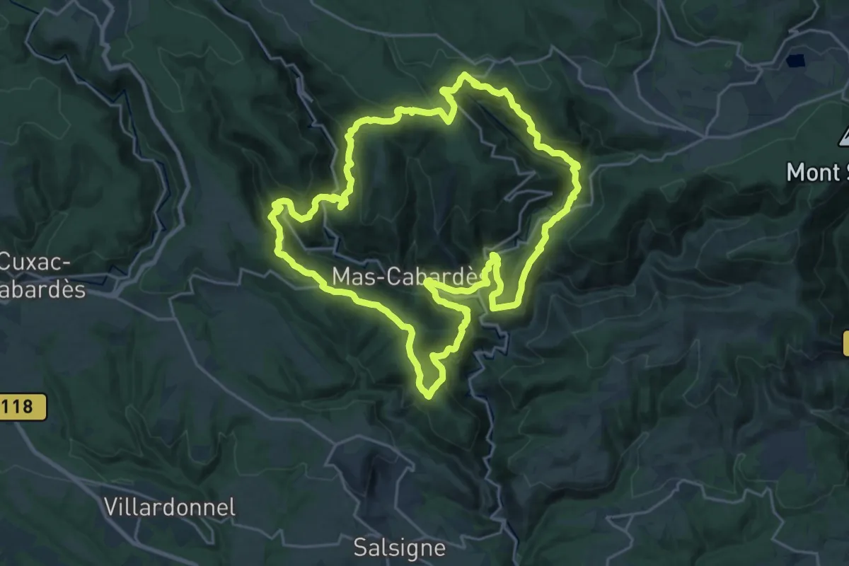
Demanding · Trail
Les Villages Perchés
23.5 km · ↑ 1225 m · 8 h 32 min
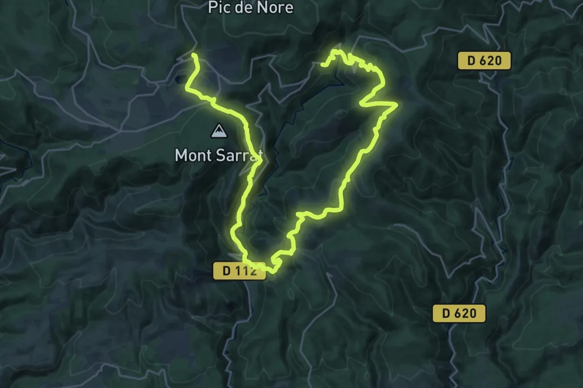
Demanding · Trail
Les Villages Perchés
19.2 km · ↑ 783 m · 6 h 36 min
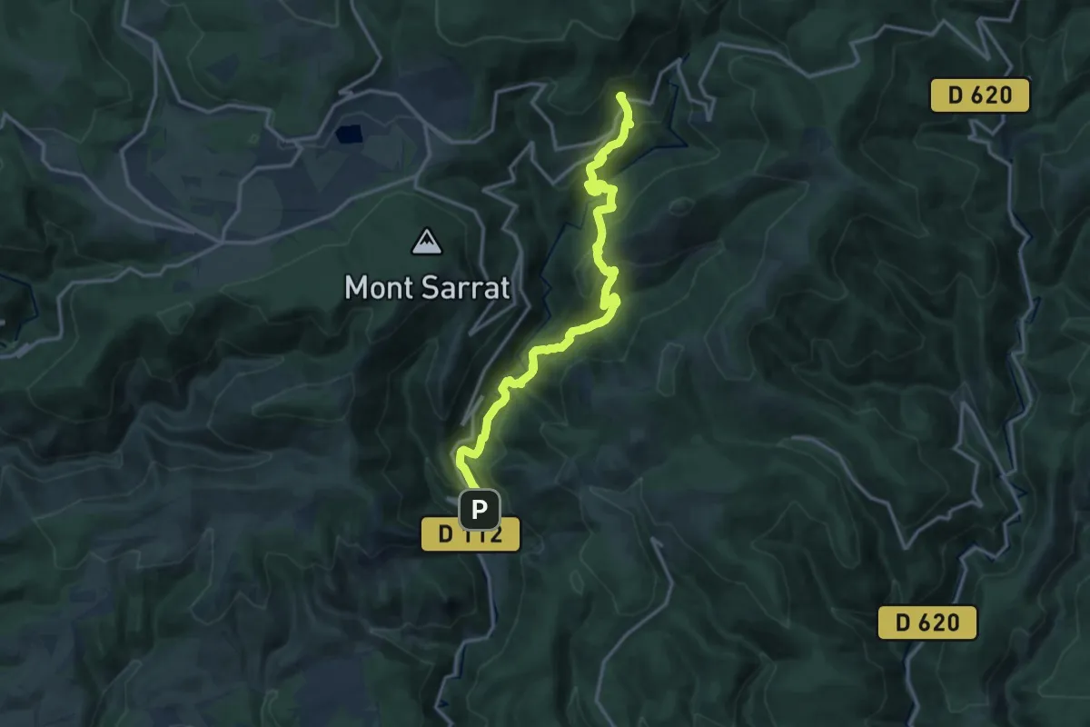
Demanding · Trail
Les Villages Perchés
16.3 km · ↑ 911 m · 5 h 50 min
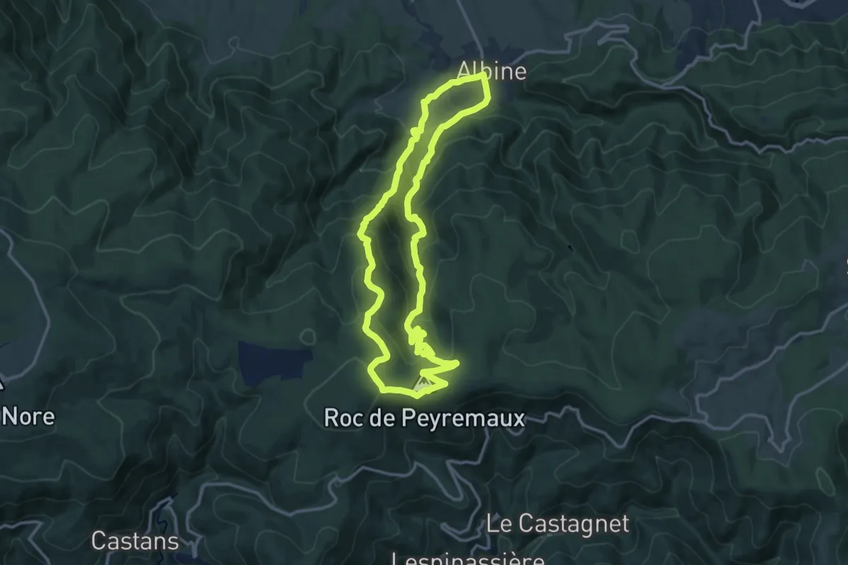
Medium · Summit
Les Villages Perchés
12.9 km · ↑ 688 m · 4 h 42 min
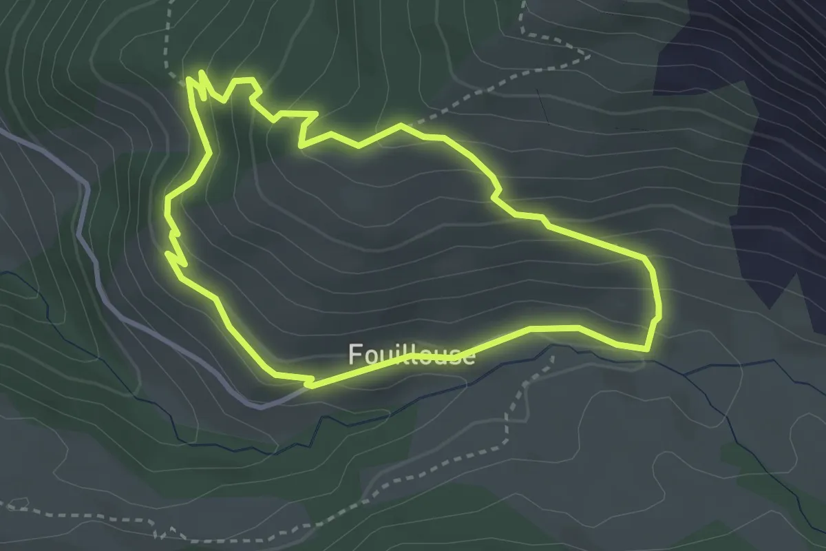
Medium · Trail
Les Vistes
3.1 km · ↑ 206 m · 1 h 14 min
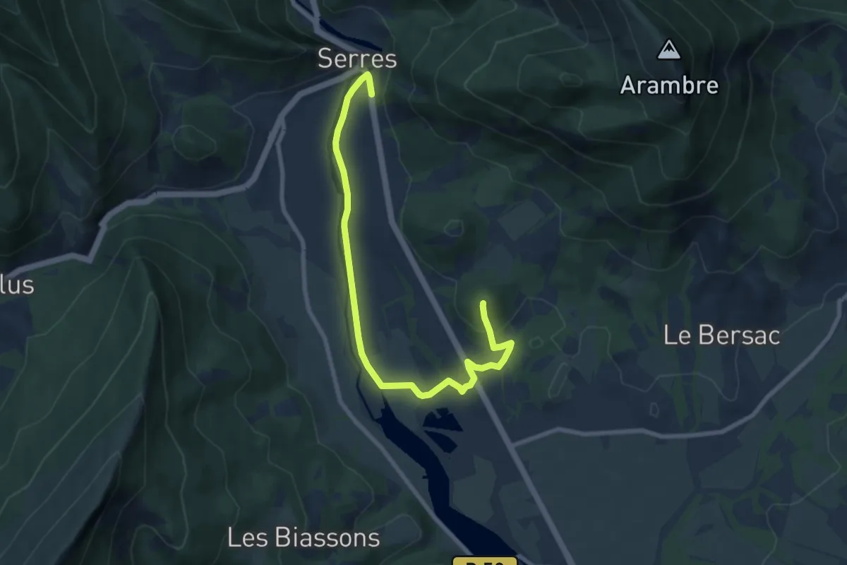
Easy · Summit
Les voies de nos Ancêtres
7.3 km · ↑ 182 m · 2 h 14 min
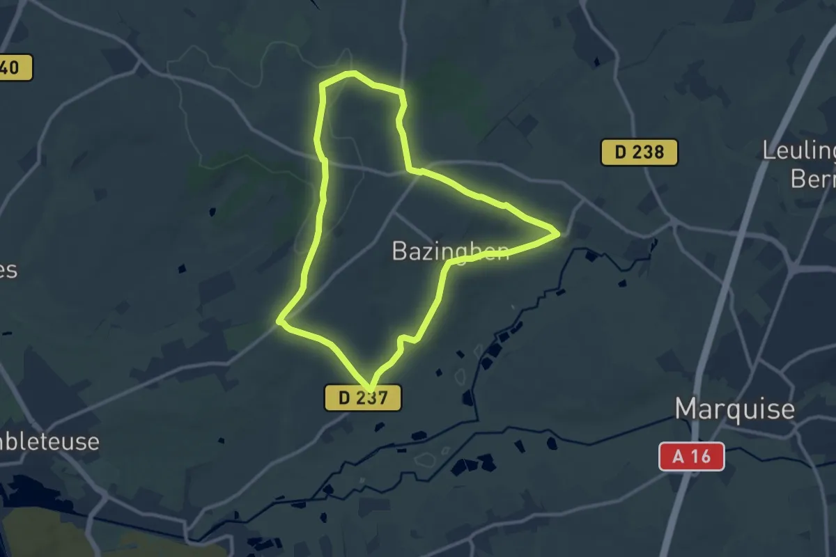
Medium · Trail
Les Voyettes
9.0 km · ↑ 188 m · 2 h 40 min
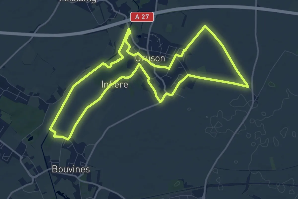
Medium · Trail
Les Voyettes du Val de Marque
10.3 km · ↑ 25 m · 2 h 37 min
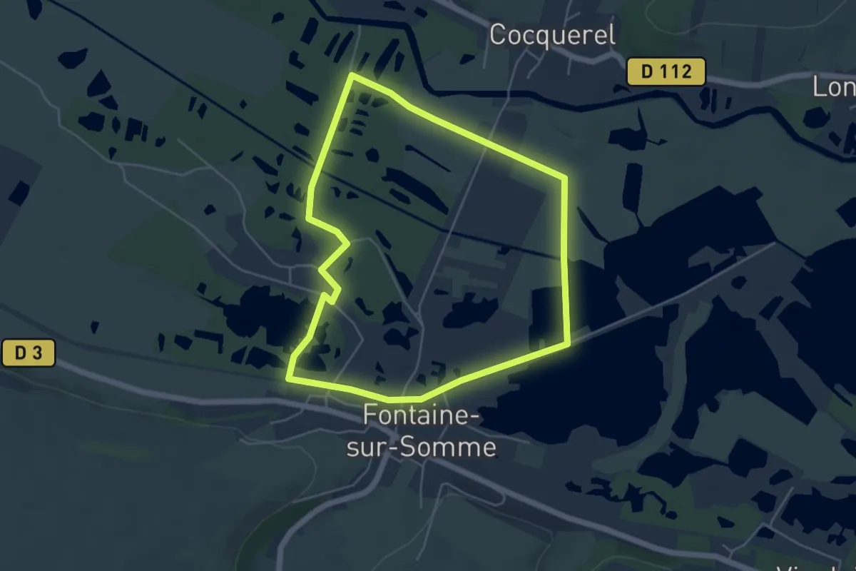
Easy · Trail
Les Voyeuls
4.5 km · ↑ 4 m · 1 h 8 min
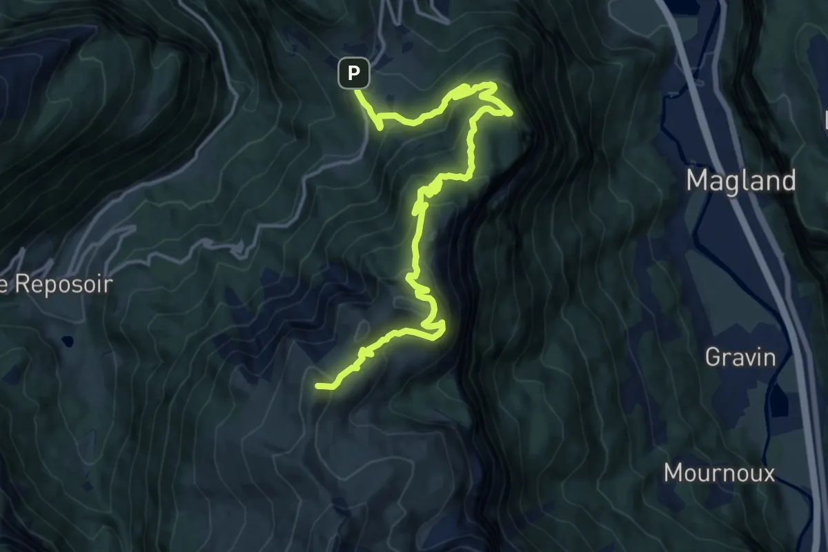
Demanding · Summit
Les Vuardes et alpage de Vormy
16.9 km · ↑ 1154 m · 6 h 29 min
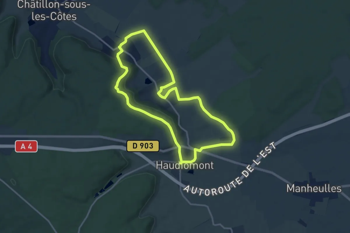
Medium · Trail
Le Tacot
9.4 km · ↑ 137 m · 2 h 39 min
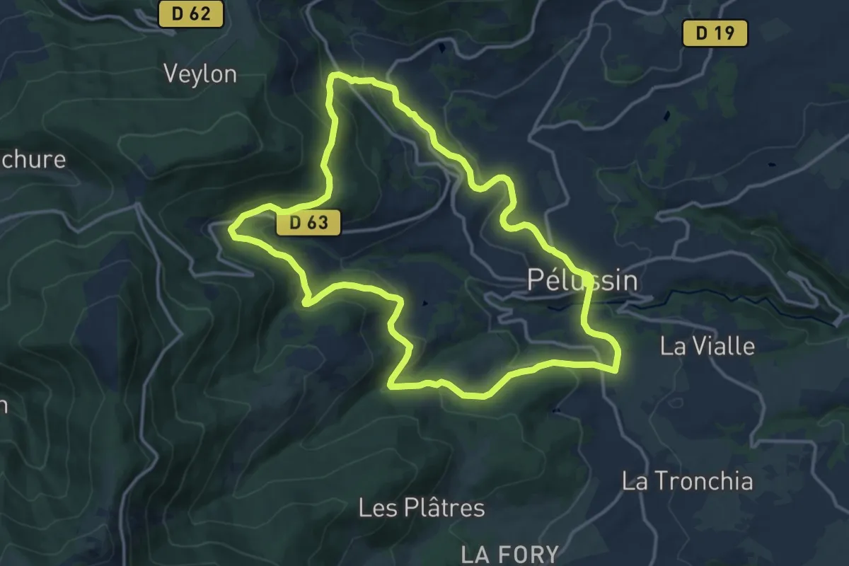
Medium · Trail
Le Tacot - Pélussin n° 3
14.1 km · ↑ 476 m · 4 h 34 min
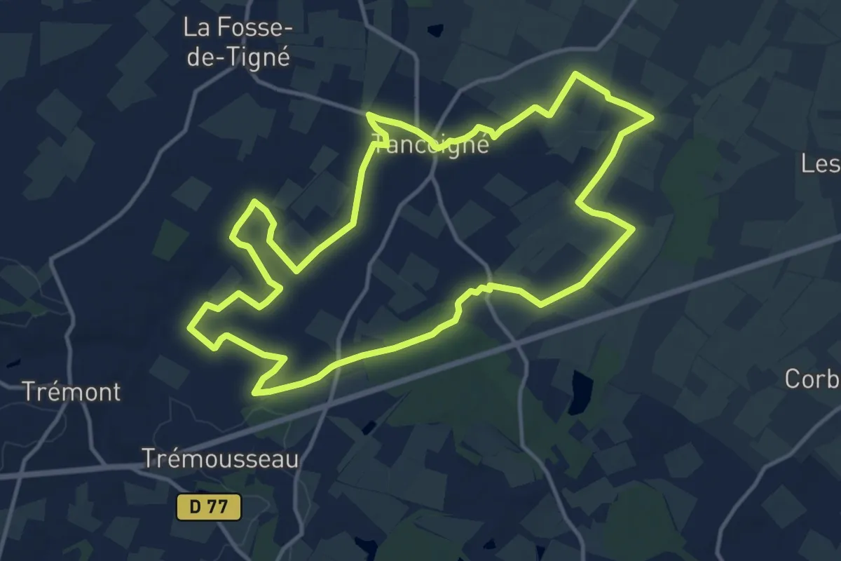
Medium · Trail
Le Tancoignéen
13.2 km · ↑ 56 m · 3 h 25 min
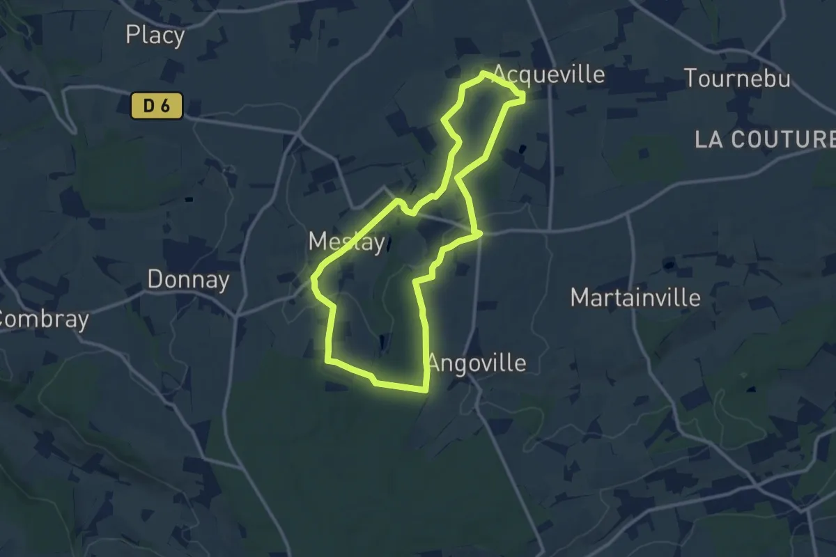
Medium · Trail
L'Étang
9.6 km · ↑ 107 m · 2 h 38 min
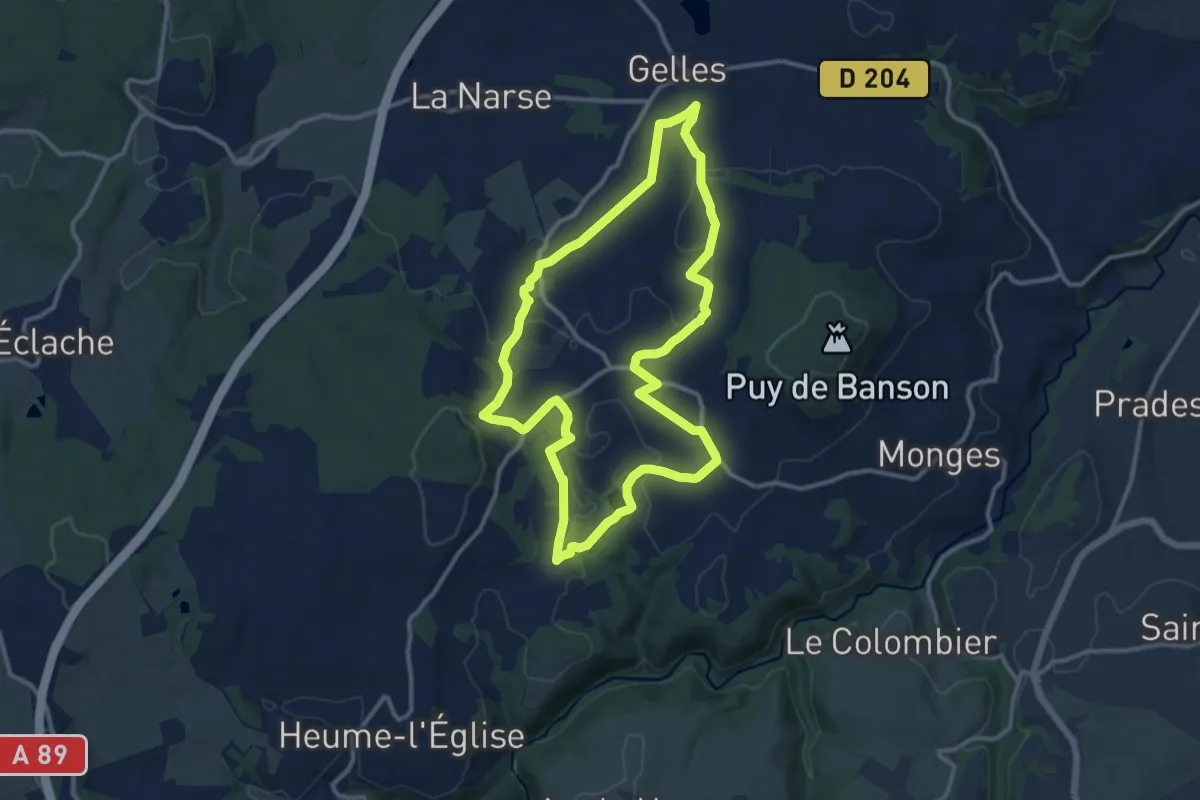
Medium · Trail
L'Étang de Banson
11.9 km · ↑ 209 m · 3 h 26 min
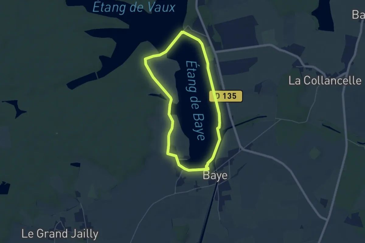
Easy · Trail
L'étang de Baye
4.8 km · ↑ 16 m · 1 h 14 min
Easy · Trail
L'Étang de Bornacq
6.4 km · ↑ 31 m · 1 h 41 min
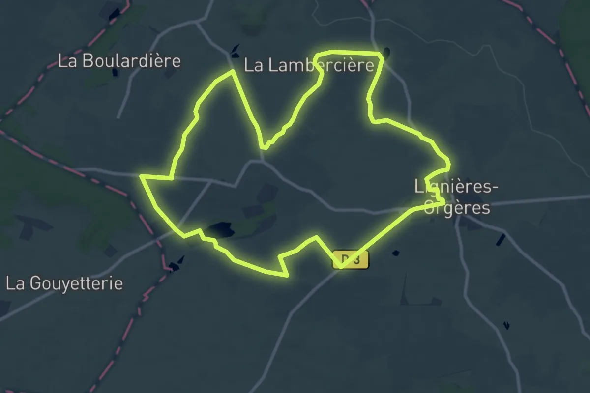
Medium · Trail
L'étang de Cadin
9.6 km · ↑ 94 m · 2 h 36 min
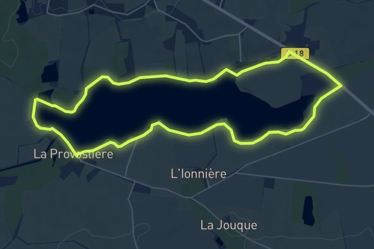
Easy · Trail
L'étang de la Provostière
5.4 km · ↑ 5 m · 1 h 22 min
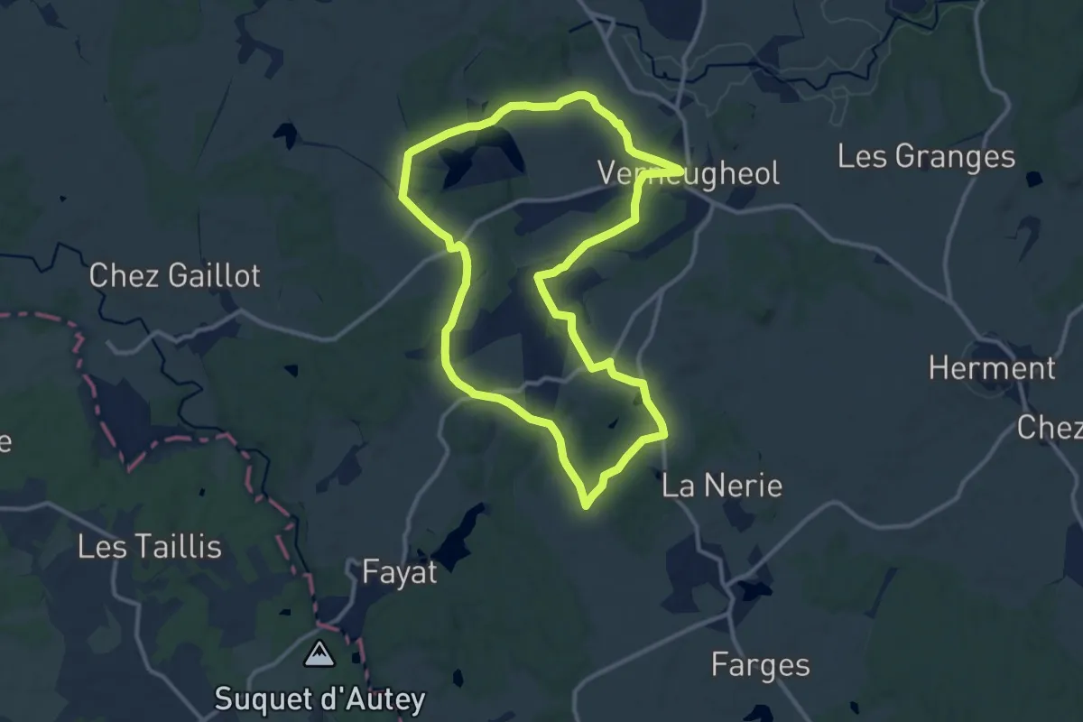
Medium · Trail
L'Étang de Malganne
11.3 km · ↑ 128 m · 3 h 6 min
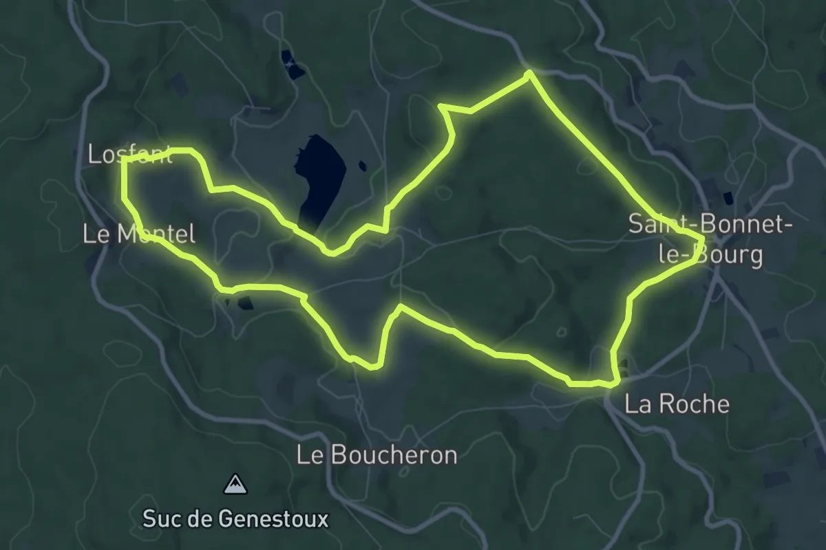
Medium · Trail
L'Étang de Marchaud
10.2 km · ↑ 252 m · 3 h 6 min
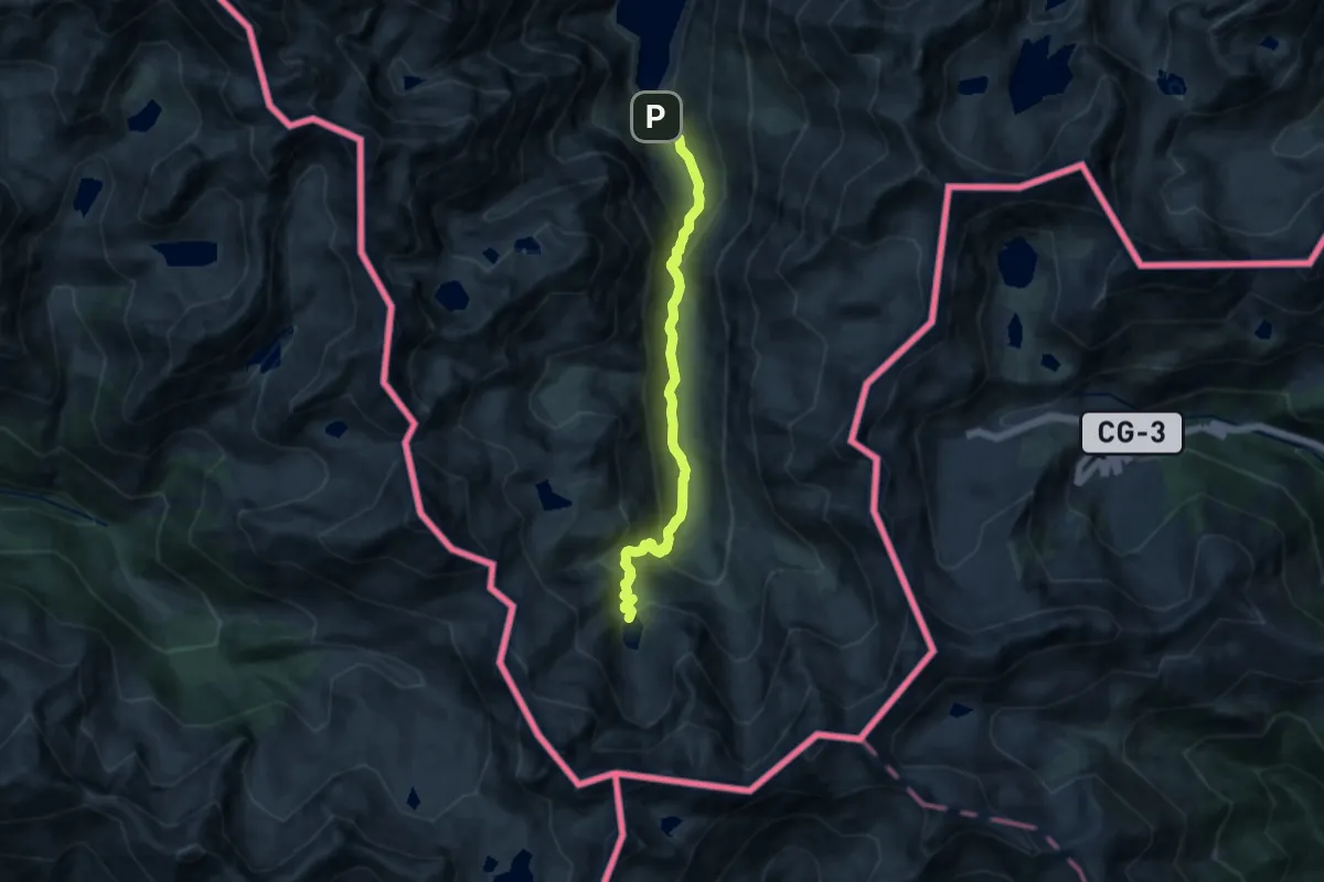
Medium · Trail
L'étang de Médécourbe
11.4 km · ↑ 691 m · 4 h 11 min
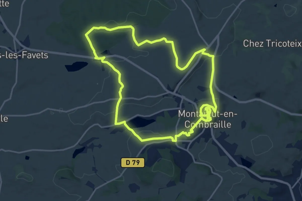
Medium · Trail
L'Étang de Montmazot
11.9 km · ↑ 215 m · 3 h 26 min
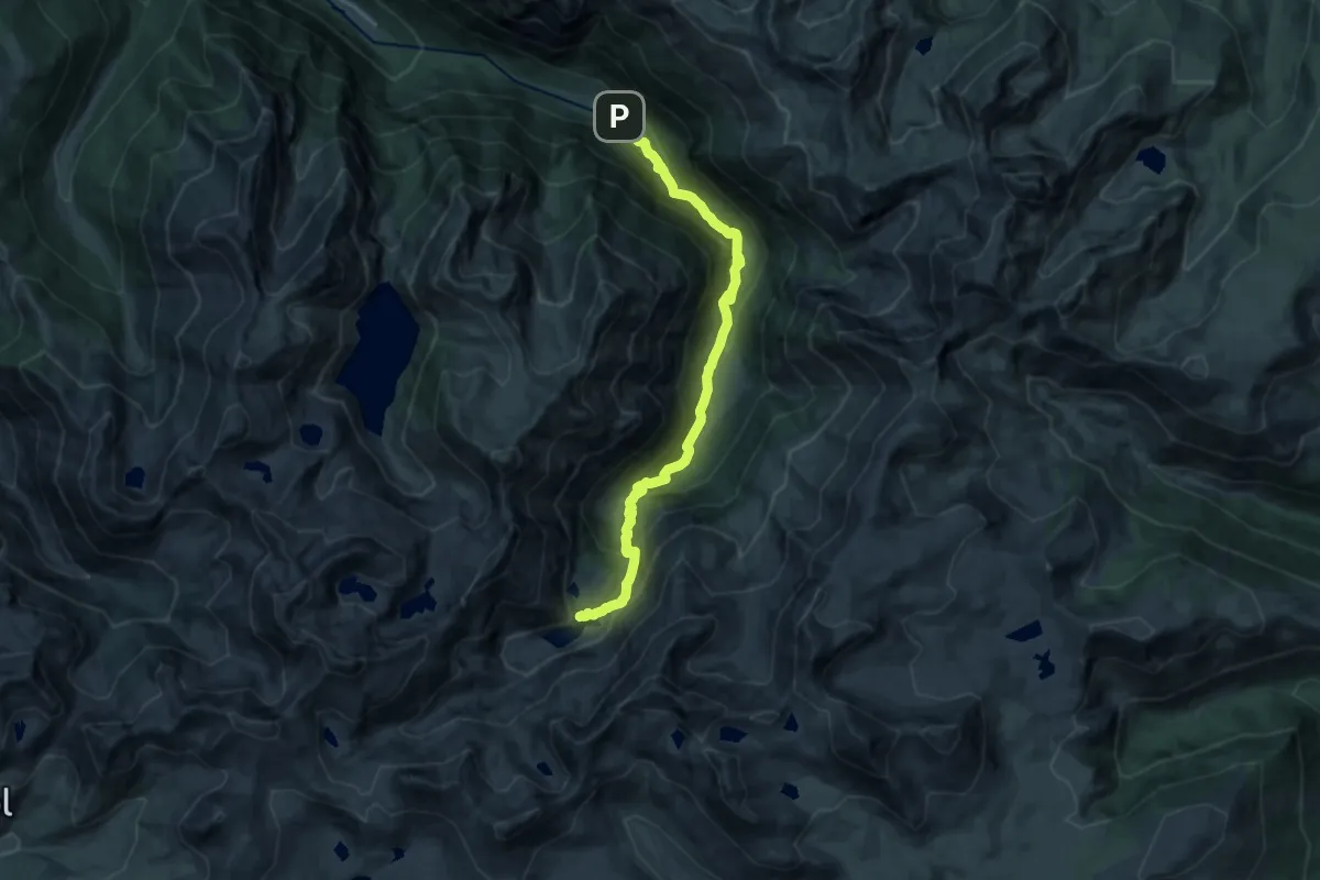
Demanding · Cabin
L'Étang d'En Beys
16.5 km · ↑ 942 m · 5 h 57 min
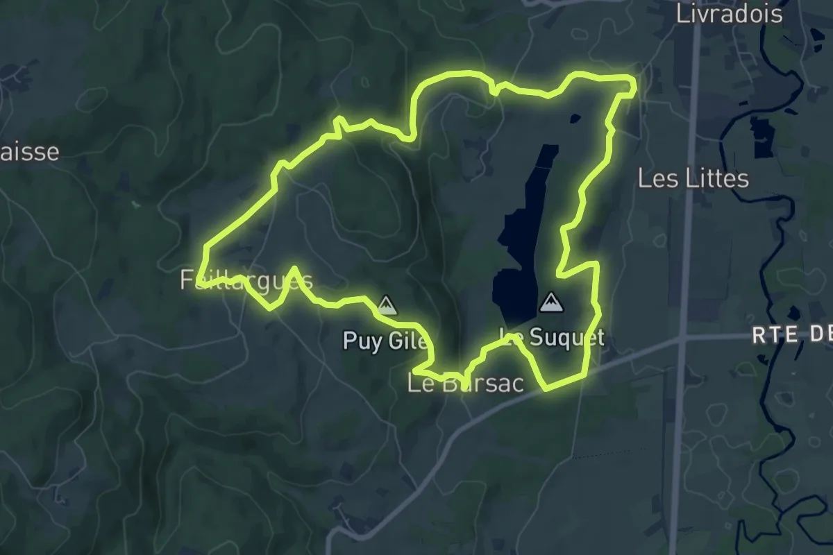
Medium · Summit
L'Étang de Riols
9.5 km · ↑ 273 m · 2 h 58 min
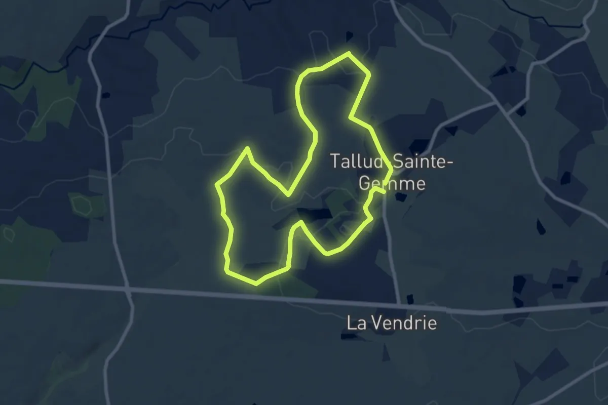
Easy · Trail
L’étang des Landes
7.1 km · ↑ 62 m · 1 h 54 min
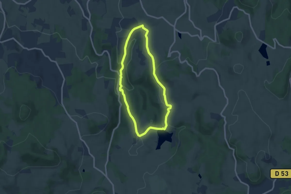
Easy · Trail
L'Étang des Maures
5.6 km · ↑ 166 m · 1 h 46 min
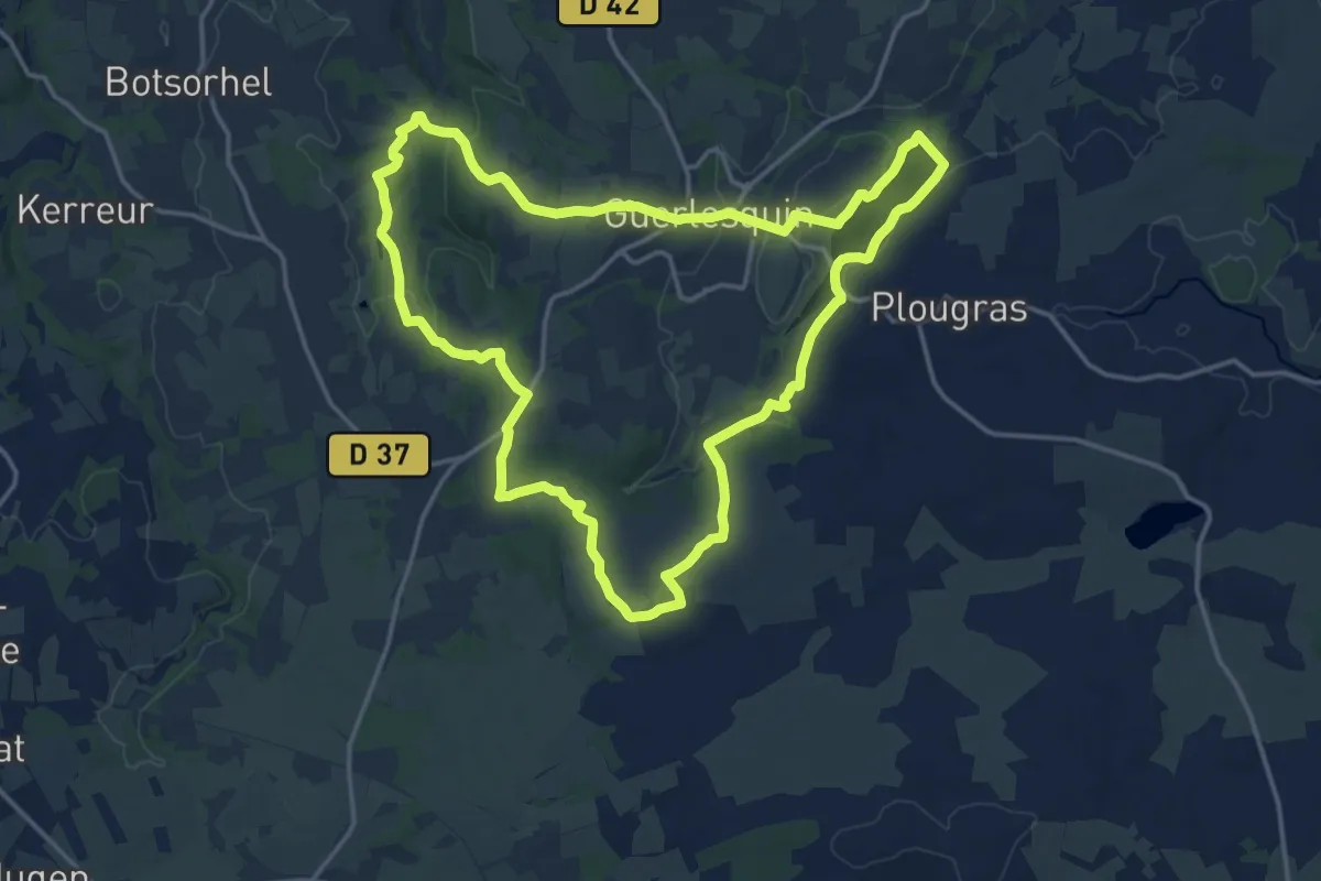
Medium · Trail
L'Étang du Guic
15.8 km · ↑ 289 m · 4 h 35 min
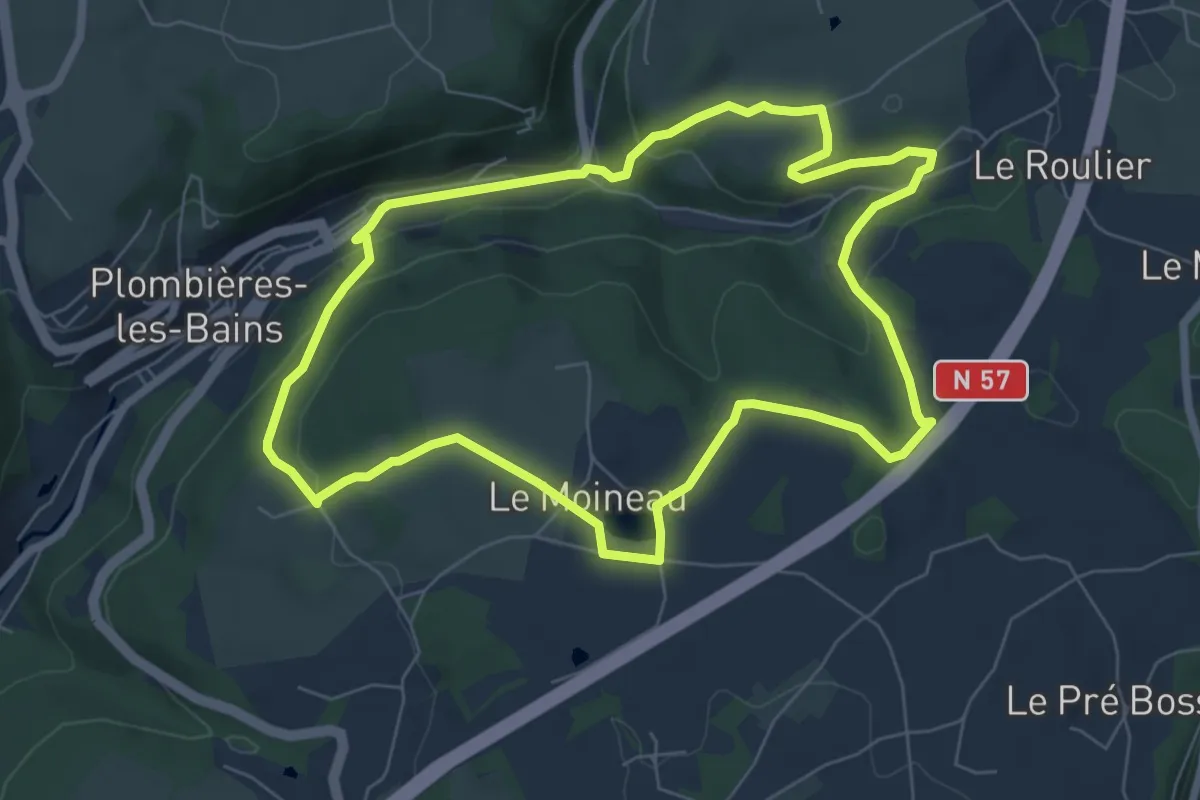
Easy · Trail
L'étang du Moineau
6.8 km · ↑ 181 m · 2 h 5 min