Trails in France
15,926 hiking trails, each with its route, climb, walking time and grade.
All trails, page 198 of 332
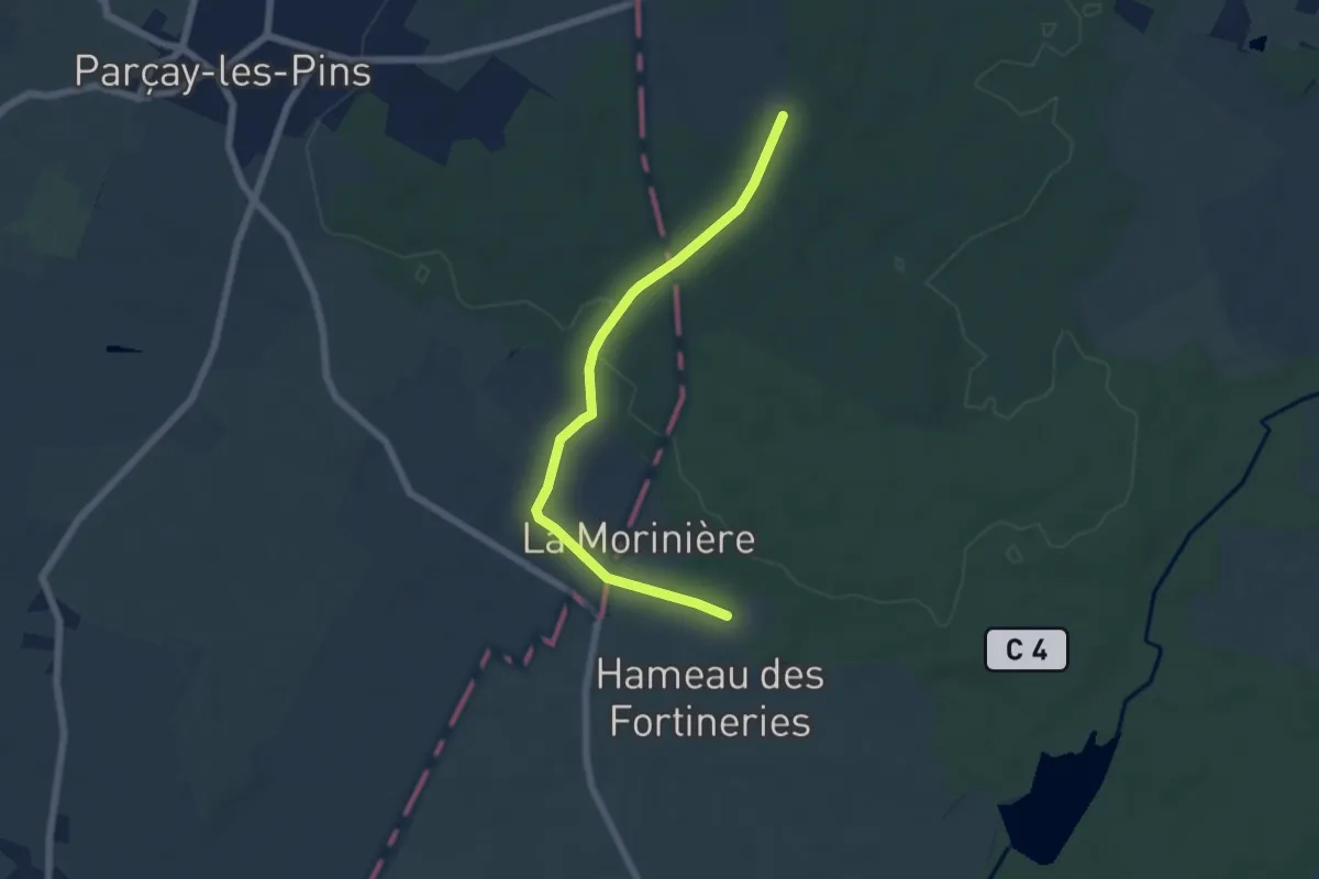
Easy · Trail
L’Étang du Mur - Rillé
3.0 km · ↑ 35 m · 49 min
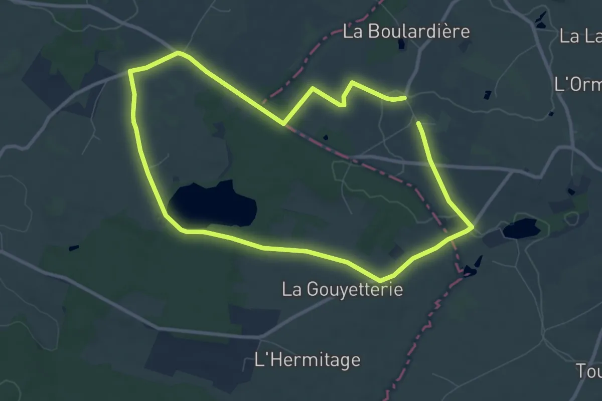
Easy · Trail
L'étang du Petit Jard
7.3 km · ↑ 44 m · 1 h 56 min
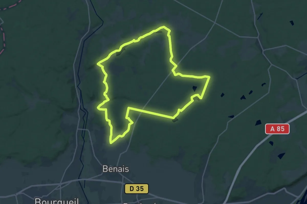
Demanding · Trail
L’Étang du Vau Rosé - Continvoir - Benais
19.8 km · ↑ 209 m · 5 h 24 min
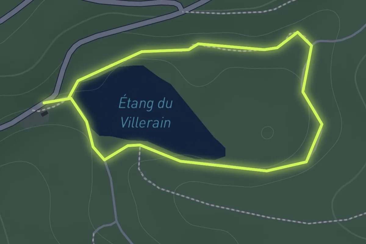
Easy · Trail
L'étang du Villerain
1.2 km · ↑ 25 m · 22 min
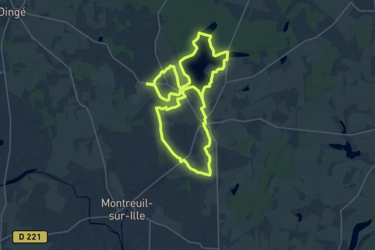
Medium · Trail
L'étang et la Rigole de Boulet
16.1 km · ↑ 105 m · 4 h 16 min
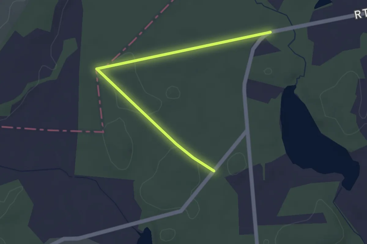
Easy · Trail
L'Étang Gasserot
1.7 km · ↑ 18 m · 28 min
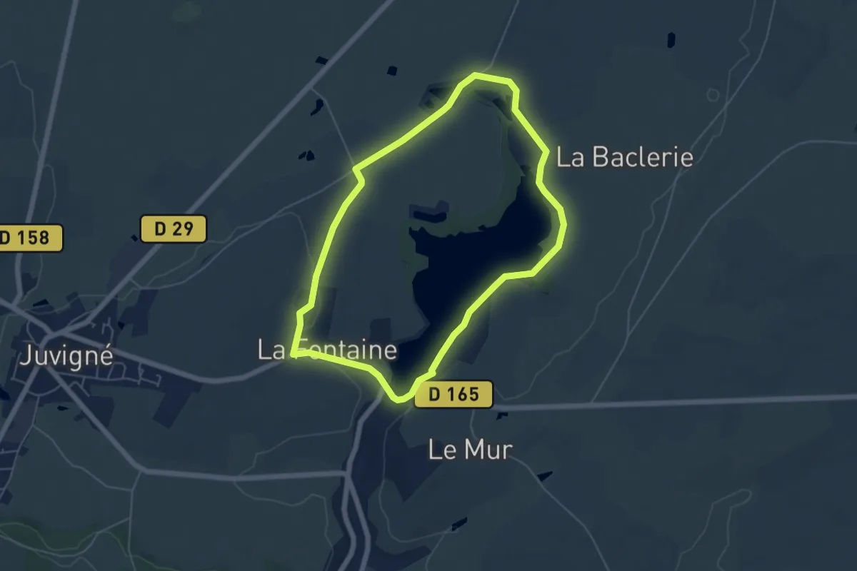
Easy · Trail
L'Étang Neuf, Perle Aquatique
4.9 km · ↑ 24 m · 1 h 17 min
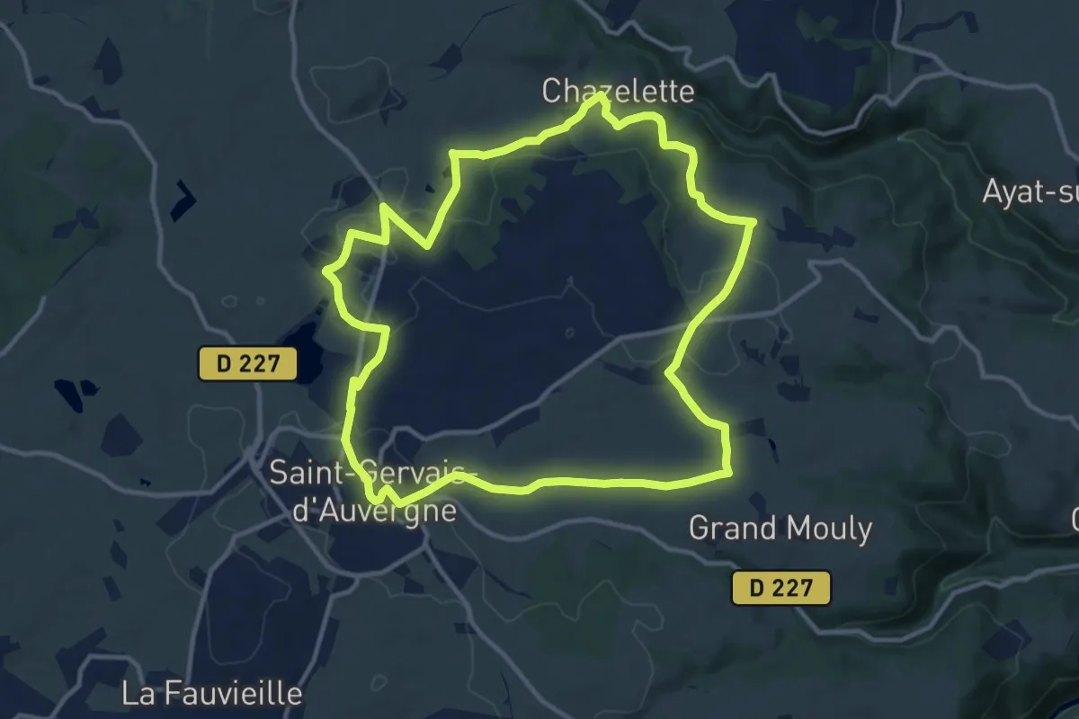
Medium · Trail
L'Étang Philippe
12.3 km · ↑ 180 m · 3 h 28 min
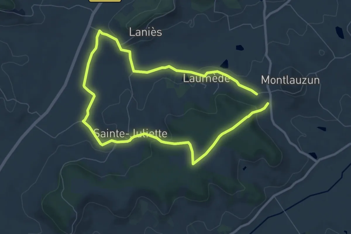
Easy · Trail
Le Tartuguié
6.7 km · ↑ 128 m · 1 h 57 min
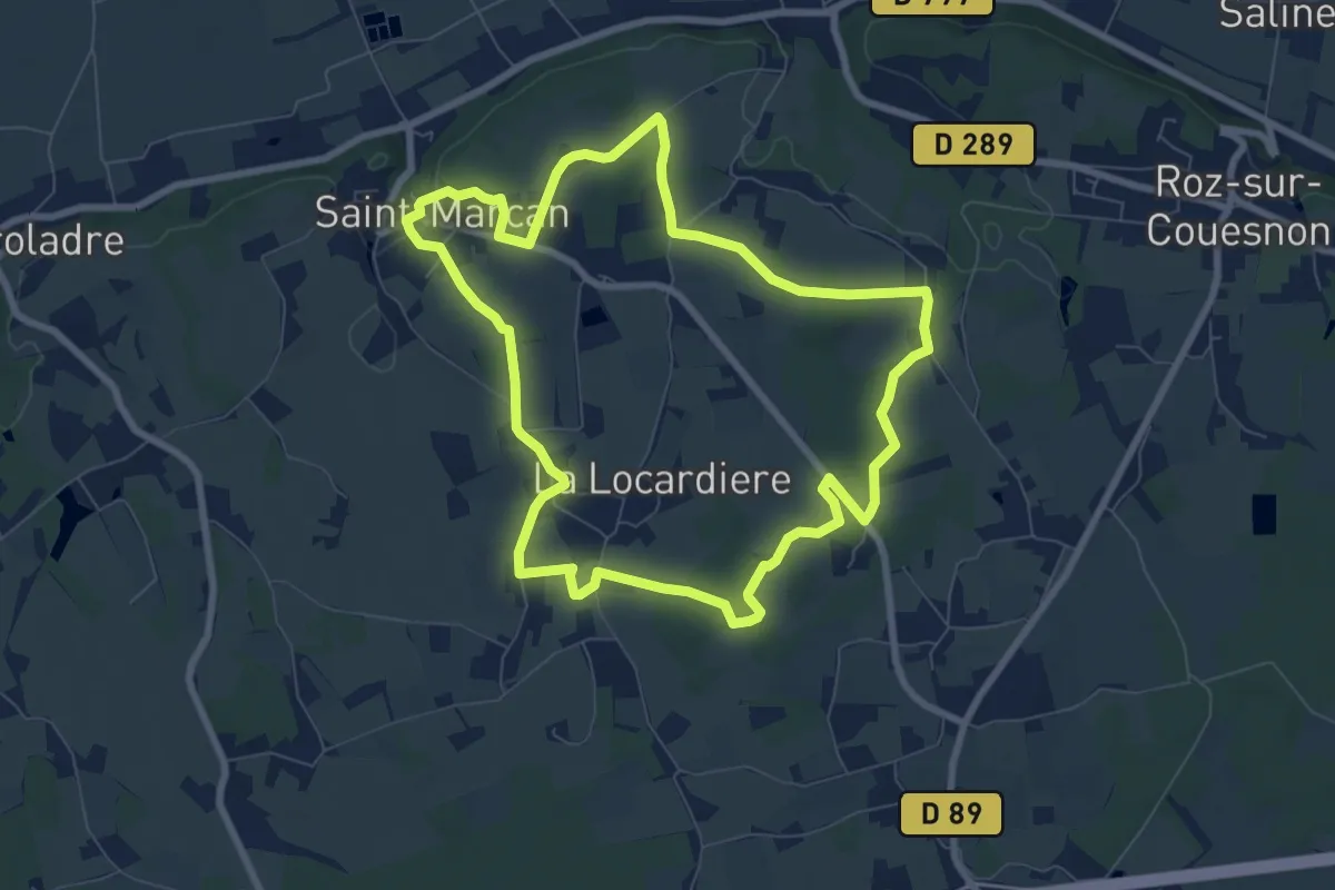
Easy · Trail
Le Télégraphe de Chappe
7.6 km · ↑ 76 m · 2 h 4 min
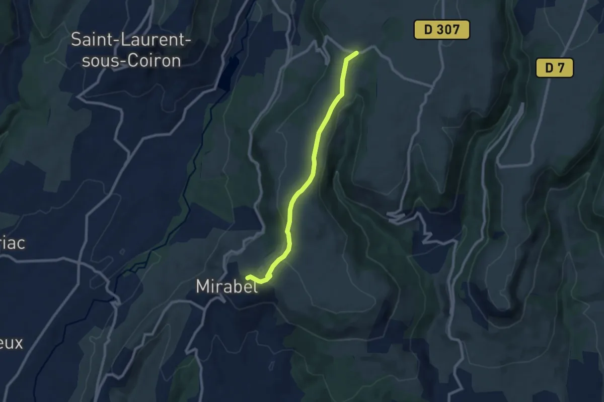
Easy · Trail
Le Thérond - Pas de Vendrias
7.6 km · ↑ 106 m · 2 h 2 min
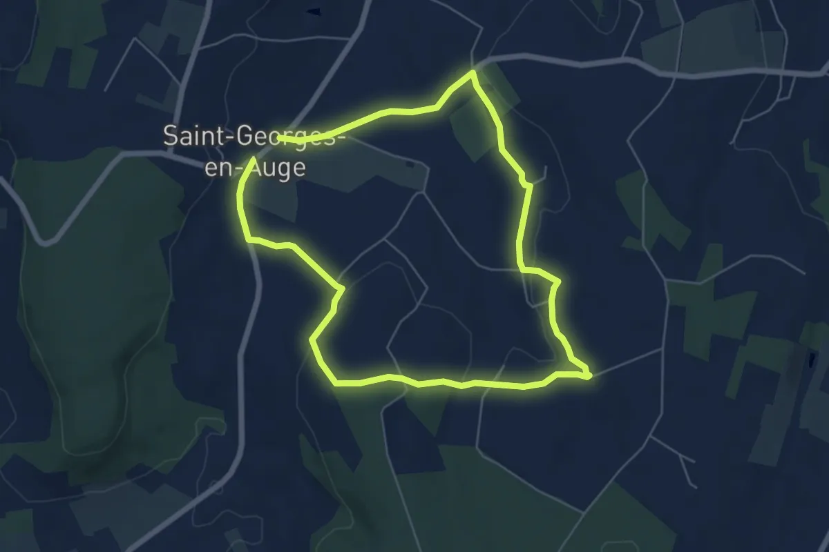
Easy · Trail
Le Tilleul
5.1 km · ↑ 74 m · 1 h 26 min
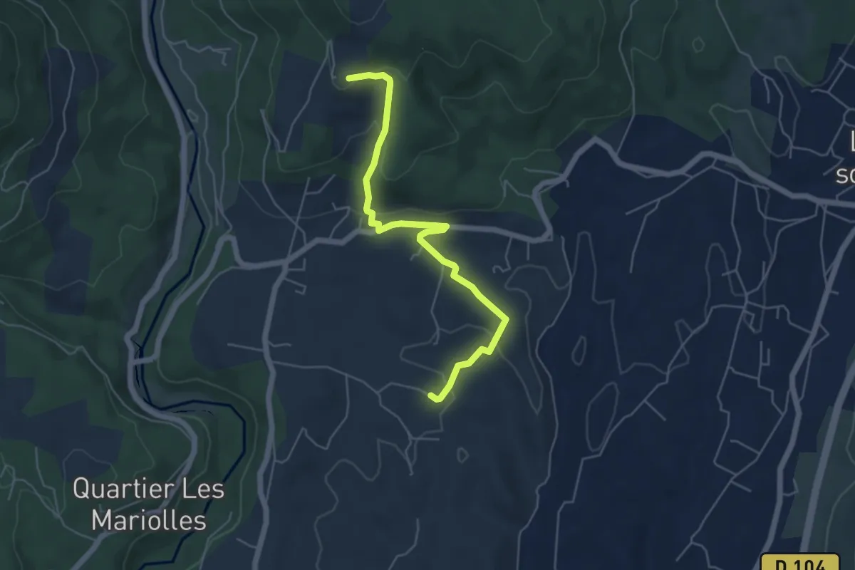
Easy · Trail
Le Tinal - Merzelet
5.4 km · ↑ 175 m · 1 h 40 min
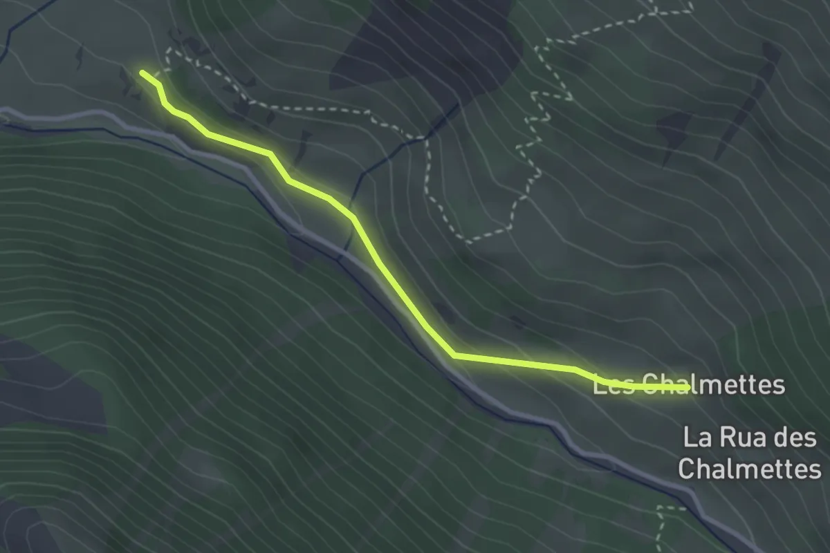
Easy · Trail
Le Tioure - Les Chalmettes
3.0 km · ↑ 119 m · 57 min
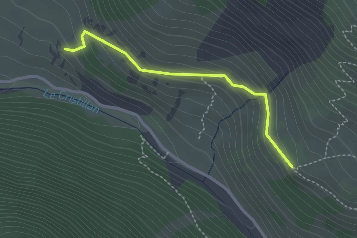
Medium · Trail
Le Tioure - Le Touret
2.0 km · ↑ 113 m · 43 min
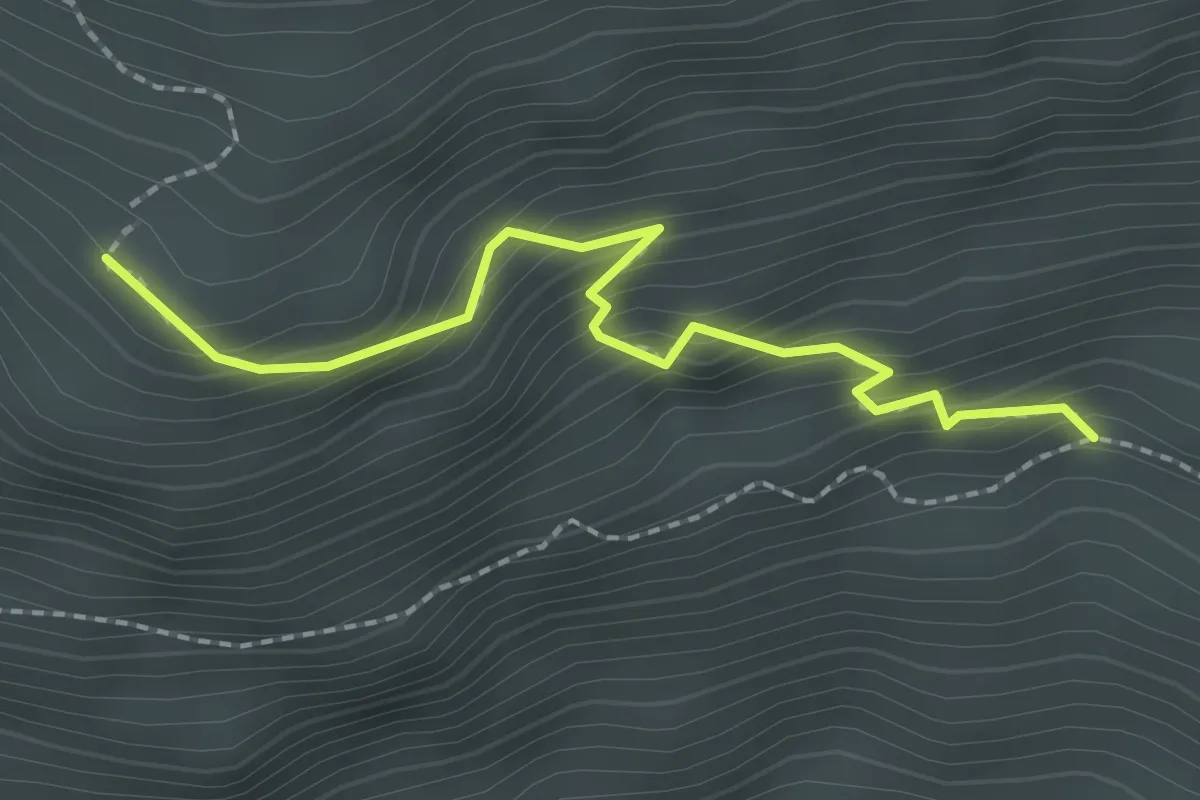
Easy · Trail
Le Tirail - Le Tioure
2.2 km · ↑ 213 m · 59 min
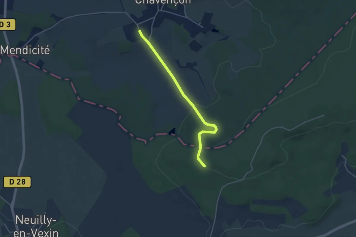
Easy · Trail
Le toit du Vexin
3.4 km · ↑ 105 m · 1 h 2 min
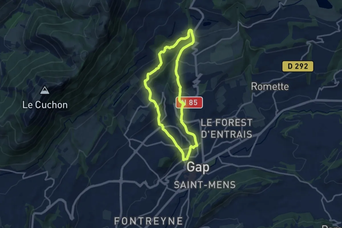
Medium · Trail
Le Torrent de Bonne
9.4 km · ↑ 400 m · 3 h 13 min
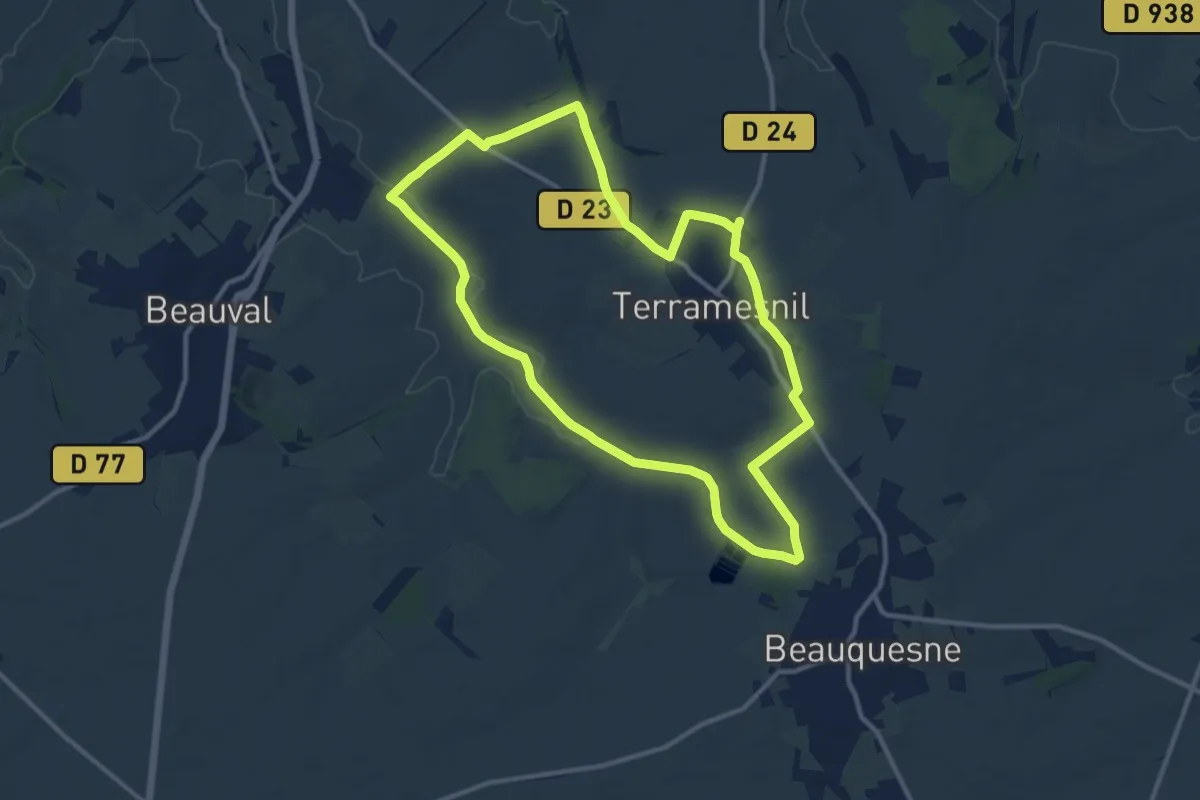
Medium · Trail
Le Tortillard
10.5 km · ↑ 70 m · 2 h 47 min
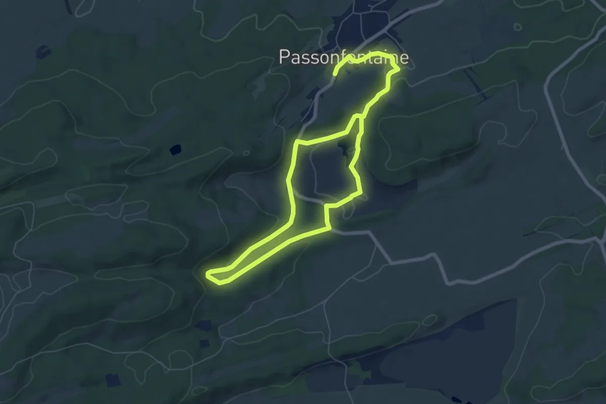
Easy · Trail
Le Tour de Barchet
5.6 km · ↑ 118 m · 1 h 38 min
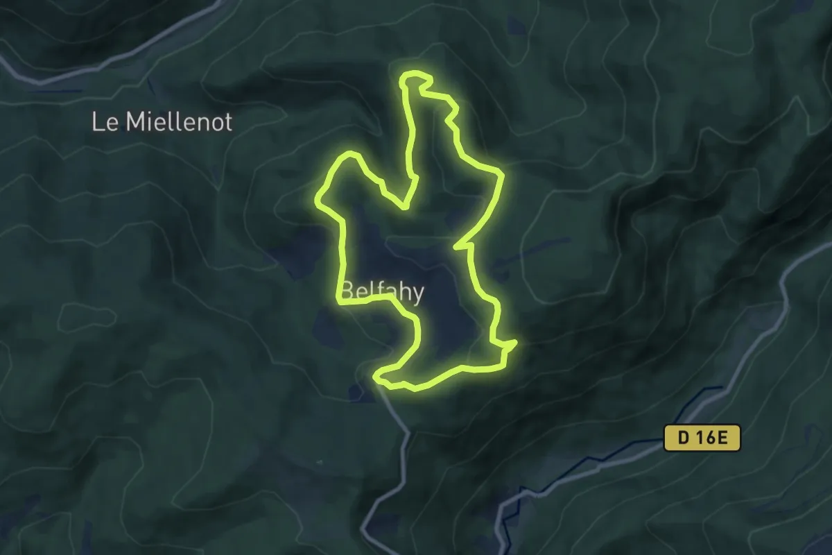
Easy · Trail
Le Tour de Belfahy
8.0 km · ↑ 293 m · 2 h 37 min
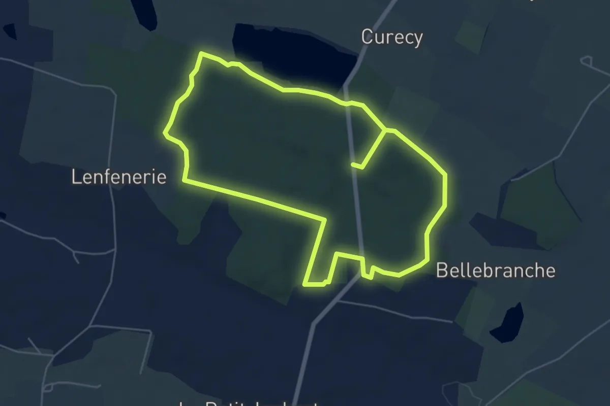
Easy · Trail
Le Tour de Bellebranche
5.3 km · ↑ 40 m · 1 h 25 min
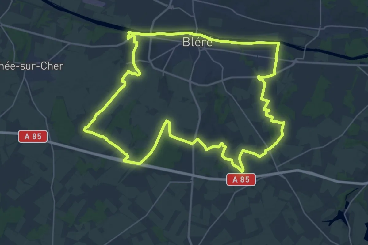
Demanding · Trail
Le Tour de Bléré
25.6 km · ↑ 122 m · 6 h 40 min
Easy · Trail
Le Tour de Bucquoy
2.3 km · ↑ 18 m · 35 min
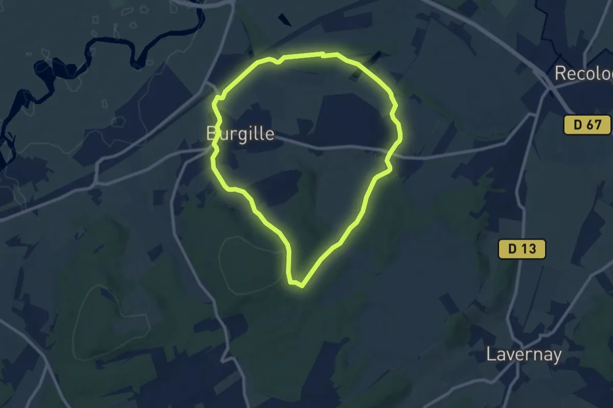
Easy · Trail
Le Tour de Burgille
7.3 km · ↑ 114 m · 2 h 4 min
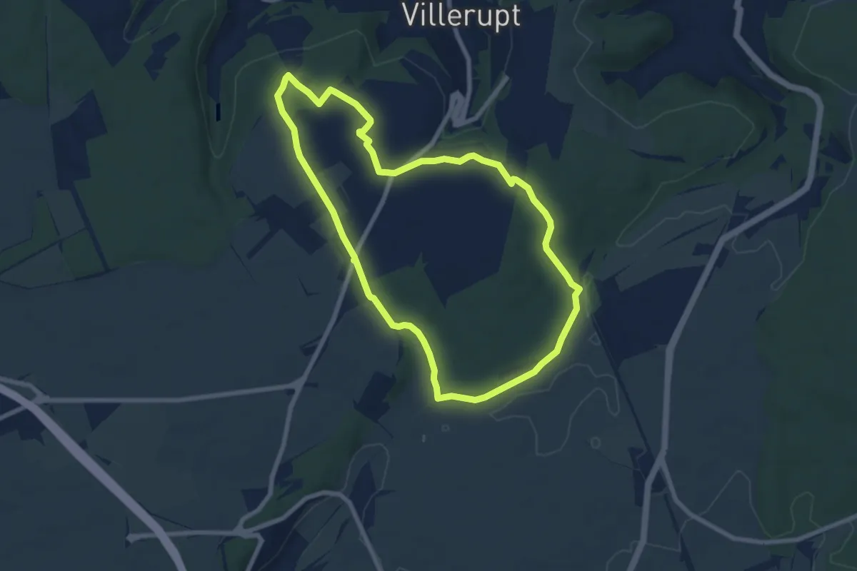
Easy · Trail
Le Tour de Cantebonne
6.7 km · ↑ 87 m · 1 h 52 min
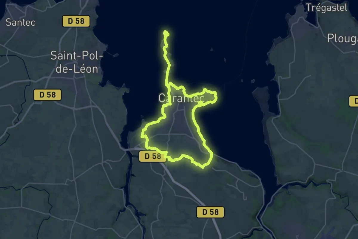
Demanding · Trail
Le Tour de Carantec
21.2 km · ↑ 261 m · 5 h 52 min
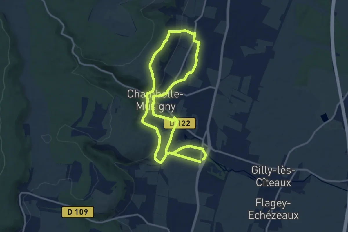
Medium · Trail
Le Tour de Clos Vougeot
8.6 km · ↑ 184 m · 2 h 33 min
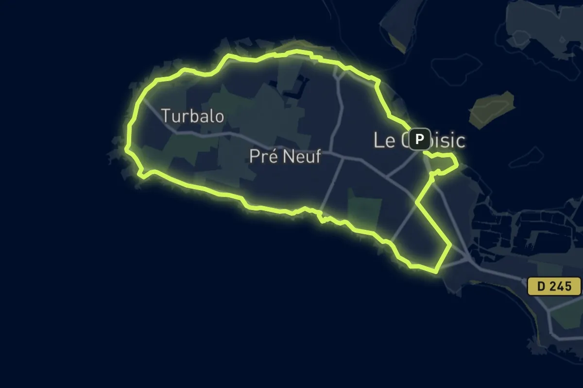
Medium · Summit
Le Tour de Côte
9.5 km · ↑ 21 m · 2 h 25 min
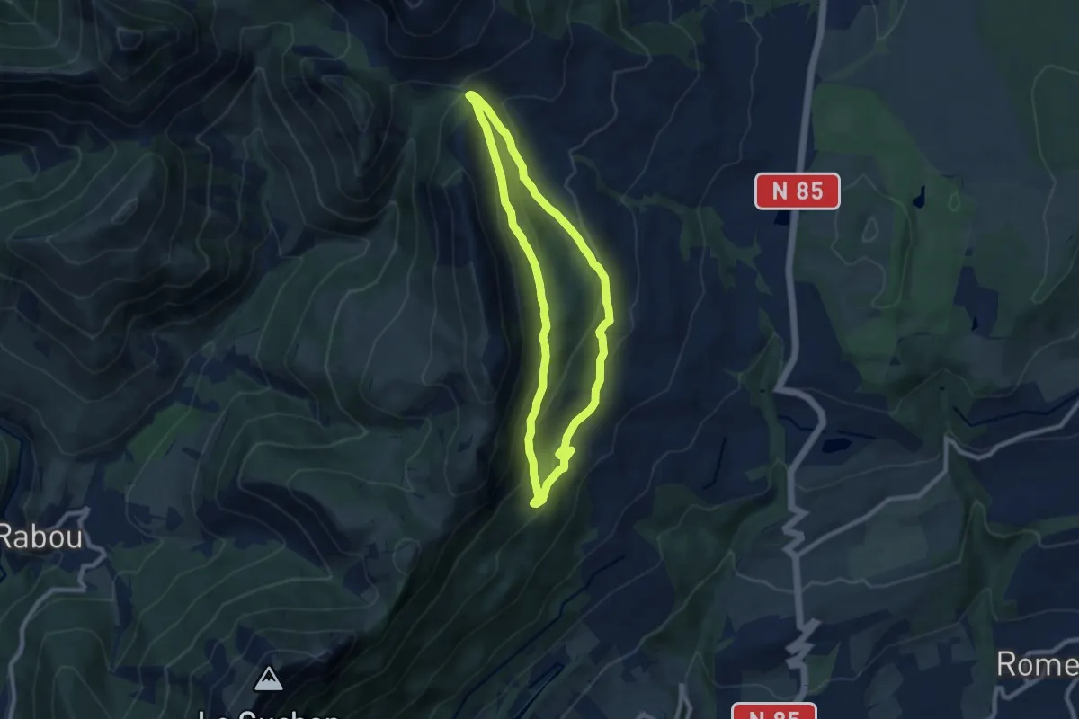
Medium · Trail
Le Tour de Folletière
7.5 km · ↑ 338 m · 2 h 36 min
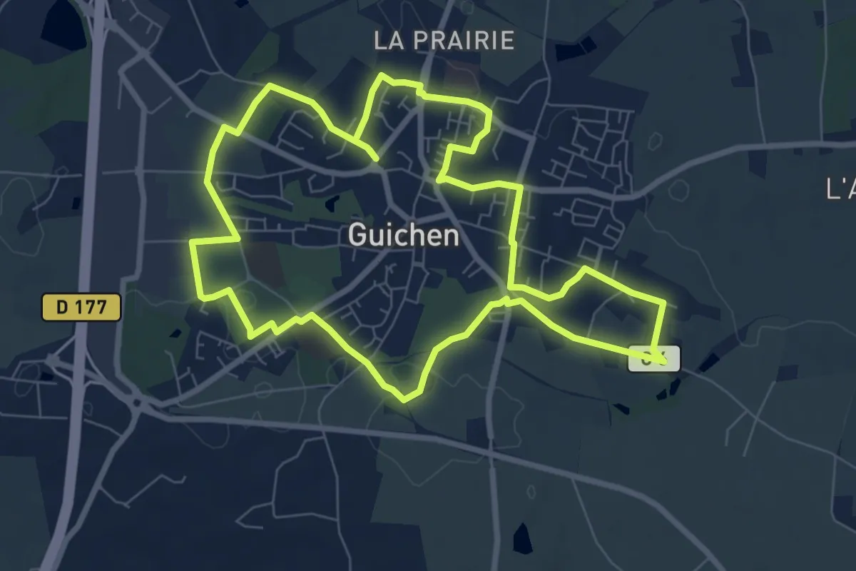
Easy · Trail
Le tour de Guichen
7.7 km · ↑ 106 m · 2 h 9 min
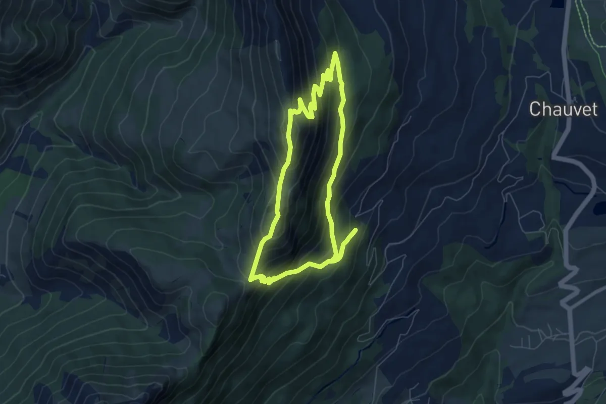
Medium · Summit
Le Tour de Guizière
6.6 km · ↑ 516 m · 2 h 47 min
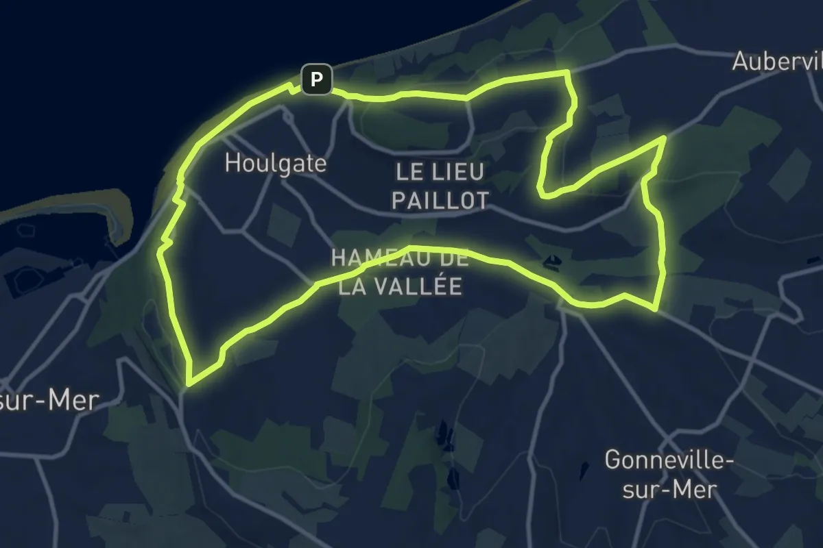
Medium · Trail
Le Tour de Houlgate
11.1 km · ↑ 257 m · 3 h 20 min
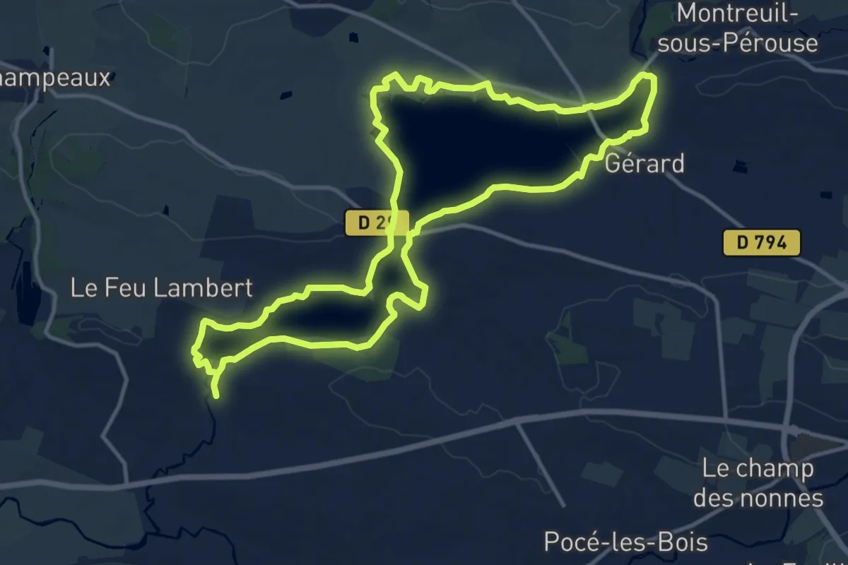
Medium · Trail
Le tour de la Cantache
12.4 km · ↑ 96 m · 3 h 18 min
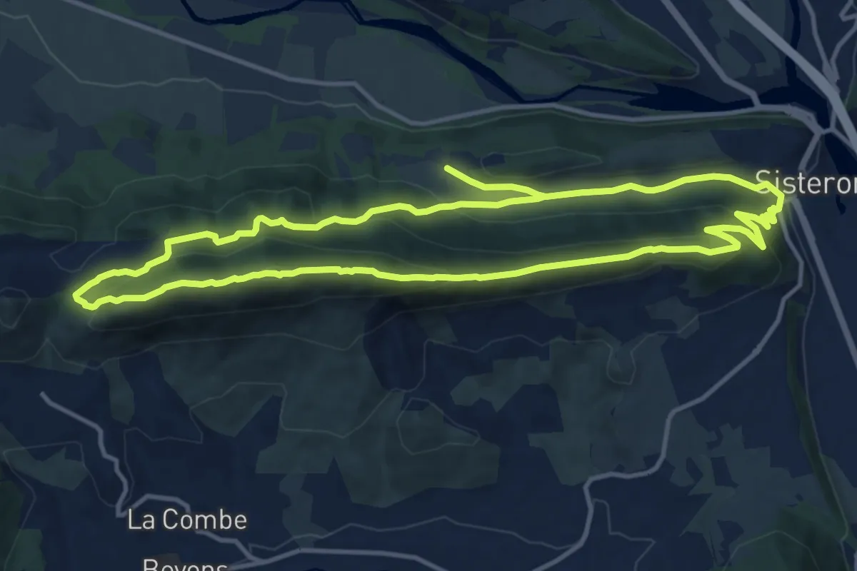
Medium · Summit
Le tour de la Colle
12.3 km · ↑ 517 m · 4 h 12 min
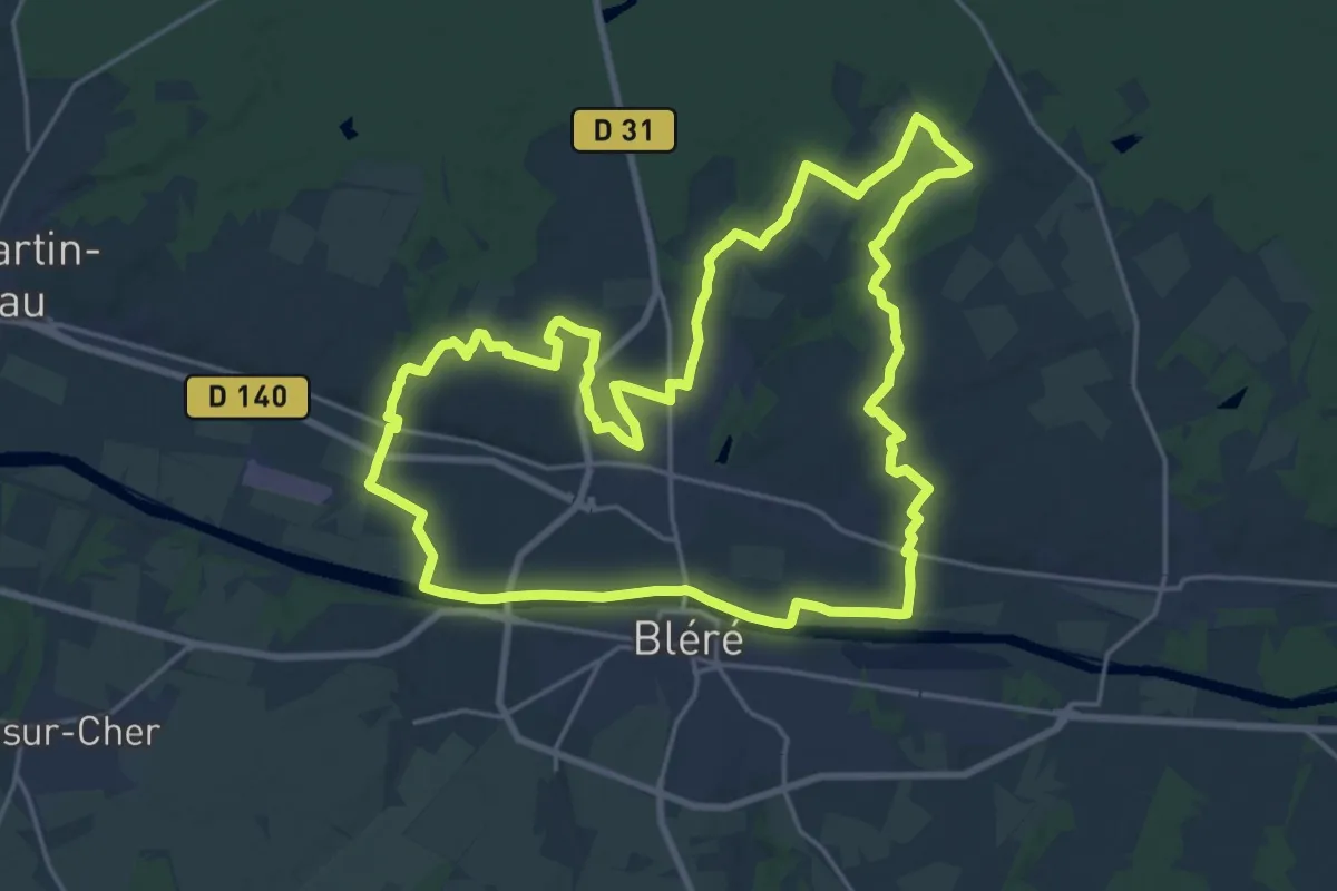
Demanding · Trail
Le Tour de La Croix - La-Croix-en-Touraine
21.7 km · ↑ 149 m · 5 h 45 min
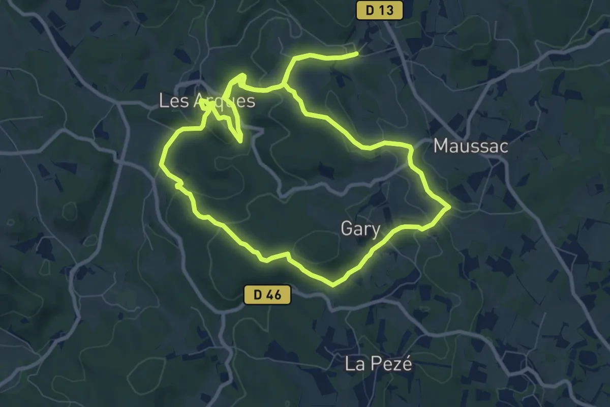
Medium · Trail
Le Tour de Ladoux
9.6 km · ↑ 241 m · 2 h 56 min
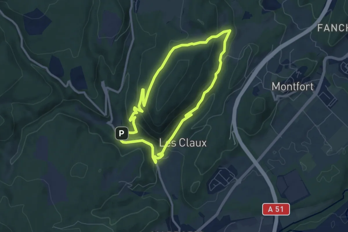
Easy · Trail
Le tour de la Louvière par la Voie Royale
6.7 km · ↑ 215 m · 2 h 9 min
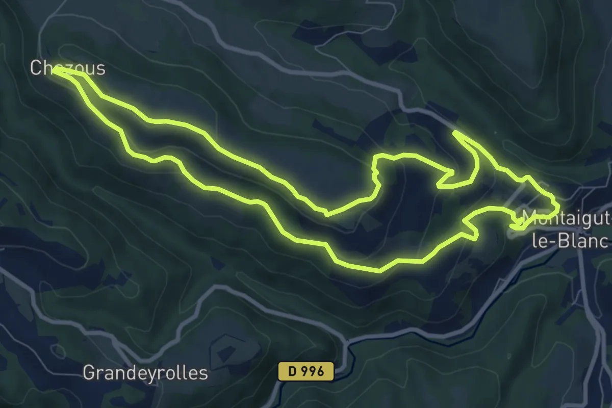
Medium · Trail
Le Tour de la Piniere
8.7 km · ↑ 325 m · 2 h 53 min
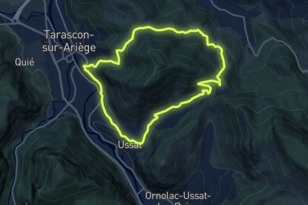
Medium · Trail
Le Tour de la Pique
9.7 km · ↑ 528 m · 3 h 34 min
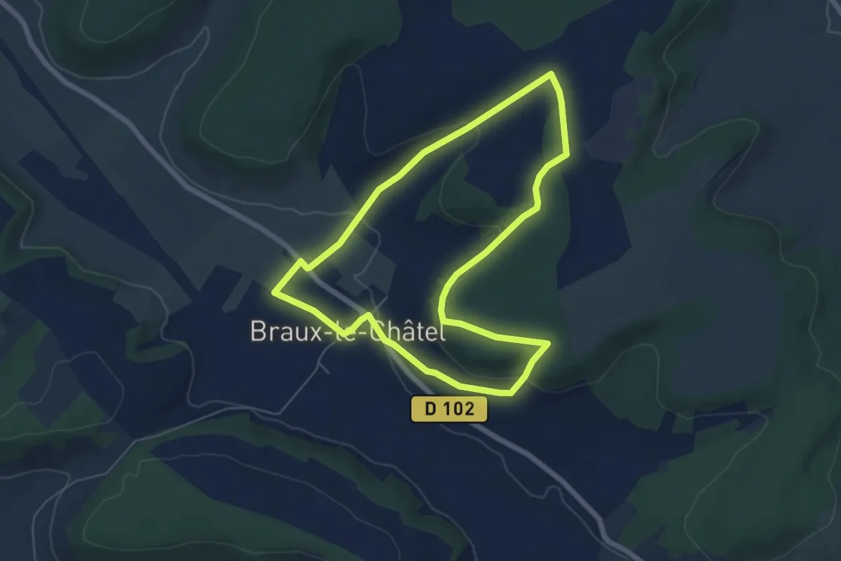
Easy · Trail
le Tour de la Rêpe
5.6 km · ↑ 148 m · 1 h 43 min
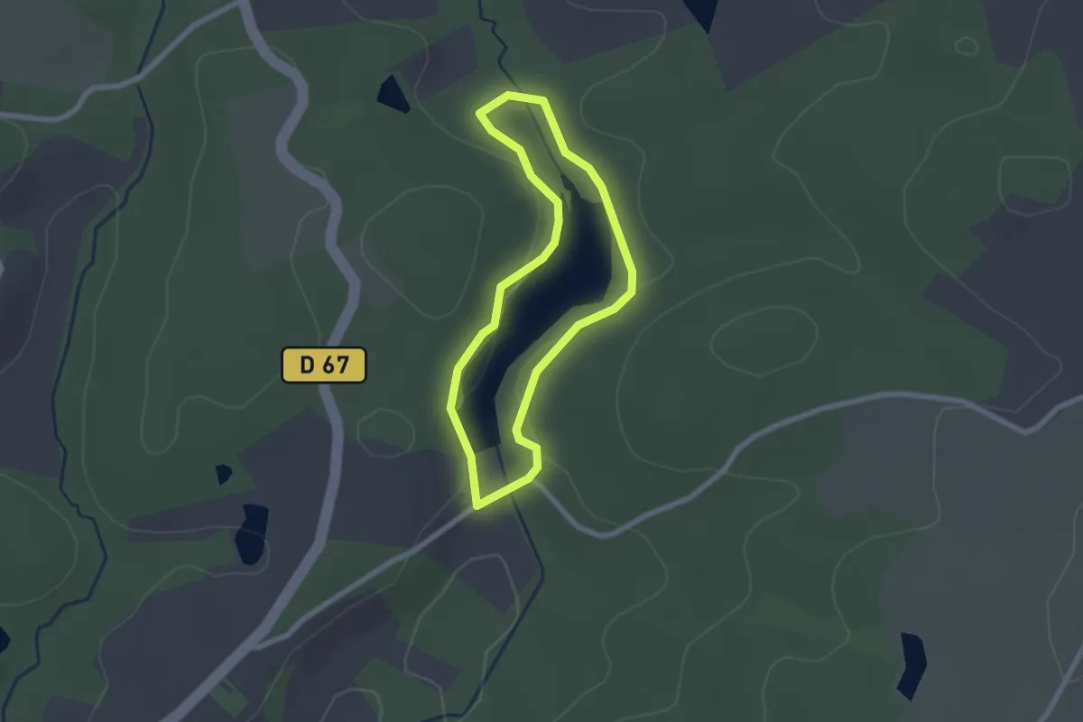
Easy · Trail
Le tour de l'étang de la Barde
2.0 km · ↑ 36 m · 34 min
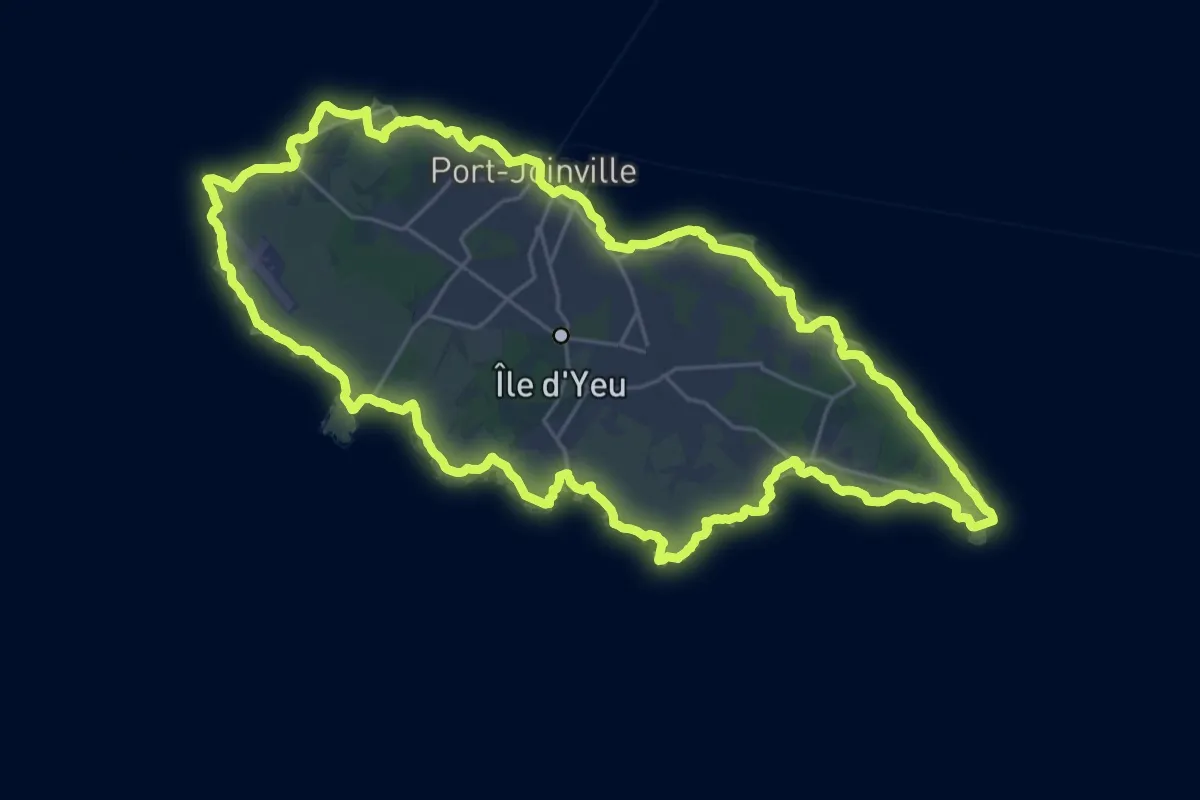
Demanding · Trail
Le tour de l'île d'Yeu
27.2 km · ↑ 121 m · 7 h 4 min
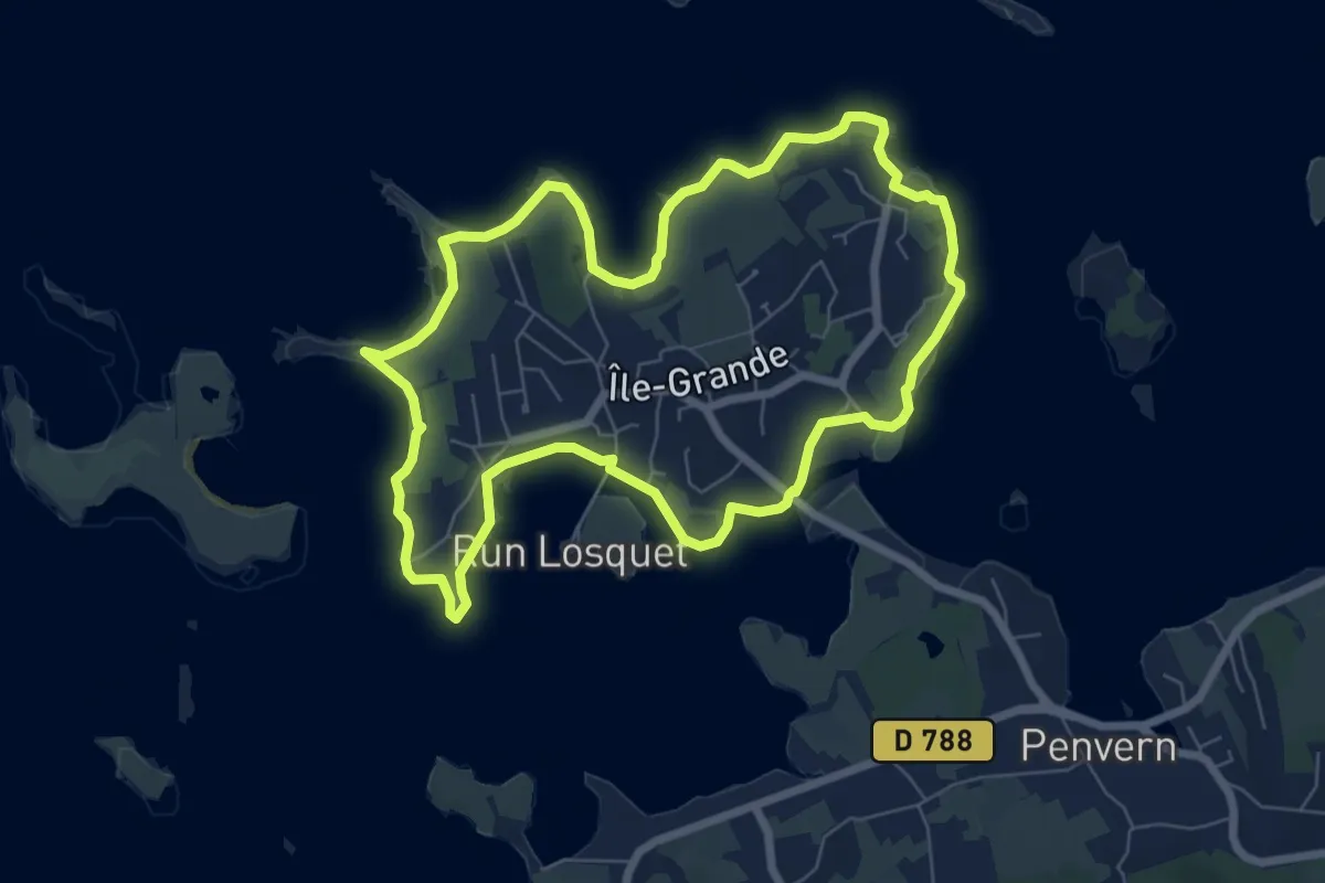
Easy · Summit
Le Tour de l'Île-Grande
6.8 km · ↑ 8 m · 1 h 43 min
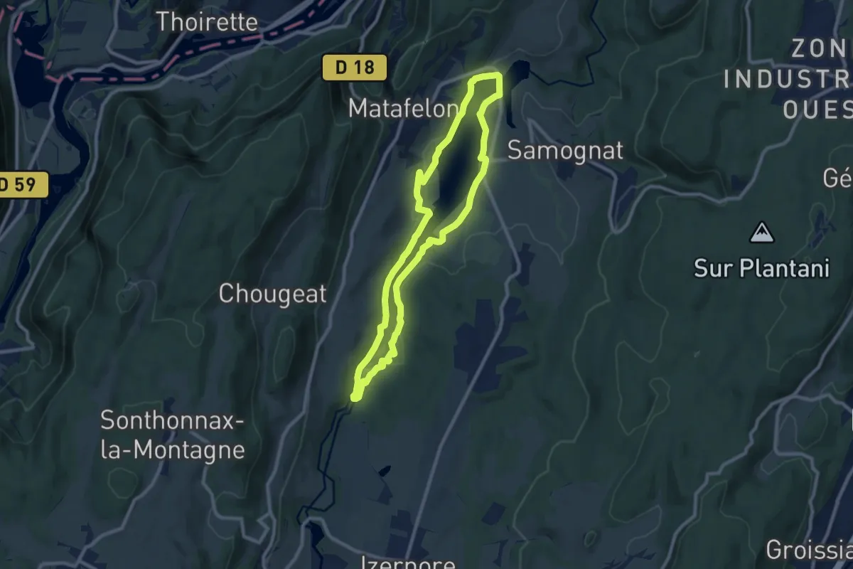
Medium · Trail
Le Tour de l'Oignin
8.3 km · ↑ 181 m · 2 h 28 min
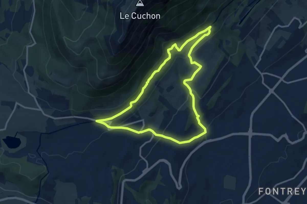
Medium · Trail
Le Tour de Malcombe
8.2 km · ↑ 337 m · 2 h 46 min
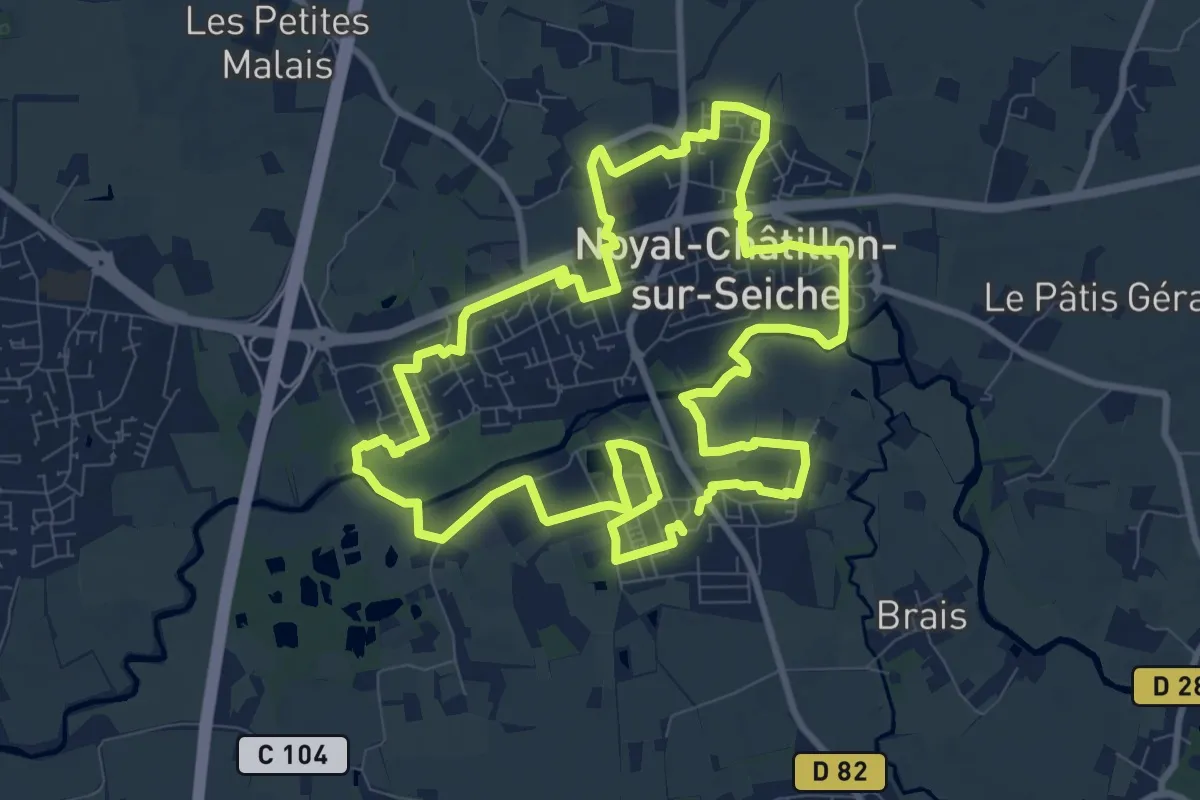
Medium · Trail
Le tour de Noyal-Chatillon
10.0 km · ↑ 26 m · 2 h 33 min
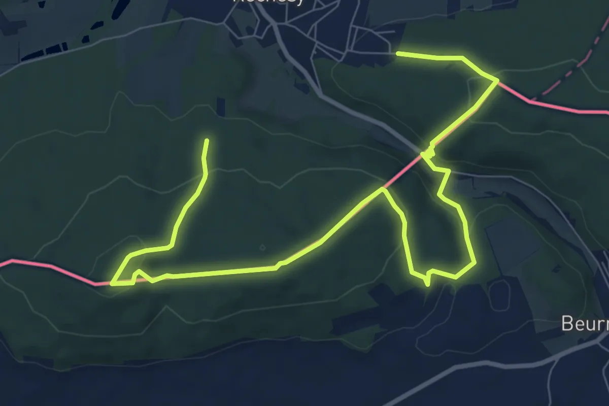
Medium · Trail
Le Tour de Réchésy
10.9 km · ↑ 415 m · 3 h 29 min