Trails in France
15,926 hiking trails, each with its route, climb, walking time and grade.
All trails, page 199 of 332
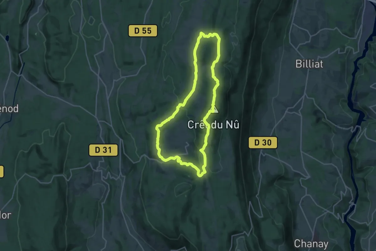
Medium · Summit
Le Tour de Retord
17.5 km · ↑ 446 m · 5 h 21 min
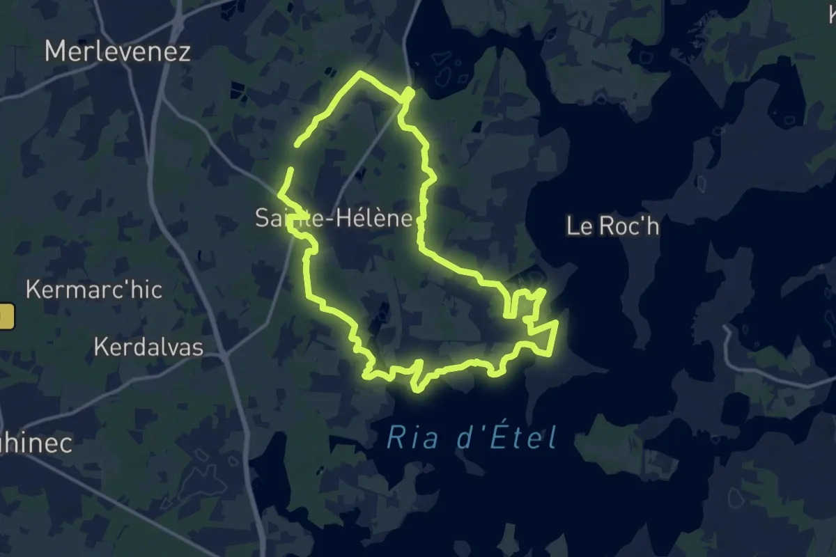
Medium · Trail
Le tour de Sainte-Hélène
13.6 km · ↑ 48 m · 3 h 30 min
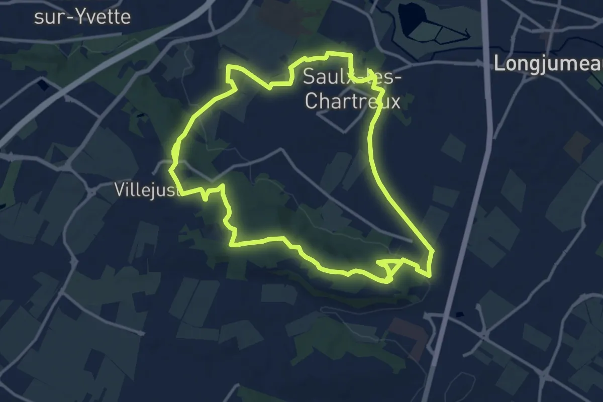
Medium · Trail
Le tour de Saulx-les-Chartreux
11.8 km · ↑ 189 m · 3 h 20 min
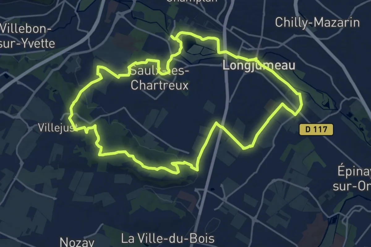
Medium · Trail
Le tour de Saulx-les-Chartreux par Ballainvilliers
16.6 km · ↑ 177 m · 4 h 32 min
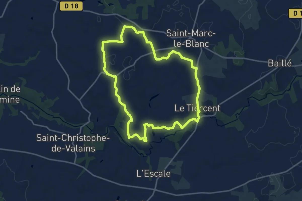
Medium · Trail
Le tour des carrières
10.1 km · ↑ 91 m · 2 h 43 min
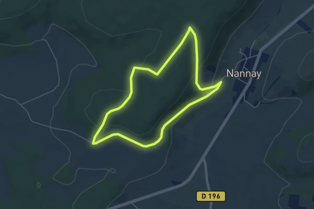
Easy · Trail
Le tour des grands buissons - Nannay
4.1 km · ↑ 124 m · 1 h 17 min
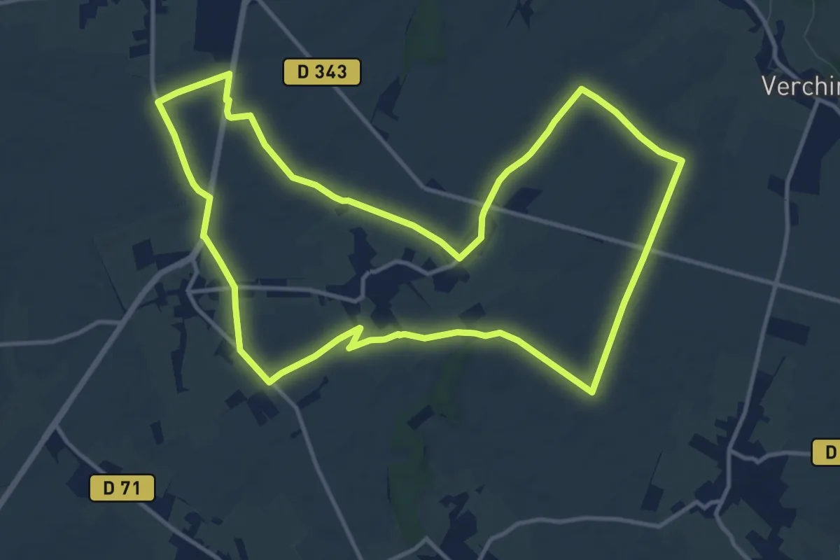
Medium · Trail
Le Tour des Haies
12.0 km · ↑ 42 m · 3 h 5 min
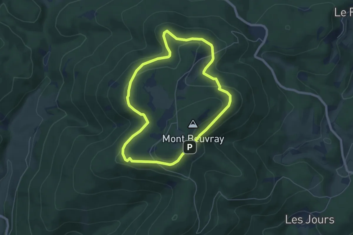
Easy · Trail
Le Tour des Remparts
4.8 km · ↑ 122 m · 1 h 29 min
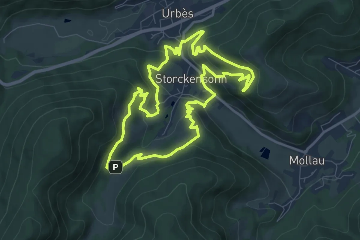
Medium · Summit
Le tour de Storckensohn
7.6 km · ↑ 355 m · 2 h 41 min
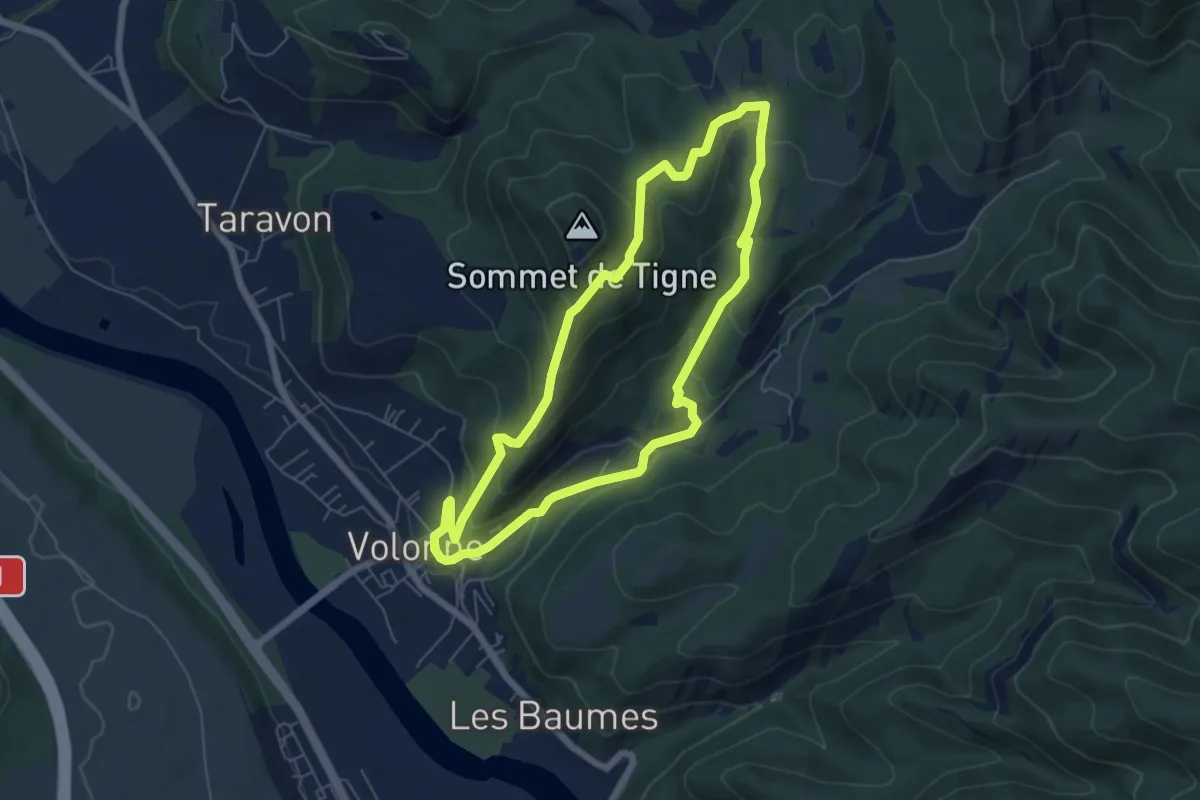
Easy · Trail
Le Tour de Tigne
6.0 km · ↑ 275 m · 2 h 6 min
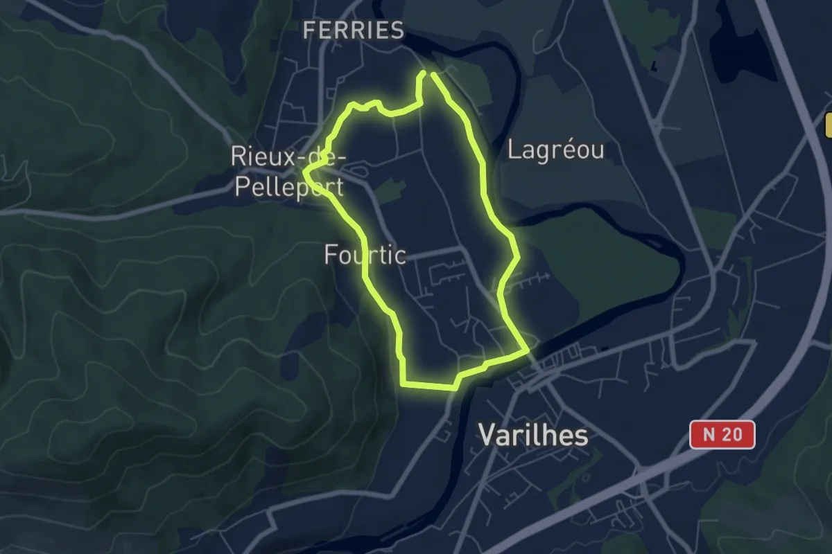
Easy · Trail
Le Tour de Vals
5.5 km · ↑ 45 m · 1 h 27 min
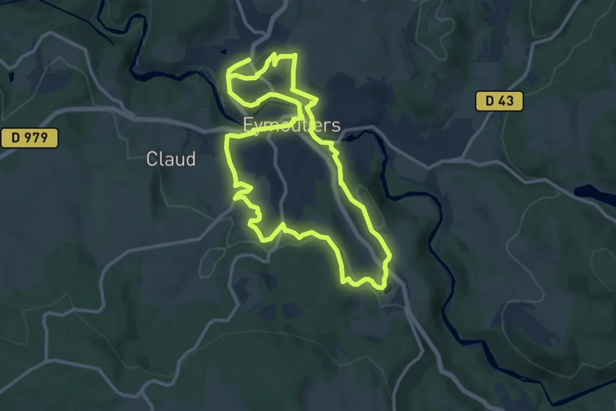
Medium · Trail
Le tour d'Eymoutiers
8.5 km · ↑ 211 m · 2 h 35 min
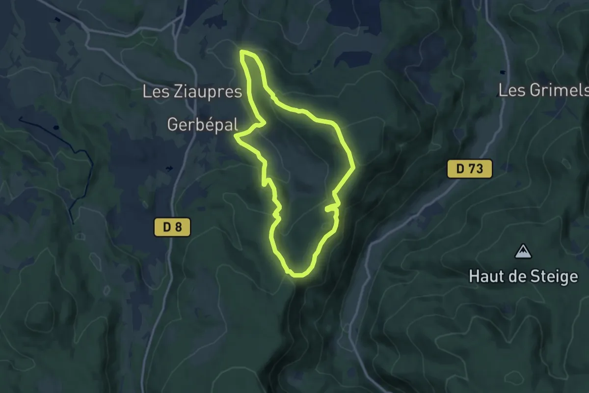
Medium · Trail
Le Tour d'Osseux
9.6 km · ↑ 378 m · 3 h 13 min
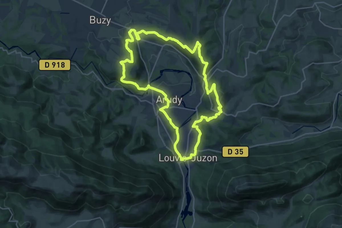
Demanding · Summit
Le tour du bassin d'Arudy
19.0 km · ↑ 551 m · 5 h 56 min
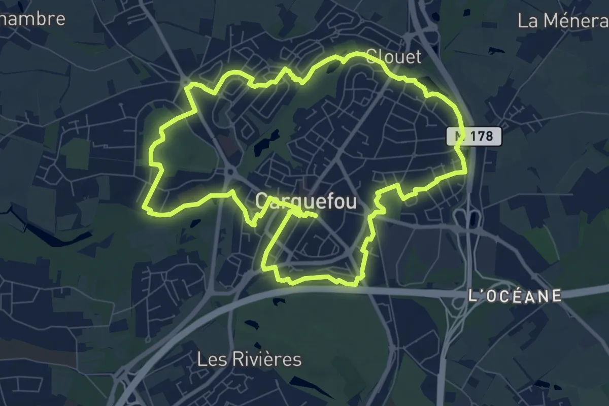
Medium · Trail
Le Tour du Bourg
8.9 km · ↑ 57 m · 2 h 21 min
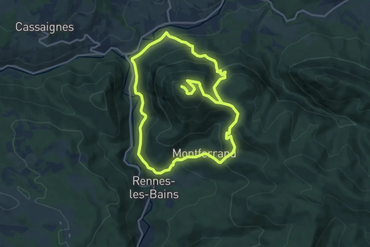
Demanding · Summit
Le Tour du Cardou
18.3 km · ↑ 1026 m · 6 h 32 min
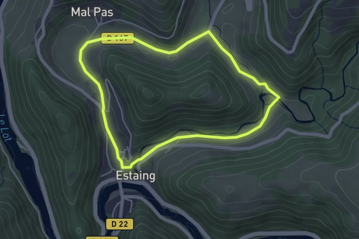
Easy · Trail
Le Tour du Combayre
3.7 km · ↑ 41 m · 1 h 1 min
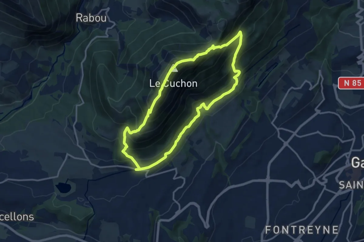
Demanding · Summit
Le Tour du Cuchon
10.0 km · ↑ 823 m · 4 h 17 min
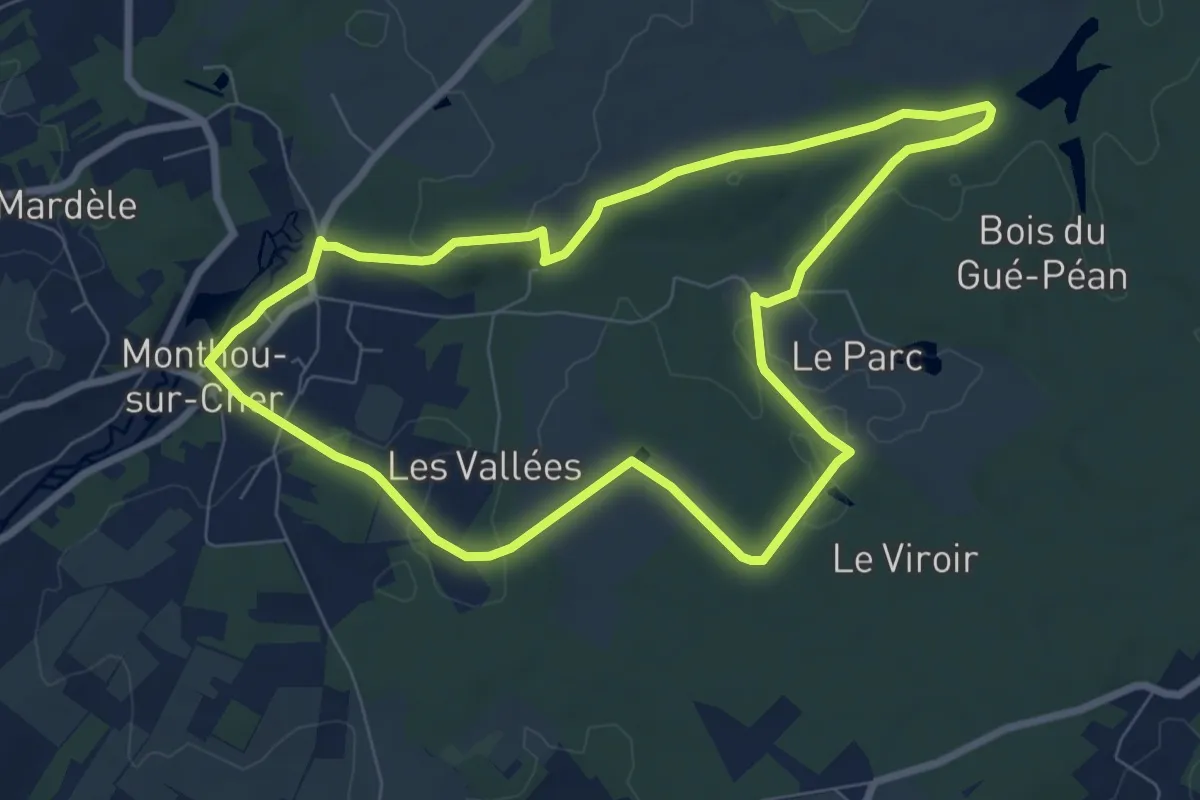
Easy · Trail
Le Tour du Gué Péan
7.5 km · ↑ 73 m · 2 h 2 min
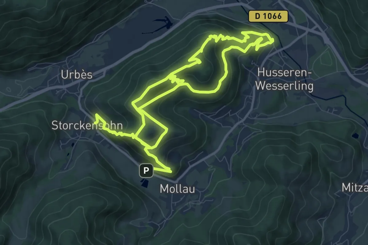
Medium · Summit
Le tour du Huselberg
9.8 km · ↑ 567 m · 3 h 41 min
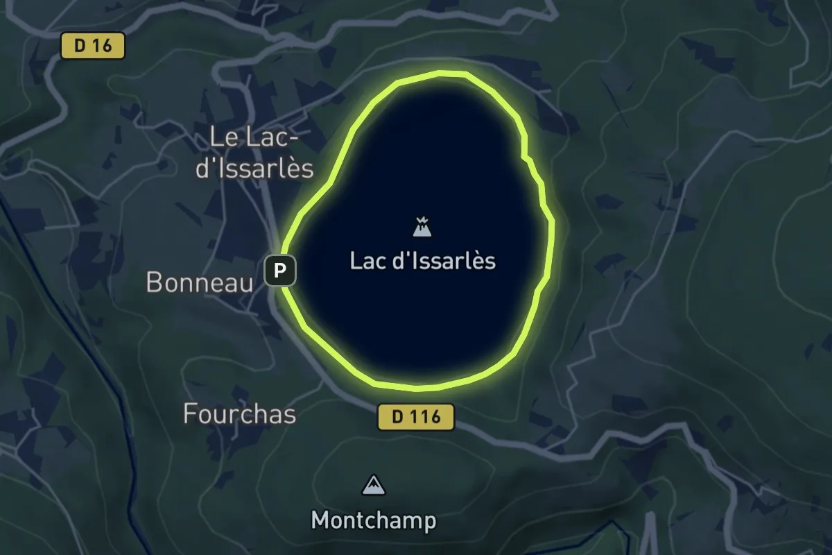
Easy · Trail
Le tour du Lac
3.6 km · ↑ 23 m · 56 min
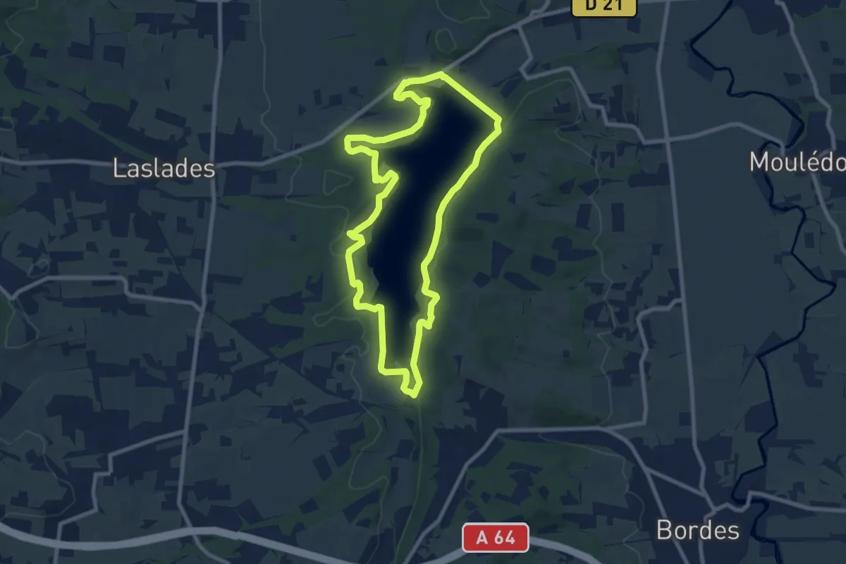
Medium · Trail
Le Tour du Lac
8.6 km · ↑ 181 m · 2 h 32 min
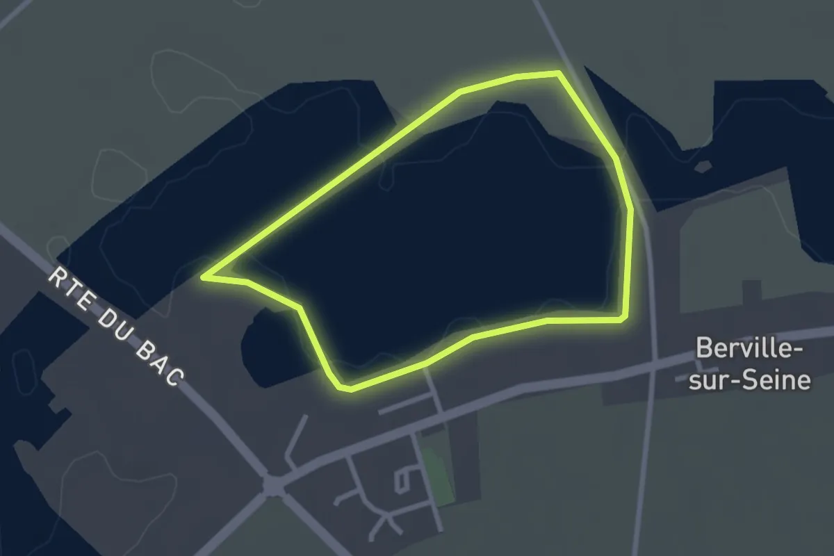
Easy · Trail
Le Tour du Lac
2.2 km · ↑ 0 m · 33 min
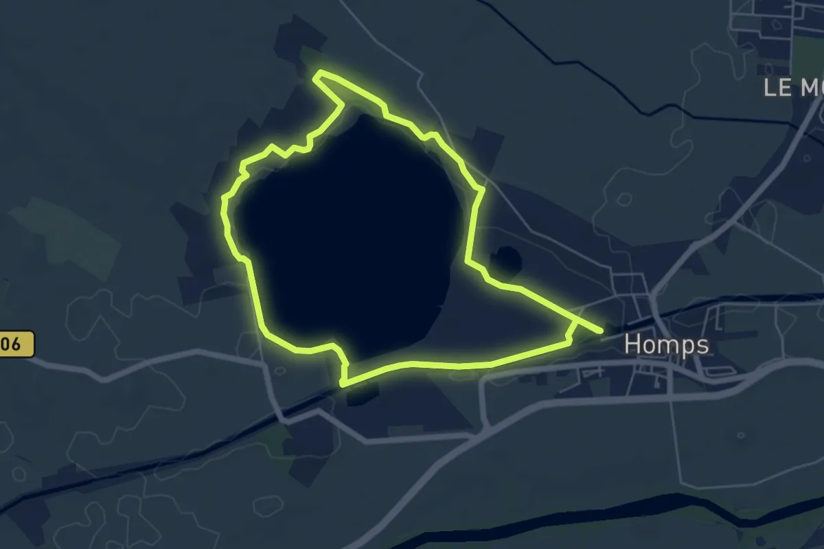
Easy · Trail
Le Tour du Lac de Jouarres
5.8 km · ↑ 14 m · 1 h 29 min
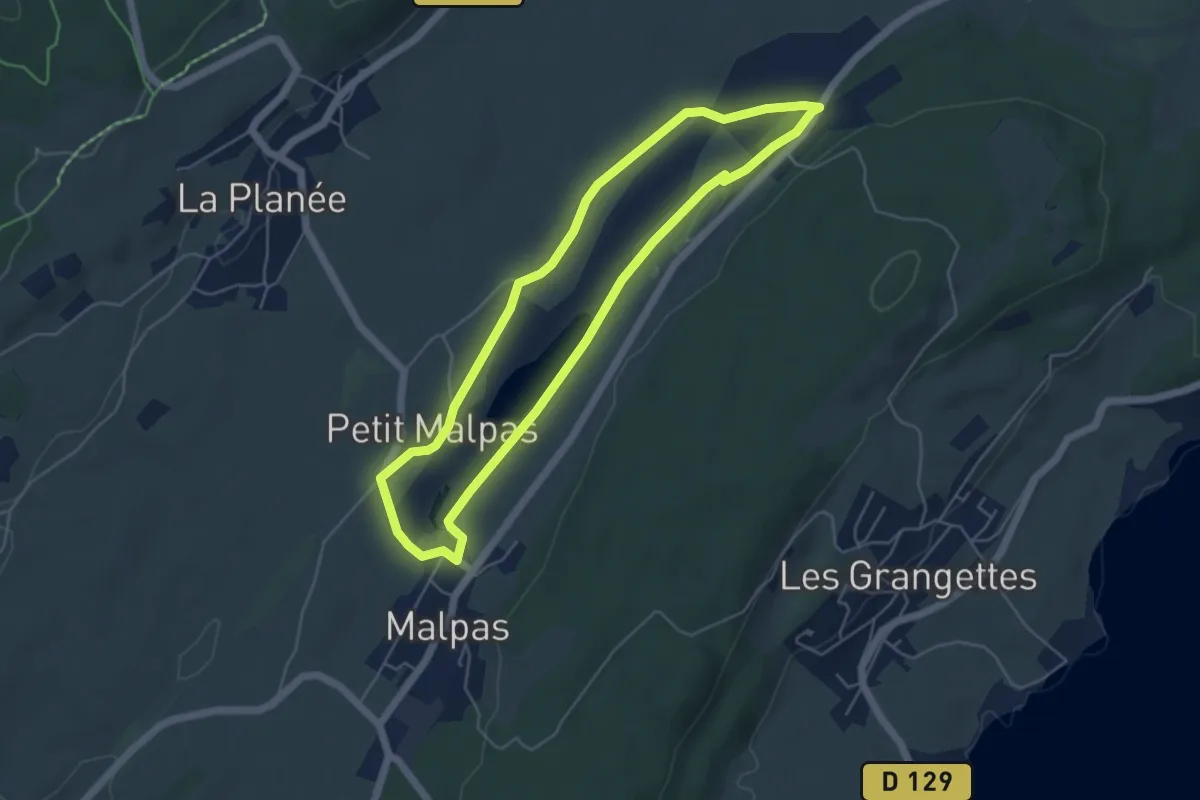
Easy · Trail
Le Tour du Lac de Malpas
4.9 km · ↑ 54 m · 1 h 20 min
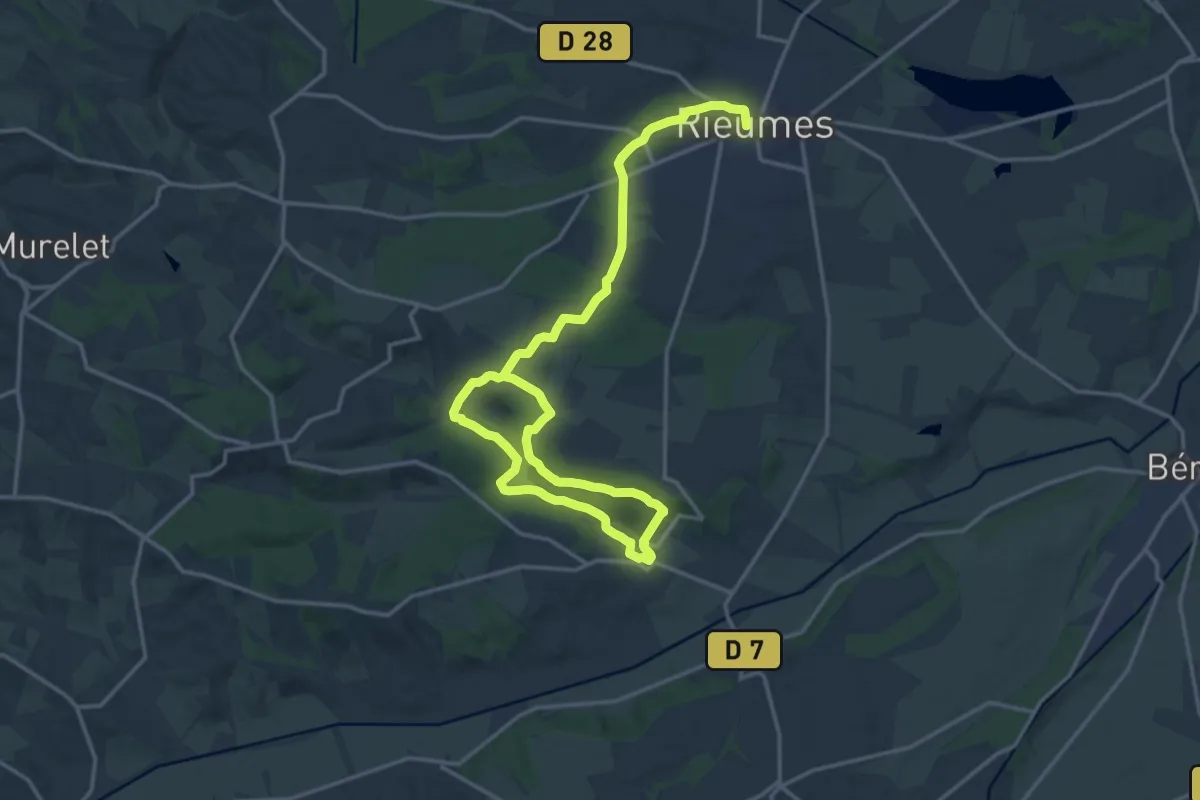
Demanding · Trail
Le tour du lac de Savères
24.5 km · ↑ 317 m · 6 h 28 min
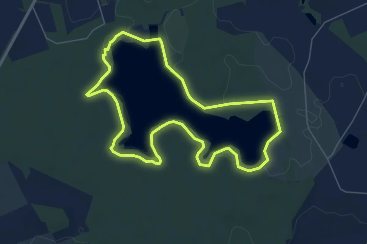
Easy · Trail
Le Tour du Lac de Trémelin
4.9 km · ↑ 35 m · 1 h 18 min
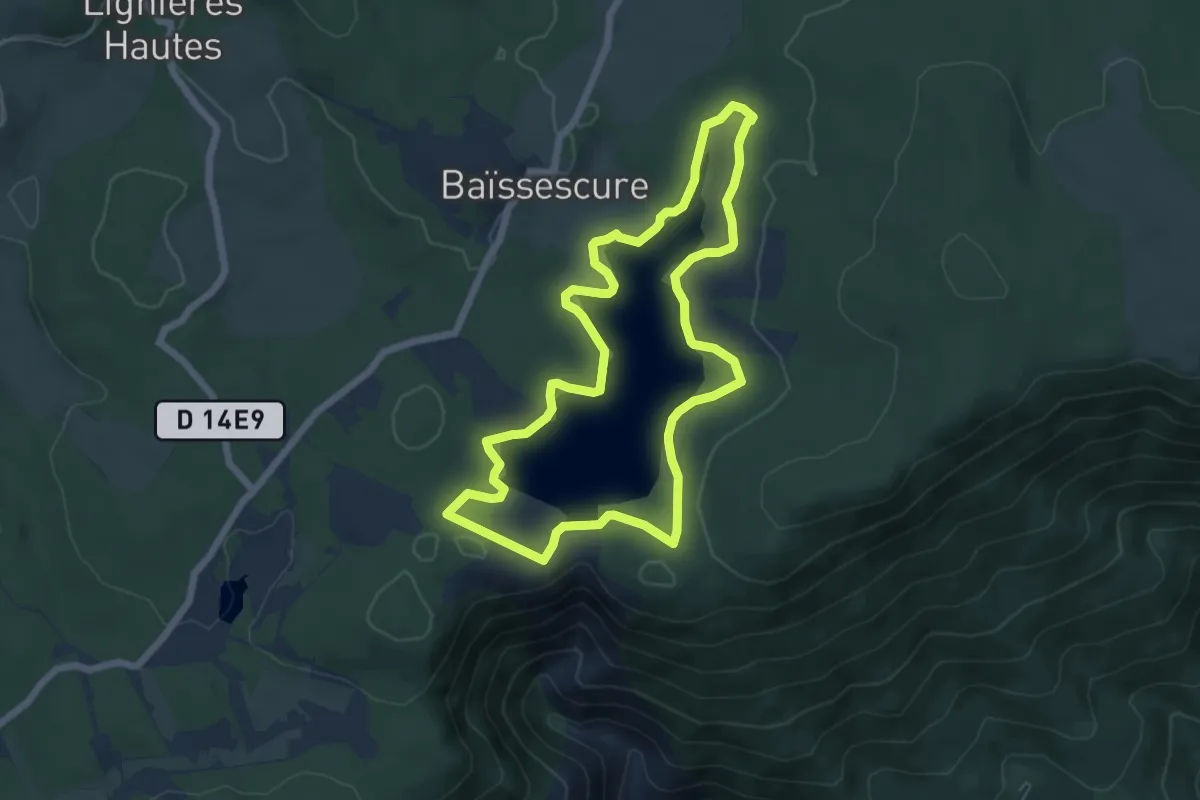
Easy · Trail
Le Tour Du Lac De Vesoles
6.3 km · ↑ 127 m · 1 h 52 min
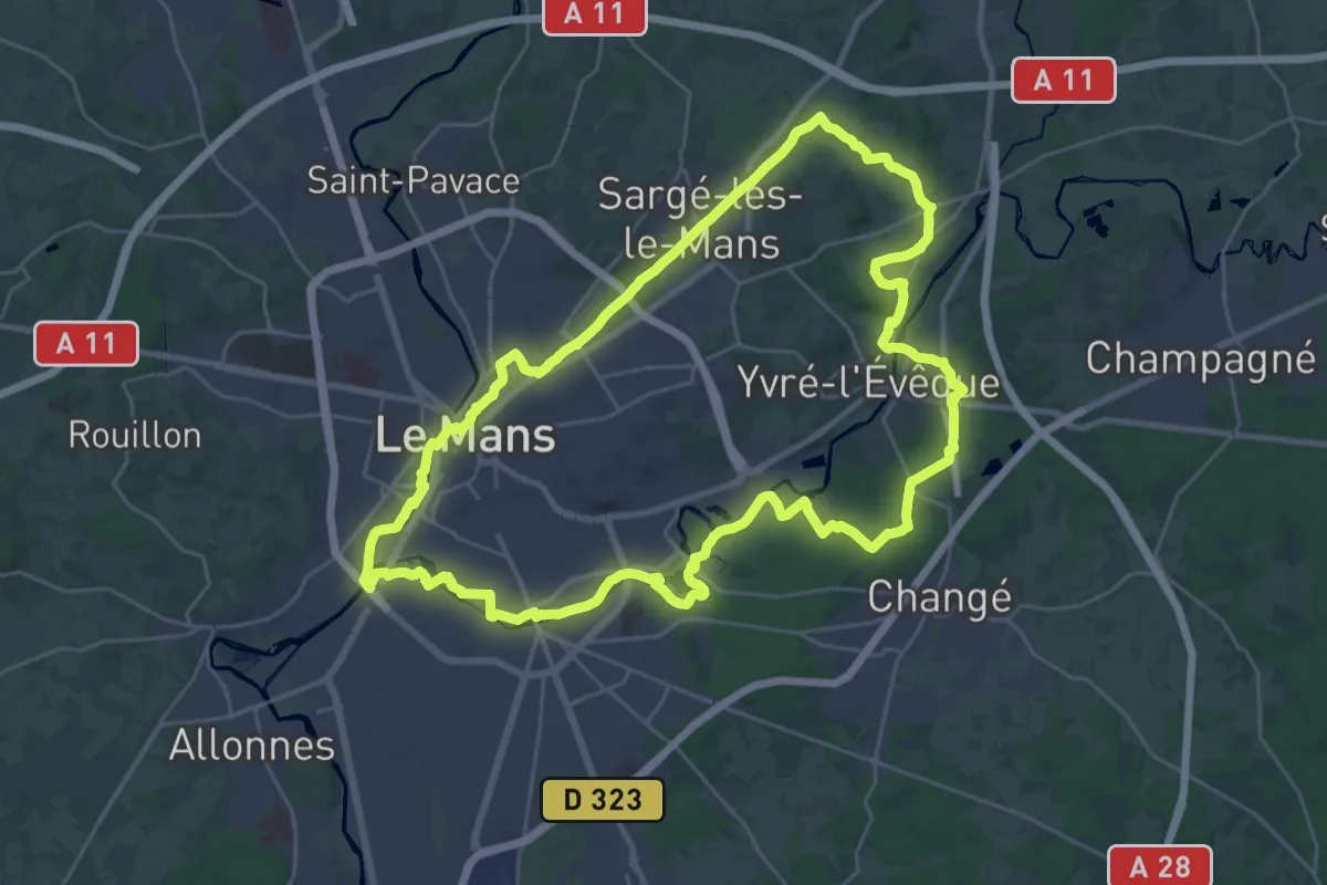
Demanding · Trail
Le tour du Mans
29.9 km · ↑ 291 m · 8 h 7 min
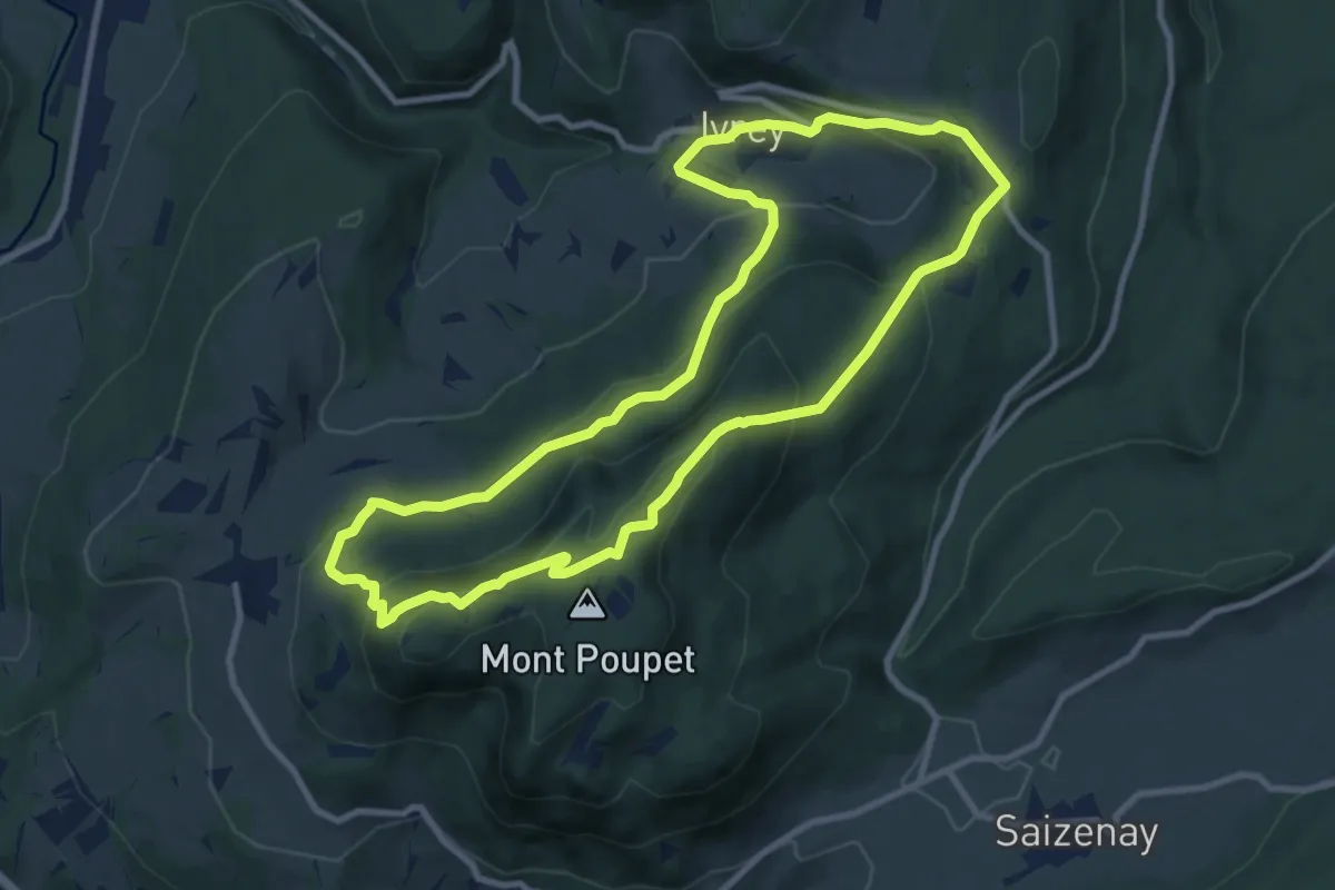
Medium · Trail
Le Tour du Mont Poupet
9.5 km · ↑ 459 m · 3 h 23 min
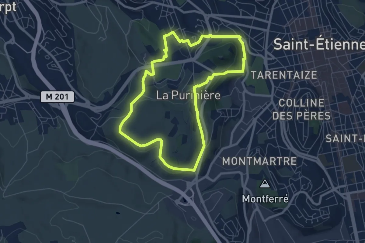
Easy · Trail
Le tour du Mont Salson
6.4 km · ↑ 163 m · 1 h 57 min
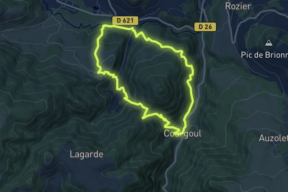
Medium · Trail
Le Tour du Pic de Cluzel
7.6 km · ↑ 557 m · 3 h 7 min
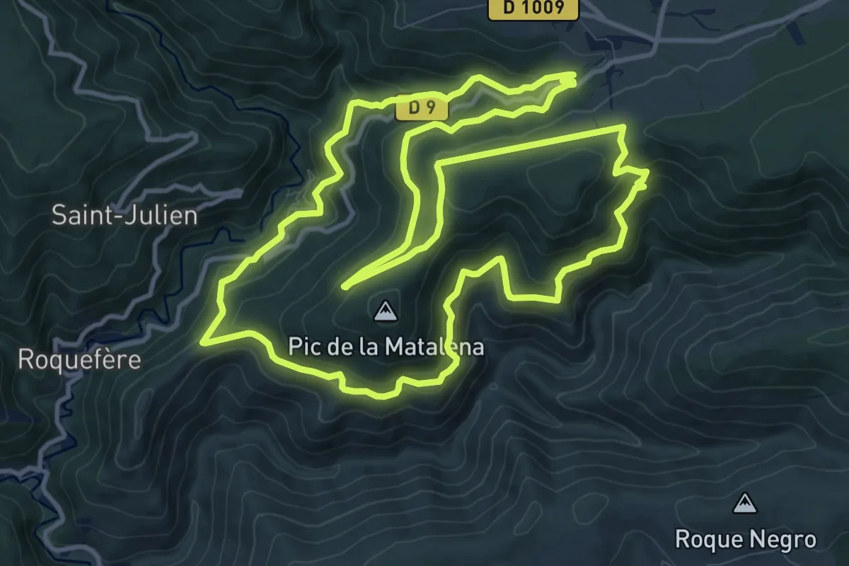
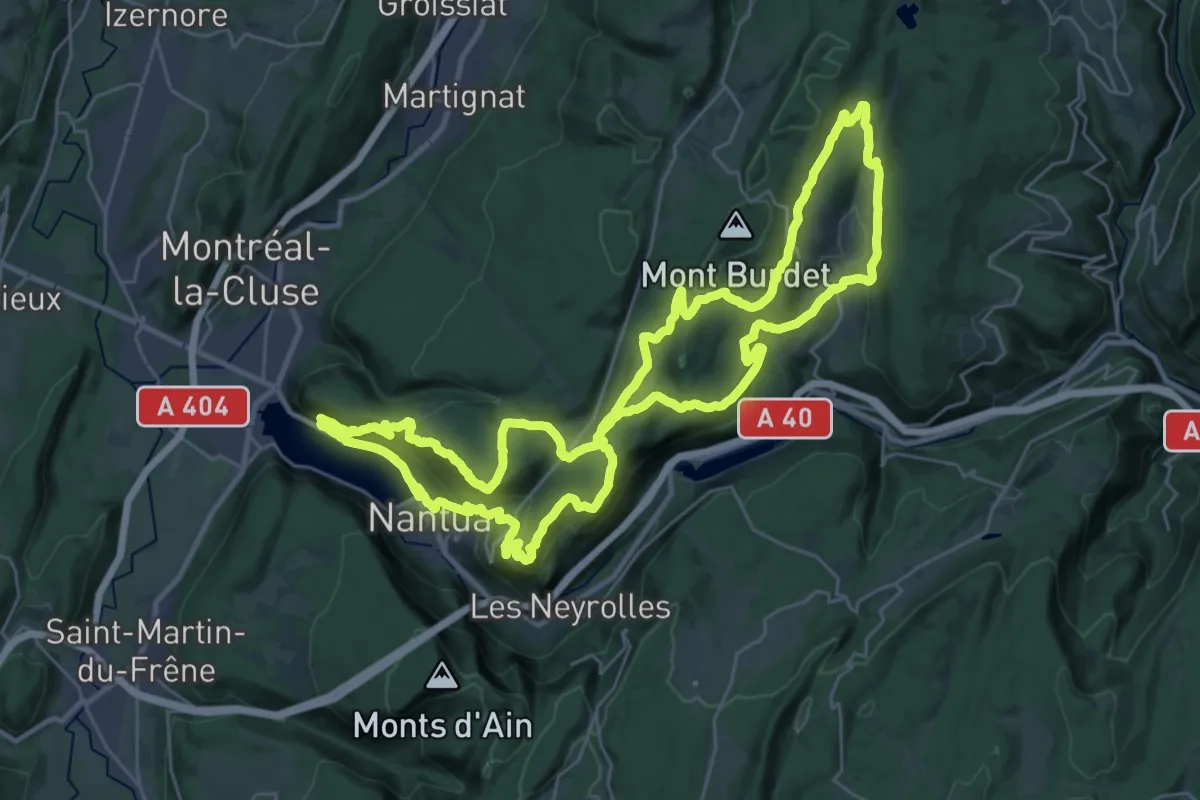
Medium · Trail
Le Tour du Pic de la Madeleine
13.4 km · ↑ 732 m · 4 h 56 min
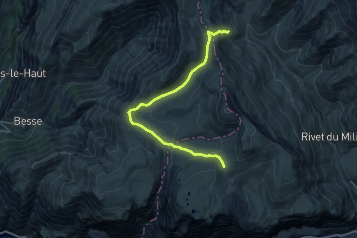
Demanding · Trail
Le Tour du Plateau 6
32.8 km · ↑ 1203 m · 10 h 48 min
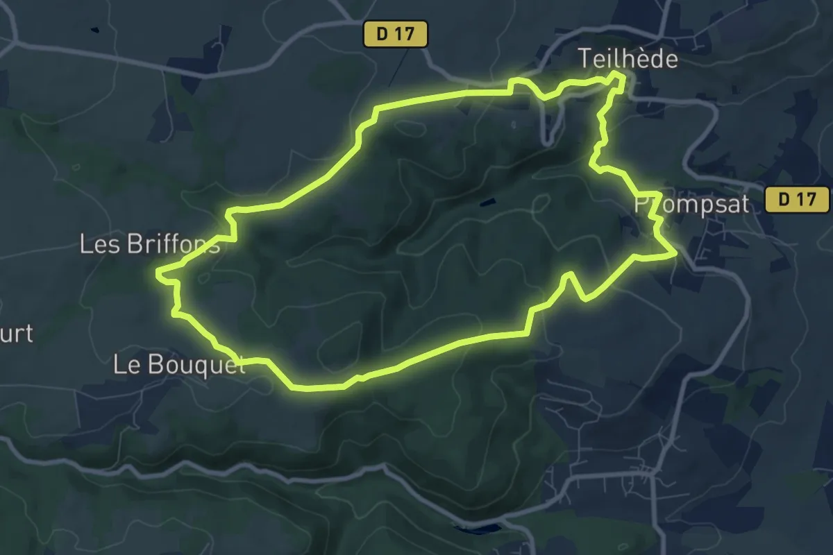
Medium · Trail
Le tour du plateau d'Emparis
7.4 km · ↑ 133 m · 2 h 14 min
Medium · Trail
Le tour du puy de Gramont
9.3 km · ↑ 235 m · 2 h 51 min
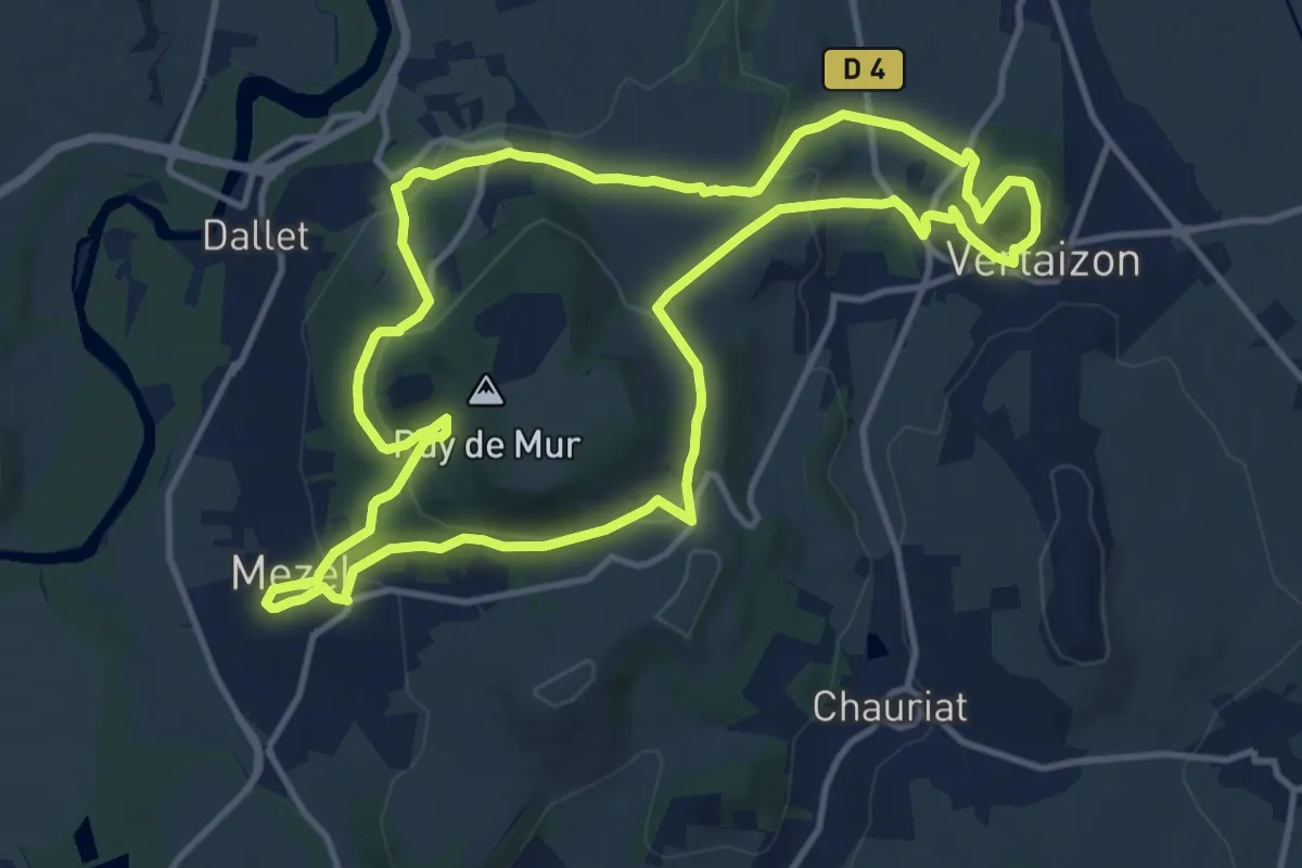
Medium · Trail
Le Tour du Puy de Mur
13.0 km · ↑ 480 m · 4 h 18 min
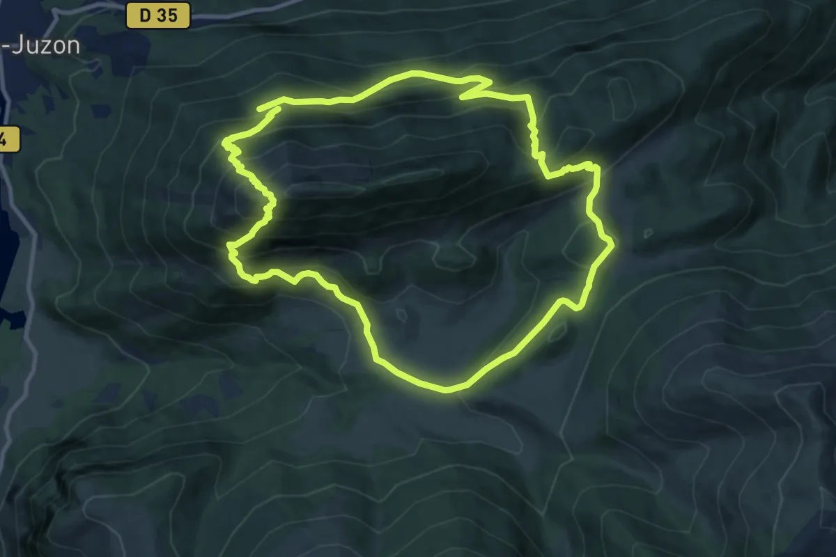
Demanding · Trail
Le tour du Rey
10.7 km · ↑ 890 m · 4 h 35 min
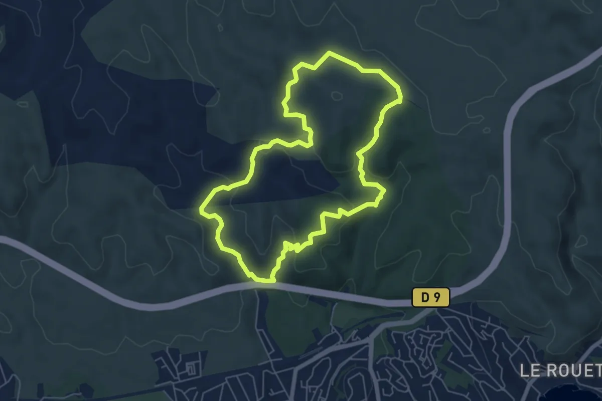
Easy · Trail
Le Tour du Romaron
5.9 km · ↑ 155 m · 1 h 48 min
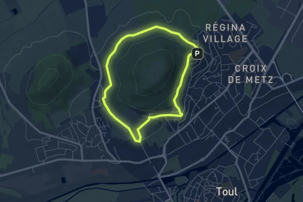
Easy · Trail
Le Tour du Saint-Michel
4.6 km · ↑ 110 m · 1 h 24 min
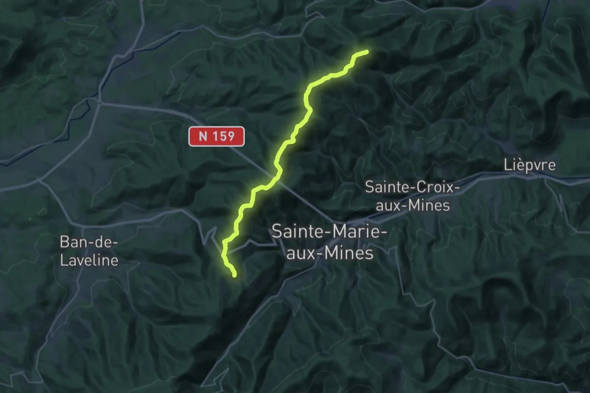
Medium · Summit
Le Tour du Val d'Argent
11.6 km · ↑ 427 m · 3 h 50 min
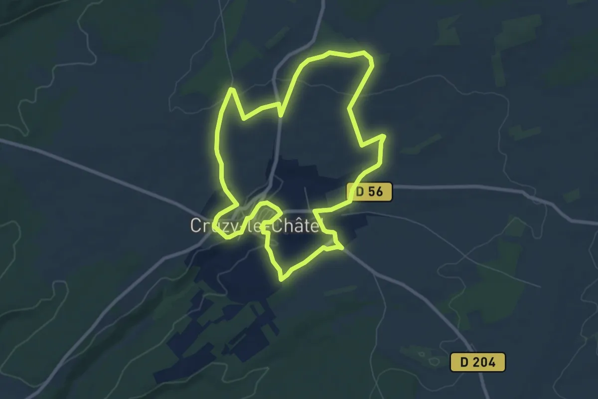
Easy · Trail
Le tour du village
7.5 km · ↑ 132 m · 2 h 9 min
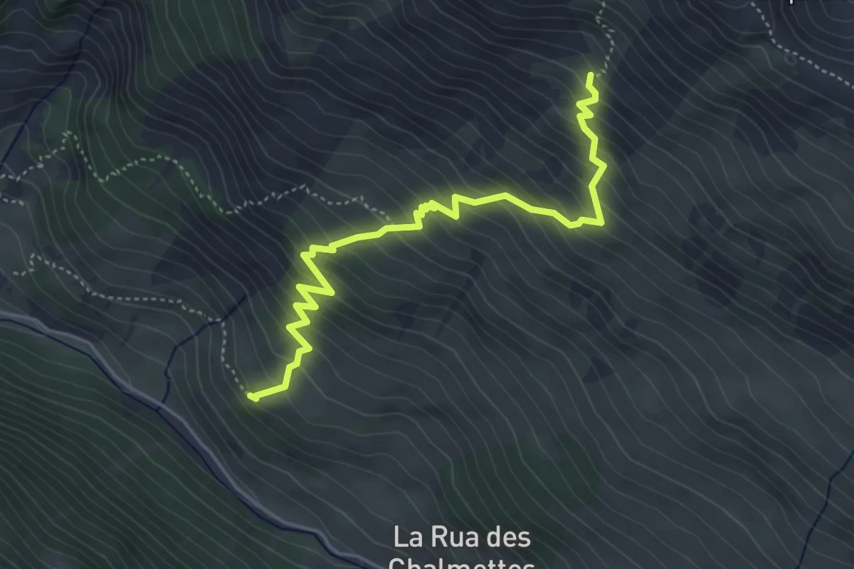
Medium · Trail
Le Touret - Sous les Estronques
5.1 km · ↑ 555 m · 2 h 25 min
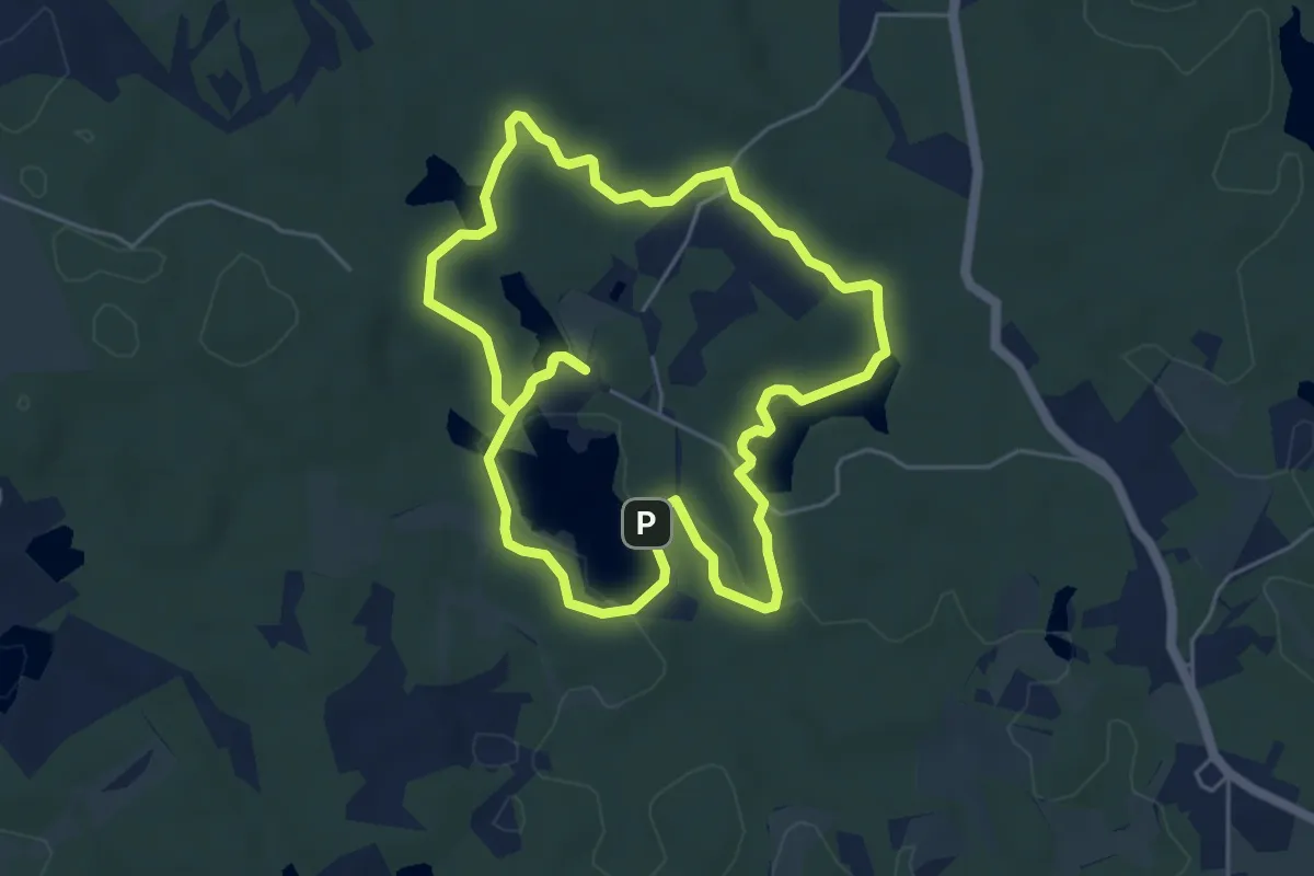
Easy · Trail
Le Tours des Étangs (Randonnée)
5.3 km · ↑ 72 m · 1 h 29 min
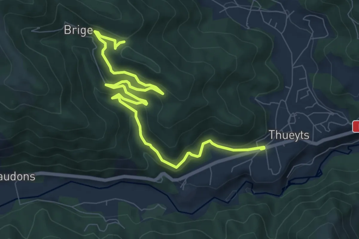
Medium · Trail
Le Tramontel - La Croix de Briges
9.9 km · ↑ 496 m · 3 h 25 min
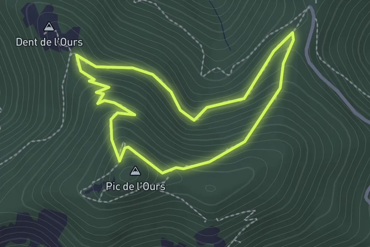
Easy · Summit
Le Trayas (bleu)
2.2 km · ↑ 170 m · 55 min
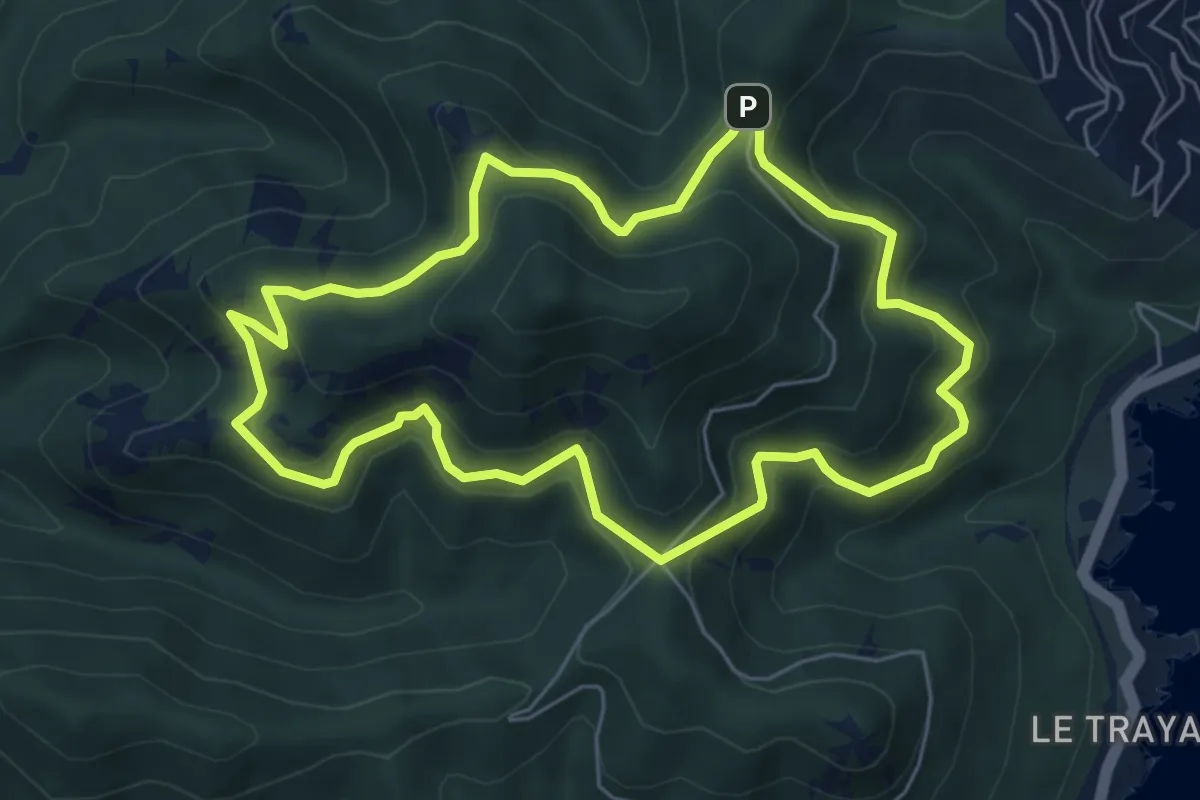
Medium · Summit
Le Trayas (jaune)
6.2 km · ↑ 420 m · 2 h 27 min
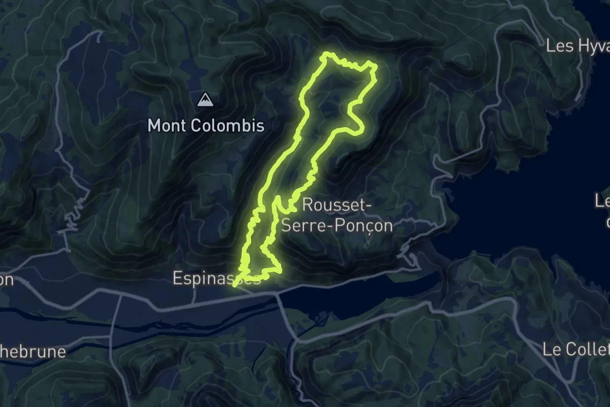
Demanding · Trail
Le Trente Pas
14.7 km · ↑ 818 m · 5 h 27 min