Trails in France
15,926 hiking trails, each with its route, climb, walking time and grade.
All trails, page 200 of 332
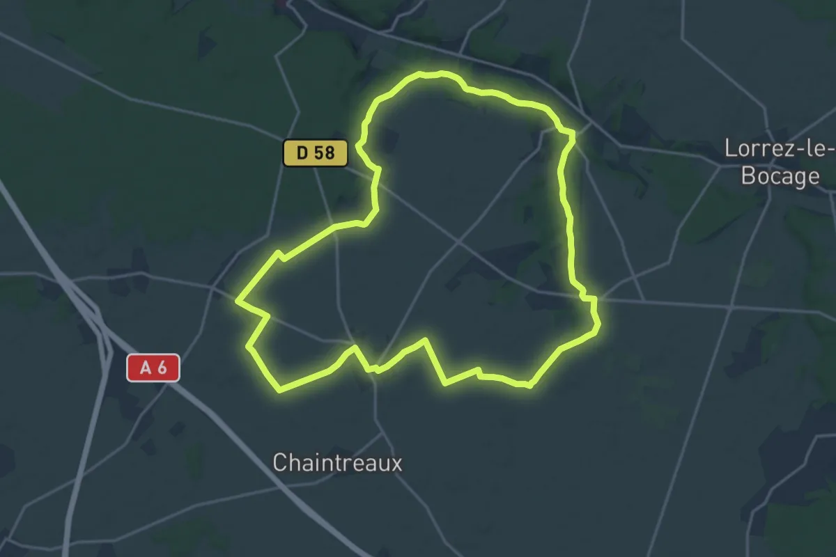
Demanding · Trail
L'être suprême en terre romaine
18.0 km · ↑ 88 m · 4 h 42 min
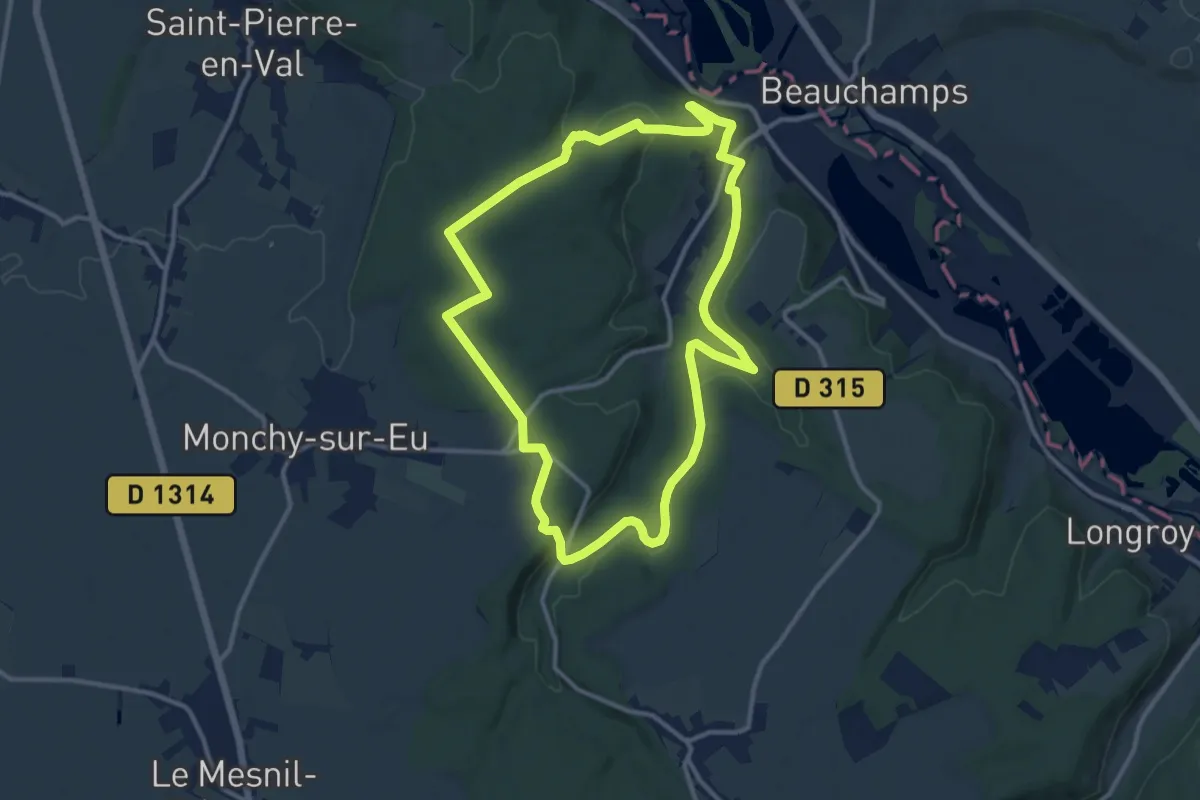
Medium · Trail
Le Triage
11.0 km · ↑ 268 m · 3 h 20 min
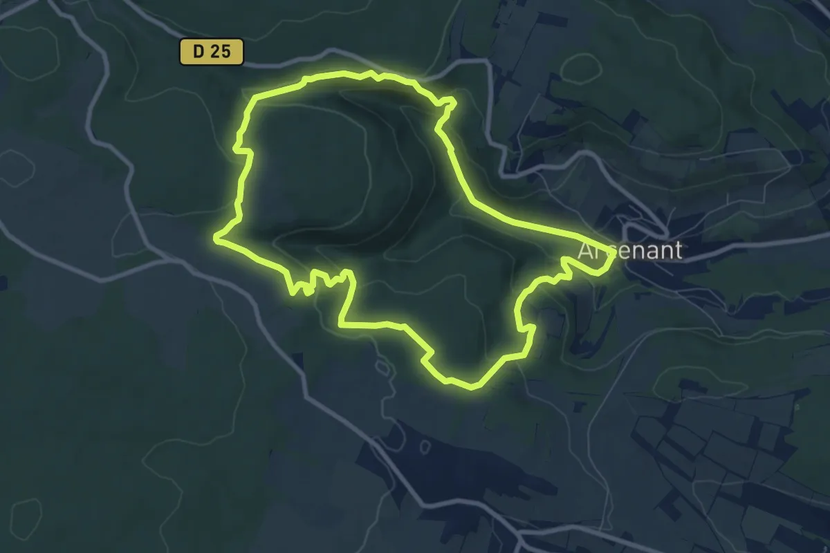
Medium · Trail
Le Trou du Duc
8.6 km · ↑ 277 m · 2 h 45 min
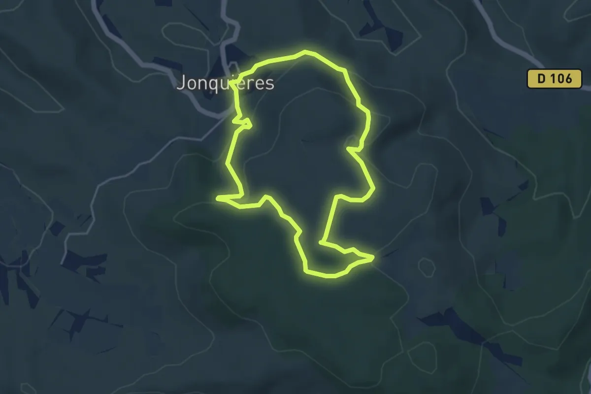
Easy · Trail
Le Trou du Gimbouls
4.1 km · ↑ 108 m · 1 h 15 min
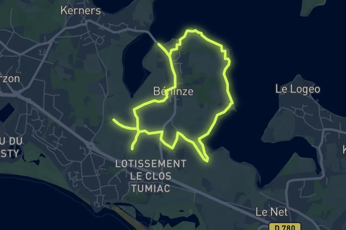
Easy · Trail
Le tumulus de Tumiac
6.3 km · ↑ 26 m · 1 h 37 min
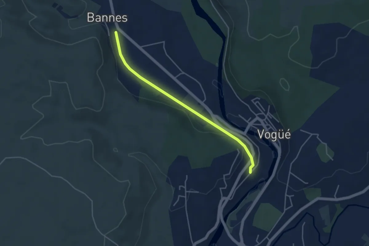
Easy · Trail
Le Tunnel - Bannes
3.8 km · ↑ 43 m · 59 min
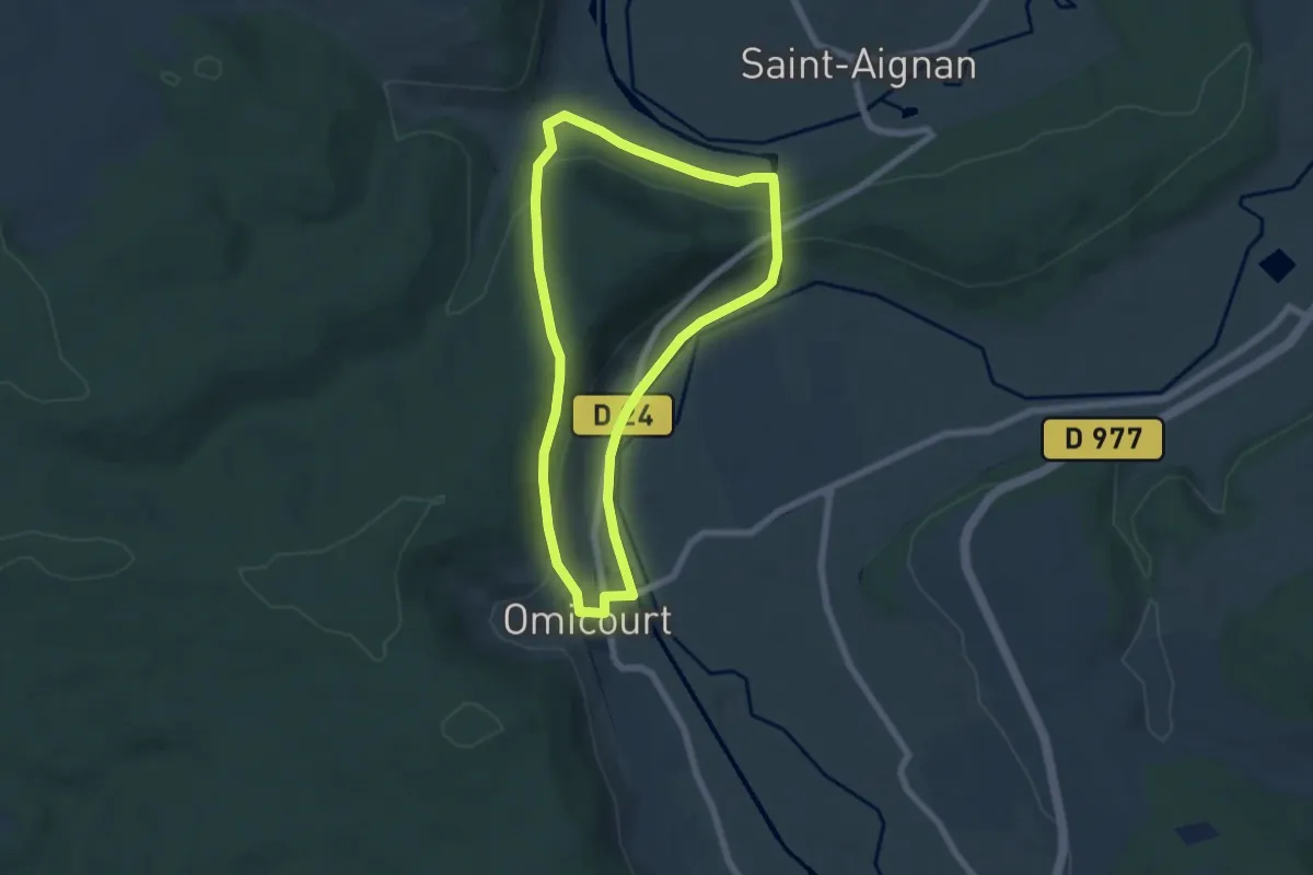
Easy · Trail
Le Tunnel Saint-Aignan
5.7 km · ↑ 160 m · 1 h 46 min
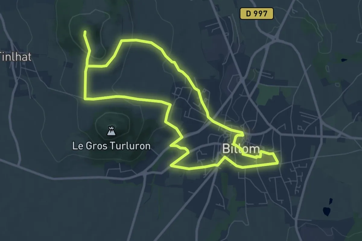
Easy · Summit
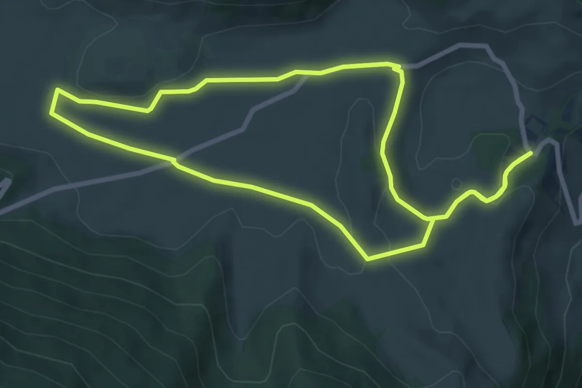
Le Turluron
7.8 km · ↑ 242 m · 2 h 27 min
Easy · Trail
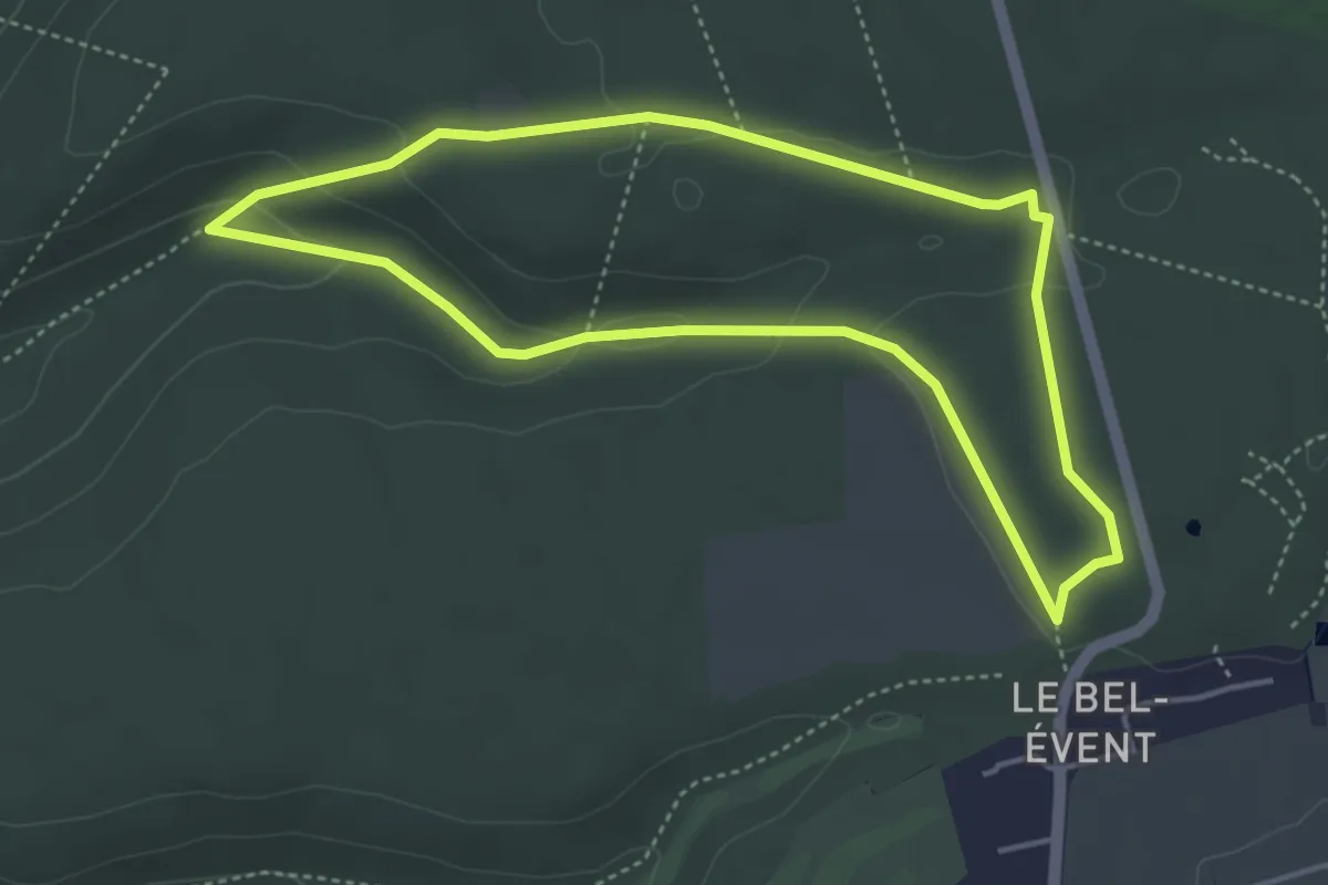
Le Turon de Técouère
6.2 km · ↑ 102 m · 1 h 47 min
Easy · Trail
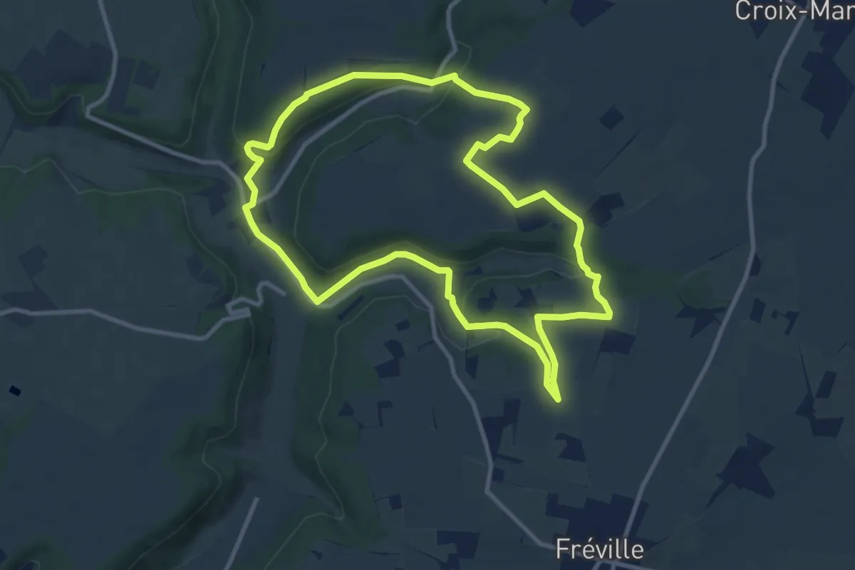
Le Val Allard
3.9 km · ↑ 92 m · 1 h 11 min
Medium · Trail
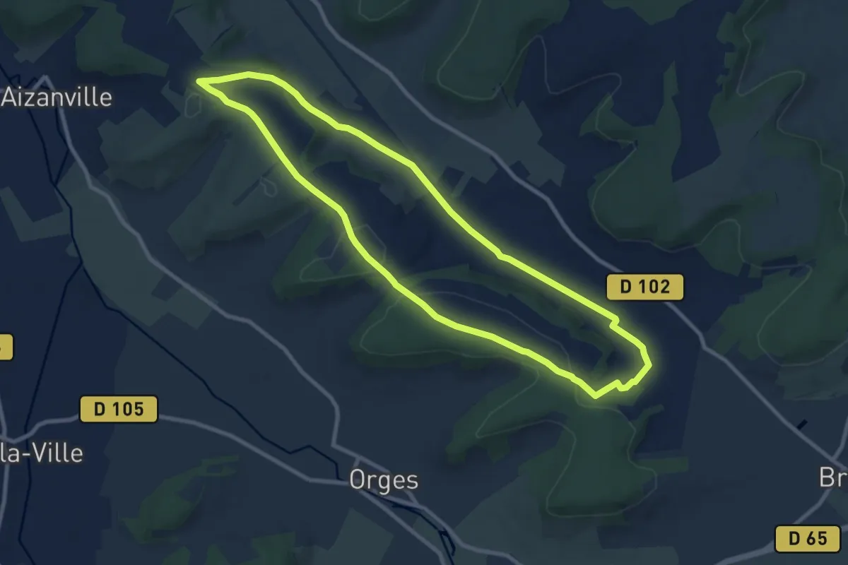
Le Val au Cesne
9.0 km · ↑ 179 m · 2 h 38 min
Medium · Trail
Le Valaumont
8.7 km · ↑ 115 m · 2 h 25 min
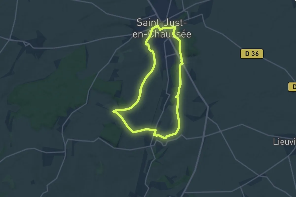
Medium · Trail
Le Val d'Arré
11.4 km · ↑ 174 m · 3 h 14 min
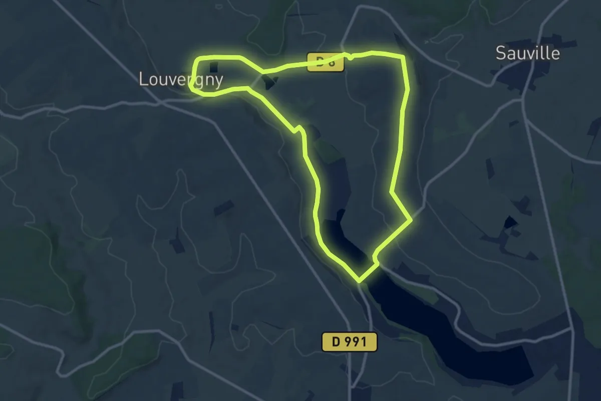
Medium · Trail
Le Val de Bairon
9.2 km · ↑ 115 m · 2 h 33 min
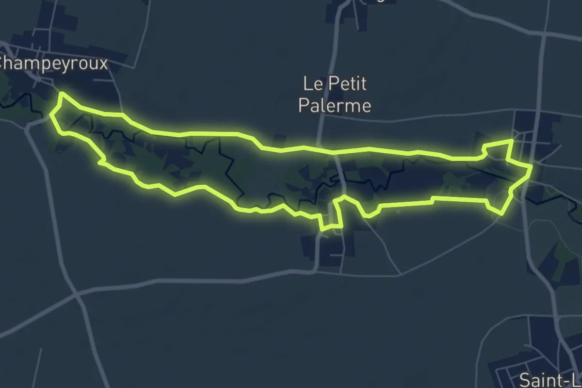
Easy · Trail
Le Val de Morge
7.2 km · ↑ 18 m · 1 h 51 min
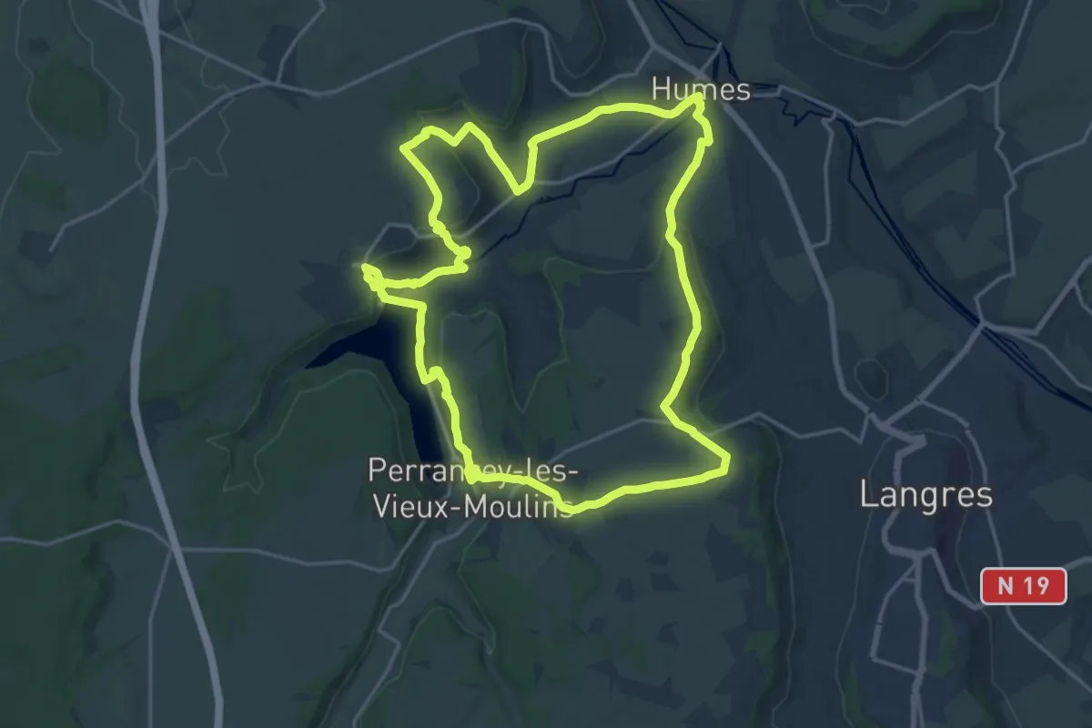
Demanding · Trail
Le Val de Mouche
18.5 km · ↑ 325 m · 5 h 20 min
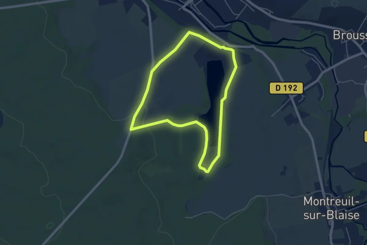
Easy · Trail
Le Val des Leschères
4.3 km · ↑ 53 m · 1 h 11 min
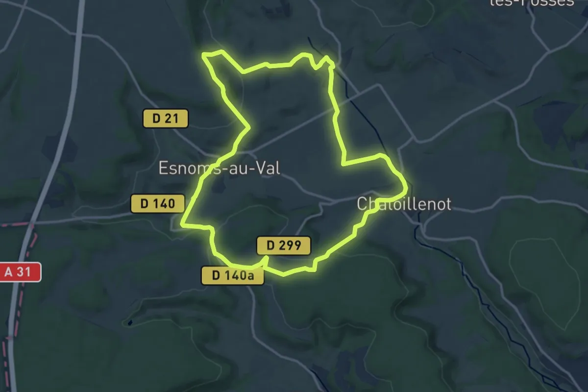
Medium · Trail
Le Val d'Esnoms
12.2 km · ↑ 245 m · 3 h 34 min
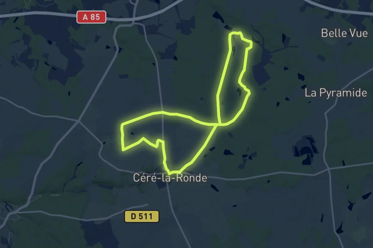
Medium · Trail
Le Val d'Indrois Circuit 2 - Cléré-la-Ronde
12.0 km · ↑ 84 m · 3 h 10 min
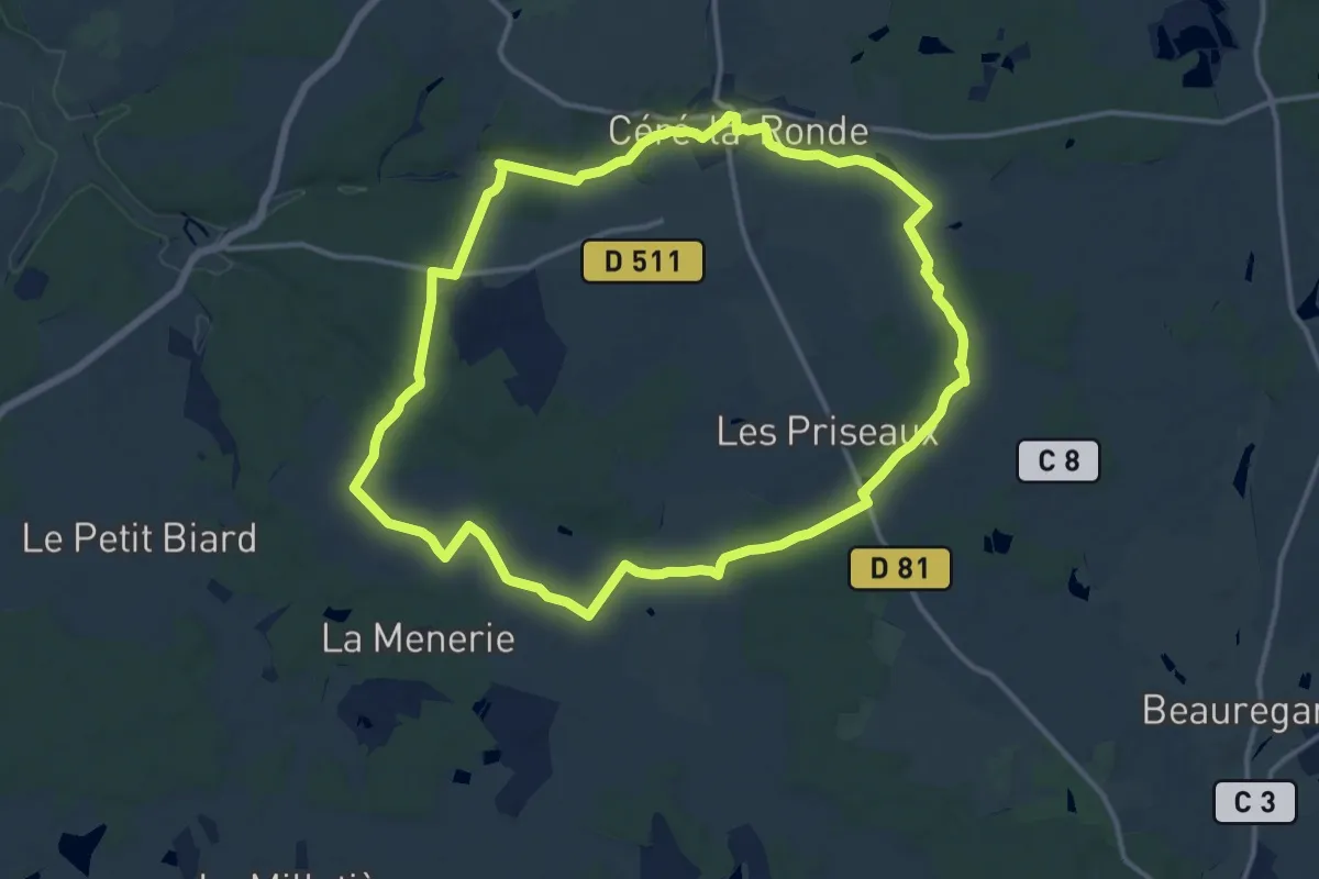
Medium · Trail
Le Val d'Indrois Circuit 3 - Céré-la-Rounde
13.4 km · ↑ 114 m · 3 h 36 min
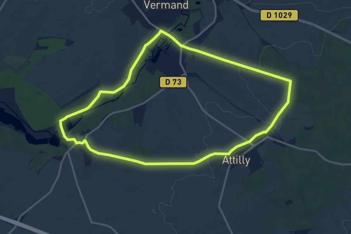
Medium · Trail
Le Val d'Omignon
9.0 km · ↑ 62 m · 2 h 23 min
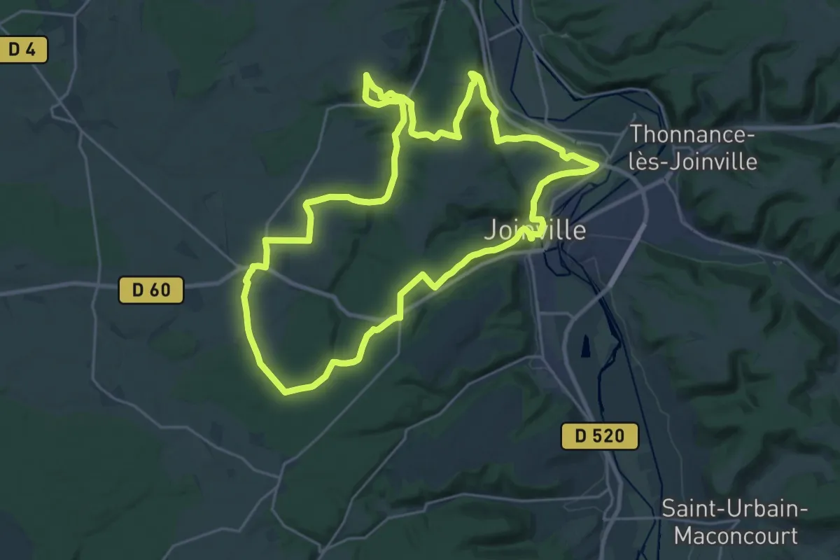
Demanding · Trail
Le Vallage
22.7 km · ↑ 483 m · 6 h 43 min
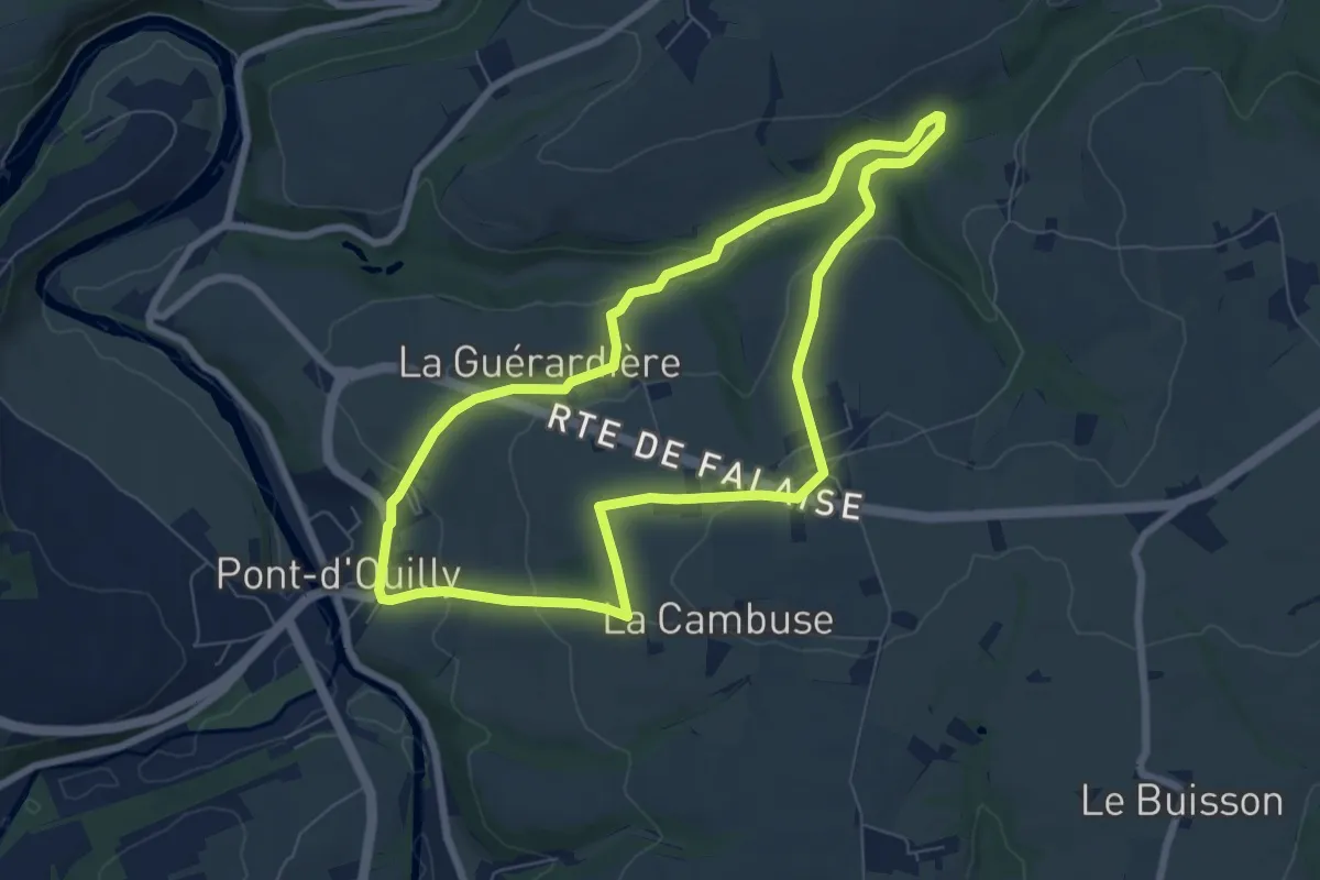
Easy · Trail
Le Val la Hère
6.7 km · ↑ 184 m · 2 h 4 min
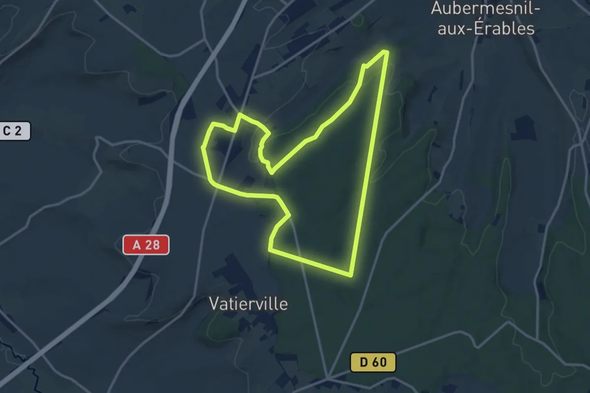
Medium · Trail
Le Val l'Alouette et Varimpré
10.4 km · ↑ 142 m · 2 h 55 min
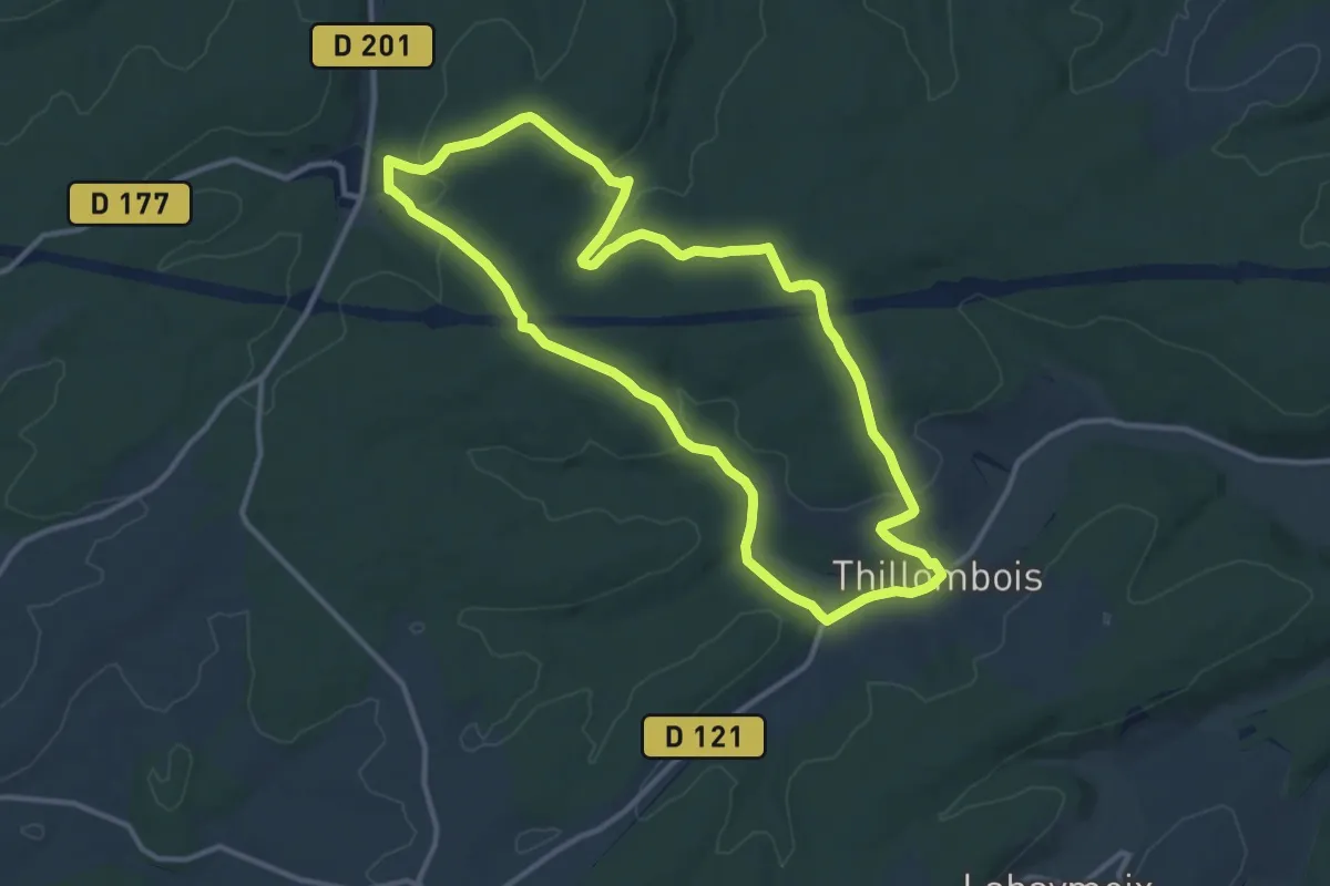
Medium · Trail
Le Vallon Béni
11.3 km · ↑ 231 m · 3 h 20 min
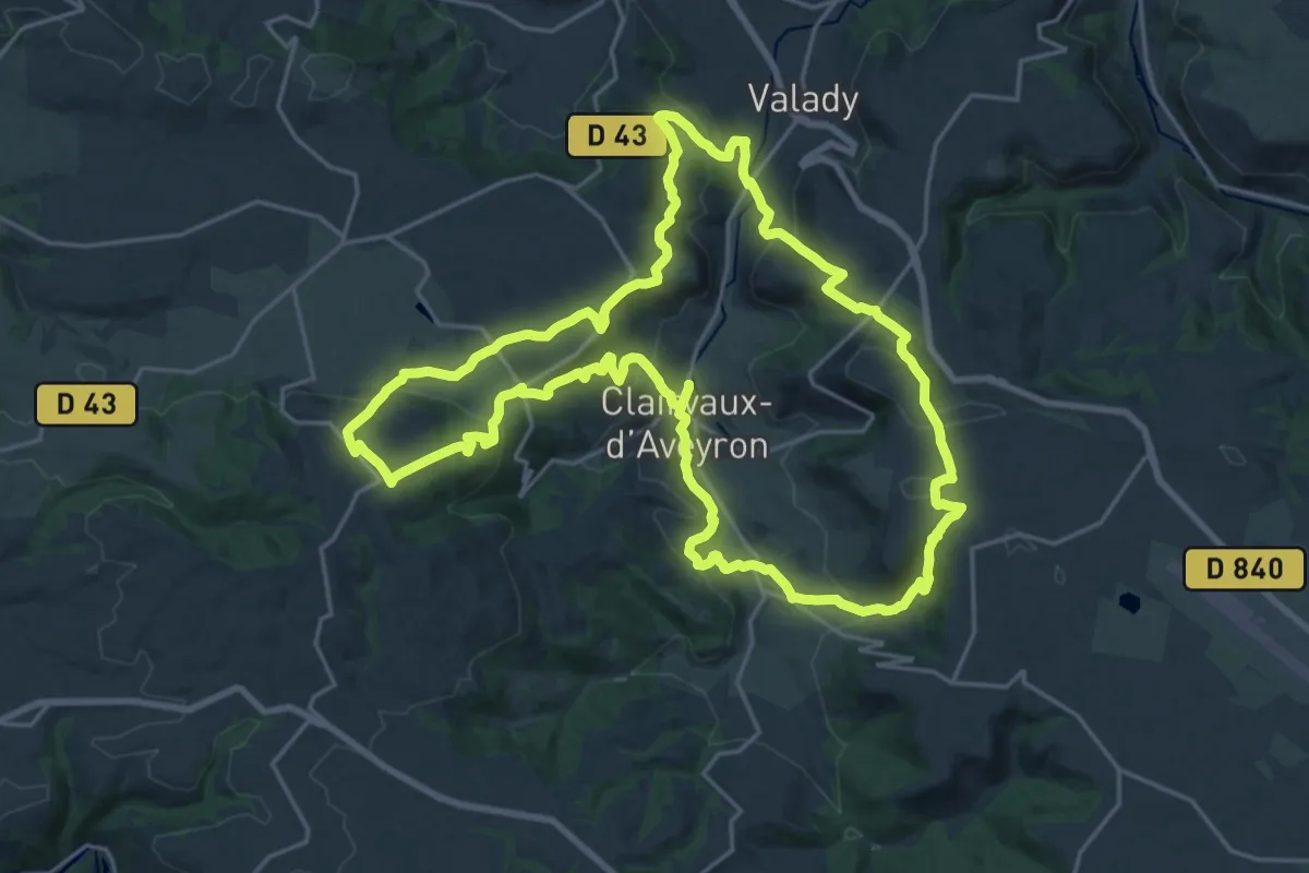
Demanding · Trail
Le Vallon de Clairvaux
24.0 km · ↑ 765 m · 7 h 40 min
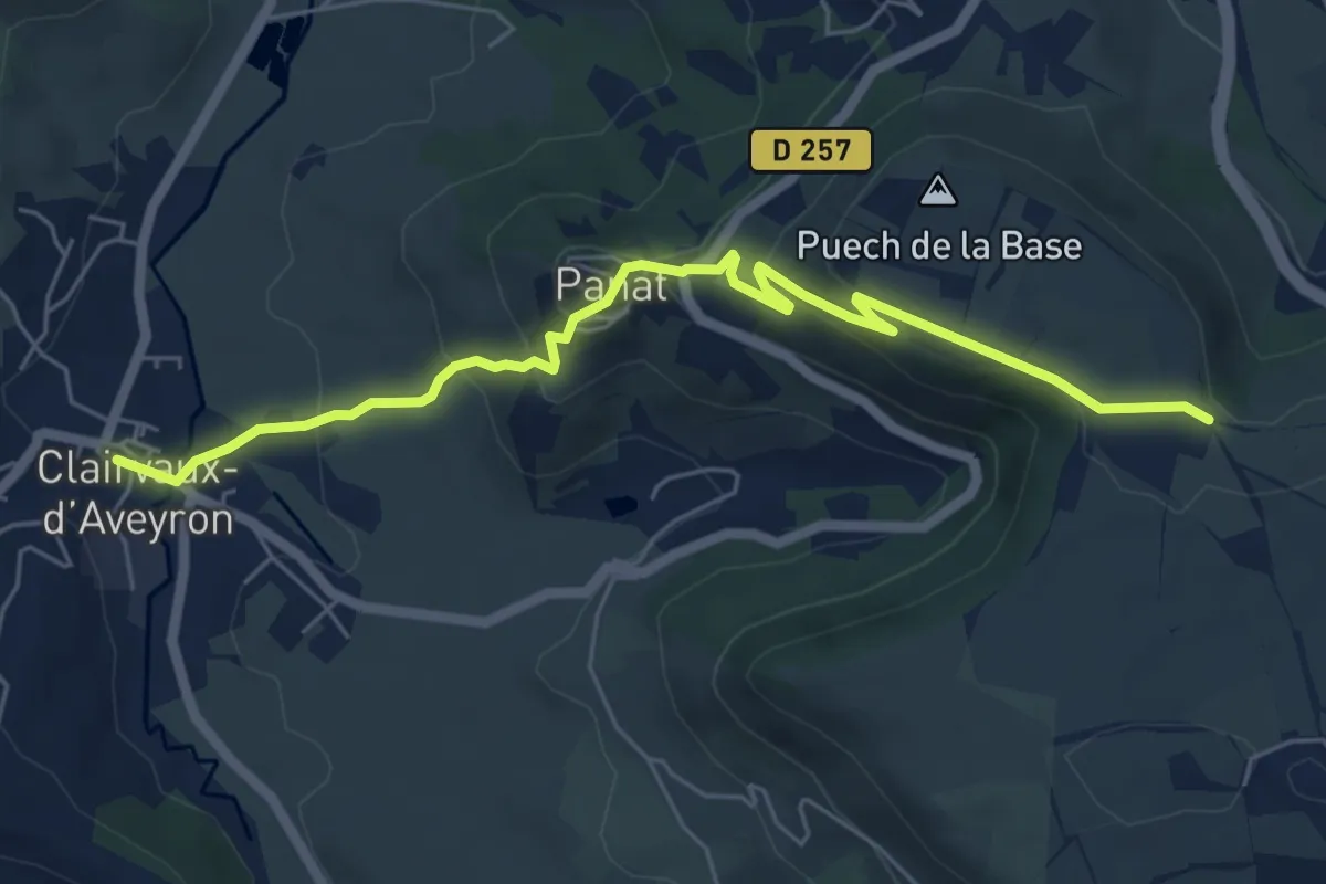
Easy · Trail
Le Vallon de Clairvaux - Variante Point 2
6.7 km · ↑ 310 m · 2 h 15 min
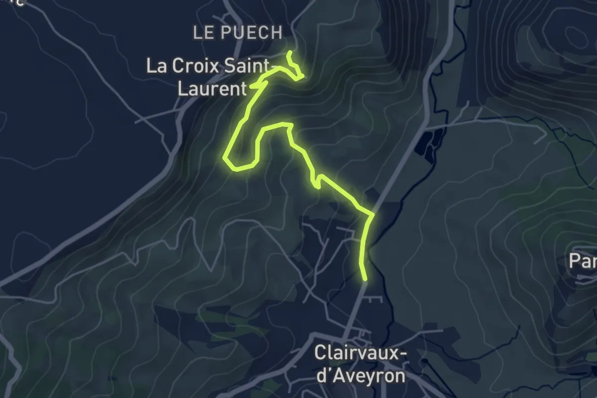
Easy · Trail
Le Vallon de Clairvaux - Variante Point 4
4.7 km · ↑ 232 m · 1 h 37 min
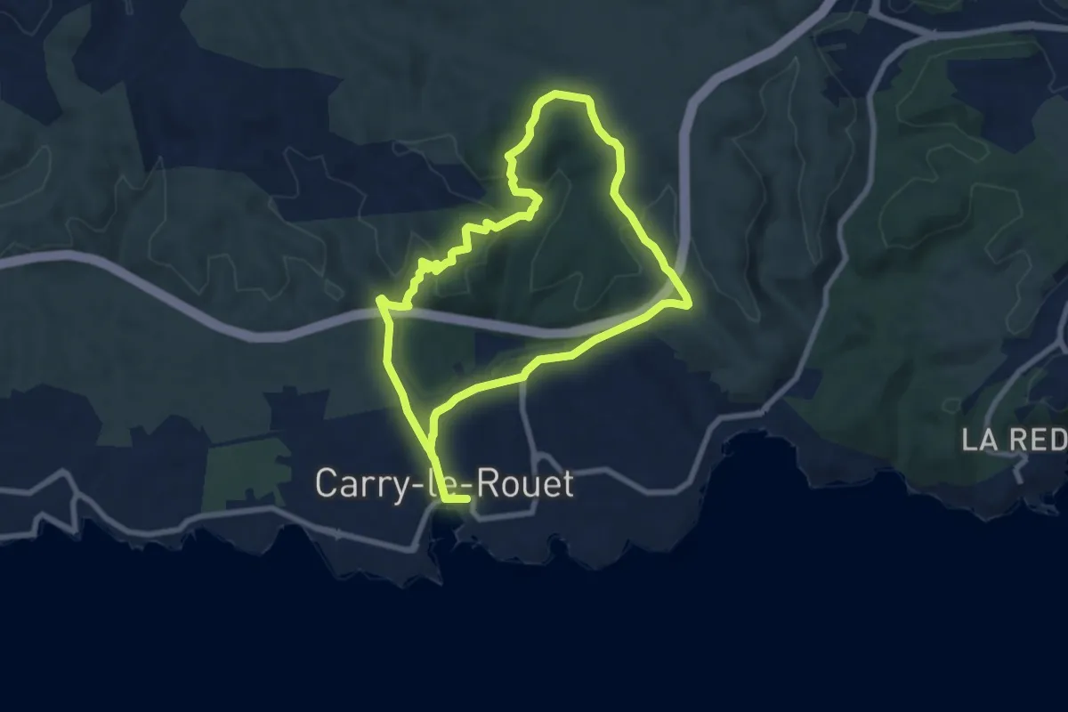
Easy · Trail
Le Vallon de Jaume par les Grottes
7.4 km · ↑ 190 m · 2 h 16 min
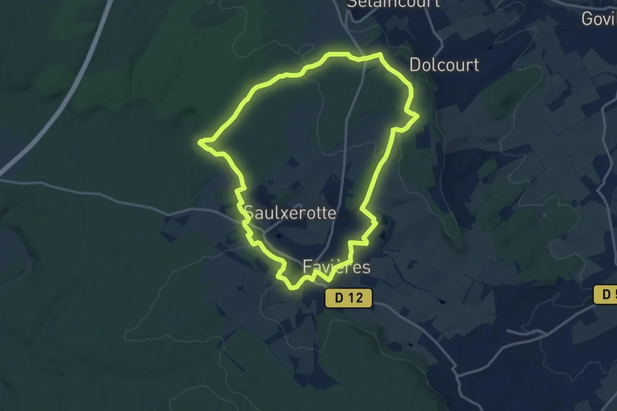
Medium · Trail
Le Vallon de Jolive
12.0 km · ↑ 165 m · 3 h 21 min
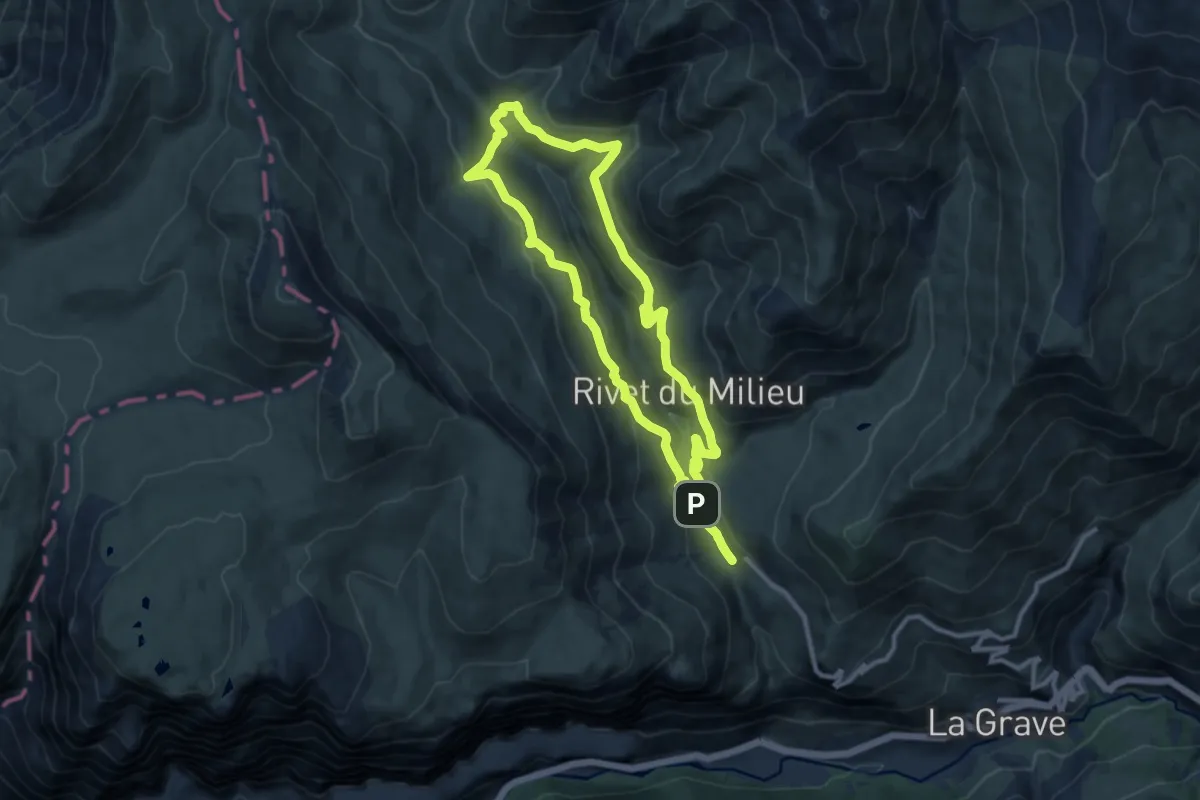
Medium · Trail
Le Vallon de la Buffe par les Orliers
9.9 km · ↑ 411 m · 3 h 22 min
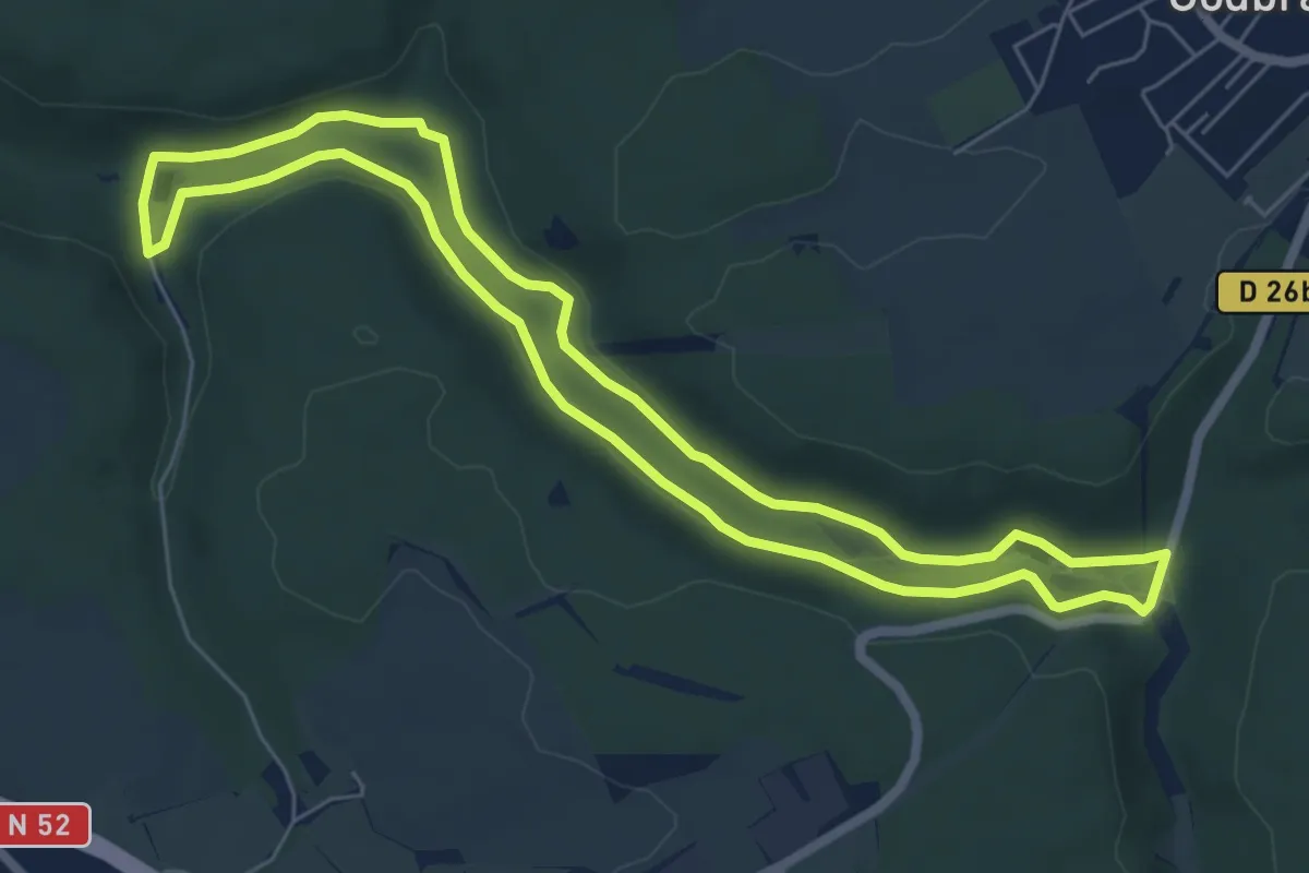
Easy · Trail
Le Vallon de la Moulaine
6.1 km · ↑ 75 m · 1 h 41 min
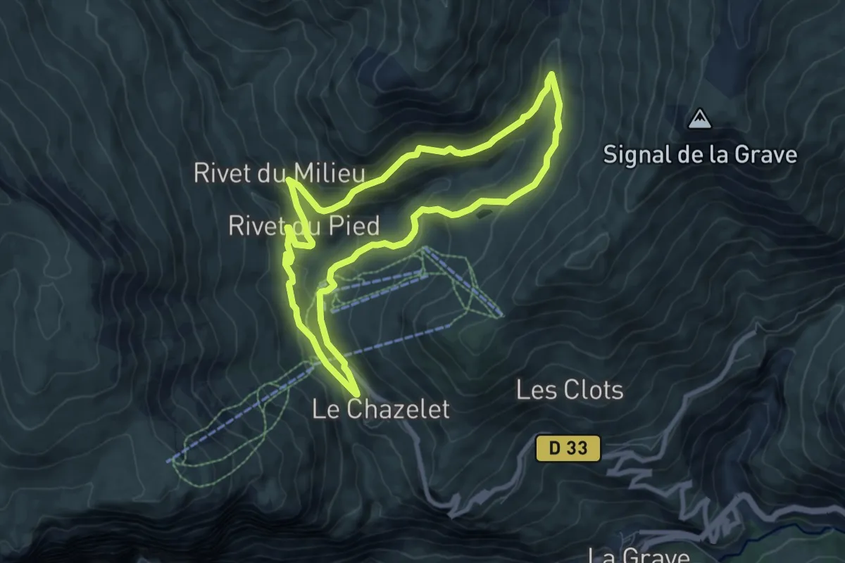
Medium · Trail
Le Vallon de Martignare
7.5 km · ↑ 309 m · 2 h 32 min
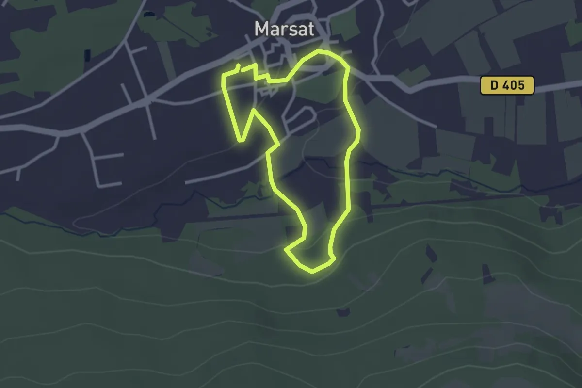
Easy · Trail
Le Vallon de Mirabel
2.3 km · ↑ 48 m · 41 min
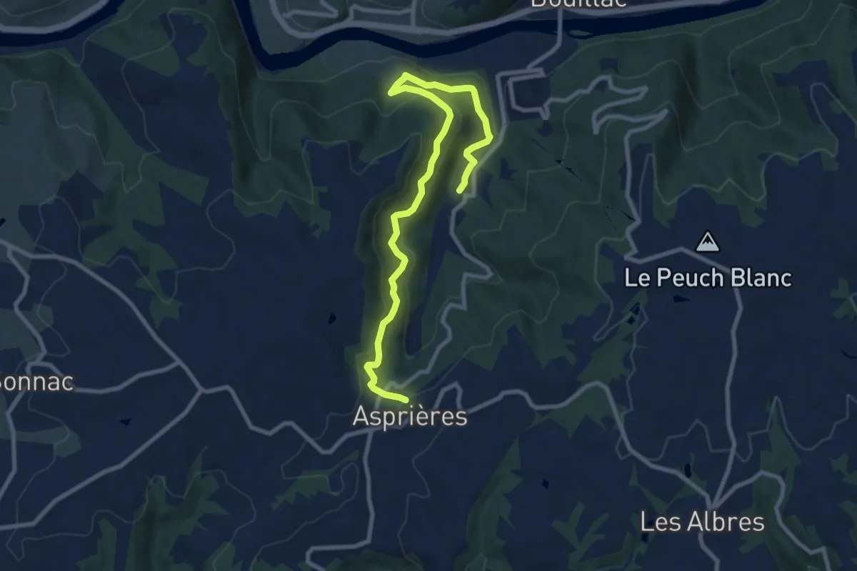
Medium · Trail
Le Vallon de Roucayrol
9.9 km · ↑ 531 m · 3 h 29 min
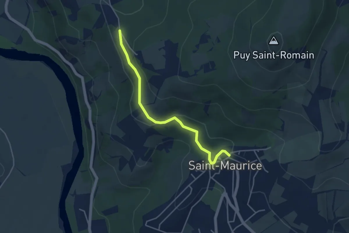
Easy · Trail
Le vallon des Bouys
3.5 km · ↑ 118 m · 1 h 5 min
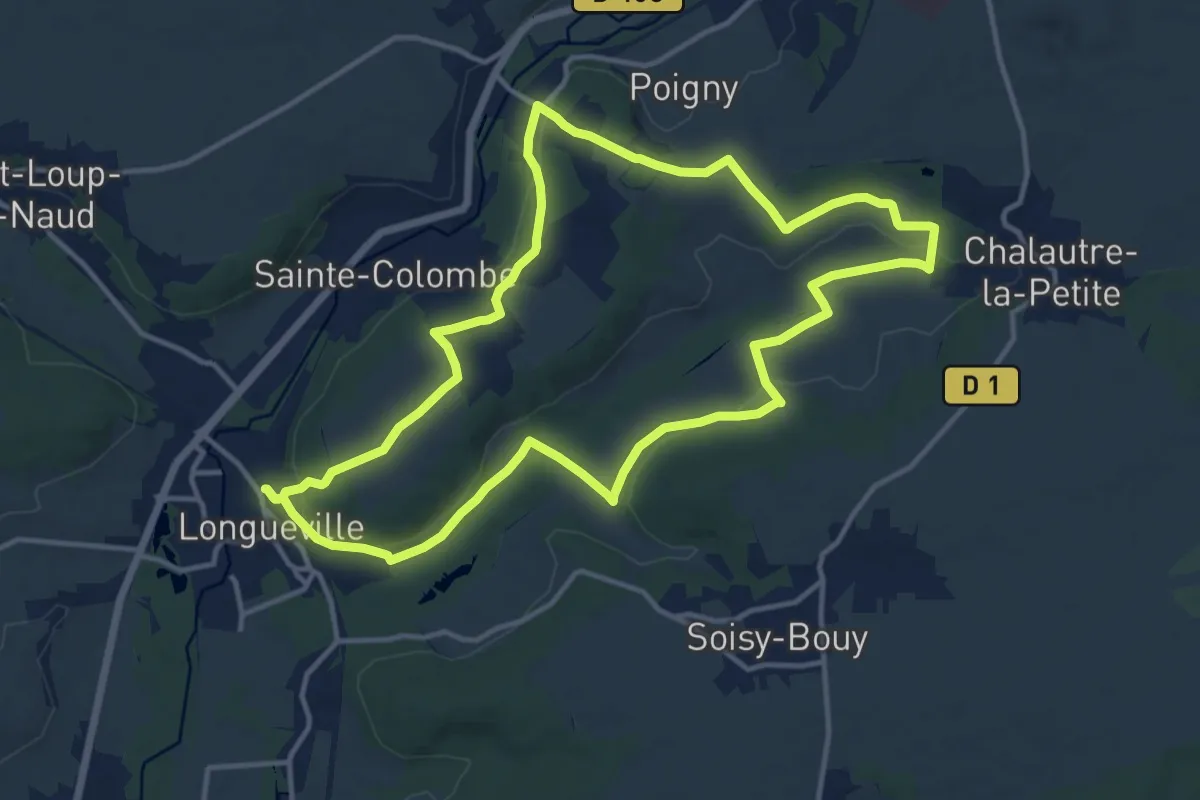
Medium · Trail
Le vallon des Méances
13.1 km · ↑ 182 m · 3 h 40 min
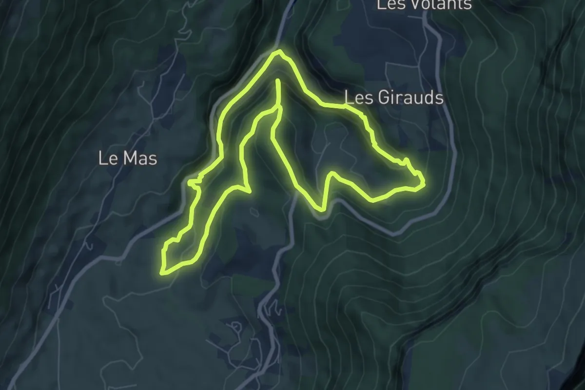
Medium · Trail
Le vallon du Bruyant
7.6 km · ↑ 474 m · 2 h 55 min
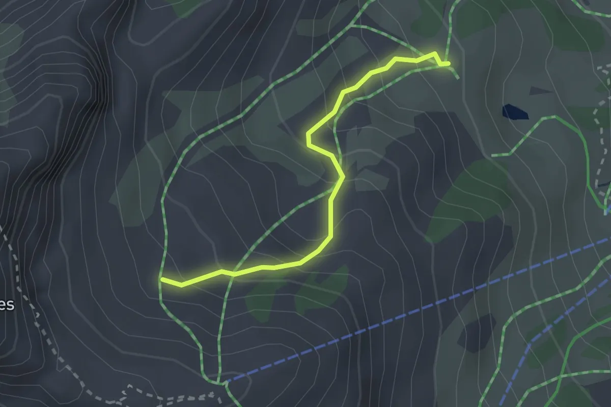
Easy · Trail
Le Vallon - Font Guillarde
2.3 km · ↑ 218 m · 1 h 1 min
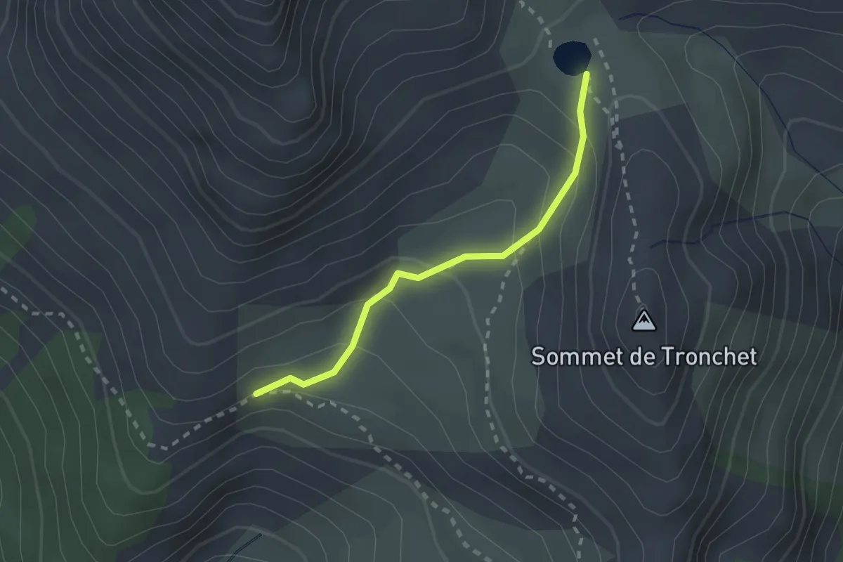
Medium · Trail
Le Vallon - Lac de Souliers
2.0 km · ↑ 157 m · 49 min
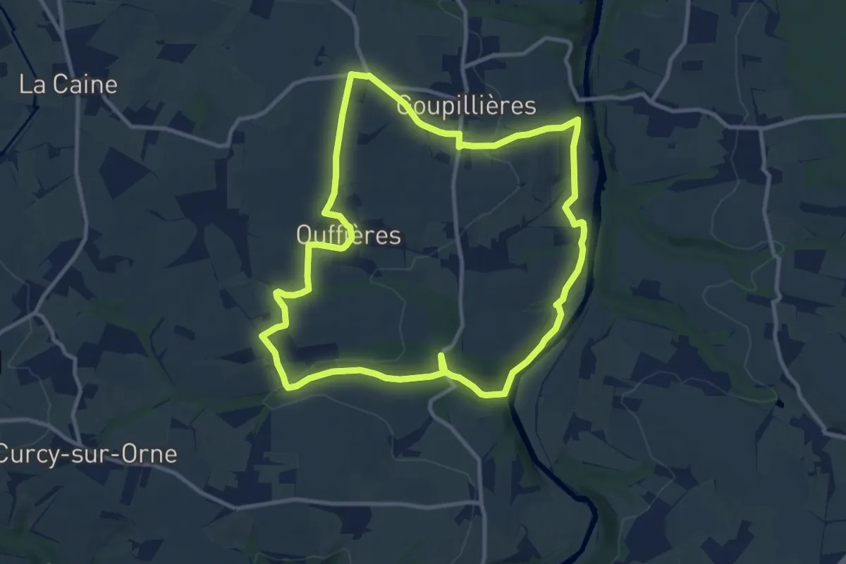
Medium · Trail
Le Val Roy
9.9 km · ↑ 219 m · 2 h 57 min
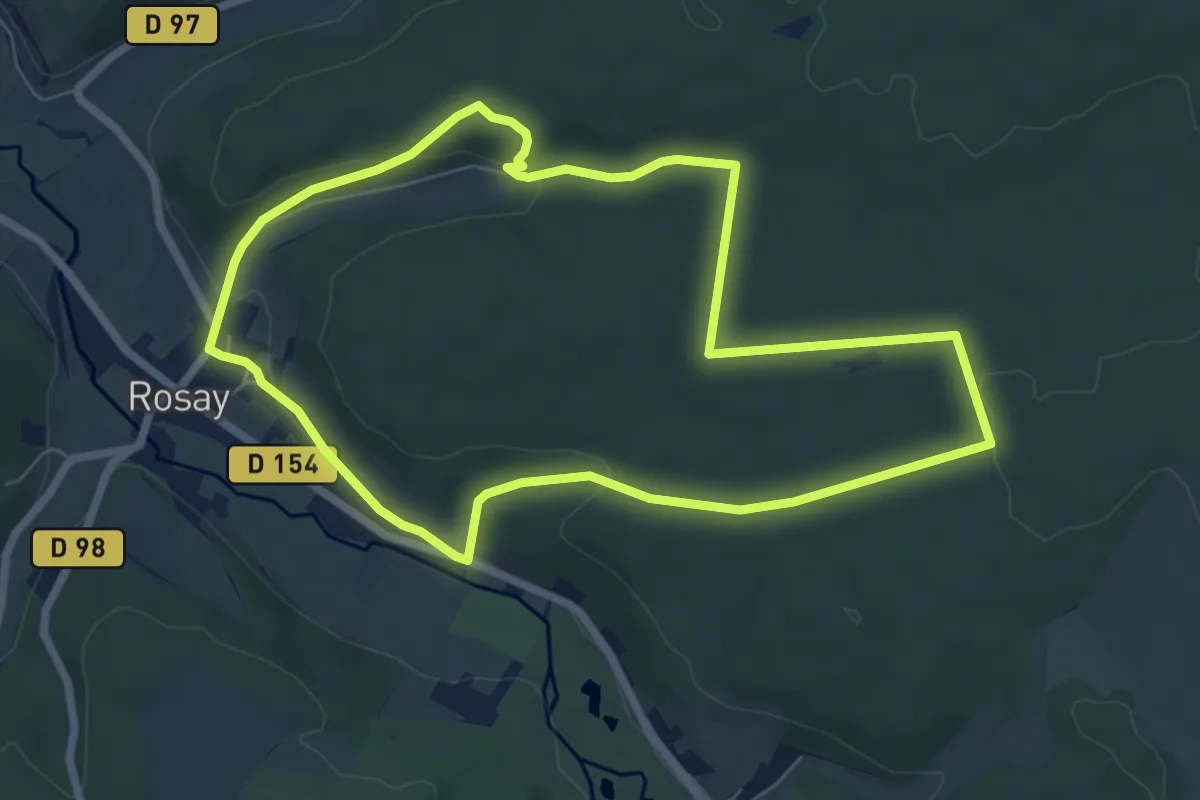
Easy · Trail
Le Val Saint-Etienne
6.4 km · ↑ 152 m · 1 h 56 min
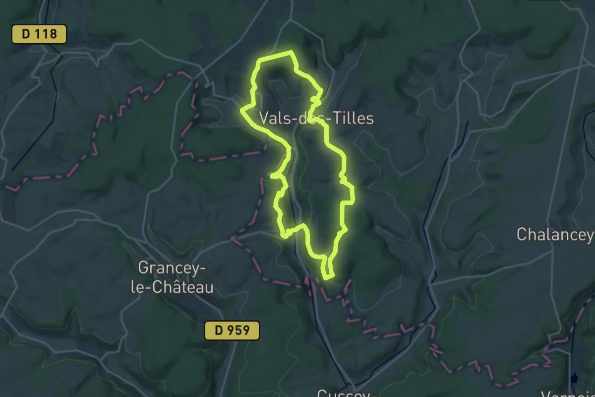
Medium · Trail
Le Vals de Tilles
15.1 km · ↑ 344 m · 4 h 31 min
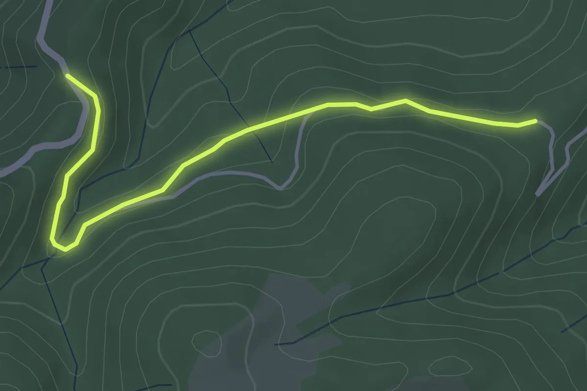
Easy · Trail
Le Vaset - Les Liotards
4.1 km · ↑ 90 m · 1 h 10 min
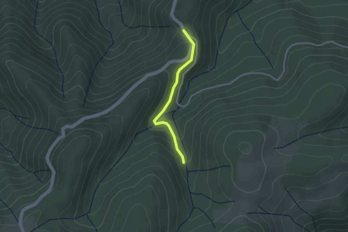
Easy · Trail
Le Vaset - Mont Rond
2.1 km · ↑ 75 m · 40 min
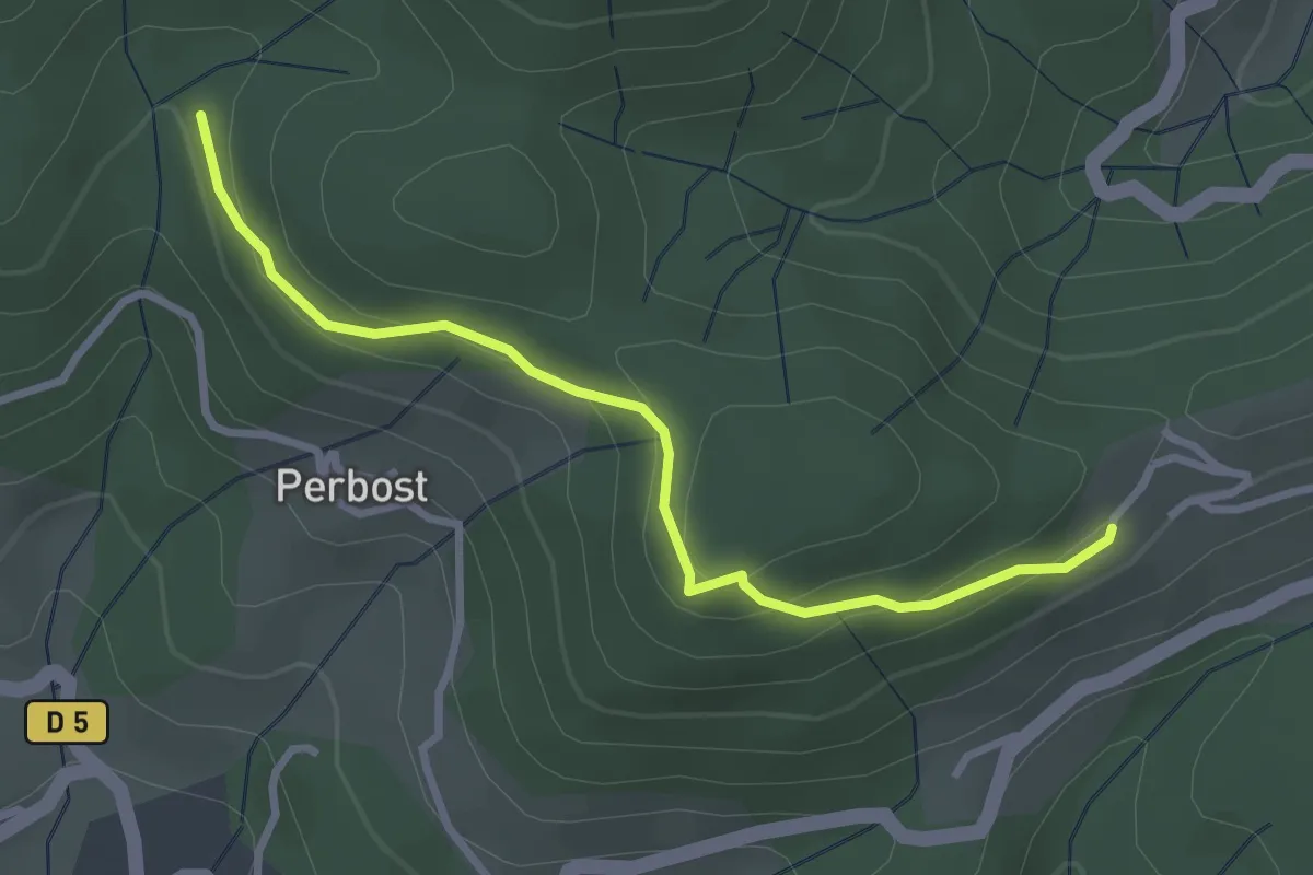
Easy · Trail
Le Vaure - Joux
3.1 km · ↑ 147 m · 1 h 3 min
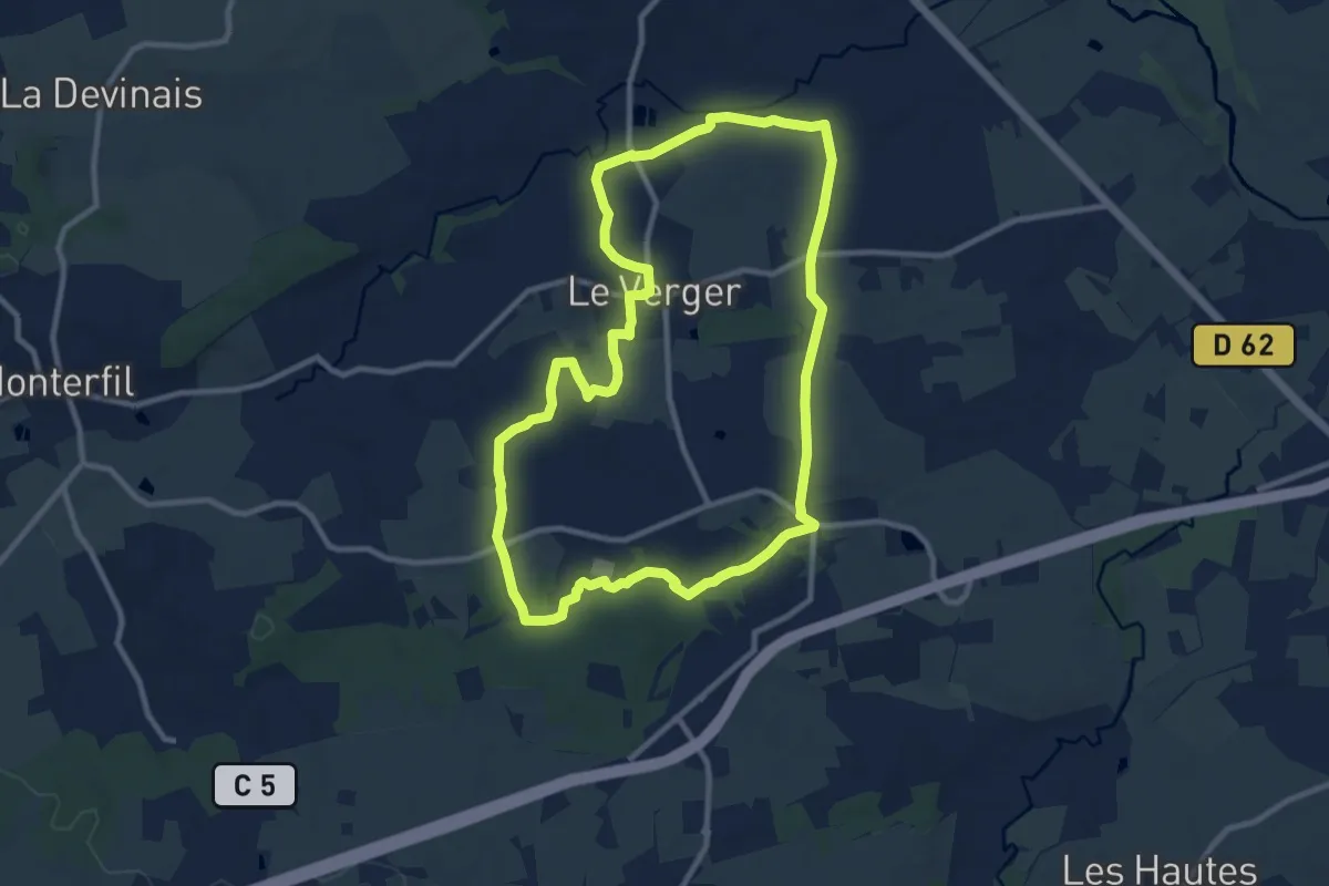
Medium · Trail
Le Verger : entre Serein et Rohuel
9.9 km · ↑ 85 m · 2 h 40 min
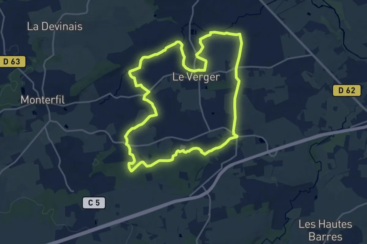
Medium · Trail
Le Verger : les deux vallées
13.2 km · ↑ 130 m · 3 h 35 min