Trails in France
15,926 hiking trails, each with its route, climb, walking time and grade.
All trails, page 201 of 332
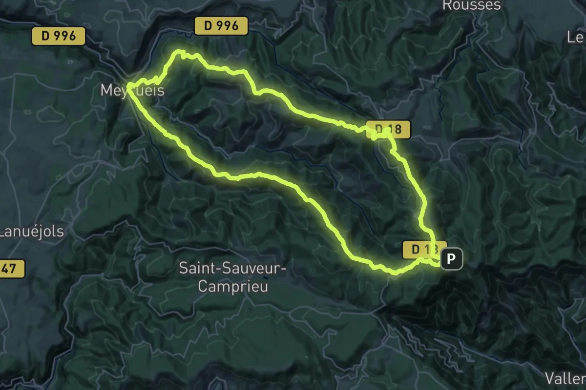
Demanding · Summit
Le versant nord de l'Aigoual
35.8 km · ↑ 1203 m · 11 h 33 min
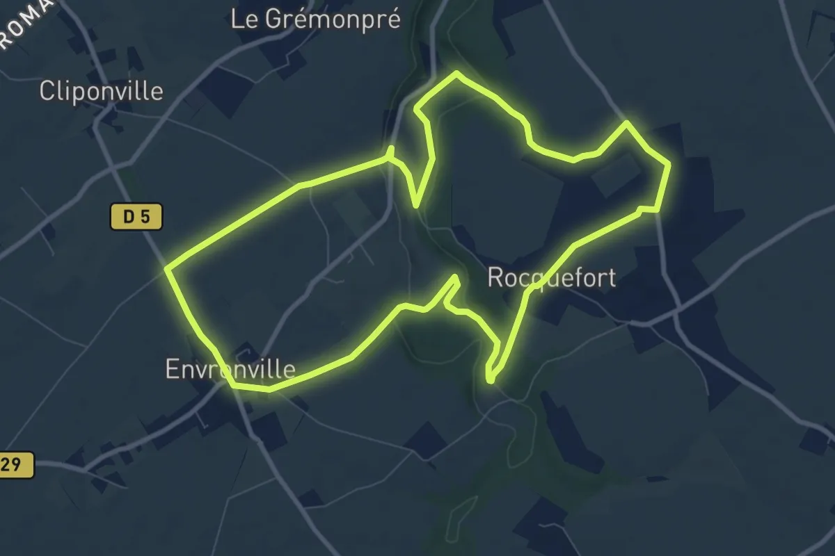
Medium · Summit
Le vert buisson
9.0 km · ↑ 99 m · 2 h 27 min
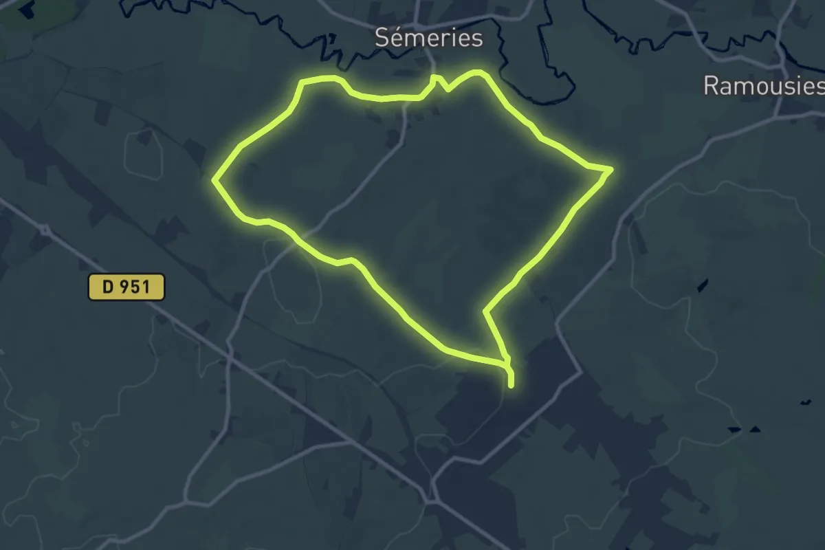
Medium · Trail
Le Vert Buisson et Brode
9.0 km · ↑ 84 m · 2 h 25 min
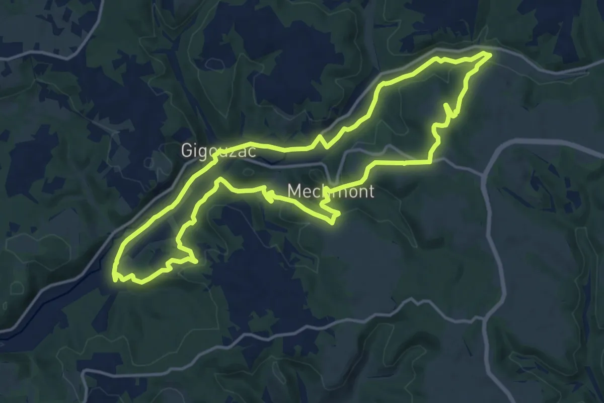
Medium · Trail
Le Vert, la belle et les châteaux
13.8 km · ↑ 285 m · 4 h 4 min
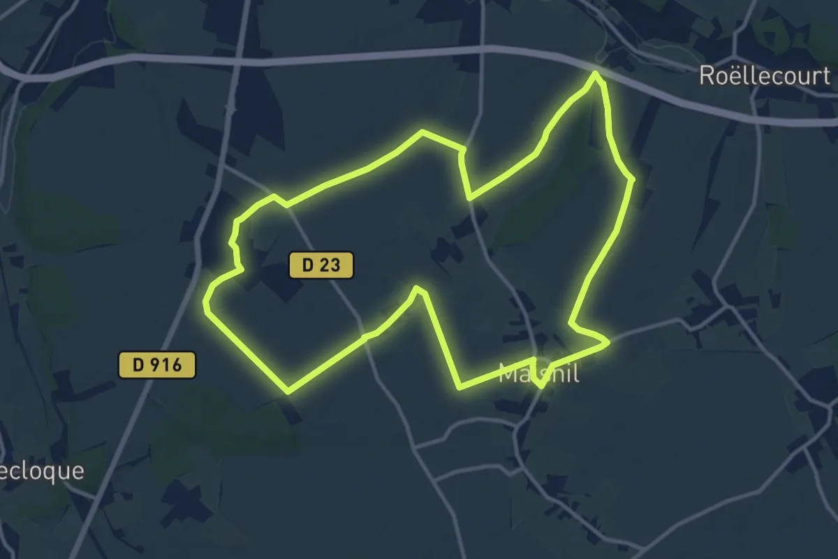
Medium · Trail
Le Vert Tilleul
11.8 km · ↑ 71 m · 3 h 7 min
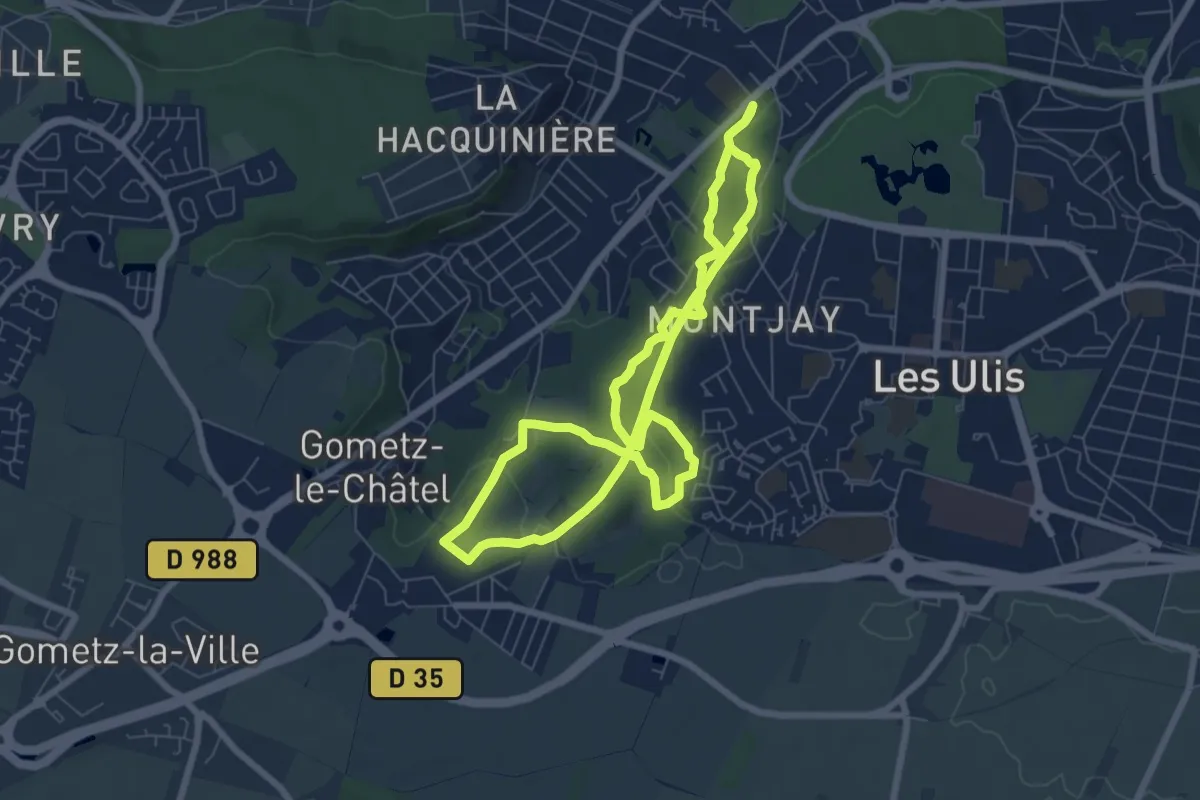
Easy · Trail
Le viaduc
6.5 km · ↑ 152 m · 1 h 57 min
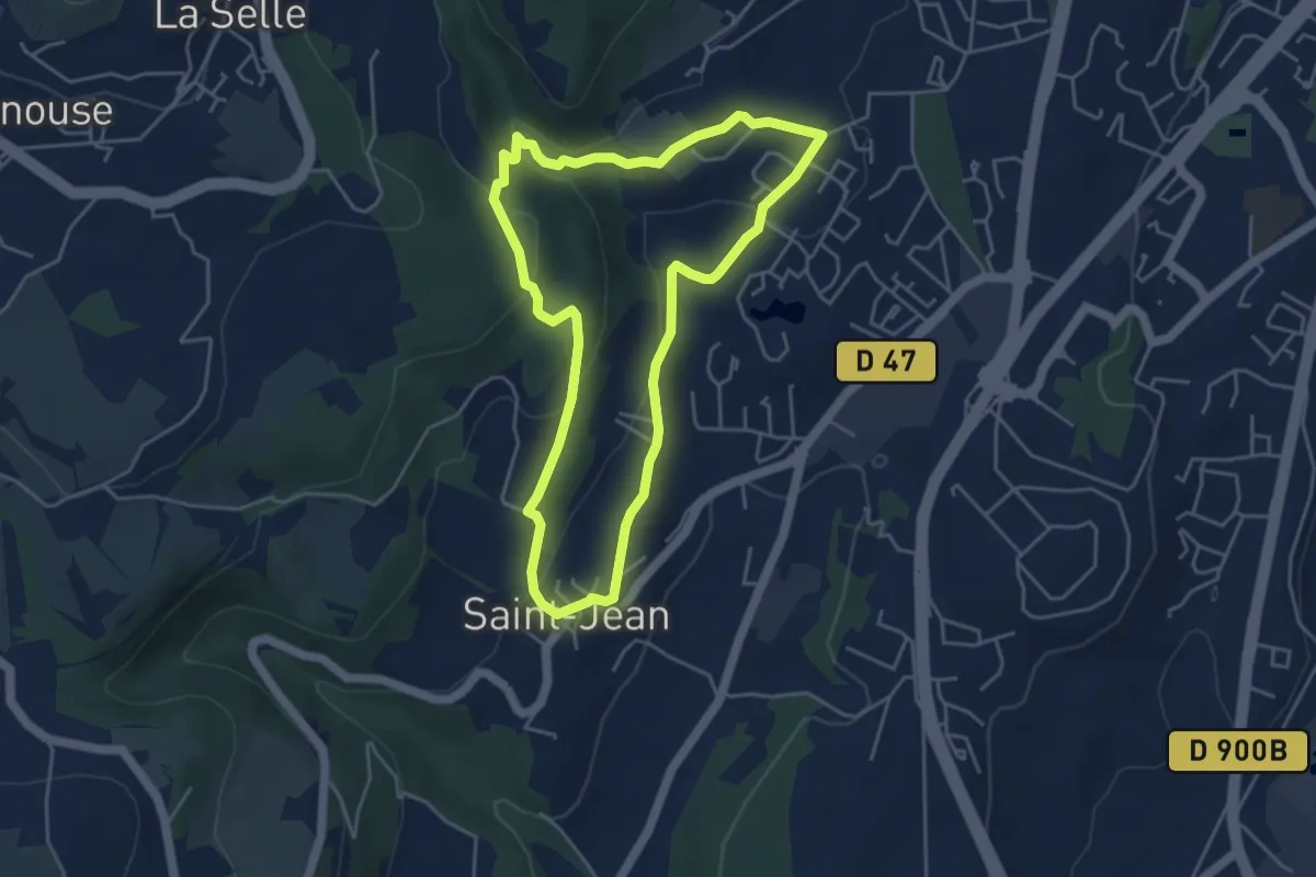
Easy · Trail
Le Viaduc de la Selle
4.5 km · ↑ 136 m · 1 h 26 min
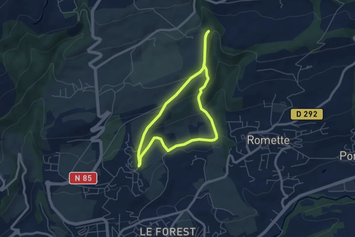
Easy · Trail
Le Viaduc du Buzon
4.6 km · ↑ 172 m · 1 h 31 min
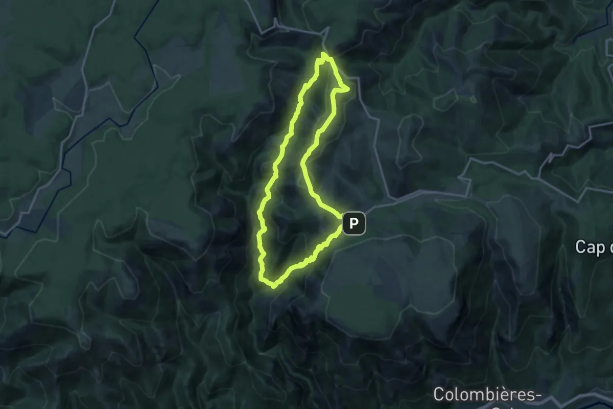
Medium · Trail
Le Vialaïs
12.8 km · ↑ 718 m · 4 h 44 min
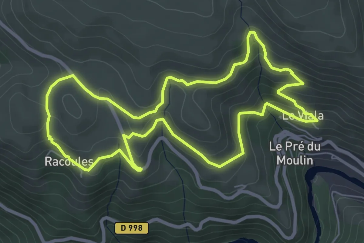
Easy · Trail
Le Viala - Racoules
6.0 km · ↑ 273 m · 2 h 5 min
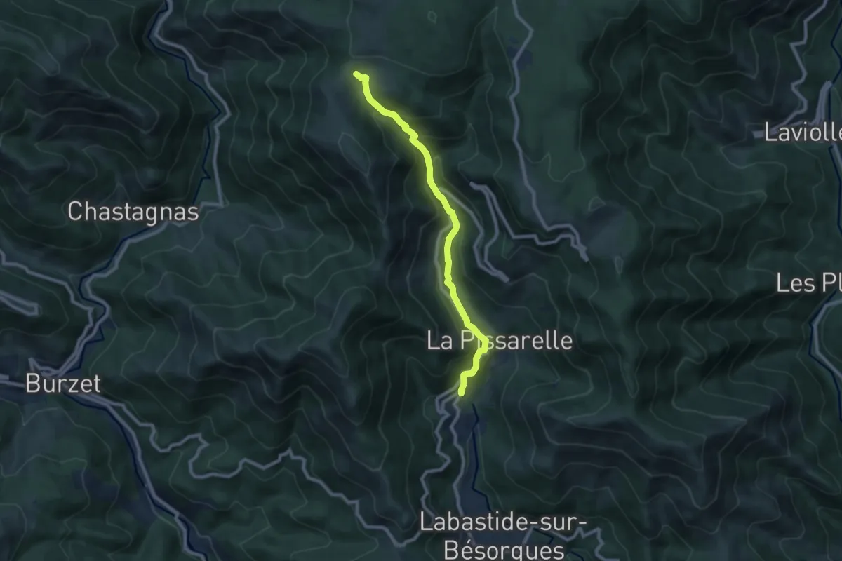
Medium · Trail
Le Vialat - Les Granges de Sausses
8.1 km · ↑ 589 m · 3 h 11 min
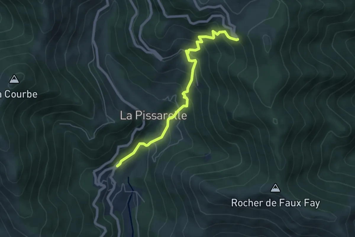
Medium · Trail
Le Vialat - Lyonnes
5.4 km · ↑ 493 m · 2 h 20 min
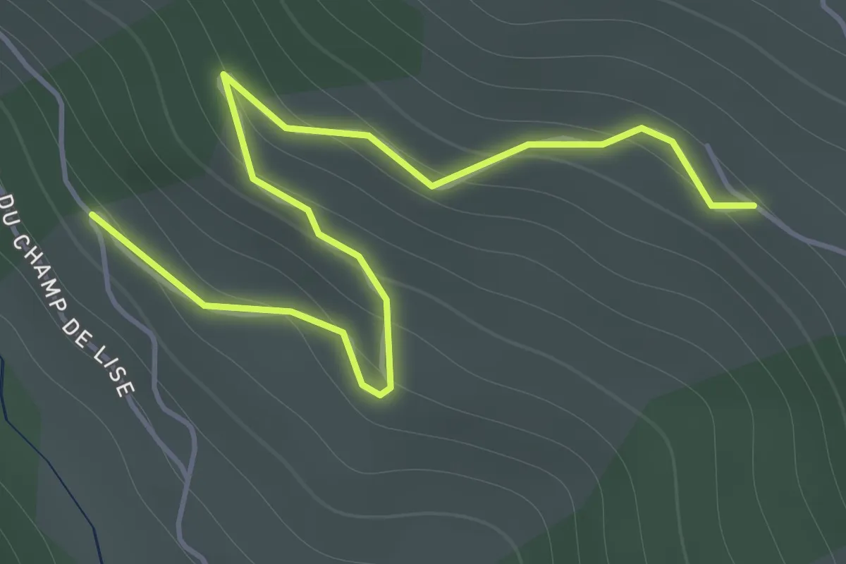
Easy · Trail
Le Vial - Parking Lombard
2.1 km · ↑ 131 m · 46 min
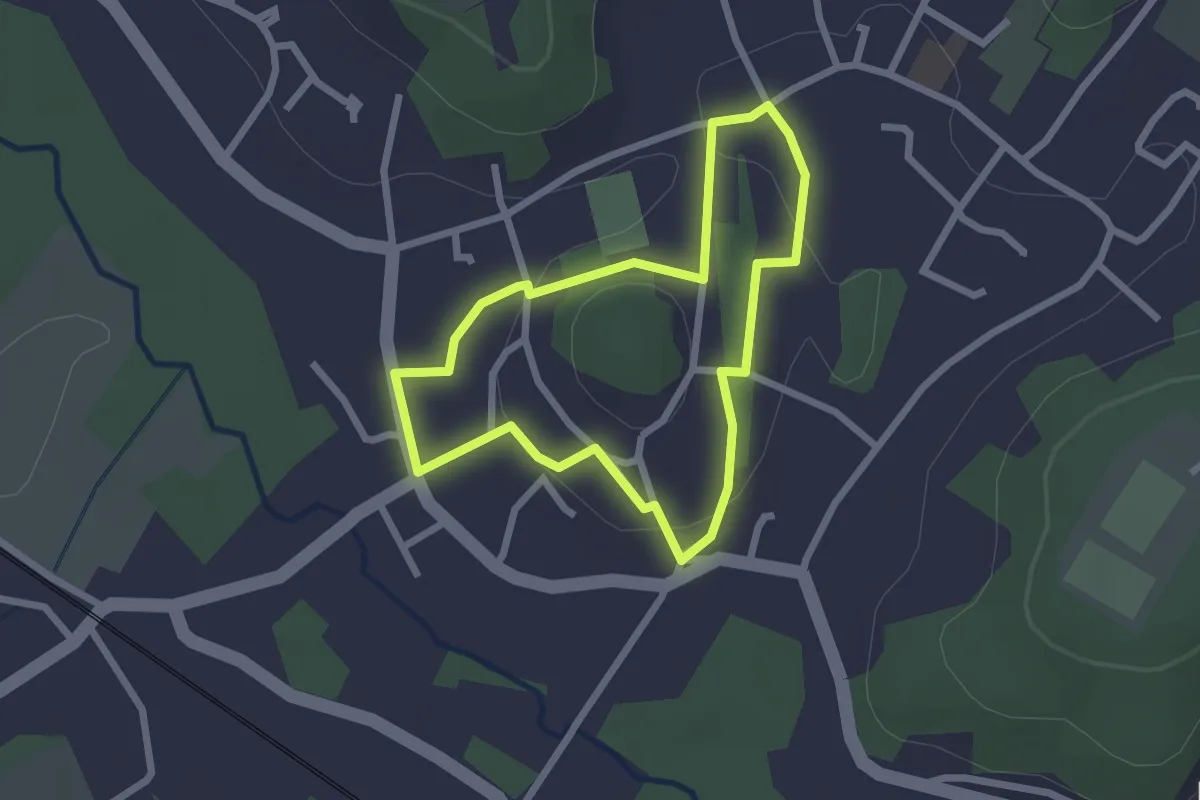
Easy · Trail
Le Vieux Béthisy
2.0 km · ↑ 46 m · 36 min
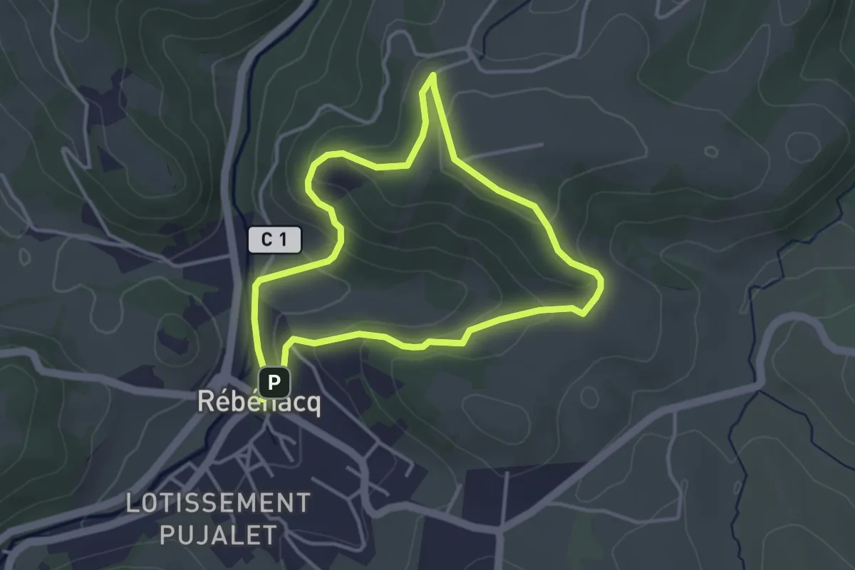
Easy · Trail
Le vieux Château
3.5 km · ↑ 116 m · 1 h 7 min
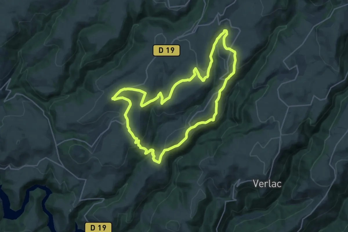
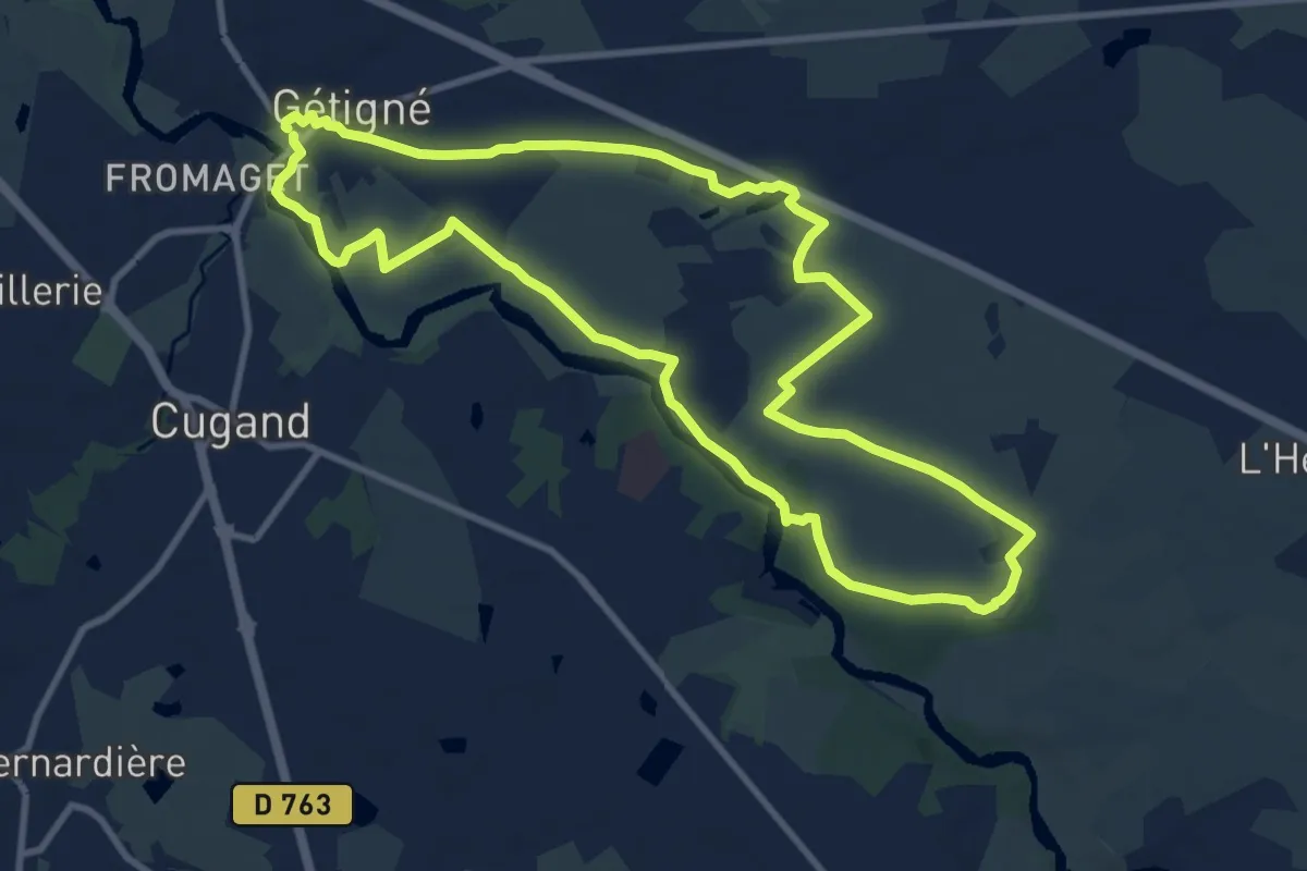
Demanding · Trail
Le Vieux Chemin
18.5 km · ↑ 572 m · 5 h 53 min
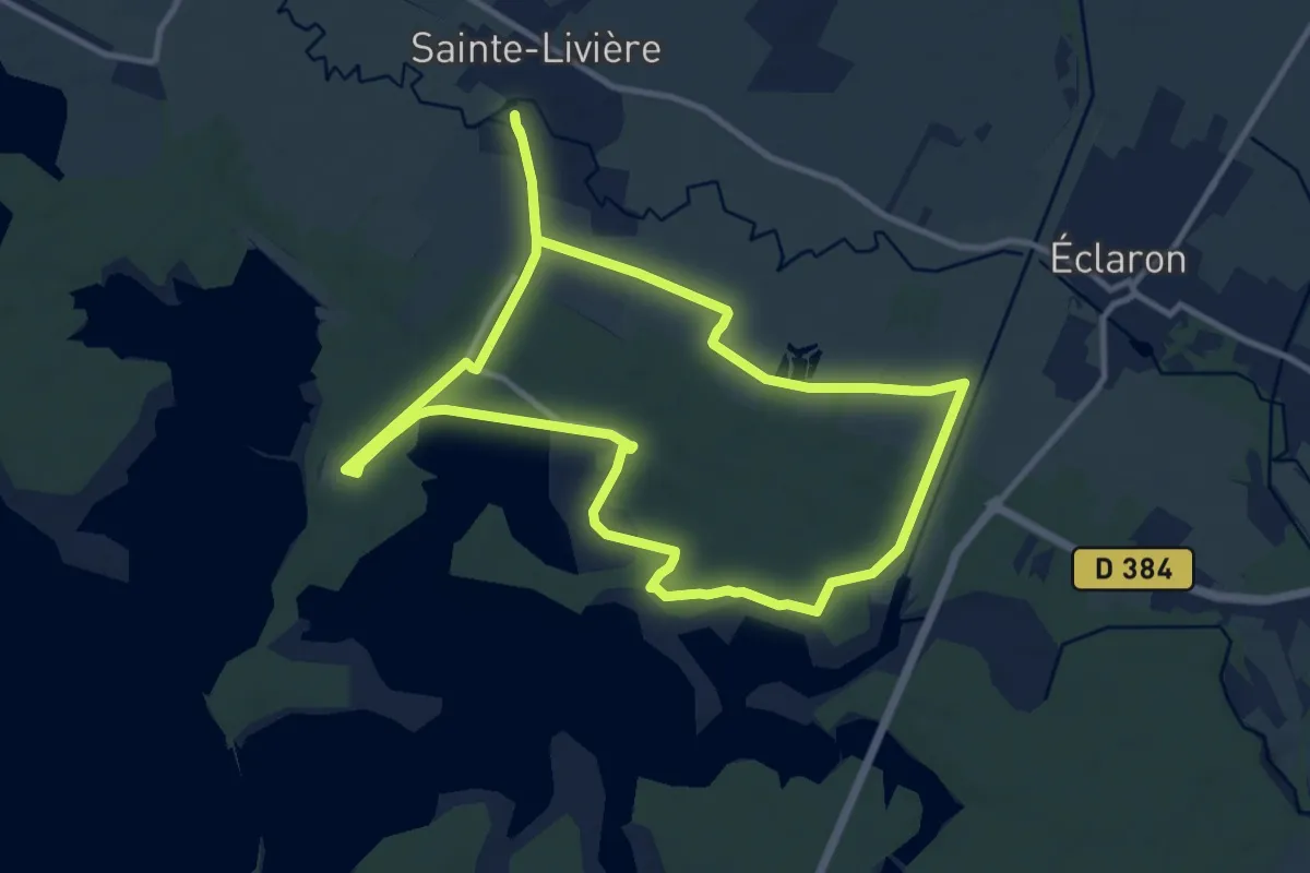
Medium · Trail
Le Vieux Chemin Royal
10.2 km · ↑ 73 m · 2 h 43 min
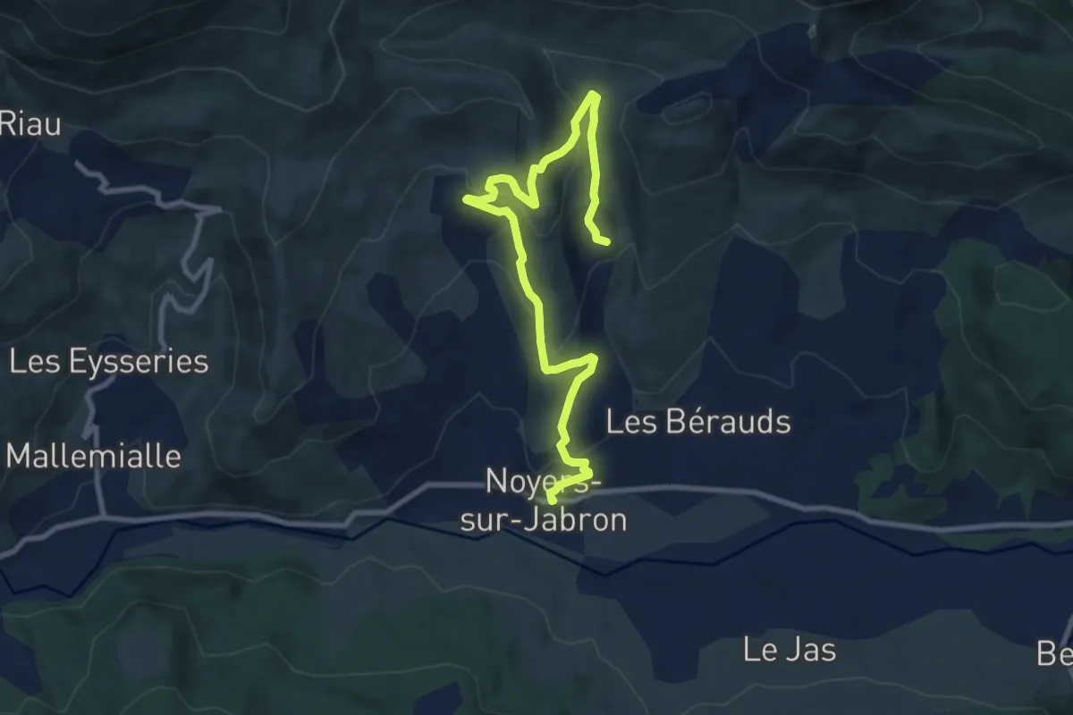
Medium · Trail
Le Vieux Der
10.6 km · ↑ 34 m · 2 h 44 min
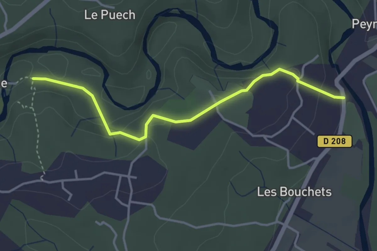
Easy · Trail
Le Vieux Noyers
5.3 km · ↑ 295 m · 1 h 53 min
Medium · Trail
Le Vieux Pont - La Beaume
3.6 km · ↑ 186 m · 1 h 15 min
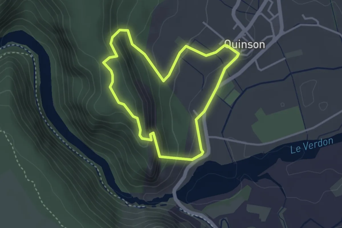
Medium · Trail
Le vieux Quinson
3.0 km · ↑ 164 m · 1 h 6 min
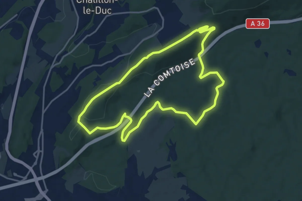
Medium · Trail
Le Vieux Tilleul
9.7 km · ↑ 228 m · 2 h 55 min
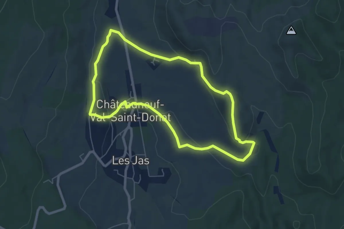
Medium · Trail
Le Vieux Village
5.5 km · ↑ 141 m · 1 h 41 min
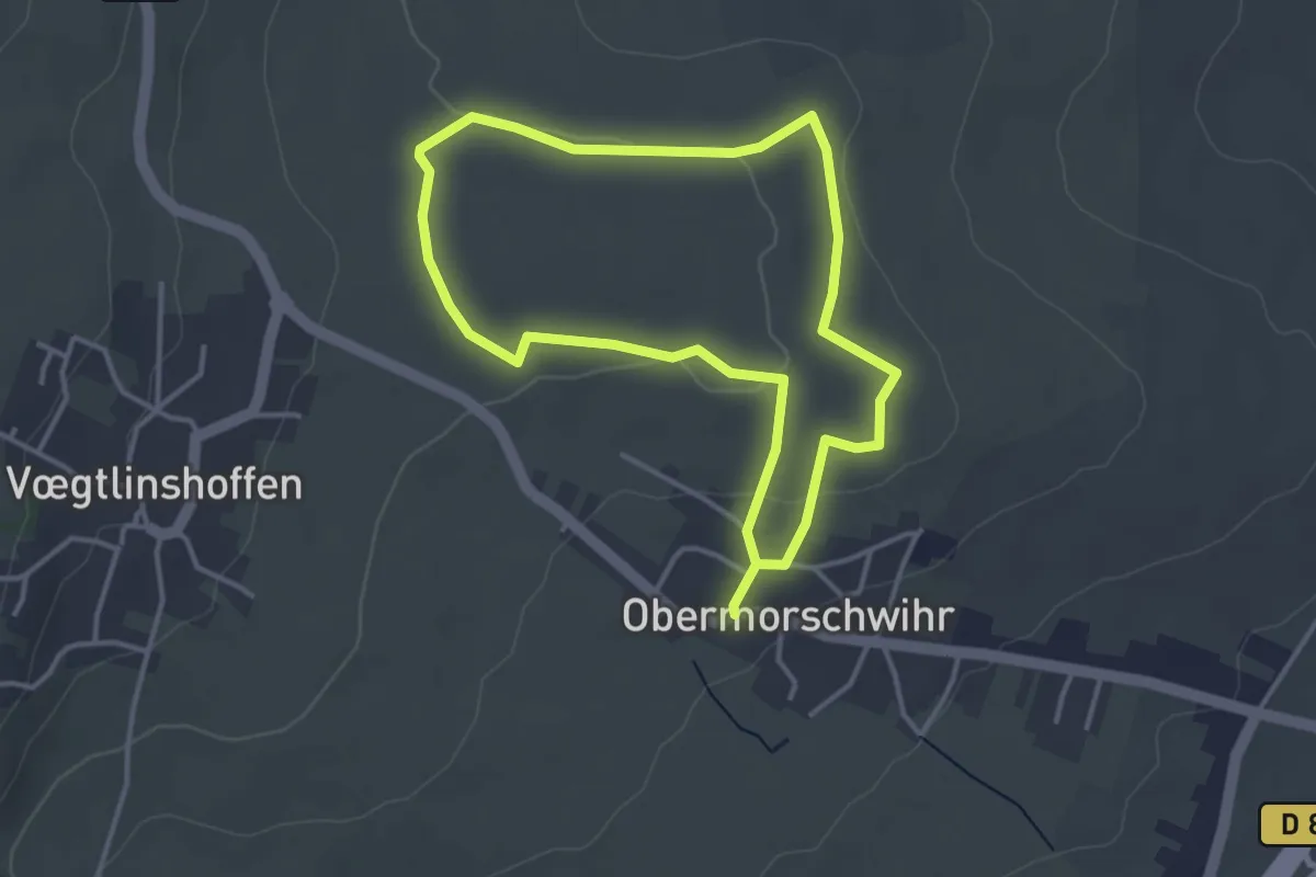
Easy · Trail
Le Vignoble du Bildstoeckle
3.3 km · ↑ 55 m · 56 min
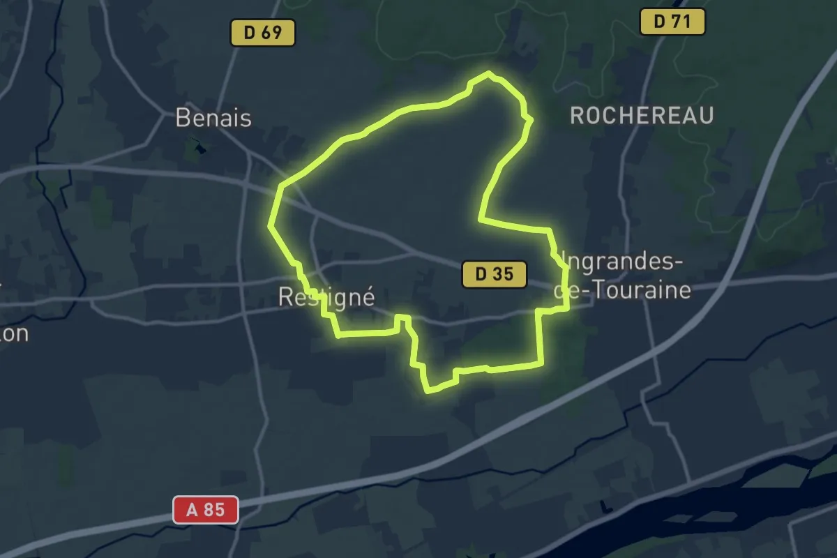
Medium · Trail
Le Vignoble - Restigné
11.1 km · ↑ 54 m · 2 h 53 min
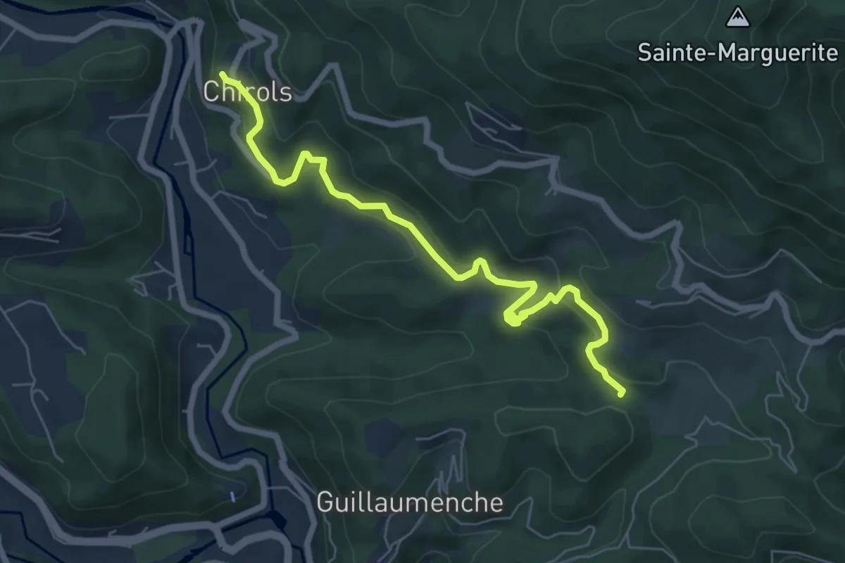
Medium · Trail
Le Village - Col de Sétias
6.7 km · ↑ 425 m · 2 h 30 min
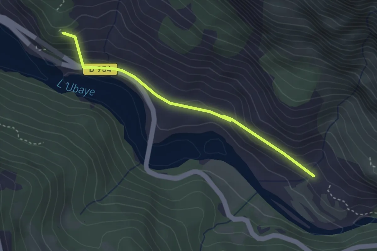
Medium · Trail
Le village disparu
1.7 km · ↑ 101 m · 37 min
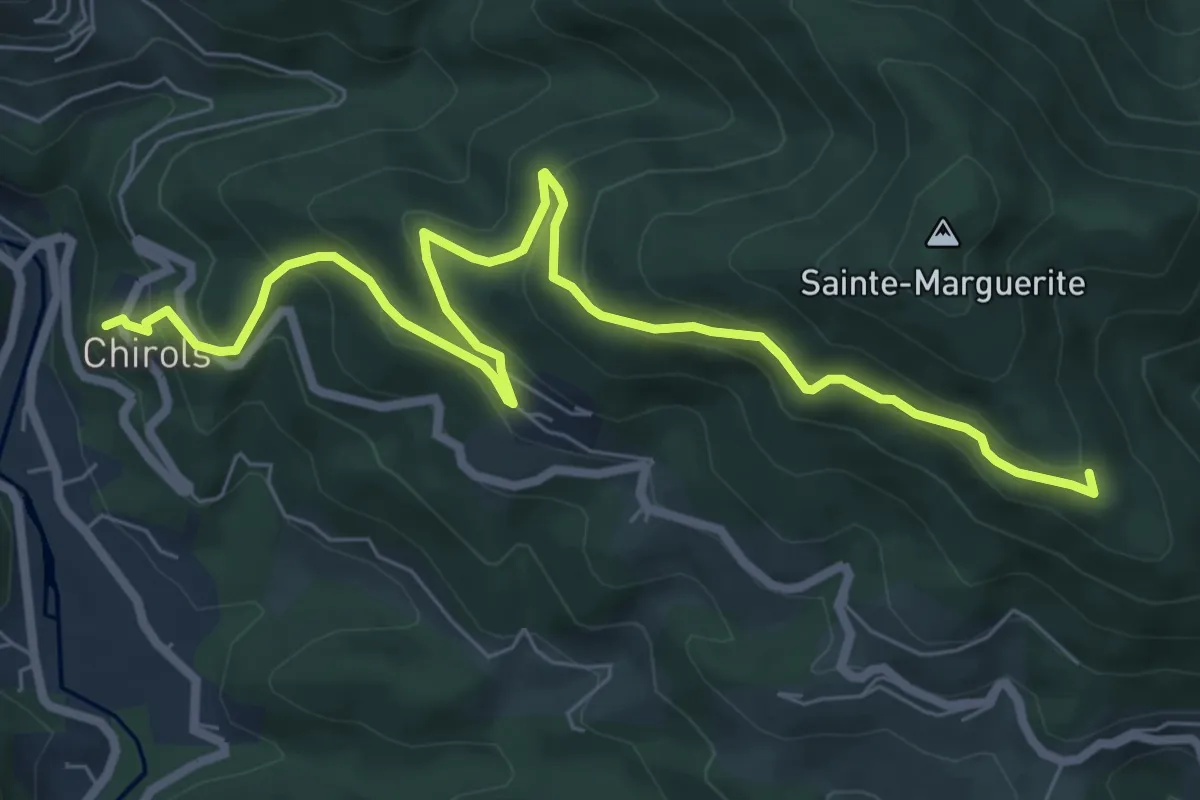
Medium · Trail
Le Village - Les Traverses
8.8 km · ↑ 479 m · 3 h 7 min
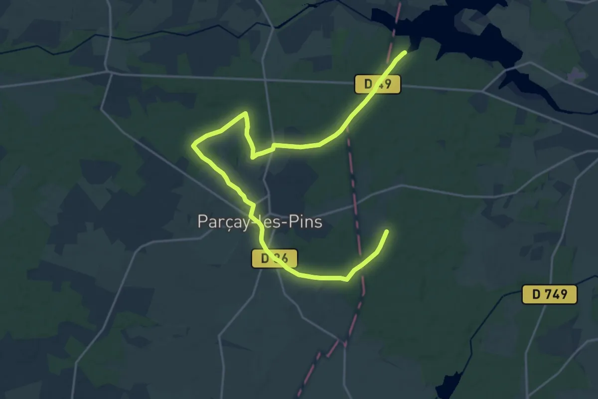
Medium · Trail
Le village - Parçay-les-Pins
11.1 km · ↑ 86 m · 2 h 58 min
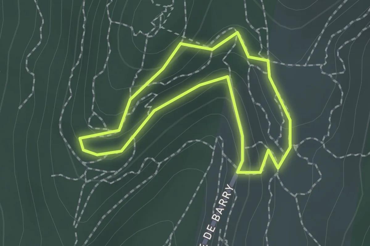
Easy · Trail
Le village troglodytique
1.5 km · ↑ 58 m · 30 min
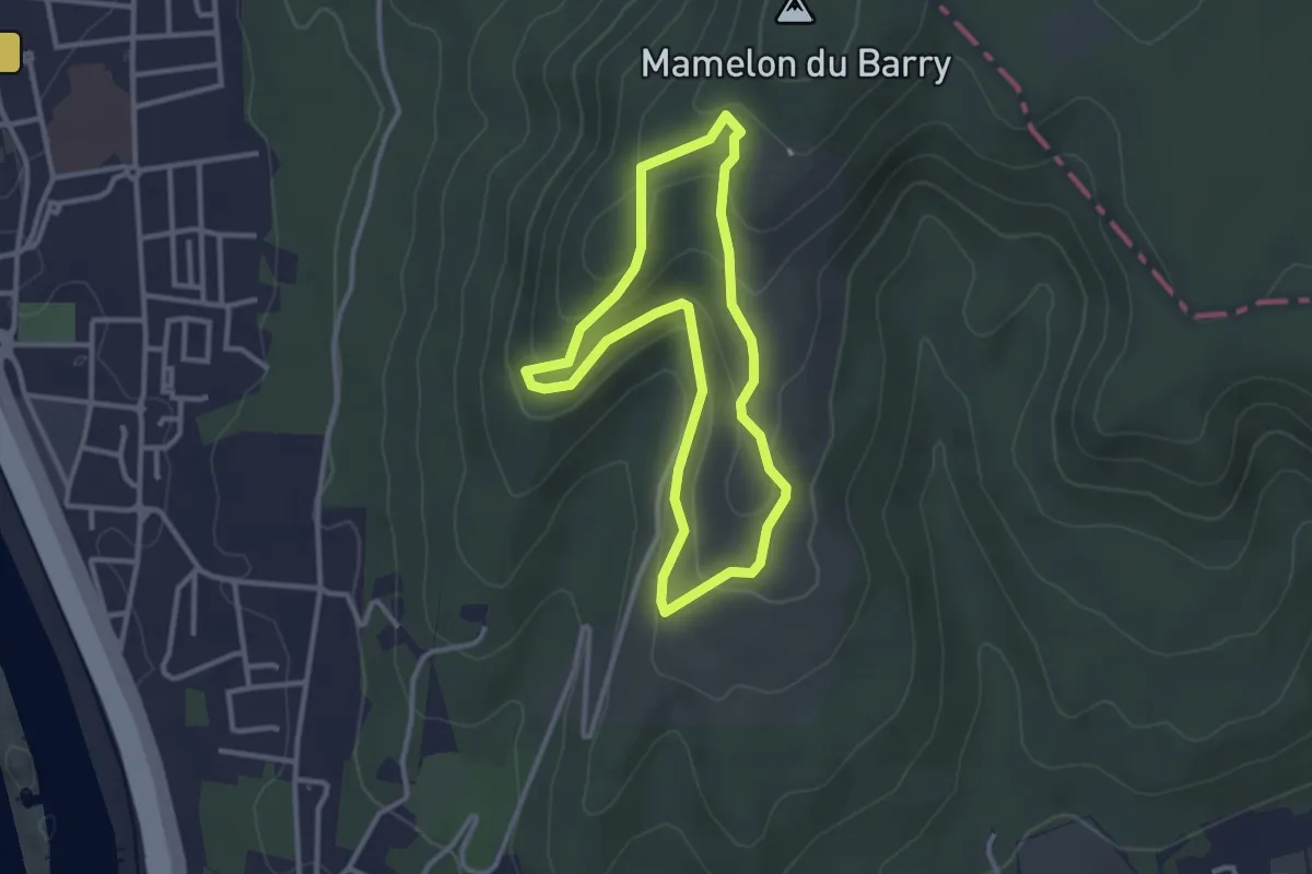
Easy · Trail
Le village troglodytique et l'oppidum
2.9 km · ↑ 114 m · 58 min
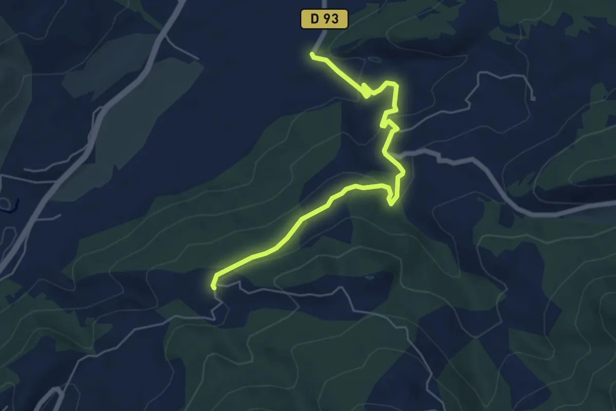
Easy · Trail
Le Villard - ?
5.7 km · ↑ 202 m · 1 h 47 min
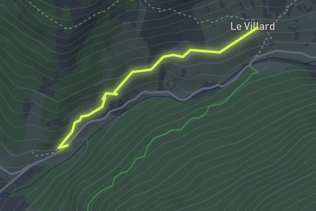
Medium · Trail
Le Villard Chapelle Sainte-Barbe - Torrent du Cristillan
2.6 km · ↑ 150 m · 56 min
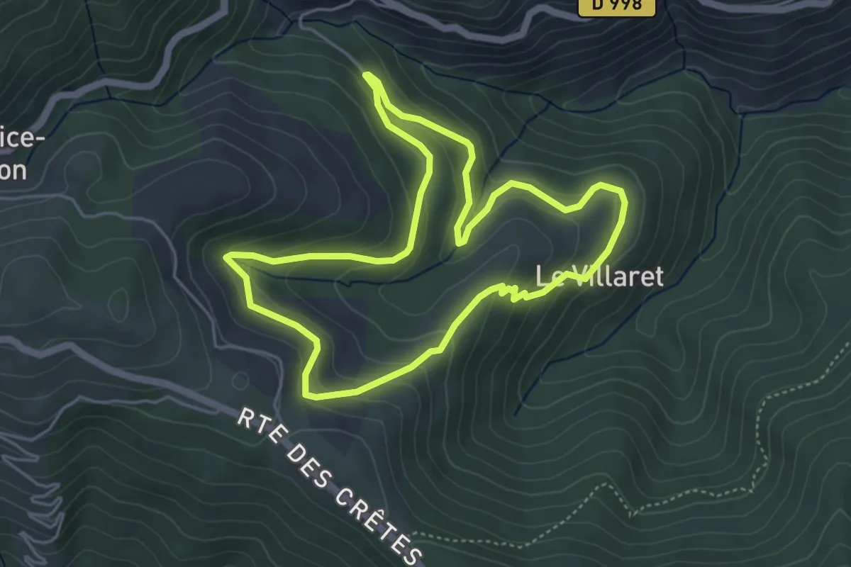
Easy · Trail
Le Villaret
4.7 km · ↑ 240 m · 1 h 41 min
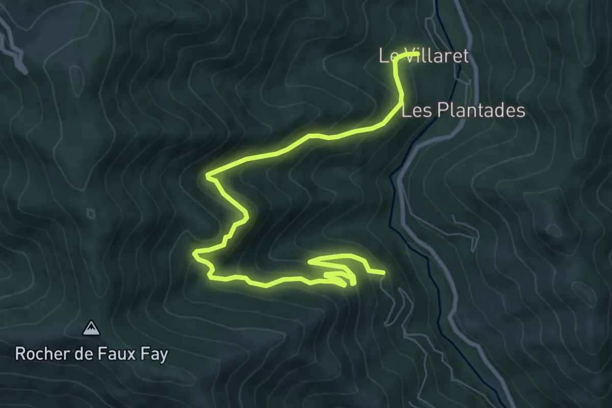
Medium · Trail
Le Villaret - Aubert
9.5 km · ↑ 702 m · 3 h 47 min
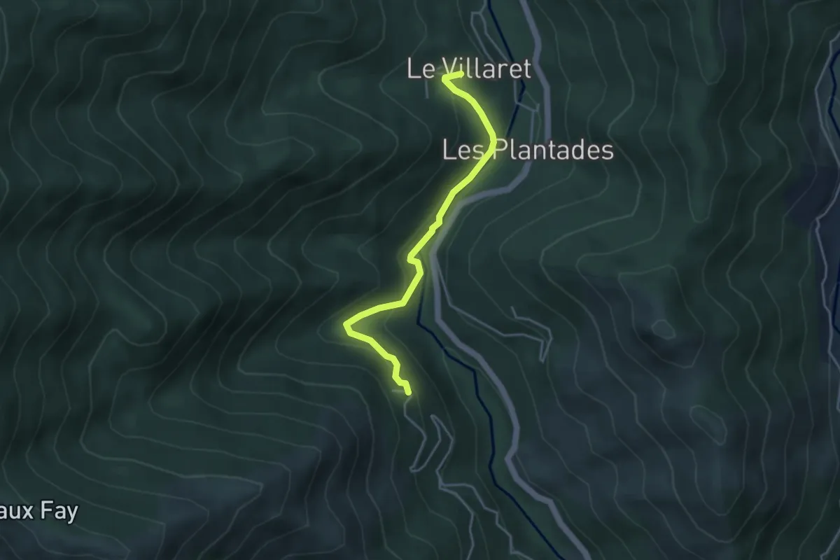
Easy · Trail
Le Villaret Bas - Aubert
3.8 km · ↑ 180 m · 1 h 18 min
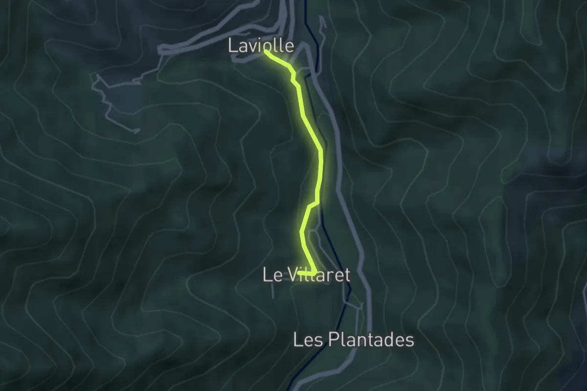
Easy · Trail
Le Villaret - Laviolle
2.7 km · ↑ 113 m · 54 min
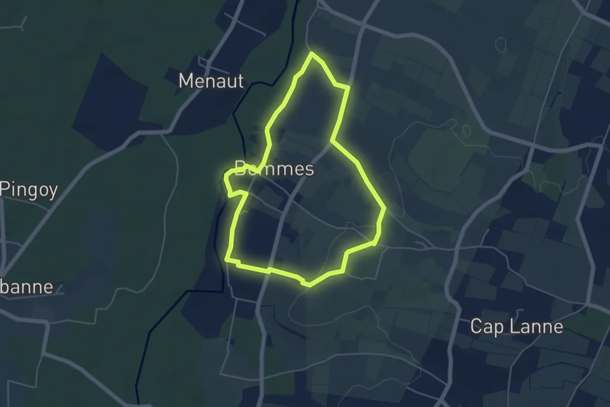
Easy · Trail
Le Vin Soleil : boucle locale
4.5 km · ↑ 36 m · 1 h 12 min
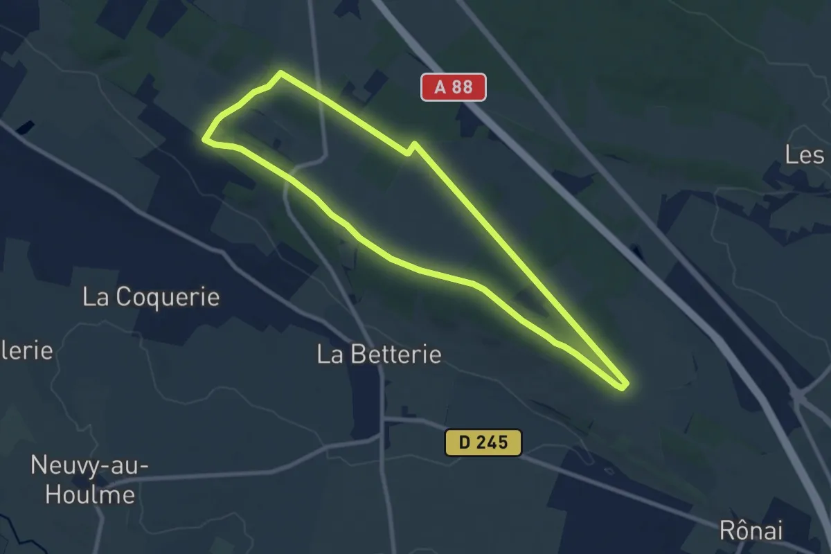
Easy · Trail
Le Vivier
7.8 km · ↑ 46 m · 2 h 2 min
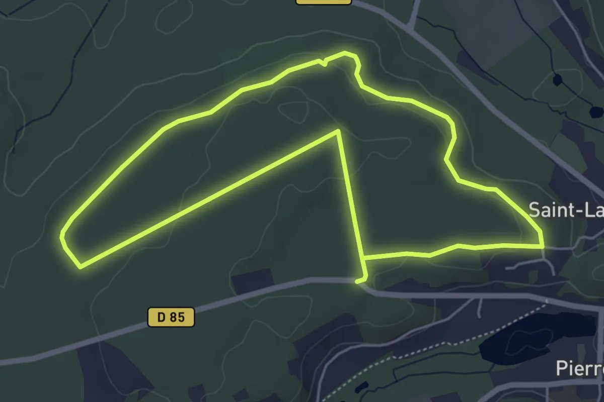
Easy · Trail
Le Voliard
4.9 km · ↑ 61 m · 1 h 21 min
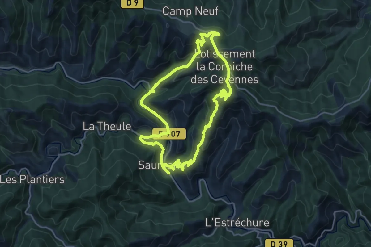
Medium · Trail
L'Exil
12.6 km · ↑ 518 m · 4 h 16 min
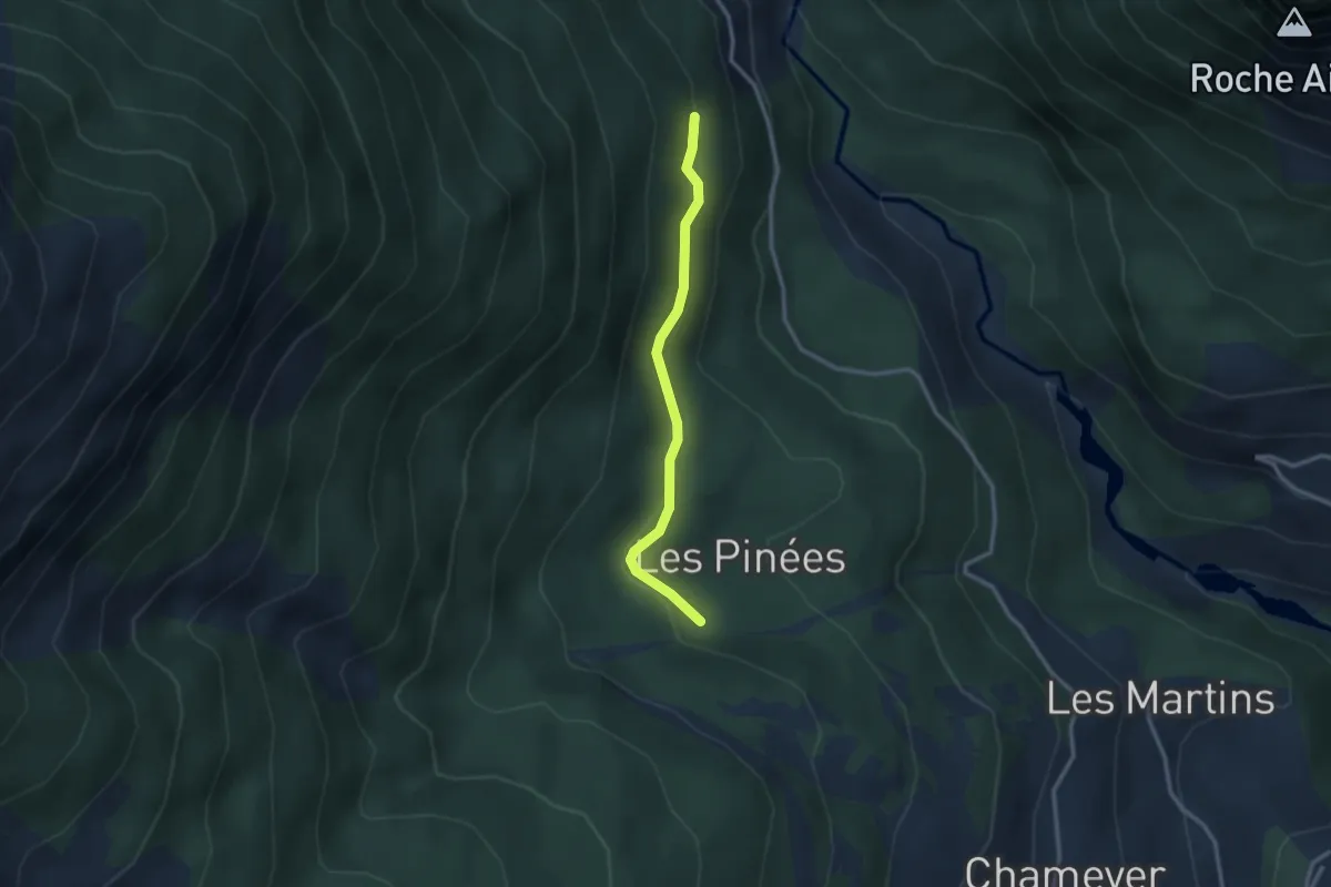
Easy · Trail
L'Eyrette - Torrent des Eyssirolles
2.6 km · ↑ 131 m · 54 min
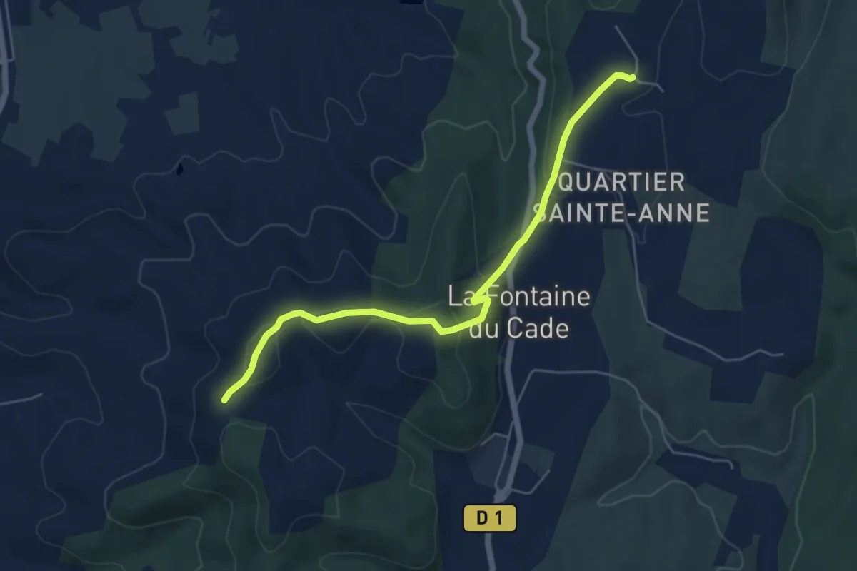
Easy · Trail
Leyris - Serre de Rimbaud
5.7 km · ↑ 165 m · 1 h 43 min
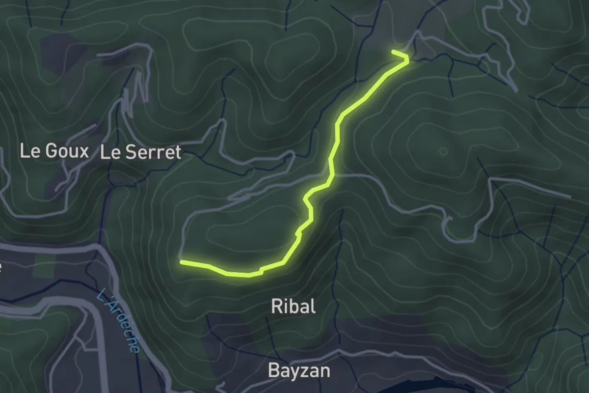
Easy · Trail
Leyronac - Sétias
3.0 km · ↑ 56 m · 49 min
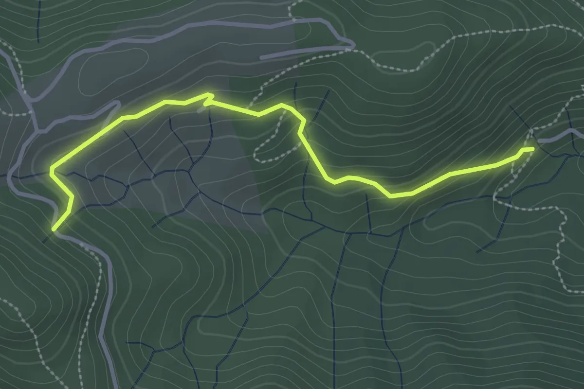
Easy · Trail
Leyval - Loup du Perrier
3.1 km · ↑ 175 m · 1 h 7 min
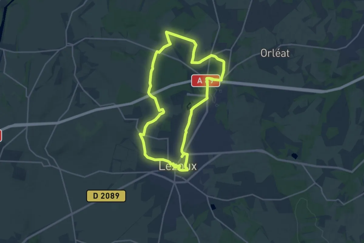
Medium · Trail
lezoux cote nature
14.1 km · ↑ 92 m · 3 h 44 min
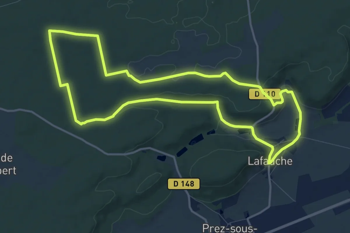
Medium · Trail
L'Herbe aux Chevaux
10.2 km · ↑ 143 m · 2 h 52 min
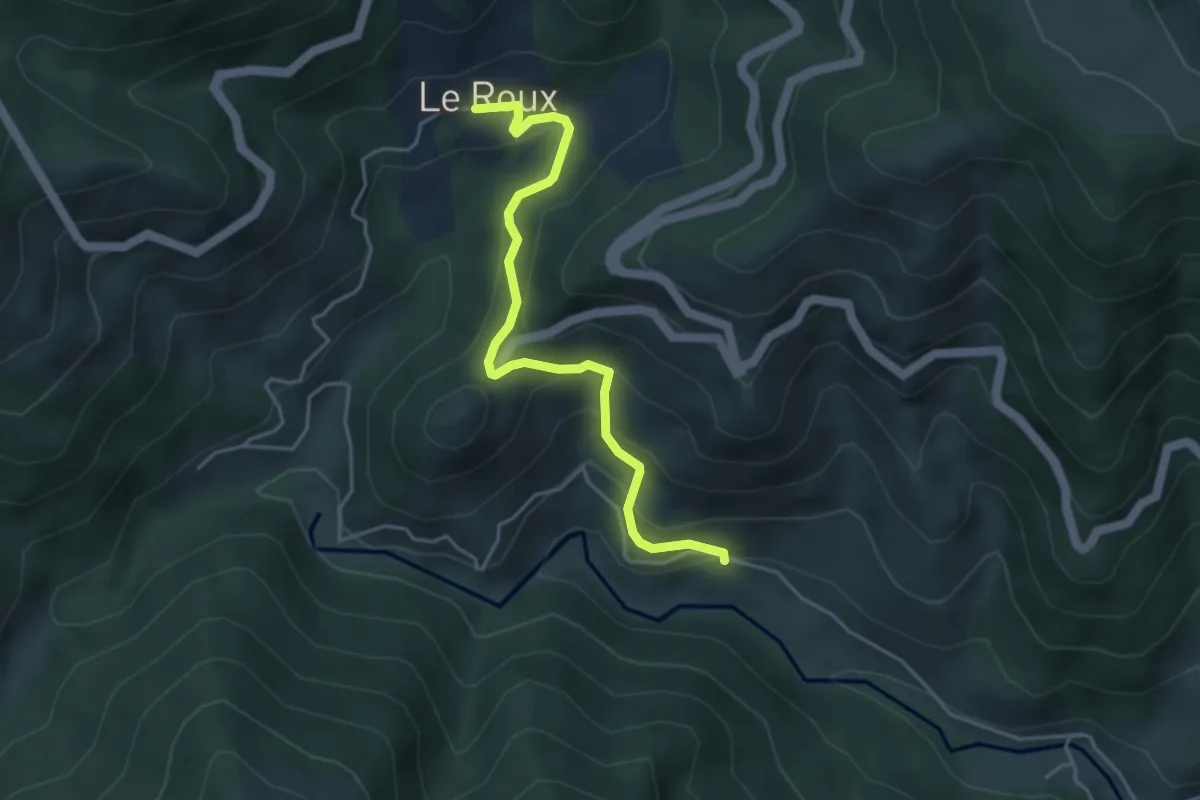
Easy · Trail
L'Herm - Le Roux
4.4 km · ↑ 260 m · 1 h 36 min