Trails in France
15,926 hiking trails, each with its route, climb, walking time and grade.
All trails, page 202 of 332
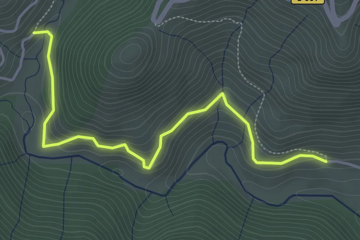
Easy · Trail
L'Herm - Le Roux Bas
3.8 km · ↑ 215 m · 1 h 21 min
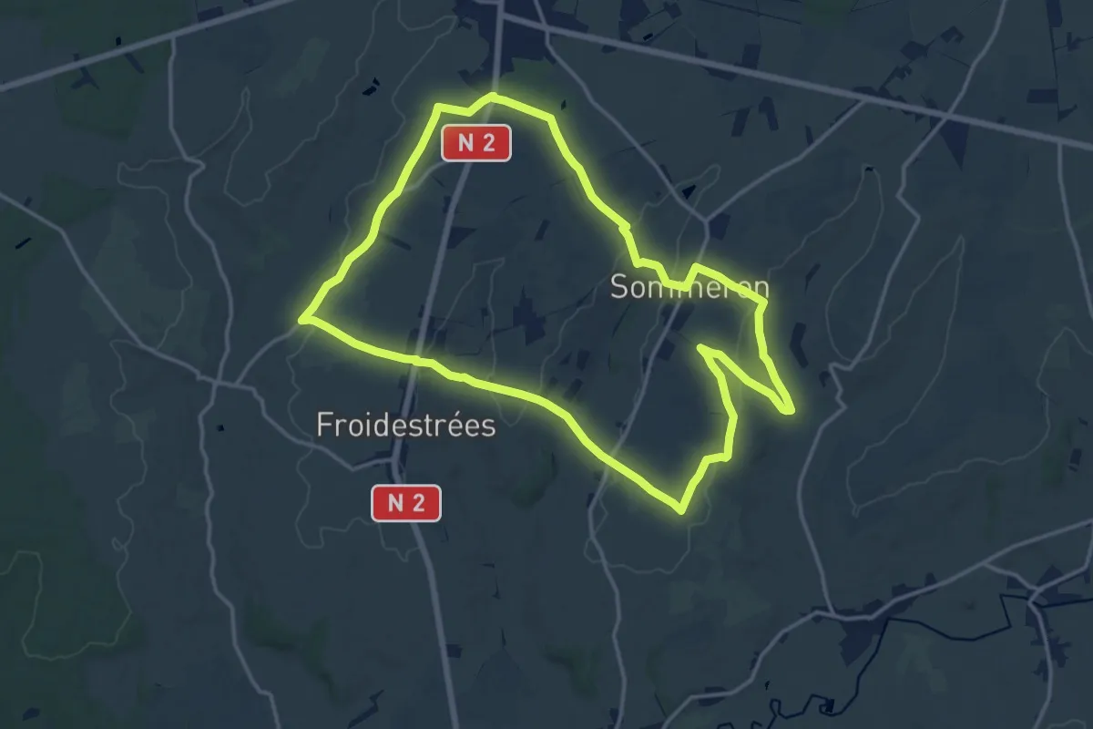
Medium · Trail
L'Hippodrome
14.2 km · ↑ 186 m · 3 h 57 min
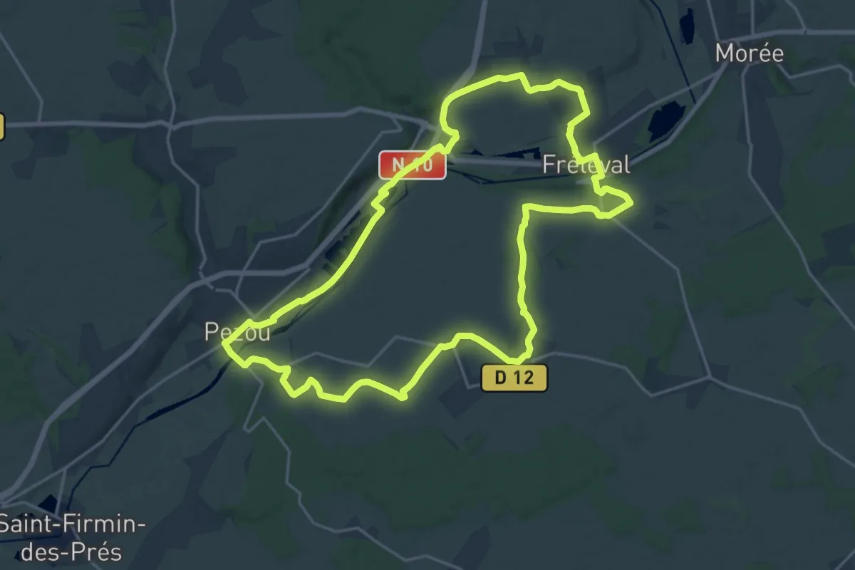
Demanding · Trail
L'histoire en chemin
19.4 km · ↑ 170 m · 5 h 14 min
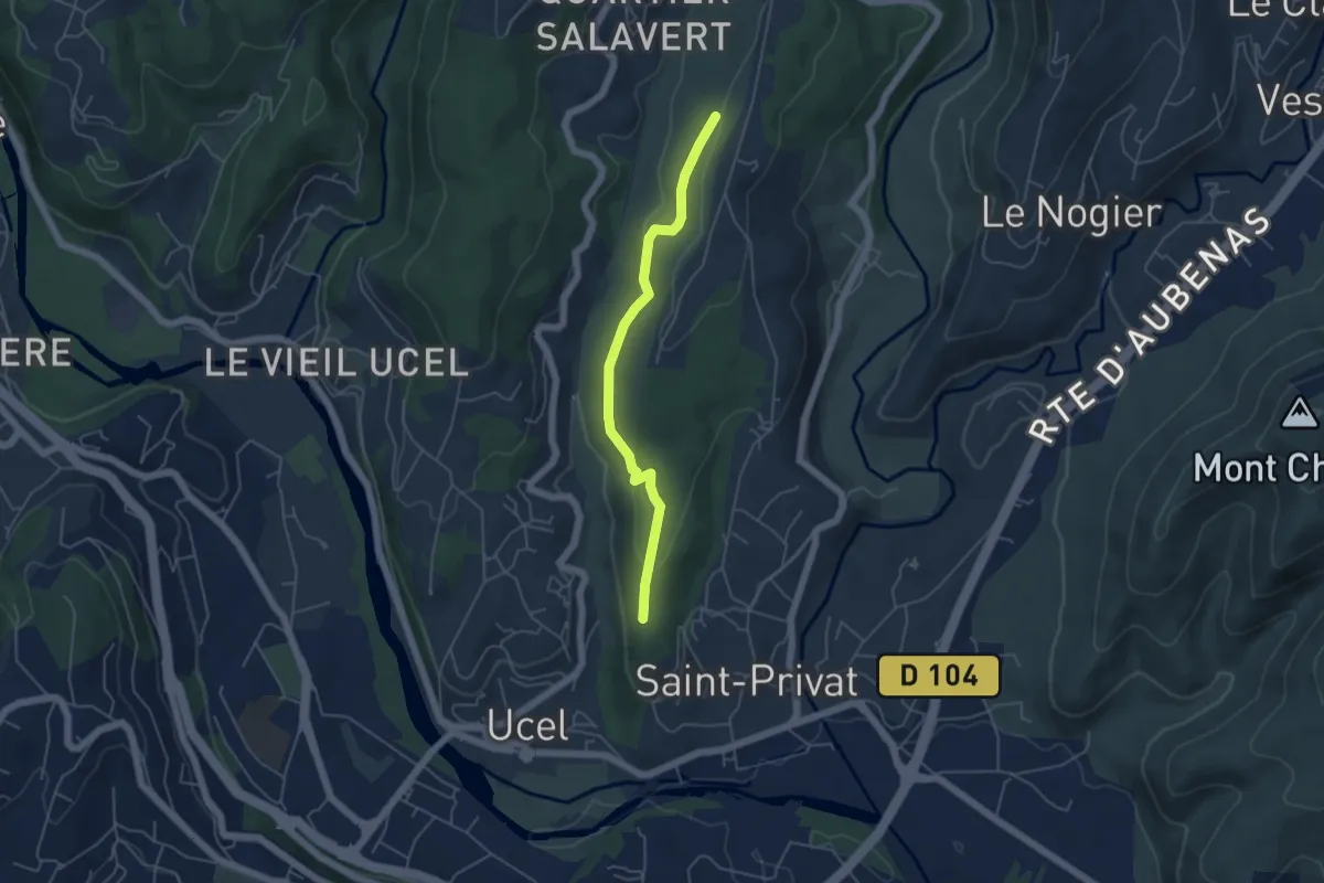
Easy · Trail
L'Houme - Le Suel
4.8 km · ↑ 157 m · 1 h 28 min
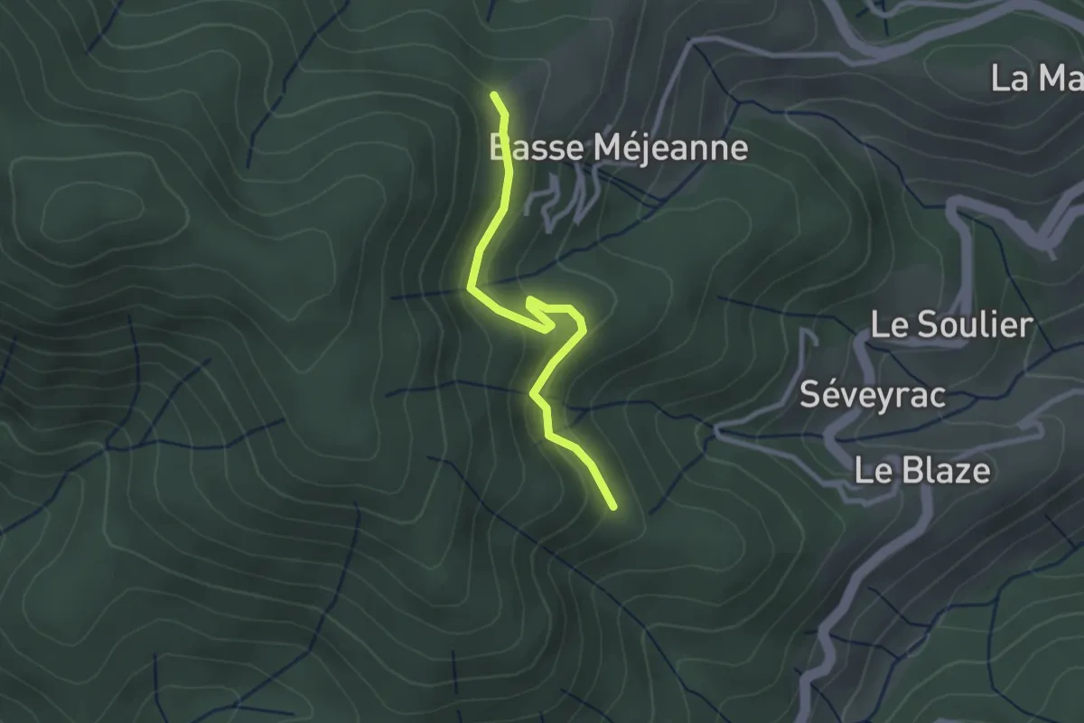
Easy · Trail
L'Hubac - Les Fourches
2.5 km · ↑ 112 m · 50 min
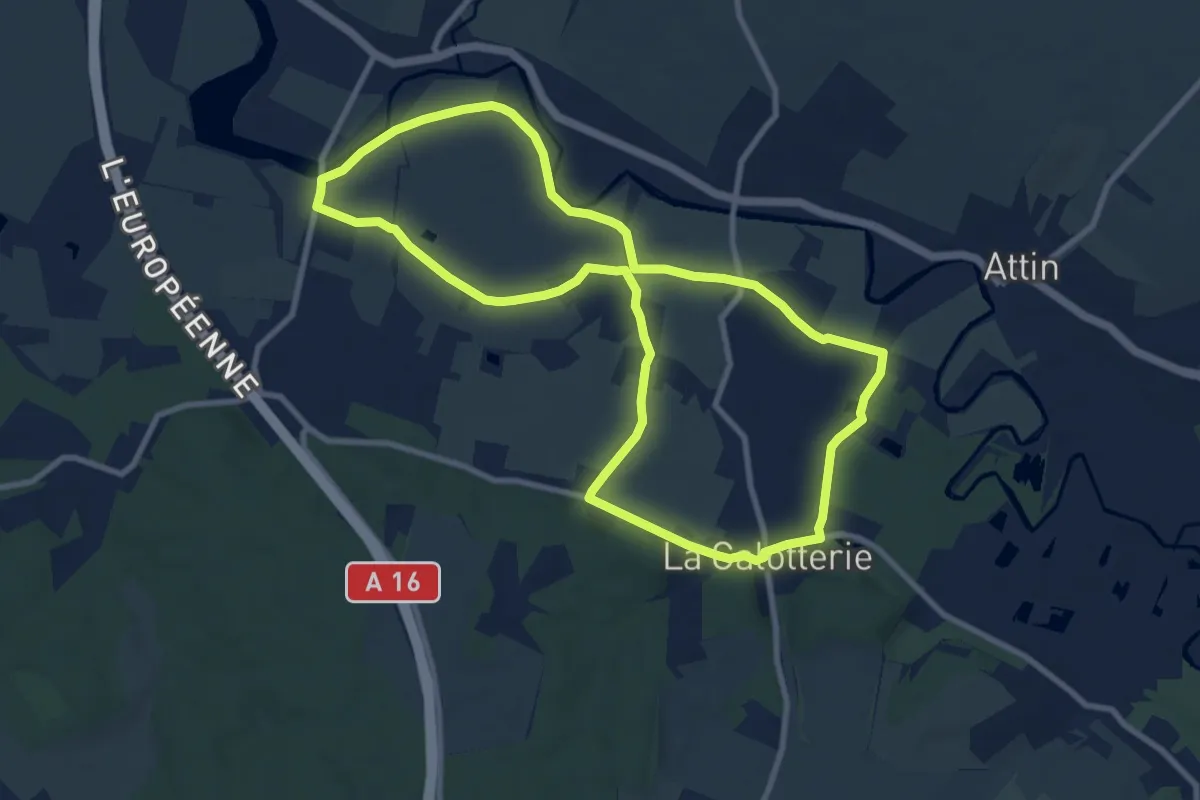
Medium · Trail
L'Hurbise
8.7 km · ↑ 17 m · 2 h 13 min
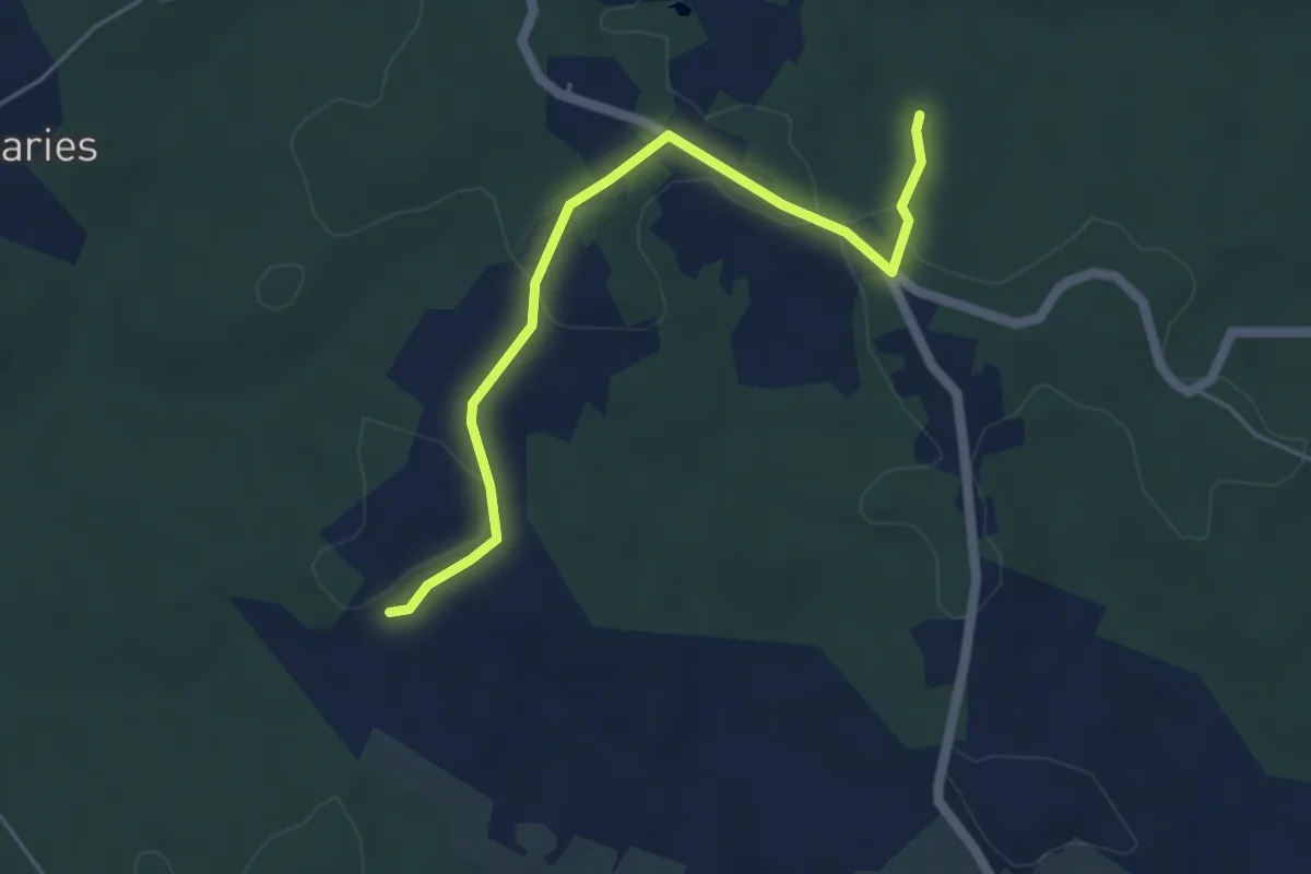
Easy · Trail
Liaison
5.1 km · ↑ 50 m · 1 h 19 min
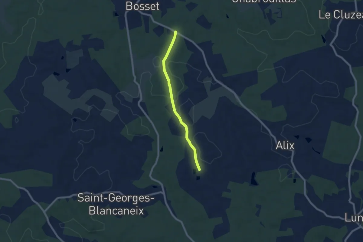
Easy · Trail
Liaison
5.2 km · ↑ 61 m · 1 h 22 min
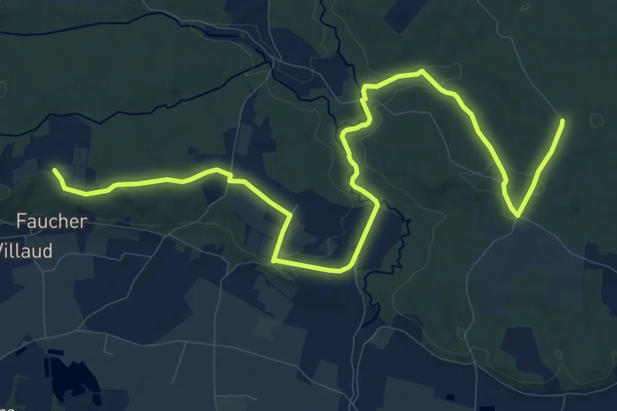
Medium · Trail
Liaison
15.3 km · ↑ 155 m · 3 h 57 min
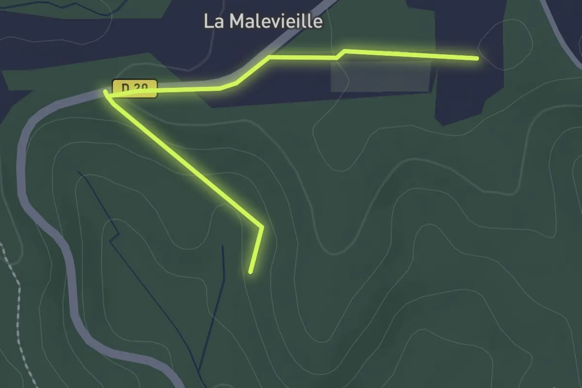
Easy · Trail
Liaison
2.4 km · ↑ 36 m · 38 min
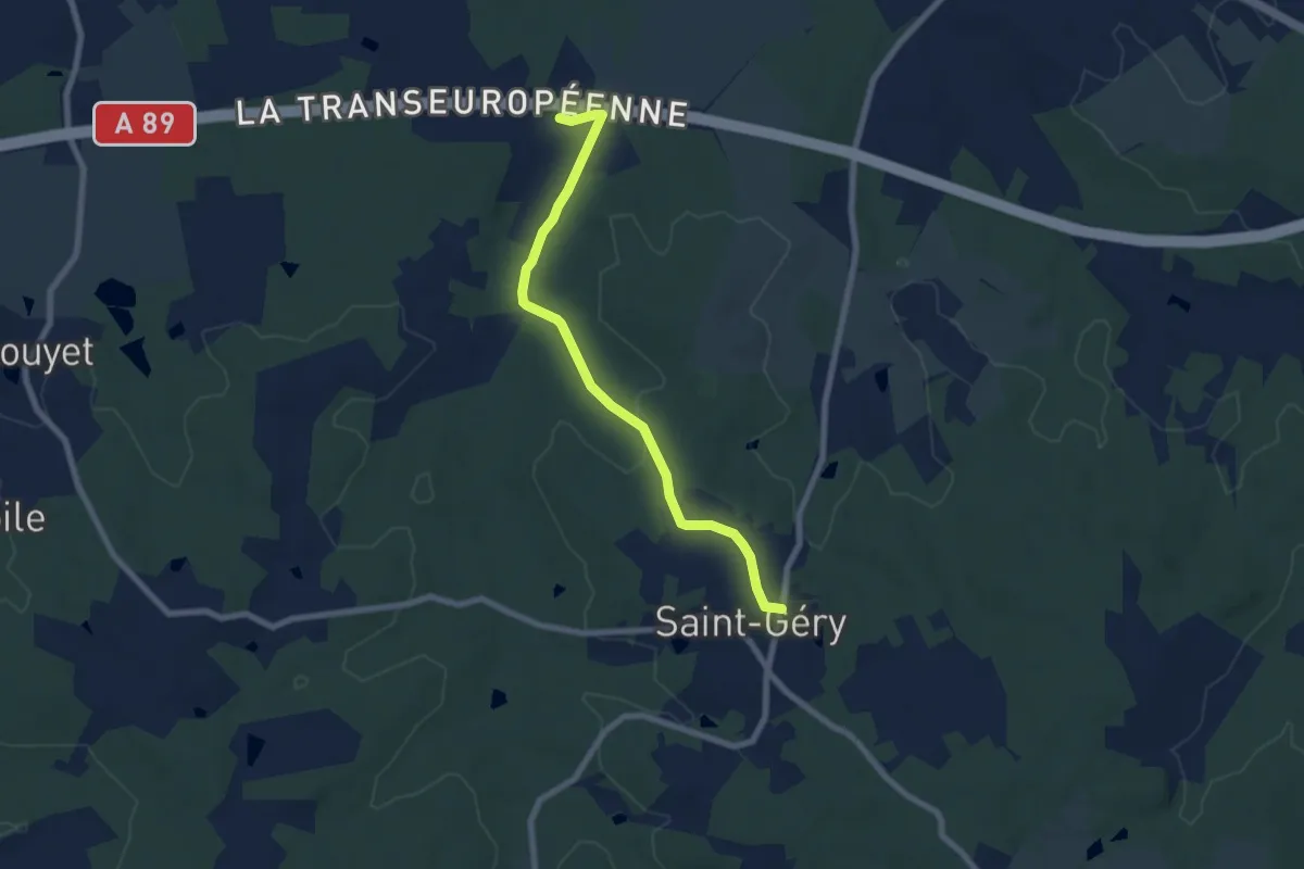
Easy · Trail
Liaison
7.3 km · ↑ 83 m · 1 h 54 min
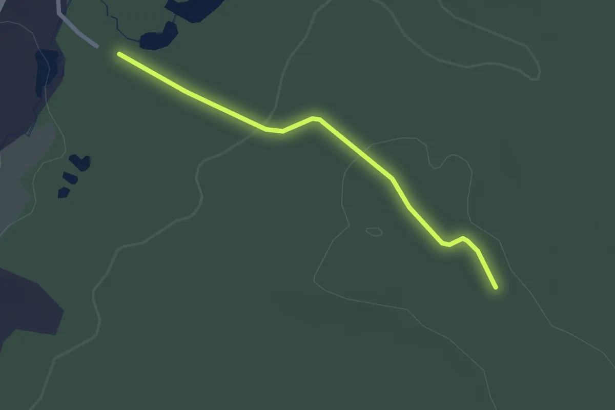
Easy · Trail
Liaison
2.2 km · ↑ 39 m · 36 min
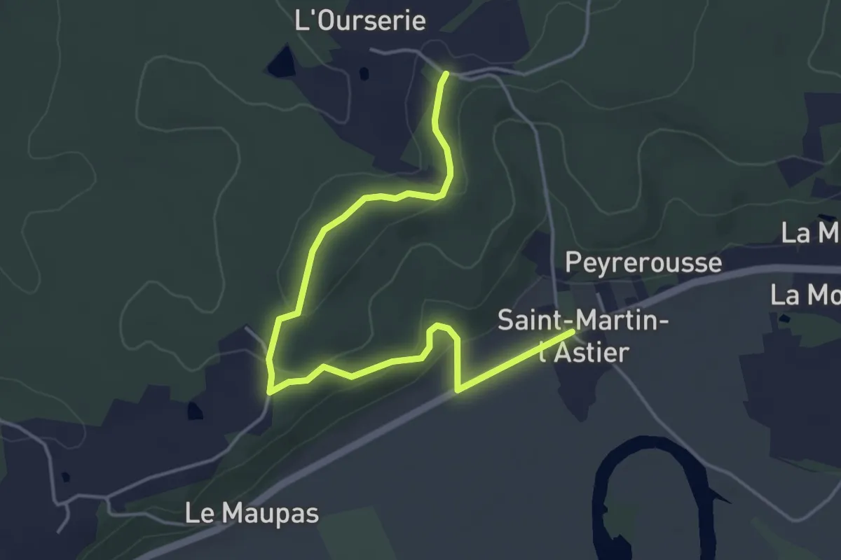
Easy · Trail
Liaison
5.1 km · ↑ 89 m · 1 h 24 min
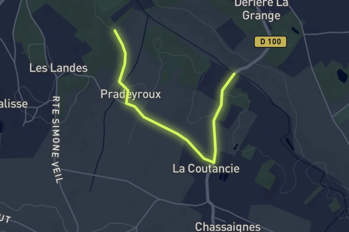
Easy · Trail
Liaison
4.2 km · ↑ 30 m · 1 h 4 min
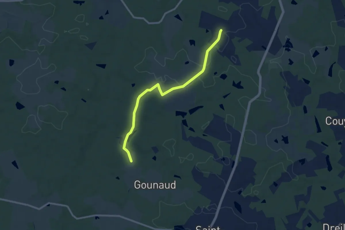
Easy · Trail
Liaison
7.3 km · ↑ 76 m · 1 h 53 min
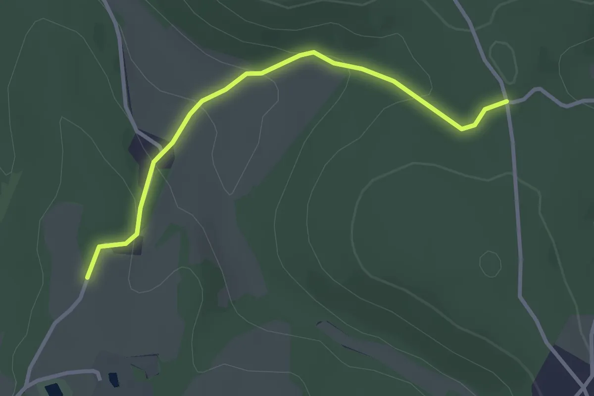
Easy · Trail
Liaison
2.9 km · ↑ 105 m · 55 min
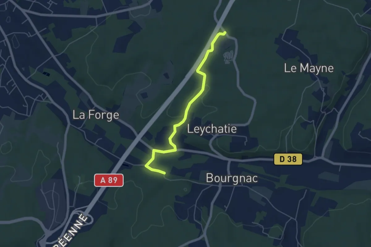
Easy · Trail
Liaison
4.9 km · ↑ 65 m · 1 h 18 min
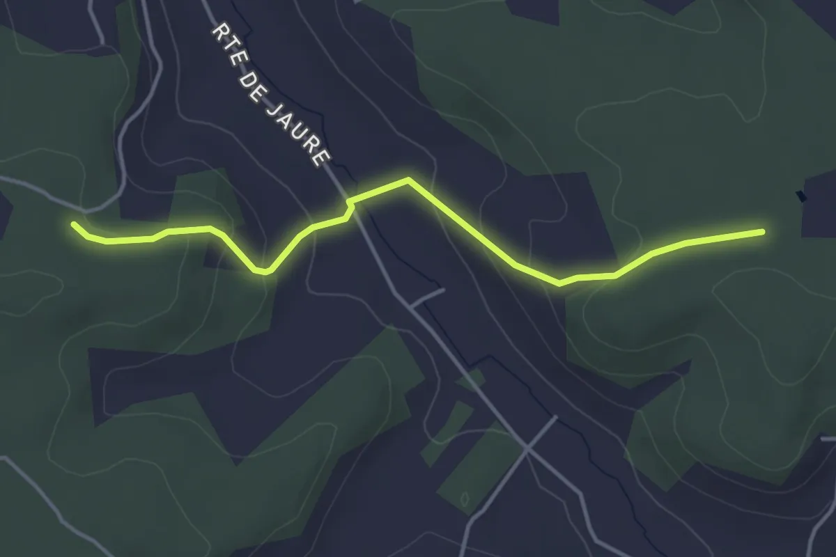
Easy · Trail
Liaison
4.0 km · ↑ 152 m · 1 h 17 min
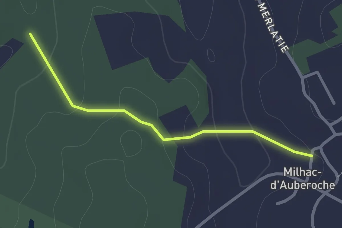
Easy · Trail
Liaison
2.1 km · ↑ 55 m · 37 min
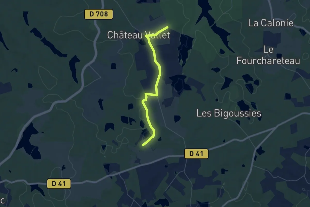
Easy · Trail
Liaison
5.5 km · ↑ 9 m · 1 h 19 min
Easy · Trail
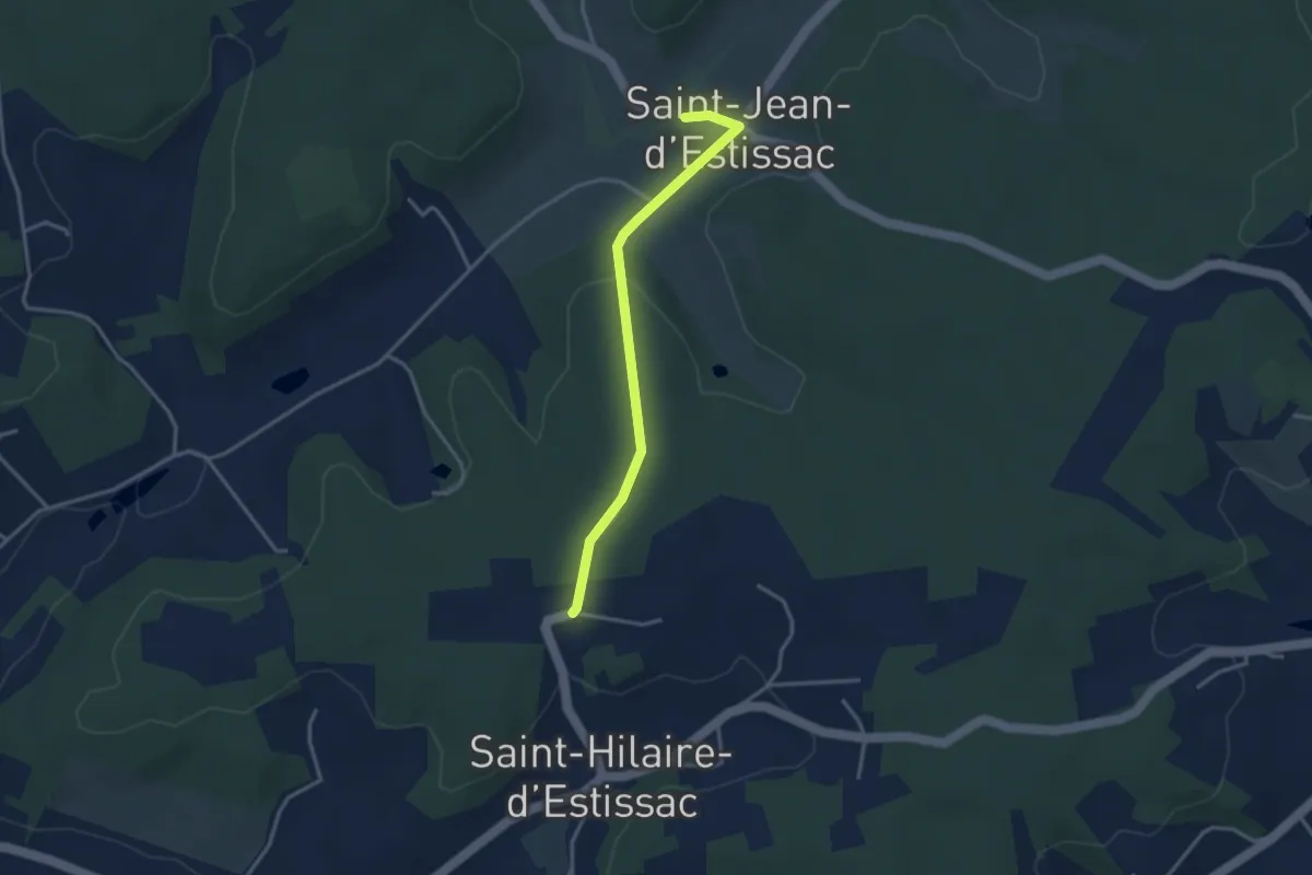
Liaison
3.3 km · ↑ 56 m · 54 min
Easy · Trail
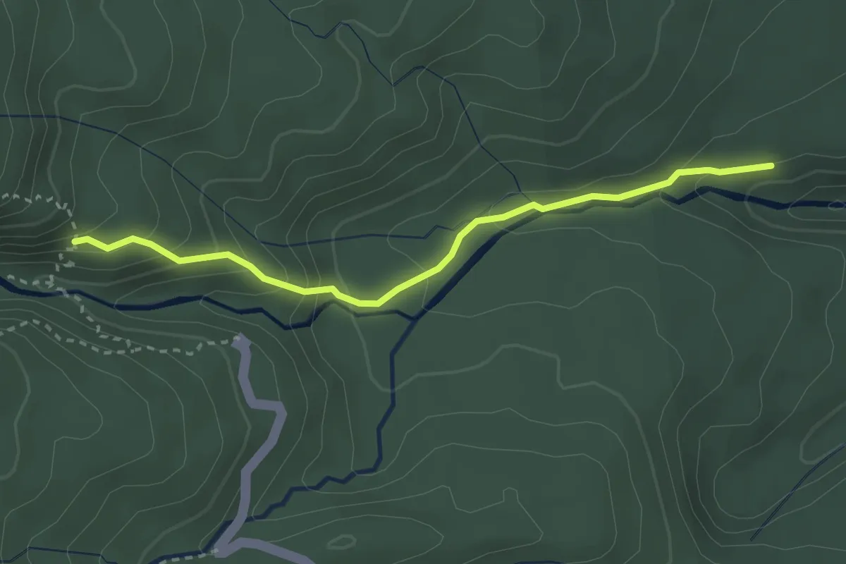
Liaison 2e chute / 3e chute du Carbet
4.0 km · ↑ 246 m · 1 h 28 min
Medium · Trail
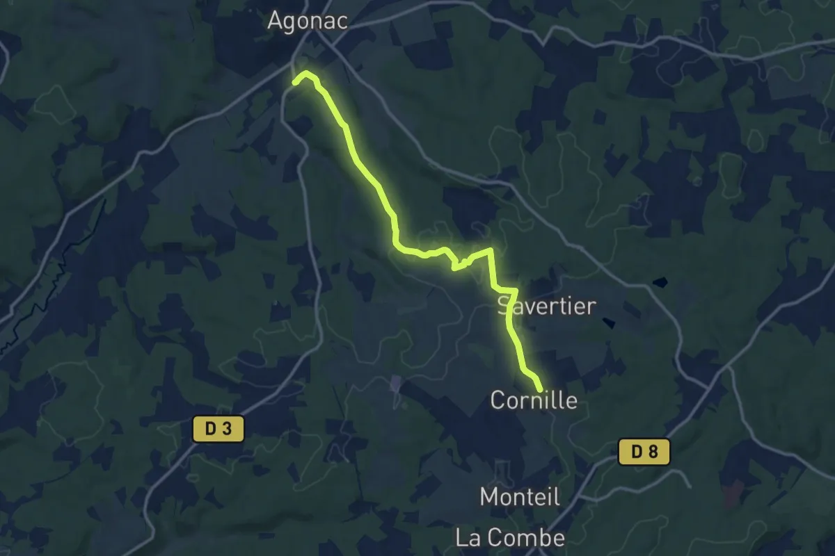
Liaison Agonac Cornille
12.1 km · ↑ 111 m · 3 h 6 min
Easy · Trail
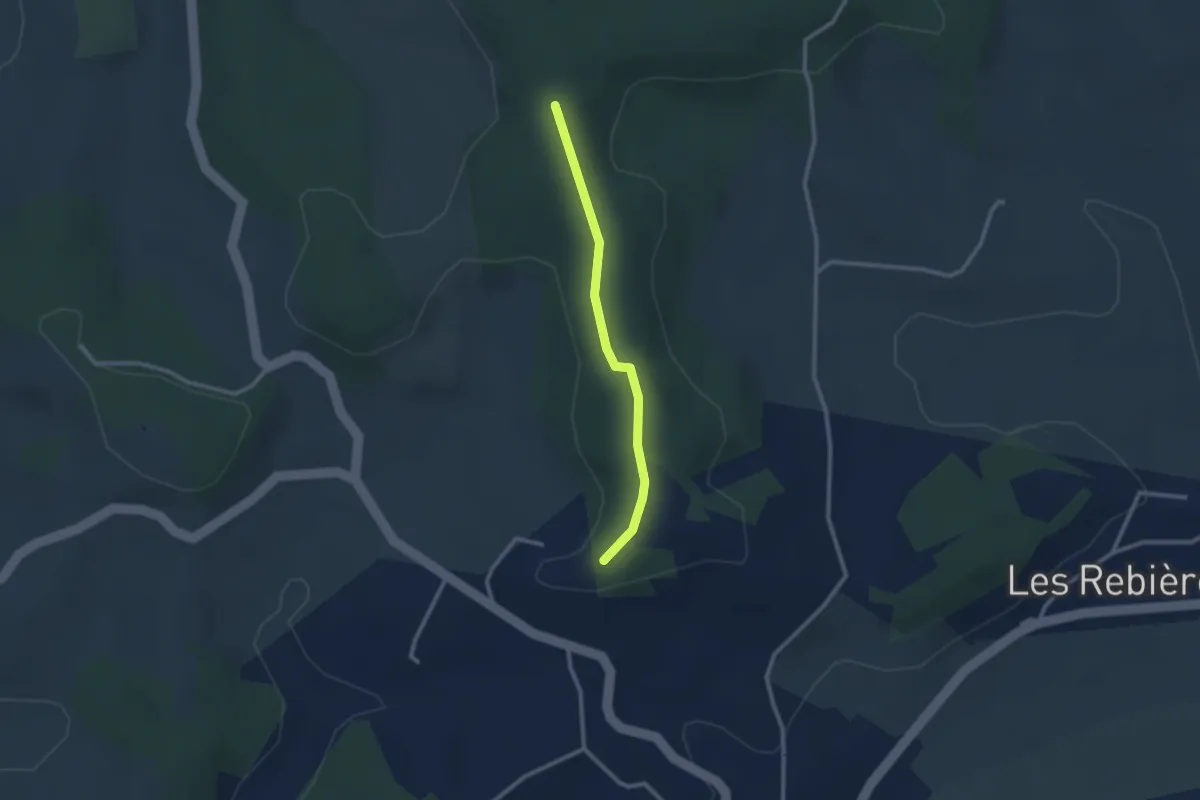
Liaison Agonac-Eyvirat
2.3 km · ↑ 23 m · 36 min
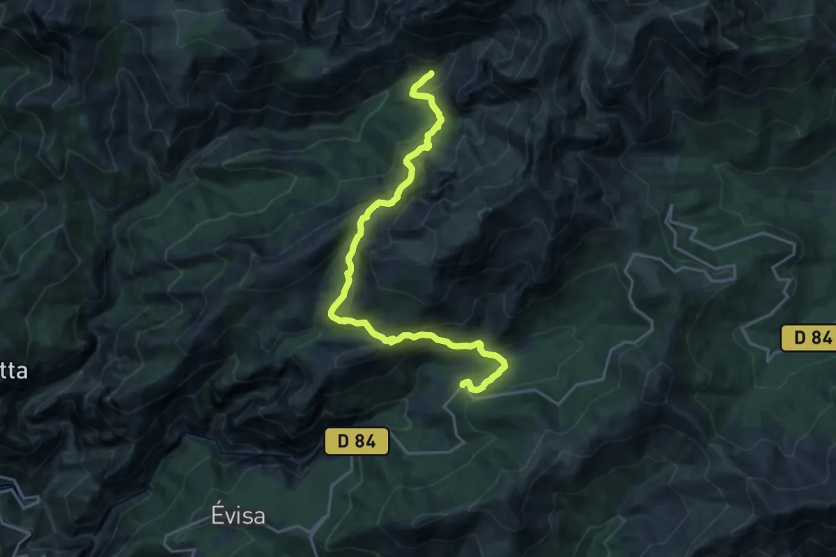
Demanding · Cabin
Liaison Aïton-Puscaghia
19.0 km · ↑ 1064 m · 6 h 47 min
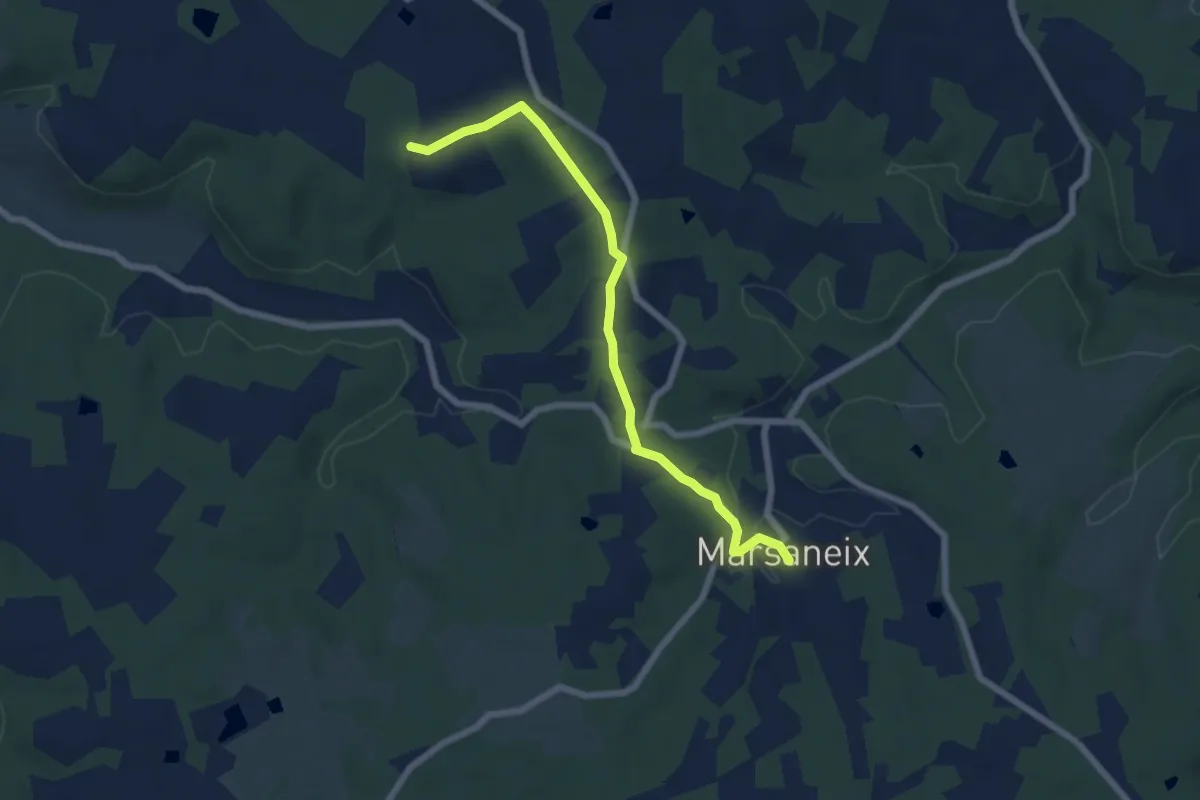
Easy · Trail
Liaison Atur-Marsaneix
6.7 km · ↑ 70 m · 1 h 43 min
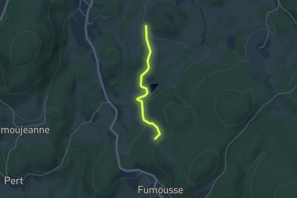
Easy · Trail
Liaison - Autour du bois de Crozat - Les Trois Croix
2.9 km · ↑ 79 m · 51 min
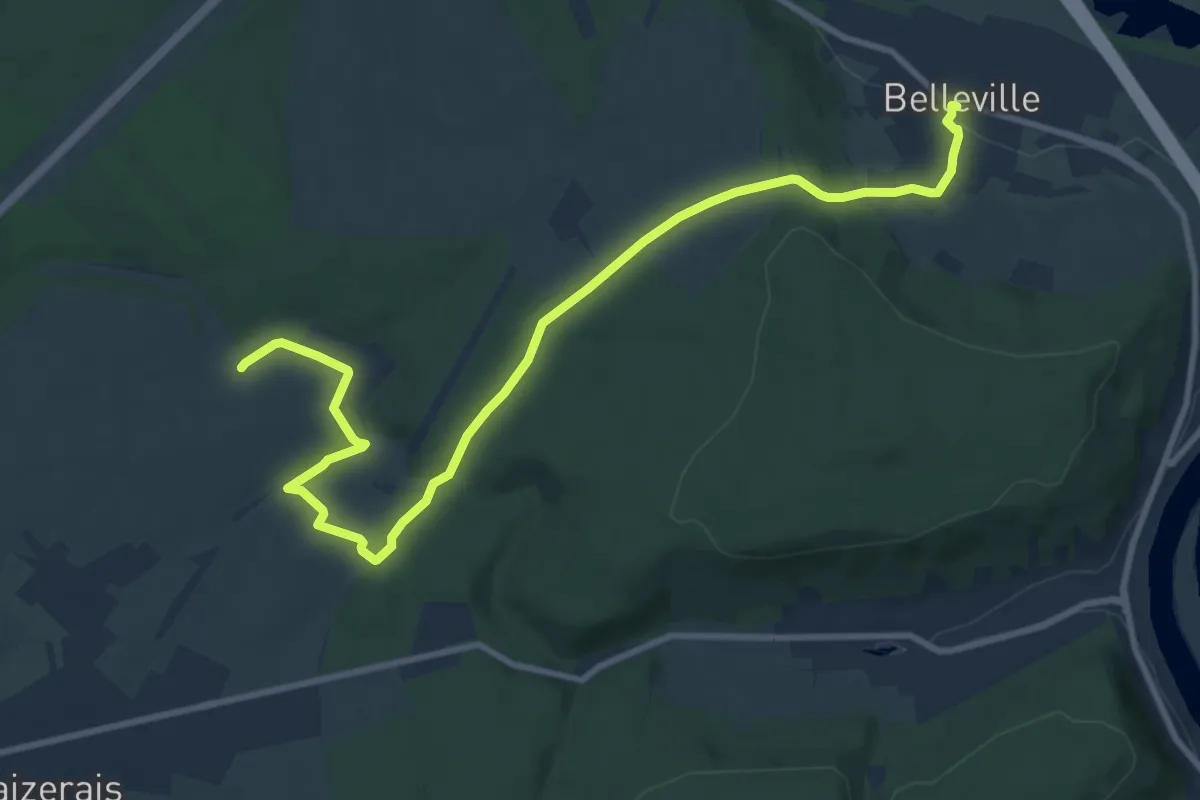
Medium · Trail
Liaison avec la Vierge de Belleville
11.0 km · ↑ 180 m · 2 h 59 min
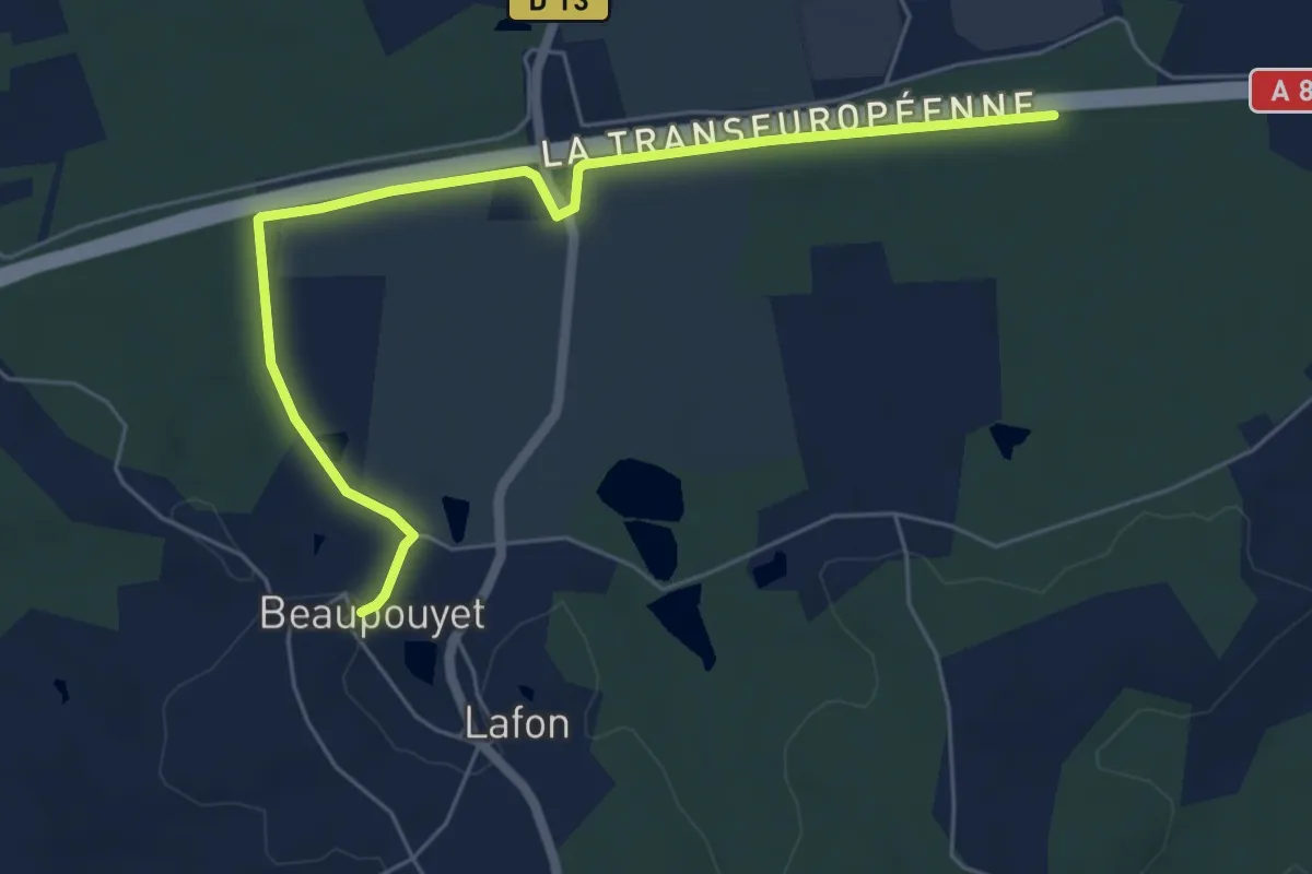
Easy · Trail
Liaison Beaupouyet - Forêt du Vignoble
6.7 km · ↑ 55 m · 1 h 42 min
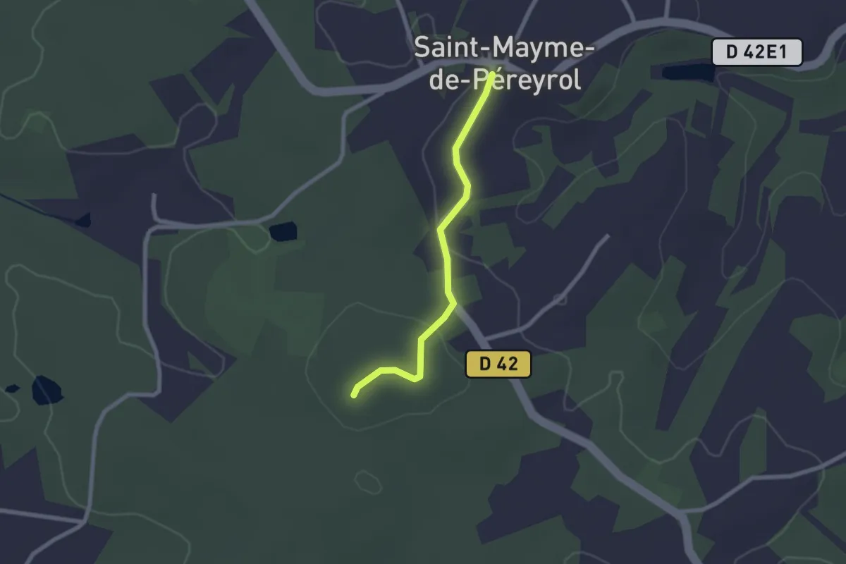
Easy · Trail
Liaison Beauregard-et-Bassac - St-Maime-de-Péreyrol
2.0 km · ↑ 37 m · 34 min
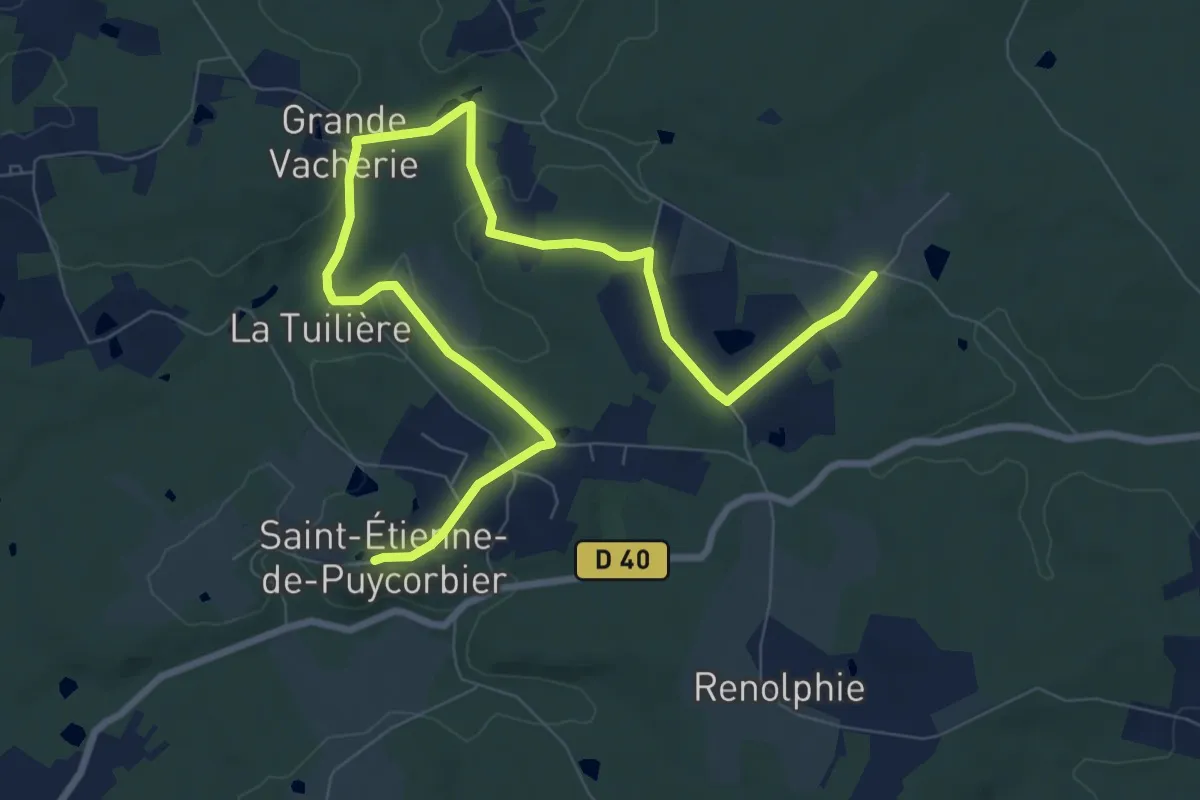
Medium · Trail
Liaison Beauronne - St-Etienne-de-Puycorbier
11.5 km · ↑ 135 m · 3 h
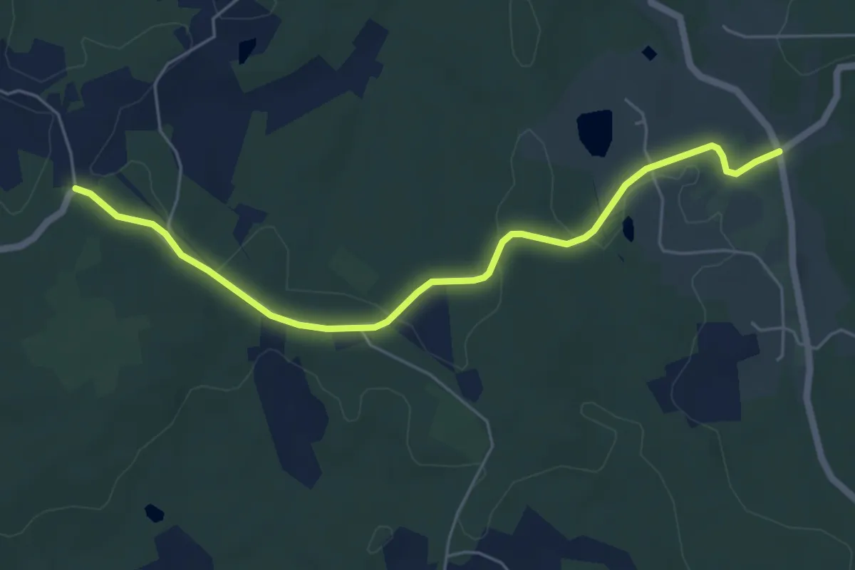
Easy · Trail
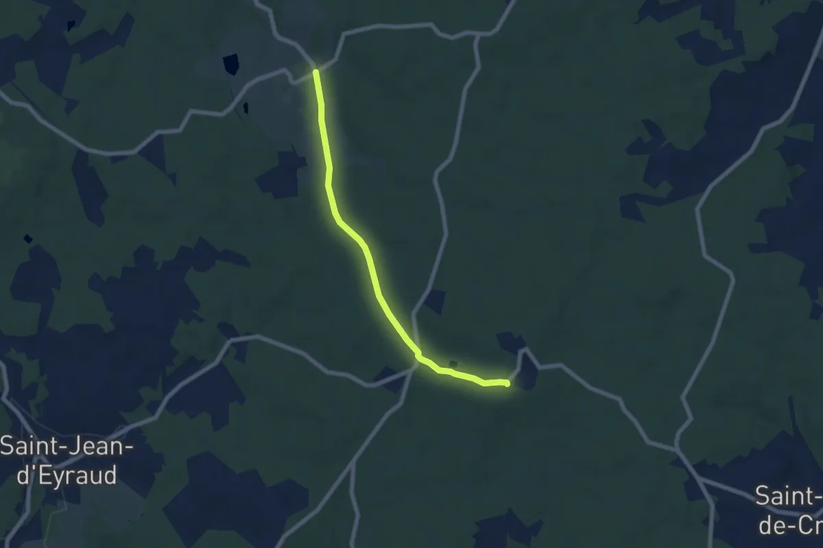
Liaison Beleymas - Eglise-Neuve-d'Issac
5.8 km · ↑ 69 m · 1 h 32 min
Easy · Trail
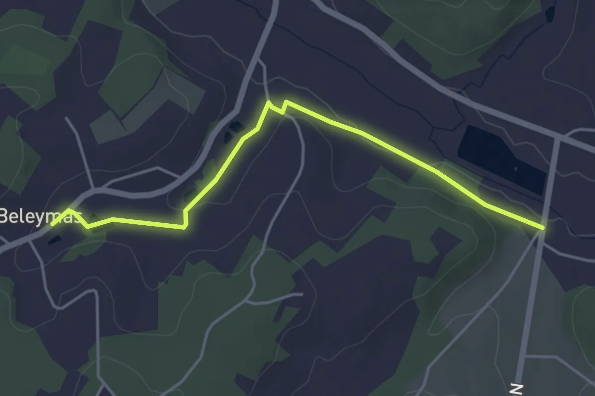
Liaison Beleymas - Maurens
6.1 km · ↑ 67 m · 1 h 35 min
Medium · Trail
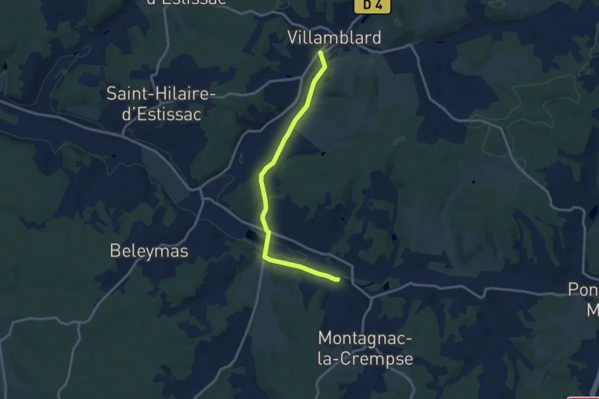
Liaison Beleymas - Montagnac-la-Crempse - Villamblard
9.2 km · ↑ 98 m · 2 h 23 min
Easy · Trail
Liaison Beleymas - Montagnac-la-Crempse - Villamblard
4.3 km · ↑ 34 m · 1 h 5 min
Easy · Trail
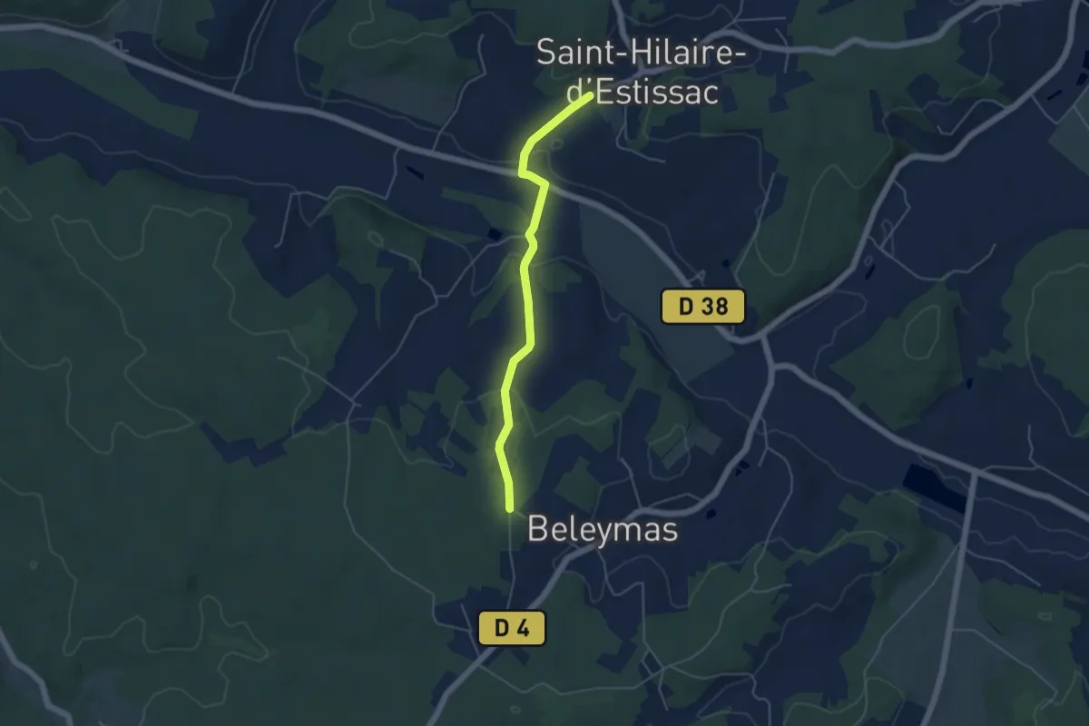
Liaison Beleymas-Saint-Hilaire-d'Estissac
4.6 km · ↑ 115 m · 1 h 21 min
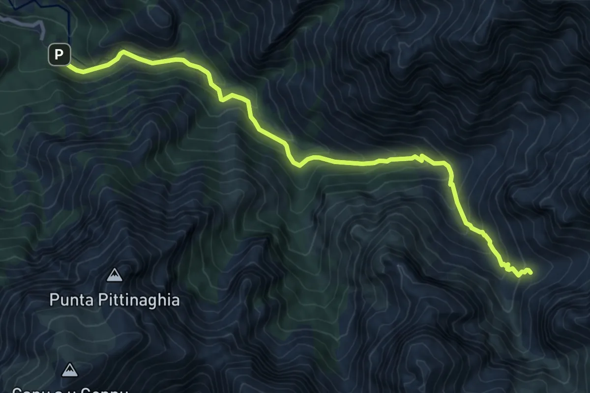
Expert · Cabin
Liaison Bonifatu-Refuge de Carrozzu
10.2 km · ↑ 788 m · 4 h 7 min
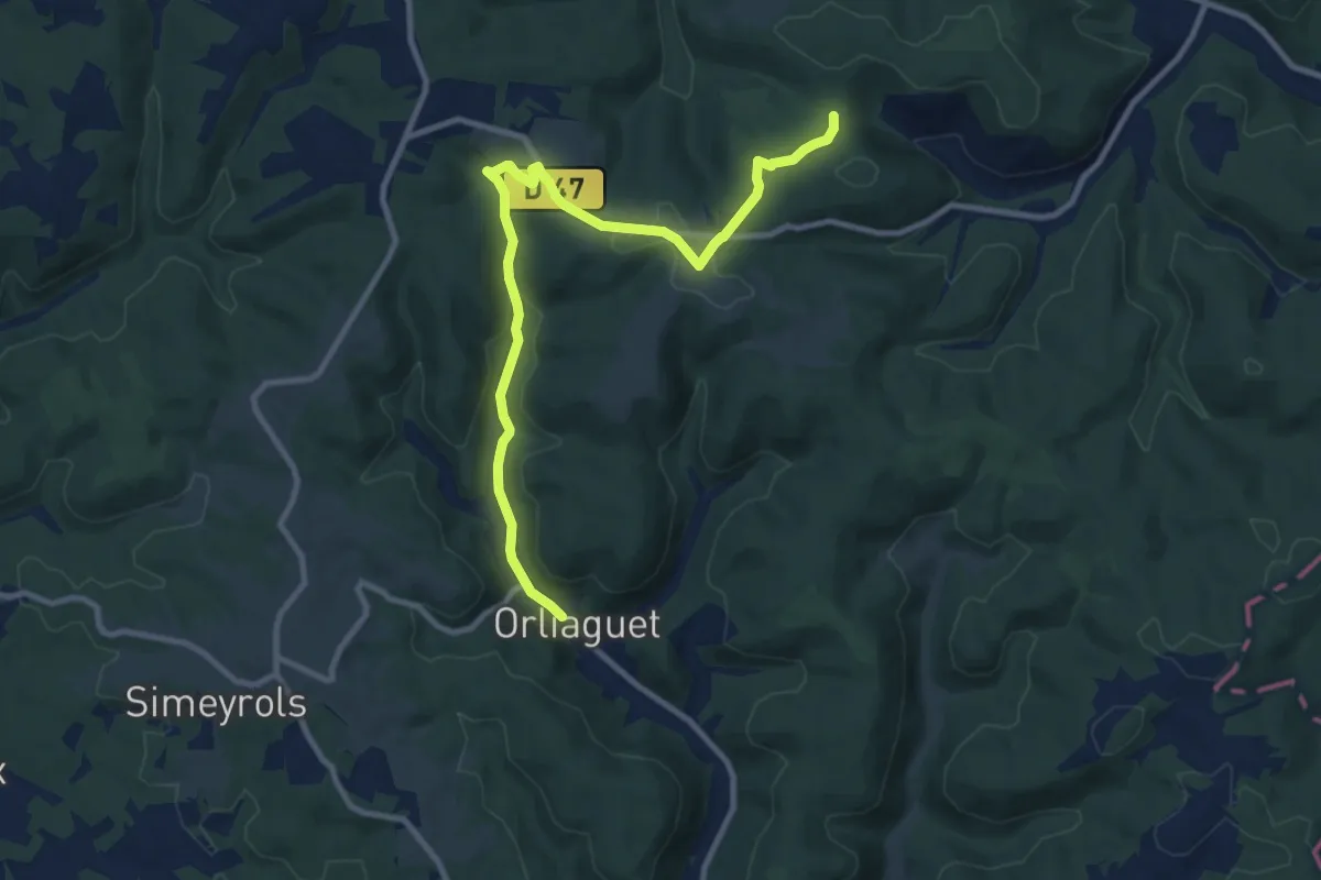
Medium · Trail
Liaison Borèze - Orliaguet
11.1 km · ↑ 221 m · 3 h 7 min
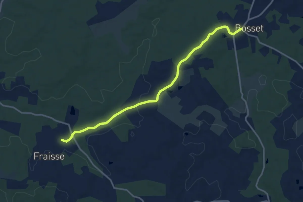
Medium · Trail
Liaison Bosset - Fraisse
9.0 km · ↑ 79 m · 2 h 17 min
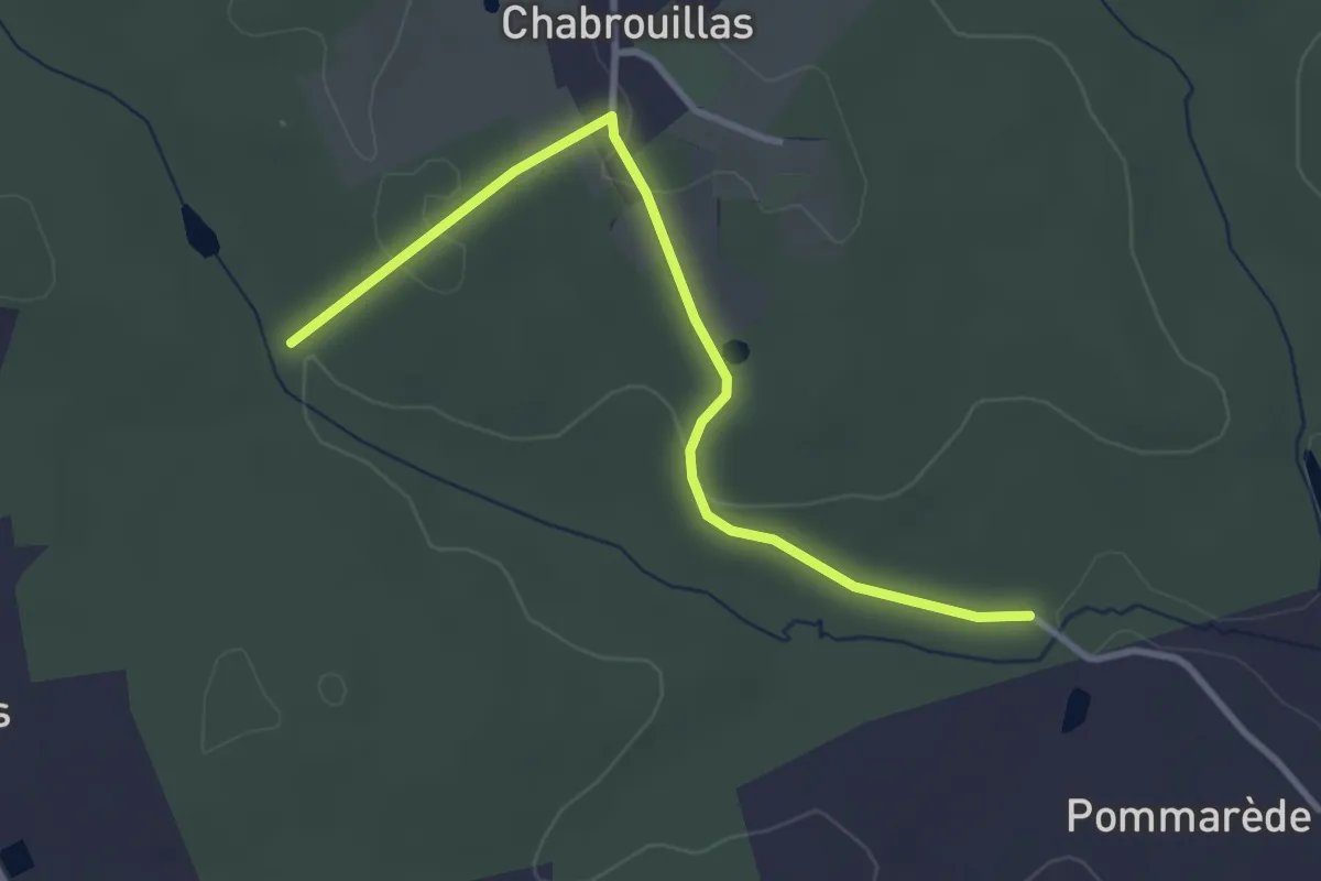
Easy · Trail
Liaison Bosset - Lunas
3.5 km · ↑ 55 m · 57 min
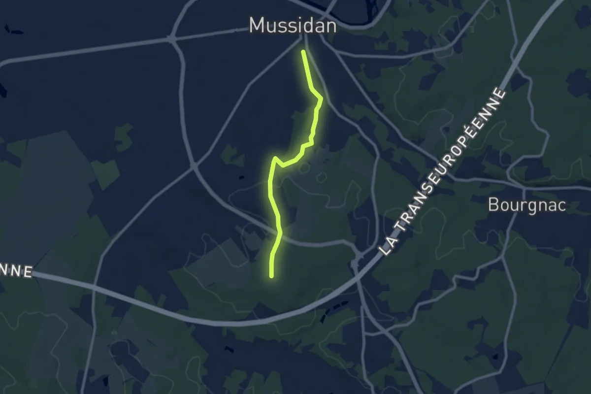
Easy · Trail
Liaison boucle de Bellevue - Mussidan
6.9 km · ↑ 69 m · 1 h 46 min
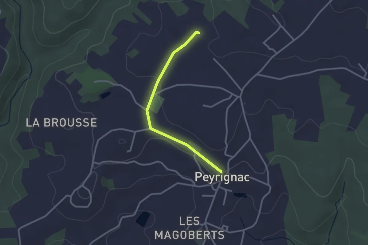
Easy · Trail
Liaison Boucle de la Nuelle - Boucle des Puy Longs
2.4 km · ↑ 33 m · 39 min
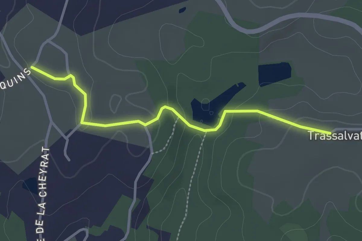
Easy · Trail
Liaison Boucle des Puys Longs - Boucle du Viaduc
2.8 km · ↑ 65 m · 48 min
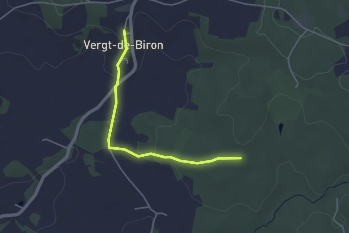
Easy · Trail
Liaison Boucle du Château - Village Vergt-de-Biron
3.3 km · ↑ 57 m · 55 min
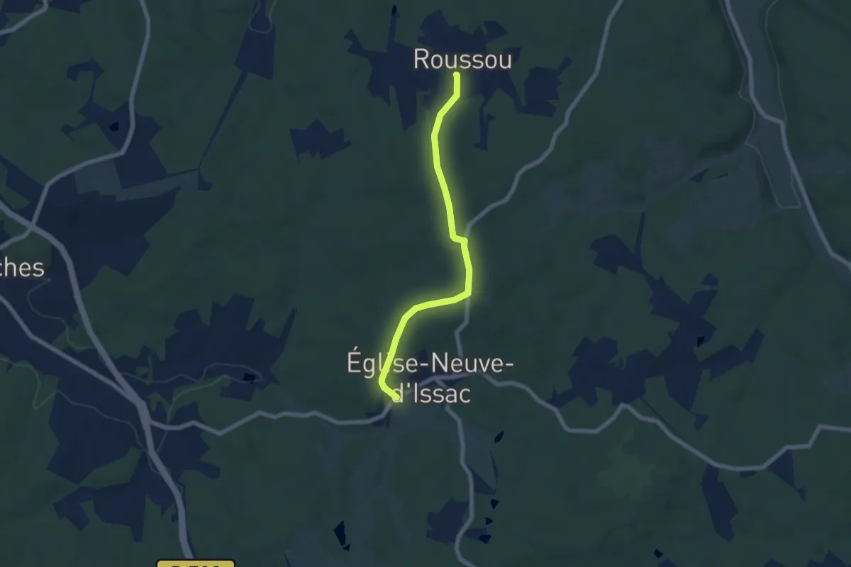
Easy · Trail
Liaison Bourgnac - Issac - Eglise-Neuve-d'Issac
5.9 km · ↑ 102 m · 1 h 37 min
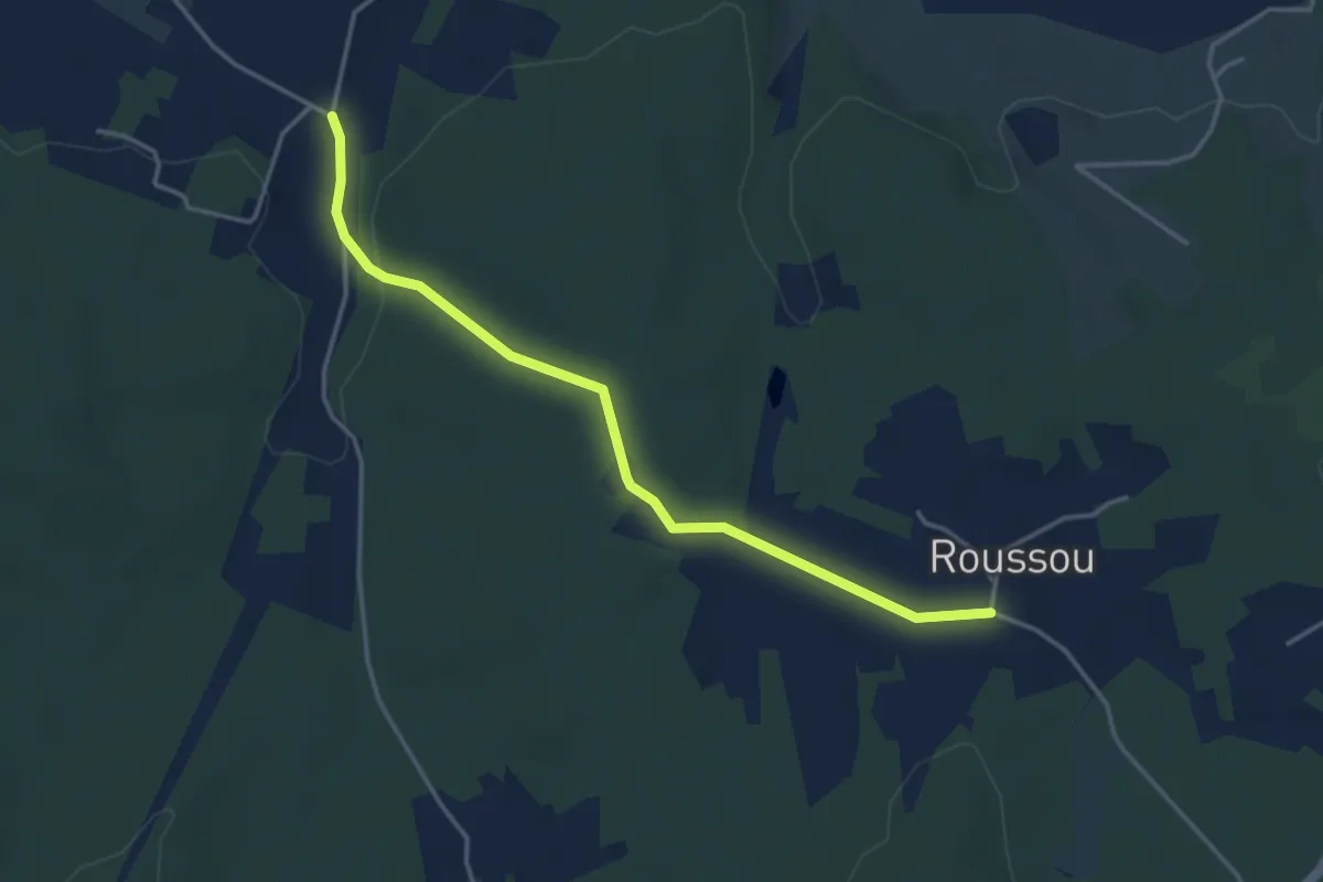
Easy · Trail
Liaison Bourgnac - Issac - Eglise-Neuve-d'Issac
4.0 km · ↑ 62 m · 1 h 5 min
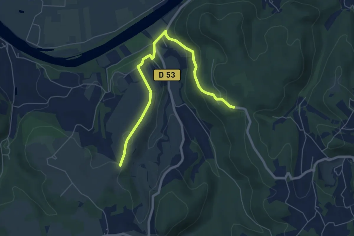
Easy · Trail
Liaison Castelnaud - Lapeyre
6.4 km · ↑ 223 m · 1 h 59 min
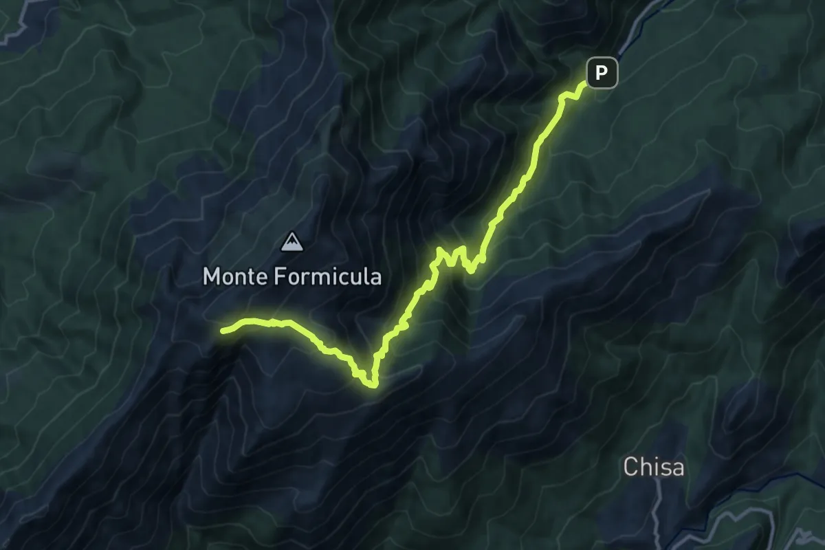
Demanding · Summit
Liaison Catastaghju-GR20 Refuge d'Usciolu
14.6 km · ↑ 1373 m · 6 h 25 min