Trails in France
15,926 hiking trails, each with its route, climb, walking time and grade.
All trails, page 204 of 332
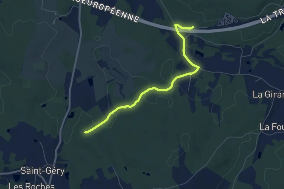
Easy · Trail
Liaison Les Lèches - St-Géry - Boucle de Bellevue
6.2 km · ↑ 107 m · 1 h 42 min
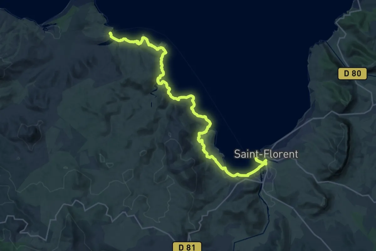
Demanding · Trail
Liaison littorale de Saint-Florent à la plage du Lotu
27.2 km · ↑ 418 m · 7 h 19 min
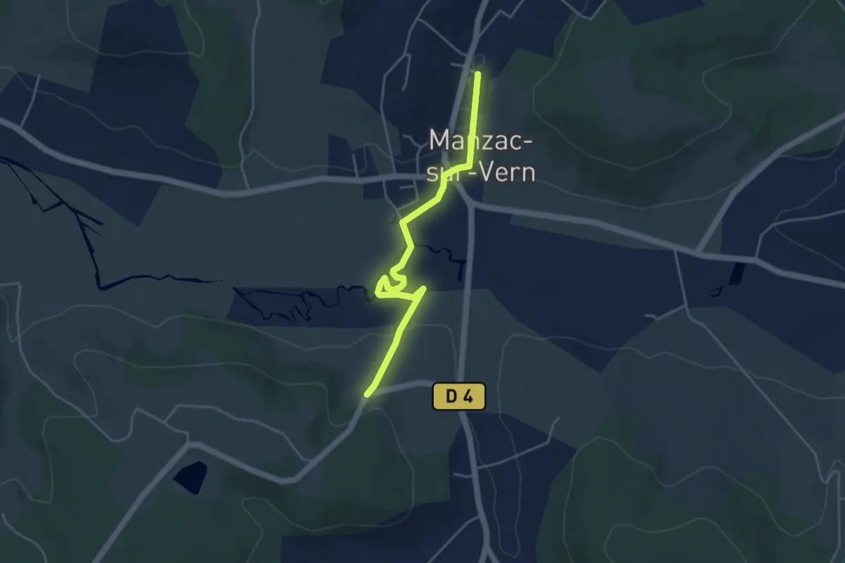
Easy · Trail
Liaison Manzac-sur-Vern - Tour du Freyrat
4.3 km · ↑ 51 m · 1 h 7 min
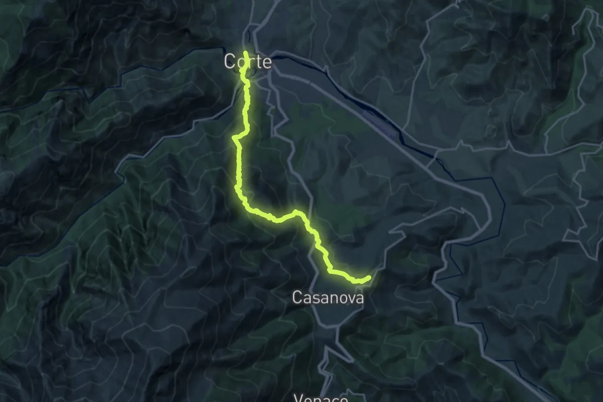
Demanding · Trail
Liaison Mare à Mare Nord et Variante
18.6 km · ↑ 1259 m · 7 h 7 min
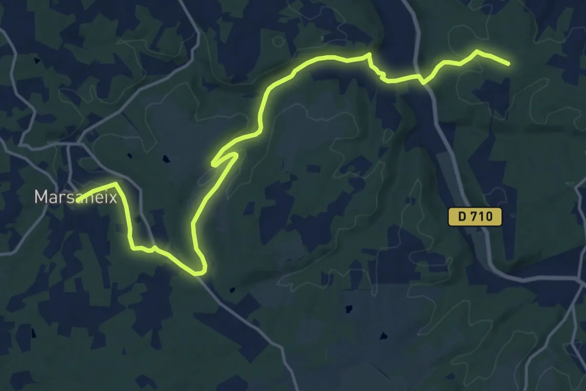
Medium · Trail
Liaison Marsaneix-Saint-Pierre-de-Chiniac
16.6 km · ↑ 323 m · 4 h 38 min
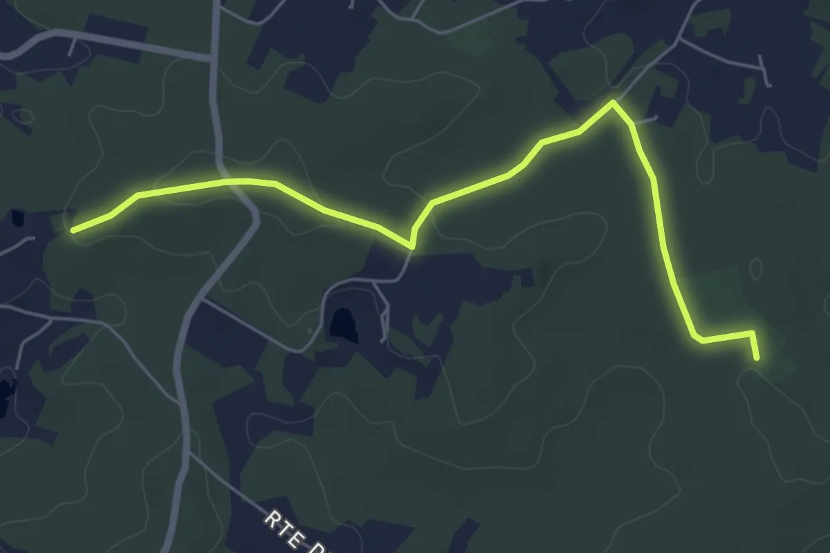
Easy · Trail
Liaison Maurens - Queysac - St-Julien-de-Crempse - Campsegret
6.0 km · ↑ 69 m · 1 h 33 min
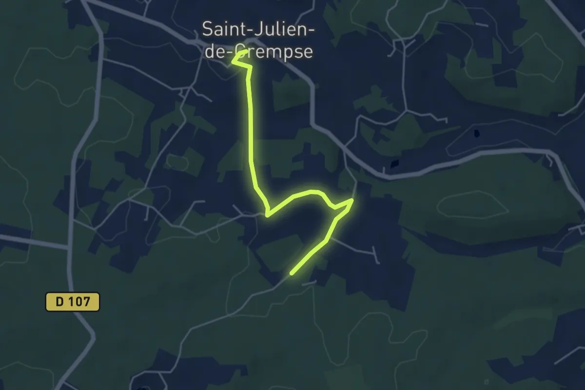
Easy · Trail
Liaison Maurens - Queysac - St-Julien-de-Crempse - Campsegret
4.3 km · ↑ 81 m · 1 h 11 min
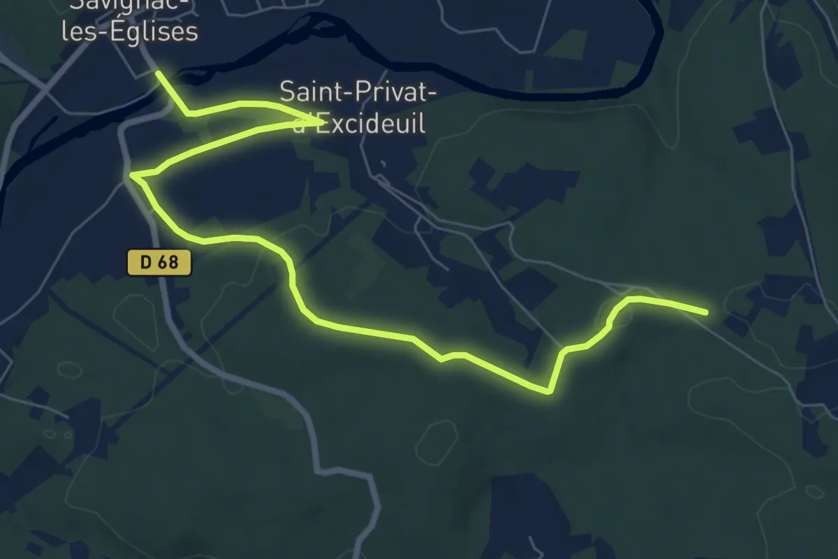
Medium · Trail
Liaison Mayac - Savignac-les-Eglises - Cubjac
9.0 km · ↑ 113 m · 2 h 22 min
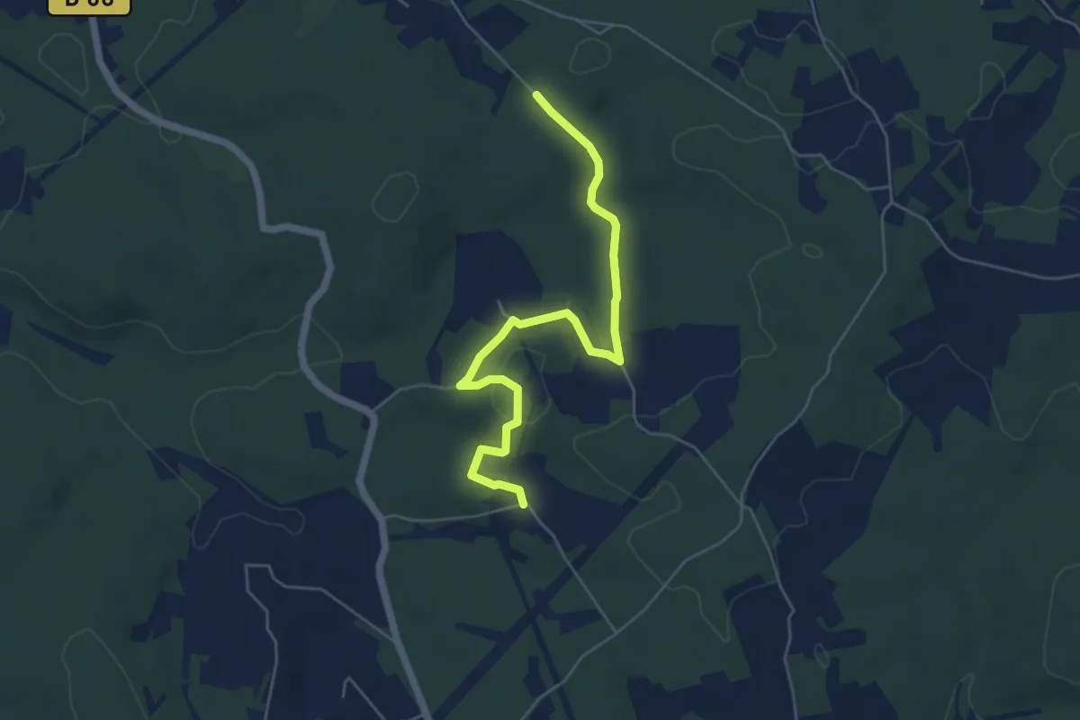
Easy · Trail
Liaison Mayac - Savignac-les-Eglises - Cubjac
5.7 km · ↑ 98 m · 1 h 34 min
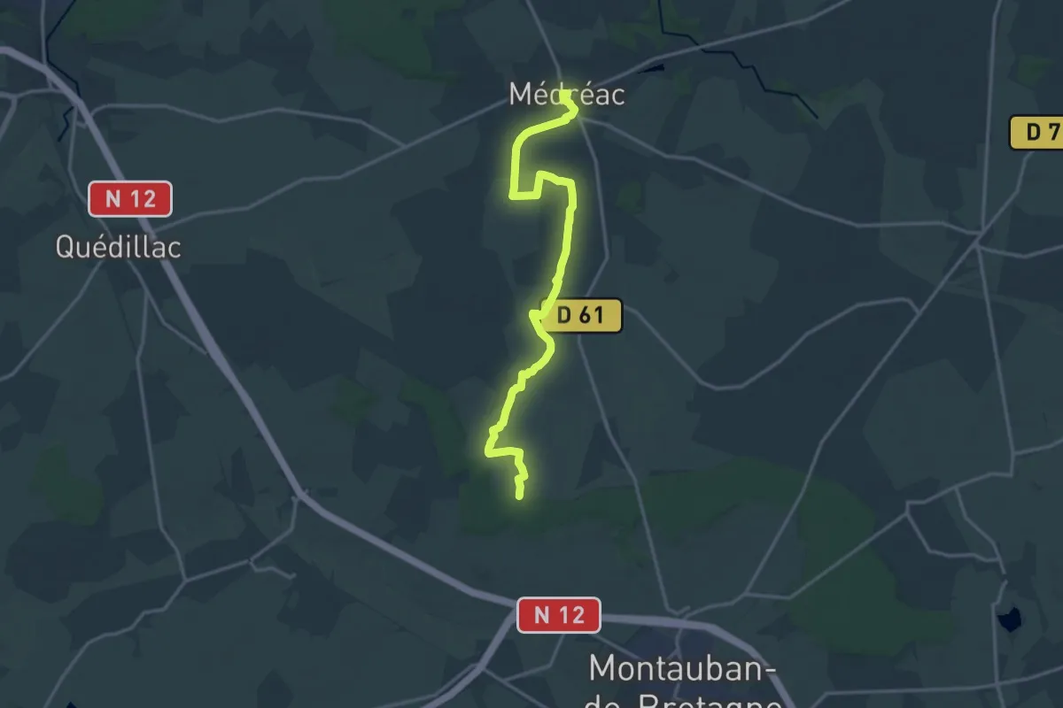
Medium · Trail
Liaison Médréac - forêt de Montauban
16.1 km · ↑ 98 m · 4 h
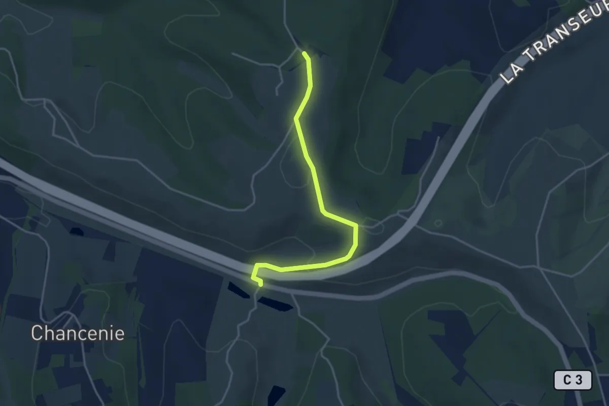
Easy · Trail
Liaison Montrem - Coursac - Razac
3.6 km · ↑ 81 m · 1 h 2 min
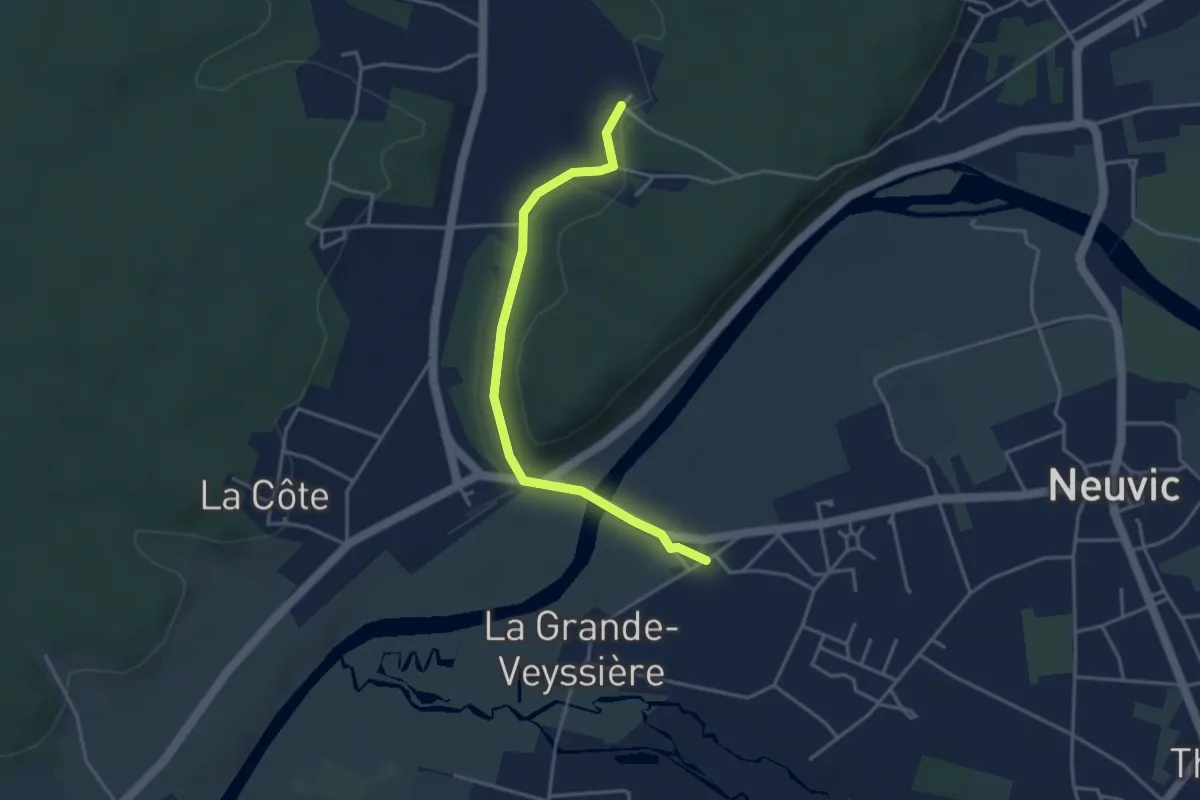
Easy · Trail
Liaison Neuvic - Saint-Germain-du-Salembre
3.9 km · ↑ 63 m · 1 h 3 min
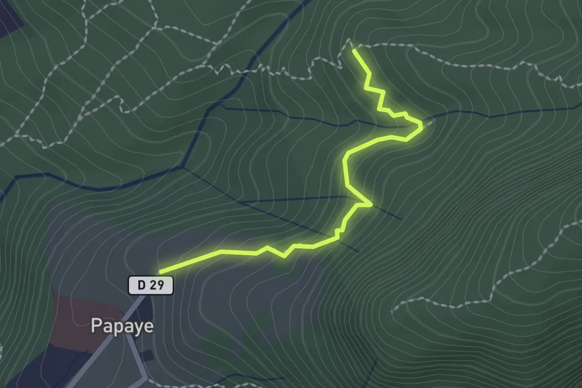
Easy · Trail
liaison Papaye-Bains chauds Matouba
2.6 km · ↑ 153 m · 57 min
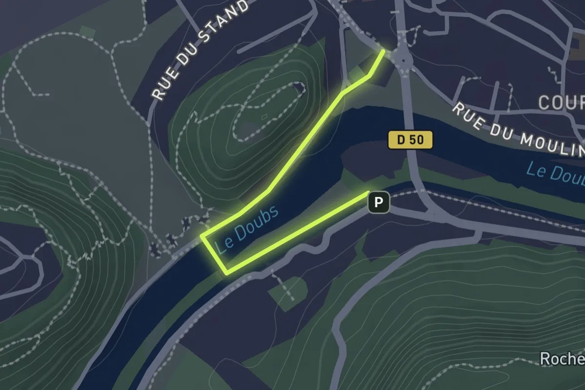
Easy · Trail
Liaison Parking
2.1 km · ↑ 47 m · 36 min
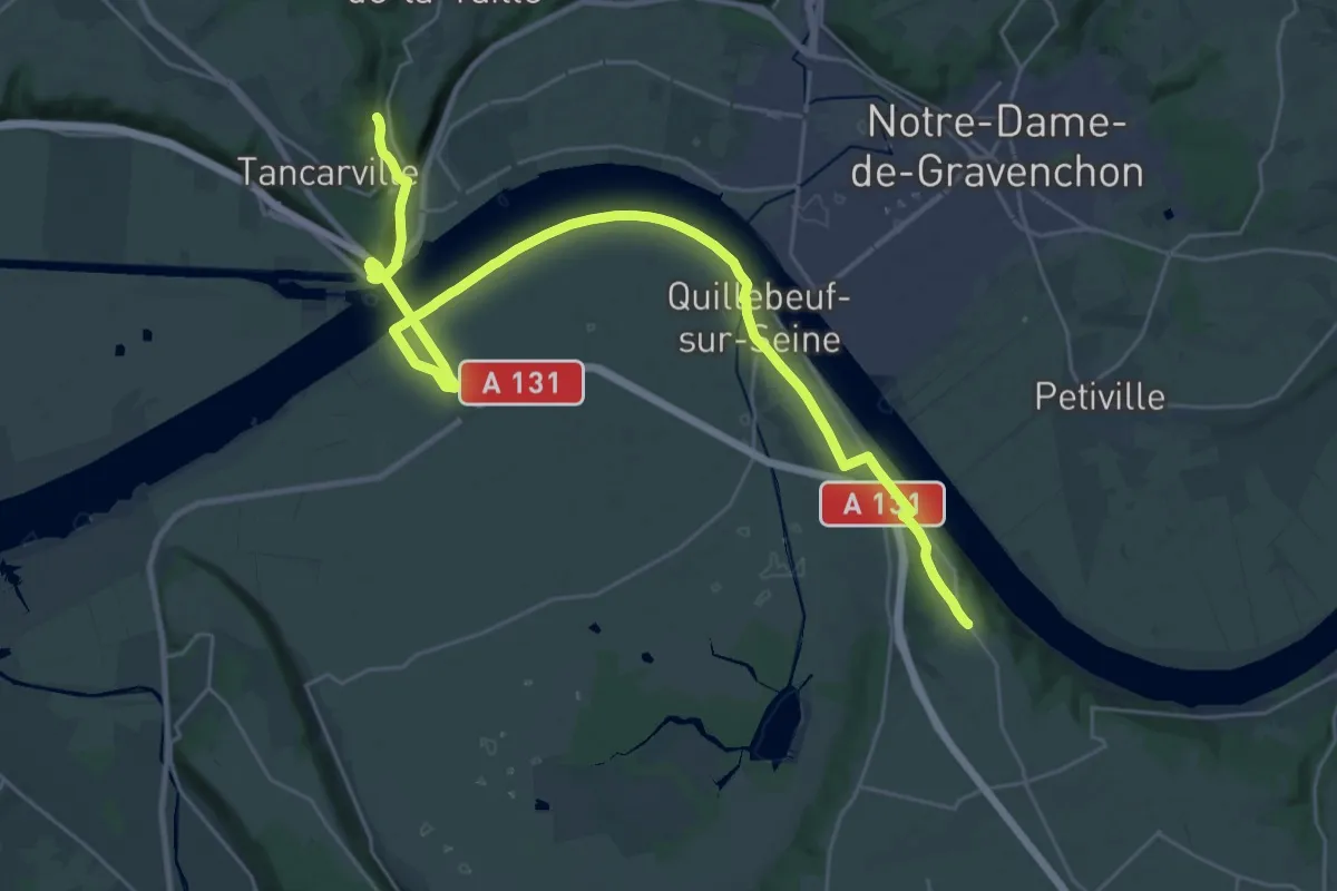
Medium · Trail
Liaison Pont de Tancarville
16.5 km · ↑ 116 m · 4 h 26 min
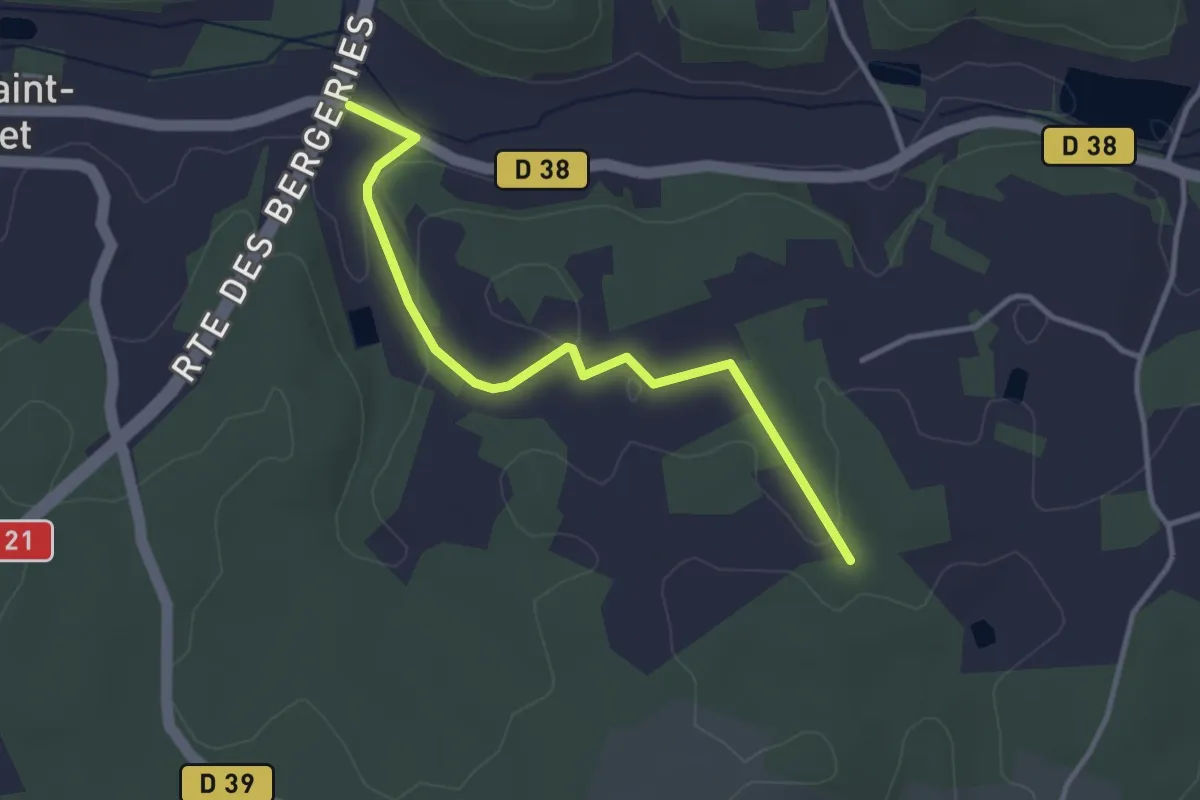
Easy · Trail
Liaison Pont-St-Mamet - Beauregard-et-Bassac - St-Martin-des-Combres
3.4 km · ↑ 60 m · 57 min
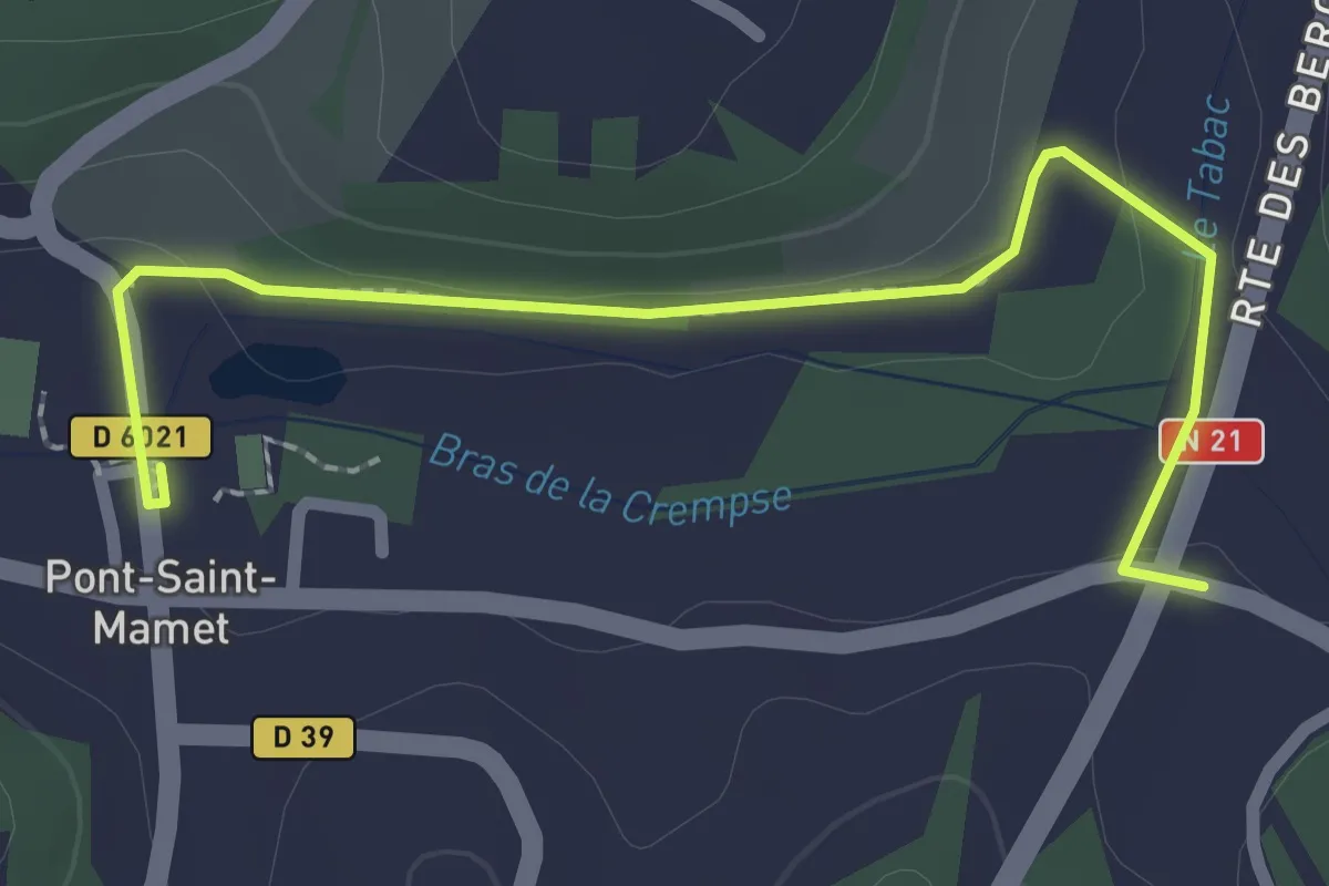
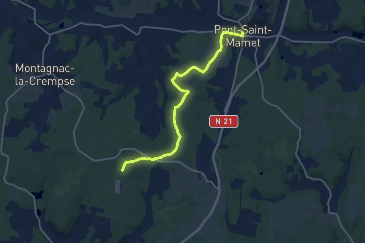
Easy · Trail
Liaison Pont-St-Mamet - Beauregard-et-Bassac - St-Martin-des-Combres
2.6 km · ↑ 18 m · 40 min
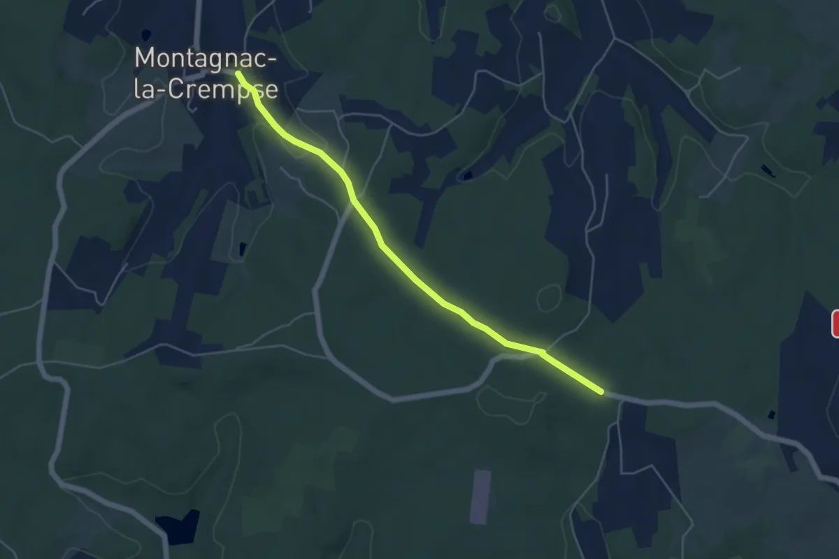
Medium · Trail
Liaison Pont-St-Mamet - Campsegret
9.8 km · ↑ 177 m · 2 h 42 min
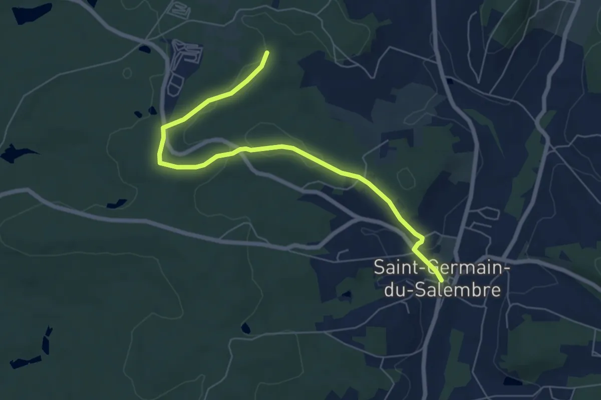
Easy · Trail
Liaison Pont-St-Mamet - Campsegret - Montagnac-la-Crempse
5.0 km · ↑ 82 m · 1 h 21 min
Easy · Trail
Liaison Saint-Germain-de-Salembre - Chantérac
6.7 km · ↑ 105 m · 1 h 48 min
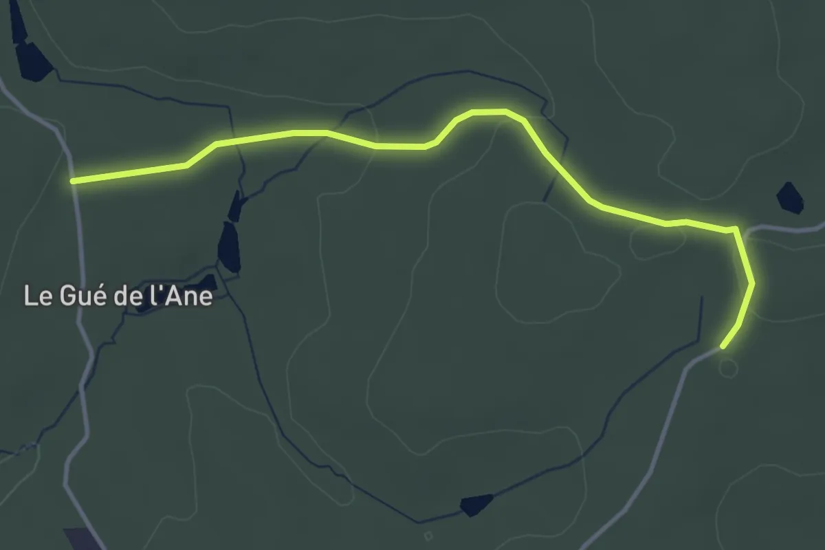
Easy · Trail
Liaison Saint-Germain-de-Salembre - Saint-Jean-d'Ataux
3.9 km · ↑ 48 m · 1 h 1 min
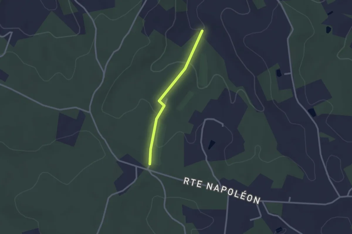
Easy · Trail
Liaison Saint-Pierre-de-Chiniac - Saint-Crépin-d'Auberoche
2.0 km · ↑ 46 m · 35 min
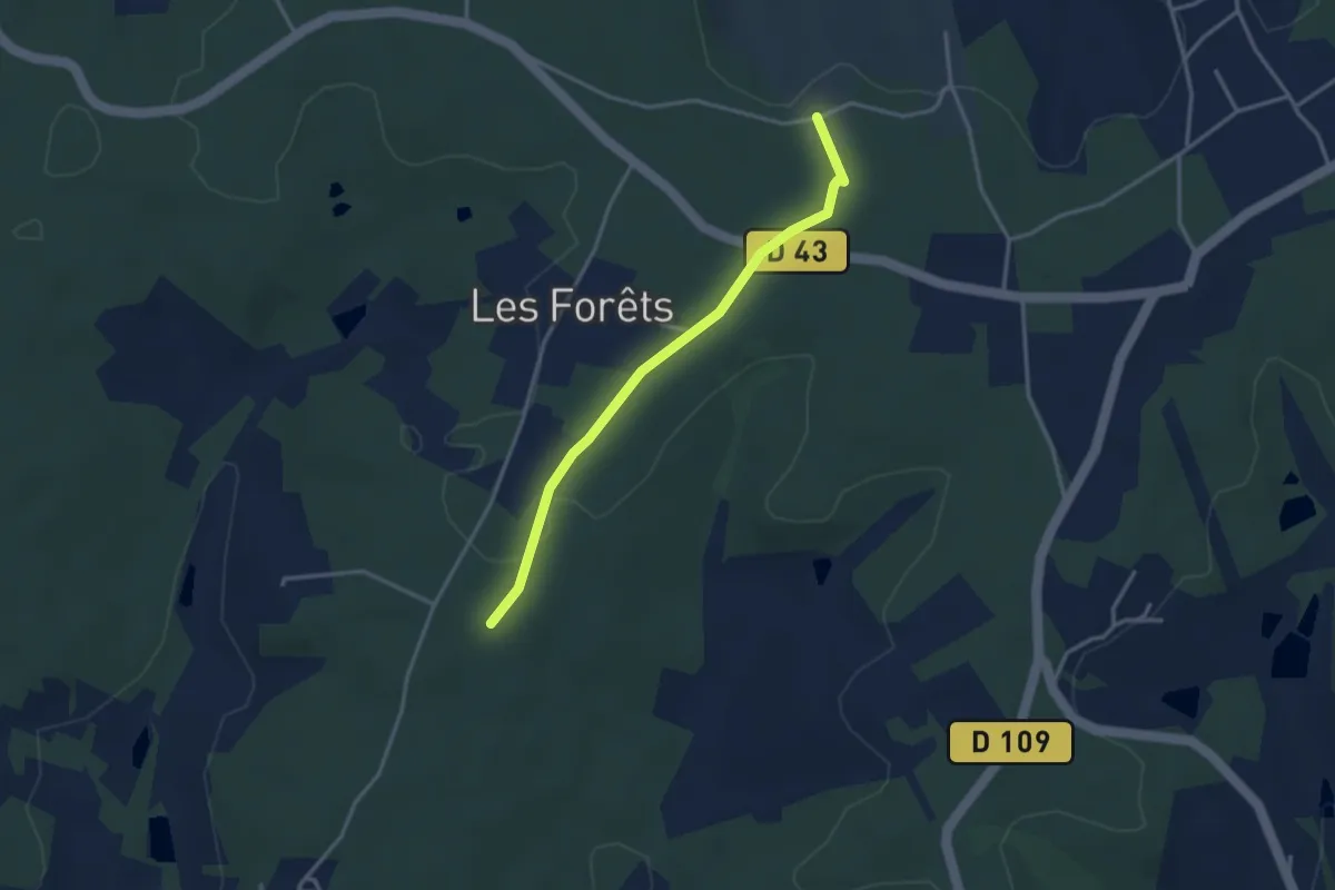
Easy · Trail
Liaison Saint-Vincent-de-Connezac - Ségonzac
3.2 km · ↑ 24 m · 48 min
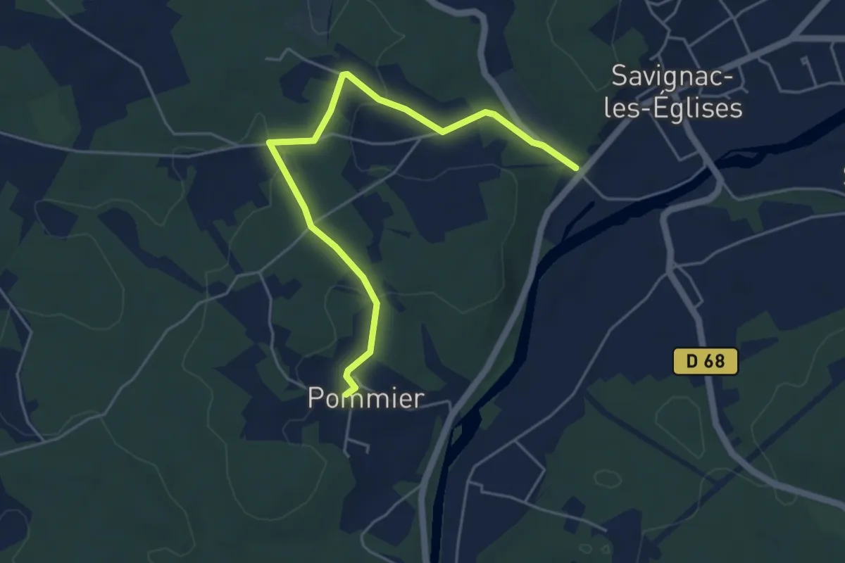
Easy · Trail
Liaison Savignac-les-Eglises - Boucle des Anciens Villages
5.2 km · ↑ 83 m · 1 h 24 min
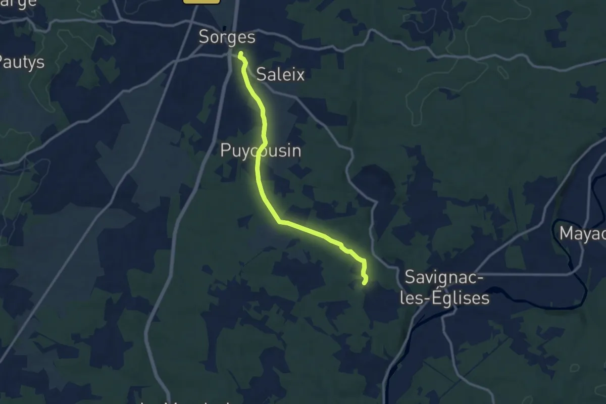
Medium · Trail
Liaison Savignac-les-Eglises - Sorges
9.2 km · ↑ 130 m · 2 h 28 min
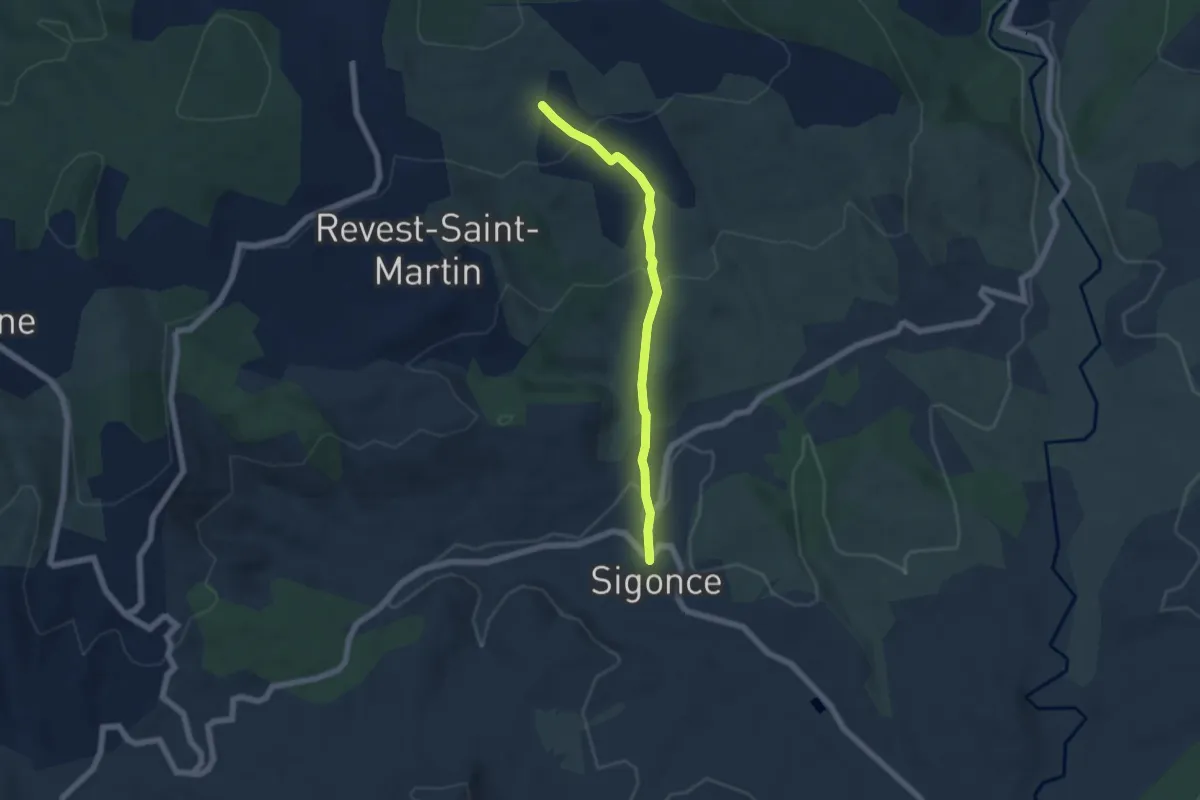
Easy · Trail
Liaison Sigonce La Blache
5.6 km · ↑ 242 m · 1 h 51 min
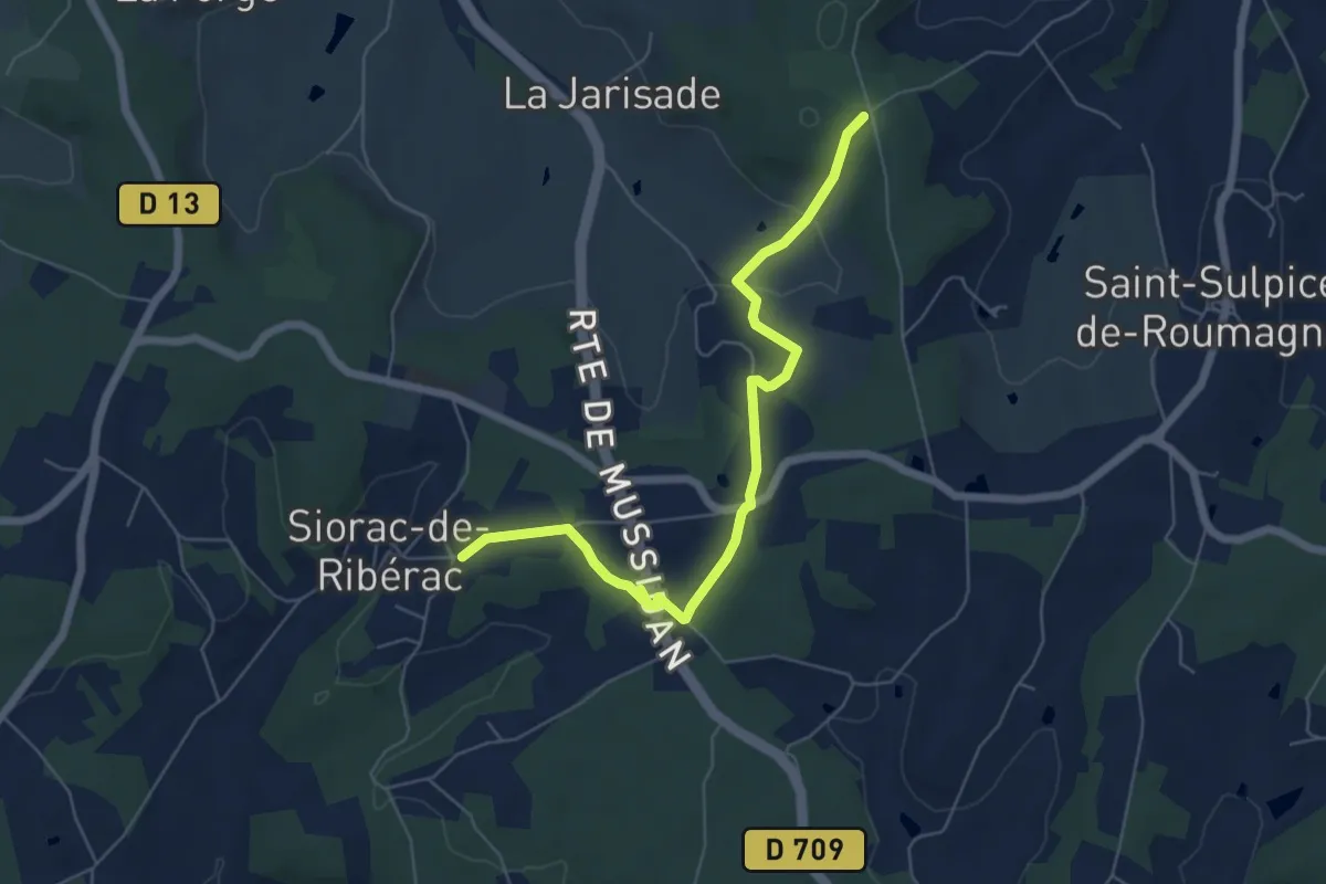
Easy · Trail
Liaison Siorac-de-Ribérac - Saint-Martin-de-Ribérac
6.5 km · ↑ 127 m · 1 h 49 min
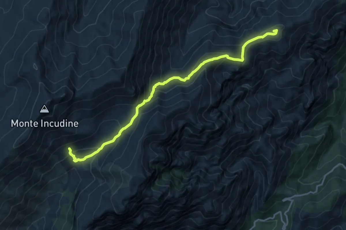
Demanding · Summit
Liaison Solaro - Refuge d'Asinao
13.3 km · ↑ 894 m · 5 h 5 min
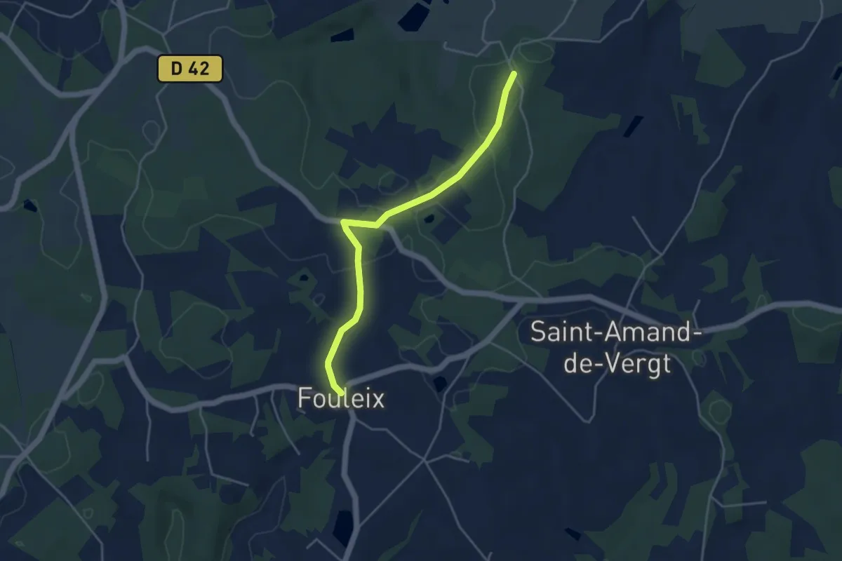
Easy · Trail
Liaison St-Amand-de-Vergt - Fouleix
4.1 km · ↑ 31 m · 1 h 2 min
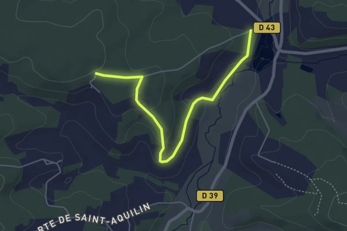
Easy · Trail
Liaison St-Aquilin - Chantérac
4.7 km · ↑ 117 m · 1 h 21 min
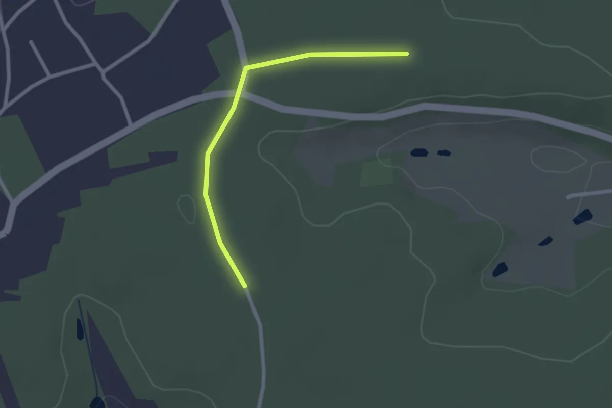
Easy · Trail
Liaison St-Aquilin - Chantérac
2.2 km · ↑ 4 m · 31 min
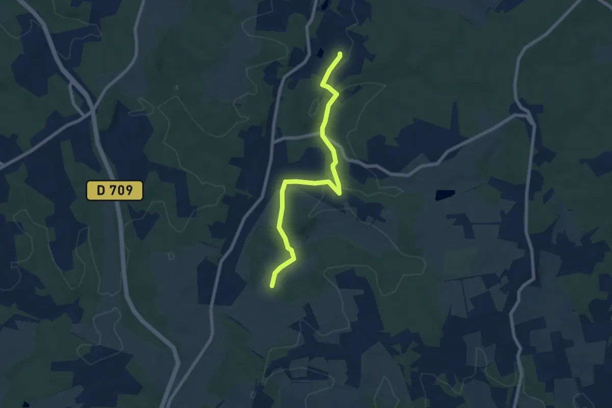
Easy · Trail
Liaison Ste-Foy-des-Vignes - Maurens
6.8 km · ↑ 137 m · 1 h 54 min
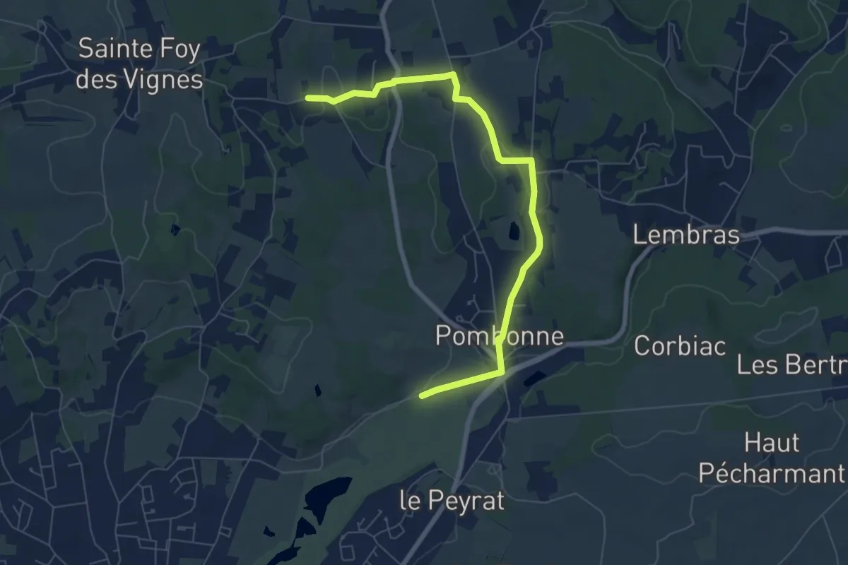
Easy · Trail
Liaison Ste-Foy-des-Vignes - Pombone - Lembras
7.4 km · ↑ 151 m · 2 h 4 min
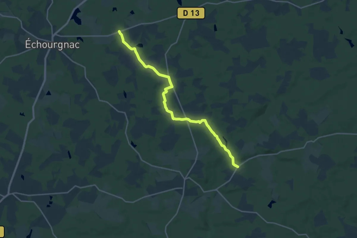
Medium · Trail
Liaison St-Front-de-Pradoux - St-Martin-l'Astier - St-Laurent-des-Hommes - La Jemaye - Echourgnac - St-Etienne-de-Puycorbier
15.8 km · ↑ 147 m · 4 h 3 min
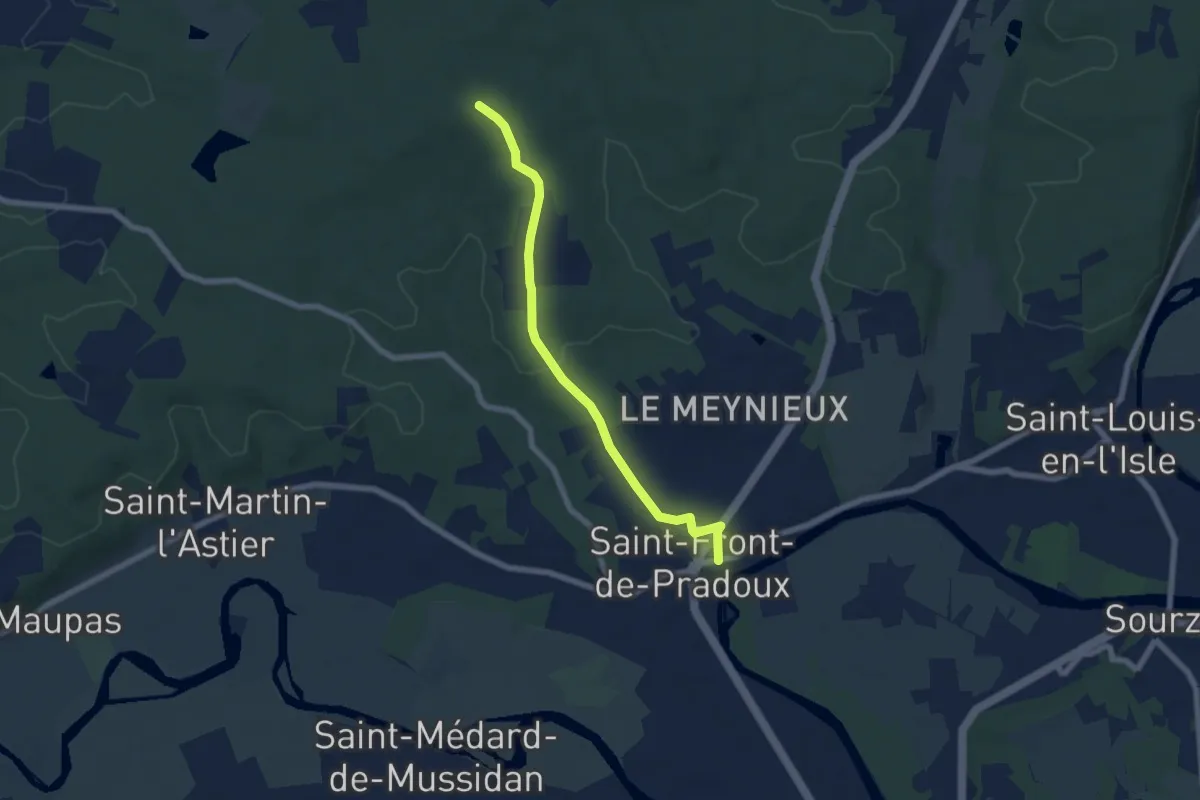
Easy · Trail
Liaison St-Front-de-Pradoux - St-Martin-l'Astier - St-Laurent-des-Hommes - La Jemaye - Echourgnac - St-Etienne-de-Puycorbier
6.4 km · ↑ 91 m · 1 h 43 min
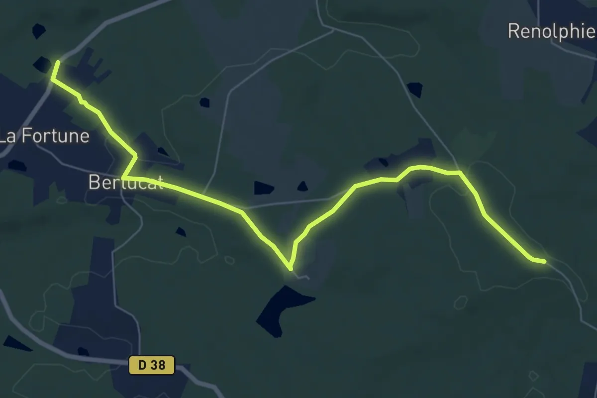
Easy · Trail
Liaison St-Front-de-Pradoux - St-Martin-l'Astier - St-Laurent-des-Hommes - La Jemaye - Echourgnac - St-Etienne-de-Puycorbier
7.6 km · ↑ 112 m · 2 h 3 min
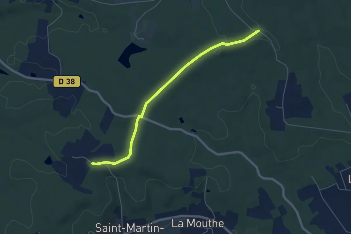
Easy · Trail
Liaison St-Front-de-Pradoux - St-Martin-l'Astier - St-Laurent-des-Hommes - La Jemaye - Echourgnac - St-Etienne-de-Puycorbier
5.2 km · ↑ 40 m · 1 h 19 min
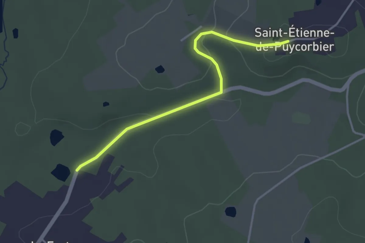
Easy · Trail
Liaison St-Front-de-Pradoux - St-Martin-l'Astier - St-Laurent-des-Hommes - La Jemaye - Echourgnac - St-Etienne-de-Puycorbier
3.4 km · ↑ 65 m · 57 min
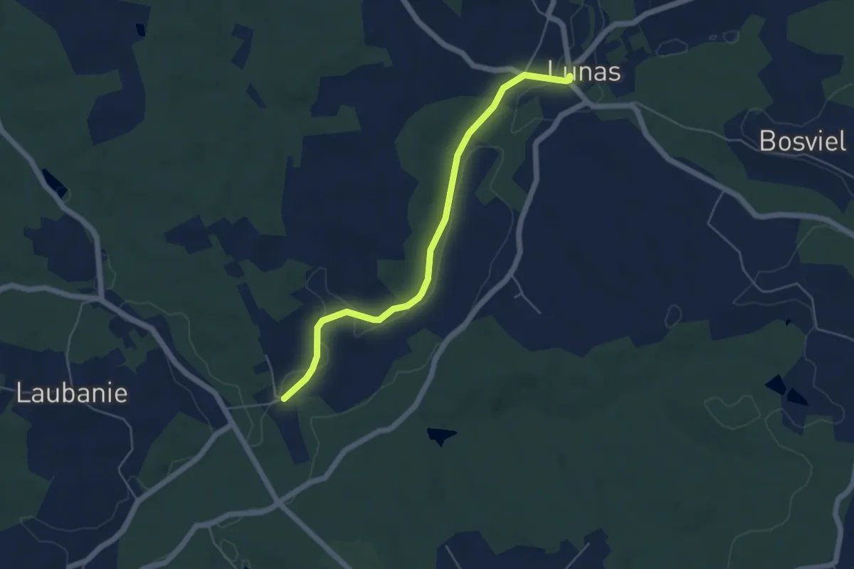
Easy · Trail
Liaison St-George-Blancaneix - Lunas
5.2 km · ↑ 51 m · 1 h 21 min
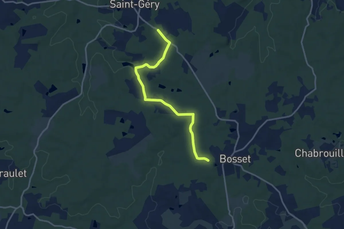
Medium · Trail
Liaison St-Gery - Bosset - Fraisse
10.1 km · ↑ 127 m · 2 h 39 min
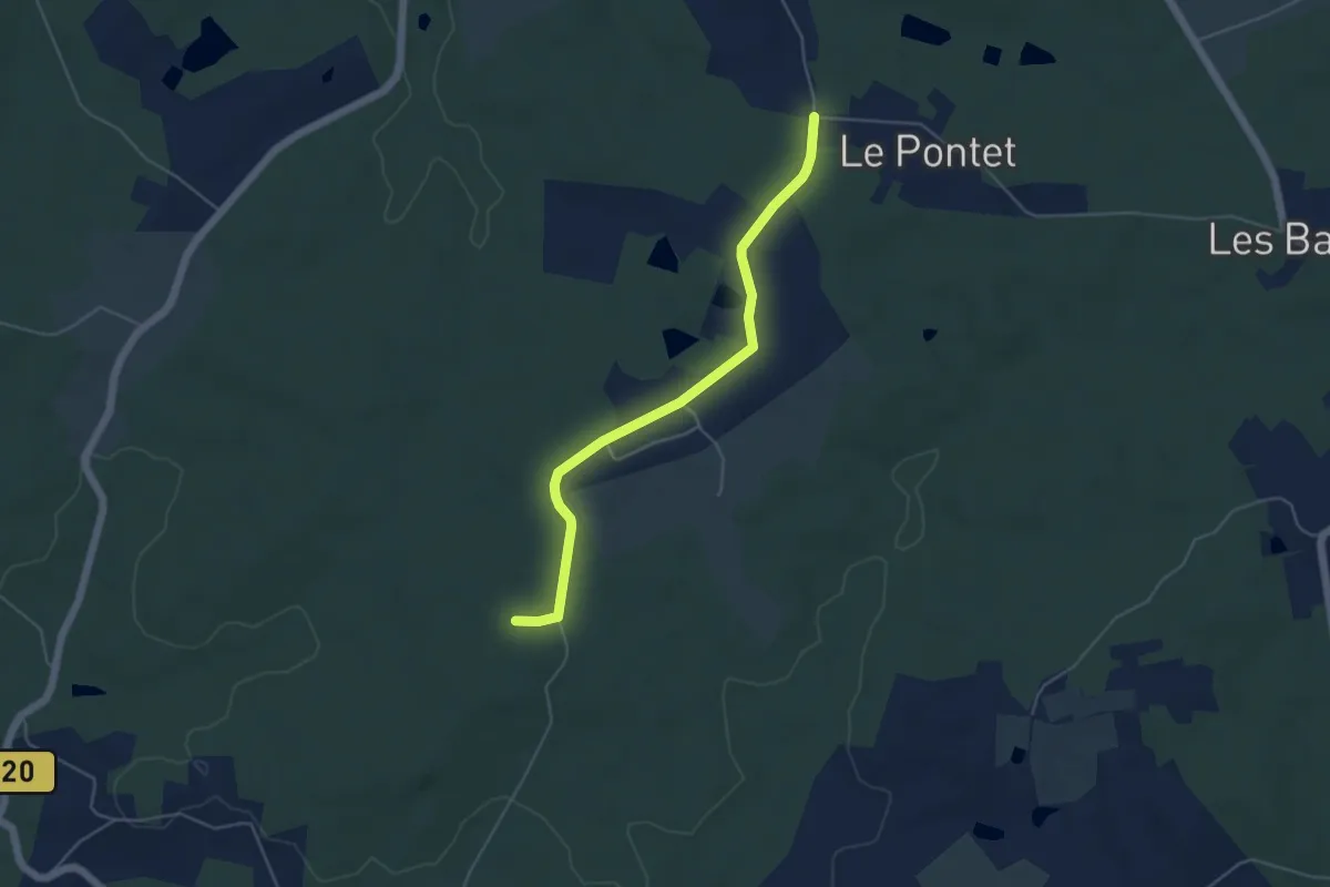
Easy · Trail
Liaison St-Gery - Bosset - Fraisse
5.0 km · ↑ 44 m · 1 h 16 min
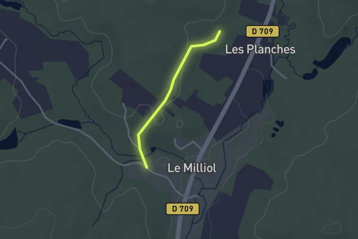
Easy · Trail
Liaison St-Jean-d'Ataux - Beauronne
2.0 km · ↑ 24 m · 32 min
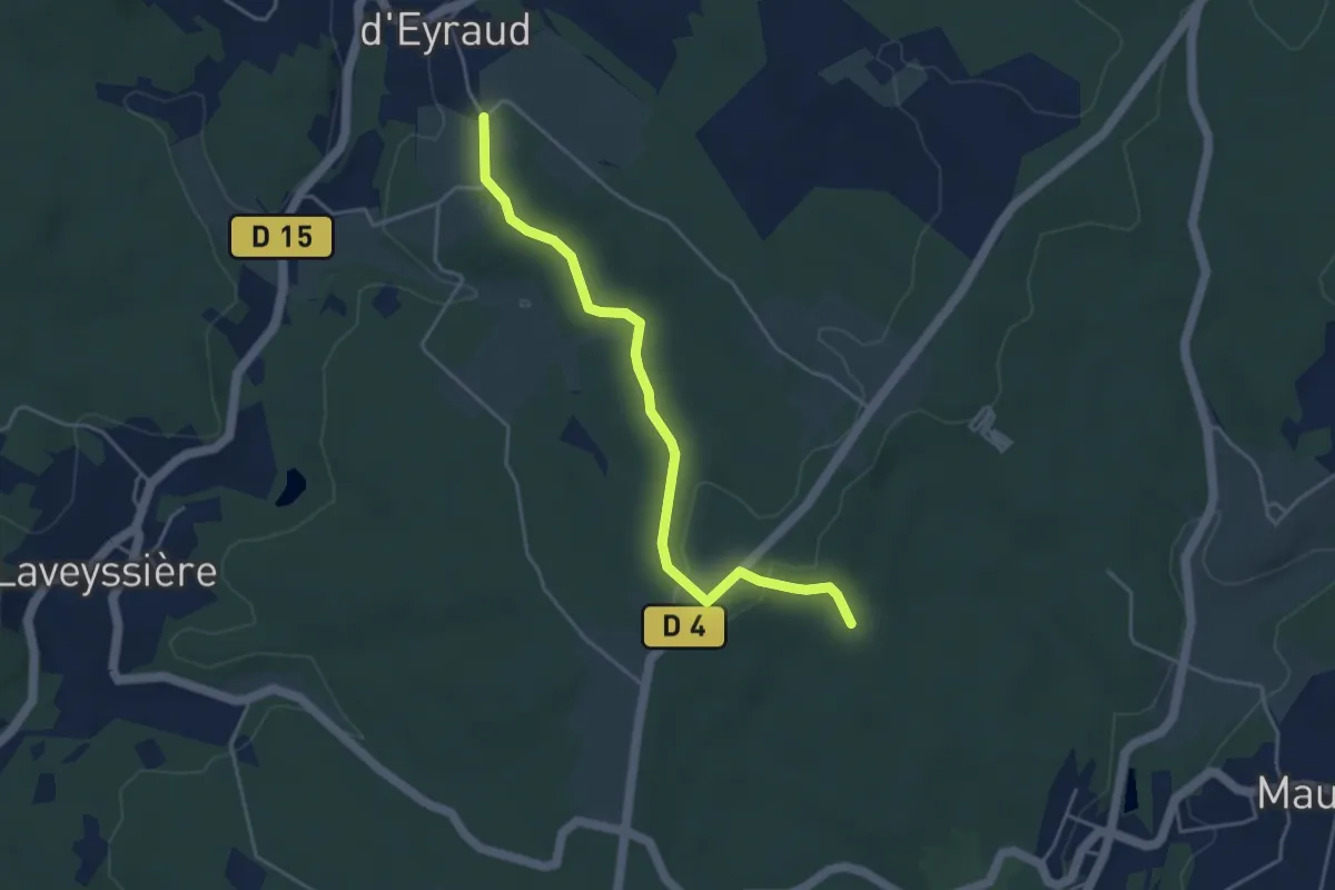
Easy · Trail
Liaison St-Jean-d'Eyraud - Maurens
4.4 km · ↑ 82 m · 1 h 14 min
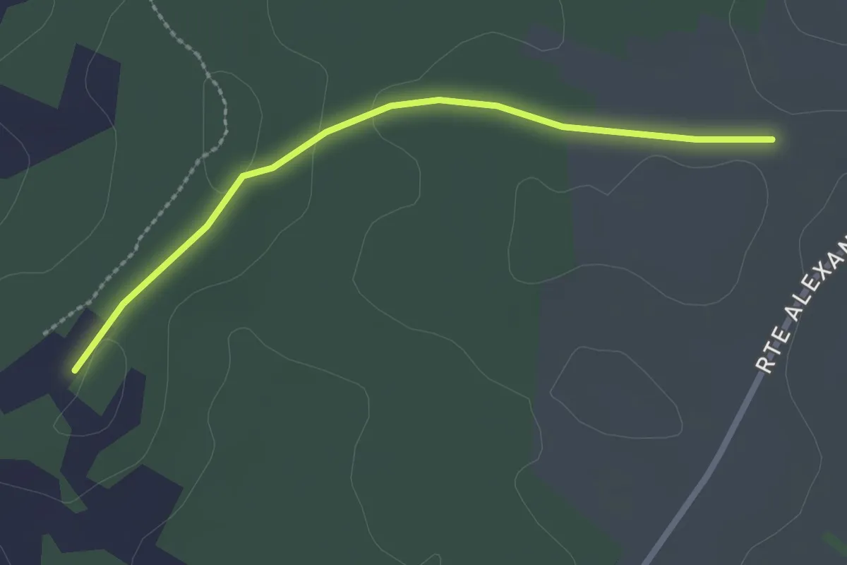
Easy · Trail
Liaison St-Julien-de-Bourdeilles - Paussac-et-St-Vivien
2.4 km · ↑ 19 m · 37 min
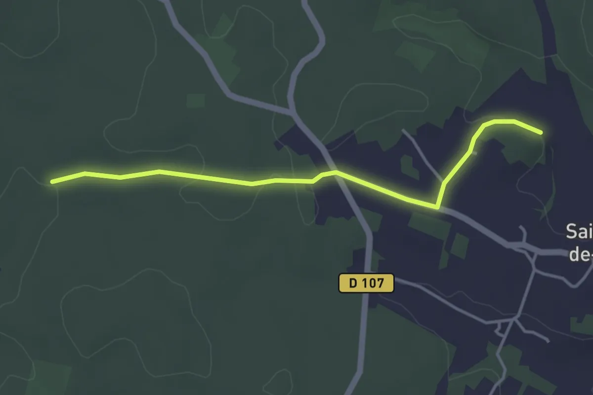
Easy · Trail
Liaison St-Julien-de-Crempse - Maurens
3.8 km · ↑ 51 m · 1 h
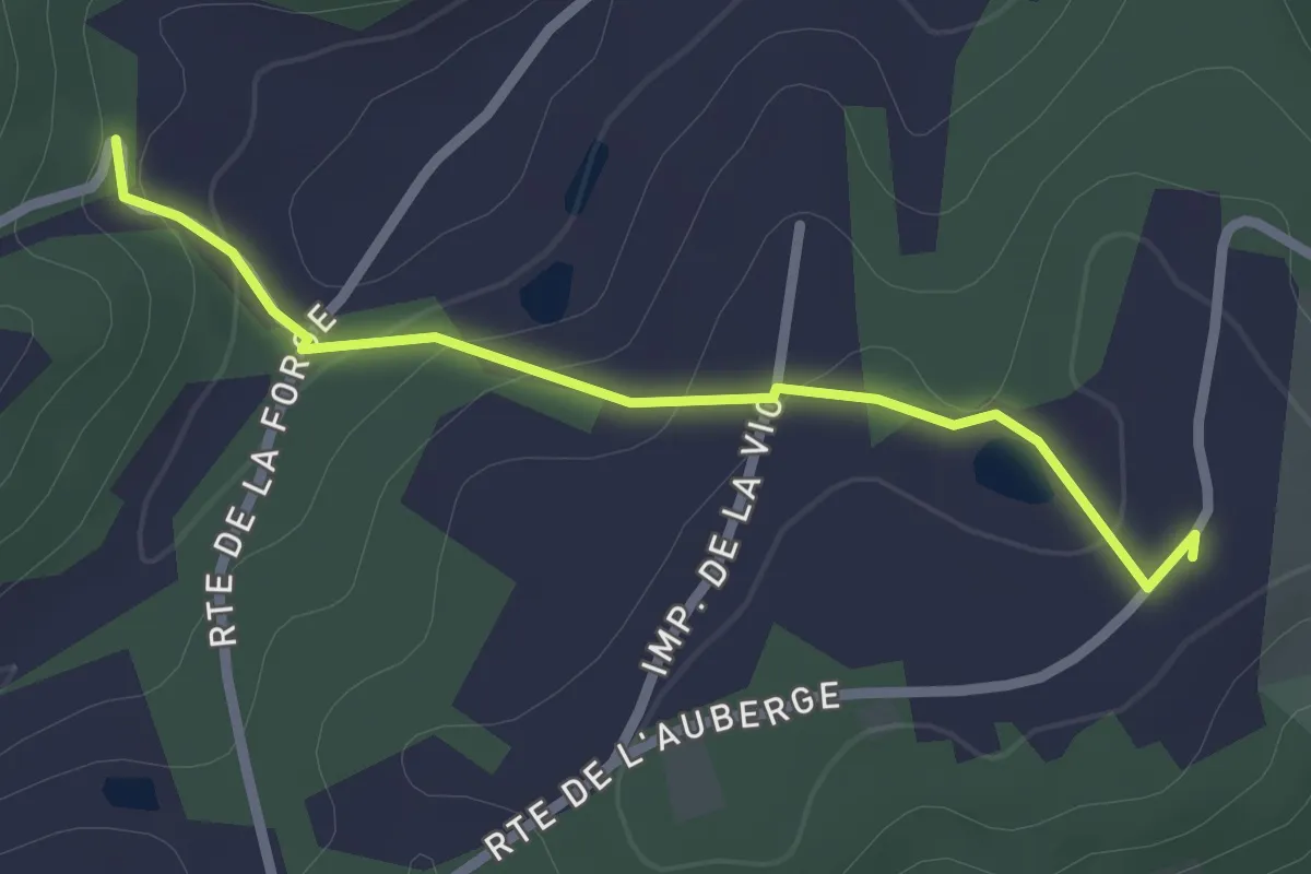
Easy · Trail
Liaison St-Maime-de-Péreyrol - Grun-Bordas
2.4 km · ↑ 76 m · 44 min
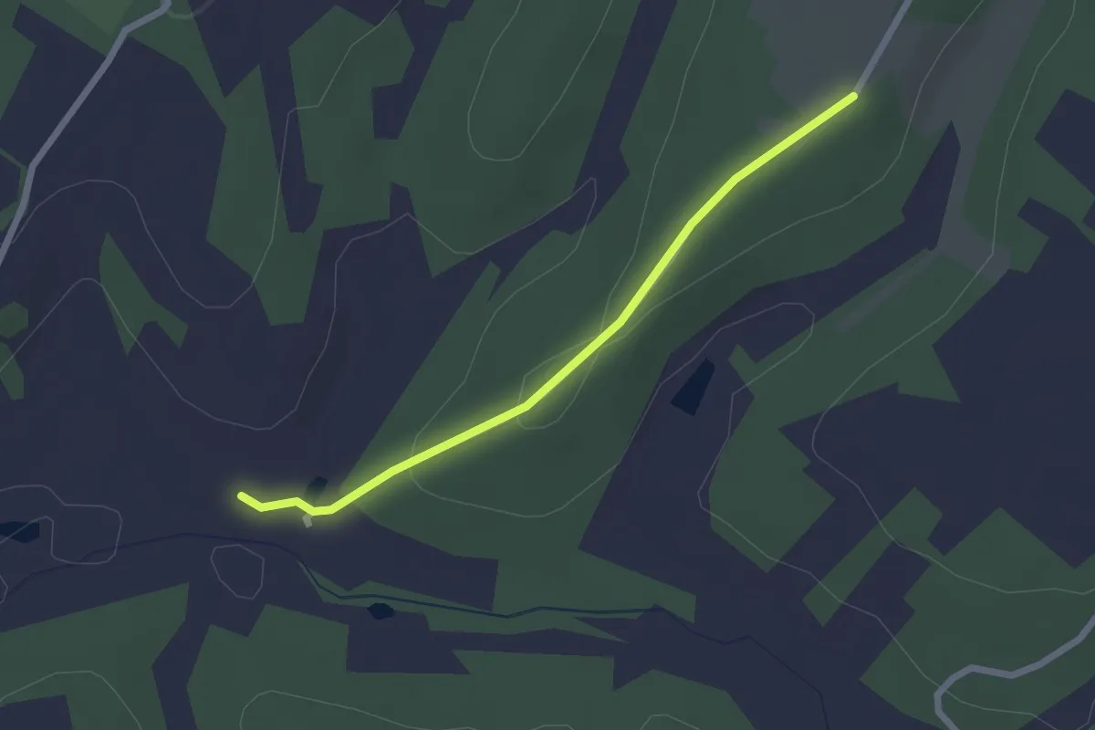
Easy · Trail
Liaison St-Michel-de-Villadeix - Veyrines de Vergt
2.2 km · ↑ 56 m · 39 min
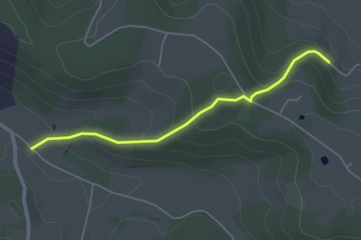
Easy · Trail
Liaison St-Paul-de-Serre - Bourrou
3.5 km · ↑ 164 m · 1 h 11 min