Trails in France
15,926 hiking trails, each with its route, climb, walking time and grade.
All trails, page 205 of 332
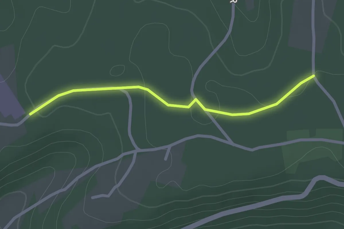
Easy · Trail
Liaison St-Paul-de-Serre - Chalagnac
2.1 km · ↑ 17 m · 32 min
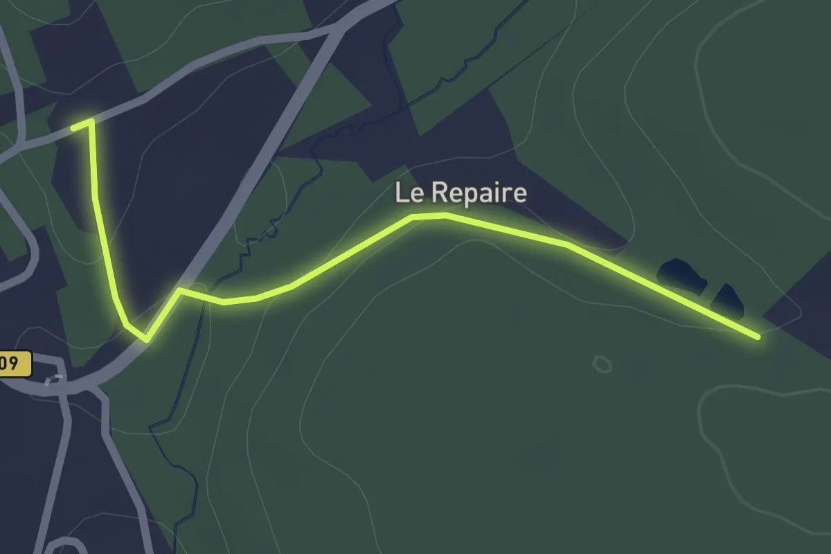
Easy · Trail
Liaison St-Vincent-de-Connezac - Chantérac
2.1 km · ↑ 35 m · 34 min
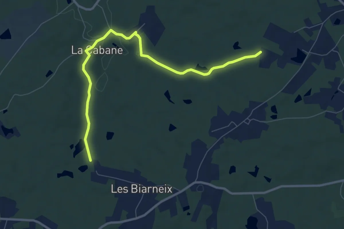
Medium · Trail
Liaison St-Vincent-de-Connezac - St-André-de-Double
8.2 km · ↑ 108 m · 2 h 10 min
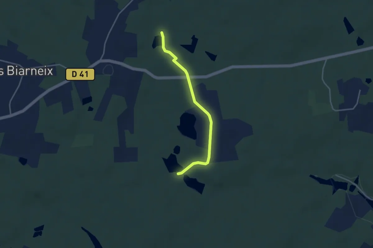
Easy · Trail
Liaison St-Vincent-de-Connezac - St-Jean-d'Ataux
2.9 km · ↑ 16 m · 44 min
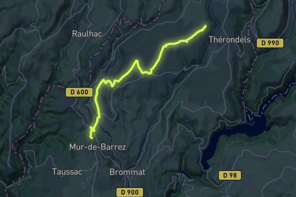
Demanding · Summit
liaison Thérondels - Mur-de-Barrez
26.4 km · ↑ 441 m · 7 h 11 min
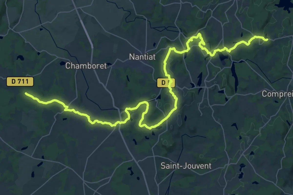
Demanding · Trail
liaison Tour des Monts de Blond - Tours des Monts d'Ambazac
24.7 km · ↑ 396 m · 7 h 3 min
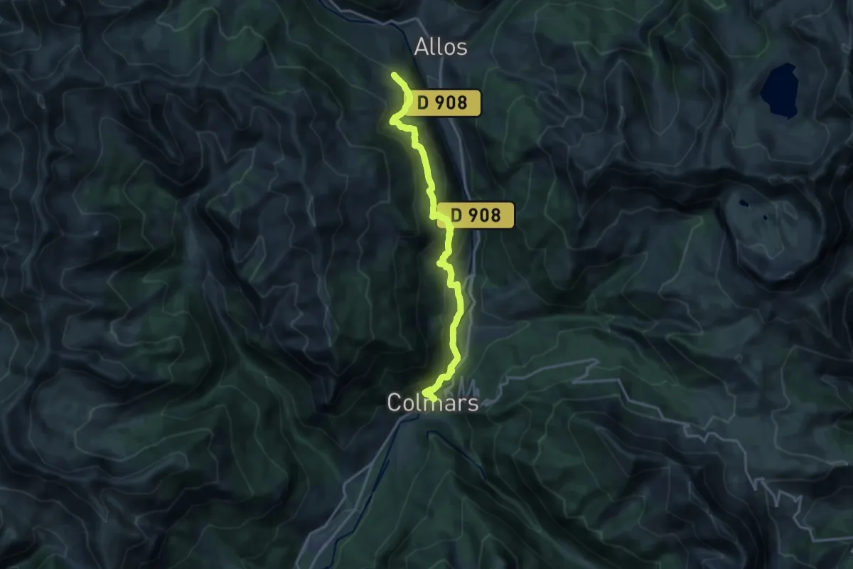
Demanding · Trail
Liaison Val d'Allos - Le Seignus / Colmars
16.2 km · ↑ 886 m · 5 h 45 min
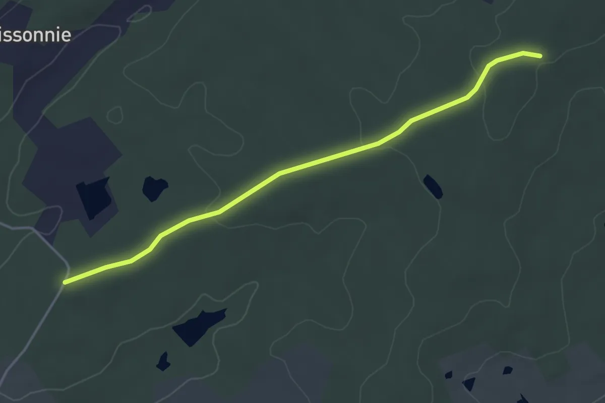
Easy · Trail
Liaison Vanxains - Siorac-de-Ribérac
4.2 km · ↑ 55 m · 1 h 7 min
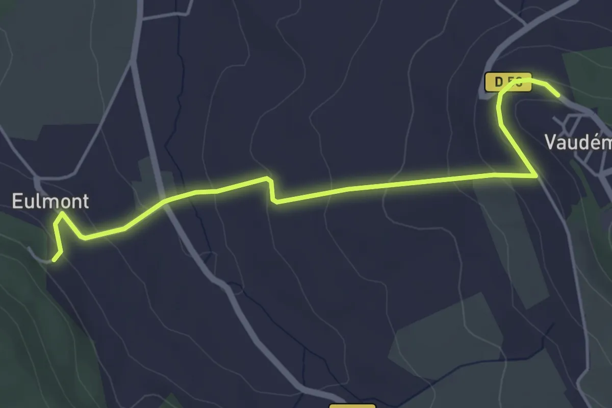
Easy · Trail
Liaison Vaudémont - Dommarie-Eulmont
4.6 km · ↑ 198 m · 1 h 31 min
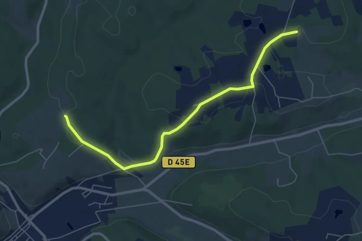
Easy · Trail
Liaison Vergt - Breuilh
5.9 km · ↑ 118 m · 1 h 39 min
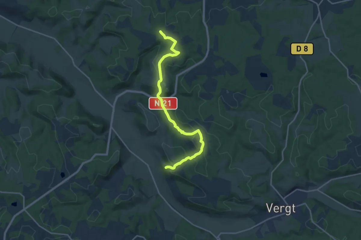
Medium · Trail
Liaison Vergt - Creyssenssac et Pissot
13.8 km · ↑ 336 m · 3 h 59 min
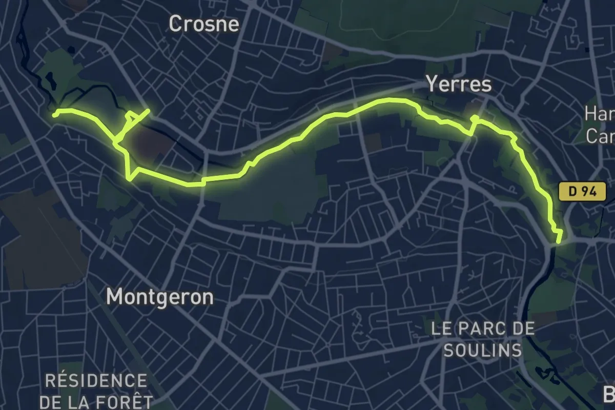
Medium · Trail
Liaison verte de l'Yerres et du Réveillon
10.9 km · ↑ 12 m · 2 h 36 min
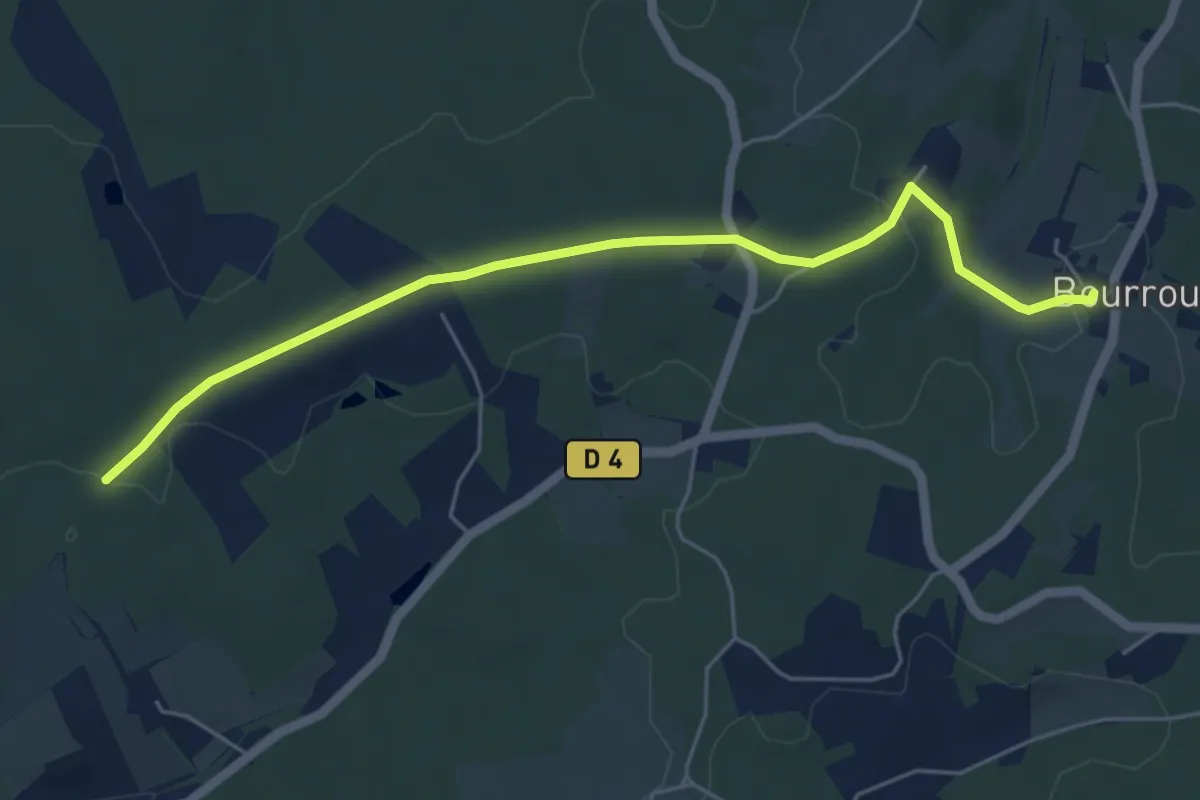
Easy · Trail
Liaison Villamblard - Bourrou
5.9 km · ↑ 79 m · 1 h 33 min
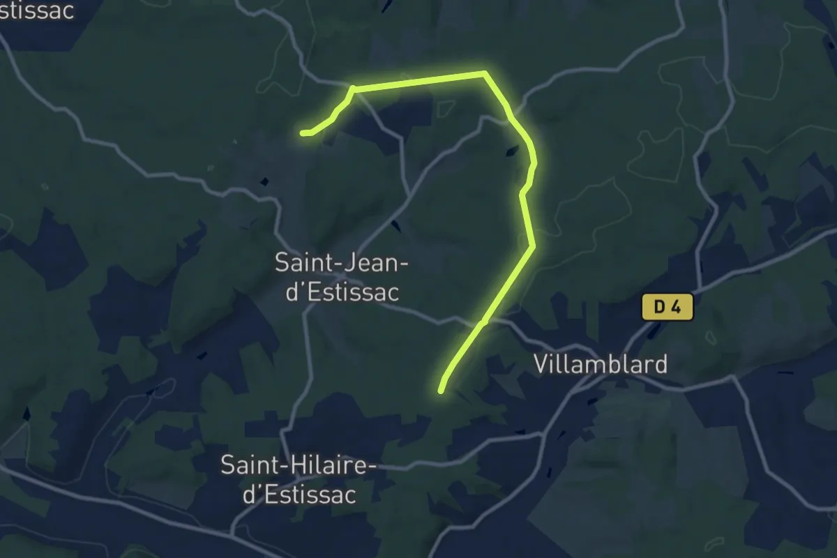
Medium · Trail
Liaison Villamblard-St-Jean-d'Estissac-St-Hilaire-d'Estissac
9.8 km · ↑ 153 m · 2 h 39 min
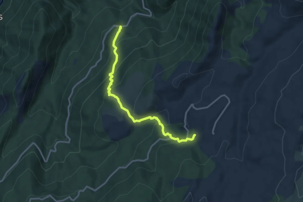
Medium · Trail
Liaison Zicavo - Refuge de Matalza
7.9 km · ↑ 545 m · 3 h 3 min
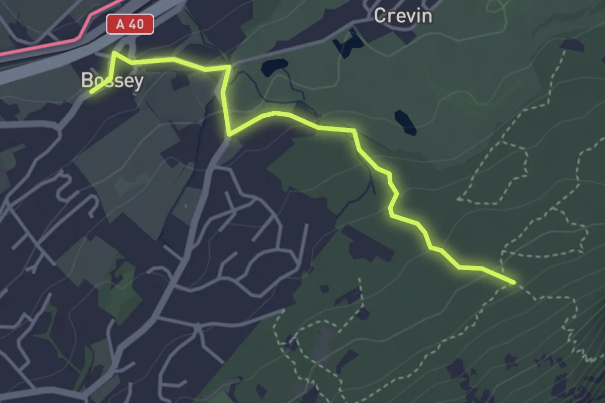
Easy · Trail
Liason Boissey - Sentier géologique
3.6 km · ↑ 146 m · 1 h 10 min
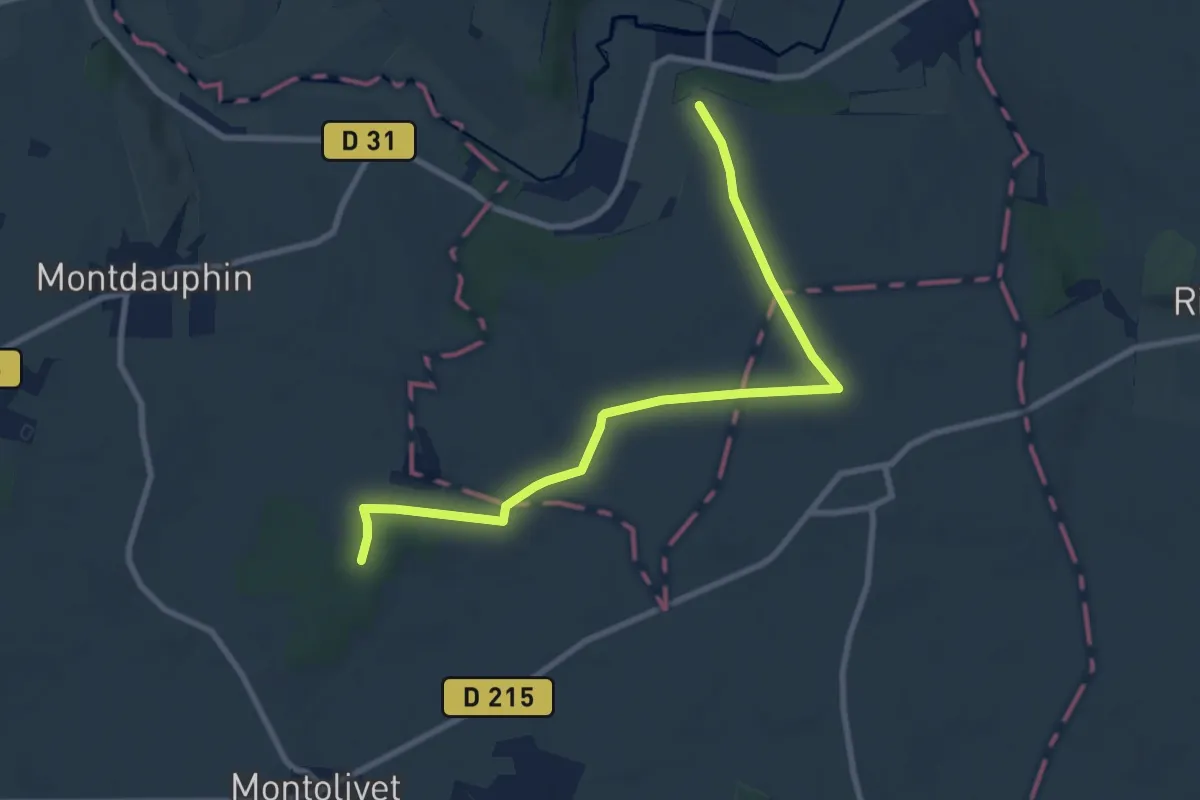
Medium · Trail
Liason des Trois Régions
8.9 km · ↑ 91 m · 2 h 18 min
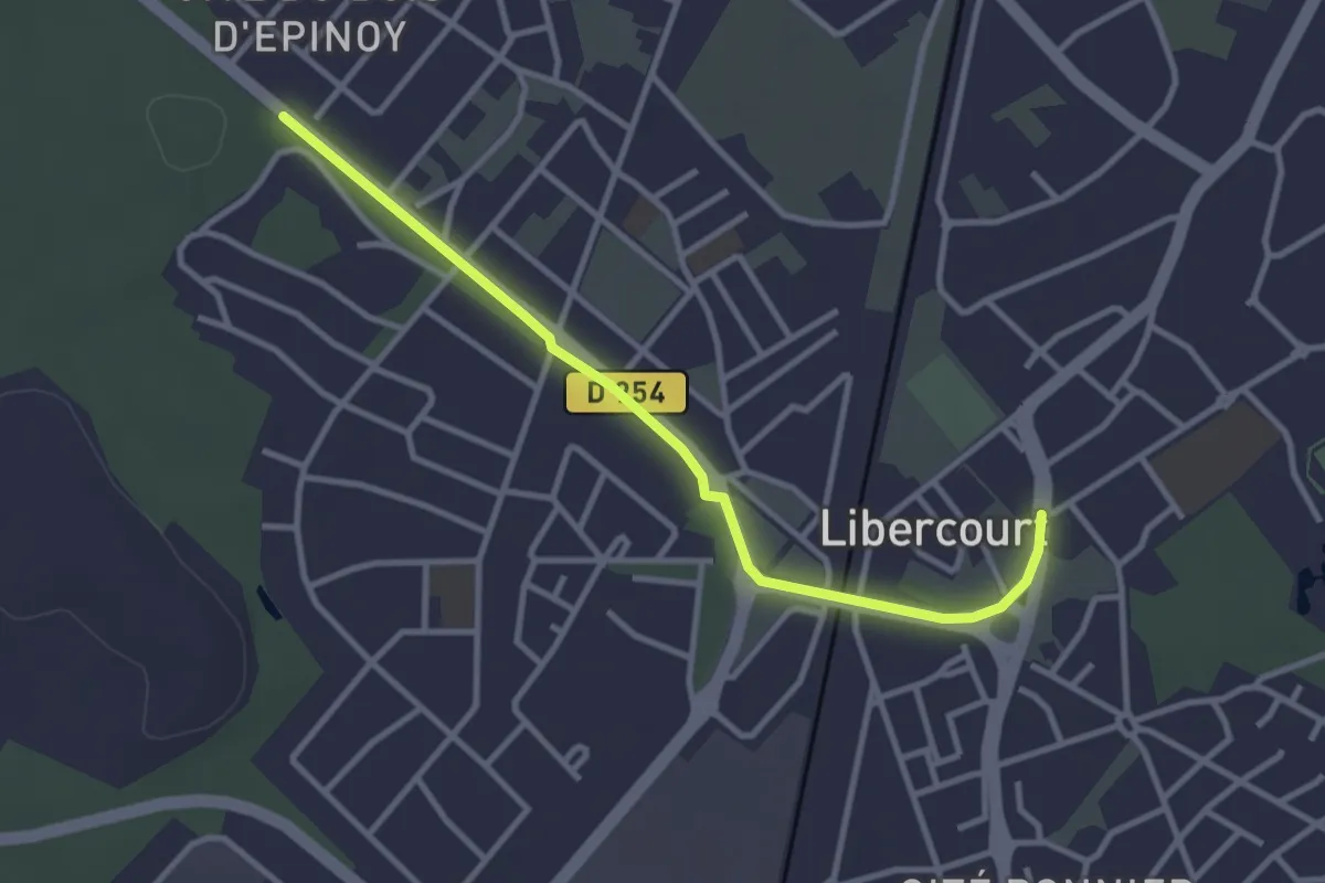
Easy · Trail
Libercourt - Terril du Téléphérique
3.0 km · ↑ 4 m · 43 min
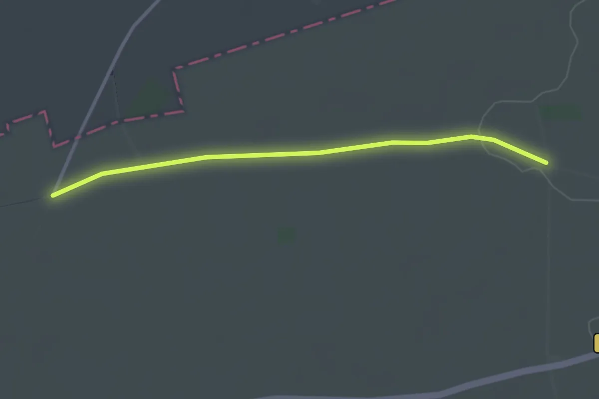
Easy · Trail
Lieux-dits et pigeonniers
2.8 km · ↑ 17 m · 42 min
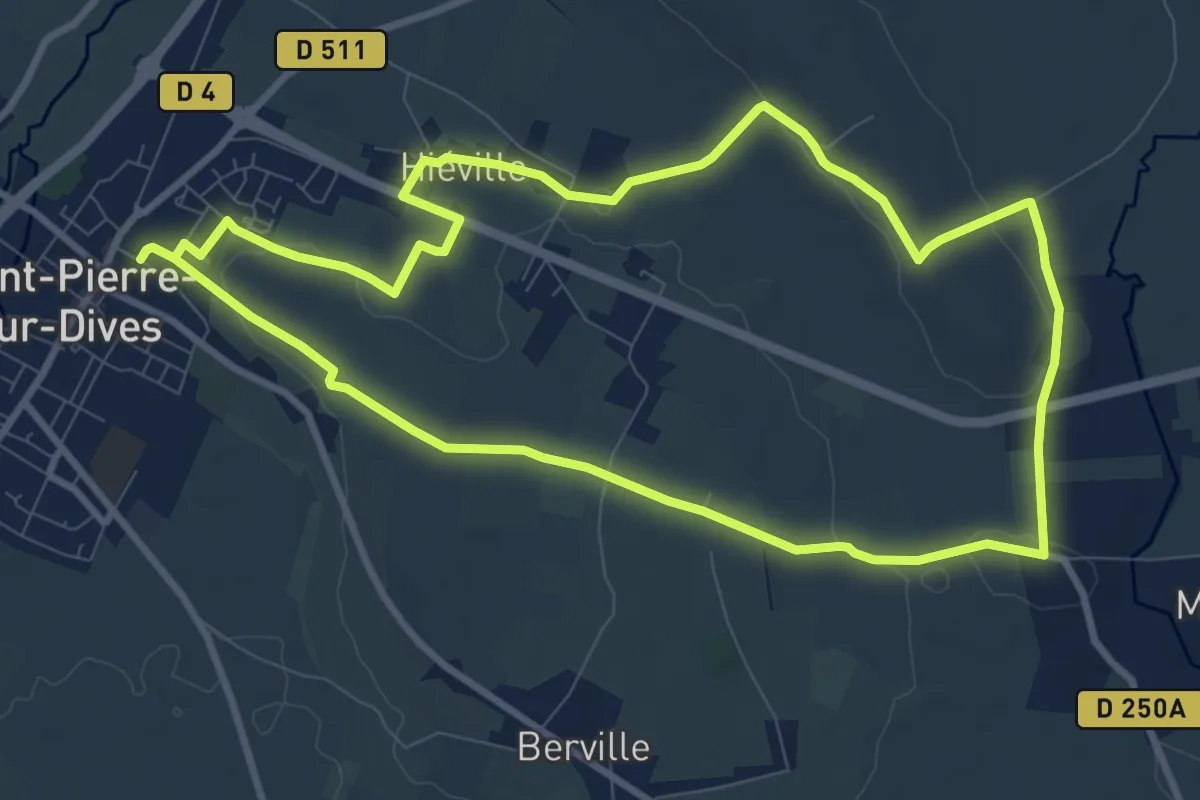
Medium · Trail
L'If de Hiéville
9.3 km · ↑ 78 m · 2 h 30 min
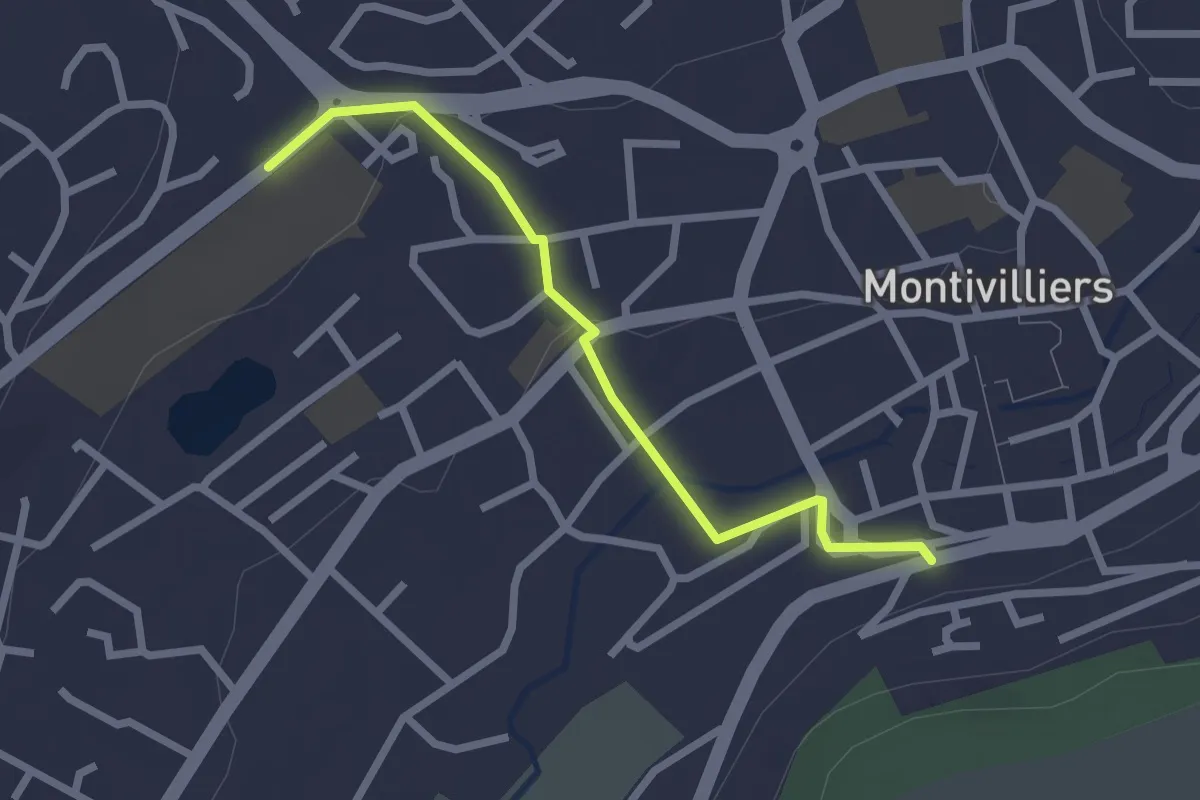
Easy · Trail
Ligne 23 Piétonne vers Maison Blanche
2.2 km · ↑ 39 m · 37 min
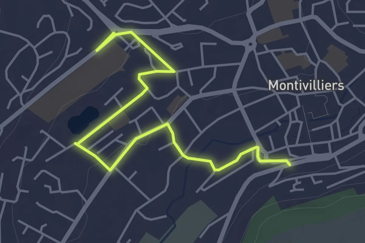
Easy · Trail
Ligne 23 Piétonne vers Mal Foch
4.3 km · ↑ 35 m · 1 h 6 min
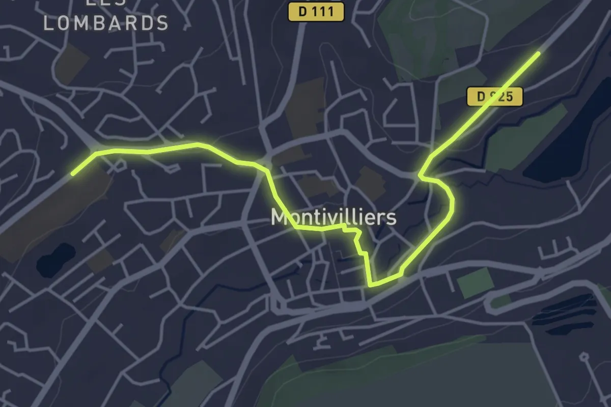
Easy · Trail
Ligne 25 Piétonne vers Bois Champion
4.6 km · ↑ 58 m · 1 h 13 min
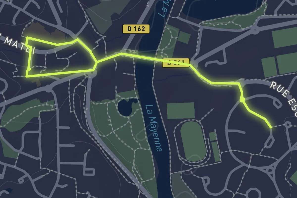
Easy · Trail
Ligne Bleue - Rive gauche
3.1 km · ↑ 29 m · 48 min
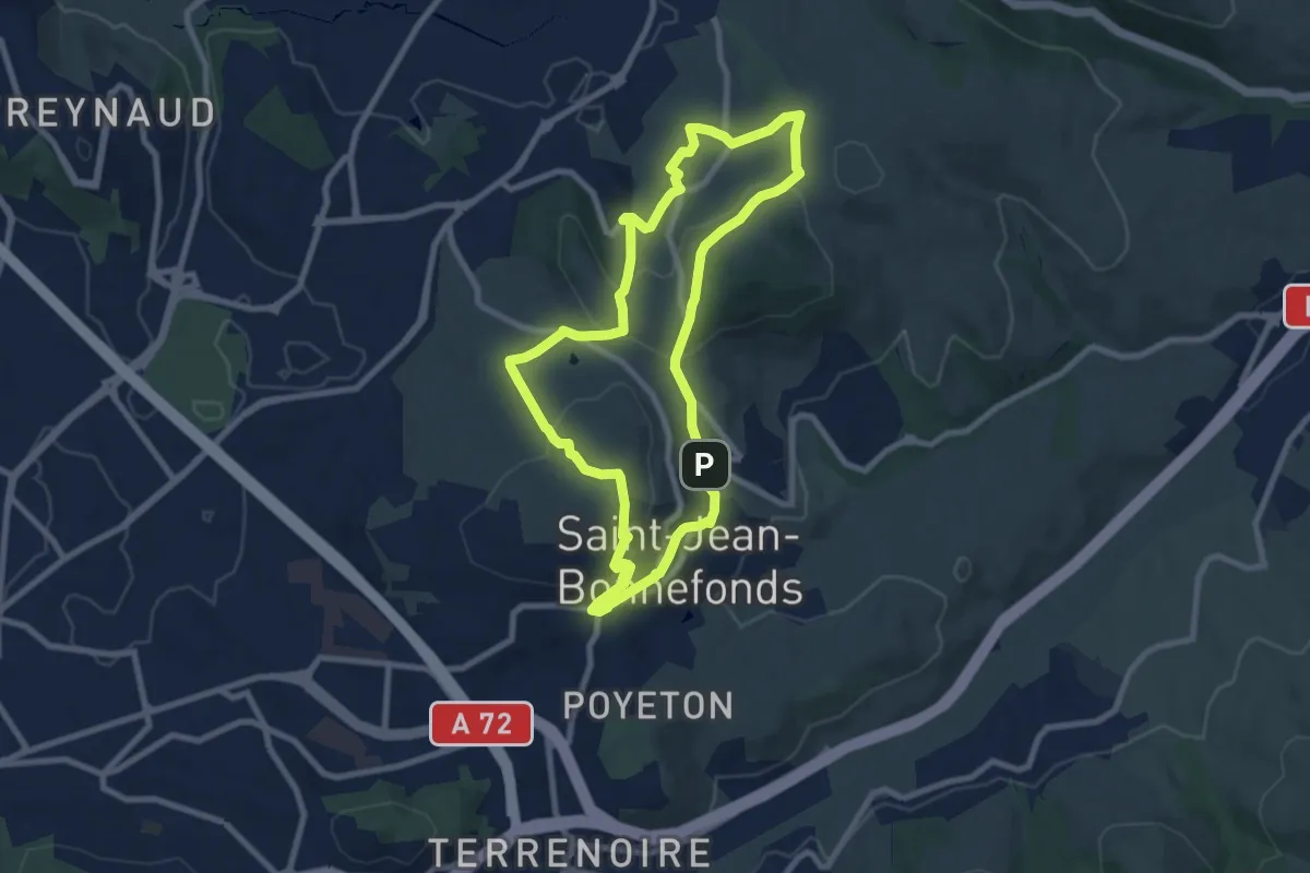
Medium · Trail
Ligne de partage des eaux
8.3 km · ↑ 232 m · 2 h 35 min
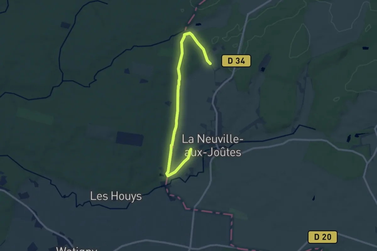
Medium · Trail
Ligne Maginot et Blockhaus
8.0 km · ↑ 125 m · 2 h 10 min
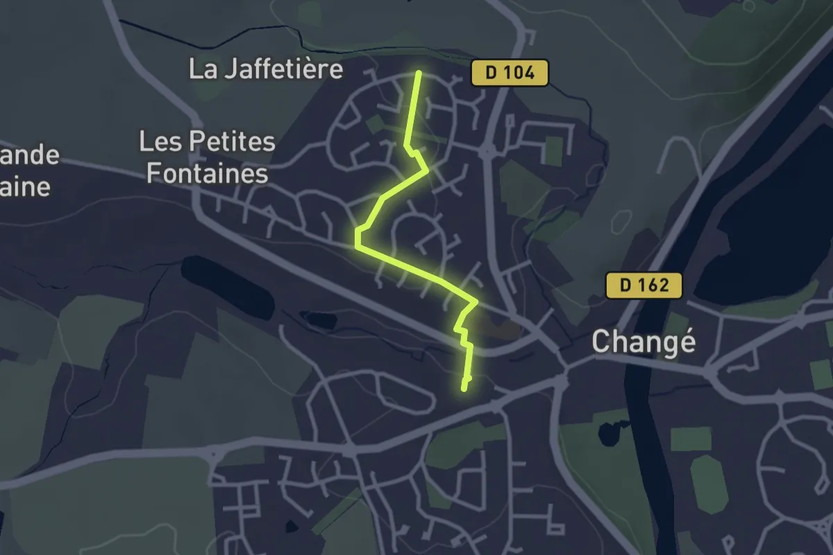
Easy · Trail
Ligne Verte - La Jaffetière
2.3 km · ↑ 33 m · 37 min
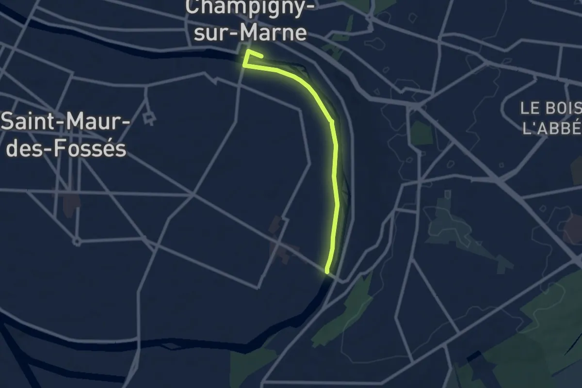
Easy · Trail
L'Ile aux oiseaux
5.9 km · ↑ 0 m · 1 h 23 min
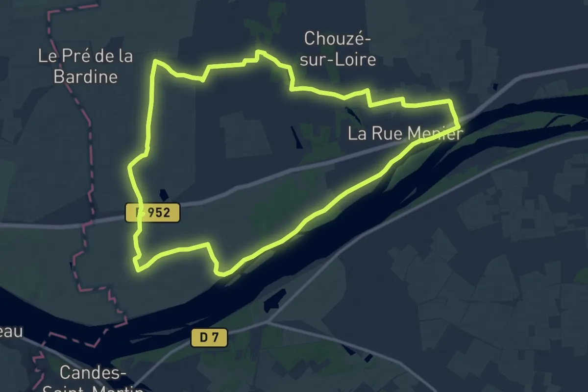
Medium · Trail
L’Île Bourdon - Chouzé-sur-Loire
11.2 km · ↑ 17 m · 2 h 50 min
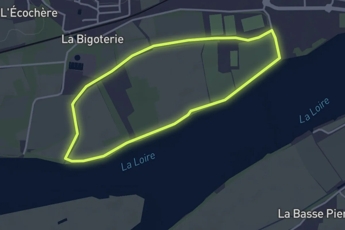
Easy · Trail
L'Île Mouchet
3.0 km · ↑ 0 m · 46 min
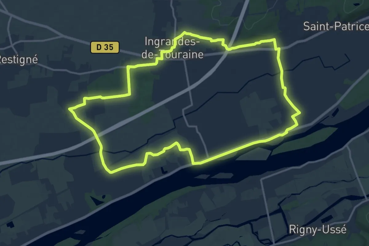
Medium · Trail
L'Île Sainte-Barbe - Coteaux-sur-Loire - Restigné
12.5 km · ↑ 42 m · 3 h 13 min
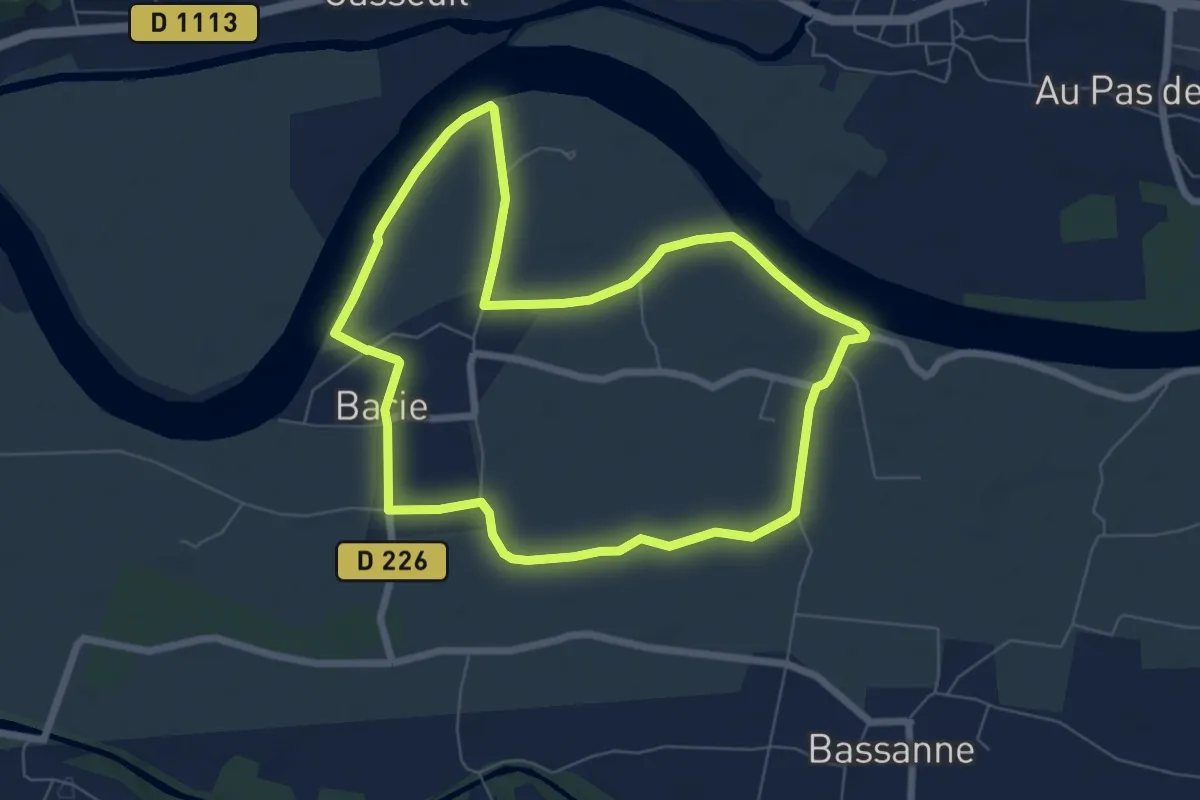
Easy · Trail
L'Imbarradys : boucle locale
7.0 km · ↑ 0 m · 1 h 45 min
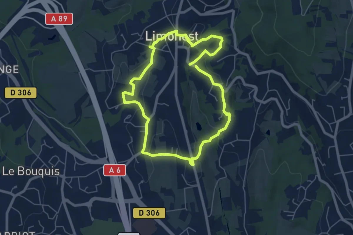
Easy · Trail
Limonest, le centre incontournable
4.7 km · ↑ 148 m · 1 h 30 min
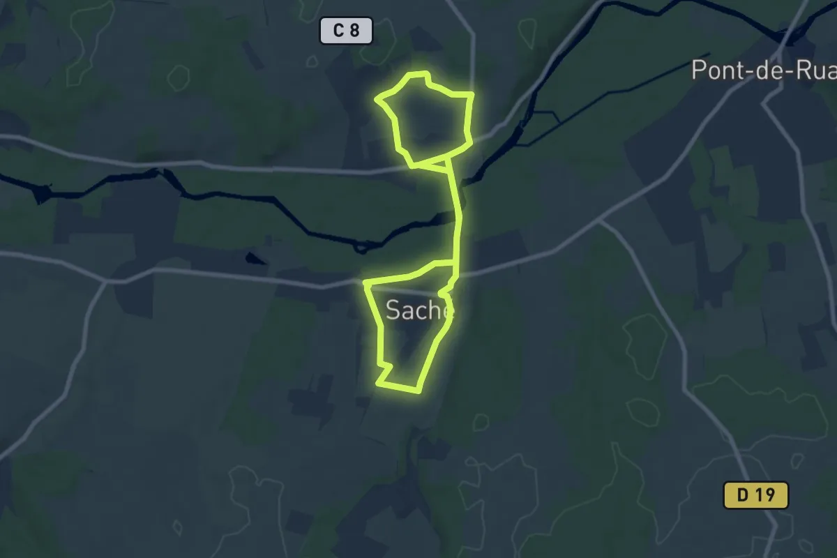
Easy · Trail
L'Indre et ses artistes
7.1 km · ↑ 75 m · 1 h 56 min
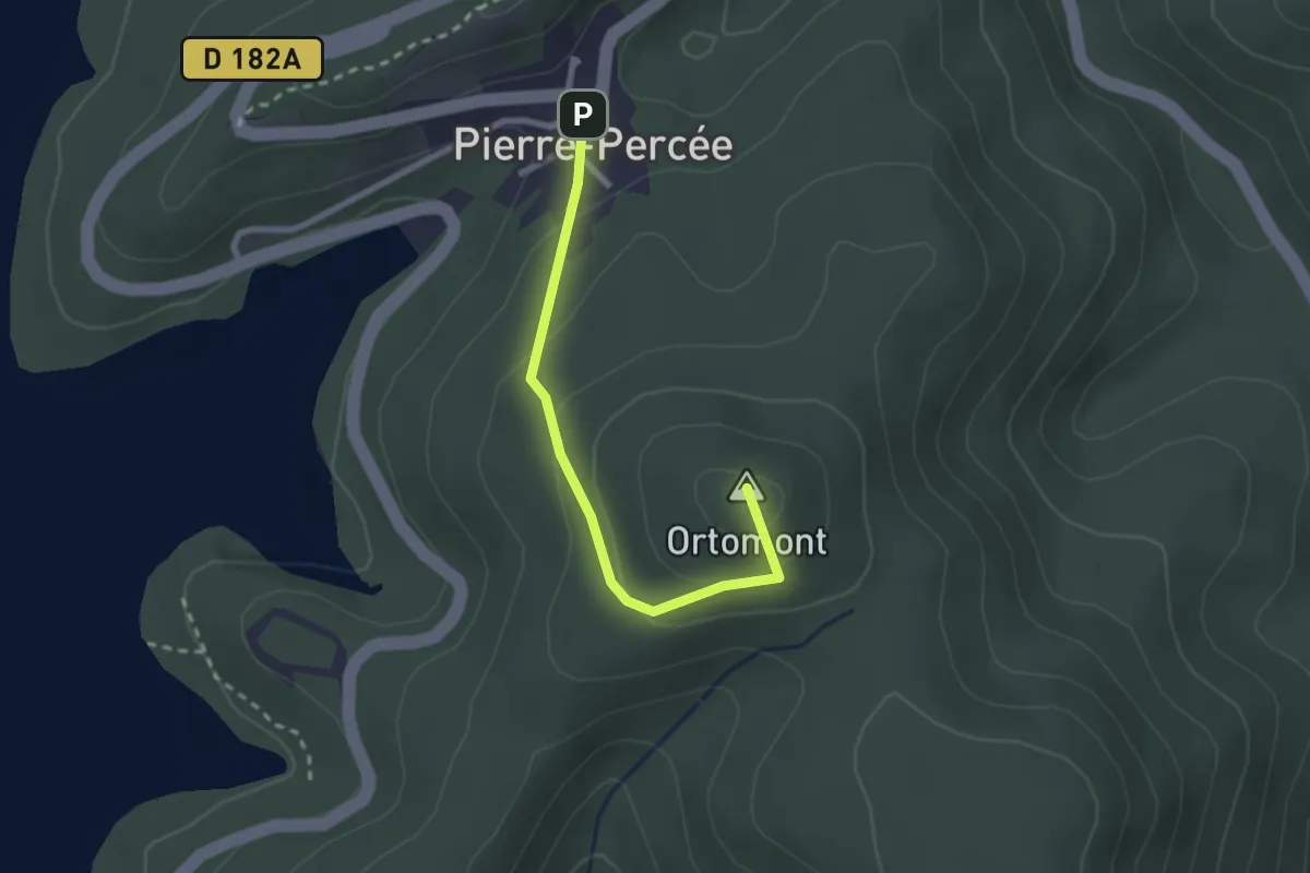
Easy · Summit
Linéaire de la Côte du Moulin
2.3 km · ↑ 113 m · 47 min
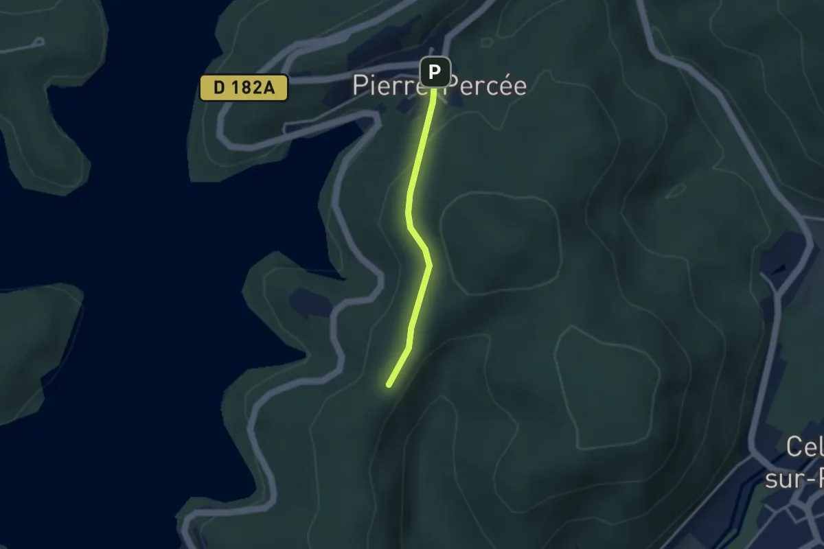
Easy · Trail
Linéaire de la Vierge de Para
2.2 km · ↑ 57 m · 39 min
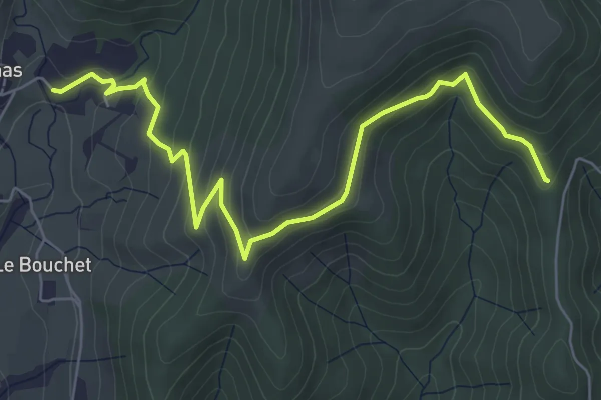
Easy · Trail
Liotard - Larein
6.9 km · ↑ 299 m · 2 h 16 min
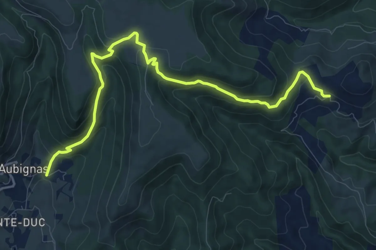
Medium · Trail
Liotard - Les Audouards
11.8 km · ↑ 545 m · 3 h 58 min
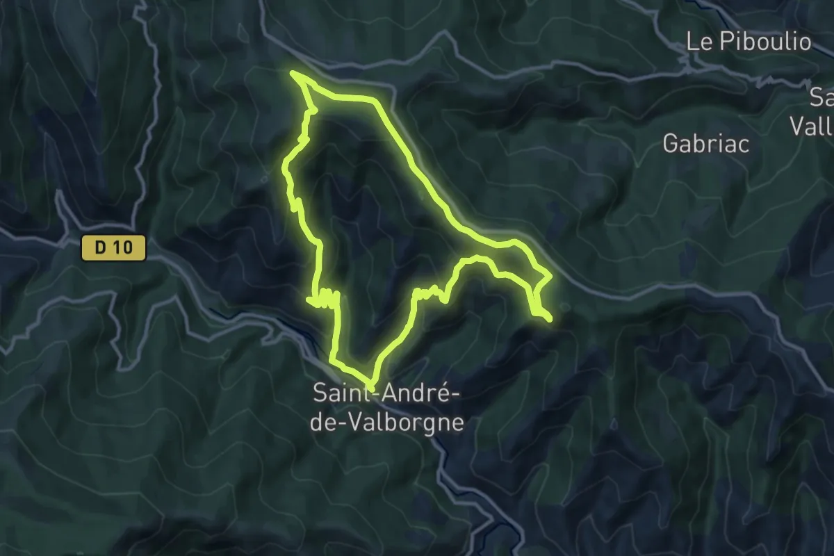
Medium · Trail
Lique Ser
11.5 km · ↑ 547 m · 4 h 4 min
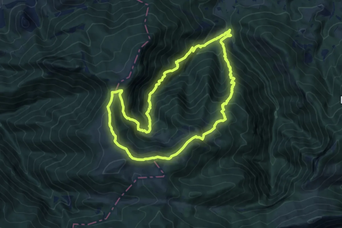
Demanding · Summit
L'Isarce et les Crêtes
14.2 km · ↑ 1242 m · 6 h 14 min
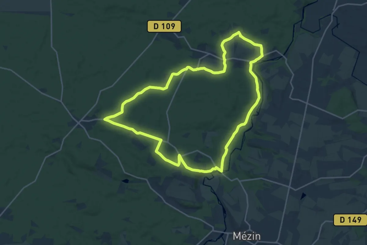
Medium · Trail
Lisse, aux portes de la forêt Landaise 18 km
17.8 km · ↑ 248 m · 4 h 59 min
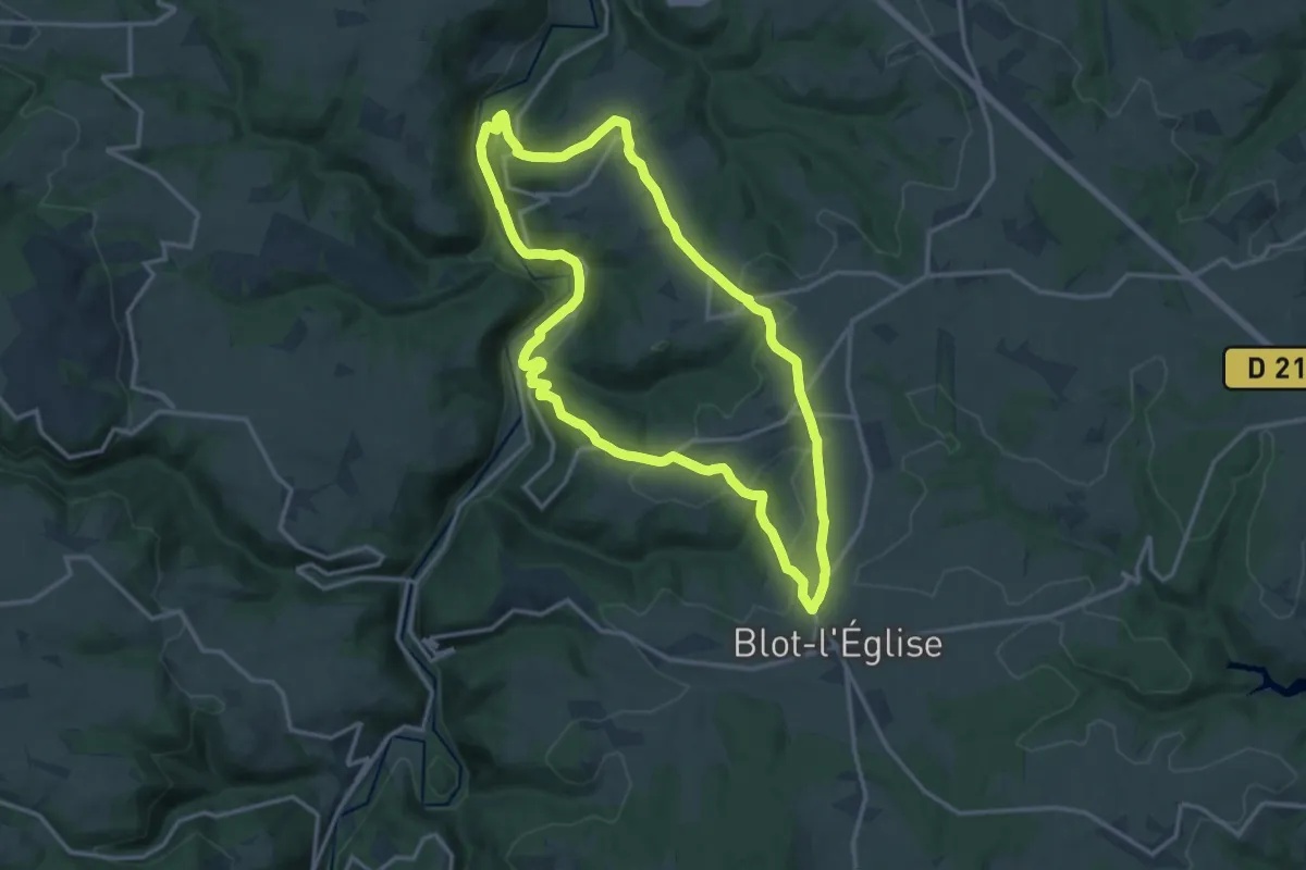
Medium · Trail
Lisseuil
14.3 km · ↑ 428 m · 4 h 30 min
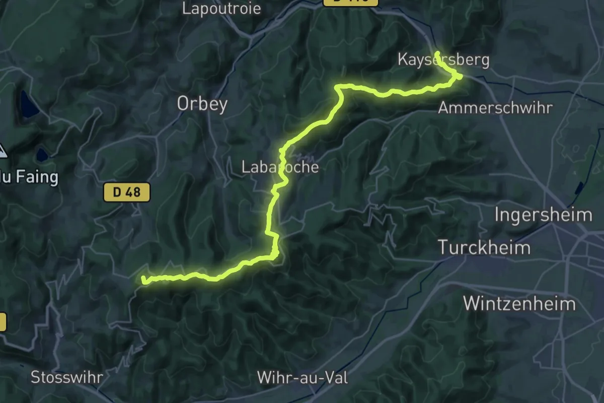
Demanding · Summit
L'itinéraire Albert Schweitzer
35.0 km · ↑ 1270 m · 11 h 1 min
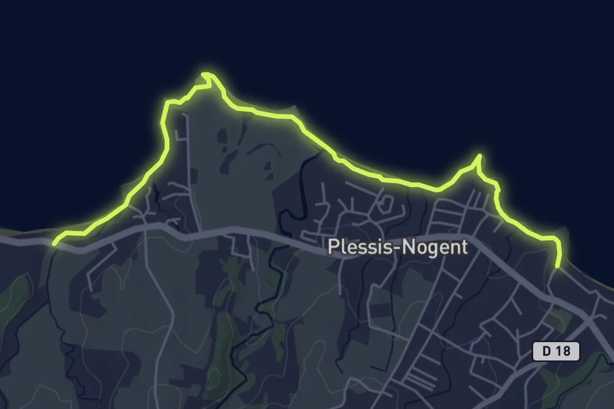
Medium · Trail
Littoral de Sainte Rose
8.6 km · ↑ 51 m · 2 h 8 min
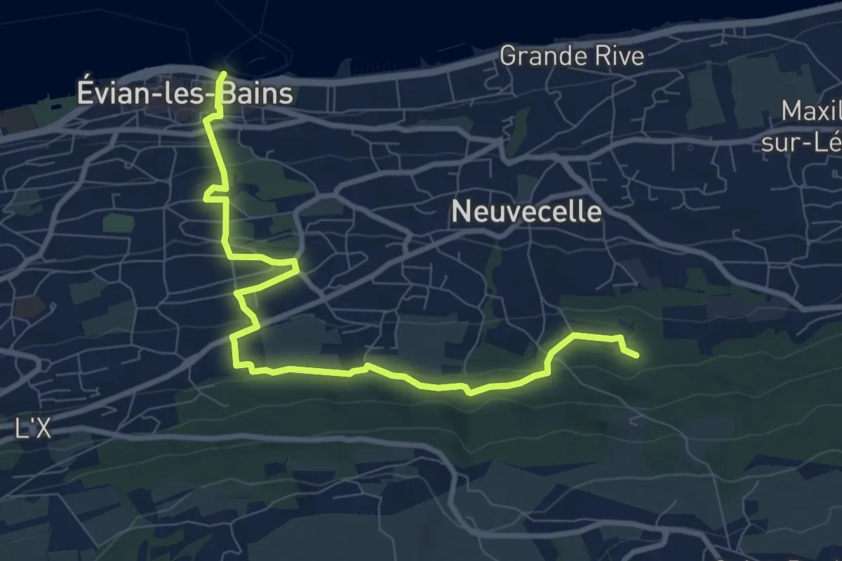
Medium · Trail
Littoral du Léman
9.4 km · ↑ 366 m · 3 h
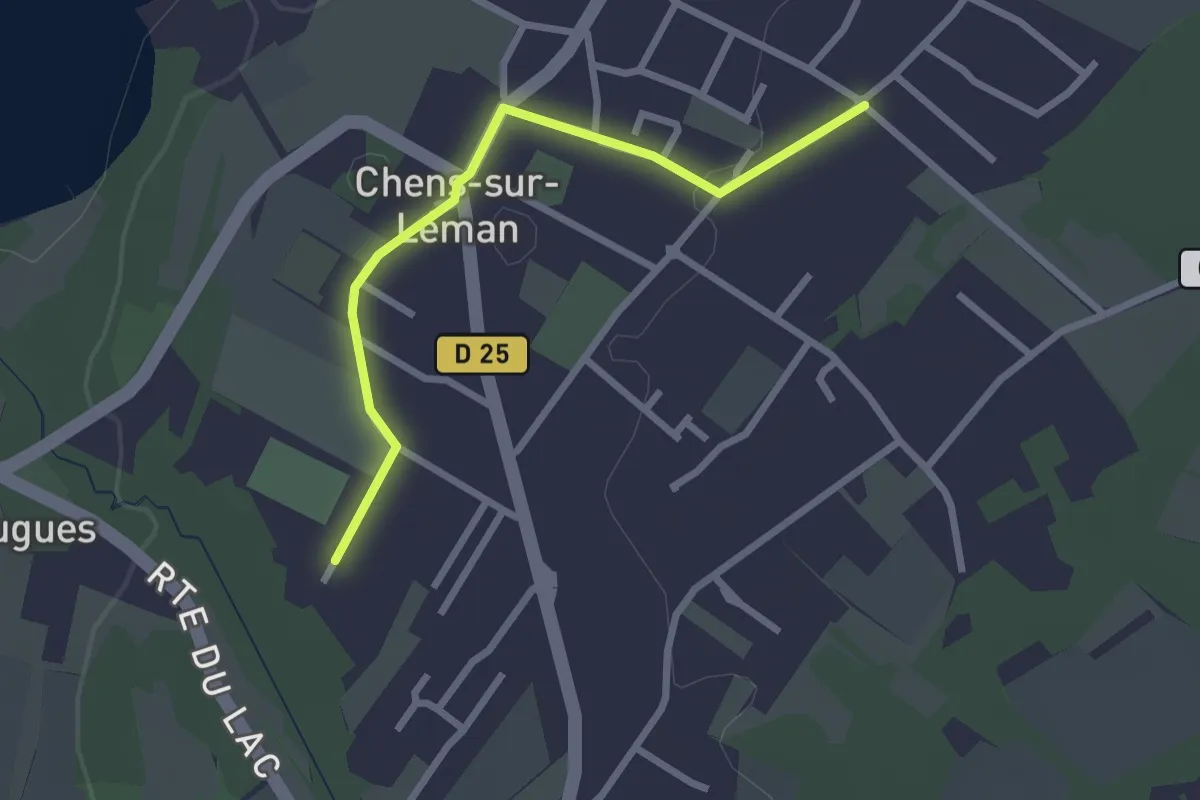
Easy · Trail
Littoral du Léman
2.5 km · ↑ 9 m · 37 min
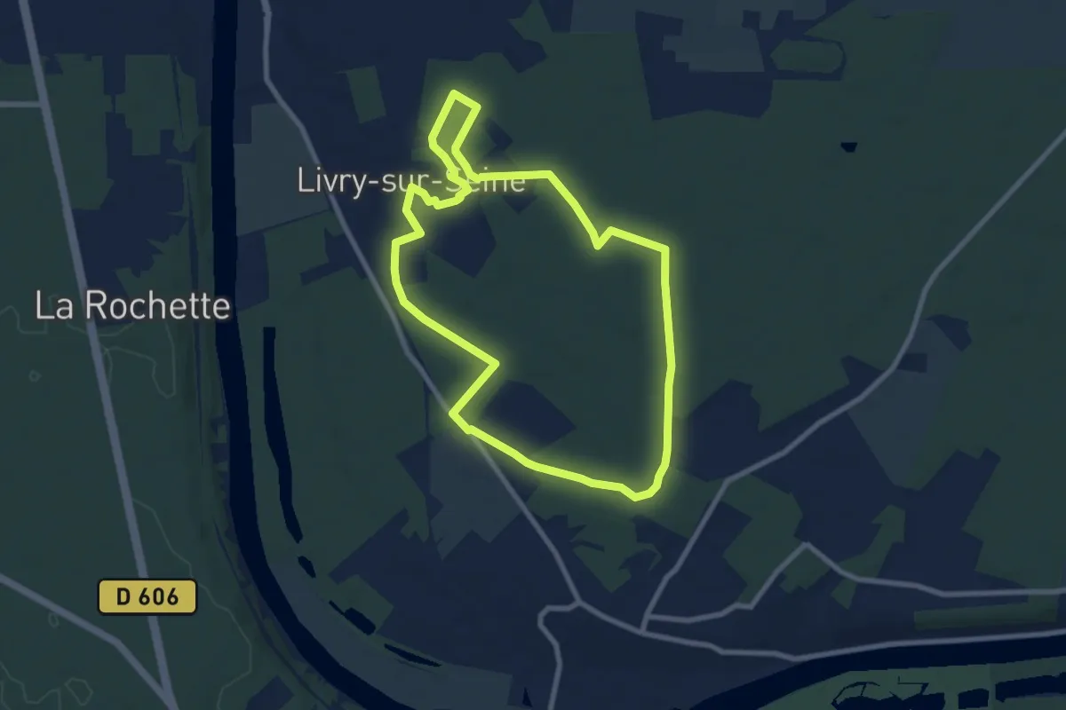
Easy · Trail
Livry
7.7 km · ↑ 52 m · 2 h 2 min
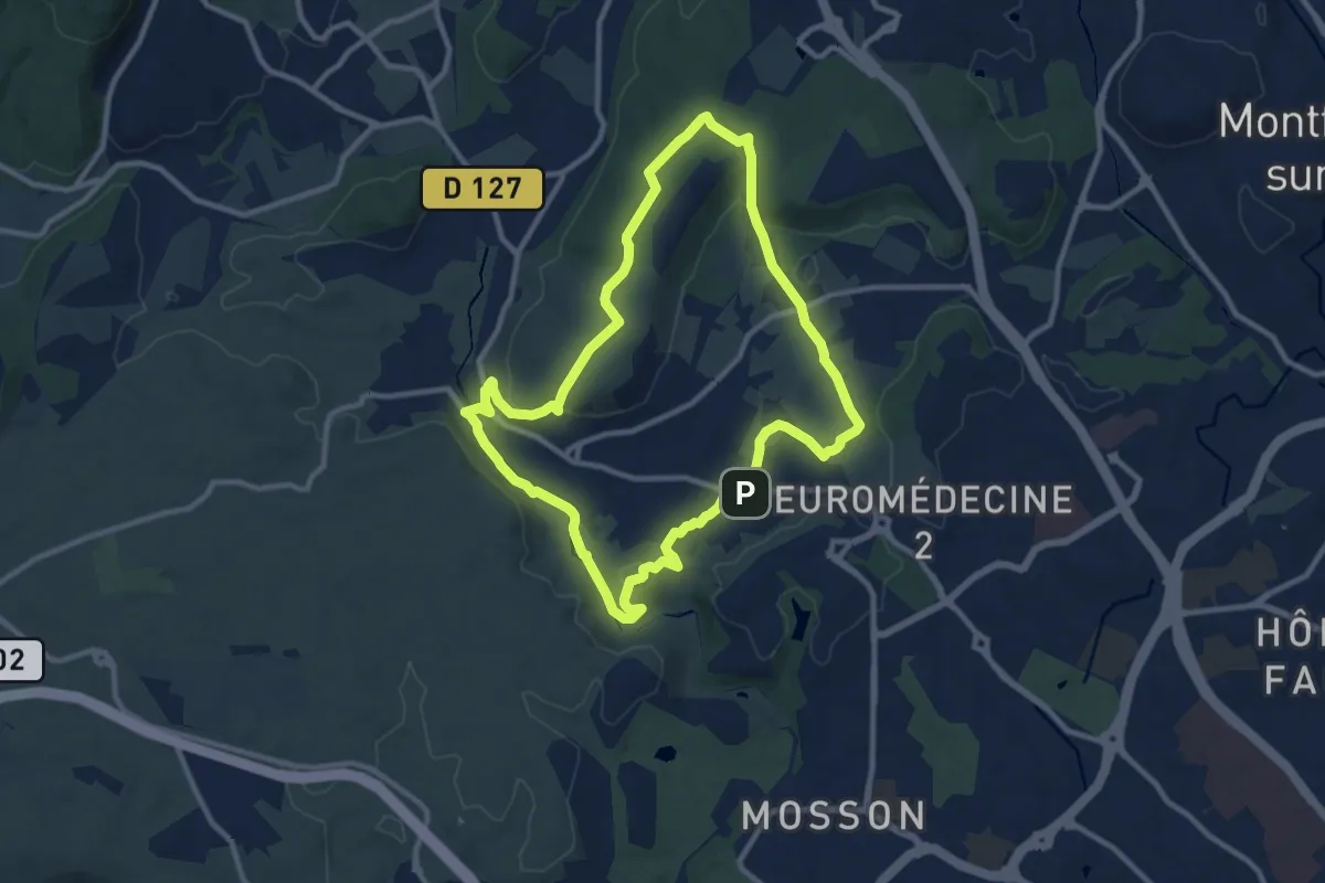
Medium · Summit
L’OASIS DES GARRIGUES
10.7 km · ↑ 184 m · 3 h 4 min