Trails in France
15,926 hiking trails, each with its route, climb, walking time and grade.
All trails, page 206 of 332
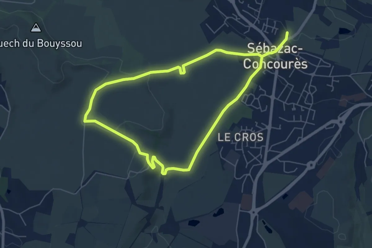
Medium · Trail
Lo Cami de Flars
10.5 km · ↑ 152 m · 2 h 49 min
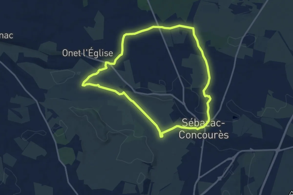
Medium · Trail
Lo Cami de la Font
8.7 km · ↑ 66 m · 2 h 19 min
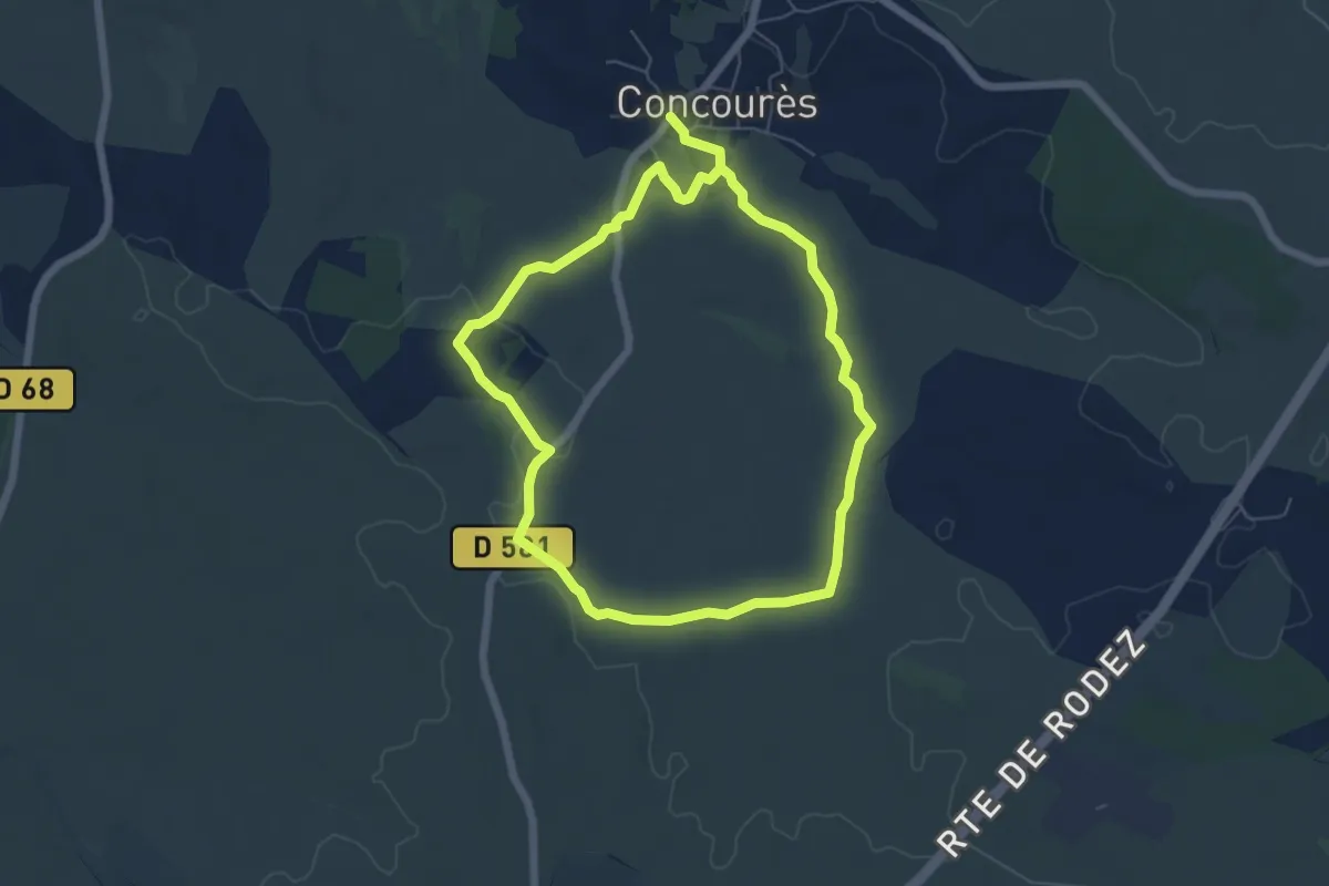
Easy · Trail
Lo camin de las Cazelas
5.9 km · ↑ 63 m · 1 h 36 min
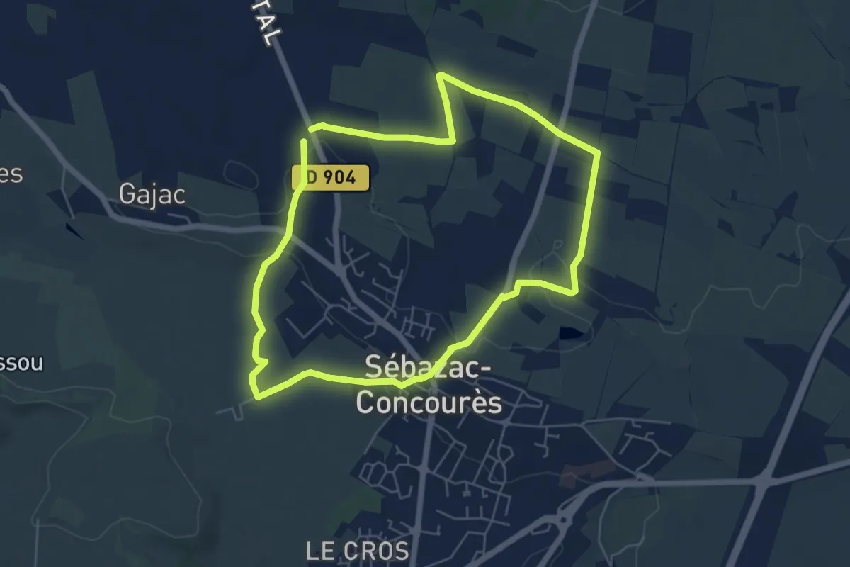
Easy · Trail
Lo Camin de las Combas
5.6 km · ↑ 50 m · 1 h 30 min
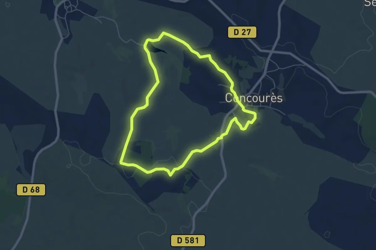
Easy · Trail
Lo camin de las dralhas
5.6 km · ↑ 71 m · 1 h 33 min
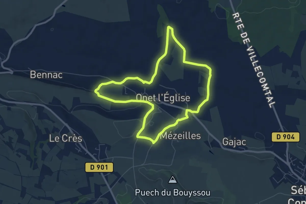
Medium · Trail
Lo camin de Mezelhas
6.8 km · ↑ 73 m · 1 h 52 min
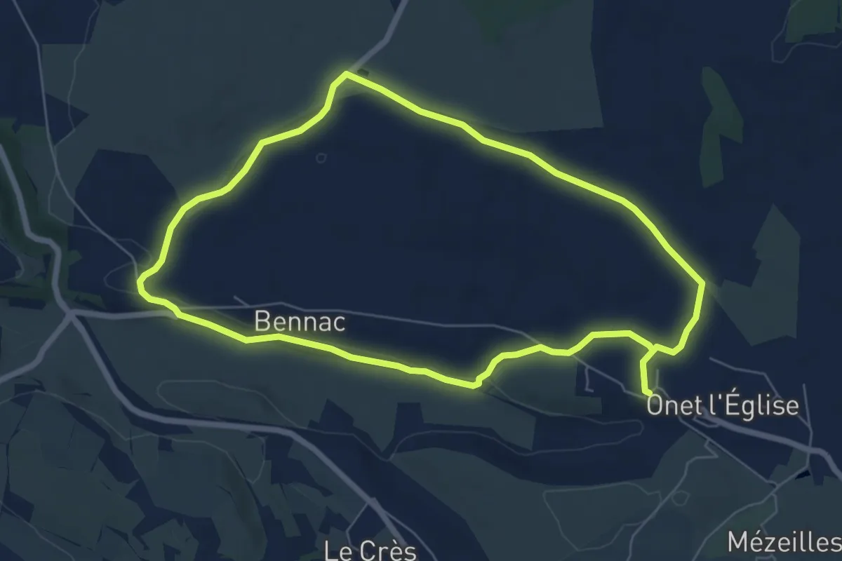
Easy · Trail
Lo Camin de Pueg Rossel
6.5 km · ↑ 72 m · 1 h 47 min
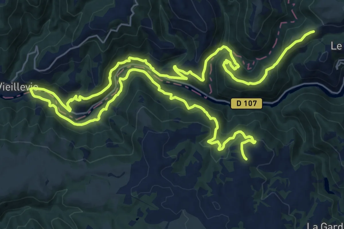
Demanding · Trail
Lo Camin d'Olt
18.2 km · ↑ 800 m · 6 h 20 min
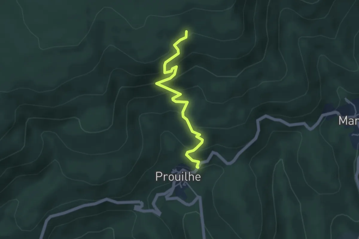
Easy · Trail
Lo Camin Nòstre
3.9 km · ↑ 306 m · 1 h 35 min
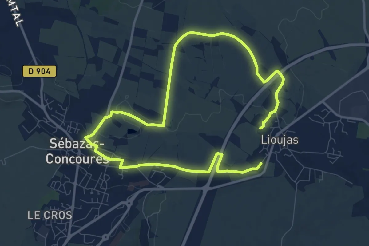
Medium · Trail
Lo camin polida vista
15.1 km · ↑ 111 m · 3 h 49 min
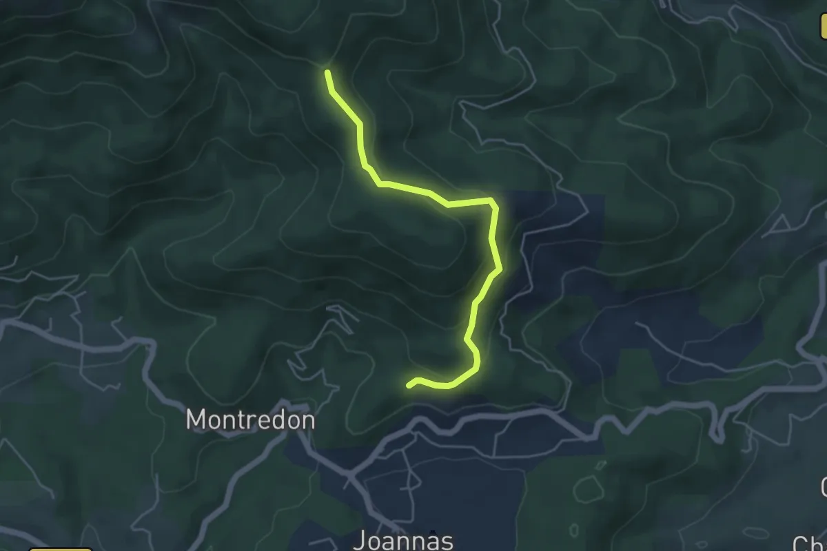
Easy · Trail
Logères - Ranc de Bal
4.3 km · ↑ 233 m · 1 h 32 min
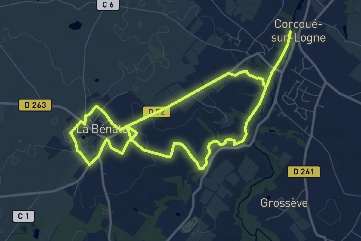
Easy · Trail
L'Oisillière
7.4 km · ↑ 42 m · 1 h 57 min
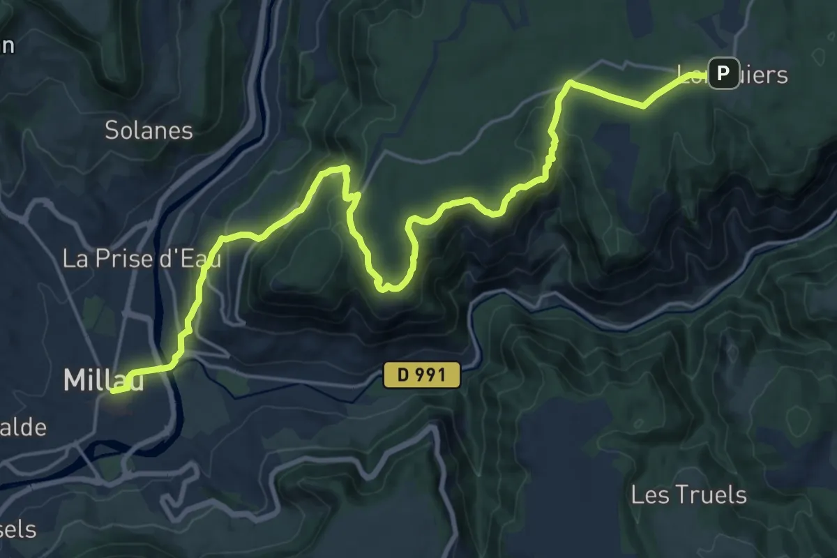
Demanding · Trail
Longuiers - Millau
23.7 km · ↑ 858 m · 7 h 28 min
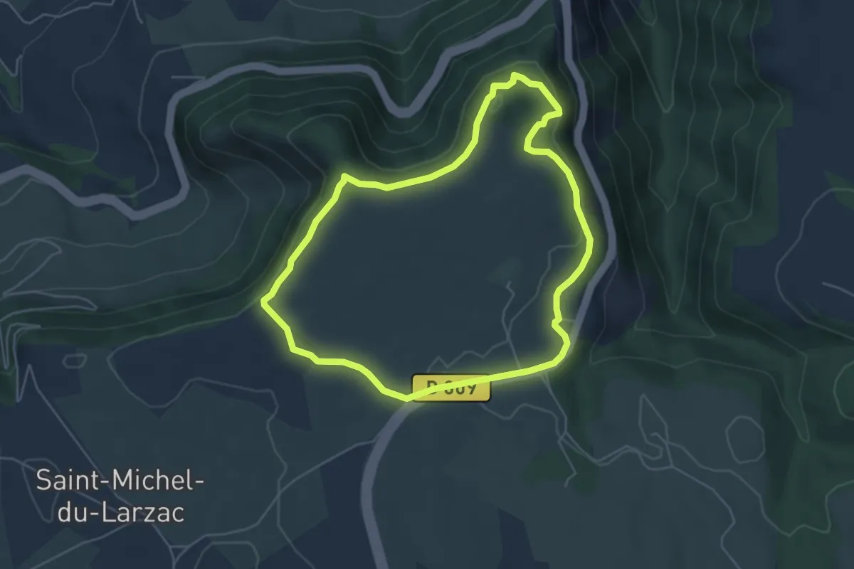
Easy · Trail
L’Oppidum du Larzac
5.1 km · ↑ 138 m · 1 h 35 min
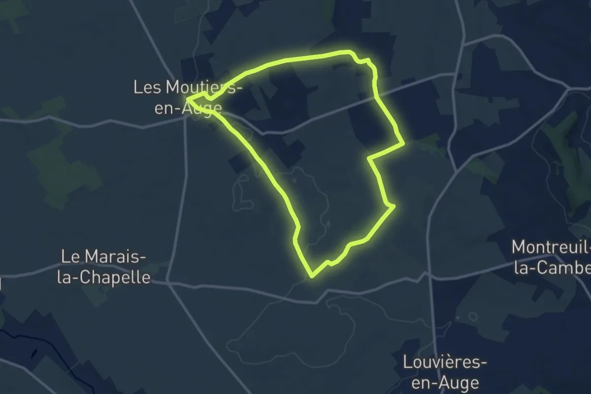
Medium · Trail
L'Orée
8.8 km · ↑ 64 m · 2 h 21 min
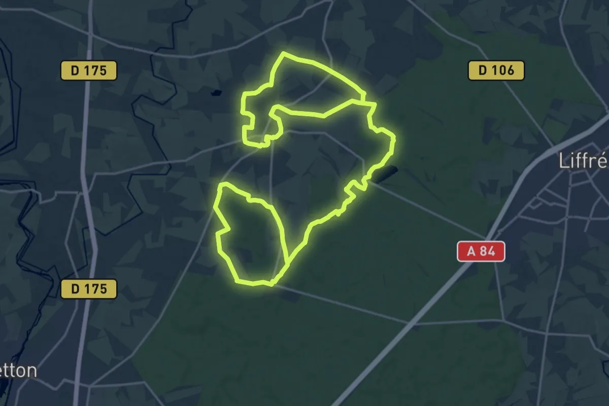
Medium · Trail
L’Orée de la Forêt
16.9 km · ↑ 191 m · 4 h 38 min
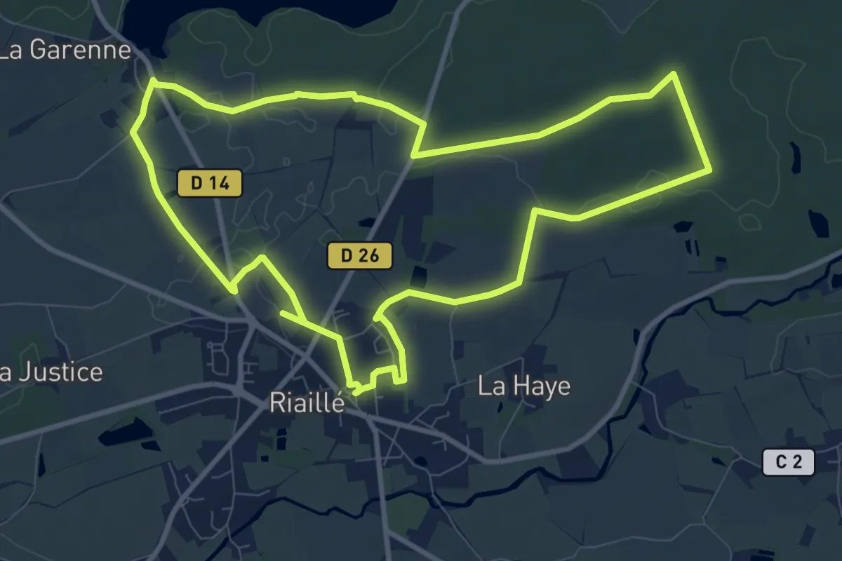
Medium · Trail
L'Orée des Bois
9.3 km · ↑ 34 m · 2 h 23 min
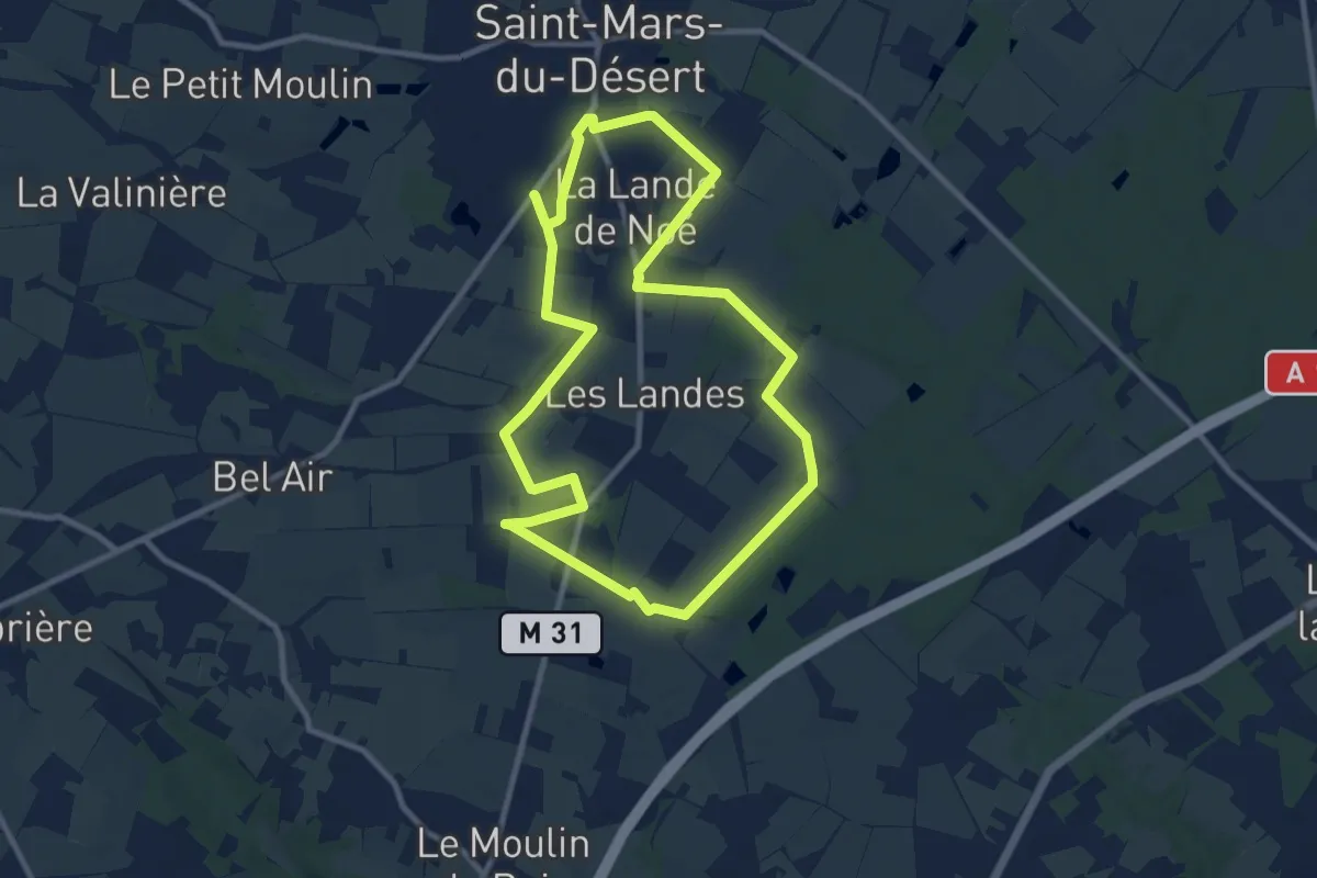
Medium · Trail
L'Orée du Bois
9.6 km · ↑ 17 m · 2 h 26 min
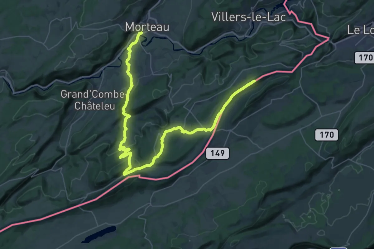
Demanding · Summit
L'Orlogeur
37.6 km · ↑ 1053 m · 11 h 9 min
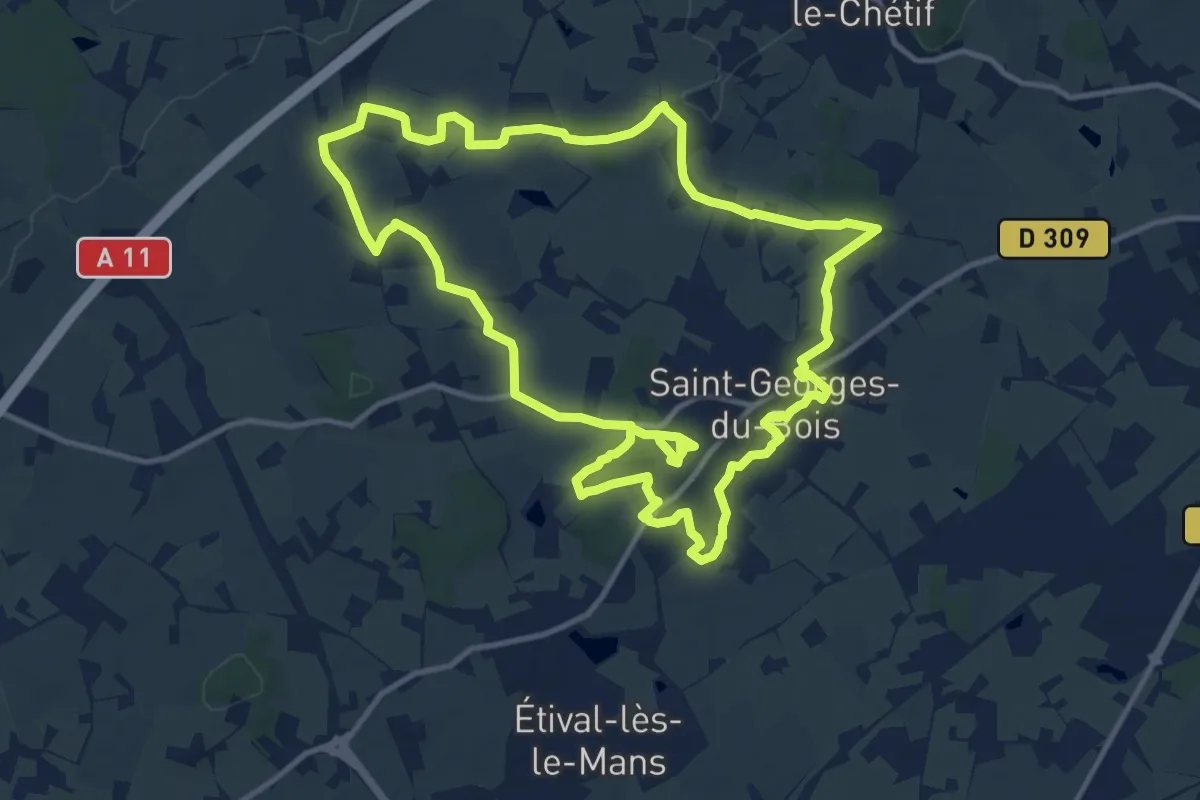
Medium · Trail
L'Orne Champenoise
12.8 km · ↑ 147 m · 3 h 32 min
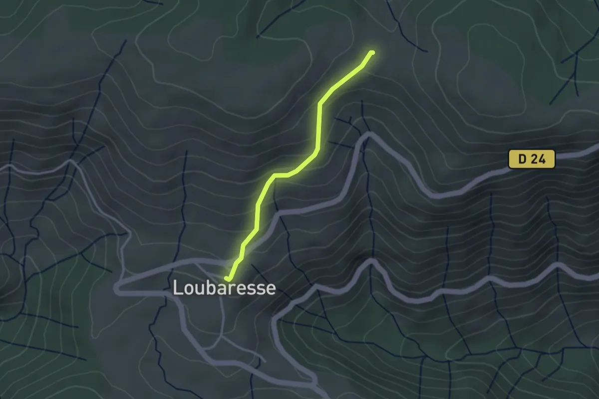
Easy · Trail
Loubaresse - Pratarabiat
2.5 km · ↑ 158 m · 56 min
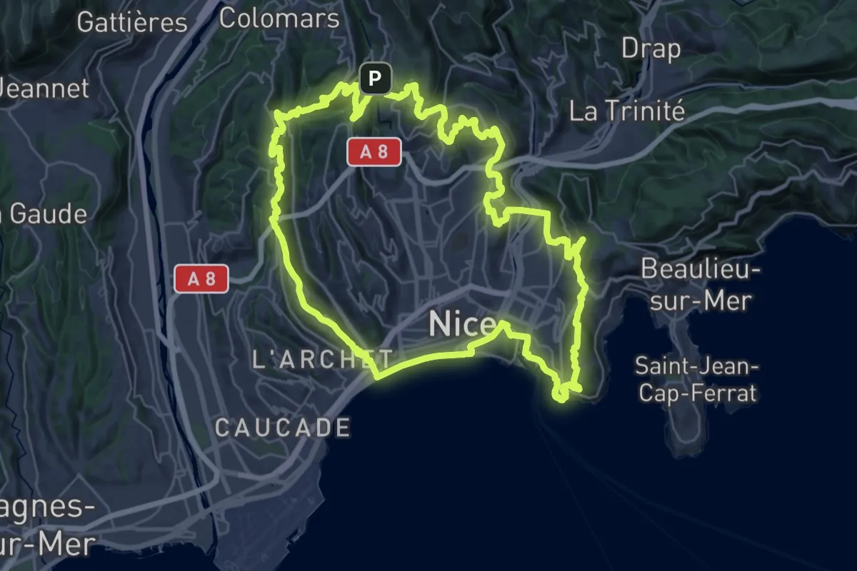
Demanding · Summit
Lou Camin Nissart
35.4 km · ↑ 1240 m · 11 h 33 min
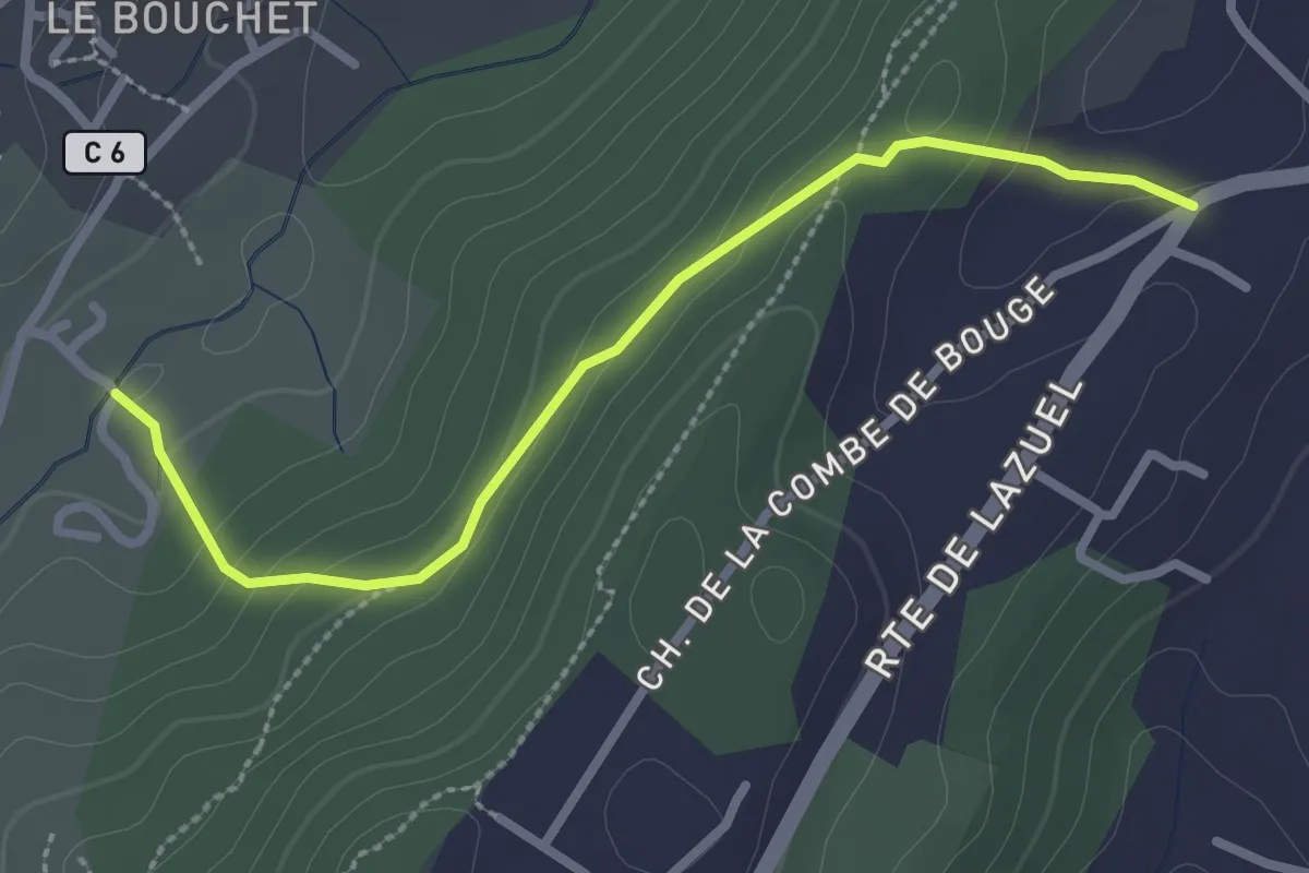
Easy · Trail
Louchon - Lazuel Ouest
2.8 km · ↑ 111 m · 54 min
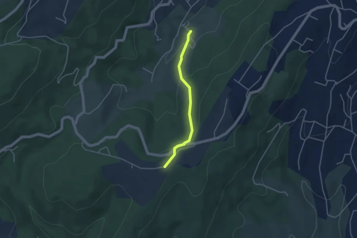
Easy · Trail
Louchon - Plaine des Rompudes
2.7 km · ↑ 118 m · 54 min
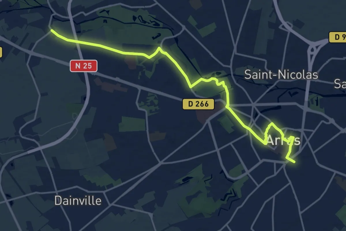
Medium · Trail
Loué - Arras
14.3 km · ↑ 85 m · 3 h 33 min
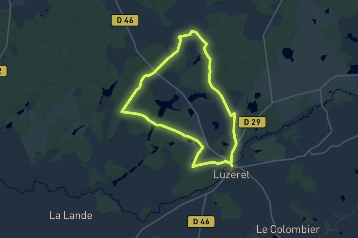
Medium · Trail
Loup y es-tu ?
11.0 km · ↑ 52 m · 2 h 51 min
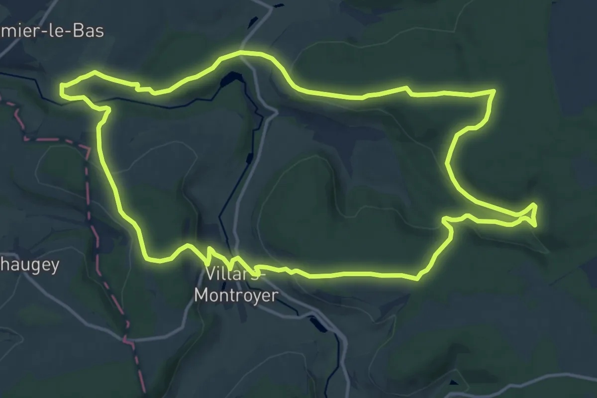
Medium · Trail
L'Ource
13.7 km · ↑ 324 m · 4 h 7 min
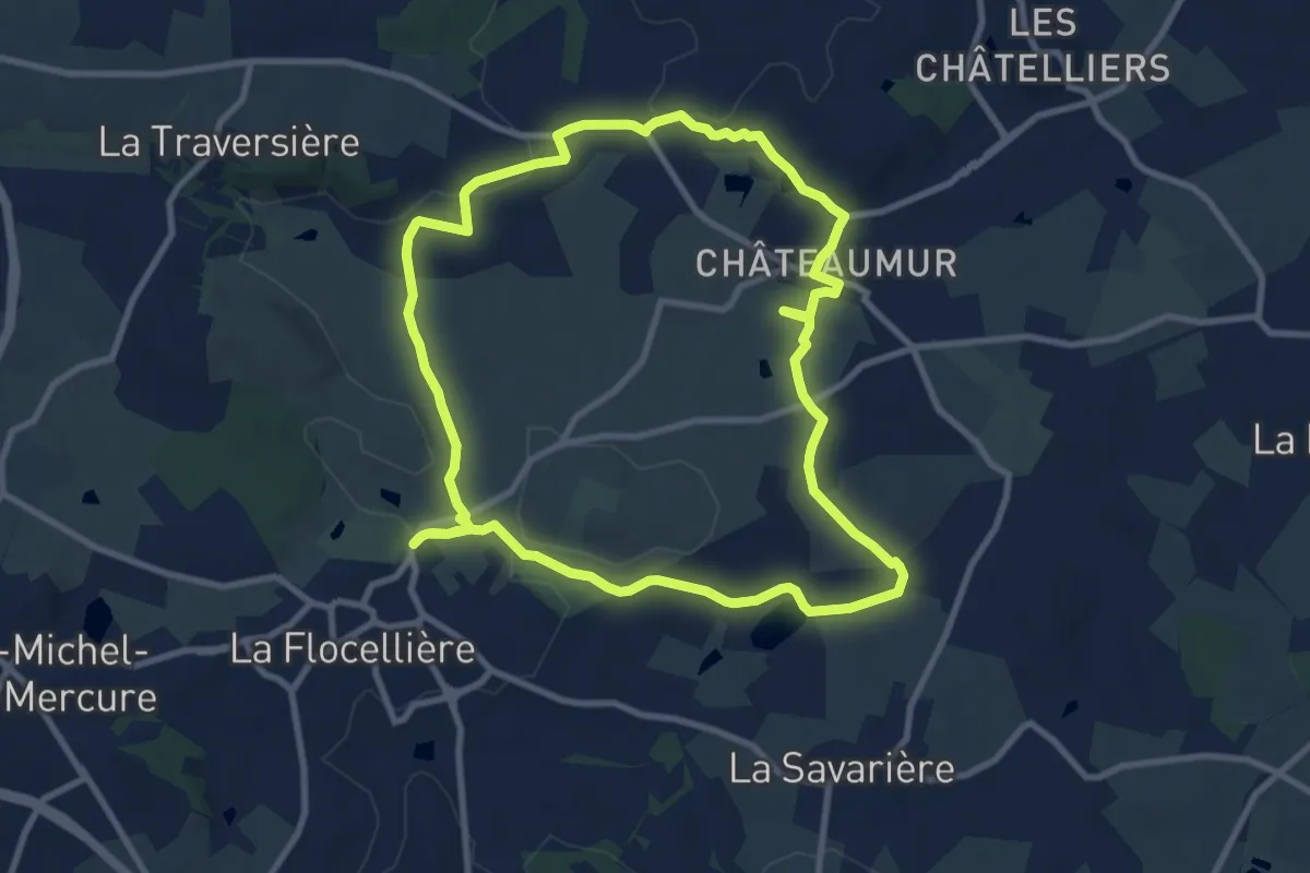
Medium · Trail
Lourdes
9.5 km · ↑ 111 m · 2 h 36 min
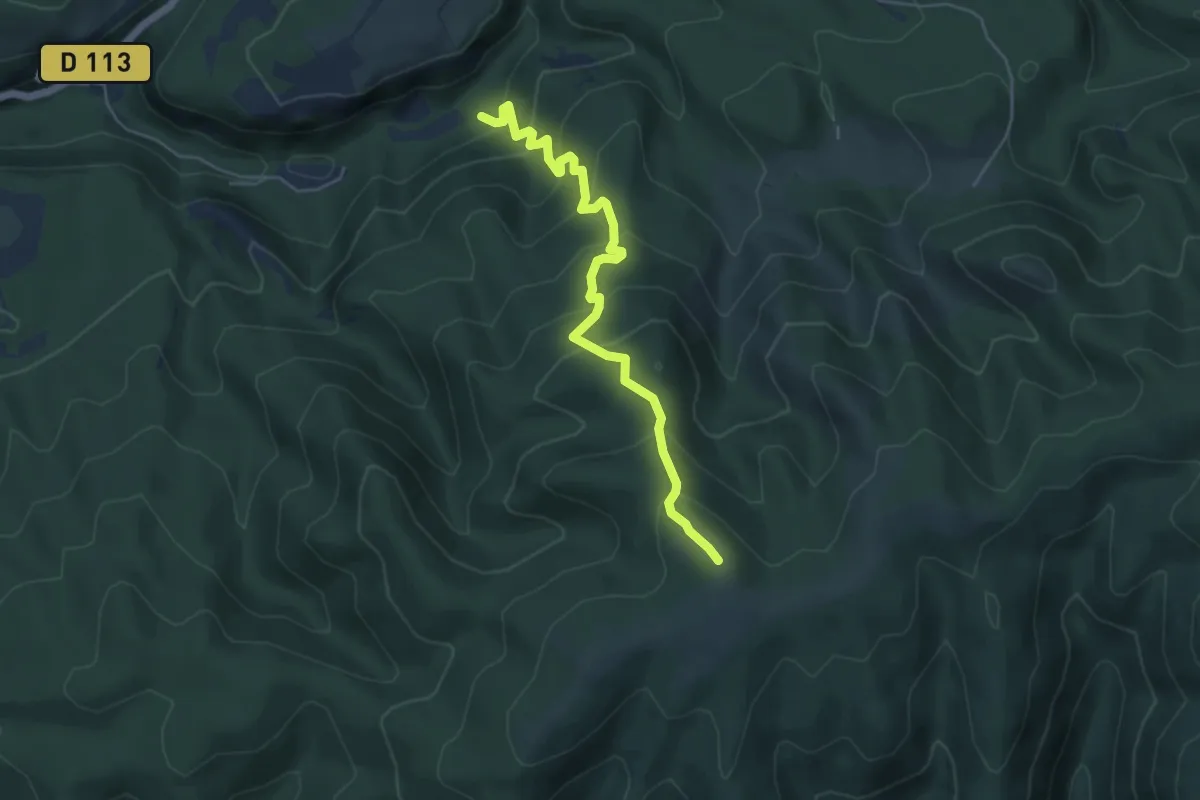
Medium · Trail
L'Ourillon - Ravin d'Enfer
5.3 km · ↑ 458 m · 2 h 15 min
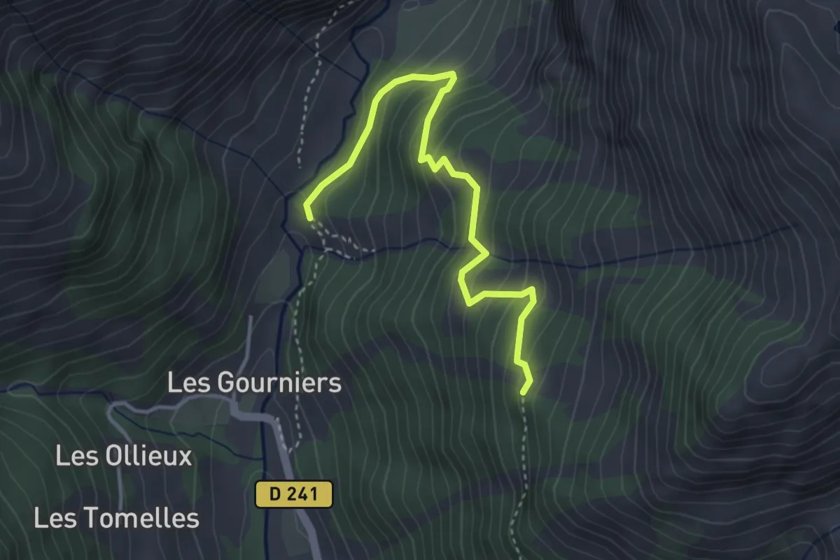
Medium · Trail
L'Oussella - ?
3.8 km · ↑ 337 m · 1 h 38 min
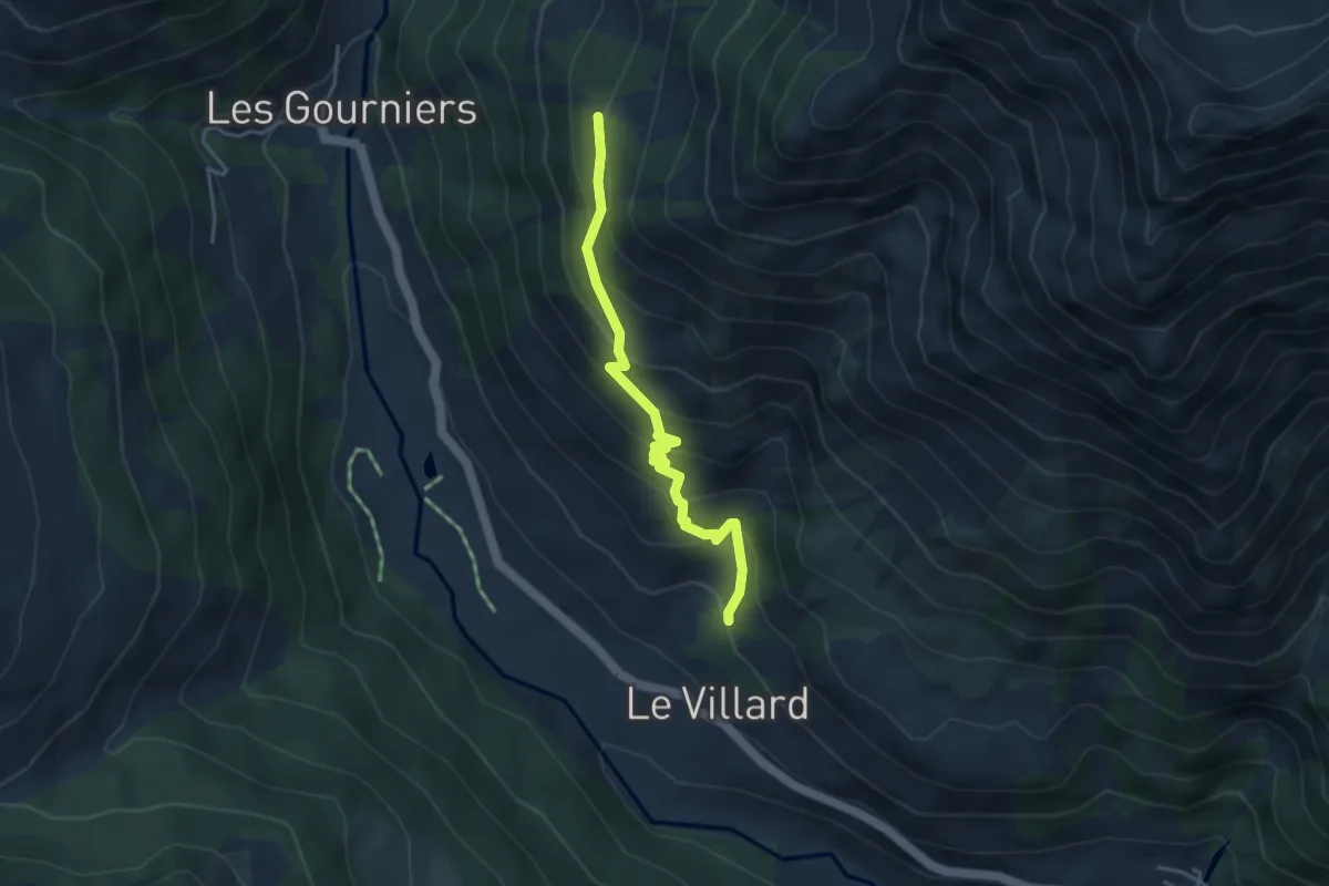
Medium · Trail
L'Oussella - ?
4.0 km · ↑ 360 m · 1 h 43 min
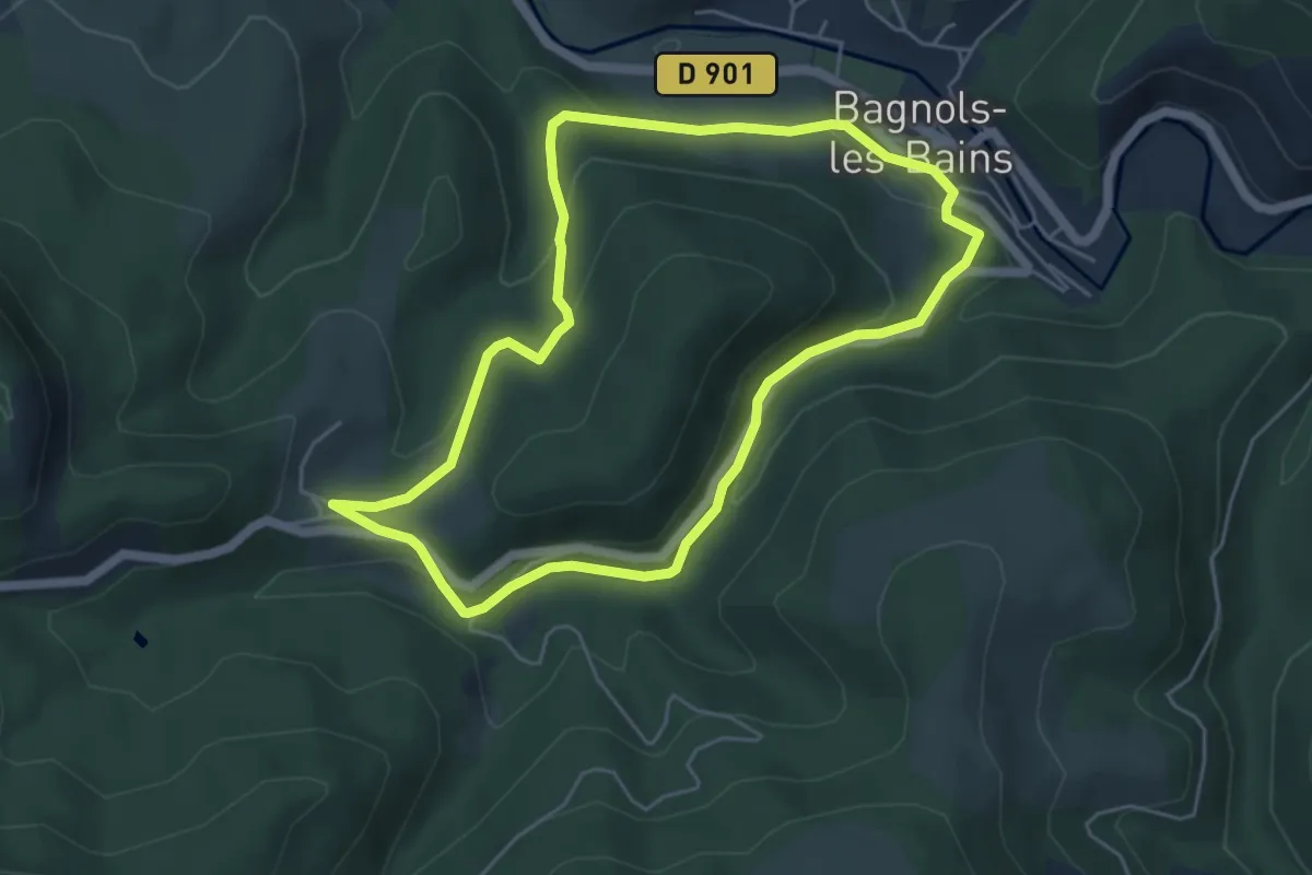
Easy · Trail
L'oustal crémat
5.1 km · ↑ 173 m · 1 h 39 min
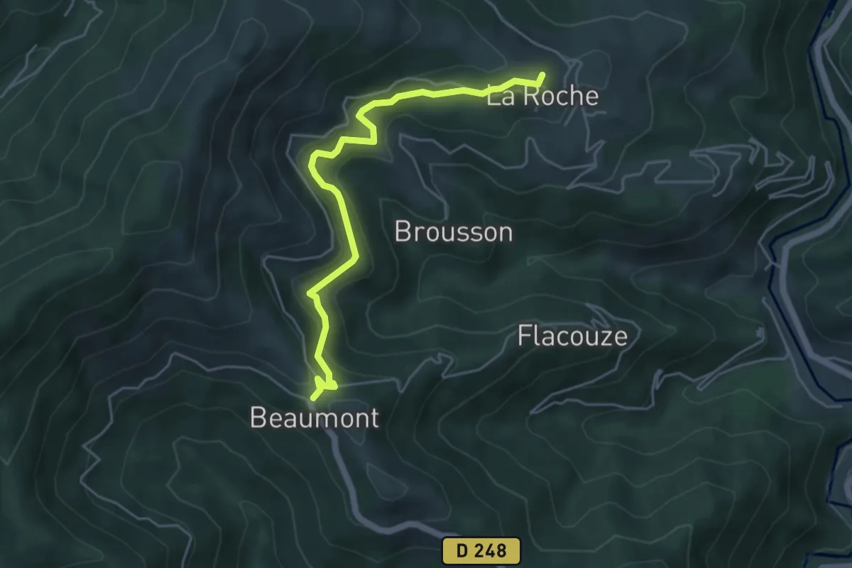
Easy · Trail
L'Ouste - Beaumont
4.9 km · ↑ 210 m · 1 h 37 min
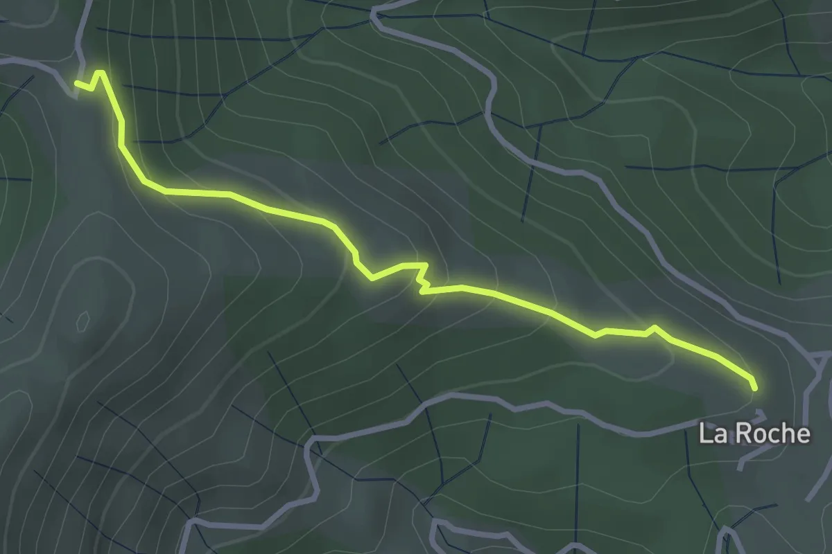
Easy · Trail
L'Ouste - Col des Caïras
3.0 km · ↑ 190 m · 1 h 7 min
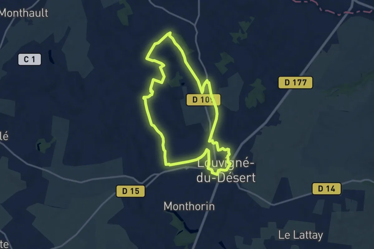
Medium · Trail
Louvigné-du-Désert - la Morinais
9.9 km · ↑ 88 m · 2 h 40 min
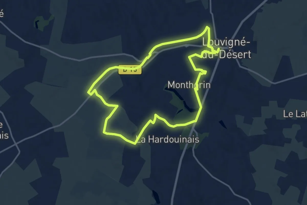
Medium · Trail
Louvigné-du-Désert -Monthorin
10.2 km · ↑ 76 m · 2 h 42 min
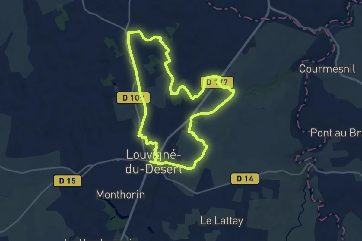
Medium · Summit
Louvigné-du-Désert - St-Guillaume
12.0 km · ↑ 127 m · 3 h 17 min
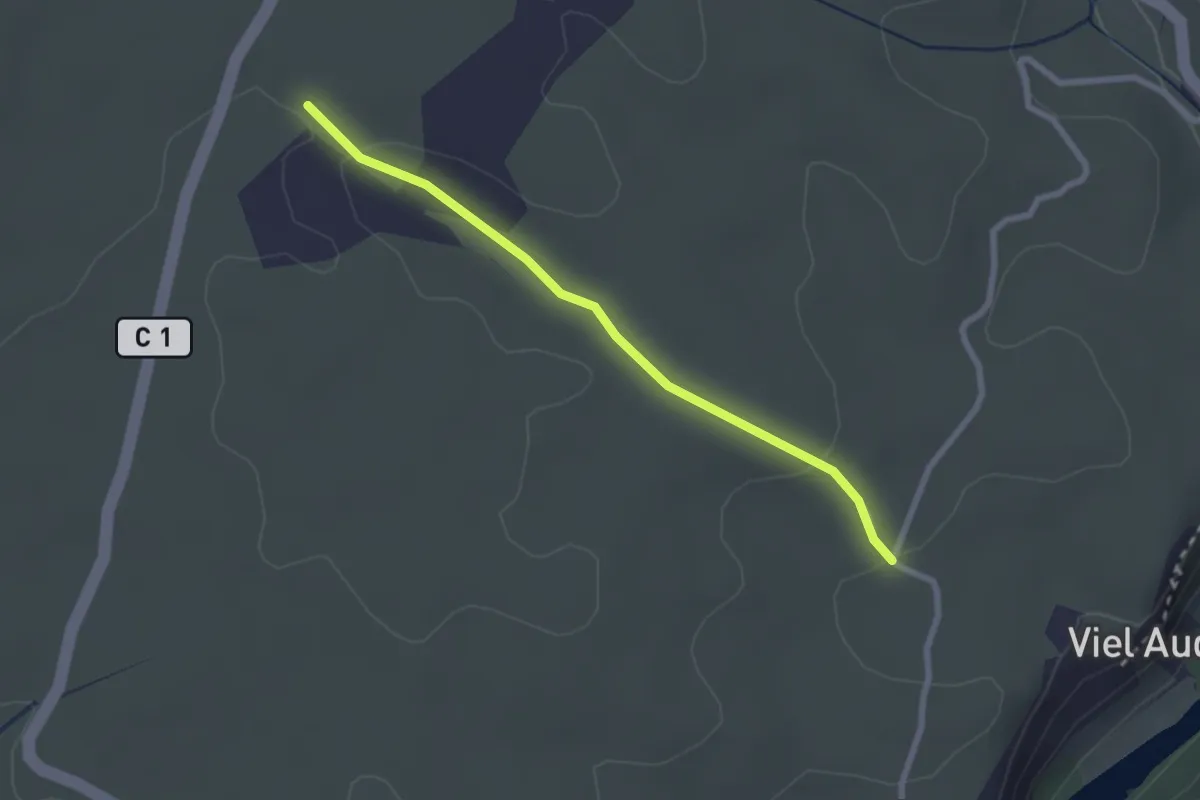
Easy · Trail
Lubac - Combe Veyras
2.5 km · ↑ 46 m · 41 min
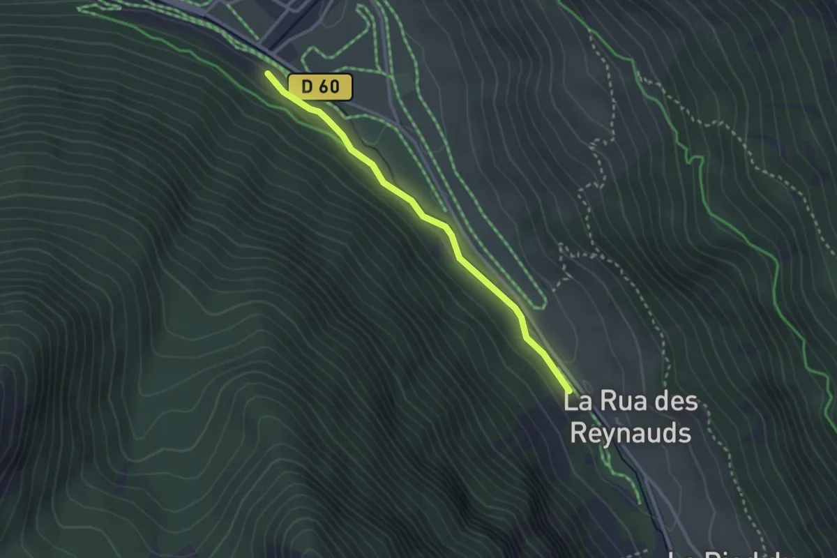
Easy · Trail
L'Ubac - L'Ubac des Reynauds
2.7 km · ↑ 34 m · 43 min
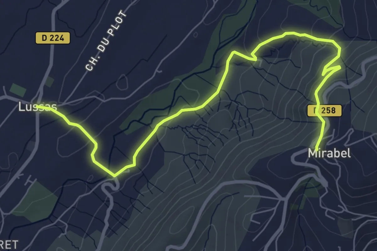
Easy · Trail
Lussas - Mirabel
7.9 km · ↑ 245 m · 2 h 23 min
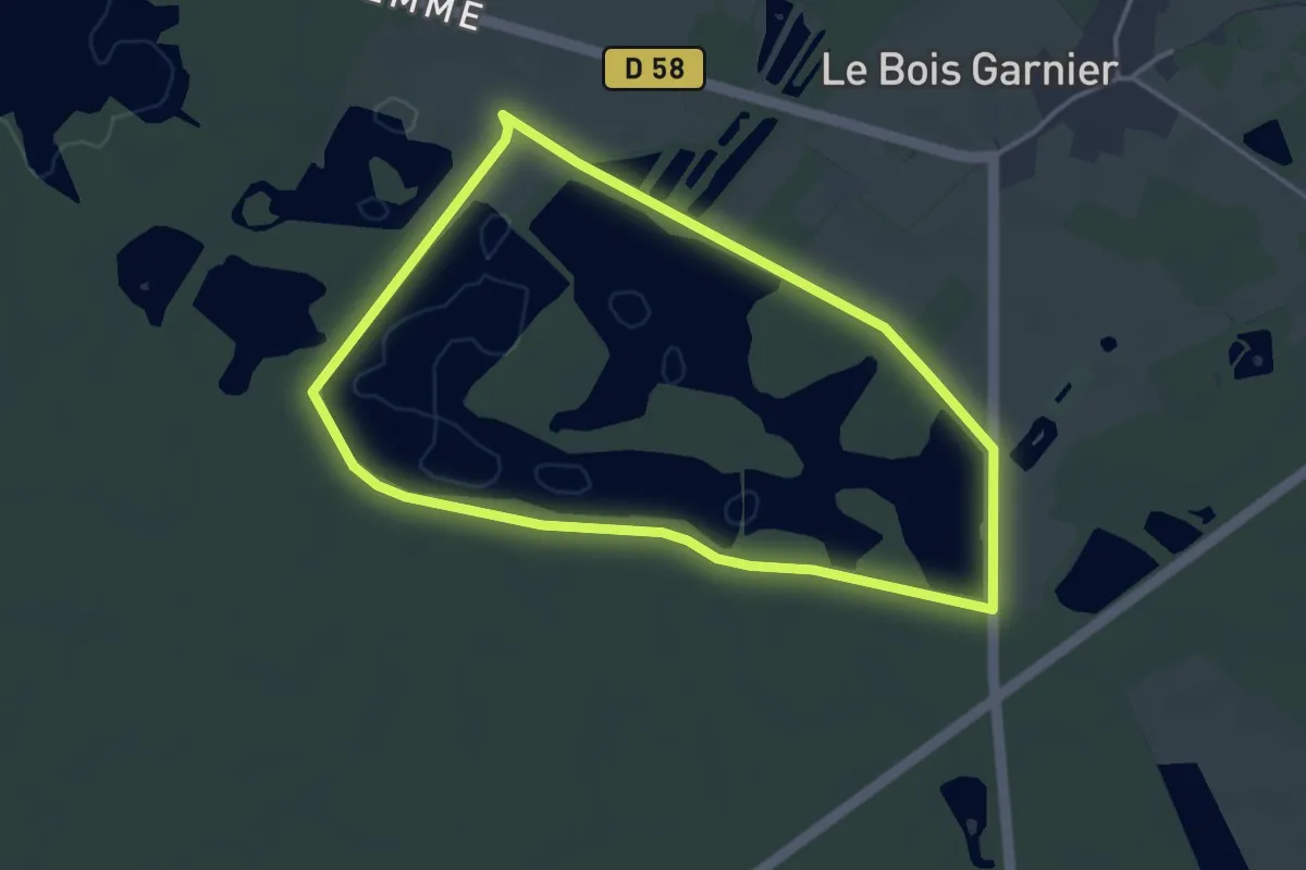
Easy · Trail
Luxuriances marécageuses
3.6 km · ↑ 0 m · 55 min
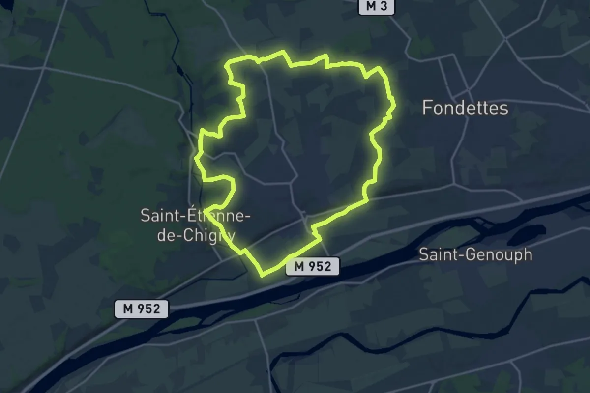
Medium · Trail
Luynes Sentier Découverte
16.4 km · ↑ 177 m · 4 h 30 min
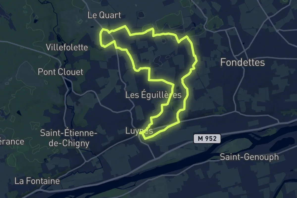
Medium · Trail
Luynes Sentier Découverte - Variante de l'Aqueduc
13.7 km · ↑ 86 m · 3 h 37 min
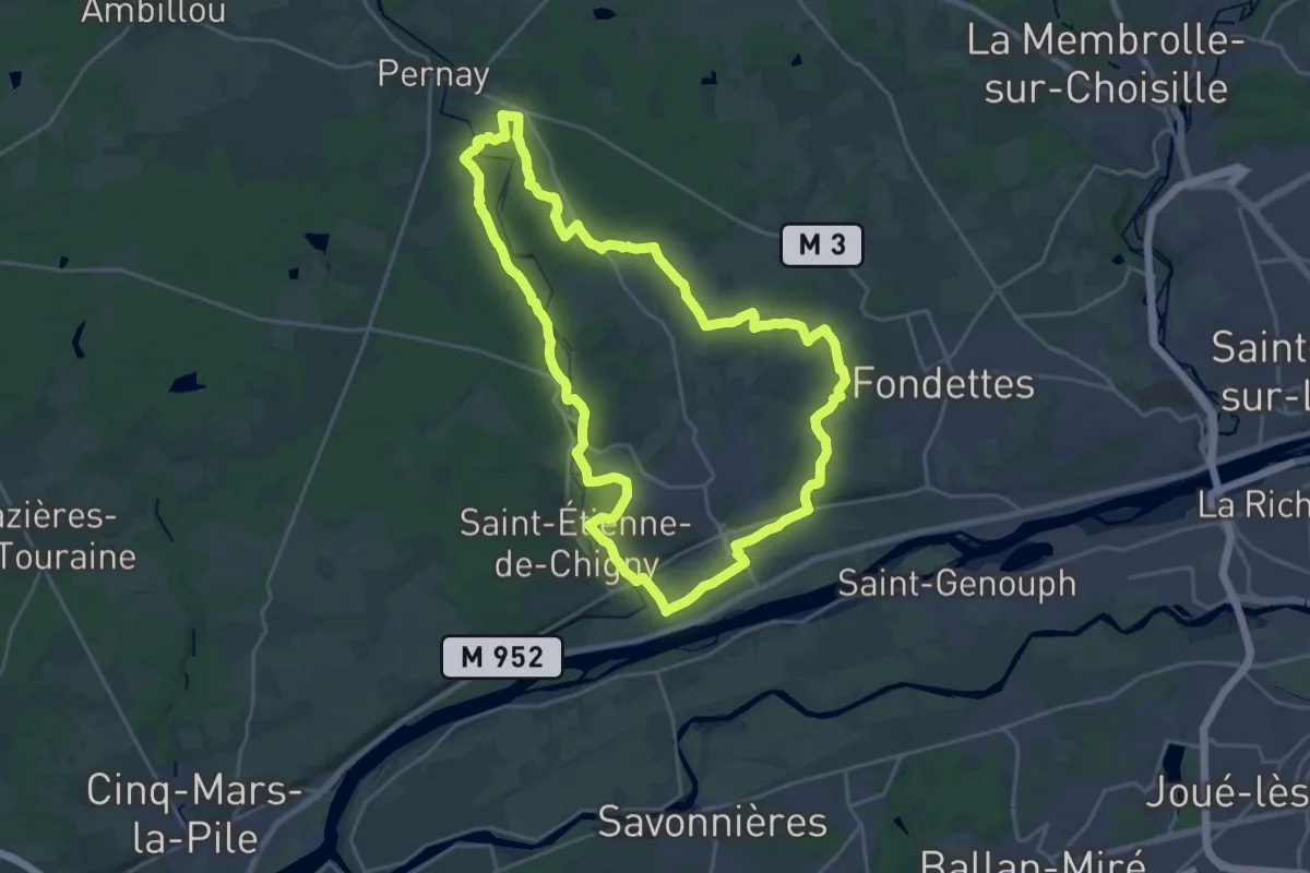
Demanding · Trail
Luynes Sentier Grande Boucle
23.2 km · ↑ 213 m · 6 h 15 min
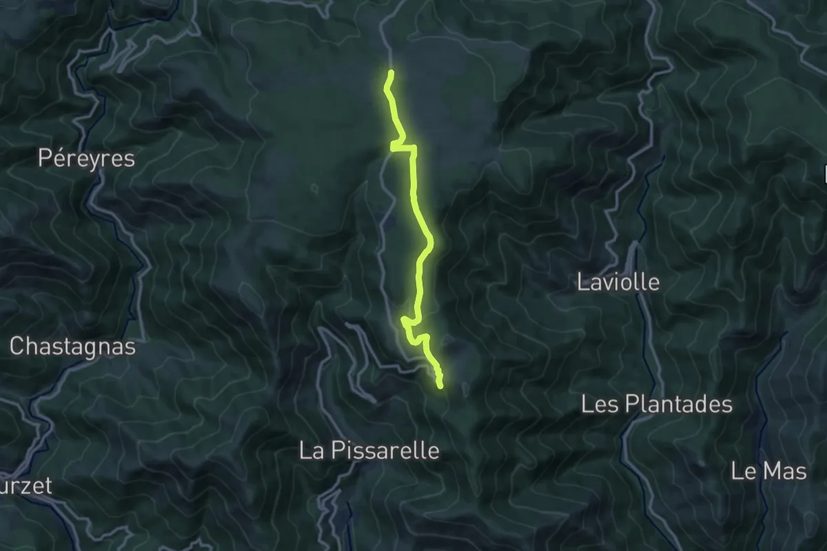
Medium · Trail
Lyonnes - L'Homond
9.9 km · ↑ 218 m · 2 h 49 min
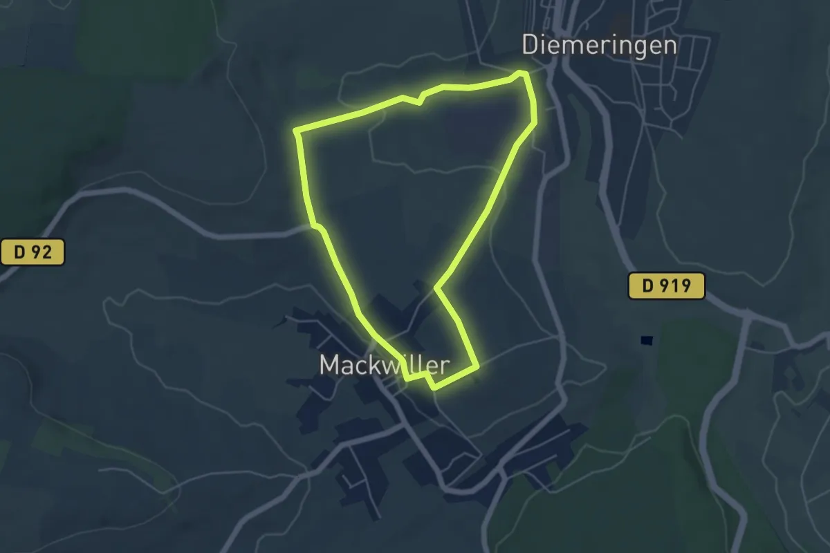
Easy · Trail
Mackwiller la romaine
4.4 km · ↑ 51 m · 1 h 13 min
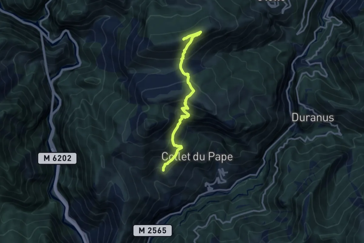
Easy · Trail
Madone d'Utelle
4.7 km · ↑ 100 m · 1 h 41 min
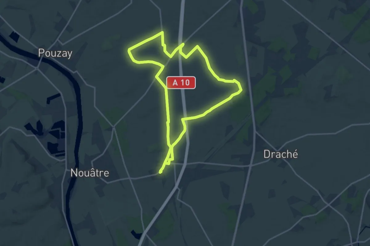
Demanding · Trail
Maillé - Vallées et Plateaux
27.9 km · ↑ 165 m · 6 h 57 min