Trails in France
15,926 hiking trails, each with its route, climb, walking time and grade.
All trails, page 207 of 332
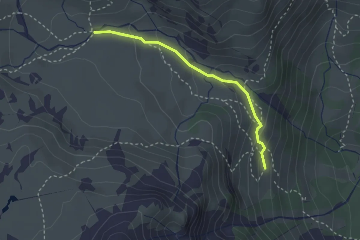
Medium · Trail
Maison des Chamois - Prat du Plan
2.4 km · ↑ 142 m · 52 min
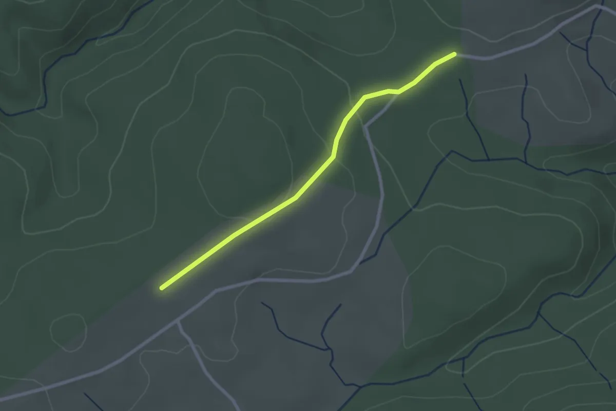
Easy · Trail
Maison Forestière Bèque - La Plaine des Rochers d'Astet
2.4 km · ↑ 57 m · 42 min
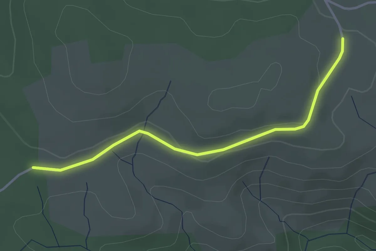
Easy · Trail
Maison Forestière Bèque - Les Palles
3.2 km · ↑ 42 m · 51 min
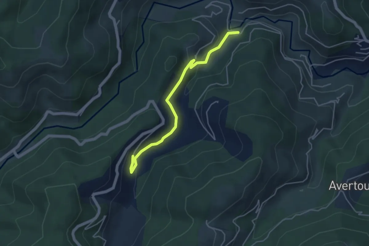
Easy · Trail
Maisonneuve - Le Chazel
3.9 km · ↑ 178 m · 1 h 18 min
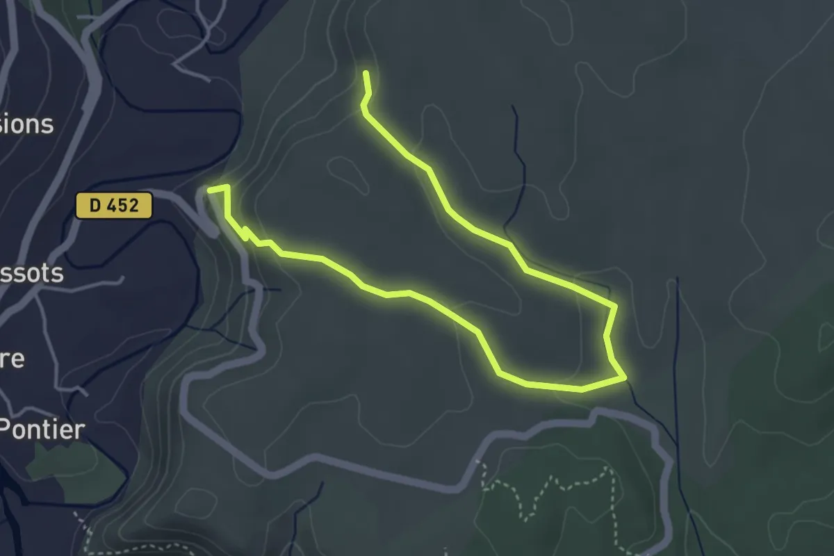
Easy · Trail
Malandès - ?
5.6 km · ↑ 163 m · 1 h 41 min
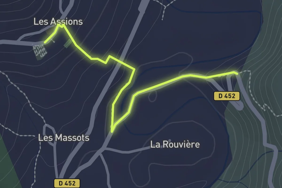
Easy · Trail
Malandès - Chef lieu
2.6 km · ↑ 93 m · 49 min
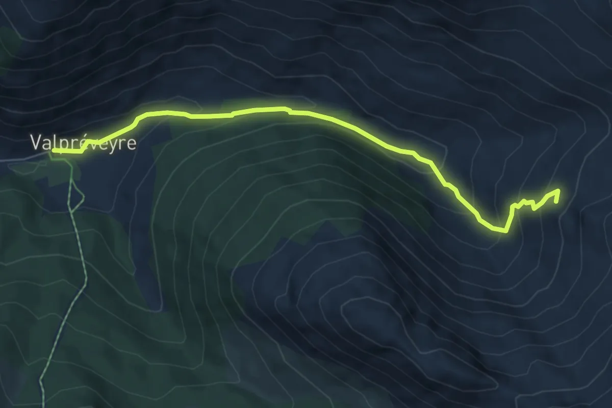
Medium · Trail
Malaure - Valpréveyre
6.6 km · ↑ 363 m · 2 h 21 min
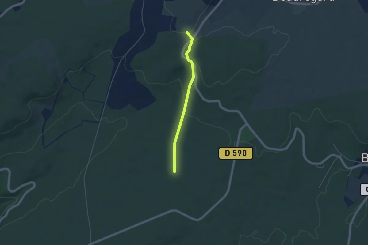
Easy · Trail
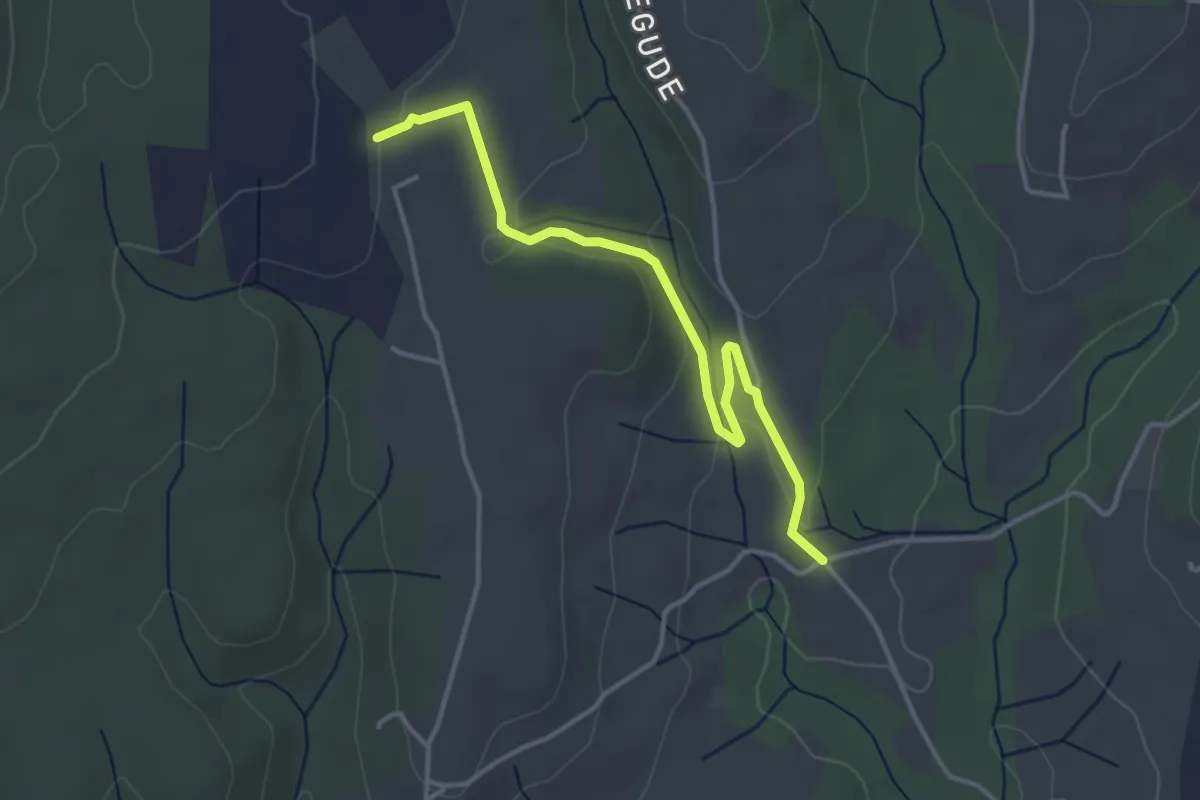
Malbosc - Le Deves
3.8 km · ↑ 73 m · 1 h 4 min
Easy · Trail
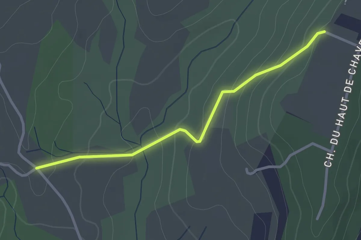
Malherte - Chapelle Saint-Sulpice
3.9 km · ↑ 89 m · 1 h 7 min
Easy · Trail
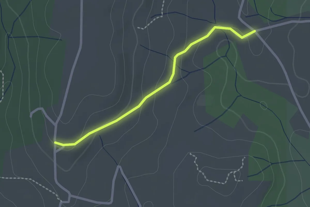
Malherte - Peyrobe
2.5 km · ↑ 85 m · 47 min
Easy · Trail
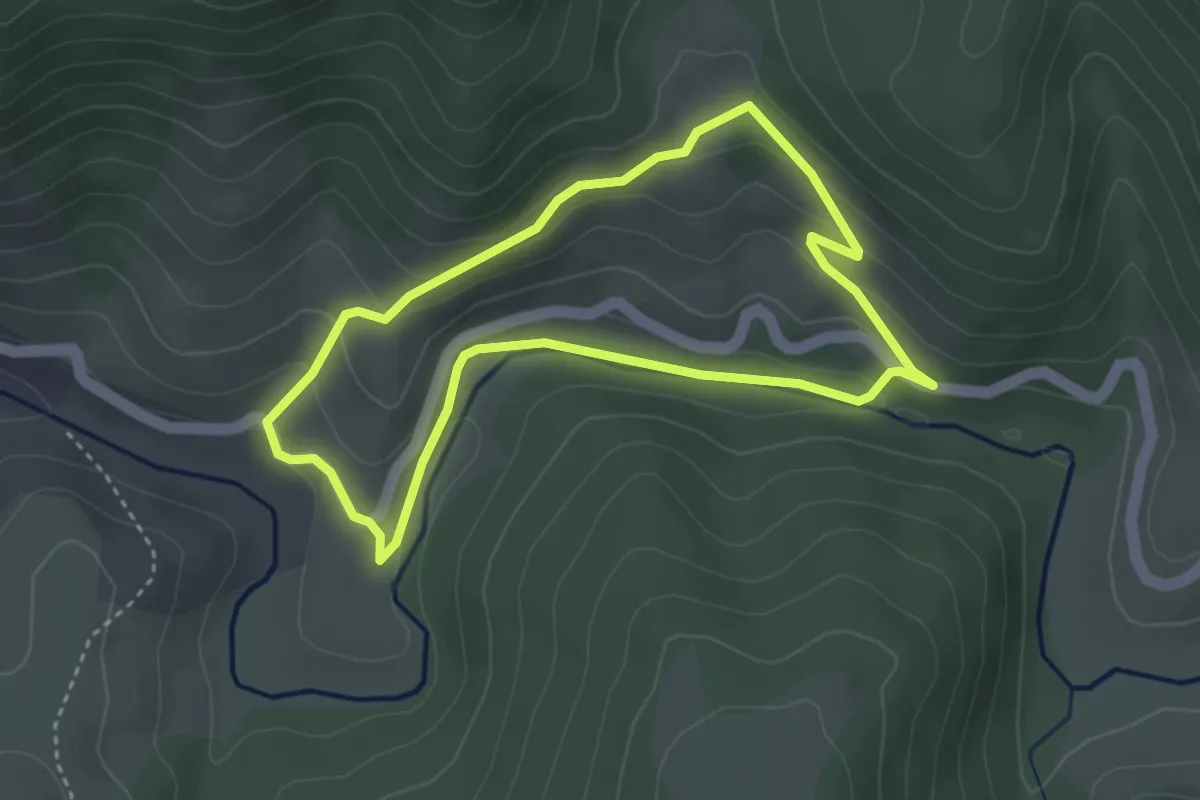
Malherte - Trignan Haut
2.1 km · ↑ 57 m · 37 min
Easy · Trail
Malpertus
3.5 km · ↑ 129 m · 1 h 9 min
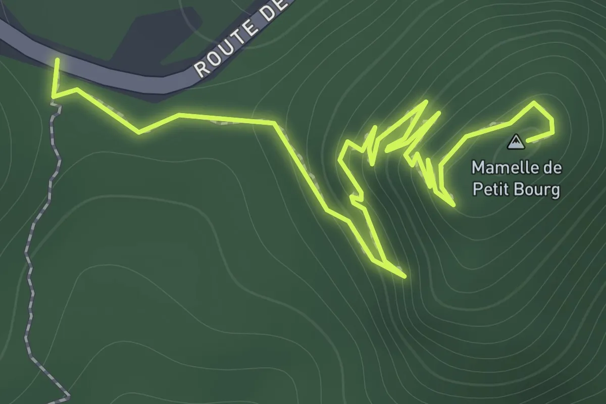
Easy · Summit
Mamelle de Petit Bourg
1.5 km · ↑ 167 m · 40 min
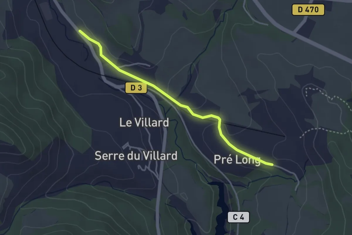
Easy · Trail
Mamiellon - Pré Long
3.5 km · ↑ 56 m · 56 min
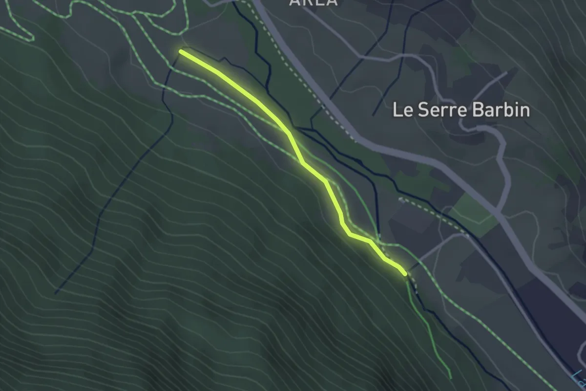
Easy · Trail
Mandoulines - Villard du Bez
2.4 km · ↑ 36 m · 38 min
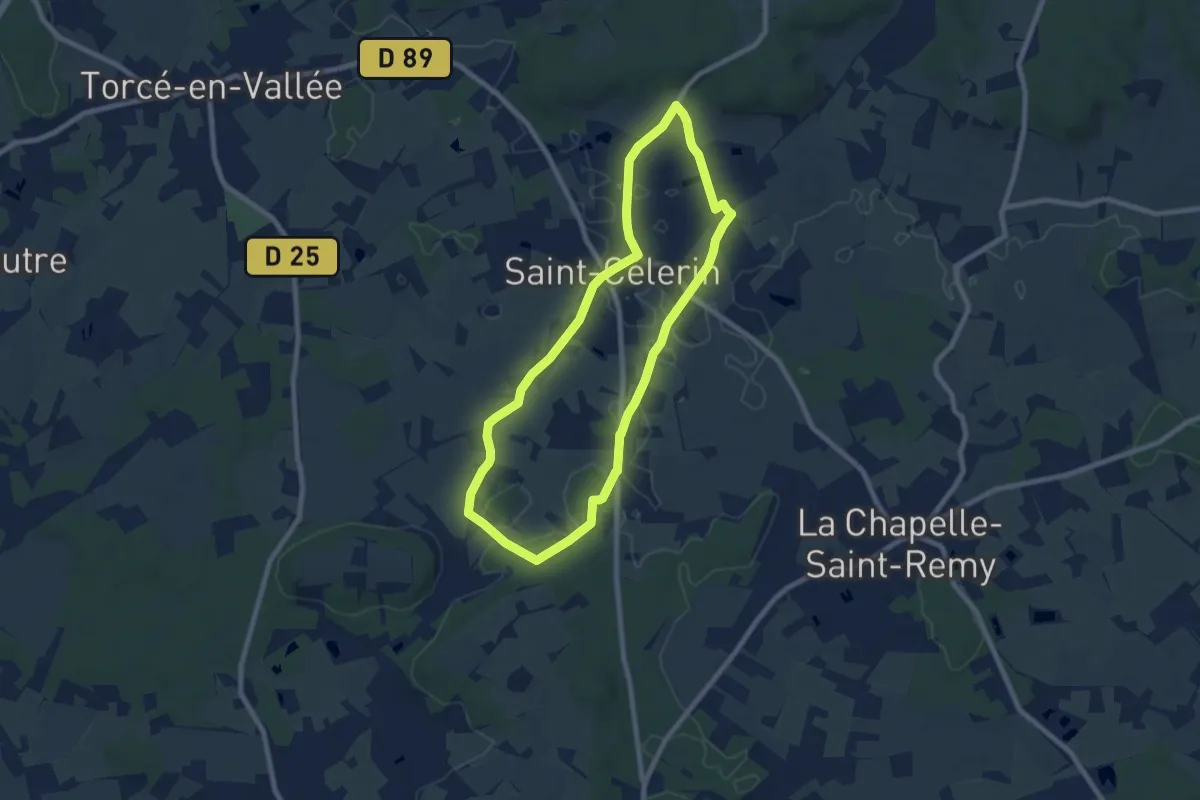
Easy · Trail
Manoirs et belles demeures
7.4 km · ↑ 25 m · 1 h 54 min
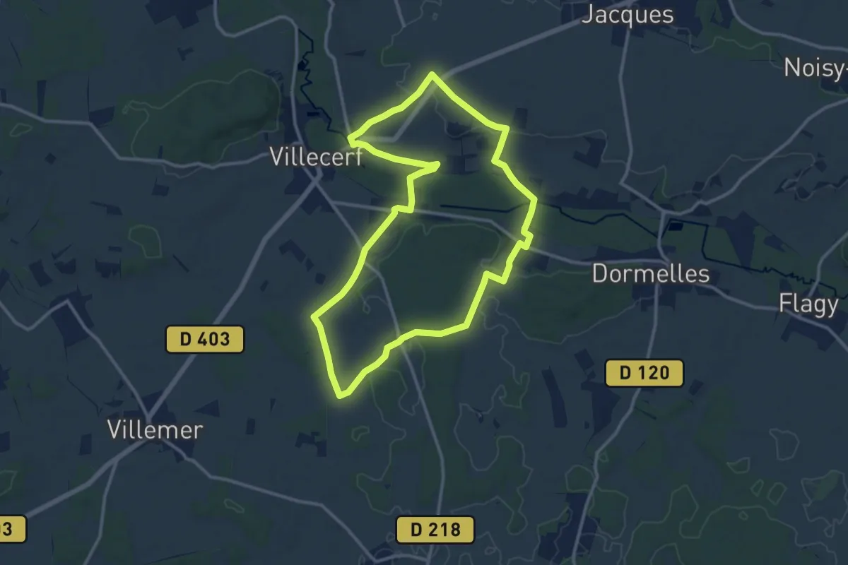
Medium · Trail
Maquis de Roys
11.1 km · ↑ 111 m · 3 h
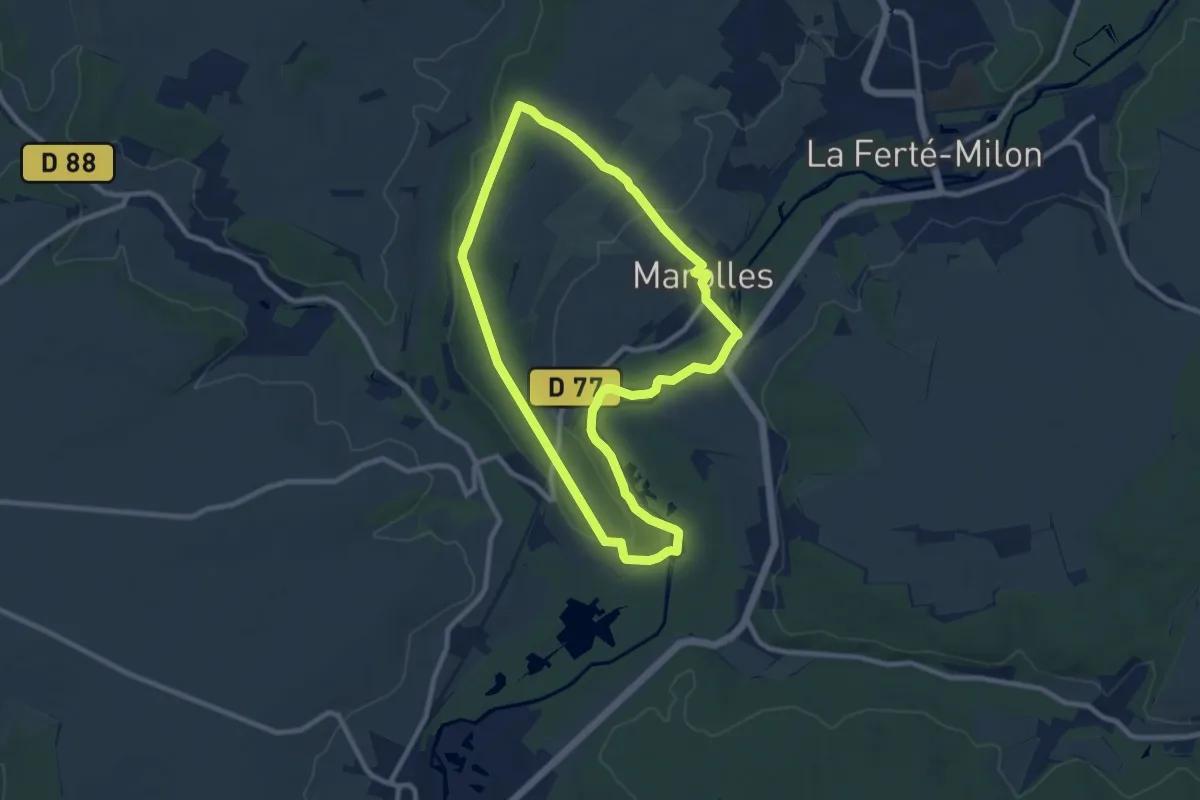
Medium · Trail
Marais de Bourneville
8.6 km · ↑ 116 m · 2 h 24 min
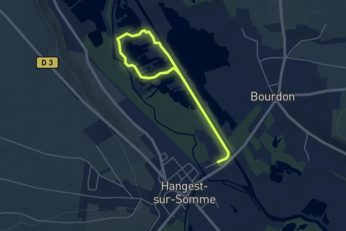
Easy · Trail
Marais des Cavins
4.6 km · ↑ 4 m · 1 h 6 min
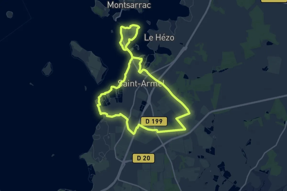
Medium · Trail
Marais Salant et boucle du Passage
12.4 km · ↑ 22 m · 3 h 9 min
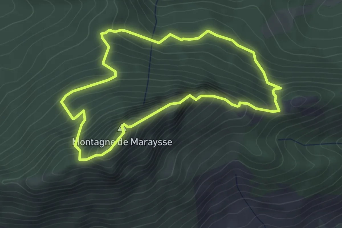
Medium · Summit
Maraysse
4.0 km · ↑ 391 m · 1 h 51 min
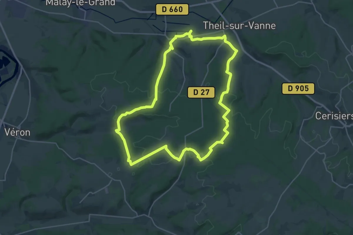
Demanding · Trail
M'arche de Noé
20.6 km · ↑ 313 m · 5 h 50 min
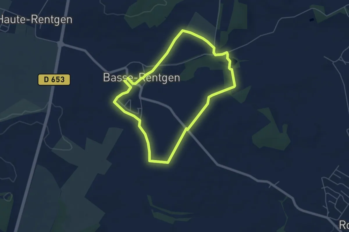
Easy · Trail
Marche Panoramique
4.4 km · ↑ 23 m · 1 h 9 min
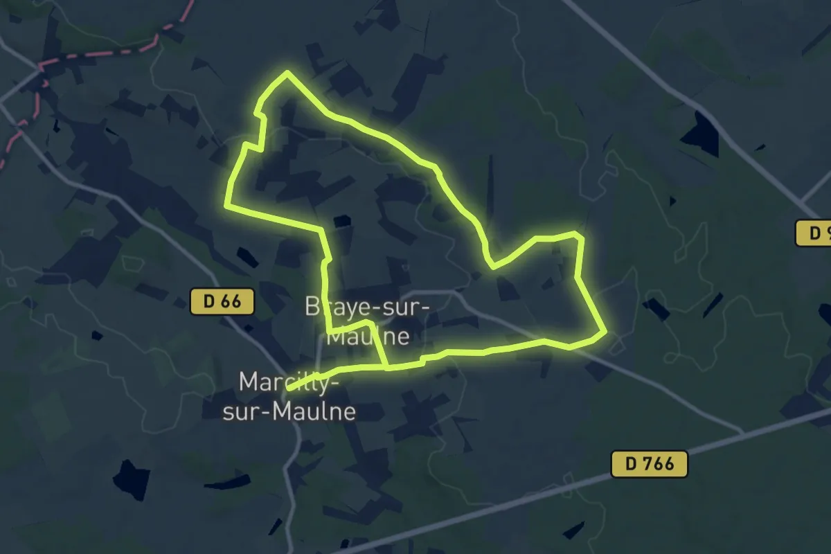
Medium · Trail
Marcilly-sur-Maulne et Braye-sur-Maulne - La Vallée de la Maulne
10.1 km · ↑ 97 m · 2 h 44 min
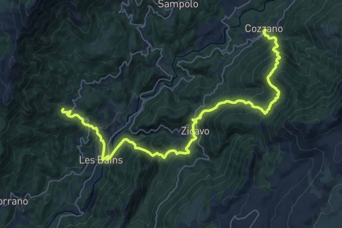
Demanding · Trail
Mare à Mare Centre Variante
13.7 km · ↑ 920 m · 5 h 26 min
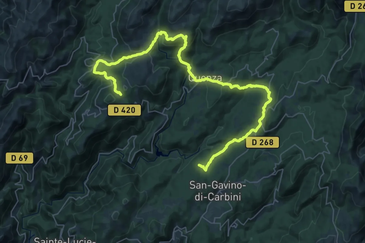
Demanding · Trail
Mare à Mare Sud Variante
20.2 km · ↑ 601 m · 6 h 29 min
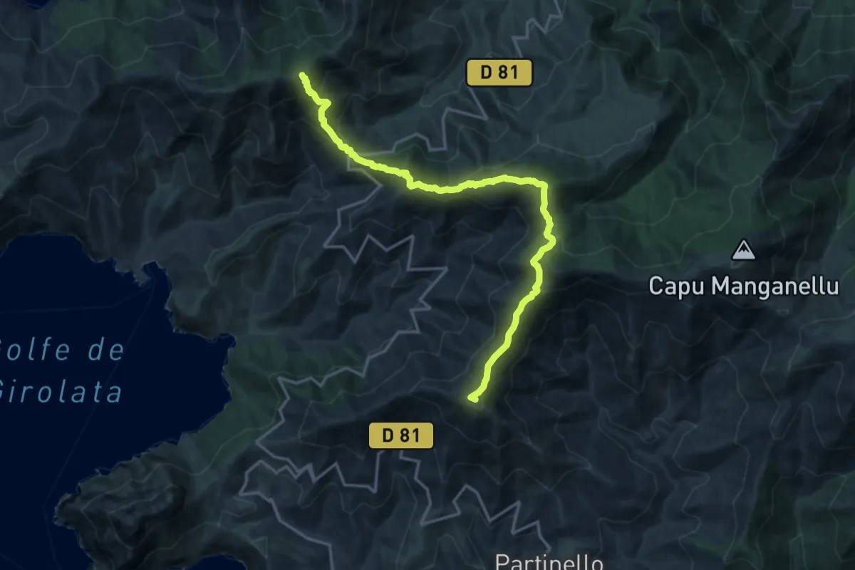
Demanding · Summit
Mare è Monti Nord Variante
17.0 km · ↑ 1223 m · 6 h 40 min
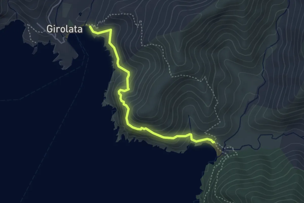
Medium · Trail
Mare è Monti Nord Variante
4.2 km · ↑ 352 m · 1 h 46 min
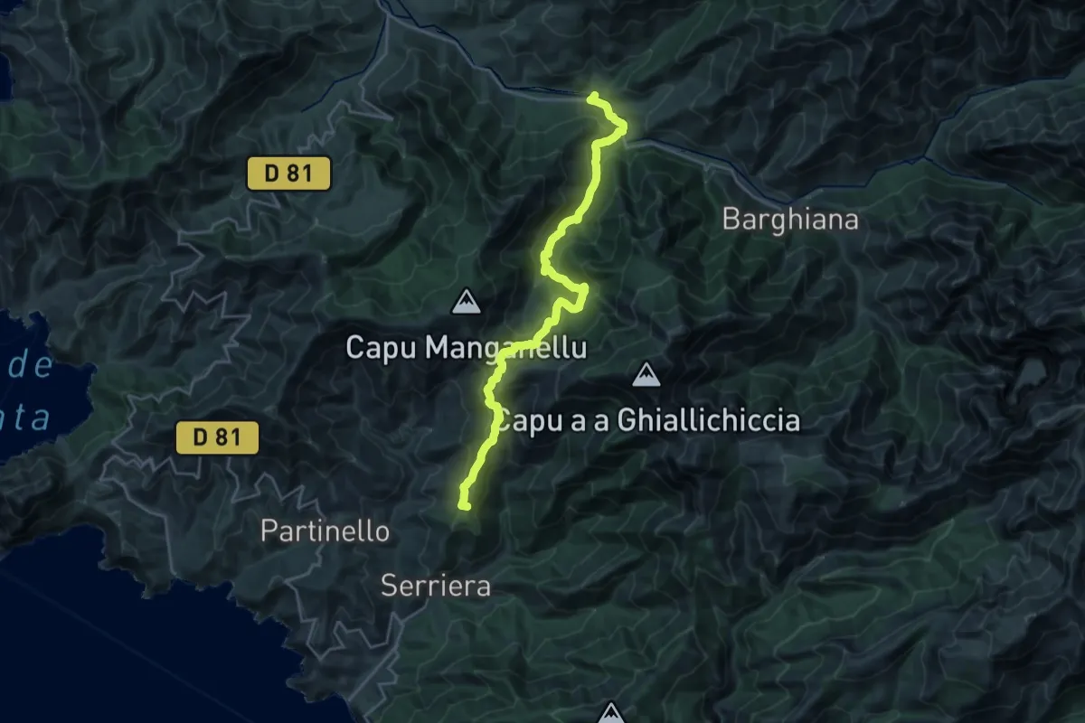
Demanding · Summit
Mare è Monti Nord Variante
23.9 km · ↑ 1354 m · 8 h 35 min
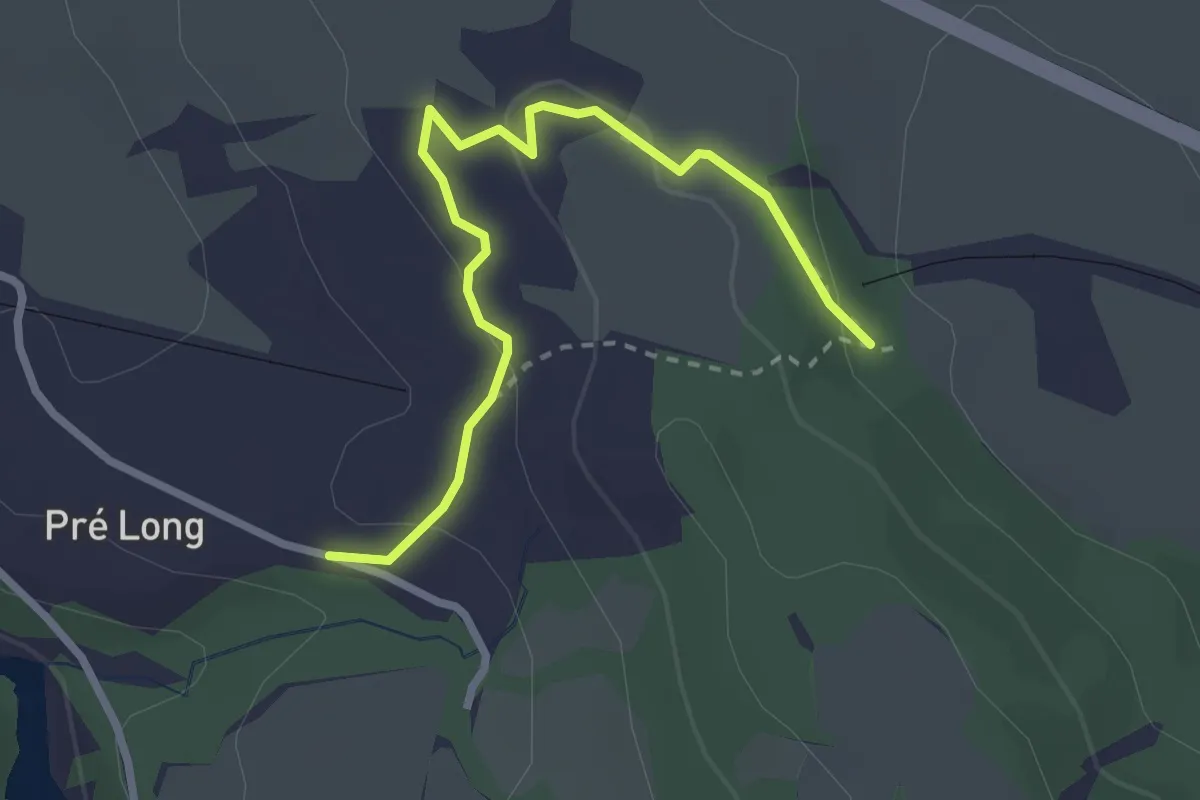
Easy · Trail
Mareisson - Pré Long
2.9 km · ↑ 61 m · 49 min
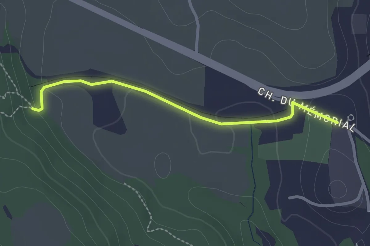
Easy · Trail
Mareisson - Serre du Lac
2.3 km · ↑ 34 m · 37 min
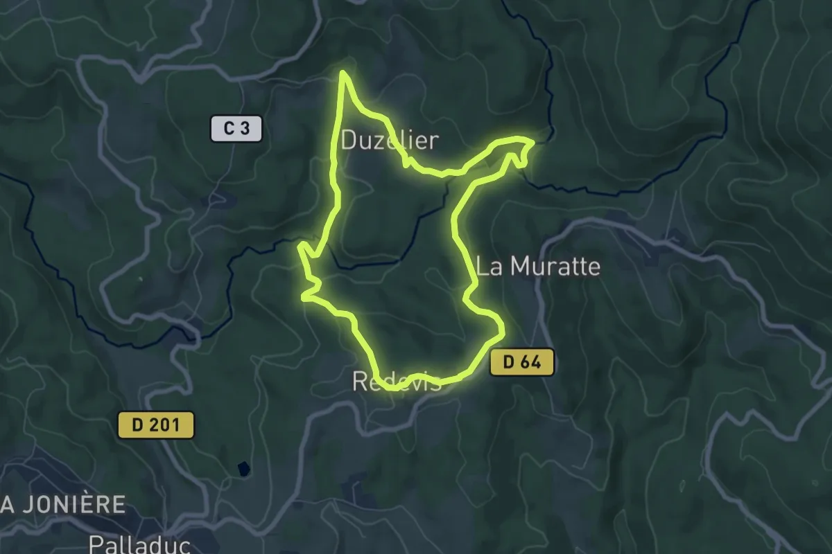
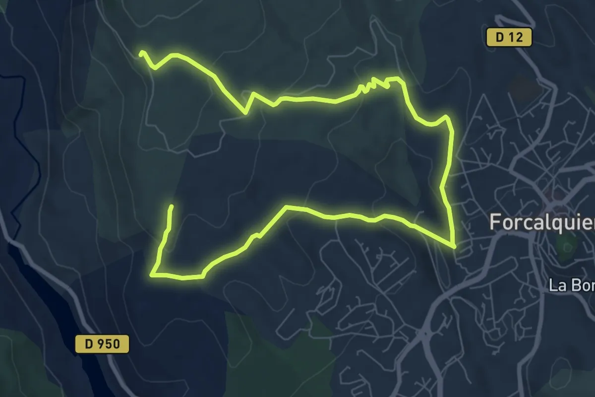
Easy · Trail
Margault, la truite Fario
6.9 km · ↑ 176 m · 2 h 6 min
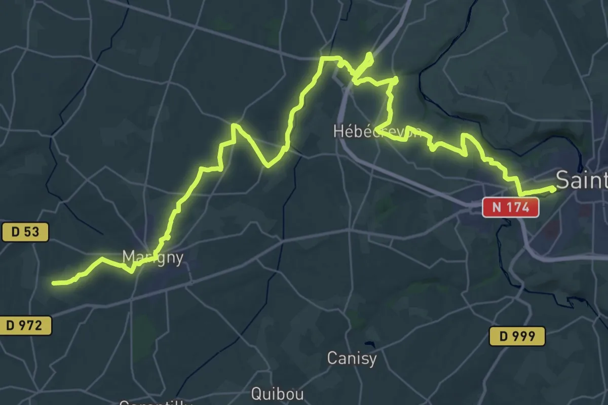
Easy · Trail
Mariaudis
6.0 km · ↑ 190 m · 1 h 57 min
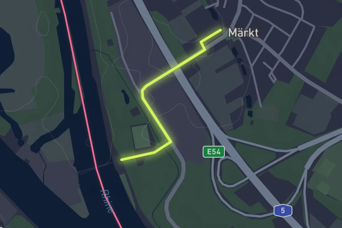
Demanding · Trail
Marigny à Agneaux
24.5 km · ↑ 387 m · 6 h 56 min
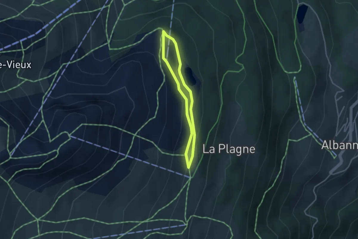
Easy · Trail
Märkt Rathaus - Stauwehr Märkt
2.0 km · ↑ 4 m · 29 min
Easy · Trail
Marmottes
2.3 km · ↑ 75 m · 44 min
Easy · Trail
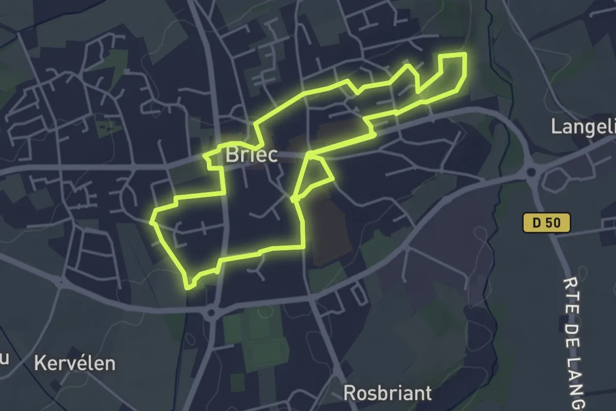
Marmouzig
4.4 km · ↑ 43 m · 1 h 12 min
Medium · Trail
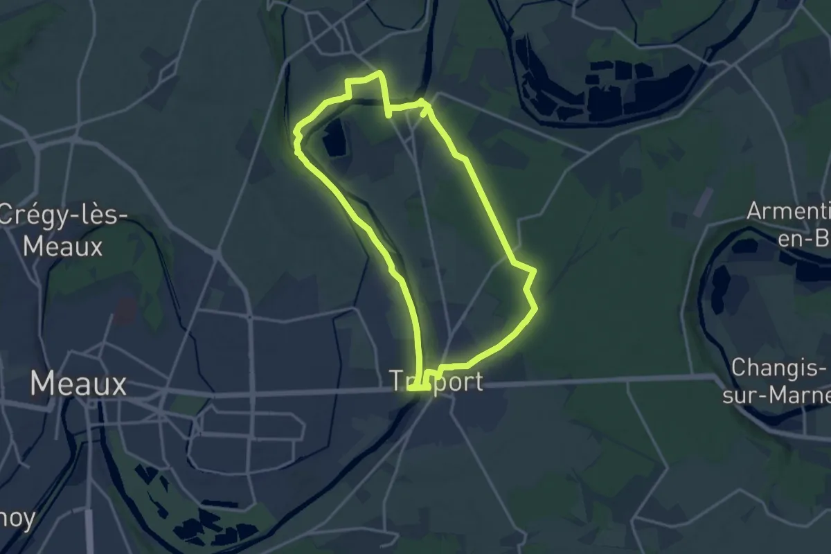
Marne et canal à Varreddes
13.5 km · ↑ 93 m · 3 h 34 min
Demanding · Trail
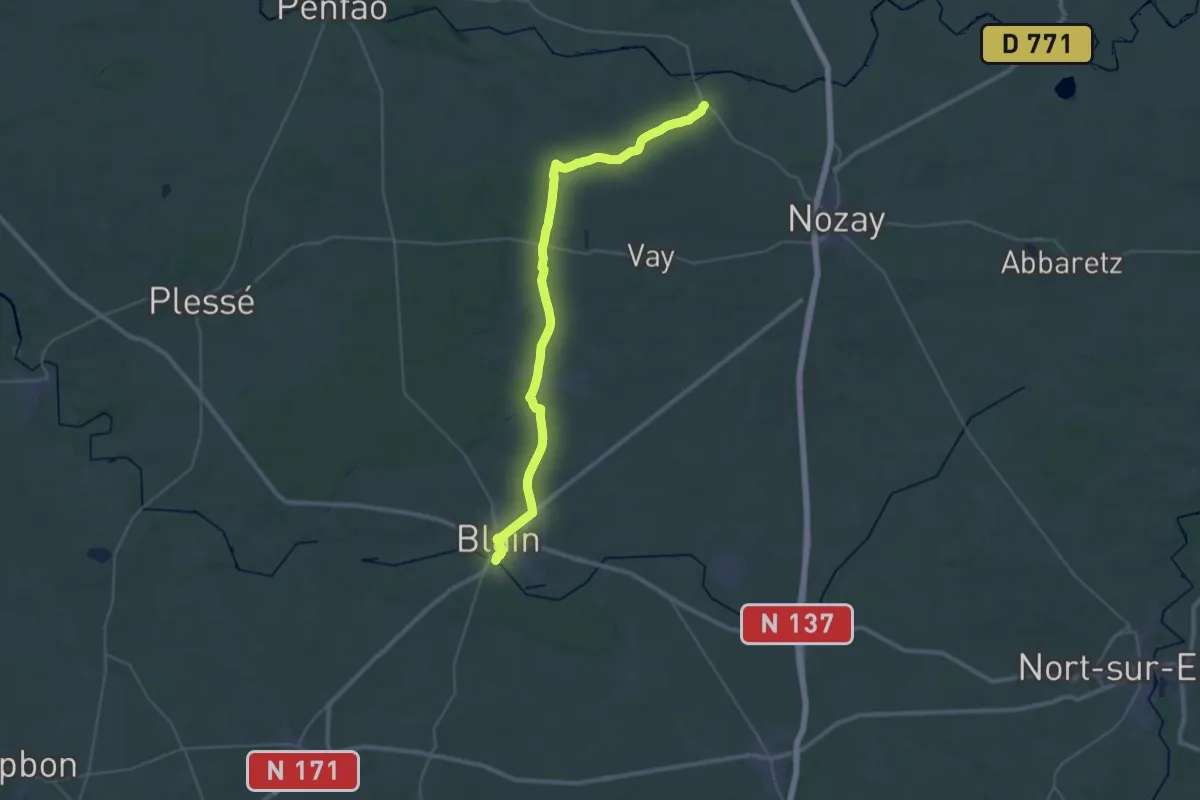
Marsac-sur-Don - Blain
19.0 km · ↑ 84 m · 4 h 56 min
Demanding · Trail
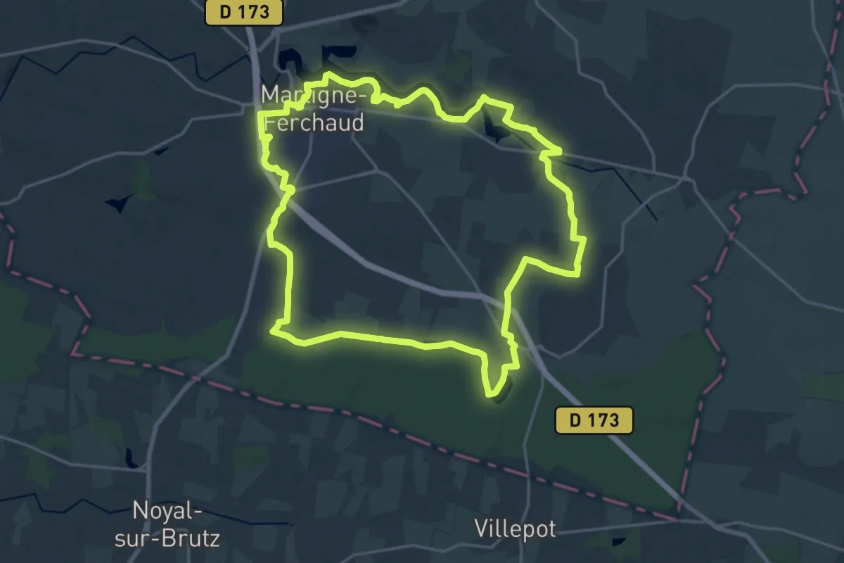
Martigné-Ferchaud Etang et forêt
20.0 km · ↑ 138 m · 5 h 18 min
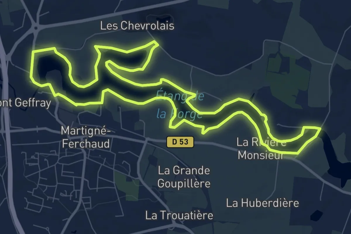
Medium · Trail
Martigné-Ferchaud tour de l'étang
10.2 km · ↑ 35 m · 2 h 38 min
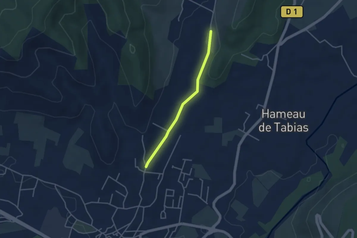
Easy · Trail
Mas de Boulle - Sigaud
2.9 km · ↑ 23 m · 44 min
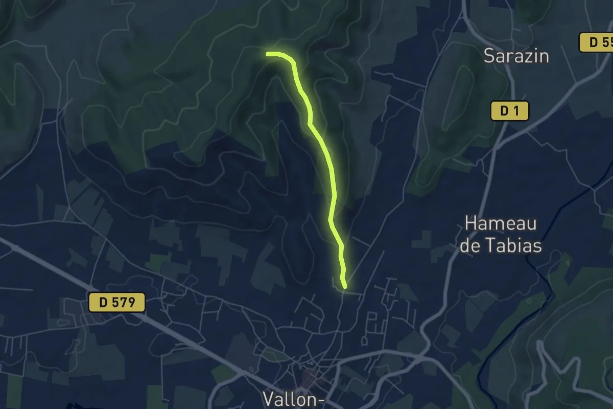
Medium · Trail
Mas de Boulle - Sommet de Sigaud
4.4 km · ↑ 195 m · 1 h 28 min
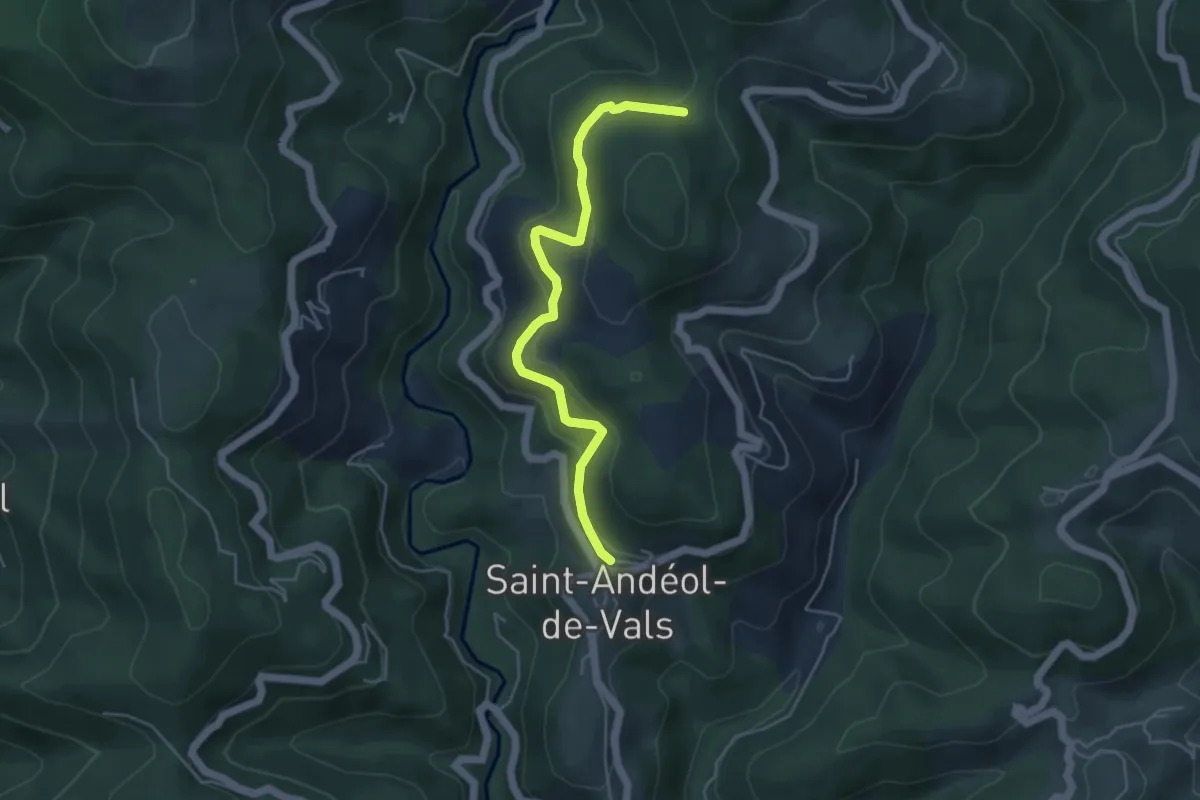
Easy · Trail
Mas de Nevissac - Col de Grange
4.7 km · ↑ 183 m · 1 h 31 min
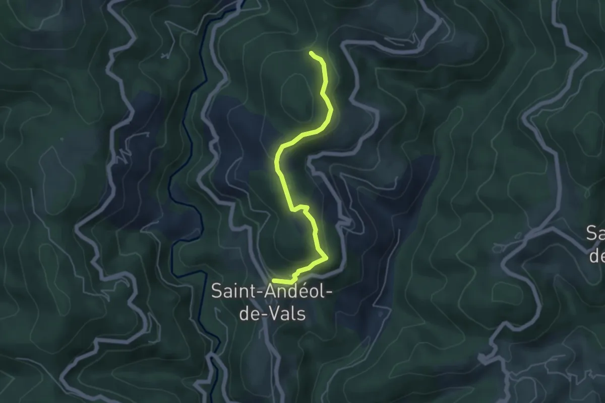
Easy · Trail
Mas de Nevissac - Col de Grange
4.5 km · ↑ 181 m · 1 h 27 min
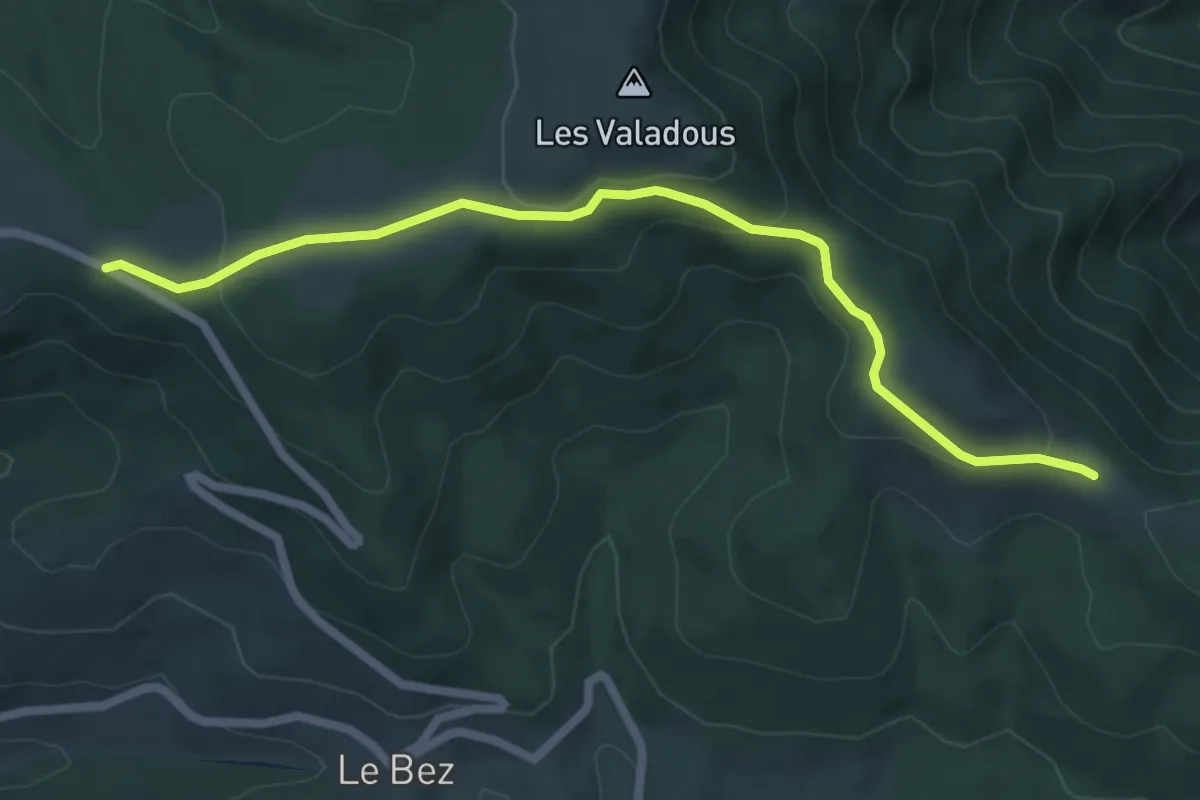
Easy · Trail
Mas des Pergeyres - Col du Pendu
6.6 km · ↑ 216 m · 2 h 2 min
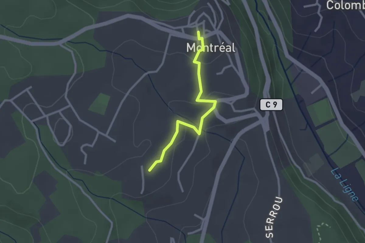
Easy · Trail
Mas Gauthier - Montréal
2.3 km · ↑ 64 m · 41 min
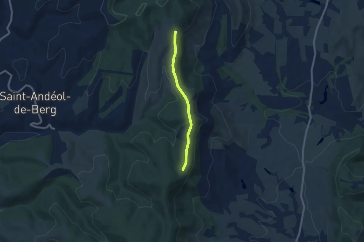
Easy · Trail
Mas Giraud - Bétoulet
4.6 km · ↑ 99 m · 1 h 18 min