Trails in France
15,926 hiking trails, each with its route, climb, walking time and grade.
All trails, page 208 of 332
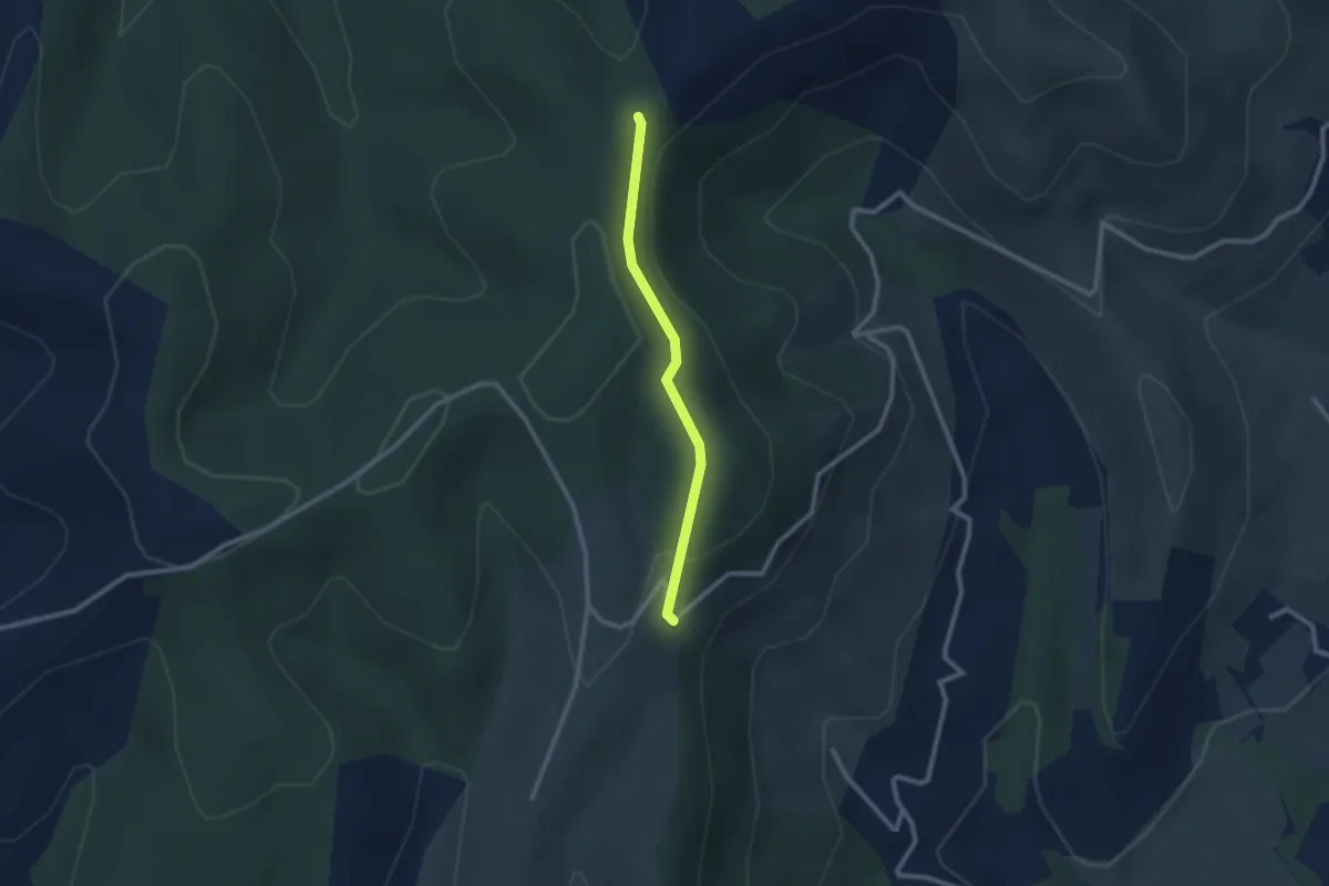
Easy · Trail
Mas Giraud - Col de l'Épine
2.2 km · ↑ 59 m · 39 min
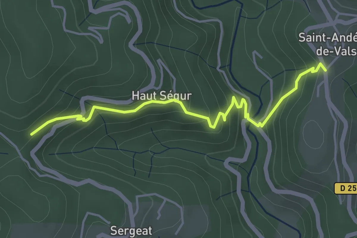
Easy · Trail
Mas Lapierre - Pra Neuf
4.1 km · ↑ 309 m · 1 h 38 min
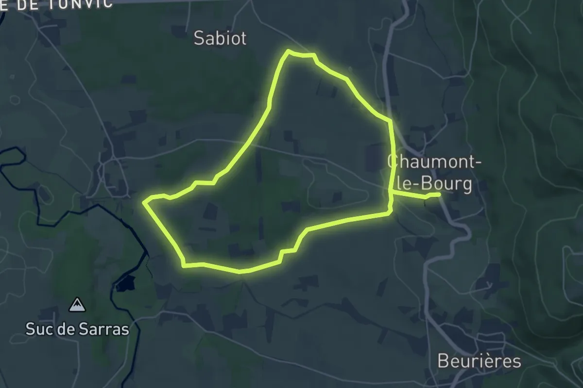
Easy · Trail
Masselèbre
5.8 km · ↑ 62 m · 1 h 35 min
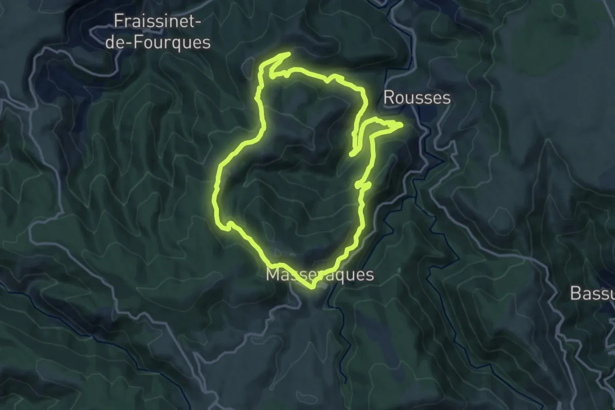
Medium · Trail
Massevaques
13.4 km · ↑ 613 m · 4 h 40 min
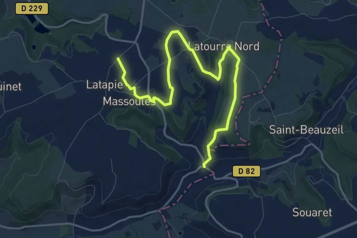
Easy · Trail
Massoulès, par Sainte-Quitterie et Calvignac - 11km
6.0 km · ↑ 83 m · 1 h 44 min
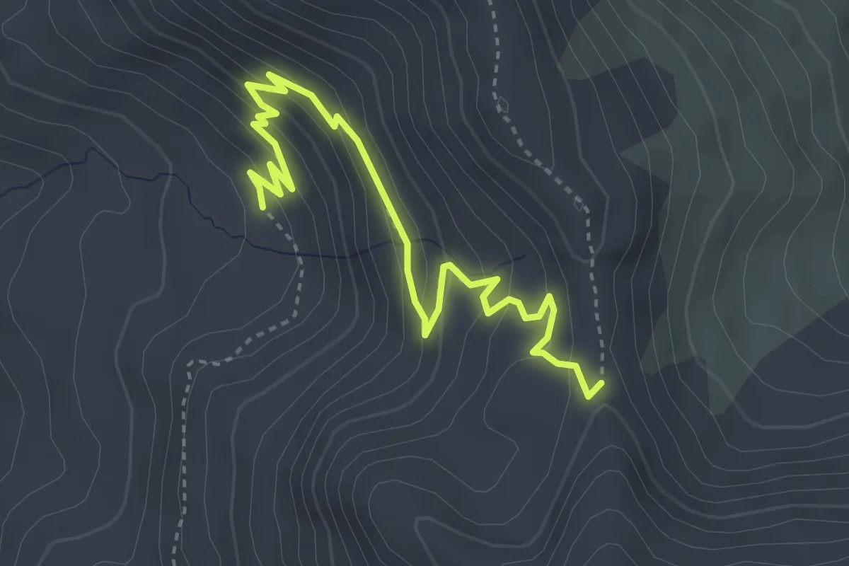
Medium · Trail
Maupertus - Col de Rouanette
4.2 km · ↑ 260 m · 1 h 34 min
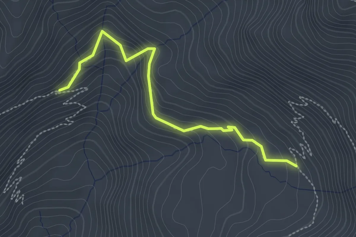
Easy · Trail
Maupertus - Peyron Roux
2.8 km · ↑ 181 m · 1 h 3 min
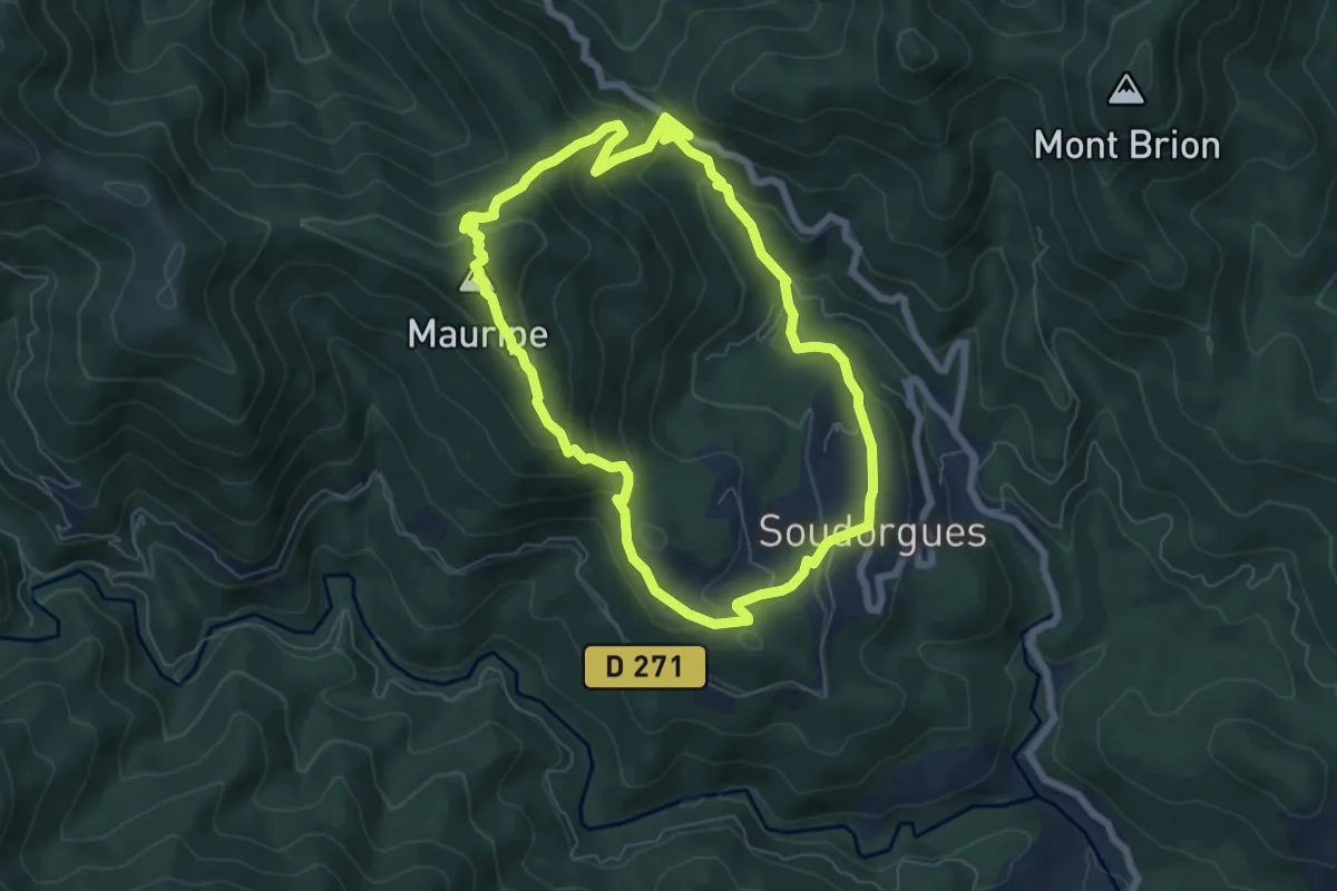
Medium · Summit
Mauripe
6.5 km · ↑ 363 m · 2 h 24 min
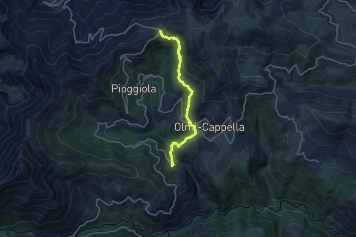
Medium · Trail
Mausoleo
9.3 km · ↑ 453 m · 3 h 11 min
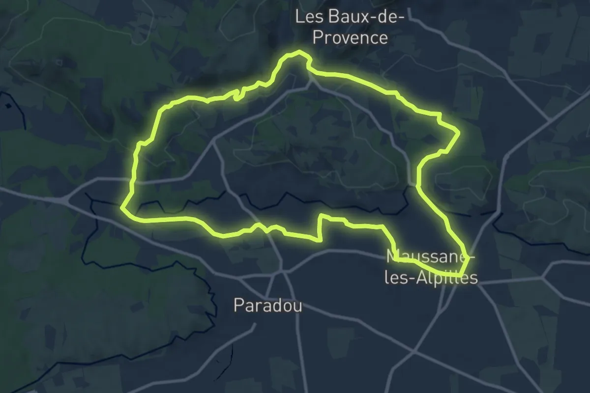
Medium · Trail
Maussane-les-Alpilles vers les Baux-de-Provence
11.4 km · ↑ 174 m · 3 h 13 min
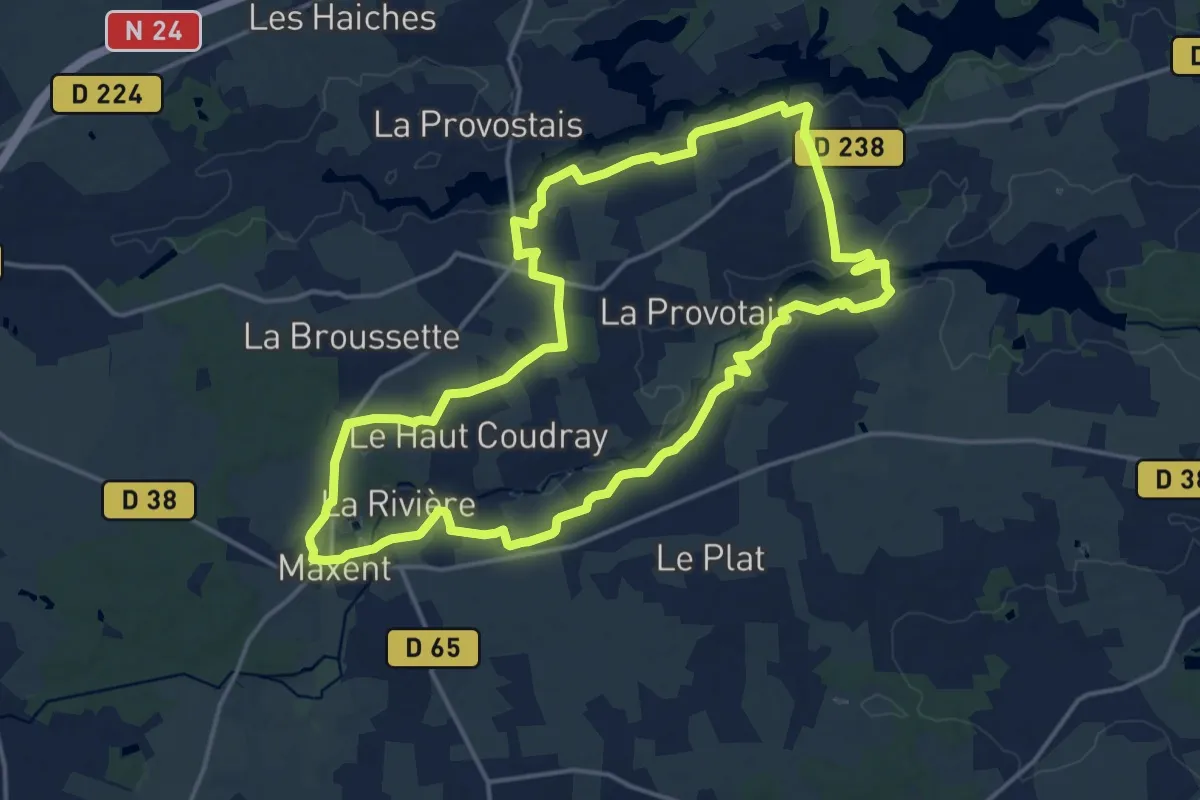
Medium · Trail
Maxent : les 3 lacs
16.1 km · ↑ 140 m · 4 h 20 min
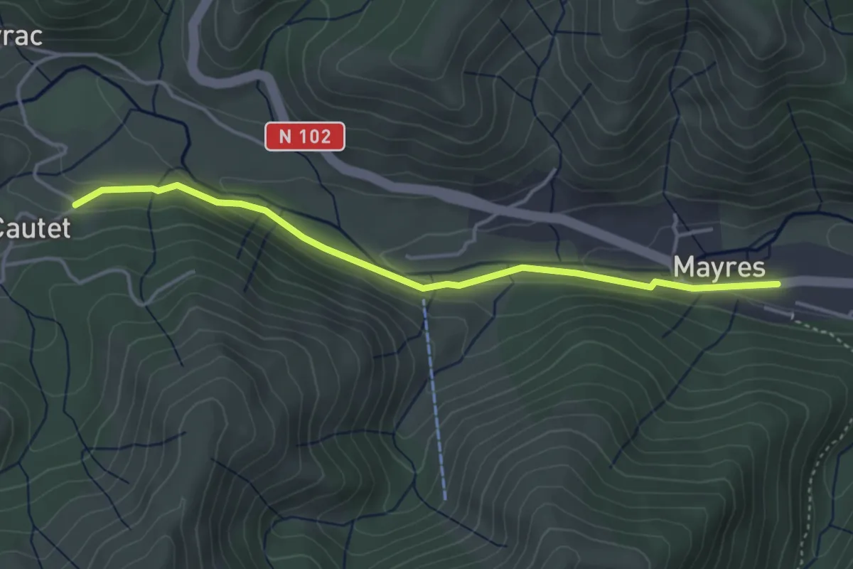
Easy · Trail
Mayres - Cautet
4.1 km · ↑ 104 m · 1 h 12 min
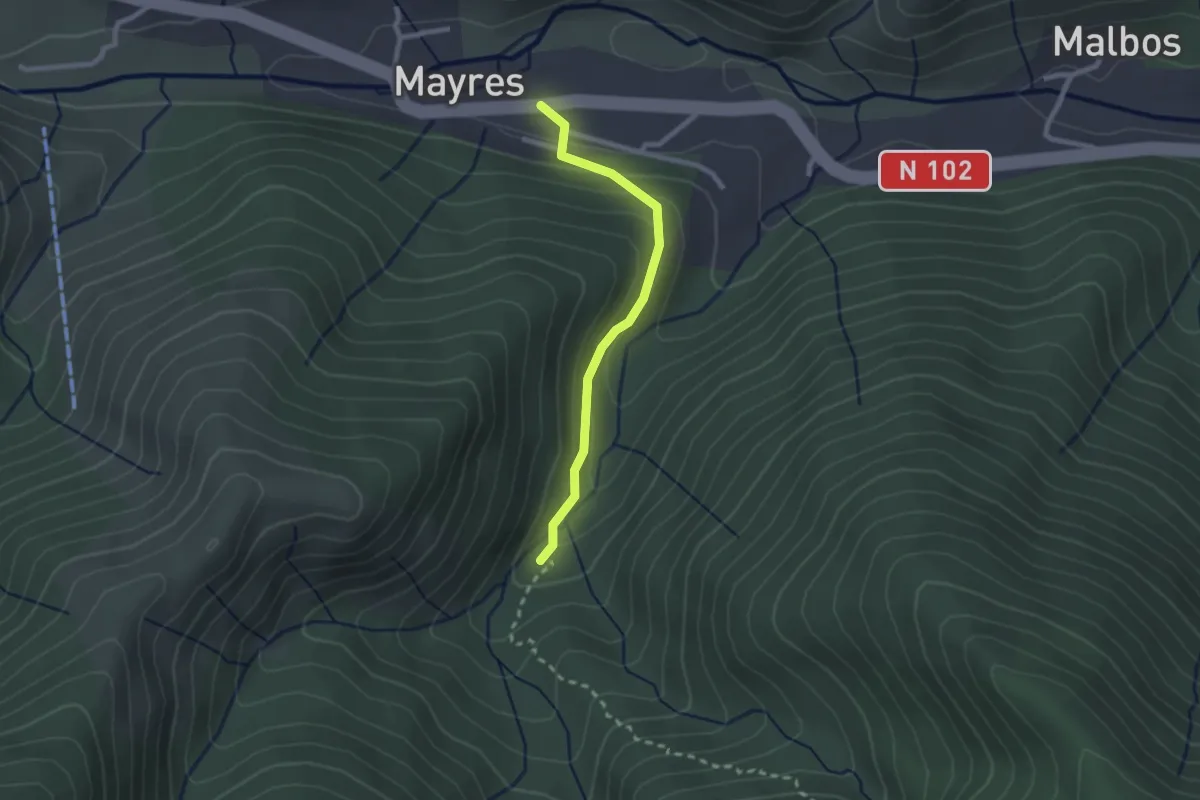
Medium · Trail
Mayres - Le Passadou
2.2 km · ↑ 122 m · 47 min
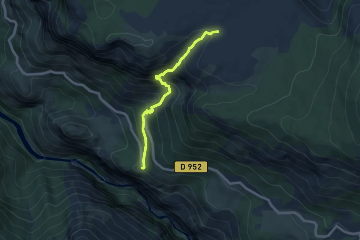
Medium · Trail
Mayreste - Barbin
4.2 km · ↑ 426 m · 1 h 55 min
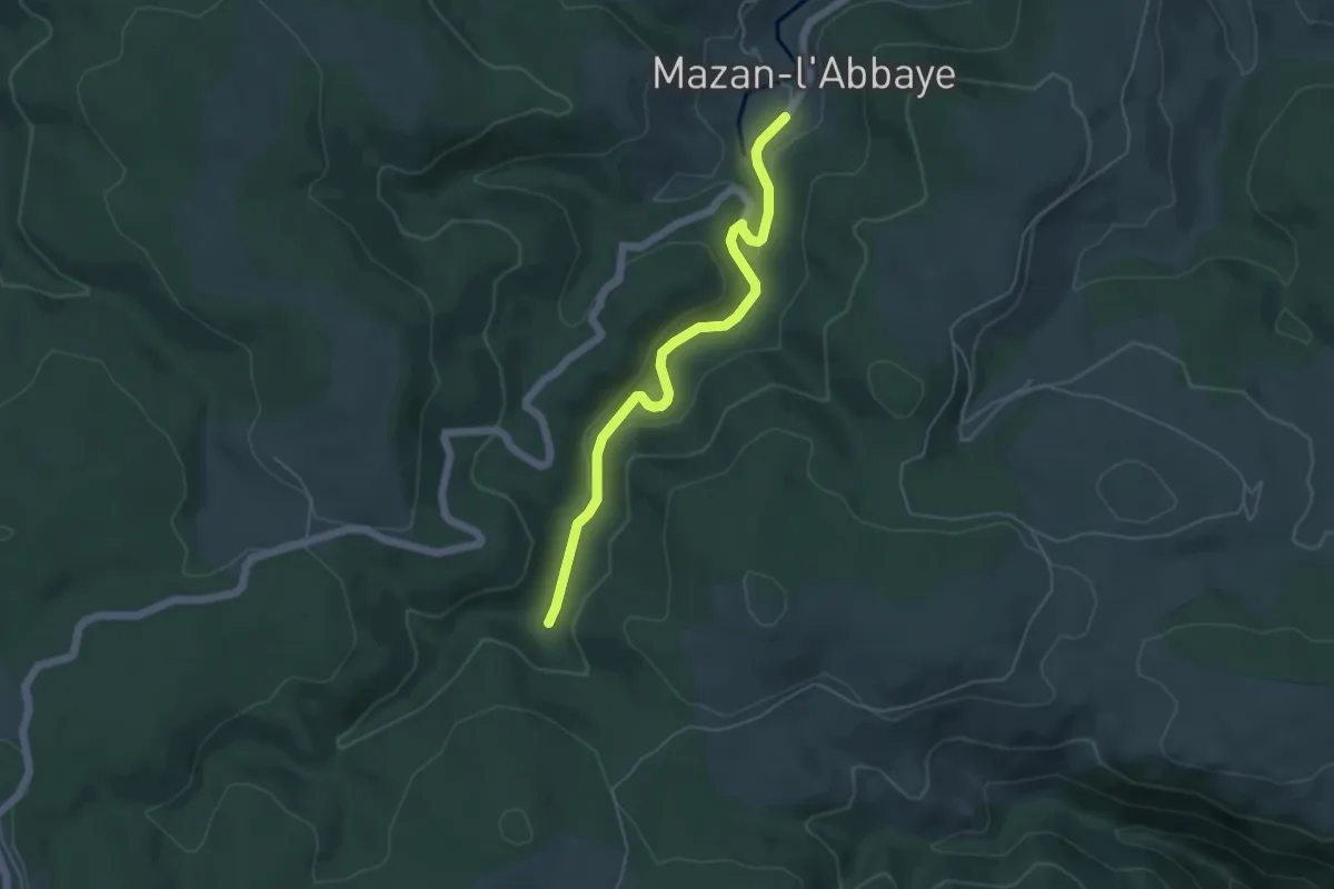
Easy · Trail
Mazan (départ) - Ruisseau de Mazan
5.0 km · ↑ 120 m · 1 h 27 min
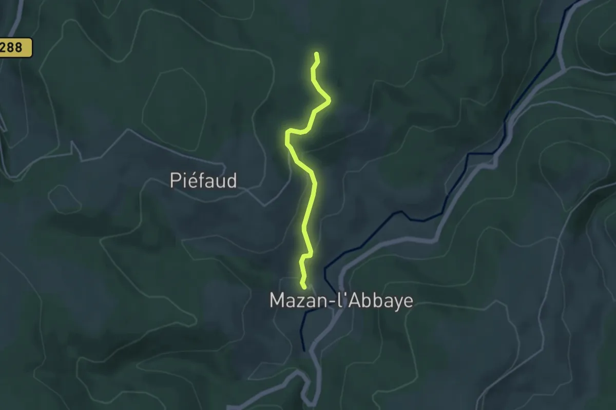
Easy · Trail
Mazan - La Citerne
3.3 km · ↑ 107 m · 1 h 1 min
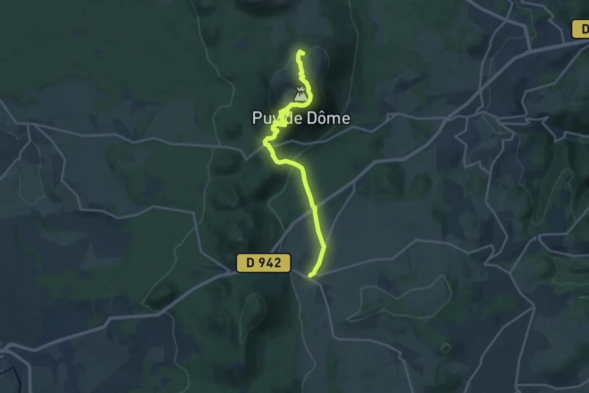
Medium · Summit
Mazaye / Laschamp
13.4 km · ↑ 713 m · 4 h 42 min
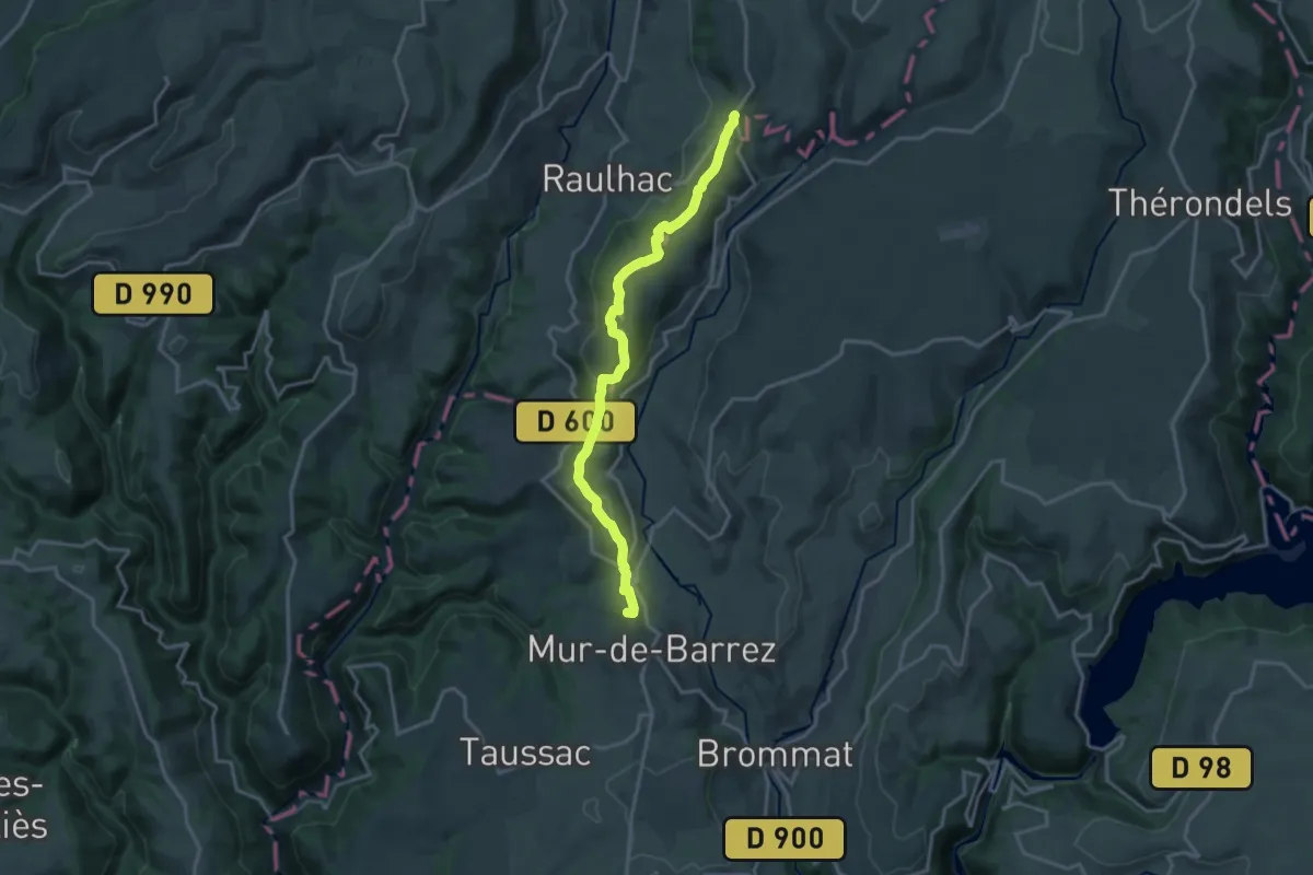
Medium · Summit
MCVL3 : Pailherols - Mur-de-Barrez
17.1 km · ↑ 479 m · 5 h 4 min
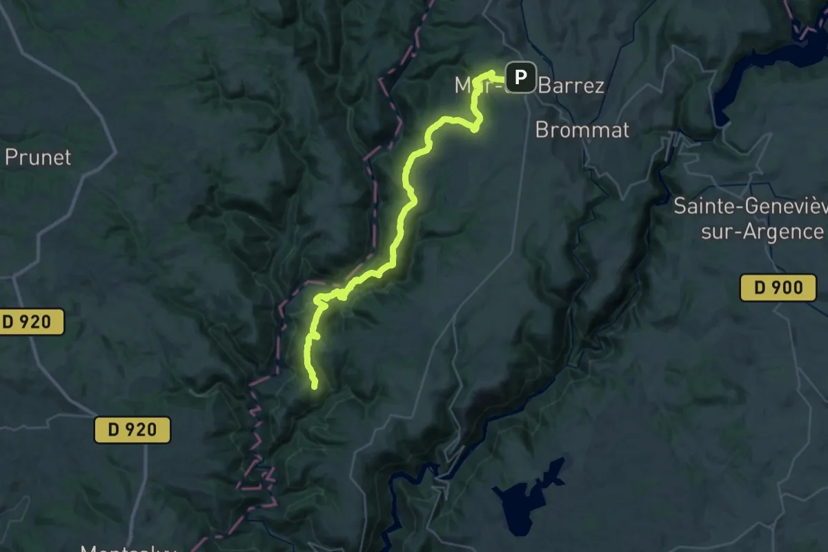
Demanding · Trail
MCVL4 : Mur-de-Barrez - Murols
18.3 km · ↑ 589 m · 5 h 56 min
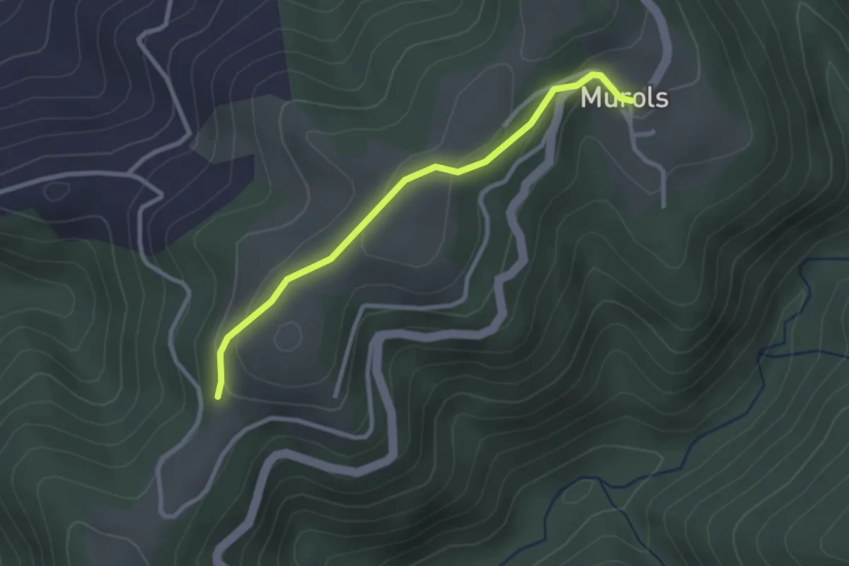
Easy · Trail
MCVL5 : Murols - Séparation N/S
2.6 km · ↑ 74 m · 47 min
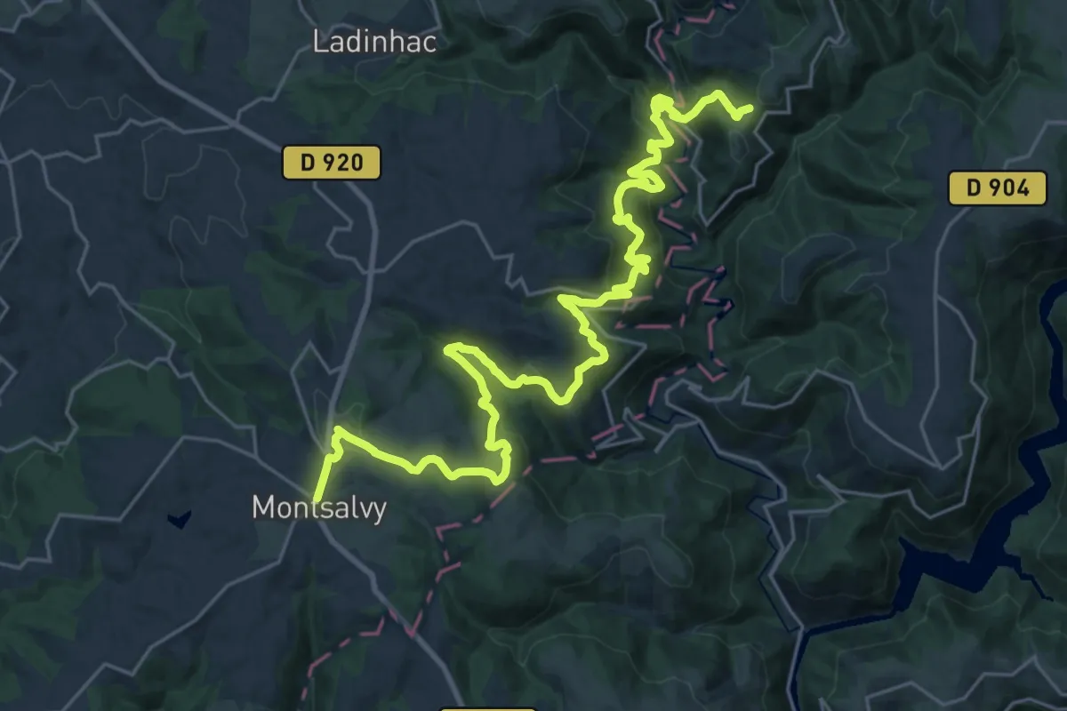
Medium · Trail
MCVL6N : Séparation N/S - Montsalvy
16.2 km · ↑ 763 m · 5 h 35 min
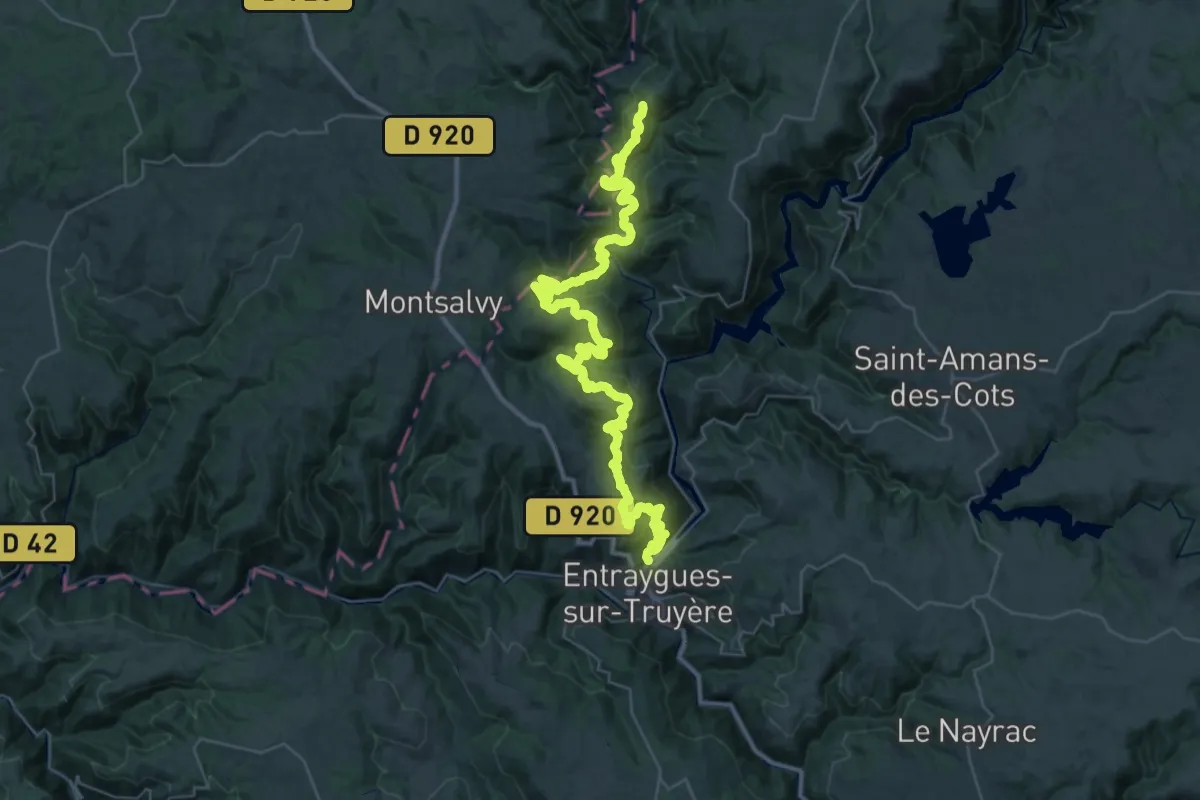
Demanding · Trail
MCVL6S : Séparation N/S - Entraygues-sur-Truyère
25.7 km · ↑ 1029 m · 8 h 49 min
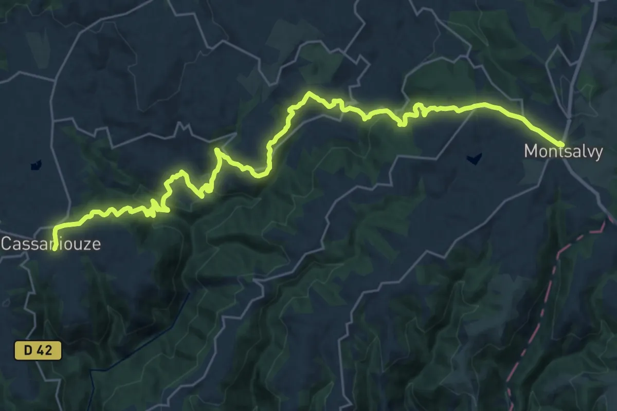
Medium · Trail
MCVL7N : Montsalvy - Cassaniouze
15.2 km · ↑ 472 m · 4 h 56 min
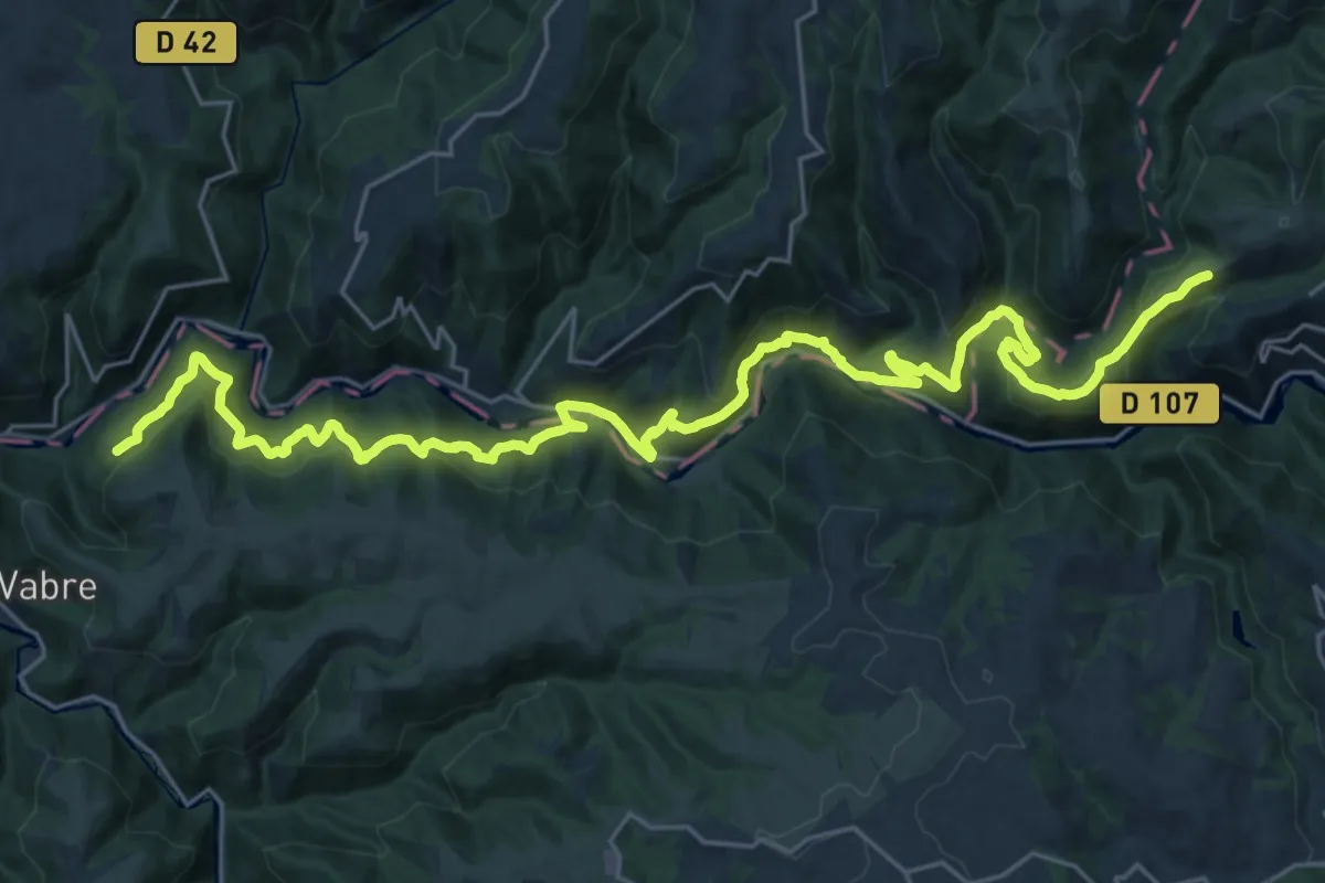
Medium · Trail
MCVL7S : Entraygues-sur-Truyère - Vieillevie
16.7 km · ↑ 718 m · 5 h 48 min
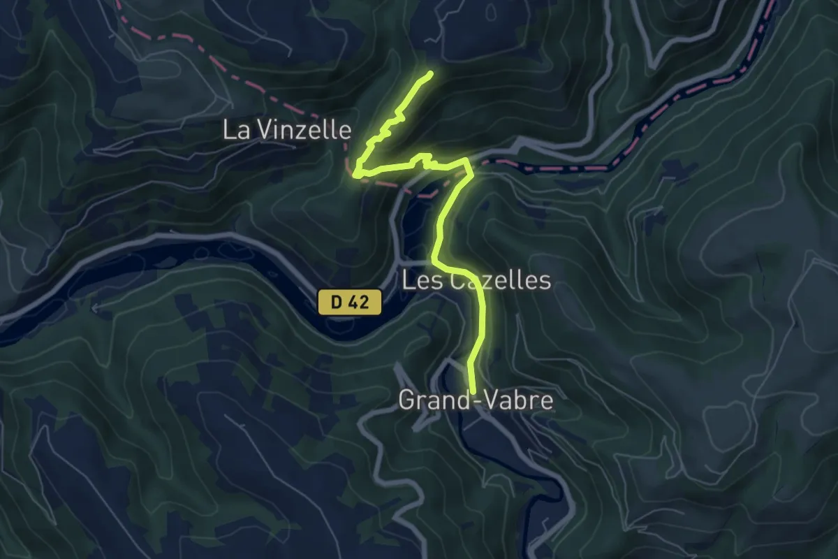
Medium · Trail
MCVL8N : Cassaniouze - Grand-Vabre
6.2 km · ↑ 322 m · 2 h 10 min
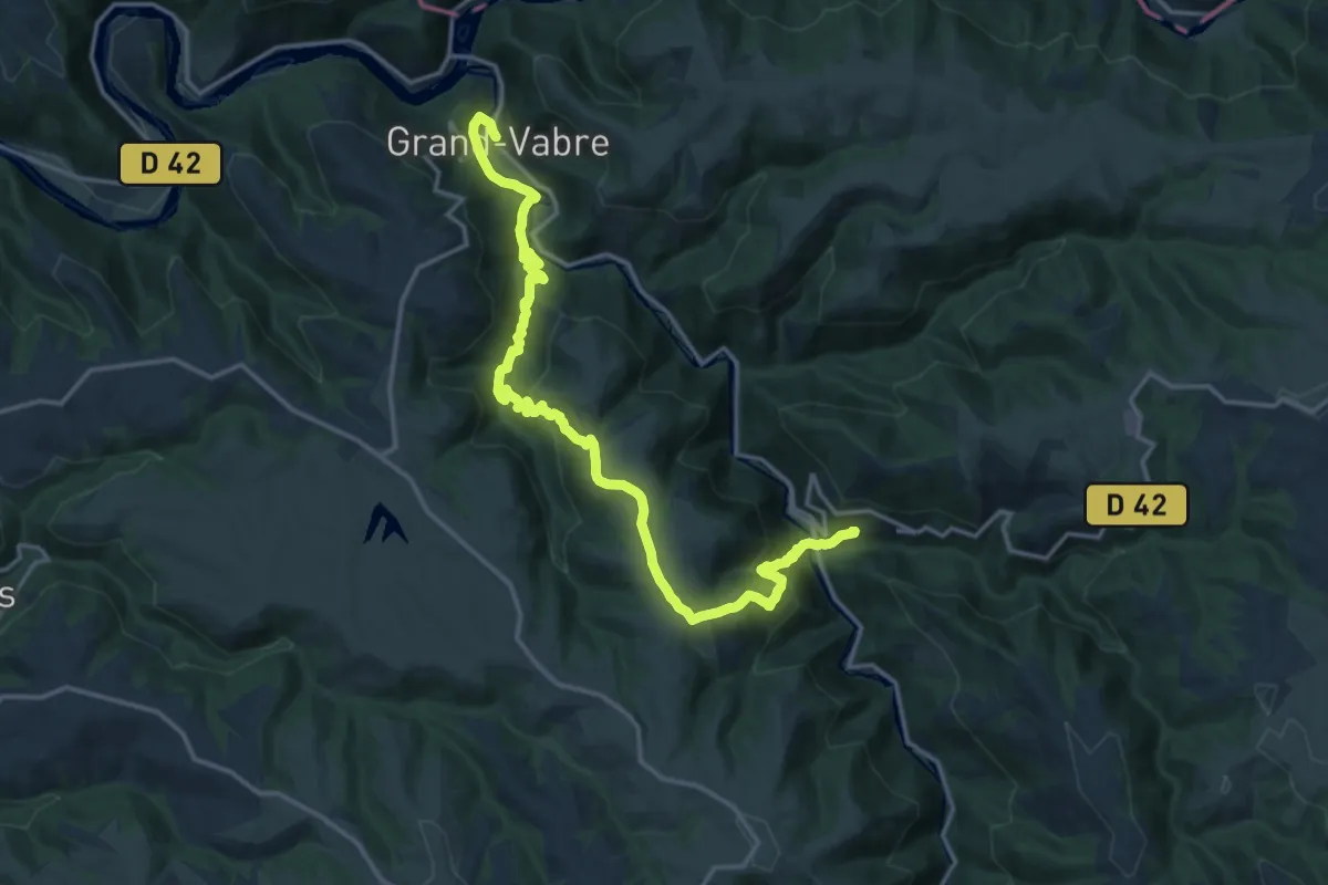
Demanding · Trail
MCVL9 : Grand-Vabre - Conques
19.5 km · ↑ 893 m · 6 h 32 min
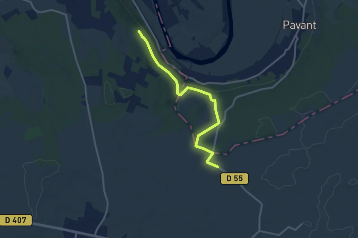
Easy · Trail
MDM Boucle 2 - La Brie Champenoise
7.2 km · ↑ 144 m · 2 h 1 min
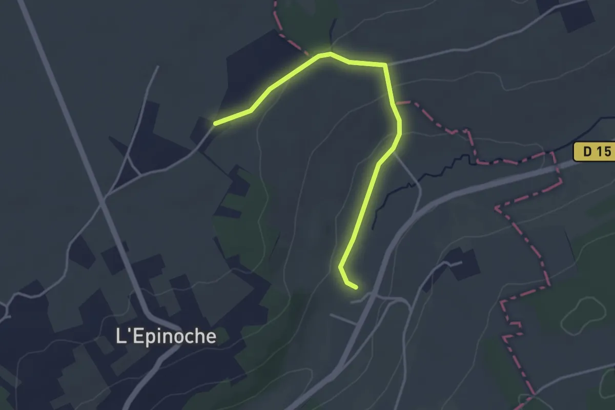
Easy · Trail
MDM Boucle 4 - Les Hautes Vallées
3.3 km · ↑ 54 m · 54 min
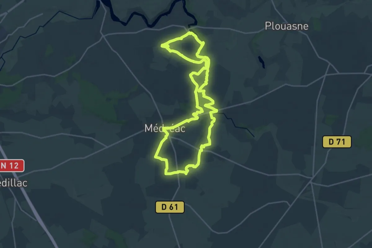
Demanding · Trail
Médréac - vallée du Néal
18.4 km · ↑ 196 m · 5 h 1 min
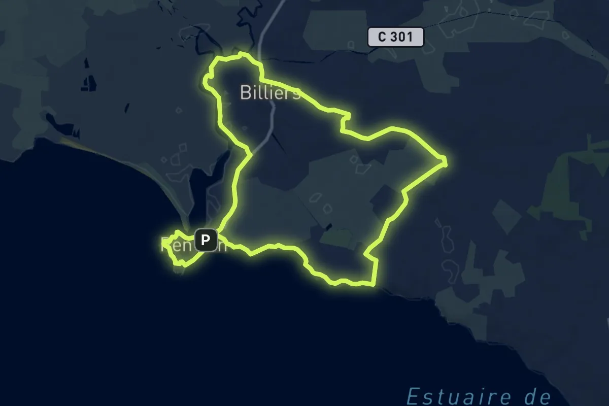
Medium · Trail
Mégalithes entre Marais et Océan
10.6 km · ↑ 50 m · 2 h 45 min
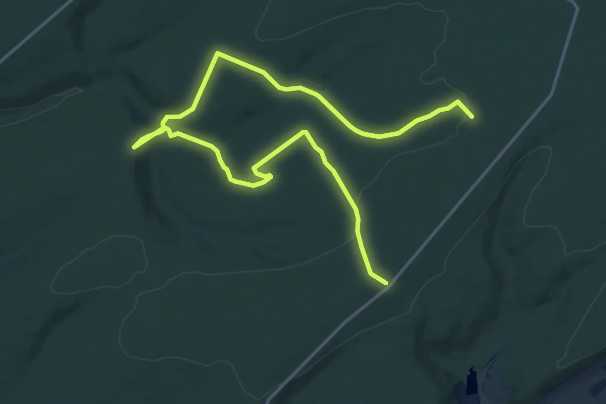
Easy · Trail
Meine Cœur de Vert
7.4 km · ↑ 174 m · 2 h 12 min
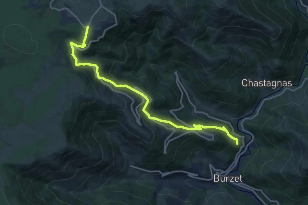
Medium · Trail
Méjassole - La Brousse
10.5 km · ↑ 626 m · 3 h 50 min
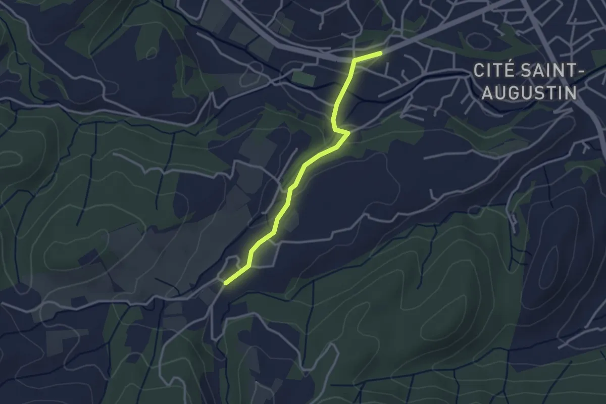
Easy · Trail
Melas - La Rouvière
2.7 km · ↑ 69 m · 48 min
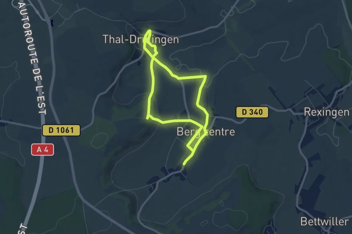
Easy · Trail
Mémoire de pierres et d'eau
5.5 km · ↑ 96 m · 1 h 34 min
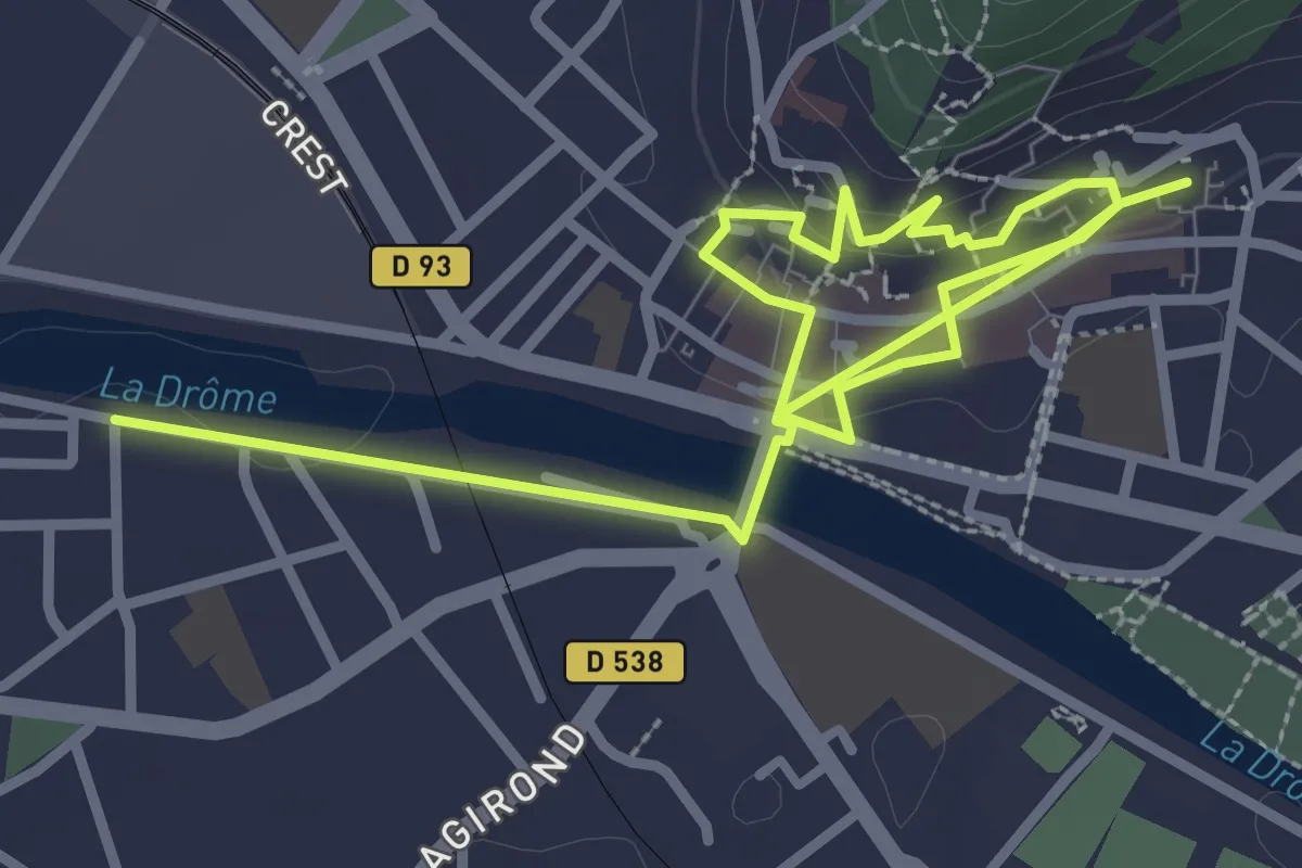
Easy · Trail
Mémoires de l'eau
2.4 km · ↑ 76 m · 45 min
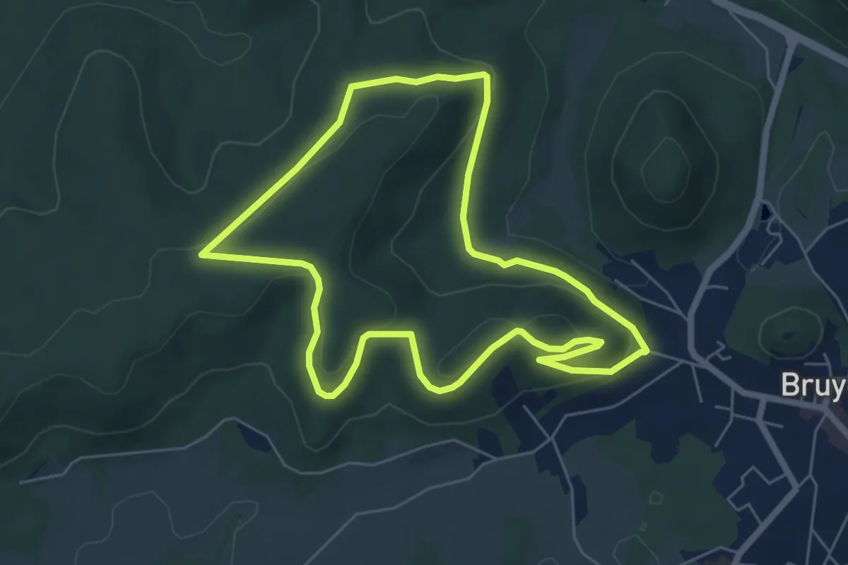
Easy · Trail
Mémorial Américain
5.5 km · ↑ 181 m · 1 h 46 min
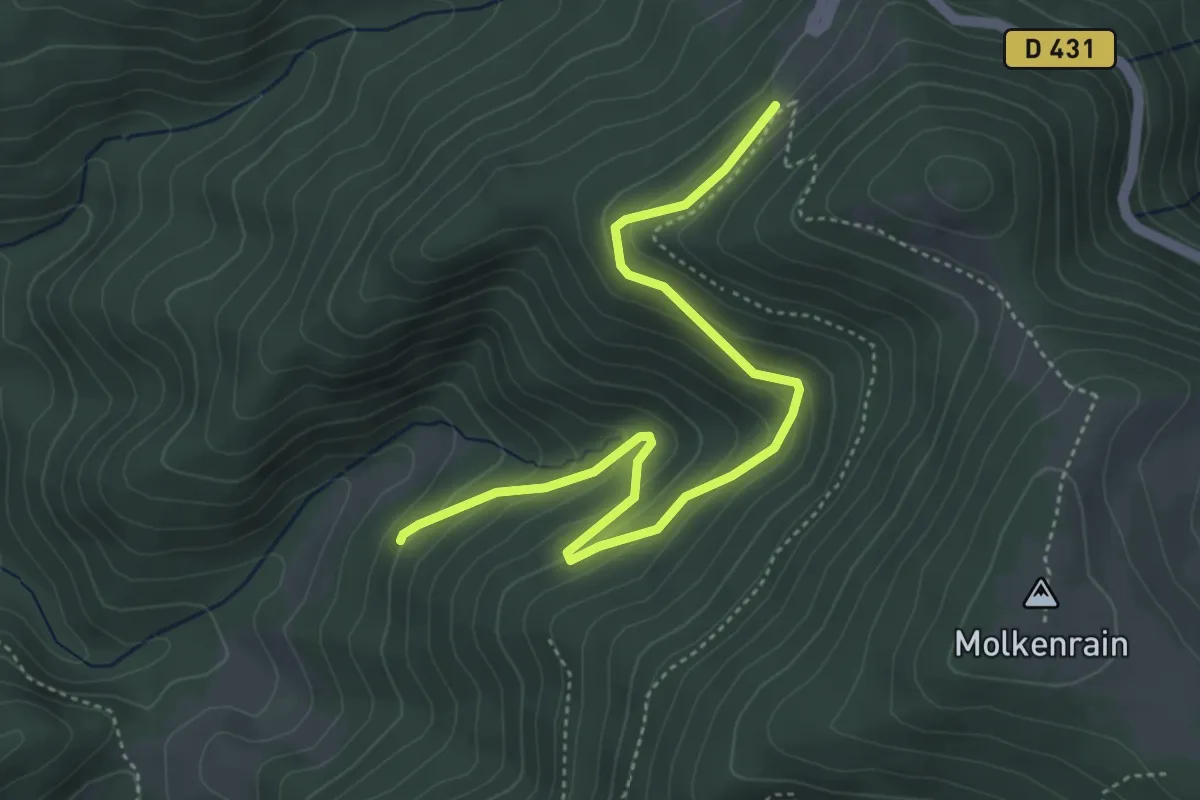
Easy · Trail
Mémorial Cairn Richard N. HALL
2.4 km · ↑ 25 m · 46 min
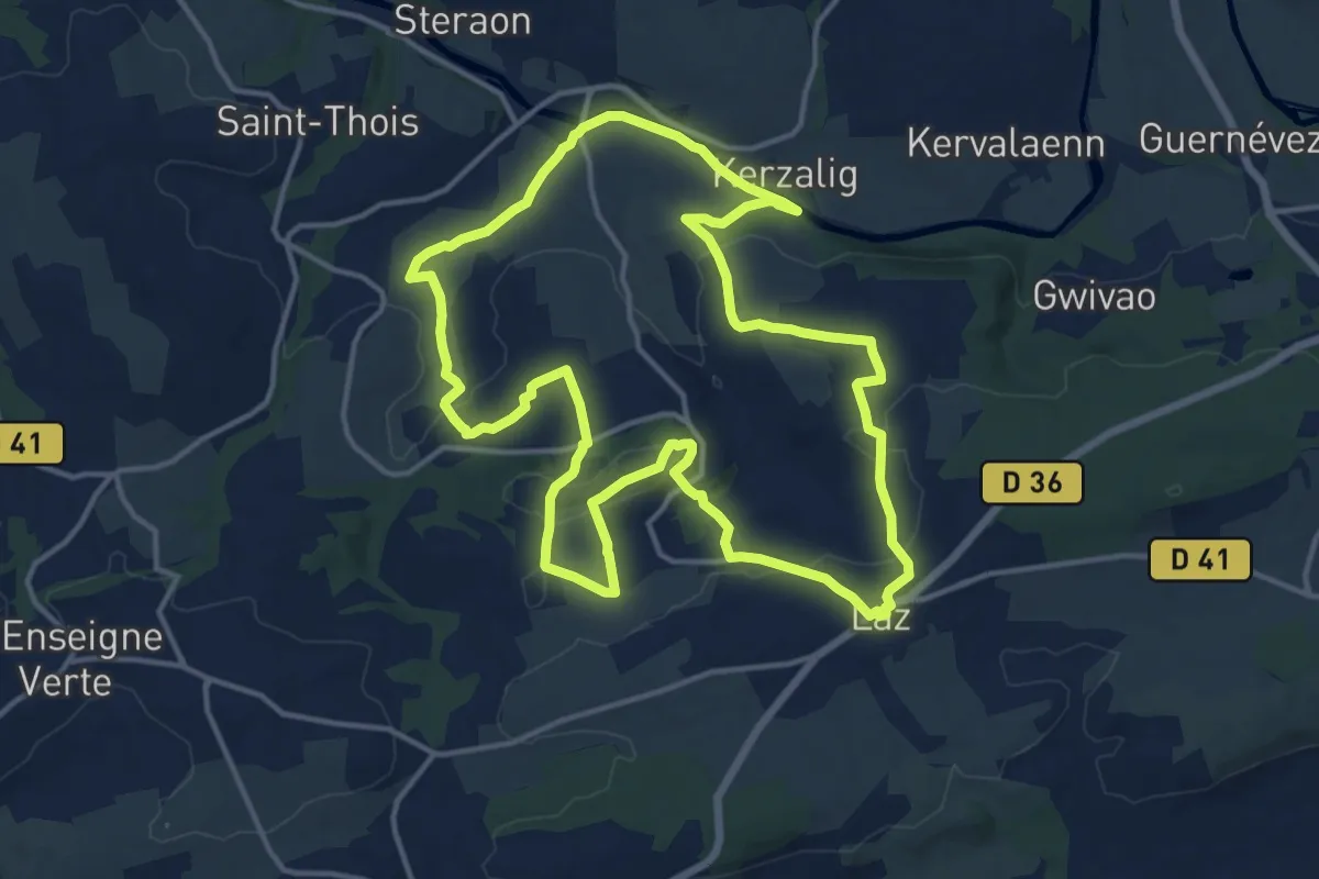
Medium · Trail
Menez Du
14.7 km · ↑ 316 m · 4 h 22 min
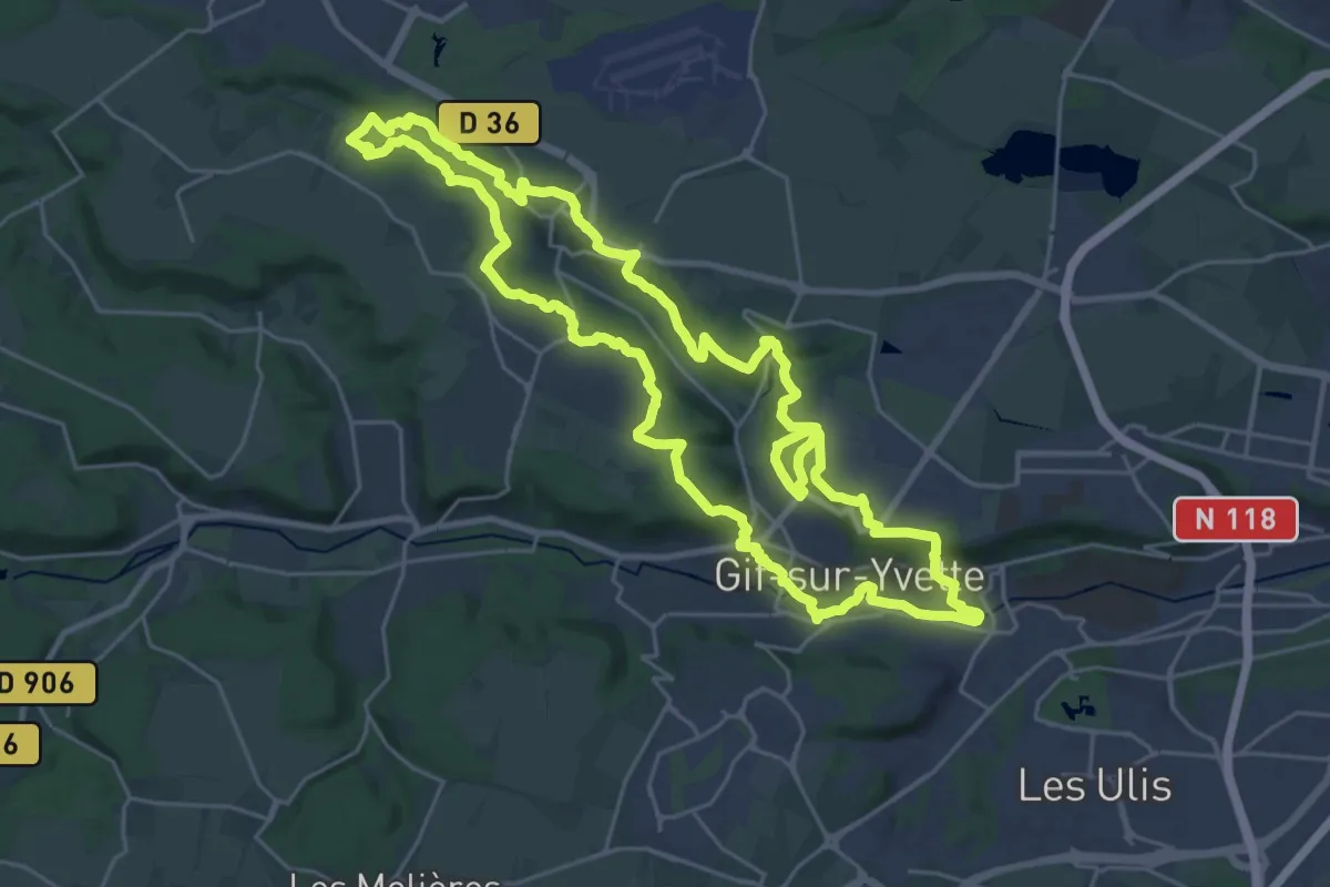
Demanding · Trail
Mérantaise
25.8 km · ↑ 492 m · 7 h 31 min
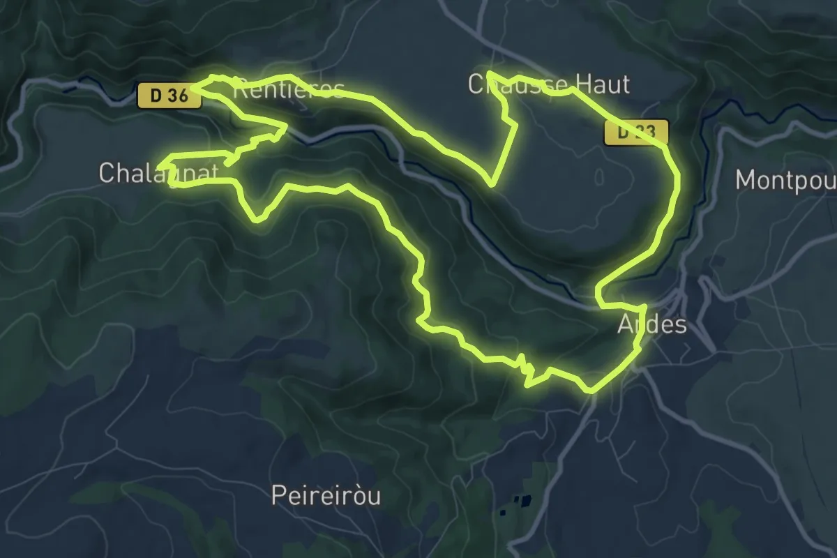
Medium · Trail
Mercoeur, Gorges et Site de Rentieres
11.7 km · ↑ 392 m · 3 h 47 min
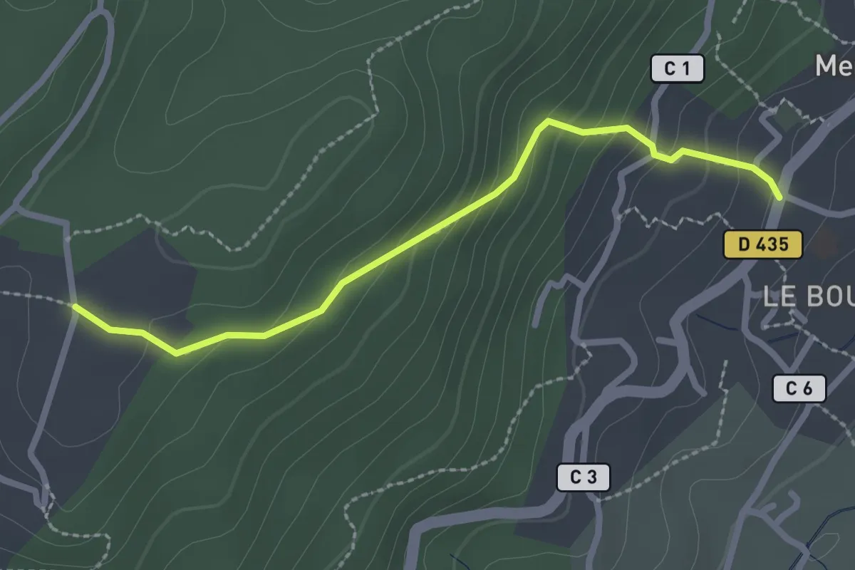
Easy · Trail
Mercuer - Turc
2.4 km · ↑ 170 m · 57 min
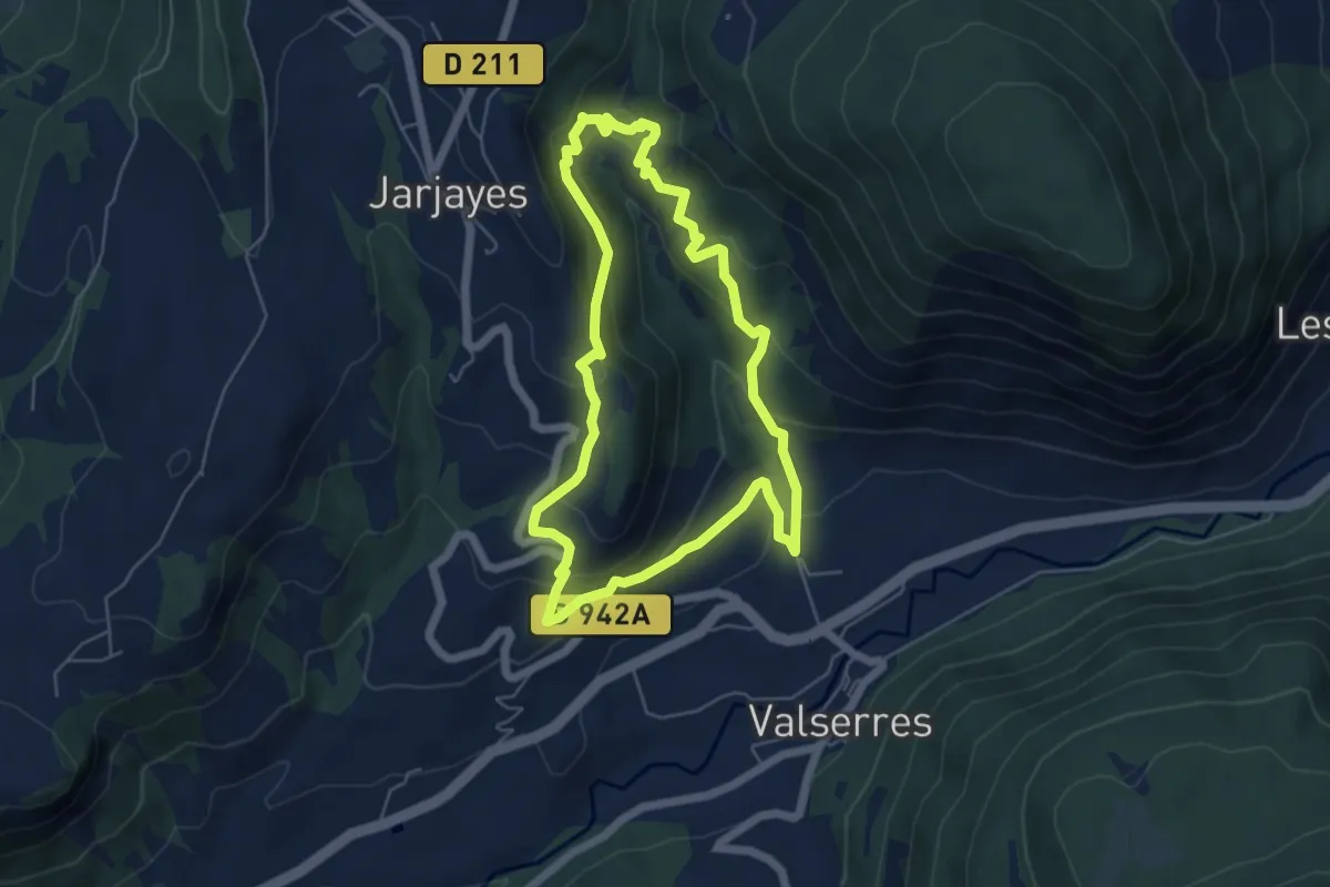
Medium · Trail
Merdarel
5.5 km · ↑ 340 m · 2 h 6 min
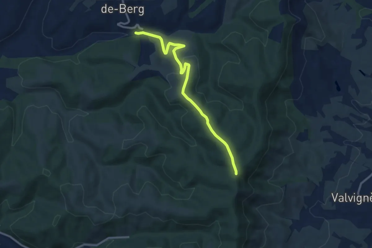
Easy · Trail
Merdaric le Bas - Léouze
7.6 km · ↑ 243 m · 2 h 20 min
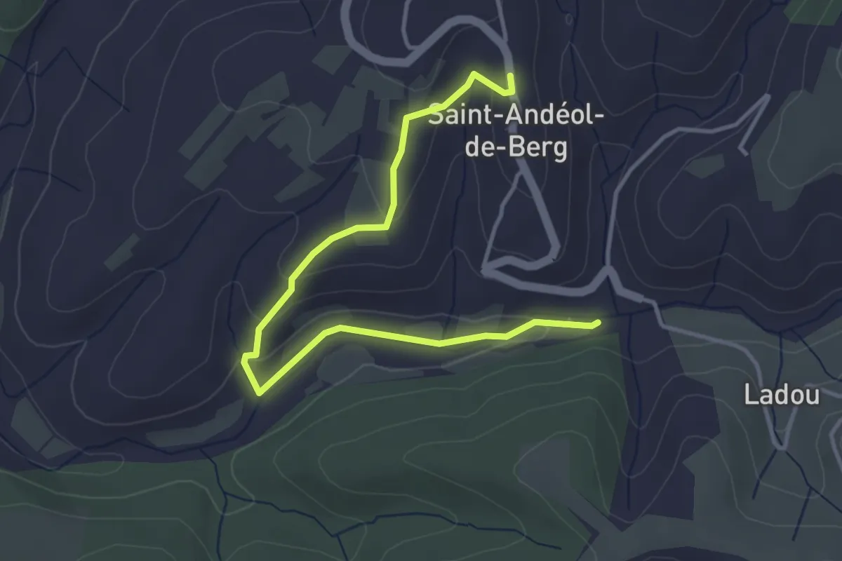
Easy · Trail
Merdaric le Bas - Saint-Andéol de Berg
4.4 km · ↑ 92 m · 1 h 14 min
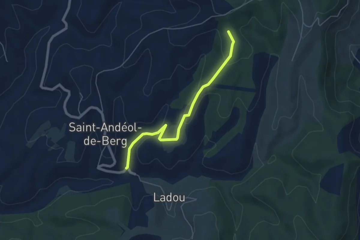
Easy · Trail
Merdaric le Haut - Serrecourt
4.8 km · ↑ 147 m · 1 h 27 min
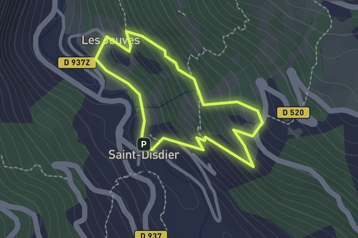
Easy · Cabin
Mère Église
1.8 km · ↑ 141 m · 45 min
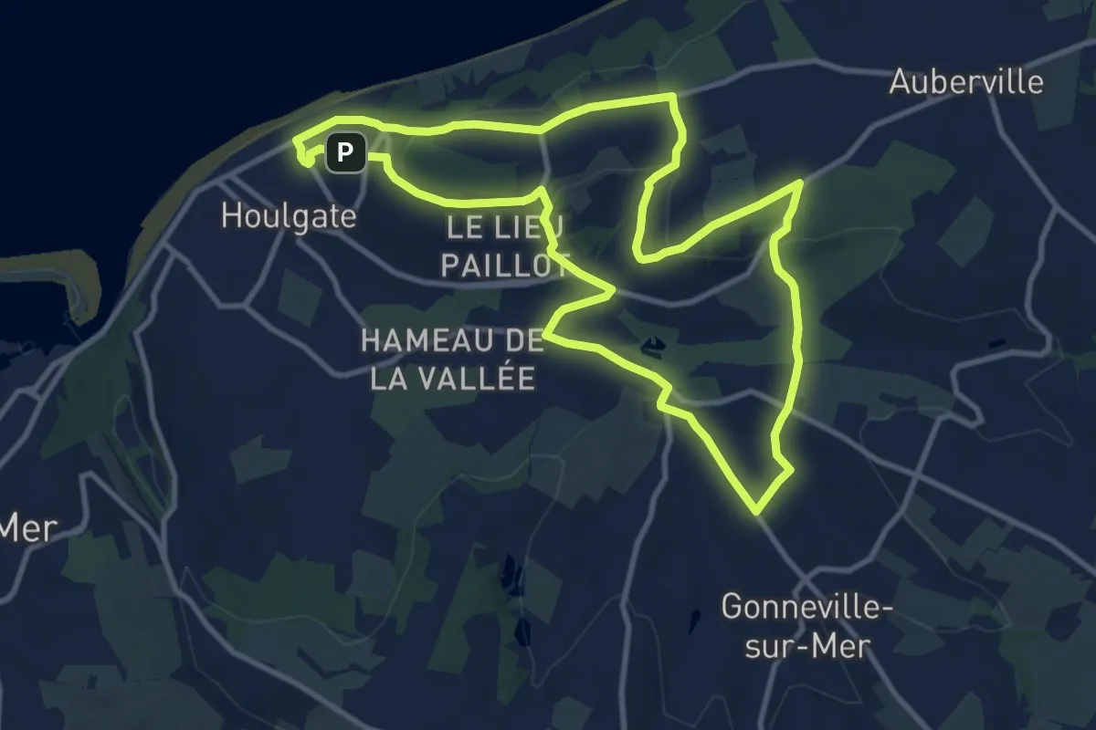
Medium · Summit
Mer et Campagne
9.8 km · ↑ 276 m · 3 h 3 min
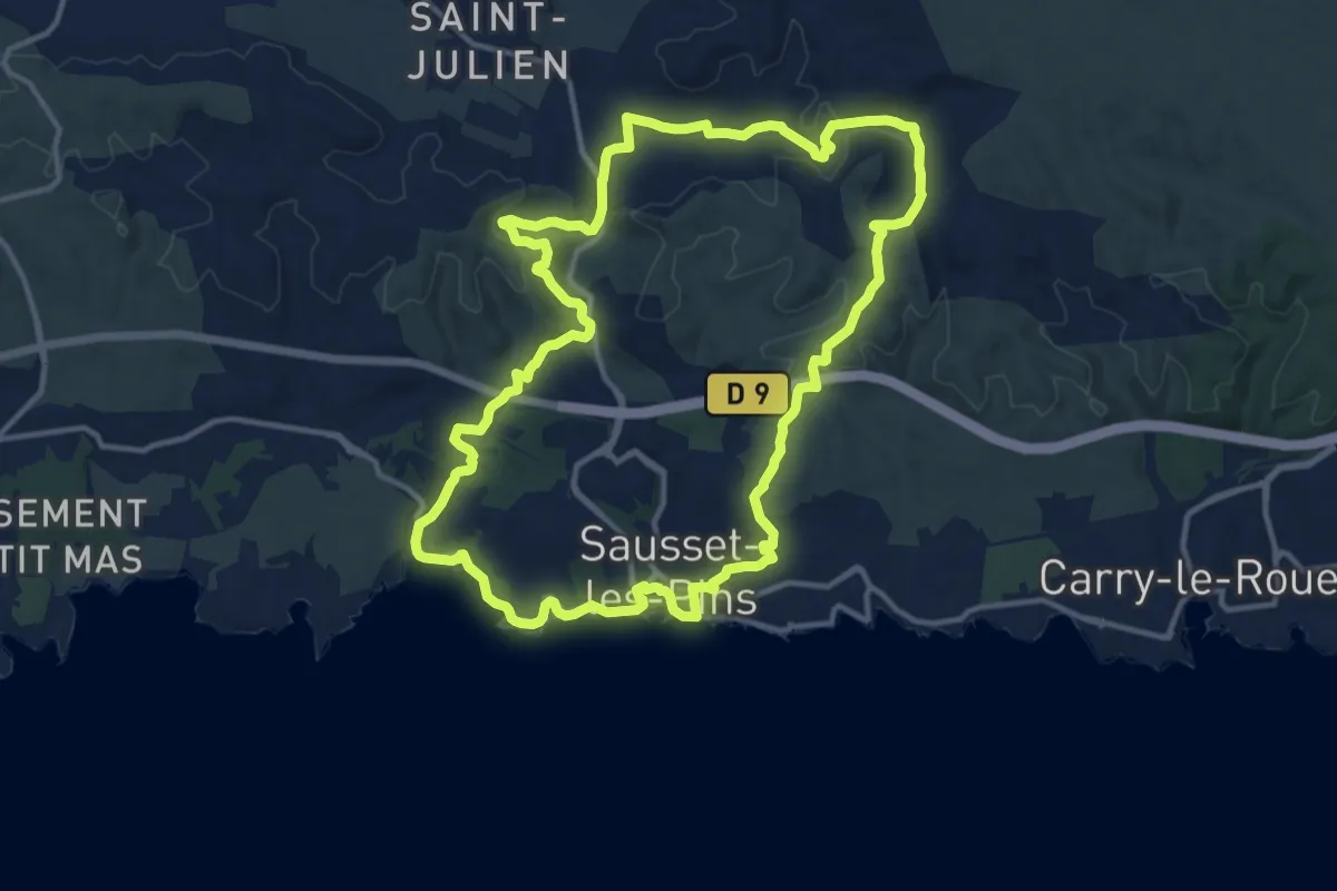
Medium · Trail
Mer et colline Valestéloué
14.4 km · ↑ 248 m · 4 h 8 min