Trails in France
15,926 hiking trails, each with its route, climb, walking time and grade.
All trails, page 209 of 332
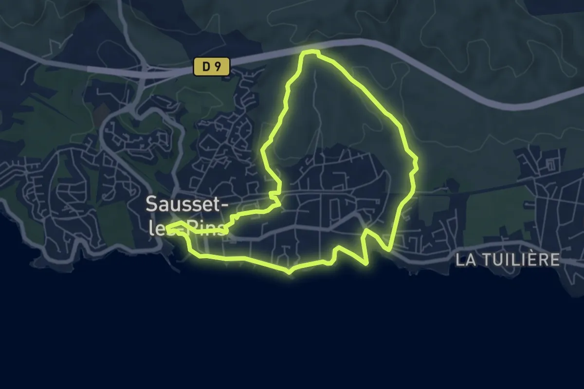
Easy · Trail
Mer et Pinéde Valapoux
6.5 km · ↑ 78 m · 1 h 48 min
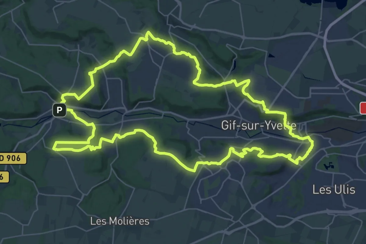
Demanding · Trail
Méridon Chevreuse
31.8 km · ↑ 605 m · 9 h 16 min
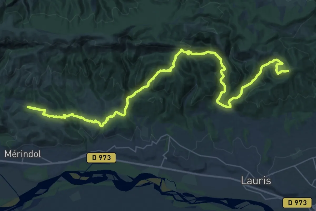
Demanding · Summit
Merindol - Vallis Jovina
34.1 km · ↑ 1411 m · 11 h 7 min
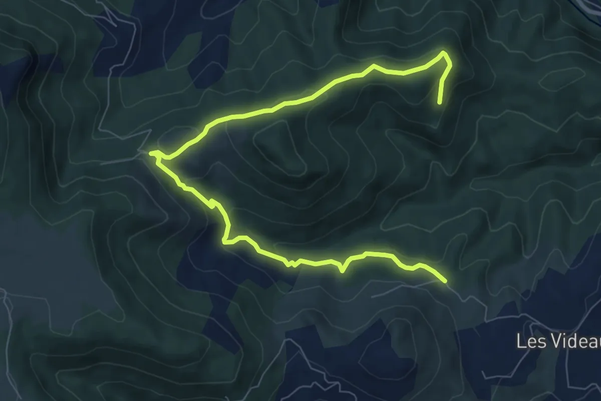
Medium · Trail
Merlet - Carcot
10.3 km · ↑ 334 m · 3 h 10 min
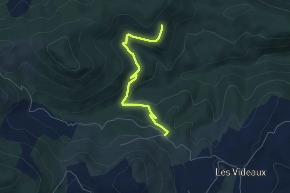
Easy · Trail
Merlet - Carcot
4.7 km · ↑ 217 m · 1 h 34 min
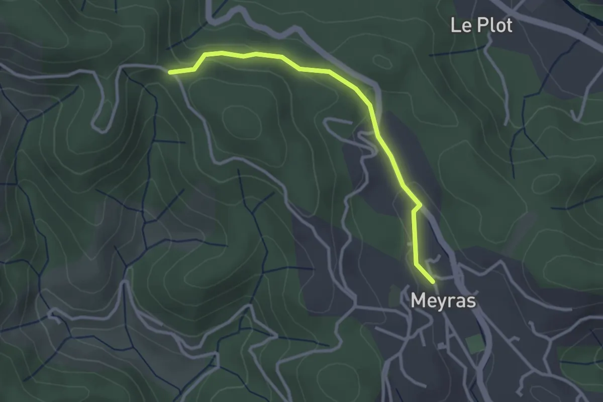
Easy · Trail
Meyras - Les Quatres Chemins
2.8 km · ↑ 67 m · 49 min
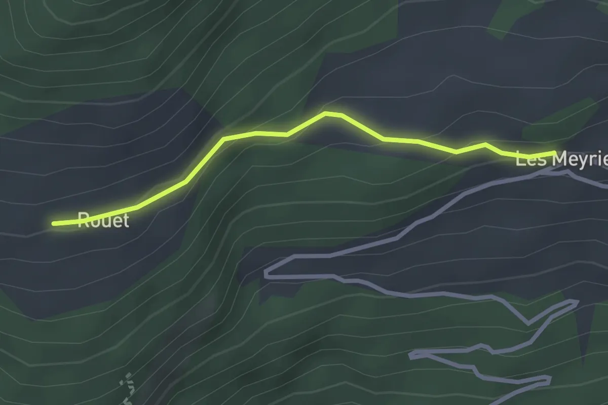
Easy · Trail
Meyriès - Rouet
2.5 km · ↑ 97 m · 47 min
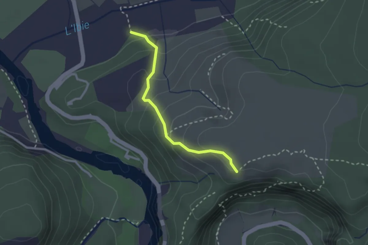
Medium · Trail
Mézelet - Combe d'Arc
2.1 km · ↑ 172 m · 53 min
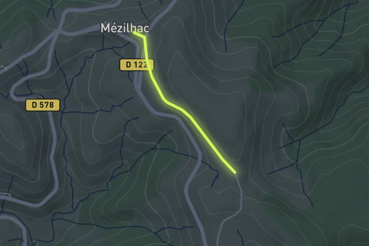
Easy · Trail
Mézilhac - La Feuille
2.2 km · ↑ 34 m · 35 min
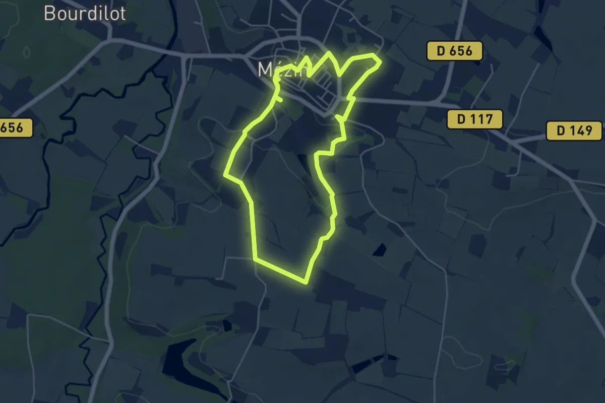
Easy · Trail
Mézin, des jardins paysagers à la table d'orientation 4.8 km
4.8 km · ↑ 96 m · 1 h 24 min
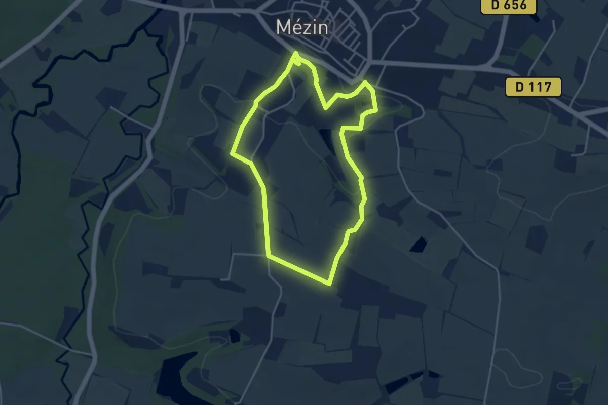
Easy · Trail
Mézin, des jardins paysagers à la table d'orientation variante 3.7 km km
3.6 km · ↑ 71 m · 1 h 4 min
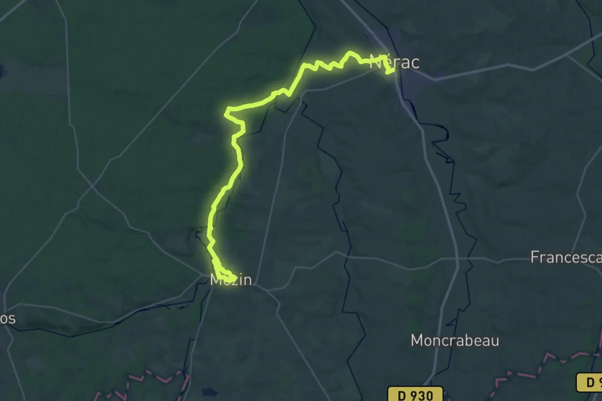
Demanding · Trail
Mézin, vers Nérac, avec le petit train touristique 19.6 km
19.6 km · ↑ 237 m · 5 h 25 min
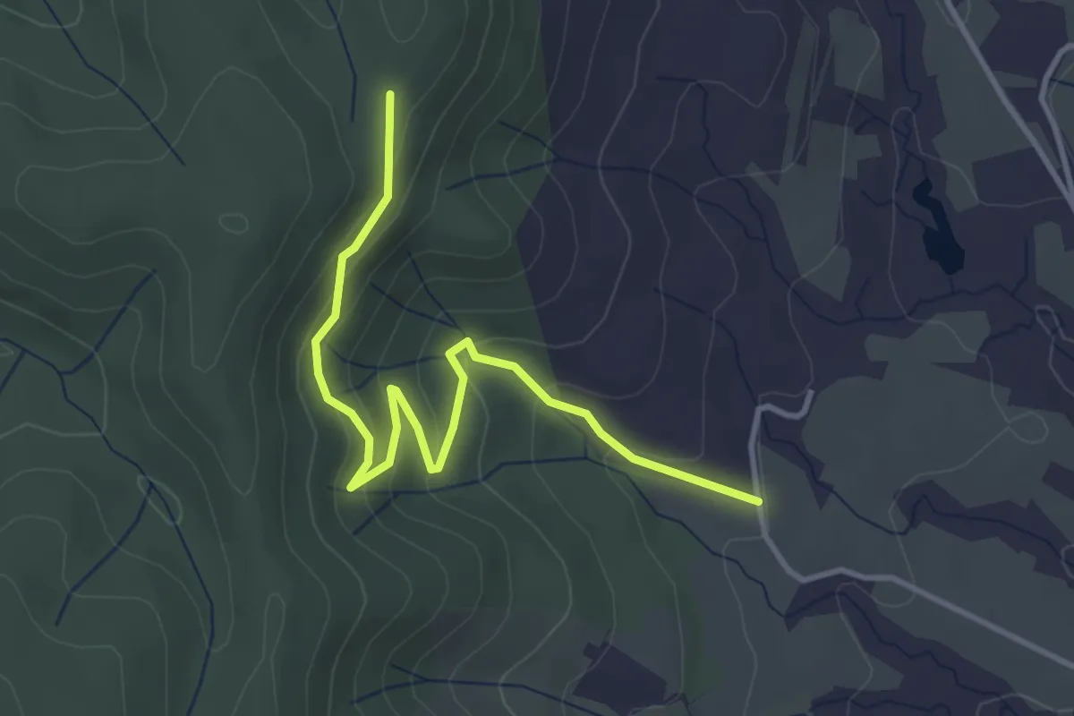
Easy · Trail
Mias - Bétoulet
4.1 km · ↑ 221 m · 1 h 26 min
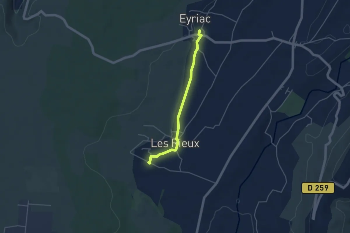
Easy · Trail
Mias - Eyriac
3.5 km · ↑ 35 m · 54 min
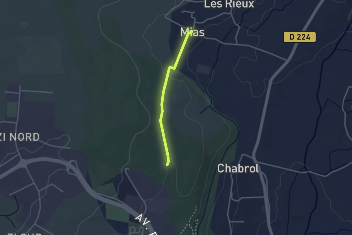
Easy · Trail
Mias - Les Taillades
2.2 km · ↑ 33 m · 36 min
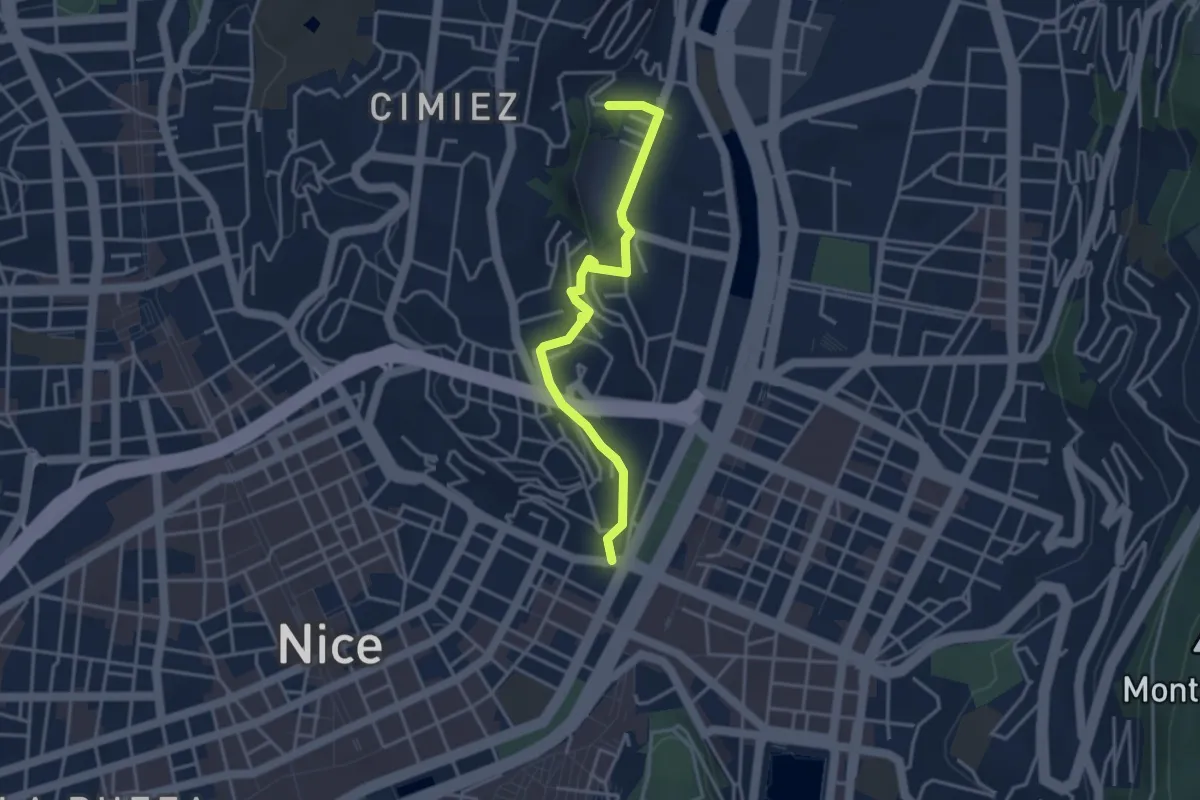
Easy · Trail
Mieux comprendre le gypse - Colline de Cimiez
3.8 km · ↑ 102 m · 1 h 7 min
Medium · Trail
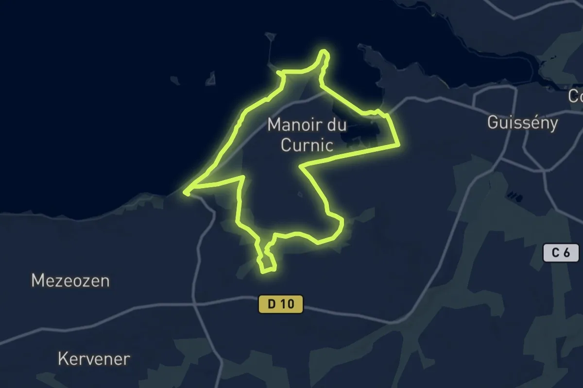
Milin-Ar-Raden
9.8 km · ↑ 72 m · 2 h 37 min
Demanding · Trail
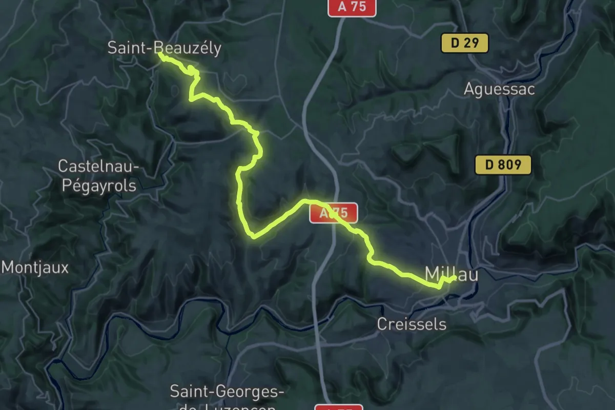
Millau à Saint-Beauzély
19.0 km · ↑ 616 m · 5 h 57 min
Medium · Trail
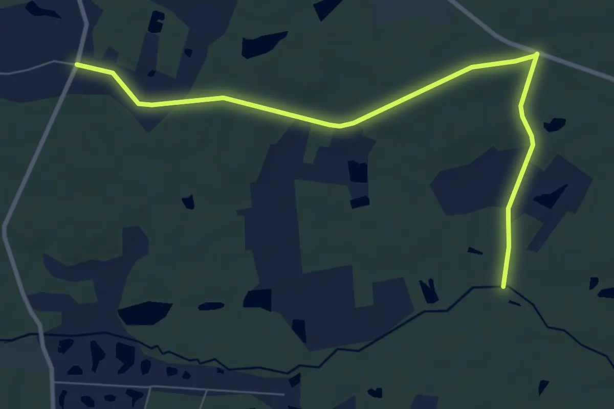
Mille Mottes
8.3 km · ↑ 58 m · 2 h 5 min
Easy · Trail
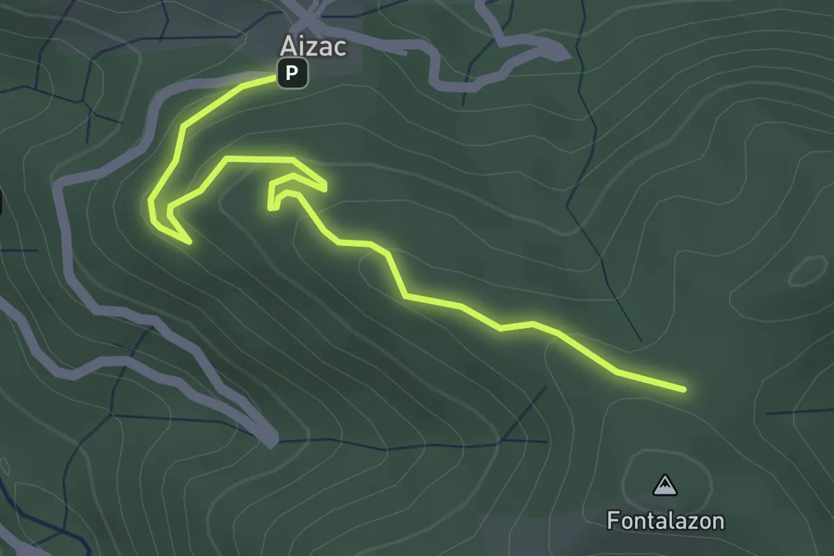
Mille Soles - Fontalazon
3.8 km · ↑ 146 m · 1 h 13 min
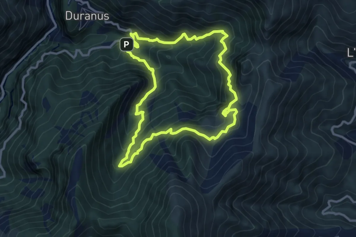
Medium · Trail
Mine de l'Eguisse
7.5 km · ↑ 738 m · 3 h 28 min
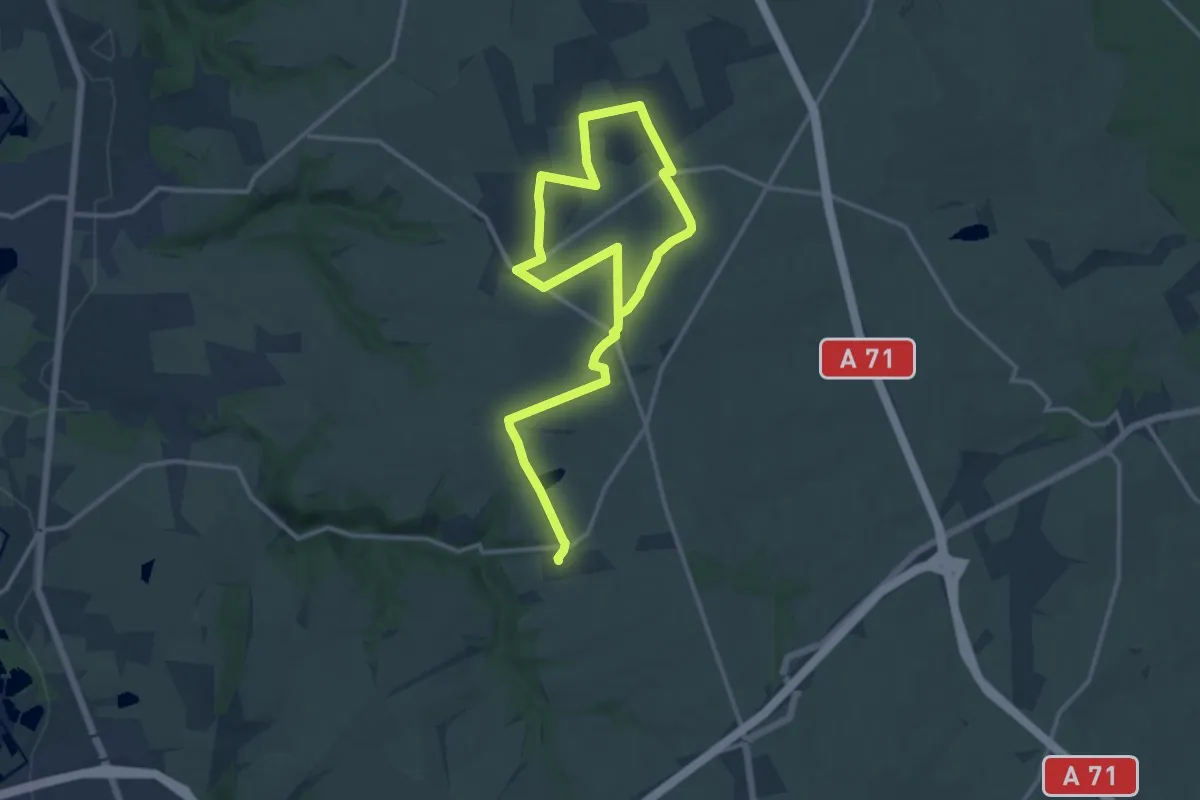
Demanding · Trail
Mirebeau
19.4 km · ↑ 101 m · 4 h 48 min
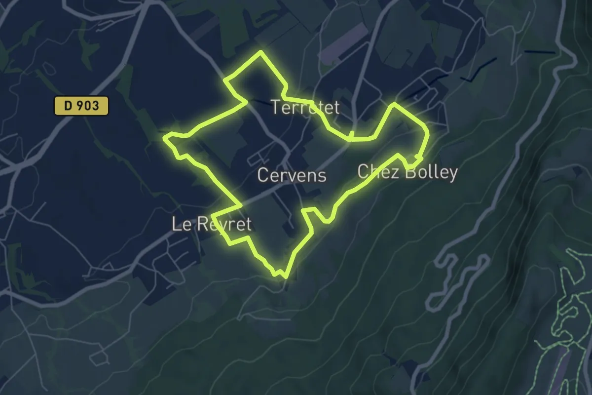
Easy · Trail
Miroir de l'Eau
6.3 km · ↑ 129 m · 1 h 51 min
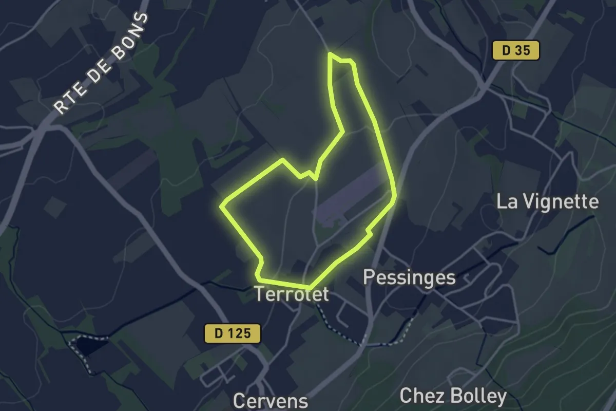
Easy · Trail
Miroir de l'Eau (Boucle Nord)
2.9 km · ↑ 23 m · 46 min
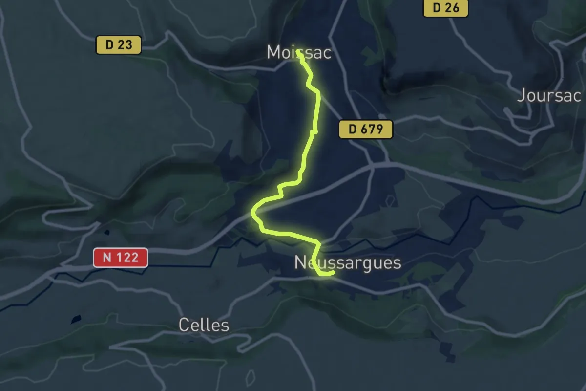
Easy · Trail
Moissac - Neussargues
7.1 km · ↑ 152 m · 2 h
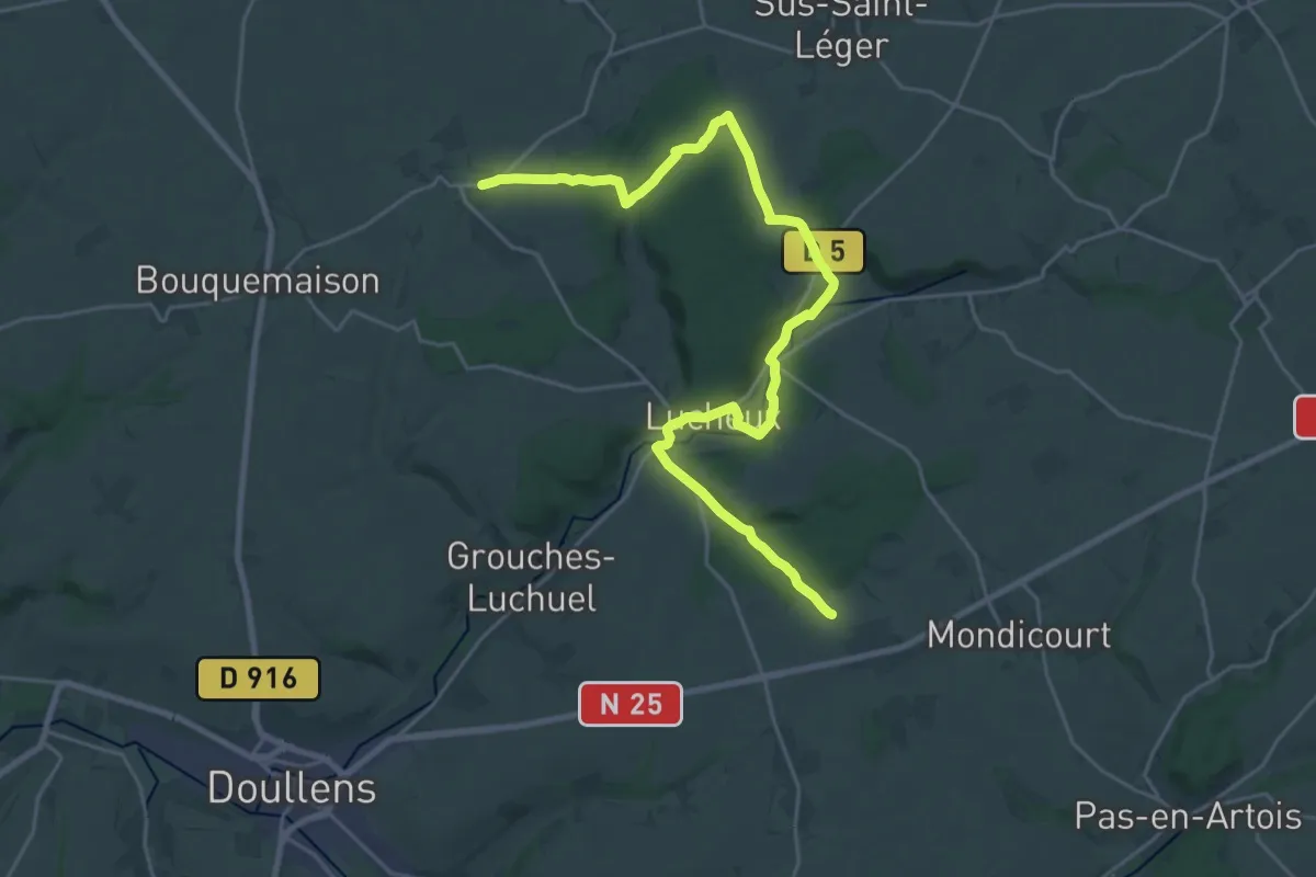
Demanding · Trail
Moliens-au-Bois - Rebreuviette
26.2 km · ↑ 297 m · 6 h 49 min
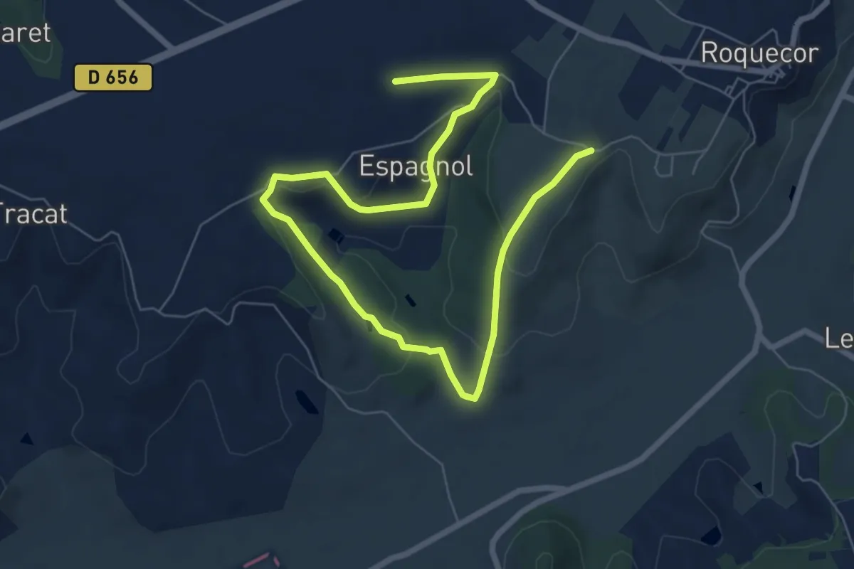
Easy · Trail
Molinié-Boyer
4.8 km · ↑ 133 m · 1 h 29 min
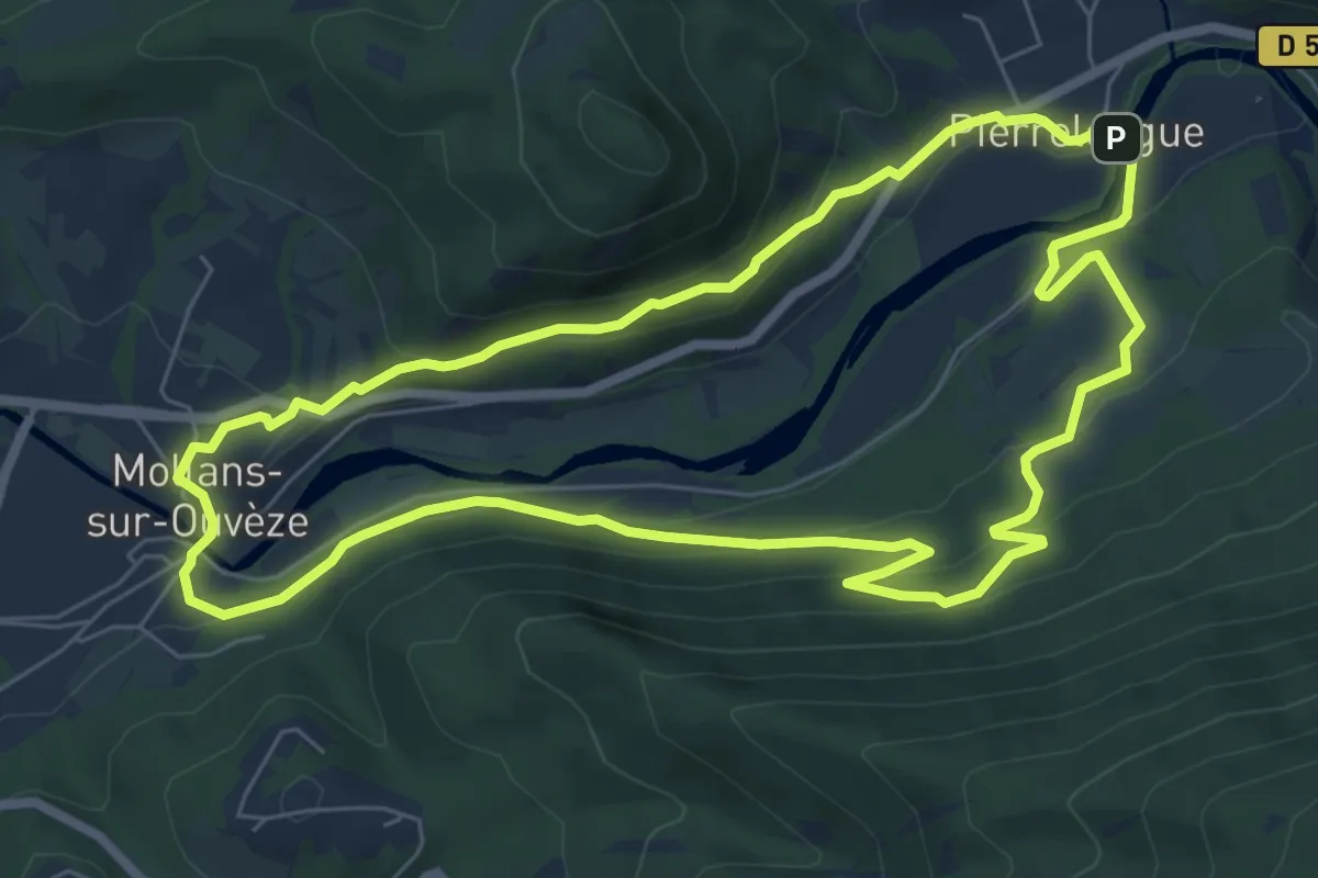
Easy · Trail
Mollans - Pierrelongue
7.4 km · ↑ 260 m · 2 h 25 min
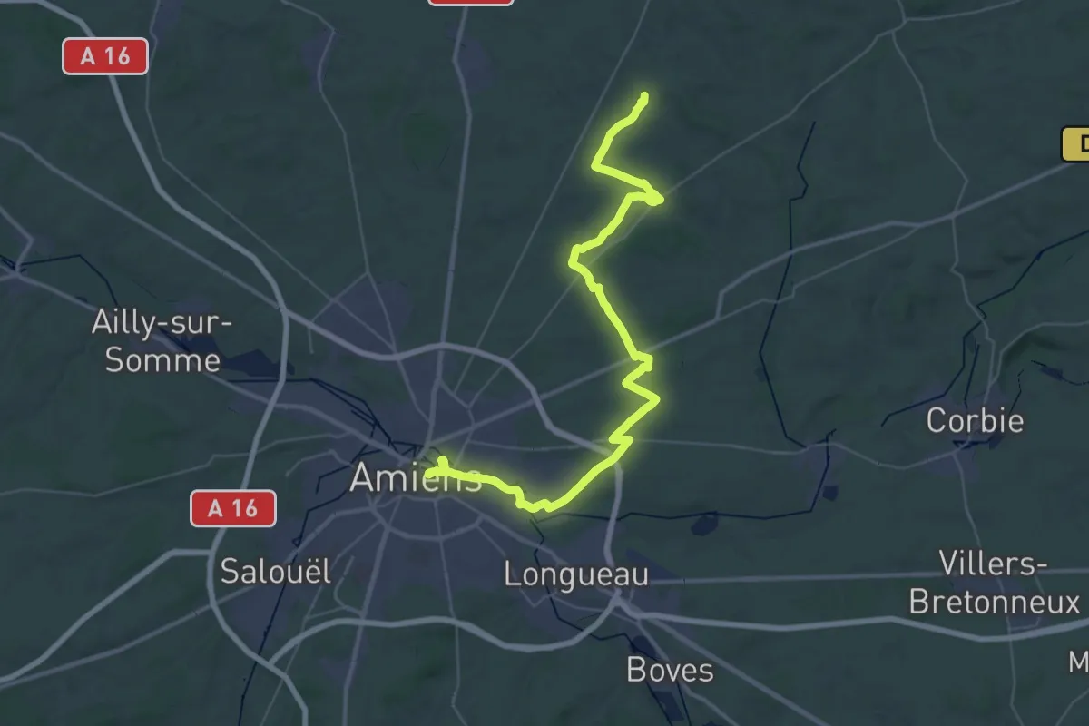
Demanding · Trail
Molliens-au-Bois - Amiens
23.6 km · ↑ 107 m · 6 h 10 min
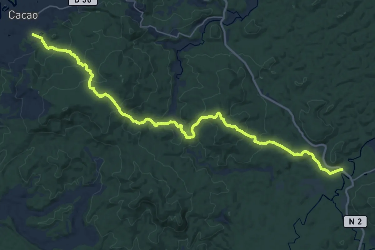
Demanding · Trail
Molokoï
17.9 km · ↑ 816 m · 6 h 15 min
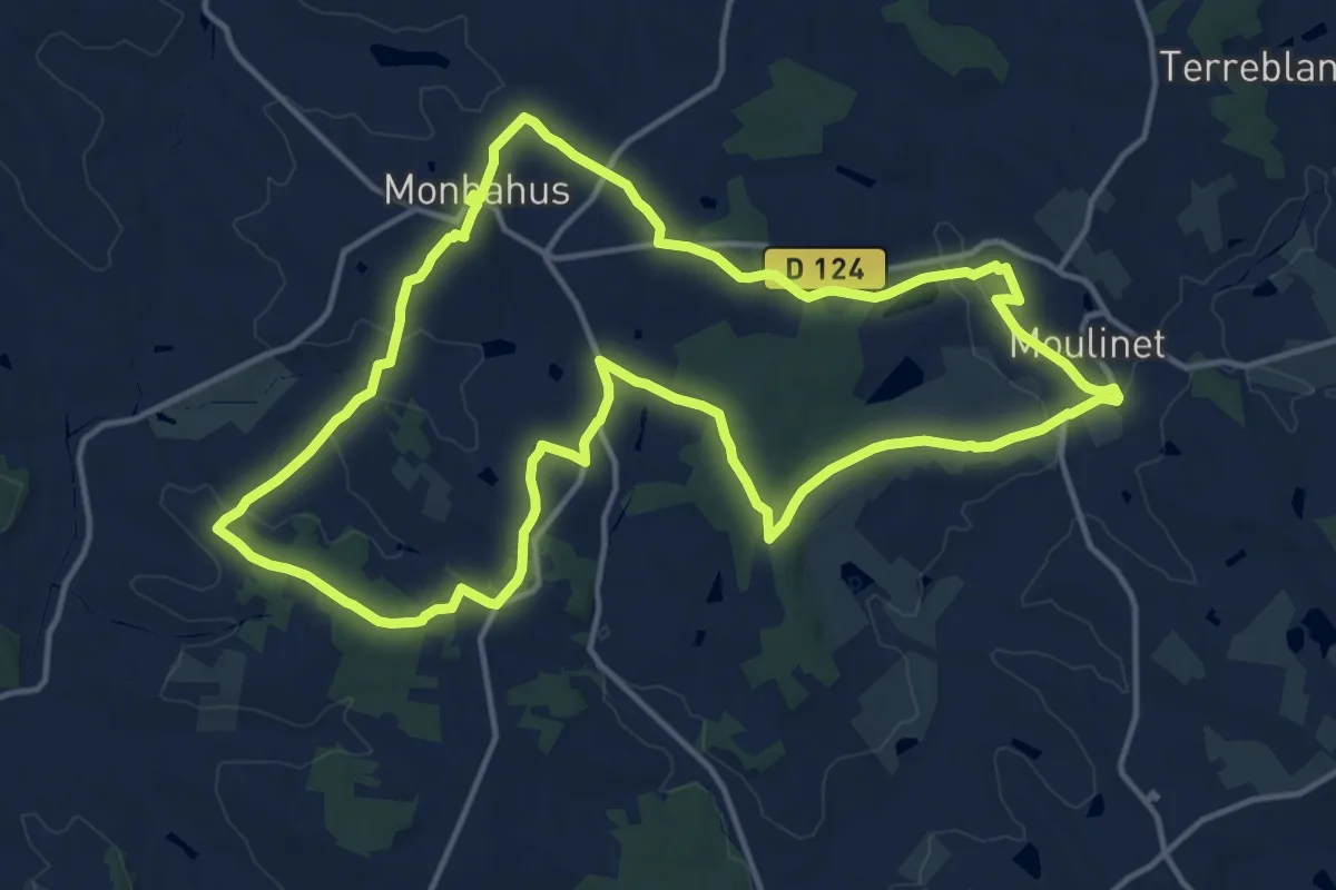
Medium · Trail
Monbahus, autour de la butte de la vierge
17.2 km · ↑ 245 m · 4 h 51 min
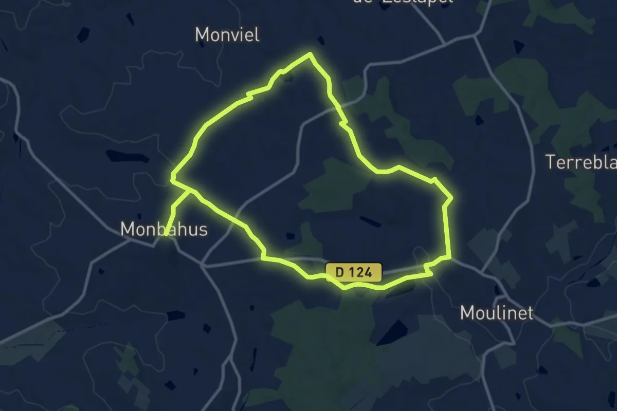
Medium · Trail
Monbahus, sur les chemins de Monviel et Moulinet
9.9 km · ↑ 152 m · 2 h 50 min
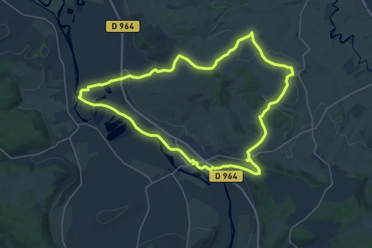
Demanding · Trail
Mon Beau Royaume
18.2 km · ↑ 286 m · 5 h 10 min
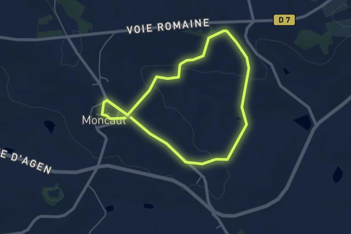
Easy · Trail
Moncaut, balade en Gascogne 4.1 km
4.0 km · ↑ 114 m · 1 h 15 min
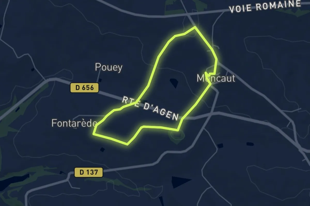
Easy · Trail
Moncaut, balade sur le mont chauve 4.3 km
4.3 km · ↑ 96 m · 1 h 17 min
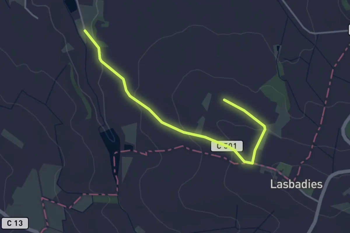
Easy · Trail
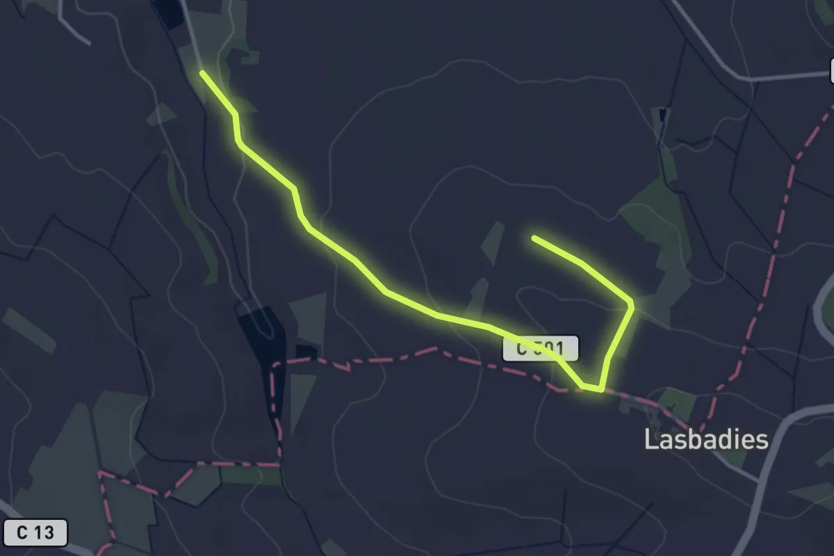
Moncrabeau, le mont des chèvres 13.4 km
2.0 km · ↑ 16 m · 34 min
Easy · Trail
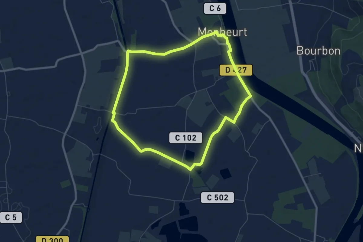
Moncrabeau, le mont des chèvres (variante) 12.4 km
2.0 km · ↑ 16 m · 34 min
Easy · Trail
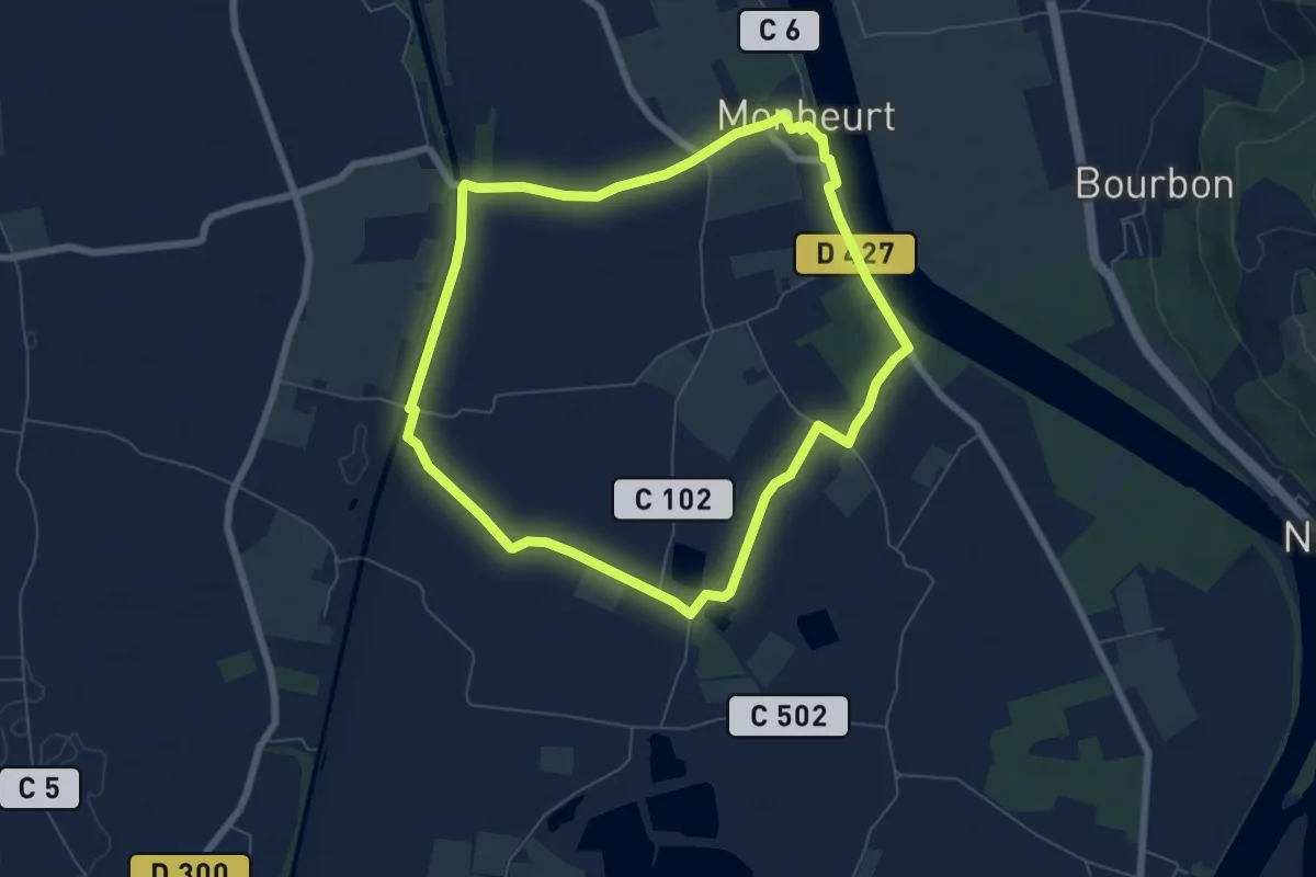
Monheurt, balade entre Garonne et canal - 7 km
6.8 km · ↑ 13 m · 1 h 44 min
Easy · Trail
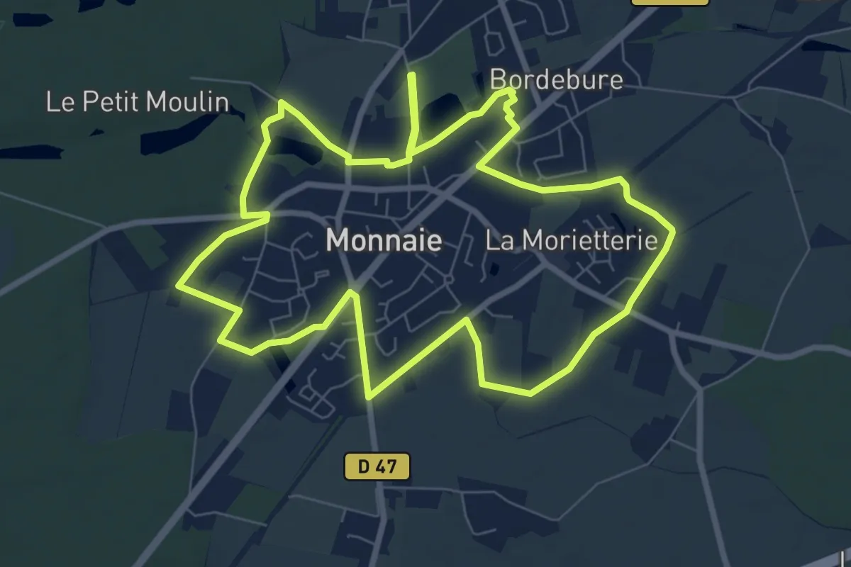
Monheurt-La Falotte, balade entre fleuve et canal - 9.1 km
6.8 km · ↑ 13 m · 1 h 44 min
Easy · Trail
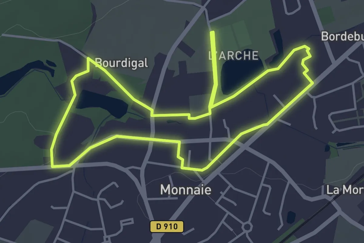
Monnaie - Circuit Ville et Nature
7.7 km · ↑ 24 m · 1 h 59 min
Easy · Trail
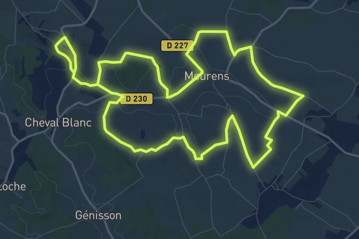
Monnaie - Le Circuit Patrimoine
4.0 km · ↑ 14 m · 1 h 2 min
Demanding · Trail
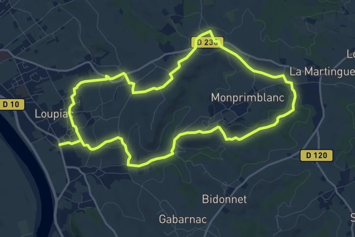
Monpezat : boucle locale
23.9 km · ↑ 375 m · 6 h 28 min
Demanding · Trail
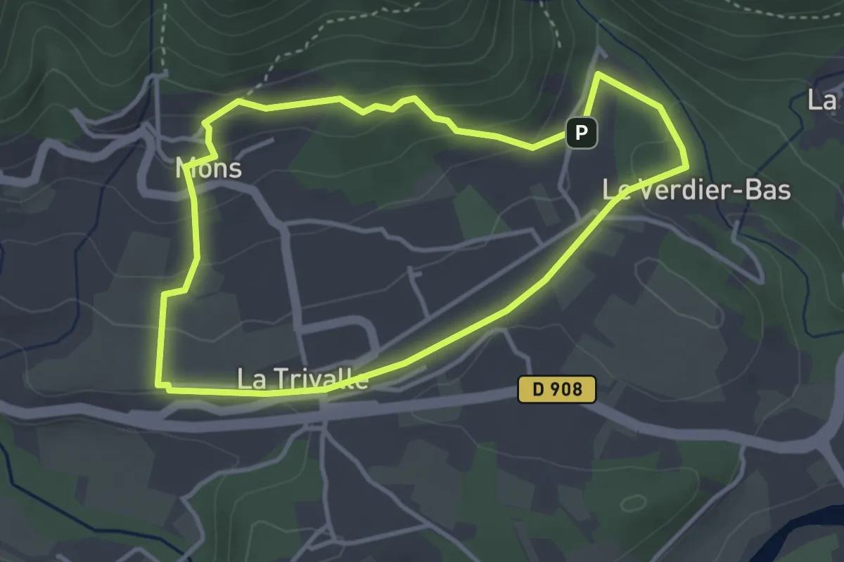
Monprimblanc et Loupiac : boucle locale
20.9 km · ↑ 325 m · 5 h 39 min
Easy · Trail
Mons
3.5 km · ↑ 135 m · 1 h 10 min
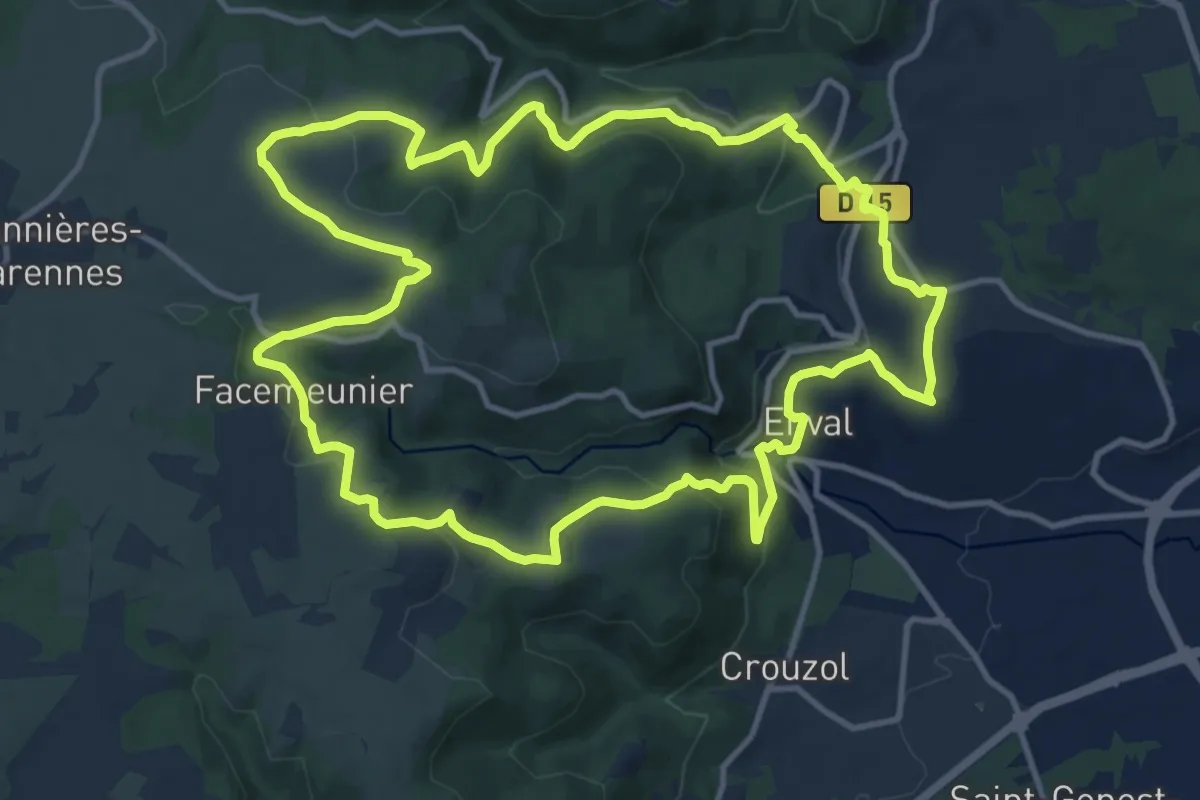
Medium · Trail
Montaclier
13.4 km · ↑ 405 m · 4 h 14 min
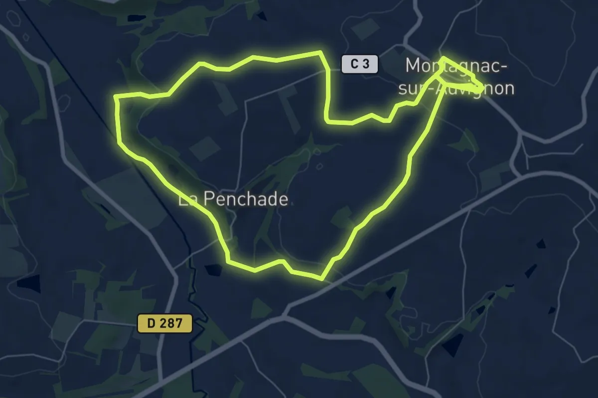
Easy · Trail
Montagnac, petite montagne d'Albret 7.4 km
7.7 km · ↑ 183 m · 2 h 19 min
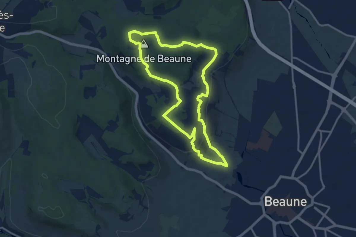
Medium · Summit
Montagne de Beaune
8.1 km · ↑ 206 m · 2 h 28 min
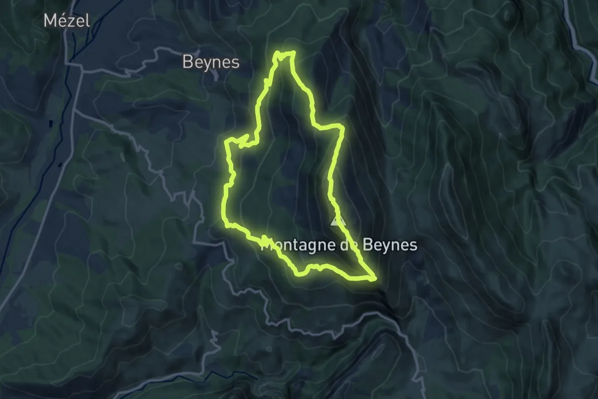
Medium · Summit
Montagne de Beynes
11.6 km · ↑ 784 m · 4 h 36 min