Trails in France
15,926 hiking trails, each with its route, climb, walking time and grade.
All trails, page 210 of 332
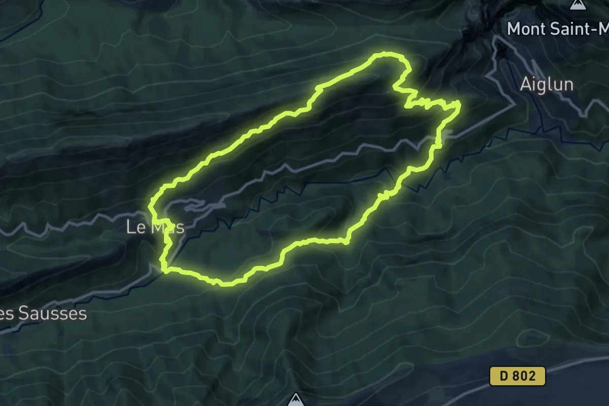
Demanding · Trail
Montagne de Charamel
12.2 km · ↑ 985 m · 5 h 11 min
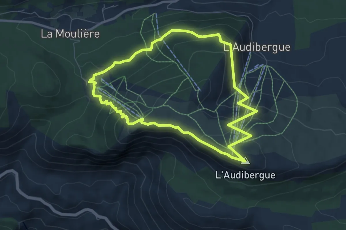
Medium · Summit
Montagne de l'Audibergue
7.0 km · ↑ 339 m · 2 h 29 min
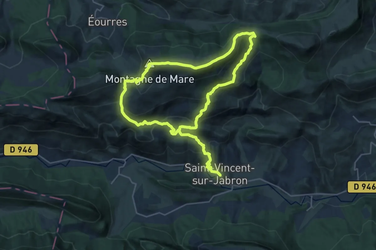
Demanding · Summit
Montagne de Mare (1 622 m)
15.8 km · ↑ 1075 m · 6 h 8 min
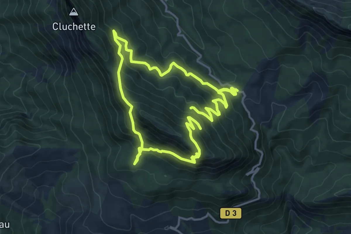
Medium · Trail
Montagne de Mélan (1 728 m)
9.4 km · ↑ 670 m · 3 h 47 min
Easy · Trail
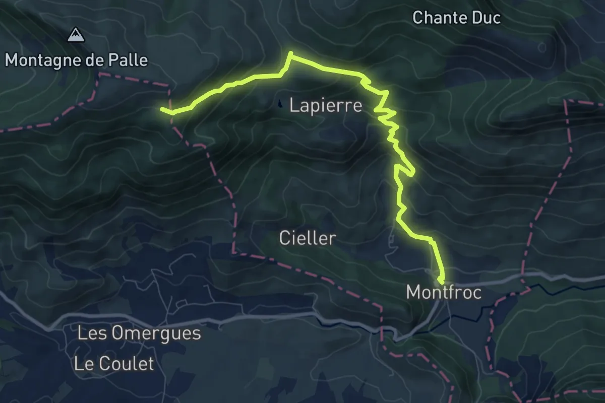
Montagne de Palle (1 484 m)
5.0 km · ↑ 5 m · 1 h 34 min
Medium · Summit
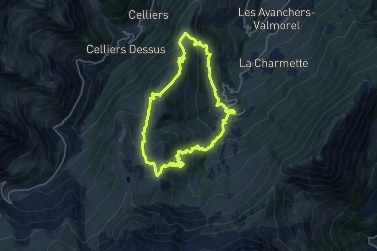
Montagne de Tête
11.0 km · ↑ 702 m · 4 h 17 min
Medium · Summit
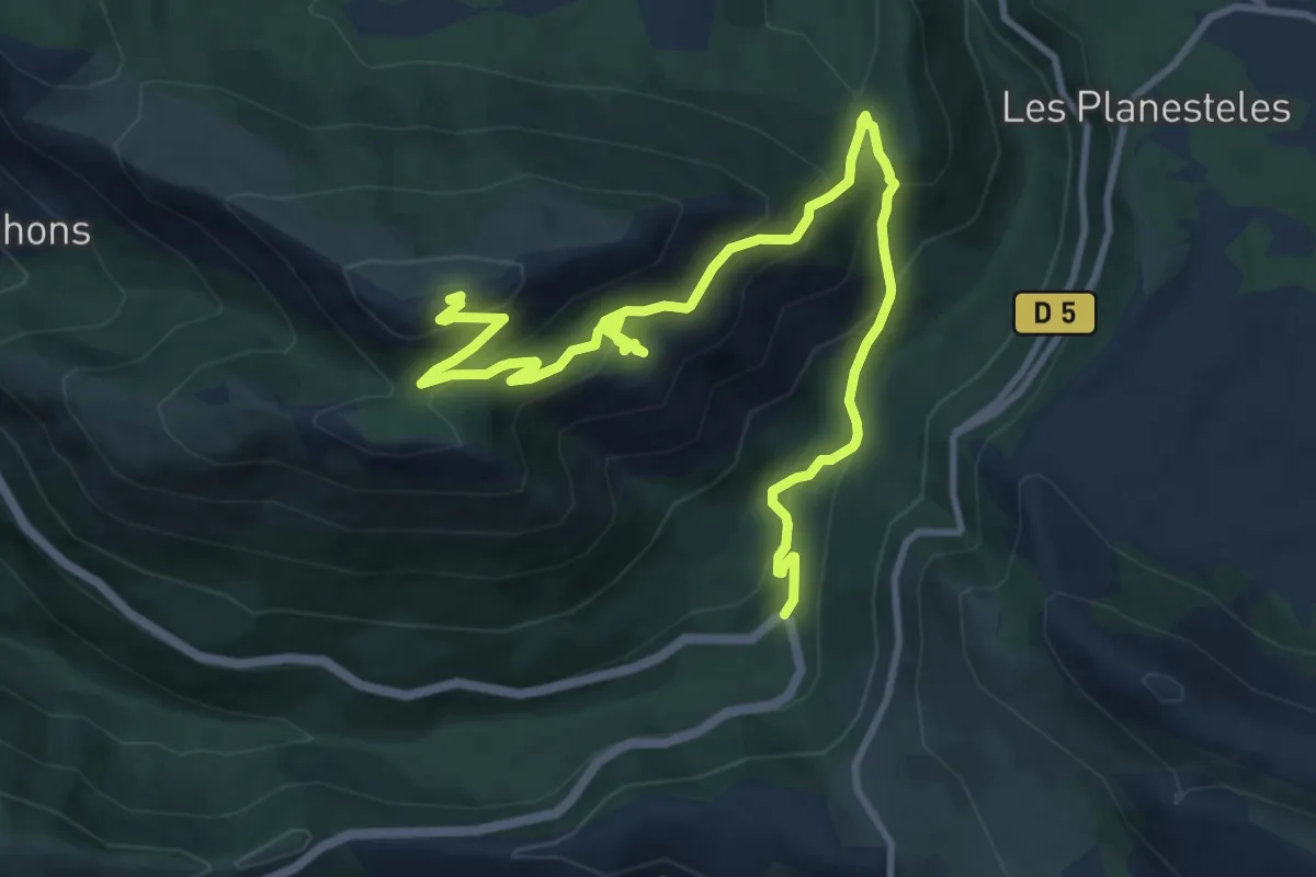
Montagne de Thiey
6.9 km · ↑ 745 m · 3 h
Medium · Trail
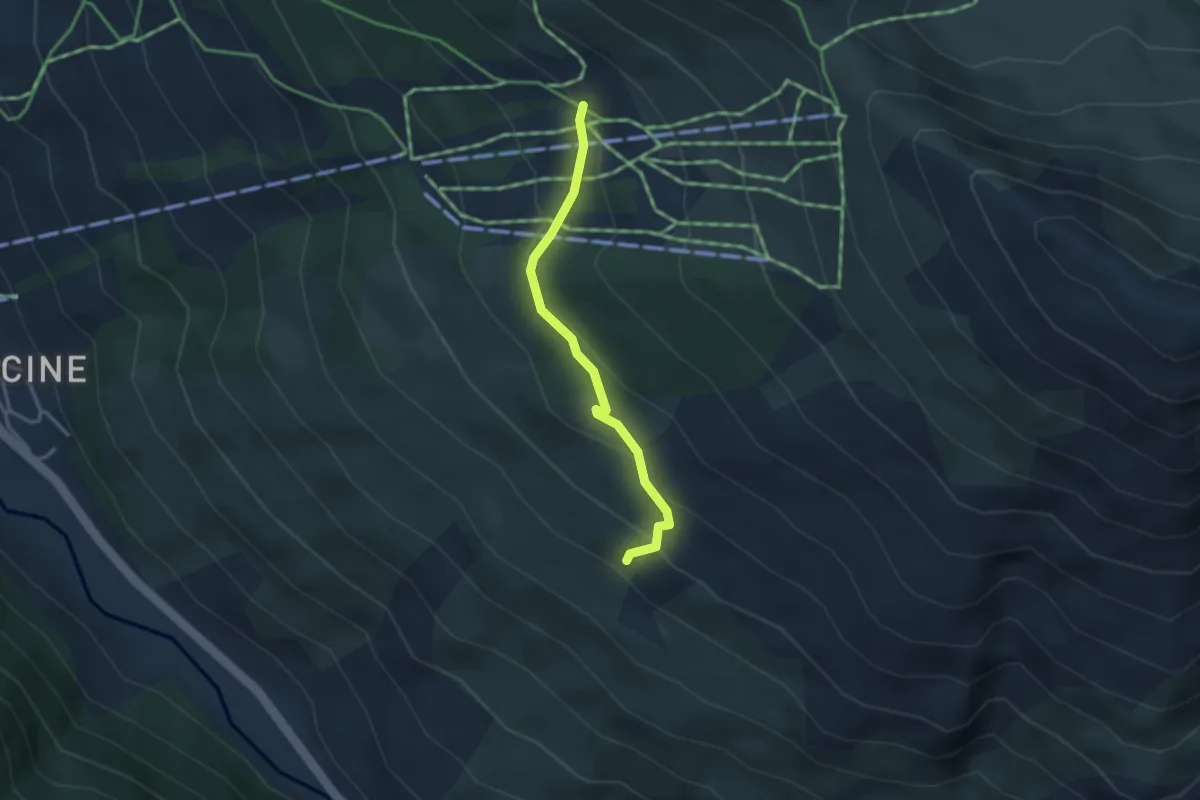
Montagne de Varenc - Au Dessus de Moussou
3.0 km · ↑ 191 m · 1 h 7 min
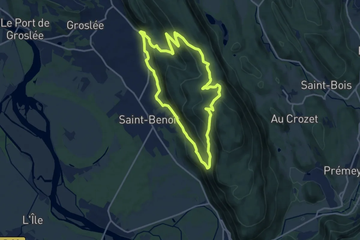
Medium · Trail
Montagne Saint Benoit
10.8 km · ↑ 492 m · 3 h 45 min
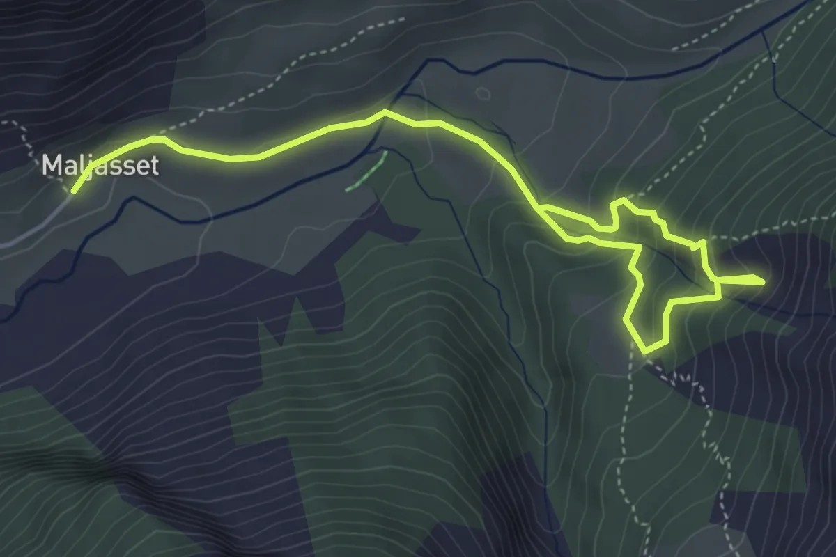
Medium · Cabin
Montagnes d'or vert
3.0 km · ↑ 197 m · 1 h 12 min
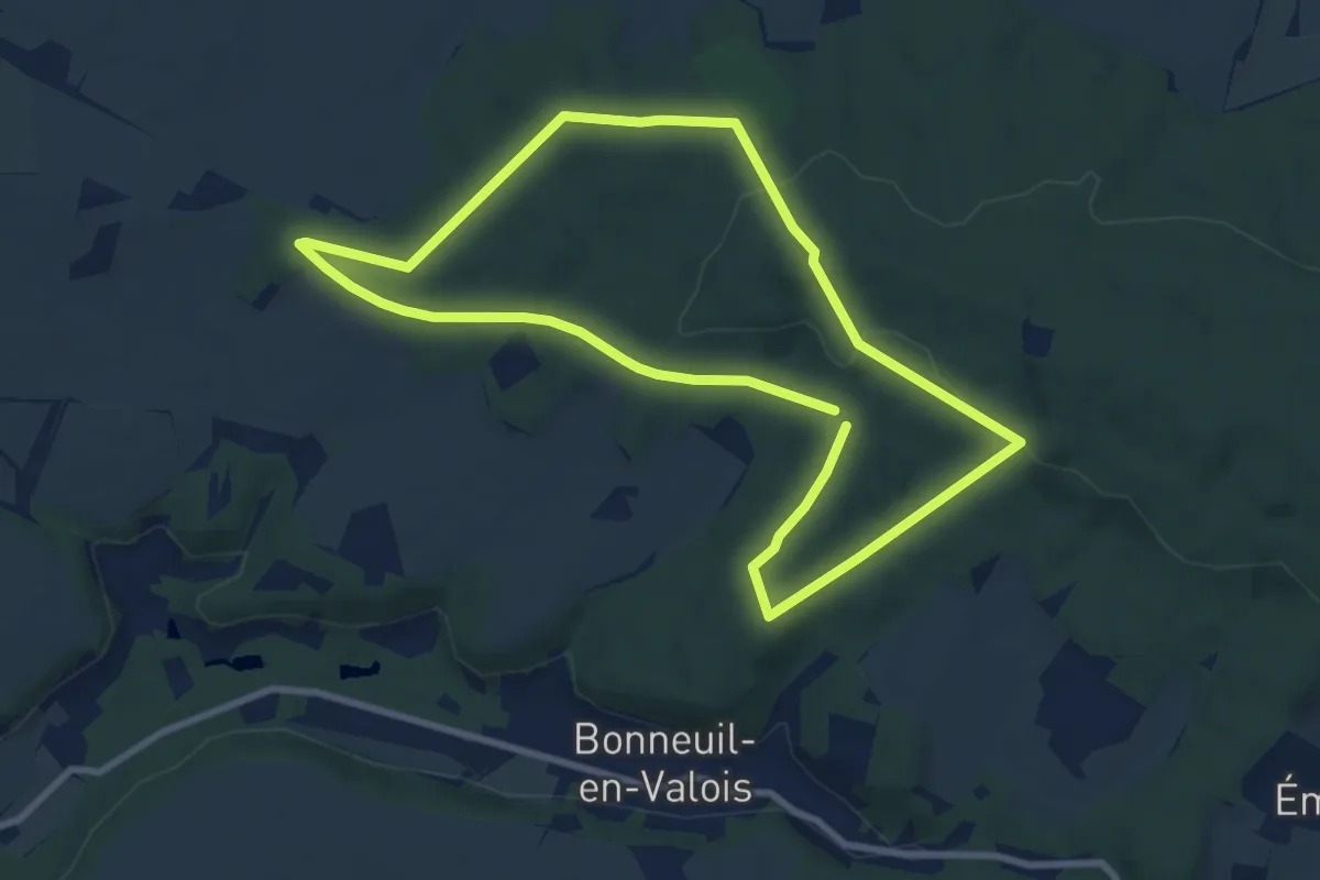
Medium · Trail
Montaigu et les Fontaines de Cabaret
8.1 km · ↑ 174 m · 2 h 23 min
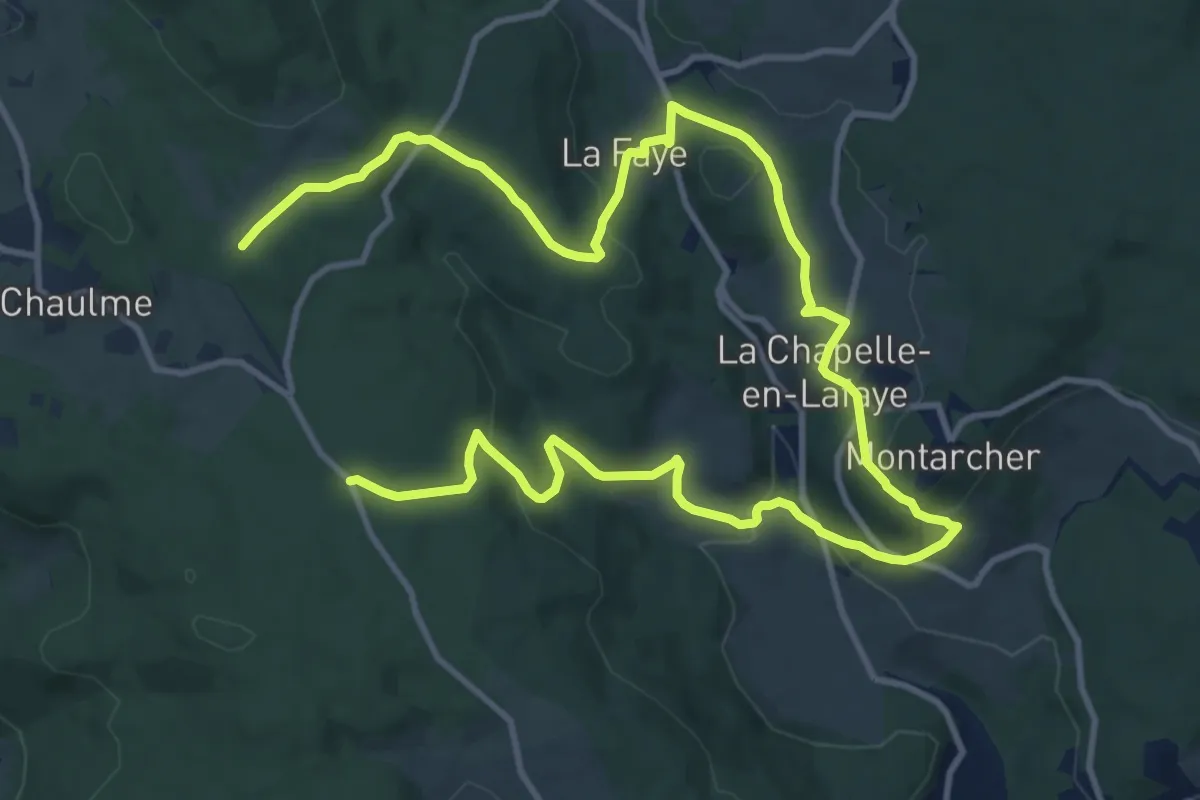
Medium · Trail
Montarcher
9.4 km · ↑ 288 m · 2 h 59 min
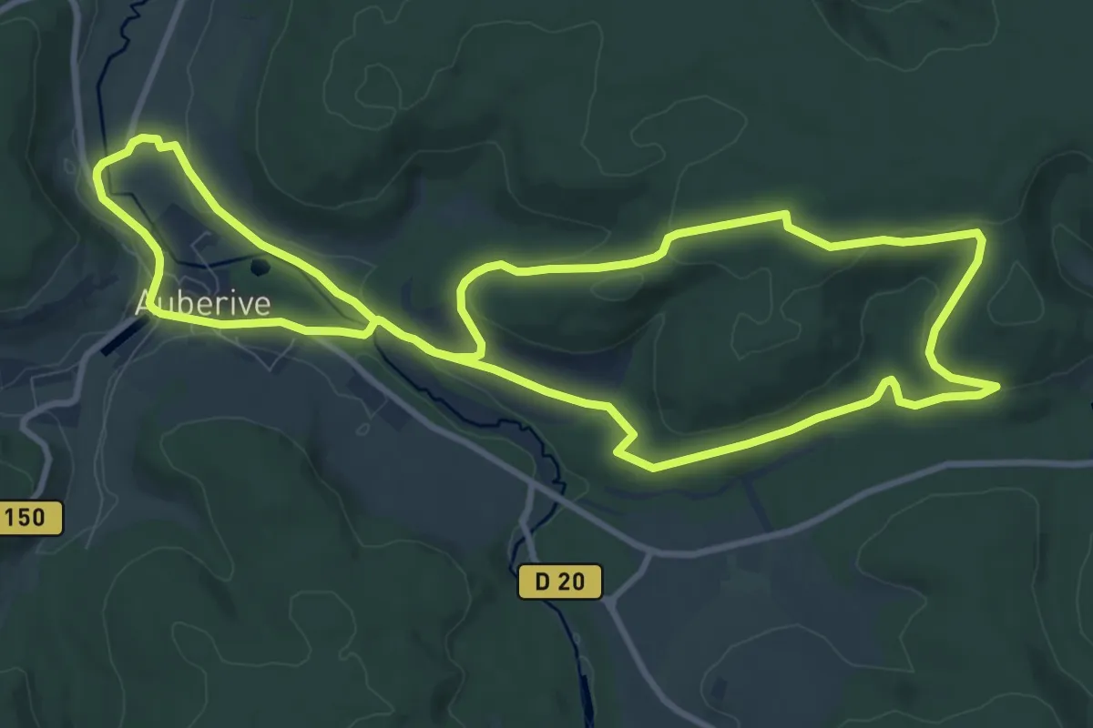
Medium · Trail
Montavoir et Pont Griselin
10.4 km · ↑ 160 m · 2 h 56 min
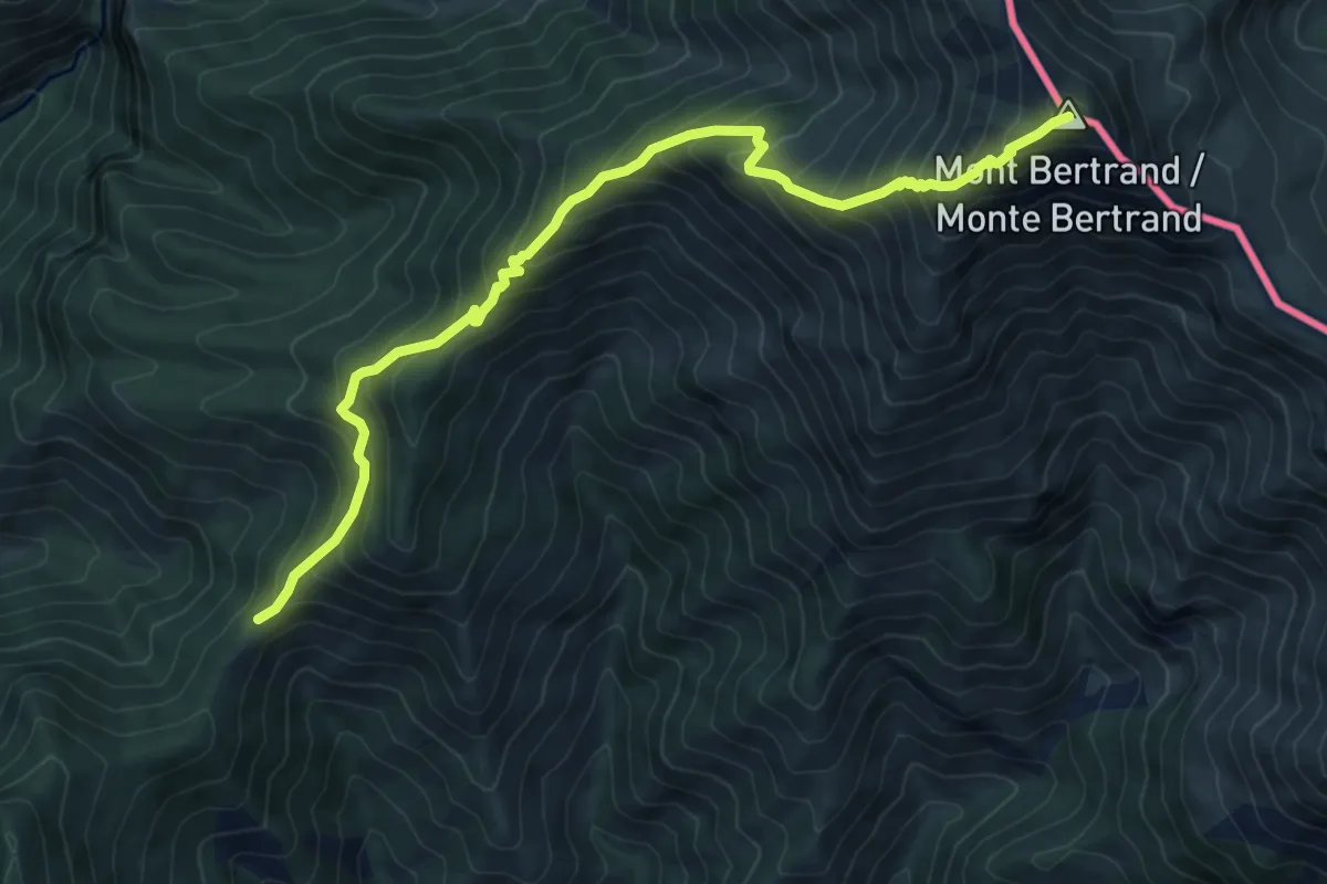
Demanding · Summit
Mont Bertrand
10.0 km · ↑ 1112 m · 4 h 47 min
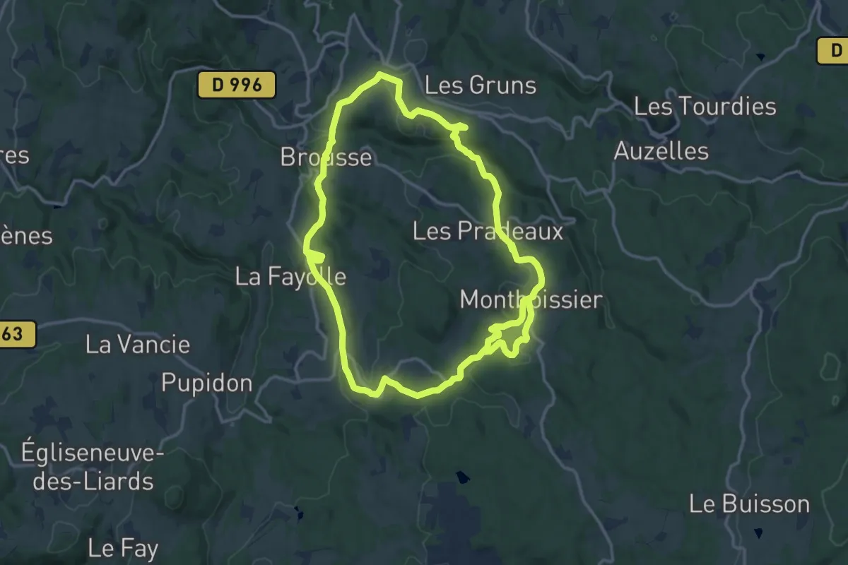
Medium · Trail
Montboissier
13.4 km · ↑ 363 m · 4 h 9 min
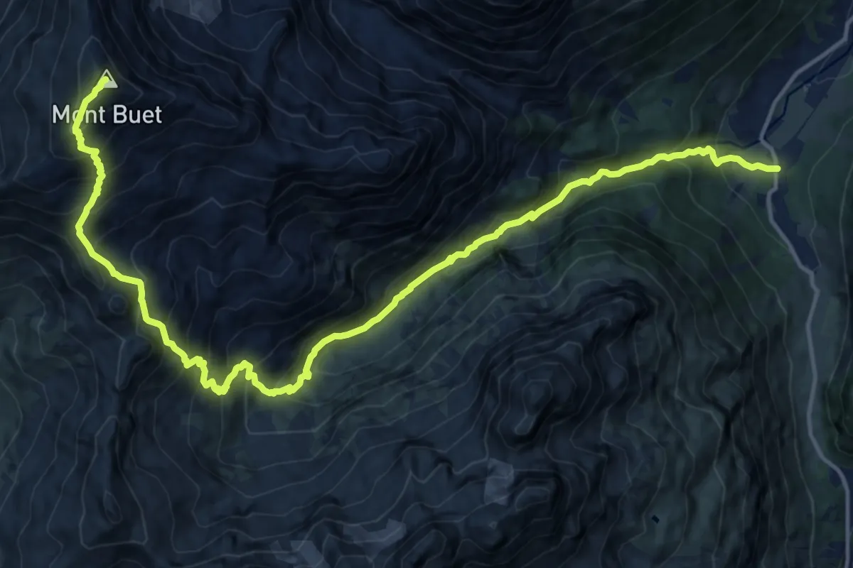
Demanding · Summit
Mont Buet
18.7 km · ↑ 1766 m · 8 h 15 min
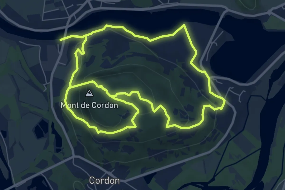
Medium · Summit
Mont de Cordon
7.3 km · ↑ 339 m · 2 h 30 min
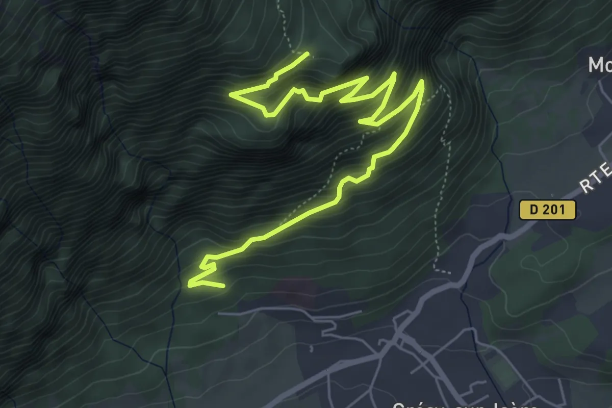
Medium · Trail
Mont de Grésy
7.2 km · ↑ 746 m · 3 h 18 min
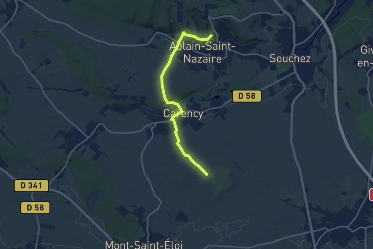
Medium · Summit
Mont de Justice - Bois de l'Abbé
9.9 km · ↑ 153 m · 2 h 40 min
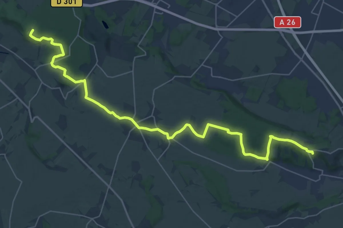
Demanding · Summit
Mont de Justice - Ollain
28.9 km · ↑ 475 m · 7 h 51 min
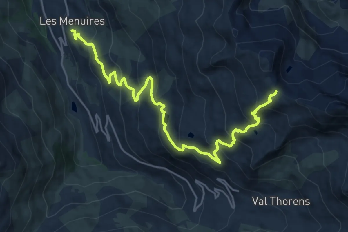
Demanding · Trail
Mont de la Chambre au départ des Ménuires
15.1 km · ↑ 993 m · 5 h 43 min
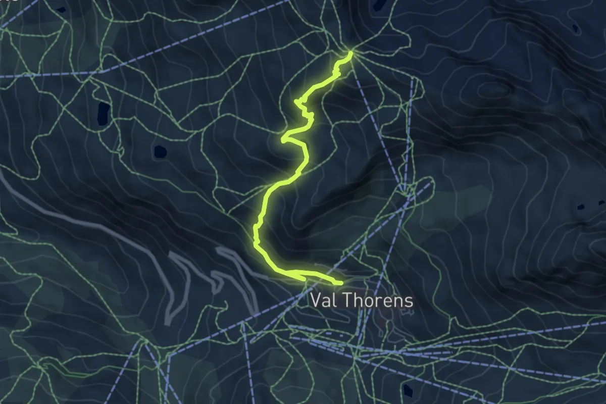
Medium · Trail
Mont de la Chambre au départ de Val Thorens
6.7 km · ↑ 502 m · 2 h 39 min
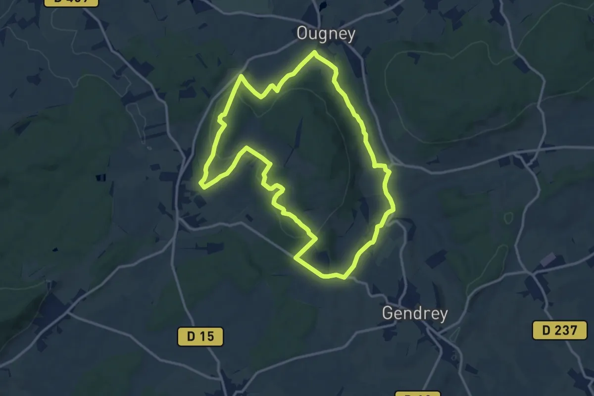
Medium · Summit
Mont de Vassange
11.5 km · ↑ 246 m · 3 h 25 min
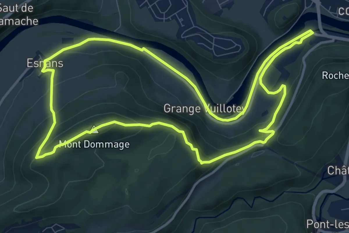
Medium · Summit
Mont Dommage
9.5 km · ↑ 322 m · 3 h 4 min
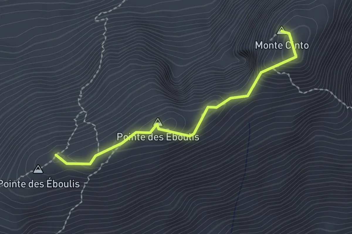
Expert · Summit
Monte Cinto
2.0 km · ↑ 151 m · 48 min
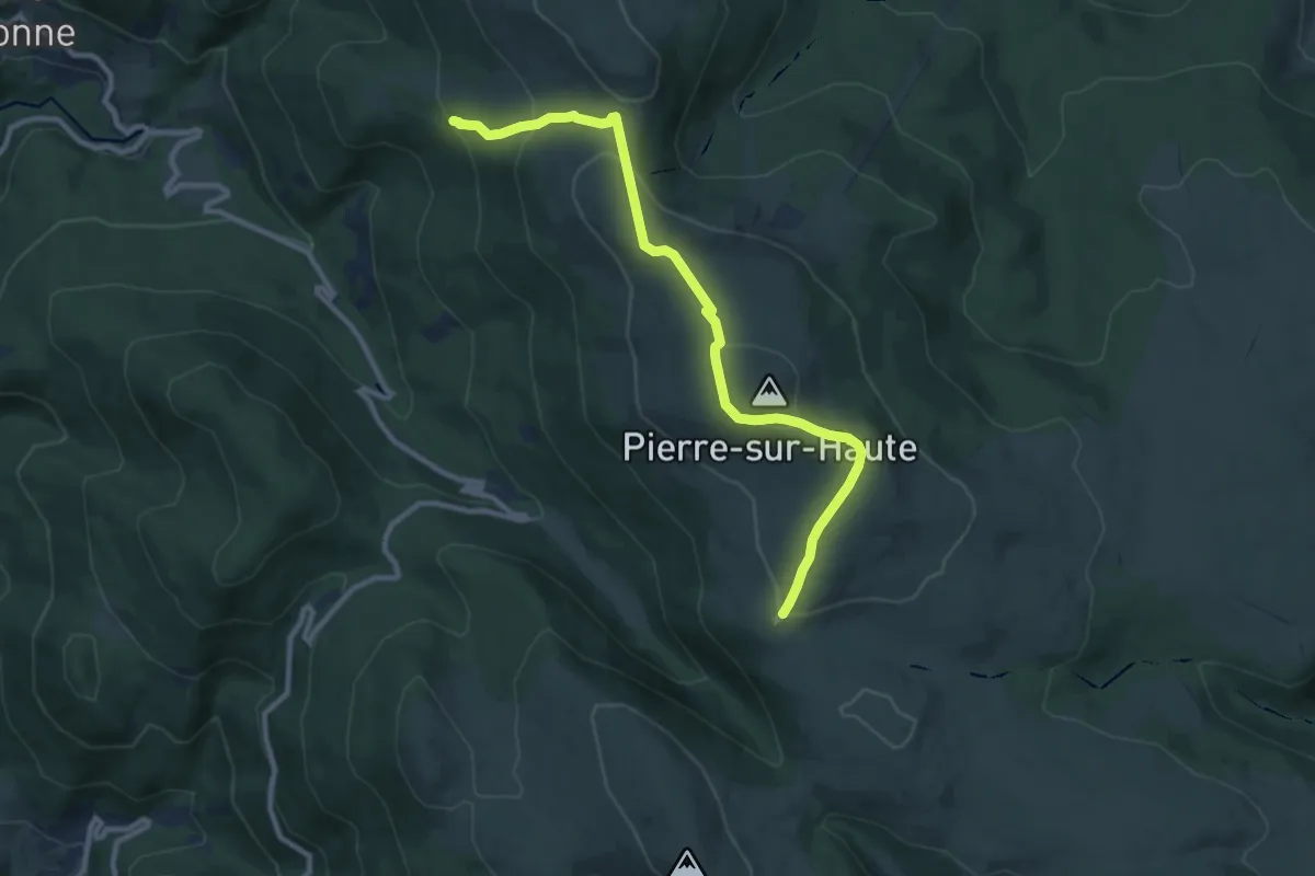
Easy · Trail
Montée à Pierre-sur-Haute
5.3 km · ↑ 313 m · 1 h 55 min
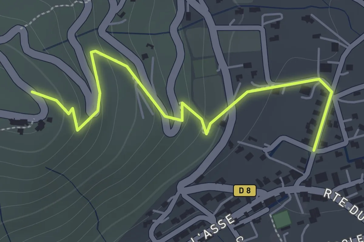
Easy · Trail
Montée du Vieux-Bras d'Asse
1.0 km · ↑ 0 m · 19 min
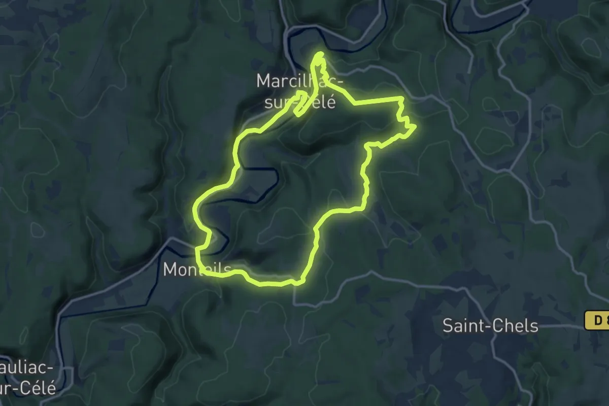
Medium · Trail
Monteils
12.6 km · ↑ 350 m · 3 h 54 min
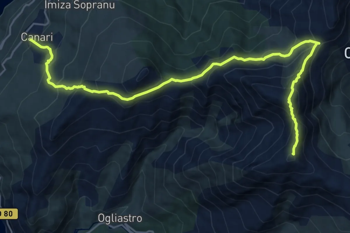
Demanding · Summit
Monte Pratu et Cima di e Follic
17.1 km · ↑ 1295 m · 6 h 51 min
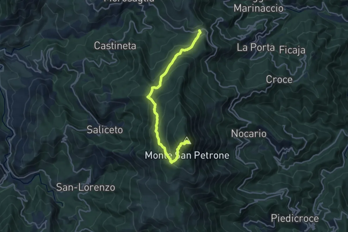
Medium · Summit
Monte San Petrone par le col de Prato
12.9 km · ↑ 772 m · 4 h 44 min
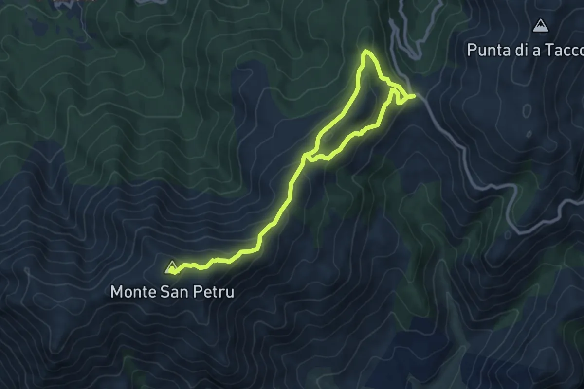
Expert · Summit
Monte San Petru - Col de Saint-Eustache
11.2 km · ↑ 533 m · 3 h 48 min
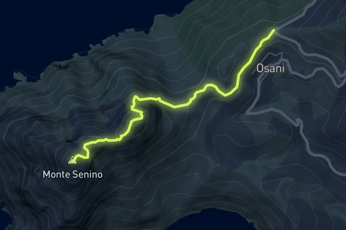
Expert · Summit
Monte Senino
5.8 km · ↑ 509 m · 2 h 29 min
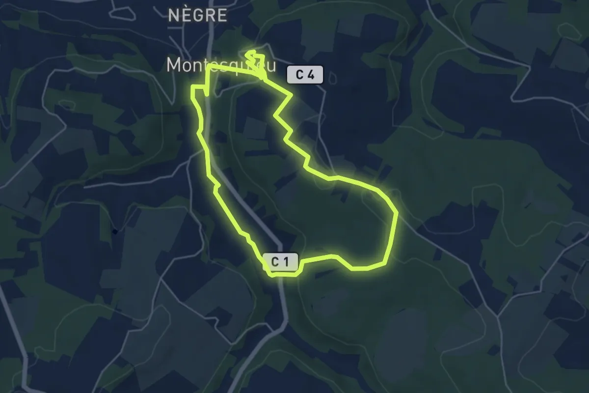
Easy · Trail
Montesquieu, la randonnée du pont de Ninon - 4.8 km
4.7 km · ↑ 102 m · 1 h 23 min
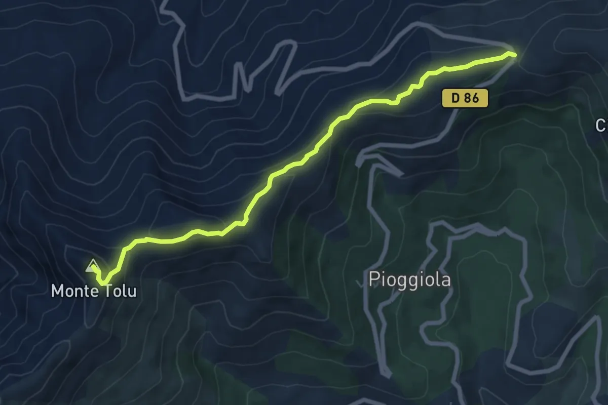
Demanding · Summit
Monte Tolu
6.8 km · ↑ 272 m · 2 h 11 min
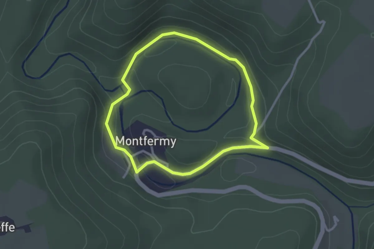
Easy · Trail
Montfermy - La Sioule
2.2 km · ↑ 46 m · 39 min
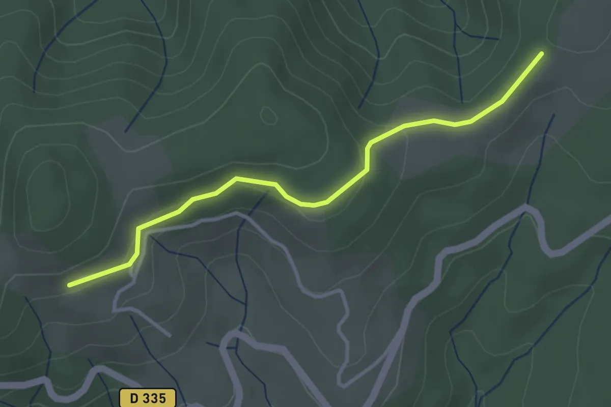
Easy · Trail
Montferou - Le Village Haut
3.3 km · ↑ 93 m · 59 min
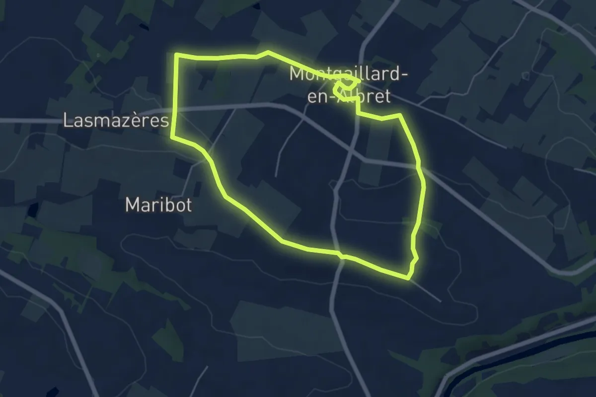
Easy · Trail
Montgaillard, un village perché - 5.2 km
5.2 km · ↑ 82 m · 1 h 28 min
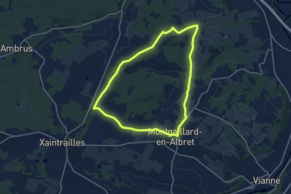
Medium · Trail
Montgaillard, vers le vignoble de Gache - 9 km
9.0 km · ↑ 94 m · 2 h 27 min
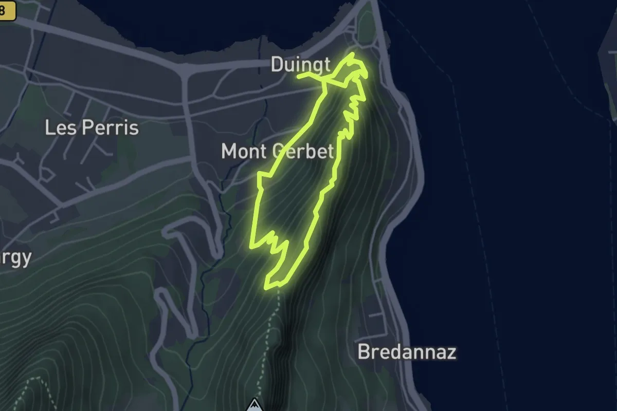
Medium · Trail
Mont Gerbet
3.3 km · ↑ 253 m · 1 h 22 min
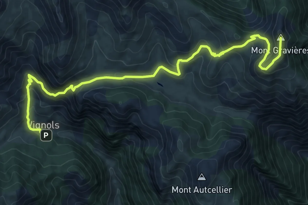
Expert · Summit
Mont Gravières
14.3 km · ↑ 800 m · 5 h 6 min
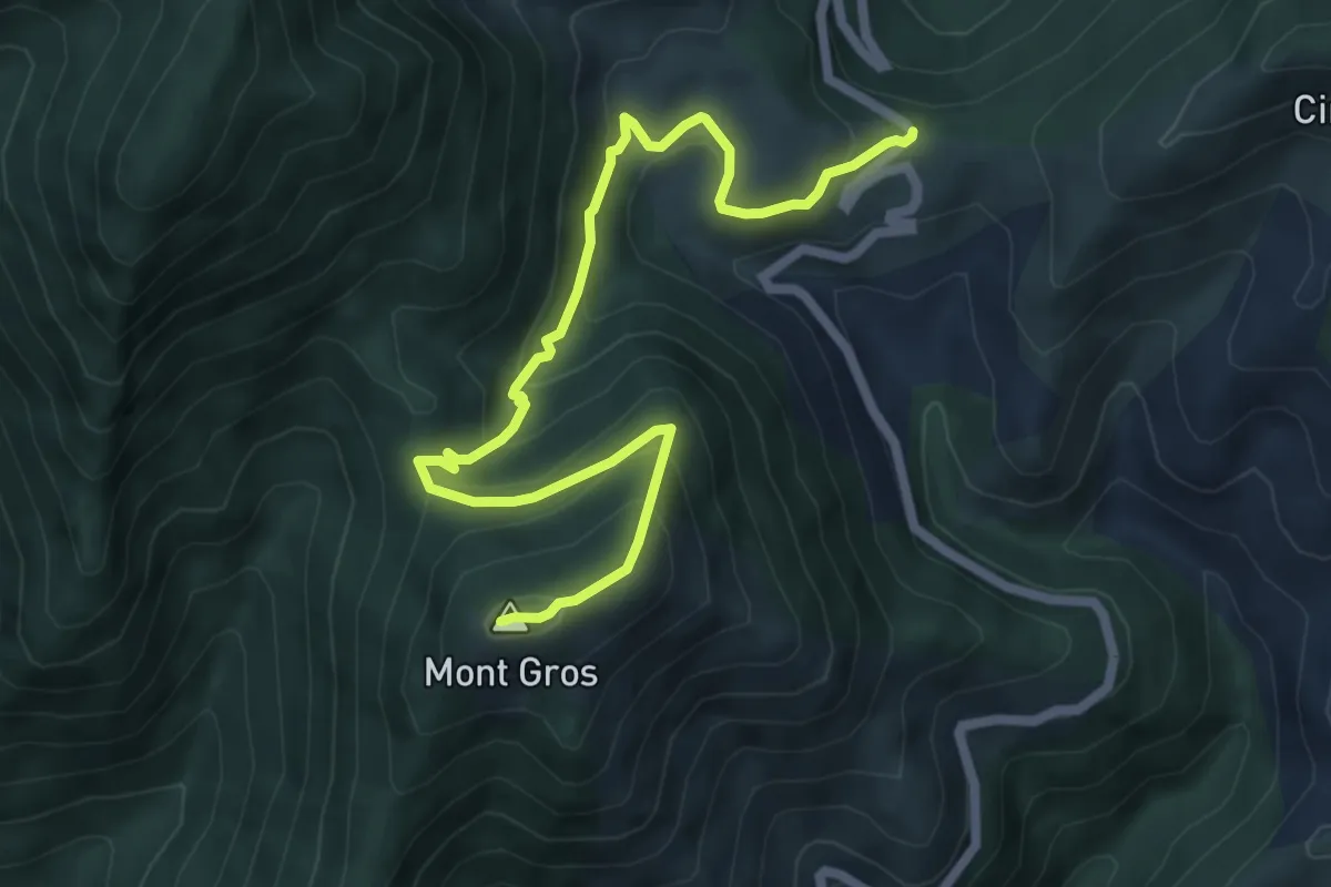
Medium · Summit
Mont Gros
3.8 km · ↑ 417 m · 1 h 40 min
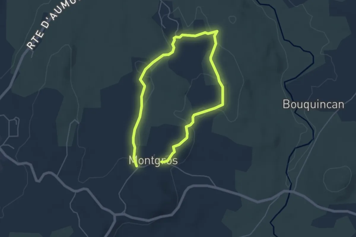
Easy · Trail
Montgros - Le Ché
3.8 km · ↑ 39 m · 1 h 2 min
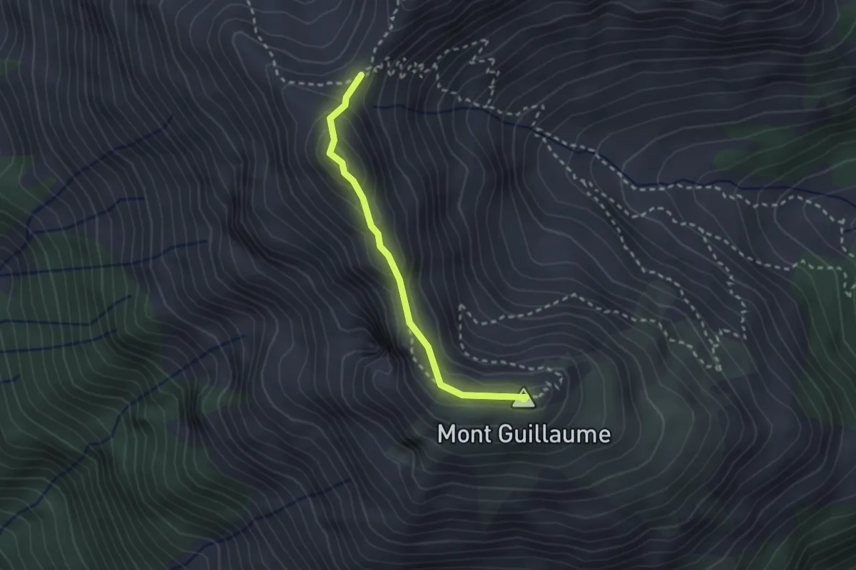
Medium · Summit
Mont Guillaume - Col de Trempa-Latz
2.4 km · ↑ 131 m · 51 min
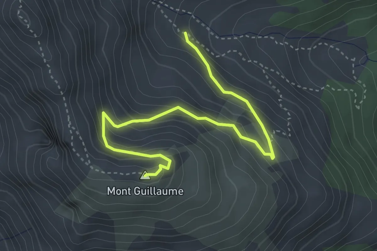
Medium · Summit
Mont Guillaume - Vallon des Séyères
4.1 km · ↑ 354 m · 1 h 44 min
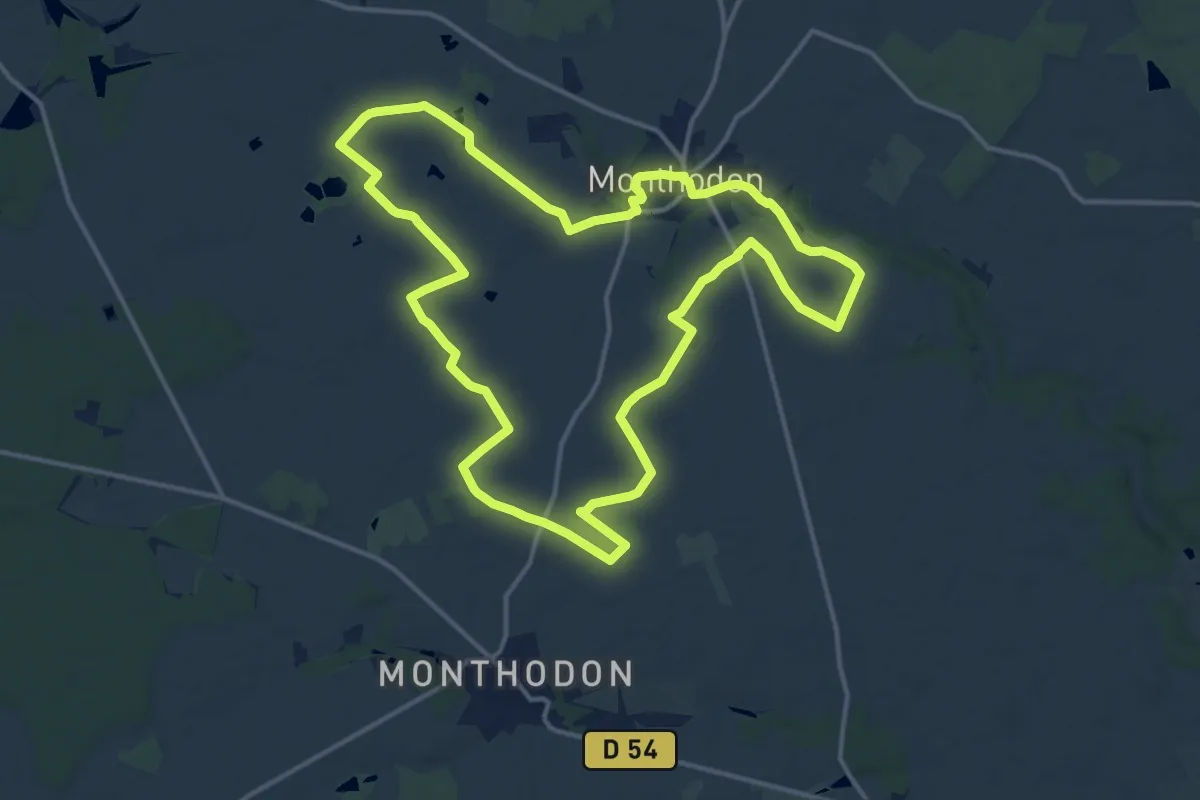
Medium · Trail
Monthodon à travers champs
15.1 km · ↑ 69 m · 3 h 56 min
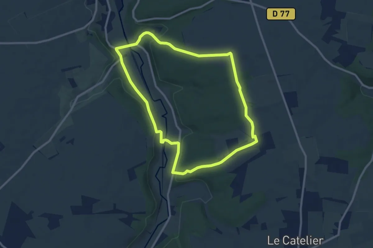
Easy · Trail
Montigny
6.7 km · ↑ 148 m · 2 h
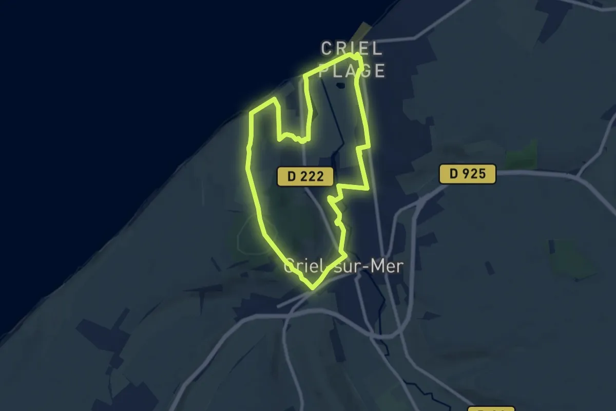
Easy · Summit
Mont Jolibois
7.2 km · ↑ 134 m · 2 h 5 min
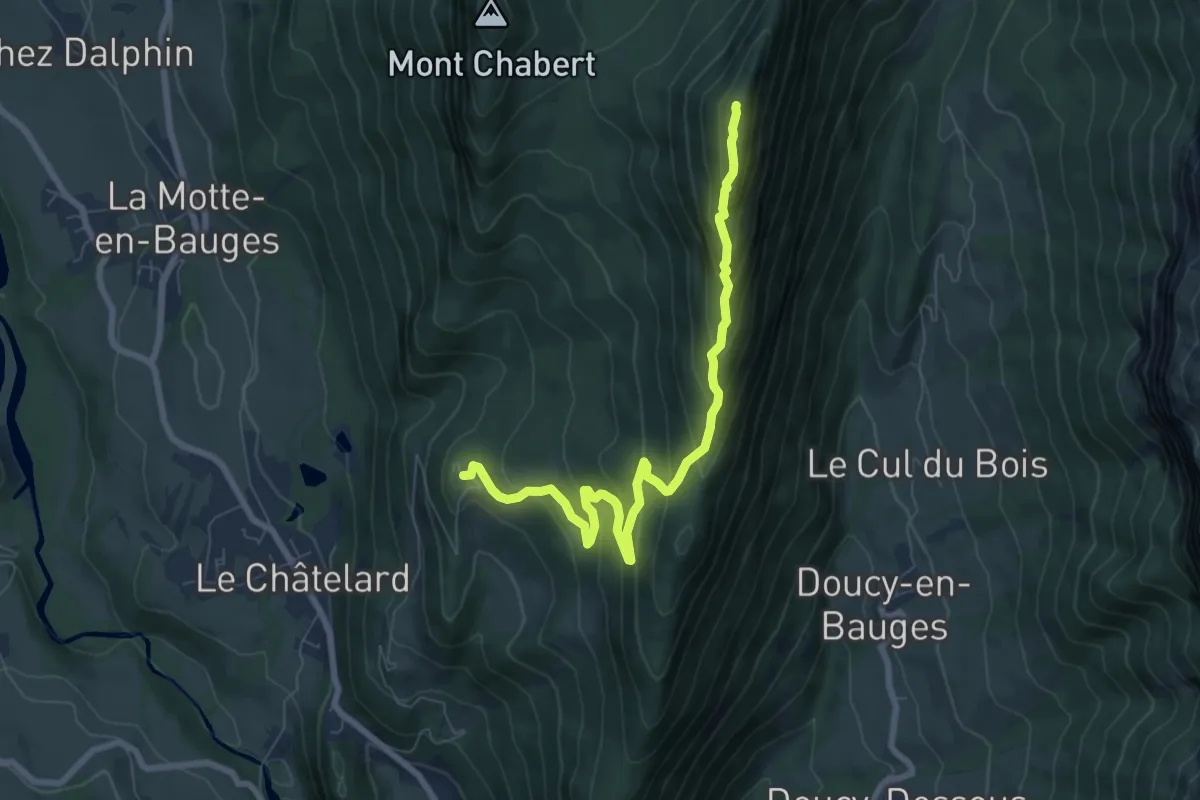
Demanding · Summit
Mont Julioz
8.0 km · ↑ 599 m · 3 h 12 min