Trails in France
15,926 hiking trails, each with its route, climb, walking time and grade.
All trails, page 211 of 332
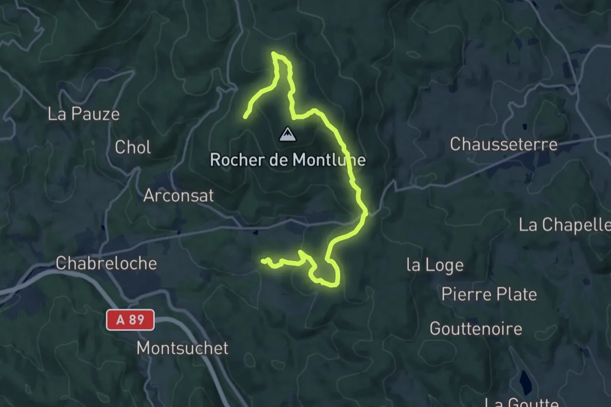
Medium · Trail
Montlune
8.7 km · ↑ 172 m · 2 h 43 min
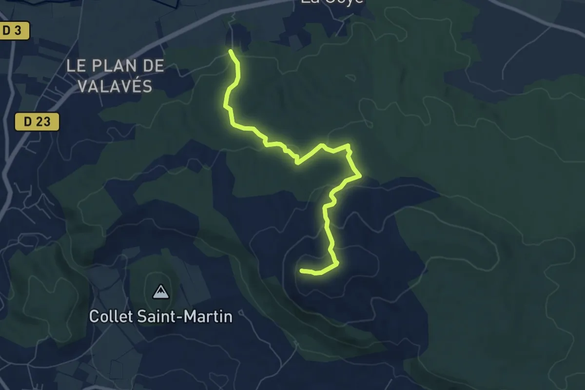
Easy · Summit
Mont Major
7.4 km · ↑ 258 m · 2 h 19 min
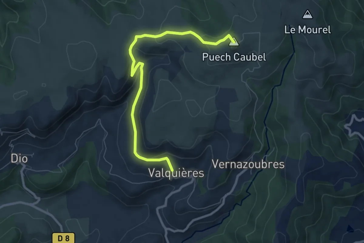
Easy · Summit
Mont-Martin
7.2 km · ↑ 240 m · 2 h 19 min
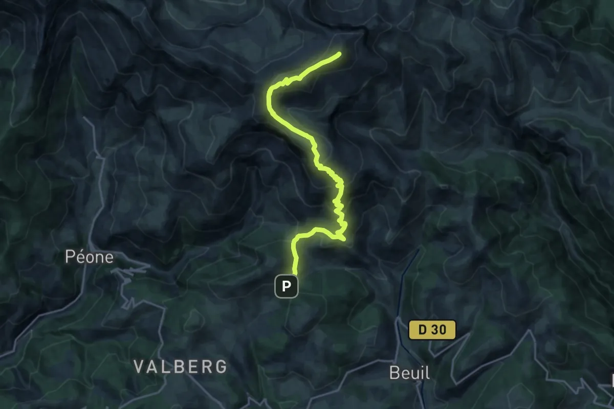
Expert · Summit
Mont Mounier
9.0 km · ↑ 1099 m · 4 h 8 min
Demanding · Summit
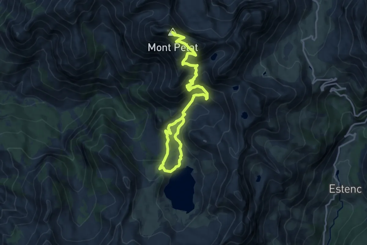
Mont Pelat (3 051 m)
8.1 km · ↑ 875 m · 3 h 34 min
Medium · Summit
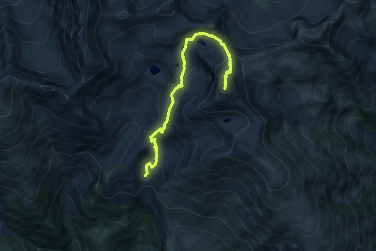
Mont Pépoiri
8.8 km · ↑ 658 m · 3 h 30 min
Expert · Summit
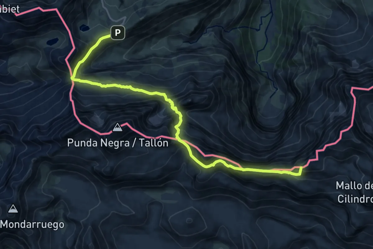
Mont Perdu par la brèche de Roland
17.3 km · ↑ 1189 m · 6 h 40 min
Easy · Trail
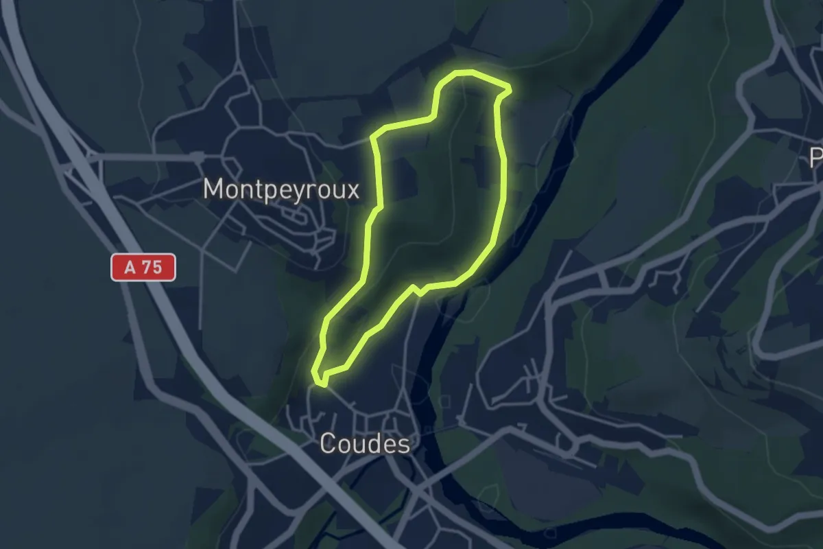
Montpeyroux
2.9 km · ↑ 89 m · 55 min
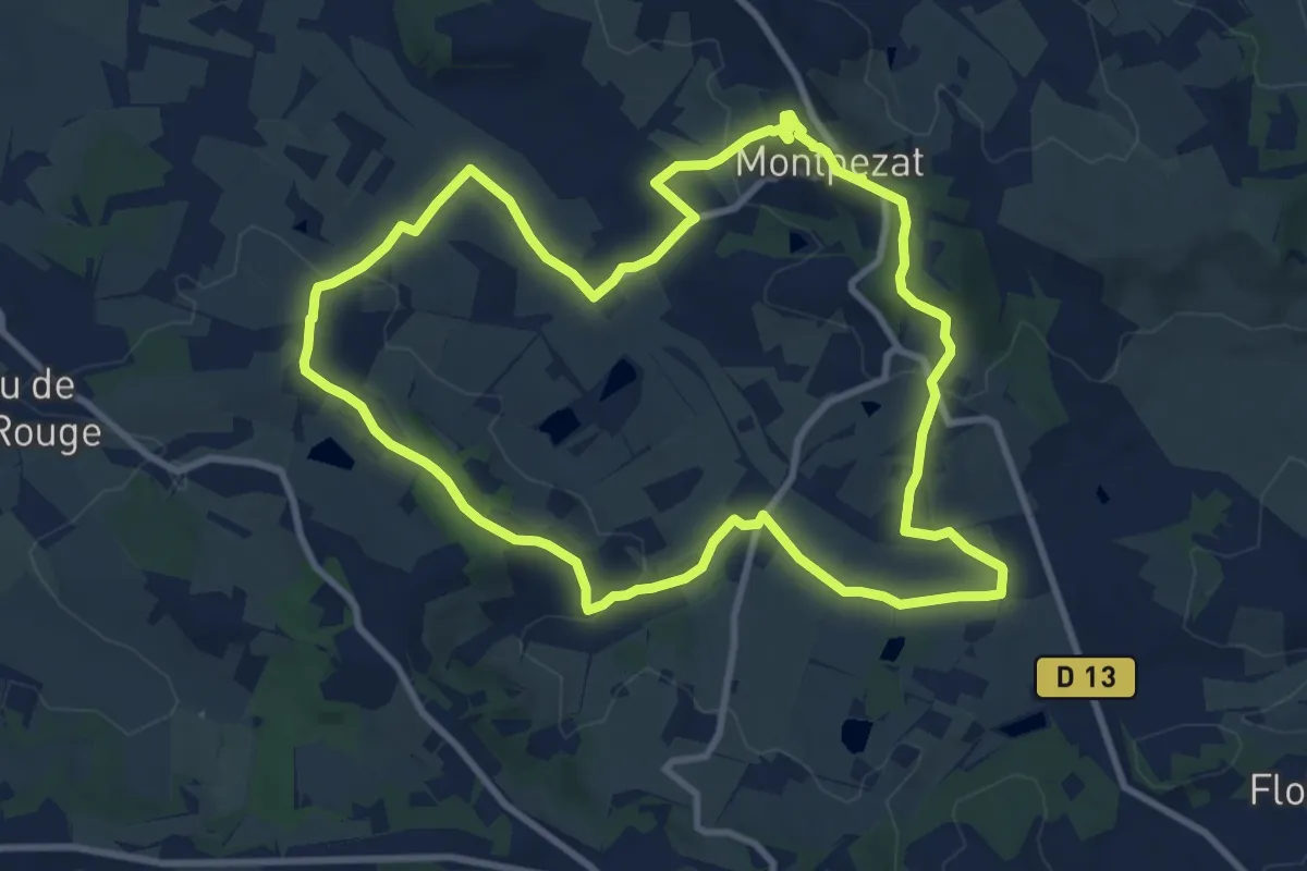
Medium · Trail
Montpezat-d’Agenais, le circuit du moulin à vent
10.5 km · ↑ 222 m · 3 h 6 min
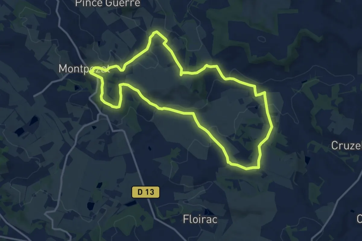
Medium · Trail
Montpezat-d’Agenais, par St-Médard et St-Jean-de-la-Balerme
10.7 km · ↑ 288 m · 3 h 18 min
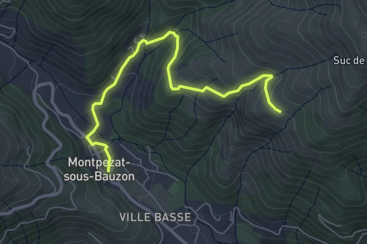
Easy · Trail
Montpezat - Les Champs
5.9 km · ↑ 262 m · 1 h 57 min
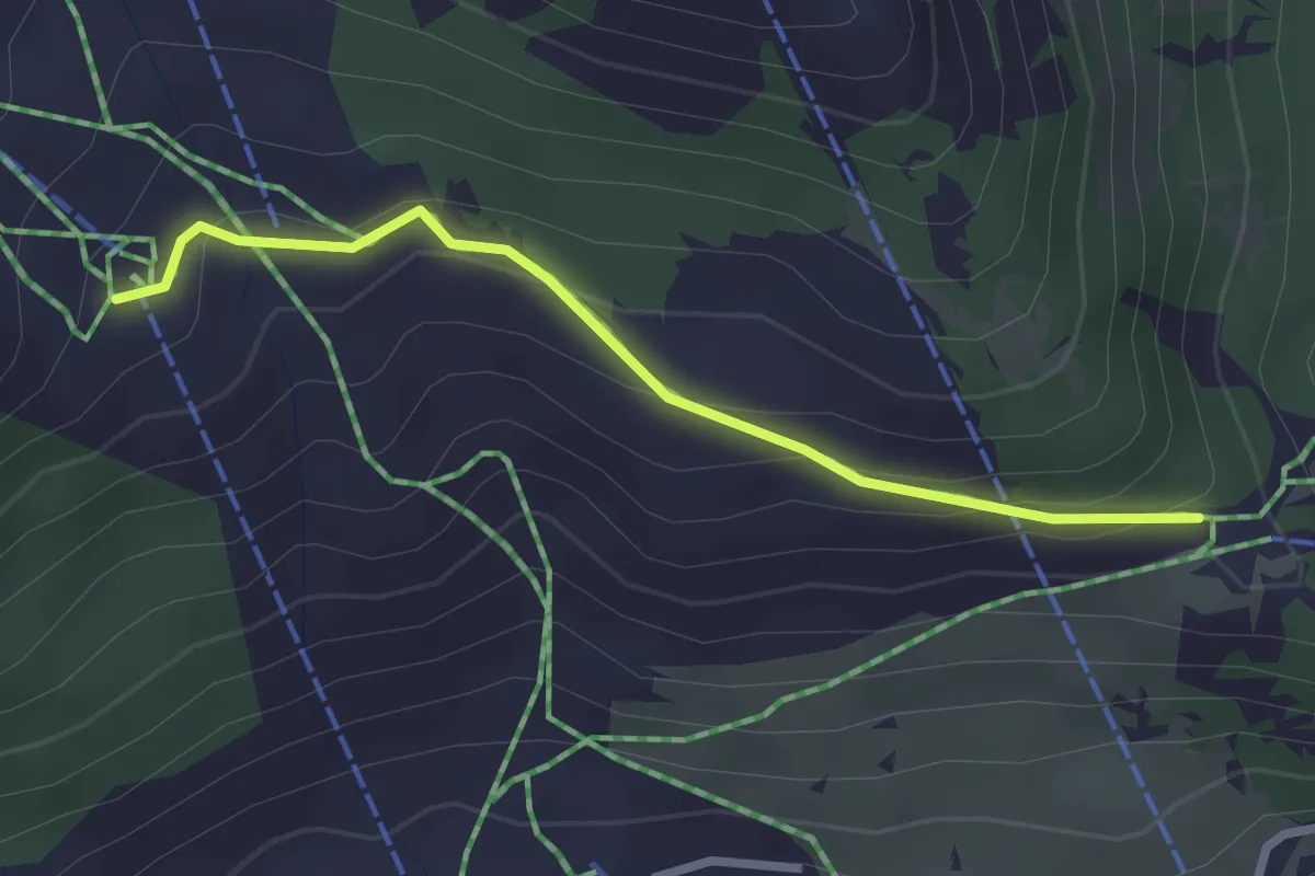
Easy · Trail
Mont Quitaine - Télécabine du Chalvet
2.6 km · ↑ 122 m · 53 min
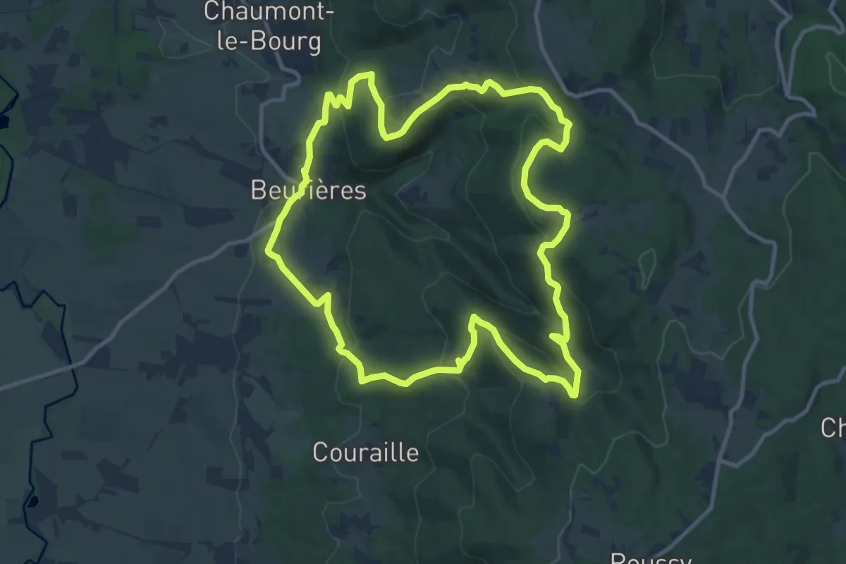
Medium · Summit
Montravel
11.1 km · ↑ 474 m · 3 h 49 min
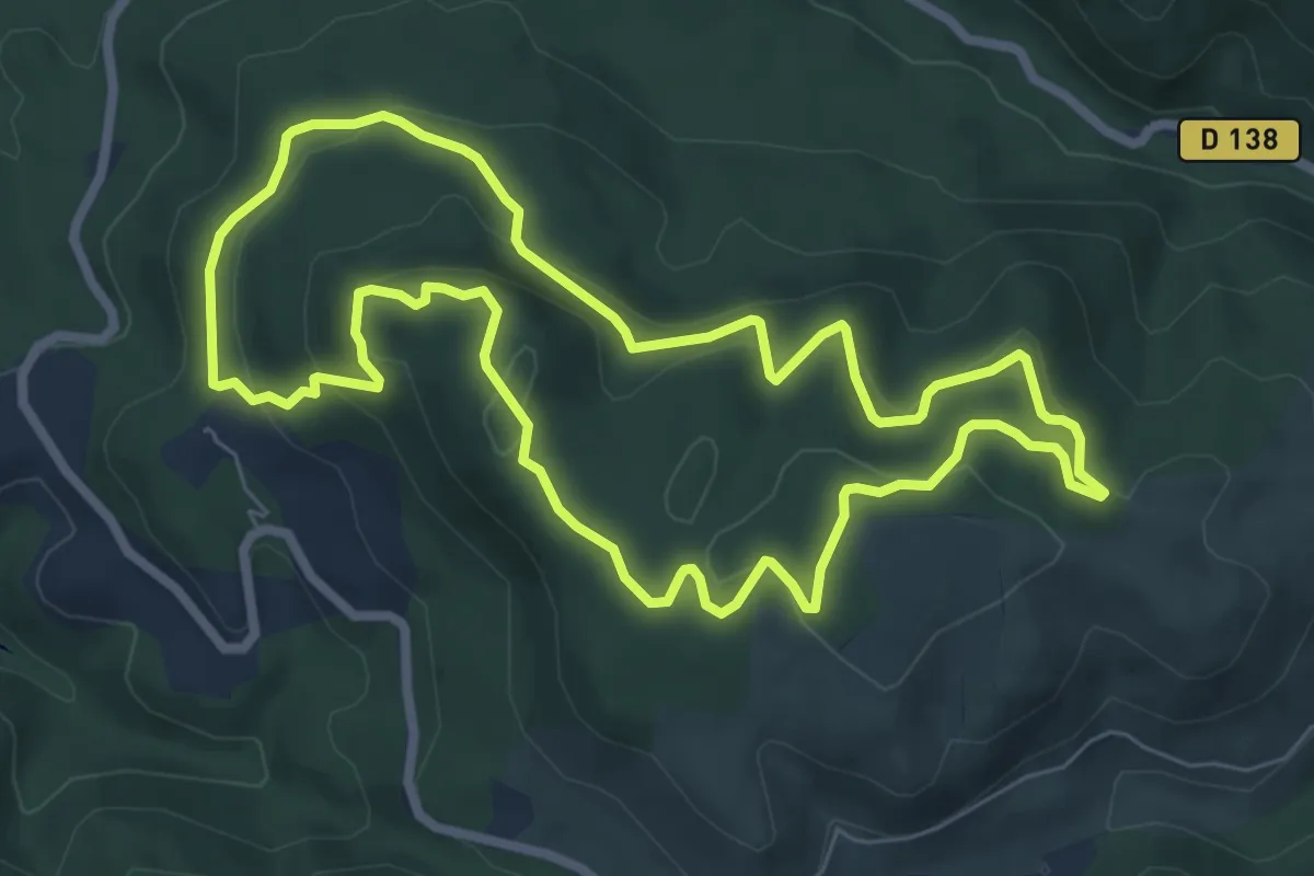
Easy · Trail
Mont Redon
7.5 km · ↑ 304 m · 2 h 33 min
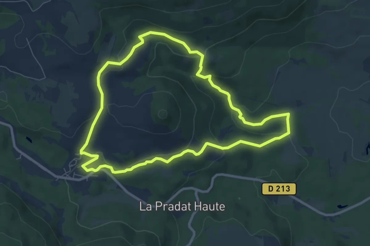
Easy · Trail
Mont Redon
6.9 km · ↑ 215 m · 2 h 11 min
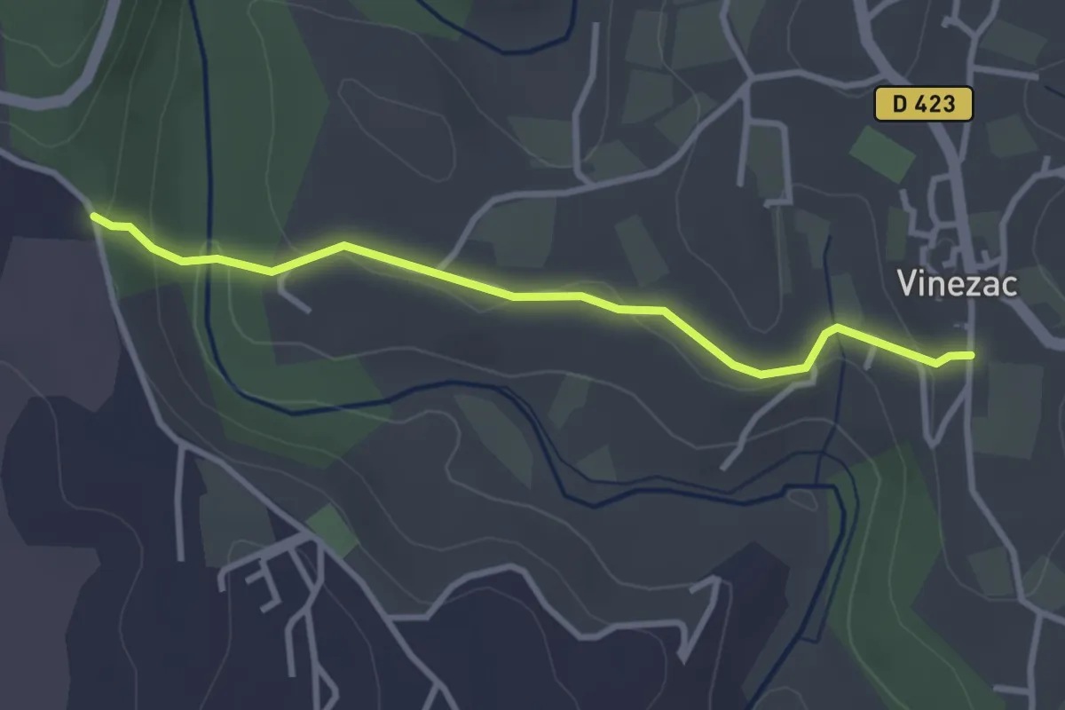
Easy · Trail
Montredon - La Coop
3.1 km · ↑ 85 m · 55 min
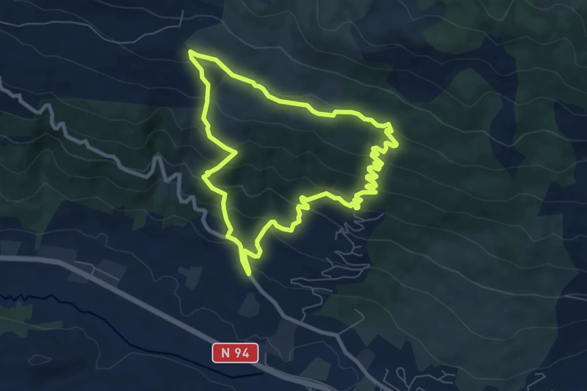
Medium · Trail
Montreviol
6.7 km · ↑ 348 m · 2 h 25 min
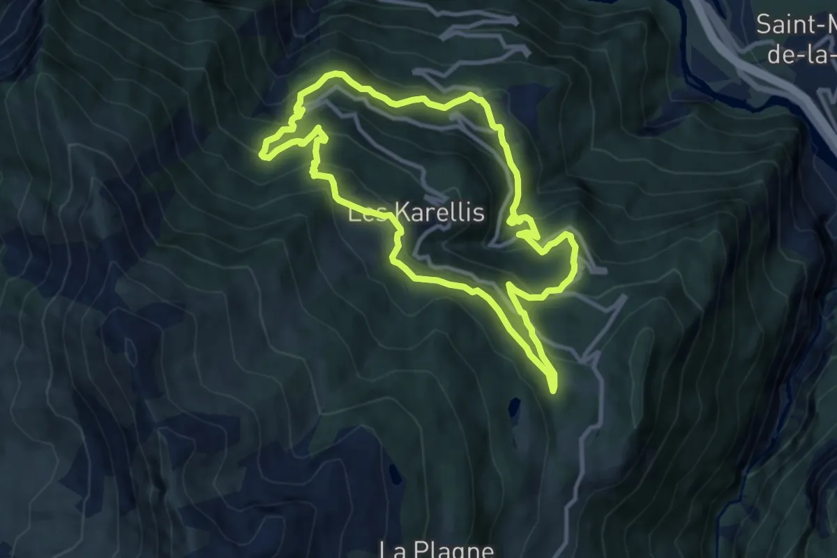
Medium · Trail
Montricher grande boucle
9.7 km · ↑ 660 m · 3 h 51 min
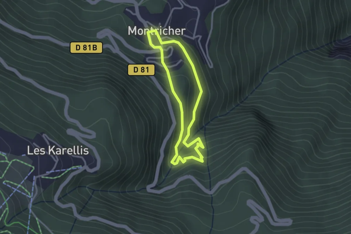
Easy · Trail
Montricher moulins & Sentier Botanique
2.4 km · ↑ 155 m · 56 min
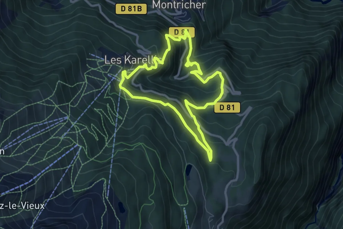
Medium · Trail
Montricher petite boucle
6.7 km · ↑ 452 m · 2 h 39 min
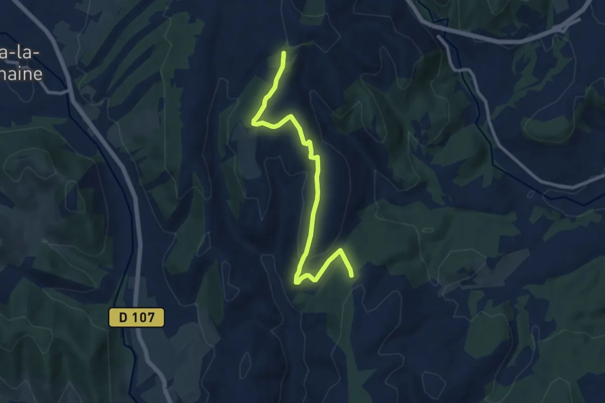
Medium · Trail
Mont Rosier - Montagut
8.2 km · ↑ 215 m · 2 h 25 min
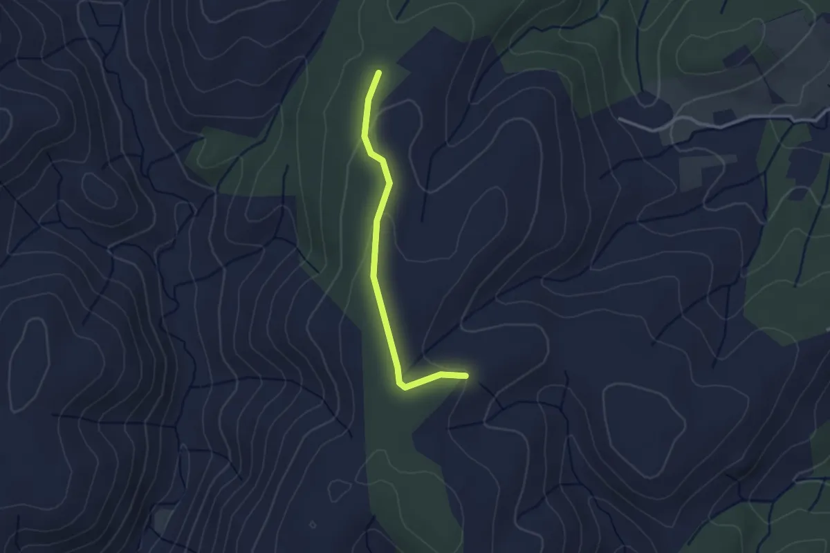
Easy · Trail
Mont Rosier - Montfaucon
2.5 km · ↑ 56 m · 43 min
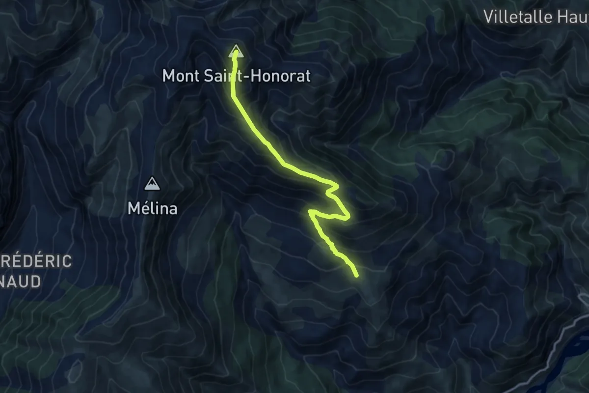
Demanding · Summit
Mont Saint-Honorat
5.7 km · ↑ 1046 m · 3 h 10 min
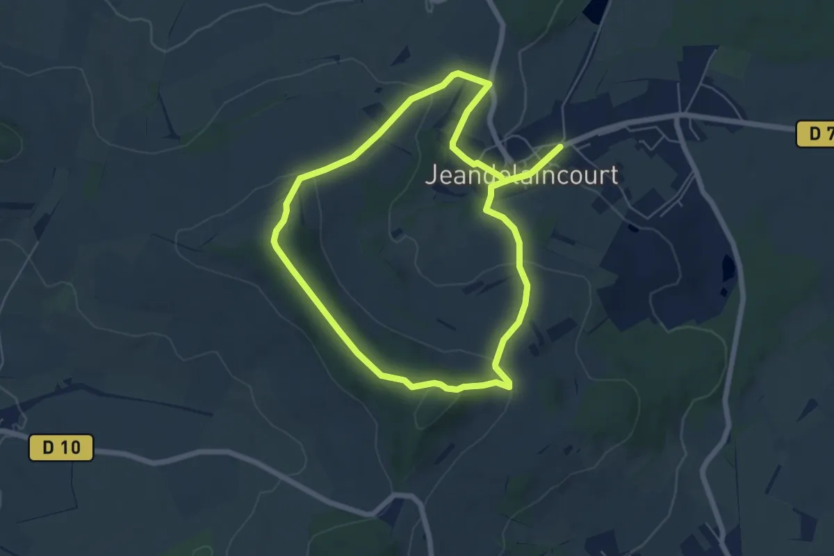
Easy · Summit
Mont-Saint-Jean
5.5 km · ↑ 164 m · 1 h 44 min
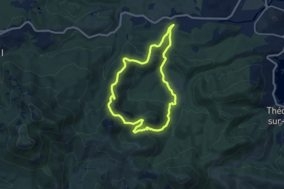
Medium · Trail
Mont Saint-Martin
7.7 km · ↑ 358 m · 2 h 42 min
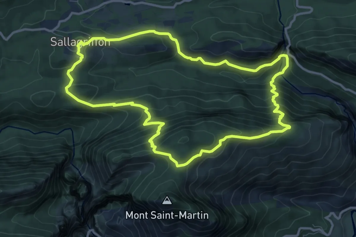
Medium · Summit
Mont Saint-Martin
9.2 km · ↑ 600 m · 3 h 36 min
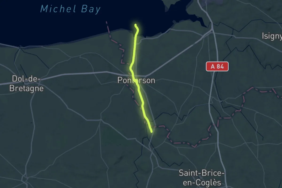
Demanding · Summit
Mont-Saint-Michel - Rennes
38.1 km · ↑ 84 m · 9 h 11 min
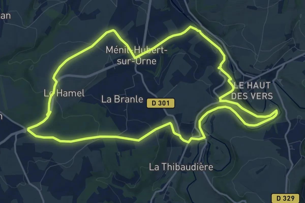
Medium · Trail
Monts et Collines
11.7 km · ↑ 259 m · 3 h 30 min
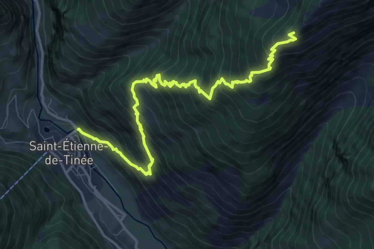
Demanding · Trail
Mont Ténibre - Etape 1
10.8 km · ↑ 1241 m · 5 h 14 min
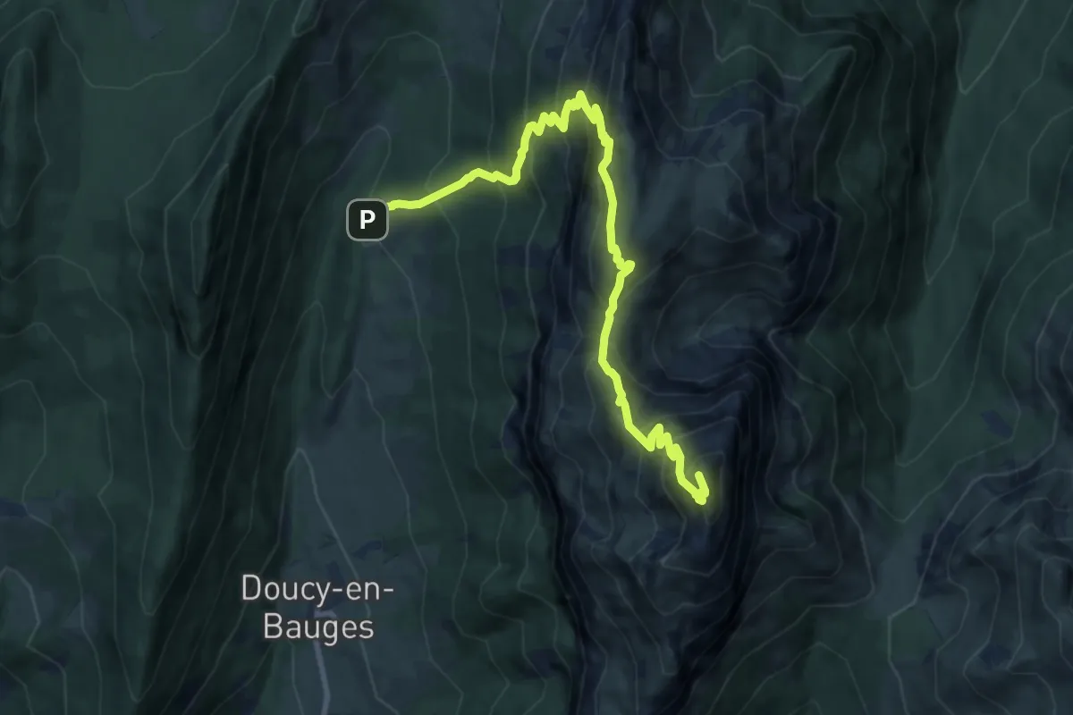
Demanding · Summit
Mont Trélod
11.0 km · ↑ 1135 m · 5 h 3 min
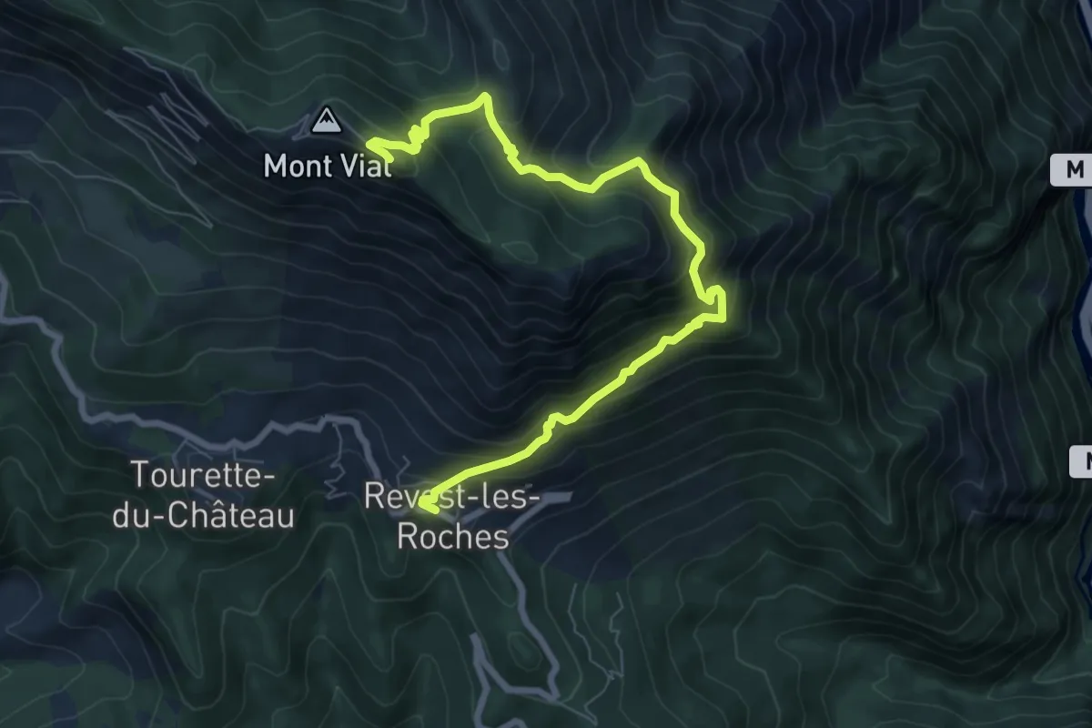
Medium · Trail
Mont Vial
4.4 km · ↑ 789 m · 2 h 29 min
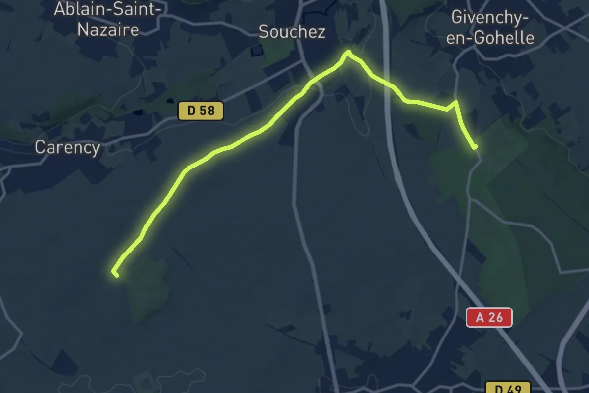
Medium · Trail
Monument aux Morts - Bois de l'Abbé
11.6 km · ↑ 131 m · 3 h 1 min
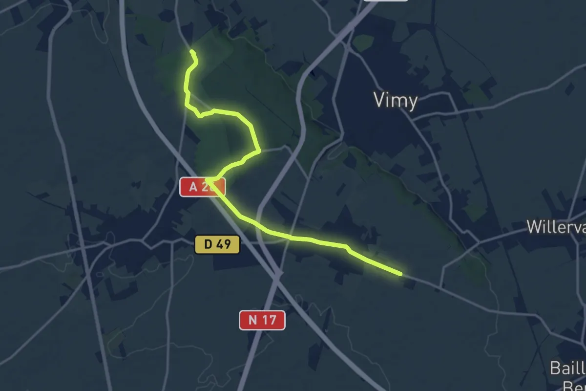
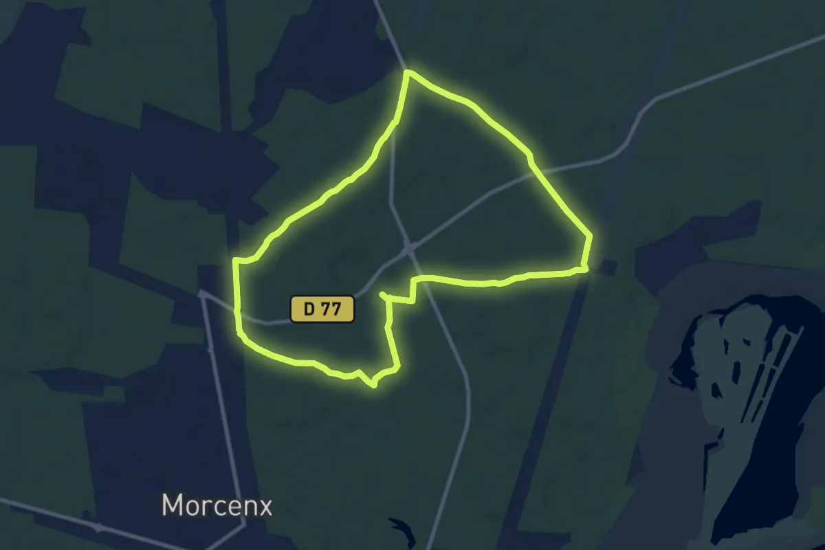
Medium · Trail
Monument aux Morts - Thélus
12.6 km · ↑ 58 m · 3 h 6 min
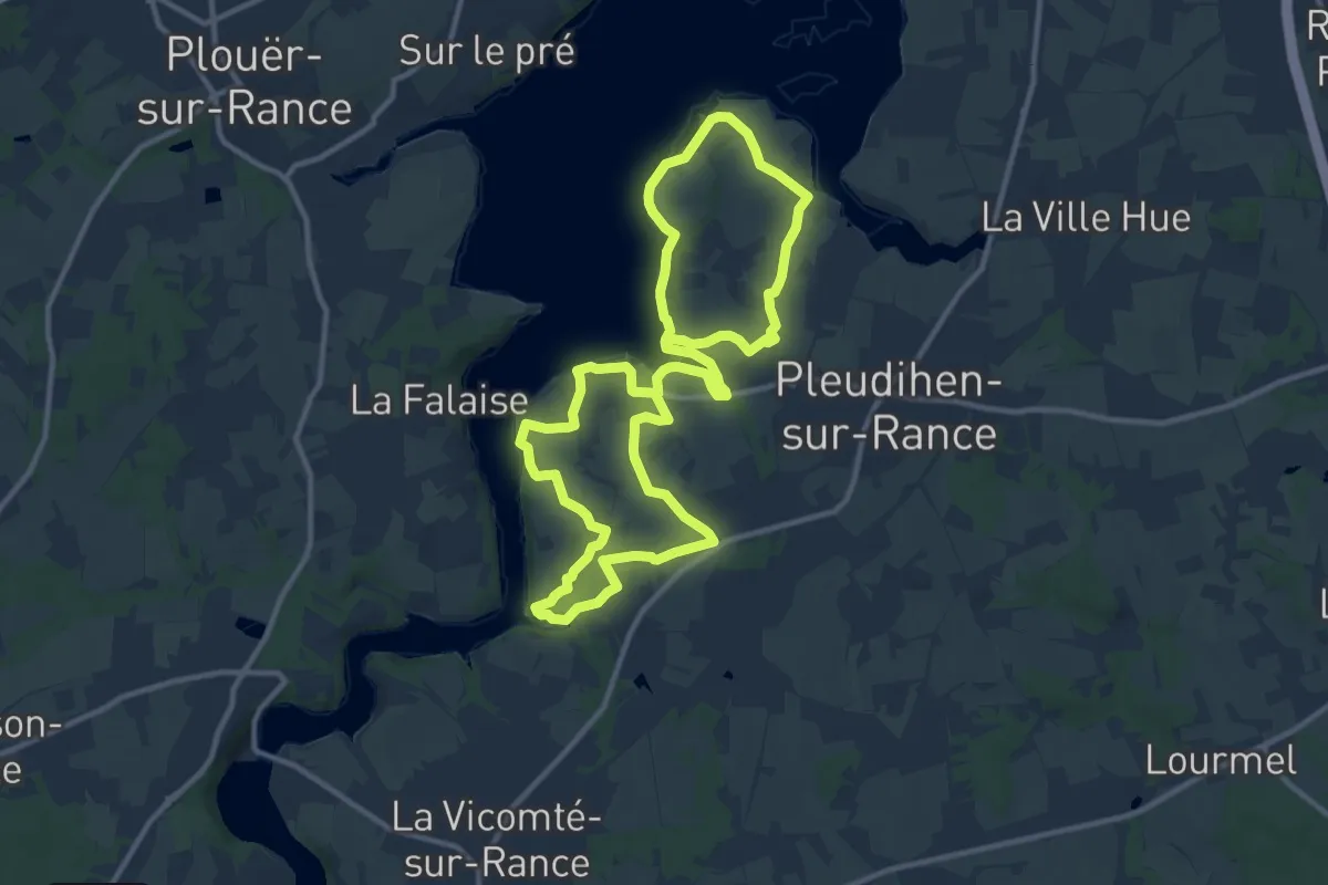
Medium · Trail
Morcenx - Circuit aux sources du Bez (circuit long)
9.3 km · ↑ 40 m · 2 h 25 min
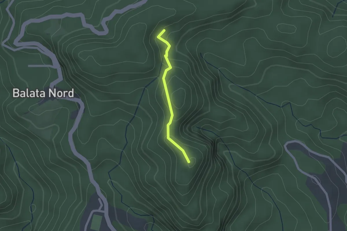
Demanding · Trail
Mordreuc et les bords de Rance
21.8 km · ↑ 270 m · 5 h 44 min
Easy · Summit
Morne Césaire
2.0 km · ↑ 132 m · 46 min
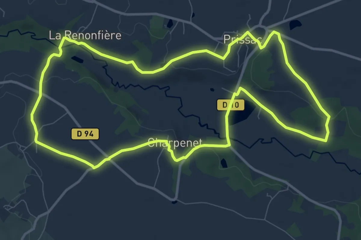
Medium · Trail
Mosaique bocagère
9.3 km · ↑ 106 m · 2 h 34 min
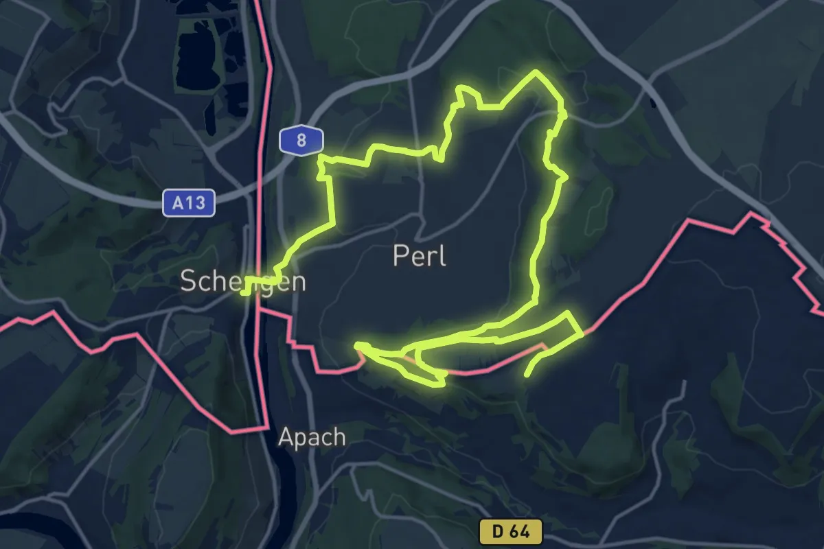
Demanding · Trail
Moselle³ Trail
25.5 km · ↑ 608 m · 7 h 21 min
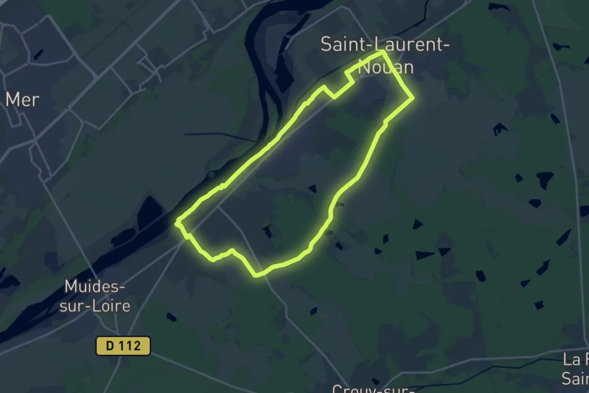
Medium · Trail
Moulin Cavier
15.6 km · ↑ 26 m · 3 h 57 min
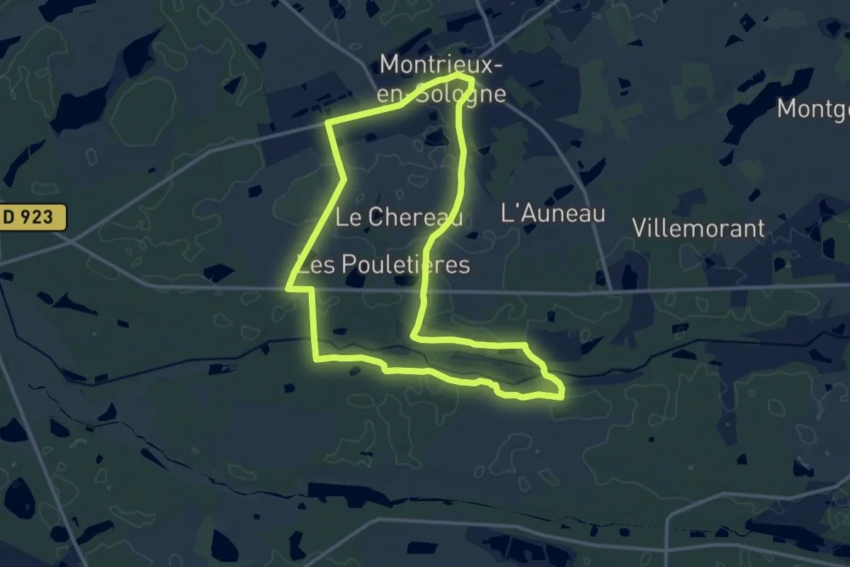
Medium · Trail
Moulin de Gauchère
11.9 km · ↑ 34 m · 3 h 3 min
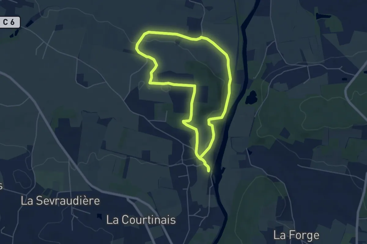
Easy · Trail
moulin de la Bouëxière
5.0 km · ↑ 106 m · 1 h 29 min
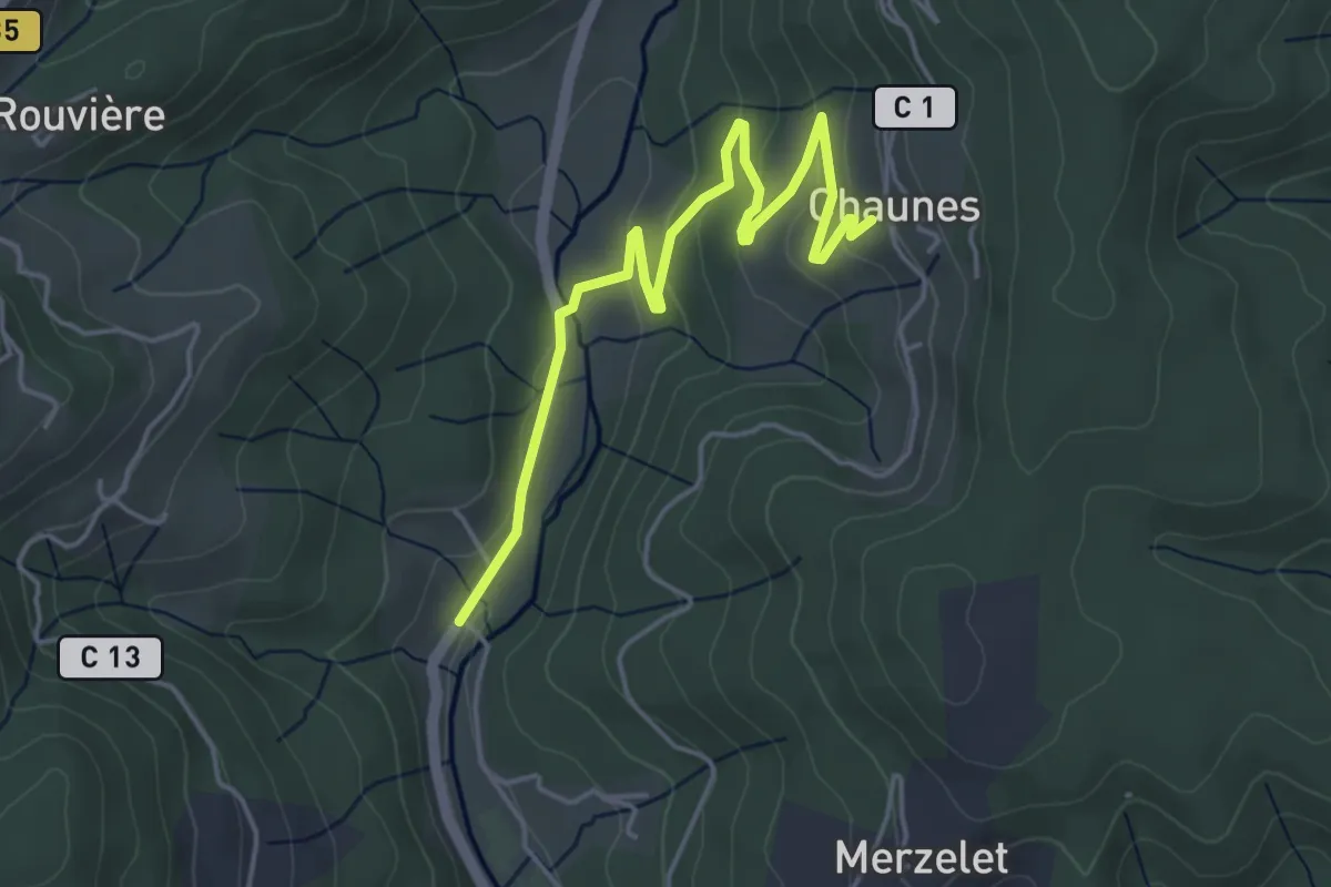
Easy · Trail
Moulin de Landes - Chaunes
5.1 km · ↑ 139 m · 1 h 30 min
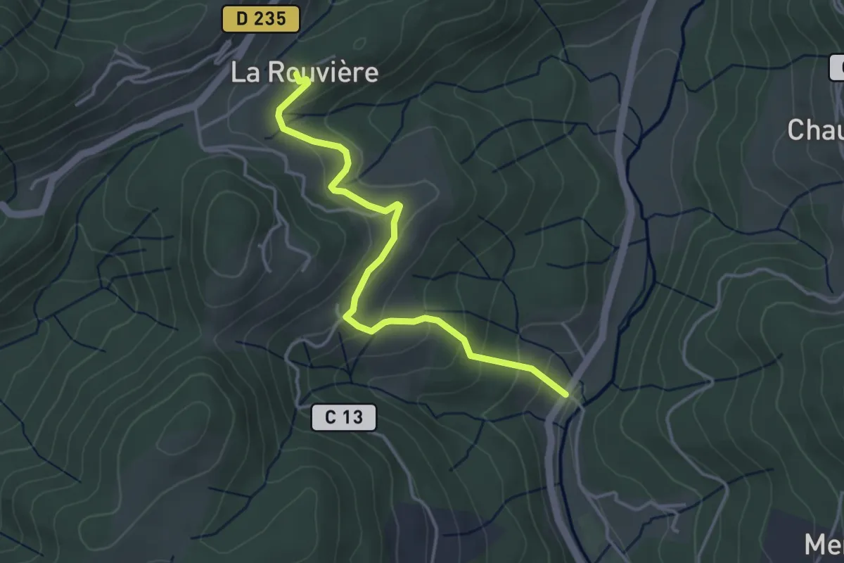
Easy · Trail
Moulin de Landes - La Rouvière
4.0 km · ↑ 214 m · 1 h 24 min
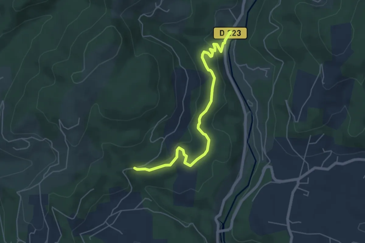
Easy · Trail
Moulin de Landes - Les Valadiers
5.3 km · ↑ 155 m · 1 h 35 min
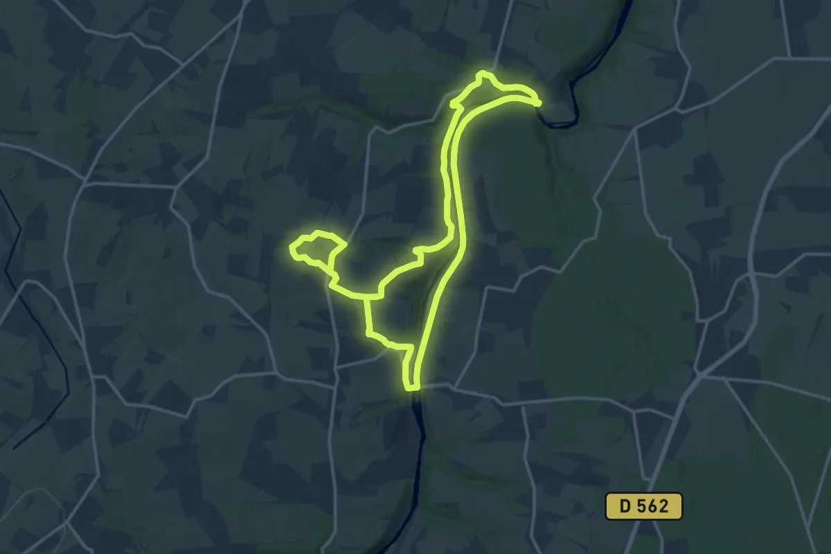
Demanding · Trail
Moulin de Pray et Pont de Brie
26.6 km · ↑ 434 m · 7 h 13 min
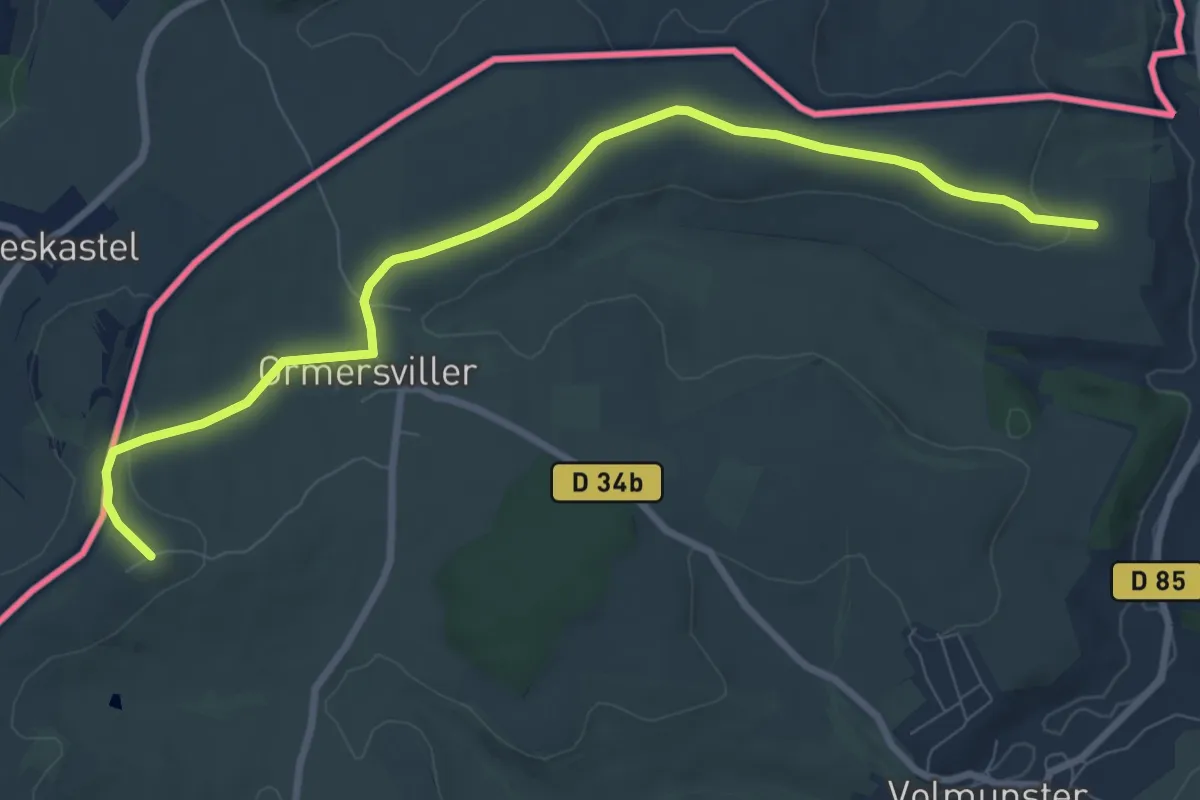
Easy · Trail
Moulin d'Eschviller et chapelle Saint-Joseph
4.5 km · ↑ 8 m · 1 h 10 min
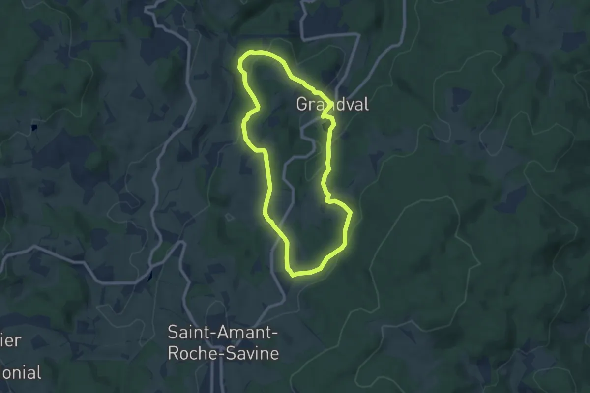
Easy · Trail
Moulin des Donnes
6.3 km · ↑ 202 m · 2 h 1 min
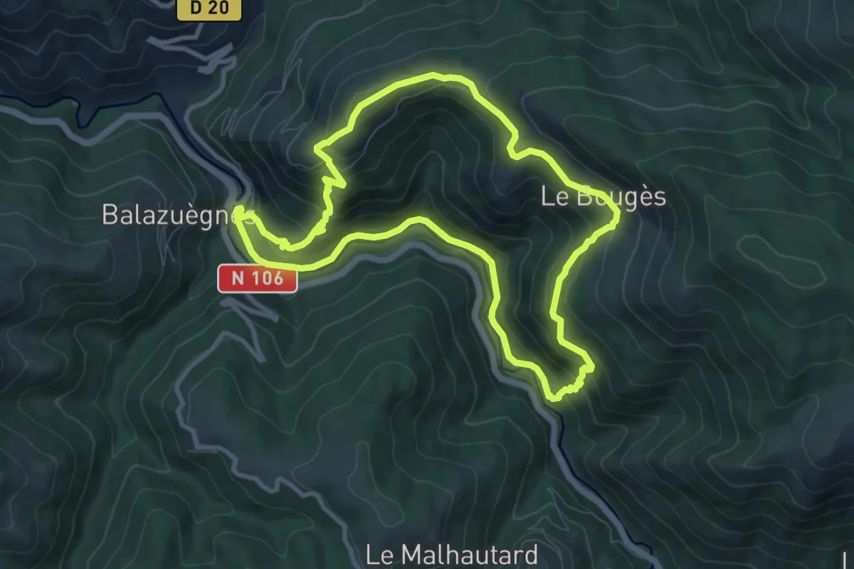
Medium · Trail
Moulin du Bougès
8.8 km · ↑ 449 m · 3 h 11 min