Trails in France
15,926 hiking trails, each with its route, climb, walking time and grade.
All trails, page 212 of 332
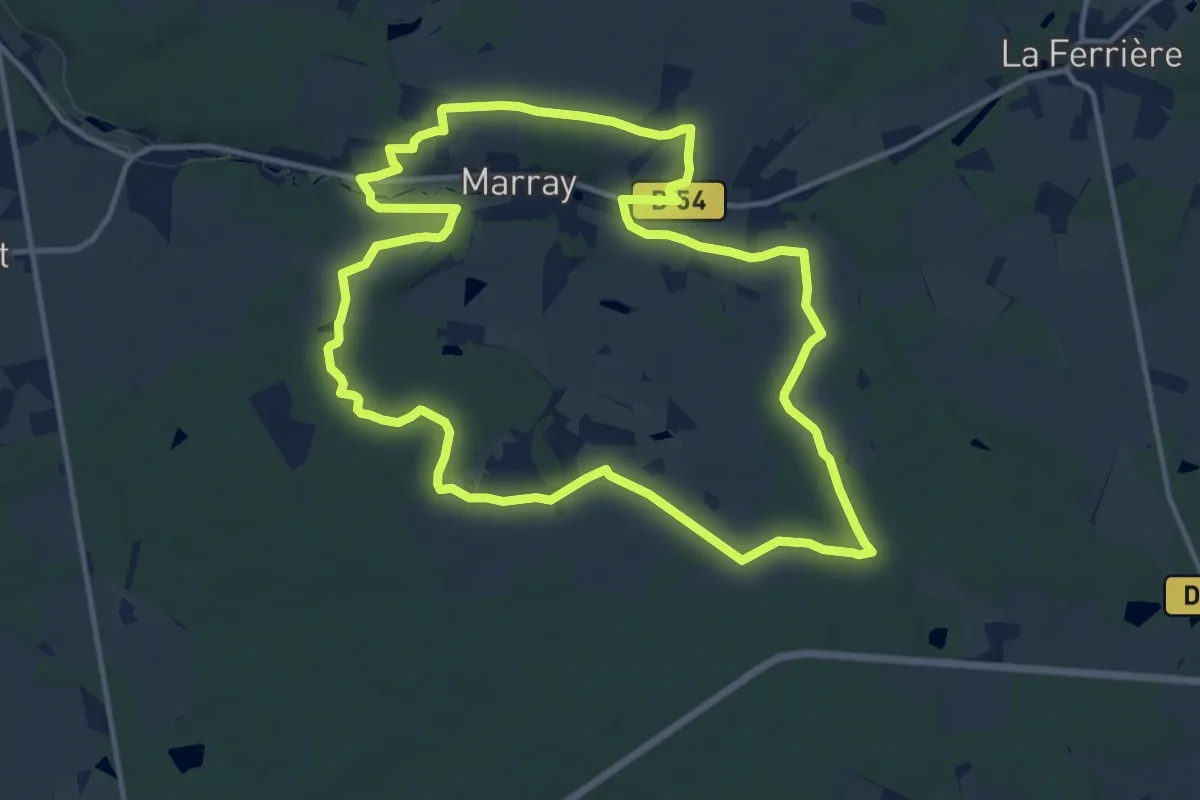
Medium · Trail
Moulin du Buis
13.6 km · ↑ 133 m · 3 h 41 min
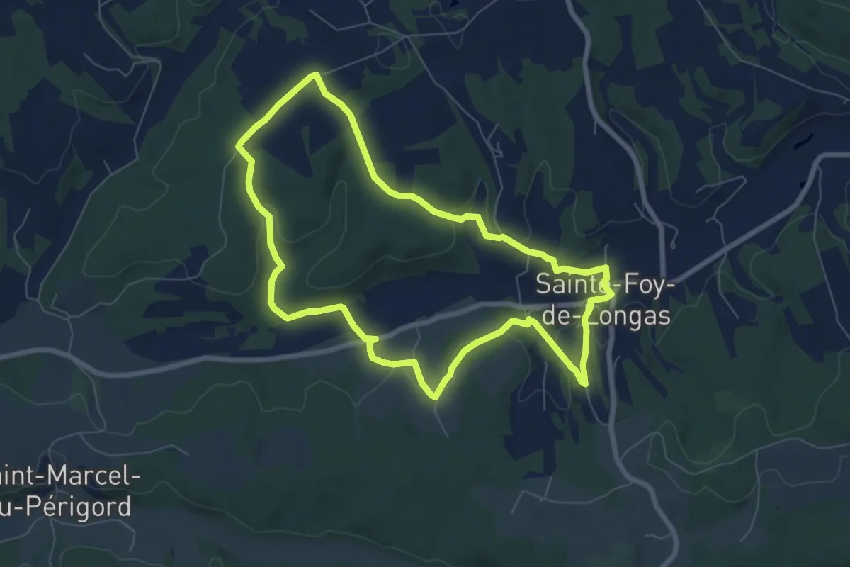
Easy · Trail
Moulin Pommier
7.1 km · ↑ 149 m · 2 h 6 min
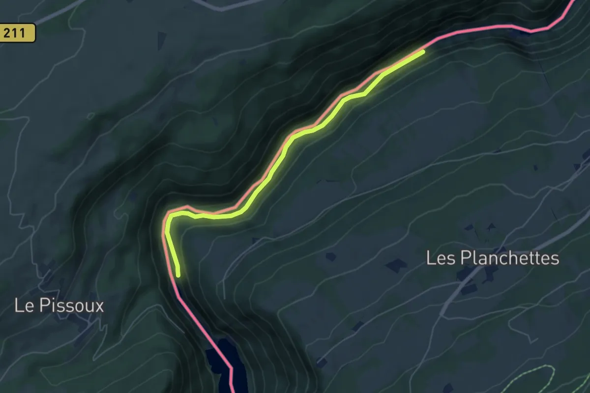
Easy · Trail
Moulins Calame - Le Châtelot
5.4 km · ↑ 241 m · 1 h 48 min
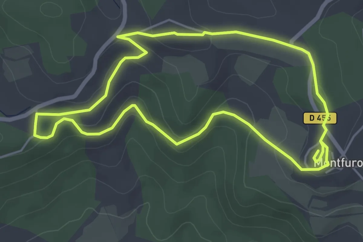
Easy · Trail
Moulins de Montfuron
4.6 km · ↑ 118 m · 1 h 25 min
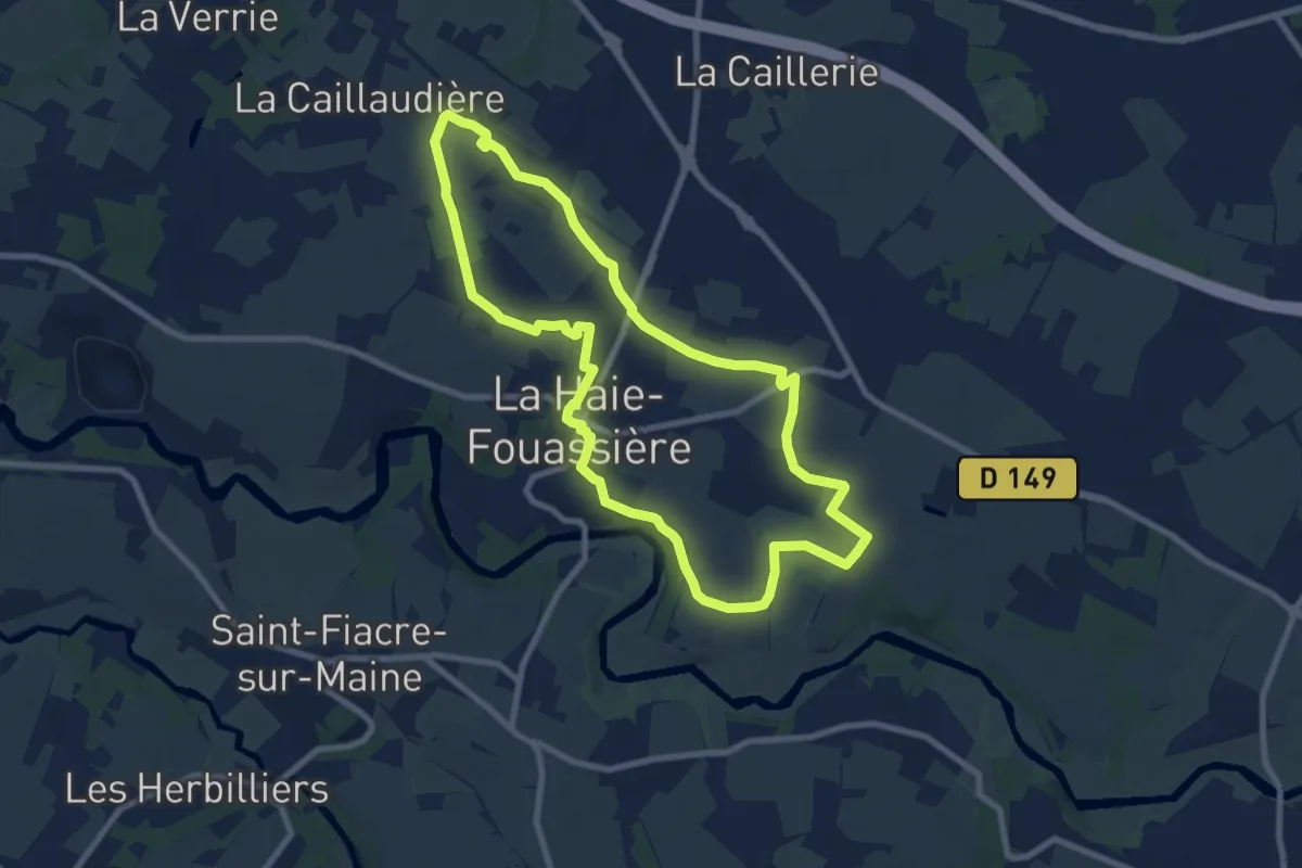
Medium · Trail
Moulins et Châteaux
8.3 km · ↑ 54 m · 2 h 12 min
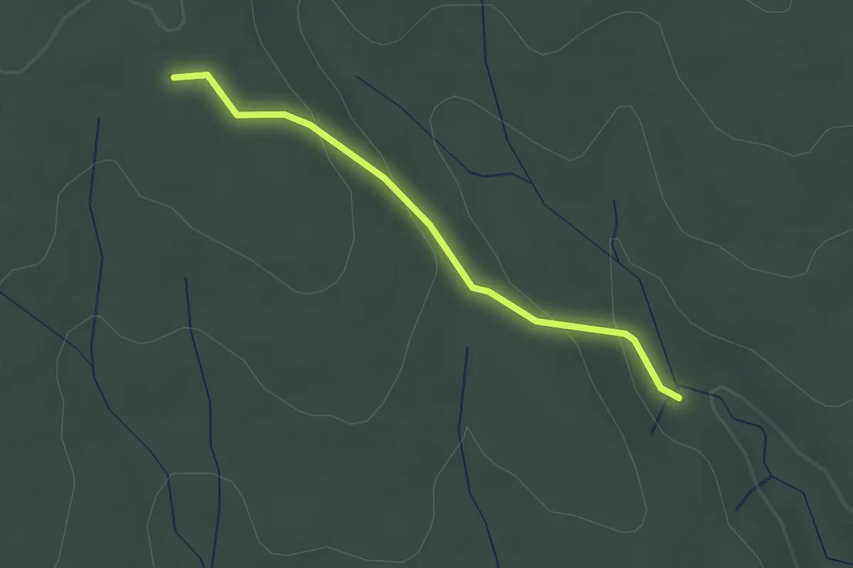
Easy · Trail
Moure de Trian - Chêne Rond
2.2 km · ↑ 80 m · 42 min
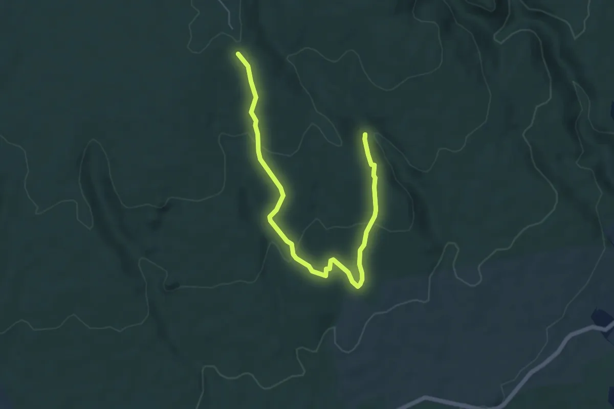
Easy · Trail
Moure de Trian - Chêne Rond
6.6 km · ↑ 200 m · 2 h
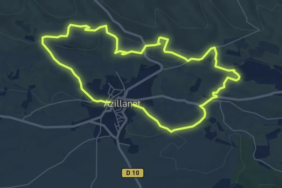
Easy · Trail
Mourels
5.7 km · ↑ 149 m · 1 h 45 min
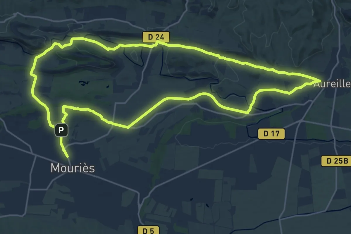
Medium · Summit
Mouriès Aureille - Au coeur d'une oliveraie
17.8 km · ↑ 240 m · 4 h 59 min
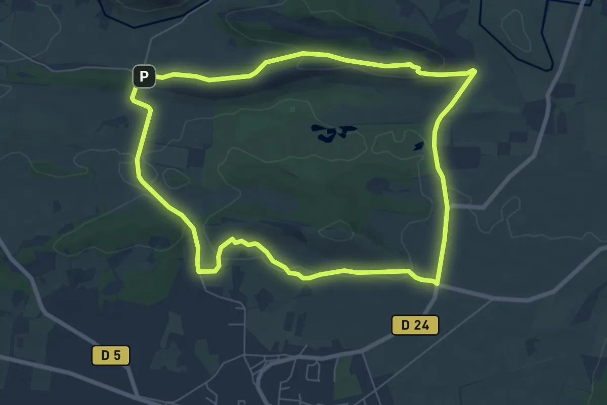
Easy · Trail
Mouriès - Les Caisses de Jean-Jean
6.9 km · ↑ 128 m · 2 h 1 min
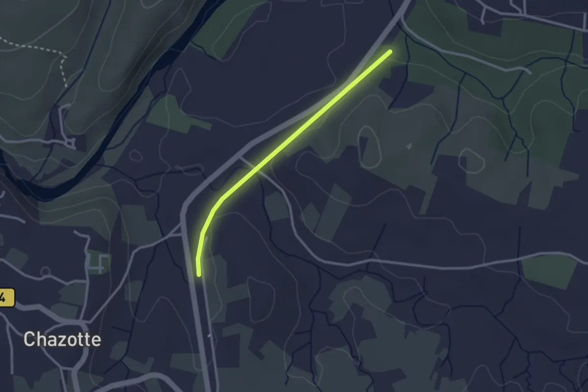
Easy · Trail
Mourre Frais - Chalouzet
2.5 km · ↑ 33 m · 39 min
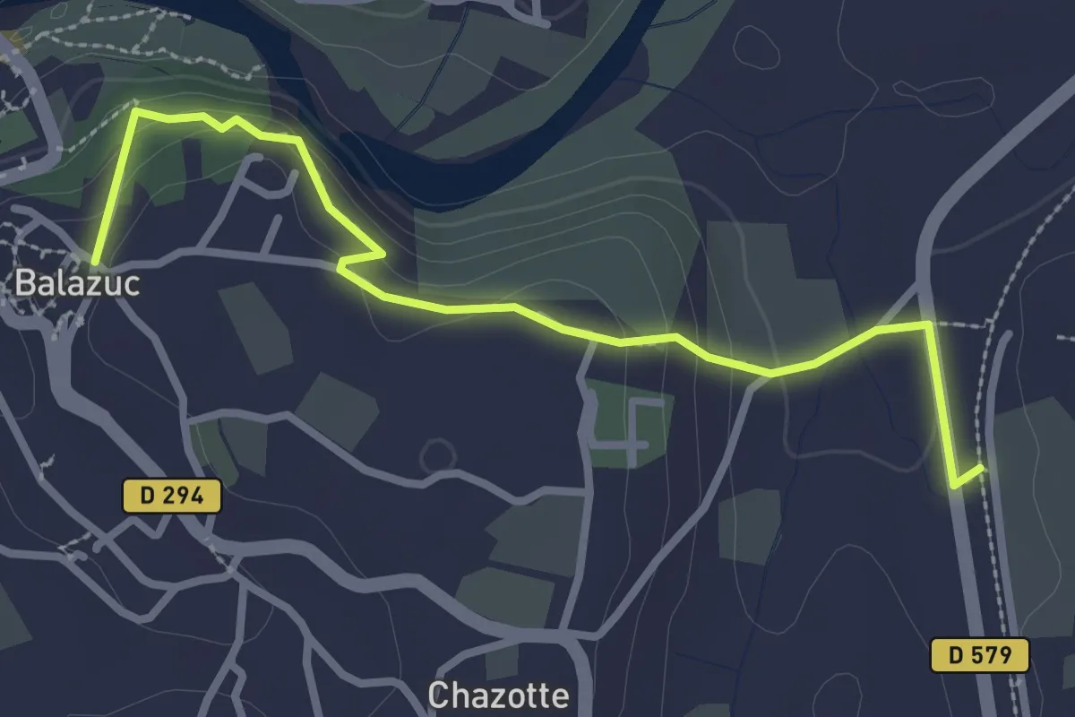
Easy · Trail
Mourre Frais - Portalas
3.1 km · ↑ 114 m · 59 min
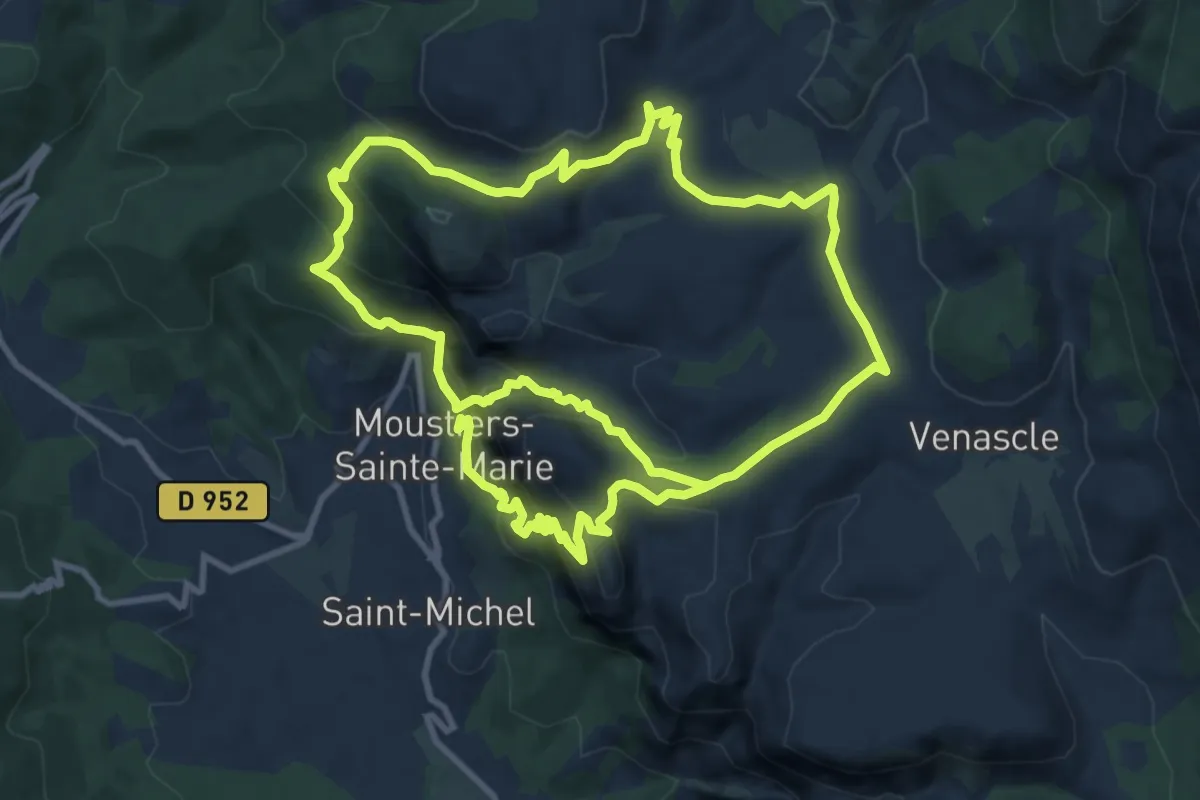
Demanding · Trail
Moustier- Vincel
11.4 km · ↑ 757 m · 4 h 21 min
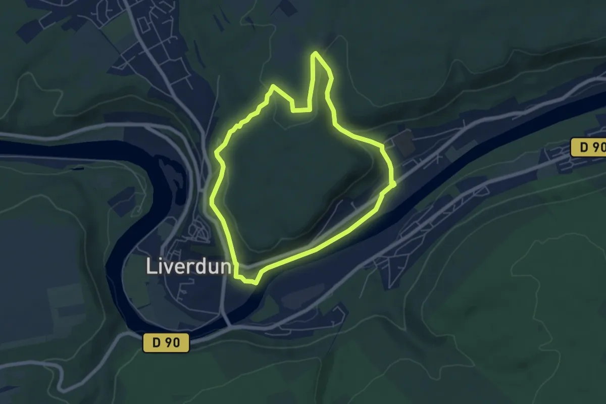
Easy · Trail
Moyenne boucle Chênot Hazotte
5.4 km · ↑ 115 m · 1 h 35 min
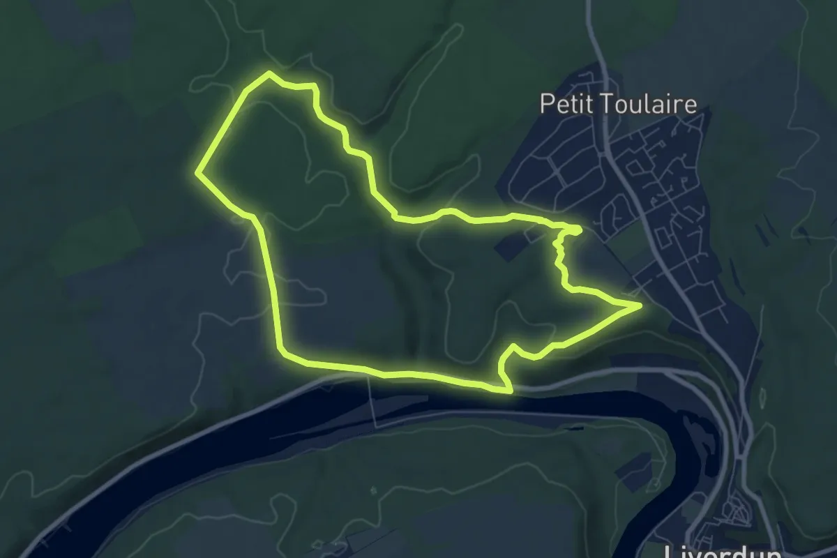
Easy · Trail
Moyenne boucle de Natrou
7.6 km · ↑ 135 m · 2 h 12 min
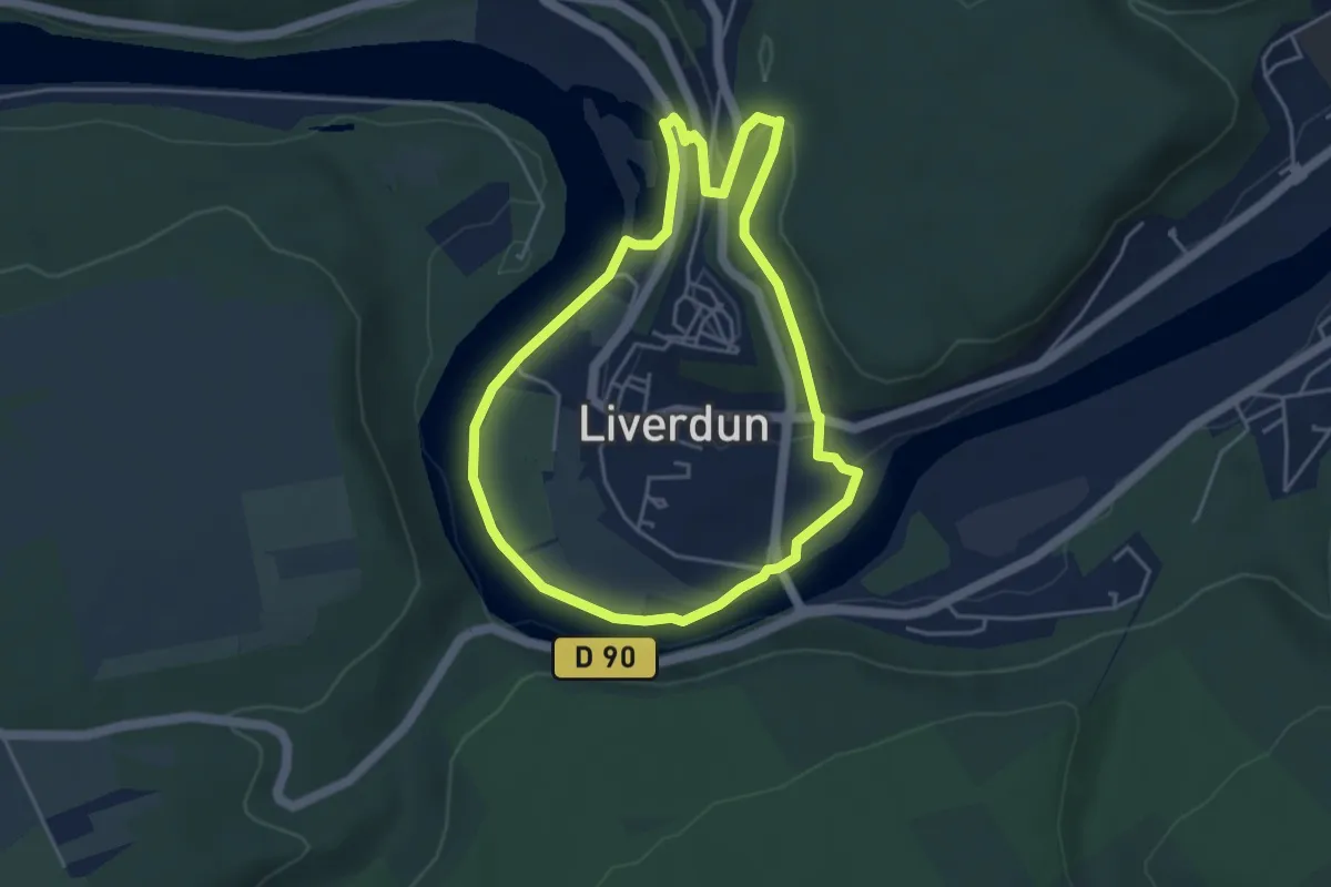
Easy · Trail
Moyenne boucle villageoise
4.0 km · ↑ 64 m · 1 h 9 min
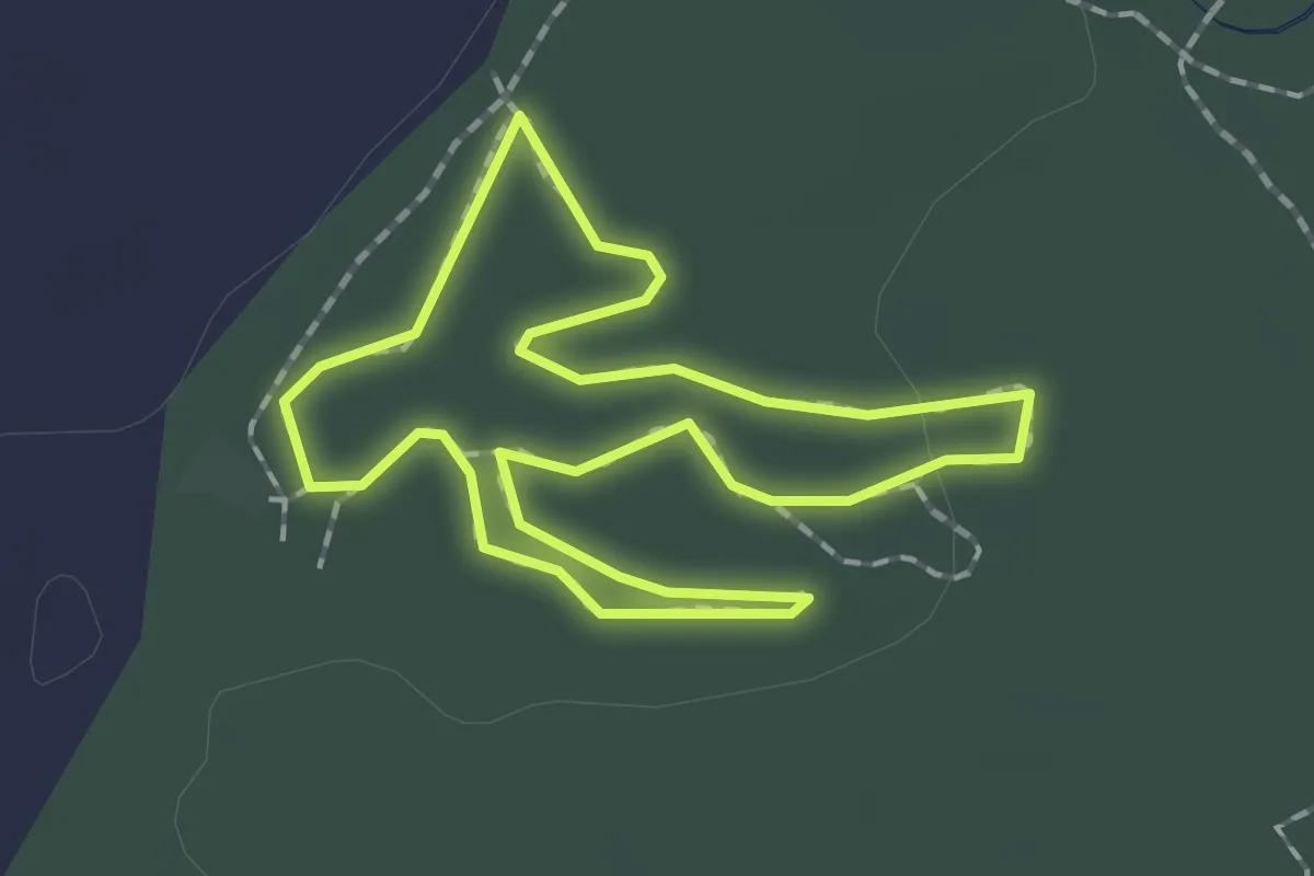
Easy · Trail
Moyen Parcours Bleu
1.7 km · ↑ 5 m · 27 min
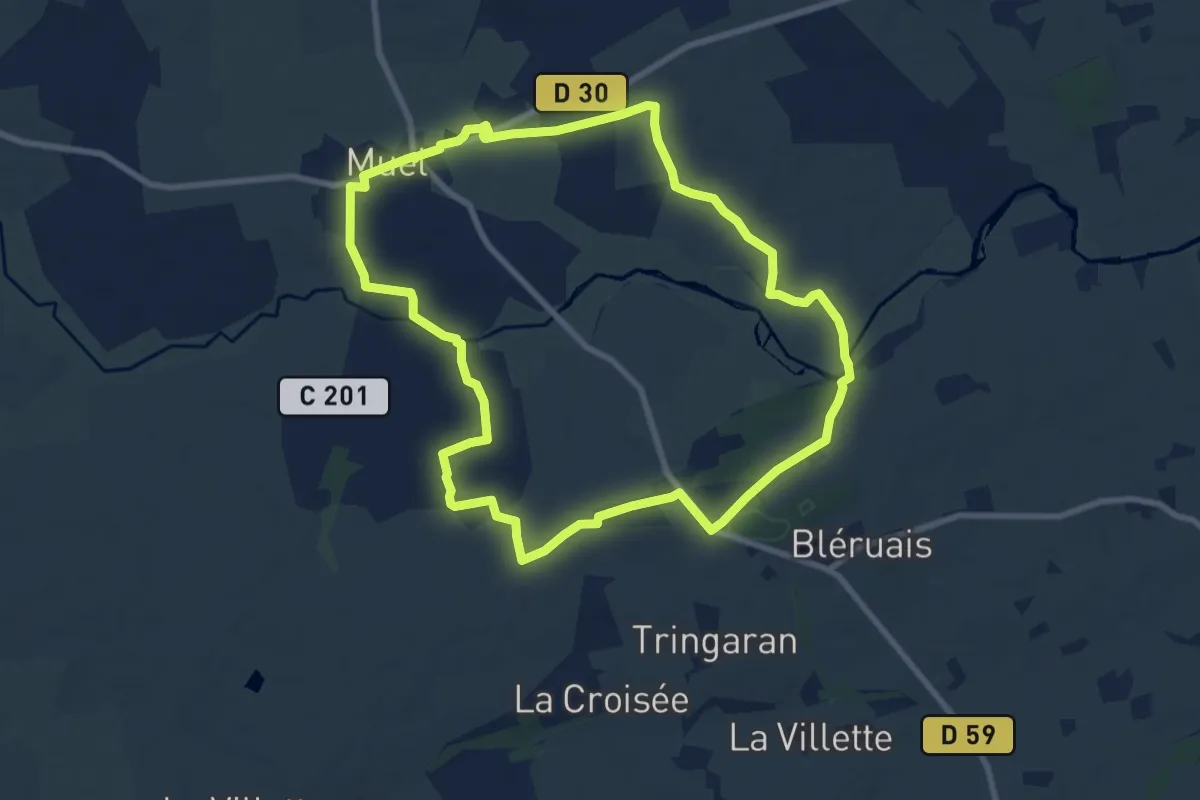
Medium · Trail
Muel - Le Pont Guillé
8.5 km · ↑ 65 m · 2 h 16 min
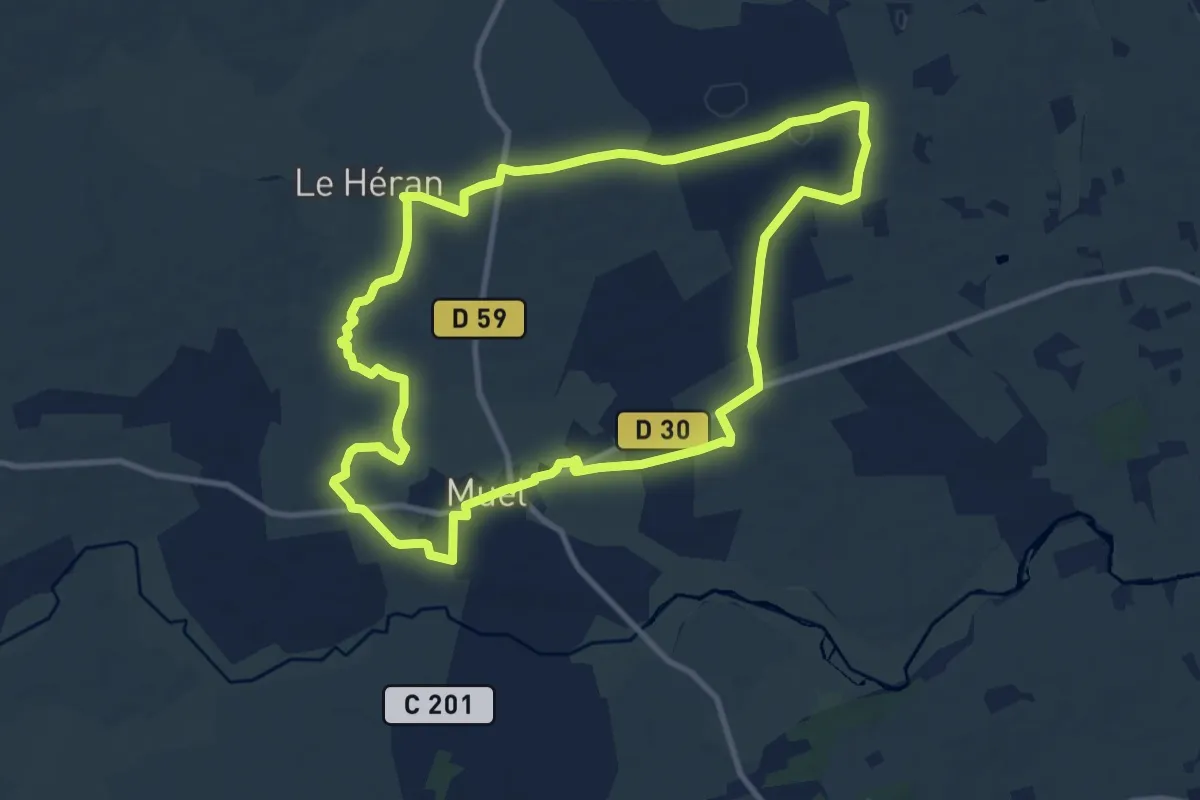
Medium · Trail
Muel - Les Landes de Hennau
10.3 km · ↑ 62 m · 2 h 42 min
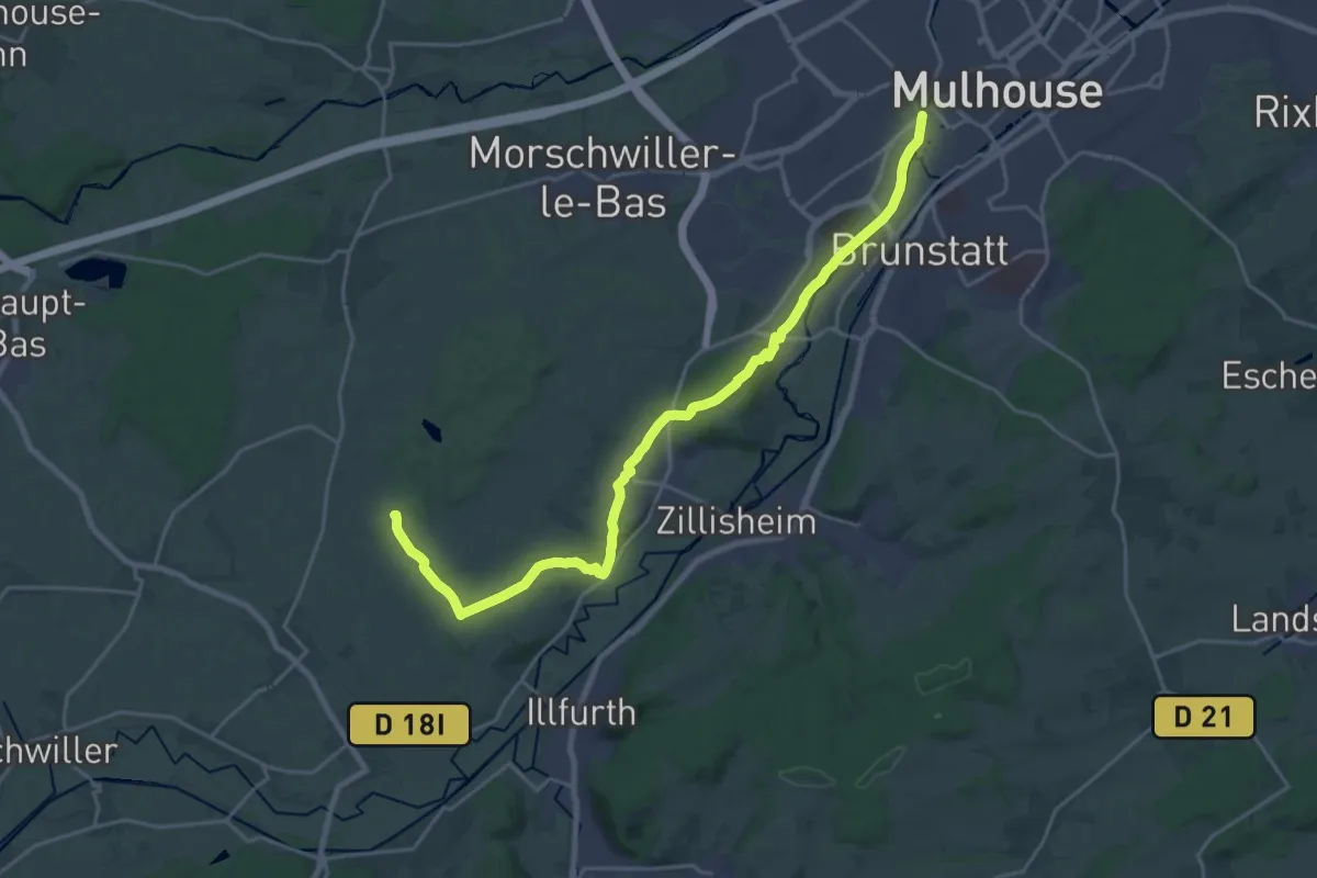
Demanding · Summit
Mulhouse - Galfingue - Jonction GR531
23.5 km · ↑ 341 m · 6 h 17 min
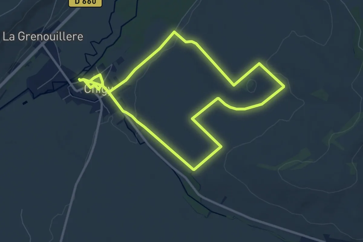
Medium · Trail
N°01 Chigy et la vallée de la Vanne
15.5 km · ↑ 140 m · 3 h 58 min
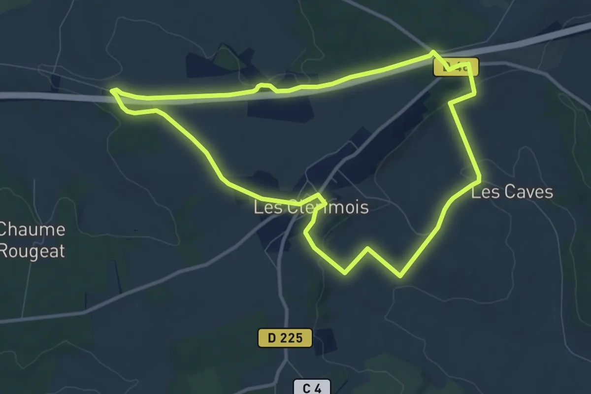
Medium · Trail
N°02 09km Autour de Les Clérimois
8.6 km · ↑ 151 m · 2 h 28 min
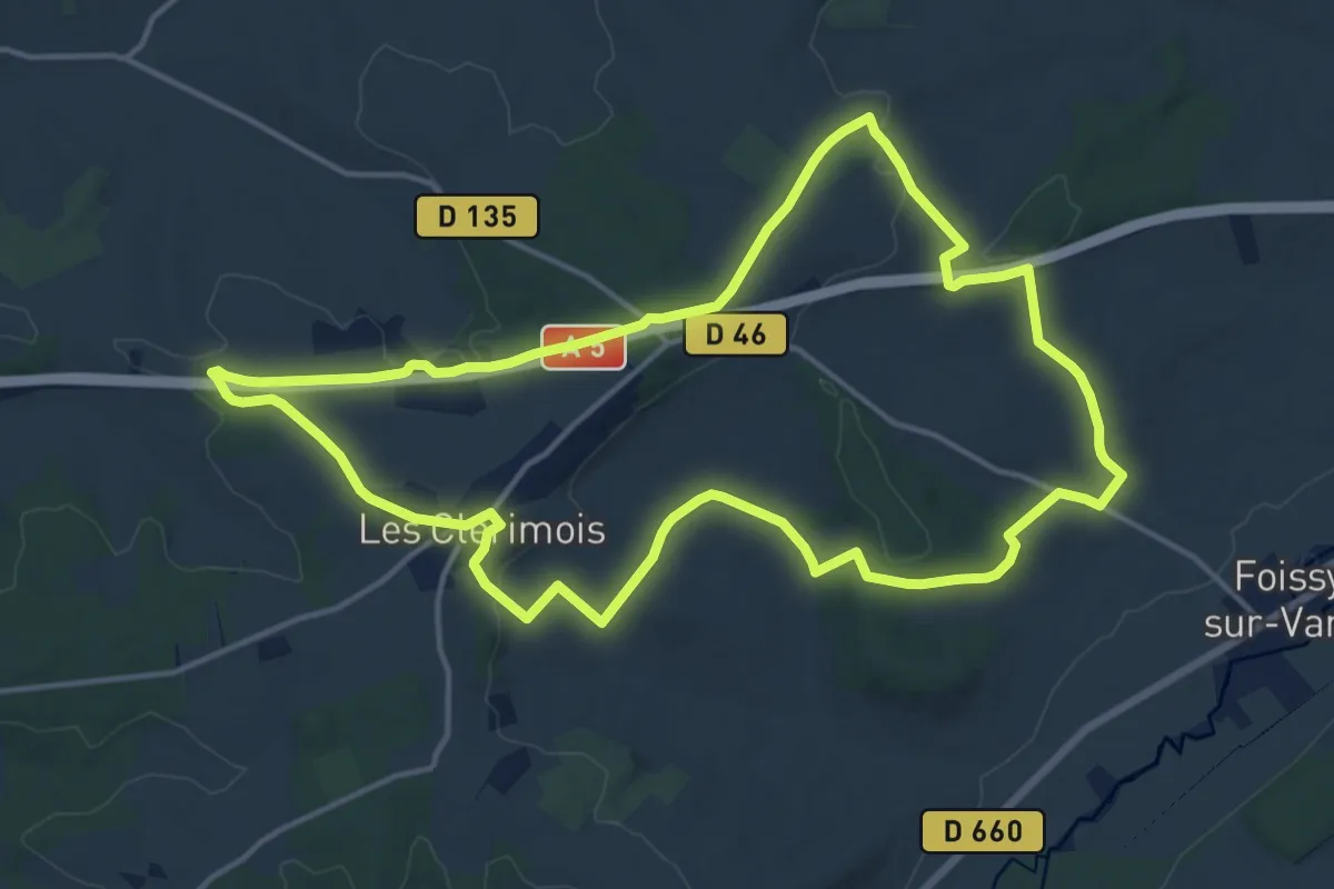
Medium · Trail
N°02 16km Autour de Les Clérimois
15.3 km · ↑ 268 m · 4 h 24 min
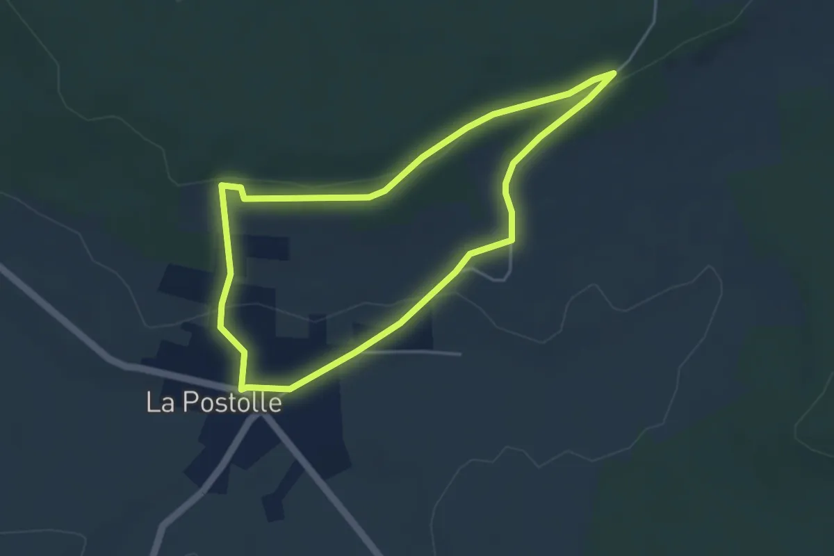
Easy · Trail
N°03 A la découverte de La Postolle
3.6 km · ↑ 67 m · 1 h 3 min
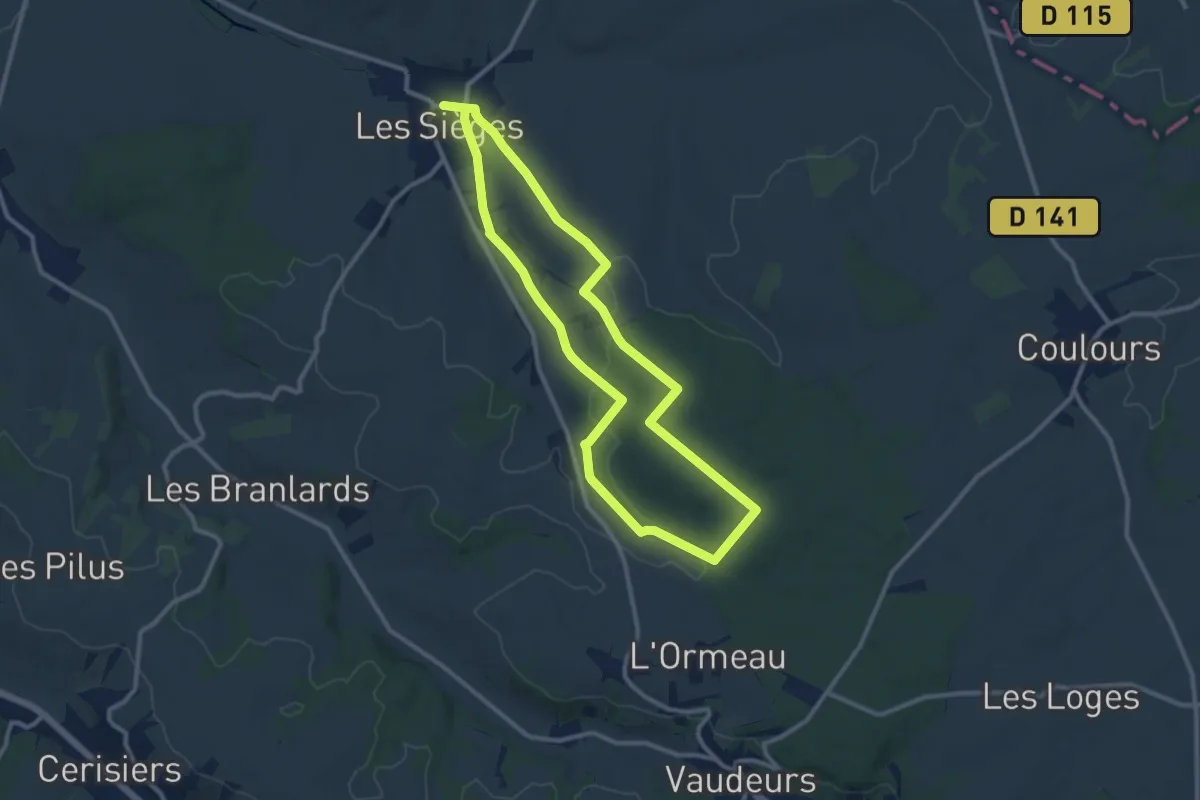
Medium · Trail
N°04 Autour de Les Sièges, la Pierre-Collon
9.8 km · ↑ 175 m · 2 h 49 min
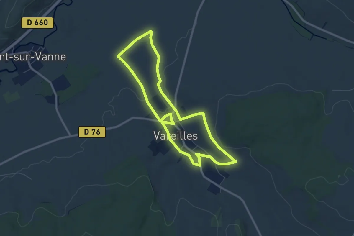
Easy · Trail
N°06 A la découverte de Vareille
6.2 km · ↑ 50 m · 1 h 40 min
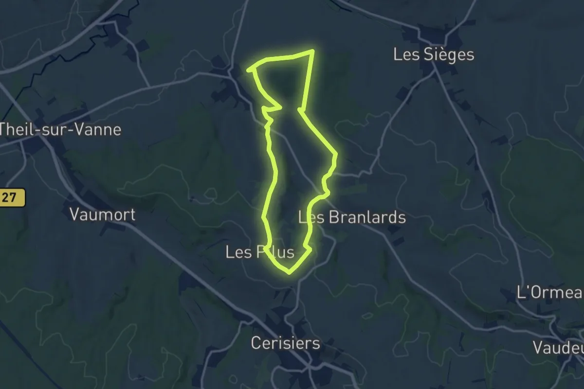
Medium · Trail
N°07 Vareilles De bourgs en hameaux
10.3 km · ↑ 233 m · 3 h 5 min
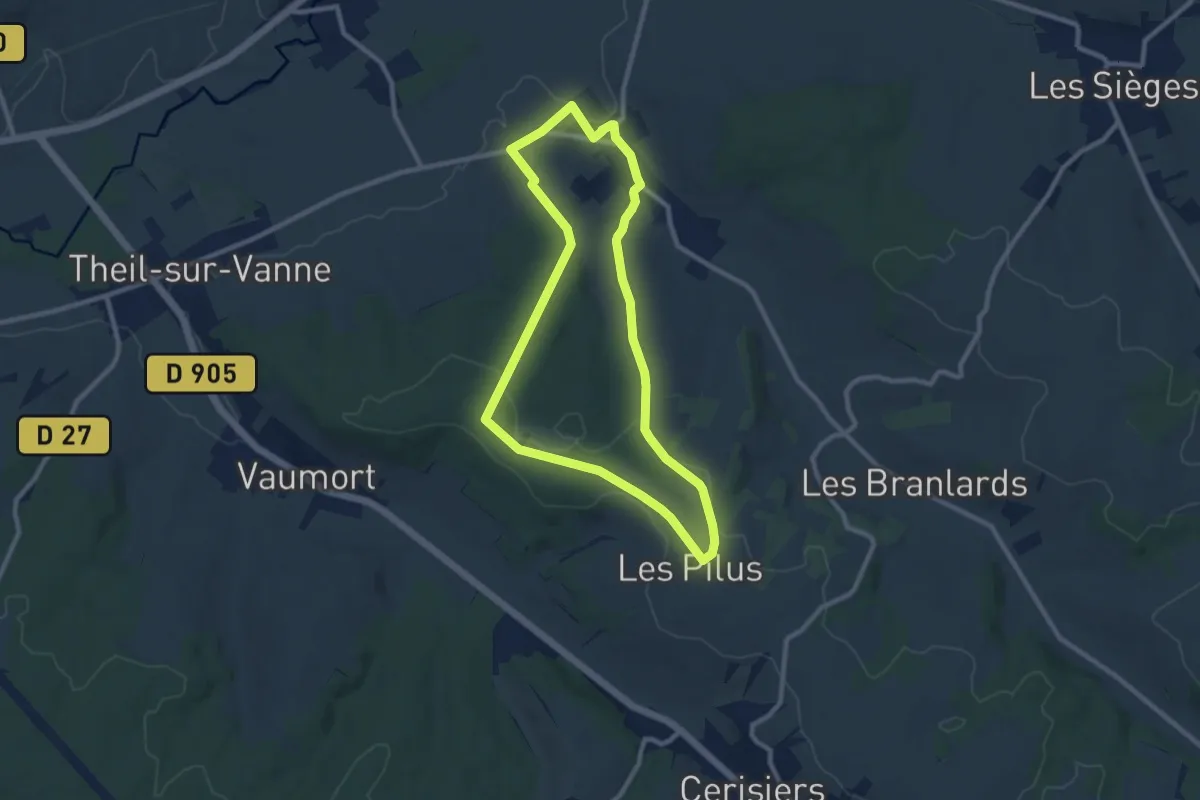
Medium · Trail
N°08 09km Vareilles Le bois du champs-fetu
8.6 km · ↑ 119 m · 2 h 25 min
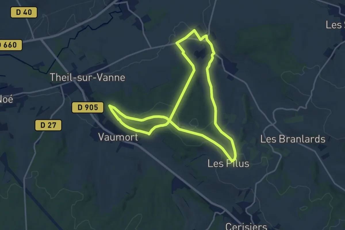
Medium · Trail
N°08 13km Vareilles Le bois du champs-fetu
12.2 km · ↑ 191 m · 3 h 27 min
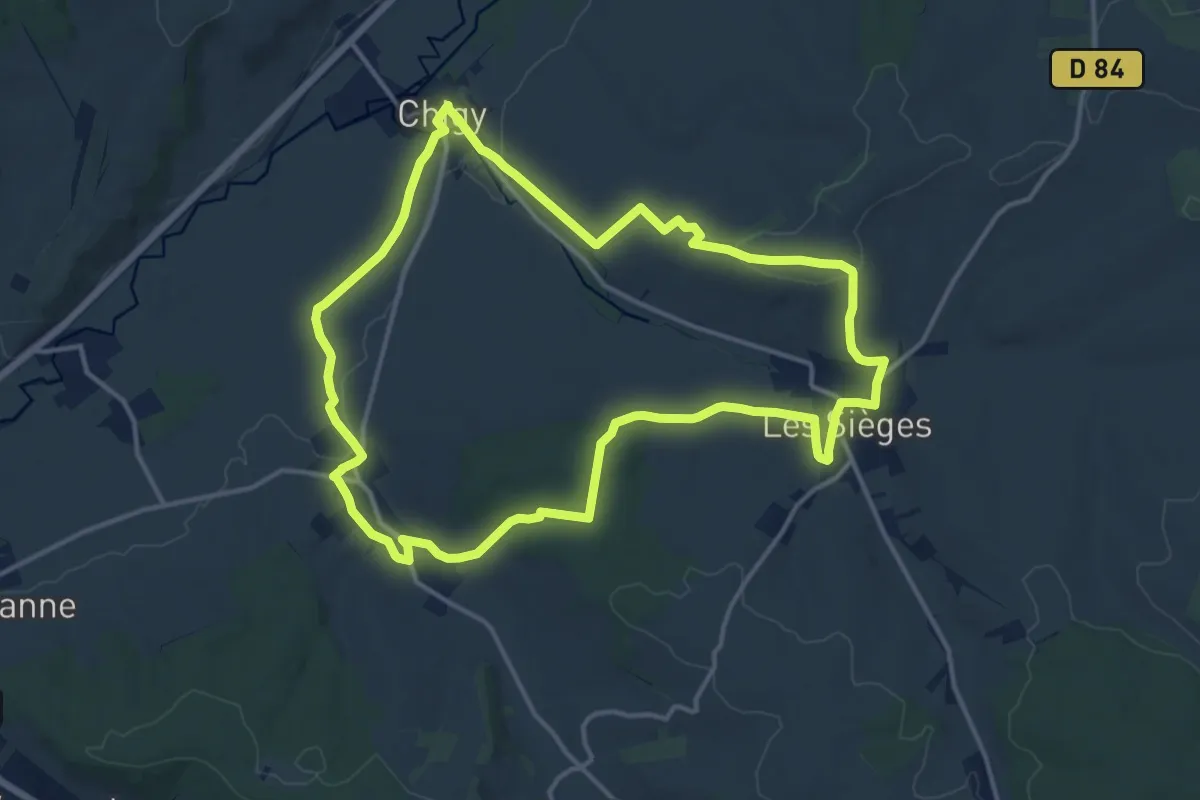
Medium · Trail
N°09 Chigy Les 3 villages de la Vanne
14.0 km · ↑ 189 m · 3 h 55 min
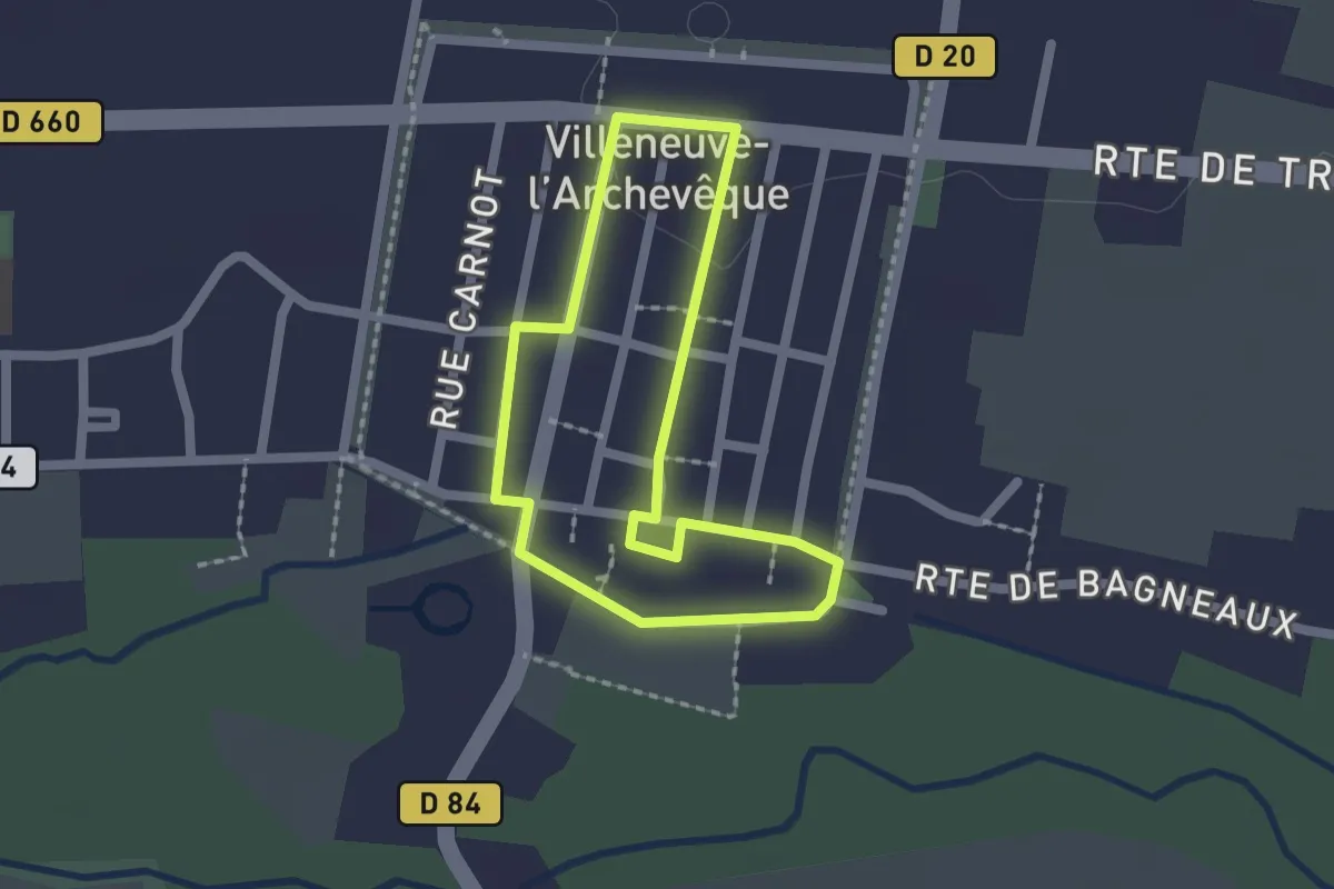
Easy · Trail
N°10 Au coeur de Villeneuve-L’Archevêque
1.6 km · ↑ 5 m · 24 min
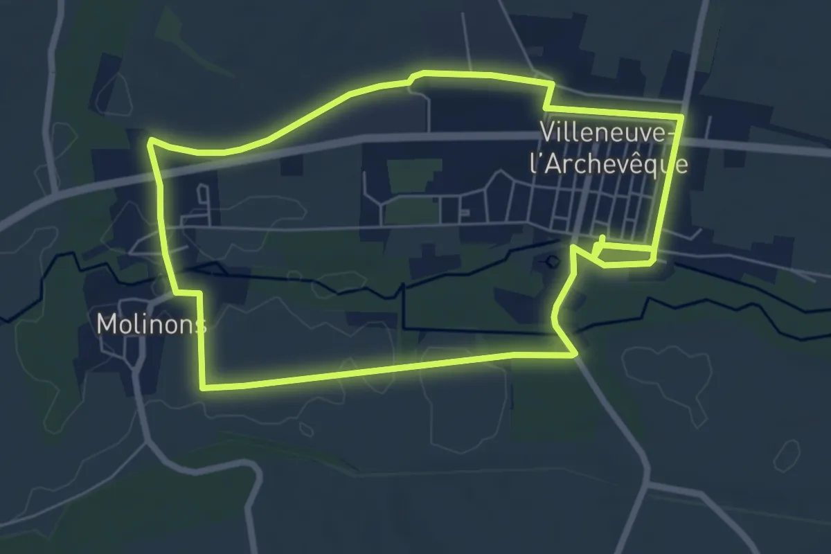
Easy · Trail
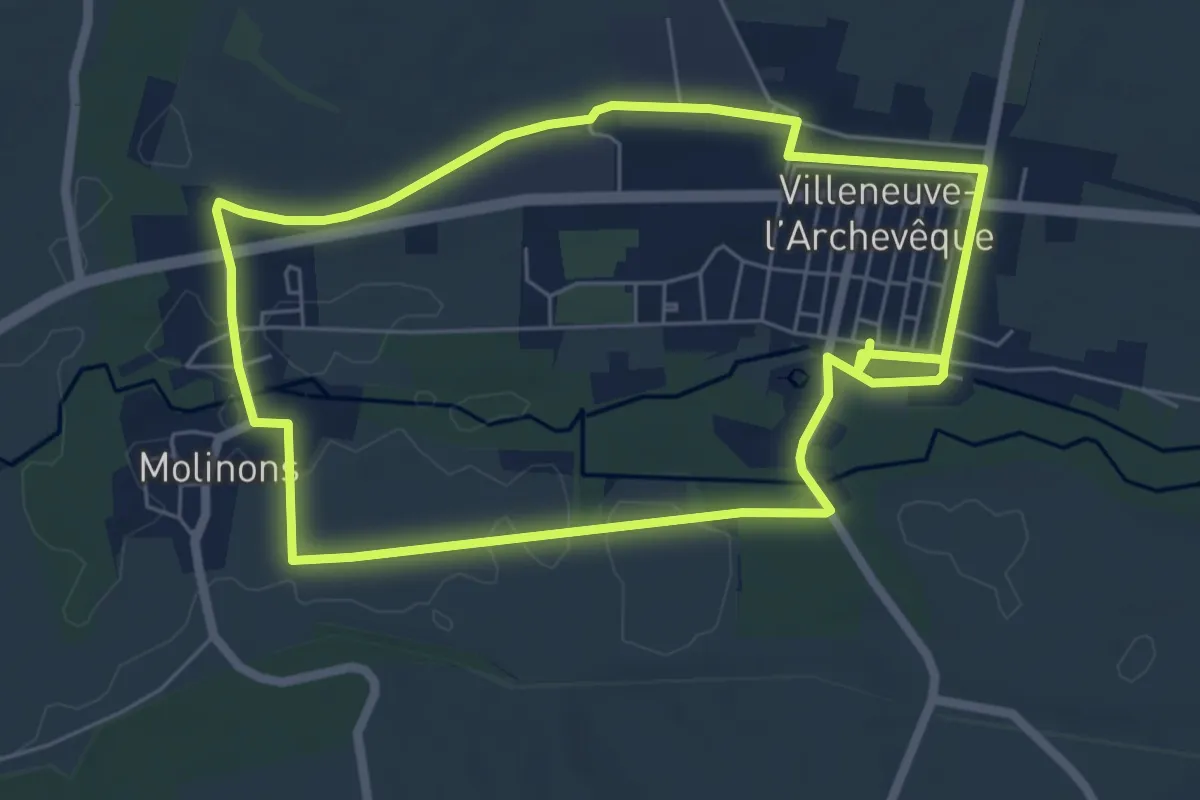
N°11 06km Autour de Villeneuve-L’Archevêque
6.1 km · ↑ 8 m · 1 h 32 min
Easy · Trail
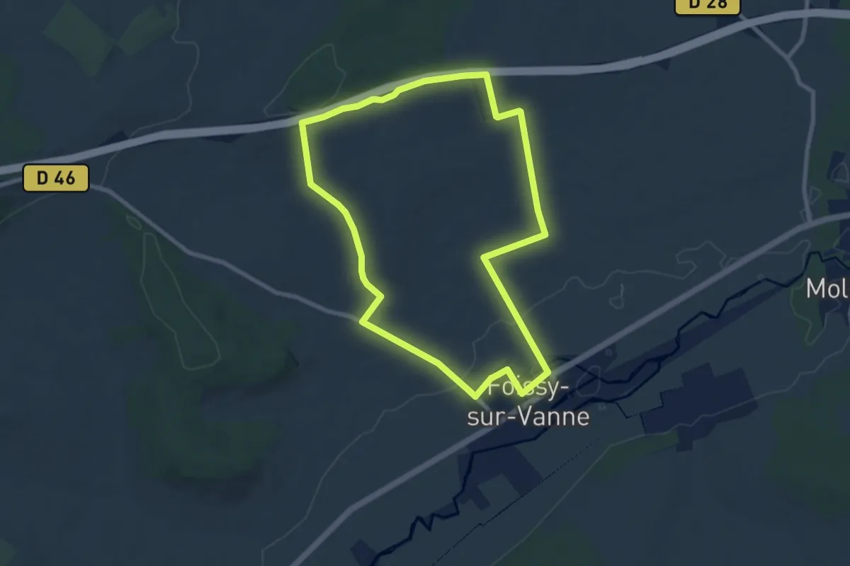
N°11 08km Autour de Villeneuve-L’Archevêque
6.1 km · ↑ 8 m · 1 h 32 min
Easy · Trail
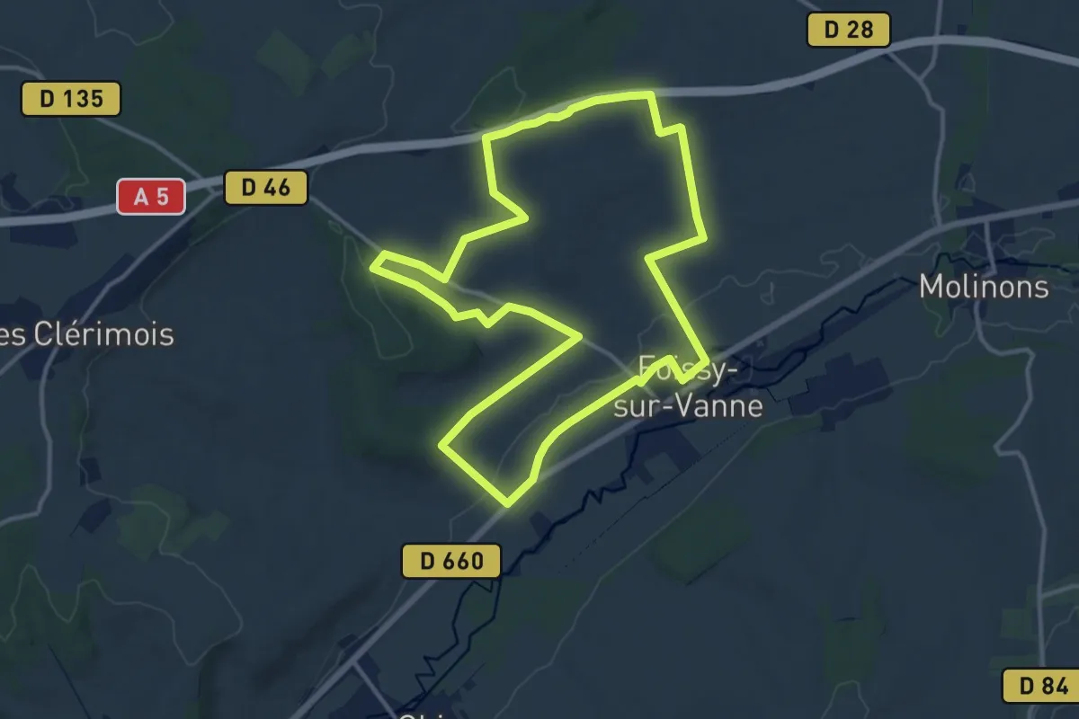
N°12 07km Foissy-sur-Vanne Route des bergeries
7.4 km · ↑ 88 m · 2 h 2 min
Medium · Trail
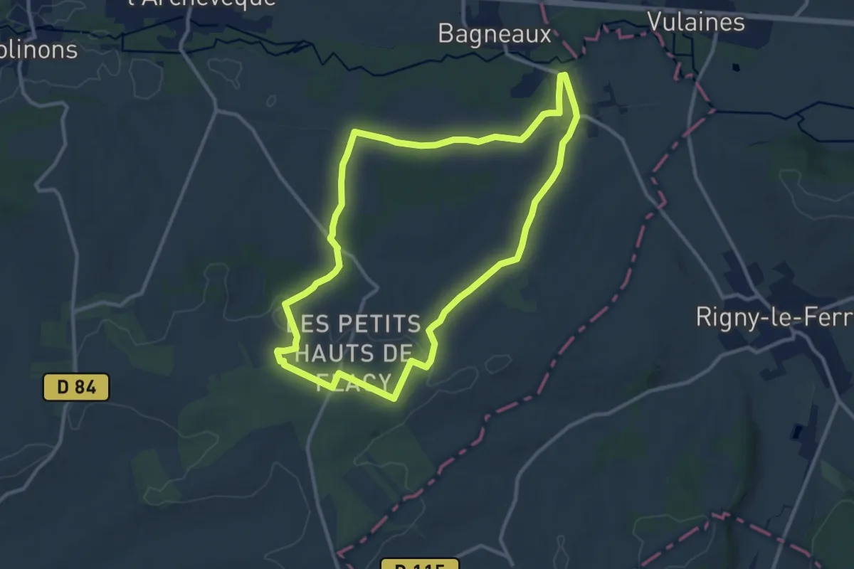
N°12 13km Foissy-sur-Vanne Route des bergeries
12.5 km · ↑ 216 m · 3 h 35 min
Medium · Trail
N°13 Flacy La source Bezeaux
10.1 km · ↑ 131 m · 2 h 49 min
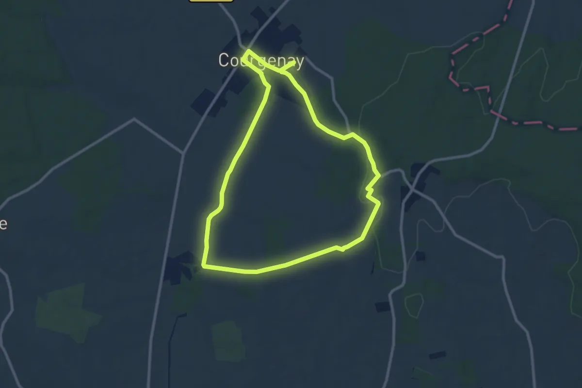
Medium · Trail
N°14 La Singerie Courgenay
8.1 km · ↑ 111 m · 2 h 16 min
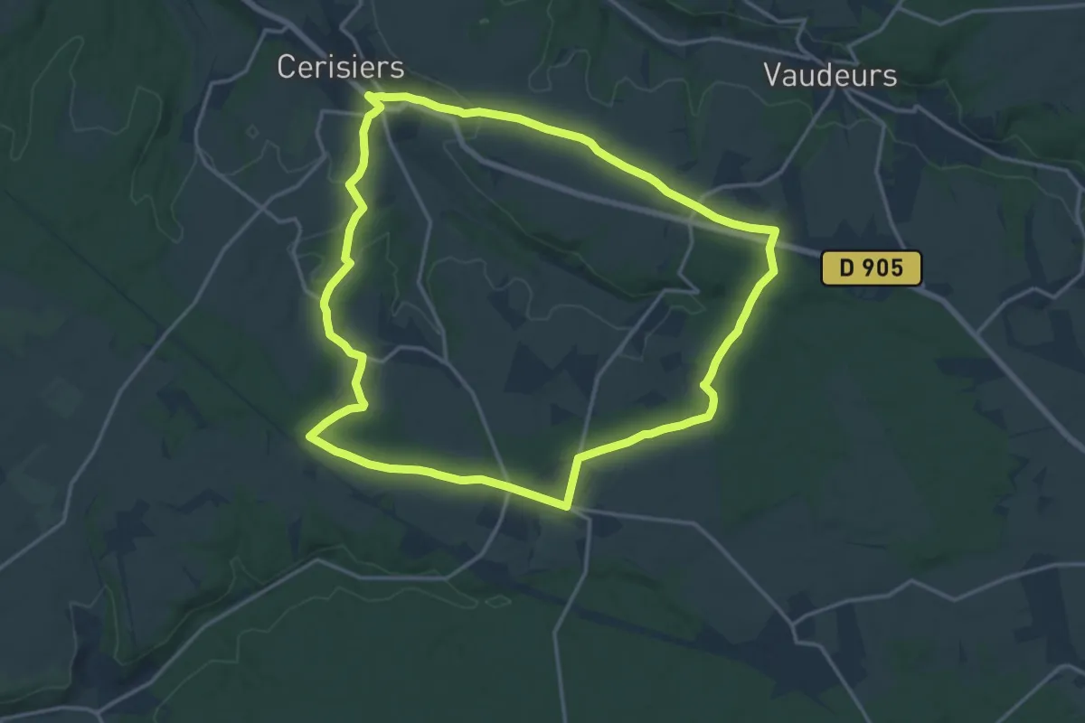
Medium · Trail
N°15 Cerisiers Villechétive, cidre et forêt
15.6 km · ↑ 172 m · 4 h 15 min
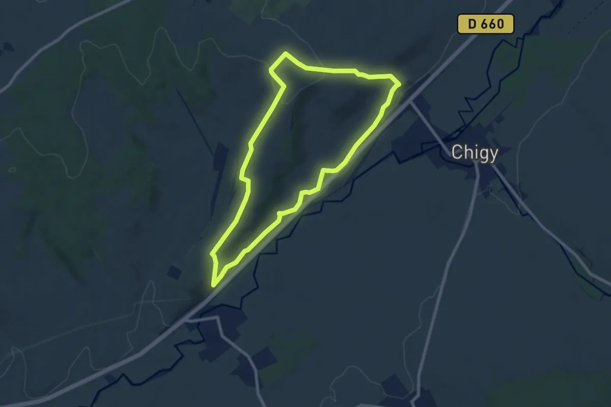
Easy · Trail
N°16 La boucle des coteaux de la Vanne, Chigy Pont-sur-Vanne
7.0 km · ↑ 118 m · 2 h
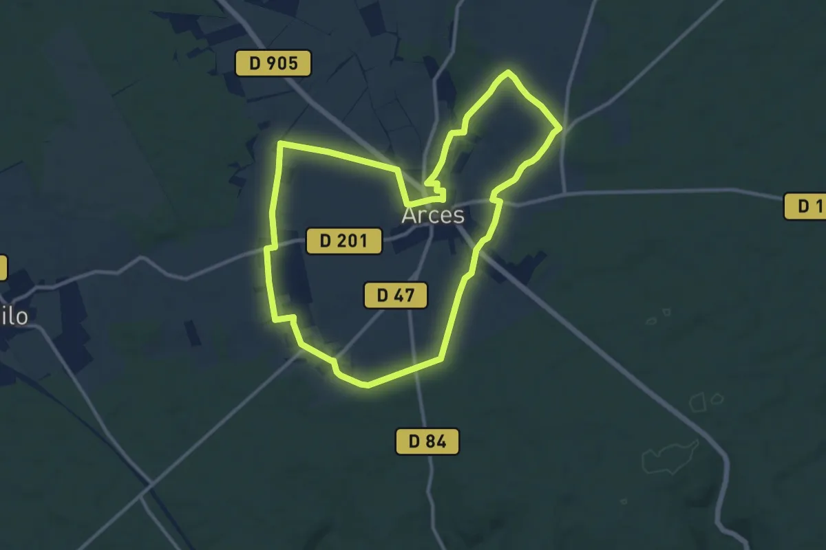
Medium · Trail
N°17 À la découverte de Arces-Dilo
10.4 km · ↑ 88 m · 2 h 47 min
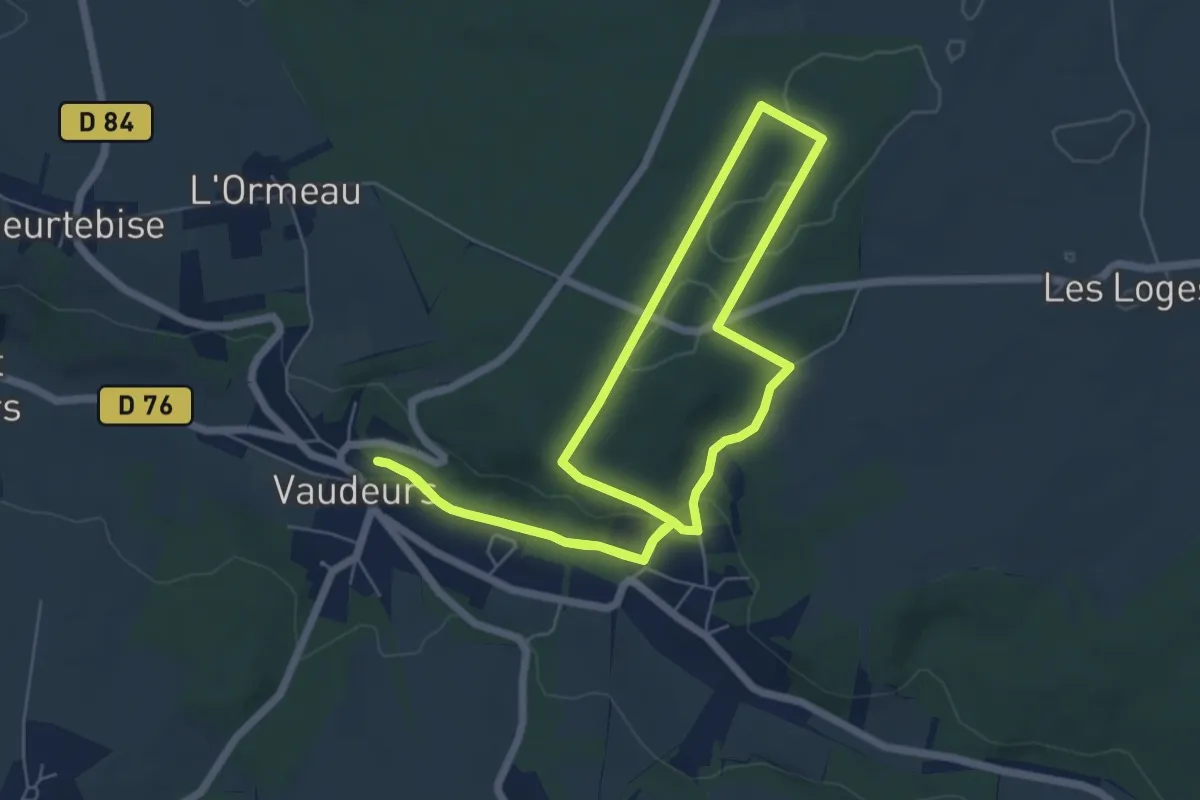
Easy · Trail
N°18 06km Vaudeurs & ses hameaux
5.9 km · ↑ 90 m · 1 h 40 min
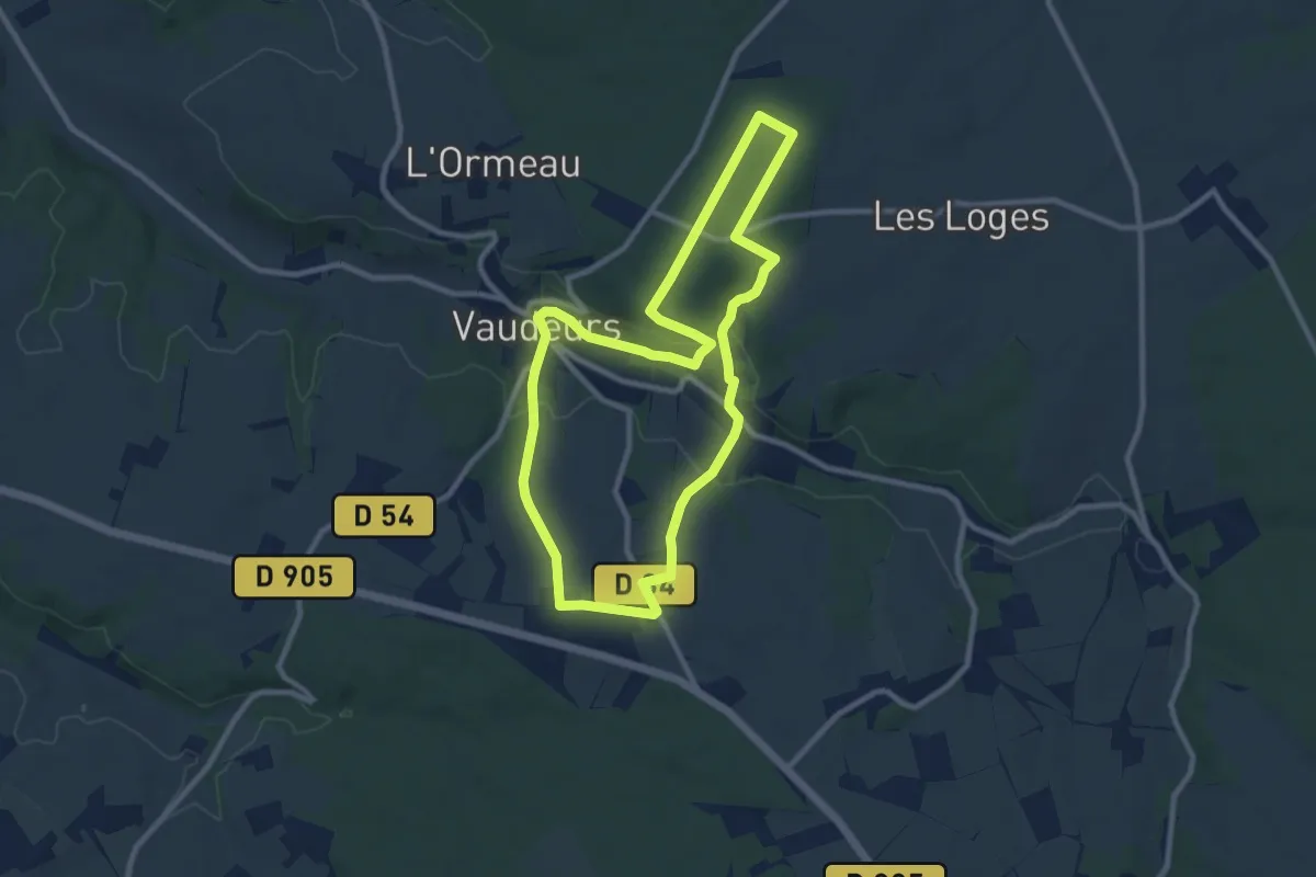
Medium · Trail
N°18 09km Vaudeurs & ses hameaux
9.0 km · ↑ 155 m · 2 h 35 min
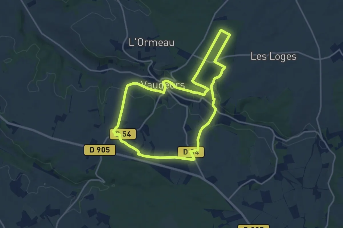
Medium · Trail
N°18 12km Vaudeurs & ses hameaux
11.0 km · ↑ 167 m · 3 h 7 min
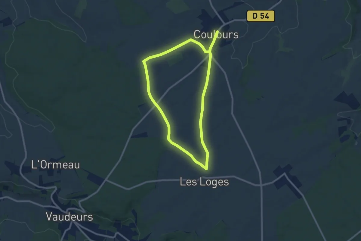
Easy · Trail
N°19 06km Chemin des Vents, Coulours Vaudeurs Les Sièges
6.9 km · ↑ 43 m · 1 h 49 min
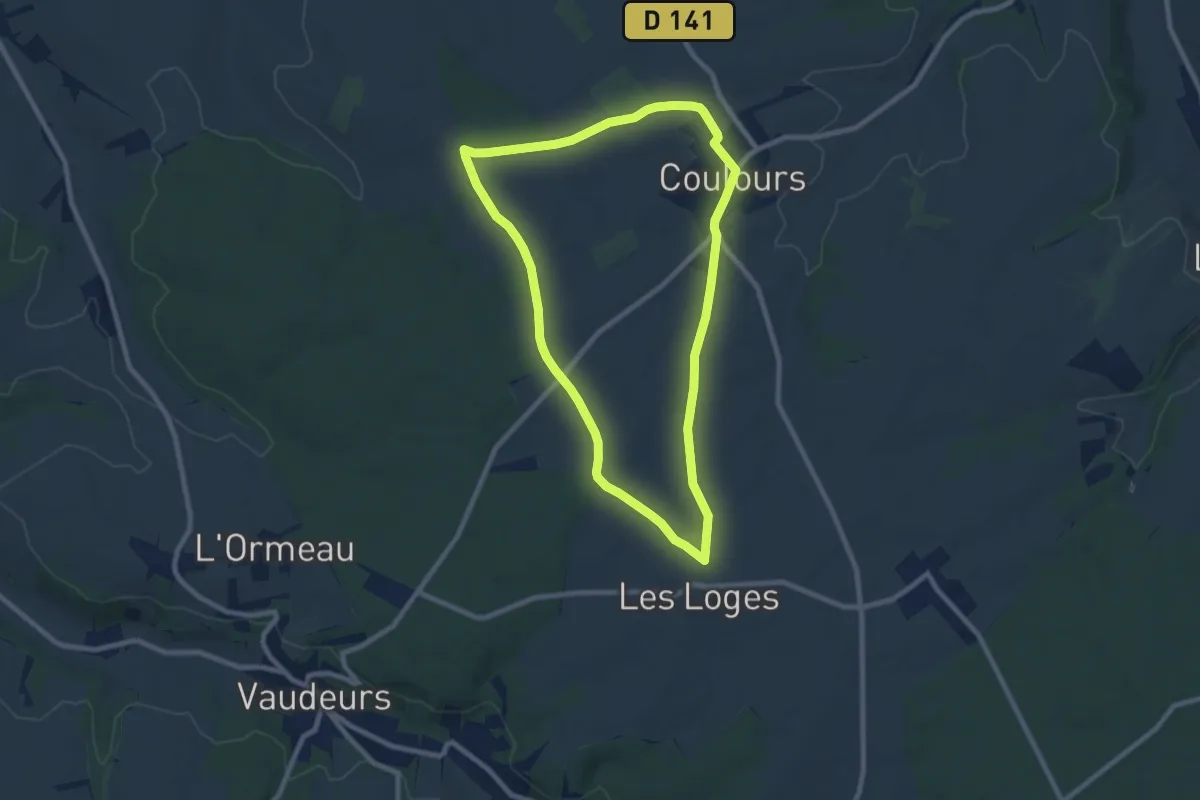
Easy · Trail
N°19 08 km Chemin des Vents, Coulours Vaudeurs Les Sièges
8.0 km · ↑ 40 m · 2 h 5 min
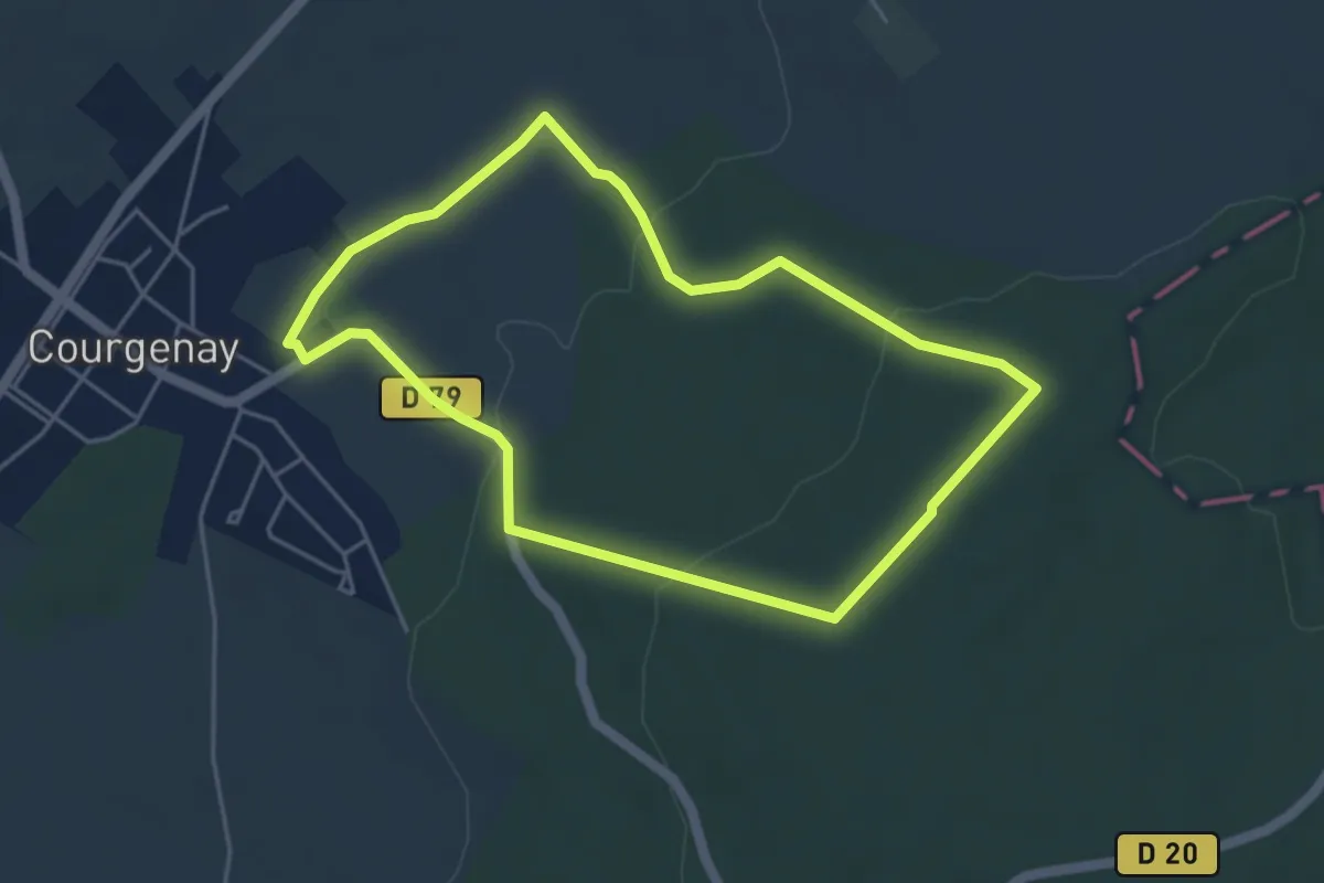
Easy · Trail
N°20 Courgenay La pierre aux 9 coups
4.3 km · ↑ 99 m · 1 h 17 min
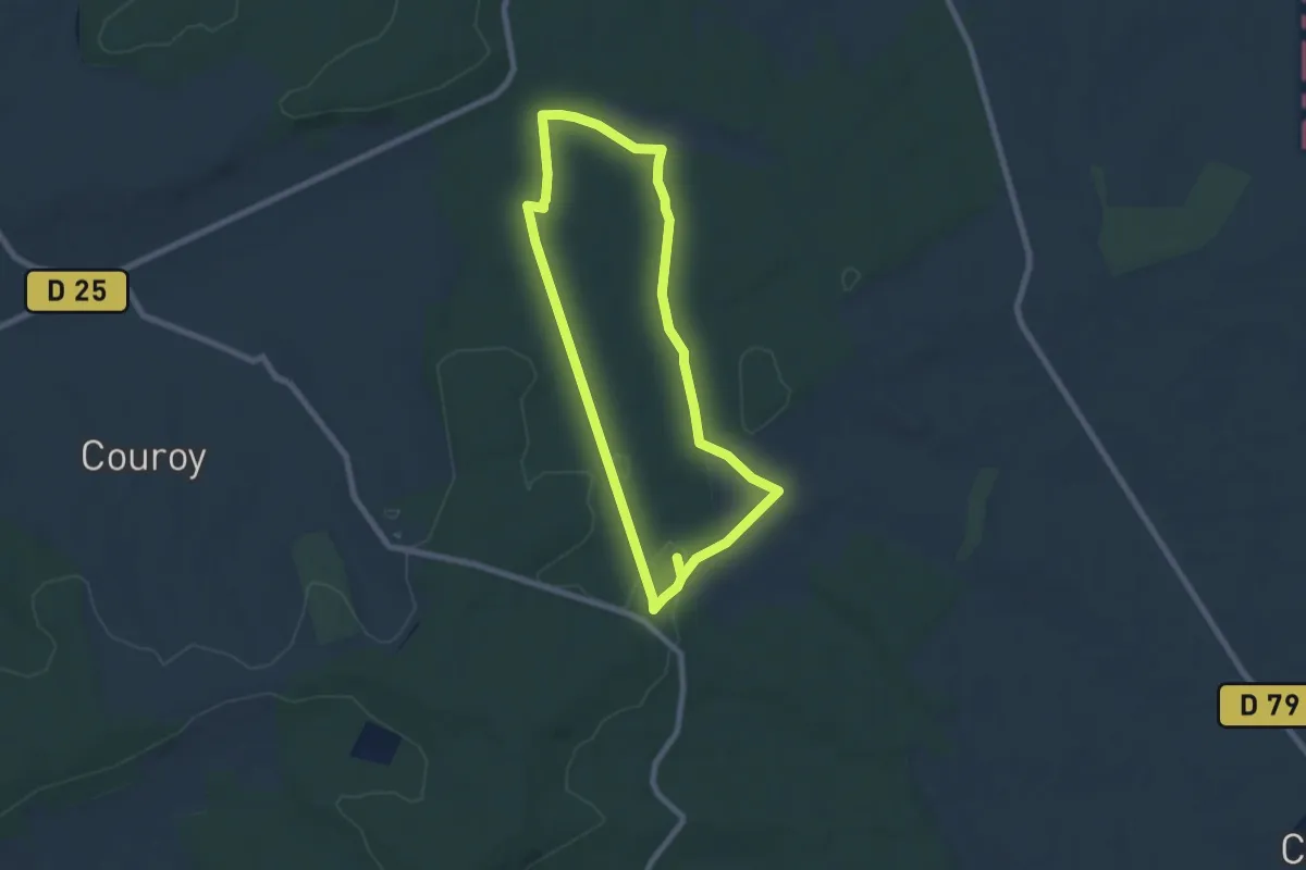
Easy · Trail
N°21 Saint-Maurice-aux-Riches-Hommes Le Dolmen de Lancy
6.7 km · ↑ 53 m · 1 h 48 min
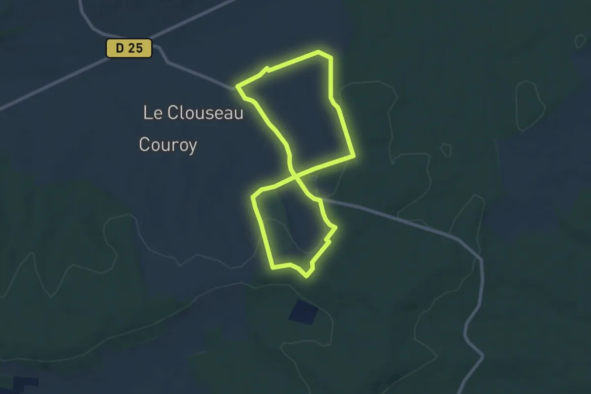
Easy · Trail
N°22 Saint-Maurice-aux-Riches-Hommes Les bornes armoriées
6.0 km · ↑ 108 m · 1 h 45 min