Trails in France
15,926 hiking trails, each with its route, climb, walking time and grade.
All trails, page 213 of 332
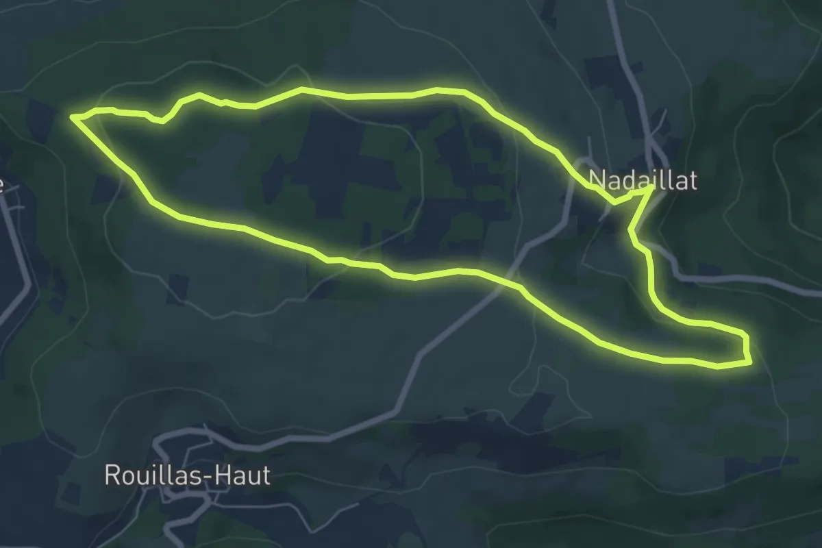
Easy · Trail
Nadaillat
6.6 km · ↑ 203 m · 2 h 5 min
Easy · Trail
name=[SC 01 : Port-la-Nouvelle - Durban-Corbières]
5.4 km · ↑ 28 m · 1 h 20 min
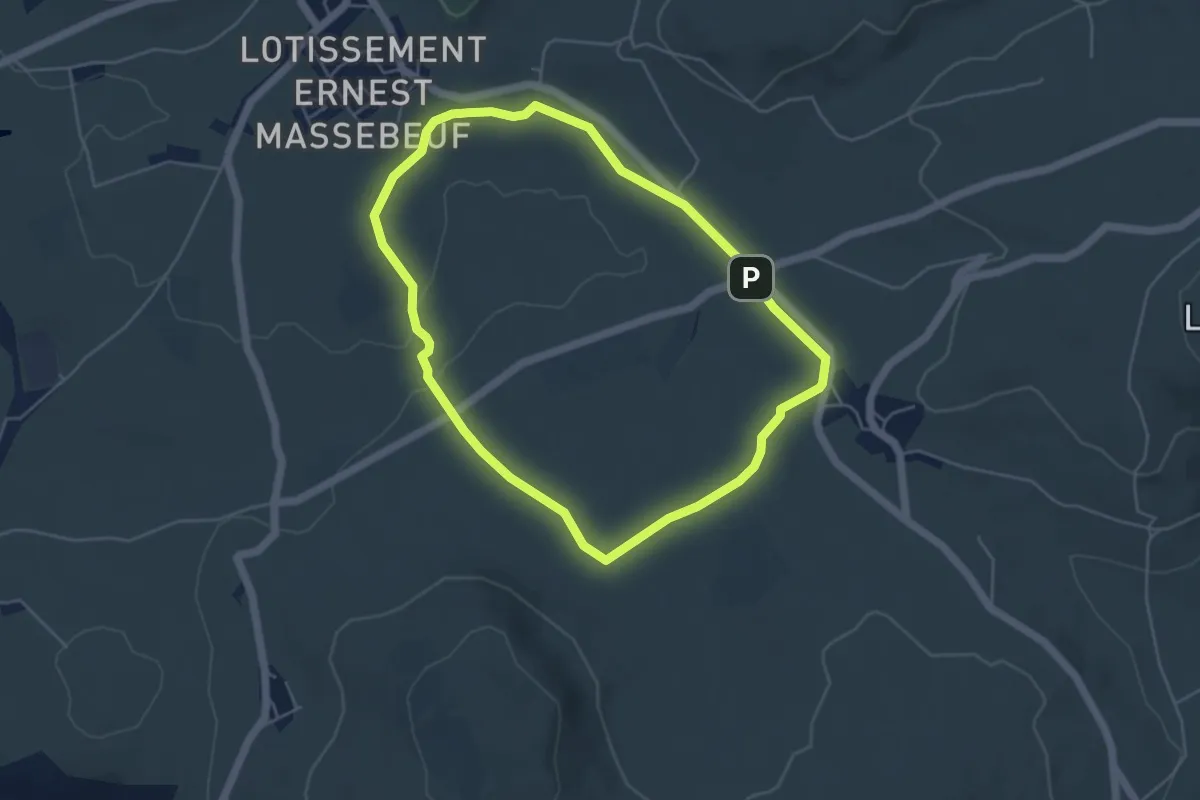
Easy · Trail
Narse de Pierrefitte - grande boucle
4.7 km · ↑ 40 m · 1 h 16 min
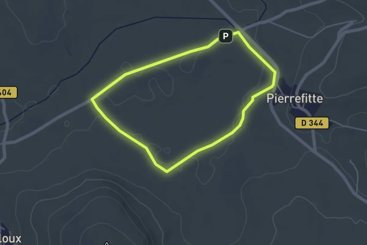
Easy · Trail
Narse de Pierrefitte - petite boucle
3.3 km · ↑ 17 m · 52 min
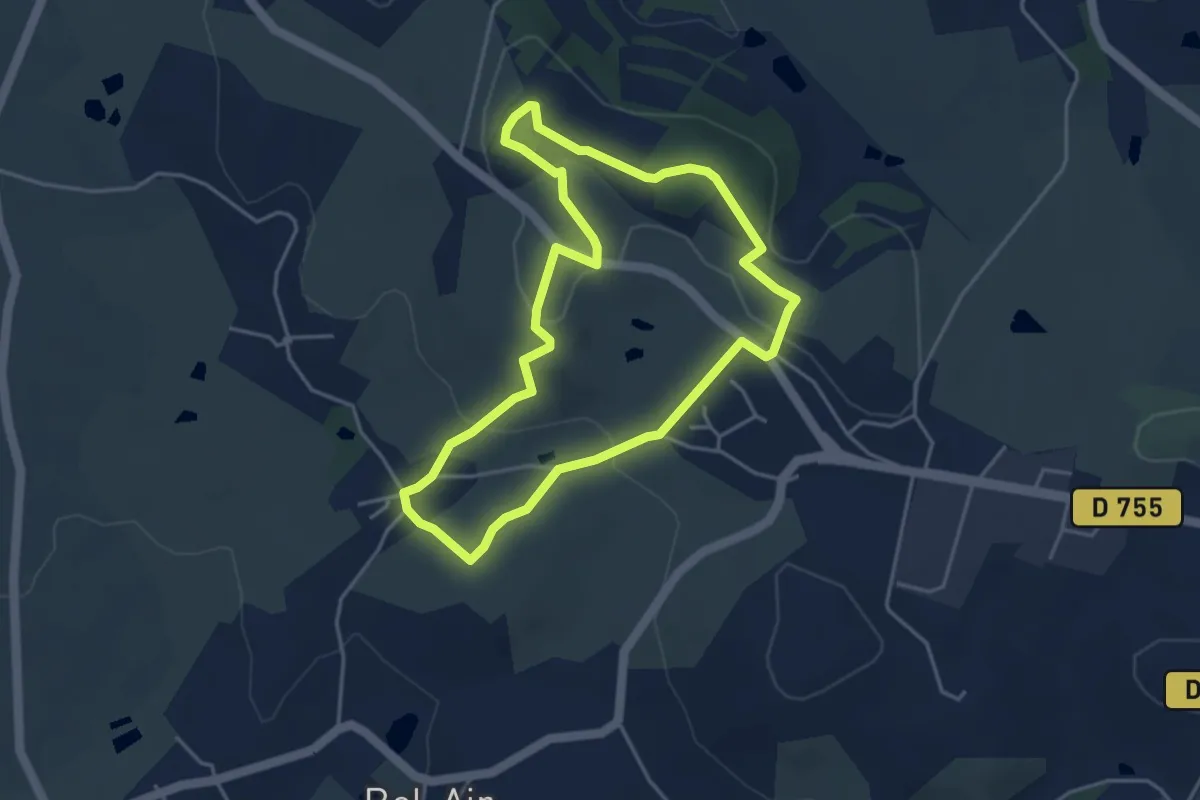
Easy · Summit
Nature et interprétation
4.0 km · ↑ 105 m · 1 h 13 min
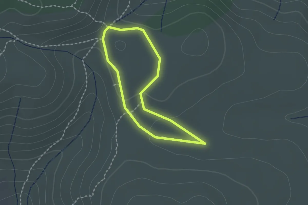
Easy · Trail
Nature et Patrimoine en Alaric
1.4 km · ↑ 29 m · 25 min
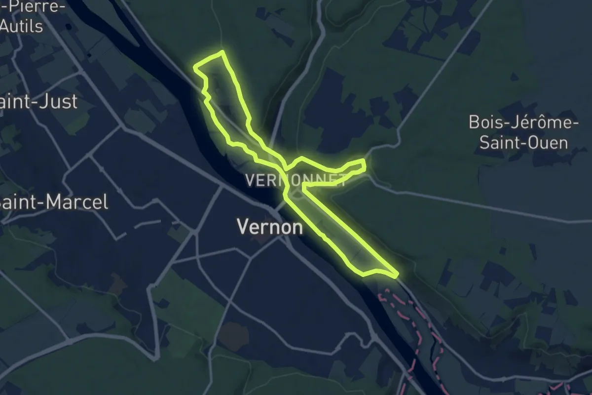
Medium · Trail
Nature et paysages de Vernon rive droite
10.9 km · ↑ 195 m · 3 h 8 min
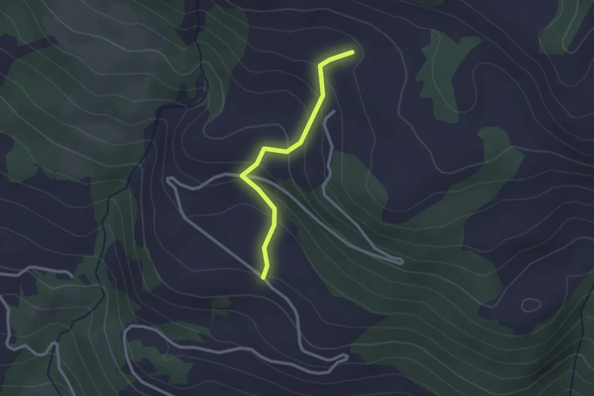
Easy · Trail
Naune Raze - Le Nivou
2.2 km · ↑ 162 m · 52 min
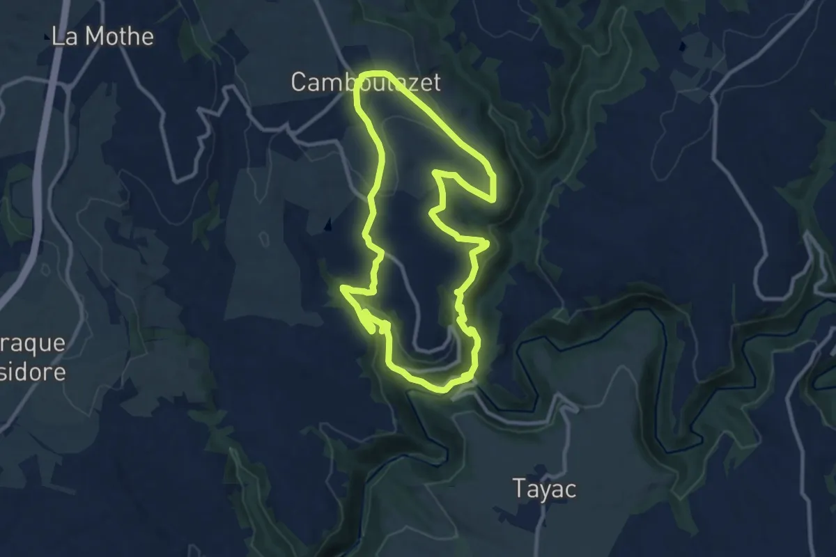
Medium · Trail
Nauze Versaille
9.9 km · ↑ 283 m · 3 h 5 min
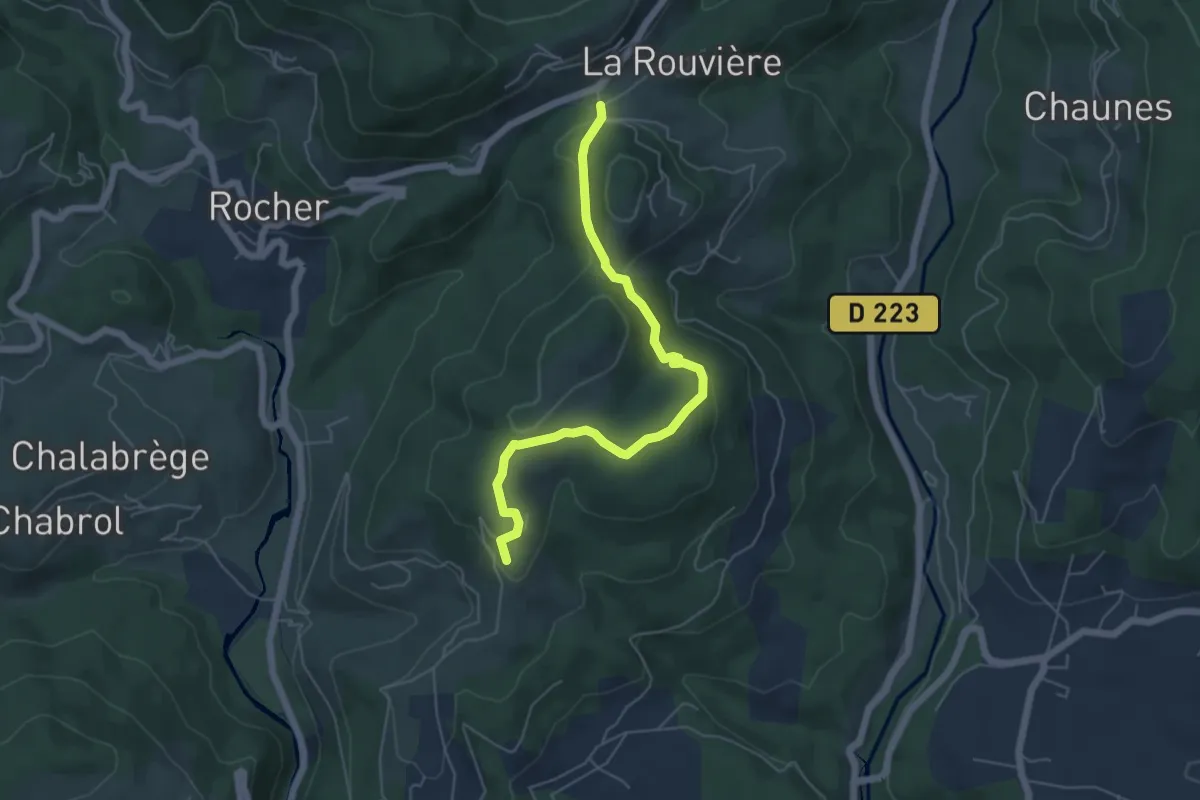
Easy · Trail
N.D. de Bonne Rencontre - Les Combes
5.8 km · ↑ 145 m · 1 h 41 min
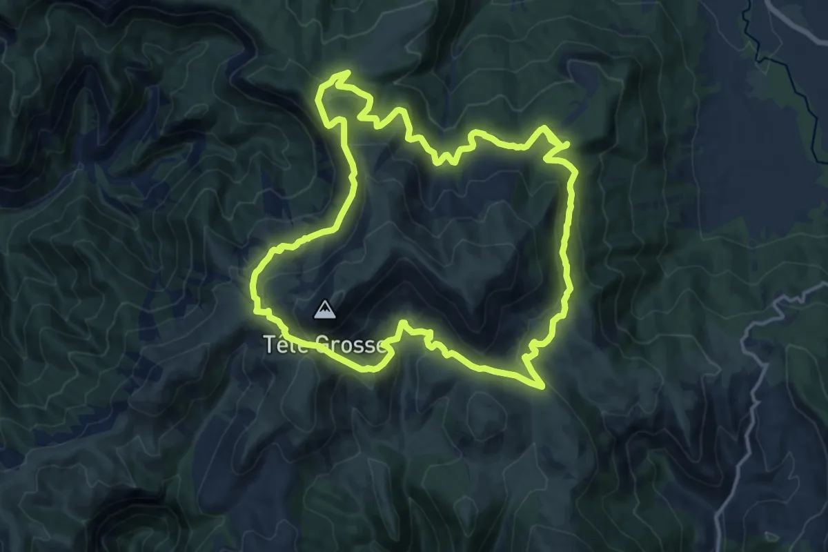
Medium · Summit
Négron (par la station de Chabanon)
15.0 km · ↑ 728 m · 5 h 19 min
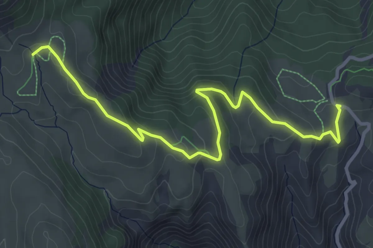
Easy · Trail
Négron (par le col du Fanget)
3.7 km · ↑ 228 m · 1 h 18 min
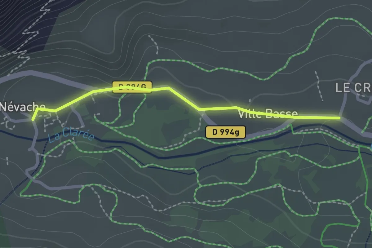
Easy · Trail
Névache - ?
2.0 km · ↑ 9 m · 30 min
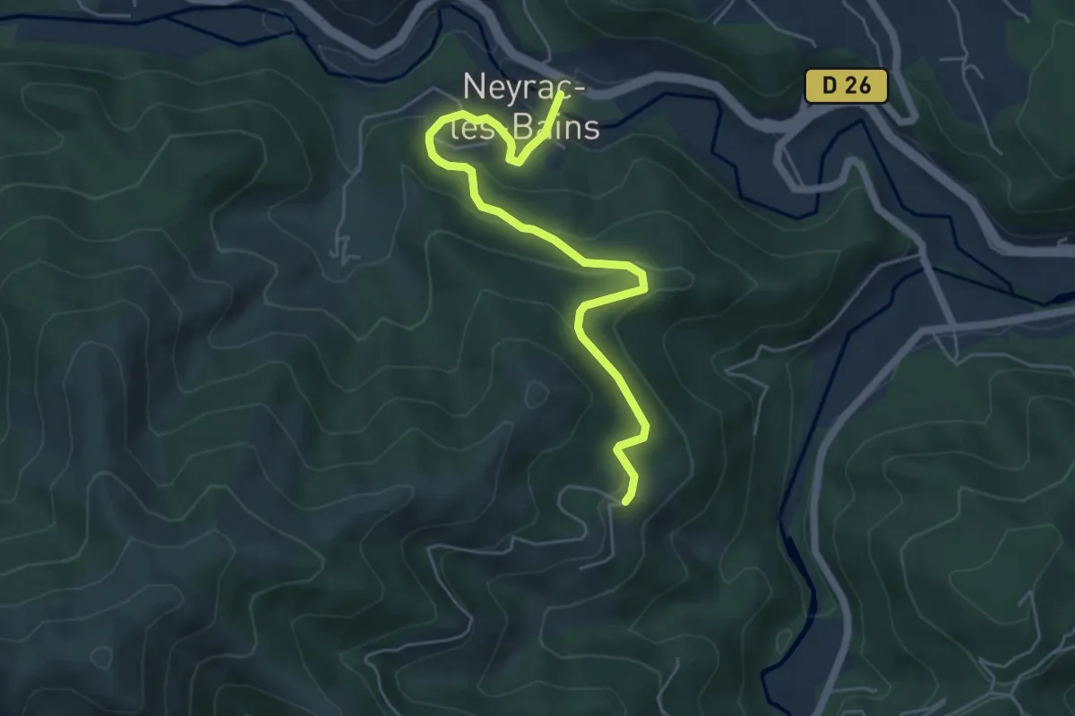
Easy · Trail
Neyrac-les-Bains - Le Câble
5.5 km · ↑ 260 m · 1 h 52 min
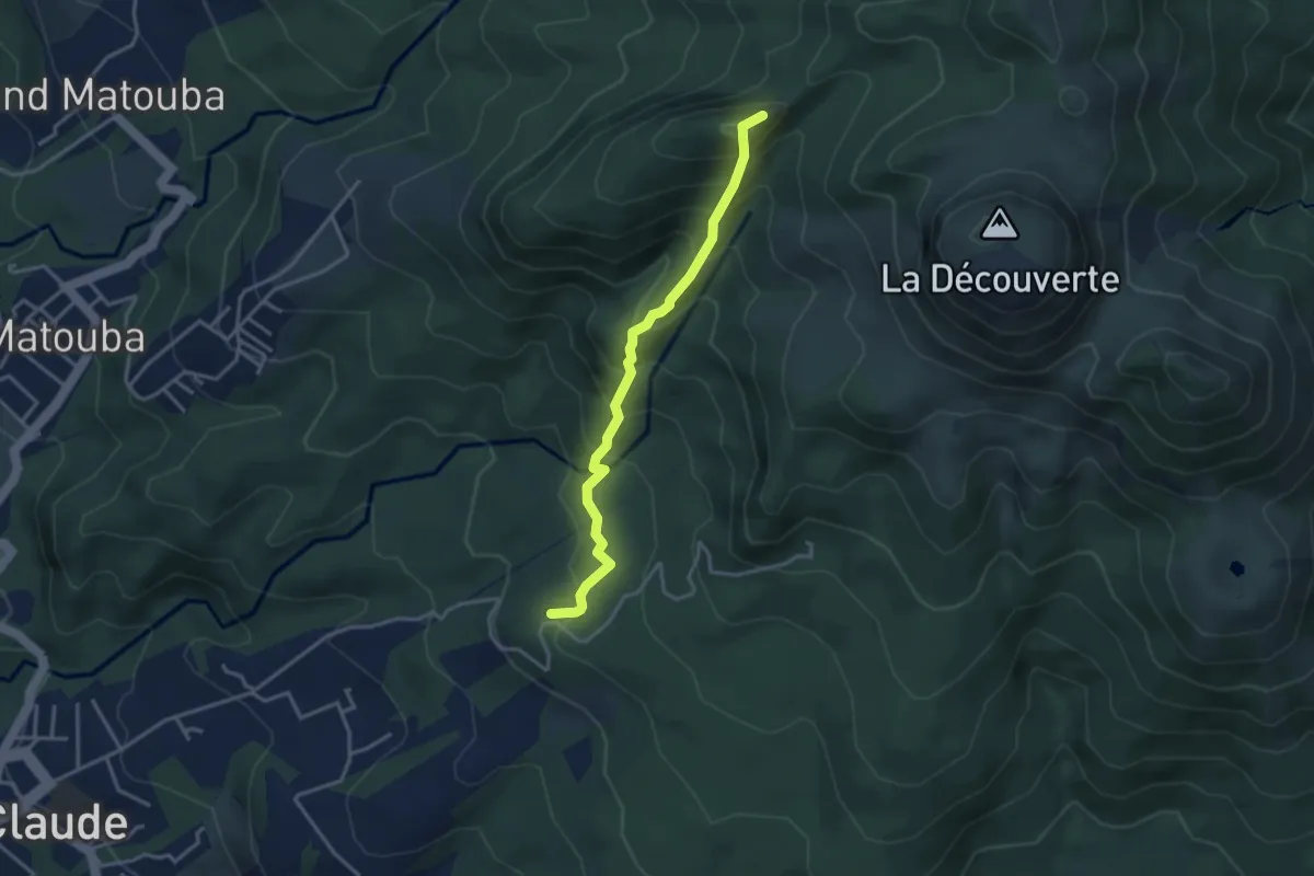
Medium · Summit
Nez Cassé via Beau-Soleil
4.6 km · ↑ 493 m · 2 h 9 min
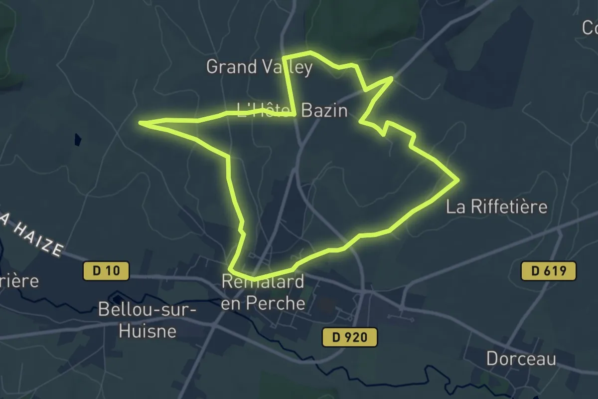
Medium · Trail
Nobles logis (Rémalard - circuit court)
8.3 km · ↑ 124 m · 2 h 20 min
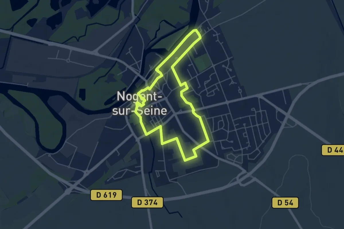
Easy · Trail
Nogent entre Seine et Jardins
4.8 km · ↑ 31 m · 1 h 17 min
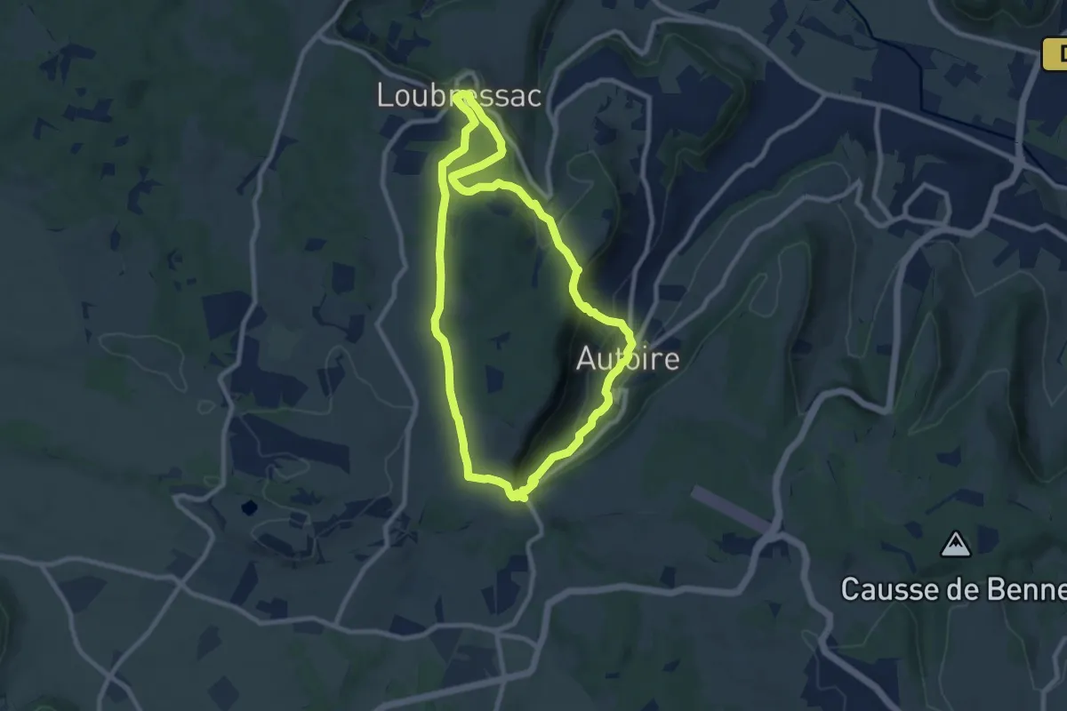
Medium · Trail
Nos plus beaux villages
8.6 km · ↑ 293 m · 2 h 48 min
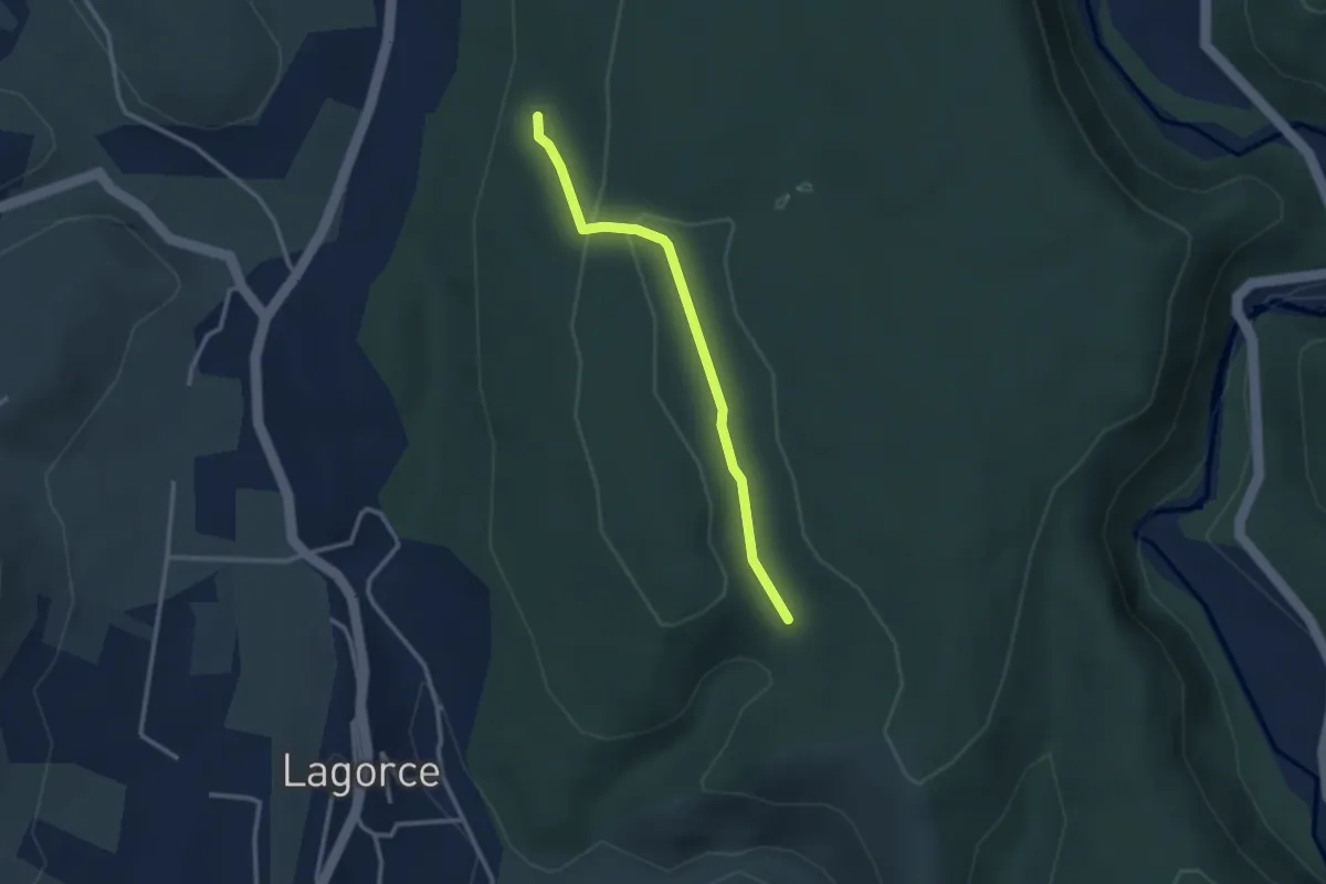
Easy · Trail
Notre Dame d'Ajude - Orbeire
2.8 km · ↑ 46 m · 46 min
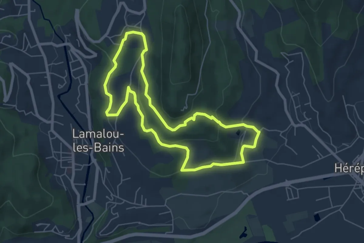
Easy · Trail
Notre Dame de Capimont
5.5 km · ↑ 178 m · 1 h 46 min
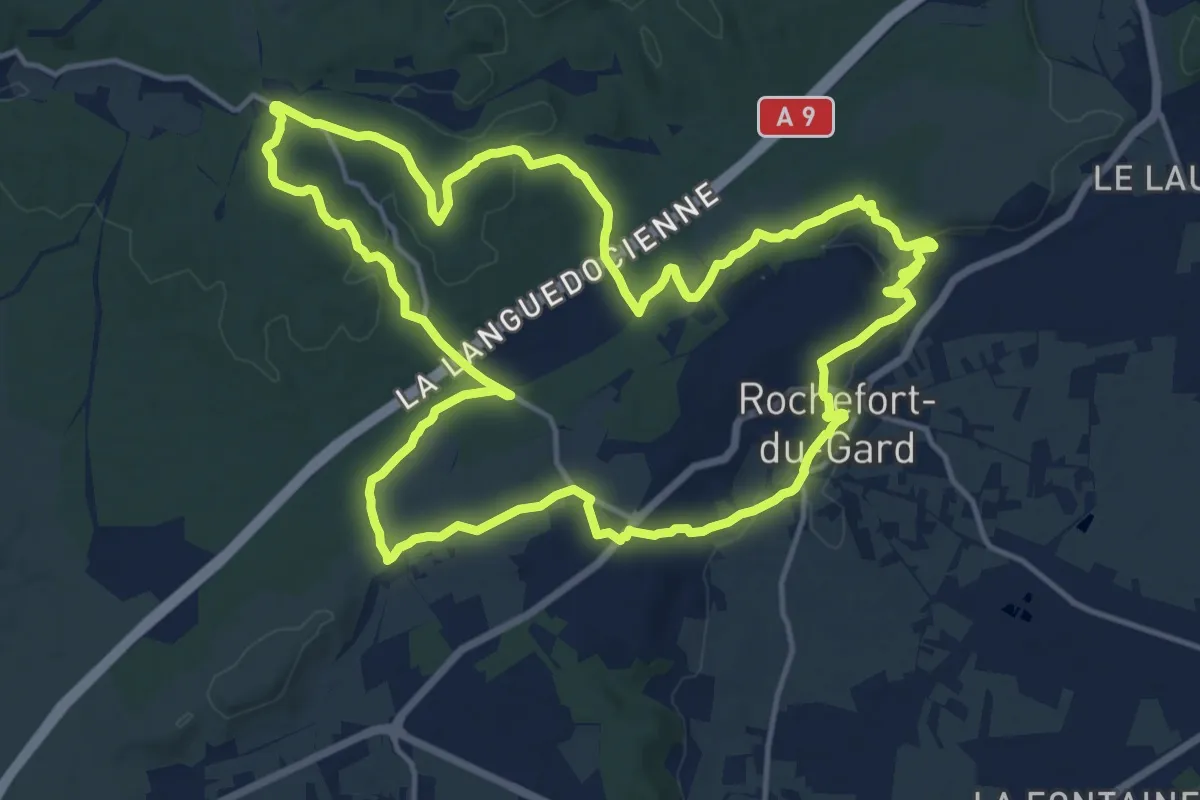
Medium · Trail
Notre-Dame-de-Grâce
16.9 km · ↑ 227 m · 4 h 42 min
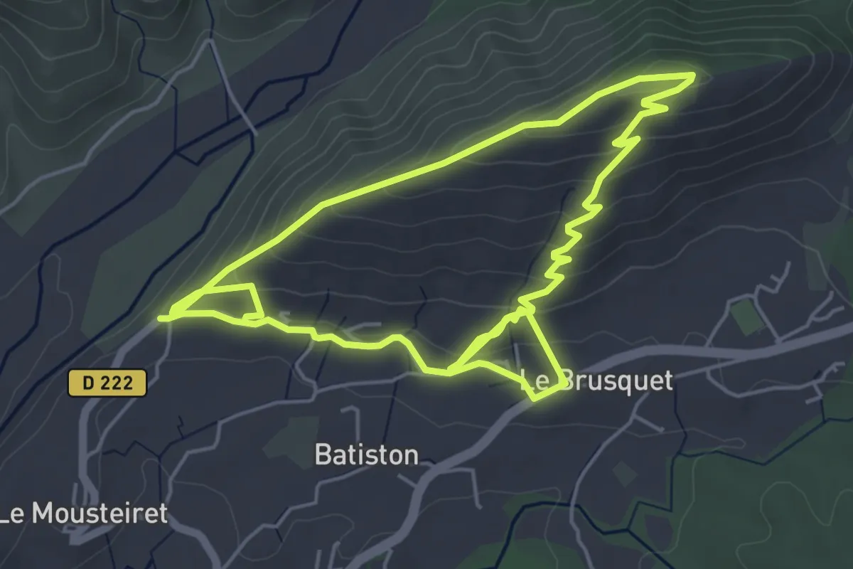
Easy · Trail
Notre-Dame de Lauzière
5.3 km · ↑ 228 m · 1 h 50 min
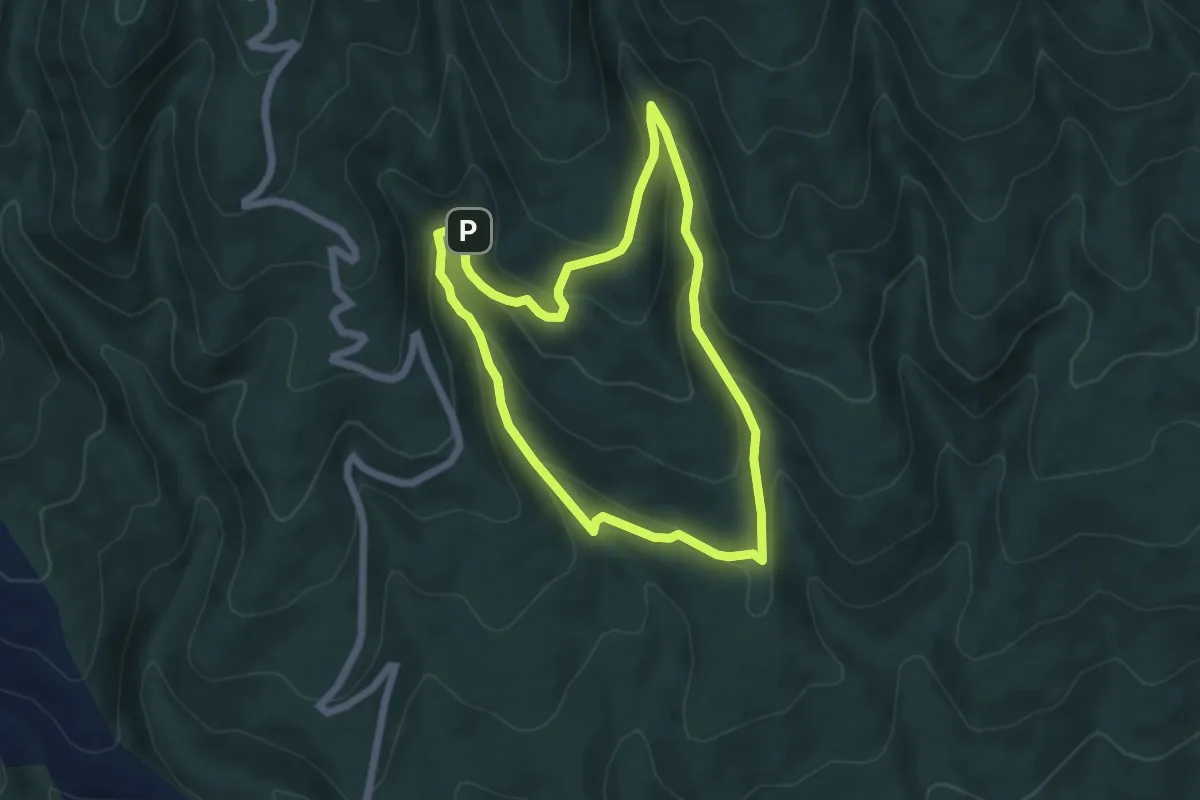
Easy · Cabin
Notre-Dame de Lure
5.4 km · ↑ 241 m · 1 h 52 min
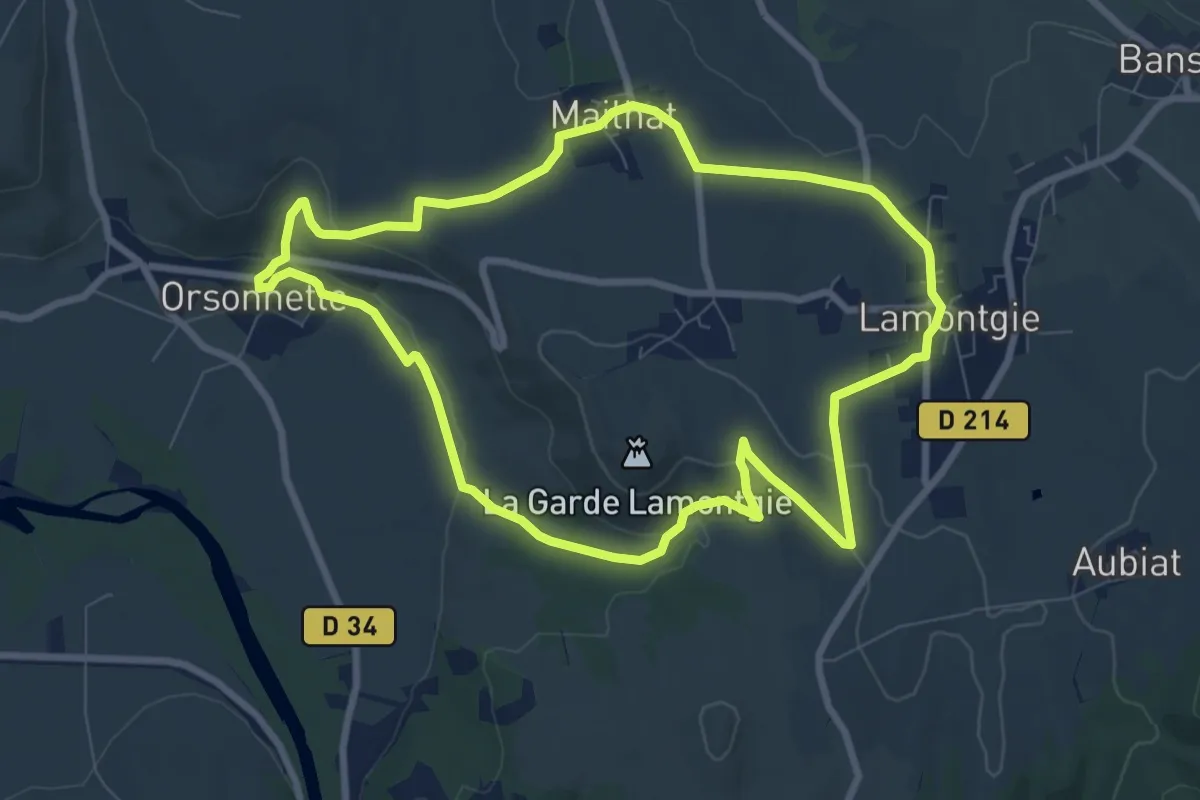
Medium · Trail
Notre-Dame de Mailhat
8.4 km · ↑ 137 m · 2 h 24 min
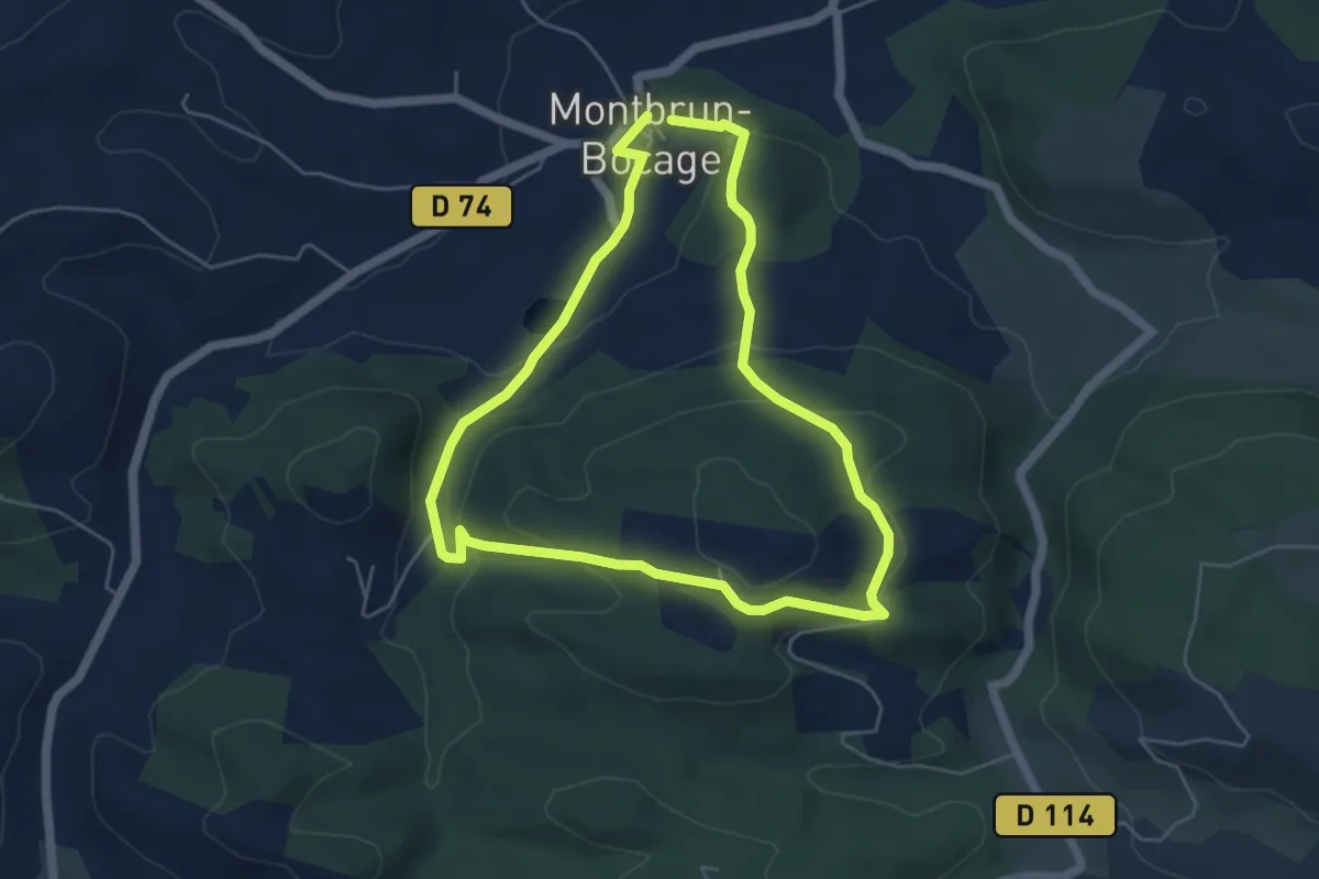
Easy · Trail
Notre-Dame de Montaut
5.2 km · ↑ 179 m · 1 h 41 min
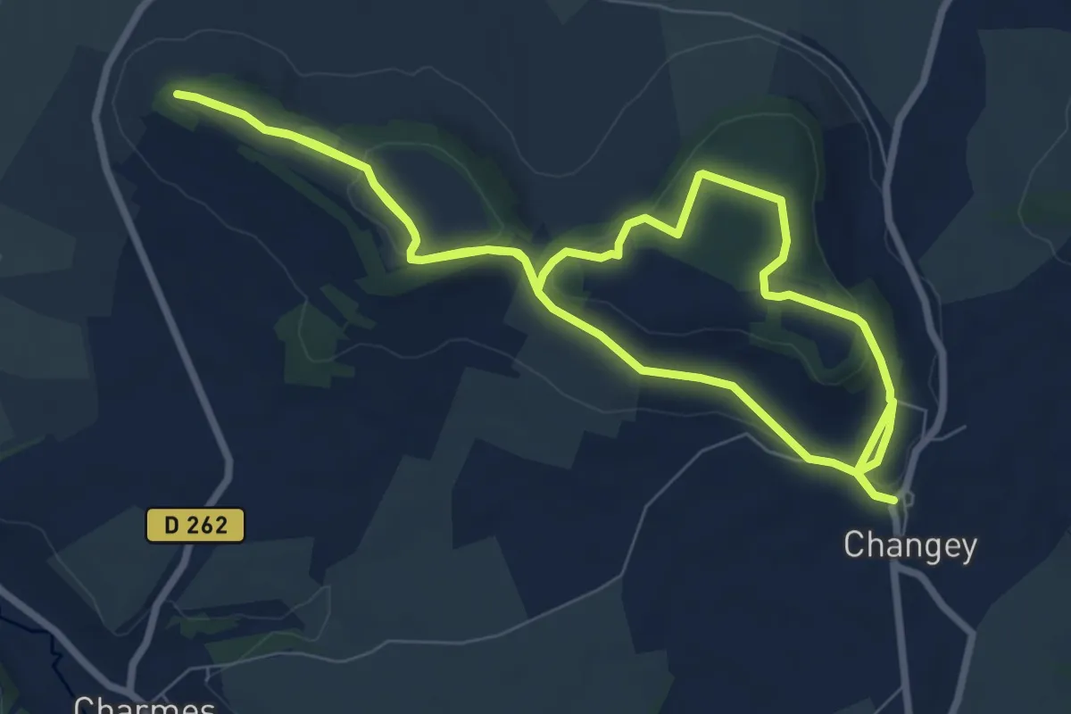
Easy · Trail
Notre Dame de Mont-Vangé
7.5 km · ↑ 150 m · 2 h 12 min
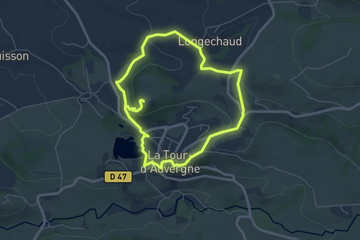
Easy · Trail
Notre Dame de Natzy
5.2 km · ↑ 174 m · 1 h 41 min
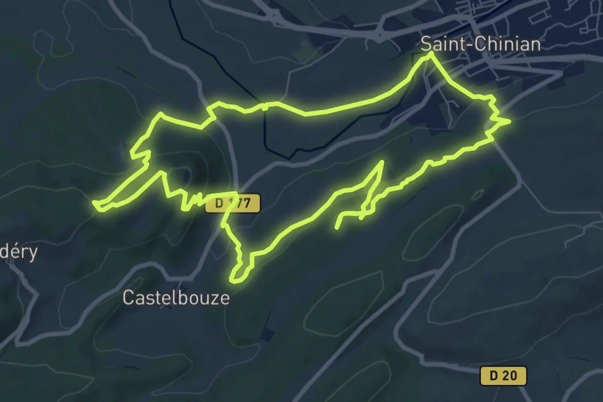
Medium · Trail
Notre Dame de Nazareth
8.9 km · ↑ 263 m · 2 h 47 min
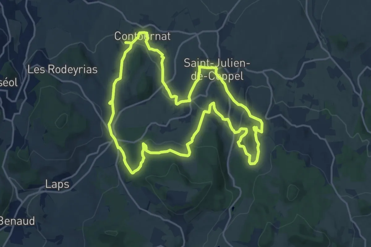
Medium · Trail
Notre-Dame de Roche
14.4 km · ↑ 416 m · 4 h 30 min
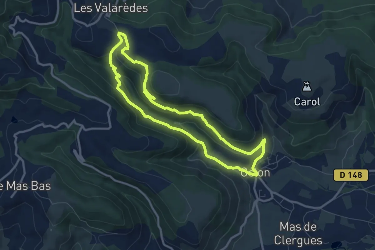
Easy · Trail
Notre Dame de Roubignac
7.5 km · ↑ 248 m · 2 h 25 min
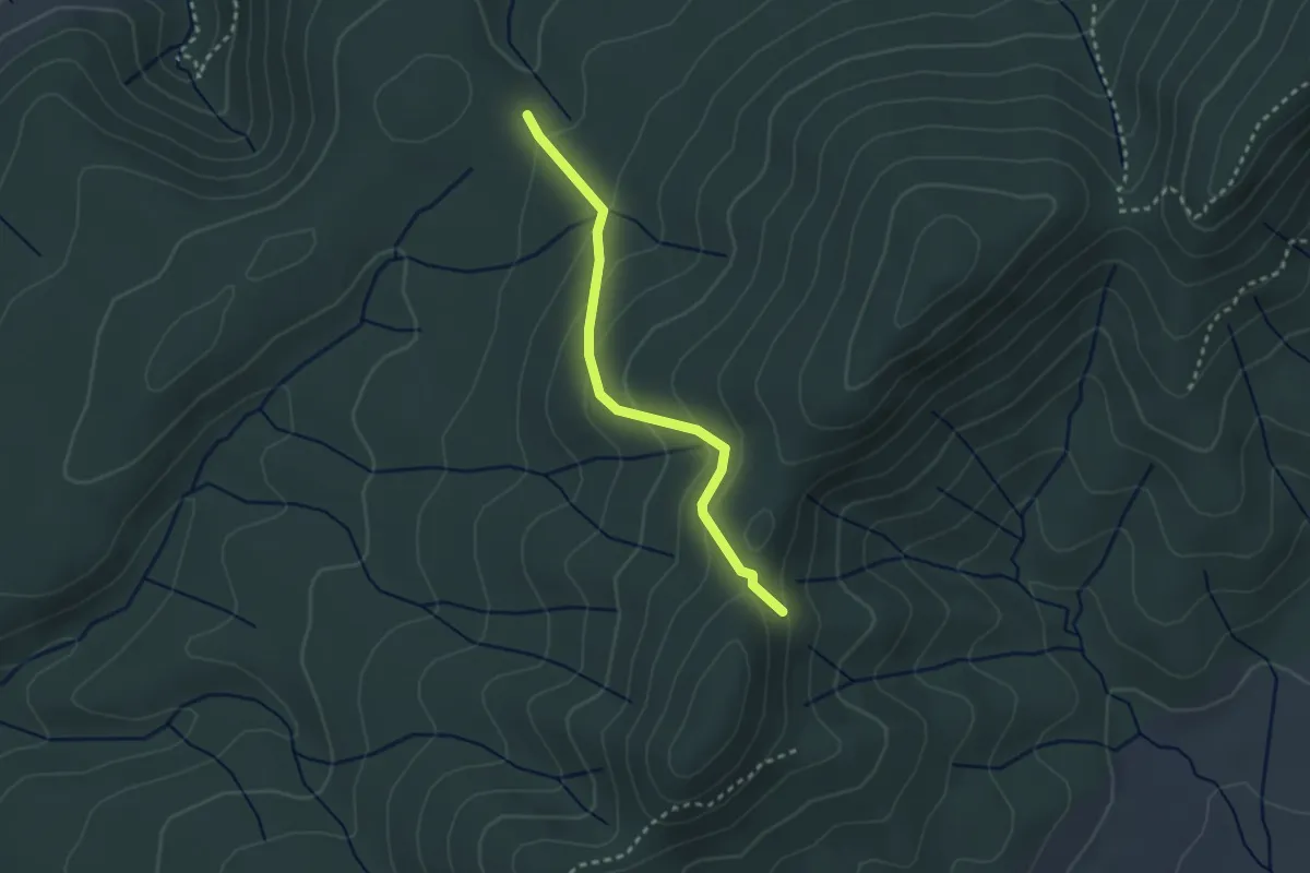
Easy · Trail
Notre-Dame des Songes - Pas de l'Estret
2.7 km · ↑ 144 m · 57 min
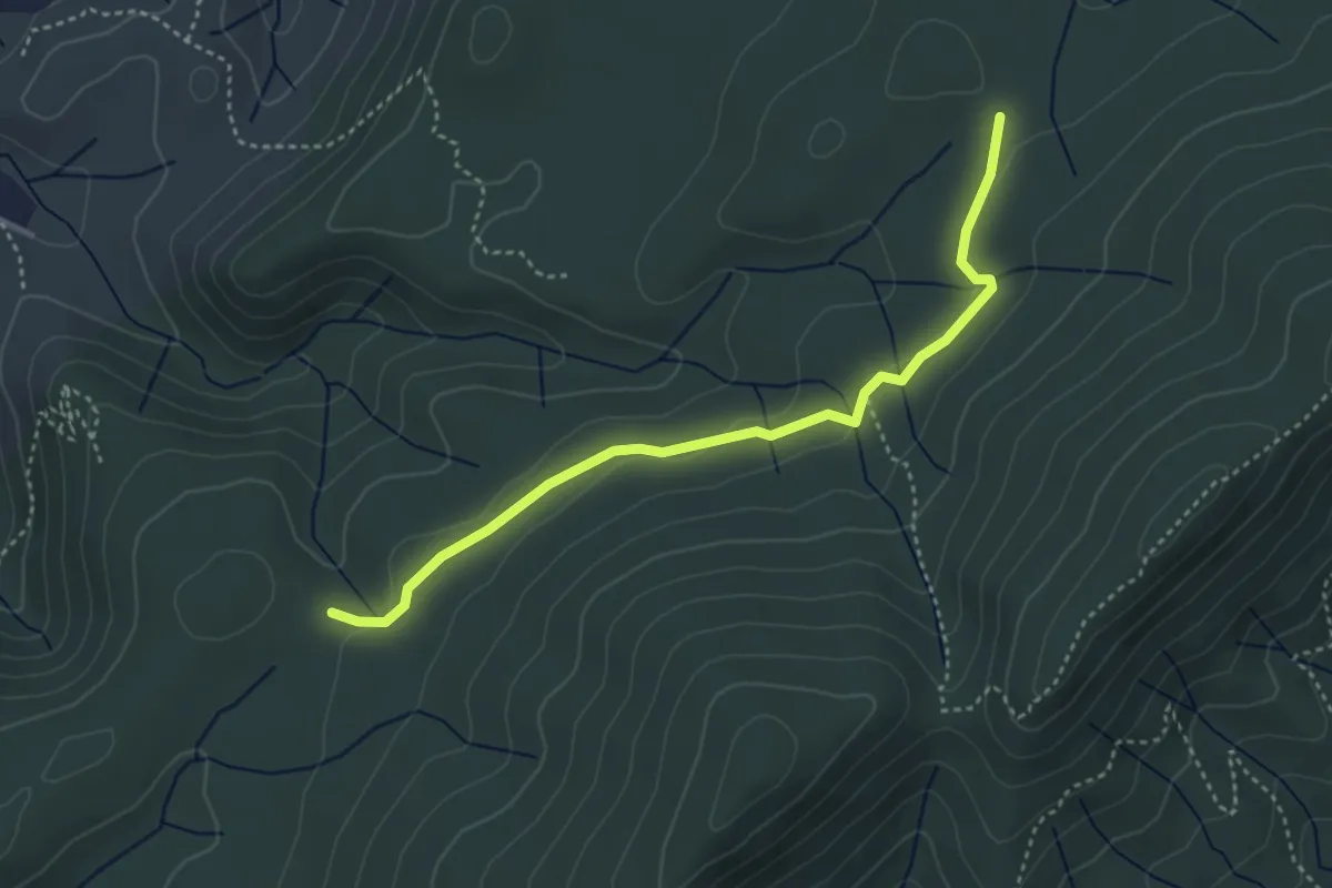
Easy · Trail
Notre-Dame des Songes - Plot de la Molle
4.0 km · ↑ 53 m · 1 h 4 min
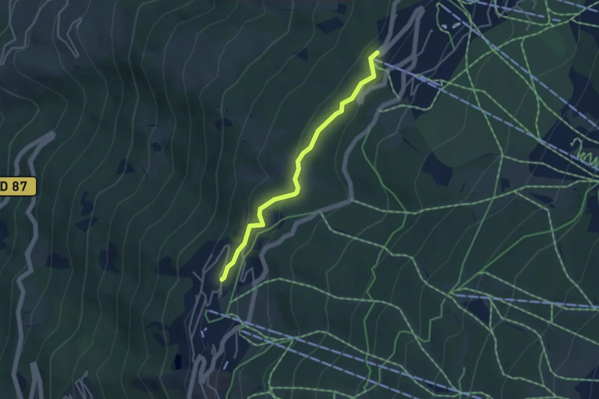
Easy · Trail
Notre-Dame des Vernettes
3.4 km · ↑ 133 m · 1 h 5 min
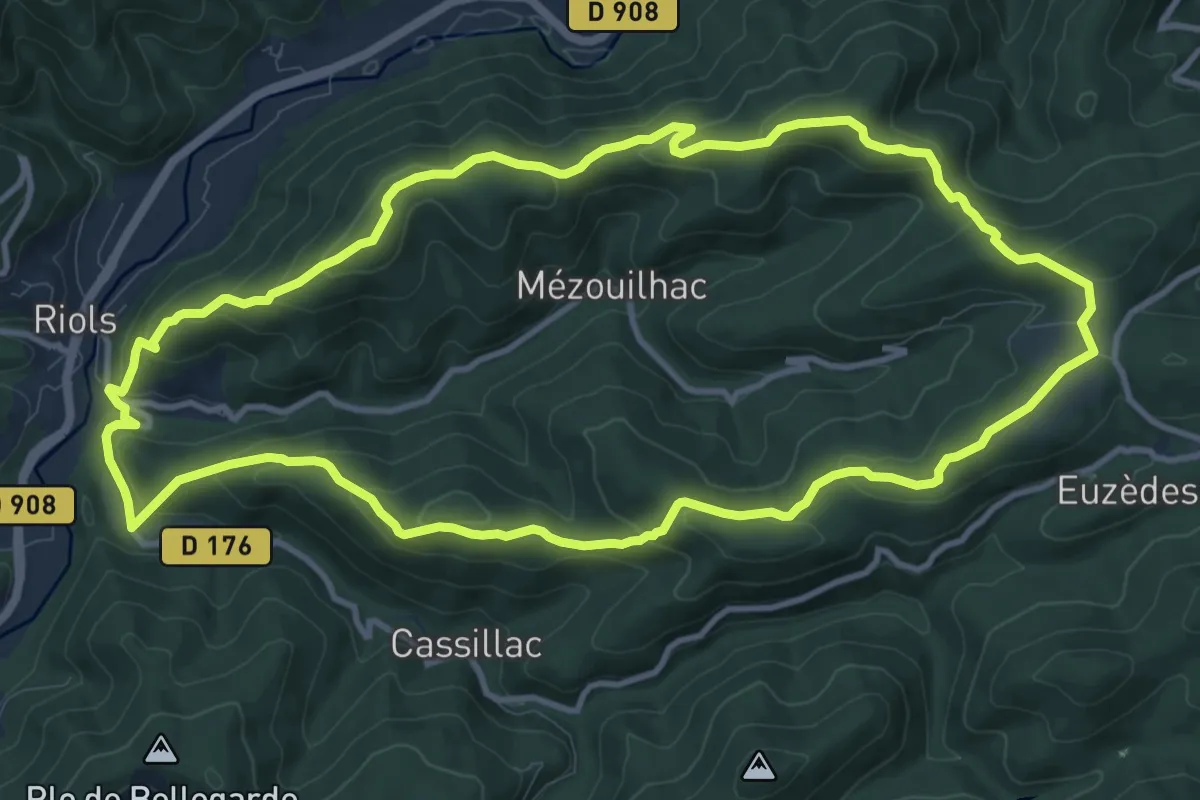
Medium · Trail
Notre-Dame de Tredos
12.1 km · ↑ 510 m · 4 h 8 min
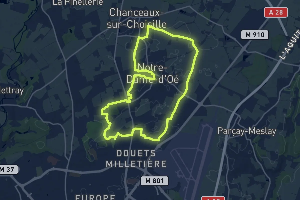
Medium · Trail
Notre-Dame-d'Oé Sentier Découverte
13.3 km · ↑ 38 m · 3 h 24 min
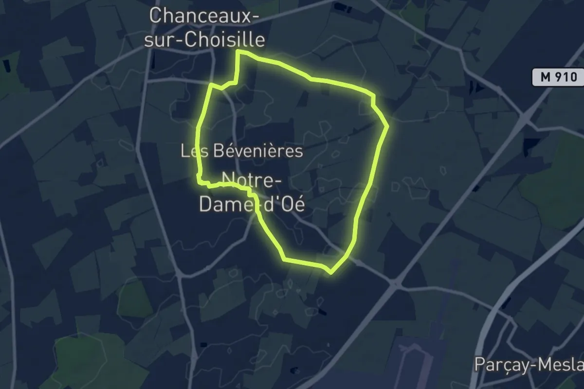
Easy · Trail
Notre Dame d'Oé Sentier découverte - Variante Nord
6.9 km · ↑ 21 m · 1 h 47 min
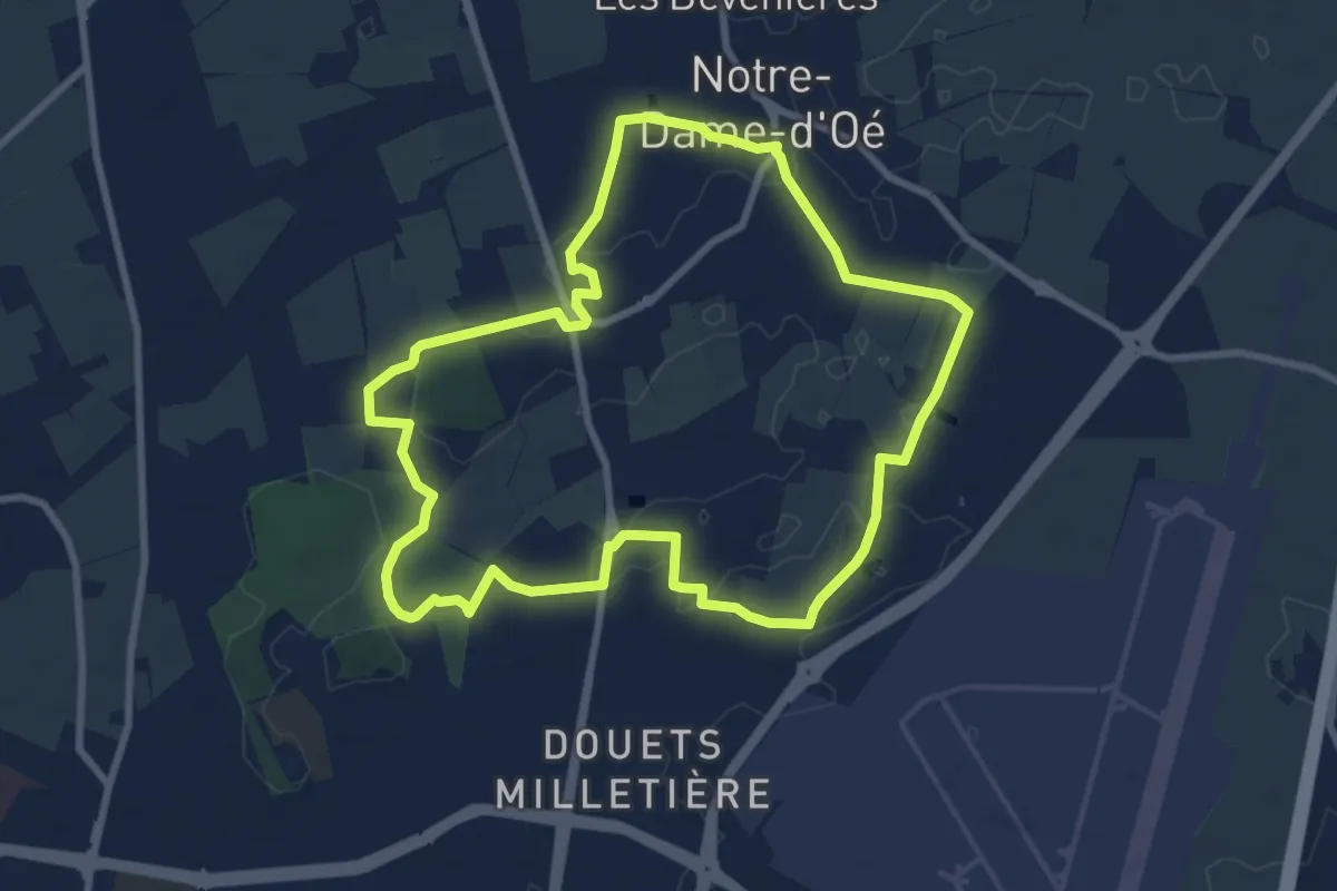
Medium · Trail
Notre Dame d'Oé Sentier découverte - Variante Sud
8.5 km · ↑ 25 m · 2 h 11 min
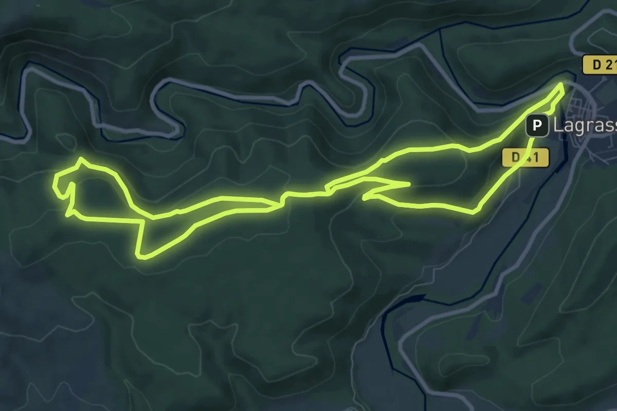
Medium · Summit
Notre Dame du Carla
9.8 km · ↑ 274 m · 3 h 2 min
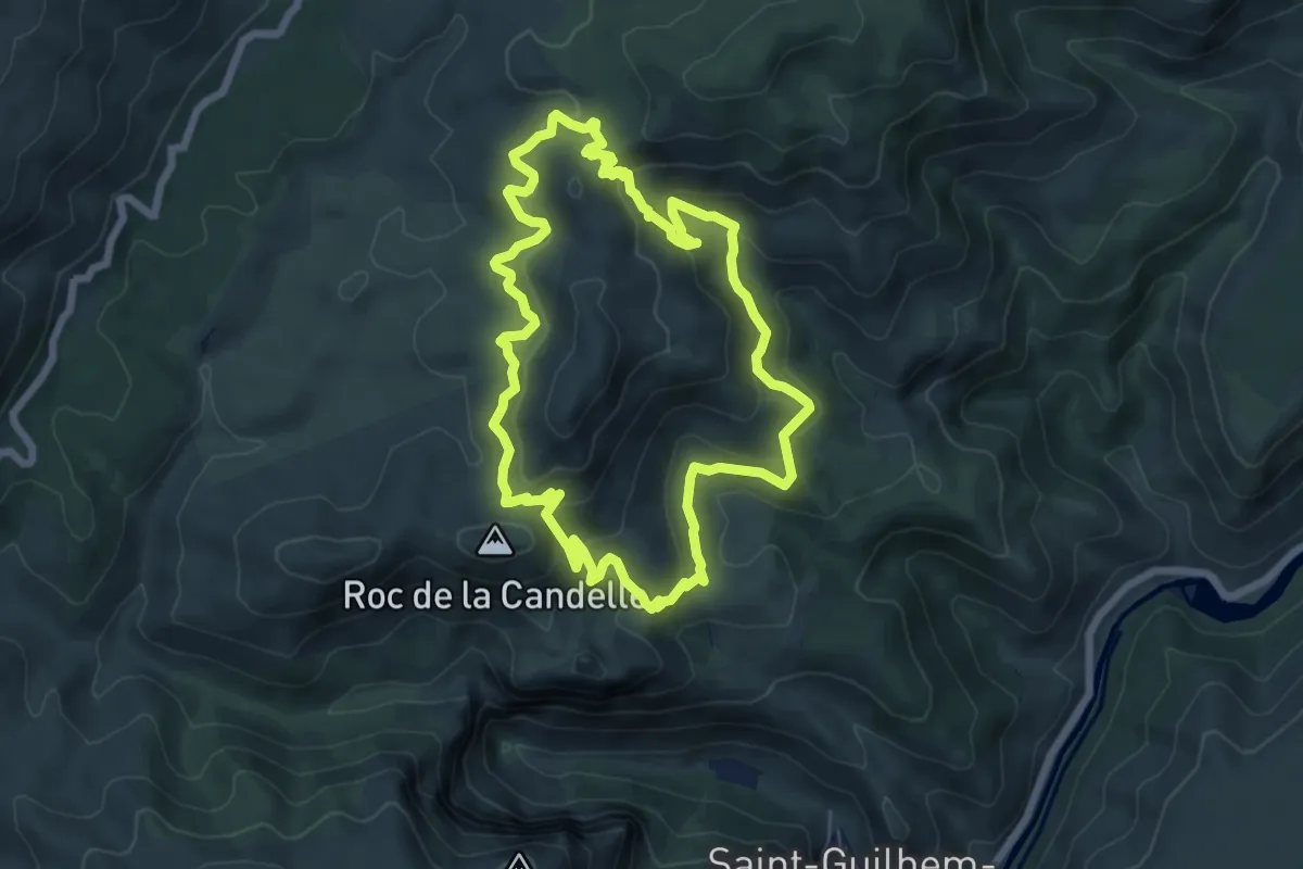
Demanding · Summit
Notre-Dame-du-Lieu-Plaisant
7.0 km · ↑ 305 m · 2 h 25 min
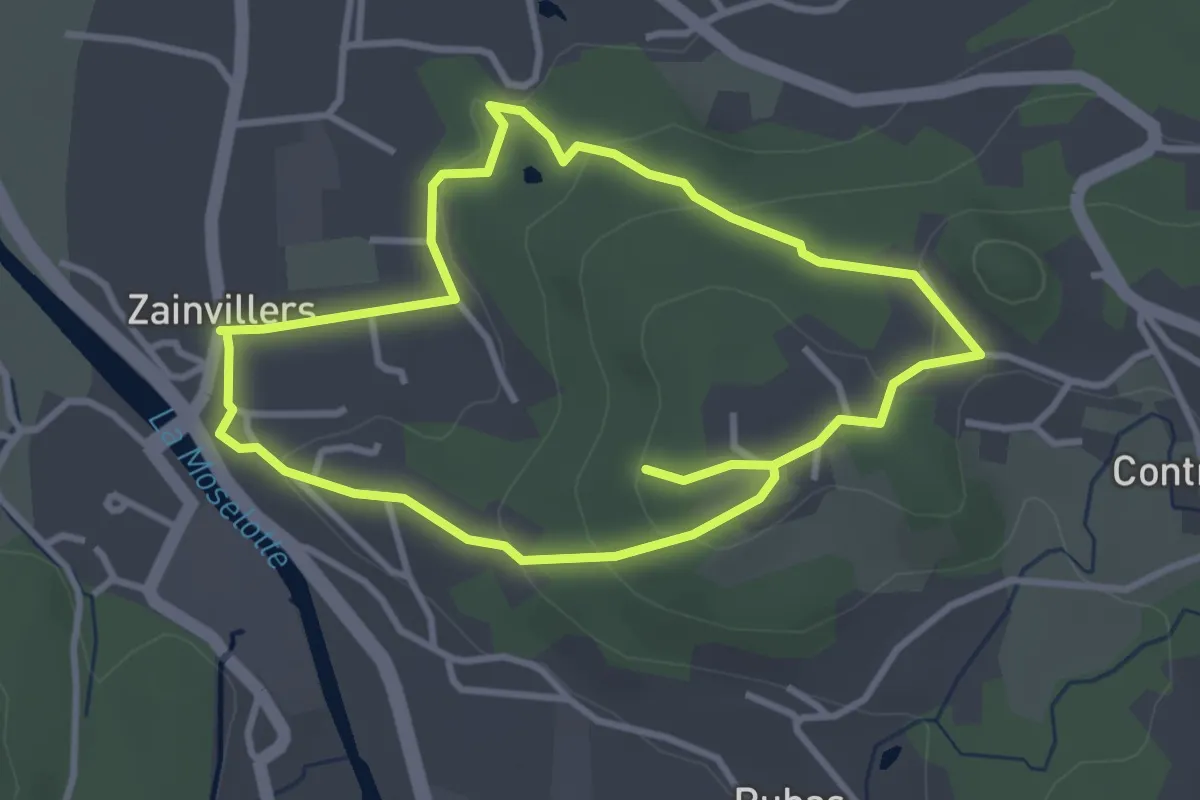
Easy · Trail
Notre-Dame du Silence
3.1 km · ↑ 84 m · 57 min
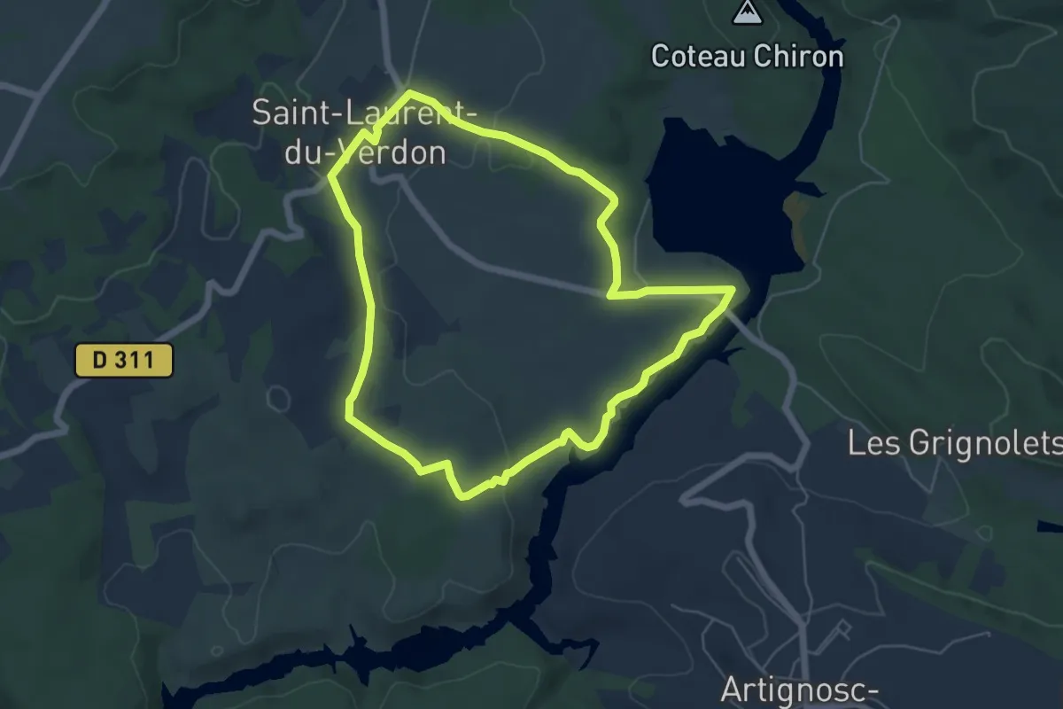
Easy · Trail
Notre-Dame sur Verdon
5.7 km · ↑ 90 m · 1 h 38 min
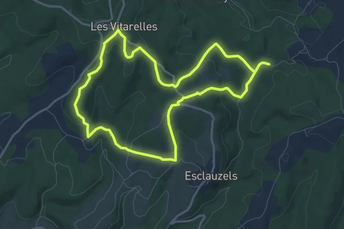
Medium · Trail
Nouveau chemin du Prince
8.2 km · ↑ 188 m · 2 h 27 min
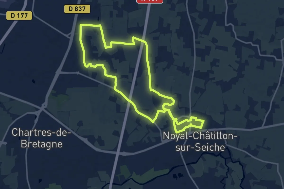
Medium · Trail
Noyal-Châtillon patrimoine
10.8 km · ↑ 29 m · 2 h 46 min
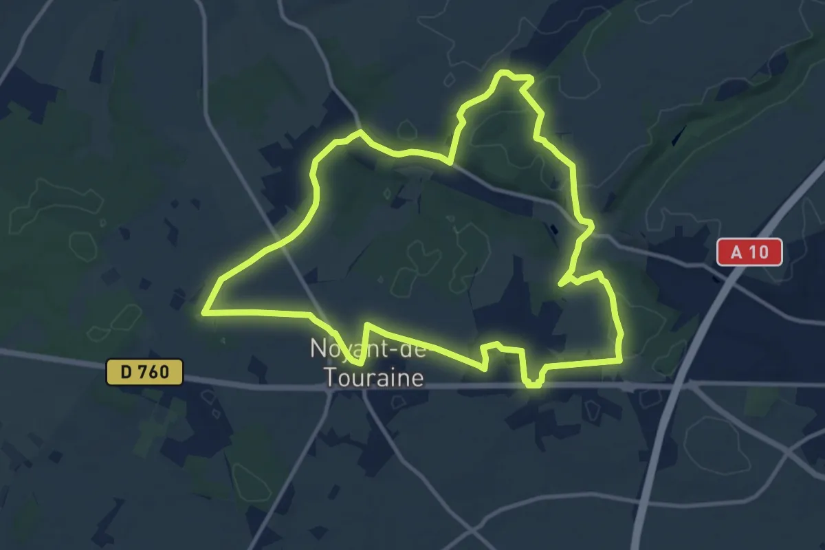
Medium · Trail
Noyant-de-Touraine - Vallées et plateaux - Variante 11km
11.3 km · ↑ 102 m · 3 h 2 min
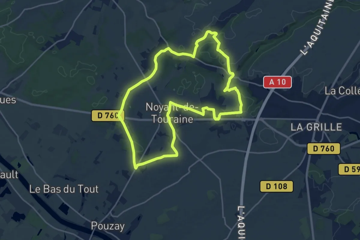
Medium · Trail
Noyant-de-Touraine - Vallées et plateaux - Variante 14,5m
14.5 km · ↑ 117 m · 3 h 52 min
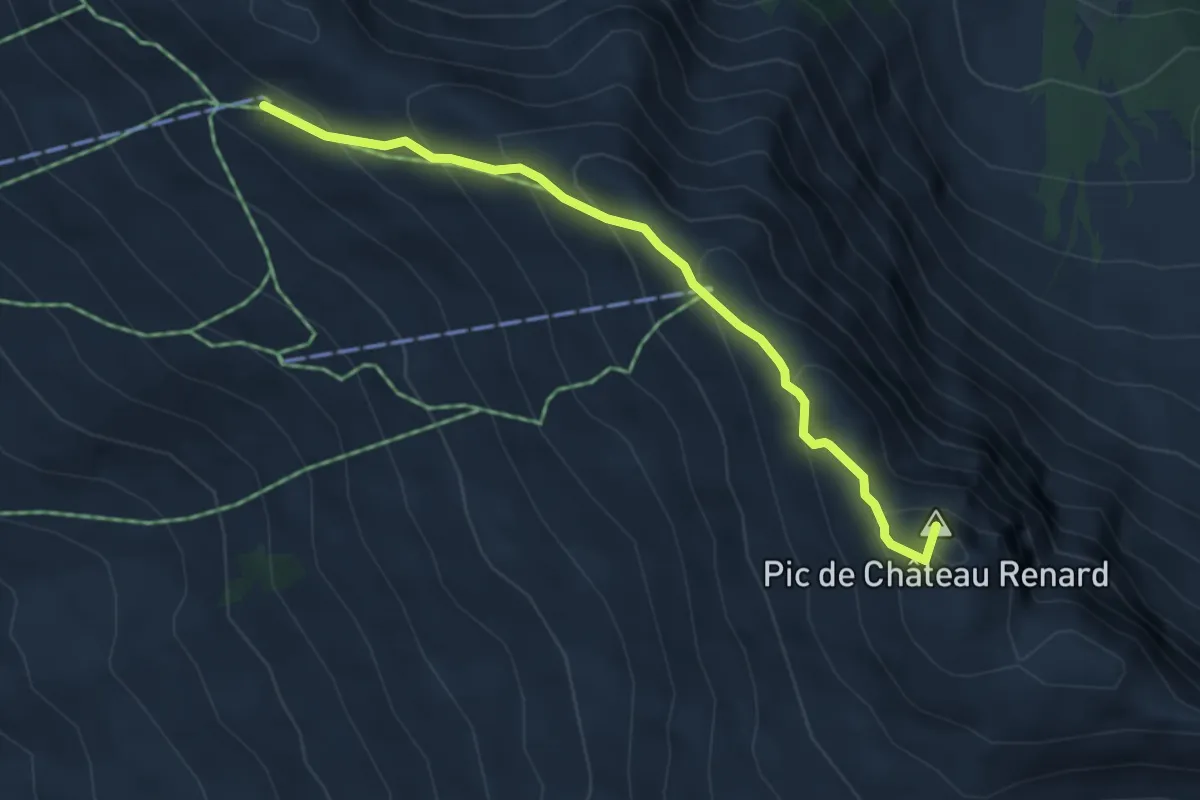
Medium · Summit
Observatoire Château Renard - Sommet TS Cassettes
4.5 km · ↑ 368 m · 1 h 52 min
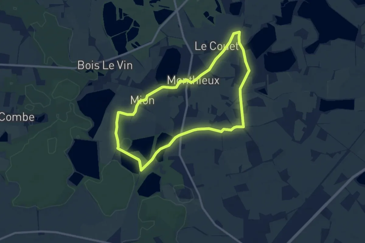
Easy · Trail
Observatoire sur l'Étang Grange Volet
7.2 km · ↑ 14 m · 1 h 50 min
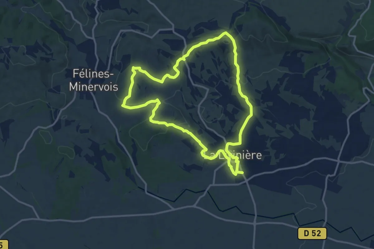
Medium · Trail
Oenorando® Le Cru La Livinière
11.2 km · ↑ 220 m · 3 h 17 min