Trails in France
15,926 hiking trails, each with its route, climb, walking time and grade.
All trails, page 214 of 332
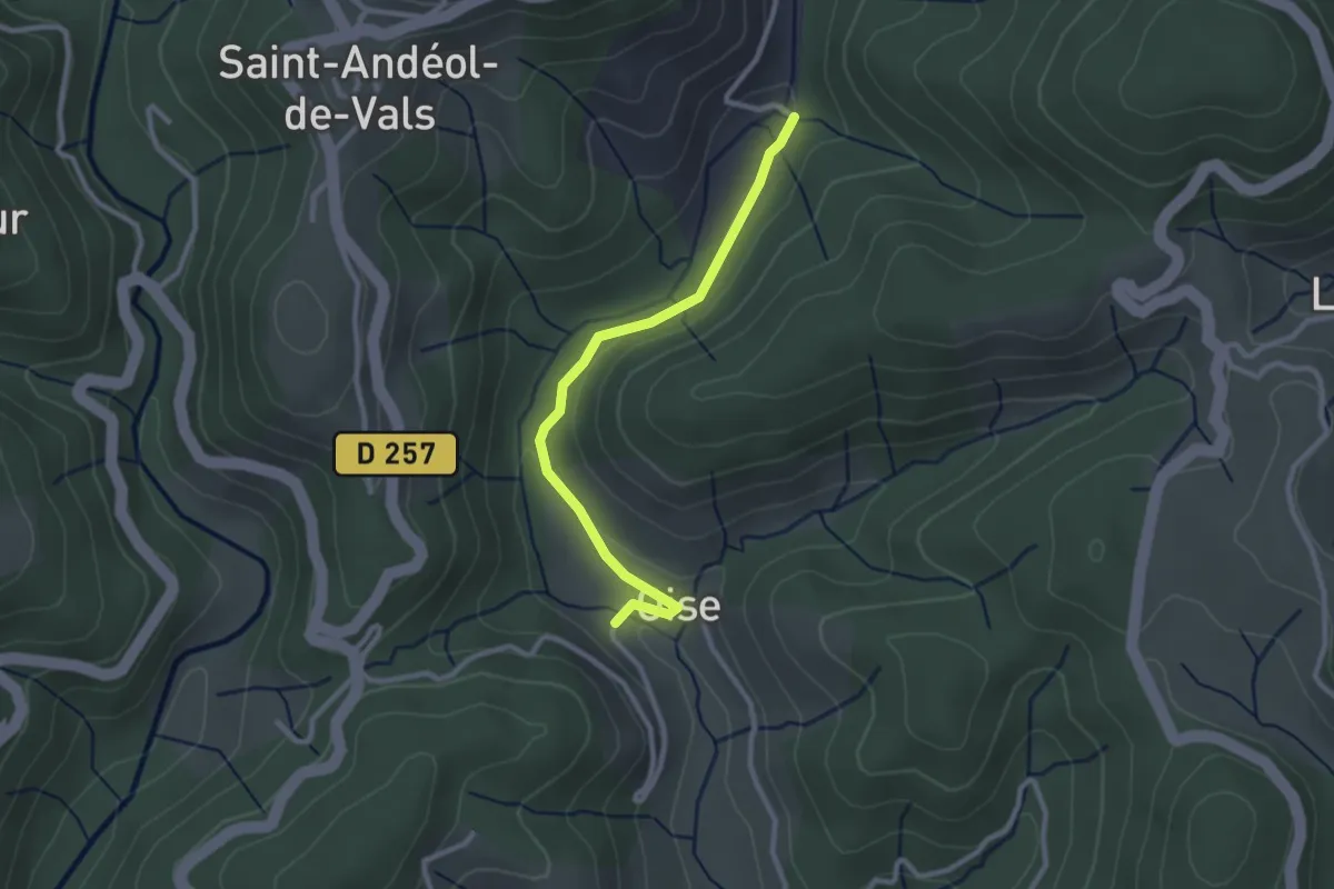
Easy · Trail
Oise - Pont du Devès
2.7 km · ↑ 34 m · 42 min
Easy · Trail
old GR5 feeder
2.6 km · ↑ 22 m · 40 min
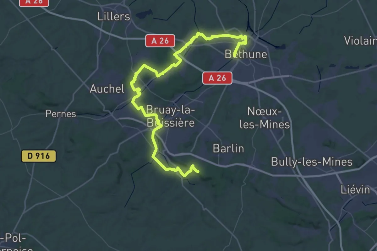
Demanding · Summit
Ollain - Béthune
67.6 km · ↑ 568 m · 17 h 12 min
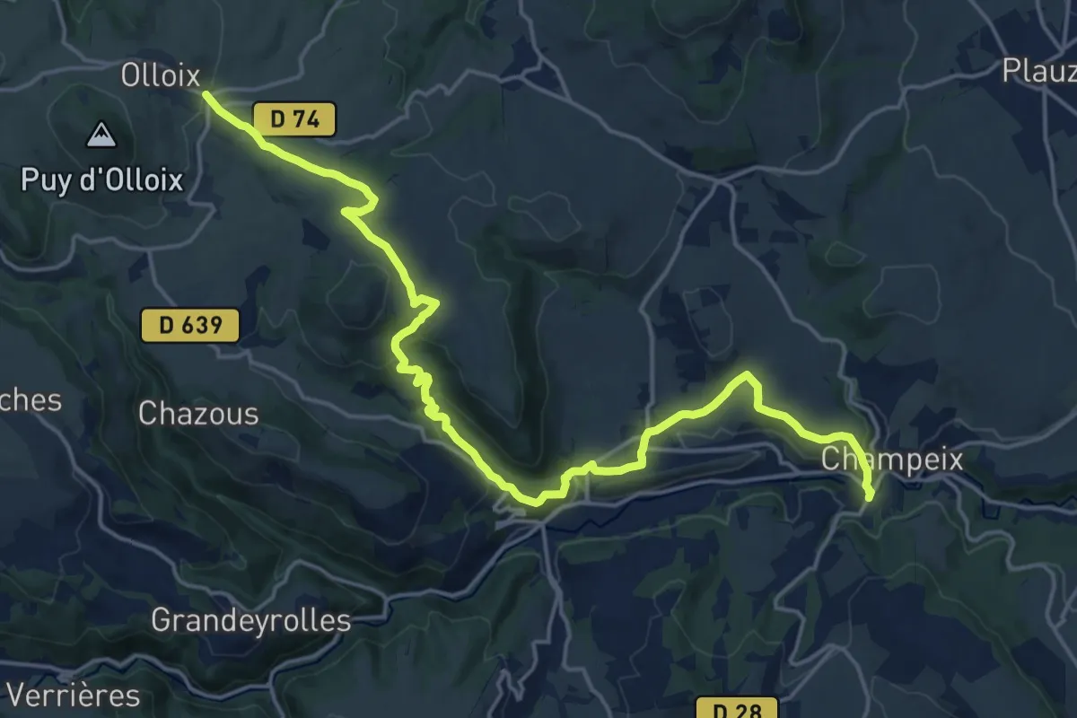
Demanding · Trail
Olloix - Champeix
21.7 km · ↑ 594 m · 6 h 24 min
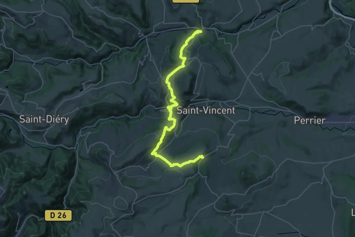
Medium · Trail
Olloix - Tourzel
13.6 km · ↑ 608 m · 4 h 36 min
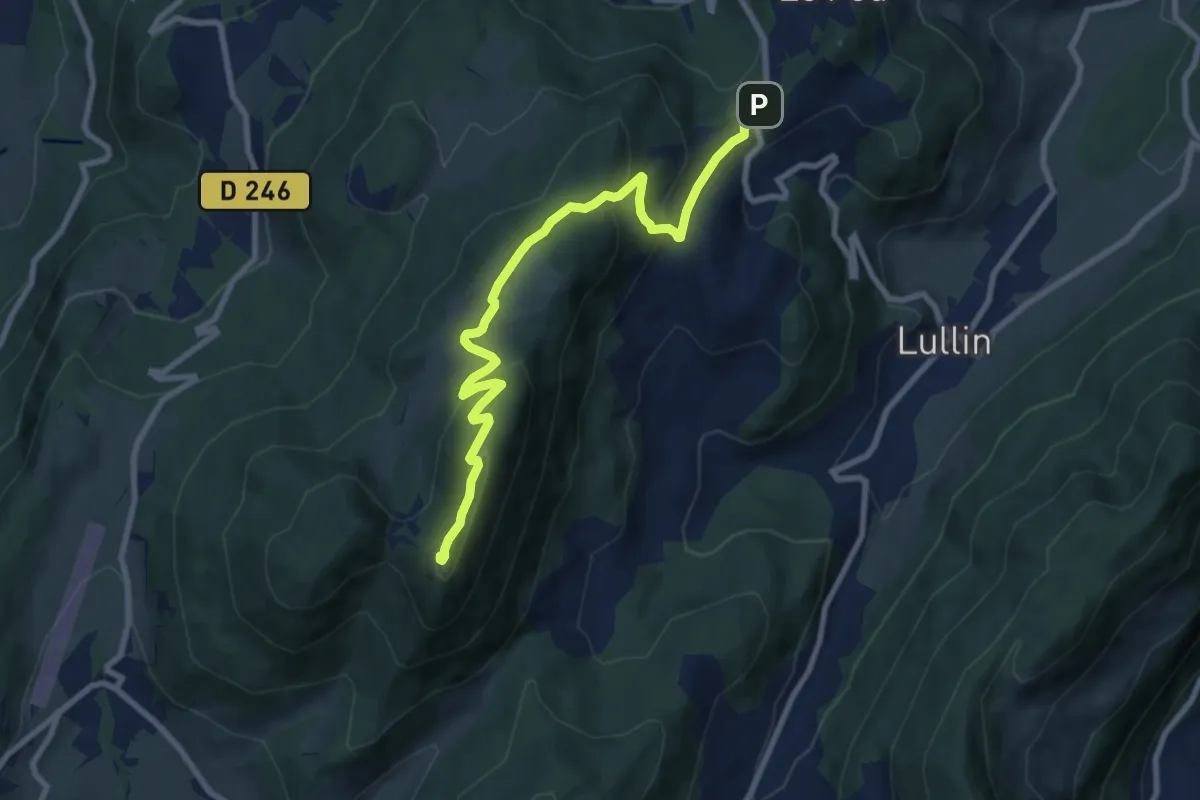
Medium · Summit
Ombres sur l'Alpage
4.5 km · ↑ 405 m · 1 h 49 min
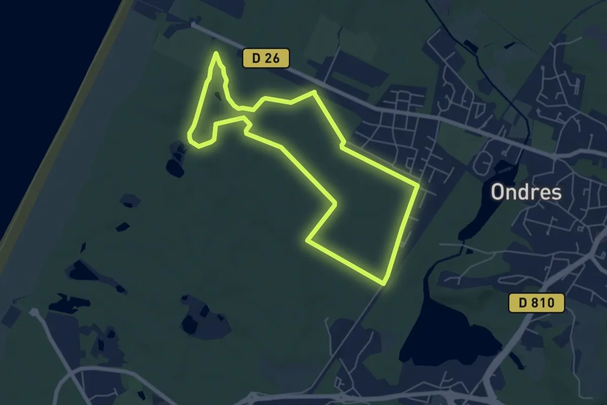
Easy · Trail
Ondres et sa forêt
5.8 km · ↑ 9 m · 1 h 28 min
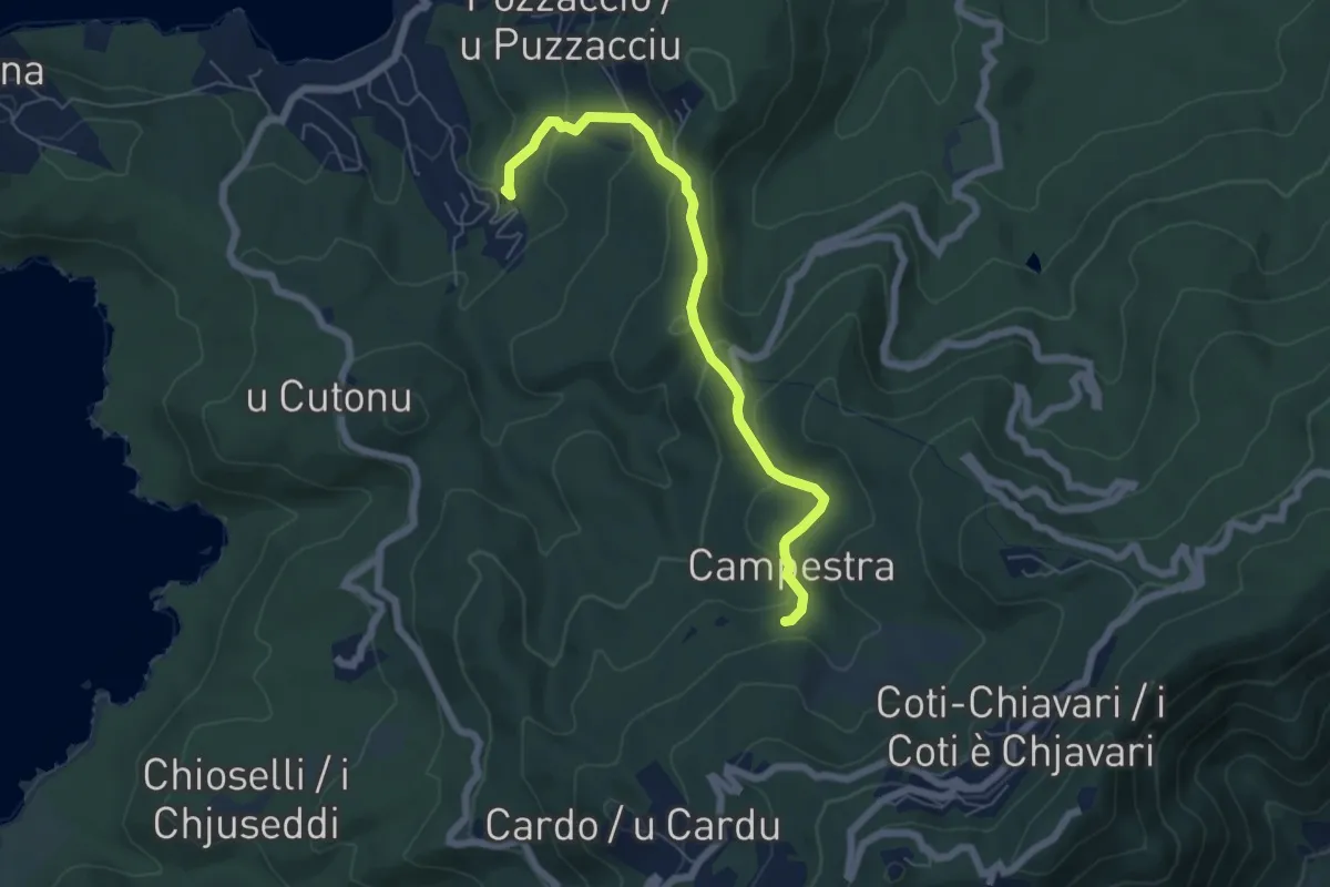
Medium · Trail
Orangeraie de Portigliolo à Campestra
6.5 km · ↑ 283 m · 2 h 9 min
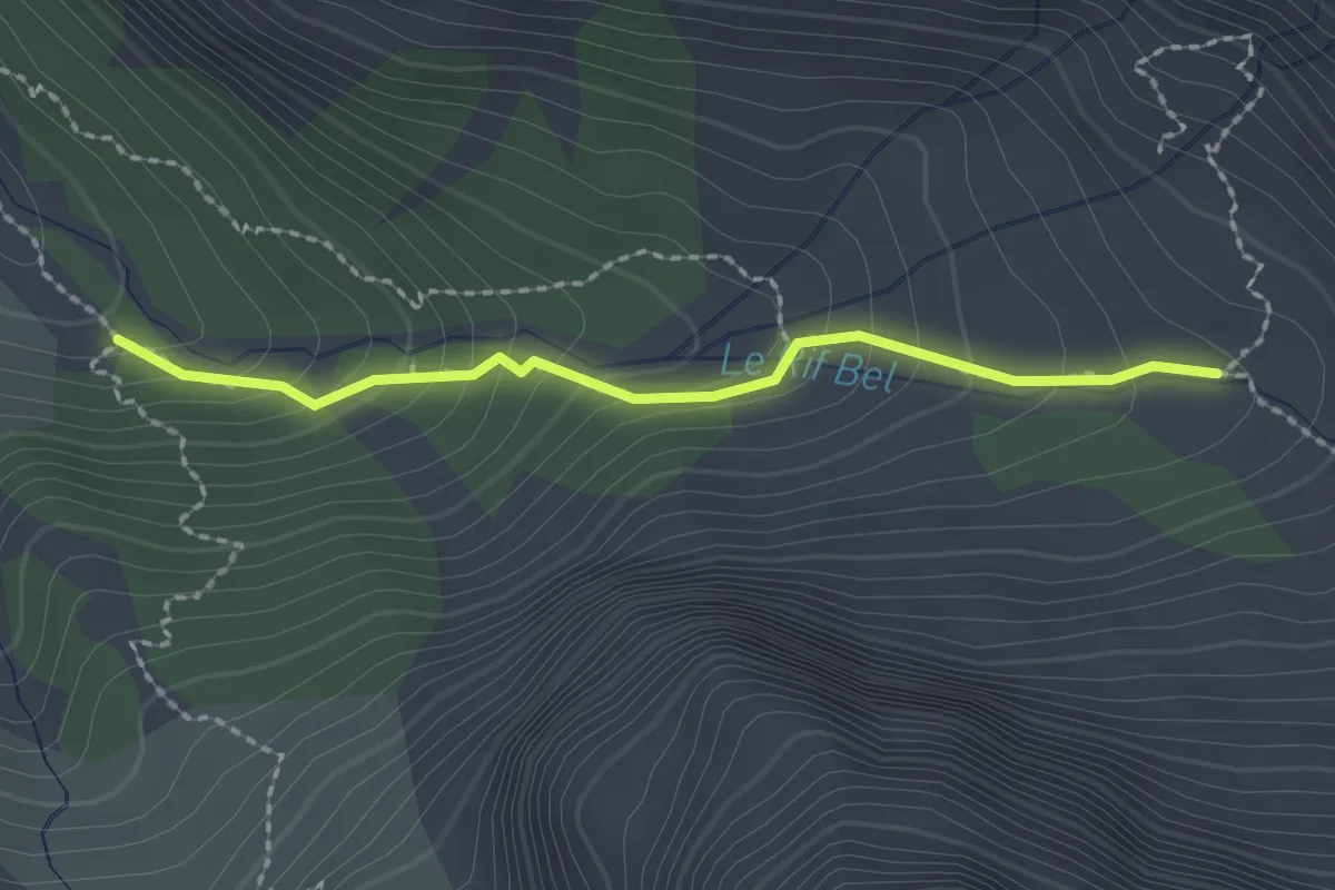
Medium · Trail
Oratoire de la Fonte Sancte - Les Chatances
2.1 km · ↑ 170 m · 51 min
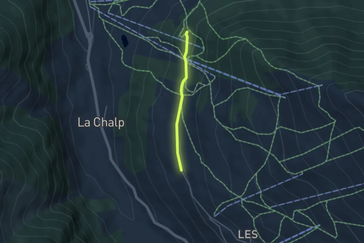
Easy · Trail
Oratoire de la Ste Vierge - Bois des Amoureux
2.4 km · ↑ 40 m · 40 min
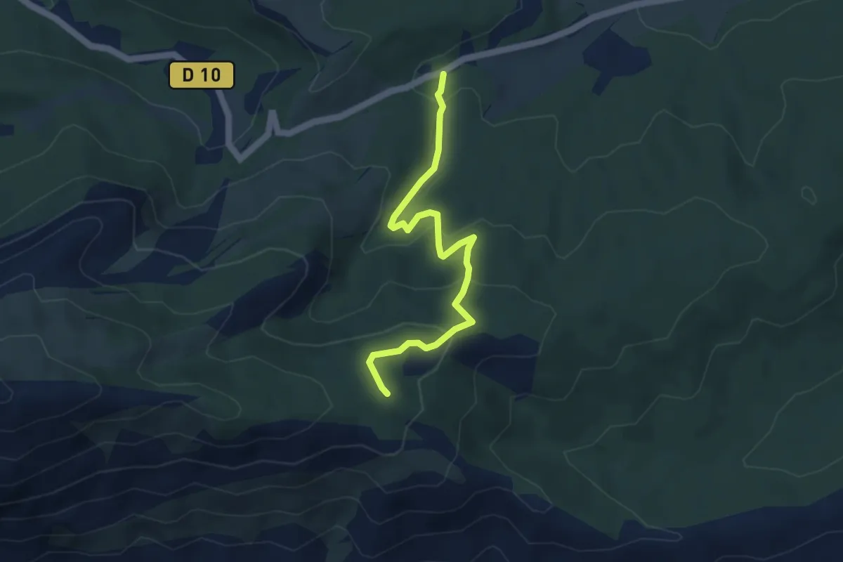
Easy · Trail
Oratoire de Malivert
4.4 km · ↑ 197 m · 1 h 28 min
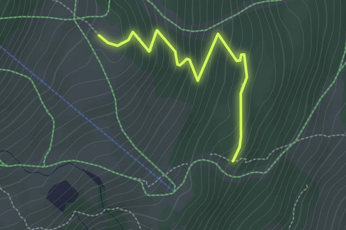
Medium · Trail
Oratoire Étoile du Matin - Le Lauzet
2.6 km · ↑ 183 m · 1 h 1 min
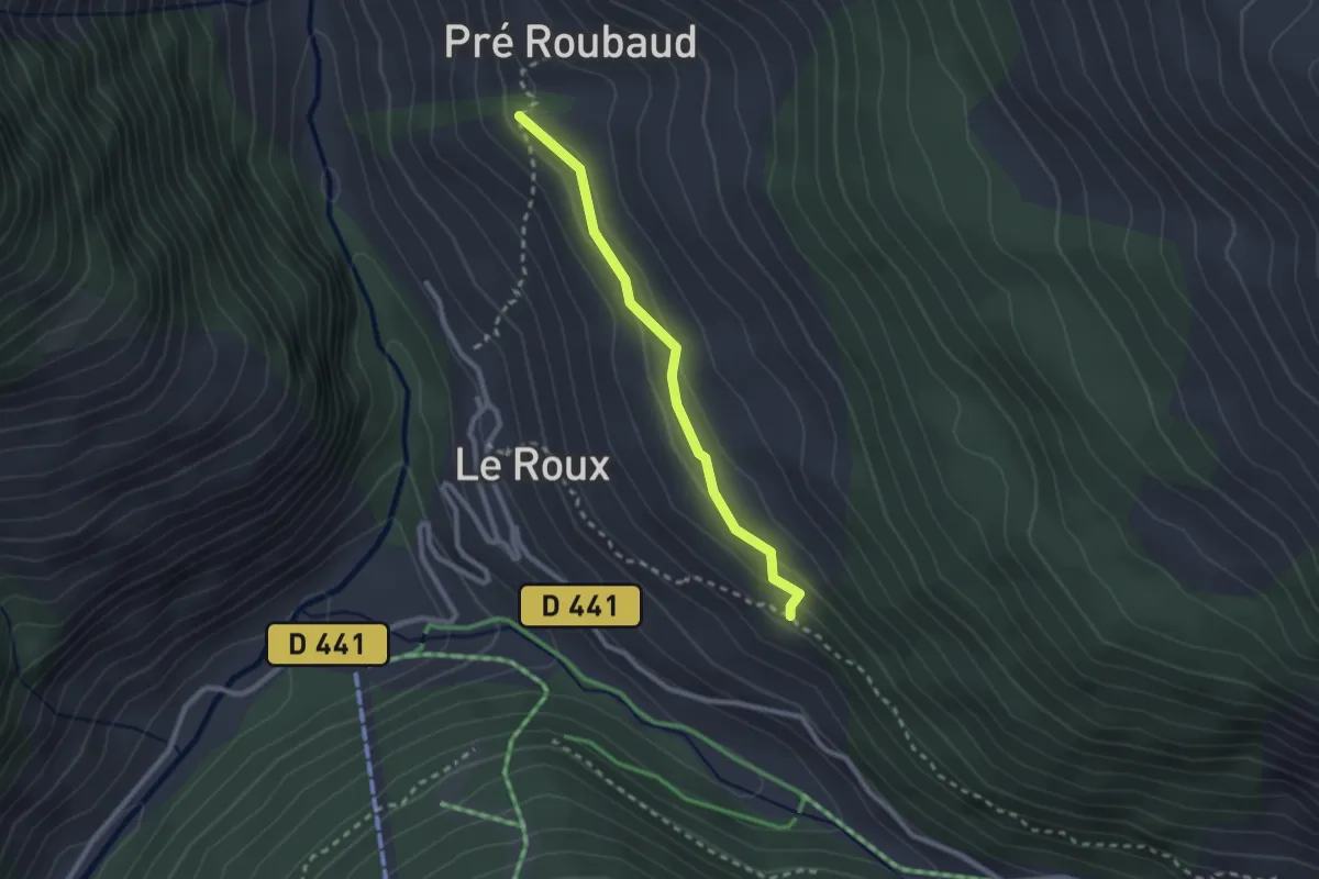
Easy · Trail
Oratoire Saint-Joseph - Les Traverses
2.3 km · ↑ 112 m · 47 min
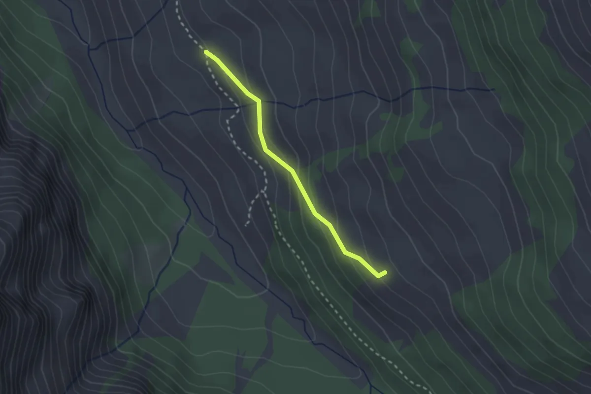
Medium · Trail
Oratoire St Antoine - ?
2.1 km · ↑ 115 m · 45 min
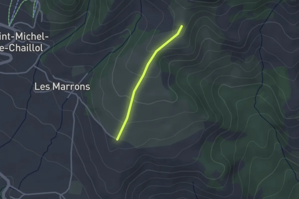
Easy · Trail
Oratoire Ste Anne - ?
2.0 km · ↑ 97 m · 41 min
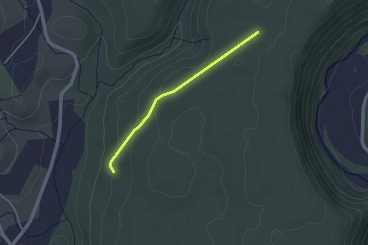
Easy · Trail
Orbeire - Pertus de Fabria
2.6 km · ↑ 57 m · 44 min
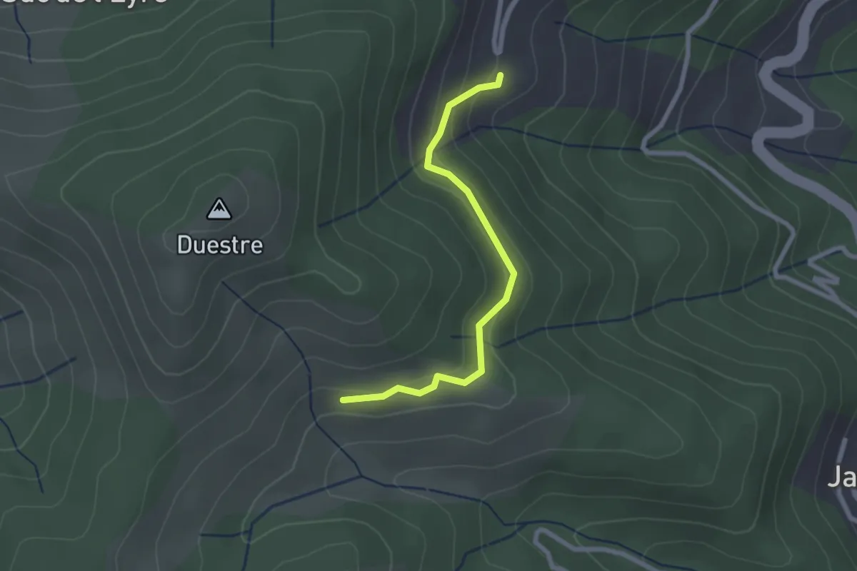
Easy · Trail
Orioloux - Bouchet Ravaux
2.3 km · ↑ 131 m · 50 min
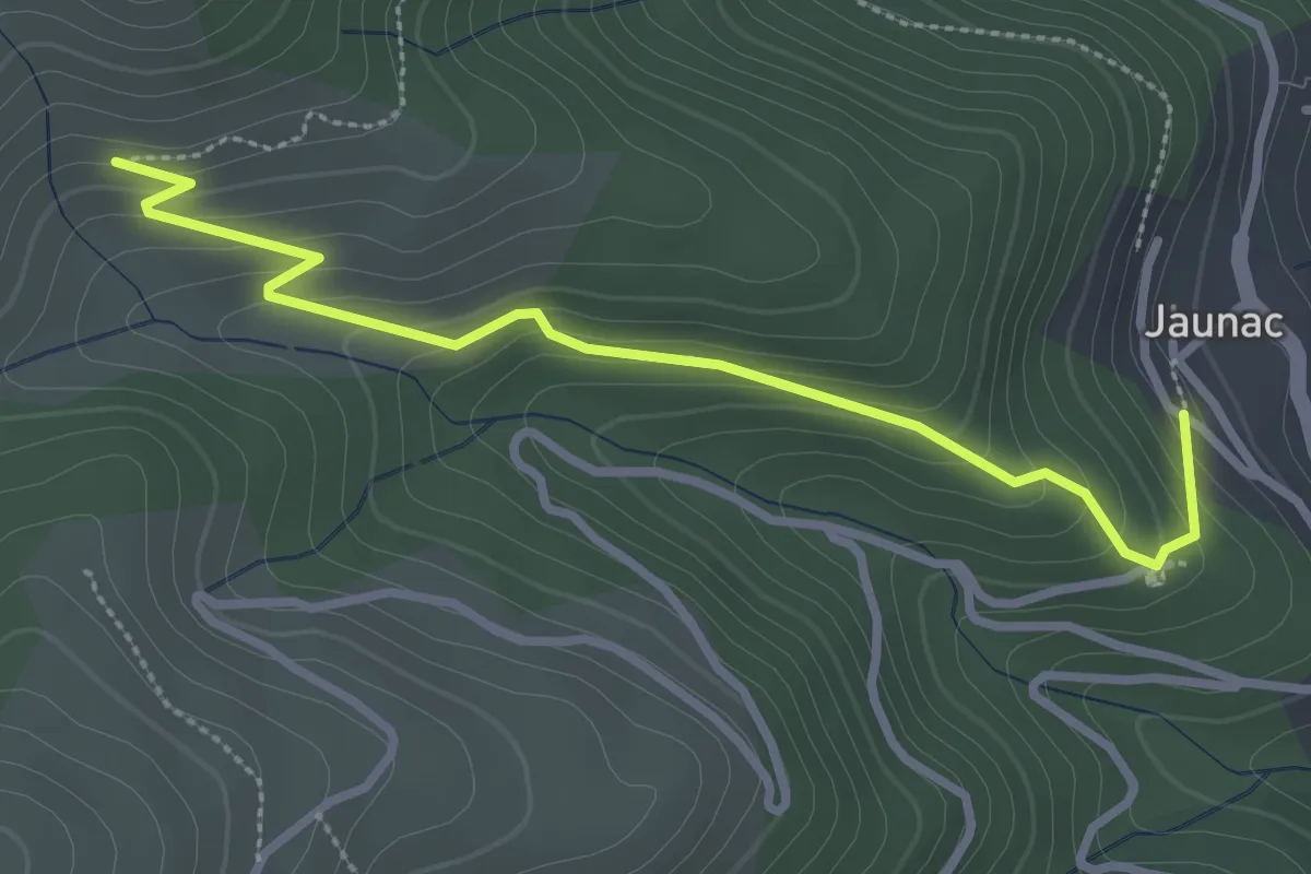
Easy · Trail
Orioloux - Jaunac Ouest
3.2 km · ↑ 192 m · 1 h 10 min
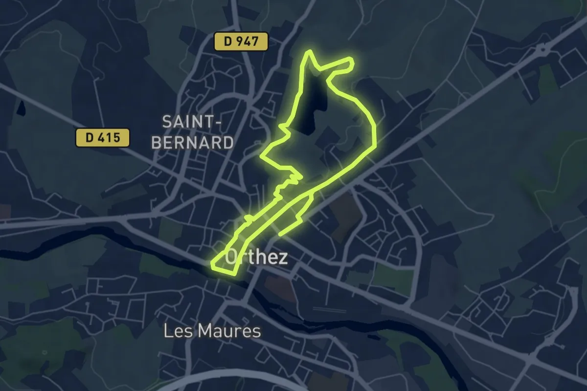
Medium · Trail
Orthez médiéval
11.4 km · ↑ 191 m · 3 h 7 min
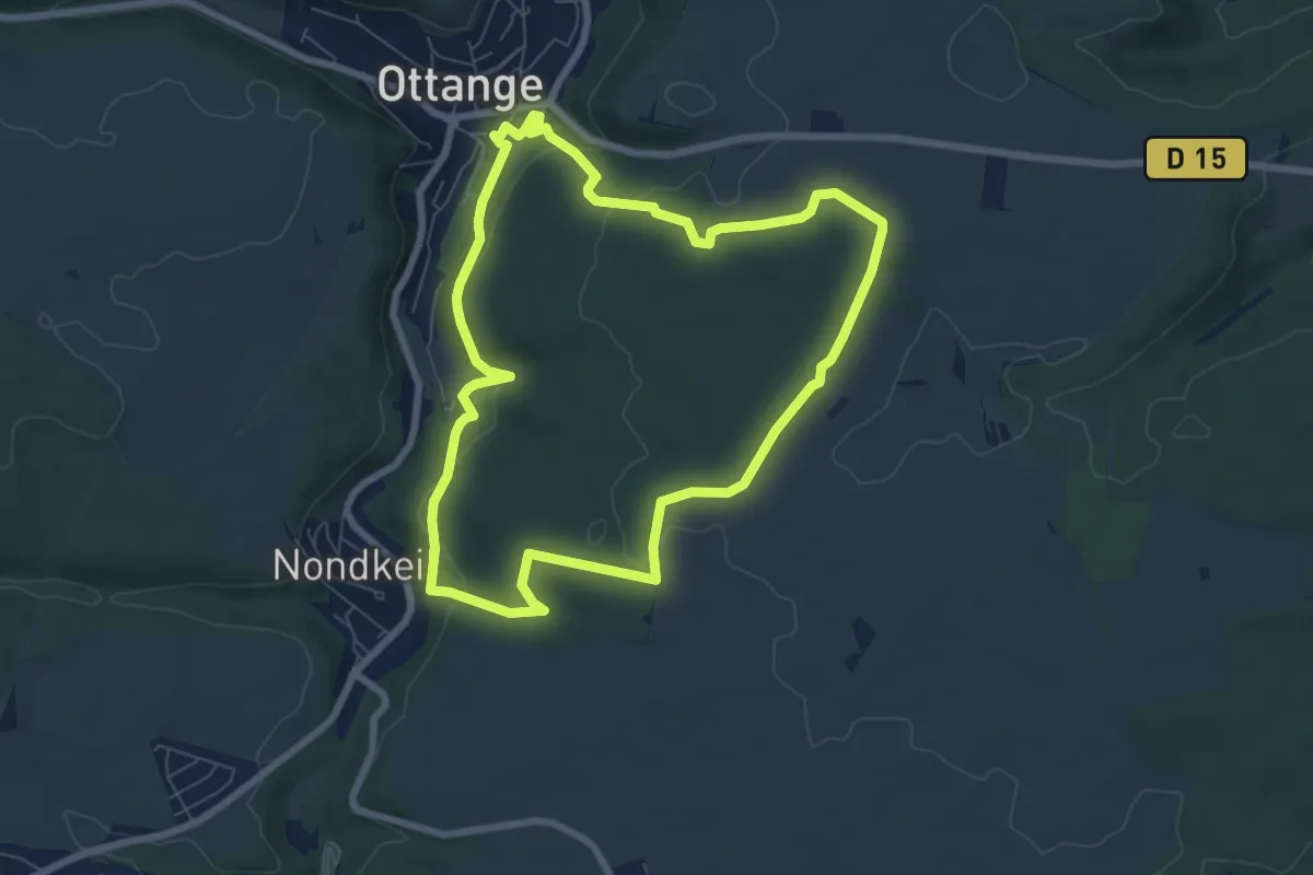
Easy · Trail
Ottange Circuit Schmettebusch
6.9 km · ↑ 199 m · 2 h 9 min
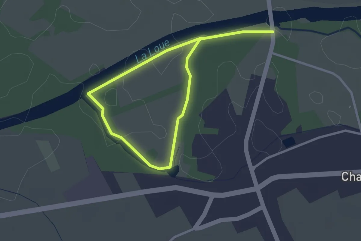
Easy · Trail
Ounans
3.7 km · ↑ 0 m · 53 min
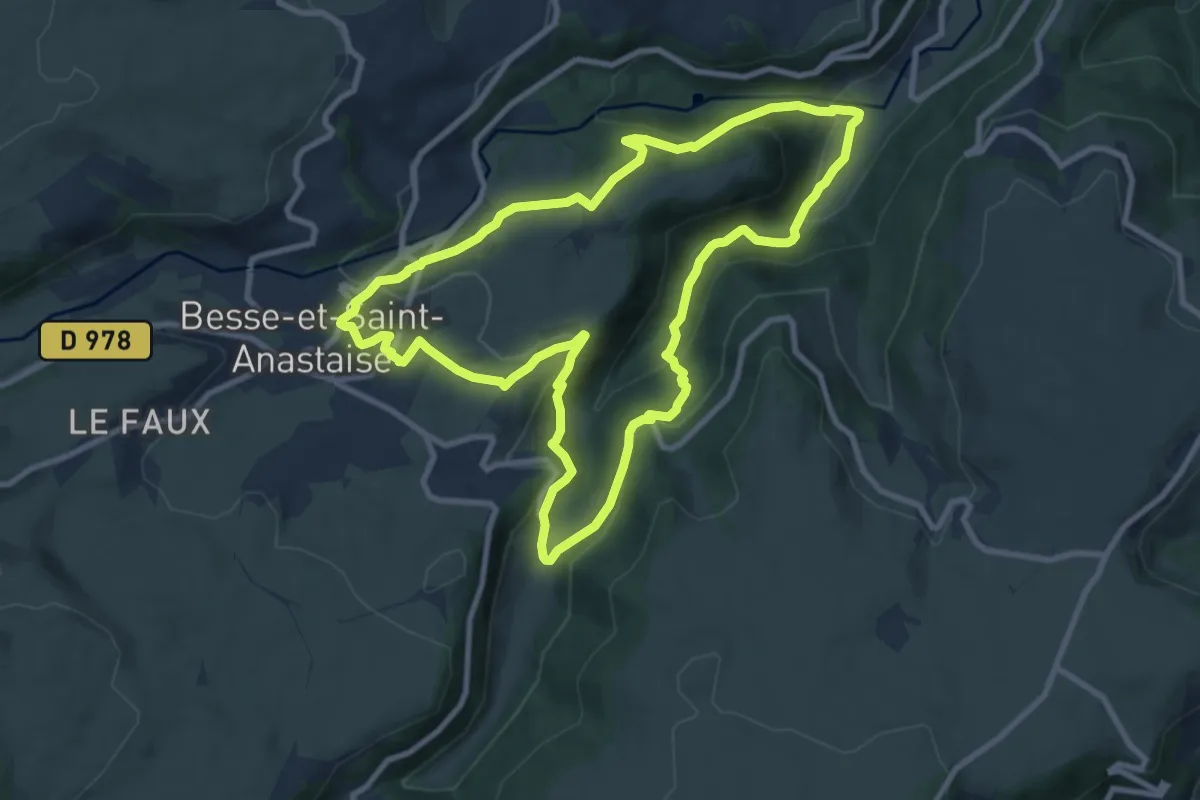
Medium · Trail
Ourcière
9.5 km · ↑ 331 m · 3 h 6 min
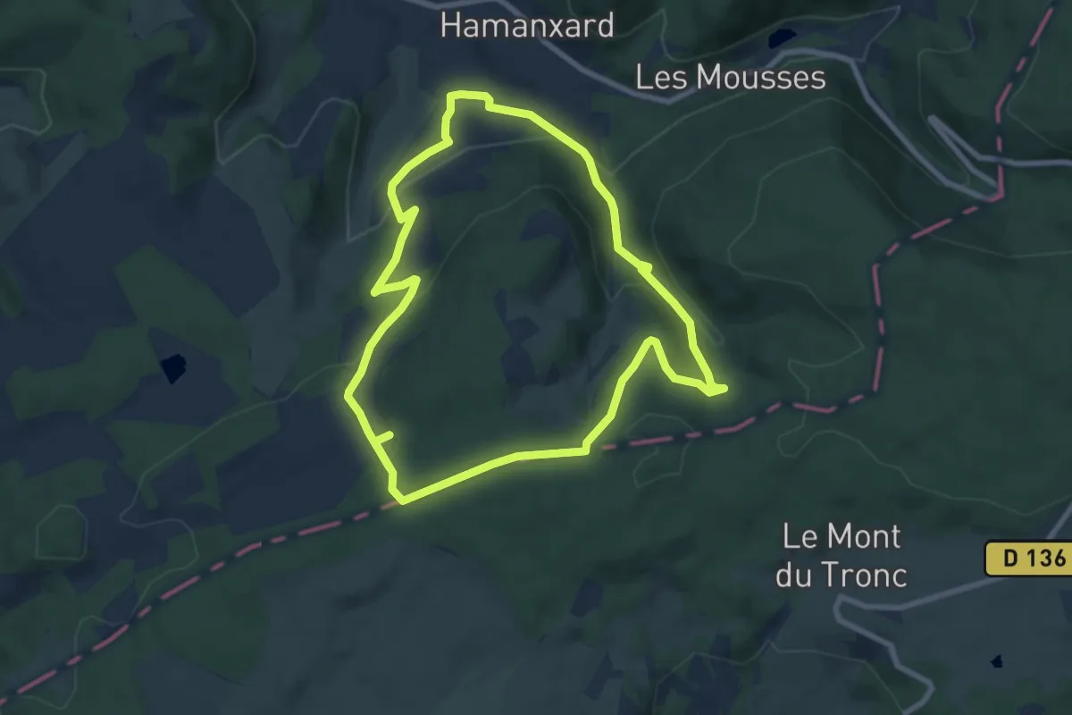
Easy · Trail
Outremont et la Croix de Jaranceau
7.3 km · ↑ 267 m · 2 h 25 min
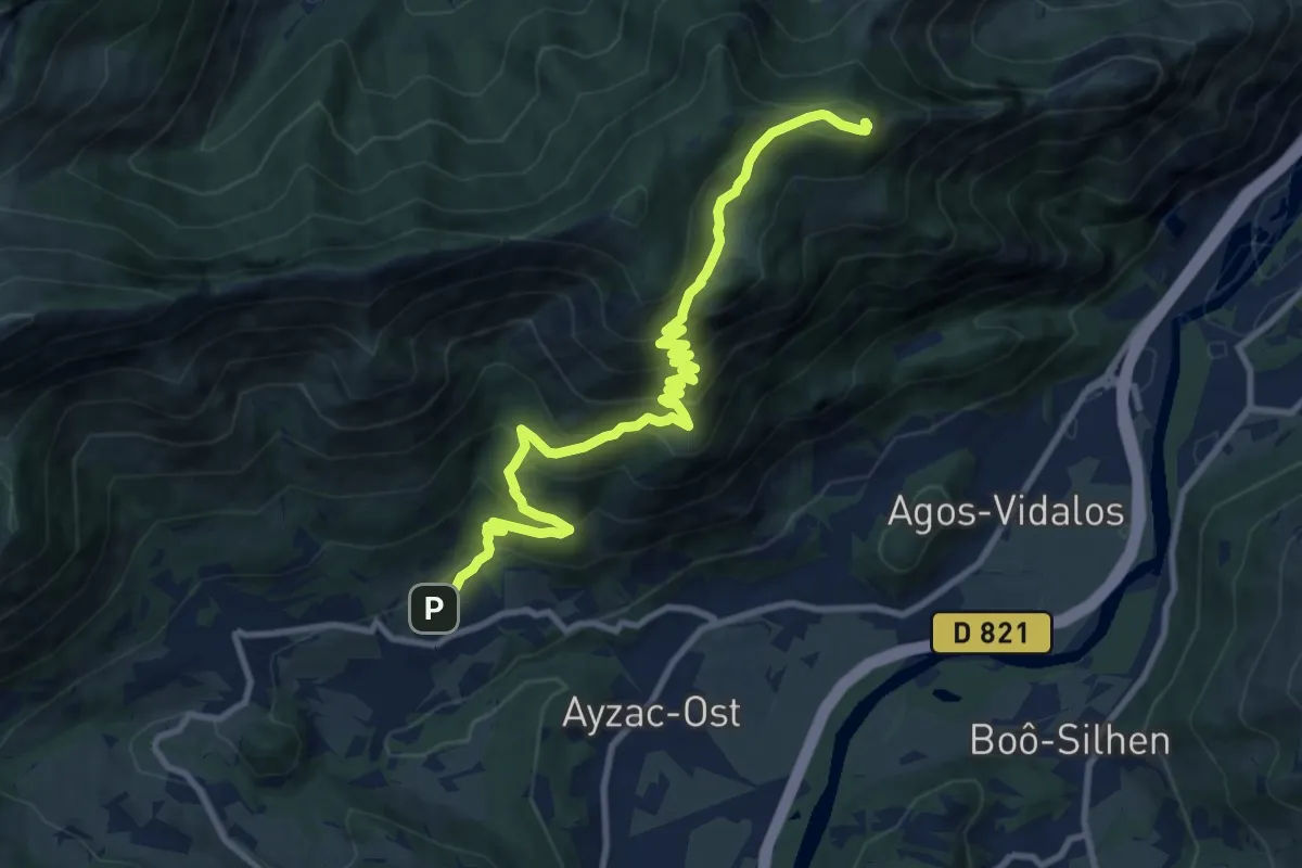
Demanding · Summit
Ouzous - Pic du Pibeste
11.9 km · ↑ 885 m · 4 h 44 min
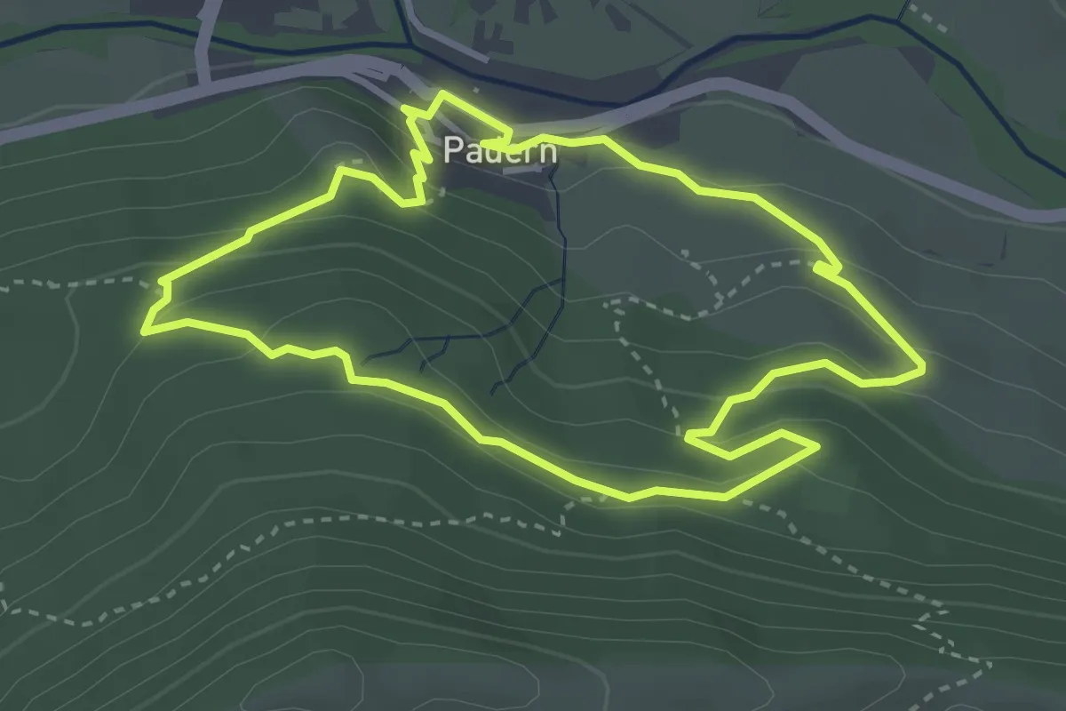
Medium · Trail
Padern 3.5 km
3.5 km · ↑ 165 m · 1 h 14 min
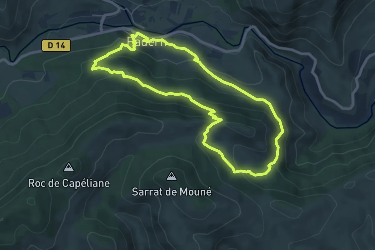
Medium · Trail
Padern 6 km
5.8 km · ↑ 328 m · 2 h 10 min
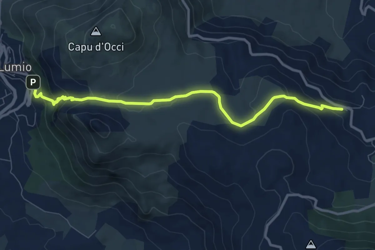
Medium · Trail
Paese à Paese Lumiu-Lavatoghju
8.4 km · ↑ 313 m · 2 h 39 min
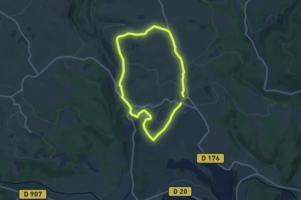
Easy · Trail
Paguignan
6.4 km · ↑ 113 m · 1 h 51 min
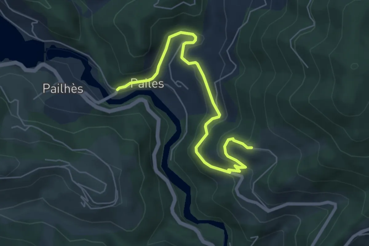
Easy · Trail
Pailhès - Les Seuls
6.0 km · ↑ 287 m · 2 h 2 min
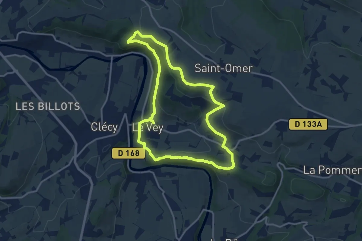
Medium · Summit
Pain de Sucre et Rochers des Parcs
8.7 km · ↑ 263 m · 2 h 45 min
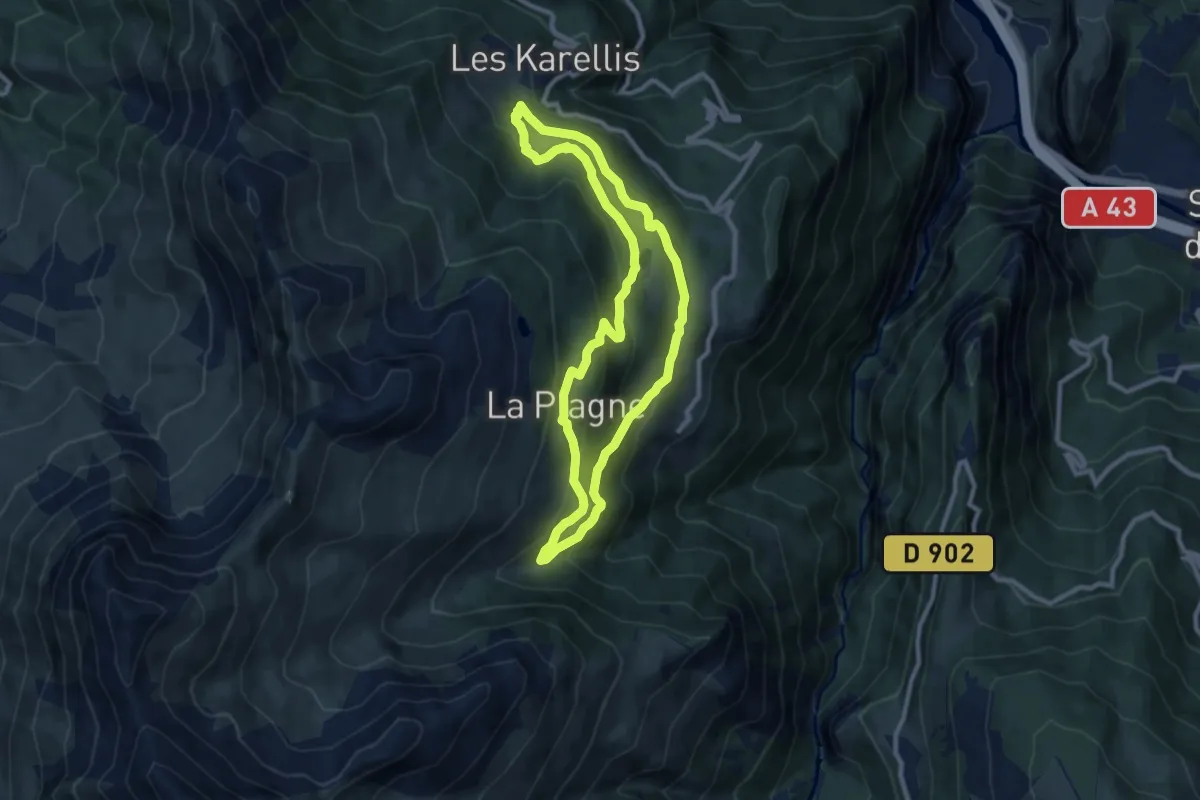
Medium · Trail
Pain de Sucre grande boucle
8.9 km · ↑ 416 m · 3 h 8 min
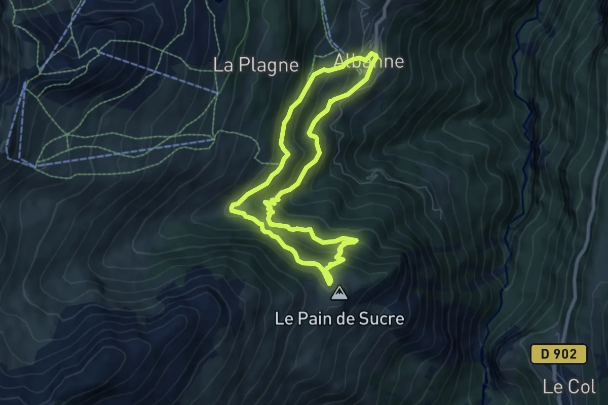
Medium · Summit
Pain de Sucre petite boucle
6.4 km · ↑ 437 m · 2 h 32 min
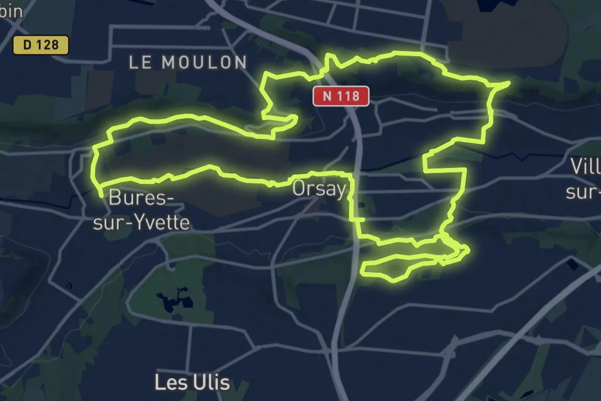
Medium · Trail
Palaiseau
16.9 km · ↑ 313 m · 4 h 54 min
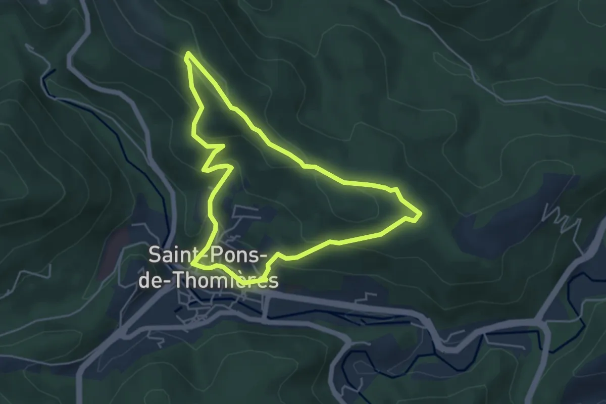
Easy · Trail
Palombières
4.4 km · ↑ 179 m · 1 h 29 min
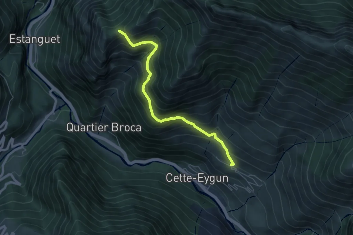
Medium · Trail
Panorama Cirque de Lescun
5.6 km · ↑ 547 m · 2 h 30 min
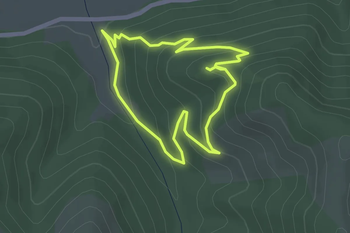
Easy · Trail
Panorama de Lagremuse
2.9 km · ↑ 153 m · 1 h 3 min
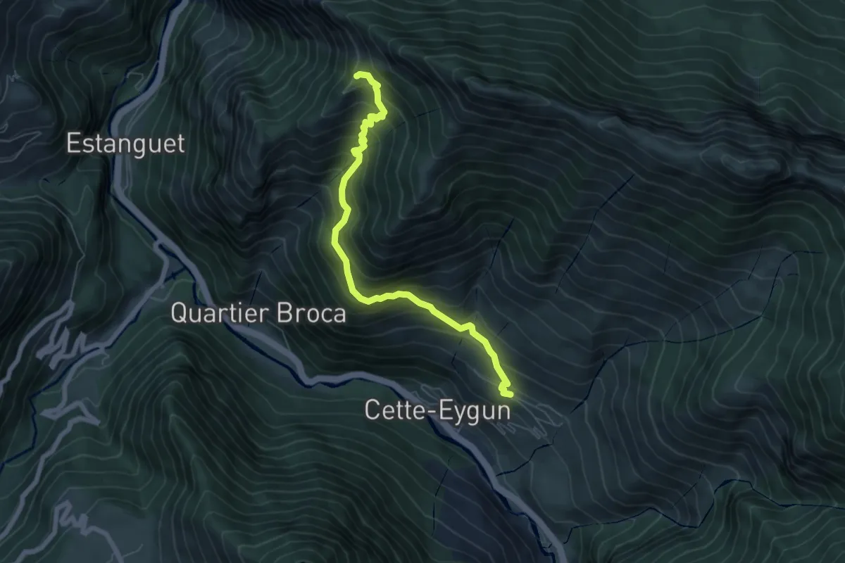
Medium · Summit
Panorama de Narbissat
6.5 km · ↑ 681 m · 3 h
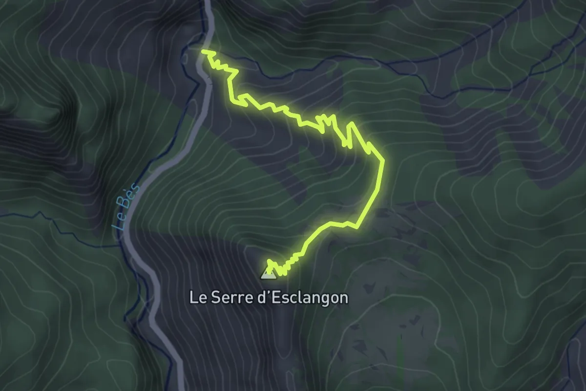
Easy · Summit
Panorama du Vélodrome
2.2 km · ↑ 318 m · 1 h 6 min
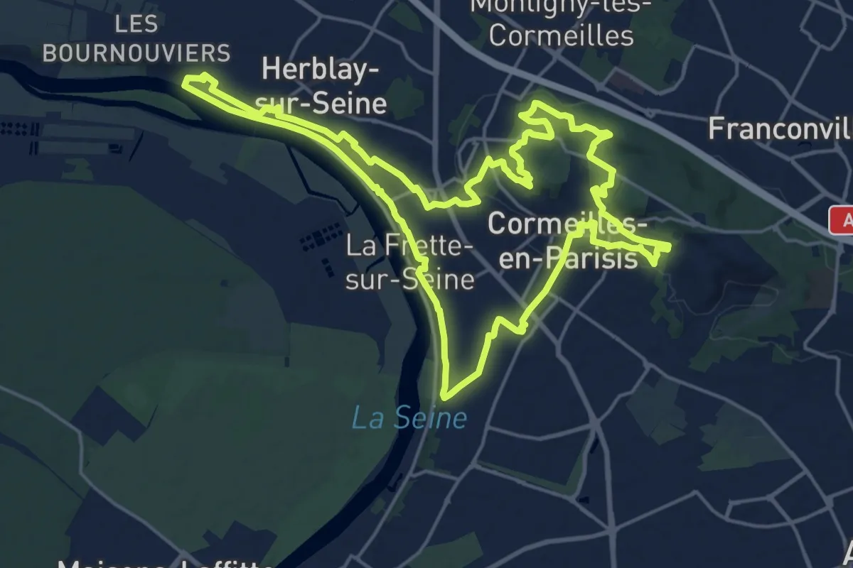
Demanding · Trail
Panoramas de la Seine à la Montagne
18.4 km · ↑ 354 m · 5 h 21 min
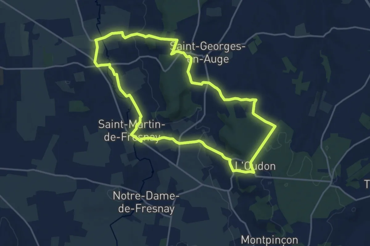
Medium · Trail
Panorama sur l'Oudon
12.9 km · ↑ 249 m · 3 h 45 min
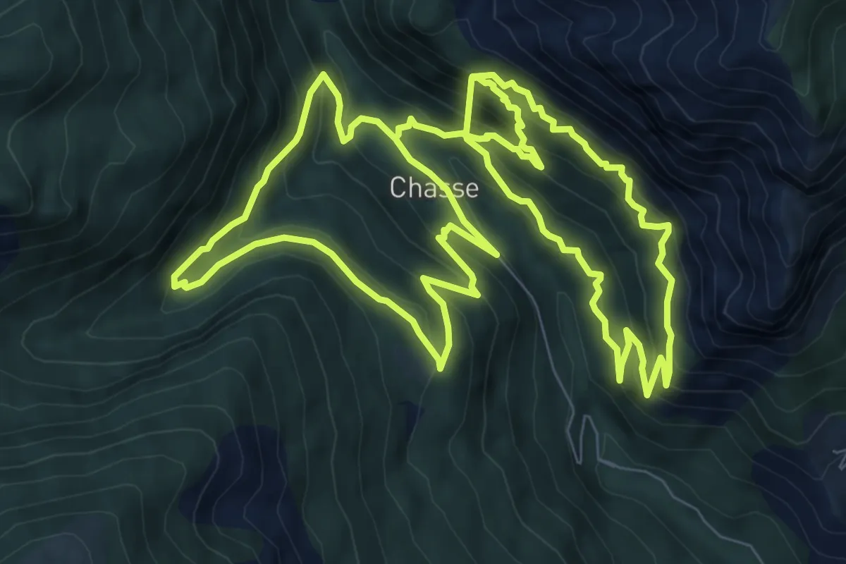
Demanding · Trail
Panoramique de Chasse
10.2 km · ↑ 937 m · 4 h 29 min
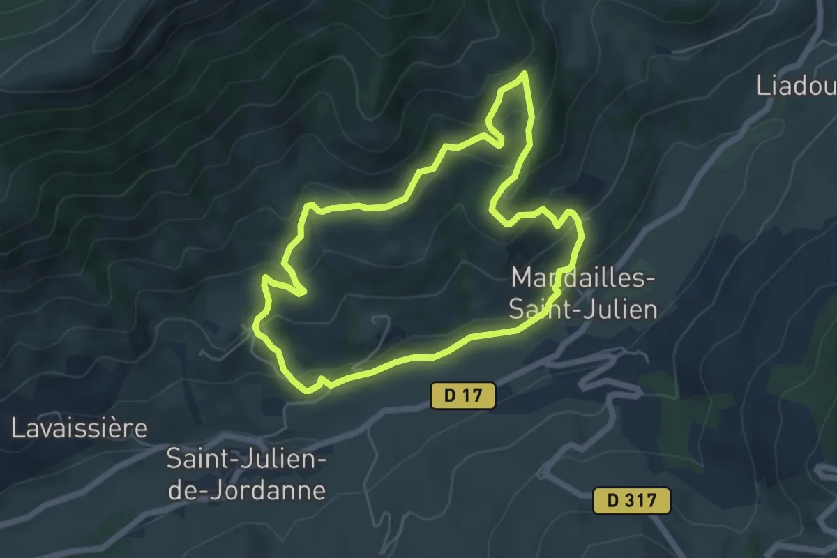
Medium · Trail
Parcours 11 vert - Les Roches Folles
5.2 km · ↑ 295 m · 1 h 56 min
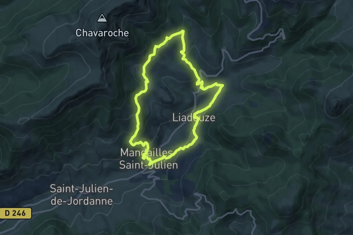
Medium · Trail
Parcours 12 vert - Tour de Mandailles
9.1 km · ↑ 431 m · 3 h 13 min
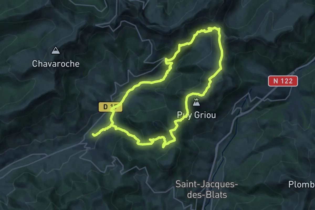
Medium · Trail
Parcours 13 bleu - Tour du Puy Griou
17.0 km · ↑ 788 m · 5 h 57 min
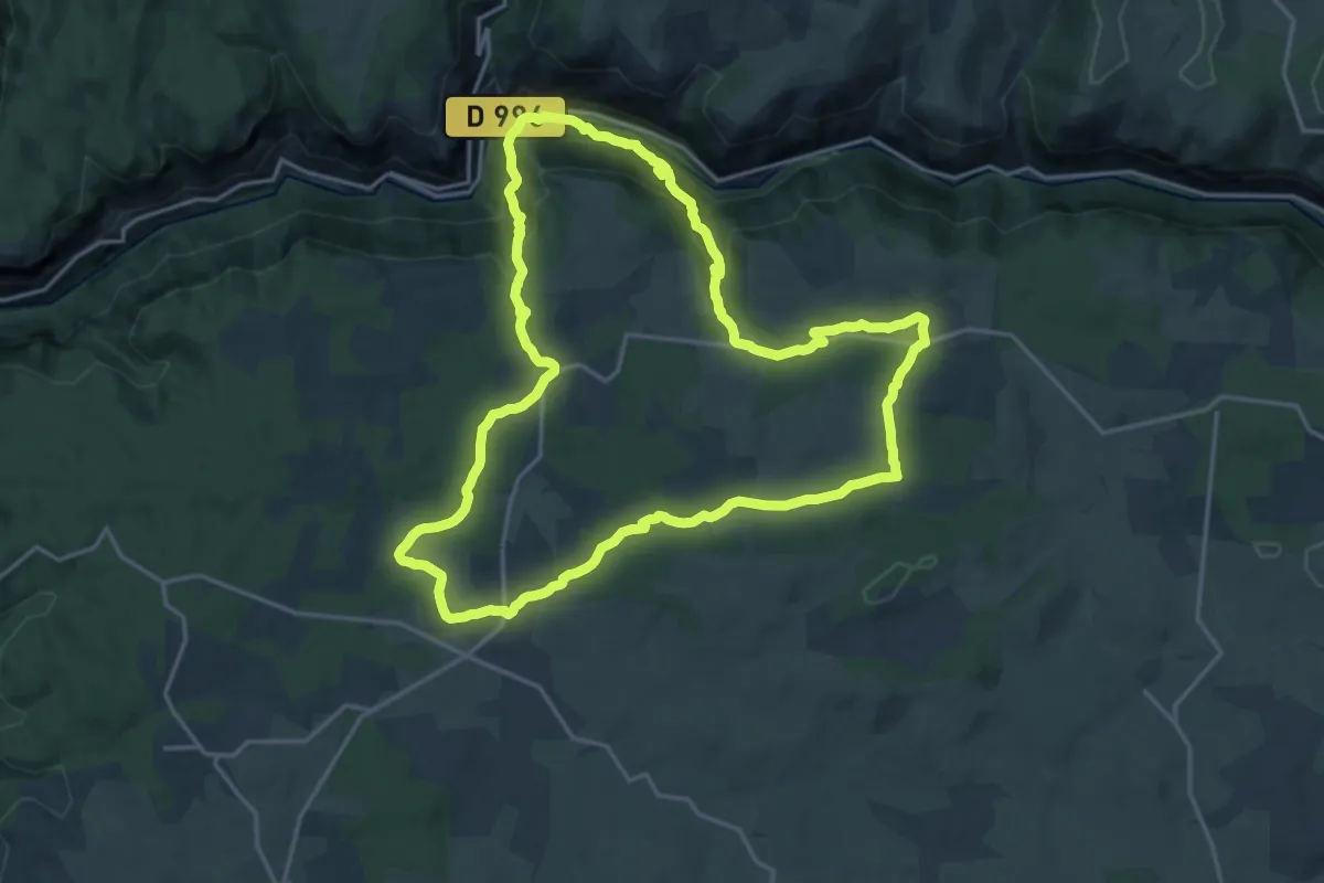
Demanding · Trail
Parcours 9 - Veyreau
18.4 km · ↑ 663 m · 6 h 3 min
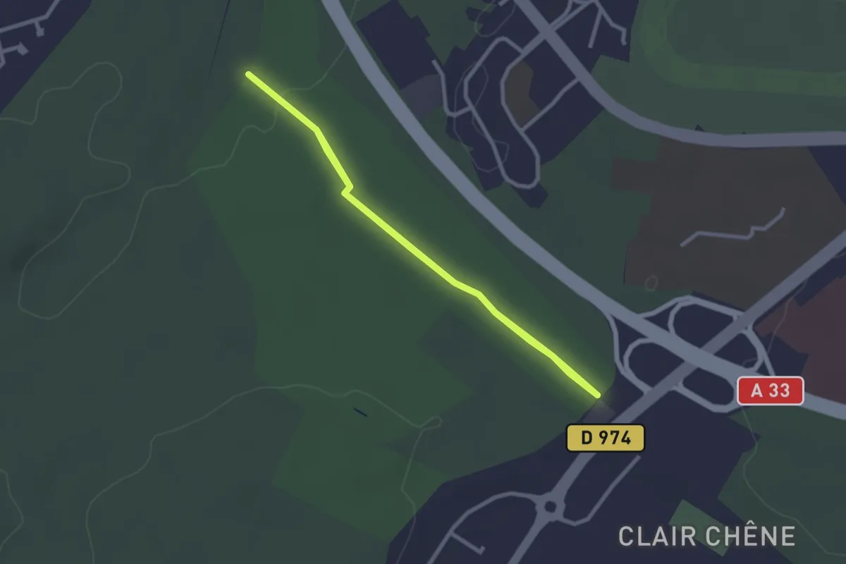
Easy · Trail
Parcours A
2.3 km · ↑ 23 m · 38 min
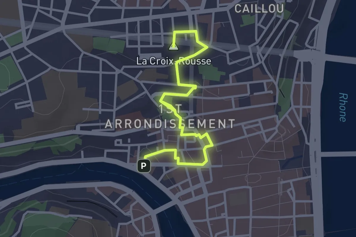
Easy · Summit
Parcours Amphitéâtre des Trois Gaules
3.6 km · ↑ 114 m · 1 h 6 min
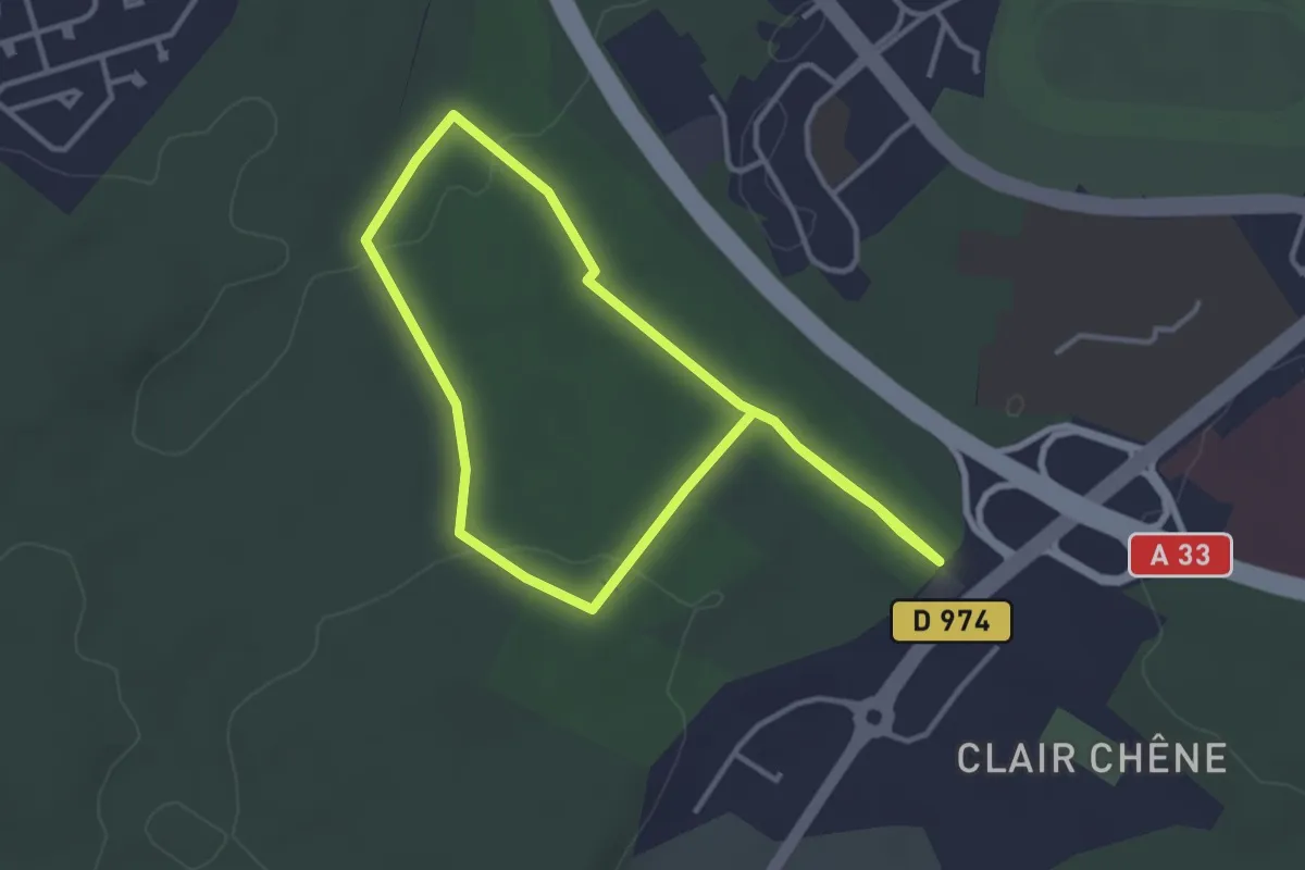
Easy · Trail
Parcours B
3.1 km · ↑ 35 m · 51 min